

National Character Area 120
Wealden Greensand - Landscape Change
Monitoring Landscape Change
Drivers for change
The Wealden Greensand area is made up of ancient woods and more recent conifer plantations as well as more open areas of heath, river valleys and mixed farming, all subject to climate driven impacts and increasing development. Hotter, drier summers may increase wildfire incidence, and could alter woodland composition with invasive species such as rhododendron and laurel, and increasing tree diseases may also have an effect. Increased development may cause associated urban fringe and suburban pressures including recreational activities on sensitive and vulnerable sites and habitats.
Monitoring landscape change
The most recent monitoring of landscape change within NCAs forms part of the Environmental Improvement Plan Environmental Indicator Framework. This includes indicator G1: Changes in landscape and waterscape character, informed by indicator component G1a: Changes in the landscape characteristics of NCAs in England.
Indicator component G1a measures the extent to which landscape change is achieving the aspirational landscape outcomes described in the NCA Statements of Environmental Opportunity (SEOs). For this purpose, SEOs across all NCAs are distilled into 34 Super Landscape Objectives (SLOs).
NCAs with broadly similar character and pressures for change have been grouped into 18 sub-Agricultural Landscape Types (sub-ALTs) that represent rural, urban and coastal landscapes. Equal numbers of relevant SLOs were identified for monitoring within each sub-ALT and their associated NCAs. These SLOs were assessed based on changes between 2015 – 2023 (or the closest approximations to those dates with the data available). The results of each SLO were combined to form an integrated view of overall landscape change within each NCA during this time period.
For further details on this landscape monitoring, refer to the G1a Landscape Change Atlas and report, which are also available via the Landscape Change Evidence Hub.
Landscape Change Evidence Hub
The Natural England Landscape Change Evidence Hub has been created to provide access to information that can help us understand how, where, and why England’s landscapes are changing, and how to manage change into the future. This includes the information on the Environmental Improvement Plan Environmental Indicator Framework, indicator G1, and the indicator component G1a Landscape Change Atlas and report.

Results of G1a: Changes in the landscape characteristics within this NCA
Listed below are:
- the overall trend for this NCA
- the results of the underlying analysis for each of the individual Super Landscape Objectives considered relevant to the NCA; this includes the ‘provisional status’ (i.e. current understanding of state/condition) and the ‘change trend’ associated with each SLO.
Reporting of the 2015-2019 and 2019-2023 time periods can be seen in the short term change results of G1a: Changes in the landscape characteristics within this NCA below.
The following SLOs are considered relevant to this NCA. The current provisional status of each objective and the assessment of change (expressed as a trend) is listed below. The overall integrated trend assessment is also listed.
The below section is in development.
| NCA_Number | NCA_Name | Sub_ALT | Overall trend - G1a 2015-2019 | Overall trend - G1a 2019-2023 | Change matrix category (2015-2019 and 2019-2023) |
|---|---|---|---|---|---|
| 1 | North Northumberland Coastal Plain | Eastern Arable / Coastal | Some improving | Some improving | Sustained alignment |
| 2 | Northumberland Sandstone Hills | Upland Fringe | Some improving | Some improving | Sustained alignment |
| 3 | Cheviot Fringe | Upland Fringe | Some improving | Mainly improving | Sustained alignment |
| 4 | Cheviots | Upland | Mainly improving | Some improving | Sustained alignment |
| 5 | Border Moors and Forests | Upland | Mainly improving | Some improving | Sustained alignment |
| 6 | Solway Basin | Western mixed / Coastal | Mixed change | Some improving | Emerging alignment |
| 7 | West Cumbria Coastal Plain | Western mixed / Coastal | Some improving | Mixed change | Weakening alignment |
| 8 | Cumbria High Fells | Upland | Some improving | Mainly improving | Sustained alignment |
| 9 | Eden Valley | Western mixed | Some declining | Mainly improving | Emerging alignment |
| 10 | North Pennines | Upland | Some improving | Some declining | Emerging divergence |
| 11 | Tyne Gap and Hadrian's Wall | Upland Fringe | Some improving | Mainly improving | Sustained alignment |
| 12 | Mid Northumberland | Upland Fringe | Some improving | Some improving | Sustained alignment |
| 13 | South East Northumberland Coastal Plain | Eastern Arable / Coastal | Mixed change | Mixed change | Mixed or limited change |
| 14 | Tyne and Wear Lowlands | Eastern Arable / Coastal / Urban/Urban Fringe | Mixed change | Mainly improving | Emerging alignment |
| 15 | Durham Magnesian Limestone Plateau | Eastern Arable / Coastal | Some declining | Mainly improving | Emerging alignment |
| 16 | Durham Coalfield Pennine Fringe | Upland Fringe | Mixed change | Some improving | Emerging alignment |
| 17 | Orton Fells | Upland Fringe | Some improving | Mainly improving | Sustained alignment |
| 18 | Howgill Fells | Upland Fringe | Some declining | Some improving | Emerging alignment |
| 19 | South Cumbria Low Fells | Upland | Some improving | Mainly improving | Sustained alignment |
| 20 | Morecambe Bay Limestones | Western mixed / Coastal | Some improving | Some improving | Sustained alignment |
| 21 | Yorkshire Dales | Upland | Mainly improving | Some improving | Sustained alignment |
| 22 | Pennine Dales Fringe | Upland Fringe | Some improving | Mainly improving | Sustained alignment |
| 23 | Tees Lowlands | Eastern Arable / Coastal | Some declining | Mainly improving | Emerging alignment |
| 24 | Vale of Mowbray | Eastern Arable | Some declining | Mainly improving | Emerging alignment |
| 25 | North York Moors and Cleveland Hills | Upland / Coastal | Mainly improving | Some improving | Sustained alignment |
| 26 | Vale of Pickering | Eastern Arable / Coastal | Some improving | Some improving | Sustained alignment |
| 27 | Yorkshire Wolds | Chalk and Limestone Mixed / Coastal | Some improving | Mainly improving | Sustained alignment |
| 28 | Vale of York | Eastern Arable | Mainly declining | Mainly improving | Emerging alignment |
| 29 | Howardian Hills | Chalk and Limestone Mixed | Mixed change | Some improving | Emerging alignment |
| 30 | Southern Magnesian Limestone | Chalk and Limestone Mixed | Some declining | Some improving | Emerging alignment |
| 31 | Morecambe Coast and Lune Estuary | Western mixed / Coastal | Some declining | Mainly little change | Weakening divergence |
| 32 | Lancashire and Amounderness Plain | Western mixed / Coastal | Some declining | Some declining | Established divergence |
| 33 | Bowland Fringe and Pendle Hill | Upland | Mainly declining | Mainly improving | Emerging alignment |
| 34 | Bowland Fells | Upland | Some improving | Some improving | Sustained alignment |
| 35 | Lancashire Valleys | Upland Fringe | Some declining | Some declining | Established divergence |
| 36 | Southern Pennines | Upland | Mainly improving | Some improving | Sustained alignment |
| 37 | Yorkshire Southern Pennine Fringe | Upland Fringe / Urban/Urban Fringe | Some improving | Mainly improving | Sustained alignment |
| 38 | Nottinghamshire, Derbyshire and Yorkshire Coalfield | Upland Fringe / Urban/Urban Fringe | Some improving | Mainly improving | Sustained alignment |
| 39 | Humberhead Levels | Eastern Arable | Mainly declining | Some improving | Emerging alignment |
| 40 | Holderness | Eastern Arable / Coastal | Some declining | Mainly improving | Emerging alignment |
| 41 | Humber Estuary | Eastern Arable / Coastal / Urban/Urban Fringe | Mainly improving | Mainly improving | Sustained alignment |
| 42 | Lincolnshire Coast and Marshes | Eastern Arable / Coastal | Some improving | Some improving | Sustained alignment |
| 43 | Lincolnshire Wolds | Chalk and Limestone Mixed | Some declining | Some improving | Emerging alignment |
| 44 | Central Lincolnshire Vale | Eastern Arable | Some improving | Mixed change | Weakening alignment |
| 45 | Northern Lincolnshire Edge with Coversands | Chalk and Limestone Mixed | Some improving | Mainly improving | Sustained alignment |
| 46 | The Fens | Eastern Arable / Coastal | Mainly improving | Some declining | Emerging divergence |
| 47 | Southern Lincolnshire Edge | Chalk and Limestone Mixed | Some declining | Some improving | Emerging alignment |
| 48 | Trent and Belvoir Vales | Eastern Arable | Mixed change | Mainly improving | Emerging alignment |
| 49 | Sherwood | Eastern Arable | Some improving | Some improving | Sustained alignment |
| 50 | Derbyshire Peak Fringe and Lower Derwent | Upland Fringe | Some improving | Mainly declining | Emerging divergence |
| 51 | Dark Peak | Upland | Mainly improving | Some improving | Sustained alignment |
| 52 | White Peak | Upland | Mainly improving | Some improving | Sustained alignment |
| 53 | South West Peak | Upland | Some improving | Some improving | Sustained alignment |
| 54 | Manchester Pennine Fringe | Upland Fringe / Urban/Urban Fringe | Some improving | Some declining | Emerging divergence |
| 55 | Manchester Conurbation | Western mixed / Urban/Urban Fringe | Some improving | Some declining | Emerging divergence |
| 56 | Lancashire Coal Measures | Western mixed | Some improving | Some declining | Emerging divergence |
| 57 | Sefton Coast | Western mixed / Coastal / Urban/Urban Fringe | Mixed change | Some improving | Emerging alignment |
| 58 | Merseyside Conurbation | Western mixed / Coastal / Urban/Urban Fringe | Some declining | Some declining | Established divergence |
| 59 | Wirral | Western mixed / Coastal | Some improving | Some declining | Emerging divergence |
| 60 | Mersey Valley | Western mixed / Coastal | Some declining | Some declining | Established divergence |
| 61 | Shropshire, Cheshire and Staffordshire Plain | Western mixed | Mainly improving | Some improving | Sustained alignment |
| 62 | Cheshire Sandstone Ridge | Western mixed | Some declining | Mainly improving | Emerging alignment |
| 63 | Oswestry Uplands | Western mixed | Some improving | Mainly declining | Emerging divergence |
| 64 | Potteries and Churnet Valley | Upland Fringe | Mainly improving | Some improving | Sustained alignment |
| 65 | Shropshire Hills | Upland | Some improving | Some improving | Sustained alignment |
| 66 | Mid Severn Sandstone Plateau | Western mixed | Some improving | Some declining | Emerging divergence |
| 67 | Cannock Chase and Cank Wood | Western mixed / Urban/Urban Fringe | Some declining | Some improving | Emerging alignment |
| 68 | Needwood and South Derbyshire Claylands | Western mixed | Some improving | Some declining | Emerging divergence |
| 69 | Trent Valley Washlands | Western mixed | Some improving | Mainly declining | Emerging divergence |
| 70 | Melbourne Parklands | Western mixed | Some improving | Some declining | Emerging divergence |
| 71 | Leicestershire and South Derbyshire Coalfield | Western mixed | Some improving | Some improving | Sustained alignment |
| 72 | Mease/Sence Lowlands | Western mixed | Some declining | Mainly improving | Emerging alignment |
| 73 | Charnwood | Western mixed | Some improving | Mainly declining | Emerging divergence |
| 74 | Leicestershire and Nottinghamshire Wolds | Chalk and Limestone Mixed | Some declining | Mainly improving | Emerging alignment |
| 75 | Kesteven Uplands | Chalk and Limestone Mixed | Some declining | Mainly improving | Emerging alignment |
| 76 | North West Norfolk | Chalk and Limestone Mixed / Coastal | Some declining | Some improving | Emerging alignment |
| 77 | North Norfolk Coast | Eastern Arable / Coastal | Mainly improving | Some declining | Emerging divergence |
| 78 | Central North Norfolk | Eastern Arable / Coastal | Some improving | Some declining | Emerging divergence |
| 79 | North East Norfolk and Flegg | Eastern Arable / Coastal | Some declining | Mainly declining | Established divergence |
| 80 | The Broads | Eastern Arable / Coastal | Some improving | Some improving | Sustained alignment |
| 81 | Greater Thames Estuary | SE Mixed (Wooded) / Coastal | Some improving | Mainly improving | Sustained alignment |
| 82 | Suffolk Coast and Heaths | Eastern Arable / Coastal | Some improving | Some improving | Sustained alignment |
| 83 | South Norfolk and High Suffolk Claylands | Eastern Arable | Some declining | Mainly improving | Emerging alignment |
| 84 | Mid Norfolk | Eastern Arable | Some improving | Mixed change | Weakening alignment |
| 85 | The Brecks | Chalk and Limestone Mixed | Mixed change | Some declining | Emerging divergence |
| 86 | South Suffolk and North Essex Clayland | Eastern Arable | Some improving | Some improving | Sustained alignment |
| 87 | East Anglian Chalk | Chalk and Limestone Mixed | Some improving | Some improving | Sustained alignment |
| 88 | Bedfordshire and Cambridgeshire Claylands | Eastern Arable | Some improving | Some declining | Emerging divergence |
| 89 | Northamptonshire Vales | Western mixed | Some improving | Mainly improving | Sustained alignment |
| 90 | Bedfordshire Greensand Ridge | Eastern Arable | Mainly declining | Mainly declining | Established divergence |
| 91 | Yardley-Whittlewood Ridge | Western mixed | Some declining | Mainly improving | Emerging alignment |
| 92 | Rockingham Forest | Chalk and Limestone Mixed | Mainly improving | Mainly improving | Sustained alignment |
| 93 | High Leicestershire | Chalk and Limestone Mixed | Mainly declining | Mainly declining | Established divergence |
| 94 | Leicestershire Vales | Western mixed | Some declining | Some improving | Emerging alignment |
| 95 | Northamptonshire Uplands | Chalk and Limestone Mixed | Some improving | Some improving | Sustained alignment |
| 96 | Dunsmore and Feldon | Western mixed | Some declining | Mainly declining | Established divergence |
| 97 | Arden | Western mixed / Urban/Urban Fringe | Some declining | Mainly improving | Emerging alignment |
| 98 | Clun and North West Herefordshire Hills | Upland | Some improving | Mainly improving | Sustained alignment |
| 99 | Black Mountains and Golden Valley | Upland | Some improving | Mainly improving | Sustained alignment |
| 100 | Herefordshire Lowlands | Western mixed | Some improving | Some declining | Emerging divergence |
| 101 | Herefordshire Plateau | Western mixed | Some declining | Mixed change | Weakening divergence |
| 102 | Teme Valley | Western mixed | Some declining | Some declining | Established divergence |
| 103 | Malvern Hills | Upland Fringe | Some declining | Mainly improving | Emerging alignment |
| 104 | South Herefordshire and Over Severn | Western mixed | Mixed change | Some improving | Emerging alignment |
| 105 | Forest of Dean and Lower Wye | Upland Fringe | Some improving | Some declining | Emerging divergence |
| 106 | Severn and Avon Vales | Western mixed / Coastal | Some declining | Mainly improving | Emerging alignment |
| 107 | Cotswolds | Chalk and Limestone Mixed | Some improving | Some declining | Emerging divergence |
| 108 | Upper Thames Clay Vales | Western mixed | Mainly improving | Some improving | Sustained alignment |
| 109 | Midvale Ridge | Western mixed | Some improving | Some improving | Sustained alignment |
| 110 | Chilterns | Chalk and Limestone Mixed | Some declining | Mainly improving | Emerging alignment |
| 111 | Northern Thames Basin | SE Mixed (Wooded) / Urban/Urban Fringe | Some declining | Some improving | Emerging alignment |
| 112 | Inner London | Urban | Some improving | Some improving | Sustained alignment |
| 113 | North Kent Plain | SE Mixed (Wooded) / Coastal | Some declining | Mainly improving | Emerging alignment |
| 114 | Thames Basin Lowlands | SE Mixed (Wooded) / Urban/Urban Fringe | Mainly improving | Some improving | Sustained alignment |
| 115 | Thames Valley | SE Mixed (Wooded) / Urban/Urban Fringe | Some improving | Mainly declining | Emerging divergence |
| 116 | Berkshire and Marlborough Downs | Chalk and Limestone Mixed | Some improving | Some improving | Sustained alignment |
| 117 | Avon Vales | Western mixed | Some improving | Some declining | Emerging divergence |
| 118 | Bristol, Avon Valleys and Ridges | Western mixed / Coastal | Some declining | Mainly improving | Emerging alignment |
| 119 | North Downs | Chalk and Limestone Mixed / Coastal | Some improving | Mainly improving | Sustained alignment |
| 120 | Wealden Greensand | SE Mixed (Wooded) / Coastal | Mainly improving | Mainly improving | Sustained alignment |
| 121 | Low Weald | SE Mixed (Wooded) | Mainly improving | Mainly improving | Sustained alignment |
| 122 | High Weald | SE Mixed (Wooded) / Coastal | Some declining | Some declining | Established divergence |
| 123 | Romney Marshes | SE Mixed (Wooded) / Coastal | Some declining | Some improving | Emerging alignment |
| 124 | Pevensey Levels | SE Mixed (Wooded) / Coastal | Some improving | Some declining | Emerging divergence |
| 125 | South Downs | Chalk and Limestone Mixed / Coastal | Some improving | Mainly improving | Sustained alignment |
| 126 | South Coast Plain | SE Mixed (Wooded) / Coastal | Mainly declining | Some declining | Established divergence |
| 127 | Isle of Wight | Chalk and Limestone Mixed / Coastal | Mainly improving | Mainly improving | Sustained alignment |
| 128 | South Hampshire Lowlands | SE Mixed (Wooded) / Coastal | Some improving | Some declining | Emerging divergence |
| 129 | Thames Basin Heaths | SE Mixed (Wooded) | Mainly improving | Some improving | Sustained alignment |
| 130 | Hampshire Downs | Chalk and Limestone Mixed | Some declining | Mainly improving | Emerging alignment |
| 131 | New Forest | SE Mixed (Wooded) / Coastal | Mainly improving | Mainly improving | Sustained alignment |
| 132 | Salisbury Plain and West Wiltshire Downs | Chalk and Limestone Mixed | Mainly improving | Some improving | Sustained alignment |
| 133 | Blackmore Vale and Vale of Wardour | Western mixed | Some improving | Some improving | Sustained alignment |
| 134 | Dorset Downs and Cranborne Chase | Chalk and Limestone Mixed | Some improving | Some improving | Sustained alignment |
| 135 | Dorset Heaths | SE Mixed (Wooded) / Coastal | Some improving | Mainly improving | Sustained alignment |
| 136 | South Purbeck | Chalk and Limestone Mixed / Coastal | Some declining | Mainly improving | Emerging alignment |
| 137 | Isle of Porland | Chalk and Limestone Mixed / Coastal | Some declining | Some declining | Established divergence |
| 138 | Weymouth Lowlands | Chalk and Limestone Mixed / Coastal | Some declining | Mainly improving | Emerging alignment |
| 139 | Marshwood and Powerstock Vales | Western mixed / Coastal | Mainly declining | Mainly improving | Emerging alignment |
| 140 | Yeovil Scarplands | Chalk and Limestone Mixed | Some declining | Mainly declining | Established divergence |
| 141 | Mendip Hills | Chalk and Limestone Mixed | Some declining | Some improving | Emerging alignment |
| 142 | Somerset Levels and Moors | Western mixed / Coastal | Some improving | Mainly improving | Sustained alignment |
| 143 | Mid Somerset Hills | Western mixed | Some declining | Some declining | Established divergence |
| 144 | Quantock Hills | Upland Fringe | Some improving | Mainly improving | Sustained alignment |
| 145 | Exmoor | Upland / Coastal | Some improving | Some improving | Sustained alignment |
| 146 | Vale of Taunton and Quantock Fringes | Western mixed / Coastal | Some improving | Mainly improving | Sustained alignment |
| 147 | Blackdowns | Upland Fringe / Coastal | Some improving | Mainly improving | Sustained alignment |
| 148 | Devon Redlands | Western mixed / Coastal | Some improving | Mixed change | Weakening alignment |
| 149 | The Culm | Upland Fringe / Coastal | Mixed change | Mainly improving | Emerging alignment |
| 150 | Dartmoor | Upland | Some declining | Mainly improving | Emerging alignment |
| 151 | South Devon | Upland Fringe / Coastal | Mainly improving | Some improving | Sustained alignment |
| 152 | Cornish Killas | Upland Fringe / Coastal | Some improving | Mainly improving | Sustained alignment |
| 153 | Bodmin Moor | Upland | Some declining | Mixed change | Weakening divergence |
| 154 | Hensbarrow | Upland Fringe | Some declining | Some improving | Emerging alignment |
| 155 | Carnmenellis | Upland | Some improving | Some declining | Emerging divergence |
| 156 | West Penwith | Upland / Coastal | Some declining | Mainly improving | Emerging alignment |
| 157 | The Lizard | Upland / Coastal | Some improving | Mainly improving | Sustained alignment |
| 158 | Isles of Scilly | Upland Fringe / Coastal | Some improving | Mainly declining | Emerging divergence |
| 159 | Lundy | Upland Fringe / Coastal | Some improving | Some improving | Sustained alignment |
| NCA_Number | NCA_Name | Sub_ALT |
| Master_Order | Order | NCA_Number | NCA_Name | Sub_ALT | PL | SLOs_of_relevance | SLO Code | Super Landscape Objective | NCA_NO_and_SLO | Year | Provisional Status 2023 | Change Trend 2019-2023 | Hotlink |
|---|---|---|---|---|---|---|---|---|---|---|---|---|---|
| 5,407 | 1 | 1 | North Northumberland Coastal Plain | Eastern Arable / Coastal | Protected landscape NCA | YES | SLO1 | Conserve and enhance landscapes for their tranquillity and dark skies particularly where they are under pressure from the potential impacts of development and associated infrastructure. | SLO1-NCA1 | 2019-2023 | Unknown | Declining | https://nationalcharacterareas.co.uk/north-northumberland-coastal-plain |
| 5,408 | 2 | 2 | Northumberland Sandstone Hills | Upland Fringe | Protected landscape NCA | YES | SLO1 | Conserve and enhance landscapes for their tranquillity and dark skies particularly where they are under pressure from the potential impacts of development and associated infrastructure. | SLO1-NCA2 | 2019-2023 | Unknown | Little change | https://nationalcharacterareas.co.uk/northumberland-sandstone-hills |
| 5,409 | 3 | 3 | Cheviot Fringe | Upland Fringe | Other NCA | YES | SLO1 | Conserve and enhance landscapes for their tranquillity and dark skies particularly where they are under pressure from the potential impacts of development and associated infrastructure. | SLO1-NCA3 | 2019-2023 | Unknown | Declining | https://nationalcharacterareas.co.uk/cheviot-fringe |
| 5,410 | 4 | 4 | Cheviots | Upland | Protected landscape NCA | YES | SLO1 | Conserve and enhance landscapes for their tranquillity and dark skies particularly where they are under pressure from the potential impacts of development and associated infrastructure. | SLO1-NCA4 | 2019-2023 | Unknown | Declining | https://nationalcharacterareas.co.uk/cheviots |
| 5,411 | 5 | 5 | Border Moors and Forests | Upland | Protected landscape NCA | YES | SLO1 | Conserve and enhance landscapes for their tranquillity and dark skies particularly where they are under pressure from the potential impacts of development and associated infrastructure. | SLO1-NCA5 | 2019-2023 | Unknown | Little change | https://nationalcharacterareas.co.uk/border-moors-and-forests |
| 5,412 | 6 | 6 | Solway Basin | Western mixed / Coastal | Protected landscape NCA | YES | SLO1 | Conserve and enhance landscapes for their tranquillity and dark skies particularly where they are under pressure from the potential impacts of development and associated infrastructure. | SLO1-NCA6 | 2019-2023 | Unknown | Declining | https://nationalcharacterareas.co.uk/solway-basin |
| 5,413 | 7 | 7 | West Cumbria Coastal Plain | Western mixed / Coastal | Protected landscape NCA | YES | SLO1 | Conserve and enhance landscapes for their tranquillity and dark skies particularly where they are under pressure from the potential impacts of development and associated infrastructure. | SLO1-NCA7 | 2019-2023 | Unknown | Declining | https://nationalcharacterareas.co.uk/west-cumbria-coastal-plain |
| 5,414 | 8 | 8 | Cumbria High Fells | Upland | Protected landscape NCA | YES | SLO1 | Conserve and enhance landscapes for their tranquillity and dark skies particularly where they are under pressure from the potential impacts of development and associated infrastructure. | SLO1-NCA8 | 2019-2023 | Unknown | Declining | https://nationalcharacterareas.co.uk/cumbria-high-fells |
| 5,415 | 9 | 9 | Eden Valley | Western mixed | Protected landscape NCA | YES | SLO1 | Conserve and enhance landscapes for their tranquillity and dark skies particularly where they are under pressure from the potential impacts of development and associated infrastructure. | SLO1-NCA9 | 2019-2023 | Unknown | Declining | https://nationalcharacterareas.co.uk/eden-valley |
| 5,416 | 10 | 10 | North Pennines | Upland | Protected landscape NCA | YES | SLO1 | Conserve and enhance landscapes for their tranquillity and dark skies particularly where they are under pressure from the potential impacts of development and associated infrastructure. | SLO1-NCA10 | 2019-2023 | Unknown | Little change | https://nationalcharacterareas.co.uk/north-pennines |
| 5,417 | 11 | 11 | Tyne Gap and Hadrian's Wall | Upland Fringe | Protected landscape NCA | YES | SLO1 | Conserve and enhance landscapes for their tranquillity and dark skies particularly where they are under pressure from the potential impacts of development and associated infrastructure. | SLO1-NCA11 | 2019-2023 | Unknown | Declining | https://nationalcharacterareas.co.uk/tyne-gap-and-hadrians-wall |
| 5,418 | 12 | 12 | Mid Northumberland | Upland Fringe | Other NCA | YES | SLO1 | Conserve and enhance landscapes for their tranquillity and dark skies particularly where they are under pressure from the potential impacts of development and associated infrastructure. | SLO1-NCA12 | 2019-2023 | Unknown | Declining | https://nationalcharacterareas.co.uk/mid-northumberland |
| 5,419 | 13 | 13 | South East Northumberland Coastal Plain | Eastern Arable / Coastal | Other NCA | YES | SLO1 | Conserve and enhance landscapes for their tranquillity and dark skies particularly where they are under pressure from the potential impacts of development and associated infrastructure. | SLO1-NCA13 | 2019-2023 | Unknown | Strongly declining | https://nationalcharacterareas.co.uk/south-east-northumberland-coastal-plain |
| 5,420 | 14 | 14 | Tyne and Wear Lowlands | Eastern Arable / Coastal / Urban/Urban Fringe | Other NCA | YES | SLO1 | Conserve and enhance landscapes for their tranquillity and dark skies particularly where they are under pressure from the potential impacts of development and associated infrastructure. | SLO1-NCA14 | 2019-2023 | Unknown | Declining | https://nationalcharacterareas.co.uk/tyne-and-wear-lowlands |
| 5,421 | 15 | 15 | Durham Magnesian Limestone Plateau | Eastern Arable / Coastal | Other NCA | YES | SLO1 | Conserve and enhance landscapes for their tranquillity and dark skies particularly where they are under pressure from the potential impacts of development and associated infrastructure. | SLO1-NCA15 | 2019-2023 | Unknown | Declining | https://nationalcharacterareas.co.uk/durham-magnesian-limestone-plateau |
| 5,422 | 16 | 16 | Durham Coalfield Pennine Fringe | Upland Fringe | Other NCA | YES | SLO1 | Conserve and enhance landscapes for their tranquillity and dark skies particularly where they are under pressure from the potential impacts of development and associated infrastructure. | SLO1-NCA16 | 2019-2023 | Unknown | Declining | https://nationalcharacterareas.co.uk/durham-coalfield-pennine-fringe |
| 5,423 | 17 | 17 | Orton Fells | Upland Fringe | Protected landscape NCA | YES | SLO1 | Conserve and enhance landscapes for their tranquillity and dark skies particularly where they are under pressure from the potential impacts of development and associated infrastructure. | SLO1-NCA17 | 2019-2023 | Unknown | Declining | https://nationalcharacterareas.co.uk/orton-fells |
| 5,424 | 18 | 18 | Howgill Fells | Upland Fringe | Protected landscape NCA | YES | SLO1 | Conserve and enhance landscapes for their tranquillity and dark skies particularly where they are under pressure from the potential impacts of development and associated infrastructure. | SLO1-NCA18 | 2019-2023 | Unknown | Little change | https://nationalcharacterareas.co.uk/howgill-fells |
| 5,425 | 19 | 19 | South Cumbria Low Fells | Upland | Protected landscape NCA | YES | SLO1 | Conserve and enhance landscapes for their tranquillity and dark skies particularly where they are under pressure from the potential impacts of development and associated infrastructure. | SLO1-NCA19 | 2019-2023 | Unknown | Declining | https://nationalcharacterareas.co.uk/south-cumbria-low-fells |
| 5,426 | 20 | 20 | Morecambe Bay Limestones | Western mixed / Coastal | Protected landscape NCA | YES | SLO1 | Conserve and enhance landscapes for their tranquillity and dark skies particularly where they are under pressure from the potential impacts of development and associated infrastructure. | SLO1-NCA20 | 2019-2023 | Unknown | Declining | https://nationalcharacterareas.co.uk/morecambe-bay-limestones |
| 5,427 | 21 | 21 | Yorkshire Dales | Upland | Protected landscape NCA | YES | SLO1 | Conserve and enhance landscapes for their tranquillity and dark skies particularly where they are under pressure from the potential impacts of development and associated infrastructure. | SLO1-NCA21 | 2019-2023 | Unknown | Declining | https://nationalcharacterareas.co.uk/yorkshire-dales |
| 5,428 | 22 | 22 | Pennine Dales Fringe | Upland Fringe | Protected landscape NCA | YES | SLO1 | Conserve and enhance landscapes for their tranquillity and dark skies particularly where they are under pressure from the potential impacts of development and associated infrastructure. | SLO1-NCA22 | 2019-2023 | Unknown | Declining | https://nationalcharacterareas.co.uk/pennine-dales-fringe |
| 5,429 | 23 | 23 | Tees Lowlands | Eastern Arable / Coastal | Other NCA | YES | SLO1 | Conserve and enhance landscapes for their tranquillity and dark skies particularly where they are under pressure from the potential impacts of development and associated infrastructure. | SLO1-NCA23 | 2019-2023 | Unknown | Declining | https://nationalcharacterareas.co.uk/tees-lowlands |
| 5,430 | 24 | 24 | Vale of Mowbray | Eastern Arable | Other NCA | YES | SLO1 | Conserve and enhance landscapes for their tranquillity and dark skies particularly where they are under pressure from the potential impacts of development and associated infrastructure. | SLO1-NCA24 | 2019-2023 | Unknown | Declining | https://nationalcharacterareas.co.uk/vale-of-mowbray |
| 5,431 | 25 | 25 | North York Moors and Cleveland Hills | Upland / Coastal | Protected landscape NCA | YES | SLO1 | Conserve and enhance landscapes for their tranquillity and dark skies particularly where they are under pressure from the potential impacts of development and associated infrastructure. | SLO1-NCA25 | 2019-2023 | Unknown | Declining | https://nationalcharacterareas.co.uk/north-york-moors-and-cleveland-hills/ |
| 5,432 | 26 | 26 | Vale of Pickering | Eastern Arable / Coastal | Other NCA | YES | SLO1 | Conserve and enhance landscapes for their tranquillity and dark skies particularly where they are under pressure from the potential impacts of development and associated infrastructure. | SLO1-NCA26 | 2019-2023 | Unknown | Declining | https://nationalcharacterareas.co.uk/vale-of-pickering |
| 5,433 | 27 | 27 | Yorkshire Wolds | Chalk and Limestone Mixed / Coastal | Other NCA | YES | SLO1 | Conserve and enhance landscapes for their tranquillity and dark skies particularly where they are under pressure from the potential impacts of development and associated infrastructure. | SLO1-NCA27 | 2019-2023 | Unknown | Declining | https://nationalcharacterareas.co.uk/yorkshire-wolds |
| 5,434 | 28 | 28 | Vale of York | Eastern Arable | Other NCA | YES | SLO1 | Conserve and enhance landscapes for their tranquillity and dark skies particularly where they are under pressure from the potential impacts of development and associated infrastructure. | SLO1-NCA28 | 2019-2023 | Unknown | Declining | https://nationalcharacterareas.co.uk/vale-of-york |
| 5,435 | 29 | 29 | Howardian Hills | Chalk and Limestone Mixed | Protected landscape NCA | YES | SLO1 | Conserve and enhance landscapes for their tranquillity and dark skies particularly where they are under pressure from the potential impacts of development and associated infrastructure. | SLO1-NCA29 | 2019-2023 | Unknown | Declining | https://nationalcharacterareas.co.uk/howardian-hills |
| 5,436 | 30 | 30 | Southern Magnesian Limestone | Chalk and Limestone Mixed | Other NCA | YES | SLO1 | Conserve and enhance landscapes for their tranquillity and dark skies particularly where they are under pressure from the potential impacts of development and associated infrastructure. | SLO1-NCA30 | 2019-2023 | Unknown | Declining | https://nationalcharacterareas.co.uk/southern-magnesian-limestone |
| 5,437 | 31 | 31 | Morecambe Coast and Lune Estuary | Western mixed / Coastal | Other NCA | YES | SLO1 | Conserve and enhance landscapes for their tranquillity and dark skies particularly where they are under pressure from the potential impacts of development and associated infrastructure. | SLO1-NCA31 | 2019-2023 | Unknown | Little change | https://nationalcharacterareas.co.uk/morecambe-coast-and-lune-estuary |
| 5,438 | 32 | 32 | Lancashire and Amounderness Plain | Western mixed / Coastal | Other NCA | YES | SLO1 | Conserve and enhance landscapes for their tranquillity and dark skies particularly where they are under pressure from the potential impacts of development and associated infrastructure. | SLO1-NCA32 | 2019-2023 | Unknown | Strongly declining | https://nationalcharacterareas.co.uk/lancashire-and-amounderness-plain |
| 5,439 | 33 | 33 | Bowland Fringe and Pendle Hill | Upland | Protected landscape NCA | YES | SLO1 | Conserve and enhance landscapes for their tranquillity and dark skies particularly where they are under pressure from the potential impacts of development and associated infrastructure. | SLO1-NCA33 | 2019-2023 | Unknown | Declining | https://nationalcharacterareas.co.uk/bowland-fringe-and-pendle-hill |
| 5,440 | 34 | 34 | Bowland Fells | Upland | Protected landscape NCA | YES | SLO1 | Conserve and enhance landscapes for their tranquillity and dark skies particularly where they are under pressure from the potential impacts of development and associated infrastructure. | SLO1-NCA34 | 2019-2023 | Unknown | Little change | https://nationalcharacterareas.co.uk/bowland-fells |
| 5,441 | 35 | 35 | Lancashire Valleys | Upland Fringe | Other NCA | YES | SLO1 | Conserve and enhance landscapes for their tranquillity and dark skies particularly where they are under pressure from the potential impacts of development and associated infrastructure. | SLO1-NCA35 | 2019-2023 | Unknown | Declining | https://nationalcharacterareas.co.uk/lancashire-valleys |
| 5,442 | 36 | 36 | Southern Pennines | Upland | Other NCA | YES | SLO1 | Conserve and enhance landscapes for their tranquillity and dark skies particularly where they are under pressure from the potential impacts of development and associated infrastructure. | SLO1-NCA36 | 2019-2023 | Unknown | Declining | https://nationalcharacterareas.co.uk/southern-pennines |
| 5,443 | 37 | 37 | Yorkshire Southern Pennine Fringe | Upland Fringe / Urban/Urban Fringe | Other NCA | YES | SLO1 | Conserve and enhance landscapes for their tranquillity and dark skies particularly where they are under pressure from the potential impacts of development and associated infrastructure. | SLO1-NCA37 | 2019-2023 | Unknown | Declining | https://nationalcharacterareas.co.uk/yorkshire-southern-pennine-fringe |
| 5,444 | 38 | 38 | Nottinghamshire, Derbyshire and Yorkshire Coalfield | Upland Fringe / Urban/Urban Fringe | Other NCA | YES | SLO1 | Conserve and enhance landscapes for their tranquillity and dark skies particularly where they are under pressure from the potential impacts of development and associated infrastructure. | SLO1-NCA38 | 2019-2023 | Unknown | Declining | https://nationalcharacterareas.co.uk/nottinghamshire-derbyshire-and-yorkshire-coalfield |
| 5,445 | 39 | 39 | Humberhead Levels | Eastern Arable | Other NCA | YES | SLO1 | Conserve and enhance landscapes for their tranquillity and dark skies particularly where they are under pressure from the potential impacts of development and associated infrastructure. | SLO1-NCA39 | 2019-2023 | Unknown | Declining | https://nationalcharacterareas.co.uk/humberhead-levels |
| 5,446 | 40 | 40 | Holderness | Eastern Arable / Coastal | Other NCA | YES | SLO1 | Conserve and enhance landscapes for their tranquillity and dark skies particularly where they are under pressure from the potential impacts of development and associated infrastructure. | SLO1-NCA40 | 2019-2023 | Unknown | Declining | https://nationalcharacterareas.co.uk/holderness |
| 5,447 | 41 | 41 | Humber Estuary | Eastern Arable / Coastal / Urban/Urban Fringe | Other NCA | YES | SLO1 | Conserve and enhance landscapes for their tranquillity and dark skies particularly where they are under pressure from the potential impacts of development and associated infrastructure. | SLO1-NCA41 | 2019-2023 | Unknown | Little change | https://nationalcharacterareas.co.uk/humber-estuary |
| 5,448 | 42 | 42 | Lincolnshire Coast and Marshes | Eastern Arable / Coastal | Other NCA | YES | SLO1 | Conserve and enhance landscapes for their tranquillity and dark skies particularly where they are under pressure from the potential impacts of development and associated infrastructure. | SLO1-NCA42 | 2019-2023 | Unknown | Declining | https://nationalcharacterareas.co.uk/lincolnshire-coast-and-marshes |
| 5,449 | 43 | 43 | Lincolnshire Wolds | Chalk and Limestone Mixed | Protected landscape NCA | YES | SLO1 | Conserve and enhance landscapes for their tranquillity and dark skies particularly where they are under pressure from the potential impacts of development and associated infrastructure. | SLO1-NCA43 | 2019-2023 | Unknown | Declining | https://nationalcharacterareas.co.uk/lincolnshire-wolds |
| 5,450 | 44 | 44 | Central Lincolnshire Vale | Eastern Arable | Other NCA | YES | SLO1 | Conserve and enhance landscapes for their tranquillity and dark skies particularly where they are under pressure from the potential impacts of development and associated infrastructure. | SLO1-NCA44 | 2019-2023 | Unknown | Declining | https://nationalcharacterareas.co.uk/central-lincolnshire-vale |
| 5,451 | 45 | 45 | Northern Lincolnshire Edge with Coversands | Chalk and Limestone Mixed | Other NCA | YES | SLO1 | Conserve and enhance landscapes for their tranquillity and dark skies particularly where they are under pressure from the potential impacts of development and associated infrastructure. | SLO1-NCA45 | 2019-2023 | Unknown | Declining | https://nationalcharacterareas.co.uk/northern-lincolnshire-edge-with-coversands |
| 5,452 | 46 | 46 | The Fens | Eastern Arable / Coastal | Other NCA | YES | SLO1 | Conserve and enhance landscapes for their tranquillity and dark skies particularly where they are under pressure from the potential impacts of development and associated infrastructure. | SLO1-NCA46 | 2019-2023 | Unknown | Declining | https://nationalcharacterareas.co.uk/the-fens |
| 5,453 | 47 | 47 | Southern Lincolnshire Edge | Chalk and Limestone Mixed | Other NCA | YES | SLO1 | Conserve and enhance landscapes for their tranquillity and dark skies particularly where they are under pressure from the potential impacts of development and associated infrastructure. | SLO1-NCA47 | 2019-2023 | Unknown | Declining | https://nationalcharacterareas.co.uk/southern-lincolnshire-edge |
| 5,454 | 48 | 48 | Trent and Belvoir Vales | Eastern Arable | Other NCA | YES | SLO1 | Conserve and enhance landscapes for their tranquillity and dark skies particularly where they are under pressure from the potential impacts of development and associated infrastructure. | SLO1-NCA48 | 2019-2023 | Unknown | Declining | https://nationalcharacterareas.co.uk/trent-and-belvoir-vales |
| 5,455 | 49 | 49 | Sherwood | Eastern Arable | Other NCA | YES | SLO1 | Conserve and enhance landscapes for their tranquillity and dark skies particularly where they are under pressure from the potential impacts of development and associated infrastructure. | SLO1-NCA49 | 2019-2023 | Unknown | Declining | https://nationalcharacterareas.co.uk/sherwood |
| 5,456 | 50 | 50 | Derbyshire Peak Fringe and Lower Derwent | Upland Fringe | Other NCA | YES | SLO1 | Conserve and enhance landscapes for their tranquillity and dark skies particularly where they are under pressure from the potential impacts of development and associated infrastructure. | SLO1-NCA50 | 2019-2023 | Unknown | Declining | https://nationalcharacterareas.co.uk/derbyshire-peak-fringe-and-lower-derwent/ |
| 5,457 | 51 | 51 | Dark Peak | Upland | Protected landscape NCA | YES | SLO1 | Conserve and enhance landscapes for their tranquillity and dark skies particularly where they are under pressure from the potential impacts of development and associated infrastructure. | SLO1-NCA51 | 2019-2023 | Unknown | Little change | https://nationalcharacterareas.co.uk/dark-peak |
| 5,458 | 52 | 52 | White Peak | Upland | Protected landscape NCA | YES | SLO1 | Conserve and enhance landscapes for their tranquillity and dark skies particularly where they are under pressure from the potential impacts of development and associated infrastructure. | SLO1-NCA52 | 2019-2023 | Unknown | Declining | https://nationalcharacterareas.co.uk/white-peak |
| 5,459 | 53 | 53 | South West Peak | Upland | Protected landscape NCA | YES | SLO1 | Conserve and enhance landscapes for their tranquillity and dark skies particularly where they are under pressure from the potential impacts of development and associated infrastructure. | SLO1-NCA53 | 2019-2023 | Unknown | Declining | https://nationalcharacterareas.co.uk/south-west-peak |
| 5,460 | 54 | 54 | Manchester Pennine Fringe | Upland Fringe / Urban/Urban Fringe | Other NCA | YES | SLO1 | Conserve and enhance landscapes for their tranquillity and dark skies particularly where they are under pressure from the potential impacts of development and associated infrastructure. | SLO1-NCA54 | 2019-2023 | Unknown | Little change | https://nationalcharacterareas.co.uk/manchester-pennine-fringe |
| 5,461 | 55 | 55 | Manchester Conurbation | Western mixed / Urban/Urban Fringe | Other NCA | YES | SLO1 | Conserve and enhance landscapes for their tranquillity and dark skies particularly where they are under pressure from the potential impacts of development and associated infrastructure. | SLO1-NCA55 | 2019-2023 | Unknown | Little change | https://nationalcharacterareas.co.uk/manchester-conurbation |
| 5,462 | 56 | 56 | Lancashire Coal Measures | Western mixed | Other NCA | YES | SLO1 | Conserve and enhance landscapes for their tranquillity and dark skies particularly where they are under pressure from the potential impacts of development and associated infrastructure. | SLO1-NCA56 | 2019-2023 | Unknown | Little change | https://nationalcharacterareas.co.uk/lancashire-coal-measures |
| 5,463 | 57 | 57 | Sefton Coast | Western mixed / Coastal / Urban/Urban Fringe | Other NCA | YES | SLO1 | Conserve and enhance landscapes for their tranquillity and dark skies particularly where they are under pressure from the potential impacts of development and associated infrastructure. | SLO1-NCA57 | 2019-2023 | Unknown | Little change | https://nationalcharacterareas.co.uk/sefton-coast |
| 5,464 | 58 | 58 | Merseyside Conurbation | Western mixed / Coastal / Urban/Urban Fringe | Other NCA | YES | SLO1 | Conserve and enhance landscapes for their tranquillity and dark skies particularly where they are under pressure from the potential impacts of development and associated infrastructure. | SLO1-NCA58 | 2019-2023 | Unknown | Declining | https://nationalcharacterareas.co.uk/merseyside-conurbation |
| 5,465 | 59 | 59 | Wirral | Western mixed / Coastal | Other NCA | YES | SLO1 | Conserve and enhance landscapes for their tranquillity and dark skies particularly where they are under pressure from the potential impacts of development and associated infrastructure. | SLO1-NCA59 | 2019-2023 | Unknown | Declining | https://nationalcharacterareas.co.uk/wirral |
| 5,466 | 60 | 60 | Mersey Valley | Western mixed / Coastal | Other NCA | YES | SLO1 | Conserve and enhance landscapes for their tranquillity and dark skies particularly where they are under pressure from the potential impacts of development and associated infrastructure. | SLO1-NCA60 | 2019-2023 | Unknown | Declining | https://nationalcharacterareas.co.uk/mersey-valley |
| 5,467 | 61 | 61 | Shropshire, Cheshire and Staffordshire Plain | Western mixed | Other NCA | YES | SLO1 | Conserve and enhance landscapes for their tranquillity and dark skies particularly where they are under pressure from the potential impacts of development and associated infrastructure. | SLO1-NCA61 | 2019-2023 | Unknown | Declining | https://nationalcharacterareas.co.uk/shropshire-cheshire-and-staffordshire-plain |
| 5,468 | 62 | 62 | Cheshire Sandstone Ridge | Western mixed | Other NCA | YES | SLO1 | Conserve and enhance landscapes for their tranquillity and dark skies particularly where they are under pressure from the potential impacts of development and associated infrastructure. | SLO1-NCA62 | 2019-2023 | Unknown | Declining | https://nationalcharacterareas.co.uk/cheshire-sandstone-ridge |
| 5,469 | 63 | 63 | Oswestry Uplands | Western mixed | Other NCA | YES | SLO1 | Conserve and enhance landscapes for their tranquillity and dark skies particularly where they are under pressure from the potential impacts of development and associated infrastructure. | SLO1-NCA63 | 2019-2023 | Unknown | Declining | https://nationalcharacterareas.co.uk/oswestry-uplands |
| 5,470 | 64 | 64 | Potteries and Churnet Valley | Upland Fringe | Other NCA | YES | SLO1 | Conserve and enhance landscapes for their tranquillity and dark skies particularly where they are under pressure from the potential impacts of development and associated infrastructure. | SLO1-NCA64 | 2019-2023 | Unknown | Declining | https://nationalcharacterareas.co.uk/potteries-and-churnet-valley |
| 5,471 | 65 | 65 | Shropshire Hills | Upland | Protected landscape NCA | YES | SLO1 | Conserve and enhance landscapes for their tranquillity and dark skies particularly where they are under pressure from the potential impacts of development and associated infrastructure. | SLO1-NCA65 | 2019-2023 | Unknown | Little change | https://nationalcharacterareas.co.uk/shropshire-hills |
| 5,472 | 66 | 66 | Mid Severn Sandstone Plateau | Western mixed | Other NCA | YES | SLO1 | Conserve and enhance landscapes for their tranquillity and dark skies particularly where they are under pressure from the potential impacts of development and associated infrastructure. | SLO1-NCA66 | 2019-2023 | Unknown | Declining | https://nationalcharacterareas.co.uk/mid-severn-sandstone-plateau |
| 5,473 | 67 | 67 | Cannock Chase and Cank Wood | Western mixed / Urban/Urban Fringe | Protected landscape NCA | YES | SLO1 | Conserve and enhance landscapes for their tranquillity and dark skies particularly where they are under pressure from the potential impacts of development and associated infrastructure. | SLO1-NCA67 | 2019-2023 | Unknown | Declining | https://nationalcharacterareas.co.uk/cannock-chase-and-cank-wood |
| 5,474 | 68 | 68 | Needwood and South Derbyshire Claylands | Western mixed | Other NCA | YES | SLO1 | Conserve and enhance landscapes for their tranquillity and dark skies particularly where they are under pressure from the potential impacts of development and associated infrastructure. | SLO1-NCA68 | 2019-2023 | Unknown | Declining | https://nationalcharacterareas.co.uk/needwood-and-south-derbyshire-claylands |
| 5,475 | 69 | 69 | Trent Valley Washlands | Western mixed | Other NCA | YES | SLO1 | Conserve and enhance landscapes for their tranquillity and dark skies particularly where they are under pressure from the potential impacts of development and associated infrastructure. | SLO1-NCA69 | 2019-2023 | Unknown | Strongly declining | https://nationalcharacterareas.co.uk/trent-valley-washlands |
| 5,476 | 70 | 70 | Melbourne Parklands | Western mixed | Other NCA | YES | SLO1 | Conserve and enhance landscapes for their tranquillity and dark skies particularly where they are under pressure from the potential impacts of development and associated infrastructure. | SLO1-NCA70 | 2019-2023 | Unknown | Declining | https://nationalcharacterareas.co.uk/melbourne-parklands |
| 5,477 | 71 | 71 | Leicestershire and South Derbyshire Coalfield | Western mixed | Other NCA | YES | SLO1 | Conserve and enhance landscapes for their tranquillity and dark skies particularly where they are under pressure from the potential impacts of development and associated infrastructure. | SLO1-NCA71 | 2019-2023 | Unknown | Strongly declining | https://nationalcharacterareas.co.uk/leicestershire-and-south-derbyshire-coalfield |
| 5,478 | 72 | 72 | Mease/Sence Lowlands | Western mixed | Other NCA | YES | SLO1 | Conserve and enhance landscapes for their tranquillity and dark skies particularly where they are under pressure from the potential impacts of development and associated infrastructure. | SLO1-NCA72 | 2019-2023 | Unknown | Strongly declining | https://nationalcharacterareas.co.uk/mease-sence-lowlands |
| 5,479 | 73 | 73 | Charnwood | Western mixed | Other NCA | YES | SLO1 | Conserve and enhance landscapes for their tranquillity and dark skies particularly where they are under pressure from the potential impacts of development and associated infrastructure. | SLO1-NCA73 | 2019-2023 | Unknown | Declining | https://nationalcharacterareas.co.uk/charnwood |
| 5,480 | 74 | 74 | Leicestershire and Nottinghamshire Wolds | Chalk and Limestone Mixed | Other NCA | YES | SLO1 | Conserve and enhance landscapes for their tranquillity and dark skies particularly where they are under pressure from the potential impacts of development and associated infrastructure. | SLO1-NCA74 | 2019-2023 | Unknown | Declining | https://nationalcharacterareas.co.uk/leicestershire-and-nottinghamshire-wolds |
| 5,481 | 75 | 75 | Kesteven Uplands | Chalk and Limestone Mixed | Other NCA | YES | SLO1 | Conserve and enhance landscapes for their tranquillity and dark skies particularly where they are under pressure from the potential impacts of development and associated infrastructure. | SLO1-NCA75 | 2019-2023 | Unknown | Declining | https://nationalcharacterareas.co.uk/kesteven-uplands |
| 5,482 | 76 | 76 | North West Norfolk | Chalk and Limestone Mixed / Coastal | Protected landscape NCA | YES | SLO1 | Conserve and enhance landscapes for their tranquillity and dark skies particularly where they are under pressure from the potential impacts of development and associated infrastructure. | SLO1-NCA76 | 2019-2023 | Unknown | Declining | https://nationalcharacterareas.co.uk/north-west-norfolk |
| 5,483 | 77 | 77 | North Norfolk Coast | Eastern Arable / Coastal | Protected landscape NCA | YES | SLO1 | Conserve and enhance landscapes for their tranquillity and dark skies particularly where they are under pressure from the potential impacts of development and associated infrastructure. | SLO1-NCA77 | 2019-2023 | Unknown | Little change | https://nationalcharacterareas.co.uk/north-norfolk-coast |
| 5,484 | 78 | 78 | Central North Norfolk | Eastern Arable / Coastal | Protected landscape NCA | YES | SLO1 | Conserve and enhance landscapes for their tranquillity and dark skies particularly where they are under pressure from the potential impacts of development and associated infrastructure. | SLO1-NCA78 | 2019-2023 | Unknown | Declining | https://nationalcharacterareas.co.uk/central-north-norfolk |
| 5,485 | 79 | 79 | North East Norfolk and Flegg | Eastern Arable / Coastal | Other NCA | YES | SLO1 | Conserve and enhance landscapes for their tranquillity and dark skies particularly where they are under pressure from the potential impacts of development and associated infrastructure. | SLO1-NCA79 | 2019-2023 | Unknown | Declining | https://nationalcharacterareas.co.uk/north-east-norfolk-and-flegg |
| 5,486 | 80 | 80 | The Broads | Eastern Arable / Coastal | Protected landscape NCA | YES | SLO1 | Conserve and enhance landscapes for their tranquillity and dark skies particularly where they are under pressure from the potential impacts of development and associated infrastructure. | SLO1-NCA80 | 2019-2023 | Unknown | Declining | https://nationalcharacterareas.co.uk/the-broads |
| 5,487 | 81 | 81 | Greater Thames Estuary | SE Mixed (Wooded) / Coastal | Other NCA | YES | SLO1 | Conserve and enhance landscapes for their tranquillity and dark skies particularly where they are under pressure from the potential impacts of development and associated infrastructure. | SLO1-NCA81 | 2019-2023 | Unknown | Declining | https://nationalcharacterareas.co.uk/greater-thames-estuary |
| 5,488 | 82 | 82 | Suffolk Coast and Heaths | Eastern Arable / Coastal | Protected landscape NCA | YES | SLO1 | Conserve and enhance landscapes for their tranquillity and dark skies particularly where they are under pressure from the potential impacts of development and associated infrastructure. | SLO1-NCA82 | 2019-2023 | Unknown | Declining | https://nationalcharacterareas.co.uk/suffolk-coast-and-heaths |
| 5,489 | 83 | 83 | South Norfolk and High Suffolk Claylands | Eastern Arable | Other NCA | YES | SLO1 | Conserve and enhance landscapes for their tranquillity and dark skies particularly where they are under pressure from the potential impacts of development and associated infrastructure. | SLO1-NCA83 | 2019-2023 | Unknown | Declining | https://nationalcharacterareas.co.uk/south-norfolk-and-high-suffolk-claylands/ |
| 5,490 | 84 | 84 | Mid Norfolk | Eastern Arable | Other NCA | YES | SLO1 | Conserve and enhance landscapes for their tranquillity and dark skies particularly where they are under pressure from the potential impacts of development and associated infrastructure. | SLO1-NCA84 | 2019-2023 | Unknown | Declining | https://nationalcharacterareas.co.uk/mid-norfolk |
| 5,491 | 85 | 85 | The Brecks | Chalk and Limestone Mixed | Other NCA | YES | SLO1 | Conserve and enhance landscapes for their tranquillity and dark skies particularly where they are under pressure from the potential impacts of development and associated infrastructure. | SLO1-NCA85 | 2019-2023 | Unknown | Declining | https://nationalcharacterareas.co.uk/the-brecks |
| 5,492 | 86 | 86 | South Suffolk and North Essex Clayland | Eastern Arable | Protected landscape NCA | YES | SLO1 | Conserve and enhance landscapes for their tranquillity and dark skies particularly where they are under pressure from the potential impacts of development and associated infrastructure. | SLO1-NCA86 | 2019-2023 | Unknown | Declining | https://nationalcharacterareas.co.uk/south-suffolk-and-north-essex-clayland/ |
| 5,493 | 87 | 87 | East Anglian Chalk | Chalk and Limestone Mixed | Other NCA | YES | SLO1 | Conserve and enhance landscapes for their tranquillity and dark skies particularly where they are under pressure from the potential impacts of development and associated infrastructure. | SLO1-NCA87 | 2019-2023 | Unknown | Declining | https://nationalcharacterareas.co.uk/east-anglian-chalk |
| 5,494 | 88 | 88 | Bedfordshire and Cambridgeshire Claylands | Eastern Arable | Other NCA | YES | SLO1 | Conserve and enhance landscapes for their tranquillity and dark skies particularly where they are under pressure from the potential impacts of development and associated infrastructure. | SLO1-NCA88 | 2019-2023 | Unknown | Declining | https://nationalcharacterareas.co.uk/bedfordshire-and-cambridgeshire-claylands |
| 5,495 | 89 | 89 | Northamptonshire Vales | Western mixed | Other NCA | YES | SLO1 | Conserve and enhance landscapes for their tranquillity and dark skies particularly where they are under pressure from the potential impacts of development and associated infrastructure. | SLO1-NCA89 | 2019-2023 | Unknown | Strongly declining | https://nationalcharacterareas.co.uk/northamptonshire-vales |
| 5,496 | 90 | 90 | Bedfordshire Greensand Ridge | Eastern Arable | Other NCA | YES | SLO1 | Conserve and enhance landscapes for their tranquillity and dark skies particularly where they are under pressure from the potential impacts of development and associated infrastructure. | SLO1-NCA90 | 2019-2023 | Unknown | Declining | https://nationalcharacterareas.co.uk/bedfordshire-greensand-ridge |
| 5,497 | 91 | 91 | Yardley-Whittlewood Ridge | Western mixed | Other NCA | YES | SLO1 | Conserve and enhance landscapes for their tranquillity and dark skies particularly where they are under pressure from the potential impacts of development and associated infrastructure. | SLO1-NCA91 | 2019-2023 | Unknown | Strongly declining | https://nationalcharacterareas.co.uk/yardley-whittlewood-ridge/ |
| 5,498 | 92 | 92 | Rockingham Forest | Chalk and Limestone Mixed | Other NCA | YES | SLO1 | Conserve and enhance landscapes for their tranquillity and dark skies particularly where they are under pressure from the potential impacts of development and associated infrastructure. | SLO1-NCA92 | 2019-2023 | Unknown | Declining | https://nationalcharacterareas.co.uk/rockingham-forest |
| 5,499 | 93 | 93 | High Leicestershire | Chalk and Limestone Mixed | Other NCA | YES | SLO1 | Conserve and enhance landscapes for their tranquillity and dark skies particularly where they are under pressure from the potential impacts of development and associated infrastructure. | SLO1-NCA93 | 2019-2023 | Unknown | Declining | https://nationalcharacterareas.co.uk/high-leicestershire |
| 5,500 | 94 | 94 | Leicestershire Vales | Western mixed | Other NCA | YES | SLO1 | Conserve and enhance landscapes for their tranquillity and dark skies particularly where they are under pressure from the potential impacts of development and associated infrastructure. | SLO1-NCA94 | 2019-2023 | Unknown | Strongly declining | https://nationalcharacterareas.co.uk/leicestershire-vales |
| 5,501 | 95 | 95 | Northamptonshire Uplands | Chalk and Limestone Mixed | Other NCA | YES | SLO1 | Conserve and enhance landscapes for their tranquillity and dark skies particularly where they are under pressure from the potential impacts of development and associated infrastructure. | SLO1-NCA95 | 2019-2023 | Unknown | Declining | https://nationalcharacterareas.co.uk/northamptonshire-uplands |
| 5,502 | 96 | 96 | Dunsmore and Feldon | Western mixed | Other NCA | YES | SLO1 | Conserve and enhance landscapes for their tranquillity and dark skies particularly where they are under pressure from the potential impacts of development and associated infrastructure. | SLO1-NCA96 | 2019-2023 | Unknown | Strongly declining | https://nationalcharacterareas.co.uk/dunsmore-and-feldon |
| 5,503 | 97 | 97 | Arden | Western mixed / Urban/Urban Fringe | Other NCA | YES | SLO1 | Conserve and enhance landscapes for their tranquillity and dark skies particularly where they are under pressure from the potential impacts of development and associated infrastructure. | SLO1-NCA97 | 2019-2023 | Unknown | Declining | https://nationalcharacterareas.co.uk/arden |
| 5,504 | 98 | 98 | Clun and North West Herefordshire Hills | Upland | Protected landscape NCA | YES | SLO1 | Conserve and enhance landscapes for their tranquillity and dark skies particularly where they are under pressure from the potential impacts of development and associated infrastructure. | SLO1-NCA98 | 2019-2023 | Unknown | Little change | https://nationalcharacterareas.co.uk/clun-and-north-west-herefordshire-hills/ |
| 5,505 | 99 | 99 | Black Mountains and Golden Valley | Upland | Other NCA | YES | SLO1 | Conserve and enhance landscapes for their tranquillity and dark skies particularly where they are under pressure from the potential impacts of development and associated infrastructure. | SLO1-NCA99 | 2019-2023 | Unknown | Declining | https://nationalcharacterareas.co.uk/black-mountains-and-golden-valley |
| 5,506 | 100 | 100 | Herefordshire Lowlands | Western mixed | Other NCA | YES | SLO1 | Conserve and enhance landscapes for their tranquillity and dark skies particularly where they are under pressure from the potential impacts of development and associated infrastructure. | SLO1-NCA100 | 2019-2023 | Unknown | Declining | https://nationalcharacterareas.co.uk/herefordshire-lowlands |
| 5,507 | 101 | 101 | Herefordshire Plateau | Western mixed | Other NCA | YES | SLO1 | Conserve and enhance landscapes for their tranquillity and dark skies particularly where they are under pressure from the potential impacts of development and associated infrastructure. | SLO1-NCA101 | 2019-2023 | Unknown | Declining | https://nationalcharacterareas.co.uk/herefordshire-plateau |
| 5,508 | 102 | 102 | Teme Valley | Western mixed | Other NCA | YES | SLO1 | Conserve and enhance landscapes for their tranquillity and dark skies particularly where they are under pressure from the potential impacts of development and associated infrastructure. | SLO1-NCA102 | 2019-2023 | Unknown | Declining | https://nationalcharacterareas.co.uk/teme-valley |
| 5,509 | 103 | 103 | Malvern Hills | Upland Fringe | Protected landscape NCA | YES | SLO1 | Conserve and enhance landscapes for their tranquillity and dark skies particularly where they are under pressure from the potential impacts of development and associated infrastructure. | SLO1-NCA103 | 2019-2023 | Unknown | Declining | https://nationalcharacterareas.co.uk/malvern-hills |
| 5,510 | 104 | 104 | South Herefordshire and Over Severn | Western mixed | Protected landscape NCA | YES | SLO1 | Conserve and enhance landscapes for their tranquillity and dark skies particularly where they are under pressure from the potential impacts of development and associated infrastructure. | SLO1-NCA104 | 2019-2023 | Unknown | Declining | https://nationalcharacterareas.co.uk/south-herefordshire-and-over-severn |
| 5,511 | 105 | 105 | Forest of Dean and Lower Wye | Upland Fringe | Protected landscape NCA | YES | SLO1 | Conserve and enhance landscapes for their tranquillity and dark skies particularly where they are under pressure from the potential impacts of development and associated infrastructure. | SLO1-NCA105 | 2019-2023 | Unknown | Declining | https://nationalcharacterareas.co.uk/forest-of-dean-and-lower |
| 5,512 | 106 | 106 | Severn and Avon Vales | Western mixed / Coastal | Protected landscape NCA | YES | SLO1 | Conserve and enhance landscapes for their tranquillity and dark skies particularly where they are under pressure from the potential impacts of development and associated infrastructure. | SLO1-NCA106 | 2019-2023 | Unknown | Declining | https://nationalcharacterareas.co.uk/severn-and-avon-vales |
| 5,513 | 107 | 107 | Cotswolds | Chalk and Limestone Mixed | Protected landscape NCA | YES | SLO1 | Conserve and enhance landscapes for their tranquillity and dark skies particularly where they are under pressure from the potential impacts of development and associated infrastructure. | SLO1-NCA107 | 2019-2023 | Unknown | Declining | https://nationalcharacterareas.co.uk/cotswolds |
| 5,514 | 108 | 108 | Upper Thames Clay Vales | Western mixed | Other NCA | YES | SLO1 | Conserve and enhance landscapes for their tranquillity and dark skies particularly where they are under pressure from the potential impacts of development and associated infrastructure. | SLO1-NCA108 | 2019-2023 | Unknown | Strongly declining | https://nationalcharacterareas.co.uk/upper-thames-clay-vales |
| 5,515 | 109 | 109 | Midvale Ridge | Western mixed | Other NCA | YES | SLO1 | Conserve and enhance landscapes for their tranquillity and dark skies particularly where they are under pressure from the potential impacts of development and associated infrastructure. | SLO1-NCA109 | 2019-2023 | Unknown | Declining | https://nationalcharacterareas.co.uk/midvale-ridge |
| 5,516 | 110 | 110 | Chilterns | Chalk and Limestone Mixed | Protected landscape NCA | YES | SLO1 | Conserve and enhance landscapes for their tranquillity and dark skies particularly where they are under pressure from the potential impacts of development and associated infrastructure. | SLO1-NCA110 | 2019-2023 | Unknown | Declining | https://nationalcharacterareas.co.uk/chilterns |
| 5,517 | 111 | 111 | Northern Thames Basin | SE Mixed (Wooded) / Urban/Urban Fringe | Other NCA | YES | SLO1 | Conserve and enhance landscapes for their tranquillity and dark skies particularly where they are under pressure from the potential impacts of development and associated infrastructure. | SLO1-NCA111 | 2019-2023 | Unknown | Declining | https://nationalcharacterareas.co.uk/northern-thames-basin |
| 5,518 | 112 | 112 | Inner London | Urban | Other NCA | YES | SLO1 | Conserve and enhance landscapes for their tranquillity and dark skies particularly where they are under pressure from the potential impacts of development and associated infrastructure. | SLO1-NCA112 | 2019-2023 | Unknown | Little change | https://nationalcharacterareas.co.uk/inner-london |
| 5,519 | 113 | 113 | North Kent Plain | SE Mixed (Wooded) / Coastal | Other NCA | YES | SLO1 | Conserve and enhance landscapes for their tranquillity and dark skies particularly where they are under pressure from the potential impacts of development and associated infrastructure. | SLO1-NCA113 | 2019-2023 | Unknown | Declining | https://nationalcharacterareas.co.uk/north-kent-plain |
| 5,520 | 114 | 114 | Thames Basin Lowlands | SE Mixed (Wooded) / Urban/Urban Fringe | Other NCA | YES | SLO1 | Conserve and enhance landscapes for their tranquillity and dark skies particularly where they are under pressure from the potential impacts of development and associated infrastructure. | SLO1-NCA114 | 2019-2023 | Unknown | Declining | https://nationalcharacterareas.co.uk/thames-basin-lowlands |
| 5,521 | 115 | 115 | Thames Valley | SE Mixed (Wooded) / Urban/Urban Fringe | Other NCA | YES | SLO1 | Conserve and enhance landscapes for their tranquillity and dark skies particularly where they are under pressure from the potential impacts of development and associated infrastructure. | SLO1-NCA115 | 2019-2023 | Unknown | Declining | https://nationalcharacterareas.co.uk/thames-valley |
| 5,522 | 116 | 116 | Berkshire and Marlborough Downs | Chalk and Limestone Mixed | Protected landscape NCA | YES | SLO1 | Conserve and enhance landscapes for their tranquillity and dark skies particularly where they are under pressure from the potential impacts of development and associated infrastructure. | SLO1-NCA116 | 2019-2023 | Unknown | Declining | https://nationalcharacterareas.co.uk/berkshire-and-marlborough-downs |
| 5,523 | 117 | 117 | Avon Vales | Western mixed | Other NCA | YES | SLO1 | Conserve and enhance landscapes for their tranquillity and dark skies particularly where they are under pressure from the potential impacts of development and associated infrastructure. | SLO1-NCA117 | 2019-2023 | Unknown | Declining | https://nationalcharacterareas.co.uk/avon-vales |
| 5,524 | 118 | 118 | Bristol, Avon Valleys and Ridges | Western mixed / Coastal | Protected landscape NCA | YES | SLO1 | Conserve and enhance landscapes for their tranquillity and dark skies particularly where they are under pressure from the potential impacts of development and associated infrastructure. | SLO1-NCA118 | 2019-2023 | Unknown | Declining | https://nationalcharacterareas.co.uk/bristol-avon-valleys-and-ridges |
| 5,525 | 119 | 119 | North Downs | Chalk and Limestone Mixed / Coastal | Protected landscape NCA | YES | SLO1 | Conserve and enhance landscapes for their tranquillity and dark skies particularly where they are under pressure from the potential impacts of development and associated infrastructure. | SLO1-NCA119 | 2019-2023 | Unknown | Declining | https://nationalcharacterareas.co.uk/north-downs |
| 5,526 | 120 | 120 | Wealden Greensand | SE Mixed (Wooded) / Coastal | Protected landscape NCA | YES | SLO1 | Conserve and enhance landscapes for their tranquillity and dark skies particularly where they are under pressure from the potential impacts of development and associated infrastructure. | SLO1-NCA120 | 2019-2023 | Unknown | Declining | https://nationalcharacterareas.co.uk/wealden-greensand |
| 5,527 | 121 | 121 | Low Weald | SE Mixed (Wooded) | Protected landscape NCA | YES | SLO1 | Conserve and enhance landscapes for their tranquillity and dark skies particularly where they are under pressure from the potential impacts of development and associated infrastructure. | SLO1-NCA121 | 2019-2023 | Unknown | Declining | https://nationalcharacterareas.co.uk/low-weald |
| 5,528 | 122 | 122 | High Weald | SE Mixed (Wooded) / Coastal | Protected landscape NCA | YES | SLO1 | Conserve and enhance landscapes for their tranquillity and dark skies particularly where they are under pressure from the potential impacts of development and associated infrastructure. | SLO1-NCA122 | 2019-2023 | Unknown | Declining | https://nationalcharacterareas.co.uk/high-weald |
| 5,529 | 123 | 123 | Romney Marshes | SE Mixed (Wooded) / Coastal | Protected landscape NCA | YES | SLO1 | Conserve and enhance landscapes for their tranquillity and dark skies particularly where they are under pressure from the potential impacts of development and associated infrastructure. | SLO1-NCA123 | 2019-2023 | Unknown | Declining | https://nationalcharacterareas.co.uk/romney-marshes |
| 5,530 | 124 | 124 | Pevensey Levels | SE Mixed (Wooded) / Coastal | Other NCA | YES | SLO1 | Conserve and enhance landscapes for their tranquillity and dark skies particularly where they are under pressure from the potential impacts of development and associated infrastructure. | SLO1-NCA124 | 2019-2023 | Unknown | Strongly declining | https://nationalcharacterareas.co.uk/pevensey-levels |
| 5,531 | 125 | 125 | South Downs | Chalk and Limestone Mixed / Coastal | Protected landscape NCA | YES | SLO1 | Conserve and enhance landscapes for their tranquillity and dark skies particularly where they are under pressure from the potential impacts of development and associated infrastructure. | SLO1-NCA125 | 2019-2023 | Unknown | Declining | https://nationalcharacterareas.co.uk/south-downs |
| 5,532 | 126 | 126 | South Coast Plain | SE Mixed (Wooded) / Coastal | Protected landscape NCA | YES | SLO1 | Conserve and enhance landscapes for their tranquillity and dark skies particularly where they are under pressure from the potential impacts of development and associated infrastructure. | SLO1-NCA126 | 2019-2023 | Unknown | Declining | https://nationalcharacterareas.co.uk/south-coast-plain |
| 5,533 | 127 | 127 | Isle of Wight | Chalk and Limestone Mixed / Coastal | Protected landscape NCA | YES | SLO1 | Conserve and enhance landscapes for their tranquillity and dark skies particularly where they are under pressure from the potential impacts of development and associated infrastructure. | SLO1-NCA127 | 2019-2023 | Unknown | Declining | https://nationalcharacterareas.co.uk/isle-of-wight |
| 5,534 | 128 | 128 | South Hampshire Lowlands | SE Mixed (Wooded) / Coastal | Other NCA | YES | SLO1 | Conserve and enhance landscapes for their tranquillity and dark skies particularly where they are under pressure from the potential impacts of development and associated infrastructure. | SLO1-NCA128 | 2019-2023 | Unknown | Strongly declining | https://nationalcharacterareas.co.uk/south-hampshire-lowlands |
| 5,535 | 129 | 129 | Thames Basin Heaths | SE Mixed (Wooded) | Protected landscape NCA | YES | SLO1 | Conserve and enhance landscapes for their tranquillity and dark skies particularly where they are under pressure from the potential impacts of development and associated infrastructure. | SLO1-NCA129 | 2019-2023 | Unknown | Declining | https://nationalcharacterareas.co.uk/thames-basin-heaths |
| 5,536 | 130 | 130 | Hampshire Downs | Chalk and Limestone Mixed | Protected landscape NCA | YES | SLO1 | Conserve and enhance landscapes for their tranquillity and dark skies particularly where they are under pressure from the potential impacts of development and associated infrastructure. | SLO1-NCA130 | 2019-2023 | Unknown | Declining | https://nationalcharacterareas.co.uk/hampshire-downs |
| 5,537 | 131 | 131 | New Forest | SE Mixed (Wooded) / Coastal | Protected landscape NCA | YES | SLO1 | Conserve and enhance landscapes for their tranquillity and dark skies particularly where they are under pressure from the potential impacts of development and associated infrastructure. | SLO1-NCA131 | 2019-2023 | Unknown | Little change | https://nationalcharacterareas.co.uk/new-forest |
| 5,538 | 132 | 132 | Salisbury Plain and West Wiltshire Downs | Chalk and Limestone Mixed | Protected landscape NCA | YES | SLO1 | Conserve and enhance landscapes for their tranquillity and dark skies particularly where they are under pressure from the potential impacts of development and associated infrastructure. | SLO1-NCA132 | 2019-2023 | Unknown | Declining | https://nationalcharacterareas.co.uk/salisbury-plain-and-west-wiltshire-downs/ |
| 5,539 | 133 | 133 | Blackmore Vale and Vale of Wardour | Western mixed | Protected landscape NCA | YES | SLO1 | Conserve and enhance landscapes for their tranquillity and dark skies particularly where they are under pressure from the potential impacts of development and associated infrastructure. | SLO1-NCA133 | 2019-2023 | Unknown | Declining | https://nationalcharacterareas.co.uk/blackmore-vale-and-vale-of-wardour/ |
| 5,540 | 134 | 134 | Dorset Downs and Cranborne Chase | Chalk and Limestone Mixed | Protected landscape NCA | YES | SLO1 | Conserve and enhance landscapes for their tranquillity and dark skies particularly where they are under pressure from the potential impacts of development and associated infrastructure. | SLO1-NCA134 | 2019-2023 | Unknown | Declining | https://nationalcharacterareas.co.uk/dorset-downs-and-cranborne-chase |
| 5,541 | 135 | 135 | Dorset Heaths | SE Mixed (Wooded) / Coastal | Protected landscape NCA | YES | SLO1 | Conserve and enhance landscapes for their tranquillity and dark skies particularly where they are under pressure from the potential impacts of development and associated infrastructure. | SLO1-NCA135 | 2019-2023 | Unknown | Declining | https://nationalcharacterareas.co.uk/dorset-heaths |
| 5,542 | 136 | 136 | South Purbeck | Chalk and Limestone Mixed / Coastal | Protected landscape NCA | YES | SLO1 | Conserve and enhance landscapes for their tranquillity and dark skies particularly where they are under pressure from the potential impacts of development and associated infrastructure. | SLO1-NCA136 | 2019-2023 | Unknown | Declining | https://nationalcharacterareas.co.uk/south-purbeck |
| 5,543 | 137 | 137 | Isle of Porland | Chalk and Limestone Mixed / Coastal | Other NCA | YES | SLO1 | Conserve and enhance landscapes for their tranquillity and dark skies particularly where they are under pressure from the potential impacts of development and associated infrastructure. | SLO1-NCA137 | 2019-2023 | Unknown | Declining | https://nationalcharacterareas.co.uk/isle-of-portland |
| 5,544 | 138 | 138 | Weymouth Lowlands | Chalk and Limestone Mixed / Coastal | Protected landscape NCA | YES | SLO1 | Conserve and enhance landscapes for their tranquillity and dark skies particularly where they are under pressure from the potential impacts of development and associated infrastructure. | SLO1-NCA138 | 2019-2023 | Unknown | Declining | https://nationalcharacterareas.co.uk/weymouth-lowlands |
| 5,545 | 139 | 139 | Marshwood and Powerstock Vales | Western mixed / Coastal | Protected landscape NCA | YES | SLO1 | Conserve and enhance landscapes for their tranquillity and dark skies particularly where they are under pressure from the potential impacts of development and associated infrastructure. | SLO1-NCA139 | 2019-2023 | Unknown | Declining | https://nationalcharacterareas.co.uk/marshwood-and-powerstock-vales |
| 5,546 | 140 | 140 | Yeovil Scarplands | Chalk and Limestone Mixed | Protected landscape NCA | YES | SLO1 | Conserve and enhance landscapes for their tranquillity and dark skies particularly where they are under pressure from the potential impacts of development and associated infrastructure. | SLO1-NCA140 | 2019-2023 | Unknown | Declining | https://nationalcharacterareas.co.uk/yeovil-scarplands |
| 5,547 | 141 | 141 | Mendip Hills | Chalk and Limestone Mixed | Protected landscape NCA | YES | SLO1 | Conserve and enhance landscapes for their tranquillity and dark skies particularly where they are under pressure from the potential impacts of development and associated infrastructure. | SLO1-NCA141 | 2019-2023 | Unknown | Declining | https://nationalcharacterareas.co.uk/mendip-hills |
| 5,548 | 142 | 142 | Somerset Levels and Moors | Western mixed / Coastal | Other NCA | YES | SLO1 | Conserve and enhance landscapes for their tranquillity and dark skies particularly where they are under pressure from the potential impacts of development and associated infrastructure. | SLO1-NCA142 | 2019-2023 | Unknown | Declining | https://nationalcharacterareas.co.uk/somerset-levels-and-moors |
| 5,549 | 143 | 143 | Mid Somerset Hills | Western mixed | Other NCA | YES | SLO1 | Conserve and enhance landscapes for their tranquillity and dark skies particularly where they are under pressure from the potential impacts of development and associated infrastructure. | SLO1-NCA143 | 2019-2023 | Unknown | Declining | https://nationalcharacterareas.co.uk/mid-somerset-hills-2 |
| 5,550 | 144 | 144 | Quantock Hills | Upland Fringe | Protected landscape NCA | YES | SLO1 | Conserve and enhance landscapes for their tranquillity and dark skies particularly where they are under pressure from the potential impacts of development and associated infrastructure. | SLO1-NCA144 | 2019-2023 | Unknown | Declining | https://nationalcharacterareas.co.uk/quantock-hills |
| 5,551 | 145 | 145 | Exmoor | Upland / Coastal | Protected landscape NCA | YES | SLO1 | Conserve and enhance landscapes for their tranquillity and dark skies particularly where they are under pressure from the potential impacts of development and associated infrastructure. | SLO1-NCA145 | 2019-2023 | Unknown | Declining | https://nationalcharacterareas.co.uk/exmoor |
| 5,552 | 146 | 146 | Vale of Taunton and Quantock Fringes | Western mixed / Coastal | Protected landscape NCA | YES | SLO1 | Conserve and enhance landscapes for their tranquillity and dark skies particularly where they are under pressure from the potential impacts of development and associated infrastructure. | SLO1-NCA146 | 2019-2023 | Unknown | Declining | https://nationalcharacterareas.co.uk/vale-of-taunton-and-quantock-fringes/ |
| 5,553 | 147 | 147 | Blackdowns | Upland Fringe / Coastal | Protected landscape NCA | YES | SLO1 | Conserve and enhance landscapes for their tranquillity and dark skies particularly where they are under pressure from the potential impacts of development and associated infrastructure. | SLO1-NCA147 | 2019-2023 | Unknown | Declining | https://nationalcharacterareas.co.uk/blackdowns |
| 5,554 | 148 | 148 | Devon Redlands | Western mixed / Coastal | Protected landscape NCA | YES | SLO1 | Conserve and enhance landscapes for their tranquillity and dark skies particularly where they are under pressure from the potential impacts of development and associated infrastructure. | SLO1-NCA148 | 2019-2023 | Unknown | Declining | https://nationalcharacterareas.co.uk/devon-redlands |
| 5,555 | 149 | 149 | The Culm | Upland Fringe / Coastal | Protected landscape NCA | YES | SLO1 | Conserve and enhance landscapes for their tranquillity and dark skies particularly where they are under pressure from the potential impacts of development and associated infrastructure. | SLO1-NCA149 | 2019-2023 | Unknown | Declining | https://nationalcharacterareas.co.uk/the-culm |
| 5,556 | 150 | 150 | Dartmoor | Upland | Protected landscape NCA | YES | SLO1 | Conserve and enhance landscapes for their tranquillity and dark skies particularly where they are under pressure from the potential impacts of development and associated infrastructure. | SLO1-NCA150 | 2019-2023 | Unknown | Little change | https://nationalcharacterareas.co.uk/dartmoor |
| 5,557 | 151 | 151 | South Devon | Upland Fringe / Coastal | Protected landscape NCA | YES | SLO1 | Conserve and enhance landscapes for their tranquillity and dark skies particularly where they are under pressure from the potential impacts of development and associated infrastructure. | SLO1-NCA151 | 2019-2023 | Unknown | Declining | https://nationalcharacterareas.co.uk/south-devon |
| 5,558 | 152 | 152 | Cornish Killas | Upland Fringe / Coastal | Protected landscape NCA | YES | SLO1 | Conserve and enhance landscapes for their tranquillity and dark skies particularly where they are under pressure from the potential impacts of development and associated infrastructure. | SLO1-NCA152 | 2019-2023 | Unknown | Declining | https://nationalcharacterareas.co.uk/cornish-killas |
| 5,559 | 153 | 153 | Bodmin Moor | Upland | Protected landscape NCA | YES | SLO1 | Conserve and enhance landscapes for their tranquillity and dark skies particularly where they are under pressure from the potential impacts of development and associated infrastructure. | SLO1-NCA153 | 2019-2023 | Unknown | Little change | https://nationalcharacterareas.co.uk/bodmin-moor |
| 5,560 | 154 | 154 | Hensbarrow | Upland Fringe | Other NCA | YES | SLO1 | Conserve and enhance landscapes for their tranquillity and dark skies particularly where they are under pressure from the potential impacts of development and associated infrastructure. | SLO1-NCA154 | 2019-2023 | Unknown | Declining | https://nationalcharacterareas.co.uk/hensbarrow |
| 5,561 | 155 | 155 | Carnmenellis | Upland | Other NCA | YES | SLO1 | Conserve and enhance landscapes for their tranquillity and dark skies particularly where they are under pressure from the potential impacts of development and associated infrastructure. | SLO1-NCA155 | 2019-2023 | Unknown | Little change | https://nationalcharacterareas.co.uk/carnmenellis |
| 5,562 | 156 | 156 | West Penwith | Upland / Coastal | Protected landscape NCA | YES | SLO1 | Conserve and enhance landscapes for their tranquillity and dark skies particularly where they are under pressure from the potential impacts of development and associated infrastructure. | SLO1-NCA156 | 2019-2023 | Unknown | Declining | https://nationalcharacterareas.co.uk/west-penwith |
| 5,563 | 157 | 157 | The Lizard | Upland / Coastal | Protected landscape NCA | YES | SLO1 | Conserve and enhance landscapes for their tranquillity and dark skies particularly where they are under pressure from the potential impacts of development and associated infrastructure. | SLO1-NCA157 | 2019-2023 | Unknown | Little change | https://nationalcharacterareas.co.uk/the-lizard |
| 5,564 | 158 | 158 | Isles of Scilly | Upland Fringe / Coastal | Protected landscape NCA | YES | SLO1 | Conserve and enhance landscapes for their tranquillity and dark skies particularly where they are under pressure from the potential impacts of development and associated infrastructure. | SLO1-NCA158 | 2019-2023 | Unknown | Declining | https://nationalcharacterareas.co.uk/isles-of-scilly |
| 5,565 | 159 | 159 | Lundy | Upland Fringe / Coastal | Other NCA | YES | SLO1 | Conserve and enhance landscapes for their tranquillity and dark skies particularly where they are under pressure from the potential impacts of development and associated infrastructure. | SLO1-NCA159 | 2019-2023 | Unknown | Little change | https://nationalcharacterareas.co.uk/lundy |
| 5,566 | 160 | 1 | North Northumberland Coastal Plain | Eastern Arable / Coastal | Protected landscape NCA | YES | SLO2 | Conserve and enhance our priority habitats for their contribution to landscape character and quality (including natural/cultural values). | SLO2-NCA1 | 2019-2023 | Good | Improving | https://nationalcharacterareas.co.uk/north-northumberland-coastal-plain |
| 5,567 | 161 | 2 | Northumberland Sandstone Hills | Upland Fringe | Protected landscape NCA | YES | SLO2 | Conserve and enhance our priority habitats for their contribution to landscape character and quality (including natural/cultural values). | SLO2-NCA2 | 2019-2023 | Good | Improving | https://nationalcharacterareas.co.uk/northumberland-sandstone-hills |
| 5,568 | 162 | 3 | Cheviot Fringe | Upland Fringe | Other NCA | YES | SLO2 | Conserve and enhance our priority habitats for their contribution to landscape character and quality (including natural/cultural values). | SLO2-NCA3 | 2019-2023 | Neutral | Improving | https://nationalcharacterareas.co.uk/cheviot-fringe |
| 5,569 | 163 | 4 | Cheviots | Upland | Protected landscape NCA | YES | SLO2 | Conserve and enhance our priority habitats for their contribution to landscape character and quality (including natural/cultural values). | SLO2-NCA4 | 2019-2023 | Good | Little change | https://nationalcharacterareas.co.uk/cheviots |
| 5,570 | 164 | 5 | Border Moors and Forests | Upland | Protected landscape NCA | YES | SLO2 | Conserve and enhance our priority habitats for their contribution to landscape character and quality (including natural/cultural values). | SLO2-NCA5 | 2019-2023 | Good | Improving | https://nationalcharacterareas.co.uk/border-moors-and-forests |
| 5,571 | 165 | 6 | Solway Basin | Western mixed / Coastal | Protected landscape NCA | YES | SLO2 | Conserve and enhance our priority habitats for their contribution to landscape character and quality (including natural/cultural values). | SLO2-NCA6 | 2019-2023 | Good | Improving | https://nationalcharacterareas.co.uk/solway-basin |
| 5,572 | 166 | 7 | West Cumbria Coastal Plain | Western mixed / Coastal | Protected landscape NCA | YES | SLO2 | Conserve and enhance our priority habitats for their contribution to landscape character and quality (including natural/cultural values). | SLO2-NCA7 | 2019-2023 | Good | Little change | https://nationalcharacterareas.co.uk/west-cumbria-coastal-plain |
| 5,573 | 167 | 8 | Cumbria High Fells | Upland | Protected landscape NCA | YES | SLO2 | Conserve and enhance our priority habitats for their contribution to landscape character and quality (including natural/cultural values). | SLO2-NCA8 | 2019-2023 | Good | Little change | https://nationalcharacterareas.co.uk/cumbria-high-fells |
| 5,574 | 168 | 9 | Eden Valley | Western mixed | Protected landscape NCA | YES | SLO2 | Conserve and enhance our priority habitats for their contribution to landscape character and quality (including natural/cultural values). | SLO2-NCA9 | 2019-2023 | Good | Strongly improving | https://nationalcharacterareas.co.uk/eden-valley |
| 5,575 | 169 | 10 | North Pennines | Upland | Protected landscape NCA | YES | SLO2 | Conserve and enhance our priority habitats for their contribution to landscape character and quality (including natural/cultural values). | SLO2-NCA10 | 2019-2023 | Good | Little change | https://nationalcharacterareas.co.uk/north-pennines |
| 5,576 | 170 | 11 | Tyne Gap and Hadrian's Wall | Upland Fringe | Protected landscape NCA | YES | SLO2 | Conserve and enhance our priority habitats for their contribution to landscape character and quality (including natural/cultural values). | SLO2-NCA11 | 2019-2023 | Good | Strongly improving | https://nationalcharacterareas.co.uk/tyne-gap-and-hadrians-wall |
| 5,577 | 171 | 12 | Mid Northumberland | Upland Fringe | Other NCA | YES | SLO2 | Conserve and enhance our priority habitats for their contribution to landscape character and quality (including natural/cultural values). | SLO2-NCA12 | 2019-2023 | Good | Improving | https://nationalcharacterareas.co.uk/mid-northumberland |
| 5,578 | 172 | 13 | South East Northumberland Coastal Plain | Eastern Arable / Coastal | Other NCA | YES | SLO2 | Conserve and enhance our priority habitats for their contribution to landscape character and quality (including natural/cultural values). | SLO2-NCA13 | 2019-2023 | Good | Improving | https://nationalcharacterareas.co.uk/south-east-northumberland-coastal-plain |
| 5,579 | 173 | 14 | Tyne and Wear Lowlands | Eastern Arable / Coastal / Urban/Urban Fringe | Other NCA | YES | SLO2 | Conserve and enhance our priority habitats for their contribution to landscape character and quality (including natural/cultural values). | SLO2-NCA14 | 2019-2023 | Good | Little change | https://nationalcharacterareas.co.uk/tyne-and-wear-lowlands |
| 5,580 | 174 | 15 | Durham Magnesian Limestone Plateau | Eastern Arable / Coastal | Other NCA | YES | SLO2 | Conserve and enhance our priority habitats for their contribution to landscape character and quality (including natural/cultural values). | SLO2-NCA15 | 2019-2023 | Good | Little change | https://nationalcharacterareas.co.uk/durham-magnesian-limestone-plateau |
| 5,581 | 175 | 16 | Durham Coalfield Pennine Fringe | Upland Fringe | Other NCA | YES | SLO2 | Conserve and enhance our priority habitats for their contribution to landscape character and quality (including natural/cultural values). | SLO2-NCA16 | 2019-2023 | Neutral | Strongly improving | https://nationalcharacterareas.co.uk/durham-coalfield-pennine-fringe |
| 5,582 | 176 | 17 | Orton Fells | Upland Fringe | Protected landscape NCA | YES | SLO2 | Conserve and enhance our priority habitats for their contribution to landscape character and quality (including natural/cultural values). | SLO2-NCA17 | 2019-2023 | Good | Little change | https://nationalcharacterareas.co.uk/orton-fells |
| 5,583 | 177 | 18 | Howgill Fells | Upland Fringe | Protected landscape NCA | YES | SLO2 | Conserve and enhance our priority habitats for their contribution to landscape character and quality (including natural/cultural values). | SLO2-NCA18 | 2019-2023 | Good | Improving | https://nationalcharacterareas.co.uk/howgill-fells |
| 5,584 | 178 | 19 | South Cumbria Low Fells | Upland | Protected landscape NCA | YES | SLO2 | Conserve and enhance our priority habitats for their contribution to landscape character and quality (including natural/cultural values). | SLO2-NCA19 | 2019-2023 | Good | Strongly improving | https://nationalcharacterareas.co.uk/south-cumbria-low-fells |
| 5,585 | 179 | 20 | Morecambe Bay Limestones | Western mixed / Coastal | Protected landscape NCA | YES | SLO2 | Conserve and enhance our priority habitats for their contribution to landscape character and quality (including natural/cultural values). | SLO2-NCA20 | 2019-2023 | Good | Strongly improving | https://nationalcharacterareas.co.uk/morecambe-bay-limestones |
| 5,586 | 180 | 21 | Yorkshire Dales | Upland | Protected landscape NCA | YES | SLO2 | Conserve and enhance our priority habitats for their contribution to landscape character and quality (including natural/cultural values). | SLO2-NCA21 | 2019-2023 | Good | Improving | https://nationalcharacterareas.co.uk/yorkshire-dales |
| 5,587 | 181 | 22 | Pennine Dales Fringe | Upland Fringe | Protected landscape NCA | YES | SLO2 | Conserve and enhance our priority habitats for their contribution to landscape character and quality (including natural/cultural values). | SLO2-NCA22 | 2019-2023 | Good | Strongly improving | https://nationalcharacterareas.co.uk/pennine-dales-fringe |
| 5,588 | 182 | 23 | Tees Lowlands | Eastern Arable / Coastal | Other NCA | YES | SLO2 | Conserve and enhance our priority habitats for their contribution to landscape character and quality (including natural/cultural values). | SLO2-NCA23 | 2019-2023 | Neutral | Little change | https://nationalcharacterareas.co.uk/tees-lowlands |
| 5,589 | 183 | 24 | Vale of Mowbray | Eastern Arable | Other NCA | YES | SLO2 | Conserve and enhance our priority habitats for their contribution to landscape character and quality (including natural/cultural values). | SLO2-NCA24 | 2019-2023 | Neutral | Strongly improving | https://nationalcharacterareas.co.uk/vale-of-mowbray |
| 5,590 | 184 | 25 | North York Moors and Cleveland Hills | Upland / Coastal | Protected landscape NCA | YES | SLO2 | Conserve and enhance our priority habitats for their contribution to landscape character and quality (including natural/cultural values). | SLO2-NCA25 | 2019-2023 | Good | Little change | https://nationalcharacterareas.co.uk/north-york-moors-and-cleveland-hills/ |
| 5,591 | 185 | 26 | Vale of Pickering | Eastern Arable / Coastal | Other NCA | YES | SLO2 | Conserve and enhance our priority habitats for their contribution to landscape character and quality (including natural/cultural values). | SLO2-NCA26 | 2019-2023 | Neutral | Little change | https://nationalcharacterareas.co.uk/vale-of-pickering |
| 5,592 | 186 | 27 | Yorkshire Wolds | Chalk and Limestone Mixed / Coastal | Other NCA | YES | SLO2 | Conserve and enhance our priority habitats for their contribution to landscape character and quality (including natural/cultural values). | SLO2-NCA27 | 2019-2023 | Good | Improving | https://nationalcharacterareas.co.uk/yorkshire-wolds |
| 5,593 | 187 | 28 | Vale of York | Eastern Arable | Other NCA | YES | SLO2 | Conserve and enhance our priority habitats for their contribution to landscape character and quality (including natural/cultural values). | SLO2-NCA28 | 2019-2023 | Good | Improving | https://nationalcharacterareas.co.uk/vale-of-york |
| 5,594 | 188 | 29 | Howardian Hills | Chalk and Limestone Mixed | Protected landscape NCA | YES | SLO2 | Conserve and enhance our priority habitats for their contribution to landscape character and quality (including natural/cultural values). | SLO2-NCA29 | 2019-2023 | Good | Little change | https://nationalcharacterareas.co.uk/howardian-hills |
| 5,595 | 189 | 30 | Southern Magnesian Limestone | Chalk and Limestone Mixed | Other NCA | YES | SLO2 | Conserve and enhance our priority habitats for their contribution to landscape character and quality (including natural/cultural values). | SLO2-NCA30 | 2019-2023 | Good | Little change | https://nationalcharacterareas.co.uk/southern-magnesian-limestone |
| 5,596 | 190 | 31 | Morecambe Coast and Lune Estuary | Western mixed / Coastal | Other NCA | YES | SLO2 | Conserve and enhance our priority habitats for their contribution to landscape character and quality (including natural/cultural values). | SLO2-NCA31 | 2019-2023 | Neutral | Little change | https://nationalcharacterareas.co.uk/morecambe-coast-and-lune-estuary |
| 5,597 | 191 | 32 | Lancashire and Amounderness Plain | Western mixed / Coastal | Other NCA | YES | SLO2 | Conserve and enhance our priority habitats for their contribution to landscape character and quality (including natural/cultural values). | SLO2-NCA32 | 2019-2023 | Neutral | Little change | https://nationalcharacterareas.co.uk/lancashire-and-amounderness-plain |
| 5,598 | 192 | 33 | Bowland Fringe and Pendle Hill | Upland | Protected landscape NCA | YES | SLO2 | Conserve and enhance our priority habitats for their contribution to landscape character and quality (including natural/cultural values). | SLO2-NCA33 | 2019-2023 | Good | Improving | https://nationalcharacterareas.co.uk/bowland-fringe-and-pendle-hill |
| 5,599 | 193 | 34 | Bowland Fells | Upland | Protected landscape NCA | YES | SLO2 | Conserve and enhance our priority habitats for their contribution to landscape character and quality (including natural/cultural values). | SLO2-NCA34 | 2019-2023 | Good | Little change | https://nationalcharacterareas.co.uk/bowland-fells |
| 5,600 | 194 | 35 | Lancashire Valleys | Upland Fringe | Other NCA | YES | SLO2 | Conserve and enhance our priority habitats for their contribution to landscape character and quality (including natural/cultural values). | SLO2-NCA35 | 2019-2023 | Good | Little change | https://nationalcharacterareas.co.uk/lancashire-valleys |
| 5,601 | 195 | 36 | Southern Pennines | Upland | Other NCA | YES | SLO2 | Conserve and enhance our priority habitats for their contribution to landscape character and quality (including natural/cultural values). | SLO2-NCA36 | 2019-2023 | Good | Little change | https://nationalcharacterareas.co.uk/southern-pennines |
| 5,602 | 196 | 37 | Yorkshire Southern Pennine Fringe | Upland Fringe / Urban/Urban Fringe | Other NCA | YES | SLO2 | Conserve and enhance our priority habitats for their contribution to landscape character and quality (including natural/cultural values). | SLO2-NCA37 | 2019-2023 | Good | Improving | https://nationalcharacterareas.co.uk/yorkshire-southern-pennine-fringe |
| 5,603 | 197 | 38 | Nottinghamshire, Derbyshire and Yorkshire Coalfield | Upland Fringe / Urban/Urban Fringe | Other NCA | YES | SLO2 | Conserve and enhance our priority habitats for their contribution to landscape character and quality (including natural/cultural values). | SLO2-NCA38 | 2019-2023 | Good | Strongly improving | https://nationalcharacterareas.co.uk/nottinghamshire-derbyshire-and-yorkshire-coalfield |
| 5,604 | 198 | 39 | Humberhead Levels | Eastern Arable | Other NCA | YES | SLO2 | Conserve and enhance our priority habitats for their contribution to landscape character and quality (including natural/cultural values). | SLO2-NCA39 | 2019-2023 | Neutral | Improving | https://nationalcharacterareas.co.uk/humberhead-levels |
| 5,605 | 199 | 40 | Holderness | Eastern Arable / Coastal | Other NCA | YES | SLO2 | Conserve and enhance our priority habitats for their contribution to landscape character and quality (including natural/cultural values). | SLO2-NCA40 | 2019-2023 | Good | Strongly improving | https://nationalcharacterareas.co.uk/holderness |
| 5,606 | 200 | 41 | Humber Estuary | Eastern Arable / Coastal / Urban/Urban Fringe | Other NCA | YES | SLO2 | Conserve and enhance our priority habitats for their contribution to landscape character and quality (including natural/cultural values). | SLO2-NCA41 | 2019-2023 | Neutral | Little change | https://nationalcharacterareas.co.uk/humber-estuary |
| 5,607 | 201 | 42 | Lincolnshire Coast and Marshes | Eastern Arable / Coastal | Other NCA | YES | SLO2 | Conserve and enhance our priority habitats for their contribution to landscape character and quality (including natural/cultural values). | SLO2-NCA42 | 2019-2023 | Neutral | Little change | https://nationalcharacterareas.co.uk/lincolnshire-coast-and-marshes |
| 5,608 | 202 | 43 | Lincolnshire Wolds | Chalk and Limestone Mixed | Protected landscape NCA | YES | SLO2 | Conserve and enhance our priority habitats for their contribution to landscape character and quality (including natural/cultural values). | SLO2-NCA43 | 2019-2023 | Good | Improving | https://nationalcharacterareas.co.uk/lincolnshire-wolds |
| 5,609 | 203 | 44 | Central Lincolnshire Vale | Eastern Arable | Other NCA | YES | SLO2 | Conserve and enhance our priority habitats for their contribution to landscape character and quality (including natural/cultural values). | SLO2-NCA44 | 2019-2023 | Good | Strongly improving | https://nationalcharacterareas.co.uk/central-lincolnshire-vale |
| 5,610 | 204 | 45 | Northern Lincolnshire Edge with Coversands | Chalk and Limestone Mixed | Other NCA | YES | SLO2 | Conserve and enhance our priority habitats for their contribution to landscape character and quality (including natural/cultural values). | SLO2-NCA45 | 2019-2023 | Neutral | Strongly improving | https://nationalcharacterareas.co.uk/northern-lincolnshire-edge-with-coversands |
| 5,611 | 205 | 46 | The Fens | Eastern Arable / Coastal | Other NCA | YES | SLO2 | Conserve and enhance our priority habitats for their contribution to landscape character and quality (including natural/cultural values). | SLO2-NCA46 | 2019-2023 | Good | Little change | https://nationalcharacterareas.co.uk/the-fens |
| 5,612 | 206 | 47 | Southern Lincolnshire Edge | Chalk and Limestone Mixed | Other NCA | YES | SLO2 | Conserve and enhance our priority habitats for their contribution to landscape character and quality (including natural/cultural values). | SLO2-NCA47 | 2019-2023 | Neutral | Improving | https://nationalcharacterareas.co.uk/southern-lincolnshire-edge |
| 5,613 | 207 | 48 | Trent and Belvoir Vales | Eastern Arable | Other NCA | YES | SLO2 | Conserve and enhance our priority habitats for their contribution to landscape character and quality (including natural/cultural values). | SLO2-NCA48 | 2019-2023 | Good | Strongly improving | https://nationalcharacterareas.co.uk/trent-and-belvoir-vales |
| 5,614 | 208 | 49 | Sherwood | Eastern Arable | Other NCA | YES | SLO2 | Conserve and enhance our priority habitats for their contribution to landscape character and quality (including natural/cultural values). | SLO2-NCA49 | 2019-2023 | Good | Little change | https://nationalcharacterareas.co.uk/sherwood |
| 5,615 | 209 | 50 | Derbyshire Peak Fringe and Lower Derwent | Upland Fringe | Other NCA | YES | SLO2 | Conserve and enhance our priority habitats for their contribution to landscape character and quality (including natural/cultural values). | SLO2-NCA50 | 2019-2023 | Good | Improving | https://nationalcharacterareas.co.uk/derbyshire-peak-fringe-and-lower-derwent/ |
| 5,616 | 210 | 51 | Dark Peak | Upland | Protected landscape NCA | YES | SLO2 | Conserve and enhance our priority habitats for their contribution to landscape character and quality (including natural/cultural values). | SLO2-NCA51 | 2019-2023 | Good | Little change | https://nationalcharacterareas.co.uk/dark-peak |
| 5,617 | 211 | 52 | White Peak | Upland | Protected landscape NCA | YES | SLO2 | Conserve and enhance our priority habitats for their contribution to landscape character and quality (including natural/cultural values). | SLO2-NCA52 | 2019-2023 | Good | Little change | https://nationalcharacterareas.co.uk/white-peak |
| 5,618 | 212 | 53 | South West Peak | Upland | Protected landscape NCA | YES | SLO2 | Conserve and enhance our priority habitats for their contribution to landscape character and quality (including natural/cultural values). | SLO2-NCA53 | 2019-2023 | Good | Little change | https://nationalcharacterareas.co.uk/south-west-peak |
| 5,619 | 213 | 54 | Manchester Pennine Fringe | Upland Fringe / Urban/Urban Fringe | Other NCA | YES | SLO2 | Conserve and enhance our priority habitats for their contribution to landscape character and quality (including natural/cultural values). | SLO2-NCA54 | 2019-2023 | Neutral | Declining | https://nationalcharacterareas.co.uk/manchester-pennine-fringe |
| 5,620 | 214 | 55 | Manchester Conurbation | Western mixed / Urban/Urban Fringe | Other NCA | YES | SLO2 | Conserve and enhance our priority habitats for their contribution to landscape character and quality (including natural/cultural values). | SLO2-NCA55 | 2019-2023 | Neutral | Declining | https://nationalcharacterareas.co.uk/manchester-conurbation |
| 5,621 | 215 | 56 | Lancashire Coal Measures | Western mixed | Other NCA | YES | SLO2 | Conserve and enhance our priority habitats for their contribution to landscape character and quality (including natural/cultural values). | SLO2-NCA56 | 2019-2023 | Neutral | Strongly improving | https://nationalcharacterareas.co.uk/lancashire-coal-measures |
| 5,622 | 216 | 57 | Sefton Coast | Western mixed / Coastal / Urban/Urban Fringe | Other NCA | YES | SLO2 | Conserve and enhance our priority habitats for their contribution to landscape character and quality (including natural/cultural values). | SLO2-NCA57 | 2019-2023 | Good | Little change | https://nationalcharacterareas.co.uk/sefton-coast |
| 5,623 | 217 | 58 | Merseyside Conurbation | Western mixed / Coastal / Urban/Urban Fringe | Other NCA | YES | SLO2 | Conserve and enhance our priority habitats for their contribution to landscape character and quality (including natural/cultural values). | SLO2-NCA58 | 2019-2023 | Neutral | Little change | https://nationalcharacterareas.co.uk/merseyside-conurbation |
| 5,624 | 218 | 59 | Wirral | Western mixed / Coastal | Other NCA | YES | SLO2 | Conserve and enhance our priority habitats for their contribution to landscape character and quality (including natural/cultural values). | SLO2-NCA59 | 2019-2023 | Good | Little change | https://nationalcharacterareas.co.uk/wirral |
| 5,625 | 219 | 60 | Mersey Valley | Western mixed / Coastal | Other NCA | YES | SLO2 | Conserve and enhance our priority habitats for their contribution to landscape character and quality (including natural/cultural values). | SLO2-NCA60 | 2019-2023 | Neutral | Little change | https://nationalcharacterareas.co.uk/mersey-valley |
| 5,626 | 220 | 61 | Shropshire, Cheshire and Staffordshire Plain | Western mixed | Other NCA | YES | SLO2 | Conserve and enhance our priority habitats for their contribution to landscape character and quality (including natural/cultural values). | SLO2-NCA61 | 2019-2023 | Neutral | Improving | https://nationalcharacterareas.co.uk/shropshire-cheshire-and-staffordshire-plain |
| 5,627 | 221 | 62 | Cheshire Sandstone Ridge | Western mixed | Other NCA | YES | SLO2 | Conserve and enhance our priority habitats for their contribution to landscape character and quality (including natural/cultural values). | SLO2-NCA62 | 2019-2023 | Good | Strongly improving | https://nationalcharacterareas.co.uk/cheshire-sandstone-ridge |
| 5,628 | 222 | 63 | Oswestry Uplands | Western mixed | Other NCA | YES | SLO2 | Conserve and enhance our priority habitats for their contribution to landscape character and quality (including natural/cultural values). | SLO2-NCA63 | 2019-2023 | Good | Little change | https://nationalcharacterareas.co.uk/oswestry-uplands |
| 5,629 | 223 | 64 | Potteries and Churnet Valley | Upland Fringe | Other NCA | YES | SLO2 | Conserve and enhance our priority habitats for their contribution to landscape character and quality (including natural/cultural values). | SLO2-NCA64 | 2019-2023 | Good | Little change | https://nationalcharacterareas.co.uk/potteries-and-churnet-valley |
| 5,630 | 224 | 65 | Shropshire Hills | Upland | Protected landscape NCA | YES | SLO2 | Conserve and enhance our priority habitats for their contribution to landscape character and quality (including natural/cultural values). | SLO2-NCA65 | 2019-2023 | Good | Improving | https://nationalcharacterareas.co.uk/shropshire-hills |
| 5,631 | 225 | 66 | Mid Severn Sandstone Plateau | Western mixed | Other NCA | YES | SLO2 | Conserve and enhance our priority habitats for their contribution to landscape character and quality (including natural/cultural values). | SLO2-NCA66 | 2019-2023 | Good | Little change | https://nationalcharacterareas.co.uk/mid-severn-sandstone-plateau |
| 5,632 | 226 | 67 | Cannock Chase and Cank Wood | Western mixed / Urban/Urban Fringe | Protected landscape NCA | YES | SLO2 | Conserve and enhance our priority habitats for their contribution to landscape character and quality (including natural/cultural values). | SLO2-NCA67 | 2019-2023 | Good | Little change | https://nationalcharacterareas.co.uk/cannock-chase-and-cank-wood |
| 5,633 | 227 | 68 | Needwood and South Derbyshire Claylands | Western mixed | Other NCA | YES | SLO2 | Conserve and enhance our priority habitats for their contribution to landscape character and quality (including natural/cultural values). | SLO2-NCA68 | 2019-2023 | Good | Little change | https://nationalcharacterareas.co.uk/needwood-and-south-derbyshire-claylands |
| 5,634 | 228 | 69 | Trent Valley Washlands | Western mixed | Other NCA | YES | SLO2 | Conserve and enhance our priority habitats for their contribution to landscape character and quality (including natural/cultural values). | SLO2-NCA69 | 2019-2023 | Neutral | Little change | https://nationalcharacterareas.co.uk/trent-valley-washlands |
| 5,635 | 229 | 70 | Melbourne Parklands | Western mixed | Other NCA | YES | SLO2 | Conserve and enhance our priority habitats for their contribution to landscape character and quality (including natural/cultural values). | SLO2-NCA70 | 2019-2023 | Good | Strongly improving | https://nationalcharacterareas.co.uk/melbourne-parklands |
| 5,636 | 230 | 71 | Leicestershire and South Derbyshire Coalfield | Western mixed | Other NCA | YES | SLO2 | Conserve and enhance our priority habitats for their contribution to landscape character and quality (including natural/cultural values). | SLO2-NCA71 | 2019-2023 | Good | Strongly improving | https://nationalcharacterareas.co.uk/leicestershire-and-south-derbyshire-coalfield |
| 5,637 | 231 | 72 | Mease/Sence Lowlands | Western mixed | Other NCA | YES | SLO2 | Conserve and enhance our priority habitats for their contribution to landscape character and quality (including natural/cultural values). | SLO2-NCA72 | 2019-2023 | Good | Strongly improving | https://nationalcharacterareas.co.uk/mease-sence-lowlands |
| 5,638 | 232 | 73 | Charnwood | Western mixed | Other NCA | YES | SLO2 | Conserve and enhance our priority habitats for their contribution to landscape character and quality (including natural/cultural values). | SLO2-NCA73 | 2019-2023 | Good | Little change | https://nationalcharacterareas.co.uk/charnwood |
| 5,639 | 233 | 74 | Leicestershire and Nottinghamshire Wolds | Chalk and Limestone Mixed | Other NCA | YES | SLO2 | Conserve and enhance our priority habitats for their contribution to landscape character and quality (including natural/cultural values). | SLO2-NCA74 | 2019-2023 | Good | Improving | https://nationalcharacterareas.co.uk/leicestershire-and-nottinghamshire-wolds |
| 5,640 | 234 | 75 | Kesteven Uplands | Chalk and Limestone Mixed | Other NCA | YES | SLO2 | Conserve and enhance our priority habitats for their contribution to landscape character and quality (including natural/cultural values). | SLO2-NCA75 | 2019-2023 | Good | Little change | https://nationalcharacterareas.co.uk/kesteven-uplands |
| 5,641 | 235 | 76 | North West Norfolk | Chalk and Limestone Mixed / Coastal | Protected landscape NCA | YES | SLO2 | Conserve and enhance our priority habitats for their contribution to landscape character and quality (including natural/cultural values). | SLO2-NCA76 | 2019-2023 | Good | Little change | https://nationalcharacterareas.co.uk/north-west-norfolk |
| 5,642 | 236 | 77 | North Norfolk Coast | Eastern Arable / Coastal | Protected landscape NCA | YES | SLO2 | Conserve and enhance our priority habitats for their contribution to landscape character and quality (including natural/cultural values). | SLO2-NCA77 | 2019-2023 | Neutral | Little change | https://nationalcharacterareas.co.uk/north-norfolk-coast |
| 5,643 | 237 | 78 | Central North Norfolk | Eastern Arable / Coastal | Protected landscape NCA | YES | SLO2 | Conserve and enhance our priority habitats for their contribution to landscape character and quality (including natural/cultural values). | SLO2-NCA78 | 2019-2023 | Good | Little change | https://nationalcharacterareas.co.uk/central-north-norfolk |
| 5,644 | 238 | 79 | North East Norfolk and Flegg | Eastern Arable / Coastal | Other NCA | YES | SLO2 | Conserve and enhance our priority habitats for their contribution to landscape character and quality (including natural/cultural values). | SLO2-NCA79 | 2019-2023 | Neutral | Improving | https://nationalcharacterareas.co.uk/north-east-norfolk-and-flegg |
| 5,645 | 239 | 80 | The Broads | Eastern Arable / Coastal | Protected landscape NCA | YES | SLO2 | Conserve and enhance our priority habitats for their contribution to landscape character and quality (including natural/cultural values). | SLO2-NCA80 | 2019-2023 | Good | Improving | https://nationalcharacterareas.co.uk/the-broads |
| 5,646 | 240 | 81 | Greater Thames Estuary | SE Mixed (Wooded) / Coastal | Other NCA | YES | SLO2 | Conserve and enhance our priority habitats for their contribution to landscape character and quality (including natural/cultural values). | SLO2-NCA81 | 2019-2023 | Good | Little change | https://nationalcharacterareas.co.uk/greater-thames-estuary |
| 5,647 | 241 | 82 | Suffolk Coast and Heaths | Eastern Arable / Coastal | Protected landscape NCA | YES | SLO2 | Conserve and enhance our priority habitats for their contribution to landscape character and quality (including natural/cultural values). | SLO2-NCA82 | 2019-2023 | Good | Improving | https://nationalcharacterareas.co.uk/suffolk-coast-and-heaths |
| 5,648 | 242 | 83 | South Norfolk and High Suffolk Claylands | Eastern Arable | Other NCA | YES | SLO2 | Conserve and enhance our priority habitats for their contribution to landscape character and quality (including natural/cultural values). | SLO2-NCA83 | 2019-2023 | Good | Little change | https://nationalcharacterareas.co.uk/south-norfolk-and-high-suffolk-claylands/ |
| 5,649 | 243 | 84 | Mid Norfolk | Eastern Arable | Other NCA | YES | SLO2 | Conserve and enhance our priority habitats for their contribution to landscape character and quality (including natural/cultural values). | SLO2-NCA84 | 2019-2023 | Good | Improving | https://nationalcharacterareas.co.uk/mid-norfolk |
| 5,650 | 244 | 85 | The Brecks | Chalk and Limestone Mixed | Other NCA | YES | SLO2 | Conserve and enhance our priority habitats for their contribution to landscape character and quality (including natural/cultural values). | SLO2-NCA85 | 2019-2023 | Good | Improving | https://nationalcharacterareas.co.uk/the-brecks |
| 5,651 | 245 | 86 | South Suffolk and North Essex Clayland | Eastern Arable | Protected landscape NCA | YES | SLO2 | Conserve and enhance our priority habitats for their contribution to landscape character and quality (including natural/cultural values). | SLO2-NCA86 | 2019-2023 | Good | Improving | https://nationalcharacterareas.co.uk/south-suffolk-and-north-essex-clayland/ |
| 5,652 | 246 | 87 | East Anglian Chalk | Chalk and Limestone Mixed | Other NCA | YES | SLO2 | Conserve and enhance our priority habitats for their contribution to landscape character and quality (including natural/cultural values). | SLO2-NCA87 | 2019-2023 | Good | Little change | https://nationalcharacterareas.co.uk/east-anglian-chalk |
| 5,653 | 247 | 88 | Bedfordshire and Cambridgeshire Claylands | Eastern Arable | Other NCA | YES | SLO2 | Conserve and enhance our priority habitats for their contribution to landscape character and quality (including natural/cultural values). | SLO2-NCA88 | 2019-2023 | Good | Little change | https://nationalcharacterareas.co.uk/bedfordshire-and-cambridgeshire-claylands |
| 5,654 | 248 | 89 | Northamptonshire Vales | Western mixed | Other NCA | YES | SLO2 | Conserve and enhance our priority habitats for their contribution to landscape character and quality (including natural/cultural values). | SLO2-NCA89 | 2019-2023 | Good | Strongly improving | https://nationalcharacterareas.co.uk/northamptonshire-vales |
| 5,655 | 249 | 90 | Bedfordshire Greensand Ridge | Eastern Arable | Other NCA | YES | SLO2 | Conserve and enhance our priority habitats for their contribution to landscape character and quality (including natural/cultural values). | SLO2-NCA90 | 2019-2023 | Good | Little change | https://nationalcharacterareas.co.uk/bedfordshire-greensand-ridge |
| 5,656 | 250 | 91 | Yardley-Whittlewood Ridge | Western mixed | Other NCA | YES | SLO2 | Conserve and enhance our priority habitats for their contribution to landscape character and quality (including natural/cultural values). | SLO2-NCA91 | 2019-2023 | Good | Strongly improving | https://nationalcharacterareas.co.uk/yardley-whittlewood-ridge/ |
| 5,657 | 251 | 92 | Rockingham Forest | Chalk and Limestone Mixed | Other NCA | YES | SLO2 | Conserve and enhance our priority habitats for their contribution to landscape character and quality (including natural/cultural values). | SLO2-NCA92 | 2019-2023 | Good | Strongly improving | https://nationalcharacterareas.co.uk/rockingham-forest |
| 5,658 | 252 | 93 | High Leicestershire | Chalk and Limestone Mixed | Other NCA | YES | SLO2 | Conserve and enhance our priority habitats for their contribution to landscape character and quality (including natural/cultural values). | SLO2-NCA93 | 2019-2023 | Good | Strongly improving | https://nationalcharacterareas.co.uk/high-leicestershire |
| 5,659 | 253 | 94 | Leicestershire Vales | Western mixed | Other NCA | YES | SLO2 | Conserve and enhance our priority habitats for their contribution to landscape character and quality (including natural/cultural values). | SLO2-NCA94 | 2019-2023 | Neutral | Improving | https://nationalcharacterareas.co.uk/leicestershire-vales |
| 5,660 | 254 | 95 | Northamptonshire Uplands | Chalk and Limestone Mixed | Other NCA | YES | SLO2 | Conserve and enhance our priority habitats for their contribution to landscape character and quality (including natural/cultural values). | SLO2-NCA95 | 2019-2023 | Good | Strongly improving | https://nationalcharacterareas.co.uk/northamptonshire-uplands |
| 5,661 | 255 | 96 | Dunsmore and Feldon | Western mixed | Other NCA | YES | SLO2 | Conserve and enhance our priority habitats for their contribution to landscape character and quality (including natural/cultural values). | SLO2-NCA96 | 2019-2023 | Neutral | Little change | https://nationalcharacterareas.co.uk/dunsmore-and-feldon |
| 5,662 | 256 | 97 | Arden | Western mixed / Urban/Urban Fringe | Other NCA | YES | SLO2 | Conserve and enhance our priority habitats for their contribution to landscape character and quality (including natural/cultural values). | SLO2-NCA97 | 2019-2023 | Good | Little change | https://nationalcharacterareas.co.uk/arden |
| 5,663 | 257 | 98 | Clun and North West Herefordshire Hills | Upland | Protected landscape NCA | YES | SLO2 | Conserve and enhance our priority habitats for their contribution to landscape character and quality (including natural/cultural values). | SLO2-NCA98 | 2019-2023 | Good | Strongly improving | https://nationalcharacterareas.co.uk/clun-and-north-west-herefordshire-hills/ |
| 5,664 | 258 | 99 | Black Mountains and Golden Valley | Upland | Other NCA | YES | SLO2 | Conserve and enhance our priority habitats for their contribution to landscape character and quality (including natural/cultural values). | SLO2-NCA99 | 2019-2023 | Good | Strongly improving | https://nationalcharacterareas.co.uk/black-mountains-and-golden-valley |
| 5,665 | 259 | 100 | Herefordshire Lowlands | Western mixed | Other NCA | YES | SLO2 | Conserve and enhance our priority habitats for their contribution to landscape character and quality (including natural/cultural values). | SLO2-NCA100 | 2019-2023 | Good | Little change | https://nationalcharacterareas.co.uk/herefordshire-lowlands |
| 5,666 | 260 | 101 | Herefordshire Plateau | Western mixed | Other NCA | YES | SLO2 | Conserve and enhance our priority habitats for their contribution to landscape character and quality (including natural/cultural values). | SLO2-NCA101 | 2019-2023 | Good | Strongly improving | https://nationalcharacterareas.co.uk/herefordshire-plateau |
| 5,667 | 261 | 102 | Teme Valley | Western mixed | Other NCA | YES | SLO2 | Conserve and enhance our priority habitats for their contribution to landscape character and quality (including natural/cultural values). | SLO2-NCA102 | 2019-2023 | Good | Little change | https://nationalcharacterareas.co.uk/teme-valley |
| 5,668 | 262 | 103 | Malvern Hills | Upland Fringe | Protected landscape NCA | YES | SLO2 | Conserve and enhance our priority habitats for their contribution to landscape character and quality (including natural/cultural values). | SLO2-NCA103 | 2019-2023 | Good | Improving | https://nationalcharacterareas.co.uk/malvern-hills |
| 5,669 | 263 | 104 | South Herefordshire and Over Severn | Western mixed | Protected landscape NCA | YES | SLO2 | Conserve and enhance our priority habitats for their contribution to landscape character and quality (including natural/cultural values). | SLO2-NCA104 | 2019-2023 | Good | Strongly improving | https://nationalcharacterareas.co.uk/south-herefordshire-and-over-severn |
| 5,670 | 264 | 105 | Forest of Dean and Lower Wye | Upland Fringe | Protected landscape NCA | YES | SLO2 | Conserve and enhance our priority habitats for their contribution to landscape character and quality (including natural/cultural values). | SLO2-NCA105 | 2019-2023 | Good | Improving | https://nationalcharacterareas.co.uk/forest-of-dean-and-lower |
| 5,671 | 265 | 106 | Severn and Avon Vales | Western mixed / Coastal | Protected landscape NCA | YES | SLO2 | Conserve and enhance our priority habitats for their contribution to landscape character and quality (including natural/cultural values). | SLO2-NCA106 | 2019-2023 | Good | Little change | https://nationalcharacterareas.co.uk/severn-and-avon-vales |
| 5,672 | 266 | 107 | Cotswolds | Chalk and Limestone Mixed | Protected landscape NCA | YES | SLO2 | Conserve and enhance our priority habitats for their contribution to landscape character and quality (including natural/cultural values). | SLO2-NCA107 | 2019-2023 | Good | Improving | https://nationalcharacterareas.co.uk/cotswolds |
| 5,673 | 267 | 108 | Upper Thames Clay Vales | Western mixed | Other NCA | YES | SLO2 | Conserve and enhance our priority habitats for their contribution to landscape character and quality (including natural/cultural values). | SLO2-NCA108 | 2019-2023 | Good | Improving | https://nationalcharacterareas.co.uk/upper-thames-clay-vales |
| 5,674 | 268 | 109 | Midvale Ridge | Western mixed | Other NCA | YES | SLO2 | Conserve and enhance our priority habitats for their contribution to landscape character and quality (including natural/cultural values). | SLO2-NCA109 | 2019-2023 | Good | Little change | https://nationalcharacterareas.co.uk/midvale-ridge |
| 5,675 | 269 | 110 | Chilterns | Chalk and Limestone Mixed | Protected landscape NCA | YES | SLO2 | Conserve and enhance our priority habitats for their contribution to landscape character and quality (including natural/cultural values). | SLO2-NCA110 | 2019-2023 | Good | Improving | https://nationalcharacterareas.co.uk/chilterns |
| 5,676 | 270 | 111 | Northern Thames Basin | SE Mixed (Wooded) / Urban/Urban Fringe | Other NCA | YES | SLO2 | Conserve and enhance our priority habitats for their contribution to landscape character and quality (including natural/cultural values). | SLO2-NCA111 | 2019-2023 | Good | Little change | https://nationalcharacterareas.co.uk/northern-thames-basin |
| 5,677 | 271 | 112 | Inner London | Urban | Other NCA | YES | SLO2 | Conserve and enhance our priority habitats for their contribution to landscape character and quality (including natural/cultural values). | SLO2-NCA112 | 2019-2023 | Unknown | Strongly declining | https://nationalcharacterareas.co.uk/inner-london |
| 5,678 | 272 | 113 | North Kent Plain | SE Mixed (Wooded) / Coastal | Other NCA | YES | SLO2 | Conserve and enhance our priority habitats for their contribution to landscape character and quality (including natural/cultural values). | SLO2-NCA113 | 2019-2023 | Good | Little change | https://nationalcharacterareas.co.uk/north-kent-plain |
| 5,679 | 273 | 114 | Thames Basin Lowlands | SE Mixed (Wooded) / Urban/Urban Fringe | Other NCA | YES | SLO2 | Conserve and enhance our priority habitats for their contribution to landscape character and quality (including natural/cultural values). | SLO2-NCA114 | 2019-2023 | Good | Declining | https://nationalcharacterareas.co.uk/thames-basin-lowlands |
| 5,680 | 274 | 115 | Thames Valley | SE Mixed (Wooded) / Urban/Urban Fringe | Other NCA | YES | SLO2 | Conserve and enhance our priority habitats for their contribution to landscape character and quality (including natural/cultural values). | SLO2-NCA115 | 2019-2023 | Good | Declining | https://nationalcharacterareas.co.uk/thames-valley |
| 5,681 | 275 | 116 | Berkshire and Marlborough Downs | Chalk and Limestone Mixed | Protected landscape NCA | YES | SLO2 | Conserve and enhance our priority habitats for their contribution to landscape character and quality (including natural/cultural values). | SLO2-NCA116 | 2019-2023 | Good | Little change | https://nationalcharacterareas.co.uk/berkshire-and-marlborough-downs |
| 5,682 | 276 | 117 | Avon Vales | Western mixed | Other NCA | YES | SLO2 | Conserve and enhance our priority habitats for their contribution to landscape character and quality (including natural/cultural values). | SLO2-NCA117 | 2019-2023 | Good | Little change | https://nationalcharacterareas.co.uk/avon-vales |
| 5,683 | 277 | 118 | Bristol, Avon Valleys and Ridges | Western mixed / Coastal | Protected landscape NCA | YES | SLO2 | Conserve and enhance our priority habitats for their contribution to landscape character and quality (including natural/cultural values). | SLO2-NCA118 | 2019-2023 | Good | Improving | https://nationalcharacterareas.co.uk/bristol-avon-valleys-and-ridges |
| 5,684 | 278 | 119 | North Downs | Chalk and Limestone Mixed / Coastal | Protected landscape NCA | YES | SLO2 | Conserve and enhance our priority habitats for their contribution to landscape character and quality (including natural/cultural values). | SLO2-NCA119 | 2019-2023 | Good | Little change | https://nationalcharacterareas.co.uk/north-downs |
| 5,685 | 279 | 120 | Wealden Greensand | SE Mixed (Wooded) / Coastal | Protected landscape NCA | YES | SLO2 | Conserve and enhance our priority habitats for their contribution to landscape character and quality (including natural/cultural values). | SLO2-NCA120 | 2019-2023 | Good | Declining | https://nationalcharacterareas.co.uk/wealden-greensand |
| 5,686 | 280 | 121 | Low Weald | SE Mixed (Wooded) | Protected landscape NCA | YES | SLO2 | Conserve and enhance our priority habitats for their contribution to landscape character and quality (including natural/cultural values). | SLO2-NCA121 | 2019-2023 | Good | Improving | https://nationalcharacterareas.co.uk/low-weald |
| 5,687 | 281 | 122 | High Weald | SE Mixed (Wooded) / Coastal | Protected landscape NCA | YES | SLO2 | Conserve and enhance our priority habitats for their contribution to landscape character and quality (including natural/cultural values). | SLO2-NCA122 | 2019-2023 | Good | Improving | https://nationalcharacterareas.co.uk/high-weald |
| 5,688 | 282 | 123 | Romney Marshes | SE Mixed (Wooded) / Coastal | Protected landscape NCA | YES | SLO2 | Conserve and enhance our priority habitats for their contribution to landscape character and quality (including natural/cultural values). | SLO2-NCA123 | 2019-2023 | Good | Little change | https://nationalcharacterareas.co.uk/romney-marshes |
| 5,689 | 283 | 124 | Pevensey Levels | SE Mixed (Wooded) / Coastal | Other NCA | YES | SLO2 | Conserve and enhance our priority habitats for their contribution to landscape character and quality (including natural/cultural values). | SLO2-NCA124 | 2019-2023 | Good | Little change | https://nationalcharacterareas.co.uk/pevensey-levels |
| 5,690 | 284 | 125 | South Downs | Chalk and Limestone Mixed / Coastal | Protected landscape NCA | YES | SLO2 | Conserve and enhance our priority habitats for their contribution to landscape character and quality (including natural/cultural values). | SLO2-NCA125 | 2019-2023 | Good | Little change | https://nationalcharacterareas.co.uk/south-downs |
| 5,691 | 285 | 126 | South Coast Plain | SE Mixed (Wooded) / Coastal | Protected landscape NCA | YES | SLO2 | Conserve and enhance our priority habitats for their contribution to landscape character and quality (including natural/cultural values). | SLO2-NCA126 | 2019-2023 | Good | Declining | https://nationalcharacterareas.co.uk/south-coast-plain |
| 5,692 | 286 | 127 | Isle of Wight | Chalk and Limestone Mixed / Coastal | Protected landscape NCA | YES | SLO2 | Conserve and enhance our priority habitats for their contribution to landscape character and quality (including natural/cultural values). | SLO2-NCA127 | 2019-2023 | Good | Improving | https://nationalcharacterareas.co.uk/isle-of-wight |
| 5,693 | 287 | 128 | South Hampshire Lowlands | SE Mixed (Wooded) / Coastal | Other NCA | YES | SLO2 | Conserve and enhance our priority habitats for their contribution to landscape character and quality (including natural/cultural values). | SLO2-NCA128 | 2019-2023 | Good | Little change | https://nationalcharacterareas.co.uk/south-hampshire-lowlands |
| 5,694 | 288 | 129 | Thames Basin Heaths | SE Mixed (Wooded) | Protected landscape NCA | YES | SLO2 | Conserve and enhance our priority habitats for their contribution to landscape character and quality (including natural/cultural values). | SLO2-NCA129 | 2019-2023 | Good | Declining | https://nationalcharacterareas.co.uk/thames-basin-heaths |
| 5,695 | 289 | 130 | Hampshire Downs | Chalk and Limestone Mixed | Protected landscape NCA | YES | SLO2 | Conserve and enhance our priority habitats for their contribution to landscape character and quality (including natural/cultural values). | SLO2-NCA130 | 2019-2023 | Good | Little change | https://nationalcharacterareas.co.uk/hampshire-downs |
| 5,696 | 290 | 131 | New Forest | SE Mixed (Wooded) / Coastal | Protected landscape NCA | YES | SLO2 | Conserve and enhance our priority habitats for their contribution to landscape character and quality (including natural/cultural values). | SLO2-NCA131 | 2019-2023 | Good | Little change | https://nationalcharacterareas.co.uk/new-forest |
| 5,697 | 291 | 132 | Salisbury Plain and West Wiltshire Downs | Chalk and Limestone Mixed | Protected landscape NCA | YES | SLO2 | Conserve and enhance our priority habitats for their contribution to landscape character and quality (including natural/cultural values). | SLO2-NCA132 | 2019-2023 | Good | Little change | https://nationalcharacterareas.co.uk/salisbury-plain-and-west-wiltshire-downs/ |
| 5,698 | 292 | 133 | Blackmore Vale and Vale of Wardour | Western mixed | Protected landscape NCA | YES | SLO2 | Conserve and enhance our priority habitats for their contribution to landscape character and quality (including natural/cultural values). | SLO2-NCA133 | 2019-2023 | Good | Strongly improving | https://nationalcharacterareas.co.uk/blackmore-vale-and-vale-of-wardour/ |
| 5,699 | 293 | 134 | Dorset Downs and Cranborne Chase | Chalk and Limestone Mixed | Protected landscape NCA | YES | SLO2 | Conserve and enhance our priority habitats for their contribution to landscape character and quality (including natural/cultural values). | SLO2-NCA134 | 2019-2023 | Good | Improving | https://nationalcharacterareas.co.uk/dorset-downs-and-cranborne-chase |
| 5,700 | 294 | 135 | Dorset Heaths | SE Mixed (Wooded) / Coastal | Protected landscape NCA | YES | SLO2 | Conserve and enhance our priority habitats for their contribution to landscape character and quality (including natural/cultural values). | SLO2-NCA135 | 2019-2023 | Good | Little change | https://nationalcharacterareas.co.uk/dorset-heaths |
| 5,701 | 295 | 136 | South Purbeck | Chalk and Limestone Mixed / Coastal | Protected landscape NCA | YES | SLO2 | Conserve and enhance our priority habitats for their contribution to landscape character and quality (including natural/cultural values). | SLO2-NCA136 | 2019-2023 | Good | Improving | https://nationalcharacterareas.co.uk/south-purbeck |
| 5,702 | 296 | 137 | Isle of Porland | Chalk and Limestone Mixed / Coastal | Other NCA | YES | SLO2 | Conserve and enhance our priority habitats for their contribution to landscape character and quality (including natural/cultural values). | SLO2-NCA137 | 2019-2023 | Good | Declining | https://nationalcharacterareas.co.uk/isle-of-portland |
| 5,703 | 297 | 138 | Weymouth Lowlands | Chalk and Limestone Mixed / Coastal | Protected landscape NCA | YES | SLO2 | Conserve and enhance our priority habitats for their contribution to landscape character and quality (including natural/cultural values). | SLO2-NCA138 | 2019-2023 | Good | Improving | https://nationalcharacterareas.co.uk/weymouth-lowlands |
| 5,704 | 298 | 139 | Marshwood and Powerstock Vales | Western mixed / Coastal | Protected landscape NCA | YES | SLO2 | Conserve and enhance our priority habitats for their contribution to landscape character and quality (including natural/cultural values). | SLO2-NCA139 | 2019-2023 | Good | Strongly improving | https://nationalcharacterareas.co.uk/marshwood-and-powerstock-vales |
| 5,705 | 299 | 140 | Yeovil Scarplands | Chalk and Limestone Mixed | Protected landscape NCA | YES | SLO2 | Conserve and enhance our priority habitats for their contribution to landscape character and quality (including natural/cultural values). | SLO2-NCA140 | 2019-2023 | Good | Strongly improving | https://nationalcharacterareas.co.uk/yeovil-scarplands |
| 5,706 | 300 | 141 | Mendip Hills | Chalk and Limestone Mixed | Protected landscape NCA | YES | SLO2 | Conserve and enhance our priority habitats for their contribution to landscape character and quality (including natural/cultural values). | SLO2-NCA141 | 2019-2023 | Good | Improving | https://nationalcharacterareas.co.uk/mendip-hills |
| 5,707 | 301 | 142 | Somerset Levels and Moors | Western mixed / Coastal | Other NCA | YES | SLO2 | Conserve and enhance our priority habitats for their contribution to landscape character and quality (including natural/cultural values). | SLO2-NCA142 | 2019-2023 | Good | Little change | https://nationalcharacterareas.co.uk/somerset-levels-and-moors |
| 5,708 | 302 | 143 | Mid Somerset Hills | Western mixed | Other NCA | YES | SLO2 | Conserve and enhance our priority habitats for their contribution to landscape character and quality (including natural/cultural values). | SLO2-NCA143 | 2019-2023 | Good | Little change | https://nationalcharacterareas.co.uk/mid-somerset-hills-2 |
| 5,709 | 303 | 144 | Quantock Hills | Upland Fringe | Protected landscape NCA | YES | SLO2 | Conserve and enhance our priority habitats for their contribution to landscape character and quality (including natural/cultural values). | SLO2-NCA144 | 2019-2023 | Good | Strongly improving | https://nationalcharacterareas.co.uk/quantock-hills |
| 5,710 | 304 | 145 | Exmoor | Upland / Coastal | Protected landscape NCA | YES | SLO2 | Conserve and enhance our priority habitats for their contribution to landscape character and quality (including natural/cultural values). | SLO2-NCA145 | 2019-2023 | Good | Little change | https://nationalcharacterareas.co.uk/exmoor |
| 5,711 | 305 | 146 | Vale of Taunton and Quantock Fringes | Western mixed / Coastal | Protected landscape NCA | YES | SLO2 | Conserve and enhance our priority habitats for their contribution to landscape character and quality (including natural/cultural values). | SLO2-NCA146 | 2019-2023 | Good | Improving | https://nationalcharacterareas.co.uk/vale-of-taunton-and-quantock-fringes/ |
| 5,712 | 306 | 147 | Blackdowns | Upland Fringe / Coastal | Protected landscape NCA | YES | SLO2 | Conserve and enhance our priority habitats for their contribution to landscape character and quality (including natural/cultural values). | SLO2-NCA147 | 2019-2023 | Good | Declining | https://nationalcharacterareas.co.uk/blackdowns |
| 5,713 | 307 | 148 | Devon Redlands | Western mixed / Coastal | Protected landscape NCA | YES | SLO2 | Conserve and enhance our priority habitats for their contribution to landscape character and quality (including natural/cultural values). | SLO2-NCA148 | 2019-2023 | Good | Little change | https://nationalcharacterareas.co.uk/devon-redlands |
| 5,714 | 308 | 149 | The Culm | Upland Fringe / Coastal | Protected landscape NCA | YES | SLO2 | Conserve and enhance our priority habitats for their contribution to landscape character and quality (including natural/cultural values). | SLO2-NCA149 | 2019-2023 | Good | Improving | https://nationalcharacterareas.co.uk/the-culm |
| 5,715 | 309 | 150 | Dartmoor | Upland | Protected landscape NCA | YES | SLO2 | Conserve and enhance our priority habitats for their contribution to landscape character and quality (including natural/cultural values). | SLO2-NCA150 | 2019-2023 | Good | Little change | https://nationalcharacterareas.co.uk/dartmoor |
| 5,716 | 310 | 151 | South Devon | Upland Fringe / Coastal | Protected landscape NCA | YES | SLO2 | Conserve and enhance our priority habitats for their contribution to landscape character and quality (including natural/cultural values). | SLO2-NCA151 | 2019-2023 | Good | Little change | https://nationalcharacterareas.co.uk/south-devon |
| 5,717 | 311 | 152 | Cornish Killas | Upland Fringe / Coastal | Protected landscape NCA | YES | SLO2 | Conserve and enhance our priority habitats for their contribution to landscape character and quality (including natural/cultural values). | SLO2-NCA152 | 2019-2023 | Good | Improving | https://nationalcharacterareas.co.uk/cornish-killas |
| 5,718 | 312 | 153 | Bodmin Moor | Upland | Protected landscape NCA | YES | SLO2 | Conserve and enhance our priority habitats for their contribution to landscape character and quality (including natural/cultural values). | SLO2-NCA153 | 2019-2023 | Good | Little change | https://nationalcharacterareas.co.uk/bodmin-moor |
| 5,719 | 313 | 154 | Hensbarrow | Upland Fringe | Other NCA | YES | SLO2 | Conserve and enhance our priority habitats for their contribution to landscape character and quality (including natural/cultural values). | SLO2-NCA154 | 2019-2023 | Good | Declining | https://nationalcharacterareas.co.uk/hensbarrow |
| 5,720 | 314 | 155 | Carnmenellis | Upland | Other NCA | YES | SLO2 | Conserve and enhance our priority habitats for their contribution to landscape character and quality (including natural/cultural values). | SLO2-NCA155 | 2019-2023 | Neutral | Little change | https://nationalcharacterareas.co.uk/carnmenellis |
| 5,721 | 315 | 156 | West Penwith | Upland / Coastal | Protected landscape NCA | YES | SLO2 | Conserve and enhance our priority habitats for their contribution to landscape character and quality (including natural/cultural values). | SLO2-NCA156 | 2019-2023 | Good | Improving | https://nationalcharacterareas.co.uk/west-penwith |
| 5,722 | 316 | 157 | The Lizard | Upland / Coastal | Protected landscape NCA | YES | SLO2 | Conserve and enhance our priority habitats for their contribution to landscape character and quality (including natural/cultural values). | SLO2-NCA157 | 2019-2023 | Good | Improving | https://nationalcharacterareas.co.uk/the-lizard |
| 5,723 | 317 | 158 | Isles of Scilly | Upland Fringe / Coastal | Protected landscape NCA | YES | SLO2 | Conserve and enhance our priority habitats for their contribution to landscape character and quality (including natural/cultural values). | SLO2-NCA158 | 2019-2023 | Neutral | Little change | https://nationalcharacterareas.co.uk/isles-of-scilly |
| 5,724 | 318 | 159 | Lundy | Upland Fringe / Coastal | Other NCA | YES | SLO2 | Conserve and enhance our priority habitats for their contribution to landscape character and quality (including natural/cultural values). | SLO2-NCA159 | 2019-2023 | Good | Little change | https://nationalcharacterareas.co.uk/lundy |
| 5,725 | 319 | 1 | North Northumberland Coastal Plain | Eastern Arable / Coastal | Protected landscape NCA | YES | SLO3 | Improve the ecological condition of rivers and canals as important landscape features including habitats, connectivity and cultural significance. | SLO3-NCA1 | 2019-2023 | Unknown | Unknown | https://nationalcharacterareas.co.uk/north-northumberland-coastal-plain |
| 5,726 | 320 | 2 | Northumberland Sandstone Hills | Upland Fringe | Protected landscape NCA | YES | SLO3 | Improve the ecological condition of rivers and canals as important landscape features including habitats, connectivity and cultural significance. | SLO3-NCA2 | 2019-2023 | Unknown | Unknown | https://nationalcharacterareas.co.uk/northumberland-sandstone-hills |
| 5,727 | 321 | 3 | Cheviot Fringe | Upland Fringe | Other NCA | YES | SLO3 | Improve the ecological condition of rivers and canals as important landscape features including habitats, connectivity and cultural significance. | SLO3-NCA3 | 2019-2023 | Unknown | Unknown | https://nationalcharacterareas.co.uk/cheviot-fringe |
| 5,728 | 322 | 4 | Cheviots | Upland | Protected landscape NCA | YES | SLO3 | Improve the ecological condition of rivers and canals as important landscape features including habitats, connectivity and cultural significance. | SLO3-NCA4 | 2019-2023 | Unknown | Unknown | https://nationalcharacterareas.co.uk/cheviots |
| 5,729 | 323 | 5 | Border Moors and Forests | Upland | Protected landscape NCA | YES | SLO3 | Improve the ecological condition of rivers and canals as important landscape features including habitats, connectivity and cultural significance. | SLO3-NCA5 | 2019-2023 | Unknown | Unknown | https://nationalcharacterareas.co.uk/border-moors-and-forests |
| 5,730 | 324 | 6 | Solway Basin | Western mixed / Coastal | Protected landscape NCA | YES | SLO3 | Improve the ecological condition of rivers and canals as important landscape features including habitats, connectivity and cultural significance. | SLO3-NCA6 | 2019-2023 | Unknown | Unknown | https://nationalcharacterareas.co.uk/solway-basin |
| 5,731 | 325 | 7 | West Cumbria Coastal Plain | Western mixed / Coastal | Protected landscape NCA | YES | SLO3 | Improve the ecological condition of rivers and canals as important landscape features including habitats, connectivity and cultural significance. | SLO3-NCA7 | 2019-2023 | Unknown | Unknown | https://nationalcharacterareas.co.uk/west-cumbria-coastal-plain |
| 5,732 | 326 | 8 | Cumbria High Fells | Upland | Protected landscape NCA | YES | SLO3 | Improve the ecological condition of rivers and canals as important landscape features including habitats, connectivity and cultural significance. | SLO3-NCA8 | 2019-2023 | Unknown | Unknown | https://nationalcharacterareas.co.uk/cumbria-high-fells |
| 5,733 | 327 | 9 | Eden Valley | Western mixed | Protected landscape NCA | YES | SLO3 | Improve the ecological condition of rivers and canals as important landscape features including habitats, connectivity and cultural significance. | SLO3-NCA9 | 2019-2023 | Unknown | Unknown | https://nationalcharacterareas.co.uk/eden-valley |
| 5,734 | 328 | 10 | North Pennines | Upland | Protected landscape NCA | YES | SLO3 | Improve the ecological condition of rivers and canals as important landscape features including habitats, connectivity and cultural significance. | SLO3-NCA10 | 2019-2023 | Unknown | Unknown | https://nationalcharacterareas.co.uk/north-pennines |
| 5,735 | 329 | 11 | Tyne Gap and Hadrian's Wall | Upland Fringe | Protected landscape NCA | YES | SLO3 | Improve the ecological condition of rivers and canals as important landscape features including habitats, connectivity and cultural significance. | SLO3-NCA11 | 2019-2023 | Unknown | Unknown | https://nationalcharacterareas.co.uk/tyne-gap-and-hadrians-wall |
| 5,736 | 330 | 12 | Mid Northumberland | Upland Fringe | Other NCA | YES | SLO3 | Improve the ecological condition of rivers and canals as important landscape features including habitats, connectivity and cultural significance. | SLO3-NCA12 | 2019-2023 | Unknown | Unknown | https://nationalcharacterareas.co.uk/mid-northumberland |
| 5,737 | 331 | 13 | South East Northumberland Coastal Plain | Eastern Arable / Coastal | Other NCA | YES | SLO3 | Improve the ecological condition of rivers and canals as important landscape features including habitats, connectivity and cultural significance. | SLO3-NCA13 | 2019-2023 | Unknown | Unknown | https://nationalcharacterareas.co.uk/south-east-northumberland-coastal-plain |
| 5,738 | 332 | 14 | Tyne and Wear Lowlands | Eastern Arable / Coastal / Urban/Urban Fringe | Other NCA | YES | SLO3 | Improve the ecological condition of rivers and canals as important landscape features including habitats, connectivity and cultural significance. | SLO3-NCA14 | 2019-2023 | Unknown | Unknown | https://nationalcharacterareas.co.uk/tyne-and-wear-lowlands |
| 5,739 | 333 | 15 | Durham Magnesian Limestone Plateau | Eastern Arable / Coastal | Other NCA | YES | SLO3 | Improve the ecological condition of rivers and canals as important landscape features including habitats, connectivity and cultural significance. | SLO3-NCA15 | 2019-2023 | Unknown | Unknown | https://nationalcharacterareas.co.uk/durham-magnesian-limestone-plateau |
| 5,740 | 334 | 16 | Durham Coalfield Pennine Fringe | Upland Fringe | Other NCA | YES | SLO3 | Improve the ecological condition of rivers and canals as important landscape features including habitats, connectivity and cultural significance. | SLO3-NCA16 | 2019-2023 | Unknown | Unknown | https://nationalcharacterareas.co.uk/durham-coalfield-pennine-fringe |
| 5,741 | 335 | 17 | Orton Fells | Upland Fringe | Protected landscape NCA | YES | SLO3 | Improve the ecological condition of rivers and canals as important landscape features including habitats, connectivity and cultural significance. | SLO3-NCA17 | 2019-2023 | Unknown | Unknown | https://nationalcharacterareas.co.uk/orton-fells |
| 5,742 | 336 | 18 | Howgill Fells | Upland Fringe | Protected landscape NCA | YES | SLO3 | Improve the ecological condition of rivers and canals as important landscape features including habitats, connectivity and cultural significance. | SLO3-NCA18 | 2019-2023 | Unknown | Unknown | https://nationalcharacterareas.co.uk/howgill-fells |
| 5,743 | 337 | 19 | South Cumbria Low Fells | Upland | Protected landscape NCA | YES | SLO3 | Improve the ecological condition of rivers and canals as important landscape features including habitats, connectivity and cultural significance. | SLO3-NCA19 | 2019-2023 | Unknown | Unknown | https://nationalcharacterareas.co.uk/south-cumbria-low-fells |
| 5,744 | 338 | 20 | Morecambe Bay Limestones | Western mixed / Coastal | Protected landscape NCA | YES | SLO3 | Improve the ecological condition of rivers and canals as important landscape features including habitats, connectivity and cultural significance. | SLO3-NCA20 | 2019-2023 | Unknown | Unknown | https://nationalcharacterareas.co.uk/morecambe-bay-limestones |
| 5,745 | 339 | 21 | Yorkshire Dales | Upland | Protected landscape NCA | YES | SLO3 | Improve the ecological condition of rivers and canals as important landscape features including habitats, connectivity and cultural significance. | SLO3-NCA21 | 2019-2023 | Unknown | Unknown | https://nationalcharacterareas.co.uk/yorkshire-dales |
| 5,746 | 340 | 22 | Pennine Dales Fringe | Upland Fringe | Protected landscape NCA | YES | SLO3 | Improve the ecological condition of rivers and canals as important landscape features including habitats, connectivity and cultural significance. | SLO3-NCA22 | 2019-2023 | Unknown | Unknown | https://nationalcharacterareas.co.uk/pennine-dales-fringe |
| 5,747 | 341 | 23 | Tees Lowlands | Eastern Arable / Coastal | Other NCA | YES | SLO3 | Improve the ecological condition of rivers and canals as important landscape features including habitats, connectivity and cultural significance. | SLO3-NCA23 | 2019-2023 | Unknown | Unknown | https://nationalcharacterareas.co.uk/tees-lowlands |
| 5,748 | 342 | 24 | Vale of Mowbray | Eastern Arable | Other NCA | YES | SLO3 | Improve the ecological condition of rivers and canals as important landscape features including habitats, connectivity and cultural significance. | SLO3-NCA24 | 2019-2023 | Unknown | Unknown | https://nationalcharacterareas.co.uk/vale-of-mowbray |
| 5,749 | 343 | 25 | North York Moors and Cleveland Hills | Upland / Coastal | Protected landscape NCA | YES | SLO3 | Improve the ecological condition of rivers and canals as important landscape features including habitats, connectivity and cultural significance. | SLO3-NCA25 | 2019-2023 | Unknown | Unknown | https://nationalcharacterareas.co.uk/north-york-moors-and-cleveland-hills/ |
| 5,750 | 344 | 26 | Vale of Pickering | Eastern Arable / Coastal | Other NCA | YES | SLO3 | Improve the ecological condition of rivers and canals as important landscape features including habitats, connectivity and cultural significance. | SLO3-NCA26 | 2019-2023 | Unknown | Unknown | https://nationalcharacterareas.co.uk/vale-of-pickering |
| 5,751 | 345 | 27 | Yorkshire Wolds | Chalk and Limestone Mixed / Coastal | Other NCA | YES | SLO3 | Improve the ecological condition of rivers and canals as important landscape features including habitats, connectivity and cultural significance. | SLO3-NCA27 | 2019-2023 | Unknown | Unknown | https://nationalcharacterareas.co.uk/yorkshire-wolds |
| 5,752 | 346 | 28 | Vale of York | Eastern Arable | Other NCA | YES | SLO3 | Improve the ecological condition of rivers and canals as important landscape features including habitats, connectivity and cultural significance. | SLO3-NCA28 | 2019-2023 | Unknown | Unknown | https://nationalcharacterareas.co.uk/vale-of-york |
| 5,753 | 347 | 29 | Howardian Hills | Chalk and Limestone Mixed | Protected landscape NCA | YES | SLO3 | Improve the ecological condition of rivers and canals as important landscape features including habitats, connectivity and cultural significance. | SLO3-NCA29 | 2019-2023 | Unknown | Unknown | https://nationalcharacterareas.co.uk/howardian-hills |
| 5,754 | 348 | 30 | Southern Magnesian Limestone | Chalk and Limestone Mixed | Other NCA | YES | SLO3 | Improve the ecological condition of rivers and canals as important landscape features including habitats, connectivity and cultural significance. | SLO3-NCA30 | 2019-2023 | Unknown | Unknown | https://nationalcharacterareas.co.uk/southern-magnesian-limestone |
| 5,755 | 349 | 31 | Morecambe Coast and Lune Estuary | Western mixed / Coastal | Other NCA | YES | SLO3 | Improve the ecological condition of rivers and canals as important landscape features including habitats, connectivity and cultural significance. | SLO3-NCA31 | 2019-2023 | Unknown | Unknown | https://nationalcharacterareas.co.uk/morecambe-coast-and-lune-estuary |
| 5,756 | 350 | 32 | Lancashire and Amounderness Plain | Western mixed / Coastal | Other NCA | YES | SLO3 | Improve the ecological condition of rivers and canals as important landscape features including habitats, connectivity and cultural significance. | SLO3-NCA32 | 2019-2023 | Unknown | Unknown | https://nationalcharacterareas.co.uk/lancashire-and-amounderness-plain |
| 5,757 | 351 | 33 | Bowland Fringe and Pendle Hill | Upland | Protected landscape NCA | YES | SLO3 | Improve the ecological condition of rivers and canals as important landscape features including habitats, connectivity and cultural significance. | SLO3-NCA33 | 2019-2023 | Unknown | Unknown | https://nationalcharacterareas.co.uk/bowland-fringe-and-pendle-hill |
| 5,758 | 352 | 34 | Bowland Fells | Upland | Protected landscape NCA | YES | SLO3 | Improve the ecological condition of rivers and canals as important landscape features including habitats, connectivity and cultural significance. | SLO3-NCA34 | 2019-2023 | Unknown | Unknown | https://nationalcharacterareas.co.uk/bowland-fells |
| 5,759 | 353 | 35 | Lancashire Valleys | Upland Fringe | Other NCA | YES | SLO3 | Improve the ecological condition of rivers and canals as important landscape features including habitats, connectivity and cultural significance. | SLO3-NCA35 | 2019-2023 | Unknown | Unknown | https://nationalcharacterareas.co.uk/lancashire-valleys |
| 5,760 | 354 | 36 | Southern Pennines | Upland | Other NCA | YES | SLO3 | Improve the ecological condition of rivers and canals as important landscape features including habitats, connectivity and cultural significance. | SLO3-NCA36 | 2019-2023 | Unknown | Unknown | https://nationalcharacterareas.co.uk/southern-pennines |
| 5,761 | 355 | 37 | Yorkshire Southern Pennine Fringe | Upland Fringe / Urban/Urban Fringe | Other NCA | YES | SLO3 | Improve the ecological condition of rivers and canals as important landscape features including habitats, connectivity and cultural significance. | SLO3-NCA37 | 2019-2023 | Unknown | Unknown | https://nationalcharacterareas.co.uk/yorkshire-southern-pennine-fringe |
| 5,762 | 356 | 38 | Nottinghamshire, Derbyshire and Yorkshire Coalfield | Upland Fringe / Urban/Urban Fringe | Other NCA | YES | SLO3 | Improve the ecological condition of rivers and canals as important landscape features including habitats, connectivity and cultural significance. | SLO3-NCA38 | 2019-2023 | Unknown | Unknown | https://nationalcharacterareas.co.uk/nottinghamshire-derbyshire-and-yorkshire-coalfield |
| 5,763 | 357 | 39 | Humberhead Levels | Eastern Arable | Other NCA | YES | SLO3 | Improve the ecological condition of rivers and canals as important landscape features including habitats, connectivity and cultural significance. | SLO3-NCA39 | 2019-2023 | Unknown | Unknown | https://nationalcharacterareas.co.uk/humberhead-levels |
| 5,764 | 358 | 40 | Holderness | Eastern Arable / Coastal | Other NCA | YES | SLO3 | Improve the ecological condition of rivers and canals as important landscape features including habitats, connectivity and cultural significance. | SLO3-NCA40 | 2019-2023 | Unknown | Unknown | https://nationalcharacterareas.co.uk/holderness |
| 5,765 | 359 | 41 | Humber Estuary | Eastern Arable / Coastal / Urban/Urban Fringe | Other NCA | YES | SLO3 | Improve the ecological condition of rivers and canals as important landscape features including habitats, connectivity and cultural significance. | SLO3-NCA41 | 2019-2023 | Unknown | Unknown | https://nationalcharacterareas.co.uk/humber-estuary |
| 5,766 | 360 | 42 | Lincolnshire Coast and Marshes | Eastern Arable / Coastal | Other NCA | YES | SLO3 | Improve the ecological condition of rivers and canals as important landscape features including habitats, connectivity and cultural significance. | SLO3-NCA42 | 2019-2023 | Unknown | Unknown | https://nationalcharacterareas.co.uk/lincolnshire-coast-and-marshes |
| 5,767 | 361 | 43 | Lincolnshire Wolds | Chalk and Limestone Mixed | Protected landscape NCA | YES | SLO3 | Improve the ecological condition of rivers and canals as important landscape features including habitats, connectivity and cultural significance. | SLO3-NCA43 | 2019-2023 | Unknown | Unknown | https://nationalcharacterareas.co.uk/lincolnshire-wolds |
| 5,768 | 362 | 44 | Central Lincolnshire Vale | Eastern Arable | Other NCA | YES | SLO3 | Improve the ecological condition of rivers and canals as important landscape features including habitats, connectivity and cultural significance. | SLO3-NCA44 | 2019-2023 | Unknown | Unknown | https://nationalcharacterareas.co.uk/central-lincolnshire-vale |
| 5,769 | 363 | 45 | Northern Lincolnshire Edge with Coversands | Chalk and Limestone Mixed | Other NCA | YES | SLO3 | Improve the ecological condition of rivers and canals as important landscape features including habitats, connectivity and cultural significance. | SLO3-NCA45 | 2019-2023 | Unknown | Unknown | https://nationalcharacterareas.co.uk/northern-lincolnshire-edge-with-coversands |
| 5,770 | 364 | 46 | The Fens | Eastern Arable / Coastal | Other NCA | YES | SLO3 | Improve the ecological condition of rivers and canals as important landscape features including habitats, connectivity and cultural significance. | SLO3-NCA46 | 2019-2023 | Unknown | Unknown | https://nationalcharacterareas.co.uk/the-fens |
| 5,771 | 365 | 47 | Southern Lincolnshire Edge | Chalk and Limestone Mixed | Other NCA | YES | SLO3 | Improve the ecological condition of rivers and canals as important landscape features including habitats, connectivity and cultural significance. | SLO3-NCA47 | 2019-2023 | Unknown | Unknown | https://nationalcharacterareas.co.uk/southern-lincolnshire-edge |
| 5,772 | 366 | 48 | Trent and Belvoir Vales | Eastern Arable | Other NCA | YES | SLO3 | Improve the ecological condition of rivers and canals as important landscape features including habitats, connectivity and cultural significance. | SLO3-NCA48 | 2019-2023 | Unknown | Unknown | https://nationalcharacterareas.co.uk/trent-and-belvoir-vales |
| 5,773 | 367 | 49 | Sherwood | Eastern Arable | Other NCA | YES | SLO3 | Improve the ecological condition of rivers and canals as important landscape features including habitats, connectivity and cultural significance. | SLO3-NCA49 | 2019-2023 | Unknown | Unknown | https://nationalcharacterareas.co.uk/sherwood |
| 5,774 | 368 | 50 | Derbyshire Peak Fringe and Lower Derwent | Upland Fringe | Other NCA | YES | SLO3 | Improve the ecological condition of rivers and canals as important landscape features including habitats, connectivity and cultural significance. | SLO3-NCA50 | 2019-2023 | Unknown | Unknown | https://nationalcharacterareas.co.uk/derbyshire-peak-fringe-and-lower-derwent/ |
| 5,775 | 369 | 51 | Dark Peak | Upland | Protected landscape NCA | YES | SLO3 | Improve the ecological condition of rivers and canals as important landscape features including habitats, connectivity and cultural significance. | SLO3-NCA51 | 2019-2023 | Unknown | Unknown | https://nationalcharacterareas.co.uk/dark-peak |
| 5,776 | 370 | 52 | White Peak | Upland | Protected landscape NCA | YES | SLO3 | Improve the ecological condition of rivers and canals as important landscape features including habitats, connectivity and cultural significance. | SLO3-NCA52 | 2019-2023 | Unknown | Unknown | https://nationalcharacterareas.co.uk/white-peak |
| 5,777 | 371 | 53 | South West Peak | Upland | Protected landscape NCA | YES | SLO3 | Improve the ecological condition of rivers and canals as important landscape features including habitats, connectivity and cultural significance. | SLO3-NCA53 | 2019-2023 | Unknown | Unknown | https://nationalcharacterareas.co.uk/south-west-peak |
| 5,778 | 372 | 54 | Manchester Pennine Fringe | Upland Fringe / Urban/Urban Fringe | Other NCA | YES | SLO3 | Improve the ecological condition of rivers and canals as important landscape features including habitats, connectivity and cultural significance. | SLO3-NCA54 | 2019-2023 | Unknown | Unknown | https://nationalcharacterareas.co.uk/manchester-pennine-fringe |
| 5,779 | 373 | 55 | Manchester Conurbation | Western mixed / Urban/Urban Fringe | Other NCA | YES | SLO3 | Improve the ecological condition of rivers and canals as important landscape features including habitats, connectivity and cultural significance. | SLO3-NCA55 | 2019-2023 | Unknown | Unknown | https://nationalcharacterareas.co.uk/manchester-conurbation |
| 5,780 | 374 | 56 | Lancashire Coal Measures | Western mixed | Other NCA | YES | SLO3 | Improve the ecological condition of rivers and canals as important landscape features including habitats, connectivity and cultural significance. | SLO3-NCA56 | 2019-2023 | Unknown | Unknown | https://nationalcharacterareas.co.uk/lancashire-coal-measures |
| 5,781 | 375 | 57 | Sefton Coast | Western mixed / Coastal / Urban/Urban Fringe | Other NCA | YES | SLO3 | Improve the ecological condition of rivers and canals as important landscape features including habitats, connectivity and cultural significance. | SLO3-NCA57 | 2019-2023 | Unknown | Unknown | https://nationalcharacterareas.co.uk/sefton-coast |
| 5,782 | 376 | 58 | Merseyside Conurbation | Western mixed / Coastal / Urban/Urban Fringe | Other NCA | YES | SLO3 | Improve the ecological condition of rivers and canals as important landscape features including habitats, connectivity and cultural significance. | SLO3-NCA58 | 2019-2023 | Unknown | Unknown | https://nationalcharacterareas.co.uk/merseyside-conurbation |
| 5,783 | 377 | 59 | Wirral | Western mixed / Coastal | Other NCA | YES | SLO3 | Improve the ecological condition of rivers and canals as important landscape features including habitats, connectivity and cultural significance. | SLO3-NCA59 | 2019-2023 | Unknown | Unknown | https://nationalcharacterareas.co.uk/wirral |
| 5,784 | 378 | 60 | Mersey Valley | Western mixed / Coastal | Other NCA | YES | SLO3 | Improve the ecological condition of rivers and canals as important landscape features including habitats, connectivity and cultural significance. | SLO3-NCA60 | 2019-2023 | Unknown | Unknown | https://nationalcharacterareas.co.uk/mersey-valley |
| 5,785 | 379 | 61 | Shropshire, Cheshire and Staffordshire Plain | Western mixed | Other NCA | YES | SLO3 | Improve the ecological condition of rivers and canals as important landscape features including habitats, connectivity and cultural significance. | SLO3-NCA61 | 2019-2023 | Unknown | Unknown | https://nationalcharacterareas.co.uk/shropshire-cheshire-and-staffordshire-plain |
| 5,786 | 380 | 62 | Cheshire Sandstone Ridge | Western mixed | Other NCA | YES | SLO3 | Improve the ecological condition of rivers and canals as important landscape features including habitats, connectivity and cultural significance. | SLO3-NCA62 | 2019-2023 | Unknown | Unknown | https://nationalcharacterareas.co.uk/cheshire-sandstone-ridge |
| 5,787 | 381 | 63 | Oswestry Uplands | Western mixed | Other NCA | YES | SLO3 | Improve the ecological condition of rivers and canals as important landscape features including habitats, connectivity and cultural significance. | SLO3-NCA63 | 2019-2023 | Unknown | Unknown | https://nationalcharacterareas.co.uk/oswestry-uplands |
| 5,788 | 382 | 64 | Potteries and Churnet Valley | Upland Fringe | Other NCA | YES | SLO3 | Improve the ecological condition of rivers and canals as important landscape features including habitats, connectivity and cultural significance. | SLO3-NCA64 | 2019-2023 | Unknown | Unknown | https://nationalcharacterareas.co.uk/potteries-and-churnet-valley |
| 5,789 | 383 | 65 | Shropshire Hills | Upland | Protected landscape NCA | YES | SLO3 | Improve the ecological condition of rivers and canals as important landscape features including habitats, connectivity and cultural significance. | SLO3-NCA65 | 2019-2023 | Unknown | Unknown | https://nationalcharacterareas.co.uk/shropshire-hills |
| 5,790 | 384 | 66 | Mid Severn Sandstone Plateau | Western mixed | Other NCA | YES | SLO3 | Improve the ecological condition of rivers and canals as important landscape features including habitats, connectivity and cultural significance. | SLO3-NCA66 | 2019-2023 | Unknown | Unknown | https://nationalcharacterareas.co.uk/mid-severn-sandstone-plateau |
| 5,791 | 385 | 67 | Cannock Chase and Cank Wood | Western mixed / Urban/Urban Fringe | Protected landscape NCA | YES | SLO3 | Improve the ecological condition of rivers and canals as important landscape features including habitats, connectivity and cultural significance. | SLO3-NCA67 | 2019-2023 | Unknown | Unknown | https://nationalcharacterareas.co.uk/cannock-chase-and-cank-wood |
| 5,792 | 386 | 68 | Needwood and South Derbyshire Claylands | Western mixed | Other NCA | YES | SLO3 | Improve the ecological condition of rivers and canals as important landscape features including habitats, connectivity and cultural significance. | SLO3-NCA68 | 2019-2023 | Unknown | Unknown | https://nationalcharacterareas.co.uk/needwood-and-south-derbyshire-claylands |
| 5,793 | 387 | 69 | Trent Valley Washlands | Western mixed | Other NCA | YES | SLO3 | Improve the ecological condition of rivers and canals as important landscape features including habitats, connectivity and cultural significance. | SLO3-NCA69 | 2019-2023 | Unknown | Unknown | https://nationalcharacterareas.co.uk/trent-valley-washlands |
| 5,794 | 388 | 70 | Melbourne Parklands | Western mixed | Other NCA | YES | SLO3 | Improve the ecological condition of rivers and canals as important landscape features including habitats, connectivity and cultural significance. | SLO3-NCA70 | 2019-2023 | Unknown | Unknown | https://nationalcharacterareas.co.uk/melbourne-parklands |
| 5,795 | 389 | 71 | Leicestershire and South Derbyshire Coalfield | Western mixed | Other NCA | YES | SLO3 | Improve the ecological condition of rivers and canals as important landscape features including habitats, connectivity and cultural significance. | SLO3-NCA71 | 2019-2023 | Unknown | Unknown | https://nationalcharacterareas.co.uk/leicestershire-and-south-derbyshire-coalfield |
| 5,796 | 390 | 72 | Mease/Sence Lowlands | Western mixed | Other NCA | YES | SLO3 | Improve the ecological condition of rivers and canals as important landscape features including habitats, connectivity and cultural significance. | SLO3-NCA72 | 2019-2023 | Unknown | Unknown | https://nationalcharacterareas.co.uk/mease-sence-lowlands |
| 5,797 | 391 | 73 | Charnwood | Western mixed | Other NCA | YES | SLO3 | Improve the ecological condition of rivers and canals as important landscape features including habitats, connectivity and cultural significance. | SLO3-NCA73 | 2019-2023 | Unknown | Unknown | https://nationalcharacterareas.co.uk/charnwood |
| 5,798 | 392 | 74 | Leicestershire and Nottinghamshire Wolds | Chalk and Limestone Mixed | Other NCA | YES | SLO3 | Improve the ecological condition of rivers and canals as important landscape features including habitats, connectivity and cultural significance. | SLO3-NCA74 | 2019-2023 | Unknown | Unknown | https://nationalcharacterareas.co.uk/leicestershire-and-nottinghamshire-wolds |
| 5,799 | 393 | 75 | Kesteven Uplands | Chalk and Limestone Mixed | Other NCA | YES | SLO3 | Improve the ecological condition of rivers and canals as important landscape features including habitats, connectivity and cultural significance. | SLO3-NCA75 | 2019-2023 | Unknown | Unknown | https://nationalcharacterareas.co.uk/kesteven-uplands |
| 5,800 | 394 | 76 | North West Norfolk | Chalk and Limestone Mixed / Coastal | Protected landscape NCA | YES | SLO3 | Improve the ecological condition of rivers and canals as important landscape features including habitats, connectivity and cultural significance. | SLO3-NCA76 | 2019-2023 | Unknown | Unknown | https://nationalcharacterareas.co.uk/north-west-norfolk |
| 5,801 | 395 | 77 | North Norfolk Coast | Eastern Arable / Coastal | Protected landscape NCA | YES | SLO3 | Improve the ecological condition of rivers and canals as important landscape features including habitats, connectivity and cultural significance. | SLO3-NCA77 | 2019-2023 | Unknown | Unknown | https://nationalcharacterareas.co.uk/north-norfolk-coast |
| 5,802 | 396 | 78 | Central North Norfolk | Eastern Arable / Coastal | Protected landscape NCA | YES | SLO3 | Improve the ecological condition of rivers and canals as important landscape features including habitats, connectivity and cultural significance. | SLO3-NCA78 | 2019-2023 | Unknown | Unknown | https://nationalcharacterareas.co.uk/central-north-norfolk |
| 5,803 | 397 | 79 | North East Norfolk and Flegg | Eastern Arable / Coastal | Other NCA | YES | SLO3 | Improve the ecological condition of rivers and canals as important landscape features including habitats, connectivity and cultural significance. | SLO3-NCA79 | 2019-2023 | Unknown | Unknown | https://nationalcharacterareas.co.uk/north-east-norfolk-and-flegg |
| 5,804 | 398 | 80 | The Broads | Eastern Arable / Coastal | Protected landscape NCA | YES | SLO3 | Improve the ecological condition of rivers and canals as important landscape features including habitats, connectivity and cultural significance. | SLO3-NCA80 | 2019-2023 | Unknown | Unknown | https://nationalcharacterareas.co.uk/the-broads |
| 5,805 | 399 | 81 | Greater Thames Estuary | SE Mixed (Wooded) / Coastal | Other NCA | YES | SLO3 | Improve the ecological condition of rivers and canals as important landscape features including habitats, connectivity and cultural significance. | SLO3-NCA81 | 2019-2023 | Unknown | Unknown | https://nationalcharacterareas.co.uk/greater-thames-estuary |
| 5,806 | 400 | 82 | Suffolk Coast and Heaths | Eastern Arable / Coastal | Protected landscape NCA | YES | SLO3 | Improve the ecological condition of rivers and canals as important landscape features including habitats, connectivity and cultural significance. | SLO3-NCA82 | 2019-2023 | Unknown | Unknown | https://nationalcharacterareas.co.uk/suffolk-coast-and-heaths |
| 5,807 | 401 | 83 | South Norfolk and High Suffolk Claylands | Eastern Arable | Other NCA | YES | SLO3 | Improve the ecological condition of rivers and canals as important landscape features including habitats, connectivity and cultural significance. | SLO3-NCA83 | 2019-2023 | Unknown | Unknown | https://nationalcharacterareas.co.uk/south-norfolk-and-high-suffolk-claylands/ |
| 5,808 | 402 | 84 | Mid Norfolk | Eastern Arable | Other NCA | YES | SLO3 | Improve the ecological condition of rivers and canals as important landscape features including habitats, connectivity and cultural significance. | SLO3-NCA84 | 2019-2023 | Unknown | Unknown | https://nationalcharacterareas.co.uk/mid-norfolk |
| 5,809 | 403 | 85 | The Brecks | Chalk and Limestone Mixed | Other NCA | YES | SLO3 | Improve the ecological condition of rivers and canals as important landscape features including habitats, connectivity and cultural significance. | SLO3-NCA85 | 2019-2023 | Unknown | Unknown | https://nationalcharacterareas.co.uk/the-brecks |
| 5,810 | 404 | 86 | South Suffolk and North Essex Clayland | Eastern Arable | Protected landscape NCA | YES | SLO3 | Improve the ecological condition of rivers and canals as important landscape features including habitats, connectivity and cultural significance. | SLO3-NCA86 | 2019-2023 | Unknown | Unknown | https://nationalcharacterareas.co.uk/south-suffolk-and-north-essex-clayland/ |
| 5,811 | 405 | 87 | East Anglian Chalk | Chalk and Limestone Mixed | Other NCA | YES | SLO3 | Improve the ecological condition of rivers and canals as important landscape features including habitats, connectivity and cultural significance. | SLO3-NCA87 | 2019-2023 | Unknown | Unknown | https://nationalcharacterareas.co.uk/east-anglian-chalk |
| 5,812 | 406 | 88 | Bedfordshire and Cambridgeshire Claylands | Eastern Arable | Other NCA | YES | SLO3 | Improve the ecological condition of rivers and canals as important landscape features including habitats, connectivity and cultural significance. | SLO3-NCA88 | 2019-2023 | Unknown | Unknown | https://nationalcharacterareas.co.uk/bedfordshire-and-cambridgeshire-claylands |
| 5,813 | 407 | 89 | Northamptonshire Vales | Western mixed | Other NCA | YES | SLO3 | Improve the ecological condition of rivers and canals as important landscape features including habitats, connectivity and cultural significance. | SLO3-NCA89 | 2019-2023 | Unknown | Unknown | https://nationalcharacterareas.co.uk/northamptonshire-vales |
| 5,814 | 408 | 90 | Bedfordshire Greensand Ridge | Eastern Arable | Other NCA | YES | SLO3 | Improve the ecological condition of rivers and canals as important landscape features including habitats, connectivity and cultural significance. | SLO3-NCA90 | 2019-2023 | Unknown | Unknown | https://nationalcharacterareas.co.uk/bedfordshire-greensand-ridge |
| 5,815 | 409 | 91 | Yardley-Whittlewood Ridge | Western mixed | Other NCA | YES | SLO3 | Improve the ecological condition of rivers and canals as important landscape features including habitats, connectivity and cultural significance. | SLO3-NCA91 | 2019-2023 | Unknown | Unknown | https://nationalcharacterareas.co.uk/yardley-whittlewood-ridge/ |
| 5,816 | 410 | 92 | Rockingham Forest | Chalk and Limestone Mixed | Other NCA | YES | SLO3 | Improve the ecological condition of rivers and canals as important landscape features including habitats, connectivity and cultural significance. | SLO3-NCA92 | 2019-2023 | Unknown | Unknown | https://nationalcharacterareas.co.uk/rockingham-forest |
| 5,817 | 411 | 93 | High Leicestershire | Chalk and Limestone Mixed | Other NCA | YES | SLO3 | Improve the ecological condition of rivers and canals as important landscape features including habitats, connectivity and cultural significance. | SLO3-NCA93 | 2019-2023 | Unknown | Unknown | https://nationalcharacterareas.co.uk/high-leicestershire |
| 5,818 | 412 | 94 | Leicestershire Vales | Western mixed | Other NCA | YES | SLO3 | Improve the ecological condition of rivers and canals as important landscape features including habitats, connectivity and cultural significance. | SLO3-NCA94 | 2019-2023 | Unknown | Unknown | https://nationalcharacterareas.co.uk/leicestershire-vales |
| 5,819 | 413 | 95 | Northamptonshire Uplands | Chalk and Limestone Mixed | Other NCA | YES | SLO3 | Improve the ecological condition of rivers and canals as important landscape features including habitats, connectivity and cultural significance. | SLO3-NCA95 | 2019-2023 | Unknown | Unknown | https://nationalcharacterareas.co.uk/northamptonshire-uplands |
| 5,820 | 414 | 96 | Dunsmore and Feldon | Western mixed | Other NCA | YES | SLO3 | Improve the ecological condition of rivers and canals as important landscape features including habitats, connectivity and cultural significance. | SLO3-NCA96 | 2019-2023 | Unknown | Unknown | https://nationalcharacterareas.co.uk/dunsmore-and-feldon |
| 5,821 | 415 | 97 | Arden | Western mixed / Urban/Urban Fringe | Other NCA | YES | SLO3 | Improve the ecological condition of rivers and canals as important landscape features including habitats, connectivity and cultural significance. | SLO3-NCA97 | 2019-2023 | Unknown | Unknown | https://nationalcharacterareas.co.uk/arden |
| 5,822 | 416 | 98 | Clun and North West Herefordshire Hills | Upland | Protected landscape NCA | YES | SLO3 | Improve the ecological condition of rivers and canals as important landscape features including habitats, connectivity and cultural significance. | SLO3-NCA98 | 2019-2023 | Unknown | Unknown | https://nationalcharacterareas.co.uk/clun-and-north-west-herefordshire-hills/ |
| 5,823 | 417 | 99 | Black Mountains and Golden Valley | Upland | Other NCA | YES | SLO3 | Improve the ecological condition of rivers and canals as important landscape features including habitats, connectivity and cultural significance. | SLO3-NCA99 | 2019-2023 | Unknown | Unknown | https://nationalcharacterareas.co.uk/black-mountains-and-golden-valley |
| 5,824 | 418 | 100 | Herefordshire Lowlands | Western mixed | Other NCA | YES | SLO3 | Improve the ecological condition of rivers and canals as important landscape features including habitats, connectivity and cultural significance. | SLO3-NCA100 | 2019-2023 | Unknown | Unknown | https://nationalcharacterareas.co.uk/herefordshire-lowlands |
| 5,825 | 419 | 101 | Herefordshire Plateau | Western mixed | Other NCA | YES | SLO3 | Improve the ecological condition of rivers and canals as important landscape features including habitats, connectivity and cultural significance. | SLO3-NCA101 | 2019-2023 | Unknown | Unknown | https://nationalcharacterareas.co.uk/herefordshire-plateau |
| 5,826 | 420 | 102 | Teme Valley | Western mixed | Other NCA | YES | SLO3 | Improve the ecological condition of rivers and canals as important landscape features including habitats, connectivity and cultural significance. | SLO3-NCA102 | 2019-2023 | Unknown | Unknown | https://nationalcharacterareas.co.uk/teme-valley |
| 5,827 | 421 | 103 | Malvern Hills | Upland Fringe | Protected landscape NCA | YES | SLO3 | Improve the ecological condition of rivers and canals as important landscape features including habitats, connectivity and cultural significance. | SLO3-NCA103 | 2019-2023 | Unknown | Unknown | https://nationalcharacterareas.co.uk/malvern-hills |
| 5,828 | 422 | 104 | South Herefordshire and Over Severn | Western mixed | Protected landscape NCA | YES | SLO3 | Improve the ecological condition of rivers and canals as important landscape features including habitats, connectivity and cultural significance. | SLO3-NCA104 | 2019-2023 | Unknown | Unknown | https://nationalcharacterareas.co.uk/south-herefordshire-and-over-severn |
| 5,829 | 423 | 105 | Forest of Dean and Lower Wye | Upland Fringe | Protected landscape NCA | YES | SLO3 | Improve the ecological condition of rivers and canals as important landscape features including habitats, connectivity and cultural significance. | SLO3-NCA105 | 2019-2023 | Unknown | Unknown | https://nationalcharacterareas.co.uk/forest-of-dean-and-lower |
| 5,830 | 424 | 106 | Severn and Avon Vales | Western mixed / Coastal | Protected landscape NCA | YES | SLO3 | Improve the ecological condition of rivers and canals as important landscape features including habitats, connectivity and cultural significance. | SLO3-NCA106 | 2019-2023 | Unknown | Unknown | https://nationalcharacterareas.co.uk/severn-and-avon-vales |
| 5,831 | 425 | 107 | Cotswolds | Chalk and Limestone Mixed | Protected landscape NCA | YES | SLO3 | Improve the ecological condition of rivers and canals as important landscape features including habitats, connectivity and cultural significance. | SLO3-NCA107 | 2019-2023 | Unknown | Unknown | https://nationalcharacterareas.co.uk/cotswolds |
| 5,832 | 426 | 108 | Upper Thames Clay Vales | Western mixed | Other NCA | YES | SLO3 | Improve the ecological condition of rivers and canals as important landscape features including habitats, connectivity and cultural significance. | SLO3-NCA108 | 2019-2023 | Unknown | Unknown | https://nationalcharacterareas.co.uk/upper-thames-clay-vales |
| 5,833 | 427 | 109 | Midvale Ridge | Western mixed | Other NCA | YES | SLO3 | Improve the ecological condition of rivers and canals as important landscape features including habitats, connectivity and cultural significance. | SLO3-NCA109 | 2019-2023 | Unknown | Unknown | https://nationalcharacterareas.co.uk/midvale-ridge |
| 5,834 | 428 | 110 | Chilterns | Chalk and Limestone Mixed | Protected landscape NCA | YES | SLO3 | Improve the ecological condition of rivers and canals as important landscape features including habitats, connectivity and cultural significance. | SLO3-NCA110 | 2019-2023 | Unknown | Unknown | https://nationalcharacterareas.co.uk/chilterns |
| 5,835 | 429 | 111 | Northern Thames Basin | SE Mixed (Wooded) / Urban/Urban Fringe | Other NCA | YES | SLO3 | Improve the ecological condition of rivers and canals as important landscape features including habitats, connectivity and cultural significance. | SLO3-NCA111 | 2019-2023 | Unknown | Unknown | https://nationalcharacterareas.co.uk/northern-thames-basin |
| 5,836 | 430 | 112 | Inner London | Urban | Other NCA | YES | SLO3 | Improve the ecological condition of rivers and canals as important landscape features including habitats, connectivity and cultural significance. | SLO3-NCA112 | 2019-2023 | Unknown | Unknown | https://nationalcharacterareas.co.uk/inner-london |
| 5,837 | 431 | 113 | North Kent Plain | SE Mixed (Wooded) / Coastal | Other NCA | YES | SLO3 | Improve the ecological condition of rivers and canals as important landscape features including habitats, connectivity and cultural significance. | SLO3-NCA113 | 2019-2023 | Unknown | Unknown | https://nationalcharacterareas.co.uk/north-kent-plain |
| 5,838 | 432 | 114 | Thames Basin Lowlands | SE Mixed (Wooded) / Urban/Urban Fringe | Other NCA | YES | SLO3 | Improve the ecological condition of rivers and canals as important landscape features including habitats, connectivity and cultural significance. | SLO3-NCA114 | 2019-2023 | Unknown | Unknown | https://nationalcharacterareas.co.uk/thames-basin-lowlands |
| 5,839 | 433 | 115 | Thames Valley | SE Mixed (Wooded) / Urban/Urban Fringe | Other NCA | YES | SLO3 | Improve the ecological condition of rivers and canals as important landscape features including habitats, connectivity and cultural significance. | SLO3-NCA115 | 2019-2023 | Unknown | Unknown | https://nationalcharacterareas.co.uk/thames-valley |
| 5,840 | 434 | 116 | Berkshire and Marlborough Downs | Chalk and Limestone Mixed | Protected landscape NCA | YES | SLO3 | Improve the ecological condition of rivers and canals as important landscape features including habitats, connectivity and cultural significance. | SLO3-NCA116 | 2019-2023 | Unknown | Unknown | https://nationalcharacterareas.co.uk/berkshire-and-marlborough-downs |
| 5,841 | 435 | 117 | Avon Vales | Western mixed | Other NCA | YES | SLO3 | Improve the ecological condition of rivers and canals as important landscape features including habitats, connectivity and cultural significance. | SLO3-NCA117 | 2019-2023 | Unknown | Unknown | https://nationalcharacterareas.co.uk/avon-vales |
| 5,842 | 436 | 118 | Bristol, Avon Valleys and Ridges | Western mixed / Coastal | Protected landscape NCA | YES | SLO3 | Improve the ecological condition of rivers and canals as important landscape features including habitats, connectivity and cultural significance. | SLO3-NCA118 | 2019-2023 | Unknown | Unknown | https://nationalcharacterareas.co.uk/bristol-avon-valleys-and-ridges |
| 5,843 | 437 | 119 | North Downs | Chalk and Limestone Mixed / Coastal | Protected landscape NCA | YES | SLO3 | Improve the ecological condition of rivers and canals as important landscape features including habitats, connectivity and cultural significance. | SLO3-NCA119 | 2019-2023 | Unknown | Unknown | https://nationalcharacterareas.co.uk/north-downs |
| 5,844 | 438 | 120 | Wealden Greensand | SE Mixed (Wooded) / Coastal | Protected landscape NCA | YES | SLO3 | Improve the ecological condition of rivers and canals as important landscape features including habitats, connectivity and cultural significance. | SLO3-NCA120 | 2019-2023 | Unknown | Unknown | https://nationalcharacterareas.co.uk/wealden-greensand |
| 5,845 | 439 | 121 | Low Weald | SE Mixed (Wooded) | Protected landscape NCA | YES | SLO3 | Improve the ecological condition of rivers and canals as important landscape features including habitats, connectivity and cultural significance. | SLO3-NCA121 | 2019-2023 | Unknown | Unknown | https://nationalcharacterareas.co.uk/low-weald |
| 5,846 | 440 | 122 | High Weald | SE Mixed (Wooded) / Coastal | Protected landscape NCA | YES | SLO3 | Improve the ecological condition of rivers and canals as important landscape features including habitats, connectivity and cultural significance. | SLO3-NCA122 | 2019-2023 | Unknown | Unknown | https://nationalcharacterareas.co.uk/high-weald |
| 5,847 | 441 | 123 | Romney Marshes | SE Mixed (Wooded) / Coastal | Protected landscape NCA | YES | SLO3 | Improve the ecological condition of rivers and canals as important landscape features including habitats, connectivity and cultural significance. | SLO3-NCA123 | 2019-2023 | Unknown | Unknown | https://nationalcharacterareas.co.uk/romney-marshes |
| 5,848 | 442 | 124 | Pevensey Levels | SE Mixed (Wooded) / Coastal | Other NCA | YES | SLO3 | Improve the ecological condition of rivers and canals as important landscape features including habitats, connectivity and cultural significance. | SLO3-NCA124 | 2019-2023 | Unknown | Unknown | https://nationalcharacterareas.co.uk/pevensey-levels |
| 5,849 | 443 | 125 | South Downs | Chalk and Limestone Mixed / Coastal | Protected landscape NCA | YES | SLO3 | Improve the ecological condition of rivers and canals as important landscape features including habitats, connectivity and cultural significance. | SLO3-NCA125 | 2019-2023 | Unknown | Unknown | https://nationalcharacterareas.co.uk/south-downs |
| 5,850 | 444 | 126 | South Coast Plain | SE Mixed (Wooded) / Coastal | Protected landscape NCA | YES | SLO3 | Improve the ecological condition of rivers and canals as important landscape features including habitats, connectivity and cultural significance. | SLO3-NCA126 | 2019-2023 | Unknown | Unknown | https://nationalcharacterareas.co.uk/south-coast-plain |
| 5,851 | 445 | 127 | Isle of Wight | Chalk and Limestone Mixed / Coastal | Protected landscape NCA | YES | SLO3 | Improve the ecological condition of rivers and canals as important landscape features including habitats, connectivity and cultural significance. | SLO3-NCA127 | 2019-2023 | Unknown | Unknown | https://nationalcharacterareas.co.uk/isle-of-wight |
| 5,852 | 446 | 128 | South Hampshire Lowlands | SE Mixed (Wooded) / Coastal | Other NCA | YES | SLO3 | Improve the ecological condition of rivers and canals as important landscape features including habitats, connectivity and cultural significance. | SLO3-NCA128 | 2019-2023 | Unknown | Unknown | https://nationalcharacterareas.co.uk/south-hampshire-lowlands |
| 5,853 | 447 | 129 | Thames Basin Heaths | SE Mixed (Wooded) | Protected landscape NCA | YES | SLO3 | Improve the ecological condition of rivers and canals as important landscape features including habitats, connectivity and cultural significance. | SLO3-NCA129 | 2019-2023 | Unknown | Unknown | https://nationalcharacterareas.co.uk/thames-basin-heaths |
| 5,854 | 448 | 130 | Hampshire Downs | Chalk and Limestone Mixed | Protected landscape NCA | YES | SLO3 | Improve the ecological condition of rivers and canals as important landscape features including habitats, connectivity and cultural significance. | SLO3-NCA130 | 2019-2023 | Unknown | Unknown | https://nationalcharacterareas.co.uk/hampshire-downs |
| 5,855 | 449 | 131 | New Forest | SE Mixed (Wooded) / Coastal | Protected landscape NCA | YES | SLO3 | Improve the ecological condition of rivers and canals as important landscape features including habitats, connectivity and cultural significance. | SLO3-NCA131 | 2019-2023 | Unknown | Unknown | https://nationalcharacterareas.co.uk/new-forest |
| 5,856 | 450 | 132 | Salisbury Plain and West Wiltshire Downs | Chalk and Limestone Mixed | Protected landscape NCA | YES | SLO3 | Improve the ecological condition of rivers and canals as important landscape features including habitats, connectivity and cultural significance. | SLO3-NCA132 | 2019-2023 | Unknown | Unknown | https://nationalcharacterareas.co.uk/salisbury-plain-and-west-wiltshire-downs/ |
| 5,857 | 451 | 133 | Blackmore Vale and Vale of Wardour | Western mixed | Protected landscape NCA | YES | SLO3 | Improve the ecological condition of rivers and canals as important landscape features including habitats, connectivity and cultural significance. | SLO3-NCA133 | 2019-2023 | Unknown | Unknown | https://nationalcharacterareas.co.uk/blackmore-vale-and-vale-of-wardour/ |
| 5,858 | 452 | 134 | Dorset Downs and Cranborne Chase | Chalk and Limestone Mixed | Protected landscape NCA | YES | SLO3 | Improve the ecological condition of rivers and canals as important landscape features including habitats, connectivity and cultural significance. | SLO3-NCA134 | 2019-2023 | Unknown | Unknown | https://nationalcharacterareas.co.uk/dorset-downs-and-cranborne-chase |
| 5,859 | 453 | 135 | Dorset Heaths | SE Mixed (Wooded) / Coastal | Protected landscape NCA | YES | SLO3 | Improve the ecological condition of rivers and canals as important landscape features including habitats, connectivity and cultural significance. | SLO3-NCA135 | 2019-2023 | Unknown | Unknown | https://nationalcharacterareas.co.uk/dorset-heaths |
| 5,860 | 454 | 136 | South Purbeck | Chalk and Limestone Mixed / Coastal | Protected landscape NCA | YES | SLO3 | Improve the ecological condition of rivers and canals as important landscape features including habitats, connectivity and cultural significance. | SLO3-NCA136 | 2019-2023 | Unknown | Unknown | https://nationalcharacterareas.co.uk/south-purbeck |
| 5,861 | 455 | 137 | Isle of Porland | Chalk and Limestone Mixed / Coastal | Other NCA | YES | SLO3 | Improve the ecological condition of rivers and canals as important landscape features including habitats, connectivity and cultural significance. | SLO3-NCA137 | 2019-2023 | Unknown | Unknown | https://nationalcharacterareas.co.uk/isle-of-portland |
| 5,862 | 456 | 138 | Weymouth Lowlands | Chalk and Limestone Mixed / Coastal | Protected landscape NCA | YES | SLO3 | Improve the ecological condition of rivers and canals as important landscape features including habitats, connectivity and cultural significance. | SLO3-NCA138 | 2019-2023 | Unknown | Unknown | https://nationalcharacterareas.co.uk/weymouth-lowlands |
| 5,863 | 457 | 139 | Marshwood and Powerstock Vales | Western mixed / Coastal | Protected landscape NCA | YES | SLO3 | Improve the ecological condition of rivers and canals as important landscape features including habitats, connectivity and cultural significance. | SLO3-NCA139 | 2019-2023 | Unknown | Unknown | https://nationalcharacterareas.co.uk/marshwood-and-powerstock-vales |
| 5,864 | 458 | 140 | Yeovil Scarplands | Chalk and Limestone Mixed | Protected landscape NCA | YES | SLO3 | Improve the ecological condition of rivers and canals as important landscape features including habitats, connectivity and cultural significance. | SLO3-NCA140 | 2019-2023 | Unknown | Unknown | https://nationalcharacterareas.co.uk/yeovil-scarplands |
| 5,865 | 459 | 141 | Mendip Hills | Chalk and Limestone Mixed | Protected landscape NCA | YES | SLO3 | Improve the ecological condition of rivers and canals as important landscape features including habitats, connectivity and cultural significance. | SLO3-NCA141 | 2019-2023 | Unknown | Unknown | https://nationalcharacterareas.co.uk/mendip-hills |
| 5,866 | 460 | 142 | Somerset Levels and Moors | Western mixed / Coastal | Other NCA | YES | SLO3 | Improve the ecological condition of rivers and canals as important landscape features including habitats, connectivity and cultural significance. | SLO3-NCA142 | 2019-2023 | Unknown | Unknown | https://nationalcharacterareas.co.uk/somerset-levels-and-moors |
| 5,867 | 461 | 143 | Mid Somerset Hills | Western mixed | Other NCA | YES | SLO3 | Improve the ecological condition of rivers and canals as important landscape features including habitats, connectivity and cultural significance. | SLO3-NCA143 | 2019-2023 | Unknown | Unknown | https://nationalcharacterareas.co.uk/mid-somerset-hills-2 |
| 5,868 | 462 | 144 | Quantock Hills | Upland Fringe | Protected landscape NCA | YES | SLO3 | Improve the ecological condition of rivers and canals as important landscape features including habitats, connectivity and cultural significance. | SLO3-NCA144 | 2019-2023 | Unknown | Unknown | https://nationalcharacterareas.co.uk/quantock-hills |
| 5,869 | 463 | 145 | Exmoor | Upland / Coastal | Protected landscape NCA | YES | SLO3 | Improve the ecological condition of rivers and canals as important landscape features including habitats, connectivity and cultural significance. | SLO3-NCA145 | 2019-2023 | Unknown | Unknown | https://nationalcharacterareas.co.uk/exmoor |
| 5,870 | 464 | 146 | Vale of Taunton and Quantock Fringes | Western mixed / Coastal | Protected landscape NCA | YES | SLO3 | Improve the ecological condition of rivers and canals as important landscape features including habitats, connectivity and cultural significance. | SLO3-NCA146 | 2019-2023 | Unknown | Unknown | https://nationalcharacterareas.co.uk/vale-of-taunton-and-quantock-fringes/ |
| 5,871 | 465 | 147 | Blackdowns | Upland Fringe / Coastal | Protected landscape NCA | YES | SLO3 | Improve the ecological condition of rivers and canals as important landscape features including habitats, connectivity and cultural significance. | SLO3-NCA147 | 2019-2023 | Unknown | Unknown | https://nationalcharacterareas.co.uk/blackdowns |
| 5,872 | 466 | 148 | Devon Redlands | Western mixed / Coastal | Protected landscape NCA | YES | SLO3 | Improve the ecological condition of rivers and canals as important landscape features including habitats, connectivity and cultural significance. | SLO3-NCA148 | 2019-2023 | Unknown | Unknown | https://nationalcharacterareas.co.uk/devon-redlands |
| 5,873 | 467 | 149 | The Culm | Upland Fringe / Coastal | Protected landscape NCA | YES | SLO3 | Improve the ecological condition of rivers and canals as important landscape features including habitats, connectivity and cultural significance. | SLO3-NCA149 | 2019-2023 | Unknown | Unknown | https://nationalcharacterareas.co.uk/the-culm |
| 5,874 | 468 | 150 | Dartmoor | Upland | Protected landscape NCA | YES | SLO3 | Improve the ecological condition of rivers and canals as important landscape features including habitats, connectivity and cultural significance. | SLO3-NCA150 | 2019-2023 | Unknown | Unknown | https://nationalcharacterareas.co.uk/dartmoor |
| 5,875 | 469 | 151 | South Devon | Upland Fringe / Coastal | Protected landscape NCA | YES | SLO3 | Improve the ecological condition of rivers and canals as important landscape features including habitats, connectivity and cultural significance. | SLO3-NCA151 | 2019-2023 | Unknown | Unknown | https://nationalcharacterareas.co.uk/south-devon |
| 5,876 | 470 | 152 | Cornish Killas | Upland Fringe / Coastal | Protected landscape NCA | YES | SLO3 | Improve the ecological condition of rivers and canals as important landscape features including habitats, connectivity and cultural significance. | SLO3-NCA152 | 2019-2023 | Unknown | Unknown | https://nationalcharacterareas.co.uk/cornish-killas |
| 5,877 | 471 | 153 | Bodmin Moor | Upland | Protected landscape NCA | YES | SLO3 | Improve the ecological condition of rivers and canals as important landscape features including habitats, connectivity and cultural significance. | SLO3-NCA153 | 2019-2023 | Unknown | Unknown | https://nationalcharacterareas.co.uk/bodmin-moor |
| 5,878 | 472 | 154 | Hensbarrow | Upland Fringe | Other NCA | YES | SLO3 | Improve the ecological condition of rivers and canals as important landscape features including habitats, connectivity and cultural significance. | SLO3-NCA154 | 2019-2023 | Unknown | Unknown | https://nationalcharacterareas.co.uk/hensbarrow |
| 5,879 | 473 | 155 | Carnmenellis | Upland | Other NCA | YES | SLO3 | Improve the ecological condition of rivers and canals as important landscape features including habitats, connectivity and cultural significance. | SLO3-NCA155 | 2019-2023 | Unknown | Unknown | https://nationalcharacterareas.co.uk/carnmenellis |
| 5,880 | 474 | 156 | West Penwith | Upland / Coastal | Protected landscape NCA | YES | SLO3 | Improve the ecological condition of rivers and canals as important landscape features including habitats, connectivity and cultural significance. | SLO3-NCA156 | 2019-2023 | Unknown | Unknown | https://nationalcharacterareas.co.uk/west-penwith |
| 5,881 | 475 | 157 | The Lizard | Upland / Coastal | Protected landscape NCA | YES | SLO3 | Improve the ecological condition of rivers and canals as important landscape features including habitats, connectivity and cultural significance. | SLO3-NCA157 | 2019-2023 | Unknown | Unknown | https://nationalcharacterareas.co.uk/the-lizard |
| 5,882 | 476 | 158 | Isles of Scilly | Upland Fringe / Coastal | Protected landscape NCA | YES | SLO3 | Improve the ecological condition of rivers and canals as important landscape features including habitats, connectivity and cultural significance. | SLO3-NCA158 | 2019-2023 | Unknown | Unknown | https://nationalcharacterareas.co.uk/isles-of-scilly |
| 5,883 | 477 | 159 | Lundy | Upland Fringe / Coastal | Other NCA | YES | SLO3 | Improve the ecological condition of rivers and canals as important landscape features including habitats, connectivity and cultural significance. | SLO3-NCA159 | 2019-2023 | Unknown | Unknown | https://nationalcharacterareas.co.uk/lundy |
| 5,884 | 478 | 1 | North Northumberland Coastal Plain | Eastern Arable / Coastal | Protected landscape NCA | YES | SLO4 | Conserve and enhance our heritage assets for their physical and cultural contribution to landscape/waterscape character and quality. | SLO4-NCA1 | 2019-2023 | Good | Strongly declining | https://nationalcharacterareas.co.uk/north-northumberland-coastal-plain |
| 5,885 | 479 | 2 | Northumberland Sandstone Hills | Upland Fringe | Protected landscape NCA | YES | SLO4 | Conserve and enhance our heritage assets for their physical and cultural contribution to landscape/waterscape character and quality. | SLO4-NCA2 | 2019-2023 | Poor | Strongly declining | https://nationalcharacterareas.co.uk/northumberland-sandstone-hills |
| 5,886 | 480 | 3 | Cheviot Fringe | Upland Fringe | Other NCA | YES | SLO4 | Conserve and enhance our heritage assets for their physical and cultural contribution to landscape/waterscape character and quality. | SLO4-NCA3 | 2019-2023 | Poor | Little change | https://nationalcharacterareas.co.uk/cheviot-fringe |
| 5,887 | 481 | 4 | Cheviots | Upland | Protected landscape NCA | YES | SLO4 | Conserve and enhance our heritage assets for their physical and cultural contribution to landscape/waterscape character and quality. | SLO4-NCA4 | 2019-2023 | Poor | Strongly improving | https://nationalcharacterareas.co.uk/cheviots |
| 5,888 | 482 | 5 | Border Moors and Forests | Upland | Protected landscape NCA | YES | SLO4 | Conserve and enhance our heritage assets for their physical and cultural contribution to landscape/waterscape character and quality. | SLO4-NCA5 | 2019-2023 | Poor | Little change | https://nationalcharacterareas.co.uk/border-moors-and-forests |
| 5,889 | 483 | 6 | Solway Basin | Western mixed / Coastal | Protected landscape NCA | YES | SLO4 | Conserve and enhance our heritage assets for their physical and cultural contribution to landscape/waterscape character and quality. | SLO4-NCA6 | 2019-2023 | Good | Improving | https://nationalcharacterareas.co.uk/solway-basin |
| 5,890 | 484 | 7 | West Cumbria Coastal Plain | Western mixed / Coastal | Protected landscape NCA | YES | SLO4 | Conserve and enhance our heritage assets for their physical and cultural contribution to landscape/waterscape character and quality. | SLO4-NCA7 | 2019-2023 | Good | Declining | https://nationalcharacterareas.co.uk/west-cumbria-coastal-plain |
| 5,891 | 485 | 8 | Cumbria High Fells | Upland | Protected landscape NCA | YES | SLO4 | Conserve and enhance our heritage assets for their physical and cultural contribution to landscape/waterscape character and quality. | SLO4-NCA8 | 2019-2023 | Good | Strongly improving | https://nationalcharacterareas.co.uk/cumbria-high-fells |
| 5,892 | 486 | 9 | Eden Valley | Western mixed | Protected landscape NCA | YES | SLO4 | Conserve and enhance our heritage assets for their physical and cultural contribution to landscape/waterscape character and quality. | SLO4-NCA9 | 2019-2023 | Good | Little change | https://nationalcharacterareas.co.uk/eden-valley |
| 5,893 | 487 | 10 | North Pennines | Upland | Protected landscape NCA | YES | SLO4 | Conserve and enhance our heritage assets for their physical and cultural contribution to landscape/waterscape character and quality. | SLO4-NCA10 | 2019-2023 | Good | Declining | https://nationalcharacterareas.co.uk/north-pennines |
| 5,894 | 488 | 11 | Tyne Gap and Hadrian's Wall | Upland Fringe | Protected landscape NCA | YES | SLO4 | Conserve and enhance our heritage assets for their physical and cultural contribution to landscape/waterscape character and quality. | SLO4-NCA11 | 2019-2023 | Poor | Improving | https://nationalcharacterareas.co.uk/tyne-gap-and-hadrians-wall |
| 5,895 | 489 | 12 | Mid Northumberland | Upland Fringe | Other NCA | YES | SLO4 | Conserve and enhance our heritage assets for their physical and cultural contribution to landscape/waterscape character and quality. | SLO4-NCA12 | 2019-2023 | Good | Little change | https://nationalcharacterareas.co.uk/mid-northumberland |
| 5,896 | 490 | 13 | South East Northumberland Coastal Plain | Eastern Arable / Coastal | Other NCA | YES | SLO4 | Conserve and enhance our heritage assets for their physical and cultural contribution to landscape/waterscape character and quality. | SLO4-NCA13 | 2019-2023 | Poor | Little change | https://nationalcharacterareas.co.uk/south-east-northumberland-coastal-plain |
| 5,897 | 491 | 14 | Tyne and Wear Lowlands | Eastern Arable / Coastal / Urban/Urban Fringe | Other NCA | YES | SLO4 | Conserve and enhance our heritage assets for their physical and cultural contribution to landscape/waterscape character and quality. | SLO4-NCA14 | 2019-2023 | Good | Little change | https://nationalcharacterareas.co.uk/tyne-and-wear-lowlands |
| 5,898 | 492 | 15 | Durham Magnesian Limestone Plateau | Eastern Arable / Coastal | Other NCA | YES | SLO4 | Conserve and enhance our heritage assets for their physical and cultural contribution to landscape/waterscape character and quality. | SLO4-NCA15 | 2019-2023 | Poor | Strongly improving | https://nationalcharacterareas.co.uk/durham-magnesian-limestone-plateau |
| 5,899 | 493 | 16 | Durham Coalfield Pennine Fringe | Upland Fringe | Other NCA | YES | SLO4 | Conserve and enhance our heritage assets for their physical and cultural contribution to landscape/waterscape character and quality. | SLO4-NCA16 | 2019-2023 | Poor | Strongly declining | https://nationalcharacterareas.co.uk/durham-coalfield-pennine-fringe |
| 5,900 | 494 | 17 | Orton Fells | Upland Fringe | Protected landscape NCA | YES | SLO4 | Conserve and enhance our heritage assets for their physical and cultural contribution to landscape/waterscape character and quality. | SLO4-NCA17 | 2019-2023 | Poor | Strongly improving | https://nationalcharacterareas.co.uk/orton-fells |
| 5,901 | 495 | 18 | Howgill Fells | Upland Fringe | Protected landscape NCA | YES | SLO4 | Conserve and enhance our heritage assets for their physical and cultural contribution to landscape/waterscape character and quality. | SLO4-NCA18 | 2019-2023 | Good | Little change | https://nationalcharacterareas.co.uk/howgill-fells |
| 5,902 | 496 | 19 | South Cumbria Low Fells | Upland | Protected landscape NCA | YES | SLO4 | Conserve and enhance our heritage assets for their physical and cultural contribution to landscape/waterscape character and quality. | SLO4-NCA19 | 2019-2023 | Good | Improving | https://nationalcharacterareas.co.uk/south-cumbria-low-fells |
| 5,903 | 497 | 20 | Morecambe Bay Limestones | Western mixed / Coastal | Protected landscape NCA | YES | SLO4 | Conserve and enhance our heritage assets for their physical and cultural contribution to landscape/waterscape character and quality. | SLO4-NCA20 | 2019-2023 | Good | Little change | https://nationalcharacterareas.co.uk/morecambe-bay-limestones |
| 5,904 | 498 | 21 | Yorkshire Dales | Upland | Protected landscape NCA | YES | SLO4 | Conserve and enhance our heritage assets for their physical and cultural contribution to landscape/waterscape character and quality. | SLO4-NCA21 | 2019-2023 | Good | Little change | https://nationalcharacterareas.co.uk/yorkshire-dales |
| 5,905 | 499 | 22 | Pennine Dales Fringe | Upland Fringe | Protected landscape NCA | YES | SLO4 | Conserve and enhance our heritage assets for their physical and cultural contribution to landscape/waterscape character and quality. | SLO4-NCA22 | 2019-2023 | Good | Improving | https://nationalcharacterareas.co.uk/pennine-dales-fringe |
| 5,906 | 500 | 23 | Tees Lowlands | Eastern Arable / Coastal | Other NCA | YES | SLO4 | Conserve and enhance our heritage assets for their physical and cultural contribution to landscape/waterscape character and quality. | SLO4-NCA23 | 2019-2023 | Good | Strongly improving | https://nationalcharacterareas.co.uk/tees-lowlands |
| 5,907 | 501 | 24 | Vale of Mowbray | Eastern Arable | Other NCA | YES | SLO4 | Conserve and enhance our heritage assets for their physical and cultural contribution to landscape/waterscape character and quality. | SLO4-NCA24 | 2019-2023 | Good | Strongly improving | https://nationalcharacterareas.co.uk/vale-of-mowbray |
| 5,908 | 502 | 25 | North York Moors and Cleveland Hills | Upland / Coastal | Protected landscape NCA | YES | SLO4 | Conserve and enhance our heritage assets for their physical and cultural contribution to landscape/waterscape character and quality. | SLO4-NCA25 | 2019-2023 | Good | Little change | https://nationalcharacterareas.co.uk/north-york-moors-and-cleveland-hills/ |
| 5,909 | 503 | 26 | Vale of Pickering | Eastern Arable / Coastal | Other NCA | YES | SLO4 | Conserve and enhance our heritage assets for their physical and cultural contribution to landscape/waterscape character and quality. | SLO4-NCA26 | 2019-2023 | Good | Strongly improving | https://nationalcharacterareas.co.uk/vale-of-pickering |
| 5,910 | 504 | 27 | Yorkshire Wolds | Chalk and Limestone Mixed / Coastal | Other NCA | YES | SLO4 | Conserve and enhance our heritage assets for their physical and cultural contribution to landscape/waterscape character and quality. | SLO4-NCA27 | 2019-2023 | Poor | Little change | https://nationalcharacterareas.co.uk/yorkshire-wolds |
| 5,911 | 505 | 28 | Vale of York | Eastern Arable | Other NCA | YES | SLO4 | Conserve and enhance our heritage assets for their physical and cultural contribution to landscape/waterscape character and quality. | SLO4-NCA28 | 2019-2023 | Good | Strongly improving | https://nationalcharacterareas.co.uk/vale-of-york |
| 5,912 | 506 | 29 | Howardian Hills | Chalk and Limestone Mixed | Protected landscape NCA | YES | SLO4 | Conserve and enhance our heritage assets for their physical and cultural contribution to landscape/waterscape character and quality. | SLO4-NCA29 | 2019-2023 | Poor | Strongly improving | https://nationalcharacterareas.co.uk/howardian-hills |
| 5,913 | 507 | 30 | Southern Magnesian Limestone | Chalk and Limestone Mixed | Other NCA | YES | SLO4 | Conserve and enhance our heritage assets for their physical and cultural contribution to landscape/waterscape character and quality. | SLO4-NCA30 | 2019-2023 | Good | Strongly improving | https://nationalcharacterareas.co.uk/southern-magnesian-limestone |
| 5,914 | 508 | 31 | Morecambe Coast and Lune Estuary | Western mixed / Coastal | Other NCA | YES | SLO4 | Conserve and enhance our heritage assets for their physical and cultural contribution to landscape/waterscape character and quality. | SLO4-NCA31 | 2019-2023 | Good | Little change | https://nationalcharacterareas.co.uk/morecambe-coast-and-lune-estuary |
| 5,915 | 509 | 32 | Lancashire and Amounderness Plain | Western mixed / Coastal | Other NCA | YES | SLO4 | Conserve and enhance our heritage assets for their physical and cultural contribution to landscape/waterscape character and quality. | SLO4-NCA32 | 2019-2023 | Good | Declining | https://nationalcharacterareas.co.uk/lancashire-and-amounderness-plain |
| 5,916 | 510 | 33 | Bowland Fringe and Pendle Hill | Upland | Protected landscape NCA | YES | SLO4 | Conserve and enhance our heritage assets for their physical and cultural contribution to landscape/waterscape character and quality. | SLO4-NCA33 | 2019-2023 | Good | Strongly improving | https://nationalcharacterareas.co.uk/bowland-fringe-and-pendle-hill |
| 5,917 | 511 | 34 | Bowland Fells | Upland | Protected landscape NCA | YES | SLO4 | Conserve and enhance our heritage assets for their physical and cultural contribution to landscape/waterscape character and quality. | SLO4-NCA34 | 2019-2023 | Good | Little change | https://nationalcharacterareas.co.uk/bowland-fells |
| 5,918 | 512 | 35 | Lancashire Valleys | Upland Fringe | Other NCA | YES | SLO4 | Conserve and enhance our heritage assets for their physical and cultural contribution to landscape/waterscape character and quality. | SLO4-NCA35 | 2019-2023 | Good | Strongly declining | https://nationalcharacterareas.co.uk/lancashire-valleys |
| 5,919 | 513 | 36 | Southern Pennines | Upland | Other NCA | YES | SLO4 | Conserve and enhance our heritage assets for their physical and cultural contribution to landscape/waterscape character and quality. | SLO4-NCA36 | 2019-2023 | Good | Improving | https://nationalcharacterareas.co.uk/southern-pennines |
| 5,920 | 514 | 37 | Yorkshire Southern Pennine Fringe | Upland Fringe / Urban/Urban Fringe | Other NCA | YES | SLO4 | Conserve and enhance our heritage assets for their physical and cultural contribution to landscape/waterscape character and quality. | SLO4-NCA37 | 2019-2023 | Good | Improving | https://nationalcharacterareas.co.uk/yorkshire-southern-pennine-fringe |
| 5,921 | 515 | 38 | Nottinghamshire, Derbyshire and Yorkshire Coalfield | Upland Fringe / Urban/Urban Fringe | Other NCA | YES | SLO4 | Conserve and enhance our heritage assets for their physical and cultural contribution to landscape/waterscape character and quality. | SLO4-NCA38 | 2019-2023 | Good | Declining | https://nationalcharacterareas.co.uk/nottinghamshire-derbyshire-and-yorkshire-coalfield |
| 5,922 | 516 | 39 | Humberhead Levels | Eastern Arable | Other NCA | YES | SLO4 | Conserve and enhance our heritage assets for their physical and cultural contribution to landscape/waterscape character and quality. | SLO4-NCA39 | 2019-2023 | Poor | Little change | https://nationalcharacterareas.co.uk/humberhead-levels |
| 5,923 | 517 | 40 | Holderness | Eastern Arable / Coastal | Other NCA | YES | SLO4 | Conserve and enhance our heritage assets for their physical and cultural contribution to landscape/waterscape character and quality. | SLO4-NCA40 | 2019-2023 | Good | Improving | https://nationalcharacterareas.co.uk/holderness |
| 5,924 | 518 | 41 | Humber Estuary | Eastern Arable / Coastal / Urban/Urban Fringe | Other NCA | YES | SLO4 | Conserve and enhance our heritage assets for their physical and cultural contribution to landscape/waterscape character and quality. | SLO4-NCA41 | 2019-2023 | Good | Little change | https://nationalcharacterareas.co.uk/humber-estuary |
| 5,925 | 519 | 42 | Lincolnshire Coast and Marshes | Eastern Arable / Coastal | Other NCA | YES | SLO4 | Conserve and enhance our heritage assets for their physical and cultural contribution to landscape/waterscape character and quality. | SLO4-NCA42 | 2019-2023 | Poor | Strongly declining | https://nationalcharacterareas.co.uk/lincolnshire-coast-and-marshes |
| 5,926 | 520 | 43 | Lincolnshire Wolds | Chalk and Limestone Mixed | Protected landscape NCA | YES | SLO4 | Conserve and enhance our heritage assets for their physical and cultural contribution to landscape/waterscape character and quality. | SLO4-NCA43 | 2019-2023 | Poor | Strongly improving | https://nationalcharacterareas.co.uk/lincolnshire-wolds |
| 5,927 | 521 | 44 | Central Lincolnshire Vale | Eastern Arable | Other NCA | YES | SLO4 | Conserve and enhance our heritage assets for their physical and cultural contribution to landscape/waterscape character and quality. | SLO4-NCA44 | 2019-2023 | Poor | Strongly declining | https://nationalcharacterareas.co.uk/central-lincolnshire-vale |
| 5,928 | 522 | 45 | Northern Lincolnshire Edge with Coversands | Chalk and Limestone Mixed | Other NCA | YES | SLO4 | Conserve and enhance our heritage assets for their physical and cultural contribution to landscape/waterscape character and quality. | SLO4-NCA45 | 2019-2023 | Poor | Strongly improving | https://nationalcharacterareas.co.uk/northern-lincolnshire-edge-with-coversands |
| 5,929 | 523 | 46 | The Fens | Eastern Arable / Coastal | Other NCA | YES | SLO4 | Conserve and enhance our heritage assets for their physical and cultural contribution to landscape/waterscape character and quality. | SLO4-NCA46 | 2019-2023 | Poor | Little change | https://nationalcharacterareas.co.uk/the-fens |
| 5,930 | 524 | 47 | Southern Lincolnshire Edge | Chalk and Limestone Mixed | Other NCA | YES | SLO4 | Conserve and enhance our heritage assets for their physical and cultural contribution to landscape/waterscape character and quality. | SLO4-NCA47 | 2019-2023 | Good | Little change | https://nationalcharacterareas.co.uk/southern-lincolnshire-edge |
| 5,931 | 525 | 48 | Trent and Belvoir Vales | Eastern Arable | Other NCA | YES | SLO4 | Conserve and enhance our heritage assets for their physical and cultural contribution to landscape/waterscape character and quality. | SLO4-NCA48 | 2019-2023 | Good | Little change | https://nationalcharacterareas.co.uk/trent-and-belvoir-vales |
| 5,932 | 526 | 49 | Sherwood | Eastern Arable | Other NCA | YES | SLO4 | Conserve and enhance our heritage assets for their physical and cultural contribution to landscape/waterscape character and quality. | SLO4-NCA49 | 2019-2023 | Poor | Little change | https://nationalcharacterareas.co.uk/sherwood |
| 5,933 | 527 | 50 | Derbyshire Peak Fringe and Lower Derwent | Upland Fringe | Other NCA | YES | SLO4 | Conserve and enhance our heritage assets for their physical and cultural contribution to landscape/waterscape character and quality. | SLO4-NCA50 | 2019-2023 | Good | Strongly declining | https://nationalcharacterareas.co.uk/derbyshire-peak-fringe-and-lower-derwent/ |
| 5,934 | 528 | 51 | Dark Peak | Upland | Protected landscape NCA | YES | SLO4 | Conserve and enhance our heritage assets for their physical and cultural contribution to landscape/waterscape character and quality. | SLO4-NCA51 | 2019-2023 | Good | Little change | https://nationalcharacterareas.co.uk/dark-peak |
| 5,935 | 529 | 52 | White Peak | Upland | Protected landscape NCA | YES | SLO4 | Conserve and enhance our heritage assets for their physical and cultural contribution to landscape/waterscape character and quality. | SLO4-NCA52 | 2019-2023 | Good | Strongly declining | https://nationalcharacterareas.co.uk/white-peak |
| 5,936 | 530 | 53 | South West Peak | Upland | Protected landscape NCA | YES | SLO4 | Conserve and enhance our heritage assets for their physical and cultural contribution to landscape/waterscape character and quality. | SLO4-NCA53 | 2019-2023 | Good | Little change | https://nationalcharacterareas.co.uk/south-west-peak |
| 5,937 | 531 | 54 | Manchester Pennine Fringe | Upland Fringe / Urban/Urban Fringe | Other NCA | YES | SLO4 | Conserve and enhance our heritage assets for their physical and cultural contribution to landscape/waterscape character and quality. | SLO4-NCA54 | 2019-2023 | Poor | Little change | https://nationalcharacterareas.co.uk/manchester-pennine-fringe |
| 5,938 | 532 | 55 | Manchester Conurbation | Western mixed / Urban/Urban Fringe | Other NCA | YES | SLO4 | Conserve and enhance our heritage assets for their physical and cultural contribution to landscape/waterscape character and quality. | SLO4-NCA55 | 2019-2023 | Poor | Little change | https://nationalcharacterareas.co.uk/manchester-conurbation |
| 5,939 | 533 | 56 | Lancashire Coal Measures | Western mixed | Other NCA | YES | SLO4 | Conserve and enhance our heritage assets for their physical and cultural contribution to landscape/waterscape character and quality. | SLO4-NCA56 | 2019-2023 | Poor | Little change | https://nationalcharacterareas.co.uk/lancashire-coal-measures |
| 5,940 | 534 | 57 | Sefton Coast | Western mixed / Coastal / Urban/Urban Fringe | Other NCA | YES | SLO4 | Conserve and enhance our heritage assets for their physical and cultural contribution to landscape/waterscape character and quality. | SLO4-NCA57 | 2019-2023 | Good | Little change | https://nationalcharacterareas.co.uk/sefton-coast |
| 5,941 | 535 | 58 | Merseyside Conurbation | Western mixed / Coastal / Urban/Urban Fringe | Other NCA | YES | SLO4 | Conserve and enhance our heritage assets for their physical and cultural contribution to landscape/waterscape character and quality. | SLO4-NCA58 | 2019-2023 | Good | Strongly declining | https://nationalcharacterareas.co.uk/merseyside-conurbation |
| 5,942 | 536 | 59 | Wirral | Western mixed / Coastal | Other NCA | YES | SLO4 | Conserve and enhance our heritage assets for their physical and cultural contribution to landscape/waterscape character and quality. | SLO4-NCA59 | 2019-2023 | Good | Strongly declining | https://nationalcharacterareas.co.uk/wirral |
| 5,943 | 537 | 60 | Mersey Valley | Western mixed / Coastal | Other NCA | YES | SLO4 | Conserve and enhance our heritage assets for their physical and cultural contribution to landscape/waterscape character and quality. | SLO4-NCA60 | 2019-2023 | Poor | Improving | https://nationalcharacterareas.co.uk/mersey-valley |
| 5,944 | 538 | 61 | Shropshire, Cheshire and Staffordshire Plain | Western mixed | Other NCA | YES | SLO4 | Conserve and enhance our heritage assets for their physical and cultural contribution to landscape/waterscape character and quality. | SLO4-NCA61 | 2019-2023 | Good | Strongly improving | https://nationalcharacterareas.co.uk/shropshire-cheshire-and-staffordshire-plain |
| 5,945 | 539 | 62 | Cheshire Sandstone Ridge | Western mixed | Other NCA | YES | SLO4 | Conserve and enhance our heritage assets for their physical and cultural contribution to landscape/waterscape character and quality. | SLO4-NCA62 | 2019-2023 | Good | Little change | https://nationalcharacterareas.co.uk/cheshire-sandstone-ridge |
| 5,946 | 540 | 63 | Oswestry Uplands | Western mixed | Other NCA | YES | SLO4 | Conserve and enhance our heritage assets for their physical and cultural contribution to landscape/waterscape character and quality. | SLO4-NCA63 | 2019-2023 | Poor | Little change | https://nationalcharacterareas.co.uk/oswestry-uplands |
| 5,947 | 541 | 64 | Potteries and Churnet Valley | Upland Fringe | Other NCA | YES | SLO4 | Conserve and enhance our heritage assets for their physical and cultural contribution to landscape/waterscape character and quality. | SLO4-NCA64 | 2019-2023 | Good | Little change | https://nationalcharacterareas.co.uk/potteries-and-churnet-valley |
| 5,948 | 542 | 65 | Shropshire Hills | Upland | Protected landscape NCA | YES | SLO4 | Conserve and enhance our heritage assets for their physical and cultural contribution to landscape/waterscape character and quality. | SLO4-NCA65 | 2019-2023 | Good | Little change | https://nationalcharacterareas.co.uk/shropshire-hills |
| 5,949 | 543 | 66 | Mid Severn Sandstone Plateau | Western mixed | Other NCA | YES | SLO4 | Conserve and enhance our heritage assets for their physical and cultural contribution to landscape/waterscape character and quality. | SLO4-NCA66 | 2019-2023 | Good | Little change | https://nationalcharacterareas.co.uk/mid-severn-sandstone-plateau |
| 5,950 | 544 | 67 | Cannock Chase and Cank Wood | Western mixed / Urban/Urban Fringe | Protected landscape NCA | YES | SLO4 | Conserve and enhance our heritage assets for their physical and cultural contribution to landscape/waterscape character and quality. | SLO4-NCA67 | 2019-2023 | Good | Declining | https://nationalcharacterareas.co.uk/cannock-chase-and-cank-wood |
| 5,951 | 545 | 68 | Needwood and South Derbyshire Claylands | Western mixed | Other NCA | YES | SLO4 | Conserve and enhance our heritage assets for their physical and cultural contribution to landscape/waterscape character and quality. | SLO4-NCA68 | 2019-2023 | Good | Strongly improving | https://nationalcharacterareas.co.uk/needwood-and-south-derbyshire-claylands |
| 5,952 | 546 | 69 | Trent Valley Washlands | Western mixed | Other NCA | YES | SLO4 | Conserve and enhance our heritage assets for their physical and cultural contribution to landscape/waterscape character and quality. | SLO4-NCA69 | 2019-2023 | Poor | Little change | https://nationalcharacterareas.co.uk/trent-valley-washlands |
| 5,953 | 547 | 70 | Melbourne Parklands | Western mixed | Other NCA | YES | SLO4 | Conserve and enhance our heritage assets for their physical and cultural contribution to landscape/waterscape character and quality. | SLO4-NCA70 | 2019-2023 | Good | Strongly improving | https://nationalcharacterareas.co.uk/melbourne-parklands |
| 5,954 | 548 | 71 | Leicestershire and South Derbyshire Coalfield | Western mixed | Other NCA | YES | SLO4 | Conserve and enhance our heritage assets for their physical and cultural contribution to landscape/waterscape character and quality. | SLO4-NCA71 | 2019-2023 | Poor | Strongly declining | https://nationalcharacterareas.co.uk/leicestershire-and-south-derbyshire-coalfield |
| 5,955 | 549 | 72 | Mease/Sence Lowlands | Western mixed | Other NCA | YES | SLO4 | Conserve and enhance our heritage assets for their physical and cultural contribution to landscape/waterscape character and quality. | SLO4-NCA72 | 2019-2023 | Good | Strongly improving | https://nationalcharacterareas.co.uk/mease-sence-lowlands |
| 5,956 | 550 | 73 | Charnwood | Western mixed | Other NCA | YES | SLO4 | Conserve and enhance our heritage assets for their physical and cultural contribution to landscape/waterscape character and quality. | SLO4-NCA73 | 2019-2023 | Poor | Strongly declining | https://nationalcharacterareas.co.uk/charnwood |
| 5,957 | 551 | 74 | Leicestershire and Nottinghamshire Wolds | Chalk and Limestone Mixed | Other NCA | YES | SLO4 | Conserve and enhance our heritage assets for their physical and cultural contribution to landscape/waterscape character and quality. | SLO4-NCA74 | 2019-2023 | Good | Strongly improving | https://nationalcharacterareas.co.uk/leicestershire-and-nottinghamshire-wolds |
| 5,958 | 552 | 75 | Kesteven Uplands | Chalk and Limestone Mixed | Other NCA | YES | SLO4 | Conserve and enhance our heritage assets for their physical and cultural contribution to landscape/waterscape character and quality. | SLO4-NCA75 | 2019-2023 | Good | Strongly improving | https://nationalcharacterareas.co.uk/kesteven-uplands |
| 5,959 | 553 | 76 | North West Norfolk | Chalk and Limestone Mixed / Coastal | Protected landscape NCA | YES | SLO4 | Conserve and enhance our heritage assets for their physical and cultural contribution to landscape/waterscape character and quality. | SLO4-NCA76 | 2019-2023 | Good | Strongly improving | https://nationalcharacterareas.co.uk/north-west-norfolk |
| 5,960 | 554 | 77 | North Norfolk Coast | Eastern Arable / Coastal | Protected landscape NCA | YES | SLO4 | Conserve and enhance our heritage assets for their physical and cultural contribution to landscape/waterscape character and quality. | SLO4-NCA77 | 2019-2023 | Good | Little change | https://nationalcharacterareas.co.uk/north-norfolk-coast |
| 5,961 | 555 | 78 | Central North Norfolk | Eastern Arable / Coastal | Protected landscape NCA | YES | SLO4 | Conserve and enhance our heritage assets for their physical and cultural contribution to landscape/waterscape character and quality. | SLO4-NCA78 | 2019-2023 | Good | Little change | https://nationalcharacterareas.co.uk/central-north-norfolk |
| 5,962 | 556 | 79 | North East Norfolk and Flegg | Eastern Arable / Coastal | Other NCA | YES | SLO4 | Conserve and enhance our heritage assets for their physical and cultural contribution to landscape/waterscape character and quality. | SLO4-NCA79 | 2019-2023 | Poor | Declining | https://nationalcharacterareas.co.uk/north-east-norfolk-and-flegg |
| 5,963 | 557 | 80 | The Broads | Eastern Arable / Coastal | Protected landscape NCA | YES | SLO4 | Conserve and enhance our heritage assets for their physical and cultural contribution to landscape/waterscape character and quality. | SLO4-NCA80 | 2019-2023 | Good | Strongly declining | https://nationalcharacterareas.co.uk/the-broads |
| 5,964 | 558 | 81 | Greater Thames Estuary | SE Mixed (Wooded) / Coastal | Other NCA | YES | SLO4 | Conserve and enhance our heritage assets for their physical and cultural contribution to landscape/waterscape character and quality. | SLO4-NCA81 | 2019-2023 | Poor | Improving | https://nationalcharacterareas.co.uk/greater-thames-estuary |
| 5,965 | 559 | 82 | Suffolk Coast and Heaths | Eastern Arable / Coastal | Protected landscape NCA | YES | SLO4 | Conserve and enhance our heritage assets for their physical and cultural contribution to landscape/waterscape character and quality. | SLO4-NCA82 | 2019-2023 | Good | Strongly improving | https://nationalcharacterareas.co.uk/suffolk-coast-and-heaths |
| 5,966 | 560 | 83 | South Norfolk and High Suffolk Claylands | Eastern Arable | Other NCA | YES | SLO4 | Conserve and enhance our heritage assets for their physical and cultural contribution to landscape/waterscape character and quality. | SLO4-NCA83 | 2019-2023 | Good | Declining | https://nationalcharacterareas.co.uk/south-norfolk-and-high-suffolk-claylands/ |
| 5,967 | 561 | 84 | Mid Norfolk | Eastern Arable | Other NCA | YES | SLO4 | Conserve and enhance our heritage assets for their physical and cultural contribution to landscape/waterscape character and quality. | SLO4-NCA84 | 2019-2023 | Good | Strongly declining | https://nationalcharacterareas.co.uk/mid-norfolk |
| 5,968 | 562 | 85 | The Brecks | Chalk and Limestone Mixed | Other NCA | YES | SLO4 | Conserve and enhance our heritage assets for their physical and cultural contribution to landscape/waterscape character and quality. | SLO4-NCA85 | 2019-2023 | Good | Declining | https://nationalcharacterareas.co.uk/the-brecks |
| 5,969 | 563 | 86 | South Suffolk and North Essex Clayland | Eastern Arable | Protected landscape NCA | YES | SLO4 | Conserve and enhance our heritage assets for their physical and cultural contribution to landscape/waterscape character and quality. | SLO4-NCA86 | 2019-2023 | Good | Strongly declining | https://nationalcharacterareas.co.uk/south-suffolk-and-north-essex-clayland/ |
| 5,970 | 564 | 87 | East Anglian Chalk | Chalk and Limestone Mixed | Other NCA | YES | SLO4 | Conserve and enhance our heritage assets for their physical and cultural contribution to landscape/waterscape character and quality. | SLO4-NCA87 | 2019-2023 | Good | Strongly improving | https://nationalcharacterareas.co.uk/east-anglian-chalk |
| 5,971 | 565 | 88 | Bedfordshire and Cambridgeshire Claylands | Eastern Arable | Other NCA | YES | SLO4 | Conserve and enhance our heritage assets for their physical and cultural contribution to landscape/waterscape character and quality. | SLO4-NCA88 | 2019-2023 | Good | Declining | https://nationalcharacterareas.co.uk/bedfordshire-and-cambridgeshire-claylands |
| 5,972 | 566 | 89 | Northamptonshire Vales | Western mixed | Other NCA | YES | SLO4 | Conserve and enhance our heritage assets for their physical and cultural contribution to landscape/waterscape character and quality. | SLO4-NCA89 | 2019-2023 | Good | Strongly improving | https://nationalcharacterareas.co.uk/northamptonshire-vales |
| 5,973 | 567 | 90 | Bedfordshire Greensand Ridge | Eastern Arable | Other NCA | YES | SLO4 | Conserve and enhance our heritage assets for their physical and cultural contribution to landscape/waterscape character and quality. | SLO4-NCA90 | 2019-2023 | Good | Strongly declining | https://nationalcharacterareas.co.uk/bedfordshire-greensand-ridge |
| 5,974 | 568 | 91 | Yardley-Whittlewood Ridge | Western mixed | Other NCA | YES | SLO4 | Conserve and enhance our heritage assets for their physical and cultural contribution to landscape/waterscape character and quality. | SLO4-NCA91 | 2019-2023 | Good | Strongly improving | https://nationalcharacterareas.co.uk/yardley-whittlewood-ridge/ |
| 5,975 | 569 | 92 | Rockingham Forest | Chalk and Limestone Mixed | Other NCA | YES | SLO4 | Conserve and enhance our heritage assets for their physical and cultural contribution to landscape/waterscape character and quality. | SLO4-NCA92 | 2019-2023 | Good | Strongly declining | https://nationalcharacterareas.co.uk/rockingham-forest |
| 5,976 | 570 | 93 | High Leicestershire | Chalk and Limestone Mixed | Other NCA | YES | SLO4 | Conserve and enhance our heritage assets for their physical and cultural contribution to landscape/waterscape character and quality. | SLO4-NCA93 | 2019-2023 | Good | Improving | https://nationalcharacterareas.co.uk/high-leicestershire |
| 5,977 | 571 | 94 | Leicestershire Vales | Western mixed | Other NCA | YES | SLO4 | Conserve and enhance our heritage assets for their physical and cultural contribution to landscape/waterscape character and quality. | SLO4-NCA94 | 2019-2023 | Good | Strongly improving | https://nationalcharacterareas.co.uk/leicestershire-vales |
| 5,978 | 572 | 95 | Northamptonshire Uplands | Chalk and Limestone Mixed | Other NCA | YES | SLO4 | Conserve and enhance our heritage assets for their physical and cultural contribution to landscape/waterscape character and quality. | SLO4-NCA95 | 2019-2023 | Good | Strongly improving | https://nationalcharacterareas.co.uk/northamptonshire-uplands |
| 5,979 | 573 | 96 | Dunsmore and Feldon | Western mixed | Other NCA | YES | SLO4 | Conserve and enhance our heritage assets for their physical and cultural contribution to landscape/waterscape character and quality. | SLO4-NCA96 | 2019-2023 | Good | Declining | https://nationalcharacterareas.co.uk/dunsmore-and-feldon |
| 5,980 | 574 | 97 | Arden | Western mixed / Urban/Urban Fringe | Other NCA | YES | SLO4 | Conserve and enhance our heritage assets for their physical and cultural contribution to landscape/waterscape character and quality. | SLO4-NCA97 | 2019-2023 | Good | Little change | https://nationalcharacterareas.co.uk/arden |
| 5,981 | 575 | 98 | Clun and North West Herefordshire Hills | Upland | Protected landscape NCA | YES | SLO4 | Conserve and enhance our heritage assets for their physical and cultural contribution to landscape/waterscape character and quality. | SLO4-NCA98 | 2019-2023 | Good | Little change | https://nationalcharacterareas.co.uk/clun-and-north-west-herefordshire-hills/ |
| 5,982 | 576 | 99 | Black Mountains and Golden Valley | Upland | Other NCA | YES | SLO4 | Conserve and enhance our heritage assets for their physical and cultural contribution to landscape/waterscape character and quality. | SLO4-NCA99 | 2019-2023 | Poor | Strongly declining | https://nationalcharacterareas.co.uk/black-mountains-and-golden-valley |
| 5,983 | 577 | 100 | Herefordshire Lowlands | Western mixed | Other NCA | YES | SLO4 | Conserve and enhance our heritage assets for their physical and cultural contribution to landscape/waterscape character and quality. | SLO4-NCA100 | 2019-2023 | Good | Strongly improving | https://nationalcharacterareas.co.uk/herefordshire-lowlands |
| 5,984 | 578 | 101 | Herefordshire Plateau | Western mixed | Other NCA | YES | SLO4 | Conserve and enhance our heritage assets for their physical and cultural contribution to landscape/waterscape character and quality. | SLO4-NCA101 | 2019-2023 | Good | Little change | https://nationalcharacterareas.co.uk/herefordshire-plateau |
| 5,985 | 579 | 102 | Teme Valley | Western mixed | Other NCA | YES | SLO4 | Conserve and enhance our heritage assets for their physical and cultural contribution to landscape/waterscape character and quality. | SLO4-NCA102 | 2019-2023 | Good | Little change | https://nationalcharacterareas.co.uk/teme-valley |
| 5,986 | 580 | 103 | Malvern Hills | Upland Fringe | Protected landscape NCA | YES | SLO4 | Conserve and enhance our heritage assets for their physical and cultural contribution to landscape/waterscape character and quality. | SLO4-NCA103 | 2019-2023 | Good | Strongly improving | https://nationalcharacterareas.co.uk/malvern-hills |
| 5,987 | 581 | 104 | South Herefordshire and Over Severn | Western mixed | Protected landscape NCA | YES | SLO4 | Conserve and enhance our heritage assets for their physical and cultural contribution to landscape/waterscape character and quality. | SLO4-NCA104 | 2019-2023 | Good | Little change | https://nationalcharacterareas.co.uk/south-herefordshire-and-over-severn |
| 5,988 | 582 | 105 | Forest of Dean and Lower Wye | Upland Fringe | Protected landscape NCA | YES | SLO4 | Conserve and enhance our heritage assets for their physical and cultural contribution to landscape/waterscape character and quality. | SLO4-NCA105 | 2019-2023 | Good | Improving | https://nationalcharacterareas.co.uk/forest-of-dean-and-lower |
| 5,989 | 583 | 106 | Severn and Avon Vales | Western mixed / Coastal | Protected landscape NCA | YES | SLO4 | Conserve and enhance our heritage assets for their physical and cultural contribution to landscape/waterscape character and quality. | SLO4-NCA106 | 2019-2023 | Good | Declining | https://nationalcharacterareas.co.uk/severn-and-avon-vales |
| 5,990 | 584 | 107 | Cotswolds | Chalk and Limestone Mixed | Protected landscape NCA | YES | SLO4 | Conserve and enhance our heritage assets for their physical and cultural contribution to landscape/waterscape character and quality. | SLO4-NCA107 | 2019-2023 | Good | Improving | https://nationalcharacterareas.co.uk/cotswolds |
| 5,991 | 585 | 108 | Upper Thames Clay Vales | Western mixed | Other NCA | YES | SLO4 | Conserve and enhance our heritage assets for their physical and cultural contribution to landscape/waterscape character and quality. | SLO4-NCA108 | 2019-2023 | Good | Strongly improving | https://nationalcharacterareas.co.uk/upper-thames-clay-vales |
| 5,992 | 586 | 109 | Midvale Ridge | Western mixed | Other NCA | YES | SLO4 | Conserve and enhance our heritage assets for their physical and cultural contribution to landscape/waterscape character and quality. | SLO4-NCA109 | 2019-2023 | Good | Strongly declining | https://nationalcharacterareas.co.uk/midvale-ridge |
| 5,993 | 587 | 110 | Chilterns | Chalk and Limestone Mixed | Protected landscape NCA | YES | SLO4 | Conserve and enhance our heritage assets for their physical and cultural contribution to landscape/waterscape character and quality. | SLO4-NCA110 | 2019-2023 | Good | Little change | https://nationalcharacterareas.co.uk/chilterns |
| 5,994 | 588 | 111 | Northern Thames Basin | SE Mixed (Wooded) / Urban/Urban Fringe | Other NCA | YES | SLO4 | Conserve and enhance our heritage assets for their physical and cultural contribution to landscape/waterscape character and quality. | SLO4-NCA111 | 2019-2023 | Poor | Little change | https://nationalcharacterareas.co.uk/northern-thames-basin |
| 5,995 | 589 | 112 | Inner London | Urban | Other NCA | YES | SLO4 | Conserve and enhance our heritage assets for their physical and cultural contribution to landscape/waterscape character and quality. | SLO4-NCA112 | 2019-2023 | Poor | Strongly improving | https://nationalcharacterareas.co.uk/inner-london |
| 5,996 | 590 | 113 | North Kent Plain | SE Mixed (Wooded) / Coastal | Other NCA | YES | SLO4 | Conserve and enhance our heritage assets for their physical and cultural contribution to landscape/waterscape character and quality. | SLO4-NCA113 | 2019-2023 | Good | Little change | https://nationalcharacterareas.co.uk/north-kent-plain |
| 5,997 | 591 | 114 | Thames Basin Lowlands | SE Mixed (Wooded) / Urban/Urban Fringe | Other NCA | YES | SLO4 | Conserve and enhance our heritage assets for their physical and cultural contribution to landscape/waterscape character and quality. | SLO4-NCA114 | 2019-2023 | Poor | Little change | https://nationalcharacterareas.co.uk/thames-basin-lowlands |
| 5,998 | 592 | 115 | Thames Valley | SE Mixed (Wooded) / Urban/Urban Fringe | Other NCA | YES | SLO4 | Conserve and enhance our heritage assets for their physical and cultural contribution to landscape/waterscape character and quality. | SLO4-NCA115 | 2019-2023 | Good | Little change | https://nationalcharacterareas.co.uk/thames-valley |
| 5,999 | 593 | 116 | Berkshire and Marlborough Downs | Chalk and Limestone Mixed | Protected landscape NCA | YES | SLO4 | Conserve and enhance our heritage assets for their physical and cultural contribution to landscape/waterscape character and quality. | SLO4-NCA116 | 2019-2023 | Good | Strongly improving | https://nationalcharacterareas.co.uk/berkshire-and-marlborough-downs |
| 6,000 | 594 | 117 | Avon Vales | Western mixed | Other NCA | YES | SLO4 | Conserve and enhance our heritage assets for their physical and cultural contribution to landscape/waterscape character and quality. | SLO4-NCA117 | 2019-2023 | Good | Declining | https://nationalcharacterareas.co.uk/avon-vales |
| 6,001 | 595 | 118 | Bristol, Avon Valleys and Ridges | Western mixed / Coastal | Protected landscape NCA | YES | SLO4 | Conserve and enhance our heritage assets for their physical and cultural contribution to landscape/waterscape character and quality. | SLO4-NCA118 | 2019-2023 | Good | Improving | https://nationalcharacterareas.co.uk/bristol-avon-valleys-and-ridges |
| 6,002 | 596 | 119 | North Downs | Chalk and Limestone Mixed / Coastal | Protected landscape NCA | YES | SLO4 | Conserve and enhance our heritage assets for their physical and cultural contribution to landscape/waterscape character and quality. | SLO4-NCA119 | 2019-2023 | Good | Improving | https://nationalcharacterareas.co.uk/north-downs |
| 6,003 | 597 | 120 | Wealden Greensand | SE Mixed (Wooded) / Coastal | Protected landscape NCA | YES | SLO4 | Conserve and enhance our heritage assets for their physical and cultural contribution to landscape/waterscape character and quality. | SLO4-NCA120 | 2019-2023 | Good | Strongly improving | https://nationalcharacterareas.co.uk/wealden-greensand |
| 6,004 | 598 | 121 | Low Weald | SE Mixed (Wooded) | Protected landscape NCA | YES | SLO4 | Conserve and enhance our heritage assets for their physical and cultural contribution to landscape/waterscape character and quality. | SLO4-NCA121 | 2019-2023 | Good | Little change | https://nationalcharacterareas.co.uk/low-weald |
| 6,005 | 599 | 122 | High Weald | SE Mixed (Wooded) / Coastal | Protected landscape NCA | YES | SLO4 | Conserve and enhance our heritage assets for their physical and cultural contribution to landscape/waterscape character and quality. | SLO4-NCA122 | 2019-2023 | Good | Strongly declining | https://nationalcharacterareas.co.uk/high-weald |
| 6,006 | 600 | 123 | Romney Marshes | SE Mixed (Wooded) / Coastal | Protected landscape NCA | YES | SLO4 | Conserve and enhance our heritage assets for their physical and cultural contribution to landscape/waterscape character and quality. | SLO4-NCA123 | 2019-2023 | Good | Little change | https://nationalcharacterareas.co.uk/romney-marshes |
| 6,007 | 601 | 124 | Pevensey Levels | SE Mixed (Wooded) / Coastal | Other NCA | YES | SLO4 | Conserve and enhance our heritage assets for their physical and cultural contribution to landscape/waterscape character and quality. | SLO4-NCA124 | 2019-2023 | Poor | Strongly declining | https://nationalcharacterareas.co.uk/pevensey-levels |
| 6,008 | 602 | 125 | South Downs | Chalk and Limestone Mixed / Coastal | Protected landscape NCA | YES | SLO4 | Conserve and enhance our heritage assets for their physical and cultural contribution to landscape/waterscape character and quality. | SLO4-NCA125 | 2019-2023 | Good | Improving | https://nationalcharacterareas.co.uk/south-downs |
| 6,009 | 603 | 126 | South Coast Plain | SE Mixed (Wooded) / Coastal | Protected landscape NCA | YES | SLO4 | Conserve and enhance our heritage assets for their physical and cultural contribution to landscape/waterscape character and quality. | SLO4-NCA126 | 2019-2023 | Good | Little change | https://nationalcharacterareas.co.uk/south-coast-plain |
| 6,010 | 604 | 127 | Isle of Wight | Chalk and Limestone Mixed / Coastal | Protected landscape NCA | YES | SLO4 | Conserve and enhance our heritage assets for their physical and cultural contribution to landscape/waterscape character and quality. | SLO4-NCA127 | 2019-2023 | Good | Improving | https://nationalcharacterareas.co.uk/isle-of-wight |
| 6,011 | 605 | 128 | South Hampshire Lowlands | SE Mixed (Wooded) / Coastal | Other NCA | YES | SLO4 | Conserve and enhance our heritage assets for their physical and cultural contribution to landscape/waterscape character and quality. | SLO4-NCA128 | 2019-2023 | Good | Improving | https://nationalcharacterareas.co.uk/south-hampshire-lowlands |
| 6,012 | 606 | 129 | Thames Basin Heaths | SE Mixed (Wooded) | Protected landscape NCA | YES | SLO4 | Conserve and enhance our heritage assets for their physical and cultural contribution to landscape/waterscape character and quality. | SLO4-NCA129 | 2019-2023 | Good | Little change | https://nationalcharacterareas.co.uk/thames-basin-heaths |
| 6,013 | 607 | 130 | Hampshire Downs | Chalk and Limestone Mixed | Protected landscape NCA | YES | SLO4 | Conserve and enhance our heritage assets for their physical and cultural contribution to landscape/waterscape character and quality. | SLO4-NCA130 | 2019-2023 | Good | Strongly improving | https://nationalcharacterareas.co.uk/hampshire-downs |
| 6,014 | 608 | 131 | New Forest | SE Mixed (Wooded) / Coastal | Protected landscape NCA | YES | SLO4 | Conserve and enhance our heritage assets for their physical and cultural contribution to landscape/waterscape character and quality. | SLO4-NCA131 | 2019-2023 | Good | Strongly improving | https://nationalcharacterareas.co.uk/new-forest |
| 6,015 | 609 | 132 | Salisbury Plain and West Wiltshire Downs | Chalk and Limestone Mixed | Protected landscape NCA | YES | SLO4 | Conserve and enhance our heritage assets for their physical and cultural contribution to landscape/waterscape character and quality. | SLO4-NCA132 | 2019-2023 | Good | Little change | https://nationalcharacterareas.co.uk/salisbury-plain-and-west-wiltshire-downs/ |
| 6,016 | 610 | 133 | Blackmore Vale and Vale of Wardour | Western mixed | Protected landscape NCA | YES | SLO4 | Conserve and enhance our heritage assets for their physical and cultural contribution to landscape/waterscape character and quality. | SLO4-NCA133 | 2019-2023 | Good | Improving | https://nationalcharacterareas.co.uk/blackmore-vale-and-vale-of-wardour/ |
| 6,017 | 611 | 134 | Dorset Downs and Cranborne Chase | Chalk and Limestone Mixed | Protected landscape NCA | YES | SLO4 | Conserve and enhance our heritage assets for their physical and cultural contribution to landscape/waterscape character and quality. | SLO4-NCA134 | 2019-2023 | Poor | Strongly improving | https://nationalcharacterareas.co.uk/dorset-downs-and-cranborne-chase |
| 6,018 | 612 | 135 | Dorset Heaths | SE Mixed (Wooded) / Coastal | Protected landscape NCA | YES | SLO4 | Conserve and enhance our heritage assets for their physical and cultural contribution to landscape/waterscape character and quality. | SLO4-NCA135 | 2019-2023 | Poor | Strongly improving | https://nationalcharacterareas.co.uk/dorset-heaths |
| 6,019 | 613 | 136 | South Purbeck | Chalk and Limestone Mixed / Coastal | Protected landscape NCA | YES | SLO4 | Conserve and enhance our heritage assets for their physical and cultural contribution to landscape/waterscape character and quality. | SLO4-NCA136 | 2019-2023 | Good | Improving | https://nationalcharacterareas.co.uk/south-purbeck |
| 6,020 | 614 | 137 | Isle of Porland | Chalk and Limestone Mixed / Coastal | Other NCA | YES | SLO4 | Conserve and enhance our heritage assets for their physical and cultural contribution to landscape/waterscape character and quality. | SLO4-NCA137 | 2019-2023 | Poor | Little change | https://nationalcharacterareas.co.uk/isle-of-portland |
| 6,021 | 615 | 138 | Weymouth Lowlands | Chalk and Limestone Mixed / Coastal | Protected landscape NCA | YES | SLO4 | Conserve and enhance our heritage assets for their physical and cultural contribution to landscape/waterscape character and quality. | SLO4-NCA138 | 2019-2023 | Good | Strongly improving | https://nationalcharacterareas.co.uk/weymouth-lowlands |
| 6,022 | 616 | 139 | Marshwood and Powerstock Vales | Western mixed / Coastal | Protected landscape NCA | YES | SLO4 | Conserve and enhance our heritage assets for their physical and cultural contribution to landscape/waterscape character and quality. | SLO4-NCA139 | 2019-2023 | Good | Little change | https://nationalcharacterareas.co.uk/marshwood-and-powerstock-vales |
| 6,023 | 617 | 140 | Yeovil Scarplands | Chalk and Limestone Mixed | Protected landscape NCA | YES | SLO4 | Conserve and enhance our heritage assets for their physical and cultural contribution to landscape/waterscape character and quality. | SLO4-NCA140 | 2019-2023 | Good | Declining | https://nationalcharacterareas.co.uk/yeovil-scarplands |
| 6,024 | 618 | 141 | Mendip Hills | Chalk and Limestone Mixed | Protected landscape NCA | YES | SLO4 | Conserve and enhance our heritage assets for their physical and cultural contribution to landscape/waterscape character and quality. | SLO4-NCA141 | 2019-2023 | Good | Little change | https://nationalcharacterareas.co.uk/mendip-hills |
| 6,025 | 619 | 142 | Somerset Levels and Moors | Western mixed / Coastal | Other NCA | YES | SLO4 | Conserve and enhance our heritage assets for their physical and cultural contribution to landscape/waterscape character and quality. | SLO4-NCA142 | 2019-2023 | Poor | Little change | https://nationalcharacterareas.co.uk/somerset-levels-and-moors |
| 6,026 | 620 | 143 | Mid Somerset Hills | Western mixed | Other NCA | YES | SLO4 | Conserve and enhance our heritage assets for their physical and cultural contribution to landscape/waterscape character and quality. | SLO4-NCA143 | 2019-2023 | Good | Strongly improving | https://nationalcharacterareas.co.uk/mid-somerset-hills-2 |
| 6,027 | 621 | 144 | Quantock Hills | Upland Fringe | Protected landscape NCA | YES | SLO4 | Conserve and enhance our heritage assets for their physical and cultural contribution to landscape/waterscape character and quality. | SLO4-NCA144 | 2019-2023 | Poor | Strongly improving | https://nationalcharacterareas.co.uk/quantock-hills |
| 6,028 | 622 | 145 | Exmoor | Upland / Coastal | Protected landscape NCA | YES | SLO4 | Conserve and enhance our heritage assets for their physical and cultural contribution to landscape/waterscape character and quality. | SLO4-NCA145 | 2019-2023 | Good | Strongly improving | https://nationalcharacterareas.co.uk/exmoor |
| 6,029 | 623 | 146 | Vale of Taunton and Quantock Fringes | Western mixed / Coastal | Protected landscape NCA | YES | SLO4 | Conserve and enhance our heritage assets for their physical and cultural contribution to landscape/waterscape character and quality. | SLO4-NCA146 | 2019-2023 | Good | Strongly improving | https://nationalcharacterareas.co.uk/vale-of-taunton-and-quantock-fringes/ |
| 6,030 | 624 | 147 | Blackdowns | Upland Fringe / Coastal | Protected landscape NCA | YES | SLO4 | Conserve and enhance our heritage assets for their physical and cultural contribution to landscape/waterscape character and quality. | SLO4-NCA147 | 2019-2023 | Good | Strongly improving | https://nationalcharacterareas.co.uk/blackdowns |
| 6,031 | 625 | 148 | Devon Redlands | Western mixed / Coastal | Protected landscape NCA | YES | SLO4 | Conserve and enhance our heritage assets for their physical and cultural contribution to landscape/waterscape character and quality. | SLO4-NCA148 | 2019-2023 | Good | Strongly improving | https://nationalcharacterareas.co.uk/devon-redlands |
| 6,032 | 626 | 149 | The Culm | Upland Fringe / Coastal | Protected landscape NCA | YES | SLO4 | Conserve and enhance our heritage assets for their physical and cultural contribution to landscape/waterscape character and quality. | SLO4-NCA149 | 2019-2023 | Good | Little change | https://nationalcharacterareas.co.uk/the-culm |
| 6,033 | 627 | 150 | Dartmoor | Upland | Protected landscape NCA | YES | SLO4 | Conserve and enhance our heritage assets for their physical and cultural contribution to landscape/waterscape character and quality. | SLO4-NCA150 | 2019-2023 | Poor | Little change | https://nationalcharacterareas.co.uk/dartmoor |
| 6,034 | 628 | 151 | South Devon | Upland Fringe / Coastal | Protected landscape NCA | YES | SLO4 | Conserve and enhance our heritage assets for their physical and cultural contribution to landscape/waterscape character and quality. | SLO4-NCA151 | 2019-2023 | Good | Little change | https://nationalcharacterareas.co.uk/south-devon |
| 6,035 | 629 | 152 | Cornish Killas | Upland Fringe / Coastal | Protected landscape NCA | YES | SLO4 | Conserve and enhance our heritage assets for their physical and cultural contribution to landscape/waterscape character and quality. | SLO4-NCA152 | 2019-2023 | Good | Little change | https://nationalcharacterareas.co.uk/cornish-killas |
| 6,036 | 630 | 153 | Bodmin Moor | Upland | Protected landscape NCA | YES | SLO4 | Conserve and enhance our heritage assets for their physical and cultural contribution to landscape/waterscape character and quality. | SLO4-NCA153 | 2019-2023 | Poor | Little change | https://nationalcharacterareas.co.uk/bodmin-moor |
| 6,037 | 631 | 154 | Hensbarrow | Upland Fringe | Other NCA | YES | SLO4 | Conserve and enhance our heritage assets for their physical and cultural contribution to landscape/waterscape character and quality. | SLO4-NCA154 | 2019-2023 | Good | Strongly improving | https://nationalcharacterareas.co.uk/hensbarrow |
| 6,038 | 632 | 155 | Carnmenellis | Upland | Other NCA | YES | SLO4 | Conserve and enhance our heritage assets for their physical and cultural contribution to landscape/waterscape character and quality. | SLO4-NCA155 | 2019-2023 | Good | Strongly declining | https://nationalcharacterareas.co.uk/carnmenellis |
| 6,039 | 633 | 156 | West Penwith | Upland / Coastal | Protected landscape NCA | YES | SLO4 | Conserve and enhance our heritage assets for their physical and cultural contribution to landscape/waterscape character and quality. | SLO4-NCA156 | 2019-2023 | Poor | Little change | https://nationalcharacterareas.co.uk/west-penwith |
| 6,040 | 634 | 157 | The Lizard | Upland / Coastal | Protected landscape NCA | YES | SLO4 | Conserve and enhance our heritage assets for their physical and cultural contribution to landscape/waterscape character and quality. | SLO4-NCA157 | 2019-2023 | Good | Strongly declining | https://nationalcharacterareas.co.uk/the-lizard |
| 6,041 | 635 | 158 | Isles of Scilly | Upland Fringe / Coastal | Protected landscape NCA | YES | SLO4 | Conserve and enhance our heritage assets for their physical and cultural contribution to landscape/waterscape character and quality. | SLO4-NCA158 | 2019-2023 | Poor | Strongly declining | https://nationalcharacterareas.co.uk/isles-of-scilly |
| 6,042 | 636 | 159 | Lundy | Upland Fringe / Coastal | Other NCA | YES | SLO4 | Conserve and enhance our heritage assets for their physical and cultural contribution to landscape/waterscape character and quality. | SLO4-NCA159 | 2019-2023 | Poor | Little change | https://nationalcharacterareas.co.uk/lundy |
| 6,043 | 637 | 1 | North Northumberland Coastal Plain | Eastern Arable / Coastal | Protected landscape NCA | YES | SLO5 | Ensure that agri-environment schemes are contributing positively to landscape and waterscape character. | SLO5-NCA1 | 2019-2023 | Good | Little change | https://nationalcharacterareas.co.uk/north-northumberland-coastal-plain |
| 6,044 | 638 | 2 | Northumberland Sandstone Hills | Upland Fringe | Protected landscape NCA | YES | SLO5 | Ensure that agri-environment schemes are contributing positively to landscape and waterscape character. | SLO5-NCA2 | 2019-2023 | Good | Little change | https://nationalcharacterareas.co.uk/northumberland-sandstone-hills |
| 6,045 | 639 | 3 | Cheviot Fringe | Upland Fringe | Other NCA | YES | SLO5 | Ensure that agri-environment schemes are contributing positively to landscape and waterscape character. | SLO5-NCA3 | 2019-2023 | Good | Little change | https://nationalcharacterareas.co.uk/cheviot-fringe |
| 6,046 | 640 | 4 | Cheviots | Upland | Protected landscape NCA | YES | SLO5 | Ensure that agri-environment schemes are contributing positively to landscape and waterscape character. | SLO5-NCA4 | 2019-2023 | Good | Declining | https://nationalcharacterareas.co.uk/cheviots |
| 6,047 | 641 | 5 | Border Moors and Forests | Upland | Protected landscape NCA | YES | SLO5 | Ensure that agri-environment schemes are contributing positively to landscape and waterscape character. | SLO5-NCA5 | 2019-2023 | Good | Improving | https://nationalcharacterareas.co.uk/border-moors-and-forests |
| 6,048 | 642 | 6 | Solway Basin | Western mixed / Coastal | Protected landscape NCA | YES | SLO5 | Ensure that agri-environment schemes are contributing positively to landscape and waterscape character. | SLO5-NCA6 | 2019-2023 | Good | Little change | https://nationalcharacterareas.co.uk/solway-basin |
| 6,049 | 643 | 7 | West Cumbria Coastal Plain | Western mixed / Coastal | Protected landscape NCA | YES | SLO5 | Ensure that agri-environment schemes are contributing positively to landscape and waterscape character. | SLO5-NCA7 | 2019-2023 | Good | Little change | https://nationalcharacterareas.co.uk/west-cumbria-coastal-plain |
| 6,050 | 644 | 8 | Cumbria High Fells | Upland | Protected landscape NCA | YES | SLO5 | Ensure that agri-environment schemes are contributing positively to landscape and waterscape character. | SLO5-NCA8 | 2019-2023 | Good | Little change | https://nationalcharacterareas.co.uk/cumbria-high-fells |
| 6,051 | 645 | 9 | Eden Valley | Western mixed | Protected landscape NCA | YES | SLO5 | Ensure that agri-environment schemes are contributing positively to landscape and waterscape character. | SLO5-NCA9 | 2019-2023 | Good | Improving | https://nationalcharacterareas.co.uk/eden-valley |
| 6,052 | 646 | 10 | North Pennines | Upland | Protected landscape NCA | YES | SLO5 | Ensure that agri-environment schemes are contributing positively to landscape and waterscape character. | SLO5-NCA10 | 2019-2023 | Good | Little change | https://nationalcharacterareas.co.uk/north-pennines |
| 6,053 | 647 | 11 | Tyne Gap and Hadrian's Wall | Upland Fringe | Protected landscape NCA | YES | SLO5 | Ensure that agri-environment schemes are contributing positively to landscape and waterscape character. | SLO5-NCA11 | 2019-2023 | Good | Little change | https://nationalcharacterareas.co.uk/tyne-gap-and-hadrians-wall |
| 6,054 | 648 | 12 | Mid Northumberland | Upland Fringe | Other NCA | YES | SLO5 | Ensure that agri-environment schemes are contributing positively to landscape and waterscape character. | SLO5-NCA12 | 2019-2023 | Good | Little change | https://nationalcharacterareas.co.uk/mid-northumberland |
| 6,055 | 649 | 13 | South East Northumberland Coastal Plain | Eastern Arable / Coastal | Other NCA | YES | SLO5 | Ensure that agri-environment schemes are contributing positively to landscape and waterscape character. | SLO5-NCA13 | 2019-2023 | Poor | Little change | https://nationalcharacterareas.co.uk/south-east-northumberland-coastal-plain |
| 6,056 | 650 | 14 | Tyne and Wear Lowlands | Eastern Arable / Coastal / Urban/Urban Fringe | Other NCA | YES | SLO5 | Ensure that agri-environment schemes are contributing positively to landscape and waterscape character. | SLO5-NCA14 | 2019-2023 | Poor | Little change | https://nationalcharacterareas.co.uk/tyne-and-wear-lowlands |
| 6,057 | 651 | 15 | Durham Magnesian Limestone Plateau | Eastern Arable / Coastal | Other NCA | YES | SLO5 | Ensure that agri-environment schemes are contributing positively to landscape and waterscape character. | SLO5-NCA15 | 2019-2023 | Good | Improving | https://nationalcharacterareas.co.uk/durham-magnesian-limestone-plateau |
| 6,058 | 652 | 16 | Durham Coalfield Pennine Fringe | Upland Fringe | Other NCA | YES | SLO5 | Ensure that agri-environment schemes are contributing positively to landscape and waterscape character. | SLO5-NCA16 | 2019-2023 | Poor | Little change | https://nationalcharacterareas.co.uk/durham-coalfield-pennine-fringe |
| 6,059 | 653 | 17 | Orton Fells | Upland Fringe | Protected landscape NCA | YES | SLO5 | Ensure that agri-environment schemes are contributing positively to landscape and waterscape character. | SLO5-NCA17 | 2019-2023 | Good | Little change | https://nationalcharacterareas.co.uk/orton-fells |
| 6,060 | 654 | 18 | Howgill Fells | Upland Fringe | Protected landscape NCA | YES | SLO5 | Ensure that agri-environment schemes are contributing positively to landscape and waterscape character. | SLO5-NCA18 | 2019-2023 | Poor | Little change | https://nationalcharacterareas.co.uk/howgill-fells |
| 6,061 | 655 | 19 | South Cumbria Low Fells | Upland | Protected landscape NCA | YES | SLO5 | Ensure that agri-environment schemes are contributing positively to landscape and waterscape character. | SLO5-NCA19 | 2019-2023 | Good | Improving | https://nationalcharacterareas.co.uk/south-cumbria-low-fells |
| 6,062 | 656 | 20 | Morecambe Bay Limestones | Western mixed / Coastal | Protected landscape NCA | YES | SLO5 | Ensure that agri-environment schemes are contributing positively to landscape and waterscape character. | SLO5-NCA20 | 2019-2023 | Good | Improving | https://nationalcharacterareas.co.uk/morecambe-bay-limestones |
| 6,063 | 657 | 21 | Yorkshire Dales | Upland | Protected landscape NCA | YES | SLO5 | Ensure that agri-environment schemes are contributing positively to landscape and waterscape character. | SLO5-NCA21 | 2019-2023 | Good | Little change | https://nationalcharacterareas.co.uk/yorkshire-dales |
| 6,064 | 658 | 22 | Pennine Dales Fringe | Upland Fringe | Protected landscape NCA | YES | SLO5 | Ensure that agri-environment schemes are contributing positively to landscape and waterscape character. | SLO5-NCA22 | 2019-2023 | Good | Improving | https://nationalcharacterareas.co.uk/pennine-dales-fringe |
| 6,065 | 659 | 23 | Tees Lowlands | Eastern Arable / Coastal | Other NCA | YES | SLO5 | Ensure that agri-environment schemes are contributing positively to landscape and waterscape character. | SLO5-NCA23 | 2019-2023 | Good | Improving | https://nationalcharacterareas.co.uk/tees-lowlands |
| 6,066 | 660 | 24 | Vale of Mowbray | Eastern Arable | Other NCA | YES | SLO5 | Ensure that agri-environment schemes are contributing positively to landscape and waterscape character. | SLO5-NCA24 | 2019-2023 | Poor | Little change | https://nationalcharacterareas.co.uk/vale-of-mowbray |
| 6,067 | 661 | 25 | North York Moors and Cleveland Hills | Upland / Coastal | Protected landscape NCA | YES | SLO5 | Ensure that agri-environment schemes are contributing positively to landscape and waterscape character. | SLO5-NCA25 | 2019-2023 | Good | Little change | https://nationalcharacterareas.co.uk/north-york-moors-and-cleveland-hills/ |
| 6,068 | 662 | 26 | Vale of Pickering | Eastern Arable / Coastal | Other NCA | YES | SLO5 | Ensure that agri-environment schemes are contributing positively to landscape and waterscape character. | SLO5-NCA26 | 2019-2023 | Good | Little change | https://nationalcharacterareas.co.uk/vale-of-pickering |
| 6,069 | 663 | 27 | Yorkshire Wolds | Chalk and Limestone Mixed / Coastal | Other NCA | YES | SLO5 | Ensure that agri-environment schemes are contributing positively to landscape and waterscape character. | SLO5-NCA27 | 2019-2023 | Good | Improving | https://nationalcharacterareas.co.uk/yorkshire-wolds |
| 6,070 | 664 | 28 | Vale of York | Eastern Arable | Other NCA | YES | SLO5 | Ensure that agri-environment schemes are contributing positively to landscape and waterscape character. | SLO5-NCA28 | 2019-2023 | Good | Improving | https://nationalcharacterareas.co.uk/vale-of-york |
| 6,071 | 665 | 29 | Howardian Hills | Chalk and Limestone Mixed | Protected landscape NCA | YES | SLO5 | Ensure that agri-environment schemes are contributing positively to landscape and waterscape character. | SLO5-NCA29 | 2019-2023 | Good | Improving | https://nationalcharacterareas.co.uk/howardian-hills |
| 6,072 | 666 | 30 | Southern Magnesian Limestone | Chalk and Limestone Mixed | Other NCA | YES | SLO5 | Ensure that agri-environment schemes are contributing positively to landscape and waterscape character. | SLO5-NCA30 | 2019-2023 | Good | Improving | https://nationalcharacterareas.co.uk/southern-magnesian-limestone |
| 6,073 | 667 | 31 | Morecambe Coast and Lune Estuary | Western mixed / Coastal | Other NCA | YES | SLO5 | Ensure that agri-environment schemes are contributing positively to landscape and waterscape character. | SLO5-NCA31 | 2019-2023 | Poor | Little change | https://nationalcharacterareas.co.uk/morecambe-coast-and-lune-estuary |
| 6,074 | 668 | 32 | Lancashire and Amounderness Plain | Western mixed / Coastal | Other NCA | YES | SLO5 | Ensure that agri-environment schemes are contributing positively to landscape and waterscape character. | SLO5-NCA32 | 2019-2023 | Poor | Little change | https://nationalcharacterareas.co.uk/lancashire-and-amounderness-plain |
| 6,075 | 669 | 33 | Bowland Fringe and Pendle Hill | Upland | Protected landscape NCA | YES | SLO5 | Ensure that agri-environment schemes are contributing positively to landscape and waterscape character. | SLO5-NCA33 | 2019-2023 | Good | Improving | https://nationalcharacterareas.co.uk/bowland-fringe-and-pendle-hill |
| 6,076 | 670 | 34 | Bowland Fells | Upland | Protected landscape NCA | YES | SLO5 | Ensure that agri-environment schemes are contributing positively to landscape and waterscape character. | SLO5-NCA34 | 2019-2023 | Good | Little change | https://nationalcharacterareas.co.uk/bowland-fells |
| 6,077 | 671 | 35 | Lancashire Valleys | Upland Fringe | Other NCA | YES | SLO5 | Ensure that agri-environment schemes are contributing positively to landscape and waterscape character. | SLO5-NCA35 | 2019-2023 | Poor | Little change | https://nationalcharacterareas.co.uk/lancashire-valleys |
| 6,078 | 672 | 36 | Southern Pennines | Upland | Other NCA | YES | SLO5 | Ensure that agri-environment schemes are contributing positively to landscape and waterscape character. | SLO5-NCA36 | 2019-2023 | Good | Little change | https://nationalcharacterareas.co.uk/southern-pennines |
| 6,079 | 673 | 37 | Yorkshire Southern Pennine Fringe | Upland Fringe / Urban/Urban Fringe | Other NCA | YES | SLO5 | Ensure that agri-environment schemes are contributing positively to landscape and waterscape character. | SLO5-NCA37 | 2019-2023 | Poor | Little change | https://nationalcharacterareas.co.uk/yorkshire-southern-pennine-fringe |
| 6,080 | 674 | 38 | Nottinghamshire, Derbyshire and Yorkshire Coalfield | Upland Fringe / Urban/Urban Fringe | Other NCA | YES | SLO5 | Ensure that agri-environment schemes are contributing positively to landscape and waterscape character. | SLO5-NCA38 | 2019-2023 | Good | Improving | https://nationalcharacterareas.co.uk/nottinghamshire-derbyshire-and-yorkshire-coalfield |
| 6,081 | 675 | 39 | Humberhead Levels | Eastern Arable | Other NCA | YES | SLO5 | Ensure that agri-environment schemes are contributing positively to landscape and waterscape character. | SLO5-NCA39 | 2019-2023 | Good | Improving | https://nationalcharacterareas.co.uk/humberhead-levels |
| 6,082 | 676 | 40 | Holderness | Eastern Arable / Coastal | Other NCA | YES | SLO5 | Ensure that agri-environment schemes are contributing positively to landscape and waterscape character. | SLO5-NCA40 | 2019-2023 | Good | Improving | https://nationalcharacterareas.co.uk/holderness |
| 6,083 | 677 | 41 | Humber Estuary | Eastern Arable / Coastal / Urban/Urban Fringe | Other NCA | YES | SLO5 | Ensure that agri-environment schemes are contributing positively to landscape and waterscape character. | SLO5-NCA41 | 2019-2023 | Good | Little change | https://nationalcharacterareas.co.uk/humber-estuary |
| 6,084 | 678 | 42 | Lincolnshire Coast and Marshes | Eastern Arable / Coastal | Other NCA | YES | SLO5 | Ensure that agri-environment schemes are contributing positively to landscape and waterscape character. | SLO5-NCA42 | 2019-2023 | Good | Improving | https://nationalcharacterareas.co.uk/lincolnshire-coast-and-marshes |
| 6,085 | 679 | 43 | Lincolnshire Wolds | Chalk and Limestone Mixed | Protected landscape NCA | YES | SLO5 | Ensure that agri-environment schemes are contributing positively to landscape and waterscape character. | SLO5-NCA43 | 2019-2023 | Good | Improving | https://nationalcharacterareas.co.uk/lincolnshire-wolds |
| 6,086 | 680 | 44 | Central Lincolnshire Vale | Eastern Arable | Other NCA | YES | SLO5 | Ensure that agri-environment schemes are contributing positively to landscape and waterscape character. | SLO5-NCA44 | 2019-2023 | Good | Little change | https://nationalcharacterareas.co.uk/central-lincolnshire-vale |
| 6,087 | 681 | 45 | Northern Lincolnshire Edge with Coversands | Chalk and Limestone Mixed | Other NCA | YES | SLO5 | Ensure that agri-environment schemes are contributing positively to landscape and waterscape character. | SLO5-NCA45 | 2019-2023 | Poor | Little change | https://nationalcharacterareas.co.uk/northern-lincolnshire-edge-with-coversands |
| 6,088 | 682 | 46 | The Fens | Eastern Arable / Coastal | Other NCA | YES | SLO5 | Ensure that agri-environment schemes are contributing positively to landscape and waterscape character. | SLO5-NCA46 | 2019-2023 | Good | Little change | https://nationalcharacterareas.co.uk/the-fens |
| 6,089 | 683 | 47 | Southern Lincolnshire Edge | Chalk and Limestone Mixed | Other NCA | YES | SLO5 | Ensure that agri-environment schemes are contributing positively to landscape and waterscape character. | SLO5-NCA47 | 2019-2023 | Good | Little change | https://nationalcharacterareas.co.uk/southern-lincolnshire-edge |
| 6,090 | 684 | 48 | Trent and Belvoir Vales | Eastern Arable | Other NCA | YES | SLO5 | Ensure that agri-environment schemes are contributing positively to landscape and waterscape character. | SLO5-NCA48 | 2019-2023 | Good | Improving | https://nationalcharacterareas.co.uk/trent-and-belvoir-vales |
| 6,091 | 685 | 49 | Sherwood | Eastern Arable | Other NCA | YES | SLO5 | Ensure that agri-environment schemes are contributing positively to landscape and waterscape character. | SLO5-NCA49 | 2019-2023 | Good | Little change | https://nationalcharacterareas.co.uk/sherwood |
| 6,092 | 686 | 50 | Derbyshire Peak Fringe and Lower Derwent | Upland Fringe | Other NCA | YES | SLO5 | Ensure that agri-environment schemes are contributing positively to landscape and waterscape character. | SLO5-NCA50 | 2019-2023 | Good | Improving | https://nationalcharacterareas.co.uk/derbyshire-peak-fringe-and-lower-derwent/ |
| 6,093 | 687 | 51 | Dark Peak | Upland | Protected landscape NCA | YES | SLO5 | Ensure that agri-environment schemes are contributing positively to landscape and waterscape character. | SLO5-NCA51 | 2019-2023 | Good | Improving | https://nationalcharacterareas.co.uk/dark-peak |
| 6,094 | 688 | 52 | White Peak | Upland | Protected landscape NCA | YES | SLO5 | Ensure that agri-environment schemes are contributing positively to landscape and waterscape character. | SLO5-NCA52 | 2019-2023 | Good | Improving | https://nationalcharacterareas.co.uk/white-peak |
| 6,095 | 689 | 53 | South West Peak | Upland | Protected landscape NCA | YES | SLO5 | Ensure that agri-environment schemes are contributing positively to landscape and waterscape character. | SLO5-NCA53 | 2019-2023 | Good | Improving | https://nationalcharacterareas.co.uk/south-west-peak |
| 6,096 | 690 | 54 | Manchester Pennine Fringe | Upland Fringe / Urban/Urban Fringe | Other NCA | YES | SLO5 | Ensure that agri-environment schemes are contributing positively to landscape and waterscape character. | SLO5-NCA54 | 2019-2023 | Poor | Little change | https://nationalcharacterareas.co.uk/manchester-pennine-fringe |
| 6,097 | 691 | 55 | Manchester Conurbation | Western mixed / Urban/Urban Fringe | Other NCA | YES | SLO5 | Ensure that agri-environment schemes are contributing positively to landscape and waterscape character. | SLO5-NCA55 | 2019-2023 | Poor | Little change | https://nationalcharacterareas.co.uk/manchester-conurbation |
| 6,098 | 692 | 56 | Lancashire Coal Measures | Western mixed | Other NCA | YES | SLO5 | Ensure that agri-environment schemes are contributing positively to landscape and waterscape character. | SLO5-NCA56 | 2019-2023 | Poor | Little change | https://nationalcharacterareas.co.uk/lancashire-coal-measures |
| 6,099 | 693 | 57 | Sefton Coast | Western mixed / Coastal / Urban/Urban Fringe | Other NCA | YES | SLO5 | Ensure that agri-environment schemes are contributing positively to landscape and waterscape character. | SLO5-NCA57 | 2019-2023 | Good | Improving | https://nationalcharacterareas.co.uk/sefton-coast |
| 6,100 | 694 | 58 | Merseyside Conurbation | Western mixed / Coastal / Urban/Urban Fringe | Other NCA | YES | SLO5 | Ensure that agri-environment schemes are contributing positively to landscape and waterscape character. | SLO5-NCA58 | 2019-2023 | Poor | Little change | https://nationalcharacterareas.co.uk/merseyside-conurbation |
| 6,101 | 695 | 59 | Wirral | Western mixed / Coastal | Other NCA | YES | SLO5 | Ensure that agri-environment schemes are contributing positively to landscape and waterscape character. | SLO5-NCA59 | 2019-2023 | Good | Little change | https://nationalcharacterareas.co.uk/wirral |
| 6,102 | 696 | 60 | Mersey Valley | Western mixed / Coastal | Other NCA | YES | SLO5 | Ensure that agri-environment schemes are contributing positively to landscape and waterscape character. | SLO5-NCA60 | 2019-2023 | Poor | Declining | https://nationalcharacterareas.co.uk/mersey-valley |
| 6,103 | 697 | 61 | Shropshire, Cheshire and Staffordshire Plain | Western mixed | Other NCA | YES | SLO5 | Ensure that agri-environment schemes are contributing positively to landscape and waterscape character. | SLO5-NCA61 | 2019-2023 | Good | Improving | https://nationalcharacterareas.co.uk/shropshire-cheshire-and-staffordshire-plain |
| 6,104 | 698 | 62 | Cheshire Sandstone Ridge | Western mixed | Other NCA | YES | SLO5 | Ensure that agri-environment schemes are contributing positively to landscape and waterscape character. | SLO5-NCA62 | 2019-2023 | Good | Little change | https://nationalcharacterareas.co.uk/cheshire-sandstone-ridge |
| 6,105 | 699 | 63 | Oswestry Uplands | Western mixed | Other NCA | YES | SLO5 | Ensure that agri-environment schemes are contributing positively to landscape and waterscape character. | SLO5-NCA63 | 2019-2023 | Good | Little change | https://nationalcharacterareas.co.uk/oswestry-uplands |
| 6,106 | 700 | 64 | Potteries and Churnet Valley | Upland Fringe | Other NCA | YES | SLO5 | Ensure that agri-environment schemes are contributing positively to landscape and waterscape character. | SLO5-NCA64 | 2019-2023 | Good | Little change | https://nationalcharacterareas.co.uk/potteries-and-churnet-valley |
| 6,107 | 701 | 65 | Shropshire Hills | Upland | Protected landscape NCA | YES | SLO5 | Ensure that agri-environment schemes are contributing positively to landscape and waterscape character. | SLO5-NCA65 | 2019-2023 | Good | Little change | https://nationalcharacterareas.co.uk/shropshire-hills |
| 6,108 | 702 | 66 | Mid Severn Sandstone Plateau | Western mixed | Other NCA | YES | SLO5 | Ensure that agri-environment schemes are contributing positively to landscape and waterscape character. | SLO5-NCA66 | 2019-2023 | Good | Little change | https://nationalcharacterareas.co.uk/mid-severn-sandstone-plateau |
| 6,109 | 703 | 67 | Cannock Chase and Cank Wood | Western mixed / Urban/Urban Fringe | Protected landscape NCA | YES | SLO5 | Ensure that agri-environment schemes are contributing positively to landscape and waterscape character. | SLO5-NCA67 | 2019-2023 | Poor | Little change | https://nationalcharacterareas.co.uk/cannock-chase-and-cank-wood |
| 6,110 | 704 | 68 | Needwood and South Derbyshire Claylands | Western mixed | Other NCA | YES | SLO5 | Ensure that agri-environment schemes are contributing positively to landscape and waterscape character. | SLO5-NCA68 | 2019-2023 | Good | Little change | https://nationalcharacterareas.co.uk/needwood-and-south-derbyshire-claylands |
| 6,111 | 705 | 69 | Trent Valley Washlands | Western mixed | Other NCA | YES | SLO5 | Ensure that agri-environment schemes are contributing positively to landscape and waterscape character. | SLO5-NCA69 | 2019-2023 | Poor | Little change | https://nationalcharacterareas.co.uk/trent-valley-washlands |
| 6,112 | 706 | 70 | Melbourne Parklands | Western mixed | Other NCA | YES | SLO5 | Ensure that agri-environment schemes are contributing positively to landscape and waterscape character. | SLO5-NCA70 | 2019-2023 | Good | Little change | https://nationalcharacterareas.co.uk/melbourne-parklands |
| 6,113 | 707 | 71 | Leicestershire and South Derbyshire Coalfield | Western mixed | Other NCA | YES | SLO5 | Ensure that agri-environment schemes are contributing positively to landscape and waterscape character. | SLO5-NCA71 | 2019-2023 | Poor | Little change | https://nationalcharacterareas.co.uk/leicestershire-and-south-derbyshire-coalfield |
| 6,114 | 708 | 72 | Mease/Sence Lowlands | Western mixed | Other NCA | YES | SLO5 | Ensure that agri-environment schemes are contributing positively to landscape and waterscape character. | SLO5-NCA72 | 2019-2023 | Good | Improving | https://nationalcharacterareas.co.uk/mease-sence-lowlands |
| 6,115 | 709 | 73 | Charnwood | Western mixed | Other NCA | YES | SLO5 | Ensure that agri-environment schemes are contributing positively to landscape and waterscape character. | SLO5-NCA73 | 2019-2023 | Good | Little change | https://nationalcharacterareas.co.uk/charnwood |
| 6,116 | 710 | 74 | Leicestershire and Nottinghamshire Wolds | Chalk and Limestone Mixed | Other NCA | YES | SLO5 | Ensure that agri-environment schemes are contributing positively to landscape and waterscape character. | SLO5-NCA74 | 2019-2023 | Good | Little change | https://nationalcharacterareas.co.uk/leicestershire-and-nottinghamshire-wolds |
| 6,117 | 711 | 75 | Kesteven Uplands | Chalk and Limestone Mixed | Other NCA | YES | SLO5 | Ensure that agri-environment schemes are contributing positively to landscape and waterscape character. | SLO5-NCA75 | 2019-2023 | Good | Improving | https://nationalcharacterareas.co.uk/kesteven-uplands |
| 6,118 | 712 | 76 | North West Norfolk | Chalk and Limestone Mixed / Coastal | Protected landscape NCA | YES | SLO5 | Ensure that agri-environment schemes are contributing positively to landscape and waterscape character. | SLO5-NCA76 | 2019-2023 | Good | Little change | https://nationalcharacterareas.co.uk/north-west-norfolk |
| 6,119 | 713 | 77 | North Norfolk Coast | Eastern Arable / Coastal | Protected landscape NCA | YES | SLO5 | Ensure that agri-environment schemes are contributing positively to landscape and waterscape character. | SLO5-NCA77 | 2019-2023 | Good | Little change | https://nationalcharacterareas.co.uk/north-norfolk-coast |
| 6,120 | 714 | 78 | Central North Norfolk | Eastern Arable / Coastal | Protected landscape NCA | YES | SLO5 | Ensure that agri-environment schemes are contributing positively to landscape and waterscape character. | SLO5-NCA78 | 2019-2023 | Good | Little change | https://nationalcharacterareas.co.uk/central-north-norfolk |
| 6,121 | 715 | 79 | North East Norfolk and Flegg | Eastern Arable / Coastal | Other NCA | YES | SLO5 | Ensure that agri-environment schemes are contributing positively to landscape and waterscape character. | SLO5-NCA79 | 2019-2023 | Poor | Little change | https://nationalcharacterareas.co.uk/north-east-norfolk-and-flegg |
| 6,122 | 716 | 80 | The Broads | Eastern Arable / Coastal | Protected landscape NCA | YES | SLO5 | Ensure that agri-environment schemes are contributing positively to landscape and waterscape character. | SLO5-NCA80 | 2019-2023 | Good | Little change | https://nationalcharacterareas.co.uk/the-broads |
| 6,123 | 717 | 81 | Greater Thames Estuary | SE Mixed (Wooded) / Coastal | Other NCA | YES | SLO5 | Ensure that agri-environment schemes are contributing positively to landscape and waterscape character. | SLO5-NCA81 | 2019-2023 | Good | Little change | https://nationalcharacterareas.co.uk/greater-thames-estuary |
| 6,124 | 718 | 82 | Suffolk Coast and Heaths | Eastern Arable / Coastal | Protected landscape NCA | YES | SLO5 | Ensure that agri-environment schemes are contributing positively to landscape and waterscape character. | SLO5-NCA82 | 2019-2023 | Good | Little change | https://nationalcharacterareas.co.uk/suffolk-coast-and-heaths |
| 6,125 | 719 | 83 | South Norfolk and High Suffolk Claylands | Eastern Arable | Other NCA | YES | SLO5 | Ensure that agri-environment schemes are contributing positively to landscape and waterscape character. | SLO5-NCA83 | 2019-2023 | Good | Little change | https://nationalcharacterareas.co.uk/south-norfolk-and-high-suffolk-claylands/ |
| 6,126 | 720 | 84 | Mid Norfolk | Eastern Arable | Other NCA | YES | SLO5 | Ensure that agri-environment schemes are contributing positively to landscape and waterscape character. | SLO5-NCA84 | 2019-2023 | Good | Improving | https://nationalcharacterareas.co.uk/mid-norfolk |
| 6,127 | 721 | 85 | The Brecks | Chalk and Limestone Mixed | Other NCA | YES | SLO5 | Ensure that agri-environment schemes are contributing positively to landscape and waterscape character. | SLO5-NCA85 | 2019-2023 | Good | Improving | https://nationalcharacterareas.co.uk/the-brecks |
| 6,128 | 722 | 86 | South Suffolk and North Essex Clayland | Eastern Arable | Protected landscape NCA | YES | SLO5 | Ensure that agri-environment schemes are contributing positively to landscape and waterscape character. | SLO5-NCA86 | 2019-2023 | Good | Improving | https://nationalcharacterareas.co.uk/south-suffolk-and-north-essex-clayland/ |
| 6,129 | 723 | 87 | East Anglian Chalk | Chalk and Limestone Mixed | Other NCA | YES | SLO5 | Ensure that agri-environment schemes are contributing positively to landscape and waterscape character. | SLO5-NCA87 | 2019-2023 | Good | Improving | https://nationalcharacterareas.co.uk/east-anglian-chalk |
| 6,130 | 724 | 88 | Bedfordshire and Cambridgeshire Claylands | Eastern Arable | Other NCA | YES | SLO5 | Ensure that agri-environment schemes are contributing positively to landscape and waterscape character. | SLO5-NCA88 | 2019-2023 | Good | Little change | https://nationalcharacterareas.co.uk/bedfordshire-and-cambridgeshire-claylands |
| 6,131 | 725 | 89 | Northamptonshire Vales | Western mixed | Other NCA | YES | SLO5 | Ensure that agri-environment schemes are contributing positively to landscape and waterscape character. | SLO5-NCA89 | 2019-2023 | Good | Little change | https://nationalcharacterareas.co.uk/northamptonshire-vales |
| 6,132 | 726 | 90 | Bedfordshire Greensand Ridge | Eastern Arable | Other NCA | YES | SLO5 | Ensure that agri-environment schemes are contributing positively to landscape and waterscape character. | SLO5-NCA90 | 2019-2023 | Good | Improving | https://nationalcharacterareas.co.uk/bedfordshire-greensand-ridge |
| 6,133 | 727 | 91 | Yardley-Whittlewood Ridge | Western mixed | Other NCA | YES | SLO5 | Ensure that agri-environment schemes are contributing positively to landscape and waterscape character. | SLO5-NCA91 | 2019-2023 | Good | Improving | https://nationalcharacterareas.co.uk/yardley-whittlewood-ridge/ |
| 6,134 | 728 | 92 | Rockingham Forest | Chalk and Limestone Mixed | Other NCA | YES | SLO5 | Ensure that agri-environment schemes are contributing positively to landscape and waterscape character. | SLO5-NCA92 | 2019-2023 | Good | Improving | https://nationalcharacterareas.co.uk/rockingham-forest |
| 6,135 | 729 | 93 | High Leicestershire | Chalk and Limestone Mixed | Other NCA | YES | SLO5 | Ensure that agri-environment schemes are contributing positively to landscape and waterscape character. | SLO5-NCA93 | 2019-2023 | Good | Improving | https://nationalcharacterareas.co.uk/high-leicestershire |
| 6,136 | 730 | 94 | Leicestershire Vales | Western mixed | Other NCA | YES | SLO5 | Ensure that agri-environment schemes are contributing positively to landscape and waterscape character. | SLO5-NCA94 | 2019-2023 | Poor | Little change | https://nationalcharacterareas.co.uk/leicestershire-vales |
| 6,137 | 731 | 95 | Northamptonshire Uplands | Chalk and Limestone Mixed | Other NCA | YES | SLO5 | Ensure that agri-environment schemes are contributing positively to landscape and waterscape character. | SLO5-NCA95 | 2019-2023 | Good | Little change | https://nationalcharacterareas.co.uk/northamptonshire-uplands |
| 6,138 | 732 | 96 | Dunsmore and Feldon | Western mixed | Other NCA | YES | SLO5 | Ensure that agri-environment schemes are contributing positively to landscape and waterscape character. | SLO5-NCA96 | 2019-2023 | Good | Improving | https://nationalcharacterareas.co.uk/dunsmore-and-feldon |
| 6,139 | 733 | 97 | Arden | Western mixed / Urban/Urban Fringe | Other NCA | YES | SLO5 | Ensure that agri-environment schemes are contributing positively to landscape and waterscape character. | SLO5-NCA97 | 2019-2023 | Good | Little change | https://nationalcharacterareas.co.uk/arden |
| 6,140 | 734 | 98 | Clun and North West Herefordshire Hills | Upland | Protected landscape NCA | YES | SLO5 | Ensure that agri-environment schemes are contributing positively to landscape and waterscape character. | SLO5-NCA98 | 2019-2023 | Good | Improving | https://nationalcharacterareas.co.uk/clun-and-north-west-herefordshire-hills/ |
| 6,141 | 735 | 99 | Black Mountains and Golden Valley | Upland | Other NCA | YES | SLO5 | Ensure that agri-environment schemes are contributing positively to landscape and waterscape character. | SLO5-NCA99 | 2019-2023 | Good | Improving | https://nationalcharacterareas.co.uk/black-mountains-and-golden-valley |
| 6,142 | 736 | 100 | Herefordshire Lowlands | Western mixed | Other NCA | YES | SLO5 | Ensure that agri-environment schemes are contributing positively to landscape and waterscape character. | SLO5-NCA100 | 2019-2023 | Good | Little change | https://nationalcharacterareas.co.uk/herefordshire-lowlands |
| 6,143 | 737 | 101 | Herefordshire Plateau | Western mixed | Other NCA | YES | SLO5 | Ensure that agri-environment schemes are contributing positively to landscape and waterscape character. | SLO5-NCA101 | 2019-2023 | Good | Improving | https://nationalcharacterareas.co.uk/herefordshire-plateau |
| 6,144 | 738 | 102 | Teme Valley | Western mixed | Other NCA | YES | SLO5 | Ensure that agri-environment schemes are contributing positively to landscape and waterscape character. | SLO5-NCA102 | 2019-2023 | Good | Improving | https://nationalcharacterareas.co.uk/teme-valley |
| 6,145 | 739 | 103 | Malvern Hills | Upland Fringe | Protected landscape NCA | YES | SLO5 | Ensure that agri-environment schemes are contributing positively to landscape and waterscape character. | SLO5-NCA103 | 2019-2023 | Good | Improving | https://nationalcharacterareas.co.uk/malvern-hills |
| 6,146 | 740 | 104 | South Herefordshire and Over Severn | Western mixed | Protected landscape NCA | YES | SLO5 | Ensure that agri-environment schemes are contributing positively to landscape and waterscape character. | SLO5-NCA104 | 2019-2023 | Good | Improving | https://nationalcharacterareas.co.uk/south-herefordshire-and-over-severn |
| 6,147 | 741 | 105 | Forest of Dean and Lower Wye | Upland Fringe | Protected landscape NCA | YES | SLO5 | Ensure that agri-environment schemes are contributing positively to landscape and waterscape character. | SLO5-NCA105 | 2019-2023 | Good | Little change | https://nationalcharacterareas.co.uk/forest-of-dean-and-lower |
| 6,148 | 742 | 106 | Severn and Avon Vales | Western mixed / Coastal | Protected landscape NCA | YES | SLO5 | Ensure that agri-environment schemes are contributing positively to landscape and waterscape character. | SLO5-NCA106 | 2019-2023 | Good | Improving | https://nationalcharacterareas.co.uk/severn-and-avon-vales |
| 6,149 | 743 | 107 | Cotswolds | Chalk and Limestone Mixed | Protected landscape NCA | YES | SLO5 | Ensure that agri-environment schemes are contributing positively to landscape and waterscape character. | SLO5-NCA107 | 2019-2023 | Good | Improving | https://nationalcharacterareas.co.uk/cotswolds |
| 6,150 | 744 | 108 | Upper Thames Clay Vales | Western mixed | Other NCA | YES | SLO5 | Ensure that agri-environment schemes are contributing positively to landscape and waterscape character. | SLO5-NCA108 | 2019-2023 | Good | Improving | https://nationalcharacterareas.co.uk/upper-thames-clay-vales |
| 6,151 | 745 | 109 | Midvale Ridge | Western mixed | Other NCA | YES | SLO5 | Ensure that agri-environment schemes are contributing positively to landscape and waterscape character. | SLO5-NCA109 | 2019-2023 | Good | Improving | https://nationalcharacterareas.co.uk/midvale-ridge |
| 6,152 | 746 | 110 | Chilterns | Chalk and Limestone Mixed | Protected landscape NCA | YES | SLO5 | Ensure that agri-environment schemes are contributing positively to landscape and waterscape character. | SLO5-NCA110 | 2019-2023 | Good | Improving | https://nationalcharacterareas.co.uk/chilterns |
| 6,153 | 747 | 111 | Northern Thames Basin | SE Mixed (Wooded) / Urban/Urban Fringe | Other NCA | YES | SLO5 | Ensure that agri-environment schemes are contributing positively to landscape and waterscape character. | SLO5-NCA111 | 2019-2023 | Poor | Little change | https://nationalcharacterareas.co.uk/northern-thames-basin |
| 6,154 | 748 | 112 | Inner London | Urban | Other NCA | YES | SLO5 | Ensure that agri-environment schemes are contributing positively to landscape and waterscape character. | SLO5-NCA112 | 2019-2023 | Poor | Little change | https://nationalcharacterareas.co.uk/inner-london |
| 6,155 | 749 | 113 | North Kent Plain | SE Mixed (Wooded) / Coastal | Other NCA | YES | SLO5 | Ensure that agri-environment schemes are contributing positively to landscape and waterscape character. | SLO5-NCA113 | 2019-2023 | Good | Improving | https://nationalcharacterareas.co.uk/north-kent-plain |
| 6,156 | 750 | 114 | Thames Basin Lowlands | SE Mixed (Wooded) / Urban/Urban Fringe | Other NCA | YES | SLO5 | Ensure that agri-environment schemes are contributing positively to landscape and waterscape character. | SLO5-NCA114 | 2019-2023 | Good | Improving | https://nationalcharacterareas.co.uk/thames-basin-lowlands |
| 6,157 | 751 | 115 | Thames Valley | SE Mixed (Wooded) / Urban/Urban Fringe | Other NCA | YES | SLO5 | Ensure that agri-environment schemes are contributing positively to landscape and waterscape character. | SLO5-NCA115 | 2019-2023 | Poor | Little change | https://nationalcharacterareas.co.uk/thames-valley |
| 6,158 | 752 | 116 | Berkshire and Marlborough Downs | Chalk and Limestone Mixed | Protected landscape NCA | YES | SLO5 | Ensure that agri-environment schemes are contributing positively to landscape and waterscape character. | SLO5-NCA116 | 2019-2023 | Good | Little change | https://nationalcharacterareas.co.uk/berkshire-and-marlborough-downs |
| 6,159 | 753 | 117 | Avon Vales | Western mixed | Other NCA | YES | SLO5 | Ensure that agri-environment schemes are contributing positively to landscape and waterscape character. | SLO5-NCA117 | 2019-2023 | Good | Improving | https://nationalcharacterareas.co.uk/avon-vales |
| 6,160 | 754 | 118 | Bristol, Avon Valleys and Ridges | Western mixed / Coastal | Protected landscape NCA | YES | SLO5 | Ensure that agri-environment schemes are contributing positively to landscape and waterscape character. | SLO5-NCA118 | 2019-2023 | Good | Improving | https://nationalcharacterareas.co.uk/bristol-avon-valleys-and-ridges |
| 6,161 | 755 | 119 | North Downs | Chalk and Limestone Mixed / Coastal | Protected landscape NCA | YES | SLO5 | Ensure that agri-environment schemes are contributing positively to landscape and waterscape character. | SLO5-NCA119 | 2019-2023 | Good | Little change | https://nationalcharacterareas.co.uk/north-downs |
| 6,162 | 756 | 120 | Wealden Greensand | SE Mixed (Wooded) / Coastal | Protected landscape NCA | YES | SLO5 | Ensure that agri-environment schemes are contributing positively to landscape and waterscape character. | SLO5-NCA120 | 2019-2023 | Good | Little change | https://nationalcharacterareas.co.uk/wealden-greensand |
| 6,163 | 757 | 121 | Low Weald | SE Mixed (Wooded) | Protected landscape NCA | YES | SLO5 | Ensure that agri-environment schemes are contributing positively to landscape and waterscape character. | SLO5-NCA121 | 2019-2023 | Good | Little change | https://nationalcharacterareas.co.uk/low-weald |
| 6,164 | 758 | 122 | High Weald | SE Mixed (Wooded) / Coastal | Protected landscape NCA | YES | SLO5 | Ensure that agri-environment schemes are contributing positively to landscape and waterscape character. | SLO5-NCA122 | 2019-2023 | Good | Little change | https://nationalcharacterareas.co.uk/high-weald |
| 6,165 | 759 | 123 | Romney Marshes | SE Mixed (Wooded) / Coastal | Protected landscape NCA | YES | SLO5 | Ensure that agri-environment schemes are contributing positively to landscape and waterscape character. | SLO5-NCA123 | 2019-2023 | Good | Little change | https://nationalcharacterareas.co.uk/romney-marshes |
| 6,166 | 760 | 124 | Pevensey Levels | SE Mixed (Wooded) / Coastal | Other NCA | YES | SLO5 | Ensure that agri-environment schemes are contributing positively to landscape and waterscape character. | SLO5-NCA124 | 2019-2023 | Good | Little change | https://nationalcharacterareas.co.uk/pevensey-levels |
| 6,167 | 761 | 125 | South Downs | Chalk and Limestone Mixed / Coastal | Protected landscape NCA | YES | SLO5 | Ensure that agri-environment schemes are contributing positively to landscape and waterscape character. | SLO5-NCA125 | 2019-2023 | Good | Improving | https://nationalcharacterareas.co.uk/south-downs |
| 6,168 | 762 | 126 | South Coast Plain | SE Mixed (Wooded) / Coastal | Protected landscape NCA | YES | SLO5 | Ensure that agri-environment schemes are contributing positively to landscape and waterscape character. | SLO5-NCA126 | 2019-2023 | Good | Improving | https://nationalcharacterareas.co.uk/south-coast-plain |
| 6,169 | 763 | 127 | Isle of Wight | Chalk and Limestone Mixed / Coastal | Protected landscape NCA | YES | SLO5 | Ensure that agri-environment schemes are contributing positively to landscape and waterscape character. | SLO5-NCA127 | 2019-2023 | Good | Little change | https://nationalcharacterareas.co.uk/isle-of-wight |
| 6,170 | 764 | 128 | South Hampshire Lowlands | SE Mixed (Wooded) / Coastal | Other NCA | YES | SLO5 | Ensure that agri-environment schemes are contributing positively to landscape and waterscape character. | SLO5-NCA128 | 2019-2023 | Good | Little change | https://nationalcharacterareas.co.uk/south-hampshire-lowlands |
| 6,171 | 765 | 129 | Thames Basin Heaths | SE Mixed (Wooded) | Protected landscape NCA | YES | SLO5 | Ensure that agri-environment schemes are contributing positively to landscape and waterscape character. | SLO5-NCA129 | 2019-2023 | Good | Little change | https://nationalcharacterareas.co.uk/thames-basin-heaths |
| 6,172 | 766 | 130 | Hampshire Downs | Chalk and Limestone Mixed | Protected landscape NCA | YES | SLO5 | Ensure that agri-environment schemes are contributing positively to landscape and waterscape character. | SLO5-NCA130 | 2019-2023 | Good | Little change | https://nationalcharacterareas.co.uk/hampshire-downs |
| 6,173 | 767 | 131 | New Forest | SE Mixed (Wooded) / Coastal | Protected landscape NCA | YES | SLO5 | Ensure that agri-environment schemes are contributing positively to landscape and waterscape character. | SLO5-NCA131 | 2019-2023 | Good | Improving | https://nationalcharacterareas.co.uk/new-forest |
| 6,174 | 768 | 132 | Salisbury Plain and West Wiltshire Downs | Chalk and Limestone Mixed | Protected landscape NCA | YES | SLO5 | Ensure that agri-environment schemes are contributing positively to landscape and waterscape character. | SLO5-NCA132 | 2019-2023 | Good | Improving | https://nationalcharacterareas.co.uk/salisbury-plain-and-west-wiltshire-downs/ |
| 6,175 | 769 | 133 | Blackmore Vale and Vale of Wardour | Western mixed | Protected landscape NCA | YES | SLO5 | Ensure that agri-environment schemes are contributing positively to landscape and waterscape character. | SLO5-NCA133 | 2019-2023 | Good | Improving | https://nationalcharacterareas.co.uk/blackmore-vale-and-vale-of-wardour/ |
| 6,176 | 770 | 134 | Dorset Downs and Cranborne Chase | Chalk and Limestone Mixed | Protected landscape NCA | YES | SLO5 | Ensure that agri-environment schemes are contributing positively to landscape and waterscape character. | SLO5-NCA134 | 2019-2023 | Good | Little change | https://nationalcharacterareas.co.uk/dorset-downs-and-cranborne-chase |
| 6,177 | 771 | 135 | Dorset Heaths | SE Mixed (Wooded) / Coastal | Protected landscape NCA | YES | SLO5 | Ensure that agri-environment schemes are contributing positively to landscape and waterscape character. | SLO5-NCA135 | 2019-2023 | Good | Little change | https://nationalcharacterareas.co.uk/dorset-heaths |
| 6,178 | 772 | 136 | South Purbeck | Chalk and Limestone Mixed / Coastal | Protected landscape NCA | YES | SLO5 | Ensure that agri-environment schemes are contributing positively to landscape and waterscape character. | SLO5-NCA136 | 2019-2023 | Good | Little change | https://nationalcharacterareas.co.uk/south-purbeck |
| 6,179 | 773 | 137 | Isle of Porland | Chalk and Limestone Mixed / Coastal | Other NCA | YES | SLO5 | Ensure that agri-environment schemes are contributing positively to landscape and waterscape character. | SLO5-NCA137 | 2019-2023 | Poor | Little change | https://nationalcharacterareas.co.uk/isle-of-portland |
| 6,180 | 774 | 138 | Weymouth Lowlands | Chalk and Limestone Mixed / Coastal | Protected landscape NCA | YES | SLO5 | Ensure that agri-environment schemes are contributing positively to landscape and waterscape character. | SLO5-NCA138 | 2019-2023 | Good | Little change | https://nationalcharacterareas.co.uk/weymouth-lowlands |
| 6,181 | 775 | 139 | Marshwood and Powerstock Vales | Western mixed / Coastal | Protected landscape NCA | YES | SLO5 | Ensure that agri-environment schemes are contributing positively to landscape and waterscape character. | SLO5-NCA139 | 2019-2023 | Good | Improving | https://nationalcharacterareas.co.uk/marshwood-and-powerstock-vales |
| 6,182 | 776 | 140 | Yeovil Scarplands | Chalk and Limestone Mixed | Protected landscape NCA | YES | SLO5 | Ensure that agri-environment schemes are contributing positively to landscape and waterscape character. | SLO5-NCA140 | 2019-2023 | Good | Improving | https://nationalcharacterareas.co.uk/yeovil-scarplands |
| 6,183 | 777 | 141 | Mendip Hills | Chalk and Limestone Mixed | Protected landscape NCA | YES | SLO5 | Ensure that agri-environment schemes are contributing positively to landscape and waterscape character. | SLO5-NCA141 | 2019-2023 | Good | Little change | https://nationalcharacterareas.co.uk/mendip-hills |
| 6,184 | 778 | 142 | Somerset Levels and Moors | Western mixed / Coastal | Other NCA | YES | SLO5 | Ensure that agri-environment schemes are contributing positively to landscape and waterscape character. | SLO5-NCA142 | 2019-2023 | Good | Improving | https://nationalcharacterareas.co.uk/somerset-levels-and-moors |
| 6,185 | 779 | 143 | Mid Somerset Hills | Western mixed | Other NCA | YES | SLO5 | Ensure that agri-environment schemes are contributing positively to landscape and waterscape character. | SLO5-NCA143 | 2019-2023 | Good | Improving | https://nationalcharacterareas.co.uk/mid-somerset-hills-2 |
| 6,186 | 780 | 144 | Quantock Hills | Upland Fringe | Protected landscape NCA | YES | SLO5 | Ensure that agri-environment schemes are contributing positively to landscape and waterscape character. | SLO5-NCA144 | 2019-2023 | Poor | Little change | https://nationalcharacterareas.co.uk/quantock-hills |
| 6,187 | 781 | 145 | Exmoor | Upland / Coastal | Protected landscape NCA | YES | SLO5 | Ensure that agri-environment schemes are contributing positively to landscape and waterscape character. | SLO5-NCA145 | 2019-2023 | Good | Little change | https://nationalcharacterareas.co.uk/exmoor |
| 6,188 | 782 | 146 | Vale of Taunton and Quantock Fringes | Western mixed / Coastal | Protected landscape NCA | YES | SLO5 | Ensure that agri-environment schemes are contributing positively to landscape and waterscape character. | SLO5-NCA146 | 2019-2023 | Good | Improving | https://nationalcharacterareas.co.uk/vale-of-taunton-and-quantock-fringes/ |
| 6,189 | 783 | 147 | Blackdowns | Upland Fringe / Coastal | Protected landscape NCA | YES | SLO5 | Ensure that agri-environment schemes are contributing positively to landscape and waterscape character. | SLO5-NCA147 | 2019-2023 | Good | Improving | https://nationalcharacterareas.co.uk/blackdowns |
| 6,190 | 784 | 148 | Devon Redlands | Western mixed / Coastal | Protected landscape NCA | YES | SLO5 | Ensure that agri-environment schemes are contributing positively to landscape and waterscape character. | SLO5-NCA148 | 2019-2023 | Good | Little change | https://nationalcharacterareas.co.uk/devon-redlands |
| 6,191 | 785 | 149 | The Culm | Upland Fringe / Coastal | Protected landscape NCA | YES | SLO5 | Ensure that agri-environment schemes are contributing positively to landscape and waterscape character. | SLO5-NCA149 | 2019-2023 | Good | Improving | https://nationalcharacterareas.co.uk/the-culm |
| 6,192 | 786 | 150 | Dartmoor | Upland | Protected landscape NCA | YES | SLO5 | Ensure that agri-environment schemes are contributing positively to landscape and waterscape character. | SLO5-NCA150 | 2019-2023 | Good | Improving | https://nationalcharacterareas.co.uk/dartmoor |
| 6,193 | 787 | 151 | South Devon | Upland Fringe / Coastal | Protected landscape NCA | YES | SLO5 | Ensure that agri-environment schemes are contributing positively to landscape and waterscape character. | SLO5-NCA151 | 2019-2023 | Good | Little change | https://nationalcharacterareas.co.uk/south-devon |
| 6,194 | 788 | 152 | Cornish Killas | Upland Fringe / Coastal | Protected landscape NCA | YES | SLO5 | Ensure that agri-environment schemes are contributing positively to landscape and waterscape character. | SLO5-NCA152 | 2019-2023 | Good | Improving | https://nationalcharacterareas.co.uk/cornish-killas |
| 6,195 | 789 | 153 | Bodmin Moor | Upland | Protected landscape NCA | YES | SLO5 | Ensure that agri-environment schemes are contributing positively to landscape and waterscape character. | SLO5-NCA153 | 2019-2023 | Good | Little change | https://nationalcharacterareas.co.uk/bodmin-moor |
| 6,196 | 790 | 154 | Hensbarrow | Upland Fringe | Other NCA | YES | SLO5 | Ensure that agri-environment schemes are contributing positively to landscape and waterscape character. | SLO5-NCA154 | 2019-2023 | Poor | Declining | https://nationalcharacterareas.co.uk/hensbarrow |
| 6,197 | 791 | 155 | Carnmenellis | Upland | Other NCA | YES | SLO5 | Ensure that agri-environment schemes are contributing positively to landscape and waterscape character. | SLO5-NCA155 | 2019-2023 | Good | Improving | https://nationalcharacterareas.co.uk/carnmenellis |
| 6,198 | 792 | 156 | West Penwith | Upland / Coastal | Protected landscape NCA | YES | SLO5 | Ensure that agri-environment schemes are contributing positively to landscape and waterscape character. | SLO5-NCA156 | 2019-2023 | Good | Little change | https://nationalcharacterareas.co.uk/west-penwith |
| 6,199 | 793 | 157 | The Lizard | Upland / Coastal | Protected landscape NCA | YES | SLO5 | Ensure that agri-environment schemes are contributing positively to landscape and waterscape character. | SLO5-NCA157 | 2019-2023 | Good | Little change | https://nationalcharacterareas.co.uk/the-lizard |
| 6,200 | 794 | 158 | Isles of Scilly | Upland Fringe / Coastal | Protected landscape NCA | YES | SLO5 | Ensure that agri-environment schemes are contributing positively to landscape and waterscape character. | SLO5-NCA158 | 2019-2023 | Poor | Declining | https://nationalcharacterareas.co.uk/isles-of-scilly |
| 6,201 | 795 | 159 | Lundy | Upland Fringe / Coastal | Other NCA | YES | SLO5 | Ensure that agri-environment schemes are contributing positively to landscape and waterscape character. | SLO5-NCA159 | 2019-2023 | Good | Little change | https://nationalcharacterareas.co.uk/lundy |
| 6,202 | 796 | 1 | North Northumberland Coastal Plain | Eastern Arable / Coastal | Protected landscape NCA | YES | SLO6 | Conserve and enhance the field boundary features and patterns that characterise our varied landscapes. | SLO6-NCA1 | 2019-2023 | Good | Little change | https://nationalcharacterareas.co.uk/north-northumberland-coastal-plain |
| 6,203 | 797 | 2 | Northumberland Sandstone Hills | Upland Fringe | Protected landscape NCA | YES | SLO6 | Conserve and enhance the field boundary features and patterns that characterise our varied landscapes. | SLO6-NCA2 | 2019-2023 | Good | Little change | https://nationalcharacterareas.co.uk/northumberland-sandstone-hills |
| 6,204 | 798 | 3 | Cheviot Fringe | Upland Fringe | Other NCA | YES | SLO6 | Conserve and enhance the field boundary features and patterns that characterise our varied landscapes. | SLO6-NCA3 | 2019-2023 | Good | Improving | https://nationalcharacterareas.co.uk/cheviot-fringe |
| 6,205 | 799 | 4 | Cheviots | Upland | Protected landscape NCA | YES | SLO6 | Conserve and enhance the field boundary features and patterns that characterise our varied landscapes. | SLO6-NCA4 | 2019-2023 | Neutral | Little change | https://nationalcharacterareas.co.uk/cheviots |
| 6,206 | 800 | 5 | Border Moors and Forests | Upland | Protected landscape NCA | YES | SLO6 | Conserve and enhance the field boundary features and patterns that characterise our varied landscapes. | SLO6-NCA5 | 2019-2023 | Neutral | Little change | https://nationalcharacterareas.co.uk/border-moors-and-forests |
| 6,207 | 801 | 6 | Solway Basin | Western mixed / Coastal | Protected landscape NCA | YES | SLO6 | Conserve and enhance the field boundary features and patterns that characterise our varied landscapes. | SLO6-NCA6 | 2019-2023 | Good | Improving | https://nationalcharacterareas.co.uk/solway-basin |
| 6,208 | 802 | 7 | West Cumbria Coastal Plain | Western mixed / Coastal | Protected landscape NCA | YES | SLO6 | Conserve and enhance the field boundary features and patterns that characterise our varied landscapes. | SLO6-NCA7 | 2019-2023 | Good | Little change | https://nationalcharacterareas.co.uk/west-cumbria-coastal-plain |
| 6,209 | 803 | 8 | Cumbria High Fells | Upland | Protected landscape NCA | YES | SLO6 | Conserve and enhance the field boundary features and patterns that characterise our varied landscapes. | SLO6-NCA8 | 2019-2023 | Good | Improving | https://nationalcharacterareas.co.uk/cumbria-high-fells |
| 6,210 | 804 | 9 | Eden Valley | Western mixed | Protected landscape NCA | YES | SLO6 | Conserve and enhance the field boundary features and patterns that characterise our varied landscapes. | SLO6-NCA9 | 2019-2023 | Good | Little change | https://nationalcharacterareas.co.uk/eden-valley |
| 6,211 | 805 | 10 | North Pennines | Upland | Protected landscape NCA | YES | SLO6 | Conserve and enhance the field boundary features and patterns that characterise our varied landscapes. | SLO6-NCA10 | 2019-2023 | Good | Little change | https://nationalcharacterareas.co.uk/north-pennines |
| 6,212 | 806 | 11 | Tyne Gap and Hadrian's Wall | Upland Fringe | Protected landscape NCA | YES | SLO6 | Conserve and enhance the field boundary features and patterns that characterise our varied landscapes. | SLO6-NCA11 | 2019-2023 | Good | Little change | https://nationalcharacterareas.co.uk/tyne-gap-and-hadrians-wall |
| 6,213 | 807 | 12 | Mid Northumberland | Upland Fringe | Other NCA | YES | SLO6 | Conserve and enhance the field boundary features and patterns that characterise our varied landscapes. | SLO6-NCA12 | 2019-2023 | Good | Little change | https://nationalcharacterareas.co.uk/mid-northumberland |
| 6,214 | 808 | 13 | South East Northumberland Coastal Plain | Eastern Arable / Coastal | Other NCA | YES | SLO6 | Conserve and enhance the field boundary features and patterns that characterise our varied landscapes. | SLO6-NCA13 | 2019-2023 | Neutral | Little change | https://nationalcharacterareas.co.uk/south-east-northumberland-coastal-plain |
| 6,215 | 809 | 14 | Tyne and Wear Lowlands | Eastern Arable / Coastal / Urban/Urban Fringe | Other NCA | YES | SLO6 | Conserve and enhance the field boundary features and patterns that characterise our varied landscapes. | SLO6-NCA14 | 2019-2023 | Neutral | Little change | https://nationalcharacterareas.co.uk/tyne-and-wear-lowlands |
| 6,216 | 810 | 15 | Durham Magnesian Limestone Plateau | Eastern Arable / Coastal | Other NCA | YES | SLO6 | Conserve and enhance the field boundary features and patterns that characterise our varied landscapes. | SLO6-NCA15 | 2019-2023 | Good | Improving | https://nationalcharacterareas.co.uk/durham-magnesian-limestone-plateau |
| 6,217 | 811 | 16 | Durham Coalfield Pennine Fringe | Upland Fringe | Other NCA | YES | SLO6 | Conserve and enhance the field boundary features and patterns that characterise our varied landscapes. | SLO6-NCA16 | 2019-2023 | Good | Improving | https://nationalcharacterareas.co.uk/durham-coalfield-pennine-fringe |
| 6,218 | 812 | 17 | Orton Fells | Upland Fringe | Protected landscape NCA | YES | SLO6 | Conserve and enhance the field boundary features and patterns that characterise our varied landscapes. | SLO6-NCA17 | 2019-2023 | Good | Little change | https://nationalcharacterareas.co.uk/orton-fells |
| 6,219 | 813 | 18 | Howgill Fells | Upland Fringe | Protected landscape NCA | YES | SLO6 | Conserve and enhance the field boundary features and patterns that characterise our varied landscapes. | SLO6-NCA18 | 2019-2023 | Neutral | Little change | https://nationalcharacterareas.co.uk/howgill-fells |
| 6,220 | 814 | 19 | South Cumbria Low Fells | Upland | Protected landscape NCA | YES | SLO6 | Conserve and enhance the field boundary features and patterns that characterise our varied landscapes. | SLO6-NCA19 | 2019-2023 | Good | Little change | https://nationalcharacterareas.co.uk/south-cumbria-low-fells |
| 6,221 | 815 | 20 | Morecambe Bay Limestones | Western mixed / Coastal | Protected landscape NCA | YES | SLO6 | Conserve and enhance the field boundary features and patterns that characterise our varied landscapes. | SLO6-NCA20 | 2019-2023 | Good | Little change | https://nationalcharacterareas.co.uk/morecambe-bay-limestones |
| 6,222 | 816 | 21 | Yorkshire Dales | Upland | Protected landscape NCA | YES | SLO6 | Conserve and enhance the field boundary features and patterns that characterise our varied landscapes. | SLO6-NCA21 | 2019-2023 | Good | Little change | https://nationalcharacterareas.co.uk/yorkshire-dales |
| 6,223 | 817 | 22 | Pennine Dales Fringe | Upland Fringe | Protected landscape NCA | YES | SLO6 | Conserve and enhance the field boundary features and patterns that characterise our varied landscapes. | SLO6-NCA22 | 2019-2023 | Good | Improving | https://nationalcharacterareas.co.uk/pennine-dales-fringe |
| 6,224 | 818 | 23 | Tees Lowlands | Eastern Arable / Coastal | Other NCA | YES | SLO6 | Conserve and enhance the field boundary features and patterns that characterise our varied landscapes. | SLO6-NCA23 | 2019-2023 | Good | Improving | https://nationalcharacterareas.co.uk/tees-lowlands |
| 6,225 | 819 | 24 | Vale of Mowbray | Eastern Arable | Other NCA | YES | SLO6 | Conserve and enhance the field boundary features and patterns that characterise our varied landscapes. | SLO6-NCA24 | 2019-2023 | Good | Improving | https://nationalcharacterareas.co.uk/vale-of-mowbray |
| 6,226 | 820 | 25 | North York Moors and Cleveland Hills | Upland / Coastal | Protected landscape NCA | YES | SLO6 | Conserve and enhance the field boundary features and patterns that characterise our varied landscapes. | SLO6-NCA25 | 2019-2023 | Good | Improving | https://nationalcharacterareas.co.uk/north-york-moors-and-cleveland-hills/ |
| 6,227 | 821 | 26 | Vale of Pickering | Eastern Arable / Coastal | Other NCA | YES | SLO6 | Conserve and enhance the field boundary features and patterns that characterise our varied landscapes. | SLO6-NCA26 | 2019-2023 | Good | Improving | https://nationalcharacterareas.co.uk/vale-of-pickering |
| 6,228 | 822 | 27 | Yorkshire Wolds | Chalk and Limestone Mixed / Coastal | Other NCA | YES | SLO6 | Conserve and enhance the field boundary features and patterns that characterise our varied landscapes. | SLO6-NCA27 | 2019-2023 | Good | Improving | https://nationalcharacterareas.co.uk/yorkshire-wolds |
| 6,229 | 823 | 28 | Vale of York | Eastern Arable | Other NCA | YES | SLO6 | Conserve and enhance the field boundary features and patterns that characterise our varied landscapes. | SLO6-NCA28 | 2019-2023 | Good | Improving | https://nationalcharacterareas.co.uk/vale-of-york |
| 6,230 | 824 | 29 | Howardian Hills | Chalk and Limestone Mixed | Protected landscape NCA | YES | SLO6 | Conserve and enhance the field boundary features and patterns that characterise our varied landscapes. | SLO6-NCA29 | 2019-2023 | Good | Little change | https://nationalcharacterareas.co.uk/howardian-hills |
| 6,231 | 825 | 30 | Southern Magnesian Limestone | Chalk and Limestone Mixed | Other NCA | YES | SLO6 | Conserve and enhance the field boundary features and patterns that characterise our varied landscapes. | SLO6-NCA30 | 2019-2023 | Good | Improving | https://nationalcharacterareas.co.uk/southern-magnesian-limestone |
| 6,232 | 826 | 31 | Morecambe Coast and Lune Estuary | Western mixed / Coastal | Other NCA | YES | SLO6 | Conserve and enhance the field boundary features and patterns that characterise our varied landscapes. | SLO6-NCA31 | 2019-2023 | Neutral | Little change | https://nationalcharacterareas.co.uk/morecambe-coast-and-lune-estuary |
| 6,233 | 827 | 32 | Lancashire and Amounderness Plain | Western mixed / Coastal | Other NCA | YES | SLO6 | Conserve and enhance the field boundary features and patterns that characterise our varied landscapes. | SLO6-NCA32 | 2019-2023 | Good | Improving | https://nationalcharacterareas.co.uk/lancashire-and-amounderness-plain |
| 6,234 | 828 | 33 | Bowland Fringe and Pendle Hill | Upland | Protected landscape NCA | YES | SLO6 | Conserve and enhance the field boundary features and patterns that characterise our varied landscapes. | SLO6-NCA33 | 2019-2023 | Good | Improving | https://nationalcharacterareas.co.uk/bowland-fringe-and-pendle-hill |
| 6,235 | 829 | 34 | Bowland Fells | Upland | Protected landscape NCA | YES | SLO6 | Conserve and enhance the field boundary features and patterns that characterise our varied landscapes. | SLO6-NCA34 | 2019-2023 | Good | Improving | https://nationalcharacterareas.co.uk/bowland-fells |
| 6,236 | 830 | 35 | Lancashire Valleys | Upland Fringe | Other NCA | YES | SLO6 | Conserve and enhance the field boundary features and patterns that characterise our varied landscapes. | SLO6-NCA35 | 2019-2023 | Neutral | Little change | https://nationalcharacterareas.co.uk/lancashire-valleys |
| 6,237 | 831 | 36 | Southern Pennines | Upland | Other NCA | YES | SLO6 | Conserve and enhance the field boundary features and patterns that characterise our varied landscapes. | SLO6-NCA36 | 2019-2023 | Neutral | Little change | https://nationalcharacterareas.co.uk/southern-pennines |
| 6,238 | 832 | 37 | Yorkshire Southern Pennine Fringe | Upland Fringe / Urban/Urban Fringe | Other NCA | YES | SLO6 | Conserve and enhance the field boundary features and patterns that characterise our varied landscapes. | SLO6-NCA37 | 2019-2023 | Neutral | Little change | https://nationalcharacterareas.co.uk/yorkshire-southern-pennine-fringe |
| 6,239 | 833 | 38 | Nottinghamshire, Derbyshire and Yorkshire Coalfield | Upland Fringe / Urban/Urban Fringe | Other NCA | YES | SLO6 | Conserve and enhance the field boundary features and patterns that characterise our varied landscapes. | SLO6-NCA38 | 2019-2023 | Neutral | Little change | https://nationalcharacterareas.co.uk/nottinghamshire-derbyshire-and-yorkshire-coalfield |
| 6,240 | 834 | 39 | Humberhead Levels | Eastern Arable | Other NCA | YES | SLO6 | Conserve and enhance the field boundary features and patterns that characterise our varied landscapes. | SLO6-NCA39 | 2019-2023 | Good | Improving | https://nationalcharacterareas.co.uk/humberhead-levels |
| 6,241 | 835 | 40 | Holderness | Eastern Arable / Coastal | Other NCA | YES | SLO6 | Conserve and enhance the field boundary features and patterns that characterise our varied landscapes. | SLO6-NCA40 | 2019-2023 | Good | Improving | https://nationalcharacterareas.co.uk/holderness |
| 6,242 | 836 | 41 | Humber Estuary | Eastern Arable / Coastal / Urban/Urban Fringe | Other NCA | YES | SLO6 | Conserve and enhance the field boundary features and patterns that characterise our varied landscapes. | SLO6-NCA41 | 2019-2023 | Neutral | Little change | https://nationalcharacterareas.co.uk/humber-estuary |
| 6,243 | 837 | 42 | Lincolnshire Coast and Marshes | Eastern Arable / Coastal | Other NCA | YES | SLO6 | Conserve and enhance the field boundary features and patterns that characterise our varied landscapes. | SLO6-NCA42 | 2019-2023 | Good | Improving | https://nationalcharacterareas.co.uk/lincolnshire-coast-and-marshes |
| 6,244 | 838 | 43 | Lincolnshire Wolds | Chalk and Limestone Mixed | Protected landscape NCA | YES | SLO6 | Conserve and enhance the field boundary features and patterns that characterise our varied landscapes. | SLO6-NCA43 | 2019-2023 | Good | Improving | https://nationalcharacterareas.co.uk/lincolnshire-wolds |
| 6,245 | 839 | 44 | Central Lincolnshire Vale | Eastern Arable | Other NCA | YES | SLO6 | Conserve and enhance the field boundary features and patterns that characterise our varied landscapes. | SLO6-NCA44 | 2019-2023 | Good | Little change | https://nationalcharacterareas.co.uk/central-lincolnshire-vale |
| 6,246 | 840 | 45 | Northern Lincolnshire Edge with Coversands | Chalk and Limestone Mixed | Other NCA | YES | SLO6 | Conserve and enhance the field boundary features and patterns that characterise our varied landscapes. | SLO6-NCA45 | 2019-2023 | Good | Little change | https://nationalcharacterareas.co.uk/northern-lincolnshire-edge-with-coversands |
| 6,247 | 841 | 46 | The Fens | Eastern Arable / Coastal | Other NCA | YES | SLO6 | Conserve and enhance the field boundary features and patterns that characterise our varied landscapes. | SLO6-NCA46 | 2019-2023 | Good | Little change | https://nationalcharacterareas.co.uk/the-fens |
| 6,248 | 842 | 47 | Southern Lincolnshire Edge | Chalk and Limestone Mixed | Other NCA | YES | SLO6 | Conserve and enhance the field boundary features and patterns that characterise our varied landscapes. | SLO6-NCA47 | 2019-2023 | Good | Improving | https://nationalcharacterareas.co.uk/southern-lincolnshire-edge |
| 6,249 | 843 | 48 | Trent and Belvoir Vales | Eastern Arable | Other NCA | YES | SLO6 | Conserve and enhance the field boundary features and patterns that characterise our varied landscapes. | SLO6-NCA48 | 2019-2023 | Good | Little change | https://nationalcharacterareas.co.uk/trent-and-belvoir-vales |
| 6,250 | 844 | 49 | Sherwood | Eastern Arable | Other NCA | YES | SLO6 | Conserve and enhance the field boundary features and patterns that characterise our varied landscapes. | SLO6-NCA49 | 2019-2023 | Good | Declining | https://nationalcharacterareas.co.uk/sherwood |
| 6,251 | 845 | 50 | Derbyshire Peak Fringe and Lower Derwent | Upland Fringe | Other NCA | YES | SLO6 | Conserve and enhance the field boundary features and patterns that characterise our varied landscapes. | SLO6-NCA50 | 2019-2023 | Good | Improving | https://nationalcharacterareas.co.uk/derbyshire-peak-fringe-and-lower-derwent/ |
| 6,252 | 846 | 51 | Dark Peak | Upland | Protected landscape NCA | YES | SLO6 | Conserve and enhance the field boundary features and patterns that characterise our varied landscapes. | SLO6-NCA51 | 2019-2023 | Good | Little change | https://nationalcharacterareas.co.uk/dark-peak |
| 6,253 | 847 | 52 | White Peak | Upland | Protected landscape NCA | YES | SLO6 | Conserve and enhance the field boundary features and patterns that characterise our varied landscapes. | SLO6-NCA52 | 2019-2023 | Good | Little change | https://nationalcharacterareas.co.uk/white-peak |
| 6,254 | 848 | 53 | South West Peak | Upland | Protected landscape NCA | YES | SLO6 | Conserve and enhance the field boundary features and patterns that characterise our varied landscapes. | SLO6-NCA53 | 2019-2023 | Good | Little change | https://nationalcharacterareas.co.uk/south-west-peak |
| 6,255 | 849 | 54 | Manchester Pennine Fringe | Upland Fringe / Urban/Urban Fringe | Other NCA | YES | SLO6 | Conserve and enhance the field boundary features and patterns that characterise our varied landscapes. | SLO6-NCA54 | 2019-2023 | Neutral | Little change | https://nationalcharacterareas.co.uk/manchester-pennine-fringe |
| 6,256 | 850 | 55 | Manchester Conurbation | Western mixed / Urban/Urban Fringe | Other NCA | YES | SLO6 | Conserve and enhance the field boundary features and patterns that characterise our varied landscapes. | SLO6-NCA55 | 2019-2023 | Neutral | Little change | https://nationalcharacterareas.co.uk/manchester-conurbation |
| 6,257 | 851 | 56 | Lancashire Coal Measures | Western mixed | Other NCA | YES | SLO6 | Conserve and enhance the field boundary features and patterns that characterise our varied landscapes. | SLO6-NCA56 | 2019-2023 | Good | Improving | https://nationalcharacterareas.co.uk/lancashire-coal-measures |
| 6,258 | 852 | 57 | Sefton Coast | Western mixed / Coastal / Urban/Urban Fringe | Other NCA | YES | SLO6 | Conserve and enhance the field boundary features and patterns that characterise our varied landscapes. | SLO6-NCA57 | 2019-2023 | Neutral | Little change | https://nationalcharacterareas.co.uk/sefton-coast |
| 6,259 | 853 | 58 | Merseyside Conurbation | Western mixed / Coastal / Urban/Urban Fringe | Other NCA | YES | SLO6 | Conserve and enhance the field boundary features and patterns that characterise our varied landscapes. | SLO6-NCA58 | 2019-2023 | Neutral | Little change | https://nationalcharacterareas.co.uk/merseyside-conurbation |
| 6,260 | 854 | 59 | Wirral | Western mixed / Coastal | Other NCA | YES | SLO6 | Conserve and enhance the field boundary features and patterns that characterise our varied landscapes. | SLO6-NCA59 | 2019-2023 | Good | Improving | https://nationalcharacterareas.co.uk/wirral |
| 6,261 | 855 | 60 | Mersey Valley | Western mixed / Coastal | Other NCA | YES | SLO6 | Conserve and enhance the field boundary features and patterns that characterise our varied landscapes. | SLO6-NCA60 | 2019-2023 | Neutral | Little change | https://nationalcharacterareas.co.uk/mersey-valley |
| 6,262 | 856 | 61 | Shropshire, Cheshire and Staffordshire Plain | Western mixed | Other NCA | YES | SLO6 | Conserve and enhance the field boundary features and patterns that characterise our varied landscapes. | SLO6-NCA61 | 2019-2023 | Good | Little change | https://nationalcharacterareas.co.uk/shropshire-cheshire-and-staffordshire-plain |
| 6,263 | 857 | 62 | Cheshire Sandstone Ridge | Western mixed | Other NCA | YES | SLO6 | Conserve and enhance the field boundary features and patterns that characterise our varied landscapes. | SLO6-NCA62 | 2019-2023 | Good | Little change | https://nationalcharacterareas.co.uk/cheshire-sandstone-ridge |
| 6,264 | 858 | 63 | Oswestry Uplands | Western mixed | Other NCA | YES | SLO6 | Conserve and enhance the field boundary features and patterns that characterise our varied landscapes. | SLO6-NCA63 | 2019-2023 | Good | Little change | https://nationalcharacterareas.co.uk/oswestry-uplands |
| 6,265 | 859 | 64 | Potteries and Churnet Valley | Upland Fringe | Other NCA | YES | SLO6 | Conserve and enhance the field boundary features and patterns that characterise our varied landscapes. | SLO6-NCA64 | 2019-2023 | Good | Improving | https://nationalcharacterareas.co.uk/potteries-and-churnet-valley |
| 6,266 | 860 | 65 | Shropshire Hills | Upland | Protected landscape NCA | YES | SLO6 | Conserve and enhance the field boundary features and patterns that characterise our varied landscapes. | SLO6-NCA65 | 2019-2023 | Good | Little change | https://nationalcharacterareas.co.uk/shropshire-hills |
| 6,267 | 861 | 66 | Mid Severn Sandstone Plateau | Western mixed | Other NCA | YES | SLO6 | Conserve and enhance the field boundary features and patterns that characterise our varied landscapes. | SLO6-NCA66 | 2019-2023 | Good | Improving | https://nationalcharacterareas.co.uk/mid-severn-sandstone-plateau |
| 6,268 | 862 | 67 | Cannock Chase and Cank Wood | Western mixed / Urban/Urban Fringe | Protected landscape NCA | YES | SLO6 | Conserve and enhance the field boundary features and patterns that characterise our varied landscapes. | SLO6-NCA67 | 2019-2023 | Neutral | Little change | https://nationalcharacterareas.co.uk/cannock-chase-and-cank-wood |
| 6,269 | 863 | 68 | Needwood and South Derbyshire Claylands | Western mixed | Other NCA | YES | SLO6 | Conserve and enhance the field boundary features and patterns that characterise our varied landscapes. | SLO6-NCA68 | 2019-2023 | Good | Improving | https://nationalcharacterareas.co.uk/needwood-and-south-derbyshire-claylands |
| 6,270 | 864 | 69 | Trent Valley Washlands | Western mixed | Other NCA | YES | SLO6 | Conserve and enhance the field boundary features and patterns that characterise our varied landscapes. | SLO6-NCA69 | 2019-2023 | Neutral | Little change | https://nationalcharacterareas.co.uk/trent-valley-washlands |
| 6,271 | 865 | 70 | Melbourne Parklands | Western mixed | Other NCA | YES | SLO6 | Conserve and enhance the field boundary features and patterns that characterise our varied landscapes. | SLO6-NCA70 | 2019-2023 | Good | Little change | https://nationalcharacterareas.co.uk/melbourne-parklands |
| 6,272 | 866 | 71 | Leicestershire and South Derbyshire Coalfield | Western mixed | Other NCA | YES | SLO6 | Conserve and enhance the field boundary features and patterns that characterise our varied landscapes. | SLO6-NCA71 | 2019-2023 | Good | Improving | https://nationalcharacterareas.co.uk/leicestershire-and-south-derbyshire-coalfield |
| 6,273 | 867 | 72 | Mease/Sence Lowlands | Western mixed | Other NCA | YES | SLO6 | Conserve and enhance the field boundary features and patterns that characterise our varied landscapes. | SLO6-NCA72 | 2019-2023 | Good | Improving | https://nationalcharacterareas.co.uk/mease-sence-lowlands |
| 6,274 | 868 | 73 | Charnwood | Western mixed | Other NCA | YES | SLO6 | Conserve and enhance the field boundary features and patterns that characterise our varied landscapes. | SLO6-NCA73 | 2019-2023 | Good | Little change | https://nationalcharacterareas.co.uk/charnwood |
| 6,275 | 869 | 74 | Leicestershire and Nottinghamshire Wolds | Chalk and Limestone Mixed | Other NCA | YES | SLO6 | Conserve and enhance the field boundary features and patterns that characterise our varied landscapes. | SLO6-NCA74 | 2019-2023 | Good | Improving | https://nationalcharacterareas.co.uk/leicestershire-and-nottinghamshire-wolds |
| 6,276 | 870 | 75 | Kesteven Uplands | Chalk and Limestone Mixed | Other NCA | YES | SLO6 | Conserve and enhance the field boundary features and patterns that characterise our varied landscapes. | SLO6-NCA75 | 2019-2023 | Good | Improving | https://nationalcharacterareas.co.uk/kesteven-uplands |
| 6,277 | 871 | 76 | North West Norfolk | Chalk and Limestone Mixed / Coastal | Protected landscape NCA | YES | SLO6 | Conserve and enhance the field boundary features and patterns that characterise our varied landscapes. | SLO6-NCA76 | 2019-2023 | Good | Little change | https://nationalcharacterareas.co.uk/north-west-norfolk |
| 6,278 | 872 | 77 | North Norfolk Coast | Eastern Arable / Coastal | Protected landscape NCA | YES | SLO6 | Conserve and enhance the field boundary features and patterns that characterise our varied landscapes. | SLO6-NCA77 | 2019-2023 | Good | Little change | https://nationalcharacterareas.co.uk/north-norfolk-coast |
| 6,279 | 873 | 78 | Central North Norfolk | Eastern Arable / Coastal | Protected landscape NCA | YES | SLO6 | Conserve and enhance the field boundary features and patterns that characterise our varied landscapes. | SLO6-NCA78 | 2019-2023 | Good | Little change | https://nationalcharacterareas.co.uk/central-north-norfolk |
| 6,280 | 874 | 79 | North East Norfolk and Flegg | Eastern Arable / Coastal | Other NCA | YES | SLO6 | Conserve and enhance the field boundary features and patterns that characterise our varied landscapes. | SLO6-NCA79 | 2019-2023 | Good | Improving | https://nationalcharacterareas.co.uk/north-east-norfolk-and-flegg |
| 6,281 | 875 | 80 | The Broads | Eastern Arable / Coastal | Protected landscape NCA | YES | SLO6 | Conserve and enhance the field boundary features and patterns that characterise our varied landscapes. | SLO6-NCA80 | 2019-2023 | Good | Little change | https://nationalcharacterareas.co.uk/the-broads |
| 6,282 | 876 | 81 | Greater Thames Estuary | SE Mixed (Wooded) / Coastal | Other NCA | YES | SLO6 | Conserve and enhance the field boundary features and patterns that characterise our varied landscapes. | SLO6-NCA81 | 2019-2023 | Good | Little change | https://nationalcharacterareas.co.uk/greater-thames-estuary |
| 6,283 | 877 | 82 | Suffolk Coast and Heaths | Eastern Arable / Coastal | Protected landscape NCA | YES | SLO6 | Conserve and enhance the field boundary features and patterns that characterise our varied landscapes. | SLO6-NCA82 | 2019-2023 | Good | Little change | https://nationalcharacterareas.co.uk/suffolk-coast-and-heaths |
| 6,284 | 878 | 83 | South Norfolk and High Suffolk Claylands | Eastern Arable | Other NCA | YES | SLO6 | Conserve and enhance the field boundary features and patterns that characterise our varied landscapes. | SLO6-NCA83 | 2019-2023 | Good | Little change | https://nationalcharacterareas.co.uk/south-norfolk-and-high-suffolk-claylands/ |
| 6,285 | 879 | 84 | Mid Norfolk | Eastern Arable | Other NCA | YES | SLO6 | Conserve and enhance the field boundary features and patterns that characterise our varied landscapes. | SLO6-NCA84 | 2019-2023 | Good | Little change | https://nationalcharacterareas.co.uk/mid-norfolk |
| 6,286 | 880 | 85 | The Brecks | Chalk and Limestone Mixed | Other NCA | YES | SLO6 | Conserve and enhance the field boundary features and patterns that characterise our varied landscapes. | SLO6-NCA85 | 2019-2023 | Good | Improving | https://nationalcharacterareas.co.uk/the-brecks |
| 6,287 | 881 | 86 | South Suffolk and North Essex Clayland | Eastern Arable | Protected landscape NCA | YES | SLO6 | Conserve and enhance the field boundary features and patterns that characterise our varied landscapes. | SLO6-NCA86 | 2019-2023 | Good | Little change | https://nationalcharacterareas.co.uk/south-suffolk-and-north-essex-clayland/ |
| 6,288 | 882 | 87 | East Anglian Chalk | Chalk and Limestone Mixed | Other NCA | YES | SLO6 | Conserve and enhance the field boundary features and patterns that characterise our varied landscapes. | SLO6-NCA87 | 2019-2023 | Good | Improving | https://nationalcharacterareas.co.uk/east-anglian-chalk |
| 6,289 | 883 | 88 | Bedfordshire and Cambridgeshire Claylands | Eastern Arable | Other NCA | YES | SLO6 | Conserve and enhance the field boundary features and patterns that characterise our varied landscapes. | SLO6-NCA88 | 2019-2023 | Good | Little change | https://nationalcharacterareas.co.uk/bedfordshire-and-cambridgeshire-claylands |
| 6,290 | 884 | 89 | Northamptonshire Vales | Western mixed | Other NCA | YES | SLO6 | Conserve and enhance the field boundary features and patterns that characterise our varied landscapes. | SLO6-NCA89 | 2019-2023 | Good | Improving | https://nationalcharacterareas.co.uk/northamptonshire-vales |
| 6,291 | 885 | 90 | Bedfordshire Greensand Ridge | Eastern Arable | Other NCA | YES | SLO6 | Conserve and enhance the field boundary features and patterns that characterise our varied landscapes. | SLO6-NCA90 | 2019-2023 | Neutral | Little change | https://nationalcharacterareas.co.uk/bedfordshire-greensand-ridge |
| 6,292 | 886 | 91 | Yardley-Whittlewood Ridge | Western mixed | Other NCA | YES | SLO6 | Conserve and enhance the field boundary features and patterns that characterise our varied landscapes. | SLO6-NCA91 | 2019-2023 | Good | Improving | https://nationalcharacterareas.co.uk/yardley-whittlewood-ridge/ |
| 6,293 | 887 | 92 | Rockingham Forest | Chalk and Limestone Mixed | Other NCA | YES | SLO6 | Conserve and enhance the field boundary features and patterns that characterise our varied landscapes. | SLO6-NCA92 | 2019-2023 | Good | Improving | https://nationalcharacterareas.co.uk/rockingham-forest |
| 6,294 | 888 | 93 | High Leicestershire | Chalk and Limestone Mixed | Other NCA | YES | SLO6 | Conserve and enhance the field boundary features and patterns that characterise our varied landscapes. | SLO6-NCA93 | 2019-2023 | Good | Improving | https://nationalcharacterareas.co.uk/high-leicestershire |
| 6,295 | 889 | 94 | Leicestershire Vales | Western mixed | Other NCA | YES | SLO6 | Conserve and enhance the field boundary features and patterns that characterise our varied landscapes. | SLO6-NCA94 | 2019-2023 | Good | Improving | https://nationalcharacterareas.co.uk/leicestershire-vales |
| 6,296 | 890 | 95 | Northamptonshire Uplands | Chalk and Limestone Mixed | Other NCA | YES | SLO6 | Conserve and enhance the field boundary features and patterns that characterise our varied landscapes. | SLO6-NCA95 | 2019-2023 | Good | Improving | https://nationalcharacterareas.co.uk/northamptonshire-uplands |
| 6,297 | 891 | 96 | Dunsmore and Feldon | Western mixed | Other NCA | YES | SLO6 | Conserve and enhance the field boundary features and patterns that characterise our varied landscapes. | SLO6-NCA96 | 2019-2023 | Good | Improving | https://nationalcharacterareas.co.uk/dunsmore-and-feldon |
| 6,298 | 892 | 97 | Arden | Western mixed / Urban/Urban Fringe | Other NCA | YES | SLO6 | Conserve and enhance the field boundary features and patterns that characterise our varied landscapes. | SLO6-NCA97 | 2019-2023 | Good | Improving | https://nationalcharacterareas.co.uk/arden |
| 6,299 | 893 | 98 | Clun and North West Herefordshire Hills | Upland | Protected landscape NCA | YES | SLO6 | Conserve and enhance the field boundary features and patterns that characterise our varied landscapes. | SLO6-NCA98 | 2019-2023 | Good | Little change | https://nationalcharacterareas.co.uk/clun-and-north-west-herefordshire-hills/ |
| 6,300 | 894 | 99 | Black Mountains and Golden Valley | Upland | Other NCA | YES | SLO6 | Conserve and enhance the field boundary features and patterns that characterise our varied landscapes. | SLO6-NCA99 | 2019-2023 | Good | Improving | https://nationalcharacterareas.co.uk/black-mountains-and-golden-valley |
| 6,301 | 895 | 100 | Herefordshire Lowlands | Western mixed | Other NCA | YES | SLO6 | Conserve and enhance the field boundary features and patterns that characterise our varied landscapes. | SLO6-NCA100 | 2019-2023 | Good | Improving | https://nationalcharacterareas.co.uk/herefordshire-lowlands |
| 6,302 | 896 | 101 | Herefordshire Plateau | Western mixed | Other NCA | YES | SLO6 | Conserve and enhance the field boundary features and patterns that characterise our varied landscapes. | SLO6-NCA101 | 2019-2023 | Good | Improving | https://nationalcharacterareas.co.uk/herefordshire-plateau |
| 6,303 | 897 | 102 | Teme Valley | Western mixed | Other NCA | YES | SLO6 | Conserve and enhance the field boundary features and patterns that characterise our varied landscapes. | SLO6-NCA102 | 2019-2023 | Good | Improving | https://nationalcharacterareas.co.uk/teme-valley |
| 6,304 | 898 | 103 | Malvern Hills | Upland Fringe | Protected landscape NCA | YES | SLO6 | Conserve and enhance the field boundary features and patterns that characterise our varied landscapes. | SLO6-NCA103 | 2019-2023 | Good | Improving | https://nationalcharacterareas.co.uk/malvern-hills |
| 6,305 | 899 | 104 | South Herefordshire and Over Severn | Western mixed | Protected landscape NCA | YES | SLO6 | Conserve and enhance the field boundary features and patterns that characterise our varied landscapes. | SLO6-NCA104 | 2019-2023 | Good | Improving | https://nationalcharacterareas.co.uk/south-herefordshire-and-over-severn |
| 6,306 | 900 | 105 | Forest of Dean and Lower Wye | Upland Fringe | Protected landscape NCA | YES | SLO6 | Conserve and enhance the field boundary features and patterns that characterise our varied landscapes. | SLO6-NCA105 | 2019-2023 | Neutral | Little change | https://nationalcharacterareas.co.uk/forest-of-dean-and-lower |
| 6,307 | 901 | 106 | Severn and Avon Vales | Western mixed / Coastal | Protected landscape NCA | YES | SLO6 | Conserve and enhance the field boundary features and patterns that characterise our varied landscapes. | SLO6-NCA106 | 2019-2023 | Good | Improving | https://nationalcharacterareas.co.uk/severn-and-avon-vales |
| 6,308 | 902 | 107 | Cotswolds | Chalk and Limestone Mixed | Protected landscape NCA | YES | SLO6 | Conserve and enhance the field boundary features and patterns that characterise our varied landscapes. | SLO6-NCA107 | 2019-2023 | Good | Improving | https://nationalcharacterareas.co.uk/cotswolds |
| 6,309 | 903 | 108 | Upper Thames Clay Vales | Western mixed | Other NCA | YES | SLO6 | Conserve and enhance the field boundary features and patterns that characterise our varied landscapes. | SLO6-NCA108 | 2019-2023 | Good | Improving | https://nationalcharacterareas.co.uk/upper-thames-clay-vales |
| 6,310 | 904 | 109 | Midvale Ridge | Western mixed | Other NCA | YES | SLO6 | Conserve and enhance the field boundary features and patterns that characterise our varied landscapes. | SLO6-NCA109 | 2019-2023 | Good | Little change | https://nationalcharacterareas.co.uk/midvale-ridge |
| 6,311 | 905 | 110 | Chilterns | Chalk and Limestone Mixed | Protected landscape NCA | YES | SLO6 | Conserve and enhance the field boundary features and patterns that characterise our varied landscapes. | SLO6-NCA110 | 2019-2023 | Good | Improving | https://nationalcharacterareas.co.uk/chilterns |
| 6,312 | 906 | 111 | Northern Thames Basin | SE Mixed (Wooded) / Urban/Urban Fringe | Other NCA | YES | SLO6 | Conserve and enhance the field boundary features and patterns that characterise our varied landscapes. | SLO6-NCA111 | 2019-2023 | Good | Improving | https://nationalcharacterareas.co.uk/northern-thames-basin |
| 6,313 | 907 | 112 | Inner London | Urban | Other NCA | YES | SLO6 | Conserve and enhance the field boundary features and patterns that characterise our varied landscapes. | SLO6-NCA112 | 2019-2023 | Unknown | Unknown | https://nationalcharacterareas.co.uk/inner-london |
| 6,314 | 908 | 113 | North Kent Plain | SE Mixed (Wooded) / Coastal | Other NCA | YES | SLO6 | Conserve and enhance the field boundary features and patterns that characterise our varied landscapes. | SLO6-NCA113 | 2019-2023 | Good | Improving | https://nationalcharacterareas.co.uk/north-kent-plain |
| 6,315 | 909 | 114 | Thames Basin Lowlands | SE Mixed (Wooded) / Urban/Urban Fringe | Other NCA | YES | SLO6 | Conserve and enhance the field boundary features and patterns that characterise our varied landscapes. | SLO6-NCA114 | 2019-2023 | Neutral | Little change | https://nationalcharacterareas.co.uk/thames-basin-lowlands |
| 6,316 | 910 | 115 | Thames Valley | SE Mixed (Wooded) / Urban/Urban Fringe | Other NCA | YES | SLO6 | Conserve and enhance the field boundary features and patterns that characterise our varied landscapes. | SLO6-NCA115 | 2019-2023 | Neutral | Little change | https://nationalcharacterareas.co.uk/thames-valley |
| 6,317 | 911 | 116 | Berkshire and Marlborough Downs | Chalk and Limestone Mixed | Protected landscape NCA | YES | SLO6 | Conserve and enhance the field boundary features and patterns that characterise our varied landscapes. | SLO6-NCA116 | 2019-2023 | Good | Improving | https://nationalcharacterareas.co.uk/berkshire-and-marlborough-downs |
| 6,318 | 912 | 117 | Avon Vales | Western mixed | Other NCA | YES | SLO6 | Conserve and enhance the field boundary features and patterns that characterise our varied landscapes. | SLO6-NCA117 | 2019-2023 | Good | Improving | https://nationalcharacterareas.co.uk/avon-vales |
| 6,319 | 913 | 118 | Bristol, Avon Valleys and Ridges | Western mixed / Coastal | Protected landscape NCA | YES | SLO6 | Conserve and enhance the field boundary features and patterns that characterise our varied landscapes. | SLO6-NCA118 | 2019-2023 | Good | Improving | https://nationalcharacterareas.co.uk/bristol-avon-valleys-and-ridges |
| 6,320 | 914 | 119 | North Downs | Chalk and Limestone Mixed / Coastal | Protected landscape NCA | YES | SLO6 | Conserve and enhance the field boundary features and patterns that characterise our varied landscapes. | SLO6-NCA119 | 2019-2023 | Good | Little change | https://nationalcharacterareas.co.uk/north-downs |
| 6,321 | 915 | 120 | Wealden Greensand | SE Mixed (Wooded) / Coastal | Protected landscape NCA | YES | SLO6 | Conserve and enhance the field boundary features and patterns that characterise our varied landscapes. | SLO6-NCA120 | 2019-2023 | Neutral | Little change | https://nationalcharacterareas.co.uk/wealden-greensand |
| 6,322 | 916 | 121 | Low Weald | SE Mixed (Wooded) | Protected landscape NCA | YES | SLO6 | Conserve and enhance the field boundary features and patterns that characterise our varied landscapes. | SLO6-NCA121 | 2019-2023 | Good | Improving | https://nationalcharacterareas.co.uk/low-weald |
| 6,323 | 917 | 122 | High Weald | SE Mixed (Wooded) / Coastal | Protected landscape NCA | YES | SLO6 | Conserve and enhance the field boundary features and patterns that characterise our varied landscapes. | SLO6-NCA122 | 2019-2023 | Neutral | Little change | https://nationalcharacterareas.co.uk/high-weald |
| 6,324 | 918 | 123 | Romney Marshes | SE Mixed (Wooded) / Coastal | Protected landscape NCA | YES | SLO6 | Conserve and enhance the field boundary features and patterns that characterise our varied landscapes. | SLO6-NCA123 | 2019-2023 | Neutral | Little change | https://nationalcharacterareas.co.uk/romney-marshes |
| 6,325 | 919 | 124 | Pevensey Levels | SE Mixed (Wooded) / Coastal | Other NCA | YES | SLO6 | Conserve and enhance the field boundary features and patterns that characterise our varied landscapes. | SLO6-NCA124 | 2019-2023 | Neutral | Little change | https://nationalcharacterareas.co.uk/pevensey-levels |
| 6,326 | 920 | 125 | South Downs | Chalk and Limestone Mixed / Coastal | Protected landscape NCA | YES | SLO6 | Conserve and enhance the field boundary features and patterns that characterise our varied landscapes. | SLO6-NCA125 | 2019-2023 | Good | Improving | https://nationalcharacterareas.co.uk/south-downs |
| 6,327 | 921 | 126 | South Coast Plain | SE Mixed (Wooded) / Coastal | Protected landscape NCA | YES | SLO6 | Conserve and enhance the field boundary features and patterns that characterise our varied landscapes. | SLO6-NCA126 | 2019-2023 | Neutral | Little change | https://nationalcharacterareas.co.uk/south-coast-plain |
| 6,328 | 922 | 127 | Isle of Wight | Chalk and Limestone Mixed / Coastal | Protected landscape NCA | YES | SLO6 | Conserve and enhance the field boundary features and patterns that characterise our varied landscapes. | SLO6-NCA127 | 2019-2023 | Good | Little change | https://nationalcharacterareas.co.uk/isle-of-wight |
| 6,329 | 923 | 128 | South Hampshire Lowlands | SE Mixed (Wooded) / Coastal | Other NCA | YES | SLO6 | Conserve and enhance the field boundary features and patterns that characterise our varied landscapes. | SLO6-NCA128 | 2019-2023 | Neutral | Little change | https://nationalcharacterareas.co.uk/south-hampshire-lowlands |
| 6,330 | 924 | 129 | Thames Basin Heaths | SE Mixed (Wooded) | Protected landscape NCA | YES | SLO6 | Conserve and enhance the field boundary features and patterns that characterise our varied landscapes. | SLO6-NCA129 | 2019-2023 | Neutral | Little change | https://nationalcharacterareas.co.uk/thames-basin-heaths |
| 6,331 | 925 | 130 | Hampshire Downs | Chalk and Limestone Mixed | Protected landscape NCA | YES | SLO6 | Conserve and enhance the field boundary features and patterns that characterise our varied landscapes. | SLO6-NCA130 | 2019-2023 | Good | Little change | https://nationalcharacterareas.co.uk/hampshire-downs |
| 6,332 | 926 | 131 | New Forest | SE Mixed (Wooded) / Coastal | Protected landscape NCA | YES | SLO6 | Conserve and enhance the field boundary features and patterns that characterise our varied landscapes. | SLO6-NCA131 | 2019-2023 | Neutral | Little change | https://nationalcharacterareas.co.uk/new-forest |
| 6,333 | 927 | 132 | Salisbury Plain and West Wiltshire Downs | Chalk and Limestone Mixed | Protected landscape NCA | YES | SLO6 | Conserve and enhance the field boundary features and patterns that characterise our varied landscapes. | SLO6-NCA132 | 2019-2023 | Good | Improving | https://nationalcharacterareas.co.uk/salisbury-plain-and-west-wiltshire-downs/ |
| 6,334 | 928 | 133 | Blackmore Vale and Vale of Wardour | Western mixed | Protected landscape NCA | YES | SLO6 | Conserve and enhance the field boundary features and patterns that characterise our varied landscapes. | SLO6-NCA133 | 2019-2023 | Good | Improving | https://nationalcharacterareas.co.uk/blackmore-vale-and-vale-of-wardour/ |
| 6,335 | 929 | 134 | Dorset Downs and Cranborne Chase | Chalk and Limestone Mixed | Protected landscape NCA | YES | SLO6 | Conserve and enhance the field boundary features and patterns that characterise our varied landscapes. | SLO6-NCA134 | 2019-2023 | Good | Little change | https://nationalcharacterareas.co.uk/dorset-downs-and-cranborne-chase |
| 6,336 | 930 | 135 | Dorset Heaths | SE Mixed (Wooded) / Coastal | Protected landscape NCA | YES | SLO6 | Conserve and enhance the field boundary features and patterns that characterise our varied landscapes. | SLO6-NCA135 | 2019-2023 | Neutral | Little change | https://nationalcharacterareas.co.uk/dorset-heaths |
| 6,337 | 931 | 136 | South Purbeck | Chalk and Limestone Mixed / Coastal | Protected landscape NCA | YES | SLO6 | Conserve and enhance the field boundary features and patterns that characterise our varied landscapes. | SLO6-NCA136 | 2019-2023 | Good | Improving | https://nationalcharacterareas.co.uk/south-purbeck |
| 6,338 | 932 | 137 | Isle of Porland | Chalk and Limestone Mixed / Coastal | Other NCA | YES | SLO6 | Conserve and enhance the field boundary features and patterns that characterise our varied landscapes. | SLO6-NCA137 | 2019-2023 | Neutral | Little change | https://nationalcharacterareas.co.uk/isle-of-portland |
| 6,339 | 933 | 138 | Weymouth Lowlands | Chalk and Limestone Mixed / Coastal | Protected landscape NCA | YES | SLO6 | Conserve and enhance the field boundary features and patterns that characterise our varied landscapes. | SLO6-NCA138 | 2019-2023 | Good | Improving | https://nationalcharacterareas.co.uk/weymouth-lowlands |
| 6,340 | 934 | 139 | Marshwood and Powerstock Vales | Western mixed / Coastal | Protected landscape NCA | YES | SLO6 | Conserve and enhance the field boundary features and patterns that characterise our varied landscapes. | SLO6-NCA139 | 2019-2023 | Good | Improving | https://nationalcharacterareas.co.uk/marshwood-and-powerstock-vales |
| 6,341 | 935 | 140 | Yeovil Scarplands | Chalk and Limestone Mixed | Protected landscape NCA | YES | SLO6 | Conserve and enhance the field boundary features and patterns that characterise our varied landscapes. | SLO6-NCA140 | 2019-2023 | Good | Improving | https://nationalcharacterareas.co.uk/yeovil-scarplands |
| 6,342 | 936 | 141 | Mendip Hills | Chalk and Limestone Mixed | Protected landscape NCA | YES | SLO6 | Conserve and enhance the field boundary features and patterns that characterise our varied landscapes. | SLO6-NCA141 | 2019-2023 | Good | Little change | https://nationalcharacterareas.co.uk/mendip-hills |
| 6,343 | 937 | 142 | Somerset Levels and Moors | Western mixed / Coastal | Other NCA | YES | SLO6 | Conserve and enhance the field boundary features and patterns that characterise our varied landscapes. | SLO6-NCA142 | 2019-2023 | Good | Improving | https://nationalcharacterareas.co.uk/somerset-levels-and-moors |
| 6,344 | 938 | 143 | Mid Somerset Hills | Western mixed | Other NCA | YES | SLO6 | Conserve and enhance the field boundary features and patterns that characterise our varied landscapes. | SLO6-NCA143 | 2019-2023 | Good | Improving | https://nationalcharacterareas.co.uk/mid-somerset-hills-2 |
| 6,345 | 939 | 144 | Quantock Hills | Upland Fringe | Protected landscape NCA | YES | SLO6 | Conserve and enhance the field boundary features and patterns that characterise our varied landscapes. | SLO6-NCA144 | 2019-2023 | Neutral | Little change | https://nationalcharacterareas.co.uk/quantock-hills |
| 6,346 | 940 | 145 | Exmoor | Upland / Coastal | Protected landscape NCA | YES | SLO6 | Conserve and enhance the field boundary features and patterns that characterise our varied landscapes. | SLO6-NCA145 | 2019-2023 | Good | Little change | https://nationalcharacterareas.co.uk/exmoor |
| 6,347 | 941 | 146 | Vale of Taunton and Quantock Fringes | Western mixed / Coastal | Protected landscape NCA | YES | SLO6 | Conserve and enhance the field boundary features and patterns that characterise our varied landscapes. | SLO6-NCA146 | 2019-2023 | Good | Improving | https://nationalcharacterareas.co.uk/vale-of-taunton-and-quantock-fringes/ |
| 6,348 | 942 | 147 | Blackdowns | Upland Fringe / Coastal | Protected landscape NCA | YES | SLO6 | Conserve and enhance the field boundary features and patterns that characterise our varied landscapes. | SLO6-NCA147 | 2019-2023 | Good | Improving | https://nationalcharacterareas.co.uk/blackdowns |
| 6,349 | 943 | 148 | Devon Redlands | Western mixed / Coastal | Protected landscape NCA | YES | SLO6 | Conserve and enhance the field boundary features and patterns that characterise our varied landscapes. | SLO6-NCA148 | 2019-2023 | Good | Improving | https://nationalcharacterareas.co.uk/devon-redlands |
| 6,350 | 944 | 149 | The Culm | Upland Fringe / Coastal | Protected landscape NCA | YES | SLO6 | Conserve and enhance the field boundary features and patterns that characterise our varied landscapes. | SLO6-NCA149 | 2019-2023 | Good | Improving | https://nationalcharacterareas.co.uk/the-culm |
| 6,351 | 945 | 150 | Dartmoor | Upland | Protected landscape NCA | YES | SLO6 | Conserve and enhance the field boundary features and patterns that characterise our varied landscapes. | SLO6-NCA150 | 2019-2023 | Good | Improving | https://nationalcharacterareas.co.uk/dartmoor |
| 6,352 | 946 | 151 | South Devon | Upland Fringe / Coastal | Protected landscape NCA | YES | SLO6 | Conserve and enhance the field boundary features and patterns that characterise our varied landscapes. | SLO6-NCA151 | 2019-2023 | Good | Improving | https://nationalcharacterareas.co.uk/south-devon |
| 6,353 | 947 | 152 | Cornish Killas | Upland Fringe / Coastal | Protected landscape NCA | YES | SLO6 | Conserve and enhance the field boundary features and patterns that characterise our varied landscapes. | SLO6-NCA152 | 2019-2023 | Good | Improving | https://nationalcharacterareas.co.uk/cornish-killas |
| 6,354 | 948 | 153 | Bodmin Moor | Upland | Protected landscape NCA | YES | SLO6 | Conserve and enhance the field boundary features and patterns that characterise our varied landscapes. | SLO6-NCA153 | 2019-2023 | Good | Little change | https://nationalcharacterareas.co.uk/bodmin-moor |
| 6,355 | 949 | 154 | Hensbarrow | Upland Fringe | Other NCA | YES | SLO6 | Conserve and enhance the field boundary features and patterns that characterise our varied landscapes. | SLO6-NCA154 | 2019-2023 | Good | Declining | https://nationalcharacterareas.co.uk/hensbarrow |
| 6,356 | 950 | 155 | Carnmenellis | Upland | Other NCA | YES | SLO6 | Conserve and enhance the field boundary features and patterns that characterise our varied landscapes. | SLO6-NCA155 | 2019-2023 | Good | Improving | https://nationalcharacterareas.co.uk/carnmenellis |
| 6,357 | 951 | 156 | West Penwith | Upland / Coastal | Protected landscape NCA | YES | SLO6 | Conserve and enhance the field boundary features and patterns that characterise our varied landscapes. | SLO6-NCA156 | 2019-2023 | Good | Little change | https://nationalcharacterareas.co.uk/west-penwith |
| 6,358 | 952 | 157 | The Lizard | Upland / Coastal | Protected landscape NCA | YES | SLO6 | Conserve and enhance the field boundary features and patterns that characterise our varied landscapes. | SLO6-NCA157 | 2019-2023 | Good | Little change | https://nationalcharacterareas.co.uk/the-lizard |
| 6,359 | 953 | 158 | Isles of Scilly | Upland Fringe / Coastal | Protected landscape NCA | YES | SLO6 | Conserve and enhance the field boundary features and patterns that characterise our varied landscapes. | SLO6-NCA158 | 2019-2023 | Neutral | Little change | https://nationalcharacterareas.co.uk/isles-of-scilly |
| 6,360 | 954 | 159 | Lundy | Upland Fringe / Coastal | Other NCA | YES | SLO6 | Conserve and enhance the field boundary features and patterns that characterise our varied landscapes. | SLO6-NCA159 | 2019-2023 | Neutral | Little change | https://nationalcharacterareas.co.uk/lundy |
| 6,361 | 955 | 1 | North Northumberland Coastal Plain | Eastern Arable / Coastal | Protected landscape NCA | YES | SLO7 | Improve access to and through landscapes with cycle paths and long distance footpaths, to increase recreational and educational opportunities for engagement with the natural environment. | SLO7-NCA1 | 2019-2023 | Unknown | Strongly improving | https://nationalcharacterareas.co.uk/north-northumberland-coastal-plain |
| 6,362 | 956 | 2 | Northumberland Sandstone Hills | Upland Fringe | Protected landscape NCA | YES | SLO7 | Improve access to and through landscapes with cycle paths and long distance footpaths, to increase recreational and educational opportunities for engagement with the natural environment. | SLO7-NCA2 | 2019-2023 | Unknown | Strongly declining | https://nationalcharacterareas.co.uk/northumberland-sandstone-hills |
| 6,363 | 957 | 3 | Cheviot Fringe | Upland Fringe | Other NCA | YES | SLO7 | Improve access to and through landscapes with cycle paths and long distance footpaths, to increase recreational and educational opportunities for engagement with the natural environment. | SLO7-NCA3 | 2019-2023 | Unknown | Strongly declining | https://nationalcharacterareas.co.uk/cheviot-fringe |
| 6,364 | 958 | 4 | Cheviots | Upland | Protected landscape NCA | YES | SLO7 | Improve access to and through landscapes with cycle paths and long distance footpaths, to increase recreational and educational opportunities for engagement with the natural environment. | SLO7-NCA4 | 2019-2023 | Unknown | Strongly declining | https://nationalcharacterareas.co.uk/cheviots |
| 6,365 | 959 | 5 | Border Moors and Forests | Upland | Protected landscape NCA | YES | SLO7 | Improve access to and through landscapes with cycle paths and long distance footpaths, to increase recreational and educational opportunities for engagement with the natural environment. | SLO7-NCA5 | 2019-2023 | Unknown | Strongly declining | https://nationalcharacterareas.co.uk/border-moors-and-forests |
| 6,366 | 960 | 6 | Solway Basin | Western mixed / Coastal | Protected landscape NCA | YES | SLO7 | Improve access to and through landscapes with cycle paths and long distance footpaths, to increase recreational and educational opportunities for engagement with the natural environment. | SLO7-NCA6 | 2019-2023 | Unknown | Strongly improving | https://nationalcharacterareas.co.uk/solway-basin |
| 6,367 | 961 | 7 | West Cumbria Coastal Plain | Western mixed / Coastal | Protected landscape NCA | YES | SLO7 | Improve access to and through landscapes with cycle paths and long distance footpaths, to increase recreational and educational opportunities for engagement with the natural environment. | SLO7-NCA7 | 2019-2023 | Unknown | Strongly improving | https://nationalcharacterareas.co.uk/west-cumbria-coastal-plain |
| 6,368 | 962 | 8 | Cumbria High Fells | Upland | Protected landscape NCA | YES | SLO7 | Improve access to and through landscapes with cycle paths and long distance footpaths, to increase recreational and educational opportunities for engagement with the natural environment. | SLO7-NCA8 | 2019-2023 | Unknown | Strongly improving | https://nationalcharacterareas.co.uk/cumbria-high-fells |
| 6,369 | 963 | 9 | Eden Valley | Western mixed | Protected landscape NCA | YES | SLO7 | Improve access to and through landscapes with cycle paths and long distance footpaths, to increase recreational and educational opportunities for engagement with the natural environment. | SLO7-NCA9 | 2019-2023 | Unknown | Strongly improving | https://nationalcharacterareas.co.uk/eden-valley |
| 6,370 | 964 | 10 | North Pennines | Upland | Protected landscape NCA | YES | SLO7 | Improve access to and through landscapes with cycle paths and long distance footpaths, to increase recreational and educational opportunities for engagement with the natural environment. | SLO7-NCA10 | 2019-2023 | Unknown | Strongly declining | https://nationalcharacterareas.co.uk/north-pennines |
| 6,371 | 965 | 11 | Tyne Gap and Hadrian's Wall | Upland Fringe | Protected landscape NCA | YES | SLO7 | Improve access to and through landscapes with cycle paths and long distance footpaths, to increase recreational and educational opportunities for engagement with the natural environment. | SLO7-NCA11 | 2019-2023 | Unknown | Strongly declining | https://nationalcharacterareas.co.uk/tyne-gap-and-hadrians-wall |
| 6,372 | 966 | 12 | Mid Northumberland | Upland Fringe | Other NCA | YES | SLO7 | Improve access to and through landscapes with cycle paths and long distance footpaths, to increase recreational and educational opportunities for engagement with the natural environment. | SLO7-NCA12 | 2019-2023 | Unknown | Strongly declining | https://nationalcharacterareas.co.uk/mid-northumberland |
| 6,373 | 967 | 13 | South East Northumberland Coastal Plain | Eastern Arable / Coastal | Other NCA | YES | SLO7 | Improve access to and through landscapes with cycle paths and long distance footpaths, to increase recreational and educational opportunities for engagement with the natural environment. | SLO7-NCA13 | 2019-2023 | Unknown | Declining | https://nationalcharacterareas.co.uk/south-east-northumberland-coastal-plain |
| 6,374 | 968 | 14 | Tyne and Wear Lowlands | Eastern Arable / Coastal / Urban/Urban Fringe | Other NCA | YES | SLO7 | Improve access to and through landscapes with cycle paths and long distance footpaths, to increase recreational and educational opportunities for engagement with the natural environment. | SLO7-NCA14 | 2019-2023 | Unknown | Improving | https://nationalcharacterareas.co.uk/tyne-and-wear-lowlands |
| 6,375 | 969 | 15 | Durham Magnesian Limestone Plateau | Eastern Arable / Coastal | Other NCA | YES | SLO7 | Improve access to and through landscapes with cycle paths and long distance footpaths, to increase recreational and educational opportunities for engagement with the natural environment. | SLO7-NCA15 | 2019-2023 | Unknown | Little change | https://nationalcharacterareas.co.uk/durham-magnesian-limestone-plateau |
| 6,376 | 970 | 16 | Durham Coalfield Pennine Fringe | Upland Fringe | Other NCA | YES | SLO7 | Improve access to and through landscapes with cycle paths and long distance footpaths, to increase recreational and educational opportunities for engagement with the natural environment. | SLO7-NCA16 | 2019-2023 | Unknown | Strongly declining | https://nationalcharacterareas.co.uk/durham-coalfield-pennine-fringe |
| 6,377 | 971 | 17 | Orton Fells | Upland Fringe | Protected landscape NCA | YES | SLO7 | Improve access to and through landscapes with cycle paths and long distance footpaths, to increase recreational and educational opportunities for engagement with the natural environment. | SLO7-NCA17 | 2019-2023 | Unknown | Little change | https://nationalcharacterareas.co.uk/orton-fells |
| 6,378 | 972 | 18 | Howgill Fells | Upland Fringe | Protected landscape NCA | YES | SLO7 | Improve access to and through landscapes with cycle paths and long distance footpaths, to increase recreational and educational opportunities for engagement with the natural environment. | SLO7-NCA18 | 2019-2023 | Unknown | Little change | https://nationalcharacterareas.co.uk/howgill-fells |
| 6,379 | 973 | 19 | South Cumbria Low Fells | Upland | Protected landscape NCA | YES | SLO7 | Improve access to and through landscapes with cycle paths and long distance footpaths, to increase recreational and educational opportunities for engagement with the natural environment. | SLO7-NCA19 | 2019-2023 | Unknown | Strongly declining | https://nationalcharacterareas.co.uk/south-cumbria-low-fells |
| 6,380 | 974 | 20 | Morecambe Bay Limestones | Western mixed / Coastal | Protected landscape NCA | YES | SLO7 | Improve access to and through landscapes with cycle paths and long distance footpaths, to increase recreational and educational opportunities for engagement with the natural environment. | SLO7-NCA20 | 2019-2023 | Unknown | Strongly declining | https://nationalcharacterareas.co.uk/morecambe-bay-limestones |
| 6,381 | 975 | 21 | Yorkshire Dales | Upland | Protected landscape NCA | YES | SLO7 | Improve access to and through landscapes with cycle paths and long distance footpaths, to increase recreational and educational opportunities for engagement with the natural environment. | SLO7-NCA21 | 2019-2023 | Unknown | Strongly declining | https://nationalcharacterareas.co.uk/yorkshire-dales |
| 6,382 | 976 | 22 | Pennine Dales Fringe | Upland Fringe | Protected landscape NCA | YES | SLO7 | Improve access to and through landscapes with cycle paths and long distance footpaths, to increase recreational and educational opportunities for engagement with the natural environment. | SLO7-NCA22 | 2019-2023 | Unknown | Strongly declining | https://nationalcharacterareas.co.uk/pennine-dales-fringe |
| 6,383 | 977 | 23 | Tees Lowlands | Eastern Arable / Coastal | Other NCA | YES | SLO7 | Improve access to and through landscapes with cycle paths and long distance footpaths, to increase recreational and educational opportunities for engagement with the natural environment. | SLO7-NCA23 | 2019-2023 | Unknown | Strongly improving | https://nationalcharacterareas.co.uk/tees-lowlands |
| 6,384 | 978 | 24 | Vale of Mowbray | Eastern Arable | Other NCA | YES | SLO7 | Improve access to and through landscapes with cycle paths and long distance footpaths, to increase recreational and educational opportunities for engagement with the natural environment. | SLO7-NCA24 | 2019-2023 | Unknown | Little change | https://nationalcharacterareas.co.uk/vale-of-mowbray |
| 6,385 | 979 | 25 | North York Moors and Cleveland Hills | Upland / Coastal | Protected landscape NCA | YES | SLO7 | Improve access to and through landscapes with cycle paths and long distance footpaths, to increase recreational and educational opportunities for engagement with the natural environment. | SLO7-NCA25 | 2019-2023 | Unknown | Strongly declining | https://nationalcharacterareas.co.uk/north-york-moors-and-cleveland-hills/ |
| 6,386 | 980 | 26 | Vale of Pickering | Eastern Arable / Coastal | Other NCA | YES | SLO7 | Improve access to and through landscapes with cycle paths and long distance footpaths, to increase recreational and educational opportunities for engagement with the natural environment. | SLO7-NCA26 | 2019-2023 | Unknown | Strongly improving | https://nationalcharacterareas.co.uk/vale-of-pickering |
| 6,387 | 981 | 27 | Yorkshire Wolds | Chalk and Limestone Mixed / Coastal | Other NCA | YES | SLO7 | Improve access to and through landscapes with cycle paths and long distance footpaths, to increase recreational and educational opportunities for engagement with the natural environment. | SLO7-NCA27 | 2019-2023 | Unknown | Strongly improving | https://nationalcharacterareas.co.uk/yorkshire-wolds |
| 6,388 | 982 | 28 | Vale of York | Eastern Arable | Other NCA | YES | SLO7 | Improve access to and through landscapes with cycle paths and long distance footpaths, to increase recreational and educational opportunities for engagement with the natural environment. | SLO7-NCA28 | 2019-2023 | Unknown | Little change | https://nationalcharacterareas.co.uk/vale-of-york |
| 6,389 | 983 | 29 | Howardian Hills | Chalk and Limestone Mixed | Protected landscape NCA | YES | SLO7 | Improve access to and through landscapes with cycle paths and long distance footpaths, to increase recreational and educational opportunities for engagement with the natural environment. | SLO7-NCA29 | 2019-2023 | Unknown | Little change | https://nationalcharacterareas.co.uk/howardian-hills |
| 6,390 | 984 | 30 | Southern Magnesian Limestone | Chalk and Limestone Mixed | Other NCA | YES | SLO7 | Improve access to and through landscapes with cycle paths and long distance footpaths, to increase recreational and educational opportunities for engagement with the natural environment. | SLO7-NCA30 | 2019-2023 | Unknown | Little change | https://nationalcharacterareas.co.uk/southern-magnesian-limestone |
| 6,391 | 985 | 31 | Morecambe Coast and Lune Estuary | Western mixed / Coastal | Other NCA | YES | SLO7 | Improve access to and through landscapes with cycle paths and long distance footpaths, to increase recreational and educational opportunities for engagement with the natural environment. | SLO7-NCA31 | 2019-2023 | Unknown | Strongly declining | https://nationalcharacterareas.co.uk/morecambe-coast-and-lune-estuary |
| 6,392 | 986 | 32 | Lancashire and Amounderness Plain | Western mixed / Coastal | Other NCA | YES | SLO7 | Improve access to and through landscapes with cycle paths and long distance footpaths, to increase recreational and educational opportunities for engagement with the natural environment. | SLO7-NCA32 | 2019-2023 | Unknown | Strongly declining | https://nationalcharacterareas.co.uk/lancashire-and-amounderness-plain |
| 6,393 | 987 | 33 | Bowland Fringe and Pendle Hill | Upland | Protected landscape NCA | YES | SLO7 | Improve access to and through landscapes with cycle paths and long distance footpaths, to increase recreational and educational opportunities for engagement with the natural environment. | SLO7-NCA33 | 2019-2023 | Unknown | Strongly declining | https://nationalcharacterareas.co.uk/bowland-fringe-and-pendle-hill |
| 6,394 | 988 | 34 | Bowland Fells | Upland | Protected landscape NCA | YES | SLO7 | Improve access to and through landscapes with cycle paths and long distance footpaths, to increase recreational and educational opportunities for engagement with the natural environment. | SLO7-NCA34 | 2019-2023 | Unknown | Strongly declining | https://nationalcharacterareas.co.uk/bowland-fells |
| 6,395 | 989 | 35 | Lancashire Valleys | Upland Fringe | Other NCA | YES | SLO7 | Improve access to and through landscapes with cycle paths and long distance footpaths, to increase recreational and educational opportunities for engagement with the natural environment. | SLO7-NCA35 | 2019-2023 | Unknown | Strongly declining | https://nationalcharacterareas.co.uk/lancashire-valleys |
| 6,396 | 990 | 36 | Southern Pennines | Upland | Other NCA | YES | SLO7 | Improve access to and through landscapes with cycle paths and long distance footpaths, to increase recreational and educational opportunities for engagement with the natural environment. | SLO7-NCA36 | 2019-2023 | Unknown | Strongly declining | https://nationalcharacterareas.co.uk/southern-pennines |
| 6,397 | 991 | 37 | Yorkshire Southern Pennine Fringe | Upland Fringe / Urban/Urban Fringe | Other NCA | YES | SLO7 | Improve access to and through landscapes with cycle paths and long distance footpaths, to increase recreational and educational opportunities for engagement with the natural environment. | SLO7-NCA37 | 2019-2023 | Unknown | Strongly improving | https://nationalcharacterareas.co.uk/yorkshire-southern-pennine-fringe |
| 6,398 | 992 | 38 | Nottinghamshire, Derbyshire and Yorkshire Coalfield | Upland Fringe / Urban/Urban Fringe | Other NCA | YES | SLO7 | Improve access to and through landscapes with cycle paths and long distance footpaths, to increase recreational and educational opportunities for engagement with the natural environment. | SLO7-NCA38 | 2019-2023 | Unknown | Improving | https://nationalcharacterareas.co.uk/nottinghamshire-derbyshire-and-yorkshire-coalfield |
| 6,399 | 993 | 39 | Humberhead Levels | Eastern Arable | Other NCA | YES | SLO7 | Improve access to and through landscapes with cycle paths and long distance footpaths, to increase recreational and educational opportunities for engagement with the natural environment. | SLO7-NCA39 | 2019-2023 | Unknown | Strongly declining | https://nationalcharacterareas.co.uk/humberhead-levels |
| 6,400 | 994 | 40 | Holderness | Eastern Arable / Coastal | Other NCA | YES | SLO7 | Improve access to and through landscapes with cycle paths and long distance footpaths, to increase recreational and educational opportunities for engagement with the natural environment. | SLO7-NCA40 | 2019-2023 | Unknown | Strongly improving | https://nationalcharacterareas.co.uk/holderness |
| 6,401 | 995 | 41 | Humber Estuary | Eastern Arable / Coastal / Urban/Urban Fringe | Other NCA | YES | SLO7 | Improve access to and through landscapes with cycle paths and long distance footpaths, to increase recreational and educational opportunities for engagement with the natural environment. | SLO7-NCA41 | 2019-2023 | Unknown | Strongly improving | https://nationalcharacterareas.co.uk/humber-estuary |
| 6,402 | 996 | 42 | Lincolnshire Coast and Marshes | Eastern Arable / Coastal | Other NCA | YES | SLO7 | Improve access to and through landscapes with cycle paths and long distance footpaths, to increase recreational and educational opportunities for engagement with the natural environment. | SLO7-NCA42 | 2019-2023 | Unknown | Strongly declining | https://nationalcharacterareas.co.uk/lincolnshire-coast-and-marshes |
| 6,403 | 997 | 43 | Lincolnshire Wolds | Chalk and Limestone Mixed | Protected landscape NCA | YES | SLO7 | Improve access to and through landscapes with cycle paths and long distance footpaths, to increase recreational and educational opportunities for engagement with the natural environment. | SLO7-NCA43 | 2019-2023 | Unknown | Little change | https://nationalcharacterareas.co.uk/lincolnshire-wolds |
| 6,404 | 998 | 44 | Central Lincolnshire Vale | Eastern Arable | Other NCA | YES | SLO7 | Improve access to and through landscapes with cycle paths and long distance footpaths, to increase recreational and educational opportunities for engagement with the natural environment. | SLO7-NCA44 | 2019-2023 | Unknown | Strongly declining | https://nationalcharacterareas.co.uk/central-lincolnshire-vale |
| 6,405 | 999 | 45 | Northern Lincolnshire Edge with Coversands | Chalk and Limestone Mixed | Other NCA | YES | SLO7 | Improve access to and through landscapes with cycle paths and long distance footpaths, to increase recreational and educational opportunities for engagement with the natural environment. | SLO7-NCA45 | 2019-2023 | Unknown | Strongly improving | https://nationalcharacterareas.co.uk/northern-lincolnshire-edge-with-coversands |
| 6,406 | 1,000 | 46 | The Fens | Eastern Arable / Coastal | Other NCA | YES | SLO7 | Improve access to and through landscapes with cycle paths and long distance footpaths, to increase recreational and educational opportunities for engagement with the natural environment. | SLO7-NCA46 | 2019-2023 | Unknown | Strongly declining | https://nationalcharacterareas.co.uk/the-fens |
| 6,407 | 1,001 | 47 | Southern Lincolnshire Edge | Chalk and Limestone Mixed | Other NCA | YES | SLO7 | Improve access to and through landscapes with cycle paths and long distance footpaths, to increase recreational and educational opportunities for engagement with the natural environment. | SLO7-NCA47 | 2019-2023 | Unknown | Strongly improving | https://nationalcharacterareas.co.uk/southern-lincolnshire-edge |
| 6,408 | 1,002 | 48 | Trent and Belvoir Vales | Eastern Arable | Other NCA | YES | SLO7 | Improve access to and through landscapes with cycle paths and long distance footpaths, to increase recreational and educational opportunities for engagement with the natural environment. | SLO7-NCA48 | 2019-2023 | Unknown | Strongly declining | https://nationalcharacterareas.co.uk/trent-and-belvoir-vales |
| 6,409 | 1,003 | 49 | Sherwood | Eastern Arable | Other NCA | YES | SLO7 | Improve access to and through landscapes with cycle paths and long distance footpaths, to increase recreational and educational opportunities for engagement with the natural environment. | SLO7-NCA49 | 2019-2023 | Unknown | Strongly declining | https://nationalcharacterareas.co.uk/sherwood |
| 6,410 | 1,004 | 50 | Derbyshire Peak Fringe and Lower Derwent | Upland Fringe | Other NCA | YES | SLO7 | Improve access to and through landscapes with cycle paths and long distance footpaths, to increase recreational and educational opportunities for engagement with the natural environment. | SLO7-NCA50 | 2019-2023 | Unknown | Strongly declining | https://nationalcharacterareas.co.uk/derbyshire-peak-fringe-and-lower-derwent/ |
| 6,411 | 1,005 | 51 | Dark Peak | Upland | Protected landscape NCA | YES | SLO7 | Improve access to and through landscapes with cycle paths and long distance footpaths, to increase recreational and educational opportunities for engagement with the natural environment. | SLO7-NCA51 | 2019-2023 | Unknown | Strongly declining | https://nationalcharacterareas.co.uk/dark-peak |
| 6,412 | 1,006 | 52 | White Peak | Upland | Protected landscape NCA | YES | SLO7 | Improve access to and through landscapes with cycle paths and long distance footpaths, to increase recreational and educational opportunities for engagement with the natural environment. | SLO7-NCA52 | 2019-2023 | Unknown | Strongly declining | https://nationalcharacterareas.co.uk/white-peak |
| 6,413 | 1,007 | 53 | South West Peak | Upland | Protected landscape NCA | YES | SLO7 | Improve access to and through landscapes with cycle paths and long distance footpaths, to increase recreational and educational opportunities for engagement with the natural environment. | SLO7-NCA53 | 2019-2023 | Unknown | Strongly declining | https://nationalcharacterareas.co.uk/south-west-peak |
| 6,414 | 1,008 | 54 | Manchester Pennine Fringe | Upland Fringe / Urban/Urban Fringe | Other NCA | YES | SLO7 | Improve access to and through landscapes with cycle paths and long distance footpaths, to increase recreational and educational opportunities for engagement with the natural environment. | SLO7-NCA54 | 2019-2023 | Unknown | Strongly declining | https://nationalcharacterareas.co.uk/manchester-pennine-fringe |
| 6,415 | 1,009 | 55 | Manchester Conurbation | Western mixed / Urban/Urban Fringe | Other NCA | YES | SLO7 | Improve access to and through landscapes with cycle paths and long distance footpaths, to increase recreational and educational opportunities for engagement with the natural environment. | SLO7-NCA55 | 2019-2023 | Unknown | Strongly declining | https://nationalcharacterareas.co.uk/manchester-conurbation |
| 6,416 | 1,010 | 56 | Lancashire Coal Measures | Western mixed | Other NCA | YES | SLO7 | Improve access to and through landscapes with cycle paths and long distance footpaths, to increase recreational and educational opportunities for engagement with the natural environment. | SLO7-NCA56 | 2019-2023 | Unknown | Strongly declining | https://nationalcharacterareas.co.uk/lancashire-coal-measures |
| 6,417 | 1,011 | 57 | Sefton Coast | Western mixed / Coastal / Urban/Urban Fringe | Other NCA | YES | SLO7 | Improve access to and through landscapes with cycle paths and long distance footpaths, to increase recreational and educational opportunities for engagement with the natural environment. | SLO7-NCA57 | 2019-2023 | Unknown | Strongly improving | https://nationalcharacterareas.co.uk/sefton-coast |
| 6,418 | 1,012 | 58 | Merseyside Conurbation | Western mixed / Coastal / Urban/Urban Fringe | Other NCA | YES | SLO7 | Improve access to and through landscapes with cycle paths and long distance footpaths, to increase recreational and educational opportunities for engagement with the natural environment. | SLO7-NCA58 | 2019-2023 | Unknown | Strongly improving | https://nationalcharacterareas.co.uk/merseyside-conurbation |
| 6,419 | 1,013 | 59 | Wirral | Western mixed / Coastal | Other NCA | YES | SLO7 | Improve access to and through landscapes with cycle paths and long distance footpaths, to increase recreational and educational opportunities for engagement with the natural environment. | SLO7-NCA59 | 2019-2023 | Unknown | Strongly declining | https://nationalcharacterareas.co.uk/wirral |
| 6,420 | 1,014 | 60 | Mersey Valley | Western mixed / Coastal | Other NCA | YES | SLO7 | Improve access to and through landscapes with cycle paths and long distance footpaths, to increase recreational and educational opportunities for engagement with the natural environment. | SLO7-NCA60 | 2019-2023 | Unknown | Strongly declining | https://nationalcharacterareas.co.uk/mersey-valley |
| 6,421 | 1,015 | 61 | Shropshire, Cheshire and Staffordshire Plain | Western mixed | Other NCA | YES | SLO7 | Improve access to and through landscapes with cycle paths and long distance footpaths, to increase recreational and educational opportunities for engagement with the natural environment. | SLO7-NCA61 | 2019-2023 | Unknown | Strongly declining | https://nationalcharacterareas.co.uk/shropshire-cheshire-and-staffordshire-plain |
| 6,422 | 1,016 | 62 | Cheshire Sandstone Ridge | Western mixed | Other NCA | YES | SLO7 | Improve access to and through landscapes with cycle paths and long distance footpaths, to increase recreational and educational opportunities for engagement with the natural environment. | SLO7-NCA62 | 2019-2023 | Unknown | Strongly declining | https://nationalcharacterareas.co.uk/cheshire-sandstone-ridge |
| 6,423 | 1,017 | 63 | Oswestry Uplands | Western mixed | Other NCA | YES | SLO7 | Improve access to and through landscapes with cycle paths and long distance footpaths, to increase recreational and educational opportunities for engagement with the natural environment. | SLO7-NCA63 | 2019-2023 | Unknown | Little change | https://nationalcharacterareas.co.uk/oswestry-uplands |
| 6,424 | 1,018 | 64 | Potteries and Churnet Valley | Upland Fringe | Other NCA | YES | SLO7 | Improve access to and through landscapes with cycle paths and long distance footpaths, to increase recreational and educational opportunities for engagement with the natural environment. | SLO7-NCA64 | 2019-2023 | Unknown | Strongly declining | https://nationalcharacterareas.co.uk/potteries-and-churnet-valley |
| 6,425 | 1,019 | 65 | Shropshire Hills | Upland | Protected landscape NCA | YES | SLO7 | Improve access to and through landscapes with cycle paths and long distance footpaths, to increase recreational and educational opportunities for engagement with the natural environment. | SLO7-NCA65 | 2019-2023 | Unknown | Strongly declining | https://nationalcharacterareas.co.uk/shropshire-hills |
| 6,426 | 1,020 | 66 | Mid Severn Sandstone Plateau | Western mixed | Other NCA | YES | SLO7 | Improve access to and through landscapes with cycle paths and long distance footpaths, to increase recreational and educational opportunities for engagement with the natural environment. | SLO7-NCA66 | 2019-2023 | Unknown | Strongly declining | https://nationalcharacterareas.co.uk/mid-severn-sandstone-plateau |
| 6,427 | 1,021 | 67 | Cannock Chase and Cank Wood | Western mixed / Urban/Urban Fringe | Protected landscape NCA | YES | SLO7 | Improve access to and through landscapes with cycle paths and long distance footpaths, to increase recreational and educational opportunities for engagement with the natural environment. | SLO7-NCA67 | 2019-2023 | Unknown | Little change | https://nationalcharacterareas.co.uk/cannock-chase-and-cank-wood |
| 6,428 | 1,022 | 68 | Needwood and South Derbyshire Claylands | Western mixed | Other NCA | YES | SLO7 | Improve access to and through landscapes with cycle paths and long distance footpaths, to increase recreational and educational opportunities for engagement with the natural environment. | SLO7-NCA68 | 2019-2023 | Unknown | Strongly declining | https://nationalcharacterareas.co.uk/needwood-and-south-derbyshire-claylands |
| 6,429 | 1,023 | 69 | Trent Valley Washlands | Western mixed | Other NCA | YES | SLO7 | Improve access to and through landscapes with cycle paths and long distance footpaths, to increase recreational and educational opportunities for engagement with the natural environment. | SLO7-NCA69 | 2019-2023 | Unknown | Strongly declining | https://nationalcharacterareas.co.uk/trent-valley-washlands |
| 6,430 | 1,024 | 70 | Melbourne Parklands | Western mixed | Other NCA | YES | SLO7 | Improve access to and through landscapes with cycle paths and long distance footpaths, to increase recreational and educational opportunities for engagement with the natural environment. | SLO7-NCA70 | 2019-2023 | Unknown | Improving | https://nationalcharacterareas.co.uk/melbourne-parklands |
| 6,431 | 1,025 | 71 | Leicestershire and South Derbyshire Coalfield | Western mixed | Other NCA | YES | SLO7 | Improve access to and through landscapes with cycle paths and long distance footpaths, to increase recreational and educational opportunities for engagement with the natural environment. | SLO7-NCA71 | 2019-2023 | Unknown | Strongly improving | https://nationalcharacterareas.co.uk/leicestershire-and-south-derbyshire-coalfield |
| 6,432 | 1,026 | 72 | Mease/Sence Lowlands | Western mixed | Other NCA | YES | SLO7 | Improve access to and through landscapes with cycle paths and long distance footpaths, to increase recreational and educational opportunities for engagement with the natural environment. | SLO7-NCA72 | 2019-2023 | Unknown | Strongly improving | https://nationalcharacterareas.co.uk/mease-sence-lowlands |
| 6,433 | 1,027 | 73 | Charnwood | Western mixed | Other NCA | YES | SLO7 | Improve access to and through landscapes with cycle paths and long distance footpaths, to increase recreational and educational opportunities for engagement with the natural environment. | SLO7-NCA73 | 2019-2023 | Unknown | Strongly improving | https://nationalcharacterareas.co.uk/charnwood |
| 6,434 | 1,028 | 74 | Leicestershire and Nottinghamshire Wolds | Chalk and Limestone Mixed | Other NCA | YES | SLO7 | Improve access to and through landscapes with cycle paths and long distance footpaths, to increase recreational and educational opportunities for engagement with the natural environment. | SLO7-NCA74 | 2019-2023 | Unknown | Strongly declining | https://nationalcharacterareas.co.uk/leicestershire-and-nottinghamshire-wolds |
| 6,435 | 1,029 | 75 | Kesteven Uplands | Chalk and Limestone Mixed | Other NCA | YES | SLO7 | Improve access to and through landscapes with cycle paths and long distance footpaths, to increase recreational and educational opportunities for engagement with the natural environment. | SLO7-NCA75 | 2019-2023 | Unknown | Strongly declining | https://nationalcharacterareas.co.uk/kesteven-uplands |
| 6,436 | 1,030 | 76 | North West Norfolk | Chalk and Limestone Mixed / Coastal | Protected landscape NCA | YES | SLO7 | Improve access to and through landscapes with cycle paths and long distance footpaths, to increase recreational and educational opportunities for engagement with the natural environment. | SLO7-NCA76 | 2019-2023 | Unknown | Little change | https://nationalcharacterareas.co.uk/north-west-norfolk |
| 6,437 | 1,031 | 77 | North Norfolk Coast | Eastern Arable / Coastal | Protected landscape NCA | YES | SLO7 | Improve access to and through landscapes with cycle paths and long distance footpaths, to increase recreational and educational opportunities for engagement with the natural environment. | SLO7-NCA77 | 2019-2023 | Unknown | Strongly declining | https://nationalcharacterareas.co.uk/north-norfolk-coast |
| 6,438 | 1,032 | 78 | Central North Norfolk | Eastern Arable / Coastal | Protected landscape NCA | YES | SLO7 | Improve access to and through landscapes with cycle paths and long distance footpaths, to increase recreational and educational opportunities for engagement with the natural environment. | SLO7-NCA78 | 2019-2023 | Unknown | Strongly declining | https://nationalcharacterareas.co.uk/central-north-norfolk |
| 6,439 | 1,033 | 79 | North East Norfolk and Flegg | Eastern Arable / Coastal | Other NCA | YES | SLO7 | Improve access to and through landscapes with cycle paths and long distance footpaths, to increase recreational and educational opportunities for engagement with the natural environment. | SLO7-NCA79 | 2019-2023 | Unknown | Strongly declining | https://nationalcharacterareas.co.uk/north-east-norfolk-and-flegg |
| 6,440 | 1,034 | 80 | The Broads | Eastern Arable / Coastal | Protected landscape NCA | YES | SLO7 | Improve access to and through landscapes with cycle paths and long distance footpaths, to increase recreational and educational opportunities for engagement with the natural environment. | SLO7-NCA80 | 2019-2023 | Unknown | Strongly declining | https://nationalcharacterareas.co.uk/the-broads |
| 6,441 | 1,035 | 81 | Greater Thames Estuary | SE Mixed (Wooded) / Coastal | Other NCA | YES | SLO7 | Improve access to and through landscapes with cycle paths and long distance footpaths, to increase recreational and educational opportunities for engagement with the natural environment. | SLO7-NCA81 | 2019-2023 | Unknown | Strongly improving | https://nationalcharacterareas.co.uk/greater-thames-estuary |
| 6,442 | 1,036 | 82 | Suffolk Coast and Heaths | Eastern Arable / Coastal | Protected landscape NCA | YES | SLO7 | Improve access to and through landscapes with cycle paths and long distance footpaths, to increase recreational and educational opportunities for engagement with the natural environment. | SLO7-NCA82 | 2019-2023 | Unknown | Strongly declining | https://nationalcharacterareas.co.uk/suffolk-coast-and-heaths |
| 6,443 | 1,037 | 83 | South Norfolk and High Suffolk Claylands | Eastern Arable | Other NCA | YES | SLO7 | Improve access to and through landscapes with cycle paths and long distance footpaths, to increase recreational and educational opportunities for engagement with the natural environment. | SLO7-NCA83 | 2019-2023 | Unknown | Strongly improving | https://nationalcharacterareas.co.uk/south-norfolk-and-high-suffolk-claylands/ |
| 6,444 | 1,038 | 84 | Mid Norfolk | Eastern Arable | Other NCA | YES | SLO7 | Improve access to and through landscapes with cycle paths and long distance footpaths, to increase recreational and educational opportunities for engagement with the natural environment. | SLO7-NCA84 | 2019-2023 | Unknown | Strongly declining | https://nationalcharacterareas.co.uk/mid-norfolk |
| 6,445 | 1,039 | 85 | The Brecks | Chalk and Limestone Mixed | Other NCA | YES | SLO7 | Improve access to and through landscapes with cycle paths and long distance footpaths, to increase recreational and educational opportunities for engagement with the natural environment. | SLO7-NCA85 | 2019-2023 | Unknown | Strongly declining | https://nationalcharacterareas.co.uk/the-brecks |
| 6,446 | 1,040 | 86 | South Suffolk and North Essex Clayland | Eastern Arable | Protected landscape NCA | YES | SLO7 | Improve access to and through landscapes with cycle paths and long distance footpaths, to increase recreational and educational opportunities for engagement with the natural environment. | SLO7-NCA86 | 2019-2023 | Unknown | Strongly declining | https://nationalcharacterareas.co.uk/south-suffolk-and-north-essex-clayland/ |
| 6,447 | 1,041 | 87 | East Anglian Chalk | Chalk and Limestone Mixed | Other NCA | YES | SLO7 | Improve access to and through landscapes with cycle paths and long distance footpaths, to increase recreational and educational opportunities for engagement with the natural environment. | SLO7-NCA87 | 2019-2023 | Unknown | Improving | https://nationalcharacterareas.co.uk/east-anglian-chalk |
| 6,448 | 1,042 | 88 | Bedfordshire and Cambridgeshire Claylands | Eastern Arable | Other NCA | YES | SLO7 | Improve access to and through landscapes with cycle paths and long distance footpaths, to increase recreational and educational opportunities for engagement with the natural environment. | SLO7-NCA88 | 2019-2023 | Unknown | Strongly declining | https://nationalcharacterareas.co.uk/bedfordshire-and-cambridgeshire-claylands |
| 6,449 | 1,043 | 89 | Northamptonshire Vales | Western mixed | Other NCA | YES | SLO7 | Improve access to and through landscapes with cycle paths and long distance footpaths, to increase recreational and educational opportunities for engagement with the natural environment. | SLO7-NCA89 | 2019-2023 | Unknown | Strongly improving | https://nationalcharacterareas.co.uk/northamptonshire-vales |
| 6,450 | 1,044 | 90 | Bedfordshire Greensand Ridge | Eastern Arable | Other NCA | YES | SLO7 | Improve access to and through landscapes with cycle paths and long distance footpaths, to increase recreational and educational opportunities for engagement with the natural environment. | SLO7-NCA90 | 2019-2023 | Unknown | Strongly declining | https://nationalcharacterareas.co.uk/bedfordshire-greensand-ridge |
| 6,451 | 1,045 | 91 | Yardley-Whittlewood Ridge | Western mixed | Other NCA | YES | SLO7 | Improve access to and through landscapes with cycle paths and long distance footpaths, to increase recreational and educational opportunities for engagement with the natural environment. | SLO7-NCA91 | 2019-2023 | Unknown | Improving | https://nationalcharacterareas.co.uk/yardley-whittlewood-ridge/ |
| 6,452 | 1,046 | 92 | Rockingham Forest | Chalk and Limestone Mixed | Other NCA | YES | SLO7 | Improve access to and through landscapes with cycle paths and long distance footpaths, to increase recreational and educational opportunities for engagement with the natural environment. | SLO7-NCA92 | 2019-2023 | Unknown | Strongly declining | https://nationalcharacterareas.co.uk/rockingham-forest |
| 6,453 | 1,047 | 93 | High Leicestershire | Chalk and Limestone Mixed | Other NCA | YES | SLO7 | Improve access to and through landscapes with cycle paths and long distance footpaths, to increase recreational and educational opportunities for engagement with the natural environment. | SLO7-NCA93 | 2019-2023 | Unknown | Strongly declining | https://nationalcharacterareas.co.uk/high-leicestershire |
| 6,454 | 1,048 | 94 | Leicestershire Vales | Western mixed | Other NCA | YES | SLO7 | Improve access to and through landscapes with cycle paths and long distance footpaths, to increase recreational and educational opportunities for engagement with the natural environment. | SLO7-NCA94 | 2019-2023 | Unknown | Strongly improving | https://nationalcharacterareas.co.uk/leicestershire-vales |
| 6,455 | 1,049 | 95 | Northamptonshire Uplands | Chalk and Limestone Mixed | Other NCA | YES | SLO7 | Improve access to and through landscapes with cycle paths and long distance footpaths, to increase recreational and educational opportunities for engagement with the natural environment. | SLO7-NCA95 | 2019-2023 | Unknown | Strongly declining | https://nationalcharacterareas.co.uk/northamptonshire-uplands |
| 6,456 | 1,050 | 96 | Dunsmore and Feldon | Western mixed | Other NCA | YES | SLO7 | Improve access to and through landscapes with cycle paths and long distance footpaths, to increase recreational and educational opportunities for engagement with the natural environment. | SLO7-NCA96 | 2019-2023 | Unknown | Strongly declining | https://nationalcharacterareas.co.uk/dunsmore-and-feldon |
| 6,457 | 1,051 | 97 | Arden | Western mixed / Urban/Urban Fringe | Other NCA | YES | SLO7 | Improve access to and through landscapes with cycle paths and long distance footpaths, to increase recreational and educational opportunities for engagement with the natural environment. | SLO7-NCA97 | 2019-2023 | Unknown | Strongly improving | https://nationalcharacterareas.co.uk/arden |
| 6,458 | 1,052 | 98 | Clun and North West Herefordshire Hills | Upland | Protected landscape NCA | YES | SLO7 | Improve access to and through landscapes with cycle paths and long distance footpaths, to increase recreational and educational opportunities for engagement with the natural environment. | SLO7-NCA98 | 2019-2023 | Unknown | Strongly declining | https://nationalcharacterareas.co.uk/clun-and-north-west-herefordshire-hills/ |
| 6,459 | 1,053 | 99 | Black Mountains and Golden Valley | Upland | Other NCA | YES | SLO7 | Improve access to and through landscapes with cycle paths and long distance footpaths, to increase recreational and educational opportunities for engagement with the natural environment. | SLO7-NCA99 | 2019-2023 | Unknown | Little change | https://nationalcharacterareas.co.uk/black-mountains-and-golden-valley |
| 6,460 | 1,054 | 100 | Herefordshire Lowlands | Western mixed | Other NCA | YES | SLO7 | Improve access to and through landscapes with cycle paths and long distance footpaths, to increase recreational and educational opportunities for engagement with the natural environment. | SLO7-NCA100 | 2019-2023 | Unknown | Strongly declining | https://nationalcharacterareas.co.uk/herefordshire-lowlands |
| 6,461 | 1,055 | 101 | Herefordshire Plateau | Western mixed | Other NCA | YES | SLO7 | Improve access to and through landscapes with cycle paths and long distance footpaths, to increase recreational and educational opportunities for engagement with the natural environment. | SLO7-NCA101 | 2019-2023 | Unknown | Little change | https://nationalcharacterareas.co.uk/herefordshire-plateau |
| 6,462 | 1,056 | 102 | Teme Valley | Western mixed | Other NCA | YES | SLO7 | Improve access to and through landscapes with cycle paths and long distance footpaths, to increase recreational and educational opportunities for engagement with the natural environment. | SLO7-NCA102 | 2019-2023 | Unknown | Little change | https://nationalcharacterareas.co.uk/teme-valley |
| 6,463 | 1,057 | 103 | Malvern Hills | Upland Fringe | Protected landscape NCA | YES | SLO7 | Improve access to and through landscapes with cycle paths and long distance footpaths, to increase recreational and educational opportunities for engagement with the natural environment. | SLO7-NCA103 | 2019-2023 | Unknown | Little change | https://nationalcharacterareas.co.uk/malvern-hills |
| 6,464 | 1,058 | 104 | South Herefordshire and Over Severn | Western mixed | Protected landscape NCA | YES | SLO7 | Improve access to and through landscapes with cycle paths and long distance footpaths, to increase recreational and educational opportunities for engagement with the natural environment. | SLO7-NCA104 | 2019-2023 | Unknown | Strongly declining | https://nationalcharacterareas.co.uk/south-herefordshire-and-over-severn |
| 6,465 | 1,059 | 105 | Forest of Dean and Lower Wye | Upland Fringe | Protected landscape NCA | YES | SLO7 | Improve access to and through landscapes with cycle paths and long distance footpaths, to increase recreational and educational opportunities for engagement with the natural environment. | SLO7-NCA105 | 2019-2023 | Unknown | Strongly declining | https://nationalcharacterareas.co.uk/forest-of-dean-and-lower |
| 6,466 | 1,060 | 106 | Severn and Avon Vales | Western mixed / Coastal | Protected landscape NCA | YES | SLO7 | Improve access to and through landscapes with cycle paths and long distance footpaths, to increase recreational and educational opportunities for engagement with the natural environment. | SLO7-NCA106 | 2019-2023 | Unknown | Declining | https://nationalcharacterareas.co.uk/severn-and-avon-vales |
| 6,467 | 1,061 | 107 | Cotswolds | Chalk and Limestone Mixed | Protected landscape NCA | YES | SLO7 | Improve access to and through landscapes with cycle paths and long distance footpaths, to increase recreational and educational opportunities for engagement with the natural environment. | SLO7-NCA107 | 2019-2023 | Unknown | Strongly declining | https://nationalcharacterareas.co.uk/cotswolds |
| 6,468 | 1,062 | 108 | Upper Thames Clay Vales | Western mixed | Other NCA | YES | SLO7 | Improve access to and through landscapes with cycle paths and long distance footpaths, to increase recreational and educational opportunities for engagement with the natural environment. | SLO7-NCA108 | 2019-2023 | Unknown | Strongly declining | https://nationalcharacterareas.co.uk/upper-thames-clay-vales |
| 6,469 | 1,063 | 109 | Midvale Ridge | Western mixed | Other NCA | YES | SLO7 | Improve access to and through landscapes with cycle paths and long distance footpaths, to increase recreational and educational opportunities for engagement with the natural environment. | SLO7-NCA109 | 2019-2023 | Unknown | Improving | https://nationalcharacterareas.co.uk/midvale-ridge |
| 6,470 | 1,064 | 110 | Chilterns | Chalk and Limestone Mixed | Protected landscape NCA | YES | SLO7 | Improve access to and through landscapes with cycle paths and long distance footpaths, to increase recreational and educational opportunities for engagement with the natural environment. | SLO7-NCA110 | 2019-2023 | Unknown | Strongly declining | https://nationalcharacterareas.co.uk/chilterns |
| 6,471 | 1,065 | 111 | Northern Thames Basin | SE Mixed (Wooded) / Urban/Urban Fringe | Other NCA | YES | SLO7 | Improve access to and through landscapes with cycle paths and long distance footpaths, to increase recreational and educational opportunities for engagement with the natural environment. | SLO7-NCA111 | 2019-2023 | Unknown | Little change | https://nationalcharacterareas.co.uk/northern-thames-basin |
| 6,472 | 1,066 | 112 | Inner London | Urban | Other NCA | YES | SLO7 | Improve access to and through landscapes with cycle paths and long distance footpaths, to increase recreational and educational opportunities for engagement with the natural environment. | SLO7-NCA112 | 2019-2023 | Unknown | Declining | https://nationalcharacterareas.co.uk/inner-london |
| 6,473 | 1,067 | 113 | North Kent Plain | SE Mixed (Wooded) / Coastal | Other NCA | YES | SLO7 | Improve access to and through landscapes with cycle paths and long distance footpaths, to increase recreational and educational opportunities for engagement with the natural environment. | SLO7-NCA113 | 2019-2023 | Unknown | Strongly improving | https://nationalcharacterareas.co.uk/north-kent-plain |
| 6,474 | 1,068 | 114 | Thames Basin Lowlands | SE Mixed (Wooded) / Urban/Urban Fringe | Other NCA | YES | SLO7 | Improve access to and through landscapes with cycle paths and long distance footpaths, to increase recreational and educational opportunities for engagement with the natural environment. | SLO7-NCA114 | 2019-2023 | Unknown | Improving | https://nationalcharacterareas.co.uk/thames-basin-lowlands |
| 6,475 | 1,069 | 115 | Thames Valley | SE Mixed (Wooded) / Urban/Urban Fringe | Other NCA | YES | SLO7 | Improve access to and through landscapes with cycle paths and long distance footpaths, to increase recreational and educational opportunities for engagement with the natural environment. | SLO7-NCA115 | 2019-2023 | Unknown | Little change | https://nationalcharacterareas.co.uk/thames-valley |
| 6,476 | 1,070 | 116 | Berkshire and Marlborough Downs | Chalk and Limestone Mixed | Protected landscape NCA | YES | SLO7 | Improve access to and through landscapes with cycle paths and long distance footpaths, to increase recreational and educational opportunities for engagement with the natural environment. | SLO7-NCA116 | 2019-2023 | Unknown | Strongly declining | https://nationalcharacterareas.co.uk/berkshire-and-marlborough-downs |
| 6,477 | 1,071 | 117 | Avon Vales | Western mixed | Other NCA | YES | SLO7 | Improve access to and through landscapes with cycle paths and long distance footpaths, to increase recreational and educational opportunities for engagement with the natural environment. | SLO7-NCA117 | 2019-2023 | Unknown | Strongly declining | https://nationalcharacterareas.co.uk/avon-vales |
| 6,478 | 1,072 | 118 | Bristol, Avon Valleys and Ridges | Western mixed / Coastal | Protected landscape NCA | YES | SLO7 | Improve access to and through landscapes with cycle paths and long distance footpaths, to increase recreational and educational opportunities for engagement with the natural environment. | SLO7-NCA118 | 2019-2023 | Unknown | Strongly declining | https://nationalcharacterareas.co.uk/bristol-avon-valleys-and-ridges |
| 6,479 | 1,073 | 119 | North Downs | Chalk and Limestone Mixed / Coastal | Protected landscape NCA | YES | SLO7 | Improve access to and through landscapes with cycle paths and long distance footpaths, to increase recreational and educational opportunities for engagement with the natural environment. | SLO7-NCA119 | 2019-2023 | Unknown | Declining | https://nationalcharacterareas.co.uk/north-downs |
| 6,480 | 1,074 | 120 | Wealden Greensand | SE Mixed (Wooded) / Coastal | Protected landscape NCA | YES | SLO7 | Improve access to and through landscapes with cycle paths and long distance footpaths, to increase recreational and educational opportunities for engagement with the natural environment. | SLO7-NCA120 | 2019-2023 | Unknown | Strongly improving | https://nationalcharacterareas.co.uk/wealden-greensand |
| 6,481 | 1,075 | 121 | Low Weald | SE Mixed (Wooded) | Protected landscape NCA | YES | SLO7 | Improve access to and through landscapes with cycle paths and long distance footpaths, to increase recreational and educational opportunities for engagement with the natural environment. | SLO7-NCA121 | 2019-2023 | Unknown | Little change | https://nationalcharacterareas.co.uk/low-weald |
| 6,482 | 1,076 | 122 | High Weald | SE Mixed (Wooded) / Coastal | Protected landscape NCA | YES | SLO7 | Improve access to and through landscapes with cycle paths and long distance footpaths, to increase recreational and educational opportunities for engagement with the natural environment. | SLO7-NCA122 | 2019-2023 | Unknown | Strongly declining | https://nationalcharacterareas.co.uk/high-weald |
| 6,483 | 1,077 | 123 | Romney Marshes | SE Mixed (Wooded) / Coastal | Protected landscape NCA | YES | SLO7 | Improve access to and through landscapes with cycle paths and long distance footpaths, to increase recreational and educational opportunities for engagement with the natural environment. | SLO7-NCA123 | 2019-2023 | Unknown | Little change | https://nationalcharacterareas.co.uk/romney-marshes |
| 6,484 | 1,078 | 124 | Pevensey Levels | SE Mixed (Wooded) / Coastal | Other NCA | YES | SLO7 | Improve access to and through landscapes with cycle paths and long distance footpaths, to increase recreational and educational opportunities for engagement with the natural environment. | SLO7-NCA124 | 2019-2023 | Unknown | Little change | https://nationalcharacterareas.co.uk/pevensey-levels |
| 6,485 | 1,079 | 125 | South Downs | Chalk and Limestone Mixed / Coastal | Protected landscape NCA | YES | SLO7 | Improve access to and through landscapes with cycle paths and long distance footpaths, to increase recreational and educational opportunities for engagement with the natural environment. | SLO7-NCA125 | 2019-2023 | Unknown | Strongly improving | https://nationalcharacterareas.co.uk/south-downs |
| 6,486 | 1,080 | 126 | South Coast Plain | SE Mixed (Wooded) / Coastal | Protected landscape NCA | YES | SLO7 | Improve access to and through landscapes with cycle paths and long distance footpaths, to increase recreational and educational opportunities for engagement with the natural environment. | SLO7-NCA126 | 2019-2023 | Unknown | Strongly improving | https://nationalcharacterareas.co.uk/south-coast-plain |
| 6,487 | 1,081 | 127 | Isle of Wight | Chalk and Limestone Mixed / Coastal | Protected landscape NCA | YES | SLO7 | Improve access to and through landscapes with cycle paths and long distance footpaths, to increase recreational and educational opportunities for engagement with the natural environment. | SLO7-NCA127 | 2019-2023 | Unknown | Strongly declining | https://nationalcharacterareas.co.uk/isle-of-wight |
| 6,488 | 1,082 | 128 | South Hampshire Lowlands | SE Mixed (Wooded) / Coastal | Other NCA | YES | SLO7 | Improve access to and through landscapes with cycle paths and long distance footpaths, to increase recreational and educational opportunities for engagement with the natural environment. | SLO7-NCA128 | 2019-2023 | Unknown | Strongly improving | https://nationalcharacterareas.co.uk/south-hampshire-lowlands |
| 6,489 | 1,083 | 129 | Thames Basin Heaths | SE Mixed (Wooded) | Protected landscape NCA | YES | SLO7 | Improve access to and through landscapes with cycle paths and long distance footpaths, to increase recreational and educational opportunities for engagement with the natural environment. | SLO7-NCA129 | 2019-2023 | Unknown | Improving | https://nationalcharacterareas.co.uk/thames-basin-heaths |
| 6,490 | 1,084 | 130 | Hampshire Downs | Chalk and Limestone Mixed | Protected landscape NCA | YES | SLO7 | Improve access to and through landscapes with cycle paths and long distance footpaths, to increase recreational and educational opportunities for engagement with the natural environment. | SLO7-NCA130 | 2019-2023 | Unknown | Little change | https://nationalcharacterareas.co.uk/hampshire-downs |
| 6,491 | 1,085 | 131 | New Forest | SE Mixed (Wooded) / Coastal | Protected landscape NCA | YES | SLO7 | Improve access to and through landscapes with cycle paths and long distance footpaths, to increase recreational and educational opportunities for engagement with the natural environment. | SLO7-NCA131 | 2019-2023 | Unknown | Strongly improving | https://nationalcharacterareas.co.uk/new-forest |
| 6,492 | 1,086 | 132 | Salisbury Plain and West Wiltshire Downs | Chalk and Limestone Mixed | Protected landscape NCA | YES | SLO7 | Improve access to and through landscapes with cycle paths and long distance footpaths, to increase recreational and educational opportunities for engagement with the natural environment. | SLO7-NCA132 | 2019-2023 | Unknown | Strongly declining | https://nationalcharacterareas.co.uk/salisbury-plain-and-west-wiltshire-downs/ |
| 6,493 | 1,087 | 133 | Blackmore Vale and Vale of Wardour | Western mixed | Protected landscape NCA | YES | SLO7 | Improve access to and through landscapes with cycle paths and long distance footpaths, to increase recreational and educational opportunities for engagement with the natural environment. | SLO7-NCA133 | 2019-2023 | Unknown | Strongly declining | https://nationalcharacterareas.co.uk/blackmore-vale-and-vale-of-wardour/ |
| 6,494 | 1,088 | 134 | Dorset Downs and Cranborne Chase | Chalk and Limestone Mixed | Protected landscape NCA | YES | SLO7 | Improve access to and through landscapes with cycle paths and long distance footpaths, to increase recreational and educational opportunities for engagement with the natural environment. | SLO7-NCA134 | 2019-2023 | Unknown | Strongly declining | https://nationalcharacterareas.co.uk/dorset-downs-and-cranborne-chase |
| 6,495 | 1,089 | 135 | Dorset Heaths | SE Mixed (Wooded) / Coastal | Protected landscape NCA | YES | SLO7 | Improve access to and through landscapes with cycle paths and long distance footpaths, to increase recreational and educational opportunities for engagement with the natural environment. | SLO7-NCA135 | 2019-2023 | Unknown | Strongly improving | https://nationalcharacterareas.co.uk/dorset-heaths |
| 6,496 | 1,090 | 136 | South Purbeck | Chalk and Limestone Mixed / Coastal | Protected landscape NCA | YES | SLO7 | Improve access to and through landscapes with cycle paths and long distance footpaths, to increase recreational and educational opportunities for engagement with the natural environment. | SLO7-NCA136 | 2019-2023 | Unknown | Little change | https://nationalcharacterareas.co.uk/south-purbeck |
| 6,497 | 1,091 | 137 | Isle of Porland | Chalk and Limestone Mixed / Coastal | Other NCA | YES | SLO7 | Improve access to and through landscapes with cycle paths and long distance footpaths, to increase recreational and educational opportunities for engagement with the natural environment. | SLO7-NCA137 | 2019-2023 | Unknown | Strongly improving | https://nationalcharacterareas.co.uk/isle-of-portland |
| 6,498 | 1,092 | 138 | Weymouth Lowlands | Chalk and Limestone Mixed / Coastal | Protected landscape NCA | YES | SLO7 | Improve access to and through landscapes with cycle paths and long distance footpaths, to increase recreational and educational opportunities for engagement with the natural environment. | SLO7-NCA138 | 2019-2023 | Unknown | Improving | https://nationalcharacterareas.co.uk/weymouth-lowlands |
| 6,499 | 1,093 | 139 | Marshwood and Powerstock Vales | Western mixed / Coastal | Protected landscape NCA | YES | SLO7 | Improve access to and through landscapes with cycle paths and long distance footpaths, to increase recreational and educational opportunities for engagement with the natural environment. | SLO7-NCA139 | 2019-2023 | Unknown | Strongly improving | https://nationalcharacterareas.co.uk/marshwood-and-powerstock-vales |
| 6,500 | 1,094 | 140 | Yeovil Scarplands | Chalk and Limestone Mixed | Protected landscape NCA | YES | SLO7 | Improve access to and through landscapes with cycle paths and long distance footpaths, to increase recreational and educational opportunities for engagement with the natural environment. | SLO7-NCA140 | 2019-2023 | Unknown | Strongly declining | https://nationalcharacterareas.co.uk/yeovil-scarplands |
| 6,501 | 1,095 | 141 | Mendip Hills | Chalk and Limestone Mixed | Protected landscape NCA | YES | SLO7 | Improve access to and through landscapes with cycle paths and long distance footpaths, to increase recreational and educational opportunities for engagement with the natural environment. | SLO7-NCA141 | 2019-2023 | Unknown | Strongly declining | https://nationalcharacterareas.co.uk/mendip-hills |
| 6,502 | 1,096 | 142 | Somerset Levels and Moors | Western mixed / Coastal | Other NCA | YES | SLO7 | Improve access to and through landscapes with cycle paths and long distance footpaths, to increase recreational and educational opportunities for engagement with the natural environment. | SLO7-NCA142 | 2019-2023 | Unknown | Improving | https://nationalcharacterareas.co.uk/somerset-levels-and-moors |
| 6,503 | 1,097 | 143 | Mid Somerset Hills | Western mixed | Other NCA | YES | SLO7 | Improve access to and through landscapes with cycle paths and long distance footpaths, to increase recreational and educational opportunities for engagement with the natural environment. | SLO7-NCA143 | 2019-2023 | Unknown | Strongly declining | https://nationalcharacterareas.co.uk/mid-somerset-hills-2 |
| 6,504 | 1,098 | 144 | Quantock Hills | Upland Fringe | Protected landscape NCA | YES | SLO7 | Improve access to and through landscapes with cycle paths and long distance footpaths, to increase recreational and educational opportunities for engagement with the natural environment. | SLO7-NCA144 | 2019-2023 | Unknown | Little change | https://nationalcharacterareas.co.uk/quantock-hills |
| 6,505 | 1,099 | 145 | Exmoor | Upland / Coastal | Protected landscape NCA | YES | SLO7 | Improve access to and through landscapes with cycle paths and long distance footpaths, to increase recreational and educational opportunities for engagement with the natural environment. | SLO7-NCA145 | 2019-2023 | Unknown | Strongly declining | https://nationalcharacterareas.co.uk/exmoor |
| 6,506 | 1,100 | 146 | Vale of Taunton and Quantock Fringes | Western mixed / Coastal | Protected landscape NCA | YES | SLO7 | Improve access to and through landscapes with cycle paths and long distance footpaths, to increase recreational and educational opportunities for engagement with the natural environment. | SLO7-NCA146 | 2019-2023 | Unknown | Little change | https://nationalcharacterareas.co.uk/vale-of-taunton-and-quantock-fringes/ |
| 6,507 | 1,101 | 147 | Blackdowns | Upland Fringe / Coastal | Protected landscape NCA | YES | SLO7 | Improve access to and through landscapes with cycle paths and long distance footpaths, to increase recreational and educational opportunities for engagement with the natural environment. | SLO7-NCA147 | 2019-2023 | Unknown | Strongly improving | https://nationalcharacterareas.co.uk/blackdowns |
| 6,508 | 1,102 | 148 | Devon Redlands | Western mixed / Coastal | Protected landscape NCA | YES | SLO7 | Improve access to and through landscapes with cycle paths and long distance footpaths, to increase recreational and educational opportunities for engagement with the natural environment. | SLO7-NCA148 | 2019-2023 | Unknown | Declining | https://nationalcharacterareas.co.uk/devon-redlands |
| 6,509 | 1,103 | 149 | The Culm | Upland Fringe / Coastal | Protected landscape NCA | YES | SLO7 | Improve access to and through landscapes with cycle paths and long distance footpaths, to increase recreational and educational opportunities for engagement with the natural environment. | SLO7-NCA149 | 2019-2023 | Unknown | Strongly declining | https://nationalcharacterareas.co.uk/the-culm |
| 6,510 | 1,104 | 150 | Dartmoor | Upland | Protected landscape NCA | YES | SLO7 | Improve access to and through landscapes with cycle paths and long distance footpaths, to increase recreational and educational opportunities for engagement with the natural environment. | SLO7-NCA150 | 2019-2023 | Unknown | Strongly improving | https://nationalcharacterareas.co.uk/dartmoor |
| 6,511 | 1,105 | 151 | South Devon | Upland Fringe / Coastal | Protected landscape NCA | YES | SLO7 | Improve access to and through landscapes with cycle paths and long distance footpaths, to increase recreational and educational opportunities for engagement with the natural environment. | SLO7-NCA151 | 2019-2023 | Unknown | Little change | https://nationalcharacterareas.co.uk/south-devon |
| 6,512 | 1,106 | 152 | Cornish Killas | Upland Fringe / Coastal | Protected landscape NCA | YES | SLO7 | Improve access to and through landscapes with cycle paths and long distance footpaths, to increase recreational and educational opportunities for engagement with the natural environment. | SLO7-NCA152 | 2019-2023 | Unknown | Declining | https://nationalcharacterareas.co.uk/cornish-killas |
| 6,513 | 1,107 | 153 | Bodmin Moor | Upland | Protected landscape NCA | YES | SLO7 | Improve access to and through landscapes with cycle paths and long distance footpaths, to increase recreational and educational opportunities for engagement with the natural environment. | SLO7-NCA153 | 2019-2023 | Unknown | Strongly declining | https://nationalcharacterareas.co.uk/bodmin-moor |
| 6,514 | 1,108 | 154 | Hensbarrow | Upland Fringe | Other NCA | YES | SLO7 | Improve access to and through landscapes with cycle paths and long distance footpaths, to increase recreational and educational opportunities for engagement with the natural environment. | SLO7-NCA154 | 2019-2023 | Unknown | Strongly improving | https://nationalcharacterareas.co.uk/hensbarrow |
| 6,515 | 1,109 | 155 | Carnmenellis | Upland | Other NCA | YES | SLO7 | Improve access to and through landscapes with cycle paths and long distance footpaths, to increase recreational and educational opportunities for engagement with the natural environment. | SLO7-NCA155 | 2019-2023 | Unknown | Little change | https://nationalcharacterareas.co.uk/carnmenellis |
| 6,516 | 1,110 | 156 | West Penwith | Upland / Coastal | Protected landscape NCA | YES | SLO7 | Improve access to and through landscapes with cycle paths and long distance footpaths, to increase recreational and educational opportunities for engagement with the natural environment. | SLO7-NCA156 | 2019-2023 | Unknown | Little change | https://nationalcharacterareas.co.uk/west-penwith |
| 6,517 | 1,111 | 157 | The Lizard | Upland / Coastal | Protected landscape NCA | YES | SLO7 | Improve access to and through landscapes with cycle paths and long distance footpaths, to increase recreational and educational opportunities for engagement with the natural environment. | SLO7-NCA157 | 2019-2023 | Unknown | Improving | https://nationalcharacterareas.co.uk/the-lizard |
| 6,518 | 1,112 | 158 | Isles of Scilly | Upland Fringe / Coastal | Protected landscape NCA | YES | SLO7 | Improve access to and through landscapes with cycle paths and long distance footpaths, to increase recreational and educational opportunities for engagement with the natural environment. | SLO7-NCA158 | 2019-2023 | Unknown | Little change | https://nationalcharacterareas.co.uk/isles-of-scilly |
| 6,519 | 1,113 | 159 | Lundy | Upland Fringe / Coastal | Other NCA | YES | SLO7 | Improve access to and through landscapes with cycle paths and long distance footpaths, to increase recreational and educational opportunities for engagement with the natural environment. | SLO7-NCA159 | 2019-2023 | Unknown | Little change | https://nationalcharacterareas.co.uk/lundy |
| 6,520 | 1,114 | 1 | North Northumberland Coastal Plain | Eastern Arable / Coastal | Protected landscape NCA | YES | SLO8 | Enhance the visual and experiential quality of our landscapes and waterscapes. | SLO8-NCA1 | 2019-2023 | Unknown | Unknown | https://nationalcharacterareas.co.uk/north-northumberland-coastal-plain |
| 6,521 | 1,115 | 2 | Northumberland Sandstone Hills | Upland Fringe | Protected landscape NCA | YES | SLO8 | Enhance the visual and experiential quality of our landscapes and waterscapes. | SLO8-NCA2 | 2019-2023 | Unknown | Unknown | https://nationalcharacterareas.co.uk/northumberland-sandstone-hills |
| 6,522 | 1,116 | 3 | Cheviot Fringe | Upland Fringe | Other NCA | YES | SLO8 | Enhance the visual and experiential quality of our landscapes and waterscapes. | SLO8-NCA3 | 2019-2023 | Unknown | Unknown | https://nationalcharacterareas.co.uk/cheviot-fringe |
| 6,523 | 1,117 | 4 | Cheviots | Upland | Protected landscape NCA | YES | SLO8 | Enhance the visual and experiential quality of our landscapes and waterscapes. | SLO8-NCA4 | 2019-2023 | Unknown | Unknown | https://nationalcharacterareas.co.uk/cheviots |
| 6,524 | 1,118 | 5 | Border Moors and Forests | Upland | Protected landscape NCA | YES | SLO8 | Enhance the visual and experiential quality of our landscapes and waterscapes. | SLO8-NCA5 | 2019-2023 | Unknown | Unknown | https://nationalcharacterareas.co.uk/border-moors-and-forests |
| 6,525 | 1,119 | 6 | Solway Basin | Western mixed / Coastal | Protected landscape NCA | YES | SLO8 | Enhance the visual and experiential quality of our landscapes and waterscapes. | SLO8-NCA6 | 2019-2023 | Unknown | Unknown | https://nationalcharacterareas.co.uk/solway-basin |
| 6,526 | 1,120 | 7 | West Cumbria Coastal Plain | Western mixed / Coastal | Protected landscape NCA | YES | SLO8 | Enhance the visual and experiential quality of our landscapes and waterscapes. | SLO8-NCA7 | 2019-2023 | Unknown | Unknown | https://nationalcharacterareas.co.uk/west-cumbria-coastal-plain |
| 6,527 | 1,121 | 8 | Cumbria High Fells | Upland | Protected landscape NCA | YES | SLO8 | Enhance the visual and experiential quality of our landscapes and waterscapes. | SLO8-NCA8 | 2019-2023 | Unknown | Unknown | https://nationalcharacterareas.co.uk/cumbria-high-fells |
| 6,528 | 1,122 | 9 | Eden Valley | Western mixed | Protected landscape NCA | YES | SLO8 | Enhance the visual and experiential quality of our landscapes and waterscapes. | SLO8-NCA9 | 2019-2023 | Unknown | Unknown | https://nationalcharacterareas.co.uk/eden-valley |
| 6,529 | 1,123 | 10 | North Pennines | Upland | Protected landscape NCA | YES | SLO8 | Enhance the visual and experiential quality of our landscapes and waterscapes. | SLO8-NCA10 | 2019-2023 | Unknown | Unknown | https://nationalcharacterareas.co.uk/north-pennines |
| 6,530 | 1,124 | 11 | Tyne Gap and Hadrian's Wall | Upland Fringe | Protected landscape NCA | YES | SLO8 | Enhance the visual and experiential quality of our landscapes and waterscapes. | SLO8-NCA11 | 2019-2023 | Unknown | Unknown | https://nationalcharacterareas.co.uk/tyne-gap-and-hadrians-wall |
| 6,531 | 1,125 | 12 | Mid Northumberland | Upland Fringe | Other NCA | YES | SLO8 | Enhance the visual and experiential quality of our landscapes and waterscapes. | SLO8-NCA12 | 2019-2023 | Unknown | Unknown | https://nationalcharacterareas.co.uk/mid-northumberland |
| 6,532 | 1,126 | 13 | South East Northumberland Coastal Plain | Eastern Arable / Coastal | Other NCA | YES | SLO8 | Enhance the visual and experiential quality of our landscapes and waterscapes. | SLO8-NCA13 | 2019-2023 | Unknown | Unknown | https://nationalcharacterareas.co.uk/south-east-northumberland-coastal-plain |
| 6,533 | 1,127 | 14 | Tyne and Wear Lowlands | Eastern Arable / Coastal / Urban/Urban Fringe | Other NCA | YES | SLO8 | Enhance the visual and experiential quality of our landscapes and waterscapes. | SLO8-NCA14 | 2019-2023 | Unknown | Unknown | https://nationalcharacterareas.co.uk/tyne-and-wear-lowlands |
| 6,534 | 1,128 | 15 | Durham Magnesian Limestone Plateau | Eastern Arable / Coastal | Other NCA | YES | SLO8 | Enhance the visual and experiential quality of our landscapes and waterscapes. | SLO8-NCA15 | 2019-2023 | Unknown | Unknown | https://nationalcharacterareas.co.uk/durham-magnesian-limestone-plateau |
| 6,535 | 1,129 | 16 | Durham Coalfield Pennine Fringe | Upland Fringe | Other NCA | YES | SLO8 | Enhance the visual and experiential quality of our landscapes and waterscapes. | SLO8-NCA16 | 2019-2023 | Unknown | Unknown | https://nationalcharacterareas.co.uk/durham-coalfield-pennine-fringe |
| 6,536 | 1,130 | 17 | Orton Fells | Upland Fringe | Protected landscape NCA | YES | SLO8 | Enhance the visual and experiential quality of our landscapes and waterscapes. | SLO8-NCA17 | 2019-2023 | Unknown | Unknown | https://nationalcharacterareas.co.uk/orton-fells |
| 6,537 | 1,131 | 18 | Howgill Fells | Upland Fringe | Protected landscape NCA | YES | SLO8 | Enhance the visual and experiential quality of our landscapes and waterscapes. | SLO8-NCA18 | 2019-2023 | Unknown | Unknown | https://nationalcharacterareas.co.uk/howgill-fells |
| 6,538 | 1,132 | 19 | South Cumbria Low Fells | Upland | Protected landscape NCA | YES | SLO8 | Enhance the visual and experiential quality of our landscapes and waterscapes. | SLO8-NCA19 | 2019-2023 | Unknown | Unknown | https://nationalcharacterareas.co.uk/south-cumbria-low-fells |
| 6,539 | 1,133 | 20 | Morecambe Bay Limestones | Western mixed / Coastal | Protected landscape NCA | YES | SLO8 | Enhance the visual and experiential quality of our landscapes and waterscapes. | SLO8-NCA20 | 2019-2023 | Unknown | Unknown | https://nationalcharacterareas.co.uk/morecambe-bay-limestones |
| 6,540 | 1,134 | 21 | Yorkshire Dales | Upland | Protected landscape NCA | YES | SLO8 | Enhance the visual and experiential quality of our landscapes and waterscapes. | SLO8-NCA21 | 2019-2023 | Unknown | Unknown | https://nationalcharacterareas.co.uk/yorkshire-dales |
| 6,541 | 1,135 | 22 | Pennine Dales Fringe | Upland Fringe | Protected landscape NCA | YES | SLO8 | Enhance the visual and experiential quality of our landscapes and waterscapes. | SLO8-NCA22 | 2019-2023 | Unknown | Unknown | https://nationalcharacterareas.co.uk/pennine-dales-fringe |
| 6,542 | 1,136 | 23 | Tees Lowlands | Eastern Arable / Coastal | Other NCA | YES | SLO8 | Enhance the visual and experiential quality of our landscapes and waterscapes. | SLO8-NCA23 | 2019-2023 | Unknown | Unknown | https://nationalcharacterareas.co.uk/tees-lowlands |
| 6,543 | 1,137 | 24 | Vale of Mowbray | Eastern Arable | Other NCA | YES | SLO8 | Enhance the visual and experiential quality of our landscapes and waterscapes. | SLO8-NCA24 | 2019-2023 | Unknown | Unknown | https://nationalcharacterareas.co.uk/vale-of-mowbray |
| 6,544 | 1,138 | 25 | North York Moors and Cleveland Hills | Upland / Coastal | Protected landscape NCA | YES | SLO8 | Enhance the visual and experiential quality of our landscapes and waterscapes. | SLO8-NCA25 | 2019-2023 | Unknown | Unknown | https://nationalcharacterareas.co.uk/north-york-moors-and-cleveland-hills/ |
| 6,545 | 1,139 | 26 | Vale of Pickering | Eastern Arable / Coastal | Other NCA | YES | SLO8 | Enhance the visual and experiential quality of our landscapes and waterscapes. | SLO8-NCA26 | 2019-2023 | Unknown | Unknown | https://nationalcharacterareas.co.uk/vale-of-pickering |
| 6,546 | 1,140 | 27 | Yorkshire Wolds | Chalk and Limestone Mixed / Coastal | Other NCA | YES | SLO8 | Enhance the visual and experiential quality of our landscapes and waterscapes. | SLO8-NCA27 | 2019-2023 | Unknown | Unknown | https://nationalcharacterareas.co.uk/yorkshire-wolds |
| 6,547 | 1,141 | 28 | Vale of York | Eastern Arable | Other NCA | YES | SLO8 | Enhance the visual and experiential quality of our landscapes and waterscapes. | SLO8-NCA28 | 2019-2023 | Unknown | Unknown | https://nationalcharacterareas.co.uk/vale-of-york |
| 6,548 | 1,142 | 29 | Howardian Hills | Chalk and Limestone Mixed | Protected landscape NCA | YES | SLO8 | Enhance the visual and experiential quality of our landscapes and waterscapes. | SLO8-NCA29 | 2019-2023 | Unknown | Unknown | https://nationalcharacterareas.co.uk/howardian-hills |
| 6,549 | 1,143 | 30 | Southern Magnesian Limestone | Chalk and Limestone Mixed | Other NCA | YES | SLO8 | Enhance the visual and experiential quality of our landscapes and waterscapes. | SLO8-NCA30 | 2019-2023 | Unknown | Unknown | https://nationalcharacterareas.co.uk/southern-magnesian-limestone |
| 6,550 | 1,144 | 31 | Morecambe Coast and Lune Estuary | Western mixed / Coastal | Other NCA | YES | SLO8 | Enhance the visual and experiential quality of our landscapes and waterscapes. | SLO8-NCA31 | 2019-2023 | Unknown | Unknown | https://nationalcharacterareas.co.uk/morecambe-coast-and-lune-estuary |
| 6,551 | 1,145 | 32 | Lancashire and Amounderness Plain | Western mixed / Coastal | Other NCA | YES | SLO8 | Enhance the visual and experiential quality of our landscapes and waterscapes. | SLO8-NCA32 | 2019-2023 | Unknown | Unknown | https://nationalcharacterareas.co.uk/lancashire-and-amounderness-plain |
| 6,552 | 1,146 | 33 | Bowland Fringe and Pendle Hill | Upland | Protected landscape NCA | YES | SLO8 | Enhance the visual and experiential quality of our landscapes and waterscapes. | SLO8-NCA33 | 2019-2023 | Unknown | Unknown | https://nationalcharacterareas.co.uk/bowland-fringe-and-pendle-hill |
| 6,553 | 1,147 | 34 | Bowland Fells | Upland | Protected landscape NCA | YES | SLO8 | Enhance the visual and experiential quality of our landscapes and waterscapes. | SLO8-NCA34 | 2019-2023 | Unknown | Unknown | https://nationalcharacterareas.co.uk/bowland-fells |
| 6,554 | 1,148 | 35 | Lancashire Valleys | Upland Fringe | Other NCA | YES | SLO8 | Enhance the visual and experiential quality of our landscapes and waterscapes. | SLO8-NCA35 | 2019-2023 | Unknown | Unknown | https://nationalcharacterareas.co.uk/lancashire-valleys |
| 6,555 | 1,149 | 36 | Southern Pennines | Upland | Other NCA | YES | SLO8 | Enhance the visual and experiential quality of our landscapes and waterscapes. | SLO8-NCA36 | 2019-2023 | Unknown | Unknown | https://nationalcharacterareas.co.uk/southern-pennines |
| 6,556 | 1,150 | 37 | Yorkshire Southern Pennine Fringe | Upland Fringe / Urban/Urban Fringe | Other NCA | YES | SLO8 | Enhance the visual and experiential quality of our landscapes and waterscapes. | SLO8-NCA37 | 2019-2023 | Unknown | Unknown | https://nationalcharacterareas.co.uk/yorkshire-southern-pennine-fringe |
| 6,557 | 1,151 | 38 | Nottinghamshire, Derbyshire and Yorkshire Coalfield | Upland Fringe / Urban/Urban Fringe | Other NCA | YES | SLO8 | Enhance the visual and experiential quality of our landscapes and waterscapes. | SLO8-NCA38 | 2019-2023 | Unknown | Unknown | https://nationalcharacterareas.co.uk/nottinghamshire-derbyshire-and-yorkshire-coalfield |
| 6,558 | 1,152 | 39 | Humberhead Levels | Eastern Arable | Other NCA | YES | SLO8 | Enhance the visual and experiential quality of our landscapes and waterscapes. | SLO8-NCA39 | 2019-2023 | Unknown | Unknown | https://nationalcharacterareas.co.uk/humberhead-levels |
| 6,559 | 1,153 | 40 | Holderness | Eastern Arable / Coastal | Other NCA | YES | SLO8 | Enhance the visual and experiential quality of our landscapes and waterscapes. | SLO8-NCA40 | 2019-2023 | Unknown | Unknown | https://nationalcharacterareas.co.uk/holderness |
| 6,560 | 1,154 | 41 | Humber Estuary | Eastern Arable / Coastal / Urban/Urban Fringe | Other NCA | YES | SLO8 | Enhance the visual and experiential quality of our landscapes and waterscapes. | SLO8-NCA41 | 2019-2023 | Unknown | Unknown | https://nationalcharacterareas.co.uk/humber-estuary |
| 6,561 | 1,155 | 42 | Lincolnshire Coast and Marshes | Eastern Arable / Coastal | Other NCA | YES | SLO8 | Enhance the visual and experiential quality of our landscapes and waterscapes. | SLO8-NCA42 | 2019-2023 | Unknown | Unknown | https://nationalcharacterareas.co.uk/lincolnshire-coast-and-marshes |
| 6,562 | 1,156 | 43 | Lincolnshire Wolds | Chalk and Limestone Mixed | Protected landscape NCA | YES | SLO8 | Enhance the visual and experiential quality of our landscapes and waterscapes. | SLO8-NCA43 | 2019-2023 | Unknown | Unknown | https://nationalcharacterareas.co.uk/lincolnshire-wolds |
| 6,563 | 1,157 | 44 | Central Lincolnshire Vale | Eastern Arable | Other NCA | YES | SLO8 | Enhance the visual and experiential quality of our landscapes and waterscapes. | SLO8-NCA44 | 2019-2023 | Unknown | Unknown | https://nationalcharacterareas.co.uk/central-lincolnshire-vale |
| 6,564 | 1,158 | 45 | Northern Lincolnshire Edge with Coversands | Chalk and Limestone Mixed | Other NCA | YES | SLO8 | Enhance the visual and experiential quality of our landscapes and waterscapes. | SLO8-NCA45 | 2019-2023 | Unknown | Unknown | https://nationalcharacterareas.co.uk/northern-lincolnshire-edge-with-coversands |
| 6,565 | 1,159 | 46 | The Fens | Eastern Arable / Coastal | Other NCA | YES | SLO8 | Enhance the visual and experiential quality of our landscapes and waterscapes. | SLO8-NCA46 | 2019-2023 | Unknown | Unknown | https://nationalcharacterareas.co.uk/the-fens |
| 6,566 | 1,160 | 47 | Southern Lincolnshire Edge | Chalk and Limestone Mixed | Other NCA | YES | SLO8 | Enhance the visual and experiential quality of our landscapes and waterscapes. | SLO8-NCA47 | 2019-2023 | Unknown | Unknown | https://nationalcharacterareas.co.uk/southern-lincolnshire-edge |
| 6,567 | 1,161 | 48 | Trent and Belvoir Vales | Eastern Arable | Other NCA | YES | SLO8 | Enhance the visual and experiential quality of our landscapes and waterscapes. | SLO8-NCA48 | 2019-2023 | Unknown | Unknown | https://nationalcharacterareas.co.uk/trent-and-belvoir-vales |
| 6,568 | 1,162 | 49 | Sherwood | Eastern Arable | Other NCA | YES | SLO8 | Enhance the visual and experiential quality of our landscapes and waterscapes. | SLO8-NCA49 | 2019-2023 | Unknown | Unknown | https://nationalcharacterareas.co.uk/sherwood |
| 6,569 | 1,163 | 50 | Derbyshire Peak Fringe and Lower Derwent | Upland Fringe | Other NCA | YES | SLO8 | Enhance the visual and experiential quality of our landscapes and waterscapes. | SLO8-NCA50 | 2019-2023 | Unknown | Unknown | https://nationalcharacterareas.co.uk/derbyshire-peak-fringe-and-lower-derwent/ |
| 6,570 | 1,164 | 51 | Dark Peak | Upland | Protected landscape NCA | YES | SLO8 | Enhance the visual and experiential quality of our landscapes and waterscapes. | SLO8-NCA51 | 2019-2023 | Unknown | Unknown | https://nationalcharacterareas.co.uk/dark-peak |
| 6,571 | 1,165 | 52 | White Peak | Upland | Protected landscape NCA | YES | SLO8 | Enhance the visual and experiential quality of our landscapes and waterscapes. | SLO8-NCA52 | 2019-2023 | Unknown | Unknown | https://nationalcharacterareas.co.uk/white-peak |
| 6,572 | 1,166 | 53 | South West Peak | Upland | Protected landscape NCA | YES | SLO8 | Enhance the visual and experiential quality of our landscapes and waterscapes. | SLO8-NCA53 | 2019-2023 | Unknown | Unknown | https://nationalcharacterareas.co.uk/south-west-peak |
| 6,573 | 1,167 | 54 | Manchester Pennine Fringe | Upland Fringe / Urban/Urban Fringe | Other NCA | YES | SLO8 | Enhance the visual and experiential quality of our landscapes and waterscapes. | SLO8-NCA54 | 2019-2023 | Unknown | Unknown | https://nationalcharacterareas.co.uk/manchester-pennine-fringe |
| 6,574 | 1,168 | 55 | Manchester Conurbation | Western mixed / Urban/Urban Fringe | Other NCA | YES | SLO8 | Enhance the visual and experiential quality of our landscapes and waterscapes. | SLO8-NCA55 | 2019-2023 | Unknown | Unknown | https://nationalcharacterareas.co.uk/manchester-conurbation |
| 6,575 | 1,169 | 56 | Lancashire Coal Measures | Western mixed | Other NCA | YES | SLO8 | Enhance the visual and experiential quality of our landscapes and waterscapes. | SLO8-NCA56 | 2019-2023 | Unknown | Unknown | https://nationalcharacterareas.co.uk/lancashire-coal-measures |
| 6,576 | 1,170 | 57 | Sefton Coast | Western mixed / Coastal / Urban/Urban Fringe | Other NCA | YES | SLO8 | Enhance the visual and experiential quality of our landscapes and waterscapes. | SLO8-NCA57 | 2019-2023 | Unknown | Unknown | https://nationalcharacterareas.co.uk/sefton-coast |
| 6,577 | 1,171 | 58 | Merseyside Conurbation | Western mixed / Coastal / Urban/Urban Fringe | Other NCA | YES | SLO8 | Enhance the visual and experiential quality of our landscapes and waterscapes. | SLO8-NCA58 | 2019-2023 | Unknown | Unknown | https://nationalcharacterareas.co.uk/merseyside-conurbation |
| 6,578 | 1,172 | 59 | Wirral | Western mixed / Coastal | Other NCA | YES | SLO8 | Enhance the visual and experiential quality of our landscapes and waterscapes. | SLO8-NCA59 | 2019-2023 | Unknown | Unknown | https://nationalcharacterareas.co.uk/wirral |
| 6,579 | 1,173 | 60 | Mersey Valley | Western mixed / Coastal | Other NCA | YES | SLO8 | Enhance the visual and experiential quality of our landscapes and waterscapes. | SLO8-NCA60 | 2019-2023 | Unknown | Unknown | https://nationalcharacterareas.co.uk/mersey-valley |
| 6,580 | 1,174 | 61 | Shropshire, Cheshire and Staffordshire Plain | Western mixed | Other NCA | YES | SLO8 | Enhance the visual and experiential quality of our landscapes and waterscapes. | SLO8-NCA61 | 2019-2023 | Unknown | Unknown | https://nationalcharacterareas.co.uk/shropshire-cheshire-and-staffordshire-plain |
| 6,581 | 1,175 | 62 | Cheshire Sandstone Ridge | Western mixed | Other NCA | YES | SLO8 | Enhance the visual and experiential quality of our landscapes and waterscapes. | SLO8-NCA62 | 2019-2023 | Unknown | Unknown | https://nationalcharacterareas.co.uk/cheshire-sandstone-ridge |
| 6,582 | 1,176 | 63 | Oswestry Uplands | Western mixed | Other NCA | YES | SLO8 | Enhance the visual and experiential quality of our landscapes and waterscapes. | SLO8-NCA63 | 2019-2023 | Unknown | Unknown | https://nationalcharacterareas.co.uk/oswestry-uplands |
| 6,583 | 1,177 | 64 | Potteries and Churnet Valley | Upland Fringe | Other NCA | YES | SLO8 | Enhance the visual and experiential quality of our landscapes and waterscapes. | SLO8-NCA64 | 2019-2023 | Unknown | Unknown | https://nationalcharacterareas.co.uk/potteries-and-churnet-valley |
| 6,584 | 1,178 | 65 | Shropshire Hills | Upland | Protected landscape NCA | YES | SLO8 | Enhance the visual and experiential quality of our landscapes and waterscapes. | SLO8-NCA65 | 2019-2023 | Unknown | Unknown | https://nationalcharacterareas.co.uk/shropshire-hills |
| 6,585 | 1,179 | 66 | Mid Severn Sandstone Plateau | Western mixed | Other NCA | YES | SLO8 | Enhance the visual and experiential quality of our landscapes and waterscapes. | SLO8-NCA66 | 2019-2023 | Unknown | Unknown | https://nationalcharacterareas.co.uk/mid-severn-sandstone-plateau |
| 6,586 | 1,180 | 67 | Cannock Chase and Cank Wood | Western mixed / Urban/Urban Fringe | Protected landscape NCA | YES | SLO8 | Enhance the visual and experiential quality of our landscapes and waterscapes. | SLO8-NCA67 | 2019-2023 | Unknown | Unknown | https://nationalcharacterareas.co.uk/cannock-chase-and-cank-wood |
| 6,587 | 1,181 | 68 | Needwood and South Derbyshire Claylands | Western mixed | Other NCA | YES | SLO8 | Enhance the visual and experiential quality of our landscapes and waterscapes. | SLO8-NCA68 | 2019-2023 | Unknown | Unknown | https://nationalcharacterareas.co.uk/needwood-and-south-derbyshire-claylands |
| 6,588 | 1,182 | 69 | Trent Valley Washlands | Western mixed | Other NCA | YES | SLO8 | Enhance the visual and experiential quality of our landscapes and waterscapes. | SLO8-NCA69 | 2019-2023 | Unknown | Unknown | https://nationalcharacterareas.co.uk/trent-valley-washlands |
| 6,589 | 1,183 | 70 | Melbourne Parklands | Western mixed | Other NCA | YES | SLO8 | Enhance the visual and experiential quality of our landscapes and waterscapes. | SLO8-NCA70 | 2019-2023 | Unknown | Unknown | https://nationalcharacterareas.co.uk/melbourne-parklands |
| 6,590 | 1,184 | 71 | Leicestershire and South Derbyshire Coalfield | Western mixed | Other NCA | YES | SLO8 | Enhance the visual and experiential quality of our landscapes and waterscapes. | SLO8-NCA71 | 2019-2023 | Unknown | Unknown | https://nationalcharacterareas.co.uk/leicestershire-and-south-derbyshire-coalfield |
| 6,591 | 1,185 | 72 | Mease/Sence Lowlands | Western mixed | Other NCA | YES | SLO8 | Enhance the visual and experiential quality of our landscapes and waterscapes. | SLO8-NCA72 | 2019-2023 | Unknown | Unknown | https://nationalcharacterareas.co.uk/mease-sence-lowlands |
| 6,592 | 1,186 | 73 | Charnwood | Western mixed | Other NCA | YES | SLO8 | Enhance the visual and experiential quality of our landscapes and waterscapes. | SLO8-NCA73 | 2019-2023 | Unknown | Unknown | https://nationalcharacterareas.co.uk/charnwood |
| 6,593 | 1,187 | 74 | Leicestershire and Nottinghamshire Wolds | Chalk and Limestone Mixed | Other NCA | YES | SLO8 | Enhance the visual and experiential quality of our landscapes and waterscapes. | SLO8-NCA74 | 2019-2023 | Unknown | Unknown | https://nationalcharacterareas.co.uk/leicestershire-and-nottinghamshire-wolds |
| 6,594 | 1,188 | 75 | Kesteven Uplands | Chalk and Limestone Mixed | Other NCA | YES | SLO8 | Enhance the visual and experiential quality of our landscapes and waterscapes. | SLO8-NCA75 | 2019-2023 | Unknown | Unknown | https://nationalcharacterareas.co.uk/kesteven-uplands |
| 6,595 | 1,189 | 76 | North West Norfolk | Chalk and Limestone Mixed / Coastal | Protected landscape NCA | YES | SLO8 | Enhance the visual and experiential quality of our landscapes and waterscapes. | SLO8-NCA76 | 2019-2023 | Unknown | Unknown | https://nationalcharacterareas.co.uk/north-west-norfolk |
| 6,596 | 1,190 | 77 | North Norfolk Coast | Eastern Arable / Coastal | Protected landscape NCA | YES | SLO8 | Enhance the visual and experiential quality of our landscapes and waterscapes. | SLO8-NCA77 | 2019-2023 | Unknown | Unknown | https://nationalcharacterareas.co.uk/north-norfolk-coast |
| 6,597 | 1,191 | 78 | Central North Norfolk | Eastern Arable / Coastal | Protected landscape NCA | YES | SLO8 | Enhance the visual and experiential quality of our landscapes and waterscapes. | SLO8-NCA78 | 2019-2023 | Unknown | Unknown | https://nationalcharacterareas.co.uk/central-north-norfolk |
| 6,598 | 1,192 | 79 | North East Norfolk and Flegg | Eastern Arable / Coastal | Other NCA | YES | SLO8 | Enhance the visual and experiential quality of our landscapes and waterscapes. | SLO8-NCA79 | 2019-2023 | Unknown | Unknown | https://nationalcharacterareas.co.uk/north-east-norfolk-and-flegg |
| 6,599 | 1,193 | 80 | The Broads | Eastern Arable / Coastal | Protected landscape NCA | YES | SLO8 | Enhance the visual and experiential quality of our landscapes and waterscapes. | SLO8-NCA80 | 2019-2023 | Unknown | Unknown | https://nationalcharacterareas.co.uk/the-broads |
| 6,600 | 1,194 | 81 | Greater Thames Estuary | SE Mixed (Wooded) / Coastal | Other NCA | YES | SLO8 | Enhance the visual and experiential quality of our landscapes and waterscapes. | SLO8-NCA81 | 2019-2023 | Unknown | Unknown | https://nationalcharacterareas.co.uk/greater-thames-estuary |
| 6,601 | 1,195 | 82 | Suffolk Coast and Heaths | Eastern Arable / Coastal | Protected landscape NCA | YES | SLO8 | Enhance the visual and experiential quality of our landscapes and waterscapes. | SLO8-NCA82 | 2019-2023 | Unknown | Unknown | https://nationalcharacterareas.co.uk/suffolk-coast-and-heaths |
| 6,602 | 1,196 | 83 | South Norfolk and High Suffolk Claylands | Eastern Arable | Other NCA | YES | SLO8 | Enhance the visual and experiential quality of our landscapes and waterscapes. | SLO8-NCA83 | 2019-2023 | Unknown | Unknown | https://nationalcharacterareas.co.uk/south-norfolk-and-high-suffolk-claylands/ |
| 6,603 | 1,197 | 84 | Mid Norfolk | Eastern Arable | Other NCA | YES | SLO8 | Enhance the visual and experiential quality of our landscapes and waterscapes. | SLO8-NCA84 | 2019-2023 | Unknown | Unknown | https://nationalcharacterareas.co.uk/mid-norfolk |
| 6,604 | 1,198 | 85 | The Brecks | Chalk and Limestone Mixed | Other NCA | YES | SLO8 | Enhance the visual and experiential quality of our landscapes and waterscapes. | SLO8-NCA85 | 2019-2023 | Unknown | Unknown | https://nationalcharacterareas.co.uk/the-brecks |
| 6,605 | 1,199 | 86 | South Suffolk and North Essex Clayland | Eastern Arable | Protected landscape NCA | YES | SLO8 | Enhance the visual and experiential quality of our landscapes and waterscapes. | SLO8-NCA86 | 2019-2023 | Unknown | Unknown | https://nationalcharacterareas.co.uk/south-suffolk-and-north-essex-clayland/ |
| 6,606 | 1,200 | 87 | East Anglian Chalk | Chalk and Limestone Mixed | Other NCA | YES | SLO8 | Enhance the visual and experiential quality of our landscapes and waterscapes. | SLO8-NCA87 | 2019-2023 | Unknown | Unknown | https://nationalcharacterareas.co.uk/east-anglian-chalk |
| 6,607 | 1,201 | 88 | Bedfordshire and Cambridgeshire Claylands | Eastern Arable | Other NCA | YES | SLO8 | Enhance the visual and experiential quality of our landscapes and waterscapes. | SLO8-NCA88 | 2019-2023 | Unknown | Unknown | https://nationalcharacterareas.co.uk/bedfordshire-and-cambridgeshire-claylands |
| 6,608 | 1,202 | 89 | Northamptonshire Vales | Western mixed | Other NCA | YES | SLO8 | Enhance the visual and experiential quality of our landscapes and waterscapes. | SLO8-NCA89 | 2019-2023 | Unknown | Unknown | https://nationalcharacterareas.co.uk/northamptonshire-vales |
| 6,609 | 1,203 | 90 | Bedfordshire Greensand Ridge | Eastern Arable | Other NCA | YES | SLO8 | Enhance the visual and experiential quality of our landscapes and waterscapes. | SLO8-NCA90 | 2019-2023 | Unknown | Unknown | https://nationalcharacterareas.co.uk/bedfordshire-greensand-ridge |
| 6,610 | 1,204 | 91 | Yardley-Whittlewood Ridge | Western mixed | Other NCA | YES | SLO8 | Enhance the visual and experiential quality of our landscapes and waterscapes. | SLO8-NCA91 | 2019-2023 | Unknown | Unknown | https://nationalcharacterareas.co.uk/yardley-whittlewood-ridge/ |
| 6,611 | 1,205 | 92 | Rockingham Forest | Chalk and Limestone Mixed | Other NCA | YES | SLO8 | Enhance the visual and experiential quality of our landscapes and waterscapes. | SLO8-NCA92 | 2019-2023 | Unknown | Unknown | https://nationalcharacterareas.co.uk/rockingham-forest |
| 6,612 | 1,206 | 93 | High Leicestershire | Chalk and Limestone Mixed | Other NCA | YES | SLO8 | Enhance the visual and experiential quality of our landscapes and waterscapes. | SLO8-NCA93 | 2019-2023 | Unknown | Unknown | https://nationalcharacterareas.co.uk/high-leicestershire |
| 6,613 | 1,207 | 94 | Leicestershire Vales | Western mixed | Other NCA | YES | SLO8 | Enhance the visual and experiential quality of our landscapes and waterscapes. | SLO8-NCA94 | 2019-2023 | Unknown | Unknown | https://nationalcharacterareas.co.uk/leicestershire-vales |
| 6,614 | 1,208 | 95 | Northamptonshire Uplands | Chalk and Limestone Mixed | Other NCA | YES | SLO8 | Enhance the visual and experiential quality of our landscapes and waterscapes. | SLO8-NCA95 | 2019-2023 | Unknown | Unknown | https://nationalcharacterareas.co.uk/northamptonshire-uplands |
| 6,615 | 1,209 | 96 | Dunsmore and Feldon | Western mixed | Other NCA | YES | SLO8 | Enhance the visual and experiential quality of our landscapes and waterscapes. | SLO8-NCA96 | 2019-2023 | Unknown | Unknown | https://nationalcharacterareas.co.uk/dunsmore-and-feldon |
| 6,616 | 1,210 | 97 | Arden | Western mixed / Urban/Urban Fringe | Other NCA | YES | SLO8 | Enhance the visual and experiential quality of our landscapes and waterscapes. | SLO8-NCA97 | 2019-2023 | Unknown | Unknown | https://nationalcharacterareas.co.uk/arden |
| 6,617 | 1,211 | 98 | Clun and North West Herefordshire Hills | Upland | Protected landscape NCA | YES | SLO8 | Enhance the visual and experiential quality of our landscapes and waterscapes. | SLO8-NCA98 | 2019-2023 | Unknown | Unknown | https://nationalcharacterareas.co.uk/clun-and-north-west-herefordshire-hills/ |
| 6,618 | 1,212 | 99 | Black Mountains and Golden Valley | Upland | Other NCA | YES | SLO8 | Enhance the visual and experiential quality of our landscapes and waterscapes. | SLO8-NCA99 | 2019-2023 | Unknown | Unknown | https://nationalcharacterareas.co.uk/black-mountains-and-golden-valley |
| 6,619 | 1,213 | 100 | Herefordshire Lowlands | Western mixed | Other NCA | YES | SLO8 | Enhance the visual and experiential quality of our landscapes and waterscapes. | SLO8-NCA100 | 2019-2023 | Unknown | Unknown | https://nationalcharacterareas.co.uk/herefordshire-lowlands |
| 6,620 | 1,214 | 101 | Herefordshire Plateau | Western mixed | Other NCA | YES | SLO8 | Enhance the visual and experiential quality of our landscapes and waterscapes. | SLO8-NCA101 | 2019-2023 | Unknown | Unknown | https://nationalcharacterareas.co.uk/herefordshire-plateau |
| 6,621 | 1,215 | 102 | Teme Valley | Western mixed | Other NCA | YES | SLO8 | Enhance the visual and experiential quality of our landscapes and waterscapes. | SLO8-NCA102 | 2019-2023 | Unknown | Unknown | https://nationalcharacterareas.co.uk/teme-valley |
| 6,622 | 1,216 | 103 | Malvern Hills | Upland Fringe | Protected landscape NCA | YES | SLO8 | Enhance the visual and experiential quality of our landscapes and waterscapes. | SLO8-NCA103 | 2019-2023 | Unknown | Unknown | https://nationalcharacterareas.co.uk/malvern-hills |
| 6,623 | 1,217 | 104 | South Herefordshire and Over Severn | Western mixed | Protected landscape NCA | YES | SLO8 | Enhance the visual and experiential quality of our landscapes and waterscapes. | SLO8-NCA104 | 2019-2023 | Unknown | Unknown | https://nationalcharacterareas.co.uk/south-herefordshire-and-over-severn |
| 6,624 | 1,218 | 105 | Forest of Dean and Lower Wye | Upland Fringe | Protected landscape NCA | YES | SLO8 | Enhance the visual and experiential quality of our landscapes and waterscapes. | SLO8-NCA105 | 2019-2023 | Unknown | Unknown | https://nationalcharacterareas.co.uk/forest-of-dean-and-lower |
| 6,625 | 1,219 | 106 | Severn and Avon Vales | Western mixed / Coastal | Protected landscape NCA | YES | SLO8 | Enhance the visual and experiential quality of our landscapes and waterscapes. | SLO8-NCA106 | 2019-2023 | Unknown | Unknown | https://nationalcharacterareas.co.uk/severn-and-avon-vales |
| 6,626 | 1,220 | 107 | Cotswolds | Chalk and Limestone Mixed | Protected landscape NCA | YES | SLO8 | Enhance the visual and experiential quality of our landscapes and waterscapes. | SLO8-NCA107 | 2019-2023 | Unknown | Unknown | https://nationalcharacterareas.co.uk/cotswolds |
| 6,627 | 1,221 | 108 | Upper Thames Clay Vales | Western mixed | Other NCA | YES | SLO8 | Enhance the visual and experiential quality of our landscapes and waterscapes. | SLO8-NCA108 | 2019-2023 | Unknown | Unknown | https://nationalcharacterareas.co.uk/upper-thames-clay-vales |
| 6,628 | 1,222 | 109 | Midvale Ridge | Western mixed | Other NCA | YES | SLO8 | Enhance the visual and experiential quality of our landscapes and waterscapes. | SLO8-NCA109 | 2019-2023 | Unknown | Unknown | https://nationalcharacterareas.co.uk/midvale-ridge |
| 6,629 | 1,223 | 110 | Chilterns | Chalk and Limestone Mixed | Protected landscape NCA | YES | SLO8 | Enhance the visual and experiential quality of our landscapes and waterscapes. | SLO8-NCA110 | 2019-2023 | Unknown | Unknown | https://nationalcharacterareas.co.uk/chilterns |
| 6,630 | 1,224 | 111 | Northern Thames Basin | SE Mixed (Wooded) / Urban/Urban Fringe | Other NCA | YES | SLO8 | Enhance the visual and experiential quality of our landscapes and waterscapes. | SLO8-NCA111 | 2019-2023 | Unknown | Unknown | https://nationalcharacterareas.co.uk/northern-thames-basin |
| 6,631 | 1,225 | 112 | Inner London | Urban | Other NCA | YES | SLO8 | Enhance the visual and experiential quality of our landscapes and waterscapes. | SLO8-NCA112 | 2019-2023 | Unknown | Unknown | https://nationalcharacterareas.co.uk/inner-london |
| 6,632 | 1,226 | 113 | North Kent Plain | SE Mixed (Wooded) / Coastal | Other NCA | YES | SLO8 | Enhance the visual and experiential quality of our landscapes and waterscapes. | SLO8-NCA113 | 2019-2023 | Unknown | Unknown | https://nationalcharacterareas.co.uk/north-kent-plain |
| 6,633 | 1,227 | 114 | Thames Basin Lowlands | SE Mixed (Wooded) / Urban/Urban Fringe | Other NCA | YES | SLO8 | Enhance the visual and experiential quality of our landscapes and waterscapes. | SLO8-NCA114 | 2019-2023 | Unknown | Unknown | https://nationalcharacterareas.co.uk/thames-basin-lowlands |
| 6,634 | 1,228 | 115 | Thames Valley | SE Mixed (Wooded) / Urban/Urban Fringe | Other NCA | YES | SLO8 | Enhance the visual and experiential quality of our landscapes and waterscapes. | SLO8-NCA115 | 2019-2023 | Unknown | Unknown | https://nationalcharacterareas.co.uk/thames-valley |
| 6,635 | 1,229 | 116 | Berkshire and Marlborough Downs | Chalk and Limestone Mixed | Protected landscape NCA | YES | SLO8 | Enhance the visual and experiential quality of our landscapes and waterscapes. | SLO8-NCA116 | 2019-2023 | Unknown | Unknown | https://nationalcharacterareas.co.uk/berkshire-and-marlborough-downs |
| 6,636 | 1,230 | 117 | Avon Vales | Western mixed | Other NCA | YES | SLO8 | Enhance the visual and experiential quality of our landscapes and waterscapes. | SLO8-NCA117 | 2019-2023 | Unknown | Unknown | https://nationalcharacterareas.co.uk/avon-vales |
| 6,637 | 1,231 | 118 | Bristol, Avon Valleys and Ridges | Western mixed / Coastal | Protected landscape NCA | YES | SLO8 | Enhance the visual and experiential quality of our landscapes and waterscapes. | SLO8-NCA118 | 2019-2023 | Unknown | Unknown | https://nationalcharacterareas.co.uk/bristol-avon-valleys-and-ridges |
| 6,638 | 1,232 | 119 | North Downs | Chalk and Limestone Mixed / Coastal | Protected landscape NCA | YES | SLO8 | Enhance the visual and experiential quality of our landscapes and waterscapes. | SLO8-NCA119 | 2019-2023 | Unknown | Unknown | https://nationalcharacterareas.co.uk/north-downs |
| 6,639 | 1,233 | 120 | Wealden Greensand | SE Mixed (Wooded) / Coastal | Protected landscape NCA | YES | SLO8 | Enhance the visual and experiential quality of our landscapes and waterscapes. | SLO8-NCA120 | 2019-2023 | Unknown | Unknown | https://nationalcharacterareas.co.uk/wealden-greensand |
| 6,640 | 1,234 | 121 | Low Weald | SE Mixed (Wooded) | Protected landscape NCA | YES | SLO8 | Enhance the visual and experiential quality of our landscapes and waterscapes. | SLO8-NCA121 | 2019-2023 | Unknown | Unknown | https://nationalcharacterareas.co.uk/low-weald |
| 6,641 | 1,235 | 122 | High Weald | SE Mixed (Wooded) / Coastal | Protected landscape NCA | YES | SLO8 | Enhance the visual and experiential quality of our landscapes and waterscapes. | SLO8-NCA122 | 2019-2023 | Unknown | Unknown | https://nationalcharacterareas.co.uk/high-weald |
| 6,642 | 1,236 | 123 | Romney Marshes | SE Mixed (Wooded) / Coastal | Protected landscape NCA | YES | SLO8 | Enhance the visual and experiential quality of our landscapes and waterscapes. | SLO8-NCA123 | 2019-2023 | Unknown | Unknown | https://nationalcharacterareas.co.uk/romney-marshes |
| 6,643 | 1,237 | 124 | Pevensey Levels | SE Mixed (Wooded) / Coastal | Other NCA | YES | SLO8 | Enhance the visual and experiential quality of our landscapes and waterscapes. | SLO8-NCA124 | 2019-2023 | Unknown | Unknown | https://nationalcharacterareas.co.uk/pevensey-levels |
| 6,644 | 1,238 | 125 | South Downs | Chalk and Limestone Mixed / Coastal | Protected landscape NCA | YES | SLO8 | Enhance the visual and experiential quality of our landscapes and waterscapes. | SLO8-NCA125 | 2019-2023 | Unknown | Unknown | https://nationalcharacterareas.co.uk/south-downs |
| 6,645 | 1,239 | 126 | South Coast Plain | SE Mixed (Wooded) / Coastal | Protected landscape NCA | YES | SLO8 | Enhance the visual and experiential quality of our landscapes and waterscapes. | SLO8-NCA126 | 2019-2023 | Unknown | Unknown | https://nationalcharacterareas.co.uk/south-coast-plain |
| 6,646 | 1,240 | 127 | Isle of Wight | Chalk and Limestone Mixed / Coastal | Protected landscape NCA | YES | SLO8 | Enhance the visual and experiential quality of our landscapes and waterscapes. | SLO8-NCA127 | 2019-2023 | Unknown | Unknown | https://nationalcharacterareas.co.uk/isle-of-wight |
| 6,647 | 1,241 | 128 | South Hampshire Lowlands | SE Mixed (Wooded) / Coastal | Other NCA | YES | SLO8 | Enhance the visual and experiential quality of our landscapes and waterscapes. | SLO8-NCA128 | 2019-2023 | Unknown | Unknown | https://nationalcharacterareas.co.uk/south-hampshire-lowlands |
| 6,648 | 1,242 | 129 | Thames Basin Heaths | SE Mixed (Wooded) | Protected landscape NCA | YES | SLO8 | Enhance the visual and experiential quality of our landscapes and waterscapes. | SLO8-NCA129 | 2019-2023 | Unknown | Unknown | https://nationalcharacterareas.co.uk/thames-basin-heaths |
| 6,649 | 1,243 | 130 | Hampshire Downs | Chalk and Limestone Mixed | Protected landscape NCA | YES | SLO8 | Enhance the visual and experiential quality of our landscapes and waterscapes. | SLO8-NCA130 | 2019-2023 | Unknown | Unknown | https://nationalcharacterareas.co.uk/hampshire-downs |
| 6,650 | 1,244 | 131 | New Forest | SE Mixed (Wooded) / Coastal | Protected landscape NCA | YES | SLO8 | Enhance the visual and experiential quality of our landscapes and waterscapes. | SLO8-NCA131 | 2019-2023 | Unknown | Unknown | https://nationalcharacterareas.co.uk/new-forest |
| 6,651 | 1,245 | 132 | Salisbury Plain and West Wiltshire Downs | Chalk and Limestone Mixed | Protected landscape NCA | YES | SLO8 | Enhance the visual and experiential quality of our landscapes and waterscapes. | SLO8-NCA132 | 2019-2023 | Unknown | Unknown | https://nationalcharacterareas.co.uk/salisbury-plain-and-west-wiltshire-downs/ |
| 6,652 | 1,246 | 133 | Blackmore Vale and Vale of Wardour | Western mixed | Protected landscape NCA | YES | SLO8 | Enhance the visual and experiential quality of our landscapes and waterscapes. | SLO8-NCA133 | 2019-2023 | Unknown | Unknown | https://nationalcharacterareas.co.uk/blackmore-vale-and-vale-of-wardour/ |
| 6,653 | 1,247 | 134 | Dorset Downs and Cranborne Chase | Chalk and Limestone Mixed | Protected landscape NCA | YES | SLO8 | Enhance the visual and experiential quality of our landscapes and waterscapes. | SLO8-NCA134 | 2019-2023 | Unknown | Unknown | https://nationalcharacterareas.co.uk/dorset-downs-and-cranborne-chase |
| 6,654 | 1,248 | 135 | Dorset Heaths | SE Mixed (Wooded) / Coastal | Protected landscape NCA | YES | SLO8 | Enhance the visual and experiential quality of our landscapes and waterscapes. | SLO8-NCA135 | 2019-2023 | Unknown | Unknown | https://nationalcharacterareas.co.uk/dorset-heaths |
| 6,655 | 1,249 | 136 | South Purbeck | Chalk and Limestone Mixed / Coastal | Protected landscape NCA | YES | SLO8 | Enhance the visual and experiential quality of our landscapes and waterscapes. | SLO8-NCA136 | 2019-2023 | Unknown | Unknown | https://nationalcharacterareas.co.uk/south-purbeck |
| 6,656 | 1,250 | 137 | Isle of Porland | Chalk and Limestone Mixed / Coastal | Other NCA | YES | SLO8 | Enhance the visual and experiential quality of our landscapes and waterscapes. | SLO8-NCA137 | 2019-2023 | Unknown | Unknown | https://nationalcharacterareas.co.uk/isle-of-portland |
| 6,657 | 1,251 | 138 | Weymouth Lowlands | Chalk and Limestone Mixed / Coastal | Protected landscape NCA | YES | SLO8 | Enhance the visual and experiential quality of our landscapes and waterscapes. | SLO8-NCA138 | 2019-2023 | Unknown | Unknown | https://nationalcharacterareas.co.uk/weymouth-lowlands |
| 6,658 | 1,252 | 139 | Marshwood and Powerstock Vales | Western mixed / Coastal | Protected landscape NCA | YES | SLO8 | Enhance the visual and experiential quality of our landscapes and waterscapes. | SLO8-NCA139 | 2019-2023 | Unknown | Unknown | https://nationalcharacterareas.co.uk/marshwood-and-powerstock-vales |
| 6,659 | 1,253 | 140 | Yeovil Scarplands | Chalk and Limestone Mixed | Protected landscape NCA | YES | SLO8 | Enhance the visual and experiential quality of our landscapes and waterscapes. | SLO8-NCA140 | 2019-2023 | Unknown | Unknown | https://nationalcharacterareas.co.uk/yeovil-scarplands |
| 6,660 | 1,254 | 141 | Mendip Hills | Chalk and Limestone Mixed | Protected landscape NCA | YES | SLO8 | Enhance the visual and experiential quality of our landscapes and waterscapes. | SLO8-NCA141 | 2019-2023 | Unknown | Unknown | https://nationalcharacterareas.co.uk/mendip-hills |
| 6,661 | 1,255 | 142 | Somerset Levels and Moors | Western mixed / Coastal | Other NCA | YES | SLO8 | Enhance the visual and experiential quality of our landscapes and waterscapes. | SLO8-NCA142 | 2019-2023 | Unknown | Unknown | https://nationalcharacterareas.co.uk/somerset-levels-and-moors |
| 6,662 | 1,256 | 143 | Mid Somerset Hills | Western mixed | Other NCA | YES | SLO8 | Enhance the visual and experiential quality of our landscapes and waterscapes. | SLO8-NCA143 | 2019-2023 | Unknown | Unknown | https://nationalcharacterareas.co.uk/mid-somerset-hills-2 |
| 6,663 | 1,257 | 144 | Quantock Hills | Upland Fringe | Protected landscape NCA | YES | SLO8 | Enhance the visual and experiential quality of our landscapes and waterscapes. | SLO8-NCA144 | 2019-2023 | Unknown | Unknown | https://nationalcharacterareas.co.uk/quantock-hills |
| 6,664 | 1,258 | 145 | Exmoor | Upland / Coastal | Protected landscape NCA | YES | SLO8 | Enhance the visual and experiential quality of our landscapes and waterscapes. | SLO8-NCA145 | 2019-2023 | Unknown | Unknown | https://nationalcharacterareas.co.uk/exmoor |
| 6,665 | 1,259 | 146 | Vale of Taunton and Quantock Fringes | Western mixed / Coastal | Protected landscape NCA | YES | SLO8 | Enhance the visual and experiential quality of our landscapes and waterscapes. | SLO8-NCA146 | 2019-2023 | Unknown | Unknown | https://nationalcharacterareas.co.uk/vale-of-taunton-and-quantock-fringes/ |
| 6,666 | 1,260 | 147 | Blackdowns | Upland Fringe / Coastal | Protected landscape NCA | YES | SLO8 | Enhance the visual and experiential quality of our landscapes and waterscapes. | SLO8-NCA147 | 2019-2023 | Unknown | Unknown | https://nationalcharacterareas.co.uk/blackdowns |
| 6,667 | 1,261 | 148 | Devon Redlands | Western mixed / Coastal | Protected landscape NCA | YES | SLO8 | Enhance the visual and experiential quality of our landscapes and waterscapes. | SLO8-NCA148 | 2019-2023 | Unknown | Unknown | https://nationalcharacterareas.co.uk/devon-redlands |
| 6,668 | 1,262 | 149 | The Culm | Upland Fringe / Coastal | Protected landscape NCA | YES | SLO8 | Enhance the visual and experiential quality of our landscapes and waterscapes. | SLO8-NCA149 | 2019-2023 | Unknown | Unknown | https://nationalcharacterareas.co.uk/the-culm |
| 6,669 | 1,263 | 150 | Dartmoor | Upland | Protected landscape NCA | YES | SLO8 | Enhance the visual and experiential quality of our landscapes and waterscapes. | SLO8-NCA150 | 2019-2023 | Unknown | Unknown | https://nationalcharacterareas.co.uk/dartmoor |
| 6,670 | 1,264 | 151 | South Devon | Upland Fringe / Coastal | Protected landscape NCA | YES | SLO8 | Enhance the visual and experiential quality of our landscapes and waterscapes. | SLO8-NCA151 | 2019-2023 | Unknown | Unknown | https://nationalcharacterareas.co.uk/south-devon |
| 6,671 | 1,265 | 152 | Cornish Killas | Upland Fringe / Coastal | Protected landscape NCA | YES | SLO8 | Enhance the visual and experiential quality of our landscapes and waterscapes. | SLO8-NCA152 | 2019-2023 | Unknown | Unknown | https://nationalcharacterareas.co.uk/cornish-killas |
| 6,672 | 1,266 | 153 | Bodmin Moor | Upland | Protected landscape NCA | YES | SLO8 | Enhance the visual and experiential quality of our landscapes and waterscapes. | SLO8-NCA153 | 2019-2023 | Unknown | Unknown | https://nationalcharacterareas.co.uk/bodmin-moor |
| 6,673 | 1,267 | 154 | Hensbarrow | Upland Fringe | Other NCA | YES | SLO8 | Enhance the visual and experiential quality of our landscapes and waterscapes. | SLO8-NCA154 | 2019-2023 | Unknown | Unknown | https://nationalcharacterareas.co.uk/hensbarrow |
| 6,674 | 1,268 | 155 | Carnmenellis | Upland | Other NCA | YES | SLO8 | Enhance the visual and experiential quality of our landscapes and waterscapes. | SLO8-NCA155 | 2019-2023 | Unknown | Unknown | https://nationalcharacterareas.co.uk/carnmenellis |
| 6,675 | 1,269 | 156 | West Penwith | Upland / Coastal | Protected landscape NCA | YES | SLO8 | Enhance the visual and experiential quality of our landscapes and waterscapes. | SLO8-NCA156 | 2019-2023 | Unknown | Unknown | https://nationalcharacterareas.co.uk/west-penwith |
| 6,676 | 1,270 | 157 | The Lizard | Upland / Coastal | Protected landscape NCA | YES | SLO8 | Enhance the visual and experiential quality of our landscapes and waterscapes. | SLO8-NCA157 | 2019-2023 | Unknown | Unknown | https://nationalcharacterareas.co.uk/the-lizard |
| 6,677 | 1,271 | 158 | Isles of Scilly | Upland Fringe / Coastal | Protected landscape NCA | YES | SLO8 | Enhance the visual and experiential quality of our landscapes and waterscapes. | SLO8-NCA158 | 2019-2023 | Unknown | Unknown | https://nationalcharacterareas.co.uk/isles-of-scilly |
| 6,678 | 1,272 | 159 | Lundy | Upland Fringe / Coastal | Other NCA | YES | SLO8 | Enhance the visual and experiential quality of our landscapes and waterscapes. | SLO8-NCA159 | 2019-2023 | Unknown | Unknown | https://nationalcharacterareas.co.uk/lundy |
| 6,679 | 1,273 | 1 | North Northumberland Coastal Plain | Eastern Arable / Coastal | Protected landscape NCA | YES | SLO9 | Improve the overall condition of Sites of Special Scientific Interest for their contribution to landscape character and quality. | SLO9-NCA1 | 2019-2023 | Poor | Strongly declining | https://nationalcharacterareas.co.uk/north-northumberland-coastal-plain |
| 6,680 | 1,274 | 2 | Northumberland Sandstone Hills | Upland Fringe | Protected landscape NCA | YES | SLO9 | Improve the overall condition of Sites of Special Scientific Interest for their contribution to landscape character and quality. | SLO9-NCA2 | 2019-2023 | Poor | Strongly declining | https://nationalcharacterareas.co.uk/northumberland-sandstone-hills |
| 6,681 | 1,275 | 3 | Cheviot Fringe | Upland Fringe | Other NCA | YES | SLO9 | Improve the overall condition of Sites of Special Scientific Interest for their contribution to landscape character and quality. | SLO9-NCA3 | 2019-2023 | Poor | Improving | https://nationalcharacterareas.co.uk/cheviot-fringe |
| 6,682 | 1,276 | 4 | Cheviots | Upland | Protected landscape NCA | YES | SLO9 | Improve the overall condition of Sites of Special Scientific Interest for their contribution to landscape character and quality. | SLO9-NCA4 | 2019-2023 | Poor | Strongly improving | https://nationalcharacterareas.co.uk/cheviots |
| 6,683 | 1,277 | 5 | Border Moors and Forests | Upland | Protected landscape NCA | YES | SLO9 | Improve the overall condition of Sites of Special Scientific Interest for their contribution to landscape character and quality. | SLO9-NCA5 | 2019-2023 | Poor | Strongly declining | https://nationalcharacterareas.co.uk/border-moors-and-forests |
| 6,684 | 1,278 | 6 | Solway Basin | Western mixed / Coastal | Protected landscape NCA | YES | SLO9 | Improve the overall condition of Sites of Special Scientific Interest for their contribution to landscape character and quality. | SLO9-NCA6 | 2019-2023 | Poor | Declining | https://nationalcharacterareas.co.uk/solway-basin |
| 6,685 | 1,279 | 7 | West Cumbria Coastal Plain | Western mixed / Coastal | Protected landscape NCA | YES | SLO9 | Improve the overall condition of Sites of Special Scientific Interest for their contribution to landscape character and quality. | SLO9-NCA7 | 2019-2023 | Poor | Strongly declining | https://nationalcharacterareas.co.uk/west-cumbria-coastal-plain |
| 6,686 | 1,280 | 8 | Cumbria High Fells | Upland | Protected landscape NCA | YES | SLO9 | Improve the overall condition of Sites of Special Scientific Interest for their contribution to landscape character and quality. | SLO9-NCA8 | 2019-2023 | Poor | Strongly declining | https://nationalcharacterareas.co.uk/cumbria-high-fells |
| 6,687 | 1,281 | 9 | Eden Valley | Western mixed | Protected landscape NCA | YES | SLO9 | Improve the overall condition of Sites of Special Scientific Interest for their contribution to landscape character and quality. | SLO9-NCA9 | 2019-2023 | Poor | Strongly improving | https://nationalcharacterareas.co.uk/eden-valley |
| 6,688 | 1,282 | 10 | North Pennines | Upland | Protected landscape NCA | YES | SLO9 | Improve the overall condition of Sites of Special Scientific Interest for their contribution to landscape character and quality. | SLO9-NCA10 | 2019-2023 | Poor | Strongly declining | https://nationalcharacterareas.co.uk/north-pennines |
| 6,689 | 1,283 | 11 | Tyne Gap and Hadrian's Wall | Upland Fringe | Protected landscape NCA | YES | SLO9 | Improve the overall condition of Sites of Special Scientific Interest for their contribution to landscape character and quality. | SLO9-NCA11 | 2019-2023 | Good | Strongly improving | https://nationalcharacterareas.co.uk/tyne-gap-and-hadrians-wall |
| 6,690 | 1,284 | 12 | Mid Northumberland | Upland Fringe | Other NCA | YES | SLO9 | Improve the overall condition of Sites of Special Scientific Interest for their contribution to landscape character and quality. | SLO9-NCA12 | 2019-2023 | Poor | Little change | https://nationalcharacterareas.co.uk/mid-northumberland |
| 6,691 | 1,285 | 13 | South East Northumberland Coastal Plain | Eastern Arable / Coastal | Other NCA | YES | SLO9 | Improve the overall condition of Sites of Special Scientific Interest for their contribution to landscape character and quality. | SLO9-NCA13 | 2019-2023 | Poor | Strongly declining | https://nationalcharacterareas.co.uk/south-east-northumberland-coastal-plain |
| 6,692 | 1,286 | 14 | Tyne and Wear Lowlands | Eastern Arable / Coastal / Urban/Urban Fringe | Other NCA | YES | SLO9 | Improve the overall condition of Sites of Special Scientific Interest for their contribution to landscape character and quality. | SLO9-NCA14 | 2019-2023 | Poor | Little change | https://nationalcharacterareas.co.uk/tyne-and-wear-lowlands |
| 6,693 | 1,287 | 15 | Durham Magnesian Limestone Plateau | Eastern Arable / Coastal | Other NCA | YES | SLO9 | Improve the overall condition of Sites of Special Scientific Interest for their contribution to landscape character and quality. | SLO9-NCA15 | 2019-2023 | Good | Strongly improving | https://nationalcharacterareas.co.uk/durham-magnesian-limestone-plateau |
| 6,694 | 1,288 | 16 | Durham Coalfield Pennine Fringe | Upland Fringe | Other NCA | YES | SLO9 | Improve the overall condition of Sites of Special Scientific Interest for their contribution to landscape character and quality. | SLO9-NCA16 | 2019-2023 | Poor | Strongly declining | https://nationalcharacterareas.co.uk/durham-coalfield-pennine-fringe |
| 6,695 | 1,289 | 17 | Orton Fells | Upland Fringe | Protected landscape NCA | YES | SLO9 | Improve the overall condition of Sites of Special Scientific Interest for their contribution to landscape character and quality. | SLO9-NCA17 | 2019-2023 | Poor | Strongly declining | https://nationalcharacterareas.co.uk/orton-fells |
| 6,696 | 1,290 | 18 | Howgill Fells | Upland Fringe | Protected landscape NCA | YES | SLO9 | Improve the overall condition of Sites of Special Scientific Interest for their contribution to landscape character and quality. | SLO9-NCA18 | 2019-2023 | Good | Little change | https://nationalcharacterareas.co.uk/howgill-fells |
| 6,697 | 1,291 | 19 | South Cumbria Low Fells | Upland | Protected landscape NCA | YES | SLO9 | Improve the overall condition of Sites of Special Scientific Interest for their contribution to landscape character and quality. | SLO9-NCA19 | 2019-2023 | Poor | Strongly declining | https://nationalcharacterareas.co.uk/south-cumbria-low-fells |
| 6,698 | 1,292 | 20 | Morecambe Bay Limestones | Western mixed / Coastal | Protected landscape NCA | YES | SLO9 | Improve the overall condition of Sites of Special Scientific Interest for their contribution to landscape character and quality. | SLO9-NCA20 | 2019-2023 | Poor | Strongly declining | https://nationalcharacterareas.co.uk/morecambe-bay-limestones |
| 6,699 | 1,293 | 21 | Yorkshire Dales | Upland | Protected landscape NCA | YES | SLO9 | Improve the overall condition of Sites of Special Scientific Interest for their contribution to landscape character and quality. | SLO9-NCA21 | 2019-2023 | Poor | Strongly declining | https://nationalcharacterareas.co.uk/yorkshire-dales |
| 6,700 | 1,294 | 22 | Pennine Dales Fringe | Upland Fringe | Protected landscape NCA | YES | SLO9 | Improve the overall condition of Sites of Special Scientific Interest for their contribution to landscape character and quality. | SLO9-NCA22 | 2019-2023 | Poor | Strongly declining | https://nationalcharacterareas.co.uk/pennine-dales-fringe |
| 6,701 | 1,295 | 23 | Tees Lowlands | Eastern Arable / Coastal | Other NCA | YES | SLO9 | Improve the overall condition of Sites of Special Scientific Interest for their contribution to landscape character and quality. | SLO9-NCA23 | 2019-2023 | Poor | Strongly improving | https://nationalcharacterareas.co.uk/tees-lowlands |
| 6,702 | 1,296 | 24 | Vale of Mowbray | Eastern Arable | Other NCA | YES | SLO9 | Improve the overall condition of Sites of Special Scientific Interest for their contribution to landscape character and quality. | SLO9-NCA24 | 2019-2023 | Good | Strongly improving | https://nationalcharacterareas.co.uk/vale-of-mowbray |
| 6,703 | 1,297 | 25 | North York Moors and Cleveland Hills | Upland / Coastal | Protected landscape NCA | YES | SLO9 | Improve the overall condition of Sites of Special Scientific Interest for their contribution to landscape character and quality. | SLO9-NCA25 | 2019-2023 | Poor | Declining | https://nationalcharacterareas.co.uk/north-york-moors-and-cleveland-hills/ |
| 6,704 | 1,298 | 26 | Vale of Pickering | Eastern Arable / Coastal | Other NCA | YES | SLO9 | Improve the overall condition of Sites of Special Scientific Interest for their contribution to landscape character and quality. | SLO9-NCA26 | 2019-2023 | Good | Declining | https://nationalcharacterareas.co.uk/vale-of-pickering |
| 6,705 | 1,299 | 27 | Yorkshire Wolds | Chalk and Limestone Mixed / Coastal | Other NCA | YES | SLO9 | Improve the overall condition of Sites of Special Scientific Interest for their contribution to landscape character and quality. | SLO9-NCA27 | 2019-2023 | Poor | Strongly improving | https://nationalcharacterareas.co.uk/yorkshire-wolds |
| 6,706 | 1,300 | 28 | Vale of York | Eastern Arable | Other NCA | YES | SLO9 | Improve the overall condition of Sites of Special Scientific Interest for their contribution to landscape character and quality. | SLO9-NCA28 | 2019-2023 | Good | Strongly improving | https://nationalcharacterareas.co.uk/vale-of-york |
| 6,707 | 1,301 | 29 | Howardian Hills | Chalk and Limestone Mixed | Protected landscape NCA | YES | SLO9 | Improve the overall condition of Sites of Special Scientific Interest for their contribution to landscape character and quality. | SLO9-NCA29 | 2019-2023 | Poor | Strongly declining | https://nationalcharacterareas.co.uk/howardian-hills |
| 6,708 | 1,302 | 30 | Southern Magnesian Limestone | Chalk and Limestone Mixed | Other NCA | YES | SLO9 | Improve the overall condition of Sites of Special Scientific Interest for their contribution to landscape character and quality. | SLO9-NCA30 | 2019-2023 | Good | Strongly declining | https://nationalcharacterareas.co.uk/southern-magnesian-limestone |
| 6,709 | 1,303 | 31 | Morecambe Coast and Lune Estuary | Western mixed / Coastal | Other NCA | YES | SLO9 | Improve the overall condition of Sites of Special Scientific Interest for their contribution to landscape character and quality. | SLO9-NCA31 | 2019-2023 | Good | Little change | https://nationalcharacterareas.co.uk/morecambe-coast-and-lune-estuary |
| 6,710 | 1,304 | 32 | Lancashire and Amounderness Plain | Western mixed / Coastal | Other NCA | YES | SLO9 | Improve the overall condition of Sites of Special Scientific Interest for their contribution to landscape character and quality. | SLO9-NCA32 | 2019-2023 | Good | Declining | https://nationalcharacterareas.co.uk/lancashire-and-amounderness-plain |
| 6,711 | 1,305 | 33 | Bowland Fringe and Pendle Hill | Upland | Protected landscape NCA | YES | SLO9 | Improve the overall condition of Sites of Special Scientific Interest for their contribution to landscape character and quality. | SLO9-NCA33 | 2019-2023 | Poor | Improving | https://nationalcharacterareas.co.uk/bowland-fringe-and-pendle-hill |
| 6,712 | 1,306 | 34 | Bowland Fells | Upland | Protected landscape NCA | YES | SLO9 | Improve the overall condition of Sites of Special Scientific Interest for their contribution to landscape character and quality. | SLO9-NCA34 | 2019-2023 | Poor | Strongly declining | https://nationalcharacterareas.co.uk/bowland-fells |
| 6,713 | 1,307 | 35 | Lancashire Valleys | Upland Fringe | Other NCA | YES | SLO9 | Improve the overall condition of Sites of Special Scientific Interest for their contribution to landscape character and quality. | SLO9-NCA35 | 2019-2023 | Good | Strongly declining | https://nationalcharacterareas.co.uk/lancashire-valleys |
| 6,714 | 1,308 | 36 | Southern Pennines | Upland | Other NCA | YES | SLO9 | Improve the overall condition of Sites of Special Scientific Interest for their contribution to landscape character and quality. | SLO9-NCA36 | 2019-2023 | Poor | Strongly declining | https://nationalcharacterareas.co.uk/southern-pennines |
| 6,715 | 1,309 | 37 | Yorkshire Southern Pennine Fringe | Upland Fringe / Urban/Urban Fringe | Other NCA | YES | SLO9 | Improve the overall condition of Sites of Special Scientific Interest for their contribution to landscape character and quality. | SLO9-NCA37 | 2019-2023 | Good | Strongly declining | https://nationalcharacterareas.co.uk/yorkshire-southern-pennine-fringe |
| 6,716 | 1,310 | 38 | Nottinghamshire, Derbyshire and Yorkshire Coalfield | Upland Fringe / Urban/Urban Fringe | Other NCA | YES | SLO9 | Improve the overall condition of Sites of Special Scientific Interest for their contribution to landscape character and quality. | SLO9-NCA38 | 2019-2023 | Good | Strongly improving | https://nationalcharacterareas.co.uk/nottinghamshire-derbyshire-and-yorkshire-coalfield |
| 6,717 | 1,311 | 39 | Humberhead Levels | Eastern Arable | Other NCA | YES | SLO9 | Improve the overall condition of Sites of Special Scientific Interest for their contribution to landscape character and quality. | SLO9-NCA39 | 2019-2023 | Poor | Strongly declining | https://nationalcharacterareas.co.uk/humberhead-levels |
| 6,718 | 1,312 | 40 | Holderness | Eastern Arable / Coastal | Other NCA | YES | SLO9 | Improve the overall condition of Sites of Special Scientific Interest for their contribution to landscape character and quality. | SLO9-NCA40 | 2019-2023 | Poor | Strongly improving | https://nationalcharacterareas.co.uk/holderness |
| 6,719 | 1,313 | 41 | Humber Estuary | Eastern Arable / Coastal / Urban/Urban Fringe | Other NCA | YES | SLO9 | Improve the overall condition of Sites of Special Scientific Interest for their contribution to landscape character and quality. | SLO9-NCA41 | 2019-2023 | Poor | Little change | https://nationalcharacterareas.co.uk/humber-estuary |
| 6,720 | 1,314 | 42 | Lincolnshire Coast and Marshes | Eastern Arable / Coastal | Other NCA | YES | SLO9 | Improve the overall condition of Sites of Special Scientific Interest for their contribution to landscape character and quality. | SLO9-NCA42 | 2019-2023 | Good | Strongly declining | https://nationalcharacterareas.co.uk/lincolnshire-coast-and-marshes |
| 6,721 | 1,315 | 43 | Lincolnshire Wolds | Chalk and Limestone Mixed | Protected landscape NCA | YES | SLO9 | Improve the overall condition of Sites of Special Scientific Interest for their contribution to landscape character and quality. | SLO9-NCA43 | 2019-2023 | Good | Strongly declining | https://nationalcharacterareas.co.uk/lincolnshire-wolds |
| 6,722 | 1,316 | 44 | Central Lincolnshire Vale | Eastern Arable | Other NCA | YES | SLO9 | Improve the overall condition of Sites of Special Scientific Interest for their contribution to landscape character and quality. | SLO9-NCA44 | 2019-2023 | Poor | Little change | https://nationalcharacterareas.co.uk/central-lincolnshire-vale |
| 6,723 | 1,317 | 45 | Northern Lincolnshire Edge with Coversands | Chalk and Limestone Mixed | Other NCA | YES | SLO9 | Improve the overall condition of Sites of Special Scientific Interest for their contribution to landscape character and quality. | SLO9-NCA45 | 2019-2023 | Poor | Strongly improving | https://nationalcharacterareas.co.uk/northern-lincolnshire-edge-with-coversands |
| 6,724 | 1,318 | 46 | The Fens | Eastern Arable / Coastal | Other NCA | YES | SLO9 | Improve the overall condition of Sites of Special Scientific Interest for their contribution to landscape character and quality. | SLO9-NCA46 | 2019-2023 | Poor | Strongly declining | https://nationalcharacterareas.co.uk/the-fens |
| 6,725 | 1,319 | 47 | Southern Lincolnshire Edge | Chalk and Limestone Mixed | Other NCA | YES | SLO9 | Improve the overall condition of Sites of Special Scientific Interest for their contribution to landscape character and quality. | SLO9-NCA47 | 2019-2023 | Poor | Strongly improving | https://nationalcharacterareas.co.uk/southern-lincolnshire-edge |
| 6,726 | 1,320 | 48 | Trent and Belvoir Vales | Eastern Arable | Other NCA | YES | SLO9 | Improve the overall condition of Sites of Special Scientific Interest for their contribution to landscape character and quality. | SLO9-NCA48 | 2019-2023 | Poor | Strongly improving | https://nationalcharacterareas.co.uk/trent-and-belvoir-vales |
| 6,727 | 1,321 | 49 | Sherwood | Eastern Arable | Other NCA | YES | SLO9 | Improve the overall condition of Sites of Special Scientific Interest for their contribution to landscape character and quality. | SLO9-NCA49 | 2019-2023 | Poor | Strongly improving | https://nationalcharacterareas.co.uk/sherwood |
| 6,728 | 1,322 | 50 | Derbyshire Peak Fringe and Lower Derwent | Upland Fringe | Other NCA | YES | SLO9 | Improve the overall condition of Sites of Special Scientific Interest for their contribution to landscape character and quality. | SLO9-NCA50 | 2019-2023 | Poor | Little change | https://nationalcharacterareas.co.uk/derbyshire-peak-fringe-and-lower-derwent/ |
| 6,729 | 1,323 | 51 | Dark Peak | Upland | Protected landscape NCA | YES | SLO9 | Improve the overall condition of Sites of Special Scientific Interest for their contribution to landscape character and quality. | SLO9-NCA51 | 2019-2023 | Poor | Little change | https://nationalcharacterareas.co.uk/dark-peak |
| 6,730 | 1,324 | 52 | White Peak | Upland | Protected landscape NCA | YES | SLO9 | Improve the overall condition of Sites of Special Scientific Interest for their contribution to landscape character and quality. | SLO9-NCA52 | 2019-2023 | Good | Strongly declining | https://nationalcharacterareas.co.uk/white-peak |
| 6,731 | 1,325 | 53 | South West Peak | Upland | Protected landscape NCA | YES | SLO9 | Improve the overall condition of Sites of Special Scientific Interest for their contribution to landscape character and quality. | SLO9-NCA53 | 2019-2023 | Poor | Strongly declining | https://nationalcharacterareas.co.uk/south-west-peak |
| 6,732 | 1,326 | 54 | Manchester Pennine Fringe | Upland Fringe / Urban/Urban Fringe | Other NCA | YES | SLO9 | Improve the overall condition of Sites of Special Scientific Interest for their contribution to landscape character and quality. | SLO9-NCA54 | 2019-2023 | Poor | Little change | https://nationalcharacterareas.co.uk/manchester-pennine-fringe |
| 6,733 | 1,327 | 55 | Manchester Conurbation | Western mixed / Urban/Urban Fringe | Other NCA | YES | SLO9 | Improve the overall condition of Sites of Special Scientific Interest for their contribution to landscape character and quality. | SLO9-NCA55 | 2019-2023 | Poor | Little change | https://nationalcharacterareas.co.uk/manchester-conurbation |
| 6,734 | 1,328 | 56 | Lancashire Coal Measures | Western mixed | Other NCA | YES | SLO9 | Improve the overall condition of Sites of Special Scientific Interest for their contribution to landscape character and quality. | SLO9-NCA56 | 2019-2023 | Poor | Little change | https://nationalcharacterareas.co.uk/lancashire-coal-measures |
| 6,735 | 1,329 | 57 | Sefton Coast | Western mixed / Coastal / Urban/Urban Fringe | Other NCA | YES | SLO9 | Improve the overall condition of Sites of Special Scientific Interest for their contribution to landscape character and quality. | SLO9-NCA57 | 2019-2023 | Poor | Strongly improving | https://nationalcharacterareas.co.uk/sefton-coast |
| 6,736 | 1,330 | 58 | Merseyside Conurbation | Western mixed / Coastal / Urban/Urban Fringe | Other NCA | YES | SLO9 | Improve the overall condition of Sites of Special Scientific Interest for their contribution to landscape character and quality. | SLO9-NCA58 | 2019-2023 | Good | Strongly declining | https://nationalcharacterareas.co.uk/merseyside-conurbation |
| 6,737 | 1,331 | 59 | Wirral | Western mixed / Coastal | Other NCA | YES | SLO9 | Improve the overall condition of Sites of Special Scientific Interest for their contribution to landscape character and quality. | SLO9-NCA59 | 2019-2023 | Good | Little change | https://nationalcharacterareas.co.uk/wirral |
| 6,738 | 1,332 | 60 | Mersey Valley | Western mixed / Coastal | Other NCA | YES | SLO9 | Improve the overall condition of Sites of Special Scientific Interest for their contribution to landscape character and quality. | SLO9-NCA60 | 2019-2023 | Poor | Strongly declining | https://nationalcharacterareas.co.uk/mersey-valley |
| 6,739 | 1,333 | 61 | Shropshire, Cheshire and Staffordshire Plain | Western mixed | Other NCA | YES | SLO9 | Improve the overall condition of Sites of Special Scientific Interest for their contribution to landscape character and quality. | SLO9-NCA61 | 2019-2023 | Poor | Declining | https://nationalcharacterareas.co.uk/shropshire-cheshire-and-staffordshire-plain |
| 6,740 | 1,334 | 62 | Cheshire Sandstone Ridge | Western mixed | Other NCA | YES | SLO9 | Improve the overall condition of Sites of Special Scientific Interest for their contribution to landscape character and quality. | SLO9-NCA62 | 2019-2023 | Poor | Little change | https://nationalcharacterareas.co.uk/cheshire-sandstone-ridge |
| 6,741 | 1,335 | 63 | Oswestry Uplands | Western mixed | Other NCA | YES | SLO9 | Improve the overall condition of Sites of Special Scientific Interest for their contribution to landscape character and quality. | SLO9-NCA63 | 2019-2023 | Poor | Strongly declining | https://nationalcharacterareas.co.uk/oswestry-uplands |
| 6,742 | 1,336 | 64 | Potteries and Churnet Valley | Upland Fringe | Other NCA | YES | SLO9 | Improve the overall condition of Sites of Special Scientific Interest for their contribution to landscape character and quality. | SLO9-NCA64 | 2019-2023 | Poor | Little change | https://nationalcharacterareas.co.uk/potteries-and-churnet-valley |
| 6,743 | 1,337 | 65 | Shropshire Hills | Upland | Protected landscape NCA | YES | SLO9 | Improve the overall condition of Sites of Special Scientific Interest for their contribution to landscape character and quality. | SLO9-NCA65 | 2019-2023 | Poor | Strongly declining | https://nationalcharacterareas.co.uk/shropshire-hills |
| 6,744 | 1,338 | 66 | Mid Severn Sandstone Plateau | Western mixed | Other NCA | YES | SLO9 | Improve the overall condition of Sites of Special Scientific Interest for their contribution to landscape character and quality. | SLO9-NCA66 | 2019-2023 | Poor | Strongly declining | https://nationalcharacterareas.co.uk/mid-severn-sandstone-plateau |
| 6,745 | 1,339 | 67 | Cannock Chase and Cank Wood | Western mixed / Urban/Urban Fringe | Protected landscape NCA | YES | SLO9 | Improve the overall condition of Sites of Special Scientific Interest for their contribution to landscape character and quality. | SLO9-NCA67 | 2019-2023 | Poor | Strongly declining | https://nationalcharacterareas.co.uk/cannock-chase-and-cank-wood |
| 6,746 | 1,340 | 68 | Needwood and South Derbyshire Claylands | Western mixed | Other NCA | YES | SLO9 | Improve the overall condition of Sites of Special Scientific Interest for their contribution to landscape character and quality. | SLO9-NCA68 | 2019-2023 | Good | Little change | https://nationalcharacterareas.co.uk/needwood-and-south-derbyshire-claylands |
| 6,747 | 1,341 | 69 | Trent Valley Washlands | Western mixed | Other NCA | YES | SLO9 | Improve the overall condition of Sites of Special Scientific Interest for their contribution to landscape character and quality. | SLO9-NCA69 | 2019-2023 | Poor | Strongly declining | https://nationalcharacterareas.co.uk/trent-valley-washlands |
| 6,748 | 1,342 | 70 | Melbourne Parklands | Western mixed | Other NCA | YES | SLO9 | Improve the overall condition of Sites of Special Scientific Interest for their contribution to landscape character and quality. | SLO9-NCA70 | 2019-2023 | Poor | Strongly declining | https://nationalcharacterareas.co.uk/melbourne-parklands |
| 6,749 | 1,343 | 71 | Leicestershire and South Derbyshire Coalfield | Western mixed | Other NCA | YES | SLO9 | Improve the overall condition of Sites of Special Scientific Interest for their contribution to landscape character and quality. | SLO9-NCA71 | 2019-2023 | Poor | Little change | https://nationalcharacterareas.co.uk/leicestershire-and-south-derbyshire-coalfield |
| 6,750 | 1,344 | 72 | Mease/Sence Lowlands | Western mixed | Other NCA | YES | SLO9 | Improve the overall condition of Sites of Special Scientific Interest for their contribution to landscape character and quality. | SLO9-NCA72 | 2019-2023 | Poor | Little change | https://nationalcharacterareas.co.uk/mease-sence-lowlands |
| 6,751 | 1,345 | 73 | Charnwood | Western mixed | Other NCA | YES | SLO9 | Improve the overall condition of Sites of Special Scientific Interest for their contribution to landscape character and quality. | SLO9-NCA73 | 2019-2023 | Poor | Declining | https://nationalcharacterareas.co.uk/charnwood |
| 6,752 | 1,346 | 74 | Leicestershire and Nottinghamshire Wolds | Chalk and Limestone Mixed | Other NCA | YES | SLO9 | Improve the overall condition of Sites of Special Scientific Interest for their contribution to landscape character and quality. | SLO9-NCA74 | 2019-2023 | Good | Little change | https://nationalcharacterareas.co.uk/leicestershire-and-nottinghamshire-wolds |
| 6,753 | 1,347 | 75 | Kesteven Uplands | Chalk and Limestone Mixed | Other NCA | YES | SLO9 | Improve the overall condition of Sites of Special Scientific Interest for their contribution to landscape character and quality. | SLO9-NCA75 | 2019-2023 | Good | Strongly declining | https://nationalcharacterareas.co.uk/kesteven-uplands |
| 6,754 | 1,348 | 76 | North West Norfolk | Chalk and Limestone Mixed / Coastal | Protected landscape NCA | YES | SLO9 | Improve the overall condition of Sites of Special Scientific Interest for their contribution to landscape character and quality. | SLO9-NCA76 | 2019-2023 | Poor | Strongly declining | https://nationalcharacterareas.co.uk/north-west-norfolk |
| 6,755 | 1,349 | 77 | North Norfolk Coast | Eastern Arable / Coastal | Protected landscape NCA | YES | SLO9 | Improve the overall condition of Sites of Special Scientific Interest for their contribution to landscape character and quality. | SLO9-NCA77 | 2019-2023 | Good | Little change | https://nationalcharacterareas.co.uk/north-norfolk-coast |
| 6,756 | 1,350 | 78 | Central North Norfolk | Eastern Arable / Coastal | Protected landscape NCA | YES | SLO9 | Improve the overall condition of Sites of Special Scientific Interest for their contribution to landscape character and quality. | SLO9-NCA78 | 2019-2023 | Poor | Strongly declining | https://nationalcharacterareas.co.uk/central-north-norfolk |
| 6,757 | 1,351 | 79 | North East Norfolk and Flegg | Eastern Arable / Coastal | Other NCA | YES | SLO9 | Improve the overall condition of Sites of Special Scientific Interest for their contribution to landscape character and quality. | SLO9-NCA79 | 2019-2023 | Good | Strongly declining | https://nationalcharacterareas.co.uk/north-east-norfolk-and-flegg |
| 6,758 | 1,352 | 80 | The Broads | Eastern Arable / Coastal | Protected landscape NCA | YES | SLO9 | Improve the overall condition of Sites of Special Scientific Interest for their contribution to landscape character and quality. | SLO9-NCA80 | 2019-2023 | Good | Improving | https://nationalcharacterareas.co.uk/the-broads |
| 6,759 | 1,353 | 81 | Greater Thames Estuary | SE Mixed (Wooded) / Coastal | Other NCA | YES | SLO9 | Improve the overall condition of Sites of Special Scientific Interest for their contribution to landscape character and quality. | SLO9-NCA81 | 2019-2023 | Good | Strongly declining | https://nationalcharacterareas.co.uk/greater-thames-estuary |
| 6,760 | 1,354 | 82 | Suffolk Coast and Heaths | Eastern Arable / Coastal | Protected landscape NCA | YES | SLO9 | Improve the overall condition of Sites of Special Scientific Interest for their contribution to landscape character and quality. | SLO9-NCA82 | 2019-2023 | Poor | Strongly declining | https://nationalcharacterareas.co.uk/suffolk-coast-and-heaths |
| 6,761 | 1,355 | 83 | South Norfolk and High Suffolk Claylands | Eastern Arable | Other NCA | YES | SLO9 | Improve the overall condition of Sites of Special Scientific Interest for their contribution to landscape character and quality. | SLO9-NCA83 | 2019-2023 | Poor | Strongly improving | https://nationalcharacterareas.co.uk/south-norfolk-and-high-suffolk-claylands/ |
| 6,762 | 1,356 | 84 | Mid Norfolk | Eastern Arable | Other NCA | YES | SLO9 | Improve the overall condition of Sites of Special Scientific Interest for their contribution to landscape character and quality. | SLO9-NCA84 | 2019-2023 | Poor | Declining | https://nationalcharacterareas.co.uk/mid-norfolk |
| 6,763 | 1,357 | 85 | The Brecks | Chalk and Limestone Mixed | Other NCA | YES | SLO9 | Improve the overall condition of Sites of Special Scientific Interest for their contribution to landscape character and quality. | SLO9-NCA85 | 2019-2023 | Poor | Strongly declining | https://nationalcharacterareas.co.uk/the-brecks |
| 6,764 | 1,358 | 86 | South Suffolk and North Essex Clayland | Eastern Arable | Protected landscape NCA | YES | SLO9 | Improve the overall condition of Sites of Special Scientific Interest for their contribution to landscape character and quality. | SLO9-NCA86 | 2019-2023 | Poor | Little change | https://nationalcharacterareas.co.uk/south-suffolk-and-north-essex-clayland/ |
| 6,765 | 1,359 | 87 | East Anglian Chalk | Chalk and Limestone Mixed | Other NCA | YES | SLO9 | Improve the overall condition of Sites of Special Scientific Interest for their contribution to landscape character and quality. | SLO9-NCA87 | 2019-2023 | Good | Little change | https://nationalcharacterareas.co.uk/east-anglian-chalk |
| 6,766 | 1,360 | 88 | Bedfordshire and Cambridgeshire Claylands | Eastern Arable | Other NCA | YES | SLO9 | Improve the overall condition of Sites of Special Scientific Interest for their contribution to landscape character and quality. | SLO9-NCA88 | 2019-2023 | Good | Little change | https://nationalcharacterareas.co.uk/bedfordshire-and-cambridgeshire-claylands |
| 6,767 | 1,361 | 89 | Northamptonshire Vales | Western mixed | Other NCA | YES | SLO9 | Improve the overall condition of Sites of Special Scientific Interest for their contribution to landscape character and quality. | SLO9-NCA89 | 2019-2023 | Poor | Strongly declining | https://nationalcharacterareas.co.uk/northamptonshire-vales |
| 6,768 | 1,362 | 90 | Bedfordshire Greensand Ridge | Eastern Arable | Other NCA | YES | SLO9 | Improve the overall condition of Sites of Special Scientific Interest for their contribution to landscape character and quality. | SLO9-NCA90 | 2019-2023 | Good | Declining | https://nationalcharacterareas.co.uk/bedfordshire-greensand-ridge |
| 6,769 | 1,363 | 91 | Yardley-Whittlewood Ridge | Western mixed | Other NCA | YES | SLO9 | Improve the overall condition of Sites of Special Scientific Interest for their contribution to landscape character and quality. | SLO9-NCA91 | 2019-2023 | Poor | Strongly declining | https://nationalcharacterareas.co.uk/yardley-whittlewood-ridge/ |
| 6,770 | 1,364 | 92 | Rockingham Forest | Chalk and Limestone Mixed | Other NCA | YES | SLO9 | Improve the overall condition of Sites of Special Scientific Interest for their contribution to landscape character and quality. | SLO9-NCA92 | 2019-2023 | Poor | Strongly improving | https://nationalcharacterareas.co.uk/rockingham-forest |
| 6,771 | 1,365 | 93 | High Leicestershire | Chalk and Limestone Mixed | Other NCA | YES | SLO9 | Improve the overall condition of Sites of Special Scientific Interest for their contribution to landscape character and quality. | SLO9-NCA93 | 2019-2023 | Poor | Strongly declining | https://nationalcharacterareas.co.uk/high-leicestershire |
| 6,772 | 1,366 | 94 | Leicestershire Vales | Western mixed | Other NCA | YES | SLO9 | Improve the overall condition of Sites of Special Scientific Interest for their contribution to landscape character and quality. | SLO9-NCA94 | 2019-2023 | Poor | Strongly declining | https://nationalcharacterareas.co.uk/leicestershire-vales |
| 6,773 | 1,367 | 95 | Northamptonshire Uplands | Chalk and Limestone Mixed | Other NCA | YES | SLO9 | Improve the overall condition of Sites of Special Scientific Interest for their contribution to landscape character and quality. | SLO9-NCA95 | 2019-2023 | Good | Little change | https://nationalcharacterareas.co.uk/northamptonshire-uplands |
| 6,774 | 1,368 | 96 | Dunsmore and Feldon | Western mixed | Other NCA | YES | SLO9 | Improve the overall condition of Sites of Special Scientific Interest for their contribution to landscape character and quality. | SLO9-NCA96 | 2019-2023 | Good | Strongly declining | https://nationalcharacterareas.co.uk/dunsmore-and-feldon |
| 6,775 | 1,369 | 97 | Arden | Western mixed / Urban/Urban Fringe | Other NCA | YES | SLO9 | Improve the overall condition of Sites of Special Scientific Interest for their contribution to landscape character and quality. | SLO9-NCA97 | 2019-2023 | Good | Strongly declining | https://nationalcharacterareas.co.uk/arden |
| 6,776 | 1,370 | 98 | Clun and North West Herefordshire Hills | Upland | Protected landscape NCA | YES | SLO9 | Improve the overall condition of Sites of Special Scientific Interest for their contribution to landscape character and quality. | SLO9-NCA98 | 2019-2023 | Poor | Declining | https://nationalcharacterareas.co.uk/clun-and-north-west-herefordshire-hills/ |
| 6,777 | 1,371 | 99 | Black Mountains and Golden Valley | Upland | Other NCA | YES | SLO9 | Improve the overall condition of Sites of Special Scientific Interest for their contribution to landscape character and quality. | SLO9-NCA99 | 2019-2023 | Poor | Little change | https://nationalcharacterareas.co.uk/black-mountains-and-golden-valley |
| 6,778 | 1,372 | 100 | Herefordshire Lowlands | Western mixed | Other NCA | YES | SLO9 | Improve the overall condition of Sites of Special Scientific Interest for their contribution to landscape character and quality. | SLO9-NCA100 | 2019-2023 | Poor | Strongly declining | https://nationalcharacterareas.co.uk/herefordshire-lowlands |
| 6,779 | 1,373 | 101 | Herefordshire Plateau | Western mixed | Other NCA | YES | SLO9 | Improve the overall condition of Sites of Special Scientific Interest for their contribution to landscape character and quality. | SLO9-NCA101 | 2019-2023 | Poor | Little change | https://nationalcharacterareas.co.uk/herefordshire-plateau |
| 6,780 | 1,374 | 102 | Teme Valley | Western mixed | Other NCA | YES | SLO9 | Improve the overall condition of Sites of Special Scientific Interest for their contribution to landscape character and quality. | SLO9-NCA102 | 2019-2023 | Poor | Little change | https://nationalcharacterareas.co.uk/teme-valley |
| 6,781 | 1,375 | 103 | Malvern Hills | Upland Fringe | Protected landscape NCA | YES | SLO9 | Improve the overall condition of Sites of Special Scientific Interest for their contribution to landscape character and quality. | SLO9-NCA103 | 2019-2023 | Poor | Strongly declining | https://nationalcharacterareas.co.uk/malvern-hills |
| 6,782 | 1,376 | 104 | South Herefordshire and Over Severn | Western mixed | Protected landscape NCA | YES | SLO9 | Improve the overall condition of Sites of Special Scientific Interest for their contribution to landscape character and quality. | SLO9-NCA104 | 2019-2023 | Good | Little change | https://nationalcharacterareas.co.uk/south-herefordshire-and-over-severn |
| 6,783 | 1,377 | 105 | Forest of Dean and Lower Wye | Upland Fringe | Protected landscape NCA | YES | SLO9 | Improve the overall condition of Sites of Special Scientific Interest for their contribution to landscape character and quality. | SLO9-NCA105 | 2019-2023 | Poor | Strongly declining | https://nationalcharacterareas.co.uk/forest-of-dean-and-lower |
| 6,784 | 1,378 | 106 | Severn and Avon Vales | Western mixed / Coastal | Protected landscape NCA | YES | SLO9 | Improve the overall condition of Sites of Special Scientific Interest for their contribution to landscape character and quality. | SLO9-NCA106 | 2019-2023 | Good | Little change | https://nationalcharacterareas.co.uk/severn-and-avon-vales |
| 6,785 | 1,379 | 107 | Cotswolds | Chalk and Limestone Mixed | Protected landscape NCA | YES | SLO9 | Improve the overall condition of Sites of Special Scientific Interest for their contribution to landscape character and quality. | SLO9-NCA107 | 2019-2023 | Good | Strongly declining | https://nationalcharacterareas.co.uk/cotswolds |
| 6,786 | 1,380 | 108 | Upper Thames Clay Vales | Western mixed | Other NCA | YES | SLO9 | Improve the overall condition of Sites of Special Scientific Interest for their contribution to landscape character and quality. | SLO9-NCA108 | 2019-2023 | Good | Strongly improving | https://nationalcharacterareas.co.uk/upper-thames-clay-vales |
| 6,787 | 1,381 | 109 | Midvale Ridge | Western mixed | Other NCA | YES | SLO9 | Improve the overall condition of Sites of Special Scientific Interest for their contribution to landscape character and quality. | SLO9-NCA109 | 2019-2023 | Poor | Declining | https://nationalcharacterareas.co.uk/midvale-ridge |
| 6,788 | 1,382 | 110 | Chilterns | Chalk and Limestone Mixed | Protected landscape NCA | YES | SLO9 | Improve the overall condition of Sites of Special Scientific Interest for their contribution to landscape character and quality. | SLO9-NCA110 | 2019-2023 | Good | Strongly improving | https://nationalcharacterareas.co.uk/chilterns |
| 6,789 | 1,383 | 111 | Northern Thames Basin | SE Mixed (Wooded) / Urban/Urban Fringe | Other NCA | YES | SLO9 | Improve the overall condition of Sites of Special Scientific Interest for their contribution to landscape character and quality. | SLO9-NCA111 | 2019-2023 | Poor | Strongly declining | https://nationalcharacterareas.co.uk/northern-thames-basin |
| 6,790 | 1,384 | 112 | Inner London | Urban | Other NCA | YES | SLO9 | Improve the overall condition of Sites of Special Scientific Interest for their contribution to landscape character and quality. | SLO9-NCA112 | 2019-2023 | Good | Strongly improving | https://nationalcharacterareas.co.uk/inner-london |
| 6,791 | 1,385 | 113 | North Kent Plain | SE Mixed (Wooded) / Coastal | Other NCA | YES | SLO9 | Improve the overall condition of Sites of Special Scientific Interest for their contribution to landscape character and quality. | SLO9-NCA113 | 2019-2023 | Good | Improving | https://nationalcharacterareas.co.uk/north-kent-plain |
| 6,792 | 1,386 | 114 | Thames Basin Lowlands | SE Mixed (Wooded) / Urban/Urban Fringe | Other NCA | YES | SLO9 | Improve the overall condition of Sites of Special Scientific Interest for their contribution to landscape character and quality. | SLO9-NCA114 | 2019-2023 | Good | Strongly improving | https://nationalcharacterareas.co.uk/thames-basin-lowlands |
| 6,793 | 1,387 | 115 | Thames Valley | SE Mixed (Wooded) / Urban/Urban Fringe | Other NCA | YES | SLO9 | Improve the overall condition of Sites of Special Scientific Interest for their contribution to landscape character and quality. | SLO9-NCA115 | 2019-2023 | Good | Strongly improving | https://nationalcharacterareas.co.uk/thames-valley |
| 6,794 | 1,388 | 116 | Berkshire and Marlborough Downs | Chalk and Limestone Mixed | Protected landscape NCA | YES | SLO9 | Improve the overall condition of Sites of Special Scientific Interest for their contribution to landscape character and quality. | SLO9-NCA116 | 2019-2023 | Poor | Strongly declining | https://nationalcharacterareas.co.uk/berkshire-and-marlborough-downs |
| 6,795 | 1,389 | 117 | Avon Vales | Western mixed | Other NCA | YES | SLO9 | Improve the overall condition of Sites of Special Scientific Interest for their contribution to landscape character and quality. | SLO9-NCA117 | 2019-2023 | Poor | Declining | https://nationalcharacterareas.co.uk/avon-vales |
| 6,796 | 1,390 | 118 | Bristol, Avon Valleys and Ridges | Western mixed / Coastal | Protected landscape NCA | YES | SLO9 | Improve the overall condition of Sites of Special Scientific Interest for their contribution to landscape character and quality. | SLO9-NCA118 | 2019-2023 | Good | Declining | https://nationalcharacterareas.co.uk/bristol-avon-valleys-and-ridges |
| 6,797 | 1,391 | 119 | North Downs | Chalk and Limestone Mixed / Coastal | Protected landscape NCA | YES | SLO9 | Improve the overall condition of Sites of Special Scientific Interest for their contribution to landscape character and quality. | SLO9-NCA119 | 2019-2023 | Good | Little change | https://nationalcharacterareas.co.uk/north-downs |
| 6,798 | 1,392 | 120 | Wealden Greensand | SE Mixed (Wooded) / Coastal | Protected landscape NCA | YES | SLO9 | Improve the overall condition of Sites of Special Scientific Interest for their contribution to landscape character and quality. | SLO9-NCA120 | 2019-2023 | Good | Little change | https://nationalcharacterareas.co.uk/wealden-greensand |
| 6,799 | 1,393 | 121 | Low Weald | SE Mixed (Wooded) | Protected landscape NCA | YES | SLO9 | Improve the overall condition of Sites of Special Scientific Interest for their contribution to landscape character and quality. | SLO9-NCA121 | 2019-2023 | Good | Declining | https://nationalcharacterareas.co.uk/low-weald |
| 6,800 | 1,394 | 122 | High Weald | SE Mixed (Wooded) / Coastal | Protected landscape NCA | YES | SLO9 | Improve the overall condition of Sites of Special Scientific Interest for their contribution to landscape character and quality. | SLO9-NCA122 | 2019-2023 | Poor | Strongly declining | https://nationalcharacterareas.co.uk/high-weald |
| 6,801 | 1,395 | 123 | Romney Marshes | SE Mixed (Wooded) / Coastal | Protected landscape NCA | YES | SLO9 | Improve the overall condition of Sites of Special Scientific Interest for their contribution to landscape character and quality. | SLO9-NCA123 | 2019-2023 | Good | Strongly improving | https://nationalcharacterareas.co.uk/romney-marshes |
| 6,802 | 1,396 | 124 | Pevensey Levels | SE Mixed (Wooded) / Coastal | Other NCA | YES | SLO9 | Improve the overall condition of Sites of Special Scientific Interest for their contribution to landscape character and quality. | SLO9-NCA124 | 2019-2023 | Poor | Little change | https://nationalcharacterareas.co.uk/pevensey-levels |
| 6,803 | 1,397 | 125 | South Downs | Chalk and Limestone Mixed / Coastal | Protected landscape NCA | YES | SLO9 | Improve the overall condition of Sites of Special Scientific Interest for their contribution to landscape character and quality. | SLO9-NCA125 | 2019-2023 | Poor | Strongly declining | https://nationalcharacterareas.co.uk/south-downs |
| 6,804 | 1,398 | 126 | South Coast Plain | SE Mixed (Wooded) / Coastal | Protected landscape NCA | YES | SLO9 | Improve the overall condition of Sites of Special Scientific Interest for their contribution to landscape character and quality. | SLO9-NCA126 | 2019-2023 | Poor | Strongly declining | https://nationalcharacterareas.co.uk/south-coast-plain |
| 6,805 | 1,399 | 127 | Isle of Wight | Chalk and Limestone Mixed / Coastal | Protected landscape NCA | YES | SLO9 | Improve the overall condition of Sites of Special Scientific Interest for their contribution to landscape character and quality. | SLO9-NCA127 | 2019-2023 | Good | Strongly improving | https://nationalcharacterareas.co.uk/isle-of-wight |
| 6,806 | 1,400 | 128 | South Hampshire Lowlands | SE Mixed (Wooded) / Coastal | Other NCA | YES | SLO9 | Improve the overall condition of Sites of Special Scientific Interest for their contribution to landscape character and quality. | SLO9-NCA128 | 2019-2023 | Poor | Strongly declining | https://nationalcharacterareas.co.uk/south-hampshire-lowlands |
| 6,807 | 1,401 | 129 | Thames Basin Heaths | SE Mixed (Wooded) | Protected landscape NCA | YES | SLO9 | Improve the overall condition of Sites of Special Scientific Interest for their contribution to landscape character and quality. | SLO9-NCA129 | 2019-2023 | Good | Strongly improving | https://nationalcharacterareas.co.uk/thames-basin-heaths |
| 6,808 | 1,402 | 130 | Hampshire Downs | Chalk and Limestone Mixed | Protected landscape NCA | YES | SLO9 | Improve the overall condition of Sites of Special Scientific Interest for their contribution to landscape character and quality. | SLO9-NCA130 | 2019-2023 | Poor | Strongly improving | https://nationalcharacterareas.co.uk/hampshire-downs |
| 6,809 | 1,403 | 131 | New Forest | SE Mixed (Wooded) / Coastal | Protected landscape NCA | YES | SLO9 | Improve the overall condition of Sites of Special Scientific Interest for their contribution to landscape character and quality. | SLO9-NCA131 | 2019-2023 | Good | Improving | https://nationalcharacterareas.co.uk/new-forest |
| 6,810 | 1,404 | 132 | Salisbury Plain and West Wiltshire Downs | Chalk and Limestone Mixed | Protected landscape NCA | YES | SLO9 | Improve the overall condition of Sites of Special Scientific Interest for their contribution to landscape character and quality. | SLO9-NCA132 | 2019-2023 | Poor | Little change | https://nationalcharacterareas.co.uk/salisbury-plain-and-west-wiltshire-downs/ |
| 6,811 | 1,405 | 133 | Blackmore Vale and Vale of Wardour | Western mixed | Protected landscape NCA | YES | SLO9 | Improve the overall condition of Sites of Special Scientific Interest for their contribution to landscape character and quality. | SLO9-NCA133 | 2019-2023 | Poor | Strongly declining | https://nationalcharacterareas.co.uk/blackmore-vale-and-vale-of-wardour/ |
| 6,812 | 1,406 | 134 | Dorset Downs and Cranborne Chase | Chalk and Limestone Mixed | Protected landscape NCA | YES | SLO9 | Improve the overall condition of Sites of Special Scientific Interest for their contribution to landscape character and quality. | SLO9-NCA134 | 2019-2023 | Poor | Little change | https://nationalcharacterareas.co.uk/dorset-downs-and-cranborne-chase |
| 6,813 | 1,407 | 135 | Dorset Heaths | SE Mixed (Wooded) / Coastal | Protected landscape NCA | YES | SLO9 | Improve the overall condition of Sites of Special Scientific Interest for their contribution to landscape character and quality. | SLO9-NCA135 | 2019-2023 | Poor | Little change | https://nationalcharacterareas.co.uk/dorset-heaths |
| 6,814 | 1,408 | 136 | South Purbeck | Chalk and Limestone Mixed / Coastal | Protected landscape NCA | YES | SLO9 | Improve the overall condition of Sites of Special Scientific Interest for their contribution to landscape character and quality. | SLO9-NCA136 | 2019-2023 | Poor | Little change | https://nationalcharacterareas.co.uk/south-purbeck |
| 6,815 | 1,409 | 137 | Isle of Porland | Chalk and Limestone Mixed / Coastal | Other NCA | YES | SLO9 | Improve the overall condition of Sites of Special Scientific Interest for their contribution to landscape character and quality. | SLO9-NCA137 | 2019-2023 | Poor | Little change | https://nationalcharacterareas.co.uk/isle-of-portland |
| 6,816 | 1,410 | 138 | Weymouth Lowlands | Chalk and Limestone Mixed / Coastal | Protected landscape NCA | YES | SLO9 | Improve the overall condition of Sites of Special Scientific Interest for their contribution to landscape character and quality. | SLO9-NCA138 | 2019-2023 | Good | Little change | https://nationalcharacterareas.co.uk/weymouth-lowlands |
| 6,817 | 1,411 | 139 | Marshwood and Powerstock Vales | Western mixed / Coastal | Protected landscape NCA | YES | SLO9 | Improve the overall condition of Sites of Special Scientific Interest for their contribution to landscape character and quality. | SLO9-NCA139 | 2019-2023 | Good | Little change | https://nationalcharacterareas.co.uk/marshwood-and-powerstock-vales |
| 6,818 | 1,412 | 140 | Yeovil Scarplands | Chalk and Limestone Mixed | Protected landscape NCA | YES | SLO9 | Improve the overall condition of Sites of Special Scientific Interest for their contribution to landscape character and quality. | SLO9-NCA140 | 2019-2023 | Good | Strongly declining | https://nationalcharacterareas.co.uk/yeovil-scarplands |
| 6,819 | 1,413 | 141 | Mendip Hills | Chalk and Limestone Mixed | Protected landscape NCA | YES | SLO9 | Improve the overall condition of Sites of Special Scientific Interest for their contribution to landscape character and quality. | SLO9-NCA141 | 2019-2023 | Poor | Strongly declining | https://nationalcharacterareas.co.uk/mendip-hills |
| 6,820 | 1,414 | 142 | Somerset Levels and Moors | Western mixed / Coastal | Other NCA | YES | SLO9 | Improve the overall condition of Sites of Special Scientific Interest for their contribution to landscape character and quality. | SLO9-NCA142 | 2019-2023 | Poor | Strongly declining | https://nationalcharacterareas.co.uk/somerset-levels-and-moors |
| 6,821 | 1,415 | 143 | Mid Somerset Hills | Western mixed | Other NCA | YES | SLO9 | Improve the overall condition of Sites of Special Scientific Interest for their contribution to landscape character and quality. | SLO9-NCA143 | 2019-2023 | Poor | Strongly declining | https://nationalcharacterareas.co.uk/mid-somerset-hills-2 |
| 6,822 | 1,416 | 144 | Quantock Hills | Upland Fringe | Protected landscape NCA | YES | SLO9 | Improve the overall condition of Sites of Special Scientific Interest for their contribution to landscape character and quality. | SLO9-NCA144 | 2019-2023 | Poor | Strongly improving | https://nationalcharacterareas.co.uk/quantock-hills |
| 6,823 | 1,417 | 145 | Exmoor | Upland / Coastal | Protected landscape NCA | YES | SLO9 | Improve the overall condition of Sites of Special Scientific Interest for their contribution to landscape character and quality. | SLO9-NCA145 | 2019-2023 | Poor | Improving | https://nationalcharacterareas.co.uk/exmoor |
| 6,824 | 1,418 | 146 | Vale of Taunton and Quantock Fringes | Western mixed / Coastal | Protected landscape NCA | YES | SLO9 | Improve the overall condition of Sites of Special Scientific Interest for their contribution to landscape character and quality. | SLO9-NCA146 | 2019-2023 | Good | Strongly improving | https://nationalcharacterareas.co.uk/vale-of-taunton-and-quantock-fringes/ |
| 6,825 | 1,419 | 147 | Blackdowns | Upland Fringe / Coastal | Protected landscape NCA | YES | SLO9 | Improve the overall condition of Sites of Special Scientific Interest for their contribution to landscape character and quality. | SLO9-NCA147 | 2019-2023 | Poor | Strongly declining | https://nationalcharacterareas.co.uk/blackdowns |
| 6,826 | 1,420 | 148 | Devon Redlands | Western mixed / Coastal | Protected landscape NCA | YES | SLO9 | Improve the overall condition of Sites of Special Scientific Interest for their contribution to landscape character and quality. | SLO9-NCA148 | 2019-2023 | Good | Strongly declining | https://nationalcharacterareas.co.uk/devon-redlands |
| 6,827 | 1,421 | 149 | The Culm | Upland Fringe / Coastal | Protected landscape NCA | YES | SLO9 | Improve the overall condition of Sites of Special Scientific Interest for their contribution to landscape character and quality. | SLO9-NCA149 | 2019-2023 | Good | Strongly declining | https://nationalcharacterareas.co.uk/the-culm |
| 6,828 | 1,422 | 150 | Dartmoor | Upland | Protected landscape NCA | YES | SLO9 | Improve the overall condition of Sites of Special Scientific Interest for their contribution to landscape character and quality. | SLO9-NCA150 | 2019-2023 | Poor | Strongly declining | https://nationalcharacterareas.co.uk/dartmoor |
| 6,829 | 1,423 | 151 | South Devon | Upland Fringe / Coastal | Protected landscape NCA | YES | SLO9 | Improve the overall condition of Sites of Special Scientific Interest for their contribution to landscape character and quality. | SLO9-NCA151 | 2019-2023 | Good | Strongly declining | https://nationalcharacterareas.co.uk/south-devon |
| 6,830 | 1,424 | 152 | Cornish Killas | Upland Fringe / Coastal | Protected landscape NCA | YES | SLO9 | Improve the overall condition of Sites of Special Scientific Interest for their contribution to landscape character and quality. | SLO9-NCA152 | 2019-2023 | Poor | Little change | https://nationalcharacterareas.co.uk/cornish-killas |
| 6,831 | 1,425 | 153 | Bodmin Moor | Upland | Protected landscape NCA | YES | SLO9 | Improve the overall condition of Sites of Special Scientific Interest for their contribution to landscape character and quality. | SLO9-NCA153 | 2019-2023 | Poor | Strongly declining | https://nationalcharacterareas.co.uk/bodmin-moor |
| 6,832 | 1,426 | 154 | Hensbarrow | Upland Fringe | Other NCA | YES | SLO9 | Improve the overall condition of Sites of Special Scientific Interest for their contribution to landscape character and quality. | SLO9-NCA154 | 2019-2023 | Poor | Strongly declining | https://nationalcharacterareas.co.uk/hensbarrow |
| 6,833 | 1,427 | 155 | Carnmenellis | Upland | Other NCA | YES | SLO9 | Improve the overall condition of Sites of Special Scientific Interest for their contribution to landscape character and quality. | SLO9-NCA155 | 2019-2023 | Good | Little change | https://nationalcharacterareas.co.uk/carnmenellis |
| 6,834 | 1,428 | 156 | West Penwith | Upland / Coastal | Protected landscape NCA | YES | SLO9 | Improve the overall condition of Sites of Special Scientific Interest for their contribution to landscape character and quality. | SLO9-NCA156 | 2019-2023 | Poor | Strongly declining | https://nationalcharacterareas.co.uk/west-penwith |
| 6,835 | 1,429 | 157 | The Lizard | Upland / Coastal | Protected landscape NCA | YES | SLO9 | Improve the overall condition of Sites of Special Scientific Interest for their contribution to landscape character and quality. | SLO9-NCA157 | 2019-2023 | Good | Strongly declining | https://nationalcharacterareas.co.uk/the-lizard |
| 6,836 | 1,430 | 158 | Isles of Scilly | Upland Fringe / Coastal | Protected landscape NCA | YES | SLO9 | Improve the overall condition of Sites of Special Scientific Interest for their contribution to landscape character and quality. | SLO9-NCA158 | 2019-2023 | Good | Strongly declining | https://nationalcharacterareas.co.uk/isles-of-scilly |
| 6,837 | 1,431 | 159 | Lundy | Upland Fringe / Coastal | Other NCA | YES | SLO9 | Improve the overall condition of Sites of Special Scientific Interest for their contribution to landscape character and quality. | SLO9-NCA159 | 2019-2023 | Good | Strongly improving | https://nationalcharacterareas.co.uk/lundy |
| 6,838 | 1,432 | 1 | North Northumberland Coastal Plain | Eastern Arable / Coastal | Protected landscape NCA | YES | SLO10 | Seek to mitigate climate change through enhancement of carbon sequestration capacity within the landscape, and increasing above ground carbon stocks within vegetation and soil. | SLO10-NCA1 | 2019-2023 | Unknown | Unknown | https://nationalcharacterareas.co.uk/north-northumberland-coastal-plain |
| 6,839 | 1,433 | 2 | Northumberland Sandstone Hills | Upland Fringe | Protected landscape NCA | YES | SLO10 | Seek to mitigate climate change through enhancement of carbon sequestration capacity within the landscape, and increasing above ground carbon stocks within vegetation and soil. | SLO10-NCA2 | 2019-2023 | Unknown | Unknown | https://nationalcharacterareas.co.uk/northumberland-sandstone-hills |
| 6,840 | 1,434 | 3 | Cheviot Fringe | Upland Fringe | Other NCA | YES | SLO10 | Seek to mitigate climate change through enhancement of carbon sequestration capacity within the landscape, and increasing above ground carbon stocks within vegetation and soil. | SLO10-NCA3 | 2019-2023 | Unknown | Unknown | https://nationalcharacterareas.co.uk/cheviot-fringe |
| 6,841 | 1,435 | 4 | Cheviots | Upland | Protected landscape NCA | YES | SLO10 | Seek to mitigate climate change through enhancement of carbon sequestration capacity within the landscape, and increasing above ground carbon stocks within vegetation and soil. | SLO10-NCA4 | 2019-2023 | Unknown | Unknown | https://nationalcharacterareas.co.uk/cheviots |
| 6,842 | 1,436 | 5 | Border Moors and Forests | Upland | Protected landscape NCA | YES | SLO10 | Seek to mitigate climate change through enhancement of carbon sequestration capacity within the landscape, and increasing above ground carbon stocks within vegetation and soil. | SLO10-NCA5 | 2019-2023 | Unknown | Unknown | https://nationalcharacterareas.co.uk/border-moors-and-forests |
| 6,843 | 1,437 | 6 | Solway Basin | Western mixed / Coastal | Protected landscape NCA | YES | SLO10 | Seek to mitigate climate change through enhancement of carbon sequestration capacity within the landscape, and increasing above ground carbon stocks within vegetation and soil. | SLO10-NCA6 | 2019-2023 | Unknown | Unknown | https://nationalcharacterareas.co.uk/solway-basin |
| 6,844 | 1,438 | 7 | West Cumbria Coastal Plain | Western mixed / Coastal | Protected landscape NCA | YES | SLO10 | Seek to mitigate climate change through enhancement of carbon sequestration capacity within the landscape, and increasing above ground carbon stocks within vegetation and soil. | SLO10-NCA7 | 2019-2023 | Unknown | Unknown | https://nationalcharacterareas.co.uk/west-cumbria-coastal-plain |
| 6,845 | 1,439 | 8 | Cumbria High Fells | Upland | Protected landscape NCA | YES | SLO10 | Seek to mitigate climate change through enhancement of carbon sequestration capacity within the landscape, and increasing above ground carbon stocks within vegetation and soil. | SLO10-NCA8 | 2019-2023 | Unknown | Unknown | https://nationalcharacterareas.co.uk/cumbria-high-fells |
| 6,846 | 1,440 | 9 | Eden Valley | Western mixed | Protected landscape NCA | YES | SLO10 | Seek to mitigate climate change through enhancement of carbon sequestration capacity within the landscape, and increasing above ground carbon stocks within vegetation and soil. | SLO10-NCA9 | 2019-2023 | Unknown | Unknown | https://nationalcharacterareas.co.uk/eden-valley |
| 6,847 | 1,441 | 10 | North Pennines | Upland | Protected landscape NCA | YES | SLO10 | Seek to mitigate climate change through enhancement of carbon sequestration capacity within the landscape, and increasing above ground carbon stocks within vegetation and soil. | SLO10-NCA10 | 2019-2023 | Unknown | Unknown | https://nationalcharacterareas.co.uk/north-pennines |
| 6,848 | 1,442 | 11 | Tyne Gap and Hadrian's Wall | Upland Fringe | Protected landscape NCA | YES | SLO10 | Seek to mitigate climate change through enhancement of carbon sequestration capacity within the landscape, and increasing above ground carbon stocks within vegetation and soil. | SLO10-NCA11 | 2019-2023 | Unknown | Unknown | https://nationalcharacterareas.co.uk/tyne-gap-and-hadrians-wall |
| 6,849 | 1,443 | 12 | Mid Northumberland | Upland Fringe | Other NCA | YES | SLO10 | Seek to mitigate climate change through enhancement of carbon sequestration capacity within the landscape, and increasing above ground carbon stocks within vegetation and soil. | SLO10-NCA12 | 2019-2023 | Unknown | Unknown | https://nationalcharacterareas.co.uk/mid-northumberland |
| 6,850 | 1,444 | 13 | South East Northumberland Coastal Plain | Eastern Arable / Coastal | Other NCA | YES | SLO10 | Seek to mitigate climate change through enhancement of carbon sequestration capacity within the landscape, and increasing above ground carbon stocks within vegetation and soil. | SLO10-NCA13 | 2019-2023 | Unknown | Unknown | https://nationalcharacterareas.co.uk/south-east-northumberland-coastal-plain |
| 6,851 | 1,445 | 14 | Tyne and Wear Lowlands | Eastern Arable / Coastal / Urban/Urban Fringe | Other NCA | YES | SLO10 | Seek to mitigate climate change through enhancement of carbon sequestration capacity within the landscape, and increasing above ground carbon stocks within vegetation and soil. | SLO10-NCA14 | 2019-2023 | Unknown | Unknown | https://nationalcharacterareas.co.uk/tyne-and-wear-lowlands |
| 6,852 | 1,446 | 15 | Durham Magnesian Limestone Plateau | Eastern Arable / Coastal | Other NCA | YES | SLO10 | Seek to mitigate climate change through enhancement of carbon sequestration capacity within the landscape, and increasing above ground carbon stocks within vegetation and soil. | SLO10-NCA15 | 2019-2023 | Unknown | Unknown | https://nationalcharacterareas.co.uk/durham-magnesian-limestone-plateau |
| 6,853 | 1,447 | 16 | Durham Coalfield Pennine Fringe | Upland Fringe | Other NCA | YES | SLO10 | Seek to mitigate climate change through enhancement of carbon sequestration capacity within the landscape, and increasing above ground carbon stocks within vegetation and soil. | SLO10-NCA16 | 2019-2023 | Unknown | Unknown | https://nationalcharacterareas.co.uk/durham-coalfield-pennine-fringe |
| 6,854 | 1,448 | 17 | Orton Fells | Upland Fringe | Protected landscape NCA | YES | SLO10 | Seek to mitigate climate change through enhancement of carbon sequestration capacity within the landscape, and increasing above ground carbon stocks within vegetation and soil. | SLO10-NCA17 | 2019-2023 | Unknown | Unknown | https://nationalcharacterareas.co.uk/orton-fells |
| 6,855 | 1,449 | 18 | Howgill Fells | Upland Fringe | Protected landscape NCA | YES | SLO10 | Seek to mitigate climate change through enhancement of carbon sequestration capacity within the landscape, and increasing above ground carbon stocks within vegetation and soil. | SLO10-NCA18 | 2019-2023 | Unknown | Unknown | https://nationalcharacterareas.co.uk/howgill-fells |
| 6,856 | 1,450 | 19 | South Cumbria Low Fells | Upland | Protected landscape NCA | YES | SLO10 | Seek to mitigate climate change through enhancement of carbon sequestration capacity within the landscape, and increasing above ground carbon stocks within vegetation and soil. | SLO10-NCA19 | 2019-2023 | Unknown | Unknown | https://nationalcharacterareas.co.uk/south-cumbria-low-fells |
| 6,857 | 1,451 | 20 | Morecambe Bay Limestones | Western mixed / Coastal | Protected landscape NCA | YES | SLO10 | Seek to mitigate climate change through enhancement of carbon sequestration capacity within the landscape, and increasing above ground carbon stocks within vegetation and soil. | SLO10-NCA20 | 2019-2023 | Unknown | Unknown | https://nationalcharacterareas.co.uk/morecambe-bay-limestones |
| 6,858 | 1,452 | 21 | Yorkshire Dales | Upland | Protected landscape NCA | YES | SLO10 | Seek to mitigate climate change through enhancement of carbon sequestration capacity within the landscape, and increasing above ground carbon stocks within vegetation and soil. | SLO10-NCA21 | 2019-2023 | Unknown | Unknown | https://nationalcharacterareas.co.uk/yorkshire-dales |
| 6,859 | 1,453 | 22 | Pennine Dales Fringe | Upland Fringe | Protected landscape NCA | YES | SLO10 | Seek to mitigate climate change through enhancement of carbon sequestration capacity within the landscape, and increasing above ground carbon stocks within vegetation and soil. | SLO10-NCA22 | 2019-2023 | Unknown | Unknown | https://nationalcharacterareas.co.uk/pennine-dales-fringe |
| 6,860 | 1,454 | 23 | Tees Lowlands | Eastern Arable / Coastal | Other NCA | YES | SLO10 | Seek to mitigate climate change through enhancement of carbon sequestration capacity within the landscape, and increasing above ground carbon stocks within vegetation and soil. | SLO10-NCA23 | 2019-2023 | Unknown | Unknown | https://nationalcharacterareas.co.uk/tees-lowlands |
| 6,861 | 1,455 | 24 | Vale of Mowbray | Eastern Arable | Other NCA | YES | SLO10 | Seek to mitigate climate change through enhancement of carbon sequestration capacity within the landscape, and increasing above ground carbon stocks within vegetation and soil. | SLO10-NCA24 | 2019-2023 | Unknown | Unknown | https://nationalcharacterareas.co.uk/vale-of-mowbray |
| 6,862 | 1,456 | 25 | North York Moors and Cleveland Hills | Upland / Coastal | Protected landscape NCA | YES | SLO10 | Seek to mitigate climate change through enhancement of carbon sequestration capacity within the landscape, and increasing above ground carbon stocks within vegetation and soil. | SLO10-NCA25 | 2019-2023 | Unknown | Unknown | https://nationalcharacterareas.co.uk/north-york-moors-and-cleveland-hills/ |
| 6,863 | 1,457 | 26 | Vale of Pickering | Eastern Arable / Coastal | Other NCA | YES | SLO10 | Seek to mitigate climate change through enhancement of carbon sequestration capacity within the landscape, and increasing above ground carbon stocks within vegetation and soil. | SLO10-NCA26 | 2019-2023 | Unknown | Unknown | https://nationalcharacterareas.co.uk/vale-of-pickering |
| 6,864 | 1,458 | 27 | Yorkshire Wolds | Chalk and Limestone Mixed / Coastal | Other NCA | YES | SLO10 | Seek to mitigate climate change through enhancement of carbon sequestration capacity within the landscape, and increasing above ground carbon stocks within vegetation and soil. | SLO10-NCA27 | 2019-2023 | Unknown | Unknown | https://nationalcharacterareas.co.uk/yorkshire-wolds |
| 6,865 | 1,459 | 28 | Vale of York | Eastern Arable | Other NCA | YES | SLO10 | Seek to mitigate climate change through enhancement of carbon sequestration capacity within the landscape, and increasing above ground carbon stocks within vegetation and soil. | SLO10-NCA28 | 2019-2023 | Unknown | Unknown | https://nationalcharacterareas.co.uk/vale-of-york |
| 6,866 | 1,460 | 29 | Howardian Hills | Chalk and Limestone Mixed | Protected landscape NCA | YES | SLO10 | Seek to mitigate climate change through enhancement of carbon sequestration capacity within the landscape, and increasing above ground carbon stocks within vegetation and soil. | SLO10-NCA29 | 2019-2023 | Unknown | Unknown | https://nationalcharacterareas.co.uk/howardian-hills |
| 6,867 | 1,461 | 30 | Southern Magnesian Limestone | Chalk and Limestone Mixed | Other NCA | YES | SLO10 | Seek to mitigate climate change through enhancement of carbon sequestration capacity within the landscape, and increasing above ground carbon stocks within vegetation and soil. | SLO10-NCA30 | 2019-2023 | Unknown | Unknown | https://nationalcharacterareas.co.uk/southern-magnesian-limestone |
| 6,868 | 1,462 | 31 | Morecambe Coast and Lune Estuary | Western mixed / Coastal | Other NCA | YES | SLO10 | Seek to mitigate climate change through enhancement of carbon sequestration capacity within the landscape, and increasing above ground carbon stocks within vegetation and soil. | SLO10-NCA31 | 2019-2023 | Unknown | Unknown | https://nationalcharacterareas.co.uk/morecambe-coast-and-lune-estuary |
| 6,869 | 1,463 | 32 | Lancashire and Amounderness Plain | Western mixed / Coastal | Other NCA | YES | SLO10 | Seek to mitigate climate change through enhancement of carbon sequestration capacity within the landscape, and increasing above ground carbon stocks within vegetation and soil. | SLO10-NCA32 | 2019-2023 | Unknown | Unknown | https://nationalcharacterareas.co.uk/lancashire-and-amounderness-plain |
| 6,870 | 1,464 | 33 | Bowland Fringe and Pendle Hill | Upland | Protected landscape NCA | YES | SLO10 | Seek to mitigate climate change through enhancement of carbon sequestration capacity within the landscape, and increasing above ground carbon stocks within vegetation and soil. | SLO10-NCA33 | 2019-2023 | Unknown | Unknown | https://nationalcharacterareas.co.uk/bowland-fringe-and-pendle-hill |
| 6,871 | 1,465 | 34 | Bowland Fells | Upland | Protected landscape NCA | YES | SLO10 | Seek to mitigate climate change through enhancement of carbon sequestration capacity within the landscape, and increasing above ground carbon stocks within vegetation and soil. | SLO10-NCA34 | 2019-2023 | Unknown | Unknown | https://nationalcharacterareas.co.uk/bowland-fells |
| 6,872 | 1,466 | 35 | Lancashire Valleys | Upland Fringe | Other NCA | YES | SLO10 | Seek to mitigate climate change through enhancement of carbon sequestration capacity within the landscape, and increasing above ground carbon stocks within vegetation and soil. | SLO10-NCA35 | 2019-2023 | Unknown | Unknown | https://nationalcharacterareas.co.uk/lancashire-valleys |
| 6,873 | 1,467 | 36 | Southern Pennines | Upland | Other NCA | YES | SLO10 | Seek to mitigate climate change through enhancement of carbon sequestration capacity within the landscape, and increasing above ground carbon stocks within vegetation and soil. | SLO10-NCA36 | 2019-2023 | Unknown | Unknown | https://nationalcharacterareas.co.uk/southern-pennines |
| 6,874 | 1,468 | 37 | Yorkshire Southern Pennine Fringe | Upland Fringe / Urban/Urban Fringe | Other NCA | YES | SLO10 | Seek to mitigate climate change through enhancement of carbon sequestration capacity within the landscape, and increasing above ground carbon stocks within vegetation and soil. | SLO10-NCA37 | 2019-2023 | Unknown | Unknown | https://nationalcharacterareas.co.uk/yorkshire-southern-pennine-fringe |
| 6,875 | 1,469 | 38 | Nottinghamshire, Derbyshire and Yorkshire Coalfield | Upland Fringe / Urban/Urban Fringe | Other NCA | YES | SLO10 | Seek to mitigate climate change through enhancement of carbon sequestration capacity within the landscape, and increasing above ground carbon stocks within vegetation and soil. | SLO10-NCA38 | 2019-2023 | Unknown | Unknown | https://nationalcharacterareas.co.uk/nottinghamshire-derbyshire-and-yorkshire-coalfield |
| 6,876 | 1,470 | 39 | Humberhead Levels | Eastern Arable | Other NCA | YES | SLO10 | Seek to mitigate climate change through enhancement of carbon sequestration capacity within the landscape, and increasing above ground carbon stocks within vegetation and soil. | SLO10-NCA39 | 2019-2023 | Unknown | Unknown | https://nationalcharacterareas.co.uk/humberhead-levels |
| 6,877 | 1,471 | 40 | Holderness | Eastern Arable / Coastal | Other NCA | YES | SLO10 | Seek to mitigate climate change through enhancement of carbon sequestration capacity within the landscape, and increasing above ground carbon stocks within vegetation and soil. | SLO10-NCA40 | 2019-2023 | Unknown | Unknown | https://nationalcharacterareas.co.uk/holderness |
| 6,878 | 1,472 | 41 | Humber Estuary | Eastern Arable / Coastal / Urban/Urban Fringe | Other NCA | YES | SLO10 | Seek to mitigate climate change through enhancement of carbon sequestration capacity within the landscape, and increasing above ground carbon stocks within vegetation and soil. | SLO10-NCA41 | 2019-2023 | Unknown | Unknown | https://nationalcharacterareas.co.uk/humber-estuary |
| 6,879 | 1,473 | 42 | Lincolnshire Coast and Marshes | Eastern Arable / Coastal | Other NCA | YES | SLO10 | Seek to mitigate climate change through enhancement of carbon sequestration capacity within the landscape, and increasing above ground carbon stocks within vegetation and soil. | SLO10-NCA42 | 2019-2023 | Unknown | Unknown | https://nationalcharacterareas.co.uk/lincolnshire-coast-and-marshes |
| 6,880 | 1,474 | 43 | Lincolnshire Wolds | Chalk and Limestone Mixed | Protected landscape NCA | YES | SLO10 | Seek to mitigate climate change through enhancement of carbon sequestration capacity within the landscape, and increasing above ground carbon stocks within vegetation and soil. | SLO10-NCA43 | 2019-2023 | Unknown | Unknown | https://nationalcharacterareas.co.uk/lincolnshire-wolds |
| 6,881 | 1,475 | 44 | Central Lincolnshire Vale | Eastern Arable | Other NCA | YES | SLO10 | Seek to mitigate climate change through enhancement of carbon sequestration capacity within the landscape, and increasing above ground carbon stocks within vegetation and soil. | SLO10-NCA44 | 2019-2023 | Unknown | Unknown | https://nationalcharacterareas.co.uk/central-lincolnshire-vale |
| 6,882 | 1,476 | 45 | Northern Lincolnshire Edge with Coversands | Chalk and Limestone Mixed | Other NCA | YES | SLO10 | Seek to mitigate climate change through enhancement of carbon sequestration capacity within the landscape, and increasing above ground carbon stocks within vegetation and soil. | SLO10-NCA45 | 2019-2023 | Unknown | Unknown | https://nationalcharacterareas.co.uk/northern-lincolnshire-edge-with-coversands |
| 6,883 | 1,477 | 46 | The Fens | Eastern Arable / Coastal | Other NCA | YES | SLO10 | Seek to mitigate climate change through enhancement of carbon sequestration capacity within the landscape, and increasing above ground carbon stocks within vegetation and soil. | SLO10-NCA46 | 2019-2023 | Unknown | Unknown | https://nationalcharacterareas.co.uk/the-fens |
| 6,884 | 1,478 | 47 | Southern Lincolnshire Edge | Chalk and Limestone Mixed | Other NCA | YES | SLO10 | Seek to mitigate climate change through enhancement of carbon sequestration capacity within the landscape, and increasing above ground carbon stocks within vegetation and soil. | SLO10-NCA47 | 2019-2023 | Unknown | Unknown | https://nationalcharacterareas.co.uk/southern-lincolnshire-edge |
| 6,885 | 1,479 | 48 | Trent and Belvoir Vales | Eastern Arable | Other NCA | YES | SLO10 | Seek to mitigate climate change through enhancement of carbon sequestration capacity within the landscape, and increasing above ground carbon stocks within vegetation and soil. | SLO10-NCA48 | 2019-2023 | Unknown | Unknown | https://nationalcharacterareas.co.uk/trent-and-belvoir-vales |
| 6,886 | 1,480 | 49 | Sherwood | Eastern Arable | Other NCA | YES | SLO10 | Seek to mitigate climate change through enhancement of carbon sequestration capacity within the landscape, and increasing above ground carbon stocks within vegetation and soil. | SLO10-NCA49 | 2019-2023 | Unknown | Unknown | https://nationalcharacterareas.co.uk/sherwood |
| 6,887 | 1,481 | 50 | Derbyshire Peak Fringe and Lower Derwent | Upland Fringe | Other NCA | YES | SLO10 | Seek to mitigate climate change through enhancement of carbon sequestration capacity within the landscape, and increasing above ground carbon stocks within vegetation and soil. | SLO10-NCA50 | 2019-2023 | Unknown | Unknown | https://nationalcharacterareas.co.uk/derbyshire-peak-fringe-and-lower-derwent/ |
| 6,888 | 1,482 | 51 | Dark Peak | Upland | Protected landscape NCA | YES | SLO10 | Seek to mitigate climate change through enhancement of carbon sequestration capacity within the landscape, and increasing above ground carbon stocks within vegetation and soil. | SLO10-NCA51 | 2019-2023 | Unknown | Unknown | https://nationalcharacterareas.co.uk/dark-peak |
| 6,889 | 1,483 | 52 | White Peak | Upland | Protected landscape NCA | YES | SLO10 | Seek to mitigate climate change through enhancement of carbon sequestration capacity within the landscape, and increasing above ground carbon stocks within vegetation and soil. | SLO10-NCA52 | 2019-2023 | Unknown | Unknown | https://nationalcharacterareas.co.uk/white-peak |
| 6,890 | 1,484 | 53 | South West Peak | Upland | Protected landscape NCA | YES | SLO10 | Seek to mitigate climate change through enhancement of carbon sequestration capacity within the landscape, and increasing above ground carbon stocks within vegetation and soil. | SLO10-NCA53 | 2019-2023 | Unknown | Unknown | https://nationalcharacterareas.co.uk/south-west-peak |
| 6,891 | 1,485 | 54 | Manchester Pennine Fringe | Upland Fringe / Urban/Urban Fringe | Other NCA | YES | SLO10 | Seek to mitigate climate change through enhancement of carbon sequestration capacity within the landscape, and increasing above ground carbon stocks within vegetation and soil. | SLO10-NCA54 | 2019-2023 | Unknown | Unknown | https://nationalcharacterareas.co.uk/manchester-pennine-fringe |
| 6,892 | 1,486 | 55 | Manchester Conurbation | Western mixed / Urban/Urban Fringe | Other NCA | YES | SLO10 | Seek to mitigate climate change through enhancement of carbon sequestration capacity within the landscape, and increasing above ground carbon stocks within vegetation and soil. | SLO10-NCA55 | 2019-2023 | Unknown | Unknown | https://nationalcharacterareas.co.uk/manchester-conurbation |
| 6,893 | 1,487 | 56 | Lancashire Coal Measures | Western mixed | Other NCA | YES | SLO10 | Seek to mitigate climate change through enhancement of carbon sequestration capacity within the landscape, and increasing above ground carbon stocks within vegetation and soil. | SLO10-NCA56 | 2019-2023 | Unknown | Unknown | https://nationalcharacterareas.co.uk/lancashire-coal-measures |
| 6,894 | 1,488 | 57 | Sefton Coast | Western mixed / Coastal / Urban/Urban Fringe | Other NCA | YES | SLO10 | Seek to mitigate climate change through enhancement of carbon sequestration capacity within the landscape, and increasing above ground carbon stocks within vegetation and soil. | SLO10-NCA57 | 2019-2023 | Unknown | Unknown | https://nationalcharacterareas.co.uk/sefton-coast |
| 6,895 | 1,489 | 58 | Merseyside Conurbation | Western mixed / Coastal / Urban/Urban Fringe | Other NCA | YES | SLO10 | Seek to mitigate climate change through enhancement of carbon sequestration capacity within the landscape, and increasing above ground carbon stocks within vegetation and soil. | SLO10-NCA58 | 2019-2023 | Unknown | Unknown | https://nationalcharacterareas.co.uk/merseyside-conurbation |
| 6,896 | 1,490 | 59 | Wirral | Western mixed / Coastal | Other NCA | YES | SLO10 | Seek to mitigate climate change through enhancement of carbon sequestration capacity within the landscape, and increasing above ground carbon stocks within vegetation and soil. | SLO10-NCA59 | 2019-2023 | Unknown | Unknown | https://nationalcharacterareas.co.uk/wirral |
| 6,897 | 1,491 | 60 | Mersey Valley | Western mixed / Coastal | Other NCA | YES | SLO10 | Seek to mitigate climate change through enhancement of carbon sequestration capacity within the landscape, and increasing above ground carbon stocks within vegetation and soil. | SLO10-NCA60 | 2019-2023 | Unknown | Unknown | https://nationalcharacterareas.co.uk/mersey-valley |
| 6,898 | 1,492 | 61 | Shropshire, Cheshire and Staffordshire Plain | Western mixed | Other NCA | YES | SLO10 | Seek to mitigate climate change through enhancement of carbon sequestration capacity within the landscape, and increasing above ground carbon stocks within vegetation and soil. | SLO10-NCA61 | 2019-2023 | Unknown | Unknown | https://nationalcharacterareas.co.uk/shropshire-cheshire-and-staffordshire-plain |
| 6,899 | 1,493 | 62 | Cheshire Sandstone Ridge | Western mixed | Other NCA | YES | SLO10 | Seek to mitigate climate change through enhancement of carbon sequestration capacity within the landscape, and increasing above ground carbon stocks within vegetation and soil. | SLO10-NCA62 | 2019-2023 | Unknown | Unknown | https://nationalcharacterareas.co.uk/cheshire-sandstone-ridge |
| 6,900 | 1,494 | 63 | Oswestry Uplands | Western mixed | Other NCA | YES | SLO10 | Seek to mitigate climate change through enhancement of carbon sequestration capacity within the landscape, and increasing above ground carbon stocks within vegetation and soil. | SLO10-NCA63 | 2019-2023 | Unknown | Unknown | https://nationalcharacterareas.co.uk/oswestry-uplands |
| 6,901 | 1,495 | 64 | Potteries and Churnet Valley | Upland Fringe | Other NCA | YES | SLO10 | Seek to mitigate climate change through enhancement of carbon sequestration capacity within the landscape, and increasing above ground carbon stocks within vegetation and soil. | SLO10-NCA64 | 2019-2023 | Unknown | Unknown | https://nationalcharacterareas.co.uk/potteries-and-churnet-valley |
| 6,902 | 1,496 | 65 | Shropshire Hills | Upland | Protected landscape NCA | YES | SLO10 | Seek to mitigate climate change through enhancement of carbon sequestration capacity within the landscape, and increasing above ground carbon stocks within vegetation and soil. | SLO10-NCA65 | 2019-2023 | Unknown | Unknown | https://nationalcharacterareas.co.uk/shropshire-hills |
| 6,903 | 1,497 | 66 | Mid Severn Sandstone Plateau | Western mixed | Other NCA | YES | SLO10 | Seek to mitigate climate change through enhancement of carbon sequestration capacity within the landscape, and increasing above ground carbon stocks within vegetation and soil. | SLO10-NCA66 | 2019-2023 | Unknown | Unknown | https://nationalcharacterareas.co.uk/mid-severn-sandstone-plateau |
| 6,904 | 1,498 | 67 | Cannock Chase and Cank Wood | Western mixed / Urban/Urban Fringe | Protected landscape NCA | YES | SLO10 | Seek to mitigate climate change through enhancement of carbon sequestration capacity within the landscape, and increasing above ground carbon stocks within vegetation and soil. | SLO10-NCA67 | 2019-2023 | Unknown | Unknown | https://nationalcharacterareas.co.uk/cannock-chase-and-cank-wood |
| 6,905 | 1,499 | 68 | Needwood and South Derbyshire Claylands | Western mixed | Other NCA | YES | SLO10 | Seek to mitigate climate change through enhancement of carbon sequestration capacity within the landscape, and increasing above ground carbon stocks within vegetation and soil. | SLO10-NCA68 | 2019-2023 | Unknown | Unknown | https://nationalcharacterareas.co.uk/needwood-and-south-derbyshire-claylands |
| 6,906 | 1,500 | 69 | Trent Valley Washlands | Western mixed | Other NCA | YES | SLO10 | Seek to mitigate climate change through enhancement of carbon sequestration capacity within the landscape, and increasing above ground carbon stocks within vegetation and soil. | SLO10-NCA69 | 2019-2023 | Unknown | Unknown | https://nationalcharacterareas.co.uk/trent-valley-washlands |
| 6,907 | 1,501 | 70 | Melbourne Parklands | Western mixed | Other NCA | YES | SLO10 | Seek to mitigate climate change through enhancement of carbon sequestration capacity within the landscape, and increasing above ground carbon stocks within vegetation and soil. | SLO10-NCA70 | 2019-2023 | Unknown | Unknown | https://nationalcharacterareas.co.uk/melbourne-parklands |
| 6,908 | 1,502 | 71 | Leicestershire and South Derbyshire Coalfield | Western mixed | Other NCA | YES | SLO10 | Seek to mitigate climate change through enhancement of carbon sequestration capacity within the landscape, and increasing above ground carbon stocks within vegetation and soil. | SLO10-NCA71 | 2019-2023 | Unknown | Unknown | https://nationalcharacterareas.co.uk/leicestershire-and-south-derbyshire-coalfield |
| 6,909 | 1,503 | 72 | Mease/Sence Lowlands | Western mixed | Other NCA | YES | SLO10 | Seek to mitigate climate change through enhancement of carbon sequestration capacity within the landscape, and increasing above ground carbon stocks within vegetation and soil. | SLO10-NCA72 | 2019-2023 | Unknown | Unknown | https://nationalcharacterareas.co.uk/mease-sence-lowlands |
| 6,910 | 1,504 | 73 | Charnwood | Western mixed | Other NCA | YES | SLO10 | Seek to mitigate climate change through enhancement of carbon sequestration capacity within the landscape, and increasing above ground carbon stocks within vegetation and soil. | SLO10-NCA73 | 2019-2023 | Unknown | Unknown | https://nationalcharacterareas.co.uk/charnwood |
| 6,911 | 1,505 | 74 | Leicestershire and Nottinghamshire Wolds | Chalk and Limestone Mixed | Other NCA | YES | SLO10 | Seek to mitigate climate change through enhancement of carbon sequestration capacity within the landscape, and increasing above ground carbon stocks within vegetation and soil. | SLO10-NCA74 | 2019-2023 | Unknown | Unknown | https://nationalcharacterareas.co.uk/leicestershire-and-nottinghamshire-wolds |
| 6,912 | 1,506 | 75 | Kesteven Uplands | Chalk and Limestone Mixed | Other NCA | YES | SLO10 | Seek to mitigate climate change through enhancement of carbon sequestration capacity within the landscape, and increasing above ground carbon stocks within vegetation and soil. | SLO10-NCA75 | 2019-2023 | Unknown | Unknown | https://nationalcharacterareas.co.uk/kesteven-uplands |
| 6,913 | 1,507 | 76 | North West Norfolk | Chalk and Limestone Mixed / Coastal | Protected landscape NCA | YES | SLO10 | Seek to mitigate climate change through enhancement of carbon sequestration capacity within the landscape, and increasing above ground carbon stocks within vegetation and soil. | SLO10-NCA76 | 2019-2023 | Unknown | Unknown | https://nationalcharacterareas.co.uk/north-west-norfolk |
| 6,914 | 1,508 | 77 | North Norfolk Coast | Eastern Arable / Coastal | Protected landscape NCA | YES | SLO10 | Seek to mitigate climate change through enhancement of carbon sequestration capacity within the landscape, and increasing above ground carbon stocks within vegetation and soil. | SLO10-NCA77 | 2019-2023 | Unknown | Unknown | https://nationalcharacterareas.co.uk/north-norfolk-coast |
| 6,915 | 1,509 | 78 | Central North Norfolk | Eastern Arable / Coastal | Protected landscape NCA | YES | SLO10 | Seek to mitigate climate change through enhancement of carbon sequestration capacity within the landscape, and increasing above ground carbon stocks within vegetation and soil. | SLO10-NCA78 | 2019-2023 | Unknown | Unknown | https://nationalcharacterareas.co.uk/central-north-norfolk |
| 6,916 | 1,510 | 79 | North East Norfolk and Flegg | Eastern Arable / Coastal | Other NCA | YES | SLO10 | Seek to mitigate climate change through enhancement of carbon sequestration capacity within the landscape, and increasing above ground carbon stocks within vegetation and soil. | SLO10-NCA79 | 2019-2023 | Unknown | Unknown | https://nationalcharacterareas.co.uk/north-east-norfolk-and-flegg |
| 6,917 | 1,511 | 80 | The Broads | Eastern Arable / Coastal | Protected landscape NCA | YES | SLO10 | Seek to mitigate climate change through enhancement of carbon sequestration capacity within the landscape, and increasing above ground carbon stocks within vegetation and soil. | SLO10-NCA80 | 2019-2023 | Unknown | Unknown | https://nationalcharacterareas.co.uk/the-broads |
| 6,918 | 1,512 | 81 | Greater Thames Estuary | SE Mixed (Wooded) / Coastal | Other NCA | YES | SLO10 | Seek to mitigate climate change through enhancement of carbon sequestration capacity within the landscape, and increasing above ground carbon stocks within vegetation and soil. | SLO10-NCA81 | 2019-2023 | Unknown | Unknown | https://nationalcharacterareas.co.uk/greater-thames-estuary |
| 6,919 | 1,513 | 82 | Suffolk Coast and Heaths | Eastern Arable / Coastal | Protected landscape NCA | YES | SLO10 | Seek to mitigate climate change through enhancement of carbon sequestration capacity within the landscape, and increasing above ground carbon stocks within vegetation and soil. | SLO10-NCA82 | 2019-2023 | Unknown | Unknown | https://nationalcharacterareas.co.uk/suffolk-coast-and-heaths |
| 6,920 | 1,514 | 83 | South Norfolk and High Suffolk Claylands | Eastern Arable | Other NCA | YES | SLO10 | Seek to mitigate climate change through enhancement of carbon sequestration capacity within the landscape, and increasing above ground carbon stocks within vegetation and soil. | SLO10-NCA83 | 2019-2023 | Unknown | Unknown | https://nationalcharacterareas.co.uk/south-norfolk-and-high-suffolk-claylands/ |
| 6,921 | 1,515 | 84 | Mid Norfolk | Eastern Arable | Other NCA | YES | SLO10 | Seek to mitigate climate change through enhancement of carbon sequestration capacity within the landscape, and increasing above ground carbon stocks within vegetation and soil. | SLO10-NCA84 | 2019-2023 | Unknown | Unknown | https://nationalcharacterareas.co.uk/mid-norfolk |
| 6,922 | 1,516 | 85 | The Brecks | Chalk and Limestone Mixed | Other NCA | YES | SLO10 | Seek to mitigate climate change through enhancement of carbon sequestration capacity within the landscape, and increasing above ground carbon stocks within vegetation and soil. | SLO10-NCA85 | 2019-2023 | Unknown | Unknown | https://nationalcharacterareas.co.uk/the-brecks |
| 6,923 | 1,517 | 86 | South Suffolk and North Essex Clayland | Eastern Arable | Protected landscape NCA | YES | SLO10 | Seek to mitigate climate change through enhancement of carbon sequestration capacity within the landscape, and increasing above ground carbon stocks within vegetation and soil. | SLO10-NCA86 | 2019-2023 | Unknown | Unknown | https://nationalcharacterareas.co.uk/south-suffolk-and-north-essex-clayland/ |
| 6,924 | 1,518 | 87 | East Anglian Chalk | Chalk and Limestone Mixed | Other NCA | YES | SLO10 | Seek to mitigate climate change through enhancement of carbon sequestration capacity within the landscape, and increasing above ground carbon stocks within vegetation and soil. | SLO10-NCA87 | 2019-2023 | Unknown | Unknown | https://nationalcharacterareas.co.uk/east-anglian-chalk |
| 6,925 | 1,519 | 88 | Bedfordshire and Cambridgeshire Claylands | Eastern Arable | Other NCA | YES | SLO10 | Seek to mitigate climate change through enhancement of carbon sequestration capacity within the landscape, and increasing above ground carbon stocks within vegetation and soil. | SLO10-NCA88 | 2019-2023 | Unknown | Unknown | https://nationalcharacterareas.co.uk/bedfordshire-and-cambridgeshire-claylands |
| 6,926 | 1,520 | 89 | Northamptonshire Vales | Western mixed | Other NCA | YES | SLO10 | Seek to mitigate climate change through enhancement of carbon sequestration capacity within the landscape, and increasing above ground carbon stocks within vegetation and soil. | SLO10-NCA89 | 2019-2023 | Unknown | Unknown | https://nationalcharacterareas.co.uk/northamptonshire-vales |
| 6,927 | 1,521 | 90 | Bedfordshire Greensand Ridge | Eastern Arable | Other NCA | YES | SLO10 | Seek to mitigate climate change through enhancement of carbon sequestration capacity within the landscape, and increasing above ground carbon stocks within vegetation and soil. | SLO10-NCA90 | 2019-2023 | Unknown | Unknown | https://nationalcharacterareas.co.uk/bedfordshire-greensand-ridge |
| 6,928 | 1,522 | 91 | Yardley-Whittlewood Ridge | Western mixed | Other NCA | YES | SLO10 | Seek to mitigate climate change through enhancement of carbon sequestration capacity within the landscape, and increasing above ground carbon stocks within vegetation and soil. | SLO10-NCA91 | 2019-2023 | Unknown | Unknown | https://nationalcharacterareas.co.uk/yardley-whittlewood-ridge/ |
| 6,929 | 1,523 | 92 | Rockingham Forest | Chalk and Limestone Mixed | Other NCA | YES | SLO10 | Seek to mitigate climate change through enhancement of carbon sequestration capacity within the landscape, and increasing above ground carbon stocks within vegetation and soil. | SLO10-NCA92 | 2019-2023 | Unknown | Unknown | https://nationalcharacterareas.co.uk/rockingham-forest |
| 6,930 | 1,524 | 93 | High Leicestershire | Chalk and Limestone Mixed | Other NCA | YES | SLO10 | Seek to mitigate climate change through enhancement of carbon sequestration capacity within the landscape, and increasing above ground carbon stocks within vegetation and soil. | SLO10-NCA93 | 2019-2023 | Unknown | Unknown | https://nationalcharacterareas.co.uk/high-leicestershire |
| 6,931 | 1,525 | 94 | Leicestershire Vales | Western mixed | Other NCA | YES | SLO10 | Seek to mitigate climate change through enhancement of carbon sequestration capacity within the landscape, and increasing above ground carbon stocks within vegetation and soil. | SLO10-NCA94 | 2019-2023 | Unknown | Unknown | https://nationalcharacterareas.co.uk/leicestershire-vales |
| 6,932 | 1,526 | 95 | Northamptonshire Uplands | Chalk and Limestone Mixed | Other NCA | YES | SLO10 | Seek to mitigate climate change through enhancement of carbon sequestration capacity within the landscape, and increasing above ground carbon stocks within vegetation and soil. | SLO10-NCA95 | 2019-2023 | Unknown | Unknown | https://nationalcharacterareas.co.uk/northamptonshire-uplands |
| 6,933 | 1,527 | 96 | Dunsmore and Feldon | Western mixed | Other NCA | YES | SLO10 | Seek to mitigate climate change through enhancement of carbon sequestration capacity within the landscape, and increasing above ground carbon stocks within vegetation and soil. | SLO10-NCA96 | 2019-2023 | Unknown | Unknown | https://nationalcharacterareas.co.uk/dunsmore-and-feldon |
| 6,934 | 1,528 | 97 | Arden | Western mixed / Urban/Urban Fringe | Other NCA | YES | SLO10 | Seek to mitigate climate change through enhancement of carbon sequestration capacity within the landscape, and increasing above ground carbon stocks within vegetation and soil. | SLO10-NCA97 | 2019-2023 | Unknown | Unknown | https://nationalcharacterareas.co.uk/arden |
| 6,935 | 1,529 | 98 | Clun and North West Herefordshire Hills | Upland | Protected landscape NCA | YES | SLO10 | Seek to mitigate climate change through enhancement of carbon sequestration capacity within the landscape, and increasing above ground carbon stocks within vegetation and soil. | SLO10-NCA98 | 2019-2023 | Unknown | Unknown | https://nationalcharacterareas.co.uk/clun-and-north-west-herefordshire-hills/ |
| 6,936 | 1,530 | 99 | Black Mountains and Golden Valley | Upland | Other NCA | YES | SLO10 | Seek to mitigate climate change through enhancement of carbon sequestration capacity within the landscape, and increasing above ground carbon stocks within vegetation and soil. | SLO10-NCA99 | 2019-2023 | Unknown | Unknown | https://nationalcharacterareas.co.uk/black-mountains-and-golden-valley |
| 6,937 | 1,531 | 100 | Herefordshire Lowlands | Western mixed | Other NCA | YES | SLO10 | Seek to mitigate climate change through enhancement of carbon sequestration capacity within the landscape, and increasing above ground carbon stocks within vegetation and soil. | SLO10-NCA100 | 2019-2023 | Unknown | Unknown | https://nationalcharacterareas.co.uk/herefordshire-lowlands |
| 6,938 | 1,532 | 101 | Herefordshire Plateau | Western mixed | Other NCA | YES | SLO10 | Seek to mitigate climate change through enhancement of carbon sequestration capacity within the landscape, and increasing above ground carbon stocks within vegetation and soil. | SLO10-NCA101 | 2019-2023 | Unknown | Unknown | https://nationalcharacterareas.co.uk/herefordshire-plateau |
| 6,939 | 1,533 | 102 | Teme Valley | Western mixed | Other NCA | YES | SLO10 | Seek to mitigate climate change through enhancement of carbon sequestration capacity within the landscape, and increasing above ground carbon stocks within vegetation and soil. | SLO10-NCA102 | 2019-2023 | Unknown | Unknown | https://nationalcharacterareas.co.uk/teme-valley |
| 6,940 | 1,534 | 103 | Malvern Hills | Upland Fringe | Protected landscape NCA | YES | SLO10 | Seek to mitigate climate change through enhancement of carbon sequestration capacity within the landscape, and increasing above ground carbon stocks within vegetation and soil. | SLO10-NCA103 | 2019-2023 | Unknown | Unknown | https://nationalcharacterareas.co.uk/malvern-hills |
| 6,941 | 1,535 | 104 | South Herefordshire and Over Severn | Western mixed | Protected landscape NCA | YES | SLO10 | Seek to mitigate climate change through enhancement of carbon sequestration capacity within the landscape, and increasing above ground carbon stocks within vegetation and soil. | SLO10-NCA104 | 2019-2023 | Unknown | Unknown | https://nationalcharacterareas.co.uk/south-herefordshire-and-over-severn |
| 6,942 | 1,536 | 105 | Forest of Dean and Lower Wye | Upland Fringe | Protected landscape NCA | YES | SLO10 | Seek to mitigate climate change through enhancement of carbon sequestration capacity within the landscape, and increasing above ground carbon stocks within vegetation and soil. | SLO10-NCA105 | 2019-2023 | Unknown | Unknown | https://nationalcharacterareas.co.uk/forest-of-dean-and-lower |
| 6,943 | 1,537 | 106 | Severn and Avon Vales | Western mixed / Coastal | Protected landscape NCA | YES | SLO10 | Seek to mitigate climate change through enhancement of carbon sequestration capacity within the landscape, and increasing above ground carbon stocks within vegetation and soil. | SLO10-NCA106 | 2019-2023 | Unknown | Unknown | https://nationalcharacterareas.co.uk/severn-and-avon-vales |
| 6,944 | 1,538 | 107 | Cotswolds | Chalk and Limestone Mixed | Protected landscape NCA | YES | SLO10 | Seek to mitigate climate change through enhancement of carbon sequestration capacity within the landscape, and increasing above ground carbon stocks within vegetation and soil. | SLO10-NCA107 | 2019-2023 | Unknown | Unknown | https://nationalcharacterareas.co.uk/cotswolds |
| 6,945 | 1,539 | 108 | Upper Thames Clay Vales | Western mixed | Other NCA | YES | SLO10 | Seek to mitigate climate change through enhancement of carbon sequestration capacity within the landscape, and increasing above ground carbon stocks within vegetation and soil. | SLO10-NCA108 | 2019-2023 | Unknown | Unknown | https://nationalcharacterareas.co.uk/upper-thames-clay-vales |
| 6,946 | 1,540 | 109 | Midvale Ridge | Western mixed | Other NCA | YES | SLO10 | Seek to mitigate climate change through enhancement of carbon sequestration capacity within the landscape, and increasing above ground carbon stocks within vegetation and soil. | SLO10-NCA109 | 2019-2023 | Unknown | Unknown | https://nationalcharacterareas.co.uk/midvale-ridge |
| 6,947 | 1,541 | 110 | Chilterns | Chalk and Limestone Mixed | Protected landscape NCA | YES | SLO10 | Seek to mitigate climate change through enhancement of carbon sequestration capacity within the landscape, and increasing above ground carbon stocks within vegetation and soil. | SLO10-NCA110 | 2019-2023 | Unknown | Unknown | https://nationalcharacterareas.co.uk/chilterns |
| 6,948 | 1,542 | 111 | Northern Thames Basin | SE Mixed (Wooded) / Urban/Urban Fringe | Other NCA | YES | SLO10 | Seek to mitigate climate change through enhancement of carbon sequestration capacity within the landscape, and increasing above ground carbon stocks within vegetation and soil. | SLO10-NCA111 | 2019-2023 | Unknown | Unknown | https://nationalcharacterareas.co.uk/northern-thames-basin |
| 6,949 | 1,543 | 112 | Inner London | Urban | Other NCA | YES | SLO10 | Seek to mitigate climate change through enhancement of carbon sequestration capacity within the landscape, and increasing above ground carbon stocks within vegetation and soil. | SLO10-NCA112 | 2019-2023 | Unknown | Unknown | https://nationalcharacterareas.co.uk/inner-london |
| 6,950 | 1,544 | 113 | North Kent Plain | SE Mixed (Wooded) / Coastal | Other NCA | YES | SLO10 | Seek to mitigate climate change through enhancement of carbon sequestration capacity within the landscape, and increasing above ground carbon stocks within vegetation and soil. | SLO10-NCA113 | 2019-2023 | Unknown | Unknown | https://nationalcharacterareas.co.uk/north-kent-plain |
| 6,951 | 1,545 | 114 | Thames Basin Lowlands | SE Mixed (Wooded) / Urban/Urban Fringe | Other NCA | YES | SLO10 | Seek to mitigate climate change through enhancement of carbon sequestration capacity within the landscape, and increasing above ground carbon stocks within vegetation and soil. | SLO10-NCA114 | 2019-2023 | Unknown | Unknown | https://nationalcharacterareas.co.uk/thames-basin-lowlands |
| 6,952 | 1,546 | 115 | Thames Valley | SE Mixed (Wooded) / Urban/Urban Fringe | Other NCA | YES | SLO10 | Seek to mitigate climate change through enhancement of carbon sequestration capacity within the landscape, and increasing above ground carbon stocks within vegetation and soil. | SLO10-NCA115 | 2019-2023 | Unknown | Unknown | https://nationalcharacterareas.co.uk/thames-valley |
| 6,953 | 1,547 | 116 | Berkshire and Marlborough Downs | Chalk and Limestone Mixed | Protected landscape NCA | YES | SLO10 | Seek to mitigate climate change through enhancement of carbon sequestration capacity within the landscape, and increasing above ground carbon stocks within vegetation and soil. | SLO10-NCA116 | 2019-2023 | Unknown | Unknown | https://nationalcharacterareas.co.uk/berkshire-and-marlborough-downs |
| 6,954 | 1,548 | 117 | Avon Vales | Western mixed | Other NCA | YES | SLO10 | Seek to mitigate climate change through enhancement of carbon sequestration capacity within the landscape, and increasing above ground carbon stocks within vegetation and soil. | SLO10-NCA117 | 2019-2023 | Unknown | Unknown | https://nationalcharacterareas.co.uk/avon-vales |
| 6,955 | 1,549 | 118 | Bristol, Avon Valleys and Ridges | Western mixed / Coastal | Protected landscape NCA | YES | SLO10 | Seek to mitigate climate change through enhancement of carbon sequestration capacity within the landscape, and increasing above ground carbon stocks within vegetation and soil. | SLO10-NCA118 | 2019-2023 | Unknown | Unknown | https://nationalcharacterareas.co.uk/bristol-avon-valleys-and-ridges |
| 6,956 | 1,550 | 119 | North Downs | Chalk and Limestone Mixed / Coastal | Protected landscape NCA | YES | SLO10 | Seek to mitigate climate change through enhancement of carbon sequestration capacity within the landscape, and increasing above ground carbon stocks within vegetation and soil. | SLO10-NCA119 | 2019-2023 | Unknown | Unknown | https://nationalcharacterareas.co.uk/north-downs |
| 6,957 | 1,551 | 120 | Wealden Greensand | SE Mixed (Wooded) / Coastal | Protected landscape NCA | YES | SLO10 | Seek to mitigate climate change through enhancement of carbon sequestration capacity within the landscape, and increasing above ground carbon stocks within vegetation and soil. | SLO10-NCA120 | 2019-2023 | Unknown | Unknown | https://nationalcharacterareas.co.uk/wealden-greensand |
| 6,958 | 1,552 | 121 | Low Weald | SE Mixed (Wooded) | Protected landscape NCA | YES | SLO10 | Seek to mitigate climate change through enhancement of carbon sequestration capacity within the landscape, and increasing above ground carbon stocks within vegetation and soil. | SLO10-NCA121 | 2019-2023 | Unknown | Unknown | https://nationalcharacterareas.co.uk/low-weald |
| 6,959 | 1,553 | 122 | High Weald | SE Mixed (Wooded) / Coastal | Protected landscape NCA | YES | SLO10 | Seek to mitigate climate change through enhancement of carbon sequestration capacity within the landscape, and increasing above ground carbon stocks within vegetation and soil. | SLO10-NCA122 | 2019-2023 | Unknown | Unknown | https://nationalcharacterareas.co.uk/high-weald |
| 6,960 | 1,554 | 123 | Romney Marshes | SE Mixed (Wooded) / Coastal | Protected landscape NCA | YES | SLO10 | Seek to mitigate climate change through enhancement of carbon sequestration capacity within the landscape, and increasing above ground carbon stocks within vegetation and soil. | SLO10-NCA123 | 2019-2023 | Unknown | Unknown | https://nationalcharacterareas.co.uk/romney-marshes |
| 6,961 | 1,555 | 124 | Pevensey Levels | SE Mixed (Wooded) / Coastal | Other NCA | YES | SLO10 | Seek to mitigate climate change through enhancement of carbon sequestration capacity within the landscape, and increasing above ground carbon stocks within vegetation and soil. | SLO10-NCA124 | 2019-2023 | Unknown | Unknown | https://nationalcharacterareas.co.uk/pevensey-levels |
| 6,962 | 1,556 | 125 | South Downs | Chalk and Limestone Mixed / Coastal | Protected landscape NCA | YES | SLO10 | Seek to mitigate climate change through enhancement of carbon sequestration capacity within the landscape, and increasing above ground carbon stocks within vegetation and soil. | SLO10-NCA125 | 2019-2023 | Unknown | Unknown | https://nationalcharacterareas.co.uk/south-downs |
| 6,963 | 1,557 | 126 | South Coast Plain | SE Mixed (Wooded) / Coastal | Protected landscape NCA | YES | SLO10 | Seek to mitigate climate change through enhancement of carbon sequestration capacity within the landscape, and increasing above ground carbon stocks within vegetation and soil. | SLO10-NCA126 | 2019-2023 | Unknown | Unknown | https://nationalcharacterareas.co.uk/south-coast-plain |
| 6,964 | 1,558 | 127 | Isle of Wight | Chalk and Limestone Mixed / Coastal | Protected landscape NCA | YES | SLO10 | Seek to mitigate climate change through enhancement of carbon sequestration capacity within the landscape, and increasing above ground carbon stocks within vegetation and soil. | SLO10-NCA127 | 2019-2023 | Unknown | Unknown | https://nationalcharacterareas.co.uk/isle-of-wight |
| 6,965 | 1,559 | 128 | South Hampshire Lowlands | SE Mixed (Wooded) / Coastal | Other NCA | YES | SLO10 | Seek to mitigate climate change through enhancement of carbon sequestration capacity within the landscape, and increasing above ground carbon stocks within vegetation and soil. | SLO10-NCA128 | 2019-2023 | Unknown | Unknown | https://nationalcharacterareas.co.uk/south-hampshire-lowlands |
| 6,966 | 1,560 | 129 | Thames Basin Heaths | SE Mixed (Wooded) | Protected landscape NCA | YES | SLO10 | Seek to mitigate climate change through enhancement of carbon sequestration capacity within the landscape, and increasing above ground carbon stocks within vegetation and soil. | SLO10-NCA129 | 2019-2023 | Unknown | Unknown | https://nationalcharacterareas.co.uk/thames-basin-heaths |
| 6,967 | 1,561 | 130 | Hampshire Downs | Chalk and Limestone Mixed | Protected landscape NCA | YES | SLO10 | Seek to mitigate climate change through enhancement of carbon sequestration capacity within the landscape, and increasing above ground carbon stocks within vegetation and soil. | SLO10-NCA130 | 2019-2023 | Unknown | Unknown | https://nationalcharacterareas.co.uk/hampshire-downs |
| 6,968 | 1,562 | 131 | New Forest | SE Mixed (Wooded) / Coastal | Protected landscape NCA | YES | SLO10 | Seek to mitigate climate change through enhancement of carbon sequestration capacity within the landscape, and increasing above ground carbon stocks within vegetation and soil. | SLO10-NCA131 | 2019-2023 | Unknown | Unknown | https://nationalcharacterareas.co.uk/new-forest |
| 6,969 | 1,563 | 132 | Salisbury Plain and West Wiltshire Downs | Chalk and Limestone Mixed | Protected landscape NCA | YES | SLO10 | Seek to mitigate climate change through enhancement of carbon sequestration capacity within the landscape, and increasing above ground carbon stocks within vegetation and soil. | SLO10-NCA132 | 2019-2023 | Unknown | Unknown | https://nationalcharacterareas.co.uk/salisbury-plain-and-west-wiltshire-downs/ |
| 6,970 | 1,564 | 133 | Blackmore Vale and Vale of Wardour | Western mixed | Protected landscape NCA | YES | SLO10 | Seek to mitigate climate change through enhancement of carbon sequestration capacity within the landscape, and increasing above ground carbon stocks within vegetation and soil. | SLO10-NCA133 | 2019-2023 | Unknown | Unknown | https://nationalcharacterareas.co.uk/blackmore-vale-and-vale-of-wardour/ |
| 6,971 | 1,565 | 134 | Dorset Downs and Cranborne Chase | Chalk and Limestone Mixed | Protected landscape NCA | YES | SLO10 | Seek to mitigate climate change through enhancement of carbon sequestration capacity within the landscape, and increasing above ground carbon stocks within vegetation and soil. | SLO10-NCA134 | 2019-2023 | Unknown | Unknown | https://nationalcharacterareas.co.uk/dorset-downs-and-cranborne-chase |
| 6,972 | 1,566 | 135 | Dorset Heaths | SE Mixed (Wooded) / Coastal | Protected landscape NCA | YES | SLO10 | Seek to mitigate climate change through enhancement of carbon sequestration capacity within the landscape, and increasing above ground carbon stocks within vegetation and soil. | SLO10-NCA135 | 2019-2023 | Unknown | Unknown | https://nationalcharacterareas.co.uk/dorset-heaths |
| 6,973 | 1,567 | 136 | South Purbeck | Chalk and Limestone Mixed / Coastal | Protected landscape NCA | YES | SLO10 | Seek to mitigate climate change through enhancement of carbon sequestration capacity within the landscape, and increasing above ground carbon stocks within vegetation and soil. | SLO10-NCA136 | 2019-2023 | Unknown | Unknown | https://nationalcharacterareas.co.uk/south-purbeck |
| 6,974 | 1,568 | 137 | Isle of Porland | Chalk and Limestone Mixed / Coastal | Other NCA | YES | SLO10 | Seek to mitigate climate change through enhancement of carbon sequestration capacity within the landscape, and increasing above ground carbon stocks within vegetation and soil. | SLO10-NCA137 | 2019-2023 | Unknown | Unknown | https://nationalcharacterareas.co.uk/isle-of-portland |
| 6,975 | 1,569 | 138 | Weymouth Lowlands | Chalk and Limestone Mixed / Coastal | Protected landscape NCA | YES | SLO10 | Seek to mitigate climate change through enhancement of carbon sequestration capacity within the landscape, and increasing above ground carbon stocks within vegetation and soil. | SLO10-NCA138 | 2019-2023 | Unknown | Unknown | https://nationalcharacterareas.co.uk/weymouth-lowlands |
| 6,976 | 1,570 | 139 | Marshwood and Powerstock Vales | Western mixed / Coastal | Protected landscape NCA | YES | SLO10 | Seek to mitigate climate change through enhancement of carbon sequestration capacity within the landscape, and increasing above ground carbon stocks within vegetation and soil. | SLO10-NCA139 | 2019-2023 | Unknown | Unknown | https://nationalcharacterareas.co.uk/marshwood-and-powerstock-vales |
| 6,977 | 1,571 | 140 | Yeovil Scarplands | Chalk and Limestone Mixed | Protected landscape NCA | YES | SLO10 | Seek to mitigate climate change through enhancement of carbon sequestration capacity within the landscape, and increasing above ground carbon stocks within vegetation and soil. | SLO10-NCA140 | 2019-2023 | Unknown | Unknown | https://nationalcharacterareas.co.uk/yeovil-scarplands |
| 6,978 | 1,572 | 141 | Mendip Hills | Chalk and Limestone Mixed | Protected landscape NCA | YES | SLO10 | Seek to mitigate climate change through enhancement of carbon sequestration capacity within the landscape, and increasing above ground carbon stocks within vegetation and soil. | SLO10-NCA141 | 2019-2023 | Unknown | Unknown | https://nationalcharacterareas.co.uk/mendip-hills |
| 6,979 | 1,573 | 142 | Somerset Levels and Moors | Western mixed / Coastal | Other NCA | YES | SLO10 | Seek to mitigate climate change through enhancement of carbon sequestration capacity within the landscape, and increasing above ground carbon stocks within vegetation and soil. | SLO10-NCA142 | 2019-2023 | Unknown | Unknown | https://nationalcharacterareas.co.uk/somerset-levels-and-moors |
| 6,980 | 1,574 | 143 | Mid Somerset Hills | Western mixed | Other NCA | YES | SLO10 | Seek to mitigate climate change through enhancement of carbon sequestration capacity within the landscape, and increasing above ground carbon stocks within vegetation and soil. | SLO10-NCA143 | 2019-2023 | Unknown | Unknown | https://nationalcharacterareas.co.uk/mid-somerset-hills-2 |
| 6,981 | 1,575 | 144 | Quantock Hills | Upland Fringe | Protected landscape NCA | YES | SLO10 | Seek to mitigate climate change through enhancement of carbon sequestration capacity within the landscape, and increasing above ground carbon stocks within vegetation and soil. | SLO10-NCA144 | 2019-2023 | Unknown | Unknown | https://nationalcharacterareas.co.uk/quantock-hills |
| 6,982 | 1,576 | 145 | Exmoor | Upland / Coastal | Protected landscape NCA | YES | SLO10 | Seek to mitigate climate change through enhancement of carbon sequestration capacity within the landscape, and increasing above ground carbon stocks within vegetation and soil. | SLO10-NCA145 | 2019-2023 | Unknown | Unknown | https://nationalcharacterareas.co.uk/exmoor |
| 6,983 | 1,577 | 146 | Vale of Taunton and Quantock Fringes | Western mixed / Coastal | Protected landscape NCA | YES | SLO10 | Seek to mitigate climate change through enhancement of carbon sequestration capacity within the landscape, and increasing above ground carbon stocks within vegetation and soil. | SLO10-NCA146 | 2019-2023 | Unknown | Unknown | https://nationalcharacterareas.co.uk/vale-of-taunton-and-quantock-fringes/ |
| 6,984 | 1,578 | 147 | Blackdowns | Upland Fringe / Coastal | Protected landscape NCA | YES | SLO10 | Seek to mitigate climate change through enhancement of carbon sequestration capacity within the landscape, and increasing above ground carbon stocks within vegetation and soil. | SLO10-NCA147 | 2019-2023 | Unknown | Unknown | https://nationalcharacterareas.co.uk/blackdowns |
| 6,985 | 1,579 | 148 | Devon Redlands | Western mixed / Coastal | Protected landscape NCA | YES | SLO10 | Seek to mitigate climate change through enhancement of carbon sequestration capacity within the landscape, and increasing above ground carbon stocks within vegetation and soil. | SLO10-NCA148 | 2019-2023 | Unknown | Unknown | https://nationalcharacterareas.co.uk/devon-redlands |
| 6,986 | 1,580 | 149 | The Culm | Upland Fringe / Coastal | Protected landscape NCA | YES | SLO10 | Seek to mitigate climate change through enhancement of carbon sequestration capacity within the landscape, and increasing above ground carbon stocks within vegetation and soil. | SLO10-NCA149 | 2019-2023 | Unknown | Unknown | https://nationalcharacterareas.co.uk/the-culm |
| 6,987 | 1,581 | 150 | Dartmoor | Upland | Protected landscape NCA | YES | SLO10 | Seek to mitigate climate change through enhancement of carbon sequestration capacity within the landscape, and increasing above ground carbon stocks within vegetation and soil. | SLO10-NCA150 | 2019-2023 | Unknown | Unknown | https://nationalcharacterareas.co.uk/dartmoor |
| 6,988 | 1,582 | 151 | South Devon | Upland Fringe / Coastal | Protected landscape NCA | YES | SLO10 | Seek to mitigate climate change through enhancement of carbon sequestration capacity within the landscape, and increasing above ground carbon stocks within vegetation and soil. | SLO10-NCA151 | 2019-2023 | Unknown | Unknown | https://nationalcharacterareas.co.uk/south-devon |
| 6,989 | 1,583 | 152 | Cornish Killas | Upland Fringe / Coastal | Protected landscape NCA | YES | SLO10 | Seek to mitigate climate change through enhancement of carbon sequestration capacity within the landscape, and increasing above ground carbon stocks within vegetation and soil. | SLO10-NCA152 | 2019-2023 | Unknown | Unknown | https://nationalcharacterareas.co.uk/cornish-killas |
| 6,990 | 1,584 | 153 | Bodmin Moor | Upland | Protected landscape NCA | YES | SLO10 | Seek to mitigate climate change through enhancement of carbon sequestration capacity within the landscape, and increasing above ground carbon stocks within vegetation and soil. | SLO10-NCA153 | 2019-2023 | Unknown | Unknown | https://nationalcharacterareas.co.uk/bodmin-moor |
| 6,991 | 1,585 | 154 | Hensbarrow | Upland Fringe | Other NCA | YES | SLO10 | Seek to mitigate climate change through enhancement of carbon sequestration capacity within the landscape, and increasing above ground carbon stocks within vegetation and soil. | SLO10-NCA154 | 2019-2023 | Unknown | Unknown | https://nationalcharacterareas.co.uk/hensbarrow |
| 6,992 | 1,586 | 155 | Carnmenellis | Upland | Other NCA | YES | SLO10 | Seek to mitigate climate change through enhancement of carbon sequestration capacity within the landscape, and increasing above ground carbon stocks within vegetation and soil. | SLO10-NCA155 | 2019-2023 | Unknown | Unknown | https://nationalcharacterareas.co.uk/carnmenellis |
| 6,993 | 1,587 | 156 | West Penwith | Upland / Coastal | Protected landscape NCA | YES | SLO10 | Seek to mitigate climate change through enhancement of carbon sequestration capacity within the landscape, and increasing above ground carbon stocks within vegetation and soil. | SLO10-NCA156 | 2019-2023 | Unknown | Unknown | https://nationalcharacterareas.co.uk/west-penwith |
| 6,994 | 1,588 | 157 | The Lizard | Upland / Coastal | Protected landscape NCA | YES | SLO10 | Seek to mitigate climate change through enhancement of carbon sequestration capacity within the landscape, and increasing above ground carbon stocks within vegetation and soil. | SLO10-NCA157 | 2019-2023 | Unknown | Unknown | https://nationalcharacterareas.co.uk/the-lizard |
| 6,995 | 1,589 | 158 | Isles of Scilly | Upland Fringe / Coastal | Protected landscape NCA | YES | SLO10 | Seek to mitigate climate change through enhancement of carbon sequestration capacity within the landscape, and increasing above ground carbon stocks within vegetation and soil. | SLO10-NCA158 | 2019-2023 | Unknown | Unknown | https://nationalcharacterareas.co.uk/isles-of-scilly |
| 6,996 | 1,590 | 159 | Lundy | Upland Fringe / Coastal | Other NCA | YES | SLO10 | Seek to mitigate climate change through enhancement of carbon sequestration capacity within the landscape, and increasing above ground carbon stocks within vegetation and soil. | SLO10-NCA159 | 2019-2023 | Unknown | Unknown | https://nationalcharacterareas.co.uk/lundy |
| 6,997 | 1,591 | 1 | North Northumberland Coastal Plain | Eastern Arable / Coastal | Protected landscape NCA | YES | SLO11 | Seek to mitigate climate change through enhancement of carbon sequestration capacity within the landscape, and increasing below ground carbon stocks within vegetation and soil. | SLO11-NCA1 | 2019-2023 | Unknown | Unknown | https://nationalcharacterareas.co.uk/north-northumberland-coastal-plain |
| 6,998 | 1,592 | 2 | Northumberland Sandstone Hills | Upland Fringe | Protected landscape NCA | YES | SLO11 | Seek to mitigate climate change through enhancement of carbon sequestration capacity within the landscape, and increasing below ground carbon stocks within vegetation and soil. | SLO11-NCA2 | 2019-2023 | Unknown | Unknown | https://nationalcharacterareas.co.uk/northumberland-sandstone-hills |
| 6,999 | 1,593 | 3 | Cheviot Fringe | Upland Fringe | Other NCA | YES | SLO11 | Seek to mitigate climate change through enhancement of carbon sequestration capacity within the landscape, and increasing below ground carbon stocks within vegetation and soil. | SLO11-NCA3 | 2019-2023 | Unknown | Unknown | https://nationalcharacterareas.co.uk/cheviot-fringe |
| 7,000 | 1,594 | 4 | Cheviots | Upland | Protected landscape NCA | YES | SLO11 | Seek to mitigate climate change through enhancement of carbon sequestration capacity within the landscape, and increasing below ground carbon stocks within vegetation and soil. | SLO11-NCA4 | 2019-2023 | Unknown | Unknown | https://nationalcharacterareas.co.uk/cheviots |
| 7,001 | 1,595 | 5 | Border Moors and Forests | Upland | Protected landscape NCA | YES | SLO11 | Seek to mitigate climate change through enhancement of carbon sequestration capacity within the landscape, and increasing below ground carbon stocks within vegetation and soil. | SLO11-NCA5 | 2019-2023 | Unknown | Unknown | https://nationalcharacterareas.co.uk/border-moors-and-forests |
| 7,002 | 1,596 | 6 | Solway Basin | Western mixed / Coastal | Protected landscape NCA | YES | SLO11 | Seek to mitigate climate change through enhancement of carbon sequestration capacity within the landscape, and increasing below ground carbon stocks within vegetation and soil. | SLO11-NCA6 | 2019-2023 | Unknown | Unknown | https://nationalcharacterareas.co.uk/solway-basin |
| 7,003 | 1,597 | 7 | West Cumbria Coastal Plain | Western mixed / Coastal | Protected landscape NCA | YES | SLO11 | Seek to mitigate climate change through enhancement of carbon sequestration capacity within the landscape, and increasing below ground carbon stocks within vegetation and soil. | SLO11-NCA7 | 2019-2023 | Unknown | Unknown | https://nationalcharacterareas.co.uk/west-cumbria-coastal-plain |
| 7,004 | 1,598 | 8 | Cumbria High Fells | Upland | Protected landscape NCA | YES | SLO11 | Seek to mitigate climate change through enhancement of carbon sequestration capacity within the landscape, and increasing below ground carbon stocks within vegetation and soil. | SLO11-NCA8 | 2019-2023 | Unknown | Unknown | https://nationalcharacterareas.co.uk/cumbria-high-fells |
| 7,005 | 1,599 | 9 | Eden Valley | Western mixed | Protected landscape NCA | YES | SLO11 | Seek to mitigate climate change through enhancement of carbon sequestration capacity within the landscape, and increasing below ground carbon stocks within vegetation and soil. | SLO11-NCA9 | 2019-2023 | Unknown | Unknown | https://nationalcharacterareas.co.uk/eden-valley |
| 7,006 | 1,600 | 10 | North Pennines | Upland | Protected landscape NCA | YES | SLO11 | Seek to mitigate climate change through enhancement of carbon sequestration capacity within the landscape, and increasing below ground carbon stocks within vegetation and soil. | SLO11-NCA10 | 2019-2023 | Unknown | Unknown | https://nationalcharacterareas.co.uk/north-pennines |
| 7,007 | 1,601 | 11 | Tyne Gap and Hadrian's Wall | Upland Fringe | Protected landscape NCA | YES | SLO11 | Seek to mitigate climate change through enhancement of carbon sequestration capacity within the landscape, and increasing below ground carbon stocks within vegetation and soil. | SLO11-NCA11 | 2019-2023 | Unknown | Unknown | https://nationalcharacterareas.co.uk/tyne-gap-and-hadrians-wall |
| 7,008 | 1,602 | 12 | Mid Northumberland | Upland Fringe | Other NCA | YES | SLO11 | Seek to mitigate climate change through enhancement of carbon sequestration capacity within the landscape, and increasing below ground carbon stocks within vegetation and soil. | SLO11-NCA12 | 2019-2023 | Unknown | Unknown | https://nationalcharacterareas.co.uk/mid-northumberland |
| 7,009 | 1,603 | 13 | South East Northumberland Coastal Plain | Eastern Arable / Coastal | Other NCA | YES | SLO11 | Seek to mitigate climate change through enhancement of carbon sequestration capacity within the landscape, and increasing below ground carbon stocks within vegetation and soil. | SLO11-NCA13 | 2019-2023 | Unknown | Unknown | https://nationalcharacterareas.co.uk/south-east-northumberland-coastal-plain |
| 7,010 | 1,604 | 14 | Tyne and Wear Lowlands | Eastern Arable / Coastal / Urban/Urban Fringe | Other NCA | YES | SLO11 | Seek to mitigate climate change through enhancement of carbon sequestration capacity within the landscape, and increasing below ground carbon stocks within vegetation and soil. | SLO11-NCA14 | 2019-2023 | Unknown | Unknown | https://nationalcharacterareas.co.uk/tyne-and-wear-lowlands |
| 7,011 | 1,605 | 15 | Durham Magnesian Limestone Plateau | Eastern Arable / Coastal | Other NCA | YES | SLO11 | Seek to mitigate climate change through enhancement of carbon sequestration capacity within the landscape, and increasing below ground carbon stocks within vegetation and soil. | SLO11-NCA15 | 2019-2023 | Unknown | Unknown | https://nationalcharacterareas.co.uk/durham-magnesian-limestone-plateau |
| 7,012 | 1,606 | 16 | Durham Coalfield Pennine Fringe | Upland Fringe | Other NCA | YES | SLO11 | Seek to mitigate climate change through enhancement of carbon sequestration capacity within the landscape, and increasing below ground carbon stocks within vegetation and soil. | SLO11-NCA16 | 2019-2023 | Unknown | Unknown | https://nationalcharacterareas.co.uk/durham-coalfield-pennine-fringe |
| 7,013 | 1,607 | 17 | Orton Fells | Upland Fringe | Protected landscape NCA | YES | SLO11 | Seek to mitigate climate change through enhancement of carbon sequestration capacity within the landscape, and increasing below ground carbon stocks within vegetation and soil. | SLO11-NCA17 | 2019-2023 | Unknown | Unknown | https://nationalcharacterareas.co.uk/orton-fells |
| 7,014 | 1,608 | 18 | Howgill Fells | Upland Fringe | Protected landscape NCA | YES | SLO11 | Seek to mitigate climate change through enhancement of carbon sequestration capacity within the landscape, and increasing below ground carbon stocks within vegetation and soil. | SLO11-NCA18 | 2019-2023 | Unknown | Unknown | https://nationalcharacterareas.co.uk/howgill-fells |
| 7,015 | 1,609 | 19 | South Cumbria Low Fells | Upland | Protected landscape NCA | YES | SLO11 | Seek to mitigate climate change through enhancement of carbon sequestration capacity within the landscape, and increasing below ground carbon stocks within vegetation and soil. | SLO11-NCA19 | 2019-2023 | Unknown | Unknown | https://nationalcharacterareas.co.uk/south-cumbria-low-fells |
| 7,016 | 1,610 | 20 | Morecambe Bay Limestones | Western mixed / Coastal | Protected landscape NCA | YES | SLO11 | Seek to mitigate climate change through enhancement of carbon sequestration capacity within the landscape, and increasing below ground carbon stocks within vegetation and soil. | SLO11-NCA20 | 2019-2023 | Unknown | Unknown | https://nationalcharacterareas.co.uk/morecambe-bay-limestones |
| 7,017 | 1,611 | 21 | Yorkshire Dales | Upland | Protected landscape NCA | YES | SLO11 | Seek to mitigate climate change through enhancement of carbon sequestration capacity within the landscape, and increasing below ground carbon stocks within vegetation and soil. | SLO11-NCA21 | 2019-2023 | Unknown | Unknown | https://nationalcharacterareas.co.uk/yorkshire-dales |
| 7,018 | 1,612 | 22 | Pennine Dales Fringe | Upland Fringe | Protected landscape NCA | YES | SLO11 | Seek to mitigate climate change through enhancement of carbon sequestration capacity within the landscape, and increasing below ground carbon stocks within vegetation and soil. | SLO11-NCA22 | 2019-2023 | Unknown | Unknown | https://nationalcharacterareas.co.uk/pennine-dales-fringe |
| 7,019 | 1,613 | 23 | Tees Lowlands | Eastern Arable / Coastal | Other NCA | YES | SLO11 | Seek to mitigate climate change through enhancement of carbon sequestration capacity within the landscape, and increasing below ground carbon stocks within vegetation and soil. | SLO11-NCA23 | 2019-2023 | Unknown | Unknown | https://nationalcharacterareas.co.uk/tees-lowlands |
| 7,020 | 1,614 | 24 | Vale of Mowbray | Eastern Arable | Other NCA | YES | SLO11 | Seek to mitigate climate change through enhancement of carbon sequestration capacity within the landscape, and increasing below ground carbon stocks within vegetation and soil. | SLO11-NCA24 | 2019-2023 | Unknown | Unknown | https://nationalcharacterareas.co.uk/vale-of-mowbray |
| 7,021 | 1,615 | 25 | North York Moors and Cleveland Hills | Upland / Coastal | Protected landscape NCA | YES | SLO11 | Seek to mitigate climate change through enhancement of carbon sequestration capacity within the landscape, and increasing below ground carbon stocks within vegetation and soil. | SLO11-NCA25 | 2019-2023 | Unknown | Unknown | https://nationalcharacterareas.co.uk/north-york-moors-and-cleveland-hills/ |
| 7,022 | 1,616 | 26 | Vale of Pickering | Eastern Arable / Coastal | Other NCA | YES | SLO11 | Seek to mitigate climate change through enhancement of carbon sequestration capacity within the landscape, and increasing below ground carbon stocks within vegetation and soil. | SLO11-NCA26 | 2019-2023 | Unknown | Unknown | https://nationalcharacterareas.co.uk/vale-of-pickering |
| 7,023 | 1,617 | 27 | Yorkshire Wolds | Chalk and Limestone Mixed / Coastal | Other NCA | YES | SLO11 | Seek to mitigate climate change through enhancement of carbon sequestration capacity within the landscape, and increasing below ground carbon stocks within vegetation and soil. | SLO11-NCA27 | 2019-2023 | Unknown | Unknown | https://nationalcharacterareas.co.uk/yorkshire-wolds |
| 7,024 | 1,618 | 28 | Vale of York | Eastern Arable | Other NCA | YES | SLO11 | Seek to mitigate climate change through enhancement of carbon sequestration capacity within the landscape, and increasing below ground carbon stocks within vegetation and soil. | SLO11-NCA28 | 2019-2023 | Unknown | Unknown | https://nationalcharacterareas.co.uk/vale-of-york |
| 7,025 | 1,619 | 29 | Howardian Hills | Chalk and Limestone Mixed | Protected landscape NCA | YES | SLO11 | Seek to mitigate climate change through enhancement of carbon sequestration capacity within the landscape, and increasing below ground carbon stocks within vegetation and soil. | SLO11-NCA29 | 2019-2023 | Unknown | Unknown | https://nationalcharacterareas.co.uk/howardian-hills |
| 7,026 | 1,620 | 30 | Southern Magnesian Limestone | Chalk and Limestone Mixed | Other NCA | YES | SLO11 | Seek to mitigate climate change through enhancement of carbon sequestration capacity within the landscape, and increasing below ground carbon stocks within vegetation and soil. | SLO11-NCA30 | 2019-2023 | Unknown | Unknown | https://nationalcharacterareas.co.uk/southern-magnesian-limestone |
| 7,027 | 1,621 | 31 | Morecambe Coast and Lune Estuary | Western mixed / Coastal | Other NCA | YES | SLO11 | Seek to mitigate climate change through enhancement of carbon sequestration capacity within the landscape, and increasing below ground carbon stocks within vegetation and soil. | SLO11-NCA31 | 2019-2023 | Unknown | Unknown | https://nationalcharacterareas.co.uk/morecambe-coast-and-lune-estuary |
| 7,028 | 1,622 | 32 | Lancashire and Amounderness Plain | Western mixed / Coastal | Other NCA | YES | SLO11 | Seek to mitigate climate change through enhancement of carbon sequestration capacity within the landscape, and increasing below ground carbon stocks within vegetation and soil. | SLO11-NCA32 | 2019-2023 | Unknown | Unknown | https://nationalcharacterareas.co.uk/lancashire-and-amounderness-plain |
| 7,029 | 1,623 | 33 | Bowland Fringe and Pendle Hill | Upland | Protected landscape NCA | YES | SLO11 | Seek to mitigate climate change through enhancement of carbon sequestration capacity within the landscape, and increasing below ground carbon stocks within vegetation and soil. | SLO11-NCA33 | 2019-2023 | Unknown | Unknown | https://nationalcharacterareas.co.uk/bowland-fringe-and-pendle-hill |
| 7,030 | 1,624 | 34 | Bowland Fells | Upland | Protected landscape NCA | YES | SLO11 | Seek to mitigate climate change through enhancement of carbon sequestration capacity within the landscape, and increasing below ground carbon stocks within vegetation and soil. | SLO11-NCA34 | 2019-2023 | Unknown | Unknown | https://nationalcharacterareas.co.uk/bowland-fells |
| 7,031 | 1,625 | 35 | Lancashire Valleys | Upland Fringe | Other NCA | YES | SLO11 | Seek to mitigate climate change through enhancement of carbon sequestration capacity within the landscape, and increasing below ground carbon stocks within vegetation and soil. | SLO11-NCA35 | 2019-2023 | Unknown | Unknown | https://nationalcharacterareas.co.uk/lancashire-valleys |
| 7,032 | 1,626 | 36 | Southern Pennines | Upland | Other NCA | YES | SLO11 | Seek to mitigate climate change through enhancement of carbon sequestration capacity within the landscape, and increasing below ground carbon stocks within vegetation and soil. | SLO11-NCA36 | 2019-2023 | Unknown | Unknown | https://nationalcharacterareas.co.uk/southern-pennines |
| 7,033 | 1,627 | 37 | Yorkshire Southern Pennine Fringe | Upland Fringe / Urban/Urban Fringe | Other NCA | YES | SLO11 | Seek to mitigate climate change through enhancement of carbon sequestration capacity within the landscape, and increasing below ground carbon stocks within vegetation and soil. | SLO11-NCA37 | 2019-2023 | Unknown | Unknown | https://nationalcharacterareas.co.uk/yorkshire-southern-pennine-fringe |
| 7,034 | 1,628 | 38 | Nottinghamshire, Derbyshire and Yorkshire Coalfield | Upland Fringe / Urban/Urban Fringe | Other NCA | YES | SLO11 | Seek to mitigate climate change through enhancement of carbon sequestration capacity within the landscape, and increasing below ground carbon stocks within vegetation and soil. | SLO11-NCA38 | 2019-2023 | Unknown | Unknown | https://nationalcharacterareas.co.uk/nottinghamshire-derbyshire-and-yorkshire-coalfield |
| 7,035 | 1,629 | 39 | Humberhead Levels | Eastern Arable | Other NCA | YES | SLO11 | Seek to mitigate climate change through enhancement of carbon sequestration capacity within the landscape, and increasing below ground carbon stocks within vegetation and soil. | SLO11-NCA39 | 2019-2023 | Unknown | Unknown | https://nationalcharacterareas.co.uk/humberhead-levels |
| 7,036 | 1,630 | 40 | Holderness | Eastern Arable / Coastal | Other NCA | YES | SLO11 | Seek to mitigate climate change through enhancement of carbon sequestration capacity within the landscape, and increasing below ground carbon stocks within vegetation and soil. | SLO11-NCA40 | 2019-2023 | Unknown | Unknown | https://nationalcharacterareas.co.uk/holderness |
| 7,037 | 1,631 | 41 | Humber Estuary | Eastern Arable / Coastal / Urban/Urban Fringe | Other NCA | YES | SLO11 | Seek to mitigate climate change through enhancement of carbon sequestration capacity within the landscape, and increasing below ground carbon stocks within vegetation and soil. | SLO11-NCA41 | 2019-2023 | Unknown | Unknown | https://nationalcharacterareas.co.uk/humber-estuary |
| 7,038 | 1,632 | 42 | Lincolnshire Coast and Marshes | Eastern Arable / Coastal | Other NCA | YES | SLO11 | Seek to mitigate climate change through enhancement of carbon sequestration capacity within the landscape, and increasing below ground carbon stocks within vegetation and soil. | SLO11-NCA42 | 2019-2023 | Unknown | Unknown | https://nationalcharacterareas.co.uk/lincolnshire-coast-and-marshes |
| 7,039 | 1,633 | 43 | Lincolnshire Wolds | Chalk and Limestone Mixed | Protected landscape NCA | YES | SLO11 | Seek to mitigate climate change through enhancement of carbon sequestration capacity within the landscape, and increasing below ground carbon stocks within vegetation and soil. | SLO11-NCA43 | 2019-2023 | Unknown | Unknown | https://nationalcharacterareas.co.uk/lincolnshire-wolds |
| 7,040 | 1,634 | 44 | Central Lincolnshire Vale | Eastern Arable | Other NCA | YES | SLO11 | Seek to mitigate climate change through enhancement of carbon sequestration capacity within the landscape, and increasing below ground carbon stocks within vegetation and soil. | SLO11-NCA44 | 2019-2023 | Unknown | Unknown | https://nationalcharacterareas.co.uk/central-lincolnshire-vale |
| 7,041 | 1,635 | 45 | Northern Lincolnshire Edge with Coversands | Chalk and Limestone Mixed | Other NCA | YES | SLO11 | Seek to mitigate climate change through enhancement of carbon sequestration capacity within the landscape, and increasing below ground carbon stocks within vegetation and soil. | SLO11-NCA45 | 2019-2023 | Unknown | Unknown | https://nationalcharacterareas.co.uk/northern-lincolnshire-edge-with-coversands |
| 7,042 | 1,636 | 46 | The Fens | Eastern Arable / Coastal | Other NCA | YES | SLO11 | Seek to mitigate climate change through enhancement of carbon sequestration capacity within the landscape, and increasing below ground carbon stocks within vegetation and soil. | SLO11-NCA46 | 2019-2023 | Unknown | Unknown | https://nationalcharacterareas.co.uk/the-fens |
| 7,043 | 1,637 | 47 | Southern Lincolnshire Edge | Chalk and Limestone Mixed | Other NCA | YES | SLO11 | Seek to mitigate climate change through enhancement of carbon sequestration capacity within the landscape, and increasing below ground carbon stocks within vegetation and soil. | SLO11-NCA47 | 2019-2023 | Unknown | Unknown | https://nationalcharacterareas.co.uk/southern-lincolnshire-edge |
| 7,044 | 1,638 | 48 | Trent and Belvoir Vales | Eastern Arable | Other NCA | YES | SLO11 | Seek to mitigate climate change through enhancement of carbon sequestration capacity within the landscape, and increasing below ground carbon stocks within vegetation and soil. | SLO11-NCA48 | 2019-2023 | Unknown | Unknown | https://nationalcharacterareas.co.uk/trent-and-belvoir-vales |
| 7,045 | 1,639 | 49 | Sherwood | Eastern Arable | Other NCA | YES | SLO11 | Seek to mitigate climate change through enhancement of carbon sequestration capacity within the landscape, and increasing below ground carbon stocks within vegetation and soil. | SLO11-NCA49 | 2019-2023 | Unknown | Unknown | https://nationalcharacterareas.co.uk/sherwood |
| 7,046 | 1,640 | 50 | Derbyshire Peak Fringe and Lower Derwent | Upland Fringe | Other NCA | YES | SLO11 | Seek to mitigate climate change through enhancement of carbon sequestration capacity within the landscape, and increasing below ground carbon stocks within vegetation and soil. | SLO11-NCA50 | 2019-2023 | Unknown | Unknown | https://nationalcharacterareas.co.uk/derbyshire-peak-fringe-and-lower-derwent/ |
| 7,047 | 1,641 | 51 | Dark Peak | Upland | Protected landscape NCA | YES | SLO11 | Seek to mitigate climate change through enhancement of carbon sequestration capacity within the landscape, and increasing below ground carbon stocks within vegetation and soil. | SLO11-NCA51 | 2019-2023 | Unknown | Unknown | https://nationalcharacterareas.co.uk/dark-peak |
| 7,048 | 1,642 | 52 | White Peak | Upland | Protected landscape NCA | YES | SLO11 | Seek to mitigate climate change through enhancement of carbon sequestration capacity within the landscape, and increasing below ground carbon stocks within vegetation and soil. | SLO11-NCA52 | 2019-2023 | Unknown | Unknown | https://nationalcharacterareas.co.uk/white-peak |
| 7,049 | 1,643 | 53 | South West Peak | Upland | Protected landscape NCA | YES | SLO11 | Seek to mitigate climate change through enhancement of carbon sequestration capacity within the landscape, and increasing below ground carbon stocks within vegetation and soil. | SLO11-NCA53 | 2019-2023 | Unknown | Unknown | https://nationalcharacterareas.co.uk/south-west-peak |
| 7,050 | 1,644 | 54 | Manchester Pennine Fringe | Upland Fringe / Urban/Urban Fringe | Other NCA | YES | SLO11 | Seek to mitigate climate change through enhancement of carbon sequestration capacity within the landscape, and increasing below ground carbon stocks within vegetation and soil. | SLO11-NCA54 | 2019-2023 | Unknown | Unknown | https://nationalcharacterareas.co.uk/manchester-pennine-fringe |
| 7,051 | 1,645 | 55 | Manchester Conurbation | Western mixed / Urban/Urban Fringe | Other NCA | YES | SLO11 | Seek to mitigate climate change through enhancement of carbon sequestration capacity within the landscape, and increasing below ground carbon stocks within vegetation and soil. | SLO11-NCA55 | 2019-2023 | Unknown | Unknown | https://nationalcharacterareas.co.uk/manchester-conurbation |
| 7,052 | 1,646 | 56 | Lancashire Coal Measures | Western mixed | Other NCA | YES | SLO11 | Seek to mitigate climate change through enhancement of carbon sequestration capacity within the landscape, and increasing below ground carbon stocks within vegetation and soil. | SLO11-NCA56 | 2019-2023 | Unknown | Unknown | https://nationalcharacterareas.co.uk/lancashire-coal-measures |
| 7,053 | 1,647 | 57 | Sefton Coast | Western mixed / Coastal / Urban/Urban Fringe | Other NCA | YES | SLO11 | Seek to mitigate climate change through enhancement of carbon sequestration capacity within the landscape, and increasing below ground carbon stocks within vegetation and soil. | SLO11-NCA57 | 2019-2023 | Unknown | Unknown | https://nationalcharacterareas.co.uk/sefton-coast |
| 7,054 | 1,648 | 58 | Merseyside Conurbation | Western mixed / Coastal / Urban/Urban Fringe | Other NCA | YES | SLO11 | Seek to mitigate climate change through enhancement of carbon sequestration capacity within the landscape, and increasing below ground carbon stocks within vegetation and soil. | SLO11-NCA58 | 2019-2023 | Unknown | Unknown | https://nationalcharacterareas.co.uk/merseyside-conurbation |
| 7,055 | 1,649 | 59 | Wirral | Western mixed / Coastal | Other NCA | YES | SLO11 | Seek to mitigate climate change through enhancement of carbon sequestration capacity within the landscape, and increasing below ground carbon stocks within vegetation and soil. | SLO11-NCA59 | 2019-2023 | Unknown | Unknown | https://nationalcharacterareas.co.uk/wirral |
| 7,056 | 1,650 | 60 | Mersey Valley | Western mixed / Coastal | Other NCA | YES | SLO11 | Seek to mitigate climate change through enhancement of carbon sequestration capacity within the landscape, and increasing below ground carbon stocks within vegetation and soil. | SLO11-NCA60 | 2019-2023 | Unknown | Unknown | https://nationalcharacterareas.co.uk/mersey-valley |
| 7,057 | 1,651 | 61 | Shropshire, Cheshire and Staffordshire Plain | Western mixed | Other NCA | YES | SLO11 | Seek to mitigate climate change through enhancement of carbon sequestration capacity within the landscape, and increasing below ground carbon stocks within vegetation and soil. | SLO11-NCA61 | 2019-2023 | Unknown | Unknown | https://nationalcharacterareas.co.uk/shropshire-cheshire-and-staffordshire-plain |
| 7,058 | 1,652 | 62 | Cheshire Sandstone Ridge | Western mixed | Other NCA | YES | SLO11 | Seek to mitigate climate change through enhancement of carbon sequestration capacity within the landscape, and increasing below ground carbon stocks within vegetation and soil. | SLO11-NCA62 | 2019-2023 | Unknown | Unknown | https://nationalcharacterareas.co.uk/cheshire-sandstone-ridge |
| 7,059 | 1,653 | 63 | Oswestry Uplands | Western mixed | Other NCA | YES | SLO11 | Seek to mitigate climate change through enhancement of carbon sequestration capacity within the landscape, and increasing below ground carbon stocks within vegetation and soil. | SLO11-NCA63 | 2019-2023 | Unknown | Unknown | https://nationalcharacterareas.co.uk/oswestry-uplands |
| 7,060 | 1,654 | 64 | Potteries and Churnet Valley | Upland Fringe | Other NCA | YES | SLO11 | Seek to mitigate climate change through enhancement of carbon sequestration capacity within the landscape, and increasing below ground carbon stocks within vegetation and soil. | SLO11-NCA64 | 2019-2023 | Unknown | Unknown | https://nationalcharacterareas.co.uk/potteries-and-churnet-valley |
| 7,061 | 1,655 | 65 | Shropshire Hills | Upland | Protected landscape NCA | YES | SLO11 | Seek to mitigate climate change through enhancement of carbon sequestration capacity within the landscape, and increasing below ground carbon stocks within vegetation and soil. | SLO11-NCA65 | 2019-2023 | Unknown | Unknown | https://nationalcharacterareas.co.uk/shropshire-hills |
| 7,062 | 1,656 | 66 | Mid Severn Sandstone Plateau | Western mixed | Other NCA | YES | SLO11 | Seek to mitigate climate change through enhancement of carbon sequestration capacity within the landscape, and increasing below ground carbon stocks within vegetation and soil. | SLO11-NCA66 | 2019-2023 | Unknown | Unknown | https://nationalcharacterareas.co.uk/mid-severn-sandstone-plateau |
| 7,063 | 1,657 | 67 | Cannock Chase and Cank Wood | Western mixed / Urban/Urban Fringe | Protected landscape NCA | YES | SLO11 | Seek to mitigate climate change through enhancement of carbon sequestration capacity within the landscape, and increasing below ground carbon stocks within vegetation and soil. | SLO11-NCA67 | 2019-2023 | Unknown | Unknown | https://nationalcharacterareas.co.uk/cannock-chase-and-cank-wood |
| 7,064 | 1,658 | 68 | Needwood and South Derbyshire Claylands | Western mixed | Other NCA | YES | SLO11 | Seek to mitigate climate change through enhancement of carbon sequestration capacity within the landscape, and increasing below ground carbon stocks within vegetation and soil. | SLO11-NCA68 | 2019-2023 | Unknown | Unknown | https://nationalcharacterareas.co.uk/needwood-and-south-derbyshire-claylands |
| 7,065 | 1,659 | 69 | Trent Valley Washlands | Western mixed | Other NCA | YES | SLO11 | Seek to mitigate climate change through enhancement of carbon sequestration capacity within the landscape, and increasing below ground carbon stocks within vegetation and soil. | SLO11-NCA69 | 2019-2023 | Unknown | Unknown | https://nationalcharacterareas.co.uk/trent-valley-washlands |
| 7,066 | 1,660 | 70 | Melbourne Parklands | Western mixed | Other NCA | YES | SLO11 | Seek to mitigate climate change through enhancement of carbon sequestration capacity within the landscape, and increasing below ground carbon stocks within vegetation and soil. | SLO11-NCA70 | 2019-2023 | Unknown | Unknown | https://nationalcharacterareas.co.uk/melbourne-parklands |
| 7,067 | 1,661 | 71 | Leicestershire and South Derbyshire Coalfield | Western mixed | Other NCA | YES | SLO11 | Seek to mitigate climate change through enhancement of carbon sequestration capacity within the landscape, and increasing below ground carbon stocks within vegetation and soil. | SLO11-NCA71 | 2019-2023 | Unknown | Unknown | https://nationalcharacterareas.co.uk/leicestershire-and-south-derbyshire-coalfield |
| 7,068 | 1,662 | 72 | Mease/Sence Lowlands | Western mixed | Other NCA | YES | SLO11 | Seek to mitigate climate change through enhancement of carbon sequestration capacity within the landscape, and increasing below ground carbon stocks within vegetation and soil. | SLO11-NCA72 | 2019-2023 | Unknown | Unknown | https://nationalcharacterareas.co.uk/mease-sence-lowlands |
| 7,069 | 1,663 | 73 | Charnwood | Western mixed | Other NCA | YES | SLO11 | Seek to mitigate climate change through enhancement of carbon sequestration capacity within the landscape, and increasing below ground carbon stocks within vegetation and soil. | SLO11-NCA73 | 2019-2023 | Unknown | Unknown | https://nationalcharacterareas.co.uk/charnwood |
| 7,070 | 1,664 | 74 | Leicestershire and Nottinghamshire Wolds | Chalk and Limestone Mixed | Other NCA | YES | SLO11 | Seek to mitigate climate change through enhancement of carbon sequestration capacity within the landscape, and increasing below ground carbon stocks within vegetation and soil. | SLO11-NCA74 | 2019-2023 | Unknown | Unknown | https://nationalcharacterareas.co.uk/leicestershire-and-nottinghamshire-wolds |
| 7,071 | 1,665 | 75 | Kesteven Uplands | Chalk and Limestone Mixed | Other NCA | YES | SLO11 | Seek to mitigate climate change through enhancement of carbon sequestration capacity within the landscape, and increasing below ground carbon stocks within vegetation and soil. | SLO11-NCA75 | 2019-2023 | Unknown | Unknown | https://nationalcharacterareas.co.uk/kesteven-uplands |
| 7,072 | 1,666 | 76 | North West Norfolk | Chalk and Limestone Mixed / Coastal | Protected landscape NCA | YES | SLO11 | Seek to mitigate climate change through enhancement of carbon sequestration capacity within the landscape, and increasing below ground carbon stocks within vegetation and soil. | SLO11-NCA76 | 2019-2023 | Unknown | Unknown | https://nationalcharacterareas.co.uk/north-west-norfolk |
| 7,073 | 1,667 | 77 | North Norfolk Coast | Eastern Arable / Coastal | Protected landscape NCA | YES | SLO11 | Seek to mitigate climate change through enhancement of carbon sequestration capacity within the landscape, and increasing below ground carbon stocks within vegetation and soil. | SLO11-NCA77 | 2019-2023 | Unknown | Unknown | https://nationalcharacterareas.co.uk/north-norfolk-coast |
| 7,074 | 1,668 | 78 | Central North Norfolk | Eastern Arable / Coastal | Protected landscape NCA | YES | SLO11 | Seek to mitigate climate change through enhancement of carbon sequestration capacity within the landscape, and increasing below ground carbon stocks within vegetation and soil. | SLO11-NCA78 | 2019-2023 | Unknown | Unknown | https://nationalcharacterareas.co.uk/central-north-norfolk |
| 7,075 | 1,669 | 79 | North East Norfolk and Flegg | Eastern Arable / Coastal | Other NCA | YES | SLO11 | Seek to mitigate climate change through enhancement of carbon sequestration capacity within the landscape, and increasing below ground carbon stocks within vegetation and soil. | SLO11-NCA79 | 2019-2023 | Unknown | Unknown | https://nationalcharacterareas.co.uk/north-east-norfolk-and-flegg |
| 7,076 | 1,670 | 80 | The Broads | Eastern Arable / Coastal | Protected landscape NCA | YES | SLO11 | Seek to mitigate climate change through enhancement of carbon sequestration capacity within the landscape, and increasing below ground carbon stocks within vegetation and soil. | SLO11-NCA80 | 2019-2023 | Unknown | Unknown | https://nationalcharacterareas.co.uk/the-broads |
| 7,077 | 1,671 | 81 | Greater Thames Estuary | SE Mixed (Wooded) / Coastal | Other NCA | YES | SLO11 | Seek to mitigate climate change through enhancement of carbon sequestration capacity within the landscape, and increasing below ground carbon stocks within vegetation and soil. | SLO11-NCA81 | 2019-2023 | Unknown | Unknown | https://nationalcharacterareas.co.uk/greater-thames-estuary |
| 7,078 | 1,672 | 82 | Suffolk Coast and Heaths | Eastern Arable / Coastal | Protected landscape NCA | YES | SLO11 | Seek to mitigate climate change through enhancement of carbon sequestration capacity within the landscape, and increasing below ground carbon stocks within vegetation and soil. | SLO11-NCA82 | 2019-2023 | Unknown | Unknown | https://nationalcharacterareas.co.uk/suffolk-coast-and-heaths |
| 7,079 | 1,673 | 83 | South Norfolk and High Suffolk Claylands | Eastern Arable | Other NCA | YES | SLO11 | Seek to mitigate climate change through enhancement of carbon sequestration capacity within the landscape, and increasing below ground carbon stocks within vegetation and soil. | SLO11-NCA83 | 2019-2023 | Unknown | Unknown | https://nationalcharacterareas.co.uk/south-norfolk-and-high-suffolk-claylands/ |
| 7,080 | 1,674 | 84 | Mid Norfolk | Eastern Arable | Other NCA | YES | SLO11 | Seek to mitigate climate change through enhancement of carbon sequestration capacity within the landscape, and increasing below ground carbon stocks within vegetation and soil. | SLO11-NCA84 | 2019-2023 | Unknown | Unknown | https://nationalcharacterareas.co.uk/mid-norfolk |
| 7,081 | 1,675 | 85 | The Brecks | Chalk and Limestone Mixed | Other NCA | YES | SLO11 | Seek to mitigate climate change through enhancement of carbon sequestration capacity within the landscape, and increasing below ground carbon stocks within vegetation and soil. | SLO11-NCA85 | 2019-2023 | Unknown | Unknown | https://nationalcharacterareas.co.uk/the-brecks |
| 7,082 | 1,676 | 86 | South Suffolk and North Essex Clayland | Eastern Arable | Protected landscape NCA | YES | SLO11 | Seek to mitigate climate change through enhancement of carbon sequestration capacity within the landscape, and increasing below ground carbon stocks within vegetation and soil. | SLO11-NCA86 | 2019-2023 | Unknown | Unknown | https://nationalcharacterareas.co.uk/south-suffolk-and-north-essex-clayland/ |
| 7,083 | 1,677 | 87 | East Anglian Chalk | Chalk and Limestone Mixed | Other NCA | YES | SLO11 | Seek to mitigate climate change through enhancement of carbon sequestration capacity within the landscape, and increasing below ground carbon stocks within vegetation and soil. | SLO11-NCA87 | 2019-2023 | Unknown | Unknown | https://nationalcharacterareas.co.uk/east-anglian-chalk |
| 7,084 | 1,678 | 88 | Bedfordshire and Cambridgeshire Claylands | Eastern Arable | Other NCA | YES | SLO11 | Seek to mitigate climate change through enhancement of carbon sequestration capacity within the landscape, and increasing below ground carbon stocks within vegetation and soil. | SLO11-NCA88 | 2019-2023 | Unknown | Unknown | https://nationalcharacterareas.co.uk/bedfordshire-and-cambridgeshire-claylands |
| 7,085 | 1,679 | 89 | Northamptonshire Vales | Western mixed | Other NCA | YES | SLO11 | Seek to mitigate climate change through enhancement of carbon sequestration capacity within the landscape, and increasing below ground carbon stocks within vegetation and soil. | SLO11-NCA89 | 2019-2023 | Unknown | Unknown | https://nationalcharacterareas.co.uk/northamptonshire-vales |
| 7,086 | 1,680 | 90 | Bedfordshire Greensand Ridge | Eastern Arable | Other NCA | YES | SLO11 | Seek to mitigate climate change through enhancement of carbon sequestration capacity within the landscape, and increasing below ground carbon stocks within vegetation and soil. | SLO11-NCA90 | 2019-2023 | Unknown | Unknown | https://nationalcharacterareas.co.uk/bedfordshire-greensand-ridge |
| 7,087 | 1,681 | 91 | Yardley-Whittlewood Ridge | Western mixed | Other NCA | YES | SLO11 | Seek to mitigate climate change through enhancement of carbon sequestration capacity within the landscape, and increasing below ground carbon stocks within vegetation and soil. | SLO11-NCA91 | 2019-2023 | Unknown | Unknown | https://nationalcharacterareas.co.uk/yardley-whittlewood-ridge/ |
| 7,088 | 1,682 | 92 | Rockingham Forest | Chalk and Limestone Mixed | Other NCA | YES | SLO11 | Seek to mitigate climate change through enhancement of carbon sequestration capacity within the landscape, and increasing below ground carbon stocks within vegetation and soil. | SLO11-NCA92 | 2019-2023 | Unknown | Unknown | https://nationalcharacterareas.co.uk/rockingham-forest |
| 7,089 | 1,683 | 93 | High Leicestershire | Chalk and Limestone Mixed | Other NCA | YES | SLO11 | Seek to mitigate climate change through enhancement of carbon sequestration capacity within the landscape, and increasing below ground carbon stocks within vegetation and soil. | SLO11-NCA93 | 2019-2023 | Unknown | Unknown | https://nationalcharacterareas.co.uk/high-leicestershire |
| 7,090 | 1,684 | 94 | Leicestershire Vales | Western mixed | Other NCA | YES | SLO11 | Seek to mitigate climate change through enhancement of carbon sequestration capacity within the landscape, and increasing below ground carbon stocks within vegetation and soil. | SLO11-NCA94 | 2019-2023 | Unknown | Unknown | https://nationalcharacterareas.co.uk/leicestershire-vales |
| 7,091 | 1,685 | 95 | Northamptonshire Uplands | Chalk and Limestone Mixed | Other NCA | YES | SLO11 | Seek to mitigate climate change through enhancement of carbon sequestration capacity within the landscape, and increasing below ground carbon stocks within vegetation and soil. | SLO11-NCA95 | 2019-2023 | Unknown | Unknown | https://nationalcharacterareas.co.uk/northamptonshire-uplands |
| 7,092 | 1,686 | 96 | Dunsmore and Feldon | Western mixed | Other NCA | YES | SLO11 | Seek to mitigate climate change through enhancement of carbon sequestration capacity within the landscape, and increasing below ground carbon stocks within vegetation and soil. | SLO11-NCA96 | 2019-2023 | Unknown | Unknown | https://nationalcharacterareas.co.uk/dunsmore-and-feldon |
| 7,093 | 1,687 | 97 | Arden | Western mixed / Urban/Urban Fringe | Other NCA | YES | SLO11 | Seek to mitigate climate change through enhancement of carbon sequestration capacity within the landscape, and increasing below ground carbon stocks within vegetation and soil. | SLO11-NCA97 | 2019-2023 | Unknown | Unknown | https://nationalcharacterareas.co.uk/arden |
| 7,094 | 1,688 | 98 | Clun and North West Herefordshire Hills | Upland | Protected landscape NCA | YES | SLO11 | Seek to mitigate climate change through enhancement of carbon sequestration capacity within the landscape, and increasing below ground carbon stocks within vegetation and soil. | SLO11-NCA98 | 2019-2023 | Unknown | Unknown | https://nationalcharacterareas.co.uk/clun-and-north-west-herefordshire-hills/ |
| 7,095 | 1,689 | 99 | Black Mountains and Golden Valley | Upland | Other NCA | YES | SLO11 | Seek to mitigate climate change through enhancement of carbon sequestration capacity within the landscape, and increasing below ground carbon stocks within vegetation and soil. | SLO11-NCA99 | 2019-2023 | Unknown | Unknown | https://nationalcharacterareas.co.uk/black-mountains-and-golden-valley |
| 7,096 | 1,690 | 100 | Herefordshire Lowlands | Western mixed | Other NCA | YES | SLO11 | Seek to mitigate climate change through enhancement of carbon sequestration capacity within the landscape, and increasing below ground carbon stocks within vegetation and soil. | SLO11-NCA100 | 2019-2023 | Unknown | Unknown | https://nationalcharacterareas.co.uk/herefordshire-lowlands |
| 7,097 | 1,691 | 101 | Herefordshire Plateau | Western mixed | Other NCA | YES | SLO11 | Seek to mitigate climate change through enhancement of carbon sequestration capacity within the landscape, and increasing below ground carbon stocks within vegetation and soil. | SLO11-NCA101 | 2019-2023 | Unknown | Unknown | https://nationalcharacterareas.co.uk/herefordshire-plateau |
| 7,098 | 1,692 | 102 | Teme Valley | Western mixed | Other NCA | YES | SLO11 | Seek to mitigate climate change through enhancement of carbon sequestration capacity within the landscape, and increasing below ground carbon stocks within vegetation and soil. | SLO11-NCA102 | 2019-2023 | Unknown | Unknown | https://nationalcharacterareas.co.uk/teme-valley |
| 7,099 | 1,693 | 103 | Malvern Hills | Upland Fringe | Protected landscape NCA | YES | SLO11 | Seek to mitigate climate change through enhancement of carbon sequestration capacity within the landscape, and increasing below ground carbon stocks within vegetation and soil. | SLO11-NCA103 | 2019-2023 | Unknown | Unknown | https://nationalcharacterareas.co.uk/malvern-hills |
| 7,100 | 1,694 | 104 | South Herefordshire and Over Severn | Western mixed | Protected landscape NCA | YES | SLO11 | Seek to mitigate climate change through enhancement of carbon sequestration capacity within the landscape, and increasing below ground carbon stocks within vegetation and soil. | SLO11-NCA104 | 2019-2023 | Unknown | Unknown | https://nationalcharacterareas.co.uk/south-herefordshire-and-over-severn |
| 7,101 | 1,695 | 105 | Forest of Dean and Lower Wye | Upland Fringe | Protected landscape NCA | YES | SLO11 | Seek to mitigate climate change through enhancement of carbon sequestration capacity within the landscape, and increasing below ground carbon stocks within vegetation and soil. | SLO11-NCA105 | 2019-2023 | Unknown | Unknown | https://nationalcharacterareas.co.uk/forest-of-dean-and-lower |
| 7,102 | 1,696 | 106 | Severn and Avon Vales | Western mixed / Coastal | Protected landscape NCA | YES | SLO11 | Seek to mitigate climate change through enhancement of carbon sequestration capacity within the landscape, and increasing below ground carbon stocks within vegetation and soil. | SLO11-NCA106 | 2019-2023 | Unknown | Unknown | https://nationalcharacterareas.co.uk/severn-and-avon-vales |
| 7,103 | 1,697 | 107 | Cotswolds | Chalk and Limestone Mixed | Protected landscape NCA | YES | SLO11 | Seek to mitigate climate change through enhancement of carbon sequestration capacity within the landscape, and increasing below ground carbon stocks within vegetation and soil. | SLO11-NCA107 | 2019-2023 | Unknown | Unknown | https://nationalcharacterareas.co.uk/cotswolds |
| 7,104 | 1,698 | 108 | Upper Thames Clay Vales | Western mixed | Other NCA | YES | SLO11 | Seek to mitigate climate change through enhancement of carbon sequestration capacity within the landscape, and increasing below ground carbon stocks within vegetation and soil. | SLO11-NCA108 | 2019-2023 | Unknown | Unknown | https://nationalcharacterareas.co.uk/upper-thames-clay-vales |
| 7,105 | 1,699 | 109 | Midvale Ridge | Western mixed | Other NCA | YES | SLO11 | Seek to mitigate climate change through enhancement of carbon sequestration capacity within the landscape, and increasing below ground carbon stocks within vegetation and soil. | SLO11-NCA109 | 2019-2023 | Unknown | Unknown | https://nationalcharacterareas.co.uk/midvale-ridge |
| 7,106 | 1,700 | 110 | Chilterns | Chalk and Limestone Mixed | Protected landscape NCA | YES | SLO11 | Seek to mitigate climate change through enhancement of carbon sequestration capacity within the landscape, and increasing below ground carbon stocks within vegetation and soil. | SLO11-NCA110 | 2019-2023 | Unknown | Unknown | https://nationalcharacterareas.co.uk/chilterns |
| 7,107 | 1,701 | 111 | Northern Thames Basin | SE Mixed (Wooded) / Urban/Urban Fringe | Other NCA | YES | SLO11 | Seek to mitigate climate change through enhancement of carbon sequestration capacity within the landscape, and increasing below ground carbon stocks within vegetation and soil. | SLO11-NCA111 | 2019-2023 | Unknown | Unknown | https://nationalcharacterareas.co.uk/northern-thames-basin |
| 7,108 | 1,702 | 112 | Inner London | Urban | Other NCA | YES | SLO11 | Seek to mitigate climate change through enhancement of carbon sequestration capacity within the landscape, and increasing below ground carbon stocks within vegetation and soil. | SLO11-NCA112 | 2019-2023 | Unknown | Unknown | https://nationalcharacterareas.co.uk/inner-london |
| 7,109 | 1,703 | 113 | North Kent Plain | SE Mixed (Wooded) / Coastal | Other NCA | YES | SLO11 | Seek to mitigate climate change through enhancement of carbon sequestration capacity within the landscape, and increasing below ground carbon stocks within vegetation and soil. | SLO11-NCA113 | 2019-2023 | Unknown | Unknown | https://nationalcharacterareas.co.uk/north-kent-plain |
| 7,110 | 1,704 | 114 | Thames Basin Lowlands | SE Mixed (Wooded) / Urban/Urban Fringe | Other NCA | YES | SLO11 | Seek to mitigate climate change through enhancement of carbon sequestration capacity within the landscape, and increasing below ground carbon stocks within vegetation and soil. | SLO11-NCA114 | 2019-2023 | Unknown | Unknown | https://nationalcharacterareas.co.uk/thames-basin-lowlands |
| 7,111 | 1,705 | 115 | Thames Valley | SE Mixed (Wooded) / Urban/Urban Fringe | Other NCA | YES | SLO11 | Seek to mitigate climate change through enhancement of carbon sequestration capacity within the landscape, and increasing below ground carbon stocks within vegetation and soil. | SLO11-NCA115 | 2019-2023 | Unknown | Unknown | https://nationalcharacterareas.co.uk/thames-valley |
| 7,112 | 1,706 | 116 | Berkshire and Marlborough Downs | Chalk and Limestone Mixed | Protected landscape NCA | YES | SLO11 | Seek to mitigate climate change through enhancement of carbon sequestration capacity within the landscape, and increasing below ground carbon stocks within vegetation and soil. | SLO11-NCA116 | 2019-2023 | Unknown | Unknown | https://nationalcharacterareas.co.uk/berkshire-and-marlborough-downs |
| 7,113 | 1,707 | 117 | Avon Vales | Western mixed | Other NCA | YES | SLO11 | Seek to mitigate climate change through enhancement of carbon sequestration capacity within the landscape, and increasing below ground carbon stocks within vegetation and soil. | SLO11-NCA117 | 2019-2023 | Unknown | Unknown | https://nationalcharacterareas.co.uk/avon-vales |
| 7,114 | 1,708 | 118 | Bristol, Avon Valleys and Ridges | Western mixed / Coastal | Protected landscape NCA | YES | SLO11 | Seek to mitigate climate change through enhancement of carbon sequestration capacity within the landscape, and increasing below ground carbon stocks within vegetation and soil. | SLO11-NCA118 | 2019-2023 | Unknown | Unknown | https://nationalcharacterareas.co.uk/bristol-avon-valleys-and-ridges |
| 7,115 | 1,709 | 119 | North Downs | Chalk and Limestone Mixed / Coastal | Protected landscape NCA | YES | SLO11 | Seek to mitigate climate change through enhancement of carbon sequestration capacity within the landscape, and increasing below ground carbon stocks within vegetation and soil. | SLO11-NCA119 | 2019-2023 | Unknown | Unknown | https://nationalcharacterareas.co.uk/north-downs |
| 7,116 | 1,710 | 120 | Wealden Greensand | SE Mixed (Wooded) / Coastal | Protected landscape NCA | YES | SLO11 | Seek to mitigate climate change through enhancement of carbon sequestration capacity within the landscape, and increasing below ground carbon stocks within vegetation and soil. | SLO11-NCA120 | 2019-2023 | Unknown | Unknown | https://nationalcharacterareas.co.uk/wealden-greensand |
| 7,117 | 1,711 | 121 | Low Weald | SE Mixed (Wooded) | Protected landscape NCA | YES | SLO11 | Seek to mitigate climate change through enhancement of carbon sequestration capacity within the landscape, and increasing below ground carbon stocks within vegetation and soil. | SLO11-NCA121 | 2019-2023 | Unknown | Unknown | https://nationalcharacterareas.co.uk/low-weald |
| 7,118 | 1,712 | 122 | High Weald | SE Mixed (Wooded) / Coastal | Protected landscape NCA | YES | SLO11 | Seek to mitigate climate change through enhancement of carbon sequestration capacity within the landscape, and increasing below ground carbon stocks within vegetation and soil. | SLO11-NCA122 | 2019-2023 | Unknown | Unknown | https://nationalcharacterareas.co.uk/high-weald |
| 7,119 | 1,713 | 123 | Romney Marshes | SE Mixed (Wooded) / Coastal | Protected landscape NCA | YES | SLO11 | Seek to mitigate climate change through enhancement of carbon sequestration capacity within the landscape, and increasing below ground carbon stocks within vegetation and soil. | SLO11-NCA123 | 2019-2023 | Unknown | Unknown | https://nationalcharacterareas.co.uk/romney-marshes |
| 7,120 | 1,714 | 124 | Pevensey Levels | SE Mixed (Wooded) / Coastal | Other NCA | YES | SLO11 | Seek to mitigate climate change through enhancement of carbon sequestration capacity within the landscape, and increasing below ground carbon stocks within vegetation and soil. | SLO11-NCA124 | 2019-2023 | Unknown | Unknown | https://nationalcharacterareas.co.uk/pevensey-levels |
| 7,121 | 1,715 | 125 | South Downs | Chalk and Limestone Mixed / Coastal | Protected landscape NCA | YES | SLO11 | Seek to mitigate climate change through enhancement of carbon sequestration capacity within the landscape, and increasing below ground carbon stocks within vegetation and soil. | SLO11-NCA125 | 2019-2023 | Unknown | Unknown | https://nationalcharacterareas.co.uk/south-downs |
| 7,122 | 1,716 | 126 | South Coast Plain | SE Mixed (Wooded) / Coastal | Protected landscape NCA | YES | SLO11 | Seek to mitigate climate change through enhancement of carbon sequestration capacity within the landscape, and increasing below ground carbon stocks within vegetation and soil. | SLO11-NCA126 | 2019-2023 | Unknown | Unknown | https://nationalcharacterareas.co.uk/south-coast-plain |
| 7,123 | 1,717 | 127 | Isle of Wight | Chalk and Limestone Mixed / Coastal | Protected landscape NCA | YES | SLO11 | Seek to mitigate climate change through enhancement of carbon sequestration capacity within the landscape, and increasing below ground carbon stocks within vegetation and soil. | SLO11-NCA127 | 2019-2023 | Unknown | Unknown | https://nationalcharacterareas.co.uk/isle-of-wight |
| 7,124 | 1,718 | 128 | South Hampshire Lowlands | SE Mixed (Wooded) / Coastal | Other NCA | YES | SLO11 | Seek to mitigate climate change through enhancement of carbon sequestration capacity within the landscape, and increasing below ground carbon stocks within vegetation and soil. | SLO11-NCA128 | 2019-2023 | Unknown | Unknown | https://nationalcharacterareas.co.uk/south-hampshire-lowlands |
| 7,125 | 1,719 | 129 | Thames Basin Heaths | SE Mixed (Wooded) | Protected landscape NCA | YES | SLO11 | Seek to mitigate climate change through enhancement of carbon sequestration capacity within the landscape, and increasing below ground carbon stocks within vegetation and soil. | SLO11-NCA129 | 2019-2023 | Unknown | Unknown | https://nationalcharacterareas.co.uk/thames-basin-heaths |
| 7,126 | 1,720 | 130 | Hampshire Downs | Chalk and Limestone Mixed | Protected landscape NCA | YES | SLO11 | Seek to mitigate climate change through enhancement of carbon sequestration capacity within the landscape, and increasing below ground carbon stocks within vegetation and soil. | SLO11-NCA130 | 2019-2023 | Unknown | Unknown | https://nationalcharacterareas.co.uk/hampshire-downs |
| 7,127 | 1,721 | 131 | New Forest | SE Mixed (Wooded) / Coastal | Protected landscape NCA | YES | SLO11 | Seek to mitigate climate change through enhancement of carbon sequestration capacity within the landscape, and increasing below ground carbon stocks within vegetation and soil. | SLO11-NCA131 | 2019-2023 | Unknown | Unknown | https://nationalcharacterareas.co.uk/new-forest |
| 7,128 | 1,722 | 132 | Salisbury Plain and West Wiltshire Downs | Chalk and Limestone Mixed | Protected landscape NCA | YES | SLO11 | Seek to mitigate climate change through enhancement of carbon sequestration capacity within the landscape, and increasing below ground carbon stocks within vegetation and soil. | SLO11-NCA132 | 2019-2023 | Unknown | Unknown | https://nationalcharacterareas.co.uk/salisbury-plain-and-west-wiltshire-downs/ |
| 7,129 | 1,723 | 133 | Blackmore Vale and Vale of Wardour | Western mixed | Protected landscape NCA | YES | SLO11 | Seek to mitigate climate change through enhancement of carbon sequestration capacity within the landscape, and increasing below ground carbon stocks within vegetation and soil. | SLO11-NCA133 | 2019-2023 | Unknown | Unknown | https://nationalcharacterareas.co.uk/blackmore-vale-and-vale-of-wardour/ |
| 7,130 | 1,724 | 134 | Dorset Downs and Cranborne Chase | Chalk and Limestone Mixed | Protected landscape NCA | YES | SLO11 | Seek to mitigate climate change through enhancement of carbon sequestration capacity within the landscape, and increasing below ground carbon stocks within vegetation and soil. | SLO11-NCA134 | 2019-2023 | Unknown | Unknown | https://nationalcharacterareas.co.uk/dorset-downs-and-cranborne-chase |
| 7,131 | 1,725 | 135 | Dorset Heaths | SE Mixed (Wooded) / Coastal | Protected landscape NCA | YES | SLO11 | Seek to mitigate climate change through enhancement of carbon sequestration capacity within the landscape, and increasing below ground carbon stocks within vegetation and soil. | SLO11-NCA135 | 2019-2023 | Unknown | Unknown | https://nationalcharacterareas.co.uk/dorset-heaths |
| 7,132 | 1,726 | 136 | South Purbeck | Chalk and Limestone Mixed / Coastal | Protected landscape NCA | YES | SLO11 | Seek to mitigate climate change through enhancement of carbon sequestration capacity within the landscape, and increasing below ground carbon stocks within vegetation and soil. | SLO11-NCA136 | 2019-2023 | Unknown | Unknown | https://nationalcharacterareas.co.uk/south-purbeck |
| 7,133 | 1,727 | 137 | Isle of Porland | Chalk and Limestone Mixed / Coastal | Other NCA | YES | SLO11 | Seek to mitigate climate change through enhancement of carbon sequestration capacity within the landscape, and increasing below ground carbon stocks within vegetation and soil. | SLO11-NCA137 | 2019-2023 | Unknown | Unknown | https://nationalcharacterareas.co.uk/isle-of-portland |
| 7,134 | 1,728 | 138 | Weymouth Lowlands | Chalk and Limestone Mixed / Coastal | Protected landscape NCA | YES | SLO11 | Seek to mitigate climate change through enhancement of carbon sequestration capacity within the landscape, and increasing below ground carbon stocks within vegetation and soil. | SLO11-NCA138 | 2019-2023 | Unknown | Unknown | https://nationalcharacterareas.co.uk/weymouth-lowlands |
| 7,135 | 1,729 | 139 | Marshwood and Powerstock Vales | Western mixed / Coastal | Protected landscape NCA | YES | SLO11 | Seek to mitigate climate change through enhancement of carbon sequestration capacity within the landscape, and increasing below ground carbon stocks within vegetation and soil. | SLO11-NCA139 | 2019-2023 | Unknown | Unknown | https://nationalcharacterareas.co.uk/marshwood-and-powerstock-vales |
| 7,136 | 1,730 | 140 | Yeovil Scarplands | Chalk and Limestone Mixed | Protected landscape NCA | YES | SLO11 | Seek to mitigate climate change through enhancement of carbon sequestration capacity within the landscape, and increasing below ground carbon stocks within vegetation and soil. | SLO11-NCA140 | 2019-2023 | Unknown | Unknown | https://nationalcharacterareas.co.uk/yeovil-scarplands |
| 7,137 | 1,731 | 141 | Mendip Hills | Chalk and Limestone Mixed | Protected landscape NCA | YES | SLO11 | Seek to mitigate climate change through enhancement of carbon sequestration capacity within the landscape, and increasing below ground carbon stocks within vegetation and soil. | SLO11-NCA141 | 2019-2023 | Unknown | Unknown | https://nationalcharacterareas.co.uk/mendip-hills |
| 7,138 | 1,732 | 142 | Somerset Levels and Moors | Western mixed / Coastal | Other NCA | YES | SLO11 | Seek to mitigate climate change through enhancement of carbon sequestration capacity within the landscape, and increasing below ground carbon stocks within vegetation and soil. | SLO11-NCA142 | 2019-2023 | Unknown | Unknown | https://nationalcharacterareas.co.uk/somerset-levels-and-moors |
| 7,139 | 1,733 | 143 | Mid Somerset Hills | Western mixed | Other NCA | YES | SLO11 | Seek to mitigate climate change through enhancement of carbon sequestration capacity within the landscape, and increasing below ground carbon stocks within vegetation and soil. | SLO11-NCA143 | 2019-2023 | Unknown | Unknown | https://nationalcharacterareas.co.uk/mid-somerset-hills-2 |
| 7,140 | 1,734 | 144 | Quantock Hills | Upland Fringe | Protected landscape NCA | YES | SLO11 | Seek to mitigate climate change through enhancement of carbon sequestration capacity within the landscape, and increasing below ground carbon stocks within vegetation and soil. | SLO11-NCA144 | 2019-2023 | Unknown | Unknown | https://nationalcharacterareas.co.uk/quantock-hills |
| 7,141 | 1,735 | 145 | Exmoor | Upland / Coastal | Protected landscape NCA | YES | SLO11 | Seek to mitigate climate change through enhancement of carbon sequestration capacity within the landscape, and increasing below ground carbon stocks within vegetation and soil. | SLO11-NCA145 | 2019-2023 | Unknown | Unknown | https://nationalcharacterareas.co.uk/exmoor |
| 7,142 | 1,736 | 146 | Vale of Taunton and Quantock Fringes | Western mixed / Coastal | Protected landscape NCA | YES | SLO11 | Seek to mitigate climate change through enhancement of carbon sequestration capacity within the landscape, and increasing below ground carbon stocks within vegetation and soil. | SLO11-NCA146 | 2019-2023 | Unknown | Unknown | https://nationalcharacterareas.co.uk/vale-of-taunton-and-quantock-fringes/ |
| 7,143 | 1,737 | 147 | Blackdowns | Upland Fringe / Coastal | Protected landscape NCA | YES | SLO11 | Seek to mitigate climate change through enhancement of carbon sequestration capacity within the landscape, and increasing below ground carbon stocks within vegetation and soil. | SLO11-NCA147 | 2019-2023 | Unknown | Unknown | https://nationalcharacterareas.co.uk/blackdowns |
| 7,144 | 1,738 | 148 | Devon Redlands | Western mixed / Coastal | Protected landscape NCA | YES | SLO11 | Seek to mitigate climate change through enhancement of carbon sequestration capacity within the landscape, and increasing below ground carbon stocks within vegetation and soil. | SLO11-NCA148 | 2019-2023 | Unknown | Unknown | https://nationalcharacterareas.co.uk/devon-redlands |
| 7,145 | 1,739 | 149 | The Culm | Upland Fringe / Coastal | Protected landscape NCA | YES | SLO11 | Seek to mitigate climate change through enhancement of carbon sequestration capacity within the landscape, and increasing below ground carbon stocks within vegetation and soil. | SLO11-NCA149 | 2019-2023 | Unknown | Unknown | https://nationalcharacterareas.co.uk/the-culm |
| 7,146 | 1,740 | 150 | Dartmoor | Upland | Protected landscape NCA | YES | SLO11 | Seek to mitigate climate change through enhancement of carbon sequestration capacity within the landscape, and increasing below ground carbon stocks within vegetation and soil. | SLO11-NCA150 | 2019-2023 | Unknown | Unknown | https://nationalcharacterareas.co.uk/dartmoor |
| 7,147 | 1,741 | 151 | South Devon | Upland Fringe / Coastal | Protected landscape NCA | YES | SLO11 | Seek to mitigate climate change through enhancement of carbon sequestration capacity within the landscape, and increasing below ground carbon stocks within vegetation and soil. | SLO11-NCA151 | 2019-2023 | Unknown | Unknown | https://nationalcharacterareas.co.uk/south-devon |
| 7,148 | 1,742 | 152 | Cornish Killas | Upland Fringe / Coastal | Protected landscape NCA | YES | SLO11 | Seek to mitigate climate change through enhancement of carbon sequestration capacity within the landscape, and increasing below ground carbon stocks within vegetation and soil. | SLO11-NCA152 | 2019-2023 | Unknown | Unknown | https://nationalcharacterareas.co.uk/cornish-killas |
| 7,149 | 1,743 | 153 | Bodmin Moor | Upland | Protected landscape NCA | YES | SLO11 | Seek to mitigate climate change through enhancement of carbon sequestration capacity within the landscape, and increasing below ground carbon stocks within vegetation and soil. | SLO11-NCA153 | 2019-2023 | Unknown | Unknown | https://nationalcharacterareas.co.uk/bodmin-moor |
| 7,150 | 1,744 | 154 | Hensbarrow | Upland Fringe | Other NCA | YES | SLO11 | Seek to mitigate climate change through enhancement of carbon sequestration capacity within the landscape, and increasing below ground carbon stocks within vegetation and soil. | SLO11-NCA154 | 2019-2023 | Unknown | Unknown | https://nationalcharacterareas.co.uk/hensbarrow |
| 7,151 | 1,745 | 155 | Carnmenellis | Upland | Other NCA | YES | SLO11 | Seek to mitigate climate change through enhancement of carbon sequestration capacity within the landscape, and increasing below ground carbon stocks within vegetation and soil. | SLO11-NCA155 | 2019-2023 | Unknown | Unknown | https://nationalcharacterareas.co.uk/carnmenellis |
| 7,152 | 1,746 | 156 | West Penwith | Upland / Coastal | Protected landscape NCA | YES | SLO11 | Seek to mitigate climate change through enhancement of carbon sequestration capacity within the landscape, and increasing below ground carbon stocks within vegetation and soil. | SLO11-NCA156 | 2019-2023 | Unknown | Unknown | https://nationalcharacterareas.co.uk/west-penwith |
| 7,153 | 1,747 | 157 | The Lizard | Upland / Coastal | Protected landscape NCA | YES | SLO11 | Seek to mitigate climate change through enhancement of carbon sequestration capacity within the landscape, and increasing below ground carbon stocks within vegetation and soil. | SLO11-NCA157 | 2019-2023 | Unknown | Unknown | https://nationalcharacterareas.co.uk/the-lizard |
| 7,154 | 1,748 | 158 | Isles of Scilly | Upland Fringe / Coastal | Protected landscape NCA | YES | SLO11 | Seek to mitigate climate change through enhancement of carbon sequestration capacity within the landscape, and increasing below ground carbon stocks within vegetation and soil. | SLO11-NCA158 | 2019-2023 | Unknown | Unknown | https://nationalcharacterareas.co.uk/isles-of-scilly |
| 7,155 | 1,749 | 159 | Lundy | Upland Fringe / Coastal | Other NCA | YES | SLO11 | Seek to mitigate climate change through enhancement of carbon sequestration capacity within the landscape, and increasing below ground carbon stocks within vegetation and soil. | SLO11-NCA159 | 2019-2023 | Unknown | Unknown | https://nationalcharacterareas.co.uk/lundy |
| 7,156 | 1,750 | 1 | North Northumberland Coastal Plain | Eastern Arable / Coastal | Protected landscape NCA | YES | SLO12 | Seek to conserve, enhance and increase characteristic broadleaved woodland through appropriate management. | SLO12-NCA1 | 2019-2023 | Good | Improving | https://nationalcharacterareas.co.uk/north-northumberland-coastal-plain |
| 7,157 | 1,751 | 2 | Northumberland Sandstone Hills | Upland Fringe | Protected landscape NCA | YES | SLO12 | Seek to conserve, enhance and increase characteristic broadleaved woodland through appropriate management. | SLO12-NCA2 | 2019-2023 | Good | Little change | https://nationalcharacterareas.co.uk/northumberland-sandstone-hills |
| 7,158 | 1,752 | 3 | Cheviot Fringe | Upland Fringe | Other NCA | YES | SLO12 | Seek to conserve, enhance and increase characteristic broadleaved woodland through appropriate management. | SLO12-NCA3 | 2019-2023 | Good | Improving | https://nationalcharacterareas.co.uk/cheviot-fringe |
| 7,159 | 1,753 | 4 | Cheviots | Upland | Protected landscape NCA | YES | SLO12 | Seek to conserve, enhance and increase characteristic broadleaved woodland through appropriate management. | SLO12-NCA4 | 2019-2023 | Good | Little change | https://nationalcharacterareas.co.uk/cheviots |
| 7,160 | 1,754 | 5 | Border Moors and Forests | Upland | Protected landscape NCA | YES | SLO12 | Seek to conserve, enhance and increase characteristic broadleaved woodland through appropriate management. | SLO12-NCA5 | 2019-2023 | Good | Improving | https://nationalcharacterareas.co.uk/border-moors-and-forests |
| 7,161 | 1,755 | 6 | Solway Basin | Western mixed / Coastal | Protected landscape NCA | YES | SLO12 | Seek to conserve, enhance and increase characteristic broadleaved woodland through appropriate management. | SLO12-NCA6 | 2019-2023 | Good | Little change | https://nationalcharacterareas.co.uk/solway-basin |
| 7,162 | 1,756 | 7 | West Cumbria Coastal Plain | Western mixed / Coastal | Protected landscape NCA | YES | SLO12 | Seek to conserve, enhance and increase characteristic broadleaved woodland through appropriate management. | SLO12-NCA7 | 2019-2023 | Good | Little change | https://nationalcharacterareas.co.uk/west-cumbria-coastal-plain |
| 7,163 | 1,757 | 8 | Cumbria High Fells | Upland | Protected landscape NCA | YES | SLO12 | Seek to conserve, enhance and increase characteristic broadleaved woodland through appropriate management. | SLO12-NCA8 | 2019-2023 | Good | Little change | https://nationalcharacterareas.co.uk/cumbria-high-fells |
| 7,164 | 1,758 | 9 | Eden Valley | Western mixed | Protected landscape NCA | YES | SLO12 | Seek to conserve, enhance and increase characteristic broadleaved woodland through appropriate management. | SLO12-NCA9 | 2019-2023 | Good | Little change | https://nationalcharacterareas.co.uk/eden-valley |
| 7,165 | 1,759 | 10 | North Pennines | Upland | Protected landscape NCA | YES | SLO12 | Seek to conserve, enhance and increase characteristic broadleaved woodland through appropriate management. | SLO12-NCA10 | 2019-2023 | Good | Little change | https://nationalcharacterareas.co.uk/north-pennines |
| 7,166 | 1,760 | 11 | Tyne Gap and Hadrian's Wall | Upland Fringe | Protected landscape NCA | YES | SLO12 | Seek to conserve, enhance and increase characteristic broadleaved woodland through appropriate management. | SLO12-NCA11 | 2019-2023 | Good | Improving | https://nationalcharacterareas.co.uk/tyne-gap-and-hadrians-wall |
| 7,167 | 1,761 | 12 | Mid Northumberland | Upland Fringe | Other NCA | YES | SLO12 | Seek to conserve, enhance and increase characteristic broadleaved woodland through appropriate management. | SLO12-NCA12 | 2019-2023 | Good | Improving | https://nationalcharacterareas.co.uk/mid-northumberland |
| 7,168 | 1,762 | 13 | South East Northumberland Coastal Plain | Eastern Arable / Coastal | Other NCA | YES | SLO12 | Seek to conserve, enhance and increase characteristic broadleaved woodland through appropriate management. | SLO12-NCA13 | 2019-2023 | Neutral | Little change | https://nationalcharacterareas.co.uk/south-east-northumberland-coastal-plain |
| 7,169 | 1,763 | 14 | Tyne and Wear Lowlands | Eastern Arable / Coastal / Urban/Urban Fringe | Other NCA | YES | SLO12 | Seek to conserve, enhance and increase characteristic broadleaved woodland through appropriate management. | SLO12-NCA14 | 2019-2023 | Good | Improving | https://nationalcharacterareas.co.uk/tyne-and-wear-lowlands |
| 7,170 | 1,764 | 15 | Durham Magnesian Limestone Plateau | Eastern Arable / Coastal | Other NCA | YES | SLO12 | Seek to conserve, enhance and increase characteristic broadleaved woodland through appropriate management. | SLO12-NCA15 | 2019-2023 | Good | Improving | https://nationalcharacterareas.co.uk/durham-magnesian-limestone-plateau |
| 7,171 | 1,765 | 16 | Durham Coalfield Pennine Fringe | Upland Fringe | Other NCA | YES | SLO12 | Seek to conserve, enhance and increase characteristic broadleaved woodland through appropriate management. | SLO12-NCA16 | 2019-2023 | Good | Improving | https://nationalcharacterareas.co.uk/durham-coalfield-pennine-fringe |
| 7,172 | 1,766 | 17 | Orton Fells | Upland Fringe | Protected landscape NCA | YES | SLO12 | Seek to conserve, enhance and increase characteristic broadleaved woodland through appropriate management. | SLO12-NCA17 | 2019-2023 | Good | Little change | https://nationalcharacterareas.co.uk/orton-fells |
| 7,173 | 1,767 | 18 | Howgill Fells | Upland Fringe | Protected landscape NCA | YES | SLO12 | Seek to conserve, enhance and increase characteristic broadleaved woodland through appropriate management. | SLO12-NCA18 | 2019-2023 | Neutral | Declining | https://nationalcharacterareas.co.uk/howgill-fells |
| 7,174 | 1,768 | 19 | South Cumbria Low Fells | Upland | Protected landscape NCA | YES | SLO12 | Seek to conserve, enhance and increase characteristic broadleaved woodland through appropriate management. | SLO12-NCA19 | 2019-2023 | Good | Improving | https://nationalcharacterareas.co.uk/south-cumbria-low-fells |
| 7,175 | 1,769 | 20 | Morecambe Bay Limestones | Western mixed / Coastal | Protected landscape NCA | YES | SLO12 | Seek to conserve, enhance and increase characteristic broadleaved woodland through appropriate management. | SLO12-NCA20 | 2019-2023 | Good | Little change | https://nationalcharacterareas.co.uk/morecambe-bay-limestones |
| 7,176 | 1,770 | 21 | Yorkshire Dales | Upland | Protected landscape NCA | YES | SLO12 | Seek to conserve, enhance and increase characteristic broadleaved woodland through appropriate management. | SLO12-NCA21 | 2019-2023 | Good | Little change | https://nationalcharacterareas.co.uk/yorkshire-dales |
| 7,177 | 1,771 | 22 | Pennine Dales Fringe | Upland Fringe | Protected landscape NCA | YES | SLO12 | Seek to conserve, enhance and increase characteristic broadleaved woodland through appropriate management. | SLO12-NCA22 | 2019-2023 | Good | Improving | https://nationalcharacterareas.co.uk/pennine-dales-fringe |
| 7,178 | 1,772 | 23 | Tees Lowlands | Eastern Arable / Coastal | Other NCA | YES | SLO12 | Seek to conserve, enhance and increase characteristic broadleaved woodland through appropriate management. | SLO12-NCA23 | 2019-2023 | Neutral | Little change | https://nationalcharacterareas.co.uk/tees-lowlands |
| 7,179 | 1,773 | 24 | Vale of Mowbray | Eastern Arable | Other NCA | YES | SLO12 | Seek to conserve, enhance and increase characteristic broadleaved woodland through appropriate management. | SLO12-NCA24 | 2019-2023 | Good | Improving | https://nationalcharacterareas.co.uk/vale-of-mowbray |
| 7,180 | 1,774 | 25 | North York Moors and Cleveland Hills | Upland / Coastal | Protected landscape NCA | YES | SLO12 | Seek to conserve, enhance and increase characteristic broadleaved woodland through appropriate management. | SLO12-NCA25 | 2019-2023 | Good | Little change | https://nationalcharacterareas.co.uk/north-york-moors-and-cleveland-hills/ |
| 7,181 | 1,775 | 26 | Vale of Pickering | Eastern Arable / Coastal | Other NCA | YES | SLO12 | Seek to conserve, enhance and increase characteristic broadleaved woodland through appropriate management. | SLO12-NCA26 | 2019-2023 | Good | Little change | https://nationalcharacterareas.co.uk/vale-of-pickering |
| 7,182 | 1,776 | 27 | Yorkshire Wolds | Chalk and Limestone Mixed / Coastal | Other NCA | YES | SLO12 | Seek to conserve, enhance and increase characteristic broadleaved woodland through appropriate management. | SLO12-NCA27 | 2019-2023 | Good | Little change | https://nationalcharacterareas.co.uk/yorkshire-wolds |
| 7,183 | 1,777 | 28 | Vale of York | Eastern Arable | Other NCA | YES | SLO12 | Seek to conserve, enhance and increase characteristic broadleaved woodland through appropriate management. | SLO12-NCA28 | 2019-2023 | Good | Improving | https://nationalcharacterareas.co.uk/vale-of-york |
| 7,184 | 1,778 | 29 | Howardian Hills | Chalk and Limestone Mixed | Protected landscape NCA | YES | SLO12 | Seek to conserve, enhance and increase characteristic broadleaved woodland through appropriate management. | SLO12-NCA29 | 2019-2023 | Good | Little change | https://nationalcharacterareas.co.uk/howardian-hills |
| 7,185 | 1,779 | 30 | Southern Magnesian Limestone | Chalk and Limestone Mixed | Other NCA | YES | SLO12 | Seek to conserve, enhance and increase characteristic broadleaved woodland through appropriate management. | SLO12-NCA30 | 2019-2023 | Good | Improving | https://nationalcharacterareas.co.uk/southern-magnesian-limestone |
| 7,186 | 1,780 | 31 | Morecambe Coast and Lune Estuary | Western mixed / Coastal | Other NCA | YES | SLO12 | Seek to conserve, enhance and increase characteristic broadleaved woodland through appropriate management. | SLO12-NCA31 | 2019-2023 | Neutral | Little change | https://nationalcharacterareas.co.uk/morecambe-coast-and-lune-estuary |
| 7,187 | 1,781 | 32 | Lancashire and Amounderness Plain | Western mixed / Coastal | Other NCA | YES | SLO12 | Seek to conserve, enhance and increase characteristic broadleaved woodland through appropriate management. | SLO12-NCA32 | 2019-2023 | Neutral | Little change | https://nationalcharacterareas.co.uk/lancashire-and-amounderness-plain |
| 7,188 | 1,782 | 33 | Bowland Fringe and Pendle Hill | Upland | Protected landscape NCA | YES | SLO12 | Seek to conserve, enhance and increase characteristic broadleaved woodland through appropriate management. | SLO12-NCA33 | 2019-2023 | Good | Little change | https://nationalcharacterareas.co.uk/bowland-fringe-and-pendle-hill |
| 7,189 | 1,783 | 34 | Bowland Fells | Upland | Protected landscape NCA | YES | SLO12 | Seek to conserve, enhance and increase characteristic broadleaved woodland through appropriate management. | SLO12-NCA34 | 2019-2023 | Good | Little change | https://nationalcharacterareas.co.uk/bowland-fells |
| 7,190 | 1,784 | 35 | Lancashire Valleys | Upland Fringe | Other NCA | YES | SLO12 | Seek to conserve, enhance and increase characteristic broadleaved woodland through appropriate management. | SLO12-NCA35 | 2019-2023 | Neutral | Little change | https://nationalcharacterareas.co.uk/lancashire-valleys |
| 7,191 | 1,785 | 36 | Southern Pennines | Upland | Other NCA | YES | SLO12 | Seek to conserve, enhance and increase characteristic broadleaved woodland through appropriate management. | SLO12-NCA36 | 2019-2023 | Good | Little change | https://nationalcharacterareas.co.uk/southern-pennines |
| 7,192 | 1,786 | 37 | Yorkshire Southern Pennine Fringe | Upland Fringe / Urban/Urban Fringe | Other NCA | YES | SLO12 | Seek to conserve, enhance and increase characteristic broadleaved woodland through appropriate management. | SLO12-NCA37 | 2019-2023 | Neutral | Little change | https://nationalcharacterareas.co.uk/yorkshire-southern-pennine-fringe |
| 7,193 | 1,787 | 38 | Nottinghamshire, Derbyshire and Yorkshire Coalfield | Upland Fringe / Urban/Urban Fringe | Other NCA | YES | SLO12 | Seek to conserve, enhance and increase characteristic broadleaved woodland through appropriate management. | SLO12-NCA38 | 2019-2023 | Good | Improving | https://nationalcharacterareas.co.uk/nottinghamshire-derbyshire-and-yorkshire-coalfield |
| 7,194 | 1,788 | 39 | Humberhead Levels | Eastern Arable | Other NCA | YES | SLO12 | Seek to conserve, enhance and increase characteristic broadleaved woodland through appropriate management. | SLO12-NCA39 | 2019-2023 | Good | Improving | https://nationalcharacterareas.co.uk/humberhead-levels |
| 7,195 | 1,789 | 40 | Holderness | Eastern Arable / Coastal | Other NCA | YES | SLO12 | Seek to conserve, enhance and increase characteristic broadleaved woodland through appropriate management. | SLO12-NCA40 | 2019-2023 | Good | Improving | https://nationalcharacterareas.co.uk/holderness |
| 7,196 | 1,790 | 41 | Humber Estuary | Eastern Arable / Coastal / Urban/Urban Fringe | Other NCA | YES | SLO12 | Seek to conserve, enhance and increase characteristic broadleaved woodland through appropriate management. | SLO12-NCA41 | 2019-2023 | Good | Little change | https://nationalcharacterareas.co.uk/humber-estuary |
| 7,197 | 1,791 | 42 | Lincolnshire Coast and Marshes | Eastern Arable / Coastal | Other NCA | YES | SLO12 | Seek to conserve, enhance and increase characteristic broadleaved woodland through appropriate management. | SLO12-NCA42 | 2019-2023 | Good | Improving | https://nationalcharacterareas.co.uk/lincolnshire-coast-and-marshes |
| 7,198 | 1,792 | 43 | Lincolnshire Wolds | Chalk and Limestone Mixed | Protected landscape NCA | YES | SLO12 | Seek to conserve, enhance and increase characteristic broadleaved woodland through appropriate management. | SLO12-NCA43 | 2019-2023 | Good | Improving | https://nationalcharacterareas.co.uk/lincolnshire-wolds |
| 7,199 | 1,793 | 44 | Central Lincolnshire Vale | Eastern Arable | Other NCA | YES | SLO12 | Seek to conserve, enhance and increase characteristic broadleaved woodland through appropriate management. | SLO12-NCA44 | 2019-2023 | Good | Improving | https://nationalcharacterareas.co.uk/central-lincolnshire-vale |
| 7,200 | 1,794 | 45 | Northern Lincolnshire Edge with Coversands | Chalk and Limestone Mixed | Other NCA | YES | SLO12 | Seek to conserve, enhance and increase characteristic broadleaved woodland through appropriate management. | SLO12-NCA45 | 2019-2023 | Good | Little change | https://nationalcharacterareas.co.uk/northern-lincolnshire-edge-with-coversands |
| 7,201 | 1,795 | 46 | The Fens | Eastern Arable / Coastal | Other NCA | YES | SLO12 | Seek to conserve, enhance and increase characteristic broadleaved woodland through appropriate management. | SLO12-NCA46 | 2019-2023 | Good | Little change | https://nationalcharacterareas.co.uk/the-fens |
| 7,202 | 1,796 | 47 | Southern Lincolnshire Edge | Chalk and Limestone Mixed | Other NCA | YES | SLO12 | Seek to conserve, enhance and increase characteristic broadleaved woodland through appropriate management. | SLO12-NCA47 | 2019-2023 | Neutral | Declining | https://nationalcharacterareas.co.uk/southern-lincolnshire-edge |
| 7,203 | 1,797 | 48 | Trent and Belvoir Vales | Eastern Arable | Other NCA | YES | SLO12 | Seek to conserve, enhance and increase characteristic broadleaved woodland through appropriate management. | SLO12-NCA48 | 2019-2023 | Good | Improving | https://nationalcharacterareas.co.uk/trent-and-belvoir-vales |
| 7,204 | 1,798 | 49 | Sherwood | Eastern Arable | Other NCA | YES | SLO12 | Seek to conserve, enhance and increase characteristic broadleaved woodland through appropriate management. | SLO12-NCA49 | 2019-2023 | Good | Little change | https://nationalcharacterareas.co.uk/sherwood |
| 7,205 | 1,799 | 50 | Derbyshire Peak Fringe and Lower Derwent | Upland Fringe | Other NCA | YES | SLO12 | Seek to conserve, enhance and increase characteristic broadleaved woodland through appropriate management. | SLO12-NCA50 | 2019-2023 | Neutral | Little change | https://nationalcharacterareas.co.uk/derbyshire-peak-fringe-and-lower-derwent/ |
| 7,206 | 1,800 | 51 | Dark Peak | Upland | Protected landscape NCA | YES | SLO12 | Seek to conserve, enhance and increase characteristic broadleaved woodland through appropriate management. | SLO12-NCA51 | 2019-2023 | Good | Improving | https://nationalcharacterareas.co.uk/dark-peak |
| 7,207 | 1,801 | 52 | White Peak | Upland | Protected landscape NCA | YES | SLO12 | Seek to conserve, enhance and increase characteristic broadleaved woodland through appropriate management. | SLO12-NCA52 | 2019-2023 | Good | Little change | https://nationalcharacterareas.co.uk/white-peak |
| 7,208 | 1,802 | 53 | South West Peak | Upland | Protected landscape NCA | YES | SLO12 | Seek to conserve, enhance and increase characteristic broadleaved woodland through appropriate management. | SLO12-NCA53 | 2019-2023 | Good | Improving | https://nationalcharacterareas.co.uk/south-west-peak |
| 7,209 | 1,803 | 54 | Manchester Pennine Fringe | Upland Fringe / Urban/Urban Fringe | Other NCA | YES | SLO12 | Seek to conserve, enhance and increase characteristic broadleaved woodland through appropriate management. | SLO12-NCA54 | 2019-2023 | Neutral | Little change | https://nationalcharacterareas.co.uk/manchester-pennine-fringe |
| 7,210 | 1,804 | 55 | Manchester Conurbation | Western mixed / Urban/Urban Fringe | Other NCA | YES | SLO12 | Seek to conserve, enhance and increase characteristic broadleaved woodland through appropriate management. | SLO12-NCA55 | 2019-2023 | Neutral | Little change | https://nationalcharacterareas.co.uk/manchester-conurbation |
| 7,211 | 1,805 | 56 | Lancashire Coal Measures | Western mixed | Other NCA | YES | SLO12 | Seek to conserve, enhance and increase characteristic broadleaved woodland through appropriate management. | SLO12-NCA56 | 2019-2023 | Good | Little change | https://nationalcharacterareas.co.uk/lancashire-coal-measures |
| 7,212 | 1,806 | 57 | Sefton Coast | Western mixed / Coastal / Urban/Urban Fringe | Other NCA | YES | SLO12 | Seek to conserve, enhance and increase characteristic broadleaved woodland through appropriate management. | SLO12-NCA57 | 2019-2023 | Good | Little change | https://nationalcharacterareas.co.uk/sefton-coast |
| 7,213 | 1,807 | 58 | Merseyside Conurbation | Western mixed / Coastal / Urban/Urban Fringe | Other NCA | YES | SLO12 | Seek to conserve, enhance and increase characteristic broadleaved woodland through appropriate management. | SLO12-NCA58 | 2019-2023 | Neutral | Little change | https://nationalcharacterareas.co.uk/merseyside-conurbation |
| 7,214 | 1,808 | 59 | Wirral | Western mixed / Coastal | Other NCA | YES | SLO12 | Seek to conserve, enhance and increase characteristic broadleaved woodland through appropriate management. | SLO12-NCA59 | 2019-2023 | Neutral | Little change | https://nationalcharacterareas.co.uk/wirral |
| 7,215 | 1,809 | 60 | Mersey Valley | Western mixed / Coastal | Other NCA | YES | SLO12 | Seek to conserve, enhance and increase characteristic broadleaved woodland through appropriate management. | SLO12-NCA60 | 2019-2023 | Neutral | Little change | https://nationalcharacterareas.co.uk/mersey-valley |
| 7,216 | 1,810 | 61 | Shropshire, Cheshire and Staffordshire Plain | Western mixed | Other NCA | YES | SLO12 | Seek to conserve, enhance and increase characteristic broadleaved woodland through appropriate management. | SLO12-NCA61 | 2019-2023 | Good | Improving | https://nationalcharacterareas.co.uk/shropshire-cheshire-and-staffordshire-plain |
| 7,217 | 1,811 | 62 | Cheshire Sandstone Ridge | Western mixed | Other NCA | YES | SLO12 | Seek to conserve, enhance and increase characteristic broadleaved woodland through appropriate management. | SLO12-NCA62 | 2019-2023 | Good | Improving | https://nationalcharacterareas.co.uk/cheshire-sandstone-ridge |
| 7,218 | 1,812 | 63 | Oswestry Uplands | Western mixed | Other NCA | YES | SLO12 | Seek to conserve, enhance and increase characteristic broadleaved woodland through appropriate management. | SLO12-NCA63 | 2019-2023 | Good | Improving | https://nationalcharacterareas.co.uk/oswestry-uplands |
| 7,219 | 1,813 | 64 | Potteries and Churnet Valley | Upland Fringe | Other NCA | YES | SLO12 | Seek to conserve, enhance and increase characteristic broadleaved woodland through appropriate management. | SLO12-NCA64 | 2019-2023 | Good | Little change | https://nationalcharacterareas.co.uk/potteries-and-churnet-valley |
| 7,220 | 1,814 | 65 | Shropshire Hills | Upland | Protected landscape NCA | YES | SLO12 | Seek to conserve, enhance and increase characteristic broadleaved woodland through appropriate management. | SLO12-NCA65 | 2019-2023 | Good | Little change | https://nationalcharacterareas.co.uk/shropshire-hills |
| 7,221 | 1,815 | 66 | Mid Severn Sandstone Plateau | Western mixed | Other NCA | YES | SLO12 | Seek to conserve, enhance and increase characteristic broadleaved woodland through appropriate management. | SLO12-NCA66 | 2019-2023 | Good | Improving | https://nationalcharacterareas.co.uk/mid-severn-sandstone-plateau |
| 7,222 | 1,816 | 67 | Cannock Chase and Cank Wood | Western mixed / Urban/Urban Fringe | Protected landscape NCA | YES | SLO12 | Seek to conserve, enhance and increase characteristic broadleaved woodland through appropriate management. | SLO12-NCA67 | 2019-2023 | Neutral | Little change | https://nationalcharacterareas.co.uk/cannock-chase-and-cank-wood |
| 7,223 | 1,817 | 68 | Needwood and South Derbyshire Claylands | Western mixed | Other NCA | YES | SLO12 | Seek to conserve, enhance and increase characteristic broadleaved woodland through appropriate management. | SLO12-NCA68 | 2019-2023 | Good | Little change | https://nationalcharacterareas.co.uk/needwood-and-south-derbyshire-claylands |
| 7,224 | 1,818 | 69 | Trent Valley Washlands | Western mixed | Other NCA | YES | SLO12 | Seek to conserve, enhance and increase characteristic broadleaved woodland through appropriate management. | SLO12-NCA69 | 2019-2023 | Neutral | Little change | https://nationalcharacterareas.co.uk/trent-valley-washlands |
| 7,225 | 1,819 | 70 | Melbourne Parklands | Western mixed | Other NCA | YES | SLO12 | Seek to conserve, enhance and increase characteristic broadleaved woodland through appropriate management. | SLO12-NCA70 | 2019-2023 | Neutral | Little change | https://nationalcharacterareas.co.uk/melbourne-parklands |
| 7,226 | 1,820 | 71 | Leicestershire and South Derbyshire Coalfield | Western mixed | Other NCA | YES | SLO12 | Seek to conserve, enhance and increase characteristic broadleaved woodland through appropriate management. | SLO12-NCA71 | 2019-2023 | Good | Improving | https://nationalcharacterareas.co.uk/leicestershire-and-south-derbyshire-coalfield |
| 7,227 | 1,821 | 72 | Mease/Sence Lowlands | Western mixed | Other NCA | YES | SLO12 | Seek to conserve, enhance and increase characteristic broadleaved woodland through appropriate management. | SLO12-NCA72 | 2019-2023 | Neutral | Little change | https://nationalcharacterareas.co.uk/mease-sence-lowlands |
| 7,228 | 1,822 | 73 | Charnwood | Western mixed | Other NCA | YES | SLO12 | Seek to conserve, enhance and increase characteristic broadleaved woodland through appropriate management. | SLO12-NCA73 | 2019-2023 | Good | Little change | https://nationalcharacterareas.co.uk/charnwood |
| 7,229 | 1,823 | 74 | Leicestershire and Nottinghamshire Wolds | Chalk and Limestone Mixed | Other NCA | YES | SLO12 | Seek to conserve, enhance and increase characteristic broadleaved woodland through appropriate management. | SLO12-NCA74 | 2019-2023 | Good | Improving | https://nationalcharacterareas.co.uk/leicestershire-and-nottinghamshire-wolds |
| 7,230 | 1,824 | 75 | Kesteven Uplands | Chalk and Limestone Mixed | Other NCA | YES | SLO12 | Seek to conserve, enhance and increase characteristic broadleaved woodland through appropriate management. | SLO12-NCA75 | 2019-2023 | Good | Improving | https://nationalcharacterareas.co.uk/kesteven-uplands |
| 7,231 | 1,825 | 76 | North West Norfolk | Chalk and Limestone Mixed / Coastal | Protected landscape NCA | YES | SLO12 | Seek to conserve, enhance and increase characteristic broadleaved woodland through appropriate management. | SLO12-NCA76 | 2019-2023 | Good | Improving | https://nationalcharacterareas.co.uk/north-west-norfolk |
| 7,232 | 1,826 | 77 | North Norfolk Coast | Eastern Arable / Coastal | Protected landscape NCA | YES | SLO12 | Seek to conserve, enhance and increase characteristic broadleaved woodland through appropriate management. | SLO12-NCA77 | 2019-2023 | Neutral | Little change | https://nationalcharacterareas.co.uk/north-norfolk-coast |
| 7,233 | 1,827 | 78 | Central North Norfolk | Eastern Arable / Coastal | Protected landscape NCA | YES | SLO12 | Seek to conserve, enhance and increase characteristic broadleaved woodland through appropriate management. | SLO12-NCA78 | 2019-2023 | Good | Improving | https://nationalcharacterareas.co.uk/central-north-norfolk |
| 7,234 | 1,828 | 79 | North East Norfolk and Flegg | Eastern Arable / Coastal | Other NCA | YES | SLO12 | Seek to conserve, enhance and increase characteristic broadleaved woodland through appropriate management. | SLO12-NCA79 | 2019-2023 | Neutral | Little change | https://nationalcharacterareas.co.uk/north-east-norfolk-and-flegg |
| 7,235 | 1,829 | 80 | The Broads | Eastern Arable / Coastal | Protected landscape NCA | YES | SLO12 | Seek to conserve, enhance and increase characteristic broadleaved woodland through appropriate management. | SLO12-NCA80 | 2019-2023 | Good | Improving | https://nationalcharacterareas.co.uk/the-broads |
| 7,236 | 1,830 | 81 | Greater Thames Estuary | SE Mixed (Wooded) / Coastal | Other NCA | YES | SLO12 | Seek to conserve, enhance and increase characteristic broadleaved woodland through appropriate management. | SLO12-NCA81 | 2019-2023 | Neutral | Declining | https://nationalcharacterareas.co.uk/greater-thames-estuary |
| 7,237 | 1,831 | 82 | Suffolk Coast and Heaths | Eastern Arable / Coastal | Protected landscape NCA | YES | SLO12 | Seek to conserve, enhance and increase characteristic broadleaved woodland through appropriate management. | SLO12-NCA82 | 2019-2023 | Neutral | Little change | https://nationalcharacterareas.co.uk/suffolk-coast-and-heaths |
| 7,238 | 1,832 | 83 | South Norfolk and High Suffolk Claylands | Eastern Arable | Other NCA | YES | SLO12 | Seek to conserve, enhance and increase characteristic broadleaved woodland through appropriate management. | SLO12-NCA83 | 2019-2023 | Good | Improving | https://nationalcharacterareas.co.uk/south-norfolk-and-high-suffolk-claylands/ |
| 7,239 | 1,833 | 84 | Mid Norfolk | Eastern Arable | Other NCA | YES | SLO12 | Seek to conserve, enhance and increase characteristic broadleaved woodland through appropriate management. | SLO12-NCA84 | 2019-2023 | Good | Improving | https://nationalcharacterareas.co.uk/mid-norfolk |
| 7,240 | 1,834 | 85 | The Brecks | Chalk and Limestone Mixed | Other NCA | YES | SLO12 | Seek to conserve, enhance and increase characteristic broadleaved woodland through appropriate management. | SLO12-NCA85 | 2019-2023 | Good | Little change | https://nationalcharacterareas.co.uk/the-brecks |
| 7,241 | 1,835 | 86 | South Suffolk and North Essex Clayland | Eastern Arable | Protected landscape NCA | YES | SLO12 | Seek to conserve, enhance and increase characteristic broadleaved woodland through appropriate management. | SLO12-NCA86 | 2019-2023 | Good | Improving | https://nationalcharacterareas.co.uk/south-suffolk-and-north-essex-clayland/ |
| 7,242 | 1,836 | 87 | East Anglian Chalk | Chalk and Limestone Mixed | Other NCA | YES | SLO12 | Seek to conserve, enhance and increase characteristic broadleaved woodland through appropriate management. | SLO12-NCA87 | 2019-2023 | Neutral | Little change | https://nationalcharacterareas.co.uk/east-anglian-chalk |
| 7,243 | 1,837 | 88 | Bedfordshire and Cambridgeshire Claylands | Eastern Arable | Other NCA | YES | SLO12 | Seek to conserve, enhance and increase characteristic broadleaved woodland through appropriate management. | SLO12-NCA88 | 2019-2023 | Good | Little change | https://nationalcharacterareas.co.uk/bedfordshire-and-cambridgeshire-claylands |
| 7,244 | 1,838 | 89 | Northamptonshire Vales | Western mixed | Other NCA | YES | SLO12 | Seek to conserve, enhance and increase characteristic broadleaved woodland through appropriate management. | SLO12-NCA89 | 2019-2023 | Neutral | Little change | https://nationalcharacterareas.co.uk/northamptonshire-vales |
| 7,245 | 1,839 | 90 | Bedfordshire Greensand Ridge | Eastern Arable | Other NCA | YES | SLO12 | Seek to conserve, enhance and increase characteristic broadleaved woodland through appropriate management. | SLO12-NCA90 | 2019-2023 | Good | Improving | https://nationalcharacterareas.co.uk/bedfordshire-greensand-ridge |
| 7,246 | 1,840 | 91 | Yardley-Whittlewood Ridge | Western mixed | Other NCA | YES | SLO12 | Seek to conserve, enhance and increase characteristic broadleaved woodland through appropriate management. | SLO12-NCA91 | 2019-2023 | Good | Little change | https://nationalcharacterareas.co.uk/yardley-whittlewood-ridge/ |
| 7,247 | 1,841 | 92 | Rockingham Forest | Chalk and Limestone Mixed | Other NCA | YES | SLO12 | Seek to conserve, enhance and increase characteristic broadleaved woodland through appropriate management. | SLO12-NCA92 | 2019-2023 | Good | Little change | https://nationalcharacterareas.co.uk/rockingham-forest |
| 7,248 | 1,842 | 93 | High Leicestershire | Chalk and Limestone Mixed | Other NCA | YES | SLO12 | Seek to conserve, enhance and increase characteristic broadleaved woodland through appropriate management. | SLO12-NCA93 | 2019-2023 | Neutral | Declining | https://nationalcharacterareas.co.uk/high-leicestershire |
| 7,249 | 1,843 | 94 | Leicestershire Vales | Western mixed | Other NCA | YES | SLO12 | Seek to conserve, enhance and increase characteristic broadleaved woodland through appropriate management. | SLO12-NCA94 | 2019-2023 | Good | Improving | https://nationalcharacterareas.co.uk/leicestershire-vales |
| 7,250 | 1,844 | 95 | Northamptonshire Uplands | Chalk and Limestone Mixed | Other NCA | YES | SLO12 | Seek to conserve, enhance and increase characteristic broadleaved woodland through appropriate management. | SLO12-NCA95 | 2019-2023 | Good | Improving | https://nationalcharacterareas.co.uk/northamptonshire-uplands |
| 7,251 | 1,845 | 96 | Dunsmore and Feldon | Western mixed | Other NCA | YES | SLO12 | Seek to conserve, enhance and increase characteristic broadleaved woodland through appropriate management. | SLO12-NCA96 | 2019-2023 | Good | Improving | https://nationalcharacterareas.co.uk/dunsmore-and-feldon |
| 7,252 | 1,846 | 97 | Arden | Western mixed / Urban/Urban Fringe | Other NCA | YES | SLO12 | Seek to conserve, enhance and increase characteristic broadleaved woodland through appropriate management. | SLO12-NCA97 | 2019-2023 | Good | Improving | https://nationalcharacterareas.co.uk/arden |
| 7,253 | 1,847 | 98 | Clun and North West Herefordshire Hills | Upland | Protected landscape NCA | YES | SLO12 | Seek to conserve, enhance and increase characteristic broadleaved woodland through appropriate management. | SLO12-NCA98 | 2019-2023 | Good | Improving | https://nationalcharacterareas.co.uk/clun-and-north-west-herefordshire-hills/ |
| 7,254 | 1,848 | 99 | Black Mountains and Golden Valley | Upland | Other NCA | YES | SLO12 | Seek to conserve, enhance and increase characteristic broadleaved woodland through appropriate management. | SLO12-NCA99 | 2019-2023 | Good | Little change | https://nationalcharacterareas.co.uk/black-mountains-and-golden-valley |
| 7,255 | 1,849 | 100 | Herefordshire Lowlands | Western mixed | Other NCA | YES | SLO12 | Seek to conserve, enhance and increase characteristic broadleaved woodland through appropriate management. | SLO12-NCA100 | 2019-2023 | Good | Little change | https://nationalcharacterareas.co.uk/herefordshire-lowlands |
| 7,256 | 1,850 | 101 | Herefordshire Plateau | Western mixed | Other NCA | YES | SLO12 | Seek to conserve, enhance and increase characteristic broadleaved woodland through appropriate management. | SLO12-NCA101 | 2019-2023 | Good | Little change | https://nationalcharacterareas.co.uk/herefordshire-plateau |
| 7,257 | 1,851 | 102 | Teme Valley | Western mixed | Other NCA | YES | SLO12 | Seek to conserve, enhance and increase characteristic broadleaved woodland through appropriate management. | SLO12-NCA102 | 2019-2023 | Good | Little change | https://nationalcharacterareas.co.uk/teme-valley |
| 7,258 | 1,852 | 103 | Malvern Hills | Upland Fringe | Protected landscape NCA | YES | SLO12 | Seek to conserve, enhance and increase characteristic broadleaved woodland through appropriate management. | SLO12-NCA103 | 2019-2023 | Good | Little change | https://nationalcharacterareas.co.uk/malvern-hills |
| 7,259 | 1,853 | 104 | South Herefordshire and Over Severn | Western mixed | Protected landscape NCA | YES | SLO12 | Seek to conserve, enhance and increase characteristic broadleaved woodland through appropriate management. | SLO12-NCA104 | 2019-2023 | Good | Improving | https://nationalcharacterareas.co.uk/south-herefordshire-and-over-severn |
| 7,260 | 1,854 | 105 | Forest of Dean and Lower Wye | Upland Fringe | Protected landscape NCA | YES | SLO12 | Seek to conserve, enhance and increase characteristic broadleaved woodland through appropriate management. | SLO12-NCA105 | 2019-2023 | Neutral | Declining | https://nationalcharacterareas.co.uk/forest-of-dean-and-lower |
| 7,261 | 1,855 | 106 | Severn and Avon Vales | Western mixed / Coastal | Protected landscape NCA | YES | SLO12 | Seek to conserve, enhance and increase characteristic broadleaved woodland through appropriate management. | SLO12-NCA106 | 2019-2023 | Good | Improving | https://nationalcharacterareas.co.uk/severn-and-avon-vales |
| 7,262 | 1,856 | 107 | Cotswolds | Chalk and Limestone Mixed | Protected landscape NCA | YES | SLO12 | Seek to conserve, enhance and increase characteristic broadleaved woodland through appropriate management. | SLO12-NCA107 | 2019-2023 | Good | Little change | https://nationalcharacterareas.co.uk/cotswolds |
| 7,263 | 1,857 | 108 | Upper Thames Clay Vales | Western mixed | Other NCA | YES | SLO12 | Seek to conserve, enhance and increase characteristic broadleaved woodland through appropriate management. | SLO12-NCA108 | 2019-2023 | Good | Little change | https://nationalcharacterareas.co.uk/upper-thames-clay-vales |
| 7,264 | 1,858 | 109 | Midvale Ridge | Western mixed | Other NCA | YES | SLO12 | Seek to conserve, enhance and increase characteristic broadleaved woodland through appropriate management. | SLO12-NCA109 | 2019-2023 | Good | Improving | https://nationalcharacterareas.co.uk/midvale-ridge |
| 7,265 | 1,859 | 110 | Chilterns | Chalk and Limestone Mixed | Protected landscape NCA | YES | SLO12 | Seek to conserve, enhance and increase characteristic broadleaved woodland through appropriate management. | SLO12-NCA110 | 2019-2023 | Good | Improving | https://nationalcharacterareas.co.uk/chilterns |
| 7,266 | 1,860 | 111 | Northern Thames Basin | SE Mixed (Wooded) / Urban/Urban Fringe | Other NCA | YES | SLO12 | Seek to conserve, enhance and increase characteristic broadleaved woodland through appropriate management. | SLO12-NCA111 | 2019-2023 | Neutral | Little change | https://nationalcharacterareas.co.uk/northern-thames-basin |
| 7,267 | 1,861 | 112 | Inner London | Urban | Other NCA | YES | SLO12 | Seek to conserve, enhance and increase characteristic broadleaved woodland through appropriate management. | SLO12-NCA112 | 2019-2023 | Unknown | Unknown | https://nationalcharacterareas.co.uk/inner-london |
| 7,268 | 1,862 | 113 | North Kent Plain | SE Mixed (Wooded) / Coastal | Other NCA | YES | SLO12 | Seek to conserve, enhance and increase characteristic broadleaved woodland through appropriate management. | SLO12-NCA113 | 2019-2023 | Neutral | Little change | https://nationalcharacterareas.co.uk/north-kent-plain |
| 7,269 | 1,863 | 114 | Thames Basin Lowlands | SE Mixed (Wooded) / Urban/Urban Fringe | Other NCA | YES | SLO12 | Seek to conserve, enhance and increase characteristic broadleaved woodland through appropriate management. | SLO12-NCA114 | 2019-2023 | Good | Little change | https://nationalcharacterareas.co.uk/thames-basin-lowlands |
| 7,270 | 1,864 | 115 | Thames Valley | SE Mixed (Wooded) / Urban/Urban Fringe | Other NCA | YES | SLO12 | Seek to conserve, enhance and increase characteristic broadleaved woodland through appropriate management. | SLO12-NCA115 | 2019-2023 | Neutral | Little change | https://nationalcharacterareas.co.uk/thames-valley |
| 7,271 | 1,865 | 116 | Berkshire and Marlborough Downs | Chalk and Limestone Mixed | Protected landscape NCA | YES | SLO12 | Seek to conserve, enhance and increase characteristic broadleaved woodland through appropriate management. | SLO12-NCA116 | 2019-2023 | Good | Little change | https://nationalcharacterareas.co.uk/berkshire-and-marlborough-downs |
| 7,272 | 1,866 | 117 | Avon Vales | Western mixed | Other NCA | YES | SLO12 | Seek to conserve, enhance and increase characteristic broadleaved woodland through appropriate management. | SLO12-NCA117 | 2019-2023 | Good | Improving | https://nationalcharacterareas.co.uk/avon-vales |
| 7,273 | 1,867 | 118 | Bristol, Avon Valleys and Ridges | Western mixed / Coastal | Protected landscape NCA | YES | SLO12 | Seek to conserve, enhance and increase characteristic broadleaved woodland through appropriate management. | SLO12-NCA118 | 2019-2023 | Good | Improving | https://nationalcharacterareas.co.uk/bristol-avon-valleys-and-ridges |
| 7,274 | 1,868 | 119 | North Downs | Chalk and Limestone Mixed / Coastal | Protected landscape NCA | YES | SLO12 | Seek to conserve, enhance and increase characteristic broadleaved woodland through appropriate management. | SLO12-NCA119 | 2019-2023 | Good | Little change | https://nationalcharacterareas.co.uk/north-downs |
| 7,275 | 1,869 | 120 | Wealden Greensand | SE Mixed (Wooded) / Coastal | Protected landscape NCA | YES | SLO12 | Seek to conserve, enhance and increase characteristic broadleaved woodland through appropriate management. | SLO12-NCA120 | 2019-2023 | Good | Improving | https://nationalcharacterareas.co.uk/wealden-greensand |
| 7,276 | 1,870 | 121 | Low Weald | SE Mixed (Wooded) | Protected landscape NCA | YES | SLO12 | Seek to conserve, enhance and increase characteristic broadleaved woodland through appropriate management. | SLO12-NCA121 | 2019-2023 | Good | Little change | https://nationalcharacterareas.co.uk/low-weald |
| 7,277 | 1,871 | 122 | High Weald | SE Mixed (Wooded) / Coastal | Protected landscape NCA | YES | SLO12 | Seek to conserve, enhance and increase characteristic broadleaved woodland through appropriate management. | SLO12-NCA122 | 2019-2023 | Good | Improving | https://nationalcharacterareas.co.uk/high-weald |
| 7,278 | 1,872 | 123 | Romney Marshes | SE Mixed (Wooded) / Coastal | Protected landscape NCA | YES | SLO12 | Seek to conserve, enhance and increase characteristic broadleaved woodland through appropriate management. | SLO12-NCA123 | 2019-2023 | Neutral | Little change | https://nationalcharacterareas.co.uk/romney-marshes |
| 7,279 | 1,873 | 124 | Pevensey Levels | SE Mixed (Wooded) / Coastal | Other NCA | YES | SLO12 | Seek to conserve, enhance and increase characteristic broadleaved woodland through appropriate management. | SLO12-NCA124 | 2019-2023 | Neutral | Little change | https://nationalcharacterareas.co.uk/pevensey-levels |
| 7,280 | 1,874 | 125 | South Downs | Chalk and Limestone Mixed / Coastal | Protected landscape NCA | YES | SLO12 | Seek to conserve, enhance and increase characteristic broadleaved woodland through appropriate management. | SLO12-NCA125 | 2019-2023 | Good | Little change | https://nationalcharacterareas.co.uk/south-downs |
| 7,281 | 1,875 | 126 | South Coast Plain | SE Mixed (Wooded) / Coastal | Protected landscape NCA | YES | SLO12 | Seek to conserve, enhance and increase characteristic broadleaved woodland through appropriate management. | SLO12-NCA126 | 2019-2023 | Good | Improving | https://nationalcharacterareas.co.uk/south-coast-plain |
| 7,282 | 1,876 | 127 | Isle of Wight | Chalk and Limestone Mixed / Coastal | Protected landscape NCA | YES | SLO12 | Seek to conserve, enhance and increase characteristic broadleaved woodland through appropriate management. | SLO12-NCA127 | 2019-2023 | Good | Little change | https://nationalcharacterareas.co.uk/isle-of-wight |
| 7,283 | 1,877 | 128 | South Hampshire Lowlands | SE Mixed (Wooded) / Coastal | Other NCA | YES | SLO12 | Seek to conserve, enhance and increase characteristic broadleaved woodland through appropriate management. | SLO12-NCA128 | 2019-2023 | Good | Little change | https://nationalcharacterareas.co.uk/south-hampshire-lowlands |
| 7,284 | 1,878 | 129 | Thames Basin Heaths | SE Mixed (Wooded) | Protected landscape NCA | YES | SLO12 | Seek to conserve, enhance and increase characteristic broadleaved woodland through appropriate management. | SLO12-NCA129 | 2019-2023 | Good | Improving | https://nationalcharacterareas.co.uk/thames-basin-heaths |
| 7,285 | 1,879 | 130 | Hampshire Downs | Chalk and Limestone Mixed | Protected landscape NCA | YES | SLO12 | Seek to conserve, enhance and increase characteristic broadleaved woodland through appropriate management. | SLO12-NCA130 | 2019-2023 | Good | Improving | https://nationalcharacterareas.co.uk/hampshire-downs |
| 7,286 | 1,880 | 131 | New Forest | SE Mixed (Wooded) / Coastal | Protected landscape NCA | YES | SLO12 | Seek to conserve, enhance and increase characteristic broadleaved woodland through appropriate management. | SLO12-NCA131 | 2019-2023 | Good | Improving | https://nationalcharacterareas.co.uk/new-forest |
| 7,287 | 1,881 | 132 | Salisbury Plain and West Wiltshire Downs | Chalk and Limestone Mixed | Protected landscape NCA | YES | SLO12 | Seek to conserve, enhance and increase characteristic broadleaved woodland through appropriate management. | SLO12-NCA132 | 2019-2023 | Good | Improving | https://nationalcharacterareas.co.uk/salisbury-plain-and-west-wiltshire-downs/ |
| 7,288 | 1,882 | 133 | Blackmore Vale and Vale of Wardour | Western mixed | Protected landscape NCA | YES | SLO12 | Seek to conserve, enhance and increase characteristic broadleaved woodland through appropriate management. | SLO12-NCA133 | 2019-2023 | Good | Improving | https://nationalcharacterareas.co.uk/blackmore-vale-and-vale-of-wardour/ |
| 7,289 | 1,883 | 134 | Dorset Downs and Cranborne Chase | Chalk and Limestone Mixed | Protected landscape NCA | YES | SLO12 | Seek to conserve, enhance and increase characteristic broadleaved woodland through appropriate management. | SLO12-NCA134 | 2019-2023 | Good | Improving | https://nationalcharacterareas.co.uk/dorset-downs-and-cranborne-chase |
| 7,290 | 1,884 | 135 | Dorset Heaths | SE Mixed (Wooded) / Coastal | Protected landscape NCA | YES | SLO12 | Seek to conserve, enhance and increase characteristic broadleaved woodland through appropriate management. | SLO12-NCA135 | 2019-2023 | Good | Little change | https://nationalcharacterareas.co.uk/dorset-heaths |
| 7,291 | 1,885 | 136 | South Purbeck | Chalk and Limestone Mixed / Coastal | Protected landscape NCA | YES | SLO12 | Seek to conserve, enhance and increase characteristic broadleaved woodland through appropriate management. | SLO12-NCA136 | 2019-2023 | Good | Little change | https://nationalcharacterareas.co.uk/south-purbeck |
| 7,292 | 1,886 | 137 | Isle of Porland | Chalk and Limestone Mixed / Coastal | Other NCA | YES | SLO12 | Seek to conserve, enhance and increase characteristic broadleaved woodland through appropriate management. | SLO12-NCA137 | 2019-2023 | Neutral | Little change | https://nationalcharacterareas.co.uk/isle-of-portland |
| 7,293 | 1,887 | 138 | Weymouth Lowlands | Chalk and Limestone Mixed / Coastal | Protected landscape NCA | YES | SLO12 | Seek to conserve, enhance and increase characteristic broadleaved woodland through appropriate management. | SLO12-NCA138 | 2019-2023 | Good | Little change | https://nationalcharacterareas.co.uk/weymouth-lowlands |
| 7,294 | 1,888 | 139 | Marshwood and Powerstock Vales | Western mixed / Coastal | Protected landscape NCA | YES | SLO12 | Seek to conserve, enhance and increase characteristic broadleaved woodland through appropriate management. | SLO12-NCA139 | 2019-2023 | Good | Improving | https://nationalcharacterareas.co.uk/marshwood-and-powerstock-vales |
| 7,295 | 1,889 | 140 | Yeovil Scarplands | Chalk and Limestone Mixed | Protected landscape NCA | YES | SLO12 | Seek to conserve, enhance and increase characteristic broadleaved woodland through appropriate management. | SLO12-NCA140 | 2019-2023 | Good | Improving | https://nationalcharacterareas.co.uk/yeovil-scarplands |
| 7,296 | 1,890 | 141 | Mendip Hills | Chalk and Limestone Mixed | Protected landscape NCA | YES | SLO12 | Seek to conserve, enhance and increase characteristic broadleaved woodland through appropriate management. | SLO12-NCA141 | 2019-2023 | Good | Improving | https://nationalcharacterareas.co.uk/mendip-hills |
| 7,297 | 1,891 | 142 | Somerset Levels and Moors | Western mixed / Coastal | Other NCA | YES | SLO12 | Seek to conserve, enhance and increase characteristic broadleaved woodland through appropriate management. | SLO12-NCA142 | 2019-2023 | Good | Improving | https://nationalcharacterareas.co.uk/somerset-levels-and-moors |
| 7,298 | 1,892 | 143 | Mid Somerset Hills | Western mixed | Other NCA | YES | SLO12 | Seek to conserve, enhance and increase characteristic broadleaved woodland through appropriate management. | SLO12-NCA143 | 2019-2023 | Good | Improving | https://nationalcharacterareas.co.uk/mid-somerset-hills-2 |
| 7,299 | 1,893 | 144 | Quantock Hills | Upland Fringe | Protected landscape NCA | YES | SLO12 | Seek to conserve, enhance and increase characteristic broadleaved woodland through appropriate management. | SLO12-NCA144 | 2019-2023 | Good | Improving | https://nationalcharacterareas.co.uk/quantock-hills |
| 7,300 | 1,894 | 145 | Exmoor | Upland / Coastal | Protected landscape NCA | YES | SLO12 | Seek to conserve, enhance and increase characteristic broadleaved woodland through appropriate management. | SLO12-NCA145 | 2019-2023 | Good | Little change | https://nationalcharacterareas.co.uk/exmoor |
| 7,301 | 1,895 | 146 | Vale of Taunton and Quantock Fringes | Western mixed / Coastal | Protected landscape NCA | YES | SLO12 | Seek to conserve, enhance and increase characteristic broadleaved woodland through appropriate management. | SLO12-NCA146 | 2019-2023 | Good | Improving | https://nationalcharacterareas.co.uk/vale-of-taunton-and-quantock-fringes/ |
| 7,302 | 1,896 | 147 | Blackdowns | Upland Fringe / Coastal | Protected landscape NCA | YES | SLO12 | Seek to conserve, enhance and increase characteristic broadleaved woodland through appropriate management. | SLO12-NCA147 | 2019-2023 | Good | Improving | https://nationalcharacterareas.co.uk/blackdowns |
| 7,303 | 1,897 | 148 | Devon Redlands | Western mixed / Coastal | Protected landscape NCA | YES | SLO12 | Seek to conserve, enhance and increase characteristic broadleaved woodland through appropriate management. | SLO12-NCA148 | 2019-2023 | Good | Little change | https://nationalcharacterareas.co.uk/devon-redlands |
| 7,304 | 1,898 | 149 | The Culm | Upland Fringe / Coastal | Protected landscape NCA | YES | SLO12 | Seek to conserve, enhance and increase characteristic broadleaved woodland through appropriate management. | SLO12-NCA149 | 2019-2023 | Good | Improving | https://nationalcharacterareas.co.uk/the-culm |
| 7,305 | 1,899 | 150 | Dartmoor | Upland | Protected landscape NCA | YES | SLO12 | Seek to conserve, enhance and increase characteristic broadleaved woodland through appropriate management. | SLO12-NCA150 | 2019-2023 | Good | Improving | https://nationalcharacterareas.co.uk/dartmoor |
| 7,306 | 1,900 | 151 | South Devon | Upland Fringe / Coastal | Protected landscape NCA | YES | SLO12 | Seek to conserve, enhance and increase characteristic broadleaved woodland through appropriate management. | SLO12-NCA151 | 2019-2023 | Good | Little change | https://nationalcharacterareas.co.uk/south-devon |
| 7,307 | 1,901 | 152 | Cornish Killas | Upland Fringe / Coastal | Protected landscape NCA | YES | SLO12 | Seek to conserve, enhance and increase characteristic broadleaved woodland through appropriate management. | SLO12-NCA152 | 2019-2023 | Good | Improving | https://nationalcharacterareas.co.uk/cornish-killas |
| 7,308 | 1,902 | 153 | Bodmin Moor | Upland | Protected landscape NCA | YES | SLO12 | Seek to conserve, enhance and increase characteristic broadleaved woodland through appropriate management. | SLO12-NCA153 | 2019-2023 | Neutral | Little change | https://nationalcharacterareas.co.uk/bodmin-moor |
| 7,309 | 1,903 | 154 | Hensbarrow | Upland Fringe | Other NCA | YES | SLO12 | Seek to conserve, enhance and increase characteristic broadleaved woodland through appropriate management. | SLO12-NCA154 | 2019-2023 | Good | Little change | https://nationalcharacterareas.co.uk/hensbarrow |
| 7,310 | 1,904 | 155 | Carnmenellis | Upland | Other NCA | YES | SLO12 | Seek to conserve, enhance and increase characteristic broadleaved woodland through appropriate management. | SLO12-NCA155 | 2019-2023 | Good | Little change | https://nationalcharacterareas.co.uk/carnmenellis |
| 7,311 | 1,905 | 156 | West Penwith | Upland / Coastal | Protected landscape NCA | YES | SLO12 | Seek to conserve, enhance and increase characteristic broadleaved woodland through appropriate management. | SLO12-NCA156 | 2019-2023 | Good | Improving | https://nationalcharacterareas.co.uk/west-penwith |
| 7,312 | 1,906 | 157 | The Lizard | Upland / Coastal | Protected landscape NCA | YES | SLO12 | Seek to conserve, enhance and increase characteristic broadleaved woodland through appropriate management. | SLO12-NCA157 | 2019-2023 | Good | Little change | https://nationalcharacterareas.co.uk/the-lizard |
| 7,313 | 1,907 | 158 | Isles of Scilly | Upland Fringe / Coastal | Protected landscape NCA | YES | SLO12 | Seek to conserve, enhance and increase characteristic broadleaved woodland through appropriate management. | SLO12-NCA158 | 2019-2023 | Unknown | Unknown | https://nationalcharacterareas.co.uk/isles-of-scilly |
| 7,314 | 1,908 | 159 | Lundy | Upland Fringe / Coastal | Other NCA | YES | SLO12 | Seek to conserve, enhance and increase characteristic broadleaved woodland through appropriate management. | SLO12-NCA159 | 2019-2023 | Unknown | Unknown | https://nationalcharacterareas.co.uk/lundy |
| 7,315 | 1,909 | 1 | North Northumberland Coastal Plain | Eastern Arable / Coastal | Protected landscape NCA | YES | SLO13 | Manage and maintain the coastal landscape and its unique habitats for climate resiliency, regenerating marine ecosystems and preparing for the future impacts of climate change. | SLO13-NCA1 | 2019-2023 | Poor | Improving | https://nationalcharacterareas.co.uk/north-northumberland-coastal-plain |
| 7,320 | 1,914 | 6 | Solway Basin | Western mixed / Coastal | Protected landscape NCA | YES | SLO13 | Manage and maintain the coastal landscape and its unique habitats for climate resiliency, regenerating marine ecosystems and preparing for the future impacts of climate change. | SLO13-NCA6 | 2019-2023 | Good | Little change | https://nationalcharacterareas.co.uk/solway-basin |
| 7,321 | 1,915 | 7 | West Cumbria Coastal Plain | Western mixed / Coastal | Protected landscape NCA | YES | SLO13 | Manage and maintain the coastal landscape and its unique habitats for climate resiliency, regenerating marine ecosystems and preparing for the future impacts of climate change. | SLO13-NCA7 | 2019-2023 | Poor | Little change | https://nationalcharacterareas.co.uk/west-cumbria-coastal-plain |
| 7,327 | 1,921 | 13 | South East Northumberland Coastal Plain | Eastern Arable / Coastal | Other NCA | YES | SLO13 | Manage and maintain the coastal landscape and its unique habitats for climate resiliency, regenerating marine ecosystems and preparing for the future impacts of climate change. | SLO13-NCA13 | 2019-2023 | Poor | Strongly improving | https://nationalcharacterareas.co.uk/south-east-northumberland-coastal-plain |
| 7,328 | 1,922 | 14 | Tyne and Wear Lowlands | Eastern Arable / Coastal / Urban/Urban Fringe | Other NCA | YES | SLO13 | Manage and maintain the coastal landscape and its unique habitats for climate resiliency, regenerating marine ecosystems and preparing for the future impacts of climate change. | SLO13-NCA14 | 2019-2023 | Poor | Strongly declining | https://nationalcharacterareas.co.uk/tyne-and-wear-lowlands |
| 7,329 | 1,923 | 15 | Durham Magnesian Limestone Plateau | Eastern Arable / Coastal | Other NCA | YES | SLO13 | Manage and maintain the coastal landscape and its unique habitats for climate resiliency, regenerating marine ecosystems and preparing for the future impacts of climate change. | SLO13-NCA15 | 2019-2023 | Poor | Improving | https://nationalcharacterareas.co.uk/durham-magnesian-limestone-plateau |
| 7,334 | 1,928 | 20 | Morecambe Bay Limestones | Western mixed / Coastal | Protected landscape NCA | YES | SLO13 | Manage and maintain the coastal landscape and its unique habitats for climate resiliency, regenerating marine ecosystems and preparing for the future impacts of climate change. | SLO13-NCA20 | 2019-2023 | Poor | Little change | https://nationalcharacterareas.co.uk/morecambe-bay-limestones |
| 7,337 | 1,931 | 23 | Tees Lowlands | Eastern Arable / Coastal | Other NCA | YES | SLO13 | Manage and maintain the coastal landscape and its unique habitats for climate resiliency, regenerating marine ecosystems and preparing for the future impacts of climate change. | SLO13-NCA23 | 2019-2023 | Poor | Declining | https://nationalcharacterareas.co.uk/tees-lowlands |
| 7,338 | 1,932 | 24 | Vale of Mowbray | Eastern Arable | Other NCA | YES | SLO13 | Manage and maintain the coastal landscape and its unique habitats for climate resiliency, regenerating marine ecosystems and preparing for the future impacts of climate change. | SLO13-NCA24 | 2019-2023 | Poor | Declining | https://nationalcharacterareas.co.uk/vale-of-mowbray |
| 7,339 | 1,933 | 25 | North York Moors and Cleveland Hills | Upland / Coastal | Protected landscape NCA | YES | SLO13 | Manage and maintain the coastal landscape and its unique habitats for climate resiliency, regenerating marine ecosystems and preparing for the future impacts of climate change. | SLO13-NCA25 | 2019-2023 | Poor | Little change | https://nationalcharacterareas.co.uk/north-york-moors-and-cleveland-hills/ |
| 7,340 | 1,934 | 26 | Vale of Pickering | Eastern Arable / Coastal | Other NCA | YES | SLO13 | Manage and maintain the coastal landscape and its unique habitats for climate resiliency, regenerating marine ecosystems and preparing for the future impacts of climate change. | SLO13-NCA26 | 2019-2023 | Good | Little change | https://nationalcharacterareas.co.uk/vale-of-pickering |
| 7,341 | 1,935 | 27 | Yorkshire Wolds | Chalk and Limestone Mixed / Coastal | Other NCA | YES | SLO13 | Manage and maintain the coastal landscape and its unique habitats for climate resiliency, regenerating marine ecosystems and preparing for the future impacts of climate change. | SLO13-NCA27 | 2019-2023 | Poor | Strongly declining | https://nationalcharacterareas.co.uk/yorkshire-wolds |
| 7,342 | 1,936 | 28 | Vale of York | Eastern Arable | Other NCA | YES | SLO13 | Manage and maintain the coastal landscape and its unique habitats for climate resiliency, regenerating marine ecosystems and preparing for the future impacts of climate change. | SLO13-NCA28 | 2019-2023 | Poor | Little change | https://nationalcharacterareas.co.uk/vale-of-york |
| 7,345 | 1,939 | 31 | Morecambe Coast and Lune Estuary | Western mixed / Coastal | Other NCA | YES | SLO13 | Manage and maintain the coastal landscape and its unique habitats for climate resiliency, regenerating marine ecosystems and preparing for the future impacts of climate change. | SLO13-NCA31 | 2019-2023 | Poor | Little change | https://nationalcharacterareas.co.uk/morecambe-coast-and-lune-estuary |
| 7,346 | 1,940 | 32 | Lancashire and Amounderness Plain | Western mixed / Coastal | Other NCA | YES | SLO13 | Manage and maintain the coastal landscape and its unique habitats for climate resiliency, regenerating marine ecosystems and preparing for the future impacts of climate change. | SLO13-NCA32 | 2019-2023 | Good | Little change | https://nationalcharacterareas.co.uk/lancashire-and-amounderness-plain |
| 7,353 | 1,947 | 39 | Humberhead Levels | Eastern Arable | Other NCA | YES | SLO13 | Manage and maintain the coastal landscape and its unique habitats for climate resiliency, regenerating marine ecosystems and preparing for the future impacts of climate change. | SLO13-NCA39 | 2019-2023 | Good | Little change | https://nationalcharacterareas.co.uk/humberhead-levels |
| 7,354 | 1,948 | 40 | Holderness | Eastern Arable / Coastal | Other NCA | YES | SLO13 | Manage and maintain the coastal landscape and its unique habitats for climate resiliency, regenerating marine ecosystems and preparing for the future impacts of climate change. | SLO13-NCA40 | 2019-2023 | Good | Strongly improving | https://nationalcharacterareas.co.uk/holderness |
| 7,355 | 1,949 | 41 | Humber Estuary | Eastern Arable / Coastal / Urban/Urban Fringe | Other NCA | YES | SLO13 | Manage and maintain the coastal landscape and its unique habitats for climate resiliency, regenerating marine ecosystems and preparing for the future impacts of climate change. | SLO13-NCA41 | 2019-2023 | Poor | Declining | https://nationalcharacterareas.co.uk/humber-estuary |
| 7,356 | 1,950 | 42 | Lincolnshire Coast and Marshes | Eastern Arable / Coastal | Other NCA | YES | SLO13 | Manage and maintain the coastal landscape and its unique habitats for climate resiliency, regenerating marine ecosystems and preparing for the future impacts of climate change. | SLO13-NCA42 | 2019-2023 | Poor | Little change | https://nationalcharacterareas.co.uk/lincolnshire-coast-and-marshes |
| 7,358 | 1,952 | 44 | Central Lincolnshire Vale | Eastern Arable | Other NCA | YES | SLO13 | Manage and maintain the coastal landscape and its unique habitats for climate resiliency, regenerating marine ecosystems and preparing for the future impacts of climate change. | SLO13-NCA44 | 2019-2023 | Good | Little change | https://nationalcharacterareas.co.uk/central-lincolnshire-vale |
| 7,360 | 1,954 | 46 | The Fens | Eastern Arable / Coastal | Other NCA | YES | SLO13 | Manage and maintain the coastal landscape and its unique habitats for climate resiliency, regenerating marine ecosystems and preparing for the future impacts of climate change. | SLO13-NCA46 | 2019-2023 | Good | Little change | https://nationalcharacterareas.co.uk/the-fens |
| 7,362 | 1,956 | 48 | Trent and Belvoir Vales | Eastern Arable | Other NCA | YES | SLO13 | Manage and maintain the coastal landscape and its unique habitats for climate resiliency, regenerating marine ecosystems and preparing for the future impacts of climate change. | SLO13-NCA48 | 2019-2023 | Poor | Strongly improving | https://nationalcharacterareas.co.uk/trent-and-belvoir-vales |
| 7,363 | 1,957 | 49 | Sherwood | Eastern Arable | Other NCA | YES | SLO13 | Manage and maintain the coastal landscape and its unique habitats for climate resiliency, regenerating marine ecosystems and preparing for the future impacts of climate change. | SLO13-NCA49 | 2019-2023 | Poor | Little change | https://nationalcharacterareas.co.uk/sherwood |
| 7,371 | 1,965 | 57 | Sefton Coast | Western mixed / Coastal / Urban/Urban Fringe | Other NCA | YES | SLO13 | Manage and maintain the coastal landscape and its unique habitats for climate resiliency, regenerating marine ecosystems and preparing for the future impacts of climate change. | SLO13-NCA57 | 2019-2023 | Poor | Strongly improving | https://nationalcharacterareas.co.uk/sefton-coast |
| 7,372 | 1,966 | 58 | Merseyside Conurbation | Western mixed / Coastal / Urban/Urban Fringe | Other NCA | YES | SLO13 | Manage and maintain the coastal landscape and its unique habitats for climate resiliency, regenerating marine ecosystems and preparing for the future impacts of climate change. | SLO13-NCA58 | 2019-2023 | Poor | Declining | https://nationalcharacterareas.co.uk/merseyside-conurbation |
| 7,373 | 1,967 | 59 | Wirral | Western mixed / Coastal | Other NCA | YES | SLO13 | Manage and maintain the coastal landscape and its unique habitats for climate resiliency, regenerating marine ecosystems and preparing for the future impacts of climate change. | SLO13-NCA59 | 2019-2023 | Poor | Little change | https://nationalcharacterareas.co.uk/wirral |
| 7,374 | 1,968 | 60 | Mersey Valley | Western mixed / Coastal | Other NCA | YES | SLO13 | Manage and maintain the coastal landscape and its unique habitats for climate resiliency, regenerating marine ecosystems and preparing for the future impacts of climate change. | SLO13-NCA60 | 2019-2023 | Poor | Declining | https://nationalcharacterareas.co.uk/mersey-valley |
| 7,390 | 1,984 | 76 | North West Norfolk | Chalk and Limestone Mixed / Coastal | Protected landscape NCA | YES | SLO13 | Manage and maintain the coastal landscape and its unique habitats for climate resiliency, regenerating marine ecosystems and preparing for the future impacts of climate change. | SLO13-NCA76 | 2019-2023 | Good | Improving | https://nationalcharacterareas.co.uk/north-west-norfolk |
| 7,391 | 1,985 | 77 | North Norfolk Coast | Eastern Arable / Coastal | Protected landscape NCA | YES | SLO13 | Manage and maintain the coastal landscape and its unique habitats for climate resiliency, regenerating marine ecosystems and preparing for the future impacts of climate change. | SLO13-NCA77 | 2019-2023 | Poor | Strongly improving | https://nationalcharacterareas.co.uk/north-norfolk-coast |
| 7,392 | 1,986 | 78 | Central North Norfolk | Eastern Arable / Coastal | Protected landscape NCA | YES | SLO13 | Manage and maintain the coastal landscape and its unique habitats for climate resiliency, regenerating marine ecosystems and preparing for the future impacts of climate change. | SLO13-NCA78 | 2019-2023 | Good | Improving | https://nationalcharacterareas.co.uk/central-north-norfolk |
| 7,393 | 1,987 | 79 | North East Norfolk and Flegg | Eastern Arable / Coastal | Other NCA | YES | SLO13 | Manage and maintain the coastal landscape and its unique habitats for climate resiliency, regenerating marine ecosystems and preparing for the future impacts of climate change. | SLO13-NCA79 | 2019-2023 | Poor | Declining | https://nationalcharacterareas.co.uk/north-east-norfolk-and-flegg |
| 7,394 | 1,988 | 80 | The Broads | Eastern Arable / Coastal | Protected landscape NCA | YES | SLO13 | Manage and maintain the coastal landscape and its unique habitats for climate resiliency, regenerating marine ecosystems and preparing for the future impacts of climate change. | SLO13-NCA80 | 2019-2023 | Good | Declining | https://nationalcharacterareas.co.uk/the-broads |
| 7,395 | 1,989 | 81 | Greater Thames Estuary | SE Mixed (Wooded) / Coastal | Other NCA | YES | SLO13 | Manage and maintain the coastal landscape and its unique habitats for climate resiliency, regenerating marine ecosystems and preparing for the future impacts of climate change. | SLO13-NCA81 | 2019-2023 | Poor | Improving | https://nationalcharacterareas.co.uk/greater-thames-estuary |
| 7,396 | 1,990 | 82 | Suffolk Coast and Heaths | Eastern Arable / Coastal | Protected landscape NCA | YES | SLO13 | Manage and maintain the coastal landscape and its unique habitats for climate resiliency, regenerating marine ecosystems and preparing for the future impacts of climate change. | SLO13-NCA82 | 2019-2023 | Poor | Improving | https://nationalcharacterareas.co.uk/suffolk-coast-and-heaths |
| 7,397 | 1,991 | 83 | South Norfolk and High Suffolk Claylands | Eastern Arable | Other NCA | YES | SLO13 | Manage and maintain the coastal landscape and its unique habitats for climate resiliency, regenerating marine ecosystems and preparing for the future impacts of climate change. | SLO13-NCA83 | 2019-2023 | Poor | Declining | https://nationalcharacterareas.co.uk/south-norfolk-and-high-suffolk-claylands/ |
| 7,398 | 1,992 | 84 | Mid Norfolk | Eastern Arable | Other NCA | YES | SLO13 | Manage and maintain the coastal landscape and its unique habitats for climate resiliency, regenerating marine ecosystems and preparing for the future impacts of climate change. | SLO13-NCA84 | 2019-2023 | Poor | Declining | https://nationalcharacterareas.co.uk/mid-norfolk |
| 7,400 | 1,994 | 86 | South Suffolk and North Essex Clayland | Eastern Arable | Protected landscape NCA | YES | SLO13 | Manage and maintain the coastal landscape and its unique habitats for climate resiliency, regenerating marine ecosystems and preparing for the future impacts of climate change. | SLO13-NCA86 | 2019-2023 | Good | Little change | https://nationalcharacterareas.co.uk/south-suffolk-and-north-essex-clayland/ |
| 7,402 | 1,996 | 88 | Bedfordshire and Cambridgeshire Claylands | Eastern Arable | Other NCA | YES | SLO13 | Manage and maintain the coastal landscape and its unique habitats for climate resiliency, regenerating marine ecosystems and preparing for the future impacts of climate change. | SLO13-NCA88 | 2019-2023 | Poor | Improving | https://nationalcharacterareas.co.uk/bedfordshire-and-cambridgeshire-claylands |
| 7,404 | 1,998 | 90 | Bedfordshire Greensand Ridge | Eastern Arable | Other NCA | YES | SLO13 | Manage and maintain the coastal landscape and its unique habitats for climate resiliency, regenerating marine ecosystems and preparing for the future impacts of climate change. | SLO13-NCA90 | 2019-2023 | Poor | Declining | https://nationalcharacterareas.co.uk/bedfordshire-greensand-ridge |
| 7,420 | 2,014 | 106 | Severn and Avon Vales | Western mixed / Coastal | Protected landscape NCA | YES | SLO13 | Manage and maintain the coastal landscape and its unique habitats for climate resiliency, regenerating marine ecosystems and preparing for the future impacts of climate change. | SLO13-NCA106 | 2019-2023 | Good | Little change | https://nationalcharacterareas.co.uk/severn-and-avon-vales |
| 7,427 | 2,021 | 113 | North Kent Plain | SE Mixed (Wooded) / Coastal | Other NCA | YES | SLO13 | Manage and maintain the coastal landscape and its unique habitats for climate resiliency, regenerating marine ecosystems and preparing for the future impacts of climate change. | SLO13-NCA113 | 2019-2023 | Poor | Little change | https://nationalcharacterareas.co.uk/north-kent-plain |
| 7,432 | 2,026 | 118 | Bristol, Avon Valleys and Ridges | Western mixed / Coastal | Protected landscape NCA | YES | SLO13 | Manage and maintain the coastal landscape and its unique habitats for climate resiliency, regenerating marine ecosystems and preparing for the future impacts of climate change. | SLO13-NCA118 | 2019-2023 | Poor | Little change | https://nationalcharacterareas.co.uk/bristol-avon-valleys-and-ridges |
| 7,433 | 2,027 | 119 | North Downs | Chalk and Limestone Mixed / Coastal | Protected landscape NCA | YES | SLO13 | Manage and maintain the coastal landscape and its unique habitats for climate resiliency, regenerating marine ecosystems and preparing for the future impacts of climate change. | SLO13-NCA119 | 2019-2023 | Poor | Strongly improving | https://nationalcharacterareas.co.uk/north-downs |
| 7,434 | 2,028 | 120 | Wealden Greensand | SE Mixed (Wooded) / Coastal | Protected landscape NCA | YES | SLO13 | Manage and maintain the coastal landscape and its unique habitats for climate resiliency, regenerating marine ecosystems and preparing for the future impacts of climate change. | SLO13-NCA120 | 2019-2023 | Good | Strongly improving | https://nationalcharacterareas.co.uk/wealden-greensand |
| 7,436 | 2,030 | 122 | High Weald | SE Mixed (Wooded) / Coastal | Protected landscape NCA | YES | SLO13 | Manage and maintain the coastal landscape and its unique habitats for climate resiliency, regenerating marine ecosystems and preparing for the future impacts of climate change. | SLO13-NCA122 | 2019-2023 | Good | Improving | https://nationalcharacterareas.co.uk/high-weald |
| 7,437 | 2,031 | 123 | Romney Marshes | SE Mixed (Wooded) / Coastal | Protected landscape NCA | YES | SLO13 | Manage and maintain the coastal landscape and its unique habitats for climate resiliency, regenerating marine ecosystems and preparing for the future impacts of climate change. | SLO13-NCA123 | 2019-2023 | Poor | Improving | https://nationalcharacterareas.co.uk/romney-marshes |
| 7,438 | 2,032 | 124 | Pevensey Levels | SE Mixed (Wooded) / Coastal | Other NCA | YES | SLO13 | Manage and maintain the coastal landscape and its unique habitats for climate resiliency, regenerating marine ecosystems and preparing for the future impacts of climate change. | SLO13-NCA124 | 2019-2023 | Good | Little change | https://nationalcharacterareas.co.uk/pevensey-levels |
| 7,439 | 2,033 | 125 | South Downs | Chalk and Limestone Mixed / Coastal | Protected landscape NCA | YES | SLO13 | Manage and maintain the coastal landscape and its unique habitats for climate resiliency, regenerating marine ecosystems and preparing for the future impacts of climate change. | SLO13-NCA125 | 2019-2023 | Poor | Improving | https://nationalcharacterareas.co.uk/south-downs |
| 7,440 | 2,034 | 126 | South Coast Plain | SE Mixed (Wooded) / Coastal | Protected landscape NCA | YES | SLO13 | Manage and maintain the coastal landscape and its unique habitats for climate resiliency, regenerating marine ecosystems and preparing for the future impacts of climate change. | SLO13-NCA126 | 2019-2023 | Poor | Little change | https://nationalcharacterareas.co.uk/south-coast-plain |
| 7,441 | 2,035 | 127 | Isle of Wight | Chalk and Limestone Mixed / Coastal | Protected landscape NCA | YES | SLO13 | Manage and maintain the coastal landscape and its unique habitats for climate resiliency, regenerating marine ecosystems and preparing for the future impacts of climate change. | SLO13-NCA127 | 2019-2023 | Poor | Improving | https://nationalcharacterareas.co.uk/isle-of-wight |
| 7,442 | 2,036 | 128 | South Hampshire Lowlands | SE Mixed (Wooded) / Coastal | Other NCA | YES | SLO13 | Manage and maintain the coastal landscape and its unique habitats for climate resiliency, regenerating marine ecosystems and preparing for the future impacts of climate change. | SLO13-NCA128 | 2019-2023 | Good | Declining | https://nationalcharacterareas.co.uk/south-hampshire-lowlands |
| 7,445 | 2,039 | 131 | New Forest | SE Mixed (Wooded) / Coastal | Protected landscape NCA | YES | SLO13 | Manage and maintain the coastal landscape and its unique habitats for climate resiliency, regenerating marine ecosystems and preparing for the future impacts of climate change. | SLO13-NCA131 | 2019-2023 | Good | Strongly improving | https://nationalcharacterareas.co.uk/new-forest |
| 7,449 | 2,043 | 135 | Dorset Heaths | SE Mixed (Wooded) / Coastal | Protected landscape NCA | YES | SLO13 | Manage and maintain the coastal landscape and its unique habitats for climate resiliency, regenerating marine ecosystems and preparing for the future impacts of climate change. | SLO13-NCA135 | 2019-2023 | Good | Strongly improving | https://nationalcharacterareas.co.uk/dorset-heaths |
| 7,450 | 2,044 | 136 | South Purbeck | Chalk and Limestone Mixed / Coastal | Protected landscape NCA | YES | SLO13 | Manage and maintain the coastal landscape and its unique habitats for climate resiliency, regenerating marine ecosystems and preparing for the future impacts of climate change. | SLO13-NCA136 | 2019-2023 | Poor | Declining | https://nationalcharacterareas.co.uk/south-purbeck |
| 7,451 | 2,045 | 137 | Isle of Porland | Chalk and Limestone Mixed / Coastal | Other NCA | YES | SLO13 | Manage and maintain the coastal landscape and its unique habitats for climate resiliency, regenerating marine ecosystems and preparing for the future impacts of climate change. | SLO13-NCA137 | 2019-2023 | Poor | Little change | https://nationalcharacterareas.co.uk/isle-of-portland |
| 7,452 | 2,046 | 138 | Weymouth Lowlands | Chalk and Limestone Mixed / Coastal | Protected landscape NCA | YES | SLO13 | Manage and maintain the coastal landscape and its unique habitats for climate resiliency, regenerating marine ecosystems and preparing for the future impacts of climate change. | SLO13-NCA138 | 2019-2023 | Poor | Little change | https://nationalcharacterareas.co.uk/weymouth-lowlands |
| 7,453 | 2,047 | 139 | Marshwood and Powerstock Vales | Western mixed / Coastal | Protected landscape NCA | YES | SLO13 | Manage and maintain the coastal landscape and its unique habitats for climate resiliency, regenerating marine ecosystems and preparing for the future impacts of climate change. | SLO13-NCA139 | 2019-2023 | Poor | Improving | https://nationalcharacterareas.co.uk/marshwood-and-powerstock-vales |
| 7,456 | 2,050 | 142 | Somerset Levels and Moors | Western mixed / Coastal | Other NCA | YES | SLO13 | Manage and maintain the coastal landscape and its unique habitats for climate resiliency, regenerating marine ecosystems and preparing for the future impacts of climate change. | SLO13-NCA142 | 2019-2023 | Good | Little change | https://nationalcharacterareas.co.uk/somerset-levels-and-moors |
| 7,459 | 2,053 | 145 | Exmoor | Upland / Coastal | Protected landscape NCA | YES | SLO13 | Manage and maintain the coastal landscape and its unique habitats for climate resiliency, regenerating marine ecosystems and preparing for the future impacts of climate change. | SLO13-NCA145 | 2019-2023 | Poor | Improving | https://nationalcharacterareas.co.uk/exmoor |
| 7,460 | 2,054 | 146 | Vale of Taunton and Quantock Fringes | Western mixed / Coastal | Protected landscape NCA | YES | SLO13 | Manage and maintain the coastal landscape and its unique habitats for climate resiliency, regenerating marine ecosystems and preparing for the future impacts of climate change. | SLO13-NCA146 | 2019-2023 | Good | Little change | https://nationalcharacterareas.co.uk/vale-of-taunton-and-quantock-fringes/ |
| 7,461 | 2,055 | 147 | Blackdowns | Upland Fringe / Coastal | Protected landscape NCA | YES | SLO13 | Manage and maintain the coastal landscape and its unique habitats for climate resiliency, regenerating marine ecosystems and preparing for the future impacts of climate change. | SLO13-NCA147 | 2019-2023 | Poor | Little change | https://nationalcharacterareas.co.uk/blackdowns |
| 7,462 | 2,056 | 148 | Devon Redlands | Western mixed / Coastal | Protected landscape NCA | YES | SLO13 | Manage and maintain the coastal landscape and its unique habitats for climate resiliency, regenerating marine ecosystems and preparing for the future impacts of climate change. | SLO13-NCA148 | 2019-2023 | Good | Improving | https://nationalcharacterareas.co.uk/devon-redlands |
| 7,463 | 2,057 | 149 | The Culm | Upland Fringe / Coastal | Protected landscape NCA | YES | SLO13 | Manage and maintain the coastal landscape and its unique habitats for climate resiliency, regenerating marine ecosystems and preparing for the future impacts of climate change. | SLO13-NCA149 | 2019-2023 | Poor | Improving | https://nationalcharacterareas.co.uk/the-culm |
| 7,465 | 2,059 | 151 | South Devon | Upland Fringe / Coastal | Protected landscape NCA | YES | SLO13 | Manage and maintain the coastal landscape and its unique habitats for climate resiliency, regenerating marine ecosystems and preparing for the future impacts of climate change. | SLO13-NCA151 | 2019-2023 | Poor | Improving | https://nationalcharacterareas.co.uk/south-devon |
| 7,466 | 2,060 | 152 | Cornish Killas | Upland Fringe / Coastal | Protected landscape NCA | YES | SLO13 | Manage and maintain the coastal landscape and its unique habitats for climate resiliency, regenerating marine ecosystems and preparing for the future impacts of climate change. | SLO13-NCA152 | 2019-2023 | Poor | Strongly improving | https://nationalcharacterareas.co.uk/cornish-killas |
| 7,470 | 2,064 | 156 | West Penwith | Upland / Coastal | Protected landscape NCA | YES | SLO13 | Manage and maintain the coastal landscape and its unique habitats for climate resiliency, regenerating marine ecosystems and preparing for the future impacts of climate change. | SLO13-NCA156 | 2019-2023 | Poor | Improving | https://nationalcharacterareas.co.uk/west-penwith |
| 7,471 | 2,065 | 157 | The Lizard | Upland / Coastal | Protected landscape NCA | YES | SLO13 | Manage and maintain the coastal landscape and its unique habitats for climate resiliency, regenerating marine ecosystems and preparing for the future impacts of climate change. | SLO13-NCA157 | 2019-2023 | Poor | Strongly improving | https://nationalcharacterareas.co.uk/the-lizard |
| 7,472 | 2,066 | 158 | Isles of Scilly | Upland Fringe / Coastal | Protected landscape NCA | YES | SLO13 | Manage and maintain the coastal landscape and its unique habitats for climate resiliency, regenerating marine ecosystems and preparing for the future impacts of climate change. | SLO13-NCA158 | 2019-2023 | Poor | Little change | https://nationalcharacterareas.co.uk/isles-of-scilly |
| 7,473 | 2,067 | 159 | Lundy | Upland Fringe / Coastal | Other NCA | YES | SLO13 | Manage and maintain the coastal landscape and its unique habitats for climate resiliency, regenerating marine ecosystems and preparing for the future impacts of climate change. | SLO13-NCA159 | 2019-2023 | Poor | Strongly improving | https://nationalcharacterareas.co.uk/lundy |
| 7,482 | 2,076 | 9 | Eden Valley | Western mixed | Protected landscape NCA | YES | SLO14 | Conserve and enhance the characteristic and historic patterns of woodland, grassland and pasture. | SLO14-NCA9 | 2019-2023 | Poor | Little change | https://nationalcharacterareas.co.uk/eden-valley |
| 7,529 | 2,123 | 56 | Lancashire Coal Measures | Western mixed | Other NCA | YES | SLO14 | Conserve and enhance the characteristic and historic patterns of woodland, grassland and pasture. | SLO14-NCA56 | 2019-2023 | Poor | Declining | https://nationalcharacterareas.co.uk/lancashire-coal-measures |
| 7,534 | 2,128 | 61 | Shropshire, Cheshire and Staffordshire Plain | Western mixed | Other NCA | YES | SLO14 | Conserve and enhance the characteristic and historic patterns of woodland, grassland and pasture. | SLO14-NCA61 | 2019-2023 | Poor | Declining | https://nationalcharacterareas.co.uk/shropshire-cheshire-and-staffordshire-plain |
| 7,535 | 2,129 | 62 | Cheshire Sandstone Ridge | Western mixed | Other NCA | YES | SLO14 | Conserve and enhance the characteristic and historic patterns of woodland, grassland and pasture. | SLO14-NCA62 | 2019-2023 | Good | Strongly improving | https://nationalcharacterareas.co.uk/cheshire-sandstone-ridge |
| 7,536 | 2,130 | 63 | Oswestry Uplands | Western mixed | Other NCA | YES | SLO14 | Conserve and enhance the characteristic and historic patterns of woodland, grassland and pasture. | SLO14-NCA63 | 2019-2023 | Poor | Declining | https://nationalcharacterareas.co.uk/oswestry-uplands |
| 7,539 | 2,133 | 66 | Mid Severn Sandstone Plateau | Western mixed | Other NCA | YES | SLO14 | Conserve and enhance the characteristic and historic patterns of woodland, grassland and pasture. | SLO14-NCA66 | 2019-2023 | Poor | Declining | https://nationalcharacterareas.co.uk/mid-severn-sandstone-plateau |
| 7,541 | 2,135 | 68 | Needwood and South Derbyshire Claylands | Western mixed | Other NCA | YES | SLO14 | Conserve and enhance the characteristic and historic patterns of woodland, grassland and pasture. | SLO14-NCA68 | 2019-2023 | Poor | Declining | https://nationalcharacterareas.co.uk/needwood-and-south-derbyshire-claylands |
| 7,542 | 2,136 | 69 | Trent Valley Washlands | Western mixed | Other NCA | YES | SLO14 | Conserve and enhance the characteristic and historic patterns of woodland, grassland and pasture. | SLO14-NCA69 | 2019-2023 | Poor | Strongly declining | https://nationalcharacterareas.co.uk/trent-valley-washlands |
| 7,543 | 2,137 | 70 | Melbourne Parklands | Western mixed | Other NCA | YES | SLO14 | Conserve and enhance the characteristic and historic patterns of woodland, grassland and pasture. | SLO14-NCA70 | 2019-2023 | Good | Declining | https://nationalcharacterareas.co.uk/melbourne-parklands |
| 7,544 | 2,138 | 71 | Leicestershire and South Derbyshire Coalfield | Western mixed | Other NCA | YES | SLO14 | Conserve and enhance the characteristic and historic patterns of woodland, grassland and pasture. | SLO14-NCA71 | 2019-2023 | Poor | Little change | https://nationalcharacterareas.co.uk/leicestershire-and-south-derbyshire-coalfield |
| 7,545 | 2,139 | 72 | Mease/Sence Lowlands | Western mixed | Other NCA | YES | SLO14 | Conserve and enhance the characteristic and historic patterns of woodland, grassland and pasture. | SLO14-NCA72 | 2019-2023 | Good | Declining | https://nationalcharacterareas.co.uk/mease-sence-lowlands |
| 7,546 | 2,140 | 73 | Charnwood | Western mixed | Other NCA | YES | SLO14 | Conserve and enhance the characteristic and historic patterns of woodland, grassland and pasture. | SLO14-NCA73 | 2019-2023 | Good | Declining | https://nationalcharacterareas.co.uk/charnwood |
| 7,562 | 2,156 | 89 | Northamptonshire Vales | Western mixed | Other NCA | YES | SLO14 | Conserve and enhance the characteristic and historic patterns of woodland, grassland and pasture. | SLO14-NCA89 | 2019-2023 | Poor | Little change | https://nationalcharacterareas.co.uk/northamptonshire-vales |
| 7,564 | 2,158 | 91 | Yardley-Whittlewood Ridge | Western mixed | Other NCA | YES | SLO14 | Conserve and enhance the characteristic and historic patterns of woodland, grassland and pasture. | SLO14-NCA91 | 2019-2023 | Good | Declining | https://nationalcharacterareas.co.uk/yardley-whittlewood-ridge/ |
| 7,567 | 2,161 | 94 | Leicestershire Vales | Western mixed | Other NCA | YES | SLO14 | Conserve and enhance the characteristic and historic patterns of woodland, grassland and pasture. | SLO14-NCA94 | 2019-2023 | Poor | Strongly declining | https://nationalcharacterareas.co.uk/leicestershire-vales |
| 7,569 | 2,163 | 96 | Dunsmore and Feldon | Western mixed | Other NCA | YES | SLO14 | Conserve and enhance the characteristic and historic patterns of woodland, grassland and pasture. | SLO14-NCA96 | 2019-2023 | Poor | Declining | https://nationalcharacterareas.co.uk/dunsmore-and-feldon |
| 7,573 | 2,167 | 100 | Herefordshire Lowlands | Western mixed | Other NCA | YES | SLO14 | Conserve and enhance the characteristic and historic patterns of woodland, grassland and pasture. | SLO14-NCA100 | 2019-2023 | Poor | Declining | https://nationalcharacterareas.co.uk/herefordshire-lowlands |
| 7,574 | 2,168 | 101 | Herefordshire Plateau | Western mixed | Other NCA | YES | SLO14 | Conserve and enhance the characteristic and historic patterns of woodland, grassland and pasture. | SLO14-NCA101 | 2019-2023 | Poor | Declining | https://nationalcharacterareas.co.uk/herefordshire-plateau |
| 7,575 | 2,169 | 102 | Teme Valley | Western mixed | Other NCA | YES | SLO14 | Conserve and enhance the characteristic and historic patterns of woodland, grassland and pasture. | SLO14-NCA102 | 2019-2023 | Poor | Declining | https://nationalcharacterareas.co.uk/teme-valley |
| 7,577 | 2,171 | 104 | South Herefordshire and Over Severn | Western mixed | Protected landscape NCA | YES | SLO14 | Conserve and enhance the characteristic and historic patterns of woodland, grassland and pasture. | SLO14-NCA104 | 2019-2023 | Poor | Declining | https://nationalcharacterareas.co.uk/south-herefordshire-and-over-severn |
| 7,581 | 2,175 | 108 | Upper Thames Clay Vales | Western mixed | Other NCA | YES | SLO14 | Conserve and enhance the characteristic and historic patterns of woodland, grassland and pasture. | SLO14-NCA108 | 2019-2023 | Poor | Declining | https://nationalcharacterareas.co.uk/upper-thames-clay-vales |
| 7,582 | 2,176 | 109 | Midvale Ridge | Western mixed | Other NCA | YES | SLO14 | Conserve and enhance the characteristic and historic patterns of woodland, grassland and pasture. | SLO14-NCA109 | 2019-2023 | Good | Declining | https://nationalcharacterareas.co.uk/midvale-ridge |
| 7,584 | 2,178 | 111 | Northern Thames Basin | SE Mixed (Wooded) / Urban/Urban Fringe | Other NCA | YES | SLO14 | Conserve and enhance the characteristic and historic patterns of woodland, grassland and pasture. | SLO14-NCA111 | 2019-2023 | Good | Declining | https://nationalcharacterareas.co.uk/northern-thames-basin |
| 7,587 | 2,181 | 114 | Thames Basin Lowlands | SE Mixed (Wooded) / Urban/Urban Fringe | Other NCA | YES | SLO14 | Conserve and enhance the characteristic and historic patterns of woodland, grassland and pasture. | SLO14-NCA114 | 2019-2023 | Good | Strongly declining | https://nationalcharacterareas.co.uk/thames-basin-lowlands |
| 7,588 | 2,182 | 115 | Thames Valley | SE Mixed (Wooded) / Urban/Urban Fringe | Other NCA | YES | SLO14 | Conserve and enhance the characteristic and historic patterns of woodland, grassland and pasture. | SLO14-NCA115 | 2019-2023 | Good | Strongly declining | https://nationalcharacterareas.co.uk/thames-valley |
| 7,590 | 2,184 | 117 | Avon Vales | Western mixed | Other NCA | YES | SLO14 | Conserve and enhance the characteristic and historic patterns of woodland, grassland and pasture. | SLO14-NCA117 | 2019-2023 | Good | Little change | https://nationalcharacterareas.co.uk/avon-vales |
| 7,594 | 2,188 | 121 | Low Weald | SE Mixed (Wooded) | Protected landscape NCA | YES | SLO14 | Conserve and enhance the characteristic and historic patterns of woodland, grassland and pasture. | SLO14-NCA121 | 2019-2023 | Good | Declining | https://nationalcharacterareas.co.uk/low-weald |
| 7,602 | 2,196 | 129 | Thames Basin Heaths | SE Mixed (Wooded) | Protected landscape NCA | YES | SLO14 | Conserve and enhance the characteristic and historic patterns of woodland, grassland and pasture. | SLO14-NCA129 | 2019-2023 | Good | Strongly declining | https://nationalcharacterareas.co.uk/thames-basin-heaths |
| 7,606 | 2,200 | 133 | Blackmore Vale and Vale of Wardour | Western mixed | Protected landscape NCA | YES | SLO14 | Conserve and enhance the characteristic and historic patterns of woodland, grassland and pasture. | SLO14-NCA133 | 2019-2023 | Poor | Little change | https://nationalcharacterareas.co.uk/blackmore-vale-and-vale-of-wardour/ |
| 7,616 | 2,210 | 143 | Mid Somerset Hills | Western mixed | Other NCA | YES | SLO14 | Conserve and enhance the characteristic and historic patterns of woodland, grassland and pasture. | SLO14-NCA143 | 2019-2023 | Poor | Declining | https://nationalcharacterareas.co.uk/mid-somerset-hills-2 |
| 7,646 | 2,240 | 14 | Tyne and Wear Lowlands | Eastern Arable / Coastal / Urban/Urban Fringe | Other NCA | YES | SLO15 | Increase opportunities for enjoyment of the landscape and waterscapes, enhancing the network of public spaces, open green space and parks. | SLO15-NCA14 | 2019-2023 | Unknown | Strongly improving | https://nationalcharacterareas.co.uk/tyne-and-wear-lowlands |
| 7,669 | 2,263 | 37 | Yorkshire Southern Pennine Fringe | Upland Fringe / Urban/Urban Fringe | Other NCA | YES | SLO15 | Increase opportunities for enjoyment of the landscape and waterscapes, enhancing the network of public spaces, open green space and parks. | SLO15-NCA37 | 2019-2023 | Unknown | Strongly improving | https://nationalcharacterareas.co.uk/yorkshire-southern-pennine-fringe |
| 7,670 | 2,264 | 38 | Nottinghamshire, Derbyshire and Yorkshire Coalfield | Upland Fringe / Urban/Urban Fringe | Other NCA | YES | SLO15 | Increase opportunities for enjoyment of the landscape and waterscapes, enhancing the network of public spaces, open green space and parks. | SLO15-NCA38 | 2019-2023 | Unknown | Strongly improving | https://nationalcharacterareas.co.uk/nottinghamshire-derbyshire-and-yorkshire-coalfield |
| 7,673 | 2,267 | 41 | Humber Estuary | Eastern Arable / Coastal / Urban/Urban Fringe | Other NCA | YES | SLO15 | Increase opportunities for enjoyment of the landscape and waterscapes, enhancing the network of public spaces, open green space and parks. | SLO15-NCA41 | 2019-2023 | Unknown | Strongly improving | https://nationalcharacterareas.co.uk/humber-estuary |
| 7,686 | 2,280 | 54 | Manchester Pennine Fringe | Upland Fringe / Urban/Urban Fringe | Other NCA | YES | SLO15 | Increase opportunities for enjoyment of the landscape and waterscapes, enhancing the network of public spaces, open green space and parks. | SLO15-NCA54 | 2019-2023 | Unknown | Strongly improving | https://nationalcharacterareas.co.uk/manchester-pennine-fringe |
| 7,687 | 2,281 | 55 | Manchester Conurbation | Western mixed / Urban/Urban Fringe | Other NCA | YES | SLO15 | Increase opportunities for enjoyment of the landscape and waterscapes, enhancing the network of public spaces, open green space and parks. | SLO15-NCA55 | 2019-2023 | Unknown | Strongly improving | https://nationalcharacterareas.co.uk/manchester-conurbation |
| 7,689 | 2,283 | 57 | Sefton Coast | Western mixed / Coastal / Urban/Urban Fringe | Other NCA | YES | SLO15 | Increase opportunities for enjoyment of the landscape and waterscapes, enhancing the network of public spaces, open green space and parks. | SLO15-NCA57 | 2019-2023 | Unknown | Strongly declining | https://nationalcharacterareas.co.uk/sefton-coast |
| 7,690 | 2,284 | 58 | Merseyside Conurbation | Western mixed / Coastal / Urban/Urban Fringe | Other NCA | YES | SLO15 | Increase opportunities for enjoyment of the landscape and waterscapes, enhancing the network of public spaces, open green space and parks. | SLO15-NCA58 | 2019-2023 | Unknown | Strongly improving | https://nationalcharacterareas.co.uk/merseyside-conurbation |
| 7,699 | 2,293 | 67 | Cannock Chase and Cank Wood | Western mixed / Urban/Urban Fringe | Protected landscape NCA | YES | SLO15 | Increase opportunities for enjoyment of the landscape and waterscapes, enhancing the network of public spaces, open green space and parks. | SLO15-NCA67 | 2019-2023 | Unknown | Strongly improving | https://nationalcharacterareas.co.uk/cannock-chase-and-cank-wood |
| 7,729 | 2,323 | 97 | Arden | Western mixed / Urban/Urban Fringe | Other NCA | YES | SLO15 | Increase opportunities for enjoyment of the landscape and waterscapes, enhancing the network of public spaces, open green space and parks. | SLO15-NCA97 | 2019-2023 | Unknown | Strongly improving | https://nationalcharacterareas.co.uk/arden |
| 7,743 | 2,337 | 111 | Northern Thames Basin | SE Mixed (Wooded) / Urban/Urban Fringe | Other NCA | YES | SLO15 | Increase opportunities for enjoyment of the landscape and waterscapes, enhancing the network of public spaces, open green space and parks. | SLO15-NCA111 | 2019-2023 | Unknown | Strongly improving | https://nationalcharacterareas.co.uk/northern-thames-basin |
| 7,744 | 2,338 | 112 | Inner London | Urban | Other NCA | YES | SLO15 | Increase opportunities for enjoyment of the landscape and waterscapes, enhancing the network of public spaces, open green space and parks. | SLO15-NCA112 | 2019-2023 | Unknown | Strongly improving | https://nationalcharacterareas.co.uk/inner-london |
| 7,746 | 2,340 | 114 | Thames Basin Lowlands | SE Mixed (Wooded) / Urban/Urban Fringe | Other NCA | YES | SLO15 | Increase opportunities for enjoyment of the landscape and waterscapes, enhancing the network of public spaces, open green space and parks. | SLO15-NCA114 | 2019-2023 | Unknown | Little change | https://nationalcharacterareas.co.uk/thames-basin-lowlands |
| 7,747 | 2,341 | 115 | Thames Valley | SE Mixed (Wooded) / Urban/Urban Fringe | Other NCA | YES | SLO15 | Increase opportunities for enjoyment of the landscape and waterscapes, enhancing the network of public spaces, open green space and parks. | SLO15-NCA115 | 2019-2023 | Unknown | Strongly declining | https://nationalcharacterareas.co.uk/thames-valley |
| 7,818 | 2,412 | 27 | Yorkshire Wolds | Chalk and Limestone Mixed / Coastal | Other NCA | YES | SLO16 | Enhance and protect the lowland calcareous grassland habitats, conserving them for their distinctive character, natural beauty and biodiversity value. | SLO16-NCA27 | 2019-2023 | Poor | Little change | https://nationalcharacterareas.co.uk/yorkshire-wolds |
| 7,820 | 2,414 | 29 | Howardian Hills | Chalk and Limestone Mixed | Protected landscape NCA | YES | SLO16 | Enhance and protect the lowland calcareous grassland habitats, conserving them for their distinctive character, natural beauty and biodiversity value. | SLO16-NCA29 | 2019-2023 | Poor | Little change | https://nationalcharacterareas.co.uk/howardian-hills |
| 7,821 | 2,415 | 30 | Southern Magnesian Limestone | Chalk and Limestone Mixed | Other NCA | YES | SLO16 | Enhance and protect the lowland calcareous grassland habitats, conserving them for their distinctive character, natural beauty and biodiversity value. | SLO16-NCA30 | 2019-2023 | Poor | Strongly declining | https://nationalcharacterareas.co.uk/southern-magnesian-limestone |
| 7,834 | 2,428 | 43 | Lincolnshire Wolds | Chalk and Limestone Mixed | Protected landscape NCA | YES | SLO16 | Enhance and protect the lowland calcareous grassland habitats, conserving them for their distinctive character, natural beauty and biodiversity value. | SLO16-NCA43 | 2019-2023 | Poor | Strongly declining | https://nationalcharacterareas.co.uk/lincolnshire-wolds |
| 7,836 | 2,430 | 45 | Northern Lincolnshire Edge with Coversands | Chalk and Limestone Mixed | Other NCA | YES | SLO16 | Enhance and protect the lowland calcareous grassland habitats, conserving them for their distinctive character, natural beauty and biodiversity value. | SLO16-NCA45 | 2019-2023 | Poor | Declining | https://nationalcharacterareas.co.uk/northern-lincolnshire-edge-with-coversands |
| 7,838 | 2,432 | 47 | Southern Lincolnshire Edge | Chalk and Limestone Mixed | Other NCA | YES | SLO16 | Enhance and protect the lowland calcareous grassland habitats, conserving them for their distinctive character, natural beauty and biodiversity value. | SLO16-NCA47 | 2019-2023 | Poor | Strongly declining | https://nationalcharacterareas.co.uk/southern-lincolnshire-edge |
| 7,865 | 2,459 | 74 | Leicestershire and Nottinghamshire Wolds | Chalk and Limestone Mixed | Other NCA | YES | SLO16 | Enhance and protect the lowland calcareous grassland habitats, conserving them for their distinctive character, natural beauty and biodiversity value. | SLO16-NCA74 | 2019-2023 | Poor | Declining | https://nationalcharacterareas.co.uk/leicestershire-and-nottinghamshire-wolds |
| 7,866 | 2,460 | 75 | Kesteven Uplands | Chalk and Limestone Mixed | Other NCA | YES | SLO16 | Enhance and protect the lowland calcareous grassland habitats, conserving them for their distinctive character, natural beauty and biodiversity value. | SLO16-NCA75 | 2019-2023 | Poor | Strongly improving | https://nationalcharacterareas.co.uk/kesteven-uplands |
| 7,867 | 2,461 | 76 | North West Norfolk | Chalk and Limestone Mixed / Coastal | Protected landscape NCA | YES | SLO16 | Enhance and protect the lowland calcareous grassland habitats, conserving them for their distinctive character, natural beauty and biodiversity value. | SLO16-NCA76 | 2019-2023 | Poor | Little change | https://nationalcharacterareas.co.uk/north-west-norfolk |
| 7,876 | 2,470 | 85 | The Brecks | Chalk and Limestone Mixed | Other NCA | YES | SLO16 | Enhance and protect the lowland calcareous grassland habitats, conserving them for their distinctive character, natural beauty and biodiversity value. | SLO16-NCA85 | 2019-2023 | Good | Little change | https://nationalcharacterareas.co.uk/the-brecks |
| 7,878 | 2,472 | 87 | East Anglian Chalk | Chalk and Limestone Mixed | Other NCA | YES | SLO16 | Enhance and protect the lowland calcareous grassland habitats, conserving them for their distinctive character, natural beauty and biodiversity value. | SLO16-NCA87 | 2019-2023 | Poor | Little change | https://nationalcharacterareas.co.uk/east-anglian-chalk |
| 7,883 | 2,477 | 92 | Rockingham Forest | Chalk and Limestone Mixed | Other NCA | YES | SLO16 | Enhance and protect the lowland calcareous grassland habitats, conserving them for their distinctive character, natural beauty and biodiversity value. | SLO16-NCA92 | 2019-2023 | Poor | Strongly declining | https://nationalcharacterareas.co.uk/rockingham-forest |
| 7,884 | 2,478 | 93 | High Leicestershire | Chalk and Limestone Mixed | Other NCA | YES | SLO16 | Enhance and protect the lowland calcareous grassland habitats, conserving them for their distinctive character, natural beauty and biodiversity value. | SLO16-NCA93 | 2019-2023 | Poor | Little change | https://nationalcharacterareas.co.uk/high-leicestershire |
| 7,886 | 2,480 | 95 | Northamptonshire Uplands | Chalk and Limestone Mixed | Other NCA | YES | SLO16 | Enhance and protect the lowland calcareous grassland habitats, conserving them for their distinctive character, natural beauty and biodiversity value. | SLO16-NCA95 | 2019-2023 | Poor | Strongly declining | https://nationalcharacterareas.co.uk/northamptonshire-uplands |
| 7,898 | 2,492 | 107 | Cotswolds | Chalk and Limestone Mixed | Protected landscape NCA | YES | SLO16 | Enhance and protect the lowland calcareous grassland habitats, conserving them for their distinctive character, natural beauty and biodiversity value. | SLO16-NCA107 | 2019-2023 | Poor | Little change | https://nationalcharacterareas.co.uk/cotswolds |
| 7,901 | 2,495 | 110 | Chilterns | Chalk and Limestone Mixed | Protected landscape NCA | YES | SLO16 | Enhance and protect the lowland calcareous grassland habitats, conserving them for their distinctive character, natural beauty and biodiversity value. | SLO16-NCA110 | 2019-2023 | Good | Strongly improving | https://nationalcharacterareas.co.uk/chilterns |
| 7,907 | 2,501 | 116 | Berkshire and Marlborough Downs | Chalk and Limestone Mixed | Protected landscape NCA | YES | SLO16 | Enhance and protect the lowland calcareous grassland habitats, conserving them for their distinctive character, natural beauty and biodiversity value. | SLO16-NCA116 | 2019-2023 | Poor | Strongly improving | https://nationalcharacterareas.co.uk/berkshire-and-marlborough-downs |
| 7,910 | 2,504 | 119 | North Downs | Chalk and Limestone Mixed / Coastal | Protected landscape NCA | YES | SLO16 | Enhance and protect the lowland calcareous grassland habitats, conserving them for their distinctive character, natural beauty and biodiversity value. | SLO16-NCA119 | 2019-2023 | Poor | Strongly improving | https://nationalcharacterareas.co.uk/north-downs |
| 7,916 | 2,510 | 125 | South Downs | Chalk and Limestone Mixed / Coastal | Protected landscape NCA | YES | SLO16 | Enhance and protect the lowland calcareous grassland habitats, conserving them for their distinctive character, natural beauty and biodiversity value. | SLO16-NCA125 | 2019-2023 | Good | Strongly improving | https://nationalcharacterareas.co.uk/south-downs |
| 7,918 | 2,512 | 127 | Isle of Wight | Chalk and Limestone Mixed / Coastal | Protected landscape NCA | YES | SLO16 | Enhance and protect the lowland calcareous grassland habitats, conserving them for their distinctive character, natural beauty and biodiversity value. | SLO16-NCA127 | 2019-2023 | Good | Strongly improving | https://nationalcharacterareas.co.uk/isle-of-wight |
| 7,921 | 2,515 | 130 | Hampshire Downs | Chalk and Limestone Mixed | Protected landscape NCA | YES | SLO16 | Enhance and protect the lowland calcareous grassland habitats, conserving them for their distinctive character, natural beauty and biodiversity value. | SLO16-NCA130 | 2019-2023 | Poor | Strongly improving | https://nationalcharacterareas.co.uk/hampshire-downs |
| 7,923 | 2,517 | 132 | Salisbury Plain and West Wiltshire Downs | Chalk and Limestone Mixed | Protected landscape NCA | YES | SLO16 | Enhance and protect the lowland calcareous grassland habitats, conserving them for their distinctive character, natural beauty and biodiversity value. | SLO16-NCA132 | 2019-2023 | Good | Improving | https://nationalcharacterareas.co.uk/salisbury-plain-and-west-wiltshire-downs/ |
| 7,925 | 2,519 | 134 | Dorset Downs and Cranborne Chase | Chalk and Limestone Mixed | Protected landscape NCA | YES | SLO16 | Enhance and protect the lowland calcareous grassland habitats, conserving them for their distinctive character, natural beauty and biodiversity value. | SLO16-NCA134 | 2019-2023 | Good | Improving | https://nationalcharacterareas.co.uk/dorset-downs-and-cranborne-chase |
| 7,927 | 2,521 | 136 | South Purbeck | Chalk and Limestone Mixed / Coastal | Protected landscape NCA | YES | SLO16 | Enhance and protect the lowland calcareous grassland habitats, conserving them for their distinctive character, natural beauty and biodiversity value. | SLO16-NCA136 | 2019-2023 | Good | Strongly improving | https://nationalcharacterareas.co.uk/south-purbeck |
| 7,928 | 2,522 | 137 | Isle of Porland | Chalk and Limestone Mixed / Coastal | Other NCA | YES | SLO16 | Enhance and protect the lowland calcareous grassland habitats, conserving them for their distinctive character, natural beauty and biodiversity value. | SLO16-NCA137 | 2019-2023 | Good | Little change | https://nationalcharacterareas.co.uk/isle-of-portland |
| 7,929 | 2,523 | 138 | Weymouth Lowlands | Chalk and Limestone Mixed / Coastal | Protected landscape NCA | YES | SLO16 | Enhance and protect the lowland calcareous grassland habitats, conserving them for their distinctive character, natural beauty and biodiversity value. | SLO16-NCA138 | 2019-2023 | Poor | Little change | https://nationalcharacterareas.co.uk/weymouth-lowlands |
| 7,931 | 2,525 | 140 | Yeovil Scarplands | Chalk and Limestone Mixed | Protected landscape NCA | YES | SLO16 | Enhance and protect the lowland calcareous grassland habitats, conserving them for their distinctive character, natural beauty and biodiversity value. | SLO16-NCA140 | 2019-2023 | Poor | Declining | https://nationalcharacterareas.co.uk/yeovil-scarplands |
| 7,932 | 2,526 | 141 | Mendip Hills | Chalk and Limestone Mixed | Protected landscape NCA | YES | SLO16 | Enhance and protect the lowland calcareous grassland habitats, conserving them for their distinctive character, natural beauty and biodiversity value. | SLO16-NCA141 | 2019-2023 | Good | Strongly improving | https://nationalcharacterareas.co.uk/mendip-hills |
| 7,964 | 2,558 | 14 | Tyne and Wear Lowlands | Eastern Arable / Coastal / Urban/Urban Fringe | Other NCA | YES | SLO17 | Improve the quality of and extent of green corridors within the peri-urban landscape, increasing areas of publicly accessible green spaces. | SLO17-NCA14 | 2019-2023 | Unknown | Strongly improving | https://nationalcharacterareas.co.uk/tyne-and-wear-lowlands |
| 7,987 | 2,581 | 37 | Yorkshire Southern Pennine Fringe | Upland Fringe / Urban/Urban Fringe | Other NCA | YES | SLO17 | Improve the quality of and extent of green corridors within the peri-urban landscape, increasing areas of publicly accessible green spaces. | SLO17-NCA37 | 2019-2023 | Unknown | Strongly improving | https://nationalcharacterareas.co.uk/yorkshire-southern-pennine-fringe |
| 7,988 | 2,582 | 38 | Nottinghamshire, Derbyshire and Yorkshire Coalfield | Upland Fringe / Urban/Urban Fringe | Other NCA | YES | SLO17 | Improve the quality of and extent of green corridors within the peri-urban landscape, increasing areas of publicly accessible green spaces. | SLO17-NCA38 | 2019-2023 | Unknown | Improving | https://nationalcharacterareas.co.uk/nottinghamshire-derbyshire-and-yorkshire-coalfield |
| 7,991 | 2,585 | 41 | Humber Estuary | Eastern Arable / Coastal / Urban/Urban Fringe | Other NCA | YES | SLO17 | Improve the quality of and extent of green corridors within the peri-urban landscape, increasing areas of publicly accessible green spaces. | SLO17-NCA41 | 2019-2023 | Unknown | Strongly improving | https://nationalcharacterareas.co.uk/humber-estuary |
| 8,004 | 2,598 | 54 | Manchester Pennine Fringe | Upland Fringe / Urban/Urban Fringe | Other NCA | YES | SLO17 | Improve the quality of and extent of green corridors within the peri-urban landscape, increasing areas of publicly accessible green spaces. | SLO17-NCA54 | 2019-2023 | Unknown | Strongly improving | https://nationalcharacterareas.co.uk/manchester-pennine-fringe |
| 8,005 | 2,599 | 55 | Manchester Conurbation | Western mixed / Urban/Urban Fringe | Other NCA | YES | SLO17 | Improve the quality of and extent of green corridors within the peri-urban landscape, increasing areas of publicly accessible green spaces. | SLO17-NCA55 | 2019-2023 | Unknown | Strongly improving | https://nationalcharacterareas.co.uk/manchester-conurbation |
| 8,007 | 2,601 | 57 | Sefton Coast | Western mixed / Coastal / Urban/Urban Fringe | Other NCA | YES | SLO17 | Improve the quality of and extent of green corridors within the peri-urban landscape, increasing areas of publicly accessible green spaces. | SLO17-NCA57 | 2019-2023 | Unknown | Little change | https://nationalcharacterareas.co.uk/sefton-coast |
| 8,008 | 2,602 | 58 | Merseyside Conurbation | Western mixed / Coastal / Urban/Urban Fringe | Other NCA | YES | SLO17 | Improve the quality of and extent of green corridors within the peri-urban landscape, increasing areas of publicly accessible green spaces. | SLO17-NCA58 | 2019-2023 | Unknown | Little change | https://nationalcharacterareas.co.uk/merseyside-conurbation |
| 8,017 | 2,611 | 67 | Cannock Chase and Cank Wood | Western mixed / Urban/Urban Fringe | Protected landscape NCA | YES | SLO17 | Improve the quality of and extent of green corridors within the peri-urban landscape, increasing areas of publicly accessible green spaces. | SLO17-NCA67 | 2019-2023 | Unknown | Strongly improving | https://nationalcharacterareas.co.uk/cannock-chase-and-cank-wood |
| 8,047 | 2,641 | 97 | Arden | Western mixed / Urban/Urban Fringe | Other NCA | YES | SLO17 | Improve the quality of and extent of green corridors within the peri-urban landscape, increasing areas of publicly accessible green spaces. | SLO17-NCA97 | 2019-2023 | Unknown | Strongly improving | https://nationalcharacterareas.co.uk/arden |
| 8,061 | 2,655 | 111 | Northern Thames Basin | SE Mixed (Wooded) / Urban/Urban Fringe | Other NCA | YES | SLO17 | Improve the quality of and extent of green corridors within the peri-urban landscape, increasing areas of publicly accessible green spaces. | SLO17-NCA111 | 2019-2023 | Unknown | Improving | https://nationalcharacterareas.co.uk/northern-thames-basin |
| 8,062 | 2,656 | 112 | Inner London | Urban | Other NCA | YES | SLO17 | Improve the quality of and extent of green corridors within the peri-urban landscape, increasing areas of publicly accessible green spaces. | SLO17-NCA112 | 2019-2023 | Unknown | Strongly improving | https://nationalcharacterareas.co.uk/inner-london |
| 8,064 | 2,658 | 114 | Thames Basin Lowlands | SE Mixed (Wooded) / Urban/Urban Fringe | Other NCA | YES | SLO17 | Improve the quality of and extent of green corridors within the peri-urban landscape, increasing areas of publicly accessible green spaces. | SLO17-NCA114 | 2019-2023 | Unknown | Strongly improving | https://nationalcharacterareas.co.uk/thames-basin-lowlands |
| 8,065 | 2,659 | 115 | Thames Valley | SE Mixed (Wooded) / Urban/Urban Fringe | Other NCA | YES | SLO17 | Improve the quality of and extent of green corridors within the peri-urban landscape, increasing areas of publicly accessible green spaces. | SLO17-NCA115 | 2019-2023 | Unknown | Declining | https://nationalcharacterareas.co.uk/thames-valley |
| 8,110 | 2,704 | 1 | North Northumberland Coastal Plain | Eastern Arable / Coastal | Protected landscape NCA | YES | SLO18 | Improve the landscape and waterscape character and quality of watercourses and waterways, where appropriate improving visual and physical access and increasing riparian vegetation and tree cover, and thereby providing additional filtration, flood mitigation, and habitat. | SLO18-NCA1 | 2019-2023 | Unknown | Little change | https://nationalcharacterareas.co.uk/north-northumberland-coastal-plain |
| 8,113 | 2,707 | 4 | Cheviots | Upland | Protected landscape NCA | YES | SLO18 | Improve the landscape and waterscape character and quality of watercourses and waterways, where appropriate improving visual and physical access and increasing riparian vegetation and tree cover, and thereby providing additional filtration, flood mitigation, and habitat. | SLO18-NCA4 | 2019-2023 | Unknown | Strongly improving | https://nationalcharacterareas.co.uk/cheviots |
| 8,114 | 2,708 | 5 | Border Moors and Forests | Upland | Protected landscape NCA | YES | SLO18 | Improve the landscape and waterscape character and quality of watercourses and waterways, where appropriate improving visual and physical access and increasing riparian vegetation and tree cover, and thereby providing additional filtration, flood mitigation, and habitat. | SLO18-NCA5 | 2019-2023 | Unknown | Improving | https://nationalcharacterareas.co.uk/border-moors-and-forests |
| 8,115 | 2,709 | 6 | Solway Basin | Western mixed / Coastal | Protected landscape NCA | YES | SLO18 | Improve the landscape and waterscape character and quality of watercourses and waterways, where appropriate improving visual and physical access and increasing riparian vegetation and tree cover, and thereby providing additional filtration, flood mitigation, and habitat. | SLO18-NCA6 | 2019-2023 | Unknown | Little change | https://nationalcharacterareas.co.uk/solway-basin |
| 8,116 | 2,710 | 7 | West Cumbria Coastal Plain | Western mixed / Coastal | Protected landscape NCA | YES | SLO18 | Improve the landscape and waterscape character and quality of watercourses and waterways, where appropriate improving visual and physical access and increasing riparian vegetation and tree cover, and thereby providing additional filtration, flood mitigation, and habitat. | SLO18-NCA7 | 2019-2023 | Unknown | Little change | https://nationalcharacterareas.co.uk/west-cumbria-coastal-plain |
| 8,117 | 2,711 | 8 | Cumbria High Fells | Upland | Protected landscape NCA | YES | SLO18 | Improve the landscape and waterscape character and quality of watercourses and waterways, where appropriate improving visual and physical access and increasing riparian vegetation and tree cover, and thereby providing additional filtration, flood mitigation, and habitat. | SLO18-NCA8 | 2019-2023 | Unknown | Improving | https://nationalcharacterareas.co.uk/cumbria-high-fells |
| 8,118 | 2,712 | 9 | Eden Valley | Western mixed | Protected landscape NCA | YES | SLO18 | Improve the landscape and waterscape character and quality of watercourses and waterways, where appropriate improving visual and physical access and increasing riparian vegetation and tree cover, and thereby providing additional filtration, flood mitigation, and habitat. | SLO18-NCA9 | 2019-2023 | Unknown | Improving | https://nationalcharacterareas.co.uk/eden-valley |
| 8,119 | 2,713 | 10 | North Pennines | Upland | Protected landscape NCA | YES | SLO18 | Improve the landscape and waterscape character and quality of watercourses and waterways, where appropriate improving visual and physical access and increasing riparian vegetation and tree cover, and thereby providing additional filtration, flood mitigation, and habitat. | SLO18-NCA10 | 2019-2023 | Unknown | Little change | https://nationalcharacterareas.co.uk/north-pennines |
| 8,122 | 2,716 | 13 | South East Northumberland Coastal Plain | Eastern Arable / Coastal | Other NCA | YES | SLO18 | Improve the landscape and waterscape character and quality of watercourses and waterways, where appropriate improving visual and physical access and increasing riparian vegetation and tree cover, and thereby providing additional filtration, flood mitigation, and habitat. | SLO18-NCA13 | 2019-2023 | Unknown | Little change | https://nationalcharacterareas.co.uk/south-east-northumberland-coastal-plain |
| 8,123 | 2,717 | 14 | Tyne and Wear Lowlands | Eastern Arable / Coastal / Urban/Urban Fringe | Other NCA | YES | SLO18 | Improve the landscape and waterscape character and quality of watercourses and waterways, where appropriate improving visual and physical access and increasing riparian vegetation and tree cover, and thereby providing additional filtration, flood mitigation, and habitat. | SLO18-NCA14 | 2019-2023 | Unknown | Little change | https://nationalcharacterareas.co.uk/tyne-and-wear-lowlands |
| 8,124 | 2,718 | 15 | Durham Magnesian Limestone Plateau | Eastern Arable / Coastal | Other NCA | YES | SLO18 | Improve the landscape and waterscape character and quality of watercourses and waterways, where appropriate improving visual and physical access and increasing riparian vegetation and tree cover, and thereby providing additional filtration, flood mitigation, and habitat. | SLO18-NCA15 | 2019-2023 | Unknown | Little change | https://nationalcharacterareas.co.uk/durham-magnesian-limestone-plateau |
| 8,128 | 2,722 | 19 | South Cumbria Low Fells | Upland | Protected landscape NCA | YES | SLO18 | Improve the landscape and waterscape character and quality of watercourses and waterways, where appropriate improving visual and physical access and increasing riparian vegetation and tree cover, and thereby providing additional filtration, flood mitigation, and habitat. | SLO18-NCA19 | 2019-2023 | Unknown | Improving | https://nationalcharacterareas.co.uk/south-cumbria-low-fells |
| 8,129 | 2,723 | 20 | Morecambe Bay Limestones | Western mixed / Coastal | Protected landscape NCA | YES | SLO18 | Improve the landscape and waterscape character and quality of watercourses and waterways, where appropriate improving visual and physical access and increasing riparian vegetation and tree cover, and thereby providing additional filtration, flood mitigation, and habitat. | SLO18-NCA20 | 2019-2023 | Unknown | Little change | https://nationalcharacterareas.co.uk/morecambe-bay-limestones |
| 8,130 | 2,724 | 21 | Yorkshire Dales | Upland | Protected landscape NCA | YES | SLO18 | Improve the landscape and waterscape character and quality of watercourses and waterways, where appropriate improving visual and physical access and increasing riparian vegetation and tree cover, and thereby providing additional filtration, flood mitigation, and habitat. | SLO18-NCA21 | 2019-2023 | Unknown | Little change | https://nationalcharacterareas.co.uk/yorkshire-dales |
| 8,132 | 2,726 | 23 | Tees Lowlands | Eastern Arable / Coastal | Other NCA | YES | SLO18 | Improve the landscape and waterscape character and quality of watercourses and waterways, where appropriate improving visual and physical access and increasing riparian vegetation and tree cover, and thereby providing additional filtration, flood mitigation, and habitat. | SLO18-NCA23 | 2019-2023 | Unknown | Little change | https://nationalcharacterareas.co.uk/tees-lowlands |
| 8,133 | 2,727 | 24 | Vale of Mowbray | Eastern Arable | Other NCA | YES | SLO18 | Improve the landscape and waterscape character and quality of watercourses and waterways, where appropriate improving visual and physical access and increasing riparian vegetation and tree cover, and thereby providing additional filtration, flood mitigation, and habitat. | SLO18-NCA24 | 2019-2023 | Unknown | Little change | https://nationalcharacterareas.co.uk/vale-of-mowbray |
| 8,135 | 2,729 | 26 | Vale of Pickering | Eastern Arable / Coastal | Other NCA | YES | SLO18 | Improve the landscape and waterscape character and quality of watercourses and waterways, where appropriate improving visual and physical access and increasing riparian vegetation and tree cover, and thereby providing additional filtration, flood mitigation, and habitat. | SLO18-NCA26 | 2019-2023 | Unknown | Little change | https://nationalcharacterareas.co.uk/vale-of-pickering |
| 8,136 | 2,730 | 27 | Yorkshire Wolds | Chalk and Limestone Mixed / Coastal | Other NCA | YES | SLO18 | Improve the landscape and waterscape character and quality of watercourses and waterways, where appropriate improving visual and physical access and increasing riparian vegetation and tree cover, and thereby providing additional filtration, flood mitigation, and habitat. | SLO18-NCA27 | 2019-2023 | Unknown | Little change | https://nationalcharacterareas.co.uk/yorkshire-wolds |
| 8,137 | 2,731 | 28 | Vale of York | Eastern Arable | Other NCA | YES | SLO18 | Improve the landscape and waterscape character and quality of watercourses and waterways, where appropriate improving visual and physical access and increasing riparian vegetation and tree cover, and thereby providing additional filtration, flood mitigation, and habitat. | SLO18-NCA28 | 2019-2023 | Unknown | Little change | https://nationalcharacterareas.co.uk/vale-of-york |
| 8,138 | 2,732 | 29 | Howardian Hills | Chalk and Limestone Mixed | Protected landscape NCA | YES | SLO18 | Improve the landscape and waterscape character and quality of watercourses and waterways, where appropriate improving visual and physical access and increasing riparian vegetation and tree cover, and thereby providing additional filtration, flood mitigation, and habitat. | SLO18-NCA29 | 2019-2023 | Unknown | Little change | https://nationalcharacterareas.co.uk/howardian-hills |
| 8,139 | 2,733 | 30 | Southern Magnesian Limestone | Chalk and Limestone Mixed | Other NCA | YES | SLO18 | Improve the landscape and waterscape character and quality of watercourses and waterways, where appropriate improving visual and physical access and increasing riparian vegetation and tree cover, and thereby providing additional filtration, flood mitigation, and habitat. | SLO18-NCA30 | 2019-2023 | Unknown | Little change | https://nationalcharacterareas.co.uk/southern-magnesian-limestone |
| 8,140 | 2,734 | 31 | Morecambe Coast and Lune Estuary | Western mixed / Coastal | Other NCA | YES | SLO18 | Improve the landscape and waterscape character and quality of watercourses and waterways, where appropriate improving visual and physical access and increasing riparian vegetation and tree cover, and thereby providing additional filtration, flood mitigation, and habitat. | SLO18-NCA31 | 2019-2023 | Unknown | Little change | https://nationalcharacterareas.co.uk/morecambe-coast-and-lune-estuary |
| 8,141 | 2,735 | 32 | Lancashire and Amounderness Plain | Western mixed / Coastal | Other NCA | YES | SLO18 | Improve the landscape and waterscape character and quality of watercourses and waterways, where appropriate improving visual and physical access and increasing riparian vegetation and tree cover, and thereby providing additional filtration, flood mitigation, and habitat. | SLO18-NCA32 | 2019-2023 | Unknown | Little change | https://nationalcharacterareas.co.uk/lancashire-and-amounderness-plain |
| 8,142 | 2,736 | 33 | Bowland Fringe and Pendle Hill | Upland | Protected landscape NCA | YES | SLO18 | Improve the landscape and waterscape character and quality of watercourses and waterways, where appropriate improving visual and physical access and increasing riparian vegetation and tree cover, and thereby providing additional filtration, flood mitigation, and habitat. | SLO18-NCA33 | 2019-2023 | Unknown | Little change | https://nationalcharacterareas.co.uk/bowland-fringe-and-pendle-hill |
| 8,143 | 2,737 | 34 | Bowland Fells | Upland | Protected landscape NCA | YES | SLO18 | Improve the landscape and waterscape character and quality of watercourses and waterways, where appropriate improving visual and physical access and increasing riparian vegetation and tree cover, and thereby providing additional filtration, flood mitigation, and habitat. | SLO18-NCA34 | 2019-2023 | Unknown | Little change | https://nationalcharacterareas.co.uk/bowland-fells |
| 8,145 | 2,739 | 36 | Southern Pennines | Upland | Other NCA | YES | SLO18 | Improve the landscape and waterscape character and quality of watercourses and waterways, where appropriate improving visual and physical access and increasing riparian vegetation and tree cover, and thereby providing additional filtration, flood mitigation, and habitat. | SLO18-NCA36 | 2019-2023 | Unknown | Little change | https://nationalcharacterareas.co.uk/southern-pennines |
| 8,146 | 2,740 | 37 | Yorkshire Southern Pennine Fringe | Upland Fringe / Urban/Urban Fringe | Other NCA | YES | SLO18 | Improve the landscape and waterscape character and quality of watercourses and waterways, where appropriate improving visual and physical access and increasing riparian vegetation and tree cover, and thereby providing additional filtration, flood mitigation, and habitat. | SLO18-NCA37 | 2019-2023 | Unknown | Little change | https://nationalcharacterareas.co.uk/yorkshire-southern-pennine-fringe |
| 8,147 | 2,741 | 38 | Nottinghamshire, Derbyshire and Yorkshire Coalfield | Upland Fringe / Urban/Urban Fringe | Other NCA | YES | SLO18 | Improve the landscape and waterscape character and quality of watercourses and waterways, where appropriate improving visual and physical access and increasing riparian vegetation and tree cover, and thereby providing additional filtration, flood mitigation, and habitat. | SLO18-NCA38 | 2019-2023 | Unknown | Little change | https://nationalcharacterareas.co.uk/nottinghamshire-derbyshire-and-yorkshire-coalfield |
| 8,148 | 2,742 | 39 | Humberhead Levels | Eastern Arable | Other NCA | YES | SLO18 | Improve the landscape and waterscape character and quality of watercourses and waterways, where appropriate improving visual and physical access and increasing riparian vegetation and tree cover, and thereby providing additional filtration, flood mitigation, and habitat. | SLO18-NCA39 | 2019-2023 | Unknown | Little change | https://nationalcharacterareas.co.uk/humberhead-levels |
| 8,149 | 2,743 | 40 | Holderness | Eastern Arable / Coastal | Other NCA | YES | SLO18 | Improve the landscape and waterscape character and quality of watercourses and waterways, where appropriate improving visual and physical access and increasing riparian vegetation and tree cover, and thereby providing additional filtration, flood mitigation, and habitat. | SLO18-NCA40 | 2019-2023 | Unknown | Little change | https://nationalcharacterareas.co.uk/holderness |
| 8,150 | 2,744 | 41 | Humber Estuary | Eastern Arable / Coastal / Urban/Urban Fringe | Other NCA | YES | SLO18 | Improve the landscape and waterscape character and quality of watercourses and waterways, where appropriate improving visual and physical access and increasing riparian vegetation and tree cover, and thereby providing additional filtration, flood mitigation, and habitat. | SLO18-NCA41 | 2019-2023 | Unknown | Little change | https://nationalcharacterareas.co.uk/humber-estuary |
| 8,151 | 2,745 | 42 | Lincolnshire Coast and Marshes | Eastern Arable / Coastal | Other NCA | YES | SLO18 | Improve the landscape and waterscape character and quality of watercourses and waterways, where appropriate improving visual and physical access and increasing riparian vegetation and tree cover, and thereby providing additional filtration, flood mitigation, and habitat. | SLO18-NCA42 | 2019-2023 | Unknown | Little change | https://nationalcharacterareas.co.uk/lincolnshire-coast-and-marshes |
| 8,152 | 2,746 | 43 | Lincolnshire Wolds | Chalk and Limestone Mixed | Protected landscape NCA | YES | SLO18 | Improve the landscape and waterscape character and quality of watercourses and waterways, where appropriate improving visual and physical access and increasing riparian vegetation and tree cover, and thereby providing additional filtration, flood mitigation, and habitat. | SLO18-NCA43 | 2019-2023 | Unknown | Little change | https://nationalcharacterareas.co.uk/lincolnshire-wolds |
| 8,153 | 2,747 | 44 | Central Lincolnshire Vale | Eastern Arable | Other NCA | YES | SLO18 | Improve the landscape and waterscape character and quality of watercourses and waterways, where appropriate improving visual and physical access and increasing riparian vegetation and tree cover, and thereby providing additional filtration, flood mitigation, and habitat. | SLO18-NCA44 | 2019-2023 | Unknown | Little change | https://nationalcharacterareas.co.uk/central-lincolnshire-vale |
| 8,154 | 2,748 | 45 | Northern Lincolnshire Edge with Coversands | Chalk and Limestone Mixed | Other NCA | YES | SLO18 | Improve the landscape and waterscape character and quality of watercourses and waterways, where appropriate improving visual and physical access and increasing riparian vegetation and tree cover, and thereby providing additional filtration, flood mitigation, and habitat. | SLO18-NCA45 | 2019-2023 | Unknown | Little change | https://nationalcharacterareas.co.uk/northern-lincolnshire-edge-with-coversands |
| 8,155 | 2,749 | 46 | The Fens | Eastern Arable / Coastal | Other NCA | YES | SLO18 | Improve the landscape and waterscape character and quality of watercourses and waterways, where appropriate improving visual and physical access and increasing riparian vegetation and tree cover, and thereby providing additional filtration, flood mitigation, and habitat. | SLO18-NCA46 | 2019-2023 | Unknown | Little change | https://nationalcharacterareas.co.uk/the-fens |
| 8,156 | 2,750 | 47 | Southern Lincolnshire Edge | Chalk and Limestone Mixed | Other NCA | YES | SLO18 | Improve the landscape and waterscape character and quality of watercourses and waterways, where appropriate improving visual and physical access and increasing riparian vegetation and tree cover, and thereby providing additional filtration, flood mitigation, and habitat. | SLO18-NCA47 | 2019-2023 | Unknown | Little change | https://nationalcharacterareas.co.uk/southern-lincolnshire-edge |
| 8,157 | 2,751 | 48 | Trent and Belvoir Vales | Eastern Arable | Other NCA | YES | SLO18 | Improve the landscape and waterscape character and quality of watercourses and waterways, where appropriate improving visual and physical access and increasing riparian vegetation and tree cover, and thereby providing additional filtration, flood mitigation, and habitat. | SLO18-NCA48 | 2019-2023 | Unknown | Little change | https://nationalcharacterareas.co.uk/trent-and-belvoir-vales |
| 8,158 | 2,752 | 49 | Sherwood | Eastern Arable | Other NCA | YES | SLO18 | Improve the landscape and waterscape character and quality of watercourses and waterways, where appropriate improving visual and physical access and increasing riparian vegetation and tree cover, and thereby providing additional filtration, flood mitigation, and habitat. | SLO18-NCA49 | 2019-2023 | Unknown | Little change | https://nationalcharacterareas.co.uk/sherwood |
| 8,160 | 2,754 | 51 | Dark Peak | Upland | Protected landscape NCA | YES | SLO18 | Improve the landscape and waterscape character and quality of watercourses and waterways, where appropriate improving visual and physical access and increasing riparian vegetation and tree cover, and thereby providing additional filtration, flood mitigation, and habitat. | SLO18-NCA51 | 2019-2023 | Unknown | Little change | https://nationalcharacterareas.co.uk/dark-peak |
| 8,161 | 2,755 | 52 | White Peak | Upland | Protected landscape NCA | YES | SLO18 | Improve the landscape and waterscape character and quality of watercourses and waterways, where appropriate improving visual and physical access and increasing riparian vegetation and tree cover, and thereby providing additional filtration, flood mitigation, and habitat. | SLO18-NCA52 | 2019-2023 | Unknown | Little change | https://nationalcharacterareas.co.uk/white-peak |
| 8,162 | 2,756 | 53 | South West Peak | Upland | Protected landscape NCA | YES | SLO18 | Improve the landscape and waterscape character and quality of watercourses and waterways, where appropriate improving visual and physical access and increasing riparian vegetation and tree cover, and thereby providing additional filtration, flood mitigation, and habitat. | SLO18-NCA53 | 2019-2023 | Unknown | Little change | https://nationalcharacterareas.co.uk/south-west-peak |
| 8,163 | 2,757 | 54 | Manchester Pennine Fringe | Upland Fringe / Urban/Urban Fringe | Other NCA | YES | SLO18 | Improve the landscape and waterscape character and quality of watercourses and waterways, where appropriate improving visual and physical access and increasing riparian vegetation and tree cover, and thereby providing additional filtration, flood mitigation, and habitat. | SLO18-NCA54 | 2019-2023 | Unknown | Little change | https://nationalcharacterareas.co.uk/manchester-pennine-fringe |
| 8,164 | 2,758 | 55 | Manchester Conurbation | Western mixed / Urban/Urban Fringe | Other NCA | YES | SLO18 | Improve the landscape and waterscape character and quality of watercourses and waterways, where appropriate improving visual and physical access and increasing riparian vegetation and tree cover, and thereby providing additional filtration, flood mitigation, and habitat. | SLO18-NCA55 | 2019-2023 | Unknown | Little change | https://nationalcharacterareas.co.uk/manchester-conurbation |
| 8,165 | 2,759 | 56 | Lancashire Coal Measures | Western mixed | Other NCA | YES | SLO18 | Improve the landscape and waterscape character and quality of watercourses and waterways, where appropriate improving visual and physical access and increasing riparian vegetation and tree cover, and thereby providing additional filtration, flood mitigation, and habitat. | SLO18-NCA56 | 2019-2023 | Unknown | Little change | https://nationalcharacterareas.co.uk/lancashire-coal-measures |
| 8,166 | 2,760 | 57 | Sefton Coast | Western mixed / Coastal / Urban/Urban Fringe | Other NCA | YES | SLO18 | Improve the landscape and waterscape character and quality of watercourses and waterways, where appropriate improving visual and physical access and increasing riparian vegetation and tree cover, and thereby providing additional filtration, flood mitigation, and habitat. | SLO18-NCA57 | 2019-2023 | Unknown | Little change | https://nationalcharacterareas.co.uk/sefton-coast |
| 8,167 | 2,761 | 58 | Merseyside Conurbation | Western mixed / Coastal / Urban/Urban Fringe | Other NCA | YES | SLO18 | Improve the landscape and waterscape character and quality of watercourses and waterways, where appropriate improving visual and physical access and increasing riparian vegetation and tree cover, and thereby providing additional filtration, flood mitigation, and habitat. | SLO18-NCA58 | 2019-2023 | Unknown | Little change | https://nationalcharacterareas.co.uk/merseyside-conurbation |
| 8,168 | 2,762 | 59 | Wirral | Western mixed / Coastal | Other NCA | YES | SLO18 | Improve the landscape and waterscape character and quality of watercourses and waterways, where appropriate improving visual and physical access and increasing riparian vegetation and tree cover, and thereby providing additional filtration, flood mitigation, and habitat. | SLO18-NCA59 | 2019-2023 | Unknown | Little change | https://nationalcharacterareas.co.uk/wirral |
| 8,169 | 2,763 | 60 | Mersey Valley | Western mixed / Coastal | Other NCA | YES | SLO18 | Improve the landscape and waterscape character and quality of watercourses and waterways, where appropriate improving visual and physical access and increasing riparian vegetation and tree cover, and thereby providing additional filtration, flood mitigation, and habitat. | SLO18-NCA60 | 2019-2023 | Unknown | Little change | https://nationalcharacterareas.co.uk/mersey-valley |
| 8,170 | 2,764 | 61 | Shropshire, Cheshire and Staffordshire Plain | Western mixed | Other NCA | YES | SLO18 | Improve the landscape and waterscape character and quality of watercourses and waterways, where appropriate improving visual and physical access and increasing riparian vegetation and tree cover, and thereby providing additional filtration, flood mitigation, and habitat. | SLO18-NCA61 | 2019-2023 | Unknown | Little change | https://nationalcharacterareas.co.uk/shropshire-cheshire-and-staffordshire-plain |
| 8,171 | 2,765 | 62 | Cheshire Sandstone Ridge | Western mixed | Other NCA | YES | SLO18 | Improve the landscape and waterscape character and quality of watercourses and waterways, where appropriate improving visual and physical access and increasing riparian vegetation and tree cover, and thereby providing additional filtration, flood mitigation, and habitat. | SLO18-NCA62 | 2019-2023 | Unknown | Little change | https://nationalcharacterareas.co.uk/cheshire-sandstone-ridge |
| 8,172 | 2,766 | 63 | Oswestry Uplands | Western mixed | Other NCA | YES | SLO18 | Improve the landscape and waterscape character and quality of watercourses and waterways, where appropriate improving visual and physical access and increasing riparian vegetation and tree cover, and thereby providing additional filtration, flood mitigation, and habitat. | SLO18-NCA63 | 2019-2023 | Unknown | Little change | https://nationalcharacterareas.co.uk/oswestry-uplands |
| 8,174 | 2,768 | 65 | Shropshire Hills | Upland | Protected landscape NCA | YES | SLO18 | Improve the landscape and waterscape character and quality of watercourses and waterways, where appropriate improving visual and physical access and increasing riparian vegetation and tree cover, and thereby providing additional filtration, flood mitigation, and habitat. | SLO18-NCA65 | 2019-2023 | Unknown | Little change | https://nationalcharacterareas.co.uk/shropshire-hills |
| 8,175 | 2,769 | 66 | Mid Severn Sandstone Plateau | Western mixed | Other NCA | YES | SLO18 | Improve the landscape and waterscape character and quality of watercourses and waterways, where appropriate improving visual and physical access and increasing riparian vegetation and tree cover, and thereby providing additional filtration, flood mitigation, and habitat. | SLO18-NCA66 | 2019-2023 | Unknown | Little change | https://nationalcharacterareas.co.uk/mid-severn-sandstone-plateau |
| 8,176 | 2,770 | 67 | Cannock Chase and Cank Wood | Western mixed / Urban/Urban Fringe | Protected landscape NCA | YES | SLO18 | Improve the landscape and waterscape character and quality of watercourses and waterways, where appropriate improving visual and physical access and increasing riparian vegetation and tree cover, and thereby providing additional filtration, flood mitigation, and habitat. | SLO18-NCA67 | 2019-2023 | Unknown | Little change | https://nationalcharacterareas.co.uk/cannock-chase-and-cank-wood |
| 8,177 | 2,771 | 68 | Needwood and South Derbyshire Claylands | Western mixed | Other NCA | YES | SLO18 | Improve the landscape and waterscape character and quality of watercourses and waterways, where appropriate improving visual and physical access and increasing riparian vegetation and tree cover, and thereby providing additional filtration, flood mitigation, and habitat. | SLO18-NCA68 | 2019-2023 | Unknown | Little change | https://nationalcharacterareas.co.uk/needwood-and-south-derbyshire-claylands |
| 8,178 | 2,772 | 69 | Trent Valley Washlands | Western mixed | Other NCA | YES | SLO18 | Improve the landscape and waterscape character and quality of watercourses and waterways, where appropriate improving visual and physical access and increasing riparian vegetation and tree cover, and thereby providing additional filtration, flood mitigation, and habitat. | SLO18-NCA69 | 2019-2023 | Unknown | Little change | https://nationalcharacterareas.co.uk/trent-valley-washlands |
| 8,179 | 2,773 | 70 | Melbourne Parklands | Western mixed | Other NCA | YES | SLO18 | Improve the landscape and waterscape character and quality of watercourses and waterways, where appropriate improving visual and physical access and increasing riparian vegetation and tree cover, and thereby providing additional filtration, flood mitigation, and habitat. | SLO18-NCA70 | 2019-2023 | Unknown | Little change | https://nationalcharacterareas.co.uk/melbourne-parklands |
| 8,180 | 2,774 | 71 | Leicestershire and South Derbyshire Coalfield | Western mixed | Other NCA | YES | SLO18 | Improve the landscape and waterscape character and quality of watercourses and waterways, where appropriate improving visual and physical access and increasing riparian vegetation and tree cover, and thereby providing additional filtration, flood mitigation, and habitat. | SLO18-NCA71 | 2019-2023 | Unknown | Improving | https://nationalcharacterareas.co.uk/leicestershire-and-south-derbyshire-coalfield |
| 8,181 | 2,775 | 72 | Mease/Sence Lowlands | Western mixed | Other NCA | YES | SLO18 | Improve the landscape and waterscape character and quality of watercourses and waterways, where appropriate improving visual and physical access and increasing riparian vegetation and tree cover, and thereby providing additional filtration, flood mitigation, and habitat. | SLO18-NCA72 | 2019-2023 | Unknown | Little change | https://nationalcharacterareas.co.uk/mease-sence-lowlands |
| 8,182 | 2,776 | 73 | Charnwood | Western mixed | Other NCA | YES | SLO18 | Improve the landscape and waterscape character and quality of watercourses and waterways, where appropriate improving visual and physical access and increasing riparian vegetation and tree cover, and thereby providing additional filtration, flood mitigation, and habitat. | SLO18-NCA73 | 2019-2023 | Unknown | Little change | https://nationalcharacterareas.co.uk/charnwood |
| 8,183 | 2,777 | 74 | Leicestershire and Nottinghamshire Wolds | Chalk and Limestone Mixed | Other NCA | YES | SLO18 | Improve the landscape and waterscape character and quality of watercourses and waterways, where appropriate improving visual and physical access and increasing riparian vegetation and tree cover, and thereby providing additional filtration, flood mitigation, and habitat. | SLO18-NCA74 | 2019-2023 | Unknown | Little change | https://nationalcharacterareas.co.uk/leicestershire-and-nottinghamshire-wolds |
| 8,184 | 2,778 | 75 | Kesteven Uplands | Chalk and Limestone Mixed | Other NCA | YES | SLO18 | Improve the landscape and waterscape character and quality of watercourses and waterways, where appropriate improving visual and physical access and increasing riparian vegetation and tree cover, and thereby providing additional filtration, flood mitigation, and habitat. | SLO18-NCA75 | 2019-2023 | Unknown | Little change | https://nationalcharacterareas.co.uk/kesteven-uplands |
| 8,185 | 2,779 | 76 | North West Norfolk | Chalk and Limestone Mixed / Coastal | Protected landscape NCA | YES | SLO18 | Improve the landscape and waterscape character and quality of watercourses and waterways, where appropriate improving visual and physical access and increasing riparian vegetation and tree cover, and thereby providing additional filtration, flood mitigation, and habitat. | SLO18-NCA76 | 2019-2023 | Unknown | Little change | https://nationalcharacterareas.co.uk/north-west-norfolk |
| 8,186 | 2,780 | 77 | North Norfolk Coast | Eastern Arable / Coastal | Protected landscape NCA | YES | SLO18 | Improve the landscape and waterscape character and quality of watercourses and waterways, where appropriate improving visual and physical access and increasing riparian vegetation and tree cover, and thereby providing additional filtration, flood mitigation, and habitat. | SLO18-NCA77 | 2019-2023 | Unknown | Strongly declining | https://nationalcharacterareas.co.uk/north-norfolk-coast |
| 8,187 | 2,781 | 78 | Central North Norfolk | Eastern Arable / Coastal | Protected landscape NCA | YES | SLO18 | Improve the landscape and waterscape character and quality of watercourses and waterways, where appropriate improving visual and physical access and increasing riparian vegetation and tree cover, and thereby providing additional filtration, flood mitigation, and habitat. | SLO18-NCA78 | 2019-2023 | Unknown | Little change | https://nationalcharacterareas.co.uk/central-north-norfolk |
| 8,188 | 2,782 | 79 | North East Norfolk and Flegg | Eastern Arable / Coastal | Other NCA | YES | SLO18 | Improve the landscape and waterscape character and quality of watercourses and waterways, where appropriate improving visual and physical access and increasing riparian vegetation and tree cover, and thereby providing additional filtration, flood mitigation, and habitat. | SLO18-NCA79 | 2019-2023 | Unknown | Improving | https://nationalcharacterareas.co.uk/north-east-norfolk-and-flegg |
| 8,189 | 2,783 | 80 | The Broads | Eastern Arable / Coastal | Protected landscape NCA | YES | SLO18 | Improve the landscape and waterscape character and quality of watercourses and waterways, where appropriate improving visual and physical access and increasing riparian vegetation and tree cover, and thereby providing additional filtration, flood mitigation, and habitat. | SLO18-NCA80 | 2019-2023 | Unknown | Little change | https://nationalcharacterareas.co.uk/the-broads |
| 8,190 | 2,784 | 81 | Greater Thames Estuary | SE Mixed (Wooded) / Coastal | Other NCA | YES | SLO18 | Improve the landscape and waterscape character and quality of watercourses and waterways, where appropriate improving visual and physical access and increasing riparian vegetation and tree cover, and thereby providing additional filtration, flood mitigation, and habitat. | SLO18-NCA81 | 2019-2023 | Unknown | Little change | https://nationalcharacterareas.co.uk/greater-thames-estuary |
| 8,191 | 2,785 | 82 | Suffolk Coast and Heaths | Eastern Arable / Coastal | Protected landscape NCA | YES | SLO18 | Improve the landscape and waterscape character and quality of watercourses and waterways, where appropriate improving visual and physical access and increasing riparian vegetation and tree cover, and thereby providing additional filtration, flood mitigation, and habitat. | SLO18-NCA82 | 2019-2023 | Unknown | Little change | https://nationalcharacterareas.co.uk/suffolk-coast-and-heaths |
| 8,192 | 2,786 | 83 | South Norfolk and High Suffolk Claylands | Eastern Arable | Other NCA | YES | SLO18 | Improve the landscape and waterscape character and quality of watercourses and waterways, where appropriate improving visual and physical access and increasing riparian vegetation and tree cover, and thereby providing additional filtration, flood mitigation, and habitat. | SLO18-NCA83 | 2019-2023 | Unknown | Little change | https://nationalcharacterareas.co.uk/south-norfolk-and-high-suffolk-claylands/ |
| 8,193 | 2,787 | 84 | Mid Norfolk | Eastern Arable | Other NCA | YES | SLO18 | Improve the landscape and waterscape character and quality of watercourses and waterways, where appropriate improving visual and physical access and increasing riparian vegetation and tree cover, and thereby providing additional filtration, flood mitigation, and habitat. | SLO18-NCA84 | 2019-2023 | Unknown | Little change | https://nationalcharacterareas.co.uk/mid-norfolk |
| 8,194 | 2,788 | 85 | The Brecks | Chalk and Limestone Mixed | Other NCA | YES | SLO18 | Improve the landscape and waterscape character and quality of watercourses and waterways, where appropriate improving visual and physical access and increasing riparian vegetation and tree cover, and thereby providing additional filtration, flood mitigation, and habitat. | SLO18-NCA85 | 2019-2023 | Unknown | Little change | https://nationalcharacterareas.co.uk/the-brecks |
| 8,195 | 2,789 | 86 | South Suffolk and North Essex Clayland | Eastern Arable | Protected landscape NCA | YES | SLO18 | Improve the landscape and waterscape character and quality of watercourses and waterways, where appropriate improving visual and physical access and increasing riparian vegetation and tree cover, and thereby providing additional filtration, flood mitigation, and habitat. | SLO18-NCA86 | 2019-2023 | Unknown | Little change | https://nationalcharacterareas.co.uk/south-suffolk-and-north-essex-clayland/ |
| 8,196 | 2,790 | 87 | East Anglian Chalk | Chalk and Limestone Mixed | Other NCA | YES | SLO18 | Improve the landscape and waterscape character and quality of watercourses and waterways, where appropriate improving visual and physical access and increasing riparian vegetation and tree cover, and thereby providing additional filtration, flood mitigation, and habitat. | SLO18-NCA87 | 2019-2023 | Unknown | Little change | https://nationalcharacterareas.co.uk/east-anglian-chalk |
| 8,197 | 2,791 | 88 | Bedfordshire and Cambridgeshire Claylands | Eastern Arable | Other NCA | YES | SLO18 | Improve the landscape and waterscape character and quality of watercourses and waterways, where appropriate improving visual and physical access and increasing riparian vegetation and tree cover, and thereby providing additional filtration, flood mitigation, and habitat. | SLO18-NCA88 | 2019-2023 | Unknown | Little change | https://nationalcharacterareas.co.uk/bedfordshire-and-cambridgeshire-claylands |
| 8,198 | 2,792 | 89 | Northamptonshire Vales | Western mixed | Other NCA | YES | SLO18 | Improve the landscape and waterscape character and quality of watercourses and waterways, where appropriate improving visual and physical access and increasing riparian vegetation and tree cover, and thereby providing additional filtration, flood mitigation, and habitat. | SLO18-NCA89 | 2019-2023 | Unknown | Little change | https://nationalcharacterareas.co.uk/northamptonshire-vales |
| 8,199 | 2,793 | 90 | Bedfordshire Greensand Ridge | Eastern Arable | Other NCA | YES | SLO18 | Improve the landscape and waterscape character and quality of watercourses and waterways, where appropriate improving visual and physical access and increasing riparian vegetation and tree cover, and thereby providing additional filtration, flood mitigation, and habitat. | SLO18-NCA90 | 2019-2023 | Unknown | Little change | https://nationalcharacterareas.co.uk/bedfordshire-greensand-ridge |
| 8,200 | 2,794 | 91 | Yardley-Whittlewood Ridge | Western mixed | Other NCA | YES | SLO18 | Improve the landscape and waterscape character and quality of watercourses and waterways, where appropriate improving visual and physical access and increasing riparian vegetation and tree cover, and thereby providing additional filtration, flood mitigation, and habitat. | SLO18-NCA91 | 2019-2023 | Unknown | Little change | https://nationalcharacterareas.co.uk/yardley-whittlewood-ridge/ |
| 8,201 | 2,795 | 92 | Rockingham Forest | Chalk and Limestone Mixed | Other NCA | YES | SLO18 | Improve the landscape and waterscape character and quality of watercourses and waterways, where appropriate improving visual and physical access and increasing riparian vegetation and tree cover, and thereby providing additional filtration, flood mitigation, and habitat. | SLO18-NCA92 | 2019-2023 | Unknown | Little change | https://nationalcharacterareas.co.uk/rockingham-forest |
| 8,202 | 2,796 | 93 | High Leicestershire | Chalk and Limestone Mixed | Other NCA | YES | SLO18 | Improve the landscape and waterscape character and quality of watercourses and waterways, where appropriate improving visual and physical access and increasing riparian vegetation and tree cover, and thereby providing additional filtration, flood mitigation, and habitat. | SLO18-NCA93 | 2019-2023 | Unknown | Little change | https://nationalcharacterareas.co.uk/high-leicestershire |
| 8,203 | 2,797 | 94 | Leicestershire Vales | Western mixed | Other NCA | YES | SLO18 | Improve the landscape and waterscape character and quality of watercourses and waterways, where appropriate improving visual and physical access and increasing riparian vegetation and tree cover, and thereby providing additional filtration, flood mitigation, and habitat. | SLO18-NCA94 | 2019-2023 | Unknown | Little change | https://nationalcharacterareas.co.uk/leicestershire-vales |
| 8,204 | 2,798 | 95 | Northamptonshire Uplands | Chalk and Limestone Mixed | Other NCA | YES | SLO18 | Improve the landscape and waterscape character and quality of watercourses and waterways, where appropriate improving visual and physical access and increasing riparian vegetation and tree cover, and thereby providing additional filtration, flood mitigation, and habitat. | SLO18-NCA95 | 2019-2023 | Unknown | Little change | https://nationalcharacterareas.co.uk/northamptonshire-uplands |
| 8,205 | 2,799 | 96 | Dunsmore and Feldon | Western mixed | Other NCA | YES | SLO18 | Improve the landscape and waterscape character and quality of watercourses and waterways, where appropriate improving visual and physical access and increasing riparian vegetation and tree cover, and thereby providing additional filtration, flood mitigation, and habitat. | SLO18-NCA96 | 2019-2023 | Unknown | Little change | https://nationalcharacterareas.co.uk/dunsmore-and-feldon |
| 8,206 | 2,800 | 97 | Arden | Western mixed / Urban/Urban Fringe | Other NCA | YES | SLO18 | Improve the landscape and waterscape character and quality of watercourses and waterways, where appropriate improving visual and physical access and increasing riparian vegetation and tree cover, and thereby providing additional filtration, flood mitigation, and habitat. | SLO18-NCA97 | 2019-2023 | Unknown | Little change | https://nationalcharacterareas.co.uk/arden |
| 8,207 | 2,801 | 98 | Clun and North West Herefordshire Hills | Upland | Protected landscape NCA | YES | SLO18 | Improve the landscape and waterscape character and quality of watercourses and waterways, where appropriate improving visual and physical access and increasing riparian vegetation and tree cover, and thereby providing additional filtration, flood mitigation, and habitat. | SLO18-NCA98 | 2019-2023 | Unknown | Little change | https://nationalcharacterareas.co.uk/clun-and-north-west-herefordshire-hills/ |
| 8,208 | 2,802 | 99 | Black Mountains and Golden Valley | Upland | Other NCA | YES | SLO18 | Improve the landscape and waterscape character and quality of watercourses and waterways, where appropriate improving visual and physical access and increasing riparian vegetation and tree cover, and thereby providing additional filtration, flood mitigation, and habitat. | SLO18-NCA99 | 2019-2023 | Unknown | Little change | https://nationalcharacterareas.co.uk/black-mountains-and-golden-valley |
| 8,209 | 2,803 | 100 | Herefordshire Lowlands | Western mixed | Other NCA | YES | SLO18 | Improve the landscape and waterscape character and quality of watercourses and waterways, where appropriate improving visual and physical access and increasing riparian vegetation and tree cover, and thereby providing additional filtration, flood mitigation, and habitat. | SLO18-NCA100 | 2019-2023 | Unknown | Little change | https://nationalcharacterareas.co.uk/herefordshire-lowlands |
| 8,210 | 2,804 | 101 | Herefordshire Plateau | Western mixed | Other NCA | YES | SLO18 | Improve the landscape and waterscape character and quality of watercourses and waterways, where appropriate improving visual and physical access and increasing riparian vegetation and tree cover, and thereby providing additional filtration, flood mitigation, and habitat. | SLO18-NCA101 | 2019-2023 | Unknown | Little change | https://nationalcharacterareas.co.uk/herefordshire-plateau |
| 8,211 | 2,805 | 102 | Teme Valley | Western mixed | Other NCA | YES | SLO18 | Improve the landscape and waterscape character and quality of watercourses and waterways, where appropriate improving visual and physical access and increasing riparian vegetation and tree cover, and thereby providing additional filtration, flood mitigation, and habitat. | SLO18-NCA102 | 2019-2023 | Unknown | Little change | https://nationalcharacterareas.co.uk/teme-valley |
| 8,213 | 2,807 | 104 | South Herefordshire and Over Severn | Western mixed | Protected landscape NCA | YES | SLO18 | Improve the landscape and waterscape character and quality of watercourses and waterways, where appropriate improving visual and physical access and increasing riparian vegetation and tree cover, and thereby providing additional filtration, flood mitigation, and habitat. | SLO18-NCA104 | 2019-2023 | Unknown | Little change | https://nationalcharacterareas.co.uk/south-herefordshire-and-over-severn |
| 8,215 | 2,809 | 106 | Severn and Avon Vales | Western mixed / Coastal | Protected landscape NCA | YES | SLO18 | Improve the landscape and waterscape character and quality of watercourses and waterways, where appropriate improving visual and physical access and increasing riparian vegetation and tree cover, and thereby providing additional filtration, flood mitigation, and habitat. | SLO18-NCA106 | 2019-2023 | Unknown | Little change | https://nationalcharacterareas.co.uk/severn-and-avon-vales |
| 8,216 | 2,810 | 107 | Cotswolds | Chalk and Limestone Mixed | Protected landscape NCA | YES | SLO18 | Improve the landscape and waterscape character and quality of watercourses and waterways, where appropriate improving visual and physical access and increasing riparian vegetation and tree cover, and thereby providing additional filtration, flood mitigation, and habitat. | SLO18-NCA107 | 2019-2023 | Unknown | Little change | https://nationalcharacterareas.co.uk/cotswolds |
| 8,217 | 2,811 | 108 | Upper Thames Clay Vales | Western mixed | Other NCA | YES | SLO18 | Improve the landscape and waterscape character and quality of watercourses and waterways, where appropriate improving visual and physical access and increasing riparian vegetation and tree cover, and thereby providing additional filtration, flood mitigation, and habitat. | SLO18-NCA108 | 2019-2023 | Unknown | Little change | https://nationalcharacterareas.co.uk/upper-thames-clay-vales |
| 8,218 | 2,812 | 109 | Midvale Ridge | Western mixed | Other NCA | YES | SLO18 | Improve the landscape and waterscape character and quality of watercourses and waterways, where appropriate improving visual and physical access and increasing riparian vegetation and tree cover, and thereby providing additional filtration, flood mitigation, and habitat. | SLO18-NCA109 | 2019-2023 | Unknown | Little change | https://nationalcharacterareas.co.uk/midvale-ridge |
| 8,219 | 2,813 | 110 | Chilterns | Chalk and Limestone Mixed | Protected landscape NCA | YES | SLO18 | Improve the landscape and waterscape character and quality of watercourses and waterways, where appropriate improving visual and physical access and increasing riparian vegetation and tree cover, and thereby providing additional filtration, flood mitigation, and habitat. | SLO18-NCA110 | 2019-2023 | Unknown | Little change | https://nationalcharacterareas.co.uk/chilterns |
| 8,221 | 2,815 | 112 | Inner London | Urban | Other NCA | YES | SLO18 | Improve the landscape and waterscape character and quality of watercourses and waterways, where appropriate improving visual and physical access and increasing riparian vegetation and tree cover, and thereby providing additional filtration, flood mitigation, and habitat. | SLO18-NCA112 | 2019-2023 | Unknown | Little change | https://nationalcharacterareas.co.uk/inner-london |
| 8,222 | 2,816 | 113 | North Kent Plain | SE Mixed (Wooded) / Coastal | Other NCA | YES | SLO18 | Improve the landscape and waterscape character and quality of watercourses and waterways, where appropriate improving visual and physical access and increasing riparian vegetation and tree cover, and thereby providing additional filtration, flood mitigation, and habitat. | SLO18-NCA113 | 2019-2023 | Unknown | Little change | https://nationalcharacterareas.co.uk/north-kent-plain |
| 8,225 | 2,819 | 116 | Berkshire and Marlborough Downs | Chalk and Limestone Mixed | Protected landscape NCA | YES | SLO18 | Improve the landscape and waterscape character and quality of watercourses and waterways, where appropriate improving visual and physical access and increasing riparian vegetation and tree cover, and thereby providing additional filtration, flood mitigation, and habitat. | SLO18-NCA116 | 2019-2023 | Unknown | Little change | https://nationalcharacterareas.co.uk/berkshire-and-marlborough-downs |
| 8,226 | 2,820 | 117 | Avon Vales | Western mixed | Other NCA | YES | SLO18 | Improve the landscape and waterscape character and quality of watercourses and waterways, where appropriate improving visual and physical access and increasing riparian vegetation and tree cover, and thereby providing additional filtration, flood mitigation, and habitat. | SLO18-NCA117 | 2019-2023 | Unknown | Little change | https://nationalcharacterareas.co.uk/avon-vales |
| 8,227 | 2,821 | 118 | Bristol, Avon Valleys and Ridges | Western mixed / Coastal | Protected landscape NCA | YES | SLO18 | Improve the landscape and waterscape character and quality of watercourses and waterways, where appropriate improving visual and physical access and increasing riparian vegetation and tree cover, and thereby providing additional filtration, flood mitigation, and habitat. | SLO18-NCA118 | 2019-2023 | Unknown | Little change | https://nationalcharacterareas.co.uk/bristol-avon-valleys-and-ridges |
| 8,228 | 2,822 | 119 | North Downs | Chalk and Limestone Mixed / Coastal | Protected landscape NCA | YES | SLO18 | Improve the landscape and waterscape character and quality of watercourses and waterways, where appropriate improving visual and physical access and increasing riparian vegetation and tree cover, and thereby providing additional filtration, flood mitigation, and habitat. | SLO18-NCA119 | 2019-2023 | Unknown | Little change | https://nationalcharacterareas.co.uk/north-downs |
| 8,229 | 2,823 | 120 | Wealden Greensand | SE Mixed (Wooded) / Coastal | Protected landscape NCA | YES | SLO18 | Improve the landscape and waterscape character and quality of watercourses and waterways, where appropriate improving visual and physical access and increasing riparian vegetation and tree cover, and thereby providing additional filtration, flood mitigation, and habitat. | SLO18-NCA120 | 2019-2023 | Unknown | Little change | https://nationalcharacterareas.co.uk/wealden-greensand |
| 8,231 | 2,825 | 122 | High Weald | SE Mixed (Wooded) / Coastal | Protected landscape NCA | YES | SLO18 | Improve the landscape and waterscape character and quality of watercourses and waterways, where appropriate improving visual and physical access and increasing riparian vegetation and tree cover, and thereby providing additional filtration, flood mitigation, and habitat. | SLO18-NCA122 | 2019-2023 | Unknown | Little change | https://nationalcharacterareas.co.uk/high-weald |
| 8,232 | 2,826 | 123 | Romney Marshes | SE Mixed (Wooded) / Coastal | Protected landscape NCA | YES | SLO18 | Improve the landscape and waterscape character and quality of watercourses and waterways, where appropriate improving visual and physical access and increasing riparian vegetation and tree cover, and thereby providing additional filtration, flood mitigation, and habitat. | SLO18-NCA123 | 2019-2023 | Unknown | Little change | https://nationalcharacterareas.co.uk/romney-marshes |
| 8,233 | 2,827 | 124 | Pevensey Levels | SE Mixed (Wooded) / Coastal | Other NCA | YES | SLO18 | Improve the landscape and waterscape character and quality of watercourses and waterways, where appropriate improving visual and physical access and increasing riparian vegetation and tree cover, and thereby providing additional filtration, flood mitigation, and habitat. | SLO18-NCA124 | 2019-2023 | Unknown | Little change | https://nationalcharacterareas.co.uk/pevensey-levels |
| 8,234 | 2,828 | 125 | South Downs | Chalk and Limestone Mixed / Coastal | Protected landscape NCA | YES | SLO18 | Improve the landscape and waterscape character and quality of watercourses and waterways, where appropriate improving visual and physical access and increasing riparian vegetation and tree cover, and thereby providing additional filtration, flood mitigation, and habitat. | SLO18-NCA125 | 2019-2023 | Unknown | Little change | https://nationalcharacterareas.co.uk/south-downs |
| 8,235 | 2,829 | 126 | South Coast Plain | SE Mixed (Wooded) / Coastal | Protected landscape NCA | YES | SLO18 | Improve the landscape and waterscape character and quality of watercourses and waterways, where appropriate improving visual and physical access and increasing riparian vegetation and tree cover, and thereby providing additional filtration, flood mitigation, and habitat. | SLO18-NCA126 | 2019-2023 | Unknown | Little change | https://nationalcharacterareas.co.uk/south-coast-plain |
| 8,236 | 2,830 | 127 | Isle of Wight | Chalk and Limestone Mixed / Coastal | Protected landscape NCA | YES | SLO18 | Improve the landscape and waterscape character and quality of watercourses and waterways, where appropriate improving visual and physical access and increasing riparian vegetation and tree cover, and thereby providing additional filtration, flood mitigation, and habitat. | SLO18-NCA127 | 2019-2023 | Unknown | Little change | https://nationalcharacterareas.co.uk/isle-of-wight |
| 8,237 | 2,831 | 128 | South Hampshire Lowlands | SE Mixed (Wooded) / Coastal | Other NCA | YES | SLO18 | Improve the landscape and waterscape character and quality of watercourses and waterways, where appropriate improving visual and physical access and increasing riparian vegetation and tree cover, and thereby providing additional filtration, flood mitigation, and habitat. | SLO18-NCA128 | 2019-2023 | Unknown | Little change | https://nationalcharacterareas.co.uk/south-hampshire-lowlands |
| 8,239 | 2,833 | 130 | Hampshire Downs | Chalk and Limestone Mixed | Protected landscape NCA | YES | SLO18 | Improve the landscape and waterscape character and quality of watercourses and waterways, where appropriate improving visual and physical access and increasing riparian vegetation and tree cover, and thereby providing additional filtration, flood mitigation, and habitat. | SLO18-NCA130 | 2019-2023 | Unknown | Little change | https://nationalcharacterareas.co.uk/hampshire-downs |
| 8,240 | 2,834 | 131 | New Forest | SE Mixed (Wooded) / Coastal | Protected landscape NCA | YES | SLO18 | Improve the landscape and waterscape character and quality of watercourses and waterways, where appropriate improving visual and physical access and increasing riparian vegetation and tree cover, and thereby providing additional filtration, flood mitigation, and habitat. | SLO18-NCA131 | 2019-2023 | Unknown | Little change | https://nationalcharacterareas.co.uk/new-forest |
| 8,241 | 2,835 | 132 | Salisbury Plain and West Wiltshire Downs | Chalk and Limestone Mixed | Protected landscape NCA | YES | SLO18 | Improve the landscape and waterscape character and quality of watercourses and waterways, where appropriate improving visual and physical access and increasing riparian vegetation and tree cover, and thereby providing additional filtration, flood mitigation, and habitat. | SLO18-NCA132 | 2019-2023 | Unknown | Little change | https://nationalcharacterareas.co.uk/salisbury-plain-and-west-wiltshire-downs/ |
| 8,242 | 2,836 | 133 | Blackmore Vale and Vale of Wardour | Western mixed | Protected landscape NCA | YES | SLO18 | Improve the landscape and waterscape character and quality of watercourses and waterways, where appropriate improving visual and physical access and increasing riparian vegetation and tree cover, and thereby providing additional filtration, flood mitigation, and habitat. | SLO18-NCA133 | 2019-2023 | Unknown | Little change | https://nationalcharacterareas.co.uk/blackmore-vale-and-vale-of-wardour/ |
| 8,243 | 2,837 | 134 | Dorset Downs and Cranborne Chase | Chalk and Limestone Mixed | Protected landscape NCA | YES | SLO18 | Improve the landscape and waterscape character and quality of watercourses and waterways, where appropriate improving visual and physical access and increasing riparian vegetation and tree cover, and thereby providing additional filtration, flood mitigation, and habitat. | SLO18-NCA134 | 2019-2023 | Unknown | Little change | https://nationalcharacterareas.co.uk/dorset-downs-and-cranborne-chase |
| 8,244 | 2,838 | 135 | Dorset Heaths | SE Mixed (Wooded) / Coastal | Protected landscape NCA | YES | SLO18 | Improve the landscape and waterscape character and quality of watercourses and waterways, where appropriate improving visual and physical access and increasing riparian vegetation and tree cover, and thereby providing additional filtration, flood mitigation, and habitat. | SLO18-NCA135 | 2019-2023 | Unknown | Little change | https://nationalcharacterareas.co.uk/dorset-heaths |
| 8,245 | 2,839 | 136 | South Purbeck | Chalk and Limestone Mixed / Coastal | Protected landscape NCA | YES | SLO18 | Improve the landscape and waterscape character and quality of watercourses and waterways, where appropriate improving visual and physical access and increasing riparian vegetation and tree cover, and thereby providing additional filtration, flood mitigation, and habitat. | SLO18-NCA136 | 2019-2023 | Unknown | Little change | https://nationalcharacterareas.co.uk/south-purbeck |
| 8,246 | 2,840 | 137 | Isle of Porland | Chalk and Limestone Mixed / Coastal | Other NCA | YES | SLO18 | Improve the landscape and waterscape character and quality of watercourses and waterways, where appropriate improving visual and physical access and increasing riparian vegetation and tree cover, and thereby providing additional filtration, flood mitigation, and habitat. | SLO18-NCA137 | 2019-2023 | Unknown | Little change | https://nationalcharacterareas.co.uk/isle-of-portland |
| 8,247 | 2,841 | 138 | Weymouth Lowlands | Chalk and Limestone Mixed / Coastal | Protected landscape NCA | YES | SLO18 | Improve the landscape and waterscape character and quality of watercourses and waterways, where appropriate improving visual and physical access and increasing riparian vegetation and tree cover, and thereby providing additional filtration, flood mitigation, and habitat. | SLO18-NCA138 | 2019-2023 | Unknown | Little change | https://nationalcharacterareas.co.uk/weymouth-lowlands |
| 8,248 | 2,842 | 139 | Marshwood and Powerstock Vales | Western mixed / Coastal | Protected landscape NCA | YES | SLO18 | Improve the landscape and waterscape character and quality of watercourses and waterways, where appropriate improving visual and physical access and increasing riparian vegetation and tree cover, and thereby providing additional filtration, flood mitigation, and habitat. | SLO18-NCA139 | 2019-2023 | Unknown | Little change | https://nationalcharacterareas.co.uk/marshwood-and-powerstock-vales |
| 8,249 | 2,843 | 140 | Yeovil Scarplands | Chalk and Limestone Mixed | Protected landscape NCA | YES | SLO18 | Improve the landscape and waterscape character and quality of watercourses and waterways, where appropriate improving visual and physical access and increasing riparian vegetation and tree cover, and thereby providing additional filtration, flood mitigation, and habitat. | SLO18-NCA140 | 2019-2023 | Unknown | Little change | https://nationalcharacterareas.co.uk/yeovil-scarplands |
| 8,250 | 2,844 | 141 | Mendip Hills | Chalk and Limestone Mixed | Protected landscape NCA | YES | SLO18 | Improve the landscape and waterscape character and quality of watercourses and waterways, where appropriate improving visual and physical access and increasing riparian vegetation and tree cover, and thereby providing additional filtration, flood mitigation, and habitat. | SLO18-NCA141 | 2019-2023 | Unknown | Little change | https://nationalcharacterareas.co.uk/mendip-hills |
| 8,251 | 2,845 | 142 | Somerset Levels and Moors | Western mixed / Coastal | Other NCA | YES | SLO18 | Improve the landscape and waterscape character and quality of watercourses and waterways, where appropriate improving visual and physical access and increasing riparian vegetation and tree cover, and thereby providing additional filtration, flood mitigation, and habitat. | SLO18-NCA142 | 2019-2023 | Unknown | Little change | https://nationalcharacterareas.co.uk/somerset-levels-and-moors |
| 8,252 | 2,846 | 143 | Mid Somerset Hills | Western mixed | Other NCA | YES | SLO18 | Improve the landscape and waterscape character and quality of watercourses and waterways, where appropriate improving visual and physical access and increasing riparian vegetation and tree cover, and thereby providing additional filtration, flood mitigation, and habitat. | SLO18-NCA143 | 2019-2023 | Unknown | Little change | https://nationalcharacterareas.co.uk/mid-somerset-hills-2 |
| 8,255 | 2,849 | 146 | Vale of Taunton and Quantock Fringes | Western mixed / Coastal | Protected landscape NCA | YES | SLO18 | Improve the landscape and waterscape character and quality of watercourses and waterways, where appropriate improving visual and physical access and increasing riparian vegetation and tree cover, and thereby providing additional filtration, flood mitigation, and habitat. | SLO18-NCA146 | 2019-2023 | Unknown | Little change | https://nationalcharacterareas.co.uk/vale-of-taunton-and-quantock-fringes/ |
| 8,257 | 2,851 | 148 | Devon Redlands | Western mixed / Coastal | Protected landscape NCA | YES | SLO18 | Improve the landscape and waterscape character and quality of watercourses and waterways, where appropriate improving visual and physical access and increasing riparian vegetation and tree cover, and thereby providing additional filtration, flood mitigation, and habitat. | SLO18-NCA148 | 2019-2023 | Unknown | Little change | https://nationalcharacterareas.co.uk/devon-redlands |
| 8,259 | 2,853 | 150 | Dartmoor | Upland | Protected landscape NCA | YES | SLO18 | Improve the landscape and waterscape character and quality of watercourses and waterways, where appropriate improving visual and physical access and increasing riparian vegetation and tree cover, and thereby providing additional filtration, flood mitigation, and habitat. | SLO18-NCA150 | 2019-2023 | Unknown | Little change | https://nationalcharacterareas.co.uk/dartmoor |
| 8,262 | 2,856 | 153 | Bodmin Moor | Upland | Protected landscape NCA | YES | SLO18 | Improve the landscape and waterscape character and quality of watercourses and waterways, where appropriate improving visual and physical access and increasing riparian vegetation and tree cover, and thereby providing additional filtration, flood mitigation, and habitat. | SLO18-NCA153 | 2019-2023 | Unknown | Little change | https://nationalcharacterareas.co.uk/bodmin-moor |
| 8,264 | 2,858 | 155 | Carnmenellis | Upland | Other NCA | YES | SLO18 | Improve the landscape and waterscape character and quality of watercourses and waterways, where appropriate improving visual and physical access and increasing riparian vegetation and tree cover, and thereby providing additional filtration, flood mitigation, and habitat. | SLO18-NCA155 | 2019-2023 | Unknown | Little change | https://nationalcharacterareas.co.uk/carnmenellis |
| 8,292 | 2,886 | 24 | Vale of Mowbray | Eastern Arable | Other NCA | YES | SLO19 | Protect the existing ground water resources of the chalk aquifers which support chalk stream features characteristic of chalk waterscapes and landscapes. | SLO19-NCA24 | 2019-2023 | Unknown | Unknown | https://nationalcharacterareas.co.uk/vale-of-mowbray |
| 8,295 | 2,889 | 27 | Yorkshire Wolds | Chalk and Limestone Mixed / Coastal | Other NCA | YES | SLO19 | Protect the existing ground water resources of the chalk aquifers which support chalk stream features characteristic of chalk waterscapes and landscapes. | SLO19-NCA27 | 2019-2023 | Unknown | Unknown | https://nationalcharacterareas.co.uk/yorkshire-wolds |
| 8,296 | 2,890 | 28 | Vale of York | Eastern Arable | Other NCA | YES | SLO19 | Protect the existing ground water resources of the chalk aquifers which support chalk stream features characteristic of chalk waterscapes and landscapes. | SLO19-NCA28 | 2019-2023 | Unknown | Unknown | https://nationalcharacterareas.co.uk/vale-of-york |
| 8,297 | 2,891 | 29 | Howardian Hills | Chalk and Limestone Mixed | Protected landscape NCA | YES | SLO19 | Protect the existing ground water resources of the chalk aquifers which support chalk stream features characteristic of chalk waterscapes and landscapes. | SLO19-NCA29 | 2019-2023 | Unknown | Unknown | https://nationalcharacterareas.co.uk/howardian-hills |
| 8,298 | 2,892 | 30 | Southern Magnesian Limestone | Chalk and Limestone Mixed | Other NCA | YES | SLO19 | Protect the existing ground water resources of the chalk aquifers which support chalk stream features characteristic of chalk waterscapes and landscapes. | SLO19-NCA30 | 2019-2023 | Unknown | Unknown | https://nationalcharacterareas.co.uk/southern-magnesian-limestone |
| 8,307 | 2,901 | 39 | Humberhead Levels | Eastern Arable | Other NCA | YES | SLO19 | Protect the existing ground water resources of the chalk aquifers which support chalk stream features characteristic of chalk waterscapes and landscapes. | SLO19-NCA39 | 2019-2023 | Unknown | Unknown | https://nationalcharacterareas.co.uk/humberhead-levels |
| 8,311 | 2,905 | 43 | Lincolnshire Wolds | Chalk and Limestone Mixed | Protected landscape NCA | YES | SLO19 | Protect the existing ground water resources of the chalk aquifers which support chalk stream features characteristic of chalk waterscapes and landscapes. | SLO19-NCA43 | 2019-2023 | Unknown | Unknown | https://nationalcharacterareas.co.uk/lincolnshire-wolds |
| 8,312 | 2,906 | 44 | Central Lincolnshire Vale | Eastern Arable | Other NCA | YES | SLO19 | Protect the existing ground water resources of the chalk aquifers which support chalk stream features characteristic of chalk waterscapes and landscapes. | SLO19-NCA44 | 2019-2023 | Unknown | Unknown | https://nationalcharacterareas.co.uk/central-lincolnshire-vale |
| 8,313 | 2,907 | 45 | Northern Lincolnshire Edge with Coversands | Chalk and Limestone Mixed | Other NCA | YES | SLO19 | Protect the existing ground water resources of the chalk aquifers which support chalk stream features characteristic of chalk waterscapes and landscapes. | SLO19-NCA45 | 2019-2023 | Unknown | Unknown | https://nationalcharacterareas.co.uk/northern-lincolnshire-edge-with-coversands |
| 8,315 | 2,909 | 47 | Southern Lincolnshire Edge | Chalk and Limestone Mixed | Other NCA | YES | SLO19 | Protect the existing ground water resources of the chalk aquifers which support chalk stream features characteristic of chalk waterscapes and landscapes. | SLO19-NCA47 | 2019-2023 | Unknown | Unknown | https://nationalcharacterareas.co.uk/southern-lincolnshire-edge |
| 8,316 | 2,910 | 48 | Trent and Belvoir Vales | Eastern Arable | Other NCA | YES | SLO19 | Protect the existing ground water resources of the chalk aquifers which support chalk stream features characteristic of chalk waterscapes and landscapes. | SLO19-NCA48 | 2019-2023 | Unknown | Unknown | https://nationalcharacterareas.co.uk/trent-and-belvoir-vales |
| 8,317 | 2,911 | 49 | Sherwood | Eastern Arable | Other NCA | YES | SLO19 | Protect the existing ground water resources of the chalk aquifers which support chalk stream features characteristic of chalk waterscapes and landscapes. | SLO19-NCA49 | 2019-2023 | Unknown | Unknown | https://nationalcharacterareas.co.uk/sherwood |
| 8,342 | 2,936 | 74 | Leicestershire and Nottinghamshire Wolds | Chalk and Limestone Mixed | Other NCA | YES | SLO19 | Protect the existing ground water resources of the chalk aquifers which support chalk stream features characteristic of chalk waterscapes and landscapes. | SLO19-NCA74 | 2019-2023 | Unknown | Unknown | https://nationalcharacterareas.co.uk/leicestershire-and-nottinghamshire-wolds |
| 8,343 | 2,937 | 75 | Kesteven Uplands | Chalk and Limestone Mixed | Other NCA | YES | SLO19 | Protect the existing ground water resources of the chalk aquifers which support chalk stream features characteristic of chalk waterscapes and landscapes. | SLO19-NCA75 | 2019-2023 | Unknown | Unknown | https://nationalcharacterareas.co.uk/kesteven-uplands |
| 8,344 | 2,938 | 76 | North West Norfolk | Chalk and Limestone Mixed / Coastal | Protected landscape NCA | YES | SLO19 | Protect the existing ground water resources of the chalk aquifers which support chalk stream features characteristic of chalk waterscapes and landscapes. | SLO19-NCA76 | 2019-2023 | Unknown | Unknown | https://nationalcharacterareas.co.uk/north-west-norfolk |
| 8,351 | 2,945 | 83 | South Norfolk and High Suffolk Claylands | Eastern Arable | Other NCA | YES | SLO19 | Protect the existing ground water resources of the chalk aquifers which support chalk stream features characteristic of chalk waterscapes and landscapes. | SLO19-NCA83 | 2019-2023 | Unknown | Unknown | https://nationalcharacterareas.co.uk/south-norfolk-and-high-suffolk-claylands/ |
| 8,352 | 2,946 | 84 | Mid Norfolk | Eastern Arable | Other NCA | YES | SLO19 | Protect the existing ground water resources of the chalk aquifers which support chalk stream features characteristic of chalk waterscapes and landscapes. | SLO19-NCA84 | 2019-2023 | Unknown | Unknown | https://nationalcharacterareas.co.uk/mid-norfolk |
| 8,353 | 2,947 | 85 | The Brecks | Chalk and Limestone Mixed | Other NCA | YES | SLO19 | Protect the existing ground water resources of the chalk aquifers which support chalk stream features characteristic of chalk waterscapes and landscapes. | SLO19-NCA85 | 2019-2023 | Unknown | Unknown | https://nationalcharacterareas.co.uk/the-brecks |
| 8,354 | 2,948 | 86 | South Suffolk and North Essex Clayland | Eastern Arable | Protected landscape NCA | YES | SLO19 | Protect the existing ground water resources of the chalk aquifers which support chalk stream features characteristic of chalk waterscapes and landscapes. | SLO19-NCA86 | 2019-2023 | Unknown | Unknown | https://nationalcharacterareas.co.uk/south-suffolk-and-north-essex-clayland/ |
| 8,355 | 2,949 | 87 | East Anglian Chalk | Chalk and Limestone Mixed | Other NCA | YES | SLO19 | Protect the existing ground water resources of the chalk aquifers which support chalk stream features characteristic of chalk waterscapes and landscapes. | SLO19-NCA87 | 2019-2023 | Unknown | Unknown | https://nationalcharacterareas.co.uk/east-anglian-chalk |
| 8,356 | 2,950 | 88 | Bedfordshire and Cambridgeshire Claylands | Eastern Arable | Other NCA | YES | SLO19 | Protect the existing ground water resources of the chalk aquifers which support chalk stream features characteristic of chalk waterscapes and landscapes. | SLO19-NCA88 | 2019-2023 | Unknown | Unknown | https://nationalcharacterareas.co.uk/bedfordshire-and-cambridgeshire-claylands |
| 8,358 | 2,952 | 90 | Bedfordshire Greensand Ridge | Eastern Arable | Other NCA | YES | SLO19 | Protect the existing ground water resources of the chalk aquifers which support chalk stream features characteristic of chalk waterscapes and landscapes. | SLO19-NCA90 | 2019-2023 | Unknown | Unknown | https://nationalcharacterareas.co.uk/bedfordshire-greensand-ridge |
| 8,360 | 2,954 | 92 | Rockingham Forest | Chalk and Limestone Mixed | Other NCA | YES | SLO19 | Protect the existing ground water resources of the chalk aquifers which support chalk stream features characteristic of chalk waterscapes and landscapes. | SLO19-NCA92 | 2019-2023 | Unknown | Unknown | https://nationalcharacterareas.co.uk/rockingham-forest |
| 8,361 | 2,955 | 93 | High Leicestershire | Chalk and Limestone Mixed | Other NCA | YES | SLO19 | Protect the existing ground water resources of the chalk aquifers which support chalk stream features characteristic of chalk waterscapes and landscapes. | SLO19-NCA93 | 2019-2023 | Unknown | Unknown | https://nationalcharacterareas.co.uk/high-leicestershire |
| 8,363 | 2,957 | 95 | Northamptonshire Uplands | Chalk and Limestone Mixed | Other NCA | YES | SLO19 | Protect the existing ground water resources of the chalk aquifers which support chalk stream features characteristic of chalk waterscapes and landscapes. | SLO19-NCA95 | 2019-2023 | Unknown | Unknown | https://nationalcharacterareas.co.uk/northamptonshire-uplands |
| 8,375 | 2,969 | 107 | Cotswolds | Chalk and Limestone Mixed | Protected landscape NCA | YES | SLO19 | Protect the existing ground water resources of the chalk aquifers which support chalk stream features characteristic of chalk waterscapes and landscapes. | SLO19-NCA107 | 2019-2023 | Unknown | Unknown | https://nationalcharacterareas.co.uk/cotswolds |
| 8,378 | 2,972 | 110 | Chilterns | Chalk and Limestone Mixed | Protected landscape NCA | YES | SLO19 | Protect the existing ground water resources of the chalk aquifers which support chalk stream features characteristic of chalk waterscapes and landscapes. | SLO19-NCA110 | 2019-2023 | Unknown | Unknown | https://nationalcharacterareas.co.uk/chilterns |
| 8,384 | 2,978 | 116 | Berkshire and Marlborough Downs | Chalk and Limestone Mixed | Protected landscape NCA | YES | SLO19 | Protect the existing ground water resources of the chalk aquifers which support chalk stream features characteristic of chalk waterscapes and landscapes. | SLO19-NCA116 | 2019-2023 | Unknown | Unknown | https://nationalcharacterareas.co.uk/berkshire-and-marlborough-downs |
| 8,387 | 2,981 | 119 | North Downs | Chalk and Limestone Mixed / Coastal | Protected landscape NCA | YES | SLO19 | Protect the existing ground water resources of the chalk aquifers which support chalk stream features characteristic of chalk waterscapes and landscapes. | SLO19-NCA119 | 2019-2023 | Unknown | Unknown | https://nationalcharacterareas.co.uk/north-downs |
| 8,393 | 2,987 | 125 | South Downs | Chalk and Limestone Mixed / Coastal | Protected landscape NCA | YES | SLO19 | Protect the existing ground water resources of the chalk aquifers which support chalk stream features characteristic of chalk waterscapes and landscapes. | SLO19-NCA125 | 2019-2023 | Unknown | Unknown | https://nationalcharacterareas.co.uk/south-downs |
| 8,395 | 2,989 | 127 | Isle of Wight | Chalk and Limestone Mixed / Coastal | Protected landscape NCA | YES | SLO19 | Protect the existing ground water resources of the chalk aquifers which support chalk stream features characteristic of chalk waterscapes and landscapes. | SLO19-NCA127 | 2019-2023 | Unknown | Unknown | https://nationalcharacterareas.co.uk/isle-of-wight |
| 8,398 | 2,992 | 130 | Hampshire Downs | Chalk and Limestone Mixed | Protected landscape NCA | YES | SLO19 | Protect the existing ground water resources of the chalk aquifers which support chalk stream features characteristic of chalk waterscapes and landscapes. | SLO19-NCA130 | 2019-2023 | Unknown | Unknown | https://nationalcharacterareas.co.uk/hampshire-downs |
| 8,400 | 2,994 | 132 | Salisbury Plain and West Wiltshire Downs | Chalk and Limestone Mixed | Protected landscape NCA | YES | SLO19 | Protect the existing ground water resources of the chalk aquifers which support chalk stream features characteristic of chalk waterscapes and landscapes. | SLO19-NCA132 | 2019-2023 | Unknown | Unknown | https://nationalcharacterareas.co.uk/salisbury-plain-and-west-wiltshire-downs/ |
| 8,402 | 2,996 | 134 | Dorset Downs and Cranborne Chase | Chalk and Limestone Mixed | Protected landscape NCA | YES | SLO19 | Protect the existing ground water resources of the chalk aquifers which support chalk stream features characteristic of chalk waterscapes and landscapes. | SLO19-NCA134 | 2019-2023 | Unknown | Unknown | https://nationalcharacterareas.co.uk/dorset-downs-and-cranborne-chase |
| 8,404 | 2,998 | 136 | South Purbeck | Chalk and Limestone Mixed / Coastal | Protected landscape NCA | YES | SLO19 | Protect the existing ground water resources of the chalk aquifers which support chalk stream features characteristic of chalk waterscapes and landscapes. | SLO19-NCA136 | 2019-2023 | Unknown | Unknown | https://nationalcharacterareas.co.uk/south-purbeck |
| 8,405 | 2,999 | 137 | Isle of Porland | Chalk and Limestone Mixed / Coastal | Other NCA | YES | SLO19 | Protect the existing ground water resources of the chalk aquifers which support chalk stream features characteristic of chalk waterscapes and landscapes. | SLO19-NCA137 | 2019-2023 | Unknown | Unknown | https://nationalcharacterareas.co.uk/isle-of-portland |
| 8,406 | 3,000 | 138 | Weymouth Lowlands | Chalk and Limestone Mixed / Coastal | Protected landscape NCA | YES | SLO19 | Protect the existing ground water resources of the chalk aquifers which support chalk stream features characteristic of chalk waterscapes and landscapes. | SLO19-NCA138 | 2019-2023 | Unknown | Unknown | https://nationalcharacterareas.co.uk/weymouth-lowlands |
| 8,408 | 3,002 | 140 | Yeovil Scarplands | Chalk and Limestone Mixed | Protected landscape NCA | YES | SLO19 | Protect the existing ground water resources of the chalk aquifers which support chalk stream features characteristic of chalk waterscapes and landscapes. | SLO19-NCA140 | 2019-2023 | Unknown | Unknown | https://nationalcharacterareas.co.uk/yeovil-scarplands |
| 8,409 | 3,003 | 141 | Mendip Hills | Chalk and Limestone Mixed | Protected landscape NCA | YES | SLO19 | Protect the existing ground water resources of the chalk aquifers which support chalk stream features characteristic of chalk waterscapes and landscapes. | SLO19-NCA141 | 2019-2023 | Unknown | Unknown | https://nationalcharacterareas.co.uk/mendip-hills |
| 8,428 | 3,022 | 1 | North Northumberland Coastal Plain | Eastern Arable / Coastal | Protected landscape NCA | YES | SLO20 | Maintain and enhance waterflows and water quality in the distinctive chalk streams. | SLO20-NCA1 | 2019-2023 | Unknown | Unknown | https://nationalcharacterareas.co.uk/north-northumberland-coastal-plain |
| 8,440 | 3,034 | 13 | South East Northumberland Coastal Plain | Eastern Arable / Coastal | Other NCA | YES | SLO20 | Maintain and enhance waterflows and water quality in the distinctive chalk streams. | SLO20-NCA13 | 2019-2023 | Unknown | Unknown | https://nationalcharacterareas.co.uk/south-east-northumberland-coastal-plain |
| 8,442 | 3,036 | 15 | Durham Magnesian Limestone Plateau | Eastern Arable / Coastal | Other NCA | YES | SLO20 | Maintain and enhance waterflows and water quality in the distinctive chalk streams. | SLO20-NCA15 | 2019-2023 | Unknown | Unknown | https://nationalcharacterareas.co.uk/durham-magnesian-limestone-plateau |
| 8,450 | 3,044 | 23 | Tees Lowlands | Eastern Arable / Coastal | Other NCA | YES | SLO20 | Maintain and enhance waterflows and water quality in the distinctive chalk streams. | SLO20-NCA23 | 2019-2023 | Unknown | Unknown | https://nationalcharacterareas.co.uk/tees-lowlands |
| 8,453 | 3,047 | 26 | Vale of Pickering | Eastern Arable / Coastal | Other NCA | YES | SLO20 | Maintain and enhance waterflows and water quality in the distinctive chalk streams. | SLO20-NCA26 | 2019-2023 | Unknown | Unknown | https://nationalcharacterareas.co.uk/vale-of-pickering |
| 8,454 | 3,048 | 27 | Yorkshire Wolds | Chalk and Limestone Mixed / Coastal | Other NCA | YES | SLO20 | Maintain and enhance waterflows and water quality in the distinctive chalk streams. | SLO20-NCA27 | 2019-2023 | Unknown | Unknown | https://nationalcharacterareas.co.uk/yorkshire-wolds |
| 8,456 | 3,050 | 29 | Howardian Hills | Chalk and Limestone Mixed | Protected landscape NCA | YES | SLO20 | Maintain and enhance waterflows and water quality in the distinctive chalk streams. | SLO20-NCA29 | 2019-2023 | Unknown | Unknown | https://nationalcharacterareas.co.uk/howardian-hills |
| 8,457 | 3,051 | 30 | Southern Magnesian Limestone | Chalk and Limestone Mixed | Other NCA | YES | SLO20 | Maintain and enhance waterflows and water quality in the distinctive chalk streams. | SLO20-NCA30 | 2019-2023 | Unknown | Unknown | https://nationalcharacterareas.co.uk/southern-magnesian-limestone |
| 8,467 | 3,061 | 40 | Holderness | Eastern Arable / Coastal | Other NCA | YES | SLO20 | Maintain and enhance waterflows and water quality in the distinctive chalk streams. | SLO20-NCA40 | 2019-2023 | Unknown | Unknown | https://nationalcharacterareas.co.uk/holderness |
| 8,469 | 3,063 | 42 | Lincolnshire Coast and Marshes | Eastern Arable / Coastal | Other NCA | YES | SLO20 | Maintain and enhance waterflows and water quality in the distinctive chalk streams. | SLO20-NCA42 | 2019-2023 | Unknown | Unknown | https://nationalcharacterareas.co.uk/lincolnshire-coast-and-marshes |
| 8,470 | 3,064 | 43 | Lincolnshire Wolds | Chalk and Limestone Mixed | Protected landscape NCA | YES | SLO20 | Maintain and enhance waterflows and water quality in the distinctive chalk streams. | SLO20-NCA43 | 2019-2023 | Unknown | Unknown | https://nationalcharacterareas.co.uk/lincolnshire-wolds |
| 8,472 | 3,066 | 45 | Northern Lincolnshire Edge with Coversands | Chalk and Limestone Mixed | Other NCA | YES | SLO20 | Maintain and enhance waterflows and water quality in the distinctive chalk streams. | SLO20-NCA45 | 2019-2023 | Unknown | Unknown | https://nationalcharacterareas.co.uk/northern-lincolnshire-edge-with-coversands |
| 8,473 | 3,067 | 46 | The Fens | Eastern Arable / Coastal | Other NCA | YES | SLO20 | Maintain and enhance waterflows and water quality in the distinctive chalk streams. | SLO20-NCA46 | 2019-2023 | Unknown | Unknown | https://nationalcharacterareas.co.uk/the-fens |
| 8,474 | 3,068 | 47 | Southern Lincolnshire Edge | Chalk and Limestone Mixed | Other NCA | YES | SLO20 | Maintain and enhance waterflows and water quality in the distinctive chalk streams. | SLO20-NCA47 | 2019-2023 | Unknown | Unknown | https://nationalcharacterareas.co.uk/southern-lincolnshire-edge |
| 8,501 | 3,095 | 74 | Leicestershire and Nottinghamshire Wolds | Chalk and Limestone Mixed | Other NCA | YES | SLO20 | Maintain and enhance waterflows and water quality in the distinctive chalk streams. | SLO20-NCA74 | 2019-2023 | Unknown | Unknown | https://nationalcharacterareas.co.uk/leicestershire-and-nottinghamshire-wolds |
| 8,502 | 3,096 | 75 | Kesteven Uplands | Chalk and Limestone Mixed | Other NCA | YES | SLO20 | Maintain and enhance waterflows and water quality in the distinctive chalk streams. | SLO20-NCA75 | 2019-2023 | Unknown | Unknown | https://nationalcharacterareas.co.uk/kesteven-uplands |
| 8,503 | 3,097 | 76 | North West Norfolk | Chalk and Limestone Mixed / Coastal | Protected landscape NCA | YES | SLO20 | Maintain and enhance waterflows and water quality in the distinctive chalk streams. | SLO20-NCA76 | 2019-2023 | Unknown | Unknown | https://nationalcharacterareas.co.uk/north-west-norfolk |
| 8,504 | 3,098 | 77 | North Norfolk Coast | Eastern Arable / Coastal | Protected landscape NCA | YES | SLO20 | Maintain and enhance waterflows and water quality in the distinctive chalk streams. | SLO20-NCA77 | 2019-2023 | Unknown | Unknown | https://nationalcharacterareas.co.uk/north-norfolk-coast |
| 8,505 | 3,099 | 78 | Central North Norfolk | Eastern Arable / Coastal | Protected landscape NCA | YES | SLO20 | Maintain and enhance waterflows and water quality in the distinctive chalk streams. | SLO20-NCA78 | 2019-2023 | Unknown | Unknown | https://nationalcharacterareas.co.uk/central-north-norfolk |
| 8,506 | 3,100 | 79 | North East Norfolk and Flegg | Eastern Arable / Coastal | Other NCA | YES | SLO20 | Maintain and enhance waterflows and water quality in the distinctive chalk streams. | SLO20-NCA79 | 2019-2023 | Unknown | Unknown | https://nationalcharacterareas.co.uk/north-east-norfolk-and-flegg |
| 8,507 | 3,101 | 80 | The Broads | Eastern Arable / Coastal | Protected landscape NCA | YES | SLO20 | Maintain and enhance waterflows and water quality in the distinctive chalk streams. | SLO20-NCA80 | 2019-2023 | Unknown | Unknown | https://nationalcharacterareas.co.uk/the-broads |
| 8,509 | 3,103 | 82 | Suffolk Coast and Heaths | Eastern Arable / Coastal | Protected landscape NCA | YES | SLO20 | Maintain and enhance waterflows and water quality in the distinctive chalk streams. | SLO20-NCA82 | 2019-2023 | Unknown | Unknown | https://nationalcharacterareas.co.uk/suffolk-coast-and-heaths |
| 8,512 | 3,106 | 85 | The Brecks | Chalk and Limestone Mixed | Other NCA | YES | SLO20 | Maintain and enhance waterflows and water quality in the distinctive chalk streams. | SLO20-NCA85 | 2019-2023 | Unknown | Unknown | https://nationalcharacterareas.co.uk/the-brecks |
| 8,514 | 3,108 | 87 | East Anglian Chalk | Chalk and Limestone Mixed | Other NCA | YES | SLO20 | Maintain and enhance waterflows and water quality in the distinctive chalk streams. | SLO20-NCA87 | 2019-2023 | Unknown | Unknown | https://nationalcharacterareas.co.uk/east-anglian-chalk |
| 8,519 | 3,113 | 92 | Rockingham Forest | Chalk and Limestone Mixed | Other NCA | YES | SLO20 | Maintain and enhance waterflows and water quality in the distinctive chalk streams. | SLO20-NCA92 | 2019-2023 | Unknown | Unknown | https://nationalcharacterareas.co.uk/rockingham-forest |
| 8,520 | 3,114 | 93 | High Leicestershire | Chalk and Limestone Mixed | Other NCA | YES | SLO20 | Maintain and enhance waterflows and water quality in the distinctive chalk streams. | SLO20-NCA93 | 2019-2023 | Unknown | Unknown | https://nationalcharacterareas.co.uk/high-leicestershire |
| 8,522 | 3,116 | 95 | Northamptonshire Uplands | Chalk and Limestone Mixed | Other NCA | YES | SLO20 | Maintain and enhance waterflows and water quality in the distinctive chalk streams. | SLO20-NCA95 | 2019-2023 | Unknown | Unknown | https://nationalcharacterareas.co.uk/northamptonshire-uplands |
| 8,534 | 3,128 | 107 | Cotswolds | Chalk and Limestone Mixed | Protected landscape NCA | YES | SLO20 | Maintain and enhance waterflows and water quality in the distinctive chalk streams. | SLO20-NCA107 | 2019-2023 | Unknown | Unknown | https://nationalcharacterareas.co.uk/cotswolds |
| 8,537 | 3,131 | 110 | Chilterns | Chalk and Limestone Mixed | Protected landscape NCA | YES | SLO20 | Maintain and enhance waterflows and water quality in the distinctive chalk streams. | SLO20-NCA110 | 2019-2023 | Unknown | Unknown | https://nationalcharacterareas.co.uk/chilterns |
| 8,543 | 3,137 | 116 | Berkshire and Marlborough Downs | Chalk and Limestone Mixed | Protected landscape NCA | YES | SLO20 | Maintain and enhance waterflows and water quality in the distinctive chalk streams. | SLO20-NCA116 | 2019-2023 | Unknown | Unknown | https://nationalcharacterareas.co.uk/berkshire-and-marlborough-downs |
| 8,546 | 3,140 | 119 | North Downs | Chalk and Limestone Mixed / Coastal | Protected landscape NCA | YES | SLO20 | Maintain and enhance waterflows and water quality in the distinctive chalk streams. | SLO20-NCA119 | 2019-2023 | Unknown | Unknown | https://nationalcharacterareas.co.uk/north-downs |
| 8,552 | 3,146 | 125 | South Downs | Chalk and Limestone Mixed / Coastal | Protected landscape NCA | YES | SLO20 | Maintain and enhance waterflows and water quality in the distinctive chalk streams. | SLO20-NCA125 | 2019-2023 | Unknown | Unknown | https://nationalcharacterareas.co.uk/south-downs |
| 8,554 | 3,148 | 127 | Isle of Wight | Chalk and Limestone Mixed / Coastal | Protected landscape NCA | YES | SLO20 | Maintain and enhance waterflows and water quality in the distinctive chalk streams. | SLO20-NCA127 | 2019-2023 | Unknown | Unknown | https://nationalcharacterareas.co.uk/isle-of-wight |
| 8,557 | 3,151 | 130 | Hampshire Downs | Chalk and Limestone Mixed | Protected landscape NCA | YES | SLO20 | Maintain and enhance waterflows and water quality in the distinctive chalk streams. | SLO20-NCA130 | 2019-2023 | Unknown | Unknown | https://nationalcharacterareas.co.uk/hampshire-downs |
| 8,559 | 3,153 | 132 | Salisbury Plain and West Wiltshire Downs | Chalk and Limestone Mixed | Protected landscape NCA | YES | SLO20 | Maintain and enhance waterflows and water quality in the distinctive chalk streams. | SLO20-NCA132 | 2019-2023 | Unknown | Unknown | https://nationalcharacterareas.co.uk/salisbury-plain-and-west-wiltshire-downs/ |
| 8,561 | 3,155 | 134 | Dorset Downs and Cranborne Chase | Chalk and Limestone Mixed | Protected landscape NCA | YES | SLO20 | Maintain and enhance waterflows and water quality in the distinctive chalk streams. | SLO20-NCA134 | 2019-2023 | Unknown | Unknown | https://nationalcharacterareas.co.uk/dorset-downs-and-cranborne-chase |
| 8,563 | 3,157 | 136 | South Purbeck | Chalk and Limestone Mixed / Coastal | Protected landscape NCA | YES | SLO20 | Maintain and enhance waterflows and water quality in the distinctive chalk streams. | SLO20-NCA136 | 2019-2023 | Unknown | Unknown | https://nationalcharacterareas.co.uk/south-purbeck |
| 8,564 | 3,158 | 137 | Isle of Porland | Chalk and Limestone Mixed / Coastal | Other NCA | YES | SLO20 | Maintain and enhance waterflows and water quality in the distinctive chalk streams. | SLO20-NCA137 | 2019-2023 | Unknown | Unknown | https://nationalcharacterareas.co.uk/isle-of-portland |
| 8,565 | 3,159 | 138 | Weymouth Lowlands | Chalk and Limestone Mixed / Coastal | Protected landscape NCA | YES | SLO20 | Maintain and enhance waterflows and water quality in the distinctive chalk streams. | SLO20-NCA138 | 2019-2023 | Unknown | Unknown | https://nationalcharacterareas.co.uk/weymouth-lowlands |
| 8,567 | 3,161 | 140 | Yeovil Scarplands | Chalk and Limestone Mixed | Protected landscape NCA | YES | SLO20 | Maintain and enhance waterflows and water quality in the distinctive chalk streams. | SLO20-NCA140 | 2019-2023 | Unknown | Unknown | https://nationalcharacterareas.co.uk/yeovil-scarplands |
| 8,568 | 3,162 | 141 | Mendip Hills | Chalk and Limestone Mixed | Protected landscape NCA | YES | SLO20 | Maintain and enhance waterflows and water quality in the distinctive chalk streams. | SLO20-NCA141 | 2019-2023 | Unknown | Unknown | https://nationalcharacterareas.co.uk/mendip-hills |
| 8,587 | 3,181 | 1 | North Northumberland Coastal Plain | Eastern Arable / Coastal | Protected landscape NCA | YES | SLO21 | Manage arable land to benefit landscape character and biodiversity, by maintaining soil health and minimising erosion and run off through enhancement of biodiverse hedgerows, linear scrub and buffer strips. | SLO21-NCA1 | 2019-2023 | Neutral | Little change | https://nationalcharacterareas.co.uk/north-northumberland-coastal-plain |
| 8,599 | 3,193 | 13 | South East Northumberland Coastal Plain | Eastern Arable / Coastal | Other NCA | YES | SLO21 | Manage arable land to benefit landscape character and biodiversity, by maintaining soil health and minimising erosion and run off through enhancement of biodiverse hedgerows, linear scrub and buffer strips. | SLO21-NCA13 | 2019-2023 | Neutral | Strongly improving | https://nationalcharacterareas.co.uk/south-east-northumberland-coastal-plain |
| 8,600 | 3,194 | 14 | Tyne and Wear Lowlands | Eastern Arable / Coastal / Urban/Urban Fringe | Other NCA | YES | SLO21 | Manage arable land to benefit landscape character and biodiversity, by maintaining soil health and minimising erosion and run off through enhancement of biodiverse hedgerows, linear scrub and buffer strips. | SLO21-NCA14 | 2019-2023 | Neutral | Strongly improving | https://nationalcharacterareas.co.uk/tyne-and-wear-lowlands |
| 8,601 | 3,195 | 15 | Durham Magnesian Limestone Plateau | Eastern Arable / Coastal | Other NCA | YES | SLO21 | Manage arable land to benefit landscape character and biodiversity, by maintaining soil health and minimising erosion and run off through enhancement of biodiverse hedgerows, linear scrub and buffer strips. | SLO21-NCA15 | 2019-2023 | Neutral | Strongly improving | https://nationalcharacterareas.co.uk/durham-magnesian-limestone-plateau |
| 8,609 | 3,203 | 23 | Tees Lowlands | Eastern Arable / Coastal | Other NCA | YES | SLO21 | Manage arable land to benefit landscape character and biodiversity, by maintaining soil health and minimising erosion and run off through enhancement of biodiverse hedgerows, linear scrub and buffer strips. | SLO21-NCA23 | 2019-2023 | Neutral | Strongly improving | https://nationalcharacterareas.co.uk/tees-lowlands |
| 8,610 | 3,204 | 24 | Vale of Mowbray | Eastern Arable | Other NCA | YES | SLO21 | Manage arable land to benefit landscape character and biodiversity, by maintaining soil health and minimising erosion and run off through enhancement of biodiverse hedgerows, linear scrub and buffer strips. | SLO21-NCA24 | 2019-2023 | Neutral | Strongly improving | https://nationalcharacterareas.co.uk/vale-of-mowbray |
| 8,612 | 3,206 | 26 | Vale of Pickering | Eastern Arable / Coastal | Other NCA | YES | SLO21 | Manage arable land to benefit landscape character and biodiversity, by maintaining soil health and minimising erosion and run off through enhancement of biodiverse hedgerows, linear scrub and buffer strips. | SLO21-NCA26 | 2019-2023 | Neutral | Strongly improving | https://nationalcharacterareas.co.uk/vale-of-pickering |
| 8,613 | 3,207 | 27 | Yorkshire Wolds | Chalk and Limestone Mixed / Coastal | Other NCA | YES | SLO21 | Manage arable land to benefit landscape character and biodiversity, by maintaining soil health and minimising erosion and run off through enhancement of biodiverse hedgerows, linear scrub and buffer strips. | SLO21-NCA27 | 2019-2023 | Good | Strongly improving | https://nationalcharacterareas.co.uk/yorkshire-wolds |
| 8,614 | 3,208 | 28 | Vale of York | Eastern Arable | Other NCA | YES | SLO21 | Manage arable land to benefit landscape character and biodiversity, by maintaining soil health and minimising erosion and run off through enhancement of biodiverse hedgerows, linear scrub and buffer strips. | SLO21-NCA28 | 2019-2023 | Good | Strongly improving | https://nationalcharacterareas.co.uk/vale-of-york |
| 8,615 | 3,209 | 29 | Howardian Hills | Chalk and Limestone Mixed | Protected landscape NCA | YES | SLO21 | Manage arable land to benefit landscape character and biodiversity, by maintaining soil health and minimising erosion and run off through enhancement of biodiverse hedgerows, linear scrub and buffer strips. | SLO21-NCA29 | 2019-2023 | Neutral | Strongly improving | https://nationalcharacterareas.co.uk/howardian-hills |
| 8,616 | 3,210 | 30 | Southern Magnesian Limestone | Chalk and Limestone Mixed | Other NCA | YES | SLO21 | Manage arable land to benefit landscape character and biodiversity, by maintaining soil health and minimising erosion and run off through enhancement of biodiverse hedgerows, linear scrub and buffer strips. | SLO21-NCA30 | 2019-2023 | Good | Strongly improving | https://nationalcharacterareas.co.uk/southern-magnesian-limestone |
| 8,625 | 3,219 | 39 | Humberhead Levels | Eastern Arable | Other NCA | YES | SLO21 | Manage arable land to benefit landscape character and biodiversity, by maintaining soil health and minimising erosion and run off through enhancement of biodiverse hedgerows, linear scrub and buffer strips. | SLO21-NCA39 | 2019-2023 | Good | Strongly improving | https://nationalcharacterareas.co.uk/humberhead-levels |
| 8,626 | 3,220 | 40 | Holderness | Eastern Arable / Coastal | Other NCA | YES | SLO21 | Manage arable land to benefit landscape character and biodiversity, by maintaining soil health and minimising erosion and run off through enhancement of biodiverse hedgerows, linear scrub and buffer strips. | SLO21-NCA40 | 2019-2023 | Neutral | Strongly improving | https://nationalcharacterareas.co.uk/holderness |
| 8,627 | 3,221 | 41 | Humber Estuary | Eastern Arable / Coastal / Urban/Urban Fringe | Other NCA | YES | SLO21 | Manage arable land to benefit landscape character and biodiversity, by maintaining soil health and minimising erosion and run off through enhancement of biodiverse hedgerows, linear scrub and buffer strips. | SLO21-NCA41 | 2019-2023 | Neutral | Strongly improving | https://nationalcharacterareas.co.uk/humber-estuary |
| 8,628 | 3,222 | 42 | Lincolnshire Coast and Marshes | Eastern Arable / Coastal | Other NCA | YES | SLO21 | Manage arable land to benefit landscape character and biodiversity, by maintaining soil health and minimising erosion and run off through enhancement of biodiverse hedgerows, linear scrub and buffer strips. | SLO21-NCA42 | 2019-2023 | Good | Strongly improving | https://nationalcharacterareas.co.uk/lincolnshire-coast-and-marshes |
| 8,629 | 3,223 | 43 | Lincolnshire Wolds | Chalk and Limestone Mixed | Protected landscape NCA | YES | SLO21 | Manage arable land to benefit landscape character and biodiversity, by maintaining soil health and minimising erosion and run off through enhancement of biodiverse hedgerows, linear scrub and buffer strips. | SLO21-NCA43 | 2019-2023 | Good | Strongly improving | https://nationalcharacterareas.co.uk/lincolnshire-wolds |
| 8,630 | 3,224 | 44 | Central Lincolnshire Vale | Eastern Arable | Other NCA | YES | SLO21 | Manage arable land to benefit landscape character and biodiversity, by maintaining soil health and minimising erosion and run off through enhancement of biodiverse hedgerows, linear scrub and buffer strips. | SLO21-NCA44 | 2019-2023 | Good | Strongly improving | https://nationalcharacterareas.co.uk/central-lincolnshire-vale |
| 8,631 | 3,225 | 45 | Northern Lincolnshire Edge with Coversands | Chalk and Limestone Mixed | Other NCA | YES | SLO21 | Manage arable land to benefit landscape character and biodiversity, by maintaining soil health and minimising erosion and run off through enhancement of biodiverse hedgerows, linear scrub and buffer strips. | SLO21-NCA45 | 2019-2023 | Neutral | Strongly improving | https://nationalcharacterareas.co.uk/northern-lincolnshire-edge-with-coversands |
| 8,632 | 3,226 | 46 | The Fens | Eastern Arable / Coastal | Other NCA | YES | SLO21 | Manage arable land to benefit landscape character and biodiversity, by maintaining soil health and minimising erosion and run off through enhancement of biodiverse hedgerows, linear scrub and buffer strips. | SLO21-NCA46 | 2019-2023 | Good | Strongly improving | https://nationalcharacterareas.co.uk/the-fens |
| 8,633 | 3,227 | 47 | Southern Lincolnshire Edge | Chalk and Limestone Mixed | Other NCA | YES | SLO21 | Manage arable land to benefit landscape character and biodiversity, by maintaining soil health and minimising erosion and run off through enhancement of biodiverse hedgerows, linear scrub and buffer strips. | SLO21-NCA47 | 2019-2023 | Good | Strongly improving | https://nationalcharacterareas.co.uk/southern-lincolnshire-edge |
| 8,634 | 3,228 | 48 | Trent and Belvoir Vales | Eastern Arable | Other NCA | YES | SLO21 | Manage arable land to benefit landscape character and biodiversity, by maintaining soil health and minimising erosion and run off through enhancement of biodiverse hedgerows, linear scrub and buffer strips. | SLO21-NCA48 | 2019-2023 | Good | Strongly improving | https://nationalcharacterareas.co.uk/trent-and-belvoir-vales |
| 8,635 | 3,229 | 49 | Sherwood | Eastern Arable | Other NCA | YES | SLO21 | Manage arable land to benefit landscape character and biodiversity, by maintaining soil health and minimising erosion and run off through enhancement of biodiverse hedgerows, linear scrub and buffer strips. | SLO21-NCA49 | 2019-2023 | Neutral | Strongly improving | https://nationalcharacterareas.co.uk/sherwood |
| 8,660 | 3,254 | 74 | Leicestershire and Nottinghamshire Wolds | Chalk and Limestone Mixed | Other NCA | YES | SLO21 | Manage arable land to benefit landscape character and biodiversity, by maintaining soil health and minimising erosion and run off through enhancement of biodiverse hedgerows, linear scrub and buffer strips. | SLO21-NCA74 | 2019-2023 | Good | Strongly improving | https://nationalcharacterareas.co.uk/leicestershire-and-nottinghamshire-wolds |
| 8,661 | 3,255 | 75 | Kesteven Uplands | Chalk and Limestone Mixed | Other NCA | YES | SLO21 | Manage arable land to benefit landscape character and biodiversity, by maintaining soil health and minimising erosion and run off through enhancement of biodiverse hedgerows, linear scrub and buffer strips. | SLO21-NCA75 | 2019-2023 | Good | Strongly improving | https://nationalcharacterareas.co.uk/kesteven-uplands |
| 8,662 | 3,256 | 76 | North West Norfolk | Chalk and Limestone Mixed / Coastal | Protected landscape NCA | YES | SLO21 | Manage arable land to benefit landscape character and biodiversity, by maintaining soil health and minimising erosion and run off through enhancement of biodiverse hedgerows, linear scrub and buffer strips. | SLO21-NCA76 | 2019-2023 | Good | Strongly improving | https://nationalcharacterareas.co.uk/north-west-norfolk |
| 8,663 | 3,257 | 77 | North Norfolk Coast | Eastern Arable / Coastal | Protected landscape NCA | YES | SLO21 | Manage arable land to benefit landscape character and biodiversity, by maintaining soil health and minimising erosion and run off through enhancement of biodiverse hedgerows, linear scrub and buffer strips. | SLO21-NCA77 | 2019-2023 | Neutral | Improving | https://nationalcharacterareas.co.uk/north-norfolk-coast |
| 8,664 | 3,258 | 78 | Central North Norfolk | Eastern Arable / Coastal | Protected landscape NCA | YES | SLO21 | Manage arable land to benefit landscape character and biodiversity, by maintaining soil health and minimising erosion and run off through enhancement of biodiverse hedgerows, linear scrub and buffer strips. | SLO21-NCA78 | 2019-2023 | Good | Strongly improving | https://nationalcharacterareas.co.uk/central-north-norfolk |
| 8,665 | 3,259 | 79 | North East Norfolk and Flegg | Eastern Arable / Coastal | Other NCA | YES | SLO21 | Manage arable land to benefit landscape character and biodiversity, by maintaining soil health and minimising erosion and run off through enhancement of biodiverse hedgerows, linear scrub and buffer strips. | SLO21-NCA79 | 2019-2023 | Neutral | Strongly improving | https://nationalcharacterareas.co.uk/north-east-norfolk-and-flegg |
| 8,666 | 3,260 | 80 | The Broads | Eastern Arable / Coastal | Protected landscape NCA | YES | SLO21 | Manage arable land to benefit landscape character and biodiversity, by maintaining soil health and minimising erosion and run off through enhancement of biodiverse hedgerows, linear scrub and buffer strips. | SLO21-NCA80 | 2019-2023 | Neutral | Strongly improving | https://nationalcharacterareas.co.uk/the-broads |
| 8,667 | 3,261 | 81 | Greater Thames Estuary | SE Mixed (Wooded) / Coastal | Other NCA | YES | SLO21 | Manage arable land to benefit landscape character and biodiversity, by maintaining soil health and minimising erosion and run off through enhancement of biodiverse hedgerows, linear scrub and buffer strips. | SLO21-NCA81 | 2019-2023 | Neutral | Strongly improving | https://nationalcharacterareas.co.uk/greater-thames-estuary |
| 8,668 | 3,262 | 82 | Suffolk Coast and Heaths | Eastern Arable / Coastal | Protected landscape NCA | YES | SLO21 | Manage arable land to benefit landscape character and biodiversity, by maintaining soil health and minimising erosion and run off through enhancement of biodiverse hedgerows, linear scrub and buffer strips. | SLO21-NCA82 | 2019-2023 | Neutral | Strongly improving | https://nationalcharacterareas.co.uk/suffolk-coast-and-heaths |
| 8,669 | 3,263 | 83 | South Norfolk and High Suffolk Claylands | Eastern Arable | Other NCA | YES | SLO21 | Manage arable land to benefit landscape character and biodiversity, by maintaining soil health and minimising erosion and run off through enhancement of biodiverse hedgerows, linear scrub and buffer strips. | SLO21-NCA83 | 2019-2023 | Good | Strongly improving | https://nationalcharacterareas.co.uk/south-norfolk-and-high-suffolk-claylands/ |
| 8,670 | 3,264 | 84 | Mid Norfolk | Eastern Arable | Other NCA | YES | SLO21 | Manage arable land to benefit landscape character and biodiversity, by maintaining soil health and minimising erosion and run off through enhancement of biodiverse hedgerows, linear scrub and buffer strips. | SLO21-NCA84 | 2019-2023 | Good | Strongly improving | https://nationalcharacterareas.co.uk/mid-norfolk |
| 8,671 | 3,265 | 85 | The Brecks | Chalk and Limestone Mixed | Other NCA | YES | SLO21 | Manage arable land to benefit landscape character and biodiversity, by maintaining soil health and minimising erosion and run off through enhancement of biodiverse hedgerows, linear scrub and buffer strips. | SLO21-NCA85 | 2019-2023 | Good | Strongly improving | https://nationalcharacterareas.co.uk/the-brecks |
| 8,672 | 3,266 | 86 | South Suffolk and North Essex Clayland | Eastern Arable | Protected landscape NCA | YES | SLO21 | Manage arable land to benefit landscape character and biodiversity, by maintaining soil health and minimising erosion and run off through enhancement of biodiverse hedgerows, linear scrub and buffer strips. | SLO21-NCA86 | 2019-2023 | Good | Strongly improving | https://nationalcharacterareas.co.uk/south-suffolk-and-north-essex-clayland/ |
| 8,673 | 3,267 | 87 | East Anglian Chalk | Chalk and Limestone Mixed | Other NCA | YES | SLO21 | Manage arable land to benefit landscape character and biodiversity, by maintaining soil health and minimising erosion and run off through enhancement of biodiverse hedgerows, linear scrub and buffer strips. | SLO21-NCA87 | 2019-2023 | Good | Strongly improving | https://nationalcharacterareas.co.uk/east-anglian-chalk |
| 8,674 | 3,268 | 88 | Bedfordshire and Cambridgeshire Claylands | Eastern Arable | Other NCA | YES | SLO21 | Manage arable land to benefit landscape character and biodiversity, by maintaining soil health and minimising erosion and run off through enhancement of biodiverse hedgerows, linear scrub and buffer strips. | SLO21-NCA88 | 2019-2023 | Good | Strongly improving | https://nationalcharacterareas.co.uk/bedfordshire-and-cambridgeshire-claylands |
| 8,676 | 3,270 | 90 | Bedfordshire Greensand Ridge | Eastern Arable | Other NCA | YES | SLO21 | Manage arable land to benefit landscape character and biodiversity, by maintaining soil health and minimising erosion and run off through enhancement of biodiverse hedgerows, linear scrub and buffer strips. | SLO21-NCA90 | 2019-2023 | Neutral | Strongly improving | https://nationalcharacterareas.co.uk/bedfordshire-greensand-ridge |
| 8,678 | 3,272 | 92 | Rockingham Forest | Chalk and Limestone Mixed | Other NCA | YES | SLO21 | Manage arable land to benefit landscape character and biodiversity, by maintaining soil health and minimising erosion and run off through enhancement of biodiverse hedgerows, linear scrub and buffer strips. | SLO21-NCA92 | 2019-2023 | Neutral | Strongly improving | https://nationalcharacterareas.co.uk/rockingham-forest |
| 8,679 | 3,273 | 93 | High Leicestershire | Chalk and Limestone Mixed | Other NCA | YES | SLO21 | Manage arable land to benefit landscape character and biodiversity, by maintaining soil health and minimising erosion and run off through enhancement of biodiverse hedgerows, linear scrub and buffer strips. | SLO21-NCA93 | 2019-2023 | Neutral | Strongly improving | https://nationalcharacterareas.co.uk/high-leicestershire |
| 8,681 | 3,275 | 95 | Northamptonshire Uplands | Chalk and Limestone Mixed | Other NCA | YES | SLO21 | Manage arable land to benefit landscape character and biodiversity, by maintaining soil health and minimising erosion and run off through enhancement of biodiverse hedgerows, linear scrub and buffer strips. | SLO21-NCA95 | 2019-2023 | Good | Strongly improving | https://nationalcharacterareas.co.uk/northamptonshire-uplands |
| 8,693 | 3,287 | 107 | Cotswolds | Chalk and Limestone Mixed | Protected landscape NCA | YES | SLO21 | Manage arable land to benefit landscape character and biodiversity, by maintaining soil health and minimising erosion and run off through enhancement of biodiverse hedgerows, linear scrub and buffer strips. | SLO21-NCA107 | 2019-2023 | Good | Strongly improving | https://nationalcharacterareas.co.uk/cotswolds |
| 8,696 | 3,290 | 110 | Chilterns | Chalk and Limestone Mixed | Protected landscape NCA | YES | SLO21 | Manage arable land to benefit landscape character and biodiversity, by maintaining soil health and minimising erosion and run off through enhancement of biodiverse hedgerows, linear scrub and buffer strips. | SLO21-NCA110 | 2019-2023 | Good | Strongly improving | https://nationalcharacterareas.co.uk/chilterns |
| 8,699 | 3,293 | 113 | North Kent Plain | SE Mixed (Wooded) / Coastal | Other NCA | YES | SLO21 | Manage arable land to benefit landscape character and biodiversity, by maintaining soil health and minimising erosion and run off through enhancement of biodiverse hedgerows, linear scrub and buffer strips. | SLO21-NCA113 | 2019-2023 | Neutral | Strongly improving | https://nationalcharacterareas.co.uk/north-kent-plain |
| 8,702 | 3,296 | 116 | Berkshire and Marlborough Downs | Chalk and Limestone Mixed | Protected landscape NCA | YES | SLO21 | Manage arable land to benefit landscape character and biodiversity, by maintaining soil health and minimising erosion and run off through enhancement of biodiverse hedgerows, linear scrub and buffer strips. | SLO21-NCA116 | 2019-2023 | Good | Strongly improving | https://nationalcharacterareas.co.uk/berkshire-and-marlborough-downs |
| 8,705 | 3,299 | 119 | North Downs | Chalk and Limestone Mixed / Coastal | Protected landscape NCA | YES | SLO21 | Manage arable land to benefit landscape character and biodiversity, by maintaining soil health and minimising erosion and run off through enhancement of biodiverse hedgerows, linear scrub and buffer strips. | SLO21-NCA119 | 2019-2023 | Good | Strongly improving | https://nationalcharacterareas.co.uk/north-downs |
| 8,706 | 3,300 | 120 | Wealden Greensand | SE Mixed (Wooded) / Coastal | Protected landscape NCA | YES | SLO21 | Manage arable land to benefit landscape character and biodiversity, by maintaining soil health and minimising erosion and run off through enhancement of biodiverse hedgerows, linear scrub and buffer strips. | SLO21-NCA120 | 2019-2023 | Good | Strongly improving | https://nationalcharacterareas.co.uk/wealden-greensand |
| 8,707 | 3,301 | 121 | Low Weald | SE Mixed (Wooded) | Protected landscape NCA | YES | SLO21 | Manage arable land to benefit landscape character and biodiversity, by maintaining soil health and minimising erosion and run off through enhancement of biodiverse hedgerows, linear scrub and buffer strips. | SLO21-NCA121 | 2019-2023 | Good | Strongly improving | https://nationalcharacterareas.co.uk/low-weald |
| 8,708 | 3,302 | 122 | High Weald | SE Mixed (Wooded) / Coastal | Protected landscape NCA | YES | SLO21 | Manage arable land to benefit landscape character and biodiversity, by maintaining soil health and minimising erosion and run off through enhancement of biodiverse hedgerows, linear scrub and buffer strips. | SLO21-NCA122 | 2019-2023 | Good | Strongly improving | https://nationalcharacterareas.co.uk/high-weald |
| 8,709 | 3,303 | 123 | Romney Marshes | SE Mixed (Wooded) / Coastal | Protected landscape NCA | YES | SLO21 | Manage arable land to benefit landscape character and biodiversity, by maintaining soil health and minimising erosion and run off through enhancement of biodiverse hedgerows, linear scrub and buffer strips. | SLO21-NCA123 | 2019-2023 | Neutral | Strongly improving | https://nationalcharacterareas.co.uk/romney-marshes |
| 8,710 | 3,304 | 124 | Pevensey Levels | SE Mixed (Wooded) / Coastal | Other NCA | YES | SLO21 | Manage arable land to benefit landscape character and biodiversity, by maintaining soil health and minimising erosion and run off through enhancement of biodiverse hedgerows, linear scrub and buffer strips. | SLO21-NCA124 | 2019-2023 | Neutral | Little change | https://nationalcharacterareas.co.uk/pevensey-levels |
| 8,711 | 3,305 | 125 | South Downs | Chalk and Limestone Mixed / Coastal | Protected landscape NCA | YES | SLO21 | Manage arable land to benefit landscape character and biodiversity, by maintaining soil health and minimising erosion and run off through enhancement of biodiverse hedgerows, linear scrub and buffer strips. | SLO21-NCA125 | 2019-2023 | Good | Strongly improving | https://nationalcharacterareas.co.uk/south-downs |
| 8,712 | 3,306 | 126 | South Coast Plain | SE Mixed (Wooded) / Coastal | Protected landscape NCA | YES | SLO21 | Manage arable land to benefit landscape character and biodiversity, by maintaining soil health and minimising erosion and run off through enhancement of biodiverse hedgerows, linear scrub and buffer strips. | SLO21-NCA126 | 2019-2023 | Neutral | Little change | https://nationalcharacterareas.co.uk/south-coast-plain |
| 8,713 | 3,307 | 127 | Isle of Wight | Chalk and Limestone Mixed / Coastal | Protected landscape NCA | YES | SLO21 | Manage arable land to benefit landscape character and biodiversity, by maintaining soil health and minimising erosion and run off through enhancement of biodiverse hedgerows, linear scrub and buffer strips. | SLO21-NCA127 | 2019-2023 | Neutral | Improving | https://nationalcharacterareas.co.uk/isle-of-wight |
| 8,714 | 3,308 | 128 | South Hampshire Lowlands | SE Mixed (Wooded) / Coastal | Other NCA | YES | SLO21 | Manage arable land to benefit landscape character and biodiversity, by maintaining soil health and minimising erosion and run off through enhancement of biodiverse hedgerows, linear scrub and buffer strips. | SLO21-NCA128 | 2019-2023 | Neutral | Little change | https://nationalcharacterareas.co.uk/south-hampshire-lowlands |
| 8,715 | 3,309 | 129 | Thames Basin Heaths | SE Mixed (Wooded) | Protected landscape NCA | YES | SLO21 | Manage arable land to benefit landscape character and biodiversity, by maintaining soil health and minimising erosion and run off through enhancement of biodiverse hedgerows, linear scrub and buffer strips. | SLO21-NCA129 | 2019-2023 | Good | Strongly improving | https://nationalcharacterareas.co.uk/thames-basin-heaths |
| 8,716 | 3,310 | 130 | Hampshire Downs | Chalk and Limestone Mixed | Protected landscape NCA | YES | SLO21 | Manage arable land to benefit landscape character and biodiversity, by maintaining soil health and minimising erosion and run off through enhancement of biodiverse hedgerows, linear scrub and buffer strips. | SLO21-NCA130 | 2019-2023 | Good | Strongly improving | https://nationalcharacterareas.co.uk/hampshire-downs |
| 8,717 | 3,311 | 131 | New Forest | SE Mixed (Wooded) / Coastal | Protected landscape NCA | YES | SLO21 | Manage arable land to benefit landscape character and biodiversity, by maintaining soil health and minimising erosion and run off through enhancement of biodiverse hedgerows, linear scrub and buffer strips. | SLO21-NCA131 | 2019-2023 | Neutral | Improving | https://nationalcharacterareas.co.uk/new-forest |
| 8,718 | 3,312 | 132 | Salisbury Plain and West Wiltshire Downs | Chalk and Limestone Mixed | Protected landscape NCA | YES | SLO21 | Manage arable land to benefit landscape character and biodiversity, by maintaining soil health and minimising erosion and run off through enhancement of biodiverse hedgerows, linear scrub and buffer strips. | SLO21-NCA132 | 2019-2023 | Good | Strongly improving | https://nationalcharacterareas.co.uk/salisbury-plain-and-west-wiltshire-downs/ |
| 8,720 | 3,314 | 134 | Dorset Downs and Cranborne Chase | Chalk and Limestone Mixed | Protected landscape NCA | YES | SLO21 | Manage arable land to benefit landscape character and biodiversity, by maintaining soil health and minimising erosion and run off through enhancement of biodiverse hedgerows, linear scrub and buffer strips. | SLO21-NCA134 | 2019-2023 | Good | Strongly improving | https://nationalcharacterareas.co.uk/dorset-downs-and-cranborne-chase |
| 8,721 | 3,315 | 135 | Dorset Heaths | SE Mixed (Wooded) / Coastal | Protected landscape NCA | YES | SLO21 | Manage arable land to benefit landscape character and biodiversity, by maintaining soil health and minimising erosion and run off through enhancement of biodiverse hedgerows, linear scrub and buffer strips. | SLO21-NCA135 | 2019-2023 | Neutral | Strongly improving | https://nationalcharacterareas.co.uk/dorset-heaths |
| 8,722 | 3,316 | 136 | South Purbeck | Chalk and Limestone Mixed / Coastal | Protected landscape NCA | YES | SLO21 | Manage arable land to benefit landscape character and biodiversity, by maintaining soil health and minimising erosion and run off through enhancement of biodiverse hedgerows, linear scrub and buffer strips. | SLO21-NCA136 | 2019-2023 | Neutral | Strongly improving | https://nationalcharacterareas.co.uk/south-purbeck |
| 8,723 | 3,317 | 137 | Isle of Porland | Chalk and Limestone Mixed / Coastal | Other NCA | YES | SLO21 | Manage arable land to benefit landscape character and biodiversity, by maintaining soil health and minimising erosion and run off through enhancement of biodiverse hedgerows, linear scrub and buffer strips. | SLO21-NCA137 | 2019-2023 | Neutral | Little change | https://nationalcharacterareas.co.uk/isle-of-portland |
| 8,724 | 3,318 | 138 | Weymouth Lowlands | Chalk and Limestone Mixed / Coastal | Protected landscape NCA | YES | SLO21 | Manage arable land to benefit landscape character and biodiversity, by maintaining soil health and minimising erosion and run off through enhancement of biodiverse hedgerows, linear scrub and buffer strips. | SLO21-NCA138 | 2019-2023 | Neutral | Strongly improving | https://nationalcharacterareas.co.uk/weymouth-lowlands |
| 8,726 | 3,320 | 140 | Yeovil Scarplands | Chalk and Limestone Mixed | Protected landscape NCA | YES | SLO21 | Manage arable land to benefit landscape character and biodiversity, by maintaining soil health and minimising erosion and run off through enhancement of biodiverse hedgerows, linear scrub and buffer strips. | SLO21-NCA140 | 2019-2023 | Neutral | Strongly improving | https://nationalcharacterareas.co.uk/yeovil-scarplands |
| 8,727 | 3,321 | 141 | Mendip Hills | Chalk and Limestone Mixed | Protected landscape NCA | YES | SLO21 | Manage arable land to benefit landscape character and biodiversity, by maintaining soil health and minimising erosion and run off through enhancement of biodiverse hedgerows, linear scrub and buffer strips. | SLO21-NCA141 | 2019-2023 | Neutral | Strongly improving | https://nationalcharacterareas.co.uk/mendip-hills |
| 8,747 | 3,341 | 2 | Northumberland Sandstone Hills | Upland Fringe | Protected landscape NCA | YES | SLO22 | Conserve and enhance moorland habitats characteristic of the landscape such as blanket bog, wet heath, mire, heather moorland. | SLO22-NCA2 | 2019-2023 | Good | Improving | https://nationalcharacterareas.co.uk/northumberland-sandstone-hills |
| 8,748 | 3,342 | 3 | Cheviot Fringe | Upland Fringe | Other NCA | YES | SLO22 | Conserve and enhance moorland habitats characteristic of the landscape such as blanket bog, wet heath, mire, heather moorland. | SLO22-NCA3 | 2019-2023 | Neutral | Little change | https://nationalcharacterareas.co.uk/cheviot-fringe |
| 8,749 | 3,343 | 4 | Cheviots | Upland | Protected landscape NCA | YES | SLO22 | Conserve and enhance moorland habitats characteristic of the landscape such as blanket bog, wet heath, mire, heather moorland. | SLO22-NCA4 | 2019-2023 | Good | Little change | https://nationalcharacterareas.co.uk/cheviots |
| 8,750 | 3,344 | 5 | Border Moors and Forests | Upland | Protected landscape NCA | YES | SLO22 | Conserve and enhance moorland habitats characteristic of the landscape such as blanket bog, wet heath, mire, heather moorland. | SLO22-NCA5 | 2019-2023 | Good | Strongly improving | https://nationalcharacterareas.co.uk/border-moors-and-forests |
| 8,753 | 3,347 | 8 | Cumbria High Fells | Upland | Protected landscape NCA | YES | SLO22 | Conserve and enhance moorland habitats characteristic of the landscape such as blanket bog, wet heath, mire, heather moorland. | SLO22-NCA8 | 2019-2023 | Good | Strongly improving | https://nationalcharacterareas.co.uk/cumbria-high-fells |
| 8,755 | 3,349 | 10 | North Pennines | Upland | Protected landscape NCA | YES | SLO22 | Conserve and enhance moorland habitats characteristic of the landscape such as blanket bog, wet heath, mire, heather moorland. | SLO22-NCA10 | 2019-2023 | Good | Little change | https://nationalcharacterareas.co.uk/north-pennines |
| 8,756 | 3,350 | 11 | Tyne Gap and Hadrian's Wall | Upland Fringe | Protected landscape NCA | YES | SLO22 | Conserve and enhance moorland habitats characteristic of the landscape such as blanket bog, wet heath, mire, heather moorland. | SLO22-NCA11 | 2019-2023 | Good | Strongly improving | https://nationalcharacterareas.co.uk/tyne-gap-and-hadrians-wall |
| 8,757 | 3,351 | 12 | Mid Northumberland | Upland Fringe | Other NCA | YES | SLO22 | Conserve and enhance moorland habitats characteristic of the landscape such as blanket bog, wet heath, mire, heather moorland. | SLO22-NCA12 | 2019-2023 | Unknown | Little change | https://nationalcharacterareas.co.uk/mid-northumberland |
| 8,761 | 3,355 | 16 | Durham Coalfield Pennine Fringe | Upland Fringe | Other NCA | YES | SLO22 | Conserve and enhance moorland habitats characteristic of the landscape such as blanket bog, wet heath, mire, heather moorland. | SLO22-NCA16 | 2019-2023 | Unknown | Little change | https://nationalcharacterareas.co.uk/durham-coalfield-pennine-fringe |
| 8,762 | 3,356 | 17 | Orton Fells | Upland Fringe | Protected landscape NCA | YES | SLO22 | Conserve and enhance moorland habitats characteristic of the landscape such as blanket bog, wet heath, mire, heather moorland. | SLO22-NCA17 | 2019-2023 | Good | Declining | https://nationalcharacterareas.co.uk/orton-fells |
| 8,763 | 3,357 | 18 | Howgill Fells | Upland Fringe | Protected landscape NCA | YES | SLO22 | Conserve and enhance moorland habitats characteristic of the landscape such as blanket bog, wet heath, mire, heather moorland. | SLO22-NCA18 | 2019-2023 | Good | Little change | https://nationalcharacterareas.co.uk/howgill-fells |
| 8,764 | 3,358 | 19 | South Cumbria Low Fells | Upland | Protected landscape NCA | YES | SLO22 | Conserve and enhance moorland habitats characteristic of the landscape such as blanket bog, wet heath, mire, heather moorland. | SLO22-NCA19 | 2019-2023 | Neutral | Little change | https://nationalcharacterareas.co.uk/south-cumbria-low-fells |
| 8,766 | 3,360 | 21 | Yorkshire Dales | Upland | Protected landscape NCA | YES | SLO22 | Conserve and enhance moorland habitats characteristic of the landscape such as blanket bog, wet heath, mire, heather moorland. | SLO22-NCA21 | 2019-2023 | Good | Little change | https://nationalcharacterareas.co.uk/yorkshire-dales |
| 8,767 | 3,361 | 22 | Pennine Dales Fringe | Upland Fringe | Protected landscape NCA | YES | SLO22 | Conserve and enhance moorland habitats characteristic of the landscape such as blanket bog, wet heath, mire, heather moorland. | SLO22-NCA22 | 2019-2023 | Good | Little change | https://nationalcharacterareas.co.uk/pennine-dales-fringe |
| 8,770 | 3,364 | 25 | North York Moors and Cleveland Hills | Upland / Coastal | Protected landscape NCA | YES | SLO22 | Conserve and enhance moorland habitats characteristic of the landscape such as blanket bog, wet heath, mire, heather moorland. | SLO22-NCA25 | 2019-2023 | Good | Little change | https://nationalcharacterareas.co.uk/north-york-moors-and-cleveland-hills/ |
| 8,778 | 3,372 | 33 | Bowland Fringe and Pendle Hill | Upland | Protected landscape NCA | YES | SLO22 | Conserve and enhance moorland habitats characteristic of the landscape such as blanket bog, wet heath, mire, heather moorland. | SLO22-NCA33 | 2019-2023 | Good | Improving | https://nationalcharacterareas.co.uk/bowland-fringe-and-pendle-hill |
| 8,779 | 3,373 | 34 | Bowland Fells | Upland | Protected landscape NCA | YES | SLO22 | Conserve and enhance moorland habitats characteristic of the landscape such as blanket bog, wet heath, mire, heather moorland. | SLO22-NCA34 | 2019-2023 | Good | Little change | https://nationalcharacterareas.co.uk/bowland-fells |
| 8,780 | 3,374 | 35 | Lancashire Valleys | Upland Fringe | Other NCA | YES | SLO22 | Conserve and enhance moorland habitats characteristic of the landscape such as blanket bog, wet heath, mire, heather moorland. | SLO22-NCA35 | 2019-2023 | Neutral | Little change | https://nationalcharacterareas.co.uk/lancashire-valleys |
| 8,781 | 3,375 | 36 | Southern Pennines | Upland | Other NCA | YES | SLO22 | Conserve and enhance moorland habitats characteristic of the landscape such as blanket bog, wet heath, mire, heather moorland. | SLO22-NCA36 | 2019-2023 | Good | Little change | https://nationalcharacterareas.co.uk/southern-pennines |
| 8,782 | 3,376 | 37 | Yorkshire Southern Pennine Fringe | Upland Fringe / Urban/Urban Fringe | Other NCA | YES | SLO22 | Conserve and enhance moorland habitats characteristic of the landscape such as blanket bog, wet heath, mire, heather moorland. | SLO22-NCA37 | 2019-2023 | Good | Little change | https://nationalcharacterareas.co.uk/yorkshire-southern-pennine-fringe |
| 8,783 | 3,377 | 38 | Nottinghamshire, Derbyshire and Yorkshire Coalfield | Upland Fringe / Urban/Urban Fringe | Other NCA | YES | SLO22 | Conserve and enhance moorland habitats characteristic of the landscape such as blanket bog, wet heath, mire, heather moorland. | SLO22-NCA38 | 2019-2023 | Neutral | Strongly declining | https://nationalcharacterareas.co.uk/nottinghamshire-derbyshire-and-yorkshire-coalfield |
| 8,795 | 3,389 | 50 | Derbyshire Peak Fringe and Lower Derwent | Upland Fringe | Other NCA | YES | SLO22 | Conserve and enhance moorland habitats characteristic of the landscape such as blanket bog, wet heath, mire, heather moorland. | SLO22-NCA50 | 2019-2023 | Neutral | Strongly declining | https://nationalcharacterareas.co.uk/derbyshire-peak-fringe-and-lower-derwent/ |
| 8,796 | 3,390 | 51 | Dark Peak | Upland | Protected landscape NCA | YES | SLO22 | Conserve and enhance moorland habitats characteristic of the landscape such as blanket bog, wet heath, mire, heather moorland. | SLO22-NCA51 | 2019-2023 | Good | Little change | https://nationalcharacterareas.co.uk/dark-peak |
| 8,797 | 3,391 | 52 | White Peak | Upland | Protected landscape NCA | YES | SLO22 | Conserve and enhance moorland habitats characteristic of the landscape such as blanket bog, wet heath, mire, heather moorland. | SLO22-NCA52 | 2019-2023 | Unknown | Strongly improving | https://nationalcharacterareas.co.uk/white-peak |
| 8,798 | 3,392 | 53 | South West Peak | Upland | Protected landscape NCA | YES | SLO22 | Conserve and enhance moorland habitats characteristic of the landscape such as blanket bog, wet heath, mire, heather moorland. | SLO22-NCA53 | 2019-2023 | Good | Little change | https://nationalcharacterareas.co.uk/south-west-peak |
| 8,799 | 3,393 | 54 | Manchester Pennine Fringe | Upland Fringe / Urban/Urban Fringe | Other NCA | YES | SLO22 | Conserve and enhance moorland habitats characteristic of the landscape such as blanket bog, wet heath, mire, heather moorland. | SLO22-NCA54 | 2019-2023 | Neutral | Strongly declining | https://nationalcharacterareas.co.uk/manchester-pennine-fringe |
| 8,809 | 3,403 | 64 | Potteries and Churnet Valley | Upland Fringe | Other NCA | YES | SLO22 | Conserve and enhance moorland habitats characteristic of the landscape such as blanket bog, wet heath, mire, heather moorland. | SLO22-NCA64 | 2019-2023 | Unknown | Declining | https://nationalcharacterareas.co.uk/potteries-and-churnet-valley |
| 8,810 | 3,404 | 65 | Shropshire Hills | Upland | Protected landscape NCA | YES | SLO22 | Conserve and enhance moorland habitats characteristic of the landscape such as blanket bog, wet heath, mire, heather moorland. | SLO22-NCA65 | 2019-2023 | Good | Little change | https://nationalcharacterareas.co.uk/shropshire-hills |
| 8,843 | 3,437 | 98 | Clun and North West Herefordshire Hills | Upland | Protected landscape NCA | YES | SLO22 | Conserve and enhance moorland habitats characteristic of the landscape such as blanket bog, wet heath, mire, heather moorland. | SLO22-NCA98 | 2019-2023 | Neutral | Strongly improving | https://nationalcharacterareas.co.uk/clun-and-north-west-herefordshire-hills/ |
| 8,844 | 3,438 | 99 | Black Mountains and Golden Valley | Upland | Other NCA | YES | SLO22 | Conserve and enhance moorland habitats characteristic of the landscape such as blanket bog, wet heath, mire, heather moorland. | SLO22-NCA99 | 2019-2023 | Neutral | Improving | https://nationalcharacterareas.co.uk/black-mountains-and-golden-valley |
| 8,848 | 3,442 | 103 | Malvern Hills | Upland Fringe | Protected landscape NCA | YES | SLO22 | Conserve and enhance moorland habitats characteristic of the landscape such as blanket bog, wet heath, mire, heather moorland. | SLO22-NCA103 | 2019-2023 | Unknown | Little change | https://nationalcharacterareas.co.uk/malvern-hills |
| 8,850 | 3,444 | 105 | Forest of Dean and Lower Wye | Upland Fringe | Protected landscape NCA | YES | SLO22 | Conserve and enhance moorland habitats characteristic of the landscape such as blanket bog, wet heath, mire, heather moorland. | SLO22-NCA105 | 2019-2023 | Unknown | Declining | https://nationalcharacterareas.co.uk/forest-of-dean-and-lower |
| 8,889 | 3,483 | 144 | Quantock Hills | Upland Fringe | Protected landscape NCA | YES | SLO22 | Conserve and enhance moorland habitats characteristic of the landscape such as blanket bog, wet heath, mire, heather moorland. | SLO22-NCA144 | 2019-2023 | Good | Declining | https://nationalcharacterareas.co.uk/quantock-hills |
| 8,890 | 3,484 | 145 | Exmoor | Upland / Coastal | Protected landscape NCA | YES | SLO22 | Conserve and enhance moorland habitats characteristic of the landscape such as blanket bog, wet heath, mire, heather moorland. | SLO22-NCA145 | 2019-2023 | Good | Little change | https://nationalcharacterareas.co.uk/exmoor |
| 8,892 | 3,486 | 147 | Blackdowns | Upland Fringe / Coastal | Protected landscape NCA | YES | SLO22 | Conserve and enhance moorland habitats characteristic of the landscape such as blanket bog, wet heath, mire, heather moorland. | SLO22-NCA147 | 2019-2023 | Unknown | Strongly declining | https://nationalcharacterareas.co.uk/blackdowns |
| 8,894 | 3,488 | 149 | The Culm | Upland Fringe / Coastal | Protected landscape NCA | YES | SLO22 | Conserve and enhance moorland habitats characteristic of the landscape such as blanket bog, wet heath, mire, heather moorland. | SLO22-NCA149 | 2019-2023 | Unknown | Strongly declining | https://nationalcharacterareas.co.uk/the-culm |
| 8,895 | 3,489 | 150 | Dartmoor | Upland | Protected landscape NCA | YES | SLO22 | Conserve and enhance moorland habitats characteristic of the landscape such as blanket bog, wet heath, mire, heather moorland. | SLO22-NCA150 | 2019-2023 | Good | Little change | https://nationalcharacterareas.co.uk/dartmoor |
| 8,896 | 3,490 | 151 | South Devon | Upland Fringe / Coastal | Protected landscape NCA | YES | SLO22 | Conserve and enhance moorland habitats characteristic of the landscape such as blanket bog, wet heath, mire, heather moorland. | SLO22-NCA151 | 2019-2023 | Good | Strongly declining | https://nationalcharacterareas.co.uk/south-devon |
| 8,897 | 3,491 | 152 | Cornish Killas | Upland Fringe / Coastal | Protected landscape NCA | YES | SLO22 | Conserve and enhance moorland habitats characteristic of the landscape such as blanket bog, wet heath, mire, heather moorland. | SLO22-NCA152 | 2019-2023 | Unknown | Improving | https://nationalcharacterareas.co.uk/cornish-killas |
| 8,898 | 3,492 | 153 | Bodmin Moor | Upland | Protected landscape NCA | YES | SLO22 | Conserve and enhance moorland habitats characteristic of the landscape such as blanket bog, wet heath, mire, heather moorland. | SLO22-NCA153 | 2019-2023 | Good | Declining | https://nationalcharacterareas.co.uk/bodmin-moor |
| 8,899 | 3,493 | 154 | Hensbarrow | Upland Fringe | Other NCA | YES | SLO22 | Conserve and enhance moorland habitats characteristic of the landscape such as blanket bog, wet heath, mire, heather moorland. | SLO22-NCA154 | 2019-2023 | Unknown | Declining | https://nationalcharacterareas.co.uk/hensbarrow |
| 8,900 | 3,494 | 155 | Carnmenellis | Upland | Other NCA | YES | SLO22 | Conserve and enhance moorland habitats characteristic of the landscape such as blanket bog, wet heath, mire, heather moorland. | SLO22-NCA155 | 2019-2023 | Unknown | Declining | https://nationalcharacterareas.co.uk/carnmenellis |
| 8,901 | 3,495 | 156 | West Penwith | Upland / Coastal | Protected landscape NCA | YES | SLO22 | Conserve and enhance moorland habitats characteristic of the landscape such as blanket bog, wet heath, mire, heather moorland. | SLO22-NCA156 | 2019-2023 | Unknown | Improving | https://nationalcharacterareas.co.uk/west-penwith |
| 8,902 | 3,496 | 157 | The Lizard | Upland / Coastal | Protected landscape NCA | YES | SLO22 | Conserve and enhance moorland habitats characteristic of the landscape such as blanket bog, wet heath, mire, heather moorland. | SLO22-NCA157 | 2019-2023 | Unknown | Improving | https://nationalcharacterareas.co.uk/the-lizard |
| 8,903 | 3,497 | 158 | Isles of Scilly | Upland Fringe / Coastal | Protected landscape NCA | YES | SLO22 | Conserve and enhance moorland habitats characteristic of the landscape such as blanket bog, wet heath, mire, heather moorland. | SLO22-NCA158 | 2019-2023 | Unknown | Little change | https://nationalcharacterareas.co.uk/isles-of-scilly |
| 8,904 | 3,498 | 159 | Lundy | Upland Fringe / Coastal | Other NCA | YES | SLO22 | Conserve and enhance moorland habitats characteristic of the landscape such as blanket bog, wet heath, mire, heather moorland. | SLO22-NCA159 | 2019-2023 | Unknown | Little change | https://nationalcharacterareas.co.uk/lundy |
| 8,906 | 3,500 | 2 | Northumberland Sandstone Hills | Upland Fringe | Protected landscape NCA | YES | SLO23 | Reduce and manage conifer plantations for landscape and biodiversity benefits. Restructure and carefully enhance, where appropriate, the broadleaved element of woodland cover. | SLO23-NCA2 | 2019-2023 | Unknown | Strongly improving | https://nationalcharacterareas.co.uk/northumberland-sandstone-hills |
| 8,907 | 3,501 | 3 | Cheviot Fringe | Upland Fringe | Other NCA | YES | SLO23 | Reduce and manage conifer plantations for landscape and biodiversity benefits. Restructure and carefully enhance, where appropriate, the broadleaved element of woodland cover. | SLO23-NCA3 | 2019-2023 | Unknown | Strongly improving | https://nationalcharacterareas.co.uk/cheviot-fringe |
| 8,908 | 3,502 | 4 | Cheviots | Upland | Protected landscape NCA | YES | SLO23 | Reduce and manage conifer plantations for landscape and biodiversity benefits. Restructure and carefully enhance, where appropriate, the broadleaved element of woodland cover. | SLO23-NCA4 | 2019-2023 | Unknown | Strongly improving | https://nationalcharacterareas.co.uk/cheviots |
| 8,909 | 3,503 | 5 | Border Moors and Forests | Upland | Protected landscape NCA | YES | SLO23 | Reduce and manage conifer plantations for landscape and biodiversity benefits. Restructure and carefully enhance, where appropriate, the broadleaved element of woodland cover. | SLO23-NCA5 | 2019-2023 | Unknown | Strongly declining | https://nationalcharacterareas.co.uk/border-moors-and-forests |
| 8,912 | 3,506 | 8 | Cumbria High Fells | Upland | Protected landscape NCA | YES | SLO23 | Reduce and manage conifer plantations for landscape and biodiversity benefits. Restructure and carefully enhance, where appropriate, the broadleaved element of woodland cover. | SLO23-NCA8 | 2019-2023 | Unknown | Strongly improving | https://nationalcharacterareas.co.uk/cumbria-high-fells |
| 8,914 | 3,508 | 10 | North Pennines | Upland | Protected landscape NCA | YES | SLO23 | Reduce and manage conifer plantations for landscape and biodiversity benefits. Restructure and carefully enhance, where appropriate, the broadleaved element of woodland cover. | SLO23-NCA10 | 2019-2023 | Unknown | Strongly improving | https://nationalcharacterareas.co.uk/north-pennines |
| 8,915 | 3,509 | 11 | Tyne Gap and Hadrian's Wall | Upland Fringe | Protected landscape NCA | YES | SLO23 | Reduce and manage conifer plantations for landscape and biodiversity benefits. Restructure and carefully enhance, where appropriate, the broadleaved element of woodland cover. | SLO23-NCA11 | 2019-2023 | Unknown | Strongly improving | https://nationalcharacterareas.co.uk/tyne-gap-and-hadrians-wall |
| 8,916 | 3,510 | 12 | Mid Northumberland | Upland Fringe | Other NCA | YES | SLO23 | Reduce and manage conifer plantations for landscape and biodiversity benefits. Restructure and carefully enhance, where appropriate, the broadleaved element of woodland cover. | SLO23-NCA12 | 2019-2023 | Unknown | Strongly improving | https://nationalcharacterareas.co.uk/mid-northumberland |
| 8,920 | 3,514 | 16 | Durham Coalfield Pennine Fringe | Upland Fringe | Other NCA | YES | SLO23 | Reduce and manage conifer plantations for landscape and biodiversity benefits. Restructure and carefully enhance, where appropriate, the broadleaved element of woodland cover. | SLO23-NCA16 | 2019-2023 | Unknown | Strongly improving | https://nationalcharacterareas.co.uk/durham-coalfield-pennine-fringe |
| 8,921 | 3,515 | 17 | Orton Fells | Upland Fringe | Protected landscape NCA | YES | SLO23 | Reduce and manage conifer plantations for landscape and biodiversity benefits. Restructure and carefully enhance, where appropriate, the broadleaved element of woodland cover. | SLO23-NCA17 | 2019-2023 | Unknown | Strongly improving | https://nationalcharacterareas.co.uk/orton-fells |
| 8,922 | 3,516 | 18 | Howgill Fells | Upland Fringe | Protected landscape NCA | YES | SLO23 | Reduce and manage conifer plantations for landscape and biodiversity benefits. Restructure and carefully enhance, where appropriate, the broadleaved element of woodland cover. | SLO23-NCA18 | 2019-2023 | Unknown | Strongly improving | https://nationalcharacterareas.co.uk/howgill-fells |
| 8,923 | 3,517 | 19 | South Cumbria Low Fells | Upland | Protected landscape NCA | YES | SLO23 | Reduce and manage conifer plantations for landscape and biodiversity benefits. Restructure and carefully enhance, where appropriate, the broadleaved element of woodland cover. | SLO23-NCA19 | 2019-2023 | Unknown | Strongly improving | https://nationalcharacterareas.co.uk/south-cumbria-low-fells |
| 8,925 | 3,519 | 21 | Yorkshire Dales | Upland | Protected landscape NCA | YES | SLO23 | Reduce and manage conifer plantations for landscape and biodiversity benefits. Restructure and carefully enhance, where appropriate, the broadleaved element of woodland cover. | SLO23-NCA21 | 2019-2023 | Unknown | Strongly improving | https://nationalcharacterareas.co.uk/yorkshire-dales |
| 8,926 | 3,520 | 22 | Pennine Dales Fringe | Upland Fringe | Protected landscape NCA | YES | SLO23 | Reduce and manage conifer plantations for landscape and biodiversity benefits. Restructure and carefully enhance, where appropriate, the broadleaved element of woodland cover. | SLO23-NCA22 | 2019-2023 | Unknown | Strongly improving | https://nationalcharacterareas.co.uk/pennine-dales-fringe |
| 8,929 | 3,523 | 25 | North York Moors and Cleveland Hills | Upland / Coastal | Protected landscape NCA | YES | SLO23 | Reduce and manage conifer plantations for landscape and biodiversity benefits. Restructure and carefully enhance, where appropriate, the broadleaved element of woodland cover. | SLO23-NCA25 | 2019-2023 | Unknown | Strongly improving | https://nationalcharacterareas.co.uk/north-york-moors-and-cleveland-hills/ |
| 8,937 | 3,531 | 33 | Bowland Fringe and Pendle Hill | Upland | Protected landscape NCA | YES | SLO23 | Reduce and manage conifer plantations for landscape and biodiversity benefits. Restructure and carefully enhance, where appropriate, the broadleaved element of woodland cover. | SLO23-NCA33 | 2019-2023 | Unknown | Strongly improving | https://nationalcharacterareas.co.uk/bowland-fringe-and-pendle-hill |
| 8,938 | 3,532 | 34 | Bowland Fells | Upland | Protected landscape NCA | YES | SLO23 | Reduce and manage conifer plantations for landscape and biodiversity benefits. Restructure and carefully enhance, where appropriate, the broadleaved element of woodland cover. | SLO23-NCA34 | 2019-2023 | Unknown | Strongly improving | https://nationalcharacterareas.co.uk/bowland-fells |
| 8,939 | 3,533 | 35 | Lancashire Valleys | Upland Fringe | Other NCA | YES | SLO23 | Reduce and manage conifer plantations for landscape and biodiversity benefits. Restructure and carefully enhance, where appropriate, the broadleaved element of woodland cover. | SLO23-NCA35 | 2019-2023 | Unknown | Strongly improving | https://nationalcharacterareas.co.uk/lancashire-valleys |
| 8,940 | 3,534 | 36 | Southern Pennines | Upland | Other NCA | YES | SLO23 | Reduce and manage conifer plantations for landscape and biodiversity benefits. Restructure and carefully enhance, where appropriate, the broadleaved element of woodland cover. | SLO23-NCA36 | 2019-2023 | Unknown | Strongly improving | https://nationalcharacterareas.co.uk/southern-pennines |
| 8,941 | 3,535 | 37 | Yorkshire Southern Pennine Fringe | Upland Fringe / Urban/Urban Fringe | Other NCA | YES | SLO23 | Reduce and manage conifer plantations for landscape and biodiversity benefits. Restructure and carefully enhance, where appropriate, the broadleaved element of woodland cover. | SLO23-NCA37 | 2019-2023 | Unknown | Strongly improving | https://nationalcharacterareas.co.uk/yorkshire-southern-pennine-fringe |
| 8,942 | 3,536 | 38 | Nottinghamshire, Derbyshire and Yorkshire Coalfield | Upland Fringe / Urban/Urban Fringe | Other NCA | YES | SLO23 | Reduce and manage conifer plantations for landscape and biodiversity benefits. Restructure and carefully enhance, where appropriate, the broadleaved element of woodland cover. | SLO23-NCA38 | 2019-2023 | Unknown | Improving | https://nationalcharacterareas.co.uk/nottinghamshire-derbyshire-and-yorkshire-coalfield |
| 8,954 | 3,548 | 50 | Derbyshire Peak Fringe and Lower Derwent | Upland Fringe | Other NCA | YES | SLO23 | Reduce and manage conifer plantations for landscape and biodiversity benefits. Restructure and carefully enhance, where appropriate, the broadleaved element of woodland cover. | SLO23-NCA50 | 2019-2023 | Unknown | Improving | https://nationalcharacterareas.co.uk/derbyshire-peak-fringe-and-lower-derwent/ |
| 8,955 | 3,549 | 51 | Dark Peak | Upland | Protected landscape NCA | YES | SLO23 | Reduce and manage conifer plantations for landscape and biodiversity benefits. Restructure and carefully enhance, where appropriate, the broadleaved element of woodland cover. | SLO23-NCA51 | 2019-2023 | Unknown | Strongly improving | https://nationalcharacterareas.co.uk/dark-peak |
| 8,956 | 3,550 | 52 | White Peak | Upland | Protected landscape NCA | YES | SLO23 | Reduce and manage conifer plantations for landscape and biodiversity benefits. Restructure and carefully enhance, where appropriate, the broadleaved element of woodland cover. | SLO23-NCA52 | 2019-2023 | Unknown | Improving | https://nationalcharacterareas.co.uk/white-peak |
| 8,957 | 3,551 | 53 | South West Peak | Upland | Protected landscape NCA | YES | SLO23 | Reduce and manage conifer plantations for landscape and biodiversity benefits. Restructure and carefully enhance, where appropriate, the broadleaved element of woodland cover. | SLO23-NCA53 | 2019-2023 | Unknown | Strongly improving | https://nationalcharacterareas.co.uk/south-west-peak |
| 8,958 | 3,552 | 54 | Manchester Pennine Fringe | Upland Fringe / Urban/Urban Fringe | Other NCA | YES | SLO23 | Reduce and manage conifer plantations for landscape and biodiversity benefits. Restructure and carefully enhance, where appropriate, the broadleaved element of woodland cover. | SLO23-NCA54 | 2019-2023 | Unknown | Little change | https://nationalcharacterareas.co.uk/manchester-pennine-fringe |
| 8,968 | 3,562 | 64 | Potteries and Churnet Valley | Upland Fringe | Other NCA | YES | SLO23 | Reduce and manage conifer plantations for landscape and biodiversity benefits. Restructure and carefully enhance, where appropriate, the broadleaved element of woodland cover. | SLO23-NCA64 | 2019-2023 | Unknown | Strongly improving | https://nationalcharacterareas.co.uk/potteries-and-churnet-valley |
| 8,969 | 3,563 | 65 | Shropshire Hills | Upland | Protected landscape NCA | YES | SLO23 | Reduce and manage conifer plantations for landscape and biodiversity benefits. Restructure and carefully enhance, where appropriate, the broadleaved element of woodland cover. | SLO23-NCA65 | 2019-2023 | Unknown | Strongly improving | https://nationalcharacterareas.co.uk/shropshire-hills |
| 9,002 | 3,596 | 98 | Clun and North West Herefordshire Hills | Upland | Protected landscape NCA | YES | SLO23 | Reduce and manage conifer plantations for landscape and biodiversity benefits. Restructure and carefully enhance, where appropriate, the broadleaved element of woodland cover. | SLO23-NCA98 | 2019-2023 | Unknown | Strongly improving | https://nationalcharacterareas.co.uk/clun-and-north-west-herefordshire-hills/ |
| 9,003 | 3,597 | 99 | Black Mountains and Golden Valley | Upland | Other NCA | YES | SLO23 | Reduce and manage conifer plantations for landscape and biodiversity benefits. Restructure and carefully enhance, where appropriate, the broadleaved element of woodland cover. | SLO23-NCA99 | 2019-2023 | Unknown | Strongly improving | https://nationalcharacterareas.co.uk/black-mountains-and-golden-valley |
| 9,007 | 3,601 | 103 | Malvern Hills | Upland Fringe | Protected landscape NCA | YES | SLO23 | Reduce and manage conifer plantations for landscape and biodiversity benefits. Restructure and carefully enhance, where appropriate, the broadleaved element of woodland cover. | SLO23-NCA103 | 2019-2023 | Unknown | Little change | https://nationalcharacterareas.co.uk/malvern-hills |
| 9,009 | 3,603 | 105 | Forest of Dean and Lower Wye | Upland Fringe | Protected landscape NCA | YES | SLO23 | Reduce and manage conifer plantations for landscape and biodiversity benefits. Restructure and carefully enhance, where appropriate, the broadleaved element of woodland cover. | SLO23-NCA105 | 2019-2023 | Unknown | Strongly improving | https://nationalcharacterareas.co.uk/forest-of-dean-and-lower |
| 9,025 | 3,619 | 121 | Low Weald | SE Mixed (Wooded) | Protected landscape NCA | YES | SLO23 | Reduce and manage conifer plantations for landscape and biodiversity benefits. Restructure and carefully enhance, where appropriate, the broadleaved element of woodland cover. | SLO23-NCA121 | 2019-2023 | Unknown | Strongly improving | https://nationalcharacterareas.co.uk/low-weald |
| 9,033 | 3,627 | 129 | Thames Basin Heaths | SE Mixed (Wooded) | Protected landscape NCA | YES | SLO23 | Reduce and manage conifer plantations for landscape and biodiversity benefits. Restructure and carefully enhance, where appropriate, the broadleaved element of woodland cover. | SLO23-NCA129 | 2019-2023 | Unknown | Improving | https://nationalcharacterareas.co.uk/thames-basin-heaths |
| 9,048 | 3,642 | 144 | Quantock Hills | Upland Fringe | Protected landscape NCA | YES | SLO23 | Reduce and manage conifer plantations for landscape and biodiversity benefits. Restructure and carefully enhance, where appropriate, the broadleaved element of woodland cover. | SLO23-NCA144 | 2019-2023 | Unknown | Improving | https://nationalcharacterareas.co.uk/quantock-hills |
| 9,049 | 3,643 | 145 | Exmoor | Upland / Coastal | Protected landscape NCA | YES | SLO23 | Reduce and manage conifer plantations for landscape and biodiversity benefits. Restructure and carefully enhance, where appropriate, the broadleaved element of woodland cover. | SLO23-NCA145 | 2019-2023 | Unknown | Strongly improving | https://nationalcharacterareas.co.uk/exmoor |
| 9,051 | 3,645 | 147 | Blackdowns | Upland Fringe / Coastal | Protected landscape NCA | YES | SLO23 | Reduce and manage conifer plantations for landscape and biodiversity benefits. Restructure and carefully enhance, where appropriate, the broadleaved element of woodland cover. | SLO23-NCA147 | 2019-2023 | Unknown | Strongly improving | https://nationalcharacterareas.co.uk/blackdowns |
| 9,053 | 3,647 | 149 | The Culm | Upland Fringe / Coastal | Protected landscape NCA | YES | SLO23 | Reduce and manage conifer plantations for landscape and biodiversity benefits. Restructure and carefully enhance, where appropriate, the broadleaved element of woodland cover. | SLO23-NCA149 | 2019-2023 | Unknown | Strongly improving | https://nationalcharacterareas.co.uk/the-culm |
| 9,054 | 3,648 | 150 | Dartmoor | Upland | Protected landscape NCA | YES | SLO23 | Reduce and manage conifer plantations for landscape and biodiversity benefits. Restructure and carefully enhance, where appropriate, the broadleaved element of woodland cover. | SLO23-NCA150 | 2019-2023 | Unknown | Strongly improving | https://nationalcharacterareas.co.uk/dartmoor |
| 9,055 | 3,649 | 151 | South Devon | Upland Fringe / Coastal | Protected landscape NCA | YES | SLO23 | Reduce and manage conifer plantations for landscape and biodiversity benefits. Restructure and carefully enhance, where appropriate, the broadleaved element of woodland cover. | SLO23-NCA151 | 2019-2023 | Unknown | Strongly improving | https://nationalcharacterareas.co.uk/south-devon |
| 9,056 | 3,650 | 152 | Cornish Killas | Upland Fringe / Coastal | Protected landscape NCA | YES | SLO23 | Reduce and manage conifer plantations for landscape and biodiversity benefits. Restructure and carefully enhance, where appropriate, the broadleaved element of woodland cover. | SLO23-NCA152 | 2019-2023 | Unknown | Strongly improving | https://nationalcharacterareas.co.uk/cornish-killas |
| 9,057 | 3,651 | 153 | Bodmin Moor | Upland | Protected landscape NCA | YES | SLO23 | Reduce and manage conifer plantations for landscape and biodiversity benefits. Restructure and carefully enhance, where appropriate, the broadleaved element of woodland cover. | SLO23-NCA153 | 2019-2023 | Unknown | Strongly improving | https://nationalcharacterareas.co.uk/bodmin-moor |
| 9,058 | 3,652 | 154 | Hensbarrow | Upland Fringe | Other NCA | YES | SLO23 | Reduce and manage conifer plantations for landscape and biodiversity benefits. Restructure and carefully enhance, where appropriate, the broadleaved element of woodland cover. | SLO23-NCA154 | 2019-2023 | Unknown | Improving | https://nationalcharacterareas.co.uk/hensbarrow |
| 9,059 | 3,653 | 155 | Carnmenellis | Upland | Other NCA | YES | SLO23 | Reduce and manage conifer plantations for landscape and biodiversity benefits. Restructure and carefully enhance, where appropriate, the broadleaved element of woodland cover. | SLO23-NCA155 | 2019-2023 | Unknown | Little change | https://nationalcharacterareas.co.uk/carnmenellis |
| 9,060 | 3,654 | 156 | West Penwith | Upland / Coastal | Protected landscape NCA | YES | SLO23 | Reduce and manage conifer plantations for landscape and biodiversity benefits. Restructure and carefully enhance, where appropriate, the broadleaved element of woodland cover. | SLO23-NCA156 | 2019-2023 | Unknown | Strongly improving | https://nationalcharacterareas.co.uk/west-penwith |
| 9,061 | 3,655 | 157 | The Lizard | Upland / Coastal | Protected landscape NCA | YES | SLO23 | Reduce and manage conifer plantations for landscape and biodiversity benefits. Restructure and carefully enhance, where appropriate, the broadleaved element of woodland cover. | SLO23-NCA157 | 2019-2023 | Unknown | Strongly improving | https://nationalcharacterareas.co.uk/the-lizard |
| 9,062 | 3,656 | 158 | Isles of Scilly | Upland Fringe / Coastal | Protected landscape NCA | YES | SLO23 | Reduce and manage conifer plantations for landscape and biodiversity benefits. Restructure and carefully enhance, where appropriate, the broadleaved element of woodland cover. | SLO23-NCA158 | 2019-2023 | Unknown | Little change | https://nationalcharacterareas.co.uk/isles-of-scilly |
| 9,063 | 3,657 | 159 | Lundy | Upland Fringe / Coastal | Other NCA | YES | SLO23 | Reduce and manage conifer plantations for landscape and biodiversity benefits. Restructure and carefully enhance, where appropriate, the broadleaved element of woodland cover. | SLO23-NCA159 | 2019-2023 | Unknown | Little change | https://nationalcharacterareas.co.uk/lundy |
| 9,064 | 3,658 | 1 | North Northumberland Coastal Plain | Eastern Arable / Coastal | Protected landscape NCA | YES | SLO24 | Connect existing broadleaved woodlands and enhance woodland cover, increasing extent of habitat connectivity where appropriate. | SLO24-NCA1 | 2019-2023 | Poor | Little change | https://nationalcharacterareas.co.uk/north-northumberland-coastal-plain |
| 9,065 | 3,659 | 2 | Northumberland Sandstone Hills | Upland Fringe | Protected landscape NCA | YES | SLO24 | Connect existing broadleaved woodlands and enhance woodland cover, increasing extent of habitat connectivity where appropriate. | SLO24-NCA2 | 2019-2023 | Poor | Little change | https://nationalcharacterareas.co.uk/northumberland-sandstone-hills |
| 9,066 | 3,660 | 3 | Cheviot Fringe | Upland Fringe | Other NCA | YES | SLO24 | Connect existing broadleaved woodlands and enhance woodland cover, increasing extent of habitat connectivity where appropriate. | SLO24-NCA3 | 2019-2023 | Poor | Little change | https://nationalcharacterareas.co.uk/cheviot-fringe |
| 9,069 | 3,663 | 6 | Solway Basin | Western mixed / Coastal | Protected landscape NCA | YES | SLO24 | Connect existing broadleaved woodlands and enhance woodland cover, increasing extent of habitat connectivity where appropriate. | SLO24-NCA6 | 2019-2023 | Poor | Little change | https://nationalcharacterareas.co.uk/solway-basin |
| 9,070 | 3,664 | 7 | West Cumbria Coastal Plain | Western mixed / Coastal | Protected landscape NCA | YES | SLO24 | Connect existing broadleaved woodlands and enhance woodland cover, increasing extent of habitat connectivity where appropriate. | SLO24-NCA7 | 2019-2023 | Poor | Strongly improving | https://nationalcharacterareas.co.uk/west-cumbria-coastal-plain |
| 9,072 | 3,666 | 9 | Eden Valley | Western mixed | Protected landscape NCA | YES | SLO24 | Connect existing broadleaved woodlands and enhance woodland cover, increasing extent of habitat connectivity where appropriate. | SLO24-NCA9 | 2019-2023 | Poor | Little change | https://nationalcharacterareas.co.uk/eden-valley |
| 9,074 | 3,668 | 11 | Tyne Gap and Hadrian's Wall | Upland Fringe | Protected landscape NCA | YES | SLO24 | Connect existing broadleaved woodlands and enhance woodland cover, increasing extent of habitat connectivity where appropriate. | SLO24-NCA11 | 2019-2023 | Poor | Little change | https://nationalcharacterareas.co.uk/tyne-gap-and-hadrians-wall |
| 9,075 | 3,669 | 12 | Mid Northumberland | Upland Fringe | Other NCA | YES | SLO24 | Connect existing broadleaved woodlands and enhance woodland cover, increasing extent of habitat connectivity where appropriate. | SLO24-NCA12 | 2019-2023 | Poor | Little change | https://nationalcharacterareas.co.uk/mid-northumberland |
| 9,076 | 3,670 | 13 | South East Northumberland Coastal Plain | Eastern Arable / Coastal | Other NCA | YES | SLO24 | Connect existing broadleaved woodlands and enhance woodland cover, increasing extent of habitat connectivity where appropriate. | SLO24-NCA13 | 2019-2023 | Good | Little change | https://nationalcharacterareas.co.uk/south-east-northumberland-coastal-plain |
| 9,077 | 3,671 | 14 | Tyne and Wear Lowlands | Eastern Arable / Coastal / Urban/Urban Fringe | Other NCA | YES | SLO24 | Connect existing broadleaved woodlands and enhance woodland cover, increasing extent of habitat connectivity where appropriate. | SLO24-NCA14 | 2019-2023 | Poor | Little change | https://nationalcharacterareas.co.uk/tyne-and-wear-lowlands |
| 9,078 | 3,672 | 15 | Durham Magnesian Limestone Plateau | Eastern Arable / Coastal | Other NCA | YES | SLO24 | Connect existing broadleaved woodlands and enhance woodland cover, increasing extent of habitat connectivity where appropriate. | SLO24-NCA15 | 2019-2023 | Poor | Little change | https://nationalcharacterareas.co.uk/durham-magnesian-limestone-plateau |
| 9,079 | 3,673 | 16 | Durham Coalfield Pennine Fringe | Upland Fringe | Other NCA | YES | SLO24 | Connect existing broadleaved woodlands and enhance woodland cover, increasing extent of habitat connectivity where appropriate. | SLO24-NCA16 | 2019-2023 | Poor | Improving | https://nationalcharacterareas.co.uk/durham-coalfield-pennine-fringe |
| 9,080 | 3,674 | 17 | Orton Fells | Upland Fringe | Protected landscape NCA | YES | SLO24 | Connect existing broadleaved woodlands and enhance woodland cover, increasing extent of habitat connectivity where appropriate. | SLO24-NCA17 | 2019-2023 | Poor | Strongly improving | https://nationalcharacterareas.co.uk/orton-fells |
| 9,081 | 3,675 | 18 | Howgill Fells | Upland Fringe | Protected landscape NCA | YES | SLO24 | Connect existing broadleaved woodlands and enhance woodland cover, increasing extent of habitat connectivity where appropriate. | SLO24-NCA18 | 2019-2023 | Poor | Little change | https://nationalcharacterareas.co.uk/howgill-fells |
| 9,083 | 3,677 | 20 | Morecambe Bay Limestones | Western mixed / Coastal | Protected landscape NCA | YES | SLO24 | Connect existing broadleaved woodlands and enhance woodland cover, increasing extent of habitat connectivity where appropriate. | SLO24-NCA20 | 2019-2023 | Good | Little change | https://nationalcharacterareas.co.uk/morecambe-bay-limestones |
| 9,085 | 3,679 | 22 | Pennine Dales Fringe | Upland Fringe | Protected landscape NCA | YES | SLO24 | Connect existing broadleaved woodlands and enhance woodland cover, increasing extent of habitat connectivity where appropriate. | SLO24-NCA22 | 2019-2023 | Poor | Little change | https://nationalcharacterareas.co.uk/pennine-dales-fringe |
| 9,086 | 3,680 | 23 | Tees Lowlands | Eastern Arable / Coastal | Other NCA | YES | SLO24 | Connect existing broadleaved woodlands and enhance woodland cover, increasing extent of habitat connectivity where appropriate. | SLO24-NCA23 | 2019-2023 | Poor | Little change | https://nationalcharacterareas.co.uk/tees-lowlands |
| 9,087 | 3,681 | 24 | Vale of Mowbray | Eastern Arable | Other NCA | YES | SLO24 | Connect existing broadleaved woodlands and enhance woodland cover, increasing extent of habitat connectivity where appropriate. | SLO24-NCA24 | 2019-2023 | Good | Little change | https://nationalcharacterareas.co.uk/vale-of-mowbray |
| 9,089 | 3,683 | 26 | Vale of Pickering | Eastern Arable / Coastal | Other NCA | YES | SLO24 | Connect existing broadleaved woodlands and enhance woodland cover, increasing extent of habitat connectivity where appropriate. | SLO24-NCA26 | 2019-2023 | Poor | Strongly declining | https://nationalcharacterareas.co.uk/vale-of-pickering |
| 9,091 | 3,685 | 28 | Vale of York | Eastern Arable | Other NCA | YES | SLO24 | Connect existing broadleaved woodlands and enhance woodland cover, increasing extent of habitat connectivity where appropriate. | SLO24-NCA28 | 2019-2023 | Poor | Little change | https://nationalcharacterareas.co.uk/vale-of-york |
| 9,092 | 3,686 | 29 | Howardian Hills | Chalk and Limestone Mixed | Protected landscape NCA | YES | SLO24 | Connect existing broadleaved woodlands and enhance woodland cover, increasing extent of habitat connectivity where appropriate. | SLO24-NCA29 | 2019-2023 | Poor | Little change | https://nationalcharacterareas.co.uk/howardian-hills |
| 9,093 | 3,687 | 30 | Southern Magnesian Limestone | Chalk and Limestone Mixed | Other NCA | YES | SLO24 | Connect existing broadleaved woodlands and enhance woodland cover, increasing extent of habitat connectivity where appropriate. | SLO24-NCA30 | 2019-2023 | Good | Little change | https://nationalcharacterareas.co.uk/southern-magnesian-limestone |
| 9,094 | 3,688 | 31 | Morecambe Coast and Lune Estuary | Western mixed / Coastal | Other NCA | YES | SLO24 | Connect existing broadleaved woodlands and enhance woodland cover, increasing extent of habitat connectivity where appropriate. | SLO24-NCA31 | 2019-2023 | Poor | Little change | https://nationalcharacterareas.co.uk/morecambe-coast-and-lune-estuary |
| 9,095 | 3,689 | 32 | Lancashire and Amounderness Plain | Western mixed / Coastal | Other NCA | YES | SLO24 | Connect existing broadleaved woodlands and enhance woodland cover, increasing extent of habitat connectivity where appropriate. | SLO24-NCA32 | 2019-2023 | Poor | Little change | https://nationalcharacterareas.co.uk/lancashire-and-amounderness-plain |
| 9,098 | 3,692 | 35 | Lancashire Valleys | Upland Fringe | Other NCA | YES | SLO24 | Connect existing broadleaved woodlands and enhance woodland cover, increasing extent of habitat connectivity where appropriate. | SLO24-NCA35 | 2019-2023 | Good | Little change | https://nationalcharacterareas.co.uk/lancashire-valleys |
| 9,102 | 3,696 | 39 | Humberhead Levels | Eastern Arable | Other NCA | YES | SLO24 | Connect existing broadleaved woodlands and enhance woodland cover, increasing extent of habitat connectivity where appropriate. | SLO24-NCA39 | 2019-2023 | Good | Little change | https://nationalcharacterareas.co.uk/humberhead-levels |
| 9,103 | 3,697 | 40 | Holderness | Eastern Arable / Coastal | Other NCA | YES | SLO24 | Connect existing broadleaved woodlands and enhance woodland cover, increasing extent of habitat connectivity where appropriate. | SLO24-NCA40 | 2019-2023 | Good | Declining | https://nationalcharacterareas.co.uk/holderness |
| 9,104 | 3,698 | 41 | Humber Estuary | Eastern Arable / Coastal / Urban/Urban Fringe | Other NCA | YES | SLO24 | Connect existing broadleaved woodlands and enhance woodland cover, increasing extent of habitat connectivity where appropriate. | SLO24-NCA41 | 2019-2023 | Poor | Little change | https://nationalcharacterareas.co.uk/humber-estuary |
| 9,105 | 3,699 | 42 | Lincolnshire Coast and Marshes | Eastern Arable / Coastal | Other NCA | YES | SLO24 | Connect existing broadleaved woodlands and enhance woodland cover, increasing extent of habitat connectivity where appropriate. | SLO24-NCA42 | 2019-2023 | Good | Declining | https://nationalcharacterareas.co.uk/lincolnshire-coast-and-marshes |
| 9,106 | 3,700 | 43 | Lincolnshire Wolds | Chalk and Limestone Mixed | Protected landscape NCA | YES | SLO24 | Connect existing broadleaved woodlands and enhance woodland cover, increasing extent of habitat connectivity where appropriate. | SLO24-NCA43 | 2019-2023 | Good | Strongly declining | https://nationalcharacterareas.co.uk/lincolnshire-wolds |
| 9,107 | 3,701 | 44 | Central Lincolnshire Vale | Eastern Arable | Other NCA | YES | SLO24 | Connect existing broadleaved woodlands and enhance woodland cover, increasing extent of habitat connectivity where appropriate. | SLO24-NCA44 | 2019-2023 | Good | Little change | https://nationalcharacterareas.co.uk/central-lincolnshire-vale |
| 9,108 | 3,702 | 45 | Northern Lincolnshire Edge with Coversands | Chalk and Limestone Mixed | Other NCA | YES | SLO24 | Connect existing broadleaved woodlands and enhance woodland cover, increasing extent of habitat connectivity where appropriate. | SLO24-NCA45 | 2019-2023 | Good | Little change | https://nationalcharacterareas.co.uk/northern-lincolnshire-edge-with-coversands |
| 9,109 | 3,703 | 46 | The Fens | Eastern Arable / Coastal | Other NCA | YES | SLO24 | Connect existing broadleaved woodlands and enhance woodland cover, increasing extent of habitat connectivity where appropriate. | SLO24-NCA46 | 2019-2023 | Poor | Little change | https://nationalcharacterareas.co.uk/the-fens |
| 9,110 | 3,704 | 47 | Southern Lincolnshire Edge | Chalk and Limestone Mixed | Other NCA | YES | SLO24 | Connect existing broadleaved woodlands and enhance woodland cover, increasing extent of habitat connectivity where appropriate. | SLO24-NCA47 | 2019-2023 | Poor | Declining | https://nationalcharacterareas.co.uk/southern-lincolnshire-edge |
| 9,111 | 3,705 | 48 | Trent and Belvoir Vales | Eastern Arable | Other NCA | YES | SLO24 | Connect existing broadleaved woodlands and enhance woodland cover, increasing extent of habitat connectivity where appropriate. | SLO24-NCA48 | 2019-2023 | Good | Little change | https://nationalcharacterareas.co.uk/trent-and-belvoir-vales |
| 9,112 | 3,706 | 49 | Sherwood | Eastern Arable | Other NCA | YES | SLO24 | Connect existing broadleaved woodlands and enhance woodland cover, increasing extent of habitat connectivity where appropriate. | SLO24-NCA49 | 2019-2023 | Good | Little change | https://nationalcharacterareas.co.uk/sherwood |
| 9,113 | 3,707 | 50 | Derbyshire Peak Fringe and Lower Derwent | Upland Fringe | Other NCA | YES | SLO24 | Connect existing broadleaved woodlands and enhance woodland cover, increasing extent of habitat connectivity where appropriate. | SLO24-NCA50 | 2019-2023 | Good | Little change | https://nationalcharacterareas.co.uk/derbyshire-peak-fringe-and-lower-derwent/ |
| 9,118 | 3,712 | 55 | Manchester Conurbation | Western mixed / Urban/Urban Fringe | Other NCA | YES | SLO24 | Connect existing broadleaved woodlands and enhance woodland cover, increasing extent of habitat connectivity where appropriate. | SLO24-NCA55 | 2019-2023 | Good | Little change | https://nationalcharacterareas.co.uk/manchester-conurbation |
| 9,119 | 3,713 | 56 | Lancashire Coal Measures | Western mixed | Other NCA | YES | SLO24 | Connect existing broadleaved woodlands and enhance woodland cover, increasing extent of habitat connectivity where appropriate. | SLO24-NCA56 | 2019-2023 | Good | Improving | https://nationalcharacterareas.co.uk/lancashire-coal-measures |
| 9,120 | 3,714 | 57 | Sefton Coast | Western mixed / Coastal / Urban/Urban Fringe | Other NCA | YES | SLO24 | Connect existing broadleaved woodlands and enhance woodland cover, increasing extent of habitat connectivity where appropriate. | SLO24-NCA57 | 2019-2023 | Poor | Little change | https://nationalcharacterareas.co.uk/sefton-coast |
| 9,121 | 3,715 | 58 | Merseyside Conurbation | Western mixed / Coastal / Urban/Urban Fringe | Other NCA | YES | SLO24 | Connect existing broadleaved woodlands and enhance woodland cover, increasing extent of habitat connectivity where appropriate. | SLO24-NCA58 | 2019-2023 | Good | Little change | https://nationalcharacterareas.co.uk/merseyside-conurbation |
| 9,122 | 3,716 | 59 | Wirral | Western mixed / Coastal | Other NCA | YES | SLO24 | Connect existing broadleaved woodlands and enhance woodland cover, increasing extent of habitat connectivity where appropriate. | SLO24-NCA59 | 2019-2023 | Poor | Little change | https://nationalcharacterareas.co.uk/wirral |
| 9,123 | 3,717 | 60 | Mersey Valley | Western mixed / Coastal | Other NCA | YES | SLO24 | Connect existing broadleaved woodlands and enhance woodland cover, increasing extent of habitat connectivity where appropriate. | SLO24-NCA60 | 2019-2023 | Good | Improving | https://nationalcharacterareas.co.uk/mersey-valley |
| 9,124 | 3,718 | 61 | Shropshire, Cheshire and Staffordshire Plain | Western mixed | Other NCA | YES | SLO24 | Connect existing broadleaved woodlands and enhance woodland cover, increasing extent of habitat connectivity where appropriate. | SLO24-NCA61 | 2019-2023 | Poor | Little change | https://nationalcharacterareas.co.uk/shropshire-cheshire-and-staffordshire-plain |
| 9,125 | 3,719 | 62 | Cheshire Sandstone Ridge | Western mixed | Other NCA | YES | SLO24 | Connect existing broadleaved woodlands and enhance woodland cover, increasing extent of habitat connectivity where appropriate. | SLO24-NCA62 | 2019-2023 | Good | Strongly improving | https://nationalcharacterareas.co.uk/cheshire-sandstone-ridge |
| 9,126 | 3,720 | 63 | Oswestry Uplands | Western mixed | Other NCA | YES | SLO24 | Connect existing broadleaved woodlands and enhance woodland cover, increasing extent of habitat connectivity where appropriate. | SLO24-NCA63 | 2019-2023 | Poor | Little change | https://nationalcharacterareas.co.uk/oswestry-uplands |
| 9,127 | 3,721 | 64 | Potteries and Churnet Valley | Upland Fringe | Other NCA | YES | SLO24 | Connect existing broadleaved woodlands and enhance woodland cover, increasing extent of habitat connectivity where appropriate. | SLO24-NCA64 | 2019-2023 | Good | Little change | https://nationalcharacterareas.co.uk/potteries-and-churnet-valley |
| 9,129 | 3,723 | 66 | Mid Severn Sandstone Plateau | Western mixed | Other NCA | YES | SLO24 | Connect existing broadleaved woodlands and enhance woodland cover, increasing extent of habitat connectivity where appropriate. | SLO24-NCA66 | 2019-2023 | Poor | Little change | https://nationalcharacterareas.co.uk/mid-severn-sandstone-plateau |
| 9,130 | 3,724 | 67 | Cannock Chase and Cank Wood | Western mixed / Urban/Urban Fringe | Protected landscape NCA | YES | SLO24 | Connect existing broadleaved woodlands and enhance woodland cover, increasing extent of habitat connectivity where appropriate. | SLO24-NCA67 | 2019-2023 | Poor | Declining | https://nationalcharacterareas.co.uk/cannock-chase-and-cank-wood |
| 9,131 | 3,725 | 68 | Needwood and South Derbyshire Claylands | Western mixed | Other NCA | YES | SLO24 | Connect existing broadleaved woodlands and enhance woodland cover, increasing extent of habitat connectivity where appropriate. | SLO24-NCA68 | 2019-2023 | Poor | Little change | https://nationalcharacterareas.co.uk/needwood-and-south-derbyshire-claylands |
| 9,132 | 3,726 | 69 | Trent Valley Washlands | Western mixed | Other NCA | YES | SLO24 | Connect existing broadleaved woodlands and enhance woodland cover, increasing extent of habitat connectivity where appropriate. | SLO24-NCA69 | 2019-2023 | Poor | Declining | https://nationalcharacterareas.co.uk/trent-valley-washlands |
| 9,133 | 3,727 | 70 | Melbourne Parklands | Western mixed | Other NCA | YES | SLO24 | Connect existing broadleaved woodlands and enhance woodland cover, increasing extent of habitat connectivity where appropriate. | SLO24-NCA70 | 2019-2023 | Poor | Little change | https://nationalcharacterareas.co.uk/melbourne-parklands |
| 9,134 | 3,728 | 71 | Leicestershire and South Derbyshire Coalfield | Western mixed | Other NCA | YES | SLO24 | Connect existing broadleaved woodlands and enhance woodland cover, increasing extent of habitat connectivity where appropriate. | SLO24-NCA71 | 2019-2023 | Good | Little change | https://nationalcharacterareas.co.uk/leicestershire-and-south-derbyshire-coalfield |
| 9,135 | 3,729 | 72 | Mease/Sence Lowlands | Western mixed | Other NCA | YES | SLO24 | Connect existing broadleaved woodlands and enhance woodland cover, increasing extent of habitat connectivity where appropriate. | SLO24-NCA72 | 2019-2023 | Good | Little change | https://nationalcharacterareas.co.uk/mease-sence-lowlands |
| 9,136 | 3,730 | 73 | Charnwood | Western mixed | Other NCA | YES | SLO24 | Connect existing broadleaved woodlands and enhance woodland cover, increasing extent of habitat connectivity where appropriate. | SLO24-NCA73 | 2019-2023 | Good | Little change | https://nationalcharacterareas.co.uk/charnwood |
| 9,137 | 3,731 | 74 | Leicestershire and Nottinghamshire Wolds | Chalk and Limestone Mixed | Other NCA | YES | SLO24 | Connect existing broadleaved woodlands and enhance woodland cover, increasing extent of habitat connectivity where appropriate. | SLO24-NCA74 | 2019-2023 | Good | Little change | https://nationalcharacterareas.co.uk/leicestershire-and-nottinghamshire-wolds |
| 9,138 | 3,732 | 75 | Kesteven Uplands | Chalk and Limestone Mixed | Other NCA | YES | SLO24 | Connect existing broadleaved woodlands and enhance woodland cover, increasing extent of habitat connectivity where appropriate. | SLO24-NCA75 | 2019-2023 | Good | Declining | https://nationalcharacterareas.co.uk/kesteven-uplands |
| 9,140 | 3,734 | 77 | North Norfolk Coast | Eastern Arable / Coastal | Protected landscape NCA | YES | SLO24 | Connect existing broadleaved woodlands and enhance woodland cover, increasing extent of habitat connectivity where appropriate. | SLO24-NCA77 | 2019-2023 | Poor | Strongly declining | https://nationalcharacterareas.co.uk/north-norfolk-coast |
| 9,141 | 3,735 | 78 | Central North Norfolk | Eastern Arable / Coastal | Protected landscape NCA | YES | SLO24 | Connect existing broadleaved woodlands and enhance woodland cover, increasing extent of habitat connectivity where appropriate. | SLO24-NCA78 | 2019-2023 | Poor | Little change | https://nationalcharacterareas.co.uk/central-north-norfolk |
| 9,142 | 3,736 | 79 | North East Norfolk and Flegg | Eastern Arable / Coastal | Other NCA | YES | SLO24 | Connect existing broadleaved woodlands and enhance woodland cover, increasing extent of habitat connectivity where appropriate. | SLO24-NCA79 | 2019-2023 | Good | Little change | https://nationalcharacterareas.co.uk/north-east-norfolk-and-flegg |
| 9,143 | 3,737 | 80 | The Broads | Eastern Arable / Coastal | Protected landscape NCA | YES | SLO24 | Connect existing broadleaved woodlands and enhance woodland cover, increasing extent of habitat connectivity where appropriate. | SLO24-NCA80 | 2019-2023 | Good | Strongly declining | https://nationalcharacterareas.co.uk/the-broads |
| 9,144 | 3,738 | 81 | Greater Thames Estuary | SE Mixed (Wooded) / Coastal | Other NCA | YES | SLO24 | Connect existing broadleaved woodlands and enhance woodland cover, increasing extent of habitat connectivity where appropriate. | SLO24-NCA81 | 2019-2023 | Good | Declining | https://nationalcharacterareas.co.uk/greater-thames-estuary |
| 9,145 | 3,739 | 82 | Suffolk Coast and Heaths | Eastern Arable / Coastal | Protected landscape NCA | YES | SLO24 | Connect existing broadleaved woodlands and enhance woodland cover, increasing extent of habitat connectivity where appropriate. | SLO24-NCA82 | 2019-2023 | Good | Little change | https://nationalcharacterareas.co.uk/suffolk-coast-and-heaths |
| 9,146 | 3,740 | 83 | South Norfolk and High Suffolk Claylands | Eastern Arable | Other NCA | YES | SLO24 | Connect existing broadleaved woodlands and enhance woodland cover, increasing extent of habitat connectivity where appropriate. | SLO24-NCA83 | 2019-2023 | Good | Little change | https://nationalcharacterareas.co.uk/south-norfolk-and-high-suffolk-claylands/ |
| 9,147 | 3,741 | 84 | Mid Norfolk | Eastern Arable | Other NCA | YES | SLO24 | Connect existing broadleaved woodlands and enhance woodland cover, increasing extent of habitat connectivity where appropriate. | SLO24-NCA84 | 2019-2023 | Good | Little change | https://nationalcharacterareas.co.uk/mid-norfolk |
| 9,148 | 3,742 | 85 | The Brecks | Chalk and Limestone Mixed | Other NCA | YES | SLO24 | Connect existing broadleaved woodlands and enhance woodland cover, increasing extent of habitat connectivity where appropriate. | SLO24-NCA85 | 2019-2023 | Poor | Little change | https://nationalcharacterareas.co.uk/the-brecks |
| 9,149 | 3,743 | 86 | South Suffolk and North Essex Clayland | Eastern Arable | Protected landscape NCA | YES | SLO24 | Connect existing broadleaved woodlands and enhance woodland cover, increasing extent of habitat connectivity where appropriate. | SLO24-NCA86 | 2019-2023 | Good | Little change | https://nationalcharacterareas.co.uk/south-suffolk-and-north-essex-clayland/ |
| 9,150 | 3,744 | 87 | East Anglian Chalk | Chalk and Limestone Mixed | Other NCA | YES | SLO24 | Connect existing broadleaved woodlands and enhance woodland cover, increasing extent of habitat connectivity where appropriate. | SLO24-NCA87 | 2019-2023 | Good | Declining | https://nationalcharacterareas.co.uk/east-anglian-chalk |
| 9,151 | 3,745 | 88 | Bedfordshire and Cambridgeshire Claylands | Eastern Arable | Other NCA | YES | SLO24 | Connect existing broadleaved woodlands and enhance woodland cover, increasing extent of habitat connectivity where appropriate. | SLO24-NCA88 | 2019-2023 | Poor | Declining | https://nationalcharacterareas.co.uk/bedfordshire-and-cambridgeshire-claylands |
| 9,152 | 3,746 | 89 | Northamptonshire Vales | Western mixed | Other NCA | YES | SLO24 | Connect existing broadleaved woodlands and enhance woodland cover, increasing extent of habitat connectivity where appropriate. | SLO24-NCA89 | 2019-2023 | Good | Little change | https://nationalcharacterareas.co.uk/northamptonshire-vales |
| 9,153 | 3,747 | 90 | Bedfordshire Greensand Ridge | Eastern Arable | Other NCA | YES | SLO24 | Connect existing broadleaved woodlands and enhance woodland cover, increasing extent of habitat connectivity where appropriate. | SLO24-NCA90 | 2019-2023 | Good | Declining | https://nationalcharacterareas.co.uk/bedfordshire-greensand-ridge |
| 9,154 | 3,748 | 91 | Yardley-Whittlewood Ridge | Western mixed | Other NCA | YES | SLO24 | Connect existing broadleaved woodlands and enhance woodland cover, increasing extent of habitat connectivity where appropriate. | SLO24-NCA91 | 2019-2023 | Good | Little change | https://nationalcharacterareas.co.uk/yardley-whittlewood-ridge/ |
| 9,155 | 3,749 | 92 | Rockingham Forest | Chalk and Limestone Mixed | Other NCA | YES | SLO24 | Connect existing broadleaved woodlands and enhance woodland cover, increasing extent of habitat connectivity where appropriate. | SLO24-NCA92 | 2019-2023 | Good | Little change | https://nationalcharacterareas.co.uk/rockingham-forest |
| 9,156 | 3,750 | 93 | High Leicestershire | Chalk and Limestone Mixed | Other NCA | YES | SLO24 | Connect existing broadleaved woodlands and enhance woodland cover, increasing extent of habitat connectivity where appropriate. | SLO24-NCA93 | 2019-2023 | Good | Declining | https://nationalcharacterareas.co.uk/high-leicestershire |
| 9,157 | 3,751 | 94 | Leicestershire Vales | Western mixed | Other NCA | YES | SLO24 | Connect existing broadleaved woodlands and enhance woodland cover, increasing extent of habitat connectivity where appropriate. | SLO24-NCA94 | 2019-2023 | Poor | Improving | https://nationalcharacterareas.co.uk/leicestershire-vales |
| 9,158 | 3,752 | 95 | Northamptonshire Uplands | Chalk and Limestone Mixed | Other NCA | YES | SLO24 | Connect existing broadleaved woodlands and enhance woodland cover, increasing extent of habitat connectivity where appropriate. | SLO24-NCA95 | 2019-2023 | Poor | Little change | https://nationalcharacterareas.co.uk/northamptonshire-uplands |
| 9,159 | 3,753 | 96 | Dunsmore and Feldon | Western mixed | Other NCA | YES | SLO24 | Connect existing broadleaved woodlands and enhance woodland cover, increasing extent of habitat connectivity where appropriate. | SLO24-NCA96 | 2019-2023 | Poor | Declining | https://nationalcharacterareas.co.uk/dunsmore-and-feldon |
| 9,160 | 3,754 | 97 | Arden | Western mixed / Urban/Urban Fringe | Other NCA | YES | SLO24 | Connect existing broadleaved woodlands and enhance woodland cover, increasing extent of habitat connectivity where appropriate. | SLO24-NCA97 | 2019-2023 | Poor | Little change | https://nationalcharacterareas.co.uk/arden |
| 9,163 | 3,757 | 100 | Herefordshire Lowlands | Western mixed | Other NCA | YES | SLO24 | Connect existing broadleaved woodlands and enhance woodland cover, increasing extent of habitat connectivity where appropriate. | SLO24-NCA100 | 2019-2023 | Poor | Declining | https://nationalcharacterareas.co.uk/herefordshire-lowlands |
| 9,164 | 3,758 | 101 | Herefordshire Plateau | Western mixed | Other NCA | YES | SLO24 | Connect existing broadleaved woodlands and enhance woodland cover, increasing extent of habitat connectivity where appropriate. | SLO24-NCA101 | 2019-2023 | Poor | Strongly declining | https://nationalcharacterareas.co.uk/herefordshire-plateau |
| 9,165 | 3,759 | 102 | Teme Valley | Western mixed | Other NCA | YES | SLO24 | Connect existing broadleaved woodlands and enhance woodland cover, increasing extent of habitat connectivity where appropriate. | SLO24-NCA102 | 2019-2023 | Poor | Declining | https://nationalcharacterareas.co.uk/teme-valley |
| 9,166 | 3,760 | 103 | Malvern Hills | Upland Fringe | Protected landscape NCA | YES | SLO24 | Connect existing broadleaved woodlands and enhance woodland cover, increasing extent of habitat connectivity where appropriate. | SLO24-NCA103 | 2019-2023 | Good | Little change | https://nationalcharacterareas.co.uk/malvern-hills |
| 9,167 | 3,761 | 104 | South Herefordshire and Over Severn | Western mixed | Protected landscape NCA | YES | SLO24 | Connect existing broadleaved woodlands and enhance woodland cover, increasing extent of habitat connectivity where appropriate. | SLO24-NCA104 | 2019-2023 | Poor | Declining | https://nationalcharacterareas.co.uk/south-herefordshire-and-over-severn |
| 9,168 | 3,762 | 105 | Forest of Dean and Lower Wye | Upland Fringe | Protected landscape NCA | YES | SLO24 | Connect existing broadleaved woodlands and enhance woodland cover, increasing extent of habitat connectivity where appropriate. | SLO24-NCA105 | 2019-2023 | Good | Little change | https://nationalcharacterareas.co.uk/forest-of-dean-and-lower |
| 9,169 | 3,763 | 106 | Severn and Avon Vales | Western mixed / Coastal | Protected landscape NCA | YES | SLO24 | Connect existing broadleaved woodlands and enhance woodland cover, increasing extent of habitat connectivity where appropriate. | SLO24-NCA106 | 2019-2023 | Poor | Declining | https://nationalcharacterareas.co.uk/severn-and-avon-vales |
| 9,170 | 3,764 | 107 | Cotswolds | Chalk and Limestone Mixed | Protected landscape NCA | YES | SLO24 | Connect existing broadleaved woodlands and enhance woodland cover, increasing extent of habitat connectivity where appropriate. | SLO24-NCA107 | 2019-2023 | Poor | Declining | https://nationalcharacterareas.co.uk/cotswolds |
| 9,171 | 3,765 | 108 | Upper Thames Clay Vales | Western mixed | Other NCA | YES | SLO24 | Connect existing broadleaved woodlands and enhance woodland cover, increasing extent of habitat connectivity where appropriate. | SLO24-NCA108 | 2019-2023 | Poor | Declining | https://nationalcharacterareas.co.uk/upper-thames-clay-vales |
| 9,172 | 3,766 | 109 | Midvale Ridge | Western mixed | Other NCA | YES | SLO24 | Connect existing broadleaved woodlands and enhance woodland cover, increasing extent of habitat connectivity where appropriate. | SLO24-NCA109 | 2019-2023 | Poor | Little change | https://nationalcharacterareas.co.uk/midvale-ridge |
| 9,173 | 3,767 | 110 | Chilterns | Chalk and Limestone Mixed | Protected landscape NCA | YES | SLO24 | Connect existing broadleaved woodlands and enhance woodland cover, increasing extent of habitat connectivity where appropriate. | SLO24-NCA110 | 2019-2023 | Good | Little change | https://nationalcharacterareas.co.uk/chilterns |
| 9,174 | 3,768 | 111 | Northern Thames Basin | SE Mixed (Wooded) / Urban/Urban Fringe | Other NCA | YES | SLO24 | Connect existing broadleaved woodlands and enhance woodland cover, increasing extent of habitat connectivity where appropriate. | SLO24-NCA111 | 2019-2023 | Good | Little change | https://nationalcharacterareas.co.uk/northern-thames-basin |
| 9,175 | 3,769 | 112 | Inner London | Urban | Other NCA | YES | SLO24 | Connect existing broadleaved woodlands and enhance woodland cover, increasing extent of habitat connectivity where appropriate. | SLO24-NCA112 | 2019-2023 | Good | Little change | https://nationalcharacterareas.co.uk/inner-london |
| 9,176 | 3,770 | 113 | North Kent Plain | SE Mixed (Wooded) / Coastal | Other NCA | YES | SLO24 | Connect existing broadleaved woodlands and enhance woodland cover, increasing extent of habitat connectivity where appropriate. | SLO24-NCA113 | 2019-2023 | Good | Declining | https://nationalcharacterareas.co.uk/north-kent-plain |
| 9,177 | 3,771 | 114 | Thames Basin Lowlands | SE Mixed (Wooded) / Urban/Urban Fringe | Other NCA | YES | SLO24 | Connect existing broadleaved woodlands and enhance woodland cover, increasing extent of habitat connectivity where appropriate. | SLO24-NCA114 | 2019-2023 | Good | Little change | https://nationalcharacterareas.co.uk/thames-basin-lowlands |
| 9,178 | 3,772 | 115 | Thames Valley | SE Mixed (Wooded) / Urban/Urban Fringe | Other NCA | YES | SLO24 | Connect existing broadleaved woodlands and enhance woodland cover, increasing extent of habitat connectivity where appropriate. | SLO24-NCA115 | 2019-2023 | Good | Little change | https://nationalcharacterareas.co.uk/thames-valley |
| 9,179 | 3,773 | 116 | Berkshire and Marlborough Downs | Chalk and Limestone Mixed | Protected landscape NCA | YES | SLO24 | Connect existing broadleaved woodlands and enhance woodland cover, increasing extent of habitat connectivity where appropriate. | SLO24-NCA116 | 2019-2023 | Poor | Little change | https://nationalcharacterareas.co.uk/berkshire-and-marlborough-downs |
| 9,180 | 3,774 | 117 | Avon Vales | Western mixed | Other NCA | YES | SLO24 | Connect existing broadleaved woodlands and enhance woodland cover, increasing extent of habitat connectivity where appropriate. | SLO24-NCA117 | 2019-2023 | Good | Little change | https://nationalcharacterareas.co.uk/avon-vales |
| 9,181 | 3,775 | 118 | Bristol, Avon Valleys and Ridges | Western mixed / Coastal | Protected landscape NCA | YES | SLO24 | Connect existing broadleaved woodlands and enhance woodland cover, increasing extent of habitat connectivity where appropriate. | SLO24-NCA118 | 2019-2023 | Good | Little change | https://nationalcharacterareas.co.uk/bristol-avon-valleys-and-ridges |
| 9,183 | 3,777 | 120 | Wealden Greensand | SE Mixed (Wooded) / Coastal | Protected landscape NCA | YES | SLO24 | Connect existing broadleaved woodlands and enhance woodland cover, increasing extent of habitat connectivity where appropriate. | SLO24-NCA120 | 2019-2023 | Good | Declining | https://nationalcharacterareas.co.uk/wealden-greensand |
| 9,184 | 3,778 | 121 | Low Weald | SE Mixed (Wooded) | Protected landscape NCA | YES | SLO24 | Connect existing broadleaved woodlands and enhance woodland cover, increasing extent of habitat connectivity where appropriate. | SLO24-NCA121 | 2019-2023 | Good | Little change | https://nationalcharacterareas.co.uk/low-weald |
| 9,185 | 3,779 | 122 | High Weald | SE Mixed (Wooded) / Coastal | Protected landscape NCA | YES | SLO24 | Connect existing broadleaved woodlands and enhance woodland cover, increasing extent of habitat connectivity where appropriate. | SLO24-NCA122 | 2019-2023 | Good | Declining | https://nationalcharacterareas.co.uk/high-weald |
| 9,186 | 3,780 | 123 | Romney Marshes | SE Mixed (Wooded) / Coastal | Protected landscape NCA | YES | SLO24 | Connect existing broadleaved woodlands and enhance woodland cover, increasing extent of habitat connectivity where appropriate. | SLO24-NCA123 | 2019-2023 | Poor | Little change | https://nationalcharacterareas.co.uk/romney-marshes |
| 9,187 | 3,781 | 124 | Pevensey Levels | SE Mixed (Wooded) / Coastal | Other NCA | YES | SLO24 | Connect existing broadleaved woodlands and enhance woodland cover, increasing extent of habitat connectivity where appropriate. | SLO24-NCA124 | 2019-2023 | Poor | Little change | https://nationalcharacterareas.co.uk/pevensey-levels |
| 9,189 | 3,783 | 126 | South Coast Plain | SE Mixed (Wooded) / Coastal | Protected landscape NCA | YES | SLO24 | Connect existing broadleaved woodlands and enhance woodland cover, increasing extent of habitat connectivity where appropriate. | SLO24-NCA126 | 2019-2023 | Poor | Little change | https://nationalcharacterareas.co.uk/south-coast-plain |
| 9,191 | 3,785 | 128 | South Hampshire Lowlands | SE Mixed (Wooded) / Coastal | Other NCA | YES | SLO24 | Connect existing broadleaved woodlands and enhance woodland cover, increasing extent of habitat connectivity where appropriate. | SLO24-NCA128 | 2019-2023 | Good | Declining | https://nationalcharacterareas.co.uk/south-hampshire-lowlands |
| 9,192 | 3,786 | 129 | Thames Basin Heaths | SE Mixed (Wooded) | Protected landscape NCA | YES | SLO24 | Connect existing broadleaved woodlands and enhance woodland cover, increasing extent of habitat connectivity where appropriate. | SLO24-NCA129 | 2019-2023 | Good | Little change | https://nationalcharacterareas.co.uk/thames-basin-heaths |
| 9,193 | 3,787 | 130 | Hampshire Downs | Chalk and Limestone Mixed | Protected landscape NCA | YES | SLO24 | Connect existing broadleaved woodlands and enhance woodland cover, increasing extent of habitat connectivity where appropriate. | SLO24-NCA130 | 2019-2023 | Poor | Little change | https://nationalcharacterareas.co.uk/hampshire-downs |
| 9,194 | 3,788 | 131 | New Forest | SE Mixed (Wooded) / Coastal | Protected landscape NCA | YES | SLO24 | Connect existing broadleaved woodlands and enhance woodland cover, increasing extent of habitat connectivity where appropriate. | SLO24-NCA131 | 2019-2023 | Good | Little change | https://nationalcharacterareas.co.uk/new-forest |
| 9,195 | 3,789 | 132 | Salisbury Plain and West Wiltshire Downs | Chalk and Limestone Mixed | Protected landscape NCA | YES | SLO24 | Connect existing broadleaved woodlands and enhance woodland cover, increasing extent of habitat connectivity where appropriate. | SLO24-NCA132 | 2019-2023 | Good | Declining | https://nationalcharacterareas.co.uk/salisbury-plain-and-west-wiltshire-downs/ |
| 9,196 | 3,790 | 133 | Blackmore Vale and Vale of Wardour | Western mixed | Protected landscape NCA | YES | SLO24 | Connect existing broadleaved woodlands and enhance woodland cover, increasing extent of habitat connectivity where appropriate. | SLO24-NCA133 | 2019-2023 | Poor | Little change | https://nationalcharacterareas.co.uk/blackmore-vale-and-vale-of-wardour/ |
| 9,197 | 3,791 | 134 | Dorset Downs and Cranborne Chase | Chalk and Limestone Mixed | Protected landscape NCA | YES | SLO24 | Connect existing broadleaved woodlands and enhance woodland cover, increasing extent of habitat connectivity where appropriate. | SLO24-NCA134 | 2019-2023 | Good | Little change | https://nationalcharacterareas.co.uk/dorset-downs-and-cranborne-chase |
| 9,198 | 3,792 | 135 | Dorset Heaths | SE Mixed (Wooded) / Coastal | Protected landscape NCA | YES | SLO24 | Connect existing broadleaved woodlands and enhance woodland cover, increasing extent of habitat connectivity where appropriate. | SLO24-NCA135 | 2019-2023 | Good | Little change | https://nationalcharacterareas.co.uk/dorset-heaths |
| 9,202 | 3,796 | 139 | Marshwood and Powerstock Vales | Western mixed / Coastal | Protected landscape NCA | YES | SLO24 | Connect existing broadleaved woodlands and enhance woodland cover, increasing extent of habitat connectivity where appropriate. | SLO24-NCA139 | 2019-2023 | Poor | Little change | https://nationalcharacterareas.co.uk/marshwood-and-powerstock-vales |
| 9,203 | 3,797 | 140 | Yeovil Scarplands | Chalk and Limestone Mixed | Protected landscape NCA | YES | SLO24 | Connect existing broadleaved woodlands and enhance woodland cover, increasing extent of habitat connectivity where appropriate. | SLO24-NCA140 | 2019-2023 | Poor | Little change | https://nationalcharacterareas.co.uk/yeovil-scarplands |
| 9,204 | 3,798 | 141 | Mendip Hills | Chalk and Limestone Mixed | Protected landscape NCA | YES | SLO24 | Connect existing broadleaved woodlands and enhance woodland cover, increasing extent of habitat connectivity where appropriate. | SLO24-NCA141 | 2019-2023 | Good | Little change | https://nationalcharacterareas.co.uk/mendip-hills |
| 9,205 | 3,799 | 142 | Somerset Levels and Moors | Western mixed / Coastal | Other NCA | YES | SLO24 | Connect existing broadleaved woodlands and enhance woodland cover, increasing extent of habitat connectivity where appropriate. | SLO24-NCA142 | 2019-2023 | Good | Little change | https://nationalcharacterareas.co.uk/somerset-levels-and-moors |
| 9,206 | 3,800 | 143 | Mid Somerset Hills | Western mixed | Other NCA | YES | SLO24 | Connect existing broadleaved woodlands and enhance woodland cover, increasing extent of habitat connectivity where appropriate. | SLO24-NCA143 | 2019-2023 | Good | Little change | https://nationalcharacterareas.co.uk/mid-somerset-hills-2 |
| 9,207 | 3,801 | 144 | Quantock Hills | Upland Fringe | Protected landscape NCA | YES | SLO24 | Connect existing broadleaved woodlands and enhance woodland cover, increasing extent of habitat connectivity where appropriate. | SLO24-NCA144 | 2019-2023 | Good | Little change | https://nationalcharacterareas.co.uk/quantock-hills |
| 9,209 | 3,803 | 146 | Vale of Taunton and Quantock Fringes | Western mixed / Coastal | Protected landscape NCA | YES | SLO24 | Connect existing broadleaved woodlands and enhance woodland cover, increasing extent of habitat connectivity where appropriate. | SLO24-NCA146 | 2019-2023 | Poor | Little change | https://nationalcharacterareas.co.uk/vale-of-taunton-and-quantock-fringes/ |
| 9,210 | 3,804 | 147 | Blackdowns | Upland Fringe / Coastal | Protected landscape NCA | YES | SLO24 | Connect existing broadleaved woodlands and enhance woodland cover, increasing extent of habitat connectivity where appropriate. | SLO24-NCA147 | 2019-2023 | Good | Little change | https://nationalcharacterareas.co.uk/blackdowns |
| 9,211 | 3,805 | 148 | Devon Redlands | Western mixed / Coastal | Protected landscape NCA | YES | SLO24 | Connect existing broadleaved woodlands and enhance woodland cover, increasing extent of habitat connectivity where appropriate. | SLO24-NCA148 | 2019-2023 | Poor | Little change | https://nationalcharacterareas.co.uk/devon-redlands |
| 9,212 | 3,806 | 149 | The Culm | Upland Fringe / Coastal | Protected landscape NCA | YES | SLO24 | Connect existing broadleaved woodlands and enhance woodland cover, increasing extent of habitat connectivity where appropriate. | SLO24-NCA149 | 2019-2023 | Good | Little change | https://nationalcharacterareas.co.uk/the-culm |
| 9,214 | 3,808 | 151 | South Devon | Upland Fringe / Coastal | Protected landscape NCA | YES | SLO24 | Connect existing broadleaved woodlands and enhance woodland cover, increasing extent of habitat connectivity where appropriate. | SLO24-NCA151 | 2019-2023 | Good | Little change | https://nationalcharacterareas.co.uk/south-devon |
| 9,215 | 3,809 | 152 | Cornish Killas | Upland Fringe / Coastal | Protected landscape NCA | YES | SLO24 | Connect existing broadleaved woodlands and enhance woodland cover, increasing extent of habitat connectivity where appropriate. | SLO24-NCA152 | 2019-2023 | Good | Little change | https://nationalcharacterareas.co.uk/cornish-killas |
| 9,217 | 3,811 | 154 | Hensbarrow | Upland Fringe | Other NCA | YES | SLO24 | Connect existing broadleaved woodlands and enhance woodland cover, increasing extent of habitat connectivity where appropriate. | SLO24-NCA154 | 2019-2023 | Good | Little change | https://nationalcharacterareas.co.uk/hensbarrow |
| 9,221 | 3,815 | 158 | Isles of Scilly | Upland Fringe / Coastal | Protected landscape NCA | YES | SLO24 | Connect existing broadleaved woodlands and enhance woodland cover, increasing extent of habitat connectivity where appropriate. | SLO24-NCA158 | 2019-2023 | Poor | Little change | https://nationalcharacterareas.co.uk/isles-of-scilly |
| 9,222 | 3,816 | 159 | Lundy | Upland Fringe / Coastal | Other NCA | YES | SLO24 | Connect existing broadleaved woodlands and enhance woodland cover, increasing extent of habitat connectivity where appropriate. | SLO24-NCA159 | 2019-2023 | Poor | Little change | https://nationalcharacterareas.co.uk/lundy |
| 9,224 | 3,818 | 2 | Northumberland Sandstone Hills | Upland Fringe | Protected landscape NCA | YES | SLO25 | Reduce grazing pressure where appropriate to enhance characteristic upland habitats and protect historic features. | SLO25-NCA2 | 2019-2023 | Poor | Strongly improving | https://nationalcharacterareas.co.uk/northumberland-sandstone-hills |
| 9,225 | 3,819 | 3 | Cheviot Fringe | Upland Fringe | Other NCA | YES | SLO25 | Reduce grazing pressure where appropriate to enhance characteristic upland habitats and protect historic features. | SLO25-NCA3 | 2019-2023 | Poor | Strongly improving | https://nationalcharacterareas.co.uk/cheviot-fringe |
| 9,226 | 3,820 | 4 | Cheviots | Upland | Protected landscape NCA | YES | SLO25 | Reduce grazing pressure where appropriate to enhance characteristic upland habitats and protect historic features. | SLO25-NCA4 | 2019-2023 | Good | Strongly declining | https://nationalcharacterareas.co.uk/cheviots |
| 9,227 | 3,821 | 5 | Border Moors and Forests | Upland | Protected landscape NCA | YES | SLO25 | Reduce grazing pressure where appropriate to enhance characteristic upland habitats and protect historic features. | SLO25-NCA5 | 2019-2023 | Poor | Strongly improving | https://nationalcharacterareas.co.uk/border-moors-and-forests |
| 9,230 | 3,824 | 8 | Cumbria High Fells | Upland | Protected landscape NCA | YES | SLO25 | Reduce grazing pressure where appropriate to enhance characteristic upland habitats and protect historic features. | SLO25-NCA8 | 2019-2023 | Poor | Strongly improving | https://nationalcharacterareas.co.uk/cumbria-high-fells |
| 9,232 | 3,826 | 10 | North Pennines | Upland | Protected landscape NCA | YES | SLO25 | Reduce grazing pressure where appropriate to enhance characteristic upland habitats and protect historic features. | SLO25-NCA10 | 2019-2023 | Poor | Improving | https://nationalcharacterareas.co.uk/north-pennines |
| 9,233 | 3,827 | 11 | Tyne Gap and Hadrian's Wall | Upland Fringe | Protected landscape NCA | YES | SLO25 | Reduce grazing pressure where appropriate to enhance characteristic upland habitats and protect historic features. | SLO25-NCA11 | 2019-2023 | Poor | Strongly improving | https://nationalcharacterareas.co.uk/tyne-gap-and-hadrians-wall |
| 9,234 | 3,828 | 12 | Mid Northumberland | Upland Fringe | Other NCA | YES | SLO25 | Reduce grazing pressure where appropriate to enhance characteristic upland habitats and protect historic features. | SLO25-NCA12 | 2019-2023 | Poor | Strongly improving | https://nationalcharacterareas.co.uk/mid-northumberland |
| 9,238 | 3,832 | 16 | Durham Coalfield Pennine Fringe | Upland Fringe | Other NCA | YES | SLO25 | Reduce grazing pressure where appropriate to enhance characteristic upland habitats and protect historic features. | SLO25-NCA16 | 2019-2023 | Poor | Strongly improving | https://nationalcharacterareas.co.uk/durham-coalfield-pennine-fringe |
| 9,239 | 3,833 | 17 | Orton Fells | Upland Fringe | Protected landscape NCA | YES | SLO25 | Reduce grazing pressure where appropriate to enhance characteristic upland habitats and protect historic features. | SLO25-NCA17 | 2019-2023 | Poor | Strongly improving | https://nationalcharacterareas.co.uk/orton-fells |
| 9,240 | 3,834 | 18 | Howgill Fells | Upland Fringe | Protected landscape NCA | YES | SLO25 | Reduce grazing pressure where appropriate to enhance characteristic upland habitats and protect historic features. | SLO25-NCA18 | 2019-2023 | Poor | Little change | https://nationalcharacterareas.co.uk/howgill-fells |
| 9,241 | 3,835 | 19 | South Cumbria Low Fells | Upland | Protected landscape NCA | YES | SLO25 | Reduce grazing pressure where appropriate to enhance characteristic upland habitats and protect historic features. | SLO25-NCA19 | 2019-2023 | Poor | Strongly improving | https://nationalcharacterareas.co.uk/south-cumbria-low-fells |
| 9,243 | 3,837 | 21 | Yorkshire Dales | Upland | Protected landscape NCA | YES | SLO25 | Reduce grazing pressure where appropriate to enhance characteristic upland habitats and protect historic features. | SLO25-NCA21 | 2019-2023 | Poor | Strongly improving | https://nationalcharacterareas.co.uk/yorkshire-dales |
| 9,244 | 3,838 | 22 | Pennine Dales Fringe | Upland Fringe | Protected landscape NCA | YES | SLO25 | Reduce grazing pressure where appropriate to enhance characteristic upland habitats and protect historic features. | SLO25-NCA22 | 2019-2023 | Poor | Strongly improving | https://nationalcharacterareas.co.uk/pennine-dales-fringe |
| 9,247 | 3,841 | 25 | North York Moors and Cleveland Hills | Upland / Coastal | Protected landscape NCA | YES | SLO25 | Reduce grazing pressure where appropriate to enhance characteristic upland habitats and protect historic features. | SLO25-NCA25 | 2019-2023 | Poor | Strongly improving | https://nationalcharacterareas.co.uk/north-york-moors-and-cleveland-hills/ |
| 9,255 | 3,849 | 33 | Bowland Fringe and Pendle Hill | Upland | Protected landscape NCA | YES | SLO25 | Reduce grazing pressure where appropriate to enhance characteristic upland habitats and protect historic features. | SLO25-NCA33 | 2019-2023 | Poor | Improving | https://nationalcharacterareas.co.uk/bowland-fringe-and-pendle-hill |
| 9,256 | 3,850 | 34 | Bowland Fells | Upland | Protected landscape NCA | YES | SLO25 | Reduce grazing pressure where appropriate to enhance characteristic upland habitats and protect historic features. | SLO25-NCA34 | 2019-2023 | Poor | Improving | https://nationalcharacterareas.co.uk/bowland-fells |
| 9,257 | 3,851 | 35 | Lancashire Valleys | Upland Fringe | Other NCA | YES | SLO25 | Reduce grazing pressure where appropriate to enhance characteristic upland habitats and protect historic features. | SLO25-NCA35 | 2019-2023 | Poor | Strongly improving | https://nationalcharacterareas.co.uk/lancashire-valleys |
| 9,258 | 3,852 | 36 | Southern Pennines | Upland | Other NCA | YES | SLO25 | Reduce grazing pressure where appropriate to enhance characteristic upland habitats and protect historic features. | SLO25-NCA36 | 2019-2023 | Poor | Strongly improving | https://nationalcharacterareas.co.uk/southern-pennines |
| 9,272 | 3,866 | 50 | Derbyshire Peak Fringe and Lower Derwent | Upland Fringe | Other NCA | YES | SLO25 | Reduce grazing pressure where appropriate to enhance characteristic upland habitats and protect historic features. | SLO25-NCA50 | 2019-2023 | Poor | Strongly declining | https://nationalcharacterareas.co.uk/derbyshire-peak-fringe-and-lower-derwent/ |
| 9,273 | 3,867 | 51 | Dark Peak | Upland | Protected landscape NCA | YES | SLO25 | Reduce grazing pressure where appropriate to enhance characteristic upland habitats and protect historic features. | SLO25-NCA51 | 2019-2023 | Poor | Strongly improving | https://nationalcharacterareas.co.uk/dark-peak |
| 9,274 | 3,868 | 52 | White Peak | Upland | Protected landscape NCA | YES | SLO25 | Reduce grazing pressure where appropriate to enhance characteristic upland habitats and protect historic features. | SLO25-NCA52 | 2019-2023 | Poor | Strongly improving | https://nationalcharacterareas.co.uk/white-peak |
| 9,275 | 3,869 | 53 | South West Peak | Upland | Protected landscape NCA | YES | SLO25 | Reduce grazing pressure where appropriate to enhance characteristic upland habitats and protect historic features. | SLO25-NCA53 | 2019-2023 | Poor | Improving | https://nationalcharacterareas.co.uk/south-west-peak |
| 9,286 | 3,880 | 64 | Potteries and Churnet Valley | Upland Fringe | Other NCA | YES | SLO25 | Reduce grazing pressure where appropriate to enhance characteristic upland habitats and protect historic features. | SLO25-NCA64 | 2019-2023 | Good | Strongly improving | https://nationalcharacterareas.co.uk/potteries-and-churnet-valley |
| 9,287 | 3,881 | 65 | Shropshire Hills | Upland | Protected landscape NCA | YES | SLO25 | Reduce grazing pressure where appropriate to enhance characteristic upland habitats and protect historic features. | SLO25-NCA65 | 2019-2023 | Poor | Strongly improving | https://nationalcharacterareas.co.uk/shropshire-hills |
| 9,320 | 3,914 | 98 | Clun and North West Herefordshire Hills | Upland | Protected landscape NCA | YES | SLO25 | Reduce grazing pressure where appropriate to enhance characteristic upland habitats and protect historic features. | SLO25-NCA98 | 2019-2023 | Poor | Strongly improving | https://nationalcharacterareas.co.uk/clun-and-north-west-herefordshire-hills/ |
| 9,321 | 3,915 | 99 | Black Mountains and Golden Valley | Upland | Other NCA | YES | SLO25 | Reduce grazing pressure where appropriate to enhance characteristic upland habitats and protect historic features. | SLO25-NCA99 | 2019-2023 | Poor | Strongly improving | https://nationalcharacterareas.co.uk/black-mountains-and-golden-valley |
| 9,325 | 3,919 | 103 | Malvern Hills | Upland Fringe | Protected landscape NCA | YES | SLO25 | Reduce grazing pressure where appropriate to enhance characteristic upland habitats and protect historic features. | SLO25-NCA103 | 2019-2023 | Poor | Strongly improving | https://nationalcharacterareas.co.uk/malvern-hills |
| 9,327 | 3,921 | 105 | Forest of Dean and Lower Wye | Upland Fringe | Protected landscape NCA | YES | SLO25 | Reduce grazing pressure where appropriate to enhance characteristic upland habitats and protect historic features. | SLO25-NCA105 | 2019-2023 | Poor | Strongly improving | https://nationalcharacterareas.co.uk/forest-of-dean-and-lower |
| 9,366 | 3,960 | 144 | Quantock Hills | Upland Fringe | Protected landscape NCA | YES | SLO25 | Reduce grazing pressure where appropriate to enhance characteristic upland habitats and protect historic features. | SLO25-NCA144 | 2019-2023 | Poor | Strongly improving | https://nationalcharacterareas.co.uk/quantock-hills |
| 9,367 | 3,961 | 145 | Exmoor | Upland / Coastal | Protected landscape NCA | YES | SLO25 | Reduce grazing pressure where appropriate to enhance characteristic upland habitats and protect historic features. | SLO25-NCA145 | 2019-2023 | Poor | Strongly improving | https://nationalcharacterareas.co.uk/exmoor |
| 9,369 | 3,963 | 147 | Blackdowns | Upland Fringe / Coastal | Protected landscape NCA | YES | SLO25 | Reduce grazing pressure where appropriate to enhance characteristic upland habitats and protect historic features. | SLO25-NCA147 | 2019-2023 | Good | Strongly improving | https://nationalcharacterareas.co.uk/blackdowns |
| 9,371 | 3,965 | 149 | The Culm | Upland Fringe / Coastal | Protected landscape NCA | YES | SLO25 | Reduce grazing pressure where appropriate to enhance characteristic upland habitats and protect historic features. | SLO25-NCA149 | 2019-2023 | Poor | Strongly improving | https://nationalcharacterareas.co.uk/the-culm |
| 9,372 | 3,966 | 150 | Dartmoor | Upland | Protected landscape NCA | YES | SLO25 | Reduce grazing pressure where appropriate to enhance characteristic upland habitats and protect historic features. | SLO25-NCA150 | 2019-2023 | Poor | Strongly improving | https://nationalcharacterareas.co.uk/dartmoor |
| 9,373 | 3,967 | 151 | South Devon | Upland Fringe / Coastal | Protected landscape NCA | YES | SLO25 | Reduce grazing pressure where appropriate to enhance characteristic upland habitats and protect historic features. | SLO25-NCA151 | 2019-2023 | Poor | Strongly improving | https://nationalcharacterareas.co.uk/south-devon |
| 9,374 | 3,968 | 152 | Cornish Killas | Upland Fringe / Coastal | Protected landscape NCA | YES | SLO25 | Reduce grazing pressure where appropriate to enhance characteristic upland habitats and protect historic features. | SLO25-NCA152 | 2019-2023 | Poor | Strongly improving | https://nationalcharacterareas.co.uk/cornish-killas |
| 9,375 | 3,969 | 153 | Bodmin Moor | Upland | Protected landscape NCA | YES | SLO25 | Reduce grazing pressure where appropriate to enhance characteristic upland habitats and protect historic features. | SLO25-NCA153 | 2019-2023 | Poor | Strongly improving | https://nationalcharacterareas.co.uk/bodmin-moor |
| 9,376 | 3,970 | 154 | Hensbarrow | Upland Fringe | Other NCA | YES | SLO25 | Reduce grazing pressure where appropriate to enhance characteristic upland habitats and protect historic features. | SLO25-NCA154 | 2019-2023 | Good | Strongly improving | https://nationalcharacterareas.co.uk/hensbarrow |
| 9,377 | 3,971 | 155 | Carnmenellis | Upland | Other NCA | YES | SLO25 | Reduce grazing pressure where appropriate to enhance characteristic upland habitats and protect historic features. | SLO25-NCA155 | 2019-2023 | Good | Declining | https://nationalcharacterareas.co.uk/carnmenellis |
| 9,378 | 3,972 | 156 | West Penwith | Upland / Coastal | Protected landscape NCA | YES | SLO25 | Reduce grazing pressure where appropriate to enhance characteristic upland habitats and protect historic features. | SLO25-NCA156 | 2019-2023 | Good | Strongly improving | https://nationalcharacterareas.co.uk/west-penwith |
| 9,379 | 3,973 | 157 | The Lizard | Upland / Coastal | Protected landscape NCA | YES | SLO25 | Reduce grazing pressure where appropriate to enhance characteristic upland habitats and protect historic features. | SLO25-NCA157 | 2019-2023 | Good | Strongly improving | https://nationalcharacterareas.co.uk/the-lizard |
| 9,380 | 3,974 | 158 | Isles of Scilly | Upland Fringe / Coastal | Protected landscape NCA | YES | SLO25 | Reduce grazing pressure where appropriate to enhance characteristic upland habitats and protect historic features. | SLO25-NCA158 | 2019-2023 | Good | Little change | https://nationalcharacterareas.co.uk/isles-of-scilly |
| 9,381 | 3,975 | 159 | Lundy | Upland Fringe / Coastal | Other NCA | YES | SLO25 | Reduce grazing pressure where appropriate to enhance characteristic upland habitats and protect historic features. | SLO25-NCA159 | 2019-2023 | Good | Little change | https://nationalcharacterareas.co.uk/lundy |
| 9,382 | 3,976 | 1 | North Northumberland Coastal Plain | Eastern Arable / Coastal | Protected landscape NCA | YES | SLO26 | Conserve and enhance wetland habitats for climate resiliency, biodiversity and the sense of place they provide. | SLO26-NCA1 | 2019-2023 | Good | Strongly improving | https://nationalcharacterareas.co.uk/north-northumberland-coastal-plain |
| 9,387 | 3,981 | 6 | Solway Basin | Western mixed / Coastal | Protected landscape NCA | YES | SLO26 | Conserve and enhance wetland habitats for climate resiliency, biodiversity and the sense of place they provide. | SLO26-NCA6 | 2019-2023 | Good | Little change | https://nationalcharacterareas.co.uk/solway-basin |
| 9,388 | 3,982 | 7 | West Cumbria Coastal Plain | Western mixed / Coastal | Protected landscape NCA | YES | SLO26 | Conserve and enhance wetland habitats for climate resiliency, biodiversity and the sense of place they provide. | SLO26-NCA7 | 2019-2023 | Good | Improving | https://nationalcharacterareas.co.uk/west-cumbria-coastal-plain |
| 9,390 | 3,984 | 9 | Eden Valley | Western mixed | Protected landscape NCA | YES | SLO26 | Conserve and enhance wetland habitats for climate resiliency, biodiversity and the sense of place they provide. | SLO26-NCA9 | 2019-2023 | Poor | Little change | https://nationalcharacterareas.co.uk/eden-valley |
| 9,394 | 3,988 | 13 | South East Northumberland Coastal Plain | Eastern Arable / Coastal | Other NCA | YES | SLO26 | Conserve and enhance wetland habitats for climate resiliency, biodiversity and the sense of place they provide. | SLO26-NCA13 | 2019-2023 | Poor | Little change | https://nationalcharacterareas.co.uk/south-east-northumberland-coastal-plain |
| 9,396 | 3,990 | 15 | Durham Magnesian Limestone Plateau | Eastern Arable / Coastal | Other NCA | YES | SLO26 | Conserve and enhance wetland habitats for climate resiliency, biodiversity and the sense of place they provide. | SLO26-NCA15 | 2019-2023 | Poor | Little change | https://nationalcharacterareas.co.uk/durham-magnesian-limestone-plateau |
| 9,401 | 3,995 | 20 | Morecambe Bay Limestones | Western mixed / Coastal | Protected landscape NCA | YES | SLO26 | Conserve and enhance wetland habitats for climate resiliency, biodiversity and the sense of place they provide. | SLO26-NCA20 | 2019-2023 | Good | Improving | https://nationalcharacterareas.co.uk/morecambe-bay-limestones |
| 9,404 | 3,998 | 23 | Tees Lowlands | Eastern Arable / Coastal | Other NCA | YES | SLO26 | Conserve and enhance wetland habitats for climate resiliency, biodiversity and the sense of place they provide. | SLO26-NCA23 | 2019-2023 | Poor | Strongly improving | https://nationalcharacterareas.co.uk/tees-lowlands |
| 9,407 | 4,001 | 26 | Vale of Pickering | Eastern Arable / Coastal | Other NCA | YES | SLO26 | Conserve and enhance wetland habitats for climate resiliency, biodiversity and the sense of place they provide. | SLO26-NCA26 | 2019-2023 | Poor | Little change | https://nationalcharacterareas.co.uk/vale-of-pickering |
| 9,412 | 4,006 | 31 | Morecambe Coast and Lune Estuary | Western mixed / Coastal | Other NCA | YES | SLO26 | Conserve and enhance wetland habitats for climate resiliency, biodiversity and the sense of place they provide. | SLO26-NCA31 | 2019-2023 | Poor | Strongly improving | https://nationalcharacterareas.co.uk/morecambe-coast-and-lune-estuary |
| 9,413 | 4,007 | 32 | Lancashire and Amounderness Plain | Western mixed / Coastal | Other NCA | YES | SLO26 | Conserve and enhance wetland habitats for climate resiliency, biodiversity and the sense of place they provide. | SLO26-NCA32 | 2019-2023 | Good | Strongly declining | https://nationalcharacterareas.co.uk/lancashire-and-amounderness-plain |
| 9,421 | 4,015 | 40 | Holderness | Eastern Arable / Coastal | Other NCA | YES | SLO26 | Conserve and enhance wetland habitats for climate resiliency, biodiversity and the sense of place they provide. | SLO26-NCA40 | 2019-2023 | Poor | Improving | https://nationalcharacterareas.co.uk/holderness |
| 9,423 | 4,017 | 42 | Lincolnshire Coast and Marshes | Eastern Arable / Coastal | Other NCA | YES | SLO26 | Conserve and enhance wetland habitats for climate resiliency, biodiversity and the sense of place they provide. | SLO26-NCA42 | 2019-2023 | Poor | Improving | https://nationalcharacterareas.co.uk/lincolnshire-coast-and-marshes |
| 9,427 | 4,021 | 46 | The Fens | Eastern Arable / Coastal | Other NCA | YES | SLO26 | Conserve and enhance wetland habitats for climate resiliency, biodiversity and the sense of place they provide. | SLO26-NCA46 | 2019-2023 | Poor | Strongly improving | https://nationalcharacterareas.co.uk/the-fens |
| 9,436 | 4,030 | 55 | Manchester Conurbation | Western mixed / Urban/Urban Fringe | Other NCA | YES | SLO26 | Conserve and enhance wetland habitats for climate resiliency, biodiversity and the sense of place they provide. | SLO26-NCA55 | 2019-2023 | Poor | Little change | https://nationalcharacterareas.co.uk/manchester-conurbation |
| 9,437 | 4,031 | 56 | Lancashire Coal Measures | Western mixed | Other NCA | YES | SLO26 | Conserve and enhance wetland habitats for climate resiliency, biodiversity and the sense of place they provide. | SLO26-NCA56 | 2019-2023 | Good | Little change | https://nationalcharacterareas.co.uk/lancashire-coal-measures |
| 9,438 | 4,032 | 57 | Sefton Coast | Western mixed / Coastal / Urban/Urban Fringe | Other NCA | YES | SLO26 | Conserve and enhance wetland habitats for climate resiliency, biodiversity and the sense of place they provide. | SLO26-NCA57 | 2019-2023 | Poor | Little change | https://nationalcharacterareas.co.uk/sefton-coast |
| 9,439 | 4,033 | 58 | Merseyside Conurbation | Western mixed / Coastal / Urban/Urban Fringe | Other NCA | YES | SLO26 | Conserve and enhance wetland habitats for climate resiliency, biodiversity and the sense of place they provide. | SLO26-NCA58 | 2019-2023 | Poor | Little change | https://nationalcharacterareas.co.uk/merseyside-conurbation |
| 9,440 | 4,034 | 59 | Wirral | Western mixed / Coastal | Other NCA | YES | SLO26 | Conserve and enhance wetland habitats for climate resiliency, biodiversity and the sense of place they provide. | SLO26-NCA59 | 2019-2023 | Poor | Strongly improving | https://nationalcharacterareas.co.uk/wirral |
| 9,441 | 4,035 | 60 | Mersey Valley | Western mixed / Coastal | Other NCA | YES | SLO26 | Conserve and enhance wetland habitats for climate resiliency, biodiversity and the sense of place they provide. | SLO26-NCA60 | 2019-2023 | Good | Little change | https://nationalcharacterareas.co.uk/mersey-valley |
| 9,442 | 4,036 | 61 | Shropshire, Cheshire and Staffordshire Plain | Western mixed | Other NCA | YES | SLO26 | Conserve and enhance wetland habitats for climate resiliency, biodiversity and the sense of place they provide. | SLO26-NCA61 | 2019-2023 | Good | Declining | https://nationalcharacterareas.co.uk/shropshire-cheshire-and-staffordshire-plain |
| 9,443 | 4,037 | 62 | Cheshire Sandstone Ridge | Western mixed | Other NCA | YES | SLO26 | Conserve and enhance wetland habitats for climate resiliency, biodiversity and the sense of place they provide. | SLO26-NCA62 | 2019-2023 | Good | Declining | https://nationalcharacterareas.co.uk/cheshire-sandstone-ridge |
| 9,444 | 4,038 | 63 | Oswestry Uplands | Western mixed | Other NCA | YES | SLO26 | Conserve and enhance wetland habitats for climate resiliency, biodiversity and the sense of place they provide. | SLO26-NCA63 | 2019-2023 | Poor | Little change | https://nationalcharacterareas.co.uk/oswestry-uplands |
| 9,447 | 4,041 | 66 | Mid Severn Sandstone Plateau | Western mixed | Other NCA | YES | SLO26 | Conserve and enhance wetland habitats for climate resiliency, biodiversity and the sense of place they provide. | SLO26-NCA66 | 2019-2023 | Good | Strongly declining | https://nationalcharacterareas.co.uk/mid-severn-sandstone-plateau |
| 9,448 | 4,042 | 67 | Cannock Chase and Cank Wood | Western mixed / Urban/Urban Fringe | Protected landscape NCA | YES | SLO26 | Conserve and enhance wetland habitats for climate resiliency, biodiversity and the sense of place they provide. | SLO26-NCA67 | 2019-2023 | Poor | Strongly improving | https://nationalcharacterareas.co.uk/cannock-chase-and-cank-wood |
| 9,449 | 4,043 | 68 | Needwood and South Derbyshire Claylands | Western mixed | Other NCA | YES | SLO26 | Conserve and enhance wetland habitats for climate resiliency, biodiversity and the sense of place they provide. | SLO26-NCA68 | 2019-2023 | Poor | Strongly declining | https://nationalcharacterareas.co.uk/needwood-and-south-derbyshire-claylands |
| 9,450 | 4,044 | 69 | Trent Valley Washlands | Western mixed | Other NCA | YES | SLO26 | Conserve and enhance wetland habitats for climate resiliency, biodiversity and the sense of place they provide. | SLO26-NCA69 | 2019-2023 | Poor | Little change | https://nationalcharacterareas.co.uk/trent-valley-washlands |
| 9,451 | 4,045 | 70 | Melbourne Parklands | Western mixed | Other NCA | YES | SLO26 | Conserve and enhance wetland habitats for climate resiliency, biodiversity and the sense of place they provide. | SLO26-NCA70 | 2019-2023 | Poor | Strongly declining | https://nationalcharacterareas.co.uk/melbourne-parklands |
| 9,452 | 4,046 | 71 | Leicestershire and South Derbyshire Coalfield | Western mixed | Other NCA | YES | SLO26 | Conserve and enhance wetland habitats for climate resiliency, biodiversity and the sense of place they provide. | SLO26-NCA71 | 2019-2023 | Poor | Little change | https://nationalcharacterareas.co.uk/leicestershire-and-south-derbyshire-coalfield |
| 9,453 | 4,047 | 72 | Mease/Sence Lowlands | Western mixed | Other NCA | YES | SLO26 | Conserve and enhance wetland habitats for climate resiliency, biodiversity and the sense of place they provide. | SLO26-NCA72 | 2019-2023 | Poor | Little change | https://nationalcharacterareas.co.uk/mease-sence-lowlands |
| 9,454 | 4,048 | 73 | Charnwood | Western mixed | Other NCA | YES | SLO26 | Conserve and enhance wetland habitats for climate resiliency, biodiversity and the sense of place they provide. | SLO26-NCA73 | 2019-2023 | Poor | Little change | https://nationalcharacterareas.co.uk/charnwood |
| 9,458 | 4,052 | 77 | North Norfolk Coast | Eastern Arable / Coastal | Protected landscape NCA | YES | SLO26 | Conserve and enhance wetland habitats for climate resiliency, biodiversity and the sense of place they provide. | SLO26-NCA77 | 2019-2023 | Good | Strongly improving | https://nationalcharacterareas.co.uk/north-norfolk-coast |
| 9,459 | 4,053 | 78 | Central North Norfolk | Eastern Arable / Coastal | Protected landscape NCA | YES | SLO26 | Conserve and enhance wetland habitats for climate resiliency, biodiversity and the sense of place they provide. | SLO26-NCA78 | 2019-2023 | Poor | Declining | https://nationalcharacterareas.co.uk/central-north-norfolk |
| 9,460 | 4,054 | 79 | North East Norfolk and Flegg | Eastern Arable / Coastal | Other NCA | YES | SLO26 | Conserve and enhance wetland habitats for climate resiliency, biodiversity and the sense of place they provide. | SLO26-NCA79 | 2019-2023 | Poor | Little change | https://nationalcharacterareas.co.uk/north-east-norfolk-and-flegg |
| 9,461 | 4,055 | 80 | The Broads | Eastern Arable / Coastal | Protected landscape NCA | YES | SLO26 | Conserve and enhance wetland habitats for climate resiliency, biodiversity and the sense of place they provide. | SLO26-NCA80 | 2019-2023 | Poor | Improving | https://nationalcharacterareas.co.uk/the-broads |
| 9,463 | 4,057 | 82 | Suffolk Coast and Heaths | Eastern Arable / Coastal | Protected landscape NCA | YES | SLO26 | Conserve and enhance wetland habitats for climate resiliency, biodiversity and the sense of place they provide. | SLO26-NCA82 | 2019-2023 | Poor | Strongly improving | https://nationalcharacterareas.co.uk/suffolk-coast-and-heaths |
| 9,470 | 4,064 | 89 | Northamptonshire Vales | Western mixed | Other NCA | YES | SLO26 | Conserve and enhance wetland habitats for climate resiliency, biodiversity and the sense of place they provide. | SLO26-NCA89 | 2019-2023 | Poor | Little change | https://nationalcharacterareas.co.uk/northamptonshire-vales |
| 9,472 | 4,066 | 91 | Yardley-Whittlewood Ridge | Western mixed | Other NCA | YES | SLO26 | Conserve and enhance wetland habitats for climate resiliency, biodiversity and the sense of place they provide. | SLO26-NCA91 | 2019-2023 | Poor | Strongly improving | https://nationalcharacterareas.co.uk/yardley-whittlewood-ridge/ |
| 9,475 | 4,069 | 94 | Leicestershire Vales | Western mixed | Other NCA | YES | SLO26 | Conserve and enhance wetland habitats for climate resiliency, biodiversity and the sense of place they provide. | SLO26-NCA94 | 2019-2023 | Poor | Little change | https://nationalcharacterareas.co.uk/leicestershire-vales |
| 9,477 | 4,071 | 96 | Dunsmore and Feldon | Western mixed | Other NCA | YES | SLO26 | Conserve and enhance wetland habitats for climate resiliency, biodiversity and the sense of place they provide. | SLO26-NCA96 | 2019-2023 | Poor | Declining | https://nationalcharacterareas.co.uk/dunsmore-and-feldon |
| 9,478 | 4,072 | 97 | Arden | Western mixed / Urban/Urban Fringe | Other NCA | YES | SLO26 | Conserve and enhance wetland habitats for climate resiliency, biodiversity and the sense of place they provide. | SLO26-NCA97 | 2019-2023 | Poor | Little change | https://nationalcharacterareas.co.uk/arden |
| 9,481 | 4,075 | 100 | Herefordshire Lowlands | Western mixed | Other NCA | YES | SLO26 | Conserve and enhance wetland habitats for climate resiliency, biodiversity and the sense of place they provide. | SLO26-NCA100 | 2019-2023 | Poor | Little change | https://nationalcharacterareas.co.uk/herefordshire-lowlands |
| 9,482 | 4,076 | 101 | Herefordshire Plateau | Western mixed | Other NCA | YES | SLO26 | Conserve and enhance wetland habitats for climate resiliency, biodiversity and the sense of place they provide. | SLO26-NCA101 | 2019-2023 | Poor | Little change | https://nationalcharacterareas.co.uk/herefordshire-plateau |
| 9,483 | 4,077 | 102 | Teme Valley | Western mixed | Other NCA | YES | SLO26 | Conserve and enhance wetland habitats for climate resiliency, biodiversity and the sense of place they provide. | SLO26-NCA102 | 2019-2023 | Poor | Little change | https://nationalcharacterareas.co.uk/teme-valley |
| 9,485 | 4,079 | 104 | South Herefordshire and Over Severn | Western mixed | Protected landscape NCA | YES | SLO26 | Conserve and enhance wetland habitats for climate resiliency, biodiversity and the sense of place they provide. | SLO26-NCA104 | 2019-2023 | Poor | Little change | https://nationalcharacterareas.co.uk/south-herefordshire-and-over-severn |
| 9,487 | 4,081 | 106 | Severn and Avon Vales | Western mixed / Coastal | Protected landscape NCA | YES | SLO26 | Conserve and enhance wetland habitats for climate resiliency, biodiversity and the sense of place they provide. | SLO26-NCA106 | 2019-2023 | Good | Strongly improving | https://nationalcharacterareas.co.uk/severn-and-avon-vales |
| 9,489 | 4,083 | 108 | Upper Thames Clay Vales | Western mixed | Other NCA | YES | SLO26 | Conserve and enhance wetland habitats for climate resiliency, biodiversity and the sense of place they provide. | SLO26-NCA108 | 2019-2023 | Poor | Little change | https://nationalcharacterareas.co.uk/upper-thames-clay-vales |
| 9,490 | 4,084 | 109 | Midvale Ridge | Western mixed | Other NCA | YES | SLO26 | Conserve and enhance wetland habitats for climate resiliency, biodiversity and the sense of place they provide. | SLO26-NCA109 | 2019-2023 | Poor | Little change | https://nationalcharacterareas.co.uk/midvale-ridge |
| 9,493 | 4,087 | 112 | Inner London | Urban | Other NCA | YES | SLO26 | Conserve and enhance wetland habitats for climate resiliency, biodiversity and the sense of place they provide. | SLO26-NCA112 | 2019-2023 | Poor | Little change | https://nationalcharacterareas.co.uk/inner-london |
| 9,498 | 4,092 | 117 | Avon Vales | Western mixed | Other NCA | YES | SLO26 | Conserve and enhance wetland habitats for climate resiliency, biodiversity and the sense of place they provide. | SLO26-NCA117 | 2019-2023 | Poor | Little change | https://nationalcharacterareas.co.uk/avon-vales |
| 9,499 | 4,093 | 118 | Bristol, Avon Valleys and Ridges | Western mixed / Coastal | Protected landscape NCA | YES | SLO26 | Conserve and enhance wetland habitats for climate resiliency, biodiversity and the sense of place they provide. | SLO26-NCA118 | 2019-2023 | Poor | Strongly improving | https://nationalcharacterareas.co.uk/bristol-avon-valleys-and-ridges |
| 9,514 | 4,108 | 133 | Blackmore Vale and Vale of Wardour | Western mixed | Protected landscape NCA | YES | SLO26 | Conserve and enhance wetland habitats for climate resiliency, biodiversity and the sense of place they provide. | SLO26-NCA133 | 2019-2023 | Poor | Little change | https://nationalcharacterareas.co.uk/blackmore-vale-and-vale-of-wardour/ |
| 9,520 | 4,114 | 139 | Marshwood and Powerstock Vales | Western mixed / Coastal | Protected landscape NCA | YES | SLO26 | Conserve and enhance wetland habitats for climate resiliency, biodiversity and the sense of place they provide. | SLO26-NCA139 | 2019-2023 | Poor | Little change | https://nationalcharacterareas.co.uk/marshwood-and-powerstock-vales |
| 9,523 | 4,117 | 142 | Somerset Levels and Moors | Western mixed / Coastal | Other NCA | YES | SLO26 | Conserve and enhance wetland habitats for climate resiliency, biodiversity and the sense of place they provide. | SLO26-NCA142 | 2019-2023 | Poor | Strongly improving | https://nationalcharacterareas.co.uk/somerset-levels-and-moors |
| 9,524 | 4,118 | 143 | Mid Somerset Hills | Western mixed | Other NCA | YES | SLO26 | Conserve and enhance wetland habitats for climate resiliency, biodiversity and the sense of place they provide. | SLO26-NCA143 | 2019-2023 | Good | Little change | https://nationalcharacterareas.co.uk/mid-somerset-hills-2 |
| 9,527 | 4,121 | 146 | Vale of Taunton and Quantock Fringes | Western mixed / Coastal | Protected landscape NCA | YES | SLO26 | Conserve and enhance wetland habitats for climate resiliency, biodiversity and the sense of place they provide. | SLO26-NCA146 | 2019-2023 | Poor | Little change | https://nationalcharacterareas.co.uk/vale-of-taunton-and-quantock-fringes/ |
| 9,529 | 4,123 | 148 | Devon Redlands | Western mixed / Coastal | Protected landscape NCA | YES | SLO26 | Conserve and enhance wetland habitats for climate resiliency, biodiversity and the sense of place they provide. | SLO26-NCA148 | 2019-2023 | Poor | Strongly improving | https://nationalcharacterareas.co.uk/devon-redlands |
| 9,542 | 4,136 | 2 | Northumberland Sandstone Hills | Upland Fringe | Protected landscape NCA | YES | SLO27 | Conserve and enhance (manage) hay meadows and semi natural grasslands on the upland fringes and in dales and valleys, through appropriate management. | SLO27-NCA2 | 2019-2023 | Unknown | Unknown | https://nationalcharacterareas.co.uk/northumberland-sandstone-hills |
| 9,543 | 4,137 | 3 | Cheviot Fringe | Upland Fringe | Other NCA | YES | SLO27 | Conserve and enhance (manage) hay meadows and semi natural grasslands on the upland fringes and in dales and valleys, through appropriate management. | SLO27-NCA3 | 2019-2023 | Unknown | Unknown | https://nationalcharacterareas.co.uk/cheviot-fringe |
| 9,544 | 4,138 | 4 | Cheviots | Upland | Protected landscape NCA | YES | SLO27 | Conserve and enhance (manage) hay meadows and semi natural grasslands on the upland fringes and in dales and valleys, through appropriate management. | SLO27-NCA4 | 2019-2023 | Good | Improving | https://nationalcharacterareas.co.uk/cheviots |
| 9,545 | 4,139 | 5 | Border Moors and Forests | Upland | Protected landscape NCA | YES | SLO27 | Conserve and enhance (manage) hay meadows and semi natural grasslands on the upland fringes and in dales and valleys, through appropriate management. | SLO27-NCA5 | 2019-2023 | Good | Little change | https://nationalcharacterareas.co.uk/border-moors-and-forests |
| 9,548 | 4,142 | 8 | Cumbria High Fells | Upland | Protected landscape NCA | YES | SLO27 | Conserve and enhance (manage) hay meadows and semi natural grasslands on the upland fringes and in dales and valleys, through appropriate management. | SLO27-NCA8 | 2019-2023 | Good | Little change | https://nationalcharacterareas.co.uk/cumbria-high-fells |
| 9,550 | 4,144 | 10 | North Pennines | Upland | Protected landscape NCA | YES | SLO27 | Conserve and enhance (manage) hay meadows and semi natural grasslands on the upland fringes and in dales and valleys, through appropriate management. | SLO27-NCA10 | 2019-2023 | Good | Little change | https://nationalcharacterareas.co.uk/north-pennines |
| 9,551 | 4,145 | 11 | Tyne Gap and Hadrian's Wall | Upland Fringe | Protected landscape NCA | YES | SLO27 | Conserve and enhance (manage) hay meadows and semi natural grasslands on the upland fringes and in dales and valleys, through appropriate management. | SLO27-NCA11 | 2019-2023 | Good | Improving | https://nationalcharacterareas.co.uk/tyne-gap-and-hadrians-wall |
| 9,552 | 4,146 | 12 | Mid Northumberland | Upland Fringe | Other NCA | YES | SLO27 | Conserve and enhance (manage) hay meadows and semi natural grasslands on the upland fringes and in dales and valleys, through appropriate management. | SLO27-NCA12 | 2019-2023 | Unknown | Unknown | https://nationalcharacterareas.co.uk/mid-northumberland |
| 9,556 | 4,150 | 16 | Durham Coalfield Pennine Fringe | Upland Fringe | Other NCA | YES | SLO27 | Conserve and enhance (manage) hay meadows and semi natural grasslands on the upland fringes and in dales and valleys, through appropriate management. | SLO27-NCA16 | 2019-2023 | Neutral | Little change | https://nationalcharacterareas.co.uk/durham-coalfield-pennine-fringe |
| 9,557 | 4,151 | 17 | Orton Fells | Upland Fringe | Protected landscape NCA | YES | SLO27 | Conserve and enhance (manage) hay meadows and semi natural grasslands on the upland fringes and in dales and valleys, through appropriate management. | SLO27-NCA17 | 2019-2023 | Good | Little change | https://nationalcharacterareas.co.uk/orton-fells |
| 9,558 | 4,152 | 18 | Howgill Fells | Upland Fringe | Protected landscape NCA | YES | SLO27 | Conserve and enhance (manage) hay meadows and semi natural grasslands on the upland fringes and in dales and valleys, through appropriate management. | SLO27-NCA18 | 2019-2023 | Good | Little change | https://nationalcharacterareas.co.uk/howgill-fells |
| 9,559 | 4,153 | 19 | South Cumbria Low Fells | Upland | Protected landscape NCA | YES | SLO27 | Conserve and enhance (manage) hay meadows and semi natural grasslands on the upland fringes and in dales and valleys, through appropriate management. | SLO27-NCA19 | 2019-2023 | Neutral | Little change | https://nationalcharacterareas.co.uk/south-cumbria-low-fells |
| 9,561 | 4,155 | 21 | Yorkshire Dales | Upland | Protected landscape NCA | YES | SLO27 | Conserve and enhance (manage) hay meadows and semi natural grasslands on the upland fringes and in dales and valleys, through appropriate management. | SLO27-NCA21 | 2019-2023 | Good | Little change | https://nationalcharacterareas.co.uk/yorkshire-dales |
| 9,562 | 4,156 | 22 | Pennine Dales Fringe | Upland Fringe | Protected landscape NCA | YES | SLO27 | Conserve and enhance (manage) hay meadows and semi natural grasslands on the upland fringes and in dales and valleys, through appropriate management. | SLO27-NCA22 | 2019-2023 | Good | Little change | https://nationalcharacterareas.co.uk/pennine-dales-fringe |
| 9,565 | 4,159 | 25 | North York Moors and Cleveland Hills | Upland / Coastal | Protected landscape NCA | YES | SLO27 | Conserve and enhance (manage) hay meadows and semi natural grasslands on the upland fringes and in dales and valleys, through appropriate management. | SLO27-NCA25 | 2019-2023 | Unknown | Unknown | https://nationalcharacterareas.co.uk/north-york-moors-and-cleveland-hills/ |
| 9,573 | 4,167 | 33 | Bowland Fringe and Pendle Hill | Upland | Protected landscape NCA | YES | SLO27 | Conserve and enhance (manage) hay meadows and semi natural grasslands on the upland fringes and in dales and valleys, through appropriate management. | SLO27-NCA33 | 2019-2023 | Neutral | Little change | https://nationalcharacterareas.co.uk/bowland-fringe-and-pendle-hill |
| 9,574 | 4,168 | 34 | Bowland Fells | Upland | Protected landscape NCA | YES | SLO27 | Conserve and enhance (manage) hay meadows and semi natural grasslands on the upland fringes and in dales and valleys, through appropriate management. | SLO27-NCA34 | 2019-2023 | Good | Little change | https://nationalcharacterareas.co.uk/bowland-fells |
| 9,575 | 4,169 | 35 | Lancashire Valleys | Upland Fringe | Other NCA | YES | SLO27 | Conserve and enhance (manage) hay meadows and semi natural grasslands on the upland fringes and in dales and valleys, through appropriate management. | SLO27-NCA35 | 2019-2023 | Good | Improving | https://nationalcharacterareas.co.uk/lancashire-valleys |
| 9,576 | 4,170 | 36 | Southern Pennines | Upland | Other NCA | YES | SLO27 | Conserve and enhance (manage) hay meadows and semi natural grasslands on the upland fringes and in dales and valleys, through appropriate management. | SLO27-NCA36 | 2019-2023 | Good | Improving | https://nationalcharacterareas.co.uk/southern-pennines |
| 9,577 | 4,171 | 37 | Yorkshire Southern Pennine Fringe | Upland Fringe / Urban/Urban Fringe | Other NCA | YES | SLO27 | Conserve and enhance (manage) hay meadows and semi natural grasslands on the upland fringes and in dales and valleys, through appropriate management. | SLO27-NCA37 | 2019-2023 | Unknown | Unknown | https://nationalcharacterareas.co.uk/yorkshire-southern-pennine-fringe |
| 9,578 | 4,172 | 38 | Nottinghamshire, Derbyshire and Yorkshire Coalfield | Upland Fringe / Urban/Urban Fringe | Other NCA | YES | SLO27 | Conserve and enhance (manage) hay meadows and semi natural grasslands on the upland fringes and in dales and valleys, through appropriate management. | SLO27-NCA38 | 2019-2023 | Neutral | Little change | https://nationalcharacterareas.co.uk/nottinghamshire-derbyshire-and-yorkshire-coalfield |
| 9,590 | 4,184 | 50 | Derbyshire Peak Fringe and Lower Derwent | Upland Fringe | Other NCA | YES | SLO27 | Conserve and enhance (manage) hay meadows and semi natural grasslands on the upland fringes and in dales and valleys, through appropriate management. | SLO27-NCA50 | 2019-2023 | Good | Little change | https://nationalcharacterareas.co.uk/derbyshire-peak-fringe-and-lower-derwent/ |
| 9,591 | 4,185 | 51 | Dark Peak | Upland | Protected landscape NCA | YES | SLO27 | Conserve and enhance (manage) hay meadows and semi natural grasslands on the upland fringes and in dales and valleys, through appropriate management. | SLO27-NCA51 | 2019-2023 | Neutral | Declining | https://nationalcharacterareas.co.uk/dark-peak |
| 9,592 | 4,186 | 52 | White Peak | Upland | Protected landscape NCA | YES | SLO27 | Conserve and enhance (manage) hay meadows and semi natural grasslands on the upland fringes and in dales and valleys, through appropriate management. | SLO27-NCA52 | 2019-2023 | Good | Little change | https://nationalcharacterareas.co.uk/white-peak |
| 9,593 | 4,187 | 53 | South West Peak | Upland | Protected landscape NCA | YES | SLO27 | Conserve and enhance (manage) hay meadows and semi natural grasslands on the upland fringes and in dales and valleys, through appropriate management. | SLO27-NCA53 | 2019-2023 | Good | Little change | https://nationalcharacterareas.co.uk/south-west-peak |
| 9,594 | 4,188 | 54 | Manchester Pennine Fringe | Upland Fringe / Urban/Urban Fringe | Other NCA | YES | SLO27 | Conserve and enhance (manage) hay meadows and semi natural grasslands on the upland fringes and in dales and valleys, through appropriate management. | SLO27-NCA54 | 2019-2023 | Neutral | Little change | https://nationalcharacterareas.co.uk/manchester-pennine-fringe |
| 9,604 | 4,198 | 64 | Potteries and Churnet Valley | Upland Fringe | Other NCA | YES | SLO27 | Conserve and enhance (manage) hay meadows and semi natural grasslands on the upland fringes and in dales and valleys, through appropriate management. | SLO27-NCA64 | 2019-2023 | Good | Little change | https://nationalcharacterareas.co.uk/potteries-and-churnet-valley |
| 9,605 | 4,199 | 65 | Shropshire Hills | Upland | Protected landscape NCA | YES | SLO27 | Conserve and enhance (manage) hay meadows and semi natural grasslands on the upland fringes and in dales and valleys, through appropriate management. | SLO27-NCA65 | 2019-2023 | Good | Little change | https://nationalcharacterareas.co.uk/shropshire-hills |
| 9,638 | 4,232 | 98 | Clun and North West Herefordshire Hills | Upland | Protected landscape NCA | YES | SLO27 | Conserve and enhance (manage) hay meadows and semi natural grasslands on the upland fringes and in dales and valleys, through appropriate management. | SLO27-NCA98 | 2019-2023 | Good | Little change | https://nationalcharacterareas.co.uk/clun-and-north-west-herefordshire-hills/ |
| 9,639 | 4,233 | 99 | Black Mountains and Golden Valley | Upland | Other NCA | YES | SLO27 | Conserve and enhance (manage) hay meadows and semi natural grasslands on the upland fringes and in dales and valleys, through appropriate management. | SLO27-NCA99 | 2019-2023 | Good | Little change | https://nationalcharacterareas.co.uk/black-mountains-and-golden-valley |
| 9,643 | 4,237 | 103 | Malvern Hills | Upland Fringe | Protected landscape NCA | YES | SLO27 | Conserve and enhance (manage) hay meadows and semi natural grasslands on the upland fringes and in dales and valleys, through appropriate management. | SLO27-NCA103 | 2019-2023 | Unknown | Unknown | https://nationalcharacterareas.co.uk/malvern-hills |
| 9,645 | 4,239 | 105 | Forest of Dean and Lower Wye | Upland Fringe | Protected landscape NCA | YES | SLO27 | Conserve and enhance (manage) hay meadows and semi natural grasslands on the upland fringes and in dales and valleys, through appropriate management. | SLO27-NCA105 | 2019-2023 | Neutral | Little change | https://nationalcharacterareas.co.uk/forest-of-dean-and-lower |
| 9,684 | 4,278 | 144 | Quantock Hills | Upland Fringe | Protected landscape NCA | YES | SLO27 | Conserve and enhance (manage) hay meadows and semi natural grasslands on the upland fringes and in dales and valleys, through appropriate management. | SLO27-NCA144 | 2019-2023 | Unknown | Unknown | https://nationalcharacterareas.co.uk/quantock-hills |
| 9,685 | 4,279 | 145 | Exmoor | Upland / Coastal | Protected landscape NCA | YES | SLO27 | Conserve and enhance (manage) hay meadows and semi natural grasslands on the upland fringes and in dales and valleys, through appropriate management. | SLO27-NCA145 | 2019-2023 | Good | Little change | https://nationalcharacterareas.co.uk/exmoor |
| 9,687 | 4,281 | 147 | Blackdowns | Upland Fringe / Coastal | Protected landscape NCA | YES | SLO27 | Conserve and enhance (manage) hay meadows and semi natural grasslands on the upland fringes and in dales and valleys, through appropriate management. | SLO27-NCA147 | 2019-2023 | Good | Little change | https://nationalcharacterareas.co.uk/blackdowns |
| 9,689 | 4,283 | 149 | The Culm | Upland Fringe / Coastal | Protected landscape NCA | YES | SLO27 | Conserve and enhance (manage) hay meadows and semi natural grasslands on the upland fringes and in dales and valleys, through appropriate management. | SLO27-NCA149 | 2019-2023 | Good | Improving | https://nationalcharacterareas.co.uk/the-culm |
| 9,690 | 4,284 | 150 | Dartmoor | Upland | Protected landscape NCA | YES | SLO27 | Conserve and enhance (manage) hay meadows and semi natural grasslands on the upland fringes and in dales and valleys, through appropriate management. | SLO27-NCA150 | 2019-2023 | Good | Little change | https://nationalcharacterareas.co.uk/dartmoor |
| 9,691 | 4,285 | 151 | South Devon | Upland Fringe / Coastal | Protected landscape NCA | YES | SLO27 | Conserve and enhance (manage) hay meadows and semi natural grasslands on the upland fringes and in dales and valleys, through appropriate management. | SLO27-NCA151 | 2019-2023 | Good | Improving | https://nationalcharacterareas.co.uk/south-devon |
| 9,692 | 4,286 | 152 | Cornish Killas | Upland Fringe / Coastal | Protected landscape NCA | YES | SLO27 | Conserve and enhance (manage) hay meadows and semi natural grasslands on the upland fringes and in dales and valleys, through appropriate management. | SLO27-NCA152 | 2019-2023 | Good | Little change | https://nationalcharacterareas.co.uk/cornish-killas |
| 9,693 | 4,287 | 153 | Bodmin Moor | Upland | Protected landscape NCA | YES | SLO27 | Conserve and enhance (manage) hay meadows and semi natural grasslands on the upland fringes and in dales and valleys, through appropriate management. | SLO27-NCA153 | 2019-2023 | Neutral | Little change | https://nationalcharacterareas.co.uk/bodmin-moor |
| 9,694 | 4,288 | 154 | Hensbarrow | Upland Fringe | Other NCA | YES | SLO27 | Conserve and enhance (manage) hay meadows and semi natural grasslands on the upland fringes and in dales and valleys, through appropriate management. | SLO27-NCA154 | 2019-2023 | Unknown | Unknown | https://nationalcharacterareas.co.uk/hensbarrow |
| 9,695 | 4,289 | 155 | Carnmenellis | Upland | Other NCA | YES | SLO27 | Conserve and enhance (manage) hay meadows and semi natural grasslands on the upland fringes and in dales and valleys, through appropriate management. | SLO27-NCA155 | 2019-2023 | Unknown | Unknown | https://nationalcharacterareas.co.uk/carnmenellis |
| 9,696 | 4,290 | 156 | West Penwith | Upland / Coastal | Protected landscape NCA | YES | SLO27 | Conserve and enhance (manage) hay meadows and semi natural grasslands on the upland fringes and in dales and valleys, through appropriate management. | SLO27-NCA156 | 2019-2023 | Unknown | Unknown | https://nationalcharacterareas.co.uk/west-penwith |
| 9,697 | 4,291 | 157 | The Lizard | Upland / Coastal | Protected landscape NCA | YES | SLO27 | Conserve and enhance (manage) hay meadows and semi natural grasslands on the upland fringes and in dales and valleys, through appropriate management. | SLO27-NCA157 | 2019-2023 | Unknown | Unknown | https://nationalcharacterareas.co.uk/the-lizard |
| 9,698 | 4,292 | 158 | Isles of Scilly | Upland Fringe / Coastal | Protected landscape NCA | YES | SLO27 | Conserve and enhance (manage) hay meadows and semi natural grasslands on the upland fringes and in dales and valleys, through appropriate management. | SLO27-NCA158 | 2019-2023 | Unknown | Unknown | https://nationalcharacterareas.co.uk/isles-of-scilly |
| 9,699 | 4,293 | 159 | Lundy | Upland Fringe / Coastal | Other NCA | YES | SLO27 | Conserve and enhance (manage) hay meadows and semi natural grasslands on the upland fringes and in dales and valleys, through appropriate management. | SLO27-NCA159 | 2019-2023 | Unknown | Unknown | https://nationalcharacterareas.co.uk/lundy |
| 9,705 | 4,299 | 6 | Solway Basin | Western mixed / Coastal | Protected landscape NCA | YES | SLO28 | Conserve and enhance traditional orchard habitats as characteristic landscape features strengthening the historic sense of place. | SLO28-NCA6 | 2019-2023 | Poor | Little change | https://nationalcharacterareas.co.uk/solway-basin |
| 9,706 | 4,300 | 7 | West Cumbria Coastal Plain | Western mixed / Coastal | Protected landscape NCA | YES | SLO28 | Conserve and enhance traditional orchard habitats as characteristic landscape features strengthening the historic sense of place. | SLO28-NCA7 | 2019-2023 | Poor | Declining | https://nationalcharacterareas.co.uk/west-cumbria-coastal-plain |
| 9,708 | 4,302 | 9 | Eden Valley | Western mixed | Protected landscape NCA | YES | SLO28 | Conserve and enhance traditional orchard habitats as characteristic landscape features strengthening the historic sense of place. | SLO28-NCA9 | 2019-2023 | Poor | Little change | https://nationalcharacterareas.co.uk/eden-valley |
| 9,719 | 4,313 | 20 | Morecambe Bay Limestones | Western mixed / Coastal | Protected landscape NCA | YES | SLO28 | Conserve and enhance traditional orchard habitats as characteristic landscape features strengthening the historic sense of place. | SLO28-NCA20 | 2019-2023 | Poor | Little change | https://nationalcharacterareas.co.uk/morecambe-bay-limestones |
| 9,730 | 4,324 | 31 | Morecambe Coast and Lune Estuary | Western mixed / Coastal | Other NCA | YES | SLO28 | Conserve and enhance traditional orchard habitats as characteristic landscape features strengthening the historic sense of place. | SLO28-NCA31 | 2019-2023 | Poor | Little change | https://nationalcharacterareas.co.uk/morecambe-coast-and-lune-estuary |
| 9,731 | 4,325 | 32 | Lancashire and Amounderness Plain | Western mixed / Coastal | Other NCA | YES | SLO28 | Conserve and enhance traditional orchard habitats as characteristic landscape features strengthening the historic sense of place. | SLO28-NCA32 | 2019-2023 | Poor | Little change | https://nationalcharacterareas.co.uk/lancashire-and-amounderness-plain |
| 9,755 | 4,349 | 56 | Lancashire Coal Measures | Western mixed | Other NCA | YES | SLO28 | Conserve and enhance traditional orchard habitats as characteristic landscape features strengthening the historic sense of place. | SLO28-NCA56 | 2019-2023 | Good | Declining | https://nationalcharacterareas.co.uk/lancashire-coal-measures |
| 9,758 | 4,352 | 59 | Wirral | Western mixed / Coastal | Other NCA | YES | SLO28 | Conserve and enhance traditional orchard habitats as characteristic landscape features strengthening the historic sense of place. | SLO28-NCA59 | 2019-2023 | Poor | Declining | https://nationalcharacterareas.co.uk/wirral |
| 9,759 | 4,353 | 60 | Mersey Valley | Western mixed / Coastal | Other NCA | YES | SLO28 | Conserve and enhance traditional orchard habitats as characteristic landscape features strengthening the historic sense of place. | SLO28-NCA60 | 2019-2023 | Poor | Little change | https://nationalcharacterareas.co.uk/mersey-valley |
| 9,760 | 4,354 | 61 | Shropshire, Cheshire and Staffordshire Plain | Western mixed | Other NCA | YES | SLO28 | Conserve and enhance traditional orchard habitats as characteristic landscape features strengthening the historic sense of place. | SLO28-NCA61 | 2019-2023 | Poor | Little change | https://nationalcharacterareas.co.uk/shropshire-cheshire-and-staffordshire-plain |
| 9,761 | 4,355 | 62 | Cheshire Sandstone Ridge | Western mixed | Other NCA | YES | SLO28 | Conserve and enhance traditional orchard habitats as characteristic landscape features strengthening the historic sense of place. | SLO28-NCA62 | 2019-2023 | Good | Little change | https://nationalcharacterareas.co.uk/cheshire-sandstone-ridge |
| 9,762 | 4,356 | 63 | Oswestry Uplands | Western mixed | Other NCA | YES | SLO28 | Conserve and enhance traditional orchard habitats as characteristic landscape features strengthening the historic sense of place. | SLO28-NCA63 | 2019-2023 | Poor | Little change | https://nationalcharacterareas.co.uk/oswestry-uplands |
| 9,765 | 4,359 | 66 | Mid Severn Sandstone Plateau | Western mixed | Other NCA | YES | SLO28 | Conserve and enhance traditional orchard habitats as characteristic landscape features strengthening the historic sense of place. | SLO28-NCA66 | 2019-2023 | Good | Little change | https://nationalcharacterareas.co.uk/mid-severn-sandstone-plateau |
| 9,767 | 4,361 | 68 | Needwood and South Derbyshire Claylands | Western mixed | Other NCA | YES | SLO28 | Conserve and enhance traditional orchard habitats as characteristic landscape features strengthening the historic sense of place. | SLO28-NCA68 | 2019-2023 | Poor | Little change | https://nationalcharacterareas.co.uk/needwood-and-south-derbyshire-claylands |
| 9,768 | 4,362 | 69 | Trent Valley Washlands | Western mixed | Other NCA | YES | SLO28 | Conserve and enhance traditional orchard habitats as characteristic landscape features strengthening the historic sense of place. | SLO28-NCA69 | 2019-2023 | Good | Strongly declining | https://nationalcharacterareas.co.uk/trent-valley-washlands |
| 9,769 | 4,363 | 70 | Melbourne Parklands | Western mixed | Other NCA | YES | SLO28 | Conserve and enhance traditional orchard habitats as characteristic landscape features strengthening the historic sense of place. | SLO28-NCA70 | 2019-2023 | Poor | Declining | https://nationalcharacterareas.co.uk/melbourne-parklands |
| 9,770 | 4,364 | 71 | Leicestershire and South Derbyshire Coalfield | Western mixed | Other NCA | YES | SLO28 | Conserve and enhance traditional orchard habitats as characteristic landscape features strengthening the historic sense of place. | SLO28-NCA71 | 2019-2023 | Good | Little change | https://nationalcharacterareas.co.uk/leicestershire-and-south-derbyshire-coalfield |
| 9,771 | 4,365 | 72 | Mease/Sence Lowlands | Western mixed | Other NCA | YES | SLO28 | Conserve and enhance traditional orchard habitats as characteristic landscape features strengthening the historic sense of place. | SLO28-NCA72 | 2019-2023 | Poor | Little change | https://nationalcharacterareas.co.uk/mease-sence-lowlands |
| 9,772 | 4,366 | 73 | Charnwood | Western mixed | Other NCA | YES | SLO28 | Conserve and enhance traditional orchard habitats as characteristic landscape features strengthening the historic sense of place. | SLO28-NCA73 | 2019-2023 | Poor | Strongly declining | https://nationalcharacterareas.co.uk/charnwood |
| 9,780 | 4,374 | 81 | Greater Thames Estuary | SE Mixed (Wooded) / Coastal | Other NCA | YES | SLO28 | Conserve and enhance traditional orchard habitats as characteristic landscape features strengthening the historic sense of place. | SLO28-NCA81 | 2019-2023 | Good | Little change | https://nationalcharacterareas.co.uk/greater-thames-estuary |
| 9,788 | 4,382 | 89 | Northamptonshire Vales | Western mixed | Other NCA | YES | SLO28 | Conserve and enhance traditional orchard habitats as characteristic landscape features strengthening the historic sense of place. | SLO28-NCA89 | 2019-2023 | Poor | Declining | https://nationalcharacterareas.co.uk/northamptonshire-vales |
| 9,790 | 4,384 | 91 | Yardley-Whittlewood Ridge | Western mixed | Other NCA | YES | SLO28 | Conserve and enhance traditional orchard habitats as characteristic landscape features strengthening the historic sense of place. | SLO28-NCA91 | 2019-2023 | Poor | Declining | https://nationalcharacterareas.co.uk/yardley-whittlewood-ridge/ |
| 9,793 | 4,387 | 94 | Leicestershire Vales | Western mixed | Other NCA | YES | SLO28 | Conserve and enhance traditional orchard habitats as characteristic landscape features strengthening the historic sense of place. | SLO28-NCA94 | 2019-2023 | Good | Little change | https://nationalcharacterareas.co.uk/leicestershire-vales |
| 9,795 | 4,389 | 96 | Dunsmore and Feldon | Western mixed | Other NCA | YES | SLO28 | Conserve and enhance traditional orchard habitats as characteristic landscape features strengthening the historic sense of place. | SLO28-NCA96 | 2019-2023 | Poor | Declining | https://nationalcharacterareas.co.uk/dunsmore-and-feldon |
| 9,799 | 4,393 | 100 | Herefordshire Lowlands | Western mixed | Other NCA | YES | SLO28 | Conserve and enhance traditional orchard habitats as characteristic landscape features strengthening the historic sense of place. | SLO28-NCA100 | 2019-2023 | Good | Little change | https://nationalcharacterareas.co.uk/herefordshire-lowlands |
| 9,800 | 4,394 | 101 | Herefordshire Plateau | Western mixed | Other NCA | YES | SLO28 | Conserve and enhance traditional orchard habitats as characteristic landscape features strengthening the historic sense of place. | SLO28-NCA101 | 2019-2023 | Good | Little change | https://nationalcharacterareas.co.uk/herefordshire-plateau |
| 9,801 | 4,395 | 102 | Teme Valley | Western mixed | Other NCA | YES | SLO28 | Conserve and enhance traditional orchard habitats as characteristic landscape features strengthening the historic sense of place. | SLO28-NCA102 | 2019-2023 | Good | Little change | https://nationalcharacterareas.co.uk/teme-valley |
| 9,803 | 4,397 | 104 | South Herefordshire and Over Severn | Western mixed | Protected landscape NCA | YES | SLO28 | Conserve and enhance traditional orchard habitats as characteristic landscape features strengthening the historic sense of place. | SLO28-NCA104 | 2019-2023 | Good | Little change | https://nationalcharacterareas.co.uk/south-herefordshire-and-over-severn |
| 9,805 | 4,399 | 106 | Severn and Avon Vales | Western mixed / Coastal | Protected landscape NCA | YES | SLO28 | Conserve and enhance traditional orchard habitats as characteristic landscape features strengthening the historic sense of place. | SLO28-NCA106 | 2019-2023 | Good | Little change | https://nationalcharacterareas.co.uk/severn-and-avon-vales |
| 9,807 | 4,401 | 108 | Upper Thames Clay Vales | Western mixed | Other NCA | YES | SLO28 | Conserve and enhance traditional orchard habitats as characteristic landscape features strengthening the historic sense of place. | SLO28-NCA108 | 2019-2023 | Poor | Declining | https://nationalcharacterareas.co.uk/upper-thames-clay-vales |
| 9,808 | 4,402 | 109 | Midvale Ridge | Western mixed | Other NCA | YES | SLO28 | Conserve and enhance traditional orchard habitats as characteristic landscape features strengthening the historic sense of place. | SLO28-NCA109 | 2019-2023 | Poor | Declining | https://nationalcharacterareas.co.uk/midvale-ridge |
| 9,810 | 4,404 | 111 | Northern Thames Basin | SE Mixed (Wooded) / Urban/Urban Fringe | Other NCA | YES | SLO28 | Conserve and enhance traditional orchard habitats as characteristic landscape features strengthening the historic sense of place. | SLO28-NCA111 | 2019-2023 | Good | Declining | https://nationalcharacterareas.co.uk/northern-thames-basin |
| 9,811 | 4,405 | 112 | Inner London | Urban | Other NCA | YES | SLO28 | Conserve and enhance traditional orchard habitats as characteristic landscape features strengthening the historic sense of place. | SLO28-NCA112 | 2019-2023 | Poor | Declining | https://nationalcharacterareas.co.uk/inner-london |
| 9,812 | 4,406 | 113 | North Kent Plain | SE Mixed (Wooded) / Coastal | Other NCA | YES | SLO28 | Conserve and enhance traditional orchard habitats as characteristic landscape features strengthening the historic sense of place. | SLO28-NCA113 | 2019-2023 | Good | Declining | https://nationalcharacterareas.co.uk/north-kent-plain |
| 9,813 | 4,407 | 114 | Thames Basin Lowlands | SE Mixed (Wooded) / Urban/Urban Fringe | Other NCA | YES | SLO28 | Conserve and enhance traditional orchard habitats as characteristic landscape features strengthening the historic sense of place. | SLO28-NCA114 | 2019-2023 | Poor | Declining | https://nationalcharacterareas.co.uk/thames-basin-lowlands |
| 9,814 | 4,408 | 115 | Thames Valley | SE Mixed (Wooded) / Urban/Urban Fringe | Other NCA | YES | SLO28 | Conserve and enhance traditional orchard habitats as characteristic landscape features strengthening the historic sense of place. | SLO28-NCA115 | 2019-2023 | Poor | Strongly declining | https://nationalcharacterareas.co.uk/thames-valley |
| 9,816 | 4,410 | 117 | Avon Vales | Western mixed | Other NCA | YES | SLO28 | Conserve and enhance traditional orchard habitats as characteristic landscape features strengthening the historic sense of place. | SLO28-NCA117 | 2019-2023 | Poor | Little change | https://nationalcharacterareas.co.uk/avon-vales |
| 9,817 | 4,411 | 118 | Bristol, Avon Valleys and Ridges | Western mixed / Coastal | Protected landscape NCA | YES | SLO28 | Conserve and enhance traditional orchard habitats as characteristic landscape features strengthening the historic sense of place. | SLO28-NCA118 | 2019-2023 | Poor | Little change | https://nationalcharacterareas.co.uk/bristol-avon-valleys-and-ridges |
| 9,819 | 4,413 | 120 | Wealden Greensand | SE Mixed (Wooded) / Coastal | Protected landscape NCA | YES | SLO28 | Conserve and enhance traditional orchard habitats as characteristic landscape features strengthening the historic sense of place. | SLO28-NCA120 | 2019-2023 | Good | Little change | https://nationalcharacterareas.co.uk/wealden-greensand |
| 9,820 | 4,414 | 121 | Low Weald | SE Mixed (Wooded) | Protected landscape NCA | YES | SLO28 | Conserve and enhance traditional orchard habitats as characteristic landscape features strengthening the historic sense of place. | SLO28-NCA121 | 2019-2023 | Poor | Little change | https://nationalcharacterareas.co.uk/low-weald |
| 9,821 | 4,415 | 122 | High Weald | SE Mixed (Wooded) / Coastal | Protected landscape NCA | YES | SLO28 | Conserve and enhance traditional orchard habitats as characteristic landscape features strengthening the historic sense of place. | SLO28-NCA122 | 2019-2023 | Good | Little change | https://nationalcharacterareas.co.uk/high-weald |
| 9,822 | 4,416 | 123 | Romney Marshes | SE Mixed (Wooded) / Coastal | Protected landscape NCA | YES | SLO28 | Conserve and enhance traditional orchard habitats as characteristic landscape features strengthening the historic sense of place. | SLO28-NCA123 | 2019-2023 | Good | Little change | https://nationalcharacterareas.co.uk/romney-marshes |
| 9,823 | 4,417 | 124 | Pevensey Levels | SE Mixed (Wooded) / Coastal | Other NCA | YES | SLO28 | Conserve and enhance traditional orchard habitats as characteristic landscape features strengthening the historic sense of place. | SLO28-NCA124 | 2019-2023 | Good | Little change | https://nationalcharacterareas.co.uk/pevensey-levels |
| 9,825 | 4,419 | 126 | South Coast Plain | SE Mixed (Wooded) / Coastal | Protected landscape NCA | YES | SLO28 | Conserve and enhance traditional orchard habitats as characteristic landscape features strengthening the historic sense of place. | SLO28-NCA126 | 2019-2023 | Poor | Little change | https://nationalcharacterareas.co.uk/south-coast-plain |
| 9,827 | 4,421 | 128 | South Hampshire Lowlands | SE Mixed (Wooded) / Coastal | Other NCA | YES | SLO28 | Conserve and enhance traditional orchard habitats as characteristic landscape features strengthening the historic sense of place. | SLO28-NCA128 | 2019-2023 | Good | Little change | https://nationalcharacterareas.co.uk/south-hampshire-lowlands |
| 9,828 | 4,422 | 129 | Thames Basin Heaths | SE Mixed (Wooded) | Protected landscape NCA | YES | SLO28 | Conserve and enhance traditional orchard habitats as characteristic landscape features strengthening the historic sense of place. | SLO28-NCA129 | 2019-2023 | Poor | Little change | https://nationalcharacterareas.co.uk/thames-basin-heaths |
| 9,830 | 4,424 | 131 | New Forest | SE Mixed (Wooded) / Coastal | Protected landscape NCA | YES | SLO28 | Conserve and enhance traditional orchard habitats as characteristic landscape features strengthening the historic sense of place. | SLO28-NCA131 | 2019-2023 | Poor | Declining | https://nationalcharacterareas.co.uk/new-forest |
| 9,832 | 4,426 | 133 | Blackmore Vale and Vale of Wardour | Western mixed | Protected landscape NCA | YES | SLO28 | Conserve and enhance traditional orchard habitats as characteristic landscape features strengthening the historic sense of place. | SLO28-NCA133 | 2019-2023 | Poor | Little change | https://nationalcharacterareas.co.uk/blackmore-vale-and-vale-of-wardour/ |
| 9,834 | 4,428 | 135 | Dorset Heaths | SE Mixed (Wooded) / Coastal | Protected landscape NCA | YES | SLO28 | Conserve and enhance traditional orchard habitats as characteristic landscape features strengthening the historic sense of place. | SLO28-NCA135 | 2019-2023 | Good | Little change | https://nationalcharacterareas.co.uk/dorset-heaths |
| 9,838 | 4,432 | 139 | Marshwood and Powerstock Vales | Western mixed / Coastal | Protected landscape NCA | YES | SLO28 | Conserve and enhance traditional orchard habitats as characteristic landscape features strengthening the historic sense of place. | SLO28-NCA139 | 2019-2023 | Poor | Little change | https://nationalcharacterareas.co.uk/marshwood-and-powerstock-vales |
| 9,841 | 4,435 | 142 | Somerset Levels and Moors | Western mixed / Coastal | Other NCA | YES | SLO28 | Conserve and enhance traditional orchard habitats as characteristic landscape features strengthening the historic sense of place. | SLO28-NCA142 | 2019-2023 | Poor | Little change | https://nationalcharacterareas.co.uk/somerset-levels-and-moors |
| 9,842 | 4,436 | 143 | Mid Somerset Hills | Western mixed | Other NCA | YES | SLO28 | Conserve and enhance traditional orchard habitats as characteristic landscape features strengthening the historic sense of place. | SLO28-NCA143 | 2019-2023 | Good | Little change | https://nationalcharacterareas.co.uk/mid-somerset-hills-2 |
| 9,845 | 4,439 | 146 | Vale of Taunton and Quantock Fringes | Western mixed / Coastal | Protected landscape NCA | YES | SLO28 | Conserve and enhance traditional orchard habitats as characteristic landscape features strengthening the historic sense of place. | SLO28-NCA146 | 2019-2023 | Poor | Little change | https://nationalcharacterareas.co.uk/vale-of-taunton-and-quantock-fringes/ |
| 9,847 | 4,441 | 148 | Devon Redlands | Western mixed / Coastal | Protected landscape NCA | YES | SLO28 | Conserve and enhance traditional orchard habitats as characteristic landscape features strengthening the historic sense of place. | SLO28-NCA148 | 2019-2023 | Good | Little change | https://nationalcharacterareas.co.uk/devon-redlands |
| 9,864 | 4,458 | 6 | Solway Basin | Western mixed / Coastal | Protected landscape NCA | YES | SLO29 | Conserve and enhance lowland meadows and acidic grasslands as characteristic landscape features strengthening the historic sense of place. | SLO29-NCA6 | 2019-2023 | Poor | Little change | https://nationalcharacterareas.co.uk/solway-basin |
| 9,865 | 4,459 | 7 | West Cumbria Coastal Plain | Western mixed / Coastal | Protected landscape NCA | YES | SLO29 | Conserve and enhance lowland meadows and acidic grasslands as characteristic landscape features strengthening the historic sense of place. | SLO29-NCA7 | 2019-2023 | Poor | Declining | https://nationalcharacterareas.co.uk/west-cumbria-coastal-plain |
| 9,867 | 4,461 | 9 | Eden Valley | Western mixed | Protected landscape NCA | YES | SLO29 | Conserve and enhance lowland meadows and acidic grasslands as characteristic landscape features strengthening the historic sense of place. | SLO29-NCA9 | 2019-2023 | Poor | Strongly improving | https://nationalcharacterareas.co.uk/eden-valley |
| 9,878 | 4,472 | 20 | Morecambe Bay Limestones | Western mixed / Coastal | Protected landscape NCA | YES | SLO29 | Conserve and enhance lowland meadows and acidic grasslands as characteristic landscape features strengthening the historic sense of place. | SLO29-NCA20 | 2019-2023 | Poor | Strongly improving | https://nationalcharacterareas.co.uk/morecambe-bay-limestones |
| 9,882 | 4,476 | 24 | Vale of Mowbray | Eastern Arable | Other NCA | YES | SLO29 | Conserve and enhance lowland meadows and acidic grasslands as characteristic landscape features strengthening the historic sense of place. | SLO29-NCA24 | 2019-2023 | Poor | Declining | https://nationalcharacterareas.co.uk/vale-of-mowbray |
| 9,886 | 4,480 | 28 | Vale of York | Eastern Arable | Other NCA | YES | SLO29 | Conserve and enhance lowland meadows and acidic grasslands as characteristic landscape features strengthening the historic sense of place. | SLO29-NCA28 | 2019-2023 | Good | Strongly improving | https://nationalcharacterareas.co.uk/vale-of-york |
| 9,889 | 4,483 | 31 | Morecambe Coast and Lune Estuary | Western mixed / Coastal | Other NCA | YES | SLO29 | Conserve and enhance lowland meadows and acidic grasslands as characteristic landscape features strengthening the historic sense of place. | SLO29-NCA31 | 2019-2023 | Good | Little change | https://nationalcharacterareas.co.uk/morecambe-coast-and-lune-estuary |
| 9,890 | 4,484 | 32 | Lancashire and Amounderness Plain | Western mixed / Coastal | Other NCA | YES | SLO29 | Conserve and enhance lowland meadows and acidic grasslands as characteristic landscape features strengthening the historic sense of place. | SLO29-NCA32 | 2019-2023 | Good | Little change | https://nationalcharacterareas.co.uk/lancashire-and-amounderness-plain |
| 9,897 | 4,491 | 39 | Humberhead Levels | Eastern Arable | Other NCA | YES | SLO29 | Conserve and enhance lowland meadows and acidic grasslands as characteristic landscape features strengthening the historic sense of place. | SLO29-NCA39 | 2019-2023 | Good | Declining | https://nationalcharacterareas.co.uk/humberhead-levels |
| 9,902 | 4,496 | 44 | Central Lincolnshire Vale | Eastern Arable | Other NCA | YES | SLO29 | Conserve and enhance lowland meadows and acidic grasslands as characteristic landscape features strengthening the historic sense of place. | SLO29-NCA44 | 2019-2023 | Poor | Little change | https://nationalcharacterareas.co.uk/central-lincolnshire-vale |
| 9,906 | 4,500 | 48 | Trent and Belvoir Vales | Eastern Arable | Other NCA | YES | SLO29 | Conserve and enhance lowland meadows and acidic grasslands as characteristic landscape features strengthening the historic sense of place. | SLO29-NCA48 | 2019-2023 | Poor | Strongly improving | https://nationalcharacterareas.co.uk/trent-and-belvoir-vales |
| 9,907 | 4,501 | 49 | Sherwood | Eastern Arable | Other NCA | YES | SLO29 | Conserve and enhance lowland meadows and acidic grasslands as characteristic landscape features strengthening the historic sense of place. | SLO29-NCA49 | 2019-2023 | Poor | Strongly improving | https://nationalcharacterareas.co.uk/sherwood |
| 9,913 | 4,507 | 55 | Manchester Conurbation | Western mixed / Urban/Urban Fringe | Other NCA | YES | SLO29 | Conserve and enhance lowland meadows and acidic grasslands as characteristic landscape features strengthening the historic sense of place. | SLO29-NCA55 | 2019-2023 | Poor | Strongly declining | https://nationalcharacterareas.co.uk/manchester-conurbation |
| 9,914 | 4,508 | 56 | Lancashire Coal Measures | Western mixed | Other NCA | YES | SLO29 | Conserve and enhance lowland meadows and acidic grasslands as characteristic landscape features strengthening the historic sense of place. | SLO29-NCA56 | 2019-2023 | Poor | Strongly declining | https://nationalcharacterareas.co.uk/lancashire-coal-measures |
| 9,917 | 4,511 | 59 | Wirral | Western mixed / Coastal | Other NCA | YES | SLO29 | Conserve and enhance lowland meadows and acidic grasslands as characteristic landscape features strengthening the historic sense of place. | SLO29-NCA59 | 2019-2023 | Poor | Strongly improving | https://nationalcharacterareas.co.uk/wirral |
| 9,918 | 4,512 | 60 | Mersey Valley | Western mixed / Coastal | Other NCA | YES | SLO29 | Conserve and enhance lowland meadows and acidic grasslands as characteristic landscape features strengthening the historic sense of place. | SLO29-NCA60 | 2019-2023 | Poor | Strongly improving | https://nationalcharacterareas.co.uk/mersey-valley |
| 9,919 | 4,513 | 61 | Shropshire, Cheshire and Staffordshire Plain | Western mixed | Other NCA | YES | SLO29 | Conserve and enhance lowland meadows and acidic grasslands as characteristic landscape features strengthening the historic sense of place. | SLO29-NCA61 | 2019-2023 | Poor | Strongly improving | https://nationalcharacterareas.co.uk/shropshire-cheshire-and-staffordshire-plain |
| 9,920 | 4,514 | 62 | Cheshire Sandstone Ridge | Western mixed | Other NCA | YES | SLO29 | Conserve and enhance lowland meadows and acidic grasslands as characteristic landscape features strengthening the historic sense of place. | SLO29-NCA62 | 2019-2023 | Poor | Strongly improving | https://nationalcharacterareas.co.uk/cheshire-sandstone-ridge |
| 9,921 | 4,515 | 63 | Oswestry Uplands | Western mixed | Other NCA | YES | SLO29 | Conserve and enhance lowland meadows and acidic grasslands as characteristic landscape features strengthening the historic sense of place. | SLO29-NCA63 | 2019-2023 | Poor | Declining | https://nationalcharacterareas.co.uk/oswestry-uplands |
| 9,924 | 4,518 | 66 | Mid Severn Sandstone Plateau | Western mixed | Other NCA | YES | SLO29 | Conserve and enhance lowland meadows and acidic grasslands as characteristic landscape features strengthening the historic sense of place. | SLO29-NCA66 | 2019-2023 | Poor | Strongly improving | https://nationalcharacterareas.co.uk/mid-severn-sandstone-plateau |
| 9,925 | 4,519 | 67 | Cannock Chase and Cank Wood | Western mixed / Urban/Urban Fringe | Protected landscape NCA | YES | SLO29 | Conserve and enhance lowland meadows and acidic grasslands as characteristic landscape features strengthening the historic sense of place. | SLO29-NCA67 | 2019-2023 | Poor | Strongly improving | https://nationalcharacterareas.co.uk/cannock-chase-and-cank-wood |
| 9,926 | 4,520 | 68 | Needwood and South Derbyshire Claylands | Western mixed | Other NCA | YES | SLO29 | Conserve and enhance lowland meadows and acidic grasslands as characteristic landscape features strengthening the historic sense of place. | SLO29-NCA68 | 2019-2023 | Poor | Strongly improving | https://nationalcharacterareas.co.uk/needwood-and-south-derbyshire-claylands |
| 9,927 | 4,521 | 69 | Trent Valley Washlands | Western mixed | Other NCA | YES | SLO29 | Conserve and enhance lowland meadows and acidic grasslands as characteristic landscape features strengthening the historic sense of place. | SLO29-NCA69 | 2019-2023 | Good | Improving | https://nationalcharacterareas.co.uk/trent-valley-washlands |
| 9,928 | 4,522 | 70 | Melbourne Parklands | Western mixed | Other NCA | YES | SLO29 | Conserve and enhance lowland meadows and acidic grasslands as characteristic landscape features strengthening the historic sense of place. | SLO29-NCA70 | 2019-2023 | Poor | Strongly improving | https://nationalcharacterareas.co.uk/melbourne-parklands |
| 9,929 | 4,523 | 71 | Leicestershire and South Derbyshire Coalfield | Western mixed | Other NCA | YES | SLO29 | Conserve and enhance lowland meadows and acidic grasslands as characteristic landscape features strengthening the historic sense of place. | SLO29-NCA71 | 2019-2023 | Poor | Strongly improving | https://nationalcharacterareas.co.uk/leicestershire-and-south-derbyshire-coalfield |
| 9,930 | 4,524 | 72 | Mease/Sence Lowlands | Western mixed | Other NCA | YES | SLO29 | Conserve and enhance lowland meadows and acidic grasslands as characteristic landscape features strengthening the historic sense of place. | SLO29-NCA72 | 2019-2023 | Poor | Strongly improving | https://nationalcharacterareas.co.uk/mease-sence-lowlands |
| 9,931 | 4,525 | 73 | Charnwood | Western mixed | Other NCA | YES | SLO29 | Conserve and enhance lowland meadows and acidic grasslands as characteristic landscape features strengthening the historic sense of place. | SLO29-NCA73 | 2019-2023 | Good | Strongly improving | https://nationalcharacterareas.co.uk/charnwood |
| 9,939 | 4,533 | 81 | Greater Thames Estuary | SE Mixed (Wooded) / Coastal | Other NCA | YES | SLO29 | Conserve and enhance lowland meadows and acidic grasslands as characteristic landscape features strengthening the historic sense of place. | SLO29-NCA81 | 2019-2023 | Poor | Strongly improving | https://nationalcharacterareas.co.uk/greater-thames-estuary |
| 9,941 | 4,535 | 83 | South Norfolk and High Suffolk Claylands | Eastern Arable | Other NCA | YES | SLO29 | Conserve and enhance lowland meadows and acidic grasslands as characteristic landscape features strengthening the historic sense of place. | SLO29-NCA83 | 2019-2023 | Poor | Strongly improving | https://nationalcharacterareas.co.uk/south-norfolk-and-high-suffolk-claylands/ |
| 9,942 | 4,536 | 84 | Mid Norfolk | Eastern Arable | Other NCA | YES | SLO29 | Conserve and enhance lowland meadows and acidic grasslands as characteristic landscape features strengthening the historic sense of place. | SLO29-NCA84 | 2019-2023 | Poor | Strongly improving | https://nationalcharacterareas.co.uk/mid-norfolk |
| 9,944 | 4,538 | 86 | South Suffolk and North Essex Clayland | Eastern Arable | Protected landscape NCA | YES | SLO29 | Conserve and enhance lowland meadows and acidic grasslands as characteristic landscape features strengthening the historic sense of place. | SLO29-NCA86 | 2019-2023 | Good | Strongly improving | https://nationalcharacterareas.co.uk/south-suffolk-and-north-essex-clayland/ |
| 9,946 | 4,540 | 88 | Bedfordshire and Cambridgeshire Claylands | Eastern Arable | Other NCA | YES | SLO29 | Conserve and enhance lowland meadows and acidic grasslands as characteristic landscape features strengthening the historic sense of place. | SLO29-NCA88 | 2019-2023 | Good | Strongly improving | https://nationalcharacterareas.co.uk/bedfordshire-and-cambridgeshire-claylands |
| 9,947 | 4,541 | 89 | Northamptonshire Vales | Western mixed | Other NCA | YES | SLO29 | Conserve and enhance lowland meadows and acidic grasslands as characteristic landscape features strengthening the historic sense of place. | SLO29-NCA89 | 2019-2023 | Good | Strongly improving | https://nationalcharacterareas.co.uk/northamptonshire-vales |
| 9,948 | 4,542 | 90 | Bedfordshire Greensand Ridge | Eastern Arable | Other NCA | YES | SLO29 | Conserve and enhance lowland meadows and acidic grasslands as characteristic landscape features strengthening the historic sense of place. | SLO29-NCA90 | 2019-2023 | Good | Little change | https://nationalcharacterareas.co.uk/bedfordshire-greensand-ridge |
| 9,949 | 4,543 | 91 | Yardley-Whittlewood Ridge | Western mixed | Other NCA | YES | SLO29 | Conserve and enhance lowland meadows and acidic grasslands as characteristic landscape features strengthening the historic sense of place. | SLO29-NCA91 | 2019-2023 | Poor | Strongly improving | https://nationalcharacterareas.co.uk/yardley-whittlewood-ridge/ |
| 9,952 | 4,546 | 94 | Leicestershire Vales | Western mixed | Other NCA | YES | SLO29 | Conserve and enhance lowland meadows and acidic grasslands as characteristic landscape features strengthening the historic sense of place. | SLO29-NCA94 | 2019-2023 | Poor | Strongly declining | https://nationalcharacterareas.co.uk/leicestershire-vales |
| 9,954 | 4,548 | 96 | Dunsmore and Feldon | Western mixed | Other NCA | YES | SLO29 | Conserve and enhance lowland meadows and acidic grasslands as characteristic landscape features strengthening the historic sense of place. | SLO29-NCA96 | 2019-2023 | Poor | Declining | https://nationalcharacterareas.co.uk/dunsmore-and-feldon |
| 9,955 | 4,549 | 97 | Arden | Western mixed / Urban/Urban Fringe | Other NCA | YES | SLO29 | Conserve and enhance lowland meadows and acidic grasslands as characteristic landscape features strengthening the historic sense of place. | SLO29-NCA97 | 2019-2023 | Poor | Strongly improving | https://nationalcharacterareas.co.uk/arden |
| 9,958 | 4,552 | 100 | Herefordshire Lowlands | Western mixed | Other NCA | YES | SLO29 | Conserve and enhance lowland meadows and acidic grasslands as characteristic landscape features strengthening the historic sense of place. | SLO29-NCA100 | 2019-2023 | Poor | Strongly improving | https://nationalcharacterareas.co.uk/herefordshire-lowlands |
| 9,959 | 4,553 | 101 | Herefordshire Plateau | Western mixed | Other NCA | YES | SLO29 | Conserve and enhance lowland meadows and acidic grasslands as characteristic landscape features strengthening the historic sense of place. | SLO29-NCA101 | 2019-2023 | Poor | Strongly improving | https://nationalcharacterareas.co.uk/herefordshire-plateau |
| 9,960 | 4,554 | 102 | Teme Valley | Western mixed | Other NCA | YES | SLO29 | Conserve and enhance lowland meadows and acidic grasslands as characteristic landscape features strengthening the historic sense of place. | SLO29-NCA102 | 2019-2023 | Poor | Strongly improving | https://nationalcharacterareas.co.uk/teme-valley |
| 9,962 | 4,556 | 104 | South Herefordshire and Over Severn | Western mixed | Protected landscape NCA | YES | SLO29 | Conserve and enhance lowland meadows and acidic grasslands as characteristic landscape features strengthening the historic sense of place. | SLO29-NCA104 | 2019-2023 | Poor | Strongly improving | https://nationalcharacterareas.co.uk/south-herefordshire-and-over-severn |
| 9,964 | 4,558 | 106 | Severn and Avon Vales | Western mixed / Coastal | Protected landscape NCA | YES | SLO29 | Conserve and enhance lowland meadows and acidic grasslands as characteristic landscape features strengthening the historic sense of place. | SLO29-NCA106 | 2019-2023 | Poor | Strongly improving | https://nationalcharacterareas.co.uk/severn-and-avon-vales |
| 9,966 | 4,560 | 108 | Upper Thames Clay Vales | Western mixed | Other NCA | YES | SLO29 | Conserve and enhance lowland meadows and acidic grasslands as characteristic landscape features strengthening the historic sense of place. | SLO29-NCA108 | 2019-2023 | Good | Strongly improving | https://nationalcharacterareas.co.uk/upper-thames-clay-vales |
| 9,967 | 4,561 | 109 | Midvale Ridge | Western mixed | Other NCA | YES | SLO29 | Conserve and enhance lowland meadows and acidic grasslands as characteristic landscape features strengthening the historic sense of place. | SLO29-NCA109 | 2019-2023 | Good | Strongly improving | https://nationalcharacterareas.co.uk/midvale-ridge |
| 9,969 | 4,563 | 111 | Northern Thames Basin | SE Mixed (Wooded) / Urban/Urban Fringe | Other NCA | YES | SLO29 | Conserve and enhance lowland meadows and acidic grasslands as characteristic landscape features strengthening the historic sense of place. | SLO29-NCA111 | 2019-2023 | Good | Strongly improving | https://nationalcharacterareas.co.uk/northern-thames-basin |
| 9,971 | 4,565 | 113 | North Kent Plain | SE Mixed (Wooded) / Coastal | Other NCA | YES | SLO29 | Conserve and enhance lowland meadows and acidic grasslands as characteristic landscape features strengthening the historic sense of place. | SLO29-NCA113 | 2019-2023 | Poor | Strongly improving | https://nationalcharacterareas.co.uk/north-kent-plain |
| 9,972 | 4,566 | 114 | Thames Basin Lowlands | SE Mixed (Wooded) / Urban/Urban Fringe | Other NCA | YES | SLO29 | Conserve and enhance lowland meadows and acidic grasslands as characteristic landscape features strengthening the historic sense of place. | SLO29-NCA114 | 2019-2023 | Good | Strongly improving | https://nationalcharacterareas.co.uk/thames-basin-lowlands |
| 9,973 | 4,567 | 115 | Thames Valley | SE Mixed (Wooded) / Urban/Urban Fringe | Other NCA | YES | SLO29 | Conserve and enhance lowland meadows and acidic grasslands as characteristic landscape features strengthening the historic sense of place. | SLO29-NCA115 | 2019-2023 | Good | Strongly improving | https://nationalcharacterareas.co.uk/thames-valley |
| 9,975 | 4,569 | 117 | Avon Vales | Western mixed | Other NCA | YES | SLO29 | Conserve and enhance lowland meadows and acidic grasslands as characteristic landscape features strengthening the historic sense of place. | SLO29-NCA117 | 2019-2023 | Poor | Strongly improving | https://nationalcharacterareas.co.uk/avon-vales |
| 9,976 | 4,570 | 118 | Bristol, Avon Valleys and Ridges | Western mixed / Coastal | Protected landscape NCA | YES | SLO29 | Conserve and enhance lowland meadows and acidic grasslands as characteristic landscape features strengthening the historic sense of place. | SLO29-NCA118 | 2019-2023 | Good | Little change | https://nationalcharacterareas.co.uk/bristol-avon-valleys-and-ridges |
| 9,978 | 4,572 | 120 | Wealden Greensand | SE Mixed (Wooded) / Coastal | Protected landscape NCA | YES | SLO29 | Conserve and enhance lowland meadows and acidic grasslands as characteristic landscape features strengthening the historic sense of place. | SLO29-NCA120 | 2019-2023 | Poor | Strongly improving | https://nationalcharacterareas.co.uk/wealden-greensand |
| 9,979 | 4,573 | 121 | Low Weald | SE Mixed (Wooded) | Protected landscape NCA | YES | SLO29 | Conserve and enhance lowland meadows and acidic grasslands as characteristic landscape features strengthening the historic sense of place. | SLO29-NCA121 | 2019-2023 | Poor | Strongly improving | https://nationalcharacterareas.co.uk/low-weald |
| 9,980 | 4,574 | 122 | High Weald | SE Mixed (Wooded) / Coastal | Protected landscape NCA | YES | SLO29 | Conserve and enhance lowland meadows and acidic grasslands as characteristic landscape features strengthening the historic sense of place. | SLO29-NCA122 | 2019-2023 | Poor | Strongly improving | https://nationalcharacterareas.co.uk/high-weald |
| 9,981 | 4,575 | 123 | Romney Marshes | SE Mixed (Wooded) / Coastal | Protected landscape NCA | YES | SLO29 | Conserve and enhance lowland meadows and acidic grasslands as characteristic landscape features strengthening the historic sense of place. | SLO29-NCA123 | 2019-2023 | Poor | Little change | https://nationalcharacterareas.co.uk/romney-marshes |
| 9,982 | 4,576 | 124 | Pevensey Levels | SE Mixed (Wooded) / Coastal | Other NCA | YES | SLO29 | Conserve and enhance lowland meadows and acidic grasslands as characteristic landscape features strengthening the historic sense of place. | SLO29-NCA124 | 2019-2023 | Poor | Little change | https://nationalcharacterareas.co.uk/pevensey-levels |
| 9,984 | 4,578 | 126 | South Coast Plain | SE Mixed (Wooded) / Coastal | Protected landscape NCA | YES | SLO29 | Conserve and enhance lowland meadows and acidic grasslands as characteristic landscape features strengthening the historic sense of place. | SLO29-NCA126 | 2019-2023 | Good | Declining | https://nationalcharacterareas.co.uk/south-coast-plain |
| 9,986 | 4,580 | 128 | South Hampshire Lowlands | SE Mixed (Wooded) / Coastal | Other NCA | YES | SLO29 | Conserve and enhance lowland meadows and acidic grasslands as characteristic landscape features strengthening the historic sense of place. | SLO29-NCA128 | 2019-2023 | Good | Improving | https://nationalcharacterareas.co.uk/south-hampshire-lowlands |
| 9,987 | 4,581 | 129 | Thames Basin Heaths | SE Mixed (Wooded) | Protected landscape NCA | YES | SLO29 | Conserve and enhance lowland meadows and acidic grasslands as characteristic landscape features strengthening the historic sense of place. | SLO29-NCA129 | 2019-2023 | Poor | Improving | https://nationalcharacterareas.co.uk/thames-basin-heaths |
| 9,989 | 4,583 | 131 | New Forest | SE Mixed (Wooded) / Coastal | Protected landscape NCA | YES | SLO29 | Conserve and enhance lowland meadows and acidic grasslands as characteristic landscape features strengthening the historic sense of place. | SLO29-NCA131 | 2019-2023 | Good | Improving | https://nationalcharacterareas.co.uk/new-forest |
| 9,991 | 4,585 | 133 | Blackmore Vale and Vale of Wardour | Western mixed | Protected landscape NCA | YES | SLO29 | Conserve and enhance lowland meadows and acidic grasslands as characteristic landscape features strengthening the historic sense of place. | SLO29-NCA133 | 2019-2023 | Poor | Strongly improving | https://nationalcharacterareas.co.uk/blackmore-vale-and-vale-of-wardour/ |
| 9,993 | 4,587 | 135 | Dorset Heaths | SE Mixed (Wooded) / Coastal | Protected landscape NCA | YES | SLO29 | Conserve and enhance lowland meadows and acidic grasslands as characteristic landscape features strengthening the historic sense of place. | SLO29-NCA135 | 2019-2023 | Poor | Strongly improving | https://nationalcharacterareas.co.uk/dorset-heaths |
| 9,997 | 4,591 | 139 | Marshwood and Powerstock Vales | Western mixed / Coastal | Protected landscape NCA | YES | SLO29 | Conserve and enhance lowland meadows and acidic grasslands as characteristic landscape features strengthening the historic sense of place. | SLO29-NCA139 | 2019-2023 | Good | Strongly improving | https://nationalcharacterareas.co.uk/marshwood-and-powerstock-vales |
| 10,000 | 4,594 | 142 | Somerset Levels and Moors | Western mixed / Coastal | Other NCA | YES | SLO29 | Conserve and enhance lowland meadows and acidic grasslands as characteristic landscape features strengthening the historic sense of place. | SLO29-NCA142 | 2019-2023 | Good | Little change | https://nationalcharacterareas.co.uk/somerset-levels-and-moors |
| 10,001 | 4,595 | 143 | Mid Somerset Hills | Western mixed | Other NCA | YES | SLO29 | Conserve and enhance lowland meadows and acidic grasslands as characteristic landscape features strengthening the historic sense of place. | SLO29-NCA143 | 2019-2023 | Good | Little change | https://nationalcharacterareas.co.uk/mid-somerset-hills-2 |
| 10,004 | 4,598 | 146 | Vale of Taunton and Quantock Fringes | Western mixed / Coastal | Protected landscape NCA | YES | SLO29 | Conserve and enhance lowland meadows and acidic grasslands as characteristic landscape features strengthening the historic sense of place. | SLO29-NCA146 | 2019-2023 | Poor | Little change | https://nationalcharacterareas.co.uk/vale-of-taunton-and-quantock-fringes/ |
| 10,006 | 4,600 | 148 | Devon Redlands | Western mixed / Coastal | Protected landscape NCA | YES | SLO29 | Conserve and enhance lowland meadows and acidic grasslands as characteristic landscape features strengthening the historic sense of place. | SLO29-NCA148 | 2019-2023 | Poor | Strongly declining | https://nationalcharacterareas.co.uk/devon-redlands |
| 10,019 | 4,613 | 2 | Northumberland Sandstone Hills | Upland Fringe | Protected landscape NCA | YES | SLO30 | Increase the extent of rare upland meadows, upland flushes, upland heathland and upland calcareous grasslands as characteristic landscape features strengthening sense of place. | SLO30-NCA2 | 2019-2023 | Good | Improving | https://nationalcharacterareas.co.uk/northumberland-sandstone-hills |
| 10,020 | 4,614 | 3 | Cheviot Fringe | Upland Fringe | Other NCA | YES | SLO30 | Increase the extent of rare upland meadows, upland flushes, upland heathland and upland calcareous grasslands as characteristic landscape features strengthening sense of place. | SLO30-NCA3 | 2019-2023 | Poor | Improving | https://nationalcharacterareas.co.uk/cheviot-fringe |
| 10,021 | 4,615 | 4 | Cheviots | Upland | Protected landscape NCA | YES | SLO30 | Increase the extent of rare upland meadows, upland flushes, upland heathland and upland calcareous grasslands as characteristic landscape features strengthening sense of place. | SLO30-NCA4 | 2019-2023 | Good | Little change | https://nationalcharacterareas.co.uk/cheviots |
| 10,022 | 4,616 | 5 | Border Moors and Forests | Upland | Protected landscape NCA | YES | SLO30 | Increase the extent of rare upland meadows, upland flushes, upland heathland and upland calcareous grasslands as characteristic landscape features strengthening sense of place. | SLO30-NCA5 | 2019-2023 | Good | Little change | https://nationalcharacterareas.co.uk/border-moors-and-forests |
| 10,025 | 4,619 | 8 | Cumbria High Fells | Upland | Protected landscape NCA | YES | SLO30 | Increase the extent of rare upland meadows, upland flushes, upland heathland and upland calcareous grasslands as characteristic landscape features strengthening sense of place. | SLO30-NCA8 | 2019-2023 | Good | Strongly improving | https://nationalcharacterareas.co.uk/cumbria-high-fells |
| 10,027 | 4,621 | 10 | North Pennines | Upland | Protected landscape NCA | YES | SLO30 | Increase the extent of rare upland meadows, upland flushes, upland heathland and upland calcareous grasslands as characteristic landscape features strengthening sense of place. | SLO30-NCA10 | 2019-2023 | Good | Little change | https://nationalcharacterareas.co.uk/north-pennines |
| 10,028 | 4,622 | 11 | Tyne Gap and Hadrian's Wall | Upland Fringe | Protected landscape NCA | YES | SLO30 | Increase the extent of rare upland meadows, upland flushes, upland heathland and upland calcareous grasslands as characteristic landscape features strengthening sense of place. | SLO30-NCA11 | 2019-2023 | Poor | Strongly improving | https://nationalcharacterareas.co.uk/tyne-gap-and-hadrians-wall |
| 10,029 | 4,623 | 12 | Mid Northumberland | Upland Fringe | Other NCA | YES | SLO30 | Increase the extent of rare upland meadows, upland flushes, upland heathland and upland calcareous grasslands as characteristic landscape features strengthening sense of place. | SLO30-NCA12 | 2019-2023 | Poor | Little change | https://nationalcharacterareas.co.uk/mid-northumberland |
| 10,033 | 4,627 | 16 | Durham Coalfield Pennine Fringe | Upland Fringe | Other NCA | YES | SLO30 | Increase the extent of rare upland meadows, upland flushes, upland heathland and upland calcareous grasslands as characteristic landscape features strengthening sense of place. | SLO30-NCA16 | 2019-2023 | Poor | Declining | https://nationalcharacterareas.co.uk/durham-coalfield-pennine-fringe |
| 10,034 | 4,628 | 17 | Orton Fells | Upland Fringe | Protected landscape NCA | YES | SLO30 | Increase the extent of rare upland meadows, upland flushes, upland heathland and upland calcareous grasslands as characteristic landscape features strengthening sense of place. | SLO30-NCA17 | 2019-2023 | Good | Improving | https://nationalcharacterareas.co.uk/orton-fells |
| 10,035 | 4,629 | 18 | Howgill Fells | Upland Fringe | Protected landscape NCA | YES | SLO30 | Increase the extent of rare upland meadows, upland flushes, upland heathland and upland calcareous grasslands as characteristic landscape features strengthening sense of place. | SLO30-NCA18 | 2019-2023 | Poor | Declining | https://nationalcharacterareas.co.uk/howgill-fells |
| 10,036 | 4,630 | 19 | South Cumbria Low Fells | Upland | Protected landscape NCA | YES | SLO30 | Increase the extent of rare upland meadows, upland flushes, upland heathland and upland calcareous grasslands as characteristic landscape features strengthening sense of place. | SLO30-NCA19 | 2019-2023 | Poor | Improving | https://nationalcharacterareas.co.uk/south-cumbria-low-fells |
| 10,038 | 4,632 | 21 | Yorkshire Dales | Upland | Protected landscape NCA | YES | SLO30 | Increase the extent of rare upland meadows, upland flushes, upland heathland and upland calcareous grasslands as characteristic landscape features strengthening sense of place. | SLO30-NCA21 | 2019-2023 | Good | Improving | https://nationalcharacterareas.co.uk/yorkshire-dales |
| 10,039 | 4,633 | 22 | Pennine Dales Fringe | Upland Fringe | Protected landscape NCA | YES | SLO30 | Increase the extent of rare upland meadows, upland flushes, upland heathland and upland calcareous grasslands as characteristic landscape features strengthening sense of place. | SLO30-NCA22 | 2019-2023 | Poor | Improving | https://nationalcharacterareas.co.uk/pennine-dales-fringe |
| 10,042 | 4,636 | 25 | North York Moors and Cleveland Hills | Upland / Coastal | Protected landscape NCA | YES | SLO30 | Increase the extent of rare upland meadows, upland flushes, upland heathland and upland calcareous grasslands as characteristic landscape features strengthening sense of place. | SLO30-NCA25 | 2019-2023 | Good | Little change | https://nationalcharacterareas.co.uk/north-york-moors-and-cleveland-hills/ |
| 10,050 | 4,644 | 33 | Bowland Fringe and Pendle Hill | Upland | Protected landscape NCA | YES | SLO30 | Increase the extent of rare upland meadows, upland flushes, upland heathland and upland calcareous grasslands as characteristic landscape features strengthening sense of place. | SLO30-NCA33 | 2019-2023 | Poor | Little change | https://nationalcharacterareas.co.uk/bowland-fringe-and-pendle-hill |
| 10,051 | 4,645 | 34 | Bowland Fells | Upland | Protected landscape NCA | YES | SLO30 | Increase the extent of rare upland meadows, upland flushes, upland heathland and upland calcareous grasslands as characteristic landscape features strengthening sense of place. | SLO30-NCA34 | 2019-2023 | Good | Little change | https://nationalcharacterareas.co.uk/bowland-fells |
| 10,052 | 4,646 | 35 | Lancashire Valleys | Upland Fringe | Other NCA | YES | SLO30 | Increase the extent of rare upland meadows, upland flushes, upland heathland and upland calcareous grasslands as characteristic landscape features strengthening sense of place. | SLO30-NCA35 | 2019-2023 | Good | Little change | https://nationalcharacterareas.co.uk/lancashire-valleys |
| 10,053 | 4,647 | 36 | Southern Pennines | Upland | Other NCA | YES | SLO30 | Increase the extent of rare upland meadows, upland flushes, upland heathland and upland calcareous grasslands as characteristic landscape features strengthening sense of place. | SLO30-NCA36 | 2019-2023 | Poor | Improving | https://nationalcharacterareas.co.uk/southern-pennines |
| 10,067 | 4,661 | 50 | Derbyshire Peak Fringe and Lower Derwent | Upland Fringe | Other NCA | YES | SLO30 | Increase the extent of rare upland meadows, upland flushes, upland heathland and upland calcareous grasslands as characteristic landscape features strengthening sense of place. | SLO30-NCA50 | 2019-2023 | Good | Little change | https://nationalcharacterareas.co.uk/derbyshire-peak-fringe-and-lower-derwent/ |
| 10,068 | 4,662 | 51 | Dark Peak | Upland | Protected landscape NCA | YES | SLO30 | Increase the extent of rare upland meadows, upland flushes, upland heathland and upland calcareous grasslands as characteristic landscape features strengthening sense of place. | SLO30-NCA51 | 2019-2023 | Good | Improving | https://nationalcharacterareas.co.uk/dark-peak |
| 10,069 | 4,663 | 52 | White Peak | Upland | Protected landscape NCA | YES | SLO30 | Increase the extent of rare upland meadows, upland flushes, upland heathland and upland calcareous grasslands as characteristic landscape features strengthening sense of place. | SLO30-NCA52 | 2019-2023 | Poor | Strongly improving | https://nationalcharacterareas.co.uk/white-peak |
| 10,070 | 4,664 | 53 | South West Peak | Upland | Protected landscape NCA | YES | SLO30 | Increase the extent of rare upland meadows, upland flushes, upland heathland and upland calcareous grasslands as characteristic landscape features strengthening sense of place. | SLO30-NCA53 | 2019-2023 | Poor | Little change | https://nationalcharacterareas.co.uk/south-west-peak |
| 10,081 | 4,675 | 64 | Potteries and Churnet Valley | Upland Fringe | Other NCA | YES | SLO30 | Increase the extent of rare upland meadows, upland flushes, upland heathland and upland calcareous grasslands as characteristic landscape features strengthening sense of place. | SLO30-NCA64 | 2019-2023 | Poor | Strongly improving | https://nationalcharacterareas.co.uk/potteries-and-churnet-valley |
| 10,082 | 4,676 | 65 | Shropshire Hills | Upland | Protected landscape NCA | YES | SLO30 | Increase the extent of rare upland meadows, upland flushes, upland heathland and upland calcareous grasslands as characteristic landscape features strengthening sense of place. | SLO30-NCA65 | 2019-2023 | Good | Strongly improving | https://nationalcharacterareas.co.uk/shropshire-hills |
| 10,115 | 4,709 | 98 | Clun and North West Herefordshire Hills | Upland | Protected landscape NCA | YES | SLO30 | Increase the extent of rare upland meadows, upland flushes, upland heathland and upland calcareous grasslands as characteristic landscape features strengthening sense of place. | SLO30-NCA98 | 2019-2023 | Poor | Strongly improving | https://nationalcharacterareas.co.uk/clun-and-north-west-herefordshire-hills/ |
| 10,116 | 4,710 | 99 | Black Mountains and Golden Valley | Upland | Other NCA | YES | SLO30 | Increase the extent of rare upland meadows, upland flushes, upland heathland and upland calcareous grasslands as characteristic landscape features strengthening sense of place. | SLO30-NCA99 | 2019-2023 | Good | Strongly declining | https://nationalcharacterareas.co.uk/black-mountains-and-golden-valley |
| 10,120 | 4,714 | 103 | Malvern Hills | Upland Fringe | Protected landscape NCA | YES | SLO30 | Increase the extent of rare upland meadows, upland flushes, upland heathland and upland calcareous grasslands as characteristic landscape features strengthening sense of place. | SLO30-NCA103 | 2019-2023 | Poor | Little change | https://nationalcharacterareas.co.uk/malvern-hills |
| 10,122 | 4,716 | 105 | Forest of Dean and Lower Wye | Upland Fringe | Protected landscape NCA | YES | SLO30 | Increase the extent of rare upland meadows, upland flushes, upland heathland and upland calcareous grasslands as characteristic landscape features strengthening sense of place. | SLO30-NCA105 | 2019-2023 | Poor | Little change | https://nationalcharacterareas.co.uk/forest-of-dean-and-lower |
| 10,161 | 4,755 | 144 | Quantock Hills | Upland Fringe | Protected landscape NCA | YES | SLO30 | Increase the extent of rare upland meadows, upland flushes, upland heathland and upland calcareous grasslands as characteristic landscape features strengthening sense of place. | SLO30-NCA144 | 2019-2023 | Good | Strongly declining | https://nationalcharacterareas.co.uk/quantock-hills |
| 10,162 | 4,756 | 145 | Exmoor | Upland / Coastal | Protected landscape NCA | YES | SLO30 | Increase the extent of rare upland meadows, upland flushes, upland heathland and upland calcareous grasslands as characteristic landscape features strengthening sense of place. | SLO30-NCA145 | 2019-2023 | Good | Little change | https://nationalcharacterareas.co.uk/exmoor |
| 10,167 | 4,761 | 150 | Dartmoor | Upland | Protected landscape NCA | YES | SLO30 | Increase the extent of rare upland meadows, upland flushes, upland heathland and upland calcareous grasslands as characteristic landscape features strengthening sense of place. | SLO30-NCA150 | 2019-2023 | Good | Improving | https://nationalcharacterareas.co.uk/dartmoor |
| 10,170 | 4,764 | 153 | Bodmin Moor | Upland | Protected landscape NCA | YES | SLO30 | Increase the extent of rare upland meadows, upland flushes, upland heathland and upland calcareous grasslands as characteristic landscape features strengthening sense of place. | SLO30-NCA153 | 2019-2023 | Good | Improving | https://nationalcharacterareas.co.uk/bodmin-moor |
| 10,171 | 4,765 | 154 | Hensbarrow | Upland Fringe | Other NCA | YES | SLO30 | Increase the extent of rare upland meadows, upland flushes, upland heathland and upland calcareous grasslands as characteristic landscape features strengthening sense of place. | SLO30-NCA154 | 2019-2023 | Poor | Strongly improving | https://nationalcharacterareas.co.uk/hensbarrow |
| 10,172 | 4,766 | 155 | Carnmenellis | Upland | Other NCA | YES | SLO30 | Increase the extent of rare upland meadows, upland flushes, upland heathland and upland calcareous grasslands as characteristic landscape features strengthening sense of place. | SLO30-NCA155 | 2019-2023 | Poor | Little change | https://nationalcharacterareas.co.uk/carnmenellis |
| 10,173 | 4,767 | 156 | West Penwith | Upland / Coastal | Protected landscape NCA | YES | SLO30 | Increase the extent of rare upland meadows, upland flushes, upland heathland and upland calcareous grasslands as characteristic landscape features strengthening sense of place. | SLO30-NCA156 | 2019-2023 | Poor | Little change | https://nationalcharacterareas.co.uk/west-penwith |
| 10,174 | 4,768 | 157 | The Lizard | Upland / Coastal | Protected landscape NCA | YES | SLO30 | Increase the extent of rare upland meadows, upland flushes, upland heathland and upland calcareous grasslands as characteristic landscape features strengthening sense of place. | SLO30-NCA157 | 2019-2023 | Poor | Little change | https://nationalcharacterareas.co.uk/the-lizard |
| 10,178 | 4,772 | 2 | Northumberland Sandstone Hills | Upland Fringe | Protected landscape NCA | YES | SLO31 | Improve the ecological condition of lakes, ponds, fens and other waterbodies as important landscape features including habitats, connectivity and cultural significance. | SLO31-NCA2 | 2019-2023 | Unknown | Unknown | https://nationalcharacterareas.co.uk/northumberland-sandstone-hills |
| 10,179 | 4,773 | 3 | Cheviot Fringe | Upland Fringe | Other NCA | YES | SLO31 | Improve the ecological condition of lakes, ponds, fens and other waterbodies as important landscape features including habitats, connectivity and cultural significance. | SLO31-NCA3 | 2019-2023 | Unknown | Unknown | https://nationalcharacterareas.co.uk/cheviot-fringe |
| 10,180 | 4,774 | 4 | Cheviots | Upland | Protected landscape NCA | YES | SLO31 | Improve the ecological condition of lakes, ponds, fens and other waterbodies as important landscape features including habitats, connectivity and cultural significance. | SLO31-NCA4 | 2019-2023 | Unknown | Unknown | https://nationalcharacterareas.co.uk/cheviots |
| 10,181 | 4,775 | 5 | Border Moors and Forests | Upland | Protected landscape NCA | YES | SLO31 | Improve the ecological condition of lakes, ponds, fens and other waterbodies as important landscape features including habitats, connectivity and cultural significance. | SLO31-NCA5 | 2019-2023 | Unknown | Unknown | https://nationalcharacterareas.co.uk/border-moors-and-forests |
| 10,184 | 4,778 | 8 | Cumbria High Fells | Upland | Protected landscape NCA | YES | SLO31 | Improve the ecological condition of lakes, ponds, fens and other waterbodies as important landscape features including habitats, connectivity and cultural significance. | SLO31-NCA8 | 2019-2023 | Unknown | Unknown | https://nationalcharacterareas.co.uk/cumbria-high-fells |
| 10,186 | 4,780 | 10 | North Pennines | Upland | Protected landscape NCA | YES | SLO31 | Improve the ecological condition of lakes, ponds, fens and other waterbodies as important landscape features including habitats, connectivity and cultural significance. | SLO31-NCA10 | 2019-2023 | Unknown | Unknown | https://nationalcharacterareas.co.uk/north-pennines |
| 10,187 | 4,781 | 11 | Tyne Gap and Hadrian's Wall | Upland Fringe | Protected landscape NCA | YES | SLO31 | Improve the ecological condition of lakes, ponds, fens and other waterbodies as important landscape features including habitats, connectivity and cultural significance. | SLO31-NCA11 | 2019-2023 | Unknown | Unknown | https://nationalcharacterareas.co.uk/tyne-gap-and-hadrians-wall |
| 10,188 | 4,782 | 12 | Mid Northumberland | Upland Fringe | Other NCA | YES | SLO31 | Improve the ecological condition of lakes, ponds, fens and other waterbodies as important landscape features including habitats, connectivity and cultural significance. | SLO31-NCA12 | 2019-2023 | Unknown | Unknown | https://nationalcharacterareas.co.uk/mid-northumberland |
| 10,190 | 4,784 | 14 | Tyne and Wear Lowlands | Eastern Arable / Coastal / Urban/Urban Fringe | Other NCA | YES | SLO31 | Improve the ecological condition of lakes, ponds, fens and other waterbodies as important landscape features including habitats, connectivity and cultural significance. | SLO31-NCA14 | 2019-2023 | Unknown | Unknown | https://nationalcharacterareas.co.uk/tyne-and-wear-lowlands |
| 10,192 | 4,786 | 16 | Durham Coalfield Pennine Fringe | Upland Fringe | Other NCA | YES | SLO31 | Improve the ecological condition of lakes, ponds, fens and other waterbodies as important landscape features including habitats, connectivity and cultural significance. | SLO31-NCA16 | 2019-2023 | Unknown | Unknown | https://nationalcharacterareas.co.uk/durham-coalfield-pennine-fringe |
| 10,193 | 4,787 | 17 | Orton Fells | Upland Fringe | Protected landscape NCA | YES | SLO31 | Improve the ecological condition of lakes, ponds, fens and other waterbodies as important landscape features including habitats, connectivity and cultural significance. | SLO31-NCA17 | 2019-2023 | Unknown | Unknown | https://nationalcharacterareas.co.uk/orton-fells |
| 10,194 | 4,788 | 18 | Howgill Fells | Upland Fringe | Protected landscape NCA | YES | SLO31 | Improve the ecological condition of lakes, ponds, fens and other waterbodies as important landscape features including habitats, connectivity and cultural significance. | SLO31-NCA18 | 2019-2023 | Unknown | Unknown | https://nationalcharacterareas.co.uk/howgill-fells |
| 10,195 | 4,789 | 19 | South Cumbria Low Fells | Upland | Protected landscape NCA | YES | SLO31 | Improve the ecological condition of lakes, ponds, fens and other waterbodies as important landscape features including habitats, connectivity and cultural significance. | SLO31-NCA19 | 2019-2023 | Unknown | Unknown | https://nationalcharacterareas.co.uk/south-cumbria-low-fells |
| 10,197 | 4,791 | 21 | Yorkshire Dales | Upland | Protected landscape NCA | YES | SLO31 | Improve the ecological condition of lakes, ponds, fens and other waterbodies as important landscape features including habitats, connectivity and cultural significance. | SLO31-NCA21 | 2019-2023 | Unknown | Unknown | https://nationalcharacterareas.co.uk/yorkshire-dales |
| 10,198 | 4,792 | 22 | Pennine Dales Fringe | Upland Fringe | Protected landscape NCA | YES | SLO31 | Improve the ecological condition of lakes, ponds, fens and other waterbodies as important landscape features including habitats, connectivity and cultural significance. | SLO31-NCA22 | 2019-2023 | Unknown | Unknown | https://nationalcharacterareas.co.uk/pennine-dales-fringe |
| 10,200 | 4,794 | 24 | Vale of Mowbray | Eastern Arable | Other NCA | YES | SLO31 | Improve the ecological condition of lakes, ponds, fens and other waterbodies as important landscape features including habitats, connectivity and cultural significance. | SLO31-NCA24 | 2019-2023 | Unknown | Unknown | https://nationalcharacterareas.co.uk/vale-of-mowbray |
| 10,204 | 4,798 | 28 | Vale of York | Eastern Arable | Other NCA | YES | SLO31 | Improve the ecological condition of lakes, ponds, fens and other waterbodies as important landscape features including habitats, connectivity and cultural significance. | SLO31-NCA28 | 2019-2023 | Unknown | Unknown | https://nationalcharacterareas.co.uk/vale-of-york |
| 10,209 | 4,803 | 33 | Bowland Fringe and Pendle Hill | Upland | Protected landscape NCA | YES | SLO31 | Improve the ecological condition of lakes, ponds, fens and other waterbodies as important landscape features including habitats, connectivity and cultural significance. | SLO31-NCA33 | 2019-2023 | Unknown | Unknown | https://nationalcharacterareas.co.uk/bowland-fringe-and-pendle-hill |
| 10,210 | 4,804 | 34 | Bowland Fells | Upland | Protected landscape NCA | YES | SLO31 | Improve the ecological condition of lakes, ponds, fens and other waterbodies as important landscape features including habitats, connectivity and cultural significance. | SLO31-NCA34 | 2019-2023 | Unknown | Unknown | https://nationalcharacterareas.co.uk/bowland-fells |
| 10,211 | 4,805 | 35 | Lancashire Valleys | Upland Fringe | Other NCA | YES | SLO31 | Improve the ecological condition of lakes, ponds, fens and other waterbodies as important landscape features including habitats, connectivity and cultural significance. | SLO31-NCA35 | 2019-2023 | Unknown | Unknown | https://nationalcharacterareas.co.uk/lancashire-valleys |
| 10,212 | 4,806 | 36 | Southern Pennines | Upland | Other NCA | YES | SLO31 | Improve the ecological condition of lakes, ponds, fens and other waterbodies as important landscape features including habitats, connectivity and cultural significance. | SLO31-NCA36 | 2019-2023 | Unknown | Unknown | https://nationalcharacterareas.co.uk/southern-pennines |
| 10,213 | 4,807 | 37 | Yorkshire Southern Pennine Fringe | Upland Fringe / Urban/Urban Fringe | Other NCA | YES | SLO31 | Improve the ecological condition of lakes, ponds, fens and other waterbodies as important landscape features including habitats, connectivity and cultural significance. | SLO31-NCA37 | 2019-2023 | Unknown | Unknown | https://nationalcharacterareas.co.uk/yorkshire-southern-pennine-fringe |
| 10,214 | 4,808 | 38 | Nottinghamshire, Derbyshire and Yorkshire Coalfield | Upland Fringe / Urban/Urban Fringe | Other NCA | YES | SLO31 | Improve the ecological condition of lakes, ponds, fens and other waterbodies as important landscape features including habitats, connectivity and cultural significance. | SLO31-NCA38 | 2019-2023 | Unknown | Unknown | https://nationalcharacterareas.co.uk/nottinghamshire-derbyshire-and-yorkshire-coalfield |
| 10,215 | 4,809 | 39 | Humberhead Levels | Eastern Arable | Other NCA | YES | SLO31 | Improve the ecological condition of lakes, ponds, fens and other waterbodies as important landscape features including habitats, connectivity and cultural significance. | SLO31-NCA39 | 2019-2023 | Unknown | Unknown | https://nationalcharacterareas.co.uk/humberhead-levels |
| 10,217 | 4,811 | 41 | Humber Estuary | Eastern Arable / Coastal / Urban/Urban Fringe | Other NCA | YES | SLO31 | Improve the ecological condition of lakes, ponds, fens and other waterbodies as important landscape features including habitats, connectivity and cultural significance. | SLO31-NCA41 | 2019-2023 | Unknown | Unknown | https://nationalcharacterareas.co.uk/humber-estuary |
| 10,220 | 4,814 | 44 | Central Lincolnshire Vale | Eastern Arable | Other NCA | YES | SLO31 | Improve the ecological condition of lakes, ponds, fens and other waterbodies as important landscape features including habitats, connectivity and cultural significance. | SLO31-NCA44 | 2019-2023 | Unknown | Unknown | https://nationalcharacterareas.co.uk/central-lincolnshire-vale |
| 10,224 | 4,818 | 48 | Trent and Belvoir Vales | Eastern Arable | Other NCA | YES | SLO31 | Improve the ecological condition of lakes, ponds, fens and other waterbodies as important landscape features including habitats, connectivity and cultural significance. | SLO31-NCA48 | 2019-2023 | Unknown | Unknown | https://nationalcharacterareas.co.uk/trent-and-belvoir-vales |
| 10,225 | 4,819 | 49 | Sherwood | Eastern Arable | Other NCA | YES | SLO31 | Improve the ecological condition of lakes, ponds, fens and other waterbodies as important landscape features including habitats, connectivity and cultural significance. | SLO31-NCA49 | 2019-2023 | Unknown | Unknown | https://nationalcharacterareas.co.uk/sherwood |
| 10,226 | 4,820 | 50 | Derbyshire Peak Fringe and Lower Derwent | Upland Fringe | Other NCA | YES | SLO31 | Improve the ecological condition of lakes, ponds, fens and other waterbodies as important landscape features including habitats, connectivity and cultural significance. | SLO31-NCA50 | 2019-2023 | Unknown | Unknown | https://nationalcharacterareas.co.uk/derbyshire-peak-fringe-and-lower-derwent/ |
| 10,227 | 4,821 | 51 | Dark Peak | Upland | Protected landscape NCA | YES | SLO31 | Improve the ecological condition of lakes, ponds, fens and other waterbodies as important landscape features including habitats, connectivity and cultural significance. | SLO31-NCA51 | 2019-2023 | Unknown | Unknown | https://nationalcharacterareas.co.uk/dark-peak |
| 10,228 | 4,822 | 52 | White Peak | Upland | Protected landscape NCA | YES | SLO31 | Improve the ecological condition of lakes, ponds, fens and other waterbodies as important landscape features including habitats, connectivity and cultural significance. | SLO31-NCA52 | 2019-2023 | Unknown | Unknown | https://nationalcharacterareas.co.uk/white-peak |
| 10,229 | 4,823 | 53 | South West Peak | Upland | Protected landscape NCA | YES | SLO31 | Improve the ecological condition of lakes, ponds, fens and other waterbodies as important landscape features including habitats, connectivity and cultural significance. | SLO31-NCA53 | 2019-2023 | Unknown | Unknown | https://nationalcharacterareas.co.uk/south-west-peak |
| 10,230 | 4,824 | 54 | Manchester Pennine Fringe | Upland Fringe / Urban/Urban Fringe | Other NCA | YES | SLO31 | Improve the ecological condition of lakes, ponds, fens and other waterbodies as important landscape features including habitats, connectivity and cultural significance. | SLO31-NCA54 | 2019-2023 | Unknown | Unknown | https://nationalcharacterareas.co.uk/manchester-pennine-fringe |
| 10,231 | 4,825 | 55 | Manchester Conurbation | Western mixed / Urban/Urban Fringe | Other NCA | YES | SLO31 | Improve the ecological condition of lakes, ponds, fens and other waterbodies as important landscape features including habitats, connectivity and cultural significance. | SLO31-NCA55 | 2019-2023 | Unknown | Unknown | https://nationalcharacterareas.co.uk/manchester-conurbation |
| 10,240 | 4,834 | 64 | Potteries and Churnet Valley | Upland Fringe | Other NCA | YES | SLO31 | Improve the ecological condition of lakes, ponds, fens and other waterbodies as important landscape features including habitats, connectivity and cultural significance. | SLO31-NCA64 | 2019-2023 | Unknown | Unknown | https://nationalcharacterareas.co.uk/potteries-and-churnet-valley |
| 10,241 | 4,835 | 65 | Shropshire Hills | Upland | Protected landscape NCA | YES | SLO31 | Improve the ecological condition of lakes, ponds, fens and other waterbodies as important landscape features including habitats, connectivity and cultural significance. | SLO31-NCA65 | 2019-2023 | Unknown | Unknown | https://nationalcharacterareas.co.uk/shropshire-hills |
| 10,243 | 4,837 | 67 | Cannock Chase and Cank Wood | Western mixed / Urban/Urban Fringe | Protected landscape NCA | YES | SLO31 | Improve the ecological condition of lakes, ponds, fens and other waterbodies as important landscape features including habitats, connectivity and cultural significance. | SLO31-NCA67 | 2019-2023 | Unknown | Unknown | https://nationalcharacterareas.co.uk/cannock-chase-and-cank-wood |
| 10,259 | 4,853 | 83 | South Norfolk and High Suffolk Claylands | Eastern Arable | Other NCA | YES | SLO31 | Improve the ecological condition of lakes, ponds, fens and other waterbodies as important landscape features including habitats, connectivity and cultural significance. | SLO31-NCA83 | 2019-2023 | Unknown | Unknown | https://nationalcharacterareas.co.uk/south-norfolk-and-high-suffolk-claylands/ |
| 10,260 | 4,854 | 84 | Mid Norfolk | Eastern Arable | Other NCA | YES | SLO31 | Improve the ecological condition of lakes, ponds, fens and other waterbodies as important landscape features including habitats, connectivity and cultural significance. | SLO31-NCA84 | 2019-2023 | Unknown | Unknown | https://nationalcharacterareas.co.uk/mid-norfolk |
| 10,262 | 4,856 | 86 | South Suffolk and North Essex Clayland | Eastern Arable | Protected landscape NCA | YES | SLO31 | Improve the ecological condition of lakes, ponds, fens and other waterbodies as important landscape features including habitats, connectivity and cultural significance. | SLO31-NCA86 | 2019-2023 | Unknown | Unknown | https://nationalcharacterareas.co.uk/south-suffolk-and-north-essex-clayland/ |
| 10,264 | 4,858 | 88 | Bedfordshire and Cambridgeshire Claylands | Eastern Arable | Other NCA | YES | SLO31 | Improve the ecological condition of lakes, ponds, fens and other waterbodies as important landscape features including habitats, connectivity and cultural significance. | SLO31-NCA88 | 2019-2023 | Unknown | Unknown | https://nationalcharacterareas.co.uk/bedfordshire-and-cambridgeshire-claylands |
| 10,266 | 4,860 | 90 | Bedfordshire Greensand Ridge | Eastern Arable | Other NCA | YES | SLO31 | Improve the ecological condition of lakes, ponds, fens and other waterbodies as important landscape features including habitats, connectivity and cultural significance. | SLO31-NCA90 | 2019-2023 | Unknown | Unknown | https://nationalcharacterareas.co.uk/bedfordshire-greensand-ridge |
| 10,273 | 4,867 | 97 | Arden | Western mixed / Urban/Urban Fringe | Other NCA | YES | SLO31 | Improve the ecological condition of lakes, ponds, fens and other waterbodies as important landscape features including habitats, connectivity and cultural significance. | SLO31-NCA97 | 2019-2023 | Unknown | Unknown | https://nationalcharacterareas.co.uk/arden |
| 10,274 | 4,868 | 98 | Clun and North West Herefordshire Hills | Upland | Protected landscape NCA | YES | SLO31 | Improve the ecological condition of lakes, ponds, fens and other waterbodies as important landscape features including habitats, connectivity and cultural significance. | SLO31-NCA98 | 2019-2023 | Unknown | Unknown | https://nationalcharacterareas.co.uk/clun-and-north-west-herefordshire-hills/ |
| 10,275 | 4,869 | 99 | Black Mountains and Golden Valley | Upland | Other NCA | YES | SLO31 | Improve the ecological condition of lakes, ponds, fens and other waterbodies as important landscape features including habitats, connectivity and cultural significance. | SLO31-NCA99 | 2019-2023 | Unknown | Unknown | https://nationalcharacterareas.co.uk/black-mountains-and-golden-valley |
| 10,279 | 4,873 | 103 | Malvern Hills | Upland Fringe | Protected landscape NCA | YES | SLO31 | Improve the ecological condition of lakes, ponds, fens and other waterbodies as important landscape features including habitats, connectivity and cultural significance. | SLO31-NCA103 | 2019-2023 | Unknown | Unknown | https://nationalcharacterareas.co.uk/malvern-hills |
| 10,281 | 4,875 | 105 | Forest of Dean and Lower Wye | Upland Fringe | Protected landscape NCA | YES | SLO31 | Improve the ecological condition of lakes, ponds, fens and other waterbodies as important landscape features including habitats, connectivity and cultural significance. | SLO31-NCA105 | 2019-2023 | Unknown | Unknown | https://nationalcharacterareas.co.uk/forest-of-dean-and-lower |
| 10,287 | 4,881 | 111 | Northern Thames Basin | SE Mixed (Wooded) / Urban/Urban Fringe | Other NCA | YES | SLO31 | Improve the ecological condition of lakes, ponds, fens and other waterbodies as important landscape features including habitats, connectivity and cultural significance. | SLO31-NCA111 | 2019-2023 | Unknown | Unknown | https://nationalcharacterareas.co.uk/northern-thames-basin |
| 10,288 | 4,882 | 112 | Inner London | Urban | Other NCA | YES | SLO31 | Improve the ecological condition of lakes, ponds, fens and other waterbodies as important landscape features including habitats, connectivity and cultural significance. | SLO31-NCA112 | 2019-2023 | Unknown | Unknown | https://nationalcharacterareas.co.uk/inner-london |
| 10,290 | 4,884 | 114 | Thames Basin Lowlands | SE Mixed (Wooded) / Urban/Urban Fringe | Other NCA | YES | SLO31 | Improve the ecological condition of lakes, ponds, fens and other waterbodies as important landscape features including habitats, connectivity and cultural significance. | SLO31-NCA114 | 2019-2023 | Unknown | Unknown | https://nationalcharacterareas.co.uk/thames-basin-lowlands |
| 10,291 | 4,885 | 115 | Thames Valley | SE Mixed (Wooded) / Urban/Urban Fringe | Other NCA | YES | SLO31 | Improve the ecological condition of lakes, ponds, fens and other waterbodies as important landscape features including habitats, connectivity and cultural significance. | SLO31-NCA115 | 2019-2023 | Unknown | Unknown | https://nationalcharacterareas.co.uk/thames-valley |
| 10,320 | 4,914 | 144 | Quantock Hills | Upland Fringe | Protected landscape NCA | YES | SLO31 | Improve the ecological condition of lakes, ponds, fens and other waterbodies as important landscape features including habitats, connectivity and cultural significance. | SLO31-NCA144 | 2019-2023 | Unknown | Unknown | https://nationalcharacterareas.co.uk/quantock-hills |
| 10,326 | 4,920 | 150 | Dartmoor | Upland | Protected landscape NCA | YES | SLO31 | Improve the ecological condition of lakes, ponds, fens and other waterbodies as important landscape features including habitats, connectivity and cultural significance. | SLO31-NCA150 | 2019-2023 | Unknown | Unknown | https://nationalcharacterareas.co.uk/dartmoor |
| 10,329 | 4,923 | 153 | Bodmin Moor | Upland | Protected landscape NCA | YES | SLO31 | Improve the ecological condition of lakes, ponds, fens and other waterbodies as important landscape features including habitats, connectivity and cultural significance. | SLO31-NCA153 | 2019-2023 | Unknown | Unknown | https://nationalcharacterareas.co.uk/bodmin-moor |
| 10,330 | 4,924 | 154 | Hensbarrow | Upland Fringe | Other NCA | YES | SLO31 | Improve the ecological condition of lakes, ponds, fens and other waterbodies as important landscape features including habitats, connectivity and cultural significance. | SLO31-NCA154 | 2019-2023 | Unknown | Unknown | https://nationalcharacterareas.co.uk/hensbarrow |
| 10,331 | 4,925 | 155 | Carnmenellis | Upland | Other NCA | YES | SLO31 | Improve the ecological condition of lakes, ponds, fens and other waterbodies as important landscape features including habitats, connectivity and cultural significance. | SLO31-NCA155 | 2019-2023 | Unknown | Unknown | https://nationalcharacterareas.co.uk/carnmenellis |
| 10,336 | 4,930 | 1 | North Northumberland Coastal Plain | Eastern Arable / Coastal | Protected landscape NCA | YES | SLO32 | Protect and conserve the varied coastal geologic features for their distinctive character and natural beauty, which support important and niche habitats. | SLO32-NCA1 | 2019-2023 | Good | Little change | https://nationalcharacterareas.co.uk/north-northumberland-coastal-plain |
| 10,348 | 4,942 | 13 | South East Northumberland Coastal Plain | Eastern Arable / Coastal | Other NCA | YES | SLO32 | Protect and conserve the varied coastal geologic features for their distinctive character and natural beauty, which support important and niche habitats. | SLO32-NCA13 | 2019-2023 | Good | Little change | https://nationalcharacterareas.co.uk/south-east-northumberland-coastal-plain |
| 10,350 | 4,944 | 15 | Durham Magnesian Limestone Plateau | Eastern Arable / Coastal | Other NCA | YES | SLO32 | Protect and conserve the varied coastal geologic features for their distinctive character and natural beauty, which support important and niche habitats. | SLO32-NCA15 | 2019-2023 | Good | Strongly improving | https://nationalcharacterareas.co.uk/durham-magnesian-limestone-plateau |
| 10,358 | 4,952 | 23 | Tees Lowlands | Eastern Arable / Coastal | Other NCA | YES | SLO32 | Protect and conserve the varied coastal geologic features for their distinctive character and natural beauty, which support important and niche habitats. | SLO32-NCA23 | 2019-2023 | Good | Little change | https://nationalcharacterareas.co.uk/tees-lowlands |
| 10,361 | 4,955 | 26 | Vale of Pickering | Eastern Arable / Coastal | Other NCA | YES | SLO32 | Protect and conserve the varied coastal geologic features for their distinctive character and natural beauty, which support important and niche habitats. | SLO32-NCA26 | 2019-2023 | Good | Strongly declining | https://nationalcharacterareas.co.uk/vale-of-pickering |
| 10,362 | 4,956 | 27 | Yorkshire Wolds | Chalk and Limestone Mixed / Coastal | Other NCA | YES | SLO32 | Protect and conserve the varied coastal geologic features for their distinctive character and natural beauty, which support important and niche habitats. | SLO32-NCA27 | 2019-2023 | Good | Little change | https://nationalcharacterareas.co.uk/yorkshire-wolds |
| 10,364 | 4,958 | 29 | Howardian Hills | Chalk and Limestone Mixed | Protected landscape NCA | YES | SLO32 | Protect and conserve the varied coastal geologic features for their distinctive character and natural beauty, which support important and niche habitats. | SLO32-NCA29 | 2019-2023 | Poor | Strongly improving | https://nationalcharacterareas.co.uk/howardian-hills |
| 10,365 | 4,959 | 30 | Southern Magnesian Limestone | Chalk and Limestone Mixed | Other NCA | YES | SLO32 | Protect and conserve the varied coastal geologic features for their distinctive character and natural beauty, which support important and niche habitats. | SLO32-NCA30 | 2019-2023 | Good | Strongly declining | https://nationalcharacterareas.co.uk/southern-magnesian-limestone |
| 10,375 | 4,969 | 40 | Holderness | Eastern Arable / Coastal | Other NCA | YES | SLO32 | Protect and conserve the varied coastal geologic features for their distinctive character and natural beauty, which support important and niche habitats. | SLO32-NCA40 | 2019-2023 | Good | Strongly declining | https://nationalcharacterareas.co.uk/holderness |
| 10,377 | 4,971 | 42 | Lincolnshire Coast and Marshes | Eastern Arable / Coastal | Other NCA | YES | SLO32 | Protect and conserve the varied coastal geologic features for their distinctive character and natural beauty, which support important and niche habitats. | SLO32-NCA42 | 2019-2023 | Good | Strongly improving | https://nationalcharacterareas.co.uk/lincolnshire-coast-and-marshes |
| 10,378 | 4,972 | 43 | Lincolnshire Wolds | Chalk and Limestone Mixed | Protected landscape NCA | YES | SLO32 | Protect and conserve the varied coastal geologic features for their distinctive character and natural beauty, which support important and niche habitats. | SLO32-NCA43 | 2019-2023 | Good | Declining | https://nationalcharacterareas.co.uk/lincolnshire-wolds |
| 10,380 | 4,974 | 45 | Northern Lincolnshire Edge with Coversands | Chalk and Limestone Mixed | Other NCA | YES | SLO32 | Protect and conserve the varied coastal geologic features for their distinctive character and natural beauty, which support important and niche habitats. | SLO32-NCA45 | 2019-2023 | Good | Little change | https://nationalcharacterareas.co.uk/northern-lincolnshire-edge-with-coversands |
| 10,381 | 4,975 | 46 | The Fens | Eastern Arable / Coastal | Other NCA | YES | SLO32 | Protect and conserve the varied coastal geologic features for their distinctive character and natural beauty, which support important and niche habitats. | SLO32-NCA46 | 2019-2023 | Good | Strongly declining | https://nationalcharacterareas.co.uk/the-fens |
| 10,382 | 4,976 | 47 | Southern Lincolnshire Edge | Chalk and Limestone Mixed | Other NCA | YES | SLO32 | Protect and conserve the varied coastal geologic features for their distinctive character and natural beauty, which support important and niche habitats. | SLO32-NCA47 | 2019-2023 | Good | Little change | https://nationalcharacterareas.co.uk/southern-lincolnshire-edge |
| 10,392 | 4,986 | 57 | Sefton Coast | Western mixed / Coastal / Urban/Urban Fringe | Other NCA | YES | SLO32 | Protect and conserve the varied coastal geologic features for their distinctive character and natural beauty, which support important and niche habitats. | SLO32-NCA57 | 2019-2023 | N/A | N/A | https://nationalcharacterareas.co.uk/sefton-coast |
| 10,393 | 4,987 | 58 | Merseyside Conurbation | Western mixed / Coastal / Urban/Urban Fringe | Other NCA | YES | SLO32 | Protect and conserve the varied coastal geologic features for their distinctive character and natural beauty, which support important and niche habitats. | SLO32-NCA58 | 2019-2023 | N/A | N/A | https://nationalcharacterareas.co.uk/merseyside-conurbation |
| 10,409 | 5,003 | 74 | Leicestershire and Nottinghamshire Wolds | Chalk and Limestone Mixed | Other NCA | YES | SLO32 | Protect and conserve the varied coastal geologic features for their distinctive character and natural beauty, which support important and niche habitats. | SLO32-NCA74 | 2019-2023 | N/A | N/A | https://nationalcharacterareas.co.uk/leicestershire-and-nottinghamshire-wolds |
| 10,410 | 5,004 | 75 | Kesteven Uplands | Chalk and Limestone Mixed | Other NCA | YES | SLO32 | Protect and conserve the varied coastal geologic features for their distinctive character and natural beauty, which support important and niche habitats. | SLO32-NCA75 | 2019-2023 | Poor | Little change | https://nationalcharacterareas.co.uk/kesteven-uplands |
| 10,411 | 5,005 | 76 | North West Norfolk | Chalk and Limestone Mixed / Coastal | Protected landscape NCA | YES | SLO32 | Protect and conserve the varied coastal geologic features for their distinctive character and natural beauty, which support important and niche habitats. | SLO32-NCA76 | 2019-2023 | Poor | Strongly declining | https://nationalcharacterareas.co.uk/north-west-norfolk |
| 10,412 | 5,006 | 77 | North Norfolk Coast | Eastern Arable / Coastal | Protected landscape NCA | YES | SLO32 | Protect and conserve the varied coastal geologic features for their distinctive character and natural beauty, which support important and niche habitats. | SLO32-NCA77 | 2019-2023 | Poor | Strongly declining | https://nationalcharacterareas.co.uk/north-norfolk-coast |
| 10,413 | 5,007 | 78 | Central North Norfolk | Eastern Arable / Coastal | Protected landscape NCA | YES | SLO32 | Protect and conserve the varied coastal geologic features for their distinctive character and natural beauty, which support important and niche habitats. | SLO32-NCA78 | 2019-2023 | Good | Strongly declining | https://nationalcharacterareas.co.uk/central-north-norfolk |
| 10,414 | 5,008 | 79 | North East Norfolk and Flegg | Eastern Arable / Coastal | Other NCA | YES | SLO32 | Protect and conserve the varied coastal geologic features for their distinctive character and natural beauty, which support important and niche habitats. | SLO32-NCA79 | 2019-2023 | Good | Strongly declining | https://nationalcharacterareas.co.uk/north-east-norfolk-and-flegg |
| 10,415 | 5,009 | 80 | The Broads | Eastern Arable / Coastal | Protected landscape NCA | YES | SLO32 | Protect and conserve the varied coastal geologic features for their distinctive character and natural beauty, which support important and niche habitats. | SLO32-NCA80 | 2019-2023 | Poor | Strongly improving | https://nationalcharacterareas.co.uk/the-broads |
| 10,416 | 5,010 | 81 | Greater Thames Estuary | SE Mixed (Wooded) / Coastal | Other NCA | YES | SLO32 | Protect and conserve the varied coastal geologic features for their distinctive character and natural beauty, which support important and niche habitats. | SLO32-NCA81 | 2019-2023 | Good | Improving | https://nationalcharacterareas.co.uk/greater-thames-estuary |
| 10,417 | 5,011 | 82 | Suffolk Coast and Heaths | Eastern Arable / Coastal | Protected landscape NCA | YES | SLO32 | Protect and conserve the varied coastal geologic features for their distinctive character and natural beauty, which support important and niche habitats. | SLO32-NCA82 | 2019-2023 | Good | Strongly declining | https://nationalcharacterareas.co.uk/suffolk-coast-and-heaths |
| 10,420 | 5,014 | 85 | The Brecks | Chalk and Limestone Mixed | Other NCA | YES | SLO32 | Protect and conserve the varied coastal geologic features for their distinctive character and natural beauty, which support important and niche habitats. | SLO32-NCA85 | 2019-2023 | N/A | N/A | https://nationalcharacterareas.co.uk/the-brecks |
| 10,422 | 5,016 | 87 | East Anglian Chalk | Chalk and Limestone Mixed | Other NCA | YES | SLO32 | Protect and conserve the varied coastal geologic features for their distinctive character and natural beauty, which support important and niche habitats. | SLO32-NCA87 | 2019-2023 | Good | Strongly declining | https://nationalcharacterareas.co.uk/east-anglian-chalk |
| 10,427 | 5,021 | 92 | Rockingham Forest | Chalk and Limestone Mixed | Other NCA | YES | SLO32 | Protect and conserve the varied coastal geologic features for their distinctive character and natural beauty, which support important and niche habitats. | SLO32-NCA92 | 2019-2023 | Good | Strongly improving | https://nationalcharacterareas.co.uk/rockingham-forest |
| 10,428 | 5,022 | 93 | High Leicestershire | Chalk and Limestone Mixed | Other NCA | YES | SLO32 | Protect and conserve the varied coastal geologic features for their distinctive character and natural beauty, which support important and niche habitats. | SLO32-NCA93 | 2019-2023 | Poor | Strongly declining | https://nationalcharacterareas.co.uk/high-leicestershire |
| 10,430 | 5,024 | 95 | Northamptonshire Uplands | Chalk and Limestone Mixed | Other NCA | YES | SLO32 | Protect and conserve the varied coastal geologic features for their distinctive character and natural beauty, which support important and niche habitats. | SLO32-NCA95 | 2019-2023 | Good | Little change | https://nationalcharacterareas.co.uk/northamptonshire-uplands |
| 10,442 | 5,036 | 107 | Cotswolds | Chalk and Limestone Mixed | Protected landscape NCA | YES | SLO32 | Protect and conserve the varied coastal geologic features for their distinctive character and natural beauty, which support important and niche habitats. | SLO32-NCA107 | 2019-2023 | Good | Strongly declining | https://nationalcharacterareas.co.uk/cotswolds |
| 10,445 | 5,039 | 110 | Chilterns | Chalk and Limestone Mixed | Protected landscape NCA | YES | SLO32 | Protect and conserve the varied coastal geologic features for their distinctive character and natural beauty, which support important and niche habitats. | SLO32-NCA110 | 2019-2023 | Good | Little change | https://nationalcharacterareas.co.uk/chilterns |
| 10,448 | 5,042 | 113 | North Kent Plain | SE Mixed (Wooded) / Coastal | Other NCA | YES | SLO32 | Protect and conserve the varied coastal geologic features for their distinctive character and natural beauty, which support important and niche habitats. | SLO32-NCA113 | 2019-2023 | Poor | Strongly improving | https://nationalcharacterareas.co.uk/north-kent-plain |
| 10,451 | 5,045 | 116 | Berkshire and Marlborough Downs | Chalk and Limestone Mixed | Protected landscape NCA | YES | SLO32 | Protect and conserve the varied coastal geologic features for their distinctive character and natural beauty, which support important and niche habitats. | SLO32-NCA116 | 2019-2023 | Good | Little change | https://nationalcharacterareas.co.uk/berkshire-and-marlborough-downs |
| 10,454 | 5,048 | 119 | North Downs | Chalk and Limestone Mixed / Coastal | Protected landscape NCA | YES | SLO32 | Protect and conserve the varied coastal geologic features for their distinctive character and natural beauty, which support important and niche habitats. | SLO32-NCA119 | 2019-2023 | Good | Strongly improving | https://nationalcharacterareas.co.uk/north-downs |
| 10,455 | 5,049 | 120 | Wealden Greensand | SE Mixed (Wooded) / Coastal | Protected landscape NCA | YES | SLO32 | Protect and conserve the varied coastal geologic features for their distinctive character and natural beauty, which support important and niche habitats. | SLO32-NCA120 | 2019-2023 | Good | Strongly improving | https://nationalcharacterareas.co.uk/wealden-greensand |
| 10,457 | 5,051 | 122 | High Weald | SE Mixed (Wooded) / Coastal | Protected landscape NCA | YES | SLO32 | Protect and conserve the varied coastal geologic features for their distinctive character and natural beauty, which support important and niche habitats. | SLO32-NCA122 | 2019-2023 | Good | Declining | https://nationalcharacterareas.co.uk/high-weald |
| 10,458 | 5,052 | 123 | Romney Marshes | SE Mixed (Wooded) / Coastal | Protected landscape NCA | YES | SLO32 | Protect and conserve the varied coastal geologic features for their distinctive character and natural beauty, which support important and niche habitats. | SLO32-NCA123 | 2019-2023 | Poor | Strongly declining | https://nationalcharacterareas.co.uk/romney-marshes |
| 10,459 | 5,053 | 124 | Pevensey Levels | SE Mixed (Wooded) / Coastal | Other NCA | YES | SLO32 | Protect and conserve the varied coastal geologic features for their distinctive character and natural beauty, which support important and niche habitats. | SLO32-NCA124 | 2019-2023 | N/A | N/A | https://nationalcharacterareas.co.uk/pevensey-levels |
| 10,460 | 5,054 | 125 | South Downs | Chalk and Limestone Mixed / Coastal | Protected landscape NCA | YES | SLO32 | Protect and conserve the varied coastal geologic features for their distinctive character and natural beauty, which support important and niche habitats. | SLO32-NCA125 | 2019-2023 | Good | Strongly declining | https://nationalcharacterareas.co.uk/south-downs |
| 10,461 | 5,055 | 126 | South Coast Plain | SE Mixed (Wooded) / Coastal | Protected landscape NCA | YES | SLO32 | Protect and conserve the varied coastal geologic features for their distinctive character and natural beauty, which support important and niche habitats. | SLO32-NCA126 | 2019-2023 | Good | Strongly declining | https://nationalcharacterareas.co.uk/south-coast-plain |
| 10,462 | 5,056 | 127 | Isle of Wight | Chalk and Limestone Mixed / Coastal | Protected landscape NCA | YES | SLO32 | Protect and conserve the varied coastal geologic features for their distinctive character and natural beauty, which support important and niche habitats. | SLO32-NCA127 | 2019-2023 | Good | Strongly improving | https://nationalcharacterareas.co.uk/isle-of-wight |
| 10,463 | 5,057 | 128 | South Hampshire Lowlands | SE Mixed (Wooded) / Coastal | Other NCA | YES | SLO32 | Protect and conserve the varied coastal geologic features for their distinctive character and natural beauty, which support important and niche habitats. | SLO32-NCA128 | 2019-2023 | N/A | N/A | https://nationalcharacterareas.co.uk/south-hampshire-lowlands |
| 10,465 | 5,059 | 130 | Hampshire Downs | Chalk and Limestone Mixed | Protected landscape NCA | YES | SLO32 | Protect and conserve the varied coastal geologic features for their distinctive character and natural beauty, which support important and niche habitats. | SLO32-NCA130 | 2019-2023 | N/A | N/A | https://nationalcharacterareas.co.uk/hampshire-downs |
| 10,466 | 5,060 | 131 | New Forest | SE Mixed (Wooded) / Coastal | Protected landscape NCA | YES | SLO32 | Protect and conserve the varied coastal geologic features for their distinctive character and natural beauty, which support important and niche habitats. | SLO32-NCA131 | 2019-2023 | Poor | Strongly declining | https://nationalcharacterareas.co.uk/new-forest |
| 10,467 | 5,061 | 132 | Salisbury Plain and West Wiltshire Downs | Chalk and Limestone Mixed | Protected landscape NCA | YES | SLO32 | Protect and conserve the varied coastal geologic features for their distinctive character and natural beauty, which support important and niche habitats. | SLO32-NCA132 | 2019-2023 | Good | Strongly declining | https://nationalcharacterareas.co.uk/salisbury-plain-and-west-wiltshire-downs/ |
| 10,469 | 5,063 | 134 | Dorset Downs and Cranborne Chase | Chalk and Limestone Mixed | Protected landscape NCA | YES | SLO32 | Protect and conserve the varied coastal geologic features for their distinctive character and natural beauty, which support important and niche habitats. | SLO32-NCA134 | 2019-2023 | Poor | Strongly declining | https://nationalcharacterareas.co.uk/dorset-downs-and-cranborne-chase |
| 10,470 | 5,064 | 135 | Dorset Heaths | SE Mixed (Wooded) / Coastal | Protected landscape NCA | YES | SLO32 | Protect and conserve the varied coastal geologic features for their distinctive character and natural beauty, which support important and niche habitats. | SLO32-NCA135 | 2019-2023 | N/A | N/A | https://nationalcharacterareas.co.uk/dorset-heaths |
| 10,471 | 5,065 | 136 | South Purbeck | Chalk and Limestone Mixed / Coastal | Protected landscape NCA | YES | SLO32 | Protect and conserve the varied coastal geologic features for their distinctive character and natural beauty, which support important and niche habitats. | SLO32-NCA136 | 2019-2023 | Good | Little change | https://nationalcharacterareas.co.uk/south-purbeck |
| 10,472 | 5,066 | 137 | Isle of Porland | Chalk and Limestone Mixed / Coastal | Other NCA | YES | SLO32 | Protect and conserve the varied coastal geologic features for their distinctive character and natural beauty, which support important and niche habitats. | SLO32-NCA137 | 2019-2023 | N/A | N/A | https://nationalcharacterareas.co.uk/isle-of-portland |
| 10,473 | 5,067 | 138 | Weymouth Lowlands | Chalk and Limestone Mixed / Coastal | Protected landscape NCA | YES | SLO32 | Protect and conserve the varied coastal geologic features for their distinctive character and natural beauty, which support important and niche habitats. | SLO32-NCA138 | 2019-2023 | Good | Strongly declining | https://nationalcharacterareas.co.uk/weymouth-lowlands |
| 10,475 | 5,069 | 140 | Yeovil Scarplands | Chalk and Limestone Mixed | Protected landscape NCA | YES | SLO32 | Protect and conserve the varied coastal geologic features for their distinctive character and natural beauty, which support important and niche habitats. | SLO32-NCA140 | 2019-2023 | Good | Strongly declining | https://nationalcharacterareas.co.uk/yeovil-scarplands |
| 10,476 | 5,070 | 141 | Mendip Hills | Chalk and Limestone Mixed | Protected landscape NCA | YES | SLO32 | Protect and conserve the varied coastal geologic features for their distinctive character and natural beauty, which support important and niche habitats. | SLO32-NCA141 | 2019-2023 | Good | Little change | https://nationalcharacterareas.co.uk/mendip-hills |
| 10,503 | 5,097 | 9 | Eden Valley | Western mixed | Protected landscape NCA | YES | SLO33 | Enhance and protect the estuarine and floodplain grazing marsh and semi-natural grasslands as characteristic features strengthening sense of place. | SLO33-NCA9 | 2019-2023 | Good | Strongly improving | https://nationalcharacterareas.co.uk/eden-valley |
| 10,550 | 5,144 | 56 | Lancashire Coal Measures | Western mixed | Other NCA | YES | SLO33 | Enhance and protect the estuarine and floodplain grazing marsh and semi-natural grasslands as characteristic features strengthening sense of place. | SLO33-NCA56 | 2019-2023 | Neutral | Strongly declining | https://nationalcharacterareas.co.uk/lancashire-coal-measures |
| 10,555 | 5,149 | 61 | Shropshire, Cheshire and Staffordshire Plain | Western mixed | Other NCA | YES | SLO33 | Enhance and protect the estuarine and floodplain grazing marsh and semi-natural grasslands as characteristic features strengthening sense of place. | SLO33-NCA61 | 2019-2023 | Neutral | Strongly improving | https://nationalcharacterareas.co.uk/shropshire-cheshire-and-staffordshire-plain |
| 10,556 | 5,150 | 62 | Cheshire Sandstone Ridge | Western mixed | Other NCA | YES | SLO33 | Enhance and protect the estuarine and floodplain grazing marsh and semi-natural grasslands as characteristic features strengthening sense of place. | SLO33-NCA62 | 2019-2023 | Good | Strongly improving | https://nationalcharacterareas.co.uk/cheshire-sandstone-ridge |
| 10,557 | 5,151 | 63 | Oswestry Uplands | Western mixed | Other NCA | YES | SLO33 | Enhance and protect the estuarine and floodplain grazing marsh and semi-natural grasslands as characteristic features strengthening sense of place. | SLO33-NCA63 | 2019-2023 | Good | Strongly declining | https://nationalcharacterareas.co.uk/oswestry-uplands |
| 10,560 | 5,154 | 66 | Mid Severn Sandstone Plateau | Western mixed | Other NCA | YES | SLO33 | Enhance and protect the estuarine and floodplain grazing marsh and semi-natural grasslands as characteristic features strengthening sense of place. | SLO33-NCA66 | 2019-2023 | Good | Strongly improving | https://nationalcharacterareas.co.uk/mid-severn-sandstone-plateau |
| 10,562 | 5,156 | 68 | Needwood and South Derbyshire Claylands | Western mixed | Other NCA | YES | SLO33 | Enhance and protect the estuarine and floodplain grazing marsh and semi-natural grasslands as characteristic features strengthening sense of place. | SLO33-NCA68 | 2019-2023 | Good | Declining | https://nationalcharacterareas.co.uk/needwood-and-south-derbyshire-claylands |
| 10,563 | 5,157 | 69 | Trent Valley Washlands | Western mixed | Other NCA | YES | SLO33 | Enhance and protect the estuarine and floodplain grazing marsh and semi-natural grasslands as characteristic features strengthening sense of place. | SLO33-NCA69 | 2019-2023 | Neutral | Little change | https://nationalcharacterareas.co.uk/trent-valley-washlands |
| 10,564 | 5,158 | 70 | Melbourne Parklands | Western mixed | Other NCA | YES | SLO33 | Enhance and protect the estuarine and floodplain grazing marsh and semi-natural grasslands as characteristic features strengthening sense of place. | SLO33-NCA70 | 2019-2023 | Good | Declining | https://nationalcharacterareas.co.uk/melbourne-parklands |
| 10,565 | 5,159 | 71 | Leicestershire and South Derbyshire Coalfield | Western mixed | Other NCA | YES | SLO33 | Enhance and protect the estuarine and floodplain grazing marsh and semi-natural grasslands as characteristic features strengthening sense of place. | SLO33-NCA71 | 2019-2023 | Good | Strongly declining | https://nationalcharacterareas.co.uk/leicestershire-and-south-derbyshire-coalfield |
| 10,566 | 5,160 | 72 | Mease/Sence Lowlands | Western mixed | Other NCA | YES | SLO33 | Enhance and protect the estuarine and floodplain grazing marsh and semi-natural grasslands as characteristic features strengthening sense of place. | SLO33-NCA72 | 2019-2023 | Good | Little change | https://nationalcharacterareas.co.uk/mease-sence-lowlands |
| 10,567 | 5,161 | 73 | Charnwood | Western mixed | Other NCA | YES | SLO33 | Enhance and protect the estuarine and floodplain grazing marsh and semi-natural grasslands as characteristic features strengthening sense of place. | SLO33-NCA73 | 2019-2023 | Good | Declining | https://nationalcharacterareas.co.uk/charnwood |
| 10,583 | 5,177 | 89 | Northamptonshire Vales | Western mixed | Other NCA | YES | SLO33 | Enhance and protect the estuarine and floodplain grazing marsh and semi-natural grasslands as characteristic features strengthening sense of place. | SLO33-NCA89 | 2019-2023 | Good | Strongly improving | https://nationalcharacterareas.co.uk/northamptonshire-vales |
| 10,585 | 5,179 | 91 | Yardley-Whittlewood Ridge | Western mixed | Other NCA | YES | SLO33 | Enhance and protect the estuarine and floodplain grazing marsh and semi-natural grasslands as characteristic features strengthening sense of place. | SLO33-NCA91 | 2019-2023 | Good | Declining | https://nationalcharacterareas.co.uk/yardley-whittlewood-ridge/ |
| 10,588 | 5,182 | 94 | Leicestershire Vales | Western mixed | Other NCA | YES | SLO33 | Enhance and protect the estuarine and floodplain grazing marsh and semi-natural grasslands as characteristic features strengthening sense of place. | SLO33-NCA94 | 2019-2023 | Neutral | Little change | https://nationalcharacterareas.co.uk/leicestershire-vales |
| 10,590 | 5,184 | 96 | Dunsmore and Feldon | Western mixed | Other NCA | YES | SLO33 | Enhance and protect the estuarine and floodplain grazing marsh and semi-natural grasslands as characteristic features strengthening sense of place. | SLO33-NCA96 | 2019-2023 | Neutral | Strongly improving | https://nationalcharacterareas.co.uk/dunsmore-and-feldon |
| 10,594 | 5,188 | 100 | Herefordshire Lowlands | Western mixed | Other NCA | YES | SLO33 | Enhance and protect the estuarine and floodplain grazing marsh and semi-natural grasslands as characteristic features strengthening sense of place. | SLO33-NCA100 | 2019-2023 | Good | Improving | https://nationalcharacterareas.co.uk/herefordshire-lowlands |
| 10,595 | 5,189 | 101 | Herefordshire Plateau | Western mixed | Other NCA | YES | SLO33 | Enhance and protect the estuarine and floodplain grazing marsh and semi-natural grasslands as characteristic features strengthening sense of place. | SLO33-NCA101 | 2019-2023 | Good | Strongly declining | https://nationalcharacterareas.co.uk/herefordshire-plateau |
| 10,596 | 5,190 | 102 | Teme Valley | Western mixed | Other NCA | YES | SLO33 | Enhance and protect the estuarine and floodplain grazing marsh and semi-natural grasslands as characteristic features strengthening sense of place. | SLO33-NCA102 | 2019-2023 | Good | Declining | https://nationalcharacterareas.co.uk/teme-valley |
| 10,598 | 5,192 | 104 | South Herefordshire and Over Severn | Western mixed | Protected landscape NCA | YES | SLO33 | Enhance and protect the estuarine and floodplain grazing marsh and semi-natural grasslands as characteristic features strengthening sense of place. | SLO33-NCA104 | 2019-2023 | Good | Declining | https://nationalcharacterareas.co.uk/south-herefordshire-and-over-severn |
| 10,602 | 5,196 | 108 | Upper Thames Clay Vales | Western mixed | Other NCA | YES | SLO33 | Enhance and protect the estuarine and floodplain grazing marsh and semi-natural grasslands as characteristic features strengthening sense of place. | SLO33-NCA108 | 2019-2023 | Good | Little change | https://nationalcharacterareas.co.uk/upper-thames-clay-vales |
| 10,603 | 5,197 | 109 | Midvale Ridge | Western mixed | Other NCA | YES | SLO33 | Enhance and protect the estuarine and floodplain grazing marsh and semi-natural grasslands as characteristic features strengthening sense of place. | SLO33-NCA109 | 2019-2023 | Good | Strongly improving | https://nationalcharacterareas.co.uk/midvale-ridge |
| 10,611 | 5,205 | 117 | Avon Vales | Western mixed | Other NCA | YES | SLO33 | Enhance and protect the estuarine and floodplain grazing marsh and semi-natural grasslands as characteristic features strengthening sense of place. | SLO33-NCA117 | 2019-2023 | Good | Declining | https://nationalcharacterareas.co.uk/avon-vales |
| 10,615 | 5,209 | 121 | Low Weald | SE Mixed (Wooded) | Protected landscape NCA | YES | SLO33 | Enhance and protect the estuarine and floodplain grazing marsh and semi-natural grasslands as characteristic features strengthening sense of place. | SLO33-NCA121 | 2019-2023 | Good | Improving | https://nationalcharacterareas.co.uk/low-weald |
| 10,623 | 5,217 | 129 | Thames Basin Heaths | SE Mixed (Wooded) | Protected landscape NCA | YES | SLO33 | Enhance and protect the estuarine and floodplain grazing marsh and semi-natural grasslands as characteristic features strengthening sense of place. | SLO33-NCA129 | 2019-2023 | Good | Declining | https://nationalcharacterareas.co.uk/thames-basin-heaths |
| 10,627 | 5,221 | 133 | Blackmore Vale and Vale of Wardour | Western mixed | Protected landscape NCA | YES | SLO33 | Enhance and protect the estuarine and floodplain grazing marsh and semi-natural grasslands as characteristic features strengthening sense of place. | SLO33-NCA133 | 2019-2023 | Good | Little change | https://nationalcharacterareas.co.uk/blackmore-vale-and-vale-of-wardour/ |
| 10,637 | 5,231 | 143 | Mid Somerset Hills | Western mixed | Other NCA | YES | SLO33 | Enhance and protect the estuarine and floodplain grazing marsh and semi-natural grasslands as characteristic features strengthening sense of place. | SLO33-NCA143 | 2019-2023 | Good | Little change | https://nationalcharacterareas.co.uk/mid-somerset-hills-2 |
| 10,659 | 5,253 | 6 | Solway Basin | Western mixed / Coastal | Protected landscape NCA | YES | SLO34 | Enhance public access across the coastal landscapes, protecting the important and characteristic geologic features from recreational pressure, and increasing opportunities for engagement with the landscape. | SLO34-NCA6 | 2019-2023 | Unknown | Strongly improving | https://nationalcharacterareas.co.uk/solway-basin |
| 10,660 | 5,254 | 7 | West Cumbria Coastal Plain | Western mixed / Coastal | Protected landscape NCA | YES | SLO34 | Enhance public access across the coastal landscapes, protecting the important and characteristic geologic features from recreational pressure, and increasing opportunities for engagement with the landscape. | SLO34-NCA7 | 2019-2023 | Unknown | Strongly improving | https://nationalcharacterareas.co.uk/west-cumbria-coastal-plain |
| 10,673 | 5,267 | 20 | Morecambe Bay Limestones | Western mixed / Coastal | Protected landscape NCA | YES | SLO34 | Enhance public access across the coastal landscapes, protecting the important and characteristic geologic features from recreational pressure, and increasing opportunities for engagement with the landscape. | SLO34-NCA20 | 2019-2023 | Unknown | Little change | https://nationalcharacterareas.co.uk/morecambe-bay-limestones |
| 10,678 | 5,272 | 25 | North York Moors and Cleveland Hills | Upland / Coastal | Protected landscape NCA | YES | SLO34 | Enhance public access across the coastal landscapes, protecting the important and characteristic geologic features from recreational pressure, and increasing opportunities for engagement with the landscape. | SLO34-NCA25 | 2019-2023 | Unknown | Little change | https://nationalcharacterareas.co.uk/north-york-moors-and-cleveland-hills/ |
| 10,684 | 5,278 | 31 | Morecambe Coast and Lune Estuary | Western mixed / Coastal | Other NCA | YES | SLO34 | Enhance public access across the coastal landscapes, protecting the important and characteristic geologic features from recreational pressure, and increasing opportunities for engagement with the landscape. | SLO34-NCA31 | 2019-2023 | Unknown | Little change | https://nationalcharacterareas.co.uk/morecambe-coast-and-lune-estuary |
| 10,685 | 5,279 | 32 | Lancashire and Amounderness Plain | Western mixed / Coastal | Other NCA | YES | SLO34 | Enhance public access across the coastal landscapes, protecting the important and characteristic geologic features from recreational pressure, and increasing opportunities for engagement with the landscape. | SLO34-NCA32 | 2019-2023 | Unknown | Strongly improving | https://nationalcharacterareas.co.uk/lancashire-and-amounderness-plain |
| 10,712 | 5,306 | 59 | Wirral | Western mixed / Coastal | Other NCA | YES | SLO34 | Enhance public access across the coastal landscapes, protecting the important and characteristic geologic features from recreational pressure, and increasing opportunities for engagement with the landscape. | SLO34-NCA59 | 2019-2023 | Unknown | Little change | https://nationalcharacterareas.co.uk/wirral |
| 10,713 | 5,307 | 60 | Mersey Valley | Western mixed / Coastal | Other NCA | YES | SLO34 | Enhance public access across the coastal landscapes, protecting the important and characteristic geologic features from recreational pressure, and increasing opportunities for engagement with the landscape. | SLO34-NCA60 | 2019-2023 | Unknown | Little change | https://nationalcharacterareas.co.uk/mersey-valley |
| 10,759 | 5,353 | 106 | Severn and Avon Vales | Western mixed / Coastal | Protected landscape NCA | YES | SLO34 | Enhance public access across the coastal landscapes, protecting the important and characteristic geologic features from recreational pressure, and increasing opportunities for engagement with the landscape. | SLO34-NCA106 | 2019-2023 | Unknown | Strongly improving | https://nationalcharacterareas.co.uk/severn-and-avon-vales |
| 10,771 | 5,365 | 118 | Bristol, Avon Valleys and Ridges | Western mixed / Coastal | Protected landscape NCA | YES | SLO34 | Enhance public access across the coastal landscapes, protecting the important and characteristic geologic features from recreational pressure, and increasing opportunities for engagement with the landscape. | SLO34-NCA118 | 2019-2023 | Unknown | Strongly improving | https://nationalcharacterareas.co.uk/bristol-avon-valleys-and-ridges |
| 10,792 | 5,386 | 139 | Marshwood and Powerstock Vales | Western mixed / Coastal | Protected landscape NCA | YES | SLO34 | Enhance public access across the coastal landscapes, protecting the important and characteristic geologic features from recreational pressure, and increasing opportunities for engagement with the landscape. | SLO34-NCA139 | 2019-2023 | Unknown | Little change | https://nationalcharacterareas.co.uk/marshwood-and-powerstock-vales |
| 10,795 | 5,389 | 142 | Somerset Levels and Moors | Western mixed / Coastal | Other NCA | YES | SLO34 | Enhance public access across the coastal landscapes, protecting the important and characteristic geologic features from recreational pressure, and increasing opportunities for engagement with the landscape. | SLO34-NCA142 | 2019-2023 | Unknown | Strongly improving | https://nationalcharacterareas.co.uk/somerset-levels-and-moors |
| 10,798 | 5,392 | 145 | Exmoor | Upland / Coastal | Protected landscape NCA | YES | SLO34 | Enhance public access across the coastal landscapes, protecting the important and characteristic geologic features from recreational pressure, and increasing opportunities for engagement with the landscape. | SLO34-NCA145 | 2019-2023 | Unknown | Strongly declining | https://nationalcharacterareas.co.uk/exmoor |
| 10,799 | 5,393 | 146 | Vale of Taunton and Quantock Fringes | Western mixed / Coastal | Protected landscape NCA | YES | SLO34 | Enhance public access across the coastal landscapes, protecting the important and characteristic geologic features from recreational pressure, and increasing opportunities for engagement with the landscape. | SLO34-NCA146 | 2019-2023 | Unknown | Improving | https://nationalcharacterareas.co.uk/vale-of-taunton-and-quantock-fringes/ |
| 10,800 | 5,394 | 147 | Blackdowns | Upland Fringe / Coastal | Protected landscape NCA | YES | SLO34 | Enhance public access across the coastal landscapes, protecting the important and characteristic geologic features from recreational pressure, and increasing opportunities for engagement with the landscape. | SLO34-NCA147 | 2019-2023 | Unknown | Little change | https://nationalcharacterareas.co.uk/blackdowns |
| 10,801 | 5,395 | 148 | Devon Redlands | Western mixed / Coastal | Protected landscape NCA | YES | SLO34 | Enhance public access across the coastal landscapes, protecting the important and characteristic geologic features from recreational pressure, and increasing opportunities for engagement with the landscape. | SLO34-NCA148 | 2019-2023 | Unknown | Little change | https://nationalcharacterareas.co.uk/devon-redlands |
| 10,802 | 5,396 | 149 | The Culm | Upland Fringe / Coastal | Protected landscape NCA | YES | SLO34 | Enhance public access across the coastal landscapes, protecting the important and characteristic geologic features from recreational pressure, and increasing opportunities for engagement with the landscape. | SLO34-NCA149 | 2019-2023 | Unknown | Little change | https://nationalcharacterareas.co.uk/the-culm |
| 10,804 | 5,398 | 151 | South Devon | Upland Fringe / Coastal | Protected landscape NCA | YES | SLO34 | Enhance public access across the coastal landscapes, protecting the important and characteristic geologic features from recreational pressure, and increasing opportunities for engagement with the landscape. | SLO34-NCA151 | 2019-2023 | Unknown | Little change | https://nationalcharacterareas.co.uk/south-devon |
| 10,805 | 5,399 | 152 | Cornish Killas | Upland Fringe / Coastal | Protected landscape NCA | YES | SLO34 | Enhance public access across the coastal landscapes, protecting the important and characteristic geologic features from recreational pressure, and increasing opportunities for engagement with the landscape. | SLO34-NCA152 | 2019-2023 | Unknown | Little change | https://nationalcharacterareas.co.uk/cornish-killas |
| 10,809 | 5,403 | 156 | West Penwith | Upland / Coastal | Protected landscape NCA | YES | SLO34 | Enhance public access across the coastal landscapes, protecting the important and characteristic geologic features from recreational pressure, and increasing opportunities for engagement with the landscape. | SLO34-NCA156 | 2019-2023 | Unknown | Little change | https://nationalcharacterareas.co.uk/west-penwith |
| 10,810 | 5,404 | 157 | The Lizard | Upland / Coastal | Protected landscape NCA | YES | SLO34 | Enhance public access across the coastal landscapes, protecting the important and characteristic geologic features from recreational pressure, and increasing opportunities for engagement with the landscape. | SLO34-NCA157 | 2019-2023 | Unknown | Improving | https://nationalcharacterareas.co.uk/the-lizard |
| 10,811 | 5,405 | 158 | Isles of Scilly | Upland Fringe / Coastal | Protected landscape NCA | YES | SLO34 | Enhance public access across the coastal landscapes, protecting the important and characteristic geologic features from recreational pressure, and increasing opportunities for engagement with the landscape. | SLO34-NCA158 | 2019-2023 | Unknown | Little change | https://nationalcharacterareas.co.uk/isles-of-scilly |
| 10,812 | 5,406 | 159 | Lundy | Upland Fringe / Coastal | Other NCA | YES | SLO34 | Enhance public access across the coastal landscapes, protecting the important and characteristic geologic features from recreational pressure, and increasing opportunities for engagement with the landscape. | SLO34-NCA159 | 2019-2023 | Unknown | Little change | https://nationalcharacterareas.co.uk/lundy |
| Master_Order | Order | NCA_Number | NCA_Name | Sub_ALT | PL | SLOs_of_relevance | NCA_NO_and_SLO | Year | Hotlink |
Additional information on landscape change
Historic Aerial Photo Explorer
The Historic England Aerial Photo Explorer presents a nationally important collection of aerial photographs from across the country, depicting how the landscape has changed within the NCA over time.
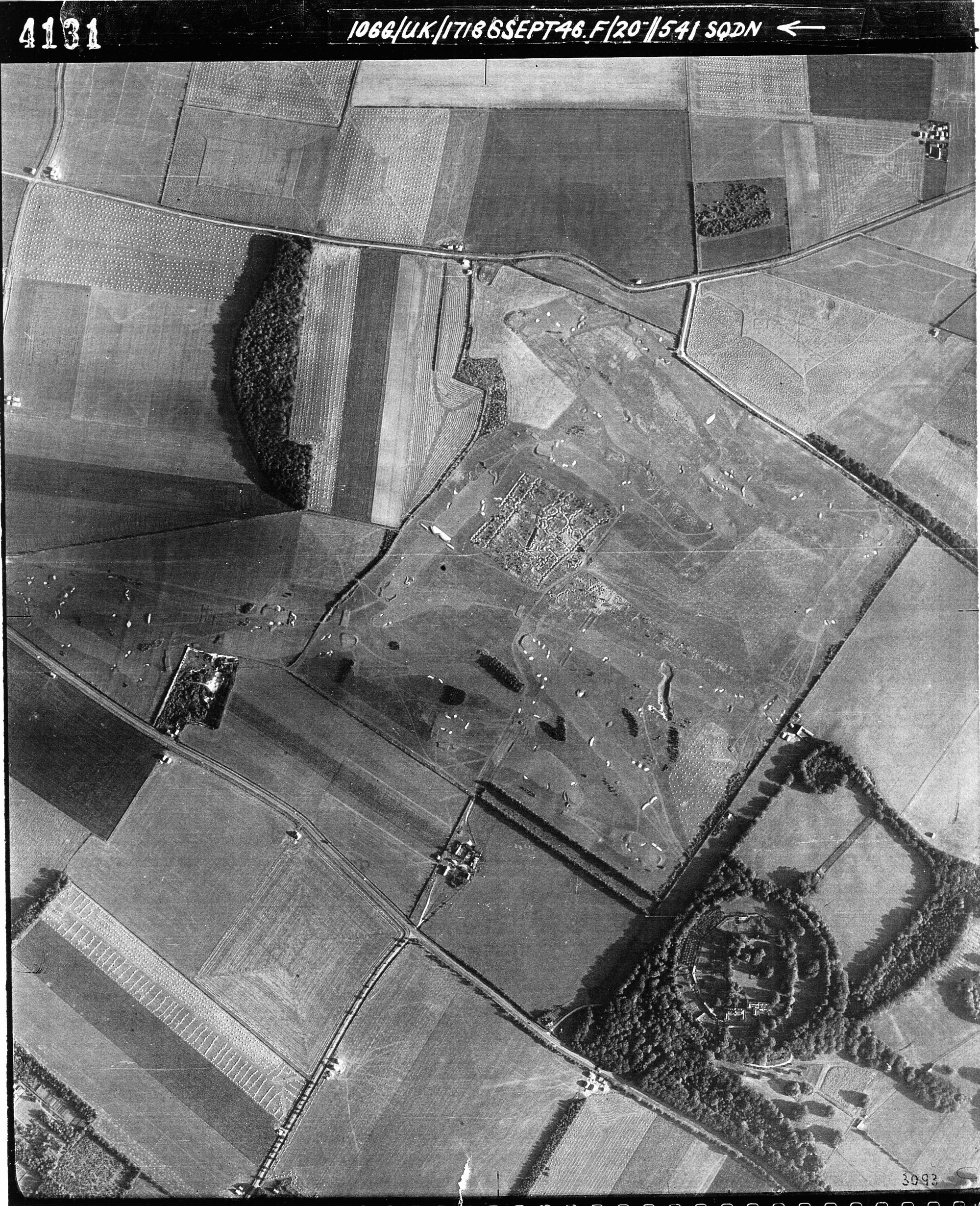
Historic Mapping Side by Side Viewer
The National Library of Scotland Side by Side Viewer presents historic mapping across the UK, alongside current OS, depicting how the landscape has changed within the NCA over time.

Renewable Energy Planning Database
The government’s Renewable Energy Planning Database tracks the progress of UK renewable electricity projects over 150kW through the planning system. The location and details of these projects can be viewed in the database spreadsheet, or on the Renewable Energy Planning Database Interactive Map, this depicts how the landscape within NCAs are changing with regards to renewable development.

Short term change results of G1a: Changes in the landscape characteristics within this NCA
Listed below are:
- the overall trend for this NCA for short term change periods 2015-2019 and 2019-2023
- the results of the underlying analysis for each of the individual Super Landscape Objectives considered relevant to the NCA; this includes the “provisional status” (i.e. current understanding of state/condition) and the “change trend” associated with each SLO for short term change periods 2015-2019 and 2019-2023.
The following SLOs are considered relevant to this NCA. The current provisional status of each objective and the assessment of change (expressed as a trend) is listed below. The overall integrated trend assessment is also listed.
2015 - 2019 change
| Master_Order | Order | NCA_Number | NCA_Name | Sub_ALT | PL | SLOs_of_relevance | SLO1 | SLO | NCA_NO_and_SLO | Year | Status | Overall trend 2015-2019: | Hotlink |
|---|---|---|---|---|---|---|---|---|---|---|---|---|---|
| 1 | 1 | 1 | North Northumberland Coastal Plain | Eastern Arable / Coastal | Protected landscape NCA | YES | Overall trend: | Overall trend: | OVERALL-NCA1 | 2015-2019 | N/A | Mixed change, mainly improving | https://nationalcharacterareas.co.uk/north-northumberland-coastal-plain |
| 2 | 2 | 2 | Northumberland Sandstone Hills | Upland Fringe | Protected landscape NCA | YES | Overall trend: | Overall trend: | OVERALL-NCA2 | 2015-2019 | N/A | Mixed change, mainly improving | https://nationalcharacterareas.co.uk/northumberland-sandstone-hills |
| 3 | 3 | 3 | Cheviot Fringe | Upland Fringe | Other NCA | YES | Overall trend: | Overall trend: | OVERALL-NCA3 | 2015-2019 | N/A | Mixed change, mainly improving | https://nationalcharacterareas.co.uk/cheviot-fringe |
| 4 | 4 | 4 | Cheviots | Upland | Protected landscape NCA | YES | Overall trend: | Overall trend: | OVERALL-NCA4 | 2015-2019 | N/A | Mainly improving | https://nationalcharacterareas.co.uk/cheviots |
| 5 | 5 | 5 | Border Moors and Forests | Upland | Protected landscape NCA | YES | Overall trend: | Overall trend: | OVERALL-NCA5 | 2015-2019 | N/A | Mainly improving | https://nationalcharacterareas.co.uk/border-moors-and-forests |
| 6 | 6 | 6 | Solway Basin | Western mixed / Coastal | Protected landscape NCA | YES | Overall trend: | Overall trend: | OVERALL-NCA6 | 2015-2019 | N/A | Mixed change | https://nationalcharacterareas.co.uk/solway-basin |
| 7 | 7 | 7 | West Cumbria Coastal Plain | Western mixed / Coastal | Protected landscape NCA | YES | Overall trend: | Overall trend: | OVERALL-NCA7 | 2015-2019 | N/A | Mixed change, mainly improving | https://nationalcharacterareas.co.uk/west-cumbria-coastal-plain |
| 8 | 8 | 8 | Cumbria High Fells | Upland | Protected landscape NCA | YES | Overall trend: | Overall trend: | OVERALL-NCA8 | 2015-2019 | N/A | Mixed change, mainly improving | https://nationalcharacterareas.co.uk/cumbria-high-fells |
| 9 | 9 | 9 | Eden Valley | Western mixed | Protected landscape NCA | YES | Overall trend: | Overall trend: | OVERALL-NCA9 | 2015-2019 | N/A | Mixed change, mainly declining | https://nationalcharacterareas.co.uk/eden-valley |
| 10 | 10 | 10 | North Pennines | Upland | Protected landscape NCA | YES | Overall trend: | Overall trend: | OVERALL-NCA10 | 2015-2019 | N/A | Mixed change, mainly improving | https://nationalcharacterareas.co.uk/north-pennines |
| 11 | 11 | 11 | Tyne Gap and Hadrian's Wall | Upland Fringe | Protected landscape NCA | YES | Overall trend: | Overall trend: | OVERALL-NCA11 | 2015-2019 | N/A | Mixed change, mainly improving | https://nationalcharacterareas.co.uk/tyne-gap-and-hadrians-wall |
| 12 | 12 | 12 | Mid Northumberland | Upland Fringe | Other NCA | YES | Overall trend: | Overall trend: | OVERALL-NCA12 | 2015-2019 | N/A | Mixed change, mainly improving | https://nationalcharacterareas.co.uk/mid-northumberland |
| 13 | 13 | 13 | South East Northumberland Coastal Plain | Eastern Arable / Coastal | Other NCA | YES | Overall trend: | Overall trend: | OVERALL-NCA13 | 2015-2019 | N/A | Mixed change | https://nationalcharacterareas.co.uk/south-east-northumberland-coastal-plain |
| 14 | 14 | 14 | Tyne and Wear Lowlands | Eastern Arable / Coastal / Urban/Urban Fringe | Other NCA | YES | Overall trend: | Overall trend: | OVERALL-NCA14 | 2015-2019 | N/A | Mixed change | https://nationalcharacterareas.co.uk/tyne-and-wear-lowlands |
| 15 | 15 | 15 | Durham Magnesian Limestone Plateau | Eastern Arable / Coastal | Other NCA | YES | Overall trend: | Overall trend: | OVERALL-NCA15 | 2015-2019 | N/A | Mixed change, mainly declining | https://nationalcharacterareas.co.uk/durham-magnesian-limestone-plateau |
| 16 | 16 | 16 | Durham Coalfield Pennine Fringe | Upland Fringe | Other NCA | YES | Overall trend: | Overall trend: | OVERALL-NCA16 | 2015-2019 | N/A | Mixed change | https://nationalcharacterareas.co.uk/durham-coalfield-pennine-fringe |
| 17 | 17 | 17 | Orton Fells | Upland Fringe | Protected landscape NCA | YES | Overall trend: | Overall trend: | OVERALL-NCA17 | 2015-2019 | N/A | Mixed change, mainly improving | https://nationalcharacterareas.co.uk/orton-fells |
| 18 | 18 | 18 | Howgill Fells | Upland Fringe | Protected landscape NCA | YES | Overall trend: | Overall trend: | OVERALL-NCA18 | 2015-2019 | N/A | Mixed change, mainly declining | https://nationalcharacterareas.co.uk/howgill-fells |
| 19 | 19 | 19 | South Cumbria Low Fells | Upland | Protected landscape NCA | YES | Overall trend: | Overall trend: | OVERALL-NCA19 | 2015-2019 | N/A | Mixed change, mainly improving | https://nationalcharacterareas.co.uk/south-cumbria-low-fells |
| 20 | 20 | 20 | Morecambe Bay Limestones | Western mixed / Coastal | Protected landscape NCA | YES | Overall trend: | Overall trend: | OVERALL-NCA20 | 2015-2019 | N/A | Mixed change, mainly improving | https://nationalcharacterareas.co.uk/morecambe-bay-limestones |
| 21 | 21 | 21 | Yorkshire Dales | Upland | Protected landscape NCA | YES | Overall trend: | Overall trend: | OVERALL-NCA21 | 2015-2019 | N/A | Mainly improving | https://nationalcharacterareas.co.uk/yorkshire-dales |
| 22 | 22 | 22 | Pennine Dales Fringe | Upland Fringe | Protected landscape NCA | YES | Overall trend: | Overall trend: | OVERALL-NCA22 | 2015-2019 | N/A | Mixed change, mainly improving | https://nationalcharacterareas.co.uk/pennine-dales-fringe |
| 23 | 23 | 23 | Tees Lowlands | Eastern Arable / Coastal | Other NCA | YES | Overall trend: | Overall trend: | OVERALL-NCA23 | 2015-2019 | N/A | Mixed change, mainly declining | https://nationalcharacterareas.co.uk/tees-lowlands |
| 24 | 24 | 24 | Vale of Mowbray | Eastern Arable | Other NCA | YES | Overall trend: | Overall trend: | OVERALL-NCA24 | 2015-2019 | N/A | Mixed change, mainly declining | https://nationalcharacterareas.co.uk/vale-of-mowbray |
| 25 | 25 | 25 | North York Moors and Cleveland Hills | Upland / Coastal | Protected landscape NCA | YES | Overall trend: | Overall trend: | OVERALL-NCA25 | 2015-2019 | N/A | Mainly improving | https://nationalcharacterareas.co.uk/north-york-moors-and-cleveland-hills/ |
| 26 | 26 | 26 | Vale of Pickering | Eastern Arable / Coastal | Other NCA | YES | Overall trend: | Overall trend: | OVERALL-NCA26 | 2015-2019 | N/A | Mixed change, mainly improving | https://nationalcharacterareas.co.uk/vale-of-pickering |
| 27 | 27 | 27 | Yorkshire Wolds | Chalk and Limestone Mixed / Coastal | Other NCA | YES | Overall trend: | Overall trend: | OVERALL-NCA27 | 2015-2019 | N/A | Mixed change, mainly improving | https://nationalcharacterareas.co.uk/yorkshire-wolds |
| 28 | 28 | 28 | Vale of York | Eastern Arable | Other NCA | YES | Overall trend: | Overall trend: | OVERALL-NCA28 | 2015-2019 | N/A | Mainly declining | https://nationalcharacterareas.co.uk/vale-of-york |
| 29 | 29 | 29 | Howardian Hills | Chalk and Limestone Mixed | Protected landscape NCA | YES | Overall trend: | Overall trend: | OVERALL-NCA29 | 2015-2019 | N/A | Mixed change | https://nationalcharacterareas.co.uk/howardian-hills |
| 30 | 30 | 30 | Southern Magnesian Limestone | Chalk and Limestone Mixed | Other NCA | YES | Overall trend: | Overall trend: | OVERALL-NCA30 | 2015-2019 | N/A | Mixed change, mainly declining | https://nationalcharacterareas.co.uk/southern-magnesian-limestone |
| 31 | 31 | 31 | Morecambe Coast and Lune Estuary | Western mixed / Coastal | Other NCA | YES | Overall trend: | Overall trend: | OVERALL-NCA31 | 2015-2019 | N/A | Mainly little change and some declining | https://nationalcharacterareas.co.uk/morecambe-coast-and-lune-estuary |
| 32 | 32 | 32 | Lancashire and Amounderness Plain | Western mixed / Coastal | Other NCA | YES | Overall trend: | Overall trend: | OVERALL-NCA32 | 2015-2019 | N/A | Mixed change, mainly declining | https://nationalcharacterareas.co.uk/lancashire-and-amounderness-plain |
| 33 | 33 | 33 | Bowland Fringe and Pendle Hill | Upland | Protected landscape NCA | YES | Overall trend: | Overall trend: | OVERALL-NCA33 | 2015-2019 | N/A | Mainly declining | https://nationalcharacterareas.co.uk/bowland-fringe-and-pendle-hill |
| 34 | 34 | 34 | Bowland Fells | Upland | Protected landscape NCA | YES | Overall trend: | Overall trend: | OVERALL-NCA34 | 2015-2019 | N/A | Mixed change, mainly improving | https://nationalcharacterareas.co.uk/bowland-fells |
| 35 | 35 | 35 | Lancashire Valleys | Upland Fringe | Other NCA | YES | Overall trend: | Overall trend: | OVERALL-NCA35 | 2015-2019 | N/A | Mixed change, mainly declining | https://nationalcharacterareas.co.uk/lancashire-valleys |
| 36 | 36 | 36 | Southern Pennines | Upland | Other NCA | YES | Overall trend: | Overall trend: | OVERALL-NCA36 | 2015-2019 | N/A | Mainly improving | https://nationalcharacterareas.co.uk/southern-pennines |
| 37 | 37 | 37 | Yorkshire Southern Pennine Fringe | Upland Fringe / Urban/Urban Fringe | Other NCA | YES | Overall trend: | Overall trend: | OVERALL-NCA37 | 2015-2019 | N/A | Mixed change, mainly improving | https://nationalcharacterareas.co.uk/yorkshire-southern-pennine-fringe |
| 38 | 38 | 38 | Nottinghamshire, Derbyshire and Yorkshire Coalfield | Upland Fringe / Urban/Urban Fringe | Other NCA | YES | Overall trend: | Overall trend: | OVERALL-NCA38 | 2015-2019 | N/A | Mixed change, mainly improving | https://nationalcharacterareas.co.uk/nottinghamshire-derbyshire-and-yorkshire-coalfield |
| 39 | 39 | 39 | Humberhead Levels | Eastern Arable | Other NCA | YES | Overall trend: | Overall trend: | OVERALL-NCA39 | 2015-2019 | N/A | Mainly declining | https://nationalcharacterareas.co.uk/humberhead-levels |
| 40 | 40 | 40 | Holderness | Eastern Arable / Coastal | Other NCA | YES | Overall trend: | Overall trend: | OVERALL-NCA40 | 2015-2019 | N/A | Mixed change, mainly declining | https://nationalcharacterareas.co.uk/holderness |
| 41 | 41 | 41 | Humber Estuary | Eastern Arable / Coastal / Urban/Urban Fringe | Other NCA | YES | Overall trend: | Overall trend: | OVERALL-NCA41 | 2015-2019 | N/A | Mainly improving | https://nationalcharacterareas.co.uk/humber-estuary |
| 42 | 42 | 42 | Lincolnshire Coast and Marshes | Eastern Arable / Coastal | Other NCA | YES | Overall trend: | Overall trend: | OVERALL-NCA42 | 2015-2019 | N/A | Mixed change, mainly improving | https://nationalcharacterareas.co.uk/lincolnshire-coast-and-marshes |
| 43 | 43 | 43 | Lincolnshire Wolds | Chalk and Limestone Mixed | Protected landscape NCA | YES | Overall trend: | Overall trend: | OVERALL-NCA43 | 2015-2019 | N/A | Mixed change, mainly declining | https://nationalcharacterareas.co.uk/lincolnshire-wolds |
| 44 | 44 | 44 | Central Lincolnshire Vale | Eastern Arable | Other NCA | YES | Overall trend: | Overall trend: | OVERALL-NCA44 | 2015-2019 | N/A | Mixed change, mainly improving | https://nationalcharacterareas.co.uk/central-lincolnshire-vale |
| 45 | 45 | 45 | Northern Lincolnshire Edge with Coversands | Chalk and Limestone Mixed | Other NCA | YES | Overall trend: | Overall trend: | OVERALL-NCA45 | 2015-2019 | N/A | Mixed change, mainly improving | https://nationalcharacterareas.co.uk/northern-lincolnshire-edge-with-coversands |
| 46 | 46 | 46 | The Fens | Eastern Arable / Coastal | Other NCA | YES | Overall trend: | Overall trend: | OVERALL-NCA46 | 2015-2019 | N/A | Mainly improving | https://nationalcharacterareas.co.uk/the-fens |
| 47 | 47 | 47 | Southern Lincolnshire Edge | Chalk and Limestone Mixed | Other NCA | YES | Overall trend: | Overall trend: | OVERALL-NCA47 | 2015-2019 | N/A | Mixed change, mainly declining | https://nationalcharacterareas.co.uk/southern-lincolnshire-edge |
| 48 | 48 | 48 | Trent and Belvoir Vales | Eastern Arable | Other NCA | YES | Overall trend: | Overall trend: | OVERALL-NCA48 | 2015-2019 | N/A | Mixed change | https://nationalcharacterareas.co.uk/trent-and-belvoir-vales |
| 49 | 49 | 49 | Sherwood | Eastern Arable | Other NCA | YES | Overall trend: | Overall trend: | OVERALL-NCA49 | 2015-2019 | N/A | Mixed change, mainly improving | https://nationalcharacterareas.co.uk/sherwood |
| 50 | 50 | 50 | Derbyshire Peak Fringe and Lower Derwent | Upland Fringe | Other NCA | YES | Overall trend: | Overall trend: | OVERALL-NCA50 | 2015-2019 | N/A | Mixed change, mainly improving | https://nationalcharacterareas.co.uk/derbyshire-peak-fringe-and-lower-derwent/ |
| 51 | 51 | 51 | Dark Peak | Upland | Protected landscape NCA | YES | Overall trend: | Overall trend: | OVERALL-NCA51 | 2015-2019 | N/A | Mainly improving | https://nationalcharacterareas.co.uk/dark-peak |
| 52 | 52 | 52 | White Peak | Upland | Protected landscape NCA | YES | Overall trend: | Overall trend: | OVERALL-NCA52 | 2015-2019 | N/A | Mainly improving | https://nationalcharacterareas.co.uk/white-peak |
| 53 | 53 | 53 | South West Peak | Upland | Protected landscape NCA | YES | Overall trend: | Overall trend: | OVERALL-NCA53 | 2015-2019 | N/A | Mixed change, mainly improving | https://nationalcharacterareas.co.uk/south-west-peak |
| 54 | 54 | 54 | Manchester Pennine Fringe | Upland Fringe / Urban/Urban Fringe | Other NCA | YES | Overall trend: | Overall trend: | OVERALL-NCA54 | 2015-2019 | N/A | Mixed change, mainly improving | https://nationalcharacterareas.co.uk/manchester-pennine-fringe |
| 55 | 55 | 55 | Manchester Conurbation | Western mixed / Urban/Urban Fringe | Other NCA | YES | Overall trend: | Overall trend: | OVERALL-NCA55 | 2015-2019 | N/A | Mainly little change and some improving | https://nationalcharacterareas.co.uk/manchester-conurbation |
| 56 | 56 | 56 | Lancashire Coal Measures | Western mixed | Other NCA | YES | Overall trend: | Overall trend: | OVERALL-NCA56 | 2015-2019 | N/A | Mixed change, mainly improving | https://nationalcharacterareas.co.uk/lancashire-coal-measures |
| 57 | 57 | 57 | Sefton Coast | Western mixed / Coastal / Urban/Urban Fringe | Other NCA | YES | Overall trend: | Overall trend: | OVERALL-NCA57 | 2015-2019 | N/A | Mixed change | https://nationalcharacterareas.co.uk/sefton-coast |
| 58 | 58 | 58 | Merseyside Conurbation | Western mixed / Coastal / Urban/Urban Fringe | Other NCA | YES | Overall trend: | Overall trend: | OVERALL-NCA58 | 2015-2019 | N/A | Mixed change, mainly declining | https://nationalcharacterareas.co.uk/merseyside-conurbation |
| 59 | 59 | 59 | Wirral | Western mixed / Coastal | Other NCA | YES | Overall trend: | Overall trend: | OVERALL-NCA59 | 2015-2019 | N/A | Mainly little change and some improving | https://nationalcharacterareas.co.uk/wirral |
| 60 | 60 | 60 | Mersey Valley | Western mixed / Coastal | Other NCA | YES | Overall trend: | Overall trend: | OVERALL-NCA60 | 2015-2019 | N/A | Mainly little change and some declining | https://nationalcharacterareas.co.uk/mersey-valley |
| 61 | 61 | 61 | Shropshire, Cheshire and Staffordshire Plain | Western mixed | Other NCA | YES | Overall trend: | Overall trend: | OVERALL-NCA61 | 2015-2019 | N/A | Mainly improving | https://nationalcharacterareas.co.uk/shropshire-cheshire-and-staffordshire-plain |
| 62 | 62 | 62 | Cheshire Sandstone Ridge | Western mixed | Other NCA | YES | Overall trend: | Overall trend: | OVERALL-NCA62 | 2015-2019 | N/A | Mainly little change and some declining | https://nationalcharacterareas.co.uk/cheshire-sandstone-ridge |
| 63 | 63 | 63 | Oswestry Uplands | Western mixed | Other NCA | YES | Overall trend: | Overall trend: | OVERALL-NCA63 | 2015-2019 | N/A | Mixed change, mainly improving | https://nationalcharacterareas.co.uk/oswestry-uplands |
| 64 | 64 | 64 | Potteries and Churnet Valley | Upland Fringe | Other NCA | YES | Overall trend: | Overall trend: | OVERALL-NCA64 | 2015-2019 | N/A | Mainly improving | https://nationalcharacterareas.co.uk/potteries-and-churnet-valley |
| 65 | 65 | 65 | Shropshire Hills | Upland | Protected landscape NCA | YES | Overall trend: | Overall trend: | OVERALL-NCA65 | 2015-2019 | N/A | Mixed change, mainly improving | https://nationalcharacterareas.co.uk/shropshire-hills |
| 66 | 66 | 66 | Mid Severn Sandstone Plateau | Western mixed | Other NCA | YES | Overall trend: | Overall trend: | OVERALL-NCA66 | 2015-2019 | N/A | Mixed change, mainly improving | https://nationalcharacterareas.co.uk/mid-severn-sandstone-plateau |
| 67 | 67 | 67 | Cannock Chase and Cank Wood | Western mixed / Urban/Urban Fringe | Protected landscape NCA | YES | Overall trend: | Overall trend: | OVERALL-NCA67 | 2015-2019 | N/A | Mixed change, mainly declining | https://nationalcharacterareas.co.uk/cannock-chase-and-cank-wood |
| 68 | 68 | 68 | Needwood and South Derbyshire Claylands | Western mixed | Other NCA | YES | Overall trend: | Overall trend: | OVERALL-NCA68 | 2015-2019 | N/A | Mixed change, mainly improving | https://nationalcharacterareas.co.uk/needwood-and-south-derbyshire-claylands |
| 69 | 69 | 69 | Trent Valley Washlands | Western mixed | Other NCA | YES | Overall trend: | Overall trend: | OVERALL-NCA69 | 2015-2019 | N/A | Mixed change, mainly improving | https://nationalcharacterareas.co.uk/trent-valley-washlands |
| 70 | 70 | 70 | Melbourne Parklands | Western mixed | Other NCA | YES | Overall trend: | Overall trend: | OVERALL-NCA70 | 2015-2019 | N/A | Mixed change, mainly improving | https://nationalcharacterareas.co.uk/melbourne-parklands |
| 71 | 71 | 71 | Leicestershire and South Derbyshire Coalfield | Western mixed | Other NCA | YES | Overall trend: | Overall trend: | OVERALL-NCA71 | 2015-2019 | N/A | Mixed change, mainly improving | https://nationalcharacterareas.co.uk/leicestershire-and-south-derbyshire-coalfield |
| 72 | 72 | 72 | Mease/Sence Lowlands | Western mixed | Other NCA | YES | Overall trend: | Overall trend: | OVERALL-NCA72 | 2015-2019 | N/A | Mixed change, mainly declining | https://nationalcharacterareas.co.uk/mease-sence-lowlands |
| 73 | 73 | 73 | Charnwood | Western mixed | Other NCA | YES | Overall trend: | Overall trend: | OVERALL-NCA73 | 2015-2019 | N/A | Mixed change, mainly improving | https://nationalcharacterareas.co.uk/charnwood |
| 74 | 74 | 74 | Leicestershire and Nottinghamshire Wolds | Chalk and Limestone Mixed | Other NCA | YES | Overall trend: | Overall trend: | OVERALL-NCA74 | 2015-2019 | N/A | Mixed change, mainly declining | https://nationalcharacterareas.co.uk/leicestershire-and-nottinghamshire-wolds |
| 75 | 75 | 75 | Kesteven Uplands | Chalk and Limestone Mixed | Other NCA | YES | Overall trend: | Overall trend: | OVERALL-NCA75 | 2015-2019 | N/A | Mixed change, mainly declining | https://nationalcharacterareas.co.uk/kesteven-uplands |
| 76 | 76 | 76 | North West Norfolk | Chalk and Limestone Mixed / Coastal | Protected landscape NCA | YES | Overall trend: | Overall trend: | OVERALL-NCA76 | 2015-2019 | N/A | Mixed change, mainly declining | https://nationalcharacterareas.co.uk/north-west-norfolk |
| 77 | 77 | 77 | North Norfolk Coast | Eastern Arable / Coastal | Protected landscape NCA | YES | Overall trend: | Overall trend: | OVERALL-NCA77 | 2015-2019 | N/A | Mainly improving | https://nationalcharacterareas.co.uk/north-norfolk-coast |
| 78 | 78 | 78 | Central North Norfolk | Eastern Arable / Coastal | Protected landscape NCA | YES | Overall trend: | Overall trend: | OVERALL-NCA78 | 2015-2019 | N/A | Mixed change, mainly improving | https://nationalcharacterareas.co.uk/central-north-norfolk |
| 79 | 79 | 79 | North East Norfolk and Flegg | Eastern Arable / Coastal | Other NCA | YES | Overall trend: | Overall trend: | OVERALL-NCA79 | 2015-2019 | N/A | Mixed change, mainly declining | https://nationalcharacterareas.co.uk/north-east-norfolk-and-flegg |
| 80 | 80 | 80 | The Broads | Eastern Arable / Coastal | Protected landscape NCA | YES | Overall trend: | Overall trend: | OVERALL-NCA80 | 2015-2019 | N/A | Mixed change, mainly improving | https://nationalcharacterareas.co.uk/the-broads |
| 81 | 81 | 81 | Greater Thames Estuary | SE Mixed (Wooded) / Coastal | Other NCA | YES | Overall trend: | Overall trend: | OVERALL-NCA81 | 2015-2019 | N/A | Mixed change, mainly improving | https://nationalcharacterareas.co.uk/greater-thames-estuary |
| 82 | 82 | 82 | Suffolk Coast and Heaths | Eastern Arable / Coastal | Protected landscape NCA | YES | Overall trend: | Overall trend: | OVERALL-NCA82 | 2015-2019 | N/A | Mainly little change and some improving | https://nationalcharacterareas.co.uk/suffolk-coast-and-heaths |
| 83 | 83 | 83 | South Norfolk and High Suffolk Claylands | Eastern Arable | Other NCA | YES | Overall trend: | Overall trend: | OVERALL-NCA83 | 2015-2019 | N/A | Mixed change, mainly declining | https://nationalcharacterareas.co.uk/south-norfolk-and-high-suffolk-claylands/ |
| 84 | 84 | 84 | Mid Norfolk | Eastern Arable | Other NCA | YES | Overall trend: | Overall trend: | OVERALL-NCA84 | 2015-2019 | N/A | Mixed change, mainly improving | https://nationalcharacterareas.co.uk/mid-norfolk |
| 85 | 85 | 85 | The Brecks | Chalk and Limestone Mixed | Other NCA | YES | Overall trend: | Overall trend: | OVERALL-NCA85 | 2015-2019 | N/A | Mixed change | https://nationalcharacterareas.co.uk/the-brecks |
| 86 | 86 | 86 | South Suffolk and North Essex Clayland | Eastern Arable | Protected landscape NCA | YES | Overall trend: | Overall trend: | OVERALL-NCA86 | 2015-2019 | N/A | Mainly little change and some improving | https://nationalcharacterareas.co.uk/south-suffolk-and-north-essex-clayland/ |
| 87 | 87 | 87 | East Anglian Chalk | Chalk and Limestone Mixed | Other NCA | YES | Overall trend: | Overall trend: | OVERALL-NCA87 | 2015-2019 | N/A | Mixed change, mainly improving | https://nationalcharacterareas.co.uk/east-anglian-chalk |
| 88 | 88 | 88 | Bedfordshire and Cambridgeshire Claylands | Eastern Arable | Other NCA | YES | Overall trend: | Overall trend: | OVERALL-NCA88 | 2015-2019 | N/A | Mixed change, mainly improving | https://nationalcharacterareas.co.uk/bedfordshire-and-cambridgeshire-claylands |
| 89 | 89 | 89 | Northamptonshire Vales | Western mixed | Other NCA | YES | Overall trend: | Overall trend: | OVERALL-NCA89 | 2015-2019 | N/A | Mixed change, mainly improving | https://nationalcharacterareas.co.uk/northamptonshire-vales |
| 90 | 90 | 90 | Bedfordshire Greensand Ridge | Eastern Arable | Other NCA | YES | Overall trend: | Overall trend: | OVERALL-NCA90 | 2015-2019 | N/A | Mainly declining | https://nationalcharacterareas.co.uk/bedfordshire-greensand-ridge |
| 91 | 91 | 91 | Yardley-Whittlewood Ridge | Western mixed | Other NCA | YES | Overall trend: | Overall trend: | OVERALL-NCA91 | 2015-2019 | N/A | Mixed change, mainly declining | https://nationalcharacterareas.co.uk/yardley-whittlewood-ridge/ |
| 92 | 92 | 92 | Rockingham Forest | Chalk and Limestone Mixed | Other NCA | YES | Overall trend: | Overall trend: | OVERALL-NCA92 | 2015-2019 | N/A | Mainly improving | https://nationalcharacterareas.co.uk/rockingham-forest |
| 93 | 93 | 93 | High Leicestershire | Chalk and Limestone Mixed | Other NCA | YES | Overall trend: | Overall trend: | OVERALL-NCA93 | 2015-2019 | N/A | Mainly declining | https://nationalcharacterareas.co.uk/high-leicestershire |
| 94 | 94 | 94 | Leicestershire Vales | Western mixed | Other NCA | YES | Overall trend: | Overall trend: | OVERALL-NCA94 | 2015-2019 | N/A | Mixed change, mainly declining | https://nationalcharacterareas.co.uk/leicestershire-vales |
| 95 | 95 | 95 | Northamptonshire Uplands | Chalk and Limestone Mixed | Other NCA | YES | Overall trend: | Overall trend: | OVERALL-NCA95 | 2015-2019 | N/A | Mixed change, mainly improving | https://nationalcharacterareas.co.uk/northamptonshire-uplands |
| 96 | 96 | 96 | Dunsmore and Feldon | Western mixed | Other NCA | YES | Overall trend: | Overall trend: | OVERALL-NCA96 | 2015-2019 | N/A | Mixed change, mainly declining | https://nationalcharacterareas.co.uk/dunsmore-and-feldon |
| 97 | 97 | 97 | Arden | Western mixed / Urban/Urban Fringe | Other NCA | YES | Overall trend: | Overall trend: | OVERALL-NCA97 | 2015-2019 | N/A | Mixed change, mainly declining | https://nationalcharacterareas.co.uk/arden |
| 98 | 98 | 98 | Clun and North West Herefordshire Hills | Upland | Protected landscape NCA | YES | Overall trend: | Overall trend: | OVERALL-NCA98 | 2015-2019 | N/A | Mixed change, mainly improving | https://nationalcharacterareas.co.uk/clun-and-north-west-herefordshire-hills/ |
| 99 | 99 | 99 | Black Mountains and Golden Valley | Upland | Other NCA | YES | Overall trend: | Overall trend: | OVERALL-NCA99 | 2015-2019 | N/A | Mixed change, mainly improving | https://nationalcharacterareas.co.uk/black-mountains-and-golden-valley |
| 100 | 100 | 100 | Herefordshire Lowlands | Western mixed | Other NCA | YES | Overall trend: | Overall trend: | OVERALL-NCA100 | 2015-2019 | N/A | Mixed change, mainly improving | https://nationalcharacterareas.co.uk/herefordshire-lowlands |
| 101 | 101 | 101 | Herefordshire Plateau | Western mixed | Other NCA | YES | Overall trend: | Overall trend: | OVERALL-NCA101 | 2015-2019 | N/A | Mixed change, mainly declining | https://nationalcharacterareas.co.uk/herefordshire-plateau |
| 102 | 102 | 102 | Teme Valley | Western mixed | Other NCA | YES | Overall trend: | Overall trend: | OVERALL-NCA102 | 2015-2019 | N/A | Mixed change, mainly declining | https://nationalcharacterareas.co.uk/teme-valley |
| 103 | 103 | 103 | Malvern Hills | Upland Fringe | Protected landscape NCA | YES | Overall trend: | Overall trend: | OVERALL-NCA103 | 2015-2019 | N/A | Mixed change, mainly declining | https://nationalcharacterareas.co.uk/malvern-hills |
| 104 | 104 | 104 | South Herefordshire and Over Severn | Western mixed | Protected landscape NCA | YES | Overall trend: | Overall trend: | OVERALL-NCA104 | 2015-2019 | N/A | Mixed change | https://nationalcharacterareas.co.uk/south-herefordshire-and-over-severn |
| 105 | 105 | 105 | Forest of Dean and Lower Wye | Upland Fringe | Protected landscape NCA | YES | Overall trend: | Overall trend: | OVERALL-NCA105 | 2015-2019 | N/A | Mixed change, mainly improving | https://nationalcharacterareas.co.uk/forest-of-dean-and-lower |
| 106 | 106 | 106 | Severn and Avon Vales | Western mixed / Coastal | Protected landscape NCA | YES | Overall trend: | Overall trend: | OVERALL-NCA106 | 2015-2019 | N/A | Mixed change, mainly declining | https://nationalcharacterareas.co.uk/severn-and-avon-vales |
| 107 | 107 | 107 | Cotswolds | Chalk and Limestone Mixed | Protected landscape NCA | YES | Overall trend: | Overall trend: | OVERALL-NCA107 | 2015-2019 | N/A | Mixed change, mainly improving | https://nationalcharacterareas.co.uk/cotswolds |
| 108 | 108 | 108 | Upper Thames Clay Vales | Western mixed | Other NCA | YES | Overall trend: | Overall trend: | OVERALL-NCA108 | 2015-2019 | N/A | Mainly improving | https://nationalcharacterareas.co.uk/upper-thames-clay-vales |
| 109 | 109 | 109 | Midvale Ridge | Western mixed | Other NCA | YES | Overall trend: | Overall trend: | OVERALL-NCA109 | 2015-2019 | N/A | Mixed change, mainly improving | https://nationalcharacterareas.co.uk/midvale-ridge |
| 110 | 110 | 110 | Chilterns | Chalk and Limestone Mixed | Protected landscape NCA | YES | Overall trend: | Overall trend: | OVERALL-NCA110 | 2015-2019 | N/A | Mixed change, mainly declining | https://nationalcharacterareas.co.uk/chilterns |
| 111 | 111 | 111 | Northern Thames Basin | SE Mixed (Wooded) / Urban/Urban Fringe | Other NCA | YES | Overall trend: | Overall trend: | OVERALL-NCA111 | 2015-2019 | N/A | Mixed change, mainly declining | https://nationalcharacterareas.co.uk/northern-thames-basin |
| 112 | 112 | 112 | Inner London | Urban | Other NCA | YES | Overall trend: | Overall trend: | OVERALL-NCA112 | 2015-2019 | N/A | Mixed change, mainly improving | https://nationalcharacterareas.co.uk/inner-london |
| 113 | 113 | 113 | North Kent Plain | SE Mixed (Wooded) / Coastal | Other NCA | YES | Overall trend: | Overall trend: | OVERALL-NCA113 | 2015-2019 | N/A | Mixed change, mainly declining | https://nationalcharacterareas.co.uk/north-kent-plain |
| 114 | 114 | 114 | Thames Basin Lowlands | SE Mixed (Wooded) / Urban/Urban Fringe | Other NCA | YES | Overall trend: | Overall trend: | OVERALL-NCA114 | 2015-2019 | N/A | Mainly improving | https://nationalcharacterareas.co.uk/thames-basin-lowlands |
| 115 | 115 | 115 | Thames Valley | SE Mixed (Wooded) / Urban/Urban Fringe | Other NCA | YES | Overall trend: | Overall trend: | OVERALL-NCA115 | 2015-2019 | N/A | Mixed change, mainly improving | https://nationalcharacterareas.co.uk/thames-valley |
| 116 | 116 | 116 | Berkshire and Marlborough Downs | Chalk and Limestone Mixed | Protected landscape NCA | YES | Overall trend: | Overall trend: | OVERALL-NCA116 | 2015-2019 | N/A | Mixed change, mainly improving | https://nationalcharacterareas.co.uk/berkshire-and-marlborough-downs |
| 117 | 117 | 117 | Avon Vales | Western mixed | Other NCA | YES | Overall trend: | Overall trend: | OVERALL-NCA117 | 2015-2019 | N/A | Mixed change, mainly improving | https://nationalcharacterareas.co.uk/avon-vales |
| 118 | 118 | 118 | Bristol, Avon Valleys and Ridges | Western mixed / Coastal | Protected landscape NCA | YES | Overall trend: | Overall trend: | OVERALL-NCA118 | 2015-2019 | N/A | Mixed change, mainly declining | https://nationalcharacterareas.co.uk/bristol-avon-valleys-and-ridges |
| 119 | 119 | 119 | North Downs | Chalk and Limestone Mixed / Coastal | Protected landscape NCA | YES | Overall trend: | Overall trend: | OVERALL-NCA119 | 2015-2019 | N/A | Mixed change, mainly improving | https://nationalcharacterareas.co.uk/north-downs |
| 120 | 120 | 120 | Wealden Greensand | SE Mixed (Wooded) / Coastal | Protected landscape NCA | YES | Overall trend: | Overall trend: | OVERALL-NCA120 | 2015-2019 | N/A | Mainly improving | https://nationalcharacterareas.co.uk/wealden-greensand |
| 121 | 121 | 121 | Low Weald | SE Mixed (Wooded) | Protected landscape NCA | YES | Overall trend: | Overall trend: | OVERALL-NCA121 | 2015-2019 | N/A | Mainly improving | https://nationalcharacterareas.co.uk/low-weald |
| 122 | 122 | 122 | High Weald | SE Mixed (Wooded) / Coastal | Protected landscape NCA | YES | Overall trend: | Overall trend: | OVERALL-NCA122 | 2015-2019 | N/A | Mainly little change and some declining | https://nationalcharacterareas.co.uk/high-weald |
| 123 | 123 | 123 | Romney Marshes | SE Mixed (Wooded) / Coastal | Protected landscape NCA | YES | Overall trend: | Overall trend: | OVERALL-NCA123 | 2015-2019 | N/A | Mixed change, mainly declining | https://nationalcharacterareas.co.uk/romney-marshes |
| 124 | 124 | 124 | Pevensey Levels | SE Mixed (Wooded) / Coastal | Other NCA | YES | Overall trend: | Overall trend: | OVERALL-NCA124 | 2015-2019 | N/A | Mixed change, mainly improving | https://nationalcharacterareas.co.uk/pevensey-levels |
| 125 | 125 | 125 | South Downs | Chalk and Limestone Mixed / Coastal | Protected landscape NCA | YES | Overall trend: | Overall trend: | OVERALL-NCA125 | 2015-2019 | N/A | Mixed change, mainly improving | https://nationalcharacterareas.co.uk/south-downs |
| 126 | 126 | 126 | South Coast Plain | SE Mixed (Wooded) / Coastal | Protected landscape NCA | YES | Overall trend: | Overall trend: | OVERALL-NCA126 | 2015-2019 | N/A | Mainly declining | https://nationalcharacterareas.co.uk/south-coast-plain |
| 127 | 127 | 127 | Isle of Wight | Chalk and Limestone Mixed / Coastal | Protected landscape NCA | YES | Overall trend: | Overall trend: | OVERALL-NCA127 | 2015-2019 | N/A | Mainly improving | https://nationalcharacterareas.co.uk/isle-of-wight |
| 128 | 128 | 128 | South Hampshire Lowlands | SE Mixed (Wooded) / Coastal | Other NCA | YES | Overall trend: | Overall trend: | OVERALL-NCA128 | 2015-2019 | N/A | Mixed change, mainly improving | https://nationalcharacterareas.co.uk/south-hampshire-lowlands |
| 129 | 129 | 129 | Thames Basin Heaths | SE Mixed (Wooded) | Protected landscape NCA | YES | Overall trend: | Overall trend: | OVERALL-NCA129 | 2015-2019 | N/A | Mainly improving | https://nationalcharacterareas.co.uk/thames-basin-heaths |
| 130 | 130 | 130 | Hampshire Downs | Chalk and Limestone Mixed | Protected landscape NCA | YES | Overall trend: | Overall trend: | OVERALL-NCA130 | 2015-2019 | N/A | Mixed change, mainly declining | https://nationalcharacterareas.co.uk/hampshire-downs |
| 131 | 131 | 131 | New Forest | SE Mixed (Wooded) / Coastal | Protected landscape NCA | YES | Overall trend: | Overall trend: | OVERALL-NCA131 | 2015-2019 | N/A | Mainly improving | https://nationalcharacterareas.co.uk/new-forest |
| 132 | 132 | 132 | Salisbury Plain and West Wiltshire Downs | Chalk and Limestone Mixed | Protected landscape NCA | YES | Overall trend: | Overall trend: | OVERALL-NCA132 | 2015-2019 | N/A | Mainly improving | https://nationalcharacterareas.co.uk/salisbury-plain-and-west-wiltshire-downs/ |
| 133 | 133 | 133 | Blackmore Vale and Vale of Wardour | Western mixed | Protected landscape NCA | YES | Overall trend: | Overall trend: | OVERALL-NCA133 | 2015-2019 | N/A | Mixed change, mainly improving | https://nationalcharacterareas.co.uk/blackmore-vale-and-vale-of-wardour/ |
| 134 | 134 | 134 | Dorset Downs and Cranborne Chase | Chalk and Limestone Mixed | Protected landscape NCA | YES | Overall trend: | Overall trend: | OVERALL-NCA134 | 2015-2019 | N/A | Mixed change, mainly improving | https://nationalcharacterareas.co.uk/dorset-downs-and-cranborne-chase |
| 135 | 135 | 135 | Dorset Heaths | SE Mixed (Wooded) / Coastal | Protected landscape NCA | YES | Overall trend: | Overall trend: | OVERALL-NCA135 | 2015-2019 | N/A | Mixed change, mainly improving | https://nationalcharacterareas.co.uk/dorset-heaths |
| 136 | 136 | 136 | South Purbeck | Chalk and Limestone Mixed / Coastal | Protected landscape NCA | YES | Overall trend: | Overall trend: | OVERALL-NCA136 | 2015-2019 | N/A | Mixed change, mainly declining | https://nationalcharacterareas.co.uk/south-purbeck |
| 137 | 137 | 137 | Isle of Porland | Chalk and Limestone Mixed / Coastal | Other NCA | YES | Overall trend: | Overall trend: | OVERALL-NCA137 | 2015-2019 | N/A | Mainly little change and some declining | https://nationalcharacterareas.co.uk/isle-of-portland |
| 138 | 138 | 138 | Weymouth Lowlands | Chalk and Limestone Mixed / Coastal | Protected landscape NCA | YES | Overall trend: | Overall trend: | OVERALL-NCA138 | 2015-2019 | N/A | Mainly little change and some declining | https://nationalcharacterareas.co.uk/weymouth-lowlands |
| 139 | 139 | 139 | Marshwood and Powerstock Vales | Western mixed / Coastal | Protected landscape NCA | YES | Overall trend: | Overall trend: | OVERALL-NCA139 | 2015-2019 | N/A | Mainly declining | https://nationalcharacterareas.co.uk/marshwood-and-powerstock-vales |
| 140 | 140 | 140 | Yeovil Scarplands | Chalk and Limestone Mixed | Protected landscape NCA | YES | Overall trend: | Overall trend: | OVERALL-NCA140 | 2015-2019 | N/A | Mixed change, mainly declining | https://nationalcharacterareas.co.uk/yeovil-scarplands |
| 141 | 141 | 141 | Mendip Hills | Chalk and Limestone Mixed | Protected landscape NCA | YES | Overall trend: | Overall trend: | OVERALL-NCA141 | 2015-2019 | N/A | Mainly little change and some declining | https://nationalcharacterareas.co.uk/mendip-hills |
| 142 | 142 | 142 | Somerset Levels and Moors | Western mixed / Coastal | Other NCA | YES | Overall trend: | Overall trend: | OVERALL-NCA142 | 2015-2019 | N/A | Mixed change, mainly improving | https://nationalcharacterareas.co.uk/somerset-levels-and-moors |
| 143 | 143 | 143 | Mid Somerset Hills | Western mixed | Other NCA | YES | Overall trend: | Overall trend: | OVERALL-NCA143 | 2015-2019 | N/A | Mainly little change and some declining | https://nationalcharacterareas.co.uk/mid-somerset-hills-2 |
| 144 | 144 | 144 | Quantock Hills | Upland Fringe | Protected landscape NCA | YES | Overall trend: | Overall trend: | OVERALL-NCA144 | 2015-2019 | N/A | Mixed change, mainly improving | https://nationalcharacterareas.co.uk/quantock-hills |
| 145 | 145 | 145 | Exmoor | Upland / Coastal | Protected landscape NCA | YES | Overall trend: | Overall trend: | OVERALL-NCA145 | 2015-2019 | N/A | Mixed change, mainly improving | https://nationalcharacterareas.co.uk/exmoor |
| 146 | 146 | 146 | Vale of Taunton and Quantock Fringes | Western mixed / Coastal | Protected landscape NCA | YES | Overall trend: | Overall trend: | OVERALL-NCA146 | 2015-2019 | N/A | Mixed change, mainly improving | https://nationalcharacterareas.co.uk/vale-of-taunton-and-quantock-fringes/ |
| 147 | 147 | 147 | Blackdowns | Upland Fringe / Coastal | Protected landscape NCA | YES | Overall trend: | Overall trend: | OVERALL-NCA147 | 2015-2019 | N/A | Mixed change, mainly improving | https://nationalcharacterareas.co.uk/blackdowns |
| 148 | 148 | 148 | Devon Redlands | Western mixed / Coastal | Protected landscape NCA | YES | Overall trend: | Overall trend: | OVERALL-NCA148 | 2015-2019 | N/A | Mixed change, mainly improving | https://nationalcharacterareas.co.uk/devon-redlands |
| 149 | 149 | 149 | The Culm | Upland Fringe / Coastal | Protected landscape NCA | YES | Overall trend: | Overall trend: | OVERALL-NCA149 | 2015-2019 | N/A | Mixed change | https://nationalcharacterareas.co.uk/the-culm |
| 150 | 150 | 150 | Dartmoor | Upland | Protected landscape NCA | YES | Overall trend: | Overall trend: | OVERALL-NCA150 | 2015-2019 | N/A | Mixed change, mainly declining | https://nationalcharacterareas.co.uk/dartmoor |
| 151 | 151 | 151 | South Devon | Upland Fringe / Coastal | Protected landscape NCA | YES | Overall trend: | Overall trend: | OVERALL-NCA151 | 2015-2019 | N/A | Mainly improving | https://nationalcharacterareas.co.uk/south-devon |
| 152 | 152 | 152 | Cornish Killas | Upland Fringe / Coastal | Protected landscape NCA | YES | Overall trend: | Overall trend: | OVERALL-NCA152 | 2015-2019 | N/A | Mixed change, mainly improving | https://nationalcharacterareas.co.uk/cornish-killas |
| 153 | 153 | 153 | Bodmin Moor | Upland | Protected landscape NCA | YES | Overall trend: | Overall trend: | OVERALL-NCA153 | 2015-2019 | N/A | Mixed change, mainly declining | https://nationalcharacterareas.co.uk/bodmin-moor |
| 154 | 154 | 154 | Hensbarrow | Upland Fringe | Other NCA | YES | Overall trend: | Overall trend: | OVERALL-NCA154 | 2015-2019 | N/A | Mixed change, mainly declining | https://nationalcharacterareas.co.uk/hensbarrow |
| 155 | 155 | 155 | Carnmenellis | Upland | Other NCA | YES | Overall trend: | Overall trend: | OVERALL-NCA155 | 2015-2019 | N/A | Mixed change, mainly improving | https://nationalcharacterareas.co.uk/carnmenellis |
| 156 | 156 | 156 | West Penwith | Upland / Coastal | Protected landscape NCA | YES | Overall trend: | Overall trend: | OVERALL-NCA156 | 2015-2019 | N/A | Mixed change, mainly declining | https://nationalcharacterareas.co.uk/west-penwith |
| 157 | 157 | 157 | The Lizard | Upland / Coastal | Protected landscape NCA | YES | Overall trend: | Overall trend: | OVERALL-NCA157 | 2015-2019 | N/A | Mixed change, mainly improving | https://nationalcharacterareas.co.uk/the-lizard |
| 158 | 158 | 158 | Isles of Scilly | Upland Fringe / Coastal | Protected landscape NCA | YES | Overall trend: | Overall trend: | OVERALL-NCA158 | 2015-2019 | N/A | Mainly little change and some improving | https://nationalcharacterareas.co.uk/isles-of-scilly |
| 159 | 159 | 159 | Lundy | Upland Fringe / Coastal | Other NCA | YES | Overall trend: | Overall trend: | OVERALL-NCA159 | 2015-2019 | N/A | Mainly little change and some improving | https://nationalcharacterareas.co.uk/lundy |
| Master_Order | Order | NCA_Number | NCA_Name | Sub_ALT | PL | SLOs_of_relevance | SLO1 | SLO | NCA_NO_and_SLO | Year | Status | Hotlink |
| Master_Order | Order | NCA_Number | NCA_Name | Sub_ALT | PL | SLOs_of_relevance | SLO Code | Super Landscape Objective | NCA_NO_and_SLO | Year | Provisional Status 2019 | Change Trend 2015-2019 | Hotlink |
|---|---|---|---|---|---|---|---|---|---|---|---|---|---|
| 1 | 1 | 1 | North Northumberland Coastal Plain | Eastern Arable / Coastal | Protected landscape NCA | YES | SLO1 | Conserve and enhance landscapes for their tranquillity and dark skies particularly where they are under pressure from the potential impacts of development and associated infrastructure. | SLO1-NCA1 | 2015-2019 | Unknown | Declining | https://nationalcharacterareas.co.uk/north-northumberland-coastal-plain |
| 2 | 2 | 2 | Northumberland Sandstone Hills | Upland Fringe | Protected landscape NCA | YES | SLO1 | Conserve and enhance landscapes for their tranquillity and dark skies particularly where they are under pressure from the potential impacts of development and associated infrastructure. | SLO1-NCA2 | 2015-2019 | Unknown | Declining | https://nationalcharacterareas.co.uk/northumberland-sandstone-hills |
| 3 | 3 | 3 | Cheviot Fringe | Upland Fringe | Other NCA | YES | SLO1 | Conserve and enhance landscapes for their tranquillity and dark skies particularly where they are under pressure from the potential impacts of development and associated infrastructure. | SLO1-NCA3 | 2015-2019 | Unknown | Declining | https://nationalcharacterareas.co.uk/cheviot-fringe |
| 4 | 4 | 4 | Cheviots | Upland | Protected landscape NCA | YES | SLO1 | Conserve and enhance landscapes for their tranquillity and dark skies particularly where they are under pressure from the potential impacts of development and associated infrastructure. | SLO1-NCA4 | 2015-2019 | Unknown | Little change | https://nationalcharacterareas.co.uk/cheviots |
| 5 | 5 | 5 | Border Moors and Forests | Upland | Protected landscape NCA | YES | SLO1 | Conserve and enhance landscapes for their tranquillity and dark skies particularly where they are under pressure from the potential impacts of development and associated infrastructure. | SLO1-NCA5 | 2015-2019 | Unknown | Little change | https://nationalcharacterareas.co.uk/border-moors-and-forests |
| 6 | 6 | 6 | Solway Basin | Western mixed / Coastal | Protected landscape NCA | YES | SLO1 | Conserve and enhance landscapes for their tranquillity and dark skies particularly where they are under pressure from the potential impacts of development and associated infrastructure. | SLO1-NCA6 | 2015-2019 | Unknown | Declining | https://nationalcharacterareas.co.uk/solway-basin |
| 7 | 7 | 7 | West Cumbria Coastal Plain | Western mixed / Coastal | Protected landscape NCA | YES | SLO1 | Conserve and enhance landscapes for their tranquillity and dark skies particularly where they are under pressure from the potential impacts of development and associated infrastructure. | SLO1-NCA7 | 2015-2019 | Unknown | Declining | https://nationalcharacterareas.co.uk/west-cumbria-coastal-plain |
| 8 | 8 | 8 | Cumbria High Fells | Upland | Protected landscape NCA | YES | SLO1 | Conserve and enhance landscapes for their tranquillity and dark skies particularly where they are under pressure from the potential impacts of development and associated infrastructure. | SLO1-NCA8 | 2015-2019 | Unknown | Declining | https://nationalcharacterareas.co.uk/cumbria-high-fells |
| 9 | 9 | 9 | Eden Valley | Western mixed | Protected landscape NCA | YES | SLO1 | Conserve and enhance landscapes for their tranquillity and dark skies particularly where they are under pressure from the potential impacts of development and associated infrastructure. | SLO1-NCA9 | 2015-2019 | Unknown | Declining | https://nationalcharacterareas.co.uk/eden-valley |
| 10 | 10 | 10 | North Pennines | Upland | Protected landscape NCA | YES | SLO1 | Conserve and enhance landscapes for their tranquillity and dark skies particularly where they are under pressure from the potential impacts of development and associated infrastructure. | SLO1-NCA10 | 2015-2019 | Unknown | Little change | https://nationalcharacterareas.co.uk/north-pennines |
| 11 | 11 | 11 | Tyne Gap and Hadrian's Wall | Upland Fringe | Protected landscape NCA | YES | SLO1 | Conserve and enhance landscapes for their tranquillity and dark skies particularly where they are under pressure from the potential impacts of development and associated infrastructure. | SLO1-NCA11 | 2015-2019 | Unknown | Declining | https://nationalcharacterareas.co.uk/tyne-gap-and-hadrians-wall |
| 12 | 12 | 12 | Mid Northumberland | Upland Fringe | Other NCA | YES | SLO1 | Conserve and enhance landscapes for their tranquillity and dark skies particularly where they are under pressure from the potential impacts of development and associated infrastructure. | SLO1-NCA12 | 2015-2019 | Unknown | Strongly declining | https://nationalcharacterareas.co.uk/mid-northumberland |
| 13 | 13 | 13 | South East Northumberland Coastal Plain | Eastern Arable / Coastal | Other NCA | YES | SLO1 | Conserve and enhance landscapes for their tranquillity and dark skies particularly where they are under pressure from the potential impacts of development and associated infrastructure. | SLO1-NCA13 | 2015-2019 | Unknown | Strongly declining | https://nationalcharacterareas.co.uk/south-east-northumberland-coastal-plain |
| 14 | 14 | 14 | Tyne and Wear Lowlands | Eastern Arable / Coastal / Urban/Urban Fringe | Other NCA | YES | SLO1 | Conserve and enhance landscapes for their tranquillity and dark skies particularly where they are under pressure from the potential impacts of development and associated infrastructure. | SLO1-NCA14 | 2015-2019 | Unknown | Declining | https://nationalcharacterareas.co.uk/tyne-and-wear-lowlands |
| 15 | 15 | 15 | Durham Magnesian Limestone Plateau | Eastern Arable / Coastal | Other NCA | YES | SLO1 | Conserve and enhance landscapes for their tranquillity and dark skies particularly where they are under pressure from the potential impacts of development and associated infrastructure. | SLO1-NCA15 | 2015-2019 | Unknown | Declining | https://nationalcharacterareas.co.uk/durham-magnesian-limestone-plateau |
| 16 | 16 | 16 | Durham Coalfield Pennine Fringe | Upland Fringe | Other NCA | YES | SLO1 | Conserve and enhance landscapes for their tranquillity and dark skies particularly where they are under pressure from the potential impacts of development and associated infrastructure. | SLO1-NCA16 | 2015-2019 | Unknown | Declining | https://nationalcharacterareas.co.uk/durham-coalfield-pennine-fringe |
| 17 | 17 | 17 | Orton Fells | Upland Fringe | Protected landscape NCA | YES | SLO1 | Conserve and enhance landscapes for their tranquillity and dark skies particularly where they are under pressure from the potential impacts of development and associated infrastructure. | SLO1-NCA17 | 2015-2019 | Unknown | Declining | https://nationalcharacterareas.co.uk/orton-fells |
| 18 | 18 | 18 | Howgill Fells | Upland Fringe | Protected landscape NCA | YES | SLO1 | Conserve and enhance landscapes for their tranquillity and dark skies particularly where they are under pressure from the potential impacts of development and associated infrastructure. | SLO1-NCA18 | 2015-2019 | Unknown | Little change | https://nationalcharacterareas.co.uk/howgill-fells |
| 19 | 19 | 19 | South Cumbria Low Fells | Upland | Protected landscape NCA | YES | SLO1 | Conserve and enhance landscapes for their tranquillity and dark skies particularly where they are under pressure from the potential impacts of development and associated infrastructure. | SLO1-NCA19 | 2015-2019 | Unknown | Declining | https://nationalcharacterareas.co.uk/south-cumbria-low-fells |
| 20 | 20 | 20 | Morecambe Bay Limestones | Western mixed / Coastal | Protected landscape NCA | YES | SLO1 | Conserve and enhance landscapes for their tranquillity and dark skies particularly where they are under pressure from the potential impacts of development and associated infrastructure. | SLO1-NCA20 | 2015-2019 | Unknown | Declining | https://nationalcharacterareas.co.uk/morecambe-bay-limestones |
| 21 | 21 | 21 | Yorkshire Dales | Upland | Protected landscape NCA | YES | SLO1 | Conserve and enhance landscapes for their tranquillity and dark skies particularly where they are under pressure from the potential impacts of development and associated infrastructure. | SLO1-NCA21 | 2015-2019 | Unknown | Declining | https://nationalcharacterareas.co.uk/yorkshire-dales |
| 22 | 22 | 22 | Pennine Dales Fringe | Upland Fringe | Protected landscape NCA | YES | SLO1 | Conserve and enhance landscapes for their tranquillity and dark skies particularly where they are under pressure from the potential impacts of development and associated infrastructure. | SLO1-NCA22 | 2015-2019 | Unknown | Declining | https://nationalcharacterareas.co.uk/pennine-dales-fringe |
| 23 | 23 | 23 | Tees Lowlands | Eastern Arable / Coastal | Other NCA | YES | SLO1 | Conserve and enhance landscapes for their tranquillity and dark skies particularly where they are under pressure from the potential impacts of development and associated infrastructure. | SLO1-NCA23 | 2015-2019 | Unknown | Declining | https://nationalcharacterareas.co.uk/tees-lowlands |
| 24 | 24 | 24 | Vale of Mowbray | Eastern Arable | Other NCA | YES | SLO1 | Conserve and enhance landscapes for their tranquillity and dark skies particularly where they are under pressure from the potential impacts of development and associated infrastructure. | SLO1-NCA24 | 2015-2019 | Unknown | Declining | https://nationalcharacterareas.co.uk/vale-of-mowbray |
| 25 | 25 | 25 | North York Moors and Cleveland Hills | Upland / Coastal | Protected landscape NCA | YES | SLO1 | Conserve and enhance landscapes for their tranquillity and dark skies particularly where they are under pressure from the potential impacts of development and associated infrastructure. | SLO1-NCA25 | 2015-2019 | Unknown | Declining | https://nationalcharacterareas.co.uk/north-york-moors-and-cleveland-hills/ |
| 26 | 26 | 26 | Vale of Pickering | Eastern Arable / Coastal | Other NCA | YES | SLO1 | Conserve and enhance landscapes for their tranquillity and dark skies particularly where they are under pressure from the potential impacts of development and associated infrastructure. | SLO1-NCA26 | 2015-2019 | Unknown | Declining | https://nationalcharacterareas.co.uk/vale-of-pickering |
| 27 | 27 | 27 | Yorkshire Wolds | Chalk and Limestone Mixed / Coastal | Other NCA | YES | SLO1 | Conserve and enhance landscapes for their tranquillity and dark skies particularly where they are under pressure from the potential impacts of development and associated infrastructure. | SLO1-NCA27 | 2015-2019 | Unknown | Declining | https://nationalcharacterareas.co.uk/yorkshire-wolds |
| 28 | 28 | 28 | Vale of York | Eastern Arable | Other NCA | YES | SLO1 | Conserve and enhance landscapes for their tranquillity and dark skies particularly where they are under pressure from the potential impacts of development and associated infrastructure. | SLO1-NCA28 | 2015-2019 | Unknown | Declining | https://nationalcharacterareas.co.uk/vale-of-york |
| 29 | 29 | 29 | Howardian Hills | Chalk and Limestone Mixed | Protected landscape NCA | YES | SLO1 | Conserve and enhance landscapes for their tranquillity and dark skies particularly where they are under pressure from the potential impacts of development and associated infrastructure. | SLO1-NCA29 | 2015-2019 | Unknown | Declining | https://nationalcharacterareas.co.uk/howardian-hills |
| 30 | 30 | 30 | Southern Magnesian Limestone | Chalk and Limestone Mixed | Other NCA | YES | SLO1 | Conserve and enhance landscapes for their tranquillity and dark skies particularly where they are under pressure from the potential impacts of development and associated infrastructure. | SLO1-NCA30 | 2015-2019 | Unknown | Declining | https://nationalcharacterareas.co.uk/southern-magnesian-limestone |
| 31 | 31 | 31 | Morecambe Coast and Lune Estuary | Western mixed / Coastal | Other NCA | YES | SLO1 | Conserve and enhance landscapes for their tranquillity and dark skies particularly where they are under pressure from the potential impacts of development and associated infrastructure. | SLO1-NCA31 | 2015-2019 | Unknown | Little change | https://nationalcharacterareas.co.uk/morecambe-coast-and-lune-estuary |
| 32 | 32 | 32 | Lancashire and Amounderness Plain | Western mixed / Coastal | Other NCA | YES | SLO1 | Conserve and enhance landscapes for their tranquillity and dark skies particularly where they are under pressure from the potential impacts of development and associated infrastructure. | SLO1-NCA32 | 2015-2019 | Unknown | Declining | https://nationalcharacterareas.co.uk/lancashire-and-amounderness-plain |
| 33 | 33 | 33 | Bowland Fringe and Pendle Hill | Upland | Protected landscape NCA | YES | SLO1 | Conserve and enhance landscapes for their tranquillity and dark skies particularly where they are under pressure from the potential impacts of development and associated infrastructure. | SLO1-NCA33 | 2015-2019 | Unknown | Strongly declining | https://nationalcharacterareas.co.uk/bowland-fringe-and-pendle-hill |
| 34 | 34 | 34 | Bowland Fells | Upland | Protected landscape NCA | YES | SLO1 | Conserve and enhance landscapes for their tranquillity and dark skies particularly where they are under pressure from the potential impacts of development and associated infrastructure. | SLO1-NCA34 | 2015-2019 | Unknown | Declining | https://nationalcharacterareas.co.uk/bowland-fells |
| 35 | 35 | 35 | Lancashire Valleys | Upland Fringe | Other NCA | YES | SLO1 | Conserve and enhance landscapes for their tranquillity and dark skies particularly where they are under pressure from the potential impacts of development and associated infrastructure. | SLO1-NCA35 | 2015-2019 | Unknown | Declining | https://nationalcharacterareas.co.uk/lancashire-valleys |
| 36 | 36 | 36 | Southern Pennines | Upland | Other NCA | YES | SLO1 | Conserve and enhance landscapes for their tranquillity and dark skies particularly where they are under pressure from the potential impacts of development and associated infrastructure. | SLO1-NCA36 | 2015-2019 | Unknown | Declining | https://nationalcharacterareas.co.uk/southern-pennines |
| 37 | 37 | 37 | Yorkshire Southern Pennine Fringe | Upland Fringe / Urban/Urban Fringe | Other NCA | YES | SLO1 | Conserve and enhance landscapes for their tranquillity and dark skies particularly where they are under pressure from the potential impacts of development and associated infrastructure. | SLO1-NCA37 | 2015-2019 | Unknown | Declining | https://nationalcharacterareas.co.uk/yorkshire-southern-pennine-fringe |
| 38 | 38 | 38 | Nottinghamshire, Derbyshire and Yorkshire Coalfield | Upland Fringe / Urban/Urban Fringe | Other NCA | YES | SLO1 | Conserve and enhance landscapes for their tranquillity and dark skies particularly where they are under pressure from the potential impacts of development and associated infrastructure. | SLO1-NCA38 | 2015-2019 | Unknown | Declining | https://nationalcharacterareas.co.uk/nottinghamshire-derbyshire-and-yorkshire-coalfield |
| 39 | 39 | 39 | Humberhead Levels | Eastern Arable | Other NCA | YES | SLO1 | Conserve and enhance landscapes for their tranquillity and dark skies particularly where they are under pressure from the potential impacts of development and associated infrastructure. | SLO1-NCA39 | 2015-2019 | Unknown | Declining | https://nationalcharacterareas.co.uk/humberhead-levels |
| 40 | 40 | 40 | Holderness | Eastern Arable / Coastal | Other NCA | YES | SLO1 | Conserve and enhance landscapes for their tranquillity and dark skies particularly where they are under pressure from the potential impacts of development and associated infrastructure. | SLO1-NCA40 | 2015-2019 | Unknown | Declining | https://nationalcharacterareas.co.uk/holderness |
| 41 | 41 | 41 | Humber Estuary | Eastern Arable / Coastal / Urban/Urban Fringe | Other NCA | YES | SLO1 | Conserve and enhance landscapes for their tranquillity and dark skies particularly where they are under pressure from the potential impacts of development and associated infrastructure. | SLO1-NCA41 | 2015-2019 | Unknown | Little change | https://nationalcharacterareas.co.uk/humber-estuary |
| 42 | 42 | 42 | Lincolnshire Coast and Marshes | Eastern Arable / Coastal | Other NCA | YES | SLO1 | Conserve and enhance landscapes for their tranquillity and dark skies particularly where they are under pressure from the potential impacts of development and associated infrastructure. | SLO1-NCA42 | 2015-2019 | Unknown | Declining | https://nationalcharacterareas.co.uk/lincolnshire-coast-and-marshes |
| 43 | 43 | 43 | Lincolnshire Wolds | Chalk and Limestone Mixed | Protected landscape NCA | YES | SLO1 | Conserve and enhance landscapes for their tranquillity and dark skies particularly where they are under pressure from the potential impacts of development and associated infrastructure. | SLO1-NCA43 | 2015-2019 | Unknown | Declining | https://nationalcharacterareas.co.uk/lincolnshire-wolds |
| 44 | 44 | 44 | Central Lincolnshire Vale | Eastern Arable | Other NCA | YES | SLO1 | Conserve and enhance landscapes for their tranquillity and dark skies particularly where they are under pressure from the potential impacts of development and associated infrastructure. | SLO1-NCA44 | 2015-2019 | Unknown | Declining | https://nationalcharacterareas.co.uk/central-lincolnshire-vale |
| 45 | 45 | 45 | Northern Lincolnshire Edge with Coversands | Chalk and Limestone Mixed | Other NCA | YES | SLO1 | Conserve and enhance landscapes for their tranquillity and dark skies particularly where they are under pressure from the potential impacts of development and associated infrastructure. | SLO1-NCA45 | 2015-2019 | Unknown | Declining | https://nationalcharacterareas.co.uk/northern-lincolnshire-edge-with-coversands |
| 46 | 46 | 46 | The Fens | Eastern Arable / Coastal | Other NCA | YES | SLO1 | Conserve and enhance landscapes for their tranquillity and dark skies particularly where they are under pressure from the potential impacts of development and associated infrastructure. | SLO1-NCA46 | 2015-2019 | Unknown | Declining | https://nationalcharacterareas.co.uk/the-fens |
| 47 | 47 | 47 | Southern Lincolnshire Edge | Chalk and Limestone Mixed | Other NCA | YES | SLO1 | Conserve and enhance landscapes for their tranquillity and dark skies particularly where they are under pressure from the potential impacts of development and associated infrastructure. | SLO1-NCA47 | 2015-2019 | Unknown | Declining | https://nationalcharacterareas.co.uk/southern-lincolnshire-edge |
| 48 | 48 | 48 | Trent and Belvoir Vales | Eastern Arable | Other NCA | YES | SLO1 | Conserve and enhance landscapes for their tranquillity and dark skies particularly where they are under pressure from the potential impacts of development and associated infrastructure. | SLO1-NCA48 | 2015-2019 | Unknown | Declining | https://nationalcharacterareas.co.uk/trent-and-belvoir-vales |
| 49 | 49 | 49 | Sherwood | Eastern Arable | Other NCA | YES | SLO1 | Conserve and enhance landscapes for their tranquillity and dark skies particularly where they are under pressure from the potential impacts of development and associated infrastructure. | SLO1-NCA49 | 2015-2019 | Unknown | Declining | https://nationalcharacterareas.co.uk/sherwood |
| 50 | 50 | 50 | Derbyshire Peak Fringe and Lower Derwent | Upland Fringe | Other NCA | YES | SLO1 | Conserve and enhance landscapes for their tranquillity and dark skies particularly where they are under pressure from the potential impacts of development and associated infrastructure. | SLO1-NCA50 | 2015-2019 | Unknown | Declining | https://nationalcharacterareas.co.uk/derbyshire-peak-fringe-and-lower-derwent/ |
| 51 | 51 | 51 | Dark Peak | Upland | Protected landscape NCA | YES | SLO1 | Conserve and enhance landscapes for their tranquillity and dark skies particularly where they are under pressure from the potential impacts of development and associated infrastructure. | SLO1-NCA51 | 2015-2019 | Unknown | Declining | https://nationalcharacterareas.co.uk/dark-peak |
| 52 | 52 | 52 | White Peak | Upland | Protected landscape NCA | YES | SLO1 | Conserve and enhance landscapes for their tranquillity and dark skies particularly where they are under pressure from the potential impacts of development and associated infrastructure. | SLO1-NCA52 | 2015-2019 | Unknown | Declining | https://nationalcharacterareas.co.uk/white-peak |
| 53 | 53 | 53 | South West Peak | Upland | Protected landscape NCA | YES | SLO1 | Conserve and enhance landscapes for their tranquillity and dark skies particularly where they are under pressure from the potential impacts of development and associated infrastructure. | SLO1-NCA53 | 2015-2019 | Unknown | Declining | https://nationalcharacterareas.co.uk/south-west-peak |
| 54 | 54 | 54 | Manchester Pennine Fringe | Upland Fringe / Urban/Urban Fringe | Other NCA | YES | SLO1 | Conserve and enhance landscapes for their tranquillity and dark skies particularly where they are under pressure from the potential impacts of development and associated infrastructure. | SLO1-NCA54 | 2015-2019 | Unknown | Declining | https://nationalcharacterareas.co.uk/manchester-pennine-fringe |
| 55 | 55 | 55 | Manchester Conurbation | Western mixed / Urban/Urban Fringe | Other NCA | YES | SLO1 | Conserve and enhance landscapes for their tranquillity and dark skies particularly where they are under pressure from the potential impacts of development and associated infrastructure. | SLO1-NCA55 | 2015-2019 | Unknown | Little change | https://nationalcharacterareas.co.uk/manchester-conurbation |
| 56 | 56 | 56 | Lancashire Coal Measures | Western mixed | Other NCA | YES | SLO1 | Conserve and enhance landscapes for their tranquillity and dark skies particularly where they are under pressure from the potential impacts of development and associated infrastructure. | SLO1-NCA56 | 2015-2019 | Unknown | Declining | https://nationalcharacterareas.co.uk/lancashire-coal-measures |
| 57 | 57 | 57 | Sefton Coast | Western mixed / Coastal / Urban/Urban Fringe | Other NCA | YES | SLO1 | Conserve and enhance landscapes for their tranquillity and dark skies particularly where they are under pressure from the potential impacts of development and associated infrastructure. | SLO1-NCA57 | 2015-2019 | Unknown | Little change | https://nationalcharacterareas.co.uk/sefton-coast |
| 58 | 58 | 58 | Merseyside Conurbation | Western mixed / Coastal / Urban/Urban Fringe | Other NCA | YES | SLO1 | Conserve and enhance landscapes for their tranquillity and dark skies particularly where they are under pressure from the potential impacts of development and associated infrastructure. | SLO1-NCA58 | 2015-2019 | Unknown | Strongly declining | https://nationalcharacterareas.co.uk/merseyside-conurbation |
| 59 | 59 | 59 | Wirral | Western mixed / Coastal | Other NCA | YES | SLO1 | Conserve and enhance landscapes for their tranquillity and dark skies particularly where they are under pressure from the potential impacts of development and associated infrastructure. | SLO1-NCA59 | 2015-2019 | Unknown | Declining | https://nationalcharacterareas.co.uk/wirral |
| 60 | 60 | 60 | Mersey Valley | Western mixed / Coastal | Other NCA | YES | SLO1 | Conserve and enhance landscapes for their tranquillity and dark skies particularly where they are under pressure from the potential impacts of development and associated infrastructure. | SLO1-NCA60 | 2015-2019 | Unknown | Strongly declining | https://nationalcharacterareas.co.uk/mersey-valley |
| 61 | 61 | 61 | Shropshire, Cheshire and Staffordshire Plain | Western mixed | Other NCA | YES | SLO1 | Conserve and enhance landscapes for their tranquillity and dark skies particularly where they are under pressure from the potential impacts of development and associated infrastructure. | SLO1-NCA61 | 2015-2019 | Unknown | Declining | https://nationalcharacterareas.co.uk/shropshire-cheshire-and-staffordshire-plain |
| 62 | 62 | 62 | Cheshire Sandstone Ridge | Western mixed | Other NCA | YES | SLO1 | Conserve and enhance landscapes for their tranquillity and dark skies particularly where they are under pressure from the potential impacts of development and associated infrastructure. | SLO1-NCA62 | 2015-2019 | Unknown | Declining | https://nationalcharacterareas.co.uk/cheshire-sandstone-ridge |
| 63 | 63 | 63 | Oswestry Uplands | Western mixed | Other NCA | YES | SLO1 | Conserve and enhance landscapes for their tranquillity and dark skies particularly where they are under pressure from the potential impacts of development and associated infrastructure. | SLO1-NCA63 | 2015-2019 | Unknown | Declining | https://nationalcharacterareas.co.uk/oswestry-uplands |
| 64 | 64 | 64 | Potteries and Churnet Valley | Upland Fringe | Other NCA | YES | SLO1 | Conserve and enhance landscapes for their tranquillity and dark skies particularly where they are under pressure from the potential impacts of development and associated infrastructure. | SLO1-NCA64 | 2015-2019 | Unknown | Declining | https://nationalcharacterareas.co.uk/potteries-and-churnet-valley |
| 65 | 65 | 65 | Shropshire Hills | Upland | Protected landscape NCA | YES | SLO1 | Conserve and enhance landscapes for their tranquillity and dark skies particularly where they are under pressure from the potential impacts of development and associated infrastructure. | SLO1-NCA65 | 2015-2019 | Unknown | Declining | https://nationalcharacterareas.co.uk/shropshire-hills |
| 66 | 66 | 66 | Mid Severn Sandstone Plateau | Western mixed | Other NCA | YES | SLO1 | Conserve and enhance landscapes for their tranquillity and dark skies particularly where they are under pressure from the potential impacts of development and associated infrastructure. | SLO1-NCA66 | 2015-2019 | Unknown | Declining | https://nationalcharacterareas.co.uk/mid-severn-sandstone-plateau |
| 67 | 67 | 67 | Cannock Chase and Cank Wood | Western mixed / Urban/Urban Fringe | Protected landscape NCA | YES | SLO1 | Conserve and enhance landscapes for their tranquillity and dark skies particularly where they are under pressure from the potential impacts of development and associated infrastructure. | SLO1-NCA67 | 2015-2019 | Unknown | Declining | https://nationalcharacterareas.co.uk/cannock-chase-and-cank-wood |
| 68 | 68 | 68 | Needwood and South Derbyshire Claylands | Western mixed | Other NCA | YES | SLO1 | Conserve and enhance landscapes for their tranquillity and dark skies particularly where they are under pressure from the potential impacts of development and associated infrastructure. | SLO1-NCA68 | 2015-2019 | Unknown | Strongly declining | https://nationalcharacterareas.co.uk/needwood-and-south-derbyshire-claylands |
| 69 | 69 | 69 | Trent Valley Washlands | Western mixed | Other NCA | YES | SLO1 | Conserve and enhance landscapes for their tranquillity and dark skies particularly where they are under pressure from the potential impacts of development and associated infrastructure. | SLO1-NCA69 | 2015-2019 | Unknown | Strongly declining | https://nationalcharacterareas.co.uk/trent-valley-washlands |
| 70 | 70 | 70 | Melbourne Parklands | Western mixed | Other NCA | YES | SLO1 | Conserve and enhance landscapes for their tranquillity and dark skies particularly where they are under pressure from the potential impacts of development and associated infrastructure. | SLO1-NCA70 | 2015-2019 | Unknown | Strongly declining | https://nationalcharacterareas.co.uk/melbourne-parklands |
| 71 | 71 | 71 | Leicestershire and South Derbyshire Coalfield | Western mixed | Other NCA | YES | SLO1 | Conserve and enhance landscapes for their tranquillity and dark skies particularly where they are under pressure from the potential impacts of development and associated infrastructure. | SLO1-NCA71 | 2015-2019 | Unknown | Strongly declining | https://nationalcharacterareas.co.uk/leicestershire-and-south-derbyshire-coalfield |
| 72 | 72 | 72 | Mease/Sence Lowlands | Western mixed | Other NCA | YES | SLO1 | Conserve and enhance landscapes for their tranquillity and dark skies particularly where they are under pressure from the potential impacts of development and associated infrastructure. | SLO1-NCA72 | 2015-2019 | Unknown | Strongly declining | https://nationalcharacterareas.co.uk/mease-sence-lowlands |
| 73 | 73 | 73 | Charnwood | Western mixed | Other NCA | YES | SLO1 | Conserve and enhance landscapes for their tranquillity and dark skies particularly where they are under pressure from the potential impacts of development and associated infrastructure. | SLO1-NCA73 | 2015-2019 | Unknown | Strongly declining | https://nationalcharacterareas.co.uk/charnwood |
| 74 | 74 | 74 | Leicestershire and Nottinghamshire Wolds | Chalk and Limestone Mixed | Other NCA | YES | SLO1 | Conserve and enhance landscapes for their tranquillity and dark skies particularly where they are under pressure from the potential impacts of development and associated infrastructure. | SLO1-NCA74 | 2015-2019 | Unknown | Strongly declining | https://nationalcharacterareas.co.uk/leicestershire-and-nottinghamshire-wolds |
| 75 | 75 | 75 | Kesteven Uplands | Chalk and Limestone Mixed | Other NCA | YES | SLO1 | Conserve and enhance landscapes for their tranquillity and dark skies particularly where they are under pressure from the potential impacts of development and associated infrastructure. | SLO1-NCA75 | 2015-2019 | Unknown | Declining | https://nationalcharacterareas.co.uk/kesteven-uplands |
| 76 | 76 | 76 | North West Norfolk | Chalk and Limestone Mixed / Coastal | Protected landscape NCA | YES | SLO1 | Conserve and enhance landscapes for their tranquillity and dark skies particularly where they are under pressure from the potential impacts of development and associated infrastructure. | SLO1-NCA76 | 2015-2019 | Unknown | Declining | https://nationalcharacterareas.co.uk/north-west-norfolk |
| 77 | 77 | 77 | North Norfolk Coast | Eastern Arable / Coastal | Protected landscape NCA | YES | SLO1 | Conserve and enhance landscapes for their tranquillity and dark skies particularly where they are under pressure from the potential impacts of development and associated infrastructure. | SLO1-NCA77 | 2015-2019 | Unknown | Declining | https://nationalcharacterareas.co.uk/north-norfolk-coast |
| 78 | 78 | 78 | Central North Norfolk | Eastern Arable / Coastal | Protected landscape NCA | YES | SLO1 | Conserve and enhance landscapes for their tranquillity and dark skies particularly where they are under pressure from the potential impacts of development and associated infrastructure. | SLO1-NCA78 | 2015-2019 | Unknown | Declining | https://nationalcharacterareas.co.uk/central-north-norfolk |
| 79 | 79 | 79 | North East Norfolk and Flegg | Eastern Arable / Coastal | Other NCA | YES | SLO1 | Conserve and enhance landscapes for their tranquillity and dark skies particularly where they are under pressure from the potential impacts of development and associated infrastructure. | SLO1-NCA79 | 2015-2019 | Unknown | Declining | https://nationalcharacterareas.co.uk/north-east-norfolk-and-flegg |
| 80 | 80 | 80 | The Broads | Eastern Arable / Coastal | Protected landscape NCA | YES | SLO1 | Conserve and enhance landscapes for their tranquillity and dark skies particularly where they are under pressure from the potential impacts of development and associated infrastructure. | SLO1-NCA80 | 2015-2019 | Unknown | Declining | https://nationalcharacterareas.co.uk/the-broads |
| 81 | 81 | 81 | Greater Thames Estuary | SE Mixed (Wooded) / Coastal | Other NCA | YES | SLO1 | Conserve and enhance landscapes for their tranquillity and dark skies particularly where they are under pressure from the potential impacts of development and associated infrastructure. | SLO1-NCA81 | 2015-2019 | Unknown | Declining | https://nationalcharacterareas.co.uk/greater-thames-estuary |
| 82 | 82 | 82 | Suffolk Coast and Heaths | Eastern Arable / Coastal | Protected landscape NCA | YES | SLO1 | Conserve and enhance landscapes for their tranquillity and dark skies particularly where they are under pressure from the potential impacts of development and associated infrastructure. | SLO1-NCA82 | 2015-2019 | Unknown | Declining | https://nationalcharacterareas.co.uk/suffolk-coast-and-heaths |
| 83 | 83 | 83 | South Norfolk and High Suffolk Claylands | Eastern Arable | Other NCA | YES | SLO1 | Conserve and enhance landscapes for their tranquillity and dark skies particularly where they are under pressure from the potential impacts of development and associated infrastructure. | SLO1-NCA83 | 2015-2019 | Unknown | Declining | https://nationalcharacterareas.co.uk/south-norfolk-and-high-suffolk-claylands/ |
| 84 | 84 | 84 | Mid Norfolk | Eastern Arable | Other NCA | YES | SLO1 | Conserve and enhance landscapes for their tranquillity and dark skies particularly where they are under pressure from the potential impacts of development and associated infrastructure. | SLO1-NCA84 | 2015-2019 | Unknown | Declining | https://nationalcharacterareas.co.uk/mid-norfolk |
| 85 | 85 | 85 | The Brecks | Chalk and Limestone Mixed | Other NCA | YES | SLO1 | Conserve and enhance landscapes for their tranquillity and dark skies particularly where they are under pressure from the potential impacts of development and associated infrastructure. | SLO1-NCA85 | 2015-2019 | Unknown | Declining | https://nationalcharacterareas.co.uk/the-brecks |
| 86 | 86 | 86 | South Suffolk and North Essex Clayland | Eastern Arable | Protected landscape NCA | YES | SLO1 | Conserve and enhance landscapes for their tranquillity and dark skies particularly where they are under pressure from the potential impacts of development and associated infrastructure. | SLO1-NCA86 | 2015-2019 | Unknown | Declining | https://nationalcharacterareas.co.uk/south-suffolk-and-north-essex-clayland/ |
| 87 | 87 | 87 | East Anglian Chalk | Chalk and Limestone Mixed | Other NCA | YES | SLO1 | Conserve and enhance landscapes for their tranquillity and dark skies particularly where they are under pressure from the potential impacts of development and associated infrastructure. | SLO1-NCA87 | 2015-2019 | Unknown | Declining | https://nationalcharacterareas.co.uk/east-anglian-chalk |
| 88 | 88 | 88 | Bedfordshire and Cambridgeshire Claylands | Eastern Arable | Other NCA | YES | SLO1 | Conserve and enhance landscapes for their tranquillity and dark skies particularly where they are under pressure from the potential impacts of development and associated infrastructure. | SLO1-NCA88 | 2015-2019 | Unknown | Strongly declining | https://nationalcharacterareas.co.uk/bedfordshire-and-cambridgeshire-claylands |
| 89 | 89 | 89 | Northamptonshire Vales | Western mixed | Other NCA | YES | SLO1 | Conserve and enhance landscapes for their tranquillity and dark skies particularly where they are under pressure from the potential impacts of development and associated infrastructure. | SLO1-NCA89 | 2015-2019 | Unknown | Declining | https://nationalcharacterareas.co.uk/northamptonshire-vales |
| 90 | 90 | 90 | Bedfordshire Greensand Ridge | Eastern Arable | Other NCA | YES | SLO1 | Conserve and enhance landscapes for their tranquillity and dark skies particularly where they are under pressure from the potential impacts of development and associated infrastructure. | SLO1-NCA90 | 2015-2019 | Unknown | Declining | https://nationalcharacterareas.co.uk/bedfordshire-greensand-ridge |
| 91 | 91 | 91 | Yardley-Whittlewood Ridge | Western mixed | Other NCA | YES | SLO1 | Conserve and enhance landscapes for their tranquillity and dark skies particularly where they are under pressure from the potential impacts of development and associated infrastructure. | SLO1-NCA91 | 2015-2019 | Unknown | Strongly declining | https://nationalcharacterareas.co.uk/yardley-whittlewood-ridge/ |
| 92 | 92 | 92 | Rockingham Forest | Chalk and Limestone Mixed | Other NCA | YES | SLO1 | Conserve and enhance landscapes for their tranquillity and dark skies particularly where they are under pressure from the potential impacts of development and associated infrastructure. | SLO1-NCA92 | 2015-2019 | Unknown | Strongly declining | https://nationalcharacterareas.co.uk/rockingham-forest |
| 93 | 93 | 93 | High Leicestershire | Chalk and Limestone Mixed | Other NCA | YES | SLO1 | Conserve and enhance landscapes for their tranquillity and dark skies particularly where they are under pressure from the potential impacts of development and associated infrastructure. | SLO1-NCA93 | 2015-2019 | Unknown | Strongly declining | https://nationalcharacterareas.co.uk/high-leicestershire |
| 94 | 94 | 94 | Leicestershire Vales | Western mixed | Other NCA | YES | SLO1 | Conserve and enhance landscapes for their tranquillity and dark skies particularly where they are under pressure from the potential impacts of development and associated infrastructure. | SLO1-NCA94 | 2015-2019 | Unknown | Strongly declining | https://nationalcharacterareas.co.uk/leicestershire-vales |
| 95 | 95 | 95 | Northamptonshire Uplands | Chalk and Limestone Mixed | Other NCA | YES | SLO1 | Conserve and enhance landscapes for their tranquillity and dark skies particularly where they are under pressure from the potential impacts of development and associated infrastructure. | SLO1-NCA95 | 2015-2019 | Unknown | Strongly declining | https://nationalcharacterareas.co.uk/northamptonshire-uplands |
| 96 | 96 | 96 | Dunsmore and Feldon | Western mixed | Other NCA | YES | SLO1 | Conserve and enhance landscapes for their tranquillity and dark skies particularly where they are under pressure from the potential impacts of development and associated infrastructure. | SLO1-NCA96 | 2015-2019 | Unknown | Strongly declining | https://nationalcharacterareas.co.uk/dunsmore-and-feldon |
| 97 | 97 | 97 | Arden | Western mixed / Urban/Urban Fringe | Other NCA | YES | SLO1 | Conserve and enhance landscapes for their tranquillity and dark skies particularly where they are under pressure from the potential impacts of development and associated infrastructure. | SLO1-NCA97 | 2015-2019 | Unknown | Declining | https://nationalcharacterareas.co.uk/arden |
| 98 | 98 | 98 | Clun and North West Herefordshire Hills | Upland | Protected landscape NCA | YES | SLO1 | Conserve and enhance landscapes for their tranquillity and dark skies particularly where they are under pressure from the potential impacts of development and associated infrastructure. | SLO1-NCA98 | 2015-2019 | Unknown | Declining | https://nationalcharacterareas.co.uk/clun-and-north-west-herefordshire-hills/ |
| 99 | 99 | 99 | Black Mountains and Golden Valley | Upland | Other NCA | YES | SLO1 | Conserve and enhance landscapes for their tranquillity and dark skies particularly where they are under pressure from the potential impacts of development and associated infrastructure. | SLO1-NCA99 | 2015-2019 | Unknown | Strongly declining | https://nationalcharacterareas.co.uk/black-mountains-and-golden-valley |
| 100 | 100 | 100 | Herefordshire Lowlands | Western mixed | Other NCA | YES | SLO1 | Conserve and enhance landscapes for their tranquillity and dark skies particularly where they are under pressure from the potential impacts of development and associated infrastructure. | SLO1-NCA100 | 2015-2019 | Unknown | Declining | https://nationalcharacterareas.co.uk/herefordshire-lowlands |
| 101 | 101 | 101 | Herefordshire Plateau | Western mixed | Other NCA | YES | SLO1 | Conserve and enhance landscapes for their tranquillity and dark skies particularly where they are under pressure from the potential impacts of development and associated infrastructure. | SLO1-NCA101 | 2015-2019 | Unknown | Declining | https://nationalcharacterareas.co.uk/herefordshire-plateau |
| 102 | 102 | 102 | Teme Valley | Western mixed | Other NCA | YES | SLO1 | Conserve and enhance landscapes for their tranquillity and dark skies particularly where they are under pressure from the potential impacts of development and associated infrastructure. | SLO1-NCA102 | 2015-2019 | Unknown | Little change | https://nationalcharacterareas.co.uk/teme-valley |
| 103 | 103 | 103 | Malvern Hills | Upland Fringe | Protected landscape NCA | YES | SLO1 | Conserve and enhance landscapes for their tranquillity and dark skies particularly where they are under pressure from the potential impacts of development and associated infrastructure. | SLO1-NCA103 | 2015-2019 | Unknown | Declining | https://nationalcharacterareas.co.uk/malvern-hills |
| 104 | 104 | 104 | South Herefordshire and Over Severn | Western mixed | Protected landscape NCA | YES | SLO1 | Conserve and enhance landscapes for their tranquillity and dark skies particularly where they are under pressure from the potential impacts of development and associated infrastructure. | SLO1-NCA104 | 2015-2019 | Unknown | Declining | https://nationalcharacterareas.co.uk/south-herefordshire-and-over-severn |
| 105 | 105 | 105 | Forest of Dean and Lower Wye | Upland Fringe | Protected landscape NCA | YES | SLO1 | Conserve and enhance landscapes for their tranquillity and dark skies particularly where they are under pressure from the potential impacts of development and associated infrastructure. | SLO1-NCA105 | 2015-2019 | Unknown | Declining | https://nationalcharacterareas.co.uk/forest-of-dean-and-lower |
| 106 | 106 | 106 | Severn and Avon Vales | Western mixed / Coastal | Protected landscape NCA | YES | SLO1 | Conserve and enhance landscapes for their tranquillity and dark skies particularly where they are under pressure from the potential impacts of development and associated infrastructure. | SLO1-NCA106 | 2015-2019 | Unknown | Strongly declining | https://nationalcharacterareas.co.uk/severn-and-avon-vales |
| 107 | 107 | 107 | Cotswolds | Chalk and Limestone Mixed | Protected landscape NCA | YES | SLO1 | Conserve and enhance landscapes for their tranquillity and dark skies particularly where they are under pressure from the potential impacts of development and associated infrastructure. | SLO1-NCA107 | 2015-2019 | Unknown | Declining | https://nationalcharacterareas.co.uk/cotswolds |
| 108 | 108 | 108 | Upper Thames Clay Vales | Western mixed | Other NCA | YES | SLO1 | Conserve and enhance landscapes for their tranquillity and dark skies particularly where they are under pressure from the potential impacts of development and associated infrastructure. | SLO1-NCA108 | 2015-2019 | Unknown | Strongly declining | https://nationalcharacterareas.co.uk/upper-thames-clay-vales |
| 109 | 109 | 109 | Midvale Ridge | Western mixed | Other NCA | YES | SLO1 | Conserve and enhance landscapes for their tranquillity and dark skies particularly where they are under pressure from the potential impacts of development and associated infrastructure. | SLO1-NCA109 | 2015-2019 | Unknown | Declining | https://nationalcharacterareas.co.uk/midvale-ridge |
| 110 | 110 | 110 | Chilterns | Chalk and Limestone Mixed | Protected landscape NCA | YES | SLO1 | Conserve and enhance landscapes for their tranquillity and dark skies particularly where they are under pressure from the potential impacts of development and associated infrastructure. | SLO1-NCA110 | 2015-2019 | Unknown | Declining | https://nationalcharacterareas.co.uk/chilterns |
| 111 | 111 | 111 | Northern Thames Basin | SE Mixed (Wooded) / Urban/Urban Fringe | Other NCA | YES | SLO1 | Conserve and enhance landscapes for their tranquillity and dark skies particularly where they are under pressure from the potential impacts of development and associated infrastructure. | SLO1-NCA111 | 2015-2019 | Unknown | Declining | https://nationalcharacterareas.co.uk/northern-thames-basin |
| 112 | 112 | 112 | Inner London | Urban | Other NCA | YES | SLO1 | Conserve and enhance landscapes for their tranquillity and dark skies particularly where they are under pressure from the potential impacts of development and associated infrastructure. | SLO1-NCA112 | 2015-2019 | Unknown | Little change | https://nationalcharacterareas.co.uk/inner-london |
| 113 | 113 | 113 | North Kent Plain | SE Mixed (Wooded) / Coastal | Other NCA | YES | SLO1 | Conserve and enhance landscapes for their tranquillity and dark skies particularly where they are under pressure from the potential impacts of development and associated infrastructure. | SLO1-NCA113 | 2015-2019 | Unknown | Declining | https://nationalcharacterareas.co.uk/north-kent-plain |
| 114 | 114 | 114 | Thames Basin Lowlands | SE Mixed (Wooded) / Urban/Urban Fringe | Other NCA | YES | SLO1 | Conserve and enhance landscapes for their tranquillity and dark skies particularly where they are under pressure from the potential impacts of development and associated infrastructure. | SLO1-NCA114 | 2015-2019 | Unknown | Declining | https://nationalcharacterareas.co.uk/thames-basin-lowlands |
| 115 | 115 | 115 | Thames Valley | SE Mixed (Wooded) / Urban/Urban Fringe | Other NCA | YES | SLO1 | Conserve and enhance landscapes for their tranquillity and dark skies particularly where they are under pressure from the potential impacts of development and associated infrastructure. | SLO1-NCA115 | 2015-2019 | Unknown | Declining | https://nationalcharacterareas.co.uk/thames-valley |
| 116 | 116 | 116 | Berkshire and Marlborough Downs | Chalk and Limestone Mixed | Protected landscape NCA | YES | SLO1 | Conserve and enhance landscapes for their tranquillity and dark skies particularly where they are under pressure from the potential impacts of development and associated infrastructure. | SLO1-NCA116 | 2015-2019 | Unknown | Declining | https://nationalcharacterareas.co.uk/berkshire-and-marlborough-downs |
| 117 | 117 | 117 | Avon Vales | Western mixed | Other NCA | YES | SLO1 | Conserve and enhance landscapes for their tranquillity and dark skies particularly where they are under pressure from the potential impacts of development and associated infrastructure. | SLO1-NCA117 | 2015-2019 | Unknown | Declining | https://nationalcharacterareas.co.uk/avon-vales |
| 118 | 118 | 118 | Bristol, Avon Valleys and Ridges | Western mixed / Coastal | Protected landscape NCA | YES | SLO1 | Conserve and enhance landscapes for their tranquillity and dark skies particularly where they are under pressure from the potential impacts of development and associated infrastructure. | SLO1-NCA118 | 2015-2019 | Unknown | Declining | https://nationalcharacterareas.co.uk/bristol-avon-valleys-and-ridges |
| 119 | 119 | 119 | North Downs | Chalk and Limestone Mixed / Coastal | Protected landscape NCA | YES | SLO1 | Conserve and enhance landscapes for their tranquillity and dark skies particularly where they are under pressure from the potential impacts of development and associated infrastructure. | SLO1-NCA119 | 2015-2019 | Unknown | Declining | https://nationalcharacterareas.co.uk/north-downs |
| 120 | 120 | 120 | Wealden Greensand | SE Mixed (Wooded) / Coastal | Protected landscape NCA | YES | SLO1 | Conserve and enhance landscapes for their tranquillity and dark skies particularly where they are under pressure from the potential impacts of development and associated infrastructure. | SLO1-NCA120 | 2015-2019 | Unknown | Declining | https://nationalcharacterareas.co.uk/wealden-greensand |
| 121 | 121 | 121 | Low Weald | SE Mixed (Wooded) | Protected landscape NCA | YES | SLO1 | Conserve and enhance landscapes for their tranquillity and dark skies particularly where they are under pressure from the potential impacts of development and associated infrastructure. | SLO1-NCA121 | 2015-2019 | Unknown | Strongly declining | https://nationalcharacterareas.co.uk/low-weald |
| 122 | 122 | 122 | High Weald | SE Mixed (Wooded) / Coastal | Protected landscape NCA | YES | SLO1 | Conserve and enhance landscapes for their tranquillity and dark skies particularly where they are under pressure from the potential impacts of development and associated infrastructure. | SLO1-NCA122 | 2015-2019 | Unknown | Declining | https://nationalcharacterareas.co.uk/high-weald |
| 123 | 123 | 123 | Romney Marshes | SE Mixed (Wooded) / Coastal | Protected landscape NCA | YES | SLO1 | Conserve and enhance landscapes for their tranquillity and dark skies particularly where they are under pressure from the potential impacts of development and associated infrastructure. | SLO1-NCA123 | 2015-2019 | Unknown | Declining | https://nationalcharacterareas.co.uk/romney-marshes |
| 124 | 124 | 124 | Pevensey Levels | SE Mixed (Wooded) / Coastal | Other NCA | YES | SLO1 | Conserve and enhance landscapes for their tranquillity and dark skies particularly where they are under pressure from the potential impacts of development and associated infrastructure. | SLO1-NCA124 | 2015-2019 | Unknown | Strongly declining | https://nationalcharacterareas.co.uk/pevensey-levels |
| 125 | 125 | 125 | South Downs | Chalk and Limestone Mixed / Coastal | Protected landscape NCA | YES | SLO1 | Conserve and enhance landscapes for their tranquillity and dark skies particularly where they are under pressure from the potential impacts of development and associated infrastructure. | SLO1-NCA125 | 2015-2019 | Unknown | Declining | https://nationalcharacterareas.co.uk/south-downs |
| 126 | 126 | 126 | South Coast Plain | SE Mixed (Wooded) / Coastal | Protected landscape NCA | YES | SLO1 | Conserve and enhance landscapes for their tranquillity and dark skies particularly where they are under pressure from the potential impacts of development and associated infrastructure. | SLO1-NCA126 | 2015-2019 | Unknown | Declining | https://nationalcharacterareas.co.uk/south-coast-plain |
| 127 | 127 | 127 | Isle of Wight | Chalk and Limestone Mixed / Coastal | Protected landscape NCA | YES | SLO1 | Conserve and enhance landscapes for their tranquillity and dark skies particularly where they are under pressure from the potential impacts of development and associated infrastructure. | SLO1-NCA127 | 2015-2019 | Unknown | Declining | https://nationalcharacterareas.co.uk/isle-of-wight |
| 128 | 128 | 128 | South Hampshire Lowlands | SE Mixed (Wooded) / Coastal | Other NCA | YES | SLO1 | Conserve and enhance landscapes for their tranquillity and dark skies particularly where they are under pressure from the potential impacts of development and associated infrastructure. | SLO1-NCA128 | 2015-2019 | Unknown | Strongly declining | https://nationalcharacterareas.co.uk/south-hampshire-lowlands |
| 129 | 129 | 129 | Thames Basin Heaths | SE Mixed (Wooded) | Protected landscape NCA | YES | SLO1 | Conserve and enhance landscapes for their tranquillity and dark skies particularly where they are under pressure from the potential impacts of development and associated infrastructure. | SLO1-NCA129 | 2015-2019 | Unknown | Declining | https://nationalcharacterareas.co.uk/thames-basin-heaths |
| 130 | 130 | 130 | Hampshire Downs | Chalk and Limestone Mixed | Protected landscape NCA | YES | SLO1 | Conserve and enhance landscapes for their tranquillity and dark skies particularly where they are under pressure from the potential impacts of development and associated infrastructure. | SLO1-NCA130 | 2015-2019 | Unknown | Declining | https://nationalcharacterareas.co.uk/hampshire-downs |
| 131 | 131 | 131 | New Forest | SE Mixed (Wooded) / Coastal | Protected landscape NCA | YES | SLO1 | Conserve and enhance landscapes for their tranquillity and dark skies particularly where they are under pressure from the potential impacts of development and associated infrastructure. | SLO1-NCA131 | 2015-2019 | Unknown | Declining | https://nationalcharacterareas.co.uk/new-forest |
| 132 | 132 | 132 | Salisbury Plain and West Wiltshire Downs | Chalk and Limestone Mixed | Protected landscape NCA | YES | SLO1 | Conserve and enhance landscapes for their tranquillity and dark skies particularly where they are under pressure from the potential impacts of development and associated infrastructure. | SLO1-NCA132 | 2015-2019 | Unknown | Declining | https://nationalcharacterareas.co.uk/salisbury-plain-and-west-wiltshire-downs/ |
| 133 | 133 | 133 | Blackmore Vale and Vale of Wardour | Western mixed | Protected landscape NCA | YES | SLO1 | Conserve and enhance landscapes for their tranquillity and dark skies particularly where they are under pressure from the potential impacts of development and associated infrastructure. | SLO1-NCA133 | 2015-2019 | Unknown | Declining | https://nationalcharacterareas.co.uk/blackmore-vale-and-vale-of-wardour/ |
| 134 | 134 | 134 | Dorset Downs and Cranborne Chase | Chalk and Limestone Mixed | Protected landscape NCA | YES | SLO1 | Conserve and enhance landscapes for their tranquillity and dark skies particularly where they are under pressure from the potential impacts of development and associated infrastructure. | SLO1-NCA134 | 2015-2019 | Unknown | Declining | https://nationalcharacterareas.co.uk/dorset-downs-and-cranborne-chase |
| 135 | 135 | 135 | Dorset Heaths | SE Mixed (Wooded) / Coastal | Protected landscape NCA | YES | SLO1 | Conserve and enhance landscapes for their tranquillity and dark skies particularly where they are under pressure from the potential impacts of development and associated infrastructure. | SLO1-NCA135 | 2015-2019 | Unknown | Declining | https://nationalcharacterareas.co.uk/dorset-heaths |
| 136 | 136 | 136 | South Purbeck | Chalk and Limestone Mixed / Coastal | Protected landscape NCA | YES | SLO1 | Conserve and enhance landscapes for their tranquillity and dark skies particularly where they are under pressure from the potential impacts of development and associated infrastructure. | SLO1-NCA136 | 2015-2019 | Unknown | Declining | https://nationalcharacterareas.co.uk/south-purbeck |
| 137 | 137 | 137 | Isle of Porland | Chalk and Limestone Mixed / Coastal | Other NCA | YES | SLO1 | Conserve and enhance landscapes for their tranquillity and dark skies particularly where they are under pressure from the potential impacts of development and associated infrastructure. | SLO1-NCA137 | 2015-2019 | Unknown | Declining | https://nationalcharacterareas.co.uk/isle-of-portland |
| 138 | 138 | 138 | Weymouth Lowlands | Chalk and Limestone Mixed / Coastal | Protected landscape NCA | YES | SLO1 | Conserve and enhance landscapes for their tranquillity and dark skies particularly where they are under pressure from the potential impacts of development and associated infrastructure. | SLO1-NCA138 | 2015-2019 | Unknown | Declining | https://nationalcharacterareas.co.uk/weymouth-lowlands |
| 139 | 139 | 139 | Marshwood and Powerstock Vales | Western mixed / Coastal | Protected landscape NCA | YES | SLO1 | Conserve and enhance landscapes for their tranquillity and dark skies particularly where they are under pressure from the potential impacts of development and associated infrastructure. | SLO1-NCA139 | 2015-2019 | Unknown | Declining | https://nationalcharacterareas.co.uk/marshwood-and-powerstock-vales |
| 140 | 140 | 140 | Yeovil Scarplands | Chalk and Limestone Mixed | Protected landscape NCA | YES | SLO1 | Conserve and enhance landscapes for their tranquillity and dark skies particularly where they are under pressure from the potential impacts of development and associated infrastructure. | SLO1-NCA140 | 2015-2019 | Unknown | Declining | https://nationalcharacterareas.co.uk/yeovil-scarplands |
| 141 | 141 | 141 | Mendip Hills | Chalk and Limestone Mixed | Protected landscape NCA | YES | SLO1 | Conserve and enhance landscapes for their tranquillity and dark skies particularly where they are under pressure from the potential impacts of development and associated infrastructure. | SLO1-NCA141 | 2015-2019 | Unknown | Declining | https://nationalcharacterareas.co.uk/mendip-hills |
| 142 | 142 | 142 | Somerset Levels and Moors | Western mixed / Coastal | Other NCA | YES | SLO1 | Conserve and enhance landscapes for their tranquillity and dark skies particularly where they are under pressure from the potential impacts of development and associated infrastructure. | SLO1-NCA142 | 2015-2019 | Unknown | Declining | https://nationalcharacterareas.co.uk/somerset-levels-and-moors |
| 143 | 143 | 143 | Mid Somerset Hills | Western mixed | Other NCA | YES | SLO1 | Conserve and enhance landscapes for their tranquillity and dark skies particularly where they are under pressure from the potential impacts of development and associated infrastructure. | SLO1-NCA143 | 2015-2019 | Unknown | Declining | https://nationalcharacterareas.co.uk/mid-somerset-hills-2 |
| 144 | 144 | 144 | Quantock Hills | Upland Fringe | Protected landscape NCA | YES | SLO1 | Conserve and enhance landscapes for their tranquillity and dark skies particularly where they are under pressure from the potential impacts of development and associated infrastructure. | SLO1-NCA144 | 2015-2019 | Unknown | Declining | https://nationalcharacterareas.co.uk/quantock-hills |
| 145 | 145 | 145 | Exmoor | Upland / Coastal | Protected landscape NCA | YES | SLO1 | Conserve and enhance landscapes for their tranquillity and dark skies particularly where they are under pressure from the potential impacts of development and associated infrastructure. | SLO1-NCA145 | 2015-2019 | Unknown | Declining | https://nationalcharacterareas.co.uk/exmoor |
| 146 | 146 | 146 | Vale of Taunton and Quantock Fringes | Western mixed / Coastal | Protected landscape NCA | YES | SLO1 | Conserve and enhance landscapes for their tranquillity and dark skies particularly where they are under pressure from the potential impacts of development and associated infrastructure. | SLO1-NCA146 | 2015-2019 | Unknown | Declining | https://nationalcharacterareas.co.uk/vale-of-taunton-and-quantock-fringes/ |
| 147 | 147 | 147 | Blackdowns | Upland Fringe / Coastal | Protected landscape NCA | YES | SLO1 | Conserve and enhance landscapes for their tranquillity and dark skies particularly where they are under pressure from the potential impacts of development and associated infrastructure. | SLO1-NCA147 | 2015-2019 | Unknown | Declining | https://nationalcharacterareas.co.uk/blackdowns |
| 148 | 148 | 148 | Devon Redlands | Western mixed / Coastal | Protected landscape NCA | YES | SLO1 | Conserve and enhance landscapes for their tranquillity and dark skies particularly where they are under pressure from the potential impacts of development and associated infrastructure. | SLO1-NCA148 | 2015-2019 | Unknown | Declining | https://nationalcharacterareas.co.uk/devon-redlands |
| 149 | 149 | 149 | The Culm | Upland Fringe / Coastal | Protected landscape NCA | YES | SLO1 | Conserve and enhance landscapes for their tranquillity and dark skies particularly where they are under pressure from the potential impacts of development and associated infrastructure. | SLO1-NCA149 | 2015-2019 | Unknown | Declining | https://nationalcharacterareas.co.uk/the-culm |
| 150 | 150 | 150 | Dartmoor | Upland | Protected landscape NCA | YES | SLO1 | Conserve and enhance landscapes for their tranquillity and dark skies particularly where they are under pressure from the potential impacts of development and associated infrastructure. | SLO1-NCA150 | 2015-2019 | Unknown | Declining | https://nationalcharacterareas.co.uk/dartmoor |
| 151 | 151 | 151 | South Devon | Upland Fringe / Coastal | Protected landscape NCA | YES | SLO1 | Conserve and enhance landscapes for their tranquillity and dark skies particularly where they are under pressure from the potential impacts of development and associated infrastructure. | SLO1-NCA151 | 2015-2019 | Unknown | Declining | https://nationalcharacterareas.co.uk/south-devon |
| 152 | 152 | 152 | Cornish Killas | Upland Fringe / Coastal | Protected landscape NCA | YES | SLO1 | Conserve and enhance landscapes for their tranquillity and dark skies particularly where they are under pressure from the potential impacts of development and associated infrastructure. | SLO1-NCA152 | 2015-2019 | Unknown | Declining | https://nationalcharacterareas.co.uk/cornish-killas |
| 153 | 153 | 153 | Bodmin Moor | Upland | Protected landscape NCA | YES | SLO1 | Conserve and enhance landscapes for their tranquillity and dark skies particularly where they are under pressure from the potential impacts of development and associated infrastructure. | SLO1-NCA153 | 2015-2019 | Unknown | Declining | https://nationalcharacterareas.co.uk/bodmin-moor |
| 154 | 154 | 154 | Hensbarrow | Upland Fringe | Other NCA | YES | SLO1 | Conserve and enhance landscapes for their tranquillity and dark skies particularly where they are under pressure from the potential impacts of development and associated infrastructure. | SLO1-NCA154 | 2015-2019 | Unknown | Declining | https://nationalcharacterareas.co.uk/hensbarrow |
| 155 | 155 | 155 | Carnmenellis | Upland | Other NCA | YES | SLO1 | Conserve and enhance landscapes for their tranquillity and dark skies particularly where they are under pressure from the potential impacts of development and associated infrastructure. | SLO1-NCA155 | 2015-2019 | Unknown | Declining | https://nationalcharacterareas.co.uk/carnmenellis |
| 156 | 156 | 156 | West Penwith | Upland / Coastal | Protected landscape NCA | YES | SLO1 | Conserve and enhance landscapes for their tranquillity and dark skies particularly where they are under pressure from the potential impacts of development and associated infrastructure. | SLO1-NCA156 | 2015-2019 | Unknown | Declining | https://nationalcharacterareas.co.uk/west-penwith |
| 157 | 157 | 157 | The Lizard | Upland / Coastal | Protected landscape NCA | YES | SLO1 | Conserve and enhance landscapes for their tranquillity and dark skies particularly where they are under pressure from the potential impacts of development and associated infrastructure. | SLO1-NCA157 | 2015-2019 | Unknown | Declining | https://nationalcharacterareas.co.uk/the-lizard |
| 158 | 158 | 158 | Isles of Scilly | Upland Fringe / Coastal | Protected landscape NCA | YES | SLO1 | Conserve and enhance landscapes for their tranquillity and dark skies particularly where they are under pressure from the potential impacts of development and associated infrastructure. | SLO1-NCA158 | 2015-2019 | Unknown | Little change | https://nationalcharacterareas.co.uk/isles-of-scilly |
| 159 | 159 | 159 | Lundy | Upland Fringe / Coastal | Other NCA | YES | SLO1 | Conserve and enhance landscapes for their tranquillity and dark skies particularly where they are under pressure from the potential impacts of development and associated infrastructure. | SLO1-NCA159 | 2015-2019 | Unknown | Little change | https://nationalcharacterareas.co.uk/lundy |
| 160 | 160 | 1 | North Northumberland Coastal Plain | Eastern Arable / Coastal | Protected landscape NCA | YES | SLO2 | Conserve and enhance our priority habitats for their contribution to landscape character and quality (including natural/cultural values). | SLO2-NCA1 | 2015-2019 | Good | Little change | https://nationalcharacterareas.co.uk/north-northumberland-coastal-plain |
| 161 | 161 | 2 | Northumberland Sandstone Hills | Upland Fringe | Protected landscape NCA | YES | SLO2 | Conserve and enhance our priority habitats for their contribution to landscape character and quality (including natural/cultural values). | SLO2-NCA2 | 2015-2019 | Good | Little change | https://nationalcharacterareas.co.uk/northumberland-sandstone-hills |
| 162 | 162 | 3 | Cheviot Fringe | Upland Fringe | Other NCA | YES | SLO2 | Conserve and enhance our priority habitats for their contribution to landscape character and quality (including natural/cultural values). | SLO2-NCA3 | 2015-2019 | Good | Little change | https://nationalcharacterareas.co.uk/cheviot-fringe |
| 163 | 163 | 4 | Cheviots | Upland | Protected landscape NCA | YES | SLO2 | Conserve and enhance our priority habitats for their contribution to landscape character and quality (including natural/cultural values). | SLO2-NCA4 | 2015-2019 | Good | Little change | https://nationalcharacterareas.co.uk/cheviots |
| 164 | 164 | 5 | Border Moors and Forests | Upland | Protected landscape NCA | YES | SLO2 | Conserve and enhance our priority habitats for their contribution to landscape character and quality (including natural/cultural values). | SLO2-NCA5 | 2015-2019 | Good | Strongly improving | https://nationalcharacterareas.co.uk/border-moors-and-forests |
| 165 | 165 | 6 | Solway Basin | Western mixed / Coastal | Protected landscape NCA | YES | SLO2 | Conserve and enhance our priority habitats for their contribution to landscape character and quality (including natural/cultural values). | SLO2-NCA6 | 2015-2019 | Good | Little change | https://nationalcharacterareas.co.uk/solway-basin |
| 166 | 166 | 7 | West Cumbria Coastal Plain | Western mixed / Coastal | Protected landscape NCA | YES | SLO2 | Conserve and enhance our priority habitats for their contribution to landscape character and quality (including natural/cultural values). | SLO2-NCA7 | 2015-2019 | Good | Little change | https://nationalcharacterareas.co.uk/west-cumbria-coastal-plain |
| 167 | 167 | 8 | Cumbria High Fells | Upland | Protected landscape NCA | YES | SLO2 | Conserve and enhance our priority habitats for their contribution to landscape character and quality (including natural/cultural values). | SLO2-NCA8 | 2015-2019 | Good | Little change | https://nationalcharacterareas.co.uk/cumbria-high-fells |
| 168 | 168 | 9 | Eden Valley | Western mixed | Protected landscape NCA | YES | SLO2 | Conserve and enhance our priority habitats for their contribution to landscape character and quality (including natural/cultural values). | SLO2-NCA9 | 2015-2019 | Good | Little change | https://nationalcharacterareas.co.uk/eden-valley |
| 169 | 169 | 10 | North Pennines | Upland | Protected landscape NCA | YES | SLO2 | Conserve and enhance our priority habitats for their contribution to landscape character and quality (including natural/cultural values). | SLO2-NCA10 | 2015-2019 | Good | Little change | https://nationalcharacterareas.co.uk/north-pennines |
| 170 | 170 | 11 | Tyne Gap and Hadrian's Wall | Upland Fringe | Protected landscape NCA | YES | SLO2 | Conserve and enhance our priority habitats for their contribution to landscape character and quality (including natural/cultural values). | SLO2-NCA11 | 2015-2019 | Neutral | Improving | https://nationalcharacterareas.co.uk/tyne-gap-and-hadrians-wall |
| 171 | 171 | 12 | Mid Northumberland | Upland Fringe | Other NCA | YES | SLO2 | Conserve and enhance our priority habitats for their contribution to landscape character and quality (including natural/cultural values). | SLO2-NCA12 | 2015-2019 | Good | Little change | https://nationalcharacterareas.co.uk/mid-northumberland |
| 172 | 172 | 13 | South East Northumberland Coastal Plain | Eastern Arable / Coastal | Other NCA | YES | SLO2 | Conserve and enhance our priority habitats for their contribution to landscape character and quality (including natural/cultural values). | SLO2-NCA13 | 2015-2019 | Good | Little change | https://nationalcharacterareas.co.uk/south-east-northumberland-coastal-plain |
| 173 | 173 | 14 | Tyne and Wear Lowlands | Eastern Arable / Coastal / Urban/Urban Fringe | Other NCA | YES | SLO2 | Conserve and enhance our priority habitats for their contribution to landscape character and quality (including natural/cultural values). | SLO2-NCA14 | 2015-2019 | Neutral | Little change | https://nationalcharacterareas.co.uk/tyne-and-wear-lowlands |
| 174 | 174 | 15 | Durham Magnesian Limestone Plateau | Eastern Arable / Coastal | Other NCA | YES | SLO2 | Conserve and enhance our priority habitats for their contribution to landscape character and quality (including natural/cultural values). | SLO2-NCA15 | 2015-2019 | Good | Little change | https://nationalcharacterareas.co.uk/durham-magnesian-limestone-plateau |
| 175 | 175 | 16 | Durham Coalfield Pennine Fringe | Upland Fringe | Other NCA | YES | SLO2 | Conserve and enhance our priority habitats for their contribution to landscape character and quality (including natural/cultural values). | SLO2-NCA16 | 2015-2019 | Neutral | Little change | https://nationalcharacterareas.co.uk/durham-coalfield-pennine-fringe |
| 176 | 176 | 17 | Orton Fells | Upland Fringe | Protected landscape NCA | YES | SLO2 | Conserve and enhance our priority habitats for their contribution to landscape character and quality (including natural/cultural values). | SLO2-NCA17 | 2015-2019 | Good | Little change | https://nationalcharacterareas.co.uk/orton-fells |
| 177 | 177 | 18 | Howgill Fells | Upland Fringe | Protected landscape NCA | YES | SLO2 | Conserve and enhance our priority habitats for their contribution to landscape character and quality (including natural/cultural values). | SLO2-NCA18 | 2015-2019 | Good | Strongly improving | https://nationalcharacterareas.co.uk/howgill-fells |
| 178 | 178 | 19 | South Cumbria Low Fells | Upland | Protected landscape NCA | YES | SLO2 | Conserve and enhance our priority habitats for their contribution to landscape character and quality (including natural/cultural values). | SLO2-NCA19 | 2015-2019 | Good | Little change | https://nationalcharacterareas.co.uk/south-cumbria-low-fells |
| 179 | 179 | 20 | Morecambe Bay Limestones | Western mixed / Coastal | Protected landscape NCA | YES | SLO2 | Conserve and enhance our priority habitats for their contribution to landscape character and quality (including natural/cultural values). | SLO2-NCA20 | 2015-2019 | Good | Little change | https://nationalcharacterareas.co.uk/morecambe-bay-limestones |
| 180 | 180 | 21 | Yorkshire Dales | Upland | Protected landscape NCA | YES | SLO2 | Conserve and enhance our priority habitats for their contribution to landscape character and quality (including natural/cultural values). | SLO2-NCA21 | 2015-2019 | Good | Little change | https://nationalcharacterareas.co.uk/yorkshire-dales |
| 181 | 181 | 22 | Pennine Dales Fringe | Upland Fringe | Protected landscape NCA | YES | SLO2 | Conserve and enhance our priority habitats for their contribution to landscape character and quality (including natural/cultural values). | SLO2-NCA22 | 2015-2019 | Good | Little change | https://nationalcharacterareas.co.uk/pennine-dales-fringe |
| 182 | 182 | 23 | Tees Lowlands | Eastern Arable / Coastal | Other NCA | YES | SLO2 | Conserve and enhance our priority habitats for their contribution to landscape character and quality (including natural/cultural values). | SLO2-NCA23 | 2015-2019 | Neutral | Little change | https://nationalcharacterareas.co.uk/tees-lowlands |
| 183 | 183 | 24 | Vale of Mowbray | Eastern Arable | Other NCA | YES | SLO2 | Conserve and enhance our priority habitats for their contribution to landscape character and quality (including natural/cultural values). | SLO2-NCA24 | 2015-2019 | Neutral | Little change | https://nationalcharacterareas.co.uk/vale-of-mowbray |
| 184 | 184 | 25 | North York Moors and Cleveland Hills | Upland / Coastal | Protected landscape NCA | YES | SLO2 | Conserve and enhance our priority habitats for their contribution to landscape character and quality (including natural/cultural values). | SLO2-NCA25 | 2015-2019 | Good | Little change | https://nationalcharacterareas.co.uk/north-york-moors-and-cleveland-hills/ |
| 185 | 185 | 26 | Vale of Pickering | Eastern Arable / Coastal | Other NCA | YES | SLO2 | Conserve and enhance our priority habitats for their contribution to landscape character and quality (including natural/cultural values). | SLO2-NCA26 | 2015-2019 | Neutral | Little change | https://nationalcharacterareas.co.uk/vale-of-pickering |
| 186 | 186 | 27 | Yorkshire Wolds | Chalk and Limestone Mixed / Coastal | Other NCA | YES | SLO2 | Conserve and enhance our priority habitats for their contribution to landscape character and quality (including natural/cultural values). | SLO2-NCA27 | 2015-2019 | Good | Little change | https://nationalcharacterareas.co.uk/yorkshire-wolds |
| 187 | 187 | 28 | Vale of York | Eastern Arable | Other NCA | YES | SLO2 | Conserve and enhance our priority habitats for their contribution to landscape character and quality (including natural/cultural values). | SLO2-NCA28 | 2015-2019 | Neutral | Little change | https://nationalcharacterareas.co.uk/vale-of-york |
| 188 | 188 | 29 | Howardian Hills | Chalk and Limestone Mixed | Protected landscape NCA | YES | SLO2 | Conserve and enhance our priority habitats for their contribution to landscape character and quality (including natural/cultural values). | SLO2-NCA29 | 2015-2019 | Neutral | Little change | https://nationalcharacterareas.co.uk/howardian-hills |
| 189 | 189 | 30 | Southern Magnesian Limestone | Chalk and Limestone Mixed | Other NCA | YES | SLO2 | Conserve and enhance our priority habitats for their contribution to landscape character and quality (including natural/cultural values). | SLO2-NCA30 | 2015-2019 | Neutral | Little change | https://nationalcharacterareas.co.uk/southern-magnesian-limestone |
| 190 | 190 | 31 | Morecambe Coast and Lune Estuary | Western mixed / Coastal | Other NCA | YES | SLO2 | Conserve and enhance our priority habitats for their contribution to landscape character and quality (including natural/cultural values). | SLO2-NCA31 | 2015-2019 | Neutral | Little change | https://nationalcharacterareas.co.uk/morecambe-coast-and-lune-estuary |
| 191 | 191 | 32 | Lancashire and Amounderness Plain | Western mixed / Coastal | Other NCA | YES | SLO2 | Conserve and enhance our priority habitats for their contribution to landscape character and quality (including natural/cultural values). | SLO2-NCA32 | 2015-2019 | Neutral | Strongly declining | https://nationalcharacterareas.co.uk/lancashire-and-amounderness-plain |
| 192 | 192 | 33 | Bowland Fringe and Pendle Hill | Upland | Protected landscape NCA | YES | SLO2 | Conserve and enhance our priority habitats for their contribution to landscape character and quality (including natural/cultural values). | SLO2-NCA33 | 2015-2019 | Good | Little change | https://nationalcharacterareas.co.uk/bowland-fringe-and-pendle-hill |
| 193 | 193 | 34 | Bowland Fells | Upland | Protected landscape NCA | YES | SLO2 | Conserve and enhance our priority habitats for their contribution to landscape character and quality (including natural/cultural values). | SLO2-NCA34 | 2015-2019 | Good | Little change | https://nationalcharacterareas.co.uk/bowland-fells |
| 194 | 194 | 35 | Lancashire Valleys | Upland Fringe | Other NCA | YES | SLO2 | Conserve and enhance our priority habitats for their contribution to landscape character and quality (including natural/cultural values). | SLO2-NCA35 | 2015-2019 | Neutral | Little change | https://nationalcharacterareas.co.uk/lancashire-valleys |
| 195 | 195 | 36 | Southern Pennines | Upland | Other NCA | YES | SLO2 | Conserve and enhance our priority habitats for their contribution to landscape character and quality (including natural/cultural values). | SLO2-NCA36 | 2015-2019 | Good | Improving | https://nationalcharacterareas.co.uk/southern-pennines |
| 196 | 196 | 37 | Yorkshire Southern Pennine Fringe | Upland Fringe / Urban/Urban Fringe | Other NCA | YES | SLO2 | Conserve and enhance our priority habitats for their contribution to landscape character and quality (including natural/cultural values). | SLO2-NCA37 | 2015-2019 | Good | Little change | https://nationalcharacterareas.co.uk/yorkshire-southern-pennine-fringe |
| 197 | 197 | 38 | Nottinghamshire, Derbyshire and Yorkshire Coalfield | Upland Fringe / Urban/Urban Fringe | Other NCA | YES | SLO2 | Conserve and enhance our priority habitats for their contribution to landscape character and quality (including natural/cultural values). | SLO2-NCA38 | 2015-2019 | Good | Little change | https://nationalcharacterareas.co.uk/nottinghamshire-derbyshire-and-yorkshire-coalfield |
| 198 | 198 | 39 | Humberhead Levels | Eastern Arable | Other NCA | YES | SLO2 | Conserve and enhance our priority habitats for their contribution to landscape character and quality (including natural/cultural values). | SLO2-NCA39 | 2015-2019 | Neutral | Little change | https://nationalcharacterareas.co.uk/humberhead-levels |
| 199 | 199 | 40 | Holderness | Eastern Arable / Coastal | Other NCA | YES | SLO2 | Conserve and enhance our priority habitats for their contribution to landscape character and quality (including natural/cultural values). | SLO2-NCA40 | 2015-2019 | Good | Improving | https://nationalcharacterareas.co.uk/holderness |
| 200 | 200 | 41 | Humber Estuary | Eastern Arable / Coastal / Urban/Urban Fringe | Other NCA | YES | SLO2 | Conserve and enhance our priority habitats for their contribution to landscape character and quality (including natural/cultural values). | SLO2-NCA41 | 2015-2019 | Neutral | Strongly improving | https://nationalcharacterareas.co.uk/humber-estuary |
| 201 | 201 | 42 | Lincolnshire Coast and Marshes | Eastern Arable / Coastal | Other NCA | YES | SLO2 | Conserve and enhance our priority habitats for their contribution to landscape character and quality (including natural/cultural values). | SLO2-NCA42 | 2015-2019 | Neutral | Strongly improving | https://nationalcharacterareas.co.uk/lincolnshire-coast-and-marshes |
| 202 | 202 | 43 | Lincolnshire Wolds | Chalk and Limestone Mixed | Protected landscape NCA | YES | SLO2 | Conserve and enhance our priority habitats for their contribution to landscape character and quality (including natural/cultural values). | SLO2-NCA43 | 2015-2019 | Good | Improving | https://nationalcharacterareas.co.uk/lincolnshire-wolds |
| 203 | 203 | 44 | Central Lincolnshire Vale | Eastern Arable | Other NCA | YES | SLO2 | Conserve and enhance our priority habitats for their contribution to landscape character and quality (including natural/cultural values). | SLO2-NCA44 | 2015-2019 | Good | Strongly improving | https://nationalcharacterareas.co.uk/central-lincolnshire-vale |
| 204 | 204 | 45 | Northern Lincolnshire Edge with Coversands | Chalk and Limestone Mixed | Other NCA | YES | SLO2 | Conserve and enhance our priority habitats for their contribution to landscape character and quality (including natural/cultural values). | SLO2-NCA45 | 2015-2019 | Neutral | Little change | https://nationalcharacterareas.co.uk/northern-lincolnshire-edge-with-coversands |
| 205 | 205 | 46 | The Fens | Eastern Arable / Coastal | Other NCA | YES | SLO2 | Conserve and enhance our priority habitats for their contribution to landscape character and quality (including natural/cultural values). | SLO2-NCA46 | 2015-2019 | Neutral | Strongly improving | https://nationalcharacterareas.co.uk/the-fens |
| 206 | 206 | 47 | Southern Lincolnshire Edge | Chalk and Limestone Mixed | Other NCA | YES | SLO2 | Conserve and enhance our priority habitats for their contribution to landscape character and quality (including natural/cultural values). | SLO2-NCA47 | 2015-2019 | Good | Improving | https://nationalcharacterareas.co.uk/southern-lincolnshire-edge |
| 207 | 207 | 48 | Trent and Belvoir Vales | Eastern Arable | Other NCA | YES | SLO2 | Conserve and enhance our priority habitats for their contribution to landscape character and quality (including natural/cultural values). | SLO2-NCA48 | 2015-2019 | Neutral | Improving | https://nationalcharacterareas.co.uk/trent-and-belvoir-vales |
| 208 | 208 | 49 | Sherwood | Eastern Arable | Other NCA | YES | SLO2 | Conserve and enhance our priority habitats for their contribution to landscape character and quality (including natural/cultural values). | SLO2-NCA49 | 2015-2019 | Good | Little change | https://nationalcharacterareas.co.uk/sherwood |
| 209 | 209 | 50 | Derbyshire Peak Fringe and Lower Derwent | Upland Fringe | Other NCA | YES | SLO2 | Conserve and enhance our priority habitats for their contribution to landscape character and quality (including natural/cultural values). | SLO2-NCA50 | 2015-2019 | Good | Little change | https://nationalcharacterareas.co.uk/derbyshire-peak-fringe-and-lower-derwent/ |
| 210 | 210 | 51 | Dark Peak | Upland | Protected landscape NCA | YES | SLO2 | Conserve and enhance our priority habitats for their contribution to landscape character and quality (including natural/cultural values). | SLO2-NCA51 | 2015-2019 | Good | Improving | https://nationalcharacterareas.co.uk/dark-peak |
| 211 | 211 | 52 | White Peak | Upland | Protected landscape NCA | YES | SLO2 | Conserve and enhance our priority habitats for their contribution to landscape character and quality (including natural/cultural values). | SLO2-NCA52 | 2015-2019 | Good | Little change | https://nationalcharacterareas.co.uk/white-peak |
| 212 | 212 | 53 | South West Peak | Upland | Protected landscape NCA | YES | SLO2 | Conserve and enhance our priority habitats for their contribution to landscape character and quality (including natural/cultural values). | SLO2-NCA53 | 2015-2019 | Good | Little change | https://nationalcharacterareas.co.uk/south-west-peak |
| 213 | 213 | 54 | Manchester Pennine Fringe | Upland Fringe / Urban/Urban Fringe | Other NCA | YES | SLO2 | Conserve and enhance our priority habitats for their contribution to landscape character and quality (including natural/cultural values). | SLO2-NCA54 | 2015-2019 | Neutral | Little change | https://nationalcharacterareas.co.uk/manchester-pennine-fringe |
| 214 | 214 | 55 | Manchester Conurbation | Western mixed / Urban/Urban Fringe | Other NCA | YES | SLO2 | Conserve and enhance our priority habitats for their contribution to landscape character and quality (including natural/cultural values). | SLO2-NCA55 | 2015-2019 | Neutral | Little change | https://nationalcharacterareas.co.uk/manchester-conurbation |
| 215 | 215 | 56 | Lancashire Coal Measures | Western mixed | Other NCA | YES | SLO2 | Conserve and enhance our priority habitats for their contribution to landscape character and quality (including natural/cultural values). | SLO2-NCA56 | 2015-2019 | Neutral | Little change | https://nationalcharacterareas.co.uk/lancashire-coal-measures |
| 216 | 216 | 57 | Sefton Coast | Western mixed / Coastal / Urban/Urban Fringe | Other NCA | YES | SLO2 | Conserve and enhance our priority habitats for their contribution to landscape character and quality (including natural/cultural values). | SLO2-NCA57 | 2015-2019 | Good | Strongly declining | https://nationalcharacterareas.co.uk/sefton-coast |
| 217 | 217 | 58 | Merseyside Conurbation | Western mixed / Coastal / Urban/Urban Fringe | Other NCA | YES | SLO2 | Conserve and enhance our priority habitats for their contribution to landscape character and quality (including natural/cultural values). | SLO2-NCA58 | 2015-2019 | Neutral | Declining | https://nationalcharacterareas.co.uk/merseyside-conurbation |
| 218 | 218 | 59 | Wirral | Western mixed / Coastal | Other NCA | YES | SLO2 | Conserve and enhance our priority habitats for their contribution to landscape character and quality (including natural/cultural values). | SLO2-NCA59 | 2015-2019 | Good | Little change | https://nationalcharacterareas.co.uk/wirral |
| 219 | 219 | 60 | Mersey Valley | Western mixed / Coastal | Other NCA | YES | SLO2 | Conserve and enhance our priority habitats for their contribution to landscape character and quality (including natural/cultural values). | SLO2-NCA60 | 2015-2019 | Good | Little change | https://nationalcharacterareas.co.uk/mersey-valley |
| 220 | 220 | 61 | Shropshire, Cheshire and Staffordshire Plain | Western mixed | Other NCA | YES | SLO2 | Conserve and enhance our priority habitats for their contribution to landscape character and quality (including natural/cultural values). | SLO2-NCA61 | 2015-2019 | Neutral | Little change | https://nationalcharacterareas.co.uk/shropshire-cheshire-and-staffordshire-plain |
| 221 | 221 | 62 | Cheshire Sandstone Ridge | Western mixed | Other NCA | YES | SLO2 | Conserve and enhance our priority habitats for their contribution to landscape character and quality (including natural/cultural values). | SLO2-NCA62 | 2015-2019 | Good | Little change | https://nationalcharacterareas.co.uk/cheshire-sandstone-ridge |
| 222 | 222 | 63 | Oswestry Uplands | Western mixed | Other NCA | YES | SLO2 | Conserve and enhance our priority habitats for their contribution to landscape character and quality (including natural/cultural values). | SLO2-NCA63 | 2015-2019 | Good | Little change | https://nationalcharacterareas.co.uk/oswestry-uplands |
| 223 | 223 | 64 | Potteries and Churnet Valley | Upland Fringe | Other NCA | YES | SLO2 | Conserve and enhance our priority habitats for their contribution to landscape character and quality (including natural/cultural values). | SLO2-NCA64 | 2015-2019 | Good | Little change | https://nationalcharacterareas.co.uk/potteries-and-churnet-valley |
| 224 | 224 | 65 | Shropshire Hills | Upland | Protected landscape NCA | YES | SLO2 | Conserve and enhance our priority habitats for their contribution to landscape character and quality (including natural/cultural values). | SLO2-NCA65 | 2015-2019 | Good | Little change | https://nationalcharacterareas.co.uk/shropshire-hills |
| 225 | 225 | 66 | Mid Severn Sandstone Plateau | Western mixed | Other NCA | YES | SLO2 | Conserve and enhance our priority habitats for their contribution to landscape character and quality (including natural/cultural values). | SLO2-NCA66 | 2015-2019 | Good | Little change | https://nationalcharacterareas.co.uk/mid-severn-sandstone-plateau |
| 226 | 226 | 67 | Cannock Chase and Cank Wood | Western mixed / Urban/Urban Fringe | Protected landscape NCA | YES | SLO2 | Conserve and enhance our priority habitats for their contribution to landscape character and quality (including natural/cultural values). | SLO2-NCA67 | 2015-2019 | Good | Little change | https://nationalcharacterareas.co.uk/cannock-chase-and-cank-wood |
| 227 | 227 | 68 | Needwood and South Derbyshire Claylands | Western mixed | Other NCA | YES | SLO2 | Conserve and enhance our priority habitats for their contribution to landscape character and quality (including natural/cultural values). | SLO2-NCA68 | 2015-2019 | Good | Little change | https://nationalcharacterareas.co.uk/needwood-and-south-derbyshire-claylands |
| 228 | 228 | 69 | Trent Valley Washlands | Western mixed | Other NCA | YES | SLO2 | Conserve and enhance our priority habitats for their contribution to landscape character and quality (including natural/cultural values). | SLO2-NCA69 | 2015-2019 | Neutral | Improving | https://nationalcharacterareas.co.uk/trent-valley-washlands |
| 229 | 229 | 70 | Melbourne Parklands | Western mixed | Other NCA | YES | SLO2 | Conserve and enhance our priority habitats for their contribution to landscape character and quality (including natural/cultural values). | SLO2-NCA70 | 2015-2019 | Good | Little change | https://nationalcharacterareas.co.uk/melbourne-parklands |
| 230 | 230 | 71 | Leicestershire and South Derbyshire Coalfield | Western mixed | Other NCA | YES | SLO2 | Conserve and enhance our priority habitats for their contribution to landscape character and quality (including natural/cultural values). | SLO2-NCA71 | 2015-2019 | Good | Little change | https://nationalcharacterareas.co.uk/leicestershire-and-south-derbyshire-coalfield |
| 231 | 231 | 72 | Mease/Sence Lowlands | Western mixed | Other NCA | YES | SLO2 | Conserve and enhance our priority habitats for their contribution to landscape character and quality (including natural/cultural values). | SLO2-NCA72 | 2015-2019 | Neutral | Little change | https://nationalcharacterareas.co.uk/mease-sence-lowlands |
| 232 | 232 | 73 | Charnwood | Western mixed | Other NCA | YES | SLO2 | Conserve and enhance our priority habitats for their contribution to landscape character and quality (including natural/cultural values). | SLO2-NCA73 | 2015-2019 | Good | Little change | https://nationalcharacterareas.co.uk/charnwood |
| 233 | 233 | 74 | Leicestershire and Nottinghamshire Wolds | Chalk and Limestone Mixed | Other NCA | YES | SLO2 | Conserve and enhance our priority habitats for their contribution to landscape character and quality (including natural/cultural values). | SLO2-NCA74 | 2015-2019 | Neutral | Little change | https://nationalcharacterareas.co.uk/leicestershire-and-nottinghamshire-wolds |
| 234 | 234 | 75 | Kesteven Uplands | Chalk and Limestone Mixed | Other NCA | YES | SLO2 | Conserve and enhance our priority habitats for their contribution to landscape character and quality (including natural/cultural values). | SLO2-NCA75 | 2015-2019 | Neutral | Little change | https://nationalcharacterareas.co.uk/kesteven-uplands |
| 235 | 235 | 76 | North West Norfolk | Chalk and Limestone Mixed / Coastal | Protected landscape NCA | YES | SLO2 | Conserve and enhance our priority habitats for their contribution to landscape character and quality (including natural/cultural values). | SLO2-NCA76 | 2015-2019 | Good | Little change | https://nationalcharacterareas.co.uk/north-west-norfolk |
| 236 | 236 | 77 | North Norfolk Coast | Eastern Arable / Coastal | Protected landscape NCA | YES | SLO2 | Conserve and enhance our priority habitats for their contribution to landscape character and quality (including natural/cultural values). | SLO2-NCA77 | 2015-2019 | Neutral | Improving | https://nationalcharacterareas.co.uk/north-norfolk-coast |
| 237 | 237 | 78 | Central North Norfolk | Eastern Arable / Coastal | Protected landscape NCA | YES | SLO2 | Conserve and enhance our priority habitats for their contribution to landscape character and quality (including natural/cultural values). | SLO2-NCA78 | 2015-2019 | Good | Little change | https://nationalcharacterareas.co.uk/central-north-norfolk |
| 238 | 238 | 79 | North East Norfolk and Flegg | Eastern Arable / Coastal | Other NCA | YES | SLO2 | Conserve and enhance our priority habitats for their contribution to landscape character and quality (including natural/cultural values). | SLO2-NCA79 | 2015-2019 | Neutral | Little change | https://nationalcharacterareas.co.uk/north-east-norfolk-and-flegg |
| 239 | 239 | 80 | The Broads | Eastern Arable / Coastal | Protected landscape NCA | YES | SLO2 | Conserve and enhance our priority habitats for their contribution to landscape character and quality (including natural/cultural values). | SLO2-NCA80 | 2015-2019 | Neutral | Little change | https://nationalcharacterareas.co.uk/the-broads |
| 240 | 240 | 81 | Greater Thames Estuary | SE Mixed (Wooded) / Coastal | Other NCA | YES | SLO2 | Conserve and enhance our priority habitats for their contribution to landscape character and quality (including natural/cultural values). | SLO2-NCA81 | 2015-2019 | Neutral | Strongly improving | https://nationalcharacterareas.co.uk/greater-thames-estuary |
| 241 | 241 | 82 | Suffolk Coast and Heaths | Eastern Arable / Coastal | Protected landscape NCA | YES | SLO2 | Conserve and enhance our priority habitats for their contribution to landscape character and quality (including natural/cultural values). | SLO2-NCA82 | 2015-2019 | Good | Little change | https://nationalcharacterareas.co.uk/suffolk-coast-and-heaths |
| 242 | 242 | 83 | South Norfolk and High Suffolk Claylands | Eastern Arable | Other NCA | YES | SLO2 | Conserve and enhance our priority habitats for their contribution to landscape character and quality (including natural/cultural values). | SLO2-NCA83 | 2015-2019 | Good | Little change | https://nationalcharacterareas.co.uk/south-norfolk-and-high-suffolk-claylands/ |
| 243 | 243 | 84 | Mid Norfolk | Eastern Arable | Other NCA | YES | SLO2 | Conserve and enhance our priority habitats for their contribution to landscape character and quality (including natural/cultural values). | SLO2-NCA84 | 2015-2019 | Good | Little change | https://nationalcharacterareas.co.uk/mid-norfolk |
| 244 | 244 | 85 | The Brecks | Chalk and Limestone Mixed | Other NCA | YES | SLO2 | Conserve and enhance our priority habitats for their contribution to landscape character and quality (including natural/cultural values). | SLO2-NCA85 | 2015-2019 | Good | Little change | https://nationalcharacterareas.co.uk/the-brecks |
| 245 | 245 | 86 | South Suffolk and North Essex Clayland | Eastern Arable | Protected landscape NCA | YES | SLO2 | Conserve and enhance our priority habitats for their contribution to landscape character and quality (including natural/cultural values). | SLO2-NCA86 | 2015-2019 | Good | Little change | https://nationalcharacterareas.co.uk/south-suffolk-and-north-essex-clayland/ |
| 246 | 246 | 87 | East Anglian Chalk | Chalk and Limestone Mixed | Other NCA | YES | SLO2 | Conserve and enhance our priority habitats for their contribution to landscape character and quality (including natural/cultural values). | SLO2-NCA87 | 2015-2019 | Good | Little change | https://nationalcharacterareas.co.uk/east-anglian-chalk |
| 247 | 247 | 88 | Bedfordshire and Cambridgeshire Claylands | Eastern Arable | Other NCA | YES | SLO2 | Conserve and enhance our priority habitats for their contribution to landscape character and quality (including natural/cultural values). | SLO2-NCA88 | 2015-2019 | Good | Improving | https://nationalcharacterareas.co.uk/bedfordshire-and-cambridgeshire-claylands |
| 248 | 248 | 89 | Northamptonshire Vales | Western mixed | Other NCA | YES | SLO2 | Conserve and enhance our priority habitats for their contribution to landscape character and quality (including natural/cultural values). | SLO2-NCA89 | 2015-2019 | Good | Little change | https://nationalcharacterareas.co.uk/northamptonshire-vales |
| 249 | 249 | 90 | Bedfordshire Greensand Ridge | Eastern Arable | Other NCA | YES | SLO2 | Conserve and enhance our priority habitats for their contribution to landscape character and quality (including natural/cultural values). | SLO2-NCA90 | 2015-2019 | Good | Declining | https://nationalcharacterareas.co.uk/bedfordshire-greensand-ridge |
| 250 | 250 | 91 | Yardley-Whittlewood Ridge | Western mixed | Other NCA | YES | SLO2 | Conserve and enhance our priority habitats for their contribution to landscape character and quality (including natural/cultural values). | SLO2-NCA91 | 2015-2019 | Good | Declining | https://nationalcharacterareas.co.uk/yardley-whittlewood-ridge/ |
| 251 | 251 | 92 | Rockingham Forest | Chalk and Limestone Mixed | Other NCA | YES | SLO2 | Conserve and enhance our priority habitats for their contribution to landscape character and quality (including natural/cultural values). | SLO2-NCA92 | 2015-2019 | Good | Declining | https://nationalcharacterareas.co.uk/rockingham-forest |
| 252 | 252 | 93 | High Leicestershire | Chalk and Limestone Mixed | Other NCA | YES | SLO2 | Conserve and enhance our priority habitats for their contribution to landscape character and quality (including natural/cultural values). | SLO2-NCA93 | 2015-2019 | Good | Little change | https://nationalcharacterareas.co.uk/high-leicestershire |
| 253 | 253 | 94 | Leicestershire Vales | Western mixed | Other NCA | YES | SLO2 | Conserve and enhance our priority habitats for their contribution to landscape character and quality (including natural/cultural values). | SLO2-NCA94 | 2015-2019 | Neutral | Little change | https://nationalcharacterareas.co.uk/leicestershire-vales |
| 254 | 254 | 95 | Northamptonshire Uplands | Chalk and Limestone Mixed | Other NCA | YES | SLO2 | Conserve and enhance our priority habitats for their contribution to landscape character and quality (including natural/cultural values). | SLO2-NCA95 | 2015-2019 | Good | Declining | https://nationalcharacterareas.co.uk/northamptonshire-uplands |
| 255 | 255 | 96 | Dunsmore and Feldon | Western mixed | Other NCA | YES | SLO2 | Conserve and enhance our priority habitats for their contribution to landscape character and quality (including natural/cultural values). | SLO2-NCA96 | 2015-2019 | Good | Little change | https://nationalcharacterareas.co.uk/dunsmore-and-feldon |
| 256 | 256 | 97 | Arden | Western mixed / Urban/Urban Fringe | Other NCA | YES | SLO2 | Conserve and enhance our priority habitats for their contribution to landscape character and quality (including natural/cultural values). | SLO2-NCA97 | 2015-2019 | Good | Little change | https://nationalcharacterareas.co.uk/arden |
| 257 | 257 | 98 | Clun and North West Herefordshire Hills | Upland | Protected landscape NCA | YES | SLO2 | Conserve and enhance our priority habitats for their contribution to landscape character and quality (including natural/cultural values). | SLO2-NCA98 | 2015-2019 | Good | Little change | https://nationalcharacterareas.co.uk/clun-and-north-west-herefordshire-hills/ |
| 258 | 258 | 99 | Black Mountains and Golden Valley | Upland | Other NCA | YES | SLO2 | Conserve and enhance our priority habitats for their contribution to landscape character and quality (including natural/cultural values). | SLO2-NCA99 | 2015-2019 | Good | Little change | https://nationalcharacterareas.co.uk/black-mountains-and-golden-valley |
| 259 | 259 | 100 | Herefordshire Lowlands | Western mixed | Other NCA | YES | SLO2 | Conserve and enhance our priority habitats for their contribution to landscape character and quality (including natural/cultural values). | SLO2-NCA100 | 2015-2019 | Good | Improving | https://nationalcharacterareas.co.uk/herefordshire-lowlands |
| 260 | 260 | 101 | Herefordshire Plateau | Western mixed | Other NCA | YES | SLO2 | Conserve and enhance our priority habitats for their contribution to landscape character and quality (including natural/cultural values). | SLO2-NCA101 | 2015-2019 | Good | Little change | https://nationalcharacterareas.co.uk/herefordshire-plateau |
| 261 | 261 | 102 | Teme Valley | Western mixed | Other NCA | YES | SLO2 | Conserve and enhance our priority habitats for their contribution to landscape character and quality (including natural/cultural values). | SLO2-NCA102 | 2015-2019 | Good | Little change | https://nationalcharacterareas.co.uk/teme-valley |
| 262 | 262 | 103 | Malvern Hills | Upland Fringe | Protected landscape NCA | YES | SLO2 | Conserve and enhance our priority habitats for their contribution to landscape character and quality (including natural/cultural values). | SLO2-NCA103 | 2015-2019 | Good | Little change | https://nationalcharacterareas.co.uk/malvern-hills |
| 263 | 263 | 104 | South Herefordshire and Over Severn | Western mixed | Protected landscape NCA | YES | SLO2 | Conserve and enhance our priority habitats for their contribution to landscape character and quality (including natural/cultural values). | SLO2-NCA104 | 2015-2019 | Neutral | Little change | https://nationalcharacterareas.co.uk/south-herefordshire-and-over-severn |
| 264 | 264 | 105 | Forest of Dean and Lower Wye | Upland Fringe | Protected landscape NCA | YES | SLO2 | Conserve and enhance our priority habitats for their contribution to landscape character and quality (including natural/cultural values). | SLO2-NCA105 | 2015-2019 | Good | Little change | https://nationalcharacterareas.co.uk/forest-of-dean-and-lower |
| 265 | 265 | 106 | Severn and Avon Vales | Western mixed / Coastal | Protected landscape NCA | YES | SLO2 | Conserve and enhance our priority habitats for their contribution to landscape character and quality (including natural/cultural values). | SLO2-NCA106 | 2015-2019 | Good | Improving | https://nationalcharacterareas.co.uk/severn-and-avon-vales |
| 266 | 266 | 107 | Cotswolds | Chalk and Limestone Mixed | Protected landscape NCA | YES | SLO2 | Conserve and enhance our priority habitats for their contribution to landscape character and quality (including natural/cultural values). | SLO2-NCA107 | 2015-2019 | Good | Little change | https://nationalcharacterareas.co.uk/cotswolds |
| 267 | 267 | 108 | Upper Thames Clay Vales | Western mixed | Other NCA | YES | SLO2 | Conserve and enhance our priority habitats for their contribution to landscape character and quality (including natural/cultural values). | SLO2-NCA108 | 2015-2019 | Good | Little change | https://nationalcharacterareas.co.uk/upper-thames-clay-vales |
| 268 | 268 | 109 | Midvale Ridge | Western mixed | Other NCA | YES | SLO2 | Conserve and enhance our priority habitats for their contribution to landscape character and quality (including natural/cultural values). | SLO2-NCA109 | 2015-2019 | Neutral | Little change | https://nationalcharacterareas.co.uk/midvale-ridge |
| 269 | 269 | 110 | Chilterns | Chalk and Limestone Mixed | Protected landscape NCA | YES | SLO2 | Conserve and enhance our priority habitats for their contribution to landscape character and quality (including natural/cultural values). | SLO2-NCA110 | 2015-2019 | Good | Little change | https://nationalcharacterareas.co.uk/chilterns |
| 270 | 270 | 111 | Northern Thames Basin | SE Mixed (Wooded) / Urban/Urban Fringe | Other NCA | YES | SLO2 | Conserve and enhance our priority habitats for their contribution to landscape character and quality (including natural/cultural values). | SLO2-NCA111 | 2015-2019 | Neutral | Little change | https://nationalcharacterareas.co.uk/northern-thames-basin |
| 271 | 271 | 112 | Inner London | Urban | Other NCA | YES | SLO2 | Conserve and enhance our priority habitats for their contribution to landscape character and quality (including natural/cultural values). | SLO2-NCA112 | 2015-2019 | Unknown | Little change | https://nationalcharacterareas.co.uk/inner-london |
| 272 | 272 | 113 | North Kent Plain | SE Mixed (Wooded) / Coastal | Other NCA | YES | SLO2 | Conserve and enhance our priority habitats for their contribution to landscape character and quality (including natural/cultural values). | SLO2-NCA113 | 2015-2019 | Neutral | Little change | https://nationalcharacterareas.co.uk/north-kent-plain |
| 273 | 273 | 114 | Thames Basin Lowlands | SE Mixed (Wooded) / Urban/Urban Fringe | Other NCA | YES | SLO2 | Conserve and enhance our priority habitats for their contribution to landscape character and quality (including natural/cultural values). | SLO2-NCA114 | 2015-2019 | Good | Little change | https://nationalcharacterareas.co.uk/thames-basin-lowlands |
| 274 | 274 | 115 | Thames Valley | SE Mixed (Wooded) / Urban/Urban Fringe | Other NCA | YES | SLO2 | Conserve and enhance our priority habitats for their contribution to landscape character and quality (including natural/cultural values). | SLO2-NCA115 | 2015-2019 | Good | Little change | https://nationalcharacterareas.co.uk/thames-valley |
| 275 | 275 | 116 | Berkshire and Marlborough Downs | Chalk and Limestone Mixed | Protected landscape NCA | YES | SLO2 | Conserve and enhance our priority habitats for their contribution to landscape character and quality (including natural/cultural values). | SLO2-NCA116 | 2015-2019 | Good | Little change | https://nationalcharacterareas.co.uk/berkshire-and-marlborough-downs |
| 276 | 276 | 117 | Avon Vales | Western mixed | Other NCA | YES | SLO2 | Conserve and enhance our priority habitats for their contribution to landscape character and quality (including natural/cultural values). | SLO2-NCA117 | 2015-2019 | Neutral | Little change | https://nationalcharacterareas.co.uk/avon-vales |
| 277 | 277 | 118 | Bristol, Avon Valleys and Ridges | Western mixed / Coastal | Protected landscape NCA | YES | SLO2 | Conserve and enhance our priority habitats for their contribution to landscape character and quality (including natural/cultural values). | SLO2-NCA118 | 2015-2019 | Good | Improving | https://nationalcharacterareas.co.uk/bristol-avon-valleys-and-ridges |
| 278 | 278 | 119 | North Downs | Chalk and Limestone Mixed / Coastal | Protected landscape NCA | YES | SLO2 | Conserve and enhance our priority habitats for their contribution to landscape character and quality (including natural/cultural values). | SLO2-NCA119 | 2015-2019 | Good | Little change | https://nationalcharacterareas.co.uk/north-downs |
| 279 | 279 | 120 | Wealden Greensand | SE Mixed (Wooded) / Coastal | Protected landscape NCA | YES | SLO2 | Conserve and enhance our priority habitats for their contribution to landscape character and quality (including natural/cultural values). | SLO2-NCA120 | 2015-2019 | Good | Little change | https://nationalcharacterareas.co.uk/wealden-greensand |
| 280 | 280 | 121 | Low Weald | SE Mixed (Wooded) | Protected landscape NCA | YES | SLO2 | Conserve and enhance our priority habitats for their contribution to landscape character and quality (including natural/cultural values). | SLO2-NCA121 | 2015-2019 | Good | Little change | https://nationalcharacterareas.co.uk/low-weald |
| 281 | 281 | 122 | High Weald | SE Mixed (Wooded) / Coastal | Protected landscape NCA | YES | SLO2 | Conserve and enhance our priority habitats for their contribution to landscape character and quality (including natural/cultural values). | SLO2-NCA122 | 2015-2019 | Good | Little change | https://nationalcharacterareas.co.uk/high-weald |
| 282 | 282 | 123 | Romney Marshes | SE Mixed (Wooded) / Coastal | Protected landscape NCA | YES | SLO2 | Conserve and enhance our priority habitats for their contribution to landscape character and quality (including natural/cultural values). | SLO2-NCA123 | 2015-2019 | Neutral | Little change | https://nationalcharacterareas.co.uk/romney-marshes |
| 283 | 283 | 124 | Pevensey Levels | SE Mixed (Wooded) / Coastal | Other NCA | YES | SLO2 | Conserve and enhance our priority habitats for their contribution to landscape character and quality (including natural/cultural values). | SLO2-NCA124 | 2015-2019 | Good | Little change | https://nationalcharacterareas.co.uk/pevensey-levels |
| 284 | 284 | 125 | South Downs | Chalk and Limestone Mixed / Coastal | Protected landscape NCA | YES | SLO2 | Conserve and enhance our priority habitats for their contribution to landscape character and quality (including natural/cultural values). | SLO2-NCA125 | 2015-2019 | Good | Little change | https://nationalcharacterareas.co.uk/south-downs |
| 285 | 285 | 126 | South Coast Plain | SE Mixed (Wooded) / Coastal | Protected landscape NCA | YES | SLO2 | Conserve and enhance our priority habitats for their contribution to landscape character and quality (including natural/cultural values). | SLO2-NCA126 | 2015-2019 | Good | Strongly improving | https://nationalcharacterareas.co.uk/south-coast-plain |
| 286 | 286 | 127 | Isle of Wight | Chalk and Limestone Mixed / Coastal | Protected landscape NCA | YES | SLO2 | Conserve and enhance our priority habitats for their contribution to landscape character and quality (including natural/cultural values). | SLO2-NCA127 | 2015-2019 | Good | Improving | https://nationalcharacterareas.co.uk/isle-of-wight |
| 287 | 287 | 128 | South Hampshire Lowlands | SE Mixed (Wooded) / Coastal | Other NCA | YES | SLO2 | Conserve and enhance our priority habitats for their contribution to landscape character and quality (including natural/cultural values). | SLO2-NCA128 | 2015-2019 | Good | Little change | https://nationalcharacterareas.co.uk/south-hampshire-lowlands |
| 288 | 288 | 129 | Thames Basin Heaths | SE Mixed (Wooded) | Protected landscape NCA | YES | SLO2 | Conserve and enhance our priority habitats for their contribution to landscape character and quality (including natural/cultural values). | SLO2-NCA129 | 2015-2019 | Good | Little change | https://nationalcharacterareas.co.uk/thames-basin-heaths |
| 289 | 289 | 130 | Hampshire Downs | Chalk and Limestone Mixed | Protected landscape NCA | YES | SLO2 | Conserve and enhance our priority habitats for their contribution to landscape character and quality (including natural/cultural values). | SLO2-NCA130 | 2015-2019 | Good | Little change | https://nationalcharacterareas.co.uk/hampshire-downs |
| 290 | 290 | 131 | New Forest | SE Mixed (Wooded) / Coastal | Protected landscape NCA | YES | SLO2 | Conserve and enhance our priority habitats for their contribution to landscape character and quality (including natural/cultural values). | SLO2-NCA131 | 2015-2019 | Good | Little change | https://nationalcharacterareas.co.uk/new-forest |
| 291 | 291 | 132 | Salisbury Plain and West Wiltshire Downs | Chalk and Limestone Mixed | Protected landscape NCA | YES | SLO2 | Conserve and enhance our priority habitats for their contribution to landscape character and quality (including natural/cultural values). | SLO2-NCA132 | 2015-2019 | Neutral | Improving | https://nationalcharacterareas.co.uk/salisbury-plain-and-west-wiltshire-downs/ |
| 292 | 292 | 133 | Blackmore Vale and Vale of Wardour | Western mixed | Protected landscape NCA | YES | SLO2 | Conserve and enhance our priority habitats for their contribution to landscape character and quality (including natural/cultural values). | SLO2-NCA133 | 2015-2019 | Good | Little change | https://nationalcharacterareas.co.uk/blackmore-vale-and-vale-of-wardour/ |
| 293 | 293 | 134 | Dorset Downs and Cranborne Chase | Chalk and Limestone Mixed | Protected landscape NCA | YES | SLO2 | Conserve and enhance our priority habitats for their contribution to landscape character and quality (including natural/cultural values). | SLO2-NCA134 | 2015-2019 | Good | Improving | https://nationalcharacterareas.co.uk/dorset-downs-and-cranborne-chase |
| 294 | 294 | 135 | Dorset Heaths | SE Mixed (Wooded) / Coastal | Protected landscape NCA | YES | SLO2 | Conserve and enhance our priority habitats for their contribution to landscape character and quality (including natural/cultural values). | SLO2-NCA135 | 2015-2019 | Good | Little change | https://nationalcharacterareas.co.uk/dorset-heaths |
| 295 | 295 | 136 | South Purbeck | Chalk and Limestone Mixed / Coastal | Protected landscape NCA | YES | SLO2 | Conserve and enhance our priority habitats for their contribution to landscape character and quality (including natural/cultural values). | SLO2-NCA136 | 2015-2019 | Good | Little change | https://nationalcharacterareas.co.uk/south-purbeck |
| 296 | 296 | 137 | Isle of Porland | Chalk and Limestone Mixed / Coastal | Other NCA | YES | SLO2 | Conserve and enhance our priority habitats for their contribution to landscape character and quality (including natural/cultural values). | SLO2-NCA137 | 2015-2019 | Good | Little change | https://nationalcharacterareas.co.uk/isle-of-portland |
| 297 | 297 | 138 | Weymouth Lowlands | Chalk and Limestone Mixed / Coastal | Protected landscape NCA | YES | SLO2 | Conserve and enhance our priority habitats for their contribution to landscape character and quality (including natural/cultural values). | SLO2-NCA138 | 2015-2019 | Good | Little change | https://nationalcharacterareas.co.uk/weymouth-lowlands |
| 298 | 298 | 139 | Marshwood and Powerstock Vales | Western mixed / Coastal | Protected landscape NCA | YES | SLO2 | Conserve and enhance our priority habitats for their contribution to landscape character and quality (including natural/cultural values). | SLO2-NCA139 | 2015-2019 | Good | Improving | https://nationalcharacterareas.co.uk/marshwood-and-powerstock-vales |
| 299 | 299 | 140 | Yeovil Scarplands | Chalk and Limestone Mixed | Protected landscape NCA | YES | SLO2 | Conserve and enhance our priority habitats for their contribution to landscape character and quality (including natural/cultural values). | SLO2-NCA140 | 2015-2019 | Good | Little change | https://nationalcharacterareas.co.uk/yeovil-scarplands |
| 300 | 300 | 141 | Mendip Hills | Chalk and Limestone Mixed | Protected landscape NCA | YES | SLO2 | Conserve and enhance our priority habitats for their contribution to landscape character and quality (including natural/cultural values). | SLO2-NCA141 | 2015-2019 | Good | Little change | https://nationalcharacterareas.co.uk/mendip-hills |
| 301 | 301 | 142 | Somerset Levels and Moors | Western mixed / Coastal | Other NCA | YES | SLO2 | Conserve and enhance our priority habitats for their contribution to landscape character and quality (including natural/cultural values). | SLO2-NCA142 | 2015-2019 | Good | Little change | https://nationalcharacterareas.co.uk/somerset-levels-and-moors |
| 302 | 302 | 143 | Mid Somerset Hills | Western mixed | Other NCA | YES | SLO2 | Conserve and enhance our priority habitats for their contribution to landscape character and quality (including natural/cultural values). | SLO2-NCA143 | 2015-2019 | Good | Little change | https://nationalcharacterareas.co.uk/mid-somerset-hills-2 |
| 303 | 303 | 144 | Quantock Hills | Upland Fringe | Protected landscape NCA | YES | SLO2 | Conserve and enhance our priority habitats for their contribution to landscape character and quality (including natural/cultural values). | SLO2-NCA144 | 2015-2019 | Good | Little change | https://nationalcharacterareas.co.uk/quantock-hills |
| 304 | 304 | 145 | Exmoor | Upland / Coastal | Protected landscape NCA | YES | SLO2 | Conserve and enhance our priority habitats for their contribution to landscape character and quality (including natural/cultural values). | SLO2-NCA145 | 2015-2019 | Good | Little change | https://nationalcharacterareas.co.uk/exmoor |
| 305 | 305 | 146 | Vale of Taunton and Quantock Fringes | Western mixed / Coastal | Protected landscape NCA | YES | SLO2 | Conserve and enhance our priority habitats for their contribution to landscape character and quality (including natural/cultural values). | SLO2-NCA146 | 2015-2019 | Good | Little change | https://nationalcharacterareas.co.uk/vale-of-taunton-and-quantock-fringes/ |
| 306 | 306 | 147 | Blackdowns | Upland Fringe / Coastal | Protected landscape NCA | YES | SLO2 | Conserve and enhance our priority habitats for their contribution to landscape character and quality (including natural/cultural values). | SLO2-NCA147 | 2015-2019 | Good | Little change | https://nationalcharacterareas.co.uk/blackdowns |
| 307 | 307 | 148 | Devon Redlands | Western mixed / Coastal | Protected landscape NCA | YES | SLO2 | Conserve and enhance our priority habitats for their contribution to landscape character and quality (including natural/cultural values). | SLO2-NCA148 | 2015-2019 | Good | Little change | https://nationalcharacterareas.co.uk/devon-redlands |
| 308 | 308 | 149 | The Culm | Upland Fringe / Coastal | Protected landscape NCA | YES | SLO2 | Conserve and enhance our priority habitats for their contribution to landscape character and quality (including natural/cultural values). | SLO2-NCA149 | 2015-2019 | Good | Little change | https://nationalcharacterareas.co.uk/the-culm |
| 309 | 309 | 150 | Dartmoor | Upland | Protected landscape NCA | YES | SLO2 | Conserve and enhance our priority habitats for their contribution to landscape character and quality (including natural/cultural values). | SLO2-NCA150 | 2015-2019 | Good | Little change | https://nationalcharacterareas.co.uk/dartmoor |
| 310 | 310 | 151 | South Devon | Upland Fringe / Coastal | Protected landscape NCA | YES | SLO2 | Conserve and enhance our priority habitats for their contribution to landscape character and quality (including natural/cultural values). | SLO2-NCA151 | 2015-2019 | Good | Little change | https://nationalcharacterareas.co.uk/south-devon |
| 311 | 311 | 152 | Cornish Killas | Upland Fringe / Coastal | Protected landscape NCA | YES | SLO2 | Conserve and enhance our priority habitats for their contribution to landscape character and quality (including natural/cultural values). | SLO2-NCA152 | 2015-2019 | Good | Little change | https://nationalcharacterareas.co.uk/cornish-killas |
| 312 | 312 | 153 | Bodmin Moor | Upland | Protected landscape NCA | YES | SLO2 | Conserve and enhance our priority habitats for their contribution to landscape character and quality (including natural/cultural values). | SLO2-NCA153 | 2015-2019 | Good | Little change | https://nationalcharacterareas.co.uk/bodmin-moor |
| 313 | 313 | 154 | Hensbarrow | Upland Fringe | Other NCA | YES | SLO2 | Conserve and enhance our priority habitats for their contribution to landscape character and quality (including natural/cultural values). | SLO2-NCA154 | 2015-2019 | Good | Declining | https://nationalcharacterareas.co.uk/hensbarrow |
| 314 | 314 | 155 | Carnmenellis | Upland | Other NCA | YES | SLO2 | Conserve and enhance our priority habitats for their contribution to landscape character and quality (including natural/cultural values). | SLO2-NCA155 | 2015-2019 | Neutral | Little change | https://nationalcharacterareas.co.uk/carnmenellis |
| 315 | 315 | 156 | West Penwith | Upland / Coastal | Protected landscape NCA | YES | SLO2 | Conserve and enhance our priority habitats for their contribution to landscape character and quality (including natural/cultural values). | SLO2-NCA156 | 2015-2019 | Good | Little change | https://nationalcharacterareas.co.uk/west-penwith |
| 316 | 316 | 157 | The Lizard | Upland / Coastal | Protected landscape NCA | YES | SLO2 | Conserve and enhance our priority habitats for their contribution to landscape character and quality (including natural/cultural values). | SLO2-NCA157 | 2015-2019 | Good | Little change | https://nationalcharacterareas.co.uk/the-lizard |
| 317 | 317 | 158 | Isles of Scilly | Upland Fringe / Coastal | Protected landscape NCA | YES | SLO2 | Conserve and enhance our priority habitats for their contribution to landscape character and quality (including natural/cultural values). | SLO2-NCA158 | 2015-2019 | Good | Little change | https://nationalcharacterareas.co.uk/isles-of-scilly |
| 318 | 318 | 159 | Lundy | Upland Fringe / Coastal | Other NCA | YES | SLO2 | Conserve and enhance our priority habitats for their contribution to landscape character and quality (including natural/cultural values). | SLO2-NCA159 | 2015-2019 | Good | Little change | https://nationalcharacterareas.co.uk/lundy |
| 319 | 319 | 1 | North Northumberland Coastal Plain | Eastern Arable / Coastal | Protected landscape NCA | YES | SLO3 | Improve the ecological condition of rivers and canals as important landscape features including habitats, connectivity and cultural significance. | SLO3-NCA1 | 2015-2019 | Poor | Little change | https://nationalcharacterareas.co.uk/north-northumberland-coastal-plain |
| 320 | 320 | 2 | Northumberland Sandstone Hills | Upland Fringe | Protected landscape NCA | YES | SLO3 | Improve the ecological condition of rivers and canals as important landscape features including habitats, connectivity and cultural significance. | SLO3-NCA2 | 2015-2019 | Poor | Declining | https://nationalcharacterareas.co.uk/northumberland-sandstone-hills |
| 321 | 321 | 3 | Cheviot Fringe | Upland Fringe | Other NCA | YES | SLO3 | Improve the ecological condition of rivers and canals as important landscape features including habitats, connectivity and cultural significance. | SLO3-NCA3 | 2015-2019 | Poor | Improving | https://nationalcharacterareas.co.uk/cheviot-fringe |
| 322 | 322 | 4 | Cheviots | Upland | Protected landscape NCA | YES | SLO3 | Improve the ecological condition of rivers and canals as important landscape features including habitats, connectivity and cultural significance. | SLO3-NCA4 | 2015-2019 | Good | Little change | https://nationalcharacterareas.co.uk/cheviots |
| 323 | 323 | 5 | Border Moors and Forests | Upland | Protected landscape NCA | YES | SLO3 | Improve the ecological condition of rivers and canals as important landscape features including habitats, connectivity and cultural significance. | SLO3-NCA5 | 2015-2019 | Poor | Little change | https://nationalcharacterareas.co.uk/border-moors-and-forests |
| 324 | 324 | 6 | Solway Basin | Western mixed / Coastal | Protected landscape NCA | YES | SLO3 | Improve the ecological condition of rivers and canals as important landscape features including habitats, connectivity and cultural significance. | SLO3-NCA6 | 2015-2019 | Poor | Declining | https://nationalcharacterareas.co.uk/solway-basin |
| 325 | 325 | 7 | West Cumbria Coastal Plain | Western mixed / Coastal | Protected landscape NCA | YES | SLO3 | Improve the ecological condition of rivers and canals as important landscape features including habitats, connectivity and cultural significance. | SLO3-NCA7 | 2015-2019 | Poor | Improving | https://nationalcharacterareas.co.uk/west-cumbria-coastal-plain |
| 326 | 326 | 8 | Cumbria High Fells | Upland | Protected landscape NCA | YES | SLO3 | Improve the ecological condition of rivers and canals as important landscape features including habitats, connectivity and cultural significance. | SLO3-NCA8 | 2015-2019 | Poor | Little change | https://nationalcharacterareas.co.uk/cumbria-high-fells |
| 327 | 327 | 9 | Eden Valley | Western mixed | Protected landscape NCA | YES | SLO3 | Improve the ecological condition of rivers and canals as important landscape features including habitats, connectivity and cultural significance. | SLO3-NCA9 | 2015-2019 | Poor | Little change | https://nationalcharacterareas.co.uk/eden-valley |
| 328 | 328 | 10 | North Pennines | Upland | Protected landscape NCA | YES | SLO3 | Improve the ecological condition of rivers and canals as important landscape features including habitats, connectivity and cultural significance. | SLO3-NCA10 | 2015-2019 | Poor | Strongly improving | https://nationalcharacterareas.co.uk/north-pennines |
| 329 | 329 | 11 | Tyne Gap and Hadrian's Wall | Upland Fringe | Protected landscape NCA | YES | SLO3 | Improve the ecological condition of rivers and canals as important landscape features including habitats, connectivity and cultural significance. | SLO3-NCA11 | 2015-2019 | Poor | Little change | https://nationalcharacterareas.co.uk/tyne-gap-and-hadrians-wall |
| 330 | 330 | 12 | Mid Northumberland | Upland Fringe | Other NCA | YES | SLO3 | Improve the ecological condition of rivers and canals as important landscape features including habitats, connectivity and cultural significance. | SLO3-NCA12 | 2015-2019 | Poor | Little change | https://nationalcharacterareas.co.uk/mid-northumberland |
| 331 | 331 | 13 | South East Northumberland Coastal Plain | Eastern Arable / Coastal | Other NCA | YES | SLO3 | Improve the ecological condition of rivers and canals as important landscape features including habitats, connectivity and cultural significance. | SLO3-NCA13 | 2015-2019 | Poor | Improving | https://nationalcharacterareas.co.uk/south-east-northumberland-coastal-plain |
| 332 | 332 | 14 | Tyne and Wear Lowlands | Eastern Arable / Coastal / Urban/Urban Fringe | Other NCA | YES | SLO3 | Improve the ecological condition of rivers and canals as important landscape features including habitats, connectivity and cultural significance. | SLO3-NCA14 | 2015-2019 | Poor | Strongly declining | https://nationalcharacterareas.co.uk/tyne-and-wear-lowlands |
| 333 | 333 | 15 | Durham Magnesian Limestone Plateau | Eastern Arable / Coastal | Other NCA | YES | SLO3 | Improve the ecological condition of rivers and canals as important landscape features including habitats, connectivity and cultural significance. | SLO3-NCA15 | 2015-2019 | Poor | Strongly declining | https://nationalcharacterareas.co.uk/durham-magnesian-limestone-plateau |
| 334 | 334 | 16 | Durham Coalfield Pennine Fringe | Upland Fringe | Other NCA | YES | SLO3 | Improve the ecological condition of rivers and canals as important landscape features including habitats, connectivity and cultural significance. | SLO3-NCA16 | 2015-2019 | Poor | Strongly declining | https://nationalcharacterareas.co.uk/durham-coalfield-pennine-fringe |
| 335 | 335 | 17 | Orton Fells | Upland Fringe | Protected landscape NCA | YES | SLO3 | Improve the ecological condition of rivers and canals as important landscape features including habitats, connectivity and cultural significance. | SLO3-NCA17 | 2015-2019 | Poor | Strongly improving | https://nationalcharacterareas.co.uk/orton-fells |
| 336 | 336 | 18 | Howgill Fells | Upland Fringe | Protected landscape NCA | YES | SLO3 | Improve the ecological condition of rivers and canals as important landscape features including habitats, connectivity and cultural significance. | SLO3-NCA18 | 2015-2019 | Good | Little change | https://nationalcharacterareas.co.uk/howgill-fells |
| 337 | 337 | 19 | South Cumbria Low Fells | Upland | Protected landscape NCA | YES | SLO3 | Improve the ecological condition of rivers and canals as important landscape features including habitats, connectivity and cultural significance. | SLO3-NCA19 | 2015-2019 | Poor | Declining | https://nationalcharacterareas.co.uk/south-cumbria-low-fells |
| 338 | 338 | 20 | Morecambe Bay Limestones | Western mixed / Coastal | Protected landscape NCA | YES | SLO3 | Improve the ecological condition of rivers and canals as important landscape features including habitats, connectivity and cultural significance. | SLO3-NCA20 | 2015-2019 | Poor | Declining | https://nationalcharacterareas.co.uk/morecambe-bay-limestones |
| 339 | 339 | 21 | Yorkshire Dales | Upland | Protected landscape NCA | YES | SLO3 | Improve the ecological condition of rivers and canals as important landscape features including habitats, connectivity and cultural significance. | SLO3-NCA21 | 2015-2019 | Poor | Strongly improving | https://nationalcharacterareas.co.uk/yorkshire-dales |
| 340 | 340 | 22 | Pennine Dales Fringe | Upland Fringe | Protected landscape NCA | YES | SLO3 | Improve the ecological condition of rivers and canals as important landscape features including habitats, connectivity and cultural significance. | SLO3-NCA22 | 2015-2019 | Poor | Improving | https://nationalcharacterareas.co.uk/pennine-dales-fringe |
| 341 | 341 | 23 | Tees Lowlands | Eastern Arable / Coastal | Other NCA | YES | SLO3 | Improve the ecological condition of rivers and canals as important landscape features including habitats, connectivity and cultural significance. | SLO3-NCA23 | 2015-2019 | Poor | Little change | https://nationalcharacterareas.co.uk/tees-lowlands |
| 342 | 342 | 24 | Vale of Mowbray | Eastern Arable | Other NCA | YES | SLO3 | Improve the ecological condition of rivers and canals as important landscape features including habitats, connectivity and cultural significance. | SLO3-NCA24 | 2015-2019 | Poor | Little change | https://nationalcharacterareas.co.uk/vale-of-mowbray |
| 343 | 343 | 25 | North York Moors and Cleveland Hills | Upland / Coastal | Protected landscape NCA | YES | SLO3 | Improve the ecological condition of rivers and canals as important landscape features including habitats, connectivity and cultural significance. | SLO3-NCA25 | 2015-2019 | Poor | Declining | https://nationalcharacterareas.co.uk/north-york-moors-and-cleveland-hills/ |
| 344 | 344 | 26 | Vale of Pickering | Eastern Arable / Coastal | Other NCA | YES | SLO3 | Improve the ecological condition of rivers and canals as important landscape features including habitats, connectivity and cultural significance. | SLO3-NCA26 | 2015-2019 | Poor | Little change | https://nationalcharacterareas.co.uk/vale-of-pickering |
| 345 | 345 | 27 | Yorkshire Wolds | Chalk and Limestone Mixed / Coastal | Other NCA | YES | SLO3 | Improve the ecological condition of rivers and canals as important landscape features including habitats, connectivity and cultural significance. | SLO3-NCA27 | 2015-2019 | Poor | Little change | https://nationalcharacterareas.co.uk/yorkshire-wolds |
| 346 | 346 | 28 | Vale of York | Eastern Arable | Other NCA | YES | SLO3 | Improve the ecological condition of rivers and canals as important landscape features including habitats, connectivity and cultural significance. | SLO3-NCA28 | 2015-2019 | Poor | Strongly improving | https://nationalcharacterareas.co.uk/vale-of-york |
| 347 | 347 | 29 | Howardian Hills | Chalk and Limestone Mixed | Protected landscape NCA | YES | SLO3 | Improve the ecological condition of rivers and canals as important landscape features including habitats, connectivity and cultural significance. | SLO3-NCA29 | 2015-2019 | Poor | Little change | https://nationalcharacterareas.co.uk/howardian-hills |
| 348 | 348 | 30 | Southern Magnesian Limestone | Chalk and Limestone Mixed | Other NCA | YES | SLO3 | Improve the ecological condition of rivers and canals as important landscape features including habitats, connectivity and cultural significance. | SLO3-NCA30 | 2015-2019 | Poor | Improving | https://nationalcharacterareas.co.uk/southern-magnesian-limestone |
| 349 | 349 | 31 | Morecambe Coast and Lune Estuary | Western mixed / Coastal | Other NCA | YES | SLO3 | Improve the ecological condition of rivers and canals as important landscape features including habitats, connectivity and cultural significance. | SLO3-NCA31 | 2015-2019 | Poor | Strongly declining | https://nationalcharacterareas.co.uk/morecambe-coast-and-lune-estuary |
| 350 | 350 | 32 | Lancashire and Amounderness Plain | Western mixed / Coastal | Other NCA | YES | SLO3 | Improve the ecological condition of rivers and canals as important landscape features including habitats, connectivity and cultural significance. | SLO3-NCA32 | 2015-2019 | Poor | Strongly declining | https://nationalcharacterareas.co.uk/lancashire-and-amounderness-plain |
| 351 | 351 | 33 | Bowland Fringe and Pendle Hill | Upland | Protected landscape NCA | YES | SLO3 | Improve the ecological condition of rivers and canals as important landscape features including habitats, connectivity and cultural significance. | SLO3-NCA33 | 2015-2019 | Poor | Strongly declining | https://nationalcharacterareas.co.uk/bowland-fringe-and-pendle-hill |
| 352 | 352 | 34 | Bowland Fells | Upland | Protected landscape NCA | YES | SLO3 | Improve the ecological condition of rivers and canals as important landscape features including habitats, connectivity and cultural significance. | SLO3-NCA34 | 2015-2019 | Poor | Little change | https://nationalcharacterareas.co.uk/bowland-fells |
| 353 | 353 | 35 | Lancashire Valleys | Upland Fringe | Other NCA | YES | SLO3 | Improve the ecological condition of rivers and canals as important landscape features including habitats, connectivity and cultural significance. | SLO3-NCA35 | 2015-2019 | Poor | Little change | https://nationalcharacterareas.co.uk/lancashire-valleys |
| 354 | 354 | 36 | Southern Pennines | Upland | Other NCA | YES | SLO3 | Improve the ecological condition of rivers and canals as important landscape features including habitats, connectivity and cultural significance. | SLO3-NCA36 | 2015-2019 | Poor | Improving | https://nationalcharacterareas.co.uk/southern-pennines |
| 355 | 355 | 37 | Yorkshire Southern Pennine Fringe | Upland Fringe / Urban/Urban Fringe | Other NCA | YES | SLO3 | Improve the ecological condition of rivers and canals as important landscape features including habitats, connectivity and cultural significance. | SLO3-NCA37 | 2015-2019 | Poor | Improving | https://nationalcharacterareas.co.uk/yorkshire-southern-pennine-fringe |
| 356 | 356 | 38 | Nottinghamshire, Derbyshire and Yorkshire Coalfield | Upland Fringe / Urban/Urban Fringe | Other NCA | YES | SLO3 | Improve the ecological condition of rivers and canals as important landscape features including habitats, connectivity and cultural significance. | SLO3-NCA38 | 2015-2019 | Poor | Little change | https://nationalcharacterareas.co.uk/nottinghamshire-derbyshire-and-yorkshire-coalfield |
| 357 | 357 | 39 | Humberhead Levels | Eastern Arable | Other NCA | YES | SLO3 | Improve the ecological condition of rivers and canals as important landscape features including habitats, connectivity and cultural significance. | SLO3-NCA39 | 2015-2019 | Poor | Declining | https://nationalcharacterareas.co.uk/humberhead-levels |
| 358 | 358 | 40 | Holderness | Eastern Arable / Coastal | Other NCA | YES | SLO3 | Improve the ecological condition of rivers and canals as important landscape features including habitats, connectivity and cultural significance. | SLO3-NCA40 | 2015-2019 | Poor | Strongly declining | https://nationalcharacterareas.co.uk/holderness |
| 359 | 359 | 41 | Humber Estuary | Eastern Arable / Coastal / Urban/Urban Fringe | Other NCA | YES | SLO3 | Improve the ecological condition of rivers and canals as important landscape features including habitats, connectivity and cultural significance. | SLO3-NCA41 | 2015-2019 | Poor | Strongly declining | https://nationalcharacterareas.co.uk/humber-estuary |
| 360 | 360 | 42 | Lincolnshire Coast and Marshes | Eastern Arable / Coastal | Other NCA | YES | SLO3 | Improve the ecological condition of rivers and canals as important landscape features including habitats, connectivity and cultural significance. | SLO3-NCA42 | 2015-2019 | Poor | Little change | https://nationalcharacterareas.co.uk/lincolnshire-coast-and-marshes |
| 361 | 361 | 43 | Lincolnshire Wolds | Chalk and Limestone Mixed | Protected landscape NCA | YES | SLO3 | Improve the ecological condition of rivers and canals as important landscape features including habitats, connectivity and cultural significance. | SLO3-NCA43 | 2015-2019 | Poor | Strongly declining | https://nationalcharacterareas.co.uk/lincolnshire-wolds |
| 362 | 362 | 44 | Central Lincolnshire Vale | Eastern Arable | Other NCA | YES | SLO3 | Improve the ecological condition of rivers and canals as important landscape features including habitats, connectivity and cultural significance. | SLO3-NCA44 | 2015-2019 | Poor | Declining | https://nationalcharacterareas.co.uk/central-lincolnshire-vale |
| 363 | 363 | 45 | Northern Lincolnshire Edge with Coversands | Chalk and Limestone Mixed | Other NCA | YES | SLO3 | Improve the ecological condition of rivers and canals as important landscape features including habitats, connectivity and cultural significance. | SLO3-NCA45 | 2015-2019 | Poor | Little change | https://nationalcharacterareas.co.uk/northern-lincolnshire-edge-with-coversands |
| 364 | 364 | 46 | The Fens | Eastern Arable / Coastal | Other NCA | YES | SLO3 | Improve the ecological condition of rivers and canals as important landscape features including habitats, connectivity and cultural significance. | SLO3-NCA46 | 2015-2019 | Poor | Strongly improving | https://nationalcharacterareas.co.uk/the-fens |
| 365 | 365 | 47 | Southern Lincolnshire Edge | Chalk and Limestone Mixed | Other NCA | YES | SLO3 | Improve the ecological condition of rivers and canals as important landscape features including habitats, connectivity and cultural significance. | SLO3-NCA47 | 2015-2019 | Poor | Strongly declining | https://nationalcharacterareas.co.uk/southern-lincolnshire-edge |
| 366 | 366 | 48 | Trent and Belvoir Vales | Eastern Arable | Other NCA | YES | SLO3 | Improve the ecological condition of rivers and canals as important landscape features including habitats, connectivity and cultural significance. | SLO3-NCA48 | 2015-2019 | Poor | Strongly declining | https://nationalcharacterareas.co.uk/trent-and-belvoir-vales |
| 367 | 367 | 49 | Sherwood | Eastern Arable | Other NCA | YES | SLO3 | Improve the ecological condition of rivers and canals as important landscape features including habitats, connectivity and cultural significance. | SLO3-NCA49 | 2015-2019 | Poor | Strongly improving | https://nationalcharacterareas.co.uk/sherwood |
| 368 | 368 | 50 | Derbyshire Peak Fringe and Lower Derwent | Upland Fringe | Other NCA | YES | SLO3 | Improve the ecological condition of rivers and canals as important landscape features including habitats, connectivity and cultural significance. | SLO3-NCA50 | 2015-2019 | Poor | Improving | https://nationalcharacterareas.co.uk/derbyshire-peak-fringe-and-lower-derwent/ |
| 369 | 369 | 51 | Dark Peak | Upland | Protected landscape NCA | YES | SLO3 | Improve the ecological condition of rivers and canals as important landscape features including habitats, connectivity and cultural significance. | SLO3-NCA51 | 2015-2019 | Poor | Little change | https://nationalcharacterareas.co.uk/dark-peak |
| 370 | 370 | 52 | White Peak | Upland | Protected landscape NCA | YES | SLO3 | Improve the ecological condition of rivers and canals as important landscape features including habitats, connectivity and cultural significance. | SLO3-NCA52 | 2015-2019 | Poor | Strongly improving | https://nationalcharacterareas.co.uk/white-peak |
| 371 | 371 | 53 | South West Peak | Upland | Protected landscape NCA | YES | SLO3 | Improve the ecological condition of rivers and canals as important landscape features including habitats, connectivity and cultural significance. | SLO3-NCA53 | 2015-2019 | Poor | Strongly improving | https://nationalcharacterareas.co.uk/south-west-peak |
| 372 | 372 | 54 | Manchester Pennine Fringe | Upland Fringe / Urban/Urban Fringe | Other NCA | YES | SLO3 | Improve the ecological condition of rivers and canals as important landscape features including habitats, connectivity and cultural significance. | SLO3-NCA54 | 2015-2019 | Poor | Little change | https://nationalcharacterareas.co.uk/manchester-pennine-fringe |
| 373 | 373 | 55 | Manchester Conurbation | Western mixed / Urban/Urban Fringe | Other NCA | YES | SLO3 | Improve the ecological condition of rivers and canals as important landscape features including habitats, connectivity and cultural significance. | SLO3-NCA55 | 2015-2019 | Poor | Little change | https://nationalcharacterareas.co.uk/manchester-conurbation |
| 374 | 374 | 56 | Lancashire Coal Measures | Western mixed | Other NCA | YES | SLO3 | Improve the ecological condition of rivers and canals as important landscape features including habitats, connectivity and cultural significance. | SLO3-NCA56 | 2015-2019 | Poor | Little change | https://nationalcharacterareas.co.uk/lancashire-coal-measures |
| 375 | 375 | 57 | Sefton Coast | Western mixed / Coastal / Urban/Urban Fringe | Other NCA | YES | SLO3 | Improve the ecological condition of rivers and canals as important landscape features including habitats, connectivity and cultural significance. | SLO3-NCA57 | 2015-2019 | Poor | Little change | https://nationalcharacterareas.co.uk/sefton-coast |
| 376 | 376 | 58 | Merseyside Conurbation | Western mixed / Coastal / Urban/Urban Fringe | Other NCA | YES | SLO3 | Improve the ecological condition of rivers and canals as important landscape features including habitats, connectivity and cultural significance. | SLO3-NCA58 | 2015-2019 | Poor | Little change | https://nationalcharacterareas.co.uk/merseyside-conurbation |
| 377 | 377 | 59 | Wirral | Western mixed / Coastal | Other NCA | YES | SLO3 | Improve the ecological condition of rivers and canals as important landscape features including habitats, connectivity and cultural significance. | SLO3-NCA59 | 2015-2019 | Poor | Little change | https://nationalcharacterareas.co.uk/wirral |
| 378 | 378 | 60 | Mersey Valley | Western mixed / Coastal | Other NCA | YES | SLO3 | Improve the ecological condition of rivers and canals as important landscape features including habitats, connectivity and cultural significance. | SLO3-NCA60 | 2015-2019 | Poor | Little change | https://nationalcharacterareas.co.uk/mersey-valley |
| 379 | 379 | 61 | Shropshire, Cheshire and Staffordshire Plain | Western mixed | Other NCA | YES | SLO3 | Improve the ecological condition of rivers and canals as important landscape features including habitats, connectivity and cultural significance. | SLO3-NCA61 | 2015-2019 | Poor | Declining | https://nationalcharacterareas.co.uk/shropshire-cheshire-and-staffordshire-plain |
| 380 | 380 | 62 | Cheshire Sandstone Ridge | Western mixed | Other NCA | YES | SLO3 | Improve the ecological condition of rivers and canals as important landscape features including habitats, connectivity and cultural significance. | SLO3-NCA62 | 2015-2019 | Poor | Little change | https://nationalcharacterareas.co.uk/cheshire-sandstone-ridge |
| 381 | 381 | 63 | Oswestry Uplands | Western mixed | Other NCA | YES | SLO3 | Improve the ecological condition of rivers and canals as important landscape features including habitats, connectivity and cultural significance. | SLO3-NCA63 | 2015-2019 | Poor | Strongly improving | https://nationalcharacterareas.co.uk/oswestry-uplands |
| 382 | 382 | 64 | Potteries and Churnet Valley | Upland Fringe | Other NCA | YES | SLO3 | Improve the ecological condition of rivers and canals as important landscape features including habitats, connectivity and cultural significance. | SLO3-NCA64 | 2015-2019 | Poor | Declining | https://nationalcharacterareas.co.uk/potteries-and-churnet-valley |
| 383 | 383 | 65 | Shropshire Hills | Upland | Protected landscape NCA | YES | SLO3 | Improve the ecological condition of rivers and canals as important landscape features including habitats, connectivity and cultural significance. | SLO3-NCA65 | 2015-2019 | Poor | Strongly declining | https://nationalcharacterareas.co.uk/shropshire-hills |
| 384 | 384 | 66 | Mid Severn Sandstone Plateau | Western mixed | Other NCA | YES | SLO3 | Improve the ecological condition of rivers and canals as important landscape features including habitats, connectivity and cultural significance. | SLO3-NCA66 | 2015-2019 | Poor | Declining | https://nationalcharacterareas.co.uk/mid-severn-sandstone-plateau |
| 385 | 385 | 67 | Cannock Chase and Cank Wood | Western mixed / Urban/Urban Fringe | Protected landscape NCA | YES | SLO3 | Improve the ecological condition of rivers and canals as important landscape features including habitats, connectivity and cultural significance. | SLO3-NCA67 | 2015-2019 | Poor | Little change | https://nationalcharacterareas.co.uk/cannock-chase-and-cank-wood |
| 386 | 386 | 68 | Needwood and South Derbyshire Claylands | Western mixed | Other NCA | YES | SLO3 | Improve the ecological condition of rivers and canals as important landscape features including habitats, connectivity and cultural significance. | SLO3-NCA68 | 2015-2019 | Poor | Little change | https://nationalcharacterareas.co.uk/needwood-and-south-derbyshire-claylands |
| 387 | 387 | 69 | Trent Valley Washlands | Western mixed | Other NCA | YES | SLO3 | Improve the ecological condition of rivers and canals as important landscape features including habitats, connectivity and cultural significance. | SLO3-NCA69 | 2015-2019 | Poor | Little change | https://nationalcharacterareas.co.uk/trent-valley-washlands |
| 388 | 388 | 70 | Melbourne Parklands | Western mixed | Other NCA | YES | SLO3 | Improve the ecological condition of rivers and canals as important landscape features including habitats, connectivity and cultural significance. | SLO3-NCA70 | 2015-2019 | Poor | Little change | https://nationalcharacterareas.co.uk/melbourne-parklands |
| 389 | 389 | 71 | Leicestershire and South Derbyshire Coalfield | Western mixed | Other NCA | YES | SLO3 | Improve the ecological condition of rivers and canals as important landscape features including habitats, connectivity and cultural significance. | SLO3-NCA71 | 2015-2019 | Poor | Little change | https://nationalcharacterareas.co.uk/leicestershire-and-south-derbyshire-coalfield |
| 390 | 390 | 72 | Mease/Sence Lowlands | Western mixed | Other NCA | YES | SLO3 | Improve the ecological condition of rivers and canals as important landscape features including habitats, connectivity and cultural significance. | SLO3-NCA72 | 2015-2019 | Poor | Little change | https://nationalcharacterareas.co.uk/mease-sence-lowlands |
| 391 | 391 | 73 | Charnwood | Western mixed | Other NCA | YES | SLO3 | Improve the ecological condition of rivers and canals as important landscape features including habitats, connectivity and cultural significance. | SLO3-NCA73 | 2015-2019 | Poor | Strongly declining | https://nationalcharacterareas.co.uk/charnwood |
| 392 | 392 | 74 | Leicestershire and Nottinghamshire Wolds | Chalk and Limestone Mixed | Other NCA | YES | SLO3 | Improve the ecological condition of rivers and canals as important landscape features including habitats, connectivity and cultural significance. | SLO3-NCA74 | 2015-2019 | Poor | Strongly declining | https://nationalcharacterareas.co.uk/leicestershire-and-nottinghamshire-wolds |
| 393 | 393 | 75 | Kesteven Uplands | Chalk and Limestone Mixed | Other NCA | YES | SLO3 | Improve the ecological condition of rivers and canals as important landscape features including habitats, connectivity and cultural significance. | SLO3-NCA75 | 2015-2019 | Poor | Strongly declining | https://nationalcharacterareas.co.uk/kesteven-uplands |
| 394 | 394 | 76 | North West Norfolk | Chalk and Limestone Mixed / Coastal | Protected landscape NCA | YES | SLO3 | Improve the ecological condition of rivers and canals as important landscape features including habitats, connectivity and cultural significance. | SLO3-NCA76 | 2015-2019 | Poor | Strongly declining | https://nationalcharacterareas.co.uk/north-west-norfolk |
| 395 | 395 | 77 | North Norfolk Coast | Eastern Arable / Coastal | Protected landscape NCA | YES | SLO3 | Improve the ecological condition of rivers and canals as important landscape features including habitats, connectivity and cultural significance. | SLO3-NCA77 | 2015-2019 | Poor | Little change | https://nationalcharacterareas.co.uk/north-norfolk-coast |
| 396 | 396 | 78 | Central North Norfolk | Eastern Arable / Coastal | Protected landscape NCA | YES | SLO3 | Improve the ecological condition of rivers and canals as important landscape features including habitats, connectivity and cultural significance. | SLO3-NCA78 | 2015-2019 | Poor | Little change | https://nationalcharacterareas.co.uk/central-north-norfolk |
| 397 | 397 | 79 | North East Norfolk and Flegg | Eastern Arable / Coastal | Other NCA | YES | SLO3 | Improve the ecological condition of rivers and canals as important landscape features including habitats, connectivity and cultural significance. | SLO3-NCA79 | 2015-2019 | Poor | Strongly improving | https://nationalcharacterareas.co.uk/north-east-norfolk-and-flegg |
| 398 | 398 | 80 | The Broads | Eastern Arable / Coastal | Protected landscape NCA | YES | SLO3 | Improve the ecological condition of rivers and canals as important landscape features including habitats, connectivity and cultural significance. | SLO3-NCA80 | 2015-2019 | Poor | Strongly improving | https://nationalcharacterareas.co.uk/the-broads |
| 399 | 399 | 81 | Greater Thames Estuary | SE Mixed (Wooded) / Coastal | Other NCA | YES | SLO3 | Improve the ecological condition of rivers and canals as important landscape features including habitats, connectivity and cultural significance. | SLO3-NCA81 | 2015-2019 | Poor | Little change | https://nationalcharacterareas.co.uk/greater-thames-estuary |
| 400 | 400 | 82 | Suffolk Coast and Heaths | Eastern Arable / Coastal | Protected landscape NCA | YES | SLO3 | Improve the ecological condition of rivers and canals as important landscape features including habitats, connectivity and cultural significance. | SLO3-NCA82 | 2015-2019 | Poor | Strongly improving | https://nationalcharacterareas.co.uk/suffolk-coast-and-heaths |
| 401 | 401 | 83 | South Norfolk and High Suffolk Claylands | Eastern Arable | Other NCA | YES | SLO3 | Improve the ecological condition of rivers and canals as important landscape features including habitats, connectivity and cultural significance. | SLO3-NCA83 | 2015-2019 | Poor | Declining | https://nationalcharacterareas.co.uk/south-norfolk-and-high-suffolk-claylands/ |
| 402 | 402 | 84 | Mid Norfolk | Eastern Arable | Other NCA | YES | SLO3 | Improve the ecological condition of rivers and canals as important landscape features including habitats, connectivity and cultural significance. | SLO3-NCA84 | 2015-2019 | Poor | Strongly declining | https://nationalcharacterareas.co.uk/mid-norfolk |
| 403 | 403 | 85 | The Brecks | Chalk and Limestone Mixed | Other NCA | YES | SLO3 | Improve the ecological condition of rivers and canals as important landscape features including habitats, connectivity and cultural significance. | SLO3-NCA85 | 2015-2019 | Poor | Declining | https://nationalcharacterareas.co.uk/the-brecks |
| 404 | 404 | 86 | South Suffolk and North Essex Clayland | Eastern Arable | Protected landscape NCA | YES | SLO3 | Improve the ecological condition of rivers and canals as important landscape features including habitats, connectivity and cultural significance. | SLO3-NCA86 | 2015-2019 | Poor | Little change | https://nationalcharacterareas.co.uk/south-suffolk-and-north-essex-clayland/ |
| 405 | 405 | 87 | East Anglian Chalk | Chalk and Limestone Mixed | Other NCA | YES | SLO3 | Improve the ecological condition of rivers and canals as important landscape features including habitats, connectivity and cultural significance. | SLO3-NCA87 | 2015-2019 | Poor | Little change | https://nationalcharacterareas.co.uk/east-anglian-chalk |
| 406 | 406 | 88 | Bedfordshire and Cambridgeshire Claylands | Eastern Arable | Other NCA | YES | SLO3 | Improve the ecological condition of rivers and canals as important landscape features including habitats, connectivity and cultural significance. | SLO3-NCA88 | 2015-2019 | Poor | Strongly declining | https://nationalcharacterareas.co.uk/bedfordshire-and-cambridgeshire-claylands |
| 407 | 407 | 89 | Northamptonshire Vales | Western mixed | Other NCA | YES | SLO3 | Improve the ecological condition of rivers and canals as important landscape features including habitats, connectivity and cultural significance. | SLO3-NCA89 | 2015-2019 | Poor | Strongly declining | https://nationalcharacterareas.co.uk/northamptonshire-vales |
| 408 | 408 | 90 | Bedfordshire Greensand Ridge | Eastern Arable | Other NCA | YES | SLO3 | Improve the ecological condition of rivers and canals as important landscape features including habitats, connectivity and cultural significance. | SLO3-NCA90 | 2015-2019 | Poor | Strongly declining | https://nationalcharacterareas.co.uk/bedfordshire-greensand-ridge |
| 409 | 409 | 91 | Yardley-Whittlewood Ridge | Western mixed | Other NCA | YES | SLO3 | Improve the ecological condition of rivers and canals as important landscape features including habitats, connectivity and cultural significance. | SLO3-NCA91 | 2015-2019 | Poor | Strongly declining | https://nationalcharacterareas.co.uk/yardley-whittlewood-ridge/ |
| 410 | 410 | 92 | Rockingham Forest | Chalk and Limestone Mixed | Other NCA | YES | SLO3 | Improve the ecological condition of rivers and canals as important landscape features including habitats, connectivity and cultural significance. | SLO3-NCA92 | 2015-2019 | Poor | Strongly improving | https://nationalcharacterareas.co.uk/rockingham-forest |
| 411 | 411 | 93 | High Leicestershire | Chalk and Limestone Mixed | Other NCA | YES | SLO3 | Improve the ecological condition of rivers and canals as important landscape features including habitats, connectivity and cultural significance. | SLO3-NCA93 | 2015-2019 | Poor | Strongly declining | https://nationalcharacterareas.co.uk/high-leicestershire |
| 412 | 412 | 94 | Leicestershire Vales | Western mixed | Other NCA | YES | SLO3 | Improve the ecological condition of rivers and canals as important landscape features including habitats, connectivity and cultural significance. | SLO3-NCA94 | 2015-2019 | Poor | Little change | https://nationalcharacterareas.co.uk/leicestershire-vales |
| 413 | 413 | 95 | Northamptonshire Uplands | Chalk and Limestone Mixed | Other NCA | YES | SLO3 | Improve the ecological condition of rivers and canals as important landscape features including habitats, connectivity and cultural significance. | SLO3-NCA95 | 2015-2019 | Poor | Improving | https://nationalcharacterareas.co.uk/northamptonshire-uplands |
| 414 | 414 | 96 | Dunsmore and Feldon | Western mixed | Other NCA | YES | SLO3 | Improve the ecological condition of rivers and canals as important landscape features including habitats, connectivity and cultural significance. | SLO3-NCA96 | 2015-2019 | Poor | Little change | https://nationalcharacterareas.co.uk/dunsmore-and-feldon |
| 415 | 415 | 97 | Arden | Western mixed / Urban/Urban Fringe | Other NCA | YES | SLO3 | Improve the ecological condition of rivers and canals as important landscape features including habitats, connectivity and cultural significance. | SLO3-NCA97 | 2015-2019 | Poor | Improving | https://nationalcharacterareas.co.uk/arden |
| 416 | 416 | 98 | Clun and North West Herefordshire Hills | Upland | Protected landscape NCA | YES | SLO3 | Improve the ecological condition of rivers and canals as important landscape features including habitats, connectivity and cultural significance. | SLO3-NCA98 | 2015-2019 | Poor | Little change | https://nationalcharacterareas.co.uk/clun-and-north-west-herefordshire-hills/ |
| 417 | 417 | 99 | Black Mountains and Golden Valley | Upland | Other NCA | YES | SLO3 | Improve the ecological condition of rivers and canals as important landscape features including habitats, connectivity and cultural significance. | SLO3-NCA99 | 2015-2019 | Poor | Strongly improving | https://nationalcharacterareas.co.uk/black-mountains-and-golden-valley |
| 418 | 418 | 100 | Herefordshire Lowlands | Western mixed | Other NCA | YES | SLO3 | Improve the ecological condition of rivers and canals as important landscape features including habitats, connectivity and cultural significance. | SLO3-NCA100 | 2015-2019 | Poor | Strongly declining | https://nationalcharacterareas.co.uk/herefordshire-lowlands |
| 419 | 419 | 101 | Herefordshire Plateau | Western mixed | Other NCA | YES | SLO3 | Improve the ecological condition of rivers and canals as important landscape features including habitats, connectivity and cultural significance. | SLO3-NCA101 | 2015-2019 | Poor | Strongly declining | https://nationalcharacterareas.co.uk/herefordshire-plateau |
| 420 | 420 | 102 | Teme Valley | Western mixed | Other NCA | YES | SLO3 | Improve the ecological condition of rivers and canals as important landscape features including habitats, connectivity and cultural significance. | SLO3-NCA102 | 2015-2019 | Poor | Strongly declining | https://nationalcharacterareas.co.uk/teme-valley |
| 421 | 421 | 103 | Malvern Hills | Upland Fringe | Protected landscape NCA | YES | SLO3 | Improve the ecological condition of rivers and canals as important landscape features including habitats, connectivity and cultural significance. | SLO3-NCA103 | 2015-2019 | Poor | Strongly declining | https://nationalcharacterareas.co.uk/malvern-hills |
| 422 | 422 | 104 | South Herefordshire and Over Severn | Western mixed | Protected landscape NCA | YES | SLO3 | Improve the ecological condition of rivers and canals as important landscape features including habitats, connectivity and cultural significance. | SLO3-NCA104 | 2015-2019 | Poor | Little change | https://nationalcharacterareas.co.uk/south-herefordshire-and-over-severn |
| 423 | 423 | 105 | Forest of Dean and Lower Wye | Upland Fringe | Protected landscape NCA | YES | SLO3 | Improve the ecological condition of rivers and canals as important landscape features including habitats, connectivity and cultural significance. | SLO3-NCA105 | 2015-2019 | Poor | Little change | https://nationalcharacterareas.co.uk/forest-of-dean-and-lower |
| 424 | 424 | 106 | Severn and Avon Vales | Western mixed / Coastal | Protected landscape NCA | YES | SLO3 | Improve the ecological condition of rivers and canals as important landscape features including habitats, connectivity and cultural significance. | SLO3-NCA106 | 2015-2019 | Poor | Strongly declining | https://nationalcharacterareas.co.uk/severn-and-avon-vales |
| 425 | 425 | 107 | Cotswolds | Chalk and Limestone Mixed | Protected landscape NCA | YES | SLO3 | Improve the ecological condition of rivers and canals as important landscape features including habitats, connectivity and cultural significance. | SLO3-NCA107 | 2015-2019 | Poor | Improving | https://nationalcharacterareas.co.uk/cotswolds |
| 426 | 426 | 108 | Upper Thames Clay Vales | Western mixed | Other NCA | YES | SLO3 | Improve the ecological condition of rivers and canals as important landscape features including habitats, connectivity and cultural significance. | SLO3-NCA108 | 2015-2019 | Poor | Strongly declining | https://nationalcharacterareas.co.uk/upper-thames-clay-vales |
| 427 | 427 | 109 | Midvale Ridge | Western mixed | Other NCA | YES | SLO3 | Improve the ecological condition of rivers and canals as important landscape features including habitats, connectivity and cultural significance. | SLO3-NCA109 | 2015-2019 | Poor | Strongly improving | https://nationalcharacterareas.co.uk/midvale-ridge |
| 428 | 428 | 110 | Chilterns | Chalk and Limestone Mixed | Protected landscape NCA | YES | SLO3 | Improve the ecological condition of rivers and canals as important landscape features including habitats, connectivity and cultural significance. | SLO3-NCA110 | 2015-2019 | Poor | Declining | https://nationalcharacterareas.co.uk/chilterns |
| 429 | 429 | 111 | Northern Thames Basin | SE Mixed (Wooded) / Urban/Urban Fringe | Other NCA | YES | SLO3 | Improve the ecological condition of rivers and canals as important landscape features including habitats, connectivity and cultural significance. | SLO3-NCA111 | 2015-2019 | Poor | Strongly improving | https://nationalcharacterareas.co.uk/northern-thames-basin |
| 430 | 430 | 112 | Inner London | Urban | Other NCA | YES | SLO3 | Improve the ecological condition of rivers and canals as important landscape features including habitats, connectivity and cultural significance. | SLO3-NCA112 | 2015-2019 | Poor | Little change | https://nationalcharacterareas.co.uk/inner-london |
| 431 | 431 | 113 | North Kent Plain | SE Mixed (Wooded) / Coastal | Other NCA | YES | SLO3 | Improve the ecological condition of rivers and canals as important landscape features including habitats, connectivity and cultural significance. | SLO3-NCA113 | 2015-2019 | Poor | Little change | https://nationalcharacterareas.co.uk/north-kent-plain |
| 432 | 432 | 114 | Thames Basin Lowlands | SE Mixed (Wooded) / Urban/Urban Fringe | Other NCA | YES | SLO3 | Improve the ecological condition of rivers and canals as important landscape features including habitats, connectivity and cultural significance. | SLO3-NCA114 | 2015-2019 | Poor | Little change | https://nationalcharacterareas.co.uk/thames-basin-lowlands |
| 433 | 433 | 115 | Thames Valley | SE Mixed (Wooded) / Urban/Urban Fringe | Other NCA | YES | SLO3 | Improve the ecological condition of rivers and canals as important landscape features including habitats, connectivity and cultural significance. | SLO3-NCA115 | 2015-2019 | Poor | Little change | https://nationalcharacterareas.co.uk/thames-valley |
| 434 | 434 | 116 | Berkshire and Marlborough Downs | Chalk and Limestone Mixed | Protected landscape NCA | YES | SLO3 | Improve the ecological condition of rivers and canals as important landscape features including habitats, connectivity and cultural significance. | SLO3-NCA116 | 2015-2019 | Poor | Declining | https://nationalcharacterareas.co.uk/berkshire-and-marlborough-downs |
| 435 | 435 | 117 | Avon Vales | Western mixed | Other NCA | YES | SLO3 | Improve the ecological condition of rivers and canals as important landscape features including habitats, connectivity and cultural significance. | SLO3-NCA117 | 2015-2019 | Poor | Strongly declining | https://nationalcharacterareas.co.uk/avon-vales |
| 436 | 436 | 118 | Bristol, Avon Valleys and Ridges | Western mixed / Coastal | Protected landscape NCA | YES | SLO3 | Improve the ecological condition of rivers and canals as important landscape features including habitats, connectivity and cultural significance. | SLO3-NCA118 | 2015-2019 | Poor | Little change | https://nationalcharacterareas.co.uk/bristol-avon-valleys-and-ridges |
| 437 | 437 | 119 | North Downs | Chalk and Limestone Mixed / Coastal | Protected landscape NCA | YES | SLO3 | Improve the ecological condition of rivers and canals as important landscape features including habitats, connectivity and cultural significance. | SLO3-NCA119 | 2015-2019 | Poor | Little change | https://nationalcharacterareas.co.uk/north-downs |
| 438 | 438 | 120 | Wealden Greensand | SE Mixed (Wooded) / Coastal | Protected landscape NCA | YES | SLO3 | Improve the ecological condition of rivers and canals as important landscape features including habitats, connectivity and cultural significance. | SLO3-NCA120 | 2015-2019 | Poor | Little change | https://nationalcharacterareas.co.uk/wealden-greensand |
| 439 | 439 | 121 | Low Weald | SE Mixed (Wooded) | Protected landscape NCA | YES | SLO3 | Improve the ecological condition of rivers and canals as important landscape features including habitats, connectivity and cultural significance. | SLO3-NCA121 | 2015-2019 | Poor | Strongly declining | https://nationalcharacterareas.co.uk/low-weald |
| 440 | 440 | 122 | High Weald | SE Mixed (Wooded) / Coastal | Protected landscape NCA | YES | SLO3 | Improve the ecological condition of rivers and canals as important landscape features including habitats, connectivity and cultural significance. | SLO3-NCA122 | 2015-2019 | Poor | Strongly declining | https://nationalcharacterareas.co.uk/high-weald |
| 441 | 441 | 123 | Romney Marshes | SE Mixed (Wooded) / Coastal | Protected landscape NCA | YES | SLO3 | Improve the ecological condition of rivers and canals as important landscape features including habitats, connectivity and cultural significance. | SLO3-NCA123 | 2015-2019 | Poor | Little change | https://nationalcharacterareas.co.uk/romney-marshes |
| 442 | 442 | 124 | Pevensey Levels | SE Mixed (Wooded) / Coastal | Other NCA | YES | SLO3 | Improve the ecological condition of rivers and canals as important landscape features including habitats, connectivity and cultural significance. | SLO3-NCA124 | 2015-2019 | Poor | Little change | https://nationalcharacterareas.co.uk/pevensey-levels |
| 443 | 443 | 125 | South Downs | Chalk and Limestone Mixed / Coastal | Protected landscape NCA | YES | SLO3 | Improve the ecological condition of rivers and canals as important landscape features including habitats, connectivity and cultural significance. | SLO3-NCA125 | 2015-2019 | Poor | Strongly improving | https://nationalcharacterareas.co.uk/south-downs |
| 444 | 444 | 126 | South Coast Plain | SE Mixed (Wooded) / Coastal | Protected landscape NCA | YES | SLO3 | Improve the ecological condition of rivers and canals as important landscape features including habitats, connectivity and cultural significance. | SLO3-NCA126 | 2015-2019 | Poor | Strongly improving | https://nationalcharacterareas.co.uk/south-coast-plain |
| 445 | 445 | 127 | Isle of Wight | Chalk and Limestone Mixed / Coastal | Protected landscape NCA | YES | SLO3 | Improve the ecological condition of rivers and canals as important landscape features including habitats, connectivity and cultural significance. | SLO3-NCA127 | 2015-2019 | Poor | Little change | https://nationalcharacterareas.co.uk/isle-of-wight |
| 446 | 446 | 128 | South Hampshire Lowlands | SE Mixed (Wooded) / Coastal | Other NCA | YES | SLO3 | Improve the ecological condition of rivers and canals as important landscape features including habitats, connectivity and cultural significance. | SLO3-NCA128 | 2015-2019 | Poor | Improving | https://nationalcharacterareas.co.uk/south-hampshire-lowlands |
| 447 | 447 | 129 | Thames Basin Heaths | SE Mixed (Wooded) | Protected landscape NCA | YES | SLO3 | Improve the ecological condition of rivers and canals as important landscape features including habitats, connectivity and cultural significance. | SLO3-NCA129 | 2015-2019 | Poor | Strongly declining | https://nationalcharacterareas.co.uk/thames-basin-heaths |
| 448 | 448 | 130 | Hampshire Downs | Chalk and Limestone Mixed | Protected landscape NCA | YES | SLO3 | Improve the ecological condition of rivers and canals as important landscape features including habitats, connectivity and cultural significance. | SLO3-NCA130 | 2015-2019 | Good | Improving | https://nationalcharacterareas.co.uk/hampshire-downs |
| 449 | 449 | 131 | New Forest | SE Mixed (Wooded) / Coastal | Protected landscape NCA | YES | SLO3 | Improve the ecological condition of rivers and canals as important landscape features including habitats, connectivity and cultural significance. | SLO3-NCA131 | 2015-2019 | Poor | Strongly improving | https://nationalcharacterareas.co.uk/new-forest |
| 450 | 450 | 132 | Salisbury Plain and West Wiltshire Downs | Chalk and Limestone Mixed | Protected landscape NCA | YES | SLO3 | Improve the ecological condition of rivers and canals as important landscape features including habitats, connectivity and cultural significance. | SLO3-NCA132 | 2015-2019 | Poor | Improving | https://nationalcharacterareas.co.uk/salisbury-plain-and-west-wiltshire-downs/ |
| 451 | 451 | 133 | Blackmore Vale and Vale of Wardour | Western mixed | Protected landscape NCA | YES | SLO3 | Improve the ecological condition of rivers and canals as important landscape features including habitats, connectivity and cultural significance. | SLO3-NCA133 | 2015-2019 | Poor | Strongly declining | https://nationalcharacterareas.co.uk/blackmore-vale-and-vale-of-wardour/ |
| 452 | 452 | 134 | Dorset Downs and Cranborne Chase | Chalk and Limestone Mixed | Protected landscape NCA | YES | SLO3 | Improve the ecological condition of rivers and canals as important landscape features including habitats, connectivity and cultural significance. | SLO3-NCA134 | 2015-2019 | Poor | Little change | https://nationalcharacterareas.co.uk/dorset-downs-and-cranborne-chase |
| 453 | 453 | 135 | Dorset Heaths | SE Mixed (Wooded) / Coastal | Protected landscape NCA | YES | SLO3 | Improve the ecological condition of rivers and canals as important landscape features including habitats, connectivity and cultural significance. | SLO3-NCA135 | 2015-2019 | Poor | Improving | https://nationalcharacterareas.co.uk/dorset-heaths |
| 454 | 454 | 136 | South Purbeck | Chalk and Limestone Mixed / Coastal | Protected landscape NCA | YES | SLO3 | Improve the ecological condition of rivers and canals as important landscape features including habitats, connectivity and cultural significance. | SLO3-NCA136 | 2015-2019 | Poor | Little change | https://nationalcharacterareas.co.uk/south-purbeck |
| 455 | 455 | 137 | Isle of Porland | Chalk and Limestone Mixed / Coastal | Other NCA | YES | SLO3 | Improve the ecological condition of rivers and canals as important landscape features including habitats, connectivity and cultural significance. | SLO3-NCA137 | 2015-2019 | Poor | Little change | https://nationalcharacterareas.co.uk/isle-of-portland |
| 456 | 456 | 138 | Weymouth Lowlands | Chalk and Limestone Mixed / Coastal | Protected landscape NCA | YES | SLO3 | Improve the ecological condition of rivers and canals as important landscape features including habitats, connectivity and cultural significance. | SLO3-NCA138 | 2015-2019 | Poor | Little change | https://nationalcharacterareas.co.uk/weymouth-lowlands |
| 457 | 457 | 139 | Marshwood and Powerstock Vales | Western mixed / Coastal | Protected landscape NCA | YES | SLO3 | Improve the ecological condition of rivers and canals as important landscape features including habitats, connectivity and cultural significance. | SLO3-NCA139 | 2015-2019 | Poor | Strongly declining | https://nationalcharacterareas.co.uk/marshwood-and-powerstock-vales |
| 458 | 458 | 140 | Yeovil Scarplands | Chalk and Limestone Mixed | Protected landscape NCA | YES | SLO3 | Improve the ecological condition of rivers and canals as important landscape features including habitats, connectivity and cultural significance. | SLO3-NCA140 | 2015-2019 | Poor | Declining | https://nationalcharacterareas.co.uk/yeovil-scarplands |
| 459 | 459 | 141 | Mendip Hills | Chalk and Limestone Mixed | Protected landscape NCA | YES | SLO3 | Improve the ecological condition of rivers and canals as important landscape features including habitats, connectivity and cultural significance. | SLO3-NCA141 | 2015-2019 | Poor | Strongly improving | https://nationalcharacterareas.co.uk/mendip-hills |
| 460 | 460 | 142 | Somerset Levels and Moors | Western mixed / Coastal | Other NCA | YES | SLO3 | Improve the ecological condition of rivers and canals as important landscape features including habitats, connectivity and cultural significance. | SLO3-NCA142 | 2015-2019 | Poor | Little change | https://nationalcharacterareas.co.uk/somerset-levels-and-moors |
| 461 | 461 | 143 | Mid Somerset Hills | Western mixed | Other NCA | YES | SLO3 | Improve the ecological condition of rivers and canals as important landscape features including habitats, connectivity and cultural significance. | SLO3-NCA143 | 2015-2019 | Poor | Little change | https://nationalcharacterareas.co.uk/mid-somerset-hills-2 |
| 462 | 462 | 144 | Quantock Hills | Upland Fringe | Protected landscape NCA | YES | SLO3 | Improve the ecological condition of rivers and canals as important landscape features including habitats, connectivity and cultural significance. | SLO3-NCA144 | 2015-2019 | Poor | Little change | https://nationalcharacterareas.co.uk/quantock-hills |
| 463 | 463 | 145 | Exmoor | Upland / Coastal | Protected landscape NCA | YES | SLO3 | Improve the ecological condition of rivers and canals as important landscape features including habitats, connectivity and cultural significance. | SLO3-NCA145 | 2015-2019 | Poor | Declining | https://nationalcharacterareas.co.uk/exmoor |
| 464 | 464 | 146 | Vale of Taunton and Quantock Fringes | Western mixed / Coastal | Protected landscape NCA | YES | SLO3 | Improve the ecological condition of rivers and canals as important landscape features including habitats, connectivity and cultural significance. | SLO3-NCA146 | 2015-2019 | Poor | Little change | https://nationalcharacterareas.co.uk/vale-of-taunton-and-quantock-fringes/ |
| 465 | 465 | 147 | Blackdowns | Upland Fringe / Coastal | Protected landscape NCA | YES | SLO3 | Improve the ecological condition of rivers and canals as important landscape features including habitats, connectivity and cultural significance. | SLO3-NCA147 | 2015-2019 | Poor | Little change | https://nationalcharacterareas.co.uk/blackdowns |
| 466 | 466 | 148 | Devon Redlands | Western mixed / Coastal | Protected landscape NCA | YES | SLO3 | Improve the ecological condition of rivers and canals as important landscape features including habitats, connectivity and cultural significance. | SLO3-NCA148 | 2015-2019 | Poor | Little change | https://nationalcharacterareas.co.uk/devon-redlands |
| 467 | 467 | 149 | The Culm | Upland Fringe / Coastal | Protected landscape NCA | YES | SLO3 | Improve the ecological condition of rivers and canals as important landscape features including habitats, connectivity and cultural significance. | SLO3-NCA149 | 2015-2019 | Poor | Little change | https://nationalcharacterareas.co.uk/the-culm |
| 468 | 468 | 150 | Dartmoor | Upland | Protected landscape NCA | YES | SLO3 | Improve the ecological condition of rivers and canals as important landscape features including habitats, connectivity and cultural significance. | SLO3-NCA150 | 2015-2019 | Poor | Declining | https://nationalcharacterareas.co.uk/dartmoor |
| 469 | 469 | 151 | South Devon | Upland Fringe / Coastal | Protected landscape NCA | YES | SLO3 | Improve the ecological condition of rivers and canals as important landscape features including habitats, connectivity and cultural significance. | SLO3-NCA151 | 2015-2019 | Poor | Little change | https://nationalcharacterareas.co.uk/south-devon |
| 470 | 470 | 152 | Cornish Killas | Upland Fringe / Coastal | Protected landscape NCA | YES | SLO3 | Improve the ecological condition of rivers and canals as important landscape features including habitats, connectivity and cultural significance. | SLO3-NCA152 | 2015-2019 | Poor | Little change | https://nationalcharacterareas.co.uk/cornish-killas |
| 471 | 471 | 153 | Bodmin Moor | Upland | Protected landscape NCA | YES | SLO3 | Improve the ecological condition of rivers and canals as important landscape features including habitats, connectivity and cultural significance. | SLO3-NCA153 | 2015-2019 | Poor | Strongly declining | https://nationalcharacterareas.co.uk/bodmin-moor |
| 472 | 472 | 154 | Hensbarrow | Upland Fringe | Other NCA | YES | SLO3 | Improve the ecological condition of rivers and canals as important landscape features including habitats, connectivity and cultural significance. | SLO3-NCA154 | 2015-2019 | Poor | Strongly improving | https://nationalcharacterareas.co.uk/hensbarrow |
| 473 | 473 | 155 | Carnmenellis | Upland | Other NCA | YES | SLO3 | Improve the ecological condition of rivers and canals as important landscape features including habitats, connectivity and cultural significance. | SLO3-NCA155 | 2015-2019 | Poor | Little change | https://nationalcharacterareas.co.uk/carnmenellis |
| 474 | 474 | 156 | West Penwith | Upland / Coastal | Protected landscape NCA | YES | SLO3 | Improve the ecological condition of rivers and canals as important landscape features including habitats, connectivity and cultural significance. | SLO3-NCA156 | 2015-2019 | Good | Strongly improving | https://nationalcharacterareas.co.uk/west-penwith |
| 475 | 475 | 157 | The Lizard | Upland / Coastal | Protected landscape NCA | YES | SLO3 | Improve the ecological condition of rivers and canals as important landscape features including habitats, connectivity and cultural significance. | SLO3-NCA157 | 2015-2019 | Poor | Strongly improving | https://nationalcharacterareas.co.uk/the-lizard |
| 476 | 476 | 158 | Isles of Scilly | Upland Fringe / Coastal | Protected landscape NCA | YES | SLO3 | Improve the ecological condition of rivers and canals as important landscape features including habitats, connectivity and cultural significance. | SLO3-NCA158 | 2015-2019 | Poor | Little change | https://nationalcharacterareas.co.uk/isles-of-scilly |
| 477 | 477 | 159 | Lundy | Upland Fringe / Coastal | Other NCA | YES | SLO3 | Improve the ecological condition of rivers and canals as important landscape features including habitats, connectivity and cultural significance. | SLO3-NCA159 | 2015-2019 | Poor | Little change | https://nationalcharacterareas.co.uk/lundy |
| 478 | 478 | 1 | North Northumberland Coastal Plain | Eastern Arable / Coastal | Protected landscape NCA | YES | SLO4 | Conserve and enhance our heritage assets for their physical and cultural contribution to landscape/waterscape character and quality. | SLO4-NCA1 | 2015-2019 | Good | Improving | https://nationalcharacterareas.co.uk/north-northumberland-coastal-plain |
| 479 | 479 | 2 | Northumberland Sandstone Hills | Upland Fringe | Protected landscape NCA | YES | SLO4 | Conserve and enhance our heritage assets for their physical and cultural contribution to landscape/waterscape character and quality. | SLO4-NCA2 | 2015-2019 | Poor | Little change | https://nationalcharacterareas.co.uk/northumberland-sandstone-hills |
| 480 | 480 | 3 | Cheviot Fringe | Upland Fringe | Other NCA | YES | SLO4 | Conserve and enhance our heritage assets for their physical and cultural contribution to landscape/waterscape character and quality. | SLO4-NCA3 | 2015-2019 | Poor | Little change | https://nationalcharacterareas.co.uk/cheviot-fringe |
| 481 | 481 | 4 | Cheviots | Upland | Protected landscape NCA | YES | SLO4 | Conserve and enhance our heritage assets for their physical and cultural contribution to landscape/waterscape character and quality. | SLO4-NCA4 | 2015-2019 | Poor | Strongly improving | https://nationalcharacterareas.co.uk/cheviots |
| 482 | 482 | 5 | Border Moors and Forests | Upland | Protected landscape NCA | YES | SLO4 | Conserve and enhance our heritage assets for their physical and cultural contribution to landscape/waterscape character and quality. | SLO4-NCA5 | 2015-2019 | Poor | Improving | https://nationalcharacterareas.co.uk/border-moors-and-forests |
| 483 | 483 | 6 | Solway Basin | Western mixed / Coastal | Protected landscape NCA | YES | SLO4 | Conserve and enhance our heritage assets for their physical and cultural contribution to landscape/waterscape character and quality. | SLO4-NCA6 | 2015-2019 | Good | Strongly declining | https://nationalcharacterareas.co.uk/solway-basin |
| 484 | 484 | 7 | West Cumbria Coastal Plain | Western mixed / Coastal | Protected landscape NCA | YES | SLO4 | Conserve and enhance our heritage assets for their physical and cultural contribution to landscape/waterscape character and quality. | SLO4-NCA7 | 2015-2019 | Good | Strongly declining | https://nationalcharacterareas.co.uk/west-cumbria-coastal-plain |
| 485 | 485 | 8 | Cumbria High Fells | Upland | Protected landscape NCA | YES | SLO4 | Conserve and enhance our heritage assets for their physical and cultural contribution to landscape/waterscape character and quality. | SLO4-NCA8 | 2015-2019 | Good | Strongly improving | https://nationalcharacterareas.co.uk/cumbria-high-fells |
| 486 | 486 | 9 | Eden Valley | Western mixed | Protected landscape NCA | YES | SLO4 | Conserve and enhance our heritage assets for their physical and cultural contribution to landscape/waterscape character and quality. | SLO4-NCA9 | 2015-2019 | Poor | Strongly declining | https://nationalcharacterareas.co.uk/eden-valley |
| 487 | 487 | 10 | North Pennines | Upland | Protected landscape NCA | YES | SLO4 | Conserve and enhance our heritage assets for their physical and cultural contribution to landscape/waterscape character and quality. | SLO4-NCA10 | 2015-2019 | Good | Strongly improving | https://nationalcharacterareas.co.uk/north-pennines |
| 488 | 488 | 11 | Tyne Gap and Hadrian's Wall | Upland Fringe | Protected landscape NCA | YES | SLO4 | Conserve and enhance our heritage assets for their physical and cultural contribution to landscape/waterscape character and quality. | SLO4-NCA11 | 2015-2019 | Poor | Little change | https://nationalcharacterareas.co.uk/tyne-gap-and-hadrians-wall |
| 489 | 489 | 12 | Mid Northumberland | Upland Fringe | Other NCA | YES | SLO4 | Conserve and enhance our heritage assets for their physical and cultural contribution to landscape/waterscape character and quality. | SLO4-NCA12 | 2015-2019 | Good | Strongly improving | https://nationalcharacterareas.co.uk/mid-northumberland |
| 490 | 490 | 13 | South East Northumberland Coastal Plain | Eastern Arable / Coastal | Other NCA | YES | SLO4 | Conserve and enhance our heritage assets for their physical and cultural contribution to landscape/waterscape character and quality. | SLO4-NCA13 | 2015-2019 | Poor | Little change | https://nationalcharacterareas.co.uk/south-east-northumberland-coastal-plain |
| 491 | 491 | 14 | Tyne and Wear Lowlands | Eastern Arable / Coastal / Urban/Urban Fringe | Other NCA | YES | SLO4 | Conserve and enhance our heritage assets for their physical and cultural contribution to landscape/waterscape character and quality. | SLO4-NCA14 | 2015-2019 | Poor | Little change | https://nationalcharacterareas.co.uk/tyne-and-wear-lowlands |
| 492 | 492 | 15 | Durham Magnesian Limestone Plateau | Eastern Arable / Coastal | Other NCA | YES | SLO4 | Conserve and enhance our heritage assets for their physical and cultural contribution to landscape/waterscape character and quality. | SLO4-NCA15 | 2015-2019 | Poor | Little change | https://nationalcharacterareas.co.uk/durham-magnesian-limestone-plateau |
| 493 | 493 | 16 | Durham Coalfield Pennine Fringe | Upland Fringe | Other NCA | YES | SLO4 | Conserve and enhance our heritage assets for their physical and cultural contribution to landscape/waterscape character and quality. | SLO4-NCA16 | 2015-2019 | Poor | Little change | https://nationalcharacterareas.co.uk/durham-coalfield-pennine-fringe |
| 494 | 494 | 17 | Orton Fells | Upland Fringe | Protected landscape NCA | YES | SLO4 | Conserve and enhance our heritage assets for their physical and cultural contribution to landscape/waterscape character and quality. | SLO4-NCA17 | 2015-2019 | Poor | Strongly declining | https://nationalcharacterareas.co.uk/orton-fells |
| 495 | 495 | 18 | Howgill Fells | Upland Fringe | Protected landscape NCA | YES | SLO4 | Conserve and enhance our heritage assets for their physical and cultural contribution to landscape/waterscape character and quality. | SLO4-NCA18 | 2015-2019 | Good | Little change | https://nationalcharacterareas.co.uk/howgill-fells |
| 496 | 496 | 19 | South Cumbria Low Fells | Upland | Protected landscape NCA | YES | SLO4 | Conserve and enhance our heritage assets for their physical and cultural contribution to landscape/waterscape character and quality. | SLO4-NCA19 | 2015-2019 | Good | Strongly improving | https://nationalcharacterareas.co.uk/south-cumbria-low-fells |
| 497 | 497 | 20 | Morecambe Bay Limestones | Western mixed / Coastal | Protected landscape NCA | YES | SLO4 | Conserve and enhance our heritage assets for their physical and cultural contribution to landscape/waterscape character and quality. | SLO4-NCA20 | 2015-2019 | Good | Strongly improving | https://nationalcharacterareas.co.uk/morecambe-bay-limestones |
| 498 | 498 | 21 | Yorkshire Dales | Upland | Protected landscape NCA | YES | SLO4 | Conserve and enhance our heritage assets for their physical and cultural contribution to landscape/waterscape character and quality. | SLO4-NCA21 | 2015-2019 | Good | Strongly improving | https://nationalcharacterareas.co.uk/yorkshire-dales |
| 499 | 499 | 22 | Pennine Dales Fringe | Upland Fringe | Protected landscape NCA | YES | SLO4 | Conserve and enhance our heritage assets for their physical and cultural contribution to landscape/waterscape character and quality. | SLO4-NCA22 | 2015-2019 | Good | Strongly improving | https://nationalcharacterareas.co.uk/pennine-dales-fringe |
| 500 | 500 | 23 | Tees Lowlands | Eastern Arable / Coastal | Other NCA | YES | SLO4 | Conserve and enhance our heritage assets for their physical and cultural contribution to landscape/waterscape character and quality. | SLO4-NCA23 | 2015-2019 | Good | Little change | https://nationalcharacterareas.co.uk/tees-lowlands |
| 501 | 501 | 24 | Vale of Mowbray | Eastern Arable | Other NCA | YES | SLO4 | Conserve and enhance our heritage assets for their physical and cultural contribution to landscape/waterscape character and quality. | SLO4-NCA24 | 2015-2019 | Good | Strongly improving | https://nationalcharacterareas.co.uk/vale-of-mowbray |
| 502 | 502 | 25 | North York Moors and Cleveland Hills | Upland / Coastal | Protected landscape NCA | YES | SLO4 | Conserve and enhance our heritage assets for their physical and cultural contribution to landscape/waterscape character and quality. | SLO4-NCA25 | 2015-2019 | Poor | Strongly improving | https://nationalcharacterareas.co.uk/north-york-moors-and-cleveland-hills/ |
| 503 | 503 | 26 | Vale of Pickering | Eastern Arable / Coastal | Other NCA | YES | SLO4 | Conserve and enhance our heritage assets for their physical and cultural contribution to landscape/waterscape character and quality. | SLO4-NCA26 | 2015-2019 | Poor | Improving | https://nationalcharacterareas.co.uk/vale-of-pickering |
| 504 | 504 | 27 | Yorkshire Wolds | Chalk and Limestone Mixed / Coastal | Other NCA | YES | SLO4 | Conserve and enhance our heritage assets for their physical and cultural contribution to landscape/waterscape character and quality. | SLO4-NCA27 | 2015-2019 | Poor | Strongly improving | https://nationalcharacterareas.co.uk/yorkshire-wolds |
| 505 | 505 | 28 | Vale of York | Eastern Arable | Other NCA | YES | SLO4 | Conserve and enhance our heritage assets for their physical and cultural contribution to landscape/waterscape character and quality. | SLO4-NCA28 | 2015-2019 | Good | Strongly improving | https://nationalcharacterareas.co.uk/vale-of-york |
| 506 | 506 | 29 | Howardian Hills | Chalk and Limestone Mixed | Protected landscape NCA | YES | SLO4 | Conserve and enhance our heritage assets for their physical and cultural contribution to landscape/waterscape character and quality. | SLO4-NCA29 | 2015-2019 | Poor | Improving | https://nationalcharacterareas.co.uk/howardian-hills |
| 507 | 507 | 30 | Southern Magnesian Limestone | Chalk and Limestone Mixed | Other NCA | YES | SLO4 | Conserve and enhance our heritage assets for their physical and cultural contribution to landscape/waterscape character and quality. | SLO4-NCA30 | 2015-2019 | Good | Improving | https://nationalcharacterareas.co.uk/southern-magnesian-limestone |
| 508 | 508 | 31 | Morecambe Coast and Lune Estuary | Western mixed / Coastal | Other NCA | YES | SLO4 | Conserve and enhance our heritage assets for their physical and cultural contribution to landscape/waterscape character and quality. | SLO4-NCA31 | 2015-2019 | Good | Strongly declining | https://nationalcharacterareas.co.uk/morecambe-coast-and-lune-estuary |
| 509 | 509 | 32 | Lancashire and Amounderness Plain | Western mixed / Coastal | Other NCA | YES | SLO4 | Conserve and enhance our heritage assets for their physical and cultural contribution to landscape/waterscape character and quality. | SLO4-NCA32 | 2015-2019 | Good | Little change | https://nationalcharacterareas.co.uk/lancashire-and-amounderness-plain |
| 510 | 510 | 33 | Bowland Fringe and Pendle Hill | Upland | Protected landscape NCA | YES | SLO4 | Conserve and enhance our heritage assets for their physical and cultural contribution to landscape/waterscape character and quality. | SLO4-NCA33 | 2015-2019 | Good | Strongly declining | https://nationalcharacterareas.co.uk/bowland-fringe-and-pendle-hill |
| 511 | 511 | 34 | Bowland Fells | Upland | Protected landscape NCA | YES | SLO4 | Conserve and enhance our heritage assets for their physical and cultural contribution to landscape/waterscape character and quality. | SLO4-NCA34 | 2015-2019 | Good | Strongly improving | https://nationalcharacterareas.co.uk/bowland-fells |
| 512 | 512 | 35 | Lancashire Valleys | Upland Fringe | Other NCA | YES | SLO4 | Conserve and enhance our heritage assets for their physical and cultural contribution to landscape/waterscape character and quality. | SLO4-NCA35 | 2015-2019 | Good | Strongly improving | https://nationalcharacterareas.co.uk/lancashire-valleys |
| 513 | 513 | 36 | Southern Pennines | Upland | Other NCA | YES | SLO4 | Conserve and enhance our heritage assets for their physical and cultural contribution to landscape/waterscape character and quality. | SLO4-NCA36 | 2015-2019 | Good | Little change | https://nationalcharacterareas.co.uk/southern-pennines |
| 514 | 514 | 37 | Yorkshire Southern Pennine Fringe | Upland Fringe / Urban/Urban Fringe | Other NCA | YES | SLO4 | Conserve and enhance our heritage assets for their physical and cultural contribution to landscape/waterscape character and quality. | SLO4-NCA37 | 2015-2019 | Good | Little change | https://nationalcharacterareas.co.uk/yorkshire-southern-pennine-fringe |
| 515 | 515 | 38 | Nottinghamshire, Derbyshire and Yorkshire Coalfield | Upland Fringe / Urban/Urban Fringe | Other NCA | YES | SLO4 | Conserve and enhance our heritage assets for their physical and cultural contribution to landscape/waterscape character and quality. | SLO4-NCA38 | 2015-2019 | Poor | Little change | https://nationalcharacterareas.co.uk/nottinghamshire-derbyshire-and-yorkshire-coalfield |
| 516 | 516 | 39 | Humberhead Levels | Eastern Arable | Other NCA | YES | SLO4 | Conserve and enhance our heritage assets for their physical and cultural contribution to landscape/waterscape character and quality. | SLO4-NCA39 | 2015-2019 | Poor | Declining | https://nationalcharacterareas.co.uk/humberhead-levels |
| 517 | 517 | 40 | Holderness | Eastern Arable / Coastal | Other NCA | YES | SLO4 | Conserve and enhance our heritage assets for their physical and cultural contribution to landscape/waterscape character and quality. | SLO4-NCA40 | 2015-2019 | Good | Strongly improving | https://nationalcharacterareas.co.uk/holderness |
| 518 | 518 | 41 | Humber Estuary | Eastern Arable / Coastal / Urban/Urban Fringe | Other NCA | YES | SLO4 | Conserve and enhance our heritage assets for their physical and cultural contribution to landscape/waterscape character and quality. | SLO4-NCA41 | 2015-2019 | Good | Strongly improving | https://nationalcharacterareas.co.uk/humber-estuary |
| 519 | 519 | 42 | Lincolnshire Coast and Marshes | Eastern Arable / Coastal | Other NCA | YES | SLO4 | Conserve and enhance our heritage assets for their physical and cultural contribution to landscape/waterscape character and quality. | SLO4-NCA42 | 2015-2019 | Poor | Little change | https://nationalcharacterareas.co.uk/lincolnshire-coast-and-marshes |
| 520 | 520 | 43 | Lincolnshire Wolds | Chalk and Limestone Mixed | Protected landscape NCA | YES | SLO4 | Conserve and enhance our heritage assets for their physical and cultural contribution to landscape/waterscape character and quality. | SLO4-NCA43 | 2015-2019 | Poor | Little change | https://nationalcharacterareas.co.uk/lincolnshire-wolds |
| 521 | 521 | 44 | Central Lincolnshire Vale | Eastern Arable | Other NCA | YES | SLO4 | Conserve and enhance our heritage assets for their physical and cultural contribution to landscape/waterscape character and quality. | SLO4-NCA44 | 2015-2019 | Poor | Declining | https://nationalcharacterareas.co.uk/central-lincolnshire-vale |
| 522 | 522 | 45 | Northern Lincolnshire Edge with Coversands | Chalk and Limestone Mixed | Other NCA | YES | SLO4 | Conserve and enhance our heritage assets for their physical and cultural contribution to landscape/waterscape character and quality. | SLO4-NCA45 | 2015-2019 | Poor | Little change | https://nationalcharacterareas.co.uk/northern-lincolnshire-edge-with-coversands |
| 523 | 523 | 46 | The Fens | Eastern Arable / Coastal | Other NCA | YES | SLO4 | Conserve and enhance our heritage assets for their physical and cultural contribution to landscape/waterscape character and quality. | SLO4-NCA46 | 2015-2019 | Poor | Little change | https://nationalcharacterareas.co.uk/the-fens |
| 524 | 524 | 47 | Southern Lincolnshire Edge | Chalk and Limestone Mixed | Other NCA | YES | SLO4 | Conserve and enhance our heritage assets for their physical and cultural contribution to landscape/waterscape character and quality. | SLO4-NCA47 | 2015-2019 | Poor | Strongly declining | https://nationalcharacterareas.co.uk/southern-lincolnshire-edge |
| 525 | 525 | 48 | Trent and Belvoir Vales | Eastern Arable | Other NCA | YES | SLO4 | Conserve and enhance our heritage assets for their physical and cultural contribution to landscape/waterscape character and quality. | SLO4-NCA48 | 2015-2019 | Poor | Strongly declining | https://nationalcharacterareas.co.uk/trent-and-belvoir-vales |
| 526 | 526 | 49 | Sherwood | Eastern Arable | Other NCA | YES | SLO4 | Conserve and enhance our heritage assets for their physical and cultural contribution to landscape/waterscape character and quality. | SLO4-NCA49 | 2015-2019 | Poor | Little change | https://nationalcharacterareas.co.uk/sherwood |
| 527 | 527 | 50 | Derbyshire Peak Fringe and Lower Derwent | Upland Fringe | Other NCA | YES | SLO4 | Conserve and enhance our heritage assets for their physical and cultural contribution to landscape/waterscape character and quality. | SLO4-NCA50 | 2015-2019 | Good | Strongly improving | https://nationalcharacterareas.co.uk/derbyshire-peak-fringe-and-lower-derwent/ |
| 528 | 528 | 51 | Dark Peak | Upland | Protected landscape NCA | YES | SLO4 | Conserve and enhance our heritage assets for their physical and cultural contribution to landscape/waterscape character and quality. | SLO4-NCA51 | 2015-2019 | Good | Strongly declining | https://nationalcharacterareas.co.uk/dark-peak |
| 529 | 529 | 52 | White Peak | Upland | Protected landscape NCA | YES | SLO4 | Conserve and enhance our heritage assets for their physical and cultural contribution to landscape/waterscape character and quality. | SLO4-NCA52 | 2015-2019 | Good | Little change | https://nationalcharacterareas.co.uk/white-peak |
| 530 | 530 | 53 | South West Peak | Upland | Protected landscape NCA | YES | SLO4 | Conserve and enhance our heritage assets for their physical and cultural contribution to landscape/waterscape character and quality. | SLO4-NCA53 | 2015-2019 | Good | Strongly declining | https://nationalcharacterareas.co.uk/south-west-peak |
| 531 | 531 | 54 | Manchester Pennine Fringe | Upland Fringe / Urban/Urban Fringe | Other NCA | YES | SLO4 | Conserve and enhance our heritage assets for their physical and cultural contribution to landscape/waterscape character and quality. | SLO4-NCA54 | 2015-2019 | Poor | Strongly declining | https://nationalcharacterareas.co.uk/manchester-pennine-fringe |
| 532 | 532 | 55 | Manchester Conurbation | Western mixed / Urban/Urban Fringe | Other NCA | YES | SLO4 | Conserve and enhance our heritage assets for their physical and cultural contribution to landscape/waterscape character and quality. | SLO4-NCA55 | 2015-2019 | Poor | Little change | https://nationalcharacterareas.co.uk/manchester-conurbation |
| 533 | 533 | 56 | Lancashire Coal Measures | Western mixed | Other NCA | YES | SLO4 | Conserve and enhance our heritage assets for their physical and cultural contribution to landscape/waterscape character and quality. | SLO4-NCA56 | 2015-2019 | Poor | Improving | https://nationalcharacterareas.co.uk/lancashire-coal-measures |
| 534 | 534 | 57 | Sefton Coast | Western mixed / Coastal / Urban/Urban Fringe | Other NCA | YES | SLO4 | Conserve and enhance our heritage assets for their physical and cultural contribution to landscape/waterscape character and quality. | SLO4-NCA57 | 2015-2019 | Good | Little change | https://nationalcharacterareas.co.uk/sefton-coast |
| 535 | 535 | 58 | Merseyside Conurbation | Western mixed / Coastal / Urban/Urban Fringe | Other NCA | YES | SLO4 | Conserve and enhance our heritage assets for their physical and cultural contribution to landscape/waterscape character and quality. | SLO4-NCA58 | 2015-2019 | Good | Strongly declining | https://nationalcharacterareas.co.uk/merseyside-conurbation |
| 536 | 536 | 59 | Wirral | Western mixed / Coastal | Other NCA | YES | SLO4 | Conserve and enhance our heritage assets for their physical and cultural contribution to landscape/waterscape character and quality. | SLO4-NCA59 | 2015-2019 | Good | Strongly improving | https://nationalcharacterareas.co.uk/wirral |
| 537 | 537 | 60 | Mersey Valley | Western mixed / Coastal | Other NCA | YES | SLO4 | Conserve and enhance our heritage assets for their physical and cultural contribution to landscape/waterscape character and quality. | SLO4-NCA60 | 2015-2019 | Poor | Little change | https://nationalcharacterareas.co.uk/mersey-valley |
| 538 | 538 | 61 | Shropshire, Cheshire and Staffordshire Plain | Western mixed | Other NCA | YES | SLO4 | Conserve and enhance our heritage assets for their physical and cultural contribution to landscape/waterscape character and quality. | SLO4-NCA61 | 2015-2019 | Good | Improving | https://nationalcharacterareas.co.uk/shropshire-cheshire-and-staffordshire-plain |
| 539 | 539 | 62 | Cheshire Sandstone Ridge | Western mixed | Other NCA | YES | SLO4 | Conserve and enhance our heritage assets for their physical and cultural contribution to landscape/waterscape character and quality. | SLO4-NCA62 | 2015-2019 | Good | Little change | https://nationalcharacterareas.co.uk/cheshire-sandstone-ridge |
| 540 | 540 | 63 | Oswestry Uplands | Western mixed | Other NCA | YES | SLO4 | Conserve and enhance our heritage assets for their physical and cultural contribution to landscape/waterscape character and quality. | SLO4-NCA63 | 2015-2019 | Poor | Strongly declining | https://nationalcharacterareas.co.uk/oswestry-uplands |
| 541 | 541 | 64 | Potteries and Churnet Valley | Upland Fringe | Other NCA | YES | SLO4 | Conserve and enhance our heritage assets for their physical and cultural contribution to landscape/waterscape character and quality. | SLO4-NCA64 | 2015-2019 | Good | Strongly improving | https://nationalcharacterareas.co.uk/potteries-and-churnet-valley |
| 542 | 542 | 65 | Shropshire Hills | Upland | Protected landscape NCA | YES | SLO4 | Conserve and enhance our heritage assets for their physical and cultural contribution to landscape/waterscape character and quality. | SLO4-NCA65 | 2015-2019 | Poor | Little change | https://nationalcharacterareas.co.uk/shropshire-hills |
| 543 | 543 | 66 | Mid Severn Sandstone Plateau | Western mixed | Other NCA | YES | SLO4 | Conserve and enhance our heritage assets for their physical and cultural contribution to landscape/waterscape character and quality. | SLO4-NCA66 | 2015-2019 | Good | Improving | https://nationalcharacterareas.co.uk/mid-severn-sandstone-plateau |
| 544 | 544 | 67 | Cannock Chase and Cank Wood | Western mixed / Urban/Urban Fringe | Protected landscape NCA | YES | SLO4 | Conserve and enhance our heritage assets for their physical and cultural contribution to landscape/waterscape character and quality. | SLO4-NCA67 | 2015-2019 | Good | Strongly improving | https://nationalcharacterareas.co.uk/cannock-chase-and-cank-wood |
| 545 | 545 | 68 | Needwood and South Derbyshire Claylands | Western mixed | Other NCA | YES | SLO4 | Conserve and enhance our heritage assets for their physical and cultural contribution to landscape/waterscape character and quality. | SLO4-NCA68 | 2015-2019 | Good | Strongly improving | https://nationalcharacterareas.co.uk/needwood-and-south-derbyshire-claylands |
| 546 | 546 | 69 | Trent Valley Washlands | Western mixed | Other NCA | YES | SLO4 | Conserve and enhance our heritage assets for their physical and cultural contribution to landscape/waterscape character and quality. | SLO4-NCA69 | 2015-2019 | Poor | Strongly improving | https://nationalcharacterareas.co.uk/trent-valley-washlands |
| 547 | 547 | 70 | Melbourne Parklands | Western mixed | Other NCA | YES | SLO4 | Conserve and enhance our heritage assets for their physical and cultural contribution to landscape/waterscape character and quality. | SLO4-NCA70 | 2015-2019 | Good | Strongly declining | https://nationalcharacterareas.co.uk/melbourne-parklands |
| 548 | 548 | 71 | Leicestershire and South Derbyshire Coalfield | Western mixed | Other NCA | YES | SLO4 | Conserve and enhance our heritage assets for their physical and cultural contribution to landscape/waterscape character and quality. | SLO4-NCA71 | 2015-2019 | Good | Strongly improving | https://nationalcharacterareas.co.uk/leicestershire-and-south-derbyshire-coalfield |
| 549 | 549 | 72 | Mease/Sence Lowlands | Western mixed | Other NCA | YES | SLO4 | Conserve and enhance our heritage assets for their physical and cultural contribution to landscape/waterscape character and quality. | SLO4-NCA72 | 2015-2019 | Poor | Strongly declining | https://nationalcharacterareas.co.uk/mease-sence-lowlands |
| 550 | 550 | 73 | Charnwood | Western mixed | Other NCA | YES | SLO4 | Conserve and enhance our heritage assets for their physical and cultural contribution to landscape/waterscape character and quality. | SLO4-NCA73 | 2015-2019 | Poor | Strongly improving | https://nationalcharacterareas.co.uk/charnwood |
| 551 | 551 | 74 | Leicestershire and Nottinghamshire Wolds | Chalk and Limestone Mixed | Other NCA | YES | SLO4 | Conserve and enhance our heritage assets for their physical and cultural contribution to landscape/waterscape character and quality. | SLO4-NCA74 | 2015-2019 | Good | Strongly declining | https://nationalcharacterareas.co.uk/leicestershire-and-nottinghamshire-wolds |
| 552 | 552 | 75 | Kesteven Uplands | Chalk and Limestone Mixed | Other NCA | YES | SLO4 | Conserve and enhance our heritage assets for their physical and cultural contribution to landscape/waterscape character and quality. | SLO4-NCA75 | 2015-2019 | Good | Strongly declining | https://nationalcharacterareas.co.uk/kesteven-uplands |
| 553 | 553 | 76 | North West Norfolk | Chalk and Limestone Mixed / Coastal | Protected landscape NCA | YES | SLO4 | Conserve and enhance our heritage assets for their physical and cultural contribution to landscape/waterscape character and quality. | SLO4-NCA76 | 2015-2019 | Good | Improving | https://nationalcharacterareas.co.uk/north-west-norfolk |
| 554 | 554 | 77 | North Norfolk Coast | Eastern Arable / Coastal | Protected landscape NCA | YES | SLO4 | Conserve and enhance our heritage assets for their physical and cultural contribution to landscape/waterscape character and quality. | SLO4-NCA77 | 2015-2019 | Good | Strongly improving | https://nationalcharacterareas.co.uk/north-norfolk-coast |
| 555 | 555 | 78 | Central North Norfolk | Eastern Arable / Coastal | Protected landscape NCA | YES | SLO4 | Conserve and enhance our heritage assets for their physical and cultural contribution to landscape/waterscape character and quality. | SLO4-NCA78 | 2015-2019 | Good | Strongly improving | https://nationalcharacterareas.co.uk/central-north-norfolk |
| 556 | 556 | 79 | North East Norfolk and Flegg | Eastern Arable / Coastal | Other NCA | YES | SLO4 | Conserve and enhance our heritage assets for their physical and cultural contribution to landscape/waterscape character and quality. | SLO4-NCA79 | 2015-2019 | Poor | Strongly declining | https://nationalcharacterareas.co.uk/north-east-norfolk-and-flegg |
| 557 | 557 | 80 | The Broads | Eastern Arable / Coastal | Protected landscape NCA | YES | SLO4 | Conserve and enhance our heritage assets for their physical and cultural contribution to landscape/waterscape character and quality. | SLO4-NCA80 | 2015-2019 | Good | Strongly improving | https://nationalcharacterareas.co.uk/the-broads |
| 558 | 558 | 81 | Greater Thames Estuary | SE Mixed (Wooded) / Coastal | Other NCA | YES | SLO4 | Conserve and enhance our heritage assets for their physical and cultural contribution to landscape/waterscape character and quality. | SLO4-NCA81 | 2015-2019 | Poor | Declining | https://nationalcharacterareas.co.uk/greater-thames-estuary |
| 559 | 559 | 82 | Suffolk Coast and Heaths | Eastern Arable / Coastal | Protected landscape NCA | YES | SLO4 | Conserve and enhance our heritage assets for their physical and cultural contribution to landscape/waterscape character and quality. | SLO4-NCA82 | 2015-2019 | Good | Little change | https://nationalcharacterareas.co.uk/suffolk-coast-and-heaths |
| 560 | 560 | 83 | South Norfolk and High Suffolk Claylands | Eastern Arable | Other NCA | YES | SLO4 | Conserve and enhance our heritage assets for their physical and cultural contribution to landscape/waterscape character and quality. | SLO4-NCA83 | 2015-2019 | Good | Declining | https://nationalcharacterareas.co.uk/south-norfolk-and-high-suffolk-claylands/ |
| 561 | 561 | 84 | Mid Norfolk | Eastern Arable | Other NCA | YES | SLO4 | Conserve and enhance our heritage assets for their physical and cultural contribution to landscape/waterscape character and quality. | SLO4-NCA84 | 2015-2019 | Good | Strongly improving | https://nationalcharacterareas.co.uk/mid-norfolk |
| 562 | 562 | 85 | The Brecks | Chalk and Limestone Mixed | Other NCA | YES | SLO4 | Conserve and enhance our heritage assets for their physical and cultural contribution to landscape/waterscape character and quality. | SLO4-NCA85 | 2015-2019 | Good | Declining | https://nationalcharacterareas.co.uk/the-brecks |
| 563 | 563 | 86 | South Suffolk and North Essex Clayland | Eastern Arable | Protected landscape NCA | YES | SLO4 | Conserve and enhance our heritage assets for their physical and cultural contribution to landscape/waterscape character and quality. | SLO4-NCA86 | 2015-2019 | Good | Little change | https://nationalcharacterareas.co.uk/south-suffolk-and-north-essex-clayland/ |
| 564 | 564 | 87 | East Anglian Chalk | Chalk and Limestone Mixed | Other NCA | YES | SLO4 | Conserve and enhance our heritage assets for their physical and cultural contribution to landscape/waterscape character and quality. | SLO4-NCA87 | 2015-2019 | Good | Strongly improving | https://nationalcharacterareas.co.uk/east-anglian-chalk |
| 565 | 565 | 88 | Bedfordshire and Cambridgeshire Claylands | Eastern Arable | Other NCA | YES | SLO4 | Conserve and enhance our heritage assets for their physical and cultural contribution to landscape/waterscape character and quality. | SLO4-NCA88 | 2015-2019 | Good | Strongly declining | https://nationalcharacterareas.co.uk/bedfordshire-and-cambridgeshire-claylands |
| 566 | 566 | 89 | Northamptonshire Vales | Western mixed | Other NCA | YES | SLO4 | Conserve and enhance our heritage assets for their physical and cultural contribution to landscape/waterscape character and quality. | SLO4-NCA89 | 2015-2019 | Good | Strongly declining | https://nationalcharacterareas.co.uk/northamptonshire-vales |
| 567 | 567 | 90 | Bedfordshire Greensand Ridge | Eastern Arable | Other NCA | YES | SLO4 | Conserve and enhance our heritage assets for their physical and cultural contribution to landscape/waterscape character and quality. | SLO4-NCA90 | 2015-2019 | Good | Strongly improving | https://nationalcharacterareas.co.uk/bedfordshire-greensand-ridge |
| 568 | 568 | 91 | Yardley-Whittlewood Ridge | Western mixed | Other NCA | YES | SLO4 | Conserve and enhance our heritage assets for their physical and cultural contribution to landscape/waterscape character and quality. | SLO4-NCA91 | 2015-2019 | Good | Strongly improving | https://nationalcharacterareas.co.uk/yardley-whittlewood-ridge/ |
| 569 | 569 | 92 | Rockingham Forest | Chalk and Limestone Mixed | Other NCA | YES | SLO4 | Conserve and enhance our heritage assets for their physical and cultural contribution to landscape/waterscape character and quality. | SLO4-NCA92 | 2015-2019 | Good | Strongly improving | https://nationalcharacterareas.co.uk/rockingham-forest |
| 570 | 570 | 93 | High Leicestershire | Chalk and Limestone Mixed | Other NCA | YES | SLO4 | Conserve and enhance our heritage assets for their physical and cultural contribution to landscape/waterscape character and quality. | SLO4-NCA93 | 2015-2019 | Good | Strongly declining | https://nationalcharacterareas.co.uk/high-leicestershire |
| 571 | 571 | 94 | Leicestershire Vales | Western mixed | Other NCA | YES | SLO4 | Conserve and enhance our heritage assets for their physical and cultural contribution to landscape/waterscape character and quality. | SLO4-NCA94 | 2015-2019 | Good | Strongly declining | https://nationalcharacterareas.co.uk/leicestershire-vales |
| 572 | 572 | 95 | Northamptonshire Uplands | Chalk and Limestone Mixed | Other NCA | YES | SLO4 | Conserve and enhance our heritage assets for their physical and cultural contribution to landscape/waterscape character and quality. | SLO4-NCA95 | 2015-2019 | Good | Little change | https://nationalcharacterareas.co.uk/northamptonshire-uplands |
| 573 | 573 | 96 | Dunsmore and Feldon | Western mixed | Other NCA | YES | SLO4 | Conserve and enhance our heritage assets for their physical and cultural contribution to landscape/waterscape character and quality. | SLO4-NCA96 | 2015-2019 | Good | Little change | https://nationalcharacterareas.co.uk/dunsmore-and-feldon |
| 574 | 574 | 97 | Arden | Western mixed / Urban/Urban Fringe | Other NCA | YES | SLO4 | Conserve and enhance our heritage assets for their physical and cultural contribution to landscape/waterscape character and quality. | SLO4-NCA97 | 2015-2019 | Good | Little change | https://nationalcharacterareas.co.uk/arden |
| 575 | 575 | 98 | Clun and North West Herefordshire Hills | Upland | Protected landscape NCA | YES | SLO4 | Conserve and enhance our heritage assets for their physical and cultural contribution to landscape/waterscape character and quality. | SLO4-NCA98 | 2015-2019 | Good | Strongly declining | https://nationalcharacterareas.co.uk/clun-and-north-west-herefordshire-hills/ |
| 576 | 576 | 99 | Black Mountains and Golden Valley | Upland | Other NCA | YES | SLO4 | Conserve and enhance our heritage assets for their physical and cultural contribution to landscape/waterscape character and quality. | SLO4-NCA99 | 2015-2019 | Poor | Little change | https://nationalcharacterareas.co.uk/black-mountains-and-golden-valley |
| 577 | 577 | 100 | Herefordshire Lowlands | Western mixed | Other NCA | YES | SLO4 | Conserve and enhance our heritage assets for their physical and cultural contribution to landscape/waterscape character and quality. | SLO4-NCA100 | 2015-2019 | Good | Strongly improving | https://nationalcharacterareas.co.uk/herefordshire-lowlands |
| 578 | 578 | 101 | Herefordshire Plateau | Western mixed | Other NCA | YES | SLO4 | Conserve and enhance our heritage assets for their physical and cultural contribution to landscape/waterscape character and quality. | SLO4-NCA101 | 2015-2019 | Good | Strongly improving | https://nationalcharacterareas.co.uk/herefordshire-plateau |
| 579 | 579 | 102 | Teme Valley | Western mixed | Other NCA | YES | SLO4 | Conserve and enhance our heritage assets for their physical and cultural contribution to landscape/waterscape character and quality. | SLO4-NCA102 | 2015-2019 | Good | Strongly improving | https://nationalcharacterareas.co.uk/teme-valley |
| 580 | 580 | 103 | Malvern Hills | Upland Fringe | Protected landscape NCA | YES | SLO4 | Conserve and enhance our heritage assets for their physical and cultural contribution to landscape/waterscape character and quality. | SLO4-NCA103 | 2015-2019 | Good | Strongly declining | https://nationalcharacterareas.co.uk/malvern-hills |
| 581 | 581 | 104 | South Herefordshire and Over Severn | Western mixed | Protected landscape NCA | YES | SLO4 | Conserve and enhance our heritage assets for their physical and cultural contribution to landscape/waterscape character and quality. | SLO4-NCA104 | 2015-2019 | Good | Improving | https://nationalcharacterareas.co.uk/south-herefordshire-and-over-severn |
| 582 | 582 | 105 | Forest of Dean and Lower Wye | Upland Fringe | Protected landscape NCA | YES | SLO4 | Conserve and enhance our heritage assets for their physical and cultural contribution to landscape/waterscape character and quality. | SLO4-NCA105 | 2015-2019 | Good | Strongly improving | https://nationalcharacterareas.co.uk/forest-of-dean-and-lower |
| 583 | 583 | 106 | Severn and Avon Vales | Western mixed / Coastal | Protected landscape NCA | YES | SLO4 | Conserve and enhance our heritage assets for their physical and cultural contribution to landscape/waterscape character and quality. | SLO4-NCA106 | 2015-2019 | Good | Improving | https://nationalcharacterareas.co.uk/severn-and-avon-vales |
| 584 | 584 | 107 | Cotswolds | Chalk and Limestone Mixed | Protected landscape NCA | YES | SLO4 | Conserve and enhance our heritage assets for their physical and cultural contribution to landscape/waterscape character and quality. | SLO4-NCA107 | 2015-2019 | Good | Strongly improving | https://nationalcharacterareas.co.uk/cotswolds |
| 585 | 585 | 108 | Upper Thames Clay Vales | Western mixed | Other NCA | YES | SLO4 | Conserve and enhance our heritage assets for their physical and cultural contribution to landscape/waterscape character and quality. | SLO4-NCA108 | 2015-2019 | Good | Improving | https://nationalcharacterareas.co.uk/upper-thames-clay-vales |
| 586 | 586 | 109 | Midvale Ridge | Western mixed | Other NCA | YES | SLO4 | Conserve and enhance our heritage assets for their physical and cultural contribution to landscape/waterscape character and quality. | SLO4-NCA109 | 2015-2019 | Good | Little change | https://nationalcharacterareas.co.uk/midvale-ridge |
| 587 | 587 | 110 | Chilterns | Chalk and Limestone Mixed | Protected landscape NCA | YES | SLO4 | Conserve and enhance our heritage assets for their physical and cultural contribution to landscape/waterscape character and quality. | SLO4-NCA110 | 2015-2019 | Good | Little change | https://nationalcharacterareas.co.uk/chilterns |
| 588 | 588 | 111 | Northern Thames Basin | SE Mixed (Wooded) / Urban/Urban Fringe | Other NCA | YES | SLO4 | Conserve and enhance our heritage assets for their physical and cultural contribution to landscape/waterscape character and quality. | SLO4-NCA111 | 2015-2019 | Poor | Little change | https://nationalcharacterareas.co.uk/northern-thames-basin |
| 589 | 589 | 112 | Inner London | Urban | Other NCA | YES | SLO4 | Conserve and enhance our heritage assets for their physical and cultural contribution to landscape/waterscape character and quality. | SLO4-NCA112 | 2015-2019 | Poor | Improving | https://nationalcharacterareas.co.uk/inner-london |
| 590 | 590 | 113 | North Kent Plain | SE Mixed (Wooded) / Coastal | Other NCA | YES | SLO4 | Conserve and enhance our heritage assets for their physical and cultural contribution to landscape/waterscape character and quality. | SLO4-NCA113 | 2015-2019 | Good | Improving | https://nationalcharacterareas.co.uk/north-kent-plain |
| 591 | 591 | 114 | Thames Basin Lowlands | SE Mixed (Wooded) / Urban/Urban Fringe | Other NCA | YES | SLO4 | Conserve and enhance our heritage assets for their physical and cultural contribution to landscape/waterscape character and quality. | SLO4-NCA114 | 2015-2019 | Poor | Little change | https://nationalcharacterareas.co.uk/thames-basin-lowlands |
| 592 | 592 | 115 | Thames Valley | SE Mixed (Wooded) / Urban/Urban Fringe | Other NCA | YES | SLO4 | Conserve and enhance our heritage assets for their physical and cultural contribution to landscape/waterscape character and quality. | SLO4-NCA115 | 2015-2019 | Poor | Little change | https://nationalcharacterareas.co.uk/thames-valley |
| 593 | 593 | 116 | Berkshire and Marlborough Downs | Chalk and Limestone Mixed | Protected landscape NCA | YES | SLO4 | Conserve and enhance our heritage assets for their physical and cultural contribution to landscape/waterscape character and quality. | SLO4-NCA116 | 2015-2019 | Poor | Improving | https://nationalcharacterareas.co.uk/berkshire-and-marlborough-downs |
| 594 | 594 | 117 | Avon Vales | Western mixed | Other NCA | YES | SLO4 | Conserve and enhance our heritage assets for their physical and cultural contribution to landscape/waterscape character and quality. | SLO4-NCA117 | 2015-2019 | Good | Improving | https://nationalcharacterareas.co.uk/avon-vales |
| 595 | 595 | 118 | Bristol, Avon Valleys and Ridges | Western mixed / Coastal | Protected landscape NCA | YES | SLO4 | Conserve and enhance our heritage assets for their physical and cultural contribution to landscape/waterscape character and quality. | SLO4-NCA118 | 2015-2019 | Good | Little change | https://nationalcharacterareas.co.uk/bristol-avon-valleys-and-ridges |
| 596 | 596 | 119 | North Downs | Chalk and Limestone Mixed / Coastal | Protected landscape NCA | YES | SLO4 | Conserve and enhance our heritage assets for their physical and cultural contribution to landscape/waterscape character and quality. | SLO4-NCA119 | 2015-2019 | Good | Improving | https://nationalcharacterareas.co.uk/north-downs |
| 597 | 597 | 120 | Wealden Greensand | SE Mixed (Wooded) / Coastal | Protected landscape NCA | YES | SLO4 | Conserve and enhance our heritage assets for their physical and cultural contribution to landscape/waterscape character and quality. | SLO4-NCA120 | 2015-2019 | Good | Strongly improving | https://nationalcharacterareas.co.uk/wealden-greensand |
| 598 | 598 | 121 | Low Weald | SE Mixed (Wooded) | Protected landscape NCA | YES | SLO4 | Conserve and enhance our heritage assets for their physical and cultural contribution to landscape/waterscape character and quality. | SLO4-NCA121 | 2015-2019 | Good | Strongly improving | https://nationalcharacterareas.co.uk/low-weald |
| 599 | 599 | 122 | High Weald | SE Mixed (Wooded) / Coastal | Protected landscape NCA | YES | SLO4 | Conserve and enhance our heritage assets for their physical and cultural contribution to landscape/waterscape character and quality. | SLO4-NCA122 | 2015-2019 | Good | Little change | https://nationalcharacterareas.co.uk/high-weald |
| 600 | 600 | 123 | Romney Marshes | SE Mixed (Wooded) / Coastal | Protected landscape NCA | YES | SLO4 | Conserve and enhance our heritage assets for their physical and cultural contribution to landscape/waterscape character and quality. | SLO4-NCA123 | 2015-2019 | Good | Strongly improving | https://nationalcharacterareas.co.uk/romney-marshes |
| 601 | 601 | 124 | Pevensey Levels | SE Mixed (Wooded) / Coastal | Other NCA | YES | SLO4 | Conserve and enhance our heritage assets for their physical and cultural contribution to landscape/waterscape character and quality. | SLO4-NCA124 | 2015-2019 | Good | Strongly improving | https://nationalcharacterareas.co.uk/pevensey-levels |
| 602 | 602 | 125 | South Downs | Chalk and Limestone Mixed / Coastal | Protected landscape NCA | YES | SLO4 | Conserve and enhance our heritage assets for their physical and cultural contribution to landscape/waterscape character and quality. | SLO4-NCA125 | 2015-2019 | Good | Little change | https://nationalcharacterareas.co.uk/south-downs |
| 603 | 603 | 126 | South Coast Plain | SE Mixed (Wooded) / Coastal | Protected landscape NCA | YES | SLO4 | Conserve and enhance our heritage assets for their physical and cultural contribution to landscape/waterscape character and quality. | SLO4-NCA126 | 2015-2019 | Good | Strongly declining | https://nationalcharacterareas.co.uk/south-coast-plain |
| 604 | 604 | 127 | Isle of Wight | Chalk and Limestone Mixed / Coastal | Protected landscape NCA | YES | SLO4 | Conserve and enhance our heritage assets for their physical and cultural contribution to landscape/waterscape character and quality. | SLO4-NCA127 | 2015-2019 | Good | Little change | https://nationalcharacterareas.co.uk/isle-of-wight |
| 605 | 605 | 128 | South Hampshire Lowlands | SE Mixed (Wooded) / Coastal | Other NCA | YES | SLO4 | Conserve and enhance our heritage assets for their physical and cultural contribution to landscape/waterscape character and quality. | SLO4-NCA128 | 2015-2019 | Good | Strongly declining | https://nationalcharacterareas.co.uk/south-hampshire-lowlands |
| 606 | 606 | 129 | Thames Basin Heaths | SE Mixed (Wooded) | Protected landscape NCA | YES | SLO4 | Conserve and enhance our heritage assets for their physical and cultural contribution to landscape/waterscape character and quality. | SLO4-NCA129 | 2015-2019 | Good | Improving | https://nationalcharacterareas.co.uk/thames-basin-heaths |
| 607 | 607 | 130 | Hampshire Downs | Chalk and Limestone Mixed | Protected landscape NCA | YES | SLO4 | Conserve and enhance our heritage assets for their physical and cultural contribution to landscape/waterscape character and quality. | SLO4-NCA130 | 2015-2019 | Good | Strongly declining | https://nationalcharacterareas.co.uk/hampshire-downs |
| 608 | 608 | 131 | New Forest | SE Mixed (Wooded) / Coastal | Protected landscape NCA | YES | SLO4 | Conserve and enhance our heritage assets for their physical and cultural contribution to landscape/waterscape character and quality. | SLO4-NCA131 | 2015-2019 | Good | Little change | https://nationalcharacterareas.co.uk/new-forest |
| 609 | 609 | 132 | Salisbury Plain and West Wiltshire Downs | Chalk and Limestone Mixed | Protected landscape NCA | YES | SLO4 | Conserve and enhance our heritage assets for their physical and cultural contribution to landscape/waterscape character and quality. | SLO4-NCA132 | 2015-2019 | Poor | Strongly improving | https://nationalcharacterareas.co.uk/salisbury-plain-and-west-wiltshire-downs/ |
| 610 | 610 | 133 | Blackmore Vale and Vale of Wardour | Western mixed | Protected landscape NCA | YES | SLO4 | Conserve and enhance our heritage assets for their physical and cultural contribution to landscape/waterscape character and quality. | SLO4-NCA133 | 2015-2019 | Good | Little change | https://nationalcharacterareas.co.uk/blackmore-vale-and-vale-of-wardour/ |
| 611 | 611 | 134 | Dorset Downs and Cranborne Chase | Chalk and Limestone Mixed | Protected landscape NCA | YES | SLO4 | Conserve and enhance our heritage assets for their physical and cultural contribution to landscape/waterscape character and quality. | SLO4-NCA134 | 2015-2019 | Poor | Little change | https://nationalcharacterareas.co.uk/dorset-downs-and-cranborne-chase |
| 612 | 612 | 135 | Dorset Heaths | SE Mixed (Wooded) / Coastal | Protected landscape NCA | YES | SLO4 | Conserve and enhance our heritage assets for their physical and cultural contribution to landscape/waterscape character and quality. | SLO4-NCA135 | 2015-2019 | Poor | Little change | https://nationalcharacterareas.co.uk/dorset-heaths |
| 613 | 613 | 136 | South Purbeck | Chalk and Limestone Mixed / Coastal | Protected landscape NCA | YES | SLO4 | Conserve and enhance our heritage assets for their physical and cultural contribution to landscape/waterscape character and quality. | SLO4-NCA136 | 2015-2019 | Poor | Declining | https://nationalcharacterareas.co.uk/south-purbeck |
| 614 | 614 | 137 | Isle of Porland | Chalk and Limestone Mixed / Coastal | Other NCA | YES | SLO4 | Conserve and enhance our heritage assets for their physical and cultural contribution to landscape/waterscape character and quality. | SLO4-NCA137 | 2015-2019 | Poor | Little change | https://nationalcharacterareas.co.uk/isle-of-portland |
| 615 | 615 | 138 | Weymouth Lowlands | Chalk and Limestone Mixed / Coastal | Protected landscape NCA | YES | SLO4 | Conserve and enhance our heritage assets for their physical and cultural contribution to landscape/waterscape character and quality. | SLO4-NCA138 | 2015-2019 | Good | Little change | https://nationalcharacterareas.co.uk/weymouth-lowlands |
| 616 | 616 | 139 | Marshwood and Powerstock Vales | Western mixed / Coastal | Protected landscape NCA | YES | SLO4 | Conserve and enhance our heritage assets for their physical and cultural contribution to landscape/waterscape character and quality. | SLO4-NCA139 | 2015-2019 | Good | Strongly declining | https://nationalcharacterareas.co.uk/marshwood-and-powerstock-vales |
| 617 | 617 | 140 | Yeovil Scarplands | Chalk and Limestone Mixed | Protected landscape NCA | YES | SLO4 | Conserve and enhance our heritage assets for their physical and cultural contribution to landscape/waterscape character and quality. | SLO4-NCA140 | 2015-2019 | Good | Strongly improving | https://nationalcharacterareas.co.uk/yeovil-scarplands |
| 618 | 618 | 141 | Mendip Hills | Chalk and Limestone Mixed | Protected landscape NCA | YES | SLO4 | Conserve and enhance our heritage assets for their physical and cultural contribution to landscape/waterscape character and quality. | SLO4-NCA141 | 2015-2019 | Good | Strongly declining | https://nationalcharacterareas.co.uk/mendip-hills |
| 619 | 619 | 142 | Somerset Levels and Moors | Western mixed / Coastal | Other NCA | YES | SLO4 | Conserve and enhance our heritage assets for their physical and cultural contribution to landscape/waterscape character and quality. | SLO4-NCA142 | 2015-2019 | Poor | Strongly improving | https://nationalcharacterareas.co.uk/somerset-levels-and-moors |
| 620 | 620 | 143 | Mid Somerset Hills | Western mixed | Other NCA | YES | SLO4 | Conserve and enhance our heritage assets for their physical and cultural contribution to landscape/waterscape character and quality. | SLO4-NCA143 | 2015-2019 | Good | Little change | https://nationalcharacterareas.co.uk/mid-somerset-hills-2 |
| 621 | 621 | 144 | Quantock Hills | Upland Fringe | Protected landscape NCA | YES | SLO4 | Conserve and enhance our heritage assets for their physical and cultural contribution to landscape/waterscape character and quality. | SLO4-NCA144 | 2015-2019 | Poor | Strongly improving | https://nationalcharacterareas.co.uk/quantock-hills |
| 622 | 622 | 145 | Exmoor | Upland / Coastal | Protected landscape NCA | YES | SLO4 | Conserve and enhance our heritage assets for their physical and cultural contribution to landscape/waterscape character and quality. | SLO4-NCA145 | 2015-2019 | Good | Little change | https://nationalcharacterareas.co.uk/exmoor |
| 623 | 623 | 146 | Vale of Taunton and Quantock Fringes | Western mixed / Coastal | Protected landscape NCA | YES | SLO4 | Conserve and enhance our heritage assets for their physical and cultural contribution to landscape/waterscape character and quality. | SLO4-NCA146 | 2015-2019 | Good | Strongly declining | https://nationalcharacterareas.co.uk/vale-of-taunton-and-quantock-fringes/ |
| 624 | 624 | 147 | Blackdowns | Upland Fringe / Coastal | Protected landscape NCA | YES | SLO4 | Conserve and enhance our heritage assets for their physical and cultural contribution to landscape/waterscape character and quality. | SLO4-NCA147 | 2015-2019 | Good | Strongly improving | https://nationalcharacterareas.co.uk/blackdowns |
| 625 | 625 | 148 | Devon Redlands | Western mixed / Coastal | Protected landscape NCA | YES | SLO4 | Conserve and enhance our heritage assets for their physical and cultural contribution to landscape/waterscape character and quality. | SLO4-NCA148 | 2015-2019 | Good | Strongly improving | https://nationalcharacterareas.co.uk/devon-redlands |
| 626 | 626 | 149 | The Culm | Upland Fringe / Coastal | Protected landscape NCA | YES | SLO4 | Conserve and enhance our heritage assets for their physical and cultural contribution to landscape/waterscape character and quality. | SLO4-NCA149 | 2015-2019 | Good | Improving | https://nationalcharacterareas.co.uk/the-culm |
| 627 | 627 | 150 | Dartmoor | Upland | Protected landscape NCA | YES | SLO4 | Conserve and enhance our heritage assets for their physical and cultural contribution to landscape/waterscape character and quality. | SLO4-NCA150 | 2015-2019 | Poor | Strongly improving | https://nationalcharacterareas.co.uk/dartmoor |
| 628 | 628 | 151 | South Devon | Upland Fringe / Coastal | Protected landscape NCA | YES | SLO4 | Conserve and enhance our heritage assets for their physical and cultural contribution to landscape/waterscape character and quality. | SLO4-NCA151 | 2015-2019 | Good | Improving | https://nationalcharacterareas.co.uk/south-devon |
| 629 | 629 | 152 | Cornish Killas | Upland Fringe / Coastal | Protected landscape NCA | YES | SLO4 | Conserve and enhance our heritage assets for their physical and cultural contribution to landscape/waterscape character and quality. | SLO4-NCA152 | 2015-2019 | Good | Little change | https://nationalcharacterareas.co.uk/cornish-killas |
| 630 | 630 | 153 | Bodmin Moor | Upland | Protected landscape NCA | YES | SLO4 | Conserve and enhance our heritage assets for their physical and cultural contribution to landscape/waterscape character and quality. | SLO4-NCA153 | 2015-2019 | Poor | Little change | https://nationalcharacterareas.co.uk/bodmin-moor |
| 631 | 631 | 154 | Hensbarrow | Upland Fringe | Other NCA | YES | SLO4 | Conserve and enhance our heritage assets for their physical and cultural contribution to landscape/waterscape character and quality. | SLO4-NCA154 | 2015-2019 | Poor | Strongly improving | https://nationalcharacterareas.co.uk/hensbarrow |
| 632 | 632 | 155 | Carnmenellis | Upland | Other NCA | YES | SLO4 | Conserve and enhance our heritage assets for their physical and cultural contribution to landscape/waterscape character and quality. | SLO4-NCA155 | 2015-2019 | Good | Strongly improving | https://nationalcharacterareas.co.uk/carnmenellis |
| 633 | 633 | 156 | West Penwith | Upland / Coastal | Protected landscape NCA | YES | SLO4 | Conserve and enhance our heritage assets for their physical and cultural contribution to landscape/waterscape character and quality. | SLO4-NCA156 | 2015-2019 | Poor | Strongly declining | https://nationalcharacterareas.co.uk/west-penwith |
| 634 | 634 | 157 | The Lizard | Upland / Coastal | Protected landscape NCA | YES | SLO4 | Conserve and enhance our heritage assets for their physical and cultural contribution to landscape/waterscape character and quality. | SLO4-NCA157 | 2015-2019 | Good | Strongly declining | https://nationalcharacterareas.co.uk/the-lizard |
| 635 | 635 | 158 | Isles of Scilly | Upland Fringe / Coastal | Protected landscape NCA | YES | SLO4 | Conserve and enhance our heritage assets for their physical and cultural contribution to landscape/waterscape character and quality. | SLO4-NCA158 | 2015-2019 | Poor | Strongly improving | https://nationalcharacterareas.co.uk/isles-of-scilly |
| 636 | 636 | 159 | Lundy | Upland Fringe / Coastal | Other NCA | YES | SLO4 | Conserve and enhance our heritage assets for their physical and cultural contribution to landscape/waterscape character and quality. | SLO4-NCA159 | 2015-2019 | Poor | Strongly improving | https://nationalcharacterareas.co.uk/lundy |
| 637 | 637 | 1 | North Northumberland Coastal Plain | Eastern Arable / Coastal | Protected landscape NCA | YES | SLO5 | Ensure that agri-environment schemes are contributing positively to landscape and waterscape character. | SLO5-NCA1 | 2015-2019 | Good | Little change | https://nationalcharacterareas.co.uk/north-northumberland-coastal-plain |
| 638 | 638 | 2 | Northumberland Sandstone Hills | Upland Fringe | Protected landscape NCA | YES | SLO5 | Ensure that agri-environment schemes are contributing positively to landscape and waterscape character. | SLO5-NCA2 | 2015-2019 | Good | Little change | https://nationalcharacterareas.co.uk/northumberland-sandstone-hills |
| 639 | 639 | 3 | Cheviot Fringe | Upland Fringe | Other NCA | YES | SLO5 | Ensure that agri-environment schemes are contributing positively to landscape and waterscape character. | SLO5-NCA3 | 2015-2019 | Good | Little change | https://nationalcharacterareas.co.uk/cheviot-fringe |
| 640 | 640 | 4 | Cheviots | Upland | Protected landscape NCA | YES | SLO5 | Ensure that agri-environment schemes are contributing positively to landscape and waterscape character. | SLO5-NCA4 | 2015-2019 | Good | Little change | https://nationalcharacterareas.co.uk/cheviots |
| 641 | 641 | 5 | Border Moors and Forests | Upland | Protected landscape NCA | YES | SLO5 | Ensure that agri-environment schemes are contributing positively to landscape and waterscape character. | SLO5-NCA5 | 2015-2019 | Good | Little change | https://nationalcharacterareas.co.uk/border-moors-and-forests |
| 642 | 642 | 6 | Solway Basin | Western mixed / Coastal | Protected landscape NCA | YES | SLO5 | Ensure that agri-environment schemes are contributing positively to landscape and waterscape character. | SLO5-NCA6 | 2015-2019 | Good | Little change | https://nationalcharacterareas.co.uk/solway-basin |
| 643 | 643 | 7 | West Cumbria Coastal Plain | Western mixed / Coastal | Protected landscape NCA | YES | SLO5 | Ensure that agri-environment schemes are contributing positively to landscape and waterscape character. | SLO5-NCA7 | 2015-2019 | Good | Little change | https://nationalcharacterareas.co.uk/west-cumbria-coastal-plain |
| 644 | 644 | 8 | Cumbria High Fells | Upland | Protected landscape NCA | YES | SLO5 | Ensure that agri-environment schemes are contributing positively to landscape and waterscape character. | SLO5-NCA8 | 2015-2019 | Good | Little change | https://nationalcharacterareas.co.uk/cumbria-high-fells |
| 645 | 645 | 9 | Eden Valley | Western mixed | Protected landscape NCA | YES | SLO5 | Ensure that agri-environment schemes are contributing positively to landscape and waterscape character. | SLO5-NCA9 | 2015-2019 | Good | Declining | https://nationalcharacterareas.co.uk/eden-valley |
| 646 | 646 | 10 | North Pennines | Upland | Protected landscape NCA | YES | SLO5 | Ensure that agri-environment schemes are contributing positively to landscape and waterscape character. | SLO5-NCA10 | 2015-2019 | Good | Little change | https://nationalcharacterareas.co.uk/north-pennines |
| 647 | 647 | 11 | Tyne Gap and Hadrian's Wall | Upland Fringe | Protected landscape NCA | YES | SLO5 | Ensure that agri-environment schemes are contributing positively to landscape and waterscape character. | SLO5-NCA11 | 2015-2019 | Good | Little change | https://nationalcharacterareas.co.uk/tyne-gap-and-hadrians-wall |
| 648 | 648 | 12 | Mid Northumberland | Upland Fringe | Other NCA | YES | SLO5 | Ensure that agri-environment schemes are contributing positively to landscape and waterscape character. | SLO5-NCA12 | 2015-2019 | Good | Little change | https://nationalcharacterareas.co.uk/mid-northumberland |
| 649 | 649 | 13 | South East Northumberland Coastal Plain | Eastern Arable / Coastal | Other NCA | YES | SLO5 | Ensure that agri-environment schemes are contributing positively to landscape and waterscape character. | SLO5-NCA13 | 2015-2019 | Poor | Declining | https://nationalcharacterareas.co.uk/south-east-northumberland-coastal-plain |
| 650 | 650 | 14 | Tyne and Wear Lowlands | Eastern Arable / Coastal / Urban/Urban Fringe | Other NCA | YES | SLO5 | Ensure that agri-environment schemes are contributing positively to landscape and waterscape character. | SLO5-NCA14 | 2015-2019 | Poor | Little change | https://nationalcharacterareas.co.uk/tyne-and-wear-lowlands |
| 651 | 651 | 15 | Durham Magnesian Limestone Plateau | Eastern Arable / Coastal | Other NCA | YES | SLO5 | Ensure that agri-environment schemes are contributing positively to landscape and waterscape character. | SLO5-NCA15 | 2015-2019 | Poor | Little change | https://nationalcharacterareas.co.uk/durham-magnesian-limestone-plateau |
| 652 | 652 | 16 | Durham Coalfield Pennine Fringe | Upland Fringe | Other NCA | YES | SLO5 | Ensure that agri-environment schemes are contributing positively to landscape and waterscape character. | SLO5-NCA16 | 2015-2019 | Poor | Declining | https://nationalcharacterareas.co.uk/durham-coalfield-pennine-fringe |
| 653 | 653 | 17 | Orton Fells | Upland Fringe | Protected landscape NCA | YES | SLO5 | Ensure that agri-environment schemes are contributing positively to landscape and waterscape character. | SLO5-NCA17 | 2015-2019 | Good | Declining | https://nationalcharacterareas.co.uk/orton-fells |
| 654 | 654 | 18 | Howgill Fells | Upland Fringe | Protected landscape NCA | YES | SLO5 | Ensure that agri-environment schemes are contributing positively to landscape and waterscape character. | SLO5-NCA18 | 2015-2019 | Poor | Declining | https://nationalcharacterareas.co.uk/howgill-fells |
| 655 | 655 | 19 | South Cumbria Low Fells | Upland | Protected landscape NCA | YES | SLO5 | Ensure that agri-environment schemes are contributing positively to landscape and waterscape character. | SLO5-NCA19 | 2015-2019 | Good | Declining | https://nationalcharacterareas.co.uk/south-cumbria-low-fells |
| 656 | 656 | 20 | Morecambe Bay Limestones | Western mixed / Coastal | Protected landscape NCA | YES | SLO5 | Ensure that agri-environment schemes are contributing positively to landscape and waterscape character. | SLO5-NCA20 | 2015-2019 | Good | Little change | https://nationalcharacterareas.co.uk/morecambe-bay-limestones |
| 657 | 657 | 21 | Yorkshire Dales | Upland | Protected landscape NCA | YES | SLO5 | Ensure that agri-environment schemes are contributing positively to landscape and waterscape character. | SLO5-NCA21 | 2015-2019 | Good | Little change | https://nationalcharacterareas.co.uk/yorkshire-dales |
| 658 | 658 | 22 | Pennine Dales Fringe | Upland Fringe | Protected landscape NCA | YES | SLO5 | Ensure that agri-environment schemes are contributing positively to landscape and waterscape character. | SLO5-NCA22 | 2015-2019 | Poor | Declining | https://nationalcharacterareas.co.uk/pennine-dales-fringe |
| 659 | 659 | 23 | Tees Lowlands | Eastern Arable / Coastal | Other NCA | YES | SLO5 | Ensure that agri-environment schemes are contributing positively to landscape and waterscape character. | SLO5-NCA23 | 2015-2019 | Poor | Little change | https://nationalcharacterareas.co.uk/tees-lowlands |
| 660 | 660 | 24 | Vale of Mowbray | Eastern Arable | Other NCA | YES | SLO5 | Ensure that agri-environment schemes are contributing positively to landscape and waterscape character. | SLO5-NCA24 | 2015-2019 | Poor | Little change | https://nationalcharacterareas.co.uk/vale-of-mowbray |
| 661 | 661 | 25 | North York Moors and Cleveland Hills | Upland / Coastal | Protected landscape NCA | YES | SLO5 | Ensure that agri-environment schemes are contributing positively to landscape and waterscape character. | SLO5-NCA25 | 2015-2019 | Good | Declining | https://nationalcharacterareas.co.uk/north-york-moors-and-cleveland-hills/ |
| 662 | 662 | 26 | Vale of Pickering | Eastern Arable / Coastal | Other NCA | YES | SLO5 | Ensure that agri-environment schemes are contributing positively to landscape and waterscape character. | SLO5-NCA26 | 2015-2019 | Good | Little change | https://nationalcharacterareas.co.uk/vale-of-pickering |
| 663 | 663 | 27 | Yorkshire Wolds | Chalk and Limestone Mixed / Coastal | Other NCA | YES | SLO5 | Ensure that agri-environment schemes are contributing positively to landscape and waterscape character. | SLO5-NCA27 | 2015-2019 | Good | Little change | https://nationalcharacterareas.co.uk/yorkshire-wolds |
| 664 | 664 | 28 | Vale of York | Eastern Arable | Other NCA | YES | SLO5 | Ensure that agri-environment schemes are contributing positively to landscape and waterscape character. | SLO5-NCA28 | 2015-2019 | Poor | Declining | https://nationalcharacterareas.co.uk/vale-of-york |
| 665 | 665 | 29 | Howardian Hills | Chalk and Limestone Mixed | Protected landscape NCA | YES | SLO5 | Ensure that agri-environment schemes are contributing positively to landscape and waterscape character. | SLO5-NCA29 | 2015-2019 | Poor | Declining | https://nationalcharacterareas.co.uk/howardian-hills |
| 666 | 666 | 30 | Southern Magnesian Limestone | Chalk and Limestone Mixed | Other NCA | YES | SLO5 | Ensure that agri-environment schemes are contributing positively to landscape and waterscape character. | SLO5-NCA30 | 2015-2019 | Poor | Declining | https://nationalcharacterareas.co.uk/southern-magnesian-limestone |
| 667 | 667 | 31 | Morecambe Coast and Lune Estuary | Western mixed / Coastal | Other NCA | YES | SLO5 | Ensure that agri-environment schemes are contributing positively to landscape and waterscape character. | SLO5-NCA31 | 2015-2019 | Poor | Little change | https://nationalcharacterareas.co.uk/morecambe-coast-and-lune-estuary |
| 668 | 668 | 32 | Lancashire and Amounderness Plain | Western mixed / Coastal | Other NCA | YES | SLO5 | Ensure that agri-environment schemes are contributing positively to landscape and waterscape character. | SLO5-NCA32 | 2015-2019 | Poor | Little change | https://nationalcharacterareas.co.uk/lancashire-and-amounderness-plain |
| 669 | 669 | 33 | Bowland Fringe and Pendle Hill | Upland | Protected landscape NCA | YES | SLO5 | Ensure that agri-environment schemes are contributing positively to landscape and waterscape character. | SLO5-NCA33 | 2015-2019 | Good | Little change | https://nationalcharacterareas.co.uk/bowland-fringe-and-pendle-hill |
| 670 | 670 | 34 | Bowland Fells | Upland | Protected landscape NCA | YES | SLO5 | Ensure that agri-environment schemes are contributing positively to landscape and waterscape character. | SLO5-NCA34 | 2015-2019 | Good | Little change | https://nationalcharacterareas.co.uk/bowland-fells |
| 671 | 671 | 35 | Lancashire Valleys | Upland Fringe | Other NCA | YES | SLO5 | Ensure that agri-environment schemes are contributing positively to landscape and waterscape character. | SLO5-NCA35 | 2015-2019 | Poor | Little change | https://nationalcharacterareas.co.uk/lancashire-valleys |
| 672 | 672 | 36 | Southern Pennines | Upland | Other NCA | YES | SLO5 | Ensure that agri-environment schemes are contributing positively to landscape and waterscape character. | SLO5-NCA36 | 2015-2019 | Good | Little change | https://nationalcharacterareas.co.uk/southern-pennines |
| 673 | 673 | 37 | Yorkshire Southern Pennine Fringe | Upland Fringe / Urban/Urban Fringe | Other NCA | YES | SLO5 | Ensure that agri-environment schemes are contributing positively to landscape and waterscape character. | SLO5-NCA37 | 2015-2019 | Poor | Little change | https://nationalcharacterareas.co.uk/yorkshire-southern-pennine-fringe |
| 674 | 674 | 38 | Nottinghamshire, Derbyshire and Yorkshire Coalfield | Upland Fringe / Urban/Urban Fringe | Other NCA | YES | SLO5 | Ensure that agri-environment schemes are contributing positively to landscape and waterscape character. | SLO5-NCA38 | 2015-2019 | Poor | Little change | https://nationalcharacterareas.co.uk/nottinghamshire-derbyshire-and-yorkshire-coalfield |
| 675 | 675 | 39 | Humberhead Levels | Eastern Arable | Other NCA | YES | SLO5 | Ensure that agri-environment schemes are contributing positively to landscape and waterscape character. | SLO5-NCA39 | 2015-2019 | Poor | Declining | https://nationalcharacterareas.co.uk/humberhead-levels |
| 676 | 676 | 40 | Holderness | Eastern Arable / Coastal | Other NCA | YES | SLO5 | Ensure that agri-environment schemes are contributing positively to landscape and waterscape character. | SLO5-NCA40 | 2015-2019 | Poor | Declining | https://nationalcharacterareas.co.uk/holderness |
| 677 | 677 | 41 | Humber Estuary | Eastern Arable / Coastal / Urban/Urban Fringe | Other NCA | YES | SLO5 | Ensure that agri-environment schemes are contributing positively to landscape and waterscape character. | SLO5-NCA41 | 2015-2019 | Good | Improving | https://nationalcharacterareas.co.uk/humber-estuary |
| 678 | 678 | 42 | Lincolnshire Coast and Marshes | Eastern Arable / Coastal | Other NCA | YES | SLO5 | Ensure that agri-environment schemes are contributing positively to landscape and waterscape character. | SLO5-NCA42 | 2015-2019 | Poor | Declining | https://nationalcharacterareas.co.uk/lincolnshire-coast-and-marshes |
| 679 | 679 | 43 | Lincolnshire Wolds | Chalk and Limestone Mixed | Protected landscape NCA | YES | SLO5 | Ensure that agri-environment schemes are contributing positively to landscape and waterscape character. | SLO5-NCA43 | 2015-2019 | Good | Little change | https://nationalcharacterareas.co.uk/lincolnshire-wolds |
| 680 | 680 | 44 | Central Lincolnshire Vale | Eastern Arable | Other NCA | YES | SLO5 | Ensure that agri-environment schemes are contributing positively to landscape and waterscape character. | SLO5-NCA44 | 2015-2019 | Good | Little change | https://nationalcharacterareas.co.uk/central-lincolnshire-vale |
| 681 | 681 | 45 | Northern Lincolnshire Edge with Coversands | Chalk and Limestone Mixed | Other NCA | YES | SLO5 | Ensure that agri-environment schemes are contributing positively to landscape and waterscape character. | SLO5-NCA45 | 2015-2019 | Poor | Declining | https://nationalcharacterareas.co.uk/northern-lincolnshire-edge-with-coversands |
| 682 | 682 | 46 | The Fens | Eastern Arable / Coastal | Other NCA | YES | SLO5 | Ensure that agri-environment schemes are contributing positively to landscape and waterscape character. | SLO5-NCA46 | 2015-2019 | Good | Little change | https://nationalcharacterareas.co.uk/the-fens |
| 683 | 683 | 47 | Southern Lincolnshire Edge | Chalk and Limestone Mixed | Other NCA | YES | SLO5 | Ensure that agri-environment schemes are contributing positively to landscape and waterscape character. | SLO5-NCA47 | 2015-2019 | Good | Little change | https://nationalcharacterareas.co.uk/southern-lincolnshire-edge |
| 684 | 684 | 48 | Trent and Belvoir Vales | Eastern Arable | Other NCA | YES | SLO5 | Ensure that agri-environment schemes are contributing positively to landscape and waterscape character. | SLO5-NCA48 | 2015-2019 | Poor | Declining | https://nationalcharacterareas.co.uk/trent-and-belvoir-vales |
| 685 | 685 | 49 | Sherwood | Eastern Arable | Other NCA | YES | SLO5 | Ensure that agri-environment schemes are contributing positively to landscape and waterscape character. | SLO5-NCA49 | 2015-2019 | Good | Little change | https://nationalcharacterareas.co.uk/sherwood |
| 686 | 686 | 50 | Derbyshire Peak Fringe and Lower Derwent | Upland Fringe | Other NCA | YES | SLO5 | Ensure that agri-environment schemes are contributing positively to landscape and waterscape character. | SLO5-NCA50 | 2015-2019 | Poor | Little change | https://nationalcharacterareas.co.uk/derbyshire-peak-fringe-and-lower-derwent/ |
| 687 | 687 | 51 | Dark Peak | Upland | Protected landscape NCA | YES | SLO5 | Ensure that agri-environment schemes are contributing positively to landscape and waterscape character. | SLO5-NCA51 | 2015-2019 | Good | Improving | https://nationalcharacterareas.co.uk/dark-peak |
| 688 | 688 | 52 | White Peak | Upland | Protected landscape NCA | YES | SLO5 | Ensure that agri-environment schemes are contributing positively to landscape and waterscape character. | SLO5-NCA52 | 2015-2019 | Good | Little change | https://nationalcharacterareas.co.uk/white-peak |
| 689 | 689 | 53 | South West Peak | Upland | Protected landscape NCA | YES | SLO5 | Ensure that agri-environment schemes are contributing positively to landscape and waterscape character. | SLO5-NCA53 | 2015-2019 | Good | Little change | https://nationalcharacterareas.co.uk/south-west-peak |
| 690 | 690 | 54 | Manchester Pennine Fringe | Upland Fringe / Urban/Urban Fringe | Other NCA | YES | SLO5 | Ensure that agri-environment schemes are contributing positively to landscape and waterscape character. | SLO5-NCA54 | 2015-2019 | Poor | Little change | https://nationalcharacterareas.co.uk/manchester-pennine-fringe |
| 691 | 691 | 55 | Manchester Conurbation | Western mixed / Urban/Urban Fringe | Other NCA | YES | SLO5 | Ensure that agri-environment schemes are contributing positively to landscape and waterscape character. | SLO5-NCA55 | 2015-2019 | Poor | Little change | https://nationalcharacterareas.co.uk/manchester-conurbation |
| 692 | 692 | 56 | Lancashire Coal Measures | Western mixed | Other NCA | YES | SLO5 | Ensure that agri-environment schemes are contributing positively to landscape and waterscape character. | SLO5-NCA56 | 2015-2019 | Poor | Little change | https://nationalcharacterareas.co.uk/lancashire-coal-measures |
| 693 | 693 | 57 | Sefton Coast | Western mixed / Coastal / Urban/Urban Fringe | Other NCA | YES | SLO5 | Ensure that agri-environment schemes are contributing positively to landscape and waterscape character. | SLO5-NCA57 | 2015-2019 | Poor | Declining | https://nationalcharacterareas.co.uk/sefton-coast |
| 694 | 694 | 58 | Merseyside Conurbation | Western mixed / Coastal / Urban/Urban Fringe | Other NCA | YES | SLO5 | Ensure that agri-environment schemes are contributing positively to landscape and waterscape character. | SLO5-NCA58 | 2015-2019 | Poor | Little change | https://nationalcharacterareas.co.uk/merseyside-conurbation |
| 695 | 695 | 59 | Wirral | Western mixed / Coastal | Other NCA | YES | SLO5 | Ensure that agri-environment schemes are contributing positively to landscape and waterscape character. | SLO5-NCA59 | 2015-2019 | Good | Little change | https://nationalcharacterareas.co.uk/wirral |
| 696 | 696 | 60 | Mersey Valley | Western mixed / Coastal | Other NCA | YES | SLO5 | Ensure that agri-environment schemes are contributing positively to landscape and waterscape character. | SLO5-NCA60 | 2015-2019 | Good | Little change | https://nationalcharacterareas.co.uk/mersey-valley |
| 697 | 697 | 61 | Shropshire, Cheshire and Staffordshire Plain | Western mixed | Other NCA | YES | SLO5 | Ensure that agri-environment schemes are contributing positively to landscape and waterscape character. | SLO5-NCA61 | 2015-2019 | Good | Little change | https://nationalcharacterareas.co.uk/shropshire-cheshire-and-staffordshire-plain |
| 698 | 698 | 62 | Cheshire Sandstone Ridge | Western mixed | Other NCA | YES | SLO5 | Ensure that agri-environment schemes are contributing positively to landscape and waterscape character. | SLO5-NCA62 | 2015-2019 | Good | Little change | https://nationalcharacterareas.co.uk/cheshire-sandstone-ridge |
| 699 | 699 | 63 | Oswestry Uplands | Western mixed | Other NCA | YES | SLO5 | Ensure that agri-environment schemes are contributing positively to landscape and waterscape character. | SLO5-NCA63 | 2015-2019 | Good | Little change | https://nationalcharacterareas.co.uk/oswestry-uplands |
| 700 | 700 | 64 | Potteries and Churnet Valley | Upland Fringe | Other NCA | YES | SLO5 | Ensure that agri-environment schemes are contributing positively to landscape and waterscape character. | SLO5-NCA64 | 2015-2019 | Good | Little change | https://nationalcharacterareas.co.uk/potteries-and-churnet-valley |
| 701 | 701 | 65 | Shropshire Hills | Upland | Protected landscape NCA | YES | SLO5 | Ensure that agri-environment schemes are contributing positively to landscape and waterscape character. | SLO5-NCA65 | 2015-2019 | Good | Little change | https://nationalcharacterareas.co.uk/shropshire-hills |
| 702 | 702 | 66 | Mid Severn Sandstone Plateau | Western mixed | Other NCA | YES | SLO5 | Ensure that agri-environment schemes are contributing positively to landscape and waterscape character. | SLO5-NCA66 | 2015-2019 | Good | Little change | https://nationalcharacterareas.co.uk/mid-severn-sandstone-plateau |
| 703 | 703 | 67 | Cannock Chase and Cank Wood | Western mixed / Urban/Urban Fringe | Protected landscape NCA | YES | SLO5 | Ensure that agri-environment schemes are contributing positively to landscape and waterscape character. | SLO5-NCA67 | 2015-2019 | Poor | Declining | https://nationalcharacterareas.co.uk/cannock-chase-and-cank-wood |
| 704 | 704 | 68 | Needwood and South Derbyshire Claylands | Western mixed | Other NCA | YES | SLO5 | Ensure that agri-environment schemes are contributing positively to landscape and waterscape character. | SLO5-NCA68 | 2015-2019 | Good | Little change | https://nationalcharacterareas.co.uk/needwood-and-south-derbyshire-claylands |
| 705 | 705 | 69 | Trent Valley Washlands | Western mixed | Other NCA | YES | SLO5 | Ensure that agri-environment schemes are contributing positively to landscape and waterscape character. | SLO5-NCA69 | 2015-2019 | Poor | Little change | https://nationalcharacterareas.co.uk/trent-valley-washlands |
| 706 | 706 | 70 | Melbourne Parklands | Western mixed | Other NCA | YES | SLO5 | Ensure that agri-environment schemes are contributing positively to landscape and waterscape character. | SLO5-NCA70 | 2015-2019 | Good | Little change | https://nationalcharacterareas.co.uk/melbourne-parklands |
| 707 | 707 | 71 | Leicestershire and South Derbyshire Coalfield | Western mixed | Other NCA | YES | SLO5 | Ensure that agri-environment schemes are contributing positively to landscape and waterscape character. | SLO5-NCA71 | 2015-2019 | Poor | Little change | https://nationalcharacterareas.co.uk/leicestershire-and-south-derbyshire-coalfield |
| 708 | 708 | 72 | Mease/Sence Lowlands | Western mixed | Other NCA | YES | SLO5 | Ensure that agri-environment schemes are contributing positively to landscape and waterscape character. | SLO5-NCA72 | 2015-2019 | Poor | Declining | https://nationalcharacterareas.co.uk/mease-sence-lowlands |
| 709 | 709 | 73 | Charnwood | Western mixed | Other NCA | YES | SLO5 | Ensure that agri-environment schemes are contributing positively to landscape and waterscape character. | SLO5-NCA73 | 2015-2019 | Good | Improving | https://nationalcharacterareas.co.uk/charnwood |
| 710 | 710 | 74 | Leicestershire and Nottinghamshire Wolds | Chalk and Limestone Mixed | Other NCA | YES | SLO5 | Ensure that agri-environment schemes are contributing positively to landscape and waterscape character. | SLO5-NCA74 | 2015-2019 | Good | Little change | https://nationalcharacterareas.co.uk/leicestershire-and-nottinghamshire-wolds |
| 711 | 711 | 75 | Kesteven Uplands | Chalk and Limestone Mixed | Other NCA | YES | SLO5 | Ensure that agri-environment schemes are contributing positively to landscape and waterscape character. | SLO5-NCA75 | 2015-2019 | Poor | Declining | https://nationalcharacterareas.co.uk/kesteven-uplands |
| 712 | 712 | 76 | North West Norfolk | Chalk and Limestone Mixed / Coastal | Protected landscape NCA | YES | SLO5 | Ensure that agri-environment schemes are contributing positively to landscape and waterscape character. | SLO5-NCA76 | 2015-2019 | Good | Little change | https://nationalcharacterareas.co.uk/north-west-norfolk |
| 713 | 713 | 77 | North Norfolk Coast | Eastern Arable / Coastal | Protected landscape NCA | YES | SLO5 | Ensure that agri-environment schemes are contributing positively to landscape and waterscape character. | SLO5-NCA77 | 2015-2019 | Good | Little change | https://nationalcharacterareas.co.uk/north-norfolk-coast |
| 714 | 714 | 78 | Central North Norfolk | Eastern Arable / Coastal | Protected landscape NCA | YES | SLO5 | Ensure that agri-environment schemes are contributing positively to landscape and waterscape character. | SLO5-NCA78 | 2015-2019 | Good | Little change | https://nationalcharacterareas.co.uk/central-north-norfolk |
| 715 | 715 | 79 | North East Norfolk and Flegg | Eastern Arable / Coastal | Other NCA | YES | SLO5 | Ensure that agri-environment schemes are contributing positively to landscape and waterscape character. | SLO5-NCA79 | 2015-2019 | Poor | Declining | https://nationalcharacterareas.co.uk/north-east-norfolk-and-flegg |
| 716 | 716 | 80 | The Broads | Eastern Arable / Coastal | Protected landscape NCA | YES | SLO5 | Ensure that agri-environment schemes are contributing positively to landscape and waterscape character. | SLO5-NCA80 | 2015-2019 | Good | Little change | https://nationalcharacterareas.co.uk/the-broads |
| 717 | 717 | 81 | Greater Thames Estuary | SE Mixed (Wooded) / Coastal | Other NCA | YES | SLO5 | Ensure that agri-environment schemes are contributing positively to landscape and waterscape character. | SLO5-NCA81 | 2015-2019 | Good | Little change | https://nationalcharacterareas.co.uk/greater-thames-estuary |
| 718 | 718 | 82 | Suffolk Coast and Heaths | Eastern Arable / Coastal | Protected landscape NCA | YES | SLO5 | Ensure that agri-environment schemes are contributing positively to landscape and waterscape character. | SLO5-NCA82 | 2015-2019 | Good | Little change | https://nationalcharacterareas.co.uk/suffolk-coast-and-heaths |
| 719 | 719 | 83 | South Norfolk and High Suffolk Claylands | Eastern Arable | Other NCA | YES | SLO5 | Ensure that agri-environment schemes are contributing positively to landscape and waterscape character. | SLO5-NCA83 | 2015-2019 | Good | Little change | https://nationalcharacterareas.co.uk/south-norfolk-and-high-suffolk-claylands/ |
| 720 | 720 | 84 | Mid Norfolk | Eastern Arable | Other NCA | YES | SLO5 | Ensure that agri-environment schemes are contributing positively to landscape and waterscape character. | SLO5-NCA84 | 2015-2019 | Good | Little change | https://nationalcharacterareas.co.uk/mid-norfolk |
| 721 | 721 | 85 | The Brecks | Chalk and Limestone Mixed | Other NCA | YES | SLO5 | Ensure that agri-environment schemes are contributing positively to landscape and waterscape character. | SLO5-NCA85 | 2015-2019 | Good | Improving | https://nationalcharacterareas.co.uk/the-brecks |
| 722 | 722 | 86 | South Suffolk and North Essex Clayland | Eastern Arable | Protected landscape NCA | YES | SLO5 | Ensure that agri-environment schemes are contributing positively to landscape and waterscape character. | SLO5-NCA86 | 2015-2019 | Good | Little change | https://nationalcharacterareas.co.uk/south-suffolk-and-north-essex-clayland/ |
| 723 | 723 | 87 | East Anglian Chalk | Chalk and Limestone Mixed | Other NCA | YES | SLO5 | Ensure that agri-environment schemes are contributing positively to landscape and waterscape character. | SLO5-NCA87 | 2015-2019 | Poor | Little change | https://nationalcharacterareas.co.uk/east-anglian-chalk |
| 724 | 724 | 88 | Bedfordshire and Cambridgeshire Claylands | Eastern Arable | Other NCA | YES | SLO5 | Ensure that agri-environment schemes are contributing positively to landscape and waterscape character. | SLO5-NCA88 | 2015-2019 | Good | Little change | https://nationalcharacterareas.co.uk/bedfordshire-and-cambridgeshire-claylands |
| 725 | 725 | 89 | Northamptonshire Vales | Western mixed | Other NCA | YES | SLO5 | Ensure that agri-environment schemes are contributing positively to landscape and waterscape character. | SLO5-NCA89 | 2015-2019 | Good | Little change | https://nationalcharacterareas.co.uk/northamptonshire-vales |
| 726 | 726 | 90 | Bedfordshire Greensand Ridge | Eastern Arable | Other NCA | YES | SLO5 | Ensure that agri-environment schemes are contributing positively to landscape and waterscape character. | SLO5-NCA90 | 2015-2019 | Poor | Declining | https://nationalcharacterareas.co.uk/bedfordshire-greensand-ridge |
| 727 | 727 | 91 | Yardley-Whittlewood Ridge | Western mixed | Other NCA | YES | SLO5 | Ensure that agri-environment schemes are contributing positively to landscape and waterscape character. | SLO5-NCA91 | 2015-2019 | Poor | Declining | https://nationalcharacterareas.co.uk/yardley-whittlewood-ridge/ |
| 728 | 728 | 92 | Rockingham Forest | Chalk and Limestone Mixed | Other NCA | YES | SLO5 | Ensure that agri-environment schemes are contributing positively to landscape and waterscape character. | SLO5-NCA92 | 2015-2019 | Poor | Declining | https://nationalcharacterareas.co.uk/rockingham-forest |
| 729 | 729 | 93 | High Leicestershire | Chalk and Limestone Mixed | Other NCA | YES | SLO5 | Ensure that agri-environment schemes are contributing positively to landscape and waterscape character. | SLO5-NCA93 | 2015-2019 | Poor | Declining | https://nationalcharacterareas.co.uk/high-leicestershire |
| 730 | 730 | 94 | Leicestershire Vales | Western mixed | Other NCA | YES | SLO5 | Ensure that agri-environment schemes are contributing positively to landscape and waterscape character. | SLO5-NCA94 | 2015-2019 | Poor | Declining | https://nationalcharacterareas.co.uk/leicestershire-vales |
| 731 | 731 | 95 | Northamptonshire Uplands | Chalk and Limestone Mixed | Other NCA | YES | SLO5 | Ensure that agri-environment schemes are contributing positively to landscape and waterscape character. | SLO5-NCA95 | 2015-2019 | Good | Little change | https://nationalcharacterareas.co.uk/northamptonshire-uplands |
| 732 | 732 | 96 | Dunsmore and Feldon | Western mixed | Other NCA | YES | SLO5 | Ensure that agri-environment schemes are contributing positively to landscape and waterscape character. | SLO5-NCA96 | 2015-2019 | Poor | Declining | https://nationalcharacterareas.co.uk/dunsmore-and-feldon |
| 733 | 733 | 97 | Arden | Western mixed / Urban/Urban Fringe | Other NCA | YES | SLO5 | Ensure that agri-environment schemes are contributing positively to landscape and waterscape character. | SLO5-NCA97 | 2015-2019 | Good | Little change | https://nationalcharacterareas.co.uk/arden |
| 734 | 734 | 98 | Clun and North West Herefordshire Hills | Upland | Protected landscape NCA | YES | SLO5 | Ensure that agri-environment schemes are contributing positively to landscape and waterscape character. | SLO5-NCA98 | 2015-2019 | Good | Declining | https://nationalcharacterareas.co.uk/clun-and-north-west-herefordshire-hills/ |
| 735 | 735 | 99 | Black Mountains and Golden Valley | Upland | Other NCA | YES | SLO5 | Ensure that agri-environment schemes are contributing positively to landscape and waterscape character. | SLO5-NCA99 | 2015-2019 | Poor | Declining | https://nationalcharacterareas.co.uk/black-mountains-and-golden-valley |
| 736 | 736 | 100 | Herefordshire Lowlands | Western mixed | Other NCA | YES | SLO5 | Ensure that agri-environment schemes are contributing positively to landscape and waterscape character. | SLO5-NCA100 | 2015-2019 | Good | Declining | https://nationalcharacterareas.co.uk/herefordshire-lowlands |
| 737 | 737 | 101 | Herefordshire Plateau | Western mixed | Other NCA | YES | SLO5 | Ensure that agri-environment schemes are contributing positively to landscape and waterscape character. | SLO5-NCA101 | 2015-2019 | Poor | Declining | https://nationalcharacterareas.co.uk/herefordshire-plateau |
| 738 | 738 | 102 | Teme Valley | Western mixed | Other NCA | YES | SLO5 | Ensure that agri-environment schemes are contributing positively to landscape and waterscape character. | SLO5-NCA102 | 2015-2019 | Poor | Declining | https://nationalcharacterareas.co.uk/teme-valley |
| 739 | 739 | 103 | Malvern Hills | Upland Fringe | Protected landscape NCA | YES | SLO5 | Ensure that agri-environment schemes are contributing positively to landscape and waterscape character. | SLO5-NCA103 | 2015-2019 | Poor | Declining | https://nationalcharacterareas.co.uk/malvern-hills |
| 740 | 740 | 104 | South Herefordshire and Over Severn | Western mixed | Protected landscape NCA | YES | SLO5 | Ensure that agri-environment schemes are contributing positively to landscape and waterscape character. | SLO5-NCA104 | 2015-2019 | Poor | Declining | https://nationalcharacterareas.co.uk/south-herefordshire-and-over-severn |
| 741 | 741 | 105 | Forest of Dean and Lower Wye | Upland Fringe | Protected landscape NCA | YES | SLO5 | Ensure that agri-environment schemes are contributing positively to landscape and waterscape character. | SLO5-NCA105 | 2015-2019 | Good | Little change | https://nationalcharacterareas.co.uk/forest-of-dean-and-lower |
| 742 | 742 | 106 | Severn and Avon Vales | Western mixed / Coastal | Protected landscape NCA | YES | SLO5 | Ensure that agri-environment schemes are contributing positively to landscape and waterscape character. | SLO5-NCA106 | 2015-2019 | Good | Declining | https://nationalcharacterareas.co.uk/severn-and-avon-vales |
| 743 | 743 | 107 | Cotswolds | Chalk and Limestone Mixed | Protected landscape NCA | YES | SLO5 | Ensure that agri-environment schemes are contributing positively to landscape and waterscape character. | SLO5-NCA107 | 2015-2019 | Good | Little change | https://nationalcharacterareas.co.uk/cotswolds |
| 744 | 744 | 108 | Upper Thames Clay Vales | Western mixed | Other NCA | YES | SLO5 | Ensure that agri-environment schemes are contributing positively to landscape and waterscape character. | SLO5-NCA108 | 2015-2019 | Good | Improving | https://nationalcharacterareas.co.uk/upper-thames-clay-vales |
| 745 | 745 | 109 | Midvale Ridge | Western mixed | Other NCA | YES | SLO5 | Ensure that agri-environment schemes are contributing positively to landscape and waterscape character. | SLO5-NCA109 | 2015-2019 | Poor | Little change | https://nationalcharacterareas.co.uk/midvale-ridge |
| 746 | 746 | 110 | Chilterns | Chalk and Limestone Mixed | Protected landscape NCA | YES | SLO5 | Ensure that agri-environment schemes are contributing positively to landscape and waterscape character. | SLO5-NCA110 | 2015-2019 | Poor | Declining | https://nationalcharacterareas.co.uk/chilterns |
| 747 | 747 | 111 | Northern Thames Basin | SE Mixed (Wooded) / Urban/Urban Fringe | Other NCA | YES | SLO5 | Ensure that agri-environment schemes are contributing positively to landscape and waterscape character. | SLO5-NCA111 | 2015-2019 | Poor | Little change | https://nationalcharacterareas.co.uk/northern-thames-basin |
| 748 | 748 | 112 | Inner London | Urban | Other NCA | YES | SLO5 | Ensure that agri-environment schemes are contributing positively to landscape and waterscape character. | SLO5-NCA112 | 2015-2019 | Poor | Little change | https://nationalcharacterareas.co.uk/inner-london |
| 749 | 749 | 113 | North Kent Plain | SE Mixed (Wooded) / Coastal | Other NCA | YES | SLO5 | Ensure that agri-environment schemes are contributing positively to landscape and waterscape character. | SLO5-NCA113 | 2015-2019 | Poor | Declining | https://nationalcharacterareas.co.uk/north-kent-plain |
| 750 | 750 | 114 | Thames Basin Lowlands | SE Mixed (Wooded) / Urban/Urban Fringe | Other NCA | YES | SLO5 | Ensure that agri-environment schemes are contributing positively to landscape and waterscape character. | SLO5-NCA114 | 2015-2019 | Poor | Little change | https://nationalcharacterareas.co.uk/thames-basin-lowlands |
| 751 | 751 | 115 | Thames Valley | SE Mixed (Wooded) / Urban/Urban Fringe | Other NCA | YES | SLO5 | Ensure that agri-environment schemes are contributing positively to landscape and waterscape character. | SLO5-NCA115 | 2015-2019 | Poor | Little change | https://nationalcharacterareas.co.uk/thames-valley |
| 752 | 752 | 116 | Berkshire and Marlborough Downs | Chalk and Limestone Mixed | Protected landscape NCA | YES | SLO5 | Ensure that agri-environment schemes are contributing positively to landscape and waterscape character. | SLO5-NCA116 | 2015-2019 | Good | Little change | https://nationalcharacterareas.co.uk/berkshire-and-marlborough-downs |
| 753 | 753 | 117 | Avon Vales | Western mixed | Other NCA | YES | SLO5 | Ensure that agri-environment schemes are contributing positively to landscape and waterscape character. | SLO5-NCA117 | 2015-2019 | Poor | Little change | https://nationalcharacterareas.co.uk/avon-vales |
| 754 | 754 | 118 | Bristol, Avon Valleys and Ridges | Western mixed / Coastal | Protected landscape NCA | YES | SLO5 | Ensure that agri-environment schemes are contributing positively to landscape and waterscape character. | SLO5-NCA118 | 2015-2019 | Poor | Declining | https://nationalcharacterareas.co.uk/bristol-avon-valleys-and-ridges |
| 755 | 755 | 119 | North Downs | Chalk and Limestone Mixed / Coastal | Protected landscape NCA | YES | SLO5 | Ensure that agri-environment schemes are contributing positively to landscape and waterscape character. | SLO5-NCA119 | 2015-2019 | Good | Little change | https://nationalcharacterareas.co.uk/north-downs |
| 756 | 756 | 120 | Wealden Greensand | SE Mixed (Wooded) / Coastal | Protected landscape NCA | YES | SLO5 | Ensure that agri-environment schemes are contributing positively to landscape and waterscape character. | SLO5-NCA120 | 2015-2019 | Good | Little change | https://nationalcharacterareas.co.uk/wealden-greensand |
| 757 | 757 | 121 | Low Weald | SE Mixed (Wooded) | Protected landscape NCA | YES | SLO5 | Ensure that agri-environment schemes are contributing positively to landscape and waterscape character. | SLO5-NCA121 | 2015-2019 | Good | Little change | https://nationalcharacterareas.co.uk/low-weald |
| 758 | 758 | 122 | High Weald | SE Mixed (Wooded) / Coastal | Protected landscape NCA | YES | SLO5 | Ensure that agri-environment schemes are contributing positively to landscape and waterscape character. | SLO5-NCA122 | 2015-2019 | Good | Little change | https://nationalcharacterareas.co.uk/high-weald |
| 759 | 759 | 123 | Romney Marshes | SE Mixed (Wooded) / Coastal | Protected landscape NCA | YES | SLO5 | Ensure that agri-environment schemes are contributing positively to landscape and waterscape character. | SLO5-NCA123 | 2015-2019 | Good | Little change | https://nationalcharacterareas.co.uk/romney-marshes |
| 760 | 760 | 124 | Pevensey Levels | SE Mixed (Wooded) / Coastal | Other NCA | YES | SLO5 | Ensure that agri-environment schemes are contributing positively to landscape and waterscape character. | SLO5-NCA124 | 2015-2019 | Good | Improving | https://nationalcharacterareas.co.uk/pevensey-levels |
| 761 | 761 | 125 | South Downs | Chalk and Limestone Mixed / Coastal | Protected landscape NCA | YES | SLO5 | Ensure that agri-environment schemes are contributing positively to landscape and waterscape character. | SLO5-NCA125 | 2015-2019 | Good | Declining | https://nationalcharacterareas.co.uk/south-downs |
| 762 | 762 | 126 | South Coast Plain | SE Mixed (Wooded) / Coastal | Protected landscape NCA | YES | SLO5 | Ensure that agri-environment schemes are contributing positively to landscape and waterscape character. | SLO5-NCA126 | 2015-2019 | Poor | Declining | https://nationalcharacterareas.co.uk/south-coast-plain |
| 763 | 763 | 127 | Isle of Wight | Chalk and Limestone Mixed / Coastal | Protected landscape NCA | YES | SLO5 | Ensure that agri-environment schemes are contributing positively to landscape and waterscape character. | SLO5-NCA127 | 2015-2019 | Good | Improving | https://nationalcharacterareas.co.uk/isle-of-wight |
| 764 | 764 | 128 | South Hampshire Lowlands | SE Mixed (Wooded) / Coastal | Other NCA | YES | SLO5 | Ensure that agri-environment schemes are contributing positively to landscape and waterscape character. | SLO5-NCA128 | 2015-2019 | Good | Improving | https://nationalcharacterareas.co.uk/south-hampshire-lowlands |
| 765 | 765 | 129 | Thames Basin Heaths | SE Mixed (Wooded) | Protected landscape NCA | YES | SLO5 | Ensure that agri-environment schemes are contributing positively to landscape and waterscape character. | SLO5-NCA129 | 2015-2019 | Good | Improving | https://nationalcharacterareas.co.uk/thames-basin-heaths |
| 766 | 766 | 130 | Hampshire Downs | Chalk and Limestone Mixed | Protected landscape NCA | YES | SLO5 | Ensure that agri-environment schemes are contributing positively to landscape and waterscape character. | SLO5-NCA130 | 2015-2019 | Good | Little change | https://nationalcharacterareas.co.uk/hampshire-downs |
| 767 | 767 | 131 | New Forest | SE Mixed (Wooded) / Coastal | Protected landscape NCA | YES | SLO5 | Ensure that agri-environment schemes are contributing positively to landscape and waterscape character. | SLO5-NCA131 | 2015-2019 | Good | Little change | https://nationalcharacterareas.co.uk/new-forest |
| 768 | 768 | 132 | Salisbury Plain and West Wiltshire Downs | Chalk and Limestone Mixed | Protected landscape NCA | YES | SLO5 | Ensure that agri-environment schemes are contributing positively to landscape and waterscape character. | SLO5-NCA132 | 2015-2019 | Poor | Declining | https://nationalcharacterareas.co.uk/salisbury-plain-and-west-wiltshire-downs/ |
| 769 | 769 | 133 | Blackmore Vale and Vale of Wardour | Western mixed | Protected landscape NCA | YES | SLO5 | Ensure that agri-environment schemes are contributing positively to landscape and waterscape character. | SLO5-NCA133 | 2015-2019 | Good | Little change | https://nationalcharacterareas.co.uk/blackmore-vale-and-vale-of-wardour/ |
| 770 | 770 | 134 | Dorset Downs and Cranborne Chase | Chalk and Limestone Mixed | Protected landscape NCA | YES | SLO5 | Ensure that agri-environment schemes are contributing positively to landscape and waterscape character. | SLO5-NCA134 | 2015-2019 | Good | Little change | https://nationalcharacterareas.co.uk/dorset-downs-and-cranborne-chase |
| 771 | 771 | 135 | Dorset Heaths | SE Mixed (Wooded) / Coastal | Protected landscape NCA | YES | SLO5 | Ensure that agri-environment schemes are contributing positively to landscape and waterscape character. | SLO5-NCA135 | 2015-2019 | Good | Little change | https://nationalcharacterareas.co.uk/dorset-heaths |
| 772 | 772 | 136 | South Purbeck | Chalk and Limestone Mixed / Coastal | Protected landscape NCA | YES | SLO5 | Ensure that agri-environment schemes are contributing positively to landscape and waterscape character. | SLO5-NCA136 | 2015-2019 | Good | Little change | https://nationalcharacterareas.co.uk/south-purbeck |
| 773 | 773 | 137 | Isle of Porland | Chalk and Limestone Mixed / Coastal | Other NCA | YES | SLO5 | Ensure that agri-environment schemes are contributing positively to landscape and waterscape character. | SLO5-NCA137 | 2015-2019 | Poor | Little change | https://nationalcharacterareas.co.uk/isle-of-portland |
| 774 | 774 | 138 | Weymouth Lowlands | Chalk and Limestone Mixed / Coastal | Protected landscape NCA | YES | SLO5 | Ensure that agri-environment schemes are contributing positively to landscape and waterscape character. | SLO5-NCA138 | 2015-2019 | Good | Little change | https://nationalcharacterareas.co.uk/weymouth-lowlands |
| 775 | 775 | 139 | Marshwood and Powerstock Vales | Western mixed / Coastal | Protected landscape NCA | YES | SLO5 | Ensure that agri-environment schemes are contributing positively to landscape and waterscape character. | SLO5-NCA139 | 2015-2019 | Poor | Declining | https://nationalcharacterareas.co.uk/marshwood-and-powerstock-vales |
| 776 | 776 | 140 | Yeovil Scarplands | Chalk and Limestone Mixed | Protected landscape NCA | YES | SLO5 | Ensure that agri-environment schemes are contributing positively to landscape and waterscape character. | SLO5-NCA140 | 2015-2019 | Poor | Declining | https://nationalcharacterareas.co.uk/yeovil-scarplands |
| 777 | 777 | 141 | Mendip Hills | Chalk and Limestone Mixed | Protected landscape NCA | YES | SLO5 | Ensure that agri-environment schemes are contributing positively to landscape and waterscape character. | SLO5-NCA141 | 2015-2019 | Good | Little change | https://nationalcharacterareas.co.uk/mendip-hills |
| 778 | 778 | 142 | Somerset Levels and Moors | Western mixed / Coastal | Other NCA | YES | SLO5 | Ensure that agri-environment schemes are contributing positively to landscape and waterscape character. | SLO5-NCA142 | 2015-2019 | Poor | Declining | https://nationalcharacterareas.co.uk/somerset-levels-and-moors |
| 779 | 779 | 143 | Mid Somerset Hills | Western mixed | Other NCA | YES | SLO5 | Ensure that agri-environment schemes are contributing positively to landscape and waterscape character. | SLO5-NCA143 | 2015-2019 | Poor | Declining | https://nationalcharacterareas.co.uk/mid-somerset-hills-2 |
| 780 | 780 | 144 | Quantock Hills | Upland Fringe | Protected landscape NCA | YES | SLO5 | Ensure that agri-environment schemes are contributing positively to landscape and waterscape character. | SLO5-NCA144 | 2015-2019 | Poor | Little change | https://nationalcharacterareas.co.uk/quantock-hills |
| 781 | 781 | 145 | Exmoor | Upland / Coastal | Protected landscape NCA | YES | SLO5 | Ensure that agri-environment schemes are contributing positively to landscape and waterscape character. | SLO5-NCA145 | 2015-2019 | Good | Little change | https://nationalcharacterareas.co.uk/exmoor |
| 782 | 782 | 146 | Vale of Taunton and Quantock Fringes | Western mixed / Coastal | Protected landscape NCA | YES | SLO5 | Ensure that agri-environment schemes are contributing positively to landscape and waterscape character. | SLO5-NCA146 | 2015-2019 | Poor | Little change | https://nationalcharacterareas.co.uk/vale-of-taunton-and-quantock-fringes/ |
| 783 | 783 | 147 | Blackdowns | Upland Fringe / Coastal | Protected landscape NCA | YES | SLO5 | Ensure that agri-environment schemes are contributing positively to landscape and waterscape character. | SLO5-NCA147 | 2015-2019 | Good | Little change | https://nationalcharacterareas.co.uk/blackdowns |
| 784 | 784 | 148 | Devon Redlands | Western mixed / Coastal | Protected landscape NCA | YES | SLO5 | Ensure that agri-environment schemes are contributing positively to landscape and waterscape character. | SLO5-NCA148 | 2015-2019 | Good | Little change | https://nationalcharacterareas.co.uk/devon-redlands |
| 785 | 785 | 149 | The Culm | Upland Fringe / Coastal | Protected landscape NCA | YES | SLO5 | Ensure that agri-environment schemes are contributing positively to landscape and waterscape character. | SLO5-NCA149 | 2015-2019 | Good | Little change | https://nationalcharacterareas.co.uk/the-culm |
| 786 | 786 | 150 | Dartmoor | Upland | Protected landscape NCA | YES | SLO5 | Ensure that agri-environment schemes are contributing positively to landscape and waterscape character. | SLO5-NCA150 | 2015-2019 | Good | Little change | https://nationalcharacterareas.co.uk/dartmoor |
| 787 | 787 | 151 | South Devon | Upland Fringe / Coastal | Protected landscape NCA | YES | SLO5 | Ensure that agri-environment schemes are contributing positively to landscape and waterscape character. | SLO5-NCA151 | 2015-2019 | Good | Little change | https://nationalcharacterareas.co.uk/south-devon |
| 788 | 788 | 152 | Cornish Killas | Upland Fringe / Coastal | Protected landscape NCA | YES | SLO5 | Ensure that agri-environment schemes are contributing positively to landscape and waterscape character. | SLO5-NCA152 | 2015-2019 | Good | Little change | https://nationalcharacterareas.co.uk/cornish-killas |
| 789 | 789 | 153 | Bodmin Moor | Upland | Protected landscape NCA | YES | SLO5 | Ensure that agri-environment schemes are contributing positively to landscape and waterscape character. | SLO5-NCA153 | 2015-2019 | Good | Little change | https://nationalcharacterareas.co.uk/bodmin-moor |
| 790 | 790 | 154 | Hensbarrow | Upland Fringe | Other NCA | YES | SLO5 | Ensure that agri-environment schemes are contributing positively to landscape and waterscape character. | SLO5-NCA154 | 2015-2019 | Good | Little change | https://nationalcharacterareas.co.uk/hensbarrow |
| 791 | 791 | 155 | Carnmenellis | Upland | Other NCA | YES | SLO5 | Ensure that agri-environment schemes are contributing positively to landscape and waterscape character. | SLO5-NCA155 | 2015-2019 | Poor | Little change | https://nationalcharacterareas.co.uk/carnmenellis |
| 792 | 792 | 156 | West Penwith | Upland / Coastal | Protected landscape NCA | YES | SLO5 | Ensure that agri-environment schemes are contributing positively to landscape and waterscape character. | SLO5-NCA156 | 2015-2019 | Good | Little change | https://nationalcharacterareas.co.uk/west-penwith |
| 793 | 793 | 157 | The Lizard | Upland / Coastal | Protected landscape NCA | YES | SLO5 | Ensure that agri-environment schemes are contributing positively to landscape and waterscape character. | SLO5-NCA157 | 2015-2019 | Good | Little change | https://nationalcharacterareas.co.uk/the-lizard |
| 794 | 794 | 158 | Isles of Scilly | Upland Fringe / Coastal | Protected landscape NCA | YES | SLO5 | Ensure that agri-environment schemes are contributing positively to landscape and waterscape character. | SLO5-NCA158 | 2015-2019 | Good | Improving | https://nationalcharacterareas.co.uk/isles-of-scilly |
| 795 | 795 | 159 | Lundy | Upland Fringe / Coastal | Other NCA | YES | SLO5 | Ensure that agri-environment schemes are contributing positively to landscape and waterscape character. | SLO5-NCA159 | 2015-2019 | Good | Little change | https://nationalcharacterareas.co.uk/lundy |
| 796 | 796 | 1 | North Northumberland Coastal Plain | Eastern Arable / Coastal | Protected landscape NCA | YES | SLO6 | Conserve and enhance the field boundary features and patterns that characterise our varied landscapes. | SLO6-NCA1 | 2015-2019 | Good | Improving | https://nationalcharacterareas.co.uk/north-northumberland-coastal-plain |
| 797 | 797 | 2 | Northumberland Sandstone Hills | Upland Fringe | Protected landscape NCA | YES | SLO6 | Conserve and enhance the field boundary features and patterns that characterise our varied landscapes. | SLO6-NCA2 | 2015-2019 | Good | Little change | https://nationalcharacterareas.co.uk/northumberland-sandstone-hills |
| 798 | 798 | 3 | Cheviot Fringe | Upland Fringe | Other NCA | YES | SLO6 | Conserve and enhance the field boundary features and patterns that characterise our varied landscapes. | SLO6-NCA3 | 2015-2019 | Good | Little change | https://nationalcharacterareas.co.uk/cheviot-fringe |
| 799 | 799 | 4 | Cheviots | Upland | Protected landscape NCA | YES | SLO6 | Conserve and enhance the field boundary features and patterns that characterise our varied landscapes. | SLO6-NCA4 | 2015-2019 | Neutral | Little change | https://nationalcharacterareas.co.uk/cheviots |
| 800 | 800 | 5 | Border Moors and Forests | Upland | Protected landscape NCA | YES | SLO6 | Conserve and enhance the field boundary features and patterns that characterise our varied landscapes. | SLO6-NCA5 | 2015-2019 | Neutral | Little change | https://nationalcharacterareas.co.uk/border-moors-and-forests |
| 801 | 801 | 6 | Solway Basin | Western mixed / Coastal | Protected landscape NCA | YES | SLO6 | Conserve and enhance the field boundary features and patterns that characterise our varied landscapes. | SLO6-NCA6 | 2015-2019 | Good | Little change | https://nationalcharacterareas.co.uk/solway-basin |
| 802 | 802 | 7 | West Cumbria Coastal Plain | Western mixed / Coastal | Protected landscape NCA | YES | SLO6 | Conserve and enhance the field boundary features and patterns that characterise our varied landscapes. | SLO6-NCA7 | 2015-2019 | Good | Little change | https://nationalcharacterareas.co.uk/west-cumbria-coastal-plain |
| 803 | 803 | 8 | Cumbria High Fells | Upland | Protected landscape NCA | YES | SLO6 | Conserve and enhance the field boundary features and patterns that characterise our varied landscapes. | SLO6-NCA8 | 2015-2019 | Good | Little change | https://nationalcharacterareas.co.uk/cumbria-high-fells |
| 804 | 804 | 9 | Eden Valley | Western mixed | Protected landscape NCA | YES | SLO6 | Conserve and enhance the field boundary features and patterns that characterise our varied landscapes. | SLO6-NCA9 | 2015-2019 | Good | Little change | https://nationalcharacterareas.co.uk/eden-valley |
| 805 | 805 | 10 | North Pennines | Upland | Protected landscape NCA | YES | SLO6 | Conserve and enhance the field boundary features and patterns that characterise our varied landscapes. | SLO6-NCA10 | 2015-2019 | Good | Little change | https://nationalcharacterareas.co.uk/north-pennines |
| 806 | 806 | 11 | Tyne Gap and Hadrian's Wall | Upland Fringe | Protected landscape NCA | YES | SLO6 | Conserve and enhance the field boundary features and patterns that characterise our varied landscapes. | SLO6-NCA11 | 2015-2019 | Good | Declining | https://nationalcharacterareas.co.uk/tyne-gap-and-hadrians-wall |
| 807 | 807 | 12 | Mid Northumberland | Upland Fringe | Other NCA | YES | SLO6 | Conserve and enhance the field boundary features and patterns that characterise our varied landscapes. | SLO6-NCA12 | 2015-2019 | Good | Little change | https://nationalcharacterareas.co.uk/mid-northumberland |
| 808 | 808 | 13 | South East Northumberland Coastal Plain | Eastern Arable / Coastal | Other NCA | YES | SLO6 | Conserve and enhance the field boundary features and patterns that characterise our varied landscapes. | SLO6-NCA13 | 2015-2019 | Neutral | Declining | https://nationalcharacterareas.co.uk/south-east-northumberland-coastal-plain |
| 809 | 809 | 14 | Tyne and Wear Lowlands | Eastern Arable / Coastal / Urban/Urban Fringe | Other NCA | YES | SLO6 | Conserve and enhance the field boundary features and patterns that characterise our varied landscapes. | SLO6-NCA14 | 2015-2019 | Neutral | Declining | https://nationalcharacterareas.co.uk/tyne-and-wear-lowlands |
| 810 | 810 | 15 | Durham Magnesian Limestone Plateau | Eastern Arable / Coastal | Other NCA | YES | SLO6 | Conserve and enhance the field boundary features and patterns that characterise our varied landscapes. | SLO6-NCA15 | 2015-2019 | Neutral | Declining | https://nationalcharacterareas.co.uk/durham-magnesian-limestone-plateau |
| 811 | 811 | 16 | Durham Coalfield Pennine Fringe | Upland Fringe | Other NCA | YES | SLO6 | Conserve and enhance the field boundary features and patterns that characterise our varied landscapes. | SLO6-NCA16 | 2015-2019 | Neutral | Strongly declining | https://nationalcharacterareas.co.uk/durham-coalfield-pennine-fringe |
| 812 | 812 | 17 | Orton Fells | Upland Fringe | Protected landscape NCA | YES | SLO6 | Conserve and enhance the field boundary features and patterns that characterise our varied landscapes. | SLO6-NCA17 | 2015-2019 | Good | Little change | https://nationalcharacterareas.co.uk/orton-fells |
| 813 | 813 | 18 | Howgill Fells | Upland Fringe | Protected landscape NCA | YES | SLO6 | Conserve and enhance the field boundary features and patterns that characterise our varied landscapes. | SLO6-NCA18 | 2015-2019 | Neutral | Declining | https://nationalcharacterareas.co.uk/howgill-fells |
| 814 | 814 | 19 | South Cumbria Low Fells | Upland | Protected landscape NCA | YES | SLO6 | Conserve and enhance the field boundary features and patterns that characterise our varied landscapes. | SLO6-NCA19 | 2015-2019 | Good | Little change | https://nationalcharacterareas.co.uk/south-cumbria-low-fells |
| 815 | 815 | 20 | Morecambe Bay Limestones | Western mixed / Coastal | Protected landscape NCA | YES | SLO6 | Conserve and enhance the field boundary features and patterns that characterise our varied landscapes. | SLO6-NCA20 | 2015-2019 | Good | Little change | https://nationalcharacterareas.co.uk/morecambe-bay-limestones |
| 816 | 816 | 21 | Yorkshire Dales | Upland | Protected landscape NCA | YES | SLO6 | Conserve and enhance the field boundary features and patterns that characterise our varied landscapes. | SLO6-NCA21 | 2015-2019 | Good | Little change | https://nationalcharacterareas.co.uk/yorkshire-dales |
| 817 | 817 | 22 | Pennine Dales Fringe | Upland Fringe | Protected landscape NCA | YES | SLO6 | Conserve and enhance the field boundary features and patterns that characterise our varied landscapes. | SLO6-NCA22 | 2015-2019 | Neutral | Strongly declining | https://nationalcharacterareas.co.uk/pennine-dales-fringe |
| 818 | 818 | 23 | Tees Lowlands | Eastern Arable / Coastal | Other NCA | YES | SLO6 | Conserve and enhance the field boundary features and patterns that characterise our varied landscapes. | SLO6-NCA23 | 2015-2019 | Neutral | Declining | https://nationalcharacterareas.co.uk/tees-lowlands |
| 819 | 819 | 24 | Vale of Mowbray | Eastern Arable | Other NCA | YES | SLO6 | Conserve and enhance the field boundary features and patterns that characterise our varied landscapes. | SLO6-NCA24 | 2015-2019 | Neutral | Declining | https://nationalcharacterareas.co.uk/vale-of-mowbray |
| 820 | 820 | 25 | North York Moors and Cleveland Hills | Upland / Coastal | Protected landscape NCA | YES | SLO6 | Conserve and enhance the field boundary features and patterns that characterise our varied landscapes. | SLO6-NCA25 | 2015-2019 | Neutral | Strongly declining | https://nationalcharacterareas.co.uk/north-york-moors-and-cleveland-hills/ |
| 821 | 821 | 26 | Vale of Pickering | Eastern Arable / Coastal | Other NCA | YES | SLO6 | Conserve and enhance the field boundary features and patterns that characterise our varied landscapes. | SLO6-NCA26 | 2015-2019 | Neutral | Declining | https://nationalcharacterareas.co.uk/vale-of-pickering |
| 822 | 822 | 27 | Yorkshire Wolds | Chalk and Limestone Mixed / Coastal | Other NCA | YES | SLO6 | Conserve and enhance the field boundary features and patterns that characterise our varied landscapes. | SLO6-NCA27 | 2015-2019 | Good | Declining | https://nationalcharacterareas.co.uk/yorkshire-wolds |
| 823 | 823 | 28 | Vale of York | Eastern Arable | Other NCA | YES | SLO6 | Conserve and enhance the field boundary features and patterns that characterise our varied landscapes. | SLO6-NCA28 | 2015-2019 | Neutral | Declining | https://nationalcharacterareas.co.uk/vale-of-york |
| 824 | 824 | 29 | Howardian Hills | Chalk and Limestone Mixed | Protected landscape NCA | YES | SLO6 | Conserve and enhance the field boundary features and patterns that characterise our varied landscapes. | SLO6-NCA29 | 2015-2019 | Good | Declining | https://nationalcharacterareas.co.uk/howardian-hills |
| 825 | 825 | 30 | Southern Magnesian Limestone | Chalk and Limestone Mixed | Other NCA | YES | SLO6 | Conserve and enhance the field boundary features and patterns that characterise our varied landscapes. | SLO6-NCA30 | 2015-2019 | Neutral | Declining | https://nationalcharacterareas.co.uk/southern-magnesian-limestone |
| 826 | 826 | 31 | Morecambe Coast and Lune Estuary | Western mixed / Coastal | Other NCA | YES | SLO6 | Conserve and enhance the field boundary features and patterns that characterise our varied landscapes. | SLO6-NCA31 | 2015-2019 | Neutral | Declining | https://nationalcharacterareas.co.uk/morecambe-coast-and-lune-estuary |
| 827 | 827 | 32 | Lancashire and Amounderness Plain | Western mixed / Coastal | Other NCA | YES | SLO6 | Conserve and enhance the field boundary features and patterns that characterise our varied landscapes. | SLO6-NCA32 | 2015-2019 | Neutral | Little change | https://nationalcharacterareas.co.uk/lancashire-and-amounderness-plain |
| 828 | 828 | 33 | Bowland Fringe and Pendle Hill | Upland | Protected landscape NCA | YES | SLO6 | Conserve and enhance the field boundary features and patterns that characterise our varied landscapes. | SLO6-NCA33 | 2015-2019 | Good | Declining | https://nationalcharacterareas.co.uk/bowland-fringe-and-pendle-hill |
| 829 | 829 | 34 | Bowland Fells | Upland | Protected landscape NCA | YES | SLO6 | Conserve and enhance the field boundary features and patterns that characterise our varied landscapes. | SLO6-NCA34 | 2015-2019 | Good | Declining | https://nationalcharacterareas.co.uk/bowland-fells |
| 830 | 830 | 35 | Lancashire Valleys | Upland Fringe | Other NCA | YES | SLO6 | Conserve and enhance the field boundary features and patterns that characterise our varied landscapes. | SLO6-NCA35 | 2015-2019 | Neutral | Declining | https://nationalcharacterareas.co.uk/lancashire-valleys |
| 831 | 831 | 36 | Southern Pennines | Upland | Other NCA | YES | SLO6 | Conserve and enhance the field boundary features and patterns that characterise our varied landscapes. | SLO6-NCA36 | 2015-2019 | Neutral | Declining | https://nationalcharacterareas.co.uk/southern-pennines |
| 832 | 832 | 37 | Yorkshire Southern Pennine Fringe | Upland Fringe / Urban/Urban Fringe | Other NCA | YES | SLO6 | Conserve and enhance the field boundary features and patterns that characterise our varied landscapes. | SLO6-NCA37 | 2015-2019 | Neutral | Declining | https://nationalcharacterareas.co.uk/yorkshire-southern-pennine-fringe |
| 833 | 833 | 38 | Nottinghamshire, Derbyshire and Yorkshire Coalfield | Upland Fringe / Urban/Urban Fringe | Other NCA | YES | SLO6 | Conserve and enhance the field boundary features and patterns that characterise our varied landscapes. | SLO6-NCA38 | 2015-2019 | Neutral | Declining | https://nationalcharacterareas.co.uk/nottinghamshire-derbyshire-and-yorkshire-coalfield |
| 834 | 834 | 39 | Humberhead Levels | Eastern Arable | Other NCA | YES | SLO6 | Conserve and enhance the field boundary features and patterns that characterise our varied landscapes. | SLO6-NCA39 | 2015-2019 | Neutral | Declining | https://nationalcharacterareas.co.uk/humberhead-levels |
| 835 | 835 | 40 | Holderness | Eastern Arable / Coastal | Other NCA | YES | SLO6 | Conserve and enhance the field boundary features and patterns that characterise our varied landscapes. | SLO6-NCA40 | 2015-2019 | Neutral | Declining | https://nationalcharacterareas.co.uk/holderness |
| 836 | 836 | 41 | Humber Estuary | Eastern Arable / Coastal / Urban/Urban Fringe | Other NCA | YES | SLO6 | Conserve and enhance the field boundary features and patterns that characterise our varied landscapes. | SLO6-NCA41 | 2015-2019 | Neutral | Little change | https://nationalcharacterareas.co.uk/humber-estuary |
| 837 | 837 | 42 | Lincolnshire Coast and Marshes | Eastern Arable / Coastal | Other NCA | YES | SLO6 | Conserve and enhance the field boundary features and patterns that characterise our varied landscapes. | SLO6-NCA42 | 2015-2019 | Neutral | Strongly declining | https://nationalcharacterareas.co.uk/lincolnshire-coast-and-marshes |
| 838 | 838 | 43 | Lincolnshire Wolds | Chalk and Limestone Mixed | Protected landscape NCA | YES | SLO6 | Conserve and enhance the field boundary features and patterns that characterise our varied landscapes. | SLO6-NCA43 | 2015-2019 | Neutral | Strongly declining | https://nationalcharacterareas.co.uk/lincolnshire-wolds |
| 839 | 839 | 44 | Central Lincolnshire Vale | Eastern Arable | Other NCA | YES | SLO6 | Conserve and enhance the field boundary features and patterns that characterise our varied landscapes. | SLO6-NCA44 | 2015-2019 | Good | Little change | https://nationalcharacterareas.co.uk/central-lincolnshire-vale |
| 840 | 840 | 45 | Northern Lincolnshire Edge with Coversands | Chalk and Limestone Mixed | Other NCA | YES | SLO6 | Conserve and enhance the field boundary features and patterns that characterise our varied landscapes. | SLO6-NCA45 | 2015-2019 | Good | Declining | https://nationalcharacterareas.co.uk/northern-lincolnshire-edge-with-coversands |
| 841 | 841 | 46 | The Fens | Eastern Arable / Coastal | Other NCA | YES | SLO6 | Conserve and enhance the field boundary features and patterns that characterise our varied landscapes. | SLO6-NCA46 | 2015-2019 | Good | Little change | https://nationalcharacterareas.co.uk/the-fens |
| 842 | 842 | 47 | Southern Lincolnshire Edge | Chalk and Limestone Mixed | Other NCA | YES | SLO6 | Conserve and enhance the field boundary features and patterns that characterise our varied landscapes. | SLO6-NCA47 | 2015-2019 | Good | Declining | https://nationalcharacterareas.co.uk/southern-lincolnshire-edge |
| 843 | 843 | 48 | Trent and Belvoir Vales | Eastern Arable | Other NCA | YES | SLO6 | Conserve and enhance the field boundary features and patterns that characterise our varied landscapes. | SLO6-NCA48 | 2015-2019 | Good | Little change | https://nationalcharacterareas.co.uk/trent-and-belvoir-vales |
| 844 | 844 | 49 | Sherwood | Eastern Arable | Other NCA | YES | SLO6 | Conserve and enhance the field boundary features and patterns that characterise our varied landscapes. | SLO6-NCA49 | 2015-2019 | Good | Little change | https://nationalcharacterareas.co.uk/sherwood |
| 845 | 845 | 50 | Derbyshire Peak Fringe and Lower Derwent | Upland Fringe | Other NCA | YES | SLO6 | Conserve and enhance the field boundary features and patterns that characterise our varied landscapes. | SLO6-NCA50 | 2015-2019 | Neutral | Declining | https://nationalcharacterareas.co.uk/derbyshire-peak-fringe-and-lower-derwent/ |
| 846 | 846 | 51 | Dark Peak | Upland | Protected landscape NCA | YES | SLO6 | Conserve and enhance the field boundary features and patterns that characterise our varied landscapes. | SLO6-NCA51 | 2015-2019 | Good | Improving | https://nationalcharacterareas.co.uk/dark-peak |
| 847 | 847 | 52 | White Peak | Upland | Protected landscape NCA | YES | SLO6 | Conserve and enhance the field boundary features and patterns that characterise our varied landscapes. | SLO6-NCA52 | 2015-2019 | Good | Improving | https://nationalcharacterareas.co.uk/white-peak |
| 848 | 848 | 53 | South West Peak | Upland | Protected landscape NCA | YES | SLO6 | Conserve and enhance the field boundary features and patterns that characterise our varied landscapes. | SLO6-NCA53 | 2015-2019 | Good | Improving | https://nationalcharacterareas.co.uk/south-west-peak |
| 849 | 849 | 54 | Manchester Pennine Fringe | Upland Fringe / Urban/Urban Fringe | Other NCA | YES | SLO6 | Conserve and enhance the field boundary features and patterns that characterise our varied landscapes. | SLO6-NCA54 | 2015-2019 | Neutral | Little change | https://nationalcharacterareas.co.uk/manchester-pennine-fringe |
| 850 | 850 | 55 | Manchester Conurbation | Western mixed / Urban/Urban Fringe | Other NCA | YES | SLO6 | Conserve and enhance the field boundary features and patterns that characterise our varied landscapes. | SLO6-NCA55 | 2015-2019 | Neutral | Little change | https://nationalcharacterareas.co.uk/manchester-conurbation |
| 851 | 851 | 56 | Lancashire Coal Measures | Western mixed | Other NCA | YES | SLO6 | Conserve and enhance the field boundary features and patterns that characterise our varied landscapes. | SLO6-NCA56 | 2015-2019 | Neutral | Little change | https://nationalcharacterareas.co.uk/lancashire-coal-measures |
| 852 | 852 | 57 | Sefton Coast | Western mixed / Coastal / Urban/Urban Fringe | Other NCA | YES | SLO6 | Conserve and enhance the field boundary features and patterns that characterise our varied landscapes. | SLO6-NCA57 | 2015-2019 | Neutral | Little change | https://nationalcharacterareas.co.uk/sefton-coast |
| 853 | 853 | 58 | Merseyside Conurbation | Western mixed / Coastal / Urban/Urban Fringe | Other NCA | YES | SLO6 | Conserve and enhance the field boundary features and patterns that characterise our varied landscapes. | SLO6-NCA58 | 2015-2019 | Neutral | Little change | https://nationalcharacterareas.co.uk/merseyside-conurbation |
| 854 | 854 | 59 | Wirral | Western mixed / Coastal | Other NCA | YES | SLO6 | Conserve and enhance the field boundary features and patterns that characterise our varied landscapes. | SLO6-NCA59 | 2015-2019 | Neutral | Strongly declining | https://nationalcharacterareas.co.uk/wirral |
| 855 | 855 | 60 | Mersey Valley | Western mixed / Coastal | Other NCA | YES | SLO6 | Conserve and enhance the field boundary features and patterns that characterise our varied landscapes. | SLO6-NCA60 | 2015-2019 | Neutral | Declining | https://nationalcharacterareas.co.uk/mersey-valley |
| 856 | 856 | 61 | Shropshire, Cheshire and Staffordshire Plain | Western mixed | Other NCA | YES | SLO6 | Conserve and enhance the field boundary features and patterns that characterise our varied landscapes. | SLO6-NCA61 | 2015-2019 | Good | Improving | https://nationalcharacterareas.co.uk/shropshire-cheshire-and-staffordshire-plain |
| 857 | 857 | 62 | Cheshire Sandstone Ridge | Western mixed | Other NCA | YES | SLO6 | Conserve and enhance the field boundary features and patterns that characterise our varied landscapes. | SLO6-NCA62 | 2015-2019 | Good | Little change | https://nationalcharacterareas.co.uk/cheshire-sandstone-ridge |
| 858 | 858 | 63 | Oswestry Uplands | Western mixed | Other NCA | YES | SLO6 | Conserve and enhance the field boundary features and patterns that characterise our varied landscapes. | SLO6-NCA63 | 2015-2019 | Good | Little change | https://nationalcharacterareas.co.uk/oswestry-uplands |
| 859 | 859 | 64 | Potteries and Churnet Valley | Upland Fringe | Other NCA | YES | SLO6 | Conserve and enhance the field boundary features and patterns that characterise our varied landscapes. | SLO6-NCA64 | 2015-2019 | Neutral | Declining | https://nationalcharacterareas.co.uk/potteries-and-churnet-valley |
| 860 | 860 | 65 | Shropshire Hills | Upland | Protected landscape NCA | YES | SLO6 | Conserve and enhance the field boundary features and patterns that characterise our varied landscapes. | SLO6-NCA65 | 2015-2019 | Good | Little change | https://nationalcharacterareas.co.uk/shropshire-hills |
| 861 | 861 | 66 | Mid Severn Sandstone Plateau | Western mixed | Other NCA | YES | SLO6 | Conserve and enhance the field boundary features and patterns that characterise our varied landscapes. | SLO6-NCA66 | 2015-2019 | Neutral | Declining | https://nationalcharacterareas.co.uk/mid-severn-sandstone-plateau |
| 862 | 862 | 67 | Cannock Chase and Cank Wood | Western mixed / Urban/Urban Fringe | Protected landscape NCA | YES | SLO6 | Conserve and enhance the field boundary features and patterns that characterise our varied landscapes. | SLO6-NCA67 | 2015-2019 | Neutral | Declining | https://nationalcharacterareas.co.uk/cannock-chase-and-cank-wood |
| 863 | 863 | 68 | Needwood and South Derbyshire Claylands | Western mixed | Other NCA | YES | SLO6 | Conserve and enhance the field boundary features and patterns that characterise our varied landscapes. | SLO6-NCA68 | 2015-2019 | Neutral | Declining | https://nationalcharacterareas.co.uk/needwood-and-south-derbyshire-claylands |
| 864 | 864 | 69 | Trent Valley Washlands | Western mixed | Other NCA | YES | SLO6 | Conserve and enhance the field boundary features and patterns that characterise our varied landscapes. | SLO6-NCA69 | 2015-2019 | Neutral | Little change | https://nationalcharacterareas.co.uk/trent-valley-washlands |
| 865 | 865 | 70 | Melbourne Parklands | Western mixed | Other NCA | YES | SLO6 | Conserve and enhance the field boundary features and patterns that characterise our varied landscapes. | SLO6-NCA70 | 2015-2019 | Good | Little change | https://nationalcharacterareas.co.uk/melbourne-parklands |
| 866 | 866 | 71 | Leicestershire and South Derbyshire Coalfield | Western mixed | Other NCA | YES | SLO6 | Conserve and enhance the field boundary features and patterns that characterise our varied landscapes. | SLO6-NCA71 | 2015-2019 | Neutral | Declining | https://nationalcharacterareas.co.uk/leicestershire-and-south-derbyshire-coalfield |
| 867 | 867 | 72 | Mease/Sence Lowlands | Western mixed | Other NCA | YES | SLO6 | Conserve and enhance the field boundary features and patterns that characterise our varied landscapes. | SLO6-NCA72 | 2015-2019 | Good | Declining | https://nationalcharacterareas.co.uk/mease-sence-lowlands |
| 868 | 868 | 73 | Charnwood | Western mixed | Other NCA | YES | SLO6 | Conserve and enhance the field boundary features and patterns that characterise our varied landscapes. | SLO6-NCA73 | 2015-2019 | Good | Little change | https://nationalcharacterareas.co.uk/charnwood |
| 869 | 869 | 74 | Leicestershire and Nottinghamshire Wolds | Chalk and Limestone Mixed | Other NCA | YES | SLO6 | Conserve and enhance the field boundary features and patterns that characterise our varied landscapes. | SLO6-NCA74 | 2015-2019 | Good | Little change | https://nationalcharacterareas.co.uk/leicestershire-and-nottinghamshire-wolds |
| 870 | 870 | 75 | Kesteven Uplands | Chalk and Limestone Mixed | Other NCA | YES | SLO6 | Conserve and enhance the field boundary features and patterns that characterise our varied landscapes. | SLO6-NCA75 | 2015-2019 | Good | Little change | https://nationalcharacterareas.co.uk/kesteven-uplands |
| 871 | 871 | 76 | North West Norfolk | Chalk and Limestone Mixed / Coastal | Protected landscape NCA | YES | SLO6 | Conserve and enhance the field boundary features and patterns that characterise our varied landscapes. | SLO6-NCA76 | 2015-2019 | Good | Little change | https://nationalcharacterareas.co.uk/north-west-norfolk |
| 872 | 872 | 77 | North Norfolk Coast | Eastern Arable / Coastal | Protected landscape NCA | YES | SLO6 | Conserve and enhance the field boundary features and patterns that characterise our varied landscapes. | SLO6-NCA77 | 2015-2019 | Good | Improving | https://nationalcharacterareas.co.uk/north-norfolk-coast |
| 873 | 873 | 78 | Central North Norfolk | Eastern Arable / Coastal | Protected landscape NCA | YES | SLO6 | Conserve and enhance the field boundary features and patterns that characterise our varied landscapes. | SLO6-NCA78 | 2015-2019 | Good | Little change | https://nationalcharacterareas.co.uk/central-north-norfolk |
| 874 | 874 | 79 | North East Norfolk and Flegg | Eastern Arable / Coastal | Other NCA | YES | SLO6 | Conserve and enhance the field boundary features and patterns that characterise our varied landscapes. | SLO6-NCA79 | 2015-2019 | Good | Little change | https://nationalcharacterareas.co.uk/north-east-norfolk-and-flegg |
| 875 | 875 | 80 | The Broads | Eastern Arable / Coastal | Protected landscape NCA | YES | SLO6 | Conserve and enhance the field boundary features and patterns that characterise our varied landscapes. | SLO6-NCA80 | 2015-2019 | Good | Little change | https://nationalcharacterareas.co.uk/the-broads |
| 876 | 876 | 81 | Greater Thames Estuary | SE Mixed (Wooded) / Coastal | Other NCA | YES | SLO6 | Conserve and enhance the field boundary features and patterns that characterise our varied landscapes. | SLO6-NCA81 | 2015-2019 | Good | Little change | https://nationalcharacterareas.co.uk/greater-thames-estuary |
| 877 | 877 | 82 | Suffolk Coast and Heaths | Eastern Arable / Coastal | Protected landscape NCA | YES | SLO6 | Conserve and enhance the field boundary features and patterns that characterise our varied landscapes. | SLO6-NCA82 | 2015-2019 | Good | Little change | https://nationalcharacterareas.co.uk/suffolk-coast-and-heaths |
| 878 | 878 | 83 | South Norfolk and High Suffolk Claylands | Eastern Arable | Other NCA | YES | SLO6 | Conserve and enhance the field boundary features and patterns that characterise our varied landscapes. | SLO6-NCA83 | 2015-2019 | Good | Little change | https://nationalcharacterareas.co.uk/south-norfolk-and-high-suffolk-claylands/ |
| 879 | 879 | 84 | Mid Norfolk | Eastern Arable | Other NCA | YES | SLO6 | Conserve and enhance the field boundary features and patterns that characterise our varied landscapes. | SLO6-NCA84 | 2015-2019 | Good | Little change | https://nationalcharacterareas.co.uk/mid-norfolk |
| 880 | 880 | 85 | The Brecks | Chalk and Limestone Mixed | Other NCA | YES | SLO6 | Conserve and enhance the field boundary features and patterns that characterise our varied landscapes. | SLO6-NCA85 | 2015-2019 | Neutral | Declining | https://nationalcharacterareas.co.uk/the-brecks |
| 881 | 881 | 86 | South Suffolk and North Essex Clayland | Eastern Arable | Protected landscape NCA | YES | SLO6 | Conserve and enhance the field boundary features and patterns that characterise our varied landscapes. | SLO6-NCA86 | 2015-2019 | Good | Little change | https://nationalcharacterareas.co.uk/south-suffolk-and-north-essex-clayland/ |
| 882 | 882 | 87 | East Anglian Chalk | Chalk and Limestone Mixed | Other NCA | YES | SLO6 | Conserve and enhance the field boundary features and patterns that characterise our varied landscapes. | SLO6-NCA87 | 2015-2019 | Neutral | Declining | https://nationalcharacterareas.co.uk/east-anglian-chalk |
| 883 | 883 | 88 | Bedfordshire and Cambridgeshire Claylands | Eastern Arable | Other NCA | YES | SLO6 | Conserve and enhance the field boundary features and patterns that characterise our varied landscapes. | SLO6-NCA88 | 2015-2019 | Good | Little change | https://nationalcharacterareas.co.uk/bedfordshire-and-cambridgeshire-claylands |
| 884 | 884 | 89 | Northamptonshire Vales | Western mixed | Other NCA | YES | SLO6 | Conserve and enhance the field boundary features and patterns that characterise our varied landscapes. | SLO6-NCA89 | 2015-2019 | Good | Little change | https://nationalcharacterareas.co.uk/northamptonshire-vales |
| 885 | 885 | 90 | Bedfordshire Greensand Ridge | Eastern Arable | Other NCA | YES | SLO6 | Conserve and enhance the field boundary features and patterns that characterise our varied landscapes. | SLO6-NCA90 | 2015-2019 | Neutral | Declining | https://nationalcharacterareas.co.uk/bedfordshire-greensand-ridge |
| 886 | 886 | 91 | Yardley-Whittlewood Ridge | Western mixed | Other NCA | YES | SLO6 | Conserve and enhance the field boundary features and patterns that characterise our varied landscapes. | SLO6-NCA91 | 2015-2019 | Neutral | Strongly declining | https://nationalcharacterareas.co.uk/yardley-whittlewood-ridge/ |
| 887 | 887 | 92 | Rockingham Forest | Chalk and Limestone Mixed | Other NCA | YES | SLO6 | Conserve and enhance the field boundary features and patterns that characterise our varied landscapes. | SLO6-NCA92 | 2015-2019 | Neutral | Declining | https://nationalcharacterareas.co.uk/rockingham-forest |
| 888 | 888 | 93 | High Leicestershire | Chalk and Limestone Mixed | Other NCA | YES | SLO6 | Conserve and enhance the field boundary features and patterns that characterise our varied landscapes. | SLO6-NCA93 | 2015-2019 | Neutral | Strongly declining | https://nationalcharacterareas.co.uk/high-leicestershire |
| 889 | 889 | 94 | Leicestershire Vales | Western mixed | Other NCA | YES | SLO6 | Conserve and enhance the field boundary features and patterns that characterise our varied landscapes. | SLO6-NCA94 | 2015-2019 | Neutral | Strongly declining | https://nationalcharacterareas.co.uk/leicestershire-vales |
| 890 | 890 | 95 | Northamptonshire Uplands | Chalk and Limestone Mixed | Other NCA | YES | SLO6 | Conserve and enhance the field boundary features and patterns that characterise our varied landscapes. | SLO6-NCA95 | 2015-2019 | Good | Little change | https://nationalcharacterareas.co.uk/northamptonshire-uplands |
| 891 | 891 | 96 | Dunsmore and Feldon | Western mixed | Other NCA | YES | SLO6 | Conserve and enhance the field boundary features and patterns that characterise our varied landscapes. | SLO6-NCA96 | 2015-2019 | Neutral | Strongly declining | https://nationalcharacterareas.co.uk/dunsmore-and-feldon |
| 892 | 892 | 97 | Arden | Western mixed / Urban/Urban Fringe | Other NCA | YES | SLO6 | Conserve and enhance the field boundary features and patterns that characterise our varied landscapes. | SLO6-NCA97 | 2015-2019 | Neutral | Declining | https://nationalcharacterareas.co.uk/arden |
| 893 | 893 | 98 | Clun and North West Herefordshire Hills | Upland | Protected landscape NCA | YES | SLO6 | Conserve and enhance the field boundary features and patterns that characterise our varied landscapes. | SLO6-NCA98 | 2015-2019 | Good | Little change | https://nationalcharacterareas.co.uk/clun-and-north-west-herefordshire-hills/ |
| 894 | 894 | 99 | Black Mountains and Golden Valley | Upland | Other NCA | YES | SLO6 | Conserve and enhance the field boundary features and patterns that characterise our varied landscapes. | SLO6-NCA99 | 2015-2019 | Neutral | Declining | https://nationalcharacterareas.co.uk/black-mountains-and-golden-valley |
| 895 | 895 | 100 | Herefordshire Lowlands | Western mixed | Other NCA | YES | SLO6 | Conserve and enhance the field boundary features and patterns that characterise our varied landscapes. | SLO6-NCA100 | 2015-2019 | Neutral | Declining | https://nationalcharacterareas.co.uk/herefordshire-lowlands |
| 896 | 896 | 101 | Herefordshire Plateau | Western mixed | Other NCA | YES | SLO6 | Conserve and enhance the field boundary features and patterns that characterise our varied landscapes. | SLO6-NCA101 | 2015-2019 | Neutral | Declining | https://nationalcharacterareas.co.uk/herefordshire-plateau |
| 897 | 897 | 102 | Teme Valley | Western mixed | Other NCA | YES | SLO6 | Conserve and enhance the field boundary features and patterns that characterise our varied landscapes. | SLO6-NCA102 | 2015-2019 | Neutral | Declining | https://nationalcharacterareas.co.uk/teme-valley |
| 898 | 898 | 103 | Malvern Hills | Upland Fringe | Protected landscape NCA | YES | SLO6 | Conserve and enhance the field boundary features and patterns that characterise our varied landscapes. | SLO6-NCA103 | 2015-2019 | Neutral | Declining | https://nationalcharacterareas.co.uk/malvern-hills |
| 899 | 899 | 104 | South Herefordshire and Over Severn | Western mixed | Protected landscape NCA | YES | SLO6 | Conserve and enhance the field boundary features and patterns that characterise our varied landscapes. | SLO6-NCA104 | 2015-2019 | Neutral | Declining | https://nationalcharacterareas.co.uk/south-herefordshire-and-over-severn |
| 900 | 900 | 105 | Forest of Dean and Lower Wye | Upland Fringe | Protected landscape NCA | YES | SLO6 | Conserve and enhance the field boundary features and patterns that characterise our varied landscapes. | SLO6-NCA105 | 2015-2019 | Neutral | Little change | https://nationalcharacterareas.co.uk/forest-of-dean-and-lower |
| 901 | 901 | 106 | Severn and Avon Vales | Western mixed / Coastal | Protected landscape NCA | YES | SLO6 | Conserve and enhance the field boundary features and patterns that characterise our varied landscapes. | SLO6-NCA106 | 2015-2019 | Neutral | Declining | https://nationalcharacterareas.co.uk/severn-and-avon-vales |
| 902 | 902 | 107 | Cotswolds | Chalk and Limestone Mixed | Protected landscape NCA | YES | SLO6 | Conserve and enhance the field boundary features and patterns that characterise our varied landscapes. | SLO6-NCA107 | 2015-2019 | Good | Declining | https://nationalcharacterareas.co.uk/cotswolds |
| 903 | 903 | 108 | Upper Thames Clay Vales | Western mixed | Other NCA | YES | SLO6 | Conserve and enhance the field boundary features and patterns that characterise our varied landscapes. | SLO6-NCA108 | 2015-2019 | Good | Improving | https://nationalcharacterareas.co.uk/upper-thames-clay-vales |
| 904 | 904 | 109 | Midvale Ridge | Western mixed | Other NCA | YES | SLO6 | Conserve and enhance the field boundary features and patterns that characterise our varied landscapes. | SLO6-NCA109 | 2015-2019 | Good | Little change | https://nationalcharacterareas.co.uk/midvale-ridge |
| 905 | 905 | 110 | Chilterns | Chalk and Limestone Mixed | Protected landscape NCA | YES | SLO6 | Conserve and enhance the field boundary features and patterns that characterise our varied landscapes. | SLO6-NCA110 | 2015-2019 | Neutral | Declining | https://nationalcharacterareas.co.uk/chilterns |
| 906 | 906 | 111 | Northern Thames Basin | SE Mixed (Wooded) / Urban/Urban Fringe | Other NCA | YES | SLO6 | Conserve and enhance the field boundary features and patterns that characterise our varied landscapes. | SLO6-NCA111 | 2015-2019 | Neutral | Little change | https://nationalcharacterareas.co.uk/northern-thames-basin |
| 907 | 907 | 112 | Inner London | Urban | Other NCA | YES | SLO6 | Conserve and enhance the field boundary features and patterns that characterise our varied landscapes. | SLO6-NCA112 | 2015-2019 | Unknown | Unknown | https://nationalcharacterareas.co.uk/inner-london |
| 908 | 908 | 113 | North Kent Plain | SE Mixed (Wooded) / Coastal | Other NCA | YES | SLO6 | Conserve and enhance the field boundary features and patterns that characterise our varied landscapes. | SLO6-NCA113 | 2015-2019 | Neutral | Little change | https://nationalcharacterareas.co.uk/north-kent-plain |
| 909 | 909 | 114 | Thames Basin Lowlands | SE Mixed (Wooded) / Urban/Urban Fringe | Other NCA | YES | SLO6 | Conserve and enhance the field boundary features and patterns that characterise our varied landscapes. | SLO6-NCA114 | 2015-2019 | Neutral | Little change | https://nationalcharacterareas.co.uk/thames-basin-lowlands |
| 910 | 910 | 115 | Thames Valley | SE Mixed (Wooded) / Urban/Urban Fringe | Other NCA | YES | SLO6 | Conserve and enhance the field boundary features and patterns that characterise our varied landscapes. | SLO6-NCA115 | 2015-2019 | Neutral | Little change | https://nationalcharacterareas.co.uk/thames-valley |
| 911 | 911 | 116 | Berkshire and Marlborough Downs | Chalk and Limestone Mixed | Protected landscape NCA | YES | SLO6 | Conserve and enhance the field boundary features and patterns that characterise our varied landscapes. | SLO6-NCA116 | 2015-2019 | Neutral | Declining | https://nationalcharacterareas.co.uk/berkshire-and-marlborough-downs |
| 912 | 912 | 117 | Avon Vales | Western mixed | Other NCA | YES | SLO6 | Conserve and enhance the field boundary features and patterns that characterise our varied landscapes. | SLO6-NCA117 | 2015-2019 | Neutral | Declining | https://nationalcharacterareas.co.uk/avon-vales |
| 913 | 913 | 118 | Bristol, Avon Valleys and Ridges | Western mixed / Coastal | Protected landscape NCA | YES | SLO6 | Conserve and enhance the field boundary features and patterns that characterise our varied landscapes. | SLO6-NCA118 | 2015-2019 | Neutral | Declining | https://nationalcharacterareas.co.uk/bristol-avon-valleys-and-ridges |
| 914 | 914 | 119 | North Downs | Chalk and Limestone Mixed / Coastal | Protected landscape NCA | YES | SLO6 | Conserve and enhance the field boundary features and patterns that characterise our varied landscapes. | SLO6-NCA119 | 2015-2019 | Good | Declining | https://nationalcharacterareas.co.uk/north-downs |
| 915 | 915 | 120 | Wealden Greensand | SE Mixed (Wooded) / Coastal | Protected landscape NCA | YES | SLO6 | Conserve and enhance the field boundary features and patterns that characterise our varied landscapes. | SLO6-NCA120 | 2015-2019 | Neutral | Little change | https://nationalcharacterareas.co.uk/wealden-greensand |
| 916 | 916 | 121 | Low Weald | SE Mixed (Wooded) | Protected landscape NCA | YES | SLO6 | Conserve and enhance the field boundary features and patterns that characterise our varied landscapes. | SLO6-NCA121 | 2015-2019 | Neutral | Declining | https://nationalcharacterareas.co.uk/low-weald |
| 917 | 917 | 122 | High Weald | SE Mixed (Wooded) / Coastal | Protected landscape NCA | YES | SLO6 | Conserve and enhance the field boundary features and patterns that characterise our varied landscapes. | SLO6-NCA122 | 2015-2019 | Neutral | Little change | https://nationalcharacterareas.co.uk/high-weald |
| 918 | 918 | 123 | Romney Marshes | SE Mixed (Wooded) / Coastal | Protected landscape NCA | YES | SLO6 | Conserve and enhance the field boundary features and patterns that characterise our varied landscapes. | SLO6-NCA123 | 2015-2019 | Neutral | Declining | https://nationalcharacterareas.co.uk/romney-marshes |
| 919 | 919 | 124 | Pevensey Levels | SE Mixed (Wooded) / Coastal | Other NCA | YES | SLO6 | Conserve and enhance the field boundary features and patterns that characterise our varied landscapes. | SLO6-NCA124 | 2015-2019 | Neutral | Little change | https://nationalcharacterareas.co.uk/pevensey-levels |
| 920 | 920 | 125 | South Downs | Chalk and Limestone Mixed / Coastal | Protected landscape NCA | YES | SLO6 | Conserve and enhance the field boundary features and patterns that characterise our varied landscapes. | SLO6-NCA125 | 2015-2019 | Good | Little change | https://nationalcharacterareas.co.uk/south-downs |
| 921 | 921 | 126 | South Coast Plain | SE Mixed (Wooded) / Coastal | Protected landscape NCA | YES | SLO6 | Conserve and enhance the field boundary features and patterns that characterise our varied landscapes. | SLO6-NCA126 | 2015-2019 | Neutral | Declining | https://nationalcharacterareas.co.uk/south-coast-plain |
| 922 | 922 | 127 | Isle of Wight | Chalk and Limestone Mixed / Coastal | Protected landscape NCA | YES | SLO6 | Conserve and enhance the field boundary features and patterns that characterise our varied landscapes. | SLO6-NCA127 | 2015-2019 | Good | Little change | https://nationalcharacterareas.co.uk/isle-of-wight |
| 923 | 923 | 128 | South Hampshire Lowlands | SE Mixed (Wooded) / Coastal | Other NCA | YES | SLO6 | Conserve and enhance the field boundary features and patterns that characterise our varied landscapes. | SLO6-NCA128 | 2015-2019 | Neutral | Little change | https://nationalcharacterareas.co.uk/south-hampshire-lowlands |
| 924 | 924 | 129 | Thames Basin Heaths | SE Mixed (Wooded) | Protected landscape NCA | YES | SLO6 | Conserve and enhance the field boundary features and patterns that characterise our varied landscapes. | SLO6-NCA129 | 2015-2019 | Neutral | Little change | https://nationalcharacterareas.co.uk/thames-basin-heaths |
| 925 | 925 | 130 | Hampshire Downs | Chalk and Limestone Mixed | Protected landscape NCA | YES | SLO6 | Conserve and enhance the field boundary features and patterns that characterise our varied landscapes. | SLO6-NCA130 | 2015-2019 | Good | Little change | https://nationalcharacterareas.co.uk/hampshire-downs |
| 926 | 926 | 131 | New Forest | SE Mixed (Wooded) / Coastal | Protected landscape NCA | YES | SLO6 | Conserve and enhance the field boundary features and patterns that characterise our varied landscapes. | SLO6-NCA131 | 2015-2019 | Neutral | Little change | https://nationalcharacterareas.co.uk/new-forest |
| 927 | 927 | 132 | Salisbury Plain and West Wiltshire Downs | Chalk and Limestone Mixed | Protected landscape NCA | YES | SLO6 | Conserve and enhance the field boundary features and patterns that characterise our varied landscapes. | SLO6-NCA132 | 2015-2019 | Neutral | Declining | https://nationalcharacterareas.co.uk/salisbury-plain-and-west-wiltshire-downs/ |
| 928 | 928 | 133 | Blackmore Vale and Vale of Wardour | Western mixed | Protected landscape NCA | YES | SLO6 | Conserve and enhance the field boundary features and patterns that characterise our varied landscapes. | SLO6-NCA133 | 2015-2019 | Neutral | Declining | https://nationalcharacterareas.co.uk/blackmore-vale-and-vale-of-wardour/ |
| 929 | 929 | 134 | Dorset Downs and Cranborne Chase | Chalk and Limestone Mixed | Protected landscape NCA | YES | SLO6 | Conserve and enhance the field boundary features and patterns that characterise our varied landscapes. | SLO6-NCA134 | 2015-2019 | Good | Little change | https://nationalcharacterareas.co.uk/dorset-downs-and-cranborne-chase |
| 930 | 930 | 135 | Dorset Heaths | SE Mixed (Wooded) / Coastal | Protected landscape NCA | YES | SLO6 | Conserve and enhance the field boundary features and patterns that characterise our varied landscapes. | SLO6-NCA135 | 2015-2019 | Neutral | Little change | https://nationalcharacterareas.co.uk/dorset-heaths |
| 931 | 931 | 136 | South Purbeck | Chalk and Limestone Mixed / Coastal | Protected landscape NCA | YES | SLO6 | Conserve and enhance the field boundary features and patterns that characterise our varied landscapes. | SLO6-NCA136 | 2015-2019 | Good | Little change | https://nationalcharacterareas.co.uk/south-purbeck |
| 932 | 932 | 137 | Isle of Porland | Chalk and Limestone Mixed / Coastal | Other NCA | YES | SLO6 | Conserve and enhance the field boundary features and patterns that characterise our varied landscapes. | SLO6-NCA137 | 2015-2019 | Neutral | Little change | https://nationalcharacterareas.co.uk/isle-of-portland |
| 933 | 933 | 138 | Weymouth Lowlands | Chalk and Limestone Mixed / Coastal | Protected landscape NCA | YES | SLO6 | Conserve and enhance the field boundary features and patterns that characterise our varied landscapes. | SLO6-NCA138 | 2015-2019 | Good | Little change | https://nationalcharacterareas.co.uk/weymouth-lowlands |
| 934 | 934 | 139 | Marshwood and Powerstock Vales | Western mixed / Coastal | Protected landscape NCA | YES | SLO6 | Conserve and enhance the field boundary features and patterns that characterise our varied landscapes. | SLO6-NCA139 | 2015-2019 | Neutral | Declining | https://nationalcharacterareas.co.uk/marshwood-and-powerstock-vales |
| 935 | 935 | 140 | Yeovil Scarplands | Chalk and Limestone Mixed | Protected landscape NCA | YES | SLO6 | Conserve and enhance the field boundary features and patterns that characterise our varied landscapes. | SLO6-NCA140 | 2015-2019 | Neutral | Declining | https://nationalcharacterareas.co.uk/yeovil-scarplands |
| 936 | 936 | 141 | Mendip Hills | Chalk and Limestone Mixed | Protected landscape NCA | YES | SLO6 | Conserve and enhance the field boundary features and patterns that characterise our varied landscapes. | SLO6-NCA141 | 2015-2019 | Good | Little change | https://nationalcharacterareas.co.uk/mendip-hills |
| 937 | 937 | 142 | Somerset Levels and Moors | Western mixed / Coastal | Other NCA | YES | SLO6 | Conserve and enhance the field boundary features and patterns that characterise our varied landscapes. | SLO6-NCA142 | 2015-2019 | Neutral | Declining | https://nationalcharacterareas.co.uk/somerset-levels-and-moors |
| 938 | 938 | 143 | Mid Somerset Hills | Western mixed | Other NCA | YES | SLO6 | Conserve and enhance the field boundary features and patterns that characterise our varied landscapes. | SLO6-NCA143 | 2015-2019 | Neutral | Declining | https://nationalcharacterareas.co.uk/mid-somerset-hills-2 |
| 939 | 939 | 144 | Quantock Hills | Upland Fringe | Protected landscape NCA | YES | SLO6 | Conserve and enhance the field boundary features and patterns that characterise our varied landscapes. | SLO6-NCA144 | 2015-2019 | Neutral | Little change | https://nationalcharacterareas.co.uk/quantock-hills |
| 940 | 940 | 145 | Exmoor | Upland / Coastal | Protected landscape NCA | YES | SLO6 | Conserve and enhance the field boundary features and patterns that characterise our varied landscapes. | SLO6-NCA145 | 2015-2019 | Good | Little change | https://nationalcharacterareas.co.uk/exmoor |
| 941 | 941 | 146 | Vale of Taunton and Quantock Fringes | Western mixed / Coastal | Protected landscape NCA | YES | SLO6 | Conserve and enhance the field boundary features and patterns that characterise our varied landscapes. | SLO6-NCA146 | 2015-2019 | Neutral | Declining | https://nationalcharacterareas.co.uk/vale-of-taunton-and-quantock-fringes/ |
| 942 | 942 | 147 | Blackdowns | Upland Fringe / Coastal | Protected landscape NCA | YES | SLO6 | Conserve and enhance the field boundary features and patterns that characterise our varied landscapes. | SLO6-NCA147 | 2015-2019 | Good | Little change | https://nationalcharacterareas.co.uk/blackdowns |
| 943 | 943 | 148 | Devon Redlands | Western mixed / Coastal | Protected landscape NCA | YES | SLO6 | Conserve and enhance the field boundary features and patterns that characterise our varied landscapes. | SLO6-NCA148 | 2015-2019 | Neutral | Strongly declining | https://nationalcharacterareas.co.uk/devon-redlands |
| 944 | 944 | 149 | The Culm | Upland Fringe / Coastal | Protected landscape NCA | YES | SLO6 | Conserve and enhance the field boundary features and patterns that characterise our varied landscapes. | SLO6-NCA149 | 2015-2019 | Neutral | Strongly declining | https://nationalcharacterareas.co.uk/the-culm |
| 945 | 945 | 150 | Dartmoor | Upland | Protected landscape NCA | YES | SLO6 | Conserve and enhance the field boundary features and patterns that characterise our varied landscapes. | SLO6-NCA150 | 2015-2019 | Good | Little change | https://nationalcharacterareas.co.uk/dartmoor |
| 946 | 946 | 151 | South Devon | Upland Fringe / Coastal | Protected landscape NCA | YES | SLO6 | Conserve and enhance the field boundary features and patterns that characterise our varied landscapes. | SLO6-NCA151 | 2015-2019 | Good | Declining | https://nationalcharacterareas.co.uk/south-devon |
| 947 | 947 | 152 | Cornish Killas | Upland Fringe / Coastal | Protected landscape NCA | YES | SLO6 | Conserve and enhance the field boundary features and patterns that characterise our varied landscapes. | SLO6-NCA152 | 2015-2019 | Good | Declining | https://nationalcharacterareas.co.uk/cornish-killas |
| 948 | 948 | 153 | Bodmin Moor | Upland | Protected landscape NCA | YES | SLO6 | Conserve and enhance the field boundary features and patterns that characterise our varied landscapes. | SLO6-NCA153 | 2015-2019 | Good | Little change | https://nationalcharacterareas.co.uk/bodmin-moor |
| 949 | 949 | 154 | Hensbarrow | Upland Fringe | Other NCA | YES | SLO6 | Conserve and enhance the field boundary features and patterns that characterise our varied landscapes. | SLO6-NCA154 | 2015-2019 | Good | Little change | https://nationalcharacterareas.co.uk/hensbarrow |
| 950 | 950 | 155 | Carnmenellis | Upland | Other NCA | YES | SLO6 | Conserve and enhance the field boundary features and patterns that characterise our varied landscapes. | SLO6-NCA155 | 2015-2019 | Neutral | Strongly declining | https://nationalcharacterareas.co.uk/carnmenellis |
| 951 | 951 | 156 | West Penwith | Upland / Coastal | Protected landscape NCA | YES | SLO6 | Conserve and enhance the field boundary features and patterns that characterise our varied landscapes. | SLO6-NCA156 | 2015-2019 | Good | Little change | https://nationalcharacterareas.co.uk/west-penwith |
| 952 | 952 | 157 | The Lizard | Upland / Coastal | Protected landscape NCA | YES | SLO6 | Conserve and enhance the field boundary features and patterns that characterise our varied landscapes. | SLO6-NCA157 | 2015-2019 | Good | Little change | https://nationalcharacterareas.co.uk/the-lizard |
| 953 | 953 | 158 | Isles of Scilly | Upland Fringe / Coastal | Protected landscape NCA | YES | SLO6 | Conserve and enhance the field boundary features and patterns that characterise our varied landscapes. | SLO6-NCA158 | 2015-2019 | Neutral | Little change | https://nationalcharacterareas.co.uk/isles-of-scilly |
| 954 | 954 | 159 | Lundy | Upland Fringe / Coastal | Other NCA | YES | SLO6 | Conserve and enhance the field boundary features and patterns that characterise our varied landscapes. | SLO6-NCA159 | 2015-2019 | Neutral | Little change | https://nationalcharacterareas.co.uk/lundy |
| 955 | 955 | 1 | North Northumberland Coastal Plain | Eastern Arable / Coastal | Protected landscape NCA | YES | SLO7 | Improve access to and through landscapes with cycle paths and long distance footpaths, to increase recreational and educational opportunities for engagement with the natural environment. | SLO7-NCA1 | 2015-2019 | Unknown | Little change | https://nationalcharacterareas.co.uk/north-northumberland-coastal-plain |
| 956 | 956 | 2 | Northumberland Sandstone Hills | Upland Fringe | Protected landscape NCA | YES | SLO7 | Improve access to and through landscapes with cycle paths and long distance footpaths, to increase recreational and educational opportunities for engagement with the natural environment. | SLO7-NCA2 | 2015-2019 | Unknown | Little change | https://nationalcharacterareas.co.uk/northumberland-sandstone-hills |
| 957 | 957 | 3 | Cheviot Fringe | Upland Fringe | Other NCA | YES | SLO7 | Improve access to and through landscapes with cycle paths and long distance footpaths, to increase recreational and educational opportunities for engagement with the natural environment. | SLO7-NCA3 | 2015-2019 | Unknown | Little change | https://nationalcharacterareas.co.uk/cheviot-fringe |
| 958 | 958 | 4 | Cheviots | Upland | Protected landscape NCA | YES | SLO7 | Improve access to and through landscapes with cycle paths and long distance footpaths, to increase recreational and educational opportunities for engagement with the natural environment. | SLO7-NCA4 | 2015-2019 | Unknown | Little change | https://nationalcharacterareas.co.uk/cheviots |
| 959 | 959 | 5 | Border Moors and Forests | Upland | Protected landscape NCA | YES | SLO7 | Improve access to and through landscapes with cycle paths and long distance footpaths, to increase recreational and educational opportunities for engagement with the natural environment. | SLO7-NCA5 | 2015-2019 | Unknown | Little change | https://nationalcharacterareas.co.uk/border-moors-and-forests |
| 960 | 960 | 6 | Solway Basin | Western mixed / Coastal | Protected landscape NCA | YES | SLO7 | Improve access to and through landscapes with cycle paths and long distance footpaths, to increase recreational and educational opportunities for engagement with the natural environment. | SLO7-NCA6 | 2015-2019 | Unknown | Little change | https://nationalcharacterareas.co.uk/solway-basin |
| 961 | 961 | 7 | West Cumbria Coastal Plain | Western mixed / Coastal | Protected landscape NCA | YES | SLO7 | Improve access to and through landscapes with cycle paths and long distance footpaths, to increase recreational and educational opportunities for engagement with the natural environment. | SLO7-NCA7 | 2015-2019 | Unknown | Little change | https://nationalcharacterareas.co.uk/west-cumbria-coastal-plain |
| 962 | 962 | 8 | Cumbria High Fells | Upland | Protected landscape NCA | YES | SLO7 | Improve access to and through landscapes with cycle paths and long distance footpaths, to increase recreational and educational opportunities for engagement with the natural environment. | SLO7-NCA8 | 2015-2019 | Unknown | Strongly improving | https://nationalcharacterareas.co.uk/cumbria-high-fells |
| 963 | 963 | 9 | Eden Valley | Western mixed | Protected landscape NCA | YES | SLO7 | Improve access to and through landscapes with cycle paths and long distance footpaths, to increase recreational and educational opportunities for engagement with the natural environment. | SLO7-NCA9 | 2015-2019 | Unknown | Little change | https://nationalcharacterareas.co.uk/eden-valley |
| 964 | 964 | 10 | North Pennines | Upland | Protected landscape NCA | YES | SLO7 | Improve access to and through landscapes with cycle paths and long distance footpaths, to increase recreational and educational opportunities for engagement with the natural environment. | SLO7-NCA10 | 2015-2019 | Unknown | Little change | https://nationalcharacterareas.co.uk/north-pennines |
| 965 | 965 | 11 | Tyne Gap and Hadrian's Wall | Upland Fringe | Protected landscape NCA | YES | SLO7 | Improve access to and through landscapes with cycle paths and long distance footpaths, to increase recreational and educational opportunities for engagement with the natural environment. | SLO7-NCA11 | 2015-2019 | Unknown | Little change | https://nationalcharacterareas.co.uk/tyne-gap-and-hadrians-wall |
| 966 | 966 | 12 | Mid Northumberland | Upland Fringe | Other NCA | YES | SLO7 | Improve access to and through landscapes with cycle paths and long distance footpaths, to increase recreational and educational opportunities for engagement with the natural environment. | SLO7-NCA12 | 2015-2019 | Unknown | Little change | https://nationalcharacterareas.co.uk/mid-northumberland |
| 967 | 967 | 13 | South East Northumberland Coastal Plain | Eastern Arable / Coastal | Other NCA | YES | SLO7 | Improve access to and through landscapes with cycle paths and long distance footpaths, to increase recreational and educational opportunities for engagement with the natural environment. | SLO7-NCA13 | 2015-2019 | Unknown | Strongly improving | https://nationalcharacterareas.co.uk/south-east-northumberland-coastal-plain |
| 968 | 968 | 14 | Tyne and Wear Lowlands | Eastern Arable / Coastal / Urban/Urban Fringe | Other NCA | YES | SLO7 | Improve access to and through landscapes with cycle paths and long distance footpaths, to increase recreational and educational opportunities for engagement with the natural environment. | SLO7-NCA14 | 2015-2019 | Unknown | Strongly improving | https://nationalcharacterareas.co.uk/tyne-and-wear-lowlands |
| 969 | 969 | 15 | Durham Magnesian Limestone Plateau | Eastern Arable / Coastal | Other NCA | YES | SLO7 | Improve access to and through landscapes with cycle paths and long distance footpaths, to increase recreational and educational opportunities for engagement with the natural environment. | SLO7-NCA15 | 2015-2019 | Unknown | Strongly improving | https://nationalcharacterareas.co.uk/durham-magnesian-limestone-plateau |
| 970 | 970 | 16 | Durham Coalfield Pennine Fringe | Upland Fringe | Other NCA | YES | SLO7 | Improve access to and through landscapes with cycle paths and long distance footpaths, to increase recreational and educational opportunities for engagement with the natural environment. | SLO7-NCA16 | 2015-2019 | Unknown | Little change | https://nationalcharacterareas.co.uk/durham-coalfield-pennine-fringe |
| 971 | 971 | 17 | Orton Fells | Upland Fringe | Protected landscape NCA | YES | SLO7 | Improve access to and through landscapes with cycle paths and long distance footpaths, to increase recreational and educational opportunities for engagement with the natural environment. | SLO7-NCA17 | 2015-2019 | Unknown | Little change | https://nationalcharacterareas.co.uk/orton-fells |
| 972 | 972 | 18 | Howgill Fells | Upland Fringe | Protected landscape NCA | YES | SLO7 | Improve access to and through landscapes with cycle paths and long distance footpaths, to increase recreational and educational opportunities for engagement with the natural environment. | SLO7-NCA18 | 2015-2019 | Unknown | Little change | https://nationalcharacterareas.co.uk/howgill-fells |
| 973 | 973 | 19 | South Cumbria Low Fells | Upland | Protected landscape NCA | YES | SLO7 | Improve access to and through landscapes with cycle paths and long distance footpaths, to increase recreational and educational opportunities for engagement with the natural environment. | SLO7-NCA19 | 2015-2019 | Unknown | Strongly improving | https://nationalcharacterareas.co.uk/south-cumbria-low-fells |
| 974 | 974 | 20 | Morecambe Bay Limestones | Western mixed / Coastal | Protected landscape NCA | YES | SLO7 | Improve access to and through landscapes with cycle paths and long distance footpaths, to increase recreational and educational opportunities for engagement with the natural environment. | SLO7-NCA20 | 2015-2019 | Unknown | Little change | https://nationalcharacterareas.co.uk/morecambe-bay-limestones |
| 975 | 975 | 21 | Yorkshire Dales | Upland | Protected landscape NCA | YES | SLO7 | Improve access to and through landscapes with cycle paths and long distance footpaths, to increase recreational and educational opportunities for engagement with the natural environment. | SLO7-NCA21 | 2015-2019 | Unknown | Little change | https://nationalcharacterareas.co.uk/yorkshire-dales |
| 976 | 976 | 22 | Pennine Dales Fringe | Upland Fringe | Protected landscape NCA | YES | SLO7 | Improve access to and through landscapes with cycle paths and long distance footpaths, to increase recreational and educational opportunities for engagement with the natural environment. | SLO7-NCA22 | 2015-2019 | Unknown | Little change | https://nationalcharacterareas.co.uk/pennine-dales-fringe |
| 977 | 977 | 23 | Tees Lowlands | Eastern Arable / Coastal | Other NCA | YES | SLO7 | Improve access to and through landscapes with cycle paths and long distance footpaths, to increase recreational and educational opportunities for engagement with the natural environment. | SLO7-NCA23 | 2015-2019 | Unknown | Strongly improving | https://nationalcharacterareas.co.uk/tees-lowlands |
| 978 | 978 | 24 | Vale of Mowbray | Eastern Arable | Other NCA | YES | SLO7 | Improve access to and through landscapes with cycle paths and long distance footpaths, to increase recreational and educational opportunities for engagement with the natural environment. | SLO7-NCA24 | 2015-2019 | Unknown | Little change | https://nationalcharacterareas.co.uk/vale-of-mowbray |
| 979 | 979 | 25 | North York Moors and Cleveland Hills | Upland / Coastal | Protected landscape NCA | YES | SLO7 | Improve access to and through landscapes with cycle paths and long distance footpaths, to increase recreational and educational opportunities for engagement with the natural environment. | SLO7-NCA25 | 2015-2019 | Unknown | Strongly improving | https://nationalcharacterareas.co.uk/north-york-moors-and-cleveland-hills/ |
| 980 | 980 | 26 | Vale of Pickering | Eastern Arable / Coastal | Other NCA | YES | SLO7 | Improve access to and through landscapes with cycle paths and long distance footpaths, to increase recreational and educational opportunities for engagement with the natural environment. | SLO7-NCA26 | 2015-2019 | Unknown | Strongly improving | https://nationalcharacterareas.co.uk/vale-of-pickering |
| 981 | 981 | 27 | Yorkshire Wolds | Chalk and Limestone Mixed / Coastal | Other NCA | YES | SLO7 | Improve access to and through landscapes with cycle paths and long distance footpaths, to increase recreational and educational opportunities for engagement with the natural environment. | SLO7-NCA27 | 2015-2019 | Unknown | Little change | https://nationalcharacterareas.co.uk/yorkshire-wolds |
| 982 | 982 | 28 | Vale of York | Eastern Arable | Other NCA | YES | SLO7 | Improve access to and through landscapes with cycle paths and long distance footpaths, to increase recreational and educational opportunities for engagement with the natural environment. | SLO7-NCA28 | 2015-2019 | Unknown | Little change | https://nationalcharacterareas.co.uk/vale-of-york |
| 983 | 983 | 29 | Howardian Hills | Chalk and Limestone Mixed | Protected landscape NCA | YES | SLO7 | Improve access to and through landscapes with cycle paths and long distance footpaths, to increase recreational and educational opportunities for engagement with the natural environment. | SLO7-NCA29 | 2015-2019 | Unknown | Little change | https://nationalcharacterareas.co.uk/howardian-hills |
| 984 | 984 | 30 | Southern Magnesian Limestone | Chalk and Limestone Mixed | Other NCA | YES | SLO7 | Improve access to and through landscapes with cycle paths and long distance footpaths, to increase recreational and educational opportunities for engagement with the natural environment. | SLO7-NCA30 | 2015-2019 | Unknown | Little change | https://nationalcharacterareas.co.uk/southern-magnesian-limestone |
| 985 | 985 | 31 | Morecambe Coast and Lune Estuary | Western mixed / Coastal | Other NCA | YES | SLO7 | Improve access to and through landscapes with cycle paths and long distance footpaths, to increase recreational and educational opportunities for engagement with the natural environment. | SLO7-NCA31 | 2015-2019 | Unknown | Little change | https://nationalcharacterareas.co.uk/morecambe-coast-and-lune-estuary |
| 986 | 986 | 32 | Lancashire and Amounderness Plain | Western mixed / Coastal | Other NCA | YES | SLO7 | Improve access to and through landscapes with cycle paths and long distance footpaths, to increase recreational and educational opportunities for engagement with the natural environment. | SLO7-NCA32 | 2015-2019 | Unknown | Strongly improving | https://nationalcharacterareas.co.uk/lancashire-and-amounderness-plain |
| 987 | 987 | 33 | Bowland Fringe and Pendle Hill | Upland | Protected landscape NCA | YES | SLO7 | Improve access to and through landscapes with cycle paths and long distance footpaths, to increase recreational and educational opportunities for engagement with the natural environment. | SLO7-NCA33 | 2015-2019 | Unknown | Little change | https://nationalcharacterareas.co.uk/bowland-fringe-and-pendle-hill |
| 988 | 988 | 34 | Bowland Fells | Upland | Protected landscape NCA | YES | SLO7 | Improve access to and through landscapes with cycle paths and long distance footpaths, to increase recreational and educational opportunities for engagement with the natural environment. | SLO7-NCA34 | 2015-2019 | Unknown | Little change | https://nationalcharacterareas.co.uk/bowland-fells |
| 989 | 989 | 35 | Lancashire Valleys | Upland Fringe | Other NCA | YES | SLO7 | Improve access to and through landscapes with cycle paths and long distance footpaths, to increase recreational and educational opportunities for engagement with the natural environment. | SLO7-NCA35 | 2015-2019 | Unknown | Little change | https://nationalcharacterareas.co.uk/lancashire-valleys |
| 990 | 990 | 36 | Southern Pennines | Upland | Other NCA | YES | SLO7 | Improve access to and through landscapes with cycle paths and long distance footpaths, to increase recreational and educational opportunities for engagement with the natural environment. | SLO7-NCA36 | 2015-2019 | Unknown | Little change | https://nationalcharacterareas.co.uk/southern-pennines |
| 991 | 991 | 37 | Yorkshire Southern Pennine Fringe | Upland Fringe / Urban/Urban Fringe | Other NCA | YES | SLO7 | Improve access to and through landscapes with cycle paths and long distance footpaths, to increase recreational and educational opportunities for engagement with the natural environment. | SLO7-NCA37 | 2015-2019 | Unknown | Little change | https://nationalcharacterareas.co.uk/yorkshire-southern-pennine-fringe |
| 992 | 992 | 38 | Nottinghamshire, Derbyshire and Yorkshire Coalfield | Upland Fringe / Urban/Urban Fringe | Other NCA | YES | SLO7 | Improve access to and through landscapes with cycle paths and long distance footpaths, to increase recreational and educational opportunities for engagement with the natural environment. | SLO7-NCA38 | 2015-2019 | Unknown | Little change | https://nationalcharacterareas.co.uk/nottinghamshire-derbyshire-and-yorkshire-coalfield |
| 993 | 993 | 39 | Humberhead Levels | Eastern Arable | Other NCA | YES | SLO7 | Improve access to and through landscapes with cycle paths and long distance footpaths, to increase recreational and educational opportunities for engagement with the natural environment. | SLO7-NCA39 | 2015-2019 | Unknown | Little change | https://nationalcharacterareas.co.uk/humberhead-levels |
| 994 | 994 | 40 | Holderness | Eastern Arable / Coastal | Other NCA | YES | SLO7 | Improve access to and through landscapes with cycle paths and long distance footpaths, to increase recreational and educational opportunities for engagement with the natural environment. | SLO7-NCA40 | 2015-2019 | Unknown | Little change | https://nationalcharacterareas.co.uk/holderness |
| 995 | 995 | 41 | Humber Estuary | Eastern Arable / Coastal / Urban/Urban Fringe | Other NCA | YES | SLO7 | Improve access to and through landscapes with cycle paths and long distance footpaths, to increase recreational and educational opportunities for engagement with the natural environment. | SLO7-NCA41 | 2015-2019 | Unknown | Little change | https://nationalcharacterareas.co.uk/humber-estuary |
| 996 | 996 | 42 | Lincolnshire Coast and Marshes | Eastern Arable / Coastal | Other NCA | YES | SLO7 | Improve access to and through landscapes with cycle paths and long distance footpaths, to increase recreational and educational opportunities for engagement with the natural environment. | SLO7-NCA42 | 2015-2019 | Unknown | Strongly improving | https://nationalcharacterareas.co.uk/lincolnshire-coast-and-marshes |
| 997 | 997 | 43 | Lincolnshire Wolds | Chalk and Limestone Mixed | Protected landscape NCA | YES | SLO7 | Improve access to and through landscapes with cycle paths and long distance footpaths, to increase recreational and educational opportunities for engagement with the natural environment. | SLO7-NCA43 | 2015-2019 | Unknown | Strongly improving | https://nationalcharacterareas.co.uk/lincolnshire-wolds |
| 998 | 998 | 44 | Central Lincolnshire Vale | Eastern Arable | Other NCA | YES | SLO7 | Improve access to and through landscapes with cycle paths and long distance footpaths, to increase recreational and educational opportunities for engagement with the natural environment. | SLO7-NCA44 | 2015-2019 | Unknown | Little change | https://nationalcharacterareas.co.uk/central-lincolnshire-vale |
| 999 | 999 | 45 | Northern Lincolnshire Edge with Coversands | Chalk and Limestone Mixed | Other NCA | YES | SLO7 | Improve access to and through landscapes with cycle paths and long distance footpaths, to increase recreational and educational opportunities for engagement with the natural environment. | SLO7-NCA45 | 2015-2019 | Unknown | Little change | https://nationalcharacterareas.co.uk/northern-lincolnshire-edge-with-coversands |
| 1,000 | 1,000 | 46 | The Fens | Eastern Arable / Coastal | Other NCA | YES | SLO7 | Improve access to and through landscapes with cycle paths and long distance footpaths, to increase recreational and educational opportunities for engagement with the natural environment. | SLO7-NCA46 | 2015-2019 | Unknown | Strongly improving | https://nationalcharacterareas.co.uk/the-fens |
| 1,001 | 1,001 | 47 | Southern Lincolnshire Edge | Chalk and Limestone Mixed | Other NCA | YES | SLO7 | Improve access to and through landscapes with cycle paths and long distance footpaths, to increase recreational and educational opportunities for engagement with the natural environment. | SLO7-NCA47 | 2015-2019 | Unknown | Little change | https://nationalcharacterareas.co.uk/southern-lincolnshire-edge |
| 1,002 | 1,002 | 48 | Trent and Belvoir Vales | Eastern Arable | Other NCA | YES | SLO7 | Improve access to and through landscapes with cycle paths and long distance footpaths, to increase recreational and educational opportunities for engagement with the natural environment. | SLO7-NCA48 | 2015-2019 | Unknown | Strongly improving | https://nationalcharacterareas.co.uk/trent-and-belvoir-vales |
| 1,003 | 1,003 | 49 | Sherwood | Eastern Arable | Other NCA | YES | SLO7 | Improve access to and through landscapes with cycle paths and long distance footpaths, to increase recreational and educational opportunities for engagement with the natural environment. | SLO7-NCA49 | 2015-2019 | Unknown | Little change | https://nationalcharacterareas.co.uk/sherwood |
| 1,004 | 1,004 | 50 | Derbyshire Peak Fringe and Lower Derwent | Upland Fringe | Other NCA | YES | SLO7 | Improve access to and through landscapes with cycle paths and long distance footpaths, to increase recreational and educational opportunities for engagement with the natural environment. | SLO7-NCA50 | 2015-2019 | Unknown | Little change | https://nationalcharacterareas.co.uk/derbyshire-peak-fringe-and-lower-derwent/ |
| 1,005 | 1,005 | 51 | Dark Peak | Upland | Protected landscape NCA | YES | SLO7 | Improve access to and through landscapes with cycle paths and long distance footpaths, to increase recreational and educational opportunities for engagement with the natural environment. | SLO7-NCA51 | 2015-2019 | Unknown | Little change | https://nationalcharacterareas.co.uk/dark-peak |
| 1,006 | 1,006 | 52 | White Peak | Upland | Protected landscape NCA | YES | SLO7 | Improve access to and through landscapes with cycle paths and long distance footpaths, to increase recreational and educational opportunities for engagement with the natural environment. | SLO7-NCA52 | 2015-2019 | Unknown | Strongly improving | https://nationalcharacterareas.co.uk/white-peak |
| 1,007 | 1,007 | 53 | South West Peak | Upland | Protected landscape NCA | YES | SLO7 | Improve access to and through landscapes with cycle paths and long distance footpaths, to increase recreational and educational opportunities for engagement with the natural environment. | SLO7-NCA53 | 2015-2019 | Unknown | Strongly improving | https://nationalcharacterareas.co.uk/south-west-peak |
| 1,008 | 1,008 | 54 | Manchester Pennine Fringe | Upland Fringe / Urban/Urban Fringe | Other NCA | YES | SLO7 | Improve access to and through landscapes with cycle paths and long distance footpaths, to increase recreational and educational opportunities for engagement with the natural environment. | SLO7-NCA54 | 2015-2019 | Unknown | Little change | https://nationalcharacterareas.co.uk/manchester-pennine-fringe |
| 1,009 | 1,009 | 55 | Manchester Conurbation | Western mixed / Urban/Urban Fringe | Other NCA | YES | SLO7 | Improve access to and through landscapes with cycle paths and long distance footpaths, to increase recreational and educational opportunities for engagement with the natural environment. | SLO7-NCA55 | 2015-2019 | Unknown | Little change | https://nationalcharacterareas.co.uk/manchester-conurbation |
| 1,010 | 1,010 | 56 | Lancashire Coal Measures | Western mixed | Other NCA | YES | SLO7 | Improve access to and through landscapes with cycle paths and long distance footpaths, to increase recreational and educational opportunities for engagement with the natural environment. | SLO7-NCA56 | 2015-2019 | Unknown | Strongly improving | https://nationalcharacterareas.co.uk/lancashire-coal-measures |
| 1,011 | 1,011 | 57 | Sefton Coast | Western mixed / Coastal / Urban/Urban Fringe | Other NCA | YES | SLO7 | Improve access to and through landscapes with cycle paths and long distance footpaths, to increase recreational and educational opportunities for engagement with the natural environment. | SLO7-NCA57 | 2015-2019 | Unknown | Strongly improving | https://nationalcharacterareas.co.uk/sefton-coast |
| 1,012 | 1,012 | 58 | Merseyside Conurbation | Western mixed / Coastal / Urban/Urban Fringe | Other NCA | YES | SLO7 | Improve access to and through landscapes with cycle paths and long distance footpaths, to increase recreational and educational opportunities for engagement with the natural environment. | SLO7-NCA58 | 2015-2019 | Unknown | Little change | https://nationalcharacterareas.co.uk/merseyside-conurbation |
| 1,013 | 1,013 | 59 | Wirral | Western mixed / Coastal | Other NCA | YES | SLO7 | Improve access to and through landscapes with cycle paths and long distance footpaths, to increase recreational and educational opportunities for engagement with the natural environment. | SLO7-NCA59 | 2015-2019 | Unknown | Little change | https://nationalcharacterareas.co.uk/wirral |
| 1,014 | 1,014 | 60 | Mersey Valley | Western mixed / Coastal | Other NCA | YES | SLO7 | Improve access to and through landscapes with cycle paths and long distance footpaths, to increase recreational and educational opportunities for engagement with the natural environment. | SLO7-NCA60 | 2015-2019 | Unknown | Improving | https://nationalcharacterareas.co.uk/mersey-valley |
| 1,015 | 1,015 | 61 | Shropshire, Cheshire and Staffordshire Plain | Western mixed | Other NCA | YES | SLO7 | Improve access to and through landscapes with cycle paths and long distance footpaths, to increase recreational and educational opportunities for engagement with the natural environment. | SLO7-NCA61 | 2015-2019 | Unknown | Little change | https://nationalcharacterareas.co.uk/shropshire-cheshire-and-staffordshire-plain |
| 1,016 | 1,016 | 62 | Cheshire Sandstone Ridge | Western mixed | Other NCA | YES | SLO7 | Improve access to and through landscapes with cycle paths and long distance footpaths, to increase recreational and educational opportunities for engagement with the natural environment. | SLO7-NCA62 | 2015-2019 | Unknown | Little change | https://nationalcharacterareas.co.uk/cheshire-sandstone-ridge |
| 1,017 | 1,017 | 63 | Oswestry Uplands | Western mixed | Other NCA | YES | SLO7 | Improve access to and through landscapes with cycle paths and long distance footpaths, to increase recreational and educational opportunities for engagement with the natural environment. | SLO7-NCA63 | 2015-2019 | Unknown | Little change | https://nationalcharacterareas.co.uk/oswestry-uplands |
| 1,018 | 1,018 | 64 | Potteries and Churnet Valley | Upland Fringe | Other NCA | YES | SLO7 | Improve access to and through landscapes with cycle paths and long distance footpaths, to increase recreational and educational opportunities for engagement with the natural environment. | SLO7-NCA64 | 2015-2019 | Unknown | Strongly improving | https://nationalcharacterareas.co.uk/potteries-and-churnet-valley |
| 1,019 | 1,019 | 65 | Shropshire Hills | Upland | Protected landscape NCA | YES | SLO7 | Improve access to and through landscapes with cycle paths and long distance footpaths, to increase recreational and educational opportunities for engagement with the natural environment. | SLO7-NCA65 | 2015-2019 | Unknown | Little change | https://nationalcharacterareas.co.uk/shropshire-hills |
| 1,020 | 1,020 | 66 | Mid Severn Sandstone Plateau | Western mixed | Other NCA | YES | SLO7 | Improve access to and through landscapes with cycle paths and long distance footpaths, to increase recreational and educational opportunities for engagement with the natural environment. | SLO7-NCA66 | 2015-2019 | Unknown | Strongly improving | https://nationalcharacterareas.co.uk/mid-severn-sandstone-plateau |
| 1,021 | 1,021 | 67 | Cannock Chase and Cank Wood | Western mixed / Urban/Urban Fringe | Protected landscape NCA | YES | SLO7 | Improve access to and through landscapes with cycle paths and long distance footpaths, to increase recreational and educational opportunities for engagement with the natural environment. | SLO7-NCA67 | 2015-2019 | Unknown | Little change | https://nationalcharacterareas.co.uk/cannock-chase-and-cank-wood |
| 1,022 | 1,022 | 68 | Needwood and South Derbyshire Claylands | Western mixed | Other NCA | YES | SLO7 | Improve access to and through landscapes with cycle paths and long distance footpaths, to increase recreational and educational opportunities for engagement with the natural environment. | SLO7-NCA68 | 2015-2019 | Unknown | Strongly improving | https://nationalcharacterareas.co.uk/needwood-and-south-derbyshire-claylands |
| 1,023 | 1,023 | 69 | Trent Valley Washlands | Western mixed | Other NCA | YES | SLO7 | Improve access to and through landscapes with cycle paths and long distance footpaths, to increase recreational and educational opportunities for engagement with the natural environment. | SLO7-NCA69 | 2015-2019 | Unknown | Little change | https://nationalcharacterareas.co.uk/trent-valley-washlands |
| 1,024 | 1,024 | 70 | Melbourne Parklands | Western mixed | Other NCA | YES | SLO7 | Improve access to and through landscapes with cycle paths and long distance footpaths, to increase recreational and educational opportunities for engagement with the natural environment. | SLO7-NCA70 | 2015-2019 | Unknown | Little change | https://nationalcharacterareas.co.uk/melbourne-parklands |
| 1,025 | 1,025 | 71 | Leicestershire and South Derbyshire Coalfield | Western mixed | Other NCA | YES | SLO7 | Improve access to and through landscapes with cycle paths and long distance footpaths, to increase recreational and educational opportunities for engagement with the natural environment. | SLO7-NCA71 | 2015-2019 | Unknown | Little change | https://nationalcharacterareas.co.uk/leicestershire-and-south-derbyshire-coalfield |
| 1,026 | 1,026 | 72 | Mease/Sence Lowlands | Western mixed | Other NCA | YES | SLO7 | Improve access to and through landscapes with cycle paths and long distance footpaths, to increase recreational and educational opportunities for engagement with the natural environment. | SLO7-NCA72 | 2015-2019 | Unknown | Little change | https://nationalcharacterareas.co.uk/mease-sence-lowlands |
| 1,027 | 1,027 | 73 | Charnwood | Western mixed | Other NCA | YES | SLO7 | Improve access to and through landscapes with cycle paths and long distance footpaths, to increase recreational and educational opportunities for engagement with the natural environment. | SLO7-NCA73 | 2015-2019 | Unknown | Little change | https://nationalcharacterareas.co.uk/charnwood |
| 1,028 | 1,028 | 74 | Leicestershire and Nottinghamshire Wolds | Chalk and Limestone Mixed | Other NCA | YES | SLO7 | Improve access to and through landscapes with cycle paths and long distance footpaths, to increase recreational and educational opportunities for engagement with the natural environment. | SLO7-NCA74 | 2015-2019 | Unknown | Little change | https://nationalcharacterareas.co.uk/leicestershire-and-nottinghamshire-wolds |
| 1,029 | 1,029 | 75 | Kesteven Uplands | Chalk and Limestone Mixed | Other NCA | YES | SLO7 | Improve access to and through landscapes with cycle paths and long distance footpaths, to increase recreational and educational opportunities for engagement with the natural environment. | SLO7-NCA75 | 2015-2019 | Unknown | Little change | https://nationalcharacterareas.co.uk/kesteven-uplands |
| 1,030 | 1,030 | 76 | North West Norfolk | Chalk and Limestone Mixed / Coastal | Protected landscape NCA | YES | SLO7 | Improve access to and through landscapes with cycle paths and long distance footpaths, to increase recreational and educational opportunities for engagement with the natural environment. | SLO7-NCA76 | 2015-2019 | Unknown | Little change | https://nationalcharacterareas.co.uk/north-west-norfolk |
| 1,031 | 1,031 | 77 | North Norfolk Coast | Eastern Arable / Coastal | Protected landscape NCA | YES | SLO7 | Improve access to and through landscapes with cycle paths and long distance footpaths, to increase recreational and educational opportunities for engagement with the natural environment. | SLO7-NCA77 | 2015-2019 | Unknown | Little change | https://nationalcharacterareas.co.uk/north-norfolk-coast |
| 1,032 | 1,032 | 78 | Central North Norfolk | Eastern Arable / Coastal | Protected landscape NCA | YES | SLO7 | Improve access to and through landscapes with cycle paths and long distance footpaths, to increase recreational and educational opportunities for engagement with the natural environment. | SLO7-NCA78 | 2015-2019 | Unknown | Little change | https://nationalcharacterareas.co.uk/central-north-norfolk |
| 1,033 | 1,033 | 79 | North East Norfolk and Flegg | Eastern Arable / Coastal | Other NCA | YES | SLO7 | Improve access to and through landscapes with cycle paths and long distance footpaths, to increase recreational and educational opportunities for engagement with the natural environment. | SLO7-NCA79 | 2015-2019 | Unknown | Strongly improving | https://nationalcharacterareas.co.uk/north-east-norfolk-and-flegg |
| 1,034 | 1,034 | 80 | The Broads | Eastern Arable / Coastal | Protected landscape NCA | YES | SLO7 | Improve access to and through landscapes with cycle paths and long distance footpaths, to increase recreational and educational opportunities for engagement with the natural environment. | SLO7-NCA80 | 2015-2019 | Unknown | Strongly improving | https://nationalcharacterareas.co.uk/the-broads |
| 1,035 | 1,035 | 81 | Greater Thames Estuary | SE Mixed (Wooded) / Coastal | Other NCA | YES | SLO7 | Improve access to and through landscapes with cycle paths and long distance footpaths, to increase recreational and educational opportunities for engagement with the natural environment. | SLO7-NCA81 | 2015-2019 | Unknown | Little change | https://nationalcharacterareas.co.uk/greater-thames-estuary |
| 1,036 | 1,036 | 82 | Suffolk Coast and Heaths | Eastern Arable / Coastal | Protected landscape NCA | YES | SLO7 | Improve access to and through landscapes with cycle paths and long distance footpaths, to increase recreational and educational opportunities for engagement with the natural environment. | SLO7-NCA82 | 2015-2019 | Unknown | Improving | https://nationalcharacterareas.co.uk/suffolk-coast-and-heaths |
| 1,037 | 1,037 | 83 | South Norfolk and High Suffolk Claylands | Eastern Arable | Other NCA | YES | SLO7 | Improve access to and through landscapes with cycle paths and long distance footpaths, to increase recreational and educational opportunities for engagement with the natural environment. | SLO7-NCA83 | 2015-2019 | Unknown | Little change | https://nationalcharacterareas.co.uk/south-norfolk-and-high-suffolk-claylands/ |
| 1,038 | 1,038 | 84 | Mid Norfolk | Eastern Arable | Other NCA | YES | SLO7 | Improve access to and through landscapes with cycle paths and long distance footpaths, to increase recreational and educational opportunities for engagement with the natural environment. | SLO7-NCA84 | 2015-2019 | Unknown | Little change | https://nationalcharacterareas.co.uk/mid-norfolk |
| 1,039 | 1,039 | 85 | The Brecks | Chalk and Limestone Mixed | Other NCA | YES | SLO7 | Improve access to and through landscapes with cycle paths and long distance footpaths, to increase recreational and educational opportunities for engagement with the natural environment. | SLO7-NCA85 | 2015-2019 | Unknown | Strongly improving | https://nationalcharacterareas.co.uk/the-brecks |
| 1,040 | 1,040 | 86 | South Suffolk and North Essex Clayland | Eastern Arable | Protected landscape NCA | YES | SLO7 | Improve access to and through landscapes with cycle paths and long distance footpaths, to increase recreational and educational opportunities for engagement with the natural environment. | SLO7-NCA86 | 2015-2019 | Unknown | Little change | https://nationalcharacterareas.co.uk/south-suffolk-and-north-essex-clayland/ |
| 1,041 | 1,041 | 87 | East Anglian Chalk | Chalk and Limestone Mixed | Other NCA | YES | SLO7 | Improve access to and through landscapes with cycle paths and long distance footpaths, to increase recreational and educational opportunities for engagement with the natural environment. | SLO7-NCA87 | 2015-2019 | Unknown | Little change | https://nationalcharacterareas.co.uk/east-anglian-chalk |
| 1,042 | 1,042 | 88 | Bedfordshire and Cambridgeshire Claylands | Eastern Arable | Other NCA | YES | SLO7 | Improve access to and through landscapes with cycle paths and long distance footpaths, to increase recreational and educational opportunities for engagement with the natural environment. | SLO7-NCA88 | 2015-2019 | Unknown | Little change | https://nationalcharacterareas.co.uk/bedfordshire-and-cambridgeshire-claylands |
| 1,043 | 1,043 | 89 | Northamptonshire Vales | Western mixed | Other NCA | YES | SLO7 | Improve access to and through landscapes with cycle paths and long distance footpaths, to increase recreational and educational opportunities for engagement with the natural environment. | SLO7-NCA89 | 2015-2019 | Unknown | Little change | https://nationalcharacterareas.co.uk/northamptonshire-vales |
| 1,044 | 1,044 | 90 | Bedfordshire Greensand Ridge | Eastern Arable | Other NCA | YES | SLO7 | Improve access to and through landscapes with cycle paths and long distance footpaths, to increase recreational and educational opportunities for engagement with the natural environment. | SLO7-NCA90 | 2015-2019 | Unknown | Little change | https://nationalcharacterareas.co.uk/bedfordshire-greensand-ridge |
| 1,045 | 1,045 | 91 | Yardley-Whittlewood Ridge | Western mixed | Other NCA | YES | SLO7 | Improve access to and through landscapes with cycle paths and long distance footpaths, to increase recreational and educational opportunities for engagement with the natural environment. | SLO7-NCA91 | 2015-2019 | Unknown | Little change | https://nationalcharacterareas.co.uk/yardley-whittlewood-ridge/ |
| 1,046 | 1,046 | 92 | Rockingham Forest | Chalk and Limestone Mixed | Other NCA | YES | SLO7 | Improve access to and through landscapes with cycle paths and long distance footpaths, to increase recreational and educational opportunities for engagement with the natural environment. | SLO7-NCA92 | 2015-2019 | Unknown | Little change | https://nationalcharacterareas.co.uk/rockingham-forest |
| 1,047 | 1,047 | 93 | High Leicestershire | Chalk and Limestone Mixed | Other NCA | YES | SLO7 | Improve access to and through landscapes with cycle paths and long distance footpaths, to increase recreational and educational opportunities for engagement with the natural environment. | SLO7-NCA93 | 2015-2019 | Unknown | Little change | https://nationalcharacterareas.co.uk/high-leicestershire |
| 1,048 | 1,048 | 94 | Leicestershire Vales | Western mixed | Other NCA | YES | SLO7 | Improve access to and through landscapes with cycle paths and long distance footpaths, to increase recreational and educational opportunities for engagement with the natural environment. | SLO7-NCA94 | 2015-2019 | Unknown | Little change | https://nationalcharacterareas.co.uk/leicestershire-vales |
| 1,049 | 1,049 | 95 | Northamptonshire Uplands | Chalk and Limestone Mixed | Other NCA | YES | SLO7 | Improve access to and through landscapes with cycle paths and long distance footpaths, to increase recreational and educational opportunities for engagement with the natural environment. | SLO7-NCA95 | 2015-2019 | Unknown | Little change | https://nationalcharacterareas.co.uk/northamptonshire-uplands |
| 1,050 | 1,050 | 96 | Dunsmore and Feldon | Western mixed | Other NCA | YES | SLO7 | Improve access to and through landscapes with cycle paths and long distance footpaths, to increase recreational and educational opportunities for engagement with the natural environment. | SLO7-NCA96 | 2015-2019 | Unknown | Little change | https://nationalcharacterareas.co.uk/dunsmore-and-feldon |
| 1,051 | 1,051 | 97 | Arden | Western mixed / Urban/Urban Fringe | Other NCA | YES | SLO7 | Improve access to and through landscapes with cycle paths and long distance footpaths, to increase recreational and educational opportunities for engagement with the natural environment. | SLO7-NCA97 | 2015-2019 | Unknown | Little change | https://nationalcharacterareas.co.uk/arden |
| 1,052 | 1,052 | 98 | Clun and North West Herefordshire Hills | Upland | Protected landscape NCA | YES | SLO7 | Improve access to and through landscapes with cycle paths and long distance footpaths, to increase recreational and educational opportunities for engagement with the natural environment. | SLO7-NCA98 | 2015-2019 | Unknown | Little change | https://nationalcharacterareas.co.uk/clun-and-north-west-herefordshire-hills/ |
| 1,053 | 1,053 | 99 | Black Mountains and Golden Valley | Upland | Other NCA | YES | SLO7 | Improve access to and through landscapes with cycle paths and long distance footpaths, to increase recreational and educational opportunities for engagement with the natural environment. | SLO7-NCA99 | 2015-2019 | Unknown | Little change | https://nationalcharacterareas.co.uk/black-mountains-and-golden-valley |
| 1,054 | 1,054 | 100 | Herefordshire Lowlands | Western mixed | Other NCA | YES | SLO7 | Improve access to and through landscapes with cycle paths and long distance footpaths, to increase recreational and educational opportunities for engagement with the natural environment. | SLO7-NCA100 | 2015-2019 | Unknown | Little change | https://nationalcharacterareas.co.uk/herefordshire-lowlands |
| 1,055 | 1,055 | 101 | Herefordshire Plateau | Western mixed | Other NCA | YES | SLO7 | Improve access to and through landscapes with cycle paths and long distance footpaths, to increase recreational and educational opportunities for engagement with the natural environment. | SLO7-NCA101 | 2015-2019 | Unknown | Little change | https://nationalcharacterareas.co.uk/herefordshire-plateau |
| 1,056 | 1,056 | 102 | Teme Valley | Western mixed | Other NCA | YES | SLO7 | Improve access to and through landscapes with cycle paths and long distance footpaths, to increase recreational and educational opportunities for engagement with the natural environment. | SLO7-NCA102 | 2015-2019 | Unknown | Little change | https://nationalcharacterareas.co.uk/teme-valley |
| 1,057 | 1,057 | 103 | Malvern Hills | Upland Fringe | Protected landscape NCA | YES | SLO7 | Improve access to and through landscapes with cycle paths and long distance footpaths, to increase recreational and educational opportunities for engagement with the natural environment. | SLO7-NCA103 | 2015-2019 | Unknown | Little change | https://nationalcharacterareas.co.uk/malvern-hills |
| 1,058 | 1,058 | 104 | South Herefordshire and Over Severn | Western mixed | Protected landscape NCA | YES | SLO7 | Improve access to and through landscapes with cycle paths and long distance footpaths, to increase recreational and educational opportunities for engagement with the natural environment. | SLO7-NCA104 | 2015-2019 | Unknown | Little change | https://nationalcharacterareas.co.uk/south-herefordshire-and-over-severn |
| 1,059 | 1,059 | 105 | Forest of Dean and Lower Wye | Upland Fringe | Protected landscape NCA | YES | SLO7 | Improve access to and through landscapes with cycle paths and long distance footpaths, to increase recreational and educational opportunities for engagement with the natural environment. | SLO7-NCA105 | 2015-2019 | Unknown | Little change | https://nationalcharacterareas.co.uk/forest-of-dean-and-lower |
| 1,060 | 1,060 | 106 | Severn and Avon Vales | Western mixed / Coastal | Protected landscape NCA | YES | SLO7 | Improve access to and through landscapes with cycle paths and long distance footpaths, to increase recreational and educational opportunities for engagement with the natural environment. | SLO7-NCA106 | 2015-2019 | Unknown | Little change | https://nationalcharacterareas.co.uk/severn-and-avon-vales |
| 1,061 | 1,061 | 107 | Cotswolds | Chalk and Limestone Mixed | Protected landscape NCA | YES | SLO7 | Improve access to and through landscapes with cycle paths and long distance footpaths, to increase recreational and educational opportunities for engagement with the natural environment. | SLO7-NCA107 | 2015-2019 | Unknown | Little change | https://nationalcharacterareas.co.uk/cotswolds |
| 1,062 | 1,062 | 108 | Upper Thames Clay Vales | Western mixed | Other NCA | YES | SLO7 | Improve access to and through landscapes with cycle paths and long distance footpaths, to increase recreational and educational opportunities for engagement with the natural environment. | SLO7-NCA108 | 2015-2019 | Unknown | Strongly declining | https://nationalcharacterareas.co.uk/upper-thames-clay-vales |
| 1,063 | 1,063 | 109 | Midvale Ridge | Western mixed | Other NCA | YES | SLO7 | Improve access to and through landscapes with cycle paths and long distance footpaths, to increase recreational and educational opportunities for engagement with the natural environment. | SLO7-NCA109 | 2015-2019 | Unknown | Little change | https://nationalcharacterareas.co.uk/midvale-ridge |
| 1,064 | 1,064 | 110 | Chilterns | Chalk and Limestone Mixed | Protected landscape NCA | YES | SLO7 | Improve access to and through landscapes with cycle paths and long distance footpaths, to increase recreational and educational opportunities for engagement with the natural environment. | SLO7-NCA110 | 2015-2019 | Unknown | Strongly improving | https://nationalcharacterareas.co.uk/chilterns |
| 1,065 | 1,065 | 111 | Northern Thames Basin | SE Mixed (Wooded) / Urban/Urban Fringe | Other NCA | YES | SLO7 | Improve access to and through landscapes with cycle paths and long distance footpaths, to increase recreational and educational opportunities for engagement with the natural environment. | SLO7-NCA111 | 2015-2019 | Unknown | Little change | https://nationalcharacterareas.co.uk/northern-thames-basin |
| 1,066 | 1,066 | 112 | Inner London | Urban | Other NCA | YES | SLO7 | Improve access to and through landscapes with cycle paths and long distance footpaths, to increase recreational and educational opportunities for engagement with the natural environment. | SLO7-NCA112 | 2015-2019 | Unknown | Strongly declining | https://nationalcharacterareas.co.uk/inner-london |
| 1,067 | 1,067 | 113 | North Kent Plain | SE Mixed (Wooded) / Coastal | Other NCA | YES | SLO7 | Improve access to and through landscapes with cycle paths and long distance footpaths, to increase recreational and educational opportunities for engagement with the natural environment. | SLO7-NCA113 | 2015-2019 | Unknown | Strongly improving | https://nationalcharacterareas.co.uk/north-kent-plain |
| 1,068 | 1,068 | 114 | Thames Basin Lowlands | SE Mixed (Wooded) / Urban/Urban Fringe | Other NCA | YES | SLO7 | Improve access to and through landscapes with cycle paths and long distance footpaths, to increase recreational and educational opportunities for engagement with the natural environment. | SLO7-NCA114 | 2015-2019 | Unknown | Little change | https://nationalcharacterareas.co.uk/thames-basin-lowlands |
| 1,069 | 1,069 | 115 | Thames Valley | SE Mixed (Wooded) / Urban/Urban Fringe | Other NCA | YES | SLO7 | Improve access to and through landscapes with cycle paths and long distance footpaths, to increase recreational and educational opportunities for engagement with the natural environment. | SLO7-NCA115 | 2015-2019 | Unknown | Little change | https://nationalcharacterareas.co.uk/thames-valley |
| 1,070 | 1,070 | 116 | Berkshire and Marlborough Downs | Chalk and Limestone Mixed | Protected landscape NCA | YES | SLO7 | Improve access to and through landscapes with cycle paths and long distance footpaths, to increase recreational and educational opportunities for engagement with the natural environment. | SLO7-NCA116 | 2015-2019 | Unknown | Strongly declining | https://nationalcharacterareas.co.uk/berkshire-and-marlborough-downs |
| 1,071 | 1,071 | 117 | Avon Vales | Western mixed | Other NCA | YES | SLO7 | Improve access to and through landscapes with cycle paths and long distance footpaths, to increase recreational and educational opportunities for engagement with the natural environment. | SLO7-NCA117 | 2015-2019 | Unknown | Little change | https://nationalcharacterareas.co.uk/avon-vales |
| 1,072 | 1,072 | 118 | Bristol, Avon Valleys and Ridges | Western mixed / Coastal | Protected landscape NCA | YES | SLO7 | Improve access to and through landscapes with cycle paths and long distance footpaths, to increase recreational and educational opportunities for engagement with the natural environment. | SLO7-NCA118 | 2015-2019 | Unknown | Little change | https://nationalcharacterareas.co.uk/bristol-avon-valleys-and-ridges |
| 1,073 | 1,073 | 119 | North Downs | Chalk and Limestone Mixed / Coastal | Protected landscape NCA | YES | SLO7 | Improve access to and through landscapes with cycle paths and long distance footpaths, to increase recreational and educational opportunities for engagement with the natural environment. | SLO7-NCA119 | 2015-2019 | Unknown | Strongly improving | https://nationalcharacterareas.co.uk/north-downs |
| 1,074 | 1,074 | 120 | Wealden Greensand | SE Mixed (Wooded) / Coastal | Protected landscape NCA | YES | SLO7 | Improve access to and through landscapes with cycle paths and long distance footpaths, to increase recreational and educational opportunities for engagement with the natural environment. | SLO7-NCA120 | 2015-2019 | Unknown | Improving | https://nationalcharacterareas.co.uk/wealden-greensand |
| 1,075 | 1,075 | 121 | Low Weald | SE Mixed (Wooded) | Protected landscape NCA | YES | SLO7 | Improve access to and through landscapes with cycle paths and long distance footpaths, to increase recreational and educational opportunities for engagement with the natural environment. | SLO7-NCA121 | 2015-2019 | Unknown | Little change | https://nationalcharacterareas.co.uk/low-weald |
| 1,076 | 1,076 | 122 | High Weald | SE Mixed (Wooded) / Coastal | Protected landscape NCA | YES | SLO7 | Improve access to and through landscapes with cycle paths and long distance footpaths, to increase recreational and educational opportunities for engagement with the natural environment. | SLO7-NCA122 | 2015-2019 | Unknown | Little change | https://nationalcharacterareas.co.uk/high-weald |
| 1,077 | 1,077 | 123 | Romney Marshes | SE Mixed (Wooded) / Coastal | Protected landscape NCA | YES | SLO7 | Improve access to and through landscapes with cycle paths and long distance footpaths, to increase recreational and educational opportunities for engagement with the natural environment. | SLO7-NCA123 | 2015-2019 | Unknown | Strongly improving | https://nationalcharacterareas.co.uk/romney-marshes |
| 1,078 | 1,078 | 124 | Pevensey Levels | SE Mixed (Wooded) / Coastal | Other NCA | YES | SLO7 | Improve access to and through landscapes with cycle paths and long distance footpaths, to increase recreational and educational opportunities for engagement with the natural environment. | SLO7-NCA124 | 2015-2019 | Unknown | Little change | https://nationalcharacterareas.co.uk/pevensey-levels |
| 1,079 | 1,079 | 125 | South Downs | Chalk and Limestone Mixed / Coastal | Protected landscape NCA | YES | SLO7 | Improve access to and through landscapes with cycle paths and long distance footpaths, to increase recreational and educational opportunities for engagement with the natural environment. | SLO7-NCA125 | 2015-2019 | Unknown | Little change | https://nationalcharacterareas.co.uk/south-downs |
| 1,080 | 1,080 | 126 | South Coast Plain | SE Mixed (Wooded) / Coastal | Protected landscape NCA | YES | SLO7 | Improve access to and through landscapes with cycle paths and long distance footpaths, to increase recreational and educational opportunities for engagement with the natural environment. | SLO7-NCA126 | 2015-2019 | Unknown | Declining | https://nationalcharacterareas.co.uk/south-coast-plain |
| 1,081 | 1,081 | 127 | Isle of Wight | Chalk and Limestone Mixed / Coastal | Protected landscape NCA | YES | SLO7 | Improve access to and through landscapes with cycle paths and long distance footpaths, to increase recreational and educational opportunities for engagement with the natural environment. | SLO7-NCA127 | 2015-2019 | Unknown | Strongly improving | https://nationalcharacterareas.co.uk/isle-of-wight |
| 1,082 | 1,082 | 128 | South Hampshire Lowlands | SE Mixed (Wooded) / Coastal | Other NCA | YES | SLO7 | Improve access to and through landscapes with cycle paths and long distance footpaths, to increase recreational and educational opportunities for engagement with the natural environment. | SLO7-NCA128 | 2015-2019 | Unknown | Little change | https://nationalcharacterareas.co.uk/south-hampshire-lowlands |
| 1,083 | 1,083 | 129 | Thames Basin Heaths | SE Mixed (Wooded) | Protected landscape NCA | YES | SLO7 | Improve access to and through landscapes with cycle paths and long distance footpaths, to increase recreational and educational opportunities for engagement with the natural environment. | SLO7-NCA129 | 2015-2019 | Unknown | Strongly improving | https://nationalcharacterareas.co.uk/thames-basin-heaths |
| 1,084 | 1,084 | 130 | Hampshire Downs | Chalk and Limestone Mixed | Protected landscape NCA | YES | SLO7 | Improve access to and through landscapes with cycle paths and long distance footpaths, to increase recreational and educational opportunities for engagement with the natural environment. | SLO7-NCA130 | 2015-2019 | Unknown | Little change | https://nationalcharacterareas.co.uk/hampshire-downs |
| 1,085 | 1,085 | 131 | New Forest | SE Mixed (Wooded) / Coastal | Protected landscape NCA | YES | SLO7 | Improve access to and through landscapes with cycle paths and long distance footpaths, to increase recreational and educational opportunities for engagement with the natural environment. | SLO7-NCA131 | 2015-2019 | Unknown | Strongly improving | https://nationalcharacterareas.co.uk/new-forest |
| 1,086 | 1,086 | 132 | Salisbury Plain and West Wiltshire Downs | Chalk and Limestone Mixed | Protected landscape NCA | YES | SLO7 | Improve access to and through landscapes with cycle paths and long distance footpaths, to increase recreational and educational opportunities for engagement with the natural environment. | SLO7-NCA132 | 2015-2019 | Unknown | Improving | https://nationalcharacterareas.co.uk/salisbury-plain-and-west-wiltshire-downs/ |
| 1,087 | 1,087 | 133 | Blackmore Vale and Vale of Wardour | Western mixed | Protected landscape NCA | YES | SLO7 | Improve access to and through landscapes with cycle paths and long distance footpaths, to increase recreational and educational opportunities for engagement with the natural environment. | SLO7-NCA133 | 2015-2019 | Unknown | Little change | https://nationalcharacterareas.co.uk/blackmore-vale-and-vale-of-wardour/ |
| 1,088 | 1,088 | 134 | Dorset Downs and Cranborne Chase | Chalk and Limestone Mixed | Protected landscape NCA | YES | SLO7 | Improve access to and through landscapes with cycle paths and long distance footpaths, to increase recreational and educational opportunities for engagement with the natural environment. | SLO7-NCA134 | 2015-2019 | Unknown | Little change | https://nationalcharacterareas.co.uk/dorset-downs-and-cranborne-chase |
| 1,089 | 1,089 | 135 | Dorset Heaths | SE Mixed (Wooded) / Coastal | Protected landscape NCA | YES | SLO7 | Improve access to and through landscapes with cycle paths and long distance footpaths, to increase recreational and educational opportunities for engagement with the natural environment. | SLO7-NCA135 | 2015-2019 | Unknown | Little change | https://nationalcharacterareas.co.uk/dorset-heaths |
| 1,090 | 1,090 | 136 | South Purbeck | Chalk and Limestone Mixed / Coastal | Protected landscape NCA | YES | SLO7 | Improve access to and through landscapes with cycle paths and long distance footpaths, to increase recreational and educational opportunities for engagement with the natural environment. | SLO7-NCA136 | 2015-2019 | Unknown | Little change | https://nationalcharacterareas.co.uk/south-purbeck |
| 1,091 | 1,091 | 137 | Isle of Porland | Chalk and Limestone Mixed / Coastal | Other NCA | YES | SLO7 | Improve access to and through landscapes with cycle paths and long distance footpaths, to increase recreational and educational opportunities for engagement with the natural environment. | SLO7-NCA137 | 2015-2019 | Unknown | Little change | https://nationalcharacterareas.co.uk/isle-of-portland |
| 1,092 | 1,092 | 138 | Weymouth Lowlands | Chalk and Limestone Mixed / Coastal | Protected landscape NCA | YES | SLO7 | Improve access to and through landscapes with cycle paths and long distance footpaths, to increase recreational and educational opportunities for engagement with the natural environment. | SLO7-NCA138 | 2015-2019 | Unknown | Little change | https://nationalcharacterareas.co.uk/weymouth-lowlands |
| 1,093 | 1,093 | 139 | Marshwood and Powerstock Vales | Western mixed / Coastal | Protected landscape NCA | YES | SLO7 | Improve access to and through landscapes with cycle paths and long distance footpaths, to increase recreational and educational opportunities for engagement with the natural environment. | SLO7-NCA139 | 2015-2019 | Unknown | Little change | https://nationalcharacterareas.co.uk/marshwood-and-powerstock-vales |
| 1,094 | 1,094 | 140 | Yeovil Scarplands | Chalk and Limestone Mixed | Protected landscape NCA | YES | SLO7 | Improve access to and through landscapes with cycle paths and long distance footpaths, to increase recreational and educational opportunities for engagement with the natural environment. | SLO7-NCA140 | 2015-2019 | Unknown | Little change | https://nationalcharacterareas.co.uk/yeovil-scarplands |
| 1,095 | 1,095 | 141 | Mendip Hills | Chalk and Limestone Mixed | Protected landscape NCA | YES | SLO7 | Improve access to and through landscapes with cycle paths and long distance footpaths, to increase recreational and educational opportunities for engagement with the natural environment. | SLO7-NCA141 | 2015-2019 | Unknown | Little change | https://nationalcharacterareas.co.uk/mendip-hills |
| 1,096 | 1,096 | 142 | Somerset Levels and Moors | Western mixed / Coastal | Other NCA | YES | SLO7 | Improve access to and through landscapes with cycle paths and long distance footpaths, to increase recreational and educational opportunities for engagement with the natural environment. | SLO7-NCA142 | 2015-2019 | Unknown | Strongly improving | https://nationalcharacterareas.co.uk/somerset-levels-and-moors |
| 1,097 | 1,097 | 143 | Mid Somerset Hills | Western mixed | Other NCA | YES | SLO7 | Improve access to and through landscapes with cycle paths and long distance footpaths, to increase recreational and educational opportunities for engagement with the natural environment. | SLO7-NCA143 | 2015-2019 | Unknown | Little change | https://nationalcharacterareas.co.uk/mid-somerset-hills-2 |
| 1,098 | 1,098 | 144 | Quantock Hills | Upland Fringe | Protected landscape NCA | YES | SLO7 | Improve access to and through landscapes with cycle paths and long distance footpaths, to increase recreational and educational opportunities for engagement with the natural environment. | SLO7-NCA144 | 2015-2019 | Unknown | Little change | https://nationalcharacterareas.co.uk/quantock-hills |
| 1,099 | 1,099 | 145 | Exmoor | Upland / Coastal | Protected landscape NCA | YES | SLO7 | Improve access to and through landscapes with cycle paths and long distance footpaths, to increase recreational and educational opportunities for engagement with the natural environment. | SLO7-NCA145 | 2015-2019 | Unknown | Little change | https://nationalcharacterareas.co.uk/exmoor |
| 1,100 | 1,100 | 146 | Vale of Taunton and Quantock Fringes | Western mixed / Coastal | Protected landscape NCA | YES | SLO7 | Improve access to and through landscapes with cycle paths and long distance footpaths, to increase recreational and educational opportunities for engagement with the natural environment. | SLO7-NCA146 | 2015-2019 | Unknown | Strongly improving | https://nationalcharacterareas.co.uk/vale-of-taunton-and-quantock-fringes/ |
| 1,101 | 1,101 | 147 | Blackdowns | Upland Fringe / Coastal | Protected landscape NCA | YES | SLO7 | Improve access to and through landscapes with cycle paths and long distance footpaths, to increase recreational and educational opportunities for engagement with the natural environment. | SLO7-NCA147 | 2015-2019 | Unknown | Little change | https://nationalcharacterareas.co.uk/blackdowns |
| 1,102 | 1,102 | 148 | Devon Redlands | Western mixed / Coastal | Protected landscape NCA | YES | SLO7 | Improve access to and through landscapes with cycle paths and long distance footpaths, to increase recreational and educational opportunities for engagement with the natural environment. | SLO7-NCA148 | 2015-2019 | Unknown | Little change | https://nationalcharacterareas.co.uk/devon-redlands |
| 1,103 | 1,103 | 149 | The Culm | Upland Fringe / Coastal | Protected landscape NCA | YES | SLO7 | Improve access to and through landscapes with cycle paths and long distance footpaths, to increase recreational and educational opportunities for engagement with the natural environment. | SLO7-NCA149 | 2015-2019 | Unknown | Little change | https://nationalcharacterareas.co.uk/the-culm |
| 1,104 | 1,104 | 150 | Dartmoor | Upland | Protected landscape NCA | YES | SLO7 | Improve access to and through landscapes with cycle paths and long distance footpaths, to increase recreational and educational opportunities for engagement with the natural environment. | SLO7-NCA150 | 2015-2019 | Unknown | Little change | https://nationalcharacterareas.co.uk/dartmoor |
| 1,105 | 1,105 | 151 | South Devon | Upland Fringe / Coastal | Protected landscape NCA | YES | SLO7 | Improve access to and through landscapes with cycle paths and long distance footpaths, to increase recreational and educational opportunities for engagement with the natural environment. | SLO7-NCA151 | 2015-2019 | Unknown | Improving | https://nationalcharacterareas.co.uk/south-devon |
| 1,106 | 1,106 | 152 | Cornish Killas | Upland Fringe / Coastal | Protected landscape NCA | YES | SLO7 | Improve access to and through landscapes with cycle paths and long distance footpaths, to increase recreational and educational opportunities for engagement with the natural environment. | SLO7-NCA152 | 2015-2019 | Unknown | Little change | https://nationalcharacterareas.co.uk/cornish-killas |
| 1,107 | 1,107 | 153 | Bodmin Moor | Upland | Protected landscape NCA | YES | SLO7 | Improve access to and through landscapes with cycle paths and long distance footpaths, to increase recreational and educational opportunities for engagement with the natural environment. | SLO7-NCA153 | 2015-2019 | Unknown | Little change | https://nationalcharacterareas.co.uk/bodmin-moor |
| 1,108 | 1,108 | 154 | Hensbarrow | Upland Fringe | Other NCA | YES | SLO7 | Improve access to and through landscapes with cycle paths and long distance footpaths, to increase recreational and educational opportunities for engagement with the natural environment. | SLO7-NCA154 | 2015-2019 | Unknown | Little change | https://nationalcharacterareas.co.uk/hensbarrow |
| 1,109 | 1,109 | 155 | Carnmenellis | Upland | Other NCA | YES | SLO7 | Improve access to and through landscapes with cycle paths and long distance footpaths, to increase recreational and educational opportunities for engagement with the natural environment. | SLO7-NCA155 | 2015-2019 | Unknown | Declining | https://nationalcharacterareas.co.uk/carnmenellis |
| 1,110 | 1,110 | 156 | West Penwith | Upland / Coastal | Protected landscape NCA | YES | SLO7 | Improve access to and through landscapes with cycle paths and long distance footpaths, to increase recreational and educational opportunities for engagement with the natural environment. | SLO7-NCA156 | 2015-2019 | Unknown | Little change | https://nationalcharacterareas.co.uk/west-penwith |
| 1,111 | 1,111 | 157 | The Lizard | Upland / Coastal | Protected landscape NCA | YES | SLO7 | Improve access to and through landscapes with cycle paths and long distance footpaths, to increase recreational and educational opportunities for engagement with the natural environment. | SLO7-NCA157 | 2015-2019 | Unknown | Little change | https://nationalcharacterareas.co.uk/the-lizard |
| 1,112 | 1,112 | 158 | Isles of Scilly | Upland Fringe / Coastal | Protected landscape NCA | YES | SLO7 | Improve access to and through landscapes with cycle paths and long distance footpaths, to increase recreational and educational opportunities for engagement with the natural environment. | SLO7-NCA158 | 2015-2019 | Unknown | Little change | https://nationalcharacterareas.co.uk/isles-of-scilly |
| 1,113 | 1,113 | 159 | Lundy | Upland Fringe / Coastal | Other NCA | YES | SLO7 | Improve access to and through landscapes with cycle paths and long distance footpaths, to increase recreational and educational opportunities for engagement with the natural environment. | SLO7-NCA159 | 2015-2019 | Unknown | Little change | https://nationalcharacterareas.co.uk/lundy |
| 1,114 | 1,114 | 1 | North Northumberland Coastal Plain | Eastern Arable / Coastal | Protected landscape NCA | YES | SLO8 | Enhance the visual and experiential quality of our landscapes and waterscapes. | SLO8-NCA1 | 2015-2019 | Unknown | Unknown | https://nationalcharacterareas.co.uk/north-northumberland-coastal-plain |
| 1,115 | 1,115 | 2 | Northumberland Sandstone Hills | Upland Fringe | Protected landscape NCA | YES | SLO8 | Enhance the visual and experiential quality of our landscapes and waterscapes. | SLO8-NCA2 | 2015-2019 | Unknown | Unknown | https://nationalcharacterareas.co.uk/northumberland-sandstone-hills |
| 1,116 | 1,116 | 3 | Cheviot Fringe | Upland Fringe | Other NCA | YES | SLO8 | Enhance the visual and experiential quality of our landscapes and waterscapes. | SLO8-NCA3 | 2015-2019 | Unknown | Unknown | https://nationalcharacterareas.co.uk/cheviot-fringe |
| 1,117 | 1,117 | 4 | Cheviots | Upland | Protected landscape NCA | YES | SLO8 | Enhance the visual and experiential quality of our landscapes and waterscapes. | SLO8-NCA4 | 2015-2019 | Unknown | Unknown | https://nationalcharacterareas.co.uk/cheviots |
| 1,118 | 1,118 | 5 | Border Moors and Forests | Upland | Protected landscape NCA | YES | SLO8 | Enhance the visual and experiential quality of our landscapes and waterscapes. | SLO8-NCA5 | 2015-2019 | Unknown | Unknown | https://nationalcharacterareas.co.uk/border-moors-and-forests |
| 1,119 | 1,119 | 6 | Solway Basin | Western mixed / Coastal | Protected landscape NCA | YES | SLO8 | Enhance the visual and experiential quality of our landscapes and waterscapes. | SLO8-NCA6 | 2015-2019 | Unknown | Unknown | https://nationalcharacterareas.co.uk/solway-basin |
| 1,120 | 1,120 | 7 | West Cumbria Coastal Plain | Western mixed / Coastal | Protected landscape NCA | YES | SLO8 | Enhance the visual and experiential quality of our landscapes and waterscapes. | SLO8-NCA7 | 2015-2019 | Unknown | Unknown | https://nationalcharacterareas.co.uk/west-cumbria-coastal-plain |
| 1,121 | 1,121 | 8 | Cumbria High Fells | Upland | Protected landscape NCA | YES | SLO8 | Enhance the visual and experiential quality of our landscapes and waterscapes. | SLO8-NCA8 | 2015-2019 | Unknown | Unknown | https://nationalcharacterareas.co.uk/cumbria-high-fells |
| 1,122 | 1,122 | 9 | Eden Valley | Western mixed | Protected landscape NCA | YES | SLO8 | Enhance the visual and experiential quality of our landscapes and waterscapes. | SLO8-NCA9 | 2015-2019 | Unknown | Unknown | https://nationalcharacterareas.co.uk/eden-valley |
| 1,123 | 1,123 | 10 | North Pennines | Upland | Protected landscape NCA | YES | SLO8 | Enhance the visual and experiential quality of our landscapes and waterscapes. | SLO8-NCA10 | 2015-2019 | Unknown | Unknown | https://nationalcharacterareas.co.uk/north-pennines |
| 1,124 | 1,124 | 11 | Tyne Gap and Hadrian's Wall | Upland Fringe | Protected landscape NCA | YES | SLO8 | Enhance the visual and experiential quality of our landscapes and waterscapes. | SLO8-NCA11 | 2015-2019 | Unknown | Unknown | https://nationalcharacterareas.co.uk/tyne-gap-and-hadrians-wall |
| 1,125 | 1,125 | 12 | Mid Northumberland | Upland Fringe | Other NCA | YES | SLO8 | Enhance the visual and experiential quality of our landscapes and waterscapes. | SLO8-NCA12 | 2015-2019 | Unknown | Unknown | https://nationalcharacterareas.co.uk/mid-northumberland |
| 1,126 | 1,126 | 13 | South East Northumberland Coastal Plain | Eastern Arable / Coastal | Other NCA | YES | SLO8 | Enhance the visual and experiential quality of our landscapes and waterscapes. | SLO8-NCA13 | 2015-2019 | Unknown | Unknown | https://nationalcharacterareas.co.uk/south-east-northumberland-coastal-plain |
| 1,127 | 1,127 | 14 | Tyne and Wear Lowlands | Eastern Arable / Coastal / Urban/Urban Fringe | Other NCA | YES | SLO8 | Enhance the visual and experiential quality of our landscapes and waterscapes. | SLO8-NCA14 | 2015-2019 | Unknown | Unknown | https://nationalcharacterareas.co.uk/tyne-and-wear-lowlands |
| 1,128 | 1,128 | 15 | Durham Magnesian Limestone Plateau | Eastern Arable / Coastal | Other NCA | YES | SLO8 | Enhance the visual and experiential quality of our landscapes and waterscapes. | SLO8-NCA15 | 2015-2019 | Unknown | Unknown | https://nationalcharacterareas.co.uk/durham-magnesian-limestone-plateau |
| 1,129 | 1,129 | 16 | Durham Coalfield Pennine Fringe | Upland Fringe | Other NCA | YES | SLO8 | Enhance the visual and experiential quality of our landscapes and waterscapes. | SLO8-NCA16 | 2015-2019 | Unknown | Unknown | https://nationalcharacterareas.co.uk/durham-coalfield-pennine-fringe |
| 1,130 | 1,130 | 17 | Orton Fells | Upland Fringe | Protected landscape NCA | YES | SLO8 | Enhance the visual and experiential quality of our landscapes and waterscapes. | SLO8-NCA17 | 2015-2019 | Unknown | Unknown | https://nationalcharacterareas.co.uk/orton-fells |
| 1,131 | 1,131 | 18 | Howgill Fells | Upland Fringe | Protected landscape NCA | YES | SLO8 | Enhance the visual and experiential quality of our landscapes and waterscapes. | SLO8-NCA18 | 2015-2019 | Unknown | Unknown | https://nationalcharacterareas.co.uk/howgill-fells |
| 1,132 | 1,132 | 19 | South Cumbria Low Fells | Upland | Protected landscape NCA | YES | SLO8 | Enhance the visual and experiential quality of our landscapes and waterscapes. | SLO8-NCA19 | 2015-2019 | Unknown | Unknown | https://nationalcharacterareas.co.uk/south-cumbria-low-fells |
| 1,133 | 1,133 | 20 | Morecambe Bay Limestones | Western mixed / Coastal | Protected landscape NCA | YES | SLO8 | Enhance the visual and experiential quality of our landscapes and waterscapes. | SLO8-NCA20 | 2015-2019 | Unknown | Unknown | https://nationalcharacterareas.co.uk/morecambe-bay-limestones |
| 1,134 | 1,134 | 21 | Yorkshire Dales | Upland | Protected landscape NCA | YES | SLO8 | Enhance the visual and experiential quality of our landscapes and waterscapes. | SLO8-NCA21 | 2015-2019 | Unknown | Unknown | https://nationalcharacterareas.co.uk/yorkshire-dales |
| 1,135 | 1,135 | 22 | Pennine Dales Fringe | Upland Fringe | Protected landscape NCA | YES | SLO8 | Enhance the visual and experiential quality of our landscapes and waterscapes. | SLO8-NCA22 | 2015-2019 | Unknown | Unknown | https://nationalcharacterareas.co.uk/pennine-dales-fringe |
| 1,136 | 1,136 | 23 | Tees Lowlands | Eastern Arable / Coastal | Other NCA | YES | SLO8 | Enhance the visual and experiential quality of our landscapes and waterscapes. | SLO8-NCA23 | 2015-2019 | Unknown | Unknown | https://nationalcharacterareas.co.uk/tees-lowlands |
| 1,137 | 1,137 | 24 | Vale of Mowbray | Eastern Arable | Other NCA | YES | SLO8 | Enhance the visual and experiential quality of our landscapes and waterscapes. | SLO8-NCA24 | 2015-2019 | Unknown | Unknown | https://nationalcharacterareas.co.uk/vale-of-mowbray |
| 1,138 | 1,138 | 25 | North York Moors and Cleveland Hills | Upland / Coastal | Protected landscape NCA | YES | SLO8 | Enhance the visual and experiential quality of our landscapes and waterscapes. | SLO8-NCA25 | 2015-2019 | Unknown | Unknown | https://nationalcharacterareas.co.uk/north-york-moors-and-cleveland-hills/ |
| 1,139 | 1,139 | 26 | Vale of Pickering | Eastern Arable / Coastal | Other NCA | YES | SLO8 | Enhance the visual and experiential quality of our landscapes and waterscapes. | SLO8-NCA26 | 2015-2019 | Unknown | Unknown | https://nationalcharacterareas.co.uk/vale-of-pickering |
| 1,140 | 1,140 | 27 | Yorkshire Wolds | Chalk and Limestone Mixed / Coastal | Other NCA | YES | SLO8 | Enhance the visual and experiential quality of our landscapes and waterscapes. | SLO8-NCA27 | 2015-2019 | Unknown | Unknown | https://nationalcharacterareas.co.uk/yorkshire-wolds |
| 1,141 | 1,141 | 28 | Vale of York | Eastern Arable | Other NCA | YES | SLO8 | Enhance the visual and experiential quality of our landscapes and waterscapes. | SLO8-NCA28 | 2015-2019 | Unknown | Unknown | https://nationalcharacterareas.co.uk/vale-of-york |
| 1,142 | 1,142 | 29 | Howardian Hills | Chalk and Limestone Mixed | Protected landscape NCA | YES | SLO8 | Enhance the visual and experiential quality of our landscapes and waterscapes. | SLO8-NCA29 | 2015-2019 | Unknown | Unknown | https://nationalcharacterareas.co.uk/howardian-hills |
| 1,143 | 1,143 | 30 | Southern Magnesian Limestone | Chalk and Limestone Mixed | Other NCA | YES | SLO8 | Enhance the visual and experiential quality of our landscapes and waterscapes. | SLO8-NCA30 | 2015-2019 | Unknown | Unknown | https://nationalcharacterareas.co.uk/southern-magnesian-limestone |
| 1,144 | 1,144 | 31 | Morecambe Coast and Lune Estuary | Western mixed / Coastal | Other NCA | YES | SLO8 | Enhance the visual and experiential quality of our landscapes and waterscapes. | SLO8-NCA31 | 2015-2019 | Unknown | Unknown | https://nationalcharacterareas.co.uk/morecambe-coast-and-lune-estuary |
| 1,145 | 1,145 | 32 | Lancashire and Amounderness Plain | Western mixed / Coastal | Other NCA | YES | SLO8 | Enhance the visual and experiential quality of our landscapes and waterscapes. | SLO8-NCA32 | 2015-2019 | Unknown | Unknown | https://nationalcharacterareas.co.uk/lancashire-and-amounderness-plain |
| 1,146 | 1,146 | 33 | Bowland Fringe and Pendle Hill | Upland | Protected landscape NCA | YES | SLO8 | Enhance the visual and experiential quality of our landscapes and waterscapes. | SLO8-NCA33 | 2015-2019 | Unknown | Unknown | https://nationalcharacterareas.co.uk/bowland-fringe-and-pendle-hill |
| 1,147 | 1,147 | 34 | Bowland Fells | Upland | Protected landscape NCA | YES | SLO8 | Enhance the visual and experiential quality of our landscapes and waterscapes. | SLO8-NCA34 | 2015-2019 | Unknown | Unknown | https://nationalcharacterareas.co.uk/bowland-fells |
| 1,148 | 1,148 | 35 | Lancashire Valleys | Upland Fringe | Other NCA | YES | SLO8 | Enhance the visual and experiential quality of our landscapes and waterscapes. | SLO8-NCA35 | 2015-2019 | Unknown | Unknown | https://nationalcharacterareas.co.uk/lancashire-valleys |
| 1,149 | 1,149 | 36 | Southern Pennines | Upland | Other NCA | YES | SLO8 | Enhance the visual and experiential quality of our landscapes and waterscapes. | SLO8-NCA36 | 2015-2019 | Unknown | Unknown | https://nationalcharacterareas.co.uk/southern-pennines |
| 1,150 | 1,150 | 37 | Yorkshire Southern Pennine Fringe | Upland Fringe / Urban/Urban Fringe | Other NCA | YES | SLO8 | Enhance the visual and experiential quality of our landscapes and waterscapes. | SLO8-NCA37 | 2015-2019 | Unknown | Unknown | https://nationalcharacterareas.co.uk/yorkshire-southern-pennine-fringe |
| 1,151 | 1,151 | 38 | Nottinghamshire, Derbyshire and Yorkshire Coalfield | Upland Fringe / Urban/Urban Fringe | Other NCA | YES | SLO8 | Enhance the visual and experiential quality of our landscapes and waterscapes. | SLO8-NCA38 | 2015-2019 | Unknown | Unknown | https://nationalcharacterareas.co.uk/nottinghamshire-derbyshire-and-yorkshire-coalfield |
| 1,152 | 1,152 | 39 | Humberhead Levels | Eastern Arable | Other NCA | YES | SLO8 | Enhance the visual and experiential quality of our landscapes and waterscapes. | SLO8-NCA39 | 2015-2019 | Unknown | Unknown | https://nationalcharacterareas.co.uk/humberhead-levels |
| 1,153 | 1,153 | 40 | Holderness | Eastern Arable / Coastal | Other NCA | YES | SLO8 | Enhance the visual and experiential quality of our landscapes and waterscapes. | SLO8-NCA40 | 2015-2019 | Unknown | Unknown | https://nationalcharacterareas.co.uk/holderness |
| 1,154 | 1,154 | 41 | Humber Estuary | Eastern Arable / Coastal / Urban/Urban Fringe | Other NCA | YES | SLO8 | Enhance the visual and experiential quality of our landscapes and waterscapes. | SLO8-NCA41 | 2015-2019 | Unknown | Unknown | https://nationalcharacterareas.co.uk/humber-estuary |
| 1,155 | 1,155 | 42 | Lincolnshire Coast and Marshes | Eastern Arable / Coastal | Other NCA | YES | SLO8 | Enhance the visual and experiential quality of our landscapes and waterscapes. | SLO8-NCA42 | 2015-2019 | Unknown | Unknown | https://nationalcharacterareas.co.uk/lincolnshire-coast-and-marshes |
| 1,156 | 1,156 | 43 | Lincolnshire Wolds | Chalk and Limestone Mixed | Protected landscape NCA | YES | SLO8 | Enhance the visual and experiential quality of our landscapes and waterscapes. | SLO8-NCA43 | 2015-2019 | Unknown | Unknown | https://nationalcharacterareas.co.uk/lincolnshire-wolds |
| 1,157 | 1,157 | 44 | Central Lincolnshire Vale | Eastern Arable | Other NCA | YES | SLO8 | Enhance the visual and experiential quality of our landscapes and waterscapes. | SLO8-NCA44 | 2015-2019 | Unknown | Unknown | https://nationalcharacterareas.co.uk/central-lincolnshire-vale |
| 1,158 | 1,158 | 45 | Northern Lincolnshire Edge with Coversands | Chalk and Limestone Mixed | Other NCA | YES | SLO8 | Enhance the visual and experiential quality of our landscapes and waterscapes. | SLO8-NCA45 | 2015-2019 | Unknown | Unknown | https://nationalcharacterareas.co.uk/northern-lincolnshire-edge-with-coversands |
| 1,159 | 1,159 | 46 | The Fens | Eastern Arable / Coastal | Other NCA | YES | SLO8 | Enhance the visual and experiential quality of our landscapes and waterscapes. | SLO8-NCA46 | 2015-2019 | Unknown | Unknown | https://nationalcharacterareas.co.uk/the-fens |
| 1,160 | 1,160 | 47 | Southern Lincolnshire Edge | Chalk and Limestone Mixed | Other NCA | YES | SLO8 | Enhance the visual and experiential quality of our landscapes and waterscapes. | SLO8-NCA47 | 2015-2019 | Unknown | Unknown | https://nationalcharacterareas.co.uk/southern-lincolnshire-edge |
| 1,161 | 1,161 | 48 | Trent and Belvoir Vales | Eastern Arable | Other NCA | YES | SLO8 | Enhance the visual and experiential quality of our landscapes and waterscapes. | SLO8-NCA48 | 2015-2019 | Unknown | Unknown | https://nationalcharacterareas.co.uk/trent-and-belvoir-vales |
| 1,162 | 1,162 | 49 | Sherwood | Eastern Arable | Other NCA | YES | SLO8 | Enhance the visual and experiential quality of our landscapes and waterscapes. | SLO8-NCA49 | 2015-2019 | Unknown | Unknown | https://nationalcharacterareas.co.uk/sherwood |
| 1,163 | 1,163 | 50 | Derbyshire Peak Fringe and Lower Derwent | Upland Fringe | Other NCA | YES | SLO8 | Enhance the visual and experiential quality of our landscapes and waterscapes. | SLO8-NCA50 | 2015-2019 | Unknown | Unknown | https://nationalcharacterareas.co.uk/derbyshire-peak-fringe-and-lower-derwent/ |
| 1,164 | 1,164 | 51 | Dark Peak | Upland | Protected landscape NCA | YES | SLO8 | Enhance the visual and experiential quality of our landscapes and waterscapes. | SLO8-NCA51 | 2015-2019 | Unknown | Unknown | https://nationalcharacterareas.co.uk/dark-peak |
| 1,165 | 1,165 | 52 | White Peak | Upland | Protected landscape NCA | YES | SLO8 | Enhance the visual and experiential quality of our landscapes and waterscapes. | SLO8-NCA52 | 2015-2019 | Unknown | Unknown | https://nationalcharacterareas.co.uk/white-peak |
| 1,166 | 1,166 | 53 | South West Peak | Upland | Protected landscape NCA | YES | SLO8 | Enhance the visual and experiential quality of our landscapes and waterscapes. | SLO8-NCA53 | 2015-2019 | Unknown | Unknown | https://nationalcharacterareas.co.uk/south-west-peak |
| 1,167 | 1,167 | 54 | Manchester Pennine Fringe | Upland Fringe / Urban/Urban Fringe | Other NCA | YES | SLO8 | Enhance the visual and experiential quality of our landscapes and waterscapes. | SLO8-NCA54 | 2015-2019 | Unknown | Unknown | https://nationalcharacterareas.co.uk/manchester-pennine-fringe |
| 1,168 | 1,168 | 55 | Manchester Conurbation | Western mixed / Urban/Urban Fringe | Other NCA | YES | SLO8 | Enhance the visual and experiential quality of our landscapes and waterscapes. | SLO8-NCA55 | 2015-2019 | Unknown | Unknown | https://nationalcharacterareas.co.uk/manchester-conurbation |
| 1,169 | 1,169 | 56 | Lancashire Coal Measures | Western mixed | Other NCA | YES | SLO8 | Enhance the visual and experiential quality of our landscapes and waterscapes. | SLO8-NCA56 | 2015-2019 | Unknown | Unknown | https://nationalcharacterareas.co.uk/lancashire-coal-measures |
| 1,170 | 1,170 | 57 | Sefton Coast | Western mixed / Coastal / Urban/Urban Fringe | Other NCA | YES | SLO8 | Enhance the visual and experiential quality of our landscapes and waterscapes. | SLO8-NCA57 | 2015-2019 | Unknown | Unknown | https://nationalcharacterareas.co.uk/sefton-coast |
| 1,171 | 1,171 | 58 | Merseyside Conurbation | Western mixed / Coastal / Urban/Urban Fringe | Other NCA | YES | SLO8 | Enhance the visual and experiential quality of our landscapes and waterscapes. | SLO8-NCA58 | 2015-2019 | Unknown | Unknown | https://nationalcharacterareas.co.uk/merseyside-conurbation |
| 1,172 | 1,172 | 59 | Wirral | Western mixed / Coastal | Other NCA | YES | SLO8 | Enhance the visual and experiential quality of our landscapes and waterscapes. | SLO8-NCA59 | 2015-2019 | Unknown | Unknown | https://nationalcharacterareas.co.uk/wirral |
| 1,173 | 1,173 | 60 | Mersey Valley | Western mixed / Coastal | Other NCA | YES | SLO8 | Enhance the visual and experiential quality of our landscapes and waterscapes. | SLO8-NCA60 | 2015-2019 | Unknown | Unknown | https://nationalcharacterareas.co.uk/mersey-valley |
| 1,174 | 1,174 | 61 | Shropshire, Cheshire and Staffordshire Plain | Western mixed | Other NCA | YES | SLO8 | Enhance the visual and experiential quality of our landscapes and waterscapes. | SLO8-NCA61 | 2015-2019 | Unknown | Unknown | https://nationalcharacterareas.co.uk/shropshire-cheshire-and-staffordshire-plain |
| 1,175 | 1,175 | 62 | Cheshire Sandstone Ridge | Western mixed | Other NCA | YES | SLO8 | Enhance the visual and experiential quality of our landscapes and waterscapes. | SLO8-NCA62 | 2015-2019 | Unknown | Unknown | https://nationalcharacterareas.co.uk/cheshire-sandstone-ridge |
| 1,176 | 1,176 | 63 | Oswestry Uplands | Western mixed | Other NCA | YES | SLO8 | Enhance the visual and experiential quality of our landscapes and waterscapes. | SLO8-NCA63 | 2015-2019 | Unknown | Unknown | https://nationalcharacterareas.co.uk/oswestry-uplands |
| 1,177 | 1,177 | 64 | Potteries and Churnet Valley | Upland Fringe | Other NCA | YES | SLO8 | Enhance the visual and experiential quality of our landscapes and waterscapes. | SLO8-NCA64 | 2015-2019 | Unknown | Unknown | https://nationalcharacterareas.co.uk/potteries-and-churnet-valley |
| 1,178 | 1,178 | 65 | Shropshire Hills | Upland | Protected landscape NCA | YES | SLO8 | Enhance the visual and experiential quality of our landscapes and waterscapes. | SLO8-NCA65 | 2015-2019 | Unknown | Unknown | https://nationalcharacterareas.co.uk/shropshire-hills |
| 1,179 | 1,179 | 66 | Mid Severn Sandstone Plateau | Western mixed | Other NCA | YES | SLO8 | Enhance the visual and experiential quality of our landscapes and waterscapes. | SLO8-NCA66 | 2015-2019 | Unknown | Unknown | https://nationalcharacterareas.co.uk/mid-severn-sandstone-plateau |
| 1,180 | 1,180 | 67 | Cannock Chase and Cank Wood | Western mixed / Urban/Urban Fringe | Protected landscape NCA | YES | SLO8 | Enhance the visual and experiential quality of our landscapes and waterscapes. | SLO8-NCA67 | 2015-2019 | Unknown | Unknown | https://nationalcharacterareas.co.uk/cannock-chase-and-cank-wood |
| 1,181 | 1,181 | 68 | Needwood and South Derbyshire Claylands | Western mixed | Other NCA | YES | SLO8 | Enhance the visual and experiential quality of our landscapes and waterscapes. | SLO8-NCA68 | 2015-2019 | Unknown | Unknown | https://nationalcharacterareas.co.uk/needwood-and-south-derbyshire-claylands |
| 1,182 | 1,182 | 69 | Trent Valley Washlands | Western mixed | Other NCA | YES | SLO8 | Enhance the visual and experiential quality of our landscapes and waterscapes. | SLO8-NCA69 | 2015-2019 | Unknown | Unknown | https://nationalcharacterareas.co.uk/trent-valley-washlands |
| 1,183 | 1,183 | 70 | Melbourne Parklands | Western mixed | Other NCA | YES | SLO8 | Enhance the visual and experiential quality of our landscapes and waterscapes. | SLO8-NCA70 | 2015-2019 | Unknown | Unknown | https://nationalcharacterareas.co.uk/melbourne-parklands |
| 1,184 | 1,184 | 71 | Leicestershire and South Derbyshire Coalfield | Western mixed | Other NCA | YES | SLO8 | Enhance the visual and experiential quality of our landscapes and waterscapes. | SLO8-NCA71 | 2015-2019 | Unknown | Unknown | https://nationalcharacterareas.co.uk/leicestershire-and-south-derbyshire-coalfield |
| 1,185 | 1,185 | 72 | Mease/Sence Lowlands | Western mixed | Other NCA | YES | SLO8 | Enhance the visual and experiential quality of our landscapes and waterscapes. | SLO8-NCA72 | 2015-2019 | Unknown | Unknown | https://nationalcharacterareas.co.uk/mease-sence-lowlands |
| 1,186 | 1,186 | 73 | Charnwood | Western mixed | Other NCA | YES | SLO8 | Enhance the visual and experiential quality of our landscapes and waterscapes. | SLO8-NCA73 | 2015-2019 | Unknown | Unknown | https://nationalcharacterareas.co.uk/charnwood |
| 1,187 | 1,187 | 74 | Leicestershire and Nottinghamshire Wolds | Chalk and Limestone Mixed | Other NCA | YES | SLO8 | Enhance the visual and experiential quality of our landscapes and waterscapes. | SLO8-NCA74 | 2015-2019 | Unknown | Unknown | https://nationalcharacterareas.co.uk/leicestershire-and-nottinghamshire-wolds |
| 1,188 | 1,188 | 75 | Kesteven Uplands | Chalk and Limestone Mixed | Other NCA | YES | SLO8 | Enhance the visual and experiential quality of our landscapes and waterscapes. | SLO8-NCA75 | 2015-2019 | Unknown | Unknown | https://nationalcharacterareas.co.uk/kesteven-uplands |
| 1,189 | 1,189 | 76 | North West Norfolk | Chalk and Limestone Mixed / Coastal | Protected landscape NCA | YES | SLO8 | Enhance the visual and experiential quality of our landscapes and waterscapes. | SLO8-NCA76 | 2015-2019 | Unknown | Unknown | https://nationalcharacterareas.co.uk/north-west-norfolk |
| 1,190 | 1,190 | 77 | North Norfolk Coast | Eastern Arable / Coastal | Protected landscape NCA | YES | SLO8 | Enhance the visual and experiential quality of our landscapes and waterscapes. | SLO8-NCA77 | 2015-2019 | Unknown | Unknown | https://nationalcharacterareas.co.uk/north-norfolk-coast |
| 1,191 | 1,191 | 78 | Central North Norfolk | Eastern Arable / Coastal | Protected landscape NCA | YES | SLO8 | Enhance the visual and experiential quality of our landscapes and waterscapes. | SLO8-NCA78 | 2015-2019 | Unknown | Unknown | https://nationalcharacterareas.co.uk/central-north-norfolk |
| 1,192 | 1,192 | 79 | North East Norfolk and Flegg | Eastern Arable / Coastal | Other NCA | YES | SLO8 | Enhance the visual and experiential quality of our landscapes and waterscapes. | SLO8-NCA79 | 2015-2019 | Unknown | Unknown | https://nationalcharacterareas.co.uk/north-east-norfolk-and-flegg |
| 1,193 | 1,193 | 80 | The Broads | Eastern Arable / Coastal | Protected landscape NCA | YES | SLO8 | Enhance the visual and experiential quality of our landscapes and waterscapes. | SLO8-NCA80 | 2015-2019 | Unknown | Unknown | https://nationalcharacterareas.co.uk/the-broads |
| 1,194 | 1,194 | 81 | Greater Thames Estuary | SE Mixed (Wooded) / Coastal | Other NCA | YES | SLO8 | Enhance the visual and experiential quality of our landscapes and waterscapes. | SLO8-NCA81 | 2015-2019 | Unknown | Unknown | https://nationalcharacterareas.co.uk/greater-thames-estuary |
| 1,195 | 1,195 | 82 | Suffolk Coast and Heaths | Eastern Arable / Coastal | Protected landscape NCA | YES | SLO8 | Enhance the visual and experiential quality of our landscapes and waterscapes. | SLO8-NCA82 | 2015-2019 | Unknown | Unknown | https://nationalcharacterareas.co.uk/suffolk-coast-and-heaths |
| 1,196 | 1,196 | 83 | South Norfolk and High Suffolk Claylands | Eastern Arable | Other NCA | YES | SLO8 | Enhance the visual and experiential quality of our landscapes and waterscapes. | SLO8-NCA83 | 2015-2019 | Unknown | Unknown | https://nationalcharacterareas.co.uk/south-norfolk-and-high-suffolk-claylands/ |
| 1,197 | 1,197 | 84 | Mid Norfolk | Eastern Arable | Other NCA | YES | SLO8 | Enhance the visual and experiential quality of our landscapes and waterscapes. | SLO8-NCA84 | 2015-2019 | Unknown | Unknown | https://nationalcharacterareas.co.uk/mid-norfolk |
| 1,198 | 1,198 | 85 | The Brecks | Chalk and Limestone Mixed | Other NCA | YES | SLO8 | Enhance the visual and experiential quality of our landscapes and waterscapes. | SLO8-NCA85 | 2015-2019 | Unknown | Unknown | https://nationalcharacterareas.co.uk/the-brecks |
| 1,199 | 1,199 | 86 | South Suffolk and North Essex Clayland | Eastern Arable | Protected landscape NCA | YES | SLO8 | Enhance the visual and experiential quality of our landscapes and waterscapes. | SLO8-NCA86 | 2015-2019 | Unknown | Unknown | https://nationalcharacterareas.co.uk/south-suffolk-and-north-essex-clayland/ |
| 1,200 | 1,200 | 87 | East Anglian Chalk | Chalk and Limestone Mixed | Other NCA | YES | SLO8 | Enhance the visual and experiential quality of our landscapes and waterscapes. | SLO8-NCA87 | 2015-2019 | Unknown | Unknown | https://nationalcharacterareas.co.uk/east-anglian-chalk |
| 1,201 | 1,201 | 88 | Bedfordshire and Cambridgeshire Claylands | Eastern Arable | Other NCA | YES | SLO8 | Enhance the visual and experiential quality of our landscapes and waterscapes. | SLO8-NCA88 | 2015-2019 | Unknown | Unknown | https://nationalcharacterareas.co.uk/bedfordshire-and-cambridgeshire-claylands |
| 1,202 | 1,202 | 89 | Northamptonshire Vales | Western mixed | Other NCA | YES | SLO8 | Enhance the visual and experiential quality of our landscapes and waterscapes. | SLO8-NCA89 | 2015-2019 | Unknown | Unknown | https://nationalcharacterareas.co.uk/northamptonshire-vales |
| 1,203 | 1,203 | 90 | Bedfordshire Greensand Ridge | Eastern Arable | Other NCA | YES | SLO8 | Enhance the visual and experiential quality of our landscapes and waterscapes. | SLO8-NCA90 | 2015-2019 | Unknown | Unknown | https://nationalcharacterareas.co.uk/bedfordshire-greensand-ridge |
| 1,204 | 1,204 | 91 | Yardley-Whittlewood Ridge | Western mixed | Other NCA | YES | SLO8 | Enhance the visual and experiential quality of our landscapes and waterscapes. | SLO8-NCA91 | 2015-2019 | Unknown | Unknown | https://nationalcharacterareas.co.uk/yardley-whittlewood-ridge/ |
| 1,205 | 1,205 | 92 | Rockingham Forest | Chalk and Limestone Mixed | Other NCA | YES | SLO8 | Enhance the visual and experiential quality of our landscapes and waterscapes. | SLO8-NCA92 | 2015-2019 | Unknown | Unknown | https://nationalcharacterareas.co.uk/rockingham-forest |
| 1,206 | 1,206 | 93 | High Leicestershire | Chalk and Limestone Mixed | Other NCA | YES | SLO8 | Enhance the visual and experiential quality of our landscapes and waterscapes. | SLO8-NCA93 | 2015-2019 | Unknown | Unknown | https://nationalcharacterareas.co.uk/high-leicestershire |
| 1,207 | 1,207 | 94 | Leicestershire Vales | Western mixed | Other NCA | YES | SLO8 | Enhance the visual and experiential quality of our landscapes and waterscapes. | SLO8-NCA94 | 2015-2019 | Unknown | Unknown | https://nationalcharacterareas.co.uk/leicestershire-vales |
| 1,208 | 1,208 | 95 | Northamptonshire Uplands | Chalk and Limestone Mixed | Other NCA | YES | SLO8 | Enhance the visual and experiential quality of our landscapes and waterscapes. | SLO8-NCA95 | 2015-2019 | Unknown | Unknown | https://nationalcharacterareas.co.uk/northamptonshire-uplands |
| 1,209 | 1,209 | 96 | Dunsmore and Feldon | Western mixed | Other NCA | YES | SLO8 | Enhance the visual and experiential quality of our landscapes and waterscapes. | SLO8-NCA96 | 2015-2019 | Unknown | Unknown | https://nationalcharacterareas.co.uk/dunsmore-and-feldon |
| 1,210 | 1,210 | 97 | Arden | Western mixed / Urban/Urban Fringe | Other NCA | YES | SLO8 | Enhance the visual and experiential quality of our landscapes and waterscapes. | SLO8-NCA97 | 2015-2019 | Unknown | Unknown | https://nationalcharacterareas.co.uk/arden |
| 1,211 | 1,211 | 98 | Clun and North West Herefordshire Hills | Upland | Protected landscape NCA | YES | SLO8 | Enhance the visual and experiential quality of our landscapes and waterscapes. | SLO8-NCA98 | 2015-2019 | Unknown | Unknown | https://nationalcharacterareas.co.uk/clun-and-north-west-herefordshire-hills/ |
| 1,212 | 1,212 | 99 | Black Mountains and Golden Valley | Upland | Other NCA | YES | SLO8 | Enhance the visual and experiential quality of our landscapes and waterscapes. | SLO8-NCA99 | 2015-2019 | Unknown | Unknown | https://nationalcharacterareas.co.uk/black-mountains-and-golden-valley |
| 1,213 | 1,213 | 100 | Herefordshire Lowlands | Western mixed | Other NCA | YES | SLO8 | Enhance the visual and experiential quality of our landscapes and waterscapes. | SLO8-NCA100 | 2015-2019 | Unknown | Unknown | https://nationalcharacterareas.co.uk/herefordshire-lowlands |
| 1,214 | 1,214 | 101 | Herefordshire Plateau | Western mixed | Other NCA | YES | SLO8 | Enhance the visual and experiential quality of our landscapes and waterscapes. | SLO8-NCA101 | 2015-2019 | Unknown | Unknown | https://nationalcharacterareas.co.uk/herefordshire-plateau |
| 1,215 | 1,215 | 102 | Teme Valley | Western mixed | Other NCA | YES | SLO8 | Enhance the visual and experiential quality of our landscapes and waterscapes. | SLO8-NCA102 | 2015-2019 | Unknown | Unknown | https://nationalcharacterareas.co.uk/teme-valley |
| 1,216 | 1,216 | 103 | Malvern Hills | Upland Fringe | Protected landscape NCA | YES | SLO8 | Enhance the visual and experiential quality of our landscapes and waterscapes. | SLO8-NCA103 | 2015-2019 | Unknown | Unknown | https://nationalcharacterareas.co.uk/malvern-hills |
| 1,217 | 1,217 | 104 | South Herefordshire and Over Severn | Western mixed | Protected landscape NCA | YES | SLO8 | Enhance the visual and experiential quality of our landscapes and waterscapes. | SLO8-NCA104 | 2015-2019 | Unknown | Unknown | https://nationalcharacterareas.co.uk/south-herefordshire-and-over-severn |
| 1,218 | 1,218 | 105 | Forest of Dean and Lower Wye | Upland Fringe | Protected landscape NCA | YES | SLO8 | Enhance the visual and experiential quality of our landscapes and waterscapes. | SLO8-NCA105 | 2015-2019 | Unknown | Unknown | https://nationalcharacterareas.co.uk/forest-of-dean-and-lower |
| 1,219 | 1,219 | 106 | Severn and Avon Vales | Western mixed / Coastal | Protected landscape NCA | YES | SLO8 | Enhance the visual and experiential quality of our landscapes and waterscapes. | SLO8-NCA106 | 2015-2019 | Unknown | Unknown | https://nationalcharacterareas.co.uk/severn-and-avon-vales |
| 1,220 | 1,220 | 107 | Cotswolds | Chalk and Limestone Mixed | Protected landscape NCA | YES | SLO8 | Enhance the visual and experiential quality of our landscapes and waterscapes. | SLO8-NCA107 | 2015-2019 | Unknown | Unknown | https://nationalcharacterareas.co.uk/cotswolds |
| 1,221 | 1,221 | 108 | Upper Thames Clay Vales | Western mixed | Other NCA | YES | SLO8 | Enhance the visual and experiential quality of our landscapes and waterscapes. | SLO8-NCA108 | 2015-2019 | Unknown | Unknown | https://nationalcharacterareas.co.uk/upper-thames-clay-vales |
| 1,222 | 1,222 | 109 | Midvale Ridge | Western mixed | Other NCA | YES | SLO8 | Enhance the visual and experiential quality of our landscapes and waterscapes. | SLO8-NCA109 | 2015-2019 | Unknown | Unknown | https://nationalcharacterareas.co.uk/midvale-ridge |
| 1,223 | 1,223 | 110 | Chilterns | Chalk and Limestone Mixed | Protected landscape NCA | YES | SLO8 | Enhance the visual and experiential quality of our landscapes and waterscapes. | SLO8-NCA110 | 2015-2019 | Unknown | Unknown | https://nationalcharacterareas.co.uk/chilterns |
| 1,224 | 1,224 | 111 | Northern Thames Basin | SE Mixed (Wooded) / Urban/Urban Fringe | Other NCA | YES | SLO8 | Enhance the visual and experiential quality of our landscapes and waterscapes. | SLO8-NCA111 | 2015-2019 | Unknown | Unknown | https://nationalcharacterareas.co.uk/northern-thames-basin |
| 1,225 | 1,225 | 112 | Inner London | Urban | Other NCA | YES | SLO8 | Enhance the visual and experiential quality of our landscapes and waterscapes. | SLO8-NCA112 | 2015-2019 | Unknown | Unknown | https://nationalcharacterareas.co.uk/inner-london |
| 1,226 | 1,226 | 113 | North Kent Plain | SE Mixed (Wooded) / Coastal | Other NCA | YES | SLO8 | Enhance the visual and experiential quality of our landscapes and waterscapes. | SLO8-NCA113 | 2015-2019 | Unknown | Unknown | https://nationalcharacterareas.co.uk/north-kent-plain |
| 1,227 | 1,227 | 114 | Thames Basin Lowlands | SE Mixed (Wooded) / Urban/Urban Fringe | Other NCA | YES | SLO8 | Enhance the visual and experiential quality of our landscapes and waterscapes. | SLO8-NCA114 | 2015-2019 | Unknown | Unknown | https://nationalcharacterareas.co.uk/thames-basin-lowlands |
| 1,228 | 1,228 | 115 | Thames Valley | SE Mixed (Wooded) / Urban/Urban Fringe | Other NCA | YES | SLO8 | Enhance the visual and experiential quality of our landscapes and waterscapes. | SLO8-NCA115 | 2015-2019 | Unknown | Unknown | https://nationalcharacterareas.co.uk/thames-valley |
| 1,229 | 1,229 | 116 | Berkshire and Marlborough Downs | Chalk and Limestone Mixed | Protected landscape NCA | YES | SLO8 | Enhance the visual and experiential quality of our landscapes and waterscapes. | SLO8-NCA116 | 2015-2019 | Unknown | Unknown | https://nationalcharacterareas.co.uk/berkshire-and-marlborough-downs |
| 1,230 | 1,230 | 117 | Avon Vales | Western mixed | Other NCA | YES | SLO8 | Enhance the visual and experiential quality of our landscapes and waterscapes. | SLO8-NCA117 | 2015-2019 | Unknown | Unknown | https://nationalcharacterareas.co.uk/avon-vales |
| 1,231 | 1,231 | 118 | Bristol, Avon Valleys and Ridges | Western mixed / Coastal | Protected landscape NCA | YES | SLO8 | Enhance the visual and experiential quality of our landscapes and waterscapes. | SLO8-NCA118 | 2015-2019 | Unknown | Unknown | https://nationalcharacterareas.co.uk/bristol-avon-valleys-and-ridges |
| 1,232 | 1,232 | 119 | North Downs | Chalk and Limestone Mixed / Coastal | Protected landscape NCA | YES | SLO8 | Enhance the visual and experiential quality of our landscapes and waterscapes. | SLO8-NCA119 | 2015-2019 | Unknown | Unknown | https://nationalcharacterareas.co.uk/north-downs |
| 1,233 | 1,233 | 120 | Wealden Greensand | SE Mixed (Wooded) / Coastal | Protected landscape NCA | YES | SLO8 | Enhance the visual and experiential quality of our landscapes and waterscapes. | SLO8-NCA120 | 2015-2019 | Unknown | Unknown | https://nationalcharacterareas.co.uk/wealden-greensand |
| 1,234 | 1,234 | 121 | Low Weald | SE Mixed (Wooded) | Protected landscape NCA | YES | SLO8 | Enhance the visual and experiential quality of our landscapes and waterscapes. | SLO8-NCA121 | 2015-2019 | Unknown | Unknown | https://nationalcharacterareas.co.uk/low-weald |
| 1,235 | 1,235 | 122 | High Weald | SE Mixed (Wooded) / Coastal | Protected landscape NCA | YES | SLO8 | Enhance the visual and experiential quality of our landscapes and waterscapes. | SLO8-NCA122 | 2015-2019 | Unknown | Unknown | https://nationalcharacterareas.co.uk/high-weald |
| 1,236 | 1,236 | 123 | Romney Marshes | SE Mixed (Wooded) / Coastal | Protected landscape NCA | YES | SLO8 | Enhance the visual and experiential quality of our landscapes and waterscapes. | SLO8-NCA123 | 2015-2019 | Unknown | Unknown | https://nationalcharacterareas.co.uk/romney-marshes |
| 1,237 | 1,237 | 124 | Pevensey Levels | SE Mixed (Wooded) / Coastal | Other NCA | YES | SLO8 | Enhance the visual and experiential quality of our landscapes and waterscapes. | SLO8-NCA124 | 2015-2019 | Unknown | Unknown | https://nationalcharacterareas.co.uk/pevensey-levels |
| 1,238 | 1,238 | 125 | South Downs | Chalk and Limestone Mixed / Coastal | Protected landscape NCA | YES | SLO8 | Enhance the visual and experiential quality of our landscapes and waterscapes. | SLO8-NCA125 | 2015-2019 | Unknown | Unknown | https://nationalcharacterareas.co.uk/south-downs |
| 1,239 | 1,239 | 126 | South Coast Plain | SE Mixed (Wooded) / Coastal | Protected landscape NCA | YES | SLO8 | Enhance the visual and experiential quality of our landscapes and waterscapes. | SLO8-NCA126 | 2015-2019 | Unknown | Unknown | https://nationalcharacterareas.co.uk/south-coast-plain |
| 1,240 | 1,240 | 127 | Isle of Wight | Chalk and Limestone Mixed / Coastal | Protected landscape NCA | YES | SLO8 | Enhance the visual and experiential quality of our landscapes and waterscapes. | SLO8-NCA127 | 2015-2019 | Unknown | Unknown | https://nationalcharacterareas.co.uk/isle-of-wight |
| 1,241 | 1,241 | 128 | South Hampshire Lowlands | SE Mixed (Wooded) / Coastal | Other NCA | YES | SLO8 | Enhance the visual and experiential quality of our landscapes and waterscapes. | SLO8-NCA128 | 2015-2019 | Unknown | Unknown | https://nationalcharacterareas.co.uk/south-hampshire-lowlands |
| 1,242 | 1,242 | 129 | Thames Basin Heaths | SE Mixed (Wooded) | Protected landscape NCA | YES | SLO8 | Enhance the visual and experiential quality of our landscapes and waterscapes. | SLO8-NCA129 | 2015-2019 | Unknown | Unknown | https://nationalcharacterareas.co.uk/thames-basin-heaths |
| 1,243 | 1,243 | 130 | Hampshire Downs | Chalk and Limestone Mixed | Protected landscape NCA | YES | SLO8 | Enhance the visual and experiential quality of our landscapes and waterscapes. | SLO8-NCA130 | 2015-2019 | Unknown | Unknown | https://nationalcharacterareas.co.uk/hampshire-downs |
| 1,244 | 1,244 | 131 | New Forest | SE Mixed (Wooded) / Coastal | Protected landscape NCA | YES | SLO8 | Enhance the visual and experiential quality of our landscapes and waterscapes. | SLO8-NCA131 | 2015-2019 | Unknown | Unknown | https://nationalcharacterareas.co.uk/new-forest |
| 1,245 | 1,245 | 132 | Salisbury Plain and West Wiltshire Downs | Chalk and Limestone Mixed | Protected landscape NCA | YES | SLO8 | Enhance the visual and experiential quality of our landscapes and waterscapes. | SLO8-NCA132 | 2015-2019 | Unknown | Unknown | https://nationalcharacterareas.co.uk/salisbury-plain-and-west-wiltshire-downs/ |
| 1,246 | 1,246 | 133 | Blackmore Vale and Vale of Wardour | Western mixed | Protected landscape NCA | YES | SLO8 | Enhance the visual and experiential quality of our landscapes and waterscapes. | SLO8-NCA133 | 2015-2019 | Unknown | Unknown | https://nationalcharacterareas.co.uk/blackmore-vale-and-vale-of-wardour/ |
| 1,247 | 1,247 | 134 | Dorset Downs and Cranborne Chase | Chalk and Limestone Mixed | Protected landscape NCA | YES | SLO8 | Enhance the visual and experiential quality of our landscapes and waterscapes. | SLO8-NCA134 | 2015-2019 | Unknown | Unknown | https://nationalcharacterareas.co.uk/dorset-downs-and-cranborne-chase |
| 1,248 | 1,248 | 135 | Dorset Heaths | SE Mixed (Wooded) / Coastal | Protected landscape NCA | YES | SLO8 | Enhance the visual and experiential quality of our landscapes and waterscapes. | SLO8-NCA135 | 2015-2019 | Unknown | Unknown | https://nationalcharacterareas.co.uk/dorset-heaths |
| 1,249 | 1,249 | 136 | South Purbeck | Chalk and Limestone Mixed / Coastal | Protected landscape NCA | YES | SLO8 | Enhance the visual and experiential quality of our landscapes and waterscapes. | SLO8-NCA136 | 2015-2019 | Unknown | Unknown | https://nationalcharacterareas.co.uk/south-purbeck |
| 1,250 | 1,250 | 137 | Isle of Porland | Chalk and Limestone Mixed / Coastal | Other NCA | YES | SLO8 | Enhance the visual and experiential quality of our landscapes and waterscapes. | SLO8-NCA137 | 2015-2019 | Unknown | Unknown | https://nationalcharacterareas.co.uk/isle-of-portland |
| 1,251 | 1,251 | 138 | Weymouth Lowlands | Chalk and Limestone Mixed / Coastal | Protected landscape NCA | YES | SLO8 | Enhance the visual and experiential quality of our landscapes and waterscapes. | SLO8-NCA138 | 2015-2019 | Unknown | Unknown | https://nationalcharacterareas.co.uk/weymouth-lowlands |
| 1,252 | 1,252 | 139 | Marshwood and Powerstock Vales | Western mixed / Coastal | Protected landscape NCA | YES | SLO8 | Enhance the visual and experiential quality of our landscapes and waterscapes. | SLO8-NCA139 | 2015-2019 | Unknown | Unknown | https://nationalcharacterareas.co.uk/marshwood-and-powerstock-vales |
| 1,253 | 1,253 | 140 | Yeovil Scarplands | Chalk and Limestone Mixed | Protected landscape NCA | YES | SLO8 | Enhance the visual and experiential quality of our landscapes and waterscapes. | SLO8-NCA140 | 2015-2019 | Unknown | Unknown | https://nationalcharacterareas.co.uk/yeovil-scarplands |
| 1,254 | 1,254 | 141 | Mendip Hills | Chalk and Limestone Mixed | Protected landscape NCA | YES | SLO8 | Enhance the visual and experiential quality of our landscapes and waterscapes. | SLO8-NCA141 | 2015-2019 | Unknown | Unknown | https://nationalcharacterareas.co.uk/mendip-hills |
| 1,255 | 1,255 | 142 | Somerset Levels and Moors | Western mixed / Coastal | Other NCA | YES | SLO8 | Enhance the visual and experiential quality of our landscapes and waterscapes. | SLO8-NCA142 | 2015-2019 | Unknown | Unknown | https://nationalcharacterareas.co.uk/somerset-levels-and-moors |
| 1,256 | 1,256 | 143 | Mid Somerset Hills | Western mixed | Other NCA | YES | SLO8 | Enhance the visual and experiential quality of our landscapes and waterscapes. | SLO8-NCA143 | 2015-2019 | Unknown | Unknown | https://nationalcharacterareas.co.uk/mid-somerset-hills-2 |
| 1,257 | 1,257 | 144 | Quantock Hills | Upland Fringe | Protected landscape NCA | YES | SLO8 | Enhance the visual and experiential quality of our landscapes and waterscapes. | SLO8-NCA144 | 2015-2019 | Unknown | Unknown | https://nationalcharacterareas.co.uk/quantock-hills |
| 1,258 | 1,258 | 145 | Exmoor | Upland / Coastal | Protected landscape NCA | YES | SLO8 | Enhance the visual and experiential quality of our landscapes and waterscapes. | SLO8-NCA145 | 2015-2019 | Unknown | Unknown | https://nationalcharacterareas.co.uk/exmoor |
| 1,259 | 1,259 | 146 | Vale of Taunton and Quantock Fringes | Western mixed / Coastal | Protected landscape NCA | YES | SLO8 | Enhance the visual and experiential quality of our landscapes and waterscapes. | SLO8-NCA146 | 2015-2019 | Unknown | Unknown | https://nationalcharacterareas.co.uk/vale-of-taunton-and-quantock-fringes/ |
| 1,260 | 1,260 | 147 | Blackdowns | Upland Fringe / Coastal | Protected landscape NCA | YES | SLO8 | Enhance the visual and experiential quality of our landscapes and waterscapes. | SLO8-NCA147 | 2015-2019 | Unknown | Unknown | https://nationalcharacterareas.co.uk/blackdowns |
| 1,261 | 1,261 | 148 | Devon Redlands | Western mixed / Coastal | Protected landscape NCA | YES | SLO8 | Enhance the visual and experiential quality of our landscapes and waterscapes. | SLO8-NCA148 | 2015-2019 | Unknown | Unknown | https://nationalcharacterareas.co.uk/devon-redlands |
| 1,262 | 1,262 | 149 | The Culm | Upland Fringe / Coastal | Protected landscape NCA | YES | SLO8 | Enhance the visual and experiential quality of our landscapes and waterscapes. | SLO8-NCA149 | 2015-2019 | Unknown | Unknown | https://nationalcharacterareas.co.uk/the-culm |
| 1,263 | 1,263 | 150 | Dartmoor | Upland | Protected landscape NCA | YES | SLO8 | Enhance the visual and experiential quality of our landscapes and waterscapes. | SLO8-NCA150 | 2015-2019 | Unknown | Unknown | https://nationalcharacterareas.co.uk/dartmoor |
| 1,264 | 1,264 | 151 | South Devon | Upland Fringe / Coastal | Protected landscape NCA | YES | SLO8 | Enhance the visual and experiential quality of our landscapes and waterscapes. | SLO8-NCA151 | 2015-2019 | Unknown | Unknown | https://nationalcharacterareas.co.uk/south-devon |
| 1,265 | 1,265 | 152 | Cornish Killas | Upland Fringe / Coastal | Protected landscape NCA | YES | SLO8 | Enhance the visual and experiential quality of our landscapes and waterscapes. | SLO8-NCA152 | 2015-2019 | Unknown | Unknown | https://nationalcharacterareas.co.uk/cornish-killas |
| 1,266 | 1,266 | 153 | Bodmin Moor | Upland | Protected landscape NCA | YES | SLO8 | Enhance the visual and experiential quality of our landscapes and waterscapes. | SLO8-NCA153 | 2015-2019 | Unknown | Unknown | https://nationalcharacterareas.co.uk/bodmin-moor |
| 1,267 | 1,267 | 154 | Hensbarrow | Upland Fringe | Other NCA | YES | SLO8 | Enhance the visual and experiential quality of our landscapes and waterscapes. | SLO8-NCA154 | 2015-2019 | Unknown | Unknown | https://nationalcharacterareas.co.uk/hensbarrow |
| 1,268 | 1,268 | 155 | Carnmenellis | Upland | Other NCA | YES | SLO8 | Enhance the visual and experiential quality of our landscapes and waterscapes. | SLO8-NCA155 | 2015-2019 | Unknown | Unknown | https://nationalcharacterareas.co.uk/carnmenellis |
| 1,269 | 1,269 | 156 | West Penwith | Upland / Coastal | Protected landscape NCA | YES | SLO8 | Enhance the visual and experiential quality of our landscapes and waterscapes. | SLO8-NCA156 | 2015-2019 | Unknown | Unknown | https://nationalcharacterareas.co.uk/west-penwith |
| 1,270 | 1,270 | 157 | The Lizard | Upland / Coastal | Protected landscape NCA | YES | SLO8 | Enhance the visual and experiential quality of our landscapes and waterscapes. | SLO8-NCA157 | 2015-2019 | Unknown | Unknown | https://nationalcharacterareas.co.uk/the-lizard |
| 1,271 | 1,271 | 158 | Isles of Scilly | Upland Fringe / Coastal | Protected landscape NCA | YES | SLO8 | Enhance the visual and experiential quality of our landscapes and waterscapes. | SLO8-NCA158 | 2015-2019 | Unknown | Unknown | https://nationalcharacterareas.co.uk/isles-of-scilly |
| 1,272 | 1,272 | 159 | Lundy | Upland Fringe / Coastal | Other NCA | YES | SLO8 | Enhance the visual and experiential quality of our landscapes and waterscapes. | SLO8-NCA159 | 2015-2019 | Unknown | Unknown | https://nationalcharacterareas.co.uk/lundy |
| 1,273 | 1,273 | 1 | North Northumberland Coastal Plain | Eastern Arable / Coastal | Protected landscape NCA | YES | SLO9 | Improve the overall condition of Sites of Special Scientific Interest for their contribution to landscape character and quality. | SLO9-NCA1 | 2015-2019 | Poor | Strongly declining | https://nationalcharacterareas.co.uk/north-northumberland-coastal-plain |
| 1,274 | 1,274 | 2 | Northumberland Sandstone Hills | Upland Fringe | Protected landscape NCA | YES | SLO9 | Improve the overall condition of Sites of Special Scientific Interest for their contribution to landscape character and quality. | SLO9-NCA2 | 2015-2019 | Poor | Strongly improving | https://nationalcharacterareas.co.uk/northumberland-sandstone-hills |
| 1,275 | 1,275 | 3 | Cheviot Fringe | Upland Fringe | Other NCA | YES | SLO9 | Improve the overall condition of Sites of Special Scientific Interest for their contribution to landscape character and quality. | SLO9-NCA3 | 2015-2019 | Poor | Little change | https://nationalcharacterareas.co.uk/cheviot-fringe |
| 1,276 | 1,276 | 4 | Cheviots | Upland | Protected landscape NCA | YES | SLO9 | Improve the overall condition of Sites of Special Scientific Interest for their contribution to landscape character and quality. | SLO9-NCA4 | 2015-2019 | Poor | Strongly improving | https://nationalcharacterareas.co.uk/cheviots |
| 1,277 | 1,277 | 5 | Border Moors and Forests | Upland | Protected landscape NCA | YES | SLO9 | Improve the overall condition of Sites of Special Scientific Interest for their contribution to landscape character and quality. | SLO9-NCA5 | 2015-2019 | Good | Improving | https://nationalcharacterareas.co.uk/border-moors-and-forests |
| 1,278 | 1,278 | 6 | Solway Basin | Western mixed / Coastal | Protected landscape NCA | YES | SLO9 | Improve the overall condition of Sites of Special Scientific Interest for their contribution to landscape character and quality. | SLO9-NCA6 | 2015-2019 | Poor | Strongly declining | https://nationalcharacterareas.co.uk/solway-basin |
| 1,279 | 1,279 | 7 | West Cumbria Coastal Plain | Western mixed / Coastal | Protected landscape NCA | YES | SLO9 | Improve the overall condition of Sites of Special Scientific Interest for their contribution to landscape character and quality. | SLO9-NCA7 | 2015-2019 | Good | Declining | https://nationalcharacterareas.co.uk/west-cumbria-coastal-plain |
| 1,280 | 1,280 | 8 | Cumbria High Fells | Upland | Protected landscape NCA | YES | SLO9 | Improve the overall condition of Sites of Special Scientific Interest for their contribution to landscape character and quality. | SLO9-NCA8 | 2015-2019 | Poor | Little change | https://nationalcharacterareas.co.uk/cumbria-high-fells |
| 1,281 | 1,281 | 9 | Eden Valley | Western mixed | Protected landscape NCA | YES | SLO9 | Improve the overall condition of Sites of Special Scientific Interest for their contribution to landscape character and quality. | SLO9-NCA9 | 2015-2019 | Poor | Strongly declining | https://nationalcharacterareas.co.uk/eden-valley |
| 1,282 | 1,282 | 10 | North Pennines | Upland | Protected landscape NCA | YES | SLO9 | Improve the overall condition of Sites of Special Scientific Interest for their contribution to landscape character and quality. | SLO9-NCA10 | 2015-2019 | Poor | Strongly improving | https://nationalcharacterareas.co.uk/north-pennines |
| 1,283 | 1,283 | 11 | Tyne Gap and Hadrian's Wall | Upland Fringe | Protected landscape NCA | YES | SLO9 | Improve the overall condition of Sites of Special Scientific Interest for their contribution to landscape character and quality. | SLO9-NCA11 | 2015-2019 | Good | Little change | https://nationalcharacterareas.co.uk/tyne-gap-and-hadrians-wall |
| 1,284 | 1,284 | 12 | Mid Northumberland | Upland Fringe | Other NCA | YES | SLO9 | Improve the overall condition of Sites of Special Scientific Interest for their contribution to landscape character and quality. | SLO9-NCA12 | 2015-2019 | Poor | Strongly improving | https://nationalcharacterareas.co.uk/mid-northumberland |
| 1,285 | 1,285 | 13 | South East Northumberland Coastal Plain | Eastern Arable / Coastal | Other NCA | YES | SLO9 | Improve the overall condition of Sites of Special Scientific Interest for their contribution to landscape character and quality. | SLO9-NCA13 | 2015-2019 | Good | Little change | https://nationalcharacterareas.co.uk/south-east-northumberland-coastal-plain |
| 1,286 | 1,286 | 14 | Tyne and Wear Lowlands | Eastern Arable / Coastal / Urban/Urban Fringe | Other NCA | YES | SLO9 | Improve the overall condition of Sites of Special Scientific Interest for their contribution to landscape character and quality. | SLO9-NCA14 | 2015-2019 | Poor | Little change | https://nationalcharacterareas.co.uk/tyne-and-wear-lowlands |
| 1,287 | 1,287 | 15 | Durham Magnesian Limestone Plateau | Eastern Arable / Coastal | Other NCA | YES | SLO9 | Improve the overall condition of Sites of Special Scientific Interest for their contribution to landscape character and quality. | SLO9-NCA15 | 2015-2019 | Poor | Strongly improving | https://nationalcharacterareas.co.uk/durham-magnesian-limestone-plateau |
| 1,288 | 1,288 | 16 | Durham Coalfield Pennine Fringe | Upland Fringe | Other NCA | YES | SLO9 | Improve the overall condition of Sites of Special Scientific Interest for their contribution to landscape character and quality. | SLO9-NCA16 | 2015-2019 | Poor | Strongly improving | https://nationalcharacterareas.co.uk/durham-coalfield-pennine-fringe |
| 1,289 | 1,289 | 17 | Orton Fells | Upland Fringe | Protected landscape NCA | YES | SLO9 | Improve the overall condition of Sites of Special Scientific Interest for their contribution to landscape character and quality. | SLO9-NCA17 | 2015-2019 | Poor | Strongly improving | https://nationalcharacterareas.co.uk/orton-fells |
| 1,290 | 1,290 | 18 | Howgill Fells | Upland Fringe | Protected landscape NCA | YES | SLO9 | Improve the overall condition of Sites of Special Scientific Interest for their contribution to landscape character and quality. | SLO9-NCA18 | 2015-2019 | Good | Little change | https://nationalcharacterareas.co.uk/howgill-fells |
| 1,291 | 1,291 | 19 | South Cumbria Low Fells | Upland | Protected landscape NCA | YES | SLO9 | Improve the overall condition of Sites of Special Scientific Interest for their contribution to landscape character and quality. | SLO9-NCA19 | 2015-2019 | Poor | Little change | https://nationalcharacterareas.co.uk/south-cumbria-low-fells |
| 1,292 | 1,292 | 20 | Morecambe Bay Limestones | Western mixed / Coastal | Protected landscape NCA | YES | SLO9 | Improve the overall condition of Sites of Special Scientific Interest for their contribution to landscape character and quality. | SLO9-NCA20 | 2015-2019 | Poor | Little change | https://nationalcharacterareas.co.uk/morecambe-bay-limestones |
| 1,293 | 1,293 | 21 | Yorkshire Dales | Upland | Protected landscape NCA | YES | SLO9 | Improve the overall condition of Sites of Special Scientific Interest for their contribution to landscape character and quality. | SLO9-NCA21 | 2015-2019 | Poor | Strongly improving | https://nationalcharacterareas.co.uk/yorkshire-dales |
| 1,294 | 1,294 | 22 | Pennine Dales Fringe | Upland Fringe | Protected landscape NCA | YES | SLO9 | Improve the overall condition of Sites of Special Scientific Interest for their contribution to landscape character and quality. | SLO9-NCA22 | 2015-2019 | Poor | Little change | https://nationalcharacterareas.co.uk/pennine-dales-fringe |
| 1,295 | 1,295 | 23 | Tees Lowlands | Eastern Arable / Coastal | Other NCA | YES | SLO9 | Improve the overall condition of Sites of Special Scientific Interest for their contribution to landscape character and quality. | SLO9-NCA23 | 2015-2019 | Poor | Strongly declining | https://nationalcharacterareas.co.uk/tees-lowlands |
| 1,296 | 1,296 | 24 | Vale of Mowbray | Eastern Arable | Other NCA | YES | SLO9 | Improve the overall condition of Sites of Special Scientific Interest for their contribution to landscape character and quality. | SLO9-NCA24 | 2015-2019 | Poor | Little change | https://nationalcharacterareas.co.uk/vale-of-mowbray |
| 1,297 | 1,297 | 25 | North York Moors and Cleveland Hills | Upland / Coastal | Protected landscape NCA | YES | SLO9 | Improve the overall condition of Sites of Special Scientific Interest for their contribution to landscape character and quality. | SLO9-NCA25 | 2015-2019 | Poor | Strongly improving | https://nationalcharacterareas.co.uk/north-york-moors-and-cleveland-hills/ |
| 1,298 | 1,298 | 26 | Vale of Pickering | Eastern Arable / Coastal | Other NCA | YES | SLO9 | Improve the overall condition of Sites of Special Scientific Interest for their contribution to landscape character and quality. | SLO9-NCA26 | 2015-2019 | Good | Little change | https://nationalcharacterareas.co.uk/vale-of-pickering |
| 1,299 | 1,299 | 27 | Yorkshire Wolds | Chalk and Limestone Mixed / Coastal | Other NCA | YES | SLO9 | Improve the overall condition of Sites of Special Scientific Interest for their contribution to landscape character and quality. | SLO9-NCA27 | 2015-2019 | Poor | Little change | https://nationalcharacterareas.co.uk/yorkshire-wolds |
| 1,300 | 1,300 | 28 | Vale of York | Eastern Arable | Other NCA | YES | SLO9 | Improve the overall condition of Sites of Special Scientific Interest for their contribution to landscape character and quality. | SLO9-NCA28 | 2015-2019 | Poor | Strongly declining | https://nationalcharacterareas.co.uk/vale-of-york |
| 1,301 | 1,301 | 29 | Howardian Hills | Chalk and Limestone Mixed | Protected landscape NCA | YES | SLO9 | Improve the overall condition of Sites of Special Scientific Interest for their contribution to landscape character and quality. | SLO9-NCA29 | 2015-2019 | Poor | Little change | https://nationalcharacterareas.co.uk/howardian-hills |
| 1,302 | 1,302 | 30 | Southern Magnesian Limestone | Chalk and Limestone Mixed | Other NCA | YES | SLO9 | Improve the overall condition of Sites of Special Scientific Interest for their contribution to landscape character and quality. | SLO9-NCA30 | 2015-2019 | Good | Declining | https://nationalcharacterareas.co.uk/southern-magnesian-limestone |
| 1,303 | 1,303 | 31 | Morecambe Coast and Lune Estuary | Western mixed / Coastal | Other NCA | YES | SLO9 | Improve the overall condition of Sites of Special Scientific Interest for their contribution to landscape character and quality. | SLO9-NCA31 | 2015-2019 | Good | Little change | https://nationalcharacterareas.co.uk/morecambe-coast-and-lune-estuary |
| 1,304 | 1,304 | 32 | Lancashire and Amounderness Plain | Western mixed / Coastal | Other NCA | YES | SLO9 | Improve the overall condition of Sites of Special Scientific Interest for their contribution to landscape character and quality. | SLO9-NCA32 | 2015-2019 | Good | Little change | https://nationalcharacterareas.co.uk/lancashire-and-amounderness-plain |
| 1,305 | 1,305 | 33 | Bowland Fringe and Pendle Hill | Upland | Protected landscape NCA | YES | SLO9 | Improve the overall condition of Sites of Special Scientific Interest for their contribution to landscape character and quality. | SLO9-NCA33 | 2015-2019 | Poor | Declining | https://nationalcharacterareas.co.uk/bowland-fringe-and-pendle-hill |
| 1,306 | 1,306 | 34 | Bowland Fells | Upland | Protected landscape NCA | YES | SLO9 | Improve the overall condition of Sites of Special Scientific Interest for their contribution to landscape character and quality. | SLO9-NCA34 | 2015-2019 | Poor | Little change | https://nationalcharacterareas.co.uk/bowland-fells |
| 1,307 | 1,307 | 35 | Lancashire Valleys | Upland Fringe | Other NCA | YES | SLO9 | Improve the overall condition of Sites of Special Scientific Interest for their contribution to landscape character and quality. | SLO9-NCA35 | 2015-2019 | Good | Strongly declining | https://nationalcharacterareas.co.uk/lancashire-valleys |
| 1,308 | 1,308 | 36 | Southern Pennines | Upland | Other NCA | YES | SLO9 | Improve the overall condition of Sites of Special Scientific Interest for their contribution to landscape character and quality. | SLO9-NCA36 | 2015-2019 | Poor | Strongly improving | https://nationalcharacterareas.co.uk/southern-pennines |
| 1,309 | 1,309 | 37 | Yorkshire Southern Pennine Fringe | Upland Fringe / Urban/Urban Fringe | Other NCA | YES | SLO9 | Improve the overall condition of Sites of Special Scientific Interest for their contribution to landscape character and quality. | SLO9-NCA37 | 2015-2019 | Good | Little change | https://nationalcharacterareas.co.uk/yorkshire-southern-pennine-fringe |
| 1,310 | 1,310 | 38 | Nottinghamshire, Derbyshire and Yorkshire Coalfield | Upland Fringe / Urban/Urban Fringe | Other NCA | YES | SLO9 | Improve the overall condition of Sites of Special Scientific Interest for their contribution to landscape character and quality. | SLO9-NCA38 | 2015-2019 | Good | Little change | https://nationalcharacterareas.co.uk/nottinghamshire-derbyshire-and-yorkshire-coalfield |
| 1,311 | 1,311 | 39 | Humberhead Levels | Eastern Arable | Other NCA | YES | SLO9 | Improve the overall condition of Sites of Special Scientific Interest for their contribution to landscape character and quality. | SLO9-NCA39 | 2015-2019 | Poor | Strongly improving | https://nationalcharacterareas.co.uk/humberhead-levels |
| 1,312 | 1,312 | 40 | Holderness | Eastern Arable / Coastal | Other NCA | YES | SLO9 | Improve the overall condition of Sites of Special Scientific Interest for their contribution to landscape character and quality. | SLO9-NCA40 | 2015-2019 | Poor | Strongly declining | https://nationalcharacterareas.co.uk/holderness |
| 1,313 | 1,313 | 41 | Humber Estuary | Eastern Arable / Coastal / Urban/Urban Fringe | Other NCA | YES | SLO9 | Improve the overall condition of Sites of Special Scientific Interest for their contribution to landscape character and quality. | SLO9-NCA41 | 2015-2019 | Poor | Strongly improving | https://nationalcharacterareas.co.uk/humber-estuary |
| 1,314 | 1,314 | 42 | Lincolnshire Coast and Marshes | Eastern Arable / Coastal | Other NCA | YES | SLO9 | Improve the overall condition of Sites of Special Scientific Interest for their contribution to landscape character and quality. | SLO9-NCA42 | 2015-2019 | Good | Little change | https://nationalcharacterareas.co.uk/lincolnshire-coast-and-marshes |
| 1,315 | 1,315 | 43 | Lincolnshire Wolds | Chalk and Limestone Mixed | Protected landscape NCA | YES | SLO9 | Improve the overall condition of Sites of Special Scientific Interest for their contribution to landscape character and quality. | SLO9-NCA43 | 2015-2019 | Good | Little change | https://nationalcharacterareas.co.uk/lincolnshire-wolds |
| 1,316 | 1,316 | 44 | Central Lincolnshire Vale | Eastern Arable | Other NCA | YES | SLO9 | Improve the overall condition of Sites of Special Scientific Interest for their contribution to landscape character and quality. | SLO9-NCA44 | 2015-2019 | Poor | Strongly improving | https://nationalcharacterareas.co.uk/central-lincolnshire-vale |
| 1,317 | 1,317 | 45 | Northern Lincolnshire Edge with Coversands | Chalk and Limestone Mixed | Other NCA | YES | SLO9 | Improve the overall condition of Sites of Special Scientific Interest for their contribution to landscape character and quality. | SLO9-NCA45 | 2015-2019 | Poor | Strongly improving | https://nationalcharacterareas.co.uk/northern-lincolnshire-edge-with-coversands |
| 1,318 | 1,318 | 46 | The Fens | Eastern Arable / Coastal | Other NCA | YES | SLO9 | Improve the overall condition of Sites of Special Scientific Interest for their contribution to landscape character and quality. | SLO9-NCA46 | 2015-2019 | Good | Little change | https://nationalcharacterareas.co.uk/the-fens |
| 1,319 | 1,319 | 47 | Southern Lincolnshire Edge | Chalk and Limestone Mixed | Other NCA | YES | SLO9 | Improve the overall condition of Sites of Special Scientific Interest for their contribution to landscape character and quality. | SLO9-NCA47 | 2015-2019 | Poor | Little change | https://nationalcharacterareas.co.uk/southern-lincolnshire-edge |
| 1,320 | 1,320 | 48 | Trent and Belvoir Vales | Eastern Arable | Other NCA | YES | SLO9 | Improve the overall condition of Sites of Special Scientific Interest for their contribution to landscape character and quality. | SLO9-NCA48 | 2015-2019 | Poor | Little change | https://nationalcharacterareas.co.uk/trent-and-belvoir-vales |
| 1,321 | 1,321 | 49 | Sherwood | Eastern Arable | Other NCA | YES | SLO9 | Improve the overall condition of Sites of Special Scientific Interest for their contribution to landscape character and quality. | SLO9-NCA49 | 2015-2019 | Poor | Little change | https://nationalcharacterareas.co.uk/sherwood |
| 1,322 | 1,322 | 50 | Derbyshire Peak Fringe and Lower Derwent | Upland Fringe | Other NCA | YES | SLO9 | Improve the overall condition of Sites of Special Scientific Interest for their contribution to landscape character and quality. | SLO9-NCA50 | 2015-2019 | Poor | Little change | https://nationalcharacterareas.co.uk/derbyshire-peak-fringe-and-lower-derwent/ |
| 1,323 | 1,323 | 51 | Dark Peak | Upland | Protected landscape NCA | YES | SLO9 | Improve the overall condition of Sites of Special Scientific Interest for their contribution to landscape character and quality. | SLO9-NCA51 | 2015-2019 | Poor | Little change | https://nationalcharacterareas.co.uk/dark-peak |
| 1,324 | 1,324 | 52 | White Peak | Upland | Protected landscape NCA | YES | SLO9 | Improve the overall condition of Sites of Special Scientific Interest for their contribution to landscape character and quality. | SLO9-NCA52 | 2015-2019 | Good | Little change | https://nationalcharacterareas.co.uk/white-peak |
| 1,325 | 1,325 | 53 | South West Peak | Upland | Protected landscape NCA | YES | SLO9 | Improve the overall condition of Sites of Special Scientific Interest for their contribution to landscape character and quality. | SLO9-NCA53 | 2015-2019 | Poor | Little change | https://nationalcharacterareas.co.uk/south-west-peak |
| 1,326 | 1,326 | 54 | Manchester Pennine Fringe | Upland Fringe / Urban/Urban Fringe | Other NCA | YES | SLO9 | Improve the overall condition of Sites of Special Scientific Interest for their contribution to landscape character and quality. | SLO9-NCA54 | 2015-2019 | Poor | Strongly improving | https://nationalcharacterareas.co.uk/manchester-pennine-fringe |
| 1,327 | 1,327 | 55 | Manchester Conurbation | Western mixed / Urban/Urban Fringe | Other NCA | YES | SLO9 | Improve the overall condition of Sites of Special Scientific Interest for their contribution to landscape character and quality. | SLO9-NCA55 | 2015-2019 | Poor | Little change | https://nationalcharacterareas.co.uk/manchester-conurbation |
| 1,328 | 1,328 | 56 | Lancashire Coal Measures | Western mixed | Other NCA | YES | SLO9 | Improve the overall condition of Sites of Special Scientific Interest for their contribution to landscape character and quality. | SLO9-NCA56 | 2015-2019 | Poor | Little change | https://nationalcharacterareas.co.uk/lancashire-coal-measures |
| 1,329 | 1,329 | 57 | Sefton Coast | Western mixed / Coastal / Urban/Urban Fringe | Other NCA | YES | SLO9 | Improve the overall condition of Sites of Special Scientific Interest for their contribution to landscape character and quality. | SLO9-NCA57 | 2015-2019 | Poor | Little change | https://nationalcharacterareas.co.uk/sefton-coast |
| 1,330 | 1,330 | 58 | Merseyside Conurbation | Western mixed / Coastal / Urban/Urban Fringe | Other NCA | YES | SLO9 | Improve the overall condition of Sites of Special Scientific Interest for their contribution to landscape character and quality. | SLO9-NCA58 | 2015-2019 | Good | Little change | https://nationalcharacterareas.co.uk/merseyside-conurbation |
| 1,331 | 1,331 | 59 | Wirral | Western mixed / Coastal | Other NCA | YES | SLO9 | Improve the overall condition of Sites of Special Scientific Interest for their contribution to landscape character and quality. | SLO9-NCA59 | 2015-2019 | Good | Little change | https://nationalcharacterareas.co.uk/wirral |
| 1,332 | 1,332 | 60 | Mersey Valley | Western mixed / Coastal | Other NCA | YES | SLO9 | Improve the overall condition of Sites of Special Scientific Interest for their contribution to landscape character and quality. | SLO9-NCA60 | 2015-2019 | Poor | Little change | https://nationalcharacterareas.co.uk/mersey-valley |
| 1,333 | 1,333 | 61 | Shropshire, Cheshire and Staffordshire Plain | Western mixed | Other NCA | YES | SLO9 | Improve the overall condition of Sites of Special Scientific Interest for their contribution to landscape character and quality. | SLO9-NCA61 | 2015-2019 | Poor | Improving | https://nationalcharacterareas.co.uk/shropshire-cheshire-and-staffordshire-plain |
| 1,334 | 1,334 | 62 | Cheshire Sandstone Ridge | Western mixed | Other NCA | YES | SLO9 | Improve the overall condition of Sites of Special Scientific Interest for their contribution to landscape character and quality. | SLO9-NCA62 | 2015-2019 | Poor | Little change | https://nationalcharacterareas.co.uk/cheshire-sandstone-ridge |
| 1,335 | 1,335 | 63 | Oswestry Uplands | Western mixed | Other NCA | YES | SLO9 | Improve the overall condition of Sites of Special Scientific Interest for their contribution to landscape character and quality. | SLO9-NCA63 | 2015-2019 | Poor | Strongly declining | https://nationalcharacterareas.co.uk/oswestry-uplands |
| 1,336 | 1,336 | 64 | Potteries and Churnet Valley | Upland Fringe | Other NCA | YES | SLO9 | Improve the overall condition of Sites of Special Scientific Interest for their contribution to landscape character and quality. | SLO9-NCA64 | 2015-2019 | Poor | Strongly improving | https://nationalcharacterareas.co.uk/potteries-and-churnet-valley |
| 1,337 | 1,337 | 65 | Shropshire Hills | Upland | Protected landscape NCA | YES | SLO9 | Improve the overall condition of Sites of Special Scientific Interest for their contribution to landscape character and quality. | SLO9-NCA65 | 2015-2019 | Poor | Little change | https://nationalcharacterareas.co.uk/shropshire-hills |
| 1,338 | 1,338 | 66 | Mid Severn Sandstone Plateau | Western mixed | Other NCA | YES | SLO9 | Improve the overall condition of Sites of Special Scientific Interest for their contribution to landscape character and quality. | SLO9-NCA66 | 2015-2019 | Poor | Strongly improving | https://nationalcharacterareas.co.uk/mid-severn-sandstone-plateau |
| 1,339 | 1,339 | 67 | Cannock Chase and Cank Wood | Western mixed / Urban/Urban Fringe | Protected landscape NCA | YES | SLO9 | Improve the overall condition of Sites of Special Scientific Interest for their contribution to landscape character and quality. | SLO9-NCA67 | 2015-2019 | Poor | Strongly declining | https://nationalcharacterareas.co.uk/cannock-chase-and-cank-wood |
| 1,340 | 1,340 | 68 | Needwood and South Derbyshire Claylands | Western mixed | Other NCA | YES | SLO9 | Improve the overall condition of Sites of Special Scientific Interest for their contribution to landscape character and quality. | SLO9-NCA68 | 2015-2019 | Good | Little change | https://nationalcharacterareas.co.uk/needwood-and-south-derbyshire-claylands |
| 1,341 | 1,341 | 69 | Trent Valley Washlands | Western mixed | Other NCA | YES | SLO9 | Improve the overall condition of Sites of Special Scientific Interest for their contribution to landscape character and quality. | SLO9-NCA69 | 2015-2019 | Poor | Little change | https://nationalcharacterareas.co.uk/trent-valley-washlands |
| 1,342 | 1,342 | 70 | Melbourne Parklands | Western mixed | Other NCA | YES | SLO9 | Improve the overall condition of Sites of Special Scientific Interest for their contribution to landscape character and quality. | SLO9-NCA70 | 2015-2019 | Good | Strongly improving | https://nationalcharacterareas.co.uk/melbourne-parklands |
| 1,343 | 1,343 | 71 | Leicestershire and South Derbyshire Coalfield | Western mixed | Other NCA | YES | SLO9 | Improve the overall condition of Sites of Special Scientific Interest for their contribution to landscape character and quality. | SLO9-NCA71 | 2015-2019 | Poor | Little change | https://nationalcharacterareas.co.uk/leicestershire-and-south-derbyshire-coalfield |
| 1,344 | 1,344 | 72 | Mease/Sence Lowlands | Western mixed | Other NCA | YES | SLO9 | Improve the overall condition of Sites of Special Scientific Interest for their contribution to landscape character and quality. | SLO9-NCA72 | 2015-2019 | Poor | Little change | https://nationalcharacterareas.co.uk/mease-sence-lowlands |
| 1,345 | 1,345 | 73 | Charnwood | Western mixed | Other NCA | YES | SLO9 | Improve the overall condition of Sites of Special Scientific Interest for their contribution to landscape character and quality. | SLO9-NCA73 | 2015-2019 | Poor | Little change | https://nationalcharacterareas.co.uk/charnwood |
| 1,346 | 1,346 | 74 | Leicestershire and Nottinghamshire Wolds | Chalk and Limestone Mixed | Other NCA | YES | SLO9 | Improve the overall condition of Sites of Special Scientific Interest for their contribution to landscape character and quality. | SLO9-NCA74 | 2015-2019 | Good | Strongly improving | https://nationalcharacterareas.co.uk/leicestershire-and-nottinghamshire-wolds |
| 1,347 | 1,347 | 75 | Kesteven Uplands | Chalk and Limestone Mixed | Other NCA | YES | SLO9 | Improve the overall condition of Sites of Special Scientific Interest for their contribution to landscape character and quality. | SLO9-NCA75 | 2015-2019 | Good | Little change | https://nationalcharacterareas.co.uk/kesteven-uplands |
| 1,348 | 1,348 | 76 | North West Norfolk | Chalk and Limestone Mixed / Coastal | Protected landscape NCA | YES | SLO9 | Improve the overall condition of Sites of Special Scientific Interest for their contribution to landscape character and quality. | SLO9-NCA76 | 2015-2019 | Poor | Strongly improving | https://nationalcharacterareas.co.uk/north-west-norfolk |
| 1,349 | 1,349 | 77 | North Norfolk Coast | Eastern Arable / Coastal | Protected landscape NCA | YES | SLO9 | Improve the overall condition of Sites of Special Scientific Interest for their contribution to landscape character and quality. | SLO9-NCA77 | 2015-2019 | Good | Declining | https://nationalcharacterareas.co.uk/north-norfolk-coast |
| 1,350 | 1,350 | 78 | Central North Norfolk | Eastern Arable / Coastal | Protected landscape NCA | YES | SLO9 | Improve the overall condition of Sites of Special Scientific Interest for their contribution to landscape character and quality. | SLO9-NCA78 | 2015-2019 | Poor | Strongly improving | https://nationalcharacterareas.co.uk/central-north-norfolk |
| 1,351 | 1,351 | 79 | North East Norfolk and Flegg | Eastern Arable / Coastal | Other NCA | YES | SLO9 | Improve the overall condition of Sites of Special Scientific Interest for their contribution to landscape character and quality. | SLO9-NCA79 | 2015-2019 | Good | Little change | https://nationalcharacterareas.co.uk/north-east-norfolk-and-flegg |
| 1,352 | 1,352 | 80 | The Broads | Eastern Arable / Coastal | Protected landscape NCA | YES | SLO9 | Improve the overall condition of Sites of Special Scientific Interest for their contribution to landscape character and quality. | SLO9-NCA80 | 2015-2019 | Good | Strongly declining | https://nationalcharacterareas.co.uk/the-broads |
| 1,353 | 1,353 | 81 | Greater Thames Estuary | SE Mixed (Wooded) / Coastal | Other NCA | YES | SLO9 | Improve the overall condition of Sites of Special Scientific Interest for their contribution to landscape character and quality. | SLO9-NCA81 | 2015-2019 | Good | Little change | https://nationalcharacterareas.co.uk/greater-thames-estuary |
| 1,354 | 1,354 | 82 | Suffolk Coast and Heaths | Eastern Arable / Coastal | Protected landscape NCA | YES | SLO9 | Improve the overall condition of Sites of Special Scientific Interest for their contribution to landscape character and quality. | SLO9-NCA82 | 2015-2019 | Poor | Little change | https://nationalcharacterareas.co.uk/suffolk-coast-and-heaths |
| 1,355 | 1,355 | 83 | South Norfolk and High Suffolk Claylands | Eastern Arable | Other NCA | YES | SLO9 | Improve the overall condition of Sites of Special Scientific Interest for their contribution to landscape character and quality. | SLO9-NCA83 | 2015-2019 | Poor | Strongly declining | https://nationalcharacterareas.co.uk/south-norfolk-and-high-suffolk-claylands/ |
| 1,356 | 1,356 | 84 | Mid Norfolk | Eastern Arable | Other NCA | YES | SLO9 | Improve the overall condition of Sites of Special Scientific Interest for their contribution to landscape character and quality. | SLO9-NCA84 | 2015-2019 | Poor | Strongly declining | https://nationalcharacterareas.co.uk/mid-norfolk |
| 1,357 | 1,357 | 85 | The Brecks | Chalk and Limestone Mixed | Other NCA | YES | SLO9 | Improve the overall condition of Sites of Special Scientific Interest for their contribution to landscape character and quality. | SLO9-NCA85 | 2015-2019 | Poor | Little change | https://nationalcharacterareas.co.uk/the-brecks |
| 1,358 | 1,358 | 86 | South Suffolk and North Essex Clayland | Eastern Arable | Protected landscape NCA | YES | SLO9 | Improve the overall condition of Sites of Special Scientific Interest for their contribution to landscape character and quality. | SLO9-NCA86 | 2015-2019 | Poor | Strongly improving | https://nationalcharacterareas.co.uk/south-suffolk-and-north-essex-clayland/ |
| 1,359 | 1,359 | 87 | East Anglian Chalk | Chalk and Limestone Mixed | Other NCA | YES | SLO9 | Improve the overall condition of Sites of Special Scientific Interest for their contribution to landscape character and quality. | SLO9-NCA87 | 2015-2019 | Good | Strongly improving | https://nationalcharacterareas.co.uk/east-anglian-chalk |
| 1,360 | 1,360 | 88 | Bedfordshire and Cambridgeshire Claylands | Eastern Arable | Other NCA | YES | SLO9 | Improve the overall condition of Sites of Special Scientific Interest for their contribution to landscape character and quality. | SLO9-NCA88 | 2015-2019 | Good | Little change | https://nationalcharacterareas.co.uk/bedfordshire-and-cambridgeshire-claylands |
| 1,361 | 1,361 | 89 | Northamptonshire Vales | Western mixed | Other NCA | YES | SLO9 | Improve the overall condition of Sites of Special Scientific Interest for their contribution to landscape character and quality. | SLO9-NCA89 | 2015-2019 | Poor | Little change | https://nationalcharacterareas.co.uk/northamptonshire-vales |
| 1,362 | 1,362 | 90 | Bedfordshire Greensand Ridge | Eastern Arable | Other NCA | YES | SLO9 | Improve the overall condition of Sites of Special Scientific Interest for their contribution to landscape character and quality. | SLO9-NCA90 | 2015-2019 | Good | Little change | https://nationalcharacterareas.co.uk/bedfordshire-greensand-ridge |
| 1,363 | 1,363 | 91 | Yardley-Whittlewood Ridge | Western mixed | Other NCA | YES | SLO9 | Improve the overall condition of Sites of Special Scientific Interest for their contribution to landscape character and quality. | SLO9-NCA91 | 2015-2019 | Poor | Little change | https://nationalcharacterareas.co.uk/yardley-whittlewood-ridge/ |
| 1,364 | 1,364 | 92 | Rockingham Forest | Chalk and Limestone Mixed | Other NCA | YES | SLO9 | Improve the overall condition of Sites of Special Scientific Interest for their contribution to landscape character and quality. | SLO9-NCA92 | 2015-2019 | Poor | Strongly improving | https://nationalcharacterareas.co.uk/rockingham-forest |
| 1,365 | 1,365 | 93 | High Leicestershire | Chalk and Limestone Mixed | Other NCA | YES | SLO9 | Improve the overall condition of Sites of Special Scientific Interest for their contribution to landscape character and quality. | SLO9-NCA93 | 2015-2019 | Good | Strongly improving | https://nationalcharacterareas.co.uk/high-leicestershire |
| 1,366 | 1,366 | 94 | Leicestershire Vales | Western mixed | Other NCA | YES | SLO9 | Improve the overall condition of Sites of Special Scientific Interest for their contribution to landscape character and quality. | SLO9-NCA94 | 2015-2019 | Poor | Little change | https://nationalcharacterareas.co.uk/leicestershire-vales |
| 1,367 | 1,367 | 95 | Northamptonshire Uplands | Chalk and Limestone Mixed | Other NCA | YES | SLO9 | Improve the overall condition of Sites of Special Scientific Interest for their contribution to landscape character and quality. | SLO9-NCA95 | 2015-2019 | Good | Little change | https://nationalcharacterareas.co.uk/northamptonshire-uplands |
| 1,368 | 1,368 | 96 | Dunsmore and Feldon | Western mixed | Other NCA | YES | SLO9 | Improve the overall condition of Sites of Special Scientific Interest for their contribution to landscape character and quality. | SLO9-NCA96 | 2015-2019 | Good | Little change | https://nationalcharacterareas.co.uk/dunsmore-and-feldon |
| 1,369 | 1,369 | 97 | Arden | Western mixed / Urban/Urban Fringe | Other NCA | YES | SLO9 | Improve the overall condition of Sites of Special Scientific Interest for their contribution to landscape character and quality. | SLO9-NCA97 | 2015-2019 | Good | Declining | https://nationalcharacterareas.co.uk/arden |
| 1,370 | 1,370 | 98 | Clun and North West Herefordshire Hills | Upland | Protected landscape NCA | YES | SLO9 | Improve the overall condition of Sites of Special Scientific Interest for their contribution to landscape character and quality. | SLO9-NCA98 | 2015-2019 | Poor | Improving | https://nationalcharacterareas.co.uk/clun-and-north-west-herefordshire-hills/ |
| 1,371 | 1,371 | 99 | Black Mountains and Golden Valley | Upland | Other NCA | YES | SLO9 | Improve the overall condition of Sites of Special Scientific Interest for their contribution to landscape character and quality. | SLO9-NCA99 | 2015-2019 | Poor | Strongly improving | https://nationalcharacterareas.co.uk/black-mountains-and-golden-valley |
| 1,372 | 1,372 | 100 | Herefordshire Lowlands | Western mixed | Other NCA | YES | SLO9 | Improve the overall condition of Sites of Special Scientific Interest for their contribution to landscape character and quality. | SLO9-NCA100 | 2015-2019 | Poor | Little change | https://nationalcharacterareas.co.uk/herefordshire-lowlands |
| 1,373 | 1,373 | 101 | Herefordshire Plateau | Western mixed | Other NCA | YES | SLO9 | Improve the overall condition of Sites of Special Scientific Interest for their contribution to landscape character and quality. | SLO9-NCA101 | 2015-2019 | Poor | Little change | https://nationalcharacterareas.co.uk/herefordshire-plateau |
| 1,374 | 1,374 | 102 | Teme Valley | Western mixed | Other NCA | YES | SLO9 | Improve the overall condition of Sites of Special Scientific Interest for their contribution to landscape character and quality. | SLO9-NCA102 | 2015-2019 | Poor | Little change | https://nationalcharacterareas.co.uk/teme-valley |
| 1,375 | 1,375 | 103 | Malvern Hills | Upland Fringe | Protected landscape NCA | YES | SLO9 | Improve the overall condition of Sites of Special Scientific Interest for their contribution to landscape character and quality. | SLO9-NCA103 | 2015-2019 | Poor | Strongly improving | https://nationalcharacterareas.co.uk/malvern-hills |
| 1,376 | 1,376 | 104 | South Herefordshire and Over Severn | Western mixed | Protected landscape NCA | YES | SLO9 | Improve the overall condition of Sites of Special Scientific Interest for their contribution to landscape character and quality. | SLO9-NCA104 | 2015-2019 | Good | Little change | https://nationalcharacterareas.co.uk/south-herefordshire-and-over-severn |
| 1,377 | 1,377 | 105 | Forest of Dean and Lower Wye | Upland Fringe | Protected landscape NCA | YES | SLO9 | Improve the overall condition of Sites of Special Scientific Interest for their contribution to landscape character and quality. | SLO9-NCA105 | 2015-2019 | Good | Improving | https://nationalcharacterareas.co.uk/forest-of-dean-and-lower |
| 1,378 | 1,378 | 106 | Severn and Avon Vales | Western mixed / Coastal | Protected landscape NCA | YES | SLO9 | Improve the overall condition of Sites of Special Scientific Interest for their contribution to landscape character and quality. | SLO9-NCA106 | 2015-2019 | Good | Strongly declining | https://nationalcharacterareas.co.uk/severn-and-avon-vales |
| 1,379 | 1,379 | 107 | Cotswolds | Chalk and Limestone Mixed | Protected landscape NCA | YES | SLO9 | Improve the overall condition of Sites of Special Scientific Interest for their contribution to landscape character and quality. | SLO9-NCA107 | 2015-2019 | Good | Improving | https://nationalcharacterareas.co.uk/cotswolds |
| 1,380 | 1,380 | 108 | Upper Thames Clay Vales | Western mixed | Other NCA | YES | SLO9 | Improve the overall condition of Sites of Special Scientific Interest for their contribution to landscape character and quality. | SLO9-NCA108 | 2015-2019 | Good | Strongly improving | https://nationalcharacterareas.co.uk/upper-thames-clay-vales |
| 1,381 | 1,381 | 109 | Midvale Ridge | Western mixed | Other NCA | YES | SLO9 | Improve the overall condition of Sites of Special Scientific Interest for their contribution to landscape character and quality. | SLO9-NCA109 | 2015-2019 | Poor | Little change | https://nationalcharacterareas.co.uk/midvale-ridge |
| 1,382 | 1,382 | 110 | Chilterns | Chalk and Limestone Mixed | Protected landscape NCA | YES | SLO9 | Improve the overall condition of Sites of Special Scientific Interest for their contribution to landscape character and quality. | SLO9-NCA110 | 2015-2019 | Good | Improving | https://nationalcharacterareas.co.uk/chilterns |
| 1,383 | 1,383 | 111 | Northern Thames Basin | SE Mixed (Wooded) / Urban/Urban Fringe | Other NCA | YES | SLO9 | Improve the overall condition of Sites of Special Scientific Interest for their contribution to landscape character and quality. | SLO9-NCA111 | 2015-2019 | Good | Strongly declining | https://nationalcharacterareas.co.uk/northern-thames-basin |
| 1,384 | 1,384 | 112 | Inner London | Urban | Other NCA | YES | SLO9 | Improve the overall condition of Sites of Special Scientific Interest for their contribution to landscape character and quality. | SLO9-NCA112 | 2015-2019 | Poor | Strongly improving | https://nationalcharacterareas.co.uk/inner-london |
| 1,385 | 1,385 | 113 | North Kent Plain | SE Mixed (Wooded) / Coastal | Other NCA | YES | SLO9 | Improve the overall condition of Sites of Special Scientific Interest for their contribution to landscape character and quality. | SLO9-NCA113 | 2015-2019 | Good | Declining | https://nationalcharacterareas.co.uk/north-kent-plain |
| 1,386 | 1,386 | 114 | Thames Basin Lowlands | SE Mixed (Wooded) / Urban/Urban Fringe | Other NCA | YES | SLO9 | Improve the overall condition of Sites of Special Scientific Interest for their contribution to landscape character and quality. | SLO9-NCA114 | 2015-2019 | Good | Strongly improving | https://nationalcharacterareas.co.uk/thames-basin-lowlands |
| 1,387 | 1,387 | 115 | Thames Valley | SE Mixed (Wooded) / Urban/Urban Fringe | Other NCA | YES | SLO9 | Improve the overall condition of Sites of Special Scientific Interest for their contribution to landscape character and quality. | SLO9-NCA115 | 2015-2019 | Good | Strongly improving | https://nationalcharacterareas.co.uk/thames-valley |
| 1,388 | 1,388 | 116 | Berkshire and Marlborough Downs | Chalk and Limestone Mixed | Protected landscape NCA | YES | SLO9 | Improve the overall condition of Sites of Special Scientific Interest for their contribution to landscape character and quality. | SLO9-NCA116 | 2015-2019 | Poor | Strongly improving | https://nationalcharacterareas.co.uk/berkshire-and-marlborough-downs |
| 1,389 | 1,389 | 117 | Avon Vales | Western mixed | Other NCA | YES | SLO9 | Improve the overall condition of Sites of Special Scientific Interest for their contribution to landscape character and quality. | SLO9-NCA117 | 2015-2019 | Poor | Little change | https://nationalcharacterareas.co.uk/avon-vales |
| 1,390 | 1,390 | 118 | Bristol, Avon Valleys and Ridges | Western mixed / Coastal | Protected landscape NCA | YES | SLO9 | Improve the overall condition of Sites of Special Scientific Interest for their contribution to landscape character and quality. | SLO9-NCA118 | 2015-2019 | Good | Strongly declining | https://nationalcharacterareas.co.uk/bristol-avon-valleys-and-ridges |
| 1,391 | 1,391 | 119 | North Downs | Chalk and Limestone Mixed / Coastal | Protected landscape NCA | YES | SLO9 | Improve the overall condition of Sites of Special Scientific Interest for their contribution to landscape character and quality. | SLO9-NCA119 | 2015-2019 | Good | Declining | https://nationalcharacterareas.co.uk/north-downs |
| 1,392 | 1,392 | 120 | Wealden Greensand | SE Mixed (Wooded) / Coastal | Protected landscape NCA | YES | SLO9 | Improve the overall condition of Sites of Special Scientific Interest for their contribution to landscape character and quality. | SLO9-NCA120 | 2015-2019 | Good | Strongly improving | https://nationalcharacterareas.co.uk/wealden-greensand |
| 1,393 | 1,393 | 121 | Low Weald | SE Mixed (Wooded) | Protected landscape NCA | YES | SLO9 | Improve the overall condition of Sites of Special Scientific Interest for their contribution to landscape character and quality. | SLO9-NCA121 | 2015-2019 | Good | Strongly improving | https://nationalcharacterareas.co.uk/low-weald |
| 1,394 | 1,394 | 122 | High Weald | SE Mixed (Wooded) / Coastal | Protected landscape NCA | YES | SLO9 | Improve the overall condition of Sites of Special Scientific Interest for their contribution to landscape character and quality. | SLO9-NCA122 | 2015-2019 | Poor | Little change | https://nationalcharacterareas.co.uk/high-weald |
| 1,395 | 1,395 | 123 | Romney Marshes | SE Mixed (Wooded) / Coastal | Protected landscape NCA | YES | SLO9 | Improve the overall condition of Sites of Special Scientific Interest for their contribution to landscape character and quality. | SLO9-NCA123 | 2015-2019 | Good | Little change | https://nationalcharacterareas.co.uk/romney-marshes |
| 1,396 | 1,396 | 124 | Pevensey Levels | SE Mixed (Wooded) / Coastal | Other NCA | YES | SLO9 | Improve the overall condition of Sites of Special Scientific Interest for their contribution to landscape character and quality. | SLO9-NCA124 | 2015-2019 | Poor | Little change | https://nationalcharacterareas.co.uk/pevensey-levels |
| 1,397 | 1,397 | 125 | South Downs | Chalk and Limestone Mixed / Coastal | Protected landscape NCA | YES | SLO9 | Improve the overall condition of Sites of Special Scientific Interest for their contribution to landscape character and quality. | SLO9-NCA125 | 2015-2019 | Good | Improving | https://nationalcharacterareas.co.uk/south-downs |
| 1,398 | 1,398 | 126 | South Coast Plain | SE Mixed (Wooded) / Coastal | Protected landscape NCA | YES | SLO9 | Improve the overall condition of Sites of Special Scientific Interest for their contribution to landscape character and quality. | SLO9-NCA126 | 2015-2019 | Poor | Strongly declining | https://nationalcharacterareas.co.uk/south-coast-plain |
| 1,399 | 1,399 | 127 | Isle of Wight | Chalk and Limestone Mixed / Coastal | Protected landscape NCA | YES | SLO9 | Improve the overall condition of Sites of Special Scientific Interest for their contribution to landscape character and quality. | SLO9-NCA127 | 2015-2019 | Poor | Strongly declining | https://nationalcharacterareas.co.uk/isle-of-wight |
| 1,400 | 1,400 | 128 | South Hampshire Lowlands | SE Mixed (Wooded) / Coastal | Other NCA | YES | SLO9 | Improve the overall condition of Sites of Special Scientific Interest for their contribution to landscape character and quality. | SLO9-NCA128 | 2015-2019 | Poor | Little change | https://nationalcharacterareas.co.uk/south-hampshire-lowlands |
| 1,401 | 1,401 | 129 | Thames Basin Heaths | SE Mixed (Wooded) | Protected landscape NCA | YES | SLO9 | Improve the overall condition of Sites of Special Scientific Interest for their contribution to landscape character and quality. | SLO9-NCA129 | 2015-2019 | Poor | Strongly improving | https://nationalcharacterareas.co.uk/thames-basin-heaths |
| 1,402 | 1,402 | 130 | Hampshire Downs | Chalk and Limestone Mixed | Protected landscape NCA | YES | SLO9 | Improve the overall condition of Sites of Special Scientific Interest for their contribution to landscape character and quality. | SLO9-NCA130 | 2015-2019 | Poor | Declining | https://nationalcharacterareas.co.uk/hampshire-downs |
| 1,403 | 1,403 | 131 | New Forest | SE Mixed (Wooded) / Coastal | Protected landscape NCA | YES | SLO9 | Improve the overall condition of Sites of Special Scientific Interest for their contribution to landscape character and quality. | SLO9-NCA131 | 2015-2019 | Good | Improving | https://nationalcharacterareas.co.uk/new-forest |
| 1,404 | 1,404 | 132 | Salisbury Plain and West Wiltshire Downs | Chalk and Limestone Mixed | Protected landscape NCA | YES | SLO9 | Improve the overall condition of Sites of Special Scientific Interest for their contribution to landscape character and quality. | SLO9-NCA132 | 2015-2019 | Poor | Strongly improving | https://nationalcharacterareas.co.uk/salisbury-plain-and-west-wiltshire-downs/ |
| 1,405 | 1,405 | 133 | Blackmore Vale and Vale of Wardour | Western mixed | Protected landscape NCA | YES | SLO9 | Improve the overall condition of Sites of Special Scientific Interest for their contribution to landscape character and quality. | SLO9-NCA133 | 2015-2019 | Poor | Strongly improving | https://nationalcharacterareas.co.uk/blackmore-vale-and-vale-of-wardour/ |
| 1,406 | 1,406 | 134 | Dorset Downs and Cranborne Chase | Chalk and Limestone Mixed | Protected landscape NCA | YES | SLO9 | Improve the overall condition of Sites of Special Scientific Interest for their contribution to landscape character and quality. | SLO9-NCA134 | 2015-2019 | Poor | Improving | https://nationalcharacterareas.co.uk/dorset-downs-and-cranborne-chase |
| 1,407 | 1,407 | 135 | Dorset Heaths | SE Mixed (Wooded) / Coastal | Protected landscape NCA | YES | SLO9 | Improve the overall condition of Sites of Special Scientific Interest for their contribution to landscape character and quality. | SLO9-NCA135 | 2015-2019 | Poor | Strongly improving | https://nationalcharacterareas.co.uk/dorset-heaths |
| 1,408 | 1,408 | 136 | South Purbeck | Chalk and Limestone Mixed / Coastal | Protected landscape NCA | YES | SLO9 | Improve the overall condition of Sites of Special Scientific Interest for their contribution to landscape character and quality. | SLO9-NCA136 | 2015-2019 | Poor | Little change | https://nationalcharacterareas.co.uk/south-purbeck |
| 1,409 | 1,409 | 137 | Isle of Porland | Chalk and Limestone Mixed / Coastal | Other NCA | YES | SLO9 | Improve the overall condition of Sites of Special Scientific Interest for their contribution to landscape character and quality. | SLO9-NCA137 | 2015-2019 | Poor | Little change | https://nationalcharacterareas.co.uk/isle-of-portland |
| 1,410 | 1,410 | 138 | Weymouth Lowlands | Chalk and Limestone Mixed / Coastal | Protected landscape NCA | YES | SLO9 | Improve the overall condition of Sites of Special Scientific Interest for their contribution to landscape character and quality. | SLO9-NCA138 | 2015-2019 | Good | Little change | https://nationalcharacterareas.co.uk/weymouth-lowlands |
| 1,411 | 1,411 | 139 | Marshwood and Powerstock Vales | Western mixed / Coastal | Protected landscape NCA | YES | SLO9 | Improve the overall condition of Sites of Special Scientific Interest for their contribution to landscape character and quality. | SLO9-NCA139 | 2015-2019 | Good | Little change | https://nationalcharacterareas.co.uk/marshwood-and-powerstock-vales |
| 1,412 | 1,412 | 140 | Yeovil Scarplands | Chalk and Limestone Mixed | Protected landscape NCA | YES | SLO9 | Improve the overall condition of Sites of Special Scientific Interest for their contribution to landscape character and quality. | SLO9-NCA140 | 2015-2019 | Good | Little change | https://nationalcharacterareas.co.uk/yeovil-scarplands |
| 1,413 | 1,413 | 141 | Mendip Hills | Chalk and Limestone Mixed | Protected landscape NCA | YES | SLO9 | Improve the overall condition of Sites of Special Scientific Interest for their contribution to landscape character and quality. | SLO9-NCA141 | 2015-2019 | Poor | Little change | https://nationalcharacterareas.co.uk/mendip-hills |
| 1,414 | 1,414 | 142 | Somerset Levels and Moors | Western mixed / Coastal | Other NCA | YES | SLO9 | Improve the overall condition of Sites of Special Scientific Interest for their contribution to landscape character and quality. | SLO9-NCA142 | 2015-2019 | Poor | Strongly declining | https://nationalcharacterareas.co.uk/somerset-levels-and-moors |
| 1,415 | 1,415 | 143 | Mid Somerset Hills | Western mixed | Other NCA | YES | SLO9 | Improve the overall condition of Sites of Special Scientific Interest for their contribution to landscape character and quality. | SLO9-NCA143 | 2015-2019 | Poor | Strongly declining | https://nationalcharacterareas.co.uk/mid-somerset-hills-2 |
| 1,416 | 1,416 | 144 | Quantock Hills | Upland Fringe | Protected landscape NCA | YES | SLO9 | Improve the overall condition of Sites of Special Scientific Interest for their contribution to landscape character and quality. | SLO9-NCA144 | 2015-2019 | Poor | Strongly improving | https://nationalcharacterareas.co.uk/quantock-hills |
| 1,417 | 1,417 | 145 | Exmoor | Upland / Coastal | Protected landscape NCA | YES | SLO9 | Improve the overall condition of Sites of Special Scientific Interest for their contribution to landscape character and quality. | SLO9-NCA145 | 2015-2019 | Poor | Strongly improving | https://nationalcharacterareas.co.uk/exmoor |
| 1,418 | 1,418 | 146 | Vale of Taunton and Quantock Fringes | Western mixed / Coastal | Protected landscape NCA | YES | SLO9 | Improve the overall condition of Sites of Special Scientific Interest for their contribution to landscape character and quality. | SLO9-NCA146 | 2015-2019 | Poor | Strongly improving | https://nationalcharacterareas.co.uk/vale-of-taunton-and-quantock-fringes/ |
| 1,419 | 1,419 | 147 | Blackdowns | Upland Fringe / Coastal | Protected landscape NCA | YES | SLO9 | Improve the overall condition of Sites of Special Scientific Interest for their contribution to landscape character and quality. | SLO9-NCA147 | 2015-2019 | Poor | Little change | https://nationalcharacterareas.co.uk/blackdowns |
| 1,420 | 1,420 | 148 | Devon Redlands | Western mixed / Coastal | Protected landscape NCA | YES | SLO9 | Improve the overall condition of Sites of Special Scientific Interest for their contribution to landscape character and quality. | SLO9-NCA148 | 2015-2019 | Good | Little change | https://nationalcharacterareas.co.uk/devon-redlands |
| 1,421 | 1,421 | 149 | The Culm | Upland Fringe / Coastal | Protected landscape NCA | YES | SLO9 | Improve the overall condition of Sites of Special Scientific Interest for their contribution to landscape character and quality. | SLO9-NCA149 | 2015-2019 | Good | Little change | https://nationalcharacterareas.co.uk/the-culm |
| 1,422 | 1,422 | 150 | Dartmoor | Upland | Protected landscape NCA | YES | SLO9 | Improve the overall condition of Sites of Special Scientific Interest for their contribution to landscape character and quality. | SLO9-NCA150 | 2015-2019 | Poor | Strongly improving | https://nationalcharacterareas.co.uk/dartmoor |
| 1,423 | 1,423 | 151 | South Devon | Upland Fringe / Coastal | Protected landscape NCA | YES | SLO9 | Improve the overall condition of Sites of Special Scientific Interest for their contribution to landscape character and quality. | SLO9-NCA151 | 2015-2019 | Good | Little change | https://nationalcharacterareas.co.uk/south-devon |
| 1,424 | 1,424 | 152 | Cornish Killas | Upland Fringe / Coastal | Protected landscape NCA | YES | SLO9 | Improve the overall condition of Sites of Special Scientific Interest for their contribution to landscape character and quality. | SLO9-NCA152 | 2015-2019 | Poor | Strongly declining | https://nationalcharacterareas.co.uk/cornish-killas |
| 1,425 | 1,425 | 153 | Bodmin Moor | Upland | Protected landscape NCA | YES | SLO9 | Improve the overall condition of Sites of Special Scientific Interest for their contribution to landscape character and quality. | SLO9-NCA153 | 2015-2019 | Poor | Little change | https://nationalcharacterareas.co.uk/bodmin-moor |
| 1,426 | 1,426 | 154 | Hensbarrow | Upland Fringe | Other NCA | YES | SLO9 | Improve the overall condition of Sites of Special Scientific Interest for their contribution to landscape character and quality. | SLO9-NCA154 | 2015-2019 | Poor | Strongly declining | https://nationalcharacterareas.co.uk/hensbarrow |
| 1,427 | 1,427 | 155 | Carnmenellis | Upland | Other NCA | YES | SLO9 | Improve the overall condition of Sites of Special Scientific Interest for their contribution to landscape character and quality. | SLO9-NCA155 | 2015-2019 | Good | Little change | https://nationalcharacterareas.co.uk/carnmenellis |
| 1,428 | 1,428 | 156 | West Penwith | Upland / Coastal | Protected landscape NCA | YES | SLO9 | Improve the overall condition of Sites of Special Scientific Interest for their contribution to landscape character and quality. | SLO9-NCA156 | 2015-2019 | Good | Little change | https://nationalcharacterareas.co.uk/west-penwith |
| 1,429 | 1,429 | 157 | The Lizard | Upland / Coastal | Protected landscape NCA | YES | SLO9 | Improve the overall condition of Sites of Special Scientific Interest for their contribution to landscape character and quality. | SLO9-NCA157 | 2015-2019 | Good | Strongly improving | https://nationalcharacterareas.co.uk/the-lizard |
| 1,430 | 1,430 | 158 | Isles of Scilly | Upland Fringe / Coastal | Protected landscape NCA | YES | SLO9 | Improve the overall condition of Sites of Special Scientific Interest for their contribution to landscape character and quality. | SLO9-NCA158 | 2015-2019 | Good | Little change | https://nationalcharacterareas.co.uk/isles-of-scilly |
| 1,431 | 1,431 | 159 | Lundy | Upland Fringe / Coastal | Other NCA | YES | SLO9 | Improve the overall condition of Sites of Special Scientific Interest for their contribution to landscape character and quality. | SLO9-NCA159 | 2015-2019 | Poor | Little change | https://nationalcharacterareas.co.uk/lundy |
| 1,432 | 1,432 | 1 | North Northumberland Coastal Plain | Eastern Arable / Coastal | Protected landscape NCA | YES | SLO10 | Seek to mitigate climate change through enhancement of carbon sequestration capacity within the landscape, and increasing above ground carbon stocks within vegetation and soil. | SLO10-NCA1 | 2015-2019 | Unknown | Unknown | https://nationalcharacterareas.co.uk/north-northumberland-coastal-plain |
| 1,433 | 1,433 | 2 | Northumberland Sandstone Hills | Upland Fringe | Protected landscape NCA | YES | SLO10 | Seek to mitigate climate change through enhancement of carbon sequestration capacity within the landscape, and increasing above ground carbon stocks within vegetation and soil. | SLO10-NCA2 | 2015-2019 | Unknown | Unknown | https://nationalcharacterareas.co.uk/northumberland-sandstone-hills |
| 1,434 | 1,434 | 3 | Cheviot Fringe | Upland Fringe | Other NCA | YES | SLO10 | Seek to mitigate climate change through enhancement of carbon sequestration capacity within the landscape, and increasing above ground carbon stocks within vegetation and soil. | SLO10-NCA3 | 2015-2019 | Unknown | Unknown | https://nationalcharacterareas.co.uk/cheviot-fringe |
| 1,435 | 1,435 | 4 | Cheviots | Upland | Protected landscape NCA | YES | SLO10 | Seek to mitigate climate change through enhancement of carbon sequestration capacity within the landscape, and increasing above ground carbon stocks within vegetation and soil. | SLO10-NCA4 | 2015-2019 | Unknown | Unknown | https://nationalcharacterareas.co.uk/cheviots |
| 1,436 | 1,436 | 5 | Border Moors and Forests | Upland | Protected landscape NCA | YES | SLO10 | Seek to mitigate climate change through enhancement of carbon sequestration capacity within the landscape, and increasing above ground carbon stocks within vegetation and soil. | SLO10-NCA5 | 2015-2019 | Unknown | Unknown | https://nationalcharacterareas.co.uk/border-moors-and-forests |
| 1,437 | 1,437 | 6 | Solway Basin | Western mixed / Coastal | Protected landscape NCA | YES | SLO10 | Seek to mitigate climate change through enhancement of carbon sequestration capacity within the landscape, and increasing above ground carbon stocks within vegetation and soil. | SLO10-NCA6 | 2015-2019 | Unknown | Unknown | https://nationalcharacterareas.co.uk/solway-basin |
| 1,438 | 1,438 | 7 | West Cumbria Coastal Plain | Western mixed / Coastal | Protected landscape NCA | YES | SLO10 | Seek to mitigate climate change through enhancement of carbon sequestration capacity within the landscape, and increasing above ground carbon stocks within vegetation and soil. | SLO10-NCA7 | 2015-2019 | Unknown | Unknown | https://nationalcharacterareas.co.uk/west-cumbria-coastal-plain |
| 1,439 | 1,439 | 8 | Cumbria High Fells | Upland | Protected landscape NCA | YES | SLO10 | Seek to mitigate climate change through enhancement of carbon sequestration capacity within the landscape, and increasing above ground carbon stocks within vegetation and soil. | SLO10-NCA8 | 2015-2019 | Unknown | Unknown | https://nationalcharacterareas.co.uk/cumbria-high-fells |
| 1,440 | 1,440 | 9 | Eden Valley | Western mixed | Protected landscape NCA | YES | SLO10 | Seek to mitigate climate change through enhancement of carbon sequestration capacity within the landscape, and increasing above ground carbon stocks within vegetation and soil. | SLO10-NCA9 | 2015-2019 | Unknown | Unknown | https://nationalcharacterareas.co.uk/eden-valley |
| 1,441 | 1,441 | 10 | North Pennines | Upland | Protected landscape NCA | YES | SLO10 | Seek to mitigate climate change through enhancement of carbon sequestration capacity within the landscape, and increasing above ground carbon stocks within vegetation and soil. | SLO10-NCA10 | 2015-2019 | Unknown | Unknown | https://nationalcharacterareas.co.uk/north-pennines |
| 1,442 | 1,442 | 11 | Tyne Gap and Hadrian's Wall | Upland Fringe | Protected landscape NCA | YES | SLO10 | Seek to mitigate climate change through enhancement of carbon sequestration capacity within the landscape, and increasing above ground carbon stocks within vegetation and soil. | SLO10-NCA11 | 2015-2019 | Unknown | Unknown | https://nationalcharacterareas.co.uk/tyne-gap-and-hadrians-wall |
| 1,443 | 1,443 | 12 | Mid Northumberland | Upland Fringe | Other NCA | YES | SLO10 | Seek to mitigate climate change through enhancement of carbon sequestration capacity within the landscape, and increasing above ground carbon stocks within vegetation and soil. | SLO10-NCA12 | 2015-2019 | Unknown | Unknown | https://nationalcharacterareas.co.uk/mid-northumberland |
| 1,444 | 1,444 | 13 | South East Northumberland Coastal Plain | Eastern Arable / Coastal | Other NCA | YES | SLO10 | Seek to mitigate climate change through enhancement of carbon sequestration capacity within the landscape, and increasing above ground carbon stocks within vegetation and soil. | SLO10-NCA13 | 2015-2019 | Unknown | Unknown | https://nationalcharacterareas.co.uk/south-east-northumberland-coastal-plain |
| 1,445 | 1,445 | 14 | Tyne and Wear Lowlands | Eastern Arable / Coastal / Urban/Urban Fringe | Other NCA | YES | SLO10 | Seek to mitigate climate change through enhancement of carbon sequestration capacity within the landscape, and increasing above ground carbon stocks within vegetation and soil. | SLO10-NCA14 | 2015-2019 | Unknown | Unknown | https://nationalcharacterareas.co.uk/tyne-and-wear-lowlands |
| 1,446 | 1,446 | 15 | Durham Magnesian Limestone Plateau | Eastern Arable / Coastal | Other NCA | YES | SLO10 | Seek to mitigate climate change through enhancement of carbon sequestration capacity within the landscape, and increasing above ground carbon stocks within vegetation and soil. | SLO10-NCA15 | 2015-2019 | Unknown | Unknown | https://nationalcharacterareas.co.uk/durham-magnesian-limestone-plateau |
| 1,447 | 1,447 | 16 | Durham Coalfield Pennine Fringe | Upland Fringe | Other NCA | YES | SLO10 | Seek to mitigate climate change through enhancement of carbon sequestration capacity within the landscape, and increasing above ground carbon stocks within vegetation and soil. | SLO10-NCA16 | 2015-2019 | Unknown | Unknown | https://nationalcharacterareas.co.uk/durham-coalfield-pennine-fringe |
| 1,448 | 1,448 | 17 | Orton Fells | Upland Fringe | Protected landscape NCA | YES | SLO10 | Seek to mitigate climate change through enhancement of carbon sequestration capacity within the landscape, and increasing above ground carbon stocks within vegetation and soil. | SLO10-NCA17 | 2015-2019 | Unknown | Unknown | https://nationalcharacterareas.co.uk/orton-fells |
| 1,449 | 1,449 | 18 | Howgill Fells | Upland Fringe | Protected landscape NCA | YES | SLO10 | Seek to mitigate climate change through enhancement of carbon sequestration capacity within the landscape, and increasing above ground carbon stocks within vegetation and soil. | SLO10-NCA18 | 2015-2019 | Unknown | Unknown | https://nationalcharacterareas.co.uk/howgill-fells |
| 1,450 | 1,450 | 19 | South Cumbria Low Fells | Upland | Protected landscape NCA | YES | SLO10 | Seek to mitigate climate change through enhancement of carbon sequestration capacity within the landscape, and increasing above ground carbon stocks within vegetation and soil. | SLO10-NCA19 | 2015-2019 | Unknown | Unknown | https://nationalcharacterareas.co.uk/south-cumbria-low-fells |
| 1,451 | 1,451 | 20 | Morecambe Bay Limestones | Western mixed / Coastal | Protected landscape NCA | YES | SLO10 | Seek to mitigate climate change through enhancement of carbon sequestration capacity within the landscape, and increasing above ground carbon stocks within vegetation and soil. | SLO10-NCA20 | 2015-2019 | Unknown | Unknown | https://nationalcharacterareas.co.uk/morecambe-bay-limestones |
| 1,452 | 1,452 | 21 | Yorkshire Dales | Upland | Protected landscape NCA | YES | SLO10 | Seek to mitigate climate change through enhancement of carbon sequestration capacity within the landscape, and increasing above ground carbon stocks within vegetation and soil. | SLO10-NCA21 | 2015-2019 | Unknown | Unknown | https://nationalcharacterareas.co.uk/yorkshire-dales |
| 1,453 | 1,453 | 22 | Pennine Dales Fringe | Upland Fringe | Protected landscape NCA | YES | SLO10 | Seek to mitigate climate change through enhancement of carbon sequestration capacity within the landscape, and increasing above ground carbon stocks within vegetation and soil. | SLO10-NCA22 | 2015-2019 | Unknown | Unknown | https://nationalcharacterareas.co.uk/pennine-dales-fringe |
| 1,454 | 1,454 | 23 | Tees Lowlands | Eastern Arable / Coastal | Other NCA | YES | SLO10 | Seek to mitigate climate change through enhancement of carbon sequestration capacity within the landscape, and increasing above ground carbon stocks within vegetation and soil. | SLO10-NCA23 | 2015-2019 | Unknown | Unknown | https://nationalcharacterareas.co.uk/tees-lowlands |
| 1,455 | 1,455 | 24 | Vale of Mowbray | Eastern Arable | Other NCA | YES | SLO10 | Seek to mitigate climate change through enhancement of carbon sequestration capacity within the landscape, and increasing above ground carbon stocks within vegetation and soil. | SLO10-NCA24 | 2015-2019 | Unknown | Unknown | https://nationalcharacterareas.co.uk/vale-of-mowbray |
| 1,456 | 1,456 | 25 | North York Moors and Cleveland Hills | Upland / Coastal | Protected landscape NCA | YES | SLO10 | Seek to mitigate climate change through enhancement of carbon sequestration capacity within the landscape, and increasing above ground carbon stocks within vegetation and soil. | SLO10-NCA25 | 2015-2019 | Unknown | Unknown | https://nationalcharacterareas.co.uk/north-york-moors-and-cleveland-hills/ |
| 1,457 | 1,457 | 26 | Vale of Pickering | Eastern Arable / Coastal | Other NCA | YES | SLO10 | Seek to mitigate climate change through enhancement of carbon sequestration capacity within the landscape, and increasing above ground carbon stocks within vegetation and soil. | SLO10-NCA26 | 2015-2019 | Unknown | Unknown | https://nationalcharacterareas.co.uk/vale-of-pickering |
| 1,458 | 1,458 | 27 | Yorkshire Wolds | Chalk and Limestone Mixed / Coastal | Other NCA | YES | SLO10 | Seek to mitigate climate change through enhancement of carbon sequestration capacity within the landscape, and increasing above ground carbon stocks within vegetation and soil. | SLO10-NCA27 | 2015-2019 | Unknown | Unknown | https://nationalcharacterareas.co.uk/yorkshire-wolds |
| 1,459 | 1,459 | 28 | Vale of York | Eastern Arable | Other NCA | YES | SLO10 | Seek to mitigate climate change through enhancement of carbon sequestration capacity within the landscape, and increasing above ground carbon stocks within vegetation and soil. | SLO10-NCA28 | 2015-2019 | Unknown | Unknown | https://nationalcharacterareas.co.uk/vale-of-york |
| 1,460 | 1,460 | 29 | Howardian Hills | Chalk and Limestone Mixed | Protected landscape NCA | YES | SLO10 | Seek to mitigate climate change through enhancement of carbon sequestration capacity within the landscape, and increasing above ground carbon stocks within vegetation and soil. | SLO10-NCA29 | 2015-2019 | Unknown | Unknown | https://nationalcharacterareas.co.uk/howardian-hills |
| 1,461 | 1,461 | 30 | Southern Magnesian Limestone | Chalk and Limestone Mixed | Other NCA | YES | SLO10 | Seek to mitigate climate change through enhancement of carbon sequestration capacity within the landscape, and increasing above ground carbon stocks within vegetation and soil. | SLO10-NCA30 | 2015-2019 | Unknown | Unknown | https://nationalcharacterareas.co.uk/southern-magnesian-limestone |
| 1,462 | 1,462 | 31 | Morecambe Coast and Lune Estuary | Western mixed / Coastal | Other NCA | YES | SLO10 | Seek to mitigate climate change through enhancement of carbon sequestration capacity within the landscape, and increasing above ground carbon stocks within vegetation and soil. | SLO10-NCA31 | 2015-2019 | Unknown | Unknown | https://nationalcharacterareas.co.uk/morecambe-coast-and-lune-estuary |
| 1,463 | 1,463 | 32 | Lancashire and Amounderness Plain | Western mixed / Coastal | Other NCA | YES | SLO10 | Seek to mitigate climate change through enhancement of carbon sequestration capacity within the landscape, and increasing above ground carbon stocks within vegetation and soil. | SLO10-NCA32 | 2015-2019 | Unknown | Unknown | https://nationalcharacterareas.co.uk/lancashire-and-amounderness-plain |
| 1,464 | 1,464 | 33 | Bowland Fringe and Pendle Hill | Upland | Protected landscape NCA | YES | SLO10 | Seek to mitigate climate change through enhancement of carbon sequestration capacity within the landscape, and increasing above ground carbon stocks within vegetation and soil. | SLO10-NCA33 | 2015-2019 | Unknown | Unknown | https://nationalcharacterareas.co.uk/bowland-fringe-and-pendle-hill |
| 1,465 | 1,465 | 34 | Bowland Fells | Upland | Protected landscape NCA | YES | SLO10 | Seek to mitigate climate change through enhancement of carbon sequestration capacity within the landscape, and increasing above ground carbon stocks within vegetation and soil. | SLO10-NCA34 | 2015-2019 | Unknown | Unknown | https://nationalcharacterareas.co.uk/bowland-fells |
| 1,466 | 1,466 | 35 | Lancashire Valleys | Upland Fringe | Other NCA | YES | SLO10 | Seek to mitigate climate change through enhancement of carbon sequestration capacity within the landscape, and increasing above ground carbon stocks within vegetation and soil. | SLO10-NCA35 | 2015-2019 | Unknown | Unknown | https://nationalcharacterareas.co.uk/lancashire-valleys |
| 1,467 | 1,467 | 36 | Southern Pennines | Upland | Other NCA | YES | SLO10 | Seek to mitigate climate change through enhancement of carbon sequestration capacity within the landscape, and increasing above ground carbon stocks within vegetation and soil. | SLO10-NCA36 | 2015-2019 | Unknown | Unknown | https://nationalcharacterareas.co.uk/southern-pennines |
| 1,468 | 1,468 | 37 | Yorkshire Southern Pennine Fringe | Upland Fringe / Urban/Urban Fringe | Other NCA | YES | SLO10 | Seek to mitigate climate change through enhancement of carbon sequestration capacity within the landscape, and increasing above ground carbon stocks within vegetation and soil. | SLO10-NCA37 | 2015-2019 | Unknown | Unknown | https://nationalcharacterareas.co.uk/yorkshire-southern-pennine-fringe |
| 1,469 | 1,469 | 38 | Nottinghamshire, Derbyshire and Yorkshire Coalfield | Upland Fringe / Urban/Urban Fringe | Other NCA | YES | SLO10 | Seek to mitigate climate change through enhancement of carbon sequestration capacity within the landscape, and increasing above ground carbon stocks within vegetation and soil. | SLO10-NCA38 | 2015-2019 | Unknown | Unknown | https://nationalcharacterareas.co.uk/nottinghamshire-derbyshire-and-yorkshire-coalfield |
| 1,470 | 1,470 | 39 | Humberhead Levels | Eastern Arable | Other NCA | YES | SLO10 | Seek to mitigate climate change through enhancement of carbon sequestration capacity within the landscape, and increasing above ground carbon stocks within vegetation and soil. | SLO10-NCA39 | 2015-2019 | Unknown | Unknown | https://nationalcharacterareas.co.uk/humberhead-levels |
| 1,471 | 1,471 | 40 | Holderness | Eastern Arable / Coastal | Other NCA | YES | SLO10 | Seek to mitigate climate change through enhancement of carbon sequestration capacity within the landscape, and increasing above ground carbon stocks within vegetation and soil. | SLO10-NCA40 | 2015-2019 | Unknown | Unknown | https://nationalcharacterareas.co.uk/holderness |
| 1,472 | 1,472 | 41 | Humber Estuary | Eastern Arable / Coastal / Urban/Urban Fringe | Other NCA | YES | SLO10 | Seek to mitigate climate change through enhancement of carbon sequestration capacity within the landscape, and increasing above ground carbon stocks within vegetation and soil. | SLO10-NCA41 | 2015-2019 | Unknown | Unknown | https://nationalcharacterareas.co.uk/humber-estuary |
| 1,473 | 1,473 | 42 | Lincolnshire Coast and Marshes | Eastern Arable / Coastal | Other NCA | YES | SLO10 | Seek to mitigate climate change through enhancement of carbon sequestration capacity within the landscape, and increasing above ground carbon stocks within vegetation and soil. | SLO10-NCA42 | 2015-2019 | Unknown | Unknown | https://nationalcharacterareas.co.uk/lincolnshire-coast-and-marshes |
| 1,474 | 1,474 | 43 | Lincolnshire Wolds | Chalk and Limestone Mixed | Protected landscape NCA | YES | SLO10 | Seek to mitigate climate change through enhancement of carbon sequestration capacity within the landscape, and increasing above ground carbon stocks within vegetation and soil. | SLO10-NCA43 | 2015-2019 | Unknown | Unknown | https://nationalcharacterareas.co.uk/lincolnshire-wolds |
| 1,475 | 1,475 | 44 | Central Lincolnshire Vale | Eastern Arable | Other NCA | YES | SLO10 | Seek to mitigate climate change through enhancement of carbon sequestration capacity within the landscape, and increasing above ground carbon stocks within vegetation and soil. | SLO10-NCA44 | 2015-2019 | Unknown | Unknown | https://nationalcharacterareas.co.uk/central-lincolnshire-vale |
| 1,476 | 1,476 | 45 | Northern Lincolnshire Edge with Coversands | Chalk and Limestone Mixed | Other NCA | YES | SLO10 | Seek to mitigate climate change through enhancement of carbon sequestration capacity within the landscape, and increasing above ground carbon stocks within vegetation and soil. | SLO10-NCA45 | 2015-2019 | Unknown | Unknown | https://nationalcharacterareas.co.uk/northern-lincolnshire-edge-with-coversands |
| 1,477 | 1,477 | 46 | The Fens | Eastern Arable / Coastal | Other NCA | YES | SLO10 | Seek to mitigate climate change through enhancement of carbon sequestration capacity within the landscape, and increasing above ground carbon stocks within vegetation and soil. | SLO10-NCA46 | 2015-2019 | Unknown | Unknown | https://nationalcharacterareas.co.uk/the-fens |
| 1,478 | 1,478 | 47 | Southern Lincolnshire Edge | Chalk and Limestone Mixed | Other NCA | YES | SLO10 | Seek to mitigate climate change through enhancement of carbon sequestration capacity within the landscape, and increasing above ground carbon stocks within vegetation and soil. | SLO10-NCA47 | 2015-2019 | Unknown | Unknown | https://nationalcharacterareas.co.uk/southern-lincolnshire-edge |
| 1,479 | 1,479 | 48 | Trent and Belvoir Vales | Eastern Arable | Other NCA | YES | SLO10 | Seek to mitigate climate change through enhancement of carbon sequestration capacity within the landscape, and increasing above ground carbon stocks within vegetation and soil. | SLO10-NCA48 | 2015-2019 | Unknown | Unknown | https://nationalcharacterareas.co.uk/trent-and-belvoir-vales |
| 1,480 | 1,480 | 49 | Sherwood | Eastern Arable | Other NCA | YES | SLO10 | Seek to mitigate climate change through enhancement of carbon sequestration capacity within the landscape, and increasing above ground carbon stocks within vegetation and soil. | SLO10-NCA49 | 2015-2019 | Unknown | Unknown | https://nationalcharacterareas.co.uk/sherwood |
| 1,481 | 1,481 | 50 | Derbyshire Peak Fringe and Lower Derwent | Upland Fringe | Other NCA | YES | SLO10 | Seek to mitigate climate change through enhancement of carbon sequestration capacity within the landscape, and increasing above ground carbon stocks within vegetation and soil. | SLO10-NCA50 | 2015-2019 | Unknown | Unknown | https://nationalcharacterareas.co.uk/derbyshire-peak-fringe-and-lower-derwent/ |
| 1,482 | 1,482 | 51 | Dark Peak | Upland | Protected landscape NCA | YES | SLO10 | Seek to mitigate climate change through enhancement of carbon sequestration capacity within the landscape, and increasing above ground carbon stocks within vegetation and soil. | SLO10-NCA51 | 2015-2019 | Unknown | Unknown | https://nationalcharacterareas.co.uk/dark-peak |
| 1,483 | 1,483 | 52 | White Peak | Upland | Protected landscape NCA | YES | SLO10 | Seek to mitigate climate change through enhancement of carbon sequestration capacity within the landscape, and increasing above ground carbon stocks within vegetation and soil. | SLO10-NCA52 | 2015-2019 | Unknown | Unknown | https://nationalcharacterareas.co.uk/white-peak |
| 1,484 | 1,484 | 53 | South West Peak | Upland | Protected landscape NCA | YES | SLO10 | Seek to mitigate climate change through enhancement of carbon sequestration capacity within the landscape, and increasing above ground carbon stocks within vegetation and soil. | SLO10-NCA53 | 2015-2019 | Unknown | Unknown | https://nationalcharacterareas.co.uk/south-west-peak |
| 1,485 | 1,485 | 54 | Manchester Pennine Fringe | Upland Fringe / Urban/Urban Fringe | Other NCA | YES | SLO10 | Seek to mitigate climate change through enhancement of carbon sequestration capacity within the landscape, and increasing above ground carbon stocks within vegetation and soil. | SLO10-NCA54 | 2015-2019 | Unknown | Unknown | https://nationalcharacterareas.co.uk/manchester-pennine-fringe |
| 1,486 | 1,486 | 55 | Manchester Conurbation | Western mixed / Urban/Urban Fringe | Other NCA | YES | SLO10 | Seek to mitigate climate change through enhancement of carbon sequestration capacity within the landscape, and increasing above ground carbon stocks within vegetation and soil. | SLO10-NCA55 | 2015-2019 | Unknown | Unknown | https://nationalcharacterareas.co.uk/manchester-conurbation |
| 1,487 | 1,487 | 56 | Lancashire Coal Measures | Western mixed | Other NCA | YES | SLO10 | Seek to mitigate climate change through enhancement of carbon sequestration capacity within the landscape, and increasing above ground carbon stocks within vegetation and soil. | SLO10-NCA56 | 2015-2019 | Unknown | Unknown | https://nationalcharacterareas.co.uk/lancashire-coal-measures |
| 1,488 | 1,488 | 57 | Sefton Coast | Western mixed / Coastal / Urban/Urban Fringe | Other NCA | YES | SLO10 | Seek to mitigate climate change through enhancement of carbon sequestration capacity within the landscape, and increasing above ground carbon stocks within vegetation and soil. | SLO10-NCA57 | 2015-2019 | Unknown | Unknown | https://nationalcharacterareas.co.uk/sefton-coast |
| 1,489 | 1,489 | 58 | Merseyside Conurbation | Western mixed / Coastal / Urban/Urban Fringe | Other NCA | YES | SLO10 | Seek to mitigate climate change through enhancement of carbon sequestration capacity within the landscape, and increasing above ground carbon stocks within vegetation and soil. | SLO10-NCA58 | 2015-2019 | Unknown | Unknown | https://nationalcharacterareas.co.uk/merseyside-conurbation |
| 1,490 | 1,490 | 59 | Wirral | Western mixed / Coastal | Other NCA | YES | SLO10 | Seek to mitigate climate change through enhancement of carbon sequestration capacity within the landscape, and increasing above ground carbon stocks within vegetation and soil. | SLO10-NCA59 | 2015-2019 | Unknown | Unknown | https://nationalcharacterareas.co.uk/wirral |
| 1,491 | 1,491 | 60 | Mersey Valley | Western mixed / Coastal | Other NCA | YES | SLO10 | Seek to mitigate climate change through enhancement of carbon sequestration capacity within the landscape, and increasing above ground carbon stocks within vegetation and soil. | SLO10-NCA60 | 2015-2019 | Unknown | Unknown | https://nationalcharacterareas.co.uk/mersey-valley |
| 1,492 | 1,492 | 61 | Shropshire, Cheshire and Staffordshire Plain | Western mixed | Other NCA | YES | SLO10 | Seek to mitigate climate change through enhancement of carbon sequestration capacity within the landscape, and increasing above ground carbon stocks within vegetation and soil. | SLO10-NCA61 | 2015-2019 | Unknown | Unknown | https://nationalcharacterareas.co.uk/shropshire-cheshire-and-staffordshire-plain |
| 1,493 | 1,493 | 62 | Cheshire Sandstone Ridge | Western mixed | Other NCA | YES | SLO10 | Seek to mitigate climate change through enhancement of carbon sequestration capacity within the landscape, and increasing above ground carbon stocks within vegetation and soil. | SLO10-NCA62 | 2015-2019 | Unknown | Unknown | https://nationalcharacterareas.co.uk/cheshire-sandstone-ridge |
| 1,494 | 1,494 | 63 | Oswestry Uplands | Western mixed | Other NCA | YES | SLO10 | Seek to mitigate climate change through enhancement of carbon sequestration capacity within the landscape, and increasing above ground carbon stocks within vegetation and soil. | SLO10-NCA63 | 2015-2019 | Unknown | Unknown | https://nationalcharacterareas.co.uk/oswestry-uplands |
| 1,495 | 1,495 | 64 | Potteries and Churnet Valley | Upland Fringe | Other NCA | YES | SLO10 | Seek to mitigate climate change through enhancement of carbon sequestration capacity within the landscape, and increasing above ground carbon stocks within vegetation and soil. | SLO10-NCA64 | 2015-2019 | Unknown | Unknown | https://nationalcharacterareas.co.uk/potteries-and-churnet-valley |
| 1,496 | 1,496 | 65 | Shropshire Hills | Upland | Protected landscape NCA | YES | SLO10 | Seek to mitigate climate change through enhancement of carbon sequestration capacity within the landscape, and increasing above ground carbon stocks within vegetation and soil. | SLO10-NCA65 | 2015-2019 | Unknown | Unknown | https://nationalcharacterareas.co.uk/shropshire-hills |
| 1,497 | 1,497 | 66 | Mid Severn Sandstone Plateau | Western mixed | Other NCA | YES | SLO10 | Seek to mitigate climate change through enhancement of carbon sequestration capacity within the landscape, and increasing above ground carbon stocks within vegetation and soil. | SLO10-NCA66 | 2015-2019 | Unknown | Unknown | https://nationalcharacterareas.co.uk/mid-severn-sandstone-plateau |
| 1,498 | 1,498 | 67 | Cannock Chase and Cank Wood | Western mixed / Urban/Urban Fringe | Protected landscape NCA | YES | SLO10 | Seek to mitigate climate change through enhancement of carbon sequestration capacity within the landscape, and increasing above ground carbon stocks within vegetation and soil. | SLO10-NCA67 | 2015-2019 | Unknown | Unknown | https://nationalcharacterareas.co.uk/cannock-chase-and-cank-wood |
| 1,499 | 1,499 | 68 | Needwood and South Derbyshire Claylands | Western mixed | Other NCA | YES | SLO10 | Seek to mitigate climate change through enhancement of carbon sequestration capacity within the landscape, and increasing above ground carbon stocks within vegetation and soil. | SLO10-NCA68 | 2015-2019 | Unknown | Unknown | https://nationalcharacterareas.co.uk/needwood-and-south-derbyshire-claylands |
| 1,500 | 1,500 | 69 | Trent Valley Washlands | Western mixed | Other NCA | YES | SLO10 | Seek to mitigate climate change through enhancement of carbon sequestration capacity within the landscape, and increasing above ground carbon stocks within vegetation and soil. | SLO10-NCA69 | 2015-2019 | Unknown | Unknown | https://nationalcharacterareas.co.uk/trent-valley-washlands |
| 1,501 | 1,501 | 70 | Melbourne Parklands | Western mixed | Other NCA | YES | SLO10 | Seek to mitigate climate change through enhancement of carbon sequestration capacity within the landscape, and increasing above ground carbon stocks within vegetation and soil. | SLO10-NCA70 | 2015-2019 | Unknown | Unknown | https://nationalcharacterareas.co.uk/melbourne-parklands |
| 1,502 | 1,502 | 71 | Leicestershire and South Derbyshire Coalfield | Western mixed | Other NCA | YES | SLO10 | Seek to mitigate climate change through enhancement of carbon sequestration capacity within the landscape, and increasing above ground carbon stocks within vegetation and soil. | SLO10-NCA71 | 2015-2019 | Unknown | Unknown | https://nationalcharacterareas.co.uk/leicestershire-and-south-derbyshire-coalfield |
| 1,503 | 1,503 | 72 | Mease/Sence Lowlands | Western mixed | Other NCA | YES | SLO10 | Seek to mitigate climate change through enhancement of carbon sequestration capacity within the landscape, and increasing above ground carbon stocks within vegetation and soil. | SLO10-NCA72 | 2015-2019 | Unknown | Unknown | https://nationalcharacterareas.co.uk/mease-sence-lowlands |
| 1,504 | 1,504 | 73 | Charnwood | Western mixed | Other NCA | YES | SLO10 | Seek to mitigate climate change through enhancement of carbon sequestration capacity within the landscape, and increasing above ground carbon stocks within vegetation and soil. | SLO10-NCA73 | 2015-2019 | Unknown | Unknown | https://nationalcharacterareas.co.uk/charnwood |
| 1,505 | 1,505 | 74 | Leicestershire and Nottinghamshire Wolds | Chalk and Limestone Mixed | Other NCA | YES | SLO10 | Seek to mitigate climate change through enhancement of carbon sequestration capacity within the landscape, and increasing above ground carbon stocks within vegetation and soil. | SLO10-NCA74 | 2015-2019 | Unknown | Unknown | https://nationalcharacterareas.co.uk/leicestershire-and-nottinghamshire-wolds |
| 1,506 | 1,506 | 75 | Kesteven Uplands | Chalk and Limestone Mixed | Other NCA | YES | SLO10 | Seek to mitigate climate change through enhancement of carbon sequestration capacity within the landscape, and increasing above ground carbon stocks within vegetation and soil. | SLO10-NCA75 | 2015-2019 | Unknown | Unknown | https://nationalcharacterareas.co.uk/kesteven-uplands |
| 1,507 | 1,507 | 76 | North West Norfolk | Chalk and Limestone Mixed / Coastal | Protected landscape NCA | YES | SLO10 | Seek to mitigate climate change through enhancement of carbon sequestration capacity within the landscape, and increasing above ground carbon stocks within vegetation and soil. | SLO10-NCA76 | 2015-2019 | Unknown | Unknown | https://nationalcharacterareas.co.uk/north-west-norfolk |
| 1,508 | 1,508 | 77 | North Norfolk Coast | Eastern Arable / Coastal | Protected landscape NCA | YES | SLO10 | Seek to mitigate climate change through enhancement of carbon sequestration capacity within the landscape, and increasing above ground carbon stocks within vegetation and soil. | SLO10-NCA77 | 2015-2019 | Unknown | Unknown | https://nationalcharacterareas.co.uk/north-norfolk-coast |
| 1,509 | 1,509 | 78 | Central North Norfolk | Eastern Arable / Coastal | Protected landscape NCA | YES | SLO10 | Seek to mitigate climate change through enhancement of carbon sequestration capacity within the landscape, and increasing above ground carbon stocks within vegetation and soil. | SLO10-NCA78 | 2015-2019 | Unknown | Unknown | https://nationalcharacterareas.co.uk/central-north-norfolk |
| 1,510 | 1,510 | 79 | North East Norfolk and Flegg | Eastern Arable / Coastal | Other NCA | YES | SLO10 | Seek to mitigate climate change through enhancement of carbon sequestration capacity within the landscape, and increasing above ground carbon stocks within vegetation and soil. | SLO10-NCA79 | 2015-2019 | Unknown | Unknown | https://nationalcharacterareas.co.uk/north-east-norfolk-and-flegg |
| 1,511 | 1,511 | 80 | The Broads | Eastern Arable / Coastal | Protected landscape NCA | YES | SLO10 | Seek to mitigate climate change through enhancement of carbon sequestration capacity within the landscape, and increasing above ground carbon stocks within vegetation and soil. | SLO10-NCA80 | 2015-2019 | Unknown | Unknown | https://nationalcharacterareas.co.uk/the-broads |
| 1,512 | 1,512 | 81 | Greater Thames Estuary | SE Mixed (Wooded) / Coastal | Other NCA | YES | SLO10 | Seek to mitigate climate change through enhancement of carbon sequestration capacity within the landscape, and increasing above ground carbon stocks within vegetation and soil. | SLO10-NCA81 | 2015-2019 | Unknown | Unknown | https://nationalcharacterareas.co.uk/greater-thames-estuary |
| 1,513 | 1,513 | 82 | Suffolk Coast and Heaths | Eastern Arable / Coastal | Protected landscape NCA | YES | SLO10 | Seek to mitigate climate change through enhancement of carbon sequestration capacity within the landscape, and increasing above ground carbon stocks within vegetation and soil. | SLO10-NCA82 | 2015-2019 | Unknown | Unknown | https://nationalcharacterareas.co.uk/suffolk-coast-and-heaths |
| 1,514 | 1,514 | 83 | South Norfolk and High Suffolk Claylands | Eastern Arable | Other NCA | YES | SLO10 | Seek to mitigate climate change through enhancement of carbon sequestration capacity within the landscape, and increasing above ground carbon stocks within vegetation and soil. | SLO10-NCA83 | 2015-2019 | Unknown | Unknown | https://nationalcharacterareas.co.uk/south-norfolk-and-high-suffolk-claylands/ |
| 1,515 | 1,515 | 84 | Mid Norfolk | Eastern Arable | Other NCA | YES | SLO10 | Seek to mitigate climate change through enhancement of carbon sequestration capacity within the landscape, and increasing above ground carbon stocks within vegetation and soil. | SLO10-NCA84 | 2015-2019 | Unknown | Unknown | https://nationalcharacterareas.co.uk/mid-norfolk |
| 1,516 | 1,516 | 85 | The Brecks | Chalk and Limestone Mixed | Other NCA | YES | SLO10 | Seek to mitigate climate change through enhancement of carbon sequestration capacity within the landscape, and increasing above ground carbon stocks within vegetation and soil. | SLO10-NCA85 | 2015-2019 | Unknown | Unknown | https://nationalcharacterareas.co.uk/the-brecks |
| 1,517 | 1,517 | 86 | South Suffolk and North Essex Clayland | Eastern Arable | Protected landscape NCA | YES | SLO10 | Seek to mitigate climate change through enhancement of carbon sequestration capacity within the landscape, and increasing above ground carbon stocks within vegetation and soil. | SLO10-NCA86 | 2015-2019 | Unknown | Unknown | https://nationalcharacterareas.co.uk/south-suffolk-and-north-essex-clayland/ |
| 1,518 | 1,518 | 87 | East Anglian Chalk | Chalk and Limestone Mixed | Other NCA | YES | SLO10 | Seek to mitigate climate change through enhancement of carbon sequestration capacity within the landscape, and increasing above ground carbon stocks within vegetation and soil. | SLO10-NCA87 | 2015-2019 | Unknown | Unknown | https://nationalcharacterareas.co.uk/east-anglian-chalk |
| 1,519 | 1,519 | 88 | Bedfordshire and Cambridgeshire Claylands | Eastern Arable | Other NCA | YES | SLO10 | Seek to mitigate climate change through enhancement of carbon sequestration capacity within the landscape, and increasing above ground carbon stocks within vegetation and soil. | SLO10-NCA88 | 2015-2019 | Unknown | Unknown | https://nationalcharacterareas.co.uk/bedfordshire-and-cambridgeshire-claylands |
| 1,520 | 1,520 | 89 | Northamptonshire Vales | Western mixed | Other NCA | YES | SLO10 | Seek to mitigate climate change through enhancement of carbon sequestration capacity within the landscape, and increasing above ground carbon stocks within vegetation and soil. | SLO10-NCA89 | 2015-2019 | Unknown | Unknown | https://nationalcharacterareas.co.uk/northamptonshire-vales |
| 1,521 | 1,521 | 90 | Bedfordshire Greensand Ridge | Eastern Arable | Other NCA | YES | SLO10 | Seek to mitigate climate change through enhancement of carbon sequestration capacity within the landscape, and increasing above ground carbon stocks within vegetation and soil. | SLO10-NCA90 | 2015-2019 | Unknown | Unknown | https://nationalcharacterareas.co.uk/bedfordshire-greensand-ridge |
| 1,522 | 1,522 | 91 | Yardley-Whittlewood Ridge | Western mixed | Other NCA | YES | SLO10 | Seek to mitigate climate change through enhancement of carbon sequestration capacity within the landscape, and increasing above ground carbon stocks within vegetation and soil. | SLO10-NCA91 | 2015-2019 | Unknown | Unknown | https://nationalcharacterareas.co.uk/yardley-whittlewood-ridge/ |
| 1,523 | 1,523 | 92 | Rockingham Forest | Chalk and Limestone Mixed | Other NCA | YES | SLO10 | Seek to mitigate climate change through enhancement of carbon sequestration capacity within the landscape, and increasing above ground carbon stocks within vegetation and soil. | SLO10-NCA92 | 2015-2019 | Unknown | Unknown | https://nationalcharacterareas.co.uk/rockingham-forest |
| 1,524 | 1,524 | 93 | High Leicestershire | Chalk and Limestone Mixed | Other NCA | YES | SLO10 | Seek to mitigate climate change through enhancement of carbon sequestration capacity within the landscape, and increasing above ground carbon stocks within vegetation and soil. | SLO10-NCA93 | 2015-2019 | Unknown | Unknown | https://nationalcharacterareas.co.uk/high-leicestershire |
| 1,525 | 1,525 | 94 | Leicestershire Vales | Western mixed | Other NCA | YES | SLO10 | Seek to mitigate climate change through enhancement of carbon sequestration capacity within the landscape, and increasing above ground carbon stocks within vegetation and soil. | SLO10-NCA94 | 2015-2019 | Unknown | Unknown | https://nationalcharacterareas.co.uk/leicestershire-vales |
| 1,526 | 1,526 | 95 | Northamptonshire Uplands | Chalk and Limestone Mixed | Other NCA | YES | SLO10 | Seek to mitigate climate change through enhancement of carbon sequestration capacity within the landscape, and increasing above ground carbon stocks within vegetation and soil. | SLO10-NCA95 | 2015-2019 | Unknown | Unknown | https://nationalcharacterareas.co.uk/northamptonshire-uplands |
| 1,527 | 1,527 | 96 | Dunsmore and Feldon | Western mixed | Other NCA | YES | SLO10 | Seek to mitigate climate change through enhancement of carbon sequestration capacity within the landscape, and increasing above ground carbon stocks within vegetation and soil. | SLO10-NCA96 | 2015-2019 | Unknown | Unknown | https://nationalcharacterareas.co.uk/dunsmore-and-feldon |
| 1,528 | 1,528 | 97 | Arden | Western mixed / Urban/Urban Fringe | Other NCA | YES | SLO10 | Seek to mitigate climate change through enhancement of carbon sequestration capacity within the landscape, and increasing above ground carbon stocks within vegetation and soil. | SLO10-NCA97 | 2015-2019 | Unknown | Unknown | https://nationalcharacterareas.co.uk/arden |
| 1,529 | 1,529 | 98 | Clun and North West Herefordshire Hills | Upland | Protected landscape NCA | YES | SLO10 | Seek to mitigate climate change through enhancement of carbon sequestration capacity within the landscape, and increasing above ground carbon stocks within vegetation and soil. | SLO10-NCA98 | 2015-2019 | Unknown | Unknown | https://nationalcharacterareas.co.uk/clun-and-north-west-herefordshire-hills/ |
| 1,530 | 1,530 | 99 | Black Mountains and Golden Valley | Upland | Other NCA | YES | SLO10 | Seek to mitigate climate change through enhancement of carbon sequestration capacity within the landscape, and increasing above ground carbon stocks within vegetation and soil. | SLO10-NCA99 | 2015-2019 | Unknown | Unknown | https://nationalcharacterareas.co.uk/black-mountains-and-golden-valley |
| 1,531 | 1,531 | 100 | Herefordshire Lowlands | Western mixed | Other NCA | YES | SLO10 | Seek to mitigate climate change through enhancement of carbon sequestration capacity within the landscape, and increasing above ground carbon stocks within vegetation and soil. | SLO10-NCA100 | 2015-2019 | Unknown | Unknown | https://nationalcharacterareas.co.uk/herefordshire-lowlands |
| 1,532 | 1,532 | 101 | Herefordshire Plateau | Western mixed | Other NCA | YES | SLO10 | Seek to mitigate climate change through enhancement of carbon sequestration capacity within the landscape, and increasing above ground carbon stocks within vegetation and soil. | SLO10-NCA101 | 2015-2019 | Unknown | Unknown | https://nationalcharacterareas.co.uk/herefordshire-plateau |
| 1,533 | 1,533 | 102 | Teme Valley | Western mixed | Other NCA | YES | SLO10 | Seek to mitigate climate change through enhancement of carbon sequestration capacity within the landscape, and increasing above ground carbon stocks within vegetation and soil. | SLO10-NCA102 | 2015-2019 | Unknown | Unknown | https://nationalcharacterareas.co.uk/teme-valley |
| 1,534 | 1,534 | 103 | Malvern Hills | Upland Fringe | Protected landscape NCA | YES | SLO10 | Seek to mitigate climate change through enhancement of carbon sequestration capacity within the landscape, and increasing above ground carbon stocks within vegetation and soil. | SLO10-NCA103 | 2015-2019 | Unknown | Unknown | https://nationalcharacterareas.co.uk/malvern-hills |
| 1,535 | 1,535 | 104 | South Herefordshire and Over Severn | Western mixed | Protected landscape NCA | YES | SLO10 | Seek to mitigate climate change through enhancement of carbon sequestration capacity within the landscape, and increasing above ground carbon stocks within vegetation and soil. | SLO10-NCA104 | 2015-2019 | Unknown | Unknown | https://nationalcharacterareas.co.uk/south-herefordshire-and-over-severn |
| 1,536 | 1,536 | 105 | Forest of Dean and Lower Wye | Upland Fringe | Protected landscape NCA | YES | SLO10 | Seek to mitigate climate change through enhancement of carbon sequestration capacity within the landscape, and increasing above ground carbon stocks within vegetation and soil. | SLO10-NCA105 | 2015-2019 | Unknown | Unknown | https://nationalcharacterareas.co.uk/forest-of-dean-and-lower |
| 1,537 | 1,537 | 106 | Severn and Avon Vales | Western mixed / Coastal | Protected landscape NCA | YES | SLO10 | Seek to mitigate climate change through enhancement of carbon sequestration capacity within the landscape, and increasing above ground carbon stocks within vegetation and soil. | SLO10-NCA106 | 2015-2019 | Unknown | Unknown | https://nationalcharacterareas.co.uk/severn-and-avon-vales |
| 1,538 | 1,538 | 107 | Cotswolds | Chalk and Limestone Mixed | Protected landscape NCA | YES | SLO10 | Seek to mitigate climate change through enhancement of carbon sequestration capacity within the landscape, and increasing above ground carbon stocks within vegetation and soil. | SLO10-NCA107 | 2015-2019 | Unknown | Unknown | https://nationalcharacterareas.co.uk/cotswolds |
| 1,539 | 1,539 | 108 | Upper Thames Clay Vales | Western mixed | Other NCA | YES | SLO10 | Seek to mitigate climate change through enhancement of carbon sequestration capacity within the landscape, and increasing above ground carbon stocks within vegetation and soil. | SLO10-NCA108 | 2015-2019 | Unknown | Unknown | https://nationalcharacterareas.co.uk/upper-thames-clay-vales |
| 1,540 | 1,540 | 109 | Midvale Ridge | Western mixed | Other NCA | YES | SLO10 | Seek to mitigate climate change through enhancement of carbon sequestration capacity within the landscape, and increasing above ground carbon stocks within vegetation and soil. | SLO10-NCA109 | 2015-2019 | Unknown | Unknown | https://nationalcharacterareas.co.uk/midvale-ridge |
| 1,541 | 1,541 | 110 | Chilterns | Chalk and Limestone Mixed | Protected landscape NCA | YES | SLO10 | Seek to mitigate climate change through enhancement of carbon sequestration capacity within the landscape, and increasing above ground carbon stocks within vegetation and soil. | SLO10-NCA110 | 2015-2019 | Unknown | Unknown | https://nationalcharacterareas.co.uk/chilterns |
| 1,542 | 1,542 | 111 | Northern Thames Basin | SE Mixed (Wooded) / Urban/Urban Fringe | Other NCA | YES | SLO10 | Seek to mitigate climate change through enhancement of carbon sequestration capacity within the landscape, and increasing above ground carbon stocks within vegetation and soil. | SLO10-NCA111 | 2015-2019 | Unknown | Unknown | https://nationalcharacterareas.co.uk/northern-thames-basin |
| 1,543 | 1,543 | 112 | Inner London | Urban | Other NCA | YES | SLO10 | Seek to mitigate climate change through enhancement of carbon sequestration capacity within the landscape, and increasing above ground carbon stocks within vegetation and soil. | SLO10-NCA112 | 2015-2019 | Unknown | Unknown | https://nationalcharacterareas.co.uk/inner-london |
| 1,544 | 1,544 | 113 | North Kent Plain | SE Mixed (Wooded) / Coastal | Other NCA | YES | SLO10 | Seek to mitigate climate change through enhancement of carbon sequestration capacity within the landscape, and increasing above ground carbon stocks within vegetation and soil. | SLO10-NCA113 | 2015-2019 | Unknown | Unknown | https://nationalcharacterareas.co.uk/north-kent-plain |
| 1,545 | 1,545 | 114 | Thames Basin Lowlands | SE Mixed (Wooded) / Urban/Urban Fringe | Other NCA | YES | SLO10 | Seek to mitigate climate change through enhancement of carbon sequestration capacity within the landscape, and increasing above ground carbon stocks within vegetation and soil. | SLO10-NCA114 | 2015-2019 | Unknown | Unknown | https://nationalcharacterareas.co.uk/thames-basin-lowlands |
| 1,546 | 1,546 | 115 | Thames Valley | SE Mixed (Wooded) / Urban/Urban Fringe | Other NCA | YES | SLO10 | Seek to mitigate climate change through enhancement of carbon sequestration capacity within the landscape, and increasing above ground carbon stocks within vegetation and soil. | SLO10-NCA115 | 2015-2019 | Unknown | Unknown | https://nationalcharacterareas.co.uk/thames-valley |
| 1,547 | 1,547 | 116 | Berkshire and Marlborough Downs | Chalk and Limestone Mixed | Protected landscape NCA | YES | SLO10 | Seek to mitigate climate change through enhancement of carbon sequestration capacity within the landscape, and increasing above ground carbon stocks within vegetation and soil. | SLO10-NCA116 | 2015-2019 | Unknown | Unknown | https://nationalcharacterareas.co.uk/berkshire-and-marlborough-downs |
| 1,548 | 1,548 | 117 | Avon Vales | Western mixed | Other NCA | YES | SLO10 | Seek to mitigate climate change through enhancement of carbon sequestration capacity within the landscape, and increasing above ground carbon stocks within vegetation and soil. | SLO10-NCA117 | 2015-2019 | Unknown | Unknown | https://nationalcharacterareas.co.uk/avon-vales |
| 1,549 | 1,549 | 118 | Bristol, Avon Valleys and Ridges | Western mixed / Coastal | Protected landscape NCA | YES | SLO10 | Seek to mitigate climate change through enhancement of carbon sequestration capacity within the landscape, and increasing above ground carbon stocks within vegetation and soil. | SLO10-NCA118 | 2015-2019 | Unknown | Unknown | https://nationalcharacterareas.co.uk/bristol-avon-valleys-and-ridges |
| 1,550 | 1,550 | 119 | North Downs | Chalk and Limestone Mixed / Coastal | Protected landscape NCA | YES | SLO10 | Seek to mitigate climate change through enhancement of carbon sequestration capacity within the landscape, and increasing above ground carbon stocks within vegetation and soil. | SLO10-NCA119 | 2015-2019 | Unknown | Unknown | https://nationalcharacterareas.co.uk/north-downs |
| 1,551 | 1,551 | 120 | Wealden Greensand | SE Mixed (Wooded) / Coastal | Protected landscape NCA | YES | SLO10 | Seek to mitigate climate change through enhancement of carbon sequestration capacity within the landscape, and increasing above ground carbon stocks within vegetation and soil. | SLO10-NCA120 | 2015-2019 | Unknown | Unknown | https://nationalcharacterareas.co.uk/wealden-greensand |
| 1,552 | 1,552 | 121 | Low Weald | SE Mixed (Wooded) | Protected landscape NCA | YES | SLO10 | Seek to mitigate climate change through enhancement of carbon sequestration capacity within the landscape, and increasing above ground carbon stocks within vegetation and soil. | SLO10-NCA121 | 2015-2019 | Unknown | Unknown | https://nationalcharacterareas.co.uk/low-weald |
| 1,553 | 1,553 | 122 | High Weald | SE Mixed (Wooded) / Coastal | Protected landscape NCA | YES | SLO10 | Seek to mitigate climate change through enhancement of carbon sequestration capacity within the landscape, and increasing above ground carbon stocks within vegetation and soil. | SLO10-NCA122 | 2015-2019 | Unknown | Unknown | https://nationalcharacterareas.co.uk/high-weald |
| 1,554 | 1,554 | 123 | Romney Marshes | SE Mixed (Wooded) / Coastal | Protected landscape NCA | YES | SLO10 | Seek to mitigate climate change through enhancement of carbon sequestration capacity within the landscape, and increasing above ground carbon stocks within vegetation and soil. | SLO10-NCA123 | 2015-2019 | Unknown | Unknown | https://nationalcharacterareas.co.uk/romney-marshes |
| 1,555 | 1,555 | 124 | Pevensey Levels | SE Mixed (Wooded) / Coastal | Other NCA | YES | SLO10 | Seek to mitigate climate change through enhancement of carbon sequestration capacity within the landscape, and increasing above ground carbon stocks within vegetation and soil. | SLO10-NCA124 | 2015-2019 | Unknown | Unknown | https://nationalcharacterareas.co.uk/pevensey-levels |
| 1,556 | 1,556 | 125 | South Downs | Chalk and Limestone Mixed / Coastal | Protected landscape NCA | YES | SLO10 | Seek to mitigate climate change through enhancement of carbon sequestration capacity within the landscape, and increasing above ground carbon stocks within vegetation and soil. | SLO10-NCA125 | 2015-2019 | Unknown | Unknown | https://nationalcharacterareas.co.uk/south-downs |
| 1,557 | 1,557 | 126 | South Coast Plain | SE Mixed (Wooded) / Coastal | Protected landscape NCA | YES | SLO10 | Seek to mitigate climate change through enhancement of carbon sequestration capacity within the landscape, and increasing above ground carbon stocks within vegetation and soil. | SLO10-NCA126 | 2015-2019 | Unknown | Unknown | https://nationalcharacterareas.co.uk/south-coast-plain |
| 1,558 | 1,558 | 127 | Isle of Wight | Chalk and Limestone Mixed / Coastal | Protected landscape NCA | YES | SLO10 | Seek to mitigate climate change through enhancement of carbon sequestration capacity within the landscape, and increasing above ground carbon stocks within vegetation and soil. | SLO10-NCA127 | 2015-2019 | Unknown | Unknown | https://nationalcharacterareas.co.uk/isle-of-wight |
| 1,559 | 1,559 | 128 | South Hampshire Lowlands | SE Mixed (Wooded) / Coastal | Other NCA | YES | SLO10 | Seek to mitigate climate change through enhancement of carbon sequestration capacity within the landscape, and increasing above ground carbon stocks within vegetation and soil. | SLO10-NCA128 | 2015-2019 | Unknown | Unknown | https://nationalcharacterareas.co.uk/south-hampshire-lowlands |
| 1,560 | 1,560 | 129 | Thames Basin Heaths | SE Mixed (Wooded) | Protected landscape NCA | YES | SLO10 | Seek to mitigate climate change through enhancement of carbon sequestration capacity within the landscape, and increasing above ground carbon stocks within vegetation and soil. | SLO10-NCA129 | 2015-2019 | Unknown | Unknown | https://nationalcharacterareas.co.uk/thames-basin-heaths |
| 1,561 | 1,561 | 130 | Hampshire Downs | Chalk and Limestone Mixed | Protected landscape NCA | YES | SLO10 | Seek to mitigate climate change through enhancement of carbon sequestration capacity within the landscape, and increasing above ground carbon stocks within vegetation and soil. | SLO10-NCA130 | 2015-2019 | Unknown | Unknown | https://nationalcharacterareas.co.uk/hampshire-downs |
| 1,562 | 1,562 | 131 | New Forest | SE Mixed (Wooded) / Coastal | Protected landscape NCA | YES | SLO10 | Seek to mitigate climate change through enhancement of carbon sequestration capacity within the landscape, and increasing above ground carbon stocks within vegetation and soil. | SLO10-NCA131 | 2015-2019 | Unknown | Unknown | https://nationalcharacterareas.co.uk/new-forest |
| 1,563 | 1,563 | 132 | Salisbury Plain and West Wiltshire Downs | Chalk and Limestone Mixed | Protected landscape NCA | YES | SLO10 | Seek to mitigate climate change through enhancement of carbon sequestration capacity within the landscape, and increasing above ground carbon stocks within vegetation and soil. | SLO10-NCA132 | 2015-2019 | Unknown | Unknown | https://nationalcharacterareas.co.uk/salisbury-plain-and-west-wiltshire-downs/ |
| 1,564 | 1,564 | 133 | Blackmore Vale and Vale of Wardour | Western mixed | Protected landscape NCA | YES | SLO10 | Seek to mitigate climate change through enhancement of carbon sequestration capacity within the landscape, and increasing above ground carbon stocks within vegetation and soil. | SLO10-NCA133 | 2015-2019 | Unknown | Unknown | https://nationalcharacterareas.co.uk/blackmore-vale-and-vale-of-wardour/ |
| 1,565 | 1,565 | 134 | Dorset Downs and Cranborne Chase | Chalk and Limestone Mixed | Protected landscape NCA | YES | SLO10 | Seek to mitigate climate change through enhancement of carbon sequestration capacity within the landscape, and increasing above ground carbon stocks within vegetation and soil. | SLO10-NCA134 | 2015-2019 | Unknown | Unknown | https://nationalcharacterareas.co.uk/dorset-downs-and-cranborne-chase |
| 1,566 | 1,566 | 135 | Dorset Heaths | SE Mixed (Wooded) / Coastal | Protected landscape NCA | YES | SLO10 | Seek to mitigate climate change through enhancement of carbon sequestration capacity within the landscape, and increasing above ground carbon stocks within vegetation and soil. | SLO10-NCA135 | 2015-2019 | Unknown | Unknown | https://nationalcharacterareas.co.uk/dorset-heaths |
| 1,567 | 1,567 | 136 | South Purbeck | Chalk and Limestone Mixed / Coastal | Protected landscape NCA | YES | SLO10 | Seek to mitigate climate change through enhancement of carbon sequestration capacity within the landscape, and increasing above ground carbon stocks within vegetation and soil. | SLO10-NCA136 | 2015-2019 | Unknown | Unknown | https://nationalcharacterareas.co.uk/south-purbeck |
| 1,568 | 1,568 | 137 | Isle of Porland | Chalk and Limestone Mixed / Coastal | Other NCA | YES | SLO10 | Seek to mitigate climate change through enhancement of carbon sequestration capacity within the landscape, and increasing above ground carbon stocks within vegetation and soil. | SLO10-NCA137 | 2015-2019 | Unknown | Unknown | https://nationalcharacterareas.co.uk/isle-of-portland |
| 1,569 | 1,569 | 138 | Weymouth Lowlands | Chalk and Limestone Mixed / Coastal | Protected landscape NCA | YES | SLO10 | Seek to mitigate climate change through enhancement of carbon sequestration capacity within the landscape, and increasing above ground carbon stocks within vegetation and soil. | SLO10-NCA138 | 2015-2019 | Unknown | Unknown | https://nationalcharacterareas.co.uk/weymouth-lowlands |
| 1,570 | 1,570 | 139 | Marshwood and Powerstock Vales | Western mixed / Coastal | Protected landscape NCA | YES | SLO10 | Seek to mitigate climate change through enhancement of carbon sequestration capacity within the landscape, and increasing above ground carbon stocks within vegetation and soil. | SLO10-NCA139 | 2015-2019 | Unknown | Unknown | https://nationalcharacterareas.co.uk/marshwood-and-powerstock-vales |
| 1,571 | 1,571 | 140 | Yeovil Scarplands | Chalk and Limestone Mixed | Protected landscape NCA | YES | SLO10 | Seek to mitigate climate change through enhancement of carbon sequestration capacity within the landscape, and increasing above ground carbon stocks within vegetation and soil. | SLO10-NCA140 | 2015-2019 | Unknown | Unknown | https://nationalcharacterareas.co.uk/yeovil-scarplands |
| 1,572 | 1,572 | 141 | Mendip Hills | Chalk and Limestone Mixed | Protected landscape NCA | YES | SLO10 | Seek to mitigate climate change through enhancement of carbon sequestration capacity within the landscape, and increasing above ground carbon stocks within vegetation and soil. | SLO10-NCA141 | 2015-2019 | Unknown | Unknown | https://nationalcharacterareas.co.uk/mendip-hills |
| 1,573 | 1,573 | 142 | Somerset Levels and Moors | Western mixed / Coastal | Other NCA | YES | SLO10 | Seek to mitigate climate change through enhancement of carbon sequestration capacity within the landscape, and increasing above ground carbon stocks within vegetation and soil. | SLO10-NCA142 | 2015-2019 | Unknown | Unknown | https://nationalcharacterareas.co.uk/somerset-levels-and-moors |
| 1,574 | 1,574 | 143 | Mid Somerset Hills | Western mixed | Other NCA | YES | SLO10 | Seek to mitigate climate change through enhancement of carbon sequestration capacity within the landscape, and increasing above ground carbon stocks within vegetation and soil. | SLO10-NCA143 | 2015-2019 | Unknown | Unknown | https://nationalcharacterareas.co.uk/mid-somerset-hills-2 |
| 1,575 | 1,575 | 144 | Quantock Hills | Upland Fringe | Protected landscape NCA | YES | SLO10 | Seek to mitigate climate change through enhancement of carbon sequestration capacity within the landscape, and increasing above ground carbon stocks within vegetation and soil. | SLO10-NCA144 | 2015-2019 | Unknown | Unknown | https://nationalcharacterareas.co.uk/quantock-hills |
| 1,576 | 1,576 | 145 | Exmoor | Upland / Coastal | Protected landscape NCA | YES | SLO10 | Seek to mitigate climate change through enhancement of carbon sequestration capacity within the landscape, and increasing above ground carbon stocks within vegetation and soil. | SLO10-NCA145 | 2015-2019 | Unknown | Unknown | https://nationalcharacterareas.co.uk/exmoor |
| 1,577 | 1,577 | 146 | Vale of Taunton and Quantock Fringes | Western mixed / Coastal | Protected landscape NCA | YES | SLO10 | Seek to mitigate climate change through enhancement of carbon sequestration capacity within the landscape, and increasing above ground carbon stocks within vegetation and soil. | SLO10-NCA146 | 2015-2019 | Unknown | Unknown | https://nationalcharacterareas.co.uk/vale-of-taunton-and-quantock-fringes/ |
| 1,578 | 1,578 | 147 | Blackdowns | Upland Fringe / Coastal | Protected landscape NCA | YES | SLO10 | Seek to mitigate climate change through enhancement of carbon sequestration capacity within the landscape, and increasing above ground carbon stocks within vegetation and soil. | SLO10-NCA147 | 2015-2019 | Unknown | Unknown | https://nationalcharacterareas.co.uk/blackdowns |
| 1,579 | 1,579 | 148 | Devon Redlands | Western mixed / Coastal | Protected landscape NCA | YES | SLO10 | Seek to mitigate climate change through enhancement of carbon sequestration capacity within the landscape, and increasing above ground carbon stocks within vegetation and soil. | SLO10-NCA148 | 2015-2019 | Unknown | Unknown | https://nationalcharacterareas.co.uk/devon-redlands |
| 1,580 | 1,580 | 149 | The Culm | Upland Fringe / Coastal | Protected landscape NCA | YES | SLO10 | Seek to mitigate climate change through enhancement of carbon sequestration capacity within the landscape, and increasing above ground carbon stocks within vegetation and soil. | SLO10-NCA149 | 2015-2019 | Unknown | Unknown | https://nationalcharacterareas.co.uk/the-culm |
| 1,581 | 1,581 | 150 | Dartmoor | Upland | Protected landscape NCA | YES | SLO10 | Seek to mitigate climate change through enhancement of carbon sequestration capacity within the landscape, and increasing above ground carbon stocks within vegetation and soil. | SLO10-NCA150 | 2015-2019 | Unknown | Unknown | https://nationalcharacterareas.co.uk/dartmoor |
| 1,582 | 1,582 | 151 | South Devon | Upland Fringe / Coastal | Protected landscape NCA | YES | SLO10 | Seek to mitigate climate change through enhancement of carbon sequestration capacity within the landscape, and increasing above ground carbon stocks within vegetation and soil. | SLO10-NCA151 | 2015-2019 | Unknown | Unknown | https://nationalcharacterareas.co.uk/south-devon |
| 1,583 | 1,583 | 152 | Cornish Killas | Upland Fringe / Coastal | Protected landscape NCA | YES | SLO10 | Seek to mitigate climate change through enhancement of carbon sequestration capacity within the landscape, and increasing above ground carbon stocks within vegetation and soil. | SLO10-NCA152 | 2015-2019 | Unknown | Unknown | https://nationalcharacterareas.co.uk/cornish-killas |
| 1,584 | 1,584 | 153 | Bodmin Moor | Upland | Protected landscape NCA | YES | SLO10 | Seek to mitigate climate change through enhancement of carbon sequestration capacity within the landscape, and increasing above ground carbon stocks within vegetation and soil. | SLO10-NCA153 | 2015-2019 | Unknown | Unknown | https://nationalcharacterareas.co.uk/bodmin-moor |
| 1,585 | 1,585 | 154 | Hensbarrow | Upland Fringe | Other NCA | YES | SLO10 | Seek to mitigate climate change through enhancement of carbon sequestration capacity within the landscape, and increasing above ground carbon stocks within vegetation and soil. | SLO10-NCA154 | 2015-2019 | Unknown | Unknown | https://nationalcharacterareas.co.uk/hensbarrow |
| 1,586 | 1,586 | 155 | Carnmenellis | Upland | Other NCA | YES | SLO10 | Seek to mitigate climate change through enhancement of carbon sequestration capacity within the landscape, and increasing above ground carbon stocks within vegetation and soil. | SLO10-NCA155 | 2015-2019 | Unknown | Unknown | https://nationalcharacterareas.co.uk/carnmenellis |
| 1,587 | 1,587 | 156 | West Penwith | Upland / Coastal | Protected landscape NCA | YES | SLO10 | Seek to mitigate climate change through enhancement of carbon sequestration capacity within the landscape, and increasing above ground carbon stocks within vegetation and soil. | SLO10-NCA156 | 2015-2019 | Unknown | Unknown | https://nationalcharacterareas.co.uk/west-penwith |
| 1,588 | 1,588 | 157 | The Lizard | Upland / Coastal | Protected landscape NCA | YES | SLO10 | Seek to mitigate climate change through enhancement of carbon sequestration capacity within the landscape, and increasing above ground carbon stocks within vegetation and soil. | SLO10-NCA157 | 2015-2019 | Unknown | Unknown | https://nationalcharacterareas.co.uk/the-lizard |
| 1,589 | 1,589 | 158 | Isles of Scilly | Upland Fringe / Coastal | Protected landscape NCA | YES | SLO10 | Seek to mitigate climate change through enhancement of carbon sequestration capacity within the landscape, and increasing above ground carbon stocks within vegetation and soil. | SLO10-NCA158 | 2015-2019 | Unknown | Unknown | https://nationalcharacterareas.co.uk/isles-of-scilly |
| 1,590 | 1,590 | 159 | Lundy | Upland Fringe / Coastal | Other NCA | YES | SLO10 | Seek to mitigate climate change through enhancement of carbon sequestration capacity within the landscape, and increasing above ground carbon stocks within vegetation and soil. | SLO10-NCA159 | 2015-2019 | Unknown | Unknown | https://nationalcharacterareas.co.uk/lundy |
| 1,591 | 1,591 | 1 | North Northumberland Coastal Plain | Eastern Arable / Coastal | Protected landscape NCA | YES | SLO11 | Seek to mitigate climate change through enhancement of carbon sequestration capacity within the landscape, and increasing below ground carbon stocks within vegetation and soil. | SLO11-NCA1 | 2015-2019 | Unknown | Unknown | https://nationalcharacterareas.co.uk/north-northumberland-coastal-plain |
| 1,592 | 1,592 | 2 | Northumberland Sandstone Hills | Upland Fringe | Protected landscape NCA | YES | SLO11 | Seek to mitigate climate change through enhancement of carbon sequestration capacity within the landscape, and increasing below ground carbon stocks within vegetation and soil. | SLO11-NCA2 | 2015-2019 | Unknown | Unknown | https://nationalcharacterareas.co.uk/northumberland-sandstone-hills |
| 1,593 | 1,593 | 3 | Cheviot Fringe | Upland Fringe | Other NCA | YES | SLO11 | Seek to mitigate climate change through enhancement of carbon sequestration capacity within the landscape, and increasing below ground carbon stocks within vegetation and soil. | SLO11-NCA3 | 2015-2019 | Unknown | Unknown | https://nationalcharacterareas.co.uk/cheviot-fringe |
| 1,594 | 1,594 | 4 | Cheviots | Upland | Protected landscape NCA | YES | SLO11 | Seek to mitigate climate change through enhancement of carbon sequestration capacity within the landscape, and increasing below ground carbon stocks within vegetation and soil. | SLO11-NCA4 | 2015-2019 | Unknown | Unknown | https://nationalcharacterareas.co.uk/cheviots |
| 1,595 | 1,595 | 5 | Border Moors and Forests | Upland | Protected landscape NCA | YES | SLO11 | Seek to mitigate climate change through enhancement of carbon sequestration capacity within the landscape, and increasing below ground carbon stocks within vegetation and soil. | SLO11-NCA5 | 2015-2019 | Unknown | Unknown | https://nationalcharacterareas.co.uk/border-moors-and-forests |
| 1,596 | 1,596 | 6 | Solway Basin | Western mixed / Coastal | Protected landscape NCA | YES | SLO11 | Seek to mitigate climate change through enhancement of carbon sequestration capacity within the landscape, and increasing below ground carbon stocks within vegetation and soil. | SLO11-NCA6 | 2015-2019 | Unknown | Unknown | https://nationalcharacterareas.co.uk/solway-basin |
| 1,597 | 1,597 | 7 | West Cumbria Coastal Plain | Western mixed / Coastal | Protected landscape NCA | YES | SLO11 | Seek to mitigate climate change through enhancement of carbon sequestration capacity within the landscape, and increasing below ground carbon stocks within vegetation and soil. | SLO11-NCA7 | 2015-2019 | Unknown | Unknown | https://nationalcharacterareas.co.uk/west-cumbria-coastal-plain |
| 1,598 | 1,598 | 8 | Cumbria High Fells | Upland | Protected landscape NCA | YES | SLO11 | Seek to mitigate climate change through enhancement of carbon sequestration capacity within the landscape, and increasing below ground carbon stocks within vegetation and soil. | SLO11-NCA8 | 2015-2019 | Unknown | Unknown | https://nationalcharacterareas.co.uk/cumbria-high-fells |
| 1,599 | 1,599 | 9 | Eden Valley | Western mixed | Protected landscape NCA | YES | SLO11 | Seek to mitigate climate change through enhancement of carbon sequestration capacity within the landscape, and increasing below ground carbon stocks within vegetation and soil. | SLO11-NCA9 | 2015-2019 | Unknown | Unknown | https://nationalcharacterareas.co.uk/eden-valley |
| 1,600 | 1,600 | 10 | North Pennines | Upland | Protected landscape NCA | YES | SLO11 | Seek to mitigate climate change through enhancement of carbon sequestration capacity within the landscape, and increasing below ground carbon stocks within vegetation and soil. | SLO11-NCA10 | 2015-2019 | Unknown | Unknown | https://nationalcharacterareas.co.uk/north-pennines |
| 1,601 | 1,601 | 11 | Tyne Gap and Hadrian's Wall | Upland Fringe | Protected landscape NCA | YES | SLO11 | Seek to mitigate climate change through enhancement of carbon sequestration capacity within the landscape, and increasing below ground carbon stocks within vegetation and soil. | SLO11-NCA11 | 2015-2019 | Unknown | Unknown | https://nationalcharacterareas.co.uk/tyne-gap-and-hadrians-wall |
| 1,602 | 1,602 | 12 | Mid Northumberland | Upland Fringe | Other NCA | YES | SLO11 | Seek to mitigate climate change through enhancement of carbon sequestration capacity within the landscape, and increasing below ground carbon stocks within vegetation and soil. | SLO11-NCA12 | 2015-2019 | Unknown | Unknown | https://nationalcharacterareas.co.uk/mid-northumberland |
| 1,603 | 1,603 | 13 | South East Northumberland Coastal Plain | Eastern Arable / Coastal | Other NCA | YES | SLO11 | Seek to mitigate climate change through enhancement of carbon sequestration capacity within the landscape, and increasing below ground carbon stocks within vegetation and soil. | SLO11-NCA13 | 2015-2019 | Unknown | Unknown | https://nationalcharacterareas.co.uk/south-east-northumberland-coastal-plain |
| 1,604 | 1,604 | 14 | Tyne and Wear Lowlands | Eastern Arable / Coastal / Urban/Urban Fringe | Other NCA | YES | SLO11 | Seek to mitigate climate change through enhancement of carbon sequestration capacity within the landscape, and increasing below ground carbon stocks within vegetation and soil. | SLO11-NCA14 | 2015-2019 | Unknown | Unknown | https://nationalcharacterareas.co.uk/tyne-and-wear-lowlands |
| 1,605 | 1,605 | 15 | Durham Magnesian Limestone Plateau | Eastern Arable / Coastal | Other NCA | YES | SLO11 | Seek to mitigate climate change through enhancement of carbon sequestration capacity within the landscape, and increasing below ground carbon stocks within vegetation and soil. | SLO11-NCA15 | 2015-2019 | Unknown | Unknown | https://nationalcharacterareas.co.uk/durham-magnesian-limestone-plateau |
| 1,606 | 1,606 | 16 | Durham Coalfield Pennine Fringe | Upland Fringe | Other NCA | YES | SLO11 | Seek to mitigate climate change through enhancement of carbon sequestration capacity within the landscape, and increasing below ground carbon stocks within vegetation and soil. | SLO11-NCA16 | 2015-2019 | Unknown | Unknown | https://nationalcharacterareas.co.uk/durham-coalfield-pennine-fringe |
| 1,607 | 1,607 | 17 | Orton Fells | Upland Fringe | Protected landscape NCA | YES | SLO11 | Seek to mitigate climate change through enhancement of carbon sequestration capacity within the landscape, and increasing below ground carbon stocks within vegetation and soil. | SLO11-NCA17 | 2015-2019 | Unknown | Unknown | https://nationalcharacterareas.co.uk/orton-fells |
| 1,608 | 1,608 | 18 | Howgill Fells | Upland Fringe | Protected landscape NCA | YES | SLO11 | Seek to mitigate climate change through enhancement of carbon sequestration capacity within the landscape, and increasing below ground carbon stocks within vegetation and soil. | SLO11-NCA18 | 2015-2019 | Unknown | Unknown | https://nationalcharacterareas.co.uk/howgill-fells |
| 1,609 | 1,609 | 19 | South Cumbria Low Fells | Upland | Protected landscape NCA | YES | SLO11 | Seek to mitigate climate change through enhancement of carbon sequestration capacity within the landscape, and increasing below ground carbon stocks within vegetation and soil. | SLO11-NCA19 | 2015-2019 | Unknown | Unknown | https://nationalcharacterareas.co.uk/south-cumbria-low-fells |
| 1,610 | 1,610 | 20 | Morecambe Bay Limestones | Western mixed / Coastal | Protected landscape NCA | YES | SLO11 | Seek to mitigate climate change through enhancement of carbon sequestration capacity within the landscape, and increasing below ground carbon stocks within vegetation and soil. | SLO11-NCA20 | 2015-2019 | Unknown | Unknown | https://nationalcharacterareas.co.uk/morecambe-bay-limestones |
| 1,611 | 1,611 | 21 | Yorkshire Dales | Upland | Protected landscape NCA | YES | SLO11 | Seek to mitigate climate change through enhancement of carbon sequestration capacity within the landscape, and increasing below ground carbon stocks within vegetation and soil. | SLO11-NCA21 | 2015-2019 | Unknown | Unknown | https://nationalcharacterareas.co.uk/yorkshire-dales |
| 1,612 | 1,612 | 22 | Pennine Dales Fringe | Upland Fringe | Protected landscape NCA | YES | SLO11 | Seek to mitigate climate change through enhancement of carbon sequestration capacity within the landscape, and increasing below ground carbon stocks within vegetation and soil. | SLO11-NCA22 | 2015-2019 | Unknown | Unknown | https://nationalcharacterareas.co.uk/pennine-dales-fringe |
| 1,613 | 1,613 | 23 | Tees Lowlands | Eastern Arable / Coastal | Other NCA | YES | SLO11 | Seek to mitigate climate change through enhancement of carbon sequestration capacity within the landscape, and increasing below ground carbon stocks within vegetation and soil. | SLO11-NCA23 | 2015-2019 | Unknown | Unknown | https://nationalcharacterareas.co.uk/tees-lowlands |
| 1,614 | 1,614 | 24 | Vale of Mowbray | Eastern Arable | Other NCA | YES | SLO11 | Seek to mitigate climate change through enhancement of carbon sequestration capacity within the landscape, and increasing below ground carbon stocks within vegetation and soil. | SLO11-NCA24 | 2015-2019 | Unknown | Unknown | https://nationalcharacterareas.co.uk/vale-of-mowbray |
| 1,615 | 1,615 | 25 | North York Moors and Cleveland Hills | Upland / Coastal | Protected landscape NCA | YES | SLO11 | Seek to mitigate climate change through enhancement of carbon sequestration capacity within the landscape, and increasing below ground carbon stocks within vegetation and soil. | SLO11-NCA25 | 2015-2019 | Unknown | Unknown | https://nationalcharacterareas.co.uk/north-york-moors-and-cleveland-hills/ |
| 1,616 | 1,616 | 26 | Vale of Pickering | Eastern Arable / Coastal | Other NCA | YES | SLO11 | Seek to mitigate climate change through enhancement of carbon sequestration capacity within the landscape, and increasing below ground carbon stocks within vegetation and soil. | SLO11-NCA26 | 2015-2019 | Unknown | Unknown | https://nationalcharacterareas.co.uk/vale-of-pickering |
| 1,617 | 1,617 | 27 | Yorkshire Wolds | Chalk and Limestone Mixed / Coastal | Other NCA | YES | SLO11 | Seek to mitigate climate change through enhancement of carbon sequestration capacity within the landscape, and increasing below ground carbon stocks within vegetation and soil. | SLO11-NCA27 | 2015-2019 | Unknown | Unknown | https://nationalcharacterareas.co.uk/yorkshire-wolds |
| 1,618 | 1,618 | 28 | Vale of York | Eastern Arable | Other NCA | YES | SLO11 | Seek to mitigate climate change through enhancement of carbon sequestration capacity within the landscape, and increasing below ground carbon stocks within vegetation and soil. | SLO11-NCA28 | 2015-2019 | Unknown | Unknown | https://nationalcharacterareas.co.uk/vale-of-york |
| 1,619 | 1,619 | 29 | Howardian Hills | Chalk and Limestone Mixed | Protected landscape NCA | YES | SLO11 | Seek to mitigate climate change through enhancement of carbon sequestration capacity within the landscape, and increasing below ground carbon stocks within vegetation and soil. | SLO11-NCA29 | 2015-2019 | Unknown | Unknown | https://nationalcharacterareas.co.uk/howardian-hills |
| 1,620 | 1,620 | 30 | Southern Magnesian Limestone | Chalk and Limestone Mixed | Other NCA | YES | SLO11 | Seek to mitigate climate change through enhancement of carbon sequestration capacity within the landscape, and increasing below ground carbon stocks within vegetation and soil. | SLO11-NCA30 | 2015-2019 | Unknown | Unknown | https://nationalcharacterareas.co.uk/southern-magnesian-limestone |
| 1,621 | 1,621 | 31 | Morecambe Coast and Lune Estuary | Western mixed / Coastal | Other NCA | YES | SLO11 | Seek to mitigate climate change through enhancement of carbon sequestration capacity within the landscape, and increasing below ground carbon stocks within vegetation and soil. | SLO11-NCA31 | 2015-2019 | Unknown | Unknown | https://nationalcharacterareas.co.uk/morecambe-coast-and-lune-estuary |
| 1,622 | 1,622 | 32 | Lancashire and Amounderness Plain | Western mixed / Coastal | Other NCA | YES | SLO11 | Seek to mitigate climate change through enhancement of carbon sequestration capacity within the landscape, and increasing below ground carbon stocks within vegetation and soil. | SLO11-NCA32 | 2015-2019 | Unknown | Unknown | https://nationalcharacterareas.co.uk/lancashire-and-amounderness-plain |
| 1,623 | 1,623 | 33 | Bowland Fringe and Pendle Hill | Upland | Protected landscape NCA | YES | SLO11 | Seek to mitigate climate change through enhancement of carbon sequestration capacity within the landscape, and increasing below ground carbon stocks within vegetation and soil. | SLO11-NCA33 | 2015-2019 | Unknown | Unknown | https://nationalcharacterareas.co.uk/bowland-fringe-and-pendle-hill |
| 1,624 | 1,624 | 34 | Bowland Fells | Upland | Protected landscape NCA | YES | SLO11 | Seek to mitigate climate change through enhancement of carbon sequestration capacity within the landscape, and increasing below ground carbon stocks within vegetation and soil. | SLO11-NCA34 | 2015-2019 | Unknown | Unknown | https://nationalcharacterareas.co.uk/bowland-fells |
| 1,625 | 1,625 | 35 | Lancashire Valleys | Upland Fringe | Other NCA | YES | SLO11 | Seek to mitigate climate change through enhancement of carbon sequestration capacity within the landscape, and increasing below ground carbon stocks within vegetation and soil. | SLO11-NCA35 | 2015-2019 | Unknown | Unknown | https://nationalcharacterareas.co.uk/lancashire-valleys |
| 1,626 | 1,626 | 36 | Southern Pennines | Upland | Other NCA | YES | SLO11 | Seek to mitigate climate change through enhancement of carbon sequestration capacity within the landscape, and increasing below ground carbon stocks within vegetation and soil. | SLO11-NCA36 | 2015-2019 | Unknown | Unknown | https://nationalcharacterareas.co.uk/southern-pennines |
| 1,627 | 1,627 | 37 | Yorkshire Southern Pennine Fringe | Upland Fringe / Urban/Urban Fringe | Other NCA | YES | SLO11 | Seek to mitigate climate change through enhancement of carbon sequestration capacity within the landscape, and increasing below ground carbon stocks within vegetation and soil. | SLO11-NCA37 | 2015-2019 | Unknown | Unknown | https://nationalcharacterareas.co.uk/yorkshire-southern-pennine-fringe |
| 1,628 | 1,628 | 38 | Nottinghamshire, Derbyshire and Yorkshire Coalfield | Upland Fringe / Urban/Urban Fringe | Other NCA | YES | SLO11 | Seek to mitigate climate change through enhancement of carbon sequestration capacity within the landscape, and increasing below ground carbon stocks within vegetation and soil. | SLO11-NCA38 | 2015-2019 | Unknown | Unknown | https://nationalcharacterareas.co.uk/nottinghamshire-derbyshire-and-yorkshire-coalfield |
| 1,629 | 1,629 | 39 | Humberhead Levels | Eastern Arable | Other NCA | YES | SLO11 | Seek to mitigate climate change through enhancement of carbon sequestration capacity within the landscape, and increasing below ground carbon stocks within vegetation and soil. | SLO11-NCA39 | 2015-2019 | Unknown | Unknown | https://nationalcharacterareas.co.uk/humberhead-levels |
| 1,630 | 1,630 | 40 | Holderness | Eastern Arable / Coastal | Other NCA | YES | SLO11 | Seek to mitigate climate change through enhancement of carbon sequestration capacity within the landscape, and increasing below ground carbon stocks within vegetation and soil. | SLO11-NCA40 | 2015-2019 | Unknown | Unknown | https://nationalcharacterareas.co.uk/holderness |
| 1,631 | 1,631 | 41 | Humber Estuary | Eastern Arable / Coastal / Urban/Urban Fringe | Other NCA | YES | SLO11 | Seek to mitigate climate change through enhancement of carbon sequestration capacity within the landscape, and increasing below ground carbon stocks within vegetation and soil. | SLO11-NCA41 | 2015-2019 | Unknown | Unknown | https://nationalcharacterareas.co.uk/humber-estuary |
| 1,632 | 1,632 | 42 | Lincolnshire Coast and Marshes | Eastern Arable / Coastal | Other NCA | YES | SLO11 | Seek to mitigate climate change through enhancement of carbon sequestration capacity within the landscape, and increasing below ground carbon stocks within vegetation and soil. | SLO11-NCA42 | 2015-2019 | Unknown | Unknown | https://nationalcharacterareas.co.uk/lincolnshire-coast-and-marshes |
| 1,633 | 1,633 | 43 | Lincolnshire Wolds | Chalk and Limestone Mixed | Protected landscape NCA | YES | SLO11 | Seek to mitigate climate change through enhancement of carbon sequestration capacity within the landscape, and increasing below ground carbon stocks within vegetation and soil. | SLO11-NCA43 | 2015-2019 | Unknown | Unknown | https://nationalcharacterareas.co.uk/lincolnshire-wolds |
| 1,634 | 1,634 | 44 | Central Lincolnshire Vale | Eastern Arable | Other NCA | YES | SLO11 | Seek to mitigate climate change through enhancement of carbon sequestration capacity within the landscape, and increasing below ground carbon stocks within vegetation and soil. | SLO11-NCA44 | 2015-2019 | Unknown | Unknown | https://nationalcharacterareas.co.uk/central-lincolnshire-vale |
| 1,635 | 1,635 | 45 | Northern Lincolnshire Edge with Coversands | Chalk and Limestone Mixed | Other NCA | YES | SLO11 | Seek to mitigate climate change through enhancement of carbon sequestration capacity within the landscape, and increasing below ground carbon stocks within vegetation and soil. | SLO11-NCA45 | 2015-2019 | Unknown | Unknown | https://nationalcharacterareas.co.uk/northern-lincolnshire-edge-with-coversands |
| 1,636 | 1,636 | 46 | The Fens | Eastern Arable / Coastal | Other NCA | YES | SLO11 | Seek to mitigate climate change through enhancement of carbon sequestration capacity within the landscape, and increasing below ground carbon stocks within vegetation and soil. | SLO11-NCA46 | 2015-2019 | Unknown | Unknown | https://nationalcharacterareas.co.uk/the-fens |
| 1,637 | 1,637 | 47 | Southern Lincolnshire Edge | Chalk and Limestone Mixed | Other NCA | YES | SLO11 | Seek to mitigate climate change through enhancement of carbon sequestration capacity within the landscape, and increasing below ground carbon stocks within vegetation and soil. | SLO11-NCA47 | 2015-2019 | Unknown | Unknown | https://nationalcharacterareas.co.uk/southern-lincolnshire-edge |
| 1,638 | 1,638 | 48 | Trent and Belvoir Vales | Eastern Arable | Other NCA | YES | SLO11 | Seek to mitigate climate change through enhancement of carbon sequestration capacity within the landscape, and increasing below ground carbon stocks within vegetation and soil. | SLO11-NCA48 | 2015-2019 | Unknown | Unknown | https://nationalcharacterareas.co.uk/trent-and-belvoir-vales |
| 1,639 | 1,639 | 49 | Sherwood | Eastern Arable | Other NCA | YES | SLO11 | Seek to mitigate climate change through enhancement of carbon sequestration capacity within the landscape, and increasing below ground carbon stocks within vegetation and soil. | SLO11-NCA49 | 2015-2019 | Unknown | Unknown | https://nationalcharacterareas.co.uk/sherwood |
| 1,640 | 1,640 | 50 | Derbyshire Peak Fringe and Lower Derwent | Upland Fringe | Other NCA | YES | SLO11 | Seek to mitigate climate change through enhancement of carbon sequestration capacity within the landscape, and increasing below ground carbon stocks within vegetation and soil. | SLO11-NCA50 | 2015-2019 | Unknown | Unknown | https://nationalcharacterareas.co.uk/derbyshire-peak-fringe-and-lower-derwent/ |
| 1,641 | 1,641 | 51 | Dark Peak | Upland | Protected landscape NCA | YES | SLO11 | Seek to mitigate climate change through enhancement of carbon sequestration capacity within the landscape, and increasing below ground carbon stocks within vegetation and soil. | SLO11-NCA51 | 2015-2019 | Unknown | Unknown | https://nationalcharacterareas.co.uk/dark-peak |
| 1,642 | 1,642 | 52 | White Peak | Upland | Protected landscape NCA | YES | SLO11 | Seek to mitigate climate change through enhancement of carbon sequestration capacity within the landscape, and increasing below ground carbon stocks within vegetation and soil. | SLO11-NCA52 | 2015-2019 | Unknown | Unknown | https://nationalcharacterareas.co.uk/white-peak |
| 1,643 | 1,643 | 53 | South West Peak | Upland | Protected landscape NCA | YES | SLO11 | Seek to mitigate climate change through enhancement of carbon sequestration capacity within the landscape, and increasing below ground carbon stocks within vegetation and soil. | SLO11-NCA53 | 2015-2019 | Unknown | Unknown | https://nationalcharacterareas.co.uk/south-west-peak |
| 1,644 | 1,644 | 54 | Manchester Pennine Fringe | Upland Fringe / Urban/Urban Fringe | Other NCA | YES | SLO11 | Seek to mitigate climate change through enhancement of carbon sequestration capacity within the landscape, and increasing below ground carbon stocks within vegetation and soil. | SLO11-NCA54 | 2015-2019 | Unknown | Unknown | https://nationalcharacterareas.co.uk/manchester-pennine-fringe |
| 1,645 | 1,645 | 55 | Manchester Conurbation | Western mixed / Urban/Urban Fringe | Other NCA | YES | SLO11 | Seek to mitigate climate change through enhancement of carbon sequestration capacity within the landscape, and increasing below ground carbon stocks within vegetation and soil. | SLO11-NCA55 | 2015-2019 | Unknown | Unknown | https://nationalcharacterareas.co.uk/manchester-conurbation |
| 1,646 | 1,646 | 56 | Lancashire Coal Measures | Western mixed | Other NCA | YES | SLO11 | Seek to mitigate climate change through enhancement of carbon sequestration capacity within the landscape, and increasing below ground carbon stocks within vegetation and soil. | SLO11-NCA56 | 2015-2019 | Unknown | Unknown | https://nationalcharacterareas.co.uk/lancashire-coal-measures |
| 1,647 | 1,647 | 57 | Sefton Coast | Western mixed / Coastal / Urban/Urban Fringe | Other NCA | YES | SLO11 | Seek to mitigate climate change through enhancement of carbon sequestration capacity within the landscape, and increasing below ground carbon stocks within vegetation and soil. | SLO11-NCA57 | 2015-2019 | Unknown | Unknown | https://nationalcharacterareas.co.uk/sefton-coast |
| 1,648 | 1,648 | 58 | Merseyside Conurbation | Western mixed / Coastal / Urban/Urban Fringe | Other NCA | YES | SLO11 | Seek to mitigate climate change through enhancement of carbon sequestration capacity within the landscape, and increasing below ground carbon stocks within vegetation and soil. | SLO11-NCA58 | 2015-2019 | Unknown | Unknown | https://nationalcharacterareas.co.uk/merseyside-conurbation |
| 1,649 | 1,649 | 59 | Wirral | Western mixed / Coastal | Other NCA | YES | SLO11 | Seek to mitigate climate change through enhancement of carbon sequestration capacity within the landscape, and increasing below ground carbon stocks within vegetation and soil. | SLO11-NCA59 | 2015-2019 | Unknown | Unknown | https://nationalcharacterareas.co.uk/wirral |
| 1,650 | 1,650 | 60 | Mersey Valley | Western mixed / Coastal | Other NCA | YES | SLO11 | Seek to mitigate climate change through enhancement of carbon sequestration capacity within the landscape, and increasing below ground carbon stocks within vegetation and soil. | SLO11-NCA60 | 2015-2019 | Unknown | Unknown | https://nationalcharacterareas.co.uk/mersey-valley |
| 1,651 | 1,651 | 61 | Shropshire, Cheshire and Staffordshire Plain | Western mixed | Other NCA | YES | SLO11 | Seek to mitigate climate change through enhancement of carbon sequestration capacity within the landscape, and increasing below ground carbon stocks within vegetation and soil. | SLO11-NCA61 | 2015-2019 | Unknown | Unknown | https://nationalcharacterareas.co.uk/shropshire-cheshire-and-staffordshire-plain |
| 1,652 | 1,652 | 62 | Cheshire Sandstone Ridge | Western mixed | Other NCA | YES | SLO11 | Seek to mitigate climate change through enhancement of carbon sequestration capacity within the landscape, and increasing below ground carbon stocks within vegetation and soil. | SLO11-NCA62 | 2015-2019 | Unknown | Unknown | https://nationalcharacterareas.co.uk/cheshire-sandstone-ridge |
| 1,653 | 1,653 | 63 | Oswestry Uplands | Western mixed | Other NCA | YES | SLO11 | Seek to mitigate climate change through enhancement of carbon sequestration capacity within the landscape, and increasing below ground carbon stocks within vegetation and soil. | SLO11-NCA63 | 2015-2019 | Unknown | Unknown | https://nationalcharacterareas.co.uk/oswestry-uplands |
| 1,654 | 1,654 | 64 | Potteries and Churnet Valley | Upland Fringe | Other NCA | YES | SLO11 | Seek to mitigate climate change through enhancement of carbon sequestration capacity within the landscape, and increasing below ground carbon stocks within vegetation and soil. | SLO11-NCA64 | 2015-2019 | Unknown | Unknown | https://nationalcharacterareas.co.uk/potteries-and-churnet-valley |
| 1,655 | 1,655 | 65 | Shropshire Hills | Upland | Protected landscape NCA | YES | SLO11 | Seek to mitigate climate change through enhancement of carbon sequestration capacity within the landscape, and increasing below ground carbon stocks within vegetation and soil. | SLO11-NCA65 | 2015-2019 | Unknown | Unknown | https://nationalcharacterareas.co.uk/shropshire-hills |
| 1,656 | 1,656 | 66 | Mid Severn Sandstone Plateau | Western mixed | Other NCA | YES | SLO11 | Seek to mitigate climate change through enhancement of carbon sequestration capacity within the landscape, and increasing below ground carbon stocks within vegetation and soil. | SLO11-NCA66 | 2015-2019 | Unknown | Unknown | https://nationalcharacterareas.co.uk/mid-severn-sandstone-plateau |
| 1,657 | 1,657 | 67 | Cannock Chase and Cank Wood | Western mixed / Urban/Urban Fringe | Protected landscape NCA | YES | SLO11 | Seek to mitigate climate change through enhancement of carbon sequestration capacity within the landscape, and increasing below ground carbon stocks within vegetation and soil. | SLO11-NCA67 | 2015-2019 | Unknown | Unknown | https://nationalcharacterareas.co.uk/cannock-chase-and-cank-wood |
| 1,658 | 1,658 | 68 | Needwood and South Derbyshire Claylands | Western mixed | Other NCA | YES | SLO11 | Seek to mitigate climate change through enhancement of carbon sequestration capacity within the landscape, and increasing below ground carbon stocks within vegetation and soil. | SLO11-NCA68 | 2015-2019 | Unknown | Unknown | https://nationalcharacterareas.co.uk/needwood-and-south-derbyshire-claylands |
| 1,659 | 1,659 | 69 | Trent Valley Washlands | Western mixed | Other NCA | YES | SLO11 | Seek to mitigate climate change through enhancement of carbon sequestration capacity within the landscape, and increasing below ground carbon stocks within vegetation and soil. | SLO11-NCA69 | 2015-2019 | Unknown | Unknown | https://nationalcharacterareas.co.uk/trent-valley-washlands |
| 1,660 | 1,660 | 70 | Melbourne Parklands | Western mixed | Other NCA | YES | SLO11 | Seek to mitigate climate change through enhancement of carbon sequestration capacity within the landscape, and increasing below ground carbon stocks within vegetation and soil. | SLO11-NCA70 | 2015-2019 | Unknown | Unknown | https://nationalcharacterareas.co.uk/melbourne-parklands |
| 1,661 | 1,661 | 71 | Leicestershire and South Derbyshire Coalfield | Western mixed | Other NCA | YES | SLO11 | Seek to mitigate climate change through enhancement of carbon sequestration capacity within the landscape, and increasing below ground carbon stocks within vegetation and soil. | SLO11-NCA71 | 2015-2019 | Unknown | Unknown | https://nationalcharacterareas.co.uk/leicestershire-and-south-derbyshire-coalfield |
| 1,662 | 1,662 | 72 | Mease/Sence Lowlands | Western mixed | Other NCA | YES | SLO11 | Seek to mitigate climate change through enhancement of carbon sequestration capacity within the landscape, and increasing below ground carbon stocks within vegetation and soil. | SLO11-NCA72 | 2015-2019 | Unknown | Unknown | https://nationalcharacterareas.co.uk/mease-sence-lowlands |
| 1,663 | 1,663 | 73 | Charnwood | Western mixed | Other NCA | YES | SLO11 | Seek to mitigate climate change through enhancement of carbon sequestration capacity within the landscape, and increasing below ground carbon stocks within vegetation and soil. | SLO11-NCA73 | 2015-2019 | Unknown | Unknown | https://nationalcharacterareas.co.uk/charnwood |
| 1,664 | 1,664 | 74 | Leicestershire and Nottinghamshire Wolds | Chalk and Limestone Mixed | Other NCA | YES | SLO11 | Seek to mitigate climate change through enhancement of carbon sequestration capacity within the landscape, and increasing below ground carbon stocks within vegetation and soil. | SLO11-NCA74 | 2015-2019 | Unknown | Unknown | https://nationalcharacterareas.co.uk/leicestershire-and-nottinghamshire-wolds |
| 1,665 | 1,665 | 75 | Kesteven Uplands | Chalk and Limestone Mixed | Other NCA | YES | SLO11 | Seek to mitigate climate change through enhancement of carbon sequestration capacity within the landscape, and increasing below ground carbon stocks within vegetation and soil. | SLO11-NCA75 | 2015-2019 | Unknown | Unknown | https://nationalcharacterareas.co.uk/kesteven-uplands |
| 1,666 | 1,666 | 76 | North West Norfolk | Chalk and Limestone Mixed / Coastal | Protected landscape NCA | YES | SLO11 | Seek to mitigate climate change through enhancement of carbon sequestration capacity within the landscape, and increasing below ground carbon stocks within vegetation and soil. | SLO11-NCA76 | 2015-2019 | Unknown | Unknown | https://nationalcharacterareas.co.uk/north-west-norfolk |
| 1,667 | 1,667 | 77 | North Norfolk Coast | Eastern Arable / Coastal | Protected landscape NCA | YES | SLO11 | Seek to mitigate climate change through enhancement of carbon sequestration capacity within the landscape, and increasing below ground carbon stocks within vegetation and soil. | SLO11-NCA77 | 2015-2019 | Unknown | Unknown | https://nationalcharacterareas.co.uk/north-norfolk-coast |
| 1,668 | 1,668 | 78 | Central North Norfolk | Eastern Arable / Coastal | Protected landscape NCA | YES | SLO11 | Seek to mitigate climate change through enhancement of carbon sequestration capacity within the landscape, and increasing below ground carbon stocks within vegetation and soil. | SLO11-NCA78 | 2015-2019 | Unknown | Unknown | https://nationalcharacterareas.co.uk/central-north-norfolk |
| 1,669 | 1,669 | 79 | North East Norfolk and Flegg | Eastern Arable / Coastal | Other NCA | YES | SLO11 | Seek to mitigate climate change through enhancement of carbon sequestration capacity within the landscape, and increasing below ground carbon stocks within vegetation and soil. | SLO11-NCA79 | 2015-2019 | Unknown | Unknown | https://nationalcharacterareas.co.uk/north-east-norfolk-and-flegg |
| 1,670 | 1,670 | 80 | The Broads | Eastern Arable / Coastal | Protected landscape NCA | YES | SLO11 | Seek to mitigate climate change through enhancement of carbon sequestration capacity within the landscape, and increasing below ground carbon stocks within vegetation and soil. | SLO11-NCA80 | 2015-2019 | Unknown | Unknown | https://nationalcharacterareas.co.uk/the-broads |
| 1,671 | 1,671 | 81 | Greater Thames Estuary | SE Mixed (Wooded) / Coastal | Other NCA | YES | SLO11 | Seek to mitigate climate change through enhancement of carbon sequestration capacity within the landscape, and increasing below ground carbon stocks within vegetation and soil. | SLO11-NCA81 | 2015-2019 | Unknown | Unknown | https://nationalcharacterareas.co.uk/greater-thames-estuary |
| 1,672 | 1,672 | 82 | Suffolk Coast and Heaths | Eastern Arable / Coastal | Protected landscape NCA | YES | SLO11 | Seek to mitigate climate change through enhancement of carbon sequestration capacity within the landscape, and increasing below ground carbon stocks within vegetation and soil. | SLO11-NCA82 | 2015-2019 | Unknown | Unknown | https://nationalcharacterareas.co.uk/suffolk-coast-and-heaths |
| 1,673 | 1,673 | 83 | South Norfolk and High Suffolk Claylands | Eastern Arable | Other NCA | YES | SLO11 | Seek to mitigate climate change through enhancement of carbon sequestration capacity within the landscape, and increasing below ground carbon stocks within vegetation and soil. | SLO11-NCA83 | 2015-2019 | Unknown | Unknown | https://nationalcharacterareas.co.uk/south-norfolk-and-high-suffolk-claylands/ |
| 1,674 | 1,674 | 84 | Mid Norfolk | Eastern Arable | Other NCA | YES | SLO11 | Seek to mitigate climate change through enhancement of carbon sequestration capacity within the landscape, and increasing below ground carbon stocks within vegetation and soil. | SLO11-NCA84 | 2015-2019 | Unknown | Unknown | https://nationalcharacterareas.co.uk/mid-norfolk |
| 1,675 | 1,675 | 85 | The Brecks | Chalk and Limestone Mixed | Other NCA | YES | SLO11 | Seek to mitigate climate change through enhancement of carbon sequestration capacity within the landscape, and increasing below ground carbon stocks within vegetation and soil. | SLO11-NCA85 | 2015-2019 | Unknown | Unknown | https://nationalcharacterareas.co.uk/the-brecks |
| 1,676 | 1,676 | 86 | South Suffolk and North Essex Clayland | Eastern Arable | Protected landscape NCA | YES | SLO11 | Seek to mitigate climate change through enhancement of carbon sequestration capacity within the landscape, and increasing below ground carbon stocks within vegetation and soil. | SLO11-NCA86 | 2015-2019 | Unknown | Unknown | https://nationalcharacterareas.co.uk/south-suffolk-and-north-essex-clayland/ |
| 1,677 | 1,677 | 87 | East Anglian Chalk | Chalk and Limestone Mixed | Other NCA | YES | SLO11 | Seek to mitigate climate change through enhancement of carbon sequestration capacity within the landscape, and increasing below ground carbon stocks within vegetation and soil. | SLO11-NCA87 | 2015-2019 | Unknown | Unknown | https://nationalcharacterareas.co.uk/east-anglian-chalk |
| 1,678 | 1,678 | 88 | Bedfordshire and Cambridgeshire Claylands | Eastern Arable | Other NCA | YES | SLO11 | Seek to mitigate climate change through enhancement of carbon sequestration capacity within the landscape, and increasing below ground carbon stocks within vegetation and soil. | SLO11-NCA88 | 2015-2019 | Unknown | Unknown | https://nationalcharacterareas.co.uk/bedfordshire-and-cambridgeshire-claylands |
| 1,679 | 1,679 | 89 | Northamptonshire Vales | Western mixed | Other NCA | YES | SLO11 | Seek to mitigate climate change through enhancement of carbon sequestration capacity within the landscape, and increasing below ground carbon stocks within vegetation and soil. | SLO11-NCA89 | 2015-2019 | Unknown | Unknown | https://nationalcharacterareas.co.uk/northamptonshire-vales |
| 1,680 | 1,680 | 90 | Bedfordshire Greensand Ridge | Eastern Arable | Other NCA | YES | SLO11 | Seek to mitigate climate change through enhancement of carbon sequestration capacity within the landscape, and increasing below ground carbon stocks within vegetation and soil. | SLO11-NCA90 | 2015-2019 | Unknown | Unknown | https://nationalcharacterareas.co.uk/bedfordshire-greensand-ridge |
| 1,681 | 1,681 | 91 | Yardley-Whittlewood Ridge | Western mixed | Other NCA | YES | SLO11 | Seek to mitigate climate change through enhancement of carbon sequestration capacity within the landscape, and increasing below ground carbon stocks within vegetation and soil. | SLO11-NCA91 | 2015-2019 | Unknown | Unknown | https://nationalcharacterareas.co.uk/yardley-whittlewood-ridge/ |
| 1,682 | 1,682 | 92 | Rockingham Forest | Chalk and Limestone Mixed | Other NCA | YES | SLO11 | Seek to mitigate climate change through enhancement of carbon sequestration capacity within the landscape, and increasing below ground carbon stocks within vegetation and soil. | SLO11-NCA92 | 2015-2019 | Unknown | Unknown | https://nationalcharacterareas.co.uk/rockingham-forest |
| 1,683 | 1,683 | 93 | High Leicestershire | Chalk and Limestone Mixed | Other NCA | YES | SLO11 | Seek to mitigate climate change through enhancement of carbon sequestration capacity within the landscape, and increasing below ground carbon stocks within vegetation and soil. | SLO11-NCA93 | 2015-2019 | Unknown | Unknown | https://nationalcharacterareas.co.uk/high-leicestershire |
| 1,684 | 1,684 | 94 | Leicestershire Vales | Western mixed | Other NCA | YES | SLO11 | Seek to mitigate climate change through enhancement of carbon sequestration capacity within the landscape, and increasing below ground carbon stocks within vegetation and soil. | SLO11-NCA94 | 2015-2019 | Unknown | Unknown | https://nationalcharacterareas.co.uk/leicestershire-vales |
| 1,685 | 1,685 | 95 | Northamptonshire Uplands | Chalk and Limestone Mixed | Other NCA | YES | SLO11 | Seek to mitigate climate change through enhancement of carbon sequestration capacity within the landscape, and increasing below ground carbon stocks within vegetation and soil. | SLO11-NCA95 | 2015-2019 | Unknown | Unknown | https://nationalcharacterareas.co.uk/northamptonshire-uplands |
| 1,686 | 1,686 | 96 | Dunsmore and Feldon | Western mixed | Other NCA | YES | SLO11 | Seek to mitigate climate change through enhancement of carbon sequestration capacity within the landscape, and increasing below ground carbon stocks within vegetation and soil. | SLO11-NCA96 | 2015-2019 | Unknown | Unknown | https://nationalcharacterareas.co.uk/dunsmore-and-feldon |
| 1,687 | 1,687 | 97 | Arden | Western mixed / Urban/Urban Fringe | Other NCA | YES | SLO11 | Seek to mitigate climate change through enhancement of carbon sequestration capacity within the landscape, and increasing below ground carbon stocks within vegetation and soil. | SLO11-NCA97 | 2015-2019 | Unknown | Unknown | https://nationalcharacterareas.co.uk/arden |
| 1,688 | 1,688 | 98 | Clun and North West Herefordshire Hills | Upland | Protected landscape NCA | YES | SLO11 | Seek to mitigate climate change through enhancement of carbon sequestration capacity within the landscape, and increasing below ground carbon stocks within vegetation and soil. | SLO11-NCA98 | 2015-2019 | Unknown | Unknown | https://nationalcharacterareas.co.uk/clun-and-north-west-herefordshire-hills/ |
| 1,689 | 1,689 | 99 | Black Mountains and Golden Valley | Upland | Other NCA | YES | SLO11 | Seek to mitigate climate change through enhancement of carbon sequestration capacity within the landscape, and increasing below ground carbon stocks within vegetation and soil. | SLO11-NCA99 | 2015-2019 | Unknown | Unknown | https://nationalcharacterareas.co.uk/black-mountains-and-golden-valley |
| 1,690 | 1,690 | 100 | Herefordshire Lowlands | Western mixed | Other NCA | YES | SLO11 | Seek to mitigate climate change through enhancement of carbon sequestration capacity within the landscape, and increasing below ground carbon stocks within vegetation and soil. | SLO11-NCA100 | 2015-2019 | Unknown | Unknown | https://nationalcharacterareas.co.uk/herefordshire-lowlands |
| 1,691 | 1,691 | 101 | Herefordshire Plateau | Western mixed | Other NCA | YES | SLO11 | Seek to mitigate climate change through enhancement of carbon sequestration capacity within the landscape, and increasing below ground carbon stocks within vegetation and soil. | SLO11-NCA101 | 2015-2019 | Unknown | Unknown | https://nationalcharacterareas.co.uk/herefordshire-plateau |
| 1,692 | 1,692 | 102 | Teme Valley | Western mixed | Other NCA | YES | SLO11 | Seek to mitigate climate change through enhancement of carbon sequestration capacity within the landscape, and increasing below ground carbon stocks within vegetation and soil. | SLO11-NCA102 | 2015-2019 | Unknown | Unknown | https://nationalcharacterareas.co.uk/teme-valley |
| 1,693 | 1,693 | 103 | Malvern Hills | Upland Fringe | Protected landscape NCA | YES | SLO11 | Seek to mitigate climate change through enhancement of carbon sequestration capacity within the landscape, and increasing below ground carbon stocks within vegetation and soil. | SLO11-NCA103 | 2015-2019 | Unknown | Unknown | https://nationalcharacterareas.co.uk/malvern-hills |
| 1,694 | 1,694 | 104 | South Herefordshire and Over Severn | Western mixed | Protected landscape NCA | YES | SLO11 | Seek to mitigate climate change through enhancement of carbon sequestration capacity within the landscape, and increasing below ground carbon stocks within vegetation and soil. | SLO11-NCA104 | 2015-2019 | Unknown | Unknown | https://nationalcharacterareas.co.uk/south-herefordshire-and-over-severn |
| 1,695 | 1,695 | 105 | Forest of Dean and Lower Wye | Upland Fringe | Protected landscape NCA | YES | SLO11 | Seek to mitigate climate change through enhancement of carbon sequestration capacity within the landscape, and increasing below ground carbon stocks within vegetation and soil. | SLO11-NCA105 | 2015-2019 | Unknown | Unknown | https://nationalcharacterareas.co.uk/forest-of-dean-and-lower |
| 1,696 | 1,696 | 106 | Severn and Avon Vales | Western mixed / Coastal | Protected landscape NCA | YES | SLO11 | Seek to mitigate climate change through enhancement of carbon sequestration capacity within the landscape, and increasing below ground carbon stocks within vegetation and soil. | SLO11-NCA106 | 2015-2019 | Unknown | Unknown | https://nationalcharacterareas.co.uk/severn-and-avon-vales |
| 1,697 | 1,697 | 107 | Cotswolds | Chalk and Limestone Mixed | Protected landscape NCA | YES | SLO11 | Seek to mitigate climate change through enhancement of carbon sequestration capacity within the landscape, and increasing below ground carbon stocks within vegetation and soil. | SLO11-NCA107 | 2015-2019 | Unknown | Unknown | https://nationalcharacterareas.co.uk/cotswolds |
| 1,698 | 1,698 | 108 | Upper Thames Clay Vales | Western mixed | Other NCA | YES | SLO11 | Seek to mitigate climate change through enhancement of carbon sequestration capacity within the landscape, and increasing below ground carbon stocks within vegetation and soil. | SLO11-NCA108 | 2015-2019 | Unknown | Unknown | https://nationalcharacterareas.co.uk/upper-thames-clay-vales |
| 1,699 | 1,699 | 109 | Midvale Ridge | Western mixed | Other NCA | YES | SLO11 | Seek to mitigate climate change through enhancement of carbon sequestration capacity within the landscape, and increasing below ground carbon stocks within vegetation and soil. | SLO11-NCA109 | 2015-2019 | Unknown | Unknown | https://nationalcharacterareas.co.uk/midvale-ridge |
| 1,700 | 1,700 | 110 | Chilterns | Chalk and Limestone Mixed | Protected landscape NCA | YES | SLO11 | Seek to mitigate climate change through enhancement of carbon sequestration capacity within the landscape, and increasing below ground carbon stocks within vegetation and soil. | SLO11-NCA110 | 2015-2019 | Unknown | Unknown | https://nationalcharacterareas.co.uk/chilterns |
| 1,701 | 1,701 | 111 | Northern Thames Basin | SE Mixed (Wooded) / Urban/Urban Fringe | Other NCA | YES | SLO11 | Seek to mitigate climate change through enhancement of carbon sequestration capacity within the landscape, and increasing below ground carbon stocks within vegetation and soil. | SLO11-NCA111 | 2015-2019 | Unknown | Unknown | https://nationalcharacterareas.co.uk/northern-thames-basin |
| 1,702 | 1,702 | 112 | Inner London | Urban | Other NCA | YES | SLO11 | Seek to mitigate climate change through enhancement of carbon sequestration capacity within the landscape, and increasing below ground carbon stocks within vegetation and soil. | SLO11-NCA112 | 2015-2019 | Unknown | Unknown | https://nationalcharacterareas.co.uk/inner-london |
| 1,703 | 1,703 | 113 | North Kent Plain | SE Mixed (Wooded) / Coastal | Other NCA | YES | SLO11 | Seek to mitigate climate change through enhancement of carbon sequestration capacity within the landscape, and increasing below ground carbon stocks within vegetation and soil. | SLO11-NCA113 | 2015-2019 | Unknown | Unknown | https://nationalcharacterareas.co.uk/north-kent-plain |
| 1,704 | 1,704 | 114 | Thames Basin Lowlands | SE Mixed (Wooded) / Urban/Urban Fringe | Other NCA | YES | SLO11 | Seek to mitigate climate change through enhancement of carbon sequestration capacity within the landscape, and increasing below ground carbon stocks within vegetation and soil. | SLO11-NCA114 | 2015-2019 | Unknown | Unknown | https://nationalcharacterareas.co.uk/thames-basin-lowlands |
| 1,705 | 1,705 | 115 | Thames Valley | SE Mixed (Wooded) / Urban/Urban Fringe | Other NCA | YES | SLO11 | Seek to mitigate climate change through enhancement of carbon sequestration capacity within the landscape, and increasing below ground carbon stocks within vegetation and soil. | SLO11-NCA115 | 2015-2019 | Unknown | Unknown | https://nationalcharacterareas.co.uk/thames-valley |
| 1,706 | 1,706 | 116 | Berkshire and Marlborough Downs | Chalk and Limestone Mixed | Protected landscape NCA | YES | SLO11 | Seek to mitigate climate change through enhancement of carbon sequestration capacity within the landscape, and increasing below ground carbon stocks within vegetation and soil. | SLO11-NCA116 | 2015-2019 | Unknown | Unknown | https://nationalcharacterareas.co.uk/berkshire-and-marlborough-downs |
| 1,707 | 1,707 | 117 | Avon Vales | Western mixed | Other NCA | YES | SLO11 | Seek to mitigate climate change through enhancement of carbon sequestration capacity within the landscape, and increasing below ground carbon stocks within vegetation and soil. | SLO11-NCA117 | 2015-2019 | Unknown | Unknown | https://nationalcharacterareas.co.uk/avon-vales |
| 1,708 | 1,708 | 118 | Bristol, Avon Valleys and Ridges | Western mixed / Coastal | Protected landscape NCA | YES | SLO11 | Seek to mitigate climate change through enhancement of carbon sequestration capacity within the landscape, and increasing below ground carbon stocks within vegetation and soil. | SLO11-NCA118 | 2015-2019 | Unknown | Unknown | https://nationalcharacterareas.co.uk/bristol-avon-valleys-and-ridges |
| 1,709 | 1,709 | 119 | North Downs | Chalk and Limestone Mixed / Coastal | Protected landscape NCA | YES | SLO11 | Seek to mitigate climate change through enhancement of carbon sequestration capacity within the landscape, and increasing below ground carbon stocks within vegetation and soil. | SLO11-NCA119 | 2015-2019 | Unknown | Unknown | https://nationalcharacterareas.co.uk/north-downs |
| 1,710 | 1,710 | 120 | Wealden Greensand | SE Mixed (Wooded) / Coastal | Protected landscape NCA | YES | SLO11 | Seek to mitigate climate change through enhancement of carbon sequestration capacity within the landscape, and increasing below ground carbon stocks within vegetation and soil. | SLO11-NCA120 | 2015-2019 | Unknown | Unknown | https://nationalcharacterareas.co.uk/wealden-greensand |
| 1,711 | 1,711 | 121 | Low Weald | SE Mixed (Wooded) | Protected landscape NCA | YES | SLO11 | Seek to mitigate climate change through enhancement of carbon sequestration capacity within the landscape, and increasing below ground carbon stocks within vegetation and soil. | SLO11-NCA121 | 2015-2019 | Unknown | Unknown | https://nationalcharacterareas.co.uk/low-weald |
| 1,712 | 1,712 | 122 | High Weald | SE Mixed (Wooded) / Coastal | Protected landscape NCA | YES | SLO11 | Seek to mitigate climate change through enhancement of carbon sequestration capacity within the landscape, and increasing below ground carbon stocks within vegetation and soil. | SLO11-NCA122 | 2015-2019 | Unknown | Unknown | https://nationalcharacterareas.co.uk/high-weald |
| 1,713 | 1,713 | 123 | Romney Marshes | SE Mixed (Wooded) / Coastal | Protected landscape NCA | YES | SLO11 | Seek to mitigate climate change through enhancement of carbon sequestration capacity within the landscape, and increasing below ground carbon stocks within vegetation and soil. | SLO11-NCA123 | 2015-2019 | Unknown | Unknown | https://nationalcharacterareas.co.uk/romney-marshes |
| 1,714 | 1,714 | 124 | Pevensey Levels | SE Mixed (Wooded) / Coastal | Other NCA | YES | SLO11 | Seek to mitigate climate change through enhancement of carbon sequestration capacity within the landscape, and increasing below ground carbon stocks within vegetation and soil. | SLO11-NCA124 | 2015-2019 | Unknown | Unknown | https://nationalcharacterareas.co.uk/pevensey-levels |
| 1,715 | 1,715 | 125 | South Downs | Chalk and Limestone Mixed / Coastal | Protected landscape NCA | YES | SLO11 | Seek to mitigate climate change through enhancement of carbon sequestration capacity within the landscape, and increasing below ground carbon stocks within vegetation and soil. | SLO11-NCA125 | 2015-2019 | Unknown | Unknown | https://nationalcharacterareas.co.uk/south-downs |
| 1,716 | 1,716 | 126 | South Coast Plain | SE Mixed (Wooded) / Coastal | Protected landscape NCA | YES | SLO11 | Seek to mitigate climate change through enhancement of carbon sequestration capacity within the landscape, and increasing below ground carbon stocks within vegetation and soil. | SLO11-NCA126 | 2015-2019 | Unknown | Unknown | https://nationalcharacterareas.co.uk/south-coast-plain |
| 1,717 | 1,717 | 127 | Isle of Wight | Chalk and Limestone Mixed / Coastal | Protected landscape NCA | YES | SLO11 | Seek to mitigate climate change through enhancement of carbon sequestration capacity within the landscape, and increasing below ground carbon stocks within vegetation and soil. | SLO11-NCA127 | 2015-2019 | Unknown | Unknown | https://nationalcharacterareas.co.uk/isle-of-wight |
| 1,718 | 1,718 | 128 | South Hampshire Lowlands | SE Mixed (Wooded) / Coastal | Other NCA | YES | SLO11 | Seek to mitigate climate change through enhancement of carbon sequestration capacity within the landscape, and increasing below ground carbon stocks within vegetation and soil. | SLO11-NCA128 | 2015-2019 | Unknown | Unknown | https://nationalcharacterareas.co.uk/south-hampshire-lowlands |
| 1,719 | 1,719 | 129 | Thames Basin Heaths | SE Mixed (Wooded) | Protected landscape NCA | YES | SLO11 | Seek to mitigate climate change through enhancement of carbon sequestration capacity within the landscape, and increasing below ground carbon stocks within vegetation and soil. | SLO11-NCA129 | 2015-2019 | Unknown | Unknown | https://nationalcharacterareas.co.uk/thames-basin-heaths |
| 1,720 | 1,720 | 130 | Hampshire Downs | Chalk and Limestone Mixed | Protected landscape NCA | YES | SLO11 | Seek to mitigate climate change through enhancement of carbon sequestration capacity within the landscape, and increasing below ground carbon stocks within vegetation and soil. | SLO11-NCA130 | 2015-2019 | Unknown | Unknown | https://nationalcharacterareas.co.uk/hampshire-downs |
| 1,721 | 1,721 | 131 | New Forest | SE Mixed (Wooded) / Coastal | Protected landscape NCA | YES | SLO11 | Seek to mitigate climate change through enhancement of carbon sequestration capacity within the landscape, and increasing below ground carbon stocks within vegetation and soil. | SLO11-NCA131 | 2015-2019 | Unknown | Unknown | https://nationalcharacterareas.co.uk/new-forest |
| 1,722 | 1,722 | 132 | Salisbury Plain and West Wiltshire Downs | Chalk and Limestone Mixed | Protected landscape NCA | YES | SLO11 | Seek to mitigate climate change through enhancement of carbon sequestration capacity within the landscape, and increasing below ground carbon stocks within vegetation and soil. | SLO11-NCA132 | 2015-2019 | Unknown | Unknown | https://nationalcharacterareas.co.uk/salisbury-plain-and-west-wiltshire-downs/ |
| 1,723 | 1,723 | 133 | Blackmore Vale and Vale of Wardour | Western mixed | Protected landscape NCA | YES | SLO11 | Seek to mitigate climate change through enhancement of carbon sequestration capacity within the landscape, and increasing below ground carbon stocks within vegetation and soil. | SLO11-NCA133 | 2015-2019 | Unknown | Unknown | https://nationalcharacterareas.co.uk/blackmore-vale-and-vale-of-wardour/ |
| 1,724 | 1,724 | 134 | Dorset Downs and Cranborne Chase | Chalk and Limestone Mixed | Protected landscape NCA | YES | SLO11 | Seek to mitigate climate change through enhancement of carbon sequestration capacity within the landscape, and increasing below ground carbon stocks within vegetation and soil. | SLO11-NCA134 | 2015-2019 | Unknown | Unknown | https://nationalcharacterareas.co.uk/dorset-downs-and-cranborne-chase |
| 1,725 | 1,725 | 135 | Dorset Heaths | SE Mixed (Wooded) / Coastal | Protected landscape NCA | YES | SLO11 | Seek to mitigate climate change through enhancement of carbon sequestration capacity within the landscape, and increasing below ground carbon stocks within vegetation and soil. | SLO11-NCA135 | 2015-2019 | Unknown | Unknown | https://nationalcharacterareas.co.uk/dorset-heaths |
| 1,726 | 1,726 | 136 | South Purbeck | Chalk and Limestone Mixed / Coastal | Protected landscape NCA | YES | SLO11 | Seek to mitigate climate change through enhancement of carbon sequestration capacity within the landscape, and increasing below ground carbon stocks within vegetation and soil. | SLO11-NCA136 | 2015-2019 | Unknown | Unknown | https://nationalcharacterareas.co.uk/south-purbeck |
| 1,727 | 1,727 | 137 | Isle of Porland | Chalk and Limestone Mixed / Coastal | Other NCA | YES | SLO11 | Seek to mitigate climate change through enhancement of carbon sequestration capacity within the landscape, and increasing below ground carbon stocks within vegetation and soil. | SLO11-NCA137 | 2015-2019 | Unknown | Unknown | https://nationalcharacterareas.co.uk/isle-of-portland |
| 1,728 | 1,728 | 138 | Weymouth Lowlands | Chalk and Limestone Mixed / Coastal | Protected landscape NCA | YES | SLO11 | Seek to mitigate climate change through enhancement of carbon sequestration capacity within the landscape, and increasing below ground carbon stocks within vegetation and soil. | SLO11-NCA138 | 2015-2019 | Unknown | Unknown | https://nationalcharacterareas.co.uk/weymouth-lowlands |
| 1,729 | 1,729 | 139 | Marshwood and Powerstock Vales | Western mixed / Coastal | Protected landscape NCA | YES | SLO11 | Seek to mitigate climate change through enhancement of carbon sequestration capacity within the landscape, and increasing below ground carbon stocks within vegetation and soil. | SLO11-NCA139 | 2015-2019 | Unknown | Unknown | https://nationalcharacterareas.co.uk/marshwood-and-powerstock-vales |
| 1,730 | 1,730 | 140 | Yeovil Scarplands | Chalk and Limestone Mixed | Protected landscape NCA | YES | SLO11 | Seek to mitigate climate change through enhancement of carbon sequestration capacity within the landscape, and increasing below ground carbon stocks within vegetation and soil. | SLO11-NCA140 | 2015-2019 | Unknown | Unknown | https://nationalcharacterareas.co.uk/yeovil-scarplands |
| 1,731 | 1,731 | 141 | Mendip Hills | Chalk and Limestone Mixed | Protected landscape NCA | YES | SLO11 | Seek to mitigate climate change through enhancement of carbon sequestration capacity within the landscape, and increasing below ground carbon stocks within vegetation and soil. | SLO11-NCA141 | 2015-2019 | Unknown | Unknown | https://nationalcharacterareas.co.uk/mendip-hills |
| 1,732 | 1,732 | 142 | Somerset Levels and Moors | Western mixed / Coastal | Other NCA | YES | SLO11 | Seek to mitigate climate change through enhancement of carbon sequestration capacity within the landscape, and increasing below ground carbon stocks within vegetation and soil. | SLO11-NCA142 | 2015-2019 | Unknown | Unknown | https://nationalcharacterareas.co.uk/somerset-levels-and-moors |
| 1,733 | 1,733 | 143 | Mid Somerset Hills | Western mixed | Other NCA | YES | SLO11 | Seek to mitigate climate change through enhancement of carbon sequestration capacity within the landscape, and increasing below ground carbon stocks within vegetation and soil. | SLO11-NCA143 | 2015-2019 | Unknown | Unknown | https://nationalcharacterareas.co.uk/mid-somerset-hills-2 |
| 1,734 | 1,734 | 144 | Quantock Hills | Upland Fringe | Protected landscape NCA | YES | SLO11 | Seek to mitigate climate change through enhancement of carbon sequestration capacity within the landscape, and increasing below ground carbon stocks within vegetation and soil. | SLO11-NCA144 | 2015-2019 | Unknown | Unknown | https://nationalcharacterareas.co.uk/quantock-hills |
| 1,735 | 1,735 | 145 | Exmoor | Upland / Coastal | Protected landscape NCA | YES | SLO11 | Seek to mitigate climate change through enhancement of carbon sequestration capacity within the landscape, and increasing below ground carbon stocks within vegetation and soil. | SLO11-NCA145 | 2015-2019 | Unknown | Unknown | https://nationalcharacterareas.co.uk/exmoor |
| 1,736 | 1,736 | 146 | Vale of Taunton and Quantock Fringes | Western mixed / Coastal | Protected landscape NCA | YES | SLO11 | Seek to mitigate climate change through enhancement of carbon sequestration capacity within the landscape, and increasing below ground carbon stocks within vegetation and soil. | SLO11-NCA146 | 2015-2019 | Unknown | Unknown | https://nationalcharacterareas.co.uk/vale-of-taunton-and-quantock-fringes/ |
| 1,737 | 1,737 | 147 | Blackdowns | Upland Fringe / Coastal | Protected landscape NCA | YES | SLO11 | Seek to mitigate climate change through enhancement of carbon sequestration capacity within the landscape, and increasing below ground carbon stocks within vegetation and soil. | SLO11-NCA147 | 2015-2019 | Unknown | Unknown | https://nationalcharacterareas.co.uk/blackdowns |
| 1,738 | 1,738 | 148 | Devon Redlands | Western mixed / Coastal | Protected landscape NCA | YES | SLO11 | Seek to mitigate climate change through enhancement of carbon sequestration capacity within the landscape, and increasing below ground carbon stocks within vegetation and soil. | SLO11-NCA148 | 2015-2019 | Unknown | Unknown | https://nationalcharacterareas.co.uk/devon-redlands |
| 1,739 | 1,739 | 149 | The Culm | Upland Fringe / Coastal | Protected landscape NCA | YES | SLO11 | Seek to mitigate climate change through enhancement of carbon sequestration capacity within the landscape, and increasing below ground carbon stocks within vegetation and soil. | SLO11-NCA149 | 2015-2019 | Unknown | Unknown | https://nationalcharacterareas.co.uk/the-culm |
| 1,740 | 1,740 | 150 | Dartmoor | Upland | Protected landscape NCA | YES | SLO11 | Seek to mitigate climate change through enhancement of carbon sequestration capacity within the landscape, and increasing below ground carbon stocks within vegetation and soil. | SLO11-NCA150 | 2015-2019 | Unknown | Unknown | https://nationalcharacterareas.co.uk/dartmoor |
| 1,741 | 1,741 | 151 | South Devon | Upland Fringe / Coastal | Protected landscape NCA | YES | SLO11 | Seek to mitigate climate change through enhancement of carbon sequestration capacity within the landscape, and increasing below ground carbon stocks within vegetation and soil. | SLO11-NCA151 | 2015-2019 | Unknown | Unknown | https://nationalcharacterareas.co.uk/south-devon |
| 1,742 | 1,742 | 152 | Cornish Killas | Upland Fringe / Coastal | Protected landscape NCA | YES | SLO11 | Seek to mitigate climate change through enhancement of carbon sequestration capacity within the landscape, and increasing below ground carbon stocks within vegetation and soil. | SLO11-NCA152 | 2015-2019 | Unknown | Unknown | https://nationalcharacterareas.co.uk/cornish-killas |
| 1,743 | 1,743 | 153 | Bodmin Moor | Upland | Protected landscape NCA | YES | SLO11 | Seek to mitigate climate change through enhancement of carbon sequestration capacity within the landscape, and increasing below ground carbon stocks within vegetation and soil. | SLO11-NCA153 | 2015-2019 | Unknown | Unknown | https://nationalcharacterareas.co.uk/bodmin-moor |
| 1,744 | 1,744 | 154 | Hensbarrow | Upland Fringe | Other NCA | YES | SLO11 | Seek to mitigate climate change through enhancement of carbon sequestration capacity within the landscape, and increasing below ground carbon stocks within vegetation and soil. | SLO11-NCA154 | 2015-2019 | Unknown | Unknown | https://nationalcharacterareas.co.uk/hensbarrow |
| 1,745 | 1,745 | 155 | Carnmenellis | Upland | Other NCA | YES | SLO11 | Seek to mitigate climate change through enhancement of carbon sequestration capacity within the landscape, and increasing below ground carbon stocks within vegetation and soil. | SLO11-NCA155 | 2015-2019 | Unknown | Unknown | https://nationalcharacterareas.co.uk/carnmenellis |
| 1,746 | 1,746 | 156 | West Penwith | Upland / Coastal | Protected landscape NCA | YES | SLO11 | Seek to mitigate climate change through enhancement of carbon sequestration capacity within the landscape, and increasing below ground carbon stocks within vegetation and soil. | SLO11-NCA156 | 2015-2019 | Unknown | Unknown | https://nationalcharacterareas.co.uk/west-penwith |
| 1,747 | 1,747 | 157 | The Lizard | Upland / Coastal | Protected landscape NCA | YES | SLO11 | Seek to mitigate climate change through enhancement of carbon sequestration capacity within the landscape, and increasing below ground carbon stocks within vegetation and soil. | SLO11-NCA157 | 2015-2019 | Unknown | Unknown | https://nationalcharacterareas.co.uk/the-lizard |
| 1,748 | 1,748 | 158 | Isles of Scilly | Upland Fringe / Coastal | Protected landscape NCA | YES | SLO11 | Seek to mitigate climate change through enhancement of carbon sequestration capacity within the landscape, and increasing below ground carbon stocks within vegetation and soil. | SLO11-NCA158 | 2015-2019 | Unknown | Unknown | https://nationalcharacterareas.co.uk/isles-of-scilly |
| 1,749 | 1,749 | 159 | Lundy | Upland Fringe / Coastal | Other NCA | YES | SLO11 | Seek to mitigate climate change through enhancement of carbon sequestration capacity within the landscape, and increasing below ground carbon stocks within vegetation and soil. | SLO11-NCA159 | 2015-2019 | Unknown | Unknown | https://nationalcharacterareas.co.uk/lundy |
| 1,750 | 1,750 | 1 | North Northumberland Coastal Plain | Eastern Arable / Coastal | Protected landscape NCA | YES | SLO12 | Seek to conserve, enhance and increase characteristic broadleaved woodland through appropriate management. | SLO12-NCA1 | 2015-2019 | Neutral | Declining | https://nationalcharacterareas.co.uk/north-northumberland-coastal-plain |
| 1,751 | 1,751 | 2 | Northumberland Sandstone Hills | Upland Fringe | Protected landscape NCA | YES | SLO12 | Seek to conserve, enhance and increase characteristic broadleaved woodland through appropriate management. | SLO12-NCA2 | 2015-2019 | Good | Little change | https://nationalcharacterareas.co.uk/northumberland-sandstone-hills |
| 1,752 | 1,752 | 3 | Cheviot Fringe | Upland Fringe | Other NCA | YES | SLO12 | Seek to conserve, enhance and increase characteristic broadleaved woodland through appropriate management. | SLO12-NCA3 | 2015-2019 | Good | Little change | https://nationalcharacterareas.co.uk/cheviot-fringe |
| 1,753 | 1,753 | 4 | Cheviots | Upland | Protected landscape NCA | YES | SLO12 | Seek to conserve, enhance and increase characteristic broadleaved woodland through appropriate management. | SLO12-NCA4 | 2015-2019 | Good | Little change | https://nationalcharacterareas.co.uk/cheviots |
| 1,754 | 1,754 | 5 | Border Moors and Forests | Upland | Protected landscape NCA | YES | SLO12 | Seek to conserve, enhance and increase characteristic broadleaved woodland through appropriate management. | SLO12-NCA5 | 2015-2019 | Good | Little change | https://nationalcharacterareas.co.uk/border-moors-and-forests |
| 1,755 | 1,755 | 6 | Solway Basin | Western mixed / Coastal | Protected landscape NCA | YES | SLO12 | Seek to conserve, enhance and increase characteristic broadleaved woodland through appropriate management. | SLO12-NCA6 | 2015-2019 | Good | Little change | https://nationalcharacterareas.co.uk/solway-basin |
| 1,756 | 1,756 | 7 | West Cumbria Coastal Plain | Western mixed / Coastal | Protected landscape NCA | YES | SLO12 | Seek to conserve, enhance and increase characteristic broadleaved woodland through appropriate management. | SLO12-NCA7 | 2015-2019 | Good | Little change | https://nationalcharacterareas.co.uk/west-cumbria-coastal-plain |
| 1,757 | 1,757 | 8 | Cumbria High Fells | Upland | Protected landscape NCA | YES | SLO12 | Seek to conserve, enhance and increase characteristic broadleaved woodland through appropriate management. | SLO12-NCA8 | 2015-2019 | Good | Little change | https://nationalcharacterareas.co.uk/cumbria-high-fells |
| 1,758 | 1,758 | 9 | Eden Valley | Western mixed | Protected landscape NCA | YES | SLO12 | Seek to conserve, enhance and increase characteristic broadleaved woodland through appropriate management. | SLO12-NCA9 | 2015-2019 | Good | Declining | https://nationalcharacterareas.co.uk/eden-valley |
| 1,759 | 1,759 | 10 | North Pennines | Upland | Protected landscape NCA | YES | SLO12 | Seek to conserve, enhance and increase characteristic broadleaved woodland through appropriate management. | SLO12-NCA10 | 2015-2019 | Good | Little change | https://nationalcharacterareas.co.uk/north-pennines |
| 1,760 | 1,760 | 11 | Tyne Gap and Hadrian's Wall | Upland Fringe | Protected landscape NCA | YES | SLO12 | Seek to conserve, enhance and increase characteristic broadleaved woodland through appropriate management. | SLO12-NCA11 | 2015-2019 | Neutral | Little change | https://nationalcharacterareas.co.uk/tyne-gap-and-hadrians-wall |
| 1,761 | 1,761 | 12 | Mid Northumberland | Upland Fringe | Other NCA | YES | SLO12 | Seek to conserve, enhance and increase characteristic broadleaved woodland through appropriate management. | SLO12-NCA12 | 2015-2019 | Neutral | Little change | https://nationalcharacterareas.co.uk/mid-northumberland |
| 1,762 | 1,762 | 13 | South East Northumberland Coastal Plain | Eastern Arable / Coastal | Other NCA | YES | SLO12 | Seek to conserve, enhance and increase characteristic broadleaved woodland through appropriate management. | SLO12-NCA13 | 2015-2019 | Neutral | Little change | https://nationalcharacterareas.co.uk/south-east-northumberland-coastal-plain |
| 1,763 | 1,763 | 14 | Tyne and Wear Lowlands | Eastern Arable / Coastal / Urban/Urban Fringe | Other NCA | YES | SLO12 | Seek to conserve, enhance and increase characteristic broadleaved woodland through appropriate management. | SLO12-NCA14 | 2015-2019 | Neutral | Little change | https://nationalcharacterareas.co.uk/tyne-and-wear-lowlands |
| 1,764 | 1,764 | 15 | Durham Magnesian Limestone Plateau | Eastern Arable / Coastal | Other NCA | YES | SLO12 | Seek to conserve, enhance and increase characteristic broadleaved woodland through appropriate management. | SLO12-NCA15 | 2015-2019 | Neutral | Little change | https://nationalcharacterareas.co.uk/durham-magnesian-limestone-plateau |
| 1,765 | 1,765 | 16 | Durham Coalfield Pennine Fringe | Upland Fringe | Other NCA | YES | SLO12 | Seek to conserve, enhance and increase characteristic broadleaved woodland through appropriate management. | SLO12-NCA16 | 2015-2019 | Neutral | Little change | https://nationalcharacterareas.co.uk/durham-coalfield-pennine-fringe |
| 1,766 | 1,766 | 17 | Orton Fells | Upland Fringe | Protected landscape NCA | YES | SLO12 | Seek to conserve, enhance and increase characteristic broadleaved woodland through appropriate management. | SLO12-NCA17 | 2015-2019 | Good | Declining | https://nationalcharacterareas.co.uk/orton-fells |
| 1,767 | 1,767 | 18 | Howgill Fells | Upland Fringe | Protected landscape NCA | YES | SLO12 | Seek to conserve, enhance and increase characteristic broadleaved woodland through appropriate management. | SLO12-NCA18 | 2015-2019 | Good | Little change | https://nationalcharacterareas.co.uk/howgill-fells |
| 1,768 | 1,768 | 19 | South Cumbria Low Fells | Upland | Protected landscape NCA | YES | SLO12 | Seek to conserve, enhance and increase characteristic broadleaved woodland through appropriate management. | SLO12-NCA19 | 2015-2019 | Good | Little change | https://nationalcharacterareas.co.uk/south-cumbria-low-fells |
| 1,769 | 1,769 | 20 | Morecambe Bay Limestones | Western mixed / Coastal | Protected landscape NCA | YES | SLO12 | Seek to conserve, enhance and increase characteristic broadleaved woodland through appropriate management. | SLO12-NCA20 | 2015-2019 | Good | Strongly improving | https://nationalcharacterareas.co.uk/morecambe-bay-limestones |
| 1,770 | 1,770 | 21 | Yorkshire Dales | Upland | Protected landscape NCA | YES | SLO12 | Seek to conserve, enhance and increase characteristic broadleaved woodland through appropriate management. | SLO12-NCA21 | 2015-2019 | Good | Little change | https://nationalcharacterareas.co.uk/yorkshire-dales |
| 1,771 | 1,771 | 22 | Pennine Dales Fringe | Upland Fringe | Protected landscape NCA | YES | SLO12 | Seek to conserve, enhance and increase characteristic broadleaved woodland through appropriate management. | SLO12-NCA22 | 2015-2019 | Neutral | Declining | https://nationalcharacterareas.co.uk/pennine-dales-fringe |
| 1,772 | 1,772 | 23 | Tees Lowlands | Eastern Arable / Coastal | Other NCA | YES | SLO12 | Seek to conserve, enhance and increase characteristic broadleaved woodland through appropriate management. | SLO12-NCA23 | 2015-2019 | Neutral | Little change | https://nationalcharacterareas.co.uk/tees-lowlands |
| 1,773 | 1,773 | 24 | Vale of Mowbray | Eastern Arable | Other NCA | YES | SLO12 | Seek to conserve, enhance and increase characteristic broadleaved woodland through appropriate management. | SLO12-NCA24 | 2015-2019 | Neutral | Little change | https://nationalcharacterareas.co.uk/vale-of-mowbray |
| 1,774 | 1,774 | 25 | North York Moors and Cleveland Hills | Upland / Coastal | Protected landscape NCA | YES | SLO12 | Seek to conserve, enhance and increase characteristic broadleaved woodland through appropriate management. | SLO12-NCA25 | 2015-2019 | Good | Little change | https://nationalcharacterareas.co.uk/north-york-moors-and-cleveland-hills/ |
| 1,775 | 1,775 | 26 | Vale of Pickering | Eastern Arable / Coastal | Other NCA | YES | SLO12 | Seek to conserve, enhance and increase characteristic broadleaved woodland through appropriate management. | SLO12-NCA26 | 2015-2019 | Good | Improving | https://nationalcharacterareas.co.uk/vale-of-pickering |
| 1,776 | 1,776 | 27 | Yorkshire Wolds | Chalk and Limestone Mixed / Coastal | Other NCA | YES | SLO12 | Seek to conserve, enhance and increase characteristic broadleaved woodland through appropriate management. | SLO12-NCA27 | 2015-2019 | Good | Improving | https://nationalcharacterareas.co.uk/yorkshire-wolds |
| 1,777 | 1,777 | 28 | Vale of York | Eastern Arable | Other NCA | YES | SLO12 | Seek to conserve, enhance and increase characteristic broadleaved woodland through appropriate management. | SLO12-NCA28 | 2015-2019 | Neutral | Little change | https://nationalcharacterareas.co.uk/vale-of-york |
| 1,778 | 1,778 | 29 | Howardian Hills | Chalk and Limestone Mixed | Protected landscape NCA | YES | SLO12 | Seek to conserve, enhance and increase characteristic broadleaved woodland through appropriate management. | SLO12-NCA29 | 2015-2019 | Good | Improving | https://nationalcharacterareas.co.uk/howardian-hills |
| 1,779 | 1,779 | 30 | Southern Magnesian Limestone | Chalk and Limestone Mixed | Other NCA | YES | SLO12 | Seek to conserve, enhance and increase characteristic broadleaved woodland through appropriate management. | SLO12-NCA30 | 2015-2019 | Neutral | Declining | https://nationalcharacterareas.co.uk/southern-magnesian-limestone |
| 1,780 | 1,780 | 31 | Morecambe Coast and Lune Estuary | Western mixed / Coastal | Other NCA | YES | SLO12 | Seek to conserve, enhance and increase characteristic broadleaved woodland through appropriate management. | SLO12-NCA31 | 2015-2019 | Neutral | Little change | https://nationalcharacterareas.co.uk/morecambe-coast-and-lune-estuary |
| 1,781 | 1,781 | 32 | Lancashire and Amounderness Plain | Western mixed / Coastal | Other NCA | YES | SLO12 | Seek to conserve, enhance and increase characteristic broadleaved woodland through appropriate management. | SLO12-NCA32 | 2015-2019 | Neutral | Little change | https://nationalcharacterareas.co.uk/lancashire-and-amounderness-plain |
| 1,782 | 1,782 | 33 | Bowland Fringe and Pendle Hill | Upland | Protected landscape NCA | YES | SLO12 | Seek to conserve, enhance and increase characteristic broadleaved woodland through appropriate management. | SLO12-NCA33 | 2015-2019 | Good | Little change | https://nationalcharacterareas.co.uk/bowland-fringe-and-pendle-hill |
| 1,783 | 1,783 | 34 | Bowland Fells | Upland | Protected landscape NCA | YES | SLO12 | Seek to conserve, enhance and increase characteristic broadleaved woodland through appropriate management. | SLO12-NCA34 | 2015-2019 | Good | Little change | https://nationalcharacterareas.co.uk/bowland-fells |
| 1,784 | 1,784 | 35 | Lancashire Valleys | Upland Fringe | Other NCA | YES | SLO12 | Seek to conserve, enhance and increase characteristic broadleaved woodland through appropriate management. | SLO12-NCA35 | 2015-2019 | Neutral | Declining | https://nationalcharacterareas.co.uk/lancashire-valleys |
| 1,785 | 1,785 | 36 | Southern Pennines | Upland | Other NCA | YES | SLO12 | Seek to conserve, enhance and increase characteristic broadleaved woodland through appropriate management. | SLO12-NCA36 | 2015-2019 | Good | Improving | https://nationalcharacterareas.co.uk/southern-pennines |
| 1,786 | 1,786 | 37 | Yorkshire Southern Pennine Fringe | Upland Fringe / Urban/Urban Fringe | Other NCA | YES | SLO12 | Seek to conserve, enhance and increase characteristic broadleaved woodland through appropriate management. | SLO12-NCA37 | 2015-2019 | Neutral | Little change | https://nationalcharacterareas.co.uk/yorkshire-southern-pennine-fringe |
| 1,787 | 1,787 | 38 | Nottinghamshire, Derbyshire and Yorkshire Coalfield | Upland Fringe / Urban/Urban Fringe | Other NCA | YES | SLO12 | Seek to conserve, enhance and increase characteristic broadleaved woodland through appropriate management. | SLO12-NCA38 | 2015-2019 | Neutral | Little change | https://nationalcharacterareas.co.uk/nottinghamshire-derbyshire-and-yorkshire-coalfield |
| 1,788 | 1,788 | 39 | Humberhead Levels | Eastern Arable | Other NCA | YES | SLO12 | Seek to conserve, enhance and increase characteristic broadleaved woodland through appropriate management. | SLO12-NCA39 | 2015-2019 | Neutral | Little change | https://nationalcharacterareas.co.uk/humberhead-levels |
| 1,789 | 1,789 | 40 | Holderness | Eastern Arable / Coastal | Other NCA | YES | SLO12 | Seek to conserve, enhance and increase characteristic broadleaved woodland through appropriate management. | SLO12-NCA40 | 2015-2019 | Neutral | Little change | https://nationalcharacterareas.co.uk/holderness |
| 1,790 | 1,790 | 41 | Humber Estuary | Eastern Arable / Coastal / Urban/Urban Fringe | Other NCA | YES | SLO12 | Seek to conserve, enhance and increase characteristic broadleaved woodland through appropriate management. | SLO12-NCA41 | 2015-2019 | Good | Little change | https://nationalcharacterareas.co.uk/humber-estuary |
| 1,791 | 1,791 | 42 | Lincolnshire Coast and Marshes | Eastern Arable / Coastal | Other NCA | YES | SLO12 | Seek to conserve, enhance and increase characteristic broadleaved woodland through appropriate management. | SLO12-NCA42 | 2015-2019 | Neutral | Little change | https://nationalcharacterareas.co.uk/lincolnshire-coast-and-marshes |
| 1,792 | 1,792 | 43 | Lincolnshire Wolds | Chalk and Limestone Mixed | Protected landscape NCA | YES | SLO12 | Seek to conserve, enhance and increase characteristic broadleaved woodland through appropriate management. | SLO12-NCA43 | 2015-2019 | Good | Little change | https://nationalcharacterareas.co.uk/lincolnshire-wolds |
| 1,793 | 1,793 | 44 | Central Lincolnshire Vale | Eastern Arable | Other NCA | YES | SLO12 | Seek to conserve, enhance and increase characteristic broadleaved woodland through appropriate management. | SLO12-NCA44 | 2015-2019 | Neutral | Little change | https://nationalcharacterareas.co.uk/central-lincolnshire-vale |
| 1,794 | 1,794 | 45 | Northern Lincolnshire Edge with Coversands | Chalk and Limestone Mixed | Other NCA | YES | SLO12 | Seek to conserve, enhance and increase characteristic broadleaved woodland through appropriate management. | SLO12-NCA45 | 2015-2019 | Good | Improving | https://nationalcharacterareas.co.uk/northern-lincolnshire-edge-with-coversands |
| 1,795 | 1,795 | 46 | The Fens | Eastern Arable / Coastal | Other NCA | YES | SLO12 | Seek to conserve, enhance and increase characteristic broadleaved woodland through appropriate management. | SLO12-NCA46 | 2015-2019 | Good | Little change | https://nationalcharacterareas.co.uk/the-fens |
| 1,796 | 1,796 | 47 | Southern Lincolnshire Edge | Chalk and Limestone Mixed | Other NCA | YES | SLO12 | Seek to conserve, enhance and increase characteristic broadleaved woodland through appropriate management. | SLO12-NCA47 | 2015-2019 | Good | Improving | https://nationalcharacterareas.co.uk/southern-lincolnshire-edge |
| 1,797 | 1,797 | 48 | Trent and Belvoir Vales | Eastern Arable | Other NCA | YES | SLO12 | Seek to conserve, enhance and increase characteristic broadleaved woodland through appropriate management. | SLO12-NCA48 | 2015-2019 | Neutral | Little change | https://nationalcharacterareas.co.uk/trent-and-belvoir-vales |
| 1,798 | 1,798 | 49 | Sherwood | Eastern Arable | Other NCA | YES | SLO12 | Seek to conserve, enhance and increase characteristic broadleaved woodland through appropriate management. | SLO12-NCA49 | 2015-2019 | Good | Little change | https://nationalcharacterareas.co.uk/sherwood |
| 1,799 | 1,799 | 50 | Derbyshire Peak Fringe and Lower Derwent | Upland Fringe | Other NCA | YES | SLO12 | Seek to conserve, enhance and increase characteristic broadleaved woodland through appropriate management. | SLO12-NCA50 | 2015-2019 | Neutral | Little change | https://nationalcharacterareas.co.uk/derbyshire-peak-fringe-and-lower-derwent/ |
| 1,800 | 1,800 | 51 | Dark Peak | Upland | Protected landscape NCA | YES | SLO12 | Seek to conserve, enhance and increase characteristic broadleaved woodland through appropriate management. | SLO12-NCA51 | 2015-2019 | Good | Improving | https://nationalcharacterareas.co.uk/dark-peak |
| 1,801 | 1,801 | 52 | White Peak | Upland | Protected landscape NCA | YES | SLO12 | Seek to conserve, enhance and increase characteristic broadleaved woodland through appropriate management. | SLO12-NCA52 | 2015-2019 | Good | Little change | https://nationalcharacterareas.co.uk/white-peak |
| 1,802 | 1,802 | 53 | South West Peak | Upland | Protected landscape NCA | YES | SLO12 | Seek to conserve, enhance and increase characteristic broadleaved woodland through appropriate management. | SLO12-NCA53 | 2015-2019 | Good | Little change | https://nationalcharacterareas.co.uk/south-west-peak |
| 1,803 | 1,803 | 54 | Manchester Pennine Fringe | Upland Fringe / Urban/Urban Fringe | Other NCA | YES | SLO12 | Seek to conserve, enhance and increase characteristic broadleaved woodland through appropriate management. | SLO12-NCA54 | 2015-2019 | Neutral | Little change | https://nationalcharacterareas.co.uk/manchester-pennine-fringe |
| 1,804 | 1,804 | 55 | Manchester Conurbation | Western mixed / Urban/Urban Fringe | Other NCA | YES | SLO12 | Seek to conserve, enhance and increase characteristic broadleaved woodland through appropriate management. | SLO12-NCA55 | 2015-2019 | Neutral | Little change | https://nationalcharacterareas.co.uk/manchester-conurbation |
| 1,805 | 1,805 | 56 | Lancashire Coal Measures | Western mixed | Other NCA | YES | SLO12 | Seek to conserve, enhance and increase characteristic broadleaved woodland through appropriate management. | SLO12-NCA56 | 2015-2019 | Good | Little change | https://nationalcharacterareas.co.uk/lancashire-coal-measures |
| 1,806 | 1,806 | 57 | Sefton Coast | Western mixed / Coastal / Urban/Urban Fringe | Other NCA | YES | SLO12 | Seek to conserve, enhance and increase characteristic broadleaved woodland through appropriate management. | SLO12-NCA57 | 2015-2019 | Good | Little change | https://nationalcharacterareas.co.uk/sefton-coast |
| 1,807 | 1,807 | 58 | Merseyside Conurbation | Western mixed / Coastal / Urban/Urban Fringe | Other NCA | YES | SLO12 | Seek to conserve, enhance and increase characteristic broadleaved woodland through appropriate management. | SLO12-NCA58 | 2015-2019 | Neutral | Little change | https://nationalcharacterareas.co.uk/merseyside-conurbation |
| 1,808 | 1,808 | 59 | Wirral | Western mixed / Coastal | Other NCA | YES | SLO12 | Seek to conserve, enhance and increase characteristic broadleaved woodland through appropriate management. | SLO12-NCA59 | 2015-2019 | Neutral | Little change | https://nationalcharacterareas.co.uk/wirral |
| 1,809 | 1,809 | 60 | Mersey Valley | Western mixed / Coastal | Other NCA | YES | SLO12 | Seek to conserve, enhance and increase characteristic broadleaved woodland through appropriate management. | SLO12-NCA60 | 2015-2019 | Neutral | Little change | https://nationalcharacterareas.co.uk/mersey-valley |
| 1,810 | 1,810 | 61 | Shropshire, Cheshire and Staffordshire Plain | Western mixed | Other NCA | YES | SLO12 | Seek to conserve, enhance and increase characteristic broadleaved woodland through appropriate management. | SLO12-NCA61 | 2015-2019 | Neutral | Strongly declining | https://nationalcharacterareas.co.uk/shropshire-cheshire-and-staffordshire-plain |
| 1,811 | 1,811 | 62 | Cheshire Sandstone Ridge | Western mixed | Other NCA | YES | SLO12 | Seek to conserve, enhance and increase characteristic broadleaved woodland through appropriate management. | SLO12-NCA62 | 2015-2019 | Neutral | Declining | https://nationalcharacterareas.co.uk/cheshire-sandstone-ridge |
| 1,812 | 1,812 | 63 | Oswestry Uplands | Western mixed | Other NCA | YES | SLO12 | Seek to conserve, enhance and increase characteristic broadleaved woodland through appropriate management. | SLO12-NCA63 | 2015-2019 | Good | Little change | https://nationalcharacterareas.co.uk/oswestry-uplands |
| 1,813 | 1,813 | 64 | Potteries and Churnet Valley | Upland Fringe | Other NCA | YES | SLO12 | Seek to conserve, enhance and increase characteristic broadleaved woodland through appropriate management. | SLO12-NCA64 | 2015-2019 | Good | Little change | https://nationalcharacterareas.co.uk/potteries-and-churnet-valley |
| 1,814 | 1,814 | 65 | Shropshire Hills | Upland | Protected landscape NCA | YES | SLO12 | Seek to conserve, enhance and increase characteristic broadleaved woodland through appropriate management. | SLO12-NCA65 | 2015-2019 | Good | Little change | https://nationalcharacterareas.co.uk/shropshire-hills |
| 1,815 | 1,815 | 66 | Mid Severn Sandstone Plateau | Western mixed | Other NCA | YES | SLO12 | Seek to conserve, enhance and increase characteristic broadleaved woodland through appropriate management. | SLO12-NCA66 | 2015-2019 | Neutral | Declining | https://nationalcharacterareas.co.uk/mid-severn-sandstone-plateau |
| 1,816 | 1,816 | 67 | Cannock Chase and Cank Wood | Western mixed / Urban/Urban Fringe | Protected landscape NCA | YES | SLO12 | Seek to conserve, enhance and increase characteristic broadleaved woodland through appropriate management. | SLO12-NCA67 | 2015-2019 | Neutral | Little change | https://nationalcharacterareas.co.uk/cannock-chase-and-cank-wood |
| 1,817 | 1,817 | 68 | Needwood and South Derbyshire Claylands | Western mixed | Other NCA | YES | SLO12 | Seek to conserve, enhance and increase characteristic broadleaved woodland through appropriate management. | SLO12-NCA68 | 2015-2019 | Good | Improving | https://nationalcharacterareas.co.uk/needwood-and-south-derbyshire-claylands |
| 1,818 | 1,818 | 69 | Trent Valley Washlands | Western mixed | Other NCA | YES | SLO12 | Seek to conserve, enhance and increase characteristic broadleaved woodland through appropriate management. | SLO12-NCA69 | 2015-2019 | Neutral | Little change | https://nationalcharacterareas.co.uk/trent-valley-washlands |
| 1,819 | 1,819 | 70 | Melbourne Parklands | Western mixed | Other NCA | YES | SLO12 | Seek to conserve, enhance and increase characteristic broadleaved woodland through appropriate management. | SLO12-NCA70 | 2015-2019 | Neutral | Little change | https://nationalcharacterareas.co.uk/melbourne-parklands |
| 1,820 | 1,820 | 71 | Leicestershire and South Derbyshire Coalfield | Western mixed | Other NCA | YES | SLO12 | Seek to conserve, enhance and increase characteristic broadleaved woodland through appropriate management. | SLO12-NCA71 | 2015-2019 | Neutral | Little change | https://nationalcharacterareas.co.uk/leicestershire-and-south-derbyshire-coalfield |
| 1,821 | 1,821 | 72 | Mease/Sence Lowlands | Western mixed | Other NCA | YES | SLO12 | Seek to conserve, enhance and increase characteristic broadleaved woodland through appropriate management. | SLO12-NCA72 | 2015-2019 | Neutral | Little change | https://nationalcharacterareas.co.uk/mease-sence-lowlands |
| 1,822 | 1,822 | 73 | Charnwood | Western mixed | Other NCA | YES | SLO12 | Seek to conserve, enhance and increase characteristic broadleaved woodland through appropriate management. | SLO12-NCA73 | 2015-2019 | Good | Improving | https://nationalcharacterareas.co.uk/charnwood |
| 1,823 | 1,823 | 74 | Leicestershire and Nottinghamshire Wolds | Chalk and Limestone Mixed | Other NCA | YES | SLO12 | Seek to conserve, enhance and increase characteristic broadleaved woodland through appropriate management. | SLO12-NCA74 | 2015-2019 | Neutral | Little change | https://nationalcharacterareas.co.uk/leicestershire-and-nottinghamshire-wolds |
| 1,824 | 1,824 | 75 | Kesteven Uplands | Chalk and Limestone Mixed | Other NCA | YES | SLO12 | Seek to conserve, enhance and increase characteristic broadleaved woodland through appropriate management. | SLO12-NCA75 | 2015-2019 | Neutral | Little change | https://nationalcharacterareas.co.uk/kesteven-uplands |
| 1,825 | 1,825 | 76 | North West Norfolk | Chalk and Limestone Mixed / Coastal | Protected landscape NCA | YES | SLO12 | Seek to conserve, enhance and increase characteristic broadleaved woodland through appropriate management. | SLO12-NCA76 | 2015-2019 | Neutral | Little change | https://nationalcharacterareas.co.uk/north-west-norfolk |
| 1,826 | 1,826 | 77 | North Norfolk Coast | Eastern Arable / Coastal | Protected landscape NCA | YES | SLO12 | Seek to conserve, enhance and increase characteristic broadleaved woodland through appropriate management. | SLO12-NCA77 | 2015-2019 | Neutral | Little change | https://nationalcharacterareas.co.uk/north-norfolk-coast |
| 1,827 | 1,827 | 78 | Central North Norfolk | Eastern Arable / Coastal | Protected landscape NCA | YES | SLO12 | Seek to conserve, enhance and increase characteristic broadleaved woodland through appropriate management. | SLO12-NCA78 | 2015-2019 | Neutral | Declining | https://nationalcharacterareas.co.uk/central-north-norfolk |
| 1,828 | 1,828 | 79 | North East Norfolk and Flegg | Eastern Arable / Coastal | Other NCA | YES | SLO12 | Seek to conserve, enhance and increase characteristic broadleaved woodland through appropriate management. | SLO12-NCA79 | 2015-2019 | Neutral | Little change | https://nationalcharacterareas.co.uk/north-east-norfolk-and-flegg |
| 1,829 | 1,829 | 80 | The Broads | Eastern Arable / Coastal | Protected landscape NCA | YES | SLO12 | Seek to conserve, enhance and increase characteristic broadleaved woodland through appropriate management. | SLO12-NCA80 | 2015-2019 | Neutral | Declining | https://nationalcharacterareas.co.uk/the-broads |
| 1,830 | 1,830 | 81 | Greater Thames Estuary | SE Mixed (Wooded) / Coastal | Other NCA | YES | SLO12 | Seek to conserve, enhance and increase characteristic broadleaved woodland through appropriate management. | SLO12-NCA81 | 2015-2019 | Good | Little change | https://nationalcharacterareas.co.uk/greater-thames-estuary |
| 1,831 | 1,831 | 82 | Suffolk Coast and Heaths | Eastern Arable / Coastal | Protected landscape NCA | YES | SLO12 | Seek to conserve, enhance and increase characteristic broadleaved woodland through appropriate management. | SLO12-NCA82 | 2015-2019 | Neutral | Little change | https://nationalcharacterareas.co.uk/suffolk-coast-and-heaths |
| 1,832 | 1,832 | 83 | South Norfolk and High Suffolk Claylands | Eastern Arable | Other NCA | YES | SLO12 | Seek to conserve, enhance and increase characteristic broadleaved woodland through appropriate management. | SLO12-NCA83 | 2015-2019 | Neutral | Little change | https://nationalcharacterareas.co.uk/south-norfolk-and-high-suffolk-claylands/ |
| 1,833 | 1,833 | 84 | Mid Norfolk | Eastern Arable | Other NCA | YES | SLO12 | Seek to conserve, enhance and increase characteristic broadleaved woodland through appropriate management. | SLO12-NCA84 | 2015-2019 | Neutral | Little change | https://nationalcharacterareas.co.uk/mid-norfolk |
| 1,834 | 1,834 | 85 | The Brecks | Chalk and Limestone Mixed | Other NCA | YES | SLO12 | Seek to conserve, enhance and increase characteristic broadleaved woodland through appropriate management. | SLO12-NCA85 | 2015-2019 | Good | Improving | https://nationalcharacterareas.co.uk/the-brecks |
| 1,835 | 1,835 | 86 | South Suffolk and North Essex Clayland | Eastern Arable | Protected landscape NCA | YES | SLO12 | Seek to conserve, enhance and increase characteristic broadleaved woodland through appropriate management. | SLO12-NCA86 | 2015-2019 | Good | Little change | https://nationalcharacterareas.co.uk/south-suffolk-and-north-essex-clayland/ |
| 1,836 | 1,836 | 87 | East Anglian Chalk | Chalk and Limestone Mixed | Other NCA | YES | SLO12 | Seek to conserve, enhance and increase characteristic broadleaved woodland through appropriate management. | SLO12-NCA87 | 2015-2019 | Neutral | Little change | https://nationalcharacterareas.co.uk/east-anglian-chalk |
| 1,837 | 1,837 | 88 | Bedfordshire and Cambridgeshire Claylands | Eastern Arable | Other NCA | YES | SLO12 | Seek to conserve, enhance and increase characteristic broadleaved woodland through appropriate management. | SLO12-NCA88 | 2015-2019 | Good | Little change | https://nationalcharacterareas.co.uk/bedfordshire-and-cambridgeshire-claylands |
| 1,838 | 1,838 | 89 | Northamptonshire Vales | Western mixed | Other NCA | YES | SLO12 | Seek to conserve, enhance and increase characteristic broadleaved woodland through appropriate management. | SLO12-NCA89 | 2015-2019 | Neutral | Little change | https://nationalcharacterareas.co.uk/northamptonshire-vales |
| 1,839 | 1,839 | 90 | Bedfordshire Greensand Ridge | Eastern Arable | Other NCA | YES | SLO12 | Seek to conserve, enhance and increase characteristic broadleaved woodland through appropriate management. | SLO12-NCA90 | 2015-2019 | Neutral | Little change | https://nationalcharacterareas.co.uk/bedfordshire-greensand-ridge |
| 1,840 | 1,840 | 91 | Yardley-Whittlewood Ridge | Western mixed | Other NCA | YES | SLO12 | Seek to conserve, enhance and increase characteristic broadleaved woodland through appropriate management. | SLO12-NCA91 | 2015-2019 | Good | Improving | https://nationalcharacterareas.co.uk/yardley-whittlewood-ridge/ |
| 1,841 | 1,841 | 92 | Rockingham Forest | Chalk and Limestone Mixed | Other NCA | YES | SLO12 | Seek to conserve, enhance and increase characteristic broadleaved woodland through appropriate management. | SLO12-NCA92 | 2015-2019 | Good | Improving | https://nationalcharacterareas.co.uk/rockingham-forest |
| 1,842 | 1,842 | 93 | High Leicestershire | Chalk and Limestone Mixed | Other NCA | YES | SLO12 | Seek to conserve, enhance and increase characteristic broadleaved woodland through appropriate management. | SLO12-NCA93 | 2015-2019 | Good | Little change | https://nationalcharacterareas.co.uk/high-leicestershire |
| 1,843 | 1,843 | 94 | Leicestershire Vales | Western mixed | Other NCA | YES | SLO12 | Seek to conserve, enhance and increase characteristic broadleaved woodland through appropriate management. | SLO12-NCA94 | 2015-2019 | Neutral | Little change | https://nationalcharacterareas.co.uk/leicestershire-vales |
| 1,844 | 1,844 | 95 | Northamptonshire Uplands | Chalk and Limestone Mixed | Other NCA | YES | SLO12 | Seek to conserve, enhance and increase characteristic broadleaved woodland through appropriate management. | SLO12-NCA95 | 2015-2019 | Neutral | Little change | https://nationalcharacterareas.co.uk/northamptonshire-uplands |
| 1,845 | 1,845 | 96 | Dunsmore and Feldon | Western mixed | Other NCA | YES | SLO12 | Seek to conserve, enhance and increase characteristic broadleaved woodland through appropriate management. | SLO12-NCA96 | 2015-2019 | Neutral | Declining | https://nationalcharacterareas.co.uk/dunsmore-and-feldon |
| 1,846 | 1,846 | 97 | Arden | Western mixed / Urban/Urban Fringe | Other NCA | YES | SLO12 | Seek to conserve, enhance and increase characteristic broadleaved woodland through appropriate management. | SLO12-NCA97 | 2015-2019 | Neutral | Declining | https://nationalcharacterareas.co.uk/arden |
| 1,847 | 1,847 | 98 | Clun and North West Herefordshire Hills | Upland | Protected landscape NCA | YES | SLO12 | Seek to conserve, enhance and increase characteristic broadleaved woodland through appropriate management. | SLO12-NCA98 | 2015-2019 | Good | Little change | https://nationalcharacterareas.co.uk/clun-and-north-west-herefordshire-hills/ |
| 1,848 | 1,848 | 99 | Black Mountains and Golden Valley | Upland | Other NCA | YES | SLO12 | Seek to conserve, enhance and increase characteristic broadleaved woodland through appropriate management. | SLO12-NCA99 | 2015-2019 | Good | Improving | https://nationalcharacterareas.co.uk/black-mountains-and-golden-valley |
| 1,849 | 1,849 | 100 | Herefordshire Lowlands | Western mixed | Other NCA | YES | SLO12 | Seek to conserve, enhance and increase characteristic broadleaved woodland through appropriate management. | SLO12-NCA100 | 2015-2019 | Good | Little change | https://nationalcharacterareas.co.uk/herefordshire-lowlands |
| 1,850 | 1,850 | 101 | Herefordshire Plateau | Western mixed | Other NCA | YES | SLO12 | Seek to conserve, enhance and increase characteristic broadleaved woodland through appropriate management. | SLO12-NCA101 | 2015-2019 | Good | Declining | https://nationalcharacterareas.co.uk/herefordshire-plateau |
| 1,851 | 1,851 | 102 | Teme Valley | Western mixed | Other NCA | YES | SLO12 | Seek to conserve, enhance and increase characteristic broadleaved woodland through appropriate management. | SLO12-NCA102 | 2015-2019 | Good | Declining | https://nationalcharacterareas.co.uk/teme-valley |
| 1,852 | 1,852 | 103 | Malvern Hills | Upland Fringe | Protected landscape NCA | YES | SLO12 | Seek to conserve, enhance and increase characteristic broadleaved woodland through appropriate management. | SLO12-NCA103 | 2015-2019 | Good | Little change | https://nationalcharacterareas.co.uk/malvern-hills |
| 1,853 | 1,853 | 104 | South Herefordshire and Over Severn | Western mixed | Protected landscape NCA | YES | SLO12 | Seek to conserve, enhance and increase characteristic broadleaved woodland through appropriate management. | SLO12-NCA104 | 2015-2019 | Good | Little change | https://nationalcharacterareas.co.uk/south-herefordshire-and-over-severn |
| 1,854 | 1,854 | 105 | Forest of Dean and Lower Wye | Upland Fringe | Protected landscape NCA | YES | SLO12 | Seek to conserve, enhance and increase characteristic broadleaved woodland through appropriate management. | SLO12-NCA105 | 2015-2019 | Good | Little change | https://nationalcharacterareas.co.uk/forest-of-dean-and-lower |
| 1,855 | 1,855 | 106 | Severn and Avon Vales | Western mixed / Coastal | Protected landscape NCA | YES | SLO12 | Seek to conserve, enhance and increase characteristic broadleaved woodland through appropriate management. | SLO12-NCA106 | 2015-2019 | Neutral | Strongly declining | https://nationalcharacterareas.co.uk/severn-and-avon-vales |
| 1,856 | 1,856 | 107 | Cotswolds | Chalk and Limestone Mixed | Protected landscape NCA | YES | SLO12 | Seek to conserve, enhance and increase characteristic broadleaved woodland through appropriate management. | SLO12-NCA107 | 2015-2019 | Good | Little change | https://nationalcharacterareas.co.uk/cotswolds |
| 1,857 | 1,857 | 108 | Upper Thames Clay Vales | Western mixed | Other NCA | YES | SLO12 | Seek to conserve, enhance and increase characteristic broadleaved woodland through appropriate management. | SLO12-NCA108 | 2015-2019 | Good | Improving | https://nationalcharacterareas.co.uk/upper-thames-clay-vales |
| 1,858 | 1,858 | 109 | Midvale Ridge | Western mixed | Other NCA | YES | SLO12 | Seek to conserve, enhance and increase characteristic broadleaved woodland through appropriate management. | SLO12-NCA109 | 2015-2019 | Neutral | Little change | https://nationalcharacterareas.co.uk/midvale-ridge |
| 1,859 | 1,859 | 110 | Chilterns | Chalk and Limestone Mixed | Protected landscape NCA | YES | SLO12 | Seek to conserve, enhance and increase characteristic broadleaved woodland through appropriate management. | SLO12-NCA110 | 2015-2019 | Neutral | Little change | https://nationalcharacterareas.co.uk/chilterns |
| 1,860 | 1,860 | 111 | Northern Thames Basin | SE Mixed (Wooded) / Urban/Urban Fringe | Other NCA | YES | SLO12 | Seek to conserve, enhance and increase characteristic broadleaved woodland through appropriate management. | SLO12-NCA111 | 2015-2019 | Neutral | Declining | https://nationalcharacterareas.co.uk/northern-thames-basin |
| 1,861 | 1,861 | 112 | Inner London | Urban | Other NCA | YES | SLO12 | Seek to conserve, enhance and increase characteristic broadleaved woodland through appropriate management. | SLO12-NCA112 | 2015-2019 | Unknown | Unknown | https://nationalcharacterareas.co.uk/inner-london |
| 1,862 | 1,862 | 113 | North Kent Plain | SE Mixed (Wooded) / Coastal | Other NCA | YES | SLO12 | Seek to conserve, enhance and increase characteristic broadleaved woodland through appropriate management. | SLO12-NCA113 | 2015-2019 | Neutral | Little change | https://nationalcharacterareas.co.uk/north-kent-plain |
| 1,863 | 1,863 | 114 | Thames Basin Lowlands | SE Mixed (Wooded) / Urban/Urban Fringe | Other NCA | YES | SLO12 | Seek to conserve, enhance and increase characteristic broadleaved woodland through appropriate management. | SLO12-NCA114 | 2015-2019 | Good | Improving | https://nationalcharacterareas.co.uk/thames-basin-lowlands |
| 1,864 | 1,864 | 115 | Thames Valley | SE Mixed (Wooded) / Urban/Urban Fringe | Other NCA | YES | SLO12 | Seek to conserve, enhance and increase characteristic broadleaved woodland through appropriate management. | SLO12-NCA115 | 2015-2019 | Neutral | Little change | https://nationalcharacterareas.co.uk/thames-valley |
| 1,865 | 1,865 | 116 | Berkshire and Marlborough Downs | Chalk and Limestone Mixed | Protected landscape NCA | YES | SLO12 | Seek to conserve, enhance and increase characteristic broadleaved woodland through appropriate management. | SLO12-NCA116 | 2015-2019 | Good | Improving | https://nationalcharacterareas.co.uk/berkshire-and-marlborough-downs |
| 1,866 | 1,866 | 117 | Avon Vales | Western mixed | Other NCA | YES | SLO12 | Seek to conserve, enhance and increase characteristic broadleaved woodland through appropriate management. | SLO12-NCA117 | 2015-2019 | Neutral | Little change | https://nationalcharacterareas.co.uk/avon-vales |
| 1,867 | 1,867 | 118 | Bristol, Avon Valleys and Ridges | Western mixed / Coastal | Protected landscape NCA | YES | SLO12 | Seek to conserve, enhance and increase characteristic broadleaved woodland through appropriate management. | SLO12-NCA118 | 2015-2019 | Neutral | Declining | https://nationalcharacterareas.co.uk/bristol-avon-valleys-and-ridges |
| 1,868 | 1,868 | 119 | North Downs | Chalk and Limestone Mixed / Coastal | Protected landscape NCA | YES | SLO12 | Seek to conserve, enhance and increase characteristic broadleaved woodland through appropriate management. | SLO12-NCA119 | 2015-2019 | Good | Little change | https://nationalcharacterareas.co.uk/north-downs |
| 1,869 | 1,869 | 120 | Wealden Greensand | SE Mixed (Wooded) / Coastal | Protected landscape NCA | YES | SLO12 | Seek to conserve, enhance and increase characteristic broadleaved woodland through appropriate management. | SLO12-NCA120 | 2015-2019 | Good | Little change | https://nationalcharacterareas.co.uk/wealden-greensand |
| 1,870 | 1,870 | 121 | Low Weald | SE Mixed (Wooded) | Protected landscape NCA | YES | SLO12 | Seek to conserve, enhance and increase characteristic broadleaved woodland through appropriate management. | SLO12-NCA121 | 2015-2019 | Good | Little change | https://nationalcharacterareas.co.uk/low-weald |
| 1,871 | 1,871 | 122 | High Weald | SE Mixed (Wooded) / Coastal | Protected landscape NCA | YES | SLO12 | Seek to conserve, enhance and increase characteristic broadleaved woodland through appropriate management. | SLO12-NCA122 | 2015-2019 | Good | Little change | https://nationalcharacterareas.co.uk/high-weald |
| 1,872 | 1,872 | 123 | Romney Marshes | SE Mixed (Wooded) / Coastal | Protected landscape NCA | YES | SLO12 | Seek to conserve, enhance and increase characteristic broadleaved woodland through appropriate management. | SLO12-NCA123 | 2015-2019 | Neutral | Declining | https://nationalcharacterareas.co.uk/romney-marshes |
| 1,873 | 1,873 | 124 | Pevensey Levels | SE Mixed (Wooded) / Coastal | Other NCA | YES | SLO12 | Seek to conserve, enhance and increase characteristic broadleaved woodland through appropriate management. | SLO12-NCA124 | 2015-2019 | Neutral | Little change | https://nationalcharacterareas.co.uk/pevensey-levels |
| 1,874 | 1,874 | 125 | South Downs | Chalk and Limestone Mixed / Coastal | Protected landscape NCA | YES | SLO12 | Seek to conserve, enhance and increase characteristic broadleaved woodland through appropriate management. | SLO12-NCA125 | 2015-2019 | Good | Little change | https://nationalcharacterareas.co.uk/south-downs |
| 1,875 | 1,875 | 126 | South Coast Plain | SE Mixed (Wooded) / Coastal | Protected landscape NCA | YES | SLO12 | Seek to conserve, enhance and increase characteristic broadleaved woodland through appropriate management. | SLO12-NCA126 | 2015-2019 | Neutral | Little change | https://nationalcharacterareas.co.uk/south-coast-plain |
| 1,876 | 1,876 | 127 | Isle of Wight | Chalk and Limestone Mixed / Coastal | Protected landscape NCA | YES | SLO12 | Seek to conserve, enhance and increase characteristic broadleaved woodland through appropriate management. | SLO12-NCA127 | 2015-2019 | Good | Little change | https://nationalcharacterareas.co.uk/isle-of-wight |
| 1,877 | 1,877 | 128 | South Hampshire Lowlands | SE Mixed (Wooded) / Coastal | Other NCA | YES | SLO12 | Seek to conserve, enhance and increase characteristic broadleaved woodland through appropriate management. | SLO12-NCA128 | 2015-2019 | Good | Improving | https://nationalcharacterareas.co.uk/south-hampshire-lowlands |
| 1,878 | 1,878 | 129 | Thames Basin Heaths | SE Mixed (Wooded) | Protected landscape NCA | YES | SLO12 | Seek to conserve, enhance and increase characteristic broadleaved woodland through appropriate management. | SLO12-NCA129 | 2015-2019 | Neutral | Little change | https://nationalcharacterareas.co.uk/thames-basin-heaths |
| 1,879 | 1,879 | 130 | Hampshire Downs | Chalk and Limestone Mixed | Protected landscape NCA | YES | SLO12 | Seek to conserve, enhance and increase characteristic broadleaved woodland through appropriate management. | SLO12-NCA130 | 2015-2019 | Neutral | Declining | https://nationalcharacterareas.co.uk/hampshire-downs |
| 1,880 | 1,880 | 131 | New Forest | SE Mixed (Wooded) / Coastal | Protected landscape NCA | YES | SLO12 | Seek to conserve, enhance and increase characteristic broadleaved woodland through appropriate management. | SLO12-NCA131 | 2015-2019 | Neutral | Little change | https://nationalcharacterareas.co.uk/new-forest |
| 1,881 | 1,881 | 132 | Salisbury Plain and West Wiltshire Downs | Chalk and Limestone Mixed | Protected landscape NCA | YES | SLO12 | Seek to conserve, enhance and increase characteristic broadleaved woodland through appropriate management. | SLO12-NCA132 | 2015-2019 | Neutral | Little change | https://nationalcharacterareas.co.uk/salisbury-plain-and-west-wiltshire-downs/ |
| 1,882 | 1,882 | 133 | Blackmore Vale and Vale of Wardour | Western mixed | Protected landscape NCA | YES | SLO12 | Seek to conserve, enhance and increase characteristic broadleaved woodland through appropriate management. | SLO12-NCA133 | 2015-2019 | Neutral | Declining | https://nationalcharacterareas.co.uk/blackmore-vale-and-vale-of-wardour/ |
| 1,883 | 1,883 | 134 | Dorset Downs and Cranborne Chase | Chalk and Limestone Mixed | Protected landscape NCA | YES | SLO12 | Seek to conserve, enhance and increase characteristic broadleaved woodland through appropriate management. | SLO12-NCA134 | 2015-2019 | Neutral | Declining | https://nationalcharacterareas.co.uk/dorset-downs-and-cranborne-chase |
| 1,884 | 1,884 | 135 | Dorset Heaths | SE Mixed (Wooded) / Coastal | Protected landscape NCA | YES | SLO12 | Seek to conserve, enhance and increase characteristic broadleaved woodland through appropriate management. | SLO12-NCA135 | 2015-2019 | Good | Little change | https://nationalcharacterareas.co.uk/dorset-heaths |
| 1,885 | 1,885 | 136 | South Purbeck | Chalk and Limestone Mixed / Coastal | Protected landscape NCA | YES | SLO12 | Seek to conserve, enhance and increase characteristic broadleaved woodland through appropriate management. | SLO12-NCA136 | 2015-2019 | Good | Little change | https://nationalcharacterareas.co.uk/south-purbeck |
| 1,886 | 1,886 | 137 | Isle of Porland | Chalk and Limestone Mixed / Coastal | Other NCA | YES | SLO12 | Seek to conserve, enhance and increase characteristic broadleaved woodland through appropriate management. | SLO12-NCA137 | 2015-2019 | Neutral | Little change | https://nationalcharacterareas.co.uk/isle-of-portland |
| 1,887 | 1,887 | 138 | Weymouth Lowlands | Chalk and Limestone Mixed / Coastal | Protected landscape NCA | YES | SLO12 | Seek to conserve, enhance and increase characteristic broadleaved woodland through appropriate management. | SLO12-NCA138 | 2015-2019 | Good | Little change | https://nationalcharacterareas.co.uk/weymouth-lowlands |
| 1,888 | 1,888 | 139 | Marshwood and Powerstock Vales | Western mixed / Coastal | Protected landscape NCA | YES | SLO12 | Seek to conserve, enhance and increase characteristic broadleaved woodland through appropriate management. | SLO12-NCA139 | 2015-2019 | Neutral | Declining | https://nationalcharacterareas.co.uk/marshwood-and-powerstock-vales |
| 1,889 | 1,889 | 140 | Yeovil Scarplands | Chalk and Limestone Mixed | Protected landscape NCA | YES | SLO12 | Seek to conserve, enhance and increase characteristic broadleaved woodland through appropriate management. | SLO12-NCA140 | 2015-2019 | Good | Declining | https://nationalcharacterareas.co.uk/yeovil-scarplands |
| 1,890 | 1,890 | 141 | Mendip Hills | Chalk and Limestone Mixed | Protected landscape NCA | YES | SLO12 | Seek to conserve, enhance and increase characteristic broadleaved woodland through appropriate management. | SLO12-NCA141 | 2015-2019 | Good | Little change | https://nationalcharacterareas.co.uk/mendip-hills |
| 1,891 | 1,891 | 142 | Somerset Levels and Moors | Western mixed / Coastal | Other NCA | YES | SLO12 | Seek to conserve, enhance and increase characteristic broadleaved woodland through appropriate management. | SLO12-NCA142 | 2015-2019 | Neutral | Declining | https://nationalcharacterareas.co.uk/somerset-levels-and-moors |
| 1,892 | 1,892 | 143 | Mid Somerset Hills | Western mixed | Other NCA | YES | SLO12 | Seek to conserve, enhance and increase characteristic broadleaved woodland through appropriate management. | SLO12-NCA143 | 2015-2019 | Neutral | Declining | https://nationalcharacterareas.co.uk/mid-somerset-hills-2 |
| 1,893 | 1,893 | 144 | Quantock Hills | Upland Fringe | Protected landscape NCA | YES | SLO12 | Seek to conserve, enhance and increase characteristic broadleaved woodland through appropriate management. | SLO12-NCA144 | 2015-2019 | Neutral | Little change | https://nationalcharacterareas.co.uk/quantock-hills |
| 1,894 | 1,894 | 145 | Exmoor | Upland / Coastal | Protected landscape NCA | YES | SLO12 | Seek to conserve, enhance and increase characteristic broadleaved woodland through appropriate management. | SLO12-NCA145 | 2015-2019 | Good | Improving | https://nationalcharacterareas.co.uk/exmoor |
| 1,895 | 1,895 | 146 | Vale of Taunton and Quantock Fringes | Western mixed / Coastal | Protected landscape NCA | YES | SLO12 | Seek to conserve, enhance and increase characteristic broadleaved woodland through appropriate management. | SLO12-NCA146 | 2015-2019 | Neutral | Little change | https://nationalcharacterareas.co.uk/vale-of-taunton-and-quantock-fringes/ |
| 1,896 | 1,896 | 147 | Blackdowns | Upland Fringe / Coastal | Protected landscape NCA | YES | SLO12 | Seek to conserve, enhance and increase characteristic broadleaved woodland through appropriate management. | SLO12-NCA147 | 2015-2019 | Good | Little change | https://nationalcharacterareas.co.uk/blackdowns |
| 1,897 | 1,897 | 148 | Devon Redlands | Western mixed / Coastal | Protected landscape NCA | YES | SLO12 | Seek to conserve, enhance and increase characteristic broadleaved woodland through appropriate management. | SLO12-NCA148 | 2015-2019 | Good | Little change | https://nationalcharacterareas.co.uk/devon-redlands |
| 1,898 | 1,898 | 149 | The Culm | Upland Fringe / Coastal | Protected landscape NCA | YES | SLO12 | Seek to conserve, enhance and increase characteristic broadleaved woodland through appropriate management. | SLO12-NCA149 | 2015-2019 | Good | Little change | https://nationalcharacterareas.co.uk/the-culm |
| 1,899 | 1,899 | 150 | Dartmoor | Upland | Protected landscape NCA | YES | SLO12 | Seek to conserve, enhance and increase characteristic broadleaved woodland through appropriate management. | SLO12-NCA150 | 2015-2019 | Good | Little change | https://nationalcharacterareas.co.uk/dartmoor |
| 1,900 | 1,900 | 151 | South Devon | Upland Fringe / Coastal | Protected landscape NCA | YES | SLO12 | Seek to conserve, enhance and increase characteristic broadleaved woodland through appropriate management. | SLO12-NCA151 | 2015-2019 | Good | Improving | https://nationalcharacterareas.co.uk/south-devon |
| 1,901 | 1,901 | 152 | Cornish Killas | Upland Fringe / Coastal | Protected landscape NCA | YES | SLO12 | Seek to conserve, enhance and increase characteristic broadleaved woodland through appropriate management. | SLO12-NCA152 | 2015-2019 | Good | Little change | https://nationalcharacterareas.co.uk/cornish-killas |
| 1,902 | 1,902 | 153 | Bodmin Moor | Upland | Protected landscape NCA | YES | SLO12 | Seek to conserve, enhance and increase characteristic broadleaved woodland through appropriate management. | SLO12-NCA153 | 2015-2019 | Neutral | Declining | https://nationalcharacterareas.co.uk/bodmin-moor |
| 1,903 | 1,903 | 154 | Hensbarrow | Upland Fringe | Other NCA | YES | SLO12 | Seek to conserve, enhance and increase characteristic broadleaved woodland through appropriate management. | SLO12-NCA154 | 2015-2019 | Good | Little change | https://nationalcharacterareas.co.uk/hensbarrow |
| 1,904 | 1,904 | 155 | Carnmenellis | Upland | Other NCA | YES | SLO12 | Seek to conserve, enhance and increase characteristic broadleaved woodland through appropriate management. | SLO12-NCA155 | 2015-2019 | Good | Improving | https://nationalcharacterareas.co.uk/carnmenellis |
| 1,905 | 1,905 | 156 | West Penwith | Upland / Coastal | Protected landscape NCA | YES | SLO12 | Seek to conserve, enhance and increase characteristic broadleaved woodland through appropriate management. | SLO12-NCA156 | 2015-2019 | Neutral | Little change | https://nationalcharacterareas.co.uk/west-penwith |
| 1,906 | 1,906 | 157 | The Lizard | Upland / Coastal | Protected landscape NCA | YES | SLO12 | Seek to conserve, enhance and increase characteristic broadleaved woodland through appropriate management. | SLO12-NCA157 | 2015-2019 | Good | Little change | https://nationalcharacterareas.co.uk/the-lizard |
| 1,907 | 1,907 | 158 | Isles of Scilly | Upland Fringe / Coastal | Protected landscape NCA | YES | SLO12 | Seek to conserve, enhance and increase characteristic broadleaved woodland through appropriate management. | SLO12-NCA158 | 2015-2019 | Unknown | Unknown | https://nationalcharacterareas.co.uk/isles-of-scilly |
| 1,908 | 1,908 | 159 | Lundy | Upland Fringe / Coastal | Other NCA | YES | SLO12 | Seek to conserve, enhance and increase characteristic broadleaved woodland through appropriate management. | SLO12-NCA159 | 2015-2019 | Unknown | Unknown | https://nationalcharacterareas.co.uk/lundy |
| 1,909 | 1,909 | 1 | North Northumberland Coastal Plain | Eastern Arable / Coastal | Protected landscape NCA | YES | SLO13 | Manage and maintain the coastal landscape and its unique habitats for climate resiliency, regenerating marine ecosystems and preparing for the future impacts of climate change. | SLO13-NCA1 | 2015-2019 | Poor | Little change | https://nationalcharacterareas.co.uk/north-northumberland-coastal-plain |
| 1,914 | 1,914 | 6 | Solway Basin | Western mixed / Coastal | Protected landscape NCA | YES | SLO13 | Manage and maintain the coastal landscape and its unique habitats for climate resiliency, regenerating marine ecosystems and preparing for the future impacts of climate change. | SLO13-NCA6 | 2015-2019 | Good | Little change | https://nationalcharacterareas.co.uk/solway-basin |
| 1,915 | 1,915 | 7 | West Cumbria Coastal Plain | Western mixed / Coastal | Protected landscape NCA | YES | SLO13 | Manage and maintain the coastal landscape and its unique habitats for climate resiliency, regenerating marine ecosystems and preparing for the future impacts of climate change. | SLO13-NCA7 | 2015-2019 | Poor | Little change | https://nationalcharacterareas.co.uk/west-cumbria-coastal-plain |
| 1,921 | 1,921 | 13 | South East Northumberland Coastal Plain | Eastern Arable / Coastal | Other NCA | YES | SLO13 | Manage and maintain the coastal landscape and its unique habitats for climate resiliency, regenerating marine ecosystems and preparing for the future impacts of climate change. | SLO13-NCA13 | 2015-2019 | Poor | Little change | https://nationalcharacterareas.co.uk/south-east-northumberland-coastal-plain |
| 1,922 | 1,922 | 14 | Tyne and Wear Lowlands | Eastern Arable / Coastal / Urban/Urban Fringe | Other NCA | YES | SLO13 | Manage and maintain the coastal landscape and its unique habitats for climate resiliency, regenerating marine ecosystems and preparing for the future impacts of climate change. | SLO13-NCA14 | 2015-2019 | Poor | Little change | https://nationalcharacterareas.co.uk/tyne-and-wear-lowlands |
| 1,923 | 1,923 | 15 | Durham Magnesian Limestone Plateau | Eastern Arable / Coastal | Other NCA | YES | SLO13 | Manage and maintain the coastal landscape and its unique habitats for climate resiliency, regenerating marine ecosystems and preparing for the future impacts of climate change. | SLO13-NCA15 | 2015-2019 | Poor | Little change | https://nationalcharacterareas.co.uk/durham-magnesian-limestone-plateau |
| 1,928 | 1,928 | 20 | Morecambe Bay Limestones | Western mixed / Coastal | Protected landscape NCA | YES | SLO13 | Manage and maintain the coastal landscape and its unique habitats for climate resiliency, regenerating marine ecosystems and preparing for the future impacts of climate change. | SLO13-NCA20 | 2015-2019 | Poor | Little change | https://nationalcharacterareas.co.uk/morecambe-bay-limestones |
| 1,931 | 1,931 | 23 | Tees Lowlands | Eastern Arable / Coastal | Other NCA | YES | SLO13 | Manage and maintain the coastal landscape and its unique habitats for climate resiliency, regenerating marine ecosystems and preparing for the future impacts of climate change. | SLO13-NCA23 | 2015-2019 | Poor | Little change | https://nationalcharacterareas.co.uk/tees-lowlands |
| 1,932 | 1,932 | 24 | Vale of Mowbray | Eastern Arable | Other NCA | YES | SLO13 | Manage and maintain the coastal landscape and its unique habitats for climate resiliency, regenerating marine ecosystems and preparing for the future impacts of climate change. | SLO13-NCA24 | 2015-2019 | Good | Little change | https://nationalcharacterareas.co.uk/vale-of-mowbray |
| 1,933 | 1,933 | 25 | North York Moors and Cleveland Hills | Upland / Coastal | Protected landscape NCA | YES | SLO13 | Manage and maintain the coastal landscape and its unique habitats for climate resiliency, regenerating marine ecosystems and preparing for the future impacts of climate change. | SLO13-NCA25 | 2015-2019 | Poor | Little change | https://nationalcharacterareas.co.uk/north-york-moors-and-cleveland-hills/ |
| 1,934 | 1,934 | 26 | Vale of Pickering | Eastern Arable / Coastal | Other NCA | YES | SLO13 | Manage and maintain the coastal landscape and its unique habitats for climate resiliency, regenerating marine ecosystems and preparing for the future impacts of climate change. | SLO13-NCA26 | 2015-2019 | Good | Little change | https://nationalcharacterareas.co.uk/vale-of-pickering |
| 1,935 | 1,935 | 27 | Yorkshire Wolds | Chalk and Limestone Mixed / Coastal | Other NCA | YES | SLO13 | Manage and maintain the coastal landscape and its unique habitats for climate resiliency, regenerating marine ecosystems and preparing for the future impacts of climate change. | SLO13-NCA27 | 2015-2019 | Poor | Strongly declining | https://nationalcharacterareas.co.uk/yorkshire-wolds |
| 1,936 | 1,936 | 28 | Vale of York | Eastern Arable | Other NCA | YES | SLO13 | Manage and maintain the coastal landscape and its unique habitats for climate resiliency, regenerating marine ecosystems and preparing for the future impacts of climate change. | SLO13-NCA28 | 2015-2019 | Good | Little change | https://nationalcharacterareas.co.uk/vale-of-york |
| 1,939 | 1,939 | 31 | Morecambe Coast and Lune Estuary | Western mixed / Coastal | Other NCA | YES | SLO13 | Manage and maintain the coastal landscape and its unique habitats for climate resiliency, regenerating marine ecosystems and preparing for the future impacts of climate change. | SLO13-NCA31 | 2015-2019 | Poor | Little change | https://nationalcharacterareas.co.uk/morecambe-coast-and-lune-estuary |
| 1,940 | 1,940 | 32 | Lancashire and Amounderness Plain | Western mixed / Coastal | Other NCA | YES | SLO13 | Manage and maintain the coastal landscape and its unique habitats for climate resiliency, regenerating marine ecosystems and preparing for the future impacts of climate change. | SLO13-NCA32 | 2015-2019 | Good | Strongly declining | https://nationalcharacterareas.co.uk/lancashire-and-amounderness-plain |
| 1,947 | 1,947 | 39 | Humberhead Levels | Eastern Arable | Other NCA | YES | SLO13 | Manage and maintain the coastal landscape and its unique habitats for climate resiliency, regenerating marine ecosystems and preparing for the future impacts of climate change. | SLO13-NCA39 | 2015-2019 | Good | Little change | https://nationalcharacterareas.co.uk/humberhead-levels |
| 1,948 | 1,948 | 40 | Holderness | Eastern Arable / Coastal | Other NCA | YES | SLO13 | Manage and maintain the coastal landscape and its unique habitats for climate resiliency, regenerating marine ecosystems and preparing for the future impacts of climate change. | SLO13-NCA40 | 2015-2019 | Good | Improving | https://nationalcharacterareas.co.uk/holderness |
| 1,949 | 1,949 | 41 | Humber Estuary | Eastern Arable / Coastal / Urban/Urban Fringe | Other NCA | YES | SLO13 | Manage and maintain the coastal landscape and its unique habitats for climate resiliency, regenerating marine ecosystems and preparing for the future impacts of climate change. | SLO13-NCA41 | 2015-2019 | Poor | Strongly improving | https://nationalcharacterareas.co.uk/humber-estuary |
| 1,950 | 1,950 | 42 | Lincolnshire Coast and Marshes | Eastern Arable / Coastal | Other NCA | YES | SLO13 | Manage and maintain the coastal landscape and its unique habitats for climate resiliency, regenerating marine ecosystems and preparing for the future impacts of climate change. | SLO13-NCA42 | 2015-2019 | Poor | Strongly improving | https://nationalcharacterareas.co.uk/lincolnshire-coast-and-marshes |
| 1,952 | 1,952 | 44 | Central Lincolnshire Vale | Eastern Arable | Other NCA | YES | SLO13 | Manage and maintain the coastal landscape and its unique habitats for climate resiliency, regenerating marine ecosystems and preparing for the future impacts of climate change. | SLO13-NCA44 | 2015-2019 | Good | Strongly improving | https://nationalcharacterareas.co.uk/central-lincolnshire-vale |
| 1,954 | 1,954 | 46 | The Fens | Eastern Arable / Coastal | Other NCA | YES | SLO13 | Manage and maintain the coastal landscape and its unique habitats for climate resiliency, regenerating marine ecosystems and preparing for the future impacts of climate change. | SLO13-NCA46 | 2015-2019 | Good | Strongly improving | https://nationalcharacterareas.co.uk/the-fens |
| 1,956 | 1,956 | 48 | Trent and Belvoir Vales | Eastern Arable | Other NCA | YES | SLO13 | Manage and maintain the coastal landscape and its unique habitats for climate resiliency, regenerating marine ecosystems and preparing for the future impacts of climate change. | SLO13-NCA48 | 2015-2019 | Good | Strongly improving | https://nationalcharacterareas.co.uk/trent-and-belvoir-vales |
| 1,957 | 1,957 | 49 | Sherwood | Eastern Arable | Other NCA | YES | SLO13 | Manage and maintain the coastal landscape and its unique habitats for climate resiliency, regenerating marine ecosystems and preparing for the future impacts of climate change. | SLO13-NCA49 | 2015-2019 | Good | Little change | https://nationalcharacterareas.co.uk/sherwood |
| 1,965 | 1,965 | 57 | Sefton Coast | Western mixed / Coastal / Urban/Urban Fringe | Other NCA | YES | SLO13 | Manage and maintain the coastal landscape and its unique habitats for climate resiliency, regenerating marine ecosystems and preparing for the future impacts of climate change. | SLO13-NCA57 | 2015-2019 | Poor | Strongly declining | https://nationalcharacterareas.co.uk/sefton-coast |
| 1,966 | 1,966 | 58 | Merseyside Conurbation | Western mixed / Coastal / Urban/Urban Fringe | Other NCA | YES | SLO13 | Manage and maintain the coastal landscape and its unique habitats for climate resiliency, regenerating marine ecosystems and preparing for the future impacts of climate change. | SLO13-NCA58 | 2015-2019 | Poor | Strongly declining | https://nationalcharacterareas.co.uk/merseyside-conurbation |
| 1,967 | 1,967 | 59 | Wirral | Western mixed / Coastal | Other NCA | YES | SLO13 | Manage and maintain the coastal landscape and its unique habitats for climate resiliency, regenerating marine ecosystems and preparing for the future impacts of climate change. | SLO13-NCA59 | 2015-2019 | Poor | Little change | https://nationalcharacterareas.co.uk/wirral |
| 1,968 | 1,968 | 60 | Mersey Valley | Western mixed / Coastal | Other NCA | YES | SLO13 | Manage and maintain the coastal landscape and its unique habitats for climate resiliency, regenerating marine ecosystems and preparing for the future impacts of climate change. | SLO13-NCA60 | 2015-2019 | Poor | Little change | https://nationalcharacterareas.co.uk/mersey-valley |
| 1,984 | 1,984 | 76 | North West Norfolk | Chalk and Limestone Mixed / Coastal | Protected landscape NCA | YES | SLO13 | Manage and maintain the coastal landscape and its unique habitats for climate resiliency, regenerating marine ecosystems and preparing for the future impacts of climate change. | SLO13-NCA76 | 2015-2019 | Good | Little change | https://nationalcharacterareas.co.uk/north-west-norfolk |
| 1,985 | 1,985 | 77 | North Norfolk Coast | Eastern Arable / Coastal | Protected landscape NCA | YES | SLO13 | Manage and maintain the coastal landscape and its unique habitats for climate resiliency, regenerating marine ecosystems and preparing for the future impacts of climate change. | SLO13-NCA77 | 2015-2019 | Poor | Improving | https://nationalcharacterareas.co.uk/north-norfolk-coast |
| 1,986 | 1,986 | 78 | Central North Norfolk | Eastern Arable / Coastal | Protected landscape NCA | YES | SLO13 | Manage and maintain the coastal landscape and its unique habitats for climate resiliency, regenerating marine ecosystems and preparing for the future impacts of climate change. | SLO13-NCA78 | 2015-2019 | Good | Little change | https://nationalcharacterareas.co.uk/central-north-norfolk |
| 1,987 | 1,987 | 79 | North East Norfolk and Flegg | Eastern Arable / Coastal | Other NCA | YES | SLO13 | Manage and maintain the coastal landscape and its unique habitats for climate resiliency, regenerating marine ecosystems and preparing for the future impacts of climate change. | SLO13-NCA79 | 2015-2019 | Poor | Little change | https://nationalcharacterareas.co.uk/north-east-norfolk-and-flegg |
| 1,988 | 1,988 | 80 | The Broads | Eastern Arable / Coastal | Protected landscape NCA | YES | SLO13 | Manage and maintain the coastal landscape and its unique habitats for climate resiliency, regenerating marine ecosystems and preparing for the future impacts of climate change. | SLO13-NCA80 | 2015-2019 | Good | Little change | https://nationalcharacterareas.co.uk/the-broads |
| 1,989 | 1,989 | 81 | Greater Thames Estuary | SE Mixed (Wooded) / Coastal | Other NCA | YES | SLO13 | Manage and maintain the coastal landscape and its unique habitats for climate resiliency, regenerating marine ecosystems and preparing for the future impacts of climate change. | SLO13-NCA81 | 2015-2019 | Poor | Strongly improving | https://nationalcharacterareas.co.uk/greater-thames-estuary |
| 1,990 | 1,990 | 82 | Suffolk Coast and Heaths | Eastern Arable / Coastal | Protected landscape NCA | YES | SLO13 | Manage and maintain the coastal landscape and its unique habitats for climate resiliency, regenerating marine ecosystems and preparing for the future impacts of climate change. | SLO13-NCA82 | 2015-2019 | Poor | Little change | https://nationalcharacterareas.co.uk/suffolk-coast-and-heaths |
| 1,991 | 1,991 | 83 | South Norfolk and High Suffolk Claylands | Eastern Arable | Other NCA | YES | SLO13 | Manage and maintain the coastal landscape and its unique habitats for climate resiliency, regenerating marine ecosystems and preparing for the future impacts of climate change. | SLO13-NCA83 | 2015-2019 | Good | Little change | https://nationalcharacterareas.co.uk/south-norfolk-and-high-suffolk-claylands/ |
| 1,992 | 1,992 | 84 | Mid Norfolk | Eastern Arable | Other NCA | YES | SLO13 | Manage and maintain the coastal landscape and its unique habitats for climate resiliency, regenerating marine ecosystems and preparing for the future impacts of climate change. | SLO13-NCA84 | 2015-2019 | Good | Strongly improving | https://nationalcharacterareas.co.uk/mid-norfolk |
| 1,994 | 1,994 | 86 | South Suffolk and North Essex Clayland | Eastern Arable | Protected landscape NCA | YES | SLO13 | Manage and maintain the coastal landscape and its unique habitats for climate resiliency, regenerating marine ecosystems and preparing for the future impacts of climate change. | SLO13-NCA86 | 2015-2019 | Good | Little change | https://nationalcharacterareas.co.uk/south-suffolk-and-north-essex-clayland/ |
| 1,996 | 1,996 | 88 | Bedfordshire and Cambridgeshire Claylands | Eastern Arable | Other NCA | YES | SLO13 | Manage and maintain the coastal landscape and its unique habitats for climate resiliency, regenerating marine ecosystems and preparing for the future impacts of climate change. | SLO13-NCA88 | 2015-2019 | Good | Improving | https://nationalcharacterareas.co.uk/bedfordshire-and-cambridgeshire-claylands |
| 1,998 | 1,998 | 90 | Bedfordshire Greensand Ridge | Eastern Arable | Other NCA | YES | SLO13 | Manage and maintain the coastal landscape and its unique habitats for climate resiliency, regenerating marine ecosystems and preparing for the future impacts of climate change. | SLO13-NCA90 | 2015-2019 | Good | Little change | https://nationalcharacterareas.co.uk/bedfordshire-greensand-ridge |
| 2,014 | 2,014 | 106 | Severn and Avon Vales | Western mixed / Coastal | Protected landscape NCA | YES | SLO13 | Manage and maintain the coastal landscape and its unique habitats for climate resiliency, regenerating marine ecosystems and preparing for the future impacts of climate change. | SLO13-NCA106 | 2015-2019 | Good | Improving | https://nationalcharacterareas.co.uk/severn-and-avon-vales |
| 2,021 | 2,021 | 113 | North Kent Plain | SE Mixed (Wooded) / Coastal | Other NCA | YES | SLO13 | Manage and maintain the coastal landscape and its unique habitats for climate resiliency, regenerating marine ecosystems and preparing for the future impacts of climate change. | SLO13-NCA113 | 2015-2019 | Poor | Little change | https://nationalcharacterareas.co.uk/north-kent-plain |
| 2,026 | 2,026 | 118 | Bristol, Avon Valleys and Ridges | Western mixed / Coastal | Protected landscape NCA | YES | SLO13 | Manage and maintain the coastal landscape and its unique habitats for climate resiliency, regenerating marine ecosystems and preparing for the future impacts of climate change. | SLO13-NCA118 | 2015-2019 | Poor | Improving | https://nationalcharacterareas.co.uk/bristol-avon-valleys-and-ridges |
| 2,027 | 2,027 | 119 | North Downs | Chalk and Limestone Mixed / Coastal | Protected landscape NCA | YES | SLO13 | Manage and maintain the coastal landscape and its unique habitats for climate resiliency, regenerating marine ecosystems and preparing for the future impacts of climate change. | SLO13-NCA119 | 2015-2019 | Poor | Little change | https://nationalcharacterareas.co.uk/north-downs |
| 2,028 | 2,028 | 120 | Wealden Greensand | SE Mixed (Wooded) / Coastal | Protected landscape NCA | YES | SLO13 | Manage and maintain the coastal landscape and its unique habitats for climate resiliency, regenerating marine ecosystems and preparing for the future impacts of climate change. | SLO13-NCA120 | 2015-2019 | Good | Strongly improving | https://nationalcharacterareas.co.uk/wealden-greensand |
| 2,030 | 2,030 | 122 | High Weald | SE Mixed (Wooded) / Coastal | Protected landscape NCA | YES | SLO13 | Manage and maintain the coastal landscape and its unique habitats for climate resiliency, regenerating marine ecosystems and preparing for the future impacts of climate change. | SLO13-NCA122 | 2015-2019 | Good | Little change | https://nationalcharacterareas.co.uk/high-weald |
| 2,031 | 2,031 | 123 | Romney Marshes | SE Mixed (Wooded) / Coastal | Protected landscape NCA | YES | SLO13 | Manage and maintain the coastal landscape and its unique habitats for climate resiliency, regenerating marine ecosystems and preparing for the future impacts of climate change. | SLO13-NCA123 | 2015-2019 | Poor | Little change | https://nationalcharacterareas.co.uk/romney-marshes |
| 2,032 | 2,032 | 124 | Pevensey Levels | SE Mixed (Wooded) / Coastal | Other NCA | YES | SLO13 | Manage and maintain the coastal landscape and its unique habitats for climate resiliency, regenerating marine ecosystems and preparing for the future impacts of climate change. | SLO13-NCA124 | 2015-2019 | Good | Little change | https://nationalcharacterareas.co.uk/pevensey-levels |
| 2,033 | 2,033 | 125 | South Downs | Chalk and Limestone Mixed / Coastal | Protected landscape NCA | YES | SLO13 | Manage and maintain the coastal landscape and its unique habitats for climate resiliency, regenerating marine ecosystems and preparing for the future impacts of climate change. | SLO13-NCA125 | 2015-2019 | Poor | Improving | https://nationalcharacterareas.co.uk/south-downs |
| 2,034 | 2,034 | 126 | South Coast Plain | SE Mixed (Wooded) / Coastal | Protected landscape NCA | YES | SLO13 | Manage and maintain the coastal landscape and its unique habitats for climate resiliency, regenerating marine ecosystems and preparing for the future impacts of climate change. | SLO13-NCA126 | 2015-2019 | Poor | Strongly improving | https://nationalcharacterareas.co.uk/south-coast-plain |
| 2,035 | 2,035 | 127 | Isle of Wight | Chalk and Limestone Mixed / Coastal | Protected landscape NCA | YES | SLO13 | Manage and maintain the coastal landscape and its unique habitats for climate resiliency, regenerating marine ecosystems and preparing for the future impacts of climate change. | SLO13-NCA127 | 2015-2019 | Poor | Strongly improving | https://nationalcharacterareas.co.uk/isle-of-wight |
| 2,036 | 2,036 | 128 | South Hampshire Lowlands | SE Mixed (Wooded) / Coastal | Other NCA | YES | SLO13 | Manage and maintain the coastal landscape and its unique habitats for climate resiliency, regenerating marine ecosystems and preparing for the future impacts of climate change. | SLO13-NCA128 | 2015-2019 | Good | Little change | https://nationalcharacterareas.co.uk/south-hampshire-lowlands |
| 2,039 | 2,039 | 131 | New Forest | SE Mixed (Wooded) / Coastal | Protected landscape NCA | YES | SLO13 | Manage and maintain the coastal landscape and its unique habitats for climate resiliency, regenerating marine ecosystems and preparing for the future impacts of climate change. | SLO13-NCA131 | 2015-2019 | Good | Improving | https://nationalcharacterareas.co.uk/new-forest |
| 2,043 | 2,043 | 135 | Dorset Heaths | SE Mixed (Wooded) / Coastal | Protected landscape NCA | YES | SLO13 | Manage and maintain the coastal landscape and its unique habitats for climate resiliency, regenerating marine ecosystems and preparing for the future impacts of climate change. | SLO13-NCA135 | 2015-2019 | Poor | Little change | https://nationalcharacterareas.co.uk/dorset-heaths |
| 2,044 | 2,044 | 136 | South Purbeck | Chalk and Limestone Mixed / Coastal | Protected landscape NCA | YES | SLO13 | Manage and maintain the coastal landscape and its unique habitats for climate resiliency, regenerating marine ecosystems and preparing for the future impacts of climate change. | SLO13-NCA136 | 2015-2019 | Poor | Strongly improving | https://nationalcharacterareas.co.uk/south-purbeck |
| 2,045 | 2,045 | 137 | Isle of Porland | Chalk and Limestone Mixed / Coastal | Other NCA | YES | SLO13 | Manage and maintain the coastal landscape and its unique habitats for climate resiliency, regenerating marine ecosystems and preparing for the future impacts of climate change. | SLO13-NCA137 | 2015-2019 | Poor | Little change | https://nationalcharacterareas.co.uk/isle-of-portland |
| 2,046 | 2,046 | 138 | Weymouth Lowlands | Chalk and Limestone Mixed / Coastal | Protected landscape NCA | YES | SLO13 | Manage and maintain the coastal landscape and its unique habitats for climate resiliency, regenerating marine ecosystems and preparing for the future impacts of climate change. | SLO13-NCA138 | 2015-2019 | Poor | Little change | https://nationalcharacterareas.co.uk/weymouth-lowlands |
| 2,047 | 2,047 | 139 | Marshwood and Powerstock Vales | Western mixed / Coastal | Protected landscape NCA | YES | SLO13 | Manage and maintain the coastal landscape and its unique habitats for climate resiliency, regenerating marine ecosystems and preparing for the future impacts of climate change. | SLO13-NCA139 | 2015-2019 | Poor | Declining | https://nationalcharacterareas.co.uk/marshwood-and-powerstock-vales |
| 2,050 | 2,050 | 142 | Somerset Levels and Moors | Western mixed / Coastal | Other NCA | YES | SLO13 | Manage and maintain the coastal landscape and its unique habitats for climate resiliency, regenerating marine ecosystems and preparing for the future impacts of climate change. | SLO13-NCA142 | 2015-2019 | Good | Little change | https://nationalcharacterareas.co.uk/somerset-levels-and-moors |
| 2,053 | 2,053 | 145 | Exmoor | Upland / Coastal | Protected landscape NCA | YES | SLO13 | Manage and maintain the coastal landscape and its unique habitats for climate resiliency, regenerating marine ecosystems and preparing for the future impacts of climate change. | SLO13-NCA145 | 2015-2019 | Poor | Little change | https://nationalcharacterareas.co.uk/exmoor |
| 2,054 | 2,054 | 146 | Vale of Taunton and Quantock Fringes | Western mixed / Coastal | Protected landscape NCA | YES | SLO13 | Manage and maintain the coastal landscape and its unique habitats for climate resiliency, regenerating marine ecosystems and preparing for the future impacts of climate change. | SLO13-NCA146 | 2015-2019 | Good | Little change | https://nationalcharacterareas.co.uk/vale-of-taunton-and-quantock-fringes/ |
| 2,055 | 2,055 | 147 | Blackdowns | Upland Fringe / Coastal | Protected landscape NCA | YES | SLO13 | Manage and maintain the coastal landscape and its unique habitats for climate resiliency, regenerating marine ecosystems and preparing for the future impacts of climate change. | SLO13-NCA147 | 2015-2019 | Poor | Little change | https://nationalcharacterareas.co.uk/blackdowns |
| 2,056 | 2,056 | 148 | Devon Redlands | Western mixed / Coastal | Protected landscape NCA | YES | SLO13 | Manage and maintain the coastal landscape and its unique habitats for climate resiliency, regenerating marine ecosystems and preparing for the future impacts of climate change. | SLO13-NCA148 | 2015-2019 | Good | Little change | https://nationalcharacterareas.co.uk/devon-redlands |
| 2,057 | 2,057 | 149 | The Culm | Upland Fringe / Coastal | Protected landscape NCA | YES | SLO13 | Manage and maintain the coastal landscape and its unique habitats for climate resiliency, regenerating marine ecosystems and preparing for the future impacts of climate change. | SLO13-NCA149 | 2015-2019 | Poor | Little change | https://nationalcharacterareas.co.uk/the-culm |
| 2,059 | 2,059 | 151 | South Devon | Upland Fringe / Coastal | Protected landscape NCA | YES | SLO13 | Manage and maintain the coastal landscape and its unique habitats for climate resiliency, regenerating marine ecosystems and preparing for the future impacts of climate change. | SLO13-NCA151 | 2015-2019 | Poor | Little change | https://nationalcharacterareas.co.uk/south-devon |
| 2,060 | 2,060 | 152 | Cornish Killas | Upland Fringe / Coastal | Protected landscape NCA | YES | SLO13 | Manage and maintain the coastal landscape and its unique habitats for climate resiliency, regenerating marine ecosystems and preparing for the future impacts of climate change. | SLO13-NCA152 | 2015-2019 | Poor | Little change | https://nationalcharacterareas.co.uk/cornish-killas |
| 2,064 | 2,064 | 156 | West Penwith | Upland / Coastal | Protected landscape NCA | YES | SLO13 | Manage and maintain the coastal landscape and its unique habitats for climate resiliency, regenerating marine ecosystems and preparing for the future impacts of climate change. | SLO13-NCA156 | 2015-2019 | Poor | Little change | https://nationalcharacterareas.co.uk/west-penwith |
| 2,065 | 2,065 | 157 | The Lizard | Upland / Coastal | Protected landscape NCA | YES | SLO13 | Manage and maintain the coastal landscape and its unique habitats for climate resiliency, regenerating marine ecosystems and preparing for the future impacts of climate change. | SLO13-NCA157 | 2015-2019 | Poor | Little change | https://nationalcharacterareas.co.uk/the-lizard |
| 2,066 | 2,066 | 158 | Isles of Scilly | Upland Fringe / Coastal | Protected landscape NCA | YES | SLO13 | Manage and maintain the coastal landscape and its unique habitats for climate resiliency, regenerating marine ecosystems and preparing for the future impacts of climate change. | SLO13-NCA158 | 2015-2019 | Poor | Little change | https://nationalcharacterareas.co.uk/isles-of-scilly |
| 2,067 | 2,067 | 159 | Lundy | Upland Fringe / Coastal | Other NCA | YES | SLO13 | Manage and maintain the coastal landscape and its unique habitats for climate resiliency, regenerating marine ecosystems and preparing for the future impacts of climate change. | SLO13-NCA159 | 2015-2019 | Poor | Little change | https://nationalcharacterareas.co.uk/lundy |
| 2,076 | 2,076 | 9 | Eden Valley | Western mixed | Protected landscape NCA | YES | SLO14 | Conserve and enhance the characteristic and historic patterns of woodland, grassland and pasture. | SLO14-NCA9 | 2015-2019 | Poor | Strongly improving | https://nationalcharacterareas.co.uk/eden-valley |
| 2,123 | 2,123 | 56 | Lancashire Coal Measures | Western mixed | Other NCA | YES | SLO14 | Conserve and enhance the characteristic and historic patterns of woodland, grassland and pasture. | SLO14-NCA56 | 2015-2019 | Poor | Improving | https://nationalcharacterareas.co.uk/lancashire-coal-measures |
| 2,128 | 2,128 | 61 | Shropshire, Cheshire and Staffordshire Plain | Western mixed | Other NCA | YES | SLO14 | Conserve and enhance the characteristic and historic patterns of woodland, grassland and pasture. | SLO14-NCA61 | 2015-2019 | Poor | Improving | https://nationalcharacterareas.co.uk/shropshire-cheshire-and-staffordshire-plain |
| 2,129 | 2,129 | 62 | Cheshire Sandstone Ridge | Western mixed | Other NCA | YES | SLO14 | Conserve and enhance the characteristic and historic patterns of woodland, grassland and pasture. | SLO14-NCA62 | 2015-2019 | Poor | Little change | https://nationalcharacterareas.co.uk/cheshire-sandstone-ridge |
| 2,130 | 2,130 | 63 | Oswestry Uplands | Western mixed | Other NCA | YES | SLO14 | Conserve and enhance the characteristic and historic patterns of woodland, grassland and pasture. | SLO14-NCA63 | 2015-2019 | Poor | Strongly improving | https://nationalcharacterareas.co.uk/oswestry-uplands |
| 2,133 | 2,133 | 66 | Mid Severn Sandstone Plateau | Western mixed | Other NCA | YES | SLO14 | Conserve and enhance the characteristic and historic patterns of woodland, grassland and pasture. | SLO14-NCA66 | 2015-2019 | Poor | Little change | https://nationalcharacterareas.co.uk/mid-severn-sandstone-plateau |
| 2,135 | 2,135 | 68 | Needwood and South Derbyshire Claylands | Western mixed | Other NCA | YES | SLO14 | Conserve and enhance the characteristic and historic patterns of woodland, grassland and pasture. | SLO14-NCA68 | 2015-2019 | Poor | Little change | https://nationalcharacterareas.co.uk/needwood-and-south-derbyshire-claylands |
| 2,136 | 2,136 | 69 | Trent Valley Washlands | Western mixed | Other NCA | YES | SLO14 | Conserve and enhance the characteristic and historic patterns of woodland, grassland and pasture. | SLO14-NCA69 | 2015-2019 | Poor | Little change | https://nationalcharacterareas.co.uk/trent-valley-washlands |
| 2,137 | 2,137 | 70 | Melbourne Parklands | Western mixed | Other NCA | YES | SLO14 | Conserve and enhance the characteristic and historic patterns of woodland, grassland and pasture. | SLO14-NCA70 | 2015-2019 | Good | Improving | https://nationalcharacterareas.co.uk/melbourne-parklands |
| 2,138 | 2,138 | 71 | Leicestershire and South Derbyshire Coalfield | Western mixed | Other NCA | YES | SLO14 | Conserve and enhance the characteristic and historic patterns of woodland, grassland and pasture. | SLO14-NCA71 | 2015-2019 | Poor | Strongly improving | https://nationalcharacterareas.co.uk/leicestershire-and-south-derbyshire-coalfield |
| 2,139 | 2,139 | 72 | Mease/Sence Lowlands | Western mixed | Other NCA | YES | SLO14 | Conserve and enhance the characteristic and historic patterns of woodland, grassland and pasture. | SLO14-NCA72 | 2015-2019 | Good | Little change | https://nationalcharacterareas.co.uk/mease-sence-lowlands |
| 2,140 | 2,140 | 73 | Charnwood | Western mixed | Other NCA | YES | SLO14 | Conserve and enhance the characteristic and historic patterns of woodland, grassland and pasture. | SLO14-NCA73 | 2015-2019 | Good | Little change | https://nationalcharacterareas.co.uk/charnwood |
| 2,156 | 2,156 | 89 | Northamptonshire Vales | Western mixed | Other NCA | YES | SLO14 | Conserve and enhance the characteristic and historic patterns of woodland, grassland and pasture. | SLO14-NCA89 | 2015-2019 | Poor | Strongly improving | https://nationalcharacterareas.co.uk/northamptonshire-vales |
| 2,158 | 2,158 | 91 | Yardley-Whittlewood Ridge | Western mixed | Other NCA | YES | SLO14 | Conserve and enhance the characteristic and historic patterns of woodland, grassland and pasture. | SLO14-NCA91 | 2015-2019 | Good | Little change | https://nationalcharacterareas.co.uk/yardley-whittlewood-ridge/ |
| 2,161 | 2,161 | 94 | Leicestershire Vales | Western mixed | Other NCA | YES | SLO14 | Conserve and enhance the characteristic and historic patterns of woodland, grassland and pasture. | SLO14-NCA94 | 2015-2019 | Poor | Little change | https://nationalcharacterareas.co.uk/leicestershire-vales |
| 2,163 | 2,163 | 96 | Dunsmore and Feldon | Western mixed | Other NCA | YES | SLO14 | Conserve and enhance the characteristic and historic patterns of woodland, grassland and pasture. | SLO14-NCA96 | 2015-2019 | Poor | Little change | https://nationalcharacterareas.co.uk/dunsmore-and-feldon |
| 2,167 | 2,167 | 100 | Herefordshire Lowlands | Western mixed | Other NCA | YES | SLO14 | Conserve and enhance the characteristic and historic patterns of woodland, grassland and pasture. | SLO14-NCA100 | 2015-2019 | Poor | Improving | https://nationalcharacterareas.co.uk/herefordshire-lowlands |
| 2,168 | 2,168 | 101 | Herefordshire Plateau | Western mixed | Other NCA | YES | SLO14 | Conserve and enhance the characteristic and historic patterns of woodland, grassland and pasture. | SLO14-NCA101 | 2015-2019 | Poor | Improving | https://nationalcharacterareas.co.uk/herefordshire-plateau |
| 2,169 | 2,169 | 102 | Teme Valley | Western mixed | Other NCA | YES | SLO14 | Conserve and enhance the characteristic and historic patterns of woodland, grassland and pasture. | SLO14-NCA102 | 2015-2019 | Poor | Little change | https://nationalcharacterareas.co.uk/teme-valley |
| 2,171 | 2,171 | 104 | South Herefordshire and Over Severn | Western mixed | Protected landscape NCA | YES | SLO14 | Conserve and enhance the characteristic and historic patterns of woodland, grassland and pasture. | SLO14-NCA104 | 2015-2019 | Poor | Improving | https://nationalcharacterareas.co.uk/south-herefordshire-and-over-severn |
| 2,175 | 2,175 | 108 | Upper Thames Clay Vales | Western mixed | Other NCA | YES | SLO14 | Conserve and enhance the characteristic and historic patterns of woodland, grassland and pasture. | SLO14-NCA108 | 2015-2019 | Poor | Little change | https://nationalcharacterareas.co.uk/upper-thames-clay-vales |
| 2,176 | 2,176 | 109 | Midvale Ridge | Western mixed | Other NCA | YES | SLO14 | Conserve and enhance the characteristic and historic patterns of woodland, grassland and pasture. | SLO14-NCA109 | 2015-2019 | Good | Little change | https://nationalcharacterareas.co.uk/midvale-ridge |
| 2,178 | 2,178 | 111 | Northern Thames Basin | SE Mixed (Wooded) / Urban/Urban Fringe | Other NCA | YES | SLO14 | Conserve and enhance the characteristic and historic patterns of woodland, grassland and pasture. | SLO14-NCA111 | 2015-2019 | Good | Little change | https://nationalcharacterareas.co.uk/northern-thames-basin |
| 2,181 | 2,181 | 114 | Thames Basin Lowlands | SE Mixed (Wooded) / Urban/Urban Fringe | Other NCA | YES | SLO14 | Conserve and enhance the characteristic and historic patterns of woodland, grassland and pasture. | SLO14-NCA114 | 2015-2019 | Good | Little change | https://nationalcharacterareas.co.uk/thames-basin-lowlands |
| 2,182 | 2,182 | 115 | Thames Valley | SE Mixed (Wooded) / Urban/Urban Fringe | Other NCA | YES | SLO14 | Conserve and enhance the characteristic and historic patterns of woodland, grassland and pasture. | SLO14-NCA115 | 2015-2019 | Good | Little change | https://nationalcharacterareas.co.uk/thames-valley |
| 2,184 | 2,184 | 117 | Avon Vales | Western mixed | Other NCA | YES | SLO14 | Conserve and enhance the characteristic and historic patterns of woodland, grassland and pasture. | SLO14-NCA117 | 2015-2019 | Good | Little change | https://nationalcharacterareas.co.uk/avon-vales |
| 2,188 | 2,188 | 121 | Low Weald | SE Mixed (Wooded) | Protected landscape NCA | YES | SLO14 | Conserve and enhance the characteristic and historic patterns of woodland, grassland and pasture. | SLO14-NCA121 | 2015-2019 | Good | Improving | https://nationalcharacterareas.co.uk/low-weald |
| 2,196 | 2,196 | 129 | Thames Basin Heaths | SE Mixed (Wooded) | Protected landscape NCA | YES | SLO14 | Conserve and enhance the characteristic and historic patterns of woodland, grassland and pasture. | SLO14-NCA129 | 2015-2019 | Good | Little change | https://nationalcharacterareas.co.uk/thames-basin-heaths |
| 2,200 | 2,200 | 133 | Blackmore Vale and Vale of Wardour | Western mixed | Protected landscape NCA | YES | SLO14 | Conserve and enhance the characteristic and historic patterns of woodland, grassland and pasture. | SLO14-NCA133 | 2015-2019 | Poor | Improving | https://nationalcharacterareas.co.uk/blackmore-vale-and-vale-of-wardour/ |
| 2,210 | 2,210 | 143 | Mid Somerset Hills | Western mixed | Other NCA | YES | SLO14 | Conserve and enhance the characteristic and historic patterns of woodland, grassland and pasture. | SLO14-NCA143 | 2015-2019 | Poor | Little change | https://nationalcharacterareas.co.uk/mid-somerset-hills-2 |
| 2,240 | 2,240 | 14 | Tyne and Wear Lowlands | Eastern Arable / Coastal / Urban/Urban Fringe | Other NCA | YES | SLO15 | Increase opportunities for enjoyment of the landscape and waterscapes, enhancing the network of public spaces, open green space and parks. | SLO15-NCA14 | 2015-2019 | Unknown | Strongly improving | https://nationalcharacterareas.co.uk/tyne-and-wear-lowlands |
| 2,263 | 2,263 | 37 | Yorkshire Southern Pennine Fringe | Upland Fringe / Urban/Urban Fringe | Other NCA | YES | SLO15 | Increase opportunities for enjoyment of the landscape and waterscapes, enhancing the network of public spaces, open green space and parks. | SLO15-NCA37 | 2015-2019 | Unknown | Improving | https://nationalcharacterareas.co.uk/yorkshire-southern-pennine-fringe |
| 2,264 | 2,264 | 38 | Nottinghamshire, Derbyshire and Yorkshire Coalfield | Upland Fringe / Urban/Urban Fringe | Other NCA | YES | SLO15 | Increase opportunities for enjoyment of the landscape and waterscapes, enhancing the network of public spaces, open green space and parks. | SLO15-NCA38 | 2015-2019 | Unknown | Strongly improving | https://nationalcharacterareas.co.uk/nottinghamshire-derbyshire-and-yorkshire-coalfield |
| 2,267 | 2,267 | 41 | Humber Estuary | Eastern Arable / Coastal / Urban/Urban Fringe | Other NCA | YES | SLO15 | Increase opportunities for enjoyment of the landscape and waterscapes, enhancing the network of public spaces, open green space and parks. | SLO15-NCA41 | 2015-2019 | Unknown | Strongly improving | https://nationalcharacterareas.co.uk/humber-estuary |
| 2,280 | 2,280 | 54 | Manchester Pennine Fringe | Upland Fringe / Urban/Urban Fringe | Other NCA | YES | SLO15 | Increase opportunities for enjoyment of the landscape and waterscapes, enhancing the network of public spaces, open green space and parks. | SLO15-NCA54 | 2015-2019 | Unknown | Improving | https://nationalcharacterareas.co.uk/manchester-pennine-fringe |
| 2,281 | 2,281 | 55 | Manchester Conurbation | Western mixed / Urban/Urban Fringe | Other NCA | YES | SLO15 | Increase opportunities for enjoyment of the landscape and waterscapes, enhancing the network of public spaces, open green space and parks. | SLO15-NCA55 | 2015-2019 | Unknown | Improving | https://nationalcharacterareas.co.uk/manchester-conurbation |
| 2,283 | 2,283 | 57 | Sefton Coast | Western mixed / Coastal / Urban/Urban Fringe | Other NCA | YES | SLO15 | Increase opportunities for enjoyment of the landscape and waterscapes, enhancing the network of public spaces, open green space and parks. | SLO15-NCA57 | 2015-2019 | Unknown | Little change | https://nationalcharacterareas.co.uk/sefton-coast |
| 2,284 | 2,284 | 58 | Merseyside Conurbation | Western mixed / Coastal / Urban/Urban Fringe | Other NCA | YES | SLO15 | Increase opportunities for enjoyment of the landscape and waterscapes, enhancing the network of public spaces, open green space and parks. | SLO15-NCA58 | 2015-2019 | Unknown | Little change | https://nationalcharacterareas.co.uk/merseyside-conurbation |
| 2,293 | 2,293 | 67 | Cannock Chase and Cank Wood | Western mixed / Urban/Urban Fringe | Protected landscape NCA | YES | SLO15 | Increase opportunities for enjoyment of the landscape and waterscapes, enhancing the network of public spaces, open green space and parks. | SLO15-NCA67 | 2015-2019 | Unknown | Little change | https://nationalcharacterareas.co.uk/cannock-chase-and-cank-wood |
| 2,323 | 2,323 | 97 | Arden | Western mixed / Urban/Urban Fringe | Other NCA | YES | SLO15 | Increase opportunities for enjoyment of the landscape and waterscapes, enhancing the network of public spaces, open green space and parks. | SLO15-NCA97 | 2015-2019 | Unknown | Improving | https://nationalcharacterareas.co.uk/arden |
| 2,337 | 2,337 | 111 | Northern Thames Basin | SE Mixed (Wooded) / Urban/Urban Fringe | Other NCA | YES | SLO15 | Increase opportunities for enjoyment of the landscape and waterscapes, enhancing the network of public spaces, open green space and parks. | SLO15-NCA111 | 2015-2019 | Unknown | Strongly improving | https://nationalcharacterareas.co.uk/northern-thames-basin |
| 2,338 | 2,338 | 112 | Inner London | Urban | Other NCA | YES | SLO15 | Increase opportunities for enjoyment of the landscape and waterscapes, enhancing the network of public spaces, open green space and parks. | SLO15-NCA112 | 2015-2019 | Unknown | Strongly improving | https://nationalcharacterareas.co.uk/inner-london |
| 2,340 | 2,340 | 114 | Thames Basin Lowlands | SE Mixed (Wooded) / Urban/Urban Fringe | Other NCA | YES | SLO15 | Increase opportunities for enjoyment of the landscape and waterscapes, enhancing the network of public spaces, open green space and parks. | SLO15-NCA114 | 2015-2019 | Unknown | Strongly improving | https://nationalcharacterareas.co.uk/thames-basin-lowlands |
| 2,341 | 2,341 | 115 | Thames Valley | SE Mixed (Wooded) / Urban/Urban Fringe | Other NCA | YES | SLO15 | Increase opportunities for enjoyment of the landscape and waterscapes, enhancing the network of public spaces, open green space and parks. | SLO15-NCA115 | 2015-2019 | Unknown | Improving | https://nationalcharacterareas.co.uk/thames-valley |
| 2,412 | 2,412 | 27 | Yorkshire Wolds | Chalk and Limestone Mixed / Coastal | Other NCA | YES | SLO16 | Enhance and protect the lowland calcareous grassland habitats, conserving them for their distinctive character, natural beauty and biodiversity value. | SLO16-NCA27 | 2015-2019 | Poor | Improving | https://nationalcharacterareas.co.uk/yorkshire-wolds |
| 2,414 | 2,414 | 29 | Howardian Hills | Chalk and Limestone Mixed | Protected landscape NCA | YES | SLO16 | Enhance and protect the lowland calcareous grassland habitats, conserving them for their distinctive character, natural beauty and biodiversity value. | SLO16-NCA29 | 2015-2019 | Poor | Little change | https://nationalcharacterareas.co.uk/howardian-hills |
| 2,415 | 2,415 | 30 | Southern Magnesian Limestone | Chalk and Limestone Mixed | Other NCA | YES | SLO16 | Enhance and protect the lowland calcareous grassland habitats, conserving them for their distinctive character, natural beauty and biodiversity value. | SLO16-NCA30 | 2015-2019 | Poor | Little change | https://nationalcharacterareas.co.uk/southern-magnesian-limestone |
| 2,428 | 2,428 | 43 | Lincolnshire Wolds | Chalk and Limestone Mixed | Protected landscape NCA | YES | SLO16 | Enhance and protect the lowland calcareous grassland habitats, conserving them for their distinctive character, natural beauty and biodiversity value. | SLO16-NCA43 | 2015-2019 | Poor | Improving | https://nationalcharacterareas.co.uk/lincolnshire-wolds |
| 2,430 | 2,430 | 45 | Northern Lincolnshire Edge with Coversands | Chalk and Limestone Mixed | Other NCA | YES | SLO16 | Enhance and protect the lowland calcareous grassland habitats, conserving them for their distinctive character, natural beauty and biodiversity value. | SLO16-NCA45 | 2015-2019 | Poor | Strongly improving | https://nationalcharacterareas.co.uk/northern-lincolnshire-edge-with-coversands |
| 2,432 | 2,432 | 47 | Southern Lincolnshire Edge | Chalk and Limestone Mixed | Other NCA | YES | SLO16 | Enhance and protect the lowland calcareous grassland habitats, conserving them for their distinctive character, natural beauty and biodiversity value. | SLO16-NCA47 | 2015-2019 | Poor | Little change | https://nationalcharacterareas.co.uk/southern-lincolnshire-edge |
| 2,459 | 2,459 | 74 | Leicestershire and Nottinghamshire Wolds | Chalk and Limestone Mixed | Other NCA | YES | SLO16 | Enhance and protect the lowland calcareous grassland habitats, conserving them for their distinctive character, natural beauty and biodiversity value. | SLO16-NCA74 | 2015-2019 | Poor | Little change | https://nationalcharacterareas.co.uk/leicestershire-and-nottinghamshire-wolds |
| 2,460 | 2,460 | 75 | Kesteven Uplands | Chalk and Limestone Mixed | Other NCA | YES | SLO16 | Enhance and protect the lowland calcareous grassland habitats, conserving them for their distinctive character, natural beauty and biodiversity value. | SLO16-NCA75 | 2015-2019 | Poor | Improving | https://nationalcharacterareas.co.uk/kesteven-uplands |
| 2,461 | 2,461 | 76 | North West Norfolk | Chalk and Limestone Mixed / Coastal | Protected landscape NCA | YES | SLO16 | Enhance and protect the lowland calcareous grassland habitats, conserving them for their distinctive character, natural beauty and biodiversity value. | SLO16-NCA76 | 2015-2019 | Poor | Little change | https://nationalcharacterareas.co.uk/north-west-norfolk |
| 2,470 | 2,470 | 85 | The Brecks | Chalk and Limestone Mixed | Other NCA | YES | SLO16 | Enhance and protect the lowland calcareous grassland habitats, conserving them for their distinctive character, natural beauty and biodiversity value. | SLO16-NCA85 | 2015-2019 | Good | Improving | https://nationalcharacterareas.co.uk/the-brecks |
| 2,472 | 2,472 | 87 | East Anglian Chalk | Chalk and Limestone Mixed | Other NCA | YES | SLO16 | Enhance and protect the lowland calcareous grassland habitats, conserving them for their distinctive character, natural beauty and biodiversity value. | SLO16-NCA87 | 2015-2019 | Good | Little change | https://nationalcharacterareas.co.uk/east-anglian-chalk |
| 2,477 | 2,477 | 92 | Rockingham Forest | Chalk and Limestone Mixed | Other NCA | YES | SLO16 | Enhance and protect the lowland calcareous grassland habitats, conserving them for their distinctive character, natural beauty and biodiversity value. | SLO16-NCA92 | 2015-2019 | Poor | Strongly improving | https://nationalcharacterareas.co.uk/rockingham-forest |
| 2,478 | 2,478 | 93 | High Leicestershire | Chalk and Limestone Mixed | Other NCA | YES | SLO16 | Enhance and protect the lowland calcareous grassland habitats, conserving them for their distinctive character, natural beauty and biodiversity value. | SLO16-NCA93 | 2015-2019 | Poor | Little change | https://nationalcharacterareas.co.uk/high-leicestershire |
| 2,480 | 2,480 | 95 | Northamptonshire Uplands | Chalk and Limestone Mixed | Other NCA | YES | SLO16 | Enhance and protect the lowland calcareous grassland habitats, conserving them for their distinctive character, natural beauty and biodiversity value. | SLO16-NCA95 | 2015-2019 | Poor | Little change | https://nationalcharacterareas.co.uk/northamptonshire-uplands |
| 2,492 | 2,492 | 107 | Cotswolds | Chalk and Limestone Mixed | Protected landscape NCA | YES | SLO16 | Enhance and protect the lowland calcareous grassland habitats, conserving them for their distinctive character, natural beauty and biodiversity value. | SLO16-NCA107 | 2015-2019 | Poor | Strongly improving | https://nationalcharacterareas.co.uk/cotswolds |
| 2,495 | 2,495 | 110 | Chilterns | Chalk and Limestone Mixed | Protected landscape NCA | YES | SLO16 | Enhance and protect the lowland calcareous grassland habitats, conserving them for their distinctive character, natural beauty and biodiversity value. | SLO16-NCA110 | 2015-2019 | Poor | Improving | https://nationalcharacterareas.co.uk/chilterns |
| 2,501 | 2,501 | 116 | Berkshire and Marlborough Downs | Chalk and Limestone Mixed | Protected landscape NCA | YES | SLO16 | Enhance and protect the lowland calcareous grassland habitats, conserving them for their distinctive character, natural beauty and biodiversity value. | SLO16-NCA116 | 2015-2019 | Poor | Improving | https://nationalcharacterareas.co.uk/berkshire-and-marlborough-downs |
| 2,504 | 2,504 | 119 | North Downs | Chalk and Limestone Mixed / Coastal | Protected landscape NCA | YES | SLO16 | Enhance and protect the lowland calcareous grassland habitats, conserving them for their distinctive character, natural beauty and biodiversity value. | SLO16-NCA119 | 2015-2019 | Poor | Improving | https://nationalcharacterareas.co.uk/north-downs |
| 2,510 | 2,510 | 125 | South Downs | Chalk and Limestone Mixed / Coastal | Protected landscape NCA | YES | SLO16 | Enhance and protect the lowland calcareous grassland habitats, conserving them for their distinctive character, natural beauty and biodiversity value. | SLO16-NCA125 | 2015-2019 | Good | Little change | https://nationalcharacterareas.co.uk/south-downs |
| 2,512 | 2,512 | 127 | Isle of Wight | Chalk and Limestone Mixed / Coastal | Protected landscape NCA | YES | SLO16 | Enhance and protect the lowland calcareous grassland habitats, conserving them for their distinctive character, natural beauty and biodiversity value. | SLO16-NCA127 | 2015-2019 | Good | Strongly improving | https://nationalcharacterareas.co.uk/isle-of-wight |
| 2,515 | 2,515 | 130 | Hampshire Downs | Chalk and Limestone Mixed | Protected landscape NCA | YES | SLO16 | Enhance and protect the lowland calcareous grassland habitats, conserving them for their distinctive character, natural beauty and biodiversity value. | SLO16-NCA130 | 2015-2019 | Poor | Improving | https://nationalcharacterareas.co.uk/hampshire-downs |
| 2,517 | 2,517 | 132 | Salisbury Plain and West Wiltshire Downs | Chalk and Limestone Mixed | Protected landscape NCA | YES | SLO16 | Enhance and protect the lowland calcareous grassland habitats, conserving them for their distinctive character, natural beauty and biodiversity value. | SLO16-NCA132 | 2015-2019 | Good | Improving | https://nationalcharacterareas.co.uk/salisbury-plain-and-west-wiltshire-downs/ |
| 2,519 | 2,519 | 134 | Dorset Downs and Cranborne Chase | Chalk and Limestone Mixed | Protected landscape NCA | YES | SLO16 | Enhance and protect the lowland calcareous grassland habitats, conserving them for their distinctive character, natural beauty and biodiversity value. | SLO16-NCA134 | 2015-2019 | Good | Strongly improving | https://nationalcharacterareas.co.uk/dorset-downs-and-cranborne-chase |
| 2,521 | 2,521 | 136 | South Purbeck | Chalk and Limestone Mixed / Coastal | Protected landscape NCA | YES | SLO16 | Enhance and protect the lowland calcareous grassland habitats, conserving them for their distinctive character, natural beauty and biodiversity value. | SLO16-NCA136 | 2015-2019 | Good | Little change | https://nationalcharacterareas.co.uk/south-purbeck |
| 2,522 | 2,522 | 137 | Isle of Porland | Chalk and Limestone Mixed / Coastal | Other NCA | YES | SLO16 | Enhance and protect the lowland calcareous grassland habitats, conserving them for their distinctive character, natural beauty and biodiversity value. | SLO16-NCA137 | 2015-2019 | Good | Little change | https://nationalcharacterareas.co.uk/isle-of-portland |
| 2,523 | 2,523 | 138 | Weymouth Lowlands | Chalk and Limestone Mixed / Coastal | Protected landscape NCA | YES | SLO16 | Enhance and protect the lowland calcareous grassland habitats, conserving them for their distinctive character, natural beauty and biodiversity value. | SLO16-NCA138 | 2015-2019 | Poor | Little change | https://nationalcharacterareas.co.uk/weymouth-lowlands |
| 2,525 | 2,525 | 140 | Yeovil Scarplands | Chalk and Limestone Mixed | Protected landscape NCA | YES | SLO16 | Enhance and protect the lowland calcareous grassland habitats, conserving them for their distinctive character, natural beauty and biodiversity value. | SLO16-NCA140 | 2015-2019 | Poor | Little change | https://nationalcharacterareas.co.uk/yeovil-scarplands |
| 2,526 | 2,526 | 141 | Mendip Hills | Chalk and Limestone Mixed | Protected landscape NCA | YES | SLO16 | Enhance and protect the lowland calcareous grassland habitats, conserving them for their distinctive character, natural beauty and biodiversity value. | SLO16-NCA141 | 2015-2019 | Poor | Little change | https://nationalcharacterareas.co.uk/mendip-hills |
| 2,558 | 2,558 | 14 | Tyne and Wear Lowlands | Eastern Arable / Coastal / Urban/Urban Fringe | Other NCA | YES | SLO17 | Improve the quality of and extent of green corridors within the peri-urban landscape, increasing areas of publicly accessible green spaces. | SLO17-NCA14 | 2015-2019 | Unknown | Strongly improving | https://nationalcharacterareas.co.uk/tyne-and-wear-lowlands |
| 2,581 | 2,581 | 37 | Yorkshire Southern Pennine Fringe | Upland Fringe / Urban/Urban Fringe | Other NCA | YES | SLO17 | Improve the quality of and extent of green corridors within the peri-urban landscape, increasing areas of publicly accessible green spaces. | SLO17-NCA37 | 2015-2019 | Unknown | Strongly improving | https://nationalcharacterareas.co.uk/yorkshire-southern-pennine-fringe |
| 2,582 | 2,582 | 38 | Nottinghamshire, Derbyshire and Yorkshire Coalfield | Upland Fringe / Urban/Urban Fringe | Other NCA | YES | SLO17 | Improve the quality of and extent of green corridors within the peri-urban landscape, increasing areas of publicly accessible green spaces. | SLO17-NCA38 | 2015-2019 | Unknown | Improving | https://nationalcharacterareas.co.uk/nottinghamshire-derbyshire-and-yorkshire-coalfield |
| 2,585 | 2,585 | 41 | Humber Estuary | Eastern Arable / Coastal / Urban/Urban Fringe | Other NCA | YES | SLO17 | Improve the quality of and extent of green corridors within the peri-urban landscape, increasing areas of publicly accessible green spaces. | SLO17-NCA41 | 2015-2019 | Unknown | Improving | https://nationalcharacterareas.co.uk/humber-estuary |
| 2,598 | 2,598 | 54 | Manchester Pennine Fringe | Upland Fringe / Urban/Urban Fringe | Other NCA | YES | SLO17 | Improve the quality of and extent of green corridors within the peri-urban landscape, increasing areas of publicly accessible green spaces. | SLO17-NCA54 | 2015-2019 | Unknown | Little change | https://nationalcharacterareas.co.uk/manchester-pennine-fringe |
| 2,599 | 2,599 | 55 | Manchester Conurbation | Western mixed / Urban/Urban Fringe | Other NCA | YES | SLO17 | Improve the quality of and extent of green corridors within the peri-urban landscape, increasing areas of publicly accessible green spaces. | SLO17-NCA55 | 2015-2019 | Unknown | Little change | https://nationalcharacterareas.co.uk/manchester-conurbation |
| 2,601 | 2,601 | 57 | Sefton Coast | Western mixed / Coastal / Urban/Urban Fringe | Other NCA | YES | SLO17 | Improve the quality of and extent of green corridors within the peri-urban landscape, increasing areas of publicly accessible green spaces. | SLO17-NCA57 | 2015-2019 | Unknown | Improving | https://nationalcharacterareas.co.uk/sefton-coast |
| 2,602 | 2,602 | 58 | Merseyside Conurbation | Western mixed / Coastal / Urban/Urban Fringe | Other NCA | YES | SLO17 | Improve the quality of and extent of green corridors within the peri-urban landscape, increasing areas of publicly accessible green spaces. | SLO17-NCA58 | 2015-2019 | Unknown | Little change | https://nationalcharacterareas.co.uk/merseyside-conurbation |
| 2,611 | 2,611 | 67 | Cannock Chase and Cank Wood | Western mixed / Urban/Urban Fringe | Protected landscape NCA | YES | SLO17 | Improve the quality of and extent of green corridors within the peri-urban landscape, increasing areas of publicly accessible green spaces. | SLO17-NCA67 | 2015-2019 | Unknown | Declining | https://nationalcharacterareas.co.uk/cannock-chase-and-cank-wood |
| 2,641 | 2,641 | 97 | Arden | Western mixed / Urban/Urban Fringe | Other NCA | YES | SLO17 | Improve the quality of and extent of green corridors within the peri-urban landscape, increasing areas of publicly accessible green spaces. | SLO17-NCA97 | 2015-2019 | Unknown | Little change | https://nationalcharacterareas.co.uk/arden |
| 2,655 | 2,655 | 111 | Northern Thames Basin | SE Mixed (Wooded) / Urban/Urban Fringe | Other NCA | YES | SLO17 | Improve the quality of and extent of green corridors within the peri-urban landscape, increasing areas of publicly accessible green spaces. | SLO17-NCA111 | 2015-2019 | Unknown | Little change | https://nationalcharacterareas.co.uk/northern-thames-basin |
| 2,656 | 2,656 | 112 | Inner London | Urban | Other NCA | YES | SLO17 | Improve the quality of and extent of green corridors within the peri-urban landscape, increasing areas of publicly accessible green spaces. | SLO17-NCA112 | 2015-2019 | Unknown | Little change | https://nationalcharacterareas.co.uk/inner-london |
| 2,658 | 2,658 | 114 | Thames Basin Lowlands | SE Mixed (Wooded) / Urban/Urban Fringe | Other NCA | YES | SLO17 | Improve the quality of and extent of green corridors within the peri-urban landscape, increasing areas of publicly accessible green spaces. | SLO17-NCA114 | 2015-2019 | Unknown | Little change | https://nationalcharacterareas.co.uk/thames-basin-lowlands |
| 2,659 | 2,659 | 115 | Thames Valley | SE Mixed (Wooded) / Urban/Urban Fringe | Other NCA | YES | SLO17 | Improve the quality of and extent of green corridors within the peri-urban landscape, increasing areas of publicly accessible green spaces. | SLO17-NCA115 | 2015-2019 | Unknown | Little change | https://nationalcharacterareas.co.uk/thames-valley |
| 2,704 | 2,704 | 1 | North Northumberland Coastal Plain | Eastern Arable / Coastal | Protected landscape NCA | YES | SLO18 | Improve the landscape and waterscape character and quality of watercourses and waterways, where appropriate improving visual and physical access and increasing riparian vegetation and tree cover, and thereby providing additional filtration, flood mitigation, and habitat. | SLO18-NCA1 | 2015-2019 | Unknown | Little change | https://nationalcharacterareas.co.uk/north-northumberland-coastal-plain |
| 2,707 | 2,707 | 4 | Cheviots | Upland | Protected landscape NCA | YES | SLO18 | Improve the landscape and waterscape character and quality of watercourses and waterways, where appropriate improving visual and physical access and increasing riparian vegetation and tree cover, and thereby providing additional filtration, flood mitigation, and habitat. | SLO18-NCA4 | 2015-2019 | Unknown | Strongly improving | https://nationalcharacterareas.co.uk/cheviots |
| 2,708 | 2,708 | 5 | Border Moors and Forests | Upland | Protected landscape NCA | YES | SLO18 | Improve the landscape and waterscape character and quality of watercourses and waterways, where appropriate improving visual and physical access and increasing riparian vegetation and tree cover, and thereby providing additional filtration, flood mitigation, and habitat. | SLO18-NCA5 | 2015-2019 | Unknown | Little change | https://nationalcharacterareas.co.uk/border-moors-and-forests |
| 2,709 | 2,709 | 6 | Solway Basin | Western mixed / Coastal | Protected landscape NCA | YES | SLO18 | Improve the landscape and waterscape character and quality of watercourses and waterways, where appropriate improving visual and physical access and increasing riparian vegetation and tree cover, and thereby providing additional filtration, flood mitigation, and habitat. | SLO18-NCA6 | 2015-2019 | Unknown | Little change | https://nationalcharacterareas.co.uk/solway-basin |
| 2,710 | 2,710 | 7 | West Cumbria Coastal Plain | Western mixed / Coastal | Protected landscape NCA | YES | SLO18 | Improve the landscape and waterscape character and quality of watercourses and waterways, where appropriate improving visual and physical access and increasing riparian vegetation and tree cover, and thereby providing additional filtration, flood mitigation, and habitat. | SLO18-NCA7 | 2015-2019 | Unknown | Little change | https://nationalcharacterareas.co.uk/west-cumbria-coastal-plain |
| 2,711 | 2,711 | 8 | Cumbria High Fells | Upland | Protected landscape NCA | YES | SLO18 | Improve the landscape and waterscape character and quality of watercourses and waterways, where appropriate improving visual and physical access and increasing riparian vegetation and tree cover, and thereby providing additional filtration, flood mitigation, and habitat. | SLO18-NCA8 | 2015-2019 | Unknown | Little change | https://nationalcharacterareas.co.uk/cumbria-high-fells |
| 2,712 | 2,712 | 9 | Eden Valley | Western mixed | Protected landscape NCA | YES | SLO18 | Improve the landscape and waterscape character and quality of watercourses and waterways, where appropriate improving visual and physical access and increasing riparian vegetation and tree cover, and thereby providing additional filtration, flood mitigation, and habitat. | SLO18-NCA9 | 2015-2019 | Unknown | Little change | https://nationalcharacterareas.co.uk/eden-valley |
| 2,713 | 2,713 | 10 | North Pennines | Upland | Protected landscape NCA | YES | SLO18 | Improve the landscape and waterscape character and quality of watercourses and waterways, where appropriate improving visual and physical access and increasing riparian vegetation and tree cover, and thereby providing additional filtration, flood mitigation, and habitat. | SLO18-NCA10 | 2015-2019 | Unknown | Little change | https://nationalcharacterareas.co.uk/north-pennines |
| 2,716 | 2,716 | 13 | South East Northumberland Coastal Plain | Eastern Arable / Coastal | Other NCA | YES | SLO18 | Improve the landscape and waterscape character and quality of watercourses and waterways, where appropriate improving visual and physical access and increasing riparian vegetation and tree cover, and thereby providing additional filtration, flood mitigation, and habitat. | SLO18-NCA13 | 2015-2019 | Unknown | Little change | https://nationalcharacterareas.co.uk/south-east-northumberland-coastal-plain |
| 2,717 | 2,717 | 14 | Tyne and Wear Lowlands | Eastern Arable / Coastal / Urban/Urban Fringe | Other NCA | YES | SLO18 | Improve the landscape and waterscape character and quality of watercourses and waterways, where appropriate improving visual and physical access and increasing riparian vegetation and tree cover, and thereby providing additional filtration, flood mitigation, and habitat. | SLO18-NCA14 | 2015-2019 | Unknown | Little change | https://nationalcharacterareas.co.uk/tyne-and-wear-lowlands |
| 2,718 | 2,718 | 15 | Durham Magnesian Limestone Plateau | Eastern Arable / Coastal | Other NCA | YES | SLO18 | Improve the landscape and waterscape character and quality of watercourses and waterways, where appropriate improving visual and physical access and increasing riparian vegetation and tree cover, and thereby providing additional filtration, flood mitigation, and habitat. | SLO18-NCA15 | 2015-2019 | Unknown | Little change | https://nationalcharacterareas.co.uk/durham-magnesian-limestone-plateau |
| 2,722 | 2,722 | 19 | South Cumbria Low Fells | Upland | Protected landscape NCA | YES | SLO18 | Improve the landscape and waterscape character and quality of watercourses and waterways, where appropriate improving visual and physical access and increasing riparian vegetation and tree cover, and thereby providing additional filtration, flood mitigation, and habitat. | SLO18-NCA19 | 2015-2019 | Unknown | Little change | https://nationalcharacterareas.co.uk/south-cumbria-low-fells |
| 2,723 | 2,723 | 20 | Morecambe Bay Limestones | Western mixed / Coastal | Protected landscape NCA | YES | SLO18 | Improve the landscape and waterscape character and quality of watercourses and waterways, where appropriate improving visual and physical access and increasing riparian vegetation and tree cover, and thereby providing additional filtration, flood mitigation, and habitat. | SLO18-NCA20 | 2015-2019 | Unknown | Little change | https://nationalcharacterareas.co.uk/morecambe-bay-limestones |
| 2,724 | 2,724 | 21 | Yorkshire Dales | Upland | Protected landscape NCA | YES | SLO18 | Improve the landscape and waterscape character and quality of watercourses and waterways, where appropriate improving visual and physical access and increasing riparian vegetation and tree cover, and thereby providing additional filtration, flood mitigation, and habitat. | SLO18-NCA21 | 2015-2019 | Unknown | Little change | https://nationalcharacterareas.co.uk/yorkshire-dales |
| 2,726 | 2,726 | 23 | Tees Lowlands | Eastern Arable / Coastal | Other NCA | YES | SLO18 | Improve the landscape and waterscape character and quality of watercourses and waterways, where appropriate improving visual and physical access and increasing riparian vegetation and tree cover, and thereby providing additional filtration, flood mitigation, and habitat. | SLO18-NCA23 | 2015-2019 | Unknown | Little change | https://nationalcharacterareas.co.uk/tees-lowlands |
| 2,727 | 2,727 | 24 | Vale of Mowbray | Eastern Arable | Other NCA | YES | SLO18 | Improve the landscape and waterscape character and quality of watercourses and waterways, where appropriate improving visual and physical access and increasing riparian vegetation and tree cover, and thereby providing additional filtration, flood mitigation, and habitat. | SLO18-NCA24 | 2015-2019 | Unknown | Improving | https://nationalcharacterareas.co.uk/vale-of-mowbray |
| 2,729 | 2,729 | 26 | Vale of Pickering | Eastern Arable / Coastal | Other NCA | YES | SLO18 | Improve the landscape and waterscape character and quality of watercourses and waterways, where appropriate improving visual and physical access and increasing riparian vegetation and tree cover, and thereby providing additional filtration, flood mitigation, and habitat. | SLO18-NCA26 | 2015-2019 | Unknown | Little change | https://nationalcharacterareas.co.uk/vale-of-pickering |
| 2,730 | 2,730 | 27 | Yorkshire Wolds | Chalk and Limestone Mixed / Coastal | Other NCA | YES | SLO18 | Improve the landscape and waterscape character and quality of watercourses and waterways, where appropriate improving visual and physical access and increasing riparian vegetation and tree cover, and thereby providing additional filtration, flood mitigation, and habitat. | SLO18-NCA27 | 2015-2019 | Unknown | Little change | https://nationalcharacterareas.co.uk/yorkshire-wolds |
| 2,731 | 2,731 | 28 | Vale of York | Eastern Arable | Other NCA | YES | SLO18 | Improve the landscape and waterscape character and quality of watercourses and waterways, where appropriate improving visual and physical access and increasing riparian vegetation and tree cover, and thereby providing additional filtration, flood mitigation, and habitat. | SLO18-NCA28 | 2015-2019 | Unknown | Little change | https://nationalcharacterareas.co.uk/vale-of-york |
| 2,732 | 2,732 | 29 | Howardian Hills | Chalk and Limestone Mixed | Protected landscape NCA | YES | SLO18 | Improve the landscape and waterscape character and quality of watercourses and waterways, where appropriate improving visual and physical access and increasing riparian vegetation and tree cover, and thereby providing additional filtration, flood mitigation, and habitat. | SLO18-NCA29 | 2015-2019 | Unknown | Little change | https://nationalcharacterareas.co.uk/howardian-hills |
| 2,733 | 2,733 | 30 | Southern Magnesian Limestone | Chalk and Limestone Mixed | Other NCA | YES | SLO18 | Improve the landscape and waterscape character and quality of watercourses and waterways, where appropriate improving visual and physical access and increasing riparian vegetation and tree cover, and thereby providing additional filtration, flood mitigation, and habitat. | SLO18-NCA30 | 2015-2019 | Unknown | Little change | https://nationalcharacterareas.co.uk/southern-magnesian-limestone |
| 2,734 | 2,734 | 31 | Morecambe Coast and Lune Estuary | Western mixed / Coastal | Other NCA | YES | SLO18 | Improve the landscape and waterscape character and quality of watercourses and waterways, where appropriate improving visual and physical access and increasing riparian vegetation and tree cover, and thereby providing additional filtration, flood mitigation, and habitat. | SLO18-NCA31 | 2015-2019 | Unknown | Little change | https://nationalcharacterareas.co.uk/morecambe-coast-and-lune-estuary |
| 2,735 | 2,735 | 32 | Lancashire and Amounderness Plain | Western mixed / Coastal | Other NCA | YES | SLO18 | Improve the landscape and waterscape character and quality of watercourses and waterways, where appropriate improving visual and physical access and increasing riparian vegetation and tree cover, and thereby providing additional filtration, flood mitigation, and habitat. | SLO18-NCA32 | 2015-2019 | Unknown | Little change | https://nationalcharacterareas.co.uk/lancashire-and-amounderness-plain |
| 2,736 | 2,736 | 33 | Bowland Fringe and Pendle Hill | Upland | Protected landscape NCA | YES | SLO18 | Improve the landscape and waterscape character and quality of watercourses and waterways, where appropriate improving visual and physical access and increasing riparian vegetation and tree cover, and thereby providing additional filtration, flood mitigation, and habitat. | SLO18-NCA33 | 2015-2019 | Unknown | Little change | https://nationalcharacterareas.co.uk/bowland-fringe-and-pendle-hill |
| 2,737 | 2,737 | 34 | Bowland Fells | Upland | Protected landscape NCA | YES | SLO18 | Improve the landscape and waterscape character and quality of watercourses and waterways, where appropriate improving visual and physical access and increasing riparian vegetation and tree cover, and thereby providing additional filtration, flood mitigation, and habitat. | SLO18-NCA34 | 2015-2019 | Unknown | Little change | https://nationalcharacterareas.co.uk/bowland-fells |
| 2,739 | 2,739 | 36 | Southern Pennines | Upland | Other NCA | YES | SLO18 | Improve the landscape and waterscape character and quality of watercourses and waterways, where appropriate improving visual and physical access and increasing riparian vegetation and tree cover, and thereby providing additional filtration, flood mitigation, and habitat. | SLO18-NCA36 | 2015-2019 | Unknown | Little change | https://nationalcharacterareas.co.uk/southern-pennines |
| 2,740 | 2,740 | 37 | Yorkshire Southern Pennine Fringe | Upland Fringe / Urban/Urban Fringe | Other NCA | YES | SLO18 | Improve the landscape and waterscape character and quality of watercourses and waterways, where appropriate improving visual and physical access and increasing riparian vegetation and tree cover, and thereby providing additional filtration, flood mitigation, and habitat. | SLO18-NCA37 | 2015-2019 | Unknown | Little change | https://nationalcharacterareas.co.uk/yorkshire-southern-pennine-fringe |
| 2,741 | 2,741 | 38 | Nottinghamshire, Derbyshire and Yorkshire Coalfield | Upland Fringe / Urban/Urban Fringe | Other NCA | YES | SLO18 | Improve the landscape and waterscape character and quality of watercourses and waterways, where appropriate improving visual and physical access and increasing riparian vegetation and tree cover, and thereby providing additional filtration, flood mitigation, and habitat. | SLO18-NCA38 | 2015-2019 | Unknown | Little change | https://nationalcharacterareas.co.uk/nottinghamshire-derbyshire-and-yorkshire-coalfield |
| 2,742 | 2,742 | 39 | Humberhead Levels | Eastern Arable | Other NCA | YES | SLO18 | Improve the landscape and waterscape character and quality of watercourses and waterways, where appropriate improving visual and physical access and increasing riparian vegetation and tree cover, and thereby providing additional filtration, flood mitigation, and habitat. | SLO18-NCA39 | 2015-2019 | Unknown | Little change | https://nationalcharacterareas.co.uk/humberhead-levels |
| 2,743 | 2,743 | 40 | Holderness | Eastern Arable / Coastal | Other NCA | YES | SLO18 | Improve the landscape and waterscape character and quality of watercourses and waterways, where appropriate improving visual and physical access and increasing riparian vegetation and tree cover, and thereby providing additional filtration, flood mitigation, and habitat. | SLO18-NCA40 | 2015-2019 | Unknown | Improving | https://nationalcharacterareas.co.uk/holderness |
| 2,744 | 2,744 | 41 | Humber Estuary | Eastern Arable / Coastal / Urban/Urban Fringe | Other NCA | YES | SLO18 | Improve the landscape and waterscape character and quality of watercourses and waterways, where appropriate improving visual and physical access and increasing riparian vegetation and tree cover, and thereby providing additional filtration, flood mitigation, and habitat. | SLO18-NCA41 | 2015-2019 | Unknown | Strongly improving | https://nationalcharacterareas.co.uk/humber-estuary |
| 2,745 | 2,745 | 42 | Lincolnshire Coast and Marshes | Eastern Arable / Coastal | Other NCA | YES | SLO18 | Improve the landscape and waterscape character and quality of watercourses and waterways, where appropriate improving visual and physical access and increasing riparian vegetation and tree cover, and thereby providing additional filtration, flood mitigation, and habitat. | SLO18-NCA42 | 2015-2019 | Unknown | Little change | https://nationalcharacterareas.co.uk/lincolnshire-coast-and-marshes |
| 2,746 | 2,746 | 43 | Lincolnshire Wolds | Chalk and Limestone Mixed | Protected landscape NCA | YES | SLO18 | Improve the landscape and waterscape character and quality of watercourses and waterways, where appropriate improving visual and physical access and increasing riparian vegetation and tree cover, and thereby providing additional filtration, flood mitigation, and habitat. | SLO18-NCA43 | 2015-2019 | Unknown | Little change | https://nationalcharacterareas.co.uk/lincolnshire-wolds |
| 2,747 | 2,747 | 44 | Central Lincolnshire Vale | Eastern Arable | Other NCA | YES | SLO18 | Improve the landscape and waterscape character and quality of watercourses and waterways, where appropriate improving visual and physical access and increasing riparian vegetation and tree cover, and thereby providing additional filtration, flood mitigation, and habitat. | SLO18-NCA44 | 2015-2019 | Unknown | Little change | https://nationalcharacterareas.co.uk/central-lincolnshire-vale |
| 2,748 | 2,748 | 45 | Northern Lincolnshire Edge with Coversands | Chalk and Limestone Mixed | Other NCA | YES | SLO18 | Improve the landscape and waterscape character and quality of watercourses and waterways, where appropriate improving visual and physical access and increasing riparian vegetation and tree cover, and thereby providing additional filtration, flood mitigation, and habitat. | SLO18-NCA45 | 2015-2019 | Unknown | Improving | https://nationalcharacterareas.co.uk/northern-lincolnshire-edge-with-coversands |
| 2,749 | 2,749 | 46 | The Fens | Eastern Arable / Coastal | Other NCA | YES | SLO18 | Improve the landscape and waterscape character and quality of watercourses and waterways, where appropriate improving visual and physical access and increasing riparian vegetation and tree cover, and thereby providing additional filtration, flood mitigation, and habitat. | SLO18-NCA46 | 2015-2019 | Unknown | Little change | https://nationalcharacterareas.co.uk/the-fens |
| 2,750 | 2,750 | 47 | Southern Lincolnshire Edge | Chalk and Limestone Mixed | Other NCA | YES | SLO18 | Improve the landscape and waterscape character and quality of watercourses and waterways, where appropriate improving visual and physical access and increasing riparian vegetation and tree cover, and thereby providing additional filtration, flood mitigation, and habitat. | SLO18-NCA47 | 2015-2019 | Unknown | Little change | https://nationalcharacterareas.co.uk/southern-lincolnshire-edge |
| 2,751 | 2,751 | 48 | Trent and Belvoir Vales | Eastern Arable | Other NCA | YES | SLO18 | Improve the landscape and waterscape character and quality of watercourses and waterways, where appropriate improving visual and physical access and increasing riparian vegetation and tree cover, and thereby providing additional filtration, flood mitigation, and habitat. | SLO18-NCA48 | 2015-2019 | Unknown | Improving | https://nationalcharacterareas.co.uk/trent-and-belvoir-vales |
| 2,752 | 2,752 | 49 | Sherwood | Eastern Arable | Other NCA | YES | SLO18 | Improve the landscape and waterscape character and quality of watercourses and waterways, where appropriate improving visual and physical access and increasing riparian vegetation and tree cover, and thereby providing additional filtration, flood mitigation, and habitat. | SLO18-NCA49 | 2015-2019 | Unknown | Little change | https://nationalcharacterareas.co.uk/sherwood |
| 2,754 | 2,754 | 51 | Dark Peak | Upland | Protected landscape NCA | YES | SLO18 | Improve the landscape and waterscape character and quality of watercourses and waterways, where appropriate improving visual and physical access and increasing riparian vegetation and tree cover, and thereby providing additional filtration, flood mitigation, and habitat. | SLO18-NCA51 | 2015-2019 | Unknown | Little change | https://nationalcharacterareas.co.uk/dark-peak |
| 2,755 | 2,755 | 52 | White Peak | Upland | Protected landscape NCA | YES | SLO18 | Improve the landscape and waterscape character and quality of watercourses and waterways, where appropriate improving visual and physical access and increasing riparian vegetation and tree cover, and thereby providing additional filtration, flood mitigation, and habitat. | SLO18-NCA52 | 2015-2019 | Unknown | Little change | https://nationalcharacterareas.co.uk/white-peak |
| 2,756 | 2,756 | 53 | South West Peak | Upland | Protected landscape NCA | YES | SLO18 | Improve the landscape and waterscape character and quality of watercourses and waterways, where appropriate improving visual and physical access and increasing riparian vegetation and tree cover, and thereby providing additional filtration, flood mitigation, and habitat. | SLO18-NCA53 | 2015-2019 | Unknown | Little change | https://nationalcharacterareas.co.uk/south-west-peak |
| 2,757 | 2,757 | 54 | Manchester Pennine Fringe | Upland Fringe / Urban/Urban Fringe | Other NCA | YES | SLO18 | Improve the landscape and waterscape character and quality of watercourses and waterways, where appropriate improving visual and physical access and increasing riparian vegetation and tree cover, and thereby providing additional filtration, flood mitigation, and habitat. | SLO18-NCA54 | 2015-2019 | Unknown | Little change | https://nationalcharacterareas.co.uk/manchester-pennine-fringe |
| 2,758 | 2,758 | 55 | Manchester Conurbation | Western mixed / Urban/Urban Fringe | Other NCA | YES | SLO18 | Improve the landscape and waterscape character and quality of watercourses and waterways, where appropriate improving visual and physical access and increasing riparian vegetation and tree cover, and thereby providing additional filtration, flood mitigation, and habitat. | SLO18-NCA55 | 2015-2019 | Unknown | Little change | https://nationalcharacterareas.co.uk/manchester-conurbation |
| 2,759 | 2,759 | 56 | Lancashire Coal Measures | Western mixed | Other NCA | YES | SLO18 | Improve the landscape and waterscape character and quality of watercourses and waterways, where appropriate improving visual and physical access and increasing riparian vegetation and tree cover, and thereby providing additional filtration, flood mitigation, and habitat. | SLO18-NCA56 | 2015-2019 | Unknown | Little change | https://nationalcharacterareas.co.uk/lancashire-coal-measures |
| 2,760 | 2,760 | 57 | Sefton Coast | Western mixed / Coastal / Urban/Urban Fringe | Other NCA | YES | SLO18 | Improve the landscape and waterscape character and quality of watercourses and waterways, where appropriate improving visual and physical access and increasing riparian vegetation and tree cover, and thereby providing additional filtration, flood mitigation, and habitat. | SLO18-NCA57 | 2015-2019 | Unknown | Strongly improving | https://nationalcharacterareas.co.uk/sefton-coast |
| 2,761 | 2,761 | 58 | Merseyside Conurbation | Western mixed / Coastal / Urban/Urban Fringe | Other NCA | YES | SLO18 | Improve the landscape and waterscape character and quality of watercourses and waterways, where appropriate improving visual and physical access and increasing riparian vegetation and tree cover, and thereby providing additional filtration, flood mitigation, and habitat. | SLO18-NCA58 | 2015-2019 | Unknown | Little change | https://nationalcharacterareas.co.uk/merseyside-conurbation |
| 2,762 | 2,762 | 59 | Wirral | Western mixed / Coastal | Other NCA | YES | SLO18 | Improve the landscape and waterscape character and quality of watercourses and waterways, where appropriate improving visual and physical access and increasing riparian vegetation and tree cover, and thereby providing additional filtration, flood mitigation, and habitat. | SLO18-NCA59 | 2015-2019 | Unknown | Little change | https://nationalcharacterareas.co.uk/wirral |
| 2,763 | 2,763 | 60 | Mersey Valley | Western mixed / Coastal | Other NCA | YES | SLO18 | Improve the landscape and waterscape character and quality of watercourses and waterways, where appropriate improving visual and physical access and increasing riparian vegetation and tree cover, and thereby providing additional filtration, flood mitigation, and habitat. | SLO18-NCA60 | 2015-2019 | Unknown | Little change | https://nationalcharacterareas.co.uk/mersey-valley |
| 2,764 | 2,764 | 61 | Shropshire, Cheshire and Staffordshire Plain | Western mixed | Other NCA | YES | SLO18 | Improve the landscape and waterscape character and quality of watercourses and waterways, where appropriate improving visual and physical access and increasing riparian vegetation and tree cover, and thereby providing additional filtration, flood mitigation, and habitat. | SLO18-NCA61 | 2015-2019 | Unknown | Little change | https://nationalcharacterareas.co.uk/shropshire-cheshire-and-staffordshire-plain |
| 2,765 | 2,765 | 62 | Cheshire Sandstone Ridge | Western mixed | Other NCA | YES | SLO18 | Improve the landscape and waterscape character and quality of watercourses and waterways, where appropriate improving visual and physical access and increasing riparian vegetation and tree cover, and thereby providing additional filtration, flood mitigation, and habitat. | SLO18-NCA62 | 2015-2019 | Unknown | Little change | https://nationalcharacterareas.co.uk/cheshire-sandstone-ridge |
| 2,766 | 2,766 | 63 | Oswestry Uplands | Western mixed | Other NCA | YES | SLO18 | Improve the landscape and waterscape character and quality of watercourses and waterways, where appropriate improving visual and physical access and increasing riparian vegetation and tree cover, and thereby providing additional filtration, flood mitigation, and habitat. | SLO18-NCA63 | 2015-2019 | Unknown | Little change | https://nationalcharacterareas.co.uk/oswestry-uplands |
| 2,768 | 2,768 | 65 | Shropshire Hills | Upland | Protected landscape NCA | YES | SLO18 | Improve the landscape and waterscape character and quality of watercourses and waterways, where appropriate improving visual and physical access and increasing riparian vegetation and tree cover, and thereby providing additional filtration, flood mitigation, and habitat. | SLO18-NCA65 | 2015-2019 | Unknown | Little change | https://nationalcharacterareas.co.uk/shropshire-hills |
| 2,769 | 2,769 | 66 | Mid Severn Sandstone Plateau | Western mixed | Other NCA | YES | SLO18 | Improve the landscape and waterscape character and quality of watercourses and waterways, where appropriate improving visual and physical access and increasing riparian vegetation and tree cover, and thereby providing additional filtration, flood mitigation, and habitat. | SLO18-NCA66 | 2015-2019 | Unknown | Little change | https://nationalcharacterareas.co.uk/mid-severn-sandstone-plateau |
| 2,770 | 2,770 | 67 | Cannock Chase and Cank Wood | Western mixed / Urban/Urban Fringe | Protected landscape NCA | YES | SLO18 | Improve the landscape and waterscape character and quality of watercourses and waterways, where appropriate improving visual and physical access and increasing riparian vegetation and tree cover, and thereby providing additional filtration, flood mitigation, and habitat. | SLO18-NCA67 | 2015-2019 | Unknown | Little change | https://nationalcharacterareas.co.uk/cannock-chase-and-cank-wood |
| 2,771 | 2,771 | 68 | Needwood and South Derbyshire Claylands | Western mixed | Other NCA | YES | SLO18 | Improve the landscape and waterscape character and quality of watercourses and waterways, where appropriate improving visual and physical access and increasing riparian vegetation and tree cover, and thereby providing additional filtration, flood mitigation, and habitat. | SLO18-NCA68 | 2015-2019 | Unknown | Little change | https://nationalcharacterareas.co.uk/needwood-and-south-derbyshire-claylands |
| 2,772 | 2,772 | 69 | Trent Valley Washlands | Western mixed | Other NCA | YES | SLO18 | Improve the landscape and waterscape character and quality of watercourses and waterways, where appropriate improving visual and physical access and increasing riparian vegetation and tree cover, and thereby providing additional filtration, flood mitigation, and habitat. | SLO18-NCA69 | 2015-2019 | Unknown | Little change | https://nationalcharacterareas.co.uk/trent-valley-washlands |
| 2,773 | 2,773 | 70 | Melbourne Parklands | Western mixed | Other NCA | YES | SLO18 | Improve the landscape and waterscape character and quality of watercourses and waterways, where appropriate improving visual and physical access and increasing riparian vegetation and tree cover, and thereby providing additional filtration, flood mitigation, and habitat. | SLO18-NCA70 | 2015-2019 | Unknown | Little change | https://nationalcharacterareas.co.uk/melbourne-parklands |
| 2,774 | 2,774 | 71 | Leicestershire and South Derbyshire Coalfield | Western mixed | Other NCA | YES | SLO18 | Improve the landscape and waterscape character and quality of watercourses and waterways, where appropriate improving visual and physical access and increasing riparian vegetation and tree cover, and thereby providing additional filtration, flood mitigation, and habitat. | SLO18-NCA71 | 2015-2019 | Unknown | Improving | https://nationalcharacterareas.co.uk/leicestershire-and-south-derbyshire-coalfield |
| 2,775 | 2,775 | 72 | Mease/Sence Lowlands | Western mixed | Other NCA | YES | SLO18 | Improve the landscape and waterscape character and quality of watercourses and waterways, where appropriate improving visual and physical access and increasing riparian vegetation and tree cover, and thereby providing additional filtration, flood mitigation, and habitat. | SLO18-NCA72 | 2015-2019 | Unknown | Improving | https://nationalcharacterareas.co.uk/mease-sence-lowlands |
| 2,776 | 2,776 | 73 | Charnwood | Western mixed | Other NCA | YES | SLO18 | Improve the landscape and waterscape character and quality of watercourses and waterways, where appropriate improving visual and physical access and increasing riparian vegetation and tree cover, and thereby providing additional filtration, flood mitigation, and habitat. | SLO18-NCA73 | 2015-2019 | Unknown | Little change | https://nationalcharacterareas.co.uk/charnwood |
| 2,777 | 2,777 | 74 | Leicestershire and Nottinghamshire Wolds | Chalk and Limestone Mixed | Other NCA | YES | SLO18 | Improve the landscape and waterscape character and quality of watercourses and waterways, where appropriate improving visual and physical access and increasing riparian vegetation and tree cover, and thereby providing additional filtration, flood mitigation, and habitat. | SLO18-NCA74 | 2015-2019 | Unknown | Little change | https://nationalcharacterareas.co.uk/leicestershire-and-nottinghamshire-wolds |
| 2,778 | 2,778 | 75 | Kesteven Uplands | Chalk and Limestone Mixed | Other NCA | YES | SLO18 | Improve the landscape and waterscape character and quality of watercourses and waterways, where appropriate improving visual and physical access and increasing riparian vegetation and tree cover, and thereby providing additional filtration, flood mitigation, and habitat. | SLO18-NCA75 | 2015-2019 | Unknown | Little change | https://nationalcharacterareas.co.uk/kesteven-uplands |
| 2,779 | 2,779 | 76 | North West Norfolk | Chalk and Limestone Mixed / Coastal | Protected landscape NCA | YES | SLO18 | Improve the landscape and waterscape character and quality of watercourses and waterways, where appropriate improving visual and physical access and increasing riparian vegetation and tree cover, and thereby providing additional filtration, flood mitigation, and habitat. | SLO18-NCA76 | 2015-2019 | Unknown | Little change | https://nationalcharacterareas.co.uk/north-west-norfolk |
| 2,780 | 2,780 | 77 | North Norfolk Coast | Eastern Arable / Coastal | Protected landscape NCA | YES | SLO18 | Improve the landscape and waterscape character and quality of watercourses and waterways, where appropriate improving visual and physical access and increasing riparian vegetation and tree cover, and thereby providing additional filtration, flood mitigation, and habitat. | SLO18-NCA77 | 2015-2019 | Unknown | Little change | https://nationalcharacterareas.co.uk/north-norfolk-coast |
| 2,781 | 2,781 | 78 | Central North Norfolk | Eastern Arable / Coastal | Protected landscape NCA | YES | SLO18 | Improve the landscape and waterscape character and quality of watercourses and waterways, where appropriate improving visual and physical access and increasing riparian vegetation and tree cover, and thereby providing additional filtration, flood mitigation, and habitat. | SLO18-NCA78 | 2015-2019 | Unknown | Little change | https://nationalcharacterareas.co.uk/central-north-norfolk |
| 2,782 | 2,782 | 79 | North East Norfolk and Flegg | Eastern Arable / Coastal | Other NCA | YES | SLO18 | Improve the landscape and waterscape character and quality of watercourses and waterways, where appropriate improving visual and physical access and increasing riparian vegetation and tree cover, and thereby providing additional filtration, flood mitigation, and habitat. | SLO18-NCA79 | 2015-2019 | Unknown | Little change | https://nationalcharacterareas.co.uk/north-east-norfolk-and-flegg |
| 2,783 | 2,783 | 80 | The Broads | Eastern Arable / Coastal | Protected landscape NCA | YES | SLO18 | Improve the landscape and waterscape character and quality of watercourses and waterways, where appropriate improving visual and physical access and increasing riparian vegetation and tree cover, and thereby providing additional filtration, flood mitigation, and habitat. | SLO18-NCA80 | 2015-2019 | Unknown | Little change | https://nationalcharacterareas.co.uk/the-broads |
| 2,784 | 2,784 | 81 | Greater Thames Estuary | SE Mixed (Wooded) / Coastal | Other NCA | YES | SLO18 | Improve the landscape and waterscape character and quality of watercourses and waterways, where appropriate improving visual and physical access and increasing riparian vegetation and tree cover, and thereby providing additional filtration, flood mitigation, and habitat. | SLO18-NCA81 | 2015-2019 | Unknown | Little change | https://nationalcharacterareas.co.uk/greater-thames-estuary |
| 2,785 | 2,785 | 82 | Suffolk Coast and Heaths | Eastern Arable / Coastal | Protected landscape NCA | YES | SLO18 | Improve the landscape and waterscape character and quality of watercourses and waterways, where appropriate improving visual and physical access and increasing riparian vegetation and tree cover, and thereby providing additional filtration, flood mitigation, and habitat. | SLO18-NCA82 | 2015-2019 | Unknown | Little change | https://nationalcharacterareas.co.uk/suffolk-coast-and-heaths |
| 2,786 | 2,786 | 83 | South Norfolk and High Suffolk Claylands | Eastern Arable | Other NCA | YES | SLO18 | Improve the landscape and waterscape character and quality of watercourses and waterways, where appropriate improving visual and physical access and increasing riparian vegetation and tree cover, and thereby providing additional filtration, flood mitigation, and habitat. | SLO18-NCA83 | 2015-2019 | Unknown | Little change | https://nationalcharacterareas.co.uk/south-norfolk-and-high-suffolk-claylands/ |
| 2,787 | 2,787 | 84 | Mid Norfolk | Eastern Arable | Other NCA | YES | SLO18 | Improve the landscape and waterscape character and quality of watercourses and waterways, where appropriate improving visual and physical access and increasing riparian vegetation and tree cover, and thereby providing additional filtration, flood mitigation, and habitat. | SLO18-NCA84 | 2015-2019 | Unknown | Little change | https://nationalcharacterareas.co.uk/mid-norfolk |
| 2,788 | 2,788 | 85 | The Brecks | Chalk and Limestone Mixed | Other NCA | YES | SLO18 | Improve the landscape and waterscape character and quality of watercourses and waterways, where appropriate improving visual and physical access and increasing riparian vegetation and tree cover, and thereby providing additional filtration, flood mitigation, and habitat. | SLO18-NCA85 | 2015-2019 | Unknown | Little change | https://nationalcharacterareas.co.uk/the-brecks |
| 2,789 | 2,789 | 86 | South Suffolk and North Essex Clayland | Eastern Arable | Protected landscape NCA | YES | SLO18 | Improve the landscape and waterscape character and quality of watercourses and waterways, where appropriate improving visual and physical access and increasing riparian vegetation and tree cover, and thereby providing additional filtration, flood mitigation, and habitat. | SLO18-NCA86 | 2015-2019 | Unknown | Little change | https://nationalcharacterareas.co.uk/south-suffolk-and-north-essex-clayland/ |
| 2,790 | 2,790 | 87 | East Anglian Chalk | Chalk and Limestone Mixed | Other NCA | YES | SLO18 | Improve the landscape and waterscape character and quality of watercourses and waterways, where appropriate improving visual and physical access and increasing riparian vegetation and tree cover, and thereby providing additional filtration, flood mitigation, and habitat. | SLO18-NCA87 | 2015-2019 | Unknown | Little change | https://nationalcharacterareas.co.uk/east-anglian-chalk |
| 2,791 | 2,791 | 88 | Bedfordshire and Cambridgeshire Claylands | Eastern Arable | Other NCA | YES | SLO18 | Improve the landscape and waterscape character and quality of watercourses and waterways, where appropriate improving visual and physical access and increasing riparian vegetation and tree cover, and thereby providing additional filtration, flood mitigation, and habitat. | SLO18-NCA88 | 2015-2019 | Unknown | Little change | https://nationalcharacterareas.co.uk/bedfordshire-and-cambridgeshire-claylands |
| 2,792 | 2,792 | 89 | Northamptonshire Vales | Western mixed | Other NCA | YES | SLO18 | Improve the landscape and waterscape character and quality of watercourses and waterways, where appropriate improving visual and physical access and increasing riparian vegetation and tree cover, and thereby providing additional filtration, flood mitigation, and habitat. | SLO18-NCA89 | 2015-2019 | Unknown | Improving | https://nationalcharacterareas.co.uk/northamptonshire-vales |
| 2,793 | 2,793 | 90 | Bedfordshire Greensand Ridge | Eastern Arable | Other NCA | YES | SLO18 | Improve the landscape and waterscape character and quality of watercourses and waterways, where appropriate improving visual and physical access and increasing riparian vegetation and tree cover, and thereby providing additional filtration, flood mitigation, and habitat. | SLO18-NCA90 | 2015-2019 | Unknown | Little change | https://nationalcharacterareas.co.uk/bedfordshire-greensand-ridge |
| 2,794 | 2,794 | 91 | Yardley-Whittlewood Ridge | Western mixed | Other NCA | YES | SLO18 | Improve the landscape and waterscape character and quality of watercourses and waterways, where appropriate improving visual and physical access and increasing riparian vegetation and tree cover, and thereby providing additional filtration, flood mitigation, and habitat. | SLO18-NCA91 | 2015-2019 | Unknown | Little change | https://nationalcharacterareas.co.uk/yardley-whittlewood-ridge/ |
| 2,795 | 2,795 | 92 | Rockingham Forest | Chalk and Limestone Mixed | Other NCA | YES | SLO18 | Improve the landscape and waterscape character and quality of watercourses and waterways, where appropriate improving visual and physical access and increasing riparian vegetation and tree cover, and thereby providing additional filtration, flood mitigation, and habitat. | SLO18-NCA92 | 2015-2019 | Unknown | Little change | https://nationalcharacterareas.co.uk/rockingham-forest |
| 2,796 | 2,796 | 93 | High Leicestershire | Chalk and Limestone Mixed | Other NCA | YES | SLO18 | Improve the landscape and waterscape character and quality of watercourses and waterways, where appropriate improving visual and physical access and increasing riparian vegetation and tree cover, and thereby providing additional filtration, flood mitigation, and habitat. | SLO18-NCA93 | 2015-2019 | Unknown | Improving | https://nationalcharacterareas.co.uk/high-leicestershire |
| 2,797 | 2,797 | 94 | Leicestershire Vales | Western mixed | Other NCA | YES | SLO18 | Improve the landscape and waterscape character and quality of watercourses and waterways, where appropriate improving visual and physical access and increasing riparian vegetation and tree cover, and thereby providing additional filtration, flood mitigation, and habitat. | SLO18-NCA94 | 2015-2019 | Unknown | Little change | https://nationalcharacterareas.co.uk/leicestershire-vales |
| 2,798 | 2,798 | 95 | Northamptonshire Uplands | Chalk and Limestone Mixed | Other NCA | YES | SLO18 | Improve the landscape and waterscape character and quality of watercourses and waterways, where appropriate improving visual and physical access and increasing riparian vegetation and tree cover, and thereby providing additional filtration, flood mitigation, and habitat. | SLO18-NCA95 | 2015-2019 | Unknown | Improving | https://nationalcharacterareas.co.uk/northamptonshire-uplands |
| 2,799 | 2,799 | 96 | Dunsmore and Feldon | Western mixed | Other NCA | YES | SLO18 | Improve the landscape and waterscape character and quality of watercourses and waterways, where appropriate improving visual and physical access and increasing riparian vegetation and tree cover, and thereby providing additional filtration, flood mitigation, and habitat. | SLO18-NCA96 | 2015-2019 | Unknown | Little change | https://nationalcharacterareas.co.uk/dunsmore-and-feldon |
| 2,800 | 2,800 | 97 | Arden | Western mixed / Urban/Urban Fringe | Other NCA | YES | SLO18 | Improve the landscape and waterscape character and quality of watercourses and waterways, where appropriate improving visual and physical access and increasing riparian vegetation and tree cover, and thereby providing additional filtration, flood mitigation, and habitat. | SLO18-NCA97 | 2015-2019 | Unknown | Little change | https://nationalcharacterareas.co.uk/arden |
| 2,801 | 2,801 | 98 | Clun and North West Herefordshire Hills | Upland | Protected landscape NCA | YES | SLO18 | Improve the landscape and waterscape character and quality of watercourses and waterways, where appropriate improving visual and physical access and increasing riparian vegetation and tree cover, and thereby providing additional filtration, flood mitigation, and habitat. | SLO18-NCA98 | 2015-2019 | Unknown | Little change | https://nationalcharacterareas.co.uk/clun-and-north-west-herefordshire-hills/ |
| 2,802 | 2,802 | 99 | Black Mountains and Golden Valley | Upland | Other NCA | YES | SLO18 | Improve the landscape and waterscape character and quality of watercourses and waterways, where appropriate improving visual and physical access and increasing riparian vegetation and tree cover, and thereby providing additional filtration, flood mitigation, and habitat. | SLO18-NCA99 | 2015-2019 | Unknown | Little change | https://nationalcharacterareas.co.uk/black-mountains-and-golden-valley |
| 2,803 | 2,803 | 100 | Herefordshire Lowlands | Western mixed | Other NCA | YES | SLO18 | Improve the landscape and waterscape character and quality of watercourses and waterways, where appropriate improving visual and physical access and increasing riparian vegetation and tree cover, and thereby providing additional filtration, flood mitigation, and habitat. | SLO18-NCA100 | 2015-2019 | Unknown | Little change | https://nationalcharacterareas.co.uk/herefordshire-lowlands |
| 2,804 | 2,804 | 101 | Herefordshire Plateau | Western mixed | Other NCA | YES | SLO18 | Improve the landscape and waterscape character and quality of watercourses and waterways, where appropriate improving visual and physical access and increasing riparian vegetation and tree cover, and thereby providing additional filtration, flood mitigation, and habitat. | SLO18-NCA101 | 2015-2019 | Unknown | Little change | https://nationalcharacterareas.co.uk/herefordshire-plateau |
| 2,805 | 2,805 | 102 | Teme Valley | Western mixed | Other NCA | YES | SLO18 | Improve the landscape and waterscape character and quality of watercourses and waterways, where appropriate improving visual and physical access and increasing riparian vegetation and tree cover, and thereby providing additional filtration, flood mitigation, and habitat. | SLO18-NCA102 | 2015-2019 | Unknown | Little change | https://nationalcharacterareas.co.uk/teme-valley |
| 2,807 | 2,807 | 104 | South Herefordshire and Over Severn | Western mixed | Protected landscape NCA | YES | SLO18 | Improve the landscape and waterscape character and quality of watercourses and waterways, where appropriate improving visual and physical access and increasing riparian vegetation and tree cover, and thereby providing additional filtration, flood mitigation, and habitat. | SLO18-NCA104 | 2015-2019 | Unknown | Little change | https://nationalcharacterareas.co.uk/south-herefordshire-and-over-severn |
| 2,809 | 2,809 | 106 | Severn and Avon Vales | Western mixed / Coastal | Protected landscape NCA | YES | SLO18 | Improve the landscape and waterscape character and quality of watercourses and waterways, where appropriate improving visual and physical access and increasing riparian vegetation and tree cover, and thereby providing additional filtration, flood mitigation, and habitat. | SLO18-NCA106 | 2015-2019 | Unknown | Little change | https://nationalcharacterareas.co.uk/severn-and-avon-vales |
| 2,810 | 2,810 | 107 | Cotswolds | Chalk and Limestone Mixed | Protected landscape NCA | YES | SLO18 | Improve the landscape and waterscape character and quality of watercourses and waterways, where appropriate improving visual and physical access and increasing riparian vegetation and tree cover, and thereby providing additional filtration, flood mitigation, and habitat. | SLO18-NCA107 | 2015-2019 | Unknown | Little change | https://nationalcharacterareas.co.uk/cotswolds |
| 2,811 | 2,811 | 108 | Upper Thames Clay Vales | Western mixed | Other NCA | YES | SLO18 | Improve the landscape and waterscape character and quality of watercourses and waterways, where appropriate improving visual and physical access and increasing riparian vegetation and tree cover, and thereby providing additional filtration, flood mitigation, and habitat. | SLO18-NCA108 | 2015-2019 | Unknown | Little change | https://nationalcharacterareas.co.uk/upper-thames-clay-vales |
| 2,812 | 2,812 | 109 | Midvale Ridge | Western mixed | Other NCA | YES | SLO18 | Improve the landscape and waterscape character and quality of watercourses and waterways, where appropriate improving visual and physical access and increasing riparian vegetation and tree cover, and thereby providing additional filtration, flood mitigation, and habitat. | SLO18-NCA109 | 2015-2019 | Unknown | Little change | https://nationalcharacterareas.co.uk/midvale-ridge |
| 2,813 | 2,813 | 110 | Chilterns | Chalk and Limestone Mixed | Protected landscape NCA | YES | SLO18 | Improve the landscape and waterscape character and quality of watercourses and waterways, where appropriate improving visual and physical access and increasing riparian vegetation and tree cover, and thereby providing additional filtration, flood mitigation, and habitat. | SLO18-NCA110 | 2015-2019 | Unknown | Little change | https://nationalcharacterareas.co.uk/chilterns |
| 2,815 | 2,815 | 112 | Inner London | Urban | Other NCA | YES | SLO18 | Improve the landscape and waterscape character and quality of watercourses and waterways, where appropriate improving visual and physical access and increasing riparian vegetation and tree cover, and thereby providing additional filtration, flood mitigation, and habitat. | SLO18-NCA112 | 2015-2019 | Unknown | Little change | https://nationalcharacterareas.co.uk/inner-london |
| 2,816 | 2,816 | 113 | North Kent Plain | SE Mixed (Wooded) / Coastal | Other NCA | YES | SLO18 | Improve the landscape and waterscape character and quality of watercourses and waterways, where appropriate improving visual and physical access and increasing riparian vegetation and tree cover, and thereby providing additional filtration, flood mitigation, and habitat. | SLO18-NCA113 | 2015-2019 | Unknown | Little change | https://nationalcharacterareas.co.uk/north-kent-plain |
| 2,819 | 2,819 | 116 | Berkshire and Marlborough Downs | Chalk and Limestone Mixed | Protected landscape NCA | YES | SLO18 | Improve the landscape and waterscape character and quality of watercourses and waterways, where appropriate improving visual and physical access and increasing riparian vegetation and tree cover, and thereby providing additional filtration, flood mitigation, and habitat. | SLO18-NCA116 | 2015-2019 | Unknown | Little change | https://nationalcharacterareas.co.uk/berkshire-and-marlborough-downs |
| 2,820 | 2,820 | 117 | Avon Vales | Western mixed | Other NCA | YES | SLO18 | Improve the landscape and waterscape character and quality of watercourses and waterways, where appropriate improving visual and physical access and increasing riparian vegetation and tree cover, and thereby providing additional filtration, flood mitigation, and habitat. | SLO18-NCA117 | 2015-2019 | Unknown | Little change | https://nationalcharacterareas.co.uk/avon-vales |
| 2,821 | 2,821 | 118 | Bristol, Avon Valleys and Ridges | Western mixed / Coastal | Protected landscape NCA | YES | SLO18 | Improve the landscape and waterscape character and quality of watercourses and waterways, where appropriate improving visual and physical access and increasing riparian vegetation and tree cover, and thereby providing additional filtration, flood mitigation, and habitat. | SLO18-NCA118 | 2015-2019 | Unknown | Little change | https://nationalcharacterareas.co.uk/bristol-avon-valleys-and-ridges |
| 2,822 | 2,822 | 119 | North Downs | Chalk and Limestone Mixed / Coastal | Protected landscape NCA | YES | SLO18 | Improve the landscape and waterscape character and quality of watercourses and waterways, where appropriate improving visual and physical access and increasing riparian vegetation and tree cover, and thereby providing additional filtration, flood mitigation, and habitat. | SLO18-NCA119 | 2015-2019 | Unknown | Little change | https://nationalcharacterareas.co.uk/north-downs |
| 2,823 | 2,823 | 120 | Wealden Greensand | SE Mixed (Wooded) / Coastal | Protected landscape NCA | YES | SLO18 | Improve the landscape and waterscape character and quality of watercourses and waterways, where appropriate improving visual and physical access and increasing riparian vegetation and tree cover, and thereby providing additional filtration, flood mitigation, and habitat. | SLO18-NCA120 | 2015-2019 | Unknown | Little change | https://nationalcharacterareas.co.uk/wealden-greensand |
| 2,825 | 2,825 | 122 | High Weald | SE Mixed (Wooded) / Coastal | Protected landscape NCA | YES | SLO18 | Improve the landscape and waterscape character and quality of watercourses and waterways, where appropriate improving visual and physical access and increasing riparian vegetation and tree cover, and thereby providing additional filtration, flood mitigation, and habitat. | SLO18-NCA122 | 2015-2019 | Unknown | Little change | https://nationalcharacterareas.co.uk/high-weald |
| 2,826 | 2,826 | 123 | Romney Marshes | SE Mixed (Wooded) / Coastal | Protected landscape NCA | YES | SLO18 | Improve the landscape and waterscape character and quality of watercourses and waterways, where appropriate improving visual and physical access and increasing riparian vegetation and tree cover, and thereby providing additional filtration, flood mitigation, and habitat. | SLO18-NCA123 | 2015-2019 | Unknown | Little change | https://nationalcharacterareas.co.uk/romney-marshes |
| 2,827 | 2,827 | 124 | Pevensey Levels | SE Mixed (Wooded) / Coastal | Other NCA | YES | SLO18 | Improve the landscape and waterscape character and quality of watercourses and waterways, where appropriate improving visual and physical access and increasing riparian vegetation and tree cover, and thereby providing additional filtration, flood mitigation, and habitat. | SLO18-NCA124 | 2015-2019 | Unknown | Improving | https://nationalcharacterareas.co.uk/pevensey-levels |
| 2,828 | 2,828 | 125 | South Downs | Chalk and Limestone Mixed / Coastal | Protected landscape NCA | YES | SLO18 | Improve the landscape and waterscape character and quality of watercourses and waterways, where appropriate improving visual and physical access and increasing riparian vegetation and tree cover, and thereby providing additional filtration, flood mitigation, and habitat. | SLO18-NCA125 | 2015-2019 | Unknown | Little change | https://nationalcharacterareas.co.uk/south-downs |
| 2,829 | 2,829 | 126 | South Coast Plain | SE Mixed (Wooded) / Coastal | Protected landscape NCA | YES | SLO18 | Improve the landscape and waterscape character and quality of watercourses and waterways, where appropriate improving visual and physical access and increasing riparian vegetation and tree cover, and thereby providing additional filtration, flood mitigation, and habitat. | SLO18-NCA126 | 2015-2019 | Unknown | Little change | https://nationalcharacterareas.co.uk/south-coast-plain |
| 2,830 | 2,830 | 127 | Isle of Wight | Chalk and Limestone Mixed / Coastal | Protected landscape NCA | YES | SLO18 | Improve the landscape and waterscape character and quality of watercourses and waterways, where appropriate improving visual and physical access and increasing riparian vegetation and tree cover, and thereby providing additional filtration, flood mitigation, and habitat. | SLO18-NCA127 | 2015-2019 | Unknown | Little change | https://nationalcharacterareas.co.uk/isle-of-wight |
| 2,831 | 2,831 | 128 | South Hampshire Lowlands | SE Mixed (Wooded) / Coastal | Other NCA | YES | SLO18 | Improve the landscape and waterscape character and quality of watercourses and waterways, where appropriate improving visual and physical access and increasing riparian vegetation and tree cover, and thereby providing additional filtration, flood mitigation, and habitat. | SLO18-NCA128 | 2015-2019 | Unknown | Little change | https://nationalcharacterareas.co.uk/south-hampshire-lowlands |
| 2,833 | 2,833 | 130 | Hampshire Downs | Chalk and Limestone Mixed | Protected landscape NCA | YES | SLO18 | Improve the landscape and waterscape character and quality of watercourses and waterways, where appropriate improving visual and physical access and increasing riparian vegetation and tree cover, and thereby providing additional filtration, flood mitigation, and habitat. | SLO18-NCA130 | 2015-2019 | Unknown | Little change | https://nationalcharacterareas.co.uk/hampshire-downs |
| 2,834 | 2,834 | 131 | New Forest | SE Mixed (Wooded) / Coastal | Protected landscape NCA | YES | SLO18 | Improve the landscape and waterscape character and quality of watercourses and waterways, where appropriate improving visual and physical access and increasing riparian vegetation and tree cover, and thereby providing additional filtration, flood mitigation, and habitat. | SLO18-NCA131 | 2015-2019 | Unknown | Little change | https://nationalcharacterareas.co.uk/new-forest |
| 2,835 | 2,835 | 132 | Salisbury Plain and West Wiltshire Downs | Chalk and Limestone Mixed | Protected landscape NCA | YES | SLO18 | Improve the landscape and waterscape character and quality of watercourses and waterways, where appropriate improving visual and physical access and increasing riparian vegetation and tree cover, and thereby providing additional filtration, flood mitigation, and habitat. | SLO18-NCA132 | 2015-2019 | Unknown | Little change | https://nationalcharacterareas.co.uk/salisbury-plain-and-west-wiltshire-downs/ |
| 2,836 | 2,836 | 133 | Blackmore Vale and Vale of Wardour | Western mixed | Protected landscape NCA | YES | SLO18 | Improve the landscape and waterscape character and quality of watercourses and waterways, where appropriate improving visual and physical access and increasing riparian vegetation and tree cover, and thereby providing additional filtration, flood mitigation, and habitat. | SLO18-NCA133 | 2015-2019 | Unknown | Little change | https://nationalcharacterareas.co.uk/blackmore-vale-and-vale-of-wardour/ |
| 2,837 | 2,837 | 134 | Dorset Downs and Cranborne Chase | Chalk and Limestone Mixed | Protected landscape NCA | YES | SLO18 | Improve the landscape and waterscape character and quality of watercourses and waterways, where appropriate improving visual and physical access and increasing riparian vegetation and tree cover, and thereby providing additional filtration, flood mitigation, and habitat. | SLO18-NCA134 | 2015-2019 | Unknown | Little change | https://nationalcharacterareas.co.uk/dorset-downs-and-cranborne-chase |
| 2,838 | 2,838 | 135 | Dorset Heaths | SE Mixed (Wooded) / Coastal | Protected landscape NCA | YES | SLO18 | Improve the landscape and waterscape character and quality of watercourses and waterways, where appropriate improving visual and physical access and increasing riparian vegetation and tree cover, and thereby providing additional filtration, flood mitigation, and habitat. | SLO18-NCA135 | 2015-2019 | Unknown | Little change | https://nationalcharacterareas.co.uk/dorset-heaths |
| 2,839 | 2,839 | 136 | South Purbeck | Chalk and Limestone Mixed / Coastal | Protected landscape NCA | YES | SLO18 | Improve the landscape and waterscape character and quality of watercourses and waterways, where appropriate improving visual and physical access and increasing riparian vegetation and tree cover, and thereby providing additional filtration, flood mitigation, and habitat. | SLO18-NCA136 | 2015-2019 | Unknown | Little change | https://nationalcharacterareas.co.uk/south-purbeck |
| 2,840 | 2,840 | 137 | Isle of Porland | Chalk and Limestone Mixed / Coastal | Other NCA | YES | SLO18 | Improve the landscape and waterscape character and quality of watercourses and waterways, where appropriate improving visual and physical access and increasing riparian vegetation and tree cover, and thereby providing additional filtration, flood mitigation, and habitat. | SLO18-NCA137 | 2015-2019 | Unknown | Little change | https://nationalcharacterareas.co.uk/isle-of-portland |
| 2,841 | 2,841 | 138 | Weymouth Lowlands | Chalk and Limestone Mixed / Coastal | Protected landscape NCA | YES | SLO18 | Improve the landscape and waterscape character and quality of watercourses and waterways, where appropriate improving visual and physical access and increasing riparian vegetation and tree cover, and thereby providing additional filtration, flood mitigation, and habitat. | SLO18-NCA138 | 2015-2019 | Unknown | Little change | https://nationalcharacterareas.co.uk/weymouth-lowlands |
| 2,842 | 2,842 | 139 | Marshwood and Powerstock Vales | Western mixed / Coastal | Protected landscape NCA | YES | SLO18 | Improve the landscape and waterscape character and quality of watercourses and waterways, where appropriate improving visual and physical access and increasing riparian vegetation and tree cover, and thereby providing additional filtration, flood mitigation, and habitat. | SLO18-NCA139 | 2015-2019 | Unknown | Little change | https://nationalcharacterareas.co.uk/marshwood-and-powerstock-vales |
| 2,843 | 2,843 | 140 | Yeovil Scarplands | Chalk and Limestone Mixed | Protected landscape NCA | YES | SLO18 | Improve the landscape and waterscape character and quality of watercourses and waterways, where appropriate improving visual and physical access and increasing riparian vegetation and tree cover, and thereby providing additional filtration, flood mitigation, and habitat. | SLO18-NCA140 | 2015-2019 | Unknown | Improving | https://nationalcharacterareas.co.uk/yeovil-scarplands |
| 2,844 | 2,844 | 141 | Mendip Hills | Chalk and Limestone Mixed | Protected landscape NCA | YES | SLO18 | Improve the landscape and waterscape character and quality of watercourses and waterways, where appropriate improving visual and physical access and increasing riparian vegetation and tree cover, and thereby providing additional filtration, flood mitigation, and habitat. | SLO18-NCA141 | 2015-2019 | Unknown | Little change | https://nationalcharacterareas.co.uk/mendip-hills |
| 2,845 | 2,845 | 142 | Somerset Levels and Moors | Western mixed / Coastal | Other NCA | YES | SLO18 | Improve the landscape and waterscape character and quality of watercourses and waterways, where appropriate improving visual and physical access and increasing riparian vegetation and tree cover, and thereby providing additional filtration, flood mitigation, and habitat. | SLO18-NCA142 | 2015-2019 | Unknown | Improving | https://nationalcharacterareas.co.uk/somerset-levels-and-moors |
| 2,846 | 2,846 | 143 | Mid Somerset Hills | Western mixed | Other NCA | YES | SLO18 | Improve the landscape and waterscape character and quality of watercourses and waterways, where appropriate improving visual and physical access and increasing riparian vegetation and tree cover, and thereby providing additional filtration, flood mitigation, and habitat. | SLO18-NCA143 | 2015-2019 | Unknown | Little change | https://nationalcharacterareas.co.uk/mid-somerset-hills-2 |
| 2,849 | 2,849 | 146 | Vale of Taunton and Quantock Fringes | Western mixed / Coastal | Protected landscape NCA | YES | SLO18 | Improve the landscape and waterscape character and quality of watercourses and waterways, where appropriate improving visual and physical access and increasing riparian vegetation and tree cover, and thereby providing additional filtration, flood mitigation, and habitat. | SLO18-NCA146 | 2015-2019 | Unknown | Little change | https://nationalcharacterareas.co.uk/vale-of-taunton-and-quantock-fringes/ |
| 2,851 | 2,851 | 148 | Devon Redlands | Western mixed / Coastal | Protected landscape NCA | YES | SLO18 | Improve the landscape and waterscape character and quality of watercourses and waterways, where appropriate improving visual and physical access and increasing riparian vegetation and tree cover, and thereby providing additional filtration, flood mitigation, and habitat. | SLO18-NCA148 | 2015-2019 | Unknown | Little change | https://nationalcharacterareas.co.uk/devon-redlands |
| 2,853 | 2,853 | 150 | Dartmoor | Upland | Protected landscape NCA | YES | SLO18 | Improve the landscape and waterscape character and quality of watercourses and waterways, where appropriate improving visual and physical access and increasing riparian vegetation and tree cover, and thereby providing additional filtration, flood mitigation, and habitat. | SLO18-NCA150 | 2015-2019 | Unknown | Little change | https://nationalcharacterareas.co.uk/dartmoor |
| 2,856 | 2,856 | 153 | Bodmin Moor | Upland | Protected landscape NCA | YES | SLO18 | Improve the landscape and waterscape character and quality of watercourses and waterways, where appropriate improving visual and physical access and increasing riparian vegetation and tree cover, and thereby providing additional filtration, flood mitigation, and habitat. | SLO18-NCA153 | 2015-2019 | Unknown | Little change | https://nationalcharacterareas.co.uk/bodmin-moor |
| 2,858 | 2,858 | 155 | Carnmenellis | Upland | Other NCA | YES | SLO18 | Improve the landscape and waterscape character and quality of watercourses and waterways, where appropriate improving visual and physical access and increasing riparian vegetation and tree cover, and thereby providing additional filtration, flood mitigation, and habitat. | SLO18-NCA155 | 2015-2019 | Unknown | Little change | https://nationalcharacterareas.co.uk/carnmenellis |
| 2,886 | 2,886 | 24 | Vale of Mowbray | Eastern Arable | Other NCA | YES | SLO19 | Protect the existing ground water resources of the chalk aquifers which support chalk stream features characteristic of chalk waterscapes and landscapes. | SLO19-NCA24 | 2015-2019 | Poor | Strongly declining | https://nationalcharacterareas.co.uk/vale-of-mowbray |
| 2,889 | 2,889 | 27 | Yorkshire Wolds | Chalk and Limestone Mixed / Coastal | Other NCA | YES | SLO19 | Protect the existing ground water resources of the chalk aquifers which support chalk stream features characteristic of chalk waterscapes and landscapes. | SLO19-NCA27 | 2015-2019 | Poor | Little change | https://nationalcharacterareas.co.uk/yorkshire-wolds |
| 2,890 | 2,890 | 28 | Vale of York | Eastern Arable | Other NCA | YES | SLO19 | Protect the existing ground water resources of the chalk aquifers which support chalk stream features characteristic of chalk waterscapes and landscapes. | SLO19-NCA28 | 2015-2019 | Poor | Strongly declining | https://nationalcharacterareas.co.uk/vale-of-york |
| 2,891 | 2,891 | 29 | Howardian Hills | Chalk and Limestone Mixed | Protected landscape NCA | YES | SLO19 | Protect the existing ground water resources of the chalk aquifers which support chalk stream features characteristic of chalk waterscapes and landscapes. | SLO19-NCA29 | 2015-2019 | Poor | Strongly declining | https://nationalcharacterareas.co.uk/howardian-hills |
| 2,892 | 2,892 | 30 | Southern Magnesian Limestone | Chalk and Limestone Mixed | Other NCA | YES | SLO19 | Protect the existing ground water resources of the chalk aquifers which support chalk stream features characteristic of chalk waterscapes and landscapes. | SLO19-NCA30 | 2015-2019 | Poor | Little change | https://nationalcharacterareas.co.uk/southern-magnesian-limestone |
| 2,901 | 2,901 | 39 | Humberhead Levels | Eastern Arable | Other NCA | YES | SLO19 | Protect the existing ground water resources of the chalk aquifers which support chalk stream features characteristic of chalk waterscapes and landscapes. | SLO19-NCA39 | 2015-2019 | Poor | Little change | https://nationalcharacterareas.co.uk/humberhead-levels |
| 2,905 | 2,905 | 43 | Lincolnshire Wolds | Chalk and Limestone Mixed | Protected landscape NCA | YES | SLO19 | Protect the existing ground water resources of the chalk aquifers which support chalk stream features characteristic of chalk waterscapes and landscapes. | SLO19-NCA43 | 2015-2019 | Poor | Little change | https://nationalcharacterareas.co.uk/lincolnshire-wolds |
| 2,906 | 2,906 | 44 | Central Lincolnshire Vale | Eastern Arable | Other NCA | YES | SLO19 | Protect the existing ground water resources of the chalk aquifers which support chalk stream features characteristic of chalk waterscapes and landscapes. | SLO19-NCA44 | 2015-2019 | Poor | Little change | https://nationalcharacterareas.co.uk/central-lincolnshire-vale |
| 2,907 | 2,907 | 45 | Northern Lincolnshire Edge with Coversands | Chalk and Limestone Mixed | Other NCA | YES | SLO19 | Protect the existing ground water resources of the chalk aquifers which support chalk stream features characteristic of chalk waterscapes and landscapes. | SLO19-NCA45 | 2015-2019 | Poor | Little change | https://nationalcharacterareas.co.uk/northern-lincolnshire-edge-with-coversands |
| 2,909 | 2,909 | 47 | Southern Lincolnshire Edge | Chalk and Limestone Mixed | Other NCA | YES | SLO19 | Protect the existing ground water resources of the chalk aquifers which support chalk stream features characteristic of chalk waterscapes and landscapes. | SLO19-NCA47 | 2015-2019 | Poor | Little change | https://nationalcharacterareas.co.uk/southern-lincolnshire-edge |
| 2,910 | 2,910 | 48 | Trent and Belvoir Vales | Eastern Arable | Other NCA | YES | SLO19 | Protect the existing ground water resources of the chalk aquifers which support chalk stream features characteristic of chalk waterscapes and landscapes. | SLO19-NCA48 | 2015-2019 | Poor | Little change | https://nationalcharacterareas.co.uk/trent-and-belvoir-vales |
| 2,911 | 2,911 | 49 | Sherwood | Eastern Arable | Other NCA | YES | SLO19 | Protect the existing ground water resources of the chalk aquifers which support chalk stream features characteristic of chalk waterscapes and landscapes. | SLO19-NCA49 | 2015-2019 | Poor | Little change | https://nationalcharacterareas.co.uk/sherwood |
| 2,936 | 2,936 | 74 | Leicestershire and Nottinghamshire Wolds | Chalk and Limestone Mixed | Other NCA | YES | SLO19 | Protect the existing ground water resources of the chalk aquifers which support chalk stream features characteristic of chalk waterscapes and landscapes. | SLO19-NCA74 | 2015-2019 | Poor | Little change | https://nationalcharacterareas.co.uk/leicestershire-and-nottinghamshire-wolds |
| 2,937 | 2,937 | 75 | Kesteven Uplands | Chalk and Limestone Mixed | Other NCA | YES | SLO19 | Protect the existing ground water resources of the chalk aquifers which support chalk stream features characteristic of chalk waterscapes and landscapes. | SLO19-NCA75 | 2015-2019 | Poor | Little change | https://nationalcharacterareas.co.uk/kesteven-uplands |
| 2,938 | 2,938 | 76 | North West Norfolk | Chalk and Limestone Mixed / Coastal | Protected landscape NCA | YES | SLO19 | Protect the existing ground water resources of the chalk aquifers which support chalk stream features characteristic of chalk waterscapes and landscapes. | SLO19-NCA76 | 2015-2019 | Poor | Little change | https://nationalcharacterareas.co.uk/north-west-norfolk |
| 2,945 | 2,945 | 83 | South Norfolk and High Suffolk Claylands | Eastern Arable | Other NCA | YES | SLO19 | Protect the existing ground water resources of the chalk aquifers which support chalk stream features characteristic of chalk waterscapes and landscapes. | SLO19-NCA83 | 2015-2019 | Poor | Little change | https://nationalcharacterareas.co.uk/south-norfolk-and-high-suffolk-claylands/ |
| 2,946 | 2,946 | 84 | Mid Norfolk | Eastern Arable | Other NCA | YES | SLO19 | Protect the existing ground water resources of the chalk aquifers which support chalk stream features characteristic of chalk waterscapes and landscapes. | SLO19-NCA84 | 2015-2019 | Poor | Little change | https://nationalcharacterareas.co.uk/mid-norfolk |
| 2,947 | 2,947 | 85 | The Brecks | Chalk and Limestone Mixed | Other NCA | YES | SLO19 | Protect the existing ground water resources of the chalk aquifers which support chalk stream features characteristic of chalk waterscapes and landscapes. | SLO19-NCA85 | 2015-2019 | Poor | Little change | https://nationalcharacterareas.co.uk/the-brecks |
| 2,948 | 2,948 | 86 | South Suffolk and North Essex Clayland | Eastern Arable | Protected landscape NCA | YES | SLO19 | Protect the existing ground water resources of the chalk aquifers which support chalk stream features characteristic of chalk waterscapes and landscapes. | SLO19-NCA86 | 2015-2019 | Poor | Strongly improving | https://nationalcharacterareas.co.uk/south-suffolk-and-north-essex-clayland/ |
| 2,949 | 2,949 | 87 | East Anglian Chalk | Chalk and Limestone Mixed | Other NCA | YES | SLO19 | Protect the existing ground water resources of the chalk aquifers which support chalk stream features characteristic of chalk waterscapes and landscapes. | SLO19-NCA87 | 2015-2019 | Poor | Little change | https://nationalcharacterareas.co.uk/east-anglian-chalk |
| 2,950 | 2,950 | 88 | Bedfordshire and Cambridgeshire Claylands | Eastern Arable | Other NCA | YES | SLO19 | Protect the existing ground water resources of the chalk aquifers which support chalk stream features characteristic of chalk waterscapes and landscapes. | SLO19-NCA88 | 2015-2019 | Poor | Little change | https://nationalcharacterareas.co.uk/bedfordshire-and-cambridgeshire-claylands |
| 2,952 | 2,952 | 90 | Bedfordshire Greensand Ridge | Eastern Arable | Other NCA | YES | SLO19 | Protect the existing ground water resources of the chalk aquifers which support chalk stream features characteristic of chalk waterscapes and landscapes. | SLO19-NCA90 | 2015-2019 | Poor | Little change | https://nationalcharacterareas.co.uk/bedfordshire-greensand-ridge |
| 2,954 | 2,954 | 92 | Rockingham Forest | Chalk and Limestone Mixed | Other NCA | YES | SLO19 | Protect the existing ground water resources of the chalk aquifers which support chalk stream features characteristic of chalk waterscapes and landscapes. | SLO19-NCA92 | 2015-2019 | Poor | Little change | https://nationalcharacterareas.co.uk/rockingham-forest |
| 2,955 | 2,955 | 93 | High Leicestershire | Chalk and Limestone Mixed | Other NCA | YES | SLO19 | Protect the existing ground water resources of the chalk aquifers which support chalk stream features characteristic of chalk waterscapes and landscapes. | SLO19-NCA93 | 2015-2019 | Poor | Little change | https://nationalcharacterareas.co.uk/high-leicestershire |
| 2,957 | 2,957 | 95 | Northamptonshire Uplands | Chalk and Limestone Mixed | Other NCA | YES | SLO19 | Protect the existing ground water resources of the chalk aquifers which support chalk stream features characteristic of chalk waterscapes and landscapes. | SLO19-NCA95 | 2015-2019 | Poor | Little change | https://nationalcharacterareas.co.uk/northamptonshire-uplands |
| 2,969 | 2,969 | 107 | Cotswolds | Chalk and Limestone Mixed | Protected landscape NCA | YES | SLO19 | Protect the existing ground water resources of the chalk aquifers which support chalk stream features characteristic of chalk waterscapes and landscapes. | SLO19-NCA107 | 2015-2019 | Poor | Little change | https://nationalcharacterareas.co.uk/cotswolds |
| 2,972 | 2,972 | 110 | Chilterns | Chalk and Limestone Mixed | Protected landscape NCA | YES | SLO19 | Protect the existing ground water resources of the chalk aquifers which support chalk stream features characteristic of chalk waterscapes and landscapes. | SLO19-NCA110 | 2015-2019 | Poor | Strongly improving | https://nationalcharacterareas.co.uk/chilterns |
| 2,978 | 2,978 | 116 | Berkshire and Marlborough Downs | Chalk and Limestone Mixed | Protected landscape NCA | YES | SLO19 | Protect the existing ground water resources of the chalk aquifers which support chalk stream features characteristic of chalk waterscapes and landscapes. | SLO19-NCA116 | 2015-2019 | Poor | Declining | https://nationalcharacterareas.co.uk/berkshire-and-marlborough-downs |
| 2,981 | 2,981 | 119 | North Downs | Chalk and Limestone Mixed / Coastal | Protected landscape NCA | YES | SLO19 | Protect the existing ground water resources of the chalk aquifers which support chalk stream features characteristic of chalk waterscapes and landscapes. | SLO19-NCA119 | 2015-2019 | Poor | Strongly improving | https://nationalcharacterareas.co.uk/north-downs |
| 2,987 | 2,987 | 125 | South Downs | Chalk and Limestone Mixed / Coastal | Protected landscape NCA | YES | SLO19 | Protect the existing ground water resources of the chalk aquifers which support chalk stream features characteristic of chalk waterscapes and landscapes. | SLO19-NCA125 | 2015-2019 | Poor | Strongly improving | https://nationalcharacterareas.co.uk/south-downs |
| 2,989 | 2,989 | 127 | Isle of Wight | Chalk and Limestone Mixed / Coastal | Protected landscape NCA | YES | SLO19 | Protect the existing ground water resources of the chalk aquifers which support chalk stream features characteristic of chalk waterscapes and landscapes. | SLO19-NCA127 | 2015-2019 | Good | Little change | https://nationalcharacterareas.co.uk/isle-of-wight |
| 2,992 | 2,992 | 130 | Hampshire Downs | Chalk and Limestone Mixed | Protected landscape NCA | YES | SLO19 | Protect the existing ground water resources of the chalk aquifers which support chalk stream features characteristic of chalk waterscapes and landscapes. | SLO19-NCA130 | 2015-2019 | Poor | Strongly declining | https://nationalcharacterareas.co.uk/hampshire-downs |
| 2,994 | 2,994 | 132 | Salisbury Plain and West Wiltshire Downs | Chalk and Limestone Mixed | Protected landscape NCA | YES | SLO19 | Protect the existing ground water resources of the chalk aquifers which support chalk stream features characteristic of chalk waterscapes and landscapes. | SLO19-NCA132 | 2015-2019 | Poor | Declining | https://nationalcharacterareas.co.uk/salisbury-plain-and-west-wiltshire-downs/ |
| 2,996 | 2,996 | 134 | Dorset Downs and Cranborne Chase | Chalk and Limestone Mixed | Protected landscape NCA | YES | SLO19 | Protect the existing ground water resources of the chalk aquifers which support chalk stream features characteristic of chalk waterscapes and landscapes. | SLO19-NCA134 | 2015-2019 | Poor | Strongly declining | https://nationalcharacterareas.co.uk/dorset-downs-and-cranborne-chase |
| 2,998 | 2,998 | 136 | South Purbeck | Chalk and Limestone Mixed / Coastal | Protected landscape NCA | YES | SLO19 | Protect the existing ground water resources of the chalk aquifers which support chalk stream features characteristic of chalk waterscapes and landscapes. | SLO19-NCA136 | 2015-2019 | Poor | Strongly declining | https://nationalcharacterareas.co.uk/south-purbeck |
| 2,999 | 2,999 | 137 | Isle of Porland | Chalk and Limestone Mixed / Coastal | Other NCA | YES | SLO19 | Protect the existing ground water resources of the chalk aquifers which support chalk stream features characteristic of chalk waterscapes and landscapes. | SLO19-NCA137 | 2015-2019 | Poor | Strongly declining | https://nationalcharacterareas.co.uk/isle-of-portland |
| 3,000 | 3,000 | 138 | Weymouth Lowlands | Chalk and Limestone Mixed / Coastal | Protected landscape NCA | YES | SLO19 | Protect the existing ground water resources of the chalk aquifers which support chalk stream features characteristic of chalk waterscapes and landscapes. | SLO19-NCA138 | 2015-2019 | Poor | Strongly declining | https://nationalcharacterareas.co.uk/weymouth-lowlands |
| 3,002 | 3,002 | 140 | Yeovil Scarplands | Chalk and Limestone Mixed | Protected landscape NCA | YES | SLO19 | Protect the existing ground water resources of the chalk aquifers which support chalk stream features characteristic of chalk waterscapes and landscapes. | SLO19-NCA140 | 2015-2019 | Poor | Strongly declining | https://nationalcharacterareas.co.uk/yeovil-scarplands |
| 3,003 | 3,003 | 141 | Mendip Hills | Chalk and Limestone Mixed | Protected landscape NCA | YES | SLO19 | Protect the existing ground water resources of the chalk aquifers which support chalk stream features characteristic of chalk waterscapes and landscapes. | SLO19-NCA141 | 2015-2019 | Poor | Little change | https://nationalcharacterareas.co.uk/mendip-hills |
| 3,022 | 3,022 | 1 | North Northumberland Coastal Plain | Eastern Arable / Coastal | Protected landscape NCA | YES | SLO20 | Maintain and enhance waterflows and water quality in the distinctive chalk streams. | SLO20-NCA1 | 2015-2019 | Poor | Little change | https://nationalcharacterareas.co.uk/north-northumberland-coastal-plain |
| 3,034 | 3,034 | 13 | South East Northumberland Coastal Plain | Eastern Arable / Coastal | Other NCA | YES | SLO20 | Maintain and enhance waterflows and water quality in the distinctive chalk streams. | SLO20-NCA13 | 2015-2019 | Poor | Little change | https://nationalcharacterareas.co.uk/south-east-northumberland-coastal-plain |
| 3,036 | 3,036 | 15 | Durham Magnesian Limestone Plateau | Eastern Arable / Coastal | Other NCA | YES | SLO20 | Maintain and enhance waterflows and water quality in the distinctive chalk streams. | SLO20-NCA15 | 2015-2019 | Poor | Little change | https://nationalcharacterareas.co.uk/durham-magnesian-limestone-plateau |
| 3,044 | 3,044 | 23 | Tees Lowlands | Eastern Arable / Coastal | Other NCA | YES | SLO20 | Maintain and enhance waterflows and water quality in the distinctive chalk streams. | SLO20-NCA23 | 2015-2019 | Poor | Little change | https://nationalcharacterareas.co.uk/tees-lowlands |
| 3,047 | 3,047 | 26 | Vale of Pickering | Eastern Arable / Coastal | Other NCA | YES | SLO20 | Maintain and enhance waterflows and water quality in the distinctive chalk streams. | SLO20-NCA26 | 2015-2019 | Poor | Little change | https://nationalcharacterareas.co.uk/vale-of-pickering |
| 3,048 | 3,048 | 27 | Yorkshire Wolds | Chalk and Limestone Mixed / Coastal | Other NCA | YES | SLO20 | Maintain and enhance waterflows and water quality in the distinctive chalk streams. | SLO20-NCA27 | 2015-2019 | Poor | Little change | https://nationalcharacterareas.co.uk/yorkshire-wolds |
| 3,050 | 3,050 | 29 | Howardian Hills | Chalk and Limestone Mixed | Protected landscape NCA | YES | SLO20 | Maintain and enhance waterflows and water quality in the distinctive chalk streams. | SLO20-NCA29 | 2015-2019 | Poor | Little change | https://nationalcharacterareas.co.uk/howardian-hills |
| 3,051 | 3,051 | 30 | Southern Magnesian Limestone | Chalk and Limestone Mixed | Other NCA | YES | SLO20 | Maintain and enhance waterflows and water quality in the distinctive chalk streams. | SLO20-NCA30 | 2015-2019 | Poor | Little change | https://nationalcharacterareas.co.uk/southern-magnesian-limestone |
| 3,061 | 3,061 | 40 | Holderness | Eastern Arable / Coastal | Other NCA | YES | SLO20 | Maintain and enhance waterflows and water quality in the distinctive chalk streams. | SLO20-NCA40 | 2015-2019 | Poor | Strongly declining | https://nationalcharacterareas.co.uk/holderness |
| 3,063 | 3,063 | 42 | Lincolnshire Coast and Marshes | Eastern Arable / Coastal | Other NCA | YES | SLO20 | Maintain and enhance waterflows and water quality in the distinctive chalk streams. | SLO20-NCA42 | 2015-2019 | Poor | Little change | https://nationalcharacterareas.co.uk/lincolnshire-coast-and-marshes |
| 3,064 | 3,064 | 43 | Lincolnshire Wolds | Chalk and Limestone Mixed | Protected landscape NCA | YES | SLO20 | Maintain and enhance waterflows and water quality in the distinctive chalk streams. | SLO20-NCA43 | 2015-2019 | Poor | Strongly declining | https://nationalcharacterareas.co.uk/lincolnshire-wolds |
| 3,066 | 3,066 | 45 | Northern Lincolnshire Edge with Coversands | Chalk and Limestone Mixed | Other NCA | YES | SLO20 | Maintain and enhance waterflows and water quality in the distinctive chalk streams. | SLO20-NCA45 | 2015-2019 | Poor | Little change | https://nationalcharacterareas.co.uk/northern-lincolnshire-edge-with-coversands |
| 3,067 | 3,067 | 46 | The Fens | Eastern Arable / Coastal | Other NCA | YES | SLO20 | Maintain and enhance waterflows and water quality in the distinctive chalk streams. | SLO20-NCA46 | 2015-2019 | Poor | Little change | https://nationalcharacterareas.co.uk/the-fens |
| 3,068 | 3,068 | 47 | Southern Lincolnshire Edge | Chalk and Limestone Mixed | Other NCA | YES | SLO20 | Maintain and enhance waterflows and water quality in the distinctive chalk streams. | SLO20-NCA47 | 2015-2019 | Poor | Little change | https://nationalcharacterareas.co.uk/southern-lincolnshire-edge |
| 3,095 | 3,095 | 74 | Leicestershire and Nottinghamshire Wolds | Chalk and Limestone Mixed | Other NCA | YES | SLO20 | Maintain and enhance waterflows and water quality in the distinctive chalk streams. | SLO20-NCA74 | 2015-2019 | Poor | Little change | https://nationalcharacterareas.co.uk/leicestershire-and-nottinghamshire-wolds |
| 3,096 | 3,096 | 75 | Kesteven Uplands | Chalk and Limestone Mixed | Other NCA | YES | SLO20 | Maintain and enhance waterflows and water quality in the distinctive chalk streams. | SLO20-NCA75 | 2015-2019 | Poor | Little change | https://nationalcharacterareas.co.uk/kesteven-uplands |
| 3,097 | 3,097 | 76 | North West Norfolk | Chalk and Limestone Mixed / Coastal | Protected landscape NCA | YES | SLO20 | Maintain and enhance waterflows and water quality in the distinctive chalk streams. | SLO20-NCA76 | 2015-2019 | Poor | Strongly declining | https://nationalcharacterareas.co.uk/north-west-norfolk |
| 3,098 | 3,098 | 77 | North Norfolk Coast | Eastern Arable / Coastal | Protected landscape NCA | YES | SLO20 | Maintain and enhance waterflows and water quality in the distinctive chalk streams. | SLO20-NCA77 | 2015-2019 | Poor | Little change | https://nationalcharacterareas.co.uk/north-norfolk-coast |
| 3,099 | 3,099 | 78 | Central North Norfolk | Eastern Arable / Coastal | Protected landscape NCA | YES | SLO20 | Maintain and enhance waterflows and water quality in the distinctive chalk streams. | SLO20-NCA78 | 2015-2019 | Poor | Little change | https://nationalcharacterareas.co.uk/central-north-norfolk |
| 3,100 | 3,100 | 79 | North East Norfolk and Flegg | Eastern Arable / Coastal | Other NCA | YES | SLO20 | Maintain and enhance waterflows and water quality in the distinctive chalk streams. | SLO20-NCA79 | 2015-2019 | Unknown | Unknown | https://nationalcharacterareas.co.uk/north-east-norfolk-and-flegg |
| 3,101 | 3,101 | 80 | The Broads | Eastern Arable / Coastal | Protected landscape NCA | YES | SLO20 | Maintain and enhance waterflows and water quality in the distinctive chalk streams. | SLO20-NCA80 | 2015-2019 | Poor | Little change | https://nationalcharacterareas.co.uk/the-broads |
| 3,103 | 3,103 | 82 | Suffolk Coast and Heaths | Eastern Arable / Coastal | Protected landscape NCA | YES | SLO20 | Maintain and enhance waterflows and water quality in the distinctive chalk streams. | SLO20-NCA82 | 2015-2019 | Poor | Little change | https://nationalcharacterareas.co.uk/suffolk-coast-and-heaths |
| 3,106 | 3,106 | 85 | The Brecks | Chalk and Limestone Mixed | Other NCA | YES | SLO20 | Maintain and enhance waterflows and water quality in the distinctive chalk streams. | SLO20-NCA85 | 2015-2019 | Poor | Strongly declining | https://nationalcharacterareas.co.uk/the-brecks |
| 3,108 | 3,108 | 87 | East Anglian Chalk | Chalk and Limestone Mixed | Other NCA | YES | SLO20 | Maintain and enhance waterflows and water quality in the distinctive chalk streams. | SLO20-NCA87 | 2015-2019 | Poor | Little change | https://nationalcharacterareas.co.uk/east-anglian-chalk |
| 3,113 | 3,113 | 92 | Rockingham Forest | Chalk and Limestone Mixed | Other NCA | YES | SLO20 | Maintain and enhance waterflows and water quality in the distinctive chalk streams. | SLO20-NCA92 | 2015-2019 | Poor | Little change | https://nationalcharacterareas.co.uk/rockingham-forest |
| 3,114 | 3,114 | 93 | High Leicestershire | Chalk and Limestone Mixed | Other NCA | YES | SLO20 | Maintain and enhance waterflows and water quality in the distinctive chalk streams. | SLO20-NCA93 | 2015-2019 | Poor | Little change | https://nationalcharacterareas.co.uk/high-leicestershire |
| 3,116 | 3,116 | 95 | Northamptonshire Uplands | Chalk and Limestone Mixed | Other NCA | YES | SLO20 | Maintain and enhance waterflows and water quality in the distinctive chalk streams. | SLO20-NCA95 | 2015-2019 | Poor | Little change | https://nationalcharacterareas.co.uk/northamptonshire-uplands |
| 3,128 | 3,128 | 107 | Cotswolds | Chalk and Limestone Mixed | Protected landscape NCA | YES | SLO20 | Maintain and enhance waterflows and water quality in the distinctive chalk streams. | SLO20-NCA107 | 2015-2019 | Poor | Little change | https://nationalcharacterareas.co.uk/cotswolds |
| 3,131 | 3,131 | 110 | Chilterns | Chalk and Limestone Mixed | Protected landscape NCA | YES | SLO20 | Maintain and enhance waterflows and water quality in the distinctive chalk streams. | SLO20-NCA110 | 2015-2019 | Poor | Declining | https://nationalcharacterareas.co.uk/chilterns |
| 3,137 | 3,137 | 116 | Berkshire and Marlborough Downs | Chalk and Limestone Mixed | Protected landscape NCA | YES | SLO20 | Maintain and enhance waterflows and water quality in the distinctive chalk streams. | SLO20-NCA116 | 2015-2019 | Poor | Little change | https://nationalcharacterareas.co.uk/berkshire-and-marlborough-downs |
| 3,140 | 3,140 | 119 | North Downs | Chalk and Limestone Mixed / Coastal | Protected landscape NCA | YES | SLO20 | Maintain and enhance waterflows and water quality in the distinctive chalk streams. | SLO20-NCA119 | 2015-2019 | Poor | Little change | https://nationalcharacterareas.co.uk/north-downs |
| 3,146 | 3,146 | 125 | South Downs | Chalk and Limestone Mixed / Coastal | Protected landscape NCA | YES | SLO20 | Maintain and enhance waterflows and water quality in the distinctive chalk streams. | SLO20-NCA125 | 2015-2019 | Poor | Strongly improving | https://nationalcharacterareas.co.uk/south-downs |
| 3,148 | 3,148 | 127 | Isle of Wight | Chalk and Limestone Mixed / Coastal | Protected landscape NCA | YES | SLO20 | Maintain and enhance waterflows and water quality in the distinctive chalk streams. | SLO20-NCA127 | 2015-2019 | Poor | Little change | https://nationalcharacterareas.co.uk/isle-of-wight |
| 3,151 | 3,151 | 130 | Hampshire Downs | Chalk and Limestone Mixed | Protected landscape NCA | YES | SLO20 | Maintain and enhance waterflows and water quality in the distinctive chalk streams. | SLO20-NCA130 | 2015-2019 | Good | Improving | https://nationalcharacterareas.co.uk/hampshire-downs |
| 3,153 | 3,153 | 132 | Salisbury Plain and West Wiltshire Downs | Chalk and Limestone Mixed | Protected landscape NCA | YES | SLO20 | Maintain and enhance waterflows and water quality in the distinctive chalk streams. | SLO20-NCA132 | 2015-2019 | Poor | Strongly improving | https://nationalcharacterareas.co.uk/salisbury-plain-and-west-wiltshire-downs/ |
| 3,155 | 3,155 | 134 | Dorset Downs and Cranborne Chase | Chalk and Limestone Mixed | Protected landscape NCA | YES | SLO20 | Maintain and enhance waterflows and water quality in the distinctive chalk streams. | SLO20-NCA134 | 2015-2019 | Poor | Little change | https://nationalcharacterareas.co.uk/dorset-downs-and-cranborne-chase |
| 3,157 | 3,157 | 136 | South Purbeck | Chalk and Limestone Mixed / Coastal | Protected landscape NCA | YES | SLO20 | Maintain and enhance waterflows and water quality in the distinctive chalk streams. | SLO20-NCA136 | 2015-2019 | Poor | Little change | https://nationalcharacterareas.co.uk/south-purbeck |
| 3,158 | 3,158 | 137 | Isle of Porland | Chalk and Limestone Mixed / Coastal | Other NCA | YES | SLO20 | Maintain and enhance waterflows and water quality in the distinctive chalk streams. | SLO20-NCA137 | 2015-2019 | Poor | Little change | https://nationalcharacterareas.co.uk/isle-of-portland |
| 3,159 | 3,159 | 138 | Weymouth Lowlands | Chalk and Limestone Mixed / Coastal | Protected landscape NCA | YES | SLO20 | Maintain and enhance waterflows and water quality in the distinctive chalk streams. | SLO20-NCA138 | 2015-2019 | Poor | Little change | https://nationalcharacterareas.co.uk/weymouth-lowlands |
| 3,161 | 3,161 | 140 | Yeovil Scarplands | Chalk and Limestone Mixed | Protected landscape NCA | YES | SLO20 | Maintain and enhance waterflows and water quality in the distinctive chalk streams. | SLO20-NCA140 | 2015-2019 | Poor | Little change | https://nationalcharacterareas.co.uk/yeovil-scarplands |
| 3,162 | 3,162 | 141 | Mendip Hills | Chalk and Limestone Mixed | Protected landscape NCA | YES | SLO20 | Maintain and enhance waterflows and water quality in the distinctive chalk streams. | SLO20-NCA141 | 2015-2019 | Poor | Little change | https://nationalcharacterareas.co.uk/mendip-hills |
| 3,181 | 3,181 | 1 | North Northumberland Coastal Plain | Eastern Arable / Coastal | Protected landscape NCA | YES | SLO21 | Manage arable land to benefit landscape character and biodiversity, by maintaining soil health and minimising erosion and run off through enhancement of biodiverse hedgerows, linear scrub and buffer strips. | SLO21-NCA1 | 2015-2019 | Neutral | Strongly improving | https://nationalcharacterareas.co.uk/north-northumberland-coastal-plain |
| 3,193 | 3,193 | 13 | South East Northumberland Coastal Plain | Eastern Arable / Coastal | Other NCA | YES | SLO21 | Manage arable land to benefit landscape character and biodiversity, by maintaining soil health and minimising erosion and run off through enhancement of biodiverse hedgerows, linear scrub and buffer strips. | SLO21-NCA13 | 2015-2019 | Neutral | Improving | https://nationalcharacterareas.co.uk/south-east-northumberland-coastal-plain |
| 3,194 | 3,194 | 14 | Tyne and Wear Lowlands | Eastern Arable / Coastal / Urban/Urban Fringe | Other NCA | YES | SLO21 | Manage arable land to benefit landscape character and biodiversity, by maintaining soil health and minimising erosion and run off through enhancement of biodiverse hedgerows, linear scrub and buffer strips. | SLO21-NCA14 | 2015-2019 | Neutral | Little change | https://nationalcharacterareas.co.uk/tyne-and-wear-lowlands |
| 3,195 | 3,195 | 15 | Durham Magnesian Limestone Plateau | Eastern Arable / Coastal | Other NCA | YES | SLO21 | Manage arable land to benefit landscape character and biodiversity, by maintaining soil health and minimising erosion and run off through enhancement of biodiverse hedgerows, linear scrub and buffer strips. | SLO21-NCA15 | 2015-2019 | Neutral | Little change | https://nationalcharacterareas.co.uk/durham-magnesian-limestone-plateau |
| 3,203 | 3,203 | 23 | Tees Lowlands | Eastern Arable / Coastal | Other NCA | YES | SLO21 | Manage arable land to benefit landscape character and biodiversity, by maintaining soil health and minimising erosion and run off through enhancement of biodiverse hedgerows, linear scrub and buffer strips. | SLO21-NCA23 | 2015-2019 | Neutral | Declining | https://nationalcharacterareas.co.uk/tees-lowlands |
| 3,204 | 3,204 | 24 | Vale of Mowbray | Eastern Arable | Other NCA | YES | SLO21 | Manage arable land to benefit landscape character and biodiversity, by maintaining soil health and minimising erosion and run off through enhancement of biodiverse hedgerows, linear scrub and buffer strips. | SLO21-NCA24 | 2015-2019 | Neutral | Little change | https://nationalcharacterareas.co.uk/vale-of-mowbray |
| 3,206 | 3,206 | 26 | Vale of Pickering | Eastern Arable / Coastal | Other NCA | YES | SLO21 | Manage arable land to benefit landscape character and biodiversity, by maintaining soil health and minimising erosion and run off through enhancement of biodiverse hedgerows, linear scrub and buffer strips. | SLO21-NCA26 | 2015-2019 | Neutral | Strongly improving | https://nationalcharacterareas.co.uk/vale-of-pickering |
| 3,207 | 3,207 | 27 | Yorkshire Wolds | Chalk and Limestone Mixed / Coastal | Other NCA | YES | SLO21 | Manage arable land to benefit landscape character and biodiversity, by maintaining soil health and minimising erosion and run off through enhancement of biodiverse hedgerows, linear scrub and buffer strips. | SLO21-NCA27 | 2015-2019 | Neutral | Strongly improving | https://nationalcharacterareas.co.uk/yorkshire-wolds |
| 3,208 | 3,208 | 28 | Vale of York | Eastern Arable | Other NCA | YES | SLO21 | Manage arable land to benefit landscape character and biodiversity, by maintaining soil health and minimising erosion and run off through enhancement of biodiverse hedgerows, linear scrub and buffer strips. | SLO21-NCA28 | 2015-2019 | Neutral | Declining | https://nationalcharacterareas.co.uk/vale-of-york |
| 3,209 | 3,209 | 29 | Howardian Hills | Chalk and Limestone Mixed | Protected landscape NCA | YES | SLO21 | Manage arable land to benefit landscape character and biodiversity, by maintaining soil health and minimising erosion and run off through enhancement of biodiverse hedgerows, linear scrub and buffer strips. | SLO21-NCA29 | 2015-2019 | Neutral | Strongly improving | https://nationalcharacterareas.co.uk/howardian-hills |
| 3,210 | 3,210 | 30 | Southern Magnesian Limestone | Chalk and Limestone Mixed | Other NCA | YES | SLO21 | Manage arable land to benefit landscape character and biodiversity, by maintaining soil health and minimising erosion and run off through enhancement of biodiverse hedgerows, linear scrub and buffer strips. | SLO21-NCA30 | 2015-2019 | Neutral | Declining | https://nationalcharacterareas.co.uk/southern-magnesian-limestone |
| 3,219 | 3,219 | 39 | Humberhead Levels | Eastern Arable | Other NCA | YES | SLO21 | Manage arable land to benefit landscape character and biodiversity, by maintaining soil health and minimising erosion and run off through enhancement of biodiverse hedgerows, linear scrub and buffer strips. | SLO21-NCA39 | 2015-2019 | Neutral | Strongly declining | https://nationalcharacterareas.co.uk/humberhead-levels |
| 3,220 | 3,220 | 40 | Holderness | Eastern Arable / Coastal | Other NCA | YES | SLO21 | Manage arable land to benefit landscape character and biodiversity, by maintaining soil health and minimising erosion and run off through enhancement of biodiverse hedgerows, linear scrub and buffer strips. | SLO21-NCA40 | 2015-2019 | Neutral | Strongly declining | https://nationalcharacterareas.co.uk/holderness |
| 3,221 | 3,221 | 41 | Humber Estuary | Eastern Arable / Coastal / Urban/Urban Fringe | Other NCA | YES | SLO21 | Manage arable land to benefit landscape character and biodiversity, by maintaining soil health and minimising erosion and run off through enhancement of biodiverse hedgerows, linear scrub and buffer strips. | SLO21-NCA41 | 2015-2019 | Neutral | Little change | https://nationalcharacterareas.co.uk/humber-estuary |
| 3,222 | 3,222 | 42 | Lincolnshire Coast and Marshes | Eastern Arable / Coastal | Other NCA | YES | SLO21 | Manage arable land to benefit landscape character and biodiversity, by maintaining soil health and minimising erosion and run off through enhancement of biodiverse hedgerows, linear scrub and buffer strips. | SLO21-NCA42 | 2015-2019 | Neutral | Little change | https://nationalcharacterareas.co.uk/lincolnshire-coast-and-marshes |
| 3,223 | 3,223 | 43 | Lincolnshire Wolds | Chalk and Limestone Mixed | Protected landscape NCA | YES | SLO21 | Manage arable land to benefit landscape character and biodiversity, by maintaining soil health and minimising erosion and run off through enhancement of biodiverse hedgerows, linear scrub and buffer strips. | SLO21-NCA43 | 2015-2019 | Neutral | Declining | https://nationalcharacterareas.co.uk/lincolnshire-wolds |
| 3,224 | 3,224 | 44 | Central Lincolnshire Vale | Eastern Arable | Other NCA | YES | SLO21 | Manage arable land to benefit landscape character and biodiversity, by maintaining soil health and minimising erosion and run off through enhancement of biodiverse hedgerows, linear scrub and buffer strips. | SLO21-NCA44 | 2015-2019 | Neutral | Little change | https://nationalcharacterareas.co.uk/central-lincolnshire-vale |
| 3,225 | 3,225 | 45 | Northern Lincolnshire Edge with Coversands | Chalk and Limestone Mixed | Other NCA | YES | SLO21 | Manage arable land to benefit landscape character and biodiversity, by maintaining soil health and minimising erosion and run off through enhancement of biodiverse hedgerows, linear scrub and buffer strips. | SLO21-NCA45 | 2015-2019 | Neutral | Declining | https://nationalcharacterareas.co.uk/northern-lincolnshire-edge-with-coversands |
| 3,226 | 3,226 | 46 | The Fens | Eastern Arable / Coastal | Other NCA | YES | SLO21 | Manage arable land to benefit landscape character and biodiversity, by maintaining soil health and minimising erosion and run off through enhancement of biodiverse hedgerows, linear scrub and buffer strips. | SLO21-NCA46 | 2015-2019 | Good | Declining | https://nationalcharacterareas.co.uk/the-fens |
| 3,227 | 3,227 | 47 | Southern Lincolnshire Edge | Chalk and Limestone Mixed | Other NCA | YES | SLO21 | Manage arable land to benefit landscape character and biodiversity, by maintaining soil health and minimising erosion and run off through enhancement of biodiverse hedgerows, linear scrub and buffer strips. | SLO21-NCA47 | 2015-2019 | Neutral | Little change | https://nationalcharacterareas.co.uk/southern-lincolnshire-edge |
| 3,228 | 3,228 | 48 | Trent and Belvoir Vales | Eastern Arable | Other NCA | YES | SLO21 | Manage arable land to benefit landscape character and biodiversity, by maintaining soil health and minimising erosion and run off through enhancement of biodiverse hedgerows, linear scrub and buffer strips. | SLO21-NCA48 | 2015-2019 | Neutral | Strongly declining | https://nationalcharacterareas.co.uk/trent-and-belvoir-vales |
| 3,229 | 3,229 | 49 | Sherwood | Eastern Arable | Other NCA | YES | SLO21 | Manage arable land to benefit landscape character and biodiversity, by maintaining soil health and minimising erosion and run off through enhancement of biodiverse hedgerows, linear scrub and buffer strips. | SLO21-NCA49 | 2015-2019 | Neutral | Declining | https://nationalcharacterareas.co.uk/sherwood |
| 3,254 | 3,254 | 74 | Leicestershire and Nottinghamshire Wolds | Chalk and Limestone Mixed | Other NCA | YES | SLO21 | Manage arable land to benefit landscape character and biodiversity, by maintaining soil health and minimising erosion and run off through enhancement of biodiverse hedgerows, linear scrub and buffer strips. | SLO21-NCA74 | 2015-2019 | Neutral | Improving | https://nationalcharacterareas.co.uk/leicestershire-and-nottinghamshire-wolds |
| 3,255 | 3,255 | 75 | Kesteven Uplands | Chalk and Limestone Mixed | Other NCA | YES | SLO21 | Manage arable land to benefit landscape character and biodiversity, by maintaining soil health and minimising erosion and run off through enhancement of biodiverse hedgerows, linear scrub and buffer strips. | SLO21-NCA75 | 2015-2019 | Neutral | Little change | https://nationalcharacterareas.co.uk/kesteven-uplands |
| 3,256 | 3,256 | 76 | North West Norfolk | Chalk and Limestone Mixed / Coastal | Protected landscape NCA | YES | SLO21 | Manage arable land to benefit landscape character and biodiversity, by maintaining soil health and minimising erosion and run off through enhancement of biodiverse hedgerows, linear scrub and buffer strips. | SLO21-NCA76 | 2015-2019 | Good | Little change | https://nationalcharacterareas.co.uk/north-west-norfolk |
| 3,257 | 3,257 | 77 | North Norfolk Coast | Eastern Arable / Coastal | Protected landscape NCA | YES | SLO21 | Manage arable land to benefit landscape character and biodiversity, by maintaining soil health and minimising erosion and run off through enhancement of biodiverse hedgerows, linear scrub and buffer strips. | SLO21-NCA77 | 2015-2019 | Neutral | Strongly improving | https://nationalcharacterareas.co.uk/north-norfolk-coast |
| 3,258 | 3,258 | 78 | Central North Norfolk | Eastern Arable / Coastal | Protected landscape NCA | YES | SLO21 | Manage arable land to benefit landscape character and biodiversity, by maintaining soil health and minimising erosion and run off through enhancement of biodiverse hedgerows, linear scrub and buffer strips. | SLO21-NCA78 | 2015-2019 | Neutral | Improving | https://nationalcharacterareas.co.uk/central-north-norfolk |
| 3,259 | 3,259 | 79 | North East Norfolk and Flegg | Eastern Arable / Coastal | Other NCA | YES | SLO21 | Manage arable land to benefit landscape character and biodiversity, by maintaining soil health and minimising erosion and run off through enhancement of biodiverse hedgerows, linear scrub and buffer strips. | SLO21-NCA79 | 2015-2019 | Neutral | Declining | https://nationalcharacterareas.co.uk/north-east-norfolk-and-flegg |
| 3,260 | 3,260 | 80 | The Broads | Eastern Arable / Coastal | Protected landscape NCA | YES | SLO21 | Manage arable land to benefit landscape character and biodiversity, by maintaining soil health and minimising erosion and run off through enhancement of biodiverse hedgerows, linear scrub and buffer strips. | SLO21-NCA80 | 2015-2019 | Neutral | Improving | https://nationalcharacterareas.co.uk/the-broads |
| 3,261 | 3,261 | 81 | Greater Thames Estuary | SE Mixed (Wooded) / Coastal | Other NCA | YES | SLO21 | Manage arable land to benefit landscape character and biodiversity, by maintaining soil health and minimising erosion and run off through enhancement of biodiverse hedgerows, linear scrub and buffer strips. | SLO21-NCA81 | 2015-2019 | Neutral | Little change | https://nationalcharacterareas.co.uk/greater-thames-estuary |
| 3,262 | 3,262 | 82 | Suffolk Coast and Heaths | Eastern Arable / Coastal | Protected landscape NCA | YES | SLO21 | Manage arable land to benefit landscape character and biodiversity, by maintaining soil health and minimising erosion and run off through enhancement of biodiverse hedgerows, linear scrub and buffer strips. | SLO21-NCA82 | 2015-2019 | Neutral | Improving | https://nationalcharacterareas.co.uk/suffolk-coast-and-heaths |
| 3,263 | 3,263 | 83 | South Norfolk and High Suffolk Claylands | Eastern Arable | Other NCA | YES | SLO21 | Manage arable land to benefit landscape character and biodiversity, by maintaining soil health and minimising erosion and run off through enhancement of biodiverse hedgerows, linear scrub and buffer strips. | SLO21-NCA83 | 2015-2019 | Good | Improving | https://nationalcharacterareas.co.uk/south-norfolk-and-high-suffolk-claylands/ |
| 3,264 | 3,264 | 84 | Mid Norfolk | Eastern Arable | Other NCA | YES | SLO21 | Manage arable land to benefit landscape character and biodiversity, by maintaining soil health and minimising erosion and run off through enhancement of biodiverse hedgerows, linear scrub and buffer strips. | SLO21-NCA84 | 2015-2019 | Good | Little change | https://nationalcharacterareas.co.uk/mid-norfolk |
| 3,265 | 3,265 | 85 | The Brecks | Chalk and Limestone Mixed | Other NCA | YES | SLO21 | Manage arable land to benefit landscape character and biodiversity, by maintaining soil health and minimising erosion and run off through enhancement of biodiverse hedgerows, linear scrub and buffer strips. | SLO21-NCA85 | 2015-2019 | Neutral | Little change | https://nationalcharacterareas.co.uk/the-brecks |
| 3,266 | 3,266 | 86 | South Suffolk and North Essex Clayland | Eastern Arable | Protected landscape NCA | YES | SLO21 | Manage arable land to benefit landscape character and biodiversity, by maintaining soil health and minimising erosion and run off through enhancement of biodiverse hedgerows, linear scrub and buffer strips. | SLO21-NCA86 | 2015-2019 | Good | Strongly improving | https://nationalcharacterareas.co.uk/south-suffolk-and-north-essex-clayland/ |
| 3,267 | 3,267 | 87 | East Anglian Chalk | Chalk and Limestone Mixed | Other NCA | YES | SLO21 | Manage arable land to benefit landscape character and biodiversity, by maintaining soil health and minimising erosion and run off through enhancement of biodiverse hedgerows, linear scrub and buffer strips. | SLO21-NCA87 | 2015-2019 | Neutral | Improving | https://nationalcharacterareas.co.uk/east-anglian-chalk |
| 3,268 | 3,268 | 88 | Bedfordshire and Cambridgeshire Claylands | Eastern Arable | Other NCA | YES | SLO21 | Manage arable land to benefit landscape character and biodiversity, by maintaining soil health and minimising erosion and run off through enhancement of biodiverse hedgerows, linear scrub and buffer strips. | SLO21-NCA88 | 2015-2019 | Good | Strongly improving | https://nationalcharacterareas.co.uk/bedfordshire-and-cambridgeshire-claylands |
| 3,270 | 3,270 | 90 | Bedfordshire Greensand Ridge | Eastern Arable | Other NCA | YES | SLO21 | Manage arable land to benefit landscape character and biodiversity, by maintaining soil health and minimising erosion and run off through enhancement of biodiverse hedgerows, linear scrub and buffer strips. | SLO21-NCA90 | 2015-2019 | Neutral | Declining | https://nationalcharacterareas.co.uk/bedfordshire-greensand-ridge |
| 3,272 | 3,272 | 92 | Rockingham Forest | Chalk and Limestone Mixed | Other NCA | YES | SLO21 | Manage arable land to benefit landscape character and biodiversity, by maintaining soil health and minimising erosion and run off through enhancement of biodiverse hedgerows, linear scrub and buffer strips. | SLO21-NCA92 | 2015-2019 | Neutral | Declining | https://nationalcharacterareas.co.uk/rockingham-forest |
| 3,273 | 3,273 | 93 | High Leicestershire | Chalk and Limestone Mixed | Other NCA | YES | SLO21 | Manage arable land to benefit landscape character and biodiversity, by maintaining soil health and minimising erosion and run off through enhancement of biodiverse hedgerows, linear scrub and buffer strips. | SLO21-NCA93 | 2015-2019 | Neutral | Declining | https://nationalcharacterareas.co.uk/high-leicestershire |
| 3,275 | 3,275 | 95 | Northamptonshire Uplands | Chalk and Limestone Mixed | Other NCA | YES | SLO21 | Manage arable land to benefit landscape character and biodiversity, by maintaining soil health and minimising erosion and run off through enhancement of biodiverse hedgerows, linear scrub and buffer strips. | SLO21-NCA95 | 2015-2019 | Neutral | Improving | https://nationalcharacterareas.co.uk/northamptonshire-uplands |
| 3,287 | 3,287 | 107 | Cotswolds | Chalk and Limestone Mixed | Protected landscape NCA | YES | SLO21 | Manage arable land to benefit landscape character and biodiversity, by maintaining soil health and minimising erosion and run off through enhancement of biodiverse hedgerows, linear scrub and buffer strips. | SLO21-NCA107 | 2015-2019 | Good | Improving | https://nationalcharacterareas.co.uk/cotswolds |
| 3,290 | 3,290 | 110 | Chilterns | Chalk and Limestone Mixed | Protected landscape NCA | YES | SLO21 | Manage arable land to benefit landscape character and biodiversity, by maintaining soil health and minimising erosion and run off through enhancement of biodiverse hedgerows, linear scrub and buffer strips. | SLO21-NCA110 | 2015-2019 | Neutral | Declining | https://nationalcharacterareas.co.uk/chilterns |
| 3,293 | 3,293 | 113 | North Kent Plain | SE Mixed (Wooded) / Coastal | Other NCA | YES | SLO21 | Manage arable land to benefit landscape character and biodiversity, by maintaining soil health and minimising erosion and run off through enhancement of biodiverse hedgerows, linear scrub and buffer strips. | SLO21-NCA113 | 2015-2019 | Neutral | Strongly declining | https://nationalcharacterareas.co.uk/north-kent-plain |
| 3,296 | 3,296 | 116 | Berkshire and Marlborough Downs | Chalk and Limestone Mixed | Protected landscape NCA | YES | SLO21 | Manage arable land to benefit landscape character and biodiversity, by maintaining soil health and minimising erosion and run off through enhancement of biodiverse hedgerows, linear scrub and buffer strips. | SLO21-NCA116 | 2015-2019 | Neutral | Little change | https://nationalcharacterareas.co.uk/berkshire-and-marlborough-downs |
| 3,299 | 3,299 | 119 | North Downs | Chalk and Limestone Mixed / Coastal | Protected landscape NCA | YES | SLO21 | Manage arable land to benefit landscape character and biodiversity, by maintaining soil health and minimising erosion and run off through enhancement of biodiverse hedgerows, linear scrub and buffer strips. | SLO21-NCA119 | 2015-2019 | Neutral | Little change | https://nationalcharacterareas.co.uk/north-downs |
| 3,300 | 3,300 | 120 | Wealden Greensand | SE Mixed (Wooded) / Coastal | Protected landscape NCA | YES | SLO21 | Manage arable land to benefit landscape character and biodiversity, by maintaining soil health and minimising erosion and run off through enhancement of biodiverse hedgerows, linear scrub and buffer strips. | SLO21-NCA120 | 2015-2019 | Neutral | Strongly improving | https://nationalcharacterareas.co.uk/wealden-greensand |
| 3,301 | 3,301 | 121 | Low Weald | SE Mixed (Wooded) | Protected landscape NCA | YES | SLO21 | Manage arable land to benefit landscape character and biodiversity, by maintaining soil health and minimising erosion and run off through enhancement of biodiverse hedgerows, linear scrub and buffer strips. | SLO21-NCA121 | 2015-2019 | Neutral | Improving | https://nationalcharacterareas.co.uk/low-weald |
| 3,302 | 3,302 | 122 | High Weald | SE Mixed (Wooded) / Coastal | Protected landscape NCA | YES | SLO21 | Manage arable land to benefit landscape character and biodiversity, by maintaining soil health and minimising erosion and run off through enhancement of biodiverse hedgerows, linear scrub and buffer strips. | SLO21-NCA122 | 2015-2019 | Neutral | Little change | https://nationalcharacterareas.co.uk/high-weald |
| 3,303 | 3,303 | 123 | Romney Marshes | SE Mixed (Wooded) / Coastal | Protected landscape NCA | YES | SLO21 | Manage arable land to benefit landscape character and biodiversity, by maintaining soil health and minimising erosion and run off through enhancement of biodiverse hedgerows, linear scrub and buffer strips. | SLO21-NCA123 | 2015-2019 | Neutral | Strongly declining | https://nationalcharacterareas.co.uk/romney-marshes |
| 3,304 | 3,304 | 124 | Pevensey Levels | SE Mixed (Wooded) / Coastal | Other NCA | YES | SLO21 | Manage arable land to benefit landscape character and biodiversity, by maintaining soil health and minimising erosion and run off through enhancement of biodiverse hedgerows, linear scrub and buffer strips. | SLO21-NCA124 | 2015-2019 | Neutral | Strongly improving | https://nationalcharacterareas.co.uk/pevensey-levels |
| 3,305 | 3,305 | 125 | South Downs | Chalk and Limestone Mixed / Coastal | Protected landscape NCA | YES | SLO21 | Manage arable land to benefit landscape character and biodiversity, by maintaining soil health and minimising erosion and run off through enhancement of biodiverse hedgerows, linear scrub and buffer strips. | SLO21-NCA125 | 2015-2019 | Neutral | Little change | https://nationalcharacterareas.co.uk/south-downs |
| 3,306 | 3,306 | 126 | South Coast Plain | SE Mixed (Wooded) / Coastal | Protected landscape NCA | YES | SLO21 | Manage arable land to benefit landscape character and biodiversity, by maintaining soil health and minimising erosion and run off through enhancement of biodiverse hedgerows, linear scrub and buffer strips. | SLO21-NCA126 | 2015-2019 | Neutral | Declining | https://nationalcharacterareas.co.uk/south-coast-plain |
| 3,307 | 3,307 | 127 | Isle of Wight | Chalk and Limestone Mixed / Coastal | Protected landscape NCA | YES | SLO21 | Manage arable land to benefit landscape character and biodiversity, by maintaining soil health and minimising erosion and run off through enhancement of biodiverse hedgerows, linear scrub and buffer strips. | SLO21-NCA127 | 2015-2019 | Neutral | Improving | https://nationalcharacterareas.co.uk/isle-of-wight |
| 3,308 | 3,308 | 128 | South Hampshire Lowlands | SE Mixed (Wooded) / Coastal | Other NCA | YES | SLO21 | Manage arable land to benefit landscape character and biodiversity, by maintaining soil health and minimising erosion and run off through enhancement of biodiverse hedgerows, linear scrub and buffer strips. | SLO21-NCA128 | 2015-2019 | Neutral | Strongly improving | https://nationalcharacterareas.co.uk/south-hampshire-lowlands |
| 3,309 | 3,309 | 129 | Thames Basin Heaths | SE Mixed (Wooded) | Protected landscape NCA | YES | SLO21 | Manage arable land to benefit landscape character and biodiversity, by maintaining soil health and minimising erosion and run off through enhancement of biodiverse hedgerows, linear scrub and buffer strips. | SLO21-NCA129 | 2015-2019 | Neutral | Strongly improving | https://nationalcharacterareas.co.uk/thames-basin-heaths |
| 3,310 | 3,310 | 130 | Hampshire Downs | Chalk and Limestone Mixed | Protected landscape NCA | YES | SLO21 | Manage arable land to benefit landscape character and biodiversity, by maintaining soil health and minimising erosion and run off through enhancement of biodiverse hedgerows, linear scrub and buffer strips. | SLO21-NCA130 | 2015-2019 | Good | Declining | https://nationalcharacterareas.co.uk/hampshire-downs |
| 3,311 | 3,311 | 131 | New Forest | SE Mixed (Wooded) / Coastal | Protected landscape NCA | YES | SLO21 | Manage arable land to benefit landscape character and biodiversity, by maintaining soil health and minimising erosion and run off through enhancement of biodiverse hedgerows, linear scrub and buffer strips. | SLO21-NCA131 | 2015-2019 | Neutral | Strongly improving | https://nationalcharacterareas.co.uk/new-forest |
| 3,312 | 3,312 | 132 | Salisbury Plain and West Wiltshire Downs | Chalk and Limestone Mixed | Protected landscape NCA | YES | SLO21 | Manage arable land to benefit landscape character and biodiversity, by maintaining soil health and minimising erosion and run off through enhancement of biodiverse hedgerows, linear scrub and buffer strips. | SLO21-NCA132 | 2015-2019 | Neutral | Improving | https://nationalcharacterareas.co.uk/salisbury-plain-and-west-wiltshire-downs/ |
| 3,314 | 3,314 | 134 | Dorset Downs and Cranborne Chase | Chalk and Limestone Mixed | Protected landscape NCA | YES | SLO21 | Manage arable land to benefit landscape character and biodiversity, by maintaining soil health and minimising erosion and run off through enhancement of biodiverse hedgerows, linear scrub and buffer strips. | SLO21-NCA134 | 2015-2019 | Neutral | Improving | https://nationalcharacterareas.co.uk/dorset-downs-and-cranborne-chase |
| 3,315 | 3,315 | 135 | Dorset Heaths | SE Mixed (Wooded) / Coastal | Protected landscape NCA | YES | SLO21 | Manage arable land to benefit landscape character and biodiversity, by maintaining soil health and minimising erosion and run off through enhancement of biodiverse hedgerows, linear scrub and buffer strips. | SLO21-NCA135 | 2015-2019 | Neutral | Strongly improving | https://nationalcharacterareas.co.uk/dorset-heaths |
| 3,316 | 3,316 | 136 | South Purbeck | Chalk and Limestone Mixed / Coastal | Protected landscape NCA | YES | SLO21 | Manage arable land to benefit landscape character and biodiversity, by maintaining soil health and minimising erosion and run off through enhancement of biodiverse hedgerows, linear scrub and buffer strips. | SLO21-NCA136 | 2015-2019 | Neutral | Declining | https://nationalcharacterareas.co.uk/south-purbeck |
| 3,317 | 3,317 | 137 | Isle of Porland | Chalk and Limestone Mixed / Coastal | Other NCA | YES | SLO21 | Manage arable land to benefit landscape character and biodiversity, by maintaining soil health and minimising erosion and run off through enhancement of biodiverse hedgerows, linear scrub and buffer strips. | SLO21-NCA137 | 2015-2019 | Neutral | Strongly improving | https://nationalcharacterareas.co.uk/isle-of-portland |
| 3,318 | 3,318 | 138 | Weymouth Lowlands | Chalk and Limestone Mixed / Coastal | Protected landscape NCA | YES | SLO21 | Manage arable land to benefit landscape character and biodiversity, by maintaining soil health and minimising erosion and run off through enhancement of biodiverse hedgerows, linear scrub and buffer strips. | SLO21-NCA138 | 2015-2019 | Neutral | Strongly improving | https://nationalcharacterareas.co.uk/weymouth-lowlands |
| 3,320 | 3,320 | 140 | Yeovil Scarplands | Chalk and Limestone Mixed | Protected landscape NCA | YES | SLO21 | Manage arable land to benefit landscape character and biodiversity, by maintaining soil health and minimising erosion and run off through enhancement of biodiverse hedgerows, linear scrub and buffer strips. | SLO21-NCA140 | 2015-2019 | Neutral | Little change | https://nationalcharacterareas.co.uk/yeovil-scarplands |
| 3,321 | 3,321 | 141 | Mendip Hills | Chalk and Limestone Mixed | Protected landscape NCA | YES | SLO21 | Manage arable land to benefit landscape character and biodiversity, by maintaining soil health and minimising erosion and run off through enhancement of biodiverse hedgerows, linear scrub and buffer strips. | SLO21-NCA141 | 2015-2019 | Neutral | Declining | https://nationalcharacterareas.co.uk/mendip-hills |
| 3,341 | 3,341 | 2 | Northumberland Sandstone Hills | Upland Fringe | Protected landscape NCA | YES | SLO22 | Conserve and enhance moorland habitats characteristic of the landscape such as blanket bog, wet heath, mire, heather moorland. | SLO22-NCA2 | 2015-2019 | Good | Little change | https://nationalcharacterareas.co.uk/northumberland-sandstone-hills |
| 3,342 | 3,342 | 3 | Cheviot Fringe | Upland Fringe | Other NCA | YES | SLO22 | Conserve and enhance moorland habitats characteristic of the landscape such as blanket bog, wet heath, mire, heather moorland. | SLO22-NCA3 | 2015-2019 | Good | Little change | https://nationalcharacterareas.co.uk/cheviot-fringe |
| 3,343 | 3,343 | 4 | Cheviots | Upland | Protected landscape NCA | YES | SLO22 | Conserve and enhance moorland habitats characteristic of the landscape such as blanket bog, wet heath, mire, heather moorland. | SLO22-NCA4 | 2015-2019 | Good | Little change | https://nationalcharacterareas.co.uk/cheviots |
| 3,344 | 3,344 | 5 | Border Moors and Forests | Upland | Protected landscape NCA | YES | SLO22 | Conserve and enhance moorland habitats characteristic of the landscape such as blanket bog, wet heath, mire, heather moorland. | SLO22-NCA5 | 2015-2019 | Good | Strongly improving | https://nationalcharacterareas.co.uk/border-moors-and-forests |
| 3,347 | 3,347 | 8 | Cumbria High Fells | Upland | Protected landscape NCA | YES | SLO22 | Conserve and enhance moorland habitats characteristic of the landscape such as blanket bog, wet heath, mire, heather moorland. | SLO22-NCA8 | 2015-2019 | Good | Little change | https://nationalcharacterareas.co.uk/cumbria-high-fells |
| 3,349 | 3,349 | 10 | North Pennines | Upland | Protected landscape NCA | YES | SLO22 | Conserve and enhance moorland habitats characteristic of the landscape such as blanket bog, wet heath, mire, heather moorland. | SLO22-NCA10 | 2015-2019 | Good | Little change | https://nationalcharacterareas.co.uk/north-pennines |
| 3,350 | 3,350 | 11 | Tyne Gap and Hadrian's Wall | Upland Fringe | Protected landscape NCA | YES | SLO22 | Conserve and enhance moorland habitats characteristic of the landscape such as blanket bog, wet heath, mire, heather moorland. | SLO22-NCA11 | 2015-2019 | Neutral | Strongly improving | https://nationalcharacterareas.co.uk/tyne-gap-and-hadrians-wall |
| 3,351 | 3,351 | 12 | Mid Northumberland | Upland Fringe | Other NCA | YES | SLO22 | Conserve and enhance moorland habitats characteristic of the landscape such as blanket bog, wet heath, mire, heather moorland. | SLO22-NCA12 | 2015-2019 | Unknown | Strongly improving | https://nationalcharacterareas.co.uk/mid-northumberland |
| 3,355 | 3,355 | 16 | Durham Coalfield Pennine Fringe | Upland Fringe | Other NCA | YES | SLO22 | Conserve and enhance moorland habitats characteristic of the landscape such as blanket bog, wet heath, mire, heather moorland. | SLO22-NCA16 | 2015-2019 | Unknown | Little change | https://nationalcharacterareas.co.uk/durham-coalfield-pennine-fringe |
| 3,356 | 3,356 | 17 | Orton Fells | Upland Fringe | Protected landscape NCA | YES | SLO22 | Conserve and enhance moorland habitats characteristic of the landscape such as blanket bog, wet heath, mire, heather moorland. | SLO22-NCA17 | 2015-2019 | Good | Little change | https://nationalcharacterareas.co.uk/orton-fells |
| 3,357 | 3,357 | 18 | Howgill Fells | Upland Fringe | Protected landscape NCA | YES | SLO22 | Conserve and enhance moorland habitats characteristic of the landscape such as blanket bog, wet heath, mire, heather moorland. | SLO22-NCA18 | 2015-2019 | Good | Little change | https://nationalcharacterareas.co.uk/howgill-fells |
| 3,358 | 3,358 | 19 | South Cumbria Low Fells | Upland | Protected landscape NCA | YES | SLO22 | Conserve and enhance moorland habitats characteristic of the landscape such as blanket bog, wet heath, mire, heather moorland. | SLO22-NCA19 | 2015-2019 | Good | Improving | https://nationalcharacterareas.co.uk/south-cumbria-low-fells |
| 3,360 | 3,360 | 21 | Yorkshire Dales | Upland | Protected landscape NCA | YES | SLO22 | Conserve and enhance moorland habitats characteristic of the landscape such as blanket bog, wet heath, mire, heather moorland. | SLO22-NCA21 | 2015-2019 | Good | Little change | https://nationalcharacterareas.co.uk/yorkshire-dales |
| 3,361 | 3,361 | 22 | Pennine Dales Fringe | Upland Fringe | Protected landscape NCA | YES | SLO22 | Conserve and enhance moorland habitats characteristic of the landscape such as blanket bog, wet heath, mire, heather moorland. | SLO22-NCA22 | 2015-2019 | Good | Little change | https://nationalcharacterareas.co.uk/pennine-dales-fringe |
| 3,364 | 3,364 | 25 | North York Moors and Cleveland Hills | Upland / Coastal | Protected landscape NCA | YES | SLO22 | Conserve and enhance moorland habitats characteristic of the landscape such as blanket bog, wet heath, mire, heather moorland. | SLO22-NCA25 | 2015-2019 | Good | Little change | https://nationalcharacterareas.co.uk/north-york-moors-and-cleveland-hills/ |
| 3,372 | 3,372 | 33 | Bowland Fringe and Pendle Hill | Upland | Protected landscape NCA | YES | SLO22 | Conserve and enhance moorland habitats characteristic of the landscape such as blanket bog, wet heath, mire, heather moorland. | SLO22-NCA33 | 2015-2019 | Good | Little change | https://nationalcharacterareas.co.uk/bowland-fringe-and-pendle-hill |
| 3,373 | 3,373 | 34 | Bowland Fells | Upland | Protected landscape NCA | YES | SLO22 | Conserve and enhance moorland habitats characteristic of the landscape such as blanket bog, wet heath, mire, heather moorland. | SLO22-NCA34 | 2015-2019 | Good | Little change | https://nationalcharacterareas.co.uk/bowland-fells |
| 3,374 | 3,374 | 35 | Lancashire Valleys | Upland Fringe | Other NCA | YES | SLO22 | Conserve and enhance moorland habitats characteristic of the landscape such as blanket bog, wet heath, mire, heather moorland. | SLO22-NCA35 | 2015-2019 | Neutral | Little change | https://nationalcharacterareas.co.uk/lancashire-valleys |
| 3,375 | 3,375 | 36 | Southern Pennines | Upland | Other NCA | YES | SLO22 | Conserve and enhance moorland habitats characteristic of the landscape such as blanket bog, wet heath, mire, heather moorland. | SLO22-NCA36 | 2015-2019 | Good | Strongly improving | https://nationalcharacterareas.co.uk/southern-pennines |
| 3,376 | 3,376 | 37 | Yorkshire Southern Pennine Fringe | Upland Fringe / Urban/Urban Fringe | Other NCA | YES | SLO22 | Conserve and enhance moorland habitats characteristic of the landscape such as blanket bog, wet heath, mire, heather moorland. | SLO22-NCA37 | 2015-2019 | Neutral | Little change | https://nationalcharacterareas.co.uk/yorkshire-southern-pennine-fringe |
| 3,377 | 3,377 | 38 | Nottinghamshire, Derbyshire and Yorkshire Coalfield | Upland Fringe / Urban/Urban Fringe | Other NCA | YES | SLO22 | Conserve and enhance moorland habitats characteristic of the landscape such as blanket bog, wet heath, mire, heather moorland. | SLO22-NCA38 | 2015-2019 | Neutral | Little change | https://nationalcharacterareas.co.uk/nottinghamshire-derbyshire-and-yorkshire-coalfield |
| 3,389 | 3,389 | 50 | Derbyshire Peak Fringe and Lower Derwent | Upland Fringe | Other NCA | YES | SLO22 | Conserve and enhance moorland habitats characteristic of the landscape such as blanket bog, wet heath, mire, heather moorland. | SLO22-NCA50 | 2015-2019 | Neutral | Little change | https://nationalcharacterareas.co.uk/derbyshire-peak-fringe-and-lower-derwent/ |
| 3,390 | 3,390 | 51 | Dark Peak | Upland | Protected landscape NCA | YES | SLO22 | Conserve and enhance moorland habitats characteristic of the landscape such as blanket bog, wet heath, mire, heather moorland. | SLO22-NCA51 | 2015-2019 | Good | Improving | https://nationalcharacterareas.co.uk/dark-peak |
| 3,391 | 3,391 | 52 | White Peak | Upland | Protected landscape NCA | YES | SLO22 | Conserve and enhance moorland habitats characteristic of the landscape such as blanket bog, wet heath, mire, heather moorland. | SLO22-NCA52 | 2015-2019 | Unknown | Strongly improving | https://nationalcharacterareas.co.uk/white-peak |
| 3,392 | 3,392 | 53 | South West Peak | Upland | Protected landscape NCA | YES | SLO22 | Conserve and enhance moorland habitats characteristic of the landscape such as blanket bog, wet heath, mire, heather moorland. | SLO22-NCA53 | 2015-2019 | Good | Little change | https://nationalcharacterareas.co.uk/south-west-peak |
| 3,393 | 3,393 | 54 | Manchester Pennine Fringe | Upland Fringe / Urban/Urban Fringe | Other NCA | YES | SLO22 | Conserve and enhance moorland habitats characteristic of the landscape such as blanket bog, wet heath, mire, heather moorland. | SLO22-NCA54 | 2015-2019 | Neutral | Little change | https://nationalcharacterareas.co.uk/manchester-pennine-fringe |
| 3,403 | 3,403 | 64 | Potteries and Churnet Valley | Upland Fringe | Other NCA | YES | SLO22 | Conserve and enhance moorland habitats characteristic of the landscape such as blanket bog, wet heath, mire, heather moorland. | SLO22-NCA64 | 2015-2019 | Unknown | Improving | https://nationalcharacterareas.co.uk/potteries-and-churnet-valley |
| 3,404 | 3,404 | 65 | Shropshire Hills | Upland | Protected landscape NCA | YES | SLO22 | Conserve and enhance moorland habitats characteristic of the landscape such as blanket bog, wet heath, mire, heather moorland. | SLO22-NCA65 | 2015-2019 | Good | Strongly improving | https://nationalcharacterareas.co.uk/shropshire-hills |
| 3,437 | 3,437 | 98 | Clun and North West Herefordshire Hills | Upland | Protected landscape NCA | YES | SLO22 | Conserve and enhance moorland habitats characteristic of the landscape such as blanket bog, wet heath, mire, heather moorland. | SLO22-NCA98 | 2015-2019 | Neutral | Little change | https://nationalcharacterareas.co.uk/clun-and-north-west-herefordshire-hills/ |
| 3,438 | 3,438 | 99 | Black Mountains and Golden Valley | Upland | Other NCA | YES | SLO22 | Conserve and enhance moorland habitats characteristic of the landscape such as blanket bog, wet heath, mire, heather moorland. | SLO22-NCA99 | 2015-2019 | Neutral | Little change | https://nationalcharacterareas.co.uk/black-mountains-and-golden-valley |
| 3,442 | 3,442 | 103 | Malvern Hills | Upland Fringe | Protected landscape NCA | YES | SLO22 | Conserve and enhance moorland habitats characteristic of the landscape such as blanket bog, wet heath, mire, heather moorland. | SLO22-NCA103 | 2015-2019 | Unknown | Little change | https://nationalcharacterareas.co.uk/malvern-hills |
| 3,444 | 3,444 | 105 | Forest of Dean and Lower Wye | Upland Fringe | Protected landscape NCA | YES | SLO22 | Conserve and enhance moorland habitats characteristic of the landscape such as blanket bog, wet heath, mire, heather moorland. | SLO22-NCA105 | 2015-2019 | Unknown | Little change | https://nationalcharacterareas.co.uk/forest-of-dean-and-lower |
| 3,483 | 3,483 | 144 | Quantock Hills | Upland Fringe | Protected landscape NCA | YES | SLO22 | Conserve and enhance moorland habitats characteristic of the landscape such as blanket bog, wet heath, mire, heather moorland. | SLO22-NCA144 | 2015-2019 | Good | Little change | https://nationalcharacterareas.co.uk/quantock-hills |
| 3,484 | 3,484 | 145 | Exmoor | Upland / Coastal | Protected landscape NCA | YES | SLO22 | Conserve and enhance moorland habitats characteristic of the landscape such as blanket bog, wet heath, mire, heather moorland. | SLO22-NCA145 | 2015-2019 | Good | Little change | https://nationalcharacterareas.co.uk/exmoor |
| 3,486 | 3,486 | 147 | Blackdowns | Upland Fringe / Coastal | Protected landscape NCA | YES | SLO22 | Conserve and enhance moorland habitats characteristic of the landscape such as blanket bog, wet heath, mire, heather moorland. | SLO22-NCA147 | 2015-2019 | Unknown | Improving | https://nationalcharacterareas.co.uk/blackdowns |
| 3,488 | 3,488 | 149 | The Culm | Upland Fringe / Coastal | Protected landscape NCA | YES | SLO22 | Conserve and enhance moorland habitats characteristic of the landscape such as blanket bog, wet heath, mire, heather moorland. | SLO22-NCA149 | 2015-2019 | Unknown | Strongly improving | https://nationalcharacterareas.co.uk/the-culm |
| 3,489 | 3,489 | 150 | Dartmoor | Upland | Protected landscape NCA | YES | SLO22 | Conserve and enhance moorland habitats characteristic of the landscape such as blanket bog, wet heath, mire, heather moorland. | SLO22-NCA150 | 2015-2019 | Good | Little change | https://nationalcharacterareas.co.uk/dartmoor |
| 3,490 | 3,490 | 151 | South Devon | Upland Fringe / Coastal | Protected landscape NCA | YES | SLO22 | Conserve and enhance moorland habitats characteristic of the landscape such as blanket bog, wet heath, mire, heather moorland. | SLO22-NCA151 | 2015-2019 | Good | Improving | https://nationalcharacterareas.co.uk/south-devon |
| 3,491 | 3,491 | 152 | Cornish Killas | Upland Fringe / Coastal | Protected landscape NCA | YES | SLO22 | Conserve and enhance moorland habitats characteristic of the landscape such as blanket bog, wet heath, mire, heather moorland. | SLO22-NCA152 | 2015-2019 | Unknown | Little change | https://nationalcharacterareas.co.uk/cornish-killas |
| 3,492 | 3,492 | 153 | Bodmin Moor | Upland | Protected landscape NCA | YES | SLO22 | Conserve and enhance moorland habitats characteristic of the landscape such as blanket bog, wet heath, mire, heather moorland. | SLO22-NCA153 | 2015-2019 | Good | Little change | https://nationalcharacterareas.co.uk/bodmin-moor |
| 3,493 | 3,493 | 154 | Hensbarrow | Upland Fringe | Other NCA | YES | SLO22 | Conserve and enhance moorland habitats characteristic of the landscape such as blanket bog, wet heath, mire, heather moorland. | SLO22-NCA154 | 2015-2019 | Unknown | Strongly improving | https://nationalcharacterareas.co.uk/hensbarrow |
| 3,494 | 3,494 | 155 | Carnmenellis | Upland | Other NCA | YES | SLO22 | Conserve and enhance moorland habitats characteristic of the landscape such as blanket bog, wet heath, mire, heather moorland. | SLO22-NCA155 | 2015-2019 | Unknown | Strongly improving | https://nationalcharacterareas.co.uk/carnmenellis |
| 3,495 | 3,495 | 156 | West Penwith | Upland / Coastal | Protected landscape NCA | YES | SLO22 | Conserve and enhance moorland habitats characteristic of the landscape such as blanket bog, wet heath, mire, heather moorland. | SLO22-NCA156 | 2015-2019 | Unknown | Little change | https://nationalcharacterareas.co.uk/west-penwith |
| 3,496 | 3,496 | 157 | The Lizard | Upland / Coastal | Protected landscape NCA | YES | SLO22 | Conserve and enhance moorland habitats characteristic of the landscape such as blanket bog, wet heath, mire, heather moorland. | SLO22-NCA157 | 2015-2019 | Unknown | Little change | https://nationalcharacterareas.co.uk/the-lizard |
| 3,497 | 3,497 | 158 | Isles of Scilly | Upland Fringe / Coastal | Protected landscape NCA | YES | SLO22 | Conserve and enhance moorland habitats characteristic of the landscape such as blanket bog, wet heath, mire, heather moorland. | SLO22-NCA158 | 2015-2019 | Unknown | Little change | https://nationalcharacterareas.co.uk/isles-of-scilly |
| 3,498 | 3,498 | 159 | Lundy | Upland Fringe / Coastal | Other NCA | YES | SLO22 | Conserve and enhance moorland habitats characteristic of the landscape such as blanket bog, wet heath, mire, heather moorland. | SLO22-NCA159 | 2015-2019 | Unknown | Little change | https://nationalcharacterareas.co.uk/lundy |
| 3,500 | 3,500 | 2 | Northumberland Sandstone Hills | Upland Fringe | Protected landscape NCA | YES | SLO23 | Reduce and manage conifer plantations for landscape and biodiversity benefits. Restructure and carefully enhance, where appropriate, the broadleaved element of woodland cover. | SLO23-NCA2 | 2015-2019 | Unknown | Strongly improving | https://nationalcharacterareas.co.uk/northumberland-sandstone-hills |
| 3,501 | 3,501 | 3 | Cheviot Fringe | Upland Fringe | Other NCA | YES | SLO23 | Reduce and manage conifer plantations for landscape and biodiversity benefits. Restructure and carefully enhance, where appropriate, the broadleaved element of woodland cover. | SLO23-NCA3 | 2015-2019 | Unknown | Strongly improving | https://nationalcharacterareas.co.uk/cheviot-fringe |
| 3,502 | 3,502 | 4 | Cheviots | Upland | Protected landscape NCA | YES | SLO23 | Reduce and manage conifer plantations for landscape and biodiversity benefits. Restructure and carefully enhance, where appropriate, the broadleaved element of woodland cover. | SLO23-NCA4 | 2015-2019 | Unknown | Strongly improving | https://nationalcharacterareas.co.uk/cheviots |
| 3,503 | 3,503 | 5 | Border Moors and Forests | Upland | Protected landscape NCA | YES | SLO23 | Reduce and manage conifer plantations for landscape and biodiversity benefits. Restructure and carefully enhance, where appropriate, the broadleaved element of woodland cover. | SLO23-NCA5 | 2015-2019 | Unknown | Declining | https://nationalcharacterareas.co.uk/border-moors-and-forests |
| 3,506 | 3,506 | 8 | Cumbria High Fells | Upland | Protected landscape NCA | YES | SLO23 | Reduce and manage conifer plantations for landscape and biodiversity benefits. Restructure and carefully enhance, where appropriate, the broadleaved element of woodland cover. | SLO23-NCA8 | 2015-2019 | Unknown | Strongly improving | https://nationalcharacterareas.co.uk/cumbria-high-fells |
| 3,508 | 3,508 | 10 | North Pennines | Upland | Protected landscape NCA | YES | SLO23 | Reduce and manage conifer plantations for landscape and biodiversity benefits. Restructure and carefully enhance, where appropriate, the broadleaved element of woodland cover. | SLO23-NCA10 | 2015-2019 | Unknown | Strongly improving | https://nationalcharacterareas.co.uk/north-pennines |
| 3,509 | 3,509 | 11 | Tyne Gap and Hadrian's Wall | Upland Fringe | Protected landscape NCA | YES | SLO23 | Reduce and manage conifer plantations for landscape and biodiversity benefits. Restructure and carefully enhance, where appropriate, the broadleaved element of woodland cover. | SLO23-NCA11 | 2015-2019 | Unknown | Strongly improving | https://nationalcharacterareas.co.uk/tyne-gap-and-hadrians-wall |
| 3,510 | 3,510 | 12 | Mid Northumberland | Upland Fringe | Other NCA | YES | SLO23 | Reduce and manage conifer plantations for landscape and biodiversity benefits. Restructure and carefully enhance, where appropriate, the broadleaved element of woodland cover. | SLO23-NCA12 | 2015-2019 | Unknown | Strongly improving | https://nationalcharacterareas.co.uk/mid-northumberland |
| 3,514 | 3,514 | 16 | Durham Coalfield Pennine Fringe | Upland Fringe | Other NCA | YES | SLO23 | Reduce and manage conifer plantations for landscape and biodiversity benefits. Restructure and carefully enhance, where appropriate, the broadleaved element of woodland cover. | SLO23-NCA16 | 2015-2019 | Unknown | Improving | https://nationalcharacterareas.co.uk/durham-coalfield-pennine-fringe |
| 3,515 | 3,515 | 17 | Orton Fells | Upland Fringe | Protected landscape NCA | YES | SLO23 | Reduce and manage conifer plantations for landscape and biodiversity benefits. Restructure and carefully enhance, where appropriate, the broadleaved element of woodland cover. | SLO23-NCA17 | 2015-2019 | Unknown | Strongly improving | https://nationalcharacterareas.co.uk/orton-fells |
| 3,516 | 3,516 | 18 | Howgill Fells | Upland Fringe | Protected landscape NCA | YES | SLO23 | Reduce and manage conifer plantations for landscape and biodiversity benefits. Restructure and carefully enhance, where appropriate, the broadleaved element of woodland cover. | SLO23-NCA18 | 2015-2019 | Unknown | Declining | https://nationalcharacterareas.co.uk/howgill-fells |
| 3,517 | 3,517 | 19 | South Cumbria Low Fells | Upland | Protected landscape NCA | YES | SLO23 | Reduce and manage conifer plantations for landscape and biodiversity benefits. Restructure and carefully enhance, where appropriate, the broadleaved element of woodland cover. | SLO23-NCA19 | 2015-2019 | Unknown | Improving | https://nationalcharacterareas.co.uk/south-cumbria-low-fells |
| 3,519 | 3,519 | 21 | Yorkshire Dales | Upland | Protected landscape NCA | YES | SLO23 | Reduce and manage conifer plantations for landscape and biodiversity benefits. Restructure and carefully enhance, where appropriate, the broadleaved element of woodland cover. | SLO23-NCA21 | 2015-2019 | Unknown | Strongly improving | https://nationalcharacterareas.co.uk/yorkshire-dales |
| 3,520 | 3,520 | 22 | Pennine Dales Fringe | Upland Fringe | Protected landscape NCA | YES | SLO23 | Reduce and manage conifer plantations for landscape and biodiversity benefits. Restructure and carefully enhance, where appropriate, the broadleaved element of woodland cover. | SLO23-NCA22 | 2015-2019 | Unknown | Strongly improving | https://nationalcharacterareas.co.uk/pennine-dales-fringe |
| 3,523 | 3,523 | 25 | North York Moors and Cleveland Hills | Upland / Coastal | Protected landscape NCA | YES | SLO23 | Reduce and manage conifer plantations for landscape and biodiversity benefits. Restructure and carefully enhance, where appropriate, the broadleaved element of woodland cover. | SLO23-NCA25 | 2015-2019 | Unknown | Strongly improving | https://nationalcharacterareas.co.uk/north-york-moors-and-cleveland-hills/ |
| 3,531 | 3,531 | 33 | Bowland Fringe and Pendle Hill | Upland | Protected landscape NCA | YES | SLO23 | Reduce and manage conifer plantations for landscape and biodiversity benefits. Restructure and carefully enhance, where appropriate, the broadleaved element of woodland cover. | SLO23-NCA33 | 2015-2019 | Unknown | Strongly improving | https://nationalcharacterareas.co.uk/bowland-fringe-and-pendle-hill |
| 3,532 | 3,532 | 34 | Bowland Fells | Upland | Protected landscape NCA | YES | SLO23 | Reduce and manage conifer plantations for landscape and biodiversity benefits. Restructure and carefully enhance, where appropriate, the broadleaved element of woodland cover. | SLO23-NCA34 | 2015-2019 | Unknown | Strongly improving | https://nationalcharacterareas.co.uk/bowland-fells |
| 3,533 | 3,533 | 35 | Lancashire Valleys | Upland Fringe | Other NCA | YES | SLO23 | Reduce and manage conifer plantations for landscape and biodiversity benefits. Restructure and carefully enhance, where appropriate, the broadleaved element of woodland cover. | SLO23-NCA35 | 2015-2019 | Unknown | Strongly improving | https://nationalcharacterareas.co.uk/lancashire-valleys |
| 3,534 | 3,534 | 36 | Southern Pennines | Upland | Other NCA | YES | SLO23 | Reduce and manage conifer plantations for landscape and biodiversity benefits. Restructure and carefully enhance, where appropriate, the broadleaved element of woodland cover. | SLO23-NCA36 | 2015-2019 | Unknown | Strongly improving | https://nationalcharacterareas.co.uk/southern-pennines |
| 3,535 | 3,535 | 37 | Yorkshire Southern Pennine Fringe | Upland Fringe / Urban/Urban Fringe | Other NCA | YES | SLO23 | Reduce and manage conifer plantations for landscape and biodiversity benefits. Restructure and carefully enhance, where appropriate, the broadleaved element of woodland cover. | SLO23-NCA37 | 2015-2019 | Unknown | Strongly improving | https://nationalcharacterareas.co.uk/yorkshire-southern-pennine-fringe |
| 3,536 | 3,536 | 38 | Nottinghamshire, Derbyshire and Yorkshire Coalfield | Upland Fringe / Urban/Urban Fringe | Other NCA | YES | SLO23 | Reduce and manage conifer plantations for landscape and biodiversity benefits. Restructure and carefully enhance, where appropriate, the broadleaved element of woodland cover. | SLO23-NCA38 | 2015-2019 | Unknown | Strongly improving | https://nationalcharacterareas.co.uk/nottinghamshire-derbyshire-and-yorkshire-coalfield |
| 3,548 | 3,548 | 50 | Derbyshire Peak Fringe and Lower Derwent | Upland Fringe | Other NCA | YES | SLO23 | Reduce and manage conifer plantations for landscape and biodiversity benefits. Restructure and carefully enhance, where appropriate, the broadleaved element of woodland cover. | SLO23-NCA50 | 2015-2019 | Unknown | Strongly improving | https://nationalcharacterareas.co.uk/derbyshire-peak-fringe-and-lower-derwent/ |
| 3,549 | 3,549 | 51 | Dark Peak | Upland | Protected landscape NCA | YES | SLO23 | Reduce and manage conifer plantations for landscape and biodiversity benefits. Restructure and carefully enhance, where appropriate, the broadleaved element of woodland cover. | SLO23-NCA51 | 2015-2019 | Unknown | Strongly improving | https://nationalcharacterareas.co.uk/dark-peak |
| 3,550 | 3,550 | 52 | White Peak | Upland | Protected landscape NCA | YES | SLO23 | Reduce and manage conifer plantations for landscape and biodiversity benefits. Restructure and carefully enhance, where appropriate, the broadleaved element of woodland cover. | SLO23-NCA52 | 2015-2019 | Unknown | Strongly improving | https://nationalcharacterareas.co.uk/white-peak |
| 3,551 | 3,551 | 53 | South West Peak | Upland | Protected landscape NCA | YES | SLO23 | Reduce and manage conifer plantations for landscape and biodiversity benefits. Restructure and carefully enhance, where appropriate, the broadleaved element of woodland cover. | SLO23-NCA53 | 2015-2019 | Unknown | Strongly improving | https://nationalcharacterareas.co.uk/south-west-peak |
| 3,552 | 3,552 | 54 | Manchester Pennine Fringe | Upland Fringe / Urban/Urban Fringe | Other NCA | YES | SLO23 | Reduce and manage conifer plantations for landscape and biodiversity benefits. Restructure and carefully enhance, where appropriate, the broadleaved element of woodland cover. | SLO23-NCA54 | 2015-2019 | Unknown | Strongly improving | https://nationalcharacterareas.co.uk/manchester-pennine-fringe |
| 3,562 | 3,562 | 64 | Potteries and Churnet Valley | Upland Fringe | Other NCA | YES | SLO23 | Reduce and manage conifer plantations for landscape and biodiversity benefits. Restructure and carefully enhance, where appropriate, the broadleaved element of woodland cover. | SLO23-NCA64 | 2015-2019 | Unknown | Strongly improving | https://nationalcharacterareas.co.uk/potteries-and-churnet-valley |
| 3,563 | 3,563 | 65 | Shropshire Hills | Upland | Protected landscape NCA | YES | SLO23 | Reduce and manage conifer plantations for landscape and biodiversity benefits. Restructure and carefully enhance, where appropriate, the broadleaved element of woodland cover. | SLO23-NCA65 | 2015-2019 | Unknown | Improving | https://nationalcharacterareas.co.uk/shropshire-hills |
| 3,596 | 3,596 | 98 | Clun and North West Herefordshire Hills | Upland | Protected landscape NCA | YES | SLO23 | Reduce and manage conifer plantations for landscape and biodiversity benefits. Restructure and carefully enhance, where appropriate, the broadleaved element of woodland cover. | SLO23-NCA98 | 2015-2019 | Unknown | Improving | https://nationalcharacterareas.co.uk/clun-and-north-west-herefordshire-hills/ |
| 3,597 | 3,597 | 99 | Black Mountains and Golden Valley | Upland | Other NCA | YES | SLO23 | Reduce and manage conifer plantations for landscape and biodiversity benefits. Restructure and carefully enhance, where appropriate, the broadleaved element of woodland cover. | SLO23-NCA99 | 2015-2019 | Unknown | Strongly improving | https://nationalcharacterareas.co.uk/black-mountains-and-golden-valley |
| 3,601 | 3,601 | 103 | Malvern Hills | Upland Fringe | Protected landscape NCA | YES | SLO23 | Reduce and manage conifer plantations for landscape and biodiversity benefits. Restructure and carefully enhance, where appropriate, the broadleaved element of woodland cover. | SLO23-NCA103 | 2015-2019 | Unknown | Strongly improving | https://nationalcharacterareas.co.uk/malvern-hills |
| 3,603 | 3,603 | 105 | Forest of Dean and Lower Wye | Upland Fringe | Protected landscape NCA | YES | SLO23 | Reduce and manage conifer plantations for landscape and biodiversity benefits. Restructure and carefully enhance, where appropriate, the broadleaved element of woodland cover. | SLO23-NCA105 | 2015-2019 | Unknown | Strongly improving | https://nationalcharacterareas.co.uk/forest-of-dean-and-lower |
| 3,619 | 3,619 | 121 | Low Weald | SE Mixed (Wooded) | Protected landscape NCA | YES | SLO23 | Reduce and manage conifer plantations for landscape and biodiversity benefits. Restructure and carefully enhance, where appropriate, the broadleaved element of woodland cover. | SLO23-NCA121 | 2015-2019 | Unknown | Strongly improving | https://nationalcharacterareas.co.uk/low-weald |
| 3,627 | 3,627 | 129 | Thames Basin Heaths | SE Mixed (Wooded) | Protected landscape NCA | YES | SLO23 | Reduce and manage conifer plantations for landscape and biodiversity benefits. Restructure and carefully enhance, where appropriate, the broadleaved element of woodland cover. | SLO23-NCA129 | 2015-2019 | Unknown | Strongly improving | https://nationalcharacterareas.co.uk/thames-basin-heaths |
| 3,642 | 3,642 | 144 | Quantock Hills | Upland Fringe | Protected landscape NCA | YES | SLO23 | Reduce and manage conifer plantations for landscape and biodiversity benefits. Restructure and carefully enhance, where appropriate, the broadleaved element of woodland cover. | SLO23-NCA144 | 2015-2019 | Unknown | Strongly improving | https://nationalcharacterareas.co.uk/quantock-hills |
| 3,643 | 3,643 | 145 | Exmoor | Upland / Coastal | Protected landscape NCA | YES | SLO23 | Reduce and manage conifer plantations for landscape and biodiversity benefits. Restructure and carefully enhance, where appropriate, the broadleaved element of woodland cover. | SLO23-NCA145 | 2015-2019 | Unknown | Strongly improving | https://nationalcharacterareas.co.uk/exmoor |
| 3,645 | 3,645 | 147 | Blackdowns | Upland Fringe / Coastal | Protected landscape NCA | YES | SLO23 | Reduce and manage conifer plantations for landscape and biodiversity benefits. Restructure and carefully enhance, where appropriate, the broadleaved element of woodland cover. | SLO23-NCA147 | 2015-2019 | Unknown | Strongly improving | https://nationalcharacterareas.co.uk/blackdowns |
| 3,647 | 3,647 | 149 | The Culm | Upland Fringe / Coastal | Protected landscape NCA | YES | SLO23 | Reduce and manage conifer plantations for landscape and biodiversity benefits. Restructure and carefully enhance, where appropriate, the broadleaved element of woodland cover. | SLO23-NCA149 | 2015-2019 | Unknown | Strongly declining | https://nationalcharacterareas.co.uk/the-culm |
| 3,648 | 3,648 | 150 | Dartmoor | Upland | Protected landscape NCA | YES | SLO23 | Reduce and manage conifer plantations for landscape and biodiversity benefits. Restructure and carefully enhance, where appropriate, the broadleaved element of woodland cover. | SLO23-NCA150 | 2015-2019 | Unknown | Strongly improving | https://nationalcharacterareas.co.uk/dartmoor |
| 3,649 | 3,649 | 151 | South Devon | Upland Fringe / Coastal | Protected landscape NCA | YES | SLO23 | Reduce and manage conifer plantations for landscape and biodiversity benefits. Restructure and carefully enhance, where appropriate, the broadleaved element of woodland cover. | SLO23-NCA151 | 2015-2019 | Unknown | Strongly improving | https://nationalcharacterareas.co.uk/south-devon |
| 3,650 | 3,650 | 152 | Cornish Killas | Upland Fringe / Coastal | Protected landscape NCA | YES | SLO23 | Reduce and manage conifer plantations for landscape and biodiversity benefits. Restructure and carefully enhance, where appropriate, the broadleaved element of woodland cover. | SLO23-NCA152 | 2015-2019 | Unknown | Strongly improving | https://nationalcharacterareas.co.uk/cornish-killas |
| 3,651 | 3,651 | 153 | Bodmin Moor | Upland | Protected landscape NCA | YES | SLO23 | Reduce and manage conifer plantations for landscape and biodiversity benefits. Restructure and carefully enhance, where appropriate, the broadleaved element of woodland cover. | SLO23-NCA153 | 2015-2019 | Unknown | Improving | https://nationalcharacterareas.co.uk/bodmin-moor |
| 3,652 | 3,652 | 154 | Hensbarrow | Upland Fringe | Other NCA | YES | SLO23 | Reduce and manage conifer plantations for landscape and biodiversity benefits. Restructure and carefully enhance, where appropriate, the broadleaved element of woodland cover. | SLO23-NCA154 | 2015-2019 | Unknown | Strongly improving | https://nationalcharacterareas.co.uk/hensbarrow |
| 3,653 | 3,653 | 155 | Carnmenellis | Upland | Other NCA | YES | SLO23 | Reduce and manage conifer plantations for landscape and biodiversity benefits. Restructure and carefully enhance, where appropriate, the broadleaved element of woodland cover. | SLO23-NCA155 | 2015-2019 | Unknown | Strongly improving | https://nationalcharacterareas.co.uk/carnmenellis |
| 3,654 | 3,654 | 156 | West Penwith | Upland / Coastal | Protected landscape NCA | YES | SLO23 | Reduce and manage conifer plantations for landscape and biodiversity benefits. Restructure and carefully enhance, where appropriate, the broadleaved element of woodland cover. | SLO23-NCA156 | 2015-2019 | Unknown | Strongly improving | https://nationalcharacterareas.co.uk/west-penwith |
| 3,655 | 3,655 | 157 | The Lizard | Upland / Coastal | Protected landscape NCA | YES | SLO23 | Reduce and manage conifer plantations for landscape and biodiversity benefits. Restructure and carefully enhance, where appropriate, the broadleaved element of woodland cover. | SLO23-NCA157 | 2015-2019 | Unknown | Strongly improving | https://nationalcharacterareas.co.uk/the-lizard |
| 3,656 | 3,656 | 158 | Isles of Scilly | Upland Fringe / Coastal | Protected landscape NCA | YES | SLO23 | Reduce and manage conifer plantations for landscape and biodiversity benefits. Restructure and carefully enhance, where appropriate, the broadleaved element of woodland cover. | SLO23-NCA158 | 2015-2019 | Unknown | Little change | https://nationalcharacterareas.co.uk/isles-of-scilly |
| 3,657 | 3,657 | 159 | Lundy | Upland Fringe / Coastal | Other NCA | YES | SLO23 | Reduce and manage conifer plantations for landscape and biodiversity benefits. Restructure and carefully enhance, where appropriate, the broadleaved element of woodland cover. | SLO23-NCA159 | 2015-2019 | Unknown | Little change | https://nationalcharacterareas.co.uk/lundy |
| 3,658 | 3,658 | 1 | North Northumberland Coastal Plain | Eastern Arable / Coastal | Protected landscape NCA | YES | SLO24 | Connect existing broadleaved woodlands and enhance woodland cover, increasing extent of habitat connectivity where appropriate. | SLO24-NCA1 | 2015-2019 | Poor | Improving | https://nationalcharacterareas.co.uk/north-northumberland-coastal-plain |
| 3,659 | 3,659 | 2 | Northumberland Sandstone Hills | Upland Fringe | Protected landscape NCA | YES | SLO24 | Connect existing broadleaved woodlands and enhance woodland cover, increasing extent of habitat connectivity where appropriate. | SLO24-NCA2 | 2015-2019 | Poor | Strongly improving | https://nationalcharacterareas.co.uk/northumberland-sandstone-hills |
| 3,660 | 3,660 | 3 | Cheviot Fringe | Upland Fringe | Other NCA | YES | SLO24 | Connect existing broadleaved woodlands and enhance woodland cover, increasing extent of habitat connectivity where appropriate. | SLO24-NCA3 | 2015-2019 | Poor | Strongly improving | https://nationalcharacterareas.co.uk/cheviot-fringe |
| 3,663 | 3,663 | 6 | Solway Basin | Western mixed / Coastal | Protected landscape NCA | YES | SLO24 | Connect existing broadleaved woodlands and enhance woodland cover, increasing extent of habitat connectivity where appropriate. | SLO24-NCA6 | 2015-2019 | Poor | Strongly improving | https://nationalcharacterareas.co.uk/solway-basin |
| 3,664 | 3,664 | 7 | West Cumbria Coastal Plain | Western mixed / Coastal | Protected landscape NCA | YES | SLO24 | Connect existing broadleaved woodlands and enhance woodland cover, increasing extent of habitat connectivity where appropriate. | SLO24-NCA7 | 2015-2019 | Poor | Improving | https://nationalcharacterareas.co.uk/west-cumbria-coastal-plain |
| 3,666 | 3,666 | 9 | Eden Valley | Western mixed | Protected landscape NCA | YES | SLO24 | Connect existing broadleaved woodlands and enhance woodland cover, increasing extent of habitat connectivity where appropriate. | SLO24-NCA9 | 2015-2019 | Poor | Strongly improving | https://nationalcharacterareas.co.uk/eden-valley |
| 3,668 | 3,668 | 11 | Tyne Gap and Hadrian's Wall | Upland Fringe | Protected landscape NCA | YES | SLO24 | Connect existing broadleaved woodlands and enhance woodland cover, increasing extent of habitat connectivity where appropriate. | SLO24-NCA11 | 2015-2019 | Poor | Strongly improving | https://nationalcharacterareas.co.uk/tyne-gap-and-hadrians-wall |
| 3,669 | 3,669 | 12 | Mid Northumberland | Upland Fringe | Other NCA | YES | SLO24 | Connect existing broadleaved woodlands and enhance woodland cover, increasing extent of habitat connectivity where appropriate. | SLO24-NCA12 | 2015-2019 | Poor | Little change | https://nationalcharacterareas.co.uk/mid-northumberland |
| 3,670 | 3,670 | 13 | South East Northumberland Coastal Plain | Eastern Arable / Coastal | Other NCA | YES | SLO24 | Connect existing broadleaved woodlands and enhance woodland cover, increasing extent of habitat connectivity where appropriate. | SLO24-NCA13 | 2015-2019 | Good | Little change | https://nationalcharacterareas.co.uk/south-east-northumberland-coastal-plain |
| 3,671 | 3,671 | 14 | Tyne and Wear Lowlands | Eastern Arable / Coastal / Urban/Urban Fringe | Other NCA | YES | SLO24 | Connect existing broadleaved woodlands and enhance woodland cover, increasing extent of habitat connectivity where appropriate. | SLO24-NCA14 | 2015-2019 | Poor | Little change | https://nationalcharacterareas.co.uk/tyne-and-wear-lowlands |
| 3,672 | 3,672 | 15 | Durham Magnesian Limestone Plateau | Eastern Arable / Coastal | Other NCA | YES | SLO24 | Connect existing broadleaved woodlands and enhance woodland cover, increasing extent of habitat connectivity where appropriate. | SLO24-NCA15 | 2015-2019 | Poor | Little change | https://nationalcharacterareas.co.uk/durham-magnesian-limestone-plateau |
| 3,673 | 3,673 | 16 | Durham Coalfield Pennine Fringe | Upland Fringe | Other NCA | YES | SLO24 | Connect existing broadleaved woodlands and enhance woodland cover, increasing extent of habitat connectivity where appropriate. | SLO24-NCA16 | 2015-2019 | Poor | Strongly improving | https://nationalcharacterareas.co.uk/durham-coalfield-pennine-fringe |
| 3,674 | 3,674 | 17 | Orton Fells | Upland Fringe | Protected landscape NCA | YES | SLO24 | Connect existing broadleaved woodlands and enhance woodland cover, increasing extent of habitat connectivity where appropriate. | SLO24-NCA17 | 2015-2019 | Poor | Improving | https://nationalcharacterareas.co.uk/orton-fells |
| 3,675 | 3,675 | 18 | Howgill Fells | Upland Fringe | Protected landscape NCA | YES | SLO24 | Connect existing broadleaved woodlands and enhance woodland cover, increasing extent of habitat connectivity where appropriate. | SLO24-NCA18 | 2015-2019 | Poor | Little change | https://nationalcharacterareas.co.uk/howgill-fells |
| 3,677 | 3,677 | 20 | Morecambe Bay Limestones | Western mixed / Coastal | Protected landscape NCA | YES | SLO24 | Connect existing broadleaved woodlands and enhance woodland cover, increasing extent of habitat connectivity where appropriate. | SLO24-NCA20 | 2015-2019 | Good | Little change | https://nationalcharacterareas.co.uk/morecambe-bay-limestones |
| 3,679 | 3,679 | 22 | Pennine Dales Fringe | Upland Fringe | Protected landscape NCA | YES | SLO24 | Connect existing broadleaved woodlands and enhance woodland cover, increasing extent of habitat connectivity where appropriate. | SLO24-NCA22 | 2015-2019 | Poor | Improving | https://nationalcharacterareas.co.uk/pennine-dales-fringe |
| 3,680 | 3,680 | 23 | Tees Lowlands | Eastern Arable / Coastal | Other NCA | YES | SLO24 | Connect existing broadleaved woodlands and enhance woodland cover, increasing extent of habitat connectivity where appropriate. | SLO24-NCA23 | 2015-2019 | Poor | Little change | https://nationalcharacterareas.co.uk/tees-lowlands |
| 3,681 | 3,681 | 24 | Vale of Mowbray | Eastern Arable | Other NCA | YES | SLO24 | Connect existing broadleaved woodlands and enhance woodland cover, increasing extent of habitat connectivity where appropriate. | SLO24-NCA24 | 2015-2019 | Good | Little change | https://nationalcharacterareas.co.uk/vale-of-mowbray |
| 3,683 | 3,683 | 26 | Vale of Pickering | Eastern Arable / Coastal | Other NCA | YES | SLO24 | Connect existing broadleaved woodlands and enhance woodland cover, increasing extent of habitat connectivity where appropriate. | SLO24-NCA26 | 2015-2019 | Poor | Little change | https://nationalcharacterareas.co.uk/vale-of-pickering |
| 3,685 | 3,685 | 28 | Vale of York | Eastern Arable | Other NCA | YES | SLO24 | Connect existing broadleaved woodlands and enhance woodland cover, increasing extent of habitat connectivity where appropriate. | SLO24-NCA28 | 2015-2019 | Poor | Little change | https://nationalcharacterareas.co.uk/vale-of-york |
| 3,686 | 3,686 | 29 | Howardian Hills | Chalk and Limestone Mixed | Protected landscape NCA | YES | SLO24 | Connect existing broadleaved woodlands and enhance woodland cover, increasing extent of habitat connectivity where appropriate. | SLO24-NCA29 | 2015-2019 | Poor | Improving | https://nationalcharacterareas.co.uk/howardian-hills |
| 3,687 | 3,687 | 30 | Southern Magnesian Limestone | Chalk and Limestone Mixed | Other NCA | YES | SLO24 | Connect existing broadleaved woodlands and enhance woodland cover, increasing extent of habitat connectivity where appropriate. | SLO24-NCA30 | 2015-2019 | Good | Improving | https://nationalcharacterareas.co.uk/southern-magnesian-limestone |
| 3,688 | 3,688 | 31 | Morecambe Coast and Lune Estuary | Western mixed / Coastal | Other NCA | YES | SLO24 | Connect existing broadleaved woodlands and enhance woodland cover, increasing extent of habitat connectivity where appropriate. | SLO24-NCA31 | 2015-2019 | Poor | Little change | https://nationalcharacterareas.co.uk/morecambe-coast-and-lune-estuary |
| 3,689 | 3,689 | 32 | Lancashire and Amounderness Plain | Western mixed / Coastal | Other NCA | YES | SLO24 | Connect existing broadleaved woodlands and enhance woodland cover, increasing extent of habitat connectivity where appropriate. | SLO24-NCA32 | 2015-2019 | Poor | Little change | https://nationalcharacterareas.co.uk/lancashire-and-amounderness-plain |
| 3,692 | 3,692 | 35 | Lancashire Valleys | Upland Fringe | Other NCA | YES | SLO24 | Connect existing broadleaved woodlands and enhance woodland cover, increasing extent of habitat connectivity where appropriate. | SLO24-NCA35 | 2015-2019 | Good | Little change | https://nationalcharacterareas.co.uk/lancashire-valleys |
| 3,696 | 3,696 | 39 | Humberhead Levels | Eastern Arable | Other NCA | YES | SLO24 | Connect existing broadleaved woodlands and enhance woodland cover, increasing extent of habitat connectivity where appropriate. | SLO24-NCA39 | 2015-2019 | Good | Little change | https://nationalcharacterareas.co.uk/humberhead-levels |
| 3,697 | 3,697 | 40 | Holderness | Eastern Arable / Coastal | Other NCA | YES | SLO24 | Connect existing broadleaved woodlands and enhance woodland cover, increasing extent of habitat connectivity where appropriate. | SLO24-NCA40 | 2015-2019 | Good | Strongly improving | https://nationalcharacterareas.co.uk/holderness |
| 3,698 | 3,698 | 41 | Humber Estuary | Eastern Arable / Coastal / Urban/Urban Fringe | Other NCA | YES | SLO24 | Connect existing broadleaved woodlands and enhance woodland cover, increasing extent of habitat connectivity where appropriate. | SLO24-NCA41 | 2015-2019 | Poor | Little change | https://nationalcharacterareas.co.uk/humber-estuary |
| 3,699 | 3,699 | 42 | Lincolnshire Coast and Marshes | Eastern Arable / Coastal | Other NCA | YES | SLO24 | Connect existing broadleaved woodlands and enhance woodland cover, increasing extent of habitat connectivity where appropriate. | SLO24-NCA42 | 2015-2019 | Good | Little change | https://nationalcharacterareas.co.uk/lincolnshire-coast-and-marshes |
| 3,700 | 3,700 | 43 | Lincolnshire Wolds | Chalk and Limestone Mixed | Protected landscape NCA | YES | SLO24 | Connect existing broadleaved woodlands and enhance woodland cover, increasing extent of habitat connectivity where appropriate. | SLO24-NCA43 | 2015-2019 | Good | Little change | https://nationalcharacterareas.co.uk/lincolnshire-wolds |
| 3,701 | 3,701 | 44 | Central Lincolnshire Vale | Eastern Arable | Other NCA | YES | SLO24 | Connect existing broadleaved woodlands and enhance woodland cover, increasing extent of habitat connectivity where appropriate. | SLO24-NCA44 | 2015-2019 | Good | Improving | https://nationalcharacterareas.co.uk/central-lincolnshire-vale |
| 3,702 | 3,702 | 45 | Northern Lincolnshire Edge with Coversands | Chalk and Limestone Mixed | Other NCA | YES | SLO24 | Connect existing broadleaved woodlands and enhance woodland cover, increasing extent of habitat connectivity where appropriate. | SLO24-NCA45 | 2015-2019 | Good | Strongly improving | https://nationalcharacterareas.co.uk/northern-lincolnshire-edge-with-coversands |
| 3,703 | 3,703 | 46 | The Fens | Eastern Arable / Coastal | Other NCA | YES | SLO24 | Connect existing broadleaved woodlands and enhance woodland cover, increasing extent of habitat connectivity where appropriate. | SLO24-NCA46 | 2015-2019 | Poor | Improving | https://nationalcharacterareas.co.uk/the-fens |
| 3,704 | 3,704 | 47 | Southern Lincolnshire Edge | Chalk and Limestone Mixed | Other NCA | YES | SLO24 | Connect existing broadleaved woodlands and enhance woodland cover, increasing extent of habitat connectivity where appropriate. | SLO24-NCA47 | 2015-2019 | Poor | Little change | https://nationalcharacterareas.co.uk/southern-lincolnshire-edge |
| 3,705 | 3,705 | 48 | Trent and Belvoir Vales | Eastern Arable | Other NCA | YES | SLO24 | Connect existing broadleaved woodlands and enhance woodland cover, increasing extent of habitat connectivity where appropriate. | SLO24-NCA48 | 2015-2019 | Good | Strongly improving | https://nationalcharacterareas.co.uk/trent-and-belvoir-vales |
| 3,706 | 3,706 | 49 | Sherwood | Eastern Arable | Other NCA | YES | SLO24 | Connect existing broadleaved woodlands and enhance woodland cover, increasing extent of habitat connectivity where appropriate. | SLO24-NCA49 | 2015-2019 | Good | Strongly improving | https://nationalcharacterareas.co.uk/sherwood |
| 3,707 | 3,707 | 50 | Derbyshire Peak Fringe and Lower Derwent | Upland Fringe | Other NCA | YES | SLO24 | Connect existing broadleaved woodlands and enhance woodland cover, increasing extent of habitat connectivity where appropriate. | SLO24-NCA50 | 2015-2019 | Good | Little change | https://nationalcharacterareas.co.uk/derbyshire-peak-fringe-and-lower-derwent/ |
| 3,712 | 3,712 | 55 | Manchester Conurbation | Western mixed / Urban/Urban Fringe | Other NCA | YES | SLO24 | Connect existing broadleaved woodlands and enhance woodland cover, increasing extent of habitat connectivity where appropriate. | SLO24-NCA55 | 2015-2019 | Good | Improving | https://nationalcharacterareas.co.uk/manchester-conurbation |
| 3,713 | 3,713 | 56 | Lancashire Coal Measures | Western mixed | Other NCA | YES | SLO24 | Connect existing broadleaved woodlands and enhance woodland cover, increasing extent of habitat connectivity where appropriate. | SLO24-NCA56 | 2015-2019 | Good | Little change | https://nationalcharacterareas.co.uk/lancashire-coal-measures |
| 3,714 | 3,714 | 57 | Sefton Coast | Western mixed / Coastal / Urban/Urban Fringe | Other NCA | YES | SLO24 | Connect existing broadleaved woodlands and enhance woodland cover, increasing extent of habitat connectivity where appropriate. | SLO24-NCA57 | 2015-2019 | Poor | Little change | https://nationalcharacterareas.co.uk/sefton-coast |
| 3,715 | 3,715 | 58 | Merseyside Conurbation | Western mixed / Coastal / Urban/Urban Fringe | Other NCA | YES | SLO24 | Connect existing broadleaved woodlands and enhance woodland cover, increasing extent of habitat connectivity where appropriate. | SLO24-NCA58 | 2015-2019 | Good | Improving | https://nationalcharacterareas.co.uk/merseyside-conurbation |
| 3,716 | 3,716 | 59 | Wirral | Western mixed / Coastal | Other NCA | YES | SLO24 | Connect existing broadleaved woodlands and enhance woodland cover, increasing extent of habitat connectivity where appropriate. | SLO24-NCA59 | 2015-2019 | Poor | Little change | https://nationalcharacterareas.co.uk/wirral |
| 3,717 | 3,717 | 60 | Mersey Valley | Western mixed / Coastal | Other NCA | YES | SLO24 | Connect existing broadleaved woodlands and enhance woodland cover, increasing extent of habitat connectivity where appropriate. | SLO24-NCA60 | 2015-2019 | Good | Little change | https://nationalcharacterareas.co.uk/mersey-valley |
| 3,718 | 3,718 | 61 | Shropshire, Cheshire and Staffordshire Plain | Western mixed | Other NCA | YES | SLO24 | Connect existing broadleaved woodlands and enhance woodland cover, increasing extent of habitat connectivity where appropriate. | SLO24-NCA61 | 2015-2019 | Poor | Improving | https://nationalcharacterareas.co.uk/shropshire-cheshire-and-staffordshire-plain |
| 3,719 | 3,719 | 62 | Cheshire Sandstone Ridge | Western mixed | Other NCA | YES | SLO24 | Connect existing broadleaved woodlands and enhance woodland cover, increasing extent of habitat connectivity where appropriate. | SLO24-NCA62 | 2015-2019 | Good | Little change | https://nationalcharacterareas.co.uk/cheshire-sandstone-ridge |
| 3,720 | 3,720 | 63 | Oswestry Uplands | Western mixed | Other NCA | YES | SLO24 | Connect existing broadleaved woodlands and enhance woodland cover, increasing extent of habitat connectivity where appropriate. | SLO24-NCA63 | 2015-2019 | Poor | Strongly improving | https://nationalcharacterareas.co.uk/oswestry-uplands |
| 3,721 | 3,721 | 64 | Potteries and Churnet Valley | Upland Fringe | Other NCA | YES | SLO24 | Connect existing broadleaved woodlands and enhance woodland cover, increasing extent of habitat connectivity where appropriate. | SLO24-NCA64 | 2015-2019 | Good | Improving | https://nationalcharacterareas.co.uk/potteries-and-churnet-valley |
| 3,723 | 3,723 | 66 | Mid Severn Sandstone Plateau | Western mixed | Other NCA | YES | SLO24 | Connect existing broadleaved woodlands and enhance woodland cover, increasing extent of habitat connectivity where appropriate. | SLO24-NCA66 | 2015-2019 | Poor | Little change | https://nationalcharacterareas.co.uk/mid-severn-sandstone-plateau |
| 3,724 | 3,724 | 67 | Cannock Chase and Cank Wood | Western mixed / Urban/Urban Fringe | Protected landscape NCA | YES | SLO24 | Connect existing broadleaved woodlands and enhance woodland cover, increasing extent of habitat connectivity where appropriate. | SLO24-NCA67 | 2015-2019 | Poor | Improving | https://nationalcharacterareas.co.uk/cannock-chase-and-cank-wood |
| 3,725 | 3,725 | 68 | Needwood and South Derbyshire Claylands | Western mixed | Other NCA | YES | SLO24 | Connect existing broadleaved woodlands and enhance woodland cover, increasing extent of habitat connectivity where appropriate. | SLO24-NCA68 | 2015-2019 | Poor | Little change | https://nationalcharacterareas.co.uk/needwood-and-south-derbyshire-claylands |
| 3,726 | 3,726 | 69 | Trent Valley Washlands | Western mixed | Other NCA | YES | SLO24 | Connect existing broadleaved woodlands and enhance woodland cover, increasing extent of habitat connectivity where appropriate. | SLO24-NCA69 | 2015-2019 | Poor | Little change | https://nationalcharacterareas.co.uk/trent-valley-washlands |
| 3,727 | 3,727 | 70 | Melbourne Parklands | Western mixed | Other NCA | YES | SLO24 | Connect existing broadleaved woodlands and enhance woodland cover, increasing extent of habitat connectivity where appropriate. | SLO24-NCA70 | 2015-2019 | Poor | Little change | https://nationalcharacterareas.co.uk/melbourne-parklands |
| 3,728 | 3,728 | 71 | Leicestershire and South Derbyshire Coalfield | Western mixed | Other NCA | YES | SLO24 | Connect existing broadleaved woodlands and enhance woodland cover, increasing extent of habitat connectivity where appropriate. | SLO24-NCA71 | 2015-2019 | Good | Strongly improving | https://nationalcharacterareas.co.uk/leicestershire-and-south-derbyshire-coalfield |
| 3,729 | 3,729 | 72 | Mease/Sence Lowlands | Western mixed | Other NCA | YES | SLO24 | Connect existing broadleaved woodlands and enhance woodland cover, increasing extent of habitat connectivity where appropriate. | SLO24-NCA72 | 2015-2019 | Good | Little change | https://nationalcharacterareas.co.uk/mease-sence-lowlands |
| 3,730 | 3,730 | 73 | Charnwood | Western mixed | Other NCA | YES | SLO24 | Connect existing broadleaved woodlands and enhance woodland cover, increasing extent of habitat connectivity where appropriate. | SLO24-NCA73 | 2015-2019 | Good | Little change | https://nationalcharacterareas.co.uk/charnwood |
| 3,731 | 3,731 | 74 | Leicestershire and Nottinghamshire Wolds | Chalk and Limestone Mixed | Other NCA | YES | SLO24 | Connect existing broadleaved woodlands and enhance woodland cover, increasing extent of habitat connectivity where appropriate. | SLO24-NCA74 | 2015-2019 | Good | Little change | https://nationalcharacterareas.co.uk/leicestershire-and-nottinghamshire-wolds |
| 3,732 | 3,732 | 75 | Kesteven Uplands | Chalk and Limestone Mixed | Other NCA | YES | SLO24 | Connect existing broadleaved woodlands and enhance woodland cover, increasing extent of habitat connectivity where appropriate. | SLO24-NCA75 | 2015-2019 | Good | Little change | https://nationalcharacterareas.co.uk/kesteven-uplands |
| 3,734 | 3,734 | 77 | North Norfolk Coast | Eastern Arable / Coastal | Protected landscape NCA | YES | SLO24 | Connect existing broadleaved woodlands and enhance woodland cover, increasing extent of habitat connectivity where appropriate. | SLO24-NCA77 | 2015-2019 | Poor | Little change | https://nationalcharacterareas.co.uk/north-norfolk-coast |
| 3,735 | 3,735 | 78 | Central North Norfolk | Eastern Arable / Coastal | Protected landscape NCA | YES | SLO24 | Connect existing broadleaved woodlands and enhance woodland cover, increasing extent of habitat connectivity where appropriate. | SLO24-NCA78 | 2015-2019 | Poor | Little change | https://nationalcharacterareas.co.uk/central-north-norfolk |
| 3,736 | 3,736 | 79 | North East Norfolk and Flegg | Eastern Arable / Coastal | Other NCA | YES | SLO24 | Connect existing broadleaved woodlands and enhance woodland cover, increasing extent of habitat connectivity where appropriate. | SLO24-NCA79 | 2015-2019 | Good | Little change | https://nationalcharacterareas.co.uk/north-east-norfolk-and-flegg |
| 3,737 | 3,737 | 80 | The Broads | Eastern Arable / Coastal | Protected landscape NCA | YES | SLO24 | Connect existing broadleaved woodlands and enhance woodland cover, increasing extent of habitat connectivity where appropriate. | SLO24-NCA80 | 2015-2019 | Good | Little change | https://nationalcharacterareas.co.uk/the-broads |
| 3,738 | 3,738 | 81 | Greater Thames Estuary | SE Mixed (Wooded) / Coastal | Other NCA | YES | SLO24 | Connect existing broadleaved woodlands and enhance woodland cover, increasing extent of habitat connectivity where appropriate. | SLO24-NCA81 | 2015-2019 | Good | Little change | https://nationalcharacterareas.co.uk/greater-thames-estuary |
| 3,739 | 3,739 | 82 | Suffolk Coast and Heaths | Eastern Arable / Coastal | Protected landscape NCA | YES | SLO24 | Connect existing broadleaved woodlands and enhance woodland cover, increasing extent of habitat connectivity where appropriate. | SLO24-NCA82 | 2015-2019 | Good | Little change | https://nationalcharacterareas.co.uk/suffolk-coast-and-heaths |
| 3,740 | 3,740 | 83 | South Norfolk and High Suffolk Claylands | Eastern Arable | Other NCA | YES | SLO24 | Connect existing broadleaved woodlands and enhance woodland cover, increasing extent of habitat connectivity where appropriate. | SLO24-NCA83 | 2015-2019 | Good | Little change | https://nationalcharacterareas.co.uk/south-norfolk-and-high-suffolk-claylands/ |
| 3,741 | 3,741 | 84 | Mid Norfolk | Eastern Arable | Other NCA | YES | SLO24 | Connect existing broadleaved woodlands and enhance woodland cover, increasing extent of habitat connectivity where appropriate. | SLO24-NCA84 | 2015-2019 | Good | Little change | https://nationalcharacterareas.co.uk/mid-norfolk |
| 3,742 | 3,742 | 85 | The Brecks | Chalk and Limestone Mixed | Other NCA | YES | SLO24 | Connect existing broadleaved woodlands and enhance woodland cover, increasing extent of habitat connectivity where appropriate. | SLO24-NCA85 | 2015-2019 | Poor | Improving | https://nationalcharacterareas.co.uk/the-brecks |
| 3,743 | 3,743 | 86 | South Suffolk and North Essex Clayland | Eastern Arable | Protected landscape NCA | YES | SLO24 | Connect existing broadleaved woodlands and enhance woodland cover, increasing extent of habitat connectivity where appropriate. | SLO24-NCA86 | 2015-2019 | Good | Little change | https://nationalcharacterareas.co.uk/south-suffolk-and-north-essex-clayland/ |
| 3,744 | 3,744 | 87 | East Anglian Chalk | Chalk and Limestone Mixed | Other NCA | YES | SLO24 | Connect existing broadleaved woodlands and enhance woodland cover, increasing extent of habitat connectivity where appropriate. | SLO24-NCA87 | 2015-2019 | Good | Little change | https://nationalcharacterareas.co.uk/east-anglian-chalk |
| 3,745 | 3,745 | 88 | Bedfordshire and Cambridgeshire Claylands | Eastern Arable | Other NCA | YES | SLO24 | Connect existing broadleaved woodlands and enhance woodland cover, increasing extent of habitat connectivity where appropriate. | SLO24-NCA88 | 2015-2019 | Poor | Little change | https://nationalcharacterareas.co.uk/bedfordshire-and-cambridgeshire-claylands |
| 3,746 | 3,746 | 89 | Northamptonshire Vales | Western mixed | Other NCA | YES | SLO24 | Connect existing broadleaved woodlands and enhance woodland cover, increasing extent of habitat connectivity where appropriate. | SLO24-NCA89 | 2015-2019 | Good | Strongly improving | https://nationalcharacterareas.co.uk/northamptonshire-vales |
| 3,747 | 3,747 | 90 | Bedfordshire Greensand Ridge | Eastern Arable | Other NCA | YES | SLO24 | Connect existing broadleaved woodlands and enhance woodland cover, increasing extent of habitat connectivity where appropriate. | SLO24-NCA90 | 2015-2019 | Good | Declining | https://nationalcharacterareas.co.uk/bedfordshire-greensand-ridge |
| 3,748 | 3,748 | 91 | Yardley-Whittlewood Ridge | Western mixed | Other NCA | YES | SLO24 | Connect existing broadleaved woodlands and enhance woodland cover, increasing extent of habitat connectivity where appropriate. | SLO24-NCA91 | 2015-2019 | Good | Little change | https://nationalcharacterareas.co.uk/yardley-whittlewood-ridge/ |
| 3,749 | 3,749 | 92 | Rockingham Forest | Chalk and Limestone Mixed | Other NCA | YES | SLO24 | Connect existing broadleaved woodlands and enhance woodland cover, increasing extent of habitat connectivity where appropriate. | SLO24-NCA92 | 2015-2019 | Good | Strongly improving | https://nationalcharacterareas.co.uk/rockingham-forest |
| 3,750 | 3,750 | 93 | High Leicestershire | Chalk and Limestone Mixed | Other NCA | YES | SLO24 | Connect existing broadleaved woodlands and enhance woodland cover, increasing extent of habitat connectivity where appropriate. | SLO24-NCA93 | 2015-2019 | Good | Improving | https://nationalcharacterareas.co.uk/high-leicestershire |
| 3,751 | 3,751 | 94 | Leicestershire Vales | Western mixed | Other NCA | YES | SLO24 | Connect existing broadleaved woodlands and enhance woodland cover, increasing extent of habitat connectivity where appropriate. | SLO24-NCA94 | 2015-2019 | Poor | Little change | https://nationalcharacterareas.co.uk/leicestershire-vales |
| 3,752 | 3,752 | 95 | Northamptonshire Uplands | Chalk and Limestone Mixed | Other NCA | YES | SLO24 | Connect existing broadleaved woodlands and enhance woodland cover, increasing extent of habitat connectivity where appropriate. | SLO24-NCA95 | 2015-2019 | Poor | Strongly improving | https://nationalcharacterareas.co.uk/northamptonshire-uplands |
| 3,753 | 3,753 | 96 | Dunsmore and Feldon | Western mixed | Other NCA | YES | SLO24 | Connect existing broadleaved woodlands and enhance woodland cover, increasing extent of habitat connectivity where appropriate. | SLO24-NCA96 | 2015-2019 | Poor | Little change | https://nationalcharacterareas.co.uk/dunsmore-and-feldon |
| 3,754 | 3,754 | 97 | Arden | Western mixed / Urban/Urban Fringe | Other NCA | YES | SLO24 | Connect existing broadleaved woodlands and enhance woodland cover, increasing extent of habitat connectivity where appropriate. | SLO24-NCA97 | 2015-2019 | Poor | Little change | https://nationalcharacterareas.co.uk/arden |
| 3,757 | 3,757 | 100 | Herefordshire Lowlands | Western mixed | Other NCA | YES | SLO24 | Connect existing broadleaved woodlands and enhance woodland cover, increasing extent of habitat connectivity where appropriate. | SLO24-NCA100 | 2015-2019 | Poor | Improving | https://nationalcharacterareas.co.uk/herefordshire-lowlands |
| 3,758 | 3,758 | 101 | Herefordshire Plateau | Western mixed | Other NCA | YES | SLO24 | Connect existing broadleaved woodlands and enhance woodland cover, increasing extent of habitat connectivity where appropriate. | SLO24-NCA101 | 2015-2019 | Poor | Strongly improving | https://nationalcharacterareas.co.uk/herefordshire-plateau |
| 3,759 | 3,759 | 102 | Teme Valley | Western mixed | Other NCA | YES | SLO24 | Connect existing broadleaved woodlands and enhance woodland cover, increasing extent of habitat connectivity where appropriate. | SLO24-NCA102 | 2015-2019 | Poor | Little change | https://nationalcharacterareas.co.uk/teme-valley |
| 3,760 | 3,760 | 103 | Malvern Hills | Upland Fringe | Protected landscape NCA | YES | SLO24 | Connect existing broadleaved woodlands and enhance woodland cover, increasing extent of habitat connectivity where appropriate. | SLO24-NCA103 | 2015-2019 | Good | Little change | https://nationalcharacterareas.co.uk/malvern-hills |
| 3,761 | 3,761 | 104 | South Herefordshire and Over Severn | Western mixed | Protected landscape NCA | YES | SLO24 | Connect existing broadleaved woodlands and enhance woodland cover, increasing extent of habitat connectivity where appropriate. | SLO24-NCA104 | 2015-2019 | Poor | Improving | https://nationalcharacterareas.co.uk/south-herefordshire-and-over-severn |
| 3,762 | 3,762 | 105 | Forest of Dean and Lower Wye | Upland Fringe | Protected landscape NCA | YES | SLO24 | Connect existing broadleaved woodlands and enhance woodland cover, increasing extent of habitat connectivity where appropriate. | SLO24-NCA105 | 2015-2019 | Good | Little change | https://nationalcharacterareas.co.uk/forest-of-dean-and-lower |
| 3,763 | 3,763 | 106 | Severn and Avon Vales | Western mixed / Coastal | Protected landscape NCA | YES | SLO24 | Connect existing broadleaved woodlands and enhance woodland cover, increasing extent of habitat connectivity where appropriate. | SLO24-NCA106 | 2015-2019 | Poor | Little change | https://nationalcharacterareas.co.uk/severn-and-avon-vales |
| 3,764 | 3,764 | 107 | Cotswolds | Chalk and Limestone Mixed | Protected landscape NCA | YES | SLO24 | Connect existing broadleaved woodlands and enhance woodland cover, increasing extent of habitat connectivity where appropriate. | SLO24-NCA107 | 2015-2019 | Poor | Little change | https://nationalcharacterareas.co.uk/cotswolds |
| 3,765 | 3,765 | 108 | Upper Thames Clay Vales | Western mixed | Other NCA | YES | SLO24 | Connect existing broadleaved woodlands and enhance woodland cover, increasing extent of habitat connectivity where appropriate. | SLO24-NCA108 | 2015-2019 | Poor | Little change | https://nationalcharacterareas.co.uk/upper-thames-clay-vales |
| 3,766 | 3,766 | 109 | Midvale Ridge | Western mixed | Other NCA | YES | SLO24 | Connect existing broadleaved woodlands and enhance woodland cover, increasing extent of habitat connectivity where appropriate. | SLO24-NCA109 | 2015-2019 | Poor | Little change | https://nationalcharacterareas.co.uk/midvale-ridge |
| 3,767 | 3,767 | 110 | Chilterns | Chalk and Limestone Mixed | Protected landscape NCA | YES | SLO24 | Connect existing broadleaved woodlands and enhance woodland cover, increasing extent of habitat connectivity where appropriate. | SLO24-NCA110 | 2015-2019 | Good | Little change | https://nationalcharacterareas.co.uk/chilterns |
| 3,768 | 3,768 | 111 | Northern Thames Basin | SE Mixed (Wooded) / Urban/Urban Fringe | Other NCA | YES | SLO24 | Connect existing broadleaved woodlands and enhance woodland cover, increasing extent of habitat connectivity where appropriate. | SLO24-NCA111 | 2015-2019 | Good | Little change | https://nationalcharacterareas.co.uk/northern-thames-basin |
| 3,769 | 3,769 | 112 | Inner London | Urban | Other NCA | YES | SLO24 | Connect existing broadleaved woodlands and enhance woodland cover, increasing extent of habitat connectivity where appropriate. | SLO24-NCA112 | 2015-2019 | Good | Declining | https://nationalcharacterareas.co.uk/inner-london |
| 3,770 | 3,770 | 113 | North Kent Plain | SE Mixed (Wooded) / Coastal | Other NCA | YES | SLO24 | Connect existing broadleaved woodlands and enhance woodland cover, increasing extent of habitat connectivity where appropriate. | SLO24-NCA113 | 2015-2019 | Good | Declining | https://nationalcharacterareas.co.uk/north-kent-plain |
| 3,771 | 3,771 | 114 | Thames Basin Lowlands | SE Mixed (Wooded) / Urban/Urban Fringe | Other NCA | YES | SLO24 | Connect existing broadleaved woodlands and enhance woodland cover, increasing extent of habitat connectivity where appropriate. | SLO24-NCA114 | 2015-2019 | Good | Little change | https://nationalcharacterareas.co.uk/thames-basin-lowlands |
| 3,772 | 3,772 | 115 | Thames Valley | SE Mixed (Wooded) / Urban/Urban Fringe | Other NCA | YES | SLO24 | Connect existing broadleaved woodlands and enhance woodland cover, increasing extent of habitat connectivity where appropriate. | SLO24-NCA115 | 2015-2019 | Good | Improving | https://nationalcharacterareas.co.uk/thames-valley |
| 3,773 | 3,773 | 116 | Berkshire and Marlborough Downs | Chalk and Limestone Mixed | Protected landscape NCA | YES | SLO24 | Connect existing broadleaved woodlands and enhance woodland cover, increasing extent of habitat connectivity where appropriate. | SLO24-NCA116 | 2015-2019 | Poor | Little change | https://nationalcharacterareas.co.uk/berkshire-and-marlborough-downs |
| 3,774 | 3,774 | 117 | Avon Vales | Western mixed | Other NCA | YES | SLO24 | Connect existing broadleaved woodlands and enhance woodland cover, increasing extent of habitat connectivity where appropriate. | SLO24-NCA117 | 2015-2019 | Good | Little change | https://nationalcharacterareas.co.uk/avon-vales |
| 3,775 | 3,775 | 118 | Bristol, Avon Valleys and Ridges | Western mixed / Coastal | Protected landscape NCA | YES | SLO24 | Connect existing broadleaved woodlands and enhance woodland cover, increasing extent of habitat connectivity where appropriate. | SLO24-NCA118 | 2015-2019 | Good | Little change | https://nationalcharacterareas.co.uk/bristol-avon-valleys-and-ridges |
| 3,777 | 3,777 | 120 | Wealden Greensand | SE Mixed (Wooded) / Coastal | Protected landscape NCA | YES | SLO24 | Connect existing broadleaved woodlands and enhance woodland cover, increasing extent of habitat connectivity where appropriate. | SLO24-NCA120 | 2015-2019 | Good | Declining | https://nationalcharacterareas.co.uk/wealden-greensand |
| 3,778 | 3,778 | 121 | Low Weald | SE Mixed (Wooded) | Protected landscape NCA | YES | SLO24 | Connect existing broadleaved woodlands and enhance woodland cover, increasing extent of habitat connectivity where appropriate. | SLO24-NCA121 | 2015-2019 | Good | Improving | https://nationalcharacterareas.co.uk/low-weald |
| 3,779 | 3,779 | 122 | High Weald | SE Mixed (Wooded) / Coastal | Protected landscape NCA | YES | SLO24 | Connect existing broadleaved woodlands and enhance woodland cover, increasing extent of habitat connectivity where appropriate. | SLO24-NCA122 | 2015-2019 | Good | Little change | https://nationalcharacterareas.co.uk/high-weald |
| 3,780 | 3,780 | 123 | Romney Marshes | SE Mixed (Wooded) / Coastal | Protected landscape NCA | YES | SLO24 | Connect existing broadleaved woodlands and enhance woodland cover, increasing extent of habitat connectivity where appropriate. | SLO24-NCA123 | 2015-2019 | Poor | Little change | https://nationalcharacterareas.co.uk/romney-marshes |
| 3,781 | 3,781 | 124 | Pevensey Levels | SE Mixed (Wooded) / Coastal | Other NCA | YES | SLO24 | Connect existing broadleaved woodlands and enhance woodland cover, increasing extent of habitat connectivity where appropriate. | SLO24-NCA124 | 2015-2019 | Poor | Improving | https://nationalcharacterareas.co.uk/pevensey-levels |
| 3,783 | 3,783 | 126 | South Coast Plain | SE Mixed (Wooded) / Coastal | Protected landscape NCA | YES | SLO24 | Connect existing broadleaved woodlands and enhance woodland cover, increasing extent of habitat connectivity where appropriate. | SLO24-NCA126 | 2015-2019 | Poor | Little change | https://nationalcharacterareas.co.uk/south-coast-plain |
| 3,785 | 3,785 | 128 | South Hampshire Lowlands | SE Mixed (Wooded) / Coastal | Other NCA | YES | SLO24 | Connect existing broadleaved woodlands and enhance woodland cover, increasing extent of habitat connectivity where appropriate. | SLO24-NCA128 | 2015-2019 | Good | Little change | https://nationalcharacterareas.co.uk/south-hampshire-lowlands |
| 3,786 | 3,786 | 129 | Thames Basin Heaths | SE Mixed (Wooded) | Protected landscape NCA | YES | SLO24 | Connect existing broadleaved woodlands and enhance woodland cover, increasing extent of habitat connectivity where appropriate. | SLO24-NCA129 | 2015-2019 | Good | Declining | https://nationalcharacterareas.co.uk/thames-basin-heaths |
| 3,787 | 3,787 | 130 | Hampshire Downs | Chalk and Limestone Mixed | Protected landscape NCA | YES | SLO24 | Connect existing broadleaved woodlands and enhance woodland cover, increasing extent of habitat connectivity where appropriate. | SLO24-NCA130 | 2015-2019 | Poor | Little change | https://nationalcharacterareas.co.uk/hampshire-downs |
| 3,788 | 3,788 | 131 | New Forest | SE Mixed (Wooded) / Coastal | Protected landscape NCA | YES | SLO24 | Connect existing broadleaved woodlands and enhance woodland cover, increasing extent of habitat connectivity where appropriate. | SLO24-NCA131 | 2015-2019 | Good | Little change | https://nationalcharacterareas.co.uk/new-forest |
| 3,789 | 3,789 | 132 | Salisbury Plain and West Wiltshire Downs | Chalk and Limestone Mixed | Protected landscape NCA | YES | SLO24 | Connect existing broadleaved woodlands and enhance woodland cover, increasing extent of habitat connectivity where appropriate. | SLO24-NCA132 | 2015-2019 | Good | Little change | https://nationalcharacterareas.co.uk/salisbury-plain-and-west-wiltshire-downs/ |
| 3,790 | 3,790 | 133 | Blackmore Vale and Vale of Wardour | Western mixed | Protected landscape NCA | YES | SLO24 | Connect existing broadleaved woodlands and enhance woodland cover, increasing extent of habitat connectivity where appropriate. | SLO24-NCA133 | 2015-2019 | Poor | Improving | https://nationalcharacterareas.co.uk/blackmore-vale-and-vale-of-wardour/ |
| 3,791 | 3,791 | 134 | Dorset Downs and Cranborne Chase | Chalk and Limestone Mixed | Protected landscape NCA | YES | SLO24 | Connect existing broadleaved woodlands and enhance woodland cover, increasing extent of habitat connectivity where appropriate. | SLO24-NCA134 | 2015-2019 | Good | Little change | https://nationalcharacterareas.co.uk/dorset-downs-and-cranborne-chase |
| 3,792 | 3,792 | 135 | Dorset Heaths | SE Mixed (Wooded) / Coastal | Protected landscape NCA | YES | SLO24 | Connect existing broadleaved woodlands and enhance woodland cover, increasing extent of habitat connectivity where appropriate. | SLO24-NCA135 | 2015-2019 | Good | Declining | https://nationalcharacterareas.co.uk/dorset-heaths |
| 3,796 | 3,796 | 139 | Marshwood and Powerstock Vales | Western mixed / Coastal | Protected landscape NCA | YES | SLO24 | Connect existing broadleaved woodlands and enhance woodland cover, increasing extent of habitat connectivity where appropriate. | SLO24-NCA139 | 2015-2019 | Poor | Little change | https://nationalcharacterareas.co.uk/marshwood-and-powerstock-vales |
| 3,797 | 3,797 | 140 | Yeovil Scarplands | Chalk and Limestone Mixed | Protected landscape NCA | YES | SLO24 | Connect existing broadleaved woodlands and enhance woodland cover, increasing extent of habitat connectivity where appropriate. | SLO24-NCA140 | 2015-2019 | Poor | Improving | https://nationalcharacterareas.co.uk/yeovil-scarplands |
| 3,798 | 3,798 | 141 | Mendip Hills | Chalk and Limestone Mixed | Protected landscape NCA | YES | SLO24 | Connect existing broadleaved woodlands and enhance woodland cover, increasing extent of habitat connectivity where appropriate. | SLO24-NCA141 | 2015-2019 | Good | Little change | https://nationalcharacterareas.co.uk/mendip-hills |
| 3,799 | 3,799 | 142 | Somerset Levels and Moors | Western mixed / Coastal | Other NCA | YES | SLO24 | Connect existing broadleaved woodlands and enhance woodland cover, increasing extent of habitat connectivity where appropriate. | SLO24-NCA142 | 2015-2019 | Good | Little change | https://nationalcharacterareas.co.uk/somerset-levels-and-moors |
| 3,800 | 3,800 | 143 | Mid Somerset Hills | Western mixed | Other NCA | YES | SLO24 | Connect existing broadleaved woodlands and enhance woodland cover, increasing extent of habitat connectivity where appropriate. | SLO24-NCA143 | 2015-2019 | Good | Little change | https://nationalcharacterareas.co.uk/mid-somerset-hills-2 |
| 3,801 | 3,801 | 144 | Quantock Hills | Upland Fringe | Protected landscape NCA | YES | SLO24 | Connect existing broadleaved woodlands and enhance woodland cover, increasing extent of habitat connectivity where appropriate. | SLO24-NCA144 | 2015-2019 | Good | Little change | https://nationalcharacterareas.co.uk/quantock-hills |
| 3,803 | 3,803 | 146 | Vale of Taunton and Quantock Fringes | Western mixed / Coastal | Protected landscape NCA | YES | SLO24 | Connect existing broadleaved woodlands and enhance woodland cover, increasing extent of habitat connectivity where appropriate. | SLO24-NCA146 | 2015-2019 | Poor | Improving | https://nationalcharacterareas.co.uk/vale-of-taunton-and-quantock-fringes/ |
| 3,804 | 3,804 | 147 | Blackdowns | Upland Fringe / Coastal | Protected landscape NCA | YES | SLO24 | Connect existing broadleaved woodlands and enhance woodland cover, increasing extent of habitat connectivity where appropriate. | SLO24-NCA147 | 2015-2019 | Good | Little change | https://nationalcharacterareas.co.uk/blackdowns |
| 3,805 | 3,805 | 148 | Devon Redlands | Western mixed / Coastal | Protected landscape NCA | YES | SLO24 | Connect existing broadleaved woodlands and enhance woodland cover, increasing extent of habitat connectivity where appropriate. | SLO24-NCA148 | 2015-2019 | Poor | Little change | https://nationalcharacterareas.co.uk/devon-redlands |
| 3,806 | 3,806 | 149 | The Culm | Upland Fringe / Coastal | Protected landscape NCA | YES | SLO24 | Connect existing broadleaved woodlands and enhance woodland cover, increasing extent of habitat connectivity where appropriate. | SLO24-NCA149 | 2015-2019 | Good | Improving | https://nationalcharacterareas.co.uk/the-culm |
| 3,808 | 3,808 | 151 | South Devon | Upland Fringe / Coastal | Protected landscape NCA | YES | SLO24 | Connect existing broadleaved woodlands and enhance woodland cover, increasing extent of habitat connectivity where appropriate. | SLO24-NCA151 | 2015-2019 | Good | Improving | https://nationalcharacterareas.co.uk/south-devon |
| 3,809 | 3,809 | 152 | Cornish Killas | Upland Fringe / Coastal | Protected landscape NCA | YES | SLO24 | Connect existing broadleaved woodlands and enhance woodland cover, increasing extent of habitat connectivity where appropriate. | SLO24-NCA152 | 2015-2019 | Good | Little change | https://nationalcharacterareas.co.uk/cornish-killas |
| 3,811 | 3,811 | 154 | Hensbarrow | Upland Fringe | Other NCA | YES | SLO24 | Connect existing broadleaved woodlands and enhance woodland cover, increasing extent of habitat connectivity where appropriate. | SLO24-NCA154 | 2015-2019 | Good | Little change | https://nationalcharacterareas.co.uk/hensbarrow |
| 3,815 | 3,815 | 158 | Isles of Scilly | Upland Fringe / Coastal | Protected landscape NCA | YES | SLO24 | Connect existing broadleaved woodlands and enhance woodland cover, increasing extent of habitat connectivity where appropriate. | SLO24-NCA158 | 2015-2019 | Poor | Little change | https://nationalcharacterareas.co.uk/isles-of-scilly |
| 3,816 | 3,816 | 159 | Lundy | Upland Fringe / Coastal | Other NCA | YES | SLO24 | Connect existing broadleaved woodlands and enhance woodland cover, increasing extent of habitat connectivity where appropriate. | SLO24-NCA159 | 2015-2019 | Poor | Little change | https://nationalcharacterareas.co.uk/lundy |
| 3,818 | 3,818 | 2 | Northumberland Sandstone Hills | Upland Fringe | Protected landscape NCA | YES | SLO25 | Reduce grazing pressure where appropriate to enhance characteristic upland habitats and protect historic features. | SLO25-NCA2 | 2015-2019 | Poor | Little change | https://nationalcharacterareas.co.uk/northumberland-sandstone-hills |
| 3,819 | 3,819 | 3 | Cheviot Fringe | Upland Fringe | Other NCA | YES | SLO25 | Reduce grazing pressure where appropriate to enhance characteristic upland habitats and protect historic features. | SLO25-NCA3 | 2015-2019 | Poor | Strongly improving | https://nationalcharacterareas.co.uk/cheviot-fringe |
| 3,820 | 3,820 | 4 | Cheviots | Upland | Protected landscape NCA | YES | SLO25 | Reduce grazing pressure where appropriate to enhance characteristic upland habitats and protect historic features. | SLO25-NCA4 | 2015-2019 | Good | Strongly improving | https://nationalcharacterareas.co.uk/cheviots |
| 3,821 | 3,821 | 5 | Border Moors and Forests | Upland | Protected landscape NCA | YES | SLO25 | Reduce grazing pressure where appropriate to enhance characteristic upland habitats and protect historic features. | SLO25-NCA5 | 2015-2019 | Poor | Strongly improving | https://nationalcharacterareas.co.uk/border-moors-and-forests |
| 3,824 | 3,824 | 8 | Cumbria High Fells | Upland | Protected landscape NCA | YES | SLO25 | Reduce grazing pressure where appropriate to enhance characteristic upland habitats and protect historic features. | SLO25-NCA8 | 2015-2019 | Poor | Little change | https://nationalcharacterareas.co.uk/cumbria-high-fells |
| 3,826 | 3,826 | 10 | North Pennines | Upland | Protected landscape NCA | YES | SLO25 | Reduce grazing pressure where appropriate to enhance characteristic upland habitats and protect historic features. | SLO25-NCA10 | 2015-2019 | Poor | Strongly declining | https://nationalcharacterareas.co.uk/north-pennines |
| 3,827 | 3,827 | 11 | Tyne Gap and Hadrian's Wall | Upland Fringe | Protected landscape NCA | YES | SLO25 | Reduce grazing pressure where appropriate to enhance characteristic upland habitats and protect historic features. | SLO25-NCA11 | 2015-2019 | Poor | Improving | https://nationalcharacterareas.co.uk/tyne-gap-and-hadrians-wall |
| 3,828 | 3,828 | 12 | Mid Northumberland | Upland Fringe | Other NCA | YES | SLO25 | Reduce grazing pressure where appropriate to enhance characteristic upland habitats and protect historic features. | SLO25-NCA12 | 2015-2019 | Poor | Little change | https://nationalcharacterareas.co.uk/mid-northumberland |
| 3,832 | 3,832 | 16 | Durham Coalfield Pennine Fringe | Upland Fringe | Other NCA | YES | SLO25 | Reduce grazing pressure where appropriate to enhance characteristic upland habitats and protect historic features. | SLO25-NCA16 | 2015-2019 | Poor | Improving | https://nationalcharacterareas.co.uk/durham-coalfield-pennine-fringe |
| 3,833 | 3,833 | 17 | Orton Fells | Upland Fringe | Protected landscape NCA | YES | SLO25 | Reduce grazing pressure where appropriate to enhance characteristic upland habitats and protect historic features. | SLO25-NCA17 | 2015-2019 | Poor | Strongly improving | https://nationalcharacterareas.co.uk/orton-fells |
| 3,834 | 3,834 | 18 | Howgill Fells | Upland Fringe | Protected landscape NCA | YES | SLO25 | Reduce grazing pressure where appropriate to enhance characteristic upland habitats and protect historic features. | SLO25-NCA18 | 2015-2019 | Poor | Strongly declining | https://nationalcharacterareas.co.uk/howgill-fells |
| 3,835 | 3,835 | 19 | South Cumbria Low Fells | Upland | Protected landscape NCA | YES | SLO25 | Reduce grazing pressure where appropriate to enhance characteristic upland habitats and protect historic features. | SLO25-NCA19 | 2015-2019 | Poor | Strongly improving | https://nationalcharacterareas.co.uk/south-cumbria-low-fells |
| 3,837 | 3,837 | 21 | Yorkshire Dales | Upland | Protected landscape NCA | YES | SLO25 | Reduce grazing pressure where appropriate to enhance characteristic upland habitats and protect historic features. | SLO25-NCA21 | 2015-2019 | Poor | Improving | https://nationalcharacterareas.co.uk/yorkshire-dales |
| 3,838 | 3,838 | 22 | Pennine Dales Fringe | Upland Fringe | Protected landscape NCA | YES | SLO25 | Reduce grazing pressure where appropriate to enhance characteristic upland habitats and protect historic features. | SLO25-NCA22 | 2015-2019 | Poor | Strongly improving | https://nationalcharacterareas.co.uk/pennine-dales-fringe |
| 3,841 | 3,841 | 25 | North York Moors and Cleveland Hills | Upland / Coastal | Protected landscape NCA | YES | SLO25 | Reduce grazing pressure where appropriate to enhance characteristic upland habitats and protect historic features. | SLO25-NCA25 | 2015-2019 | Poor | Strongly improving | https://nationalcharacterareas.co.uk/north-york-moors-and-cleveland-hills/ |
| 3,849 | 3,849 | 33 | Bowland Fringe and Pendle Hill | Upland | Protected landscape NCA | YES | SLO25 | Reduce grazing pressure where appropriate to enhance characteristic upland habitats and protect historic features. | SLO25-NCA33 | 2015-2019 | Poor | Improving | https://nationalcharacterareas.co.uk/bowland-fringe-and-pendle-hill |
| 3,850 | 3,850 | 34 | Bowland Fells | Upland | Protected landscape NCA | YES | SLO25 | Reduce grazing pressure where appropriate to enhance characteristic upland habitats and protect historic features. | SLO25-NCA34 | 2015-2019 | Poor | Improving | https://nationalcharacterareas.co.uk/bowland-fells |
| 3,851 | 3,851 | 35 | Lancashire Valleys | Upland Fringe | Other NCA | YES | SLO25 | Reduce grazing pressure where appropriate to enhance characteristic upland habitats and protect historic features. | SLO25-NCA35 | 2015-2019 | Poor | Strongly declining | https://nationalcharacterareas.co.uk/lancashire-valleys |
| 3,852 | 3,852 | 36 | Southern Pennines | Upland | Other NCA | YES | SLO25 | Reduce grazing pressure where appropriate to enhance characteristic upland habitats and protect historic features. | SLO25-NCA36 | 2015-2019 | Poor | Strongly improving | https://nationalcharacterareas.co.uk/southern-pennines |
| 3,866 | 3,866 | 50 | Derbyshire Peak Fringe and Lower Derwent | Upland Fringe | Other NCA | YES | SLO25 | Reduce grazing pressure where appropriate to enhance characteristic upland habitats and protect historic features. | SLO25-NCA50 | 2015-2019 | Poor | Strongly declining | https://nationalcharacterareas.co.uk/derbyshire-peak-fringe-and-lower-derwent/ |
| 3,867 | 3,867 | 51 | Dark Peak | Upland | Protected landscape NCA | YES | SLO25 | Reduce grazing pressure where appropriate to enhance characteristic upland habitats and protect historic features. | SLO25-NCA51 | 2015-2019 | Poor | Strongly improving | https://nationalcharacterareas.co.uk/dark-peak |
| 3,868 | 3,868 | 52 | White Peak | Upland | Protected landscape NCA | YES | SLO25 | Reduce grazing pressure where appropriate to enhance characteristic upland habitats and protect historic features. | SLO25-NCA52 | 2015-2019 | Poor | Declining | https://nationalcharacterareas.co.uk/white-peak |
| 3,869 | 3,869 | 53 | South West Peak | Upland | Protected landscape NCA | YES | SLO25 | Reduce grazing pressure where appropriate to enhance characteristic upland habitats and protect historic features. | SLO25-NCA53 | 2015-2019 | Poor | Strongly improving | https://nationalcharacterareas.co.uk/south-west-peak |
| 3,880 | 3,880 | 64 | Potteries and Churnet Valley | Upland Fringe | Other NCA | YES | SLO25 | Reduce grazing pressure where appropriate to enhance characteristic upland habitats and protect historic features. | SLO25-NCA64 | 2015-2019 | Good | Little change | https://nationalcharacterareas.co.uk/potteries-and-churnet-valley |
| 3,881 | 3,881 | 65 | Shropshire Hills | Upland | Protected landscape NCA | YES | SLO25 | Reduce grazing pressure where appropriate to enhance characteristic upland habitats and protect historic features. | SLO25-NCA65 | 2015-2019 | Poor | Strongly improving | https://nationalcharacterareas.co.uk/shropshire-hills |
| 3,914 | 3,914 | 98 | Clun and North West Herefordshire Hills | Upland | Protected landscape NCA | YES | SLO25 | Reduce grazing pressure where appropriate to enhance characteristic upland habitats and protect historic features. | SLO25-NCA98 | 2015-2019 | Poor | Strongly improving | https://nationalcharacterareas.co.uk/clun-and-north-west-herefordshire-hills/ |
| 3,915 | 3,915 | 99 | Black Mountains and Golden Valley | Upland | Other NCA | YES | SLO25 | Reduce grazing pressure where appropriate to enhance characteristic upland habitats and protect historic features. | SLO25-NCA99 | 2015-2019 | Poor | Strongly improving | https://nationalcharacterareas.co.uk/black-mountains-and-golden-valley |
| 3,919 | 3,919 | 103 | Malvern Hills | Upland Fringe | Protected landscape NCA | YES | SLO25 | Reduce grazing pressure where appropriate to enhance characteristic upland habitats and protect historic features. | SLO25-NCA103 | 2015-2019 | Poor | Strongly improving | https://nationalcharacterareas.co.uk/malvern-hills |
| 3,921 | 3,921 | 105 | Forest of Dean and Lower Wye | Upland Fringe | Protected landscape NCA | YES | SLO25 | Reduce grazing pressure where appropriate to enhance characteristic upland habitats and protect historic features. | SLO25-NCA105 | 2015-2019 | Poor | Strongly improving | https://nationalcharacterareas.co.uk/forest-of-dean-and-lower |
| 3,960 | 3,960 | 144 | Quantock Hills | Upland Fringe | Protected landscape NCA | YES | SLO25 | Reduce grazing pressure where appropriate to enhance characteristic upland habitats and protect historic features. | SLO25-NCA144 | 2015-2019 | Poor | Strongly declining | https://nationalcharacterareas.co.uk/quantock-hills |
| 3,961 | 3,961 | 145 | Exmoor | Upland / Coastal | Protected landscape NCA | YES | SLO25 | Reduce grazing pressure where appropriate to enhance characteristic upland habitats and protect historic features. | SLO25-NCA145 | 2015-2019 | Poor | Strongly improving | https://nationalcharacterareas.co.uk/exmoor |
| 3,963 | 3,963 | 147 | Blackdowns | Upland Fringe / Coastal | Protected landscape NCA | YES | SLO25 | Reduce grazing pressure where appropriate to enhance characteristic upland habitats and protect historic features. | SLO25-NCA147 | 2015-2019 | Good | Strongly improving | https://nationalcharacterareas.co.uk/blackdowns |
| 3,965 | 3,965 | 149 | The Culm | Upland Fringe / Coastal | Protected landscape NCA | YES | SLO25 | Reduce grazing pressure where appropriate to enhance characteristic upland habitats and protect historic features. | SLO25-NCA149 | 2015-2019 | Poor | Strongly improving | https://nationalcharacterareas.co.uk/the-culm |
| 3,966 | 3,966 | 150 | Dartmoor | Upland | Protected landscape NCA | YES | SLO25 | Reduce grazing pressure where appropriate to enhance characteristic upland habitats and protect historic features. | SLO25-NCA150 | 2015-2019 | Poor | Strongly declining | https://nationalcharacterareas.co.uk/dartmoor |
| 3,967 | 3,967 | 151 | South Devon | Upland Fringe / Coastal | Protected landscape NCA | YES | SLO25 | Reduce grazing pressure where appropriate to enhance characteristic upland habitats and protect historic features. | SLO25-NCA151 | 2015-2019 | Poor | Strongly improving | https://nationalcharacterareas.co.uk/south-devon |
| 3,968 | 3,968 | 152 | Cornish Killas | Upland Fringe / Coastal | Protected landscape NCA | YES | SLO25 | Reduce grazing pressure where appropriate to enhance characteristic upland habitats and protect historic features. | SLO25-NCA152 | 2015-2019 | Poor | Strongly improving | https://nationalcharacterareas.co.uk/cornish-killas |
| 3,969 | 3,969 | 153 | Bodmin Moor | Upland | Protected landscape NCA | YES | SLO25 | Reduce grazing pressure where appropriate to enhance characteristic upland habitats and protect historic features. | SLO25-NCA153 | 2015-2019 | Poor | Strongly improving | https://nationalcharacterareas.co.uk/bodmin-moor |
| 3,970 | 3,970 | 154 | Hensbarrow | Upland Fringe | Other NCA | YES | SLO25 | Reduce grazing pressure where appropriate to enhance characteristic upland habitats and protect historic features. | SLO25-NCA154 | 2015-2019 | Good | Strongly declining | https://nationalcharacterareas.co.uk/hensbarrow |
| 3,971 | 3,971 | 155 | Carnmenellis | Upland | Other NCA | YES | SLO25 | Reduce grazing pressure where appropriate to enhance characteristic upland habitats and protect historic features. | SLO25-NCA155 | 2015-2019 | Good | Strongly improving | https://nationalcharacterareas.co.uk/carnmenellis |
| 3,972 | 3,972 | 156 | West Penwith | Upland / Coastal | Protected landscape NCA | YES | SLO25 | Reduce grazing pressure where appropriate to enhance characteristic upland habitats and protect historic features. | SLO25-NCA156 | 2015-2019 | Good | Strongly declining | https://nationalcharacterareas.co.uk/west-penwith |
| 3,973 | 3,973 | 157 | The Lizard | Upland / Coastal | Protected landscape NCA | YES | SLO25 | Reduce grazing pressure where appropriate to enhance characteristic upland habitats and protect historic features. | SLO25-NCA157 | 2015-2019 | Good | Strongly declining | https://nationalcharacterareas.co.uk/the-lizard |
| 3,974 | 3,974 | 158 | Isles of Scilly | Upland Fringe / Coastal | Protected landscape NCA | YES | SLO25 | Reduce grazing pressure where appropriate to enhance characteristic upland habitats and protect historic features. | SLO25-NCA158 | 2015-2019 | Good | Little change | https://nationalcharacterareas.co.uk/isles-of-scilly |
| 3,975 | 3,975 | 159 | Lundy | Upland Fringe / Coastal | Other NCA | YES | SLO25 | Reduce grazing pressure where appropriate to enhance characteristic upland habitats and protect historic features. | SLO25-NCA159 | 2015-2019 | Good | Little change | https://nationalcharacterareas.co.uk/lundy |
| 3,976 | 3,976 | 1 | North Northumberland Coastal Plain | Eastern Arable / Coastal | Protected landscape NCA | YES | SLO26 | Conserve and enhance wetland habitats for climate resiliency, biodiversity and the sense of place they provide. | SLO26-NCA1 | 2015-2019 | Poor | Little change | https://nationalcharacterareas.co.uk/north-northumberland-coastal-plain |
| 3,981 | 3,981 | 6 | Solway Basin | Western mixed / Coastal | Protected landscape NCA | YES | SLO26 | Conserve and enhance wetland habitats for climate resiliency, biodiversity and the sense of place they provide. | SLO26-NCA6 | 2015-2019 | Good | Strongly improving | https://nationalcharacterareas.co.uk/solway-basin |
| 3,982 | 3,982 | 7 | West Cumbria Coastal Plain | Western mixed / Coastal | Protected landscape NCA | YES | SLO26 | Conserve and enhance wetland habitats for climate resiliency, biodiversity and the sense of place they provide. | SLO26-NCA7 | 2015-2019 | Good | Little change | https://nationalcharacterareas.co.uk/west-cumbria-coastal-plain |
| 3,984 | 3,984 | 9 | Eden Valley | Western mixed | Protected landscape NCA | YES | SLO26 | Conserve and enhance wetland habitats for climate resiliency, biodiversity and the sense of place they provide. | SLO26-NCA9 | 2015-2019 | Poor | Little change | https://nationalcharacterareas.co.uk/eden-valley |
| 3,988 | 3,988 | 13 | South East Northumberland Coastal Plain | Eastern Arable / Coastal | Other NCA | YES | SLO26 | Conserve and enhance wetland habitats for climate resiliency, biodiversity and the sense of place they provide. | SLO26-NCA13 | 2015-2019 | Poor | Little change | https://nationalcharacterareas.co.uk/south-east-northumberland-coastal-plain |
| 3,990 | 3,990 | 15 | Durham Magnesian Limestone Plateau | Eastern Arable / Coastal | Other NCA | YES | SLO26 | Conserve and enhance wetland habitats for climate resiliency, biodiversity and the sense of place they provide. | SLO26-NCA15 | 2015-2019 | Poor | Little change | https://nationalcharacterareas.co.uk/durham-magnesian-limestone-plateau |
| 3,995 | 3,995 | 20 | Morecambe Bay Limestones | Western mixed / Coastal | Protected landscape NCA | YES | SLO26 | Conserve and enhance wetland habitats for climate resiliency, biodiversity and the sense of place they provide. | SLO26-NCA20 | 2015-2019 | Good | Strongly improving | https://nationalcharacterareas.co.uk/morecambe-bay-limestones |
| 3,998 | 3,998 | 23 | Tees Lowlands | Eastern Arable / Coastal | Other NCA | YES | SLO26 | Conserve and enhance wetland habitats for climate resiliency, biodiversity and the sense of place they provide. | SLO26-NCA23 | 2015-2019 | Poor | Little change | https://nationalcharacterareas.co.uk/tees-lowlands |
| 4,001 | 4,001 | 26 | Vale of Pickering | Eastern Arable / Coastal | Other NCA | YES | SLO26 | Conserve and enhance wetland habitats for climate resiliency, biodiversity and the sense of place they provide. | SLO26-NCA26 | 2015-2019 | Poor | Little change | https://nationalcharacterareas.co.uk/vale-of-pickering |
| 4,006 | 4,006 | 31 | Morecambe Coast and Lune Estuary | Western mixed / Coastal | Other NCA | YES | SLO26 | Conserve and enhance wetland habitats for climate resiliency, biodiversity and the sense of place they provide. | SLO26-NCA31 | 2015-2019 | Poor | Little change | https://nationalcharacterareas.co.uk/morecambe-coast-and-lune-estuary |
| 4,007 | 4,007 | 32 | Lancashire and Amounderness Plain | Western mixed / Coastal | Other NCA | YES | SLO26 | Conserve and enhance wetland habitats for climate resiliency, biodiversity and the sense of place they provide. | SLO26-NCA32 | 2015-2019 | Good | Little change | https://nationalcharacterareas.co.uk/lancashire-and-amounderness-plain |
| 4,015 | 4,015 | 40 | Holderness | Eastern Arable / Coastal | Other NCA | YES | SLO26 | Conserve and enhance wetland habitats for climate resiliency, biodiversity and the sense of place they provide. | SLO26-NCA40 | 2015-2019 | Poor | Strongly improving | https://nationalcharacterareas.co.uk/holderness |
| 4,017 | 4,017 | 42 | Lincolnshire Coast and Marshes | Eastern Arable / Coastal | Other NCA | YES | SLO26 | Conserve and enhance wetland habitats for climate resiliency, biodiversity and the sense of place they provide. | SLO26-NCA42 | 2015-2019 | Poor | Little change | https://nationalcharacterareas.co.uk/lincolnshire-coast-and-marshes |
| 4,021 | 4,021 | 46 | The Fens | Eastern Arable / Coastal | Other NCA | YES | SLO26 | Conserve and enhance wetland habitats for climate resiliency, biodiversity and the sense of place they provide. | SLO26-NCA46 | 2015-2019 | Poor | Little change | https://nationalcharacterareas.co.uk/the-fens |
| 4,030 | 4,030 | 55 | Manchester Conurbation | Western mixed / Urban/Urban Fringe | Other NCA | YES | SLO26 | Conserve and enhance wetland habitats for climate resiliency, biodiversity and the sense of place they provide. | SLO26-NCA55 | 2015-2019 | Poor | Little change | https://nationalcharacterareas.co.uk/manchester-conurbation |
| 4,031 | 4,031 | 56 | Lancashire Coal Measures | Western mixed | Other NCA | YES | SLO26 | Conserve and enhance wetland habitats for climate resiliency, biodiversity and the sense of place they provide. | SLO26-NCA56 | 2015-2019 | Good | Little change | https://nationalcharacterareas.co.uk/lancashire-coal-measures |
| 4,032 | 4,032 | 57 | Sefton Coast | Western mixed / Coastal / Urban/Urban Fringe | Other NCA | YES | SLO26 | Conserve and enhance wetland habitats for climate resiliency, biodiversity and the sense of place they provide. | SLO26-NCA57 | 2015-2019 | Poor | Little change | https://nationalcharacterareas.co.uk/sefton-coast |
| 4,033 | 4,033 | 58 | Merseyside Conurbation | Western mixed / Coastal / Urban/Urban Fringe | Other NCA | YES | SLO26 | Conserve and enhance wetland habitats for climate resiliency, biodiversity and the sense of place they provide. | SLO26-NCA58 | 2015-2019 | Poor | Little change | https://nationalcharacterareas.co.uk/merseyside-conurbation |
| 4,034 | 4,034 | 59 | Wirral | Western mixed / Coastal | Other NCA | YES | SLO26 | Conserve and enhance wetland habitats for climate resiliency, biodiversity and the sense of place they provide. | SLO26-NCA59 | 2015-2019 | Poor | Little change | https://nationalcharacterareas.co.uk/wirral |
| 4,035 | 4,035 | 60 | Mersey Valley | Western mixed / Coastal | Other NCA | YES | SLO26 | Conserve and enhance wetland habitats for climate resiliency, biodiversity and the sense of place they provide. | SLO26-NCA60 | 2015-2019 | Good | Little change | https://nationalcharacterareas.co.uk/mersey-valley |
| 4,036 | 4,036 | 61 | Shropshire, Cheshire and Staffordshire Plain | Western mixed | Other NCA | YES | SLO26 | Conserve and enhance wetland habitats for climate resiliency, biodiversity and the sense of place they provide. | SLO26-NCA61 | 2015-2019 | Good | Little change | https://nationalcharacterareas.co.uk/shropshire-cheshire-and-staffordshire-plain |
| 4,037 | 4,037 | 62 | Cheshire Sandstone Ridge | Western mixed | Other NCA | YES | SLO26 | Conserve and enhance wetland habitats for climate resiliency, biodiversity and the sense of place they provide. | SLO26-NCA62 | 2015-2019 | Good | Little change | https://nationalcharacterareas.co.uk/cheshire-sandstone-ridge |
| 4,038 | 4,038 | 63 | Oswestry Uplands | Western mixed | Other NCA | YES | SLO26 | Conserve and enhance wetland habitats for climate resiliency, biodiversity and the sense of place they provide. | SLO26-NCA63 | 2015-2019 | Poor | Little change | https://nationalcharacterareas.co.uk/oswestry-uplands |
| 4,041 | 4,041 | 66 | Mid Severn Sandstone Plateau | Western mixed | Other NCA | YES | SLO26 | Conserve and enhance wetland habitats for climate resiliency, biodiversity and the sense of place they provide. | SLO26-NCA66 | 2015-2019 | Good | Little change | https://nationalcharacterareas.co.uk/mid-severn-sandstone-plateau |
| 4,042 | 4,042 | 67 | Cannock Chase and Cank Wood | Western mixed / Urban/Urban Fringe | Protected landscape NCA | YES | SLO26 | Conserve and enhance wetland habitats for climate resiliency, biodiversity and the sense of place they provide. | SLO26-NCA67 | 2015-2019 | Poor | Little change | https://nationalcharacterareas.co.uk/cannock-chase-and-cank-wood |
| 4,043 | 4,043 | 68 | Needwood and South Derbyshire Claylands | Western mixed | Other NCA | YES | SLO26 | Conserve and enhance wetland habitats for climate resiliency, biodiversity and the sense of place they provide. | SLO26-NCA68 | 2015-2019 | Good | Little change | https://nationalcharacterareas.co.uk/needwood-and-south-derbyshire-claylands |
| 4,044 | 4,044 | 69 | Trent Valley Washlands | Western mixed | Other NCA | YES | SLO26 | Conserve and enhance wetland habitats for climate resiliency, biodiversity and the sense of place they provide. | SLO26-NCA69 | 2015-2019 | Poor | Strongly declining | https://nationalcharacterareas.co.uk/trent-valley-washlands |
| 4,045 | 4,045 | 70 | Melbourne Parklands | Western mixed | Other NCA | YES | SLO26 | Conserve and enhance wetland habitats for climate resiliency, biodiversity and the sense of place they provide. | SLO26-NCA70 | 2015-2019 | Good | Little change | https://nationalcharacterareas.co.uk/melbourne-parklands |
| 4,046 | 4,046 | 71 | Leicestershire and South Derbyshire Coalfield | Western mixed | Other NCA | YES | SLO26 | Conserve and enhance wetland habitats for climate resiliency, biodiversity and the sense of place they provide. | SLO26-NCA71 | 2015-2019 | Poor | Little change | https://nationalcharacterareas.co.uk/leicestershire-and-south-derbyshire-coalfield |
| 4,047 | 4,047 | 72 | Mease/Sence Lowlands | Western mixed | Other NCA | YES | SLO26 | Conserve and enhance wetland habitats for climate resiliency, biodiversity and the sense of place they provide. | SLO26-NCA72 | 2015-2019 | Poor | Little change | https://nationalcharacterareas.co.uk/mease-sence-lowlands |
| 4,048 | 4,048 | 73 | Charnwood | Western mixed | Other NCA | YES | SLO26 | Conserve and enhance wetland habitats for climate resiliency, biodiversity and the sense of place they provide. | SLO26-NCA73 | 2015-2019 | Poor | Little change | https://nationalcharacterareas.co.uk/charnwood |
| 4,052 | 4,052 | 77 | North Norfolk Coast | Eastern Arable / Coastal | Protected landscape NCA | YES | SLO26 | Conserve and enhance wetland habitats for climate resiliency, biodiversity and the sense of place they provide. | SLO26-NCA77 | 2015-2019 | Poor | Improving | https://nationalcharacterareas.co.uk/north-norfolk-coast |
| 4,053 | 4,053 | 78 | Central North Norfolk | Eastern Arable / Coastal | Protected landscape NCA | YES | SLO26 | Conserve and enhance wetland habitats for climate resiliency, biodiversity and the sense of place they provide. | SLO26-NCA78 | 2015-2019 | Poor | Little change | https://nationalcharacterareas.co.uk/central-north-norfolk |
| 4,054 | 4,054 | 79 | North East Norfolk and Flegg | Eastern Arable / Coastal | Other NCA | YES | SLO26 | Conserve and enhance wetland habitats for climate resiliency, biodiversity and the sense of place they provide. | SLO26-NCA79 | 2015-2019 | Poor | Little change | https://nationalcharacterareas.co.uk/north-east-norfolk-and-flegg |
| 4,055 | 4,055 | 80 | The Broads | Eastern Arable / Coastal | Protected landscape NCA | YES | SLO26 | Conserve and enhance wetland habitats for climate resiliency, biodiversity and the sense of place they provide. | SLO26-NCA80 | 2015-2019 | Good | Little change | https://nationalcharacterareas.co.uk/the-broads |
| 4,057 | 4,057 | 82 | Suffolk Coast and Heaths | Eastern Arable / Coastal | Protected landscape NCA | YES | SLO26 | Conserve and enhance wetland habitats for climate resiliency, biodiversity and the sense of place they provide. | SLO26-NCA82 | 2015-2019 | Poor | Little change | https://nationalcharacterareas.co.uk/suffolk-coast-and-heaths |
| 4,064 | 4,064 | 89 | Northamptonshire Vales | Western mixed | Other NCA | YES | SLO26 | Conserve and enhance wetland habitats for climate resiliency, biodiversity and the sense of place they provide. | SLO26-NCA89 | 2015-2019 | Poor | Little change | https://nationalcharacterareas.co.uk/northamptonshire-vales |
| 4,066 | 4,066 | 91 | Yardley-Whittlewood Ridge | Western mixed | Other NCA | YES | SLO26 | Conserve and enhance wetland habitats for climate resiliency, biodiversity and the sense of place they provide. | SLO26-NCA91 | 2015-2019 | Poor | Little change | https://nationalcharacterareas.co.uk/yardley-whittlewood-ridge/ |
| 4,069 | 4,069 | 94 | Leicestershire Vales | Western mixed | Other NCA | YES | SLO26 | Conserve and enhance wetland habitats for climate resiliency, biodiversity and the sense of place they provide. | SLO26-NCA94 | 2015-2019 | Poor | Little change | https://nationalcharacterareas.co.uk/leicestershire-vales |
| 4,071 | 4,071 | 96 | Dunsmore and Feldon | Western mixed | Other NCA | YES | SLO26 | Conserve and enhance wetland habitats for climate resiliency, biodiversity and the sense of place they provide. | SLO26-NCA96 | 2015-2019 | Good | Little change | https://nationalcharacterareas.co.uk/dunsmore-and-feldon |
| 4,072 | 4,072 | 97 | Arden | Western mixed / Urban/Urban Fringe | Other NCA | YES | SLO26 | Conserve and enhance wetland habitats for climate resiliency, biodiversity and the sense of place they provide. | SLO26-NCA97 | 2015-2019 | Poor | Little change | https://nationalcharacterareas.co.uk/arden |
| 4,075 | 4,075 | 100 | Herefordshire Lowlands | Western mixed | Other NCA | YES | SLO26 | Conserve and enhance wetland habitats for climate resiliency, biodiversity and the sense of place they provide. | SLO26-NCA100 | 2015-2019 | Poor | Little change | https://nationalcharacterareas.co.uk/herefordshire-lowlands |
| 4,076 | 4,076 | 101 | Herefordshire Plateau | Western mixed | Other NCA | YES | SLO26 | Conserve and enhance wetland habitats for climate resiliency, biodiversity and the sense of place they provide. | SLO26-NCA101 | 2015-2019 | Poor | Little change | https://nationalcharacterareas.co.uk/herefordshire-plateau |
| 4,077 | 4,077 | 102 | Teme Valley | Western mixed | Other NCA | YES | SLO26 | Conserve and enhance wetland habitats for climate resiliency, biodiversity and the sense of place they provide. | SLO26-NCA102 | 2015-2019 | Poor | Little change | https://nationalcharacterareas.co.uk/teme-valley |
| 4,079 | 4,079 | 104 | South Herefordshire and Over Severn | Western mixed | Protected landscape NCA | YES | SLO26 | Conserve and enhance wetland habitats for climate resiliency, biodiversity and the sense of place they provide. | SLO26-NCA104 | 2015-2019 | Poor | Little change | https://nationalcharacterareas.co.uk/south-herefordshire-and-over-severn |
| 4,081 | 4,081 | 106 | Severn and Avon Vales | Western mixed / Coastal | Protected landscape NCA | YES | SLO26 | Conserve and enhance wetland habitats for climate resiliency, biodiversity and the sense of place they provide. | SLO26-NCA106 | 2015-2019 | Poor | Little change | https://nationalcharacterareas.co.uk/severn-and-avon-vales |
| 4,083 | 4,083 | 108 | Upper Thames Clay Vales | Western mixed | Other NCA | YES | SLO26 | Conserve and enhance wetland habitats for climate resiliency, biodiversity and the sense of place they provide. | SLO26-NCA108 | 2015-2019 | Poor | Little change | https://nationalcharacterareas.co.uk/upper-thames-clay-vales |
| 4,084 | 4,084 | 109 | Midvale Ridge | Western mixed | Other NCA | YES | SLO26 | Conserve and enhance wetland habitats for climate resiliency, biodiversity and the sense of place they provide. | SLO26-NCA109 | 2015-2019 | Poor | Little change | https://nationalcharacterareas.co.uk/midvale-ridge |
| 4,087 | 4,087 | 112 | Inner London | Urban | Other NCA | YES | SLO26 | Conserve and enhance wetland habitats for climate resiliency, biodiversity and the sense of place they provide. | SLO26-NCA112 | 2015-2019 | Poor | Little change | https://nationalcharacterareas.co.uk/inner-london |
| 4,092 | 4,092 | 117 | Avon Vales | Western mixed | Other NCA | YES | SLO26 | Conserve and enhance wetland habitats for climate resiliency, biodiversity and the sense of place they provide. | SLO26-NCA117 | 2015-2019 | Poor | Little change | https://nationalcharacterareas.co.uk/avon-vales |
| 4,093 | 4,093 | 118 | Bristol, Avon Valleys and Ridges | Western mixed / Coastal | Protected landscape NCA | YES | SLO26 | Conserve and enhance wetland habitats for climate resiliency, biodiversity and the sense of place they provide. | SLO26-NCA118 | 2015-2019 | Poor | Little change | https://nationalcharacterareas.co.uk/bristol-avon-valleys-and-ridges |
| 4,108 | 4,108 | 133 | Blackmore Vale and Vale of Wardour | Western mixed | Protected landscape NCA | YES | SLO26 | Conserve and enhance wetland habitats for climate resiliency, biodiversity and the sense of place they provide. | SLO26-NCA133 | 2015-2019 | Poor | Little change | https://nationalcharacterareas.co.uk/blackmore-vale-and-vale-of-wardour/ |
| 4,114 | 4,114 | 139 | Marshwood and Powerstock Vales | Western mixed / Coastal | Protected landscape NCA | YES | SLO26 | Conserve and enhance wetland habitats for climate resiliency, biodiversity and the sense of place they provide. | SLO26-NCA139 | 2015-2019 | Poor | Little change | https://nationalcharacterareas.co.uk/marshwood-and-powerstock-vales |
| 4,117 | 4,117 | 142 | Somerset Levels and Moors | Western mixed / Coastal | Other NCA | YES | SLO26 | Conserve and enhance wetland habitats for climate resiliency, biodiversity and the sense of place they provide. | SLO26-NCA142 | 2015-2019 | Poor | Little change | https://nationalcharacterareas.co.uk/somerset-levels-and-moors |
| 4,118 | 4,118 | 143 | Mid Somerset Hills | Western mixed | Other NCA | YES | SLO26 | Conserve and enhance wetland habitats for climate resiliency, biodiversity and the sense of place they provide. | SLO26-NCA143 | 2015-2019 | Good | Little change | https://nationalcharacterareas.co.uk/mid-somerset-hills-2 |
| 4,121 | 4,121 | 146 | Vale of Taunton and Quantock Fringes | Western mixed / Coastal | Protected landscape NCA | YES | SLO26 | Conserve and enhance wetland habitats for climate resiliency, biodiversity and the sense of place they provide. | SLO26-NCA146 | 2015-2019 | Poor | Little change | https://nationalcharacterareas.co.uk/vale-of-taunton-and-quantock-fringes/ |
| 4,123 | 4,123 | 148 | Devon Redlands | Western mixed / Coastal | Protected landscape NCA | YES | SLO26 | Conserve and enhance wetland habitats for climate resiliency, biodiversity and the sense of place they provide. | SLO26-NCA148 | 2015-2019 | Poor | Little change | https://nationalcharacterareas.co.uk/devon-redlands |
| 4,136 | 4,136 | 2 | Northumberland Sandstone Hills | Upland Fringe | Protected landscape NCA | YES | SLO27 | Conserve and enhance (manage) hay meadows and semi natural grasslands on the upland fringes and in dales and valleys, through appropriate management. | SLO27-NCA2 | 2015-2019 | Unknown | Unknown | https://nationalcharacterareas.co.uk/northumberland-sandstone-hills |
| 4,137 | 4,137 | 3 | Cheviot Fringe | Upland Fringe | Other NCA | YES | SLO27 | Conserve and enhance (manage) hay meadows and semi natural grasslands on the upland fringes and in dales and valleys, through appropriate management. | SLO27-NCA3 | 2015-2019 | Unknown | Unknown | https://nationalcharacterareas.co.uk/cheviot-fringe |
| 4,138 | 4,138 | 4 | Cheviots | Upland | Protected landscape NCA | YES | SLO27 | Conserve and enhance (manage) hay meadows and semi natural grasslands on the upland fringes and in dales and valleys, through appropriate management. | SLO27-NCA4 | 2015-2019 | Neutral | Little change | https://nationalcharacterareas.co.uk/cheviots |
| 4,139 | 4,139 | 5 | Border Moors and Forests | Upland | Protected landscape NCA | YES | SLO27 | Conserve and enhance (manage) hay meadows and semi natural grasslands on the upland fringes and in dales and valleys, through appropriate management. | SLO27-NCA5 | 2015-2019 | Good | Little change | https://nationalcharacterareas.co.uk/border-moors-and-forests |
| 4,142 | 4,142 | 8 | Cumbria High Fells | Upland | Protected landscape NCA | YES | SLO27 | Conserve and enhance (manage) hay meadows and semi natural grasslands on the upland fringes and in dales and valleys, through appropriate management. | SLO27-NCA8 | 2015-2019 | Good | Little change | https://nationalcharacterareas.co.uk/cumbria-high-fells |
| 4,144 | 4,144 | 10 | North Pennines | Upland | Protected landscape NCA | YES | SLO27 | Conserve and enhance (manage) hay meadows and semi natural grasslands on the upland fringes and in dales and valleys, through appropriate management. | SLO27-NCA10 | 2015-2019 | Good | Little change | https://nationalcharacterareas.co.uk/north-pennines |
| 4,145 | 4,145 | 11 | Tyne Gap and Hadrian's Wall | Upland Fringe | Protected landscape NCA | YES | SLO27 | Conserve and enhance (manage) hay meadows and semi natural grasslands on the upland fringes and in dales and valleys, through appropriate management. | SLO27-NCA11 | 2015-2019 | Neutral | Little change | https://nationalcharacterareas.co.uk/tyne-gap-and-hadrians-wall |
| 4,146 | 4,146 | 12 | Mid Northumberland | Upland Fringe | Other NCA | YES | SLO27 | Conserve and enhance (manage) hay meadows and semi natural grasslands on the upland fringes and in dales and valleys, through appropriate management. | SLO27-NCA12 | 2015-2019 | Unknown | Unknown | https://nationalcharacterareas.co.uk/mid-northumberland |
| 4,150 | 4,150 | 16 | Durham Coalfield Pennine Fringe | Upland Fringe | Other NCA | YES | SLO27 | Conserve and enhance (manage) hay meadows and semi natural grasslands on the upland fringes and in dales and valleys, through appropriate management. | SLO27-NCA16 | 2015-2019 | Neutral | Little change | https://nationalcharacterareas.co.uk/durham-coalfield-pennine-fringe |
| 4,151 | 4,151 | 17 | Orton Fells | Upland Fringe | Protected landscape NCA | YES | SLO27 | Conserve and enhance (manage) hay meadows and semi natural grasslands on the upland fringes and in dales and valleys, through appropriate management. | SLO27-NCA17 | 2015-2019 | Good | Little change | https://nationalcharacterareas.co.uk/orton-fells |
| 4,152 | 4,152 | 18 | Howgill Fells | Upland Fringe | Protected landscape NCA | YES | SLO27 | Conserve and enhance (manage) hay meadows and semi natural grasslands on the upland fringes and in dales and valleys, through appropriate management. | SLO27-NCA18 | 2015-2019 | Good | Little change | https://nationalcharacterareas.co.uk/howgill-fells |
| 4,153 | 4,153 | 19 | South Cumbria Low Fells | Upland | Protected landscape NCA | YES | SLO27 | Conserve and enhance (manage) hay meadows and semi natural grasslands on the upland fringes and in dales and valleys, through appropriate management. | SLO27-NCA19 | 2015-2019 | Neutral | Little change | https://nationalcharacterareas.co.uk/south-cumbria-low-fells |
| 4,155 | 4,155 | 21 | Yorkshire Dales | Upland | Protected landscape NCA | YES | SLO27 | Conserve and enhance (manage) hay meadows and semi natural grasslands on the upland fringes and in dales and valleys, through appropriate management. | SLO27-NCA21 | 2015-2019 | Good | Little change | https://nationalcharacterareas.co.uk/yorkshire-dales |
| 4,156 | 4,156 | 22 | Pennine Dales Fringe | Upland Fringe | Protected landscape NCA | YES | SLO27 | Conserve and enhance (manage) hay meadows and semi natural grasslands on the upland fringes and in dales and valleys, through appropriate management. | SLO27-NCA22 | 2015-2019 | Good | Little change | https://nationalcharacterareas.co.uk/pennine-dales-fringe |
| 4,159 | 4,159 | 25 | North York Moors and Cleveland Hills | Upland / Coastal | Protected landscape NCA | YES | SLO27 | Conserve and enhance (manage) hay meadows and semi natural grasslands on the upland fringes and in dales and valleys, through appropriate management. | SLO27-NCA25 | 2015-2019 | Unknown | Unknown | https://nationalcharacterareas.co.uk/north-york-moors-and-cleveland-hills/ |
| 4,167 | 4,167 | 33 | Bowland Fringe and Pendle Hill | Upland | Protected landscape NCA | YES | SLO27 | Conserve and enhance (manage) hay meadows and semi natural grasslands on the upland fringes and in dales and valleys, through appropriate management. | SLO27-NCA33 | 2015-2019 | Neutral | Declining | https://nationalcharacterareas.co.uk/bowland-fringe-and-pendle-hill |
| 4,168 | 4,168 | 34 | Bowland Fells | Upland | Protected landscape NCA | YES | SLO27 | Conserve and enhance (manage) hay meadows and semi natural grasslands on the upland fringes and in dales and valleys, through appropriate management. | SLO27-NCA34 | 2015-2019 | Good | Little change | https://nationalcharacterareas.co.uk/bowland-fells |
| 4,169 | 4,169 | 35 | Lancashire Valleys | Upland Fringe | Other NCA | YES | SLO27 | Conserve and enhance (manage) hay meadows and semi natural grasslands on the upland fringes and in dales and valleys, through appropriate management. | SLO27-NCA35 | 2015-2019 | Neutral | Little change | https://nationalcharacterareas.co.uk/lancashire-valleys |
| 4,170 | 4,170 | 36 | Southern Pennines | Upland | Other NCA | YES | SLO27 | Conserve and enhance (manage) hay meadows and semi natural grasslands on the upland fringes and in dales and valleys, through appropriate management. | SLO27-NCA36 | 2015-2019 | Neutral | Declining | https://nationalcharacterareas.co.uk/southern-pennines |
| 4,171 | 4,171 | 37 | Yorkshire Southern Pennine Fringe | Upland Fringe / Urban/Urban Fringe | Other NCA | YES | SLO27 | Conserve and enhance (manage) hay meadows and semi natural grasslands on the upland fringes and in dales and valleys, through appropriate management. | SLO27-NCA37 | 2015-2019 | Unknown | Unknown | https://nationalcharacterareas.co.uk/yorkshire-southern-pennine-fringe |
| 4,172 | 4,172 | 38 | Nottinghamshire, Derbyshire and Yorkshire Coalfield | Upland Fringe / Urban/Urban Fringe | Other NCA | YES | SLO27 | Conserve and enhance (manage) hay meadows and semi natural grasslands on the upland fringes and in dales and valleys, through appropriate management. | SLO27-NCA38 | 2015-2019 | Neutral | Declining | https://nationalcharacterareas.co.uk/nottinghamshire-derbyshire-and-yorkshire-coalfield |
| 4,184 | 4,184 | 50 | Derbyshire Peak Fringe and Lower Derwent | Upland Fringe | Other NCA | YES | SLO27 | Conserve and enhance (manage) hay meadows and semi natural grasslands on the upland fringes and in dales and valleys, through appropriate management. | SLO27-NCA50 | 2015-2019 | Good | Little change | https://nationalcharacterareas.co.uk/derbyshire-peak-fringe-and-lower-derwent/ |
| 4,185 | 4,185 | 51 | Dark Peak | Upland | Protected landscape NCA | YES | SLO27 | Conserve and enhance (manage) hay meadows and semi natural grasslands on the upland fringes and in dales and valleys, through appropriate management. | SLO27-NCA51 | 2015-2019 | Good | Improving | https://nationalcharacterareas.co.uk/dark-peak |
| 4,186 | 4,186 | 52 | White Peak | Upland | Protected landscape NCA | YES | SLO27 | Conserve and enhance (manage) hay meadows and semi natural grasslands on the upland fringes and in dales and valleys, through appropriate management. | SLO27-NCA52 | 2015-2019 | Good | Little change | https://nationalcharacterareas.co.uk/white-peak |
| 4,187 | 4,187 | 53 | South West Peak | Upland | Protected landscape NCA | YES | SLO27 | Conserve and enhance (manage) hay meadows and semi natural grasslands on the upland fringes and in dales and valleys, through appropriate management. | SLO27-NCA53 | 2015-2019 | Good | Little change | https://nationalcharacterareas.co.uk/south-west-peak |
| 4,188 | 4,188 | 54 | Manchester Pennine Fringe | Upland Fringe / Urban/Urban Fringe | Other NCA | YES | SLO27 | Conserve and enhance (manage) hay meadows and semi natural grasslands on the upland fringes and in dales and valleys, through appropriate management. | SLO27-NCA54 | 2015-2019 | Neutral | Little change | https://nationalcharacterareas.co.uk/manchester-pennine-fringe |
| 4,198 | 4,198 | 64 | Potteries and Churnet Valley | Upland Fringe | Other NCA | YES | SLO27 | Conserve and enhance (manage) hay meadows and semi natural grasslands on the upland fringes and in dales and valleys, through appropriate management. | SLO27-NCA64 | 2015-2019 | Good | Little change | https://nationalcharacterareas.co.uk/potteries-and-churnet-valley |
| 4,199 | 4,199 | 65 | Shropshire Hills | Upland | Protected landscape NCA | YES | SLO27 | Conserve and enhance (manage) hay meadows and semi natural grasslands on the upland fringes and in dales and valleys, through appropriate management. | SLO27-NCA65 | 2015-2019 | Good | Little change | https://nationalcharacterareas.co.uk/shropshire-hills |
| 4,232 | 4,232 | 98 | Clun and North West Herefordshire Hills | Upland | Protected landscape NCA | YES | SLO27 | Conserve and enhance (manage) hay meadows and semi natural grasslands on the upland fringes and in dales and valleys, through appropriate management. | SLO27-NCA98 | 2015-2019 | Good | Improving | https://nationalcharacterareas.co.uk/clun-and-north-west-herefordshire-hills/ |
| 4,233 | 4,233 | 99 | Black Mountains and Golden Valley | Upland | Other NCA | YES | SLO27 | Conserve and enhance (manage) hay meadows and semi natural grasslands on the upland fringes and in dales and valleys, through appropriate management. | SLO27-NCA99 | 2015-2019 | Good | Little change | https://nationalcharacterareas.co.uk/black-mountains-and-golden-valley |
| 4,237 | 4,237 | 103 | Malvern Hills | Upland Fringe | Protected landscape NCA | YES | SLO27 | Conserve and enhance (manage) hay meadows and semi natural grasslands on the upland fringes and in dales and valleys, through appropriate management. | SLO27-NCA103 | 2015-2019 | Unknown | Unknown | https://nationalcharacterareas.co.uk/malvern-hills |
| 4,239 | 4,239 | 105 | Forest of Dean and Lower Wye | Upland Fringe | Protected landscape NCA | YES | SLO27 | Conserve and enhance (manage) hay meadows and semi natural grasslands on the upland fringes and in dales and valleys, through appropriate management. | SLO27-NCA105 | 2015-2019 | Neutral | Little change | https://nationalcharacterareas.co.uk/forest-of-dean-and-lower |
| 4,278 | 4,278 | 144 | Quantock Hills | Upland Fringe | Protected landscape NCA | YES | SLO27 | Conserve and enhance (manage) hay meadows and semi natural grasslands on the upland fringes and in dales and valleys, through appropriate management. | SLO27-NCA144 | 2015-2019 | Unknown | Unknown | https://nationalcharacterareas.co.uk/quantock-hills |
| 4,279 | 4,279 | 145 | Exmoor | Upland / Coastal | Protected landscape NCA | YES | SLO27 | Conserve and enhance (manage) hay meadows and semi natural grasslands on the upland fringes and in dales and valleys, through appropriate management. | SLO27-NCA145 | 2015-2019 | Good | Little change | https://nationalcharacterareas.co.uk/exmoor |
| 4,281 | 4,281 | 147 | Blackdowns | Upland Fringe / Coastal | Protected landscape NCA | YES | SLO27 | Conserve and enhance (manage) hay meadows and semi natural grasslands on the upland fringes and in dales and valleys, through appropriate management. | SLO27-NCA147 | 2015-2019 | Good | Little change | https://nationalcharacterareas.co.uk/blackdowns |
| 4,283 | 4,283 | 149 | The Culm | Upland Fringe / Coastal | Protected landscape NCA | YES | SLO27 | Conserve and enhance (manage) hay meadows and semi natural grasslands on the upland fringes and in dales and valleys, through appropriate management. | SLO27-NCA149 | 2015-2019 | Neutral | Declining | https://nationalcharacterareas.co.uk/the-culm |
| 4,284 | 4,284 | 150 | Dartmoor | Upland | Protected landscape NCA | YES | SLO27 | Conserve and enhance (manage) hay meadows and semi natural grasslands on the upland fringes and in dales and valleys, through appropriate management. | SLO27-NCA150 | 2015-2019 | Good | Little change | https://nationalcharacterareas.co.uk/dartmoor |
| 4,285 | 4,285 | 151 | South Devon | Upland Fringe / Coastal | Protected landscape NCA | YES | SLO27 | Conserve and enhance (manage) hay meadows and semi natural grasslands on the upland fringes and in dales and valleys, through appropriate management. | SLO27-NCA151 | 2015-2019 | Neutral | Little change | https://nationalcharacterareas.co.uk/south-devon |
| 4,286 | 4,286 | 152 | Cornish Killas | Upland Fringe / Coastal | Protected landscape NCA | YES | SLO27 | Conserve and enhance (manage) hay meadows and semi natural grasslands on the upland fringes and in dales and valleys, through appropriate management. | SLO27-NCA152 | 2015-2019 | Good | Improving | https://nationalcharacterareas.co.uk/cornish-killas |
| 4,287 | 4,287 | 153 | Bodmin Moor | Upland | Protected landscape NCA | YES | SLO27 | Conserve and enhance (manage) hay meadows and semi natural grasslands on the upland fringes and in dales and valleys, through appropriate management. | SLO27-NCA153 | 2015-2019 | Neutral | Little change | https://nationalcharacterareas.co.uk/bodmin-moor |
| 4,288 | 4,288 | 154 | Hensbarrow | Upland Fringe | Other NCA | YES | SLO27 | Conserve and enhance (manage) hay meadows and semi natural grasslands on the upland fringes and in dales and valleys, through appropriate management. | SLO27-NCA154 | 2015-2019 | Unknown | Unknown | https://nationalcharacterareas.co.uk/hensbarrow |
| 4,289 | 4,289 | 155 | Carnmenellis | Upland | Other NCA | YES | SLO27 | Conserve and enhance (manage) hay meadows and semi natural grasslands on the upland fringes and in dales and valleys, through appropriate management. | SLO27-NCA155 | 2015-2019 | Unknown | Unknown | https://nationalcharacterareas.co.uk/carnmenellis |
| 4,290 | 4,290 | 156 | West Penwith | Upland / Coastal | Protected landscape NCA | YES | SLO27 | Conserve and enhance (manage) hay meadows and semi natural grasslands on the upland fringes and in dales and valleys, through appropriate management. | SLO27-NCA156 | 2015-2019 | Unknown | Unknown | https://nationalcharacterareas.co.uk/west-penwith |
| 4,291 | 4,291 | 157 | The Lizard | Upland / Coastal | Protected landscape NCA | YES | SLO27 | Conserve and enhance (manage) hay meadows and semi natural grasslands on the upland fringes and in dales and valleys, through appropriate management. | SLO27-NCA157 | 2015-2019 | Unknown | Unknown | https://nationalcharacterareas.co.uk/the-lizard |
| 4,292 | 4,292 | 158 | Isles of Scilly | Upland Fringe / Coastal | Protected landscape NCA | YES | SLO27 | Conserve and enhance (manage) hay meadows and semi natural grasslands on the upland fringes and in dales and valleys, through appropriate management. | SLO27-NCA158 | 2015-2019 | Unknown | Unknown | https://nationalcharacterareas.co.uk/isles-of-scilly |
| 4,293 | 4,293 | 159 | Lundy | Upland Fringe / Coastal | Other NCA | YES | SLO27 | Conserve and enhance (manage) hay meadows and semi natural grasslands on the upland fringes and in dales and valleys, through appropriate management. | SLO27-NCA159 | 2015-2019 | Unknown | Unknown | https://nationalcharacterareas.co.uk/lundy |
| 4,299 | 4,299 | 6 | Solway Basin | Western mixed / Coastal | Protected landscape NCA | YES | SLO28 | Conserve and enhance traditional orchard habitats as characteristic landscape features strengthening the historic sense of place. | SLO28-NCA6 | 2015-2019 | Poor | Improving | https://nationalcharacterareas.co.uk/solway-basin |
| 4,300 | 4,300 | 7 | West Cumbria Coastal Plain | Western mixed / Coastal | Protected landscape NCA | YES | SLO28 | Conserve and enhance traditional orchard habitats as characteristic landscape features strengthening the historic sense of place. | SLO28-NCA7 | 2015-2019 | Poor | Strongly improving | https://nationalcharacterareas.co.uk/west-cumbria-coastal-plain |
| 4,302 | 4,302 | 9 | Eden Valley | Western mixed | Protected landscape NCA | YES | SLO28 | Conserve and enhance traditional orchard habitats as characteristic landscape features strengthening the historic sense of place. | SLO28-NCA9 | 2015-2019 | Poor | Strongly improving | https://nationalcharacterareas.co.uk/eden-valley |
| 4,313 | 4,313 | 20 | Morecambe Bay Limestones | Western mixed / Coastal | Protected landscape NCA | YES | SLO28 | Conserve and enhance traditional orchard habitats as characteristic landscape features strengthening the historic sense of place. | SLO28-NCA20 | 2015-2019 | Poor | Improving | https://nationalcharacterareas.co.uk/morecambe-bay-limestones |
| 4,324 | 4,324 | 31 | Morecambe Coast and Lune Estuary | Western mixed / Coastal | Other NCA | YES | SLO28 | Conserve and enhance traditional orchard habitats as characteristic landscape features strengthening the historic sense of place. | SLO28-NCA31 | 2015-2019 | Poor | Strongly improving | https://nationalcharacterareas.co.uk/morecambe-coast-and-lune-estuary |
| 4,325 | 4,325 | 32 | Lancashire and Amounderness Plain | Western mixed / Coastal | Other NCA | YES | SLO28 | Conserve and enhance traditional orchard habitats as characteristic landscape features strengthening the historic sense of place. | SLO28-NCA32 | 2015-2019 | Poor | Strongly improving | https://nationalcharacterareas.co.uk/lancashire-and-amounderness-plain |
| 4,349 | 4,349 | 56 | Lancashire Coal Measures | Western mixed | Other NCA | YES | SLO28 | Conserve and enhance traditional orchard habitats as characteristic landscape features strengthening the historic sense of place. | SLO28-NCA56 | 2015-2019 | Good | Strongly improving | https://nationalcharacterareas.co.uk/lancashire-coal-measures |
| 4,352 | 4,352 | 59 | Wirral | Western mixed / Coastal | Other NCA | YES | SLO28 | Conserve and enhance traditional orchard habitats as characteristic landscape features strengthening the historic sense of place. | SLO28-NCA59 | 2015-2019 | Poor | Strongly improving | https://nationalcharacterareas.co.uk/wirral |
| 4,353 | 4,353 | 60 | Mersey Valley | Western mixed / Coastal | Other NCA | YES | SLO28 | Conserve and enhance traditional orchard habitats as characteristic landscape features strengthening the historic sense of place. | SLO28-NCA60 | 2015-2019 | Poor | Improving | https://nationalcharacterareas.co.uk/mersey-valley |
| 4,354 | 4,354 | 61 | Shropshire, Cheshire and Staffordshire Plain | Western mixed | Other NCA | YES | SLO28 | Conserve and enhance traditional orchard habitats as characteristic landscape features strengthening the historic sense of place. | SLO28-NCA61 | 2015-2019 | Poor | Strongly improving | https://nationalcharacterareas.co.uk/shropshire-cheshire-and-staffordshire-plain |
| 4,355 | 4,355 | 62 | Cheshire Sandstone Ridge | Western mixed | Other NCA | YES | SLO28 | Conserve and enhance traditional orchard habitats as characteristic landscape features strengthening the historic sense of place. | SLO28-NCA62 | 2015-2019 | Good | Little change | https://nationalcharacterareas.co.uk/cheshire-sandstone-ridge |
| 4,356 | 4,356 | 63 | Oswestry Uplands | Western mixed | Other NCA | YES | SLO28 | Conserve and enhance traditional orchard habitats as characteristic landscape features strengthening the historic sense of place. | SLO28-NCA63 | 2015-2019 | Poor | Strongly improving | https://nationalcharacterareas.co.uk/oswestry-uplands |
| 4,359 | 4,359 | 66 | Mid Severn Sandstone Plateau | Western mixed | Other NCA | YES | SLO28 | Conserve and enhance traditional orchard habitats as characteristic landscape features strengthening the historic sense of place. | SLO28-NCA66 | 2015-2019 | Good | Improving | https://nationalcharacterareas.co.uk/mid-severn-sandstone-plateau |
| 4,361 | 4,361 | 68 | Needwood and South Derbyshire Claylands | Western mixed | Other NCA | YES | SLO28 | Conserve and enhance traditional orchard habitats as characteristic landscape features strengthening the historic sense of place. | SLO28-NCA68 | 2015-2019 | Poor | Strongly improving | https://nationalcharacterareas.co.uk/needwood-and-south-derbyshire-claylands |
| 4,362 | 4,362 | 69 | Trent Valley Washlands | Western mixed | Other NCA | YES | SLO28 | Conserve and enhance traditional orchard habitats as characteristic landscape features strengthening the historic sense of place. | SLO28-NCA69 | 2015-2019 | Good | Strongly improving | https://nationalcharacterareas.co.uk/trent-valley-washlands |
| 4,363 | 4,363 | 70 | Melbourne Parklands | Western mixed | Other NCA | YES | SLO28 | Conserve and enhance traditional orchard habitats as characteristic landscape features strengthening the historic sense of place. | SLO28-NCA70 | 2015-2019 | Poor | Strongly improving | https://nationalcharacterareas.co.uk/melbourne-parklands |
| 4,364 | 4,364 | 71 | Leicestershire and South Derbyshire Coalfield | Western mixed | Other NCA | YES | SLO28 | Conserve and enhance traditional orchard habitats as characteristic landscape features strengthening the historic sense of place. | SLO28-NCA71 | 2015-2019 | Good | Strongly improving | https://nationalcharacterareas.co.uk/leicestershire-and-south-derbyshire-coalfield |
| 4,365 | 4,365 | 72 | Mease/Sence Lowlands | Western mixed | Other NCA | YES | SLO28 | Conserve and enhance traditional orchard habitats as characteristic landscape features strengthening the historic sense of place. | SLO28-NCA72 | 2015-2019 | Poor | Improving | https://nationalcharacterareas.co.uk/mease-sence-lowlands |
| 4,366 | 4,366 | 73 | Charnwood | Western mixed | Other NCA | YES | SLO28 | Conserve and enhance traditional orchard habitats as characteristic landscape features strengthening the historic sense of place. | SLO28-NCA73 | 2015-2019 | Good | Strongly improving | https://nationalcharacterareas.co.uk/charnwood |
| 4,374 | 4,374 | 81 | Greater Thames Estuary | SE Mixed (Wooded) / Coastal | Other NCA | YES | SLO28 | Conserve and enhance traditional orchard habitats as characteristic landscape features strengthening the historic sense of place. | SLO28-NCA81 | 2015-2019 | Good | Improving | https://nationalcharacterareas.co.uk/greater-thames-estuary |
| 4,382 | 4,382 | 89 | Northamptonshire Vales | Western mixed | Other NCA | YES | SLO28 | Conserve and enhance traditional orchard habitats as characteristic landscape features strengthening the historic sense of place. | SLO28-NCA89 | 2015-2019 | Poor | Strongly improving | https://nationalcharacterareas.co.uk/northamptonshire-vales |
| 4,384 | 4,384 | 91 | Yardley-Whittlewood Ridge | Western mixed | Other NCA | YES | SLO28 | Conserve and enhance traditional orchard habitats as characteristic landscape features strengthening the historic sense of place. | SLO28-NCA91 | 2015-2019 | Poor | Strongly improving | https://nationalcharacterareas.co.uk/yardley-whittlewood-ridge/ |
| 4,387 | 4,387 | 94 | Leicestershire Vales | Western mixed | Other NCA | YES | SLO28 | Conserve and enhance traditional orchard habitats as characteristic landscape features strengthening the historic sense of place. | SLO28-NCA94 | 2015-2019 | Poor | Strongly improving | https://nationalcharacterareas.co.uk/leicestershire-vales |
| 4,389 | 4,389 | 96 | Dunsmore and Feldon | Western mixed | Other NCA | YES | SLO28 | Conserve and enhance traditional orchard habitats as characteristic landscape features strengthening the historic sense of place. | SLO28-NCA96 | 2015-2019 | Poor | Strongly improving | https://nationalcharacterareas.co.uk/dunsmore-and-feldon |
| 4,393 | 4,393 | 100 | Herefordshire Lowlands | Western mixed | Other NCA | YES | SLO28 | Conserve and enhance traditional orchard habitats as characteristic landscape features strengthening the historic sense of place. | SLO28-NCA100 | 2015-2019 | Good | Little change | https://nationalcharacterareas.co.uk/herefordshire-lowlands |
| 4,394 | 4,394 | 101 | Herefordshire Plateau | Western mixed | Other NCA | YES | SLO28 | Conserve and enhance traditional orchard habitats as characteristic landscape features strengthening the historic sense of place. | SLO28-NCA101 | 2015-2019 | Good | Little change | https://nationalcharacterareas.co.uk/herefordshire-plateau |
| 4,395 | 4,395 | 102 | Teme Valley | Western mixed | Other NCA | YES | SLO28 | Conserve and enhance traditional orchard habitats as characteristic landscape features strengthening the historic sense of place. | SLO28-NCA102 | 2015-2019 | Good | Little change | https://nationalcharacterareas.co.uk/teme-valley |
| 4,397 | 4,397 | 104 | South Herefordshire and Over Severn | Western mixed | Protected landscape NCA | YES | SLO28 | Conserve and enhance traditional orchard habitats as characteristic landscape features strengthening the historic sense of place. | SLO28-NCA104 | 2015-2019 | Good | Little change | https://nationalcharacterareas.co.uk/south-herefordshire-and-over-severn |
| 4,399 | 4,399 | 106 | Severn and Avon Vales | Western mixed / Coastal | Protected landscape NCA | YES | SLO28 | Conserve and enhance traditional orchard habitats as characteristic landscape features strengthening the historic sense of place. | SLO28-NCA106 | 2015-2019 | Good | Improving | https://nationalcharacterareas.co.uk/severn-and-avon-vales |
| 4,401 | 4,401 | 108 | Upper Thames Clay Vales | Western mixed | Other NCA | YES | SLO28 | Conserve and enhance traditional orchard habitats as characteristic landscape features strengthening the historic sense of place. | SLO28-NCA108 | 2015-2019 | Poor | Strongly improving | https://nationalcharacterareas.co.uk/upper-thames-clay-vales |
| 4,402 | 4,402 | 109 | Midvale Ridge | Western mixed | Other NCA | YES | SLO28 | Conserve and enhance traditional orchard habitats as characteristic landscape features strengthening the historic sense of place. | SLO28-NCA109 | 2015-2019 | Poor | Strongly improving | https://nationalcharacterareas.co.uk/midvale-ridge |
| 4,404 | 4,404 | 111 | Northern Thames Basin | SE Mixed (Wooded) / Urban/Urban Fringe | Other NCA | YES | SLO28 | Conserve and enhance traditional orchard habitats as characteristic landscape features strengthening the historic sense of place. | SLO28-NCA111 | 2015-2019 | Poor | Strongly improving | https://nationalcharacterareas.co.uk/northern-thames-basin |
| 4,405 | 4,405 | 112 | Inner London | Urban | Other NCA | YES | SLO28 | Conserve and enhance traditional orchard habitats as characteristic landscape features strengthening the historic sense of place. | SLO28-NCA112 | 2015-2019 | Poor | Strongly improving | https://nationalcharacterareas.co.uk/inner-london |
| 4,406 | 4,406 | 113 | North Kent Plain | SE Mixed (Wooded) / Coastal | Other NCA | YES | SLO28 | Conserve and enhance traditional orchard habitats as characteristic landscape features strengthening the historic sense of place. | SLO28-NCA113 | 2015-2019 | Good | Improving | https://nationalcharacterareas.co.uk/north-kent-plain |
| 4,407 | 4,407 | 114 | Thames Basin Lowlands | SE Mixed (Wooded) / Urban/Urban Fringe | Other NCA | YES | SLO28 | Conserve and enhance traditional orchard habitats as characteristic landscape features strengthening the historic sense of place. | SLO28-NCA114 | 2015-2019 | Poor | Strongly improving | https://nationalcharacterareas.co.uk/thames-basin-lowlands |
| 4,408 | 4,408 | 115 | Thames Valley | SE Mixed (Wooded) / Urban/Urban Fringe | Other NCA | YES | SLO28 | Conserve and enhance traditional orchard habitats as characteristic landscape features strengthening the historic sense of place. | SLO28-NCA115 | 2015-2019 | Poor | Strongly improving | https://nationalcharacterareas.co.uk/thames-valley |
| 4,410 | 4,410 | 117 | Avon Vales | Western mixed | Other NCA | YES | SLO28 | Conserve and enhance traditional orchard habitats as characteristic landscape features strengthening the historic sense of place. | SLO28-NCA117 | 2015-2019 | Poor | Strongly improving | https://nationalcharacterareas.co.uk/avon-vales |
| 4,411 | 4,411 | 118 | Bristol, Avon Valleys and Ridges | Western mixed / Coastal | Protected landscape NCA | YES | SLO28 | Conserve and enhance traditional orchard habitats as characteristic landscape features strengthening the historic sense of place. | SLO28-NCA118 | 2015-2019 | Poor | Strongly improving | https://nationalcharacterareas.co.uk/bristol-avon-valleys-and-ridges |
| 4,413 | 4,413 | 120 | Wealden Greensand | SE Mixed (Wooded) / Coastal | Protected landscape NCA | YES | SLO28 | Conserve and enhance traditional orchard habitats as characteristic landscape features strengthening the historic sense of place. | SLO28-NCA120 | 2015-2019 | Good | Improving | https://nationalcharacterareas.co.uk/wealden-greensand |
| 4,414 | 4,414 | 121 | Low Weald | SE Mixed (Wooded) | Protected landscape NCA | YES | SLO28 | Conserve and enhance traditional orchard habitats as characteristic landscape features strengthening the historic sense of place. | SLO28-NCA121 | 2015-2019 | Poor | Improving | https://nationalcharacterareas.co.uk/low-weald |
| 4,415 | 4,415 | 122 | High Weald | SE Mixed (Wooded) / Coastal | Protected landscape NCA | YES | SLO28 | Conserve and enhance traditional orchard habitats as characteristic landscape features strengthening the historic sense of place. | SLO28-NCA122 | 2015-2019 | Good | Little change | https://nationalcharacterareas.co.uk/high-weald |
| 4,416 | 4,416 | 123 | Romney Marshes | SE Mixed (Wooded) / Coastal | Protected landscape NCA | YES | SLO28 | Conserve and enhance traditional orchard habitats as characteristic landscape features strengthening the historic sense of place. | SLO28-NCA123 | 2015-2019 | Good | Little change | https://nationalcharacterareas.co.uk/romney-marshes |
| 4,417 | 4,417 | 124 | Pevensey Levels | SE Mixed (Wooded) / Coastal | Other NCA | YES | SLO28 | Conserve and enhance traditional orchard habitats as characteristic landscape features strengthening the historic sense of place. | SLO28-NCA124 | 2015-2019 | Good | Little change | https://nationalcharacterareas.co.uk/pevensey-levels |
| 4,419 | 4,419 | 126 | South Coast Plain | SE Mixed (Wooded) / Coastal | Protected landscape NCA | YES | SLO28 | Conserve and enhance traditional orchard habitats as characteristic landscape features strengthening the historic sense of place. | SLO28-NCA126 | 2015-2019 | Poor | Strongly improving | https://nationalcharacterareas.co.uk/south-coast-plain |
| 4,421 | 4,421 | 128 | South Hampshire Lowlands | SE Mixed (Wooded) / Coastal | Other NCA | YES | SLO28 | Conserve and enhance traditional orchard habitats as characteristic landscape features strengthening the historic sense of place. | SLO28-NCA128 | 2015-2019 | Poor | Strongly improving | https://nationalcharacterareas.co.uk/south-hampshire-lowlands |
| 4,422 | 4,422 | 129 | Thames Basin Heaths | SE Mixed (Wooded) | Protected landscape NCA | YES | SLO28 | Conserve and enhance traditional orchard habitats as characteristic landscape features strengthening the historic sense of place. | SLO28-NCA129 | 2015-2019 | Poor | Strongly improving | https://nationalcharacterareas.co.uk/thames-basin-heaths |
| 4,424 | 4,424 | 131 | New Forest | SE Mixed (Wooded) / Coastal | Protected landscape NCA | YES | SLO28 | Conserve and enhance traditional orchard habitats as characteristic landscape features strengthening the historic sense of place. | SLO28-NCA131 | 2015-2019 | Poor | Strongly improving | https://nationalcharacterareas.co.uk/new-forest |
| 4,426 | 4,426 | 133 | Blackmore Vale and Vale of Wardour | Western mixed | Protected landscape NCA | YES | SLO28 | Conserve and enhance traditional orchard habitats as characteristic landscape features strengthening the historic sense of place. | SLO28-NCA133 | 2015-2019 | Poor | Strongly improving | https://nationalcharacterareas.co.uk/blackmore-vale-and-vale-of-wardour/ |
| 4,428 | 4,428 | 135 | Dorset Heaths | SE Mixed (Wooded) / Coastal | Protected landscape NCA | YES | SLO28 | Conserve and enhance traditional orchard habitats as characteristic landscape features strengthening the historic sense of place. | SLO28-NCA135 | 2015-2019 | Poor | Improving | https://nationalcharacterareas.co.uk/dorset-heaths |
| 4,432 | 4,432 | 139 | Marshwood and Powerstock Vales | Western mixed / Coastal | Protected landscape NCA | YES | SLO28 | Conserve and enhance traditional orchard habitats as characteristic landscape features strengthening the historic sense of place. | SLO28-NCA139 | 2015-2019 | Poor | Strongly improving | https://nationalcharacterareas.co.uk/marshwood-and-powerstock-vales |
| 4,435 | 4,435 | 142 | Somerset Levels and Moors | Western mixed / Coastal | Other NCA | YES | SLO28 | Conserve and enhance traditional orchard habitats as characteristic landscape features strengthening the historic sense of place. | SLO28-NCA142 | 2015-2019 | Poor | Improving | https://nationalcharacterareas.co.uk/somerset-levels-and-moors |
| 4,436 | 4,436 | 143 | Mid Somerset Hills | Western mixed | Other NCA | YES | SLO28 | Conserve and enhance traditional orchard habitats as characteristic landscape features strengthening the historic sense of place. | SLO28-NCA143 | 2015-2019 | Good | Little change | https://nationalcharacterareas.co.uk/mid-somerset-hills-2 |
| 4,439 | 4,439 | 146 | Vale of Taunton and Quantock Fringes | Western mixed / Coastal | Protected landscape NCA | YES | SLO28 | Conserve and enhance traditional orchard habitats as characteristic landscape features strengthening the historic sense of place. | SLO28-NCA146 | 2015-2019 | Poor | Little change | https://nationalcharacterareas.co.uk/vale-of-taunton-and-quantock-fringes/ |
| 4,441 | 4,441 | 148 | Devon Redlands | Western mixed / Coastal | Protected landscape NCA | YES | SLO28 | Conserve and enhance traditional orchard habitats as characteristic landscape features strengthening the historic sense of place. | SLO28-NCA148 | 2015-2019 | Good | Improving | https://nationalcharacterareas.co.uk/devon-redlands |
| 4,458 | 4,458 | 6 | Solway Basin | Western mixed / Coastal | Protected landscape NCA | YES | SLO29 | Conserve and enhance lowland meadows and acidic grasslands as characteristic landscape features strengthening the historic sense of place. | SLO29-NCA6 | 2015-2019 | Poor | Improving | https://nationalcharacterareas.co.uk/solway-basin |
| 4,459 | 4,459 | 7 | West Cumbria Coastal Plain | Western mixed / Coastal | Protected landscape NCA | YES | SLO29 | Conserve and enhance lowland meadows and acidic grasslands as characteristic landscape features strengthening the historic sense of place. | SLO29-NCA7 | 2015-2019 | Poor | Strongly improving | https://nationalcharacterareas.co.uk/west-cumbria-coastal-plain |
| 4,461 | 4,461 | 9 | Eden Valley | Western mixed | Protected landscape NCA | YES | SLO29 | Conserve and enhance lowland meadows and acidic grasslands as characteristic landscape features strengthening the historic sense of place. | SLO29-NCA9 | 2015-2019 | Poor | Little change | https://nationalcharacterareas.co.uk/eden-valley |
| 4,472 | 4,472 | 20 | Morecambe Bay Limestones | Western mixed / Coastal | Protected landscape NCA | YES | SLO29 | Conserve and enhance lowland meadows and acidic grasslands as characteristic landscape features strengthening the historic sense of place. | SLO29-NCA20 | 2015-2019 | Poor | Improving | https://nationalcharacterareas.co.uk/morecambe-bay-limestones |
| 4,476 | 4,476 | 24 | Vale of Mowbray | Eastern Arable | Other NCA | YES | SLO29 | Conserve and enhance lowland meadows and acidic grasslands as characteristic landscape features strengthening the historic sense of place. | SLO29-NCA24 | 2015-2019 | Poor | Little change | https://nationalcharacterareas.co.uk/vale-of-mowbray |
| 4,480 | 4,480 | 28 | Vale of York | Eastern Arable | Other NCA | YES | SLO29 | Conserve and enhance lowland meadows and acidic grasslands as characteristic landscape features strengthening the historic sense of place. | SLO29-NCA28 | 2015-2019 | Good | Improving | https://nationalcharacterareas.co.uk/vale-of-york |
| 4,483 | 4,483 | 31 | Morecambe Coast and Lune Estuary | Western mixed / Coastal | Other NCA | YES | SLO29 | Conserve and enhance lowland meadows and acidic grasslands as characteristic landscape features strengthening the historic sense of place. | SLO29-NCA31 | 2015-2019 | Good | Little change | https://nationalcharacterareas.co.uk/morecambe-coast-and-lune-estuary |
| 4,484 | 4,484 | 32 | Lancashire and Amounderness Plain | Western mixed / Coastal | Other NCA | YES | SLO29 | Conserve and enhance lowland meadows and acidic grasslands as characteristic landscape features strengthening the historic sense of place. | SLO29-NCA32 | 2015-2019 | Good | Little change | https://nationalcharacterareas.co.uk/lancashire-and-amounderness-plain |
| 4,491 | 4,491 | 39 | Humberhead Levels | Eastern Arable | Other NCA | YES | SLO29 | Conserve and enhance lowland meadows and acidic grasslands as characteristic landscape features strengthening the historic sense of place. | SLO29-NCA39 | 2015-2019 | Good | Little change | https://nationalcharacterareas.co.uk/humberhead-levels |
| 4,496 | 4,496 | 44 | Central Lincolnshire Vale | Eastern Arable | Other NCA | YES | SLO29 | Conserve and enhance lowland meadows and acidic grasslands as characteristic landscape features strengthening the historic sense of place. | SLO29-NCA44 | 2015-2019 | Poor | Strongly improving | https://nationalcharacterareas.co.uk/central-lincolnshire-vale |
| 4,500 | 4,500 | 48 | Trent and Belvoir Vales | Eastern Arable | Other NCA | YES | SLO29 | Conserve and enhance lowland meadows and acidic grasslands as characteristic landscape features strengthening the historic sense of place. | SLO29-NCA48 | 2015-2019 | Poor | Little change | https://nationalcharacterareas.co.uk/trent-and-belvoir-vales |
| 4,501 | 4,501 | 49 | Sherwood | Eastern Arable | Other NCA | YES | SLO29 | Conserve and enhance lowland meadows and acidic grasslands as characteristic landscape features strengthening the historic sense of place. | SLO29-NCA49 | 2015-2019 | Poor | Strongly improving | https://nationalcharacterareas.co.uk/sherwood |
| 4,507 | 4,507 | 55 | Manchester Conurbation | Western mixed / Urban/Urban Fringe | Other NCA | YES | SLO29 | Conserve and enhance lowland meadows and acidic grasslands as characteristic landscape features strengthening the historic sense of place. | SLO29-NCA55 | 2015-2019 | Good | Little change | https://nationalcharacterareas.co.uk/manchester-conurbation |
| 4,508 | 4,508 | 56 | Lancashire Coal Measures | Western mixed | Other NCA | YES | SLO29 | Conserve and enhance lowland meadows and acidic grasslands as characteristic landscape features strengthening the historic sense of place. | SLO29-NCA56 | 2015-2019 | Poor | Little change | https://nationalcharacterareas.co.uk/lancashire-coal-measures |
| 4,511 | 4,511 | 59 | Wirral | Western mixed / Coastal | Other NCA | YES | SLO29 | Conserve and enhance lowland meadows and acidic grasslands as characteristic landscape features strengthening the historic sense of place. | SLO29-NCA59 | 2015-2019 | Poor | Little change | https://nationalcharacterareas.co.uk/wirral |
| 4,512 | 4,512 | 60 | Mersey Valley | Western mixed / Coastal | Other NCA | YES | SLO29 | Conserve and enhance lowland meadows and acidic grasslands as characteristic landscape features strengthening the historic sense of place. | SLO29-NCA60 | 2015-2019 | Poor | Little change | https://nationalcharacterareas.co.uk/mersey-valley |
| 4,513 | 4,513 | 61 | Shropshire, Cheshire and Staffordshire Plain | Western mixed | Other NCA | YES | SLO29 | Conserve and enhance lowland meadows and acidic grasslands as characteristic landscape features strengthening the historic sense of place. | SLO29-NCA61 | 2015-2019 | Poor | Strongly improving | https://nationalcharacterareas.co.uk/shropshire-cheshire-and-staffordshire-plain |
| 4,514 | 4,514 | 62 | Cheshire Sandstone Ridge | Western mixed | Other NCA | YES | SLO29 | Conserve and enhance lowland meadows and acidic grasslands as characteristic landscape features strengthening the historic sense of place. | SLO29-NCA62 | 2015-2019 | Poor | Little change | https://nationalcharacterareas.co.uk/cheshire-sandstone-ridge |
| 4,515 | 4,515 | 63 | Oswestry Uplands | Western mixed | Other NCA | YES | SLO29 | Conserve and enhance lowland meadows and acidic grasslands as characteristic landscape features strengthening the historic sense of place. | SLO29-NCA63 | 2015-2019 | Poor | Little change | https://nationalcharacterareas.co.uk/oswestry-uplands |
| 4,518 | 4,518 | 66 | Mid Severn Sandstone Plateau | Western mixed | Other NCA | YES | SLO29 | Conserve and enhance lowland meadows and acidic grasslands as characteristic landscape features strengthening the historic sense of place. | SLO29-NCA66 | 2015-2019 | Good | Strongly improving | https://nationalcharacterareas.co.uk/mid-severn-sandstone-plateau |
| 4,519 | 4,519 | 67 | Cannock Chase and Cank Wood | Western mixed / Urban/Urban Fringe | Protected landscape NCA | YES | SLO29 | Conserve and enhance lowland meadows and acidic grasslands as characteristic landscape features strengthening the historic sense of place. | SLO29-NCA67 | 2015-2019 | Poor | Little change | https://nationalcharacterareas.co.uk/cannock-chase-and-cank-wood |
| 4,520 | 4,520 | 68 | Needwood and South Derbyshire Claylands | Western mixed | Other NCA | YES | SLO29 | Conserve and enhance lowland meadows and acidic grasslands as characteristic landscape features strengthening the historic sense of place. | SLO29-NCA68 | 2015-2019 | Poor | Strongly improving | https://nationalcharacterareas.co.uk/needwood-and-south-derbyshire-claylands |
| 4,521 | 4,521 | 69 | Trent Valley Washlands | Western mixed | Other NCA | YES | SLO29 | Conserve and enhance lowland meadows and acidic grasslands as characteristic landscape features strengthening the historic sense of place. | SLO29-NCA69 | 2015-2019 | Good | Little change | https://nationalcharacterareas.co.uk/trent-valley-washlands |
| 4,522 | 4,522 | 70 | Melbourne Parklands | Western mixed | Other NCA | YES | SLO29 | Conserve and enhance lowland meadows and acidic grasslands as characteristic landscape features strengthening the historic sense of place. | SLO29-NCA70 | 2015-2019 | Poor | Little change | https://nationalcharacterareas.co.uk/melbourne-parklands |
| 4,523 | 4,523 | 71 | Leicestershire and South Derbyshire Coalfield | Western mixed | Other NCA | YES | SLO29 | Conserve and enhance lowland meadows and acidic grasslands as characteristic landscape features strengthening the historic sense of place. | SLO29-NCA71 | 2015-2019 | Poor | Little change | https://nationalcharacterareas.co.uk/leicestershire-and-south-derbyshire-coalfield |
| 4,524 | 4,524 | 72 | Mease/Sence Lowlands | Western mixed | Other NCA | YES | SLO29 | Conserve and enhance lowland meadows and acidic grasslands as characteristic landscape features strengthening the historic sense of place. | SLO29-NCA72 | 2015-2019 | Poor | Little change | https://nationalcharacterareas.co.uk/mease-sence-lowlands |
| 4,525 | 4,525 | 73 | Charnwood | Western mixed | Other NCA | YES | SLO29 | Conserve and enhance lowland meadows and acidic grasslands as characteristic landscape features strengthening the historic sense of place. | SLO29-NCA73 | 2015-2019 | Poor | Little change | https://nationalcharacterareas.co.uk/charnwood |
| 4,533 | 4,533 | 81 | Greater Thames Estuary | SE Mixed (Wooded) / Coastal | Other NCA | YES | SLO29 | Conserve and enhance lowland meadows and acidic grasslands as characteristic landscape features strengthening the historic sense of place. | SLO29-NCA81 | 2015-2019 | Poor | Little change | https://nationalcharacterareas.co.uk/greater-thames-estuary |
| 4,535 | 4,535 | 83 | South Norfolk and High Suffolk Claylands | Eastern Arable | Other NCA | YES | SLO29 | Conserve and enhance lowland meadows and acidic grasslands as characteristic landscape features strengthening the historic sense of place. | SLO29-NCA83 | 2015-2019 | Poor | Strongly improving | https://nationalcharacterareas.co.uk/south-norfolk-and-high-suffolk-claylands/ |
| 4,536 | 4,536 | 84 | Mid Norfolk | Eastern Arable | Other NCA | YES | SLO29 | Conserve and enhance lowland meadows and acidic grasslands as characteristic landscape features strengthening the historic sense of place. | SLO29-NCA84 | 2015-2019 | Poor | Strongly improving | https://nationalcharacterareas.co.uk/mid-norfolk |
| 4,538 | 4,538 | 86 | South Suffolk and North Essex Clayland | Eastern Arable | Protected landscape NCA | YES | SLO29 | Conserve and enhance lowland meadows and acidic grasslands as characteristic landscape features strengthening the historic sense of place. | SLO29-NCA86 | 2015-2019 | Good | Little change | https://nationalcharacterareas.co.uk/south-suffolk-and-north-essex-clayland/ |
| 4,540 | 4,540 | 88 | Bedfordshire and Cambridgeshire Claylands | Eastern Arable | Other NCA | YES | SLO29 | Conserve and enhance lowland meadows and acidic grasslands as characteristic landscape features strengthening the historic sense of place. | SLO29-NCA88 | 2015-2019 | Good | Strongly improving | https://nationalcharacterareas.co.uk/bedfordshire-and-cambridgeshire-claylands |
| 4,541 | 4,541 | 89 | Northamptonshire Vales | Western mixed | Other NCA | YES | SLO29 | Conserve and enhance lowland meadows and acidic grasslands as characteristic landscape features strengthening the historic sense of place. | SLO29-NCA89 | 2015-2019 | Good | Strongly improving | https://nationalcharacterareas.co.uk/northamptonshire-vales |
| 4,542 | 4,542 | 90 | Bedfordshire Greensand Ridge | Eastern Arable | Other NCA | YES | SLO29 | Conserve and enhance lowland meadows and acidic grasslands as characteristic landscape features strengthening the historic sense of place. | SLO29-NCA90 | 2015-2019 | Good | Declining | https://nationalcharacterareas.co.uk/bedfordshire-greensand-ridge |
| 4,543 | 4,543 | 91 | Yardley-Whittlewood Ridge | Western mixed | Other NCA | YES | SLO29 | Conserve and enhance lowland meadows and acidic grasslands as characteristic landscape features strengthening the historic sense of place. | SLO29-NCA91 | 2015-2019 | Poor | Little change | https://nationalcharacterareas.co.uk/yardley-whittlewood-ridge/ |
| 4,546 | 4,546 | 94 | Leicestershire Vales | Western mixed | Other NCA | YES | SLO29 | Conserve and enhance lowland meadows and acidic grasslands as characteristic landscape features strengthening the historic sense of place. | SLO29-NCA94 | 2015-2019 | Poor | Little change | https://nationalcharacterareas.co.uk/leicestershire-vales |
| 4,548 | 4,548 | 96 | Dunsmore and Feldon | Western mixed | Other NCA | YES | SLO29 | Conserve and enhance lowland meadows and acidic grasslands as characteristic landscape features strengthening the historic sense of place. | SLO29-NCA96 | 2015-2019 | Poor | Strongly improving | https://nationalcharacterareas.co.uk/dunsmore-and-feldon |
| 4,549 | 4,549 | 97 | Arden | Western mixed / Urban/Urban Fringe | Other NCA | YES | SLO29 | Conserve and enhance lowland meadows and acidic grasslands as characteristic landscape features strengthening the historic sense of place. | SLO29-NCA97 | 2015-2019 | Poor | Little change | https://nationalcharacterareas.co.uk/arden |
| 4,552 | 4,552 | 100 | Herefordshire Lowlands | Western mixed | Other NCA | YES | SLO29 | Conserve and enhance lowland meadows and acidic grasslands as characteristic landscape features strengthening the historic sense of place. | SLO29-NCA100 | 2015-2019 | Good | Strongly improving | https://nationalcharacterareas.co.uk/herefordshire-lowlands |
| 4,553 | 4,553 | 101 | Herefordshire Plateau | Western mixed | Other NCA | YES | SLO29 | Conserve and enhance lowland meadows and acidic grasslands as characteristic landscape features strengthening the historic sense of place. | SLO29-NCA101 | 2015-2019 | Poor | Strongly improving | https://nationalcharacterareas.co.uk/herefordshire-plateau |
| 4,554 | 4,554 | 102 | Teme Valley | Western mixed | Other NCA | YES | SLO29 | Conserve and enhance lowland meadows and acidic grasslands as characteristic landscape features strengthening the historic sense of place. | SLO29-NCA102 | 2015-2019 | Poor | Declining | https://nationalcharacterareas.co.uk/teme-valley |
| 4,556 | 4,556 | 104 | South Herefordshire and Over Severn | Western mixed | Protected landscape NCA | YES | SLO29 | Conserve and enhance lowland meadows and acidic grasslands as characteristic landscape features strengthening the historic sense of place. | SLO29-NCA104 | 2015-2019 | Poor | Strongly improving | https://nationalcharacterareas.co.uk/south-herefordshire-and-over-severn |
| 4,558 | 4,558 | 106 | Severn and Avon Vales | Western mixed / Coastal | Protected landscape NCA | YES | SLO29 | Conserve and enhance lowland meadows and acidic grasslands as characteristic landscape features strengthening the historic sense of place. | SLO29-NCA106 | 2015-2019 | Poor | Strongly improving | https://nationalcharacterareas.co.uk/severn-and-avon-vales |
| 4,560 | 4,560 | 108 | Upper Thames Clay Vales | Western mixed | Other NCA | YES | SLO29 | Conserve and enhance lowland meadows and acidic grasslands as characteristic landscape features strengthening the historic sense of place. | SLO29-NCA108 | 2015-2019 | Good | Improving | https://nationalcharacterareas.co.uk/upper-thames-clay-vales |
| 4,561 | 4,561 | 109 | Midvale Ridge | Western mixed | Other NCA | YES | SLO29 | Conserve and enhance lowland meadows and acidic grasslands as characteristic landscape features strengthening the historic sense of place. | SLO29-NCA109 | 2015-2019 | Poor | Strongly improving | https://nationalcharacterareas.co.uk/midvale-ridge |
| 4,563 | 4,563 | 111 | Northern Thames Basin | SE Mixed (Wooded) / Urban/Urban Fringe | Other NCA | YES | SLO29 | Conserve and enhance lowland meadows and acidic grasslands as characteristic landscape features strengthening the historic sense of place. | SLO29-NCA111 | 2015-2019 | Good | Strongly declining | https://nationalcharacterareas.co.uk/northern-thames-basin |
| 4,565 | 4,565 | 113 | North Kent Plain | SE Mixed (Wooded) / Coastal | Other NCA | YES | SLO29 | Conserve and enhance lowland meadows and acidic grasslands as characteristic landscape features strengthening the historic sense of place. | SLO29-NCA113 | 2015-2019 | Good | Improving | https://nationalcharacterareas.co.uk/north-kent-plain |
| 4,566 | 4,566 | 114 | Thames Basin Lowlands | SE Mixed (Wooded) / Urban/Urban Fringe | Other NCA | YES | SLO29 | Conserve and enhance lowland meadows and acidic grasslands as characteristic landscape features strengthening the historic sense of place. | SLO29-NCA114 | 2015-2019 | Good | Strongly improving | https://nationalcharacterareas.co.uk/thames-basin-lowlands |
| 4,567 | 4,567 | 115 | Thames Valley | SE Mixed (Wooded) / Urban/Urban Fringe | Other NCA | YES | SLO29 | Conserve and enhance lowland meadows and acidic grasslands as characteristic landscape features strengthening the historic sense of place. | SLO29-NCA115 | 2015-2019 | Good | Little change | https://nationalcharacterareas.co.uk/thames-valley |
| 4,569 | 4,569 | 117 | Avon Vales | Western mixed | Other NCA | YES | SLO29 | Conserve and enhance lowland meadows and acidic grasslands as characteristic landscape features strengthening the historic sense of place. | SLO29-NCA117 | 2015-2019 | Poor | Little change | https://nationalcharacterareas.co.uk/avon-vales |
| 4,570 | 4,570 | 118 | Bristol, Avon Valleys and Ridges | Western mixed / Coastal | Protected landscape NCA | YES | SLO29 | Conserve and enhance lowland meadows and acidic grasslands as characteristic landscape features strengthening the historic sense of place. | SLO29-NCA118 | 2015-2019 | Poor | Little change | https://nationalcharacterareas.co.uk/bristol-avon-valleys-and-ridges |
| 4,572 | 4,572 | 120 | Wealden Greensand | SE Mixed (Wooded) / Coastal | Protected landscape NCA | YES | SLO29 | Conserve and enhance lowland meadows and acidic grasslands as characteristic landscape features strengthening the historic sense of place. | SLO29-NCA120 | 2015-2019 | Poor | Strongly improving | https://nationalcharacterareas.co.uk/wealden-greensand |
| 4,573 | 4,573 | 121 | Low Weald | SE Mixed (Wooded) | Protected landscape NCA | YES | SLO29 | Conserve and enhance lowland meadows and acidic grasslands as characteristic landscape features strengthening the historic sense of place. | SLO29-NCA121 | 2015-2019 | Poor | Strongly improving | https://nationalcharacterareas.co.uk/low-weald |
| 4,574 | 4,574 | 122 | High Weald | SE Mixed (Wooded) / Coastal | Protected landscape NCA | YES | SLO29 | Conserve and enhance lowland meadows and acidic grasslands as characteristic landscape features strengthening the historic sense of place. | SLO29-NCA122 | 2015-2019 | Poor | Strongly improving | https://nationalcharacterareas.co.uk/high-weald |
| 4,575 | 4,575 | 123 | Romney Marshes | SE Mixed (Wooded) / Coastal | Protected landscape NCA | YES | SLO29 | Conserve and enhance lowland meadows and acidic grasslands as characteristic landscape features strengthening the historic sense of place. | SLO29-NCA123 | 2015-2019 | Poor | Little change | https://nationalcharacterareas.co.uk/romney-marshes |
| 4,576 | 4,576 | 124 | Pevensey Levels | SE Mixed (Wooded) / Coastal | Other NCA | YES | SLO29 | Conserve and enhance lowland meadows and acidic grasslands as characteristic landscape features strengthening the historic sense of place. | SLO29-NCA124 | 2015-2019 | Poor | Little change | https://nationalcharacterareas.co.uk/pevensey-levels |
| 4,578 | 4,578 | 126 | South Coast Plain | SE Mixed (Wooded) / Coastal | Protected landscape NCA | YES | SLO29 | Conserve and enhance lowland meadows and acidic grasslands as characteristic landscape features strengthening the historic sense of place. | SLO29-NCA126 | 2015-2019 | Good | Declining | https://nationalcharacterareas.co.uk/south-coast-plain |
| 4,580 | 4,580 | 128 | South Hampshire Lowlands | SE Mixed (Wooded) / Coastal | Other NCA | YES | SLO29 | Conserve and enhance lowland meadows and acidic grasslands as characteristic landscape features strengthening the historic sense of place. | SLO29-NCA128 | 2015-2019 | Poor | Little change | https://nationalcharacterareas.co.uk/south-hampshire-lowlands |
| 4,581 | 4,581 | 129 | Thames Basin Heaths | SE Mixed (Wooded) | Protected landscape NCA | YES | SLO29 | Conserve and enhance lowland meadows and acidic grasslands as characteristic landscape features strengthening the historic sense of place. | SLO29-NCA129 | 2015-2019 | Poor | Declining | https://nationalcharacterareas.co.uk/thames-basin-heaths |
| 4,583 | 4,583 | 131 | New Forest | SE Mixed (Wooded) / Coastal | Protected landscape NCA | YES | SLO29 | Conserve and enhance lowland meadows and acidic grasslands as characteristic landscape features strengthening the historic sense of place. | SLO29-NCA131 | 2015-2019 | Good | Improving | https://nationalcharacterareas.co.uk/new-forest |
| 4,585 | 4,585 | 133 | Blackmore Vale and Vale of Wardour | Western mixed | Protected landscape NCA | YES | SLO29 | Conserve and enhance lowland meadows and acidic grasslands as characteristic landscape features strengthening the historic sense of place. | SLO29-NCA133 | 2015-2019 | Poor | Strongly improving | https://nationalcharacterareas.co.uk/blackmore-vale-and-vale-of-wardour/ |
| 4,587 | 4,587 | 135 | Dorset Heaths | SE Mixed (Wooded) / Coastal | Protected landscape NCA | YES | SLO29 | Conserve and enhance lowland meadows and acidic grasslands as characteristic landscape features strengthening the historic sense of place. | SLO29-NCA135 | 2015-2019 | Poor | Little change | https://nationalcharacterareas.co.uk/dorset-heaths |
| 4,591 | 4,591 | 139 | Marshwood and Powerstock Vales | Western mixed / Coastal | Protected landscape NCA | YES | SLO29 | Conserve and enhance lowland meadows and acidic grasslands as characteristic landscape features strengthening the historic sense of place. | SLO29-NCA139 | 2015-2019 | Good | Strongly improving | https://nationalcharacterareas.co.uk/marshwood-and-powerstock-vales |
| 4,594 | 4,594 | 142 | Somerset Levels and Moors | Western mixed / Coastal | Other NCA | YES | SLO29 | Conserve and enhance lowland meadows and acidic grasslands as characteristic landscape features strengthening the historic sense of place. | SLO29-NCA142 | 2015-2019 | Good | Little change | https://nationalcharacterareas.co.uk/somerset-levels-and-moors |
| 4,595 | 4,595 | 143 | Mid Somerset Hills | Western mixed | Other NCA | YES | SLO29 | Conserve and enhance lowland meadows and acidic grasslands as characteristic landscape features strengthening the historic sense of place. | SLO29-NCA143 | 2015-2019 | Good | Little change | https://nationalcharacterareas.co.uk/mid-somerset-hills-2 |
| 4,598 | 4,598 | 146 | Vale of Taunton and Quantock Fringes | Western mixed / Coastal | Protected landscape NCA | YES | SLO29 | Conserve and enhance lowland meadows and acidic grasslands as characteristic landscape features strengthening the historic sense of place. | SLO29-NCA146 | 2015-2019 | Poor | Little change | https://nationalcharacterareas.co.uk/vale-of-taunton-and-quantock-fringes/ |
| 4,600 | 4,600 | 148 | Devon Redlands | Western mixed / Coastal | Protected landscape NCA | YES | SLO29 | Conserve and enhance lowland meadows and acidic grasslands as characteristic landscape features strengthening the historic sense of place. | SLO29-NCA148 | 2015-2019 | Good | Strongly improving | https://nationalcharacterareas.co.uk/devon-redlands |
| 4,613 | 4,613 | 2 | Northumberland Sandstone Hills | Upland Fringe | Protected landscape NCA | YES | SLO30 | Increase the extent of rare upland meadows, upland flushes, upland heathland and upland calcareous grasslands as characteristic landscape features strengthening sense of place. | SLO30-NCA2 | 2015-2019 | Good | Little change | https://nationalcharacterareas.co.uk/northumberland-sandstone-hills |
| 4,614 | 4,614 | 3 | Cheviot Fringe | Upland Fringe | Other NCA | YES | SLO30 | Increase the extent of rare upland meadows, upland flushes, upland heathland and upland calcareous grasslands as characteristic landscape features strengthening sense of place. | SLO30-NCA3 | 2015-2019 | Poor | Little change | https://nationalcharacterareas.co.uk/cheviot-fringe |
| 4,615 | 4,615 | 4 | Cheviots | Upland | Protected landscape NCA | YES | SLO30 | Increase the extent of rare upland meadows, upland flushes, upland heathland and upland calcareous grasslands as characteristic landscape features strengthening sense of place. | SLO30-NCA4 | 2015-2019 | Good | Strongly declining | https://nationalcharacterareas.co.uk/cheviots |
| 4,616 | 4,616 | 5 | Border Moors and Forests | Upland | Protected landscape NCA | YES | SLO30 | Increase the extent of rare upland meadows, upland flushes, upland heathland and upland calcareous grasslands as characteristic landscape features strengthening sense of place. | SLO30-NCA5 | 2015-2019 | Good | Strongly improving | https://nationalcharacterareas.co.uk/border-moors-and-forests |
| 4,619 | 4,619 | 8 | Cumbria High Fells | Upland | Protected landscape NCA | YES | SLO30 | Increase the extent of rare upland meadows, upland flushes, upland heathland and upland calcareous grasslands as characteristic landscape features strengthening sense of place. | SLO30-NCA8 | 2015-2019 | Poor | Little change | https://nationalcharacterareas.co.uk/cumbria-high-fells |
| 4,621 | 4,621 | 10 | North Pennines | Upland | Protected landscape NCA | YES | SLO30 | Increase the extent of rare upland meadows, upland flushes, upland heathland and upland calcareous grasslands as characteristic landscape features strengthening sense of place. | SLO30-NCA10 | 2015-2019 | Good | Little change | https://nationalcharacterareas.co.uk/north-pennines |
| 4,622 | 4,622 | 11 | Tyne Gap and Hadrian's Wall | Upland Fringe | Protected landscape NCA | YES | SLO30 | Increase the extent of rare upland meadows, upland flushes, upland heathland and upland calcareous grasslands as characteristic landscape features strengthening sense of place. | SLO30-NCA11 | 2015-2019 | Poor | Little change | https://nationalcharacterareas.co.uk/tyne-gap-and-hadrians-wall |
| 4,623 | 4,623 | 12 | Mid Northumberland | Upland Fringe | Other NCA | YES | SLO30 | Increase the extent of rare upland meadows, upland flushes, upland heathland and upland calcareous grasslands as characteristic landscape features strengthening sense of place. | SLO30-NCA12 | 2015-2019 | Poor | Little change | https://nationalcharacterareas.co.uk/mid-northumberland |
| 4,627 | 4,627 | 16 | Durham Coalfield Pennine Fringe | Upland Fringe | Other NCA | YES | SLO30 | Increase the extent of rare upland meadows, upland flushes, upland heathland and upland calcareous grasslands as characteristic landscape features strengthening sense of place. | SLO30-NCA16 | 2015-2019 | Poor | Little change | https://nationalcharacterareas.co.uk/durham-coalfield-pennine-fringe |
| 4,628 | 4,628 | 17 | Orton Fells | Upland Fringe | Protected landscape NCA | YES | SLO30 | Increase the extent of rare upland meadows, upland flushes, upland heathland and upland calcareous grasslands as characteristic landscape features strengthening sense of place. | SLO30-NCA17 | 2015-2019 | Good | Little change | https://nationalcharacterareas.co.uk/orton-fells |
| 4,629 | 4,629 | 18 | Howgill Fells | Upland Fringe | Protected landscape NCA | YES | SLO30 | Increase the extent of rare upland meadows, upland flushes, upland heathland and upland calcareous grasslands as characteristic landscape features strengthening sense of place. | SLO30-NCA18 | 2015-2019 | Poor | Little change | https://nationalcharacterareas.co.uk/howgill-fells |
| 4,630 | 4,630 | 19 | South Cumbria Low Fells | Upland | Protected landscape NCA | YES | SLO30 | Increase the extent of rare upland meadows, upland flushes, upland heathland and upland calcareous grasslands as characteristic landscape features strengthening sense of place. | SLO30-NCA19 | 2015-2019 | Poor | Little change | https://nationalcharacterareas.co.uk/south-cumbria-low-fells |
| 4,632 | 4,632 | 21 | Yorkshire Dales | Upland | Protected landscape NCA | YES | SLO30 | Increase the extent of rare upland meadows, upland flushes, upland heathland and upland calcareous grasslands as characteristic landscape features strengthening sense of place. | SLO30-NCA21 | 2015-2019 | Good | Little change | https://nationalcharacterareas.co.uk/yorkshire-dales |
| 4,633 | 4,633 | 22 | Pennine Dales Fringe | Upland Fringe | Protected landscape NCA | YES | SLO30 | Increase the extent of rare upland meadows, upland flushes, upland heathland and upland calcareous grasslands as characteristic landscape features strengthening sense of place. | SLO30-NCA22 | 2015-2019 | Poor | Little change | https://nationalcharacterareas.co.uk/pennine-dales-fringe |
| 4,636 | 4,636 | 25 | North York Moors and Cleveland Hills | Upland / Coastal | Protected landscape NCA | YES | SLO30 | Increase the extent of rare upland meadows, upland flushes, upland heathland and upland calcareous grasslands as characteristic landscape features strengthening sense of place. | SLO30-NCA25 | 2015-2019 | Good | Declining | https://nationalcharacterareas.co.uk/north-york-moors-and-cleveland-hills/ |
| 4,644 | 4,644 | 33 | Bowland Fringe and Pendle Hill | Upland | Protected landscape NCA | YES | SLO30 | Increase the extent of rare upland meadows, upland flushes, upland heathland and upland calcareous grasslands as characteristic landscape features strengthening sense of place. | SLO30-NCA33 | 2015-2019 | Poor | Little change | https://nationalcharacterareas.co.uk/bowland-fringe-and-pendle-hill |
| 4,645 | 4,645 | 34 | Bowland Fells | Upland | Protected landscape NCA | YES | SLO30 | Increase the extent of rare upland meadows, upland flushes, upland heathland and upland calcareous grasslands as characteristic landscape features strengthening sense of place. | SLO30-NCA34 | 2015-2019 | Good | Little change | https://nationalcharacterareas.co.uk/bowland-fells |
| 4,646 | 4,646 | 35 | Lancashire Valleys | Upland Fringe | Other NCA | YES | SLO30 | Increase the extent of rare upland meadows, upland flushes, upland heathland and upland calcareous grasslands as characteristic landscape features strengthening sense of place. | SLO30-NCA35 | 2015-2019 | Good | Little change | https://nationalcharacterareas.co.uk/lancashire-valleys |
| 4,647 | 4,647 | 36 | Southern Pennines | Upland | Other NCA | YES | SLO30 | Increase the extent of rare upland meadows, upland flushes, upland heathland and upland calcareous grasslands as characteristic landscape features strengthening sense of place. | SLO30-NCA36 | 2015-2019 | Poor | Improving | https://nationalcharacterareas.co.uk/southern-pennines |
| 4,661 | 4,661 | 50 | Derbyshire Peak Fringe and Lower Derwent | Upland Fringe | Other NCA | YES | SLO30 | Increase the extent of rare upland meadows, upland flushes, upland heathland and upland calcareous grasslands as characteristic landscape features strengthening sense of place. | SLO30-NCA50 | 2015-2019 | Good | Little change | https://nationalcharacterareas.co.uk/derbyshire-peak-fringe-and-lower-derwent/ |
| 4,662 | 4,662 | 51 | Dark Peak | Upland | Protected landscape NCA | YES | SLO30 | Increase the extent of rare upland meadows, upland flushes, upland heathland and upland calcareous grasslands as characteristic landscape features strengthening sense of place. | SLO30-NCA51 | 2015-2019 | Good | Improving | https://nationalcharacterareas.co.uk/dark-peak |
| 4,663 | 4,663 | 52 | White Peak | Upland | Protected landscape NCA | YES | SLO30 | Increase the extent of rare upland meadows, upland flushes, upland heathland and upland calcareous grasslands as characteristic landscape features strengthening sense of place. | SLO30-NCA52 | 2015-2019 | Poor | Little change | https://nationalcharacterareas.co.uk/white-peak |
| 4,664 | 4,664 | 53 | South West Peak | Upland | Protected landscape NCA | YES | SLO30 | Increase the extent of rare upland meadows, upland flushes, upland heathland and upland calcareous grasslands as characteristic landscape features strengthening sense of place. | SLO30-NCA53 | 2015-2019 | Poor | Little change | https://nationalcharacterareas.co.uk/south-west-peak |
| 4,675 | 4,675 | 64 | Potteries and Churnet Valley | Upland Fringe | Other NCA | YES | SLO30 | Increase the extent of rare upland meadows, upland flushes, upland heathland and upland calcareous grasslands as characteristic landscape features strengthening sense of place. | SLO30-NCA64 | 2015-2019 | Poor | Strongly declining | https://nationalcharacterareas.co.uk/potteries-and-churnet-valley |
| 4,676 | 4,676 | 65 | Shropshire Hills | Upland | Protected landscape NCA | YES | SLO30 | Increase the extent of rare upland meadows, upland flushes, upland heathland and upland calcareous grasslands as characteristic landscape features strengthening sense of place. | SLO30-NCA65 | 2015-2019 | Good | Strongly improving | https://nationalcharacterareas.co.uk/shropshire-hills |
| 4,709 | 4,709 | 98 | Clun and North West Herefordshire Hills | Upland | Protected landscape NCA | YES | SLO30 | Increase the extent of rare upland meadows, upland flushes, upland heathland and upland calcareous grasslands as characteristic landscape features strengthening sense of place. | SLO30-NCA98 | 2015-2019 | Poor | Improving | https://nationalcharacterareas.co.uk/clun-and-north-west-herefordshire-hills/ |
| 4,710 | 4,710 | 99 | Black Mountains and Golden Valley | Upland | Other NCA | YES | SLO30 | Increase the extent of rare upland meadows, upland flushes, upland heathland and upland calcareous grasslands as characteristic landscape features strengthening sense of place. | SLO30-NCA99 | 2015-2019 | Good | Little change | https://nationalcharacterareas.co.uk/black-mountains-and-golden-valley |
| 4,714 | 4,714 | 103 | Malvern Hills | Upland Fringe | Protected landscape NCA | YES | SLO30 | Increase the extent of rare upland meadows, upland flushes, upland heathland and upland calcareous grasslands as characteristic landscape features strengthening sense of place. | SLO30-NCA103 | 2015-2019 | Poor | Little change | https://nationalcharacterareas.co.uk/malvern-hills |
| 4,716 | 4,716 | 105 | Forest of Dean and Lower Wye | Upland Fringe | Protected landscape NCA | YES | SLO30 | Increase the extent of rare upland meadows, upland flushes, upland heathland and upland calcareous grasslands as characteristic landscape features strengthening sense of place. | SLO30-NCA105 | 2015-2019 | Poor | Little change | https://nationalcharacterareas.co.uk/forest-of-dean-and-lower |
| 4,755 | 4,755 | 144 | Quantock Hills | Upland Fringe | Protected landscape NCA | YES | SLO30 | Increase the extent of rare upland meadows, upland flushes, upland heathland and upland calcareous grasslands as characteristic landscape features strengthening sense of place. | SLO30-NCA144 | 2015-2019 | Good | Declining | https://nationalcharacterareas.co.uk/quantock-hills |
| 4,756 | 4,756 | 145 | Exmoor | Upland / Coastal | Protected landscape NCA | YES | SLO30 | Increase the extent of rare upland meadows, upland flushes, upland heathland and upland calcareous grasslands as characteristic landscape features strengthening sense of place. | SLO30-NCA145 | 2015-2019 | Good | Little change | https://nationalcharacterareas.co.uk/exmoor |
| 4,761 | 4,761 | 150 | Dartmoor | Upland | Protected landscape NCA | YES | SLO30 | Increase the extent of rare upland meadows, upland flushes, upland heathland and upland calcareous grasslands as characteristic landscape features strengthening sense of place. | SLO30-NCA150 | 2015-2019 | Good | Little change | https://nationalcharacterareas.co.uk/dartmoor |
| 4,764 | 4,764 | 153 | Bodmin Moor | Upland | Protected landscape NCA | YES | SLO30 | Increase the extent of rare upland meadows, upland flushes, upland heathland and upland calcareous grasslands as characteristic landscape features strengthening sense of place. | SLO30-NCA153 | 2015-2019 | Good | Little change | https://nationalcharacterareas.co.uk/bodmin-moor |
| 4,765 | 4,765 | 154 | Hensbarrow | Upland Fringe | Other NCA | YES | SLO30 | Increase the extent of rare upland meadows, upland flushes, upland heathland and upland calcareous grasslands as characteristic landscape features strengthening sense of place. | SLO30-NCA154 | 2015-2019 | Poor | Strongly declining | https://nationalcharacterareas.co.uk/hensbarrow |
| 4,766 | 4,766 | 155 | Carnmenellis | Upland | Other NCA | YES | SLO30 | Increase the extent of rare upland meadows, upland flushes, upland heathland and upland calcareous grasslands as characteristic landscape features strengthening sense of place. | SLO30-NCA155 | 2015-2019 | Poor | Strongly declining | https://nationalcharacterareas.co.uk/carnmenellis |
| 4,767 | 4,767 | 156 | West Penwith | Upland / Coastal | Protected landscape NCA | YES | SLO30 | Increase the extent of rare upland meadows, upland flushes, upland heathland and upland calcareous grasslands as characteristic landscape features strengthening sense of place. | SLO30-NCA156 | 2015-2019 | Poor | Strongly declining | https://nationalcharacterareas.co.uk/west-penwith |
| 4,768 | 4,768 | 157 | The Lizard | Upland / Coastal | Protected landscape NCA | YES | SLO30 | Increase the extent of rare upland meadows, upland flushes, upland heathland and upland calcareous grasslands as characteristic landscape features strengthening sense of place. | SLO30-NCA157 | 2015-2019 | Poor | Little change | https://nationalcharacterareas.co.uk/the-lizard |
| 4,772 | 4,772 | 2 | Northumberland Sandstone Hills | Upland Fringe | Protected landscape NCA | YES | SLO31 | Improve the ecological condition of lakes, ponds, fens and other waterbodies as important landscape features including habitats, connectivity and cultural significance. | SLO31-NCA2 | 2015-2019 | Poor | Strongly declining | https://nationalcharacterareas.co.uk/northumberland-sandstone-hills |
| 4,773 | 4,773 | 3 | Cheviot Fringe | Upland Fringe | Other NCA | YES | SLO31 | Improve the ecological condition of lakes, ponds, fens and other waterbodies as important landscape features including habitats, connectivity and cultural significance. | SLO31-NCA3 | 2015-2019 | Poor | Little change | https://nationalcharacterareas.co.uk/cheviot-fringe |
| 4,774 | 4,774 | 4 | Cheviots | Upland | Protected landscape NCA | YES | SLO31 | Improve the ecological condition of lakes, ponds, fens and other waterbodies as important landscape features including habitats, connectivity and cultural significance. | SLO31-NCA4 | 2015-2019 | Poor | Little change | https://nationalcharacterareas.co.uk/cheviots |
| 4,775 | 4,775 | 5 | Border Moors and Forests | Upland | Protected landscape NCA | YES | SLO31 | Improve the ecological condition of lakes, ponds, fens and other waterbodies as important landscape features including habitats, connectivity and cultural significance. | SLO31-NCA5 | 2015-2019 | Poor | Little change | https://nationalcharacterareas.co.uk/border-moors-and-forests |
| 4,778 | 4,778 | 8 | Cumbria High Fells | Upland | Protected landscape NCA | YES | SLO31 | Improve the ecological condition of lakes, ponds, fens and other waterbodies as important landscape features including habitats, connectivity and cultural significance. | SLO31-NCA8 | 2015-2019 | Poor | Improving | https://nationalcharacterareas.co.uk/cumbria-high-fells |
| 4,780 | 4,780 | 10 | North Pennines | Upland | Protected landscape NCA | YES | SLO31 | Improve the ecological condition of lakes, ponds, fens and other waterbodies as important landscape features including habitats, connectivity and cultural significance. | SLO31-NCA10 | 2015-2019 | Poor | Little change | https://nationalcharacterareas.co.uk/north-pennines |
| 4,781 | 4,781 | 11 | Tyne Gap and Hadrian's Wall | Upland Fringe | Protected landscape NCA | YES | SLO31 | Improve the ecological condition of lakes, ponds, fens and other waterbodies as important landscape features including habitats, connectivity and cultural significance. | SLO31-NCA11 | 2015-2019 | Poor | Declining | https://nationalcharacterareas.co.uk/tyne-gap-and-hadrians-wall |
| 4,782 | 4,782 | 12 | Mid Northumberland | Upland Fringe | Other NCA | YES | SLO31 | Improve the ecological condition of lakes, ponds, fens and other waterbodies as important landscape features including habitats, connectivity and cultural significance. | SLO31-NCA12 | 2015-2019 | Poor | Little change | https://nationalcharacterareas.co.uk/mid-northumberland |
| 4,784 | 4,784 | 14 | Tyne and Wear Lowlands | Eastern Arable / Coastal / Urban/Urban Fringe | Other NCA | YES | SLO31 | Improve the ecological condition of lakes, ponds, fens and other waterbodies as important landscape features including habitats, connectivity and cultural significance. | SLO31-NCA14 | 2015-2019 | Poor | Declining | https://nationalcharacterareas.co.uk/tyne-and-wear-lowlands |
| 4,786 | 4,786 | 16 | Durham Coalfield Pennine Fringe | Upland Fringe | Other NCA | YES | SLO31 | Improve the ecological condition of lakes, ponds, fens and other waterbodies as important landscape features including habitats, connectivity and cultural significance. | SLO31-NCA16 | 2015-2019 | Poor | Little change | https://nationalcharacterareas.co.uk/durham-coalfield-pennine-fringe |
| 4,787 | 4,787 | 17 | Orton Fells | Upland Fringe | Protected landscape NCA | YES | SLO31 | Improve the ecological condition of lakes, ponds, fens and other waterbodies as important landscape features including habitats, connectivity and cultural significance. | SLO31-NCA17 | 2015-2019 | Poor | Little change | https://nationalcharacterareas.co.uk/orton-fells |
| 4,788 | 4,788 | 18 | Howgill Fells | Upland Fringe | Protected landscape NCA | YES | SLO31 | Improve the ecological condition of lakes, ponds, fens and other waterbodies as important landscape features including habitats, connectivity and cultural significance. | SLO31-NCA18 | 2015-2019 | Poor | Little change | https://nationalcharacterareas.co.uk/howgill-fells |
| 4,789 | 4,789 | 19 | South Cumbria Low Fells | Upland | Protected landscape NCA | YES | SLO31 | Improve the ecological condition of lakes, ponds, fens and other waterbodies as important landscape features including habitats, connectivity and cultural significance. | SLO31-NCA19 | 2015-2019 | Poor | Little change | https://nationalcharacterareas.co.uk/south-cumbria-low-fells |
| 4,791 | 4,791 | 21 | Yorkshire Dales | Upland | Protected landscape NCA | YES | SLO31 | Improve the ecological condition of lakes, ponds, fens and other waterbodies as important landscape features including habitats, connectivity and cultural significance. | SLO31-NCA21 | 2015-2019 | Poor | Little change | https://nationalcharacterareas.co.uk/yorkshire-dales |
| 4,792 | 4,792 | 22 | Pennine Dales Fringe | Upland Fringe | Protected landscape NCA | YES | SLO31 | Improve the ecological condition of lakes, ponds, fens and other waterbodies as important landscape features including habitats, connectivity and cultural significance. | SLO31-NCA22 | 2015-2019 | Poor | Little change | https://nationalcharacterareas.co.uk/pennine-dales-fringe |
| 4,794 | 4,794 | 24 | Vale of Mowbray | Eastern Arable | Other NCA | YES | SLO31 | Improve the ecological condition of lakes, ponds, fens and other waterbodies as important landscape features including habitats, connectivity and cultural significance. | SLO31-NCA24 | 2015-2019 | Good | Little change | https://nationalcharacterareas.co.uk/vale-of-mowbray |
| 4,798 | 4,798 | 28 | Vale of York | Eastern Arable | Other NCA | YES | SLO31 | Improve the ecological condition of lakes, ponds, fens and other waterbodies as important landscape features including habitats, connectivity and cultural significance. | SLO31-NCA28 | 2015-2019 | Poor | Strongly declining | https://nationalcharacterareas.co.uk/vale-of-york |
| 4,803 | 4,803 | 33 | Bowland Fringe and Pendle Hill | Upland | Protected landscape NCA | YES | SLO31 | Improve the ecological condition of lakes, ponds, fens and other waterbodies as important landscape features including habitats, connectivity and cultural significance. | SLO31-NCA33 | 2015-2019 | Poor | Little change | https://nationalcharacterareas.co.uk/bowland-fringe-and-pendle-hill |
| 4,804 | 4,804 | 34 | Bowland Fells | Upland | Protected landscape NCA | YES | SLO31 | Improve the ecological condition of lakes, ponds, fens and other waterbodies as important landscape features including habitats, connectivity and cultural significance. | SLO31-NCA34 | 2015-2019 | Poor | Little change | https://nationalcharacterareas.co.uk/bowland-fells |
| 4,805 | 4,805 | 35 | Lancashire Valleys | Upland Fringe | Other NCA | YES | SLO31 | Improve the ecological condition of lakes, ponds, fens and other waterbodies as important landscape features including habitats, connectivity and cultural significance. | SLO31-NCA35 | 2015-2019 | Poor | Little change | https://nationalcharacterareas.co.uk/lancashire-valleys |
| 4,806 | 4,806 | 36 | Southern Pennines | Upland | Other NCA | YES | SLO31 | Improve the ecological condition of lakes, ponds, fens and other waterbodies as important landscape features including habitats, connectivity and cultural significance. | SLO31-NCA36 | 2015-2019 | Poor | Little change | https://nationalcharacterareas.co.uk/southern-pennines |
| 4,807 | 4,807 | 37 | Yorkshire Southern Pennine Fringe | Upland Fringe / Urban/Urban Fringe | Other NCA | YES | SLO31 | Improve the ecological condition of lakes, ponds, fens and other waterbodies as important landscape features including habitats, connectivity and cultural significance. | SLO31-NCA37 | 2015-2019 | Poor | Little change | https://nationalcharacterareas.co.uk/yorkshire-southern-pennine-fringe |
| 4,808 | 4,808 | 38 | Nottinghamshire, Derbyshire and Yorkshire Coalfield | Upland Fringe / Urban/Urban Fringe | Other NCA | YES | SLO31 | Improve the ecological condition of lakes, ponds, fens and other waterbodies as important landscape features including habitats, connectivity and cultural significance. | SLO31-NCA38 | 2015-2019 | Poor | Little change | https://nationalcharacterareas.co.uk/nottinghamshire-derbyshire-and-yorkshire-coalfield |
| 4,809 | 4,809 | 39 | Humberhead Levels | Eastern Arable | Other NCA | YES | SLO31 | Improve the ecological condition of lakes, ponds, fens and other waterbodies as important landscape features including habitats, connectivity and cultural significance. | SLO31-NCA39 | 2015-2019 | Good | Little change | https://nationalcharacterareas.co.uk/humberhead-levels |
| 4,811 | 4,811 | 41 | Humber Estuary | Eastern Arable / Coastal / Urban/Urban Fringe | Other NCA | YES | SLO31 | Improve the ecological condition of lakes, ponds, fens and other waterbodies as important landscape features including habitats, connectivity and cultural significance. | SLO31-NCA41 | 2015-2019 | Poor | Little change | https://nationalcharacterareas.co.uk/humber-estuary |
| 4,814 | 4,814 | 44 | Central Lincolnshire Vale | Eastern Arable | Other NCA | YES | SLO31 | Improve the ecological condition of lakes, ponds, fens and other waterbodies as important landscape features including habitats, connectivity and cultural significance. | SLO31-NCA44 | 2015-2019 | Poor | Little change | https://nationalcharacterareas.co.uk/central-lincolnshire-vale |
| 4,818 | 4,818 | 48 | Trent and Belvoir Vales | Eastern Arable | Other NCA | YES | SLO31 | Improve the ecological condition of lakes, ponds, fens and other waterbodies as important landscape features including habitats, connectivity and cultural significance. | SLO31-NCA48 | 2015-2019 | Good | Little change | https://nationalcharacterareas.co.uk/trent-and-belvoir-vales |
| 4,819 | 4,819 | 49 | Sherwood | Eastern Arable | Other NCA | YES | SLO31 | Improve the ecological condition of lakes, ponds, fens and other waterbodies as important landscape features including habitats, connectivity and cultural significance. | SLO31-NCA49 | 2015-2019 | Poor | Little change | https://nationalcharacterareas.co.uk/sherwood |
| 4,820 | 4,820 | 50 | Derbyshire Peak Fringe and Lower Derwent | Upland Fringe | Other NCA | YES | SLO31 | Improve the ecological condition of lakes, ponds, fens and other waterbodies as important landscape features including habitats, connectivity and cultural significance. | SLO31-NCA50 | 2015-2019 | Poor | Little change | https://nationalcharacterareas.co.uk/derbyshire-peak-fringe-and-lower-derwent/ |
| 4,821 | 4,821 | 51 | Dark Peak | Upland | Protected landscape NCA | YES | SLO31 | Improve the ecological condition of lakes, ponds, fens and other waterbodies as important landscape features including habitats, connectivity and cultural significance. | SLO31-NCA51 | 2015-2019 | Poor | Little change | https://nationalcharacterareas.co.uk/dark-peak |
| 4,822 | 4,822 | 52 | White Peak | Upland | Protected landscape NCA | YES | SLO31 | Improve the ecological condition of lakes, ponds, fens and other waterbodies as important landscape features including habitats, connectivity and cultural significance. | SLO31-NCA52 | 2015-2019 | Poor | Little change | https://nationalcharacterareas.co.uk/white-peak |
| 4,823 | 4,823 | 53 | South West Peak | Upland | Protected landscape NCA | YES | SLO31 | Improve the ecological condition of lakes, ponds, fens and other waterbodies as important landscape features including habitats, connectivity and cultural significance. | SLO31-NCA53 | 2015-2019 | Poor | Little change | https://nationalcharacterareas.co.uk/south-west-peak |
| 4,824 | 4,824 | 54 | Manchester Pennine Fringe | Upland Fringe / Urban/Urban Fringe | Other NCA | YES | SLO31 | Improve the ecological condition of lakes, ponds, fens and other waterbodies as important landscape features including habitats, connectivity and cultural significance. | SLO31-NCA54 | 2015-2019 | Poor | Little change | https://nationalcharacterareas.co.uk/manchester-pennine-fringe |
| 4,825 | 4,825 | 55 | Manchester Conurbation | Western mixed / Urban/Urban Fringe | Other NCA | YES | SLO31 | Improve the ecological condition of lakes, ponds, fens and other waterbodies as important landscape features including habitats, connectivity and cultural significance. | SLO31-NCA55 | 2015-2019 | Poor | Little change | https://nationalcharacterareas.co.uk/manchester-conurbation |
| 4,834 | 4,834 | 64 | Potteries and Churnet Valley | Upland Fringe | Other NCA | YES | SLO31 | Improve the ecological condition of lakes, ponds, fens and other waterbodies as important landscape features including habitats, connectivity and cultural significance. | SLO31-NCA64 | 2015-2019 | Poor | Little change | https://nationalcharacterareas.co.uk/potteries-and-churnet-valley |
| 4,835 | 4,835 | 65 | Shropshire Hills | Upland | Protected landscape NCA | YES | SLO31 | Improve the ecological condition of lakes, ponds, fens and other waterbodies as important landscape features including habitats, connectivity and cultural significance. | SLO31-NCA65 | 2015-2019 | Poor | Little change | https://nationalcharacterareas.co.uk/shropshire-hills |
| 4,837 | 4,837 | 67 | Cannock Chase and Cank Wood | Western mixed / Urban/Urban Fringe | Protected landscape NCA | YES | SLO31 | Improve the ecological condition of lakes, ponds, fens and other waterbodies as important landscape features including habitats, connectivity and cultural significance. | SLO31-NCA67 | 2015-2019 | Poor | Little change | https://nationalcharacterareas.co.uk/cannock-chase-and-cank-wood |
| 4,853 | 4,853 | 83 | South Norfolk and High Suffolk Claylands | Eastern Arable | Other NCA | YES | SLO31 | Improve the ecological condition of lakes, ponds, fens and other waterbodies as important landscape features including habitats, connectivity and cultural significance. | SLO31-NCA83 | 2015-2019 | Poor | Little change | https://nationalcharacterareas.co.uk/south-norfolk-and-high-suffolk-claylands/ |
| 4,854 | 4,854 | 84 | Mid Norfolk | Eastern Arable | Other NCA | YES | SLO31 | Improve the ecological condition of lakes, ponds, fens and other waterbodies as important landscape features including habitats, connectivity and cultural significance. | SLO31-NCA84 | 2015-2019 | Poor | Little change | https://nationalcharacterareas.co.uk/mid-norfolk |
| 4,856 | 4,856 | 86 | South Suffolk and North Essex Clayland | Eastern Arable | Protected landscape NCA | YES | SLO31 | Improve the ecological condition of lakes, ponds, fens and other waterbodies as important landscape features including habitats, connectivity and cultural significance. | SLO31-NCA86 | 2015-2019 | Poor | Little change | https://nationalcharacterareas.co.uk/south-suffolk-and-north-essex-clayland/ |
| 4,858 | 4,858 | 88 | Bedfordshire and Cambridgeshire Claylands | Eastern Arable | Other NCA | YES | SLO31 | Improve the ecological condition of lakes, ponds, fens and other waterbodies as important landscape features including habitats, connectivity and cultural significance. | SLO31-NCA88 | 2015-2019 | Poor | Little change | https://nationalcharacterareas.co.uk/bedfordshire-and-cambridgeshire-claylands |
| 4,860 | 4,860 | 90 | Bedfordshire Greensand Ridge | Eastern Arable | Other NCA | YES | SLO31 | Improve the ecological condition of lakes, ponds, fens and other waterbodies as important landscape features including habitats, connectivity and cultural significance. | SLO31-NCA90 | 2015-2019 | Poor | Little change | https://nationalcharacterareas.co.uk/bedfordshire-greensand-ridge |
| 4,867 | 4,867 | 97 | Arden | Western mixed / Urban/Urban Fringe | Other NCA | YES | SLO31 | Improve the ecological condition of lakes, ponds, fens and other waterbodies as important landscape features including habitats, connectivity and cultural significance. | SLO31-NCA97 | 2015-2019 | Poor | Little change | https://nationalcharacterareas.co.uk/arden |
| 4,868 | 4,868 | 98 | Clun and North West Herefordshire Hills | Upland | Protected landscape NCA | YES | SLO31 | Improve the ecological condition of lakes, ponds, fens and other waterbodies as important landscape features including habitats, connectivity and cultural significance. | SLO31-NCA98 | 2015-2019 | Poor | Little change | https://nationalcharacterareas.co.uk/clun-and-north-west-herefordshire-hills/ |
| 4,869 | 4,869 | 99 | Black Mountains and Golden Valley | Upland | Other NCA | YES | SLO31 | Improve the ecological condition of lakes, ponds, fens and other waterbodies as important landscape features including habitats, connectivity and cultural significance. | SLO31-NCA99 | 2015-2019 | Poor | Little change | https://nationalcharacterareas.co.uk/black-mountains-and-golden-valley |
| 4,873 | 4,873 | 103 | Malvern Hills | Upland Fringe | Protected landscape NCA | YES | SLO31 | Improve the ecological condition of lakes, ponds, fens and other waterbodies as important landscape features including habitats, connectivity and cultural significance. | SLO31-NCA103 | 2015-2019 | Poor | Little change | https://nationalcharacterareas.co.uk/malvern-hills |
| 4,875 | 4,875 | 105 | Forest of Dean and Lower Wye | Upland Fringe | Protected landscape NCA | YES | SLO31 | Improve the ecological condition of lakes, ponds, fens and other waterbodies as important landscape features including habitats, connectivity and cultural significance. | SLO31-NCA105 | 2015-2019 | Good | Little change | https://nationalcharacterareas.co.uk/forest-of-dean-and-lower |
| 4,881 | 4,881 | 111 | Northern Thames Basin | SE Mixed (Wooded) / Urban/Urban Fringe | Other NCA | YES | SLO31 | Improve the ecological condition of lakes, ponds, fens and other waterbodies as important landscape features including habitats, connectivity and cultural significance. | SLO31-NCA111 | 2015-2019 | Poor | Little change | https://nationalcharacterareas.co.uk/northern-thames-basin |
| 4,882 | 4,882 | 112 | Inner London | Urban | Other NCA | YES | SLO31 | Improve the ecological condition of lakes, ponds, fens and other waterbodies as important landscape features including habitats, connectivity and cultural significance. | SLO31-NCA112 | 2015-2019 | Poor | Little change | https://nationalcharacterareas.co.uk/inner-london |
| 4,884 | 4,884 | 114 | Thames Basin Lowlands | SE Mixed (Wooded) / Urban/Urban Fringe | Other NCA | YES | SLO31 | Improve the ecological condition of lakes, ponds, fens and other waterbodies as important landscape features including habitats, connectivity and cultural significance. | SLO31-NCA114 | 2015-2019 | Poor | Little change | https://nationalcharacterareas.co.uk/thames-basin-lowlands |
| 4,885 | 4,885 | 115 | Thames Valley | SE Mixed (Wooded) / Urban/Urban Fringe | Other NCA | YES | SLO31 | Improve the ecological condition of lakes, ponds, fens and other waterbodies as important landscape features including habitats, connectivity and cultural significance. | SLO31-NCA115 | 2015-2019 | Poor | Little change | https://nationalcharacterareas.co.uk/thames-valley |
| 4,914 | 4,914 | 144 | Quantock Hills | Upland Fringe | Protected landscape NCA | YES | SLO31 | Improve the ecological condition of lakes, ponds, fens and other waterbodies as important landscape features including habitats, connectivity and cultural significance. | SLO31-NCA144 | 2015-2019 | Poor | Little change | https://nationalcharacterareas.co.uk/quantock-hills |
| 4,920 | 4,920 | 150 | Dartmoor | Upland | Protected landscape NCA | YES | SLO31 | Improve the ecological condition of lakes, ponds, fens and other waterbodies as important landscape features including habitats, connectivity and cultural significance. | SLO31-NCA150 | 2015-2019 | Poor | Strongly declining | https://nationalcharacterareas.co.uk/dartmoor |
| 4,923 | 4,923 | 153 | Bodmin Moor | Upland | Protected landscape NCA | YES | SLO31 | Improve the ecological condition of lakes, ponds, fens and other waterbodies as important landscape features including habitats, connectivity and cultural significance. | SLO31-NCA153 | 2015-2019 | Poor | Little change | https://nationalcharacterareas.co.uk/bodmin-moor |
| 4,924 | 4,924 | 154 | Hensbarrow | Upland Fringe | Other NCA | YES | SLO31 | Improve the ecological condition of lakes, ponds, fens and other waterbodies as important landscape features including habitats, connectivity and cultural significance. | SLO31-NCA154 | 2015-2019 | Good | Little change | https://nationalcharacterareas.co.uk/hensbarrow |
| 4,925 | 4,925 | 155 | Carnmenellis | Upland | Other NCA | YES | SLO31 | Improve the ecological condition of lakes, ponds, fens and other waterbodies as important landscape features including habitats, connectivity and cultural significance. | SLO31-NCA155 | 2015-2019 | Poor | Strongly declining | https://nationalcharacterareas.co.uk/carnmenellis |
| 4,930 | 4,930 | 1 | North Northumberland Coastal Plain | Eastern Arable / Coastal | Protected landscape NCA | YES | SLO32 | Protect and conserve the varied coastal geologic features for their distinctive character and natural beauty, which support important and niche habitats. | SLO32-NCA1 | 2015-2019 | Good | Little change | https://nationalcharacterareas.co.uk/north-northumberland-coastal-plain |
| 4,942 | 4,942 | 13 | South East Northumberland Coastal Plain | Eastern Arable / Coastal | Other NCA | YES | SLO32 | Protect and conserve the varied coastal geologic features for their distinctive character and natural beauty, which support important and niche habitats. | SLO32-NCA13 | 2015-2019 | Good | Little change | https://nationalcharacterareas.co.uk/south-east-northumberland-coastal-plain |
| 4,944 | 4,944 | 15 | Durham Magnesian Limestone Plateau | Eastern Arable / Coastal | Other NCA | YES | SLO32 | Protect and conserve the varied coastal geologic features for their distinctive character and natural beauty, which support important and niche habitats. | SLO32-NCA15 | 2015-2019 | Good | Strongly declining | https://nationalcharacterareas.co.uk/durham-magnesian-limestone-plateau |
| 4,952 | 4,952 | 23 | Tees Lowlands | Eastern Arable / Coastal | Other NCA | YES | SLO32 | Protect and conserve the varied coastal geologic features for their distinctive character and natural beauty, which support important and niche habitats. | SLO32-NCA23 | 2015-2019 | Good | Little change | https://nationalcharacterareas.co.uk/tees-lowlands |
| 4,955 | 4,955 | 26 | Vale of Pickering | Eastern Arable / Coastal | Other NCA | YES | SLO32 | Protect and conserve the varied coastal geologic features for their distinctive character and natural beauty, which support important and niche habitats. | SLO32-NCA26 | 2015-2019 | Good | Little change | https://nationalcharacterareas.co.uk/vale-of-pickering |
| 4,956 | 4,956 | 27 | Yorkshire Wolds | Chalk and Limestone Mixed / Coastal | Other NCA | YES | SLO32 | Protect and conserve the varied coastal geologic features for their distinctive character and natural beauty, which support important and niche habitats. | SLO32-NCA27 | 2015-2019 | Good | Little change | https://nationalcharacterareas.co.uk/yorkshire-wolds |
| 4,958 | 4,958 | 29 | Howardian Hills | Chalk and Limestone Mixed | Protected landscape NCA | YES | SLO32 | Protect and conserve the varied coastal geologic features for their distinctive character and natural beauty, which support important and niche habitats. | SLO32-NCA29 | 2015-2019 | Poor | Little change | https://nationalcharacterareas.co.uk/howardian-hills |
| 4,959 | 4,959 | 30 | Southern Magnesian Limestone | Chalk and Limestone Mixed | Other NCA | YES | SLO32 | Protect and conserve the varied coastal geologic features for their distinctive character and natural beauty, which support important and niche habitats. | SLO32-NCA30 | 2015-2019 | Good | Little change | https://nationalcharacterareas.co.uk/southern-magnesian-limestone |
| 4,969 | 4,969 | 40 | Holderness | Eastern Arable / Coastal | Other NCA | YES | SLO32 | Protect and conserve the varied coastal geologic features for their distinctive character and natural beauty, which support important and niche habitats. | SLO32-NCA40 | 2015-2019 | Good | Little change | https://nationalcharacterareas.co.uk/holderness |
| 4,971 | 4,971 | 42 | Lincolnshire Coast and Marshes | Eastern Arable / Coastal | Other NCA | YES | SLO32 | Protect and conserve the varied coastal geologic features for their distinctive character and natural beauty, which support important and niche habitats. | SLO32-NCA42 | 2015-2019 | N/A | N/A | https://nationalcharacterareas.co.uk/lincolnshire-coast-and-marshes |
| 4,972 | 4,972 | 43 | Lincolnshire Wolds | Chalk and Limestone Mixed | Protected landscape NCA | YES | SLO32 | Protect and conserve the varied coastal geologic features for their distinctive character and natural beauty, which support important and niche habitats. | SLO32-NCA43 | 2015-2019 | Good | Little change | https://nationalcharacterareas.co.uk/lincolnshire-wolds |
| 4,974 | 4,974 | 45 | Northern Lincolnshire Edge with Coversands | Chalk and Limestone Mixed | Other NCA | YES | SLO32 | Protect and conserve the varied coastal geologic features for their distinctive character and natural beauty, which support important and niche habitats. | SLO32-NCA45 | 2015-2019 | Good | Little change | https://nationalcharacterareas.co.uk/northern-lincolnshire-edge-with-coversands |
| 4,975 | 4,975 | 46 | The Fens | Eastern Arable / Coastal | Other NCA | YES | SLO32 | Protect and conserve the varied coastal geologic features for their distinctive character and natural beauty, which support important and niche habitats. | SLO32-NCA46 | 2015-2019 | Good | Little change | https://nationalcharacterareas.co.uk/the-fens |
| 4,976 | 4,976 | 47 | Southern Lincolnshire Edge | Chalk and Limestone Mixed | Other NCA | YES | SLO32 | Protect and conserve the varied coastal geologic features for their distinctive character and natural beauty, which support important and niche habitats. | SLO32-NCA47 | 2015-2019 | Good | Little change | https://nationalcharacterareas.co.uk/southern-lincolnshire-edge |
| 4,986 | 4,986 | 57 | Sefton Coast | Western mixed / Coastal / Urban/Urban Fringe | Other NCA | YES | SLO32 | Protect and conserve the varied coastal geologic features for their distinctive character and natural beauty, which support important and niche habitats. | SLO32-NCA57 | 2015-2019 | N/A | N/A | https://nationalcharacterareas.co.uk/sefton-coast |
| 4,987 | 4,987 | 58 | Merseyside Conurbation | Western mixed / Coastal / Urban/Urban Fringe | Other NCA | YES | SLO32 | Protect and conserve the varied coastal geologic features for their distinctive character and natural beauty, which support important and niche habitats. | SLO32-NCA58 | 2015-2019 | N/A | N/A | https://nationalcharacterareas.co.uk/merseyside-conurbation |
| 5,003 | 5,003 | 74 | Leicestershire and Nottinghamshire Wolds | Chalk and Limestone Mixed | Other NCA | YES | SLO32 | Protect and conserve the varied coastal geologic features for their distinctive character and natural beauty, which support important and niche habitats. | SLO32-NCA74 | 2015-2019 | N/A | N/A | https://nationalcharacterareas.co.uk/leicestershire-and-nottinghamshire-wolds |
| 5,004 | 5,004 | 75 | Kesteven Uplands | Chalk and Limestone Mixed | Other NCA | YES | SLO32 | Protect and conserve the varied coastal geologic features for their distinctive character and natural beauty, which support important and niche habitats. | SLO32-NCA75 | 2015-2019 | Poor | Little change | https://nationalcharacterareas.co.uk/kesteven-uplands |
| 5,005 | 5,005 | 76 | North West Norfolk | Chalk and Limestone Mixed / Coastal | Protected landscape NCA | YES | SLO32 | Protect and conserve the varied coastal geologic features for their distinctive character and natural beauty, which support important and niche habitats. | SLO32-NCA76 | 2015-2019 | Good | Little change | https://nationalcharacterareas.co.uk/north-west-norfolk |
| 5,006 | 5,006 | 77 | North Norfolk Coast | Eastern Arable / Coastal | Protected landscape NCA | YES | SLO32 | Protect and conserve the varied coastal geologic features for their distinctive character and natural beauty, which support important and niche habitats. | SLO32-NCA77 | 2015-2019 | Good | Little change | https://nationalcharacterareas.co.uk/north-norfolk-coast |
| 5,007 | 5,007 | 78 | Central North Norfolk | Eastern Arable / Coastal | Protected landscape NCA | YES | SLO32 | Protect and conserve the varied coastal geologic features for their distinctive character and natural beauty, which support important and niche habitats. | SLO32-NCA78 | 2015-2019 | Good | Little change | https://nationalcharacterareas.co.uk/central-north-norfolk |
| 5,008 | 5,008 | 79 | North East Norfolk and Flegg | Eastern Arable / Coastal | Other NCA | YES | SLO32 | Protect and conserve the varied coastal geologic features for their distinctive character and natural beauty, which support important and niche habitats. | SLO32-NCA79 | 2015-2019 | Good | Little change | https://nationalcharacterareas.co.uk/north-east-norfolk-and-flegg |
| 5,009 | 5,009 | 80 | The Broads | Eastern Arable / Coastal | Protected landscape NCA | YES | SLO32 | Protect and conserve the varied coastal geologic features for their distinctive character and natural beauty, which support important and niche habitats. | SLO32-NCA80 | 2015-2019 | Poor | Little change | https://nationalcharacterareas.co.uk/the-broads |
| 5,010 | 5,010 | 81 | Greater Thames Estuary | SE Mixed (Wooded) / Coastal | Other NCA | YES | SLO32 | Protect and conserve the varied coastal geologic features for their distinctive character and natural beauty, which support important and niche habitats. | SLO32-NCA81 | 2015-2019 | Good | Little change | https://nationalcharacterareas.co.uk/greater-thames-estuary |
| 5,011 | 5,011 | 82 | Suffolk Coast and Heaths | Eastern Arable / Coastal | Protected landscape NCA | YES | SLO32 | Protect and conserve the varied coastal geologic features for their distinctive character and natural beauty, which support important and niche habitats. | SLO32-NCA82 | 2015-2019 | Good | Little change | https://nationalcharacterareas.co.uk/suffolk-coast-and-heaths |
| 5,014 | 5,014 | 85 | The Brecks | Chalk and Limestone Mixed | Other NCA | YES | SLO32 | Protect and conserve the varied coastal geologic features for their distinctive character and natural beauty, which support important and niche habitats. | SLO32-NCA85 | 2015-2019 | N/A | N/A | https://nationalcharacterareas.co.uk/the-brecks |
| 5,016 | 5,016 | 87 | East Anglian Chalk | Chalk and Limestone Mixed | Other NCA | YES | SLO32 | Protect and conserve the varied coastal geologic features for their distinctive character and natural beauty, which support important and niche habitats. | SLO32-NCA87 | 2015-2019 | Good | Little change | https://nationalcharacterareas.co.uk/east-anglian-chalk |
| 5,021 | 5,021 | 92 | Rockingham Forest | Chalk and Limestone Mixed | Other NCA | YES | SLO32 | Protect and conserve the varied coastal geologic features for their distinctive character and natural beauty, which support important and niche habitats. | SLO32-NCA92 | 2015-2019 | Good | Little change | https://nationalcharacterareas.co.uk/rockingham-forest |
| 5,022 | 5,022 | 93 | High Leicestershire | Chalk and Limestone Mixed | Other NCA | YES | SLO32 | Protect and conserve the varied coastal geologic features for their distinctive character and natural beauty, which support important and niche habitats. | SLO32-NCA93 | 2015-2019 | Good | Little change | https://nationalcharacterareas.co.uk/high-leicestershire |
| 5,024 | 5,024 | 95 | Northamptonshire Uplands | Chalk and Limestone Mixed | Other NCA | YES | SLO32 | Protect and conserve the varied coastal geologic features for their distinctive character and natural beauty, which support important and niche habitats. | SLO32-NCA95 | 2015-2019 | Good | Little change | https://nationalcharacterareas.co.uk/northamptonshire-uplands |
| 5,036 | 5,036 | 107 | Cotswolds | Chalk and Limestone Mixed | Protected landscape NCA | YES | SLO32 | Protect and conserve the varied coastal geologic features for their distinctive character and natural beauty, which support important and niche habitats. | SLO32-NCA107 | 2015-2019 | Good | Little change | https://nationalcharacterareas.co.uk/cotswolds |
| 5,039 | 5,039 | 110 | Chilterns | Chalk and Limestone Mixed | Protected landscape NCA | YES | SLO32 | Protect and conserve the varied coastal geologic features for their distinctive character and natural beauty, which support important and niche habitats. | SLO32-NCA110 | 2015-2019 | Good | Little change | https://nationalcharacterareas.co.uk/chilterns |
| 5,042 | 5,042 | 113 | North Kent Plain | SE Mixed (Wooded) / Coastal | Other NCA | YES | SLO32 | Protect and conserve the varied coastal geologic features for their distinctive character and natural beauty, which support important and niche habitats. | SLO32-NCA113 | 2015-2019 | Poor | Little change | https://nationalcharacterareas.co.uk/north-kent-plain |
| 5,045 | 5,045 | 116 | Berkshire and Marlborough Downs | Chalk and Limestone Mixed | Protected landscape NCA | YES | SLO32 | Protect and conserve the varied coastal geologic features for their distinctive character and natural beauty, which support important and niche habitats. | SLO32-NCA116 | 2015-2019 | Good | Strongly improving | https://nationalcharacterareas.co.uk/berkshire-and-marlborough-downs |
| 5,048 | 5,048 | 119 | North Downs | Chalk and Limestone Mixed / Coastal | Protected landscape NCA | YES | SLO32 | Protect and conserve the varied coastal geologic features for their distinctive character and natural beauty, which support important and niche habitats. | SLO32-NCA119 | 2015-2019 | Good | Little change | https://nationalcharacterareas.co.uk/north-downs |
| 5,049 | 5,049 | 120 | Wealden Greensand | SE Mixed (Wooded) / Coastal | Protected landscape NCA | YES | SLO32 | Protect and conserve the varied coastal geologic features for their distinctive character and natural beauty, which support important and niche habitats. | SLO32-NCA120 | 2015-2019 | Good | Little change | https://nationalcharacterareas.co.uk/wealden-greensand |
| 5,051 | 5,051 | 122 | High Weald | SE Mixed (Wooded) / Coastal | Protected landscape NCA | YES | SLO32 | Protect and conserve the varied coastal geologic features for their distinctive character and natural beauty, which support important and niche habitats. | SLO32-NCA122 | 2015-2019 | Good | Declining | https://nationalcharacterareas.co.uk/high-weald |
| 5,052 | 5,052 | 123 | Romney Marshes | SE Mixed (Wooded) / Coastal | Protected landscape NCA | YES | SLO32 | Protect and conserve the varied coastal geologic features for their distinctive character and natural beauty, which support important and niche habitats. | SLO32-NCA123 | 2015-2019 | Poor | Little change | https://nationalcharacterareas.co.uk/romney-marshes |
| 5,053 | 5,053 | 124 | Pevensey Levels | SE Mixed (Wooded) / Coastal | Other NCA | YES | SLO32 | Protect and conserve the varied coastal geologic features for their distinctive character and natural beauty, which support important and niche habitats. | SLO32-NCA124 | 2015-2019 | N/A | N/A | https://nationalcharacterareas.co.uk/pevensey-levels |
| 5,054 | 5,054 | 125 | South Downs | Chalk and Limestone Mixed / Coastal | Protected landscape NCA | YES | SLO32 | Protect and conserve the varied coastal geologic features for their distinctive character and natural beauty, which support important and niche habitats. | SLO32-NCA125 | 2015-2019 | Good | Little change | https://nationalcharacterareas.co.uk/south-downs |
| 5,055 | 5,055 | 126 | South Coast Plain | SE Mixed (Wooded) / Coastal | Protected landscape NCA | YES | SLO32 | Protect and conserve the varied coastal geologic features for their distinctive character and natural beauty, which support important and niche habitats. | SLO32-NCA126 | 2015-2019 | Good | Little change | https://nationalcharacterareas.co.uk/south-coast-plain |
| 5,056 | 5,056 | 127 | Isle of Wight | Chalk and Limestone Mixed / Coastal | Protected landscape NCA | YES | SLO32 | Protect and conserve the varied coastal geologic features for their distinctive character and natural beauty, which support important and niche habitats. | SLO32-NCA127 | 2015-2019 | Good | Little change | https://nationalcharacterareas.co.uk/isle-of-wight |
| 5,057 | 5,057 | 128 | South Hampshire Lowlands | SE Mixed (Wooded) / Coastal | Other NCA | YES | SLO32 | Protect and conserve the varied coastal geologic features for their distinctive character and natural beauty, which support important and niche habitats. | SLO32-NCA128 | 2015-2019 | Poor | Little change | https://nationalcharacterareas.co.uk/south-hampshire-lowlands |
| 5,059 | 5,059 | 130 | Hampshire Downs | Chalk and Limestone Mixed | Protected landscape NCA | YES | SLO32 | Protect and conserve the varied coastal geologic features for their distinctive character and natural beauty, which support important and niche habitats. | SLO32-NCA130 | 2015-2019 | Poor | Strongly improving | https://nationalcharacterareas.co.uk/hampshire-downs |
| 5,060 | 5,060 | 131 | New Forest | SE Mixed (Wooded) / Coastal | Protected landscape NCA | YES | SLO32 | Protect and conserve the varied coastal geologic features for their distinctive character and natural beauty, which support important and niche habitats. | SLO32-NCA131 | 2015-2019 | Poor | Little change | https://nationalcharacterareas.co.uk/new-forest |
| 5,061 | 5,061 | 132 | Salisbury Plain and West Wiltshire Downs | Chalk and Limestone Mixed | Protected landscape NCA | YES | SLO32 | Protect and conserve the varied coastal geologic features for their distinctive character and natural beauty, which support important and niche habitats. | SLO32-NCA132 | 2015-2019 | Good | Little change | https://nationalcharacterareas.co.uk/salisbury-plain-and-west-wiltshire-downs/ |
| 5,063 | 5,063 | 134 | Dorset Downs and Cranborne Chase | Chalk and Limestone Mixed | Protected landscape NCA | YES | SLO32 | Protect and conserve the varied coastal geologic features for their distinctive character and natural beauty, which support important and niche habitats. | SLO32-NCA134 | 2015-2019 | Good | Little change | https://nationalcharacterareas.co.uk/dorset-downs-and-cranborne-chase |
| 5,064 | 5,064 | 135 | Dorset Heaths | SE Mixed (Wooded) / Coastal | Protected landscape NCA | YES | SLO32 | Protect and conserve the varied coastal geologic features for their distinctive character and natural beauty, which support important and niche habitats. | SLO32-NCA135 | 2015-2019 | N/A | N/A | https://nationalcharacterareas.co.uk/dorset-heaths |
| 5,065 | 5,065 | 136 | South Purbeck | Chalk and Limestone Mixed / Coastal | Protected landscape NCA | YES | SLO32 | Protect and conserve the varied coastal geologic features for their distinctive character and natural beauty, which support important and niche habitats. | SLO32-NCA136 | 2015-2019 | Good | Little change | https://nationalcharacterareas.co.uk/south-purbeck |
| 5,066 | 5,066 | 137 | Isle of Porland | Chalk and Limestone Mixed / Coastal | Other NCA | YES | SLO32 | Protect and conserve the varied coastal geologic features for their distinctive character and natural beauty, which support important and niche habitats. | SLO32-NCA137 | 2015-2019 | N/A | N/A | https://nationalcharacterareas.co.uk/isle-of-portland |
| 5,067 | 5,067 | 138 | Weymouth Lowlands | Chalk and Limestone Mixed / Coastal | Protected landscape NCA | YES | SLO32 | Protect and conserve the varied coastal geologic features for their distinctive character and natural beauty, which support important and niche habitats. | SLO32-NCA138 | 2015-2019 | Good | Little change | https://nationalcharacterareas.co.uk/weymouth-lowlands |
| 5,069 | 5,069 | 140 | Yeovil Scarplands | Chalk and Limestone Mixed | Protected landscape NCA | YES | SLO32 | Protect and conserve the varied coastal geologic features for their distinctive character and natural beauty, which support important and niche habitats. | SLO32-NCA140 | 2015-2019 | Good | Little change | https://nationalcharacterareas.co.uk/yeovil-scarplands |
| 5,070 | 5,070 | 141 | Mendip Hills | Chalk and Limestone Mixed | Protected landscape NCA | YES | SLO32 | Protect and conserve the varied coastal geologic features for their distinctive character and natural beauty, which support important and niche habitats. | SLO32-NCA141 | 2015-2019 | Good | Little change | https://nationalcharacterareas.co.uk/mendip-hills |
| 5,097 | 5,097 | 9 | Eden Valley | Western mixed | Protected landscape NCA | YES | SLO33 | Enhance and protect the estuarine and floodplain grazing marsh and semi-natural grasslands as characteristic features strengthening sense of place. | SLO33-NCA9 | 2015-2019 | Good | Little change | https://nationalcharacterareas.co.uk/eden-valley |
| 5,144 | 5,144 | 56 | Lancashire Coal Measures | Western mixed | Other NCA | YES | SLO33 | Enhance and protect the estuarine and floodplain grazing marsh and semi-natural grasslands as characteristic features strengthening sense of place. | SLO33-NCA56 | 2015-2019 | Neutral | Little change | https://nationalcharacterareas.co.uk/lancashire-coal-measures |
| 5,149 | 5,149 | 61 | Shropshire, Cheshire and Staffordshire Plain | Western mixed | Other NCA | YES | SLO33 | Enhance and protect the estuarine and floodplain grazing marsh and semi-natural grasslands as characteristic features strengthening sense of place. | SLO33-NCA61 | 2015-2019 | Neutral | Little change | https://nationalcharacterareas.co.uk/shropshire-cheshire-and-staffordshire-plain |
| 5,150 | 5,150 | 62 | Cheshire Sandstone Ridge | Western mixed | Other NCA | YES | SLO33 | Enhance and protect the estuarine and floodplain grazing marsh and semi-natural grasslands as characteristic features strengthening sense of place. | SLO33-NCA62 | 2015-2019 | Good | Little change | https://nationalcharacterareas.co.uk/cheshire-sandstone-ridge |
| 5,151 | 5,151 | 63 | Oswestry Uplands | Western mixed | Other NCA | YES | SLO33 | Enhance and protect the estuarine and floodplain grazing marsh and semi-natural grasslands as characteristic features strengthening sense of place. | SLO33-NCA63 | 2015-2019 | Good | Little change | https://nationalcharacterareas.co.uk/oswestry-uplands |
| 5,154 | 5,154 | 66 | Mid Severn Sandstone Plateau | Western mixed | Other NCA | YES | SLO33 | Enhance and protect the estuarine and floodplain grazing marsh and semi-natural grasslands as characteristic features strengthening sense of place. | SLO33-NCA66 | 2015-2019 | Good | Declining | https://nationalcharacterareas.co.uk/mid-severn-sandstone-plateau |
| 5,156 | 5,156 | 68 | Needwood and South Derbyshire Claylands | Western mixed | Other NCA | YES | SLO33 | Enhance and protect the estuarine and floodplain grazing marsh and semi-natural grasslands as characteristic features strengthening sense of place. | SLO33-NCA68 | 2015-2019 | Good | Little change | https://nationalcharacterareas.co.uk/needwood-and-south-derbyshire-claylands |
| 5,157 | 5,157 | 69 | Trent Valley Washlands | Western mixed | Other NCA | YES | SLO33 | Enhance and protect the estuarine and floodplain grazing marsh and semi-natural grasslands as characteristic features strengthening sense of place. | SLO33-NCA69 | 2015-2019 | Neutral | Improving | https://nationalcharacterareas.co.uk/trent-valley-washlands |
| 5,158 | 5,158 | 70 | Melbourne Parklands | Western mixed | Other NCA | YES | SLO33 | Enhance and protect the estuarine and floodplain grazing marsh and semi-natural grasslands as characteristic features strengthening sense of place. | SLO33-NCA70 | 2015-2019 | Good | Little change | https://nationalcharacterareas.co.uk/melbourne-parklands |
| 5,159 | 5,159 | 71 | Leicestershire and South Derbyshire Coalfield | Western mixed | Other NCA | YES | SLO33 | Enhance and protect the estuarine and floodplain grazing marsh and semi-natural grasslands as characteristic features strengthening sense of place. | SLO33-NCA71 | 2015-2019 | Good | Little change | https://nationalcharacterareas.co.uk/leicestershire-and-south-derbyshire-coalfield |
| 5,160 | 5,160 | 72 | Mease/Sence Lowlands | Western mixed | Other NCA | YES | SLO33 | Enhance and protect the estuarine and floodplain grazing marsh and semi-natural grasslands as characteristic features strengthening sense of place. | SLO33-NCA72 | 2015-2019 | Neutral | Little change | https://nationalcharacterareas.co.uk/mease-sence-lowlands |
| 5,161 | 5,161 | 73 | Charnwood | Western mixed | Other NCA | YES | SLO33 | Enhance and protect the estuarine and floodplain grazing marsh and semi-natural grasslands as characteristic features strengthening sense of place. | SLO33-NCA73 | 2015-2019 | Good | Little change | https://nationalcharacterareas.co.uk/charnwood |
| 5,177 | 5,177 | 89 | Northamptonshire Vales | Western mixed | Other NCA | YES | SLO33 | Enhance and protect the estuarine and floodplain grazing marsh and semi-natural grasslands as characteristic features strengthening sense of place. | SLO33-NCA89 | 2015-2019 | Good | Strongly declining | https://nationalcharacterareas.co.uk/northamptonshire-vales |
| 5,179 | 5,179 | 91 | Yardley-Whittlewood Ridge | Western mixed | Other NCA | YES | SLO33 | Enhance and protect the estuarine and floodplain grazing marsh and semi-natural grasslands as characteristic features strengthening sense of place. | SLO33-NCA91 | 2015-2019 | Good | Little change | https://nationalcharacterareas.co.uk/yardley-whittlewood-ridge/ |
| 5,182 | 5,182 | 94 | Leicestershire Vales | Western mixed | Other NCA | YES | SLO33 | Enhance and protect the estuarine and floodplain grazing marsh and semi-natural grasslands as characteristic features strengthening sense of place. | SLO33-NCA94 | 2015-2019 | Neutral | Improving | https://nationalcharacterareas.co.uk/leicestershire-vales |
| 5,184 | 5,184 | 96 | Dunsmore and Feldon | Western mixed | Other NCA | YES | SLO33 | Enhance and protect the estuarine and floodplain grazing marsh and semi-natural grasslands as characteristic features strengthening sense of place. | SLO33-NCA96 | 2015-2019 | Good | Strongly improving | https://nationalcharacterareas.co.uk/dunsmore-and-feldon |
| 5,188 | 5,188 | 100 | Herefordshire Lowlands | Western mixed | Other NCA | YES | SLO33 | Enhance and protect the estuarine and floodplain grazing marsh and semi-natural grasslands as characteristic features strengthening sense of place. | SLO33-NCA100 | 2015-2019 | Good | Strongly improving | https://nationalcharacterareas.co.uk/herefordshire-lowlands |
| 5,189 | 5,189 | 101 | Herefordshire Plateau | Western mixed | Other NCA | YES | SLO33 | Enhance and protect the estuarine and floodplain grazing marsh and semi-natural grasslands as characteristic features strengthening sense of place. | SLO33-NCA101 | 2015-2019 | Good | Strongly declining | https://nationalcharacterareas.co.uk/herefordshire-plateau |
| 5,190 | 5,190 | 102 | Teme Valley | Western mixed | Other NCA | YES | SLO33 | Enhance and protect the estuarine and floodplain grazing marsh and semi-natural grasslands as characteristic features strengthening sense of place. | SLO33-NCA102 | 2015-2019 | Good | Improving | https://nationalcharacterareas.co.uk/teme-valley |
| 5,192 | 5,192 | 104 | South Herefordshire and Over Severn | Western mixed | Protected landscape NCA | YES | SLO33 | Enhance and protect the estuarine and floodplain grazing marsh and semi-natural grasslands as characteristic features strengthening sense of place. | SLO33-NCA104 | 2015-2019 | Neutral | Strongly declining | https://nationalcharacterareas.co.uk/south-herefordshire-and-over-severn |
| 5,196 | 5,196 | 108 | Upper Thames Clay Vales | Western mixed | Other NCA | YES | SLO33 | Enhance and protect the estuarine and floodplain grazing marsh and semi-natural grasslands as characteristic features strengthening sense of place. | SLO33-NCA108 | 2015-2019 | Good | Little change | https://nationalcharacterareas.co.uk/upper-thames-clay-vales |
| 5,197 | 5,197 | 109 | Midvale Ridge | Western mixed | Other NCA | YES | SLO33 | Enhance and protect the estuarine and floodplain grazing marsh and semi-natural grasslands as characteristic features strengthening sense of place. | SLO33-NCA109 | 2015-2019 | Neutral | Strongly declining | https://nationalcharacterareas.co.uk/midvale-ridge |
| 5,205 | 5,205 | 117 | Avon Vales | Western mixed | Other NCA | YES | SLO33 | Enhance and protect the estuarine and floodplain grazing marsh and semi-natural grasslands as characteristic features strengthening sense of place. | SLO33-NCA117 | 2015-2019 | Neutral | Strongly improving | https://nationalcharacterareas.co.uk/avon-vales |
| 5,209 | 5,209 | 121 | Low Weald | SE Mixed (Wooded) | Protected landscape NCA | YES | SLO33 | Enhance and protect the estuarine and floodplain grazing marsh and semi-natural grasslands as characteristic features strengthening sense of place. | SLO33-NCA121 | 2015-2019 | Good | Improving | https://nationalcharacterareas.co.uk/low-weald |
| 5,217 | 5,217 | 129 | Thames Basin Heaths | SE Mixed (Wooded) | Protected landscape NCA | YES | SLO33 | Enhance and protect the estuarine and floodplain grazing marsh and semi-natural grasslands as characteristic features strengthening sense of place. | SLO33-NCA129 | 2015-2019 | Good | Improving | https://nationalcharacterareas.co.uk/thames-basin-heaths |
| 5,221 | 5,221 | 133 | Blackmore Vale and Vale of Wardour | Western mixed | Protected landscape NCA | YES | SLO33 | Enhance and protect the estuarine and floodplain grazing marsh and semi-natural grasslands as characteristic features strengthening sense of place. | SLO33-NCA133 | 2015-2019 | Good | Little change | https://nationalcharacterareas.co.uk/blackmore-vale-and-vale-of-wardour/ |
| 5,231 | 5,231 | 143 | Mid Somerset Hills | Western mixed | Other NCA | YES | SLO33 | Enhance and protect the estuarine and floodplain grazing marsh and semi-natural grasslands as characteristic features strengthening sense of place. | SLO33-NCA143 | 2015-2019 | Good | Little change | https://nationalcharacterareas.co.uk/mid-somerset-hills-2 |
| 5,253 | 5,253 | 6 | Solway Basin | Western mixed / Coastal | Protected landscape NCA | YES | SLO34 | Enhance public access across the coastal landscapes, protecting the important and characteristic geologic features from recreational pressure, and increasing opportunities for engagement with the landscape. | SLO34-NCA6 | 2015-2019 | Unknown | Little change | https://nationalcharacterareas.co.uk/solway-basin |
| 5,254 | 5,254 | 7 | West Cumbria Coastal Plain | Western mixed / Coastal | Protected landscape NCA | YES | SLO34 | Enhance public access across the coastal landscapes, protecting the important and characteristic geologic features from recreational pressure, and increasing opportunities for engagement with the landscape. | SLO34-NCA7 | 2015-2019 | Unknown | Little change | https://nationalcharacterareas.co.uk/west-cumbria-coastal-plain |
| 5,267 | 5,267 | 20 | Morecambe Bay Limestones | Western mixed / Coastal | Protected landscape NCA | YES | SLO34 | Enhance public access across the coastal landscapes, protecting the important and characteristic geologic features from recreational pressure, and increasing opportunities for engagement with the landscape. | SLO34-NCA20 | 2015-2019 | Unknown | Little change | https://nationalcharacterareas.co.uk/morecambe-bay-limestones |
| 5,272 | 5,272 | 25 | North York Moors and Cleveland Hills | Upland / Coastal | Protected landscape NCA | YES | SLO34 | Enhance public access across the coastal landscapes, protecting the important and characteristic geologic features from recreational pressure, and increasing opportunities for engagement with the landscape. | SLO34-NCA25 | 2015-2019 | Unknown | Strongly improving | https://nationalcharacterareas.co.uk/north-york-moors-and-cleveland-hills/ |
| 5,278 | 5,278 | 31 | Morecambe Coast and Lune Estuary | Western mixed / Coastal | Other NCA | YES | SLO34 | Enhance public access across the coastal landscapes, protecting the important and characteristic geologic features from recreational pressure, and increasing opportunities for engagement with the landscape. | SLO34-NCA31 | 2015-2019 | Unknown | Little change | https://nationalcharacterareas.co.uk/morecambe-coast-and-lune-estuary |
| 5,279 | 5,279 | 32 | Lancashire and Amounderness Plain | Western mixed / Coastal | Other NCA | YES | SLO34 | Enhance public access across the coastal landscapes, protecting the important and characteristic geologic features from recreational pressure, and increasing opportunities for engagement with the landscape. | SLO34-NCA32 | 2015-2019 | Unknown | Little change | https://nationalcharacterareas.co.uk/lancashire-and-amounderness-plain |
| 5,306 | 5,306 | 59 | Wirral | Western mixed / Coastal | Other NCA | YES | SLO34 | Enhance public access across the coastal landscapes, protecting the important and characteristic geologic features from recreational pressure, and increasing opportunities for engagement with the landscape. | SLO34-NCA59 | 2015-2019 | Unknown | Little change | https://nationalcharacterareas.co.uk/wirral |
| 5,307 | 5,307 | 60 | Mersey Valley | Western mixed / Coastal | Other NCA | YES | SLO34 | Enhance public access across the coastal landscapes, protecting the important and characteristic geologic features from recreational pressure, and increasing opportunities for engagement with the landscape. | SLO34-NCA60 | 2015-2019 | Unknown | Little change | https://nationalcharacterareas.co.uk/mersey-valley |
| 5,353 | 5,353 | 106 | Severn and Avon Vales | Western mixed / Coastal | Protected landscape NCA | YES | SLO34 | Enhance public access across the coastal landscapes, protecting the important and characteristic geologic features from recreational pressure, and increasing opportunities for engagement with the landscape. | SLO34-NCA106 | 2015-2019 | Unknown | Little change | https://nationalcharacterareas.co.uk/severn-and-avon-vales |
| 5,365 | 5,365 | 118 | Bristol, Avon Valleys and Ridges | Western mixed / Coastal | Protected landscape NCA | YES | SLO34 | Enhance public access across the coastal landscapes, protecting the important and characteristic geologic features from recreational pressure, and increasing opportunities for engagement with the landscape. | SLO34-NCA118 | 2015-2019 | Unknown | Little change | https://nationalcharacterareas.co.uk/bristol-avon-valleys-and-ridges |
| 5,386 | 5,386 | 139 | Marshwood and Powerstock Vales | Western mixed / Coastal | Protected landscape NCA | YES | SLO34 | Enhance public access across the coastal landscapes, protecting the important and characteristic geologic features from recreational pressure, and increasing opportunities for engagement with the landscape. | SLO34-NCA139 | 2015-2019 | Unknown | Little change | https://nationalcharacterareas.co.uk/marshwood-and-powerstock-vales |
| 5,389 | 5,389 | 142 | Somerset Levels and Moors | Western mixed / Coastal | Other NCA | YES | SLO34 | Enhance public access across the coastal landscapes, protecting the important and characteristic geologic features from recreational pressure, and increasing opportunities for engagement with the landscape. | SLO34-NCA142 | 2015-2019 | Unknown | Strongly improving | https://nationalcharacterareas.co.uk/somerset-levels-and-moors |
| 5,392 | 5,392 | 145 | Exmoor | Upland / Coastal | Protected landscape NCA | YES | SLO34 | Enhance public access across the coastal landscapes, protecting the important and characteristic geologic features from recreational pressure, and increasing opportunities for engagement with the landscape. | SLO34-NCA145 | 2015-2019 | Unknown | Little change | https://nationalcharacterareas.co.uk/exmoor |
| 5,393 | 5,393 | 146 | Vale of Taunton and Quantock Fringes | Western mixed / Coastal | Protected landscape NCA | YES | SLO34 | Enhance public access across the coastal landscapes, protecting the important and characteristic geologic features from recreational pressure, and increasing opportunities for engagement with the landscape. | SLO34-NCA146 | 2015-2019 | Unknown | Strongly improving | https://nationalcharacterareas.co.uk/vale-of-taunton-and-quantock-fringes/ |
| 5,394 | 5,394 | 147 | Blackdowns | Upland Fringe / Coastal | Protected landscape NCA | YES | SLO34 | Enhance public access across the coastal landscapes, protecting the important and characteristic geologic features from recreational pressure, and increasing opportunities for engagement with the landscape. | SLO34-NCA147 | 2015-2019 | Unknown | Little change | https://nationalcharacterareas.co.uk/blackdowns |
| 5,395 | 5,395 | 148 | Devon Redlands | Western mixed / Coastal | Protected landscape NCA | YES | SLO34 | Enhance public access across the coastal landscapes, protecting the important and characteristic geologic features from recreational pressure, and increasing opportunities for engagement with the landscape. | SLO34-NCA148 | 2015-2019 | Unknown | Little change | https://nationalcharacterareas.co.uk/devon-redlands |
| 5,396 | 5,396 | 149 | The Culm | Upland Fringe / Coastal | Protected landscape NCA | YES | SLO34 | Enhance public access across the coastal landscapes, protecting the important and characteristic geologic features from recreational pressure, and increasing opportunities for engagement with the landscape. | SLO34-NCA149 | 2015-2019 | Unknown | Little change | https://nationalcharacterareas.co.uk/the-culm |
| 5,398 | 5,398 | 151 | South Devon | Upland Fringe / Coastal | Protected landscape NCA | YES | SLO34 | Enhance public access across the coastal landscapes, protecting the important and characteristic geologic features from recreational pressure, and increasing opportunities for engagement with the landscape. | SLO34-NCA151 | 2015-2019 | Unknown | Little change | https://nationalcharacterareas.co.uk/south-devon |
| 5,399 | 5,399 | 152 | Cornish Killas | Upland Fringe / Coastal | Protected landscape NCA | YES | SLO34 | Enhance public access across the coastal landscapes, protecting the important and characteristic geologic features from recreational pressure, and increasing opportunities for engagement with the landscape. | SLO34-NCA152 | 2015-2019 | Unknown | Little change | https://nationalcharacterareas.co.uk/cornish-killas |
| 5,403 | 5,403 | 156 | West Penwith | Upland / Coastal | Protected landscape NCA | YES | SLO34 | Enhance public access across the coastal landscapes, protecting the important and characteristic geologic features from recreational pressure, and increasing opportunities for engagement with the landscape. | SLO34-NCA156 | 2015-2019 | Unknown | Little change | https://nationalcharacterareas.co.uk/west-penwith |
| 5,404 | 5,404 | 157 | The Lizard | Upland / Coastal | Protected landscape NCA | YES | SLO34 | Enhance public access across the coastal landscapes, protecting the important and characteristic geologic features from recreational pressure, and increasing opportunities for engagement with the landscape. | SLO34-NCA157 | 2015-2019 | Unknown | Little change | https://nationalcharacterareas.co.uk/the-lizard |
| 5,405 | 5,405 | 158 | Isles of Scilly | Upland Fringe / Coastal | Protected landscape NCA | YES | SLO34 | Enhance public access across the coastal landscapes, protecting the important and characteristic geologic features from recreational pressure, and increasing opportunities for engagement with the landscape. | SLO34-NCA158 | 2015-2019 | Unknown | Little change | https://nationalcharacterareas.co.uk/isles-of-scilly |
| 5,406 | 5,406 | 159 | Lundy | Upland Fringe / Coastal | Other NCA | YES | SLO34 | Enhance public access across the coastal landscapes, protecting the important and characteristic geologic features from recreational pressure, and increasing opportunities for engagement with the landscape. | SLO34-NCA159 | 2015-2019 | Unknown | Little change | https://nationalcharacterareas.co.uk/lundy |
| Master_Order | Order | NCA_Number | NCA_Name | Sub_ALT | PL | SLOs_of_relevance | NCA_NO_and_SLO | Year | Hotlink |
2019 - 2023 change
| Master_Order | Order | NCA_Number | NCA_Name | Sub_ALT | PL | SLOs_of_relevance | SLO1 | SLO | NCA_NO_and_SLO | Year | Status | Overall trend 2019-2023: | Hotlink |
|---|---|---|---|---|---|---|---|---|---|---|---|---|---|
| 160 | 1 | 1 | North Northumberland Coastal Plain | Eastern Arable / Coastal | Protected landscape NCA | YES | Overall trend: | Overall trend: | OVERALL-NCA1 | 2019-2023 | N/A | Mixed change, mainly improving | https://nationalcharacterareas.co.uk/north-northumberland-coastal-plain |
| 161 | 2 | 2 | Northumberland Sandstone Hills | Upland Fringe | Protected landscape NCA | YES | Overall trend: | Overall trend: | OVERALL-NCA2 | 2019-2023 | N/A | Mixed change, mainly improving | https://nationalcharacterareas.co.uk/northumberland-sandstone-hills |
| 162 | 3 | 3 | Cheviot Fringe | Upland Fringe | Other NCA | YES | Overall trend: | Overall trend: | OVERALL-NCA3 | 2019-2023 | N/A | Mainly improving | https://nationalcharacterareas.co.uk/cheviot-fringe |
| 163 | 4 | 4 | Cheviots | Upland | Protected landscape NCA | YES | Overall trend: | Overall trend: | OVERALL-NCA4 | 2019-2023 | N/A | Mixed change, mainly improving | https://nationalcharacterareas.co.uk/cheviots |
| 164 | 5 | 5 | Border Moors and Forests | Upland | Protected landscape NCA | YES | Overall trend: | Overall trend: | OVERALL-NCA5 | 2019-2023 | N/A | Mixed change, mainly improving | https://nationalcharacterareas.co.uk/border-moors-and-forests |
| 165 | 6 | 6 | Solway Basin | Western mixed / Coastal | Protected landscape NCA | YES | Overall trend: | Overall trend: | OVERALL-NCA6 | 2019-2023 | N/A | Mixed change, mainly improving | https://nationalcharacterareas.co.uk/solway-basin |
| 166 | 7 | 7 | West Cumbria Coastal Plain | Western mixed / Coastal | Protected landscape NCA | YES | Overall trend: | Overall trend: | OVERALL-NCA7 | 2019-2023 | N/A | Mixed change | https://nationalcharacterareas.co.uk/west-cumbria-coastal-plain |
| 167 | 8 | 8 | Cumbria High Fells | Upland | Protected landscape NCA | YES | Overall trend: | Overall trend: | OVERALL-NCA8 | 2019-2023 | N/A | Mainly improving | https://nationalcharacterareas.co.uk/cumbria-high-fells |
| 168 | 9 | 9 | Eden Valley | Western mixed | Protected landscape NCA | YES | Overall trend: | Overall trend: | OVERALL-NCA9 | 2019-2023 | N/A | Mainly improving | https://nationalcharacterareas.co.uk/eden-valley |
| 169 | 10 | 10 | North Pennines | Upland | Protected landscape NCA | YES | Overall trend: | Overall trend: | OVERALL-NCA10 | 2019-2023 | N/A | Mixed change, mainly declining | https://nationalcharacterareas.co.uk/north-pennines |
| 170 | 11 | 11 | Tyne Gap and Hadrian's Wall | Upland Fringe | Protected landscape NCA | YES | Overall trend: | Overall trend: | OVERALL-NCA11 | 2019-2023 | N/A | Mainly improving | https://nationalcharacterareas.co.uk/tyne-gap-and-hadrians-wall |
| 171 | 12 | 12 | Mid Northumberland | Upland Fringe | Other NCA | YES | Overall trend: | Overall trend: | OVERALL-NCA12 | 2019-2023 | N/A | Mixed change, mainly improving | https://nationalcharacterareas.co.uk/mid-northumberland |
| 172 | 13 | 13 | South East Northumberland Coastal Plain | Eastern Arable / Coastal | Other NCA | YES | Overall trend: | Overall trend: | OVERALL-NCA13 | 2019-2023 | N/A | Mixed change | https://nationalcharacterareas.co.uk/south-east-northumberland-coastal-plain |
| 173 | 14 | 14 | Tyne and Wear Lowlands | Eastern Arable / Coastal / Urban/Urban Fringe | Other NCA | YES | Overall trend: | Overall trend: | OVERALL-NCA14 | 2019-2023 | N/A | Mainly improving | https://nationalcharacterareas.co.uk/tyne-and-wear-lowlands |
| 174 | 15 | 15 | Durham Magnesian Limestone Plateau | Eastern Arable / Coastal | Other NCA | YES | Overall trend: | Overall trend: | OVERALL-NCA15 | 2019-2023 | N/A | Mainly improving | https://nationalcharacterareas.co.uk/durham-magnesian-limestone-plateau |
| 175 | 16 | 16 | Durham Coalfield Pennine Fringe | Upland Fringe | Other NCA | YES | Overall trend: | Overall trend: | OVERALL-NCA16 | 2019-2023 | N/A | Mixed change, mainly improving | https://nationalcharacterareas.co.uk/durham-coalfield-pennine-fringe |
| 176 | 17 | 17 | Orton Fells | Upland Fringe | Protected landscape NCA | YES | Overall trend: | Overall trend: | OVERALL-NCA17 | 2019-2023 | N/A | Mainly improving | https://nationalcharacterareas.co.uk/orton-fells |
| 177 | 18 | 18 | Howgill Fells | Upland Fringe | Protected landscape NCA | YES | Overall trend: | Overall trend: | OVERALL-NCA18 | 2019-2023 | N/A | Mainly little change and some improving | https://nationalcharacterareas.co.uk/howgill-fells |
| 178 | 19 | 19 | South Cumbria Low Fells | Upland | Protected landscape NCA | YES | Overall trend: | Overall trend: | OVERALL-NCA19 | 2019-2023 | N/A | Mainly improving | https://nationalcharacterareas.co.uk/south-cumbria-low-fells |
| 179 | 20 | 20 | Morecambe Bay Limestones | Western mixed / Coastal | Protected landscape NCA | YES | Overall trend: | Overall trend: | OVERALL-NCA20 | 2019-2023 | N/A | Mixed change, mainly improving | https://nationalcharacterareas.co.uk/morecambe-bay-limestones |
| 180 | 21 | 21 | Yorkshire Dales | Upland | Protected landscape NCA | YES | Overall trend: | Overall trend: | OVERALL-NCA21 | 2019-2023 | N/A | Mixed change, mainly improving | https://nationalcharacterareas.co.uk/yorkshire-dales |
| 181 | 22 | 22 | Pennine Dales Fringe | Upland Fringe | Protected landscape NCA | YES | Overall trend: | Overall trend: | OVERALL-NCA22 | 2019-2023 | N/A | Mainly improving | https://nationalcharacterareas.co.uk/pennine-dales-fringe |
| 182 | 23 | 23 | Tees Lowlands | Eastern Arable / Coastal | Other NCA | YES | Overall trend: | Overall trend: | OVERALL-NCA23 | 2019-2023 | N/A | Mainly improving | https://nationalcharacterareas.co.uk/tees-lowlands |
| 183 | 24 | 24 | Vale of Mowbray | Eastern Arable | Other NCA | YES | Overall trend: | Overall trend: | OVERALL-NCA24 | 2019-2023 | N/A | Mainly improving | https://nationalcharacterareas.co.uk/vale-of-mowbray |
| 184 | 25 | 25 | North York Moors and Cleveland Hills | Upland / Coastal | Protected landscape NCA | YES | Overall trend: | Overall trend: | OVERALL-NCA25 | 2019-2023 | N/A | Mixed change, mainly improving | https://nationalcharacterareas.co.uk/north-york-moors-and-cleveland-hills/ |
| 185 | 26 | 26 | Vale of Pickering | Eastern Arable / Coastal | Other NCA | YES | Overall trend: | Overall trend: | OVERALL-NCA26 | 2019-2023 | N/A | Mixed change, mainly improving | https://nationalcharacterareas.co.uk/vale-of-pickering |
| 186 | 27 | 27 | Yorkshire Wolds | Chalk and Limestone Mixed / Coastal | Other NCA | YES | Overall trend: | Overall trend: | OVERALL-NCA27 | 2019-2023 | N/A | Mainly improving | https://nationalcharacterareas.co.uk/yorkshire-wolds |
| 187 | 28 | 28 | Vale of York | Eastern Arable | Other NCA | YES | Overall trend: | Overall trend: | OVERALL-NCA28 | 2019-2023 | N/A | Mainly improving | https://nationalcharacterareas.co.uk/vale-of-york |
| 188 | 29 | 29 | Howardian Hills | Chalk and Limestone Mixed | Protected landscape NCA | YES | Overall trend: | Overall trend: | OVERALL-NCA29 | 2019-2023 | N/A | Mixed change, mainly improving | https://nationalcharacterareas.co.uk/howardian-hills |
| 189 | 30 | 30 | Southern Magnesian Limestone | Chalk and Limestone Mixed | Other NCA | YES | Overall trend: | Overall trend: | OVERALL-NCA30 | 2019-2023 | N/A | Mixed change, mainly improving | https://nationalcharacterareas.co.uk/southern-magnesian-limestone |
| 190 | 31 | 31 | Morecambe Coast and Lune Estuary | Western mixed / Coastal | Other NCA | YES | Overall trend: | Overall trend: | OVERALL-NCA31 | 2019-2023 | N/A | Mixed mainly little change | https://nationalcharacterareas.co.uk/morecambe-coast-and-lune-estuary |
| 191 | 32 | 32 | Lancashire and Amounderness Plain | Western mixed / Coastal | Other NCA | YES | Overall trend: | Overall trend: | OVERALL-NCA32 | 2019-2023 | N/A | Mixed change, mainly declining | https://nationalcharacterareas.co.uk/lancashire-and-amounderness-plain |
| 192 | 33 | 33 | Bowland Fringe and Pendle Hill | Upland | Protected landscape NCA | YES | Overall trend: | Overall trend: | OVERALL-NCA33 | 2019-2023 | N/A | Mainly improving | https://nationalcharacterareas.co.uk/bowland-fringe-and-pendle-hill |
| 193 | 34 | 34 | Bowland Fells | Upland | Protected landscape NCA | YES | Overall trend: | Overall trend: | OVERALL-NCA34 | 2019-2023 | N/A | Mixed change, mainly improving | https://nationalcharacterareas.co.uk/bowland-fells |
| 194 | 35 | 35 | Lancashire Valleys | Upland Fringe | Other NCA | YES | Overall trend: | Overall trend: | OVERALL-NCA35 | 2019-2023 | N/A | Mixed change, mainly declining | https://nationalcharacterareas.co.uk/lancashire-valleys |
| 195 | 36 | 36 | Southern Pennines | Upland | Other NCA | YES | Overall trend: | Overall trend: | OVERALL-NCA36 | 2019-2023 | N/A | Mixed change, mainly improving | https://nationalcharacterareas.co.uk/southern-pennines |
| 196 | 37 | 37 | Yorkshire Southern Pennine Fringe | Upland Fringe / Urban/Urban Fringe | Other NCA | YES | Overall trend: | Overall trend: | OVERALL-NCA37 | 2019-2023 | N/A | Mainly improving | https://nationalcharacterareas.co.uk/yorkshire-southern-pennine-fringe |
| 197 | 38 | 38 | Nottinghamshire, Derbyshire and Yorkshire Coalfield | Upland Fringe / Urban/Urban Fringe | Other NCA | YES | Overall trend: | Overall trend: | OVERALL-NCA38 | 2019-2023 | N/A | Mainly improving | https://nationalcharacterareas.co.uk/nottinghamshire-derbyshire-and-yorkshire-coalfield |
| 198 | 39 | 39 | Humberhead Levels | Eastern Arable | Other NCA | YES | Overall trend: | Overall trend: | OVERALL-NCA39 | 2019-2023 | N/A | Mixed change, mainly improving | https://nationalcharacterareas.co.uk/humberhead-levels |
| 199 | 40 | 40 | Holderness | Eastern Arable / Coastal | Other NCA | YES | Overall trend: | Overall trend: | OVERALL-NCA40 | 2019-2023 | N/A | Mainly improving | https://nationalcharacterareas.co.uk/holderness |
| 200 | 41 | 41 | Humber Estuary | Eastern Arable / Coastal / Urban/Urban Fringe | Other NCA | YES | Overall trend: | Overall trend: | OVERALL-NCA41 | 2019-2023 | N/A | Mainly improving | https://nationalcharacterareas.co.uk/humber-estuary |
| 201 | 42 | 42 | Lincolnshire Coast and Marshes | Eastern Arable / Coastal | Other NCA | YES | Overall trend: | Overall trend: | OVERALL-NCA42 | 2019-2023 | N/A | Mixed change, mainly improving | https://nationalcharacterareas.co.uk/lincolnshire-coast-and-marshes |
| 202 | 43 | 43 | Lincolnshire Wolds | Chalk and Limestone Mixed | Protected landscape NCA | YES | Overall trend: | Overall trend: | OVERALL-NCA43 | 2019-2023 | N/A | Mixed change, mainly improving | https://nationalcharacterareas.co.uk/lincolnshire-wolds |
| 203 | 44 | 44 | Central Lincolnshire Vale | Eastern Arable | Other NCA | YES | Overall trend: | Overall trend: | OVERALL-NCA44 | 2019-2023 | N/A | Mixed change | https://nationalcharacterareas.co.uk/central-lincolnshire-vale |
| 204 | 45 | 45 | Northern Lincolnshire Edge with Coversands | Chalk and Limestone Mixed | Other NCA | YES | Overall trend: | Overall trend: | OVERALL-NCA45 | 2019-2023 | N/A | Mainly improving | https://nationalcharacterareas.co.uk/northern-lincolnshire-edge-with-coversands |
| 205 | 46 | 46 | The Fens | Eastern Arable / Coastal | Other NCA | YES | Overall trend: | Overall trend: | OVERALL-NCA46 | 2019-2023 | N/A | Mixed change, mainly declining | https://nationalcharacterareas.co.uk/the-fens |
| 206 | 47 | 47 | Southern Lincolnshire Edge | Chalk and Limestone Mixed | Other NCA | YES | Overall trend: | Overall trend: | OVERALL-NCA47 | 2019-2023 | N/A | Mixed change, mainly improving | https://nationalcharacterareas.co.uk/southern-lincolnshire-edge |
| 207 | 48 | 48 | Trent and Belvoir Vales | Eastern Arable | Other NCA | YES | Overall trend: | Overall trend: | OVERALL-NCA48 | 2019-2023 | N/A | Mainly improving | https://nationalcharacterareas.co.uk/trent-and-belvoir-vales |
| 208 | 49 | 49 | Sherwood | Eastern Arable | Other NCA | YES | Overall trend: | Overall trend: | OVERALL-NCA49 | 2019-2023 | N/A | Mixed change, mainly improving | https://nationalcharacterareas.co.uk/sherwood |
| 209 | 50 | 50 | Derbyshire Peak Fringe and Lower Derwent | Upland Fringe | Other NCA | YES | Overall trend: | Overall trend: | OVERALL-NCA50 | 2019-2023 | N/A | Mainly declining | https://nationalcharacterareas.co.uk/derbyshire-peak-fringe-and-lower-derwent/ |
| 210 | 51 | 51 | Dark Peak | Upland | Protected landscape NCA | YES | Overall trend: | Overall trend: | OVERALL-NCA51 | 2019-2023 | N/A | Mixed change, mainly improving | https://nationalcharacterareas.co.uk/dark-peak |
| 211 | 52 | 52 | White Peak | Upland | Protected landscape NCA | YES | Overall trend: | Overall trend: | OVERALL-NCA52 | 2019-2023 | N/A | Mixed change, mainly improving | https://nationalcharacterareas.co.uk/white-peak |
| 212 | 53 | 53 | South West Peak | Upland | Protected landscape NCA | YES | Overall trend: | Overall trend: | OVERALL-NCA53 | 2019-2023 | N/A | Mixed change, mainly improving | https://nationalcharacterareas.co.uk/south-west-peak |
| 213 | 54 | 54 | Manchester Pennine Fringe | Upland Fringe / Urban/Urban Fringe | Other NCA | YES | Overall trend: | Overall trend: | OVERALL-NCA54 | 2019-2023 | N/A | Mixed change, mainly declining | https://nationalcharacterareas.co.uk/manchester-pennine-fringe |
| 214 | 55 | 55 | Manchester Conurbation | Western mixed / Urban/Urban Fringe | Other NCA | YES | Overall trend: | Overall trend: | OVERALL-NCA55 | 2019-2023 | N/A | Mixed change, mainly declining | https://nationalcharacterareas.co.uk/manchester-conurbation |
| 215 | 56 | 56 | Lancashire Coal Measures | Western mixed | Other NCA | YES | Overall trend: | Overall trend: | OVERALL-NCA56 | 2019-2023 | N/A | Mixed change, mainly declining | https://nationalcharacterareas.co.uk/lancashire-coal-measures |
| 216 | 57 | 57 | Sefton Coast | Western mixed / Coastal / Urban/Urban Fringe | Other NCA | YES | Overall trend: | Overall trend: | OVERALL-NCA57 | 2019-2023 | N/A | Mixed change, mainly improving | https://nationalcharacterareas.co.uk/sefton-coast |
| 217 | 58 | 58 | Merseyside Conurbation | Western mixed / Coastal / Urban/Urban Fringe | Other NCA | YES | Overall trend: | Overall trend: | OVERALL-NCA58 | 2019-2023 | N/A | Mixed change, mainly declining | https://nationalcharacterareas.co.uk/merseyside-conurbation |
| 218 | 59 | 59 | Wirral | Western mixed / Coastal | Other NCA | YES | Overall trend: | Overall trend: | OVERALL-NCA59 | 2019-2023 | N/A | Mixed change, mainly declining | https://nationalcharacterareas.co.uk/wirral |
| 219 | 60 | 60 | Mersey Valley | Western mixed / Coastal | Other NCA | YES | Overall trend: | Overall trend: | OVERALL-NCA60 | 2019-2023 | N/A | Mixed change, mainly declining | https://nationalcharacterareas.co.uk/mersey-valley |
| 220 | 61 | 61 | Shropshire, Cheshire and Staffordshire Plain | Western mixed | Other NCA | YES | Overall trend: | Overall trend: | OVERALL-NCA61 | 2019-2023 | N/A | Mixed change, mainly improving | https://nationalcharacterareas.co.uk/shropshire-cheshire-and-staffordshire-plain |
| 221 | 62 | 62 | Cheshire Sandstone Ridge | Western mixed | Other NCA | YES | Overall trend: | Overall trend: | OVERALL-NCA62 | 2019-2023 | N/A | Mainly improving | https://nationalcharacterareas.co.uk/cheshire-sandstone-ridge |
| 222 | 63 | 63 | Oswestry Uplands | Western mixed | Other NCA | YES | Overall trend: | Overall trend: | OVERALL-NCA63 | 2019-2023 | N/A | Mainly declining | https://nationalcharacterareas.co.uk/oswestry-uplands |
| 223 | 64 | 64 | Potteries and Churnet Valley | Upland Fringe | Other NCA | YES | Overall trend: | Overall trend: | OVERALL-NCA64 | 2019-2023 | N/A | Mixed change, mainly improving | https://nationalcharacterareas.co.uk/potteries-and-churnet-valley |
| 224 | 65 | 65 | Shropshire Hills | Upland | Protected landscape NCA | YES | Overall trend: | Overall trend: | OVERALL-NCA65 | 2019-2023 | N/A | Mixed change, mainly improving | https://nationalcharacterareas.co.uk/shropshire-hills |
| 225 | 66 | 66 | Mid Severn Sandstone Plateau | Western mixed | Other NCA | YES | Overall trend: | Overall trend: | OVERALL-NCA66 | 2019-2023 | N/A | Mixed change, mainly declining | https://nationalcharacterareas.co.uk/mid-severn-sandstone-plateau |
| 226 | 67 | 67 | Cannock Chase and Cank Wood | Western mixed / Urban/Urban Fringe | Protected landscape NCA | YES | Overall trend: | Overall trend: | OVERALL-NCA67 | 2019-2023 | N/A | Mixed change, mainly improving | https://nationalcharacterareas.co.uk/cannock-chase-and-cank-wood |
| 227 | 68 | 68 | Needwood and South Derbyshire Claylands | Western mixed | Other NCA | YES | Overall trend: | Overall trend: | OVERALL-NCA68 | 2019-2023 | N/A | Mixed change, mainly declining | https://nationalcharacterareas.co.uk/needwood-and-south-derbyshire-claylands |
| 228 | 69 | 69 | Trent Valley Washlands | Western mixed | Other NCA | YES | Overall trend: | Overall trend: | OVERALL-NCA69 | 2019-2023 | N/A | Mainly declining | https://nationalcharacterareas.co.uk/trent-valley-washlands |
| 229 | 70 | 70 | Melbourne Parklands | Western mixed | Other NCA | YES | Overall trend: | Overall trend: | OVERALL-NCA70 | 2019-2023 | N/A | Mixed change, mainly declining | https://nationalcharacterareas.co.uk/melbourne-parklands |
| 230 | 71 | 71 | Leicestershire and South Derbyshire Coalfield | Western mixed | Other NCA | YES | Overall trend: | Overall trend: | OVERALL-NCA71 | 2019-2023 | N/A | Mixed change, mainly improving | https://nationalcharacterareas.co.uk/leicestershire-and-south-derbyshire-coalfield |
| 231 | 72 | 72 | Mease/Sence Lowlands | Western mixed | Other NCA | YES | Overall trend: | Overall trend: | OVERALL-NCA72 | 2019-2023 | N/A | Mainly improving | https://nationalcharacterareas.co.uk/mease-sence-lowlands |
| 232 | 73 | 73 | Charnwood | Western mixed | Other NCA | YES | Overall trend: | Overall trend: | OVERALL-NCA73 | 2019-2023 | N/A | Mainly declining | https://nationalcharacterareas.co.uk/charnwood |
| 233 | 74 | 74 | Leicestershire and Nottinghamshire Wolds | Chalk and Limestone Mixed | Other NCA | YES | Overall trend: | Overall trend: | OVERALL-NCA74 | 2019-2023 | N/A | Mainly improving | https://nationalcharacterareas.co.uk/leicestershire-and-nottinghamshire-wolds |
| 234 | 75 | 75 | Kesteven Uplands | Chalk and Limestone Mixed | Other NCA | YES | Overall trend: | Overall trend: | OVERALL-NCA75 | 2019-2023 | N/A | Mainly improving | https://nationalcharacterareas.co.uk/kesteven-uplands |
| 235 | 76 | 76 | North West Norfolk | Chalk and Limestone Mixed / Coastal | Protected landscape NCA | YES | Overall trend: | Overall trend: | OVERALL-NCA76 | 2019-2023 | N/A | Mixed change, mainly improving | https://nationalcharacterareas.co.uk/north-west-norfolk |
| 236 | 77 | 77 | North Norfolk Coast | Eastern Arable / Coastal | Protected landscape NCA | YES | Overall trend: | Overall trend: | OVERALL-NCA77 | 2019-2023 | N/A | Mixed change, mainly declining | https://nationalcharacterareas.co.uk/north-norfolk-coast |
| 237 | 78 | 78 | Central North Norfolk | Eastern Arable / Coastal | Protected landscape NCA | YES | Overall trend: | Overall trend: | OVERALL-NCA78 | 2019-2023 | N/A | Mixed change, mainly declining | https://nationalcharacterareas.co.uk/central-north-norfolk |
| 238 | 79 | 79 | North East Norfolk and Flegg | Eastern Arable / Coastal | Other NCA | YES | Overall trend: | Overall trend: | OVERALL-NCA79 | 2019-2023 | N/A | Mainly declining | https://nationalcharacterareas.co.uk/north-east-norfolk-and-flegg |
| 239 | 80 | 80 | The Broads | Eastern Arable / Coastal | Protected landscape NCA | YES | Overall trend: | Overall trend: | OVERALL-NCA80 | 2019-2023 | N/A | Mixed change, mainly improving | https://nationalcharacterareas.co.uk/the-broads |
| 240 | 81 | 81 | Greater Thames Estuary | SE Mixed (Wooded) / Coastal | Other NCA | YES | Overall trend: | Overall trend: | OVERALL-NCA81 | 2019-2023 | N/A | Mainly improving | https://nationalcharacterareas.co.uk/greater-thames-estuary |
| 241 | 82 | 82 | Suffolk Coast and Heaths | Eastern Arable / Coastal | Protected landscape NCA | YES | Overall trend: | Overall trend: | OVERALL-NCA82 | 2019-2023 | N/A | Mixed change, mainly improving | https://nationalcharacterareas.co.uk/suffolk-coast-and-heaths |
| 242 | 83 | 83 | South Norfolk and High Suffolk Claylands | Eastern Arable | Other NCA | YES | Overall trend: | Overall trend: | OVERALL-NCA83 | 2019-2023 | N/A | Mainly improving | https://nationalcharacterareas.co.uk/south-norfolk-and-high-suffolk-claylands/ |
| 243 | 84 | 84 | Mid Norfolk | Eastern Arable | Other NCA | YES | Overall trend: | Overall trend: | OVERALL-NCA84 | 2019-2023 | N/A | Mixed change | https://nationalcharacterareas.co.uk/mid-norfolk |
| 244 | 85 | 85 | The Brecks | Chalk and Limestone Mixed | Other NCA | YES | Overall trend: | Overall trend: | OVERALL-NCA85 | 2019-2023 | N/A | Mixed change, mainly declining | https://nationalcharacterareas.co.uk/the-brecks |
| 245 | 86 | 86 | South Suffolk and North Essex Clayland | Eastern Arable | Protected landscape NCA | YES | Overall trend: | Overall trend: | OVERALL-NCA86 | 2019-2023 | N/A | Mixed change, mainly improving | https://nationalcharacterareas.co.uk/south-suffolk-and-north-essex-clayland/ |
| 246 | 87 | 87 | East Anglian Chalk | Chalk and Limestone Mixed | Other NCA | YES | Overall trend: | Overall trend: | OVERALL-NCA87 | 2019-2023 | N/A | Mixed change, mainly improving | https://nationalcharacterareas.co.uk/east-anglian-chalk |
| 247 | 88 | 88 | Bedfordshire and Cambridgeshire Claylands | Eastern Arable | Other NCA | YES | Overall trend: | Overall trend: | OVERALL-NCA88 | 2019-2023 | N/A | Mixed change, mainly declining | https://nationalcharacterareas.co.uk/bedfordshire-and-cambridgeshire-claylands |
| 248 | 89 | 89 | Northamptonshire Vales | Western mixed | Other NCA | YES | Overall trend: | Overall trend: | OVERALL-NCA89 | 2019-2023 | N/A | Mainly improving | https://nationalcharacterareas.co.uk/northamptonshire-vales |
| 249 | 90 | 90 | Bedfordshire Greensand Ridge | Eastern Arable | Other NCA | YES | Overall trend: | Overall trend: | OVERALL-NCA90 | 2019-2023 | N/A | Mainly declining | https://nationalcharacterareas.co.uk/bedfordshire-greensand-ridge |
| 250 | 91 | 91 | Yardley-Whittlewood Ridge | Western mixed | Other NCA | YES | Overall trend: | Overall trend: | OVERALL-NCA91 | 2019-2023 | N/A | Mainly improving | https://nationalcharacterareas.co.uk/yardley-whittlewood-ridge/ |
| 251 | 92 | 92 | Rockingham Forest | Chalk and Limestone Mixed | Other NCA | YES | Overall trend: | Overall trend: | OVERALL-NCA92 | 2019-2023 | N/A | Mainly improving | https://nationalcharacterareas.co.uk/rockingham-forest |
| 252 | 93 | 93 | High Leicestershire | Chalk and Limestone Mixed | Other NCA | YES | Overall trend: | Overall trend: | OVERALL-NCA93 | 2019-2023 | N/A | Mainly declining | https://nationalcharacterareas.co.uk/high-leicestershire |
| 253 | 94 | 94 | Leicestershire Vales | Western mixed | Other NCA | YES | Overall trend: | Overall trend: | OVERALL-NCA94 | 2019-2023 | N/A | Mixed change, mainly improving | https://nationalcharacterareas.co.uk/leicestershire-vales |
| 254 | 95 | 95 | Northamptonshire Uplands | Chalk and Limestone Mixed | Other NCA | YES | Overall trend: | Overall trend: | OVERALL-NCA95 | 2019-2023 | N/A | Mixed change, mainly improving | https://nationalcharacterareas.co.uk/northamptonshire-uplands |
| 255 | 96 | 96 | Dunsmore and Feldon | Western mixed | Other NCA | YES | Overall trend: | Overall trend: | OVERALL-NCA96 | 2019-2023 | N/A | Mainly declining | https://nationalcharacterareas.co.uk/dunsmore-and-feldon |
| 256 | 97 | 97 | Arden | Western mixed / Urban/Urban Fringe | Other NCA | YES | Overall trend: | Overall trend: | OVERALL-NCA97 | 2019-2023 | N/A | Mainly improving | https://nationalcharacterareas.co.uk/arden |
| 257 | 98 | 98 | Clun and North West Herefordshire Hills | Upland | Protected landscape NCA | YES | Overall trend: | Overall trend: | OVERALL-NCA98 | 2019-2023 | N/A | Mainly improving | https://nationalcharacterareas.co.uk/clun-and-north-west-herefordshire-hills/ |
| 258 | 99 | 99 | Black Mountains and Golden Valley | Upland | Other NCA | YES | Overall trend: | Overall trend: | OVERALL-NCA99 | 2019-2023 | N/A | Mainly improving | https://nationalcharacterareas.co.uk/black-mountains-and-golden-valley |
| 259 | 100 | 100 | Herefordshire Lowlands | Western mixed | Other NCA | YES | Overall trend: | Overall trend: | OVERALL-NCA100 | 2019-2023 | N/A | Mixed change, mainly declining | https://nationalcharacterareas.co.uk/herefordshire-lowlands |
| 260 | 101 | 101 | Herefordshire Plateau | Western mixed | Other NCA | YES | Overall trend: | Overall trend: | OVERALL-NCA101 | 2019-2023 | N/A | Mixed change | https://nationalcharacterareas.co.uk/herefordshire-plateau |
| 261 | 102 | 102 | Teme Valley | Western mixed | Other NCA | YES | Overall trend: | Overall trend: | OVERALL-NCA102 | 2019-2023 | N/A | Mixed change, mainly declining | https://nationalcharacterareas.co.uk/teme-valley |
| 262 | 103 | 103 | Malvern Hills | Upland Fringe | Protected landscape NCA | YES | Overall trend: | Overall trend: | OVERALL-NCA103 | 2019-2023 | N/A | Mainly improving | https://nationalcharacterareas.co.uk/malvern-hills |
| 263 | 104 | 104 | South Herefordshire and Over Severn | Western mixed | Protected landscape NCA | YES | Overall trend: | Overall trend: | OVERALL-NCA104 | 2019-2023 | N/A | Mixed change, mainly improving | https://nationalcharacterareas.co.uk/south-herefordshire-and-over-severn |
| 264 | 105 | 105 | Forest of Dean and Lower Wye | Upland Fringe | Protected landscape NCA | YES | Overall trend: | Overall trend: | OVERALL-NCA105 | 2019-2023 | N/A | Mixed change, mainly declining | https://nationalcharacterareas.co.uk/forest-of-dean-and-lower |
| 265 | 106 | 106 | Severn and Avon Vales | Western mixed / Coastal | Protected landscape NCA | YES | Overall trend: | Overall trend: | OVERALL-NCA106 | 2019-2023 | N/A | Mainly improving | https://nationalcharacterareas.co.uk/severn-and-avon-vales |
| 266 | 107 | 107 | Cotswolds | Chalk and Limestone Mixed | Protected landscape NCA | YES | Overall trend: | Overall trend: | OVERALL-NCA107 | 2019-2023 | N/A | Mixed change, mainly declining | https://nationalcharacterareas.co.uk/cotswolds |
| 267 | 108 | 108 | Upper Thames Clay Vales | Western mixed | Other NCA | YES | Overall trend: | Overall trend: | OVERALL-NCA108 | 2019-2023 | N/A | Mixed change, mainly improving | https://nationalcharacterareas.co.uk/upper-thames-clay-vales |
| 268 | 109 | 109 | Midvale Ridge | Western mixed | Other NCA | YES | Overall trend: | Overall trend: | OVERALL-NCA109 | 2019-2023 | N/A | Mixed change, mainly improving | https://nationalcharacterareas.co.uk/midvale-ridge |
| 269 | 110 | 110 | Chilterns | Chalk and Limestone Mixed | Protected landscape NCA | YES | Overall trend: | Overall trend: | OVERALL-NCA110 | 2019-2023 | N/A | Mainly improving | https://nationalcharacterareas.co.uk/chilterns |
| 270 | 111 | 111 | Northern Thames Basin | SE Mixed (Wooded) / Urban/Urban Fringe | Other NCA | YES | Overall trend: | Overall trend: | OVERALL-NCA111 | 2019-2023 | N/A | Mixed change, mainly improving | https://nationalcharacterareas.co.uk/northern-thames-basin |
| 271 | 112 | 112 | Inner London | Urban | Other NCA | YES | Overall trend: | Overall trend: | OVERALL-NCA112 | 2019-2023 | N/A | Mixed change, mainly improving | https://nationalcharacterareas.co.uk/inner-london |
| 272 | 113 | 113 | North Kent Plain | SE Mixed (Wooded) / Coastal | Other NCA | YES | Overall trend: | Overall trend: | OVERALL-NCA113 | 2019-2023 | N/A | Mainly improving | https://nationalcharacterareas.co.uk/north-kent-plain |
| 273 | 114 | 114 | Thames Basin Lowlands | SE Mixed (Wooded) / Urban/Urban Fringe | Other NCA | YES | Overall trend: | Overall trend: | OVERALL-NCA114 | 2019-2023 | N/A | Mixed change, mainly improving | https://nationalcharacterareas.co.uk/thames-basin-lowlands |
| 274 | 115 | 115 | Thames Valley | SE Mixed (Wooded) / Urban/Urban Fringe | Other NCA | YES | Overall trend: | Overall trend: | OVERALL-NCA115 | 2019-2023 | N/A | Mainly declining | https://nationalcharacterareas.co.uk/thames-valley |
| 275 | 116 | 116 | Berkshire and Marlborough Downs | Chalk and Limestone Mixed | Protected landscape NCA | YES | Overall trend: | Overall trend: | OVERALL-NCA116 | 2019-2023 | N/A | Mixed change, mainly improving | https://nationalcharacterareas.co.uk/berkshire-and-marlborough-downs |
| 276 | 117 | 117 | Avon Vales | Western mixed | Other NCA | YES | Overall trend: | Overall trend: | OVERALL-NCA117 | 2019-2023 | N/A | Mixed change, mainly declining | https://nationalcharacterareas.co.uk/avon-vales |
| 277 | 118 | 118 | Bristol, Avon Valleys and Ridges | Western mixed / Coastal | Protected landscape NCA | YES | Overall trend: | Overall trend: | OVERALL-NCA118 | 2019-2023 | N/A | Mainly improving | https://nationalcharacterareas.co.uk/bristol-avon-valleys-and-ridges |
| 278 | 119 | 119 | North Downs | Chalk and Limestone Mixed / Coastal | Protected landscape NCA | YES | Overall trend: | Overall trend: | OVERALL-NCA119 | 2019-2023 | N/A | Mainly improving | https://nationalcharacterareas.co.uk/north-downs |
| 279 | 120 | 120 | Wealden Greensand | SE Mixed (Wooded) / Coastal | Protected landscape NCA | YES | Overall trend: | Overall trend: | OVERALL-NCA120 | 2019-2023 | N/A | Mainly improving | https://nationalcharacterareas.co.uk/wealden-greensand |
| 280 | 121 | 121 | Low Weald | SE Mixed (Wooded) | Protected landscape NCA | YES | Overall trend: | Overall trend: | OVERALL-NCA121 | 2019-2023 | N/A | Mainly improving | https://nationalcharacterareas.co.uk/low-weald |
| 281 | 122 | 122 | High Weald | SE Mixed (Wooded) / Coastal | Protected landscape NCA | YES | Overall trend: | Overall trend: | OVERALL-NCA122 | 2019-2023 | N/A | Mixed change, mainly declining | https://nationalcharacterareas.co.uk/high-weald |
| 282 | 123 | 123 | Romney Marshes | SE Mixed (Wooded) / Coastal | Protected landscape NCA | YES | Overall trend: | Overall trend: | OVERALL-NCA123 | 2019-2023 | N/A | Mixed change, mainly improving | https://nationalcharacterareas.co.uk/romney-marshes |
| 283 | 124 | 124 | Pevensey Levels | SE Mixed (Wooded) / Coastal | Other NCA | YES | Overall trend: | Overall trend: | OVERALL-NCA124 | 2019-2023 | N/A | Mainly little change and some declining | https://nationalcharacterareas.co.uk/pevensey-levels |
| 284 | 125 | 125 | South Downs | Chalk and Limestone Mixed / Coastal | Protected landscape NCA | YES | Overall trend: | Overall trend: | OVERALL-NCA125 | 2019-2023 | N/A | Mainly improving | https://nationalcharacterareas.co.uk/south-downs |
| 285 | 126 | 126 | South Coast Plain | SE Mixed (Wooded) / Coastal | Protected landscape NCA | YES | Overall trend: | Overall trend: | OVERALL-NCA126 | 2019-2023 | N/A | Mixed change, mainly declining | https://nationalcharacterareas.co.uk/south-coast-plain |
| 286 | 127 | 127 | Isle of Wight | Chalk and Limestone Mixed / Coastal | Protected landscape NCA | YES | Overall trend: | Overall trend: | OVERALL-NCA127 | 2019-2023 | N/A | Mainly improving | https://nationalcharacterareas.co.uk/isle-of-wight |
| 287 | 128 | 128 | South Hampshire Lowlands | SE Mixed (Wooded) / Coastal | Other NCA | YES | Overall trend: | Overall trend: | OVERALL-NCA128 | 2019-2023 | N/A | Mixed change, mainly declining | https://nationalcharacterareas.co.uk/south-hampshire-lowlands |
| 288 | 129 | 129 | Thames Basin Heaths | SE Mixed (Wooded) | Protected landscape NCA | YES | Overall trend: | Overall trend: | OVERALL-NCA129 | 2019-2023 | N/A | Mixed change, mainly improving | https://nationalcharacterareas.co.uk/thames-basin-heaths |
| 289 | 130 | 130 | Hampshire Downs | Chalk and Limestone Mixed | Protected landscape NCA | YES | Overall trend: | Overall trend: | OVERALL-NCA130 | 2019-2023 | N/A | Mainly improving | https://nationalcharacterareas.co.uk/hampshire-downs |
| 290 | 131 | 131 | New Forest | SE Mixed (Wooded) / Coastal | Protected landscape NCA | YES | Overall trend: | Overall trend: | OVERALL-NCA131 | 2019-2023 | N/A | Mainly improving | https://nationalcharacterareas.co.uk/new-forest |
| 291 | 132 | 132 | Salisbury Plain and West Wiltshire Downs | Chalk and Limestone Mixed | Protected landscape NCA | YES | Overall trend: | Overall trend: | OVERALL-NCA132 | 2019-2023 | N/A | Mixed change, mainly improving | https://nationalcharacterareas.co.uk/salisbury-plain-and-west-wiltshire-downs/ |
| 292 | 133 | 133 | Blackmore Vale and Vale of Wardour | Western mixed | Protected landscape NCA | YES | Overall trend: | Overall trend: | OVERALL-NCA133 | 2019-2023 | N/A | Mixed change, mainly improving | https://nationalcharacterareas.co.uk/blackmore-vale-and-vale-of-wardour/ |
| 293 | 134 | 134 | Dorset Downs and Cranborne Chase | Chalk and Limestone Mixed | Protected landscape NCA | YES | Overall trend: | Overall trend: | OVERALL-NCA134 | 2019-2023 | N/A | Mixed change, mainly improving | https://nationalcharacterareas.co.uk/dorset-downs-and-cranborne-chase |
| 294 | 135 | 135 | Dorset Heaths | SE Mixed (Wooded) / Coastal | Protected landscape NCA | YES | Overall trend: | Overall trend: | OVERALL-NCA135 | 2019-2023 | N/A | Mainly improving | https://nationalcharacterareas.co.uk/dorset-heaths |
| 295 | 136 | 136 | South Purbeck | Chalk and Limestone Mixed / Coastal | Protected landscape NCA | YES | Overall trend: | Overall trend: | OVERALL-NCA136 | 2019-2023 | N/A | Mainly improving | https://nationalcharacterareas.co.uk/south-purbeck |
| 296 | 137 | 137 | Isle of Porland | Chalk and Limestone Mixed / Coastal | Other NCA | YES | Overall trend: | Overall trend: | OVERALL-NCA137 | 2019-2023 | N/A | Mainly little change and some declining | https://nationalcharacterareas.co.uk/isle-of-portland |
| 297 | 138 | 138 | Weymouth Lowlands | Chalk and Limestone Mixed / Coastal | Protected landscape NCA | YES | Overall trend: | Overall trend: | OVERALL-NCA138 | 2019-2023 | N/A | Mainly improving | https://nationalcharacterareas.co.uk/weymouth-lowlands |
| 298 | 139 | 139 | Marshwood and Powerstock Vales | Western mixed / Coastal | Protected landscape NCA | YES | Overall trend: | Overall trend: | OVERALL-NCA139 | 2019-2023 | N/A | Mainly improving | https://nationalcharacterareas.co.uk/marshwood-and-powerstock-vales |
| 299 | 140 | 140 | Yeovil Scarplands | Chalk and Limestone Mixed | Protected landscape NCA | YES | Overall trend: | Overall trend: | OVERALL-NCA140 | 2019-2023 | N/A | Mainly declining | https://nationalcharacterareas.co.uk/yeovil-scarplands |
| 300 | 141 | 141 | Mendip Hills | Chalk and Limestone Mixed | Protected landscape NCA | YES | Overall trend: | Overall trend: | OVERALL-NCA141 | 2019-2023 | N/A | Mixed change, mainly improving | https://nationalcharacterareas.co.uk/mendip-hills |
| 301 | 142 | 142 | Somerset Levels and Moors | Western mixed / Coastal | Other NCA | YES | Overall trend: | Overall trend: | OVERALL-NCA142 | 2019-2023 | N/A | Mainly improving | https://nationalcharacterareas.co.uk/somerset-levels-and-moors |
| 302 | 143 | 143 | Mid Somerset Hills | Western mixed | Other NCA | YES | Overall trend: | Overall trend: | OVERALL-NCA143 | 2019-2023 | N/A | Mixed change, mainly declining | https://nationalcharacterareas.co.uk/mid-somerset-hills-2 |
| 303 | 144 | 144 | Quantock Hills | Upland Fringe | Protected landscape NCA | YES | Overall trend: | Overall trend: | OVERALL-NCA144 | 2019-2023 | N/A | Mainly improving | https://nationalcharacterareas.co.uk/quantock-hills |
| 304 | 145 | 145 | Exmoor | Upland / Coastal | Protected landscape NCA | YES | Overall trend: | Overall trend: | OVERALL-NCA145 | 2019-2023 | N/A | Mixed change, mainly improving | https://nationalcharacterareas.co.uk/exmoor |
| 305 | 146 | 146 | Vale of Taunton and Quantock Fringes | Western mixed / Coastal | Protected landscape NCA | YES | Overall trend: | Overall trend: | OVERALL-NCA146 | 2019-2023 | N/A | Mainly improving | https://nationalcharacterareas.co.uk/vale-of-taunton-and-quantock-fringes/ |
| 306 | 147 | 147 | Blackdowns | Upland Fringe / Coastal | Protected landscape NCA | YES | Overall trend: | Overall trend: | OVERALL-NCA147 | 2019-2023 | N/A | Mainly improving | https://nationalcharacterareas.co.uk/blackdowns |
| 307 | 148 | 148 | Devon Redlands | Western mixed / Coastal | Protected landscape NCA | YES | Overall trend: | Overall trend: | OVERALL-NCA148 | 2019-2023 | N/A | Mixed change | https://nationalcharacterareas.co.uk/devon-redlands |
| 308 | 149 | 149 | The Culm | Upland Fringe / Coastal | Protected landscape NCA | YES | Overall trend: | Overall trend: | OVERALL-NCA149 | 2019-2023 | N/A | Mainly improving | https://nationalcharacterareas.co.uk/the-culm |
| 309 | 150 | 150 | Dartmoor | Upland | Protected landscape NCA | YES | Overall trend: | Overall trend: | OVERALL-NCA150 | 2019-2023 | N/A | Mainly improving | https://nationalcharacterareas.co.uk/dartmoor |
| 310 | 151 | 151 | South Devon | Upland Fringe / Coastal | Protected landscape NCA | YES | Overall trend: | Overall trend: | OVERALL-NCA151 | 2019-2023 | N/A | Mixed change, mainly improving | https://nationalcharacterareas.co.uk/south-devon |
| 311 | 152 | 152 | Cornish Killas | Upland Fringe / Coastal | Protected landscape NCA | YES | Overall trend: | Overall trend: | OVERALL-NCA152 | 2019-2023 | N/A | Mainly improving | https://nationalcharacterareas.co.uk/cornish-killas |
| 312 | 153 | 153 | Bodmin Moor | Upland | Protected landscape NCA | YES | Overall trend: | Overall trend: | OVERALL-NCA153 | 2019-2023 | N/A | Mixed change | https://nationalcharacterareas.co.uk/bodmin-moor |
| 313 | 154 | 154 | Hensbarrow | Upland Fringe | Other NCA | YES | Overall trend: | Overall trend: | OVERALL-NCA154 | 2019-2023 | N/A | Mixed change, mainly improving | https://nationalcharacterareas.co.uk/hensbarrow |
| 314 | 155 | 155 | Carnmenellis | Upland | Other NCA | YES | Overall trend: | Overall trend: | OVERALL-NCA155 | 2019-2023 | N/A | Mixed change, mainly declining | https://nationalcharacterareas.co.uk/carnmenellis |
| 315 | 156 | 156 | West Penwith | Upland / Coastal | Protected landscape NCA | YES | Overall trend: | Overall trend: | OVERALL-NCA156 | 2019-2023 | N/A | Mainly improving | https://nationalcharacterareas.co.uk/west-penwith |
| 316 | 157 | 157 | The Lizard | Upland / Coastal | Protected landscape NCA | YES | Overall trend: | Overall trend: | OVERALL-NCA157 | 2019-2023 | N/A | Mainly improving | https://nationalcharacterareas.co.uk/the-lizard |
| 317 | 158 | 158 | Isles of Scilly | Upland Fringe / Coastal | Protected landscape NCA | YES | Overall trend: | Overall trend: | OVERALL-NCA158 | 2019-2023 | N/A | Mainly declining | https://nationalcharacterareas.co.uk/isles-of-scilly |
| 318 | 159 | 159 | Lundy | Upland Fringe / Coastal | Other NCA | YES | Overall trend: | Overall trend: | OVERALL-NCA159 | 2019-2023 | N/A | Mainly little change and some improving | https://nationalcharacterareas.co.uk/lundy |
| Master_Order | Order | NCA_Number | NCA_Name | Sub_ALT | PL | SLOs_of_relevance | SLO1 | SLO | NCA_NO_and_SLO | Year | Status | Hotlink |
| Master_Order | Order | NCA_Number | NCA_Name | Sub_ALT | PL | SLOs_of_relevance | SLO Code | Super Landscape Objective | NCA_NO_and_SLO | Year | Provisional Status 2023 | Change Trend 2019-2023 | Hotlink |
|---|---|---|---|---|---|---|---|---|---|---|---|---|---|
| 5,407 | 1 | 1 | North Northumberland Coastal Plain | Eastern Arable / Coastal | Protected landscape NCA | YES | SLO1 | Conserve and enhance landscapes for their tranquillity and dark skies particularly where they are under pressure from the potential impacts of development and associated infrastructure. | SLO1-NCA1 | 2019-2023 | Unknown | Declining | https://nationalcharacterareas.co.uk/north-northumberland-coastal-plain |
| 5,408 | 2 | 2 | Northumberland Sandstone Hills | Upland Fringe | Protected landscape NCA | YES | SLO1 | Conserve and enhance landscapes for their tranquillity and dark skies particularly where they are under pressure from the potential impacts of development and associated infrastructure. | SLO1-NCA2 | 2019-2023 | Unknown | Little change | https://nationalcharacterareas.co.uk/northumberland-sandstone-hills |
| 5,409 | 3 | 3 | Cheviot Fringe | Upland Fringe | Other NCA | YES | SLO1 | Conserve and enhance landscapes for their tranquillity and dark skies particularly where they are under pressure from the potential impacts of development and associated infrastructure. | SLO1-NCA3 | 2019-2023 | Unknown | Declining | https://nationalcharacterareas.co.uk/cheviot-fringe |
| 5,410 | 4 | 4 | Cheviots | Upland | Protected landscape NCA | YES | SLO1 | Conserve and enhance landscapes for their tranquillity and dark skies particularly where they are under pressure from the potential impacts of development and associated infrastructure. | SLO1-NCA4 | 2019-2023 | Unknown | Declining | https://nationalcharacterareas.co.uk/cheviots |
| 5,411 | 5 | 5 | Border Moors and Forests | Upland | Protected landscape NCA | YES | SLO1 | Conserve and enhance landscapes for their tranquillity and dark skies particularly where they are under pressure from the potential impacts of development and associated infrastructure. | SLO1-NCA5 | 2019-2023 | Unknown | Little change | https://nationalcharacterareas.co.uk/border-moors-and-forests |
| 5,412 | 6 | 6 | Solway Basin | Western mixed / Coastal | Protected landscape NCA | YES | SLO1 | Conserve and enhance landscapes for their tranquillity and dark skies particularly where they are under pressure from the potential impacts of development and associated infrastructure. | SLO1-NCA6 | 2019-2023 | Unknown | Declining | https://nationalcharacterareas.co.uk/solway-basin |
| 5,413 | 7 | 7 | West Cumbria Coastal Plain | Western mixed / Coastal | Protected landscape NCA | YES | SLO1 | Conserve and enhance landscapes for their tranquillity and dark skies particularly where they are under pressure from the potential impacts of development and associated infrastructure. | SLO1-NCA7 | 2019-2023 | Unknown | Declining | https://nationalcharacterareas.co.uk/west-cumbria-coastal-plain |
| 5,414 | 8 | 8 | Cumbria High Fells | Upland | Protected landscape NCA | YES | SLO1 | Conserve and enhance landscapes for their tranquillity and dark skies particularly where they are under pressure from the potential impacts of development and associated infrastructure. | SLO1-NCA8 | 2019-2023 | Unknown | Declining | https://nationalcharacterareas.co.uk/cumbria-high-fells |
| 5,415 | 9 | 9 | Eden Valley | Western mixed | Protected landscape NCA | YES | SLO1 | Conserve and enhance landscapes for their tranquillity and dark skies particularly where they are under pressure from the potential impacts of development and associated infrastructure. | SLO1-NCA9 | 2019-2023 | Unknown | Declining | https://nationalcharacterareas.co.uk/eden-valley |
| 5,416 | 10 | 10 | North Pennines | Upland | Protected landscape NCA | YES | SLO1 | Conserve and enhance landscapes for their tranquillity and dark skies particularly where they are under pressure from the potential impacts of development and associated infrastructure. | SLO1-NCA10 | 2019-2023 | Unknown | Little change | https://nationalcharacterareas.co.uk/north-pennines |
| 5,417 | 11 | 11 | Tyne Gap and Hadrian's Wall | Upland Fringe | Protected landscape NCA | YES | SLO1 | Conserve and enhance landscapes for their tranquillity and dark skies particularly where they are under pressure from the potential impacts of development and associated infrastructure. | SLO1-NCA11 | 2019-2023 | Unknown | Declining | https://nationalcharacterareas.co.uk/tyne-gap-and-hadrians-wall |
| 5,418 | 12 | 12 | Mid Northumberland | Upland Fringe | Other NCA | YES | SLO1 | Conserve and enhance landscapes for their tranquillity and dark skies particularly where they are under pressure from the potential impacts of development and associated infrastructure. | SLO1-NCA12 | 2019-2023 | Unknown | Declining | https://nationalcharacterareas.co.uk/mid-northumberland |
| 5,419 | 13 | 13 | South East Northumberland Coastal Plain | Eastern Arable / Coastal | Other NCA | YES | SLO1 | Conserve and enhance landscapes for their tranquillity and dark skies particularly where they are under pressure from the potential impacts of development and associated infrastructure. | SLO1-NCA13 | 2019-2023 | Unknown | Strongly declining | https://nationalcharacterareas.co.uk/south-east-northumberland-coastal-plain |
| 5,420 | 14 | 14 | Tyne and Wear Lowlands | Eastern Arable / Coastal / Urban/Urban Fringe | Other NCA | YES | SLO1 | Conserve and enhance landscapes for their tranquillity and dark skies particularly where they are under pressure from the potential impacts of development and associated infrastructure. | SLO1-NCA14 | 2019-2023 | Unknown | Declining | https://nationalcharacterareas.co.uk/tyne-and-wear-lowlands |
| 5,421 | 15 | 15 | Durham Magnesian Limestone Plateau | Eastern Arable / Coastal | Other NCA | YES | SLO1 | Conserve and enhance landscapes for their tranquillity and dark skies particularly where they are under pressure from the potential impacts of development and associated infrastructure. | SLO1-NCA15 | 2019-2023 | Unknown | Declining | https://nationalcharacterareas.co.uk/durham-magnesian-limestone-plateau |
| 5,422 | 16 | 16 | Durham Coalfield Pennine Fringe | Upland Fringe | Other NCA | YES | SLO1 | Conserve and enhance landscapes for their tranquillity and dark skies particularly where they are under pressure from the potential impacts of development and associated infrastructure. | SLO1-NCA16 | 2019-2023 | Unknown | Declining | https://nationalcharacterareas.co.uk/durham-coalfield-pennine-fringe |
| 5,423 | 17 | 17 | Orton Fells | Upland Fringe | Protected landscape NCA | YES | SLO1 | Conserve and enhance landscapes for their tranquillity and dark skies particularly where they are under pressure from the potential impacts of development and associated infrastructure. | SLO1-NCA17 | 2019-2023 | Unknown | Declining | https://nationalcharacterareas.co.uk/orton-fells |
| 5,424 | 18 | 18 | Howgill Fells | Upland Fringe | Protected landscape NCA | YES | SLO1 | Conserve and enhance landscapes for their tranquillity and dark skies particularly where they are under pressure from the potential impacts of development and associated infrastructure. | SLO1-NCA18 | 2019-2023 | Unknown | Little change | https://nationalcharacterareas.co.uk/howgill-fells |
| 5,425 | 19 | 19 | South Cumbria Low Fells | Upland | Protected landscape NCA | YES | SLO1 | Conserve and enhance landscapes for their tranquillity and dark skies particularly where they are under pressure from the potential impacts of development and associated infrastructure. | SLO1-NCA19 | 2019-2023 | Unknown | Declining | https://nationalcharacterareas.co.uk/south-cumbria-low-fells |
| 5,426 | 20 | 20 | Morecambe Bay Limestones | Western mixed / Coastal | Protected landscape NCA | YES | SLO1 | Conserve and enhance landscapes for their tranquillity and dark skies particularly where they are under pressure from the potential impacts of development and associated infrastructure. | SLO1-NCA20 | 2019-2023 | Unknown | Declining | https://nationalcharacterareas.co.uk/morecambe-bay-limestones |
| 5,427 | 21 | 21 | Yorkshire Dales | Upland | Protected landscape NCA | YES | SLO1 | Conserve and enhance landscapes for their tranquillity and dark skies particularly where they are under pressure from the potential impacts of development and associated infrastructure. | SLO1-NCA21 | 2019-2023 | Unknown | Declining | https://nationalcharacterareas.co.uk/yorkshire-dales |
| 5,428 | 22 | 22 | Pennine Dales Fringe | Upland Fringe | Protected landscape NCA | YES | SLO1 | Conserve and enhance landscapes for their tranquillity and dark skies particularly where they are under pressure from the potential impacts of development and associated infrastructure. | SLO1-NCA22 | 2019-2023 | Unknown | Declining | https://nationalcharacterareas.co.uk/pennine-dales-fringe |
| 5,429 | 23 | 23 | Tees Lowlands | Eastern Arable / Coastal | Other NCA | YES | SLO1 | Conserve and enhance landscapes for their tranquillity and dark skies particularly where they are under pressure from the potential impacts of development and associated infrastructure. | SLO1-NCA23 | 2019-2023 | Unknown | Declining | https://nationalcharacterareas.co.uk/tees-lowlands |
| 5,430 | 24 | 24 | Vale of Mowbray | Eastern Arable | Other NCA | YES | SLO1 | Conserve and enhance landscapes for their tranquillity and dark skies particularly where they are under pressure from the potential impacts of development and associated infrastructure. | SLO1-NCA24 | 2019-2023 | Unknown | Declining | https://nationalcharacterareas.co.uk/vale-of-mowbray |
| 5,431 | 25 | 25 | North York Moors and Cleveland Hills | Upland / Coastal | Protected landscape NCA | YES | SLO1 | Conserve and enhance landscapes for their tranquillity and dark skies particularly where they are under pressure from the potential impacts of development and associated infrastructure. | SLO1-NCA25 | 2019-2023 | Unknown | Declining | https://nationalcharacterareas.co.uk/north-york-moors-and-cleveland-hills/ |
| 5,432 | 26 | 26 | Vale of Pickering | Eastern Arable / Coastal | Other NCA | YES | SLO1 | Conserve and enhance landscapes for their tranquillity and dark skies particularly where they are under pressure from the potential impacts of development and associated infrastructure. | SLO1-NCA26 | 2019-2023 | Unknown | Declining | https://nationalcharacterareas.co.uk/vale-of-pickering |
| 5,433 | 27 | 27 | Yorkshire Wolds | Chalk and Limestone Mixed / Coastal | Other NCA | YES | SLO1 | Conserve and enhance landscapes for their tranquillity and dark skies particularly where they are under pressure from the potential impacts of development and associated infrastructure. | SLO1-NCA27 | 2019-2023 | Unknown | Declining | https://nationalcharacterareas.co.uk/yorkshire-wolds |
| 5,434 | 28 | 28 | Vale of York | Eastern Arable | Other NCA | YES | SLO1 | Conserve and enhance landscapes for their tranquillity and dark skies particularly where they are under pressure from the potential impacts of development and associated infrastructure. | SLO1-NCA28 | 2019-2023 | Unknown | Declining | https://nationalcharacterareas.co.uk/vale-of-york |
| 5,435 | 29 | 29 | Howardian Hills | Chalk and Limestone Mixed | Protected landscape NCA | YES | SLO1 | Conserve and enhance landscapes for their tranquillity and dark skies particularly where they are under pressure from the potential impacts of development and associated infrastructure. | SLO1-NCA29 | 2019-2023 | Unknown | Declining | https://nationalcharacterareas.co.uk/howardian-hills |
| 5,436 | 30 | 30 | Southern Magnesian Limestone | Chalk and Limestone Mixed | Other NCA | YES | SLO1 | Conserve and enhance landscapes for their tranquillity and dark skies particularly where they are under pressure from the potential impacts of development and associated infrastructure. | SLO1-NCA30 | 2019-2023 | Unknown | Declining | https://nationalcharacterareas.co.uk/southern-magnesian-limestone |
| 5,437 | 31 | 31 | Morecambe Coast and Lune Estuary | Western mixed / Coastal | Other NCA | YES | SLO1 | Conserve and enhance landscapes for their tranquillity and dark skies particularly where they are under pressure from the potential impacts of development and associated infrastructure. | SLO1-NCA31 | 2019-2023 | Unknown | Little change | https://nationalcharacterareas.co.uk/morecambe-coast-and-lune-estuary |
| 5,438 | 32 | 32 | Lancashire and Amounderness Plain | Western mixed / Coastal | Other NCA | YES | SLO1 | Conserve and enhance landscapes for their tranquillity and dark skies particularly where they are under pressure from the potential impacts of development and associated infrastructure. | SLO1-NCA32 | 2019-2023 | Unknown | Strongly declining | https://nationalcharacterareas.co.uk/lancashire-and-amounderness-plain |
| 5,439 | 33 | 33 | Bowland Fringe and Pendle Hill | Upland | Protected landscape NCA | YES | SLO1 | Conserve and enhance landscapes for their tranquillity and dark skies particularly where they are under pressure from the potential impacts of development and associated infrastructure. | SLO1-NCA33 | 2019-2023 | Unknown | Declining | https://nationalcharacterareas.co.uk/bowland-fringe-and-pendle-hill |
| 5,440 | 34 | 34 | Bowland Fells | Upland | Protected landscape NCA | YES | SLO1 | Conserve and enhance landscapes for their tranquillity and dark skies particularly where they are under pressure from the potential impacts of development and associated infrastructure. | SLO1-NCA34 | 2019-2023 | Unknown | Little change | https://nationalcharacterareas.co.uk/bowland-fells |
| 5,441 | 35 | 35 | Lancashire Valleys | Upland Fringe | Other NCA | YES | SLO1 | Conserve and enhance landscapes for their tranquillity and dark skies particularly where they are under pressure from the potential impacts of development and associated infrastructure. | SLO1-NCA35 | 2019-2023 | Unknown | Declining | https://nationalcharacterareas.co.uk/lancashire-valleys |
| 5,442 | 36 | 36 | Southern Pennines | Upland | Other NCA | YES | SLO1 | Conserve and enhance landscapes for their tranquillity and dark skies particularly where they are under pressure from the potential impacts of development and associated infrastructure. | SLO1-NCA36 | 2019-2023 | Unknown | Declining | https://nationalcharacterareas.co.uk/southern-pennines |
| 5,443 | 37 | 37 | Yorkshire Southern Pennine Fringe | Upland Fringe / Urban/Urban Fringe | Other NCA | YES | SLO1 | Conserve and enhance landscapes for their tranquillity and dark skies particularly where they are under pressure from the potential impacts of development and associated infrastructure. | SLO1-NCA37 | 2019-2023 | Unknown | Declining | https://nationalcharacterareas.co.uk/yorkshire-southern-pennine-fringe |
| 5,444 | 38 | 38 | Nottinghamshire, Derbyshire and Yorkshire Coalfield | Upland Fringe / Urban/Urban Fringe | Other NCA | YES | SLO1 | Conserve and enhance landscapes for their tranquillity and dark skies particularly where they are under pressure from the potential impacts of development and associated infrastructure. | SLO1-NCA38 | 2019-2023 | Unknown | Declining | https://nationalcharacterareas.co.uk/nottinghamshire-derbyshire-and-yorkshire-coalfield |
| 5,445 | 39 | 39 | Humberhead Levels | Eastern Arable | Other NCA | YES | SLO1 | Conserve and enhance landscapes for their tranquillity and dark skies particularly where they are under pressure from the potential impacts of development and associated infrastructure. | SLO1-NCA39 | 2019-2023 | Unknown | Declining | https://nationalcharacterareas.co.uk/humberhead-levels |
| 5,446 | 40 | 40 | Holderness | Eastern Arable / Coastal | Other NCA | YES | SLO1 | Conserve and enhance landscapes for their tranquillity and dark skies particularly where they are under pressure from the potential impacts of development and associated infrastructure. | SLO1-NCA40 | 2019-2023 | Unknown | Declining | https://nationalcharacterareas.co.uk/holderness |
| 5,447 | 41 | 41 | Humber Estuary | Eastern Arable / Coastal / Urban/Urban Fringe | Other NCA | YES | SLO1 | Conserve and enhance landscapes for their tranquillity and dark skies particularly where they are under pressure from the potential impacts of development and associated infrastructure. | SLO1-NCA41 | 2019-2023 | Unknown | Little change | https://nationalcharacterareas.co.uk/humber-estuary |
| 5,448 | 42 | 42 | Lincolnshire Coast and Marshes | Eastern Arable / Coastal | Other NCA | YES | SLO1 | Conserve and enhance landscapes for their tranquillity and dark skies particularly where they are under pressure from the potential impacts of development and associated infrastructure. | SLO1-NCA42 | 2019-2023 | Unknown | Declining | https://nationalcharacterareas.co.uk/lincolnshire-coast-and-marshes |
| 5,449 | 43 | 43 | Lincolnshire Wolds | Chalk and Limestone Mixed | Protected landscape NCA | YES | SLO1 | Conserve and enhance landscapes for their tranquillity and dark skies particularly where they are under pressure from the potential impacts of development and associated infrastructure. | SLO1-NCA43 | 2019-2023 | Unknown | Declining | https://nationalcharacterareas.co.uk/lincolnshire-wolds |
| 5,450 | 44 | 44 | Central Lincolnshire Vale | Eastern Arable | Other NCA | YES | SLO1 | Conserve and enhance landscapes for their tranquillity and dark skies particularly where they are under pressure from the potential impacts of development and associated infrastructure. | SLO1-NCA44 | 2019-2023 | Unknown | Declining | https://nationalcharacterareas.co.uk/central-lincolnshire-vale |
| 5,451 | 45 | 45 | Northern Lincolnshire Edge with Coversands | Chalk and Limestone Mixed | Other NCA | YES | SLO1 | Conserve and enhance landscapes for their tranquillity and dark skies particularly where they are under pressure from the potential impacts of development and associated infrastructure. | SLO1-NCA45 | 2019-2023 | Unknown | Declining | https://nationalcharacterareas.co.uk/northern-lincolnshire-edge-with-coversands |
| 5,452 | 46 | 46 | The Fens | Eastern Arable / Coastal | Other NCA | YES | SLO1 | Conserve and enhance landscapes for their tranquillity and dark skies particularly where they are under pressure from the potential impacts of development and associated infrastructure. | SLO1-NCA46 | 2019-2023 | Unknown | Declining | https://nationalcharacterareas.co.uk/the-fens |
| 5,453 | 47 | 47 | Southern Lincolnshire Edge | Chalk and Limestone Mixed | Other NCA | YES | SLO1 | Conserve and enhance landscapes for their tranquillity and dark skies particularly where they are under pressure from the potential impacts of development and associated infrastructure. | SLO1-NCA47 | 2019-2023 | Unknown | Declining | https://nationalcharacterareas.co.uk/southern-lincolnshire-edge |
| 5,454 | 48 | 48 | Trent and Belvoir Vales | Eastern Arable | Other NCA | YES | SLO1 | Conserve and enhance landscapes for their tranquillity and dark skies particularly where they are under pressure from the potential impacts of development and associated infrastructure. | SLO1-NCA48 | 2019-2023 | Unknown | Declining | https://nationalcharacterareas.co.uk/trent-and-belvoir-vales |
| 5,455 | 49 | 49 | Sherwood | Eastern Arable | Other NCA | YES | SLO1 | Conserve and enhance landscapes for their tranquillity and dark skies particularly where they are under pressure from the potential impacts of development and associated infrastructure. | SLO1-NCA49 | 2019-2023 | Unknown | Declining | https://nationalcharacterareas.co.uk/sherwood |
| 5,456 | 50 | 50 | Derbyshire Peak Fringe and Lower Derwent | Upland Fringe | Other NCA | YES | SLO1 | Conserve and enhance landscapes for their tranquillity and dark skies particularly where they are under pressure from the potential impacts of development and associated infrastructure. | SLO1-NCA50 | 2019-2023 | Unknown | Declining | https://nationalcharacterareas.co.uk/derbyshire-peak-fringe-and-lower-derwent/ |
| 5,457 | 51 | 51 | Dark Peak | Upland | Protected landscape NCA | YES | SLO1 | Conserve and enhance landscapes for their tranquillity and dark skies particularly where they are under pressure from the potential impacts of development and associated infrastructure. | SLO1-NCA51 | 2019-2023 | Unknown | Little change | https://nationalcharacterareas.co.uk/dark-peak |
| 5,458 | 52 | 52 | White Peak | Upland | Protected landscape NCA | YES | SLO1 | Conserve and enhance landscapes for their tranquillity and dark skies particularly where they are under pressure from the potential impacts of development and associated infrastructure. | SLO1-NCA52 | 2019-2023 | Unknown | Declining | https://nationalcharacterareas.co.uk/white-peak |
| 5,459 | 53 | 53 | South West Peak | Upland | Protected landscape NCA | YES | SLO1 | Conserve and enhance landscapes for their tranquillity and dark skies particularly where they are under pressure from the potential impacts of development and associated infrastructure. | SLO1-NCA53 | 2019-2023 | Unknown | Declining | https://nationalcharacterareas.co.uk/south-west-peak |
| 5,460 | 54 | 54 | Manchester Pennine Fringe | Upland Fringe / Urban/Urban Fringe | Other NCA | YES | SLO1 | Conserve and enhance landscapes for their tranquillity and dark skies particularly where they are under pressure from the potential impacts of development and associated infrastructure. | SLO1-NCA54 | 2019-2023 | Unknown | Little change | https://nationalcharacterareas.co.uk/manchester-pennine-fringe |
| 5,461 | 55 | 55 | Manchester Conurbation | Western mixed / Urban/Urban Fringe | Other NCA | YES | SLO1 | Conserve and enhance landscapes for their tranquillity and dark skies particularly where they are under pressure from the potential impacts of development and associated infrastructure. | SLO1-NCA55 | 2019-2023 | Unknown | Little change | https://nationalcharacterareas.co.uk/manchester-conurbation |
| 5,462 | 56 | 56 | Lancashire Coal Measures | Western mixed | Other NCA | YES | SLO1 | Conserve and enhance landscapes for their tranquillity and dark skies particularly where they are under pressure from the potential impacts of development and associated infrastructure. | SLO1-NCA56 | 2019-2023 | Unknown | Little change | https://nationalcharacterareas.co.uk/lancashire-coal-measures |
| 5,463 | 57 | 57 | Sefton Coast | Western mixed / Coastal / Urban/Urban Fringe | Other NCA | YES | SLO1 | Conserve and enhance landscapes for their tranquillity and dark skies particularly where they are under pressure from the potential impacts of development and associated infrastructure. | SLO1-NCA57 | 2019-2023 | Unknown | Little change | https://nationalcharacterareas.co.uk/sefton-coast |
| 5,464 | 58 | 58 | Merseyside Conurbation | Western mixed / Coastal / Urban/Urban Fringe | Other NCA | YES | SLO1 | Conserve and enhance landscapes for their tranquillity and dark skies particularly where they are under pressure from the potential impacts of development and associated infrastructure. | SLO1-NCA58 | 2019-2023 | Unknown | Declining | https://nationalcharacterareas.co.uk/merseyside-conurbation |
| 5,465 | 59 | 59 | Wirral | Western mixed / Coastal | Other NCA | YES | SLO1 | Conserve and enhance landscapes for their tranquillity and dark skies particularly where they are under pressure from the potential impacts of development and associated infrastructure. | SLO1-NCA59 | 2019-2023 | Unknown | Declining | https://nationalcharacterareas.co.uk/wirral |
| 5,466 | 60 | 60 | Mersey Valley | Western mixed / Coastal | Other NCA | YES | SLO1 | Conserve and enhance landscapes for their tranquillity and dark skies particularly where they are under pressure from the potential impacts of development and associated infrastructure. | SLO1-NCA60 | 2019-2023 | Unknown | Declining | https://nationalcharacterareas.co.uk/mersey-valley |
| 5,467 | 61 | 61 | Shropshire, Cheshire and Staffordshire Plain | Western mixed | Other NCA | YES | SLO1 | Conserve and enhance landscapes for their tranquillity and dark skies particularly where they are under pressure from the potential impacts of development and associated infrastructure. | SLO1-NCA61 | 2019-2023 | Unknown | Declining | https://nationalcharacterareas.co.uk/shropshire-cheshire-and-staffordshire-plain |
| 5,468 | 62 | 62 | Cheshire Sandstone Ridge | Western mixed | Other NCA | YES | SLO1 | Conserve and enhance landscapes for their tranquillity and dark skies particularly where they are under pressure from the potential impacts of development and associated infrastructure. | SLO1-NCA62 | 2019-2023 | Unknown | Declining | https://nationalcharacterareas.co.uk/cheshire-sandstone-ridge |
| 5,469 | 63 | 63 | Oswestry Uplands | Western mixed | Other NCA | YES | SLO1 | Conserve and enhance landscapes for their tranquillity and dark skies particularly where they are under pressure from the potential impacts of development and associated infrastructure. | SLO1-NCA63 | 2019-2023 | Unknown | Declining | https://nationalcharacterareas.co.uk/oswestry-uplands |
| 5,470 | 64 | 64 | Potteries and Churnet Valley | Upland Fringe | Other NCA | YES | SLO1 | Conserve and enhance landscapes for their tranquillity and dark skies particularly where they are under pressure from the potential impacts of development and associated infrastructure. | SLO1-NCA64 | 2019-2023 | Unknown | Declining | https://nationalcharacterareas.co.uk/potteries-and-churnet-valley |
| 5,471 | 65 | 65 | Shropshire Hills | Upland | Protected landscape NCA | YES | SLO1 | Conserve and enhance landscapes for their tranquillity and dark skies particularly where they are under pressure from the potential impacts of development and associated infrastructure. | SLO1-NCA65 | 2019-2023 | Unknown | Little change | https://nationalcharacterareas.co.uk/shropshire-hills |
| 5,472 | 66 | 66 | Mid Severn Sandstone Plateau | Western mixed | Other NCA | YES | SLO1 | Conserve and enhance landscapes for their tranquillity and dark skies particularly where they are under pressure from the potential impacts of development and associated infrastructure. | SLO1-NCA66 | 2019-2023 | Unknown | Declining | https://nationalcharacterareas.co.uk/mid-severn-sandstone-plateau |
| 5,473 | 67 | 67 | Cannock Chase and Cank Wood | Western mixed / Urban/Urban Fringe | Protected landscape NCA | YES | SLO1 | Conserve and enhance landscapes for their tranquillity and dark skies particularly where they are under pressure from the potential impacts of development and associated infrastructure. | SLO1-NCA67 | 2019-2023 | Unknown | Declining | https://nationalcharacterareas.co.uk/cannock-chase-and-cank-wood |
| 5,474 | 68 | 68 | Needwood and South Derbyshire Claylands | Western mixed | Other NCA | YES | SLO1 | Conserve and enhance landscapes for their tranquillity and dark skies particularly where they are under pressure from the potential impacts of development and associated infrastructure. | SLO1-NCA68 | 2019-2023 | Unknown | Declining | https://nationalcharacterareas.co.uk/needwood-and-south-derbyshire-claylands |
| 5,475 | 69 | 69 | Trent Valley Washlands | Western mixed | Other NCA | YES | SLO1 | Conserve and enhance landscapes for their tranquillity and dark skies particularly where they are under pressure from the potential impacts of development and associated infrastructure. | SLO1-NCA69 | 2019-2023 | Unknown | Strongly declining | https://nationalcharacterareas.co.uk/trent-valley-washlands |
| 5,476 | 70 | 70 | Melbourne Parklands | Western mixed | Other NCA | YES | SLO1 | Conserve and enhance landscapes for their tranquillity and dark skies particularly where they are under pressure from the potential impacts of development and associated infrastructure. | SLO1-NCA70 | 2019-2023 | Unknown | Declining | https://nationalcharacterareas.co.uk/melbourne-parklands |
| 5,477 | 71 | 71 | Leicestershire and South Derbyshire Coalfield | Western mixed | Other NCA | YES | SLO1 | Conserve and enhance landscapes for their tranquillity and dark skies particularly where they are under pressure from the potential impacts of development and associated infrastructure. | SLO1-NCA71 | 2019-2023 | Unknown | Strongly declining | https://nationalcharacterareas.co.uk/leicestershire-and-south-derbyshire-coalfield |
| 5,478 | 72 | 72 | Mease/Sence Lowlands | Western mixed | Other NCA | YES | SLO1 | Conserve and enhance landscapes for their tranquillity and dark skies particularly where they are under pressure from the potential impacts of development and associated infrastructure. | SLO1-NCA72 | 2019-2023 | Unknown | Strongly declining | https://nationalcharacterareas.co.uk/mease-sence-lowlands |
| 5,479 | 73 | 73 | Charnwood | Western mixed | Other NCA | YES | SLO1 | Conserve and enhance landscapes for their tranquillity and dark skies particularly where they are under pressure from the potential impacts of development and associated infrastructure. | SLO1-NCA73 | 2019-2023 | Unknown | Declining | https://nationalcharacterareas.co.uk/charnwood |
| 5,480 | 74 | 74 | Leicestershire and Nottinghamshire Wolds | Chalk and Limestone Mixed | Other NCA | YES | SLO1 | Conserve and enhance landscapes for their tranquillity and dark skies particularly where they are under pressure from the potential impacts of development and associated infrastructure. | SLO1-NCA74 | 2019-2023 | Unknown | Declining | https://nationalcharacterareas.co.uk/leicestershire-and-nottinghamshire-wolds |
| 5,481 | 75 | 75 | Kesteven Uplands | Chalk and Limestone Mixed | Other NCA | YES | SLO1 | Conserve and enhance landscapes for their tranquillity and dark skies particularly where they are under pressure from the potential impacts of development and associated infrastructure. | SLO1-NCA75 | 2019-2023 | Unknown | Declining | https://nationalcharacterareas.co.uk/kesteven-uplands |
| 5,482 | 76 | 76 | North West Norfolk | Chalk and Limestone Mixed / Coastal | Protected landscape NCA | YES | SLO1 | Conserve and enhance landscapes for their tranquillity and dark skies particularly where they are under pressure from the potential impacts of development and associated infrastructure. | SLO1-NCA76 | 2019-2023 | Unknown | Declining | https://nationalcharacterareas.co.uk/north-west-norfolk |
| 5,483 | 77 | 77 | North Norfolk Coast | Eastern Arable / Coastal | Protected landscape NCA | YES | SLO1 | Conserve and enhance landscapes for their tranquillity and dark skies particularly where they are under pressure from the potential impacts of development and associated infrastructure. | SLO1-NCA77 | 2019-2023 | Unknown | Little change | https://nationalcharacterareas.co.uk/north-norfolk-coast |
| 5,484 | 78 | 78 | Central North Norfolk | Eastern Arable / Coastal | Protected landscape NCA | YES | SLO1 | Conserve and enhance landscapes for their tranquillity and dark skies particularly where they are under pressure from the potential impacts of development and associated infrastructure. | SLO1-NCA78 | 2019-2023 | Unknown | Declining | https://nationalcharacterareas.co.uk/central-north-norfolk |
| 5,485 | 79 | 79 | North East Norfolk and Flegg | Eastern Arable / Coastal | Other NCA | YES | SLO1 | Conserve and enhance landscapes for their tranquillity and dark skies particularly where they are under pressure from the potential impacts of development and associated infrastructure. | SLO1-NCA79 | 2019-2023 | Unknown | Declining | https://nationalcharacterareas.co.uk/north-east-norfolk-and-flegg |
| 5,486 | 80 | 80 | The Broads | Eastern Arable / Coastal | Protected landscape NCA | YES | SLO1 | Conserve and enhance landscapes for their tranquillity and dark skies particularly where they are under pressure from the potential impacts of development and associated infrastructure. | SLO1-NCA80 | 2019-2023 | Unknown | Declining | https://nationalcharacterareas.co.uk/the-broads |
| 5,487 | 81 | 81 | Greater Thames Estuary | SE Mixed (Wooded) / Coastal | Other NCA | YES | SLO1 | Conserve and enhance landscapes for their tranquillity and dark skies particularly where they are under pressure from the potential impacts of development and associated infrastructure. | SLO1-NCA81 | 2019-2023 | Unknown | Declining | https://nationalcharacterareas.co.uk/greater-thames-estuary |
| 5,488 | 82 | 82 | Suffolk Coast and Heaths | Eastern Arable / Coastal | Protected landscape NCA | YES | SLO1 | Conserve and enhance landscapes for their tranquillity and dark skies particularly where they are under pressure from the potential impacts of development and associated infrastructure. | SLO1-NCA82 | 2019-2023 | Unknown | Declining | https://nationalcharacterareas.co.uk/suffolk-coast-and-heaths |
| 5,489 | 83 | 83 | South Norfolk and High Suffolk Claylands | Eastern Arable | Other NCA | YES | SLO1 | Conserve and enhance landscapes for their tranquillity and dark skies particularly where they are under pressure from the potential impacts of development and associated infrastructure. | SLO1-NCA83 | 2019-2023 | Unknown | Declining | https://nationalcharacterareas.co.uk/south-norfolk-and-high-suffolk-claylands/ |
| 5,490 | 84 | 84 | Mid Norfolk | Eastern Arable | Other NCA | YES | SLO1 | Conserve and enhance landscapes for their tranquillity and dark skies particularly where they are under pressure from the potential impacts of development and associated infrastructure. | SLO1-NCA84 | 2019-2023 | Unknown | Declining | https://nationalcharacterareas.co.uk/mid-norfolk |
| 5,491 | 85 | 85 | The Brecks | Chalk and Limestone Mixed | Other NCA | YES | SLO1 | Conserve and enhance landscapes for their tranquillity and dark skies particularly where they are under pressure from the potential impacts of development and associated infrastructure. | SLO1-NCA85 | 2019-2023 | Unknown | Declining | https://nationalcharacterareas.co.uk/the-brecks |
| 5,492 | 86 | 86 | South Suffolk and North Essex Clayland | Eastern Arable | Protected landscape NCA | YES | SLO1 | Conserve and enhance landscapes for their tranquillity and dark skies particularly where they are under pressure from the potential impacts of development and associated infrastructure. | SLO1-NCA86 | 2019-2023 | Unknown | Declining | https://nationalcharacterareas.co.uk/south-suffolk-and-north-essex-clayland/ |
| 5,493 | 87 | 87 | East Anglian Chalk | Chalk and Limestone Mixed | Other NCA | YES | SLO1 | Conserve and enhance landscapes for their tranquillity and dark skies particularly where they are under pressure from the potential impacts of development and associated infrastructure. | SLO1-NCA87 | 2019-2023 | Unknown | Declining | https://nationalcharacterareas.co.uk/east-anglian-chalk |
| 5,494 | 88 | 88 | Bedfordshire and Cambridgeshire Claylands | Eastern Arable | Other NCA | YES | SLO1 | Conserve and enhance landscapes for their tranquillity and dark skies particularly where they are under pressure from the potential impacts of development and associated infrastructure. | SLO1-NCA88 | 2019-2023 | Unknown | Declining | https://nationalcharacterareas.co.uk/bedfordshire-and-cambridgeshire-claylands |
| 5,495 | 89 | 89 | Northamptonshire Vales | Western mixed | Other NCA | YES | SLO1 | Conserve and enhance landscapes for their tranquillity and dark skies particularly where they are under pressure from the potential impacts of development and associated infrastructure. | SLO1-NCA89 | 2019-2023 | Unknown | Strongly declining | https://nationalcharacterareas.co.uk/northamptonshire-vales |
| 5,496 | 90 | 90 | Bedfordshire Greensand Ridge | Eastern Arable | Other NCA | YES | SLO1 | Conserve and enhance landscapes for their tranquillity and dark skies particularly where they are under pressure from the potential impacts of development and associated infrastructure. | SLO1-NCA90 | 2019-2023 | Unknown | Declining | https://nationalcharacterareas.co.uk/bedfordshire-greensand-ridge |
| 5,497 | 91 | 91 | Yardley-Whittlewood Ridge | Western mixed | Other NCA | YES | SLO1 | Conserve and enhance landscapes for their tranquillity and dark skies particularly where they are under pressure from the potential impacts of development and associated infrastructure. | SLO1-NCA91 | 2019-2023 | Unknown | Strongly declining | https://nationalcharacterareas.co.uk/yardley-whittlewood-ridge/ |
| 5,498 | 92 | 92 | Rockingham Forest | Chalk and Limestone Mixed | Other NCA | YES | SLO1 | Conserve and enhance landscapes for their tranquillity and dark skies particularly where they are under pressure from the potential impacts of development and associated infrastructure. | SLO1-NCA92 | 2019-2023 | Unknown | Declining | https://nationalcharacterareas.co.uk/rockingham-forest |
| 5,499 | 93 | 93 | High Leicestershire | Chalk and Limestone Mixed | Other NCA | YES | SLO1 | Conserve and enhance landscapes for their tranquillity and dark skies particularly where they are under pressure from the potential impacts of development and associated infrastructure. | SLO1-NCA93 | 2019-2023 | Unknown | Declining | https://nationalcharacterareas.co.uk/high-leicestershire |
| 5,500 | 94 | 94 | Leicestershire Vales | Western mixed | Other NCA | YES | SLO1 | Conserve and enhance landscapes for their tranquillity and dark skies particularly where they are under pressure from the potential impacts of development and associated infrastructure. | SLO1-NCA94 | 2019-2023 | Unknown | Strongly declining | https://nationalcharacterareas.co.uk/leicestershire-vales |
| 5,501 | 95 | 95 | Northamptonshire Uplands | Chalk and Limestone Mixed | Other NCA | YES | SLO1 | Conserve and enhance landscapes for their tranquillity and dark skies particularly where they are under pressure from the potential impacts of development and associated infrastructure. | SLO1-NCA95 | 2019-2023 | Unknown | Declining | https://nationalcharacterareas.co.uk/northamptonshire-uplands |
| 5,502 | 96 | 96 | Dunsmore and Feldon | Western mixed | Other NCA | YES | SLO1 | Conserve and enhance landscapes for their tranquillity and dark skies particularly where they are under pressure from the potential impacts of development and associated infrastructure. | SLO1-NCA96 | 2019-2023 | Unknown | Strongly declining | https://nationalcharacterareas.co.uk/dunsmore-and-feldon |
| 5,503 | 97 | 97 | Arden | Western mixed / Urban/Urban Fringe | Other NCA | YES | SLO1 | Conserve and enhance landscapes for their tranquillity and dark skies particularly where they are under pressure from the potential impacts of development and associated infrastructure. | SLO1-NCA97 | 2019-2023 | Unknown | Declining | https://nationalcharacterareas.co.uk/arden |
| 5,504 | 98 | 98 | Clun and North West Herefordshire Hills | Upland | Protected landscape NCA | YES | SLO1 | Conserve and enhance landscapes for their tranquillity and dark skies particularly where they are under pressure from the potential impacts of development and associated infrastructure. | SLO1-NCA98 | 2019-2023 | Unknown | Little change | https://nationalcharacterareas.co.uk/clun-and-north-west-herefordshire-hills/ |
| 5,505 | 99 | 99 | Black Mountains and Golden Valley | Upland | Other NCA | YES | SLO1 | Conserve and enhance landscapes for their tranquillity and dark skies particularly where they are under pressure from the potential impacts of development and associated infrastructure. | SLO1-NCA99 | 2019-2023 | Unknown | Declining | https://nationalcharacterareas.co.uk/black-mountains-and-golden-valley |
| 5,506 | 100 | 100 | Herefordshire Lowlands | Western mixed | Other NCA | YES | SLO1 | Conserve and enhance landscapes for their tranquillity and dark skies particularly where they are under pressure from the potential impacts of development and associated infrastructure. | SLO1-NCA100 | 2019-2023 | Unknown | Declining | https://nationalcharacterareas.co.uk/herefordshire-lowlands |
| 5,507 | 101 | 101 | Herefordshire Plateau | Western mixed | Other NCA | YES | SLO1 | Conserve and enhance landscapes for their tranquillity and dark skies particularly where they are under pressure from the potential impacts of development and associated infrastructure. | SLO1-NCA101 | 2019-2023 | Unknown | Declining | https://nationalcharacterareas.co.uk/herefordshire-plateau |
| 5,508 | 102 | 102 | Teme Valley | Western mixed | Other NCA | YES | SLO1 | Conserve and enhance landscapes for their tranquillity and dark skies particularly where they are under pressure from the potential impacts of development and associated infrastructure. | SLO1-NCA102 | 2019-2023 | Unknown | Declining | https://nationalcharacterareas.co.uk/teme-valley |
| 5,509 | 103 | 103 | Malvern Hills | Upland Fringe | Protected landscape NCA | YES | SLO1 | Conserve and enhance landscapes for their tranquillity and dark skies particularly where they are under pressure from the potential impacts of development and associated infrastructure. | SLO1-NCA103 | 2019-2023 | Unknown | Declining | https://nationalcharacterareas.co.uk/malvern-hills |
| 5,510 | 104 | 104 | South Herefordshire and Over Severn | Western mixed | Protected landscape NCA | YES | SLO1 | Conserve and enhance landscapes for their tranquillity and dark skies particularly where they are under pressure from the potential impacts of development and associated infrastructure. | SLO1-NCA104 | 2019-2023 | Unknown | Declining | https://nationalcharacterareas.co.uk/south-herefordshire-and-over-severn |
| 5,511 | 105 | 105 | Forest of Dean and Lower Wye | Upland Fringe | Protected landscape NCA | YES | SLO1 | Conserve and enhance landscapes for their tranquillity and dark skies particularly where they are under pressure from the potential impacts of development and associated infrastructure. | SLO1-NCA105 | 2019-2023 | Unknown | Declining | https://nationalcharacterareas.co.uk/forest-of-dean-and-lower |
| 5,512 | 106 | 106 | Severn and Avon Vales | Western mixed / Coastal | Protected landscape NCA | YES | SLO1 | Conserve and enhance landscapes for their tranquillity and dark skies particularly where they are under pressure from the potential impacts of development and associated infrastructure. | SLO1-NCA106 | 2019-2023 | Unknown | Declining | https://nationalcharacterareas.co.uk/severn-and-avon-vales |
| 5,513 | 107 | 107 | Cotswolds | Chalk and Limestone Mixed | Protected landscape NCA | YES | SLO1 | Conserve and enhance landscapes for their tranquillity and dark skies particularly where they are under pressure from the potential impacts of development and associated infrastructure. | SLO1-NCA107 | 2019-2023 | Unknown | Declining | https://nationalcharacterareas.co.uk/cotswolds |
| 5,514 | 108 | 108 | Upper Thames Clay Vales | Western mixed | Other NCA | YES | SLO1 | Conserve and enhance landscapes for their tranquillity and dark skies particularly where they are under pressure from the potential impacts of development and associated infrastructure. | SLO1-NCA108 | 2019-2023 | Unknown | Strongly declining | https://nationalcharacterareas.co.uk/upper-thames-clay-vales |
| 5,515 | 109 | 109 | Midvale Ridge | Western mixed | Other NCA | YES | SLO1 | Conserve and enhance landscapes for their tranquillity and dark skies particularly where they are under pressure from the potential impacts of development and associated infrastructure. | SLO1-NCA109 | 2019-2023 | Unknown | Declining | https://nationalcharacterareas.co.uk/midvale-ridge |
| 5,516 | 110 | 110 | Chilterns | Chalk and Limestone Mixed | Protected landscape NCA | YES | SLO1 | Conserve and enhance landscapes for their tranquillity and dark skies particularly where they are under pressure from the potential impacts of development and associated infrastructure. | SLO1-NCA110 | 2019-2023 | Unknown | Declining | https://nationalcharacterareas.co.uk/chilterns |
| 5,517 | 111 | 111 | Northern Thames Basin | SE Mixed (Wooded) / Urban/Urban Fringe | Other NCA | YES | SLO1 | Conserve and enhance landscapes for their tranquillity and dark skies particularly where they are under pressure from the potential impacts of development and associated infrastructure. | SLO1-NCA111 | 2019-2023 | Unknown | Declining | https://nationalcharacterareas.co.uk/northern-thames-basin |
| 5,518 | 112 | 112 | Inner London | Urban | Other NCA | YES | SLO1 | Conserve and enhance landscapes for their tranquillity and dark skies particularly where they are under pressure from the potential impacts of development and associated infrastructure. | SLO1-NCA112 | 2019-2023 | Unknown | Little change | https://nationalcharacterareas.co.uk/inner-london |
| 5,519 | 113 | 113 | North Kent Plain | SE Mixed (Wooded) / Coastal | Other NCA | YES | SLO1 | Conserve and enhance landscapes for their tranquillity and dark skies particularly where they are under pressure from the potential impacts of development and associated infrastructure. | SLO1-NCA113 | 2019-2023 | Unknown | Declining | https://nationalcharacterareas.co.uk/north-kent-plain |
| 5,520 | 114 | 114 | Thames Basin Lowlands | SE Mixed (Wooded) / Urban/Urban Fringe | Other NCA | YES | SLO1 | Conserve and enhance landscapes for their tranquillity and dark skies particularly where they are under pressure from the potential impacts of development and associated infrastructure. | SLO1-NCA114 | 2019-2023 | Unknown | Declining | https://nationalcharacterareas.co.uk/thames-basin-lowlands |
| 5,521 | 115 | 115 | Thames Valley | SE Mixed (Wooded) / Urban/Urban Fringe | Other NCA | YES | SLO1 | Conserve and enhance landscapes for their tranquillity and dark skies particularly where they are under pressure from the potential impacts of development and associated infrastructure. | SLO1-NCA115 | 2019-2023 | Unknown | Declining | https://nationalcharacterareas.co.uk/thames-valley |
| 5,522 | 116 | 116 | Berkshire and Marlborough Downs | Chalk and Limestone Mixed | Protected landscape NCA | YES | SLO1 | Conserve and enhance landscapes for their tranquillity and dark skies particularly where they are under pressure from the potential impacts of development and associated infrastructure. | SLO1-NCA116 | 2019-2023 | Unknown | Declining | https://nationalcharacterareas.co.uk/berkshire-and-marlborough-downs |
| 5,523 | 117 | 117 | Avon Vales | Western mixed | Other NCA | YES | SLO1 | Conserve and enhance landscapes for their tranquillity and dark skies particularly where they are under pressure from the potential impacts of development and associated infrastructure. | SLO1-NCA117 | 2019-2023 | Unknown | Declining | https://nationalcharacterareas.co.uk/avon-vales |
| 5,524 | 118 | 118 | Bristol, Avon Valleys and Ridges | Western mixed / Coastal | Protected landscape NCA | YES | SLO1 | Conserve and enhance landscapes for their tranquillity and dark skies particularly where they are under pressure from the potential impacts of development and associated infrastructure. | SLO1-NCA118 | 2019-2023 | Unknown | Declining | https://nationalcharacterareas.co.uk/bristol-avon-valleys-and-ridges |
| 5,525 | 119 | 119 | North Downs | Chalk and Limestone Mixed / Coastal | Protected landscape NCA | YES | SLO1 | Conserve and enhance landscapes for their tranquillity and dark skies particularly where they are under pressure from the potential impacts of development and associated infrastructure. | SLO1-NCA119 | 2019-2023 | Unknown | Declining | https://nationalcharacterareas.co.uk/north-downs |
| 5,526 | 120 | 120 | Wealden Greensand | SE Mixed (Wooded) / Coastal | Protected landscape NCA | YES | SLO1 | Conserve and enhance landscapes for their tranquillity and dark skies particularly where they are under pressure from the potential impacts of development and associated infrastructure. | SLO1-NCA120 | 2019-2023 | Unknown | Declining | https://nationalcharacterareas.co.uk/wealden-greensand |
| 5,527 | 121 | 121 | Low Weald | SE Mixed (Wooded) | Protected landscape NCA | YES | SLO1 | Conserve and enhance landscapes for their tranquillity and dark skies particularly where they are under pressure from the potential impacts of development and associated infrastructure. | SLO1-NCA121 | 2019-2023 | Unknown | Declining | https://nationalcharacterareas.co.uk/low-weald |
| 5,528 | 122 | 122 | High Weald | SE Mixed (Wooded) / Coastal | Protected landscape NCA | YES | SLO1 | Conserve and enhance landscapes for their tranquillity and dark skies particularly where they are under pressure from the potential impacts of development and associated infrastructure. | SLO1-NCA122 | 2019-2023 | Unknown | Declining | https://nationalcharacterareas.co.uk/high-weald |
| 5,529 | 123 | 123 | Romney Marshes | SE Mixed (Wooded) / Coastal | Protected landscape NCA | YES | SLO1 | Conserve and enhance landscapes for their tranquillity and dark skies particularly where they are under pressure from the potential impacts of development and associated infrastructure. | SLO1-NCA123 | 2019-2023 | Unknown | Declining | https://nationalcharacterareas.co.uk/romney-marshes |
| 5,530 | 124 | 124 | Pevensey Levels | SE Mixed (Wooded) / Coastal | Other NCA | YES | SLO1 | Conserve and enhance landscapes for their tranquillity and dark skies particularly where they are under pressure from the potential impacts of development and associated infrastructure. | SLO1-NCA124 | 2019-2023 | Unknown | Strongly declining | https://nationalcharacterareas.co.uk/pevensey-levels |
| 5,531 | 125 | 125 | South Downs | Chalk and Limestone Mixed / Coastal | Protected landscape NCA | YES | SLO1 | Conserve and enhance landscapes for their tranquillity and dark skies particularly where they are under pressure from the potential impacts of development and associated infrastructure. | SLO1-NCA125 | 2019-2023 | Unknown | Declining | https://nationalcharacterareas.co.uk/south-downs |
| 5,532 | 126 | 126 | South Coast Plain | SE Mixed (Wooded) / Coastal | Protected landscape NCA | YES | SLO1 | Conserve and enhance landscapes for their tranquillity and dark skies particularly where they are under pressure from the potential impacts of development and associated infrastructure. | SLO1-NCA126 | 2019-2023 | Unknown | Declining | https://nationalcharacterareas.co.uk/south-coast-plain |
| 5,533 | 127 | 127 | Isle of Wight | Chalk and Limestone Mixed / Coastal | Protected landscape NCA | YES | SLO1 | Conserve and enhance landscapes for their tranquillity and dark skies particularly where they are under pressure from the potential impacts of development and associated infrastructure. | SLO1-NCA127 | 2019-2023 | Unknown | Declining | https://nationalcharacterareas.co.uk/isle-of-wight |
| 5,534 | 128 | 128 | South Hampshire Lowlands | SE Mixed (Wooded) / Coastal | Other NCA | YES | SLO1 | Conserve and enhance landscapes for their tranquillity and dark skies particularly where they are under pressure from the potential impacts of development and associated infrastructure. | SLO1-NCA128 | 2019-2023 | Unknown | Strongly declining | https://nationalcharacterareas.co.uk/south-hampshire-lowlands |
| 5,535 | 129 | 129 | Thames Basin Heaths | SE Mixed (Wooded) | Protected landscape NCA | YES | SLO1 | Conserve and enhance landscapes for their tranquillity and dark skies particularly where they are under pressure from the potential impacts of development and associated infrastructure. | SLO1-NCA129 | 2019-2023 | Unknown | Declining | https://nationalcharacterareas.co.uk/thames-basin-heaths |
| 5,536 | 130 | 130 | Hampshire Downs | Chalk and Limestone Mixed | Protected landscape NCA | YES | SLO1 | Conserve and enhance landscapes for their tranquillity and dark skies particularly where they are under pressure from the potential impacts of development and associated infrastructure. | SLO1-NCA130 | 2019-2023 | Unknown | Declining | https://nationalcharacterareas.co.uk/hampshire-downs |
| 5,537 | 131 | 131 | New Forest | SE Mixed (Wooded) / Coastal | Protected landscape NCA | YES | SLO1 | Conserve and enhance landscapes for their tranquillity and dark skies particularly where they are under pressure from the potential impacts of development and associated infrastructure. | SLO1-NCA131 | 2019-2023 | Unknown | Little change | https://nationalcharacterareas.co.uk/new-forest |
| 5,538 | 132 | 132 | Salisbury Plain and West Wiltshire Downs | Chalk and Limestone Mixed | Protected landscape NCA | YES | SLO1 | Conserve and enhance landscapes for their tranquillity and dark skies particularly where they are under pressure from the potential impacts of development and associated infrastructure. | SLO1-NCA132 | 2019-2023 | Unknown | Declining | https://nationalcharacterareas.co.uk/salisbury-plain-and-west-wiltshire-downs/ |
| 5,539 | 133 | 133 | Blackmore Vale and Vale of Wardour | Western mixed | Protected landscape NCA | YES | SLO1 | Conserve and enhance landscapes for their tranquillity and dark skies particularly where they are under pressure from the potential impacts of development and associated infrastructure. | SLO1-NCA133 | 2019-2023 | Unknown | Declining | https://nationalcharacterareas.co.uk/blackmore-vale-and-vale-of-wardour/ |
| 5,540 | 134 | 134 | Dorset Downs and Cranborne Chase | Chalk and Limestone Mixed | Protected landscape NCA | YES | SLO1 | Conserve and enhance landscapes for their tranquillity and dark skies particularly where they are under pressure from the potential impacts of development and associated infrastructure. | SLO1-NCA134 | 2019-2023 | Unknown | Declining | https://nationalcharacterareas.co.uk/dorset-downs-and-cranborne-chase |
| 5,541 | 135 | 135 | Dorset Heaths | SE Mixed (Wooded) / Coastal | Protected landscape NCA | YES | SLO1 | Conserve and enhance landscapes for their tranquillity and dark skies particularly where they are under pressure from the potential impacts of development and associated infrastructure. | SLO1-NCA135 | 2019-2023 | Unknown | Declining | https://nationalcharacterareas.co.uk/dorset-heaths |
| 5,542 | 136 | 136 | South Purbeck | Chalk and Limestone Mixed / Coastal | Protected landscape NCA | YES | SLO1 | Conserve and enhance landscapes for their tranquillity and dark skies particularly where they are under pressure from the potential impacts of development and associated infrastructure. | SLO1-NCA136 | 2019-2023 | Unknown | Declining | https://nationalcharacterareas.co.uk/south-purbeck |
| 5,543 | 137 | 137 | Isle of Porland | Chalk and Limestone Mixed / Coastal | Other NCA | YES | SLO1 | Conserve and enhance landscapes for their tranquillity and dark skies particularly where they are under pressure from the potential impacts of development and associated infrastructure. | SLO1-NCA137 | 2019-2023 | Unknown | Declining | https://nationalcharacterareas.co.uk/isle-of-portland |
| 5,544 | 138 | 138 | Weymouth Lowlands | Chalk and Limestone Mixed / Coastal | Protected landscape NCA | YES | SLO1 | Conserve and enhance landscapes for their tranquillity and dark skies particularly where they are under pressure from the potential impacts of development and associated infrastructure. | SLO1-NCA138 | 2019-2023 | Unknown | Declining | https://nationalcharacterareas.co.uk/weymouth-lowlands |
| 5,545 | 139 | 139 | Marshwood and Powerstock Vales | Western mixed / Coastal | Protected landscape NCA | YES | SLO1 | Conserve and enhance landscapes for their tranquillity and dark skies particularly where they are under pressure from the potential impacts of development and associated infrastructure. | SLO1-NCA139 | 2019-2023 | Unknown | Declining | https://nationalcharacterareas.co.uk/marshwood-and-powerstock-vales |
| 5,546 | 140 | 140 | Yeovil Scarplands | Chalk and Limestone Mixed | Protected landscape NCA | YES | SLO1 | Conserve and enhance landscapes for their tranquillity and dark skies particularly where they are under pressure from the potential impacts of development and associated infrastructure. | SLO1-NCA140 | 2019-2023 | Unknown | Declining | https://nationalcharacterareas.co.uk/yeovil-scarplands |
| 5,547 | 141 | 141 | Mendip Hills | Chalk and Limestone Mixed | Protected landscape NCA | YES | SLO1 | Conserve and enhance landscapes for their tranquillity and dark skies particularly where they are under pressure from the potential impacts of development and associated infrastructure. | SLO1-NCA141 | 2019-2023 | Unknown | Declining | https://nationalcharacterareas.co.uk/mendip-hills |
| 5,548 | 142 | 142 | Somerset Levels and Moors | Western mixed / Coastal | Other NCA | YES | SLO1 | Conserve and enhance landscapes for their tranquillity and dark skies particularly where they are under pressure from the potential impacts of development and associated infrastructure. | SLO1-NCA142 | 2019-2023 | Unknown | Declining | https://nationalcharacterareas.co.uk/somerset-levels-and-moors |
| 5,549 | 143 | 143 | Mid Somerset Hills | Western mixed | Other NCA | YES | SLO1 | Conserve and enhance landscapes for their tranquillity and dark skies particularly where they are under pressure from the potential impacts of development and associated infrastructure. | SLO1-NCA143 | 2019-2023 | Unknown | Declining | https://nationalcharacterareas.co.uk/mid-somerset-hills-2 |
| 5,550 | 144 | 144 | Quantock Hills | Upland Fringe | Protected landscape NCA | YES | SLO1 | Conserve and enhance landscapes for their tranquillity and dark skies particularly where they are under pressure from the potential impacts of development and associated infrastructure. | SLO1-NCA144 | 2019-2023 | Unknown | Declining | https://nationalcharacterareas.co.uk/quantock-hills |
| 5,551 | 145 | 145 | Exmoor | Upland / Coastal | Protected landscape NCA | YES | SLO1 | Conserve and enhance landscapes for their tranquillity and dark skies particularly where they are under pressure from the potential impacts of development and associated infrastructure. | SLO1-NCA145 | 2019-2023 | Unknown | Declining | https://nationalcharacterareas.co.uk/exmoor |
| 5,552 | 146 | 146 | Vale of Taunton and Quantock Fringes | Western mixed / Coastal | Protected landscape NCA | YES | SLO1 | Conserve and enhance landscapes for their tranquillity and dark skies particularly where they are under pressure from the potential impacts of development and associated infrastructure. | SLO1-NCA146 | 2019-2023 | Unknown | Declining | https://nationalcharacterareas.co.uk/vale-of-taunton-and-quantock-fringes/ |
| 5,553 | 147 | 147 | Blackdowns | Upland Fringe / Coastal | Protected landscape NCA | YES | SLO1 | Conserve and enhance landscapes for their tranquillity and dark skies particularly where they are under pressure from the potential impacts of development and associated infrastructure. | SLO1-NCA147 | 2019-2023 | Unknown | Declining | https://nationalcharacterareas.co.uk/blackdowns |
| 5,554 | 148 | 148 | Devon Redlands | Western mixed / Coastal | Protected landscape NCA | YES | SLO1 | Conserve and enhance landscapes for their tranquillity and dark skies particularly where they are under pressure from the potential impacts of development and associated infrastructure. | SLO1-NCA148 | 2019-2023 | Unknown | Declining | https://nationalcharacterareas.co.uk/devon-redlands |
| 5,555 | 149 | 149 | The Culm | Upland Fringe / Coastal | Protected landscape NCA | YES | SLO1 | Conserve and enhance landscapes for their tranquillity and dark skies particularly where they are under pressure from the potential impacts of development and associated infrastructure. | SLO1-NCA149 | 2019-2023 | Unknown | Declining | https://nationalcharacterareas.co.uk/the-culm |
| 5,556 | 150 | 150 | Dartmoor | Upland | Protected landscape NCA | YES | SLO1 | Conserve and enhance landscapes for their tranquillity and dark skies particularly where they are under pressure from the potential impacts of development and associated infrastructure. | SLO1-NCA150 | 2019-2023 | Unknown | Little change | https://nationalcharacterareas.co.uk/dartmoor |
| 5,557 | 151 | 151 | South Devon | Upland Fringe / Coastal | Protected landscape NCA | YES | SLO1 | Conserve and enhance landscapes for their tranquillity and dark skies particularly where they are under pressure from the potential impacts of development and associated infrastructure. | SLO1-NCA151 | 2019-2023 | Unknown | Declining | https://nationalcharacterareas.co.uk/south-devon |
| 5,558 | 152 | 152 | Cornish Killas | Upland Fringe / Coastal | Protected landscape NCA | YES | SLO1 | Conserve and enhance landscapes for their tranquillity and dark skies particularly where they are under pressure from the potential impacts of development and associated infrastructure. | SLO1-NCA152 | 2019-2023 | Unknown | Declining | https://nationalcharacterareas.co.uk/cornish-killas |
| 5,559 | 153 | 153 | Bodmin Moor | Upland | Protected landscape NCA | YES | SLO1 | Conserve and enhance landscapes for their tranquillity and dark skies particularly where they are under pressure from the potential impacts of development and associated infrastructure. | SLO1-NCA153 | 2019-2023 | Unknown | Little change | https://nationalcharacterareas.co.uk/bodmin-moor |
| 5,560 | 154 | 154 | Hensbarrow | Upland Fringe | Other NCA | YES | SLO1 | Conserve and enhance landscapes for their tranquillity and dark skies particularly where they are under pressure from the potential impacts of development and associated infrastructure. | SLO1-NCA154 | 2019-2023 | Unknown | Declining | https://nationalcharacterareas.co.uk/hensbarrow |
| 5,561 | 155 | 155 | Carnmenellis | Upland | Other NCA | YES | SLO1 | Conserve and enhance landscapes for their tranquillity and dark skies particularly where they are under pressure from the potential impacts of development and associated infrastructure. | SLO1-NCA155 | 2019-2023 | Unknown | Little change | https://nationalcharacterareas.co.uk/carnmenellis |
| 5,562 | 156 | 156 | West Penwith | Upland / Coastal | Protected landscape NCA | YES | SLO1 | Conserve and enhance landscapes for their tranquillity and dark skies particularly where they are under pressure from the potential impacts of development and associated infrastructure. | SLO1-NCA156 | 2019-2023 | Unknown | Declining | https://nationalcharacterareas.co.uk/west-penwith |
| 5,563 | 157 | 157 | The Lizard | Upland / Coastal | Protected landscape NCA | YES | SLO1 | Conserve and enhance landscapes for their tranquillity and dark skies particularly where they are under pressure from the potential impacts of development and associated infrastructure. | SLO1-NCA157 | 2019-2023 | Unknown | Little change | https://nationalcharacterareas.co.uk/the-lizard |
| 5,564 | 158 | 158 | Isles of Scilly | Upland Fringe / Coastal | Protected landscape NCA | YES | SLO1 | Conserve and enhance landscapes for their tranquillity and dark skies particularly where they are under pressure from the potential impacts of development and associated infrastructure. | SLO1-NCA158 | 2019-2023 | Unknown | Declining | https://nationalcharacterareas.co.uk/isles-of-scilly |
| 5,565 | 159 | 159 | Lundy | Upland Fringe / Coastal | Other NCA | YES | SLO1 | Conserve and enhance landscapes for their tranquillity and dark skies particularly where they are under pressure from the potential impacts of development and associated infrastructure. | SLO1-NCA159 | 2019-2023 | Unknown | Little change | https://nationalcharacterareas.co.uk/lundy |
| 5,566 | 160 | 1 | North Northumberland Coastal Plain | Eastern Arable / Coastal | Protected landscape NCA | YES | SLO2 | Conserve and enhance our priority habitats for their contribution to landscape character and quality (including natural/cultural values). | SLO2-NCA1 | 2019-2023 | Good | Improving | https://nationalcharacterareas.co.uk/north-northumberland-coastal-plain |
| 5,567 | 161 | 2 | Northumberland Sandstone Hills | Upland Fringe | Protected landscape NCA | YES | SLO2 | Conserve and enhance our priority habitats for their contribution to landscape character and quality (including natural/cultural values). | SLO2-NCA2 | 2019-2023 | Good | Improving | https://nationalcharacterareas.co.uk/northumberland-sandstone-hills |
| 5,568 | 162 | 3 | Cheviot Fringe | Upland Fringe | Other NCA | YES | SLO2 | Conserve and enhance our priority habitats for their contribution to landscape character and quality (including natural/cultural values). | SLO2-NCA3 | 2019-2023 | Neutral | Improving | https://nationalcharacterareas.co.uk/cheviot-fringe |
| 5,569 | 163 | 4 | Cheviots | Upland | Protected landscape NCA | YES | SLO2 | Conserve and enhance our priority habitats for their contribution to landscape character and quality (including natural/cultural values). | SLO2-NCA4 | 2019-2023 | Good | Little change | https://nationalcharacterareas.co.uk/cheviots |
| 5,570 | 164 | 5 | Border Moors and Forests | Upland | Protected landscape NCA | YES | SLO2 | Conserve and enhance our priority habitats for their contribution to landscape character and quality (including natural/cultural values). | SLO2-NCA5 | 2019-2023 | Good | Improving | https://nationalcharacterareas.co.uk/border-moors-and-forests |
| 5,571 | 165 | 6 | Solway Basin | Western mixed / Coastal | Protected landscape NCA | YES | SLO2 | Conserve and enhance our priority habitats for their contribution to landscape character and quality (including natural/cultural values). | SLO2-NCA6 | 2019-2023 | Good | Improving | https://nationalcharacterareas.co.uk/solway-basin |
| 5,572 | 166 | 7 | West Cumbria Coastal Plain | Western mixed / Coastal | Protected landscape NCA | YES | SLO2 | Conserve and enhance our priority habitats for their contribution to landscape character and quality (including natural/cultural values). | SLO2-NCA7 | 2019-2023 | Good | Little change | https://nationalcharacterareas.co.uk/west-cumbria-coastal-plain |
| 5,573 | 167 | 8 | Cumbria High Fells | Upland | Protected landscape NCA | YES | SLO2 | Conserve and enhance our priority habitats for their contribution to landscape character and quality (including natural/cultural values). | SLO2-NCA8 | 2019-2023 | Good | Little change | https://nationalcharacterareas.co.uk/cumbria-high-fells |
| 5,574 | 168 | 9 | Eden Valley | Western mixed | Protected landscape NCA | YES | SLO2 | Conserve and enhance our priority habitats for their contribution to landscape character and quality (including natural/cultural values). | SLO2-NCA9 | 2019-2023 | Good | Strongly improving | https://nationalcharacterareas.co.uk/eden-valley |
| 5,575 | 169 | 10 | North Pennines | Upland | Protected landscape NCA | YES | SLO2 | Conserve and enhance our priority habitats for their contribution to landscape character and quality (including natural/cultural values). | SLO2-NCA10 | 2019-2023 | Good | Little change | https://nationalcharacterareas.co.uk/north-pennines |
| 5,576 | 170 | 11 | Tyne Gap and Hadrian's Wall | Upland Fringe | Protected landscape NCA | YES | SLO2 | Conserve and enhance our priority habitats for their contribution to landscape character and quality (including natural/cultural values). | SLO2-NCA11 | 2019-2023 | Good | Strongly improving | https://nationalcharacterareas.co.uk/tyne-gap-and-hadrians-wall |
| 5,577 | 171 | 12 | Mid Northumberland | Upland Fringe | Other NCA | YES | SLO2 | Conserve and enhance our priority habitats for their contribution to landscape character and quality (including natural/cultural values). | SLO2-NCA12 | 2019-2023 | Good | Improving | https://nationalcharacterareas.co.uk/mid-northumberland |
| 5,578 | 172 | 13 | South East Northumberland Coastal Plain | Eastern Arable / Coastal | Other NCA | YES | SLO2 | Conserve and enhance our priority habitats for their contribution to landscape character and quality (including natural/cultural values). | SLO2-NCA13 | 2019-2023 | Good | Improving | https://nationalcharacterareas.co.uk/south-east-northumberland-coastal-plain |
| 5,579 | 173 | 14 | Tyne and Wear Lowlands | Eastern Arable / Coastal / Urban/Urban Fringe | Other NCA | YES | SLO2 | Conserve and enhance our priority habitats for their contribution to landscape character and quality (including natural/cultural values). | SLO2-NCA14 | 2019-2023 | Good | Little change | https://nationalcharacterareas.co.uk/tyne-and-wear-lowlands |
| 5,580 | 174 | 15 | Durham Magnesian Limestone Plateau | Eastern Arable / Coastal | Other NCA | YES | SLO2 | Conserve and enhance our priority habitats for their contribution to landscape character and quality (including natural/cultural values). | SLO2-NCA15 | 2019-2023 | Good | Little change | https://nationalcharacterareas.co.uk/durham-magnesian-limestone-plateau |
| 5,581 | 175 | 16 | Durham Coalfield Pennine Fringe | Upland Fringe | Other NCA | YES | SLO2 | Conserve and enhance our priority habitats for their contribution to landscape character and quality (including natural/cultural values). | SLO2-NCA16 | 2019-2023 | Neutral | Strongly improving | https://nationalcharacterareas.co.uk/durham-coalfield-pennine-fringe |
| 5,582 | 176 | 17 | Orton Fells | Upland Fringe | Protected landscape NCA | YES | SLO2 | Conserve and enhance our priority habitats for their contribution to landscape character and quality (including natural/cultural values). | SLO2-NCA17 | 2019-2023 | Good | Little change | https://nationalcharacterareas.co.uk/orton-fells |
| 5,583 | 177 | 18 | Howgill Fells | Upland Fringe | Protected landscape NCA | YES | SLO2 | Conserve and enhance our priority habitats for their contribution to landscape character and quality (including natural/cultural values). | SLO2-NCA18 | 2019-2023 | Good | Improving | https://nationalcharacterareas.co.uk/howgill-fells |
| 5,584 | 178 | 19 | South Cumbria Low Fells | Upland | Protected landscape NCA | YES | SLO2 | Conserve and enhance our priority habitats for their contribution to landscape character and quality (including natural/cultural values). | SLO2-NCA19 | 2019-2023 | Good | Strongly improving | https://nationalcharacterareas.co.uk/south-cumbria-low-fells |
| 5,585 | 179 | 20 | Morecambe Bay Limestones | Western mixed / Coastal | Protected landscape NCA | YES | SLO2 | Conserve and enhance our priority habitats for their contribution to landscape character and quality (including natural/cultural values). | SLO2-NCA20 | 2019-2023 | Good | Strongly improving | https://nationalcharacterareas.co.uk/morecambe-bay-limestones |
| 5,586 | 180 | 21 | Yorkshire Dales | Upland | Protected landscape NCA | YES | SLO2 | Conserve and enhance our priority habitats for their contribution to landscape character and quality (including natural/cultural values). | SLO2-NCA21 | 2019-2023 | Good | Improving | https://nationalcharacterareas.co.uk/yorkshire-dales |
| 5,587 | 181 | 22 | Pennine Dales Fringe | Upland Fringe | Protected landscape NCA | YES | SLO2 | Conserve and enhance our priority habitats for their contribution to landscape character and quality (including natural/cultural values). | SLO2-NCA22 | 2019-2023 | Good | Strongly improving | https://nationalcharacterareas.co.uk/pennine-dales-fringe |
| 5,588 | 182 | 23 | Tees Lowlands | Eastern Arable / Coastal | Other NCA | YES | SLO2 | Conserve and enhance our priority habitats for their contribution to landscape character and quality (including natural/cultural values). | SLO2-NCA23 | 2019-2023 | Neutral | Little change | https://nationalcharacterareas.co.uk/tees-lowlands |
| 5,589 | 183 | 24 | Vale of Mowbray | Eastern Arable | Other NCA | YES | SLO2 | Conserve and enhance our priority habitats for their contribution to landscape character and quality (including natural/cultural values). | SLO2-NCA24 | 2019-2023 | Neutral | Strongly improving | https://nationalcharacterareas.co.uk/vale-of-mowbray |
| 5,590 | 184 | 25 | North York Moors and Cleveland Hills | Upland / Coastal | Protected landscape NCA | YES | SLO2 | Conserve and enhance our priority habitats for their contribution to landscape character and quality (including natural/cultural values). | SLO2-NCA25 | 2019-2023 | Good | Little change | https://nationalcharacterareas.co.uk/north-york-moors-and-cleveland-hills/ |
| 5,591 | 185 | 26 | Vale of Pickering | Eastern Arable / Coastal | Other NCA | YES | SLO2 | Conserve and enhance our priority habitats for their contribution to landscape character and quality (including natural/cultural values). | SLO2-NCA26 | 2019-2023 | Neutral | Little change | https://nationalcharacterareas.co.uk/vale-of-pickering |
| 5,592 | 186 | 27 | Yorkshire Wolds | Chalk and Limestone Mixed / Coastal | Other NCA | YES | SLO2 | Conserve and enhance our priority habitats for their contribution to landscape character and quality (including natural/cultural values). | SLO2-NCA27 | 2019-2023 | Good | Improving | https://nationalcharacterareas.co.uk/yorkshire-wolds |
| 5,593 | 187 | 28 | Vale of York | Eastern Arable | Other NCA | YES | SLO2 | Conserve and enhance our priority habitats for their contribution to landscape character and quality (including natural/cultural values). | SLO2-NCA28 | 2019-2023 | Good | Improving | https://nationalcharacterareas.co.uk/vale-of-york |
| 5,594 | 188 | 29 | Howardian Hills | Chalk and Limestone Mixed | Protected landscape NCA | YES | SLO2 | Conserve and enhance our priority habitats for their contribution to landscape character and quality (including natural/cultural values). | SLO2-NCA29 | 2019-2023 | Good | Little change | https://nationalcharacterareas.co.uk/howardian-hills |
| 5,595 | 189 | 30 | Southern Magnesian Limestone | Chalk and Limestone Mixed | Other NCA | YES | SLO2 | Conserve and enhance our priority habitats for their contribution to landscape character and quality (including natural/cultural values). | SLO2-NCA30 | 2019-2023 | Good | Little change | https://nationalcharacterareas.co.uk/southern-magnesian-limestone |
| 5,596 | 190 | 31 | Morecambe Coast and Lune Estuary | Western mixed / Coastal | Other NCA | YES | SLO2 | Conserve and enhance our priority habitats for their contribution to landscape character and quality (including natural/cultural values). | SLO2-NCA31 | 2019-2023 | Neutral | Little change | https://nationalcharacterareas.co.uk/morecambe-coast-and-lune-estuary |
| 5,597 | 191 | 32 | Lancashire and Amounderness Plain | Western mixed / Coastal | Other NCA | YES | SLO2 | Conserve and enhance our priority habitats for their contribution to landscape character and quality (including natural/cultural values). | SLO2-NCA32 | 2019-2023 | Neutral | Little change | https://nationalcharacterareas.co.uk/lancashire-and-amounderness-plain |
| 5,598 | 192 | 33 | Bowland Fringe and Pendle Hill | Upland | Protected landscape NCA | YES | SLO2 | Conserve and enhance our priority habitats for their contribution to landscape character and quality (including natural/cultural values). | SLO2-NCA33 | 2019-2023 | Good | Improving | https://nationalcharacterareas.co.uk/bowland-fringe-and-pendle-hill |
| 5,599 | 193 | 34 | Bowland Fells | Upland | Protected landscape NCA | YES | SLO2 | Conserve and enhance our priority habitats for their contribution to landscape character and quality (including natural/cultural values). | SLO2-NCA34 | 2019-2023 | Good | Little change | https://nationalcharacterareas.co.uk/bowland-fells |
| 5,600 | 194 | 35 | Lancashire Valleys | Upland Fringe | Other NCA | YES | SLO2 | Conserve and enhance our priority habitats for their contribution to landscape character and quality (including natural/cultural values). | SLO2-NCA35 | 2019-2023 | Good | Little change | https://nationalcharacterareas.co.uk/lancashire-valleys |
| 5,601 | 195 | 36 | Southern Pennines | Upland | Other NCA | YES | SLO2 | Conserve and enhance our priority habitats for their contribution to landscape character and quality (including natural/cultural values). | SLO2-NCA36 | 2019-2023 | Good | Little change | https://nationalcharacterareas.co.uk/southern-pennines |
| 5,602 | 196 | 37 | Yorkshire Southern Pennine Fringe | Upland Fringe / Urban/Urban Fringe | Other NCA | YES | SLO2 | Conserve and enhance our priority habitats for their contribution to landscape character and quality (including natural/cultural values). | SLO2-NCA37 | 2019-2023 | Good | Improving | https://nationalcharacterareas.co.uk/yorkshire-southern-pennine-fringe |
| 5,603 | 197 | 38 | Nottinghamshire, Derbyshire and Yorkshire Coalfield | Upland Fringe / Urban/Urban Fringe | Other NCA | YES | SLO2 | Conserve and enhance our priority habitats for their contribution to landscape character and quality (including natural/cultural values). | SLO2-NCA38 | 2019-2023 | Good | Strongly improving | https://nationalcharacterareas.co.uk/nottinghamshire-derbyshire-and-yorkshire-coalfield |
| 5,604 | 198 | 39 | Humberhead Levels | Eastern Arable | Other NCA | YES | SLO2 | Conserve and enhance our priority habitats for their contribution to landscape character and quality (including natural/cultural values). | SLO2-NCA39 | 2019-2023 | Neutral | Improving | https://nationalcharacterareas.co.uk/humberhead-levels |
| 5,605 | 199 | 40 | Holderness | Eastern Arable / Coastal | Other NCA | YES | SLO2 | Conserve and enhance our priority habitats for their contribution to landscape character and quality (including natural/cultural values). | SLO2-NCA40 | 2019-2023 | Good | Strongly improving | https://nationalcharacterareas.co.uk/holderness |
| 5,606 | 200 | 41 | Humber Estuary | Eastern Arable / Coastal / Urban/Urban Fringe | Other NCA | YES | SLO2 | Conserve and enhance our priority habitats for their contribution to landscape character and quality (including natural/cultural values). | SLO2-NCA41 | 2019-2023 | Neutral | Little change | https://nationalcharacterareas.co.uk/humber-estuary |
| 5,607 | 201 | 42 | Lincolnshire Coast and Marshes | Eastern Arable / Coastal | Other NCA | YES | SLO2 | Conserve and enhance our priority habitats for their contribution to landscape character and quality (including natural/cultural values). | SLO2-NCA42 | 2019-2023 | Neutral | Little change | https://nationalcharacterareas.co.uk/lincolnshire-coast-and-marshes |
| 5,608 | 202 | 43 | Lincolnshire Wolds | Chalk and Limestone Mixed | Protected landscape NCA | YES | SLO2 | Conserve and enhance our priority habitats for their contribution to landscape character and quality (including natural/cultural values). | SLO2-NCA43 | 2019-2023 | Good | Improving | https://nationalcharacterareas.co.uk/lincolnshire-wolds |
| 5,609 | 203 | 44 | Central Lincolnshire Vale | Eastern Arable | Other NCA | YES | SLO2 | Conserve and enhance our priority habitats for their contribution to landscape character and quality (including natural/cultural values). | SLO2-NCA44 | 2019-2023 | Good | Strongly improving | https://nationalcharacterareas.co.uk/central-lincolnshire-vale |
| 5,610 | 204 | 45 | Northern Lincolnshire Edge with Coversands | Chalk and Limestone Mixed | Other NCA | YES | SLO2 | Conserve and enhance our priority habitats for their contribution to landscape character and quality (including natural/cultural values). | SLO2-NCA45 | 2019-2023 | Neutral | Strongly improving | https://nationalcharacterareas.co.uk/northern-lincolnshire-edge-with-coversands |
| 5,611 | 205 | 46 | The Fens | Eastern Arable / Coastal | Other NCA | YES | SLO2 | Conserve and enhance our priority habitats for their contribution to landscape character and quality (including natural/cultural values). | SLO2-NCA46 | 2019-2023 | Good | Little change | https://nationalcharacterareas.co.uk/the-fens |
| 5,612 | 206 | 47 | Southern Lincolnshire Edge | Chalk and Limestone Mixed | Other NCA | YES | SLO2 | Conserve and enhance our priority habitats for their contribution to landscape character and quality (including natural/cultural values). | SLO2-NCA47 | 2019-2023 | Neutral | Improving | https://nationalcharacterareas.co.uk/southern-lincolnshire-edge |
| 5,613 | 207 | 48 | Trent and Belvoir Vales | Eastern Arable | Other NCA | YES | SLO2 | Conserve and enhance our priority habitats for their contribution to landscape character and quality (including natural/cultural values). | SLO2-NCA48 | 2019-2023 | Good | Strongly improving | https://nationalcharacterareas.co.uk/trent-and-belvoir-vales |
| 5,614 | 208 | 49 | Sherwood | Eastern Arable | Other NCA | YES | SLO2 | Conserve and enhance our priority habitats for their contribution to landscape character and quality (including natural/cultural values). | SLO2-NCA49 | 2019-2023 | Good | Little change | https://nationalcharacterareas.co.uk/sherwood |
| 5,615 | 209 | 50 | Derbyshire Peak Fringe and Lower Derwent | Upland Fringe | Other NCA | YES | SLO2 | Conserve and enhance our priority habitats for their contribution to landscape character and quality (including natural/cultural values). | SLO2-NCA50 | 2019-2023 | Good | Improving | https://nationalcharacterareas.co.uk/derbyshire-peak-fringe-and-lower-derwent/ |
| 5,616 | 210 | 51 | Dark Peak | Upland | Protected landscape NCA | YES | SLO2 | Conserve and enhance our priority habitats for their contribution to landscape character and quality (including natural/cultural values). | SLO2-NCA51 | 2019-2023 | Good | Little change | https://nationalcharacterareas.co.uk/dark-peak |
| 5,617 | 211 | 52 | White Peak | Upland | Protected landscape NCA | YES | SLO2 | Conserve and enhance our priority habitats for their contribution to landscape character and quality (including natural/cultural values). | SLO2-NCA52 | 2019-2023 | Good | Little change | https://nationalcharacterareas.co.uk/white-peak |
| 5,618 | 212 | 53 | South West Peak | Upland | Protected landscape NCA | YES | SLO2 | Conserve and enhance our priority habitats for their contribution to landscape character and quality (including natural/cultural values). | SLO2-NCA53 | 2019-2023 | Good | Little change | https://nationalcharacterareas.co.uk/south-west-peak |
| 5,619 | 213 | 54 | Manchester Pennine Fringe | Upland Fringe / Urban/Urban Fringe | Other NCA | YES | SLO2 | Conserve and enhance our priority habitats for their contribution to landscape character and quality (including natural/cultural values). | SLO2-NCA54 | 2019-2023 | Neutral | Declining | https://nationalcharacterareas.co.uk/manchester-pennine-fringe |
| 5,620 | 214 | 55 | Manchester Conurbation | Western mixed / Urban/Urban Fringe | Other NCA | YES | SLO2 | Conserve and enhance our priority habitats for their contribution to landscape character and quality (including natural/cultural values). | SLO2-NCA55 | 2019-2023 | Neutral | Declining | https://nationalcharacterareas.co.uk/manchester-conurbation |
| 5,621 | 215 | 56 | Lancashire Coal Measures | Western mixed | Other NCA | YES | SLO2 | Conserve and enhance our priority habitats for their contribution to landscape character and quality (including natural/cultural values). | SLO2-NCA56 | 2019-2023 | Neutral | Strongly improving | https://nationalcharacterareas.co.uk/lancashire-coal-measures |
| 5,622 | 216 | 57 | Sefton Coast | Western mixed / Coastal / Urban/Urban Fringe | Other NCA | YES | SLO2 | Conserve and enhance our priority habitats for their contribution to landscape character and quality (including natural/cultural values). | SLO2-NCA57 | 2019-2023 | Good | Little change | https://nationalcharacterareas.co.uk/sefton-coast |
| 5,623 | 217 | 58 | Merseyside Conurbation | Western mixed / Coastal / Urban/Urban Fringe | Other NCA | YES | SLO2 | Conserve and enhance our priority habitats for their contribution to landscape character and quality (including natural/cultural values). | SLO2-NCA58 | 2019-2023 | Neutral | Little change | https://nationalcharacterareas.co.uk/merseyside-conurbation |
| 5,624 | 218 | 59 | Wirral | Western mixed / Coastal | Other NCA | YES | SLO2 | Conserve and enhance our priority habitats for their contribution to landscape character and quality (including natural/cultural values). | SLO2-NCA59 | 2019-2023 | Good | Little change | https://nationalcharacterareas.co.uk/wirral |
| 5,625 | 219 | 60 | Mersey Valley | Western mixed / Coastal | Other NCA | YES | SLO2 | Conserve and enhance our priority habitats for their contribution to landscape character and quality (including natural/cultural values). | SLO2-NCA60 | 2019-2023 | Neutral | Little change | https://nationalcharacterareas.co.uk/mersey-valley |
| 5,626 | 220 | 61 | Shropshire, Cheshire and Staffordshire Plain | Western mixed | Other NCA | YES | SLO2 | Conserve and enhance our priority habitats for their contribution to landscape character and quality (including natural/cultural values). | SLO2-NCA61 | 2019-2023 | Neutral | Improving | https://nationalcharacterareas.co.uk/shropshire-cheshire-and-staffordshire-plain |
| 5,627 | 221 | 62 | Cheshire Sandstone Ridge | Western mixed | Other NCA | YES | SLO2 | Conserve and enhance our priority habitats for their contribution to landscape character and quality (including natural/cultural values). | SLO2-NCA62 | 2019-2023 | Good | Strongly improving | https://nationalcharacterareas.co.uk/cheshire-sandstone-ridge |
| 5,628 | 222 | 63 | Oswestry Uplands | Western mixed | Other NCA | YES | SLO2 | Conserve and enhance our priority habitats for their contribution to landscape character and quality (including natural/cultural values). | SLO2-NCA63 | 2019-2023 | Good | Little change | https://nationalcharacterareas.co.uk/oswestry-uplands |
| 5,629 | 223 | 64 | Potteries and Churnet Valley | Upland Fringe | Other NCA | YES | SLO2 | Conserve and enhance our priority habitats for their contribution to landscape character and quality (including natural/cultural values). | SLO2-NCA64 | 2019-2023 | Good | Little change | https://nationalcharacterareas.co.uk/potteries-and-churnet-valley |
| 5,630 | 224 | 65 | Shropshire Hills | Upland | Protected landscape NCA | YES | SLO2 | Conserve and enhance our priority habitats for their contribution to landscape character and quality (including natural/cultural values). | SLO2-NCA65 | 2019-2023 | Good | Improving | https://nationalcharacterareas.co.uk/shropshire-hills |
| 5,631 | 225 | 66 | Mid Severn Sandstone Plateau | Western mixed | Other NCA | YES | SLO2 | Conserve and enhance our priority habitats for their contribution to landscape character and quality (including natural/cultural values). | SLO2-NCA66 | 2019-2023 | Good | Little change | https://nationalcharacterareas.co.uk/mid-severn-sandstone-plateau |
| 5,632 | 226 | 67 | Cannock Chase and Cank Wood | Western mixed / Urban/Urban Fringe | Protected landscape NCA | YES | SLO2 | Conserve and enhance our priority habitats for their contribution to landscape character and quality (including natural/cultural values). | SLO2-NCA67 | 2019-2023 | Good | Little change | https://nationalcharacterareas.co.uk/cannock-chase-and-cank-wood |
| 5,633 | 227 | 68 | Needwood and South Derbyshire Claylands | Western mixed | Other NCA | YES | SLO2 | Conserve and enhance our priority habitats for their contribution to landscape character and quality (including natural/cultural values). | SLO2-NCA68 | 2019-2023 | Good | Little change | https://nationalcharacterareas.co.uk/needwood-and-south-derbyshire-claylands |
| 5,634 | 228 | 69 | Trent Valley Washlands | Western mixed | Other NCA | YES | SLO2 | Conserve and enhance our priority habitats for their contribution to landscape character and quality (including natural/cultural values). | SLO2-NCA69 | 2019-2023 | Neutral | Little change | https://nationalcharacterareas.co.uk/trent-valley-washlands |
| 5,635 | 229 | 70 | Melbourne Parklands | Western mixed | Other NCA | YES | SLO2 | Conserve and enhance our priority habitats for their contribution to landscape character and quality (including natural/cultural values). | SLO2-NCA70 | 2019-2023 | Good | Strongly improving | https://nationalcharacterareas.co.uk/melbourne-parklands |
| 5,636 | 230 | 71 | Leicestershire and South Derbyshire Coalfield | Western mixed | Other NCA | YES | SLO2 | Conserve and enhance our priority habitats for their contribution to landscape character and quality (including natural/cultural values). | SLO2-NCA71 | 2019-2023 | Good | Strongly improving | https://nationalcharacterareas.co.uk/leicestershire-and-south-derbyshire-coalfield |
| 5,637 | 231 | 72 | Mease/Sence Lowlands | Western mixed | Other NCA | YES | SLO2 | Conserve and enhance our priority habitats for their contribution to landscape character and quality (including natural/cultural values). | SLO2-NCA72 | 2019-2023 | Good | Strongly improving | https://nationalcharacterareas.co.uk/mease-sence-lowlands |
| 5,638 | 232 | 73 | Charnwood | Western mixed | Other NCA | YES | SLO2 | Conserve and enhance our priority habitats for their contribution to landscape character and quality (including natural/cultural values). | SLO2-NCA73 | 2019-2023 | Good | Little change | https://nationalcharacterareas.co.uk/charnwood |
| 5,639 | 233 | 74 | Leicestershire and Nottinghamshire Wolds | Chalk and Limestone Mixed | Other NCA | YES | SLO2 | Conserve and enhance our priority habitats for their contribution to landscape character and quality (including natural/cultural values). | SLO2-NCA74 | 2019-2023 | Good | Improving | https://nationalcharacterareas.co.uk/leicestershire-and-nottinghamshire-wolds |
| 5,640 | 234 | 75 | Kesteven Uplands | Chalk and Limestone Mixed | Other NCA | YES | SLO2 | Conserve and enhance our priority habitats for their contribution to landscape character and quality (including natural/cultural values). | SLO2-NCA75 | 2019-2023 | Good | Little change | https://nationalcharacterareas.co.uk/kesteven-uplands |
| 5,641 | 235 | 76 | North West Norfolk | Chalk and Limestone Mixed / Coastal | Protected landscape NCA | YES | SLO2 | Conserve and enhance our priority habitats for their contribution to landscape character and quality (including natural/cultural values). | SLO2-NCA76 | 2019-2023 | Good | Little change | https://nationalcharacterareas.co.uk/north-west-norfolk |
| 5,642 | 236 | 77 | North Norfolk Coast | Eastern Arable / Coastal | Protected landscape NCA | YES | SLO2 | Conserve and enhance our priority habitats for their contribution to landscape character and quality (including natural/cultural values). | SLO2-NCA77 | 2019-2023 | Neutral | Little change | https://nationalcharacterareas.co.uk/north-norfolk-coast |
| 5,643 | 237 | 78 | Central North Norfolk | Eastern Arable / Coastal | Protected landscape NCA | YES | SLO2 | Conserve and enhance our priority habitats for their contribution to landscape character and quality (including natural/cultural values). | SLO2-NCA78 | 2019-2023 | Good | Little change | https://nationalcharacterareas.co.uk/central-north-norfolk |
| 5,644 | 238 | 79 | North East Norfolk and Flegg | Eastern Arable / Coastal | Other NCA | YES | SLO2 | Conserve and enhance our priority habitats for their contribution to landscape character and quality (including natural/cultural values). | SLO2-NCA79 | 2019-2023 | Neutral | Improving | https://nationalcharacterareas.co.uk/north-east-norfolk-and-flegg |
| 5,645 | 239 | 80 | The Broads | Eastern Arable / Coastal | Protected landscape NCA | YES | SLO2 | Conserve and enhance our priority habitats for their contribution to landscape character and quality (including natural/cultural values). | SLO2-NCA80 | 2019-2023 | Good | Improving | https://nationalcharacterareas.co.uk/the-broads |
| 5,646 | 240 | 81 | Greater Thames Estuary | SE Mixed (Wooded) / Coastal | Other NCA | YES | SLO2 | Conserve and enhance our priority habitats for their contribution to landscape character and quality (including natural/cultural values). | SLO2-NCA81 | 2019-2023 | Good | Little change | https://nationalcharacterareas.co.uk/greater-thames-estuary |
| 5,647 | 241 | 82 | Suffolk Coast and Heaths | Eastern Arable / Coastal | Protected landscape NCA | YES | SLO2 | Conserve and enhance our priority habitats for their contribution to landscape character and quality (including natural/cultural values). | SLO2-NCA82 | 2019-2023 | Good | Improving | https://nationalcharacterareas.co.uk/suffolk-coast-and-heaths |
| 5,648 | 242 | 83 | South Norfolk and High Suffolk Claylands | Eastern Arable | Other NCA | YES | SLO2 | Conserve and enhance our priority habitats for their contribution to landscape character and quality (including natural/cultural values). | SLO2-NCA83 | 2019-2023 | Good | Little change | https://nationalcharacterareas.co.uk/south-norfolk-and-high-suffolk-claylands/ |
| 5,649 | 243 | 84 | Mid Norfolk | Eastern Arable | Other NCA | YES | SLO2 | Conserve and enhance our priority habitats for their contribution to landscape character and quality (including natural/cultural values). | SLO2-NCA84 | 2019-2023 | Good | Improving | https://nationalcharacterareas.co.uk/mid-norfolk |
| 5,650 | 244 | 85 | The Brecks | Chalk and Limestone Mixed | Other NCA | YES | SLO2 | Conserve and enhance our priority habitats for their contribution to landscape character and quality (including natural/cultural values). | SLO2-NCA85 | 2019-2023 | Good | Improving | https://nationalcharacterareas.co.uk/the-brecks |
| 5,651 | 245 | 86 | South Suffolk and North Essex Clayland | Eastern Arable | Protected landscape NCA | YES | SLO2 | Conserve and enhance our priority habitats for their contribution to landscape character and quality (including natural/cultural values). | SLO2-NCA86 | 2019-2023 | Good | Improving | https://nationalcharacterareas.co.uk/south-suffolk-and-north-essex-clayland/ |
| 5,652 | 246 | 87 | East Anglian Chalk | Chalk and Limestone Mixed | Other NCA | YES | SLO2 | Conserve and enhance our priority habitats for their contribution to landscape character and quality (including natural/cultural values). | SLO2-NCA87 | 2019-2023 | Good | Little change | https://nationalcharacterareas.co.uk/east-anglian-chalk |
| 5,653 | 247 | 88 | Bedfordshire and Cambridgeshire Claylands | Eastern Arable | Other NCA | YES | SLO2 | Conserve and enhance our priority habitats for their contribution to landscape character and quality (including natural/cultural values). | SLO2-NCA88 | 2019-2023 | Good | Little change | https://nationalcharacterareas.co.uk/bedfordshire-and-cambridgeshire-claylands |
| 5,654 | 248 | 89 | Northamptonshire Vales | Western mixed | Other NCA | YES | SLO2 | Conserve and enhance our priority habitats for their contribution to landscape character and quality (including natural/cultural values). | SLO2-NCA89 | 2019-2023 | Good | Strongly improving | https://nationalcharacterareas.co.uk/northamptonshire-vales |
| 5,655 | 249 | 90 | Bedfordshire Greensand Ridge | Eastern Arable | Other NCA | YES | SLO2 | Conserve and enhance our priority habitats for their contribution to landscape character and quality (including natural/cultural values). | SLO2-NCA90 | 2019-2023 | Good | Little change | https://nationalcharacterareas.co.uk/bedfordshire-greensand-ridge |
| 5,656 | 250 | 91 | Yardley-Whittlewood Ridge | Western mixed | Other NCA | YES | SLO2 | Conserve and enhance our priority habitats for their contribution to landscape character and quality (including natural/cultural values). | SLO2-NCA91 | 2019-2023 | Good | Strongly improving | https://nationalcharacterareas.co.uk/yardley-whittlewood-ridge/ |
| 5,657 | 251 | 92 | Rockingham Forest | Chalk and Limestone Mixed | Other NCA | YES | SLO2 | Conserve and enhance our priority habitats for their contribution to landscape character and quality (including natural/cultural values). | SLO2-NCA92 | 2019-2023 | Good | Strongly improving | https://nationalcharacterareas.co.uk/rockingham-forest |
| 5,658 | 252 | 93 | High Leicestershire | Chalk and Limestone Mixed | Other NCA | YES | SLO2 | Conserve and enhance our priority habitats for their contribution to landscape character and quality (including natural/cultural values). | SLO2-NCA93 | 2019-2023 | Good | Strongly improving | https://nationalcharacterareas.co.uk/high-leicestershire |
| 5,659 | 253 | 94 | Leicestershire Vales | Western mixed | Other NCA | YES | SLO2 | Conserve and enhance our priority habitats for their contribution to landscape character and quality (including natural/cultural values). | SLO2-NCA94 | 2019-2023 | Neutral | Improving | https://nationalcharacterareas.co.uk/leicestershire-vales |
| 5,660 | 254 | 95 | Northamptonshire Uplands | Chalk and Limestone Mixed | Other NCA | YES | SLO2 | Conserve and enhance our priority habitats for their contribution to landscape character and quality (including natural/cultural values). | SLO2-NCA95 | 2019-2023 | Good | Strongly improving | https://nationalcharacterareas.co.uk/northamptonshire-uplands |
| 5,661 | 255 | 96 | Dunsmore and Feldon | Western mixed | Other NCA | YES | SLO2 | Conserve and enhance our priority habitats for their contribution to landscape character and quality (including natural/cultural values). | SLO2-NCA96 | 2019-2023 | Neutral | Little change | https://nationalcharacterareas.co.uk/dunsmore-and-feldon |
| 5,662 | 256 | 97 | Arden | Western mixed / Urban/Urban Fringe | Other NCA | YES | SLO2 | Conserve and enhance our priority habitats for their contribution to landscape character and quality (including natural/cultural values). | SLO2-NCA97 | 2019-2023 | Good | Little change | https://nationalcharacterareas.co.uk/arden |
| 5,663 | 257 | 98 | Clun and North West Herefordshire Hills | Upland | Protected landscape NCA | YES | SLO2 | Conserve and enhance our priority habitats for their contribution to landscape character and quality (including natural/cultural values). | SLO2-NCA98 | 2019-2023 | Good | Strongly improving | https://nationalcharacterareas.co.uk/clun-and-north-west-herefordshire-hills/ |
| 5,664 | 258 | 99 | Black Mountains and Golden Valley | Upland | Other NCA | YES | SLO2 | Conserve and enhance our priority habitats for their contribution to landscape character and quality (including natural/cultural values). | SLO2-NCA99 | 2019-2023 | Good | Strongly improving | https://nationalcharacterareas.co.uk/black-mountains-and-golden-valley |
| 5,665 | 259 | 100 | Herefordshire Lowlands | Western mixed | Other NCA | YES | SLO2 | Conserve and enhance our priority habitats for their contribution to landscape character and quality (including natural/cultural values). | SLO2-NCA100 | 2019-2023 | Good | Little change | https://nationalcharacterareas.co.uk/herefordshire-lowlands |
| 5,666 | 260 | 101 | Herefordshire Plateau | Western mixed | Other NCA | YES | SLO2 | Conserve and enhance our priority habitats for their contribution to landscape character and quality (including natural/cultural values). | SLO2-NCA101 | 2019-2023 | Good | Strongly improving | https://nationalcharacterareas.co.uk/herefordshire-plateau |
| 5,667 | 261 | 102 | Teme Valley | Western mixed | Other NCA | YES | SLO2 | Conserve and enhance our priority habitats for their contribution to landscape character and quality (including natural/cultural values). | SLO2-NCA102 | 2019-2023 | Good | Little change | https://nationalcharacterareas.co.uk/teme-valley |
| 5,668 | 262 | 103 | Malvern Hills | Upland Fringe | Protected landscape NCA | YES | SLO2 | Conserve and enhance our priority habitats for their contribution to landscape character and quality (including natural/cultural values). | SLO2-NCA103 | 2019-2023 | Good | Improving | https://nationalcharacterareas.co.uk/malvern-hills |
| 5,669 | 263 | 104 | South Herefordshire and Over Severn | Western mixed | Protected landscape NCA | YES | SLO2 | Conserve and enhance our priority habitats for their contribution to landscape character and quality (including natural/cultural values). | SLO2-NCA104 | 2019-2023 | Good | Strongly improving | https://nationalcharacterareas.co.uk/south-herefordshire-and-over-severn |
| 5,670 | 264 | 105 | Forest of Dean and Lower Wye | Upland Fringe | Protected landscape NCA | YES | SLO2 | Conserve and enhance our priority habitats for their contribution to landscape character and quality (including natural/cultural values). | SLO2-NCA105 | 2019-2023 | Good | Improving | https://nationalcharacterareas.co.uk/forest-of-dean-and-lower |
| 5,671 | 265 | 106 | Severn and Avon Vales | Western mixed / Coastal | Protected landscape NCA | YES | SLO2 | Conserve and enhance our priority habitats for their contribution to landscape character and quality (including natural/cultural values). | SLO2-NCA106 | 2019-2023 | Good | Little change | https://nationalcharacterareas.co.uk/severn-and-avon-vales |
| 5,672 | 266 | 107 | Cotswolds | Chalk and Limestone Mixed | Protected landscape NCA | YES | SLO2 | Conserve and enhance our priority habitats for their contribution to landscape character and quality (including natural/cultural values). | SLO2-NCA107 | 2019-2023 | Good | Improving | https://nationalcharacterareas.co.uk/cotswolds |
| 5,673 | 267 | 108 | Upper Thames Clay Vales | Western mixed | Other NCA | YES | SLO2 | Conserve and enhance our priority habitats for their contribution to landscape character and quality (including natural/cultural values). | SLO2-NCA108 | 2019-2023 | Good | Improving | https://nationalcharacterareas.co.uk/upper-thames-clay-vales |
| 5,674 | 268 | 109 | Midvale Ridge | Western mixed | Other NCA | YES | SLO2 | Conserve and enhance our priority habitats for their contribution to landscape character and quality (including natural/cultural values). | SLO2-NCA109 | 2019-2023 | Good | Little change | https://nationalcharacterareas.co.uk/midvale-ridge |
| 5,675 | 269 | 110 | Chilterns | Chalk and Limestone Mixed | Protected landscape NCA | YES | SLO2 | Conserve and enhance our priority habitats for their contribution to landscape character and quality (including natural/cultural values). | SLO2-NCA110 | 2019-2023 | Good | Improving | https://nationalcharacterareas.co.uk/chilterns |
| 5,676 | 270 | 111 | Northern Thames Basin | SE Mixed (Wooded) / Urban/Urban Fringe | Other NCA | YES | SLO2 | Conserve and enhance our priority habitats for their contribution to landscape character and quality (including natural/cultural values). | SLO2-NCA111 | 2019-2023 | Good | Little change | https://nationalcharacterareas.co.uk/northern-thames-basin |
| 5,677 | 271 | 112 | Inner London | Urban | Other NCA | YES | SLO2 | Conserve and enhance our priority habitats for their contribution to landscape character and quality (including natural/cultural values). | SLO2-NCA112 | 2019-2023 | Unknown | Strongly declining | https://nationalcharacterareas.co.uk/inner-london |
| 5,678 | 272 | 113 | North Kent Plain | SE Mixed (Wooded) / Coastal | Other NCA | YES | SLO2 | Conserve and enhance our priority habitats for their contribution to landscape character and quality (including natural/cultural values). | SLO2-NCA113 | 2019-2023 | Good | Little change | https://nationalcharacterareas.co.uk/north-kent-plain |
| 5,679 | 273 | 114 | Thames Basin Lowlands | SE Mixed (Wooded) / Urban/Urban Fringe | Other NCA | YES | SLO2 | Conserve and enhance our priority habitats for their contribution to landscape character and quality (including natural/cultural values). | SLO2-NCA114 | 2019-2023 | Good | Declining | https://nationalcharacterareas.co.uk/thames-basin-lowlands |
| 5,680 | 274 | 115 | Thames Valley | SE Mixed (Wooded) / Urban/Urban Fringe | Other NCA | YES | SLO2 | Conserve and enhance our priority habitats for their contribution to landscape character and quality (including natural/cultural values). | SLO2-NCA115 | 2019-2023 | Good | Declining | https://nationalcharacterareas.co.uk/thames-valley |
| 5,681 | 275 | 116 | Berkshire and Marlborough Downs | Chalk and Limestone Mixed | Protected landscape NCA | YES | SLO2 | Conserve and enhance our priority habitats for their contribution to landscape character and quality (including natural/cultural values). | SLO2-NCA116 | 2019-2023 | Good | Little change | https://nationalcharacterareas.co.uk/berkshire-and-marlborough-downs |
| 5,682 | 276 | 117 | Avon Vales | Western mixed | Other NCA | YES | SLO2 | Conserve and enhance our priority habitats for their contribution to landscape character and quality (including natural/cultural values). | SLO2-NCA117 | 2019-2023 | Good | Little change | https://nationalcharacterareas.co.uk/avon-vales |
| 5,683 | 277 | 118 | Bristol, Avon Valleys and Ridges | Western mixed / Coastal | Protected landscape NCA | YES | SLO2 | Conserve and enhance our priority habitats for their contribution to landscape character and quality (including natural/cultural values). | SLO2-NCA118 | 2019-2023 | Good | Improving | https://nationalcharacterareas.co.uk/bristol-avon-valleys-and-ridges |
| 5,684 | 278 | 119 | North Downs | Chalk and Limestone Mixed / Coastal | Protected landscape NCA | YES | SLO2 | Conserve and enhance our priority habitats for their contribution to landscape character and quality (including natural/cultural values). | SLO2-NCA119 | 2019-2023 | Good | Little change | https://nationalcharacterareas.co.uk/north-downs |
| 5,685 | 279 | 120 | Wealden Greensand | SE Mixed (Wooded) / Coastal | Protected landscape NCA | YES | SLO2 | Conserve and enhance our priority habitats for their contribution to landscape character and quality (including natural/cultural values). | SLO2-NCA120 | 2019-2023 | Good | Declining | https://nationalcharacterareas.co.uk/wealden-greensand |
| 5,686 | 280 | 121 | Low Weald | SE Mixed (Wooded) | Protected landscape NCA | YES | SLO2 | Conserve and enhance our priority habitats for their contribution to landscape character and quality (including natural/cultural values). | SLO2-NCA121 | 2019-2023 | Good | Improving | https://nationalcharacterareas.co.uk/low-weald |
| 5,687 | 281 | 122 | High Weald | SE Mixed (Wooded) / Coastal | Protected landscape NCA | YES | SLO2 | Conserve and enhance our priority habitats for their contribution to landscape character and quality (including natural/cultural values). | SLO2-NCA122 | 2019-2023 | Good | Improving | https://nationalcharacterareas.co.uk/high-weald |
| 5,688 | 282 | 123 | Romney Marshes | SE Mixed (Wooded) / Coastal | Protected landscape NCA | YES | SLO2 | Conserve and enhance our priority habitats for their contribution to landscape character and quality (including natural/cultural values). | SLO2-NCA123 | 2019-2023 | Good | Little change | https://nationalcharacterareas.co.uk/romney-marshes |
| 5,689 | 283 | 124 | Pevensey Levels | SE Mixed (Wooded) / Coastal | Other NCA | YES | SLO2 | Conserve and enhance our priority habitats for their contribution to landscape character and quality (including natural/cultural values). | SLO2-NCA124 | 2019-2023 | Good | Little change | https://nationalcharacterareas.co.uk/pevensey-levels |
| 5,690 | 284 | 125 | South Downs | Chalk and Limestone Mixed / Coastal | Protected landscape NCA | YES | SLO2 | Conserve and enhance our priority habitats for their contribution to landscape character and quality (including natural/cultural values). | SLO2-NCA125 | 2019-2023 | Good | Little change | https://nationalcharacterareas.co.uk/south-downs |
| 5,691 | 285 | 126 | South Coast Plain | SE Mixed (Wooded) / Coastal | Protected landscape NCA | YES | SLO2 | Conserve and enhance our priority habitats for their contribution to landscape character and quality (including natural/cultural values). | SLO2-NCA126 | 2019-2023 | Good | Declining | https://nationalcharacterareas.co.uk/south-coast-plain |
| 5,692 | 286 | 127 | Isle of Wight | Chalk and Limestone Mixed / Coastal | Protected landscape NCA | YES | SLO2 | Conserve and enhance our priority habitats for their contribution to landscape character and quality (including natural/cultural values). | SLO2-NCA127 | 2019-2023 | Good | Improving | https://nationalcharacterareas.co.uk/isle-of-wight |
| 5,693 | 287 | 128 | South Hampshire Lowlands | SE Mixed (Wooded) / Coastal | Other NCA | YES | SLO2 | Conserve and enhance our priority habitats for their contribution to landscape character and quality (including natural/cultural values). | SLO2-NCA128 | 2019-2023 | Good | Little change | https://nationalcharacterareas.co.uk/south-hampshire-lowlands |
| 5,694 | 288 | 129 | Thames Basin Heaths | SE Mixed (Wooded) | Protected landscape NCA | YES | SLO2 | Conserve and enhance our priority habitats for their contribution to landscape character and quality (including natural/cultural values). | SLO2-NCA129 | 2019-2023 | Good | Declining | https://nationalcharacterareas.co.uk/thames-basin-heaths |
| 5,695 | 289 | 130 | Hampshire Downs | Chalk and Limestone Mixed | Protected landscape NCA | YES | SLO2 | Conserve and enhance our priority habitats for their contribution to landscape character and quality (including natural/cultural values). | SLO2-NCA130 | 2019-2023 | Good | Little change | https://nationalcharacterareas.co.uk/hampshire-downs |
| 5,696 | 290 | 131 | New Forest | SE Mixed (Wooded) / Coastal | Protected landscape NCA | YES | SLO2 | Conserve and enhance our priority habitats for their contribution to landscape character and quality (including natural/cultural values). | SLO2-NCA131 | 2019-2023 | Good | Little change | https://nationalcharacterareas.co.uk/new-forest |
| 5,697 | 291 | 132 | Salisbury Plain and West Wiltshire Downs | Chalk and Limestone Mixed | Protected landscape NCA | YES | SLO2 | Conserve and enhance our priority habitats for their contribution to landscape character and quality (including natural/cultural values). | SLO2-NCA132 | 2019-2023 | Good | Little change | https://nationalcharacterareas.co.uk/salisbury-plain-and-west-wiltshire-downs/ |
| 5,698 | 292 | 133 | Blackmore Vale and Vale of Wardour | Western mixed | Protected landscape NCA | YES | SLO2 | Conserve and enhance our priority habitats for their contribution to landscape character and quality (including natural/cultural values). | SLO2-NCA133 | 2019-2023 | Good | Strongly improving | https://nationalcharacterareas.co.uk/blackmore-vale-and-vale-of-wardour/ |
| 5,699 | 293 | 134 | Dorset Downs and Cranborne Chase | Chalk and Limestone Mixed | Protected landscape NCA | YES | SLO2 | Conserve and enhance our priority habitats for their contribution to landscape character and quality (including natural/cultural values). | SLO2-NCA134 | 2019-2023 | Good | Improving | https://nationalcharacterareas.co.uk/dorset-downs-and-cranborne-chase |
| 5,700 | 294 | 135 | Dorset Heaths | SE Mixed (Wooded) / Coastal | Protected landscape NCA | YES | SLO2 | Conserve and enhance our priority habitats for their contribution to landscape character and quality (including natural/cultural values). | SLO2-NCA135 | 2019-2023 | Good | Little change | https://nationalcharacterareas.co.uk/dorset-heaths |
| 5,701 | 295 | 136 | South Purbeck | Chalk and Limestone Mixed / Coastal | Protected landscape NCA | YES | SLO2 | Conserve and enhance our priority habitats for their contribution to landscape character and quality (including natural/cultural values). | SLO2-NCA136 | 2019-2023 | Good | Improving | https://nationalcharacterareas.co.uk/south-purbeck |
| 5,702 | 296 | 137 | Isle of Porland | Chalk and Limestone Mixed / Coastal | Other NCA | YES | SLO2 | Conserve and enhance our priority habitats for their contribution to landscape character and quality (including natural/cultural values). | SLO2-NCA137 | 2019-2023 | Good | Declining | https://nationalcharacterareas.co.uk/isle-of-portland |
| 5,703 | 297 | 138 | Weymouth Lowlands | Chalk and Limestone Mixed / Coastal | Protected landscape NCA | YES | SLO2 | Conserve and enhance our priority habitats for their contribution to landscape character and quality (including natural/cultural values). | SLO2-NCA138 | 2019-2023 | Good | Improving | https://nationalcharacterareas.co.uk/weymouth-lowlands |
| 5,704 | 298 | 139 | Marshwood and Powerstock Vales | Western mixed / Coastal | Protected landscape NCA | YES | SLO2 | Conserve and enhance our priority habitats for their contribution to landscape character and quality (including natural/cultural values). | SLO2-NCA139 | 2019-2023 | Good | Strongly improving | https://nationalcharacterareas.co.uk/marshwood-and-powerstock-vales |
| 5,705 | 299 | 140 | Yeovil Scarplands | Chalk and Limestone Mixed | Protected landscape NCA | YES | SLO2 | Conserve and enhance our priority habitats for their contribution to landscape character and quality (including natural/cultural values). | SLO2-NCA140 | 2019-2023 | Good | Strongly improving | https://nationalcharacterareas.co.uk/yeovil-scarplands |
| 5,706 | 300 | 141 | Mendip Hills | Chalk and Limestone Mixed | Protected landscape NCA | YES | SLO2 | Conserve and enhance our priority habitats for their contribution to landscape character and quality (including natural/cultural values). | SLO2-NCA141 | 2019-2023 | Good | Improving | https://nationalcharacterareas.co.uk/mendip-hills |
| 5,707 | 301 | 142 | Somerset Levels and Moors | Western mixed / Coastal | Other NCA | YES | SLO2 | Conserve and enhance our priority habitats for their contribution to landscape character and quality (including natural/cultural values). | SLO2-NCA142 | 2019-2023 | Good | Little change | https://nationalcharacterareas.co.uk/somerset-levels-and-moors |
| 5,708 | 302 | 143 | Mid Somerset Hills | Western mixed | Other NCA | YES | SLO2 | Conserve and enhance our priority habitats for their contribution to landscape character and quality (including natural/cultural values). | SLO2-NCA143 | 2019-2023 | Good | Little change | https://nationalcharacterareas.co.uk/mid-somerset-hills-2 |
| 5,709 | 303 | 144 | Quantock Hills | Upland Fringe | Protected landscape NCA | YES | SLO2 | Conserve and enhance our priority habitats for their contribution to landscape character and quality (including natural/cultural values). | SLO2-NCA144 | 2019-2023 | Good | Strongly improving | https://nationalcharacterareas.co.uk/quantock-hills |
| 5,710 | 304 | 145 | Exmoor | Upland / Coastal | Protected landscape NCA | YES | SLO2 | Conserve and enhance our priority habitats for their contribution to landscape character and quality (including natural/cultural values). | SLO2-NCA145 | 2019-2023 | Good | Little change | https://nationalcharacterareas.co.uk/exmoor |
| 5,711 | 305 | 146 | Vale of Taunton and Quantock Fringes | Western mixed / Coastal | Protected landscape NCA | YES | SLO2 | Conserve and enhance our priority habitats for their contribution to landscape character and quality (including natural/cultural values). | SLO2-NCA146 | 2019-2023 | Good | Improving | https://nationalcharacterareas.co.uk/vale-of-taunton-and-quantock-fringes/ |
| 5,712 | 306 | 147 | Blackdowns | Upland Fringe / Coastal | Protected landscape NCA | YES | SLO2 | Conserve and enhance our priority habitats for their contribution to landscape character and quality (including natural/cultural values). | SLO2-NCA147 | 2019-2023 | Good | Declining | https://nationalcharacterareas.co.uk/blackdowns |
| 5,713 | 307 | 148 | Devon Redlands | Western mixed / Coastal | Protected landscape NCA | YES | SLO2 | Conserve and enhance our priority habitats for their contribution to landscape character and quality (including natural/cultural values). | SLO2-NCA148 | 2019-2023 | Good | Little change | https://nationalcharacterareas.co.uk/devon-redlands |
| 5,714 | 308 | 149 | The Culm | Upland Fringe / Coastal | Protected landscape NCA | YES | SLO2 | Conserve and enhance our priority habitats for their contribution to landscape character and quality (including natural/cultural values). | SLO2-NCA149 | 2019-2023 | Good | Improving | https://nationalcharacterareas.co.uk/the-culm |
| 5,715 | 309 | 150 | Dartmoor | Upland | Protected landscape NCA | YES | SLO2 | Conserve and enhance our priority habitats for their contribution to landscape character and quality (including natural/cultural values). | SLO2-NCA150 | 2019-2023 | Good | Little change | https://nationalcharacterareas.co.uk/dartmoor |
| 5,716 | 310 | 151 | South Devon | Upland Fringe / Coastal | Protected landscape NCA | YES | SLO2 | Conserve and enhance our priority habitats for their contribution to landscape character and quality (including natural/cultural values). | SLO2-NCA151 | 2019-2023 | Good | Little change | https://nationalcharacterareas.co.uk/south-devon |
| 5,717 | 311 | 152 | Cornish Killas | Upland Fringe / Coastal | Protected landscape NCA | YES | SLO2 | Conserve and enhance our priority habitats for their contribution to landscape character and quality (including natural/cultural values). | SLO2-NCA152 | 2019-2023 | Good | Improving | https://nationalcharacterareas.co.uk/cornish-killas |
| 5,718 | 312 | 153 | Bodmin Moor | Upland | Protected landscape NCA | YES | SLO2 | Conserve and enhance our priority habitats for their contribution to landscape character and quality (including natural/cultural values). | SLO2-NCA153 | 2019-2023 | Good | Little change | https://nationalcharacterareas.co.uk/bodmin-moor |
| 5,719 | 313 | 154 | Hensbarrow | Upland Fringe | Other NCA | YES | SLO2 | Conserve and enhance our priority habitats for their contribution to landscape character and quality (including natural/cultural values). | SLO2-NCA154 | 2019-2023 | Good | Declining | https://nationalcharacterareas.co.uk/hensbarrow |
| 5,720 | 314 | 155 | Carnmenellis | Upland | Other NCA | YES | SLO2 | Conserve and enhance our priority habitats for their contribution to landscape character and quality (including natural/cultural values). | SLO2-NCA155 | 2019-2023 | Neutral | Little change | https://nationalcharacterareas.co.uk/carnmenellis |
| 5,721 | 315 | 156 | West Penwith | Upland / Coastal | Protected landscape NCA | YES | SLO2 | Conserve and enhance our priority habitats for their contribution to landscape character and quality (including natural/cultural values). | SLO2-NCA156 | 2019-2023 | Good | Improving | https://nationalcharacterareas.co.uk/west-penwith |
| 5,722 | 316 | 157 | The Lizard | Upland / Coastal | Protected landscape NCA | YES | SLO2 | Conserve and enhance our priority habitats for their contribution to landscape character and quality (including natural/cultural values). | SLO2-NCA157 | 2019-2023 | Good | Improving | https://nationalcharacterareas.co.uk/the-lizard |
| 5,723 | 317 | 158 | Isles of Scilly | Upland Fringe / Coastal | Protected landscape NCA | YES | SLO2 | Conserve and enhance our priority habitats for their contribution to landscape character and quality (including natural/cultural values). | SLO2-NCA158 | 2019-2023 | Neutral | Little change | https://nationalcharacterareas.co.uk/isles-of-scilly |
| 5,724 | 318 | 159 | Lundy | Upland Fringe / Coastal | Other NCA | YES | SLO2 | Conserve and enhance our priority habitats for their contribution to landscape character and quality (including natural/cultural values). | SLO2-NCA159 | 2019-2023 | Good | Little change | https://nationalcharacterareas.co.uk/lundy |
| 5,725 | 319 | 1 | North Northumberland Coastal Plain | Eastern Arable / Coastal | Protected landscape NCA | YES | SLO3 | Improve the ecological condition of rivers and canals as important landscape features including habitats, connectivity and cultural significance. | SLO3-NCA1 | 2019-2023 | Unknown | Unknown | https://nationalcharacterareas.co.uk/north-northumberland-coastal-plain |
| 5,726 | 320 | 2 | Northumberland Sandstone Hills | Upland Fringe | Protected landscape NCA | YES | SLO3 | Improve the ecological condition of rivers and canals as important landscape features including habitats, connectivity and cultural significance. | SLO3-NCA2 | 2019-2023 | Unknown | Unknown | https://nationalcharacterareas.co.uk/northumberland-sandstone-hills |
| 5,727 | 321 | 3 | Cheviot Fringe | Upland Fringe | Other NCA | YES | SLO3 | Improve the ecological condition of rivers and canals as important landscape features including habitats, connectivity and cultural significance. | SLO3-NCA3 | 2019-2023 | Unknown | Unknown | https://nationalcharacterareas.co.uk/cheviot-fringe |
| 5,728 | 322 | 4 | Cheviots | Upland | Protected landscape NCA | YES | SLO3 | Improve the ecological condition of rivers and canals as important landscape features including habitats, connectivity and cultural significance. | SLO3-NCA4 | 2019-2023 | Unknown | Unknown | https://nationalcharacterareas.co.uk/cheviots |
| 5,729 | 323 | 5 | Border Moors and Forests | Upland | Protected landscape NCA | YES | SLO3 | Improve the ecological condition of rivers and canals as important landscape features including habitats, connectivity and cultural significance. | SLO3-NCA5 | 2019-2023 | Unknown | Unknown | https://nationalcharacterareas.co.uk/border-moors-and-forests |
| 5,730 | 324 | 6 | Solway Basin | Western mixed / Coastal | Protected landscape NCA | YES | SLO3 | Improve the ecological condition of rivers and canals as important landscape features including habitats, connectivity and cultural significance. | SLO3-NCA6 | 2019-2023 | Unknown | Unknown | https://nationalcharacterareas.co.uk/solway-basin |
| 5,731 | 325 | 7 | West Cumbria Coastal Plain | Western mixed / Coastal | Protected landscape NCA | YES | SLO3 | Improve the ecological condition of rivers and canals as important landscape features including habitats, connectivity and cultural significance. | SLO3-NCA7 | 2019-2023 | Unknown | Unknown | https://nationalcharacterareas.co.uk/west-cumbria-coastal-plain |
| 5,732 | 326 | 8 | Cumbria High Fells | Upland | Protected landscape NCA | YES | SLO3 | Improve the ecological condition of rivers and canals as important landscape features including habitats, connectivity and cultural significance. | SLO3-NCA8 | 2019-2023 | Unknown | Unknown | https://nationalcharacterareas.co.uk/cumbria-high-fells |
| 5,733 | 327 | 9 | Eden Valley | Western mixed | Protected landscape NCA | YES | SLO3 | Improve the ecological condition of rivers and canals as important landscape features including habitats, connectivity and cultural significance. | SLO3-NCA9 | 2019-2023 | Unknown | Unknown | https://nationalcharacterareas.co.uk/eden-valley |
| 5,734 | 328 | 10 | North Pennines | Upland | Protected landscape NCA | YES | SLO3 | Improve the ecological condition of rivers and canals as important landscape features including habitats, connectivity and cultural significance. | SLO3-NCA10 | 2019-2023 | Unknown | Unknown | https://nationalcharacterareas.co.uk/north-pennines |
| 5,735 | 329 | 11 | Tyne Gap and Hadrian's Wall | Upland Fringe | Protected landscape NCA | YES | SLO3 | Improve the ecological condition of rivers and canals as important landscape features including habitats, connectivity and cultural significance. | SLO3-NCA11 | 2019-2023 | Unknown | Unknown | https://nationalcharacterareas.co.uk/tyne-gap-and-hadrians-wall |
| 5,736 | 330 | 12 | Mid Northumberland | Upland Fringe | Other NCA | YES | SLO3 | Improve the ecological condition of rivers and canals as important landscape features including habitats, connectivity and cultural significance. | SLO3-NCA12 | 2019-2023 | Unknown | Unknown | https://nationalcharacterareas.co.uk/mid-northumberland |
| 5,737 | 331 | 13 | South East Northumberland Coastal Plain | Eastern Arable / Coastal | Other NCA | YES | SLO3 | Improve the ecological condition of rivers and canals as important landscape features including habitats, connectivity and cultural significance. | SLO3-NCA13 | 2019-2023 | Unknown | Unknown | https://nationalcharacterareas.co.uk/south-east-northumberland-coastal-plain |
| 5,738 | 332 | 14 | Tyne and Wear Lowlands | Eastern Arable / Coastal / Urban/Urban Fringe | Other NCA | YES | SLO3 | Improve the ecological condition of rivers and canals as important landscape features including habitats, connectivity and cultural significance. | SLO3-NCA14 | 2019-2023 | Unknown | Unknown | https://nationalcharacterareas.co.uk/tyne-and-wear-lowlands |
| 5,739 | 333 | 15 | Durham Magnesian Limestone Plateau | Eastern Arable / Coastal | Other NCA | YES | SLO3 | Improve the ecological condition of rivers and canals as important landscape features including habitats, connectivity and cultural significance. | SLO3-NCA15 | 2019-2023 | Unknown | Unknown | https://nationalcharacterareas.co.uk/durham-magnesian-limestone-plateau |
| 5,740 | 334 | 16 | Durham Coalfield Pennine Fringe | Upland Fringe | Other NCA | YES | SLO3 | Improve the ecological condition of rivers and canals as important landscape features including habitats, connectivity and cultural significance. | SLO3-NCA16 | 2019-2023 | Unknown | Unknown | https://nationalcharacterareas.co.uk/durham-coalfield-pennine-fringe |
| 5,741 | 335 | 17 | Orton Fells | Upland Fringe | Protected landscape NCA | YES | SLO3 | Improve the ecological condition of rivers and canals as important landscape features including habitats, connectivity and cultural significance. | SLO3-NCA17 | 2019-2023 | Unknown | Unknown | https://nationalcharacterareas.co.uk/orton-fells |
| 5,742 | 336 | 18 | Howgill Fells | Upland Fringe | Protected landscape NCA | YES | SLO3 | Improve the ecological condition of rivers and canals as important landscape features including habitats, connectivity and cultural significance. | SLO3-NCA18 | 2019-2023 | Unknown | Unknown | https://nationalcharacterareas.co.uk/howgill-fells |
| 5,743 | 337 | 19 | South Cumbria Low Fells | Upland | Protected landscape NCA | YES | SLO3 | Improve the ecological condition of rivers and canals as important landscape features including habitats, connectivity and cultural significance. | SLO3-NCA19 | 2019-2023 | Unknown | Unknown | https://nationalcharacterareas.co.uk/south-cumbria-low-fells |
| 5,744 | 338 | 20 | Morecambe Bay Limestones | Western mixed / Coastal | Protected landscape NCA | YES | SLO3 | Improve the ecological condition of rivers and canals as important landscape features including habitats, connectivity and cultural significance. | SLO3-NCA20 | 2019-2023 | Unknown | Unknown | https://nationalcharacterareas.co.uk/morecambe-bay-limestones |
| 5,745 | 339 | 21 | Yorkshire Dales | Upland | Protected landscape NCA | YES | SLO3 | Improve the ecological condition of rivers and canals as important landscape features including habitats, connectivity and cultural significance. | SLO3-NCA21 | 2019-2023 | Unknown | Unknown | https://nationalcharacterareas.co.uk/yorkshire-dales |
| 5,746 | 340 | 22 | Pennine Dales Fringe | Upland Fringe | Protected landscape NCA | YES | SLO3 | Improve the ecological condition of rivers and canals as important landscape features including habitats, connectivity and cultural significance. | SLO3-NCA22 | 2019-2023 | Unknown | Unknown | https://nationalcharacterareas.co.uk/pennine-dales-fringe |
| 5,747 | 341 | 23 | Tees Lowlands | Eastern Arable / Coastal | Other NCA | YES | SLO3 | Improve the ecological condition of rivers and canals as important landscape features including habitats, connectivity and cultural significance. | SLO3-NCA23 | 2019-2023 | Unknown | Unknown | https://nationalcharacterareas.co.uk/tees-lowlands |
| 5,748 | 342 | 24 | Vale of Mowbray | Eastern Arable | Other NCA | YES | SLO3 | Improve the ecological condition of rivers and canals as important landscape features including habitats, connectivity and cultural significance. | SLO3-NCA24 | 2019-2023 | Unknown | Unknown | https://nationalcharacterareas.co.uk/vale-of-mowbray |
| 5,749 | 343 | 25 | North York Moors and Cleveland Hills | Upland / Coastal | Protected landscape NCA | YES | SLO3 | Improve the ecological condition of rivers and canals as important landscape features including habitats, connectivity and cultural significance. | SLO3-NCA25 | 2019-2023 | Unknown | Unknown | https://nationalcharacterareas.co.uk/north-york-moors-and-cleveland-hills/ |
| 5,750 | 344 | 26 | Vale of Pickering | Eastern Arable / Coastal | Other NCA | YES | SLO3 | Improve the ecological condition of rivers and canals as important landscape features including habitats, connectivity and cultural significance. | SLO3-NCA26 | 2019-2023 | Unknown | Unknown | https://nationalcharacterareas.co.uk/vale-of-pickering |
| 5,751 | 345 | 27 | Yorkshire Wolds | Chalk and Limestone Mixed / Coastal | Other NCA | YES | SLO3 | Improve the ecological condition of rivers and canals as important landscape features including habitats, connectivity and cultural significance. | SLO3-NCA27 | 2019-2023 | Unknown | Unknown | https://nationalcharacterareas.co.uk/yorkshire-wolds |
| 5,752 | 346 | 28 | Vale of York | Eastern Arable | Other NCA | YES | SLO3 | Improve the ecological condition of rivers and canals as important landscape features including habitats, connectivity and cultural significance. | SLO3-NCA28 | 2019-2023 | Unknown | Unknown | https://nationalcharacterareas.co.uk/vale-of-york |
| 5,753 | 347 | 29 | Howardian Hills | Chalk and Limestone Mixed | Protected landscape NCA | YES | SLO3 | Improve the ecological condition of rivers and canals as important landscape features including habitats, connectivity and cultural significance. | SLO3-NCA29 | 2019-2023 | Unknown | Unknown | https://nationalcharacterareas.co.uk/howardian-hills |
| 5,754 | 348 | 30 | Southern Magnesian Limestone | Chalk and Limestone Mixed | Other NCA | YES | SLO3 | Improve the ecological condition of rivers and canals as important landscape features including habitats, connectivity and cultural significance. | SLO3-NCA30 | 2019-2023 | Unknown | Unknown | https://nationalcharacterareas.co.uk/southern-magnesian-limestone |
| 5,755 | 349 | 31 | Morecambe Coast and Lune Estuary | Western mixed / Coastal | Other NCA | YES | SLO3 | Improve the ecological condition of rivers and canals as important landscape features including habitats, connectivity and cultural significance. | SLO3-NCA31 | 2019-2023 | Unknown | Unknown | https://nationalcharacterareas.co.uk/morecambe-coast-and-lune-estuary |
| 5,756 | 350 | 32 | Lancashire and Amounderness Plain | Western mixed / Coastal | Other NCA | YES | SLO3 | Improve the ecological condition of rivers and canals as important landscape features including habitats, connectivity and cultural significance. | SLO3-NCA32 | 2019-2023 | Unknown | Unknown | https://nationalcharacterareas.co.uk/lancashire-and-amounderness-plain |
| 5,757 | 351 | 33 | Bowland Fringe and Pendle Hill | Upland | Protected landscape NCA | YES | SLO3 | Improve the ecological condition of rivers and canals as important landscape features including habitats, connectivity and cultural significance. | SLO3-NCA33 | 2019-2023 | Unknown | Unknown | https://nationalcharacterareas.co.uk/bowland-fringe-and-pendle-hill |
| 5,758 | 352 | 34 | Bowland Fells | Upland | Protected landscape NCA | YES | SLO3 | Improve the ecological condition of rivers and canals as important landscape features including habitats, connectivity and cultural significance. | SLO3-NCA34 | 2019-2023 | Unknown | Unknown | https://nationalcharacterareas.co.uk/bowland-fells |
| 5,759 | 353 | 35 | Lancashire Valleys | Upland Fringe | Other NCA | YES | SLO3 | Improve the ecological condition of rivers and canals as important landscape features including habitats, connectivity and cultural significance. | SLO3-NCA35 | 2019-2023 | Unknown | Unknown | https://nationalcharacterareas.co.uk/lancashire-valleys |
| 5,760 | 354 | 36 | Southern Pennines | Upland | Other NCA | YES | SLO3 | Improve the ecological condition of rivers and canals as important landscape features including habitats, connectivity and cultural significance. | SLO3-NCA36 | 2019-2023 | Unknown | Unknown | https://nationalcharacterareas.co.uk/southern-pennines |
| 5,761 | 355 | 37 | Yorkshire Southern Pennine Fringe | Upland Fringe / Urban/Urban Fringe | Other NCA | YES | SLO3 | Improve the ecological condition of rivers and canals as important landscape features including habitats, connectivity and cultural significance. | SLO3-NCA37 | 2019-2023 | Unknown | Unknown | https://nationalcharacterareas.co.uk/yorkshire-southern-pennine-fringe |
| 5,762 | 356 | 38 | Nottinghamshire, Derbyshire and Yorkshire Coalfield | Upland Fringe / Urban/Urban Fringe | Other NCA | YES | SLO3 | Improve the ecological condition of rivers and canals as important landscape features including habitats, connectivity and cultural significance. | SLO3-NCA38 | 2019-2023 | Unknown | Unknown | https://nationalcharacterareas.co.uk/nottinghamshire-derbyshire-and-yorkshire-coalfield |
| 5,763 | 357 | 39 | Humberhead Levels | Eastern Arable | Other NCA | YES | SLO3 | Improve the ecological condition of rivers and canals as important landscape features including habitats, connectivity and cultural significance. | SLO3-NCA39 | 2019-2023 | Unknown | Unknown | https://nationalcharacterareas.co.uk/humberhead-levels |
| 5,764 | 358 | 40 | Holderness | Eastern Arable / Coastal | Other NCA | YES | SLO3 | Improve the ecological condition of rivers and canals as important landscape features including habitats, connectivity and cultural significance. | SLO3-NCA40 | 2019-2023 | Unknown | Unknown | https://nationalcharacterareas.co.uk/holderness |
| 5,765 | 359 | 41 | Humber Estuary | Eastern Arable / Coastal / Urban/Urban Fringe | Other NCA | YES | SLO3 | Improve the ecological condition of rivers and canals as important landscape features including habitats, connectivity and cultural significance. | SLO3-NCA41 | 2019-2023 | Unknown | Unknown | https://nationalcharacterareas.co.uk/humber-estuary |
| 5,766 | 360 | 42 | Lincolnshire Coast and Marshes | Eastern Arable / Coastal | Other NCA | YES | SLO3 | Improve the ecological condition of rivers and canals as important landscape features including habitats, connectivity and cultural significance. | SLO3-NCA42 | 2019-2023 | Unknown | Unknown | https://nationalcharacterareas.co.uk/lincolnshire-coast-and-marshes |
| 5,767 | 361 | 43 | Lincolnshire Wolds | Chalk and Limestone Mixed | Protected landscape NCA | YES | SLO3 | Improve the ecological condition of rivers and canals as important landscape features including habitats, connectivity and cultural significance. | SLO3-NCA43 | 2019-2023 | Unknown | Unknown | https://nationalcharacterareas.co.uk/lincolnshire-wolds |
| 5,768 | 362 | 44 | Central Lincolnshire Vale | Eastern Arable | Other NCA | YES | SLO3 | Improve the ecological condition of rivers and canals as important landscape features including habitats, connectivity and cultural significance. | SLO3-NCA44 | 2019-2023 | Unknown | Unknown | https://nationalcharacterareas.co.uk/central-lincolnshire-vale |
| 5,769 | 363 | 45 | Northern Lincolnshire Edge with Coversands | Chalk and Limestone Mixed | Other NCA | YES | SLO3 | Improve the ecological condition of rivers and canals as important landscape features including habitats, connectivity and cultural significance. | SLO3-NCA45 | 2019-2023 | Unknown | Unknown | https://nationalcharacterareas.co.uk/northern-lincolnshire-edge-with-coversands |
| 5,770 | 364 | 46 | The Fens | Eastern Arable / Coastal | Other NCA | YES | SLO3 | Improve the ecological condition of rivers and canals as important landscape features including habitats, connectivity and cultural significance. | SLO3-NCA46 | 2019-2023 | Unknown | Unknown | https://nationalcharacterareas.co.uk/the-fens |
| 5,771 | 365 | 47 | Southern Lincolnshire Edge | Chalk and Limestone Mixed | Other NCA | YES | SLO3 | Improve the ecological condition of rivers and canals as important landscape features including habitats, connectivity and cultural significance. | SLO3-NCA47 | 2019-2023 | Unknown | Unknown | https://nationalcharacterareas.co.uk/southern-lincolnshire-edge |
| 5,772 | 366 | 48 | Trent and Belvoir Vales | Eastern Arable | Other NCA | YES | SLO3 | Improve the ecological condition of rivers and canals as important landscape features including habitats, connectivity and cultural significance. | SLO3-NCA48 | 2019-2023 | Unknown | Unknown | https://nationalcharacterareas.co.uk/trent-and-belvoir-vales |
| 5,773 | 367 | 49 | Sherwood | Eastern Arable | Other NCA | YES | SLO3 | Improve the ecological condition of rivers and canals as important landscape features including habitats, connectivity and cultural significance. | SLO3-NCA49 | 2019-2023 | Unknown | Unknown | https://nationalcharacterareas.co.uk/sherwood |
| 5,774 | 368 | 50 | Derbyshire Peak Fringe and Lower Derwent | Upland Fringe | Other NCA | YES | SLO3 | Improve the ecological condition of rivers and canals as important landscape features including habitats, connectivity and cultural significance. | SLO3-NCA50 | 2019-2023 | Unknown | Unknown | https://nationalcharacterareas.co.uk/derbyshire-peak-fringe-and-lower-derwent/ |
| 5,775 | 369 | 51 | Dark Peak | Upland | Protected landscape NCA | YES | SLO3 | Improve the ecological condition of rivers and canals as important landscape features including habitats, connectivity and cultural significance. | SLO3-NCA51 | 2019-2023 | Unknown | Unknown | https://nationalcharacterareas.co.uk/dark-peak |
| 5,776 | 370 | 52 | White Peak | Upland | Protected landscape NCA | YES | SLO3 | Improve the ecological condition of rivers and canals as important landscape features including habitats, connectivity and cultural significance. | SLO3-NCA52 | 2019-2023 | Unknown | Unknown | https://nationalcharacterareas.co.uk/white-peak |
| 5,777 | 371 | 53 | South West Peak | Upland | Protected landscape NCA | YES | SLO3 | Improve the ecological condition of rivers and canals as important landscape features including habitats, connectivity and cultural significance. | SLO3-NCA53 | 2019-2023 | Unknown | Unknown | https://nationalcharacterareas.co.uk/south-west-peak |
| 5,778 | 372 | 54 | Manchester Pennine Fringe | Upland Fringe / Urban/Urban Fringe | Other NCA | YES | SLO3 | Improve the ecological condition of rivers and canals as important landscape features including habitats, connectivity and cultural significance. | SLO3-NCA54 | 2019-2023 | Unknown | Unknown | https://nationalcharacterareas.co.uk/manchester-pennine-fringe |
| 5,779 | 373 | 55 | Manchester Conurbation | Western mixed / Urban/Urban Fringe | Other NCA | YES | SLO3 | Improve the ecological condition of rivers and canals as important landscape features including habitats, connectivity and cultural significance. | SLO3-NCA55 | 2019-2023 | Unknown | Unknown | https://nationalcharacterareas.co.uk/manchester-conurbation |
| 5,780 | 374 | 56 | Lancashire Coal Measures | Western mixed | Other NCA | YES | SLO3 | Improve the ecological condition of rivers and canals as important landscape features including habitats, connectivity and cultural significance. | SLO3-NCA56 | 2019-2023 | Unknown | Unknown | https://nationalcharacterareas.co.uk/lancashire-coal-measures |
| 5,781 | 375 | 57 | Sefton Coast | Western mixed / Coastal / Urban/Urban Fringe | Other NCA | YES | SLO3 | Improve the ecological condition of rivers and canals as important landscape features including habitats, connectivity and cultural significance. | SLO3-NCA57 | 2019-2023 | Unknown | Unknown | https://nationalcharacterareas.co.uk/sefton-coast |
| 5,782 | 376 | 58 | Merseyside Conurbation | Western mixed / Coastal / Urban/Urban Fringe | Other NCA | YES | SLO3 | Improve the ecological condition of rivers and canals as important landscape features including habitats, connectivity and cultural significance. | SLO3-NCA58 | 2019-2023 | Unknown | Unknown | https://nationalcharacterareas.co.uk/merseyside-conurbation |
| 5,783 | 377 | 59 | Wirral | Western mixed / Coastal | Other NCA | YES | SLO3 | Improve the ecological condition of rivers and canals as important landscape features including habitats, connectivity and cultural significance. | SLO3-NCA59 | 2019-2023 | Unknown | Unknown | https://nationalcharacterareas.co.uk/wirral |
| 5,784 | 378 | 60 | Mersey Valley | Western mixed / Coastal | Other NCA | YES | SLO3 | Improve the ecological condition of rivers and canals as important landscape features including habitats, connectivity and cultural significance. | SLO3-NCA60 | 2019-2023 | Unknown | Unknown | https://nationalcharacterareas.co.uk/mersey-valley |
| 5,785 | 379 | 61 | Shropshire, Cheshire and Staffordshire Plain | Western mixed | Other NCA | YES | SLO3 | Improve the ecological condition of rivers and canals as important landscape features including habitats, connectivity and cultural significance. | SLO3-NCA61 | 2019-2023 | Unknown | Unknown | https://nationalcharacterareas.co.uk/shropshire-cheshire-and-staffordshire-plain |
| 5,786 | 380 | 62 | Cheshire Sandstone Ridge | Western mixed | Other NCA | YES | SLO3 | Improve the ecological condition of rivers and canals as important landscape features including habitats, connectivity and cultural significance. | SLO3-NCA62 | 2019-2023 | Unknown | Unknown | https://nationalcharacterareas.co.uk/cheshire-sandstone-ridge |
| 5,787 | 381 | 63 | Oswestry Uplands | Western mixed | Other NCA | YES | SLO3 | Improve the ecological condition of rivers and canals as important landscape features including habitats, connectivity and cultural significance. | SLO3-NCA63 | 2019-2023 | Unknown | Unknown | https://nationalcharacterareas.co.uk/oswestry-uplands |
| 5,788 | 382 | 64 | Potteries and Churnet Valley | Upland Fringe | Other NCA | YES | SLO3 | Improve the ecological condition of rivers and canals as important landscape features including habitats, connectivity and cultural significance. | SLO3-NCA64 | 2019-2023 | Unknown | Unknown | https://nationalcharacterareas.co.uk/potteries-and-churnet-valley |
| 5,789 | 383 | 65 | Shropshire Hills | Upland | Protected landscape NCA | YES | SLO3 | Improve the ecological condition of rivers and canals as important landscape features including habitats, connectivity and cultural significance. | SLO3-NCA65 | 2019-2023 | Unknown | Unknown | https://nationalcharacterareas.co.uk/shropshire-hills |
| 5,790 | 384 | 66 | Mid Severn Sandstone Plateau | Western mixed | Other NCA | YES | SLO3 | Improve the ecological condition of rivers and canals as important landscape features including habitats, connectivity and cultural significance. | SLO3-NCA66 | 2019-2023 | Unknown | Unknown | https://nationalcharacterareas.co.uk/mid-severn-sandstone-plateau |
| 5,791 | 385 | 67 | Cannock Chase and Cank Wood | Western mixed / Urban/Urban Fringe | Protected landscape NCA | YES | SLO3 | Improve the ecological condition of rivers and canals as important landscape features including habitats, connectivity and cultural significance. | SLO3-NCA67 | 2019-2023 | Unknown | Unknown | https://nationalcharacterareas.co.uk/cannock-chase-and-cank-wood |
| 5,792 | 386 | 68 | Needwood and South Derbyshire Claylands | Western mixed | Other NCA | YES | SLO3 | Improve the ecological condition of rivers and canals as important landscape features including habitats, connectivity and cultural significance. | SLO3-NCA68 | 2019-2023 | Unknown | Unknown | https://nationalcharacterareas.co.uk/needwood-and-south-derbyshire-claylands |
| 5,793 | 387 | 69 | Trent Valley Washlands | Western mixed | Other NCA | YES | SLO3 | Improve the ecological condition of rivers and canals as important landscape features including habitats, connectivity and cultural significance. | SLO3-NCA69 | 2019-2023 | Unknown | Unknown | https://nationalcharacterareas.co.uk/trent-valley-washlands |
| 5,794 | 388 | 70 | Melbourne Parklands | Western mixed | Other NCA | YES | SLO3 | Improve the ecological condition of rivers and canals as important landscape features including habitats, connectivity and cultural significance. | SLO3-NCA70 | 2019-2023 | Unknown | Unknown | https://nationalcharacterareas.co.uk/melbourne-parklands |
| 5,795 | 389 | 71 | Leicestershire and South Derbyshire Coalfield | Western mixed | Other NCA | YES | SLO3 | Improve the ecological condition of rivers and canals as important landscape features including habitats, connectivity and cultural significance. | SLO3-NCA71 | 2019-2023 | Unknown | Unknown | https://nationalcharacterareas.co.uk/leicestershire-and-south-derbyshire-coalfield |
| 5,796 | 390 | 72 | Mease/Sence Lowlands | Western mixed | Other NCA | YES | SLO3 | Improve the ecological condition of rivers and canals as important landscape features including habitats, connectivity and cultural significance. | SLO3-NCA72 | 2019-2023 | Unknown | Unknown | https://nationalcharacterareas.co.uk/mease-sence-lowlands |
| 5,797 | 391 | 73 | Charnwood | Western mixed | Other NCA | YES | SLO3 | Improve the ecological condition of rivers and canals as important landscape features including habitats, connectivity and cultural significance. | SLO3-NCA73 | 2019-2023 | Unknown | Unknown | https://nationalcharacterareas.co.uk/charnwood |
| 5,798 | 392 | 74 | Leicestershire and Nottinghamshire Wolds | Chalk and Limestone Mixed | Other NCA | YES | SLO3 | Improve the ecological condition of rivers and canals as important landscape features including habitats, connectivity and cultural significance. | SLO3-NCA74 | 2019-2023 | Unknown | Unknown | https://nationalcharacterareas.co.uk/leicestershire-and-nottinghamshire-wolds |
| 5,799 | 393 | 75 | Kesteven Uplands | Chalk and Limestone Mixed | Other NCA | YES | SLO3 | Improve the ecological condition of rivers and canals as important landscape features including habitats, connectivity and cultural significance. | SLO3-NCA75 | 2019-2023 | Unknown | Unknown | https://nationalcharacterareas.co.uk/kesteven-uplands |
| 5,800 | 394 | 76 | North West Norfolk | Chalk and Limestone Mixed / Coastal | Protected landscape NCA | YES | SLO3 | Improve the ecological condition of rivers and canals as important landscape features including habitats, connectivity and cultural significance. | SLO3-NCA76 | 2019-2023 | Unknown | Unknown | https://nationalcharacterareas.co.uk/north-west-norfolk |
| 5,801 | 395 | 77 | North Norfolk Coast | Eastern Arable / Coastal | Protected landscape NCA | YES | SLO3 | Improve the ecological condition of rivers and canals as important landscape features including habitats, connectivity and cultural significance. | SLO3-NCA77 | 2019-2023 | Unknown | Unknown | https://nationalcharacterareas.co.uk/north-norfolk-coast |
| 5,802 | 396 | 78 | Central North Norfolk | Eastern Arable / Coastal | Protected landscape NCA | YES | SLO3 | Improve the ecological condition of rivers and canals as important landscape features including habitats, connectivity and cultural significance. | SLO3-NCA78 | 2019-2023 | Unknown | Unknown | https://nationalcharacterareas.co.uk/central-north-norfolk |
| 5,803 | 397 | 79 | North East Norfolk and Flegg | Eastern Arable / Coastal | Other NCA | YES | SLO3 | Improve the ecological condition of rivers and canals as important landscape features including habitats, connectivity and cultural significance. | SLO3-NCA79 | 2019-2023 | Unknown | Unknown | https://nationalcharacterareas.co.uk/north-east-norfolk-and-flegg |
| 5,804 | 398 | 80 | The Broads | Eastern Arable / Coastal | Protected landscape NCA | YES | SLO3 | Improve the ecological condition of rivers and canals as important landscape features including habitats, connectivity and cultural significance. | SLO3-NCA80 | 2019-2023 | Unknown | Unknown | https://nationalcharacterareas.co.uk/the-broads |
| 5,805 | 399 | 81 | Greater Thames Estuary | SE Mixed (Wooded) / Coastal | Other NCA | YES | SLO3 | Improve the ecological condition of rivers and canals as important landscape features including habitats, connectivity and cultural significance. | SLO3-NCA81 | 2019-2023 | Unknown | Unknown | https://nationalcharacterareas.co.uk/greater-thames-estuary |
| 5,806 | 400 | 82 | Suffolk Coast and Heaths | Eastern Arable / Coastal | Protected landscape NCA | YES | SLO3 | Improve the ecological condition of rivers and canals as important landscape features including habitats, connectivity and cultural significance. | SLO3-NCA82 | 2019-2023 | Unknown | Unknown | https://nationalcharacterareas.co.uk/suffolk-coast-and-heaths |
| 5,807 | 401 | 83 | South Norfolk and High Suffolk Claylands | Eastern Arable | Other NCA | YES | SLO3 | Improve the ecological condition of rivers and canals as important landscape features including habitats, connectivity and cultural significance. | SLO3-NCA83 | 2019-2023 | Unknown | Unknown | https://nationalcharacterareas.co.uk/south-norfolk-and-high-suffolk-claylands/ |
| 5,808 | 402 | 84 | Mid Norfolk | Eastern Arable | Other NCA | YES | SLO3 | Improve the ecological condition of rivers and canals as important landscape features including habitats, connectivity and cultural significance. | SLO3-NCA84 | 2019-2023 | Unknown | Unknown | https://nationalcharacterareas.co.uk/mid-norfolk |
| 5,809 | 403 | 85 | The Brecks | Chalk and Limestone Mixed | Other NCA | YES | SLO3 | Improve the ecological condition of rivers and canals as important landscape features including habitats, connectivity and cultural significance. | SLO3-NCA85 | 2019-2023 | Unknown | Unknown | https://nationalcharacterareas.co.uk/the-brecks |
| 5,810 | 404 | 86 | South Suffolk and North Essex Clayland | Eastern Arable | Protected landscape NCA | YES | SLO3 | Improve the ecological condition of rivers and canals as important landscape features including habitats, connectivity and cultural significance. | SLO3-NCA86 | 2019-2023 | Unknown | Unknown | https://nationalcharacterareas.co.uk/south-suffolk-and-north-essex-clayland/ |
| 5,811 | 405 | 87 | East Anglian Chalk | Chalk and Limestone Mixed | Other NCA | YES | SLO3 | Improve the ecological condition of rivers and canals as important landscape features including habitats, connectivity and cultural significance. | SLO3-NCA87 | 2019-2023 | Unknown | Unknown | https://nationalcharacterareas.co.uk/east-anglian-chalk |
| 5,812 | 406 | 88 | Bedfordshire and Cambridgeshire Claylands | Eastern Arable | Other NCA | YES | SLO3 | Improve the ecological condition of rivers and canals as important landscape features including habitats, connectivity and cultural significance. | SLO3-NCA88 | 2019-2023 | Unknown | Unknown | https://nationalcharacterareas.co.uk/bedfordshire-and-cambridgeshire-claylands |
| 5,813 | 407 | 89 | Northamptonshire Vales | Western mixed | Other NCA | YES | SLO3 | Improve the ecological condition of rivers and canals as important landscape features including habitats, connectivity and cultural significance. | SLO3-NCA89 | 2019-2023 | Unknown | Unknown | https://nationalcharacterareas.co.uk/northamptonshire-vales |
| 5,814 | 408 | 90 | Bedfordshire Greensand Ridge | Eastern Arable | Other NCA | YES | SLO3 | Improve the ecological condition of rivers and canals as important landscape features including habitats, connectivity and cultural significance. | SLO3-NCA90 | 2019-2023 | Unknown | Unknown | https://nationalcharacterareas.co.uk/bedfordshire-greensand-ridge |
| 5,815 | 409 | 91 | Yardley-Whittlewood Ridge | Western mixed | Other NCA | YES | SLO3 | Improve the ecological condition of rivers and canals as important landscape features including habitats, connectivity and cultural significance. | SLO3-NCA91 | 2019-2023 | Unknown | Unknown | https://nationalcharacterareas.co.uk/yardley-whittlewood-ridge/ |
| 5,816 | 410 | 92 | Rockingham Forest | Chalk and Limestone Mixed | Other NCA | YES | SLO3 | Improve the ecological condition of rivers and canals as important landscape features including habitats, connectivity and cultural significance. | SLO3-NCA92 | 2019-2023 | Unknown | Unknown | https://nationalcharacterareas.co.uk/rockingham-forest |
| 5,817 | 411 | 93 | High Leicestershire | Chalk and Limestone Mixed | Other NCA | YES | SLO3 | Improve the ecological condition of rivers and canals as important landscape features including habitats, connectivity and cultural significance. | SLO3-NCA93 | 2019-2023 | Unknown | Unknown | https://nationalcharacterareas.co.uk/high-leicestershire |
| 5,818 | 412 | 94 | Leicestershire Vales | Western mixed | Other NCA | YES | SLO3 | Improve the ecological condition of rivers and canals as important landscape features including habitats, connectivity and cultural significance. | SLO3-NCA94 | 2019-2023 | Unknown | Unknown | https://nationalcharacterareas.co.uk/leicestershire-vales |
| 5,819 | 413 | 95 | Northamptonshire Uplands | Chalk and Limestone Mixed | Other NCA | YES | SLO3 | Improve the ecological condition of rivers and canals as important landscape features including habitats, connectivity and cultural significance. | SLO3-NCA95 | 2019-2023 | Unknown | Unknown | https://nationalcharacterareas.co.uk/northamptonshire-uplands |
| 5,820 | 414 | 96 | Dunsmore and Feldon | Western mixed | Other NCA | YES | SLO3 | Improve the ecological condition of rivers and canals as important landscape features including habitats, connectivity and cultural significance. | SLO3-NCA96 | 2019-2023 | Unknown | Unknown | https://nationalcharacterareas.co.uk/dunsmore-and-feldon |
| 5,821 | 415 | 97 | Arden | Western mixed / Urban/Urban Fringe | Other NCA | YES | SLO3 | Improve the ecological condition of rivers and canals as important landscape features including habitats, connectivity and cultural significance. | SLO3-NCA97 | 2019-2023 | Unknown | Unknown | https://nationalcharacterareas.co.uk/arden |
| 5,822 | 416 | 98 | Clun and North West Herefordshire Hills | Upland | Protected landscape NCA | YES | SLO3 | Improve the ecological condition of rivers and canals as important landscape features including habitats, connectivity and cultural significance. | SLO3-NCA98 | 2019-2023 | Unknown | Unknown | https://nationalcharacterareas.co.uk/clun-and-north-west-herefordshire-hills/ |
| 5,823 | 417 | 99 | Black Mountains and Golden Valley | Upland | Other NCA | YES | SLO3 | Improve the ecological condition of rivers and canals as important landscape features including habitats, connectivity and cultural significance. | SLO3-NCA99 | 2019-2023 | Unknown | Unknown | https://nationalcharacterareas.co.uk/black-mountains-and-golden-valley |
| 5,824 | 418 | 100 | Herefordshire Lowlands | Western mixed | Other NCA | YES | SLO3 | Improve the ecological condition of rivers and canals as important landscape features including habitats, connectivity and cultural significance. | SLO3-NCA100 | 2019-2023 | Unknown | Unknown | https://nationalcharacterareas.co.uk/herefordshire-lowlands |
| 5,825 | 419 | 101 | Herefordshire Plateau | Western mixed | Other NCA | YES | SLO3 | Improve the ecological condition of rivers and canals as important landscape features including habitats, connectivity and cultural significance. | SLO3-NCA101 | 2019-2023 | Unknown | Unknown | https://nationalcharacterareas.co.uk/herefordshire-plateau |
| 5,826 | 420 | 102 | Teme Valley | Western mixed | Other NCA | YES | SLO3 | Improve the ecological condition of rivers and canals as important landscape features including habitats, connectivity and cultural significance. | SLO3-NCA102 | 2019-2023 | Unknown | Unknown | https://nationalcharacterareas.co.uk/teme-valley |
| 5,827 | 421 | 103 | Malvern Hills | Upland Fringe | Protected landscape NCA | YES | SLO3 | Improve the ecological condition of rivers and canals as important landscape features including habitats, connectivity and cultural significance. | SLO3-NCA103 | 2019-2023 | Unknown | Unknown | https://nationalcharacterareas.co.uk/malvern-hills |
| 5,828 | 422 | 104 | South Herefordshire and Over Severn | Western mixed | Protected landscape NCA | YES | SLO3 | Improve the ecological condition of rivers and canals as important landscape features including habitats, connectivity and cultural significance. | SLO3-NCA104 | 2019-2023 | Unknown | Unknown | https://nationalcharacterareas.co.uk/south-herefordshire-and-over-severn |
| 5,829 | 423 | 105 | Forest of Dean and Lower Wye | Upland Fringe | Protected landscape NCA | YES | SLO3 | Improve the ecological condition of rivers and canals as important landscape features including habitats, connectivity and cultural significance. | SLO3-NCA105 | 2019-2023 | Unknown | Unknown | https://nationalcharacterareas.co.uk/forest-of-dean-and-lower |
| 5,830 | 424 | 106 | Severn and Avon Vales | Western mixed / Coastal | Protected landscape NCA | YES | SLO3 | Improve the ecological condition of rivers and canals as important landscape features including habitats, connectivity and cultural significance. | SLO3-NCA106 | 2019-2023 | Unknown | Unknown | https://nationalcharacterareas.co.uk/severn-and-avon-vales |
| 5,831 | 425 | 107 | Cotswolds | Chalk and Limestone Mixed | Protected landscape NCA | YES | SLO3 | Improve the ecological condition of rivers and canals as important landscape features including habitats, connectivity and cultural significance. | SLO3-NCA107 | 2019-2023 | Unknown | Unknown | https://nationalcharacterareas.co.uk/cotswolds |
| 5,832 | 426 | 108 | Upper Thames Clay Vales | Western mixed | Other NCA | YES | SLO3 | Improve the ecological condition of rivers and canals as important landscape features including habitats, connectivity and cultural significance. | SLO3-NCA108 | 2019-2023 | Unknown | Unknown | https://nationalcharacterareas.co.uk/upper-thames-clay-vales |
| 5,833 | 427 | 109 | Midvale Ridge | Western mixed | Other NCA | YES | SLO3 | Improve the ecological condition of rivers and canals as important landscape features including habitats, connectivity and cultural significance. | SLO3-NCA109 | 2019-2023 | Unknown | Unknown | https://nationalcharacterareas.co.uk/midvale-ridge |
| 5,834 | 428 | 110 | Chilterns | Chalk and Limestone Mixed | Protected landscape NCA | YES | SLO3 | Improve the ecological condition of rivers and canals as important landscape features including habitats, connectivity and cultural significance. | SLO3-NCA110 | 2019-2023 | Unknown | Unknown | https://nationalcharacterareas.co.uk/chilterns |
| 5,835 | 429 | 111 | Northern Thames Basin | SE Mixed (Wooded) / Urban/Urban Fringe | Other NCA | YES | SLO3 | Improve the ecological condition of rivers and canals as important landscape features including habitats, connectivity and cultural significance. | SLO3-NCA111 | 2019-2023 | Unknown | Unknown | https://nationalcharacterareas.co.uk/northern-thames-basin |
| 5,836 | 430 | 112 | Inner London | Urban | Other NCA | YES | SLO3 | Improve the ecological condition of rivers and canals as important landscape features including habitats, connectivity and cultural significance. | SLO3-NCA112 | 2019-2023 | Unknown | Unknown | https://nationalcharacterareas.co.uk/inner-london |
| 5,837 | 431 | 113 | North Kent Plain | SE Mixed (Wooded) / Coastal | Other NCA | YES | SLO3 | Improve the ecological condition of rivers and canals as important landscape features including habitats, connectivity and cultural significance. | SLO3-NCA113 | 2019-2023 | Unknown | Unknown | https://nationalcharacterareas.co.uk/north-kent-plain |
| 5,838 | 432 | 114 | Thames Basin Lowlands | SE Mixed (Wooded) / Urban/Urban Fringe | Other NCA | YES | SLO3 | Improve the ecological condition of rivers and canals as important landscape features including habitats, connectivity and cultural significance. | SLO3-NCA114 | 2019-2023 | Unknown | Unknown | https://nationalcharacterareas.co.uk/thames-basin-lowlands |
| 5,839 | 433 | 115 | Thames Valley | SE Mixed (Wooded) / Urban/Urban Fringe | Other NCA | YES | SLO3 | Improve the ecological condition of rivers and canals as important landscape features including habitats, connectivity and cultural significance. | SLO3-NCA115 | 2019-2023 | Unknown | Unknown | https://nationalcharacterareas.co.uk/thames-valley |
| 5,840 | 434 | 116 | Berkshire and Marlborough Downs | Chalk and Limestone Mixed | Protected landscape NCA | YES | SLO3 | Improve the ecological condition of rivers and canals as important landscape features including habitats, connectivity and cultural significance. | SLO3-NCA116 | 2019-2023 | Unknown | Unknown | https://nationalcharacterareas.co.uk/berkshire-and-marlborough-downs |
| 5,841 | 435 | 117 | Avon Vales | Western mixed | Other NCA | YES | SLO3 | Improve the ecological condition of rivers and canals as important landscape features including habitats, connectivity and cultural significance. | SLO3-NCA117 | 2019-2023 | Unknown | Unknown | https://nationalcharacterareas.co.uk/avon-vales |
| 5,842 | 436 | 118 | Bristol, Avon Valleys and Ridges | Western mixed / Coastal | Protected landscape NCA | YES | SLO3 | Improve the ecological condition of rivers and canals as important landscape features including habitats, connectivity and cultural significance. | SLO3-NCA118 | 2019-2023 | Unknown | Unknown | https://nationalcharacterareas.co.uk/bristol-avon-valleys-and-ridges |
| 5,843 | 437 | 119 | North Downs | Chalk and Limestone Mixed / Coastal | Protected landscape NCA | YES | SLO3 | Improve the ecological condition of rivers and canals as important landscape features including habitats, connectivity and cultural significance. | SLO3-NCA119 | 2019-2023 | Unknown | Unknown | https://nationalcharacterareas.co.uk/north-downs |
| 5,844 | 438 | 120 | Wealden Greensand | SE Mixed (Wooded) / Coastal | Protected landscape NCA | YES | SLO3 | Improve the ecological condition of rivers and canals as important landscape features including habitats, connectivity and cultural significance. | SLO3-NCA120 | 2019-2023 | Unknown | Unknown | https://nationalcharacterareas.co.uk/wealden-greensand |
| 5,845 | 439 | 121 | Low Weald | SE Mixed (Wooded) | Protected landscape NCA | YES | SLO3 | Improve the ecological condition of rivers and canals as important landscape features including habitats, connectivity and cultural significance. | SLO3-NCA121 | 2019-2023 | Unknown | Unknown | https://nationalcharacterareas.co.uk/low-weald |
| 5,846 | 440 | 122 | High Weald | SE Mixed (Wooded) / Coastal | Protected landscape NCA | YES | SLO3 | Improve the ecological condition of rivers and canals as important landscape features including habitats, connectivity and cultural significance. | SLO3-NCA122 | 2019-2023 | Unknown | Unknown | https://nationalcharacterareas.co.uk/high-weald |
| 5,847 | 441 | 123 | Romney Marshes | SE Mixed (Wooded) / Coastal | Protected landscape NCA | YES | SLO3 | Improve the ecological condition of rivers and canals as important landscape features including habitats, connectivity and cultural significance. | SLO3-NCA123 | 2019-2023 | Unknown | Unknown | https://nationalcharacterareas.co.uk/romney-marshes |
| 5,848 | 442 | 124 | Pevensey Levels | SE Mixed (Wooded) / Coastal | Other NCA | YES | SLO3 | Improve the ecological condition of rivers and canals as important landscape features including habitats, connectivity and cultural significance. | SLO3-NCA124 | 2019-2023 | Unknown | Unknown | https://nationalcharacterareas.co.uk/pevensey-levels |
| 5,849 | 443 | 125 | South Downs | Chalk and Limestone Mixed / Coastal | Protected landscape NCA | YES | SLO3 | Improve the ecological condition of rivers and canals as important landscape features including habitats, connectivity and cultural significance. | SLO3-NCA125 | 2019-2023 | Unknown | Unknown | https://nationalcharacterareas.co.uk/south-downs |
| 5,850 | 444 | 126 | South Coast Plain | SE Mixed (Wooded) / Coastal | Protected landscape NCA | YES | SLO3 | Improve the ecological condition of rivers and canals as important landscape features including habitats, connectivity and cultural significance. | SLO3-NCA126 | 2019-2023 | Unknown | Unknown | https://nationalcharacterareas.co.uk/south-coast-plain |
| 5,851 | 445 | 127 | Isle of Wight | Chalk and Limestone Mixed / Coastal | Protected landscape NCA | YES | SLO3 | Improve the ecological condition of rivers and canals as important landscape features including habitats, connectivity and cultural significance. | SLO3-NCA127 | 2019-2023 | Unknown | Unknown | https://nationalcharacterareas.co.uk/isle-of-wight |
| 5,852 | 446 | 128 | South Hampshire Lowlands | SE Mixed (Wooded) / Coastal | Other NCA | YES | SLO3 | Improve the ecological condition of rivers and canals as important landscape features including habitats, connectivity and cultural significance. | SLO3-NCA128 | 2019-2023 | Unknown | Unknown | https://nationalcharacterareas.co.uk/south-hampshire-lowlands |
| 5,853 | 447 | 129 | Thames Basin Heaths | SE Mixed (Wooded) | Protected landscape NCA | YES | SLO3 | Improve the ecological condition of rivers and canals as important landscape features including habitats, connectivity and cultural significance. | SLO3-NCA129 | 2019-2023 | Unknown | Unknown | https://nationalcharacterareas.co.uk/thames-basin-heaths |
| 5,854 | 448 | 130 | Hampshire Downs | Chalk and Limestone Mixed | Protected landscape NCA | YES | SLO3 | Improve the ecological condition of rivers and canals as important landscape features including habitats, connectivity and cultural significance. | SLO3-NCA130 | 2019-2023 | Unknown | Unknown | https://nationalcharacterareas.co.uk/hampshire-downs |
| 5,855 | 449 | 131 | New Forest | SE Mixed (Wooded) / Coastal | Protected landscape NCA | YES | SLO3 | Improve the ecological condition of rivers and canals as important landscape features including habitats, connectivity and cultural significance. | SLO3-NCA131 | 2019-2023 | Unknown | Unknown | https://nationalcharacterareas.co.uk/new-forest |
| 5,856 | 450 | 132 | Salisbury Plain and West Wiltshire Downs | Chalk and Limestone Mixed | Protected landscape NCA | YES | SLO3 | Improve the ecological condition of rivers and canals as important landscape features including habitats, connectivity and cultural significance. | SLO3-NCA132 | 2019-2023 | Unknown | Unknown | https://nationalcharacterareas.co.uk/salisbury-plain-and-west-wiltshire-downs/ |
| 5,857 | 451 | 133 | Blackmore Vale and Vale of Wardour | Western mixed | Protected landscape NCA | YES | SLO3 | Improve the ecological condition of rivers and canals as important landscape features including habitats, connectivity and cultural significance. | SLO3-NCA133 | 2019-2023 | Unknown | Unknown | https://nationalcharacterareas.co.uk/blackmore-vale-and-vale-of-wardour/ |
| 5,858 | 452 | 134 | Dorset Downs and Cranborne Chase | Chalk and Limestone Mixed | Protected landscape NCA | YES | SLO3 | Improve the ecological condition of rivers and canals as important landscape features including habitats, connectivity and cultural significance. | SLO3-NCA134 | 2019-2023 | Unknown | Unknown | https://nationalcharacterareas.co.uk/dorset-downs-and-cranborne-chase |
| 5,859 | 453 | 135 | Dorset Heaths | SE Mixed (Wooded) / Coastal | Protected landscape NCA | YES | SLO3 | Improve the ecological condition of rivers and canals as important landscape features including habitats, connectivity and cultural significance. | SLO3-NCA135 | 2019-2023 | Unknown | Unknown | https://nationalcharacterareas.co.uk/dorset-heaths |
| 5,860 | 454 | 136 | South Purbeck | Chalk and Limestone Mixed / Coastal | Protected landscape NCA | YES | SLO3 | Improve the ecological condition of rivers and canals as important landscape features including habitats, connectivity and cultural significance. | SLO3-NCA136 | 2019-2023 | Unknown | Unknown | https://nationalcharacterareas.co.uk/south-purbeck |
| 5,861 | 455 | 137 | Isle of Porland | Chalk and Limestone Mixed / Coastal | Other NCA | YES | SLO3 | Improve the ecological condition of rivers and canals as important landscape features including habitats, connectivity and cultural significance. | SLO3-NCA137 | 2019-2023 | Unknown | Unknown | https://nationalcharacterareas.co.uk/isle-of-portland |
| 5,862 | 456 | 138 | Weymouth Lowlands | Chalk and Limestone Mixed / Coastal | Protected landscape NCA | YES | SLO3 | Improve the ecological condition of rivers and canals as important landscape features including habitats, connectivity and cultural significance. | SLO3-NCA138 | 2019-2023 | Unknown | Unknown | https://nationalcharacterareas.co.uk/weymouth-lowlands |
| 5,863 | 457 | 139 | Marshwood and Powerstock Vales | Western mixed / Coastal | Protected landscape NCA | YES | SLO3 | Improve the ecological condition of rivers and canals as important landscape features including habitats, connectivity and cultural significance. | SLO3-NCA139 | 2019-2023 | Unknown | Unknown | https://nationalcharacterareas.co.uk/marshwood-and-powerstock-vales |
| 5,864 | 458 | 140 | Yeovil Scarplands | Chalk and Limestone Mixed | Protected landscape NCA | YES | SLO3 | Improve the ecological condition of rivers and canals as important landscape features including habitats, connectivity and cultural significance. | SLO3-NCA140 | 2019-2023 | Unknown | Unknown | https://nationalcharacterareas.co.uk/yeovil-scarplands |
| 5,865 | 459 | 141 | Mendip Hills | Chalk and Limestone Mixed | Protected landscape NCA | YES | SLO3 | Improve the ecological condition of rivers and canals as important landscape features including habitats, connectivity and cultural significance. | SLO3-NCA141 | 2019-2023 | Unknown | Unknown | https://nationalcharacterareas.co.uk/mendip-hills |
| 5,866 | 460 | 142 | Somerset Levels and Moors | Western mixed / Coastal | Other NCA | YES | SLO3 | Improve the ecological condition of rivers and canals as important landscape features including habitats, connectivity and cultural significance. | SLO3-NCA142 | 2019-2023 | Unknown | Unknown | https://nationalcharacterareas.co.uk/somerset-levels-and-moors |
| 5,867 | 461 | 143 | Mid Somerset Hills | Western mixed | Other NCA | YES | SLO3 | Improve the ecological condition of rivers and canals as important landscape features including habitats, connectivity and cultural significance. | SLO3-NCA143 | 2019-2023 | Unknown | Unknown | https://nationalcharacterareas.co.uk/mid-somerset-hills-2 |
| 5,868 | 462 | 144 | Quantock Hills | Upland Fringe | Protected landscape NCA | YES | SLO3 | Improve the ecological condition of rivers and canals as important landscape features including habitats, connectivity and cultural significance. | SLO3-NCA144 | 2019-2023 | Unknown | Unknown | https://nationalcharacterareas.co.uk/quantock-hills |
| 5,869 | 463 | 145 | Exmoor | Upland / Coastal | Protected landscape NCA | YES | SLO3 | Improve the ecological condition of rivers and canals as important landscape features including habitats, connectivity and cultural significance. | SLO3-NCA145 | 2019-2023 | Unknown | Unknown | https://nationalcharacterareas.co.uk/exmoor |
| 5,870 | 464 | 146 | Vale of Taunton and Quantock Fringes | Western mixed / Coastal | Protected landscape NCA | YES | SLO3 | Improve the ecological condition of rivers and canals as important landscape features including habitats, connectivity and cultural significance. | SLO3-NCA146 | 2019-2023 | Unknown | Unknown | https://nationalcharacterareas.co.uk/vale-of-taunton-and-quantock-fringes/ |
| 5,871 | 465 | 147 | Blackdowns | Upland Fringe / Coastal | Protected landscape NCA | YES | SLO3 | Improve the ecological condition of rivers and canals as important landscape features including habitats, connectivity and cultural significance. | SLO3-NCA147 | 2019-2023 | Unknown | Unknown | https://nationalcharacterareas.co.uk/blackdowns |
| 5,872 | 466 | 148 | Devon Redlands | Western mixed / Coastal | Protected landscape NCA | YES | SLO3 | Improve the ecological condition of rivers and canals as important landscape features including habitats, connectivity and cultural significance. | SLO3-NCA148 | 2019-2023 | Unknown | Unknown | https://nationalcharacterareas.co.uk/devon-redlands |
| 5,873 | 467 | 149 | The Culm | Upland Fringe / Coastal | Protected landscape NCA | YES | SLO3 | Improve the ecological condition of rivers and canals as important landscape features including habitats, connectivity and cultural significance. | SLO3-NCA149 | 2019-2023 | Unknown | Unknown | https://nationalcharacterareas.co.uk/the-culm |
| 5,874 | 468 | 150 | Dartmoor | Upland | Protected landscape NCA | YES | SLO3 | Improve the ecological condition of rivers and canals as important landscape features including habitats, connectivity and cultural significance. | SLO3-NCA150 | 2019-2023 | Unknown | Unknown | https://nationalcharacterareas.co.uk/dartmoor |
| 5,875 | 469 | 151 | South Devon | Upland Fringe / Coastal | Protected landscape NCA | YES | SLO3 | Improve the ecological condition of rivers and canals as important landscape features including habitats, connectivity and cultural significance. | SLO3-NCA151 | 2019-2023 | Unknown | Unknown | https://nationalcharacterareas.co.uk/south-devon |
| 5,876 | 470 | 152 | Cornish Killas | Upland Fringe / Coastal | Protected landscape NCA | YES | SLO3 | Improve the ecological condition of rivers and canals as important landscape features including habitats, connectivity and cultural significance. | SLO3-NCA152 | 2019-2023 | Unknown | Unknown | https://nationalcharacterareas.co.uk/cornish-killas |
| 5,877 | 471 | 153 | Bodmin Moor | Upland | Protected landscape NCA | YES | SLO3 | Improve the ecological condition of rivers and canals as important landscape features including habitats, connectivity and cultural significance. | SLO3-NCA153 | 2019-2023 | Unknown | Unknown | https://nationalcharacterareas.co.uk/bodmin-moor |
| 5,878 | 472 | 154 | Hensbarrow | Upland Fringe | Other NCA | YES | SLO3 | Improve the ecological condition of rivers and canals as important landscape features including habitats, connectivity and cultural significance. | SLO3-NCA154 | 2019-2023 | Unknown | Unknown | https://nationalcharacterareas.co.uk/hensbarrow |
| 5,879 | 473 | 155 | Carnmenellis | Upland | Other NCA | YES | SLO3 | Improve the ecological condition of rivers and canals as important landscape features including habitats, connectivity and cultural significance. | SLO3-NCA155 | 2019-2023 | Unknown | Unknown | https://nationalcharacterareas.co.uk/carnmenellis |
| 5,880 | 474 | 156 | West Penwith | Upland / Coastal | Protected landscape NCA | YES | SLO3 | Improve the ecological condition of rivers and canals as important landscape features including habitats, connectivity and cultural significance. | SLO3-NCA156 | 2019-2023 | Unknown | Unknown | https://nationalcharacterareas.co.uk/west-penwith |
| 5,881 | 475 | 157 | The Lizard | Upland / Coastal | Protected landscape NCA | YES | SLO3 | Improve the ecological condition of rivers and canals as important landscape features including habitats, connectivity and cultural significance. | SLO3-NCA157 | 2019-2023 | Unknown | Unknown | https://nationalcharacterareas.co.uk/the-lizard |
| 5,882 | 476 | 158 | Isles of Scilly | Upland Fringe / Coastal | Protected landscape NCA | YES | SLO3 | Improve the ecological condition of rivers and canals as important landscape features including habitats, connectivity and cultural significance. | SLO3-NCA158 | 2019-2023 | Unknown | Unknown | https://nationalcharacterareas.co.uk/isles-of-scilly |
| 5,883 | 477 | 159 | Lundy | Upland Fringe / Coastal | Other NCA | YES | SLO3 | Improve the ecological condition of rivers and canals as important landscape features including habitats, connectivity and cultural significance. | SLO3-NCA159 | 2019-2023 | Unknown | Unknown | https://nationalcharacterareas.co.uk/lundy |
| 5,884 | 478 | 1 | North Northumberland Coastal Plain | Eastern Arable / Coastal | Protected landscape NCA | YES | SLO4 | Conserve and enhance our heritage assets for their physical and cultural contribution to landscape/waterscape character and quality. | SLO4-NCA1 | 2019-2023 | Good | Strongly declining | https://nationalcharacterareas.co.uk/north-northumberland-coastal-plain |
| 5,885 | 479 | 2 | Northumberland Sandstone Hills | Upland Fringe | Protected landscape NCA | YES | SLO4 | Conserve and enhance our heritage assets for their physical and cultural contribution to landscape/waterscape character and quality. | SLO4-NCA2 | 2019-2023 | Poor | Strongly declining | https://nationalcharacterareas.co.uk/northumberland-sandstone-hills |
| 5,886 | 480 | 3 | Cheviot Fringe | Upland Fringe | Other NCA | YES | SLO4 | Conserve and enhance our heritage assets for their physical and cultural contribution to landscape/waterscape character and quality. | SLO4-NCA3 | 2019-2023 | Poor | Little change | https://nationalcharacterareas.co.uk/cheviot-fringe |
| 5,887 | 481 | 4 | Cheviots | Upland | Protected landscape NCA | YES | SLO4 | Conserve and enhance our heritage assets for their physical and cultural contribution to landscape/waterscape character and quality. | SLO4-NCA4 | 2019-2023 | Poor | Strongly improving | https://nationalcharacterareas.co.uk/cheviots |
| 5,888 | 482 | 5 | Border Moors and Forests | Upland | Protected landscape NCA | YES | SLO4 | Conserve and enhance our heritage assets for their physical and cultural contribution to landscape/waterscape character and quality. | SLO4-NCA5 | 2019-2023 | Poor | Little change | https://nationalcharacterareas.co.uk/border-moors-and-forests |
| 5,889 | 483 | 6 | Solway Basin | Western mixed / Coastal | Protected landscape NCA | YES | SLO4 | Conserve and enhance our heritage assets for their physical and cultural contribution to landscape/waterscape character and quality. | SLO4-NCA6 | 2019-2023 | Good | Improving | https://nationalcharacterareas.co.uk/solway-basin |
| 5,890 | 484 | 7 | West Cumbria Coastal Plain | Western mixed / Coastal | Protected landscape NCA | YES | SLO4 | Conserve and enhance our heritage assets for their physical and cultural contribution to landscape/waterscape character and quality. | SLO4-NCA7 | 2019-2023 | Good | Declining | https://nationalcharacterareas.co.uk/west-cumbria-coastal-plain |
| 5,891 | 485 | 8 | Cumbria High Fells | Upland | Protected landscape NCA | YES | SLO4 | Conserve and enhance our heritage assets for their physical and cultural contribution to landscape/waterscape character and quality. | SLO4-NCA8 | 2019-2023 | Good | Strongly improving | https://nationalcharacterareas.co.uk/cumbria-high-fells |
| 5,892 | 486 | 9 | Eden Valley | Western mixed | Protected landscape NCA | YES | SLO4 | Conserve and enhance our heritage assets for their physical and cultural contribution to landscape/waterscape character and quality. | SLO4-NCA9 | 2019-2023 | Good | Little change | https://nationalcharacterareas.co.uk/eden-valley |
| 5,893 | 487 | 10 | North Pennines | Upland | Protected landscape NCA | YES | SLO4 | Conserve and enhance our heritage assets for their physical and cultural contribution to landscape/waterscape character and quality. | SLO4-NCA10 | 2019-2023 | Good | Declining | https://nationalcharacterareas.co.uk/north-pennines |
| 5,894 | 488 | 11 | Tyne Gap and Hadrian's Wall | Upland Fringe | Protected landscape NCA | YES | SLO4 | Conserve and enhance our heritage assets for their physical and cultural contribution to landscape/waterscape character and quality. | SLO4-NCA11 | 2019-2023 | Poor | Improving | https://nationalcharacterareas.co.uk/tyne-gap-and-hadrians-wall |
| 5,895 | 489 | 12 | Mid Northumberland | Upland Fringe | Other NCA | YES | SLO4 | Conserve and enhance our heritage assets for their physical and cultural contribution to landscape/waterscape character and quality. | SLO4-NCA12 | 2019-2023 | Good | Little change | https://nationalcharacterareas.co.uk/mid-northumberland |
| 5,896 | 490 | 13 | South East Northumberland Coastal Plain | Eastern Arable / Coastal | Other NCA | YES | SLO4 | Conserve and enhance our heritage assets for their physical and cultural contribution to landscape/waterscape character and quality. | SLO4-NCA13 | 2019-2023 | Poor | Little change | https://nationalcharacterareas.co.uk/south-east-northumberland-coastal-plain |
| 5,897 | 491 | 14 | Tyne and Wear Lowlands | Eastern Arable / Coastal / Urban/Urban Fringe | Other NCA | YES | SLO4 | Conserve and enhance our heritage assets for their physical and cultural contribution to landscape/waterscape character and quality. | SLO4-NCA14 | 2019-2023 | Good | Little change | https://nationalcharacterareas.co.uk/tyne-and-wear-lowlands |
| 5,898 | 492 | 15 | Durham Magnesian Limestone Plateau | Eastern Arable / Coastal | Other NCA | YES | SLO4 | Conserve and enhance our heritage assets for their physical and cultural contribution to landscape/waterscape character and quality. | SLO4-NCA15 | 2019-2023 | Poor | Strongly improving | https://nationalcharacterareas.co.uk/durham-magnesian-limestone-plateau |
| 5,899 | 493 | 16 | Durham Coalfield Pennine Fringe | Upland Fringe | Other NCA | YES | SLO4 | Conserve and enhance our heritage assets for their physical and cultural contribution to landscape/waterscape character and quality. | SLO4-NCA16 | 2019-2023 | Poor | Strongly declining | https://nationalcharacterareas.co.uk/durham-coalfield-pennine-fringe |
| 5,900 | 494 | 17 | Orton Fells | Upland Fringe | Protected landscape NCA | YES | SLO4 | Conserve and enhance our heritage assets for their physical and cultural contribution to landscape/waterscape character and quality. | SLO4-NCA17 | 2019-2023 | Poor | Strongly improving | https://nationalcharacterareas.co.uk/orton-fells |
| 5,901 | 495 | 18 | Howgill Fells | Upland Fringe | Protected landscape NCA | YES | SLO4 | Conserve and enhance our heritage assets for their physical and cultural contribution to landscape/waterscape character and quality. | SLO4-NCA18 | 2019-2023 | Good | Little change | https://nationalcharacterareas.co.uk/howgill-fells |
| 5,902 | 496 | 19 | South Cumbria Low Fells | Upland | Protected landscape NCA | YES | SLO4 | Conserve and enhance our heritage assets for their physical and cultural contribution to landscape/waterscape character and quality. | SLO4-NCA19 | 2019-2023 | Good | Improving | https://nationalcharacterareas.co.uk/south-cumbria-low-fells |
| 5,903 | 497 | 20 | Morecambe Bay Limestones | Western mixed / Coastal | Protected landscape NCA | YES | SLO4 | Conserve and enhance our heritage assets for their physical and cultural contribution to landscape/waterscape character and quality. | SLO4-NCA20 | 2019-2023 | Good | Little change | https://nationalcharacterareas.co.uk/morecambe-bay-limestones |
| 5,904 | 498 | 21 | Yorkshire Dales | Upland | Protected landscape NCA | YES | SLO4 | Conserve and enhance our heritage assets for their physical and cultural contribution to landscape/waterscape character and quality. | SLO4-NCA21 | 2019-2023 | Good | Little change | https://nationalcharacterareas.co.uk/yorkshire-dales |
| 5,905 | 499 | 22 | Pennine Dales Fringe | Upland Fringe | Protected landscape NCA | YES | SLO4 | Conserve and enhance our heritage assets for their physical and cultural contribution to landscape/waterscape character and quality. | SLO4-NCA22 | 2019-2023 | Good | Improving | https://nationalcharacterareas.co.uk/pennine-dales-fringe |
| 5,906 | 500 | 23 | Tees Lowlands | Eastern Arable / Coastal | Other NCA | YES | SLO4 | Conserve and enhance our heritage assets for their physical and cultural contribution to landscape/waterscape character and quality. | SLO4-NCA23 | 2019-2023 | Good | Strongly improving | https://nationalcharacterareas.co.uk/tees-lowlands |
| 5,907 | 501 | 24 | Vale of Mowbray | Eastern Arable | Other NCA | YES | SLO4 | Conserve and enhance our heritage assets for their physical and cultural contribution to landscape/waterscape character and quality. | SLO4-NCA24 | 2019-2023 | Good | Strongly improving | https://nationalcharacterareas.co.uk/vale-of-mowbray |
| 5,908 | 502 | 25 | North York Moors and Cleveland Hills | Upland / Coastal | Protected landscape NCA | YES | SLO4 | Conserve and enhance our heritage assets for their physical and cultural contribution to landscape/waterscape character and quality. | SLO4-NCA25 | 2019-2023 | Good | Little change | https://nationalcharacterareas.co.uk/north-york-moors-and-cleveland-hills/ |
| 5,909 | 503 | 26 | Vale of Pickering | Eastern Arable / Coastal | Other NCA | YES | SLO4 | Conserve and enhance our heritage assets for their physical and cultural contribution to landscape/waterscape character and quality. | SLO4-NCA26 | 2019-2023 | Good | Strongly improving | https://nationalcharacterareas.co.uk/vale-of-pickering |
| 5,910 | 504 | 27 | Yorkshire Wolds | Chalk and Limestone Mixed / Coastal | Other NCA | YES | SLO4 | Conserve and enhance our heritage assets for their physical and cultural contribution to landscape/waterscape character and quality. | SLO4-NCA27 | 2019-2023 | Poor | Little change | https://nationalcharacterareas.co.uk/yorkshire-wolds |
| 5,911 | 505 | 28 | Vale of York | Eastern Arable | Other NCA | YES | SLO4 | Conserve and enhance our heritage assets for their physical and cultural contribution to landscape/waterscape character and quality. | SLO4-NCA28 | 2019-2023 | Good | Strongly improving | https://nationalcharacterareas.co.uk/vale-of-york |
| 5,912 | 506 | 29 | Howardian Hills | Chalk and Limestone Mixed | Protected landscape NCA | YES | SLO4 | Conserve and enhance our heritage assets for their physical and cultural contribution to landscape/waterscape character and quality. | SLO4-NCA29 | 2019-2023 | Poor | Strongly improving | https://nationalcharacterareas.co.uk/howardian-hills |
| 5,913 | 507 | 30 | Southern Magnesian Limestone | Chalk and Limestone Mixed | Other NCA | YES | SLO4 | Conserve and enhance our heritage assets for their physical and cultural contribution to landscape/waterscape character and quality. | SLO4-NCA30 | 2019-2023 | Good | Strongly improving | https://nationalcharacterareas.co.uk/southern-magnesian-limestone |
| 5,914 | 508 | 31 | Morecambe Coast and Lune Estuary | Western mixed / Coastal | Other NCA | YES | SLO4 | Conserve and enhance our heritage assets for their physical and cultural contribution to landscape/waterscape character and quality. | SLO4-NCA31 | 2019-2023 | Good | Little change | https://nationalcharacterareas.co.uk/morecambe-coast-and-lune-estuary |
| 5,915 | 509 | 32 | Lancashire and Amounderness Plain | Western mixed / Coastal | Other NCA | YES | SLO4 | Conserve and enhance our heritage assets for their physical and cultural contribution to landscape/waterscape character and quality. | SLO4-NCA32 | 2019-2023 | Good | Declining | https://nationalcharacterareas.co.uk/lancashire-and-amounderness-plain |
| 5,916 | 510 | 33 | Bowland Fringe and Pendle Hill | Upland | Protected landscape NCA | YES | SLO4 | Conserve and enhance our heritage assets for their physical and cultural contribution to landscape/waterscape character and quality. | SLO4-NCA33 | 2019-2023 | Good | Strongly improving | https://nationalcharacterareas.co.uk/bowland-fringe-and-pendle-hill |
| 5,917 | 511 | 34 | Bowland Fells | Upland | Protected landscape NCA | YES | SLO4 | Conserve and enhance our heritage assets for their physical and cultural contribution to landscape/waterscape character and quality. | SLO4-NCA34 | 2019-2023 | Good | Little change | https://nationalcharacterareas.co.uk/bowland-fells |
| 5,918 | 512 | 35 | Lancashire Valleys | Upland Fringe | Other NCA | YES | SLO4 | Conserve and enhance our heritage assets for their physical and cultural contribution to landscape/waterscape character and quality. | SLO4-NCA35 | 2019-2023 | Good | Strongly declining | https://nationalcharacterareas.co.uk/lancashire-valleys |
| 5,919 | 513 | 36 | Southern Pennines | Upland | Other NCA | YES | SLO4 | Conserve and enhance our heritage assets for their physical and cultural contribution to landscape/waterscape character and quality. | SLO4-NCA36 | 2019-2023 | Good | Improving | https://nationalcharacterareas.co.uk/southern-pennines |
| 5,920 | 514 | 37 | Yorkshire Southern Pennine Fringe | Upland Fringe / Urban/Urban Fringe | Other NCA | YES | SLO4 | Conserve and enhance our heritage assets for their physical and cultural contribution to landscape/waterscape character and quality. | SLO4-NCA37 | 2019-2023 | Good | Improving | https://nationalcharacterareas.co.uk/yorkshire-southern-pennine-fringe |
| 5,921 | 515 | 38 | Nottinghamshire, Derbyshire and Yorkshire Coalfield | Upland Fringe / Urban/Urban Fringe | Other NCA | YES | SLO4 | Conserve and enhance our heritage assets for their physical and cultural contribution to landscape/waterscape character and quality. | SLO4-NCA38 | 2019-2023 | Good | Declining | https://nationalcharacterareas.co.uk/nottinghamshire-derbyshire-and-yorkshire-coalfield |
| 5,922 | 516 | 39 | Humberhead Levels | Eastern Arable | Other NCA | YES | SLO4 | Conserve and enhance our heritage assets for their physical and cultural contribution to landscape/waterscape character and quality. | SLO4-NCA39 | 2019-2023 | Poor | Little change | https://nationalcharacterareas.co.uk/humberhead-levels |
| 5,923 | 517 | 40 | Holderness | Eastern Arable / Coastal | Other NCA | YES | SLO4 | Conserve and enhance our heritage assets for their physical and cultural contribution to landscape/waterscape character and quality. | SLO4-NCA40 | 2019-2023 | Good | Improving | https://nationalcharacterareas.co.uk/holderness |
| 5,924 | 518 | 41 | Humber Estuary | Eastern Arable / Coastal / Urban/Urban Fringe | Other NCA | YES | SLO4 | Conserve and enhance our heritage assets for their physical and cultural contribution to landscape/waterscape character and quality. | SLO4-NCA41 | 2019-2023 | Good | Little change | https://nationalcharacterareas.co.uk/humber-estuary |
| 5,925 | 519 | 42 | Lincolnshire Coast and Marshes | Eastern Arable / Coastal | Other NCA | YES | SLO4 | Conserve and enhance our heritage assets for their physical and cultural contribution to landscape/waterscape character and quality. | SLO4-NCA42 | 2019-2023 | Poor | Strongly declining | https://nationalcharacterareas.co.uk/lincolnshire-coast-and-marshes |
| 5,926 | 520 | 43 | Lincolnshire Wolds | Chalk and Limestone Mixed | Protected landscape NCA | YES | SLO4 | Conserve and enhance our heritage assets for their physical and cultural contribution to landscape/waterscape character and quality. | SLO4-NCA43 | 2019-2023 | Poor | Strongly improving | https://nationalcharacterareas.co.uk/lincolnshire-wolds |
| 5,927 | 521 | 44 | Central Lincolnshire Vale | Eastern Arable | Other NCA | YES | SLO4 | Conserve and enhance our heritage assets for their physical and cultural contribution to landscape/waterscape character and quality. | SLO4-NCA44 | 2019-2023 | Poor | Strongly declining | https://nationalcharacterareas.co.uk/central-lincolnshire-vale |
| 5,928 | 522 | 45 | Northern Lincolnshire Edge with Coversands | Chalk and Limestone Mixed | Other NCA | YES | SLO4 | Conserve and enhance our heritage assets for their physical and cultural contribution to landscape/waterscape character and quality. | SLO4-NCA45 | 2019-2023 | Poor | Strongly improving | https://nationalcharacterareas.co.uk/northern-lincolnshire-edge-with-coversands |
| 5,929 | 523 | 46 | The Fens | Eastern Arable / Coastal | Other NCA | YES | SLO4 | Conserve and enhance our heritage assets for their physical and cultural contribution to landscape/waterscape character and quality. | SLO4-NCA46 | 2019-2023 | Poor | Little change | https://nationalcharacterareas.co.uk/the-fens |
| 5,930 | 524 | 47 | Southern Lincolnshire Edge | Chalk and Limestone Mixed | Other NCA | YES | SLO4 | Conserve and enhance our heritage assets for their physical and cultural contribution to landscape/waterscape character and quality. | SLO4-NCA47 | 2019-2023 | Good | Little change | https://nationalcharacterareas.co.uk/southern-lincolnshire-edge |
| 5,931 | 525 | 48 | Trent and Belvoir Vales | Eastern Arable | Other NCA | YES | SLO4 | Conserve and enhance our heritage assets for their physical and cultural contribution to landscape/waterscape character and quality. | SLO4-NCA48 | 2019-2023 | Good | Little change | https://nationalcharacterareas.co.uk/trent-and-belvoir-vales |
| 5,932 | 526 | 49 | Sherwood | Eastern Arable | Other NCA | YES | SLO4 | Conserve and enhance our heritage assets for their physical and cultural contribution to landscape/waterscape character and quality. | SLO4-NCA49 | 2019-2023 | Poor | Little change | https://nationalcharacterareas.co.uk/sherwood |
| 5,933 | 527 | 50 | Derbyshire Peak Fringe and Lower Derwent | Upland Fringe | Other NCA | YES | SLO4 | Conserve and enhance our heritage assets for their physical and cultural contribution to landscape/waterscape character and quality. | SLO4-NCA50 | 2019-2023 | Good | Strongly declining | https://nationalcharacterareas.co.uk/derbyshire-peak-fringe-and-lower-derwent/ |
| 5,934 | 528 | 51 | Dark Peak | Upland | Protected landscape NCA | YES | SLO4 | Conserve and enhance our heritage assets for their physical and cultural contribution to landscape/waterscape character and quality. | SLO4-NCA51 | 2019-2023 | Good | Little change | https://nationalcharacterareas.co.uk/dark-peak |
| 5,935 | 529 | 52 | White Peak | Upland | Protected landscape NCA | YES | SLO4 | Conserve and enhance our heritage assets for their physical and cultural contribution to landscape/waterscape character and quality. | SLO4-NCA52 | 2019-2023 | Good | Strongly declining | https://nationalcharacterareas.co.uk/white-peak |
| 5,936 | 530 | 53 | South West Peak | Upland | Protected landscape NCA | YES | SLO4 | Conserve and enhance our heritage assets for their physical and cultural contribution to landscape/waterscape character and quality. | SLO4-NCA53 | 2019-2023 | Good | Little change | https://nationalcharacterareas.co.uk/south-west-peak |
| 5,937 | 531 | 54 | Manchester Pennine Fringe | Upland Fringe / Urban/Urban Fringe | Other NCA | YES | SLO4 | Conserve and enhance our heritage assets for their physical and cultural contribution to landscape/waterscape character and quality. | SLO4-NCA54 | 2019-2023 | Poor | Little change | https://nationalcharacterareas.co.uk/manchester-pennine-fringe |
| 5,938 | 532 | 55 | Manchester Conurbation | Western mixed / Urban/Urban Fringe | Other NCA | YES | SLO4 | Conserve and enhance our heritage assets for their physical and cultural contribution to landscape/waterscape character and quality. | SLO4-NCA55 | 2019-2023 | Poor | Little change | https://nationalcharacterareas.co.uk/manchester-conurbation |
| 5,939 | 533 | 56 | Lancashire Coal Measures | Western mixed | Other NCA | YES | SLO4 | Conserve and enhance our heritage assets for their physical and cultural contribution to landscape/waterscape character and quality. | SLO4-NCA56 | 2019-2023 | Poor | Little change | https://nationalcharacterareas.co.uk/lancashire-coal-measures |
| 5,940 | 534 | 57 | Sefton Coast | Western mixed / Coastal / Urban/Urban Fringe | Other NCA | YES | SLO4 | Conserve and enhance our heritage assets for their physical and cultural contribution to landscape/waterscape character and quality. | SLO4-NCA57 | 2019-2023 | Good | Little change | https://nationalcharacterareas.co.uk/sefton-coast |
| 5,941 | 535 | 58 | Merseyside Conurbation | Western mixed / Coastal / Urban/Urban Fringe | Other NCA | YES | SLO4 | Conserve and enhance our heritage assets for their physical and cultural contribution to landscape/waterscape character and quality. | SLO4-NCA58 | 2019-2023 | Good | Strongly declining | https://nationalcharacterareas.co.uk/merseyside-conurbation |
| 5,942 | 536 | 59 | Wirral | Western mixed / Coastal | Other NCA | YES | SLO4 | Conserve and enhance our heritage assets for their physical and cultural contribution to landscape/waterscape character and quality. | SLO4-NCA59 | 2019-2023 | Good | Strongly declining | https://nationalcharacterareas.co.uk/wirral |
| 5,943 | 537 | 60 | Mersey Valley | Western mixed / Coastal | Other NCA | YES | SLO4 | Conserve and enhance our heritage assets for their physical and cultural contribution to landscape/waterscape character and quality. | SLO4-NCA60 | 2019-2023 | Poor | Improving | https://nationalcharacterareas.co.uk/mersey-valley |
| 5,944 | 538 | 61 | Shropshire, Cheshire and Staffordshire Plain | Western mixed | Other NCA | YES | SLO4 | Conserve and enhance our heritage assets for their physical and cultural contribution to landscape/waterscape character and quality. | SLO4-NCA61 | 2019-2023 | Good | Strongly improving | https://nationalcharacterareas.co.uk/shropshire-cheshire-and-staffordshire-plain |
| 5,945 | 539 | 62 | Cheshire Sandstone Ridge | Western mixed | Other NCA | YES | SLO4 | Conserve and enhance our heritage assets for their physical and cultural contribution to landscape/waterscape character and quality. | SLO4-NCA62 | 2019-2023 | Good | Little change | https://nationalcharacterareas.co.uk/cheshire-sandstone-ridge |
| 5,946 | 540 | 63 | Oswestry Uplands | Western mixed | Other NCA | YES | SLO4 | Conserve and enhance our heritage assets for their physical and cultural contribution to landscape/waterscape character and quality. | SLO4-NCA63 | 2019-2023 | Poor | Little change | https://nationalcharacterareas.co.uk/oswestry-uplands |
| 5,947 | 541 | 64 | Potteries and Churnet Valley | Upland Fringe | Other NCA | YES | SLO4 | Conserve and enhance our heritage assets for their physical and cultural contribution to landscape/waterscape character and quality. | SLO4-NCA64 | 2019-2023 | Good | Little change | https://nationalcharacterareas.co.uk/potteries-and-churnet-valley |
| 5,948 | 542 | 65 | Shropshire Hills | Upland | Protected landscape NCA | YES | SLO4 | Conserve and enhance our heritage assets for their physical and cultural contribution to landscape/waterscape character and quality. | SLO4-NCA65 | 2019-2023 | Good | Little change | https://nationalcharacterareas.co.uk/shropshire-hills |
| 5,949 | 543 | 66 | Mid Severn Sandstone Plateau | Western mixed | Other NCA | YES | SLO4 | Conserve and enhance our heritage assets for their physical and cultural contribution to landscape/waterscape character and quality. | SLO4-NCA66 | 2019-2023 | Good | Little change | https://nationalcharacterareas.co.uk/mid-severn-sandstone-plateau |
| 5,950 | 544 | 67 | Cannock Chase and Cank Wood | Western mixed / Urban/Urban Fringe | Protected landscape NCA | YES | SLO4 | Conserve and enhance our heritage assets for their physical and cultural contribution to landscape/waterscape character and quality. | SLO4-NCA67 | 2019-2023 | Good | Declining | https://nationalcharacterareas.co.uk/cannock-chase-and-cank-wood |
| 5,951 | 545 | 68 | Needwood and South Derbyshire Claylands | Western mixed | Other NCA | YES | SLO4 | Conserve and enhance our heritage assets for their physical and cultural contribution to landscape/waterscape character and quality. | SLO4-NCA68 | 2019-2023 | Good | Strongly improving | https://nationalcharacterareas.co.uk/needwood-and-south-derbyshire-claylands |
| 5,952 | 546 | 69 | Trent Valley Washlands | Western mixed | Other NCA | YES | SLO4 | Conserve and enhance our heritage assets for their physical and cultural contribution to landscape/waterscape character and quality. | SLO4-NCA69 | 2019-2023 | Poor | Little change | https://nationalcharacterareas.co.uk/trent-valley-washlands |
| 5,953 | 547 | 70 | Melbourne Parklands | Western mixed | Other NCA | YES | SLO4 | Conserve and enhance our heritage assets for their physical and cultural contribution to landscape/waterscape character and quality. | SLO4-NCA70 | 2019-2023 | Good | Strongly improving | https://nationalcharacterareas.co.uk/melbourne-parklands |
| 5,954 | 548 | 71 | Leicestershire and South Derbyshire Coalfield | Western mixed | Other NCA | YES | SLO4 | Conserve and enhance our heritage assets for their physical and cultural contribution to landscape/waterscape character and quality. | SLO4-NCA71 | 2019-2023 | Poor | Strongly declining | https://nationalcharacterareas.co.uk/leicestershire-and-south-derbyshire-coalfield |
| 5,955 | 549 | 72 | Mease/Sence Lowlands | Western mixed | Other NCA | YES | SLO4 | Conserve and enhance our heritage assets for their physical and cultural contribution to landscape/waterscape character and quality. | SLO4-NCA72 | 2019-2023 | Good | Strongly improving | https://nationalcharacterareas.co.uk/mease-sence-lowlands |
| 5,956 | 550 | 73 | Charnwood | Western mixed | Other NCA | YES | SLO4 | Conserve and enhance our heritage assets for their physical and cultural contribution to landscape/waterscape character and quality. | SLO4-NCA73 | 2019-2023 | Poor | Strongly declining | https://nationalcharacterareas.co.uk/charnwood |
| 5,957 | 551 | 74 | Leicestershire and Nottinghamshire Wolds | Chalk and Limestone Mixed | Other NCA | YES | SLO4 | Conserve and enhance our heritage assets for their physical and cultural contribution to landscape/waterscape character and quality. | SLO4-NCA74 | 2019-2023 | Good | Strongly improving | https://nationalcharacterareas.co.uk/leicestershire-and-nottinghamshire-wolds |
| 5,958 | 552 | 75 | Kesteven Uplands | Chalk and Limestone Mixed | Other NCA | YES | SLO4 | Conserve and enhance our heritage assets for their physical and cultural contribution to landscape/waterscape character and quality. | SLO4-NCA75 | 2019-2023 | Good | Strongly improving | https://nationalcharacterareas.co.uk/kesteven-uplands |
| 5,959 | 553 | 76 | North West Norfolk | Chalk and Limestone Mixed / Coastal | Protected landscape NCA | YES | SLO4 | Conserve and enhance our heritage assets for their physical and cultural contribution to landscape/waterscape character and quality. | SLO4-NCA76 | 2019-2023 | Good | Strongly improving | https://nationalcharacterareas.co.uk/north-west-norfolk |
| 5,960 | 554 | 77 | North Norfolk Coast | Eastern Arable / Coastal | Protected landscape NCA | YES | SLO4 | Conserve and enhance our heritage assets for their physical and cultural contribution to landscape/waterscape character and quality. | SLO4-NCA77 | 2019-2023 | Good | Little change | https://nationalcharacterareas.co.uk/north-norfolk-coast |
| 5,961 | 555 | 78 | Central North Norfolk | Eastern Arable / Coastal | Protected landscape NCA | YES | SLO4 | Conserve and enhance our heritage assets for their physical and cultural contribution to landscape/waterscape character and quality. | SLO4-NCA78 | 2019-2023 | Good | Little change | https://nationalcharacterareas.co.uk/central-north-norfolk |
| 5,962 | 556 | 79 | North East Norfolk and Flegg | Eastern Arable / Coastal | Other NCA | YES | SLO4 | Conserve and enhance our heritage assets for their physical and cultural contribution to landscape/waterscape character and quality. | SLO4-NCA79 | 2019-2023 | Poor | Declining | https://nationalcharacterareas.co.uk/north-east-norfolk-and-flegg |
| 5,963 | 557 | 80 | The Broads | Eastern Arable / Coastal | Protected landscape NCA | YES | SLO4 | Conserve and enhance our heritage assets for their physical and cultural contribution to landscape/waterscape character and quality. | SLO4-NCA80 | 2019-2023 | Good | Strongly declining | https://nationalcharacterareas.co.uk/the-broads |
| 5,964 | 558 | 81 | Greater Thames Estuary | SE Mixed (Wooded) / Coastal | Other NCA | YES | SLO4 | Conserve and enhance our heritage assets for their physical and cultural contribution to landscape/waterscape character and quality. | SLO4-NCA81 | 2019-2023 | Poor | Improving | https://nationalcharacterareas.co.uk/greater-thames-estuary |
| 5,965 | 559 | 82 | Suffolk Coast and Heaths | Eastern Arable / Coastal | Protected landscape NCA | YES | SLO4 | Conserve and enhance our heritage assets for their physical and cultural contribution to landscape/waterscape character and quality. | SLO4-NCA82 | 2019-2023 | Good | Strongly improving | https://nationalcharacterareas.co.uk/suffolk-coast-and-heaths |
| 5,966 | 560 | 83 | South Norfolk and High Suffolk Claylands | Eastern Arable | Other NCA | YES | SLO4 | Conserve and enhance our heritage assets for their physical and cultural contribution to landscape/waterscape character and quality. | SLO4-NCA83 | 2019-2023 | Good | Declining | https://nationalcharacterareas.co.uk/south-norfolk-and-high-suffolk-claylands/ |
| 5,967 | 561 | 84 | Mid Norfolk | Eastern Arable | Other NCA | YES | SLO4 | Conserve and enhance our heritage assets for their physical and cultural contribution to landscape/waterscape character and quality. | SLO4-NCA84 | 2019-2023 | Good | Strongly declining | https://nationalcharacterareas.co.uk/mid-norfolk |
| 5,968 | 562 | 85 | The Brecks | Chalk and Limestone Mixed | Other NCA | YES | SLO4 | Conserve and enhance our heritage assets for their physical and cultural contribution to landscape/waterscape character and quality. | SLO4-NCA85 | 2019-2023 | Good | Declining | https://nationalcharacterareas.co.uk/the-brecks |
| 5,969 | 563 | 86 | South Suffolk and North Essex Clayland | Eastern Arable | Protected landscape NCA | YES | SLO4 | Conserve and enhance our heritage assets for their physical and cultural contribution to landscape/waterscape character and quality. | SLO4-NCA86 | 2019-2023 | Good | Strongly declining | https://nationalcharacterareas.co.uk/south-suffolk-and-north-essex-clayland/ |
| 5,970 | 564 | 87 | East Anglian Chalk | Chalk and Limestone Mixed | Other NCA | YES | SLO4 | Conserve and enhance our heritage assets for their physical and cultural contribution to landscape/waterscape character and quality. | SLO4-NCA87 | 2019-2023 | Good | Strongly improving | https://nationalcharacterareas.co.uk/east-anglian-chalk |
| 5,971 | 565 | 88 | Bedfordshire and Cambridgeshire Claylands | Eastern Arable | Other NCA | YES | SLO4 | Conserve and enhance our heritage assets for their physical and cultural contribution to landscape/waterscape character and quality. | SLO4-NCA88 | 2019-2023 | Good | Declining | https://nationalcharacterareas.co.uk/bedfordshire-and-cambridgeshire-claylands |
| 5,972 | 566 | 89 | Northamptonshire Vales | Western mixed | Other NCA | YES | SLO4 | Conserve and enhance our heritage assets for their physical and cultural contribution to landscape/waterscape character and quality. | SLO4-NCA89 | 2019-2023 | Good | Strongly improving | https://nationalcharacterareas.co.uk/northamptonshire-vales |
| 5,973 | 567 | 90 | Bedfordshire Greensand Ridge | Eastern Arable | Other NCA | YES | SLO4 | Conserve and enhance our heritage assets for their physical and cultural contribution to landscape/waterscape character and quality. | SLO4-NCA90 | 2019-2023 | Good | Strongly declining | https://nationalcharacterareas.co.uk/bedfordshire-greensand-ridge |
| 5,974 | 568 | 91 | Yardley-Whittlewood Ridge | Western mixed | Other NCA | YES | SLO4 | Conserve and enhance our heritage assets for their physical and cultural contribution to landscape/waterscape character and quality. | SLO4-NCA91 | 2019-2023 | Good | Strongly improving | https://nationalcharacterareas.co.uk/yardley-whittlewood-ridge/ |
| 5,975 | 569 | 92 | Rockingham Forest | Chalk and Limestone Mixed | Other NCA | YES | SLO4 | Conserve and enhance our heritage assets for their physical and cultural contribution to landscape/waterscape character and quality. | SLO4-NCA92 | 2019-2023 | Good | Strongly declining | https://nationalcharacterareas.co.uk/rockingham-forest |
| 5,976 | 570 | 93 | High Leicestershire | Chalk and Limestone Mixed | Other NCA | YES | SLO4 | Conserve and enhance our heritage assets for their physical and cultural contribution to landscape/waterscape character and quality. | SLO4-NCA93 | 2019-2023 | Good | Improving | https://nationalcharacterareas.co.uk/high-leicestershire |
| 5,977 | 571 | 94 | Leicestershire Vales | Western mixed | Other NCA | YES | SLO4 | Conserve and enhance our heritage assets for their physical and cultural contribution to landscape/waterscape character and quality. | SLO4-NCA94 | 2019-2023 | Good | Strongly improving | https://nationalcharacterareas.co.uk/leicestershire-vales |
| 5,978 | 572 | 95 | Northamptonshire Uplands | Chalk and Limestone Mixed | Other NCA | YES | SLO4 | Conserve and enhance our heritage assets for their physical and cultural contribution to landscape/waterscape character and quality. | SLO4-NCA95 | 2019-2023 | Good | Strongly improving | https://nationalcharacterareas.co.uk/northamptonshire-uplands |
| 5,979 | 573 | 96 | Dunsmore and Feldon | Western mixed | Other NCA | YES | SLO4 | Conserve and enhance our heritage assets for their physical and cultural contribution to landscape/waterscape character and quality. | SLO4-NCA96 | 2019-2023 | Good | Declining | https://nationalcharacterareas.co.uk/dunsmore-and-feldon |
| 5,980 | 574 | 97 | Arden | Western mixed / Urban/Urban Fringe | Other NCA | YES | SLO4 | Conserve and enhance our heritage assets for their physical and cultural contribution to landscape/waterscape character and quality. | SLO4-NCA97 | 2019-2023 | Good | Little change | https://nationalcharacterareas.co.uk/arden |
| 5,981 | 575 | 98 | Clun and North West Herefordshire Hills | Upland | Protected landscape NCA | YES | SLO4 | Conserve and enhance our heritage assets for their physical and cultural contribution to landscape/waterscape character and quality. | SLO4-NCA98 | 2019-2023 | Good | Little change | https://nationalcharacterareas.co.uk/clun-and-north-west-herefordshire-hills/ |
| 5,982 | 576 | 99 | Black Mountains and Golden Valley | Upland | Other NCA | YES | SLO4 | Conserve and enhance our heritage assets for their physical and cultural contribution to landscape/waterscape character and quality. | SLO4-NCA99 | 2019-2023 | Poor | Strongly declining | https://nationalcharacterareas.co.uk/black-mountains-and-golden-valley |
| 5,983 | 577 | 100 | Herefordshire Lowlands | Western mixed | Other NCA | YES | SLO4 | Conserve and enhance our heritage assets for their physical and cultural contribution to landscape/waterscape character and quality. | SLO4-NCA100 | 2019-2023 | Good | Strongly improving | https://nationalcharacterareas.co.uk/herefordshire-lowlands |
| 5,984 | 578 | 101 | Herefordshire Plateau | Western mixed | Other NCA | YES | SLO4 | Conserve and enhance our heritage assets for their physical and cultural contribution to landscape/waterscape character and quality. | SLO4-NCA101 | 2019-2023 | Good | Little change | https://nationalcharacterareas.co.uk/herefordshire-plateau |
| 5,985 | 579 | 102 | Teme Valley | Western mixed | Other NCA | YES | SLO4 | Conserve and enhance our heritage assets for their physical and cultural contribution to landscape/waterscape character and quality. | SLO4-NCA102 | 2019-2023 | Good | Little change | https://nationalcharacterareas.co.uk/teme-valley |
| 5,986 | 580 | 103 | Malvern Hills | Upland Fringe | Protected landscape NCA | YES | SLO4 | Conserve and enhance our heritage assets for their physical and cultural contribution to landscape/waterscape character and quality. | SLO4-NCA103 | 2019-2023 | Good | Strongly improving | https://nationalcharacterareas.co.uk/malvern-hills |
| 5,987 | 581 | 104 | South Herefordshire and Over Severn | Western mixed | Protected landscape NCA | YES | SLO4 | Conserve and enhance our heritage assets for their physical and cultural contribution to landscape/waterscape character and quality. | SLO4-NCA104 | 2019-2023 | Good | Little change | https://nationalcharacterareas.co.uk/south-herefordshire-and-over-severn |
| 5,988 | 582 | 105 | Forest of Dean and Lower Wye | Upland Fringe | Protected landscape NCA | YES | SLO4 | Conserve and enhance our heritage assets for their physical and cultural contribution to landscape/waterscape character and quality. | SLO4-NCA105 | 2019-2023 | Good | Improving | https://nationalcharacterareas.co.uk/forest-of-dean-and-lower |
| 5,989 | 583 | 106 | Severn and Avon Vales | Western mixed / Coastal | Protected landscape NCA | YES | SLO4 | Conserve and enhance our heritage assets for their physical and cultural contribution to landscape/waterscape character and quality. | SLO4-NCA106 | 2019-2023 | Good | Declining | https://nationalcharacterareas.co.uk/severn-and-avon-vales |
| 5,990 | 584 | 107 | Cotswolds | Chalk and Limestone Mixed | Protected landscape NCA | YES | SLO4 | Conserve and enhance our heritage assets for their physical and cultural contribution to landscape/waterscape character and quality. | SLO4-NCA107 | 2019-2023 | Good | Improving | https://nationalcharacterareas.co.uk/cotswolds |
| 5,991 | 585 | 108 | Upper Thames Clay Vales | Western mixed | Other NCA | YES | SLO4 | Conserve and enhance our heritage assets for their physical and cultural contribution to landscape/waterscape character and quality. | SLO4-NCA108 | 2019-2023 | Good | Strongly improving | https://nationalcharacterareas.co.uk/upper-thames-clay-vales |
| 5,992 | 586 | 109 | Midvale Ridge | Western mixed | Other NCA | YES | SLO4 | Conserve and enhance our heritage assets for their physical and cultural contribution to landscape/waterscape character and quality. | SLO4-NCA109 | 2019-2023 | Good | Strongly declining | https://nationalcharacterareas.co.uk/midvale-ridge |
| 5,993 | 587 | 110 | Chilterns | Chalk and Limestone Mixed | Protected landscape NCA | YES | SLO4 | Conserve and enhance our heritage assets for their physical and cultural contribution to landscape/waterscape character and quality. | SLO4-NCA110 | 2019-2023 | Good | Little change | https://nationalcharacterareas.co.uk/chilterns |
| 5,994 | 588 | 111 | Northern Thames Basin | SE Mixed (Wooded) / Urban/Urban Fringe | Other NCA | YES | SLO4 | Conserve and enhance our heritage assets for their physical and cultural contribution to landscape/waterscape character and quality. | SLO4-NCA111 | 2019-2023 | Poor | Little change | https://nationalcharacterareas.co.uk/northern-thames-basin |
| 5,995 | 589 | 112 | Inner London | Urban | Other NCA | YES | SLO4 | Conserve and enhance our heritage assets for their physical and cultural contribution to landscape/waterscape character and quality. | SLO4-NCA112 | 2019-2023 | Poor | Strongly improving | https://nationalcharacterareas.co.uk/inner-london |
| 5,996 | 590 | 113 | North Kent Plain | SE Mixed (Wooded) / Coastal | Other NCA | YES | SLO4 | Conserve and enhance our heritage assets for their physical and cultural contribution to landscape/waterscape character and quality. | SLO4-NCA113 | 2019-2023 | Good | Little change | https://nationalcharacterareas.co.uk/north-kent-plain |
| 5,997 | 591 | 114 | Thames Basin Lowlands | SE Mixed (Wooded) / Urban/Urban Fringe | Other NCA | YES | SLO4 | Conserve and enhance our heritage assets for their physical and cultural contribution to landscape/waterscape character and quality. | SLO4-NCA114 | 2019-2023 | Poor | Little change | https://nationalcharacterareas.co.uk/thames-basin-lowlands |
| 5,998 | 592 | 115 | Thames Valley | SE Mixed (Wooded) / Urban/Urban Fringe | Other NCA | YES | SLO4 | Conserve and enhance our heritage assets for their physical and cultural contribution to landscape/waterscape character and quality. | SLO4-NCA115 | 2019-2023 | Good | Little change | https://nationalcharacterareas.co.uk/thames-valley |
| 5,999 | 593 | 116 | Berkshire and Marlborough Downs | Chalk and Limestone Mixed | Protected landscape NCA | YES | SLO4 | Conserve and enhance our heritage assets for their physical and cultural contribution to landscape/waterscape character and quality. | SLO4-NCA116 | 2019-2023 | Good | Strongly improving | https://nationalcharacterareas.co.uk/berkshire-and-marlborough-downs |
| 6,000 | 594 | 117 | Avon Vales | Western mixed | Other NCA | YES | SLO4 | Conserve and enhance our heritage assets for their physical and cultural contribution to landscape/waterscape character and quality. | SLO4-NCA117 | 2019-2023 | Good | Declining | https://nationalcharacterareas.co.uk/avon-vales |
| 6,001 | 595 | 118 | Bristol, Avon Valleys and Ridges | Western mixed / Coastal | Protected landscape NCA | YES | SLO4 | Conserve and enhance our heritage assets for their physical and cultural contribution to landscape/waterscape character and quality. | SLO4-NCA118 | 2019-2023 | Good | Improving | https://nationalcharacterareas.co.uk/bristol-avon-valleys-and-ridges |
| 6,002 | 596 | 119 | North Downs | Chalk and Limestone Mixed / Coastal | Protected landscape NCA | YES | SLO4 | Conserve and enhance our heritage assets for their physical and cultural contribution to landscape/waterscape character and quality. | SLO4-NCA119 | 2019-2023 | Good | Improving | https://nationalcharacterareas.co.uk/north-downs |
| 6,003 | 597 | 120 | Wealden Greensand | SE Mixed (Wooded) / Coastal | Protected landscape NCA | YES | SLO4 | Conserve and enhance our heritage assets for their physical and cultural contribution to landscape/waterscape character and quality. | SLO4-NCA120 | 2019-2023 | Good | Strongly improving | https://nationalcharacterareas.co.uk/wealden-greensand |
| 6,004 | 598 | 121 | Low Weald | SE Mixed (Wooded) | Protected landscape NCA | YES | SLO4 | Conserve and enhance our heritage assets for their physical and cultural contribution to landscape/waterscape character and quality. | SLO4-NCA121 | 2019-2023 | Good | Little change | https://nationalcharacterareas.co.uk/low-weald |
| 6,005 | 599 | 122 | High Weald | SE Mixed (Wooded) / Coastal | Protected landscape NCA | YES | SLO4 | Conserve and enhance our heritage assets for their physical and cultural contribution to landscape/waterscape character and quality. | SLO4-NCA122 | 2019-2023 | Good | Strongly declining | https://nationalcharacterareas.co.uk/high-weald |
| 6,006 | 600 | 123 | Romney Marshes | SE Mixed (Wooded) / Coastal | Protected landscape NCA | YES | SLO4 | Conserve and enhance our heritage assets for their physical and cultural contribution to landscape/waterscape character and quality. | SLO4-NCA123 | 2019-2023 | Good | Little change | https://nationalcharacterareas.co.uk/romney-marshes |
| 6,007 | 601 | 124 | Pevensey Levels | SE Mixed (Wooded) / Coastal | Other NCA | YES | SLO4 | Conserve and enhance our heritage assets for their physical and cultural contribution to landscape/waterscape character and quality. | SLO4-NCA124 | 2019-2023 | Poor | Strongly declining | https://nationalcharacterareas.co.uk/pevensey-levels |
| 6,008 | 602 | 125 | South Downs | Chalk and Limestone Mixed / Coastal | Protected landscape NCA | YES | SLO4 | Conserve and enhance our heritage assets for their physical and cultural contribution to landscape/waterscape character and quality. | SLO4-NCA125 | 2019-2023 | Good | Improving | https://nationalcharacterareas.co.uk/south-downs |
| 6,009 | 603 | 126 | South Coast Plain | SE Mixed (Wooded) / Coastal | Protected landscape NCA | YES | SLO4 | Conserve and enhance our heritage assets for their physical and cultural contribution to landscape/waterscape character and quality. | SLO4-NCA126 | 2019-2023 | Good | Little change | https://nationalcharacterareas.co.uk/south-coast-plain |
| 6,010 | 604 | 127 | Isle of Wight | Chalk and Limestone Mixed / Coastal | Protected landscape NCA | YES | SLO4 | Conserve and enhance our heritage assets for their physical and cultural contribution to landscape/waterscape character and quality. | SLO4-NCA127 | 2019-2023 | Good | Improving | https://nationalcharacterareas.co.uk/isle-of-wight |
| 6,011 | 605 | 128 | South Hampshire Lowlands | SE Mixed (Wooded) / Coastal | Other NCA | YES | SLO4 | Conserve and enhance our heritage assets for their physical and cultural contribution to landscape/waterscape character and quality. | SLO4-NCA128 | 2019-2023 | Good | Improving | https://nationalcharacterareas.co.uk/south-hampshire-lowlands |
| 6,012 | 606 | 129 | Thames Basin Heaths | SE Mixed (Wooded) | Protected landscape NCA | YES | SLO4 | Conserve and enhance our heritage assets for their physical and cultural contribution to landscape/waterscape character and quality. | SLO4-NCA129 | 2019-2023 | Good | Little change | https://nationalcharacterareas.co.uk/thames-basin-heaths |
| 6,013 | 607 | 130 | Hampshire Downs | Chalk and Limestone Mixed | Protected landscape NCA | YES | SLO4 | Conserve and enhance our heritage assets for their physical and cultural contribution to landscape/waterscape character and quality. | SLO4-NCA130 | 2019-2023 | Good | Strongly improving | https://nationalcharacterareas.co.uk/hampshire-downs |
| 6,014 | 608 | 131 | New Forest | SE Mixed (Wooded) / Coastal | Protected landscape NCA | YES | SLO4 | Conserve and enhance our heritage assets for their physical and cultural contribution to landscape/waterscape character and quality. | SLO4-NCA131 | 2019-2023 | Good | Strongly improving | https://nationalcharacterareas.co.uk/new-forest |
| 6,015 | 609 | 132 | Salisbury Plain and West Wiltshire Downs | Chalk and Limestone Mixed | Protected landscape NCA | YES | SLO4 | Conserve and enhance our heritage assets for their physical and cultural contribution to landscape/waterscape character and quality. | SLO4-NCA132 | 2019-2023 | Good | Little change | https://nationalcharacterareas.co.uk/salisbury-plain-and-west-wiltshire-downs/ |
| 6,016 | 610 | 133 | Blackmore Vale and Vale of Wardour | Western mixed | Protected landscape NCA | YES | SLO4 | Conserve and enhance our heritage assets for their physical and cultural contribution to landscape/waterscape character and quality. | SLO4-NCA133 | 2019-2023 | Good | Improving | https://nationalcharacterareas.co.uk/blackmore-vale-and-vale-of-wardour/ |
| 6,017 | 611 | 134 | Dorset Downs and Cranborne Chase | Chalk and Limestone Mixed | Protected landscape NCA | YES | SLO4 | Conserve and enhance our heritage assets for their physical and cultural contribution to landscape/waterscape character and quality. | SLO4-NCA134 | 2019-2023 | Poor | Strongly improving | https://nationalcharacterareas.co.uk/dorset-downs-and-cranborne-chase |
| 6,018 | 612 | 135 | Dorset Heaths | SE Mixed (Wooded) / Coastal | Protected landscape NCA | YES | SLO4 | Conserve and enhance our heritage assets for their physical and cultural contribution to landscape/waterscape character and quality. | SLO4-NCA135 | 2019-2023 | Poor | Strongly improving | https://nationalcharacterareas.co.uk/dorset-heaths |
| 6,019 | 613 | 136 | South Purbeck | Chalk and Limestone Mixed / Coastal | Protected landscape NCA | YES | SLO4 | Conserve and enhance our heritage assets for their physical and cultural contribution to landscape/waterscape character and quality. | SLO4-NCA136 | 2019-2023 | Good | Improving | https://nationalcharacterareas.co.uk/south-purbeck |
| 6,020 | 614 | 137 | Isle of Porland | Chalk and Limestone Mixed / Coastal | Other NCA | YES | SLO4 | Conserve and enhance our heritage assets for their physical and cultural contribution to landscape/waterscape character and quality. | SLO4-NCA137 | 2019-2023 | Poor | Little change | https://nationalcharacterareas.co.uk/isle-of-portland |
| 6,021 | 615 | 138 | Weymouth Lowlands | Chalk and Limestone Mixed / Coastal | Protected landscape NCA | YES | SLO4 | Conserve and enhance our heritage assets for their physical and cultural contribution to landscape/waterscape character and quality. | SLO4-NCA138 | 2019-2023 | Good | Strongly improving | https://nationalcharacterareas.co.uk/weymouth-lowlands |
| 6,022 | 616 | 139 | Marshwood and Powerstock Vales | Western mixed / Coastal | Protected landscape NCA | YES | SLO4 | Conserve and enhance our heritage assets for their physical and cultural contribution to landscape/waterscape character and quality. | SLO4-NCA139 | 2019-2023 | Good | Little change | https://nationalcharacterareas.co.uk/marshwood-and-powerstock-vales |
| 6,023 | 617 | 140 | Yeovil Scarplands | Chalk and Limestone Mixed | Protected landscape NCA | YES | SLO4 | Conserve and enhance our heritage assets for their physical and cultural contribution to landscape/waterscape character and quality. | SLO4-NCA140 | 2019-2023 | Good | Declining | https://nationalcharacterareas.co.uk/yeovil-scarplands |
| 6,024 | 618 | 141 | Mendip Hills | Chalk and Limestone Mixed | Protected landscape NCA | YES | SLO4 | Conserve and enhance our heritage assets for their physical and cultural contribution to landscape/waterscape character and quality. | SLO4-NCA141 | 2019-2023 | Good | Little change | https://nationalcharacterareas.co.uk/mendip-hills |
| 6,025 | 619 | 142 | Somerset Levels and Moors | Western mixed / Coastal | Other NCA | YES | SLO4 | Conserve and enhance our heritage assets for their physical and cultural contribution to landscape/waterscape character and quality. | SLO4-NCA142 | 2019-2023 | Poor | Little change | https://nationalcharacterareas.co.uk/somerset-levels-and-moors |
| 6,026 | 620 | 143 | Mid Somerset Hills | Western mixed | Other NCA | YES | SLO4 | Conserve and enhance our heritage assets for their physical and cultural contribution to landscape/waterscape character and quality. | SLO4-NCA143 | 2019-2023 | Good | Strongly improving | https://nationalcharacterareas.co.uk/mid-somerset-hills-2 |
| 6,027 | 621 | 144 | Quantock Hills | Upland Fringe | Protected landscape NCA | YES | SLO4 | Conserve and enhance our heritage assets for their physical and cultural contribution to landscape/waterscape character and quality. | SLO4-NCA144 | 2019-2023 | Poor | Strongly improving | https://nationalcharacterareas.co.uk/quantock-hills |
| 6,028 | 622 | 145 | Exmoor | Upland / Coastal | Protected landscape NCA | YES | SLO4 | Conserve and enhance our heritage assets for their physical and cultural contribution to landscape/waterscape character and quality. | SLO4-NCA145 | 2019-2023 | Good | Strongly improving | https://nationalcharacterareas.co.uk/exmoor |
| 6,029 | 623 | 146 | Vale of Taunton and Quantock Fringes | Western mixed / Coastal | Protected landscape NCA | YES | SLO4 | Conserve and enhance our heritage assets for their physical and cultural contribution to landscape/waterscape character and quality. | SLO4-NCA146 | 2019-2023 | Good | Strongly improving | https://nationalcharacterareas.co.uk/vale-of-taunton-and-quantock-fringes/ |
| 6,030 | 624 | 147 | Blackdowns | Upland Fringe / Coastal | Protected landscape NCA | YES | SLO4 | Conserve and enhance our heritage assets for their physical and cultural contribution to landscape/waterscape character and quality. | SLO4-NCA147 | 2019-2023 | Good | Strongly improving | https://nationalcharacterareas.co.uk/blackdowns |
| 6,031 | 625 | 148 | Devon Redlands | Western mixed / Coastal | Protected landscape NCA | YES | SLO4 | Conserve and enhance our heritage assets for their physical and cultural contribution to landscape/waterscape character and quality. | SLO4-NCA148 | 2019-2023 | Good | Strongly improving | https://nationalcharacterareas.co.uk/devon-redlands |
| 6,032 | 626 | 149 | The Culm | Upland Fringe / Coastal | Protected landscape NCA | YES | SLO4 | Conserve and enhance our heritage assets for their physical and cultural contribution to landscape/waterscape character and quality. | SLO4-NCA149 | 2019-2023 | Good | Little change | https://nationalcharacterareas.co.uk/the-culm |
| 6,033 | 627 | 150 | Dartmoor | Upland | Protected landscape NCA | YES | SLO4 | Conserve and enhance our heritage assets for their physical and cultural contribution to landscape/waterscape character and quality. | SLO4-NCA150 | 2019-2023 | Poor | Little change | https://nationalcharacterareas.co.uk/dartmoor |
| 6,034 | 628 | 151 | South Devon | Upland Fringe / Coastal | Protected landscape NCA | YES | SLO4 | Conserve and enhance our heritage assets for their physical and cultural contribution to landscape/waterscape character and quality. | SLO4-NCA151 | 2019-2023 | Good | Little change | https://nationalcharacterareas.co.uk/south-devon |
| 6,035 | 629 | 152 | Cornish Killas | Upland Fringe / Coastal | Protected landscape NCA | YES | SLO4 | Conserve and enhance our heritage assets for their physical and cultural contribution to landscape/waterscape character and quality. | SLO4-NCA152 | 2019-2023 | Good | Little change | https://nationalcharacterareas.co.uk/cornish-killas |
| 6,036 | 630 | 153 | Bodmin Moor | Upland | Protected landscape NCA | YES | SLO4 | Conserve and enhance our heritage assets for their physical and cultural contribution to landscape/waterscape character and quality. | SLO4-NCA153 | 2019-2023 | Poor | Little change | https://nationalcharacterareas.co.uk/bodmin-moor |
| 6,037 | 631 | 154 | Hensbarrow | Upland Fringe | Other NCA | YES | SLO4 | Conserve and enhance our heritage assets for their physical and cultural contribution to landscape/waterscape character and quality. | SLO4-NCA154 | 2019-2023 | Good | Strongly improving | https://nationalcharacterareas.co.uk/hensbarrow |
| 6,038 | 632 | 155 | Carnmenellis | Upland | Other NCA | YES | SLO4 | Conserve and enhance our heritage assets for their physical and cultural contribution to landscape/waterscape character and quality. | SLO4-NCA155 | 2019-2023 | Good | Strongly declining | https://nationalcharacterareas.co.uk/carnmenellis |
| 6,039 | 633 | 156 | West Penwith | Upland / Coastal | Protected landscape NCA | YES | SLO4 | Conserve and enhance our heritage assets for their physical and cultural contribution to landscape/waterscape character and quality. | SLO4-NCA156 | 2019-2023 | Poor | Little change | https://nationalcharacterareas.co.uk/west-penwith |
| 6,040 | 634 | 157 | The Lizard | Upland / Coastal | Protected landscape NCA | YES | SLO4 | Conserve and enhance our heritage assets for their physical and cultural contribution to landscape/waterscape character and quality. | SLO4-NCA157 | 2019-2023 | Good | Strongly declining | https://nationalcharacterareas.co.uk/the-lizard |
| 6,041 | 635 | 158 | Isles of Scilly | Upland Fringe / Coastal | Protected landscape NCA | YES | SLO4 | Conserve and enhance our heritage assets for their physical and cultural contribution to landscape/waterscape character and quality. | SLO4-NCA158 | 2019-2023 | Poor | Strongly declining | https://nationalcharacterareas.co.uk/isles-of-scilly |
| 6,042 | 636 | 159 | Lundy | Upland Fringe / Coastal | Other NCA | YES | SLO4 | Conserve and enhance our heritage assets for their physical and cultural contribution to landscape/waterscape character and quality. | SLO4-NCA159 | 2019-2023 | Poor | Little change | https://nationalcharacterareas.co.uk/lundy |
| 6,043 | 637 | 1 | North Northumberland Coastal Plain | Eastern Arable / Coastal | Protected landscape NCA | YES | SLO5 | Ensure that agri-environment schemes are contributing positively to landscape and waterscape character. | SLO5-NCA1 | 2019-2023 | Good | Little change | https://nationalcharacterareas.co.uk/north-northumberland-coastal-plain |
| 6,044 | 638 | 2 | Northumberland Sandstone Hills | Upland Fringe | Protected landscape NCA | YES | SLO5 | Ensure that agri-environment schemes are contributing positively to landscape and waterscape character. | SLO5-NCA2 | 2019-2023 | Good | Little change | https://nationalcharacterareas.co.uk/northumberland-sandstone-hills |
| 6,045 | 639 | 3 | Cheviot Fringe | Upland Fringe | Other NCA | YES | SLO5 | Ensure that agri-environment schemes are contributing positively to landscape and waterscape character. | SLO5-NCA3 | 2019-2023 | Good | Little change | https://nationalcharacterareas.co.uk/cheviot-fringe |
| 6,046 | 640 | 4 | Cheviots | Upland | Protected landscape NCA | YES | SLO5 | Ensure that agri-environment schemes are contributing positively to landscape and waterscape character. | SLO5-NCA4 | 2019-2023 | Good | Declining | https://nationalcharacterareas.co.uk/cheviots |
| 6,047 | 641 | 5 | Border Moors and Forests | Upland | Protected landscape NCA | YES | SLO5 | Ensure that agri-environment schemes are contributing positively to landscape and waterscape character. | SLO5-NCA5 | 2019-2023 | Good | Improving | https://nationalcharacterareas.co.uk/border-moors-and-forests |
| 6,048 | 642 | 6 | Solway Basin | Western mixed / Coastal | Protected landscape NCA | YES | SLO5 | Ensure that agri-environment schemes are contributing positively to landscape and waterscape character. | SLO5-NCA6 | 2019-2023 | Good | Little change | https://nationalcharacterareas.co.uk/solway-basin |
| 6,049 | 643 | 7 | West Cumbria Coastal Plain | Western mixed / Coastal | Protected landscape NCA | YES | SLO5 | Ensure that agri-environment schemes are contributing positively to landscape and waterscape character. | SLO5-NCA7 | 2019-2023 | Good | Little change | https://nationalcharacterareas.co.uk/west-cumbria-coastal-plain |
| 6,050 | 644 | 8 | Cumbria High Fells | Upland | Protected landscape NCA | YES | SLO5 | Ensure that agri-environment schemes are contributing positively to landscape and waterscape character. | SLO5-NCA8 | 2019-2023 | Good | Little change | https://nationalcharacterareas.co.uk/cumbria-high-fells |
| 6,051 | 645 | 9 | Eden Valley | Western mixed | Protected landscape NCA | YES | SLO5 | Ensure that agri-environment schemes are contributing positively to landscape and waterscape character. | SLO5-NCA9 | 2019-2023 | Good | Improving | https://nationalcharacterareas.co.uk/eden-valley |
| 6,052 | 646 | 10 | North Pennines | Upland | Protected landscape NCA | YES | SLO5 | Ensure that agri-environment schemes are contributing positively to landscape and waterscape character. | SLO5-NCA10 | 2019-2023 | Good | Little change | https://nationalcharacterareas.co.uk/north-pennines |
| 6,053 | 647 | 11 | Tyne Gap and Hadrian's Wall | Upland Fringe | Protected landscape NCA | YES | SLO5 | Ensure that agri-environment schemes are contributing positively to landscape and waterscape character. | SLO5-NCA11 | 2019-2023 | Good | Little change | https://nationalcharacterareas.co.uk/tyne-gap-and-hadrians-wall |
| 6,054 | 648 | 12 | Mid Northumberland | Upland Fringe | Other NCA | YES | SLO5 | Ensure that agri-environment schemes are contributing positively to landscape and waterscape character. | SLO5-NCA12 | 2019-2023 | Good | Little change | https://nationalcharacterareas.co.uk/mid-northumberland |
| 6,055 | 649 | 13 | South East Northumberland Coastal Plain | Eastern Arable / Coastal | Other NCA | YES | SLO5 | Ensure that agri-environment schemes are contributing positively to landscape and waterscape character. | SLO5-NCA13 | 2019-2023 | Poor | Little change | https://nationalcharacterareas.co.uk/south-east-northumberland-coastal-plain |
| 6,056 | 650 | 14 | Tyne and Wear Lowlands | Eastern Arable / Coastal / Urban/Urban Fringe | Other NCA | YES | SLO5 | Ensure that agri-environment schemes are contributing positively to landscape and waterscape character. | SLO5-NCA14 | 2019-2023 | Poor | Little change | https://nationalcharacterareas.co.uk/tyne-and-wear-lowlands |
| 6,057 | 651 | 15 | Durham Magnesian Limestone Plateau | Eastern Arable / Coastal | Other NCA | YES | SLO5 | Ensure that agri-environment schemes are contributing positively to landscape and waterscape character. | SLO5-NCA15 | 2019-2023 | Good | Improving | https://nationalcharacterareas.co.uk/durham-magnesian-limestone-plateau |
| 6,058 | 652 | 16 | Durham Coalfield Pennine Fringe | Upland Fringe | Other NCA | YES | SLO5 | Ensure that agri-environment schemes are contributing positively to landscape and waterscape character. | SLO5-NCA16 | 2019-2023 | Poor | Little change | https://nationalcharacterareas.co.uk/durham-coalfield-pennine-fringe |
| 6,059 | 653 | 17 | Orton Fells | Upland Fringe | Protected landscape NCA | YES | SLO5 | Ensure that agri-environment schemes are contributing positively to landscape and waterscape character. | SLO5-NCA17 | 2019-2023 | Good | Little change | https://nationalcharacterareas.co.uk/orton-fells |
| 6,060 | 654 | 18 | Howgill Fells | Upland Fringe | Protected landscape NCA | YES | SLO5 | Ensure that agri-environment schemes are contributing positively to landscape and waterscape character. | SLO5-NCA18 | 2019-2023 | Poor | Little change | https://nationalcharacterareas.co.uk/howgill-fells |
| 6,061 | 655 | 19 | South Cumbria Low Fells | Upland | Protected landscape NCA | YES | SLO5 | Ensure that agri-environment schemes are contributing positively to landscape and waterscape character. | SLO5-NCA19 | 2019-2023 | Good | Improving | https://nationalcharacterareas.co.uk/south-cumbria-low-fells |
| 6,062 | 656 | 20 | Morecambe Bay Limestones | Western mixed / Coastal | Protected landscape NCA | YES | SLO5 | Ensure that agri-environment schemes are contributing positively to landscape and waterscape character. | SLO5-NCA20 | 2019-2023 | Good | Improving | https://nationalcharacterareas.co.uk/morecambe-bay-limestones |
| 6,063 | 657 | 21 | Yorkshire Dales | Upland | Protected landscape NCA | YES | SLO5 | Ensure that agri-environment schemes are contributing positively to landscape and waterscape character. | SLO5-NCA21 | 2019-2023 | Good | Little change | https://nationalcharacterareas.co.uk/yorkshire-dales |
| 6,064 | 658 | 22 | Pennine Dales Fringe | Upland Fringe | Protected landscape NCA | YES | SLO5 | Ensure that agri-environment schemes are contributing positively to landscape and waterscape character. | SLO5-NCA22 | 2019-2023 | Good | Improving | https://nationalcharacterareas.co.uk/pennine-dales-fringe |
| 6,065 | 659 | 23 | Tees Lowlands | Eastern Arable / Coastal | Other NCA | YES | SLO5 | Ensure that agri-environment schemes are contributing positively to landscape and waterscape character. | SLO5-NCA23 | 2019-2023 | Good | Improving | https://nationalcharacterareas.co.uk/tees-lowlands |
| 6,066 | 660 | 24 | Vale of Mowbray | Eastern Arable | Other NCA | YES | SLO5 | Ensure that agri-environment schemes are contributing positively to landscape and waterscape character. | SLO5-NCA24 | 2019-2023 | Poor | Little change | https://nationalcharacterareas.co.uk/vale-of-mowbray |
| 6,067 | 661 | 25 | North York Moors and Cleveland Hills | Upland / Coastal | Protected landscape NCA | YES | SLO5 | Ensure that agri-environment schemes are contributing positively to landscape and waterscape character. | SLO5-NCA25 | 2019-2023 | Good | Little change | https://nationalcharacterareas.co.uk/north-york-moors-and-cleveland-hills/ |
| 6,068 | 662 | 26 | Vale of Pickering | Eastern Arable / Coastal | Other NCA | YES | SLO5 | Ensure that agri-environment schemes are contributing positively to landscape and waterscape character. | SLO5-NCA26 | 2019-2023 | Good | Little change | https://nationalcharacterareas.co.uk/vale-of-pickering |
| 6,069 | 663 | 27 | Yorkshire Wolds | Chalk and Limestone Mixed / Coastal | Other NCA | YES | SLO5 | Ensure that agri-environment schemes are contributing positively to landscape and waterscape character. | SLO5-NCA27 | 2019-2023 | Good | Improving | https://nationalcharacterareas.co.uk/yorkshire-wolds |
| 6,070 | 664 | 28 | Vale of York | Eastern Arable | Other NCA | YES | SLO5 | Ensure that agri-environment schemes are contributing positively to landscape and waterscape character. | SLO5-NCA28 | 2019-2023 | Good | Improving | https://nationalcharacterareas.co.uk/vale-of-york |
| 6,071 | 665 | 29 | Howardian Hills | Chalk and Limestone Mixed | Protected landscape NCA | YES | SLO5 | Ensure that agri-environment schemes are contributing positively to landscape and waterscape character. | SLO5-NCA29 | 2019-2023 | Good | Improving | https://nationalcharacterareas.co.uk/howardian-hills |
| 6,072 | 666 | 30 | Southern Magnesian Limestone | Chalk and Limestone Mixed | Other NCA | YES | SLO5 | Ensure that agri-environment schemes are contributing positively to landscape and waterscape character. | SLO5-NCA30 | 2019-2023 | Good | Improving | https://nationalcharacterareas.co.uk/southern-magnesian-limestone |
| 6,073 | 667 | 31 | Morecambe Coast and Lune Estuary | Western mixed / Coastal | Other NCA | YES | SLO5 | Ensure that agri-environment schemes are contributing positively to landscape and waterscape character. | SLO5-NCA31 | 2019-2023 | Poor | Little change | https://nationalcharacterareas.co.uk/morecambe-coast-and-lune-estuary |
| 6,074 | 668 | 32 | Lancashire and Amounderness Plain | Western mixed / Coastal | Other NCA | YES | SLO5 | Ensure that agri-environment schemes are contributing positively to landscape and waterscape character. | SLO5-NCA32 | 2019-2023 | Poor | Little change | https://nationalcharacterareas.co.uk/lancashire-and-amounderness-plain |
| 6,075 | 669 | 33 | Bowland Fringe and Pendle Hill | Upland | Protected landscape NCA | YES | SLO5 | Ensure that agri-environment schemes are contributing positively to landscape and waterscape character. | SLO5-NCA33 | 2019-2023 | Good | Improving | https://nationalcharacterareas.co.uk/bowland-fringe-and-pendle-hill |
| 6,076 | 670 | 34 | Bowland Fells | Upland | Protected landscape NCA | YES | SLO5 | Ensure that agri-environment schemes are contributing positively to landscape and waterscape character. | SLO5-NCA34 | 2019-2023 | Good | Little change | https://nationalcharacterareas.co.uk/bowland-fells |
| 6,077 | 671 | 35 | Lancashire Valleys | Upland Fringe | Other NCA | YES | SLO5 | Ensure that agri-environment schemes are contributing positively to landscape and waterscape character. | SLO5-NCA35 | 2019-2023 | Poor | Little change | https://nationalcharacterareas.co.uk/lancashire-valleys |
| 6,078 | 672 | 36 | Southern Pennines | Upland | Other NCA | YES | SLO5 | Ensure that agri-environment schemes are contributing positively to landscape and waterscape character. | SLO5-NCA36 | 2019-2023 | Good | Little change | https://nationalcharacterareas.co.uk/southern-pennines |
| 6,079 | 673 | 37 | Yorkshire Southern Pennine Fringe | Upland Fringe / Urban/Urban Fringe | Other NCA | YES | SLO5 | Ensure that agri-environment schemes are contributing positively to landscape and waterscape character. | SLO5-NCA37 | 2019-2023 | Poor | Little change | https://nationalcharacterareas.co.uk/yorkshire-southern-pennine-fringe |
| 6,080 | 674 | 38 | Nottinghamshire, Derbyshire and Yorkshire Coalfield | Upland Fringe / Urban/Urban Fringe | Other NCA | YES | SLO5 | Ensure that agri-environment schemes are contributing positively to landscape and waterscape character. | SLO5-NCA38 | 2019-2023 | Good | Improving | https://nationalcharacterareas.co.uk/nottinghamshire-derbyshire-and-yorkshire-coalfield |
| 6,081 | 675 | 39 | Humberhead Levels | Eastern Arable | Other NCA | YES | SLO5 | Ensure that agri-environment schemes are contributing positively to landscape and waterscape character. | SLO5-NCA39 | 2019-2023 | Good | Improving | https://nationalcharacterareas.co.uk/humberhead-levels |
| 6,082 | 676 | 40 | Holderness | Eastern Arable / Coastal | Other NCA | YES | SLO5 | Ensure that agri-environment schemes are contributing positively to landscape and waterscape character. | SLO5-NCA40 | 2019-2023 | Good | Improving | https://nationalcharacterareas.co.uk/holderness |
| 6,083 | 677 | 41 | Humber Estuary | Eastern Arable / Coastal / Urban/Urban Fringe | Other NCA | YES | SLO5 | Ensure that agri-environment schemes are contributing positively to landscape and waterscape character. | SLO5-NCA41 | 2019-2023 | Good | Little change | https://nationalcharacterareas.co.uk/humber-estuary |
| 6,084 | 678 | 42 | Lincolnshire Coast and Marshes | Eastern Arable / Coastal | Other NCA | YES | SLO5 | Ensure that agri-environment schemes are contributing positively to landscape and waterscape character. | SLO5-NCA42 | 2019-2023 | Good | Improving | https://nationalcharacterareas.co.uk/lincolnshire-coast-and-marshes |
| 6,085 | 679 | 43 | Lincolnshire Wolds | Chalk and Limestone Mixed | Protected landscape NCA | YES | SLO5 | Ensure that agri-environment schemes are contributing positively to landscape and waterscape character. | SLO5-NCA43 | 2019-2023 | Good | Improving | https://nationalcharacterareas.co.uk/lincolnshire-wolds |
| 6,086 | 680 | 44 | Central Lincolnshire Vale | Eastern Arable | Other NCA | YES | SLO5 | Ensure that agri-environment schemes are contributing positively to landscape and waterscape character. | SLO5-NCA44 | 2019-2023 | Good | Little change | https://nationalcharacterareas.co.uk/central-lincolnshire-vale |
| 6,087 | 681 | 45 | Northern Lincolnshire Edge with Coversands | Chalk and Limestone Mixed | Other NCA | YES | SLO5 | Ensure that agri-environment schemes are contributing positively to landscape and waterscape character. | SLO5-NCA45 | 2019-2023 | Poor | Little change | https://nationalcharacterareas.co.uk/northern-lincolnshire-edge-with-coversands |
| 6,088 | 682 | 46 | The Fens | Eastern Arable / Coastal | Other NCA | YES | SLO5 | Ensure that agri-environment schemes are contributing positively to landscape and waterscape character. | SLO5-NCA46 | 2019-2023 | Good | Little change | https://nationalcharacterareas.co.uk/the-fens |
| 6,089 | 683 | 47 | Southern Lincolnshire Edge | Chalk and Limestone Mixed | Other NCA | YES | SLO5 | Ensure that agri-environment schemes are contributing positively to landscape and waterscape character. | SLO5-NCA47 | 2019-2023 | Good | Little change | https://nationalcharacterareas.co.uk/southern-lincolnshire-edge |
| 6,090 | 684 | 48 | Trent and Belvoir Vales | Eastern Arable | Other NCA | YES | SLO5 | Ensure that agri-environment schemes are contributing positively to landscape and waterscape character. | SLO5-NCA48 | 2019-2023 | Good | Improving | https://nationalcharacterareas.co.uk/trent-and-belvoir-vales |
| 6,091 | 685 | 49 | Sherwood | Eastern Arable | Other NCA | YES | SLO5 | Ensure that agri-environment schemes are contributing positively to landscape and waterscape character. | SLO5-NCA49 | 2019-2023 | Good | Little change | https://nationalcharacterareas.co.uk/sherwood |
| 6,092 | 686 | 50 | Derbyshire Peak Fringe and Lower Derwent | Upland Fringe | Other NCA | YES | SLO5 | Ensure that agri-environment schemes are contributing positively to landscape and waterscape character. | SLO5-NCA50 | 2019-2023 | Good | Improving | https://nationalcharacterareas.co.uk/derbyshire-peak-fringe-and-lower-derwent/ |
| 6,093 | 687 | 51 | Dark Peak | Upland | Protected landscape NCA | YES | SLO5 | Ensure that agri-environment schemes are contributing positively to landscape and waterscape character. | SLO5-NCA51 | 2019-2023 | Good | Improving | https://nationalcharacterareas.co.uk/dark-peak |
| 6,094 | 688 | 52 | White Peak | Upland | Protected landscape NCA | YES | SLO5 | Ensure that agri-environment schemes are contributing positively to landscape and waterscape character. | SLO5-NCA52 | 2019-2023 | Good | Improving | https://nationalcharacterareas.co.uk/white-peak |
| 6,095 | 689 | 53 | South West Peak | Upland | Protected landscape NCA | YES | SLO5 | Ensure that agri-environment schemes are contributing positively to landscape and waterscape character. | SLO5-NCA53 | 2019-2023 | Good | Improving | https://nationalcharacterareas.co.uk/south-west-peak |
| 6,096 | 690 | 54 | Manchester Pennine Fringe | Upland Fringe / Urban/Urban Fringe | Other NCA | YES | SLO5 | Ensure that agri-environment schemes are contributing positively to landscape and waterscape character. | SLO5-NCA54 | 2019-2023 | Poor | Little change | https://nationalcharacterareas.co.uk/manchester-pennine-fringe |
| 6,097 | 691 | 55 | Manchester Conurbation | Western mixed / Urban/Urban Fringe | Other NCA | YES | SLO5 | Ensure that agri-environment schemes are contributing positively to landscape and waterscape character. | SLO5-NCA55 | 2019-2023 | Poor | Little change | https://nationalcharacterareas.co.uk/manchester-conurbation |
| 6,098 | 692 | 56 | Lancashire Coal Measures | Western mixed | Other NCA | YES | SLO5 | Ensure that agri-environment schemes are contributing positively to landscape and waterscape character. | SLO5-NCA56 | 2019-2023 | Poor | Little change | https://nationalcharacterareas.co.uk/lancashire-coal-measures |
| 6,099 | 693 | 57 | Sefton Coast | Western mixed / Coastal / Urban/Urban Fringe | Other NCA | YES | SLO5 | Ensure that agri-environment schemes are contributing positively to landscape and waterscape character. | SLO5-NCA57 | 2019-2023 | Good | Improving | https://nationalcharacterareas.co.uk/sefton-coast |
| 6,100 | 694 | 58 | Merseyside Conurbation | Western mixed / Coastal / Urban/Urban Fringe | Other NCA | YES | SLO5 | Ensure that agri-environment schemes are contributing positively to landscape and waterscape character. | SLO5-NCA58 | 2019-2023 | Poor | Little change | https://nationalcharacterareas.co.uk/merseyside-conurbation |
| 6,101 | 695 | 59 | Wirral | Western mixed / Coastal | Other NCA | YES | SLO5 | Ensure that agri-environment schemes are contributing positively to landscape and waterscape character. | SLO5-NCA59 | 2019-2023 | Good | Little change | https://nationalcharacterareas.co.uk/wirral |
| 6,102 | 696 | 60 | Mersey Valley | Western mixed / Coastal | Other NCA | YES | SLO5 | Ensure that agri-environment schemes are contributing positively to landscape and waterscape character. | SLO5-NCA60 | 2019-2023 | Poor | Declining | https://nationalcharacterareas.co.uk/mersey-valley |
| 6,103 | 697 | 61 | Shropshire, Cheshire and Staffordshire Plain | Western mixed | Other NCA | YES | SLO5 | Ensure that agri-environment schemes are contributing positively to landscape and waterscape character. | SLO5-NCA61 | 2019-2023 | Good | Improving | https://nationalcharacterareas.co.uk/shropshire-cheshire-and-staffordshire-plain |
| 6,104 | 698 | 62 | Cheshire Sandstone Ridge | Western mixed | Other NCA | YES | SLO5 | Ensure that agri-environment schemes are contributing positively to landscape and waterscape character. | SLO5-NCA62 | 2019-2023 | Good | Little change | https://nationalcharacterareas.co.uk/cheshire-sandstone-ridge |
| 6,105 | 699 | 63 | Oswestry Uplands | Western mixed | Other NCA | YES | SLO5 | Ensure that agri-environment schemes are contributing positively to landscape and waterscape character. | SLO5-NCA63 | 2019-2023 | Good | Little change | https://nationalcharacterareas.co.uk/oswestry-uplands |
| 6,106 | 700 | 64 | Potteries and Churnet Valley | Upland Fringe | Other NCA | YES | SLO5 | Ensure that agri-environment schemes are contributing positively to landscape and waterscape character. | SLO5-NCA64 | 2019-2023 | Good | Little change | https://nationalcharacterareas.co.uk/potteries-and-churnet-valley |
| 6,107 | 701 | 65 | Shropshire Hills | Upland | Protected landscape NCA | YES | SLO5 | Ensure that agri-environment schemes are contributing positively to landscape and waterscape character. | SLO5-NCA65 | 2019-2023 | Good | Little change | https://nationalcharacterareas.co.uk/shropshire-hills |
| 6,108 | 702 | 66 | Mid Severn Sandstone Plateau | Western mixed | Other NCA | YES | SLO5 | Ensure that agri-environment schemes are contributing positively to landscape and waterscape character. | SLO5-NCA66 | 2019-2023 | Good | Little change | https://nationalcharacterareas.co.uk/mid-severn-sandstone-plateau |
| 6,109 | 703 | 67 | Cannock Chase and Cank Wood | Western mixed / Urban/Urban Fringe | Protected landscape NCA | YES | SLO5 | Ensure that agri-environment schemes are contributing positively to landscape and waterscape character. | SLO5-NCA67 | 2019-2023 | Poor | Little change | https://nationalcharacterareas.co.uk/cannock-chase-and-cank-wood |
| 6,110 | 704 | 68 | Needwood and South Derbyshire Claylands | Western mixed | Other NCA | YES | SLO5 | Ensure that agri-environment schemes are contributing positively to landscape and waterscape character. | SLO5-NCA68 | 2019-2023 | Good | Little change | https://nationalcharacterareas.co.uk/needwood-and-south-derbyshire-claylands |
| 6,111 | 705 | 69 | Trent Valley Washlands | Western mixed | Other NCA | YES | SLO5 | Ensure that agri-environment schemes are contributing positively to landscape and waterscape character. | SLO5-NCA69 | 2019-2023 | Poor | Little change | https://nationalcharacterareas.co.uk/trent-valley-washlands |
| 6,112 | 706 | 70 | Melbourne Parklands | Western mixed | Other NCA | YES | SLO5 | Ensure that agri-environment schemes are contributing positively to landscape and waterscape character. | SLO5-NCA70 | 2019-2023 | Good | Little change | https://nationalcharacterareas.co.uk/melbourne-parklands |
| 6,113 | 707 | 71 | Leicestershire and South Derbyshire Coalfield | Western mixed | Other NCA | YES | SLO5 | Ensure that agri-environment schemes are contributing positively to landscape and waterscape character. | SLO5-NCA71 | 2019-2023 | Poor | Little change | https://nationalcharacterareas.co.uk/leicestershire-and-south-derbyshire-coalfield |
| 6,114 | 708 | 72 | Mease/Sence Lowlands | Western mixed | Other NCA | YES | SLO5 | Ensure that agri-environment schemes are contributing positively to landscape and waterscape character. | SLO5-NCA72 | 2019-2023 | Good | Improving | https://nationalcharacterareas.co.uk/mease-sence-lowlands |
| 6,115 | 709 | 73 | Charnwood | Western mixed | Other NCA | YES | SLO5 | Ensure that agri-environment schemes are contributing positively to landscape and waterscape character. | SLO5-NCA73 | 2019-2023 | Good | Little change | https://nationalcharacterareas.co.uk/charnwood |
| 6,116 | 710 | 74 | Leicestershire and Nottinghamshire Wolds | Chalk and Limestone Mixed | Other NCA | YES | SLO5 | Ensure that agri-environment schemes are contributing positively to landscape and waterscape character. | SLO5-NCA74 | 2019-2023 | Good | Little change | https://nationalcharacterareas.co.uk/leicestershire-and-nottinghamshire-wolds |
| 6,117 | 711 | 75 | Kesteven Uplands | Chalk and Limestone Mixed | Other NCA | YES | SLO5 | Ensure that agri-environment schemes are contributing positively to landscape and waterscape character. | SLO5-NCA75 | 2019-2023 | Good | Improving | https://nationalcharacterareas.co.uk/kesteven-uplands |
| 6,118 | 712 | 76 | North West Norfolk | Chalk and Limestone Mixed / Coastal | Protected landscape NCA | YES | SLO5 | Ensure that agri-environment schemes are contributing positively to landscape and waterscape character. | SLO5-NCA76 | 2019-2023 | Good | Little change | https://nationalcharacterareas.co.uk/north-west-norfolk |
| 6,119 | 713 | 77 | North Norfolk Coast | Eastern Arable / Coastal | Protected landscape NCA | YES | SLO5 | Ensure that agri-environment schemes are contributing positively to landscape and waterscape character. | SLO5-NCA77 | 2019-2023 | Good | Little change | https://nationalcharacterareas.co.uk/north-norfolk-coast |
| 6,120 | 714 | 78 | Central North Norfolk | Eastern Arable / Coastal | Protected landscape NCA | YES | SLO5 | Ensure that agri-environment schemes are contributing positively to landscape and waterscape character. | SLO5-NCA78 | 2019-2023 | Good | Little change | https://nationalcharacterareas.co.uk/central-north-norfolk |
| 6,121 | 715 | 79 | North East Norfolk and Flegg | Eastern Arable / Coastal | Other NCA | YES | SLO5 | Ensure that agri-environment schemes are contributing positively to landscape and waterscape character. | SLO5-NCA79 | 2019-2023 | Poor | Little change | https://nationalcharacterareas.co.uk/north-east-norfolk-and-flegg |
| 6,122 | 716 | 80 | The Broads | Eastern Arable / Coastal | Protected landscape NCA | YES | SLO5 | Ensure that agri-environment schemes are contributing positively to landscape and waterscape character. | SLO5-NCA80 | 2019-2023 | Good | Little change | https://nationalcharacterareas.co.uk/the-broads |
| 6,123 | 717 | 81 | Greater Thames Estuary | SE Mixed (Wooded) / Coastal | Other NCA | YES | SLO5 | Ensure that agri-environment schemes are contributing positively to landscape and waterscape character. | SLO5-NCA81 | 2019-2023 | Good | Little change | https://nationalcharacterareas.co.uk/greater-thames-estuary |
| 6,124 | 718 | 82 | Suffolk Coast and Heaths | Eastern Arable / Coastal | Protected landscape NCA | YES | SLO5 | Ensure that agri-environment schemes are contributing positively to landscape and waterscape character. | SLO5-NCA82 | 2019-2023 | Good | Little change | https://nationalcharacterareas.co.uk/suffolk-coast-and-heaths |
| 6,125 | 719 | 83 | South Norfolk and High Suffolk Claylands | Eastern Arable | Other NCA | YES | SLO5 | Ensure that agri-environment schemes are contributing positively to landscape and waterscape character. | SLO5-NCA83 | 2019-2023 | Good | Little change | https://nationalcharacterareas.co.uk/south-norfolk-and-high-suffolk-claylands/ |
| 6,126 | 720 | 84 | Mid Norfolk | Eastern Arable | Other NCA | YES | SLO5 | Ensure that agri-environment schemes are contributing positively to landscape and waterscape character. | SLO5-NCA84 | 2019-2023 | Good | Improving | https://nationalcharacterareas.co.uk/mid-norfolk |
| 6,127 | 721 | 85 | The Brecks | Chalk and Limestone Mixed | Other NCA | YES | SLO5 | Ensure that agri-environment schemes are contributing positively to landscape and waterscape character. | SLO5-NCA85 | 2019-2023 | Good | Improving | https://nationalcharacterareas.co.uk/the-brecks |
| 6,128 | 722 | 86 | South Suffolk and North Essex Clayland | Eastern Arable | Protected landscape NCA | YES | SLO5 | Ensure that agri-environment schemes are contributing positively to landscape and waterscape character. | SLO5-NCA86 | 2019-2023 | Good | Improving | https://nationalcharacterareas.co.uk/south-suffolk-and-north-essex-clayland/ |
| 6,129 | 723 | 87 | East Anglian Chalk | Chalk and Limestone Mixed | Other NCA | YES | SLO5 | Ensure that agri-environment schemes are contributing positively to landscape and waterscape character. | SLO5-NCA87 | 2019-2023 | Good | Improving | https://nationalcharacterareas.co.uk/east-anglian-chalk |
| 6,130 | 724 | 88 | Bedfordshire and Cambridgeshire Claylands | Eastern Arable | Other NCA | YES | SLO5 | Ensure that agri-environment schemes are contributing positively to landscape and waterscape character. | SLO5-NCA88 | 2019-2023 | Good | Little change | https://nationalcharacterareas.co.uk/bedfordshire-and-cambridgeshire-claylands |
| 6,131 | 725 | 89 | Northamptonshire Vales | Western mixed | Other NCA | YES | SLO5 | Ensure that agri-environment schemes are contributing positively to landscape and waterscape character. | SLO5-NCA89 | 2019-2023 | Good | Little change | https://nationalcharacterareas.co.uk/northamptonshire-vales |
| 6,132 | 726 | 90 | Bedfordshire Greensand Ridge | Eastern Arable | Other NCA | YES | SLO5 | Ensure that agri-environment schemes are contributing positively to landscape and waterscape character. | SLO5-NCA90 | 2019-2023 | Good | Improving | https://nationalcharacterareas.co.uk/bedfordshire-greensand-ridge |
| 6,133 | 727 | 91 | Yardley-Whittlewood Ridge | Western mixed | Other NCA | YES | SLO5 | Ensure that agri-environment schemes are contributing positively to landscape and waterscape character. | SLO5-NCA91 | 2019-2023 | Good | Improving | https://nationalcharacterareas.co.uk/yardley-whittlewood-ridge/ |
| 6,134 | 728 | 92 | Rockingham Forest | Chalk and Limestone Mixed | Other NCA | YES | SLO5 | Ensure that agri-environment schemes are contributing positively to landscape and waterscape character. | SLO5-NCA92 | 2019-2023 | Good | Improving | https://nationalcharacterareas.co.uk/rockingham-forest |
| 6,135 | 729 | 93 | High Leicestershire | Chalk and Limestone Mixed | Other NCA | YES | SLO5 | Ensure that agri-environment schemes are contributing positively to landscape and waterscape character. | SLO5-NCA93 | 2019-2023 | Good | Improving | https://nationalcharacterareas.co.uk/high-leicestershire |
| 6,136 | 730 | 94 | Leicestershire Vales | Western mixed | Other NCA | YES | SLO5 | Ensure that agri-environment schemes are contributing positively to landscape and waterscape character. | SLO5-NCA94 | 2019-2023 | Poor | Little change | https://nationalcharacterareas.co.uk/leicestershire-vales |
| 6,137 | 731 | 95 | Northamptonshire Uplands | Chalk and Limestone Mixed | Other NCA | YES | SLO5 | Ensure that agri-environment schemes are contributing positively to landscape and waterscape character. | SLO5-NCA95 | 2019-2023 | Good | Little change | https://nationalcharacterareas.co.uk/northamptonshire-uplands |
| 6,138 | 732 | 96 | Dunsmore and Feldon | Western mixed | Other NCA | YES | SLO5 | Ensure that agri-environment schemes are contributing positively to landscape and waterscape character. | SLO5-NCA96 | 2019-2023 | Good | Improving | https://nationalcharacterareas.co.uk/dunsmore-and-feldon |
| 6,139 | 733 | 97 | Arden | Western mixed / Urban/Urban Fringe | Other NCA | YES | SLO5 | Ensure that agri-environment schemes are contributing positively to landscape and waterscape character. | SLO5-NCA97 | 2019-2023 | Good | Little change | https://nationalcharacterareas.co.uk/arden |
| 6,140 | 734 | 98 | Clun and North West Herefordshire Hills | Upland | Protected landscape NCA | YES | SLO5 | Ensure that agri-environment schemes are contributing positively to landscape and waterscape character. | SLO5-NCA98 | 2019-2023 | Good | Improving | https://nationalcharacterareas.co.uk/clun-and-north-west-herefordshire-hills/ |
| 6,141 | 735 | 99 | Black Mountains and Golden Valley | Upland | Other NCA | YES | SLO5 | Ensure that agri-environment schemes are contributing positively to landscape and waterscape character. | SLO5-NCA99 | 2019-2023 | Good | Improving | https://nationalcharacterareas.co.uk/black-mountains-and-golden-valley |
| 6,142 | 736 | 100 | Herefordshire Lowlands | Western mixed | Other NCA | YES | SLO5 | Ensure that agri-environment schemes are contributing positively to landscape and waterscape character. | SLO5-NCA100 | 2019-2023 | Good | Little change | https://nationalcharacterareas.co.uk/herefordshire-lowlands |
| 6,143 | 737 | 101 | Herefordshire Plateau | Western mixed | Other NCA | YES | SLO5 | Ensure that agri-environment schemes are contributing positively to landscape and waterscape character. | SLO5-NCA101 | 2019-2023 | Good | Improving | https://nationalcharacterareas.co.uk/herefordshire-plateau |
| 6,144 | 738 | 102 | Teme Valley | Western mixed | Other NCA | YES | SLO5 | Ensure that agri-environment schemes are contributing positively to landscape and waterscape character. | SLO5-NCA102 | 2019-2023 | Good | Improving | https://nationalcharacterareas.co.uk/teme-valley |
| 6,145 | 739 | 103 | Malvern Hills | Upland Fringe | Protected landscape NCA | YES | SLO5 | Ensure that agri-environment schemes are contributing positively to landscape and waterscape character. | SLO5-NCA103 | 2019-2023 | Good | Improving | https://nationalcharacterareas.co.uk/malvern-hills |
| 6,146 | 740 | 104 | South Herefordshire and Over Severn | Western mixed | Protected landscape NCA | YES | SLO5 | Ensure that agri-environment schemes are contributing positively to landscape and waterscape character. | SLO5-NCA104 | 2019-2023 | Good | Improving | https://nationalcharacterareas.co.uk/south-herefordshire-and-over-severn |
| 6,147 | 741 | 105 | Forest of Dean and Lower Wye | Upland Fringe | Protected landscape NCA | YES | SLO5 | Ensure that agri-environment schemes are contributing positively to landscape and waterscape character. | SLO5-NCA105 | 2019-2023 | Good | Little change | https://nationalcharacterareas.co.uk/forest-of-dean-and-lower |
| 6,148 | 742 | 106 | Severn and Avon Vales | Western mixed / Coastal | Protected landscape NCA | YES | SLO5 | Ensure that agri-environment schemes are contributing positively to landscape and waterscape character. | SLO5-NCA106 | 2019-2023 | Good | Improving | https://nationalcharacterareas.co.uk/severn-and-avon-vales |
| 6,149 | 743 | 107 | Cotswolds | Chalk and Limestone Mixed | Protected landscape NCA | YES | SLO5 | Ensure that agri-environment schemes are contributing positively to landscape and waterscape character. | SLO5-NCA107 | 2019-2023 | Good | Improving | https://nationalcharacterareas.co.uk/cotswolds |
| 6,150 | 744 | 108 | Upper Thames Clay Vales | Western mixed | Other NCA | YES | SLO5 | Ensure that agri-environment schemes are contributing positively to landscape and waterscape character. | SLO5-NCA108 | 2019-2023 | Good | Improving | https://nationalcharacterareas.co.uk/upper-thames-clay-vales |
| 6,151 | 745 | 109 | Midvale Ridge | Western mixed | Other NCA | YES | SLO5 | Ensure that agri-environment schemes are contributing positively to landscape and waterscape character. | SLO5-NCA109 | 2019-2023 | Good | Improving | https://nationalcharacterareas.co.uk/midvale-ridge |
| 6,152 | 746 | 110 | Chilterns | Chalk and Limestone Mixed | Protected landscape NCA | YES | SLO5 | Ensure that agri-environment schemes are contributing positively to landscape and waterscape character. | SLO5-NCA110 | 2019-2023 | Good | Improving | https://nationalcharacterareas.co.uk/chilterns |
| 6,153 | 747 | 111 | Northern Thames Basin | SE Mixed (Wooded) / Urban/Urban Fringe | Other NCA | YES | SLO5 | Ensure that agri-environment schemes are contributing positively to landscape and waterscape character. | SLO5-NCA111 | 2019-2023 | Poor | Little change | https://nationalcharacterareas.co.uk/northern-thames-basin |
| 6,154 | 748 | 112 | Inner London | Urban | Other NCA | YES | SLO5 | Ensure that agri-environment schemes are contributing positively to landscape and waterscape character. | SLO5-NCA112 | 2019-2023 | Poor | Little change | https://nationalcharacterareas.co.uk/inner-london |
| 6,155 | 749 | 113 | North Kent Plain | SE Mixed (Wooded) / Coastal | Other NCA | YES | SLO5 | Ensure that agri-environment schemes are contributing positively to landscape and waterscape character. | SLO5-NCA113 | 2019-2023 | Good | Improving | https://nationalcharacterareas.co.uk/north-kent-plain |
| 6,156 | 750 | 114 | Thames Basin Lowlands | SE Mixed (Wooded) / Urban/Urban Fringe | Other NCA | YES | SLO5 | Ensure that agri-environment schemes are contributing positively to landscape and waterscape character. | SLO5-NCA114 | 2019-2023 | Good | Improving | https://nationalcharacterareas.co.uk/thames-basin-lowlands |
| 6,157 | 751 | 115 | Thames Valley | SE Mixed (Wooded) / Urban/Urban Fringe | Other NCA | YES | SLO5 | Ensure that agri-environment schemes are contributing positively to landscape and waterscape character. | SLO5-NCA115 | 2019-2023 | Poor | Little change | https://nationalcharacterareas.co.uk/thames-valley |
| 6,158 | 752 | 116 | Berkshire and Marlborough Downs | Chalk and Limestone Mixed | Protected landscape NCA | YES | SLO5 | Ensure that agri-environment schemes are contributing positively to landscape and waterscape character. | SLO5-NCA116 | 2019-2023 | Good | Little change | https://nationalcharacterareas.co.uk/berkshire-and-marlborough-downs |
| 6,159 | 753 | 117 | Avon Vales | Western mixed | Other NCA | YES | SLO5 | Ensure that agri-environment schemes are contributing positively to landscape and waterscape character. | SLO5-NCA117 | 2019-2023 | Good | Improving | https://nationalcharacterareas.co.uk/avon-vales |
| 6,160 | 754 | 118 | Bristol, Avon Valleys and Ridges | Western mixed / Coastal | Protected landscape NCA | YES | SLO5 | Ensure that agri-environment schemes are contributing positively to landscape and waterscape character. | SLO5-NCA118 | 2019-2023 | Good | Improving | https://nationalcharacterareas.co.uk/bristol-avon-valleys-and-ridges |
| 6,161 | 755 | 119 | North Downs | Chalk and Limestone Mixed / Coastal | Protected landscape NCA | YES | SLO5 | Ensure that agri-environment schemes are contributing positively to landscape and waterscape character. | SLO5-NCA119 | 2019-2023 | Good | Little change | https://nationalcharacterareas.co.uk/north-downs |
| 6,162 | 756 | 120 | Wealden Greensand | SE Mixed (Wooded) / Coastal | Protected landscape NCA | YES | SLO5 | Ensure that agri-environment schemes are contributing positively to landscape and waterscape character. | SLO5-NCA120 | 2019-2023 | Good | Little change | https://nationalcharacterareas.co.uk/wealden-greensand |
| 6,163 | 757 | 121 | Low Weald | SE Mixed (Wooded) | Protected landscape NCA | YES | SLO5 | Ensure that agri-environment schemes are contributing positively to landscape and waterscape character. | SLO5-NCA121 | 2019-2023 | Good | Little change | https://nationalcharacterareas.co.uk/low-weald |
| 6,164 | 758 | 122 | High Weald | SE Mixed (Wooded) / Coastal | Protected landscape NCA | YES | SLO5 | Ensure that agri-environment schemes are contributing positively to landscape and waterscape character. | SLO5-NCA122 | 2019-2023 | Good | Little change | https://nationalcharacterareas.co.uk/high-weald |
| 6,165 | 759 | 123 | Romney Marshes | SE Mixed (Wooded) / Coastal | Protected landscape NCA | YES | SLO5 | Ensure that agri-environment schemes are contributing positively to landscape and waterscape character. | SLO5-NCA123 | 2019-2023 | Good | Little change | https://nationalcharacterareas.co.uk/romney-marshes |
| 6,166 | 760 | 124 | Pevensey Levels | SE Mixed (Wooded) / Coastal | Other NCA | YES | SLO5 | Ensure that agri-environment schemes are contributing positively to landscape and waterscape character. | SLO5-NCA124 | 2019-2023 | Good | Little change | https://nationalcharacterareas.co.uk/pevensey-levels |
| 6,167 | 761 | 125 | South Downs | Chalk and Limestone Mixed / Coastal | Protected landscape NCA | YES | SLO5 | Ensure that agri-environment schemes are contributing positively to landscape and waterscape character. | SLO5-NCA125 | 2019-2023 | Good | Improving | https://nationalcharacterareas.co.uk/south-downs |
| 6,168 | 762 | 126 | South Coast Plain | SE Mixed (Wooded) / Coastal | Protected landscape NCA | YES | SLO5 | Ensure that agri-environment schemes are contributing positively to landscape and waterscape character. | SLO5-NCA126 | 2019-2023 | Good | Improving | https://nationalcharacterareas.co.uk/south-coast-plain |
| 6,169 | 763 | 127 | Isle of Wight | Chalk and Limestone Mixed / Coastal | Protected landscape NCA | YES | SLO5 | Ensure that agri-environment schemes are contributing positively to landscape and waterscape character. | SLO5-NCA127 | 2019-2023 | Good | Little change | https://nationalcharacterareas.co.uk/isle-of-wight |
| 6,170 | 764 | 128 | South Hampshire Lowlands | SE Mixed (Wooded) / Coastal | Other NCA | YES | SLO5 | Ensure that agri-environment schemes are contributing positively to landscape and waterscape character. | SLO5-NCA128 | 2019-2023 | Good | Little change | https://nationalcharacterareas.co.uk/south-hampshire-lowlands |
| 6,171 | 765 | 129 | Thames Basin Heaths | SE Mixed (Wooded) | Protected landscape NCA | YES | SLO5 | Ensure that agri-environment schemes are contributing positively to landscape and waterscape character. | SLO5-NCA129 | 2019-2023 | Good | Little change | https://nationalcharacterareas.co.uk/thames-basin-heaths |
| 6,172 | 766 | 130 | Hampshire Downs | Chalk and Limestone Mixed | Protected landscape NCA | YES | SLO5 | Ensure that agri-environment schemes are contributing positively to landscape and waterscape character. | SLO5-NCA130 | 2019-2023 | Good | Little change | https://nationalcharacterareas.co.uk/hampshire-downs |
| 6,173 | 767 | 131 | New Forest | SE Mixed (Wooded) / Coastal | Protected landscape NCA | YES | SLO5 | Ensure that agri-environment schemes are contributing positively to landscape and waterscape character. | SLO5-NCA131 | 2019-2023 | Good | Improving | https://nationalcharacterareas.co.uk/new-forest |
| 6,174 | 768 | 132 | Salisbury Plain and West Wiltshire Downs | Chalk and Limestone Mixed | Protected landscape NCA | YES | SLO5 | Ensure that agri-environment schemes are contributing positively to landscape and waterscape character. | SLO5-NCA132 | 2019-2023 | Good | Improving | https://nationalcharacterareas.co.uk/salisbury-plain-and-west-wiltshire-downs/ |
| 6,175 | 769 | 133 | Blackmore Vale and Vale of Wardour | Western mixed | Protected landscape NCA | YES | SLO5 | Ensure that agri-environment schemes are contributing positively to landscape and waterscape character. | SLO5-NCA133 | 2019-2023 | Good | Improving | https://nationalcharacterareas.co.uk/blackmore-vale-and-vale-of-wardour/ |
| 6,176 | 770 | 134 | Dorset Downs and Cranborne Chase | Chalk and Limestone Mixed | Protected landscape NCA | YES | SLO5 | Ensure that agri-environment schemes are contributing positively to landscape and waterscape character. | SLO5-NCA134 | 2019-2023 | Good | Little change | https://nationalcharacterareas.co.uk/dorset-downs-and-cranborne-chase |
| 6,177 | 771 | 135 | Dorset Heaths | SE Mixed (Wooded) / Coastal | Protected landscape NCA | YES | SLO5 | Ensure that agri-environment schemes are contributing positively to landscape and waterscape character. | SLO5-NCA135 | 2019-2023 | Good | Little change | https://nationalcharacterareas.co.uk/dorset-heaths |
| 6,178 | 772 | 136 | South Purbeck | Chalk and Limestone Mixed / Coastal | Protected landscape NCA | YES | SLO5 | Ensure that agri-environment schemes are contributing positively to landscape and waterscape character. | SLO5-NCA136 | 2019-2023 | Good | Little change | https://nationalcharacterareas.co.uk/south-purbeck |
| 6,179 | 773 | 137 | Isle of Porland | Chalk and Limestone Mixed / Coastal | Other NCA | YES | SLO5 | Ensure that agri-environment schemes are contributing positively to landscape and waterscape character. | SLO5-NCA137 | 2019-2023 | Poor | Little change | https://nationalcharacterareas.co.uk/isle-of-portland |
| 6,180 | 774 | 138 | Weymouth Lowlands | Chalk and Limestone Mixed / Coastal | Protected landscape NCA | YES | SLO5 | Ensure that agri-environment schemes are contributing positively to landscape and waterscape character. | SLO5-NCA138 | 2019-2023 | Good | Little change | https://nationalcharacterareas.co.uk/weymouth-lowlands |
| 6,181 | 775 | 139 | Marshwood and Powerstock Vales | Western mixed / Coastal | Protected landscape NCA | YES | SLO5 | Ensure that agri-environment schemes are contributing positively to landscape and waterscape character. | SLO5-NCA139 | 2019-2023 | Good | Improving | https://nationalcharacterareas.co.uk/marshwood-and-powerstock-vales |
| 6,182 | 776 | 140 | Yeovil Scarplands | Chalk and Limestone Mixed | Protected landscape NCA | YES | SLO5 | Ensure that agri-environment schemes are contributing positively to landscape and waterscape character. | SLO5-NCA140 | 2019-2023 | Good | Improving | https://nationalcharacterareas.co.uk/yeovil-scarplands |
| 6,183 | 777 | 141 | Mendip Hills | Chalk and Limestone Mixed | Protected landscape NCA | YES | SLO5 | Ensure that agri-environment schemes are contributing positively to landscape and waterscape character. | SLO5-NCA141 | 2019-2023 | Good | Little change | https://nationalcharacterareas.co.uk/mendip-hills |
| 6,184 | 778 | 142 | Somerset Levels and Moors | Western mixed / Coastal | Other NCA | YES | SLO5 | Ensure that agri-environment schemes are contributing positively to landscape and waterscape character. | SLO5-NCA142 | 2019-2023 | Good | Improving | https://nationalcharacterareas.co.uk/somerset-levels-and-moors |
| 6,185 | 779 | 143 | Mid Somerset Hills | Western mixed | Other NCA | YES | SLO5 | Ensure that agri-environment schemes are contributing positively to landscape and waterscape character. | SLO5-NCA143 | 2019-2023 | Good | Improving | https://nationalcharacterareas.co.uk/mid-somerset-hills-2 |
| 6,186 | 780 | 144 | Quantock Hills | Upland Fringe | Protected landscape NCA | YES | SLO5 | Ensure that agri-environment schemes are contributing positively to landscape and waterscape character. | SLO5-NCA144 | 2019-2023 | Poor | Little change | https://nationalcharacterareas.co.uk/quantock-hills |
| 6,187 | 781 | 145 | Exmoor | Upland / Coastal | Protected landscape NCA | YES | SLO5 | Ensure that agri-environment schemes are contributing positively to landscape and waterscape character. | SLO5-NCA145 | 2019-2023 | Good | Little change | https://nationalcharacterareas.co.uk/exmoor |
| 6,188 | 782 | 146 | Vale of Taunton and Quantock Fringes | Western mixed / Coastal | Protected landscape NCA | YES | SLO5 | Ensure that agri-environment schemes are contributing positively to landscape and waterscape character. | SLO5-NCA146 | 2019-2023 | Good | Improving | https://nationalcharacterareas.co.uk/vale-of-taunton-and-quantock-fringes/ |
| 6,189 | 783 | 147 | Blackdowns | Upland Fringe / Coastal | Protected landscape NCA | YES | SLO5 | Ensure that agri-environment schemes are contributing positively to landscape and waterscape character. | SLO5-NCA147 | 2019-2023 | Good | Improving | https://nationalcharacterareas.co.uk/blackdowns |
| 6,190 | 784 | 148 | Devon Redlands | Western mixed / Coastal | Protected landscape NCA | YES | SLO5 | Ensure that agri-environment schemes are contributing positively to landscape and waterscape character. | SLO5-NCA148 | 2019-2023 | Good | Little change | https://nationalcharacterareas.co.uk/devon-redlands |
| 6,191 | 785 | 149 | The Culm | Upland Fringe / Coastal | Protected landscape NCA | YES | SLO5 | Ensure that agri-environment schemes are contributing positively to landscape and waterscape character. | SLO5-NCA149 | 2019-2023 | Good | Improving | https://nationalcharacterareas.co.uk/the-culm |
| 6,192 | 786 | 150 | Dartmoor | Upland | Protected landscape NCA | YES | SLO5 | Ensure that agri-environment schemes are contributing positively to landscape and waterscape character. | SLO5-NCA150 | 2019-2023 | Good | Improving | https://nationalcharacterareas.co.uk/dartmoor |
| 6,193 | 787 | 151 | South Devon | Upland Fringe / Coastal | Protected landscape NCA | YES | SLO5 | Ensure that agri-environment schemes are contributing positively to landscape and waterscape character. | SLO5-NCA151 | 2019-2023 | Good | Little change | https://nationalcharacterareas.co.uk/south-devon |
| 6,194 | 788 | 152 | Cornish Killas | Upland Fringe / Coastal | Protected landscape NCA | YES | SLO5 | Ensure that agri-environment schemes are contributing positively to landscape and waterscape character. | SLO5-NCA152 | 2019-2023 | Good | Improving | https://nationalcharacterareas.co.uk/cornish-killas |
| 6,195 | 789 | 153 | Bodmin Moor | Upland | Protected landscape NCA | YES | SLO5 | Ensure that agri-environment schemes are contributing positively to landscape and waterscape character. | SLO5-NCA153 | 2019-2023 | Good | Little change | https://nationalcharacterareas.co.uk/bodmin-moor |
| 6,196 | 790 | 154 | Hensbarrow | Upland Fringe | Other NCA | YES | SLO5 | Ensure that agri-environment schemes are contributing positively to landscape and waterscape character. | SLO5-NCA154 | 2019-2023 | Poor | Declining | https://nationalcharacterareas.co.uk/hensbarrow |
| 6,197 | 791 | 155 | Carnmenellis | Upland | Other NCA | YES | SLO5 | Ensure that agri-environment schemes are contributing positively to landscape and waterscape character. | SLO5-NCA155 | 2019-2023 | Good | Improving | https://nationalcharacterareas.co.uk/carnmenellis |
| 6,198 | 792 | 156 | West Penwith | Upland / Coastal | Protected landscape NCA | YES | SLO5 | Ensure that agri-environment schemes are contributing positively to landscape and waterscape character. | SLO5-NCA156 | 2019-2023 | Good | Little change | https://nationalcharacterareas.co.uk/west-penwith |
| 6,199 | 793 | 157 | The Lizard | Upland / Coastal | Protected landscape NCA | YES | SLO5 | Ensure that agri-environment schemes are contributing positively to landscape and waterscape character. | SLO5-NCA157 | 2019-2023 | Good | Little change | https://nationalcharacterareas.co.uk/the-lizard |
| 6,200 | 794 | 158 | Isles of Scilly | Upland Fringe / Coastal | Protected landscape NCA | YES | SLO5 | Ensure that agri-environment schemes are contributing positively to landscape and waterscape character. | SLO5-NCA158 | 2019-2023 | Poor | Declining | https://nationalcharacterareas.co.uk/isles-of-scilly |
| 6,201 | 795 | 159 | Lundy | Upland Fringe / Coastal | Other NCA | YES | SLO5 | Ensure that agri-environment schemes are contributing positively to landscape and waterscape character. | SLO5-NCA159 | 2019-2023 | Good | Little change | https://nationalcharacterareas.co.uk/lundy |
| 6,202 | 796 | 1 | North Northumberland Coastal Plain | Eastern Arable / Coastal | Protected landscape NCA | YES | SLO6 | Conserve and enhance the field boundary features and patterns that characterise our varied landscapes. | SLO6-NCA1 | 2019-2023 | Good | Little change | https://nationalcharacterareas.co.uk/north-northumberland-coastal-plain |
| 6,203 | 797 | 2 | Northumberland Sandstone Hills | Upland Fringe | Protected landscape NCA | YES | SLO6 | Conserve and enhance the field boundary features and patterns that characterise our varied landscapes. | SLO6-NCA2 | 2019-2023 | Good | Little change | https://nationalcharacterareas.co.uk/northumberland-sandstone-hills |
| 6,204 | 798 | 3 | Cheviot Fringe | Upland Fringe | Other NCA | YES | SLO6 | Conserve and enhance the field boundary features and patterns that characterise our varied landscapes. | SLO6-NCA3 | 2019-2023 | Good | Improving | https://nationalcharacterareas.co.uk/cheviot-fringe |
| 6,205 | 799 | 4 | Cheviots | Upland | Protected landscape NCA | YES | SLO6 | Conserve and enhance the field boundary features and patterns that characterise our varied landscapes. | SLO6-NCA4 | 2019-2023 | Neutral | Little change | https://nationalcharacterareas.co.uk/cheviots |
| 6,206 | 800 | 5 | Border Moors and Forests | Upland | Protected landscape NCA | YES | SLO6 | Conserve and enhance the field boundary features and patterns that characterise our varied landscapes. | SLO6-NCA5 | 2019-2023 | Neutral | Little change | https://nationalcharacterareas.co.uk/border-moors-and-forests |
| 6,207 | 801 | 6 | Solway Basin | Western mixed / Coastal | Protected landscape NCA | YES | SLO6 | Conserve and enhance the field boundary features and patterns that characterise our varied landscapes. | SLO6-NCA6 | 2019-2023 | Good | Improving | https://nationalcharacterareas.co.uk/solway-basin |
| 6,208 | 802 | 7 | West Cumbria Coastal Plain | Western mixed / Coastal | Protected landscape NCA | YES | SLO6 | Conserve and enhance the field boundary features and patterns that characterise our varied landscapes. | SLO6-NCA7 | 2019-2023 | Good | Little change | https://nationalcharacterareas.co.uk/west-cumbria-coastal-plain |
| 6,209 | 803 | 8 | Cumbria High Fells | Upland | Protected landscape NCA | YES | SLO6 | Conserve and enhance the field boundary features and patterns that characterise our varied landscapes. | SLO6-NCA8 | 2019-2023 | Good | Improving | https://nationalcharacterareas.co.uk/cumbria-high-fells |
| 6,210 | 804 | 9 | Eden Valley | Western mixed | Protected landscape NCA | YES | SLO6 | Conserve and enhance the field boundary features and patterns that characterise our varied landscapes. | SLO6-NCA9 | 2019-2023 | Good | Little change | https://nationalcharacterareas.co.uk/eden-valley |
| 6,211 | 805 | 10 | North Pennines | Upland | Protected landscape NCA | YES | SLO6 | Conserve and enhance the field boundary features and patterns that characterise our varied landscapes. | SLO6-NCA10 | 2019-2023 | Good | Little change | https://nationalcharacterareas.co.uk/north-pennines |
| 6,212 | 806 | 11 | Tyne Gap and Hadrian's Wall | Upland Fringe | Protected landscape NCA | YES | SLO6 | Conserve and enhance the field boundary features and patterns that characterise our varied landscapes. | SLO6-NCA11 | 2019-2023 | Good | Little change | https://nationalcharacterareas.co.uk/tyne-gap-and-hadrians-wall |
| 6,213 | 807 | 12 | Mid Northumberland | Upland Fringe | Other NCA | YES | SLO6 | Conserve and enhance the field boundary features and patterns that characterise our varied landscapes. | SLO6-NCA12 | 2019-2023 | Good | Little change | https://nationalcharacterareas.co.uk/mid-northumberland |
| 6,214 | 808 | 13 | South East Northumberland Coastal Plain | Eastern Arable / Coastal | Other NCA | YES | SLO6 | Conserve and enhance the field boundary features and patterns that characterise our varied landscapes. | SLO6-NCA13 | 2019-2023 | Neutral | Little change | https://nationalcharacterareas.co.uk/south-east-northumberland-coastal-plain |
| 6,215 | 809 | 14 | Tyne and Wear Lowlands | Eastern Arable / Coastal / Urban/Urban Fringe | Other NCA | YES | SLO6 | Conserve and enhance the field boundary features and patterns that characterise our varied landscapes. | SLO6-NCA14 | 2019-2023 | Neutral | Little change | https://nationalcharacterareas.co.uk/tyne-and-wear-lowlands |
| 6,216 | 810 | 15 | Durham Magnesian Limestone Plateau | Eastern Arable / Coastal | Other NCA | YES | SLO6 | Conserve and enhance the field boundary features and patterns that characterise our varied landscapes. | SLO6-NCA15 | 2019-2023 | Good | Improving | https://nationalcharacterareas.co.uk/durham-magnesian-limestone-plateau |
| 6,217 | 811 | 16 | Durham Coalfield Pennine Fringe | Upland Fringe | Other NCA | YES | SLO6 | Conserve and enhance the field boundary features and patterns that characterise our varied landscapes. | SLO6-NCA16 | 2019-2023 | Good | Improving | https://nationalcharacterareas.co.uk/durham-coalfield-pennine-fringe |
| 6,218 | 812 | 17 | Orton Fells | Upland Fringe | Protected landscape NCA | YES | SLO6 | Conserve and enhance the field boundary features and patterns that characterise our varied landscapes. | SLO6-NCA17 | 2019-2023 | Good | Little change | https://nationalcharacterareas.co.uk/orton-fells |
| 6,219 | 813 | 18 | Howgill Fells | Upland Fringe | Protected landscape NCA | YES | SLO6 | Conserve and enhance the field boundary features and patterns that characterise our varied landscapes. | SLO6-NCA18 | 2019-2023 | Neutral | Little change | https://nationalcharacterareas.co.uk/howgill-fells |
| 6,220 | 814 | 19 | South Cumbria Low Fells | Upland | Protected landscape NCA | YES | SLO6 | Conserve and enhance the field boundary features and patterns that characterise our varied landscapes. | SLO6-NCA19 | 2019-2023 | Good | Little change | https://nationalcharacterareas.co.uk/south-cumbria-low-fells |
| 6,221 | 815 | 20 | Morecambe Bay Limestones | Western mixed / Coastal | Protected landscape NCA | YES | SLO6 | Conserve and enhance the field boundary features and patterns that characterise our varied landscapes. | SLO6-NCA20 | 2019-2023 | Good | Little change | https://nationalcharacterareas.co.uk/morecambe-bay-limestones |
| 6,222 | 816 | 21 | Yorkshire Dales | Upland | Protected landscape NCA | YES | SLO6 | Conserve and enhance the field boundary features and patterns that characterise our varied landscapes. | SLO6-NCA21 | 2019-2023 | Good | Little change | https://nationalcharacterareas.co.uk/yorkshire-dales |
| 6,223 | 817 | 22 | Pennine Dales Fringe | Upland Fringe | Protected landscape NCA | YES | SLO6 | Conserve and enhance the field boundary features and patterns that characterise our varied landscapes. | SLO6-NCA22 | 2019-2023 | Good | Improving | https://nationalcharacterareas.co.uk/pennine-dales-fringe |
| 6,224 | 818 | 23 | Tees Lowlands | Eastern Arable / Coastal | Other NCA | YES | SLO6 | Conserve and enhance the field boundary features and patterns that characterise our varied landscapes. | SLO6-NCA23 | 2019-2023 | Good | Improving | https://nationalcharacterareas.co.uk/tees-lowlands |
| 6,225 | 819 | 24 | Vale of Mowbray | Eastern Arable | Other NCA | YES | SLO6 | Conserve and enhance the field boundary features and patterns that characterise our varied landscapes. | SLO6-NCA24 | 2019-2023 | Good | Improving | https://nationalcharacterareas.co.uk/vale-of-mowbray |
| 6,226 | 820 | 25 | North York Moors and Cleveland Hills | Upland / Coastal | Protected landscape NCA | YES | SLO6 | Conserve and enhance the field boundary features and patterns that characterise our varied landscapes. | SLO6-NCA25 | 2019-2023 | Good | Improving | https://nationalcharacterareas.co.uk/north-york-moors-and-cleveland-hills/ |
| 6,227 | 821 | 26 | Vale of Pickering | Eastern Arable / Coastal | Other NCA | YES | SLO6 | Conserve and enhance the field boundary features and patterns that characterise our varied landscapes. | SLO6-NCA26 | 2019-2023 | Good | Improving | https://nationalcharacterareas.co.uk/vale-of-pickering |
| 6,228 | 822 | 27 | Yorkshire Wolds | Chalk and Limestone Mixed / Coastal | Other NCA | YES | SLO6 | Conserve and enhance the field boundary features and patterns that characterise our varied landscapes. | SLO6-NCA27 | 2019-2023 | Good | Improving | https://nationalcharacterareas.co.uk/yorkshire-wolds |
| 6,229 | 823 | 28 | Vale of York | Eastern Arable | Other NCA | YES | SLO6 | Conserve and enhance the field boundary features and patterns that characterise our varied landscapes. | SLO6-NCA28 | 2019-2023 | Good | Improving | https://nationalcharacterareas.co.uk/vale-of-york |
| 6,230 | 824 | 29 | Howardian Hills | Chalk and Limestone Mixed | Protected landscape NCA | YES | SLO6 | Conserve and enhance the field boundary features and patterns that characterise our varied landscapes. | SLO6-NCA29 | 2019-2023 | Good | Little change | https://nationalcharacterareas.co.uk/howardian-hills |
| 6,231 | 825 | 30 | Southern Magnesian Limestone | Chalk and Limestone Mixed | Other NCA | YES | SLO6 | Conserve and enhance the field boundary features and patterns that characterise our varied landscapes. | SLO6-NCA30 | 2019-2023 | Good | Improving | https://nationalcharacterareas.co.uk/southern-magnesian-limestone |
| 6,232 | 826 | 31 | Morecambe Coast and Lune Estuary | Western mixed / Coastal | Other NCA | YES | SLO6 | Conserve and enhance the field boundary features and patterns that characterise our varied landscapes. | SLO6-NCA31 | 2019-2023 | Neutral | Little change | https://nationalcharacterareas.co.uk/morecambe-coast-and-lune-estuary |
| 6,233 | 827 | 32 | Lancashire and Amounderness Plain | Western mixed / Coastal | Other NCA | YES | SLO6 | Conserve and enhance the field boundary features and patterns that characterise our varied landscapes. | SLO6-NCA32 | 2019-2023 | Good | Improving | https://nationalcharacterareas.co.uk/lancashire-and-amounderness-plain |
| 6,234 | 828 | 33 | Bowland Fringe and Pendle Hill | Upland | Protected landscape NCA | YES | SLO6 | Conserve and enhance the field boundary features and patterns that characterise our varied landscapes. | SLO6-NCA33 | 2019-2023 | Good | Improving | https://nationalcharacterareas.co.uk/bowland-fringe-and-pendle-hill |
| 6,235 | 829 | 34 | Bowland Fells | Upland | Protected landscape NCA | YES | SLO6 | Conserve and enhance the field boundary features and patterns that characterise our varied landscapes. | SLO6-NCA34 | 2019-2023 | Good | Improving | https://nationalcharacterareas.co.uk/bowland-fells |
| 6,236 | 830 | 35 | Lancashire Valleys | Upland Fringe | Other NCA | YES | SLO6 | Conserve and enhance the field boundary features and patterns that characterise our varied landscapes. | SLO6-NCA35 | 2019-2023 | Neutral | Little change | https://nationalcharacterareas.co.uk/lancashire-valleys |
| 6,237 | 831 | 36 | Southern Pennines | Upland | Other NCA | YES | SLO6 | Conserve and enhance the field boundary features and patterns that characterise our varied landscapes. | SLO6-NCA36 | 2019-2023 | Neutral | Little change | https://nationalcharacterareas.co.uk/southern-pennines |
| 6,238 | 832 | 37 | Yorkshire Southern Pennine Fringe | Upland Fringe / Urban/Urban Fringe | Other NCA | YES | SLO6 | Conserve and enhance the field boundary features and patterns that characterise our varied landscapes. | SLO6-NCA37 | 2019-2023 | Neutral | Little change | https://nationalcharacterareas.co.uk/yorkshire-southern-pennine-fringe |
| 6,239 | 833 | 38 | Nottinghamshire, Derbyshire and Yorkshire Coalfield | Upland Fringe / Urban/Urban Fringe | Other NCA | YES | SLO6 | Conserve and enhance the field boundary features and patterns that characterise our varied landscapes. | SLO6-NCA38 | 2019-2023 | Neutral | Little change | https://nationalcharacterareas.co.uk/nottinghamshire-derbyshire-and-yorkshire-coalfield |
| 6,240 | 834 | 39 | Humberhead Levels | Eastern Arable | Other NCA | YES | SLO6 | Conserve and enhance the field boundary features and patterns that characterise our varied landscapes. | SLO6-NCA39 | 2019-2023 | Good | Improving | https://nationalcharacterareas.co.uk/humberhead-levels |
| 6,241 | 835 | 40 | Holderness | Eastern Arable / Coastal | Other NCA | YES | SLO6 | Conserve and enhance the field boundary features and patterns that characterise our varied landscapes. | SLO6-NCA40 | 2019-2023 | Good | Improving | https://nationalcharacterareas.co.uk/holderness |
| 6,242 | 836 | 41 | Humber Estuary | Eastern Arable / Coastal / Urban/Urban Fringe | Other NCA | YES | SLO6 | Conserve and enhance the field boundary features and patterns that characterise our varied landscapes. | SLO6-NCA41 | 2019-2023 | Neutral | Little change | https://nationalcharacterareas.co.uk/humber-estuary |
| 6,243 | 837 | 42 | Lincolnshire Coast and Marshes | Eastern Arable / Coastal | Other NCA | YES | SLO6 | Conserve and enhance the field boundary features and patterns that characterise our varied landscapes. | SLO6-NCA42 | 2019-2023 | Good | Improving | https://nationalcharacterareas.co.uk/lincolnshire-coast-and-marshes |
| 6,244 | 838 | 43 | Lincolnshire Wolds | Chalk and Limestone Mixed | Protected landscape NCA | YES | SLO6 | Conserve and enhance the field boundary features and patterns that characterise our varied landscapes. | SLO6-NCA43 | 2019-2023 | Good | Improving | https://nationalcharacterareas.co.uk/lincolnshire-wolds |
| 6,245 | 839 | 44 | Central Lincolnshire Vale | Eastern Arable | Other NCA | YES | SLO6 | Conserve and enhance the field boundary features and patterns that characterise our varied landscapes. | SLO6-NCA44 | 2019-2023 | Good | Little change | https://nationalcharacterareas.co.uk/central-lincolnshire-vale |
| 6,246 | 840 | 45 | Northern Lincolnshire Edge with Coversands | Chalk and Limestone Mixed | Other NCA | YES | SLO6 | Conserve and enhance the field boundary features and patterns that characterise our varied landscapes. | SLO6-NCA45 | 2019-2023 | Good | Little change | https://nationalcharacterareas.co.uk/northern-lincolnshire-edge-with-coversands |
| 6,247 | 841 | 46 | The Fens | Eastern Arable / Coastal | Other NCA | YES | SLO6 | Conserve and enhance the field boundary features and patterns that characterise our varied landscapes. | SLO6-NCA46 | 2019-2023 | Good | Little change | https://nationalcharacterareas.co.uk/the-fens |
| 6,248 | 842 | 47 | Southern Lincolnshire Edge | Chalk and Limestone Mixed | Other NCA | YES | SLO6 | Conserve and enhance the field boundary features and patterns that characterise our varied landscapes. | SLO6-NCA47 | 2019-2023 | Good | Improving | https://nationalcharacterareas.co.uk/southern-lincolnshire-edge |
| 6,249 | 843 | 48 | Trent and Belvoir Vales | Eastern Arable | Other NCA | YES | SLO6 | Conserve and enhance the field boundary features and patterns that characterise our varied landscapes. | SLO6-NCA48 | 2019-2023 | Good | Little change | https://nationalcharacterareas.co.uk/trent-and-belvoir-vales |
| 6,250 | 844 | 49 | Sherwood | Eastern Arable | Other NCA | YES | SLO6 | Conserve and enhance the field boundary features and patterns that characterise our varied landscapes. | SLO6-NCA49 | 2019-2023 | Good | Declining | https://nationalcharacterareas.co.uk/sherwood |
| 6,251 | 845 | 50 | Derbyshire Peak Fringe and Lower Derwent | Upland Fringe | Other NCA | YES | SLO6 | Conserve and enhance the field boundary features and patterns that characterise our varied landscapes. | SLO6-NCA50 | 2019-2023 | Good | Improving | https://nationalcharacterareas.co.uk/derbyshire-peak-fringe-and-lower-derwent/ |
| 6,252 | 846 | 51 | Dark Peak | Upland | Protected landscape NCA | YES | SLO6 | Conserve and enhance the field boundary features and patterns that characterise our varied landscapes. | SLO6-NCA51 | 2019-2023 | Good | Little change | https://nationalcharacterareas.co.uk/dark-peak |
| 6,253 | 847 | 52 | White Peak | Upland | Protected landscape NCA | YES | SLO6 | Conserve and enhance the field boundary features and patterns that characterise our varied landscapes. | SLO6-NCA52 | 2019-2023 | Good | Little change | https://nationalcharacterareas.co.uk/white-peak |
| 6,254 | 848 | 53 | South West Peak | Upland | Protected landscape NCA | YES | SLO6 | Conserve and enhance the field boundary features and patterns that characterise our varied landscapes. | SLO6-NCA53 | 2019-2023 | Good | Little change | https://nationalcharacterareas.co.uk/south-west-peak |
| 6,255 | 849 | 54 | Manchester Pennine Fringe | Upland Fringe / Urban/Urban Fringe | Other NCA | YES | SLO6 | Conserve and enhance the field boundary features and patterns that characterise our varied landscapes. | SLO6-NCA54 | 2019-2023 | Neutral | Little change | https://nationalcharacterareas.co.uk/manchester-pennine-fringe |
| 6,256 | 850 | 55 | Manchester Conurbation | Western mixed / Urban/Urban Fringe | Other NCA | YES | SLO6 | Conserve and enhance the field boundary features and patterns that characterise our varied landscapes. | SLO6-NCA55 | 2019-2023 | Neutral | Little change | https://nationalcharacterareas.co.uk/manchester-conurbation |
| 6,257 | 851 | 56 | Lancashire Coal Measures | Western mixed | Other NCA | YES | SLO6 | Conserve and enhance the field boundary features and patterns that characterise our varied landscapes. | SLO6-NCA56 | 2019-2023 | Good | Improving | https://nationalcharacterareas.co.uk/lancashire-coal-measures |
| 6,258 | 852 | 57 | Sefton Coast | Western mixed / Coastal / Urban/Urban Fringe | Other NCA | YES | SLO6 | Conserve and enhance the field boundary features and patterns that characterise our varied landscapes. | SLO6-NCA57 | 2019-2023 | Neutral | Little change | https://nationalcharacterareas.co.uk/sefton-coast |
| 6,259 | 853 | 58 | Merseyside Conurbation | Western mixed / Coastal / Urban/Urban Fringe | Other NCA | YES | SLO6 | Conserve and enhance the field boundary features and patterns that characterise our varied landscapes. | SLO6-NCA58 | 2019-2023 | Neutral | Little change | https://nationalcharacterareas.co.uk/merseyside-conurbation |
| 6,260 | 854 | 59 | Wirral | Western mixed / Coastal | Other NCA | YES | SLO6 | Conserve and enhance the field boundary features and patterns that characterise our varied landscapes. | SLO6-NCA59 | 2019-2023 | Good | Improving | https://nationalcharacterareas.co.uk/wirral |
| 6,261 | 855 | 60 | Mersey Valley | Western mixed / Coastal | Other NCA | YES | SLO6 | Conserve and enhance the field boundary features and patterns that characterise our varied landscapes. | SLO6-NCA60 | 2019-2023 | Neutral | Little change | https://nationalcharacterareas.co.uk/mersey-valley |
| 6,262 | 856 | 61 | Shropshire, Cheshire and Staffordshire Plain | Western mixed | Other NCA | YES | SLO6 | Conserve and enhance the field boundary features and patterns that characterise our varied landscapes. | SLO6-NCA61 | 2019-2023 | Good | Little change | https://nationalcharacterareas.co.uk/shropshire-cheshire-and-staffordshire-plain |
| 6,263 | 857 | 62 | Cheshire Sandstone Ridge | Western mixed | Other NCA | YES | SLO6 | Conserve and enhance the field boundary features and patterns that characterise our varied landscapes. | SLO6-NCA62 | 2019-2023 | Good | Little change | https://nationalcharacterareas.co.uk/cheshire-sandstone-ridge |
| 6,264 | 858 | 63 | Oswestry Uplands | Western mixed | Other NCA | YES | SLO6 | Conserve and enhance the field boundary features and patterns that characterise our varied landscapes. | SLO6-NCA63 | 2019-2023 | Good | Little change | https://nationalcharacterareas.co.uk/oswestry-uplands |
| 6,265 | 859 | 64 | Potteries and Churnet Valley | Upland Fringe | Other NCA | YES | SLO6 | Conserve and enhance the field boundary features and patterns that characterise our varied landscapes. | SLO6-NCA64 | 2019-2023 | Good | Improving | https://nationalcharacterareas.co.uk/potteries-and-churnet-valley |
| 6,266 | 860 | 65 | Shropshire Hills | Upland | Protected landscape NCA | YES | SLO6 | Conserve and enhance the field boundary features and patterns that characterise our varied landscapes. | SLO6-NCA65 | 2019-2023 | Good | Little change | https://nationalcharacterareas.co.uk/shropshire-hills |
| 6,267 | 861 | 66 | Mid Severn Sandstone Plateau | Western mixed | Other NCA | YES | SLO6 | Conserve and enhance the field boundary features and patterns that characterise our varied landscapes. | SLO6-NCA66 | 2019-2023 | Good | Improving | https://nationalcharacterareas.co.uk/mid-severn-sandstone-plateau |
| 6,268 | 862 | 67 | Cannock Chase and Cank Wood | Western mixed / Urban/Urban Fringe | Protected landscape NCA | YES | SLO6 | Conserve and enhance the field boundary features and patterns that characterise our varied landscapes. | SLO6-NCA67 | 2019-2023 | Neutral | Little change | https://nationalcharacterareas.co.uk/cannock-chase-and-cank-wood |
| 6,269 | 863 | 68 | Needwood and South Derbyshire Claylands | Western mixed | Other NCA | YES | SLO6 | Conserve and enhance the field boundary features and patterns that characterise our varied landscapes. | SLO6-NCA68 | 2019-2023 | Good | Improving | https://nationalcharacterareas.co.uk/needwood-and-south-derbyshire-claylands |
| 6,270 | 864 | 69 | Trent Valley Washlands | Western mixed | Other NCA | YES | SLO6 | Conserve and enhance the field boundary features and patterns that characterise our varied landscapes. | SLO6-NCA69 | 2019-2023 | Neutral | Little change | https://nationalcharacterareas.co.uk/trent-valley-washlands |
| 6,271 | 865 | 70 | Melbourne Parklands | Western mixed | Other NCA | YES | SLO6 | Conserve and enhance the field boundary features and patterns that characterise our varied landscapes. | SLO6-NCA70 | 2019-2023 | Good | Little change | https://nationalcharacterareas.co.uk/melbourne-parklands |
| 6,272 | 866 | 71 | Leicestershire and South Derbyshire Coalfield | Western mixed | Other NCA | YES | SLO6 | Conserve and enhance the field boundary features and patterns that characterise our varied landscapes. | SLO6-NCA71 | 2019-2023 | Good | Improving | https://nationalcharacterareas.co.uk/leicestershire-and-south-derbyshire-coalfield |
| 6,273 | 867 | 72 | Mease/Sence Lowlands | Western mixed | Other NCA | YES | SLO6 | Conserve and enhance the field boundary features and patterns that characterise our varied landscapes. | SLO6-NCA72 | 2019-2023 | Good | Improving | https://nationalcharacterareas.co.uk/mease-sence-lowlands |
| 6,274 | 868 | 73 | Charnwood | Western mixed | Other NCA | YES | SLO6 | Conserve and enhance the field boundary features and patterns that characterise our varied landscapes. | SLO6-NCA73 | 2019-2023 | Good | Little change | https://nationalcharacterareas.co.uk/charnwood |
| 6,275 | 869 | 74 | Leicestershire and Nottinghamshire Wolds | Chalk and Limestone Mixed | Other NCA | YES | SLO6 | Conserve and enhance the field boundary features and patterns that characterise our varied landscapes. | SLO6-NCA74 | 2019-2023 | Good | Improving | https://nationalcharacterareas.co.uk/leicestershire-and-nottinghamshire-wolds |
| 6,276 | 870 | 75 | Kesteven Uplands | Chalk and Limestone Mixed | Other NCA | YES | SLO6 | Conserve and enhance the field boundary features and patterns that characterise our varied landscapes. | SLO6-NCA75 | 2019-2023 | Good | Improving | https://nationalcharacterareas.co.uk/kesteven-uplands |
| 6,277 | 871 | 76 | North West Norfolk | Chalk and Limestone Mixed / Coastal | Protected landscape NCA | YES | SLO6 | Conserve and enhance the field boundary features and patterns that characterise our varied landscapes. | SLO6-NCA76 | 2019-2023 | Good | Little change | https://nationalcharacterareas.co.uk/north-west-norfolk |
| 6,278 | 872 | 77 | North Norfolk Coast | Eastern Arable / Coastal | Protected landscape NCA | YES | SLO6 | Conserve and enhance the field boundary features and patterns that characterise our varied landscapes. | SLO6-NCA77 | 2019-2023 | Good | Little change | https://nationalcharacterareas.co.uk/north-norfolk-coast |
| 6,279 | 873 | 78 | Central North Norfolk | Eastern Arable / Coastal | Protected landscape NCA | YES | SLO6 | Conserve and enhance the field boundary features and patterns that characterise our varied landscapes. | SLO6-NCA78 | 2019-2023 | Good | Little change | https://nationalcharacterareas.co.uk/central-north-norfolk |
| 6,280 | 874 | 79 | North East Norfolk and Flegg | Eastern Arable / Coastal | Other NCA | YES | SLO6 | Conserve and enhance the field boundary features and patterns that characterise our varied landscapes. | SLO6-NCA79 | 2019-2023 | Good | Improving | https://nationalcharacterareas.co.uk/north-east-norfolk-and-flegg |
| 6,281 | 875 | 80 | The Broads | Eastern Arable / Coastal | Protected landscape NCA | YES | SLO6 | Conserve and enhance the field boundary features and patterns that characterise our varied landscapes. | SLO6-NCA80 | 2019-2023 | Good | Little change | https://nationalcharacterareas.co.uk/the-broads |
| 6,282 | 876 | 81 | Greater Thames Estuary | SE Mixed (Wooded) / Coastal | Other NCA | YES | SLO6 | Conserve and enhance the field boundary features and patterns that characterise our varied landscapes. | SLO6-NCA81 | 2019-2023 | Good | Little change | https://nationalcharacterareas.co.uk/greater-thames-estuary |
| 6,283 | 877 | 82 | Suffolk Coast and Heaths | Eastern Arable / Coastal | Protected landscape NCA | YES | SLO6 | Conserve and enhance the field boundary features and patterns that characterise our varied landscapes. | SLO6-NCA82 | 2019-2023 | Good | Little change | https://nationalcharacterareas.co.uk/suffolk-coast-and-heaths |
| 6,284 | 878 | 83 | South Norfolk and High Suffolk Claylands | Eastern Arable | Other NCA | YES | SLO6 | Conserve and enhance the field boundary features and patterns that characterise our varied landscapes. | SLO6-NCA83 | 2019-2023 | Good | Little change | https://nationalcharacterareas.co.uk/south-norfolk-and-high-suffolk-claylands/ |
| 6,285 | 879 | 84 | Mid Norfolk | Eastern Arable | Other NCA | YES | SLO6 | Conserve and enhance the field boundary features and patterns that characterise our varied landscapes. | SLO6-NCA84 | 2019-2023 | Good | Little change | https://nationalcharacterareas.co.uk/mid-norfolk |
| 6,286 | 880 | 85 | The Brecks | Chalk and Limestone Mixed | Other NCA | YES | SLO6 | Conserve and enhance the field boundary features and patterns that characterise our varied landscapes. | SLO6-NCA85 | 2019-2023 | Good | Improving | https://nationalcharacterareas.co.uk/the-brecks |
| 6,287 | 881 | 86 | South Suffolk and North Essex Clayland | Eastern Arable | Protected landscape NCA | YES | SLO6 | Conserve and enhance the field boundary features and patterns that characterise our varied landscapes. | SLO6-NCA86 | 2019-2023 | Good | Little change | https://nationalcharacterareas.co.uk/south-suffolk-and-north-essex-clayland/ |
| 6,288 | 882 | 87 | East Anglian Chalk | Chalk and Limestone Mixed | Other NCA | YES | SLO6 | Conserve and enhance the field boundary features and patterns that characterise our varied landscapes. | SLO6-NCA87 | 2019-2023 | Good | Improving | https://nationalcharacterareas.co.uk/east-anglian-chalk |
| 6,289 | 883 | 88 | Bedfordshire and Cambridgeshire Claylands | Eastern Arable | Other NCA | YES | SLO6 | Conserve and enhance the field boundary features and patterns that characterise our varied landscapes. | SLO6-NCA88 | 2019-2023 | Good | Little change | https://nationalcharacterareas.co.uk/bedfordshire-and-cambridgeshire-claylands |
| 6,290 | 884 | 89 | Northamptonshire Vales | Western mixed | Other NCA | YES | SLO6 | Conserve and enhance the field boundary features and patterns that characterise our varied landscapes. | SLO6-NCA89 | 2019-2023 | Good | Improving | https://nationalcharacterareas.co.uk/northamptonshire-vales |
| 6,291 | 885 | 90 | Bedfordshire Greensand Ridge | Eastern Arable | Other NCA | YES | SLO6 | Conserve and enhance the field boundary features and patterns that characterise our varied landscapes. | SLO6-NCA90 | 2019-2023 | Neutral | Little change | https://nationalcharacterareas.co.uk/bedfordshire-greensand-ridge |
| 6,292 | 886 | 91 | Yardley-Whittlewood Ridge | Western mixed | Other NCA | YES | SLO6 | Conserve and enhance the field boundary features and patterns that characterise our varied landscapes. | SLO6-NCA91 | 2019-2023 | Good | Improving | https://nationalcharacterareas.co.uk/yardley-whittlewood-ridge/ |
| 6,293 | 887 | 92 | Rockingham Forest | Chalk and Limestone Mixed | Other NCA | YES | SLO6 | Conserve and enhance the field boundary features and patterns that characterise our varied landscapes. | SLO6-NCA92 | 2019-2023 | Good | Improving | https://nationalcharacterareas.co.uk/rockingham-forest |
| 6,294 | 888 | 93 | High Leicestershire | Chalk and Limestone Mixed | Other NCA | YES | SLO6 | Conserve and enhance the field boundary features and patterns that characterise our varied landscapes. | SLO6-NCA93 | 2019-2023 | Good | Improving | https://nationalcharacterareas.co.uk/high-leicestershire |
| 6,295 | 889 | 94 | Leicestershire Vales | Western mixed | Other NCA | YES | SLO6 | Conserve and enhance the field boundary features and patterns that characterise our varied landscapes. | SLO6-NCA94 | 2019-2023 | Good | Improving | https://nationalcharacterareas.co.uk/leicestershire-vales |
| 6,296 | 890 | 95 | Northamptonshire Uplands | Chalk and Limestone Mixed | Other NCA | YES | SLO6 | Conserve and enhance the field boundary features and patterns that characterise our varied landscapes. | SLO6-NCA95 | 2019-2023 | Good | Improving | https://nationalcharacterareas.co.uk/northamptonshire-uplands |
| 6,297 | 891 | 96 | Dunsmore and Feldon | Western mixed | Other NCA | YES | SLO6 | Conserve and enhance the field boundary features and patterns that characterise our varied landscapes. | SLO6-NCA96 | 2019-2023 | Good | Improving | https://nationalcharacterareas.co.uk/dunsmore-and-feldon |
| 6,298 | 892 | 97 | Arden | Western mixed / Urban/Urban Fringe | Other NCA | YES | SLO6 | Conserve and enhance the field boundary features and patterns that characterise our varied landscapes. | SLO6-NCA97 | 2019-2023 | Good | Improving | https://nationalcharacterareas.co.uk/arden |
| 6,299 | 893 | 98 | Clun and North West Herefordshire Hills | Upland | Protected landscape NCA | YES | SLO6 | Conserve and enhance the field boundary features and patterns that characterise our varied landscapes. | SLO6-NCA98 | 2019-2023 | Good | Little change | https://nationalcharacterareas.co.uk/clun-and-north-west-herefordshire-hills/ |
| 6,300 | 894 | 99 | Black Mountains and Golden Valley | Upland | Other NCA | YES | SLO6 | Conserve and enhance the field boundary features and patterns that characterise our varied landscapes. | SLO6-NCA99 | 2019-2023 | Good | Improving | https://nationalcharacterareas.co.uk/black-mountains-and-golden-valley |
| 6,301 | 895 | 100 | Herefordshire Lowlands | Western mixed | Other NCA | YES | SLO6 | Conserve and enhance the field boundary features and patterns that characterise our varied landscapes. | SLO6-NCA100 | 2019-2023 | Good | Improving | https://nationalcharacterareas.co.uk/herefordshire-lowlands |
| 6,302 | 896 | 101 | Herefordshire Plateau | Western mixed | Other NCA | YES | SLO6 | Conserve and enhance the field boundary features and patterns that characterise our varied landscapes. | SLO6-NCA101 | 2019-2023 | Good | Improving | https://nationalcharacterareas.co.uk/herefordshire-plateau |
| 6,303 | 897 | 102 | Teme Valley | Western mixed | Other NCA | YES | SLO6 | Conserve and enhance the field boundary features and patterns that characterise our varied landscapes. | SLO6-NCA102 | 2019-2023 | Good | Improving | https://nationalcharacterareas.co.uk/teme-valley |
| 6,304 | 898 | 103 | Malvern Hills | Upland Fringe | Protected landscape NCA | YES | SLO6 | Conserve and enhance the field boundary features and patterns that characterise our varied landscapes. | SLO6-NCA103 | 2019-2023 | Good | Improving | https://nationalcharacterareas.co.uk/malvern-hills |
| 6,305 | 899 | 104 | South Herefordshire and Over Severn | Western mixed | Protected landscape NCA | YES | SLO6 | Conserve and enhance the field boundary features and patterns that characterise our varied landscapes. | SLO6-NCA104 | 2019-2023 | Good | Improving | https://nationalcharacterareas.co.uk/south-herefordshire-and-over-severn |
| 6,306 | 900 | 105 | Forest of Dean and Lower Wye | Upland Fringe | Protected landscape NCA | YES | SLO6 | Conserve and enhance the field boundary features and patterns that characterise our varied landscapes. | SLO6-NCA105 | 2019-2023 | Neutral | Little change | https://nationalcharacterareas.co.uk/forest-of-dean-and-lower |
| 6,307 | 901 | 106 | Severn and Avon Vales | Western mixed / Coastal | Protected landscape NCA | YES | SLO6 | Conserve and enhance the field boundary features and patterns that characterise our varied landscapes. | SLO6-NCA106 | 2019-2023 | Good | Improving | https://nationalcharacterareas.co.uk/severn-and-avon-vales |
| 6,308 | 902 | 107 | Cotswolds | Chalk and Limestone Mixed | Protected landscape NCA | YES | SLO6 | Conserve and enhance the field boundary features and patterns that characterise our varied landscapes. | SLO6-NCA107 | 2019-2023 | Good | Improving | https://nationalcharacterareas.co.uk/cotswolds |
| 6,309 | 903 | 108 | Upper Thames Clay Vales | Western mixed | Other NCA | YES | SLO6 | Conserve and enhance the field boundary features and patterns that characterise our varied landscapes. | SLO6-NCA108 | 2019-2023 | Good | Improving | https://nationalcharacterareas.co.uk/upper-thames-clay-vales |
| 6,310 | 904 | 109 | Midvale Ridge | Western mixed | Other NCA | YES | SLO6 | Conserve and enhance the field boundary features and patterns that characterise our varied landscapes. | SLO6-NCA109 | 2019-2023 | Good | Little change | https://nationalcharacterareas.co.uk/midvale-ridge |
| 6,311 | 905 | 110 | Chilterns | Chalk and Limestone Mixed | Protected landscape NCA | YES | SLO6 | Conserve and enhance the field boundary features and patterns that characterise our varied landscapes. | SLO6-NCA110 | 2019-2023 | Good | Improving | https://nationalcharacterareas.co.uk/chilterns |
| 6,312 | 906 | 111 | Northern Thames Basin | SE Mixed (Wooded) / Urban/Urban Fringe | Other NCA | YES | SLO6 | Conserve and enhance the field boundary features and patterns that characterise our varied landscapes. | SLO6-NCA111 | 2019-2023 | Good | Improving | https://nationalcharacterareas.co.uk/northern-thames-basin |
| 6,313 | 907 | 112 | Inner London | Urban | Other NCA | YES | SLO6 | Conserve and enhance the field boundary features and patterns that characterise our varied landscapes. | SLO6-NCA112 | 2019-2023 | Unknown | Unknown | https://nationalcharacterareas.co.uk/inner-london |
| 6,314 | 908 | 113 | North Kent Plain | SE Mixed (Wooded) / Coastal | Other NCA | YES | SLO6 | Conserve and enhance the field boundary features and patterns that characterise our varied landscapes. | SLO6-NCA113 | 2019-2023 | Good | Improving | https://nationalcharacterareas.co.uk/north-kent-plain |
| 6,315 | 909 | 114 | Thames Basin Lowlands | SE Mixed (Wooded) / Urban/Urban Fringe | Other NCA | YES | SLO6 | Conserve and enhance the field boundary features and patterns that characterise our varied landscapes. | SLO6-NCA114 | 2019-2023 | Neutral | Little change | https://nationalcharacterareas.co.uk/thames-basin-lowlands |
| 6,316 | 910 | 115 | Thames Valley | SE Mixed (Wooded) / Urban/Urban Fringe | Other NCA | YES | SLO6 | Conserve and enhance the field boundary features and patterns that characterise our varied landscapes. | SLO6-NCA115 | 2019-2023 | Neutral | Little change | https://nationalcharacterareas.co.uk/thames-valley |
| 6,317 | 911 | 116 | Berkshire and Marlborough Downs | Chalk and Limestone Mixed | Protected landscape NCA | YES | SLO6 | Conserve and enhance the field boundary features and patterns that characterise our varied landscapes. | SLO6-NCA116 | 2019-2023 | Good | Improving | https://nationalcharacterareas.co.uk/berkshire-and-marlborough-downs |
| 6,318 | 912 | 117 | Avon Vales | Western mixed | Other NCA | YES | SLO6 | Conserve and enhance the field boundary features and patterns that characterise our varied landscapes. | SLO6-NCA117 | 2019-2023 | Good | Improving | https://nationalcharacterareas.co.uk/avon-vales |
| 6,319 | 913 | 118 | Bristol, Avon Valleys and Ridges | Western mixed / Coastal | Protected landscape NCA | YES | SLO6 | Conserve and enhance the field boundary features and patterns that characterise our varied landscapes. | SLO6-NCA118 | 2019-2023 | Good | Improving | https://nationalcharacterareas.co.uk/bristol-avon-valleys-and-ridges |
| 6,320 | 914 | 119 | North Downs | Chalk and Limestone Mixed / Coastal | Protected landscape NCA | YES | SLO6 | Conserve and enhance the field boundary features and patterns that characterise our varied landscapes. | SLO6-NCA119 | 2019-2023 | Good | Little change | https://nationalcharacterareas.co.uk/north-downs |
| 6,321 | 915 | 120 | Wealden Greensand | SE Mixed (Wooded) / Coastal | Protected landscape NCA | YES | SLO6 | Conserve and enhance the field boundary features and patterns that characterise our varied landscapes. | SLO6-NCA120 | 2019-2023 | Neutral | Little change | https://nationalcharacterareas.co.uk/wealden-greensand |
| 6,322 | 916 | 121 | Low Weald | SE Mixed (Wooded) | Protected landscape NCA | YES | SLO6 | Conserve and enhance the field boundary features and patterns that characterise our varied landscapes. | SLO6-NCA121 | 2019-2023 | Good | Improving | https://nationalcharacterareas.co.uk/low-weald |
| 6,323 | 917 | 122 | High Weald | SE Mixed (Wooded) / Coastal | Protected landscape NCA | YES | SLO6 | Conserve and enhance the field boundary features and patterns that characterise our varied landscapes. | SLO6-NCA122 | 2019-2023 | Neutral | Little change | https://nationalcharacterareas.co.uk/high-weald |
| 6,324 | 918 | 123 | Romney Marshes | SE Mixed (Wooded) / Coastal | Protected landscape NCA | YES | SLO6 | Conserve and enhance the field boundary features and patterns that characterise our varied landscapes. | SLO6-NCA123 | 2019-2023 | Neutral | Little change | https://nationalcharacterareas.co.uk/romney-marshes |
| 6,325 | 919 | 124 | Pevensey Levels | SE Mixed (Wooded) / Coastal | Other NCA | YES | SLO6 | Conserve and enhance the field boundary features and patterns that characterise our varied landscapes. | SLO6-NCA124 | 2019-2023 | Neutral | Little change | https://nationalcharacterareas.co.uk/pevensey-levels |
| 6,326 | 920 | 125 | South Downs | Chalk and Limestone Mixed / Coastal | Protected landscape NCA | YES | SLO6 | Conserve and enhance the field boundary features and patterns that characterise our varied landscapes. | SLO6-NCA125 | 2019-2023 | Good | Improving | https://nationalcharacterareas.co.uk/south-downs |
| 6,327 | 921 | 126 | South Coast Plain | SE Mixed (Wooded) / Coastal | Protected landscape NCA | YES | SLO6 | Conserve and enhance the field boundary features and patterns that characterise our varied landscapes. | SLO6-NCA126 | 2019-2023 | Neutral | Little change | https://nationalcharacterareas.co.uk/south-coast-plain |
| 6,328 | 922 | 127 | Isle of Wight | Chalk and Limestone Mixed / Coastal | Protected landscape NCA | YES | SLO6 | Conserve and enhance the field boundary features and patterns that characterise our varied landscapes. | SLO6-NCA127 | 2019-2023 | Good | Little change | https://nationalcharacterareas.co.uk/isle-of-wight |
| 6,329 | 923 | 128 | South Hampshire Lowlands | SE Mixed (Wooded) / Coastal | Other NCA | YES | SLO6 | Conserve and enhance the field boundary features and patterns that characterise our varied landscapes. | SLO6-NCA128 | 2019-2023 | Neutral | Little change | https://nationalcharacterareas.co.uk/south-hampshire-lowlands |
| 6,330 | 924 | 129 | Thames Basin Heaths | SE Mixed (Wooded) | Protected landscape NCA | YES | SLO6 | Conserve and enhance the field boundary features and patterns that characterise our varied landscapes. | SLO6-NCA129 | 2019-2023 | Neutral | Little change | https://nationalcharacterareas.co.uk/thames-basin-heaths |
| 6,331 | 925 | 130 | Hampshire Downs | Chalk and Limestone Mixed | Protected landscape NCA | YES | SLO6 | Conserve and enhance the field boundary features and patterns that characterise our varied landscapes. | SLO6-NCA130 | 2019-2023 | Good | Little change | https://nationalcharacterareas.co.uk/hampshire-downs |
| 6,332 | 926 | 131 | New Forest | SE Mixed (Wooded) / Coastal | Protected landscape NCA | YES | SLO6 | Conserve and enhance the field boundary features and patterns that characterise our varied landscapes. | SLO6-NCA131 | 2019-2023 | Neutral | Little change | https://nationalcharacterareas.co.uk/new-forest |
| 6,333 | 927 | 132 | Salisbury Plain and West Wiltshire Downs | Chalk and Limestone Mixed | Protected landscape NCA | YES | SLO6 | Conserve and enhance the field boundary features and patterns that characterise our varied landscapes. | SLO6-NCA132 | 2019-2023 | Good | Improving | https://nationalcharacterareas.co.uk/salisbury-plain-and-west-wiltshire-downs/ |
| 6,334 | 928 | 133 | Blackmore Vale and Vale of Wardour | Western mixed | Protected landscape NCA | YES | SLO6 | Conserve and enhance the field boundary features and patterns that characterise our varied landscapes. | SLO6-NCA133 | 2019-2023 | Good | Improving | https://nationalcharacterareas.co.uk/blackmore-vale-and-vale-of-wardour/ |
| 6,335 | 929 | 134 | Dorset Downs and Cranborne Chase | Chalk and Limestone Mixed | Protected landscape NCA | YES | SLO6 | Conserve and enhance the field boundary features and patterns that characterise our varied landscapes. | SLO6-NCA134 | 2019-2023 | Good | Little change | https://nationalcharacterareas.co.uk/dorset-downs-and-cranborne-chase |
| 6,336 | 930 | 135 | Dorset Heaths | SE Mixed (Wooded) / Coastal | Protected landscape NCA | YES | SLO6 | Conserve and enhance the field boundary features and patterns that characterise our varied landscapes. | SLO6-NCA135 | 2019-2023 | Neutral | Little change | https://nationalcharacterareas.co.uk/dorset-heaths |
| 6,337 | 931 | 136 | South Purbeck | Chalk and Limestone Mixed / Coastal | Protected landscape NCA | YES | SLO6 | Conserve and enhance the field boundary features and patterns that characterise our varied landscapes. | SLO6-NCA136 | 2019-2023 | Good | Improving | https://nationalcharacterareas.co.uk/south-purbeck |
| 6,338 | 932 | 137 | Isle of Porland | Chalk and Limestone Mixed / Coastal | Other NCA | YES | SLO6 | Conserve and enhance the field boundary features and patterns that characterise our varied landscapes. | SLO6-NCA137 | 2019-2023 | Neutral | Little change | https://nationalcharacterareas.co.uk/isle-of-portland |
| 6,339 | 933 | 138 | Weymouth Lowlands | Chalk and Limestone Mixed / Coastal | Protected landscape NCA | YES | SLO6 | Conserve and enhance the field boundary features and patterns that characterise our varied landscapes. | SLO6-NCA138 | 2019-2023 | Good | Improving | https://nationalcharacterareas.co.uk/weymouth-lowlands |
| 6,340 | 934 | 139 | Marshwood and Powerstock Vales | Western mixed / Coastal | Protected landscape NCA | YES | SLO6 | Conserve and enhance the field boundary features and patterns that characterise our varied landscapes. | SLO6-NCA139 | 2019-2023 | Good | Improving | https://nationalcharacterareas.co.uk/marshwood-and-powerstock-vales |
| 6,341 | 935 | 140 | Yeovil Scarplands | Chalk and Limestone Mixed | Protected landscape NCA | YES | SLO6 | Conserve and enhance the field boundary features and patterns that characterise our varied landscapes. | SLO6-NCA140 | 2019-2023 | Good | Improving | https://nationalcharacterareas.co.uk/yeovil-scarplands |
| 6,342 | 936 | 141 | Mendip Hills | Chalk and Limestone Mixed | Protected landscape NCA | YES | SLO6 | Conserve and enhance the field boundary features and patterns that characterise our varied landscapes. | SLO6-NCA141 | 2019-2023 | Good | Little change | https://nationalcharacterareas.co.uk/mendip-hills |
| 6,343 | 937 | 142 | Somerset Levels and Moors | Western mixed / Coastal | Other NCA | YES | SLO6 | Conserve and enhance the field boundary features and patterns that characterise our varied landscapes. | SLO6-NCA142 | 2019-2023 | Good | Improving | https://nationalcharacterareas.co.uk/somerset-levels-and-moors |
| 6,344 | 938 | 143 | Mid Somerset Hills | Western mixed | Other NCA | YES | SLO6 | Conserve and enhance the field boundary features and patterns that characterise our varied landscapes. | SLO6-NCA143 | 2019-2023 | Good | Improving | https://nationalcharacterareas.co.uk/mid-somerset-hills-2 |
| 6,345 | 939 | 144 | Quantock Hills | Upland Fringe | Protected landscape NCA | YES | SLO6 | Conserve and enhance the field boundary features and patterns that characterise our varied landscapes. | SLO6-NCA144 | 2019-2023 | Neutral | Little change | https://nationalcharacterareas.co.uk/quantock-hills |
| 6,346 | 940 | 145 | Exmoor | Upland / Coastal | Protected landscape NCA | YES | SLO6 | Conserve and enhance the field boundary features and patterns that characterise our varied landscapes. | SLO6-NCA145 | 2019-2023 | Good | Little change | https://nationalcharacterareas.co.uk/exmoor |
| 6,347 | 941 | 146 | Vale of Taunton and Quantock Fringes | Western mixed / Coastal | Protected landscape NCA | YES | SLO6 | Conserve and enhance the field boundary features and patterns that characterise our varied landscapes. | SLO6-NCA146 | 2019-2023 | Good | Improving | https://nationalcharacterareas.co.uk/vale-of-taunton-and-quantock-fringes/ |
| 6,348 | 942 | 147 | Blackdowns | Upland Fringe / Coastal | Protected landscape NCA | YES | SLO6 | Conserve and enhance the field boundary features and patterns that characterise our varied landscapes. | SLO6-NCA147 | 2019-2023 | Good | Improving | https://nationalcharacterareas.co.uk/blackdowns |
| 6,349 | 943 | 148 | Devon Redlands | Western mixed / Coastal | Protected landscape NCA | YES | SLO6 | Conserve and enhance the field boundary features and patterns that characterise our varied landscapes. | SLO6-NCA148 | 2019-2023 | Good | Improving | https://nationalcharacterareas.co.uk/devon-redlands |
| 6,350 | 944 | 149 | The Culm | Upland Fringe / Coastal | Protected landscape NCA | YES | SLO6 | Conserve and enhance the field boundary features and patterns that characterise our varied landscapes. | SLO6-NCA149 | 2019-2023 | Good | Improving | https://nationalcharacterareas.co.uk/the-culm |
| 6,351 | 945 | 150 | Dartmoor | Upland | Protected landscape NCA | YES | SLO6 | Conserve and enhance the field boundary features and patterns that characterise our varied landscapes. | SLO6-NCA150 | 2019-2023 | Good | Improving | https://nationalcharacterareas.co.uk/dartmoor |
| 6,352 | 946 | 151 | South Devon | Upland Fringe / Coastal | Protected landscape NCA | YES | SLO6 | Conserve and enhance the field boundary features and patterns that characterise our varied landscapes. | SLO6-NCA151 | 2019-2023 | Good | Improving | https://nationalcharacterareas.co.uk/south-devon |
| 6,353 | 947 | 152 | Cornish Killas | Upland Fringe / Coastal | Protected landscape NCA | YES | SLO6 | Conserve and enhance the field boundary features and patterns that characterise our varied landscapes. | SLO6-NCA152 | 2019-2023 | Good | Improving | https://nationalcharacterareas.co.uk/cornish-killas |
| 6,354 | 948 | 153 | Bodmin Moor | Upland | Protected landscape NCA | YES | SLO6 | Conserve and enhance the field boundary features and patterns that characterise our varied landscapes. | SLO6-NCA153 | 2019-2023 | Good | Little change | https://nationalcharacterareas.co.uk/bodmin-moor |
| 6,355 | 949 | 154 | Hensbarrow | Upland Fringe | Other NCA | YES | SLO6 | Conserve and enhance the field boundary features and patterns that characterise our varied landscapes. | SLO6-NCA154 | 2019-2023 | Good | Declining | https://nationalcharacterareas.co.uk/hensbarrow |
| 6,356 | 950 | 155 | Carnmenellis | Upland | Other NCA | YES | SLO6 | Conserve and enhance the field boundary features and patterns that characterise our varied landscapes. | SLO6-NCA155 | 2019-2023 | Good | Improving | https://nationalcharacterareas.co.uk/carnmenellis |
| 6,357 | 951 | 156 | West Penwith | Upland / Coastal | Protected landscape NCA | YES | SLO6 | Conserve and enhance the field boundary features and patterns that characterise our varied landscapes. | SLO6-NCA156 | 2019-2023 | Good | Little change | https://nationalcharacterareas.co.uk/west-penwith |
| 6,358 | 952 | 157 | The Lizard | Upland / Coastal | Protected landscape NCA | YES | SLO6 | Conserve and enhance the field boundary features and patterns that characterise our varied landscapes. | SLO6-NCA157 | 2019-2023 | Good | Little change | https://nationalcharacterareas.co.uk/the-lizard |
| 6,359 | 953 | 158 | Isles of Scilly | Upland Fringe / Coastal | Protected landscape NCA | YES | SLO6 | Conserve and enhance the field boundary features and patterns that characterise our varied landscapes. | SLO6-NCA158 | 2019-2023 | Neutral | Little change | https://nationalcharacterareas.co.uk/isles-of-scilly |
| 6,360 | 954 | 159 | Lundy | Upland Fringe / Coastal | Other NCA | YES | SLO6 | Conserve and enhance the field boundary features and patterns that characterise our varied landscapes. | SLO6-NCA159 | 2019-2023 | Neutral | Little change | https://nationalcharacterareas.co.uk/lundy |
| 6,361 | 955 | 1 | North Northumberland Coastal Plain | Eastern Arable / Coastal | Protected landscape NCA | YES | SLO7 | Improve access to and through landscapes with cycle paths and long distance footpaths, to increase recreational and educational opportunities for engagement with the natural environment. | SLO7-NCA1 | 2019-2023 | Unknown | Strongly improving | https://nationalcharacterareas.co.uk/north-northumberland-coastal-plain |
| 6,362 | 956 | 2 | Northumberland Sandstone Hills | Upland Fringe | Protected landscape NCA | YES | SLO7 | Improve access to and through landscapes with cycle paths and long distance footpaths, to increase recreational and educational opportunities for engagement with the natural environment. | SLO7-NCA2 | 2019-2023 | Unknown | Strongly declining | https://nationalcharacterareas.co.uk/northumberland-sandstone-hills |
| 6,363 | 957 | 3 | Cheviot Fringe | Upland Fringe | Other NCA | YES | SLO7 | Improve access to and through landscapes with cycle paths and long distance footpaths, to increase recreational and educational opportunities for engagement with the natural environment. | SLO7-NCA3 | 2019-2023 | Unknown | Strongly declining | https://nationalcharacterareas.co.uk/cheviot-fringe |
| 6,364 | 958 | 4 | Cheviots | Upland | Protected landscape NCA | YES | SLO7 | Improve access to and through landscapes with cycle paths and long distance footpaths, to increase recreational and educational opportunities for engagement with the natural environment. | SLO7-NCA4 | 2019-2023 | Unknown | Strongly declining | https://nationalcharacterareas.co.uk/cheviots |
| 6,365 | 959 | 5 | Border Moors and Forests | Upland | Protected landscape NCA | YES | SLO7 | Improve access to and through landscapes with cycle paths and long distance footpaths, to increase recreational and educational opportunities for engagement with the natural environment. | SLO7-NCA5 | 2019-2023 | Unknown | Strongly declining | https://nationalcharacterareas.co.uk/border-moors-and-forests |
| 6,366 | 960 | 6 | Solway Basin | Western mixed / Coastal | Protected landscape NCA | YES | SLO7 | Improve access to and through landscapes with cycle paths and long distance footpaths, to increase recreational and educational opportunities for engagement with the natural environment. | SLO7-NCA6 | 2019-2023 | Unknown | Strongly improving | https://nationalcharacterareas.co.uk/solway-basin |
| 6,367 | 961 | 7 | West Cumbria Coastal Plain | Western mixed / Coastal | Protected landscape NCA | YES | SLO7 | Improve access to and through landscapes with cycle paths and long distance footpaths, to increase recreational and educational opportunities for engagement with the natural environment. | SLO7-NCA7 | 2019-2023 | Unknown | Strongly improving | https://nationalcharacterareas.co.uk/west-cumbria-coastal-plain |
| 6,368 | 962 | 8 | Cumbria High Fells | Upland | Protected landscape NCA | YES | SLO7 | Improve access to and through landscapes with cycle paths and long distance footpaths, to increase recreational and educational opportunities for engagement with the natural environment. | SLO7-NCA8 | 2019-2023 | Unknown | Strongly improving | https://nationalcharacterareas.co.uk/cumbria-high-fells |
| 6,369 | 963 | 9 | Eden Valley | Western mixed | Protected landscape NCA | YES | SLO7 | Improve access to and through landscapes with cycle paths and long distance footpaths, to increase recreational and educational opportunities for engagement with the natural environment. | SLO7-NCA9 | 2019-2023 | Unknown | Strongly improving | https://nationalcharacterareas.co.uk/eden-valley |
| 6,370 | 964 | 10 | North Pennines | Upland | Protected landscape NCA | YES | SLO7 | Improve access to and through landscapes with cycle paths and long distance footpaths, to increase recreational and educational opportunities for engagement with the natural environment. | SLO7-NCA10 | 2019-2023 | Unknown | Strongly declining | https://nationalcharacterareas.co.uk/north-pennines |
| 6,371 | 965 | 11 | Tyne Gap and Hadrian's Wall | Upland Fringe | Protected landscape NCA | YES | SLO7 | Improve access to and through landscapes with cycle paths and long distance footpaths, to increase recreational and educational opportunities for engagement with the natural environment. | SLO7-NCA11 | 2019-2023 | Unknown | Strongly declining | https://nationalcharacterareas.co.uk/tyne-gap-and-hadrians-wall |
| 6,372 | 966 | 12 | Mid Northumberland | Upland Fringe | Other NCA | YES | SLO7 | Improve access to and through landscapes with cycle paths and long distance footpaths, to increase recreational and educational opportunities for engagement with the natural environment. | SLO7-NCA12 | 2019-2023 | Unknown | Strongly declining | https://nationalcharacterareas.co.uk/mid-northumberland |
| 6,373 | 967 | 13 | South East Northumberland Coastal Plain | Eastern Arable / Coastal | Other NCA | YES | SLO7 | Improve access to and through landscapes with cycle paths and long distance footpaths, to increase recreational and educational opportunities for engagement with the natural environment. | SLO7-NCA13 | 2019-2023 | Unknown | Declining | https://nationalcharacterareas.co.uk/south-east-northumberland-coastal-plain |
| 6,374 | 968 | 14 | Tyne and Wear Lowlands | Eastern Arable / Coastal / Urban/Urban Fringe | Other NCA | YES | SLO7 | Improve access to and through landscapes with cycle paths and long distance footpaths, to increase recreational and educational opportunities for engagement with the natural environment. | SLO7-NCA14 | 2019-2023 | Unknown | Improving | https://nationalcharacterareas.co.uk/tyne-and-wear-lowlands |
| 6,375 | 969 | 15 | Durham Magnesian Limestone Plateau | Eastern Arable / Coastal | Other NCA | YES | SLO7 | Improve access to and through landscapes with cycle paths and long distance footpaths, to increase recreational and educational opportunities for engagement with the natural environment. | SLO7-NCA15 | 2019-2023 | Unknown | Little change | https://nationalcharacterareas.co.uk/durham-magnesian-limestone-plateau |
| 6,376 | 970 | 16 | Durham Coalfield Pennine Fringe | Upland Fringe | Other NCA | YES | SLO7 | Improve access to and through landscapes with cycle paths and long distance footpaths, to increase recreational and educational opportunities for engagement with the natural environment. | SLO7-NCA16 | 2019-2023 | Unknown | Strongly declining | https://nationalcharacterareas.co.uk/durham-coalfield-pennine-fringe |
| 6,377 | 971 | 17 | Orton Fells | Upland Fringe | Protected landscape NCA | YES | SLO7 | Improve access to and through landscapes with cycle paths and long distance footpaths, to increase recreational and educational opportunities for engagement with the natural environment. | SLO7-NCA17 | 2019-2023 | Unknown | Little change | https://nationalcharacterareas.co.uk/orton-fells |
| 6,378 | 972 | 18 | Howgill Fells | Upland Fringe | Protected landscape NCA | YES | SLO7 | Improve access to and through landscapes with cycle paths and long distance footpaths, to increase recreational and educational opportunities for engagement with the natural environment. | SLO7-NCA18 | 2019-2023 | Unknown | Little change | https://nationalcharacterareas.co.uk/howgill-fells |
| 6,379 | 973 | 19 | South Cumbria Low Fells | Upland | Protected landscape NCA | YES | SLO7 | Improve access to and through landscapes with cycle paths and long distance footpaths, to increase recreational and educational opportunities for engagement with the natural environment. | SLO7-NCA19 | 2019-2023 | Unknown | Strongly declining | https://nationalcharacterareas.co.uk/south-cumbria-low-fells |
| 6,380 | 974 | 20 | Morecambe Bay Limestones | Western mixed / Coastal | Protected landscape NCA | YES | SLO7 | Improve access to and through landscapes with cycle paths and long distance footpaths, to increase recreational and educational opportunities for engagement with the natural environment. | SLO7-NCA20 | 2019-2023 | Unknown | Strongly declining | https://nationalcharacterareas.co.uk/morecambe-bay-limestones |
| 6,381 | 975 | 21 | Yorkshire Dales | Upland | Protected landscape NCA | YES | SLO7 | Improve access to and through landscapes with cycle paths and long distance footpaths, to increase recreational and educational opportunities for engagement with the natural environment. | SLO7-NCA21 | 2019-2023 | Unknown | Strongly declining | https://nationalcharacterareas.co.uk/yorkshire-dales |
| 6,382 | 976 | 22 | Pennine Dales Fringe | Upland Fringe | Protected landscape NCA | YES | SLO7 | Improve access to and through landscapes with cycle paths and long distance footpaths, to increase recreational and educational opportunities for engagement with the natural environment. | SLO7-NCA22 | 2019-2023 | Unknown | Strongly declining | https://nationalcharacterareas.co.uk/pennine-dales-fringe |
| 6,383 | 977 | 23 | Tees Lowlands | Eastern Arable / Coastal | Other NCA | YES | SLO7 | Improve access to and through landscapes with cycle paths and long distance footpaths, to increase recreational and educational opportunities for engagement with the natural environment. | SLO7-NCA23 | 2019-2023 | Unknown | Strongly improving | https://nationalcharacterareas.co.uk/tees-lowlands |
| 6,384 | 978 | 24 | Vale of Mowbray | Eastern Arable | Other NCA | YES | SLO7 | Improve access to and through landscapes with cycle paths and long distance footpaths, to increase recreational and educational opportunities for engagement with the natural environment. | SLO7-NCA24 | 2019-2023 | Unknown | Little change | https://nationalcharacterareas.co.uk/vale-of-mowbray |
| 6,385 | 979 | 25 | North York Moors and Cleveland Hills | Upland / Coastal | Protected landscape NCA | YES | SLO7 | Improve access to and through landscapes with cycle paths and long distance footpaths, to increase recreational and educational opportunities for engagement with the natural environment. | SLO7-NCA25 | 2019-2023 | Unknown | Strongly declining | https://nationalcharacterareas.co.uk/north-york-moors-and-cleveland-hills/ |
| 6,386 | 980 | 26 | Vale of Pickering | Eastern Arable / Coastal | Other NCA | YES | SLO7 | Improve access to and through landscapes with cycle paths and long distance footpaths, to increase recreational and educational opportunities for engagement with the natural environment. | SLO7-NCA26 | 2019-2023 | Unknown | Strongly improving | https://nationalcharacterareas.co.uk/vale-of-pickering |
| 6,387 | 981 | 27 | Yorkshire Wolds | Chalk and Limestone Mixed / Coastal | Other NCA | YES | SLO7 | Improve access to and through landscapes with cycle paths and long distance footpaths, to increase recreational and educational opportunities for engagement with the natural environment. | SLO7-NCA27 | 2019-2023 | Unknown | Strongly improving | https://nationalcharacterareas.co.uk/yorkshire-wolds |
| 6,388 | 982 | 28 | Vale of York | Eastern Arable | Other NCA | YES | SLO7 | Improve access to and through landscapes with cycle paths and long distance footpaths, to increase recreational and educational opportunities for engagement with the natural environment. | SLO7-NCA28 | 2019-2023 | Unknown | Little change | https://nationalcharacterareas.co.uk/vale-of-york |
| 6,389 | 983 | 29 | Howardian Hills | Chalk and Limestone Mixed | Protected landscape NCA | YES | SLO7 | Improve access to and through landscapes with cycle paths and long distance footpaths, to increase recreational and educational opportunities for engagement with the natural environment. | SLO7-NCA29 | 2019-2023 | Unknown | Little change | https://nationalcharacterareas.co.uk/howardian-hills |
| 6,390 | 984 | 30 | Southern Magnesian Limestone | Chalk and Limestone Mixed | Other NCA | YES | SLO7 | Improve access to and through landscapes with cycle paths and long distance footpaths, to increase recreational and educational opportunities for engagement with the natural environment. | SLO7-NCA30 | 2019-2023 | Unknown | Little change | https://nationalcharacterareas.co.uk/southern-magnesian-limestone |
| 6,391 | 985 | 31 | Morecambe Coast and Lune Estuary | Western mixed / Coastal | Other NCA | YES | SLO7 | Improve access to and through landscapes with cycle paths and long distance footpaths, to increase recreational and educational opportunities for engagement with the natural environment. | SLO7-NCA31 | 2019-2023 | Unknown | Strongly declining | https://nationalcharacterareas.co.uk/morecambe-coast-and-lune-estuary |
| 6,392 | 986 | 32 | Lancashire and Amounderness Plain | Western mixed / Coastal | Other NCA | YES | SLO7 | Improve access to and through landscapes with cycle paths and long distance footpaths, to increase recreational and educational opportunities for engagement with the natural environment. | SLO7-NCA32 | 2019-2023 | Unknown | Strongly declining | https://nationalcharacterareas.co.uk/lancashire-and-amounderness-plain |
| 6,393 | 987 | 33 | Bowland Fringe and Pendle Hill | Upland | Protected landscape NCA | YES | SLO7 | Improve access to and through landscapes with cycle paths and long distance footpaths, to increase recreational and educational opportunities for engagement with the natural environment. | SLO7-NCA33 | 2019-2023 | Unknown | Strongly declining | https://nationalcharacterareas.co.uk/bowland-fringe-and-pendle-hill |
| 6,394 | 988 | 34 | Bowland Fells | Upland | Protected landscape NCA | YES | SLO7 | Improve access to and through landscapes with cycle paths and long distance footpaths, to increase recreational and educational opportunities for engagement with the natural environment. | SLO7-NCA34 | 2019-2023 | Unknown | Strongly declining | https://nationalcharacterareas.co.uk/bowland-fells |
| 6,395 | 989 | 35 | Lancashire Valleys | Upland Fringe | Other NCA | YES | SLO7 | Improve access to and through landscapes with cycle paths and long distance footpaths, to increase recreational and educational opportunities for engagement with the natural environment. | SLO7-NCA35 | 2019-2023 | Unknown | Strongly declining | https://nationalcharacterareas.co.uk/lancashire-valleys |
| 6,396 | 990 | 36 | Southern Pennines | Upland | Other NCA | YES | SLO7 | Improve access to and through landscapes with cycle paths and long distance footpaths, to increase recreational and educational opportunities for engagement with the natural environment. | SLO7-NCA36 | 2019-2023 | Unknown | Strongly declining | https://nationalcharacterareas.co.uk/southern-pennines |
| 6,397 | 991 | 37 | Yorkshire Southern Pennine Fringe | Upland Fringe / Urban/Urban Fringe | Other NCA | YES | SLO7 | Improve access to and through landscapes with cycle paths and long distance footpaths, to increase recreational and educational opportunities for engagement with the natural environment. | SLO7-NCA37 | 2019-2023 | Unknown | Strongly improving | https://nationalcharacterareas.co.uk/yorkshire-southern-pennine-fringe |
| 6,398 | 992 | 38 | Nottinghamshire, Derbyshire and Yorkshire Coalfield | Upland Fringe / Urban/Urban Fringe | Other NCA | YES | SLO7 | Improve access to and through landscapes with cycle paths and long distance footpaths, to increase recreational and educational opportunities for engagement with the natural environment. | SLO7-NCA38 | 2019-2023 | Unknown | Improving | https://nationalcharacterareas.co.uk/nottinghamshire-derbyshire-and-yorkshire-coalfield |
| 6,399 | 993 | 39 | Humberhead Levels | Eastern Arable | Other NCA | YES | SLO7 | Improve access to and through landscapes with cycle paths and long distance footpaths, to increase recreational and educational opportunities for engagement with the natural environment. | SLO7-NCA39 | 2019-2023 | Unknown | Strongly declining | https://nationalcharacterareas.co.uk/humberhead-levels |
| 6,400 | 994 | 40 | Holderness | Eastern Arable / Coastal | Other NCA | YES | SLO7 | Improve access to and through landscapes with cycle paths and long distance footpaths, to increase recreational and educational opportunities for engagement with the natural environment. | SLO7-NCA40 | 2019-2023 | Unknown | Strongly improving | https://nationalcharacterareas.co.uk/holderness |
| 6,401 | 995 | 41 | Humber Estuary | Eastern Arable / Coastal / Urban/Urban Fringe | Other NCA | YES | SLO7 | Improve access to and through landscapes with cycle paths and long distance footpaths, to increase recreational and educational opportunities for engagement with the natural environment. | SLO7-NCA41 | 2019-2023 | Unknown | Strongly improving | https://nationalcharacterareas.co.uk/humber-estuary |
| 6,402 | 996 | 42 | Lincolnshire Coast and Marshes | Eastern Arable / Coastal | Other NCA | YES | SLO7 | Improve access to and through landscapes with cycle paths and long distance footpaths, to increase recreational and educational opportunities for engagement with the natural environment. | SLO7-NCA42 | 2019-2023 | Unknown | Strongly declining | https://nationalcharacterareas.co.uk/lincolnshire-coast-and-marshes |
| 6,403 | 997 | 43 | Lincolnshire Wolds | Chalk and Limestone Mixed | Protected landscape NCA | YES | SLO7 | Improve access to and through landscapes with cycle paths and long distance footpaths, to increase recreational and educational opportunities for engagement with the natural environment. | SLO7-NCA43 | 2019-2023 | Unknown | Little change | https://nationalcharacterareas.co.uk/lincolnshire-wolds |
| 6,404 | 998 | 44 | Central Lincolnshire Vale | Eastern Arable | Other NCA | YES | SLO7 | Improve access to and through landscapes with cycle paths and long distance footpaths, to increase recreational and educational opportunities for engagement with the natural environment. | SLO7-NCA44 | 2019-2023 | Unknown | Strongly declining | https://nationalcharacterareas.co.uk/central-lincolnshire-vale |
| 6,405 | 999 | 45 | Northern Lincolnshire Edge with Coversands | Chalk and Limestone Mixed | Other NCA | YES | SLO7 | Improve access to and through landscapes with cycle paths and long distance footpaths, to increase recreational and educational opportunities for engagement with the natural environment. | SLO7-NCA45 | 2019-2023 | Unknown | Strongly improving | https://nationalcharacterareas.co.uk/northern-lincolnshire-edge-with-coversands |
| 6,406 | 1,000 | 46 | The Fens | Eastern Arable / Coastal | Other NCA | YES | SLO7 | Improve access to and through landscapes with cycle paths and long distance footpaths, to increase recreational and educational opportunities for engagement with the natural environment. | SLO7-NCA46 | 2019-2023 | Unknown | Strongly declining | https://nationalcharacterareas.co.uk/the-fens |
| 6,407 | 1,001 | 47 | Southern Lincolnshire Edge | Chalk and Limestone Mixed | Other NCA | YES | SLO7 | Improve access to and through landscapes with cycle paths and long distance footpaths, to increase recreational and educational opportunities for engagement with the natural environment. | SLO7-NCA47 | 2019-2023 | Unknown | Strongly improving | https://nationalcharacterareas.co.uk/southern-lincolnshire-edge |
| 6,408 | 1,002 | 48 | Trent and Belvoir Vales | Eastern Arable | Other NCA | YES | SLO7 | Improve access to and through landscapes with cycle paths and long distance footpaths, to increase recreational and educational opportunities for engagement with the natural environment. | SLO7-NCA48 | 2019-2023 | Unknown | Strongly declining | https://nationalcharacterareas.co.uk/trent-and-belvoir-vales |
| 6,409 | 1,003 | 49 | Sherwood | Eastern Arable | Other NCA | YES | SLO7 | Improve access to and through landscapes with cycle paths and long distance footpaths, to increase recreational and educational opportunities for engagement with the natural environment. | SLO7-NCA49 | 2019-2023 | Unknown | Strongly declining | https://nationalcharacterareas.co.uk/sherwood |
| 6,410 | 1,004 | 50 | Derbyshire Peak Fringe and Lower Derwent | Upland Fringe | Other NCA | YES | SLO7 | Improve access to and through landscapes with cycle paths and long distance footpaths, to increase recreational and educational opportunities for engagement with the natural environment. | SLO7-NCA50 | 2019-2023 | Unknown | Strongly declining | https://nationalcharacterareas.co.uk/derbyshire-peak-fringe-and-lower-derwent/ |
| 6,411 | 1,005 | 51 | Dark Peak | Upland | Protected landscape NCA | YES | SLO7 | Improve access to and through landscapes with cycle paths and long distance footpaths, to increase recreational and educational opportunities for engagement with the natural environment. | SLO7-NCA51 | 2019-2023 | Unknown | Strongly declining | https://nationalcharacterareas.co.uk/dark-peak |
| 6,412 | 1,006 | 52 | White Peak | Upland | Protected landscape NCA | YES | SLO7 | Improve access to and through landscapes with cycle paths and long distance footpaths, to increase recreational and educational opportunities for engagement with the natural environment. | SLO7-NCA52 | 2019-2023 | Unknown | Strongly declining | https://nationalcharacterareas.co.uk/white-peak |
| 6,413 | 1,007 | 53 | South West Peak | Upland | Protected landscape NCA | YES | SLO7 | Improve access to and through landscapes with cycle paths and long distance footpaths, to increase recreational and educational opportunities for engagement with the natural environment. | SLO7-NCA53 | 2019-2023 | Unknown | Strongly declining | https://nationalcharacterareas.co.uk/south-west-peak |
| 6,414 | 1,008 | 54 | Manchester Pennine Fringe | Upland Fringe / Urban/Urban Fringe | Other NCA | YES | SLO7 | Improve access to and through landscapes with cycle paths and long distance footpaths, to increase recreational and educational opportunities for engagement with the natural environment. | SLO7-NCA54 | 2019-2023 | Unknown | Strongly declining | https://nationalcharacterareas.co.uk/manchester-pennine-fringe |
| 6,415 | 1,009 | 55 | Manchester Conurbation | Western mixed / Urban/Urban Fringe | Other NCA | YES | SLO7 | Improve access to and through landscapes with cycle paths and long distance footpaths, to increase recreational and educational opportunities for engagement with the natural environment. | SLO7-NCA55 | 2019-2023 | Unknown | Strongly declining | https://nationalcharacterareas.co.uk/manchester-conurbation |
| 6,416 | 1,010 | 56 | Lancashire Coal Measures | Western mixed | Other NCA | YES | SLO7 | Improve access to and through landscapes with cycle paths and long distance footpaths, to increase recreational and educational opportunities for engagement with the natural environment. | SLO7-NCA56 | 2019-2023 | Unknown | Strongly declining | https://nationalcharacterareas.co.uk/lancashire-coal-measures |
| 6,417 | 1,011 | 57 | Sefton Coast | Western mixed / Coastal / Urban/Urban Fringe | Other NCA | YES | SLO7 | Improve access to and through landscapes with cycle paths and long distance footpaths, to increase recreational and educational opportunities for engagement with the natural environment. | SLO7-NCA57 | 2019-2023 | Unknown | Strongly improving | https://nationalcharacterareas.co.uk/sefton-coast |
| 6,418 | 1,012 | 58 | Merseyside Conurbation | Western mixed / Coastal / Urban/Urban Fringe | Other NCA | YES | SLO7 | Improve access to and through landscapes with cycle paths and long distance footpaths, to increase recreational and educational opportunities for engagement with the natural environment. | SLO7-NCA58 | 2019-2023 | Unknown | Strongly improving | https://nationalcharacterareas.co.uk/merseyside-conurbation |
| 6,419 | 1,013 | 59 | Wirral | Western mixed / Coastal | Other NCA | YES | SLO7 | Improve access to and through landscapes with cycle paths and long distance footpaths, to increase recreational and educational opportunities for engagement with the natural environment. | SLO7-NCA59 | 2019-2023 | Unknown | Strongly declining | https://nationalcharacterareas.co.uk/wirral |
| 6,420 | 1,014 | 60 | Mersey Valley | Western mixed / Coastal | Other NCA | YES | SLO7 | Improve access to and through landscapes with cycle paths and long distance footpaths, to increase recreational and educational opportunities for engagement with the natural environment. | SLO7-NCA60 | 2019-2023 | Unknown | Strongly declining | https://nationalcharacterareas.co.uk/mersey-valley |
| 6,421 | 1,015 | 61 | Shropshire, Cheshire and Staffordshire Plain | Western mixed | Other NCA | YES | SLO7 | Improve access to and through landscapes with cycle paths and long distance footpaths, to increase recreational and educational opportunities for engagement with the natural environment. | SLO7-NCA61 | 2019-2023 | Unknown | Strongly declining | https://nationalcharacterareas.co.uk/shropshire-cheshire-and-staffordshire-plain |
| 6,422 | 1,016 | 62 | Cheshire Sandstone Ridge | Western mixed | Other NCA | YES | SLO7 | Improve access to and through landscapes with cycle paths and long distance footpaths, to increase recreational and educational opportunities for engagement with the natural environment. | SLO7-NCA62 | 2019-2023 | Unknown | Strongly declining | https://nationalcharacterareas.co.uk/cheshire-sandstone-ridge |
| 6,423 | 1,017 | 63 | Oswestry Uplands | Western mixed | Other NCA | YES | SLO7 | Improve access to and through landscapes with cycle paths and long distance footpaths, to increase recreational and educational opportunities for engagement with the natural environment. | SLO7-NCA63 | 2019-2023 | Unknown | Little change | https://nationalcharacterareas.co.uk/oswestry-uplands |
| 6,424 | 1,018 | 64 | Potteries and Churnet Valley | Upland Fringe | Other NCA | YES | SLO7 | Improve access to and through landscapes with cycle paths and long distance footpaths, to increase recreational and educational opportunities for engagement with the natural environment. | SLO7-NCA64 | 2019-2023 | Unknown | Strongly declining | https://nationalcharacterareas.co.uk/potteries-and-churnet-valley |
| 6,425 | 1,019 | 65 | Shropshire Hills | Upland | Protected landscape NCA | YES | SLO7 | Improve access to and through landscapes with cycle paths and long distance footpaths, to increase recreational and educational opportunities for engagement with the natural environment. | SLO7-NCA65 | 2019-2023 | Unknown | Strongly declining | https://nationalcharacterareas.co.uk/shropshire-hills |
| 6,426 | 1,020 | 66 | Mid Severn Sandstone Plateau | Western mixed | Other NCA | YES | SLO7 | Improve access to and through landscapes with cycle paths and long distance footpaths, to increase recreational and educational opportunities for engagement with the natural environment. | SLO7-NCA66 | 2019-2023 | Unknown | Strongly declining | https://nationalcharacterareas.co.uk/mid-severn-sandstone-plateau |
| 6,427 | 1,021 | 67 | Cannock Chase and Cank Wood | Western mixed / Urban/Urban Fringe | Protected landscape NCA | YES | SLO7 | Improve access to and through landscapes with cycle paths and long distance footpaths, to increase recreational and educational opportunities for engagement with the natural environment. | SLO7-NCA67 | 2019-2023 | Unknown | Little change | https://nationalcharacterareas.co.uk/cannock-chase-and-cank-wood |
| 6,428 | 1,022 | 68 | Needwood and South Derbyshire Claylands | Western mixed | Other NCA | YES | SLO7 | Improve access to and through landscapes with cycle paths and long distance footpaths, to increase recreational and educational opportunities for engagement with the natural environment. | SLO7-NCA68 | 2019-2023 | Unknown | Strongly declining | https://nationalcharacterareas.co.uk/needwood-and-south-derbyshire-claylands |
| 6,429 | 1,023 | 69 | Trent Valley Washlands | Western mixed | Other NCA | YES | SLO7 | Improve access to and through landscapes with cycle paths and long distance footpaths, to increase recreational and educational opportunities for engagement with the natural environment. | SLO7-NCA69 | 2019-2023 | Unknown | Strongly declining | https://nationalcharacterareas.co.uk/trent-valley-washlands |
| 6,430 | 1,024 | 70 | Melbourne Parklands | Western mixed | Other NCA | YES | SLO7 | Improve access to and through landscapes with cycle paths and long distance footpaths, to increase recreational and educational opportunities for engagement with the natural environment. | SLO7-NCA70 | 2019-2023 | Unknown | Improving | https://nationalcharacterareas.co.uk/melbourne-parklands |
| 6,431 | 1,025 | 71 | Leicestershire and South Derbyshire Coalfield | Western mixed | Other NCA | YES | SLO7 | Improve access to and through landscapes with cycle paths and long distance footpaths, to increase recreational and educational opportunities for engagement with the natural environment. | SLO7-NCA71 | 2019-2023 | Unknown | Strongly improving | https://nationalcharacterareas.co.uk/leicestershire-and-south-derbyshire-coalfield |
| 6,432 | 1,026 | 72 | Mease/Sence Lowlands | Western mixed | Other NCA | YES | SLO7 | Improve access to and through landscapes with cycle paths and long distance footpaths, to increase recreational and educational opportunities for engagement with the natural environment. | SLO7-NCA72 | 2019-2023 | Unknown | Strongly improving | https://nationalcharacterareas.co.uk/mease-sence-lowlands |
| 6,433 | 1,027 | 73 | Charnwood | Western mixed | Other NCA | YES | SLO7 | Improve access to and through landscapes with cycle paths and long distance footpaths, to increase recreational and educational opportunities for engagement with the natural environment. | SLO7-NCA73 | 2019-2023 | Unknown | Strongly improving | https://nationalcharacterareas.co.uk/charnwood |
| 6,434 | 1,028 | 74 | Leicestershire and Nottinghamshire Wolds | Chalk and Limestone Mixed | Other NCA | YES | SLO7 | Improve access to and through landscapes with cycle paths and long distance footpaths, to increase recreational and educational opportunities for engagement with the natural environment. | SLO7-NCA74 | 2019-2023 | Unknown | Strongly declining | https://nationalcharacterareas.co.uk/leicestershire-and-nottinghamshire-wolds |
| 6,435 | 1,029 | 75 | Kesteven Uplands | Chalk and Limestone Mixed | Other NCA | YES | SLO7 | Improve access to and through landscapes with cycle paths and long distance footpaths, to increase recreational and educational opportunities for engagement with the natural environment. | SLO7-NCA75 | 2019-2023 | Unknown | Strongly declining | https://nationalcharacterareas.co.uk/kesteven-uplands |
| 6,436 | 1,030 | 76 | North West Norfolk | Chalk and Limestone Mixed / Coastal | Protected landscape NCA | YES | SLO7 | Improve access to and through landscapes with cycle paths and long distance footpaths, to increase recreational and educational opportunities for engagement with the natural environment. | SLO7-NCA76 | 2019-2023 | Unknown | Little change | https://nationalcharacterareas.co.uk/north-west-norfolk |
| 6,437 | 1,031 | 77 | North Norfolk Coast | Eastern Arable / Coastal | Protected landscape NCA | YES | SLO7 | Improve access to and through landscapes with cycle paths and long distance footpaths, to increase recreational and educational opportunities for engagement with the natural environment. | SLO7-NCA77 | 2019-2023 | Unknown | Strongly declining | https://nationalcharacterareas.co.uk/north-norfolk-coast |
| 6,438 | 1,032 | 78 | Central North Norfolk | Eastern Arable / Coastal | Protected landscape NCA | YES | SLO7 | Improve access to and through landscapes with cycle paths and long distance footpaths, to increase recreational and educational opportunities for engagement with the natural environment. | SLO7-NCA78 | 2019-2023 | Unknown | Strongly declining | https://nationalcharacterareas.co.uk/central-north-norfolk |
| 6,439 | 1,033 | 79 | North East Norfolk and Flegg | Eastern Arable / Coastal | Other NCA | YES | SLO7 | Improve access to and through landscapes with cycle paths and long distance footpaths, to increase recreational and educational opportunities for engagement with the natural environment. | SLO7-NCA79 | 2019-2023 | Unknown | Strongly declining | https://nationalcharacterareas.co.uk/north-east-norfolk-and-flegg |
| 6,440 | 1,034 | 80 | The Broads | Eastern Arable / Coastal | Protected landscape NCA | YES | SLO7 | Improve access to and through landscapes with cycle paths and long distance footpaths, to increase recreational and educational opportunities for engagement with the natural environment. | SLO7-NCA80 | 2019-2023 | Unknown | Strongly declining | https://nationalcharacterareas.co.uk/the-broads |
| 6,441 | 1,035 | 81 | Greater Thames Estuary | SE Mixed (Wooded) / Coastal | Other NCA | YES | SLO7 | Improve access to and through landscapes with cycle paths and long distance footpaths, to increase recreational and educational opportunities for engagement with the natural environment. | SLO7-NCA81 | 2019-2023 | Unknown | Strongly improving | https://nationalcharacterareas.co.uk/greater-thames-estuary |
| 6,442 | 1,036 | 82 | Suffolk Coast and Heaths | Eastern Arable / Coastal | Protected landscape NCA | YES | SLO7 | Improve access to and through landscapes with cycle paths and long distance footpaths, to increase recreational and educational opportunities for engagement with the natural environment. | SLO7-NCA82 | 2019-2023 | Unknown | Strongly declining | https://nationalcharacterareas.co.uk/suffolk-coast-and-heaths |
| 6,443 | 1,037 | 83 | South Norfolk and High Suffolk Claylands | Eastern Arable | Other NCA | YES | SLO7 | Improve access to and through landscapes with cycle paths and long distance footpaths, to increase recreational and educational opportunities for engagement with the natural environment. | SLO7-NCA83 | 2019-2023 | Unknown | Strongly improving | https://nationalcharacterareas.co.uk/south-norfolk-and-high-suffolk-claylands/ |
| 6,444 | 1,038 | 84 | Mid Norfolk | Eastern Arable | Other NCA | YES | SLO7 | Improve access to and through landscapes with cycle paths and long distance footpaths, to increase recreational and educational opportunities for engagement with the natural environment. | SLO7-NCA84 | 2019-2023 | Unknown | Strongly declining | https://nationalcharacterareas.co.uk/mid-norfolk |
| 6,445 | 1,039 | 85 | The Brecks | Chalk and Limestone Mixed | Other NCA | YES | SLO7 | Improve access to and through landscapes with cycle paths and long distance footpaths, to increase recreational and educational opportunities for engagement with the natural environment. | SLO7-NCA85 | 2019-2023 | Unknown | Strongly declining | https://nationalcharacterareas.co.uk/the-brecks |
| 6,446 | 1,040 | 86 | South Suffolk and North Essex Clayland | Eastern Arable | Protected landscape NCA | YES | SLO7 | Improve access to and through landscapes with cycle paths and long distance footpaths, to increase recreational and educational opportunities for engagement with the natural environment. | SLO7-NCA86 | 2019-2023 | Unknown | Strongly declining | https://nationalcharacterareas.co.uk/south-suffolk-and-north-essex-clayland/ |
| 6,447 | 1,041 | 87 | East Anglian Chalk | Chalk and Limestone Mixed | Other NCA | YES | SLO7 | Improve access to and through landscapes with cycle paths and long distance footpaths, to increase recreational and educational opportunities for engagement with the natural environment. | SLO7-NCA87 | 2019-2023 | Unknown | Improving | https://nationalcharacterareas.co.uk/east-anglian-chalk |
| 6,448 | 1,042 | 88 | Bedfordshire and Cambridgeshire Claylands | Eastern Arable | Other NCA | YES | SLO7 | Improve access to and through landscapes with cycle paths and long distance footpaths, to increase recreational and educational opportunities for engagement with the natural environment. | SLO7-NCA88 | 2019-2023 | Unknown | Strongly declining | https://nationalcharacterareas.co.uk/bedfordshire-and-cambridgeshire-claylands |
| 6,449 | 1,043 | 89 | Northamptonshire Vales | Western mixed | Other NCA | YES | SLO7 | Improve access to and through landscapes with cycle paths and long distance footpaths, to increase recreational and educational opportunities for engagement with the natural environment. | SLO7-NCA89 | 2019-2023 | Unknown | Strongly improving | https://nationalcharacterareas.co.uk/northamptonshire-vales |
| 6,450 | 1,044 | 90 | Bedfordshire Greensand Ridge | Eastern Arable | Other NCA | YES | SLO7 | Improve access to and through landscapes with cycle paths and long distance footpaths, to increase recreational and educational opportunities for engagement with the natural environment. | SLO7-NCA90 | 2019-2023 | Unknown | Strongly declining | https://nationalcharacterareas.co.uk/bedfordshire-greensand-ridge |
| 6,451 | 1,045 | 91 | Yardley-Whittlewood Ridge | Western mixed | Other NCA | YES | SLO7 | Improve access to and through landscapes with cycle paths and long distance footpaths, to increase recreational and educational opportunities for engagement with the natural environment. | SLO7-NCA91 | 2019-2023 | Unknown | Improving | https://nationalcharacterareas.co.uk/yardley-whittlewood-ridge/ |
| 6,452 | 1,046 | 92 | Rockingham Forest | Chalk and Limestone Mixed | Other NCA | YES | SLO7 | Improve access to and through landscapes with cycle paths and long distance footpaths, to increase recreational and educational opportunities for engagement with the natural environment. | SLO7-NCA92 | 2019-2023 | Unknown | Strongly declining | https://nationalcharacterareas.co.uk/rockingham-forest |
| 6,453 | 1,047 | 93 | High Leicestershire | Chalk and Limestone Mixed | Other NCA | YES | SLO7 | Improve access to and through landscapes with cycle paths and long distance footpaths, to increase recreational and educational opportunities for engagement with the natural environment. | SLO7-NCA93 | 2019-2023 | Unknown | Strongly declining | https://nationalcharacterareas.co.uk/high-leicestershire |
| 6,454 | 1,048 | 94 | Leicestershire Vales | Western mixed | Other NCA | YES | SLO7 | Improve access to and through landscapes with cycle paths and long distance footpaths, to increase recreational and educational opportunities for engagement with the natural environment. | SLO7-NCA94 | 2019-2023 | Unknown | Strongly improving | https://nationalcharacterareas.co.uk/leicestershire-vales |
| 6,455 | 1,049 | 95 | Northamptonshire Uplands | Chalk and Limestone Mixed | Other NCA | YES | SLO7 | Improve access to and through landscapes with cycle paths and long distance footpaths, to increase recreational and educational opportunities for engagement with the natural environment. | SLO7-NCA95 | 2019-2023 | Unknown | Strongly declining | https://nationalcharacterareas.co.uk/northamptonshire-uplands |
| 6,456 | 1,050 | 96 | Dunsmore and Feldon | Western mixed | Other NCA | YES | SLO7 | Improve access to and through landscapes with cycle paths and long distance footpaths, to increase recreational and educational opportunities for engagement with the natural environment. | SLO7-NCA96 | 2019-2023 | Unknown | Strongly declining | https://nationalcharacterareas.co.uk/dunsmore-and-feldon |
| 6,457 | 1,051 | 97 | Arden | Western mixed / Urban/Urban Fringe | Other NCA | YES | SLO7 | Improve access to and through landscapes with cycle paths and long distance footpaths, to increase recreational and educational opportunities for engagement with the natural environment. | SLO7-NCA97 | 2019-2023 | Unknown | Strongly improving | https://nationalcharacterareas.co.uk/arden |
| 6,458 | 1,052 | 98 | Clun and North West Herefordshire Hills | Upland | Protected landscape NCA | YES | SLO7 | Improve access to and through landscapes with cycle paths and long distance footpaths, to increase recreational and educational opportunities for engagement with the natural environment. | SLO7-NCA98 | 2019-2023 | Unknown | Strongly declining | https://nationalcharacterareas.co.uk/clun-and-north-west-herefordshire-hills/ |
| 6,459 | 1,053 | 99 | Black Mountains and Golden Valley | Upland | Other NCA | YES | SLO7 | Improve access to and through landscapes with cycle paths and long distance footpaths, to increase recreational and educational opportunities for engagement with the natural environment. | SLO7-NCA99 | 2019-2023 | Unknown | Little change | https://nationalcharacterareas.co.uk/black-mountains-and-golden-valley |
| 6,460 | 1,054 | 100 | Herefordshire Lowlands | Western mixed | Other NCA | YES | SLO7 | Improve access to and through landscapes with cycle paths and long distance footpaths, to increase recreational and educational opportunities for engagement with the natural environment. | SLO7-NCA100 | 2019-2023 | Unknown | Strongly declining | https://nationalcharacterareas.co.uk/herefordshire-lowlands |
| 6,461 | 1,055 | 101 | Herefordshire Plateau | Western mixed | Other NCA | YES | SLO7 | Improve access to and through landscapes with cycle paths and long distance footpaths, to increase recreational and educational opportunities for engagement with the natural environment. | SLO7-NCA101 | 2019-2023 | Unknown | Little change | https://nationalcharacterareas.co.uk/herefordshire-plateau |
| 6,462 | 1,056 | 102 | Teme Valley | Western mixed | Other NCA | YES | SLO7 | Improve access to and through landscapes with cycle paths and long distance footpaths, to increase recreational and educational opportunities for engagement with the natural environment. | SLO7-NCA102 | 2019-2023 | Unknown | Little change | https://nationalcharacterareas.co.uk/teme-valley |
| 6,463 | 1,057 | 103 | Malvern Hills | Upland Fringe | Protected landscape NCA | YES | SLO7 | Improve access to and through landscapes with cycle paths and long distance footpaths, to increase recreational and educational opportunities for engagement with the natural environment. | SLO7-NCA103 | 2019-2023 | Unknown | Little change | https://nationalcharacterareas.co.uk/malvern-hills |
| 6,464 | 1,058 | 104 | South Herefordshire and Over Severn | Western mixed | Protected landscape NCA | YES | SLO7 | Improve access to and through landscapes with cycle paths and long distance footpaths, to increase recreational and educational opportunities for engagement with the natural environment. | SLO7-NCA104 | 2019-2023 | Unknown | Strongly declining | https://nationalcharacterareas.co.uk/south-herefordshire-and-over-severn |
| 6,465 | 1,059 | 105 | Forest of Dean and Lower Wye | Upland Fringe | Protected landscape NCA | YES | SLO7 | Improve access to and through landscapes with cycle paths and long distance footpaths, to increase recreational and educational opportunities for engagement with the natural environment. | SLO7-NCA105 | 2019-2023 | Unknown | Strongly declining | https://nationalcharacterareas.co.uk/forest-of-dean-and-lower |
| 6,466 | 1,060 | 106 | Severn and Avon Vales | Western mixed / Coastal | Protected landscape NCA | YES | SLO7 | Improve access to and through landscapes with cycle paths and long distance footpaths, to increase recreational and educational opportunities for engagement with the natural environment. | SLO7-NCA106 | 2019-2023 | Unknown | Declining | https://nationalcharacterareas.co.uk/severn-and-avon-vales |
| 6,467 | 1,061 | 107 | Cotswolds | Chalk and Limestone Mixed | Protected landscape NCA | YES | SLO7 | Improve access to and through landscapes with cycle paths and long distance footpaths, to increase recreational and educational opportunities for engagement with the natural environment. | SLO7-NCA107 | 2019-2023 | Unknown | Strongly declining | https://nationalcharacterareas.co.uk/cotswolds |
| 6,468 | 1,062 | 108 | Upper Thames Clay Vales | Western mixed | Other NCA | YES | SLO7 | Improve access to and through landscapes with cycle paths and long distance footpaths, to increase recreational and educational opportunities for engagement with the natural environment. | SLO7-NCA108 | 2019-2023 | Unknown | Strongly declining | https://nationalcharacterareas.co.uk/upper-thames-clay-vales |
| 6,469 | 1,063 | 109 | Midvale Ridge | Western mixed | Other NCA | YES | SLO7 | Improve access to and through landscapes with cycle paths and long distance footpaths, to increase recreational and educational opportunities for engagement with the natural environment. | SLO7-NCA109 | 2019-2023 | Unknown | Improving | https://nationalcharacterareas.co.uk/midvale-ridge |
| 6,470 | 1,064 | 110 | Chilterns | Chalk and Limestone Mixed | Protected landscape NCA | YES | SLO7 | Improve access to and through landscapes with cycle paths and long distance footpaths, to increase recreational and educational opportunities for engagement with the natural environment. | SLO7-NCA110 | 2019-2023 | Unknown | Strongly declining | https://nationalcharacterareas.co.uk/chilterns |
| 6,471 | 1,065 | 111 | Northern Thames Basin | SE Mixed (Wooded) / Urban/Urban Fringe | Other NCA | YES | SLO7 | Improve access to and through landscapes with cycle paths and long distance footpaths, to increase recreational and educational opportunities for engagement with the natural environment. | SLO7-NCA111 | 2019-2023 | Unknown | Little change | https://nationalcharacterareas.co.uk/northern-thames-basin |
| 6,472 | 1,066 | 112 | Inner London | Urban | Other NCA | YES | SLO7 | Improve access to and through landscapes with cycle paths and long distance footpaths, to increase recreational and educational opportunities for engagement with the natural environment. | SLO7-NCA112 | 2019-2023 | Unknown | Declining | https://nationalcharacterareas.co.uk/inner-london |
| 6,473 | 1,067 | 113 | North Kent Plain | SE Mixed (Wooded) / Coastal | Other NCA | YES | SLO7 | Improve access to and through landscapes with cycle paths and long distance footpaths, to increase recreational and educational opportunities for engagement with the natural environment. | SLO7-NCA113 | 2019-2023 | Unknown | Strongly improving | https://nationalcharacterareas.co.uk/north-kent-plain |
| 6,474 | 1,068 | 114 | Thames Basin Lowlands | SE Mixed (Wooded) / Urban/Urban Fringe | Other NCA | YES | SLO7 | Improve access to and through landscapes with cycle paths and long distance footpaths, to increase recreational and educational opportunities for engagement with the natural environment. | SLO7-NCA114 | 2019-2023 | Unknown | Improving | https://nationalcharacterareas.co.uk/thames-basin-lowlands |
| 6,475 | 1,069 | 115 | Thames Valley | SE Mixed (Wooded) / Urban/Urban Fringe | Other NCA | YES | SLO7 | Improve access to and through landscapes with cycle paths and long distance footpaths, to increase recreational and educational opportunities for engagement with the natural environment. | SLO7-NCA115 | 2019-2023 | Unknown | Little change | https://nationalcharacterareas.co.uk/thames-valley |
| 6,476 | 1,070 | 116 | Berkshire and Marlborough Downs | Chalk and Limestone Mixed | Protected landscape NCA | YES | SLO7 | Improve access to and through landscapes with cycle paths and long distance footpaths, to increase recreational and educational opportunities for engagement with the natural environment. | SLO7-NCA116 | 2019-2023 | Unknown | Strongly declining | https://nationalcharacterareas.co.uk/berkshire-and-marlborough-downs |
| 6,477 | 1,071 | 117 | Avon Vales | Western mixed | Other NCA | YES | SLO7 | Improve access to and through landscapes with cycle paths and long distance footpaths, to increase recreational and educational opportunities for engagement with the natural environment. | SLO7-NCA117 | 2019-2023 | Unknown | Strongly declining | https://nationalcharacterareas.co.uk/avon-vales |
| 6,478 | 1,072 | 118 | Bristol, Avon Valleys and Ridges | Western mixed / Coastal | Protected landscape NCA | YES | SLO7 | Improve access to and through landscapes with cycle paths and long distance footpaths, to increase recreational and educational opportunities for engagement with the natural environment. | SLO7-NCA118 | 2019-2023 | Unknown | Strongly declining | https://nationalcharacterareas.co.uk/bristol-avon-valleys-and-ridges |
| 6,479 | 1,073 | 119 | North Downs | Chalk and Limestone Mixed / Coastal | Protected landscape NCA | YES | SLO7 | Improve access to and through landscapes with cycle paths and long distance footpaths, to increase recreational and educational opportunities for engagement with the natural environment. | SLO7-NCA119 | 2019-2023 | Unknown | Declining | https://nationalcharacterareas.co.uk/north-downs |
| 6,480 | 1,074 | 120 | Wealden Greensand | SE Mixed (Wooded) / Coastal | Protected landscape NCA | YES | SLO7 | Improve access to and through landscapes with cycle paths and long distance footpaths, to increase recreational and educational opportunities for engagement with the natural environment. | SLO7-NCA120 | 2019-2023 | Unknown | Strongly improving | https://nationalcharacterareas.co.uk/wealden-greensand |
| 6,481 | 1,075 | 121 | Low Weald | SE Mixed (Wooded) | Protected landscape NCA | YES | SLO7 | Improve access to and through landscapes with cycle paths and long distance footpaths, to increase recreational and educational opportunities for engagement with the natural environment. | SLO7-NCA121 | 2019-2023 | Unknown | Little change | https://nationalcharacterareas.co.uk/low-weald |
| 6,482 | 1,076 | 122 | High Weald | SE Mixed (Wooded) / Coastal | Protected landscape NCA | YES | SLO7 | Improve access to and through landscapes with cycle paths and long distance footpaths, to increase recreational and educational opportunities for engagement with the natural environment. | SLO7-NCA122 | 2019-2023 | Unknown | Strongly declining | https://nationalcharacterareas.co.uk/high-weald |
| 6,483 | 1,077 | 123 | Romney Marshes | SE Mixed (Wooded) / Coastal | Protected landscape NCA | YES | SLO7 | Improve access to and through landscapes with cycle paths and long distance footpaths, to increase recreational and educational opportunities for engagement with the natural environment. | SLO7-NCA123 | 2019-2023 | Unknown | Little change | https://nationalcharacterareas.co.uk/romney-marshes |
| 6,484 | 1,078 | 124 | Pevensey Levels | SE Mixed (Wooded) / Coastal | Other NCA | YES | SLO7 | Improve access to and through landscapes with cycle paths and long distance footpaths, to increase recreational and educational opportunities for engagement with the natural environment. | SLO7-NCA124 | 2019-2023 | Unknown | Little change | https://nationalcharacterareas.co.uk/pevensey-levels |
| 6,485 | 1,079 | 125 | South Downs | Chalk and Limestone Mixed / Coastal | Protected landscape NCA | YES | SLO7 | Improve access to and through landscapes with cycle paths and long distance footpaths, to increase recreational and educational opportunities for engagement with the natural environment. | SLO7-NCA125 | 2019-2023 | Unknown | Strongly improving | https://nationalcharacterareas.co.uk/south-downs |
| 6,486 | 1,080 | 126 | South Coast Plain | SE Mixed (Wooded) / Coastal | Protected landscape NCA | YES | SLO7 | Improve access to and through landscapes with cycle paths and long distance footpaths, to increase recreational and educational opportunities for engagement with the natural environment. | SLO7-NCA126 | 2019-2023 | Unknown | Strongly improving | https://nationalcharacterareas.co.uk/south-coast-plain |
| 6,487 | 1,081 | 127 | Isle of Wight | Chalk and Limestone Mixed / Coastal | Protected landscape NCA | YES | SLO7 | Improve access to and through landscapes with cycle paths and long distance footpaths, to increase recreational and educational opportunities for engagement with the natural environment. | SLO7-NCA127 | 2019-2023 | Unknown | Strongly declining | https://nationalcharacterareas.co.uk/isle-of-wight |
| 6,488 | 1,082 | 128 | South Hampshire Lowlands | SE Mixed (Wooded) / Coastal | Other NCA | YES | SLO7 | Improve access to and through landscapes with cycle paths and long distance footpaths, to increase recreational and educational opportunities for engagement with the natural environment. | SLO7-NCA128 | 2019-2023 | Unknown | Strongly improving | https://nationalcharacterareas.co.uk/south-hampshire-lowlands |
| 6,489 | 1,083 | 129 | Thames Basin Heaths | SE Mixed (Wooded) | Protected landscape NCA | YES | SLO7 | Improve access to and through landscapes with cycle paths and long distance footpaths, to increase recreational and educational opportunities for engagement with the natural environment. | SLO7-NCA129 | 2019-2023 | Unknown | Improving | https://nationalcharacterareas.co.uk/thames-basin-heaths |
| 6,490 | 1,084 | 130 | Hampshire Downs | Chalk and Limestone Mixed | Protected landscape NCA | YES | SLO7 | Improve access to and through landscapes with cycle paths and long distance footpaths, to increase recreational and educational opportunities for engagement with the natural environment. | SLO7-NCA130 | 2019-2023 | Unknown | Little change | https://nationalcharacterareas.co.uk/hampshire-downs |
| 6,491 | 1,085 | 131 | New Forest | SE Mixed (Wooded) / Coastal | Protected landscape NCA | YES | SLO7 | Improve access to and through landscapes with cycle paths and long distance footpaths, to increase recreational and educational opportunities for engagement with the natural environment. | SLO7-NCA131 | 2019-2023 | Unknown | Strongly improving | https://nationalcharacterareas.co.uk/new-forest |
| 6,492 | 1,086 | 132 | Salisbury Plain and West Wiltshire Downs | Chalk and Limestone Mixed | Protected landscape NCA | YES | SLO7 | Improve access to and through landscapes with cycle paths and long distance footpaths, to increase recreational and educational opportunities for engagement with the natural environment. | SLO7-NCA132 | 2019-2023 | Unknown | Strongly declining | https://nationalcharacterareas.co.uk/salisbury-plain-and-west-wiltshire-downs/ |
| 6,493 | 1,087 | 133 | Blackmore Vale and Vale of Wardour | Western mixed | Protected landscape NCA | YES | SLO7 | Improve access to and through landscapes with cycle paths and long distance footpaths, to increase recreational and educational opportunities for engagement with the natural environment. | SLO7-NCA133 | 2019-2023 | Unknown | Strongly declining | https://nationalcharacterareas.co.uk/blackmore-vale-and-vale-of-wardour/ |
| 6,494 | 1,088 | 134 | Dorset Downs and Cranborne Chase | Chalk and Limestone Mixed | Protected landscape NCA | YES | SLO7 | Improve access to and through landscapes with cycle paths and long distance footpaths, to increase recreational and educational opportunities for engagement with the natural environment. | SLO7-NCA134 | 2019-2023 | Unknown | Strongly declining | https://nationalcharacterareas.co.uk/dorset-downs-and-cranborne-chase |
| 6,495 | 1,089 | 135 | Dorset Heaths | SE Mixed (Wooded) / Coastal | Protected landscape NCA | YES | SLO7 | Improve access to and through landscapes with cycle paths and long distance footpaths, to increase recreational and educational opportunities for engagement with the natural environment. | SLO7-NCA135 | 2019-2023 | Unknown | Strongly improving | https://nationalcharacterareas.co.uk/dorset-heaths |
| 6,496 | 1,090 | 136 | South Purbeck | Chalk and Limestone Mixed / Coastal | Protected landscape NCA | YES | SLO7 | Improve access to and through landscapes with cycle paths and long distance footpaths, to increase recreational and educational opportunities for engagement with the natural environment. | SLO7-NCA136 | 2019-2023 | Unknown | Little change | https://nationalcharacterareas.co.uk/south-purbeck |
| 6,497 | 1,091 | 137 | Isle of Porland | Chalk and Limestone Mixed / Coastal | Other NCA | YES | SLO7 | Improve access to and through landscapes with cycle paths and long distance footpaths, to increase recreational and educational opportunities for engagement with the natural environment. | SLO7-NCA137 | 2019-2023 | Unknown | Strongly improving | https://nationalcharacterareas.co.uk/isle-of-portland |
| 6,498 | 1,092 | 138 | Weymouth Lowlands | Chalk and Limestone Mixed / Coastal | Protected landscape NCA | YES | SLO7 | Improve access to and through landscapes with cycle paths and long distance footpaths, to increase recreational and educational opportunities for engagement with the natural environment. | SLO7-NCA138 | 2019-2023 | Unknown | Improving | https://nationalcharacterareas.co.uk/weymouth-lowlands |
| 6,499 | 1,093 | 139 | Marshwood and Powerstock Vales | Western mixed / Coastal | Protected landscape NCA | YES | SLO7 | Improve access to and through landscapes with cycle paths and long distance footpaths, to increase recreational and educational opportunities for engagement with the natural environment. | SLO7-NCA139 | 2019-2023 | Unknown | Strongly improving | https://nationalcharacterareas.co.uk/marshwood-and-powerstock-vales |
| 6,500 | 1,094 | 140 | Yeovil Scarplands | Chalk and Limestone Mixed | Protected landscape NCA | YES | SLO7 | Improve access to and through landscapes with cycle paths and long distance footpaths, to increase recreational and educational opportunities for engagement with the natural environment. | SLO7-NCA140 | 2019-2023 | Unknown | Strongly declining | https://nationalcharacterareas.co.uk/yeovil-scarplands |
| 6,501 | 1,095 | 141 | Mendip Hills | Chalk and Limestone Mixed | Protected landscape NCA | YES | SLO7 | Improve access to and through landscapes with cycle paths and long distance footpaths, to increase recreational and educational opportunities for engagement with the natural environment. | SLO7-NCA141 | 2019-2023 | Unknown | Strongly declining | https://nationalcharacterareas.co.uk/mendip-hills |
| 6,502 | 1,096 | 142 | Somerset Levels and Moors | Western mixed / Coastal | Other NCA | YES | SLO7 | Improve access to and through landscapes with cycle paths and long distance footpaths, to increase recreational and educational opportunities for engagement with the natural environment. | SLO7-NCA142 | 2019-2023 | Unknown | Improving | https://nationalcharacterareas.co.uk/somerset-levels-and-moors |
| 6,503 | 1,097 | 143 | Mid Somerset Hills | Western mixed | Other NCA | YES | SLO7 | Improve access to and through landscapes with cycle paths and long distance footpaths, to increase recreational and educational opportunities for engagement with the natural environment. | SLO7-NCA143 | 2019-2023 | Unknown | Strongly declining | https://nationalcharacterareas.co.uk/mid-somerset-hills-2 |
| 6,504 | 1,098 | 144 | Quantock Hills | Upland Fringe | Protected landscape NCA | YES | SLO7 | Improve access to and through landscapes with cycle paths and long distance footpaths, to increase recreational and educational opportunities for engagement with the natural environment. | SLO7-NCA144 | 2019-2023 | Unknown | Little change | https://nationalcharacterareas.co.uk/quantock-hills |
| 6,505 | 1,099 | 145 | Exmoor | Upland / Coastal | Protected landscape NCA | YES | SLO7 | Improve access to and through landscapes with cycle paths and long distance footpaths, to increase recreational and educational opportunities for engagement with the natural environment. | SLO7-NCA145 | 2019-2023 | Unknown | Strongly declining | https://nationalcharacterareas.co.uk/exmoor |
| 6,506 | 1,100 | 146 | Vale of Taunton and Quantock Fringes | Western mixed / Coastal | Protected landscape NCA | YES | SLO7 | Improve access to and through landscapes with cycle paths and long distance footpaths, to increase recreational and educational opportunities for engagement with the natural environment. | SLO7-NCA146 | 2019-2023 | Unknown | Little change | https://nationalcharacterareas.co.uk/vale-of-taunton-and-quantock-fringes/ |
| 6,507 | 1,101 | 147 | Blackdowns | Upland Fringe / Coastal | Protected landscape NCA | YES | SLO7 | Improve access to and through landscapes with cycle paths and long distance footpaths, to increase recreational and educational opportunities for engagement with the natural environment. | SLO7-NCA147 | 2019-2023 | Unknown | Strongly improving | https://nationalcharacterareas.co.uk/blackdowns |
| 6,508 | 1,102 | 148 | Devon Redlands | Western mixed / Coastal | Protected landscape NCA | YES | SLO7 | Improve access to and through landscapes with cycle paths and long distance footpaths, to increase recreational and educational opportunities for engagement with the natural environment. | SLO7-NCA148 | 2019-2023 | Unknown | Declining | https://nationalcharacterareas.co.uk/devon-redlands |
| 6,509 | 1,103 | 149 | The Culm | Upland Fringe / Coastal | Protected landscape NCA | YES | SLO7 | Improve access to and through landscapes with cycle paths and long distance footpaths, to increase recreational and educational opportunities for engagement with the natural environment. | SLO7-NCA149 | 2019-2023 | Unknown | Strongly declining | https://nationalcharacterareas.co.uk/the-culm |
| 6,510 | 1,104 | 150 | Dartmoor | Upland | Protected landscape NCA | YES | SLO7 | Improve access to and through landscapes with cycle paths and long distance footpaths, to increase recreational and educational opportunities for engagement with the natural environment. | SLO7-NCA150 | 2019-2023 | Unknown | Strongly improving | https://nationalcharacterareas.co.uk/dartmoor |
| 6,511 | 1,105 | 151 | South Devon | Upland Fringe / Coastal | Protected landscape NCA | YES | SLO7 | Improve access to and through landscapes with cycle paths and long distance footpaths, to increase recreational and educational opportunities for engagement with the natural environment. | SLO7-NCA151 | 2019-2023 | Unknown | Little change | https://nationalcharacterareas.co.uk/south-devon |
| 6,512 | 1,106 | 152 | Cornish Killas | Upland Fringe / Coastal | Protected landscape NCA | YES | SLO7 | Improve access to and through landscapes with cycle paths and long distance footpaths, to increase recreational and educational opportunities for engagement with the natural environment. | SLO7-NCA152 | 2019-2023 | Unknown | Declining | https://nationalcharacterareas.co.uk/cornish-killas |
| 6,513 | 1,107 | 153 | Bodmin Moor | Upland | Protected landscape NCA | YES | SLO7 | Improve access to and through landscapes with cycle paths and long distance footpaths, to increase recreational and educational opportunities for engagement with the natural environment. | SLO7-NCA153 | 2019-2023 | Unknown | Strongly declining | https://nationalcharacterareas.co.uk/bodmin-moor |
| 6,514 | 1,108 | 154 | Hensbarrow | Upland Fringe | Other NCA | YES | SLO7 | Improve access to and through landscapes with cycle paths and long distance footpaths, to increase recreational and educational opportunities for engagement with the natural environment. | SLO7-NCA154 | 2019-2023 | Unknown | Strongly improving | https://nationalcharacterareas.co.uk/hensbarrow |
| 6,515 | 1,109 | 155 | Carnmenellis | Upland | Other NCA | YES | SLO7 | Improve access to and through landscapes with cycle paths and long distance footpaths, to increase recreational and educational opportunities for engagement with the natural environment. | SLO7-NCA155 | 2019-2023 | Unknown | Little change | https://nationalcharacterareas.co.uk/carnmenellis |
| 6,516 | 1,110 | 156 | West Penwith | Upland / Coastal | Protected landscape NCA | YES | SLO7 | Improve access to and through landscapes with cycle paths and long distance footpaths, to increase recreational and educational opportunities for engagement with the natural environment. | SLO7-NCA156 | 2019-2023 | Unknown | Little change | https://nationalcharacterareas.co.uk/west-penwith |
| 6,517 | 1,111 | 157 | The Lizard | Upland / Coastal | Protected landscape NCA | YES | SLO7 | Improve access to and through landscapes with cycle paths and long distance footpaths, to increase recreational and educational opportunities for engagement with the natural environment. | SLO7-NCA157 | 2019-2023 | Unknown | Improving | https://nationalcharacterareas.co.uk/the-lizard |
| 6,518 | 1,112 | 158 | Isles of Scilly | Upland Fringe / Coastal | Protected landscape NCA | YES | SLO7 | Improve access to and through landscapes with cycle paths and long distance footpaths, to increase recreational and educational opportunities for engagement with the natural environment. | SLO7-NCA158 | 2019-2023 | Unknown | Little change | https://nationalcharacterareas.co.uk/isles-of-scilly |
| 6,519 | 1,113 | 159 | Lundy | Upland Fringe / Coastal | Other NCA | YES | SLO7 | Improve access to and through landscapes with cycle paths and long distance footpaths, to increase recreational and educational opportunities for engagement with the natural environment. | SLO7-NCA159 | 2019-2023 | Unknown | Little change | https://nationalcharacterareas.co.uk/lundy |
| 6,520 | 1,114 | 1 | North Northumberland Coastal Plain | Eastern Arable / Coastal | Protected landscape NCA | YES | SLO8 | Enhance the visual and experiential quality of our landscapes and waterscapes. | SLO8-NCA1 | 2019-2023 | Unknown | Unknown | https://nationalcharacterareas.co.uk/north-northumberland-coastal-plain |
| 6,521 | 1,115 | 2 | Northumberland Sandstone Hills | Upland Fringe | Protected landscape NCA | YES | SLO8 | Enhance the visual and experiential quality of our landscapes and waterscapes. | SLO8-NCA2 | 2019-2023 | Unknown | Unknown | https://nationalcharacterareas.co.uk/northumberland-sandstone-hills |
| 6,522 | 1,116 | 3 | Cheviot Fringe | Upland Fringe | Other NCA | YES | SLO8 | Enhance the visual and experiential quality of our landscapes and waterscapes. | SLO8-NCA3 | 2019-2023 | Unknown | Unknown | https://nationalcharacterareas.co.uk/cheviot-fringe |
| 6,523 | 1,117 | 4 | Cheviots | Upland | Protected landscape NCA | YES | SLO8 | Enhance the visual and experiential quality of our landscapes and waterscapes. | SLO8-NCA4 | 2019-2023 | Unknown | Unknown | https://nationalcharacterareas.co.uk/cheviots |
| 6,524 | 1,118 | 5 | Border Moors and Forests | Upland | Protected landscape NCA | YES | SLO8 | Enhance the visual and experiential quality of our landscapes and waterscapes. | SLO8-NCA5 | 2019-2023 | Unknown | Unknown | https://nationalcharacterareas.co.uk/border-moors-and-forests |
| 6,525 | 1,119 | 6 | Solway Basin | Western mixed / Coastal | Protected landscape NCA | YES | SLO8 | Enhance the visual and experiential quality of our landscapes and waterscapes. | SLO8-NCA6 | 2019-2023 | Unknown | Unknown | https://nationalcharacterareas.co.uk/solway-basin |
| 6,526 | 1,120 | 7 | West Cumbria Coastal Plain | Western mixed / Coastal | Protected landscape NCA | YES | SLO8 | Enhance the visual and experiential quality of our landscapes and waterscapes. | SLO8-NCA7 | 2019-2023 | Unknown | Unknown | https://nationalcharacterareas.co.uk/west-cumbria-coastal-plain |
| 6,527 | 1,121 | 8 | Cumbria High Fells | Upland | Protected landscape NCA | YES | SLO8 | Enhance the visual and experiential quality of our landscapes and waterscapes. | SLO8-NCA8 | 2019-2023 | Unknown | Unknown | https://nationalcharacterareas.co.uk/cumbria-high-fells |
| 6,528 | 1,122 | 9 | Eden Valley | Western mixed | Protected landscape NCA | YES | SLO8 | Enhance the visual and experiential quality of our landscapes and waterscapes. | SLO8-NCA9 | 2019-2023 | Unknown | Unknown | https://nationalcharacterareas.co.uk/eden-valley |
| 6,529 | 1,123 | 10 | North Pennines | Upland | Protected landscape NCA | YES | SLO8 | Enhance the visual and experiential quality of our landscapes and waterscapes. | SLO8-NCA10 | 2019-2023 | Unknown | Unknown | https://nationalcharacterareas.co.uk/north-pennines |
| 6,530 | 1,124 | 11 | Tyne Gap and Hadrian's Wall | Upland Fringe | Protected landscape NCA | YES | SLO8 | Enhance the visual and experiential quality of our landscapes and waterscapes. | SLO8-NCA11 | 2019-2023 | Unknown | Unknown | https://nationalcharacterareas.co.uk/tyne-gap-and-hadrians-wall |
| 6,531 | 1,125 | 12 | Mid Northumberland | Upland Fringe | Other NCA | YES | SLO8 | Enhance the visual and experiential quality of our landscapes and waterscapes. | SLO8-NCA12 | 2019-2023 | Unknown | Unknown | https://nationalcharacterareas.co.uk/mid-northumberland |
| 6,532 | 1,126 | 13 | South East Northumberland Coastal Plain | Eastern Arable / Coastal | Other NCA | YES | SLO8 | Enhance the visual and experiential quality of our landscapes and waterscapes. | SLO8-NCA13 | 2019-2023 | Unknown | Unknown | https://nationalcharacterareas.co.uk/south-east-northumberland-coastal-plain |
| 6,533 | 1,127 | 14 | Tyne and Wear Lowlands | Eastern Arable / Coastal / Urban/Urban Fringe | Other NCA | YES | SLO8 | Enhance the visual and experiential quality of our landscapes and waterscapes. | SLO8-NCA14 | 2019-2023 | Unknown | Unknown | https://nationalcharacterareas.co.uk/tyne-and-wear-lowlands |
| 6,534 | 1,128 | 15 | Durham Magnesian Limestone Plateau | Eastern Arable / Coastal | Other NCA | YES | SLO8 | Enhance the visual and experiential quality of our landscapes and waterscapes. | SLO8-NCA15 | 2019-2023 | Unknown | Unknown | https://nationalcharacterareas.co.uk/durham-magnesian-limestone-plateau |
| 6,535 | 1,129 | 16 | Durham Coalfield Pennine Fringe | Upland Fringe | Other NCA | YES | SLO8 | Enhance the visual and experiential quality of our landscapes and waterscapes. | SLO8-NCA16 | 2019-2023 | Unknown | Unknown | https://nationalcharacterareas.co.uk/durham-coalfield-pennine-fringe |
| 6,536 | 1,130 | 17 | Orton Fells | Upland Fringe | Protected landscape NCA | YES | SLO8 | Enhance the visual and experiential quality of our landscapes and waterscapes. | SLO8-NCA17 | 2019-2023 | Unknown | Unknown | https://nationalcharacterareas.co.uk/orton-fells |
| 6,537 | 1,131 | 18 | Howgill Fells | Upland Fringe | Protected landscape NCA | YES | SLO8 | Enhance the visual and experiential quality of our landscapes and waterscapes. | SLO8-NCA18 | 2019-2023 | Unknown | Unknown | https://nationalcharacterareas.co.uk/howgill-fells |
| 6,538 | 1,132 | 19 | South Cumbria Low Fells | Upland | Protected landscape NCA | YES | SLO8 | Enhance the visual and experiential quality of our landscapes and waterscapes. | SLO8-NCA19 | 2019-2023 | Unknown | Unknown | https://nationalcharacterareas.co.uk/south-cumbria-low-fells |
| 6,539 | 1,133 | 20 | Morecambe Bay Limestones | Western mixed / Coastal | Protected landscape NCA | YES | SLO8 | Enhance the visual and experiential quality of our landscapes and waterscapes. | SLO8-NCA20 | 2019-2023 | Unknown | Unknown | https://nationalcharacterareas.co.uk/morecambe-bay-limestones |
| 6,540 | 1,134 | 21 | Yorkshire Dales | Upland | Protected landscape NCA | YES | SLO8 | Enhance the visual and experiential quality of our landscapes and waterscapes. | SLO8-NCA21 | 2019-2023 | Unknown | Unknown | https://nationalcharacterareas.co.uk/yorkshire-dales |
| 6,541 | 1,135 | 22 | Pennine Dales Fringe | Upland Fringe | Protected landscape NCA | YES | SLO8 | Enhance the visual and experiential quality of our landscapes and waterscapes. | SLO8-NCA22 | 2019-2023 | Unknown | Unknown | https://nationalcharacterareas.co.uk/pennine-dales-fringe |
| 6,542 | 1,136 | 23 | Tees Lowlands | Eastern Arable / Coastal | Other NCA | YES | SLO8 | Enhance the visual and experiential quality of our landscapes and waterscapes. | SLO8-NCA23 | 2019-2023 | Unknown | Unknown | https://nationalcharacterareas.co.uk/tees-lowlands |
| 6,543 | 1,137 | 24 | Vale of Mowbray | Eastern Arable | Other NCA | YES | SLO8 | Enhance the visual and experiential quality of our landscapes and waterscapes. | SLO8-NCA24 | 2019-2023 | Unknown | Unknown | https://nationalcharacterareas.co.uk/vale-of-mowbray |
| 6,544 | 1,138 | 25 | North York Moors and Cleveland Hills | Upland / Coastal | Protected landscape NCA | YES | SLO8 | Enhance the visual and experiential quality of our landscapes and waterscapes. | SLO8-NCA25 | 2019-2023 | Unknown | Unknown | https://nationalcharacterareas.co.uk/north-york-moors-and-cleveland-hills/ |
| 6,545 | 1,139 | 26 | Vale of Pickering | Eastern Arable / Coastal | Other NCA | YES | SLO8 | Enhance the visual and experiential quality of our landscapes and waterscapes. | SLO8-NCA26 | 2019-2023 | Unknown | Unknown | https://nationalcharacterareas.co.uk/vale-of-pickering |
| 6,546 | 1,140 | 27 | Yorkshire Wolds | Chalk and Limestone Mixed / Coastal | Other NCA | YES | SLO8 | Enhance the visual and experiential quality of our landscapes and waterscapes. | SLO8-NCA27 | 2019-2023 | Unknown | Unknown | https://nationalcharacterareas.co.uk/yorkshire-wolds |
| 6,547 | 1,141 | 28 | Vale of York | Eastern Arable | Other NCA | YES | SLO8 | Enhance the visual and experiential quality of our landscapes and waterscapes. | SLO8-NCA28 | 2019-2023 | Unknown | Unknown | https://nationalcharacterareas.co.uk/vale-of-york |
| 6,548 | 1,142 | 29 | Howardian Hills | Chalk and Limestone Mixed | Protected landscape NCA | YES | SLO8 | Enhance the visual and experiential quality of our landscapes and waterscapes. | SLO8-NCA29 | 2019-2023 | Unknown | Unknown | https://nationalcharacterareas.co.uk/howardian-hills |
| 6,549 | 1,143 | 30 | Southern Magnesian Limestone | Chalk and Limestone Mixed | Other NCA | YES | SLO8 | Enhance the visual and experiential quality of our landscapes and waterscapes. | SLO8-NCA30 | 2019-2023 | Unknown | Unknown | https://nationalcharacterareas.co.uk/southern-magnesian-limestone |
| 6,550 | 1,144 | 31 | Morecambe Coast and Lune Estuary | Western mixed / Coastal | Other NCA | YES | SLO8 | Enhance the visual and experiential quality of our landscapes and waterscapes. | SLO8-NCA31 | 2019-2023 | Unknown | Unknown | https://nationalcharacterareas.co.uk/morecambe-coast-and-lune-estuary |
| 6,551 | 1,145 | 32 | Lancashire and Amounderness Plain | Western mixed / Coastal | Other NCA | YES | SLO8 | Enhance the visual and experiential quality of our landscapes and waterscapes. | SLO8-NCA32 | 2019-2023 | Unknown | Unknown | https://nationalcharacterareas.co.uk/lancashire-and-amounderness-plain |
| 6,552 | 1,146 | 33 | Bowland Fringe and Pendle Hill | Upland | Protected landscape NCA | YES | SLO8 | Enhance the visual and experiential quality of our landscapes and waterscapes. | SLO8-NCA33 | 2019-2023 | Unknown | Unknown | https://nationalcharacterareas.co.uk/bowland-fringe-and-pendle-hill |
| 6,553 | 1,147 | 34 | Bowland Fells | Upland | Protected landscape NCA | YES | SLO8 | Enhance the visual and experiential quality of our landscapes and waterscapes. | SLO8-NCA34 | 2019-2023 | Unknown | Unknown | https://nationalcharacterareas.co.uk/bowland-fells |
| 6,554 | 1,148 | 35 | Lancashire Valleys | Upland Fringe | Other NCA | YES | SLO8 | Enhance the visual and experiential quality of our landscapes and waterscapes. | SLO8-NCA35 | 2019-2023 | Unknown | Unknown | https://nationalcharacterareas.co.uk/lancashire-valleys |
| 6,555 | 1,149 | 36 | Southern Pennines | Upland | Other NCA | YES | SLO8 | Enhance the visual and experiential quality of our landscapes and waterscapes. | SLO8-NCA36 | 2019-2023 | Unknown | Unknown | https://nationalcharacterareas.co.uk/southern-pennines |
| 6,556 | 1,150 | 37 | Yorkshire Southern Pennine Fringe | Upland Fringe / Urban/Urban Fringe | Other NCA | YES | SLO8 | Enhance the visual and experiential quality of our landscapes and waterscapes. | SLO8-NCA37 | 2019-2023 | Unknown | Unknown | https://nationalcharacterareas.co.uk/yorkshire-southern-pennine-fringe |
| 6,557 | 1,151 | 38 | Nottinghamshire, Derbyshire and Yorkshire Coalfield | Upland Fringe / Urban/Urban Fringe | Other NCA | YES | SLO8 | Enhance the visual and experiential quality of our landscapes and waterscapes. | SLO8-NCA38 | 2019-2023 | Unknown | Unknown | https://nationalcharacterareas.co.uk/nottinghamshire-derbyshire-and-yorkshire-coalfield |
| 6,558 | 1,152 | 39 | Humberhead Levels | Eastern Arable | Other NCA | YES | SLO8 | Enhance the visual and experiential quality of our landscapes and waterscapes. | SLO8-NCA39 | 2019-2023 | Unknown | Unknown | https://nationalcharacterareas.co.uk/humberhead-levels |
| 6,559 | 1,153 | 40 | Holderness | Eastern Arable / Coastal | Other NCA | YES | SLO8 | Enhance the visual and experiential quality of our landscapes and waterscapes. | SLO8-NCA40 | 2019-2023 | Unknown | Unknown | https://nationalcharacterareas.co.uk/holderness |
| 6,560 | 1,154 | 41 | Humber Estuary | Eastern Arable / Coastal / Urban/Urban Fringe | Other NCA | YES | SLO8 | Enhance the visual and experiential quality of our landscapes and waterscapes. | SLO8-NCA41 | 2019-2023 | Unknown | Unknown | https://nationalcharacterareas.co.uk/humber-estuary |
| 6,561 | 1,155 | 42 | Lincolnshire Coast and Marshes | Eastern Arable / Coastal | Other NCA | YES | SLO8 | Enhance the visual and experiential quality of our landscapes and waterscapes. | SLO8-NCA42 | 2019-2023 | Unknown | Unknown | https://nationalcharacterareas.co.uk/lincolnshire-coast-and-marshes |
| 6,562 | 1,156 | 43 | Lincolnshire Wolds | Chalk and Limestone Mixed | Protected landscape NCA | YES | SLO8 | Enhance the visual and experiential quality of our landscapes and waterscapes. | SLO8-NCA43 | 2019-2023 | Unknown | Unknown | https://nationalcharacterareas.co.uk/lincolnshire-wolds |
| 6,563 | 1,157 | 44 | Central Lincolnshire Vale | Eastern Arable | Other NCA | YES | SLO8 | Enhance the visual and experiential quality of our landscapes and waterscapes. | SLO8-NCA44 | 2019-2023 | Unknown | Unknown | https://nationalcharacterareas.co.uk/central-lincolnshire-vale |
| 6,564 | 1,158 | 45 | Northern Lincolnshire Edge with Coversands | Chalk and Limestone Mixed | Other NCA | YES | SLO8 | Enhance the visual and experiential quality of our landscapes and waterscapes. | SLO8-NCA45 | 2019-2023 | Unknown | Unknown | https://nationalcharacterareas.co.uk/northern-lincolnshire-edge-with-coversands |
| 6,565 | 1,159 | 46 | The Fens | Eastern Arable / Coastal | Other NCA | YES | SLO8 | Enhance the visual and experiential quality of our landscapes and waterscapes. | SLO8-NCA46 | 2019-2023 | Unknown | Unknown | https://nationalcharacterareas.co.uk/the-fens |
| 6,566 | 1,160 | 47 | Southern Lincolnshire Edge | Chalk and Limestone Mixed | Other NCA | YES | SLO8 | Enhance the visual and experiential quality of our landscapes and waterscapes. | SLO8-NCA47 | 2019-2023 | Unknown | Unknown | https://nationalcharacterareas.co.uk/southern-lincolnshire-edge |
| 6,567 | 1,161 | 48 | Trent and Belvoir Vales | Eastern Arable | Other NCA | YES | SLO8 | Enhance the visual and experiential quality of our landscapes and waterscapes. | SLO8-NCA48 | 2019-2023 | Unknown | Unknown | https://nationalcharacterareas.co.uk/trent-and-belvoir-vales |
| 6,568 | 1,162 | 49 | Sherwood | Eastern Arable | Other NCA | YES | SLO8 | Enhance the visual and experiential quality of our landscapes and waterscapes. | SLO8-NCA49 | 2019-2023 | Unknown | Unknown | https://nationalcharacterareas.co.uk/sherwood |
| 6,569 | 1,163 | 50 | Derbyshire Peak Fringe and Lower Derwent | Upland Fringe | Other NCA | YES | SLO8 | Enhance the visual and experiential quality of our landscapes and waterscapes. | SLO8-NCA50 | 2019-2023 | Unknown | Unknown | https://nationalcharacterareas.co.uk/derbyshire-peak-fringe-and-lower-derwent/ |
| 6,570 | 1,164 | 51 | Dark Peak | Upland | Protected landscape NCA | YES | SLO8 | Enhance the visual and experiential quality of our landscapes and waterscapes. | SLO8-NCA51 | 2019-2023 | Unknown | Unknown | https://nationalcharacterareas.co.uk/dark-peak |
| 6,571 | 1,165 | 52 | White Peak | Upland | Protected landscape NCA | YES | SLO8 | Enhance the visual and experiential quality of our landscapes and waterscapes. | SLO8-NCA52 | 2019-2023 | Unknown | Unknown | https://nationalcharacterareas.co.uk/white-peak |
| 6,572 | 1,166 | 53 | South West Peak | Upland | Protected landscape NCA | YES | SLO8 | Enhance the visual and experiential quality of our landscapes and waterscapes. | SLO8-NCA53 | 2019-2023 | Unknown | Unknown | https://nationalcharacterareas.co.uk/south-west-peak |
| 6,573 | 1,167 | 54 | Manchester Pennine Fringe | Upland Fringe / Urban/Urban Fringe | Other NCA | YES | SLO8 | Enhance the visual and experiential quality of our landscapes and waterscapes. | SLO8-NCA54 | 2019-2023 | Unknown | Unknown | https://nationalcharacterareas.co.uk/manchester-pennine-fringe |
| 6,574 | 1,168 | 55 | Manchester Conurbation | Western mixed / Urban/Urban Fringe | Other NCA | YES | SLO8 | Enhance the visual and experiential quality of our landscapes and waterscapes. | SLO8-NCA55 | 2019-2023 | Unknown | Unknown | https://nationalcharacterareas.co.uk/manchester-conurbation |
| 6,575 | 1,169 | 56 | Lancashire Coal Measures | Western mixed | Other NCA | YES | SLO8 | Enhance the visual and experiential quality of our landscapes and waterscapes. | SLO8-NCA56 | 2019-2023 | Unknown | Unknown | https://nationalcharacterareas.co.uk/lancashire-coal-measures |
| 6,576 | 1,170 | 57 | Sefton Coast | Western mixed / Coastal / Urban/Urban Fringe | Other NCA | YES | SLO8 | Enhance the visual and experiential quality of our landscapes and waterscapes. | SLO8-NCA57 | 2019-2023 | Unknown | Unknown | https://nationalcharacterareas.co.uk/sefton-coast |
| 6,577 | 1,171 | 58 | Merseyside Conurbation | Western mixed / Coastal / Urban/Urban Fringe | Other NCA | YES | SLO8 | Enhance the visual and experiential quality of our landscapes and waterscapes. | SLO8-NCA58 | 2019-2023 | Unknown | Unknown | https://nationalcharacterareas.co.uk/merseyside-conurbation |
| 6,578 | 1,172 | 59 | Wirral | Western mixed / Coastal | Other NCA | YES | SLO8 | Enhance the visual and experiential quality of our landscapes and waterscapes. | SLO8-NCA59 | 2019-2023 | Unknown | Unknown | https://nationalcharacterareas.co.uk/wirral |
| 6,579 | 1,173 | 60 | Mersey Valley | Western mixed / Coastal | Other NCA | YES | SLO8 | Enhance the visual and experiential quality of our landscapes and waterscapes. | SLO8-NCA60 | 2019-2023 | Unknown | Unknown | https://nationalcharacterareas.co.uk/mersey-valley |
| 6,580 | 1,174 | 61 | Shropshire, Cheshire and Staffordshire Plain | Western mixed | Other NCA | YES | SLO8 | Enhance the visual and experiential quality of our landscapes and waterscapes. | SLO8-NCA61 | 2019-2023 | Unknown | Unknown | https://nationalcharacterareas.co.uk/shropshire-cheshire-and-staffordshire-plain |
| 6,581 | 1,175 | 62 | Cheshire Sandstone Ridge | Western mixed | Other NCA | YES | SLO8 | Enhance the visual and experiential quality of our landscapes and waterscapes. | SLO8-NCA62 | 2019-2023 | Unknown | Unknown | https://nationalcharacterareas.co.uk/cheshire-sandstone-ridge |
| 6,582 | 1,176 | 63 | Oswestry Uplands | Western mixed | Other NCA | YES | SLO8 | Enhance the visual and experiential quality of our landscapes and waterscapes. | SLO8-NCA63 | 2019-2023 | Unknown | Unknown | https://nationalcharacterareas.co.uk/oswestry-uplands |
| 6,583 | 1,177 | 64 | Potteries and Churnet Valley | Upland Fringe | Other NCA | YES | SLO8 | Enhance the visual and experiential quality of our landscapes and waterscapes. | SLO8-NCA64 | 2019-2023 | Unknown | Unknown | https://nationalcharacterareas.co.uk/potteries-and-churnet-valley |
| 6,584 | 1,178 | 65 | Shropshire Hills | Upland | Protected landscape NCA | YES | SLO8 | Enhance the visual and experiential quality of our landscapes and waterscapes. | SLO8-NCA65 | 2019-2023 | Unknown | Unknown | https://nationalcharacterareas.co.uk/shropshire-hills |
| 6,585 | 1,179 | 66 | Mid Severn Sandstone Plateau | Western mixed | Other NCA | YES | SLO8 | Enhance the visual and experiential quality of our landscapes and waterscapes. | SLO8-NCA66 | 2019-2023 | Unknown | Unknown | https://nationalcharacterareas.co.uk/mid-severn-sandstone-plateau |
| 6,586 | 1,180 | 67 | Cannock Chase and Cank Wood | Western mixed / Urban/Urban Fringe | Protected landscape NCA | YES | SLO8 | Enhance the visual and experiential quality of our landscapes and waterscapes. | SLO8-NCA67 | 2019-2023 | Unknown | Unknown | https://nationalcharacterareas.co.uk/cannock-chase-and-cank-wood |
| 6,587 | 1,181 | 68 | Needwood and South Derbyshire Claylands | Western mixed | Other NCA | YES | SLO8 | Enhance the visual and experiential quality of our landscapes and waterscapes. | SLO8-NCA68 | 2019-2023 | Unknown | Unknown | https://nationalcharacterareas.co.uk/needwood-and-south-derbyshire-claylands |
| 6,588 | 1,182 | 69 | Trent Valley Washlands | Western mixed | Other NCA | YES | SLO8 | Enhance the visual and experiential quality of our landscapes and waterscapes. | SLO8-NCA69 | 2019-2023 | Unknown | Unknown | https://nationalcharacterareas.co.uk/trent-valley-washlands |
| 6,589 | 1,183 | 70 | Melbourne Parklands | Western mixed | Other NCA | YES | SLO8 | Enhance the visual and experiential quality of our landscapes and waterscapes. | SLO8-NCA70 | 2019-2023 | Unknown | Unknown | https://nationalcharacterareas.co.uk/melbourne-parklands |
| 6,590 | 1,184 | 71 | Leicestershire and South Derbyshire Coalfield | Western mixed | Other NCA | YES | SLO8 | Enhance the visual and experiential quality of our landscapes and waterscapes. | SLO8-NCA71 | 2019-2023 | Unknown | Unknown | https://nationalcharacterareas.co.uk/leicestershire-and-south-derbyshire-coalfield |
| 6,591 | 1,185 | 72 | Mease/Sence Lowlands | Western mixed | Other NCA | YES | SLO8 | Enhance the visual and experiential quality of our landscapes and waterscapes. | SLO8-NCA72 | 2019-2023 | Unknown | Unknown | https://nationalcharacterareas.co.uk/mease-sence-lowlands |
| 6,592 | 1,186 | 73 | Charnwood | Western mixed | Other NCA | YES | SLO8 | Enhance the visual and experiential quality of our landscapes and waterscapes. | SLO8-NCA73 | 2019-2023 | Unknown | Unknown | https://nationalcharacterareas.co.uk/charnwood |
| 6,593 | 1,187 | 74 | Leicestershire and Nottinghamshire Wolds | Chalk and Limestone Mixed | Other NCA | YES | SLO8 | Enhance the visual and experiential quality of our landscapes and waterscapes. | SLO8-NCA74 | 2019-2023 | Unknown | Unknown | https://nationalcharacterareas.co.uk/leicestershire-and-nottinghamshire-wolds |
| 6,594 | 1,188 | 75 | Kesteven Uplands | Chalk and Limestone Mixed | Other NCA | YES | SLO8 | Enhance the visual and experiential quality of our landscapes and waterscapes. | SLO8-NCA75 | 2019-2023 | Unknown | Unknown | https://nationalcharacterareas.co.uk/kesteven-uplands |
| 6,595 | 1,189 | 76 | North West Norfolk | Chalk and Limestone Mixed / Coastal | Protected landscape NCA | YES | SLO8 | Enhance the visual and experiential quality of our landscapes and waterscapes. | SLO8-NCA76 | 2019-2023 | Unknown | Unknown | https://nationalcharacterareas.co.uk/north-west-norfolk |
| 6,596 | 1,190 | 77 | North Norfolk Coast | Eastern Arable / Coastal | Protected landscape NCA | YES | SLO8 | Enhance the visual and experiential quality of our landscapes and waterscapes. | SLO8-NCA77 | 2019-2023 | Unknown | Unknown | https://nationalcharacterareas.co.uk/north-norfolk-coast |
| 6,597 | 1,191 | 78 | Central North Norfolk | Eastern Arable / Coastal | Protected landscape NCA | YES | SLO8 | Enhance the visual and experiential quality of our landscapes and waterscapes. | SLO8-NCA78 | 2019-2023 | Unknown | Unknown | https://nationalcharacterareas.co.uk/central-north-norfolk |
| 6,598 | 1,192 | 79 | North East Norfolk and Flegg | Eastern Arable / Coastal | Other NCA | YES | SLO8 | Enhance the visual and experiential quality of our landscapes and waterscapes. | SLO8-NCA79 | 2019-2023 | Unknown | Unknown | https://nationalcharacterareas.co.uk/north-east-norfolk-and-flegg |
| 6,599 | 1,193 | 80 | The Broads | Eastern Arable / Coastal | Protected landscape NCA | YES | SLO8 | Enhance the visual and experiential quality of our landscapes and waterscapes. | SLO8-NCA80 | 2019-2023 | Unknown | Unknown | https://nationalcharacterareas.co.uk/the-broads |
| 6,600 | 1,194 | 81 | Greater Thames Estuary | SE Mixed (Wooded) / Coastal | Other NCA | YES | SLO8 | Enhance the visual and experiential quality of our landscapes and waterscapes. | SLO8-NCA81 | 2019-2023 | Unknown | Unknown | https://nationalcharacterareas.co.uk/greater-thames-estuary |
| 6,601 | 1,195 | 82 | Suffolk Coast and Heaths | Eastern Arable / Coastal | Protected landscape NCA | YES | SLO8 | Enhance the visual and experiential quality of our landscapes and waterscapes. | SLO8-NCA82 | 2019-2023 | Unknown | Unknown | https://nationalcharacterareas.co.uk/suffolk-coast-and-heaths |
| 6,602 | 1,196 | 83 | South Norfolk and High Suffolk Claylands | Eastern Arable | Other NCA | YES | SLO8 | Enhance the visual and experiential quality of our landscapes and waterscapes. | SLO8-NCA83 | 2019-2023 | Unknown | Unknown | https://nationalcharacterareas.co.uk/south-norfolk-and-high-suffolk-claylands/ |
| 6,603 | 1,197 | 84 | Mid Norfolk | Eastern Arable | Other NCA | YES | SLO8 | Enhance the visual and experiential quality of our landscapes and waterscapes. | SLO8-NCA84 | 2019-2023 | Unknown | Unknown | https://nationalcharacterareas.co.uk/mid-norfolk |
| 6,604 | 1,198 | 85 | The Brecks | Chalk and Limestone Mixed | Other NCA | YES | SLO8 | Enhance the visual and experiential quality of our landscapes and waterscapes. | SLO8-NCA85 | 2019-2023 | Unknown | Unknown | https://nationalcharacterareas.co.uk/the-brecks |
| 6,605 | 1,199 | 86 | South Suffolk and North Essex Clayland | Eastern Arable | Protected landscape NCA | YES | SLO8 | Enhance the visual and experiential quality of our landscapes and waterscapes. | SLO8-NCA86 | 2019-2023 | Unknown | Unknown | https://nationalcharacterareas.co.uk/south-suffolk-and-north-essex-clayland/ |
| 6,606 | 1,200 | 87 | East Anglian Chalk | Chalk and Limestone Mixed | Other NCA | YES | SLO8 | Enhance the visual and experiential quality of our landscapes and waterscapes. | SLO8-NCA87 | 2019-2023 | Unknown | Unknown | https://nationalcharacterareas.co.uk/east-anglian-chalk |
| 6,607 | 1,201 | 88 | Bedfordshire and Cambridgeshire Claylands | Eastern Arable | Other NCA | YES | SLO8 | Enhance the visual and experiential quality of our landscapes and waterscapes. | SLO8-NCA88 | 2019-2023 | Unknown | Unknown | https://nationalcharacterareas.co.uk/bedfordshire-and-cambridgeshire-claylands |
| 6,608 | 1,202 | 89 | Northamptonshire Vales | Western mixed | Other NCA | YES | SLO8 | Enhance the visual and experiential quality of our landscapes and waterscapes. | SLO8-NCA89 | 2019-2023 | Unknown | Unknown | https://nationalcharacterareas.co.uk/northamptonshire-vales |
| 6,609 | 1,203 | 90 | Bedfordshire Greensand Ridge | Eastern Arable | Other NCA | YES | SLO8 | Enhance the visual and experiential quality of our landscapes and waterscapes. | SLO8-NCA90 | 2019-2023 | Unknown | Unknown | https://nationalcharacterareas.co.uk/bedfordshire-greensand-ridge |
| 6,610 | 1,204 | 91 | Yardley-Whittlewood Ridge | Western mixed | Other NCA | YES | SLO8 | Enhance the visual and experiential quality of our landscapes and waterscapes. | SLO8-NCA91 | 2019-2023 | Unknown | Unknown | https://nationalcharacterareas.co.uk/yardley-whittlewood-ridge/ |
| 6,611 | 1,205 | 92 | Rockingham Forest | Chalk and Limestone Mixed | Other NCA | YES | SLO8 | Enhance the visual and experiential quality of our landscapes and waterscapes. | SLO8-NCA92 | 2019-2023 | Unknown | Unknown | https://nationalcharacterareas.co.uk/rockingham-forest |
| 6,612 | 1,206 | 93 | High Leicestershire | Chalk and Limestone Mixed | Other NCA | YES | SLO8 | Enhance the visual and experiential quality of our landscapes and waterscapes. | SLO8-NCA93 | 2019-2023 | Unknown | Unknown | https://nationalcharacterareas.co.uk/high-leicestershire |
| 6,613 | 1,207 | 94 | Leicestershire Vales | Western mixed | Other NCA | YES | SLO8 | Enhance the visual and experiential quality of our landscapes and waterscapes. | SLO8-NCA94 | 2019-2023 | Unknown | Unknown | https://nationalcharacterareas.co.uk/leicestershire-vales |
| 6,614 | 1,208 | 95 | Northamptonshire Uplands | Chalk and Limestone Mixed | Other NCA | YES | SLO8 | Enhance the visual and experiential quality of our landscapes and waterscapes. | SLO8-NCA95 | 2019-2023 | Unknown | Unknown | https://nationalcharacterareas.co.uk/northamptonshire-uplands |
| 6,615 | 1,209 | 96 | Dunsmore and Feldon | Western mixed | Other NCA | YES | SLO8 | Enhance the visual and experiential quality of our landscapes and waterscapes. | SLO8-NCA96 | 2019-2023 | Unknown | Unknown | https://nationalcharacterareas.co.uk/dunsmore-and-feldon |
| 6,616 | 1,210 | 97 | Arden | Western mixed / Urban/Urban Fringe | Other NCA | YES | SLO8 | Enhance the visual and experiential quality of our landscapes and waterscapes. | SLO8-NCA97 | 2019-2023 | Unknown | Unknown | https://nationalcharacterareas.co.uk/arden |
| 6,617 | 1,211 | 98 | Clun and North West Herefordshire Hills | Upland | Protected landscape NCA | YES | SLO8 | Enhance the visual and experiential quality of our landscapes and waterscapes. | SLO8-NCA98 | 2019-2023 | Unknown | Unknown | https://nationalcharacterareas.co.uk/clun-and-north-west-herefordshire-hills/ |
| 6,618 | 1,212 | 99 | Black Mountains and Golden Valley | Upland | Other NCA | YES | SLO8 | Enhance the visual and experiential quality of our landscapes and waterscapes. | SLO8-NCA99 | 2019-2023 | Unknown | Unknown | https://nationalcharacterareas.co.uk/black-mountains-and-golden-valley |
| 6,619 | 1,213 | 100 | Herefordshire Lowlands | Western mixed | Other NCA | YES | SLO8 | Enhance the visual and experiential quality of our landscapes and waterscapes. | SLO8-NCA100 | 2019-2023 | Unknown | Unknown | https://nationalcharacterareas.co.uk/herefordshire-lowlands |
| 6,620 | 1,214 | 101 | Herefordshire Plateau | Western mixed | Other NCA | YES | SLO8 | Enhance the visual and experiential quality of our landscapes and waterscapes. | SLO8-NCA101 | 2019-2023 | Unknown | Unknown | https://nationalcharacterareas.co.uk/herefordshire-plateau |
| 6,621 | 1,215 | 102 | Teme Valley | Western mixed | Other NCA | YES | SLO8 | Enhance the visual and experiential quality of our landscapes and waterscapes. | SLO8-NCA102 | 2019-2023 | Unknown | Unknown | https://nationalcharacterareas.co.uk/teme-valley |
| 6,622 | 1,216 | 103 | Malvern Hills | Upland Fringe | Protected landscape NCA | YES | SLO8 | Enhance the visual and experiential quality of our landscapes and waterscapes. | SLO8-NCA103 | 2019-2023 | Unknown | Unknown | https://nationalcharacterareas.co.uk/malvern-hills |
| 6,623 | 1,217 | 104 | South Herefordshire and Over Severn | Western mixed | Protected landscape NCA | YES | SLO8 | Enhance the visual and experiential quality of our landscapes and waterscapes. | SLO8-NCA104 | 2019-2023 | Unknown | Unknown | https://nationalcharacterareas.co.uk/south-herefordshire-and-over-severn |
| 6,624 | 1,218 | 105 | Forest of Dean and Lower Wye | Upland Fringe | Protected landscape NCA | YES | SLO8 | Enhance the visual and experiential quality of our landscapes and waterscapes. | SLO8-NCA105 | 2019-2023 | Unknown | Unknown | https://nationalcharacterareas.co.uk/forest-of-dean-and-lower |
| 6,625 | 1,219 | 106 | Severn and Avon Vales | Western mixed / Coastal | Protected landscape NCA | YES | SLO8 | Enhance the visual and experiential quality of our landscapes and waterscapes. | SLO8-NCA106 | 2019-2023 | Unknown | Unknown | https://nationalcharacterareas.co.uk/severn-and-avon-vales |
| 6,626 | 1,220 | 107 | Cotswolds | Chalk and Limestone Mixed | Protected landscape NCA | YES | SLO8 | Enhance the visual and experiential quality of our landscapes and waterscapes. | SLO8-NCA107 | 2019-2023 | Unknown | Unknown | https://nationalcharacterareas.co.uk/cotswolds |
| 6,627 | 1,221 | 108 | Upper Thames Clay Vales | Western mixed | Other NCA | YES | SLO8 | Enhance the visual and experiential quality of our landscapes and waterscapes. | SLO8-NCA108 | 2019-2023 | Unknown | Unknown | https://nationalcharacterareas.co.uk/upper-thames-clay-vales |
| 6,628 | 1,222 | 109 | Midvale Ridge | Western mixed | Other NCA | YES | SLO8 | Enhance the visual and experiential quality of our landscapes and waterscapes. | SLO8-NCA109 | 2019-2023 | Unknown | Unknown | https://nationalcharacterareas.co.uk/midvale-ridge |
| 6,629 | 1,223 | 110 | Chilterns | Chalk and Limestone Mixed | Protected landscape NCA | YES | SLO8 | Enhance the visual and experiential quality of our landscapes and waterscapes. | SLO8-NCA110 | 2019-2023 | Unknown | Unknown | https://nationalcharacterareas.co.uk/chilterns |
| 6,630 | 1,224 | 111 | Northern Thames Basin | SE Mixed (Wooded) / Urban/Urban Fringe | Other NCA | YES | SLO8 | Enhance the visual and experiential quality of our landscapes and waterscapes. | SLO8-NCA111 | 2019-2023 | Unknown | Unknown | https://nationalcharacterareas.co.uk/northern-thames-basin |
| 6,631 | 1,225 | 112 | Inner London | Urban | Other NCA | YES | SLO8 | Enhance the visual and experiential quality of our landscapes and waterscapes. | SLO8-NCA112 | 2019-2023 | Unknown | Unknown | https://nationalcharacterareas.co.uk/inner-london |
| 6,632 | 1,226 | 113 | North Kent Plain | SE Mixed (Wooded) / Coastal | Other NCA | YES | SLO8 | Enhance the visual and experiential quality of our landscapes and waterscapes. | SLO8-NCA113 | 2019-2023 | Unknown | Unknown | https://nationalcharacterareas.co.uk/north-kent-plain |
| 6,633 | 1,227 | 114 | Thames Basin Lowlands | SE Mixed (Wooded) / Urban/Urban Fringe | Other NCA | YES | SLO8 | Enhance the visual and experiential quality of our landscapes and waterscapes. | SLO8-NCA114 | 2019-2023 | Unknown | Unknown | https://nationalcharacterareas.co.uk/thames-basin-lowlands |
| 6,634 | 1,228 | 115 | Thames Valley | SE Mixed (Wooded) / Urban/Urban Fringe | Other NCA | YES | SLO8 | Enhance the visual and experiential quality of our landscapes and waterscapes. | SLO8-NCA115 | 2019-2023 | Unknown | Unknown | https://nationalcharacterareas.co.uk/thames-valley |
| 6,635 | 1,229 | 116 | Berkshire and Marlborough Downs | Chalk and Limestone Mixed | Protected landscape NCA | YES | SLO8 | Enhance the visual and experiential quality of our landscapes and waterscapes. | SLO8-NCA116 | 2019-2023 | Unknown | Unknown | https://nationalcharacterareas.co.uk/berkshire-and-marlborough-downs |
| 6,636 | 1,230 | 117 | Avon Vales | Western mixed | Other NCA | YES | SLO8 | Enhance the visual and experiential quality of our landscapes and waterscapes. | SLO8-NCA117 | 2019-2023 | Unknown | Unknown | https://nationalcharacterareas.co.uk/avon-vales |
| 6,637 | 1,231 | 118 | Bristol, Avon Valleys and Ridges | Western mixed / Coastal | Protected landscape NCA | YES | SLO8 | Enhance the visual and experiential quality of our landscapes and waterscapes. | SLO8-NCA118 | 2019-2023 | Unknown | Unknown | https://nationalcharacterareas.co.uk/bristol-avon-valleys-and-ridges |
| 6,638 | 1,232 | 119 | North Downs | Chalk and Limestone Mixed / Coastal | Protected landscape NCA | YES | SLO8 | Enhance the visual and experiential quality of our landscapes and waterscapes. | SLO8-NCA119 | 2019-2023 | Unknown | Unknown | https://nationalcharacterareas.co.uk/north-downs |
| 6,639 | 1,233 | 120 | Wealden Greensand | SE Mixed (Wooded) / Coastal | Protected landscape NCA | YES | SLO8 | Enhance the visual and experiential quality of our landscapes and waterscapes. | SLO8-NCA120 | 2019-2023 | Unknown | Unknown | https://nationalcharacterareas.co.uk/wealden-greensand |
| 6,640 | 1,234 | 121 | Low Weald | SE Mixed (Wooded) | Protected landscape NCA | YES | SLO8 | Enhance the visual and experiential quality of our landscapes and waterscapes. | SLO8-NCA121 | 2019-2023 | Unknown | Unknown | https://nationalcharacterareas.co.uk/low-weald |
| 6,641 | 1,235 | 122 | High Weald | SE Mixed (Wooded) / Coastal | Protected landscape NCA | YES | SLO8 | Enhance the visual and experiential quality of our landscapes and waterscapes. | SLO8-NCA122 | 2019-2023 | Unknown | Unknown | https://nationalcharacterareas.co.uk/high-weald |
| 6,642 | 1,236 | 123 | Romney Marshes | SE Mixed (Wooded) / Coastal | Protected landscape NCA | YES | SLO8 | Enhance the visual and experiential quality of our landscapes and waterscapes. | SLO8-NCA123 | 2019-2023 | Unknown | Unknown | https://nationalcharacterareas.co.uk/romney-marshes |
| 6,643 | 1,237 | 124 | Pevensey Levels | SE Mixed (Wooded) / Coastal | Other NCA | YES | SLO8 | Enhance the visual and experiential quality of our landscapes and waterscapes. | SLO8-NCA124 | 2019-2023 | Unknown | Unknown | https://nationalcharacterareas.co.uk/pevensey-levels |
| 6,644 | 1,238 | 125 | South Downs | Chalk and Limestone Mixed / Coastal | Protected landscape NCA | YES | SLO8 | Enhance the visual and experiential quality of our landscapes and waterscapes. | SLO8-NCA125 | 2019-2023 | Unknown | Unknown | https://nationalcharacterareas.co.uk/south-downs |
| 6,645 | 1,239 | 126 | South Coast Plain | SE Mixed (Wooded) / Coastal | Protected landscape NCA | YES | SLO8 | Enhance the visual and experiential quality of our landscapes and waterscapes. | SLO8-NCA126 | 2019-2023 | Unknown | Unknown | https://nationalcharacterareas.co.uk/south-coast-plain |
| 6,646 | 1,240 | 127 | Isle of Wight | Chalk and Limestone Mixed / Coastal | Protected landscape NCA | YES | SLO8 | Enhance the visual and experiential quality of our landscapes and waterscapes. | SLO8-NCA127 | 2019-2023 | Unknown | Unknown | https://nationalcharacterareas.co.uk/isle-of-wight |
| 6,647 | 1,241 | 128 | South Hampshire Lowlands | SE Mixed (Wooded) / Coastal | Other NCA | YES | SLO8 | Enhance the visual and experiential quality of our landscapes and waterscapes. | SLO8-NCA128 | 2019-2023 | Unknown | Unknown | https://nationalcharacterareas.co.uk/south-hampshire-lowlands |
| 6,648 | 1,242 | 129 | Thames Basin Heaths | SE Mixed (Wooded) | Protected landscape NCA | YES | SLO8 | Enhance the visual and experiential quality of our landscapes and waterscapes. | SLO8-NCA129 | 2019-2023 | Unknown | Unknown | https://nationalcharacterareas.co.uk/thames-basin-heaths |
| 6,649 | 1,243 | 130 | Hampshire Downs | Chalk and Limestone Mixed | Protected landscape NCA | YES | SLO8 | Enhance the visual and experiential quality of our landscapes and waterscapes. | SLO8-NCA130 | 2019-2023 | Unknown | Unknown | https://nationalcharacterareas.co.uk/hampshire-downs |
| 6,650 | 1,244 | 131 | New Forest | SE Mixed (Wooded) / Coastal | Protected landscape NCA | YES | SLO8 | Enhance the visual and experiential quality of our landscapes and waterscapes. | SLO8-NCA131 | 2019-2023 | Unknown | Unknown | https://nationalcharacterareas.co.uk/new-forest |
| 6,651 | 1,245 | 132 | Salisbury Plain and West Wiltshire Downs | Chalk and Limestone Mixed | Protected landscape NCA | YES | SLO8 | Enhance the visual and experiential quality of our landscapes and waterscapes. | SLO8-NCA132 | 2019-2023 | Unknown | Unknown | https://nationalcharacterareas.co.uk/salisbury-plain-and-west-wiltshire-downs/ |
| 6,652 | 1,246 | 133 | Blackmore Vale and Vale of Wardour | Western mixed | Protected landscape NCA | YES | SLO8 | Enhance the visual and experiential quality of our landscapes and waterscapes. | SLO8-NCA133 | 2019-2023 | Unknown | Unknown | https://nationalcharacterareas.co.uk/blackmore-vale-and-vale-of-wardour/ |
| 6,653 | 1,247 | 134 | Dorset Downs and Cranborne Chase | Chalk and Limestone Mixed | Protected landscape NCA | YES | SLO8 | Enhance the visual and experiential quality of our landscapes and waterscapes. | SLO8-NCA134 | 2019-2023 | Unknown | Unknown | https://nationalcharacterareas.co.uk/dorset-downs-and-cranborne-chase |
| 6,654 | 1,248 | 135 | Dorset Heaths | SE Mixed (Wooded) / Coastal | Protected landscape NCA | YES | SLO8 | Enhance the visual and experiential quality of our landscapes and waterscapes. | SLO8-NCA135 | 2019-2023 | Unknown | Unknown | https://nationalcharacterareas.co.uk/dorset-heaths |
| 6,655 | 1,249 | 136 | South Purbeck | Chalk and Limestone Mixed / Coastal | Protected landscape NCA | YES | SLO8 | Enhance the visual and experiential quality of our landscapes and waterscapes. | SLO8-NCA136 | 2019-2023 | Unknown | Unknown | https://nationalcharacterareas.co.uk/south-purbeck |
| 6,656 | 1,250 | 137 | Isle of Porland | Chalk and Limestone Mixed / Coastal | Other NCA | YES | SLO8 | Enhance the visual and experiential quality of our landscapes and waterscapes. | SLO8-NCA137 | 2019-2023 | Unknown | Unknown | https://nationalcharacterareas.co.uk/isle-of-portland |
| 6,657 | 1,251 | 138 | Weymouth Lowlands | Chalk and Limestone Mixed / Coastal | Protected landscape NCA | YES | SLO8 | Enhance the visual and experiential quality of our landscapes and waterscapes. | SLO8-NCA138 | 2019-2023 | Unknown | Unknown | https://nationalcharacterareas.co.uk/weymouth-lowlands |
| 6,658 | 1,252 | 139 | Marshwood and Powerstock Vales | Western mixed / Coastal | Protected landscape NCA | YES | SLO8 | Enhance the visual and experiential quality of our landscapes and waterscapes. | SLO8-NCA139 | 2019-2023 | Unknown | Unknown | https://nationalcharacterareas.co.uk/marshwood-and-powerstock-vales |
| 6,659 | 1,253 | 140 | Yeovil Scarplands | Chalk and Limestone Mixed | Protected landscape NCA | YES | SLO8 | Enhance the visual and experiential quality of our landscapes and waterscapes. | SLO8-NCA140 | 2019-2023 | Unknown | Unknown | https://nationalcharacterareas.co.uk/yeovil-scarplands |
| 6,660 | 1,254 | 141 | Mendip Hills | Chalk and Limestone Mixed | Protected landscape NCA | YES | SLO8 | Enhance the visual and experiential quality of our landscapes and waterscapes. | SLO8-NCA141 | 2019-2023 | Unknown | Unknown | https://nationalcharacterareas.co.uk/mendip-hills |
| 6,661 | 1,255 | 142 | Somerset Levels and Moors | Western mixed / Coastal | Other NCA | YES | SLO8 | Enhance the visual and experiential quality of our landscapes and waterscapes. | SLO8-NCA142 | 2019-2023 | Unknown | Unknown | https://nationalcharacterareas.co.uk/somerset-levels-and-moors |
| 6,662 | 1,256 | 143 | Mid Somerset Hills | Western mixed | Other NCA | YES | SLO8 | Enhance the visual and experiential quality of our landscapes and waterscapes. | SLO8-NCA143 | 2019-2023 | Unknown | Unknown | https://nationalcharacterareas.co.uk/mid-somerset-hills-2 |
| 6,663 | 1,257 | 144 | Quantock Hills | Upland Fringe | Protected landscape NCA | YES | SLO8 | Enhance the visual and experiential quality of our landscapes and waterscapes. | SLO8-NCA144 | 2019-2023 | Unknown | Unknown | https://nationalcharacterareas.co.uk/quantock-hills |
| 6,664 | 1,258 | 145 | Exmoor | Upland / Coastal | Protected landscape NCA | YES | SLO8 | Enhance the visual and experiential quality of our landscapes and waterscapes. | SLO8-NCA145 | 2019-2023 | Unknown | Unknown | https://nationalcharacterareas.co.uk/exmoor |
| 6,665 | 1,259 | 146 | Vale of Taunton and Quantock Fringes | Western mixed / Coastal | Protected landscape NCA | YES | SLO8 | Enhance the visual and experiential quality of our landscapes and waterscapes. | SLO8-NCA146 | 2019-2023 | Unknown | Unknown | https://nationalcharacterareas.co.uk/vale-of-taunton-and-quantock-fringes/ |
| 6,666 | 1,260 | 147 | Blackdowns | Upland Fringe / Coastal | Protected landscape NCA | YES | SLO8 | Enhance the visual and experiential quality of our landscapes and waterscapes. | SLO8-NCA147 | 2019-2023 | Unknown | Unknown | https://nationalcharacterareas.co.uk/blackdowns |
| 6,667 | 1,261 | 148 | Devon Redlands | Western mixed / Coastal | Protected landscape NCA | YES | SLO8 | Enhance the visual and experiential quality of our landscapes and waterscapes. | SLO8-NCA148 | 2019-2023 | Unknown | Unknown | https://nationalcharacterareas.co.uk/devon-redlands |
| 6,668 | 1,262 | 149 | The Culm | Upland Fringe / Coastal | Protected landscape NCA | YES | SLO8 | Enhance the visual and experiential quality of our landscapes and waterscapes. | SLO8-NCA149 | 2019-2023 | Unknown | Unknown | https://nationalcharacterareas.co.uk/the-culm |
| 6,669 | 1,263 | 150 | Dartmoor | Upland | Protected landscape NCA | YES | SLO8 | Enhance the visual and experiential quality of our landscapes and waterscapes. | SLO8-NCA150 | 2019-2023 | Unknown | Unknown | https://nationalcharacterareas.co.uk/dartmoor |
| 6,670 | 1,264 | 151 | South Devon | Upland Fringe / Coastal | Protected landscape NCA | YES | SLO8 | Enhance the visual and experiential quality of our landscapes and waterscapes. | SLO8-NCA151 | 2019-2023 | Unknown | Unknown | https://nationalcharacterareas.co.uk/south-devon |
| 6,671 | 1,265 | 152 | Cornish Killas | Upland Fringe / Coastal | Protected landscape NCA | YES | SLO8 | Enhance the visual and experiential quality of our landscapes and waterscapes. | SLO8-NCA152 | 2019-2023 | Unknown | Unknown | https://nationalcharacterareas.co.uk/cornish-killas |
| 6,672 | 1,266 | 153 | Bodmin Moor | Upland | Protected landscape NCA | YES | SLO8 | Enhance the visual and experiential quality of our landscapes and waterscapes. | SLO8-NCA153 | 2019-2023 | Unknown | Unknown | https://nationalcharacterareas.co.uk/bodmin-moor |
| 6,673 | 1,267 | 154 | Hensbarrow | Upland Fringe | Other NCA | YES | SLO8 | Enhance the visual and experiential quality of our landscapes and waterscapes. | SLO8-NCA154 | 2019-2023 | Unknown | Unknown | https://nationalcharacterareas.co.uk/hensbarrow |
| 6,674 | 1,268 | 155 | Carnmenellis | Upland | Other NCA | YES | SLO8 | Enhance the visual and experiential quality of our landscapes and waterscapes. | SLO8-NCA155 | 2019-2023 | Unknown | Unknown | https://nationalcharacterareas.co.uk/carnmenellis |
| 6,675 | 1,269 | 156 | West Penwith | Upland / Coastal | Protected landscape NCA | YES | SLO8 | Enhance the visual and experiential quality of our landscapes and waterscapes. | SLO8-NCA156 | 2019-2023 | Unknown | Unknown | https://nationalcharacterareas.co.uk/west-penwith |
| 6,676 | 1,270 | 157 | The Lizard | Upland / Coastal | Protected landscape NCA | YES | SLO8 | Enhance the visual and experiential quality of our landscapes and waterscapes. | SLO8-NCA157 | 2019-2023 | Unknown | Unknown | https://nationalcharacterareas.co.uk/the-lizard |
| 6,677 | 1,271 | 158 | Isles of Scilly | Upland Fringe / Coastal | Protected landscape NCA | YES | SLO8 | Enhance the visual and experiential quality of our landscapes and waterscapes. | SLO8-NCA158 | 2019-2023 | Unknown | Unknown | https://nationalcharacterareas.co.uk/isles-of-scilly |
| 6,678 | 1,272 | 159 | Lundy | Upland Fringe / Coastal | Other NCA | YES | SLO8 | Enhance the visual and experiential quality of our landscapes and waterscapes. | SLO8-NCA159 | 2019-2023 | Unknown | Unknown | https://nationalcharacterareas.co.uk/lundy |
| 6,679 | 1,273 | 1 | North Northumberland Coastal Plain | Eastern Arable / Coastal | Protected landscape NCA | YES | SLO9 | Improve the overall condition of Sites of Special Scientific Interest for their contribution to landscape character and quality. | SLO9-NCA1 | 2019-2023 | Poor | Strongly declining | https://nationalcharacterareas.co.uk/north-northumberland-coastal-plain |
| 6,680 | 1,274 | 2 | Northumberland Sandstone Hills | Upland Fringe | Protected landscape NCA | YES | SLO9 | Improve the overall condition of Sites of Special Scientific Interest for their contribution to landscape character and quality. | SLO9-NCA2 | 2019-2023 | Poor | Strongly declining | https://nationalcharacterareas.co.uk/northumberland-sandstone-hills |
| 6,681 | 1,275 | 3 | Cheviot Fringe | Upland Fringe | Other NCA | YES | SLO9 | Improve the overall condition of Sites of Special Scientific Interest for their contribution to landscape character and quality. | SLO9-NCA3 | 2019-2023 | Poor | Improving | https://nationalcharacterareas.co.uk/cheviot-fringe |
| 6,682 | 1,276 | 4 | Cheviots | Upland | Protected landscape NCA | YES | SLO9 | Improve the overall condition of Sites of Special Scientific Interest for their contribution to landscape character and quality. | SLO9-NCA4 | 2019-2023 | Poor | Strongly improving | https://nationalcharacterareas.co.uk/cheviots |
| 6,683 | 1,277 | 5 | Border Moors and Forests | Upland | Protected landscape NCA | YES | SLO9 | Improve the overall condition of Sites of Special Scientific Interest for their contribution to landscape character and quality. | SLO9-NCA5 | 2019-2023 | Poor | Strongly declining | https://nationalcharacterareas.co.uk/border-moors-and-forests |
| 6,684 | 1,278 | 6 | Solway Basin | Western mixed / Coastal | Protected landscape NCA | YES | SLO9 | Improve the overall condition of Sites of Special Scientific Interest for their contribution to landscape character and quality. | SLO9-NCA6 | 2019-2023 | Poor | Declining | https://nationalcharacterareas.co.uk/solway-basin |
| 6,685 | 1,279 | 7 | West Cumbria Coastal Plain | Western mixed / Coastal | Protected landscape NCA | YES | SLO9 | Improve the overall condition of Sites of Special Scientific Interest for their contribution to landscape character and quality. | SLO9-NCA7 | 2019-2023 | Poor | Strongly declining | https://nationalcharacterareas.co.uk/west-cumbria-coastal-plain |
| 6,686 | 1,280 | 8 | Cumbria High Fells | Upland | Protected landscape NCA | YES | SLO9 | Improve the overall condition of Sites of Special Scientific Interest for their contribution to landscape character and quality. | SLO9-NCA8 | 2019-2023 | Poor | Strongly declining | https://nationalcharacterareas.co.uk/cumbria-high-fells |
| 6,687 | 1,281 | 9 | Eden Valley | Western mixed | Protected landscape NCA | YES | SLO9 | Improve the overall condition of Sites of Special Scientific Interest for their contribution to landscape character and quality. | SLO9-NCA9 | 2019-2023 | Poor | Strongly improving | https://nationalcharacterareas.co.uk/eden-valley |
| 6,688 | 1,282 | 10 | North Pennines | Upland | Protected landscape NCA | YES | SLO9 | Improve the overall condition of Sites of Special Scientific Interest for their contribution to landscape character and quality. | SLO9-NCA10 | 2019-2023 | Poor | Strongly declining | https://nationalcharacterareas.co.uk/north-pennines |
| 6,689 | 1,283 | 11 | Tyne Gap and Hadrian's Wall | Upland Fringe | Protected landscape NCA | YES | SLO9 | Improve the overall condition of Sites of Special Scientific Interest for their contribution to landscape character and quality. | SLO9-NCA11 | 2019-2023 | Good | Strongly improving | https://nationalcharacterareas.co.uk/tyne-gap-and-hadrians-wall |
| 6,690 | 1,284 | 12 | Mid Northumberland | Upland Fringe | Other NCA | YES | SLO9 | Improve the overall condition of Sites of Special Scientific Interest for their contribution to landscape character and quality. | SLO9-NCA12 | 2019-2023 | Poor | Little change | https://nationalcharacterareas.co.uk/mid-northumberland |
| 6,691 | 1,285 | 13 | South East Northumberland Coastal Plain | Eastern Arable / Coastal | Other NCA | YES | SLO9 | Improve the overall condition of Sites of Special Scientific Interest for their contribution to landscape character and quality. | SLO9-NCA13 | 2019-2023 | Poor | Strongly declining | https://nationalcharacterareas.co.uk/south-east-northumberland-coastal-plain |
| 6,692 | 1,286 | 14 | Tyne and Wear Lowlands | Eastern Arable / Coastal / Urban/Urban Fringe | Other NCA | YES | SLO9 | Improve the overall condition of Sites of Special Scientific Interest for their contribution to landscape character and quality. | SLO9-NCA14 | 2019-2023 | Poor | Little change | https://nationalcharacterareas.co.uk/tyne-and-wear-lowlands |
| 6,693 | 1,287 | 15 | Durham Magnesian Limestone Plateau | Eastern Arable / Coastal | Other NCA | YES | SLO9 | Improve the overall condition of Sites of Special Scientific Interest for their contribution to landscape character and quality. | SLO9-NCA15 | 2019-2023 | Good | Strongly improving | https://nationalcharacterareas.co.uk/durham-magnesian-limestone-plateau |
| 6,694 | 1,288 | 16 | Durham Coalfield Pennine Fringe | Upland Fringe | Other NCA | YES | SLO9 | Improve the overall condition of Sites of Special Scientific Interest for their contribution to landscape character and quality. | SLO9-NCA16 | 2019-2023 | Poor | Strongly declining | https://nationalcharacterareas.co.uk/durham-coalfield-pennine-fringe |
| 6,695 | 1,289 | 17 | Orton Fells | Upland Fringe | Protected landscape NCA | YES | SLO9 | Improve the overall condition of Sites of Special Scientific Interest for their contribution to landscape character and quality. | SLO9-NCA17 | 2019-2023 | Poor | Strongly declining | https://nationalcharacterareas.co.uk/orton-fells |
| 6,696 | 1,290 | 18 | Howgill Fells | Upland Fringe | Protected landscape NCA | YES | SLO9 | Improve the overall condition of Sites of Special Scientific Interest for their contribution to landscape character and quality. | SLO9-NCA18 | 2019-2023 | Good | Little change | https://nationalcharacterareas.co.uk/howgill-fells |
| 6,697 | 1,291 | 19 | South Cumbria Low Fells | Upland | Protected landscape NCA | YES | SLO9 | Improve the overall condition of Sites of Special Scientific Interest for their contribution to landscape character and quality. | SLO9-NCA19 | 2019-2023 | Poor | Strongly declining | https://nationalcharacterareas.co.uk/south-cumbria-low-fells |
| 6,698 | 1,292 | 20 | Morecambe Bay Limestones | Western mixed / Coastal | Protected landscape NCA | YES | SLO9 | Improve the overall condition of Sites of Special Scientific Interest for their contribution to landscape character and quality. | SLO9-NCA20 | 2019-2023 | Poor | Strongly declining | https://nationalcharacterareas.co.uk/morecambe-bay-limestones |
| 6,699 | 1,293 | 21 | Yorkshire Dales | Upland | Protected landscape NCA | YES | SLO9 | Improve the overall condition of Sites of Special Scientific Interest for their contribution to landscape character and quality. | SLO9-NCA21 | 2019-2023 | Poor | Strongly declining | https://nationalcharacterareas.co.uk/yorkshire-dales |
| 6,700 | 1,294 | 22 | Pennine Dales Fringe | Upland Fringe | Protected landscape NCA | YES | SLO9 | Improve the overall condition of Sites of Special Scientific Interest for their contribution to landscape character and quality. | SLO9-NCA22 | 2019-2023 | Poor | Strongly declining | https://nationalcharacterareas.co.uk/pennine-dales-fringe |
| 6,701 | 1,295 | 23 | Tees Lowlands | Eastern Arable / Coastal | Other NCA | YES | SLO9 | Improve the overall condition of Sites of Special Scientific Interest for their contribution to landscape character and quality. | SLO9-NCA23 | 2019-2023 | Poor | Strongly improving | https://nationalcharacterareas.co.uk/tees-lowlands |
| 6,702 | 1,296 | 24 | Vale of Mowbray | Eastern Arable | Other NCA | YES | SLO9 | Improve the overall condition of Sites of Special Scientific Interest for their contribution to landscape character and quality. | SLO9-NCA24 | 2019-2023 | Good | Strongly improving | https://nationalcharacterareas.co.uk/vale-of-mowbray |
| 6,703 | 1,297 | 25 | North York Moors and Cleveland Hills | Upland / Coastal | Protected landscape NCA | YES | SLO9 | Improve the overall condition of Sites of Special Scientific Interest for their contribution to landscape character and quality. | SLO9-NCA25 | 2019-2023 | Poor | Declining | https://nationalcharacterareas.co.uk/north-york-moors-and-cleveland-hills/ |
| 6,704 | 1,298 | 26 | Vale of Pickering | Eastern Arable / Coastal | Other NCA | YES | SLO9 | Improve the overall condition of Sites of Special Scientific Interest for their contribution to landscape character and quality. | SLO9-NCA26 | 2019-2023 | Good | Declining | https://nationalcharacterareas.co.uk/vale-of-pickering |
| 6,705 | 1,299 | 27 | Yorkshire Wolds | Chalk and Limestone Mixed / Coastal | Other NCA | YES | SLO9 | Improve the overall condition of Sites of Special Scientific Interest for their contribution to landscape character and quality. | SLO9-NCA27 | 2019-2023 | Poor | Strongly improving | https://nationalcharacterareas.co.uk/yorkshire-wolds |
| 6,706 | 1,300 | 28 | Vale of York | Eastern Arable | Other NCA | YES | SLO9 | Improve the overall condition of Sites of Special Scientific Interest for their contribution to landscape character and quality. | SLO9-NCA28 | 2019-2023 | Good | Strongly improving | https://nationalcharacterareas.co.uk/vale-of-york |
| 6,707 | 1,301 | 29 | Howardian Hills | Chalk and Limestone Mixed | Protected landscape NCA | YES | SLO9 | Improve the overall condition of Sites of Special Scientific Interest for their contribution to landscape character and quality. | SLO9-NCA29 | 2019-2023 | Poor | Strongly declining | https://nationalcharacterareas.co.uk/howardian-hills |
| 6,708 | 1,302 | 30 | Southern Magnesian Limestone | Chalk and Limestone Mixed | Other NCA | YES | SLO9 | Improve the overall condition of Sites of Special Scientific Interest for their contribution to landscape character and quality. | SLO9-NCA30 | 2019-2023 | Good | Strongly declining | https://nationalcharacterareas.co.uk/southern-magnesian-limestone |
| 6,709 | 1,303 | 31 | Morecambe Coast and Lune Estuary | Western mixed / Coastal | Other NCA | YES | SLO9 | Improve the overall condition of Sites of Special Scientific Interest for their contribution to landscape character and quality. | SLO9-NCA31 | 2019-2023 | Good | Little change | https://nationalcharacterareas.co.uk/morecambe-coast-and-lune-estuary |
| 6,710 | 1,304 | 32 | Lancashire and Amounderness Plain | Western mixed / Coastal | Other NCA | YES | SLO9 | Improve the overall condition of Sites of Special Scientific Interest for their contribution to landscape character and quality. | SLO9-NCA32 | 2019-2023 | Good | Declining | https://nationalcharacterareas.co.uk/lancashire-and-amounderness-plain |
| 6,711 | 1,305 | 33 | Bowland Fringe and Pendle Hill | Upland | Protected landscape NCA | YES | SLO9 | Improve the overall condition of Sites of Special Scientific Interest for their contribution to landscape character and quality. | SLO9-NCA33 | 2019-2023 | Poor | Improving | https://nationalcharacterareas.co.uk/bowland-fringe-and-pendle-hill |
| 6,712 | 1,306 | 34 | Bowland Fells | Upland | Protected landscape NCA | YES | SLO9 | Improve the overall condition of Sites of Special Scientific Interest for their contribution to landscape character and quality. | SLO9-NCA34 | 2019-2023 | Poor | Strongly declining | https://nationalcharacterareas.co.uk/bowland-fells |
| 6,713 | 1,307 | 35 | Lancashire Valleys | Upland Fringe | Other NCA | YES | SLO9 | Improve the overall condition of Sites of Special Scientific Interest for their contribution to landscape character and quality. | SLO9-NCA35 | 2019-2023 | Good | Strongly declining | https://nationalcharacterareas.co.uk/lancashire-valleys |
| 6,714 | 1,308 | 36 | Southern Pennines | Upland | Other NCA | YES | SLO9 | Improve the overall condition of Sites of Special Scientific Interest for their contribution to landscape character and quality. | SLO9-NCA36 | 2019-2023 | Poor | Strongly declining | https://nationalcharacterareas.co.uk/southern-pennines |
| 6,715 | 1,309 | 37 | Yorkshire Southern Pennine Fringe | Upland Fringe / Urban/Urban Fringe | Other NCA | YES | SLO9 | Improve the overall condition of Sites of Special Scientific Interest for their contribution to landscape character and quality. | SLO9-NCA37 | 2019-2023 | Good | Strongly declining | https://nationalcharacterareas.co.uk/yorkshire-southern-pennine-fringe |
| 6,716 | 1,310 | 38 | Nottinghamshire, Derbyshire and Yorkshire Coalfield | Upland Fringe / Urban/Urban Fringe | Other NCA | YES | SLO9 | Improve the overall condition of Sites of Special Scientific Interest for their contribution to landscape character and quality. | SLO9-NCA38 | 2019-2023 | Good | Strongly improving | https://nationalcharacterareas.co.uk/nottinghamshire-derbyshire-and-yorkshire-coalfield |
| 6,717 | 1,311 | 39 | Humberhead Levels | Eastern Arable | Other NCA | YES | SLO9 | Improve the overall condition of Sites of Special Scientific Interest for their contribution to landscape character and quality. | SLO9-NCA39 | 2019-2023 | Poor | Strongly declining | https://nationalcharacterareas.co.uk/humberhead-levels |
| 6,718 | 1,312 | 40 | Holderness | Eastern Arable / Coastal | Other NCA | YES | SLO9 | Improve the overall condition of Sites of Special Scientific Interest for their contribution to landscape character and quality. | SLO9-NCA40 | 2019-2023 | Poor | Strongly improving | https://nationalcharacterareas.co.uk/holderness |
| 6,719 | 1,313 | 41 | Humber Estuary | Eastern Arable / Coastal / Urban/Urban Fringe | Other NCA | YES | SLO9 | Improve the overall condition of Sites of Special Scientific Interest for their contribution to landscape character and quality. | SLO9-NCA41 | 2019-2023 | Poor | Little change | https://nationalcharacterareas.co.uk/humber-estuary |
| 6,720 | 1,314 | 42 | Lincolnshire Coast and Marshes | Eastern Arable / Coastal | Other NCA | YES | SLO9 | Improve the overall condition of Sites of Special Scientific Interest for their contribution to landscape character and quality. | SLO9-NCA42 | 2019-2023 | Good | Strongly declining | https://nationalcharacterareas.co.uk/lincolnshire-coast-and-marshes |
| 6,721 | 1,315 | 43 | Lincolnshire Wolds | Chalk and Limestone Mixed | Protected landscape NCA | YES | SLO9 | Improve the overall condition of Sites of Special Scientific Interest for their contribution to landscape character and quality. | SLO9-NCA43 | 2019-2023 | Good | Strongly declining | https://nationalcharacterareas.co.uk/lincolnshire-wolds |
| 6,722 | 1,316 | 44 | Central Lincolnshire Vale | Eastern Arable | Other NCA | YES | SLO9 | Improve the overall condition of Sites of Special Scientific Interest for their contribution to landscape character and quality. | SLO9-NCA44 | 2019-2023 | Poor | Little change | https://nationalcharacterareas.co.uk/central-lincolnshire-vale |
| 6,723 | 1,317 | 45 | Northern Lincolnshire Edge with Coversands | Chalk and Limestone Mixed | Other NCA | YES | SLO9 | Improve the overall condition of Sites of Special Scientific Interest for their contribution to landscape character and quality. | SLO9-NCA45 | 2019-2023 | Poor | Strongly improving | https://nationalcharacterareas.co.uk/northern-lincolnshire-edge-with-coversands |
| 6,724 | 1,318 | 46 | The Fens | Eastern Arable / Coastal | Other NCA | YES | SLO9 | Improve the overall condition of Sites of Special Scientific Interest for their contribution to landscape character and quality. | SLO9-NCA46 | 2019-2023 | Poor | Strongly declining | https://nationalcharacterareas.co.uk/the-fens |
| 6,725 | 1,319 | 47 | Southern Lincolnshire Edge | Chalk and Limestone Mixed | Other NCA | YES | SLO9 | Improve the overall condition of Sites of Special Scientific Interest for their contribution to landscape character and quality. | SLO9-NCA47 | 2019-2023 | Poor | Strongly improving | https://nationalcharacterareas.co.uk/southern-lincolnshire-edge |
| 6,726 | 1,320 | 48 | Trent and Belvoir Vales | Eastern Arable | Other NCA | YES | SLO9 | Improve the overall condition of Sites of Special Scientific Interest for their contribution to landscape character and quality. | SLO9-NCA48 | 2019-2023 | Poor | Strongly improving | https://nationalcharacterareas.co.uk/trent-and-belvoir-vales |
| 6,727 | 1,321 | 49 | Sherwood | Eastern Arable | Other NCA | YES | SLO9 | Improve the overall condition of Sites of Special Scientific Interest for their contribution to landscape character and quality. | SLO9-NCA49 | 2019-2023 | Poor | Strongly improving | https://nationalcharacterareas.co.uk/sherwood |
| 6,728 | 1,322 | 50 | Derbyshire Peak Fringe and Lower Derwent | Upland Fringe | Other NCA | YES | SLO9 | Improve the overall condition of Sites of Special Scientific Interest for their contribution to landscape character and quality. | SLO9-NCA50 | 2019-2023 | Poor | Little change | https://nationalcharacterareas.co.uk/derbyshire-peak-fringe-and-lower-derwent/ |
| 6,729 | 1,323 | 51 | Dark Peak | Upland | Protected landscape NCA | YES | SLO9 | Improve the overall condition of Sites of Special Scientific Interest for their contribution to landscape character and quality. | SLO9-NCA51 | 2019-2023 | Poor | Little change | https://nationalcharacterareas.co.uk/dark-peak |
| 6,730 | 1,324 | 52 | White Peak | Upland | Protected landscape NCA | YES | SLO9 | Improve the overall condition of Sites of Special Scientific Interest for their contribution to landscape character and quality. | SLO9-NCA52 | 2019-2023 | Good | Strongly declining | https://nationalcharacterareas.co.uk/white-peak |
| 6,731 | 1,325 | 53 | South West Peak | Upland | Protected landscape NCA | YES | SLO9 | Improve the overall condition of Sites of Special Scientific Interest for their contribution to landscape character and quality. | SLO9-NCA53 | 2019-2023 | Poor | Strongly declining | https://nationalcharacterareas.co.uk/south-west-peak |
| 6,732 | 1,326 | 54 | Manchester Pennine Fringe | Upland Fringe / Urban/Urban Fringe | Other NCA | YES | SLO9 | Improve the overall condition of Sites of Special Scientific Interest for their contribution to landscape character and quality. | SLO9-NCA54 | 2019-2023 | Poor | Little change | https://nationalcharacterareas.co.uk/manchester-pennine-fringe |
| 6,733 | 1,327 | 55 | Manchester Conurbation | Western mixed / Urban/Urban Fringe | Other NCA | YES | SLO9 | Improve the overall condition of Sites of Special Scientific Interest for their contribution to landscape character and quality. | SLO9-NCA55 | 2019-2023 | Poor | Little change | https://nationalcharacterareas.co.uk/manchester-conurbation |
| 6,734 | 1,328 | 56 | Lancashire Coal Measures | Western mixed | Other NCA | YES | SLO9 | Improve the overall condition of Sites of Special Scientific Interest for their contribution to landscape character and quality. | SLO9-NCA56 | 2019-2023 | Poor | Little change | https://nationalcharacterareas.co.uk/lancashire-coal-measures |
| 6,735 | 1,329 | 57 | Sefton Coast | Western mixed / Coastal / Urban/Urban Fringe | Other NCA | YES | SLO9 | Improve the overall condition of Sites of Special Scientific Interest for their contribution to landscape character and quality. | SLO9-NCA57 | 2019-2023 | Poor | Strongly improving | https://nationalcharacterareas.co.uk/sefton-coast |
| 6,736 | 1,330 | 58 | Merseyside Conurbation | Western mixed / Coastal / Urban/Urban Fringe | Other NCA | YES | SLO9 | Improve the overall condition of Sites of Special Scientific Interest for their contribution to landscape character and quality. | SLO9-NCA58 | 2019-2023 | Good | Strongly declining | https://nationalcharacterareas.co.uk/merseyside-conurbation |
| 6,737 | 1,331 | 59 | Wirral | Western mixed / Coastal | Other NCA | YES | SLO9 | Improve the overall condition of Sites of Special Scientific Interest for their contribution to landscape character and quality. | SLO9-NCA59 | 2019-2023 | Good | Little change | https://nationalcharacterareas.co.uk/wirral |
| 6,738 | 1,332 | 60 | Mersey Valley | Western mixed / Coastal | Other NCA | YES | SLO9 | Improve the overall condition of Sites of Special Scientific Interest for their contribution to landscape character and quality. | SLO9-NCA60 | 2019-2023 | Poor | Strongly declining | https://nationalcharacterareas.co.uk/mersey-valley |
| 6,739 | 1,333 | 61 | Shropshire, Cheshire and Staffordshire Plain | Western mixed | Other NCA | YES | SLO9 | Improve the overall condition of Sites of Special Scientific Interest for their contribution to landscape character and quality. | SLO9-NCA61 | 2019-2023 | Poor | Declining | https://nationalcharacterareas.co.uk/shropshire-cheshire-and-staffordshire-plain |
| 6,740 | 1,334 | 62 | Cheshire Sandstone Ridge | Western mixed | Other NCA | YES | SLO9 | Improve the overall condition of Sites of Special Scientific Interest for their contribution to landscape character and quality. | SLO9-NCA62 | 2019-2023 | Poor | Little change | https://nationalcharacterareas.co.uk/cheshire-sandstone-ridge |
| 6,741 | 1,335 | 63 | Oswestry Uplands | Western mixed | Other NCA | YES | SLO9 | Improve the overall condition of Sites of Special Scientific Interest for their contribution to landscape character and quality. | SLO9-NCA63 | 2019-2023 | Poor | Strongly declining | https://nationalcharacterareas.co.uk/oswestry-uplands |
| 6,742 | 1,336 | 64 | Potteries and Churnet Valley | Upland Fringe | Other NCA | YES | SLO9 | Improve the overall condition of Sites of Special Scientific Interest for their contribution to landscape character and quality. | SLO9-NCA64 | 2019-2023 | Poor | Little change | https://nationalcharacterareas.co.uk/potteries-and-churnet-valley |
| 6,743 | 1,337 | 65 | Shropshire Hills | Upland | Protected landscape NCA | YES | SLO9 | Improve the overall condition of Sites of Special Scientific Interest for their contribution to landscape character and quality. | SLO9-NCA65 | 2019-2023 | Poor | Strongly declining | https://nationalcharacterareas.co.uk/shropshire-hills |
| 6,744 | 1,338 | 66 | Mid Severn Sandstone Plateau | Western mixed | Other NCA | YES | SLO9 | Improve the overall condition of Sites of Special Scientific Interest for their contribution to landscape character and quality. | SLO9-NCA66 | 2019-2023 | Poor | Strongly declining | https://nationalcharacterareas.co.uk/mid-severn-sandstone-plateau |
| 6,745 | 1,339 | 67 | Cannock Chase and Cank Wood | Western mixed / Urban/Urban Fringe | Protected landscape NCA | YES | SLO9 | Improve the overall condition of Sites of Special Scientific Interest for their contribution to landscape character and quality. | SLO9-NCA67 | 2019-2023 | Poor | Strongly declining | https://nationalcharacterareas.co.uk/cannock-chase-and-cank-wood |
| 6,746 | 1,340 | 68 | Needwood and South Derbyshire Claylands | Western mixed | Other NCA | YES | SLO9 | Improve the overall condition of Sites of Special Scientific Interest for their contribution to landscape character and quality. | SLO9-NCA68 | 2019-2023 | Good | Little change | https://nationalcharacterareas.co.uk/needwood-and-south-derbyshire-claylands |
| 6,747 | 1,341 | 69 | Trent Valley Washlands | Western mixed | Other NCA | YES | SLO9 | Improve the overall condition of Sites of Special Scientific Interest for their contribution to landscape character and quality. | SLO9-NCA69 | 2019-2023 | Poor | Strongly declining | https://nationalcharacterareas.co.uk/trent-valley-washlands |
| 6,748 | 1,342 | 70 | Melbourne Parklands | Western mixed | Other NCA | YES | SLO9 | Improve the overall condition of Sites of Special Scientific Interest for their contribution to landscape character and quality. | SLO9-NCA70 | 2019-2023 | Poor | Strongly declining | https://nationalcharacterareas.co.uk/melbourne-parklands |
| 6,749 | 1,343 | 71 | Leicestershire and South Derbyshire Coalfield | Western mixed | Other NCA | YES | SLO9 | Improve the overall condition of Sites of Special Scientific Interest for their contribution to landscape character and quality. | SLO9-NCA71 | 2019-2023 | Poor | Little change | https://nationalcharacterareas.co.uk/leicestershire-and-south-derbyshire-coalfield |
| 6,750 | 1,344 | 72 | Mease/Sence Lowlands | Western mixed | Other NCA | YES | SLO9 | Improve the overall condition of Sites of Special Scientific Interest for their contribution to landscape character and quality. | SLO9-NCA72 | 2019-2023 | Poor | Little change | https://nationalcharacterareas.co.uk/mease-sence-lowlands |
| 6,751 | 1,345 | 73 | Charnwood | Western mixed | Other NCA | YES | SLO9 | Improve the overall condition of Sites of Special Scientific Interest for their contribution to landscape character and quality. | SLO9-NCA73 | 2019-2023 | Poor | Declining | https://nationalcharacterareas.co.uk/charnwood |
| 6,752 | 1,346 | 74 | Leicestershire and Nottinghamshire Wolds | Chalk and Limestone Mixed | Other NCA | YES | SLO9 | Improve the overall condition of Sites of Special Scientific Interest for their contribution to landscape character and quality. | SLO9-NCA74 | 2019-2023 | Good | Little change | https://nationalcharacterareas.co.uk/leicestershire-and-nottinghamshire-wolds |
| 6,753 | 1,347 | 75 | Kesteven Uplands | Chalk and Limestone Mixed | Other NCA | YES | SLO9 | Improve the overall condition of Sites of Special Scientific Interest for their contribution to landscape character and quality. | SLO9-NCA75 | 2019-2023 | Good | Strongly declining | https://nationalcharacterareas.co.uk/kesteven-uplands |
| 6,754 | 1,348 | 76 | North West Norfolk | Chalk and Limestone Mixed / Coastal | Protected landscape NCA | YES | SLO9 | Improve the overall condition of Sites of Special Scientific Interest for their contribution to landscape character and quality. | SLO9-NCA76 | 2019-2023 | Poor | Strongly declining | https://nationalcharacterareas.co.uk/north-west-norfolk |
| 6,755 | 1,349 | 77 | North Norfolk Coast | Eastern Arable / Coastal | Protected landscape NCA | YES | SLO9 | Improve the overall condition of Sites of Special Scientific Interest for their contribution to landscape character and quality. | SLO9-NCA77 | 2019-2023 | Good | Little change | https://nationalcharacterareas.co.uk/north-norfolk-coast |
| 6,756 | 1,350 | 78 | Central North Norfolk | Eastern Arable / Coastal | Protected landscape NCA | YES | SLO9 | Improve the overall condition of Sites of Special Scientific Interest for their contribution to landscape character and quality. | SLO9-NCA78 | 2019-2023 | Poor | Strongly declining | https://nationalcharacterareas.co.uk/central-north-norfolk |
| 6,757 | 1,351 | 79 | North East Norfolk and Flegg | Eastern Arable / Coastal | Other NCA | YES | SLO9 | Improve the overall condition of Sites of Special Scientific Interest for their contribution to landscape character and quality. | SLO9-NCA79 | 2019-2023 | Good | Strongly declining | https://nationalcharacterareas.co.uk/north-east-norfolk-and-flegg |
| 6,758 | 1,352 | 80 | The Broads | Eastern Arable / Coastal | Protected landscape NCA | YES | SLO9 | Improve the overall condition of Sites of Special Scientific Interest for their contribution to landscape character and quality. | SLO9-NCA80 | 2019-2023 | Good | Improving | https://nationalcharacterareas.co.uk/the-broads |
| 6,759 | 1,353 | 81 | Greater Thames Estuary | SE Mixed (Wooded) / Coastal | Other NCA | YES | SLO9 | Improve the overall condition of Sites of Special Scientific Interest for their contribution to landscape character and quality. | SLO9-NCA81 | 2019-2023 | Good | Strongly declining | https://nationalcharacterareas.co.uk/greater-thames-estuary |
| 6,760 | 1,354 | 82 | Suffolk Coast and Heaths | Eastern Arable / Coastal | Protected landscape NCA | YES | SLO9 | Improve the overall condition of Sites of Special Scientific Interest for their contribution to landscape character and quality. | SLO9-NCA82 | 2019-2023 | Poor | Strongly declining | https://nationalcharacterareas.co.uk/suffolk-coast-and-heaths |
| 6,761 | 1,355 | 83 | South Norfolk and High Suffolk Claylands | Eastern Arable | Other NCA | YES | SLO9 | Improve the overall condition of Sites of Special Scientific Interest for their contribution to landscape character and quality. | SLO9-NCA83 | 2019-2023 | Poor | Strongly improving | https://nationalcharacterareas.co.uk/south-norfolk-and-high-suffolk-claylands/ |
| 6,762 | 1,356 | 84 | Mid Norfolk | Eastern Arable | Other NCA | YES | SLO9 | Improve the overall condition of Sites of Special Scientific Interest for their contribution to landscape character and quality. | SLO9-NCA84 | 2019-2023 | Poor | Declining | https://nationalcharacterareas.co.uk/mid-norfolk |
| 6,763 | 1,357 | 85 | The Brecks | Chalk and Limestone Mixed | Other NCA | YES | SLO9 | Improve the overall condition of Sites of Special Scientific Interest for their contribution to landscape character and quality. | SLO9-NCA85 | 2019-2023 | Poor | Strongly declining | https://nationalcharacterareas.co.uk/the-brecks |
| 6,764 | 1,358 | 86 | South Suffolk and North Essex Clayland | Eastern Arable | Protected landscape NCA | YES | SLO9 | Improve the overall condition of Sites of Special Scientific Interest for their contribution to landscape character and quality. | SLO9-NCA86 | 2019-2023 | Poor | Little change | https://nationalcharacterareas.co.uk/south-suffolk-and-north-essex-clayland/ |
| 6,765 | 1,359 | 87 | East Anglian Chalk | Chalk and Limestone Mixed | Other NCA | YES | SLO9 | Improve the overall condition of Sites of Special Scientific Interest for their contribution to landscape character and quality. | SLO9-NCA87 | 2019-2023 | Good | Little change | https://nationalcharacterareas.co.uk/east-anglian-chalk |
| 6,766 | 1,360 | 88 | Bedfordshire and Cambridgeshire Claylands | Eastern Arable | Other NCA | YES | SLO9 | Improve the overall condition of Sites of Special Scientific Interest for their contribution to landscape character and quality. | SLO9-NCA88 | 2019-2023 | Good | Little change | https://nationalcharacterareas.co.uk/bedfordshire-and-cambridgeshire-claylands |
| 6,767 | 1,361 | 89 | Northamptonshire Vales | Western mixed | Other NCA | YES | SLO9 | Improve the overall condition of Sites of Special Scientific Interest for their contribution to landscape character and quality. | SLO9-NCA89 | 2019-2023 | Poor | Strongly declining | https://nationalcharacterareas.co.uk/northamptonshire-vales |
| 6,768 | 1,362 | 90 | Bedfordshire Greensand Ridge | Eastern Arable | Other NCA | YES | SLO9 | Improve the overall condition of Sites of Special Scientific Interest for their contribution to landscape character and quality. | SLO9-NCA90 | 2019-2023 | Good | Declining | https://nationalcharacterareas.co.uk/bedfordshire-greensand-ridge |
| 6,769 | 1,363 | 91 | Yardley-Whittlewood Ridge | Western mixed | Other NCA | YES | SLO9 | Improve the overall condition of Sites of Special Scientific Interest for their contribution to landscape character and quality. | SLO9-NCA91 | 2019-2023 | Poor | Strongly declining | https://nationalcharacterareas.co.uk/yardley-whittlewood-ridge/ |
| 6,770 | 1,364 | 92 | Rockingham Forest | Chalk and Limestone Mixed | Other NCA | YES | SLO9 | Improve the overall condition of Sites of Special Scientific Interest for their contribution to landscape character and quality. | SLO9-NCA92 | 2019-2023 | Poor | Strongly improving | https://nationalcharacterareas.co.uk/rockingham-forest |
| 6,771 | 1,365 | 93 | High Leicestershire | Chalk and Limestone Mixed | Other NCA | YES | SLO9 | Improve the overall condition of Sites of Special Scientific Interest for their contribution to landscape character and quality. | SLO9-NCA93 | 2019-2023 | Poor | Strongly declining | https://nationalcharacterareas.co.uk/high-leicestershire |
| 6,772 | 1,366 | 94 | Leicestershire Vales | Western mixed | Other NCA | YES | SLO9 | Improve the overall condition of Sites of Special Scientific Interest for their contribution to landscape character and quality. | SLO9-NCA94 | 2019-2023 | Poor | Strongly declining | https://nationalcharacterareas.co.uk/leicestershire-vales |
| 6,773 | 1,367 | 95 | Northamptonshire Uplands | Chalk and Limestone Mixed | Other NCA | YES | SLO9 | Improve the overall condition of Sites of Special Scientific Interest for their contribution to landscape character and quality. | SLO9-NCA95 | 2019-2023 | Good | Little change | https://nationalcharacterareas.co.uk/northamptonshire-uplands |
| 6,774 | 1,368 | 96 | Dunsmore and Feldon | Western mixed | Other NCA | YES | SLO9 | Improve the overall condition of Sites of Special Scientific Interest for their contribution to landscape character and quality. | SLO9-NCA96 | 2019-2023 | Good | Strongly declining | https://nationalcharacterareas.co.uk/dunsmore-and-feldon |
| 6,775 | 1,369 | 97 | Arden | Western mixed / Urban/Urban Fringe | Other NCA | YES | SLO9 | Improve the overall condition of Sites of Special Scientific Interest for their contribution to landscape character and quality. | SLO9-NCA97 | 2019-2023 | Good | Strongly declining | https://nationalcharacterareas.co.uk/arden |
| 6,776 | 1,370 | 98 | Clun and North West Herefordshire Hills | Upland | Protected landscape NCA | YES | SLO9 | Improve the overall condition of Sites of Special Scientific Interest for their contribution to landscape character and quality. | SLO9-NCA98 | 2019-2023 | Poor | Declining | https://nationalcharacterareas.co.uk/clun-and-north-west-herefordshire-hills/ |
| 6,777 | 1,371 | 99 | Black Mountains and Golden Valley | Upland | Other NCA | YES | SLO9 | Improve the overall condition of Sites of Special Scientific Interest for their contribution to landscape character and quality. | SLO9-NCA99 | 2019-2023 | Poor | Little change | https://nationalcharacterareas.co.uk/black-mountains-and-golden-valley |
| 6,778 | 1,372 | 100 | Herefordshire Lowlands | Western mixed | Other NCA | YES | SLO9 | Improve the overall condition of Sites of Special Scientific Interest for their contribution to landscape character and quality. | SLO9-NCA100 | 2019-2023 | Poor | Strongly declining | https://nationalcharacterareas.co.uk/herefordshire-lowlands |
| 6,779 | 1,373 | 101 | Herefordshire Plateau | Western mixed | Other NCA | YES | SLO9 | Improve the overall condition of Sites of Special Scientific Interest for their contribution to landscape character and quality. | SLO9-NCA101 | 2019-2023 | Poor | Little change | https://nationalcharacterareas.co.uk/herefordshire-plateau |
| 6,780 | 1,374 | 102 | Teme Valley | Western mixed | Other NCA | YES | SLO9 | Improve the overall condition of Sites of Special Scientific Interest for their contribution to landscape character and quality. | SLO9-NCA102 | 2019-2023 | Poor | Little change | https://nationalcharacterareas.co.uk/teme-valley |
| 6,781 | 1,375 | 103 | Malvern Hills | Upland Fringe | Protected landscape NCA | YES | SLO9 | Improve the overall condition of Sites of Special Scientific Interest for their contribution to landscape character and quality. | SLO9-NCA103 | 2019-2023 | Poor | Strongly declining | https://nationalcharacterareas.co.uk/malvern-hills |
| 6,782 | 1,376 | 104 | South Herefordshire and Over Severn | Western mixed | Protected landscape NCA | YES | SLO9 | Improve the overall condition of Sites of Special Scientific Interest for their contribution to landscape character and quality. | SLO9-NCA104 | 2019-2023 | Good | Little change | https://nationalcharacterareas.co.uk/south-herefordshire-and-over-severn |
| 6,783 | 1,377 | 105 | Forest of Dean and Lower Wye | Upland Fringe | Protected landscape NCA | YES | SLO9 | Improve the overall condition of Sites of Special Scientific Interest for their contribution to landscape character and quality. | SLO9-NCA105 | 2019-2023 | Poor | Strongly declining | https://nationalcharacterareas.co.uk/forest-of-dean-and-lower |
| 6,784 | 1,378 | 106 | Severn and Avon Vales | Western mixed / Coastal | Protected landscape NCA | YES | SLO9 | Improve the overall condition of Sites of Special Scientific Interest for their contribution to landscape character and quality. | SLO9-NCA106 | 2019-2023 | Good | Little change | https://nationalcharacterareas.co.uk/severn-and-avon-vales |
| 6,785 | 1,379 | 107 | Cotswolds | Chalk and Limestone Mixed | Protected landscape NCA | YES | SLO9 | Improve the overall condition of Sites of Special Scientific Interest for their contribution to landscape character and quality. | SLO9-NCA107 | 2019-2023 | Good | Strongly declining | https://nationalcharacterareas.co.uk/cotswolds |
| 6,786 | 1,380 | 108 | Upper Thames Clay Vales | Western mixed | Other NCA | YES | SLO9 | Improve the overall condition of Sites of Special Scientific Interest for their contribution to landscape character and quality. | SLO9-NCA108 | 2019-2023 | Good | Strongly improving | https://nationalcharacterareas.co.uk/upper-thames-clay-vales |
| 6,787 | 1,381 | 109 | Midvale Ridge | Western mixed | Other NCA | YES | SLO9 | Improve the overall condition of Sites of Special Scientific Interest for their contribution to landscape character and quality. | SLO9-NCA109 | 2019-2023 | Poor | Declining | https://nationalcharacterareas.co.uk/midvale-ridge |
| 6,788 | 1,382 | 110 | Chilterns | Chalk and Limestone Mixed | Protected landscape NCA | YES | SLO9 | Improve the overall condition of Sites of Special Scientific Interest for their contribution to landscape character and quality. | SLO9-NCA110 | 2019-2023 | Good | Strongly improving | https://nationalcharacterareas.co.uk/chilterns |
| 6,789 | 1,383 | 111 | Northern Thames Basin | SE Mixed (Wooded) / Urban/Urban Fringe | Other NCA | YES | SLO9 | Improve the overall condition of Sites of Special Scientific Interest for their contribution to landscape character and quality. | SLO9-NCA111 | 2019-2023 | Poor | Strongly declining | https://nationalcharacterareas.co.uk/northern-thames-basin |
| 6,790 | 1,384 | 112 | Inner London | Urban | Other NCA | YES | SLO9 | Improve the overall condition of Sites of Special Scientific Interest for their contribution to landscape character and quality. | SLO9-NCA112 | 2019-2023 | Good | Strongly improving | https://nationalcharacterareas.co.uk/inner-london |
| 6,791 | 1,385 | 113 | North Kent Plain | SE Mixed (Wooded) / Coastal | Other NCA | YES | SLO9 | Improve the overall condition of Sites of Special Scientific Interest for their contribution to landscape character and quality. | SLO9-NCA113 | 2019-2023 | Good | Improving | https://nationalcharacterareas.co.uk/north-kent-plain |
| 6,792 | 1,386 | 114 | Thames Basin Lowlands | SE Mixed (Wooded) / Urban/Urban Fringe | Other NCA | YES | SLO9 | Improve the overall condition of Sites of Special Scientific Interest for their contribution to landscape character and quality. | SLO9-NCA114 | 2019-2023 | Good | Strongly improving | https://nationalcharacterareas.co.uk/thames-basin-lowlands |
| 6,793 | 1,387 | 115 | Thames Valley | SE Mixed (Wooded) / Urban/Urban Fringe | Other NCA | YES | SLO9 | Improve the overall condition of Sites of Special Scientific Interest for their contribution to landscape character and quality. | SLO9-NCA115 | 2019-2023 | Good | Strongly improving | https://nationalcharacterareas.co.uk/thames-valley |
| 6,794 | 1,388 | 116 | Berkshire and Marlborough Downs | Chalk and Limestone Mixed | Protected landscape NCA | YES | SLO9 | Improve the overall condition of Sites of Special Scientific Interest for their contribution to landscape character and quality. | SLO9-NCA116 | 2019-2023 | Poor | Strongly declining | https://nationalcharacterareas.co.uk/berkshire-and-marlborough-downs |
| 6,795 | 1,389 | 117 | Avon Vales | Western mixed | Other NCA | YES | SLO9 | Improve the overall condition of Sites of Special Scientific Interest for their contribution to landscape character and quality. | SLO9-NCA117 | 2019-2023 | Poor | Declining | https://nationalcharacterareas.co.uk/avon-vales |
| 6,796 | 1,390 | 118 | Bristol, Avon Valleys and Ridges | Western mixed / Coastal | Protected landscape NCA | YES | SLO9 | Improve the overall condition of Sites of Special Scientific Interest for their contribution to landscape character and quality. | SLO9-NCA118 | 2019-2023 | Good | Declining | https://nationalcharacterareas.co.uk/bristol-avon-valleys-and-ridges |
| 6,797 | 1,391 | 119 | North Downs | Chalk and Limestone Mixed / Coastal | Protected landscape NCA | YES | SLO9 | Improve the overall condition of Sites of Special Scientific Interest for their contribution to landscape character and quality. | SLO9-NCA119 | 2019-2023 | Good | Little change | https://nationalcharacterareas.co.uk/north-downs |
| 6,798 | 1,392 | 120 | Wealden Greensand | SE Mixed (Wooded) / Coastal | Protected landscape NCA | YES | SLO9 | Improve the overall condition of Sites of Special Scientific Interest for their contribution to landscape character and quality. | SLO9-NCA120 | 2019-2023 | Good | Little change | https://nationalcharacterareas.co.uk/wealden-greensand |
| 6,799 | 1,393 | 121 | Low Weald | SE Mixed (Wooded) | Protected landscape NCA | YES | SLO9 | Improve the overall condition of Sites of Special Scientific Interest for their contribution to landscape character and quality. | SLO9-NCA121 | 2019-2023 | Good | Declining | https://nationalcharacterareas.co.uk/low-weald |
| 6,800 | 1,394 | 122 | High Weald | SE Mixed (Wooded) / Coastal | Protected landscape NCA | YES | SLO9 | Improve the overall condition of Sites of Special Scientific Interest for their contribution to landscape character and quality. | SLO9-NCA122 | 2019-2023 | Poor | Strongly declining | https://nationalcharacterareas.co.uk/high-weald |
| 6,801 | 1,395 | 123 | Romney Marshes | SE Mixed (Wooded) / Coastal | Protected landscape NCA | YES | SLO9 | Improve the overall condition of Sites of Special Scientific Interest for their contribution to landscape character and quality. | SLO9-NCA123 | 2019-2023 | Good | Strongly improving | https://nationalcharacterareas.co.uk/romney-marshes |
| 6,802 | 1,396 | 124 | Pevensey Levels | SE Mixed (Wooded) / Coastal | Other NCA | YES | SLO9 | Improve the overall condition of Sites of Special Scientific Interest for their contribution to landscape character and quality. | SLO9-NCA124 | 2019-2023 | Poor | Little change | https://nationalcharacterareas.co.uk/pevensey-levels |
| 6,803 | 1,397 | 125 | South Downs | Chalk and Limestone Mixed / Coastal | Protected landscape NCA | YES | SLO9 | Improve the overall condition of Sites of Special Scientific Interest for their contribution to landscape character and quality. | SLO9-NCA125 | 2019-2023 | Poor | Strongly declining | https://nationalcharacterareas.co.uk/south-downs |
| 6,804 | 1,398 | 126 | South Coast Plain | SE Mixed (Wooded) / Coastal | Protected landscape NCA | YES | SLO9 | Improve the overall condition of Sites of Special Scientific Interest for their contribution to landscape character and quality. | SLO9-NCA126 | 2019-2023 | Poor | Strongly declining | https://nationalcharacterareas.co.uk/south-coast-plain |
| 6,805 | 1,399 | 127 | Isle of Wight | Chalk and Limestone Mixed / Coastal | Protected landscape NCA | YES | SLO9 | Improve the overall condition of Sites of Special Scientific Interest for their contribution to landscape character and quality. | SLO9-NCA127 | 2019-2023 | Good | Strongly improving | https://nationalcharacterareas.co.uk/isle-of-wight |
| 6,806 | 1,400 | 128 | South Hampshire Lowlands | SE Mixed (Wooded) / Coastal | Other NCA | YES | SLO9 | Improve the overall condition of Sites of Special Scientific Interest for their contribution to landscape character and quality. | SLO9-NCA128 | 2019-2023 | Poor | Strongly declining | https://nationalcharacterareas.co.uk/south-hampshire-lowlands |
| 6,807 | 1,401 | 129 | Thames Basin Heaths | SE Mixed (Wooded) | Protected landscape NCA | YES | SLO9 | Improve the overall condition of Sites of Special Scientific Interest for their contribution to landscape character and quality. | SLO9-NCA129 | 2019-2023 | Good | Strongly improving | https://nationalcharacterareas.co.uk/thames-basin-heaths |
| 6,808 | 1,402 | 130 | Hampshire Downs | Chalk and Limestone Mixed | Protected landscape NCA | YES | SLO9 | Improve the overall condition of Sites of Special Scientific Interest for their contribution to landscape character and quality. | SLO9-NCA130 | 2019-2023 | Poor | Strongly improving | https://nationalcharacterareas.co.uk/hampshire-downs |
| 6,809 | 1,403 | 131 | New Forest | SE Mixed (Wooded) / Coastal | Protected landscape NCA | YES | SLO9 | Improve the overall condition of Sites of Special Scientific Interest for their contribution to landscape character and quality. | SLO9-NCA131 | 2019-2023 | Good | Improving | https://nationalcharacterareas.co.uk/new-forest |
| 6,810 | 1,404 | 132 | Salisbury Plain and West Wiltshire Downs | Chalk and Limestone Mixed | Protected landscape NCA | YES | SLO9 | Improve the overall condition of Sites of Special Scientific Interest for their contribution to landscape character and quality. | SLO9-NCA132 | 2019-2023 | Poor | Little change | https://nationalcharacterareas.co.uk/salisbury-plain-and-west-wiltshire-downs/ |
| 6,811 | 1,405 | 133 | Blackmore Vale and Vale of Wardour | Western mixed | Protected landscape NCA | YES | SLO9 | Improve the overall condition of Sites of Special Scientific Interest for their contribution to landscape character and quality. | SLO9-NCA133 | 2019-2023 | Poor | Strongly declining | https://nationalcharacterareas.co.uk/blackmore-vale-and-vale-of-wardour/ |
| 6,812 | 1,406 | 134 | Dorset Downs and Cranborne Chase | Chalk and Limestone Mixed | Protected landscape NCA | YES | SLO9 | Improve the overall condition of Sites of Special Scientific Interest for their contribution to landscape character and quality. | SLO9-NCA134 | 2019-2023 | Poor | Little change | https://nationalcharacterareas.co.uk/dorset-downs-and-cranborne-chase |
| 6,813 | 1,407 | 135 | Dorset Heaths | SE Mixed (Wooded) / Coastal | Protected landscape NCA | YES | SLO9 | Improve the overall condition of Sites of Special Scientific Interest for their contribution to landscape character and quality. | SLO9-NCA135 | 2019-2023 | Poor | Little change | https://nationalcharacterareas.co.uk/dorset-heaths |
| 6,814 | 1,408 | 136 | South Purbeck | Chalk and Limestone Mixed / Coastal | Protected landscape NCA | YES | SLO9 | Improve the overall condition of Sites of Special Scientific Interest for their contribution to landscape character and quality. | SLO9-NCA136 | 2019-2023 | Poor | Little change | https://nationalcharacterareas.co.uk/south-purbeck |
| 6,815 | 1,409 | 137 | Isle of Porland | Chalk and Limestone Mixed / Coastal | Other NCA | YES | SLO9 | Improve the overall condition of Sites of Special Scientific Interest for their contribution to landscape character and quality. | SLO9-NCA137 | 2019-2023 | Poor | Little change | https://nationalcharacterareas.co.uk/isle-of-portland |
| 6,816 | 1,410 | 138 | Weymouth Lowlands | Chalk and Limestone Mixed / Coastal | Protected landscape NCA | YES | SLO9 | Improve the overall condition of Sites of Special Scientific Interest for their contribution to landscape character and quality. | SLO9-NCA138 | 2019-2023 | Good | Little change | https://nationalcharacterareas.co.uk/weymouth-lowlands |
| 6,817 | 1,411 | 139 | Marshwood and Powerstock Vales | Western mixed / Coastal | Protected landscape NCA | YES | SLO9 | Improve the overall condition of Sites of Special Scientific Interest for their contribution to landscape character and quality. | SLO9-NCA139 | 2019-2023 | Good | Little change | https://nationalcharacterareas.co.uk/marshwood-and-powerstock-vales |
| 6,818 | 1,412 | 140 | Yeovil Scarplands | Chalk and Limestone Mixed | Protected landscape NCA | YES | SLO9 | Improve the overall condition of Sites of Special Scientific Interest for their contribution to landscape character and quality. | SLO9-NCA140 | 2019-2023 | Good | Strongly declining | https://nationalcharacterareas.co.uk/yeovil-scarplands |
| 6,819 | 1,413 | 141 | Mendip Hills | Chalk and Limestone Mixed | Protected landscape NCA | YES | SLO9 | Improve the overall condition of Sites of Special Scientific Interest for their contribution to landscape character and quality. | SLO9-NCA141 | 2019-2023 | Poor | Strongly declining | https://nationalcharacterareas.co.uk/mendip-hills |
| 6,820 | 1,414 | 142 | Somerset Levels and Moors | Western mixed / Coastal | Other NCA | YES | SLO9 | Improve the overall condition of Sites of Special Scientific Interest for their contribution to landscape character and quality. | SLO9-NCA142 | 2019-2023 | Poor | Strongly declining | https://nationalcharacterareas.co.uk/somerset-levels-and-moors |
| 6,821 | 1,415 | 143 | Mid Somerset Hills | Western mixed | Other NCA | YES | SLO9 | Improve the overall condition of Sites of Special Scientific Interest for their contribution to landscape character and quality. | SLO9-NCA143 | 2019-2023 | Poor | Strongly declining | https://nationalcharacterareas.co.uk/mid-somerset-hills-2 |
| 6,822 | 1,416 | 144 | Quantock Hills | Upland Fringe | Protected landscape NCA | YES | SLO9 | Improve the overall condition of Sites of Special Scientific Interest for their contribution to landscape character and quality. | SLO9-NCA144 | 2019-2023 | Poor | Strongly improving | https://nationalcharacterareas.co.uk/quantock-hills |
| 6,823 | 1,417 | 145 | Exmoor | Upland / Coastal | Protected landscape NCA | YES | SLO9 | Improve the overall condition of Sites of Special Scientific Interest for their contribution to landscape character and quality. | SLO9-NCA145 | 2019-2023 | Poor | Improving | https://nationalcharacterareas.co.uk/exmoor |
| 6,824 | 1,418 | 146 | Vale of Taunton and Quantock Fringes | Western mixed / Coastal | Protected landscape NCA | YES | SLO9 | Improve the overall condition of Sites of Special Scientific Interest for their contribution to landscape character and quality. | SLO9-NCA146 | 2019-2023 | Good | Strongly improving | https://nationalcharacterareas.co.uk/vale-of-taunton-and-quantock-fringes/ |
| 6,825 | 1,419 | 147 | Blackdowns | Upland Fringe / Coastal | Protected landscape NCA | YES | SLO9 | Improve the overall condition of Sites of Special Scientific Interest for their contribution to landscape character and quality. | SLO9-NCA147 | 2019-2023 | Poor | Strongly declining | https://nationalcharacterareas.co.uk/blackdowns |
| 6,826 | 1,420 | 148 | Devon Redlands | Western mixed / Coastal | Protected landscape NCA | YES | SLO9 | Improve the overall condition of Sites of Special Scientific Interest for their contribution to landscape character and quality. | SLO9-NCA148 | 2019-2023 | Good | Strongly declining | https://nationalcharacterareas.co.uk/devon-redlands |
| 6,827 | 1,421 | 149 | The Culm | Upland Fringe / Coastal | Protected landscape NCA | YES | SLO9 | Improve the overall condition of Sites of Special Scientific Interest for their contribution to landscape character and quality. | SLO9-NCA149 | 2019-2023 | Good | Strongly declining | https://nationalcharacterareas.co.uk/the-culm |
| 6,828 | 1,422 | 150 | Dartmoor | Upland | Protected landscape NCA | YES | SLO9 | Improve the overall condition of Sites of Special Scientific Interest for their contribution to landscape character and quality. | SLO9-NCA150 | 2019-2023 | Poor | Strongly declining | https://nationalcharacterareas.co.uk/dartmoor |
| 6,829 | 1,423 | 151 | South Devon | Upland Fringe / Coastal | Protected landscape NCA | YES | SLO9 | Improve the overall condition of Sites of Special Scientific Interest for their contribution to landscape character and quality. | SLO9-NCA151 | 2019-2023 | Good | Strongly declining | https://nationalcharacterareas.co.uk/south-devon |
| 6,830 | 1,424 | 152 | Cornish Killas | Upland Fringe / Coastal | Protected landscape NCA | YES | SLO9 | Improve the overall condition of Sites of Special Scientific Interest for their contribution to landscape character and quality. | SLO9-NCA152 | 2019-2023 | Poor | Little change | https://nationalcharacterareas.co.uk/cornish-killas |
| 6,831 | 1,425 | 153 | Bodmin Moor | Upland | Protected landscape NCA | YES | SLO9 | Improve the overall condition of Sites of Special Scientific Interest for their contribution to landscape character and quality. | SLO9-NCA153 | 2019-2023 | Poor | Strongly declining | https://nationalcharacterareas.co.uk/bodmin-moor |
| 6,832 | 1,426 | 154 | Hensbarrow | Upland Fringe | Other NCA | YES | SLO9 | Improve the overall condition of Sites of Special Scientific Interest for their contribution to landscape character and quality. | SLO9-NCA154 | 2019-2023 | Poor | Strongly declining | https://nationalcharacterareas.co.uk/hensbarrow |
| 6,833 | 1,427 | 155 | Carnmenellis | Upland | Other NCA | YES | SLO9 | Improve the overall condition of Sites of Special Scientific Interest for their contribution to landscape character and quality. | SLO9-NCA155 | 2019-2023 | Good | Little change | https://nationalcharacterareas.co.uk/carnmenellis |
| 6,834 | 1,428 | 156 | West Penwith | Upland / Coastal | Protected landscape NCA | YES | SLO9 | Improve the overall condition of Sites of Special Scientific Interest for their contribution to landscape character and quality. | SLO9-NCA156 | 2019-2023 | Poor | Strongly declining | https://nationalcharacterareas.co.uk/west-penwith |
| 6,835 | 1,429 | 157 | The Lizard | Upland / Coastal | Protected landscape NCA | YES | SLO9 | Improve the overall condition of Sites of Special Scientific Interest for their contribution to landscape character and quality. | SLO9-NCA157 | 2019-2023 | Good | Strongly declining | https://nationalcharacterareas.co.uk/the-lizard |
| 6,836 | 1,430 | 158 | Isles of Scilly | Upland Fringe / Coastal | Protected landscape NCA | YES | SLO9 | Improve the overall condition of Sites of Special Scientific Interest for their contribution to landscape character and quality. | SLO9-NCA158 | 2019-2023 | Good | Strongly declining | https://nationalcharacterareas.co.uk/isles-of-scilly |
| 6,837 | 1,431 | 159 | Lundy | Upland Fringe / Coastal | Other NCA | YES | SLO9 | Improve the overall condition of Sites of Special Scientific Interest for their contribution to landscape character and quality. | SLO9-NCA159 | 2019-2023 | Good | Strongly improving | https://nationalcharacterareas.co.uk/lundy |
| 6,838 | 1,432 | 1 | North Northumberland Coastal Plain | Eastern Arable / Coastal | Protected landscape NCA | YES | SLO10 | Seek to mitigate climate change through enhancement of carbon sequestration capacity within the landscape, and increasing above ground carbon stocks within vegetation and soil. | SLO10-NCA1 | 2019-2023 | Unknown | Unknown | https://nationalcharacterareas.co.uk/north-northumberland-coastal-plain |
| 6,839 | 1,433 | 2 | Northumberland Sandstone Hills | Upland Fringe | Protected landscape NCA | YES | SLO10 | Seek to mitigate climate change through enhancement of carbon sequestration capacity within the landscape, and increasing above ground carbon stocks within vegetation and soil. | SLO10-NCA2 | 2019-2023 | Unknown | Unknown | https://nationalcharacterareas.co.uk/northumberland-sandstone-hills |
| 6,840 | 1,434 | 3 | Cheviot Fringe | Upland Fringe | Other NCA | YES | SLO10 | Seek to mitigate climate change through enhancement of carbon sequestration capacity within the landscape, and increasing above ground carbon stocks within vegetation and soil. | SLO10-NCA3 | 2019-2023 | Unknown | Unknown | https://nationalcharacterareas.co.uk/cheviot-fringe |
| 6,841 | 1,435 | 4 | Cheviots | Upland | Protected landscape NCA | YES | SLO10 | Seek to mitigate climate change through enhancement of carbon sequestration capacity within the landscape, and increasing above ground carbon stocks within vegetation and soil. | SLO10-NCA4 | 2019-2023 | Unknown | Unknown | https://nationalcharacterareas.co.uk/cheviots |
| 6,842 | 1,436 | 5 | Border Moors and Forests | Upland | Protected landscape NCA | YES | SLO10 | Seek to mitigate climate change through enhancement of carbon sequestration capacity within the landscape, and increasing above ground carbon stocks within vegetation and soil. | SLO10-NCA5 | 2019-2023 | Unknown | Unknown | https://nationalcharacterareas.co.uk/border-moors-and-forests |
| 6,843 | 1,437 | 6 | Solway Basin | Western mixed / Coastal | Protected landscape NCA | YES | SLO10 | Seek to mitigate climate change through enhancement of carbon sequestration capacity within the landscape, and increasing above ground carbon stocks within vegetation and soil. | SLO10-NCA6 | 2019-2023 | Unknown | Unknown | https://nationalcharacterareas.co.uk/solway-basin |
| 6,844 | 1,438 | 7 | West Cumbria Coastal Plain | Western mixed / Coastal | Protected landscape NCA | YES | SLO10 | Seek to mitigate climate change through enhancement of carbon sequestration capacity within the landscape, and increasing above ground carbon stocks within vegetation and soil. | SLO10-NCA7 | 2019-2023 | Unknown | Unknown | https://nationalcharacterareas.co.uk/west-cumbria-coastal-plain |
| 6,845 | 1,439 | 8 | Cumbria High Fells | Upland | Protected landscape NCA | YES | SLO10 | Seek to mitigate climate change through enhancement of carbon sequestration capacity within the landscape, and increasing above ground carbon stocks within vegetation and soil. | SLO10-NCA8 | 2019-2023 | Unknown | Unknown | https://nationalcharacterareas.co.uk/cumbria-high-fells |
| 6,846 | 1,440 | 9 | Eden Valley | Western mixed | Protected landscape NCA | YES | SLO10 | Seek to mitigate climate change through enhancement of carbon sequestration capacity within the landscape, and increasing above ground carbon stocks within vegetation and soil. | SLO10-NCA9 | 2019-2023 | Unknown | Unknown | https://nationalcharacterareas.co.uk/eden-valley |
| 6,847 | 1,441 | 10 | North Pennines | Upland | Protected landscape NCA | YES | SLO10 | Seek to mitigate climate change through enhancement of carbon sequestration capacity within the landscape, and increasing above ground carbon stocks within vegetation and soil. | SLO10-NCA10 | 2019-2023 | Unknown | Unknown | https://nationalcharacterareas.co.uk/north-pennines |
| 6,848 | 1,442 | 11 | Tyne Gap and Hadrian's Wall | Upland Fringe | Protected landscape NCA | YES | SLO10 | Seek to mitigate climate change through enhancement of carbon sequestration capacity within the landscape, and increasing above ground carbon stocks within vegetation and soil. | SLO10-NCA11 | 2019-2023 | Unknown | Unknown | https://nationalcharacterareas.co.uk/tyne-gap-and-hadrians-wall |
| 6,849 | 1,443 | 12 | Mid Northumberland | Upland Fringe | Other NCA | YES | SLO10 | Seek to mitigate climate change through enhancement of carbon sequestration capacity within the landscape, and increasing above ground carbon stocks within vegetation and soil. | SLO10-NCA12 | 2019-2023 | Unknown | Unknown | https://nationalcharacterareas.co.uk/mid-northumberland |
| 6,850 | 1,444 | 13 | South East Northumberland Coastal Plain | Eastern Arable / Coastal | Other NCA | YES | SLO10 | Seek to mitigate climate change through enhancement of carbon sequestration capacity within the landscape, and increasing above ground carbon stocks within vegetation and soil. | SLO10-NCA13 | 2019-2023 | Unknown | Unknown | https://nationalcharacterareas.co.uk/south-east-northumberland-coastal-plain |
| 6,851 | 1,445 | 14 | Tyne and Wear Lowlands | Eastern Arable / Coastal / Urban/Urban Fringe | Other NCA | YES | SLO10 | Seek to mitigate climate change through enhancement of carbon sequestration capacity within the landscape, and increasing above ground carbon stocks within vegetation and soil. | SLO10-NCA14 | 2019-2023 | Unknown | Unknown | https://nationalcharacterareas.co.uk/tyne-and-wear-lowlands |
| 6,852 | 1,446 | 15 | Durham Magnesian Limestone Plateau | Eastern Arable / Coastal | Other NCA | YES | SLO10 | Seek to mitigate climate change through enhancement of carbon sequestration capacity within the landscape, and increasing above ground carbon stocks within vegetation and soil. | SLO10-NCA15 | 2019-2023 | Unknown | Unknown | https://nationalcharacterareas.co.uk/durham-magnesian-limestone-plateau |
| 6,853 | 1,447 | 16 | Durham Coalfield Pennine Fringe | Upland Fringe | Other NCA | YES | SLO10 | Seek to mitigate climate change through enhancement of carbon sequestration capacity within the landscape, and increasing above ground carbon stocks within vegetation and soil. | SLO10-NCA16 | 2019-2023 | Unknown | Unknown | https://nationalcharacterareas.co.uk/durham-coalfield-pennine-fringe |
| 6,854 | 1,448 | 17 | Orton Fells | Upland Fringe | Protected landscape NCA | YES | SLO10 | Seek to mitigate climate change through enhancement of carbon sequestration capacity within the landscape, and increasing above ground carbon stocks within vegetation and soil. | SLO10-NCA17 | 2019-2023 | Unknown | Unknown | https://nationalcharacterareas.co.uk/orton-fells |
| 6,855 | 1,449 | 18 | Howgill Fells | Upland Fringe | Protected landscape NCA | YES | SLO10 | Seek to mitigate climate change through enhancement of carbon sequestration capacity within the landscape, and increasing above ground carbon stocks within vegetation and soil. | SLO10-NCA18 | 2019-2023 | Unknown | Unknown | https://nationalcharacterareas.co.uk/howgill-fells |
| 6,856 | 1,450 | 19 | South Cumbria Low Fells | Upland | Protected landscape NCA | YES | SLO10 | Seek to mitigate climate change through enhancement of carbon sequestration capacity within the landscape, and increasing above ground carbon stocks within vegetation and soil. | SLO10-NCA19 | 2019-2023 | Unknown | Unknown | https://nationalcharacterareas.co.uk/south-cumbria-low-fells |
| 6,857 | 1,451 | 20 | Morecambe Bay Limestones | Western mixed / Coastal | Protected landscape NCA | YES | SLO10 | Seek to mitigate climate change through enhancement of carbon sequestration capacity within the landscape, and increasing above ground carbon stocks within vegetation and soil. | SLO10-NCA20 | 2019-2023 | Unknown | Unknown | https://nationalcharacterareas.co.uk/morecambe-bay-limestones |
| 6,858 | 1,452 | 21 | Yorkshire Dales | Upland | Protected landscape NCA | YES | SLO10 | Seek to mitigate climate change through enhancement of carbon sequestration capacity within the landscape, and increasing above ground carbon stocks within vegetation and soil. | SLO10-NCA21 | 2019-2023 | Unknown | Unknown | https://nationalcharacterareas.co.uk/yorkshire-dales |
| 6,859 | 1,453 | 22 | Pennine Dales Fringe | Upland Fringe | Protected landscape NCA | YES | SLO10 | Seek to mitigate climate change through enhancement of carbon sequestration capacity within the landscape, and increasing above ground carbon stocks within vegetation and soil. | SLO10-NCA22 | 2019-2023 | Unknown | Unknown | https://nationalcharacterareas.co.uk/pennine-dales-fringe |
| 6,860 | 1,454 | 23 | Tees Lowlands | Eastern Arable / Coastal | Other NCA | YES | SLO10 | Seek to mitigate climate change through enhancement of carbon sequestration capacity within the landscape, and increasing above ground carbon stocks within vegetation and soil. | SLO10-NCA23 | 2019-2023 | Unknown | Unknown | https://nationalcharacterareas.co.uk/tees-lowlands |
| 6,861 | 1,455 | 24 | Vale of Mowbray | Eastern Arable | Other NCA | YES | SLO10 | Seek to mitigate climate change through enhancement of carbon sequestration capacity within the landscape, and increasing above ground carbon stocks within vegetation and soil. | SLO10-NCA24 | 2019-2023 | Unknown | Unknown | https://nationalcharacterareas.co.uk/vale-of-mowbray |
| 6,862 | 1,456 | 25 | North York Moors and Cleveland Hills | Upland / Coastal | Protected landscape NCA | YES | SLO10 | Seek to mitigate climate change through enhancement of carbon sequestration capacity within the landscape, and increasing above ground carbon stocks within vegetation and soil. | SLO10-NCA25 | 2019-2023 | Unknown | Unknown | https://nationalcharacterareas.co.uk/north-york-moors-and-cleveland-hills/ |
| 6,863 | 1,457 | 26 | Vale of Pickering | Eastern Arable / Coastal | Other NCA | YES | SLO10 | Seek to mitigate climate change through enhancement of carbon sequestration capacity within the landscape, and increasing above ground carbon stocks within vegetation and soil. | SLO10-NCA26 | 2019-2023 | Unknown | Unknown | https://nationalcharacterareas.co.uk/vale-of-pickering |
| 6,864 | 1,458 | 27 | Yorkshire Wolds | Chalk and Limestone Mixed / Coastal | Other NCA | YES | SLO10 | Seek to mitigate climate change through enhancement of carbon sequestration capacity within the landscape, and increasing above ground carbon stocks within vegetation and soil. | SLO10-NCA27 | 2019-2023 | Unknown | Unknown | https://nationalcharacterareas.co.uk/yorkshire-wolds |
| 6,865 | 1,459 | 28 | Vale of York | Eastern Arable | Other NCA | YES | SLO10 | Seek to mitigate climate change through enhancement of carbon sequestration capacity within the landscape, and increasing above ground carbon stocks within vegetation and soil. | SLO10-NCA28 | 2019-2023 | Unknown | Unknown | https://nationalcharacterareas.co.uk/vale-of-york |
| 6,866 | 1,460 | 29 | Howardian Hills | Chalk and Limestone Mixed | Protected landscape NCA | YES | SLO10 | Seek to mitigate climate change through enhancement of carbon sequestration capacity within the landscape, and increasing above ground carbon stocks within vegetation and soil. | SLO10-NCA29 | 2019-2023 | Unknown | Unknown | https://nationalcharacterareas.co.uk/howardian-hills |
| 6,867 | 1,461 | 30 | Southern Magnesian Limestone | Chalk and Limestone Mixed | Other NCA | YES | SLO10 | Seek to mitigate climate change through enhancement of carbon sequestration capacity within the landscape, and increasing above ground carbon stocks within vegetation and soil. | SLO10-NCA30 | 2019-2023 | Unknown | Unknown | https://nationalcharacterareas.co.uk/southern-magnesian-limestone |
| 6,868 | 1,462 | 31 | Morecambe Coast and Lune Estuary | Western mixed / Coastal | Other NCA | YES | SLO10 | Seek to mitigate climate change through enhancement of carbon sequestration capacity within the landscape, and increasing above ground carbon stocks within vegetation and soil. | SLO10-NCA31 | 2019-2023 | Unknown | Unknown | https://nationalcharacterareas.co.uk/morecambe-coast-and-lune-estuary |
| 6,869 | 1,463 | 32 | Lancashire and Amounderness Plain | Western mixed / Coastal | Other NCA | YES | SLO10 | Seek to mitigate climate change through enhancement of carbon sequestration capacity within the landscape, and increasing above ground carbon stocks within vegetation and soil. | SLO10-NCA32 | 2019-2023 | Unknown | Unknown | https://nationalcharacterareas.co.uk/lancashire-and-amounderness-plain |
| 6,870 | 1,464 | 33 | Bowland Fringe and Pendle Hill | Upland | Protected landscape NCA | YES | SLO10 | Seek to mitigate climate change through enhancement of carbon sequestration capacity within the landscape, and increasing above ground carbon stocks within vegetation and soil. | SLO10-NCA33 | 2019-2023 | Unknown | Unknown | https://nationalcharacterareas.co.uk/bowland-fringe-and-pendle-hill |
| 6,871 | 1,465 | 34 | Bowland Fells | Upland | Protected landscape NCA | YES | SLO10 | Seek to mitigate climate change through enhancement of carbon sequestration capacity within the landscape, and increasing above ground carbon stocks within vegetation and soil. | SLO10-NCA34 | 2019-2023 | Unknown | Unknown | https://nationalcharacterareas.co.uk/bowland-fells |
| 6,872 | 1,466 | 35 | Lancashire Valleys | Upland Fringe | Other NCA | YES | SLO10 | Seek to mitigate climate change through enhancement of carbon sequestration capacity within the landscape, and increasing above ground carbon stocks within vegetation and soil. | SLO10-NCA35 | 2019-2023 | Unknown | Unknown | https://nationalcharacterareas.co.uk/lancashire-valleys |
| 6,873 | 1,467 | 36 | Southern Pennines | Upland | Other NCA | YES | SLO10 | Seek to mitigate climate change through enhancement of carbon sequestration capacity within the landscape, and increasing above ground carbon stocks within vegetation and soil. | SLO10-NCA36 | 2019-2023 | Unknown | Unknown | https://nationalcharacterareas.co.uk/southern-pennines |
| 6,874 | 1,468 | 37 | Yorkshire Southern Pennine Fringe | Upland Fringe / Urban/Urban Fringe | Other NCA | YES | SLO10 | Seek to mitigate climate change through enhancement of carbon sequestration capacity within the landscape, and increasing above ground carbon stocks within vegetation and soil. | SLO10-NCA37 | 2019-2023 | Unknown | Unknown | https://nationalcharacterareas.co.uk/yorkshire-southern-pennine-fringe |
| 6,875 | 1,469 | 38 | Nottinghamshire, Derbyshire and Yorkshire Coalfield | Upland Fringe / Urban/Urban Fringe | Other NCA | YES | SLO10 | Seek to mitigate climate change through enhancement of carbon sequestration capacity within the landscape, and increasing above ground carbon stocks within vegetation and soil. | SLO10-NCA38 | 2019-2023 | Unknown | Unknown | https://nationalcharacterareas.co.uk/nottinghamshire-derbyshire-and-yorkshire-coalfield |
| 6,876 | 1,470 | 39 | Humberhead Levels | Eastern Arable | Other NCA | YES | SLO10 | Seek to mitigate climate change through enhancement of carbon sequestration capacity within the landscape, and increasing above ground carbon stocks within vegetation and soil. | SLO10-NCA39 | 2019-2023 | Unknown | Unknown | https://nationalcharacterareas.co.uk/humberhead-levels |
| 6,877 | 1,471 | 40 | Holderness | Eastern Arable / Coastal | Other NCA | YES | SLO10 | Seek to mitigate climate change through enhancement of carbon sequestration capacity within the landscape, and increasing above ground carbon stocks within vegetation and soil. | SLO10-NCA40 | 2019-2023 | Unknown | Unknown | https://nationalcharacterareas.co.uk/holderness |
| 6,878 | 1,472 | 41 | Humber Estuary | Eastern Arable / Coastal / Urban/Urban Fringe | Other NCA | YES | SLO10 | Seek to mitigate climate change through enhancement of carbon sequestration capacity within the landscape, and increasing above ground carbon stocks within vegetation and soil. | SLO10-NCA41 | 2019-2023 | Unknown | Unknown | https://nationalcharacterareas.co.uk/humber-estuary |
| 6,879 | 1,473 | 42 | Lincolnshire Coast and Marshes | Eastern Arable / Coastal | Other NCA | YES | SLO10 | Seek to mitigate climate change through enhancement of carbon sequestration capacity within the landscape, and increasing above ground carbon stocks within vegetation and soil. | SLO10-NCA42 | 2019-2023 | Unknown | Unknown | https://nationalcharacterareas.co.uk/lincolnshire-coast-and-marshes |
| 6,880 | 1,474 | 43 | Lincolnshire Wolds | Chalk and Limestone Mixed | Protected landscape NCA | YES | SLO10 | Seek to mitigate climate change through enhancement of carbon sequestration capacity within the landscape, and increasing above ground carbon stocks within vegetation and soil. | SLO10-NCA43 | 2019-2023 | Unknown | Unknown | https://nationalcharacterareas.co.uk/lincolnshire-wolds |
| 6,881 | 1,475 | 44 | Central Lincolnshire Vale | Eastern Arable | Other NCA | YES | SLO10 | Seek to mitigate climate change through enhancement of carbon sequestration capacity within the landscape, and increasing above ground carbon stocks within vegetation and soil. | SLO10-NCA44 | 2019-2023 | Unknown | Unknown | https://nationalcharacterareas.co.uk/central-lincolnshire-vale |
| 6,882 | 1,476 | 45 | Northern Lincolnshire Edge with Coversands | Chalk and Limestone Mixed | Other NCA | YES | SLO10 | Seek to mitigate climate change through enhancement of carbon sequestration capacity within the landscape, and increasing above ground carbon stocks within vegetation and soil. | SLO10-NCA45 | 2019-2023 | Unknown | Unknown | https://nationalcharacterareas.co.uk/northern-lincolnshire-edge-with-coversands |
| 6,883 | 1,477 | 46 | The Fens | Eastern Arable / Coastal | Other NCA | YES | SLO10 | Seek to mitigate climate change through enhancement of carbon sequestration capacity within the landscape, and increasing above ground carbon stocks within vegetation and soil. | SLO10-NCA46 | 2019-2023 | Unknown | Unknown | https://nationalcharacterareas.co.uk/the-fens |
| 6,884 | 1,478 | 47 | Southern Lincolnshire Edge | Chalk and Limestone Mixed | Other NCA | YES | SLO10 | Seek to mitigate climate change through enhancement of carbon sequestration capacity within the landscape, and increasing above ground carbon stocks within vegetation and soil. | SLO10-NCA47 | 2019-2023 | Unknown | Unknown | https://nationalcharacterareas.co.uk/southern-lincolnshire-edge |
| 6,885 | 1,479 | 48 | Trent and Belvoir Vales | Eastern Arable | Other NCA | YES | SLO10 | Seek to mitigate climate change through enhancement of carbon sequestration capacity within the landscape, and increasing above ground carbon stocks within vegetation and soil. | SLO10-NCA48 | 2019-2023 | Unknown | Unknown | https://nationalcharacterareas.co.uk/trent-and-belvoir-vales |
| 6,886 | 1,480 | 49 | Sherwood | Eastern Arable | Other NCA | YES | SLO10 | Seek to mitigate climate change through enhancement of carbon sequestration capacity within the landscape, and increasing above ground carbon stocks within vegetation and soil. | SLO10-NCA49 | 2019-2023 | Unknown | Unknown | https://nationalcharacterareas.co.uk/sherwood |
| 6,887 | 1,481 | 50 | Derbyshire Peak Fringe and Lower Derwent | Upland Fringe | Other NCA | YES | SLO10 | Seek to mitigate climate change through enhancement of carbon sequestration capacity within the landscape, and increasing above ground carbon stocks within vegetation and soil. | SLO10-NCA50 | 2019-2023 | Unknown | Unknown | https://nationalcharacterareas.co.uk/derbyshire-peak-fringe-and-lower-derwent/ |
| 6,888 | 1,482 | 51 | Dark Peak | Upland | Protected landscape NCA | YES | SLO10 | Seek to mitigate climate change through enhancement of carbon sequestration capacity within the landscape, and increasing above ground carbon stocks within vegetation and soil. | SLO10-NCA51 | 2019-2023 | Unknown | Unknown | https://nationalcharacterareas.co.uk/dark-peak |
| 6,889 | 1,483 | 52 | White Peak | Upland | Protected landscape NCA | YES | SLO10 | Seek to mitigate climate change through enhancement of carbon sequestration capacity within the landscape, and increasing above ground carbon stocks within vegetation and soil. | SLO10-NCA52 | 2019-2023 | Unknown | Unknown | https://nationalcharacterareas.co.uk/white-peak |
| 6,890 | 1,484 | 53 | South West Peak | Upland | Protected landscape NCA | YES | SLO10 | Seek to mitigate climate change through enhancement of carbon sequestration capacity within the landscape, and increasing above ground carbon stocks within vegetation and soil. | SLO10-NCA53 | 2019-2023 | Unknown | Unknown | https://nationalcharacterareas.co.uk/south-west-peak |
| 6,891 | 1,485 | 54 | Manchester Pennine Fringe | Upland Fringe / Urban/Urban Fringe | Other NCA | YES | SLO10 | Seek to mitigate climate change through enhancement of carbon sequestration capacity within the landscape, and increasing above ground carbon stocks within vegetation and soil. | SLO10-NCA54 | 2019-2023 | Unknown | Unknown | https://nationalcharacterareas.co.uk/manchester-pennine-fringe |
| 6,892 | 1,486 | 55 | Manchester Conurbation | Western mixed / Urban/Urban Fringe | Other NCA | YES | SLO10 | Seek to mitigate climate change through enhancement of carbon sequestration capacity within the landscape, and increasing above ground carbon stocks within vegetation and soil. | SLO10-NCA55 | 2019-2023 | Unknown | Unknown | https://nationalcharacterareas.co.uk/manchester-conurbation |
| 6,893 | 1,487 | 56 | Lancashire Coal Measures | Western mixed | Other NCA | YES | SLO10 | Seek to mitigate climate change through enhancement of carbon sequestration capacity within the landscape, and increasing above ground carbon stocks within vegetation and soil. | SLO10-NCA56 | 2019-2023 | Unknown | Unknown | https://nationalcharacterareas.co.uk/lancashire-coal-measures |
| 6,894 | 1,488 | 57 | Sefton Coast | Western mixed / Coastal / Urban/Urban Fringe | Other NCA | YES | SLO10 | Seek to mitigate climate change through enhancement of carbon sequestration capacity within the landscape, and increasing above ground carbon stocks within vegetation and soil. | SLO10-NCA57 | 2019-2023 | Unknown | Unknown | https://nationalcharacterareas.co.uk/sefton-coast |
| 6,895 | 1,489 | 58 | Merseyside Conurbation | Western mixed / Coastal / Urban/Urban Fringe | Other NCA | YES | SLO10 | Seek to mitigate climate change through enhancement of carbon sequestration capacity within the landscape, and increasing above ground carbon stocks within vegetation and soil. | SLO10-NCA58 | 2019-2023 | Unknown | Unknown | https://nationalcharacterareas.co.uk/merseyside-conurbation |
| 6,896 | 1,490 | 59 | Wirral | Western mixed / Coastal | Other NCA | YES | SLO10 | Seek to mitigate climate change through enhancement of carbon sequestration capacity within the landscape, and increasing above ground carbon stocks within vegetation and soil. | SLO10-NCA59 | 2019-2023 | Unknown | Unknown | https://nationalcharacterareas.co.uk/wirral |
| 6,897 | 1,491 | 60 | Mersey Valley | Western mixed / Coastal | Other NCA | YES | SLO10 | Seek to mitigate climate change through enhancement of carbon sequestration capacity within the landscape, and increasing above ground carbon stocks within vegetation and soil. | SLO10-NCA60 | 2019-2023 | Unknown | Unknown | https://nationalcharacterareas.co.uk/mersey-valley |
| 6,898 | 1,492 | 61 | Shropshire, Cheshire and Staffordshire Plain | Western mixed | Other NCA | YES | SLO10 | Seek to mitigate climate change through enhancement of carbon sequestration capacity within the landscape, and increasing above ground carbon stocks within vegetation and soil. | SLO10-NCA61 | 2019-2023 | Unknown | Unknown | https://nationalcharacterareas.co.uk/shropshire-cheshire-and-staffordshire-plain |
| 6,899 | 1,493 | 62 | Cheshire Sandstone Ridge | Western mixed | Other NCA | YES | SLO10 | Seek to mitigate climate change through enhancement of carbon sequestration capacity within the landscape, and increasing above ground carbon stocks within vegetation and soil. | SLO10-NCA62 | 2019-2023 | Unknown | Unknown | https://nationalcharacterareas.co.uk/cheshire-sandstone-ridge |
| 6,900 | 1,494 | 63 | Oswestry Uplands | Western mixed | Other NCA | YES | SLO10 | Seek to mitigate climate change through enhancement of carbon sequestration capacity within the landscape, and increasing above ground carbon stocks within vegetation and soil. | SLO10-NCA63 | 2019-2023 | Unknown | Unknown | https://nationalcharacterareas.co.uk/oswestry-uplands |
| 6,901 | 1,495 | 64 | Potteries and Churnet Valley | Upland Fringe | Other NCA | YES | SLO10 | Seek to mitigate climate change through enhancement of carbon sequestration capacity within the landscape, and increasing above ground carbon stocks within vegetation and soil. | SLO10-NCA64 | 2019-2023 | Unknown | Unknown | https://nationalcharacterareas.co.uk/potteries-and-churnet-valley |
| 6,902 | 1,496 | 65 | Shropshire Hills | Upland | Protected landscape NCA | YES | SLO10 | Seek to mitigate climate change through enhancement of carbon sequestration capacity within the landscape, and increasing above ground carbon stocks within vegetation and soil. | SLO10-NCA65 | 2019-2023 | Unknown | Unknown | https://nationalcharacterareas.co.uk/shropshire-hills |
| 6,903 | 1,497 | 66 | Mid Severn Sandstone Plateau | Western mixed | Other NCA | YES | SLO10 | Seek to mitigate climate change through enhancement of carbon sequestration capacity within the landscape, and increasing above ground carbon stocks within vegetation and soil. | SLO10-NCA66 | 2019-2023 | Unknown | Unknown | https://nationalcharacterareas.co.uk/mid-severn-sandstone-plateau |
| 6,904 | 1,498 | 67 | Cannock Chase and Cank Wood | Western mixed / Urban/Urban Fringe | Protected landscape NCA | YES | SLO10 | Seek to mitigate climate change through enhancement of carbon sequestration capacity within the landscape, and increasing above ground carbon stocks within vegetation and soil. | SLO10-NCA67 | 2019-2023 | Unknown | Unknown | https://nationalcharacterareas.co.uk/cannock-chase-and-cank-wood |
| 6,905 | 1,499 | 68 | Needwood and South Derbyshire Claylands | Western mixed | Other NCA | YES | SLO10 | Seek to mitigate climate change through enhancement of carbon sequestration capacity within the landscape, and increasing above ground carbon stocks within vegetation and soil. | SLO10-NCA68 | 2019-2023 | Unknown | Unknown | https://nationalcharacterareas.co.uk/needwood-and-south-derbyshire-claylands |
| 6,906 | 1,500 | 69 | Trent Valley Washlands | Western mixed | Other NCA | YES | SLO10 | Seek to mitigate climate change through enhancement of carbon sequestration capacity within the landscape, and increasing above ground carbon stocks within vegetation and soil. | SLO10-NCA69 | 2019-2023 | Unknown | Unknown | https://nationalcharacterareas.co.uk/trent-valley-washlands |
| 6,907 | 1,501 | 70 | Melbourne Parklands | Western mixed | Other NCA | YES | SLO10 | Seek to mitigate climate change through enhancement of carbon sequestration capacity within the landscape, and increasing above ground carbon stocks within vegetation and soil. | SLO10-NCA70 | 2019-2023 | Unknown | Unknown | https://nationalcharacterareas.co.uk/melbourne-parklands |
| 6,908 | 1,502 | 71 | Leicestershire and South Derbyshire Coalfield | Western mixed | Other NCA | YES | SLO10 | Seek to mitigate climate change through enhancement of carbon sequestration capacity within the landscape, and increasing above ground carbon stocks within vegetation and soil. | SLO10-NCA71 | 2019-2023 | Unknown | Unknown | https://nationalcharacterareas.co.uk/leicestershire-and-south-derbyshire-coalfield |
| 6,909 | 1,503 | 72 | Mease/Sence Lowlands | Western mixed | Other NCA | YES | SLO10 | Seek to mitigate climate change through enhancement of carbon sequestration capacity within the landscape, and increasing above ground carbon stocks within vegetation and soil. | SLO10-NCA72 | 2019-2023 | Unknown | Unknown | https://nationalcharacterareas.co.uk/mease-sence-lowlands |
| 6,910 | 1,504 | 73 | Charnwood | Western mixed | Other NCA | YES | SLO10 | Seek to mitigate climate change through enhancement of carbon sequestration capacity within the landscape, and increasing above ground carbon stocks within vegetation and soil. | SLO10-NCA73 | 2019-2023 | Unknown | Unknown | https://nationalcharacterareas.co.uk/charnwood |
| 6,911 | 1,505 | 74 | Leicestershire and Nottinghamshire Wolds | Chalk and Limestone Mixed | Other NCA | YES | SLO10 | Seek to mitigate climate change through enhancement of carbon sequestration capacity within the landscape, and increasing above ground carbon stocks within vegetation and soil. | SLO10-NCA74 | 2019-2023 | Unknown | Unknown | https://nationalcharacterareas.co.uk/leicestershire-and-nottinghamshire-wolds |
| 6,912 | 1,506 | 75 | Kesteven Uplands | Chalk and Limestone Mixed | Other NCA | YES | SLO10 | Seek to mitigate climate change through enhancement of carbon sequestration capacity within the landscape, and increasing above ground carbon stocks within vegetation and soil. | SLO10-NCA75 | 2019-2023 | Unknown | Unknown | https://nationalcharacterareas.co.uk/kesteven-uplands |
| 6,913 | 1,507 | 76 | North West Norfolk | Chalk and Limestone Mixed / Coastal | Protected landscape NCA | YES | SLO10 | Seek to mitigate climate change through enhancement of carbon sequestration capacity within the landscape, and increasing above ground carbon stocks within vegetation and soil. | SLO10-NCA76 | 2019-2023 | Unknown | Unknown | https://nationalcharacterareas.co.uk/north-west-norfolk |
| 6,914 | 1,508 | 77 | North Norfolk Coast | Eastern Arable / Coastal | Protected landscape NCA | YES | SLO10 | Seek to mitigate climate change through enhancement of carbon sequestration capacity within the landscape, and increasing above ground carbon stocks within vegetation and soil. | SLO10-NCA77 | 2019-2023 | Unknown | Unknown | https://nationalcharacterareas.co.uk/north-norfolk-coast |
| 6,915 | 1,509 | 78 | Central North Norfolk | Eastern Arable / Coastal | Protected landscape NCA | YES | SLO10 | Seek to mitigate climate change through enhancement of carbon sequestration capacity within the landscape, and increasing above ground carbon stocks within vegetation and soil. | SLO10-NCA78 | 2019-2023 | Unknown | Unknown | https://nationalcharacterareas.co.uk/central-north-norfolk |
| 6,916 | 1,510 | 79 | North East Norfolk and Flegg | Eastern Arable / Coastal | Other NCA | YES | SLO10 | Seek to mitigate climate change through enhancement of carbon sequestration capacity within the landscape, and increasing above ground carbon stocks within vegetation and soil. | SLO10-NCA79 | 2019-2023 | Unknown | Unknown | https://nationalcharacterareas.co.uk/north-east-norfolk-and-flegg |
| 6,917 | 1,511 | 80 | The Broads | Eastern Arable / Coastal | Protected landscape NCA | YES | SLO10 | Seek to mitigate climate change through enhancement of carbon sequestration capacity within the landscape, and increasing above ground carbon stocks within vegetation and soil. | SLO10-NCA80 | 2019-2023 | Unknown | Unknown | https://nationalcharacterareas.co.uk/the-broads |
| 6,918 | 1,512 | 81 | Greater Thames Estuary | SE Mixed (Wooded) / Coastal | Other NCA | YES | SLO10 | Seek to mitigate climate change through enhancement of carbon sequestration capacity within the landscape, and increasing above ground carbon stocks within vegetation and soil. | SLO10-NCA81 | 2019-2023 | Unknown | Unknown | https://nationalcharacterareas.co.uk/greater-thames-estuary |
| 6,919 | 1,513 | 82 | Suffolk Coast and Heaths | Eastern Arable / Coastal | Protected landscape NCA | YES | SLO10 | Seek to mitigate climate change through enhancement of carbon sequestration capacity within the landscape, and increasing above ground carbon stocks within vegetation and soil. | SLO10-NCA82 | 2019-2023 | Unknown | Unknown | https://nationalcharacterareas.co.uk/suffolk-coast-and-heaths |
| 6,920 | 1,514 | 83 | South Norfolk and High Suffolk Claylands | Eastern Arable | Other NCA | YES | SLO10 | Seek to mitigate climate change through enhancement of carbon sequestration capacity within the landscape, and increasing above ground carbon stocks within vegetation and soil. | SLO10-NCA83 | 2019-2023 | Unknown | Unknown | https://nationalcharacterareas.co.uk/south-norfolk-and-high-suffolk-claylands/ |
| 6,921 | 1,515 | 84 | Mid Norfolk | Eastern Arable | Other NCA | YES | SLO10 | Seek to mitigate climate change through enhancement of carbon sequestration capacity within the landscape, and increasing above ground carbon stocks within vegetation and soil. | SLO10-NCA84 | 2019-2023 | Unknown | Unknown | https://nationalcharacterareas.co.uk/mid-norfolk |
| 6,922 | 1,516 | 85 | The Brecks | Chalk and Limestone Mixed | Other NCA | YES | SLO10 | Seek to mitigate climate change through enhancement of carbon sequestration capacity within the landscape, and increasing above ground carbon stocks within vegetation and soil. | SLO10-NCA85 | 2019-2023 | Unknown | Unknown | https://nationalcharacterareas.co.uk/the-brecks |
| 6,923 | 1,517 | 86 | South Suffolk and North Essex Clayland | Eastern Arable | Protected landscape NCA | YES | SLO10 | Seek to mitigate climate change through enhancement of carbon sequestration capacity within the landscape, and increasing above ground carbon stocks within vegetation and soil. | SLO10-NCA86 | 2019-2023 | Unknown | Unknown | https://nationalcharacterareas.co.uk/south-suffolk-and-north-essex-clayland/ |
| 6,924 | 1,518 | 87 | East Anglian Chalk | Chalk and Limestone Mixed | Other NCA | YES | SLO10 | Seek to mitigate climate change through enhancement of carbon sequestration capacity within the landscape, and increasing above ground carbon stocks within vegetation and soil. | SLO10-NCA87 | 2019-2023 | Unknown | Unknown | https://nationalcharacterareas.co.uk/east-anglian-chalk |
| 6,925 | 1,519 | 88 | Bedfordshire and Cambridgeshire Claylands | Eastern Arable | Other NCA | YES | SLO10 | Seek to mitigate climate change through enhancement of carbon sequestration capacity within the landscape, and increasing above ground carbon stocks within vegetation and soil. | SLO10-NCA88 | 2019-2023 | Unknown | Unknown | https://nationalcharacterareas.co.uk/bedfordshire-and-cambridgeshire-claylands |
| 6,926 | 1,520 | 89 | Northamptonshire Vales | Western mixed | Other NCA | YES | SLO10 | Seek to mitigate climate change through enhancement of carbon sequestration capacity within the landscape, and increasing above ground carbon stocks within vegetation and soil. | SLO10-NCA89 | 2019-2023 | Unknown | Unknown | https://nationalcharacterareas.co.uk/northamptonshire-vales |
| 6,927 | 1,521 | 90 | Bedfordshire Greensand Ridge | Eastern Arable | Other NCA | YES | SLO10 | Seek to mitigate climate change through enhancement of carbon sequestration capacity within the landscape, and increasing above ground carbon stocks within vegetation and soil. | SLO10-NCA90 | 2019-2023 | Unknown | Unknown | https://nationalcharacterareas.co.uk/bedfordshire-greensand-ridge |
| 6,928 | 1,522 | 91 | Yardley-Whittlewood Ridge | Western mixed | Other NCA | YES | SLO10 | Seek to mitigate climate change through enhancement of carbon sequestration capacity within the landscape, and increasing above ground carbon stocks within vegetation and soil. | SLO10-NCA91 | 2019-2023 | Unknown | Unknown | https://nationalcharacterareas.co.uk/yardley-whittlewood-ridge/ |
| 6,929 | 1,523 | 92 | Rockingham Forest | Chalk and Limestone Mixed | Other NCA | YES | SLO10 | Seek to mitigate climate change through enhancement of carbon sequestration capacity within the landscape, and increasing above ground carbon stocks within vegetation and soil. | SLO10-NCA92 | 2019-2023 | Unknown | Unknown | https://nationalcharacterareas.co.uk/rockingham-forest |
| 6,930 | 1,524 | 93 | High Leicestershire | Chalk and Limestone Mixed | Other NCA | YES | SLO10 | Seek to mitigate climate change through enhancement of carbon sequestration capacity within the landscape, and increasing above ground carbon stocks within vegetation and soil. | SLO10-NCA93 | 2019-2023 | Unknown | Unknown | https://nationalcharacterareas.co.uk/high-leicestershire |
| 6,931 | 1,525 | 94 | Leicestershire Vales | Western mixed | Other NCA | YES | SLO10 | Seek to mitigate climate change through enhancement of carbon sequestration capacity within the landscape, and increasing above ground carbon stocks within vegetation and soil. | SLO10-NCA94 | 2019-2023 | Unknown | Unknown | https://nationalcharacterareas.co.uk/leicestershire-vales |
| 6,932 | 1,526 | 95 | Northamptonshire Uplands | Chalk and Limestone Mixed | Other NCA | YES | SLO10 | Seek to mitigate climate change through enhancement of carbon sequestration capacity within the landscape, and increasing above ground carbon stocks within vegetation and soil. | SLO10-NCA95 | 2019-2023 | Unknown | Unknown | https://nationalcharacterareas.co.uk/northamptonshire-uplands |
| 6,933 | 1,527 | 96 | Dunsmore and Feldon | Western mixed | Other NCA | YES | SLO10 | Seek to mitigate climate change through enhancement of carbon sequestration capacity within the landscape, and increasing above ground carbon stocks within vegetation and soil. | SLO10-NCA96 | 2019-2023 | Unknown | Unknown | https://nationalcharacterareas.co.uk/dunsmore-and-feldon |
| 6,934 | 1,528 | 97 | Arden | Western mixed / Urban/Urban Fringe | Other NCA | YES | SLO10 | Seek to mitigate climate change through enhancement of carbon sequestration capacity within the landscape, and increasing above ground carbon stocks within vegetation and soil. | SLO10-NCA97 | 2019-2023 | Unknown | Unknown | https://nationalcharacterareas.co.uk/arden |
| 6,935 | 1,529 | 98 | Clun and North West Herefordshire Hills | Upland | Protected landscape NCA | YES | SLO10 | Seek to mitigate climate change through enhancement of carbon sequestration capacity within the landscape, and increasing above ground carbon stocks within vegetation and soil. | SLO10-NCA98 | 2019-2023 | Unknown | Unknown | https://nationalcharacterareas.co.uk/clun-and-north-west-herefordshire-hills/ |
| 6,936 | 1,530 | 99 | Black Mountains and Golden Valley | Upland | Other NCA | YES | SLO10 | Seek to mitigate climate change through enhancement of carbon sequestration capacity within the landscape, and increasing above ground carbon stocks within vegetation and soil. | SLO10-NCA99 | 2019-2023 | Unknown | Unknown | https://nationalcharacterareas.co.uk/black-mountains-and-golden-valley |
| 6,937 | 1,531 | 100 | Herefordshire Lowlands | Western mixed | Other NCA | YES | SLO10 | Seek to mitigate climate change through enhancement of carbon sequestration capacity within the landscape, and increasing above ground carbon stocks within vegetation and soil. | SLO10-NCA100 | 2019-2023 | Unknown | Unknown | https://nationalcharacterareas.co.uk/herefordshire-lowlands |
| 6,938 | 1,532 | 101 | Herefordshire Plateau | Western mixed | Other NCA | YES | SLO10 | Seek to mitigate climate change through enhancement of carbon sequestration capacity within the landscape, and increasing above ground carbon stocks within vegetation and soil. | SLO10-NCA101 | 2019-2023 | Unknown | Unknown | https://nationalcharacterareas.co.uk/herefordshire-plateau |
| 6,939 | 1,533 | 102 | Teme Valley | Western mixed | Other NCA | YES | SLO10 | Seek to mitigate climate change through enhancement of carbon sequestration capacity within the landscape, and increasing above ground carbon stocks within vegetation and soil. | SLO10-NCA102 | 2019-2023 | Unknown | Unknown | https://nationalcharacterareas.co.uk/teme-valley |
| 6,940 | 1,534 | 103 | Malvern Hills | Upland Fringe | Protected landscape NCA | YES | SLO10 | Seek to mitigate climate change through enhancement of carbon sequestration capacity within the landscape, and increasing above ground carbon stocks within vegetation and soil. | SLO10-NCA103 | 2019-2023 | Unknown | Unknown | https://nationalcharacterareas.co.uk/malvern-hills |
| 6,941 | 1,535 | 104 | South Herefordshire and Over Severn | Western mixed | Protected landscape NCA | YES | SLO10 | Seek to mitigate climate change through enhancement of carbon sequestration capacity within the landscape, and increasing above ground carbon stocks within vegetation and soil. | SLO10-NCA104 | 2019-2023 | Unknown | Unknown | https://nationalcharacterareas.co.uk/south-herefordshire-and-over-severn |
| 6,942 | 1,536 | 105 | Forest of Dean and Lower Wye | Upland Fringe | Protected landscape NCA | YES | SLO10 | Seek to mitigate climate change through enhancement of carbon sequestration capacity within the landscape, and increasing above ground carbon stocks within vegetation and soil. | SLO10-NCA105 | 2019-2023 | Unknown | Unknown | https://nationalcharacterareas.co.uk/forest-of-dean-and-lower |
| 6,943 | 1,537 | 106 | Severn and Avon Vales | Western mixed / Coastal | Protected landscape NCA | YES | SLO10 | Seek to mitigate climate change through enhancement of carbon sequestration capacity within the landscape, and increasing above ground carbon stocks within vegetation and soil. | SLO10-NCA106 | 2019-2023 | Unknown | Unknown | https://nationalcharacterareas.co.uk/severn-and-avon-vales |
| 6,944 | 1,538 | 107 | Cotswolds | Chalk and Limestone Mixed | Protected landscape NCA | YES | SLO10 | Seek to mitigate climate change through enhancement of carbon sequestration capacity within the landscape, and increasing above ground carbon stocks within vegetation and soil. | SLO10-NCA107 | 2019-2023 | Unknown | Unknown | https://nationalcharacterareas.co.uk/cotswolds |
| 6,945 | 1,539 | 108 | Upper Thames Clay Vales | Western mixed | Other NCA | YES | SLO10 | Seek to mitigate climate change through enhancement of carbon sequestration capacity within the landscape, and increasing above ground carbon stocks within vegetation and soil. | SLO10-NCA108 | 2019-2023 | Unknown | Unknown | https://nationalcharacterareas.co.uk/upper-thames-clay-vales |
| 6,946 | 1,540 | 109 | Midvale Ridge | Western mixed | Other NCA | YES | SLO10 | Seek to mitigate climate change through enhancement of carbon sequestration capacity within the landscape, and increasing above ground carbon stocks within vegetation and soil. | SLO10-NCA109 | 2019-2023 | Unknown | Unknown | https://nationalcharacterareas.co.uk/midvale-ridge |
| 6,947 | 1,541 | 110 | Chilterns | Chalk and Limestone Mixed | Protected landscape NCA | YES | SLO10 | Seek to mitigate climate change through enhancement of carbon sequestration capacity within the landscape, and increasing above ground carbon stocks within vegetation and soil. | SLO10-NCA110 | 2019-2023 | Unknown | Unknown | https://nationalcharacterareas.co.uk/chilterns |
| 6,948 | 1,542 | 111 | Northern Thames Basin | SE Mixed (Wooded) / Urban/Urban Fringe | Other NCA | YES | SLO10 | Seek to mitigate climate change through enhancement of carbon sequestration capacity within the landscape, and increasing above ground carbon stocks within vegetation and soil. | SLO10-NCA111 | 2019-2023 | Unknown | Unknown | https://nationalcharacterareas.co.uk/northern-thames-basin |
| 6,949 | 1,543 | 112 | Inner London | Urban | Other NCA | YES | SLO10 | Seek to mitigate climate change through enhancement of carbon sequestration capacity within the landscape, and increasing above ground carbon stocks within vegetation and soil. | SLO10-NCA112 | 2019-2023 | Unknown | Unknown | https://nationalcharacterareas.co.uk/inner-london |
| 6,950 | 1,544 | 113 | North Kent Plain | SE Mixed (Wooded) / Coastal | Other NCA | YES | SLO10 | Seek to mitigate climate change through enhancement of carbon sequestration capacity within the landscape, and increasing above ground carbon stocks within vegetation and soil. | SLO10-NCA113 | 2019-2023 | Unknown | Unknown | https://nationalcharacterareas.co.uk/north-kent-plain |
| 6,951 | 1,545 | 114 | Thames Basin Lowlands | SE Mixed (Wooded) / Urban/Urban Fringe | Other NCA | YES | SLO10 | Seek to mitigate climate change through enhancement of carbon sequestration capacity within the landscape, and increasing above ground carbon stocks within vegetation and soil. | SLO10-NCA114 | 2019-2023 | Unknown | Unknown | https://nationalcharacterareas.co.uk/thames-basin-lowlands |
| 6,952 | 1,546 | 115 | Thames Valley | SE Mixed (Wooded) / Urban/Urban Fringe | Other NCA | YES | SLO10 | Seek to mitigate climate change through enhancement of carbon sequestration capacity within the landscape, and increasing above ground carbon stocks within vegetation and soil. | SLO10-NCA115 | 2019-2023 | Unknown | Unknown | https://nationalcharacterareas.co.uk/thames-valley |
| 6,953 | 1,547 | 116 | Berkshire and Marlborough Downs | Chalk and Limestone Mixed | Protected landscape NCA | YES | SLO10 | Seek to mitigate climate change through enhancement of carbon sequestration capacity within the landscape, and increasing above ground carbon stocks within vegetation and soil. | SLO10-NCA116 | 2019-2023 | Unknown | Unknown | https://nationalcharacterareas.co.uk/berkshire-and-marlborough-downs |
| 6,954 | 1,548 | 117 | Avon Vales | Western mixed | Other NCA | YES | SLO10 | Seek to mitigate climate change through enhancement of carbon sequestration capacity within the landscape, and increasing above ground carbon stocks within vegetation and soil. | SLO10-NCA117 | 2019-2023 | Unknown | Unknown | https://nationalcharacterareas.co.uk/avon-vales |
| 6,955 | 1,549 | 118 | Bristol, Avon Valleys and Ridges | Western mixed / Coastal | Protected landscape NCA | YES | SLO10 | Seek to mitigate climate change through enhancement of carbon sequestration capacity within the landscape, and increasing above ground carbon stocks within vegetation and soil. | SLO10-NCA118 | 2019-2023 | Unknown | Unknown | https://nationalcharacterareas.co.uk/bristol-avon-valleys-and-ridges |
| 6,956 | 1,550 | 119 | North Downs | Chalk and Limestone Mixed / Coastal | Protected landscape NCA | YES | SLO10 | Seek to mitigate climate change through enhancement of carbon sequestration capacity within the landscape, and increasing above ground carbon stocks within vegetation and soil. | SLO10-NCA119 | 2019-2023 | Unknown | Unknown | https://nationalcharacterareas.co.uk/north-downs |
| 6,957 | 1,551 | 120 | Wealden Greensand | SE Mixed (Wooded) / Coastal | Protected landscape NCA | YES | SLO10 | Seek to mitigate climate change through enhancement of carbon sequestration capacity within the landscape, and increasing above ground carbon stocks within vegetation and soil. | SLO10-NCA120 | 2019-2023 | Unknown | Unknown | https://nationalcharacterareas.co.uk/wealden-greensand |
| 6,958 | 1,552 | 121 | Low Weald | SE Mixed (Wooded) | Protected landscape NCA | YES | SLO10 | Seek to mitigate climate change through enhancement of carbon sequestration capacity within the landscape, and increasing above ground carbon stocks within vegetation and soil. | SLO10-NCA121 | 2019-2023 | Unknown | Unknown | https://nationalcharacterareas.co.uk/low-weald |
| 6,959 | 1,553 | 122 | High Weald | SE Mixed (Wooded) / Coastal | Protected landscape NCA | YES | SLO10 | Seek to mitigate climate change through enhancement of carbon sequestration capacity within the landscape, and increasing above ground carbon stocks within vegetation and soil. | SLO10-NCA122 | 2019-2023 | Unknown | Unknown | https://nationalcharacterareas.co.uk/high-weald |
| 6,960 | 1,554 | 123 | Romney Marshes | SE Mixed (Wooded) / Coastal | Protected landscape NCA | YES | SLO10 | Seek to mitigate climate change through enhancement of carbon sequestration capacity within the landscape, and increasing above ground carbon stocks within vegetation and soil. | SLO10-NCA123 | 2019-2023 | Unknown | Unknown | https://nationalcharacterareas.co.uk/romney-marshes |
| 6,961 | 1,555 | 124 | Pevensey Levels | SE Mixed (Wooded) / Coastal | Other NCA | YES | SLO10 | Seek to mitigate climate change through enhancement of carbon sequestration capacity within the landscape, and increasing above ground carbon stocks within vegetation and soil. | SLO10-NCA124 | 2019-2023 | Unknown | Unknown | https://nationalcharacterareas.co.uk/pevensey-levels |
| 6,962 | 1,556 | 125 | South Downs | Chalk and Limestone Mixed / Coastal | Protected landscape NCA | YES | SLO10 | Seek to mitigate climate change through enhancement of carbon sequestration capacity within the landscape, and increasing above ground carbon stocks within vegetation and soil. | SLO10-NCA125 | 2019-2023 | Unknown | Unknown | https://nationalcharacterareas.co.uk/south-downs |
| 6,963 | 1,557 | 126 | South Coast Plain | SE Mixed (Wooded) / Coastal | Protected landscape NCA | YES | SLO10 | Seek to mitigate climate change through enhancement of carbon sequestration capacity within the landscape, and increasing above ground carbon stocks within vegetation and soil. | SLO10-NCA126 | 2019-2023 | Unknown | Unknown | https://nationalcharacterareas.co.uk/south-coast-plain |
| 6,964 | 1,558 | 127 | Isle of Wight | Chalk and Limestone Mixed / Coastal | Protected landscape NCA | YES | SLO10 | Seek to mitigate climate change through enhancement of carbon sequestration capacity within the landscape, and increasing above ground carbon stocks within vegetation and soil. | SLO10-NCA127 | 2019-2023 | Unknown | Unknown | https://nationalcharacterareas.co.uk/isle-of-wight |
| 6,965 | 1,559 | 128 | South Hampshire Lowlands | SE Mixed (Wooded) / Coastal | Other NCA | YES | SLO10 | Seek to mitigate climate change through enhancement of carbon sequestration capacity within the landscape, and increasing above ground carbon stocks within vegetation and soil. | SLO10-NCA128 | 2019-2023 | Unknown | Unknown | https://nationalcharacterareas.co.uk/south-hampshire-lowlands |
| 6,966 | 1,560 | 129 | Thames Basin Heaths | SE Mixed (Wooded) | Protected landscape NCA | YES | SLO10 | Seek to mitigate climate change through enhancement of carbon sequestration capacity within the landscape, and increasing above ground carbon stocks within vegetation and soil. | SLO10-NCA129 | 2019-2023 | Unknown | Unknown | https://nationalcharacterareas.co.uk/thames-basin-heaths |
| 6,967 | 1,561 | 130 | Hampshire Downs | Chalk and Limestone Mixed | Protected landscape NCA | YES | SLO10 | Seek to mitigate climate change through enhancement of carbon sequestration capacity within the landscape, and increasing above ground carbon stocks within vegetation and soil. | SLO10-NCA130 | 2019-2023 | Unknown | Unknown | https://nationalcharacterareas.co.uk/hampshire-downs |
| 6,968 | 1,562 | 131 | New Forest | SE Mixed (Wooded) / Coastal | Protected landscape NCA | YES | SLO10 | Seek to mitigate climate change through enhancement of carbon sequestration capacity within the landscape, and increasing above ground carbon stocks within vegetation and soil. | SLO10-NCA131 | 2019-2023 | Unknown | Unknown | https://nationalcharacterareas.co.uk/new-forest |
| 6,969 | 1,563 | 132 | Salisbury Plain and West Wiltshire Downs | Chalk and Limestone Mixed | Protected landscape NCA | YES | SLO10 | Seek to mitigate climate change through enhancement of carbon sequestration capacity within the landscape, and increasing above ground carbon stocks within vegetation and soil. | SLO10-NCA132 | 2019-2023 | Unknown | Unknown | https://nationalcharacterareas.co.uk/salisbury-plain-and-west-wiltshire-downs/ |
| 6,970 | 1,564 | 133 | Blackmore Vale and Vale of Wardour | Western mixed | Protected landscape NCA | YES | SLO10 | Seek to mitigate climate change through enhancement of carbon sequestration capacity within the landscape, and increasing above ground carbon stocks within vegetation and soil. | SLO10-NCA133 | 2019-2023 | Unknown | Unknown | https://nationalcharacterareas.co.uk/blackmore-vale-and-vale-of-wardour/ |
| 6,971 | 1,565 | 134 | Dorset Downs and Cranborne Chase | Chalk and Limestone Mixed | Protected landscape NCA | YES | SLO10 | Seek to mitigate climate change through enhancement of carbon sequestration capacity within the landscape, and increasing above ground carbon stocks within vegetation and soil. | SLO10-NCA134 | 2019-2023 | Unknown | Unknown | https://nationalcharacterareas.co.uk/dorset-downs-and-cranborne-chase |
| 6,972 | 1,566 | 135 | Dorset Heaths | SE Mixed (Wooded) / Coastal | Protected landscape NCA | YES | SLO10 | Seek to mitigate climate change through enhancement of carbon sequestration capacity within the landscape, and increasing above ground carbon stocks within vegetation and soil. | SLO10-NCA135 | 2019-2023 | Unknown | Unknown | https://nationalcharacterareas.co.uk/dorset-heaths |
| 6,973 | 1,567 | 136 | South Purbeck | Chalk and Limestone Mixed / Coastal | Protected landscape NCA | YES | SLO10 | Seek to mitigate climate change through enhancement of carbon sequestration capacity within the landscape, and increasing above ground carbon stocks within vegetation and soil. | SLO10-NCA136 | 2019-2023 | Unknown | Unknown | https://nationalcharacterareas.co.uk/south-purbeck |
| 6,974 | 1,568 | 137 | Isle of Porland | Chalk and Limestone Mixed / Coastal | Other NCA | YES | SLO10 | Seek to mitigate climate change through enhancement of carbon sequestration capacity within the landscape, and increasing above ground carbon stocks within vegetation and soil. | SLO10-NCA137 | 2019-2023 | Unknown | Unknown | https://nationalcharacterareas.co.uk/isle-of-portland |
| 6,975 | 1,569 | 138 | Weymouth Lowlands | Chalk and Limestone Mixed / Coastal | Protected landscape NCA | YES | SLO10 | Seek to mitigate climate change through enhancement of carbon sequestration capacity within the landscape, and increasing above ground carbon stocks within vegetation and soil. | SLO10-NCA138 | 2019-2023 | Unknown | Unknown | https://nationalcharacterareas.co.uk/weymouth-lowlands |
| 6,976 | 1,570 | 139 | Marshwood and Powerstock Vales | Western mixed / Coastal | Protected landscape NCA | YES | SLO10 | Seek to mitigate climate change through enhancement of carbon sequestration capacity within the landscape, and increasing above ground carbon stocks within vegetation and soil. | SLO10-NCA139 | 2019-2023 | Unknown | Unknown | https://nationalcharacterareas.co.uk/marshwood-and-powerstock-vales |
| 6,977 | 1,571 | 140 | Yeovil Scarplands | Chalk and Limestone Mixed | Protected landscape NCA | YES | SLO10 | Seek to mitigate climate change through enhancement of carbon sequestration capacity within the landscape, and increasing above ground carbon stocks within vegetation and soil. | SLO10-NCA140 | 2019-2023 | Unknown | Unknown | https://nationalcharacterareas.co.uk/yeovil-scarplands |
| 6,978 | 1,572 | 141 | Mendip Hills | Chalk and Limestone Mixed | Protected landscape NCA | YES | SLO10 | Seek to mitigate climate change through enhancement of carbon sequestration capacity within the landscape, and increasing above ground carbon stocks within vegetation and soil. | SLO10-NCA141 | 2019-2023 | Unknown | Unknown | https://nationalcharacterareas.co.uk/mendip-hills |
| 6,979 | 1,573 | 142 | Somerset Levels and Moors | Western mixed / Coastal | Other NCA | YES | SLO10 | Seek to mitigate climate change through enhancement of carbon sequestration capacity within the landscape, and increasing above ground carbon stocks within vegetation and soil. | SLO10-NCA142 | 2019-2023 | Unknown | Unknown | https://nationalcharacterareas.co.uk/somerset-levels-and-moors |
| 6,980 | 1,574 | 143 | Mid Somerset Hills | Western mixed | Other NCA | YES | SLO10 | Seek to mitigate climate change through enhancement of carbon sequestration capacity within the landscape, and increasing above ground carbon stocks within vegetation and soil. | SLO10-NCA143 | 2019-2023 | Unknown | Unknown | https://nationalcharacterareas.co.uk/mid-somerset-hills-2 |
| 6,981 | 1,575 | 144 | Quantock Hills | Upland Fringe | Protected landscape NCA | YES | SLO10 | Seek to mitigate climate change through enhancement of carbon sequestration capacity within the landscape, and increasing above ground carbon stocks within vegetation and soil. | SLO10-NCA144 | 2019-2023 | Unknown | Unknown | https://nationalcharacterareas.co.uk/quantock-hills |
| 6,982 | 1,576 | 145 | Exmoor | Upland / Coastal | Protected landscape NCA | YES | SLO10 | Seek to mitigate climate change through enhancement of carbon sequestration capacity within the landscape, and increasing above ground carbon stocks within vegetation and soil. | SLO10-NCA145 | 2019-2023 | Unknown | Unknown | https://nationalcharacterareas.co.uk/exmoor |
| 6,983 | 1,577 | 146 | Vale of Taunton and Quantock Fringes | Western mixed / Coastal | Protected landscape NCA | YES | SLO10 | Seek to mitigate climate change through enhancement of carbon sequestration capacity within the landscape, and increasing above ground carbon stocks within vegetation and soil. | SLO10-NCA146 | 2019-2023 | Unknown | Unknown | https://nationalcharacterareas.co.uk/vale-of-taunton-and-quantock-fringes/ |
| 6,984 | 1,578 | 147 | Blackdowns | Upland Fringe / Coastal | Protected landscape NCA | YES | SLO10 | Seek to mitigate climate change through enhancement of carbon sequestration capacity within the landscape, and increasing above ground carbon stocks within vegetation and soil. | SLO10-NCA147 | 2019-2023 | Unknown | Unknown | https://nationalcharacterareas.co.uk/blackdowns |
| 6,985 | 1,579 | 148 | Devon Redlands | Western mixed / Coastal | Protected landscape NCA | YES | SLO10 | Seek to mitigate climate change through enhancement of carbon sequestration capacity within the landscape, and increasing above ground carbon stocks within vegetation and soil. | SLO10-NCA148 | 2019-2023 | Unknown | Unknown | https://nationalcharacterareas.co.uk/devon-redlands |
| 6,986 | 1,580 | 149 | The Culm | Upland Fringe / Coastal | Protected landscape NCA | YES | SLO10 | Seek to mitigate climate change through enhancement of carbon sequestration capacity within the landscape, and increasing above ground carbon stocks within vegetation and soil. | SLO10-NCA149 | 2019-2023 | Unknown | Unknown | https://nationalcharacterareas.co.uk/the-culm |
| 6,987 | 1,581 | 150 | Dartmoor | Upland | Protected landscape NCA | YES | SLO10 | Seek to mitigate climate change through enhancement of carbon sequestration capacity within the landscape, and increasing above ground carbon stocks within vegetation and soil. | SLO10-NCA150 | 2019-2023 | Unknown | Unknown | https://nationalcharacterareas.co.uk/dartmoor |
| 6,988 | 1,582 | 151 | South Devon | Upland Fringe / Coastal | Protected landscape NCA | YES | SLO10 | Seek to mitigate climate change through enhancement of carbon sequestration capacity within the landscape, and increasing above ground carbon stocks within vegetation and soil. | SLO10-NCA151 | 2019-2023 | Unknown | Unknown | https://nationalcharacterareas.co.uk/south-devon |
| 6,989 | 1,583 | 152 | Cornish Killas | Upland Fringe / Coastal | Protected landscape NCA | YES | SLO10 | Seek to mitigate climate change through enhancement of carbon sequestration capacity within the landscape, and increasing above ground carbon stocks within vegetation and soil. | SLO10-NCA152 | 2019-2023 | Unknown | Unknown | https://nationalcharacterareas.co.uk/cornish-killas |
| 6,990 | 1,584 | 153 | Bodmin Moor | Upland | Protected landscape NCA | YES | SLO10 | Seek to mitigate climate change through enhancement of carbon sequestration capacity within the landscape, and increasing above ground carbon stocks within vegetation and soil. | SLO10-NCA153 | 2019-2023 | Unknown | Unknown | https://nationalcharacterareas.co.uk/bodmin-moor |
| 6,991 | 1,585 | 154 | Hensbarrow | Upland Fringe | Other NCA | YES | SLO10 | Seek to mitigate climate change through enhancement of carbon sequestration capacity within the landscape, and increasing above ground carbon stocks within vegetation and soil. | SLO10-NCA154 | 2019-2023 | Unknown | Unknown | https://nationalcharacterareas.co.uk/hensbarrow |
| 6,992 | 1,586 | 155 | Carnmenellis | Upland | Other NCA | YES | SLO10 | Seek to mitigate climate change through enhancement of carbon sequestration capacity within the landscape, and increasing above ground carbon stocks within vegetation and soil. | SLO10-NCA155 | 2019-2023 | Unknown | Unknown | https://nationalcharacterareas.co.uk/carnmenellis |
| 6,993 | 1,587 | 156 | West Penwith | Upland / Coastal | Protected landscape NCA | YES | SLO10 | Seek to mitigate climate change through enhancement of carbon sequestration capacity within the landscape, and increasing above ground carbon stocks within vegetation and soil. | SLO10-NCA156 | 2019-2023 | Unknown | Unknown | https://nationalcharacterareas.co.uk/west-penwith |
| 6,994 | 1,588 | 157 | The Lizard | Upland / Coastal | Protected landscape NCA | YES | SLO10 | Seek to mitigate climate change through enhancement of carbon sequestration capacity within the landscape, and increasing above ground carbon stocks within vegetation and soil. | SLO10-NCA157 | 2019-2023 | Unknown | Unknown | https://nationalcharacterareas.co.uk/the-lizard |
| 6,995 | 1,589 | 158 | Isles of Scilly | Upland Fringe / Coastal | Protected landscape NCA | YES | SLO10 | Seek to mitigate climate change through enhancement of carbon sequestration capacity within the landscape, and increasing above ground carbon stocks within vegetation and soil. | SLO10-NCA158 | 2019-2023 | Unknown | Unknown | https://nationalcharacterareas.co.uk/isles-of-scilly |
| 6,996 | 1,590 | 159 | Lundy | Upland Fringe / Coastal | Other NCA | YES | SLO10 | Seek to mitigate climate change through enhancement of carbon sequestration capacity within the landscape, and increasing above ground carbon stocks within vegetation and soil. | SLO10-NCA159 | 2019-2023 | Unknown | Unknown | https://nationalcharacterareas.co.uk/lundy |
| 6,997 | 1,591 | 1 | North Northumberland Coastal Plain | Eastern Arable / Coastal | Protected landscape NCA | YES | SLO11 | Seek to mitigate climate change through enhancement of carbon sequestration capacity within the landscape, and increasing below ground carbon stocks within vegetation and soil. | SLO11-NCA1 | 2019-2023 | Unknown | Unknown | https://nationalcharacterareas.co.uk/north-northumberland-coastal-plain |
| 6,998 | 1,592 | 2 | Northumberland Sandstone Hills | Upland Fringe | Protected landscape NCA | YES | SLO11 | Seek to mitigate climate change through enhancement of carbon sequestration capacity within the landscape, and increasing below ground carbon stocks within vegetation and soil. | SLO11-NCA2 | 2019-2023 | Unknown | Unknown | https://nationalcharacterareas.co.uk/northumberland-sandstone-hills |
| 6,999 | 1,593 | 3 | Cheviot Fringe | Upland Fringe | Other NCA | YES | SLO11 | Seek to mitigate climate change through enhancement of carbon sequestration capacity within the landscape, and increasing below ground carbon stocks within vegetation and soil. | SLO11-NCA3 | 2019-2023 | Unknown | Unknown | https://nationalcharacterareas.co.uk/cheviot-fringe |
| 7,000 | 1,594 | 4 | Cheviots | Upland | Protected landscape NCA | YES | SLO11 | Seek to mitigate climate change through enhancement of carbon sequestration capacity within the landscape, and increasing below ground carbon stocks within vegetation and soil. | SLO11-NCA4 | 2019-2023 | Unknown | Unknown | https://nationalcharacterareas.co.uk/cheviots |
| 7,001 | 1,595 | 5 | Border Moors and Forests | Upland | Protected landscape NCA | YES | SLO11 | Seek to mitigate climate change through enhancement of carbon sequestration capacity within the landscape, and increasing below ground carbon stocks within vegetation and soil. | SLO11-NCA5 | 2019-2023 | Unknown | Unknown | https://nationalcharacterareas.co.uk/border-moors-and-forests |
| 7,002 | 1,596 | 6 | Solway Basin | Western mixed / Coastal | Protected landscape NCA | YES | SLO11 | Seek to mitigate climate change through enhancement of carbon sequestration capacity within the landscape, and increasing below ground carbon stocks within vegetation and soil. | SLO11-NCA6 | 2019-2023 | Unknown | Unknown | https://nationalcharacterareas.co.uk/solway-basin |
| 7,003 | 1,597 | 7 | West Cumbria Coastal Plain | Western mixed / Coastal | Protected landscape NCA | YES | SLO11 | Seek to mitigate climate change through enhancement of carbon sequestration capacity within the landscape, and increasing below ground carbon stocks within vegetation and soil. | SLO11-NCA7 | 2019-2023 | Unknown | Unknown | https://nationalcharacterareas.co.uk/west-cumbria-coastal-plain |
| 7,004 | 1,598 | 8 | Cumbria High Fells | Upland | Protected landscape NCA | YES | SLO11 | Seek to mitigate climate change through enhancement of carbon sequestration capacity within the landscape, and increasing below ground carbon stocks within vegetation and soil. | SLO11-NCA8 | 2019-2023 | Unknown | Unknown | https://nationalcharacterareas.co.uk/cumbria-high-fells |
| 7,005 | 1,599 | 9 | Eden Valley | Western mixed | Protected landscape NCA | YES | SLO11 | Seek to mitigate climate change through enhancement of carbon sequestration capacity within the landscape, and increasing below ground carbon stocks within vegetation and soil. | SLO11-NCA9 | 2019-2023 | Unknown | Unknown | https://nationalcharacterareas.co.uk/eden-valley |
| 7,006 | 1,600 | 10 | North Pennines | Upland | Protected landscape NCA | YES | SLO11 | Seek to mitigate climate change through enhancement of carbon sequestration capacity within the landscape, and increasing below ground carbon stocks within vegetation and soil. | SLO11-NCA10 | 2019-2023 | Unknown | Unknown | https://nationalcharacterareas.co.uk/north-pennines |
| 7,007 | 1,601 | 11 | Tyne Gap and Hadrian's Wall | Upland Fringe | Protected landscape NCA | YES | SLO11 | Seek to mitigate climate change through enhancement of carbon sequestration capacity within the landscape, and increasing below ground carbon stocks within vegetation and soil. | SLO11-NCA11 | 2019-2023 | Unknown | Unknown | https://nationalcharacterareas.co.uk/tyne-gap-and-hadrians-wall |
| 7,008 | 1,602 | 12 | Mid Northumberland | Upland Fringe | Other NCA | YES | SLO11 | Seek to mitigate climate change through enhancement of carbon sequestration capacity within the landscape, and increasing below ground carbon stocks within vegetation and soil. | SLO11-NCA12 | 2019-2023 | Unknown | Unknown | https://nationalcharacterareas.co.uk/mid-northumberland |
| 7,009 | 1,603 | 13 | South East Northumberland Coastal Plain | Eastern Arable / Coastal | Other NCA | YES | SLO11 | Seek to mitigate climate change through enhancement of carbon sequestration capacity within the landscape, and increasing below ground carbon stocks within vegetation and soil. | SLO11-NCA13 | 2019-2023 | Unknown | Unknown | https://nationalcharacterareas.co.uk/south-east-northumberland-coastal-plain |
| 7,010 | 1,604 | 14 | Tyne and Wear Lowlands | Eastern Arable / Coastal / Urban/Urban Fringe | Other NCA | YES | SLO11 | Seek to mitigate climate change through enhancement of carbon sequestration capacity within the landscape, and increasing below ground carbon stocks within vegetation and soil. | SLO11-NCA14 | 2019-2023 | Unknown | Unknown | https://nationalcharacterareas.co.uk/tyne-and-wear-lowlands |
| 7,011 | 1,605 | 15 | Durham Magnesian Limestone Plateau | Eastern Arable / Coastal | Other NCA | YES | SLO11 | Seek to mitigate climate change through enhancement of carbon sequestration capacity within the landscape, and increasing below ground carbon stocks within vegetation and soil. | SLO11-NCA15 | 2019-2023 | Unknown | Unknown | https://nationalcharacterareas.co.uk/durham-magnesian-limestone-plateau |
| 7,012 | 1,606 | 16 | Durham Coalfield Pennine Fringe | Upland Fringe | Other NCA | YES | SLO11 | Seek to mitigate climate change through enhancement of carbon sequestration capacity within the landscape, and increasing below ground carbon stocks within vegetation and soil. | SLO11-NCA16 | 2019-2023 | Unknown | Unknown | https://nationalcharacterareas.co.uk/durham-coalfield-pennine-fringe |
| 7,013 | 1,607 | 17 | Orton Fells | Upland Fringe | Protected landscape NCA | YES | SLO11 | Seek to mitigate climate change through enhancement of carbon sequestration capacity within the landscape, and increasing below ground carbon stocks within vegetation and soil. | SLO11-NCA17 | 2019-2023 | Unknown | Unknown | https://nationalcharacterareas.co.uk/orton-fells |
| 7,014 | 1,608 | 18 | Howgill Fells | Upland Fringe | Protected landscape NCA | YES | SLO11 | Seek to mitigate climate change through enhancement of carbon sequestration capacity within the landscape, and increasing below ground carbon stocks within vegetation and soil. | SLO11-NCA18 | 2019-2023 | Unknown | Unknown | https://nationalcharacterareas.co.uk/howgill-fells |
| 7,015 | 1,609 | 19 | South Cumbria Low Fells | Upland | Protected landscape NCA | YES | SLO11 | Seek to mitigate climate change through enhancement of carbon sequestration capacity within the landscape, and increasing below ground carbon stocks within vegetation and soil. | SLO11-NCA19 | 2019-2023 | Unknown | Unknown | https://nationalcharacterareas.co.uk/south-cumbria-low-fells |
| 7,016 | 1,610 | 20 | Morecambe Bay Limestones | Western mixed / Coastal | Protected landscape NCA | YES | SLO11 | Seek to mitigate climate change through enhancement of carbon sequestration capacity within the landscape, and increasing below ground carbon stocks within vegetation and soil. | SLO11-NCA20 | 2019-2023 | Unknown | Unknown | https://nationalcharacterareas.co.uk/morecambe-bay-limestones |
| 7,017 | 1,611 | 21 | Yorkshire Dales | Upland | Protected landscape NCA | YES | SLO11 | Seek to mitigate climate change through enhancement of carbon sequestration capacity within the landscape, and increasing below ground carbon stocks within vegetation and soil. | SLO11-NCA21 | 2019-2023 | Unknown | Unknown | https://nationalcharacterareas.co.uk/yorkshire-dales |
| 7,018 | 1,612 | 22 | Pennine Dales Fringe | Upland Fringe | Protected landscape NCA | YES | SLO11 | Seek to mitigate climate change through enhancement of carbon sequestration capacity within the landscape, and increasing below ground carbon stocks within vegetation and soil. | SLO11-NCA22 | 2019-2023 | Unknown | Unknown | https://nationalcharacterareas.co.uk/pennine-dales-fringe |
| 7,019 | 1,613 | 23 | Tees Lowlands | Eastern Arable / Coastal | Other NCA | YES | SLO11 | Seek to mitigate climate change through enhancement of carbon sequestration capacity within the landscape, and increasing below ground carbon stocks within vegetation and soil. | SLO11-NCA23 | 2019-2023 | Unknown | Unknown | https://nationalcharacterareas.co.uk/tees-lowlands |
| 7,020 | 1,614 | 24 | Vale of Mowbray | Eastern Arable | Other NCA | YES | SLO11 | Seek to mitigate climate change through enhancement of carbon sequestration capacity within the landscape, and increasing below ground carbon stocks within vegetation and soil. | SLO11-NCA24 | 2019-2023 | Unknown | Unknown | https://nationalcharacterareas.co.uk/vale-of-mowbray |
| 7,021 | 1,615 | 25 | North York Moors and Cleveland Hills | Upland / Coastal | Protected landscape NCA | YES | SLO11 | Seek to mitigate climate change through enhancement of carbon sequestration capacity within the landscape, and increasing below ground carbon stocks within vegetation and soil. | SLO11-NCA25 | 2019-2023 | Unknown | Unknown | https://nationalcharacterareas.co.uk/north-york-moors-and-cleveland-hills/ |
| 7,022 | 1,616 | 26 | Vale of Pickering | Eastern Arable / Coastal | Other NCA | YES | SLO11 | Seek to mitigate climate change through enhancement of carbon sequestration capacity within the landscape, and increasing below ground carbon stocks within vegetation and soil. | SLO11-NCA26 | 2019-2023 | Unknown | Unknown | https://nationalcharacterareas.co.uk/vale-of-pickering |
| 7,023 | 1,617 | 27 | Yorkshire Wolds | Chalk and Limestone Mixed / Coastal | Other NCA | YES | SLO11 | Seek to mitigate climate change through enhancement of carbon sequestration capacity within the landscape, and increasing below ground carbon stocks within vegetation and soil. | SLO11-NCA27 | 2019-2023 | Unknown | Unknown | https://nationalcharacterareas.co.uk/yorkshire-wolds |
| 7,024 | 1,618 | 28 | Vale of York | Eastern Arable | Other NCA | YES | SLO11 | Seek to mitigate climate change through enhancement of carbon sequestration capacity within the landscape, and increasing below ground carbon stocks within vegetation and soil. | SLO11-NCA28 | 2019-2023 | Unknown | Unknown | https://nationalcharacterareas.co.uk/vale-of-york |
| 7,025 | 1,619 | 29 | Howardian Hills | Chalk and Limestone Mixed | Protected landscape NCA | YES | SLO11 | Seek to mitigate climate change through enhancement of carbon sequestration capacity within the landscape, and increasing below ground carbon stocks within vegetation and soil. | SLO11-NCA29 | 2019-2023 | Unknown | Unknown | https://nationalcharacterareas.co.uk/howardian-hills |
| 7,026 | 1,620 | 30 | Southern Magnesian Limestone | Chalk and Limestone Mixed | Other NCA | YES | SLO11 | Seek to mitigate climate change through enhancement of carbon sequestration capacity within the landscape, and increasing below ground carbon stocks within vegetation and soil. | SLO11-NCA30 | 2019-2023 | Unknown | Unknown | https://nationalcharacterareas.co.uk/southern-magnesian-limestone |
| 7,027 | 1,621 | 31 | Morecambe Coast and Lune Estuary | Western mixed / Coastal | Other NCA | YES | SLO11 | Seek to mitigate climate change through enhancement of carbon sequestration capacity within the landscape, and increasing below ground carbon stocks within vegetation and soil. | SLO11-NCA31 | 2019-2023 | Unknown | Unknown | https://nationalcharacterareas.co.uk/morecambe-coast-and-lune-estuary |
| 7,028 | 1,622 | 32 | Lancashire and Amounderness Plain | Western mixed / Coastal | Other NCA | YES | SLO11 | Seek to mitigate climate change through enhancement of carbon sequestration capacity within the landscape, and increasing below ground carbon stocks within vegetation and soil. | SLO11-NCA32 | 2019-2023 | Unknown | Unknown | https://nationalcharacterareas.co.uk/lancashire-and-amounderness-plain |
| 7,029 | 1,623 | 33 | Bowland Fringe and Pendle Hill | Upland | Protected landscape NCA | YES | SLO11 | Seek to mitigate climate change through enhancement of carbon sequestration capacity within the landscape, and increasing below ground carbon stocks within vegetation and soil. | SLO11-NCA33 | 2019-2023 | Unknown | Unknown | https://nationalcharacterareas.co.uk/bowland-fringe-and-pendle-hill |
| 7,030 | 1,624 | 34 | Bowland Fells | Upland | Protected landscape NCA | YES | SLO11 | Seek to mitigate climate change through enhancement of carbon sequestration capacity within the landscape, and increasing below ground carbon stocks within vegetation and soil. | SLO11-NCA34 | 2019-2023 | Unknown | Unknown | https://nationalcharacterareas.co.uk/bowland-fells |
| 7,031 | 1,625 | 35 | Lancashire Valleys | Upland Fringe | Other NCA | YES | SLO11 | Seek to mitigate climate change through enhancement of carbon sequestration capacity within the landscape, and increasing below ground carbon stocks within vegetation and soil. | SLO11-NCA35 | 2019-2023 | Unknown | Unknown | https://nationalcharacterareas.co.uk/lancashire-valleys |
| 7,032 | 1,626 | 36 | Southern Pennines | Upland | Other NCA | YES | SLO11 | Seek to mitigate climate change through enhancement of carbon sequestration capacity within the landscape, and increasing below ground carbon stocks within vegetation and soil. | SLO11-NCA36 | 2019-2023 | Unknown | Unknown | https://nationalcharacterareas.co.uk/southern-pennines |
| 7,033 | 1,627 | 37 | Yorkshire Southern Pennine Fringe | Upland Fringe / Urban/Urban Fringe | Other NCA | YES | SLO11 | Seek to mitigate climate change through enhancement of carbon sequestration capacity within the landscape, and increasing below ground carbon stocks within vegetation and soil. | SLO11-NCA37 | 2019-2023 | Unknown | Unknown | https://nationalcharacterareas.co.uk/yorkshire-southern-pennine-fringe |
| 7,034 | 1,628 | 38 | Nottinghamshire, Derbyshire and Yorkshire Coalfield | Upland Fringe / Urban/Urban Fringe | Other NCA | YES | SLO11 | Seek to mitigate climate change through enhancement of carbon sequestration capacity within the landscape, and increasing below ground carbon stocks within vegetation and soil. | SLO11-NCA38 | 2019-2023 | Unknown | Unknown | https://nationalcharacterareas.co.uk/nottinghamshire-derbyshire-and-yorkshire-coalfield |
| 7,035 | 1,629 | 39 | Humberhead Levels | Eastern Arable | Other NCA | YES | SLO11 | Seek to mitigate climate change through enhancement of carbon sequestration capacity within the landscape, and increasing below ground carbon stocks within vegetation and soil. | SLO11-NCA39 | 2019-2023 | Unknown | Unknown | https://nationalcharacterareas.co.uk/humberhead-levels |
| 7,036 | 1,630 | 40 | Holderness | Eastern Arable / Coastal | Other NCA | YES | SLO11 | Seek to mitigate climate change through enhancement of carbon sequestration capacity within the landscape, and increasing below ground carbon stocks within vegetation and soil. | SLO11-NCA40 | 2019-2023 | Unknown | Unknown | https://nationalcharacterareas.co.uk/holderness |
| 7,037 | 1,631 | 41 | Humber Estuary | Eastern Arable / Coastal / Urban/Urban Fringe | Other NCA | YES | SLO11 | Seek to mitigate climate change through enhancement of carbon sequestration capacity within the landscape, and increasing below ground carbon stocks within vegetation and soil. | SLO11-NCA41 | 2019-2023 | Unknown | Unknown | https://nationalcharacterareas.co.uk/humber-estuary |
| 7,038 | 1,632 | 42 | Lincolnshire Coast and Marshes | Eastern Arable / Coastal | Other NCA | YES | SLO11 | Seek to mitigate climate change through enhancement of carbon sequestration capacity within the landscape, and increasing below ground carbon stocks within vegetation and soil. | SLO11-NCA42 | 2019-2023 | Unknown | Unknown | https://nationalcharacterareas.co.uk/lincolnshire-coast-and-marshes |
| 7,039 | 1,633 | 43 | Lincolnshire Wolds | Chalk and Limestone Mixed | Protected landscape NCA | YES | SLO11 | Seek to mitigate climate change through enhancement of carbon sequestration capacity within the landscape, and increasing below ground carbon stocks within vegetation and soil. | SLO11-NCA43 | 2019-2023 | Unknown | Unknown | https://nationalcharacterareas.co.uk/lincolnshire-wolds |
| 7,040 | 1,634 | 44 | Central Lincolnshire Vale | Eastern Arable | Other NCA | YES | SLO11 | Seek to mitigate climate change through enhancement of carbon sequestration capacity within the landscape, and increasing below ground carbon stocks within vegetation and soil. | SLO11-NCA44 | 2019-2023 | Unknown | Unknown | https://nationalcharacterareas.co.uk/central-lincolnshire-vale |
| 7,041 | 1,635 | 45 | Northern Lincolnshire Edge with Coversands | Chalk and Limestone Mixed | Other NCA | YES | SLO11 | Seek to mitigate climate change through enhancement of carbon sequestration capacity within the landscape, and increasing below ground carbon stocks within vegetation and soil. | SLO11-NCA45 | 2019-2023 | Unknown | Unknown | https://nationalcharacterareas.co.uk/northern-lincolnshire-edge-with-coversands |
| 7,042 | 1,636 | 46 | The Fens | Eastern Arable / Coastal | Other NCA | YES | SLO11 | Seek to mitigate climate change through enhancement of carbon sequestration capacity within the landscape, and increasing below ground carbon stocks within vegetation and soil. | SLO11-NCA46 | 2019-2023 | Unknown | Unknown | https://nationalcharacterareas.co.uk/the-fens |
| 7,043 | 1,637 | 47 | Southern Lincolnshire Edge | Chalk and Limestone Mixed | Other NCA | YES | SLO11 | Seek to mitigate climate change through enhancement of carbon sequestration capacity within the landscape, and increasing below ground carbon stocks within vegetation and soil. | SLO11-NCA47 | 2019-2023 | Unknown | Unknown | https://nationalcharacterareas.co.uk/southern-lincolnshire-edge |
| 7,044 | 1,638 | 48 | Trent and Belvoir Vales | Eastern Arable | Other NCA | YES | SLO11 | Seek to mitigate climate change through enhancement of carbon sequestration capacity within the landscape, and increasing below ground carbon stocks within vegetation and soil. | SLO11-NCA48 | 2019-2023 | Unknown | Unknown | https://nationalcharacterareas.co.uk/trent-and-belvoir-vales |
| 7,045 | 1,639 | 49 | Sherwood | Eastern Arable | Other NCA | YES | SLO11 | Seek to mitigate climate change through enhancement of carbon sequestration capacity within the landscape, and increasing below ground carbon stocks within vegetation and soil. | SLO11-NCA49 | 2019-2023 | Unknown | Unknown | https://nationalcharacterareas.co.uk/sherwood |
| 7,046 | 1,640 | 50 | Derbyshire Peak Fringe and Lower Derwent | Upland Fringe | Other NCA | YES | SLO11 | Seek to mitigate climate change through enhancement of carbon sequestration capacity within the landscape, and increasing below ground carbon stocks within vegetation and soil. | SLO11-NCA50 | 2019-2023 | Unknown | Unknown | https://nationalcharacterareas.co.uk/derbyshire-peak-fringe-and-lower-derwent/ |
| 7,047 | 1,641 | 51 | Dark Peak | Upland | Protected landscape NCA | YES | SLO11 | Seek to mitigate climate change through enhancement of carbon sequestration capacity within the landscape, and increasing below ground carbon stocks within vegetation and soil. | SLO11-NCA51 | 2019-2023 | Unknown | Unknown | https://nationalcharacterareas.co.uk/dark-peak |
| 7,048 | 1,642 | 52 | White Peak | Upland | Protected landscape NCA | YES | SLO11 | Seek to mitigate climate change through enhancement of carbon sequestration capacity within the landscape, and increasing below ground carbon stocks within vegetation and soil. | SLO11-NCA52 | 2019-2023 | Unknown | Unknown | https://nationalcharacterareas.co.uk/white-peak |
| 7,049 | 1,643 | 53 | South West Peak | Upland | Protected landscape NCA | YES | SLO11 | Seek to mitigate climate change through enhancement of carbon sequestration capacity within the landscape, and increasing below ground carbon stocks within vegetation and soil. | SLO11-NCA53 | 2019-2023 | Unknown | Unknown | https://nationalcharacterareas.co.uk/south-west-peak |
| 7,050 | 1,644 | 54 | Manchester Pennine Fringe | Upland Fringe / Urban/Urban Fringe | Other NCA | YES | SLO11 | Seek to mitigate climate change through enhancement of carbon sequestration capacity within the landscape, and increasing below ground carbon stocks within vegetation and soil. | SLO11-NCA54 | 2019-2023 | Unknown | Unknown | https://nationalcharacterareas.co.uk/manchester-pennine-fringe |
| 7,051 | 1,645 | 55 | Manchester Conurbation | Western mixed / Urban/Urban Fringe | Other NCA | YES | SLO11 | Seek to mitigate climate change through enhancement of carbon sequestration capacity within the landscape, and increasing below ground carbon stocks within vegetation and soil. | SLO11-NCA55 | 2019-2023 | Unknown | Unknown | https://nationalcharacterareas.co.uk/manchester-conurbation |
| 7,052 | 1,646 | 56 | Lancashire Coal Measures | Western mixed | Other NCA | YES | SLO11 | Seek to mitigate climate change through enhancement of carbon sequestration capacity within the landscape, and increasing below ground carbon stocks within vegetation and soil. | SLO11-NCA56 | 2019-2023 | Unknown | Unknown | https://nationalcharacterareas.co.uk/lancashire-coal-measures |
| 7,053 | 1,647 | 57 | Sefton Coast | Western mixed / Coastal / Urban/Urban Fringe | Other NCA | YES | SLO11 | Seek to mitigate climate change through enhancement of carbon sequestration capacity within the landscape, and increasing below ground carbon stocks within vegetation and soil. | SLO11-NCA57 | 2019-2023 | Unknown | Unknown | https://nationalcharacterareas.co.uk/sefton-coast |
| 7,054 | 1,648 | 58 | Merseyside Conurbation | Western mixed / Coastal / Urban/Urban Fringe | Other NCA | YES | SLO11 | Seek to mitigate climate change through enhancement of carbon sequestration capacity within the landscape, and increasing below ground carbon stocks within vegetation and soil. | SLO11-NCA58 | 2019-2023 | Unknown | Unknown | https://nationalcharacterareas.co.uk/merseyside-conurbation |
| 7,055 | 1,649 | 59 | Wirral | Western mixed / Coastal | Other NCA | YES | SLO11 | Seek to mitigate climate change through enhancement of carbon sequestration capacity within the landscape, and increasing below ground carbon stocks within vegetation and soil. | SLO11-NCA59 | 2019-2023 | Unknown | Unknown | https://nationalcharacterareas.co.uk/wirral |
| 7,056 | 1,650 | 60 | Mersey Valley | Western mixed / Coastal | Other NCA | YES | SLO11 | Seek to mitigate climate change through enhancement of carbon sequestration capacity within the landscape, and increasing below ground carbon stocks within vegetation and soil. | SLO11-NCA60 | 2019-2023 | Unknown | Unknown | https://nationalcharacterareas.co.uk/mersey-valley |
| 7,057 | 1,651 | 61 | Shropshire, Cheshire and Staffordshire Plain | Western mixed | Other NCA | YES | SLO11 | Seek to mitigate climate change through enhancement of carbon sequestration capacity within the landscape, and increasing below ground carbon stocks within vegetation and soil. | SLO11-NCA61 | 2019-2023 | Unknown | Unknown | https://nationalcharacterareas.co.uk/shropshire-cheshire-and-staffordshire-plain |
| 7,058 | 1,652 | 62 | Cheshire Sandstone Ridge | Western mixed | Other NCA | YES | SLO11 | Seek to mitigate climate change through enhancement of carbon sequestration capacity within the landscape, and increasing below ground carbon stocks within vegetation and soil. | SLO11-NCA62 | 2019-2023 | Unknown | Unknown | https://nationalcharacterareas.co.uk/cheshire-sandstone-ridge |
| 7,059 | 1,653 | 63 | Oswestry Uplands | Western mixed | Other NCA | YES | SLO11 | Seek to mitigate climate change through enhancement of carbon sequestration capacity within the landscape, and increasing below ground carbon stocks within vegetation and soil. | SLO11-NCA63 | 2019-2023 | Unknown | Unknown | https://nationalcharacterareas.co.uk/oswestry-uplands |
| 7,060 | 1,654 | 64 | Potteries and Churnet Valley | Upland Fringe | Other NCA | YES | SLO11 | Seek to mitigate climate change through enhancement of carbon sequestration capacity within the landscape, and increasing below ground carbon stocks within vegetation and soil. | SLO11-NCA64 | 2019-2023 | Unknown | Unknown | https://nationalcharacterareas.co.uk/potteries-and-churnet-valley |
| 7,061 | 1,655 | 65 | Shropshire Hills | Upland | Protected landscape NCA | YES | SLO11 | Seek to mitigate climate change through enhancement of carbon sequestration capacity within the landscape, and increasing below ground carbon stocks within vegetation and soil. | SLO11-NCA65 | 2019-2023 | Unknown | Unknown | https://nationalcharacterareas.co.uk/shropshire-hills |
| 7,062 | 1,656 | 66 | Mid Severn Sandstone Plateau | Western mixed | Other NCA | YES | SLO11 | Seek to mitigate climate change through enhancement of carbon sequestration capacity within the landscape, and increasing below ground carbon stocks within vegetation and soil. | SLO11-NCA66 | 2019-2023 | Unknown | Unknown | https://nationalcharacterareas.co.uk/mid-severn-sandstone-plateau |
| 7,063 | 1,657 | 67 | Cannock Chase and Cank Wood | Western mixed / Urban/Urban Fringe | Protected landscape NCA | YES | SLO11 | Seek to mitigate climate change through enhancement of carbon sequestration capacity within the landscape, and increasing below ground carbon stocks within vegetation and soil. | SLO11-NCA67 | 2019-2023 | Unknown | Unknown | https://nationalcharacterareas.co.uk/cannock-chase-and-cank-wood |
| 7,064 | 1,658 | 68 | Needwood and South Derbyshire Claylands | Western mixed | Other NCA | YES | SLO11 | Seek to mitigate climate change through enhancement of carbon sequestration capacity within the landscape, and increasing below ground carbon stocks within vegetation and soil. | SLO11-NCA68 | 2019-2023 | Unknown | Unknown | https://nationalcharacterareas.co.uk/needwood-and-south-derbyshire-claylands |
| 7,065 | 1,659 | 69 | Trent Valley Washlands | Western mixed | Other NCA | YES | SLO11 | Seek to mitigate climate change through enhancement of carbon sequestration capacity within the landscape, and increasing below ground carbon stocks within vegetation and soil. | SLO11-NCA69 | 2019-2023 | Unknown | Unknown | https://nationalcharacterareas.co.uk/trent-valley-washlands |
| 7,066 | 1,660 | 70 | Melbourne Parklands | Western mixed | Other NCA | YES | SLO11 | Seek to mitigate climate change through enhancement of carbon sequestration capacity within the landscape, and increasing below ground carbon stocks within vegetation and soil. | SLO11-NCA70 | 2019-2023 | Unknown | Unknown | https://nationalcharacterareas.co.uk/melbourne-parklands |
| 7,067 | 1,661 | 71 | Leicestershire and South Derbyshire Coalfield | Western mixed | Other NCA | YES | SLO11 | Seek to mitigate climate change through enhancement of carbon sequestration capacity within the landscape, and increasing below ground carbon stocks within vegetation and soil. | SLO11-NCA71 | 2019-2023 | Unknown | Unknown | https://nationalcharacterareas.co.uk/leicestershire-and-south-derbyshire-coalfield |
| 7,068 | 1,662 | 72 | Mease/Sence Lowlands | Western mixed | Other NCA | YES | SLO11 | Seek to mitigate climate change through enhancement of carbon sequestration capacity within the landscape, and increasing below ground carbon stocks within vegetation and soil. | SLO11-NCA72 | 2019-2023 | Unknown | Unknown | https://nationalcharacterareas.co.uk/mease-sence-lowlands |
| 7,069 | 1,663 | 73 | Charnwood | Western mixed | Other NCA | YES | SLO11 | Seek to mitigate climate change through enhancement of carbon sequestration capacity within the landscape, and increasing below ground carbon stocks within vegetation and soil. | SLO11-NCA73 | 2019-2023 | Unknown | Unknown | https://nationalcharacterareas.co.uk/charnwood |
| 7,070 | 1,664 | 74 | Leicestershire and Nottinghamshire Wolds | Chalk and Limestone Mixed | Other NCA | YES | SLO11 | Seek to mitigate climate change through enhancement of carbon sequestration capacity within the landscape, and increasing below ground carbon stocks within vegetation and soil. | SLO11-NCA74 | 2019-2023 | Unknown | Unknown | https://nationalcharacterareas.co.uk/leicestershire-and-nottinghamshire-wolds |
| 7,071 | 1,665 | 75 | Kesteven Uplands | Chalk and Limestone Mixed | Other NCA | YES | SLO11 | Seek to mitigate climate change through enhancement of carbon sequestration capacity within the landscape, and increasing below ground carbon stocks within vegetation and soil. | SLO11-NCA75 | 2019-2023 | Unknown | Unknown | https://nationalcharacterareas.co.uk/kesteven-uplands |
| 7,072 | 1,666 | 76 | North West Norfolk | Chalk and Limestone Mixed / Coastal | Protected landscape NCA | YES | SLO11 | Seek to mitigate climate change through enhancement of carbon sequestration capacity within the landscape, and increasing below ground carbon stocks within vegetation and soil. | SLO11-NCA76 | 2019-2023 | Unknown | Unknown | https://nationalcharacterareas.co.uk/north-west-norfolk |
| 7,073 | 1,667 | 77 | North Norfolk Coast | Eastern Arable / Coastal | Protected landscape NCA | YES | SLO11 | Seek to mitigate climate change through enhancement of carbon sequestration capacity within the landscape, and increasing below ground carbon stocks within vegetation and soil. | SLO11-NCA77 | 2019-2023 | Unknown | Unknown | https://nationalcharacterareas.co.uk/north-norfolk-coast |
| 7,074 | 1,668 | 78 | Central North Norfolk | Eastern Arable / Coastal | Protected landscape NCA | YES | SLO11 | Seek to mitigate climate change through enhancement of carbon sequestration capacity within the landscape, and increasing below ground carbon stocks within vegetation and soil. | SLO11-NCA78 | 2019-2023 | Unknown | Unknown | https://nationalcharacterareas.co.uk/central-north-norfolk |
| 7,075 | 1,669 | 79 | North East Norfolk and Flegg | Eastern Arable / Coastal | Other NCA | YES | SLO11 | Seek to mitigate climate change through enhancement of carbon sequestration capacity within the landscape, and increasing below ground carbon stocks within vegetation and soil. | SLO11-NCA79 | 2019-2023 | Unknown | Unknown | https://nationalcharacterareas.co.uk/north-east-norfolk-and-flegg |
| 7,076 | 1,670 | 80 | The Broads | Eastern Arable / Coastal | Protected landscape NCA | YES | SLO11 | Seek to mitigate climate change through enhancement of carbon sequestration capacity within the landscape, and increasing below ground carbon stocks within vegetation and soil. | SLO11-NCA80 | 2019-2023 | Unknown | Unknown | https://nationalcharacterareas.co.uk/the-broads |
| 7,077 | 1,671 | 81 | Greater Thames Estuary | SE Mixed (Wooded) / Coastal | Other NCA | YES | SLO11 | Seek to mitigate climate change through enhancement of carbon sequestration capacity within the landscape, and increasing below ground carbon stocks within vegetation and soil. | SLO11-NCA81 | 2019-2023 | Unknown | Unknown | https://nationalcharacterareas.co.uk/greater-thames-estuary |
| 7,078 | 1,672 | 82 | Suffolk Coast and Heaths | Eastern Arable / Coastal | Protected landscape NCA | YES | SLO11 | Seek to mitigate climate change through enhancement of carbon sequestration capacity within the landscape, and increasing below ground carbon stocks within vegetation and soil. | SLO11-NCA82 | 2019-2023 | Unknown | Unknown | https://nationalcharacterareas.co.uk/suffolk-coast-and-heaths |
| 7,079 | 1,673 | 83 | South Norfolk and High Suffolk Claylands | Eastern Arable | Other NCA | YES | SLO11 | Seek to mitigate climate change through enhancement of carbon sequestration capacity within the landscape, and increasing below ground carbon stocks within vegetation and soil. | SLO11-NCA83 | 2019-2023 | Unknown | Unknown | https://nationalcharacterareas.co.uk/south-norfolk-and-high-suffolk-claylands/ |
| 7,080 | 1,674 | 84 | Mid Norfolk | Eastern Arable | Other NCA | YES | SLO11 | Seek to mitigate climate change through enhancement of carbon sequestration capacity within the landscape, and increasing below ground carbon stocks within vegetation and soil. | SLO11-NCA84 | 2019-2023 | Unknown | Unknown | https://nationalcharacterareas.co.uk/mid-norfolk |
| 7,081 | 1,675 | 85 | The Brecks | Chalk and Limestone Mixed | Other NCA | YES | SLO11 | Seek to mitigate climate change through enhancement of carbon sequestration capacity within the landscape, and increasing below ground carbon stocks within vegetation and soil. | SLO11-NCA85 | 2019-2023 | Unknown | Unknown | https://nationalcharacterareas.co.uk/the-brecks |
| 7,082 | 1,676 | 86 | South Suffolk and North Essex Clayland | Eastern Arable | Protected landscape NCA | YES | SLO11 | Seek to mitigate climate change through enhancement of carbon sequestration capacity within the landscape, and increasing below ground carbon stocks within vegetation and soil. | SLO11-NCA86 | 2019-2023 | Unknown | Unknown | https://nationalcharacterareas.co.uk/south-suffolk-and-north-essex-clayland/ |
| 7,083 | 1,677 | 87 | East Anglian Chalk | Chalk and Limestone Mixed | Other NCA | YES | SLO11 | Seek to mitigate climate change through enhancement of carbon sequestration capacity within the landscape, and increasing below ground carbon stocks within vegetation and soil. | SLO11-NCA87 | 2019-2023 | Unknown | Unknown | https://nationalcharacterareas.co.uk/east-anglian-chalk |
| 7,084 | 1,678 | 88 | Bedfordshire and Cambridgeshire Claylands | Eastern Arable | Other NCA | YES | SLO11 | Seek to mitigate climate change through enhancement of carbon sequestration capacity within the landscape, and increasing below ground carbon stocks within vegetation and soil. | SLO11-NCA88 | 2019-2023 | Unknown | Unknown | https://nationalcharacterareas.co.uk/bedfordshire-and-cambridgeshire-claylands |
| 7,085 | 1,679 | 89 | Northamptonshire Vales | Western mixed | Other NCA | YES | SLO11 | Seek to mitigate climate change through enhancement of carbon sequestration capacity within the landscape, and increasing below ground carbon stocks within vegetation and soil. | SLO11-NCA89 | 2019-2023 | Unknown | Unknown | https://nationalcharacterareas.co.uk/northamptonshire-vales |
| 7,086 | 1,680 | 90 | Bedfordshire Greensand Ridge | Eastern Arable | Other NCA | YES | SLO11 | Seek to mitigate climate change through enhancement of carbon sequestration capacity within the landscape, and increasing below ground carbon stocks within vegetation and soil. | SLO11-NCA90 | 2019-2023 | Unknown | Unknown | https://nationalcharacterareas.co.uk/bedfordshire-greensand-ridge |
| 7,087 | 1,681 | 91 | Yardley-Whittlewood Ridge | Western mixed | Other NCA | YES | SLO11 | Seek to mitigate climate change through enhancement of carbon sequestration capacity within the landscape, and increasing below ground carbon stocks within vegetation and soil. | SLO11-NCA91 | 2019-2023 | Unknown | Unknown | https://nationalcharacterareas.co.uk/yardley-whittlewood-ridge/ |
| 7,088 | 1,682 | 92 | Rockingham Forest | Chalk and Limestone Mixed | Other NCA | YES | SLO11 | Seek to mitigate climate change through enhancement of carbon sequestration capacity within the landscape, and increasing below ground carbon stocks within vegetation and soil. | SLO11-NCA92 | 2019-2023 | Unknown | Unknown | https://nationalcharacterareas.co.uk/rockingham-forest |
| 7,089 | 1,683 | 93 | High Leicestershire | Chalk and Limestone Mixed | Other NCA | YES | SLO11 | Seek to mitigate climate change through enhancement of carbon sequestration capacity within the landscape, and increasing below ground carbon stocks within vegetation and soil. | SLO11-NCA93 | 2019-2023 | Unknown | Unknown | https://nationalcharacterareas.co.uk/high-leicestershire |
| 7,090 | 1,684 | 94 | Leicestershire Vales | Western mixed | Other NCA | YES | SLO11 | Seek to mitigate climate change through enhancement of carbon sequestration capacity within the landscape, and increasing below ground carbon stocks within vegetation and soil. | SLO11-NCA94 | 2019-2023 | Unknown | Unknown | https://nationalcharacterareas.co.uk/leicestershire-vales |
| 7,091 | 1,685 | 95 | Northamptonshire Uplands | Chalk and Limestone Mixed | Other NCA | YES | SLO11 | Seek to mitigate climate change through enhancement of carbon sequestration capacity within the landscape, and increasing below ground carbon stocks within vegetation and soil. | SLO11-NCA95 | 2019-2023 | Unknown | Unknown | https://nationalcharacterareas.co.uk/northamptonshire-uplands |
| 7,092 | 1,686 | 96 | Dunsmore and Feldon | Western mixed | Other NCA | YES | SLO11 | Seek to mitigate climate change through enhancement of carbon sequestration capacity within the landscape, and increasing below ground carbon stocks within vegetation and soil. | SLO11-NCA96 | 2019-2023 | Unknown | Unknown | https://nationalcharacterareas.co.uk/dunsmore-and-feldon |
| 7,093 | 1,687 | 97 | Arden | Western mixed / Urban/Urban Fringe | Other NCA | YES | SLO11 | Seek to mitigate climate change through enhancement of carbon sequestration capacity within the landscape, and increasing below ground carbon stocks within vegetation and soil. | SLO11-NCA97 | 2019-2023 | Unknown | Unknown | https://nationalcharacterareas.co.uk/arden |
| 7,094 | 1,688 | 98 | Clun and North West Herefordshire Hills | Upland | Protected landscape NCA | YES | SLO11 | Seek to mitigate climate change through enhancement of carbon sequestration capacity within the landscape, and increasing below ground carbon stocks within vegetation and soil. | SLO11-NCA98 | 2019-2023 | Unknown | Unknown | https://nationalcharacterareas.co.uk/clun-and-north-west-herefordshire-hills/ |
| 7,095 | 1,689 | 99 | Black Mountains and Golden Valley | Upland | Other NCA | YES | SLO11 | Seek to mitigate climate change through enhancement of carbon sequestration capacity within the landscape, and increasing below ground carbon stocks within vegetation and soil. | SLO11-NCA99 | 2019-2023 | Unknown | Unknown | https://nationalcharacterareas.co.uk/black-mountains-and-golden-valley |
| 7,096 | 1,690 | 100 | Herefordshire Lowlands | Western mixed | Other NCA | YES | SLO11 | Seek to mitigate climate change through enhancement of carbon sequestration capacity within the landscape, and increasing below ground carbon stocks within vegetation and soil. | SLO11-NCA100 | 2019-2023 | Unknown | Unknown | https://nationalcharacterareas.co.uk/herefordshire-lowlands |
| 7,097 | 1,691 | 101 | Herefordshire Plateau | Western mixed | Other NCA | YES | SLO11 | Seek to mitigate climate change through enhancement of carbon sequestration capacity within the landscape, and increasing below ground carbon stocks within vegetation and soil. | SLO11-NCA101 | 2019-2023 | Unknown | Unknown | https://nationalcharacterareas.co.uk/herefordshire-plateau |
| 7,098 | 1,692 | 102 | Teme Valley | Western mixed | Other NCA | YES | SLO11 | Seek to mitigate climate change through enhancement of carbon sequestration capacity within the landscape, and increasing below ground carbon stocks within vegetation and soil. | SLO11-NCA102 | 2019-2023 | Unknown | Unknown | https://nationalcharacterareas.co.uk/teme-valley |
| 7,099 | 1,693 | 103 | Malvern Hills | Upland Fringe | Protected landscape NCA | YES | SLO11 | Seek to mitigate climate change through enhancement of carbon sequestration capacity within the landscape, and increasing below ground carbon stocks within vegetation and soil. | SLO11-NCA103 | 2019-2023 | Unknown | Unknown | https://nationalcharacterareas.co.uk/malvern-hills |
| 7,100 | 1,694 | 104 | South Herefordshire and Over Severn | Western mixed | Protected landscape NCA | YES | SLO11 | Seek to mitigate climate change through enhancement of carbon sequestration capacity within the landscape, and increasing below ground carbon stocks within vegetation and soil. | SLO11-NCA104 | 2019-2023 | Unknown | Unknown | https://nationalcharacterareas.co.uk/south-herefordshire-and-over-severn |
| 7,101 | 1,695 | 105 | Forest of Dean and Lower Wye | Upland Fringe | Protected landscape NCA | YES | SLO11 | Seek to mitigate climate change through enhancement of carbon sequestration capacity within the landscape, and increasing below ground carbon stocks within vegetation and soil. | SLO11-NCA105 | 2019-2023 | Unknown | Unknown | https://nationalcharacterareas.co.uk/forest-of-dean-and-lower |
| 7,102 | 1,696 | 106 | Severn and Avon Vales | Western mixed / Coastal | Protected landscape NCA | YES | SLO11 | Seek to mitigate climate change through enhancement of carbon sequestration capacity within the landscape, and increasing below ground carbon stocks within vegetation and soil. | SLO11-NCA106 | 2019-2023 | Unknown | Unknown | https://nationalcharacterareas.co.uk/severn-and-avon-vales |
| 7,103 | 1,697 | 107 | Cotswolds | Chalk and Limestone Mixed | Protected landscape NCA | YES | SLO11 | Seek to mitigate climate change through enhancement of carbon sequestration capacity within the landscape, and increasing below ground carbon stocks within vegetation and soil. | SLO11-NCA107 | 2019-2023 | Unknown | Unknown | https://nationalcharacterareas.co.uk/cotswolds |
| 7,104 | 1,698 | 108 | Upper Thames Clay Vales | Western mixed | Other NCA | YES | SLO11 | Seek to mitigate climate change through enhancement of carbon sequestration capacity within the landscape, and increasing below ground carbon stocks within vegetation and soil. | SLO11-NCA108 | 2019-2023 | Unknown | Unknown | https://nationalcharacterareas.co.uk/upper-thames-clay-vales |
| 7,105 | 1,699 | 109 | Midvale Ridge | Western mixed | Other NCA | YES | SLO11 | Seek to mitigate climate change through enhancement of carbon sequestration capacity within the landscape, and increasing below ground carbon stocks within vegetation and soil. | SLO11-NCA109 | 2019-2023 | Unknown | Unknown | https://nationalcharacterareas.co.uk/midvale-ridge |
| 7,106 | 1,700 | 110 | Chilterns | Chalk and Limestone Mixed | Protected landscape NCA | YES | SLO11 | Seek to mitigate climate change through enhancement of carbon sequestration capacity within the landscape, and increasing below ground carbon stocks within vegetation and soil. | SLO11-NCA110 | 2019-2023 | Unknown | Unknown | https://nationalcharacterareas.co.uk/chilterns |
| 7,107 | 1,701 | 111 | Northern Thames Basin | SE Mixed (Wooded) / Urban/Urban Fringe | Other NCA | YES | SLO11 | Seek to mitigate climate change through enhancement of carbon sequestration capacity within the landscape, and increasing below ground carbon stocks within vegetation and soil. | SLO11-NCA111 | 2019-2023 | Unknown | Unknown | https://nationalcharacterareas.co.uk/northern-thames-basin |
| 7,108 | 1,702 | 112 | Inner London | Urban | Other NCA | YES | SLO11 | Seek to mitigate climate change through enhancement of carbon sequestration capacity within the landscape, and increasing below ground carbon stocks within vegetation and soil. | SLO11-NCA112 | 2019-2023 | Unknown | Unknown | https://nationalcharacterareas.co.uk/inner-london |
| 7,109 | 1,703 | 113 | North Kent Plain | SE Mixed (Wooded) / Coastal | Other NCA | YES | SLO11 | Seek to mitigate climate change through enhancement of carbon sequestration capacity within the landscape, and increasing below ground carbon stocks within vegetation and soil. | SLO11-NCA113 | 2019-2023 | Unknown | Unknown | https://nationalcharacterareas.co.uk/north-kent-plain |
| 7,110 | 1,704 | 114 | Thames Basin Lowlands | SE Mixed (Wooded) / Urban/Urban Fringe | Other NCA | YES | SLO11 | Seek to mitigate climate change through enhancement of carbon sequestration capacity within the landscape, and increasing below ground carbon stocks within vegetation and soil. | SLO11-NCA114 | 2019-2023 | Unknown | Unknown | https://nationalcharacterareas.co.uk/thames-basin-lowlands |
| 7,111 | 1,705 | 115 | Thames Valley | SE Mixed (Wooded) / Urban/Urban Fringe | Other NCA | YES | SLO11 | Seek to mitigate climate change through enhancement of carbon sequestration capacity within the landscape, and increasing below ground carbon stocks within vegetation and soil. | SLO11-NCA115 | 2019-2023 | Unknown | Unknown | https://nationalcharacterareas.co.uk/thames-valley |
| 7,112 | 1,706 | 116 | Berkshire and Marlborough Downs | Chalk and Limestone Mixed | Protected landscape NCA | YES | SLO11 | Seek to mitigate climate change through enhancement of carbon sequestration capacity within the landscape, and increasing below ground carbon stocks within vegetation and soil. | SLO11-NCA116 | 2019-2023 | Unknown | Unknown | https://nationalcharacterareas.co.uk/berkshire-and-marlborough-downs |
| 7,113 | 1,707 | 117 | Avon Vales | Western mixed | Other NCA | YES | SLO11 | Seek to mitigate climate change through enhancement of carbon sequestration capacity within the landscape, and increasing below ground carbon stocks within vegetation and soil. | SLO11-NCA117 | 2019-2023 | Unknown | Unknown | https://nationalcharacterareas.co.uk/avon-vales |
| 7,114 | 1,708 | 118 | Bristol, Avon Valleys and Ridges | Western mixed / Coastal | Protected landscape NCA | YES | SLO11 | Seek to mitigate climate change through enhancement of carbon sequestration capacity within the landscape, and increasing below ground carbon stocks within vegetation and soil. | SLO11-NCA118 | 2019-2023 | Unknown | Unknown | https://nationalcharacterareas.co.uk/bristol-avon-valleys-and-ridges |
| 7,115 | 1,709 | 119 | North Downs | Chalk and Limestone Mixed / Coastal | Protected landscape NCA | YES | SLO11 | Seek to mitigate climate change through enhancement of carbon sequestration capacity within the landscape, and increasing below ground carbon stocks within vegetation and soil. | SLO11-NCA119 | 2019-2023 | Unknown | Unknown | https://nationalcharacterareas.co.uk/north-downs |
| 7,116 | 1,710 | 120 | Wealden Greensand | SE Mixed (Wooded) / Coastal | Protected landscape NCA | YES | SLO11 | Seek to mitigate climate change through enhancement of carbon sequestration capacity within the landscape, and increasing below ground carbon stocks within vegetation and soil. | SLO11-NCA120 | 2019-2023 | Unknown | Unknown | https://nationalcharacterareas.co.uk/wealden-greensand |
| 7,117 | 1,711 | 121 | Low Weald | SE Mixed (Wooded) | Protected landscape NCA | YES | SLO11 | Seek to mitigate climate change through enhancement of carbon sequestration capacity within the landscape, and increasing below ground carbon stocks within vegetation and soil. | SLO11-NCA121 | 2019-2023 | Unknown | Unknown | https://nationalcharacterareas.co.uk/low-weald |
| 7,118 | 1,712 | 122 | High Weald | SE Mixed (Wooded) / Coastal | Protected landscape NCA | YES | SLO11 | Seek to mitigate climate change through enhancement of carbon sequestration capacity within the landscape, and increasing below ground carbon stocks within vegetation and soil. | SLO11-NCA122 | 2019-2023 | Unknown | Unknown | https://nationalcharacterareas.co.uk/high-weald |
| 7,119 | 1,713 | 123 | Romney Marshes | SE Mixed (Wooded) / Coastal | Protected landscape NCA | YES | SLO11 | Seek to mitigate climate change through enhancement of carbon sequestration capacity within the landscape, and increasing below ground carbon stocks within vegetation and soil. | SLO11-NCA123 | 2019-2023 | Unknown | Unknown | https://nationalcharacterareas.co.uk/romney-marshes |
| 7,120 | 1,714 | 124 | Pevensey Levels | SE Mixed (Wooded) / Coastal | Other NCA | YES | SLO11 | Seek to mitigate climate change through enhancement of carbon sequestration capacity within the landscape, and increasing below ground carbon stocks within vegetation and soil. | SLO11-NCA124 | 2019-2023 | Unknown | Unknown | https://nationalcharacterareas.co.uk/pevensey-levels |
| 7,121 | 1,715 | 125 | South Downs | Chalk and Limestone Mixed / Coastal | Protected landscape NCA | YES | SLO11 | Seek to mitigate climate change through enhancement of carbon sequestration capacity within the landscape, and increasing below ground carbon stocks within vegetation and soil. | SLO11-NCA125 | 2019-2023 | Unknown | Unknown | https://nationalcharacterareas.co.uk/south-downs |
| 7,122 | 1,716 | 126 | South Coast Plain | SE Mixed (Wooded) / Coastal | Protected landscape NCA | YES | SLO11 | Seek to mitigate climate change through enhancement of carbon sequestration capacity within the landscape, and increasing below ground carbon stocks within vegetation and soil. | SLO11-NCA126 | 2019-2023 | Unknown | Unknown | https://nationalcharacterareas.co.uk/south-coast-plain |
| 7,123 | 1,717 | 127 | Isle of Wight | Chalk and Limestone Mixed / Coastal | Protected landscape NCA | YES | SLO11 | Seek to mitigate climate change through enhancement of carbon sequestration capacity within the landscape, and increasing below ground carbon stocks within vegetation and soil. | SLO11-NCA127 | 2019-2023 | Unknown | Unknown | https://nationalcharacterareas.co.uk/isle-of-wight |
| 7,124 | 1,718 | 128 | South Hampshire Lowlands | SE Mixed (Wooded) / Coastal | Other NCA | YES | SLO11 | Seek to mitigate climate change through enhancement of carbon sequestration capacity within the landscape, and increasing below ground carbon stocks within vegetation and soil. | SLO11-NCA128 | 2019-2023 | Unknown | Unknown | https://nationalcharacterareas.co.uk/south-hampshire-lowlands |
| 7,125 | 1,719 | 129 | Thames Basin Heaths | SE Mixed (Wooded) | Protected landscape NCA | YES | SLO11 | Seek to mitigate climate change through enhancement of carbon sequestration capacity within the landscape, and increasing below ground carbon stocks within vegetation and soil. | SLO11-NCA129 | 2019-2023 | Unknown | Unknown | https://nationalcharacterareas.co.uk/thames-basin-heaths |
| 7,126 | 1,720 | 130 | Hampshire Downs | Chalk and Limestone Mixed | Protected landscape NCA | YES | SLO11 | Seek to mitigate climate change through enhancement of carbon sequestration capacity within the landscape, and increasing below ground carbon stocks within vegetation and soil. | SLO11-NCA130 | 2019-2023 | Unknown | Unknown | https://nationalcharacterareas.co.uk/hampshire-downs |
| 7,127 | 1,721 | 131 | New Forest | SE Mixed (Wooded) / Coastal | Protected landscape NCA | YES | SLO11 | Seek to mitigate climate change through enhancement of carbon sequestration capacity within the landscape, and increasing below ground carbon stocks within vegetation and soil. | SLO11-NCA131 | 2019-2023 | Unknown | Unknown | https://nationalcharacterareas.co.uk/new-forest |
| 7,128 | 1,722 | 132 | Salisbury Plain and West Wiltshire Downs | Chalk and Limestone Mixed | Protected landscape NCA | YES | SLO11 | Seek to mitigate climate change through enhancement of carbon sequestration capacity within the landscape, and increasing below ground carbon stocks within vegetation and soil. | SLO11-NCA132 | 2019-2023 | Unknown | Unknown | https://nationalcharacterareas.co.uk/salisbury-plain-and-west-wiltshire-downs/ |
| 7,129 | 1,723 | 133 | Blackmore Vale and Vale of Wardour | Western mixed | Protected landscape NCA | YES | SLO11 | Seek to mitigate climate change through enhancement of carbon sequestration capacity within the landscape, and increasing below ground carbon stocks within vegetation and soil. | SLO11-NCA133 | 2019-2023 | Unknown | Unknown | https://nationalcharacterareas.co.uk/blackmore-vale-and-vale-of-wardour/ |
| 7,130 | 1,724 | 134 | Dorset Downs and Cranborne Chase | Chalk and Limestone Mixed | Protected landscape NCA | YES | SLO11 | Seek to mitigate climate change through enhancement of carbon sequestration capacity within the landscape, and increasing below ground carbon stocks within vegetation and soil. | SLO11-NCA134 | 2019-2023 | Unknown | Unknown | https://nationalcharacterareas.co.uk/dorset-downs-and-cranborne-chase |
| 7,131 | 1,725 | 135 | Dorset Heaths | SE Mixed (Wooded) / Coastal | Protected landscape NCA | YES | SLO11 | Seek to mitigate climate change through enhancement of carbon sequestration capacity within the landscape, and increasing below ground carbon stocks within vegetation and soil. | SLO11-NCA135 | 2019-2023 | Unknown | Unknown | https://nationalcharacterareas.co.uk/dorset-heaths |
| 7,132 | 1,726 | 136 | South Purbeck | Chalk and Limestone Mixed / Coastal | Protected landscape NCA | YES | SLO11 | Seek to mitigate climate change through enhancement of carbon sequestration capacity within the landscape, and increasing below ground carbon stocks within vegetation and soil. | SLO11-NCA136 | 2019-2023 | Unknown | Unknown | https://nationalcharacterareas.co.uk/south-purbeck |
| 7,133 | 1,727 | 137 | Isle of Porland | Chalk and Limestone Mixed / Coastal | Other NCA | YES | SLO11 | Seek to mitigate climate change through enhancement of carbon sequestration capacity within the landscape, and increasing below ground carbon stocks within vegetation and soil. | SLO11-NCA137 | 2019-2023 | Unknown | Unknown | https://nationalcharacterareas.co.uk/isle-of-portland |
| 7,134 | 1,728 | 138 | Weymouth Lowlands | Chalk and Limestone Mixed / Coastal | Protected landscape NCA | YES | SLO11 | Seek to mitigate climate change through enhancement of carbon sequestration capacity within the landscape, and increasing below ground carbon stocks within vegetation and soil. | SLO11-NCA138 | 2019-2023 | Unknown | Unknown | https://nationalcharacterareas.co.uk/weymouth-lowlands |
| 7,135 | 1,729 | 139 | Marshwood and Powerstock Vales | Western mixed / Coastal | Protected landscape NCA | YES | SLO11 | Seek to mitigate climate change through enhancement of carbon sequestration capacity within the landscape, and increasing below ground carbon stocks within vegetation and soil. | SLO11-NCA139 | 2019-2023 | Unknown | Unknown | https://nationalcharacterareas.co.uk/marshwood-and-powerstock-vales |
| 7,136 | 1,730 | 140 | Yeovil Scarplands | Chalk and Limestone Mixed | Protected landscape NCA | YES | SLO11 | Seek to mitigate climate change through enhancement of carbon sequestration capacity within the landscape, and increasing below ground carbon stocks within vegetation and soil. | SLO11-NCA140 | 2019-2023 | Unknown | Unknown | https://nationalcharacterareas.co.uk/yeovil-scarplands |
| 7,137 | 1,731 | 141 | Mendip Hills | Chalk and Limestone Mixed | Protected landscape NCA | YES | SLO11 | Seek to mitigate climate change through enhancement of carbon sequestration capacity within the landscape, and increasing below ground carbon stocks within vegetation and soil. | SLO11-NCA141 | 2019-2023 | Unknown | Unknown | https://nationalcharacterareas.co.uk/mendip-hills |
| 7,138 | 1,732 | 142 | Somerset Levels and Moors | Western mixed / Coastal | Other NCA | YES | SLO11 | Seek to mitigate climate change through enhancement of carbon sequestration capacity within the landscape, and increasing below ground carbon stocks within vegetation and soil. | SLO11-NCA142 | 2019-2023 | Unknown | Unknown | https://nationalcharacterareas.co.uk/somerset-levels-and-moors |
| 7,139 | 1,733 | 143 | Mid Somerset Hills | Western mixed | Other NCA | YES | SLO11 | Seek to mitigate climate change through enhancement of carbon sequestration capacity within the landscape, and increasing below ground carbon stocks within vegetation and soil. | SLO11-NCA143 | 2019-2023 | Unknown | Unknown | https://nationalcharacterareas.co.uk/mid-somerset-hills-2 |
| 7,140 | 1,734 | 144 | Quantock Hills | Upland Fringe | Protected landscape NCA | YES | SLO11 | Seek to mitigate climate change through enhancement of carbon sequestration capacity within the landscape, and increasing below ground carbon stocks within vegetation and soil. | SLO11-NCA144 | 2019-2023 | Unknown | Unknown | https://nationalcharacterareas.co.uk/quantock-hills |
| 7,141 | 1,735 | 145 | Exmoor | Upland / Coastal | Protected landscape NCA | YES | SLO11 | Seek to mitigate climate change through enhancement of carbon sequestration capacity within the landscape, and increasing below ground carbon stocks within vegetation and soil. | SLO11-NCA145 | 2019-2023 | Unknown | Unknown | https://nationalcharacterareas.co.uk/exmoor |
| 7,142 | 1,736 | 146 | Vale of Taunton and Quantock Fringes | Western mixed / Coastal | Protected landscape NCA | YES | SLO11 | Seek to mitigate climate change through enhancement of carbon sequestration capacity within the landscape, and increasing below ground carbon stocks within vegetation and soil. | SLO11-NCA146 | 2019-2023 | Unknown | Unknown | https://nationalcharacterareas.co.uk/vale-of-taunton-and-quantock-fringes/ |
| 7,143 | 1,737 | 147 | Blackdowns | Upland Fringe / Coastal | Protected landscape NCA | YES | SLO11 | Seek to mitigate climate change through enhancement of carbon sequestration capacity within the landscape, and increasing below ground carbon stocks within vegetation and soil. | SLO11-NCA147 | 2019-2023 | Unknown | Unknown | https://nationalcharacterareas.co.uk/blackdowns |
| 7,144 | 1,738 | 148 | Devon Redlands | Western mixed / Coastal | Protected landscape NCA | YES | SLO11 | Seek to mitigate climate change through enhancement of carbon sequestration capacity within the landscape, and increasing below ground carbon stocks within vegetation and soil. | SLO11-NCA148 | 2019-2023 | Unknown | Unknown | https://nationalcharacterareas.co.uk/devon-redlands |
| 7,145 | 1,739 | 149 | The Culm | Upland Fringe / Coastal | Protected landscape NCA | YES | SLO11 | Seek to mitigate climate change through enhancement of carbon sequestration capacity within the landscape, and increasing below ground carbon stocks within vegetation and soil. | SLO11-NCA149 | 2019-2023 | Unknown | Unknown | https://nationalcharacterareas.co.uk/the-culm |
| 7,146 | 1,740 | 150 | Dartmoor | Upland | Protected landscape NCA | YES | SLO11 | Seek to mitigate climate change through enhancement of carbon sequestration capacity within the landscape, and increasing below ground carbon stocks within vegetation and soil. | SLO11-NCA150 | 2019-2023 | Unknown | Unknown | https://nationalcharacterareas.co.uk/dartmoor |
| 7,147 | 1,741 | 151 | South Devon | Upland Fringe / Coastal | Protected landscape NCA | YES | SLO11 | Seek to mitigate climate change through enhancement of carbon sequestration capacity within the landscape, and increasing below ground carbon stocks within vegetation and soil. | SLO11-NCA151 | 2019-2023 | Unknown | Unknown | https://nationalcharacterareas.co.uk/south-devon |
| 7,148 | 1,742 | 152 | Cornish Killas | Upland Fringe / Coastal | Protected landscape NCA | YES | SLO11 | Seek to mitigate climate change through enhancement of carbon sequestration capacity within the landscape, and increasing below ground carbon stocks within vegetation and soil. | SLO11-NCA152 | 2019-2023 | Unknown | Unknown | https://nationalcharacterareas.co.uk/cornish-killas |
| 7,149 | 1,743 | 153 | Bodmin Moor | Upland | Protected landscape NCA | YES | SLO11 | Seek to mitigate climate change through enhancement of carbon sequestration capacity within the landscape, and increasing below ground carbon stocks within vegetation and soil. | SLO11-NCA153 | 2019-2023 | Unknown | Unknown | https://nationalcharacterareas.co.uk/bodmin-moor |
| 7,150 | 1,744 | 154 | Hensbarrow | Upland Fringe | Other NCA | YES | SLO11 | Seek to mitigate climate change through enhancement of carbon sequestration capacity within the landscape, and increasing below ground carbon stocks within vegetation and soil. | SLO11-NCA154 | 2019-2023 | Unknown | Unknown | https://nationalcharacterareas.co.uk/hensbarrow |
| 7,151 | 1,745 | 155 | Carnmenellis | Upland | Other NCA | YES | SLO11 | Seek to mitigate climate change through enhancement of carbon sequestration capacity within the landscape, and increasing below ground carbon stocks within vegetation and soil. | SLO11-NCA155 | 2019-2023 | Unknown | Unknown | https://nationalcharacterareas.co.uk/carnmenellis |
| 7,152 | 1,746 | 156 | West Penwith | Upland / Coastal | Protected landscape NCA | YES | SLO11 | Seek to mitigate climate change through enhancement of carbon sequestration capacity within the landscape, and increasing below ground carbon stocks within vegetation and soil. | SLO11-NCA156 | 2019-2023 | Unknown | Unknown | https://nationalcharacterareas.co.uk/west-penwith |
| 7,153 | 1,747 | 157 | The Lizard | Upland / Coastal | Protected landscape NCA | YES | SLO11 | Seek to mitigate climate change through enhancement of carbon sequestration capacity within the landscape, and increasing below ground carbon stocks within vegetation and soil. | SLO11-NCA157 | 2019-2023 | Unknown | Unknown | https://nationalcharacterareas.co.uk/the-lizard |
| 7,154 | 1,748 | 158 | Isles of Scilly | Upland Fringe / Coastal | Protected landscape NCA | YES | SLO11 | Seek to mitigate climate change through enhancement of carbon sequestration capacity within the landscape, and increasing below ground carbon stocks within vegetation and soil. | SLO11-NCA158 | 2019-2023 | Unknown | Unknown | https://nationalcharacterareas.co.uk/isles-of-scilly |
| 7,155 | 1,749 | 159 | Lundy | Upland Fringe / Coastal | Other NCA | YES | SLO11 | Seek to mitigate climate change through enhancement of carbon sequestration capacity within the landscape, and increasing below ground carbon stocks within vegetation and soil. | SLO11-NCA159 | 2019-2023 | Unknown | Unknown | https://nationalcharacterareas.co.uk/lundy |
| 7,156 | 1,750 | 1 | North Northumberland Coastal Plain | Eastern Arable / Coastal | Protected landscape NCA | YES | SLO12 | Seek to conserve, enhance and increase characteristic broadleaved woodland through appropriate management. | SLO12-NCA1 | 2019-2023 | Good | Improving | https://nationalcharacterareas.co.uk/north-northumberland-coastal-plain |
| 7,157 | 1,751 | 2 | Northumberland Sandstone Hills | Upland Fringe | Protected landscape NCA | YES | SLO12 | Seek to conserve, enhance and increase characteristic broadleaved woodland through appropriate management. | SLO12-NCA2 | 2019-2023 | Good | Little change | https://nationalcharacterareas.co.uk/northumberland-sandstone-hills |
| 7,158 | 1,752 | 3 | Cheviot Fringe | Upland Fringe | Other NCA | YES | SLO12 | Seek to conserve, enhance and increase characteristic broadleaved woodland through appropriate management. | SLO12-NCA3 | 2019-2023 | Good | Improving | https://nationalcharacterareas.co.uk/cheviot-fringe |
| 7,159 | 1,753 | 4 | Cheviots | Upland | Protected landscape NCA | YES | SLO12 | Seek to conserve, enhance and increase characteristic broadleaved woodland through appropriate management. | SLO12-NCA4 | 2019-2023 | Good | Little change | https://nationalcharacterareas.co.uk/cheviots |
| 7,160 | 1,754 | 5 | Border Moors and Forests | Upland | Protected landscape NCA | YES | SLO12 | Seek to conserve, enhance and increase characteristic broadleaved woodland through appropriate management. | SLO12-NCA5 | 2019-2023 | Good | Improving | https://nationalcharacterareas.co.uk/border-moors-and-forests |
| 7,161 | 1,755 | 6 | Solway Basin | Western mixed / Coastal | Protected landscape NCA | YES | SLO12 | Seek to conserve, enhance and increase characteristic broadleaved woodland through appropriate management. | SLO12-NCA6 | 2019-2023 | Good | Little change | https://nationalcharacterareas.co.uk/solway-basin |
| 7,162 | 1,756 | 7 | West Cumbria Coastal Plain | Western mixed / Coastal | Protected landscape NCA | YES | SLO12 | Seek to conserve, enhance and increase characteristic broadleaved woodland through appropriate management. | SLO12-NCA7 | 2019-2023 | Good | Little change | https://nationalcharacterareas.co.uk/west-cumbria-coastal-plain |
| 7,163 | 1,757 | 8 | Cumbria High Fells | Upland | Protected landscape NCA | YES | SLO12 | Seek to conserve, enhance and increase characteristic broadleaved woodland through appropriate management. | SLO12-NCA8 | 2019-2023 | Good | Little change | https://nationalcharacterareas.co.uk/cumbria-high-fells |
| 7,164 | 1,758 | 9 | Eden Valley | Western mixed | Protected landscape NCA | YES | SLO12 | Seek to conserve, enhance and increase characteristic broadleaved woodland through appropriate management. | SLO12-NCA9 | 2019-2023 | Good | Little change | https://nationalcharacterareas.co.uk/eden-valley |
| 7,165 | 1,759 | 10 | North Pennines | Upland | Protected landscape NCA | YES | SLO12 | Seek to conserve, enhance and increase characteristic broadleaved woodland through appropriate management. | SLO12-NCA10 | 2019-2023 | Good | Little change | https://nationalcharacterareas.co.uk/north-pennines |
| 7,166 | 1,760 | 11 | Tyne Gap and Hadrian's Wall | Upland Fringe | Protected landscape NCA | YES | SLO12 | Seek to conserve, enhance and increase characteristic broadleaved woodland through appropriate management. | SLO12-NCA11 | 2019-2023 | Good | Improving | https://nationalcharacterareas.co.uk/tyne-gap-and-hadrians-wall |
| 7,167 | 1,761 | 12 | Mid Northumberland | Upland Fringe | Other NCA | YES | SLO12 | Seek to conserve, enhance and increase characteristic broadleaved woodland through appropriate management. | SLO12-NCA12 | 2019-2023 | Good | Improving | https://nationalcharacterareas.co.uk/mid-northumberland |
| 7,168 | 1,762 | 13 | South East Northumberland Coastal Plain | Eastern Arable / Coastal | Other NCA | YES | SLO12 | Seek to conserve, enhance and increase characteristic broadleaved woodland through appropriate management. | SLO12-NCA13 | 2019-2023 | Neutral | Little change | https://nationalcharacterareas.co.uk/south-east-northumberland-coastal-plain |
| 7,169 | 1,763 | 14 | Tyne and Wear Lowlands | Eastern Arable / Coastal / Urban/Urban Fringe | Other NCA | YES | SLO12 | Seek to conserve, enhance and increase characteristic broadleaved woodland through appropriate management. | SLO12-NCA14 | 2019-2023 | Good | Improving | https://nationalcharacterareas.co.uk/tyne-and-wear-lowlands |
| 7,170 | 1,764 | 15 | Durham Magnesian Limestone Plateau | Eastern Arable / Coastal | Other NCA | YES | SLO12 | Seek to conserve, enhance and increase characteristic broadleaved woodland through appropriate management. | SLO12-NCA15 | 2019-2023 | Good | Improving | https://nationalcharacterareas.co.uk/durham-magnesian-limestone-plateau |
| 7,171 | 1,765 | 16 | Durham Coalfield Pennine Fringe | Upland Fringe | Other NCA | YES | SLO12 | Seek to conserve, enhance and increase characteristic broadleaved woodland through appropriate management. | SLO12-NCA16 | 2019-2023 | Good | Improving | https://nationalcharacterareas.co.uk/durham-coalfield-pennine-fringe |
| 7,172 | 1,766 | 17 | Orton Fells | Upland Fringe | Protected landscape NCA | YES | SLO12 | Seek to conserve, enhance and increase characteristic broadleaved woodland through appropriate management. | SLO12-NCA17 | 2019-2023 | Good | Little change | https://nationalcharacterareas.co.uk/orton-fells |
| 7,173 | 1,767 | 18 | Howgill Fells | Upland Fringe | Protected landscape NCA | YES | SLO12 | Seek to conserve, enhance and increase characteristic broadleaved woodland through appropriate management. | SLO12-NCA18 | 2019-2023 | Neutral | Declining | https://nationalcharacterareas.co.uk/howgill-fells |
| 7,174 | 1,768 | 19 | South Cumbria Low Fells | Upland | Protected landscape NCA | YES | SLO12 | Seek to conserve, enhance and increase characteristic broadleaved woodland through appropriate management. | SLO12-NCA19 | 2019-2023 | Good | Improving | https://nationalcharacterareas.co.uk/south-cumbria-low-fells |
| 7,175 | 1,769 | 20 | Morecambe Bay Limestones | Western mixed / Coastal | Protected landscape NCA | YES | SLO12 | Seek to conserve, enhance and increase characteristic broadleaved woodland through appropriate management. | SLO12-NCA20 | 2019-2023 | Good | Little change | https://nationalcharacterareas.co.uk/morecambe-bay-limestones |
| 7,176 | 1,770 | 21 | Yorkshire Dales | Upland | Protected landscape NCA | YES | SLO12 | Seek to conserve, enhance and increase characteristic broadleaved woodland through appropriate management. | SLO12-NCA21 | 2019-2023 | Good | Little change | https://nationalcharacterareas.co.uk/yorkshire-dales |
| 7,177 | 1,771 | 22 | Pennine Dales Fringe | Upland Fringe | Protected landscape NCA | YES | SLO12 | Seek to conserve, enhance and increase characteristic broadleaved woodland through appropriate management. | SLO12-NCA22 | 2019-2023 | Good | Improving | https://nationalcharacterareas.co.uk/pennine-dales-fringe |
| 7,178 | 1,772 | 23 | Tees Lowlands | Eastern Arable / Coastal | Other NCA | YES | SLO12 | Seek to conserve, enhance and increase characteristic broadleaved woodland through appropriate management. | SLO12-NCA23 | 2019-2023 | Neutral | Little change | https://nationalcharacterareas.co.uk/tees-lowlands |
| 7,179 | 1,773 | 24 | Vale of Mowbray | Eastern Arable | Other NCA | YES | SLO12 | Seek to conserve, enhance and increase characteristic broadleaved woodland through appropriate management. | SLO12-NCA24 | 2019-2023 | Good | Improving | https://nationalcharacterareas.co.uk/vale-of-mowbray |
| 7,180 | 1,774 | 25 | North York Moors and Cleveland Hills | Upland / Coastal | Protected landscape NCA | YES | SLO12 | Seek to conserve, enhance and increase characteristic broadleaved woodland through appropriate management. | SLO12-NCA25 | 2019-2023 | Good | Little change | https://nationalcharacterareas.co.uk/north-york-moors-and-cleveland-hills/ |
| 7,181 | 1,775 | 26 | Vale of Pickering | Eastern Arable / Coastal | Other NCA | YES | SLO12 | Seek to conserve, enhance and increase characteristic broadleaved woodland through appropriate management. | SLO12-NCA26 | 2019-2023 | Good | Little change | https://nationalcharacterareas.co.uk/vale-of-pickering |
| 7,182 | 1,776 | 27 | Yorkshire Wolds | Chalk and Limestone Mixed / Coastal | Other NCA | YES | SLO12 | Seek to conserve, enhance and increase characteristic broadleaved woodland through appropriate management. | SLO12-NCA27 | 2019-2023 | Good | Little change | https://nationalcharacterareas.co.uk/yorkshire-wolds |
| 7,183 | 1,777 | 28 | Vale of York | Eastern Arable | Other NCA | YES | SLO12 | Seek to conserve, enhance and increase characteristic broadleaved woodland through appropriate management. | SLO12-NCA28 | 2019-2023 | Good | Improving | https://nationalcharacterareas.co.uk/vale-of-york |
| 7,184 | 1,778 | 29 | Howardian Hills | Chalk and Limestone Mixed | Protected landscape NCA | YES | SLO12 | Seek to conserve, enhance and increase characteristic broadleaved woodland through appropriate management. | SLO12-NCA29 | 2019-2023 | Good | Little change | https://nationalcharacterareas.co.uk/howardian-hills |
| 7,185 | 1,779 | 30 | Southern Magnesian Limestone | Chalk and Limestone Mixed | Other NCA | YES | SLO12 | Seek to conserve, enhance and increase characteristic broadleaved woodland through appropriate management. | SLO12-NCA30 | 2019-2023 | Good | Improving | https://nationalcharacterareas.co.uk/southern-magnesian-limestone |
| 7,186 | 1,780 | 31 | Morecambe Coast and Lune Estuary | Western mixed / Coastal | Other NCA | YES | SLO12 | Seek to conserve, enhance and increase characteristic broadleaved woodland through appropriate management. | SLO12-NCA31 | 2019-2023 | Neutral | Little change | https://nationalcharacterareas.co.uk/morecambe-coast-and-lune-estuary |
| 7,187 | 1,781 | 32 | Lancashire and Amounderness Plain | Western mixed / Coastal | Other NCA | YES | SLO12 | Seek to conserve, enhance and increase characteristic broadleaved woodland through appropriate management. | SLO12-NCA32 | 2019-2023 | Neutral | Little change | https://nationalcharacterareas.co.uk/lancashire-and-amounderness-plain |
| 7,188 | 1,782 | 33 | Bowland Fringe and Pendle Hill | Upland | Protected landscape NCA | YES | SLO12 | Seek to conserve, enhance and increase characteristic broadleaved woodland through appropriate management. | SLO12-NCA33 | 2019-2023 | Good | Little change | https://nationalcharacterareas.co.uk/bowland-fringe-and-pendle-hill |
| 7,189 | 1,783 | 34 | Bowland Fells | Upland | Protected landscape NCA | YES | SLO12 | Seek to conserve, enhance and increase characteristic broadleaved woodland through appropriate management. | SLO12-NCA34 | 2019-2023 | Good | Little change | https://nationalcharacterareas.co.uk/bowland-fells |
| 7,190 | 1,784 | 35 | Lancashire Valleys | Upland Fringe | Other NCA | YES | SLO12 | Seek to conserve, enhance and increase characteristic broadleaved woodland through appropriate management. | SLO12-NCA35 | 2019-2023 | Neutral | Little change | https://nationalcharacterareas.co.uk/lancashire-valleys |
| 7,191 | 1,785 | 36 | Southern Pennines | Upland | Other NCA | YES | SLO12 | Seek to conserve, enhance and increase characteristic broadleaved woodland through appropriate management. | SLO12-NCA36 | 2019-2023 | Good | Little change | https://nationalcharacterareas.co.uk/southern-pennines |
| 7,192 | 1,786 | 37 | Yorkshire Southern Pennine Fringe | Upland Fringe / Urban/Urban Fringe | Other NCA | YES | SLO12 | Seek to conserve, enhance and increase characteristic broadleaved woodland through appropriate management. | SLO12-NCA37 | 2019-2023 | Neutral | Little change | https://nationalcharacterareas.co.uk/yorkshire-southern-pennine-fringe |
| 7,193 | 1,787 | 38 | Nottinghamshire, Derbyshire and Yorkshire Coalfield | Upland Fringe / Urban/Urban Fringe | Other NCA | YES | SLO12 | Seek to conserve, enhance and increase characteristic broadleaved woodland through appropriate management. | SLO12-NCA38 | 2019-2023 | Good | Improving | https://nationalcharacterareas.co.uk/nottinghamshire-derbyshire-and-yorkshire-coalfield |
| 7,194 | 1,788 | 39 | Humberhead Levels | Eastern Arable | Other NCA | YES | SLO12 | Seek to conserve, enhance and increase characteristic broadleaved woodland through appropriate management. | SLO12-NCA39 | 2019-2023 | Good | Improving | https://nationalcharacterareas.co.uk/humberhead-levels |
| 7,195 | 1,789 | 40 | Holderness | Eastern Arable / Coastal | Other NCA | YES | SLO12 | Seek to conserve, enhance and increase characteristic broadleaved woodland through appropriate management. | SLO12-NCA40 | 2019-2023 | Good | Improving | https://nationalcharacterareas.co.uk/holderness |
| 7,196 | 1,790 | 41 | Humber Estuary | Eastern Arable / Coastal / Urban/Urban Fringe | Other NCA | YES | SLO12 | Seek to conserve, enhance and increase characteristic broadleaved woodland through appropriate management. | SLO12-NCA41 | 2019-2023 | Good | Little change | https://nationalcharacterareas.co.uk/humber-estuary |
| 7,197 | 1,791 | 42 | Lincolnshire Coast and Marshes | Eastern Arable / Coastal | Other NCA | YES | SLO12 | Seek to conserve, enhance and increase characteristic broadleaved woodland through appropriate management. | SLO12-NCA42 | 2019-2023 | Good | Improving | https://nationalcharacterareas.co.uk/lincolnshire-coast-and-marshes |
| 7,198 | 1,792 | 43 | Lincolnshire Wolds | Chalk and Limestone Mixed | Protected landscape NCA | YES | SLO12 | Seek to conserve, enhance and increase characteristic broadleaved woodland through appropriate management. | SLO12-NCA43 | 2019-2023 | Good | Improving | https://nationalcharacterareas.co.uk/lincolnshire-wolds |
| 7,199 | 1,793 | 44 | Central Lincolnshire Vale | Eastern Arable | Other NCA | YES | SLO12 | Seek to conserve, enhance and increase characteristic broadleaved woodland through appropriate management. | SLO12-NCA44 | 2019-2023 | Good | Improving | https://nationalcharacterareas.co.uk/central-lincolnshire-vale |
| 7,200 | 1,794 | 45 | Northern Lincolnshire Edge with Coversands | Chalk and Limestone Mixed | Other NCA | YES | SLO12 | Seek to conserve, enhance and increase characteristic broadleaved woodland through appropriate management. | SLO12-NCA45 | 2019-2023 | Good | Little change | https://nationalcharacterareas.co.uk/northern-lincolnshire-edge-with-coversands |
| 7,201 | 1,795 | 46 | The Fens | Eastern Arable / Coastal | Other NCA | YES | SLO12 | Seek to conserve, enhance and increase characteristic broadleaved woodland through appropriate management. | SLO12-NCA46 | 2019-2023 | Good | Little change | https://nationalcharacterareas.co.uk/the-fens |
| 7,202 | 1,796 | 47 | Southern Lincolnshire Edge | Chalk and Limestone Mixed | Other NCA | YES | SLO12 | Seek to conserve, enhance and increase characteristic broadleaved woodland through appropriate management. | SLO12-NCA47 | 2019-2023 | Neutral | Declining | https://nationalcharacterareas.co.uk/southern-lincolnshire-edge |
| 7,203 | 1,797 | 48 | Trent and Belvoir Vales | Eastern Arable | Other NCA | YES | SLO12 | Seek to conserve, enhance and increase characteristic broadleaved woodland through appropriate management. | SLO12-NCA48 | 2019-2023 | Good | Improving | https://nationalcharacterareas.co.uk/trent-and-belvoir-vales |
| 7,204 | 1,798 | 49 | Sherwood | Eastern Arable | Other NCA | YES | SLO12 | Seek to conserve, enhance and increase characteristic broadleaved woodland through appropriate management. | SLO12-NCA49 | 2019-2023 | Good | Little change | https://nationalcharacterareas.co.uk/sherwood |
| 7,205 | 1,799 | 50 | Derbyshire Peak Fringe and Lower Derwent | Upland Fringe | Other NCA | YES | SLO12 | Seek to conserve, enhance and increase characteristic broadleaved woodland through appropriate management. | SLO12-NCA50 | 2019-2023 | Neutral | Little change | https://nationalcharacterareas.co.uk/derbyshire-peak-fringe-and-lower-derwent/ |
| 7,206 | 1,800 | 51 | Dark Peak | Upland | Protected landscape NCA | YES | SLO12 | Seek to conserve, enhance and increase characteristic broadleaved woodland through appropriate management. | SLO12-NCA51 | 2019-2023 | Good | Improving | https://nationalcharacterareas.co.uk/dark-peak |
| 7,207 | 1,801 | 52 | White Peak | Upland | Protected landscape NCA | YES | SLO12 | Seek to conserve, enhance and increase characteristic broadleaved woodland through appropriate management. | SLO12-NCA52 | 2019-2023 | Good | Little change | https://nationalcharacterareas.co.uk/white-peak |
| 7,208 | 1,802 | 53 | South West Peak | Upland | Protected landscape NCA | YES | SLO12 | Seek to conserve, enhance and increase characteristic broadleaved woodland through appropriate management. | SLO12-NCA53 | 2019-2023 | Good | Improving | https://nationalcharacterareas.co.uk/south-west-peak |
| 7,209 | 1,803 | 54 | Manchester Pennine Fringe | Upland Fringe / Urban/Urban Fringe | Other NCA | YES | SLO12 | Seek to conserve, enhance and increase characteristic broadleaved woodland through appropriate management. | SLO12-NCA54 | 2019-2023 | Neutral | Little change | https://nationalcharacterareas.co.uk/manchester-pennine-fringe |
| 7,210 | 1,804 | 55 | Manchester Conurbation | Western mixed / Urban/Urban Fringe | Other NCA | YES | SLO12 | Seek to conserve, enhance and increase characteristic broadleaved woodland through appropriate management. | SLO12-NCA55 | 2019-2023 | Neutral | Little change | https://nationalcharacterareas.co.uk/manchester-conurbation |
| 7,211 | 1,805 | 56 | Lancashire Coal Measures | Western mixed | Other NCA | YES | SLO12 | Seek to conserve, enhance and increase characteristic broadleaved woodland through appropriate management. | SLO12-NCA56 | 2019-2023 | Good | Little change | https://nationalcharacterareas.co.uk/lancashire-coal-measures |
| 7,212 | 1,806 | 57 | Sefton Coast | Western mixed / Coastal / Urban/Urban Fringe | Other NCA | YES | SLO12 | Seek to conserve, enhance and increase characteristic broadleaved woodland through appropriate management. | SLO12-NCA57 | 2019-2023 | Good | Little change | https://nationalcharacterareas.co.uk/sefton-coast |
| 7,213 | 1,807 | 58 | Merseyside Conurbation | Western mixed / Coastal / Urban/Urban Fringe | Other NCA | YES | SLO12 | Seek to conserve, enhance and increase characteristic broadleaved woodland through appropriate management. | SLO12-NCA58 | 2019-2023 | Neutral | Little change | https://nationalcharacterareas.co.uk/merseyside-conurbation |
| 7,214 | 1,808 | 59 | Wirral | Western mixed / Coastal | Other NCA | YES | SLO12 | Seek to conserve, enhance and increase characteristic broadleaved woodland through appropriate management. | SLO12-NCA59 | 2019-2023 | Neutral | Little change | https://nationalcharacterareas.co.uk/wirral |
| 7,215 | 1,809 | 60 | Mersey Valley | Western mixed / Coastal | Other NCA | YES | SLO12 | Seek to conserve, enhance and increase characteristic broadleaved woodland through appropriate management. | SLO12-NCA60 | 2019-2023 | Neutral | Little change | https://nationalcharacterareas.co.uk/mersey-valley |
| 7,216 | 1,810 | 61 | Shropshire, Cheshire and Staffordshire Plain | Western mixed | Other NCA | YES | SLO12 | Seek to conserve, enhance and increase characteristic broadleaved woodland through appropriate management. | SLO12-NCA61 | 2019-2023 | Good | Improving | https://nationalcharacterareas.co.uk/shropshire-cheshire-and-staffordshire-plain |
| 7,217 | 1,811 | 62 | Cheshire Sandstone Ridge | Western mixed | Other NCA | YES | SLO12 | Seek to conserve, enhance and increase characteristic broadleaved woodland through appropriate management. | SLO12-NCA62 | 2019-2023 | Good | Improving | https://nationalcharacterareas.co.uk/cheshire-sandstone-ridge |
| 7,218 | 1,812 | 63 | Oswestry Uplands | Western mixed | Other NCA | YES | SLO12 | Seek to conserve, enhance and increase characteristic broadleaved woodland through appropriate management. | SLO12-NCA63 | 2019-2023 | Good | Improving | https://nationalcharacterareas.co.uk/oswestry-uplands |
| 7,219 | 1,813 | 64 | Potteries and Churnet Valley | Upland Fringe | Other NCA | YES | SLO12 | Seek to conserve, enhance and increase characteristic broadleaved woodland through appropriate management. | SLO12-NCA64 | 2019-2023 | Good | Little change | https://nationalcharacterareas.co.uk/potteries-and-churnet-valley |
| 7,220 | 1,814 | 65 | Shropshire Hills | Upland | Protected landscape NCA | YES | SLO12 | Seek to conserve, enhance and increase characteristic broadleaved woodland through appropriate management. | SLO12-NCA65 | 2019-2023 | Good | Little change | https://nationalcharacterareas.co.uk/shropshire-hills |
| 7,221 | 1,815 | 66 | Mid Severn Sandstone Plateau | Western mixed | Other NCA | YES | SLO12 | Seek to conserve, enhance and increase characteristic broadleaved woodland through appropriate management. | SLO12-NCA66 | 2019-2023 | Good | Improving | https://nationalcharacterareas.co.uk/mid-severn-sandstone-plateau |
| 7,222 | 1,816 | 67 | Cannock Chase and Cank Wood | Western mixed / Urban/Urban Fringe | Protected landscape NCA | YES | SLO12 | Seek to conserve, enhance and increase characteristic broadleaved woodland through appropriate management. | SLO12-NCA67 | 2019-2023 | Neutral | Little change | https://nationalcharacterareas.co.uk/cannock-chase-and-cank-wood |
| 7,223 | 1,817 | 68 | Needwood and South Derbyshire Claylands | Western mixed | Other NCA | YES | SLO12 | Seek to conserve, enhance and increase characteristic broadleaved woodland through appropriate management. | SLO12-NCA68 | 2019-2023 | Good | Little change | https://nationalcharacterareas.co.uk/needwood-and-south-derbyshire-claylands |
| 7,224 | 1,818 | 69 | Trent Valley Washlands | Western mixed | Other NCA | YES | SLO12 | Seek to conserve, enhance and increase characteristic broadleaved woodland through appropriate management. | SLO12-NCA69 | 2019-2023 | Neutral | Little change | https://nationalcharacterareas.co.uk/trent-valley-washlands |
| 7,225 | 1,819 | 70 | Melbourne Parklands | Western mixed | Other NCA | YES | SLO12 | Seek to conserve, enhance and increase characteristic broadleaved woodland through appropriate management. | SLO12-NCA70 | 2019-2023 | Neutral | Little change | https://nationalcharacterareas.co.uk/melbourne-parklands |
| 7,226 | 1,820 | 71 | Leicestershire and South Derbyshire Coalfield | Western mixed | Other NCA | YES | SLO12 | Seek to conserve, enhance and increase characteristic broadleaved woodland through appropriate management. | SLO12-NCA71 | 2019-2023 | Good | Improving | https://nationalcharacterareas.co.uk/leicestershire-and-south-derbyshire-coalfield |
| 7,227 | 1,821 | 72 | Mease/Sence Lowlands | Western mixed | Other NCA | YES | SLO12 | Seek to conserve, enhance and increase characteristic broadleaved woodland through appropriate management. | SLO12-NCA72 | 2019-2023 | Neutral | Little change | https://nationalcharacterareas.co.uk/mease-sence-lowlands |
| 7,228 | 1,822 | 73 | Charnwood | Western mixed | Other NCA | YES | SLO12 | Seek to conserve, enhance and increase characteristic broadleaved woodland through appropriate management. | SLO12-NCA73 | 2019-2023 | Good | Little change | https://nationalcharacterareas.co.uk/charnwood |
| 7,229 | 1,823 | 74 | Leicestershire and Nottinghamshire Wolds | Chalk and Limestone Mixed | Other NCA | YES | SLO12 | Seek to conserve, enhance and increase characteristic broadleaved woodland through appropriate management. | SLO12-NCA74 | 2019-2023 | Good | Improving | https://nationalcharacterareas.co.uk/leicestershire-and-nottinghamshire-wolds |
| 7,230 | 1,824 | 75 | Kesteven Uplands | Chalk and Limestone Mixed | Other NCA | YES | SLO12 | Seek to conserve, enhance and increase characteristic broadleaved woodland through appropriate management. | SLO12-NCA75 | 2019-2023 | Good | Improving | https://nationalcharacterareas.co.uk/kesteven-uplands |
| 7,231 | 1,825 | 76 | North West Norfolk | Chalk and Limestone Mixed / Coastal | Protected landscape NCA | YES | SLO12 | Seek to conserve, enhance and increase characteristic broadleaved woodland through appropriate management. | SLO12-NCA76 | 2019-2023 | Good | Improving | https://nationalcharacterareas.co.uk/north-west-norfolk |
| 7,232 | 1,826 | 77 | North Norfolk Coast | Eastern Arable / Coastal | Protected landscape NCA | YES | SLO12 | Seek to conserve, enhance and increase characteristic broadleaved woodland through appropriate management. | SLO12-NCA77 | 2019-2023 | Neutral | Little change | https://nationalcharacterareas.co.uk/north-norfolk-coast |
| 7,233 | 1,827 | 78 | Central North Norfolk | Eastern Arable / Coastal | Protected landscape NCA | YES | SLO12 | Seek to conserve, enhance and increase characteristic broadleaved woodland through appropriate management. | SLO12-NCA78 | 2019-2023 | Good | Improving | https://nationalcharacterareas.co.uk/central-north-norfolk |
| 7,234 | 1,828 | 79 | North East Norfolk and Flegg | Eastern Arable / Coastal | Other NCA | YES | SLO12 | Seek to conserve, enhance and increase characteristic broadleaved woodland through appropriate management. | SLO12-NCA79 | 2019-2023 | Neutral | Little change | https://nationalcharacterareas.co.uk/north-east-norfolk-and-flegg |
| 7,235 | 1,829 | 80 | The Broads | Eastern Arable / Coastal | Protected landscape NCA | YES | SLO12 | Seek to conserve, enhance and increase characteristic broadleaved woodland through appropriate management. | SLO12-NCA80 | 2019-2023 | Good | Improving | https://nationalcharacterareas.co.uk/the-broads |
| 7,236 | 1,830 | 81 | Greater Thames Estuary | SE Mixed (Wooded) / Coastal | Other NCA | YES | SLO12 | Seek to conserve, enhance and increase characteristic broadleaved woodland through appropriate management. | SLO12-NCA81 | 2019-2023 | Neutral | Declining | https://nationalcharacterareas.co.uk/greater-thames-estuary |
| 7,237 | 1,831 | 82 | Suffolk Coast and Heaths | Eastern Arable / Coastal | Protected landscape NCA | YES | SLO12 | Seek to conserve, enhance and increase characteristic broadleaved woodland through appropriate management. | SLO12-NCA82 | 2019-2023 | Neutral | Little change | https://nationalcharacterareas.co.uk/suffolk-coast-and-heaths |
| 7,238 | 1,832 | 83 | South Norfolk and High Suffolk Claylands | Eastern Arable | Other NCA | YES | SLO12 | Seek to conserve, enhance and increase characteristic broadleaved woodland through appropriate management. | SLO12-NCA83 | 2019-2023 | Good | Improving | https://nationalcharacterareas.co.uk/south-norfolk-and-high-suffolk-claylands/ |
| 7,239 | 1,833 | 84 | Mid Norfolk | Eastern Arable | Other NCA | YES | SLO12 | Seek to conserve, enhance and increase characteristic broadleaved woodland through appropriate management. | SLO12-NCA84 | 2019-2023 | Good | Improving | https://nationalcharacterareas.co.uk/mid-norfolk |
| 7,240 | 1,834 | 85 | The Brecks | Chalk and Limestone Mixed | Other NCA | YES | SLO12 | Seek to conserve, enhance and increase characteristic broadleaved woodland through appropriate management. | SLO12-NCA85 | 2019-2023 | Good | Little change | https://nationalcharacterareas.co.uk/the-brecks |
| 7,241 | 1,835 | 86 | South Suffolk and North Essex Clayland | Eastern Arable | Protected landscape NCA | YES | SLO12 | Seek to conserve, enhance and increase characteristic broadleaved woodland through appropriate management. | SLO12-NCA86 | 2019-2023 | Good | Improving | https://nationalcharacterareas.co.uk/south-suffolk-and-north-essex-clayland/ |
| 7,242 | 1,836 | 87 | East Anglian Chalk | Chalk and Limestone Mixed | Other NCA | YES | SLO12 | Seek to conserve, enhance and increase characteristic broadleaved woodland through appropriate management. | SLO12-NCA87 | 2019-2023 | Neutral | Little change | https://nationalcharacterareas.co.uk/east-anglian-chalk |
| 7,243 | 1,837 | 88 | Bedfordshire and Cambridgeshire Claylands | Eastern Arable | Other NCA | YES | SLO12 | Seek to conserve, enhance and increase characteristic broadleaved woodland through appropriate management. | SLO12-NCA88 | 2019-2023 | Good | Little change | https://nationalcharacterareas.co.uk/bedfordshire-and-cambridgeshire-claylands |
| 7,244 | 1,838 | 89 | Northamptonshire Vales | Western mixed | Other NCA | YES | SLO12 | Seek to conserve, enhance and increase characteristic broadleaved woodland through appropriate management. | SLO12-NCA89 | 2019-2023 | Neutral | Little change | https://nationalcharacterareas.co.uk/northamptonshire-vales |
| 7,245 | 1,839 | 90 | Bedfordshire Greensand Ridge | Eastern Arable | Other NCA | YES | SLO12 | Seek to conserve, enhance and increase characteristic broadleaved woodland through appropriate management. | SLO12-NCA90 | 2019-2023 | Good | Improving | https://nationalcharacterareas.co.uk/bedfordshire-greensand-ridge |
| 7,246 | 1,840 | 91 | Yardley-Whittlewood Ridge | Western mixed | Other NCA | YES | SLO12 | Seek to conserve, enhance and increase characteristic broadleaved woodland through appropriate management. | SLO12-NCA91 | 2019-2023 | Good | Little change | https://nationalcharacterareas.co.uk/yardley-whittlewood-ridge/ |
| 7,247 | 1,841 | 92 | Rockingham Forest | Chalk and Limestone Mixed | Other NCA | YES | SLO12 | Seek to conserve, enhance and increase characteristic broadleaved woodland through appropriate management. | SLO12-NCA92 | 2019-2023 | Good | Little change | https://nationalcharacterareas.co.uk/rockingham-forest |
| 7,248 | 1,842 | 93 | High Leicestershire | Chalk and Limestone Mixed | Other NCA | YES | SLO12 | Seek to conserve, enhance and increase characteristic broadleaved woodland through appropriate management. | SLO12-NCA93 | 2019-2023 | Neutral | Declining | https://nationalcharacterareas.co.uk/high-leicestershire |
| 7,249 | 1,843 | 94 | Leicestershire Vales | Western mixed | Other NCA | YES | SLO12 | Seek to conserve, enhance and increase characteristic broadleaved woodland through appropriate management. | SLO12-NCA94 | 2019-2023 | Good | Improving | https://nationalcharacterareas.co.uk/leicestershire-vales |
| 7,250 | 1,844 | 95 | Northamptonshire Uplands | Chalk and Limestone Mixed | Other NCA | YES | SLO12 | Seek to conserve, enhance and increase characteristic broadleaved woodland through appropriate management. | SLO12-NCA95 | 2019-2023 | Good | Improving | https://nationalcharacterareas.co.uk/northamptonshire-uplands |
| 7,251 | 1,845 | 96 | Dunsmore and Feldon | Western mixed | Other NCA | YES | SLO12 | Seek to conserve, enhance and increase characteristic broadleaved woodland through appropriate management. | SLO12-NCA96 | 2019-2023 | Good | Improving | https://nationalcharacterareas.co.uk/dunsmore-and-feldon |
| 7,252 | 1,846 | 97 | Arden | Western mixed / Urban/Urban Fringe | Other NCA | YES | SLO12 | Seek to conserve, enhance and increase characteristic broadleaved woodland through appropriate management. | SLO12-NCA97 | 2019-2023 | Good | Improving | https://nationalcharacterareas.co.uk/arden |
| 7,253 | 1,847 | 98 | Clun and North West Herefordshire Hills | Upland | Protected landscape NCA | YES | SLO12 | Seek to conserve, enhance and increase characteristic broadleaved woodland through appropriate management. | SLO12-NCA98 | 2019-2023 | Good | Improving | https://nationalcharacterareas.co.uk/clun-and-north-west-herefordshire-hills/ |
| 7,254 | 1,848 | 99 | Black Mountains and Golden Valley | Upland | Other NCA | YES | SLO12 | Seek to conserve, enhance and increase characteristic broadleaved woodland through appropriate management. | SLO12-NCA99 | 2019-2023 | Good | Little change | https://nationalcharacterareas.co.uk/black-mountains-and-golden-valley |
| 7,255 | 1,849 | 100 | Herefordshire Lowlands | Western mixed | Other NCA | YES | SLO12 | Seek to conserve, enhance and increase characteristic broadleaved woodland through appropriate management. | SLO12-NCA100 | 2019-2023 | Good | Little change | https://nationalcharacterareas.co.uk/herefordshire-lowlands |
| 7,256 | 1,850 | 101 | Herefordshire Plateau | Western mixed | Other NCA | YES | SLO12 | Seek to conserve, enhance and increase characteristic broadleaved woodland through appropriate management. | SLO12-NCA101 | 2019-2023 | Good | Little change | https://nationalcharacterareas.co.uk/herefordshire-plateau |
| 7,257 | 1,851 | 102 | Teme Valley | Western mixed | Other NCA | YES | SLO12 | Seek to conserve, enhance and increase characteristic broadleaved woodland through appropriate management. | SLO12-NCA102 | 2019-2023 | Good | Little change | https://nationalcharacterareas.co.uk/teme-valley |
| 7,258 | 1,852 | 103 | Malvern Hills | Upland Fringe | Protected landscape NCA | YES | SLO12 | Seek to conserve, enhance and increase characteristic broadleaved woodland through appropriate management. | SLO12-NCA103 | 2019-2023 | Good | Little change | https://nationalcharacterareas.co.uk/malvern-hills |
| 7,259 | 1,853 | 104 | South Herefordshire and Over Severn | Western mixed | Protected landscape NCA | YES | SLO12 | Seek to conserve, enhance and increase characteristic broadleaved woodland through appropriate management. | SLO12-NCA104 | 2019-2023 | Good | Improving | https://nationalcharacterareas.co.uk/south-herefordshire-and-over-severn |
| 7,260 | 1,854 | 105 | Forest of Dean and Lower Wye | Upland Fringe | Protected landscape NCA | YES | SLO12 | Seek to conserve, enhance and increase characteristic broadleaved woodland through appropriate management. | SLO12-NCA105 | 2019-2023 | Neutral | Declining | https://nationalcharacterareas.co.uk/forest-of-dean-and-lower |
| 7,261 | 1,855 | 106 | Severn and Avon Vales | Western mixed / Coastal | Protected landscape NCA | YES | SLO12 | Seek to conserve, enhance and increase characteristic broadleaved woodland through appropriate management. | SLO12-NCA106 | 2019-2023 | Good | Improving | https://nationalcharacterareas.co.uk/severn-and-avon-vales |
| 7,262 | 1,856 | 107 | Cotswolds | Chalk and Limestone Mixed | Protected landscape NCA | YES | SLO12 | Seek to conserve, enhance and increase characteristic broadleaved woodland through appropriate management. | SLO12-NCA107 | 2019-2023 | Good | Little change | https://nationalcharacterareas.co.uk/cotswolds |
| 7,263 | 1,857 | 108 | Upper Thames Clay Vales | Western mixed | Other NCA | YES | SLO12 | Seek to conserve, enhance and increase characteristic broadleaved woodland through appropriate management. | SLO12-NCA108 | 2019-2023 | Good | Little change | https://nationalcharacterareas.co.uk/upper-thames-clay-vales |
| 7,264 | 1,858 | 109 | Midvale Ridge | Western mixed | Other NCA | YES | SLO12 | Seek to conserve, enhance and increase characteristic broadleaved woodland through appropriate management. | SLO12-NCA109 | 2019-2023 | Good | Improving | https://nationalcharacterareas.co.uk/midvale-ridge |
| 7,265 | 1,859 | 110 | Chilterns | Chalk and Limestone Mixed | Protected landscape NCA | YES | SLO12 | Seek to conserve, enhance and increase characteristic broadleaved woodland through appropriate management. | SLO12-NCA110 | 2019-2023 | Good | Improving | https://nationalcharacterareas.co.uk/chilterns |
| 7,266 | 1,860 | 111 | Northern Thames Basin | SE Mixed (Wooded) / Urban/Urban Fringe | Other NCA | YES | SLO12 | Seek to conserve, enhance and increase characteristic broadleaved woodland through appropriate management. | SLO12-NCA111 | 2019-2023 | Neutral | Little change | https://nationalcharacterareas.co.uk/northern-thames-basin |
| 7,267 | 1,861 | 112 | Inner London | Urban | Other NCA | YES | SLO12 | Seek to conserve, enhance and increase characteristic broadleaved woodland through appropriate management. | SLO12-NCA112 | 2019-2023 | Unknown | Unknown | https://nationalcharacterareas.co.uk/inner-london |
| 7,268 | 1,862 | 113 | North Kent Plain | SE Mixed (Wooded) / Coastal | Other NCA | YES | SLO12 | Seek to conserve, enhance and increase characteristic broadleaved woodland through appropriate management. | SLO12-NCA113 | 2019-2023 | Neutral | Little change | https://nationalcharacterareas.co.uk/north-kent-plain |
| 7,269 | 1,863 | 114 | Thames Basin Lowlands | SE Mixed (Wooded) / Urban/Urban Fringe | Other NCA | YES | SLO12 | Seek to conserve, enhance and increase characteristic broadleaved woodland through appropriate management. | SLO12-NCA114 | 2019-2023 | Good | Little change | https://nationalcharacterareas.co.uk/thames-basin-lowlands |
| 7,270 | 1,864 | 115 | Thames Valley | SE Mixed (Wooded) / Urban/Urban Fringe | Other NCA | YES | SLO12 | Seek to conserve, enhance and increase characteristic broadleaved woodland through appropriate management. | SLO12-NCA115 | 2019-2023 | Neutral | Little change | https://nationalcharacterareas.co.uk/thames-valley |
| 7,271 | 1,865 | 116 | Berkshire and Marlborough Downs | Chalk and Limestone Mixed | Protected landscape NCA | YES | SLO12 | Seek to conserve, enhance and increase characteristic broadleaved woodland through appropriate management. | SLO12-NCA116 | 2019-2023 | Good | Little change | https://nationalcharacterareas.co.uk/berkshire-and-marlborough-downs |
| 7,272 | 1,866 | 117 | Avon Vales | Western mixed | Other NCA | YES | SLO12 | Seek to conserve, enhance and increase characteristic broadleaved woodland through appropriate management. | SLO12-NCA117 | 2019-2023 | Good | Improving | https://nationalcharacterareas.co.uk/avon-vales |
| 7,273 | 1,867 | 118 | Bristol, Avon Valleys and Ridges | Western mixed / Coastal | Protected landscape NCA | YES | SLO12 | Seek to conserve, enhance and increase characteristic broadleaved woodland through appropriate management. | SLO12-NCA118 | 2019-2023 | Good | Improving | https://nationalcharacterareas.co.uk/bristol-avon-valleys-and-ridges |
| 7,274 | 1,868 | 119 | North Downs | Chalk and Limestone Mixed / Coastal | Protected landscape NCA | YES | SLO12 | Seek to conserve, enhance and increase characteristic broadleaved woodland through appropriate management. | SLO12-NCA119 | 2019-2023 | Good | Little change | https://nationalcharacterareas.co.uk/north-downs |
| 7,275 | 1,869 | 120 | Wealden Greensand | SE Mixed (Wooded) / Coastal | Protected landscape NCA | YES | SLO12 | Seek to conserve, enhance and increase characteristic broadleaved woodland through appropriate management. | SLO12-NCA120 | 2019-2023 | Good | Improving | https://nationalcharacterareas.co.uk/wealden-greensand |
| 7,276 | 1,870 | 121 | Low Weald | SE Mixed (Wooded) | Protected landscape NCA | YES | SLO12 | Seek to conserve, enhance and increase characteristic broadleaved woodland through appropriate management. | SLO12-NCA121 | 2019-2023 | Good | Little change | https://nationalcharacterareas.co.uk/low-weald |
| 7,277 | 1,871 | 122 | High Weald | SE Mixed (Wooded) / Coastal | Protected landscape NCA | YES | SLO12 | Seek to conserve, enhance and increase characteristic broadleaved woodland through appropriate management. | SLO12-NCA122 | 2019-2023 | Good | Improving | https://nationalcharacterareas.co.uk/high-weald |
| 7,278 | 1,872 | 123 | Romney Marshes | SE Mixed (Wooded) / Coastal | Protected landscape NCA | YES | SLO12 | Seek to conserve, enhance and increase characteristic broadleaved woodland through appropriate management. | SLO12-NCA123 | 2019-2023 | Neutral | Little change | https://nationalcharacterareas.co.uk/romney-marshes |
| 7,279 | 1,873 | 124 | Pevensey Levels | SE Mixed (Wooded) / Coastal | Other NCA | YES | SLO12 | Seek to conserve, enhance and increase characteristic broadleaved woodland through appropriate management. | SLO12-NCA124 | 2019-2023 | Neutral | Little change | https://nationalcharacterareas.co.uk/pevensey-levels |
| 7,280 | 1,874 | 125 | South Downs | Chalk and Limestone Mixed / Coastal | Protected landscape NCA | YES | SLO12 | Seek to conserve, enhance and increase characteristic broadleaved woodland through appropriate management. | SLO12-NCA125 | 2019-2023 | Good | Little change | https://nationalcharacterareas.co.uk/south-downs |
| 7,281 | 1,875 | 126 | South Coast Plain | SE Mixed (Wooded) / Coastal | Protected landscape NCA | YES | SLO12 | Seek to conserve, enhance and increase characteristic broadleaved woodland through appropriate management. | SLO12-NCA126 | 2019-2023 | Good | Improving | https://nationalcharacterareas.co.uk/south-coast-plain |
| 7,282 | 1,876 | 127 | Isle of Wight | Chalk and Limestone Mixed / Coastal | Protected landscape NCA | YES | SLO12 | Seek to conserve, enhance and increase characteristic broadleaved woodland through appropriate management. | SLO12-NCA127 | 2019-2023 | Good | Little change | https://nationalcharacterareas.co.uk/isle-of-wight |
| 7,283 | 1,877 | 128 | South Hampshire Lowlands | SE Mixed (Wooded) / Coastal | Other NCA | YES | SLO12 | Seek to conserve, enhance and increase characteristic broadleaved woodland through appropriate management. | SLO12-NCA128 | 2019-2023 | Good | Little change | https://nationalcharacterareas.co.uk/south-hampshire-lowlands |
| 7,284 | 1,878 | 129 | Thames Basin Heaths | SE Mixed (Wooded) | Protected landscape NCA | YES | SLO12 | Seek to conserve, enhance and increase characteristic broadleaved woodland through appropriate management. | SLO12-NCA129 | 2019-2023 | Good | Improving | https://nationalcharacterareas.co.uk/thames-basin-heaths |
| 7,285 | 1,879 | 130 | Hampshire Downs | Chalk and Limestone Mixed | Protected landscape NCA | YES | SLO12 | Seek to conserve, enhance and increase characteristic broadleaved woodland through appropriate management. | SLO12-NCA130 | 2019-2023 | Good | Improving | https://nationalcharacterareas.co.uk/hampshire-downs |
| 7,286 | 1,880 | 131 | New Forest | SE Mixed (Wooded) / Coastal | Protected landscape NCA | YES | SLO12 | Seek to conserve, enhance and increase characteristic broadleaved woodland through appropriate management. | SLO12-NCA131 | 2019-2023 | Good | Improving | https://nationalcharacterareas.co.uk/new-forest |
| 7,287 | 1,881 | 132 | Salisbury Plain and West Wiltshire Downs | Chalk and Limestone Mixed | Protected landscape NCA | YES | SLO12 | Seek to conserve, enhance and increase characteristic broadleaved woodland through appropriate management. | SLO12-NCA132 | 2019-2023 | Good | Improving | https://nationalcharacterareas.co.uk/salisbury-plain-and-west-wiltshire-downs/ |
| 7,288 | 1,882 | 133 | Blackmore Vale and Vale of Wardour | Western mixed | Protected landscape NCA | YES | SLO12 | Seek to conserve, enhance and increase characteristic broadleaved woodland through appropriate management. | SLO12-NCA133 | 2019-2023 | Good | Improving | https://nationalcharacterareas.co.uk/blackmore-vale-and-vale-of-wardour/ |
| 7,289 | 1,883 | 134 | Dorset Downs and Cranborne Chase | Chalk and Limestone Mixed | Protected landscape NCA | YES | SLO12 | Seek to conserve, enhance and increase characteristic broadleaved woodland through appropriate management. | SLO12-NCA134 | 2019-2023 | Good | Improving | https://nationalcharacterareas.co.uk/dorset-downs-and-cranborne-chase |
| 7,290 | 1,884 | 135 | Dorset Heaths | SE Mixed (Wooded) / Coastal | Protected landscape NCA | YES | SLO12 | Seek to conserve, enhance and increase characteristic broadleaved woodland through appropriate management. | SLO12-NCA135 | 2019-2023 | Good | Little change | https://nationalcharacterareas.co.uk/dorset-heaths |
| 7,291 | 1,885 | 136 | South Purbeck | Chalk and Limestone Mixed / Coastal | Protected landscape NCA | YES | SLO12 | Seek to conserve, enhance and increase characteristic broadleaved woodland through appropriate management. | SLO12-NCA136 | 2019-2023 | Good | Little change | https://nationalcharacterareas.co.uk/south-purbeck |
| 7,292 | 1,886 | 137 | Isle of Porland | Chalk and Limestone Mixed / Coastal | Other NCA | YES | SLO12 | Seek to conserve, enhance and increase characteristic broadleaved woodland through appropriate management. | SLO12-NCA137 | 2019-2023 | Neutral | Little change | https://nationalcharacterareas.co.uk/isle-of-portland |
| 7,293 | 1,887 | 138 | Weymouth Lowlands | Chalk and Limestone Mixed / Coastal | Protected landscape NCA | YES | SLO12 | Seek to conserve, enhance and increase characteristic broadleaved woodland through appropriate management. | SLO12-NCA138 | 2019-2023 | Good | Little change | https://nationalcharacterareas.co.uk/weymouth-lowlands |
| 7,294 | 1,888 | 139 | Marshwood and Powerstock Vales | Western mixed / Coastal | Protected landscape NCA | YES | SLO12 | Seek to conserve, enhance and increase characteristic broadleaved woodland through appropriate management. | SLO12-NCA139 | 2019-2023 | Good | Improving | https://nationalcharacterareas.co.uk/marshwood-and-powerstock-vales |
| 7,295 | 1,889 | 140 | Yeovil Scarplands | Chalk and Limestone Mixed | Protected landscape NCA | YES | SLO12 | Seek to conserve, enhance and increase characteristic broadleaved woodland through appropriate management. | SLO12-NCA140 | 2019-2023 | Good | Improving | https://nationalcharacterareas.co.uk/yeovil-scarplands |
| 7,296 | 1,890 | 141 | Mendip Hills | Chalk and Limestone Mixed | Protected landscape NCA | YES | SLO12 | Seek to conserve, enhance and increase characteristic broadleaved woodland through appropriate management. | SLO12-NCA141 | 2019-2023 | Good | Improving | https://nationalcharacterareas.co.uk/mendip-hills |
| 7,297 | 1,891 | 142 | Somerset Levels and Moors | Western mixed / Coastal | Other NCA | YES | SLO12 | Seek to conserve, enhance and increase characteristic broadleaved woodland through appropriate management. | SLO12-NCA142 | 2019-2023 | Good | Improving | https://nationalcharacterareas.co.uk/somerset-levels-and-moors |
| 7,298 | 1,892 | 143 | Mid Somerset Hills | Western mixed | Other NCA | YES | SLO12 | Seek to conserve, enhance and increase characteristic broadleaved woodland through appropriate management. | SLO12-NCA143 | 2019-2023 | Good | Improving | https://nationalcharacterareas.co.uk/mid-somerset-hills-2 |
| 7,299 | 1,893 | 144 | Quantock Hills | Upland Fringe | Protected landscape NCA | YES | SLO12 | Seek to conserve, enhance and increase characteristic broadleaved woodland through appropriate management. | SLO12-NCA144 | 2019-2023 | Good | Improving | https://nationalcharacterareas.co.uk/quantock-hills |
| 7,300 | 1,894 | 145 | Exmoor | Upland / Coastal | Protected landscape NCA | YES | SLO12 | Seek to conserve, enhance and increase characteristic broadleaved woodland through appropriate management. | SLO12-NCA145 | 2019-2023 | Good | Little change | https://nationalcharacterareas.co.uk/exmoor |
| 7,301 | 1,895 | 146 | Vale of Taunton and Quantock Fringes | Western mixed / Coastal | Protected landscape NCA | YES | SLO12 | Seek to conserve, enhance and increase characteristic broadleaved woodland through appropriate management. | SLO12-NCA146 | 2019-2023 | Good | Improving | https://nationalcharacterareas.co.uk/vale-of-taunton-and-quantock-fringes/ |
| 7,302 | 1,896 | 147 | Blackdowns | Upland Fringe / Coastal | Protected landscape NCA | YES | SLO12 | Seek to conserve, enhance and increase characteristic broadleaved woodland through appropriate management. | SLO12-NCA147 | 2019-2023 | Good | Improving | https://nationalcharacterareas.co.uk/blackdowns |
| 7,303 | 1,897 | 148 | Devon Redlands | Western mixed / Coastal | Protected landscape NCA | YES | SLO12 | Seek to conserve, enhance and increase characteristic broadleaved woodland through appropriate management. | SLO12-NCA148 | 2019-2023 | Good | Little change | https://nationalcharacterareas.co.uk/devon-redlands |
| 7,304 | 1,898 | 149 | The Culm | Upland Fringe / Coastal | Protected landscape NCA | YES | SLO12 | Seek to conserve, enhance and increase characteristic broadleaved woodland through appropriate management. | SLO12-NCA149 | 2019-2023 | Good | Improving | https://nationalcharacterareas.co.uk/the-culm |
| 7,305 | 1,899 | 150 | Dartmoor | Upland | Protected landscape NCA | YES | SLO12 | Seek to conserve, enhance and increase characteristic broadleaved woodland through appropriate management. | SLO12-NCA150 | 2019-2023 | Good | Improving | https://nationalcharacterareas.co.uk/dartmoor |
| 7,306 | 1,900 | 151 | South Devon | Upland Fringe / Coastal | Protected landscape NCA | YES | SLO12 | Seek to conserve, enhance and increase characteristic broadleaved woodland through appropriate management. | SLO12-NCA151 | 2019-2023 | Good | Little change | https://nationalcharacterareas.co.uk/south-devon |
| 7,307 | 1,901 | 152 | Cornish Killas | Upland Fringe / Coastal | Protected landscape NCA | YES | SLO12 | Seek to conserve, enhance and increase characteristic broadleaved woodland through appropriate management. | SLO12-NCA152 | 2019-2023 | Good | Improving | https://nationalcharacterareas.co.uk/cornish-killas |
| 7,308 | 1,902 | 153 | Bodmin Moor | Upland | Protected landscape NCA | YES | SLO12 | Seek to conserve, enhance and increase characteristic broadleaved woodland through appropriate management. | SLO12-NCA153 | 2019-2023 | Neutral | Little change | https://nationalcharacterareas.co.uk/bodmin-moor |
| 7,309 | 1,903 | 154 | Hensbarrow | Upland Fringe | Other NCA | YES | SLO12 | Seek to conserve, enhance and increase characteristic broadleaved woodland through appropriate management. | SLO12-NCA154 | 2019-2023 | Good | Little change | https://nationalcharacterareas.co.uk/hensbarrow |
| 7,310 | 1,904 | 155 | Carnmenellis | Upland | Other NCA | YES | SLO12 | Seek to conserve, enhance and increase characteristic broadleaved woodland through appropriate management. | SLO12-NCA155 | 2019-2023 | Good | Little change | https://nationalcharacterareas.co.uk/carnmenellis |
| 7,311 | 1,905 | 156 | West Penwith | Upland / Coastal | Protected landscape NCA | YES | SLO12 | Seek to conserve, enhance and increase characteristic broadleaved woodland through appropriate management. | SLO12-NCA156 | 2019-2023 | Good | Improving | https://nationalcharacterareas.co.uk/west-penwith |
| 7,312 | 1,906 | 157 | The Lizard | Upland / Coastal | Protected landscape NCA | YES | SLO12 | Seek to conserve, enhance and increase characteristic broadleaved woodland through appropriate management. | SLO12-NCA157 | 2019-2023 | Good | Little change | https://nationalcharacterareas.co.uk/the-lizard |
| 7,313 | 1,907 | 158 | Isles of Scilly | Upland Fringe / Coastal | Protected landscape NCA | YES | SLO12 | Seek to conserve, enhance and increase characteristic broadleaved woodland through appropriate management. | SLO12-NCA158 | 2019-2023 | Unknown | Unknown | https://nationalcharacterareas.co.uk/isles-of-scilly |
| 7,314 | 1,908 | 159 | Lundy | Upland Fringe / Coastal | Other NCA | YES | SLO12 | Seek to conserve, enhance and increase characteristic broadleaved woodland through appropriate management. | SLO12-NCA159 | 2019-2023 | Unknown | Unknown | https://nationalcharacterareas.co.uk/lundy |
| 7,315 | 1,909 | 1 | North Northumberland Coastal Plain | Eastern Arable / Coastal | Protected landscape NCA | YES | SLO13 | Manage and maintain the coastal landscape and its unique habitats for climate resiliency, regenerating marine ecosystems and preparing for the future impacts of climate change. | SLO13-NCA1 | 2019-2023 | Poor | Improving | https://nationalcharacterareas.co.uk/north-northumberland-coastal-plain |
| 7,320 | 1,914 | 6 | Solway Basin | Western mixed / Coastal | Protected landscape NCA | YES | SLO13 | Manage and maintain the coastal landscape and its unique habitats for climate resiliency, regenerating marine ecosystems and preparing for the future impacts of climate change. | SLO13-NCA6 | 2019-2023 | Good | Little change | https://nationalcharacterareas.co.uk/solway-basin |
| 7,321 | 1,915 | 7 | West Cumbria Coastal Plain | Western mixed / Coastal | Protected landscape NCA | YES | SLO13 | Manage and maintain the coastal landscape and its unique habitats for climate resiliency, regenerating marine ecosystems and preparing for the future impacts of climate change. | SLO13-NCA7 | 2019-2023 | Poor | Little change | https://nationalcharacterareas.co.uk/west-cumbria-coastal-plain |
| 7,327 | 1,921 | 13 | South East Northumberland Coastal Plain | Eastern Arable / Coastal | Other NCA | YES | SLO13 | Manage and maintain the coastal landscape and its unique habitats for climate resiliency, regenerating marine ecosystems and preparing for the future impacts of climate change. | SLO13-NCA13 | 2019-2023 | Poor | Strongly improving | https://nationalcharacterareas.co.uk/south-east-northumberland-coastal-plain |
| 7,328 | 1,922 | 14 | Tyne and Wear Lowlands | Eastern Arable / Coastal / Urban/Urban Fringe | Other NCA | YES | SLO13 | Manage and maintain the coastal landscape and its unique habitats for climate resiliency, regenerating marine ecosystems and preparing for the future impacts of climate change. | SLO13-NCA14 | 2019-2023 | Poor | Strongly declining | https://nationalcharacterareas.co.uk/tyne-and-wear-lowlands |
| 7,329 | 1,923 | 15 | Durham Magnesian Limestone Plateau | Eastern Arable / Coastal | Other NCA | YES | SLO13 | Manage and maintain the coastal landscape and its unique habitats for climate resiliency, regenerating marine ecosystems and preparing for the future impacts of climate change. | SLO13-NCA15 | 2019-2023 | Poor | Improving | https://nationalcharacterareas.co.uk/durham-magnesian-limestone-plateau |
| 7,334 | 1,928 | 20 | Morecambe Bay Limestones | Western mixed / Coastal | Protected landscape NCA | YES | SLO13 | Manage and maintain the coastal landscape and its unique habitats for climate resiliency, regenerating marine ecosystems and preparing for the future impacts of climate change. | SLO13-NCA20 | 2019-2023 | Poor | Little change | https://nationalcharacterareas.co.uk/morecambe-bay-limestones |
| 7,337 | 1,931 | 23 | Tees Lowlands | Eastern Arable / Coastal | Other NCA | YES | SLO13 | Manage and maintain the coastal landscape and its unique habitats for climate resiliency, regenerating marine ecosystems and preparing for the future impacts of climate change. | SLO13-NCA23 | 2019-2023 | Poor | Declining | https://nationalcharacterareas.co.uk/tees-lowlands |
| 7,338 | 1,932 | 24 | Vale of Mowbray | Eastern Arable | Other NCA | YES | SLO13 | Manage and maintain the coastal landscape and its unique habitats for climate resiliency, regenerating marine ecosystems and preparing for the future impacts of climate change. | SLO13-NCA24 | 2019-2023 | Poor | Declining | https://nationalcharacterareas.co.uk/vale-of-mowbray |
| 7,339 | 1,933 | 25 | North York Moors and Cleveland Hills | Upland / Coastal | Protected landscape NCA | YES | SLO13 | Manage and maintain the coastal landscape and its unique habitats for climate resiliency, regenerating marine ecosystems and preparing for the future impacts of climate change. | SLO13-NCA25 | 2019-2023 | Poor | Little change | https://nationalcharacterareas.co.uk/north-york-moors-and-cleveland-hills/ |
| 7,340 | 1,934 | 26 | Vale of Pickering | Eastern Arable / Coastal | Other NCA | YES | SLO13 | Manage and maintain the coastal landscape and its unique habitats for climate resiliency, regenerating marine ecosystems and preparing for the future impacts of climate change. | SLO13-NCA26 | 2019-2023 | Good | Little change | https://nationalcharacterareas.co.uk/vale-of-pickering |
| 7,341 | 1,935 | 27 | Yorkshire Wolds | Chalk and Limestone Mixed / Coastal | Other NCA | YES | SLO13 | Manage and maintain the coastal landscape and its unique habitats for climate resiliency, regenerating marine ecosystems and preparing for the future impacts of climate change. | SLO13-NCA27 | 2019-2023 | Poor | Strongly declining | https://nationalcharacterareas.co.uk/yorkshire-wolds |
| 7,342 | 1,936 | 28 | Vale of York | Eastern Arable | Other NCA | YES | SLO13 | Manage and maintain the coastal landscape and its unique habitats for climate resiliency, regenerating marine ecosystems and preparing for the future impacts of climate change. | SLO13-NCA28 | 2019-2023 | Poor | Little change | https://nationalcharacterareas.co.uk/vale-of-york |
| 7,345 | 1,939 | 31 | Morecambe Coast and Lune Estuary | Western mixed / Coastal | Other NCA | YES | SLO13 | Manage and maintain the coastal landscape and its unique habitats for climate resiliency, regenerating marine ecosystems and preparing for the future impacts of climate change. | SLO13-NCA31 | 2019-2023 | Poor | Little change | https://nationalcharacterareas.co.uk/morecambe-coast-and-lune-estuary |
| 7,346 | 1,940 | 32 | Lancashire and Amounderness Plain | Western mixed / Coastal | Other NCA | YES | SLO13 | Manage and maintain the coastal landscape and its unique habitats for climate resiliency, regenerating marine ecosystems and preparing for the future impacts of climate change. | SLO13-NCA32 | 2019-2023 | Good | Little change | https://nationalcharacterareas.co.uk/lancashire-and-amounderness-plain |
| 7,353 | 1,947 | 39 | Humberhead Levels | Eastern Arable | Other NCA | YES | SLO13 | Manage and maintain the coastal landscape and its unique habitats for climate resiliency, regenerating marine ecosystems and preparing for the future impacts of climate change. | SLO13-NCA39 | 2019-2023 | Good | Little change | https://nationalcharacterareas.co.uk/humberhead-levels |
| 7,354 | 1,948 | 40 | Holderness | Eastern Arable / Coastal | Other NCA | YES | SLO13 | Manage and maintain the coastal landscape and its unique habitats for climate resiliency, regenerating marine ecosystems and preparing for the future impacts of climate change. | SLO13-NCA40 | 2019-2023 | Good | Strongly improving | https://nationalcharacterareas.co.uk/holderness |
| 7,355 | 1,949 | 41 | Humber Estuary | Eastern Arable / Coastal / Urban/Urban Fringe | Other NCA | YES | SLO13 | Manage and maintain the coastal landscape and its unique habitats for climate resiliency, regenerating marine ecosystems and preparing for the future impacts of climate change. | SLO13-NCA41 | 2019-2023 | Poor | Declining | https://nationalcharacterareas.co.uk/humber-estuary |
| 7,356 | 1,950 | 42 | Lincolnshire Coast and Marshes | Eastern Arable / Coastal | Other NCA | YES | SLO13 | Manage and maintain the coastal landscape and its unique habitats for climate resiliency, regenerating marine ecosystems and preparing for the future impacts of climate change. | SLO13-NCA42 | 2019-2023 | Poor | Little change | https://nationalcharacterareas.co.uk/lincolnshire-coast-and-marshes |
| 7,358 | 1,952 | 44 | Central Lincolnshire Vale | Eastern Arable | Other NCA | YES | SLO13 | Manage and maintain the coastal landscape and its unique habitats for climate resiliency, regenerating marine ecosystems and preparing for the future impacts of climate change. | SLO13-NCA44 | 2019-2023 | Good | Little change | https://nationalcharacterareas.co.uk/central-lincolnshire-vale |
| 7,360 | 1,954 | 46 | The Fens | Eastern Arable / Coastal | Other NCA | YES | SLO13 | Manage and maintain the coastal landscape and its unique habitats for climate resiliency, regenerating marine ecosystems and preparing for the future impacts of climate change. | SLO13-NCA46 | 2019-2023 | Good | Little change | https://nationalcharacterareas.co.uk/the-fens |
| 7,362 | 1,956 | 48 | Trent and Belvoir Vales | Eastern Arable | Other NCA | YES | SLO13 | Manage and maintain the coastal landscape and its unique habitats for climate resiliency, regenerating marine ecosystems and preparing for the future impacts of climate change. | SLO13-NCA48 | 2019-2023 | Poor | Strongly improving | https://nationalcharacterareas.co.uk/trent-and-belvoir-vales |
| 7,363 | 1,957 | 49 | Sherwood | Eastern Arable | Other NCA | YES | SLO13 | Manage and maintain the coastal landscape and its unique habitats for climate resiliency, regenerating marine ecosystems and preparing for the future impacts of climate change. | SLO13-NCA49 | 2019-2023 | Poor | Little change | https://nationalcharacterareas.co.uk/sherwood |
| 7,371 | 1,965 | 57 | Sefton Coast | Western mixed / Coastal / Urban/Urban Fringe | Other NCA | YES | SLO13 | Manage and maintain the coastal landscape and its unique habitats for climate resiliency, regenerating marine ecosystems and preparing for the future impacts of climate change. | SLO13-NCA57 | 2019-2023 | Poor | Strongly improving | https://nationalcharacterareas.co.uk/sefton-coast |
| 7,372 | 1,966 | 58 | Merseyside Conurbation | Western mixed / Coastal / Urban/Urban Fringe | Other NCA | YES | SLO13 | Manage and maintain the coastal landscape and its unique habitats for climate resiliency, regenerating marine ecosystems and preparing for the future impacts of climate change. | SLO13-NCA58 | 2019-2023 | Poor | Declining | https://nationalcharacterareas.co.uk/merseyside-conurbation |
| 7,373 | 1,967 | 59 | Wirral | Western mixed / Coastal | Other NCA | YES | SLO13 | Manage and maintain the coastal landscape and its unique habitats for climate resiliency, regenerating marine ecosystems and preparing for the future impacts of climate change. | SLO13-NCA59 | 2019-2023 | Poor | Little change | https://nationalcharacterareas.co.uk/wirral |
| 7,374 | 1,968 | 60 | Mersey Valley | Western mixed / Coastal | Other NCA | YES | SLO13 | Manage and maintain the coastal landscape and its unique habitats for climate resiliency, regenerating marine ecosystems and preparing for the future impacts of climate change. | SLO13-NCA60 | 2019-2023 | Poor | Declining | https://nationalcharacterareas.co.uk/mersey-valley |
| 7,390 | 1,984 | 76 | North West Norfolk | Chalk and Limestone Mixed / Coastal | Protected landscape NCA | YES | SLO13 | Manage and maintain the coastal landscape and its unique habitats for climate resiliency, regenerating marine ecosystems and preparing for the future impacts of climate change. | SLO13-NCA76 | 2019-2023 | Good | Improving | https://nationalcharacterareas.co.uk/north-west-norfolk |
| 7,391 | 1,985 | 77 | North Norfolk Coast | Eastern Arable / Coastal | Protected landscape NCA | YES | SLO13 | Manage and maintain the coastal landscape and its unique habitats for climate resiliency, regenerating marine ecosystems and preparing for the future impacts of climate change. | SLO13-NCA77 | 2019-2023 | Poor | Strongly improving | https://nationalcharacterareas.co.uk/north-norfolk-coast |
| 7,392 | 1,986 | 78 | Central North Norfolk | Eastern Arable / Coastal | Protected landscape NCA | YES | SLO13 | Manage and maintain the coastal landscape and its unique habitats for climate resiliency, regenerating marine ecosystems and preparing for the future impacts of climate change. | SLO13-NCA78 | 2019-2023 | Good | Improving | https://nationalcharacterareas.co.uk/central-north-norfolk |
| 7,393 | 1,987 | 79 | North East Norfolk and Flegg | Eastern Arable / Coastal | Other NCA | YES | SLO13 | Manage and maintain the coastal landscape and its unique habitats for climate resiliency, regenerating marine ecosystems and preparing for the future impacts of climate change. | SLO13-NCA79 | 2019-2023 | Poor | Declining | https://nationalcharacterareas.co.uk/north-east-norfolk-and-flegg |
| 7,394 | 1,988 | 80 | The Broads | Eastern Arable / Coastal | Protected landscape NCA | YES | SLO13 | Manage and maintain the coastal landscape and its unique habitats for climate resiliency, regenerating marine ecosystems and preparing for the future impacts of climate change. | SLO13-NCA80 | 2019-2023 | Good | Declining | https://nationalcharacterareas.co.uk/the-broads |
| 7,395 | 1,989 | 81 | Greater Thames Estuary | SE Mixed (Wooded) / Coastal | Other NCA | YES | SLO13 | Manage and maintain the coastal landscape and its unique habitats for climate resiliency, regenerating marine ecosystems and preparing for the future impacts of climate change. | SLO13-NCA81 | 2019-2023 | Poor | Improving | https://nationalcharacterareas.co.uk/greater-thames-estuary |
| 7,396 | 1,990 | 82 | Suffolk Coast and Heaths | Eastern Arable / Coastal | Protected landscape NCA | YES | SLO13 | Manage and maintain the coastal landscape and its unique habitats for climate resiliency, regenerating marine ecosystems and preparing for the future impacts of climate change. | SLO13-NCA82 | 2019-2023 | Poor | Improving | https://nationalcharacterareas.co.uk/suffolk-coast-and-heaths |
| 7,397 | 1,991 | 83 | South Norfolk and High Suffolk Claylands | Eastern Arable | Other NCA | YES | SLO13 | Manage and maintain the coastal landscape and its unique habitats for climate resiliency, regenerating marine ecosystems and preparing for the future impacts of climate change. | SLO13-NCA83 | 2019-2023 | Poor | Declining | https://nationalcharacterareas.co.uk/south-norfolk-and-high-suffolk-claylands/ |
| 7,398 | 1,992 | 84 | Mid Norfolk | Eastern Arable | Other NCA | YES | SLO13 | Manage and maintain the coastal landscape and its unique habitats for climate resiliency, regenerating marine ecosystems and preparing for the future impacts of climate change. | SLO13-NCA84 | 2019-2023 | Poor | Declining | https://nationalcharacterareas.co.uk/mid-norfolk |
| 7,400 | 1,994 | 86 | South Suffolk and North Essex Clayland | Eastern Arable | Protected landscape NCA | YES | SLO13 | Manage and maintain the coastal landscape and its unique habitats for climate resiliency, regenerating marine ecosystems and preparing for the future impacts of climate change. | SLO13-NCA86 | 2019-2023 | Good | Little change | https://nationalcharacterareas.co.uk/south-suffolk-and-north-essex-clayland/ |
| 7,402 | 1,996 | 88 | Bedfordshire and Cambridgeshire Claylands | Eastern Arable | Other NCA | YES | SLO13 | Manage and maintain the coastal landscape and its unique habitats for climate resiliency, regenerating marine ecosystems and preparing for the future impacts of climate change. | SLO13-NCA88 | 2019-2023 | Poor | Improving | https://nationalcharacterareas.co.uk/bedfordshire-and-cambridgeshire-claylands |
| 7,404 | 1,998 | 90 | Bedfordshire Greensand Ridge | Eastern Arable | Other NCA | YES | SLO13 | Manage and maintain the coastal landscape and its unique habitats for climate resiliency, regenerating marine ecosystems and preparing for the future impacts of climate change. | SLO13-NCA90 | 2019-2023 | Poor | Declining | https://nationalcharacterareas.co.uk/bedfordshire-greensand-ridge |
| 7,420 | 2,014 | 106 | Severn and Avon Vales | Western mixed / Coastal | Protected landscape NCA | YES | SLO13 | Manage and maintain the coastal landscape and its unique habitats for climate resiliency, regenerating marine ecosystems and preparing for the future impacts of climate change. | SLO13-NCA106 | 2019-2023 | Good | Little change | https://nationalcharacterareas.co.uk/severn-and-avon-vales |
| 7,427 | 2,021 | 113 | North Kent Plain | SE Mixed (Wooded) / Coastal | Other NCA | YES | SLO13 | Manage and maintain the coastal landscape and its unique habitats for climate resiliency, regenerating marine ecosystems and preparing for the future impacts of climate change. | SLO13-NCA113 | 2019-2023 | Poor | Little change | https://nationalcharacterareas.co.uk/north-kent-plain |
| 7,432 | 2,026 | 118 | Bristol, Avon Valleys and Ridges | Western mixed / Coastal | Protected landscape NCA | YES | SLO13 | Manage and maintain the coastal landscape and its unique habitats for climate resiliency, regenerating marine ecosystems and preparing for the future impacts of climate change. | SLO13-NCA118 | 2019-2023 | Poor | Little change | https://nationalcharacterareas.co.uk/bristol-avon-valleys-and-ridges |
| 7,433 | 2,027 | 119 | North Downs | Chalk and Limestone Mixed / Coastal | Protected landscape NCA | YES | SLO13 | Manage and maintain the coastal landscape and its unique habitats for climate resiliency, regenerating marine ecosystems and preparing for the future impacts of climate change. | SLO13-NCA119 | 2019-2023 | Poor | Strongly improving | https://nationalcharacterareas.co.uk/north-downs |
| 7,434 | 2,028 | 120 | Wealden Greensand | SE Mixed (Wooded) / Coastal | Protected landscape NCA | YES | SLO13 | Manage and maintain the coastal landscape and its unique habitats for climate resiliency, regenerating marine ecosystems and preparing for the future impacts of climate change. | SLO13-NCA120 | 2019-2023 | Good | Strongly improving | https://nationalcharacterareas.co.uk/wealden-greensand |
| 7,436 | 2,030 | 122 | High Weald | SE Mixed (Wooded) / Coastal | Protected landscape NCA | YES | SLO13 | Manage and maintain the coastal landscape and its unique habitats for climate resiliency, regenerating marine ecosystems and preparing for the future impacts of climate change. | SLO13-NCA122 | 2019-2023 | Good | Improving | https://nationalcharacterareas.co.uk/high-weald |
| 7,437 | 2,031 | 123 | Romney Marshes | SE Mixed (Wooded) / Coastal | Protected landscape NCA | YES | SLO13 | Manage and maintain the coastal landscape and its unique habitats for climate resiliency, regenerating marine ecosystems and preparing for the future impacts of climate change. | SLO13-NCA123 | 2019-2023 | Poor | Improving | https://nationalcharacterareas.co.uk/romney-marshes |
| 7,438 | 2,032 | 124 | Pevensey Levels | SE Mixed (Wooded) / Coastal | Other NCA | YES | SLO13 | Manage and maintain the coastal landscape and its unique habitats for climate resiliency, regenerating marine ecosystems and preparing for the future impacts of climate change. | SLO13-NCA124 | 2019-2023 | Good | Little change | https://nationalcharacterareas.co.uk/pevensey-levels |
| 7,439 | 2,033 | 125 | South Downs | Chalk and Limestone Mixed / Coastal | Protected landscape NCA | YES | SLO13 | Manage and maintain the coastal landscape and its unique habitats for climate resiliency, regenerating marine ecosystems and preparing for the future impacts of climate change. | SLO13-NCA125 | 2019-2023 | Poor | Improving | https://nationalcharacterareas.co.uk/south-downs |
| 7,440 | 2,034 | 126 | South Coast Plain | SE Mixed (Wooded) / Coastal | Protected landscape NCA | YES | SLO13 | Manage and maintain the coastal landscape and its unique habitats for climate resiliency, regenerating marine ecosystems and preparing for the future impacts of climate change. | SLO13-NCA126 | 2019-2023 | Poor | Little change | https://nationalcharacterareas.co.uk/south-coast-plain |
| 7,441 | 2,035 | 127 | Isle of Wight | Chalk and Limestone Mixed / Coastal | Protected landscape NCA | YES | SLO13 | Manage and maintain the coastal landscape and its unique habitats for climate resiliency, regenerating marine ecosystems and preparing for the future impacts of climate change. | SLO13-NCA127 | 2019-2023 | Poor | Improving | https://nationalcharacterareas.co.uk/isle-of-wight |
| 7,442 | 2,036 | 128 | South Hampshire Lowlands | SE Mixed (Wooded) / Coastal | Other NCA | YES | SLO13 | Manage and maintain the coastal landscape and its unique habitats for climate resiliency, regenerating marine ecosystems and preparing for the future impacts of climate change. | SLO13-NCA128 | 2019-2023 | Good | Declining | https://nationalcharacterareas.co.uk/south-hampshire-lowlands |
| 7,445 | 2,039 | 131 | New Forest | SE Mixed (Wooded) / Coastal | Protected landscape NCA | YES | SLO13 | Manage and maintain the coastal landscape and its unique habitats for climate resiliency, regenerating marine ecosystems and preparing for the future impacts of climate change. | SLO13-NCA131 | 2019-2023 | Good | Strongly improving | https://nationalcharacterareas.co.uk/new-forest |
| 7,449 | 2,043 | 135 | Dorset Heaths | SE Mixed (Wooded) / Coastal | Protected landscape NCA | YES | SLO13 | Manage and maintain the coastal landscape and its unique habitats for climate resiliency, regenerating marine ecosystems and preparing for the future impacts of climate change. | SLO13-NCA135 | 2019-2023 | Good | Strongly improving | https://nationalcharacterareas.co.uk/dorset-heaths |
| 7,450 | 2,044 | 136 | South Purbeck | Chalk and Limestone Mixed / Coastal | Protected landscape NCA | YES | SLO13 | Manage and maintain the coastal landscape and its unique habitats for climate resiliency, regenerating marine ecosystems and preparing for the future impacts of climate change. | SLO13-NCA136 | 2019-2023 | Poor | Declining | https://nationalcharacterareas.co.uk/south-purbeck |
| 7,451 | 2,045 | 137 | Isle of Porland | Chalk and Limestone Mixed / Coastal | Other NCA | YES | SLO13 | Manage and maintain the coastal landscape and its unique habitats for climate resiliency, regenerating marine ecosystems and preparing for the future impacts of climate change. | SLO13-NCA137 | 2019-2023 | Poor | Little change | https://nationalcharacterareas.co.uk/isle-of-portland |
| 7,452 | 2,046 | 138 | Weymouth Lowlands | Chalk and Limestone Mixed / Coastal | Protected landscape NCA | YES | SLO13 | Manage and maintain the coastal landscape and its unique habitats for climate resiliency, regenerating marine ecosystems and preparing for the future impacts of climate change. | SLO13-NCA138 | 2019-2023 | Poor | Little change | https://nationalcharacterareas.co.uk/weymouth-lowlands |
| 7,453 | 2,047 | 139 | Marshwood and Powerstock Vales | Western mixed / Coastal | Protected landscape NCA | YES | SLO13 | Manage and maintain the coastal landscape and its unique habitats for climate resiliency, regenerating marine ecosystems and preparing for the future impacts of climate change. | SLO13-NCA139 | 2019-2023 | Poor | Improving | https://nationalcharacterareas.co.uk/marshwood-and-powerstock-vales |
| 7,456 | 2,050 | 142 | Somerset Levels and Moors | Western mixed / Coastal | Other NCA | YES | SLO13 | Manage and maintain the coastal landscape and its unique habitats for climate resiliency, regenerating marine ecosystems and preparing for the future impacts of climate change. | SLO13-NCA142 | 2019-2023 | Good | Little change | https://nationalcharacterareas.co.uk/somerset-levels-and-moors |
| 7,459 | 2,053 | 145 | Exmoor | Upland / Coastal | Protected landscape NCA | YES | SLO13 | Manage and maintain the coastal landscape and its unique habitats for climate resiliency, regenerating marine ecosystems and preparing for the future impacts of climate change. | SLO13-NCA145 | 2019-2023 | Poor | Improving | https://nationalcharacterareas.co.uk/exmoor |
| 7,460 | 2,054 | 146 | Vale of Taunton and Quantock Fringes | Western mixed / Coastal | Protected landscape NCA | YES | SLO13 | Manage and maintain the coastal landscape and its unique habitats for climate resiliency, regenerating marine ecosystems and preparing for the future impacts of climate change. | SLO13-NCA146 | 2019-2023 | Good | Little change | https://nationalcharacterareas.co.uk/vale-of-taunton-and-quantock-fringes/ |
| 7,461 | 2,055 | 147 | Blackdowns | Upland Fringe / Coastal | Protected landscape NCA | YES | SLO13 | Manage and maintain the coastal landscape and its unique habitats for climate resiliency, regenerating marine ecosystems and preparing for the future impacts of climate change. | SLO13-NCA147 | 2019-2023 | Poor | Little change | https://nationalcharacterareas.co.uk/blackdowns |
| 7,462 | 2,056 | 148 | Devon Redlands | Western mixed / Coastal | Protected landscape NCA | YES | SLO13 | Manage and maintain the coastal landscape and its unique habitats for climate resiliency, regenerating marine ecosystems and preparing for the future impacts of climate change. | SLO13-NCA148 | 2019-2023 | Good | Improving | https://nationalcharacterareas.co.uk/devon-redlands |
| 7,463 | 2,057 | 149 | The Culm | Upland Fringe / Coastal | Protected landscape NCA | YES | SLO13 | Manage and maintain the coastal landscape and its unique habitats for climate resiliency, regenerating marine ecosystems and preparing for the future impacts of climate change. | SLO13-NCA149 | 2019-2023 | Poor | Improving | https://nationalcharacterareas.co.uk/the-culm |
| 7,465 | 2,059 | 151 | South Devon | Upland Fringe / Coastal | Protected landscape NCA | YES | SLO13 | Manage and maintain the coastal landscape and its unique habitats for climate resiliency, regenerating marine ecosystems and preparing for the future impacts of climate change. | SLO13-NCA151 | 2019-2023 | Poor | Improving | https://nationalcharacterareas.co.uk/south-devon |
| 7,466 | 2,060 | 152 | Cornish Killas | Upland Fringe / Coastal | Protected landscape NCA | YES | SLO13 | Manage and maintain the coastal landscape and its unique habitats for climate resiliency, regenerating marine ecosystems and preparing for the future impacts of climate change. | SLO13-NCA152 | 2019-2023 | Poor | Strongly improving | https://nationalcharacterareas.co.uk/cornish-killas |
| 7,470 | 2,064 | 156 | West Penwith | Upland / Coastal | Protected landscape NCA | YES | SLO13 | Manage and maintain the coastal landscape and its unique habitats for climate resiliency, regenerating marine ecosystems and preparing for the future impacts of climate change. | SLO13-NCA156 | 2019-2023 | Poor | Improving | https://nationalcharacterareas.co.uk/west-penwith |
| 7,471 | 2,065 | 157 | The Lizard | Upland / Coastal | Protected landscape NCA | YES | SLO13 | Manage and maintain the coastal landscape and its unique habitats for climate resiliency, regenerating marine ecosystems and preparing for the future impacts of climate change. | SLO13-NCA157 | 2019-2023 | Poor | Strongly improving | https://nationalcharacterareas.co.uk/the-lizard |
| 7,472 | 2,066 | 158 | Isles of Scilly | Upland Fringe / Coastal | Protected landscape NCA | YES | SLO13 | Manage and maintain the coastal landscape and its unique habitats for climate resiliency, regenerating marine ecosystems and preparing for the future impacts of climate change. | SLO13-NCA158 | 2019-2023 | Poor | Little change | https://nationalcharacterareas.co.uk/isles-of-scilly |
| 7,473 | 2,067 | 159 | Lundy | Upland Fringe / Coastal | Other NCA | YES | SLO13 | Manage and maintain the coastal landscape and its unique habitats for climate resiliency, regenerating marine ecosystems and preparing for the future impacts of climate change. | SLO13-NCA159 | 2019-2023 | Poor | Strongly improving | https://nationalcharacterareas.co.uk/lundy |
| 7,482 | 2,076 | 9 | Eden Valley | Western mixed | Protected landscape NCA | YES | SLO14 | Conserve and enhance the characteristic and historic patterns of woodland, grassland and pasture. | SLO14-NCA9 | 2019-2023 | Poor | Little change | https://nationalcharacterareas.co.uk/eden-valley |
| 7,529 | 2,123 | 56 | Lancashire Coal Measures | Western mixed | Other NCA | YES | SLO14 | Conserve and enhance the characteristic and historic patterns of woodland, grassland and pasture. | SLO14-NCA56 | 2019-2023 | Poor | Declining | https://nationalcharacterareas.co.uk/lancashire-coal-measures |
| 7,534 | 2,128 | 61 | Shropshire, Cheshire and Staffordshire Plain | Western mixed | Other NCA | YES | SLO14 | Conserve and enhance the characteristic and historic patterns of woodland, grassland and pasture. | SLO14-NCA61 | 2019-2023 | Poor | Declining | https://nationalcharacterareas.co.uk/shropshire-cheshire-and-staffordshire-plain |
| 7,535 | 2,129 | 62 | Cheshire Sandstone Ridge | Western mixed | Other NCA | YES | SLO14 | Conserve and enhance the characteristic and historic patterns of woodland, grassland and pasture. | SLO14-NCA62 | 2019-2023 | Good | Strongly improving | https://nationalcharacterareas.co.uk/cheshire-sandstone-ridge |
| 7,536 | 2,130 | 63 | Oswestry Uplands | Western mixed | Other NCA | YES | SLO14 | Conserve and enhance the characteristic and historic patterns of woodland, grassland and pasture. | SLO14-NCA63 | 2019-2023 | Poor | Declining | https://nationalcharacterareas.co.uk/oswestry-uplands |
| 7,539 | 2,133 | 66 | Mid Severn Sandstone Plateau | Western mixed | Other NCA | YES | SLO14 | Conserve and enhance the characteristic and historic patterns of woodland, grassland and pasture. | SLO14-NCA66 | 2019-2023 | Poor | Declining | https://nationalcharacterareas.co.uk/mid-severn-sandstone-plateau |
| 7,541 | 2,135 | 68 | Needwood and South Derbyshire Claylands | Western mixed | Other NCA | YES | SLO14 | Conserve and enhance the characteristic and historic patterns of woodland, grassland and pasture. | SLO14-NCA68 | 2019-2023 | Poor | Declining | https://nationalcharacterareas.co.uk/needwood-and-south-derbyshire-claylands |
| 7,542 | 2,136 | 69 | Trent Valley Washlands | Western mixed | Other NCA | YES | SLO14 | Conserve and enhance the characteristic and historic patterns of woodland, grassland and pasture. | SLO14-NCA69 | 2019-2023 | Poor | Strongly declining | https://nationalcharacterareas.co.uk/trent-valley-washlands |
| 7,543 | 2,137 | 70 | Melbourne Parklands | Western mixed | Other NCA | YES | SLO14 | Conserve and enhance the characteristic and historic patterns of woodland, grassland and pasture. | SLO14-NCA70 | 2019-2023 | Good | Declining | https://nationalcharacterareas.co.uk/melbourne-parklands |
| 7,544 | 2,138 | 71 | Leicestershire and South Derbyshire Coalfield | Western mixed | Other NCA | YES | SLO14 | Conserve and enhance the characteristic and historic patterns of woodland, grassland and pasture. | SLO14-NCA71 | 2019-2023 | Poor | Little change | https://nationalcharacterareas.co.uk/leicestershire-and-south-derbyshire-coalfield |
| 7,545 | 2,139 | 72 | Mease/Sence Lowlands | Western mixed | Other NCA | YES | SLO14 | Conserve and enhance the characteristic and historic patterns of woodland, grassland and pasture. | SLO14-NCA72 | 2019-2023 | Good | Declining | https://nationalcharacterareas.co.uk/mease-sence-lowlands |
| 7,546 | 2,140 | 73 | Charnwood | Western mixed | Other NCA | YES | SLO14 | Conserve and enhance the characteristic and historic patterns of woodland, grassland and pasture. | SLO14-NCA73 | 2019-2023 | Good | Declining | https://nationalcharacterareas.co.uk/charnwood |
| 7,562 | 2,156 | 89 | Northamptonshire Vales | Western mixed | Other NCA | YES | SLO14 | Conserve and enhance the characteristic and historic patterns of woodland, grassland and pasture. | SLO14-NCA89 | 2019-2023 | Poor | Little change | https://nationalcharacterareas.co.uk/northamptonshire-vales |
| 7,564 | 2,158 | 91 | Yardley-Whittlewood Ridge | Western mixed | Other NCA | YES | SLO14 | Conserve and enhance the characteristic and historic patterns of woodland, grassland and pasture. | SLO14-NCA91 | 2019-2023 | Good | Declining | https://nationalcharacterareas.co.uk/yardley-whittlewood-ridge/ |
| 7,567 | 2,161 | 94 | Leicestershire Vales | Western mixed | Other NCA | YES | SLO14 | Conserve and enhance the characteristic and historic patterns of woodland, grassland and pasture. | SLO14-NCA94 | 2019-2023 | Poor | Strongly declining | https://nationalcharacterareas.co.uk/leicestershire-vales |
| 7,569 | 2,163 | 96 | Dunsmore and Feldon | Western mixed | Other NCA | YES | SLO14 | Conserve and enhance the characteristic and historic patterns of woodland, grassland and pasture. | SLO14-NCA96 | 2019-2023 | Poor | Declining | https://nationalcharacterareas.co.uk/dunsmore-and-feldon |
| 7,573 | 2,167 | 100 | Herefordshire Lowlands | Western mixed | Other NCA | YES | SLO14 | Conserve and enhance the characteristic and historic patterns of woodland, grassland and pasture. | SLO14-NCA100 | 2019-2023 | Poor | Declining | https://nationalcharacterareas.co.uk/herefordshire-lowlands |
| 7,574 | 2,168 | 101 | Herefordshire Plateau | Western mixed | Other NCA | YES | SLO14 | Conserve and enhance the characteristic and historic patterns of woodland, grassland and pasture. | SLO14-NCA101 | 2019-2023 | Poor | Declining | https://nationalcharacterareas.co.uk/herefordshire-plateau |
| 7,575 | 2,169 | 102 | Teme Valley | Western mixed | Other NCA | YES | SLO14 | Conserve and enhance the characteristic and historic patterns of woodland, grassland and pasture. | SLO14-NCA102 | 2019-2023 | Poor | Declining | https://nationalcharacterareas.co.uk/teme-valley |
| 7,577 | 2,171 | 104 | South Herefordshire and Over Severn | Western mixed | Protected landscape NCA | YES | SLO14 | Conserve and enhance the characteristic and historic patterns of woodland, grassland and pasture. | SLO14-NCA104 | 2019-2023 | Poor | Declining | https://nationalcharacterareas.co.uk/south-herefordshire-and-over-severn |
| 7,581 | 2,175 | 108 | Upper Thames Clay Vales | Western mixed | Other NCA | YES | SLO14 | Conserve and enhance the characteristic and historic patterns of woodland, grassland and pasture. | SLO14-NCA108 | 2019-2023 | Poor | Declining | https://nationalcharacterareas.co.uk/upper-thames-clay-vales |
| 7,582 | 2,176 | 109 | Midvale Ridge | Western mixed | Other NCA | YES | SLO14 | Conserve and enhance the characteristic and historic patterns of woodland, grassland and pasture. | SLO14-NCA109 | 2019-2023 | Good | Declining | https://nationalcharacterareas.co.uk/midvale-ridge |
| 7,584 | 2,178 | 111 | Northern Thames Basin | SE Mixed (Wooded) / Urban/Urban Fringe | Other NCA | YES | SLO14 | Conserve and enhance the characteristic and historic patterns of woodland, grassland and pasture. | SLO14-NCA111 | 2019-2023 | Good | Declining | https://nationalcharacterareas.co.uk/northern-thames-basin |
| 7,587 | 2,181 | 114 | Thames Basin Lowlands | SE Mixed (Wooded) / Urban/Urban Fringe | Other NCA | YES | SLO14 | Conserve and enhance the characteristic and historic patterns of woodland, grassland and pasture. | SLO14-NCA114 | 2019-2023 | Good | Strongly declining | https://nationalcharacterareas.co.uk/thames-basin-lowlands |
| 7,588 | 2,182 | 115 | Thames Valley | SE Mixed (Wooded) / Urban/Urban Fringe | Other NCA | YES | SLO14 | Conserve and enhance the characteristic and historic patterns of woodland, grassland and pasture. | SLO14-NCA115 | 2019-2023 | Good | Strongly declining | https://nationalcharacterareas.co.uk/thames-valley |
| 7,590 | 2,184 | 117 | Avon Vales | Western mixed | Other NCA | YES | SLO14 | Conserve and enhance the characteristic and historic patterns of woodland, grassland and pasture. | SLO14-NCA117 | 2019-2023 | Good | Little change | https://nationalcharacterareas.co.uk/avon-vales |
| 7,594 | 2,188 | 121 | Low Weald | SE Mixed (Wooded) | Protected landscape NCA | YES | SLO14 | Conserve and enhance the characteristic and historic patterns of woodland, grassland and pasture. | SLO14-NCA121 | 2019-2023 | Good | Declining | https://nationalcharacterareas.co.uk/low-weald |
| 7,602 | 2,196 | 129 | Thames Basin Heaths | SE Mixed (Wooded) | Protected landscape NCA | YES | SLO14 | Conserve and enhance the characteristic and historic patterns of woodland, grassland and pasture. | SLO14-NCA129 | 2019-2023 | Good | Strongly declining | https://nationalcharacterareas.co.uk/thames-basin-heaths |
| 7,606 | 2,200 | 133 | Blackmore Vale and Vale of Wardour | Western mixed | Protected landscape NCA | YES | SLO14 | Conserve and enhance the characteristic and historic patterns of woodland, grassland and pasture. | SLO14-NCA133 | 2019-2023 | Poor | Little change | https://nationalcharacterareas.co.uk/blackmore-vale-and-vale-of-wardour/ |
| 7,616 | 2,210 | 143 | Mid Somerset Hills | Western mixed | Other NCA | YES | SLO14 | Conserve and enhance the characteristic and historic patterns of woodland, grassland and pasture. | SLO14-NCA143 | 2019-2023 | Poor | Declining | https://nationalcharacterareas.co.uk/mid-somerset-hills-2 |
| 7,646 | 2,240 | 14 | Tyne and Wear Lowlands | Eastern Arable / Coastal / Urban/Urban Fringe | Other NCA | YES | SLO15 | Increase opportunities for enjoyment of the landscape and waterscapes, enhancing the network of public spaces, open green space and parks. | SLO15-NCA14 | 2019-2023 | Unknown | Strongly improving | https://nationalcharacterareas.co.uk/tyne-and-wear-lowlands |
| 7,669 | 2,263 | 37 | Yorkshire Southern Pennine Fringe | Upland Fringe / Urban/Urban Fringe | Other NCA | YES | SLO15 | Increase opportunities for enjoyment of the landscape and waterscapes, enhancing the network of public spaces, open green space and parks. | SLO15-NCA37 | 2019-2023 | Unknown | Strongly improving | https://nationalcharacterareas.co.uk/yorkshire-southern-pennine-fringe |
| 7,670 | 2,264 | 38 | Nottinghamshire, Derbyshire and Yorkshire Coalfield | Upland Fringe / Urban/Urban Fringe | Other NCA | YES | SLO15 | Increase opportunities for enjoyment of the landscape and waterscapes, enhancing the network of public spaces, open green space and parks. | SLO15-NCA38 | 2019-2023 | Unknown | Strongly improving | https://nationalcharacterareas.co.uk/nottinghamshire-derbyshire-and-yorkshire-coalfield |
| 7,673 | 2,267 | 41 | Humber Estuary | Eastern Arable / Coastal / Urban/Urban Fringe | Other NCA | YES | SLO15 | Increase opportunities for enjoyment of the landscape and waterscapes, enhancing the network of public spaces, open green space and parks. | SLO15-NCA41 | 2019-2023 | Unknown | Strongly improving | https://nationalcharacterareas.co.uk/humber-estuary |
| 7,686 | 2,280 | 54 | Manchester Pennine Fringe | Upland Fringe / Urban/Urban Fringe | Other NCA | YES | SLO15 | Increase opportunities for enjoyment of the landscape and waterscapes, enhancing the network of public spaces, open green space and parks. | SLO15-NCA54 | 2019-2023 | Unknown | Strongly improving | https://nationalcharacterareas.co.uk/manchester-pennine-fringe |
| 7,687 | 2,281 | 55 | Manchester Conurbation | Western mixed / Urban/Urban Fringe | Other NCA | YES | SLO15 | Increase opportunities for enjoyment of the landscape and waterscapes, enhancing the network of public spaces, open green space and parks. | SLO15-NCA55 | 2019-2023 | Unknown | Strongly improving | https://nationalcharacterareas.co.uk/manchester-conurbation |
| 7,689 | 2,283 | 57 | Sefton Coast | Western mixed / Coastal / Urban/Urban Fringe | Other NCA | YES | SLO15 | Increase opportunities for enjoyment of the landscape and waterscapes, enhancing the network of public spaces, open green space and parks. | SLO15-NCA57 | 2019-2023 | Unknown | Strongly declining | https://nationalcharacterareas.co.uk/sefton-coast |
| 7,690 | 2,284 | 58 | Merseyside Conurbation | Western mixed / Coastal / Urban/Urban Fringe | Other NCA | YES | SLO15 | Increase opportunities for enjoyment of the landscape and waterscapes, enhancing the network of public spaces, open green space and parks. | SLO15-NCA58 | 2019-2023 | Unknown | Strongly improving | https://nationalcharacterareas.co.uk/merseyside-conurbation |
| 7,699 | 2,293 | 67 | Cannock Chase and Cank Wood | Western mixed / Urban/Urban Fringe | Protected landscape NCA | YES | SLO15 | Increase opportunities for enjoyment of the landscape and waterscapes, enhancing the network of public spaces, open green space and parks. | SLO15-NCA67 | 2019-2023 | Unknown | Strongly improving | https://nationalcharacterareas.co.uk/cannock-chase-and-cank-wood |
| 7,729 | 2,323 | 97 | Arden | Western mixed / Urban/Urban Fringe | Other NCA | YES | SLO15 | Increase opportunities for enjoyment of the landscape and waterscapes, enhancing the network of public spaces, open green space and parks. | SLO15-NCA97 | 2019-2023 | Unknown | Strongly improving | https://nationalcharacterareas.co.uk/arden |
| 7,743 | 2,337 | 111 | Northern Thames Basin | SE Mixed (Wooded) / Urban/Urban Fringe | Other NCA | YES | SLO15 | Increase opportunities for enjoyment of the landscape and waterscapes, enhancing the network of public spaces, open green space and parks. | SLO15-NCA111 | 2019-2023 | Unknown | Strongly improving | https://nationalcharacterareas.co.uk/northern-thames-basin |
| 7,744 | 2,338 | 112 | Inner London | Urban | Other NCA | YES | SLO15 | Increase opportunities for enjoyment of the landscape and waterscapes, enhancing the network of public spaces, open green space and parks. | SLO15-NCA112 | 2019-2023 | Unknown | Strongly improving | https://nationalcharacterareas.co.uk/inner-london |
| 7,746 | 2,340 | 114 | Thames Basin Lowlands | SE Mixed (Wooded) / Urban/Urban Fringe | Other NCA | YES | SLO15 | Increase opportunities for enjoyment of the landscape and waterscapes, enhancing the network of public spaces, open green space and parks. | SLO15-NCA114 | 2019-2023 | Unknown | Little change | https://nationalcharacterareas.co.uk/thames-basin-lowlands |
| 7,747 | 2,341 | 115 | Thames Valley | SE Mixed (Wooded) / Urban/Urban Fringe | Other NCA | YES | SLO15 | Increase opportunities for enjoyment of the landscape and waterscapes, enhancing the network of public spaces, open green space and parks. | SLO15-NCA115 | 2019-2023 | Unknown | Strongly declining | https://nationalcharacterareas.co.uk/thames-valley |
| 7,818 | 2,412 | 27 | Yorkshire Wolds | Chalk and Limestone Mixed / Coastal | Other NCA | YES | SLO16 | Enhance and protect the lowland calcareous grassland habitats, conserving them for their distinctive character, natural beauty and biodiversity value. | SLO16-NCA27 | 2019-2023 | Poor | Little change | https://nationalcharacterareas.co.uk/yorkshire-wolds |
| 7,820 | 2,414 | 29 | Howardian Hills | Chalk and Limestone Mixed | Protected landscape NCA | YES | SLO16 | Enhance and protect the lowland calcareous grassland habitats, conserving them for their distinctive character, natural beauty and biodiversity value. | SLO16-NCA29 | 2019-2023 | Poor | Little change | https://nationalcharacterareas.co.uk/howardian-hills |
| 7,821 | 2,415 | 30 | Southern Magnesian Limestone | Chalk and Limestone Mixed | Other NCA | YES | SLO16 | Enhance and protect the lowland calcareous grassland habitats, conserving them for their distinctive character, natural beauty and biodiversity value. | SLO16-NCA30 | 2019-2023 | Poor | Strongly declining | https://nationalcharacterareas.co.uk/southern-magnesian-limestone |
| 7,834 | 2,428 | 43 | Lincolnshire Wolds | Chalk and Limestone Mixed | Protected landscape NCA | YES | SLO16 | Enhance and protect the lowland calcareous grassland habitats, conserving them for their distinctive character, natural beauty and biodiversity value. | SLO16-NCA43 | 2019-2023 | Poor | Strongly declining | https://nationalcharacterareas.co.uk/lincolnshire-wolds |
| 7,836 | 2,430 | 45 | Northern Lincolnshire Edge with Coversands | Chalk and Limestone Mixed | Other NCA | YES | SLO16 | Enhance and protect the lowland calcareous grassland habitats, conserving them for their distinctive character, natural beauty and biodiversity value. | SLO16-NCA45 | 2019-2023 | Poor | Declining | https://nationalcharacterareas.co.uk/northern-lincolnshire-edge-with-coversands |
| 7,838 | 2,432 | 47 | Southern Lincolnshire Edge | Chalk and Limestone Mixed | Other NCA | YES | SLO16 | Enhance and protect the lowland calcareous grassland habitats, conserving them for their distinctive character, natural beauty and biodiversity value. | SLO16-NCA47 | 2019-2023 | Poor | Strongly declining | https://nationalcharacterareas.co.uk/southern-lincolnshire-edge |
| 7,865 | 2,459 | 74 | Leicestershire and Nottinghamshire Wolds | Chalk and Limestone Mixed | Other NCA | YES | SLO16 | Enhance and protect the lowland calcareous grassland habitats, conserving them for their distinctive character, natural beauty and biodiversity value. | SLO16-NCA74 | 2019-2023 | Poor | Declining | https://nationalcharacterareas.co.uk/leicestershire-and-nottinghamshire-wolds |
| 7,866 | 2,460 | 75 | Kesteven Uplands | Chalk and Limestone Mixed | Other NCA | YES | SLO16 | Enhance and protect the lowland calcareous grassland habitats, conserving them for their distinctive character, natural beauty and biodiversity value. | SLO16-NCA75 | 2019-2023 | Poor | Strongly improving | https://nationalcharacterareas.co.uk/kesteven-uplands |
| 7,867 | 2,461 | 76 | North West Norfolk | Chalk and Limestone Mixed / Coastal | Protected landscape NCA | YES | SLO16 | Enhance and protect the lowland calcareous grassland habitats, conserving them for their distinctive character, natural beauty and biodiversity value. | SLO16-NCA76 | 2019-2023 | Poor | Little change | https://nationalcharacterareas.co.uk/north-west-norfolk |
| 7,876 | 2,470 | 85 | The Brecks | Chalk and Limestone Mixed | Other NCA | YES | SLO16 | Enhance and protect the lowland calcareous grassland habitats, conserving them for their distinctive character, natural beauty and biodiversity value. | SLO16-NCA85 | 2019-2023 | Good | Little change | https://nationalcharacterareas.co.uk/the-brecks |
| 7,878 | 2,472 | 87 | East Anglian Chalk | Chalk and Limestone Mixed | Other NCA | YES | SLO16 | Enhance and protect the lowland calcareous grassland habitats, conserving them for their distinctive character, natural beauty and biodiversity value. | SLO16-NCA87 | 2019-2023 | Poor | Little change | https://nationalcharacterareas.co.uk/east-anglian-chalk |
| 7,883 | 2,477 | 92 | Rockingham Forest | Chalk and Limestone Mixed | Other NCA | YES | SLO16 | Enhance and protect the lowland calcareous grassland habitats, conserving them for their distinctive character, natural beauty and biodiversity value. | SLO16-NCA92 | 2019-2023 | Poor | Strongly declining | https://nationalcharacterareas.co.uk/rockingham-forest |
| 7,884 | 2,478 | 93 | High Leicestershire | Chalk and Limestone Mixed | Other NCA | YES | SLO16 | Enhance and protect the lowland calcareous grassland habitats, conserving them for their distinctive character, natural beauty and biodiversity value. | SLO16-NCA93 | 2019-2023 | Poor | Little change | https://nationalcharacterareas.co.uk/high-leicestershire |
| 7,886 | 2,480 | 95 | Northamptonshire Uplands | Chalk and Limestone Mixed | Other NCA | YES | SLO16 | Enhance and protect the lowland calcareous grassland habitats, conserving them for their distinctive character, natural beauty and biodiversity value. | SLO16-NCA95 | 2019-2023 | Poor | Strongly declining | https://nationalcharacterareas.co.uk/northamptonshire-uplands |
| 7,898 | 2,492 | 107 | Cotswolds | Chalk and Limestone Mixed | Protected landscape NCA | YES | SLO16 | Enhance and protect the lowland calcareous grassland habitats, conserving them for their distinctive character, natural beauty and biodiversity value. | SLO16-NCA107 | 2019-2023 | Poor | Little change | https://nationalcharacterareas.co.uk/cotswolds |
| 7,901 | 2,495 | 110 | Chilterns | Chalk and Limestone Mixed | Protected landscape NCA | YES | SLO16 | Enhance and protect the lowland calcareous grassland habitats, conserving them for their distinctive character, natural beauty and biodiversity value. | SLO16-NCA110 | 2019-2023 | Good | Strongly improving | https://nationalcharacterareas.co.uk/chilterns |
| 7,907 | 2,501 | 116 | Berkshire and Marlborough Downs | Chalk and Limestone Mixed | Protected landscape NCA | YES | SLO16 | Enhance and protect the lowland calcareous grassland habitats, conserving them for their distinctive character, natural beauty and biodiversity value. | SLO16-NCA116 | 2019-2023 | Poor | Strongly improving | https://nationalcharacterareas.co.uk/berkshire-and-marlborough-downs |
| 7,910 | 2,504 | 119 | North Downs | Chalk and Limestone Mixed / Coastal | Protected landscape NCA | YES | SLO16 | Enhance and protect the lowland calcareous grassland habitats, conserving them for their distinctive character, natural beauty and biodiversity value. | SLO16-NCA119 | 2019-2023 | Poor | Strongly improving | https://nationalcharacterareas.co.uk/north-downs |
| 7,916 | 2,510 | 125 | South Downs | Chalk and Limestone Mixed / Coastal | Protected landscape NCA | YES | SLO16 | Enhance and protect the lowland calcareous grassland habitats, conserving them for their distinctive character, natural beauty and biodiversity value. | SLO16-NCA125 | 2019-2023 | Good | Strongly improving | https://nationalcharacterareas.co.uk/south-downs |
| 7,918 | 2,512 | 127 | Isle of Wight | Chalk and Limestone Mixed / Coastal | Protected landscape NCA | YES | SLO16 | Enhance and protect the lowland calcareous grassland habitats, conserving them for their distinctive character, natural beauty and biodiversity value. | SLO16-NCA127 | 2019-2023 | Good | Strongly improving | https://nationalcharacterareas.co.uk/isle-of-wight |
| 7,921 | 2,515 | 130 | Hampshire Downs | Chalk and Limestone Mixed | Protected landscape NCA | YES | SLO16 | Enhance and protect the lowland calcareous grassland habitats, conserving them for their distinctive character, natural beauty and biodiversity value. | SLO16-NCA130 | 2019-2023 | Poor | Strongly improving | https://nationalcharacterareas.co.uk/hampshire-downs |
| 7,923 | 2,517 | 132 | Salisbury Plain and West Wiltshire Downs | Chalk and Limestone Mixed | Protected landscape NCA | YES | SLO16 | Enhance and protect the lowland calcareous grassland habitats, conserving them for their distinctive character, natural beauty and biodiversity value. | SLO16-NCA132 | 2019-2023 | Good | Improving | https://nationalcharacterareas.co.uk/salisbury-plain-and-west-wiltshire-downs/ |
| 7,925 | 2,519 | 134 | Dorset Downs and Cranborne Chase | Chalk and Limestone Mixed | Protected landscape NCA | YES | SLO16 | Enhance and protect the lowland calcareous grassland habitats, conserving them for their distinctive character, natural beauty and biodiversity value. | SLO16-NCA134 | 2019-2023 | Good | Improving | https://nationalcharacterareas.co.uk/dorset-downs-and-cranborne-chase |
| 7,927 | 2,521 | 136 | South Purbeck | Chalk and Limestone Mixed / Coastal | Protected landscape NCA | YES | SLO16 | Enhance and protect the lowland calcareous grassland habitats, conserving them for their distinctive character, natural beauty and biodiversity value. | SLO16-NCA136 | 2019-2023 | Good | Strongly improving | https://nationalcharacterareas.co.uk/south-purbeck |
| 7,928 | 2,522 | 137 | Isle of Porland | Chalk and Limestone Mixed / Coastal | Other NCA | YES | SLO16 | Enhance and protect the lowland calcareous grassland habitats, conserving them for their distinctive character, natural beauty and biodiversity value. | SLO16-NCA137 | 2019-2023 | Good | Little change | https://nationalcharacterareas.co.uk/isle-of-portland |
| 7,929 | 2,523 | 138 | Weymouth Lowlands | Chalk and Limestone Mixed / Coastal | Protected landscape NCA | YES | SLO16 | Enhance and protect the lowland calcareous grassland habitats, conserving them for their distinctive character, natural beauty and biodiversity value. | SLO16-NCA138 | 2019-2023 | Poor | Little change | https://nationalcharacterareas.co.uk/weymouth-lowlands |
| 7,931 | 2,525 | 140 | Yeovil Scarplands | Chalk and Limestone Mixed | Protected landscape NCA | YES | SLO16 | Enhance and protect the lowland calcareous grassland habitats, conserving them for their distinctive character, natural beauty and biodiversity value. | SLO16-NCA140 | 2019-2023 | Poor | Declining | https://nationalcharacterareas.co.uk/yeovil-scarplands |
| 7,932 | 2,526 | 141 | Mendip Hills | Chalk and Limestone Mixed | Protected landscape NCA | YES | SLO16 | Enhance and protect the lowland calcareous grassland habitats, conserving them for their distinctive character, natural beauty and biodiversity value. | SLO16-NCA141 | 2019-2023 | Good | Strongly improving | https://nationalcharacterareas.co.uk/mendip-hills |
| 7,964 | 2,558 | 14 | Tyne and Wear Lowlands | Eastern Arable / Coastal / Urban/Urban Fringe | Other NCA | YES | SLO17 | Improve the quality of and extent of green corridors within the peri-urban landscape, increasing areas of publicly accessible green spaces. | SLO17-NCA14 | 2019-2023 | Unknown | Strongly improving | https://nationalcharacterareas.co.uk/tyne-and-wear-lowlands |
| 7,987 | 2,581 | 37 | Yorkshire Southern Pennine Fringe | Upland Fringe / Urban/Urban Fringe | Other NCA | YES | SLO17 | Improve the quality of and extent of green corridors within the peri-urban landscape, increasing areas of publicly accessible green spaces. | SLO17-NCA37 | 2019-2023 | Unknown | Strongly improving | https://nationalcharacterareas.co.uk/yorkshire-southern-pennine-fringe |
| 7,988 | 2,582 | 38 | Nottinghamshire, Derbyshire and Yorkshire Coalfield | Upland Fringe / Urban/Urban Fringe | Other NCA | YES | SLO17 | Improve the quality of and extent of green corridors within the peri-urban landscape, increasing areas of publicly accessible green spaces. | SLO17-NCA38 | 2019-2023 | Unknown | Improving | https://nationalcharacterareas.co.uk/nottinghamshire-derbyshire-and-yorkshire-coalfield |
| 7,991 | 2,585 | 41 | Humber Estuary | Eastern Arable / Coastal / Urban/Urban Fringe | Other NCA | YES | SLO17 | Improve the quality of and extent of green corridors within the peri-urban landscape, increasing areas of publicly accessible green spaces. | SLO17-NCA41 | 2019-2023 | Unknown | Strongly improving | https://nationalcharacterareas.co.uk/humber-estuary |
| 8,004 | 2,598 | 54 | Manchester Pennine Fringe | Upland Fringe / Urban/Urban Fringe | Other NCA | YES | SLO17 | Improve the quality of and extent of green corridors within the peri-urban landscape, increasing areas of publicly accessible green spaces. | SLO17-NCA54 | 2019-2023 | Unknown | Strongly improving | https://nationalcharacterareas.co.uk/manchester-pennine-fringe |
| 8,005 | 2,599 | 55 | Manchester Conurbation | Western mixed / Urban/Urban Fringe | Other NCA | YES | SLO17 | Improve the quality of and extent of green corridors within the peri-urban landscape, increasing areas of publicly accessible green spaces. | SLO17-NCA55 | 2019-2023 | Unknown | Strongly improving | https://nationalcharacterareas.co.uk/manchester-conurbation |
| 8,007 | 2,601 | 57 | Sefton Coast | Western mixed / Coastal / Urban/Urban Fringe | Other NCA | YES | SLO17 | Improve the quality of and extent of green corridors within the peri-urban landscape, increasing areas of publicly accessible green spaces. | SLO17-NCA57 | 2019-2023 | Unknown | Little change | https://nationalcharacterareas.co.uk/sefton-coast |
| 8,008 | 2,602 | 58 | Merseyside Conurbation | Western mixed / Coastal / Urban/Urban Fringe | Other NCA | YES | SLO17 | Improve the quality of and extent of green corridors within the peri-urban landscape, increasing areas of publicly accessible green spaces. | SLO17-NCA58 | 2019-2023 | Unknown | Little change | https://nationalcharacterareas.co.uk/merseyside-conurbation |
| 8,017 | 2,611 | 67 | Cannock Chase and Cank Wood | Western mixed / Urban/Urban Fringe | Protected landscape NCA | YES | SLO17 | Improve the quality of and extent of green corridors within the peri-urban landscape, increasing areas of publicly accessible green spaces. | SLO17-NCA67 | 2019-2023 | Unknown | Strongly improving | https://nationalcharacterareas.co.uk/cannock-chase-and-cank-wood |
| 8,047 | 2,641 | 97 | Arden | Western mixed / Urban/Urban Fringe | Other NCA | YES | SLO17 | Improve the quality of and extent of green corridors within the peri-urban landscape, increasing areas of publicly accessible green spaces. | SLO17-NCA97 | 2019-2023 | Unknown | Strongly improving | https://nationalcharacterareas.co.uk/arden |
| 8,061 | 2,655 | 111 | Northern Thames Basin | SE Mixed (Wooded) / Urban/Urban Fringe | Other NCA | YES | SLO17 | Improve the quality of and extent of green corridors within the peri-urban landscape, increasing areas of publicly accessible green spaces. | SLO17-NCA111 | 2019-2023 | Unknown | Improving | https://nationalcharacterareas.co.uk/northern-thames-basin |
| 8,062 | 2,656 | 112 | Inner London | Urban | Other NCA | YES | SLO17 | Improve the quality of and extent of green corridors within the peri-urban landscape, increasing areas of publicly accessible green spaces. | SLO17-NCA112 | 2019-2023 | Unknown | Strongly improving | https://nationalcharacterareas.co.uk/inner-london |
| 8,064 | 2,658 | 114 | Thames Basin Lowlands | SE Mixed (Wooded) / Urban/Urban Fringe | Other NCA | YES | SLO17 | Improve the quality of and extent of green corridors within the peri-urban landscape, increasing areas of publicly accessible green spaces. | SLO17-NCA114 | 2019-2023 | Unknown | Strongly improving | https://nationalcharacterareas.co.uk/thames-basin-lowlands |
| 8,065 | 2,659 | 115 | Thames Valley | SE Mixed (Wooded) / Urban/Urban Fringe | Other NCA | YES | SLO17 | Improve the quality of and extent of green corridors within the peri-urban landscape, increasing areas of publicly accessible green spaces. | SLO17-NCA115 | 2019-2023 | Unknown | Declining | https://nationalcharacterareas.co.uk/thames-valley |
| 8,110 | 2,704 | 1 | North Northumberland Coastal Plain | Eastern Arable / Coastal | Protected landscape NCA | YES | SLO18 | Improve the landscape and waterscape character and quality of watercourses and waterways, where appropriate improving visual and physical access and increasing riparian vegetation and tree cover, and thereby providing additional filtration, flood mitigation, and habitat. | SLO18-NCA1 | 2019-2023 | Unknown | Little change | https://nationalcharacterareas.co.uk/north-northumberland-coastal-plain |
| 8,113 | 2,707 | 4 | Cheviots | Upland | Protected landscape NCA | YES | SLO18 | Improve the landscape and waterscape character and quality of watercourses and waterways, where appropriate improving visual and physical access and increasing riparian vegetation and tree cover, and thereby providing additional filtration, flood mitigation, and habitat. | SLO18-NCA4 | 2019-2023 | Unknown | Strongly improving | https://nationalcharacterareas.co.uk/cheviots |
| 8,114 | 2,708 | 5 | Border Moors and Forests | Upland | Protected landscape NCA | YES | SLO18 | Improve the landscape and waterscape character and quality of watercourses and waterways, where appropriate improving visual and physical access and increasing riparian vegetation and tree cover, and thereby providing additional filtration, flood mitigation, and habitat. | SLO18-NCA5 | 2019-2023 | Unknown | Improving | https://nationalcharacterareas.co.uk/border-moors-and-forests |
| 8,115 | 2,709 | 6 | Solway Basin | Western mixed / Coastal | Protected landscape NCA | YES | SLO18 | Improve the landscape and waterscape character and quality of watercourses and waterways, where appropriate improving visual and physical access and increasing riparian vegetation and tree cover, and thereby providing additional filtration, flood mitigation, and habitat. | SLO18-NCA6 | 2019-2023 | Unknown | Little change | https://nationalcharacterareas.co.uk/solway-basin |
| 8,116 | 2,710 | 7 | West Cumbria Coastal Plain | Western mixed / Coastal | Protected landscape NCA | YES | SLO18 | Improve the landscape and waterscape character and quality of watercourses and waterways, where appropriate improving visual and physical access and increasing riparian vegetation and tree cover, and thereby providing additional filtration, flood mitigation, and habitat. | SLO18-NCA7 | 2019-2023 | Unknown | Little change | https://nationalcharacterareas.co.uk/west-cumbria-coastal-plain |
| 8,117 | 2,711 | 8 | Cumbria High Fells | Upland | Protected landscape NCA | YES | SLO18 | Improve the landscape and waterscape character and quality of watercourses and waterways, where appropriate improving visual and physical access and increasing riparian vegetation and tree cover, and thereby providing additional filtration, flood mitigation, and habitat. | SLO18-NCA8 | 2019-2023 | Unknown | Improving | https://nationalcharacterareas.co.uk/cumbria-high-fells |
| 8,118 | 2,712 | 9 | Eden Valley | Western mixed | Protected landscape NCA | YES | SLO18 | Improve the landscape and waterscape character and quality of watercourses and waterways, where appropriate improving visual and physical access and increasing riparian vegetation and tree cover, and thereby providing additional filtration, flood mitigation, and habitat. | SLO18-NCA9 | 2019-2023 | Unknown | Improving | https://nationalcharacterareas.co.uk/eden-valley |
| 8,119 | 2,713 | 10 | North Pennines | Upland | Protected landscape NCA | YES | SLO18 | Improve the landscape and waterscape character and quality of watercourses and waterways, where appropriate improving visual and physical access and increasing riparian vegetation and tree cover, and thereby providing additional filtration, flood mitigation, and habitat. | SLO18-NCA10 | 2019-2023 | Unknown | Little change | https://nationalcharacterareas.co.uk/north-pennines |
| 8,122 | 2,716 | 13 | South East Northumberland Coastal Plain | Eastern Arable / Coastal | Other NCA | YES | SLO18 | Improve the landscape and waterscape character and quality of watercourses and waterways, where appropriate improving visual and physical access and increasing riparian vegetation and tree cover, and thereby providing additional filtration, flood mitigation, and habitat. | SLO18-NCA13 | 2019-2023 | Unknown | Little change | https://nationalcharacterareas.co.uk/south-east-northumberland-coastal-plain |
| 8,123 | 2,717 | 14 | Tyne and Wear Lowlands | Eastern Arable / Coastal / Urban/Urban Fringe | Other NCA | YES | SLO18 | Improve the landscape and waterscape character and quality of watercourses and waterways, where appropriate improving visual and physical access and increasing riparian vegetation and tree cover, and thereby providing additional filtration, flood mitigation, and habitat. | SLO18-NCA14 | 2019-2023 | Unknown | Little change | https://nationalcharacterareas.co.uk/tyne-and-wear-lowlands |
| 8,124 | 2,718 | 15 | Durham Magnesian Limestone Plateau | Eastern Arable / Coastal | Other NCA | YES | SLO18 | Improve the landscape and waterscape character and quality of watercourses and waterways, where appropriate improving visual and physical access and increasing riparian vegetation and tree cover, and thereby providing additional filtration, flood mitigation, and habitat. | SLO18-NCA15 | 2019-2023 | Unknown | Little change | https://nationalcharacterareas.co.uk/durham-magnesian-limestone-plateau |
| 8,128 | 2,722 | 19 | South Cumbria Low Fells | Upland | Protected landscape NCA | YES | SLO18 | Improve the landscape and waterscape character and quality of watercourses and waterways, where appropriate improving visual and physical access and increasing riparian vegetation and tree cover, and thereby providing additional filtration, flood mitigation, and habitat. | SLO18-NCA19 | 2019-2023 | Unknown | Improving | https://nationalcharacterareas.co.uk/south-cumbria-low-fells |
| 8,129 | 2,723 | 20 | Morecambe Bay Limestones | Western mixed / Coastal | Protected landscape NCA | YES | SLO18 | Improve the landscape and waterscape character and quality of watercourses and waterways, where appropriate improving visual and physical access and increasing riparian vegetation and tree cover, and thereby providing additional filtration, flood mitigation, and habitat. | SLO18-NCA20 | 2019-2023 | Unknown | Little change | https://nationalcharacterareas.co.uk/morecambe-bay-limestones |
| 8,130 | 2,724 | 21 | Yorkshire Dales | Upland | Protected landscape NCA | YES | SLO18 | Improve the landscape and waterscape character and quality of watercourses and waterways, where appropriate improving visual and physical access and increasing riparian vegetation and tree cover, and thereby providing additional filtration, flood mitigation, and habitat. | SLO18-NCA21 | 2019-2023 | Unknown | Little change | https://nationalcharacterareas.co.uk/yorkshire-dales |
| 8,132 | 2,726 | 23 | Tees Lowlands | Eastern Arable / Coastal | Other NCA | YES | SLO18 | Improve the landscape and waterscape character and quality of watercourses and waterways, where appropriate improving visual and physical access and increasing riparian vegetation and tree cover, and thereby providing additional filtration, flood mitigation, and habitat. | SLO18-NCA23 | 2019-2023 | Unknown | Little change | https://nationalcharacterareas.co.uk/tees-lowlands |
| 8,133 | 2,727 | 24 | Vale of Mowbray | Eastern Arable | Other NCA | YES | SLO18 | Improve the landscape and waterscape character and quality of watercourses and waterways, where appropriate improving visual and physical access and increasing riparian vegetation and tree cover, and thereby providing additional filtration, flood mitigation, and habitat. | SLO18-NCA24 | 2019-2023 | Unknown | Little change | https://nationalcharacterareas.co.uk/vale-of-mowbray |
| 8,135 | 2,729 | 26 | Vale of Pickering | Eastern Arable / Coastal | Other NCA | YES | SLO18 | Improve the landscape and waterscape character and quality of watercourses and waterways, where appropriate improving visual and physical access and increasing riparian vegetation and tree cover, and thereby providing additional filtration, flood mitigation, and habitat. | SLO18-NCA26 | 2019-2023 | Unknown | Little change | https://nationalcharacterareas.co.uk/vale-of-pickering |
| 8,136 | 2,730 | 27 | Yorkshire Wolds | Chalk and Limestone Mixed / Coastal | Other NCA | YES | SLO18 | Improve the landscape and waterscape character and quality of watercourses and waterways, where appropriate improving visual and physical access and increasing riparian vegetation and tree cover, and thereby providing additional filtration, flood mitigation, and habitat. | SLO18-NCA27 | 2019-2023 | Unknown | Little change | https://nationalcharacterareas.co.uk/yorkshire-wolds |
| 8,137 | 2,731 | 28 | Vale of York | Eastern Arable | Other NCA | YES | SLO18 | Improve the landscape and waterscape character and quality of watercourses and waterways, where appropriate improving visual and physical access and increasing riparian vegetation and tree cover, and thereby providing additional filtration, flood mitigation, and habitat. | SLO18-NCA28 | 2019-2023 | Unknown | Little change | https://nationalcharacterareas.co.uk/vale-of-york |
| 8,138 | 2,732 | 29 | Howardian Hills | Chalk and Limestone Mixed | Protected landscape NCA | YES | SLO18 | Improve the landscape and waterscape character and quality of watercourses and waterways, where appropriate improving visual and physical access and increasing riparian vegetation and tree cover, and thereby providing additional filtration, flood mitigation, and habitat. | SLO18-NCA29 | 2019-2023 | Unknown | Little change | https://nationalcharacterareas.co.uk/howardian-hills |
| 8,139 | 2,733 | 30 | Southern Magnesian Limestone | Chalk and Limestone Mixed | Other NCA | YES | SLO18 | Improve the landscape and waterscape character and quality of watercourses and waterways, where appropriate improving visual and physical access and increasing riparian vegetation and tree cover, and thereby providing additional filtration, flood mitigation, and habitat. | SLO18-NCA30 | 2019-2023 | Unknown | Little change | https://nationalcharacterareas.co.uk/southern-magnesian-limestone |
| 8,140 | 2,734 | 31 | Morecambe Coast and Lune Estuary | Western mixed / Coastal | Other NCA | YES | SLO18 | Improve the landscape and waterscape character and quality of watercourses and waterways, where appropriate improving visual and physical access and increasing riparian vegetation and tree cover, and thereby providing additional filtration, flood mitigation, and habitat. | SLO18-NCA31 | 2019-2023 | Unknown | Little change | https://nationalcharacterareas.co.uk/morecambe-coast-and-lune-estuary |
| 8,141 | 2,735 | 32 | Lancashire and Amounderness Plain | Western mixed / Coastal | Other NCA | YES | SLO18 | Improve the landscape and waterscape character and quality of watercourses and waterways, where appropriate improving visual and physical access and increasing riparian vegetation and tree cover, and thereby providing additional filtration, flood mitigation, and habitat. | SLO18-NCA32 | 2019-2023 | Unknown | Little change | https://nationalcharacterareas.co.uk/lancashire-and-amounderness-plain |
| 8,142 | 2,736 | 33 | Bowland Fringe and Pendle Hill | Upland | Protected landscape NCA | YES | SLO18 | Improve the landscape and waterscape character and quality of watercourses and waterways, where appropriate improving visual and physical access and increasing riparian vegetation and tree cover, and thereby providing additional filtration, flood mitigation, and habitat. | SLO18-NCA33 | 2019-2023 | Unknown | Little change | https://nationalcharacterareas.co.uk/bowland-fringe-and-pendle-hill |
| 8,143 | 2,737 | 34 | Bowland Fells | Upland | Protected landscape NCA | YES | SLO18 | Improve the landscape and waterscape character and quality of watercourses and waterways, where appropriate improving visual and physical access and increasing riparian vegetation and tree cover, and thereby providing additional filtration, flood mitigation, and habitat. | SLO18-NCA34 | 2019-2023 | Unknown | Little change | https://nationalcharacterareas.co.uk/bowland-fells |
| 8,145 | 2,739 | 36 | Southern Pennines | Upland | Other NCA | YES | SLO18 | Improve the landscape and waterscape character and quality of watercourses and waterways, where appropriate improving visual and physical access and increasing riparian vegetation and tree cover, and thereby providing additional filtration, flood mitigation, and habitat. | SLO18-NCA36 | 2019-2023 | Unknown | Little change | https://nationalcharacterareas.co.uk/southern-pennines |
| 8,146 | 2,740 | 37 | Yorkshire Southern Pennine Fringe | Upland Fringe / Urban/Urban Fringe | Other NCA | YES | SLO18 | Improve the landscape and waterscape character and quality of watercourses and waterways, where appropriate improving visual and physical access and increasing riparian vegetation and tree cover, and thereby providing additional filtration, flood mitigation, and habitat. | SLO18-NCA37 | 2019-2023 | Unknown | Little change | https://nationalcharacterareas.co.uk/yorkshire-southern-pennine-fringe |
| 8,147 | 2,741 | 38 | Nottinghamshire, Derbyshire and Yorkshire Coalfield | Upland Fringe / Urban/Urban Fringe | Other NCA | YES | SLO18 | Improve the landscape and waterscape character and quality of watercourses and waterways, where appropriate improving visual and physical access and increasing riparian vegetation and tree cover, and thereby providing additional filtration, flood mitigation, and habitat. | SLO18-NCA38 | 2019-2023 | Unknown | Little change | https://nationalcharacterareas.co.uk/nottinghamshire-derbyshire-and-yorkshire-coalfield |
| 8,148 | 2,742 | 39 | Humberhead Levels | Eastern Arable | Other NCA | YES | SLO18 | Improve the landscape and waterscape character and quality of watercourses and waterways, where appropriate improving visual and physical access and increasing riparian vegetation and tree cover, and thereby providing additional filtration, flood mitigation, and habitat. | SLO18-NCA39 | 2019-2023 | Unknown | Little change | https://nationalcharacterareas.co.uk/humberhead-levels |
| 8,149 | 2,743 | 40 | Holderness | Eastern Arable / Coastal | Other NCA | YES | SLO18 | Improve the landscape and waterscape character and quality of watercourses and waterways, where appropriate improving visual and physical access and increasing riparian vegetation and tree cover, and thereby providing additional filtration, flood mitigation, and habitat. | SLO18-NCA40 | 2019-2023 | Unknown | Little change | https://nationalcharacterareas.co.uk/holderness |
| 8,150 | 2,744 | 41 | Humber Estuary | Eastern Arable / Coastal / Urban/Urban Fringe | Other NCA | YES | SLO18 | Improve the landscape and waterscape character and quality of watercourses and waterways, where appropriate improving visual and physical access and increasing riparian vegetation and tree cover, and thereby providing additional filtration, flood mitigation, and habitat. | SLO18-NCA41 | 2019-2023 | Unknown | Little change | https://nationalcharacterareas.co.uk/humber-estuary |
| 8,151 | 2,745 | 42 | Lincolnshire Coast and Marshes | Eastern Arable / Coastal | Other NCA | YES | SLO18 | Improve the landscape and waterscape character and quality of watercourses and waterways, where appropriate improving visual and physical access and increasing riparian vegetation and tree cover, and thereby providing additional filtration, flood mitigation, and habitat. | SLO18-NCA42 | 2019-2023 | Unknown | Little change | https://nationalcharacterareas.co.uk/lincolnshire-coast-and-marshes |
| 8,152 | 2,746 | 43 | Lincolnshire Wolds | Chalk and Limestone Mixed | Protected landscape NCA | YES | SLO18 | Improve the landscape and waterscape character and quality of watercourses and waterways, where appropriate improving visual and physical access and increasing riparian vegetation and tree cover, and thereby providing additional filtration, flood mitigation, and habitat. | SLO18-NCA43 | 2019-2023 | Unknown | Little change | https://nationalcharacterareas.co.uk/lincolnshire-wolds |
| 8,153 | 2,747 | 44 | Central Lincolnshire Vale | Eastern Arable | Other NCA | YES | SLO18 | Improve the landscape and waterscape character and quality of watercourses and waterways, where appropriate improving visual and physical access and increasing riparian vegetation and tree cover, and thereby providing additional filtration, flood mitigation, and habitat. | SLO18-NCA44 | 2019-2023 | Unknown | Little change | https://nationalcharacterareas.co.uk/central-lincolnshire-vale |
| 8,154 | 2,748 | 45 | Northern Lincolnshire Edge with Coversands | Chalk and Limestone Mixed | Other NCA | YES | SLO18 | Improve the landscape and waterscape character and quality of watercourses and waterways, where appropriate improving visual and physical access and increasing riparian vegetation and tree cover, and thereby providing additional filtration, flood mitigation, and habitat. | SLO18-NCA45 | 2019-2023 | Unknown | Little change | https://nationalcharacterareas.co.uk/northern-lincolnshire-edge-with-coversands |
| 8,155 | 2,749 | 46 | The Fens | Eastern Arable / Coastal | Other NCA | YES | SLO18 | Improve the landscape and waterscape character and quality of watercourses and waterways, where appropriate improving visual and physical access and increasing riparian vegetation and tree cover, and thereby providing additional filtration, flood mitigation, and habitat. | SLO18-NCA46 | 2019-2023 | Unknown | Little change | https://nationalcharacterareas.co.uk/the-fens |
| 8,156 | 2,750 | 47 | Southern Lincolnshire Edge | Chalk and Limestone Mixed | Other NCA | YES | SLO18 | Improve the landscape and waterscape character and quality of watercourses and waterways, where appropriate improving visual and physical access and increasing riparian vegetation and tree cover, and thereby providing additional filtration, flood mitigation, and habitat. | SLO18-NCA47 | 2019-2023 | Unknown | Little change | https://nationalcharacterareas.co.uk/southern-lincolnshire-edge |
| 8,157 | 2,751 | 48 | Trent and Belvoir Vales | Eastern Arable | Other NCA | YES | SLO18 | Improve the landscape and waterscape character and quality of watercourses and waterways, where appropriate improving visual and physical access and increasing riparian vegetation and tree cover, and thereby providing additional filtration, flood mitigation, and habitat. | SLO18-NCA48 | 2019-2023 | Unknown | Little change | https://nationalcharacterareas.co.uk/trent-and-belvoir-vales |
| 8,158 | 2,752 | 49 | Sherwood | Eastern Arable | Other NCA | YES | SLO18 | Improve the landscape and waterscape character and quality of watercourses and waterways, where appropriate improving visual and physical access and increasing riparian vegetation and tree cover, and thereby providing additional filtration, flood mitigation, and habitat. | SLO18-NCA49 | 2019-2023 | Unknown | Little change | https://nationalcharacterareas.co.uk/sherwood |
| 8,160 | 2,754 | 51 | Dark Peak | Upland | Protected landscape NCA | YES | SLO18 | Improve the landscape and waterscape character and quality of watercourses and waterways, where appropriate improving visual and physical access and increasing riparian vegetation and tree cover, and thereby providing additional filtration, flood mitigation, and habitat. | SLO18-NCA51 | 2019-2023 | Unknown | Little change | https://nationalcharacterareas.co.uk/dark-peak |
| 8,161 | 2,755 | 52 | White Peak | Upland | Protected landscape NCA | YES | SLO18 | Improve the landscape and waterscape character and quality of watercourses and waterways, where appropriate improving visual and physical access and increasing riparian vegetation and tree cover, and thereby providing additional filtration, flood mitigation, and habitat. | SLO18-NCA52 | 2019-2023 | Unknown | Little change | https://nationalcharacterareas.co.uk/white-peak |
| 8,162 | 2,756 | 53 | South West Peak | Upland | Protected landscape NCA | YES | SLO18 | Improve the landscape and waterscape character and quality of watercourses and waterways, where appropriate improving visual and physical access and increasing riparian vegetation and tree cover, and thereby providing additional filtration, flood mitigation, and habitat. | SLO18-NCA53 | 2019-2023 | Unknown | Little change | https://nationalcharacterareas.co.uk/south-west-peak |
| 8,163 | 2,757 | 54 | Manchester Pennine Fringe | Upland Fringe / Urban/Urban Fringe | Other NCA | YES | SLO18 | Improve the landscape and waterscape character and quality of watercourses and waterways, where appropriate improving visual and physical access and increasing riparian vegetation and tree cover, and thereby providing additional filtration, flood mitigation, and habitat. | SLO18-NCA54 | 2019-2023 | Unknown | Little change | https://nationalcharacterareas.co.uk/manchester-pennine-fringe |
| 8,164 | 2,758 | 55 | Manchester Conurbation | Western mixed / Urban/Urban Fringe | Other NCA | YES | SLO18 | Improve the landscape and waterscape character and quality of watercourses and waterways, where appropriate improving visual and physical access and increasing riparian vegetation and tree cover, and thereby providing additional filtration, flood mitigation, and habitat. | SLO18-NCA55 | 2019-2023 | Unknown | Little change | https://nationalcharacterareas.co.uk/manchester-conurbation |
| 8,165 | 2,759 | 56 | Lancashire Coal Measures | Western mixed | Other NCA | YES | SLO18 | Improve the landscape and waterscape character and quality of watercourses and waterways, where appropriate improving visual and physical access and increasing riparian vegetation and tree cover, and thereby providing additional filtration, flood mitigation, and habitat. | SLO18-NCA56 | 2019-2023 | Unknown | Little change | https://nationalcharacterareas.co.uk/lancashire-coal-measures |
| 8,166 | 2,760 | 57 | Sefton Coast | Western mixed / Coastal / Urban/Urban Fringe | Other NCA | YES | SLO18 | Improve the landscape and waterscape character and quality of watercourses and waterways, where appropriate improving visual and physical access and increasing riparian vegetation and tree cover, and thereby providing additional filtration, flood mitigation, and habitat. | SLO18-NCA57 | 2019-2023 | Unknown | Little change | https://nationalcharacterareas.co.uk/sefton-coast |
| 8,167 | 2,761 | 58 | Merseyside Conurbation | Western mixed / Coastal / Urban/Urban Fringe | Other NCA | YES | SLO18 | Improve the landscape and waterscape character and quality of watercourses and waterways, where appropriate improving visual and physical access and increasing riparian vegetation and tree cover, and thereby providing additional filtration, flood mitigation, and habitat. | SLO18-NCA58 | 2019-2023 | Unknown | Little change | https://nationalcharacterareas.co.uk/merseyside-conurbation |
| 8,168 | 2,762 | 59 | Wirral | Western mixed / Coastal | Other NCA | YES | SLO18 | Improve the landscape and waterscape character and quality of watercourses and waterways, where appropriate improving visual and physical access and increasing riparian vegetation and tree cover, and thereby providing additional filtration, flood mitigation, and habitat. | SLO18-NCA59 | 2019-2023 | Unknown | Little change | https://nationalcharacterareas.co.uk/wirral |
| 8,169 | 2,763 | 60 | Mersey Valley | Western mixed / Coastal | Other NCA | YES | SLO18 | Improve the landscape and waterscape character and quality of watercourses and waterways, where appropriate improving visual and physical access and increasing riparian vegetation and tree cover, and thereby providing additional filtration, flood mitigation, and habitat. | SLO18-NCA60 | 2019-2023 | Unknown | Little change | https://nationalcharacterareas.co.uk/mersey-valley |
| 8,170 | 2,764 | 61 | Shropshire, Cheshire and Staffordshire Plain | Western mixed | Other NCA | YES | SLO18 | Improve the landscape and waterscape character and quality of watercourses and waterways, where appropriate improving visual and physical access and increasing riparian vegetation and tree cover, and thereby providing additional filtration, flood mitigation, and habitat. | SLO18-NCA61 | 2019-2023 | Unknown | Little change | https://nationalcharacterareas.co.uk/shropshire-cheshire-and-staffordshire-plain |
| 8,171 | 2,765 | 62 | Cheshire Sandstone Ridge | Western mixed | Other NCA | YES | SLO18 | Improve the landscape and waterscape character and quality of watercourses and waterways, where appropriate improving visual and physical access and increasing riparian vegetation and tree cover, and thereby providing additional filtration, flood mitigation, and habitat. | SLO18-NCA62 | 2019-2023 | Unknown | Little change | https://nationalcharacterareas.co.uk/cheshire-sandstone-ridge |
| 8,172 | 2,766 | 63 | Oswestry Uplands | Western mixed | Other NCA | YES | SLO18 | Improve the landscape and waterscape character and quality of watercourses and waterways, where appropriate improving visual and physical access and increasing riparian vegetation and tree cover, and thereby providing additional filtration, flood mitigation, and habitat. | SLO18-NCA63 | 2019-2023 | Unknown | Little change | https://nationalcharacterareas.co.uk/oswestry-uplands |
| 8,174 | 2,768 | 65 | Shropshire Hills | Upland | Protected landscape NCA | YES | SLO18 | Improve the landscape and waterscape character and quality of watercourses and waterways, where appropriate improving visual and physical access and increasing riparian vegetation and tree cover, and thereby providing additional filtration, flood mitigation, and habitat. | SLO18-NCA65 | 2019-2023 | Unknown | Little change | https://nationalcharacterareas.co.uk/shropshire-hills |
| 8,175 | 2,769 | 66 | Mid Severn Sandstone Plateau | Western mixed | Other NCA | YES | SLO18 | Improve the landscape and waterscape character and quality of watercourses and waterways, where appropriate improving visual and physical access and increasing riparian vegetation and tree cover, and thereby providing additional filtration, flood mitigation, and habitat. | SLO18-NCA66 | 2019-2023 | Unknown | Little change | https://nationalcharacterareas.co.uk/mid-severn-sandstone-plateau |
| 8,176 | 2,770 | 67 | Cannock Chase and Cank Wood | Western mixed / Urban/Urban Fringe | Protected landscape NCA | YES | SLO18 | Improve the landscape and waterscape character and quality of watercourses and waterways, where appropriate improving visual and physical access and increasing riparian vegetation and tree cover, and thereby providing additional filtration, flood mitigation, and habitat. | SLO18-NCA67 | 2019-2023 | Unknown | Little change | https://nationalcharacterareas.co.uk/cannock-chase-and-cank-wood |
| 8,177 | 2,771 | 68 | Needwood and South Derbyshire Claylands | Western mixed | Other NCA | YES | SLO18 | Improve the landscape and waterscape character and quality of watercourses and waterways, where appropriate improving visual and physical access and increasing riparian vegetation and tree cover, and thereby providing additional filtration, flood mitigation, and habitat. | SLO18-NCA68 | 2019-2023 | Unknown | Little change | https://nationalcharacterareas.co.uk/needwood-and-south-derbyshire-claylands |
| 8,178 | 2,772 | 69 | Trent Valley Washlands | Western mixed | Other NCA | YES | SLO18 | Improve the landscape and waterscape character and quality of watercourses and waterways, where appropriate improving visual and physical access and increasing riparian vegetation and tree cover, and thereby providing additional filtration, flood mitigation, and habitat. | SLO18-NCA69 | 2019-2023 | Unknown | Little change | https://nationalcharacterareas.co.uk/trent-valley-washlands |
| 8,179 | 2,773 | 70 | Melbourne Parklands | Western mixed | Other NCA | YES | SLO18 | Improve the landscape and waterscape character and quality of watercourses and waterways, where appropriate improving visual and physical access and increasing riparian vegetation and tree cover, and thereby providing additional filtration, flood mitigation, and habitat. | SLO18-NCA70 | 2019-2023 | Unknown | Little change | https://nationalcharacterareas.co.uk/melbourne-parklands |
| 8,180 | 2,774 | 71 | Leicestershire and South Derbyshire Coalfield | Western mixed | Other NCA | YES | SLO18 | Improve the landscape and waterscape character and quality of watercourses and waterways, where appropriate improving visual and physical access and increasing riparian vegetation and tree cover, and thereby providing additional filtration, flood mitigation, and habitat. | SLO18-NCA71 | 2019-2023 | Unknown | Improving | https://nationalcharacterareas.co.uk/leicestershire-and-south-derbyshire-coalfield |
| 8,181 | 2,775 | 72 | Mease/Sence Lowlands | Western mixed | Other NCA | YES | SLO18 | Improve the landscape and waterscape character and quality of watercourses and waterways, where appropriate improving visual and physical access and increasing riparian vegetation and tree cover, and thereby providing additional filtration, flood mitigation, and habitat. | SLO18-NCA72 | 2019-2023 | Unknown | Little change | https://nationalcharacterareas.co.uk/mease-sence-lowlands |
| 8,182 | 2,776 | 73 | Charnwood | Western mixed | Other NCA | YES | SLO18 | Improve the landscape and waterscape character and quality of watercourses and waterways, where appropriate improving visual and physical access and increasing riparian vegetation and tree cover, and thereby providing additional filtration, flood mitigation, and habitat. | SLO18-NCA73 | 2019-2023 | Unknown | Little change | https://nationalcharacterareas.co.uk/charnwood |
| 8,183 | 2,777 | 74 | Leicestershire and Nottinghamshire Wolds | Chalk and Limestone Mixed | Other NCA | YES | SLO18 | Improve the landscape and waterscape character and quality of watercourses and waterways, where appropriate improving visual and physical access and increasing riparian vegetation and tree cover, and thereby providing additional filtration, flood mitigation, and habitat. | SLO18-NCA74 | 2019-2023 | Unknown | Little change | https://nationalcharacterareas.co.uk/leicestershire-and-nottinghamshire-wolds |
| 8,184 | 2,778 | 75 | Kesteven Uplands | Chalk and Limestone Mixed | Other NCA | YES | SLO18 | Improve the landscape and waterscape character and quality of watercourses and waterways, where appropriate improving visual and physical access and increasing riparian vegetation and tree cover, and thereby providing additional filtration, flood mitigation, and habitat. | SLO18-NCA75 | 2019-2023 | Unknown | Little change | https://nationalcharacterareas.co.uk/kesteven-uplands |
| 8,185 | 2,779 | 76 | North West Norfolk | Chalk and Limestone Mixed / Coastal | Protected landscape NCA | YES | SLO18 | Improve the landscape and waterscape character and quality of watercourses and waterways, where appropriate improving visual and physical access and increasing riparian vegetation and tree cover, and thereby providing additional filtration, flood mitigation, and habitat. | SLO18-NCA76 | 2019-2023 | Unknown | Little change | https://nationalcharacterareas.co.uk/north-west-norfolk |
| 8,186 | 2,780 | 77 | North Norfolk Coast | Eastern Arable / Coastal | Protected landscape NCA | YES | SLO18 | Improve the landscape and waterscape character and quality of watercourses and waterways, where appropriate improving visual and physical access and increasing riparian vegetation and tree cover, and thereby providing additional filtration, flood mitigation, and habitat. | SLO18-NCA77 | 2019-2023 | Unknown | Strongly declining | https://nationalcharacterareas.co.uk/north-norfolk-coast |
| 8,187 | 2,781 | 78 | Central North Norfolk | Eastern Arable / Coastal | Protected landscape NCA | YES | SLO18 | Improve the landscape and waterscape character and quality of watercourses and waterways, where appropriate improving visual and physical access and increasing riparian vegetation and tree cover, and thereby providing additional filtration, flood mitigation, and habitat. | SLO18-NCA78 | 2019-2023 | Unknown | Little change | https://nationalcharacterareas.co.uk/central-north-norfolk |
| 8,188 | 2,782 | 79 | North East Norfolk and Flegg | Eastern Arable / Coastal | Other NCA | YES | SLO18 | Improve the landscape and waterscape character and quality of watercourses and waterways, where appropriate improving visual and physical access and increasing riparian vegetation and tree cover, and thereby providing additional filtration, flood mitigation, and habitat. | SLO18-NCA79 | 2019-2023 | Unknown | Improving | https://nationalcharacterareas.co.uk/north-east-norfolk-and-flegg |
| 8,189 | 2,783 | 80 | The Broads | Eastern Arable / Coastal | Protected landscape NCA | YES | SLO18 | Improve the landscape and waterscape character and quality of watercourses and waterways, where appropriate improving visual and physical access and increasing riparian vegetation and tree cover, and thereby providing additional filtration, flood mitigation, and habitat. | SLO18-NCA80 | 2019-2023 | Unknown | Little change | https://nationalcharacterareas.co.uk/the-broads |
| 8,190 | 2,784 | 81 | Greater Thames Estuary | SE Mixed (Wooded) / Coastal | Other NCA | YES | SLO18 | Improve the landscape and waterscape character and quality of watercourses and waterways, where appropriate improving visual and physical access and increasing riparian vegetation and tree cover, and thereby providing additional filtration, flood mitigation, and habitat. | SLO18-NCA81 | 2019-2023 | Unknown | Little change | https://nationalcharacterareas.co.uk/greater-thames-estuary |
| 8,191 | 2,785 | 82 | Suffolk Coast and Heaths | Eastern Arable / Coastal | Protected landscape NCA | YES | SLO18 | Improve the landscape and waterscape character and quality of watercourses and waterways, where appropriate improving visual and physical access and increasing riparian vegetation and tree cover, and thereby providing additional filtration, flood mitigation, and habitat. | SLO18-NCA82 | 2019-2023 | Unknown | Little change | https://nationalcharacterareas.co.uk/suffolk-coast-and-heaths |
| 8,192 | 2,786 | 83 | South Norfolk and High Suffolk Claylands | Eastern Arable | Other NCA | YES | SLO18 | Improve the landscape and waterscape character and quality of watercourses and waterways, where appropriate improving visual and physical access and increasing riparian vegetation and tree cover, and thereby providing additional filtration, flood mitigation, and habitat. | SLO18-NCA83 | 2019-2023 | Unknown | Little change | https://nationalcharacterareas.co.uk/south-norfolk-and-high-suffolk-claylands/ |
| 8,193 | 2,787 | 84 | Mid Norfolk | Eastern Arable | Other NCA | YES | SLO18 | Improve the landscape and waterscape character and quality of watercourses and waterways, where appropriate improving visual and physical access and increasing riparian vegetation and tree cover, and thereby providing additional filtration, flood mitigation, and habitat. | SLO18-NCA84 | 2019-2023 | Unknown | Little change | https://nationalcharacterareas.co.uk/mid-norfolk |
| 8,194 | 2,788 | 85 | The Brecks | Chalk and Limestone Mixed | Other NCA | YES | SLO18 | Improve the landscape and waterscape character and quality of watercourses and waterways, where appropriate improving visual and physical access and increasing riparian vegetation and tree cover, and thereby providing additional filtration, flood mitigation, and habitat. | SLO18-NCA85 | 2019-2023 | Unknown | Little change | https://nationalcharacterareas.co.uk/the-brecks |
| 8,195 | 2,789 | 86 | South Suffolk and North Essex Clayland | Eastern Arable | Protected landscape NCA | YES | SLO18 | Improve the landscape and waterscape character and quality of watercourses and waterways, where appropriate improving visual and physical access and increasing riparian vegetation and tree cover, and thereby providing additional filtration, flood mitigation, and habitat. | SLO18-NCA86 | 2019-2023 | Unknown | Little change | https://nationalcharacterareas.co.uk/south-suffolk-and-north-essex-clayland/ |
| 8,196 | 2,790 | 87 | East Anglian Chalk | Chalk and Limestone Mixed | Other NCA | YES | SLO18 | Improve the landscape and waterscape character and quality of watercourses and waterways, where appropriate improving visual and physical access and increasing riparian vegetation and tree cover, and thereby providing additional filtration, flood mitigation, and habitat. | SLO18-NCA87 | 2019-2023 | Unknown | Little change | https://nationalcharacterareas.co.uk/east-anglian-chalk |
| 8,197 | 2,791 | 88 | Bedfordshire and Cambridgeshire Claylands | Eastern Arable | Other NCA | YES | SLO18 | Improve the landscape and waterscape character and quality of watercourses and waterways, where appropriate improving visual and physical access and increasing riparian vegetation and tree cover, and thereby providing additional filtration, flood mitigation, and habitat. | SLO18-NCA88 | 2019-2023 | Unknown | Little change | https://nationalcharacterareas.co.uk/bedfordshire-and-cambridgeshire-claylands |
| 8,198 | 2,792 | 89 | Northamptonshire Vales | Western mixed | Other NCA | YES | SLO18 | Improve the landscape and waterscape character and quality of watercourses and waterways, where appropriate improving visual and physical access and increasing riparian vegetation and tree cover, and thereby providing additional filtration, flood mitigation, and habitat. | SLO18-NCA89 | 2019-2023 | Unknown | Little change | https://nationalcharacterareas.co.uk/northamptonshire-vales |
| 8,199 | 2,793 | 90 | Bedfordshire Greensand Ridge | Eastern Arable | Other NCA | YES | SLO18 | Improve the landscape and waterscape character and quality of watercourses and waterways, where appropriate improving visual and physical access and increasing riparian vegetation and tree cover, and thereby providing additional filtration, flood mitigation, and habitat. | SLO18-NCA90 | 2019-2023 | Unknown | Little change | https://nationalcharacterareas.co.uk/bedfordshire-greensand-ridge |
| 8,200 | 2,794 | 91 | Yardley-Whittlewood Ridge | Western mixed | Other NCA | YES | SLO18 | Improve the landscape and waterscape character and quality of watercourses and waterways, where appropriate improving visual and physical access and increasing riparian vegetation and tree cover, and thereby providing additional filtration, flood mitigation, and habitat. | SLO18-NCA91 | 2019-2023 | Unknown | Little change | https://nationalcharacterareas.co.uk/yardley-whittlewood-ridge/ |
| 8,201 | 2,795 | 92 | Rockingham Forest | Chalk and Limestone Mixed | Other NCA | YES | SLO18 | Improve the landscape and waterscape character and quality of watercourses and waterways, where appropriate improving visual and physical access and increasing riparian vegetation and tree cover, and thereby providing additional filtration, flood mitigation, and habitat. | SLO18-NCA92 | 2019-2023 | Unknown | Little change | https://nationalcharacterareas.co.uk/rockingham-forest |
| 8,202 | 2,796 | 93 | High Leicestershire | Chalk and Limestone Mixed | Other NCA | YES | SLO18 | Improve the landscape and waterscape character and quality of watercourses and waterways, where appropriate improving visual and physical access and increasing riparian vegetation and tree cover, and thereby providing additional filtration, flood mitigation, and habitat. | SLO18-NCA93 | 2019-2023 | Unknown | Little change | https://nationalcharacterareas.co.uk/high-leicestershire |
| 8,203 | 2,797 | 94 | Leicestershire Vales | Western mixed | Other NCA | YES | SLO18 | Improve the landscape and waterscape character and quality of watercourses and waterways, where appropriate improving visual and physical access and increasing riparian vegetation and tree cover, and thereby providing additional filtration, flood mitigation, and habitat. | SLO18-NCA94 | 2019-2023 | Unknown | Little change | https://nationalcharacterareas.co.uk/leicestershire-vales |
| 8,204 | 2,798 | 95 | Northamptonshire Uplands | Chalk and Limestone Mixed | Other NCA | YES | SLO18 | Improve the landscape and waterscape character and quality of watercourses and waterways, where appropriate improving visual and physical access and increasing riparian vegetation and tree cover, and thereby providing additional filtration, flood mitigation, and habitat. | SLO18-NCA95 | 2019-2023 | Unknown | Little change | https://nationalcharacterareas.co.uk/northamptonshire-uplands |
| 8,205 | 2,799 | 96 | Dunsmore and Feldon | Western mixed | Other NCA | YES | SLO18 | Improve the landscape and waterscape character and quality of watercourses and waterways, where appropriate improving visual and physical access and increasing riparian vegetation and tree cover, and thereby providing additional filtration, flood mitigation, and habitat. | SLO18-NCA96 | 2019-2023 | Unknown | Little change | https://nationalcharacterareas.co.uk/dunsmore-and-feldon |
| 8,206 | 2,800 | 97 | Arden | Western mixed / Urban/Urban Fringe | Other NCA | YES | SLO18 | Improve the landscape and waterscape character and quality of watercourses and waterways, where appropriate improving visual and physical access and increasing riparian vegetation and tree cover, and thereby providing additional filtration, flood mitigation, and habitat. | SLO18-NCA97 | 2019-2023 | Unknown | Little change | https://nationalcharacterareas.co.uk/arden |
| 8,207 | 2,801 | 98 | Clun and North West Herefordshire Hills | Upland | Protected landscape NCA | YES | SLO18 | Improve the landscape and waterscape character and quality of watercourses and waterways, where appropriate improving visual and physical access and increasing riparian vegetation and tree cover, and thereby providing additional filtration, flood mitigation, and habitat. | SLO18-NCA98 | 2019-2023 | Unknown | Little change | https://nationalcharacterareas.co.uk/clun-and-north-west-herefordshire-hills/ |
| 8,208 | 2,802 | 99 | Black Mountains and Golden Valley | Upland | Other NCA | YES | SLO18 | Improve the landscape and waterscape character and quality of watercourses and waterways, where appropriate improving visual and physical access and increasing riparian vegetation and tree cover, and thereby providing additional filtration, flood mitigation, and habitat. | SLO18-NCA99 | 2019-2023 | Unknown | Little change | https://nationalcharacterareas.co.uk/black-mountains-and-golden-valley |
| 8,209 | 2,803 | 100 | Herefordshire Lowlands | Western mixed | Other NCA | YES | SLO18 | Improve the landscape and waterscape character and quality of watercourses and waterways, where appropriate improving visual and physical access and increasing riparian vegetation and tree cover, and thereby providing additional filtration, flood mitigation, and habitat. | SLO18-NCA100 | 2019-2023 | Unknown | Little change | https://nationalcharacterareas.co.uk/herefordshire-lowlands |
| 8,210 | 2,804 | 101 | Herefordshire Plateau | Western mixed | Other NCA | YES | SLO18 | Improve the landscape and waterscape character and quality of watercourses and waterways, where appropriate improving visual and physical access and increasing riparian vegetation and tree cover, and thereby providing additional filtration, flood mitigation, and habitat. | SLO18-NCA101 | 2019-2023 | Unknown | Little change | https://nationalcharacterareas.co.uk/herefordshire-plateau |
| 8,211 | 2,805 | 102 | Teme Valley | Western mixed | Other NCA | YES | SLO18 | Improve the landscape and waterscape character and quality of watercourses and waterways, where appropriate improving visual and physical access and increasing riparian vegetation and tree cover, and thereby providing additional filtration, flood mitigation, and habitat. | SLO18-NCA102 | 2019-2023 | Unknown | Little change | https://nationalcharacterareas.co.uk/teme-valley |
| 8,213 | 2,807 | 104 | South Herefordshire and Over Severn | Western mixed | Protected landscape NCA | YES | SLO18 | Improve the landscape and waterscape character and quality of watercourses and waterways, where appropriate improving visual and physical access and increasing riparian vegetation and tree cover, and thereby providing additional filtration, flood mitigation, and habitat. | SLO18-NCA104 | 2019-2023 | Unknown | Little change | https://nationalcharacterareas.co.uk/south-herefordshire-and-over-severn |
| 8,215 | 2,809 | 106 | Severn and Avon Vales | Western mixed / Coastal | Protected landscape NCA | YES | SLO18 | Improve the landscape and waterscape character and quality of watercourses and waterways, where appropriate improving visual and physical access and increasing riparian vegetation and tree cover, and thereby providing additional filtration, flood mitigation, and habitat. | SLO18-NCA106 | 2019-2023 | Unknown | Little change | https://nationalcharacterareas.co.uk/severn-and-avon-vales |
| 8,216 | 2,810 | 107 | Cotswolds | Chalk and Limestone Mixed | Protected landscape NCA | YES | SLO18 | Improve the landscape and waterscape character and quality of watercourses and waterways, where appropriate improving visual and physical access and increasing riparian vegetation and tree cover, and thereby providing additional filtration, flood mitigation, and habitat. | SLO18-NCA107 | 2019-2023 | Unknown | Little change | https://nationalcharacterareas.co.uk/cotswolds |
| 8,217 | 2,811 | 108 | Upper Thames Clay Vales | Western mixed | Other NCA | YES | SLO18 | Improve the landscape and waterscape character and quality of watercourses and waterways, where appropriate improving visual and physical access and increasing riparian vegetation and tree cover, and thereby providing additional filtration, flood mitigation, and habitat. | SLO18-NCA108 | 2019-2023 | Unknown | Little change | https://nationalcharacterareas.co.uk/upper-thames-clay-vales |
| 8,218 | 2,812 | 109 | Midvale Ridge | Western mixed | Other NCA | YES | SLO18 | Improve the landscape and waterscape character and quality of watercourses and waterways, where appropriate improving visual and physical access and increasing riparian vegetation and tree cover, and thereby providing additional filtration, flood mitigation, and habitat. | SLO18-NCA109 | 2019-2023 | Unknown | Little change | https://nationalcharacterareas.co.uk/midvale-ridge |
| 8,219 | 2,813 | 110 | Chilterns | Chalk and Limestone Mixed | Protected landscape NCA | YES | SLO18 | Improve the landscape and waterscape character and quality of watercourses and waterways, where appropriate improving visual and physical access and increasing riparian vegetation and tree cover, and thereby providing additional filtration, flood mitigation, and habitat. | SLO18-NCA110 | 2019-2023 | Unknown | Little change | https://nationalcharacterareas.co.uk/chilterns |
| 8,221 | 2,815 | 112 | Inner London | Urban | Other NCA | YES | SLO18 | Improve the landscape and waterscape character and quality of watercourses and waterways, where appropriate improving visual and physical access and increasing riparian vegetation and tree cover, and thereby providing additional filtration, flood mitigation, and habitat. | SLO18-NCA112 | 2019-2023 | Unknown | Little change | https://nationalcharacterareas.co.uk/inner-london |
| 8,222 | 2,816 | 113 | North Kent Plain | SE Mixed (Wooded) / Coastal | Other NCA | YES | SLO18 | Improve the landscape and waterscape character and quality of watercourses and waterways, where appropriate improving visual and physical access and increasing riparian vegetation and tree cover, and thereby providing additional filtration, flood mitigation, and habitat. | SLO18-NCA113 | 2019-2023 | Unknown | Little change | https://nationalcharacterareas.co.uk/north-kent-plain |
| 8,225 | 2,819 | 116 | Berkshire and Marlborough Downs | Chalk and Limestone Mixed | Protected landscape NCA | YES | SLO18 | Improve the landscape and waterscape character and quality of watercourses and waterways, where appropriate improving visual and physical access and increasing riparian vegetation and tree cover, and thereby providing additional filtration, flood mitigation, and habitat. | SLO18-NCA116 | 2019-2023 | Unknown | Little change | https://nationalcharacterareas.co.uk/berkshire-and-marlborough-downs |
| 8,226 | 2,820 | 117 | Avon Vales | Western mixed | Other NCA | YES | SLO18 | Improve the landscape and waterscape character and quality of watercourses and waterways, where appropriate improving visual and physical access and increasing riparian vegetation and tree cover, and thereby providing additional filtration, flood mitigation, and habitat. | SLO18-NCA117 | 2019-2023 | Unknown | Little change | https://nationalcharacterareas.co.uk/avon-vales |
| 8,227 | 2,821 | 118 | Bristol, Avon Valleys and Ridges | Western mixed / Coastal | Protected landscape NCA | YES | SLO18 | Improve the landscape and waterscape character and quality of watercourses and waterways, where appropriate improving visual and physical access and increasing riparian vegetation and tree cover, and thereby providing additional filtration, flood mitigation, and habitat. | SLO18-NCA118 | 2019-2023 | Unknown | Little change | https://nationalcharacterareas.co.uk/bristol-avon-valleys-and-ridges |
| 8,228 | 2,822 | 119 | North Downs | Chalk and Limestone Mixed / Coastal | Protected landscape NCA | YES | SLO18 | Improve the landscape and waterscape character and quality of watercourses and waterways, where appropriate improving visual and physical access and increasing riparian vegetation and tree cover, and thereby providing additional filtration, flood mitigation, and habitat. | SLO18-NCA119 | 2019-2023 | Unknown | Little change | https://nationalcharacterareas.co.uk/north-downs |
| 8,229 | 2,823 | 120 | Wealden Greensand | SE Mixed (Wooded) / Coastal | Protected landscape NCA | YES | SLO18 | Improve the landscape and waterscape character and quality of watercourses and waterways, where appropriate improving visual and physical access and increasing riparian vegetation and tree cover, and thereby providing additional filtration, flood mitigation, and habitat. | SLO18-NCA120 | 2019-2023 | Unknown | Little change | https://nationalcharacterareas.co.uk/wealden-greensand |
| 8,231 | 2,825 | 122 | High Weald | SE Mixed (Wooded) / Coastal | Protected landscape NCA | YES | SLO18 | Improve the landscape and waterscape character and quality of watercourses and waterways, where appropriate improving visual and physical access and increasing riparian vegetation and tree cover, and thereby providing additional filtration, flood mitigation, and habitat. | SLO18-NCA122 | 2019-2023 | Unknown | Little change | https://nationalcharacterareas.co.uk/high-weald |
| 8,232 | 2,826 | 123 | Romney Marshes | SE Mixed (Wooded) / Coastal | Protected landscape NCA | YES | SLO18 | Improve the landscape and waterscape character and quality of watercourses and waterways, where appropriate improving visual and physical access and increasing riparian vegetation and tree cover, and thereby providing additional filtration, flood mitigation, and habitat. | SLO18-NCA123 | 2019-2023 | Unknown | Little change | https://nationalcharacterareas.co.uk/romney-marshes |
| 8,233 | 2,827 | 124 | Pevensey Levels | SE Mixed (Wooded) / Coastal | Other NCA | YES | SLO18 | Improve the landscape and waterscape character and quality of watercourses and waterways, where appropriate improving visual and physical access and increasing riparian vegetation and tree cover, and thereby providing additional filtration, flood mitigation, and habitat. | SLO18-NCA124 | 2019-2023 | Unknown | Little change | https://nationalcharacterareas.co.uk/pevensey-levels |
| 8,234 | 2,828 | 125 | South Downs | Chalk and Limestone Mixed / Coastal | Protected landscape NCA | YES | SLO18 | Improve the landscape and waterscape character and quality of watercourses and waterways, where appropriate improving visual and physical access and increasing riparian vegetation and tree cover, and thereby providing additional filtration, flood mitigation, and habitat. | SLO18-NCA125 | 2019-2023 | Unknown | Little change | https://nationalcharacterareas.co.uk/south-downs |
| 8,235 | 2,829 | 126 | South Coast Plain | SE Mixed (Wooded) / Coastal | Protected landscape NCA | YES | SLO18 | Improve the landscape and waterscape character and quality of watercourses and waterways, where appropriate improving visual and physical access and increasing riparian vegetation and tree cover, and thereby providing additional filtration, flood mitigation, and habitat. | SLO18-NCA126 | 2019-2023 | Unknown | Little change | https://nationalcharacterareas.co.uk/south-coast-plain |
| 8,236 | 2,830 | 127 | Isle of Wight | Chalk and Limestone Mixed / Coastal | Protected landscape NCA | YES | SLO18 | Improve the landscape and waterscape character and quality of watercourses and waterways, where appropriate improving visual and physical access and increasing riparian vegetation and tree cover, and thereby providing additional filtration, flood mitigation, and habitat. | SLO18-NCA127 | 2019-2023 | Unknown | Little change | https://nationalcharacterareas.co.uk/isle-of-wight |
| 8,237 | 2,831 | 128 | South Hampshire Lowlands | SE Mixed (Wooded) / Coastal | Other NCA | YES | SLO18 | Improve the landscape and waterscape character and quality of watercourses and waterways, where appropriate improving visual and physical access and increasing riparian vegetation and tree cover, and thereby providing additional filtration, flood mitigation, and habitat. | SLO18-NCA128 | 2019-2023 | Unknown | Little change | https://nationalcharacterareas.co.uk/south-hampshire-lowlands |
| 8,239 | 2,833 | 130 | Hampshire Downs | Chalk and Limestone Mixed | Protected landscape NCA | YES | SLO18 | Improve the landscape and waterscape character and quality of watercourses and waterways, where appropriate improving visual and physical access and increasing riparian vegetation and tree cover, and thereby providing additional filtration, flood mitigation, and habitat. | SLO18-NCA130 | 2019-2023 | Unknown | Little change | https://nationalcharacterareas.co.uk/hampshire-downs |
| 8,240 | 2,834 | 131 | New Forest | SE Mixed (Wooded) / Coastal | Protected landscape NCA | YES | SLO18 | Improve the landscape and waterscape character and quality of watercourses and waterways, where appropriate improving visual and physical access and increasing riparian vegetation and tree cover, and thereby providing additional filtration, flood mitigation, and habitat. | SLO18-NCA131 | 2019-2023 | Unknown | Little change | https://nationalcharacterareas.co.uk/new-forest |
| 8,241 | 2,835 | 132 | Salisbury Plain and West Wiltshire Downs | Chalk and Limestone Mixed | Protected landscape NCA | YES | SLO18 | Improve the landscape and waterscape character and quality of watercourses and waterways, where appropriate improving visual and physical access and increasing riparian vegetation and tree cover, and thereby providing additional filtration, flood mitigation, and habitat. | SLO18-NCA132 | 2019-2023 | Unknown | Little change | https://nationalcharacterareas.co.uk/salisbury-plain-and-west-wiltshire-downs/ |
| 8,242 | 2,836 | 133 | Blackmore Vale and Vale of Wardour | Western mixed | Protected landscape NCA | YES | SLO18 | Improve the landscape and waterscape character and quality of watercourses and waterways, where appropriate improving visual and physical access and increasing riparian vegetation and tree cover, and thereby providing additional filtration, flood mitigation, and habitat. | SLO18-NCA133 | 2019-2023 | Unknown | Little change | https://nationalcharacterareas.co.uk/blackmore-vale-and-vale-of-wardour/ |
| 8,243 | 2,837 | 134 | Dorset Downs and Cranborne Chase | Chalk and Limestone Mixed | Protected landscape NCA | YES | SLO18 | Improve the landscape and waterscape character and quality of watercourses and waterways, where appropriate improving visual and physical access and increasing riparian vegetation and tree cover, and thereby providing additional filtration, flood mitigation, and habitat. | SLO18-NCA134 | 2019-2023 | Unknown | Little change | https://nationalcharacterareas.co.uk/dorset-downs-and-cranborne-chase |
| 8,244 | 2,838 | 135 | Dorset Heaths | SE Mixed (Wooded) / Coastal | Protected landscape NCA | YES | SLO18 | Improve the landscape and waterscape character and quality of watercourses and waterways, where appropriate improving visual and physical access and increasing riparian vegetation and tree cover, and thereby providing additional filtration, flood mitigation, and habitat. | SLO18-NCA135 | 2019-2023 | Unknown | Little change | https://nationalcharacterareas.co.uk/dorset-heaths |
| 8,245 | 2,839 | 136 | South Purbeck | Chalk and Limestone Mixed / Coastal | Protected landscape NCA | YES | SLO18 | Improve the landscape and waterscape character and quality of watercourses and waterways, where appropriate improving visual and physical access and increasing riparian vegetation and tree cover, and thereby providing additional filtration, flood mitigation, and habitat. | SLO18-NCA136 | 2019-2023 | Unknown | Little change | https://nationalcharacterareas.co.uk/south-purbeck |
| 8,246 | 2,840 | 137 | Isle of Porland | Chalk and Limestone Mixed / Coastal | Other NCA | YES | SLO18 | Improve the landscape and waterscape character and quality of watercourses and waterways, where appropriate improving visual and physical access and increasing riparian vegetation and tree cover, and thereby providing additional filtration, flood mitigation, and habitat. | SLO18-NCA137 | 2019-2023 | Unknown | Little change | https://nationalcharacterareas.co.uk/isle-of-portland |
| 8,247 | 2,841 | 138 | Weymouth Lowlands | Chalk and Limestone Mixed / Coastal | Protected landscape NCA | YES | SLO18 | Improve the landscape and waterscape character and quality of watercourses and waterways, where appropriate improving visual and physical access and increasing riparian vegetation and tree cover, and thereby providing additional filtration, flood mitigation, and habitat. | SLO18-NCA138 | 2019-2023 | Unknown | Little change | https://nationalcharacterareas.co.uk/weymouth-lowlands |
| 8,248 | 2,842 | 139 | Marshwood and Powerstock Vales | Western mixed / Coastal | Protected landscape NCA | YES | SLO18 | Improve the landscape and waterscape character and quality of watercourses and waterways, where appropriate improving visual and physical access and increasing riparian vegetation and tree cover, and thereby providing additional filtration, flood mitigation, and habitat. | SLO18-NCA139 | 2019-2023 | Unknown | Little change | https://nationalcharacterareas.co.uk/marshwood-and-powerstock-vales |
| 8,249 | 2,843 | 140 | Yeovil Scarplands | Chalk and Limestone Mixed | Protected landscape NCA | YES | SLO18 | Improve the landscape and waterscape character and quality of watercourses and waterways, where appropriate improving visual and physical access and increasing riparian vegetation and tree cover, and thereby providing additional filtration, flood mitigation, and habitat. | SLO18-NCA140 | 2019-2023 | Unknown | Little change | https://nationalcharacterareas.co.uk/yeovil-scarplands |
| 8,250 | 2,844 | 141 | Mendip Hills | Chalk and Limestone Mixed | Protected landscape NCA | YES | SLO18 | Improve the landscape and waterscape character and quality of watercourses and waterways, where appropriate improving visual and physical access and increasing riparian vegetation and tree cover, and thereby providing additional filtration, flood mitigation, and habitat. | SLO18-NCA141 | 2019-2023 | Unknown | Little change | https://nationalcharacterareas.co.uk/mendip-hills |
| 8,251 | 2,845 | 142 | Somerset Levels and Moors | Western mixed / Coastal | Other NCA | YES | SLO18 | Improve the landscape and waterscape character and quality of watercourses and waterways, where appropriate improving visual and physical access and increasing riparian vegetation and tree cover, and thereby providing additional filtration, flood mitigation, and habitat. | SLO18-NCA142 | 2019-2023 | Unknown | Little change | https://nationalcharacterareas.co.uk/somerset-levels-and-moors |
| 8,252 | 2,846 | 143 | Mid Somerset Hills | Western mixed | Other NCA | YES | SLO18 | Improve the landscape and waterscape character and quality of watercourses and waterways, where appropriate improving visual and physical access and increasing riparian vegetation and tree cover, and thereby providing additional filtration, flood mitigation, and habitat. | SLO18-NCA143 | 2019-2023 | Unknown | Little change | https://nationalcharacterareas.co.uk/mid-somerset-hills-2 |
| 8,255 | 2,849 | 146 | Vale of Taunton and Quantock Fringes | Western mixed / Coastal | Protected landscape NCA | YES | SLO18 | Improve the landscape and waterscape character and quality of watercourses and waterways, where appropriate improving visual and physical access and increasing riparian vegetation and tree cover, and thereby providing additional filtration, flood mitigation, and habitat. | SLO18-NCA146 | 2019-2023 | Unknown | Little change | https://nationalcharacterareas.co.uk/vale-of-taunton-and-quantock-fringes/ |
| 8,257 | 2,851 | 148 | Devon Redlands | Western mixed / Coastal | Protected landscape NCA | YES | SLO18 | Improve the landscape and waterscape character and quality of watercourses and waterways, where appropriate improving visual and physical access and increasing riparian vegetation and tree cover, and thereby providing additional filtration, flood mitigation, and habitat. | SLO18-NCA148 | 2019-2023 | Unknown | Little change | https://nationalcharacterareas.co.uk/devon-redlands |
| 8,259 | 2,853 | 150 | Dartmoor | Upland | Protected landscape NCA | YES | SLO18 | Improve the landscape and waterscape character and quality of watercourses and waterways, where appropriate improving visual and physical access and increasing riparian vegetation and tree cover, and thereby providing additional filtration, flood mitigation, and habitat. | SLO18-NCA150 | 2019-2023 | Unknown | Little change | https://nationalcharacterareas.co.uk/dartmoor |
| 8,262 | 2,856 | 153 | Bodmin Moor | Upland | Protected landscape NCA | YES | SLO18 | Improve the landscape and waterscape character and quality of watercourses and waterways, where appropriate improving visual and physical access and increasing riparian vegetation and tree cover, and thereby providing additional filtration, flood mitigation, and habitat. | SLO18-NCA153 | 2019-2023 | Unknown | Little change | https://nationalcharacterareas.co.uk/bodmin-moor |
| 8,264 | 2,858 | 155 | Carnmenellis | Upland | Other NCA | YES | SLO18 | Improve the landscape and waterscape character and quality of watercourses and waterways, where appropriate improving visual and physical access and increasing riparian vegetation and tree cover, and thereby providing additional filtration, flood mitigation, and habitat. | SLO18-NCA155 | 2019-2023 | Unknown | Little change | https://nationalcharacterareas.co.uk/carnmenellis |
| 8,292 | 2,886 | 24 | Vale of Mowbray | Eastern Arable | Other NCA | YES | SLO19 | Protect the existing ground water resources of the chalk aquifers which support chalk stream features characteristic of chalk waterscapes and landscapes. | SLO19-NCA24 | 2019-2023 | Unknown | Unknown | https://nationalcharacterareas.co.uk/vale-of-mowbray |
| 8,295 | 2,889 | 27 | Yorkshire Wolds | Chalk and Limestone Mixed / Coastal | Other NCA | YES | SLO19 | Protect the existing ground water resources of the chalk aquifers which support chalk stream features characteristic of chalk waterscapes and landscapes. | SLO19-NCA27 | 2019-2023 | Unknown | Unknown | https://nationalcharacterareas.co.uk/yorkshire-wolds |
| 8,296 | 2,890 | 28 | Vale of York | Eastern Arable | Other NCA | YES | SLO19 | Protect the existing ground water resources of the chalk aquifers which support chalk stream features characteristic of chalk waterscapes and landscapes. | SLO19-NCA28 | 2019-2023 | Unknown | Unknown | https://nationalcharacterareas.co.uk/vale-of-york |
| 8,297 | 2,891 | 29 | Howardian Hills | Chalk and Limestone Mixed | Protected landscape NCA | YES | SLO19 | Protect the existing ground water resources of the chalk aquifers which support chalk stream features characteristic of chalk waterscapes and landscapes. | SLO19-NCA29 | 2019-2023 | Unknown | Unknown | https://nationalcharacterareas.co.uk/howardian-hills |
| 8,298 | 2,892 | 30 | Southern Magnesian Limestone | Chalk and Limestone Mixed | Other NCA | YES | SLO19 | Protect the existing ground water resources of the chalk aquifers which support chalk stream features characteristic of chalk waterscapes and landscapes. | SLO19-NCA30 | 2019-2023 | Unknown | Unknown | https://nationalcharacterareas.co.uk/southern-magnesian-limestone |
| 8,307 | 2,901 | 39 | Humberhead Levels | Eastern Arable | Other NCA | YES | SLO19 | Protect the existing ground water resources of the chalk aquifers which support chalk stream features characteristic of chalk waterscapes and landscapes. | SLO19-NCA39 | 2019-2023 | Unknown | Unknown | https://nationalcharacterareas.co.uk/humberhead-levels |
| 8,311 | 2,905 | 43 | Lincolnshire Wolds | Chalk and Limestone Mixed | Protected landscape NCA | YES | SLO19 | Protect the existing ground water resources of the chalk aquifers which support chalk stream features characteristic of chalk waterscapes and landscapes. | SLO19-NCA43 | 2019-2023 | Unknown | Unknown | https://nationalcharacterareas.co.uk/lincolnshire-wolds |
| 8,312 | 2,906 | 44 | Central Lincolnshire Vale | Eastern Arable | Other NCA | YES | SLO19 | Protect the existing ground water resources of the chalk aquifers which support chalk stream features characteristic of chalk waterscapes and landscapes. | SLO19-NCA44 | 2019-2023 | Unknown | Unknown | https://nationalcharacterareas.co.uk/central-lincolnshire-vale |
| 8,313 | 2,907 | 45 | Northern Lincolnshire Edge with Coversands | Chalk and Limestone Mixed | Other NCA | YES | SLO19 | Protect the existing ground water resources of the chalk aquifers which support chalk stream features characteristic of chalk waterscapes and landscapes. | SLO19-NCA45 | 2019-2023 | Unknown | Unknown | https://nationalcharacterareas.co.uk/northern-lincolnshire-edge-with-coversands |
| 8,315 | 2,909 | 47 | Southern Lincolnshire Edge | Chalk and Limestone Mixed | Other NCA | YES | SLO19 | Protect the existing ground water resources of the chalk aquifers which support chalk stream features characteristic of chalk waterscapes and landscapes. | SLO19-NCA47 | 2019-2023 | Unknown | Unknown | https://nationalcharacterareas.co.uk/southern-lincolnshire-edge |
| 8,316 | 2,910 | 48 | Trent and Belvoir Vales | Eastern Arable | Other NCA | YES | SLO19 | Protect the existing ground water resources of the chalk aquifers which support chalk stream features characteristic of chalk waterscapes and landscapes. | SLO19-NCA48 | 2019-2023 | Unknown | Unknown | https://nationalcharacterareas.co.uk/trent-and-belvoir-vales |
| 8,317 | 2,911 | 49 | Sherwood | Eastern Arable | Other NCA | YES | SLO19 | Protect the existing ground water resources of the chalk aquifers which support chalk stream features characteristic of chalk waterscapes and landscapes. | SLO19-NCA49 | 2019-2023 | Unknown | Unknown | https://nationalcharacterareas.co.uk/sherwood |
| 8,342 | 2,936 | 74 | Leicestershire and Nottinghamshire Wolds | Chalk and Limestone Mixed | Other NCA | YES | SLO19 | Protect the existing ground water resources of the chalk aquifers which support chalk stream features characteristic of chalk waterscapes and landscapes. | SLO19-NCA74 | 2019-2023 | Unknown | Unknown | https://nationalcharacterareas.co.uk/leicestershire-and-nottinghamshire-wolds |
| 8,343 | 2,937 | 75 | Kesteven Uplands | Chalk and Limestone Mixed | Other NCA | YES | SLO19 | Protect the existing ground water resources of the chalk aquifers which support chalk stream features characteristic of chalk waterscapes and landscapes. | SLO19-NCA75 | 2019-2023 | Unknown | Unknown | https://nationalcharacterareas.co.uk/kesteven-uplands |
| 8,344 | 2,938 | 76 | North West Norfolk | Chalk and Limestone Mixed / Coastal | Protected landscape NCA | YES | SLO19 | Protect the existing ground water resources of the chalk aquifers which support chalk stream features characteristic of chalk waterscapes and landscapes. | SLO19-NCA76 | 2019-2023 | Unknown | Unknown | https://nationalcharacterareas.co.uk/north-west-norfolk |
| 8,351 | 2,945 | 83 | South Norfolk and High Suffolk Claylands | Eastern Arable | Other NCA | YES | SLO19 | Protect the existing ground water resources of the chalk aquifers which support chalk stream features characteristic of chalk waterscapes and landscapes. | SLO19-NCA83 | 2019-2023 | Unknown | Unknown | https://nationalcharacterareas.co.uk/south-norfolk-and-high-suffolk-claylands/ |
| 8,352 | 2,946 | 84 | Mid Norfolk | Eastern Arable | Other NCA | YES | SLO19 | Protect the existing ground water resources of the chalk aquifers which support chalk stream features characteristic of chalk waterscapes and landscapes. | SLO19-NCA84 | 2019-2023 | Unknown | Unknown | https://nationalcharacterareas.co.uk/mid-norfolk |
| 8,353 | 2,947 | 85 | The Brecks | Chalk and Limestone Mixed | Other NCA | YES | SLO19 | Protect the existing ground water resources of the chalk aquifers which support chalk stream features characteristic of chalk waterscapes and landscapes. | SLO19-NCA85 | 2019-2023 | Unknown | Unknown | https://nationalcharacterareas.co.uk/the-brecks |
| 8,354 | 2,948 | 86 | South Suffolk and North Essex Clayland | Eastern Arable | Protected landscape NCA | YES | SLO19 | Protect the existing ground water resources of the chalk aquifers which support chalk stream features characteristic of chalk waterscapes and landscapes. | SLO19-NCA86 | 2019-2023 | Unknown | Unknown | https://nationalcharacterareas.co.uk/south-suffolk-and-north-essex-clayland/ |
| 8,355 | 2,949 | 87 | East Anglian Chalk | Chalk and Limestone Mixed | Other NCA | YES | SLO19 | Protect the existing ground water resources of the chalk aquifers which support chalk stream features characteristic of chalk waterscapes and landscapes. | SLO19-NCA87 | 2019-2023 | Unknown | Unknown | https://nationalcharacterareas.co.uk/east-anglian-chalk |
| 8,356 | 2,950 | 88 | Bedfordshire and Cambridgeshire Claylands | Eastern Arable | Other NCA | YES | SLO19 | Protect the existing ground water resources of the chalk aquifers which support chalk stream features characteristic of chalk waterscapes and landscapes. | SLO19-NCA88 | 2019-2023 | Unknown | Unknown | https://nationalcharacterareas.co.uk/bedfordshire-and-cambridgeshire-claylands |
| 8,358 | 2,952 | 90 | Bedfordshire Greensand Ridge | Eastern Arable | Other NCA | YES | SLO19 | Protect the existing ground water resources of the chalk aquifers which support chalk stream features characteristic of chalk waterscapes and landscapes. | SLO19-NCA90 | 2019-2023 | Unknown | Unknown | https://nationalcharacterareas.co.uk/bedfordshire-greensand-ridge |
| 8,360 | 2,954 | 92 | Rockingham Forest | Chalk and Limestone Mixed | Other NCA | YES | SLO19 | Protect the existing ground water resources of the chalk aquifers which support chalk stream features characteristic of chalk waterscapes and landscapes. | SLO19-NCA92 | 2019-2023 | Unknown | Unknown | https://nationalcharacterareas.co.uk/rockingham-forest |
| 8,361 | 2,955 | 93 | High Leicestershire | Chalk and Limestone Mixed | Other NCA | YES | SLO19 | Protect the existing ground water resources of the chalk aquifers which support chalk stream features characteristic of chalk waterscapes and landscapes. | SLO19-NCA93 | 2019-2023 | Unknown | Unknown | https://nationalcharacterareas.co.uk/high-leicestershire |
| 8,363 | 2,957 | 95 | Northamptonshire Uplands | Chalk and Limestone Mixed | Other NCA | YES | SLO19 | Protect the existing ground water resources of the chalk aquifers which support chalk stream features characteristic of chalk waterscapes and landscapes. | SLO19-NCA95 | 2019-2023 | Unknown | Unknown | https://nationalcharacterareas.co.uk/northamptonshire-uplands |
| 8,375 | 2,969 | 107 | Cotswolds | Chalk and Limestone Mixed | Protected landscape NCA | YES | SLO19 | Protect the existing ground water resources of the chalk aquifers which support chalk stream features characteristic of chalk waterscapes and landscapes. | SLO19-NCA107 | 2019-2023 | Unknown | Unknown | https://nationalcharacterareas.co.uk/cotswolds |
| 8,378 | 2,972 | 110 | Chilterns | Chalk and Limestone Mixed | Protected landscape NCA | YES | SLO19 | Protect the existing ground water resources of the chalk aquifers which support chalk stream features characteristic of chalk waterscapes and landscapes. | SLO19-NCA110 | 2019-2023 | Unknown | Unknown | https://nationalcharacterareas.co.uk/chilterns |
| 8,384 | 2,978 | 116 | Berkshire and Marlborough Downs | Chalk and Limestone Mixed | Protected landscape NCA | YES | SLO19 | Protect the existing ground water resources of the chalk aquifers which support chalk stream features characteristic of chalk waterscapes and landscapes. | SLO19-NCA116 | 2019-2023 | Unknown | Unknown | https://nationalcharacterareas.co.uk/berkshire-and-marlborough-downs |
| 8,387 | 2,981 | 119 | North Downs | Chalk and Limestone Mixed / Coastal | Protected landscape NCA | YES | SLO19 | Protect the existing ground water resources of the chalk aquifers which support chalk stream features characteristic of chalk waterscapes and landscapes. | SLO19-NCA119 | 2019-2023 | Unknown | Unknown | https://nationalcharacterareas.co.uk/north-downs |
| 8,393 | 2,987 | 125 | South Downs | Chalk and Limestone Mixed / Coastal | Protected landscape NCA | YES | SLO19 | Protect the existing ground water resources of the chalk aquifers which support chalk stream features characteristic of chalk waterscapes and landscapes. | SLO19-NCA125 | 2019-2023 | Unknown | Unknown | https://nationalcharacterareas.co.uk/south-downs |
| 8,395 | 2,989 | 127 | Isle of Wight | Chalk and Limestone Mixed / Coastal | Protected landscape NCA | YES | SLO19 | Protect the existing ground water resources of the chalk aquifers which support chalk stream features characteristic of chalk waterscapes and landscapes. | SLO19-NCA127 | 2019-2023 | Unknown | Unknown | https://nationalcharacterareas.co.uk/isle-of-wight |
| 8,398 | 2,992 | 130 | Hampshire Downs | Chalk and Limestone Mixed | Protected landscape NCA | YES | SLO19 | Protect the existing ground water resources of the chalk aquifers which support chalk stream features characteristic of chalk waterscapes and landscapes. | SLO19-NCA130 | 2019-2023 | Unknown | Unknown | https://nationalcharacterareas.co.uk/hampshire-downs |
| 8,400 | 2,994 | 132 | Salisbury Plain and West Wiltshire Downs | Chalk and Limestone Mixed | Protected landscape NCA | YES | SLO19 | Protect the existing ground water resources of the chalk aquifers which support chalk stream features characteristic of chalk waterscapes and landscapes. | SLO19-NCA132 | 2019-2023 | Unknown | Unknown | https://nationalcharacterareas.co.uk/salisbury-plain-and-west-wiltshire-downs/ |
| 8,402 | 2,996 | 134 | Dorset Downs and Cranborne Chase | Chalk and Limestone Mixed | Protected landscape NCA | YES | SLO19 | Protect the existing ground water resources of the chalk aquifers which support chalk stream features characteristic of chalk waterscapes and landscapes. | SLO19-NCA134 | 2019-2023 | Unknown | Unknown | https://nationalcharacterareas.co.uk/dorset-downs-and-cranborne-chase |
| 8,404 | 2,998 | 136 | South Purbeck | Chalk and Limestone Mixed / Coastal | Protected landscape NCA | YES | SLO19 | Protect the existing ground water resources of the chalk aquifers which support chalk stream features characteristic of chalk waterscapes and landscapes. | SLO19-NCA136 | 2019-2023 | Unknown | Unknown | https://nationalcharacterareas.co.uk/south-purbeck |
| 8,405 | 2,999 | 137 | Isle of Porland | Chalk and Limestone Mixed / Coastal | Other NCA | YES | SLO19 | Protect the existing ground water resources of the chalk aquifers which support chalk stream features characteristic of chalk waterscapes and landscapes. | SLO19-NCA137 | 2019-2023 | Unknown | Unknown | https://nationalcharacterareas.co.uk/isle-of-portland |
| 8,406 | 3,000 | 138 | Weymouth Lowlands | Chalk and Limestone Mixed / Coastal | Protected landscape NCA | YES | SLO19 | Protect the existing ground water resources of the chalk aquifers which support chalk stream features characteristic of chalk waterscapes and landscapes. | SLO19-NCA138 | 2019-2023 | Unknown | Unknown | https://nationalcharacterareas.co.uk/weymouth-lowlands |
| 8,408 | 3,002 | 140 | Yeovil Scarplands | Chalk and Limestone Mixed | Protected landscape NCA | YES | SLO19 | Protect the existing ground water resources of the chalk aquifers which support chalk stream features characteristic of chalk waterscapes and landscapes. | SLO19-NCA140 | 2019-2023 | Unknown | Unknown | https://nationalcharacterareas.co.uk/yeovil-scarplands |
| 8,409 | 3,003 | 141 | Mendip Hills | Chalk and Limestone Mixed | Protected landscape NCA | YES | SLO19 | Protect the existing ground water resources of the chalk aquifers which support chalk stream features characteristic of chalk waterscapes and landscapes. | SLO19-NCA141 | 2019-2023 | Unknown | Unknown | https://nationalcharacterareas.co.uk/mendip-hills |
| 8,428 | 3,022 | 1 | North Northumberland Coastal Plain | Eastern Arable / Coastal | Protected landscape NCA | YES | SLO20 | Maintain and enhance waterflows and water quality in the distinctive chalk streams. | SLO20-NCA1 | 2019-2023 | Unknown | Unknown | https://nationalcharacterareas.co.uk/north-northumberland-coastal-plain |
| 8,440 | 3,034 | 13 | South East Northumberland Coastal Plain | Eastern Arable / Coastal | Other NCA | YES | SLO20 | Maintain and enhance waterflows and water quality in the distinctive chalk streams. | SLO20-NCA13 | 2019-2023 | Unknown | Unknown | https://nationalcharacterareas.co.uk/south-east-northumberland-coastal-plain |
| 8,442 | 3,036 | 15 | Durham Magnesian Limestone Plateau | Eastern Arable / Coastal | Other NCA | YES | SLO20 | Maintain and enhance waterflows and water quality in the distinctive chalk streams. | SLO20-NCA15 | 2019-2023 | Unknown | Unknown | https://nationalcharacterareas.co.uk/durham-magnesian-limestone-plateau |
| 8,450 | 3,044 | 23 | Tees Lowlands | Eastern Arable / Coastal | Other NCA | YES | SLO20 | Maintain and enhance waterflows and water quality in the distinctive chalk streams. | SLO20-NCA23 | 2019-2023 | Unknown | Unknown | https://nationalcharacterareas.co.uk/tees-lowlands |
| 8,453 | 3,047 | 26 | Vale of Pickering | Eastern Arable / Coastal | Other NCA | YES | SLO20 | Maintain and enhance waterflows and water quality in the distinctive chalk streams. | SLO20-NCA26 | 2019-2023 | Unknown | Unknown | https://nationalcharacterareas.co.uk/vale-of-pickering |
| 8,454 | 3,048 | 27 | Yorkshire Wolds | Chalk and Limestone Mixed / Coastal | Other NCA | YES | SLO20 | Maintain and enhance waterflows and water quality in the distinctive chalk streams. | SLO20-NCA27 | 2019-2023 | Unknown | Unknown | https://nationalcharacterareas.co.uk/yorkshire-wolds |
| 8,456 | 3,050 | 29 | Howardian Hills | Chalk and Limestone Mixed | Protected landscape NCA | YES | SLO20 | Maintain and enhance waterflows and water quality in the distinctive chalk streams. | SLO20-NCA29 | 2019-2023 | Unknown | Unknown | https://nationalcharacterareas.co.uk/howardian-hills |
| 8,457 | 3,051 | 30 | Southern Magnesian Limestone | Chalk and Limestone Mixed | Other NCA | YES | SLO20 | Maintain and enhance waterflows and water quality in the distinctive chalk streams. | SLO20-NCA30 | 2019-2023 | Unknown | Unknown | https://nationalcharacterareas.co.uk/southern-magnesian-limestone |
| 8,467 | 3,061 | 40 | Holderness | Eastern Arable / Coastal | Other NCA | YES | SLO20 | Maintain and enhance waterflows and water quality in the distinctive chalk streams. | SLO20-NCA40 | 2019-2023 | Unknown | Unknown | https://nationalcharacterareas.co.uk/holderness |
| 8,469 | 3,063 | 42 | Lincolnshire Coast and Marshes | Eastern Arable / Coastal | Other NCA | YES | SLO20 | Maintain and enhance waterflows and water quality in the distinctive chalk streams. | SLO20-NCA42 | 2019-2023 | Unknown | Unknown | https://nationalcharacterareas.co.uk/lincolnshire-coast-and-marshes |
| 8,470 | 3,064 | 43 | Lincolnshire Wolds | Chalk and Limestone Mixed | Protected landscape NCA | YES | SLO20 | Maintain and enhance waterflows and water quality in the distinctive chalk streams. | SLO20-NCA43 | 2019-2023 | Unknown | Unknown | https://nationalcharacterareas.co.uk/lincolnshire-wolds |
| 8,472 | 3,066 | 45 | Northern Lincolnshire Edge with Coversands | Chalk and Limestone Mixed | Other NCA | YES | SLO20 | Maintain and enhance waterflows and water quality in the distinctive chalk streams. | SLO20-NCA45 | 2019-2023 | Unknown | Unknown | https://nationalcharacterareas.co.uk/northern-lincolnshire-edge-with-coversands |
| 8,473 | 3,067 | 46 | The Fens | Eastern Arable / Coastal | Other NCA | YES | SLO20 | Maintain and enhance waterflows and water quality in the distinctive chalk streams. | SLO20-NCA46 | 2019-2023 | Unknown | Unknown | https://nationalcharacterareas.co.uk/the-fens |
| 8,474 | 3,068 | 47 | Southern Lincolnshire Edge | Chalk and Limestone Mixed | Other NCA | YES | SLO20 | Maintain and enhance waterflows and water quality in the distinctive chalk streams. | SLO20-NCA47 | 2019-2023 | Unknown | Unknown | https://nationalcharacterareas.co.uk/southern-lincolnshire-edge |
| 8,501 | 3,095 | 74 | Leicestershire and Nottinghamshire Wolds | Chalk and Limestone Mixed | Other NCA | YES | SLO20 | Maintain and enhance waterflows and water quality in the distinctive chalk streams. | SLO20-NCA74 | 2019-2023 | Unknown | Unknown | https://nationalcharacterareas.co.uk/leicestershire-and-nottinghamshire-wolds |
| 8,502 | 3,096 | 75 | Kesteven Uplands | Chalk and Limestone Mixed | Other NCA | YES | SLO20 | Maintain and enhance waterflows and water quality in the distinctive chalk streams. | SLO20-NCA75 | 2019-2023 | Unknown | Unknown | https://nationalcharacterareas.co.uk/kesteven-uplands |
| 8,503 | 3,097 | 76 | North West Norfolk | Chalk and Limestone Mixed / Coastal | Protected landscape NCA | YES | SLO20 | Maintain and enhance waterflows and water quality in the distinctive chalk streams. | SLO20-NCA76 | 2019-2023 | Unknown | Unknown | https://nationalcharacterareas.co.uk/north-west-norfolk |
| 8,504 | 3,098 | 77 | North Norfolk Coast | Eastern Arable / Coastal | Protected landscape NCA | YES | SLO20 | Maintain and enhance waterflows and water quality in the distinctive chalk streams. | SLO20-NCA77 | 2019-2023 | Unknown | Unknown | https://nationalcharacterareas.co.uk/north-norfolk-coast |
| 8,505 | 3,099 | 78 | Central North Norfolk | Eastern Arable / Coastal | Protected landscape NCA | YES | SLO20 | Maintain and enhance waterflows and water quality in the distinctive chalk streams. | SLO20-NCA78 | 2019-2023 | Unknown | Unknown | https://nationalcharacterareas.co.uk/central-north-norfolk |
| 8,506 | 3,100 | 79 | North East Norfolk and Flegg | Eastern Arable / Coastal | Other NCA | YES | SLO20 | Maintain and enhance waterflows and water quality in the distinctive chalk streams. | SLO20-NCA79 | 2019-2023 | Unknown | Unknown | https://nationalcharacterareas.co.uk/north-east-norfolk-and-flegg |
| 8,507 | 3,101 | 80 | The Broads | Eastern Arable / Coastal | Protected landscape NCA | YES | SLO20 | Maintain and enhance waterflows and water quality in the distinctive chalk streams. | SLO20-NCA80 | 2019-2023 | Unknown | Unknown | https://nationalcharacterareas.co.uk/the-broads |
| 8,509 | 3,103 | 82 | Suffolk Coast and Heaths | Eastern Arable / Coastal | Protected landscape NCA | YES | SLO20 | Maintain and enhance waterflows and water quality in the distinctive chalk streams. | SLO20-NCA82 | 2019-2023 | Unknown | Unknown | https://nationalcharacterareas.co.uk/suffolk-coast-and-heaths |
| 8,512 | 3,106 | 85 | The Brecks | Chalk and Limestone Mixed | Other NCA | YES | SLO20 | Maintain and enhance waterflows and water quality in the distinctive chalk streams. | SLO20-NCA85 | 2019-2023 | Unknown | Unknown | https://nationalcharacterareas.co.uk/the-brecks |
| 8,514 | 3,108 | 87 | East Anglian Chalk | Chalk and Limestone Mixed | Other NCA | YES | SLO20 | Maintain and enhance waterflows and water quality in the distinctive chalk streams. | SLO20-NCA87 | 2019-2023 | Unknown | Unknown | https://nationalcharacterareas.co.uk/east-anglian-chalk |
| 8,519 | 3,113 | 92 | Rockingham Forest | Chalk and Limestone Mixed | Other NCA | YES | SLO20 | Maintain and enhance waterflows and water quality in the distinctive chalk streams. | SLO20-NCA92 | 2019-2023 | Unknown | Unknown | https://nationalcharacterareas.co.uk/rockingham-forest |
| 8,520 | 3,114 | 93 | High Leicestershire | Chalk and Limestone Mixed | Other NCA | YES | SLO20 | Maintain and enhance waterflows and water quality in the distinctive chalk streams. | SLO20-NCA93 | 2019-2023 | Unknown | Unknown | https://nationalcharacterareas.co.uk/high-leicestershire |
| 8,522 | 3,116 | 95 | Northamptonshire Uplands | Chalk and Limestone Mixed | Other NCA | YES | SLO20 | Maintain and enhance waterflows and water quality in the distinctive chalk streams. | SLO20-NCA95 | 2019-2023 | Unknown | Unknown | https://nationalcharacterareas.co.uk/northamptonshire-uplands |
| 8,534 | 3,128 | 107 | Cotswolds | Chalk and Limestone Mixed | Protected landscape NCA | YES | SLO20 | Maintain and enhance waterflows and water quality in the distinctive chalk streams. | SLO20-NCA107 | 2019-2023 | Unknown | Unknown | https://nationalcharacterareas.co.uk/cotswolds |
| 8,537 | 3,131 | 110 | Chilterns | Chalk and Limestone Mixed | Protected landscape NCA | YES | SLO20 | Maintain and enhance waterflows and water quality in the distinctive chalk streams. | SLO20-NCA110 | 2019-2023 | Unknown | Unknown | https://nationalcharacterareas.co.uk/chilterns |
| 8,543 | 3,137 | 116 | Berkshire and Marlborough Downs | Chalk and Limestone Mixed | Protected landscape NCA | YES | SLO20 | Maintain and enhance waterflows and water quality in the distinctive chalk streams. | SLO20-NCA116 | 2019-2023 | Unknown | Unknown | https://nationalcharacterareas.co.uk/berkshire-and-marlborough-downs |
| 8,546 | 3,140 | 119 | North Downs | Chalk and Limestone Mixed / Coastal | Protected landscape NCA | YES | SLO20 | Maintain and enhance waterflows and water quality in the distinctive chalk streams. | SLO20-NCA119 | 2019-2023 | Unknown | Unknown | https://nationalcharacterareas.co.uk/north-downs |
| 8,552 | 3,146 | 125 | South Downs | Chalk and Limestone Mixed / Coastal | Protected landscape NCA | YES | SLO20 | Maintain and enhance waterflows and water quality in the distinctive chalk streams. | SLO20-NCA125 | 2019-2023 | Unknown | Unknown | https://nationalcharacterareas.co.uk/south-downs |
| 8,554 | 3,148 | 127 | Isle of Wight | Chalk and Limestone Mixed / Coastal | Protected landscape NCA | YES | SLO20 | Maintain and enhance waterflows and water quality in the distinctive chalk streams. | SLO20-NCA127 | 2019-2023 | Unknown | Unknown | https://nationalcharacterareas.co.uk/isle-of-wight |
| 8,557 | 3,151 | 130 | Hampshire Downs | Chalk and Limestone Mixed | Protected landscape NCA | YES | SLO20 | Maintain and enhance waterflows and water quality in the distinctive chalk streams. | SLO20-NCA130 | 2019-2023 | Unknown | Unknown | https://nationalcharacterareas.co.uk/hampshire-downs |
| 8,559 | 3,153 | 132 | Salisbury Plain and West Wiltshire Downs | Chalk and Limestone Mixed | Protected landscape NCA | YES | SLO20 | Maintain and enhance waterflows and water quality in the distinctive chalk streams. | SLO20-NCA132 | 2019-2023 | Unknown | Unknown | https://nationalcharacterareas.co.uk/salisbury-plain-and-west-wiltshire-downs/ |
| 8,561 | 3,155 | 134 | Dorset Downs and Cranborne Chase | Chalk and Limestone Mixed | Protected landscape NCA | YES | SLO20 | Maintain and enhance waterflows and water quality in the distinctive chalk streams. | SLO20-NCA134 | 2019-2023 | Unknown | Unknown | https://nationalcharacterareas.co.uk/dorset-downs-and-cranborne-chase |
| 8,563 | 3,157 | 136 | South Purbeck | Chalk and Limestone Mixed / Coastal | Protected landscape NCA | YES | SLO20 | Maintain and enhance waterflows and water quality in the distinctive chalk streams. | SLO20-NCA136 | 2019-2023 | Unknown | Unknown | https://nationalcharacterareas.co.uk/south-purbeck |
| 8,564 | 3,158 | 137 | Isle of Porland | Chalk and Limestone Mixed / Coastal | Other NCA | YES | SLO20 | Maintain and enhance waterflows and water quality in the distinctive chalk streams. | SLO20-NCA137 | 2019-2023 | Unknown | Unknown | https://nationalcharacterareas.co.uk/isle-of-portland |
| 8,565 | 3,159 | 138 | Weymouth Lowlands | Chalk and Limestone Mixed / Coastal | Protected landscape NCA | YES | SLO20 | Maintain and enhance waterflows and water quality in the distinctive chalk streams. | SLO20-NCA138 | 2019-2023 | Unknown | Unknown | https://nationalcharacterareas.co.uk/weymouth-lowlands |
| 8,567 | 3,161 | 140 | Yeovil Scarplands | Chalk and Limestone Mixed | Protected landscape NCA | YES | SLO20 | Maintain and enhance waterflows and water quality in the distinctive chalk streams. | SLO20-NCA140 | 2019-2023 | Unknown | Unknown | https://nationalcharacterareas.co.uk/yeovil-scarplands |
| 8,568 | 3,162 | 141 | Mendip Hills | Chalk and Limestone Mixed | Protected landscape NCA | YES | SLO20 | Maintain and enhance waterflows and water quality in the distinctive chalk streams. | SLO20-NCA141 | 2019-2023 | Unknown | Unknown | https://nationalcharacterareas.co.uk/mendip-hills |
| 8,587 | 3,181 | 1 | North Northumberland Coastal Plain | Eastern Arable / Coastal | Protected landscape NCA | YES | SLO21 | Manage arable land to benefit landscape character and biodiversity, by maintaining soil health and minimising erosion and run off through enhancement of biodiverse hedgerows, linear scrub and buffer strips. | SLO21-NCA1 | 2019-2023 | Neutral | Little change | https://nationalcharacterareas.co.uk/north-northumberland-coastal-plain |
| 8,599 | 3,193 | 13 | South East Northumberland Coastal Plain | Eastern Arable / Coastal | Other NCA | YES | SLO21 | Manage arable land to benefit landscape character and biodiversity, by maintaining soil health and minimising erosion and run off through enhancement of biodiverse hedgerows, linear scrub and buffer strips. | SLO21-NCA13 | 2019-2023 | Neutral | Strongly improving | https://nationalcharacterareas.co.uk/south-east-northumberland-coastal-plain |
| 8,600 | 3,194 | 14 | Tyne and Wear Lowlands | Eastern Arable / Coastal / Urban/Urban Fringe | Other NCA | YES | SLO21 | Manage arable land to benefit landscape character and biodiversity, by maintaining soil health and minimising erosion and run off through enhancement of biodiverse hedgerows, linear scrub and buffer strips. | SLO21-NCA14 | 2019-2023 | Neutral | Strongly improving | https://nationalcharacterareas.co.uk/tyne-and-wear-lowlands |
| 8,601 | 3,195 | 15 | Durham Magnesian Limestone Plateau | Eastern Arable / Coastal | Other NCA | YES | SLO21 | Manage arable land to benefit landscape character and biodiversity, by maintaining soil health and minimising erosion and run off through enhancement of biodiverse hedgerows, linear scrub and buffer strips. | SLO21-NCA15 | 2019-2023 | Neutral | Strongly improving | https://nationalcharacterareas.co.uk/durham-magnesian-limestone-plateau |
| 8,609 | 3,203 | 23 | Tees Lowlands | Eastern Arable / Coastal | Other NCA | YES | SLO21 | Manage arable land to benefit landscape character and biodiversity, by maintaining soil health and minimising erosion and run off through enhancement of biodiverse hedgerows, linear scrub and buffer strips. | SLO21-NCA23 | 2019-2023 | Neutral | Strongly improving | https://nationalcharacterareas.co.uk/tees-lowlands |
| 8,610 | 3,204 | 24 | Vale of Mowbray | Eastern Arable | Other NCA | YES | SLO21 | Manage arable land to benefit landscape character and biodiversity, by maintaining soil health and minimising erosion and run off through enhancement of biodiverse hedgerows, linear scrub and buffer strips. | SLO21-NCA24 | 2019-2023 | Neutral | Strongly improving | https://nationalcharacterareas.co.uk/vale-of-mowbray |
| 8,612 | 3,206 | 26 | Vale of Pickering | Eastern Arable / Coastal | Other NCA | YES | SLO21 | Manage arable land to benefit landscape character and biodiversity, by maintaining soil health and minimising erosion and run off through enhancement of biodiverse hedgerows, linear scrub and buffer strips. | SLO21-NCA26 | 2019-2023 | Neutral | Strongly improving | https://nationalcharacterareas.co.uk/vale-of-pickering |
| 8,613 | 3,207 | 27 | Yorkshire Wolds | Chalk and Limestone Mixed / Coastal | Other NCA | YES | SLO21 | Manage arable land to benefit landscape character and biodiversity, by maintaining soil health and minimising erosion and run off through enhancement of biodiverse hedgerows, linear scrub and buffer strips. | SLO21-NCA27 | 2019-2023 | Good | Strongly improving | https://nationalcharacterareas.co.uk/yorkshire-wolds |
| 8,614 | 3,208 | 28 | Vale of York | Eastern Arable | Other NCA | YES | SLO21 | Manage arable land to benefit landscape character and biodiversity, by maintaining soil health and minimising erosion and run off through enhancement of biodiverse hedgerows, linear scrub and buffer strips. | SLO21-NCA28 | 2019-2023 | Good | Strongly improving | https://nationalcharacterareas.co.uk/vale-of-york |
| 8,615 | 3,209 | 29 | Howardian Hills | Chalk and Limestone Mixed | Protected landscape NCA | YES | SLO21 | Manage arable land to benefit landscape character and biodiversity, by maintaining soil health and minimising erosion and run off through enhancement of biodiverse hedgerows, linear scrub and buffer strips. | SLO21-NCA29 | 2019-2023 | Neutral | Strongly improving | https://nationalcharacterareas.co.uk/howardian-hills |
| 8,616 | 3,210 | 30 | Southern Magnesian Limestone | Chalk and Limestone Mixed | Other NCA | YES | SLO21 | Manage arable land to benefit landscape character and biodiversity, by maintaining soil health and minimising erosion and run off through enhancement of biodiverse hedgerows, linear scrub and buffer strips. | SLO21-NCA30 | 2019-2023 | Good | Strongly improving | https://nationalcharacterareas.co.uk/southern-magnesian-limestone |
| 8,625 | 3,219 | 39 | Humberhead Levels | Eastern Arable | Other NCA | YES | SLO21 | Manage arable land to benefit landscape character and biodiversity, by maintaining soil health and minimising erosion and run off through enhancement of biodiverse hedgerows, linear scrub and buffer strips. | SLO21-NCA39 | 2019-2023 | Good | Strongly improving | https://nationalcharacterareas.co.uk/humberhead-levels |
| 8,626 | 3,220 | 40 | Holderness | Eastern Arable / Coastal | Other NCA | YES | SLO21 | Manage arable land to benefit landscape character and biodiversity, by maintaining soil health and minimising erosion and run off through enhancement of biodiverse hedgerows, linear scrub and buffer strips. | SLO21-NCA40 | 2019-2023 | Neutral | Strongly improving | https://nationalcharacterareas.co.uk/holderness |
| 8,627 | 3,221 | 41 | Humber Estuary | Eastern Arable / Coastal / Urban/Urban Fringe | Other NCA | YES | SLO21 | Manage arable land to benefit landscape character and biodiversity, by maintaining soil health and minimising erosion and run off through enhancement of biodiverse hedgerows, linear scrub and buffer strips. | SLO21-NCA41 | 2019-2023 | Neutral | Strongly improving | https://nationalcharacterareas.co.uk/humber-estuary |
| 8,628 | 3,222 | 42 | Lincolnshire Coast and Marshes | Eastern Arable / Coastal | Other NCA | YES | SLO21 | Manage arable land to benefit landscape character and biodiversity, by maintaining soil health and minimising erosion and run off through enhancement of biodiverse hedgerows, linear scrub and buffer strips. | SLO21-NCA42 | 2019-2023 | Good | Strongly improving | https://nationalcharacterareas.co.uk/lincolnshire-coast-and-marshes |
| 8,629 | 3,223 | 43 | Lincolnshire Wolds | Chalk and Limestone Mixed | Protected landscape NCA | YES | SLO21 | Manage arable land to benefit landscape character and biodiversity, by maintaining soil health and minimising erosion and run off through enhancement of biodiverse hedgerows, linear scrub and buffer strips. | SLO21-NCA43 | 2019-2023 | Good | Strongly improving | https://nationalcharacterareas.co.uk/lincolnshire-wolds |
| 8,630 | 3,224 | 44 | Central Lincolnshire Vale | Eastern Arable | Other NCA | YES | SLO21 | Manage arable land to benefit landscape character and biodiversity, by maintaining soil health and minimising erosion and run off through enhancement of biodiverse hedgerows, linear scrub and buffer strips. | SLO21-NCA44 | 2019-2023 | Good | Strongly improving | https://nationalcharacterareas.co.uk/central-lincolnshire-vale |
| 8,631 | 3,225 | 45 | Northern Lincolnshire Edge with Coversands | Chalk and Limestone Mixed | Other NCA | YES | SLO21 | Manage arable land to benefit landscape character and biodiversity, by maintaining soil health and minimising erosion and run off through enhancement of biodiverse hedgerows, linear scrub and buffer strips. | SLO21-NCA45 | 2019-2023 | Neutral | Strongly improving | https://nationalcharacterareas.co.uk/northern-lincolnshire-edge-with-coversands |
| 8,632 | 3,226 | 46 | The Fens | Eastern Arable / Coastal | Other NCA | YES | SLO21 | Manage arable land to benefit landscape character and biodiversity, by maintaining soil health and minimising erosion and run off through enhancement of biodiverse hedgerows, linear scrub and buffer strips. | SLO21-NCA46 | 2019-2023 | Good | Strongly improving | https://nationalcharacterareas.co.uk/the-fens |
| 8,633 | 3,227 | 47 | Southern Lincolnshire Edge | Chalk and Limestone Mixed | Other NCA | YES | SLO21 | Manage arable land to benefit landscape character and biodiversity, by maintaining soil health and minimising erosion and run off through enhancement of biodiverse hedgerows, linear scrub and buffer strips. | SLO21-NCA47 | 2019-2023 | Good | Strongly improving | https://nationalcharacterareas.co.uk/southern-lincolnshire-edge |
| 8,634 | 3,228 | 48 | Trent and Belvoir Vales | Eastern Arable | Other NCA | YES | SLO21 | Manage arable land to benefit landscape character and biodiversity, by maintaining soil health and minimising erosion and run off through enhancement of biodiverse hedgerows, linear scrub and buffer strips. | SLO21-NCA48 | 2019-2023 | Good | Strongly improving | https://nationalcharacterareas.co.uk/trent-and-belvoir-vales |
| 8,635 | 3,229 | 49 | Sherwood | Eastern Arable | Other NCA | YES | SLO21 | Manage arable land to benefit landscape character and biodiversity, by maintaining soil health and minimising erosion and run off through enhancement of biodiverse hedgerows, linear scrub and buffer strips. | SLO21-NCA49 | 2019-2023 | Neutral | Strongly improving | https://nationalcharacterareas.co.uk/sherwood |
| 8,660 | 3,254 | 74 | Leicestershire and Nottinghamshire Wolds | Chalk and Limestone Mixed | Other NCA | YES | SLO21 | Manage arable land to benefit landscape character and biodiversity, by maintaining soil health and minimising erosion and run off through enhancement of biodiverse hedgerows, linear scrub and buffer strips. | SLO21-NCA74 | 2019-2023 | Good | Strongly improving | https://nationalcharacterareas.co.uk/leicestershire-and-nottinghamshire-wolds |
| 8,661 | 3,255 | 75 | Kesteven Uplands | Chalk and Limestone Mixed | Other NCA | YES | SLO21 | Manage arable land to benefit landscape character and biodiversity, by maintaining soil health and minimising erosion and run off through enhancement of biodiverse hedgerows, linear scrub and buffer strips. | SLO21-NCA75 | 2019-2023 | Good | Strongly improving | https://nationalcharacterareas.co.uk/kesteven-uplands |
| 8,662 | 3,256 | 76 | North West Norfolk | Chalk and Limestone Mixed / Coastal | Protected landscape NCA | YES | SLO21 | Manage arable land to benefit landscape character and biodiversity, by maintaining soil health and minimising erosion and run off through enhancement of biodiverse hedgerows, linear scrub and buffer strips. | SLO21-NCA76 | 2019-2023 | Good | Strongly improving | https://nationalcharacterareas.co.uk/north-west-norfolk |
| 8,663 | 3,257 | 77 | North Norfolk Coast | Eastern Arable / Coastal | Protected landscape NCA | YES | SLO21 | Manage arable land to benefit landscape character and biodiversity, by maintaining soil health and minimising erosion and run off through enhancement of biodiverse hedgerows, linear scrub and buffer strips. | SLO21-NCA77 | 2019-2023 | Neutral | Improving | https://nationalcharacterareas.co.uk/north-norfolk-coast |
| 8,664 | 3,258 | 78 | Central North Norfolk | Eastern Arable / Coastal | Protected landscape NCA | YES | SLO21 | Manage arable land to benefit landscape character and biodiversity, by maintaining soil health and minimising erosion and run off through enhancement of biodiverse hedgerows, linear scrub and buffer strips. | SLO21-NCA78 | 2019-2023 | Good | Strongly improving | https://nationalcharacterareas.co.uk/central-north-norfolk |
| 8,665 | 3,259 | 79 | North East Norfolk and Flegg | Eastern Arable / Coastal | Other NCA | YES | SLO21 | Manage arable land to benefit landscape character and biodiversity, by maintaining soil health and minimising erosion and run off through enhancement of biodiverse hedgerows, linear scrub and buffer strips. | SLO21-NCA79 | 2019-2023 | Neutral | Strongly improving | https://nationalcharacterareas.co.uk/north-east-norfolk-and-flegg |
| 8,666 | 3,260 | 80 | The Broads | Eastern Arable / Coastal | Protected landscape NCA | YES | SLO21 | Manage arable land to benefit landscape character and biodiversity, by maintaining soil health and minimising erosion and run off through enhancement of biodiverse hedgerows, linear scrub and buffer strips. | SLO21-NCA80 | 2019-2023 | Neutral | Strongly improving | https://nationalcharacterareas.co.uk/the-broads |
| 8,667 | 3,261 | 81 | Greater Thames Estuary | SE Mixed (Wooded) / Coastal | Other NCA | YES | SLO21 | Manage arable land to benefit landscape character and biodiversity, by maintaining soil health and minimising erosion and run off through enhancement of biodiverse hedgerows, linear scrub and buffer strips. | SLO21-NCA81 | 2019-2023 | Neutral | Strongly improving | https://nationalcharacterareas.co.uk/greater-thames-estuary |
| 8,668 | 3,262 | 82 | Suffolk Coast and Heaths | Eastern Arable / Coastal | Protected landscape NCA | YES | SLO21 | Manage arable land to benefit landscape character and biodiversity, by maintaining soil health and minimising erosion and run off through enhancement of biodiverse hedgerows, linear scrub and buffer strips. | SLO21-NCA82 | 2019-2023 | Neutral | Strongly improving | https://nationalcharacterareas.co.uk/suffolk-coast-and-heaths |
| 8,669 | 3,263 | 83 | South Norfolk and High Suffolk Claylands | Eastern Arable | Other NCA | YES | SLO21 | Manage arable land to benefit landscape character and biodiversity, by maintaining soil health and minimising erosion and run off through enhancement of biodiverse hedgerows, linear scrub and buffer strips. | SLO21-NCA83 | 2019-2023 | Good | Strongly improving | https://nationalcharacterareas.co.uk/south-norfolk-and-high-suffolk-claylands/ |
| 8,670 | 3,264 | 84 | Mid Norfolk | Eastern Arable | Other NCA | YES | SLO21 | Manage arable land to benefit landscape character and biodiversity, by maintaining soil health and minimising erosion and run off through enhancement of biodiverse hedgerows, linear scrub and buffer strips. | SLO21-NCA84 | 2019-2023 | Good | Strongly improving | https://nationalcharacterareas.co.uk/mid-norfolk |
| 8,671 | 3,265 | 85 | The Brecks | Chalk and Limestone Mixed | Other NCA | YES | SLO21 | Manage arable land to benefit landscape character and biodiversity, by maintaining soil health and minimising erosion and run off through enhancement of biodiverse hedgerows, linear scrub and buffer strips. | SLO21-NCA85 | 2019-2023 | Good | Strongly improving | https://nationalcharacterareas.co.uk/the-brecks |
| 8,672 | 3,266 | 86 | South Suffolk and North Essex Clayland | Eastern Arable | Protected landscape NCA | YES | SLO21 | Manage arable land to benefit landscape character and biodiversity, by maintaining soil health and minimising erosion and run off through enhancement of biodiverse hedgerows, linear scrub and buffer strips. | SLO21-NCA86 | 2019-2023 | Good | Strongly improving | https://nationalcharacterareas.co.uk/south-suffolk-and-north-essex-clayland/ |
| 8,673 | 3,267 | 87 | East Anglian Chalk | Chalk and Limestone Mixed | Other NCA | YES | SLO21 | Manage arable land to benefit landscape character and biodiversity, by maintaining soil health and minimising erosion and run off through enhancement of biodiverse hedgerows, linear scrub and buffer strips. | SLO21-NCA87 | 2019-2023 | Good | Strongly improving | https://nationalcharacterareas.co.uk/east-anglian-chalk |
| 8,674 | 3,268 | 88 | Bedfordshire and Cambridgeshire Claylands | Eastern Arable | Other NCA | YES | SLO21 | Manage arable land to benefit landscape character and biodiversity, by maintaining soil health and minimising erosion and run off through enhancement of biodiverse hedgerows, linear scrub and buffer strips. | SLO21-NCA88 | 2019-2023 | Good | Strongly improving | https://nationalcharacterareas.co.uk/bedfordshire-and-cambridgeshire-claylands |
| 8,676 | 3,270 | 90 | Bedfordshire Greensand Ridge | Eastern Arable | Other NCA | YES | SLO21 | Manage arable land to benefit landscape character and biodiversity, by maintaining soil health and minimising erosion and run off through enhancement of biodiverse hedgerows, linear scrub and buffer strips. | SLO21-NCA90 | 2019-2023 | Neutral | Strongly improving | https://nationalcharacterareas.co.uk/bedfordshire-greensand-ridge |
| 8,678 | 3,272 | 92 | Rockingham Forest | Chalk and Limestone Mixed | Other NCA | YES | SLO21 | Manage arable land to benefit landscape character and biodiversity, by maintaining soil health and minimising erosion and run off through enhancement of biodiverse hedgerows, linear scrub and buffer strips. | SLO21-NCA92 | 2019-2023 | Neutral | Strongly improving | https://nationalcharacterareas.co.uk/rockingham-forest |
| 8,679 | 3,273 | 93 | High Leicestershire | Chalk and Limestone Mixed | Other NCA | YES | SLO21 | Manage arable land to benefit landscape character and biodiversity, by maintaining soil health and minimising erosion and run off through enhancement of biodiverse hedgerows, linear scrub and buffer strips. | SLO21-NCA93 | 2019-2023 | Neutral | Strongly improving | https://nationalcharacterareas.co.uk/high-leicestershire |
| 8,681 | 3,275 | 95 | Northamptonshire Uplands | Chalk and Limestone Mixed | Other NCA | YES | SLO21 | Manage arable land to benefit landscape character and biodiversity, by maintaining soil health and minimising erosion and run off through enhancement of biodiverse hedgerows, linear scrub and buffer strips. | SLO21-NCA95 | 2019-2023 | Good | Strongly improving | https://nationalcharacterareas.co.uk/northamptonshire-uplands |
| 8,693 | 3,287 | 107 | Cotswolds | Chalk and Limestone Mixed | Protected landscape NCA | YES | SLO21 | Manage arable land to benefit landscape character and biodiversity, by maintaining soil health and minimising erosion and run off through enhancement of biodiverse hedgerows, linear scrub and buffer strips. | SLO21-NCA107 | 2019-2023 | Good | Strongly improving | https://nationalcharacterareas.co.uk/cotswolds |
| 8,696 | 3,290 | 110 | Chilterns | Chalk and Limestone Mixed | Protected landscape NCA | YES | SLO21 | Manage arable land to benefit landscape character and biodiversity, by maintaining soil health and minimising erosion and run off through enhancement of biodiverse hedgerows, linear scrub and buffer strips. | SLO21-NCA110 | 2019-2023 | Good | Strongly improving | https://nationalcharacterareas.co.uk/chilterns |
| 8,699 | 3,293 | 113 | North Kent Plain | SE Mixed (Wooded) / Coastal | Other NCA | YES | SLO21 | Manage arable land to benefit landscape character and biodiversity, by maintaining soil health and minimising erosion and run off through enhancement of biodiverse hedgerows, linear scrub and buffer strips. | SLO21-NCA113 | 2019-2023 | Neutral | Strongly improving | https://nationalcharacterareas.co.uk/north-kent-plain |
| 8,702 | 3,296 | 116 | Berkshire and Marlborough Downs | Chalk and Limestone Mixed | Protected landscape NCA | YES | SLO21 | Manage arable land to benefit landscape character and biodiversity, by maintaining soil health and minimising erosion and run off through enhancement of biodiverse hedgerows, linear scrub and buffer strips. | SLO21-NCA116 | 2019-2023 | Good | Strongly improving | https://nationalcharacterareas.co.uk/berkshire-and-marlborough-downs |
| 8,705 | 3,299 | 119 | North Downs | Chalk and Limestone Mixed / Coastal | Protected landscape NCA | YES | SLO21 | Manage arable land to benefit landscape character and biodiversity, by maintaining soil health and minimising erosion and run off through enhancement of biodiverse hedgerows, linear scrub and buffer strips. | SLO21-NCA119 | 2019-2023 | Good | Strongly improving | https://nationalcharacterareas.co.uk/north-downs |
| 8,706 | 3,300 | 120 | Wealden Greensand | SE Mixed (Wooded) / Coastal | Protected landscape NCA | YES | SLO21 | Manage arable land to benefit landscape character and biodiversity, by maintaining soil health and minimising erosion and run off through enhancement of biodiverse hedgerows, linear scrub and buffer strips. | SLO21-NCA120 | 2019-2023 | Good | Strongly improving | https://nationalcharacterareas.co.uk/wealden-greensand |
| 8,707 | 3,301 | 121 | Low Weald | SE Mixed (Wooded) | Protected landscape NCA | YES | SLO21 | Manage arable land to benefit landscape character and biodiversity, by maintaining soil health and minimising erosion and run off through enhancement of biodiverse hedgerows, linear scrub and buffer strips. | SLO21-NCA121 | 2019-2023 | Good | Strongly improving | https://nationalcharacterareas.co.uk/low-weald |
| 8,708 | 3,302 | 122 | High Weald | SE Mixed (Wooded) / Coastal | Protected landscape NCA | YES | SLO21 | Manage arable land to benefit landscape character and biodiversity, by maintaining soil health and minimising erosion and run off through enhancement of biodiverse hedgerows, linear scrub and buffer strips. | SLO21-NCA122 | 2019-2023 | Good | Strongly improving | https://nationalcharacterareas.co.uk/high-weald |
| 8,709 | 3,303 | 123 | Romney Marshes | SE Mixed (Wooded) / Coastal | Protected landscape NCA | YES | SLO21 | Manage arable land to benefit landscape character and biodiversity, by maintaining soil health and minimising erosion and run off through enhancement of biodiverse hedgerows, linear scrub and buffer strips. | SLO21-NCA123 | 2019-2023 | Neutral | Strongly improving | https://nationalcharacterareas.co.uk/romney-marshes |
| 8,710 | 3,304 | 124 | Pevensey Levels | SE Mixed (Wooded) / Coastal | Other NCA | YES | SLO21 | Manage arable land to benefit landscape character and biodiversity, by maintaining soil health and minimising erosion and run off through enhancement of biodiverse hedgerows, linear scrub and buffer strips. | SLO21-NCA124 | 2019-2023 | Neutral | Little change | https://nationalcharacterareas.co.uk/pevensey-levels |
| 8,711 | 3,305 | 125 | South Downs | Chalk and Limestone Mixed / Coastal | Protected landscape NCA | YES | SLO21 | Manage arable land to benefit landscape character and biodiversity, by maintaining soil health and minimising erosion and run off through enhancement of biodiverse hedgerows, linear scrub and buffer strips. | SLO21-NCA125 | 2019-2023 | Good | Strongly improving | https://nationalcharacterareas.co.uk/south-downs |
| 8,712 | 3,306 | 126 | South Coast Plain | SE Mixed (Wooded) / Coastal | Protected landscape NCA | YES | SLO21 | Manage arable land to benefit landscape character and biodiversity, by maintaining soil health and minimising erosion and run off through enhancement of biodiverse hedgerows, linear scrub and buffer strips. | SLO21-NCA126 | 2019-2023 | Neutral | Little change | https://nationalcharacterareas.co.uk/south-coast-plain |
| 8,713 | 3,307 | 127 | Isle of Wight | Chalk and Limestone Mixed / Coastal | Protected landscape NCA | YES | SLO21 | Manage arable land to benefit landscape character and biodiversity, by maintaining soil health and minimising erosion and run off through enhancement of biodiverse hedgerows, linear scrub and buffer strips. | SLO21-NCA127 | 2019-2023 | Neutral | Improving | https://nationalcharacterareas.co.uk/isle-of-wight |
| 8,714 | 3,308 | 128 | South Hampshire Lowlands | SE Mixed (Wooded) / Coastal | Other NCA | YES | SLO21 | Manage arable land to benefit landscape character and biodiversity, by maintaining soil health and minimising erosion and run off through enhancement of biodiverse hedgerows, linear scrub and buffer strips. | SLO21-NCA128 | 2019-2023 | Neutral | Little change | https://nationalcharacterareas.co.uk/south-hampshire-lowlands |
| 8,715 | 3,309 | 129 | Thames Basin Heaths | SE Mixed (Wooded) | Protected landscape NCA | YES | SLO21 | Manage arable land to benefit landscape character and biodiversity, by maintaining soil health and minimising erosion and run off through enhancement of biodiverse hedgerows, linear scrub and buffer strips. | SLO21-NCA129 | 2019-2023 | Good | Strongly improving | https://nationalcharacterareas.co.uk/thames-basin-heaths |
| 8,716 | 3,310 | 130 | Hampshire Downs | Chalk and Limestone Mixed | Protected landscape NCA | YES | SLO21 | Manage arable land to benefit landscape character and biodiversity, by maintaining soil health and minimising erosion and run off through enhancement of biodiverse hedgerows, linear scrub and buffer strips. | SLO21-NCA130 | 2019-2023 | Good | Strongly improving | https://nationalcharacterareas.co.uk/hampshire-downs |
| 8,717 | 3,311 | 131 | New Forest | SE Mixed (Wooded) / Coastal | Protected landscape NCA | YES | SLO21 | Manage arable land to benefit landscape character and biodiversity, by maintaining soil health and minimising erosion and run off through enhancement of biodiverse hedgerows, linear scrub and buffer strips. | SLO21-NCA131 | 2019-2023 | Neutral | Improving | https://nationalcharacterareas.co.uk/new-forest |
| 8,718 | 3,312 | 132 | Salisbury Plain and West Wiltshire Downs | Chalk and Limestone Mixed | Protected landscape NCA | YES | SLO21 | Manage arable land to benefit landscape character and biodiversity, by maintaining soil health and minimising erosion and run off through enhancement of biodiverse hedgerows, linear scrub and buffer strips. | SLO21-NCA132 | 2019-2023 | Good | Strongly improving | https://nationalcharacterareas.co.uk/salisbury-plain-and-west-wiltshire-downs/ |
| 8,720 | 3,314 | 134 | Dorset Downs and Cranborne Chase | Chalk and Limestone Mixed | Protected landscape NCA | YES | SLO21 | Manage arable land to benefit landscape character and biodiversity, by maintaining soil health and minimising erosion and run off through enhancement of biodiverse hedgerows, linear scrub and buffer strips. | SLO21-NCA134 | 2019-2023 | Good | Strongly improving | https://nationalcharacterareas.co.uk/dorset-downs-and-cranborne-chase |
| 8,721 | 3,315 | 135 | Dorset Heaths | SE Mixed (Wooded) / Coastal | Protected landscape NCA | YES | SLO21 | Manage arable land to benefit landscape character and biodiversity, by maintaining soil health and minimising erosion and run off through enhancement of biodiverse hedgerows, linear scrub and buffer strips. | SLO21-NCA135 | 2019-2023 | Neutral | Strongly improving | https://nationalcharacterareas.co.uk/dorset-heaths |
| 8,722 | 3,316 | 136 | South Purbeck | Chalk and Limestone Mixed / Coastal | Protected landscape NCA | YES | SLO21 | Manage arable land to benefit landscape character and biodiversity, by maintaining soil health and minimising erosion and run off through enhancement of biodiverse hedgerows, linear scrub and buffer strips. | SLO21-NCA136 | 2019-2023 | Neutral | Strongly improving | https://nationalcharacterareas.co.uk/south-purbeck |
| 8,723 | 3,317 | 137 | Isle of Porland | Chalk and Limestone Mixed / Coastal | Other NCA | YES | SLO21 | Manage arable land to benefit landscape character and biodiversity, by maintaining soil health and minimising erosion and run off through enhancement of biodiverse hedgerows, linear scrub and buffer strips. | SLO21-NCA137 | 2019-2023 | Neutral | Little change | https://nationalcharacterareas.co.uk/isle-of-portland |
| 8,724 | 3,318 | 138 | Weymouth Lowlands | Chalk and Limestone Mixed / Coastal | Protected landscape NCA | YES | SLO21 | Manage arable land to benefit landscape character and biodiversity, by maintaining soil health and minimising erosion and run off through enhancement of biodiverse hedgerows, linear scrub and buffer strips. | SLO21-NCA138 | 2019-2023 | Neutral | Strongly improving | https://nationalcharacterareas.co.uk/weymouth-lowlands |
| 8,726 | 3,320 | 140 | Yeovil Scarplands | Chalk and Limestone Mixed | Protected landscape NCA | YES | SLO21 | Manage arable land to benefit landscape character and biodiversity, by maintaining soil health and minimising erosion and run off through enhancement of biodiverse hedgerows, linear scrub and buffer strips. | SLO21-NCA140 | 2019-2023 | Neutral | Strongly improving | https://nationalcharacterareas.co.uk/yeovil-scarplands |
| 8,727 | 3,321 | 141 | Mendip Hills | Chalk and Limestone Mixed | Protected landscape NCA | YES | SLO21 | Manage arable land to benefit landscape character and biodiversity, by maintaining soil health and minimising erosion and run off through enhancement of biodiverse hedgerows, linear scrub and buffer strips. | SLO21-NCA141 | 2019-2023 | Neutral | Strongly improving | https://nationalcharacterareas.co.uk/mendip-hills |
| 8,747 | 3,341 | 2 | Northumberland Sandstone Hills | Upland Fringe | Protected landscape NCA | YES | SLO22 | Conserve and enhance moorland habitats characteristic of the landscape such as blanket bog, wet heath, mire, heather moorland. | SLO22-NCA2 | 2019-2023 | Good | Improving | https://nationalcharacterareas.co.uk/northumberland-sandstone-hills |
| 8,748 | 3,342 | 3 | Cheviot Fringe | Upland Fringe | Other NCA | YES | SLO22 | Conserve and enhance moorland habitats characteristic of the landscape such as blanket bog, wet heath, mire, heather moorland. | SLO22-NCA3 | 2019-2023 | Neutral | Little change | https://nationalcharacterareas.co.uk/cheviot-fringe |
| 8,749 | 3,343 | 4 | Cheviots | Upland | Protected landscape NCA | YES | SLO22 | Conserve and enhance moorland habitats characteristic of the landscape such as blanket bog, wet heath, mire, heather moorland. | SLO22-NCA4 | 2019-2023 | Good | Little change | https://nationalcharacterareas.co.uk/cheviots |
| 8,750 | 3,344 | 5 | Border Moors and Forests | Upland | Protected landscape NCA | YES | SLO22 | Conserve and enhance moorland habitats characteristic of the landscape such as blanket bog, wet heath, mire, heather moorland. | SLO22-NCA5 | 2019-2023 | Good | Strongly improving | https://nationalcharacterareas.co.uk/border-moors-and-forests |
| 8,753 | 3,347 | 8 | Cumbria High Fells | Upland | Protected landscape NCA | YES | SLO22 | Conserve and enhance moorland habitats characteristic of the landscape such as blanket bog, wet heath, mire, heather moorland. | SLO22-NCA8 | 2019-2023 | Good | Strongly improving | https://nationalcharacterareas.co.uk/cumbria-high-fells |
| 8,755 | 3,349 | 10 | North Pennines | Upland | Protected landscape NCA | YES | SLO22 | Conserve and enhance moorland habitats characteristic of the landscape such as blanket bog, wet heath, mire, heather moorland. | SLO22-NCA10 | 2019-2023 | Good | Little change | https://nationalcharacterareas.co.uk/north-pennines |
| 8,756 | 3,350 | 11 | Tyne Gap and Hadrian's Wall | Upland Fringe | Protected landscape NCA | YES | SLO22 | Conserve and enhance moorland habitats characteristic of the landscape such as blanket bog, wet heath, mire, heather moorland. | SLO22-NCA11 | 2019-2023 | Good | Strongly improving | https://nationalcharacterareas.co.uk/tyne-gap-and-hadrians-wall |
| 8,757 | 3,351 | 12 | Mid Northumberland | Upland Fringe | Other NCA | YES | SLO22 | Conserve and enhance moorland habitats characteristic of the landscape such as blanket bog, wet heath, mire, heather moorland. | SLO22-NCA12 | 2019-2023 | Unknown | Little change | https://nationalcharacterareas.co.uk/mid-northumberland |
| 8,761 | 3,355 | 16 | Durham Coalfield Pennine Fringe | Upland Fringe | Other NCA | YES | SLO22 | Conserve and enhance moorland habitats characteristic of the landscape such as blanket bog, wet heath, mire, heather moorland. | SLO22-NCA16 | 2019-2023 | Unknown | Little change | https://nationalcharacterareas.co.uk/durham-coalfield-pennine-fringe |
| 8,762 | 3,356 | 17 | Orton Fells | Upland Fringe | Protected landscape NCA | YES | SLO22 | Conserve and enhance moorland habitats characteristic of the landscape such as blanket bog, wet heath, mire, heather moorland. | SLO22-NCA17 | 2019-2023 | Good | Declining | https://nationalcharacterareas.co.uk/orton-fells |
| 8,763 | 3,357 | 18 | Howgill Fells | Upland Fringe | Protected landscape NCA | YES | SLO22 | Conserve and enhance moorland habitats characteristic of the landscape such as blanket bog, wet heath, mire, heather moorland. | SLO22-NCA18 | 2019-2023 | Good | Little change | https://nationalcharacterareas.co.uk/howgill-fells |
| 8,764 | 3,358 | 19 | South Cumbria Low Fells | Upland | Protected landscape NCA | YES | SLO22 | Conserve and enhance moorland habitats characteristic of the landscape such as blanket bog, wet heath, mire, heather moorland. | SLO22-NCA19 | 2019-2023 | Neutral | Little change | https://nationalcharacterareas.co.uk/south-cumbria-low-fells |
| 8,766 | 3,360 | 21 | Yorkshire Dales | Upland | Protected landscape NCA | YES | SLO22 | Conserve and enhance moorland habitats characteristic of the landscape such as blanket bog, wet heath, mire, heather moorland. | SLO22-NCA21 | 2019-2023 | Good | Little change | https://nationalcharacterareas.co.uk/yorkshire-dales |
| 8,767 | 3,361 | 22 | Pennine Dales Fringe | Upland Fringe | Protected landscape NCA | YES | SLO22 | Conserve and enhance moorland habitats characteristic of the landscape such as blanket bog, wet heath, mire, heather moorland. | SLO22-NCA22 | 2019-2023 | Good | Little change | https://nationalcharacterareas.co.uk/pennine-dales-fringe |
| 8,770 | 3,364 | 25 | North York Moors and Cleveland Hills | Upland / Coastal | Protected landscape NCA | YES | SLO22 | Conserve and enhance moorland habitats characteristic of the landscape such as blanket bog, wet heath, mire, heather moorland. | SLO22-NCA25 | 2019-2023 | Good | Little change | https://nationalcharacterareas.co.uk/north-york-moors-and-cleveland-hills/ |
| 8,778 | 3,372 | 33 | Bowland Fringe and Pendle Hill | Upland | Protected landscape NCA | YES | SLO22 | Conserve and enhance moorland habitats characteristic of the landscape such as blanket bog, wet heath, mire, heather moorland. | SLO22-NCA33 | 2019-2023 | Good | Improving | https://nationalcharacterareas.co.uk/bowland-fringe-and-pendle-hill |
| 8,779 | 3,373 | 34 | Bowland Fells | Upland | Protected landscape NCA | YES | SLO22 | Conserve and enhance moorland habitats characteristic of the landscape such as blanket bog, wet heath, mire, heather moorland. | SLO22-NCA34 | 2019-2023 | Good | Little change | https://nationalcharacterareas.co.uk/bowland-fells |
| 8,780 | 3,374 | 35 | Lancashire Valleys | Upland Fringe | Other NCA | YES | SLO22 | Conserve and enhance moorland habitats characteristic of the landscape such as blanket bog, wet heath, mire, heather moorland. | SLO22-NCA35 | 2019-2023 | Neutral | Little change | https://nationalcharacterareas.co.uk/lancashire-valleys |
| 8,781 | 3,375 | 36 | Southern Pennines | Upland | Other NCA | YES | SLO22 | Conserve and enhance moorland habitats characteristic of the landscape such as blanket bog, wet heath, mire, heather moorland. | SLO22-NCA36 | 2019-2023 | Good | Little change | https://nationalcharacterareas.co.uk/southern-pennines |
| 8,782 | 3,376 | 37 | Yorkshire Southern Pennine Fringe | Upland Fringe / Urban/Urban Fringe | Other NCA | YES | SLO22 | Conserve and enhance moorland habitats characteristic of the landscape such as blanket bog, wet heath, mire, heather moorland. | SLO22-NCA37 | 2019-2023 | Good | Little change | https://nationalcharacterareas.co.uk/yorkshire-southern-pennine-fringe |
| 8,783 | 3,377 | 38 | Nottinghamshire, Derbyshire and Yorkshire Coalfield | Upland Fringe / Urban/Urban Fringe | Other NCA | YES | SLO22 | Conserve and enhance moorland habitats characteristic of the landscape such as blanket bog, wet heath, mire, heather moorland. | SLO22-NCA38 | 2019-2023 | Neutral | Strongly declining | https://nationalcharacterareas.co.uk/nottinghamshire-derbyshire-and-yorkshire-coalfield |
| 8,795 | 3,389 | 50 | Derbyshire Peak Fringe and Lower Derwent | Upland Fringe | Other NCA | YES | SLO22 | Conserve and enhance moorland habitats characteristic of the landscape such as blanket bog, wet heath, mire, heather moorland. | SLO22-NCA50 | 2019-2023 | Neutral | Strongly declining | https://nationalcharacterareas.co.uk/derbyshire-peak-fringe-and-lower-derwent/ |
| 8,796 | 3,390 | 51 | Dark Peak | Upland | Protected landscape NCA | YES | SLO22 | Conserve and enhance moorland habitats characteristic of the landscape such as blanket bog, wet heath, mire, heather moorland. | SLO22-NCA51 | 2019-2023 | Good | Little change | https://nationalcharacterareas.co.uk/dark-peak |
| 8,797 | 3,391 | 52 | White Peak | Upland | Protected landscape NCA | YES | SLO22 | Conserve and enhance moorland habitats characteristic of the landscape such as blanket bog, wet heath, mire, heather moorland. | SLO22-NCA52 | 2019-2023 | Unknown | Strongly improving | https://nationalcharacterareas.co.uk/white-peak |
| 8,798 | 3,392 | 53 | South West Peak | Upland | Protected landscape NCA | YES | SLO22 | Conserve and enhance moorland habitats characteristic of the landscape such as blanket bog, wet heath, mire, heather moorland. | SLO22-NCA53 | 2019-2023 | Good | Little change | https://nationalcharacterareas.co.uk/south-west-peak |
| 8,799 | 3,393 | 54 | Manchester Pennine Fringe | Upland Fringe / Urban/Urban Fringe | Other NCA | YES | SLO22 | Conserve and enhance moorland habitats characteristic of the landscape such as blanket bog, wet heath, mire, heather moorland. | SLO22-NCA54 | 2019-2023 | Neutral | Strongly declining | https://nationalcharacterareas.co.uk/manchester-pennine-fringe |
| 8,809 | 3,403 | 64 | Potteries and Churnet Valley | Upland Fringe | Other NCA | YES | SLO22 | Conserve and enhance moorland habitats characteristic of the landscape such as blanket bog, wet heath, mire, heather moorland. | SLO22-NCA64 | 2019-2023 | Unknown | Declining | https://nationalcharacterareas.co.uk/potteries-and-churnet-valley |
| 8,810 | 3,404 | 65 | Shropshire Hills | Upland | Protected landscape NCA | YES | SLO22 | Conserve and enhance moorland habitats characteristic of the landscape such as blanket bog, wet heath, mire, heather moorland. | SLO22-NCA65 | 2019-2023 | Good | Little change | https://nationalcharacterareas.co.uk/shropshire-hills |
| 8,843 | 3,437 | 98 | Clun and North West Herefordshire Hills | Upland | Protected landscape NCA | YES | SLO22 | Conserve and enhance moorland habitats characteristic of the landscape such as blanket bog, wet heath, mire, heather moorland. | SLO22-NCA98 | 2019-2023 | Neutral | Strongly improving | https://nationalcharacterareas.co.uk/clun-and-north-west-herefordshire-hills/ |
| 8,844 | 3,438 | 99 | Black Mountains and Golden Valley | Upland | Other NCA | YES | SLO22 | Conserve and enhance moorland habitats characteristic of the landscape such as blanket bog, wet heath, mire, heather moorland. | SLO22-NCA99 | 2019-2023 | Neutral | Improving | https://nationalcharacterareas.co.uk/black-mountains-and-golden-valley |
| 8,848 | 3,442 | 103 | Malvern Hills | Upland Fringe | Protected landscape NCA | YES | SLO22 | Conserve and enhance moorland habitats characteristic of the landscape such as blanket bog, wet heath, mire, heather moorland. | SLO22-NCA103 | 2019-2023 | Unknown | Little change | https://nationalcharacterareas.co.uk/malvern-hills |
| 8,850 | 3,444 | 105 | Forest of Dean and Lower Wye | Upland Fringe | Protected landscape NCA | YES | SLO22 | Conserve and enhance moorland habitats characteristic of the landscape such as blanket bog, wet heath, mire, heather moorland. | SLO22-NCA105 | 2019-2023 | Unknown | Declining | https://nationalcharacterareas.co.uk/forest-of-dean-and-lower |
| 8,889 | 3,483 | 144 | Quantock Hills | Upland Fringe | Protected landscape NCA | YES | SLO22 | Conserve and enhance moorland habitats characteristic of the landscape such as blanket bog, wet heath, mire, heather moorland. | SLO22-NCA144 | 2019-2023 | Good | Declining | https://nationalcharacterareas.co.uk/quantock-hills |
| 8,890 | 3,484 | 145 | Exmoor | Upland / Coastal | Protected landscape NCA | YES | SLO22 | Conserve and enhance moorland habitats characteristic of the landscape such as blanket bog, wet heath, mire, heather moorland. | SLO22-NCA145 | 2019-2023 | Good | Little change | https://nationalcharacterareas.co.uk/exmoor |
| 8,892 | 3,486 | 147 | Blackdowns | Upland Fringe / Coastal | Protected landscape NCA | YES | SLO22 | Conserve and enhance moorland habitats characteristic of the landscape such as blanket bog, wet heath, mire, heather moorland. | SLO22-NCA147 | 2019-2023 | Unknown | Strongly declining | https://nationalcharacterareas.co.uk/blackdowns |
| 8,894 | 3,488 | 149 | The Culm | Upland Fringe / Coastal | Protected landscape NCA | YES | SLO22 | Conserve and enhance moorland habitats characteristic of the landscape such as blanket bog, wet heath, mire, heather moorland. | SLO22-NCA149 | 2019-2023 | Unknown | Strongly declining | https://nationalcharacterareas.co.uk/the-culm |
| 8,895 | 3,489 | 150 | Dartmoor | Upland | Protected landscape NCA | YES | SLO22 | Conserve and enhance moorland habitats characteristic of the landscape such as blanket bog, wet heath, mire, heather moorland. | SLO22-NCA150 | 2019-2023 | Good | Little change | https://nationalcharacterareas.co.uk/dartmoor |
| 8,896 | 3,490 | 151 | South Devon | Upland Fringe / Coastal | Protected landscape NCA | YES | SLO22 | Conserve and enhance moorland habitats characteristic of the landscape such as blanket bog, wet heath, mire, heather moorland. | SLO22-NCA151 | 2019-2023 | Good | Strongly declining | https://nationalcharacterareas.co.uk/south-devon |
| 8,897 | 3,491 | 152 | Cornish Killas | Upland Fringe / Coastal | Protected landscape NCA | YES | SLO22 | Conserve and enhance moorland habitats characteristic of the landscape such as blanket bog, wet heath, mire, heather moorland. | SLO22-NCA152 | 2019-2023 | Unknown | Improving | https://nationalcharacterareas.co.uk/cornish-killas |
| 8,898 | 3,492 | 153 | Bodmin Moor | Upland | Protected landscape NCA | YES | SLO22 | Conserve and enhance moorland habitats characteristic of the landscape such as blanket bog, wet heath, mire, heather moorland. | SLO22-NCA153 | 2019-2023 | Good | Declining | https://nationalcharacterareas.co.uk/bodmin-moor |
| 8,899 | 3,493 | 154 | Hensbarrow | Upland Fringe | Other NCA | YES | SLO22 | Conserve and enhance moorland habitats characteristic of the landscape such as blanket bog, wet heath, mire, heather moorland. | SLO22-NCA154 | 2019-2023 | Unknown | Declining | https://nationalcharacterareas.co.uk/hensbarrow |
| 8,900 | 3,494 | 155 | Carnmenellis | Upland | Other NCA | YES | SLO22 | Conserve and enhance moorland habitats characteristic of the landscape such as blanket bog, wet heath, mire, heather moorland. | SLO22-NCA155 | 2019-2023 | Unknown | Declining | https://nationalcharacterareas.co.uk/carnmenellis |
| 8,901 | 3,495 | 156 | West Penwith | Upland / Coastal | Protected landscape NCA | YES | SLO22 | Conserve and enhance moorland habitats characteristic of the landscape such as blanket bog, wet heath, mire, heather moorland. | SLO22-NCA156 | 2019-2023 | Unknown | Improving | https://nationalcharacterareas.co.uk/west-penwith |
| 8,902 | 3,496 | 157 | The Lizard | Upland / Coastal | Protected landscape NCA | YES | SLO22 | Conserve and enhance moorland habitats characteristic of the landscape such as blanket bog, wet heath, mire, heather moorland. | SLO22-NCA157 | 2019-2023 | Unknown | Improving | https://nationalcharacterareas.co.uk/the-lizard |
| 8,903 | 3,497 | 158 | Isles of Scilly | Upland Fringe / Coastal | Protected landscape NCA | YES | SLO22 | Conserve and enhance moorland habitats characteristic of the landscape such as blanket bog, wet heath, mire, heather moorland. | SLO22-NCA158 | 2019-2023 | Unknown | Little change | https://nationalcharacterareas.co.uk/isles-of-scilly |
| 8,904 | 3,498 | 159 | Lundy | Upland Fringe / Coastal | Other NCA | YES | SLO22 | Conserve and enhance moorland habitats characteristic of the landscape such as blanket bog, wet heath, mire, heather moorland. | SLO22-NCA159 | 2019-2023 | Unknown | Little change | https://nationalcharacterareas.co.uk/lundy |
| 8,906 | 3,500 | 2 | Northumberland Sandstone Hills | Upland Fringe | Protected landscape NCA | YES | SLO23 | Reduce and manage conifer plantations for landscape and biodiversity benefits. Restructure and carefully enhance, where appropriate, the broadleaved element of woodland cover. | SLO23-NCA2 | 2019-2023 | Unknown | Strongly improving | https://nationalcharacterareas.co.uk/northumberland-sandstone-hills |
| 8,907 | 3,501 | 3 | Cheviot Fringe | Upland Fringe | Other NCA | YES | SLO23 | Reduce and manage conifer plantations for landscape and biodiversity benefits. Restructure and carefully enhance, where appropriate, the broadleaved element of woodland cover. | SLO23-NCA3 | 2019-2023 | Unknown | Strongly improving | https://nationalcharacterareas.co.uk/cheviot-fringe |
| 8,908 | 3,502 | 4 | Cheviots | Upland | Protected landscape NCA | YES | SLO23 | Reduce and manage conifer plantations for landscape and biodiversity benefits. Restructure and carefully enhance, where appropriate, the broadleaved element of woodland cover. | SLO23-NCA4 | 2019-2023 | Unknown | Strongly improving | https://nationalcharacterareas.co.uk/cheviots |
| 8,909 | 3,503 | 5 | Border Moors and Forests | Upland | Protected landscape NCA | YES | SLO23 | Reduce and manage conifer plantations for landscape and biodiversity benefits. Restructure and carefully enhance, where appropriate, the broadleaved element of woodland cover. | SLO23-NCA5 | 2019-2023 | Unknown | Strongly declining | https://nationalcharacterareas.co.uk/border-moors-and-forests |
| 8,912 | 3,506 | 8 | Cumbria High Fells | Upland | Protected landscape NCA | YES | SLO23 | Reduce and manage conifer plantations for landscape and biodiversity benefits. Restructure and carefully enhance, where appropriate, the broadleaved element of woodland cover. | SLO23-NCA8 | 2019-2023 | Unknown | Strongly improving | https://nationalcharacterareas.co.uk/cumbria-high-fells |
| 8,914 | 3,508 | 10 | North Pennines | Upland | Protected landscape NCA | YES | SLO23 | Reduce and manage conifer plantations for landscape and biodiversity benefits. Restructure and carefully enhance, where appropriate, the broadleaved element of woodland cover. | SLO23-NCA10 | 2019-2023 | Unknown | Strongly improving | https://nationalcharacterareas.co.uk/north-pennines |
| 8,915 | 3,509 | 11 | Tyne Gap and Hadrian's Wall | Upland Fringe | Protected landscape NCA | YES | SLO23 | Reduce and manage conifer plantations for landscape and biodiversity benefits. Restructure and carefully enhance, where appropriate, the broadleaved element of woodland cover. | SLO23-NCA11 | 2019-2023 | Unknown | Strongly improving | https://nationalcharacterareas.co.uk/tyne-gap-and-hadrians-wall |
| 8,916 | 3,510 | 12 | Mid Northumberland | Upland Fringe | Other NCA | YES | SLO23 | Reduce and manage conifer plantations for landscape and biodiversity benefits. Restructure and carefully enhance, where appropriate, the broadleaved element of woodland cover. | SLO23-NCA12 | 2019-2023 | Unknown | Strongly improving | https://nationalcharacterareas.co.uk/mid-northumberland |
| 8,920 | 3,514 | 16 | Durham Coalfield Pennine Fringe | Upland Fringe | Other NCA | YES | SLO23 | Reduce and manage conifer plantations for landscape and biodiversity benefits. Restructure and carefully enhance, where appropriate, the broadleaved element of woodland cover. | SLO23-NCA16 | 2019-2023 | Unknown | Strongly improving | https://nationalcharacterareas.co.uk/durham-coalfield-pennine-fringe |
| 8,921 | 3,515 | 17 | Orton Fells | Upland Fringe | Protected landscape NCA | YES | SLO23 | Reduce and manage conifer plantations for landscape and biodiversity benefits. Restructure and carefully enhance, where appropriate, the broadleaved element of woodland cover. | SLO23-NCA17 | 2019-2023 | Unknown | Strongly improving | https://nationalcharacterareas.co.uk/orton-fells |
| 8,922 | 3,516 | 18 | Howgill Fells | Upland Fringe | Protected landscape NCA | YES | SLO23 | Reduce and manage conifer plantations for landscape and biodiversity benefits. Restructure and carefully enhance, where appropriate, the broadleaved element of woodland cover. | SLO23-NCA18 | 2019-2023 | Unknown | Strongly improving | https://nationalcharacterareas.co.uk/howgill-fells |
| 8,923 | 3,517 | 19 | South Cumbria Low Fells | Upland | Protected landscape NCA | YES | SLO23 | Reduce and manage conifer plantations for landscape and biodiversity benefits. Restructure and carefully enhance, where appropriate, the broadleaved element of woodland cover. | SLO23-NCA19 | 2019-2023 | Unknown | Strongly improving | https://nationalcharacterareas.co.uk/south-cumbria-low-fells |
| 8,925 | 3,519 | 21 | Yorkshire Dales | Upland | Protected landscape NCA | YES | SLO23 | Reduce and manage conifer plantations for landscape and biodiversity benefits. Restructure and carefully enhance, where appropriate, the broadleaved element of woodland cover. | SLO23-NCA21 | 2019-2023 | Unknown | Strongly improving | https://nationalcharacterareas.co.uk/yorkshire-dales |
| 8,926 | 3,520 | 22 | Pennine Dales Fringe | Upland Fringe | Protected landscape NCA | YES | SLO23 | Reduce and manage conifer plantations for landscape and biodiversity benefits. Restructure and carefully enhance, where appropriate, the broadleaved element of woodland cover. | SLO23-NCA22 | 2019-2023 | Unknown | Strongly improving | https://nationalcharacterareas.co.uk/pennine-dales-fringe |
| 8,929 | 3,523 | 25 | North York Moors and Cleveland Hills | Upland / Coastal | Protected landscape NCA | YES | SLO23 | Reduce and manage conifer plantations for landscape and biodiversity benefits. Restructure and carefully enhance, where appropriate, the broadleaved element of woodland cover. | SLO23-NCA25 | 2019-2023 | Unknown | Strongly improving | https://nationalcharacterareas.co.uk/north-york-moors-and-cleveland-hills/ |
| 8,937 | 3,531 | 33 | Bowland Fringe and Pendle Hill | Upland | Protected landscape NCA | YES | SLO23 | Reduce and manage conifer plantations for landscape and biodiversity benefits. Restructure and carefully enhance, where appropriate, the broadleaved element of woodland cover. | SLO23-NCA33 | 2019-2023 | Unknown | Strongly improving | https://nationalcharacterareas.co.uk/bowland-fringe-and-pendle-hill |
| 8,938 | 3,532 | 34 | Bowland Fells | Upland | Protected landscape NCA | YES | SLO23 | Reduce and manage conifer plantations for landscape and biodiversity benefits. Restructure and carefully enhance, where appropriate, the broadleaved element of woodland cover. | SLO23-NCA34 | 2019-2023 | Unknown | Strongly improving | https://nationalcharacterareas.co.uk/bowland-fells |
| 8,939 | 3,533 | 35 | Lancashire Valleys | Upland Fringe | Other NCA | YES | SLO23 | Reduce and manage conifer plantations for landscape and biodiversity benefits. Restructure and carefully enhance, where appropriate, the broadleaved element of woodland cover. | SLO23-NCA35 | 2019-2023 | Unknown | Strongly improving | https://nationalcharacterareas.co.uk/lancashire-valleys |
| 8,940 | 3,534 | 36 | Southern Pennines | Upland | Other NCA | YES | SLO23 | Reduce and manage conifer plantations for landscape and biodiversity benefits. Restructure and carefully enhance, where appropriate, the broadleaved element of woodland cover. | SLO23-NCA36 | 2019-2023 | Unknown | Strongly improving | https://nationalcharacterareas.co.uk/southern-pennines |
| 8,941 | 3,535 | 37 | Yorkshire Southern Pennine Fringe | Upland Fringe / Urban/Urban Fringe | Other NCA | YES | SLO23 | Reduce and manage conifer plantations for landscape and biodiversity benefits. Restructure and carefully enhance, where appropriate, the broadleaved element of woodland cover. | SLO23-NCA37 | 2019-2023 | Unknown | Strongly improving | https://nationalcharacterareas.co.uk/yorkshire-southern-pennine-fringe |
| 8,942 | 3,536 | 38 | Nottinghamshire, Derbyshire and Yorkshire Coalfield | Upland Fringe / Urban/Urban Fringe | Other NCA | YES | SLO23 | Reduce and manage conifer plantations for landscape and biodiversity benefits. Restructure and carefully enhance, where appropriate, the broadleaved element of woodland cover. | SLO23-NCA38 | 2019-2023 | Unknown | Improving | https://nationalcharacterareas.co.uk/nottinghamshire-derbyshire-and-yorkshire-coalfield |
| 8,954 | 3,548 | 50 | Derbyshire Peak Fringe and Lower Derwent | Upland Fringe | Other NCA | YES | SLO23 | Reduce and manage conifer plantations for landscape and biodiversity benefits. Restructure and carefully enhance, where appropriate, the broadleaved element of woodland cover. | SLO23-NCA50 | 2019-2023 | Unknown | Improving | https://nationalcharacterareas.co.uk/derbyshire-peak-fringe-and-lower-derwent/ |
| 8,955 | 3,549 | 51 | Dark Peak | Upland | Protected landscape NCA | YES | SLO23 | Reduce and manage conifer plantations for landscape and biodiversity benefits. Restructure and carefully enhance, where appropriate, the broadleaved element of woodland cover. | SLO23-NCA51 | 2019-2023 | Unknown | Strongly improving | https://nationalcharacterareas.co.uk/dark-peak |
| 8,956 | 3,550 | 52 | White Peak | Upland | Protected landscape NCA | YES | SLO23 | Reduce and manage conifer plantations for landscape and biodiversity benefits. Restructure and carefully enhance, where appropriate, the broadleaved element of woodland cover. | SLO23-NCA52 | 2019-2023 | Unknown | Improving | https://nationalcharacterareas.co.uk/white-peak |
| 8,957 | 3,551 | 53 | South West Peak | Upland | Protected landscape NCA | YES | SLO23 | Reduce and manage conifer plantations for landscape and biodiversity benefits. Restructure and carefully enhance, where appropriate, the broadleaved element of woodland cover. | SLO23-NCA53 | 2019-2023 | Unknown | Strongly improving | https://nationalcharacterareas.co.uk/south-west-peak |
| 8,958 | 3,552 | 54 | Manchester Pennine Fringe | Upland Fringe / Urban/Urban Fringe | Other NCA | YES | SLO23 | Reduce and manage conifer plantations for landscape and biodiversity benefits. Restructure and carefully enhance, where appropriate, the broadleaved element of woodland cover. | SLO23-NCA54 | 2019-2023 | Unknown | Little change | https://nationalcharacterareas.co.uk/manchester-pennine-fringe |
| 8,968 | 3,562 | 64 | Potteries and Churnet Valley | Upland Fringe | Other NCA | YES | SLO23 | Reduce and manage conifer plantations for landscape and biodiversity benefits. Restructure and carefully enhance, where appropriate, the broadleaved element of woodland cover. | SLO23-NCA64 | 2019-2023 | Unknown | Strongly improving | https://nationalcharacterareas.co.uk/potteries-and-churnet-valley |
| 8,969 | 3,563 | 65 | Shropshire Hills | Upland | Protected landscape NCA | YES | SLO23 | Reduce and manage conifer plantations for landscape and biodiversity benefits. Restructure and carefully enhance, where appropriate, the broadleaved element of woodland cover. | SLO23-NCA65 | 2019-2023 | Unknown | Strongly improving | https://nationalcharacterareas.co.uk/shropshire-hills |
| 9,002 | 3,596 | 98 | Clun and North West Herefordshire Hills | Upland | Protected landscape NCA | YES | SLO23 | Reduce and manage conifer plantations for landscape and biodiversity benefits. Restructure and carefully enhance, where appropriate, the broadleaved element of woodland cover. | SLO23-NCA98 | 2019-2023 | Unknown | Strongly improving | https://nationalcharacterareas.co.uk/clun-and-north-west-herefordshire-hills/ |
| 9,003 | 3,597 | 99 | Black Mountains and Golden Valley | Upland | Other NCA | YES | SLO23 | Reduce and manage conifer plantations for landscape and biodiversity benefits. Restructure and carefully enhance, where appropriate, the broadleaved element of woodland cover. | SLO23-NCA99 | 2019-2023 | Unknown | Strongly improving | https://nationalcharacterareas.co.uk/black-mountains-and-golden-valley |
| 9,007 | 3,601 | 103 | Malvern Hills | Upland Fringe | Protected landscape NCA | YES | SLO23 | Reduce and manage conifer plantations for landscape and biodiversity benefits. Restructure and carefully enhance, where appropriate, the broadleaved element of woodland cover. | SLO23-NCA103 | 2019-2023 | Unknown | Little change | https://nationalcharacterareas.co.uk/malvern-hills |
| 9,009 | 3,603 | 105 | Forest of Dean and Lower Wye | Upland Fringe | Protected landscape NCA | YES | SLO23 | Reduce and manage conifer plantations for landscape and biodiversity benefits. Restructure and carefully enhance, where appropriate, the broadleaved element of woodland cover. | SLO23-NCA105 | 2019-2023 | Unknown | Strongly improving | https://nationalcharacterareas.co.uk/forest-of-dean-and-lower |
| 9,025 | 3,619 | 121 | Low Weald | SE Mixed (Wooded) | Protected landscape NCA | YES | SLO23 | Reduce and manage conifer plantations for landscape and biodiversity benefits. Restructure and carefully enhance, where appropriate, the broadleaved element of woodland cover. | SLO23-NCA121 | 2019-2023 | Unknown | Strongly improving | https://nationalcharacterareas.co.uk/low-weald |
| 9,033 | 3,627 | 129 | Thames Basin Heaths | SE Mixed (Wooded) | Protected landscape NCA | YES | SLO23 | Reduce and manage conifer plantations for landscape and biodiversity benefits. Restructure and carefully enhance, where appropriate, the broadleaved element of woodland cover. | SLO23-NCA129 | 2019-2023 | Unknown | Improving | https://nationalcharacterareas.co.uk/thames-basin-heaths |
| 9,048 | 3,642 | 144 | Quantock Hills | Upland Fringe | Protected landscape NCA | YES | SLO23 | Reduce and manage conifer plantations for landscape and biodiversity benefits. Restructure and carefully enhance, where appropriate, the broadleaved element of woodland cover. | SLO23-NCA144 | 2019-2023 | Unknown | Improving | https://nationalcharacterareas.co.uk/quantock-hills |
| 9,049 | 3,643 | 145 | Exmoor | Upland / Coastal | Protected landscape NCA | YES | SLO23 | Reduce and manage conifer plantations for landscape and biodiversity benefits. Restructure and carefully enhance, where appropriate, the broadleaved element of woodland cover. | SLO23-NCA145 | 2019-2023 | Unknown | Strongly improving | https://nationalcharacterareas.co.uk/exmoor |
| 9,051 | 3,645 | 147 | Blackdowns | Upland Fringe / Coastal | Protected landscape NCA | YES | SLO23 | Reduce and manage conifer plantations for landscape and biodiversity benefits. Restructure and carefully enhance, where appropriate, the broadleaved element of woodland cover. | SLO23-NCA147 | 2019-2023 | Unknown | Strongly improving | https://nationalcharacterareas.co.uk/blackdowns |
| 9,053 | 3,647 | 149 | The Culm | Upland Fringe / Coastal | Protected landscape NCA | YES | SLO23 | Reduce and manage conifer plantations for landscape and biodiversity benefits. Restructure and carefully enhance, where appropriate, the broadleaved element of woodland cover. | SLO23-NCA149 | 2019-2023 | Unknown | Strongly improving | https://nationalcharacterareas.co.uk/the-culm |
| 9,054 | 3,648 | 150 | Dartmoor | Upland | Protected landscape NCA | YES | SLO23 | Reduce and manage conifer plantations for landscape and biodiversity benefits. Restructure and carefully enhance, where appropriate, the broadleaved element of woodland cover. | SLO23-NCA150 | 2019-2023 | Unknown | Strongly improving | https://nationalcharacterareas.co.uk/dartmoor |
| 9,055 | 3,649 | 151 | South Devon | Upland Fringe / Coastal | Protected landscape NCA | YES | SLO23 | Reduce and manage conifer plantations for landscape and biodiversity benefits. Restructure and carefully enhance, where appropriate, the broadleaved element of woodland cover. | SLO23-NCA151 | 2019-2023 | Unknown | Strongly improving | https://nationalcharacterareas.co.uk/south-devon |
| 9,056 | 3,650 | 152 | Cornish Killas | Upland Fringe / Coastal | Protected landscape NCA | YES | SLO23 | Reduce and manage conifer plantations for landscape and biodiversity benefits. Restructure and carefully enhance, where appropriate, the broadleaved element of woodland cover. | SLO23-NCA152 | 2019-2023 | Unknown | Strongly improving | https://nationalcharacterareas.co.uk/cornish-killas |
| 9,057 | 3,651 | 153 | Bodmin Moor | Upland | Protected landscape NCA | YES | SLO23 | Reduce and manage conifer plantations for landscape and biodiversity benefits. Restructure and carefully enhance, where appropriate, the broadleaved element of woodland cover. | SLO23-NCA153 | 2019-2023 | Unknown | Strongly improving | https://nationalcharacterareas.co.uk/bodmin-moor |
| 9,058 | 3,652 | 154 | Hensbarrow | Upland Fringe | Other NCA | YES | SLO23 | Reduce and manage conifer plantations for landscape and biodiversity benefits. Restructure and carefully enhance, where appropriate, the broadleaved element of woodland cover. | SLO23-NCA154 | 2019-2023 | Unknown | Improving | https://nationalcharacterareas.co.uk/hensbarrow |
| 9,059 | 3,653 | 155 | Carnmenellis | Upland | Other NCA | YES | SLO23 | Reduce and manage conifer plantations for landscape and biodiversity benefits. Restructure and carefully enhance, where appropriate, the broadleaved element of woodland cover. | SLO23-NCA155 | 2019-2023 | Unknown | Little change | https://nationalcharacterareas.co.uk/carnmenellis |
| 9,060 | 3,654 | 156 | West Penwith | Upland / Coastal | Protected landscape NCA | YES | SLO23 | Reduce and manage conifer plantations for landscape and biodiversity benefits. Restructure and carefully enhance, where appropriate, the broadleaved element of woodland cover. | SLO23-NCA156 | 2019-2023 | Unknown | Strongly improving | https://nationalcharacterareas.co.uk/west-penwith |
| 9,061 | 3,655 | 157 | The Lizard | Upland / Coastal | Protected landscape NCA | YES | SLO23 | Reduce and manage conifer plantations for landscape and biodiversity benefits. Restructure and carefully enhance, where appropriate, the broadleaved element of woodland cover. | SLO23-NCA157 | 2019-2023 | Unknown | Strongly improving | https://nationalcharacterareas.co.uk/the-lizard |
| 9,062 | 3,656 | 158 | Isles of Scilly | Upland Fringe / Coastal | Protected landscape NCA | YES | SLO23 | Reduce and manage conifer plantations for landscape and biodiversity benefits. Restructure and carefully enhance, where appropriate, the broadleaved element of woodland cover. | SLO23-NCA158 | 2019-2023 | Unknown | Little change | https://nationalcharacterareas.co.uk/isles-of-scilly |
| 9,063 | 3,657 | 159 | Lundy | Upland Fringe / Coastal | Other NCA | YES | SLO23 | Reduce and manage conifer plantations for landscape and biodiversity benefits. Restructure and carefully enhance, where appropriate, the broadleaved element of woodland cover. | SLO23-NCA159 | 2019-2023 | Unknown | Little change | https://nationalcharacterareas.co.uk/lundy |
| 9,064 | 3,658 | 1 | North Northumberland Coastal Plain | Eastern Arable / Coastal | Protected landscape NCA | YES | SLO24 | Connect existing broadleaved woodlands and enhance woodland cover, increasing extent of habitat connectivity where appropriate. | SLO24-NCA1 | 2019-2023 | Poor | Little change | https://nationalcharacterareas.co.uk/north-northumberland-coastal-plain |
| 9,065 | 3,659 | 2 | Northumberland Sandstone Hills | Upland Fringe | Protected landscape NCA | YES | SLO24 | Connect existing broadleaved woodlands and enhance woodland cover, increasing extent of habitat connectivity where appropriate. | SLO24-NCA2 | 2019-2023 | Poor | Little change | https://nationalcharacterareas.co.uk/northumberland-sandstone-hills |
| 9,066 | 3,660 | 3 | Cheviot Fringe | Upland Fringe | Other NCA | YES | SLO24 | Connect existing broadleaved woodlands and enhance woodland cover, increasing extent of habitat connectivity where appropriate. | SLO24-NCA3 | 2019-2023 | Poor | Little change | https://nationalcharacterareas.co.uk/cheviot-fringe |
| 9,069 | 3,663 | 6 | Solway Basin | Western mixed / Coastal | Protected landscape NCA | YES | SLO24 | Connect existing broadleaved woodlands and enhance woodland cover, increasing extent of habitat connectivity where appropriate. | SLO24-NCA6 | 2019-2023 | Poor | Little change | https://nationalcharacterareas.co.uk/solway-basin |
| 9,070 | 3,664 | 7 | West Cumbria Coastal Plain | Western mixed / Coastal | Protected landscape NCA | YES | SLO24 | Connect existing broadleaved woodlands and enhance woodland cover, increasing extent of habitat connectivity where appropriate. | SLO24-NCA7 | 2019-2023 | Poor | Strongly improving | https://nationalcharacterareas.co.uk/west-cumbria-coastal-plain |
| 9,072 | 3,666 | 9 | Eden Valley | Western mixed | Protected landscape NCA | YES | SLO24 | Connect existing broadleaved woodlands and enhance woodland cover, increasing extent of habitat connectivity where appropriate. | SLO24-NCA9 | 2019-2023 | Poor | Little change | https://nationalcharacterareas.co.uk/eden-valley |
| 9,074 | 3,668 | 11 | Tyne Gap and Hadrian's Wall | Upland Fringe | Protected landscape NCA | YES | SLO24 | Connect existing broadleaved woodlands and enhance woodland cover, increasing extent of habitat connectivity where appropriate. | SLO24-NCA11 | 2019-2023 | Poor | Little change | https://nationalcharacterareas.co.uk/tyne-gap-and-hadrians-wall |
| 9,075 | 3,669 | 12 | Mid Northumberland | Upland Fringe | Other NCA | YES | SLO24 | Connect existing broadleaved woodlands and enhance woodland cover, increasing extent of habitat connectivity where appropriate. | SLO24-NCA12 | 2019-2023 | Poor | Little change | https://nationalcharacterareas.co.uk/mid-northumberland |
| 9,076 | 3,670 | 13 | South East Northumberland Coastal Plain | Eastern Arable / Coastal | Other NCA | YES | SLO24 | Connect existing broadleaved woodlands and enhance woodland cover, increasing extent of habitat connectivity where appropriate. | SLO24-NCA13 | 2019-2023 | Good | Little change | https://nationalcharacterareas.co.uk/south-east-northumberland-coastal-plain |
| 9,077 | 3,671 | 14 | Tyne and Wear Lowlands | Eastern Arable / Coastal / Urban/Urban Fringe | Other NCA | YES | SLO24 | Connect existing broadleaved woodlands and enhance woodland cover, increasing extent of habitat connectivity where appropriate. | SLO24-NCA14 | 2019-2023 | Poor | Little change | https://nationalcharacterareas.co.uk/tyne-and-wear-lowlands |
| 9,078 | 3,672 | 15 | Durham Magnesian Limestone Plateau | Eastern Arable / Coastal | Other NCA | YES | SLO24 | Connect existing broadleaved woodlands and enhance woodland cover, increasing extent of habitat connectivity where appropriate. | SLO24-NCA15 | 2019-2023 | Poor | Little change | https://nationalcharacterareas.co.uk/durham-magnesian-limestone-plateau |
| 9,079 | 3,673 | 16 | Durham Coalfield Pennine Fringe | Upland Fringe | Other NCA | YES | SLO24 | Connect existing broadleaved woodlands and enhance woodland cover, increasing extent of habitat connectivity where appropriate. | SLO24-NCA16 | 2019-2023 | Poor | Improving | https://nationalcharacterareas.co.uk/durham-coalfield-pennine-fringe |
| 9,080 | 3,674 | 17 | Orton Fells | Upland Fringe | Protected landscape NCA | YES | SLO24 | Connect existing broadleaved woodlands and enhance woodland cover, increasing extent of habitat connectivity where appropriate. | SLO24-NCA17 | 2019-2023 | Poor | Strongly improving | https://nationalcharacterareas.co.uk/orton-fells |
| 9,081 | 3,675 | 18 | Howgill Fells | Upland Fringe | Protected landscape NCA | YES | SLO24 | Connect existing broadleaved woodlands and enhance woodland cover, increasing extent of habitat connectivity where appropriate. | SLO24-NCA18 | 2019-2023 | Poor | Little change | https://nationalcharacterareas.co.uk/howgill-fells |
| 9,083 | 3,677 | 20 | Morecambe Bay Limestones | Western mixed / Coastal | Protected landscape NCA | YES | SLO24 | Connect existing broadleaved woodlands and enhance woodland cover, increasing extent of habitat connectivity where appropriate. | SLO24-NCA20 | 2019-2023 | Good | Little change | https://nationalcharacterareas.co.uk/morecambe-bay-limestones |
| 9,085 | 3,679 | 22 | Pennine Dales Fringe | Upland Fringe | Protected landscape NCA | YES | SLO24 | Connect existing broadleaved woodlands and enhance woodland cover, increasing extent of habitat connectivity where appropriate. | SLO24-NCA22 | 2019-2023 | Poor | Little change | https://nationalcharacterareas.co.uk/pennine-dales-fringe |
| 9,086 | 3,680 | 23 | Tees Lowlands | Eastern Arable / Coastal | Other NCA | YES | SLO24 | Connect existing broadleaved woodlands and enhance woodland cover, increasing extent of habitat connectivity where appropriate. | SLO24-NCA23 | 2019-2023 | Poor | Little change | https://nationalcharacterareas.co.uk/tees-lowlands |
| 9,087 | 3,681 | 24 | Vale of Mowbray | Eastern Arable | Other NCA | YES | SLO24 | Connect existing broadleaved woodlands and enhance woodland cover, increasing extent of habitat connectivity where appropriate. | SLO24-NCA24 | 2019-2023 | Good | Little change | https://nationalcharacterareas.co.uk/vale-of-mowbray |
| 9,089 | 3,683 | 26 | Vale of Pickering | Eastern Arable / Coastal | Other NCA | YES | SLO24 | Connect existing broadleaved woodlands and enhance woodland cover, increasing extent of habitat connectivity where appropriate. | SLO24-NCA26 | 2019-2023 | Poor | Strongly declining | https://nationalcharacterareas.co.uk/vale-of-pickering |
| 9,091 | 3,685 | 28 | Vale of York | Eastern Arable | Other NCA | YES | SLO24 | Connect existing broadleaved woodlands and enhance woodland cover, increasing extent of habitat connectivity where appropriate. | SLO24-NCA28 | 2019-2023 | Poor | Little change | https://nationalcharacterareas.co.uk/vale-of-york |
| 9,092 | 3,686 | 29 | Howardian Hills | Chalk and Limestone Mixed | Protected landscape NCA | YES | SLO24 | Connect existing broadleaved woodlands and enhance woodland cover, increasing extent of habitat connectivity where appropriate. | SLO24-NCA29 | 2019-2023 | Poor | Little change | https://nationalcharacterareas.co.uk/howardian-hills |
| 9,093 | 3,687 | 30 | Southern Magnesian Limestone | Chalk and Limestone Mixed | Other NCA | YES | SLO24 | Connect existing broadleaved woodlands and enhance woodland cover, increasing extent of habitat connectivity where appropriate. | SLO24-NCA30 | 2019-2023 | Good | Little change | https://nationalcharacterareas.co.uk/southern-magnesian-limestone |
| 9,094 | 3,688 | 31 | Morecambe Coast and Lune Estuary | Western mixed / Coastal | Other NCA | YES | SLO24 | Connect existing broadleaved woodlands and enhance woodland cover, increasing extent of habitat connectivity where appropriate. | SLO24-NCA31 | 2019-2023 | Poor | Little change | https://nationalcharacterareas.co.uk/morecambe-coast-and-lune-estuary |
| 9,095 | 3,689 | 32 | Lancashire and Amounderness Plain | Western mixed / Coastal | Other NCA | YES | SLO24 | Connect existing broadleaved woodlands and enhance woodland cover, increasing extent of habitat connectivity where appropriate. | SLO24-NCA32 | 2019-2023 | Poor | Little change | https://nationalcharacterareas.co.uk/lancashire-and-amounderness-plain |
| 9,098 | 3,692 | 35 | Lancashire Valleys | Upland Fringe | Other NCA | YES | SLO24 | Connect existing broadleaved woodlands and enhance woodland cover, increasing extent of habitat connectivity where appropriate. | SLO24-NCA35 | 2019-2023 | Good | Little change | https://nationalcharacterareas.co.uk/lancashire-valleys |
| 9,102 | 3,696 | 39 | Humberhead Levels | Eastern Arable | Other NCA | YES | SLO24 | Connect existing broadleaved woodlands and enhance woodland cover, increasing extent of habitat connectivity where appropriate. | SLO24-NCA39 | 2019-2023 | Good | Little change | https://nationalcharacterareas.co.uk/humberhead-levels |
| 9,103 | 3,697 | 40 | Holderness | Eastern Arable / Coastal | Other NCA | YES | SLO24 | Connect existing broadleaved woodlands and enhance woodland cover, increasing extent of habitat connectivity where appropriate. | SLO24-NCA40 | 2019-2023 | Good | Declining | https://nationalcharacterareas.co.uk/holderness |
| 9,104 | 3,698 | 41 | Humber Estuary | Eastern Arable / Coastal / Urban/Urban Fringe | Other NCA | YES | SLO24 | Connect existing broadleaved woodlands and enhance woodland cover, increasing extent of habitat connectivity where appropriate. | SLO24-NCA41 | 2019-2023 | Poor | Little change | https://nationalcharacterareas.co.uk/humber-estuary |
| 9,105 | 3,699 | 42 | Lincolnshire Coast and Marshes | Eastern Arable / Coastal | Other NCA | YES | SLO24 | Connect existing broadleaved woodlands and enhance woodland cover, increasing extent of habitat connectivity where appropriate. | SLO24-NCA42 | 2019-2023 | Good | Declining | https://nationalcharacterareas.co.uk/lincolnshire-coast-and-marshes |
| 9,106 | 3,700 | 43 | Lincolnshire Wolds | Chalk and Limestone Mixed | Protected landscape NCA | YES | SLO24 | Connect existing broadleaved woodlands and enhance woodland cover, increasing extent of habitat connectivity where appropriate. | SLO24-NCA43 | 2019-2023 | Good | Strongly declining | https://nationalcharacterareas.co.uk/lincolnshire-wolds |
| 9,107 | 3,701 | 44 | Central Lincolnshire Vale | Eastern Arable | Other NCA | YES | SLO24 | Connect existing broadleaved woodlands and enhance woodland cover, increasing extent of habitat connectivity where appropriate. | SLO24-NCA44 | 2019-2023 | Good | Little change | https://nationalcharacterareas.co.uk/central-lincolnshire-vale |
| 9,108 | 3,702 | 45 | Northern Lincolnshire Edge with Coversands | Chalk and Limestone Mixed | Other NCA | YES | SLO24 | Connect existing broadleaved woodlands and enhance woodland cover, increasing extent of habitat connectivity where appropriate. | SLO24-NCA45 | 2019-2023 | Good | Little change | https://nationalcharacterareas.co.uk/northern-lincolnshire-edge-with-coversands |
| 9,109 | 3,703 | 46 | The Fens | Eastern Arable / Coastal | Other NCA | YES | SLO24 | Connect existing broadleaved woodlands and enhance woodland cover, increasing extent of habitat connectivity where appropriate. | SLO24-NCA46 | 2019-2023 | Poor | Little change | https://nationalcharacterareas.co.uk/the-fens |
| 9,110 | 3,704 | 47 | Southern Lincolnshire Edge | Chalk and Limestone Mixed | Other NCA | YES | SLO24 | Connect existing broadleaved woodlands and enhance woodland cover, increasing extent of habitat connectivity where appropriate. | SLO24-NCA47 | 2019-2023 | Poor | Declining | https://nationalcharacterareas.co.uk/southern-lincolnshire-edge |
| 9,111 | 3,705 | 48 | Trent and Belvoir Vales | Eastern Arable | Other NCA | YES | SLO24 | Connect existing broadleaved woodlands and enhance woodland cover, increasing extent of habitat connectivity where appropriate. | SLO24-NCA48 | 2019-2023 | Good | Little change | https://nationalcharacterareas.co.uk/trent-and-belvoir-vales |
| 9,112 | 3,706 | 49 | Sherwood | Eastern Arable | Other NCA | YES | SLO24 | Connect existing broadleaved woodlands and enhance woodland cover, increasing extent of habitat connectivity where appropriate. | SLO24-NCA49 | 2019-2023 | Good | Little change | https://nationalcharacterareas.co.uk/sherwood |
| 9,113 | 3,707 | 50 | Derbyshire Peak Fringe and Lower Derwent | Upland Fringe | Other NCA | YES | SLO24 | Connect existing broadleaved woodlands and enhance woodland cover, increasing extent of habitat connectivity where appropriate. | SLO24-NCA50 | 2019-2023 | Good | Little change | https://nationalcharacterareas.co.uk/derbyshire-peak-fringe-and-lower-derwent/ |
| 9,118 | 3,712 | 55 | Manchester Conurbation | Western mixed / Urban/Urban Fringe | Other NCA | YES | SLO24 | Connect existing broadleaved woodlands and enhance woodland cover, increasing extent of habitat connectivity where appropriate. | SLO24-NCA55 | 2019-2023 | Good | Little change | https://nationalcharacterareas.co.uk/manchester-conurbation |
| 9,119 | 3,713 | 56 | Lancashire Coal Measures | Western mixed | Other NCA | YES | SLO24 | Connect existing broadleaved woodlands and enhance woodland cover, increasing extent of habitat connectivity where appropriate. | SLO24-NCA56 | 2019-2023 | Good | Improving | https://nationalcharacterareas.co.uk/lancashire-coal-measures |
| 9,120 | 3,714 | 57 | Sefton Coast | Western mixed / Coastal / Urban/Urban Fringe | Other NCA | YES | SLO24 | Connect existing broadleaved woodlands and enhance woodland cover, increasing extent of habitat connectivity where appropriate. | SLO24-NCA57 | 2019-2023 | Poor | Little change | https://nationalcharacterareas.co.uk/sefton-coast |
| 9,121 | 3,715 | 58 | Merseyside Conurbation | Western mixed / Coastal / Urban/Urban Fringe | Other NCA | YES | SLO24 | Connect existing broadleaved woodlands and enhance woodland cover, increasing extent of habitat connectivity where appropriate. | SLO24-NCA58 | 2019-2023 | Good | Little change | https://nationalcharacterareas.co.uk/merseyside-conurbation |
| 9,122 | 3,716 | 59 | Wirral | Western mixed / Coastal | Other NCA | YES | SLO24 | Connect existing broadleaved woodlands and enhance woodland cover, increasing extent of habitat connectivity where appropriate. | SLO24-NCA59 | 2019-2023 | Poor | Little change | https://nationalcharacterareas.co.uk/wirral |
| 9,123 | 3,717 | 60 | Mersey Valley | Western mixed / Coastal | Other NCA | YES | SLO24 | Connect existing broadleaved woodlands and enhance woodland cover, increasing extent of habitat connectivity where appropriate. | SLO24-NCA60 | 2019-2023 | Good | Improving | https://nationalcharacterareas.co.uk/mersey-valley |
| 9,124 | 3,718 | 61 | Shropshire, Cheshire and Staffordshire Plain | Western mixed | Other NCA | YES | SLO24 | Connect existing broadleaved woodlands and enhance woodland cover, increasing extent of habitat connectivity where appropriate. | SLO24-NCA61 | 2019-2023 | Poor | Little change | https://nationalcharacterareas.co.uk/shropshire-cheshire-and-staffordshire-plain |
| 9,125 | 3,719 | 62 | Cheshire Sandstone Ridge | Western mixed | Other NCA | YES | SLO24 | Connect existing broadleaved woodlands and enhance woodland cover, increasing extent of habitat connectivity where appropriate. | SLO24-NCA62 | 2019-2023 | Good | Strongly improving | https://nationalcharacterareas.co.uk/cheshire-sandstone-ridge |
| 9,126 | 3,720 | 63 | Oswestry Uplands | Western mixed | Other NCA | YES | SLO24 | Connect existing broadleaved woodlands and enhance woodland cover, increasing extent of habitat connectivity where appropriate. | SLO24-NCA63 | 2019-2023 | Poor | Little change | https://nationalcharacterareas.co.uk/oswestry-uplands |
| 9,127 | 3,721 | 64 | Potteries and Churnet Valley | Upland Fringe | Other NCA | YES | SLO24 | Connect existing broadleaved woodlands and enhance woodland cover, increasing extent of habitat connectivity where appropriate. | SLO24-NCA64 | 2019-2023 | Good | Little change | https://nationalcharacterareas.co.uk/potteries-and-churnet-valley |
| 9,129 | 3,723 | 66 | Mid Severn Sandstone Plateau | Western mixed | Other NCA | YES | SLO24 | Connect existing broadleaved woodlands and enhance woodland cover, increasing extent of habitat connectivity where appropriate. | SLO24-NCA66 | 2019-2023 | Poor | Little change | https://nationalcharacterareas.co.uk/mid-severn-sandstone-plateau |
| 9,130 | 3,724 | 67 | Cannock Chase and Cank Wood | Western mixed / Urban/Urban Fringe | Protected landscape NCA | YES | SLO24 | Connect existing broadleaved woodlands and enhance woodland cover, increasing extent of habitat connectivity where appropriate. | SLO24-NCA67 | 2019-2023 | Poor | Declining | https://nationalcharacterareas.co.uk/cannock-chase-and-cank-wood |
| 9,131 | 3,725 | 68 | Needwood and South Derbyshire Claylands | Western mixed | Other NCA | YES | SLO24 | Connect existing broadleaved woodlands and enhance woodland cover, increasing extent of habitat connectivity where appropriate. | SLO24-NCA68 | 2019-2023 | Poor | Little change | https://nationalcharacterareas.co.uk/needwood-and-south-derbyshire-claylands |
| 9,132 | 3,726 | 69 | Trent Valley Washlands | Western mixed | Other NCA | YES | SLO24 | Connect existing broadleaved woodlands and enhance woodland cover, increasing extent of habitat connectivity where appropriate. | SLO24-NCA69 | 2019-2023 | Poor | Declining | https://nationalcharacterareas.co.uk/trent-valley-washlands |
| 9,133 | 3,727 | 70 | Melbourne Parklands | Western mixed | Other NCA | YES | SLO24 | Connect existing broadleaved woodlands and enhance woodland cover, increasing extent of habitat connectivity where appropriate. | SLO24-NCA70 | 2019-2023 | Poor | Little change | https://nationalcharacterareas.co.uk/melbourne-parklands |
| 9,134 | 3,728 | 71 | Leicestershire and South Derbyshire Coalfield | Western mixed | Other NCA | YES | SLO24 | Connect existing broadleaved woodlands and enhance woodland cover, increasing extent of habitat connectivity where appropriate. | SLO24-NCA71 | 2019-2023 | Good | Little change | https://nationalcharacterareas.co.uk/leicestershire-and-south-derbyshire-coalfield |
| 9,135 | 3,729 | 72 | Mease/Sence Lowlands | Western mixed | Other NCA | YES | SLO24 | Connect existing broadleaved woodlands and enhance woodland cover, increasing extent of habitat connectivity where appropriate. | SLO24-NCA72 | 2019-2023 | Good | Little change | https://nationalcharacterareas.co.uk/mease-sence-lowlands |
| 9,136 | 3,730 | 73 | Charnwood | Western mixed | Other NCA | YES | SLO24 | Connect existing broadleaved woodlands and enhance woodland cover, increasing extent of habitat connectivity where appropriate. | SLO24-NCA73 | 2019-2023 | Good | Little change | https://nationalcharacterareas.co.uk/charnwood |
| 9,137 | 3,731 | 74 | Leicestershire and Nottinghamshire Wolds | Chalk and Limestone Mixed | Other NCA | YES | SLO24 | Connect existing broadleaved woodlands and enhance woodland cover, increasing extent of habitat connectivity where appropriate. | SLO24-NCA74 | 2019-2023 | Good | Little change | https://nationalcharacterareas.co.uk/leicestershire-and-nottinghamshire-wolds |
| 9,138 | 3,732 | 75 | Kesteven Uplands | Chalk and Limestone Mixed | Other NCA | YES | SLO24 | Connect existing broadleaved woodlands and enhance woodland cover, increasing extent of habitat connectivity where appropriate. | SLO24-NCA75 | 2019-2023 | Good | Declining | https://nationalcharacterareas.co.uk/kesteven-uplands |
| 9,140 | 3,734 | 77 | North Norfolk Coast | Eastern Arable / Coastal | Protected landscape NCA | YES | SLO24 | Connect existing broadleaved woodlands and enhance woodland cover, increasing extent of habitat connectivity where appropriate. | SLO24-NCA77 | 2019-2023 | Poor | Strongly declining | https://nationalcharacterareas.co.uk/north-norfolk-coast |
| 9,141 | 3,735 | 78 | Central North Norfolk | Eastern Arable / Coastal | Protected landscape NCA | YES | SLO24 | Connect existing broadleaved woodlands and enhance woodland cover, increasing extent of habitat connectivity where appropriate. | SLO24-NCA78 | 2019-2023 | Poor | Little change | https://nationalcharacterareas.co.uk/central-north-norfolk |
| 9,142 | 3,736 | 79 | North East Norfolk and Flegg | Eastern Arable / Coastal | Other NCA | YES | SLO24 | Connect existing broadleaved woodlands and enhance woodland cover, increasing extent of habitat connectivity where appropriate. | SLO24-NCA79 | 2019-2023 | Good | Little change | https://nationalcharacterareas.co.uk/north-east-norfolk-and-flegg |
| 9,143 | 3,737 | 80 | The Broads | Eastern Arable / Coastal | Protected landscape NCA | YES | SLO24 | Connect existing broadleaved woodlands and enhance woodland cover, increasing extent of habitat connectivity where appropriate. | SLO24-NCA80 | 2019-2023 | Good | Strongly declining | https://nationalcharacterareas.co.uk/the-broads |
| 9,144 | 3,738 | 81 | Greater Thames Estuary | SE Mixed (Wooded) / Coastal | Other NCA | YES | SLO24 | Connect existing broadleaved woodlands and enhance woodland cover, increasing extent of habitat connectivity where appropriate. | SLO24-NCA81 | 2019-2023 | Good | Declining | https://nationalcharacterareas.co.uk/greater-thames-estuary |
| 9,145 | 3,739 | 82 | Suffolk Coast and Heaths | Eastern Arable / Coastal | Protected landscape NCA | YES | SLO24 | Connect existing broadleaved woodlands and enhance woodland cover, increasing extent of habitat connectivity where appropriate. | SLO24-NCA82 | 2019-2023 | Good | Little change | https://nationalcharacterareas.co.uk/suffolk-coast-and-heaths |
| 9,146 | 3,740 | 83 | South Norfolk and High Suffolk Claylands | Eastern Arable | Other NCA | YES | SLO24 | Connect existing broadleaved woodlands and enhance woodland cover, increasing extent of habitat connectivity where appropriate. | SLO24-NCA83 | 2019-2023 | Good | Little change | https://nationalcharacterareas.co.uk/south-norfolk-and-high-suffolk-claylands/ |
| 9,147 | 3,741 | 84 | Mid Norfolk | Eastern Arable | Other NCA | YES | SLO24 | Connect existing broadleaved woodlands and enhance woodland cover, increasing extent of habitat connectivity where appropriate. | SLO24-NCA84 | 2019-2023 | Good | Little change | https://nationalcharacterareas.co.uk/mid-norfolk |
| 9,148 | 3,742 | 85 | The Brecks | Chalk and Limestone Mixed | Other NCA | YES | SLO24 | Connect existing broadleaved woodlands and enhance woodland cover, increasing extent of habitat connectivity where appropriate. | SLO24-NCA85 | 2019-2023 | Poor | Little change | https://nationalcharacterareas.co.uk/the-brecks |
| 9,149 | 3,743 | 86 | South Suffolk and North Essex Clayland | Eastern Arable | Protected landscape NCA | YES | SLO24 | Connect existing broadleaved woodlands and enhance woodland cover, increasing extent of habitat connectivity where appropriate. | SLO24-NCA86 | 2019-2023 | Good | Little change | https://nationalcharacterareas.co.uk/south-suffolk-and-north-essex-clayland/ |
| 9,150 | 3,744 | 87 | East Anglian Chalk | Chalk and Limestone Mixed | Other NCA | YES | SLO24 | Connect existing broadleaved woodlands and enhance woodland cover, increasing extent of habitat connectivity where appropriate. | SLO24-NCA87 | 2019-2023 | Good | Declining | https://nationalcharacterareas.co.uk/east-anglian-chalk |
| 9,151 | 3,745 | 88 | Bedfordshire and Cambridgeshire Claylands | Eastern Arable | Other NCA | YES | SLO24 | Connect existing broadleaved woodlands and enhance woodland cover, increasing extent of habitat connectivity where appropriate. | SLO24-NCA88 | 2019-2023 | Poor | Declining | https://nationalcharacterareas.co.uk/bedfordshire-and-cambridgeshire-claylands |
| 9,152 | 3,746 | 89 | Northamptonshire Vales | Western mixed | Other NCA | YES | SLO24 | Connect existing broadleaved woodlands and enhance woodland cover, increasing extent of habitat connectivity where appropriate. | SLO24-NCA89 | 2019-2023 | Good | Little change | https://nationalcharacterareas.co.uk/northamptonshire-vales |
| 9,153 | 3,747 | 90 | Bedfordshire Greensand Ridge | Eastern Arable | Other NCA | YES | SLO24 | Connect existing broadleaved woodlands and enhance woodland cover, increasing extent of habitat connectivity where appropriate. | SLO24-NCA90 | 2019-2023 | Good | Declining | https://nationalcharacterareas.co.uk/bedfordshire-greensand-ridge |
| 9,154 | 3,748 | 91 | Yardley-Whittlewood Ridge | Western mixed | Other NCA | YES | SLO24 | Connect existing broadleaved woodlands and enhance woodland cover, increasing extent of habitat connectivity where appropriate. | SLO24-NCA91 | 2019-2023 | Good | Little change | https://nationalcharacterareas.co.uk/yardley-whittlewood-ridge/ |
| 9,155 | 3,749 | 92 | Rockingham Forest | Chalk and Limestone Mixed | Other NCA | YES | SLO24 | Connect existing broadleaved woodlands and enhance woodland cover, increasing extent of habitat connectivity where appropriate. | SLO24-NCA92 | 2019-2023 | Good | Little change | https://nationalcharacterareas.co.uk/rockingham-forest |
| 9,156 | 3,750 | 93 | High Leicestershire | Chalk and Limestone Mixed | Other NCA | YES | SLO24 | Connect existing broadleaved woodlands and enhance woodland cover, increasing extent of habitat connectivity where appropriate. | SLO24-NCA93 | 2019-2023 | Good | Declining | https://nationalcharacterareas.co.uk/high-leicestershire |
| 9,157 | 3,751 | 94 | Leicestershire Vales | Western mixed | Other NCA | YES | SLO24 | Connect existing broadleaved woodlands and enhance woodland cover, increasing extent of habitat connectivity where appropriate. | SLO24-NCA94 | 2019-2023 | Poor | Improving | https://nationalcharacterareas.co.uk/leicestershire-vales |
| 9,158 | 3,752 | 95 | Northamptonshire Uplands | Chalk and Limestone Mixed | Other NCA | YES | SLO24 | Connect existing broadleaved woodlands and enhance woodland cover, increasing extent of habitat connectivity where appropriate. | SLO24-NCA95 | 2019-2023 | Poor | Little change | https://nationalcharacterareas.co.uk/northamptonshire-uplands |
| 9,159 | 3,753 | 96 | Dunsmore and Feldon | Western mixed | Other NCA | YES | SLO24 | Connect existing broadleaved woodlands and enhance woodland cover, increasing extent of habitat connectivity where appropriate. | SLO24-NCA96 | 2019-2023 | Poor | Declining | https://nationalcharacterareas.co.uk/dunsmore-and-feldon |
| 9,160 | 3,754 | 97 | Arden | Western mixed / Urban/Urban Fringe | Other NCA | YES | SLO24 | Connect existing broadleaved woodlands and enhance woodland cover, increasing extent of habitat connectivity where appropriate. | SLO24-NCA97 | 2019-2023 | Poor | Little change | https://nationalcharacterareas.co.uk/arden |
| 9,163 | 3,757 | 100 | Herefordshire Lowlands | Western mixed | Other NCA | YES | SLO24 | Connect existing broadleaved woodlands and enhance woodland cover, increasing extent of habitat connectivity where appropriate. | SLO24-NCA100 | 2019-2023 | Poor | Declining | https://nationalcharacterareas.co.uk/herefordshire-lowlands |
| 9,164 | 3,758 | 101 | Herefordshire Plateau | Western mixed | Other NCA | YES | SLO24 | Connect existing broadleaved woodlands and enhance woodland cover, increasing extent of habitat connectivity where appropriate. | SLO24-NCA101 | 2019-2023 | Poor | Strongly declining | https://nationalcharacterareas.co.uk/herefordshire-plateau |
| 9,165 | 3,759 | 102 | Teme Valley | Western mixed | Other NCA | YES | SLO24 | Connect existing broadleaved woodlands and enhance woodland cover, increasing extent of habitat connectivity where appropriate. | SLO24-NCA102 | 2019-2023 | Poor | Declining | https://nationalcharacterareas.co.uk/teme-valley |
| 9,166 | 3,760 | 103 | Malvern Hills | Upland Fringe | Protected landscape NCA | YES | SLO24 | Connect existing broadleaved woodlands and enhance woodland cover, increasing extent of habitat connectivity where appropriate. | SLO24-NCA103 | 2019-2023 | Good | Little change | https://nationalcharacterareas.co.uk/malvern-hills |
| 9,167 | 3,761 | 104 | South Herefordshire and Over Severn | Western mixed | Protected landscape NCA | YES | SLO24 | Connect existing broadleaved woodlands and enhance woodland cover, increasing extent of habitat connectivity where appropriate. | SLO24-NCA104 | 2019-2023 | Poor | Declining | https://nationalcharacterareas.co.uk/south-herefordshire-and-over-severn |
| 9,168 | 3,762 | 105 | Forest of Dean and Lower Wye | Upland Fringe | Protected landscape NCA | YES | SLO24 | Connect existing broadleaved woodlands and enhance woodland cover, increasing extent of habitat connectivity where appropriate. | SLO24-NCA105 | 2019-2023 | Good | Little change | https://nationalcharacterareas.co.uk/forest-of-dean-and-lower |
| 9,169 | 3,763 | 106 | Severn and Avon Vales | Western mixed / Coastal | Protected landscape NCA | YES | SLO24 | Connect existing broadleaved woodlands and enhance woodland cover, increasing extent of habitat connectivity where appropriate. | SLO24-NCA106 | 2019-2023 | Poor | Declining | https://nationalcharacterareas.co.uk/severn-and-avon-vales |
| 9,170 | 3,764 | 107 | Cotswolds | Chalk and Limestone Mixed | Protected landscape NCA | YES | SLO24 | Connect existing broadleaved woodlands and enhance woodland cover, increasing extent of habitat connectivity where appropriate. | SLO24-NCA107 | 2019-2023 | Poor | Declining | https://nationalcharacterareas.co.uk/cotswolds |
| 9,171 | 3,765 | 108 | Upper Thames Clay Vales | Western mixed | Other NCA | YES | SLO24 | Connect existing broadleaved woodlands and enhance woodland cover, increasing extent of habitat connectivity where appropriate. | SLO24-NCA108 | 2019-2023 | Poor | Declining | https://nationalcharacterareas.co.uk/upper-thames-clay-vales |
| 9,172 | 3,766 | 109 | Midvale Ridge | Western mixed | Other NCA | YES | SLO24 | Connect existing broadleaved woodlands and enhance woodland cover, increasing extent of habitat connectivity where appropriate. | SLO24-NCA109 | 2019-2023 | Poor | Little change | https://nationalcharacterareas.co.uk/midvale-ridge |
| 9,173 | 3,767 | 110 | Chilterns | Chalk and Limestone Mixed | Protected landscape NCA | YES | SLO24 | Connect existing broadleaved woodlands and enhance woodland cover, increasing extent of habitat connectivity where appropriate. | SLO24-NCA110 | 2019-2023 | Good | Little change | https://nationalcharacterareas.co.uk/chilterns |
| 9,174 | 3,768 | 111 | Northern Thames Basin | SE Mixed (Wooded) / Urban/Urban Fringe | Other NCA | YES | SLO24 | Connect existing broadleaved woodlands and enhance woodland cover, increasing extent of habitat connectivity where appropriate. | SLO24-NCA111 | 2019-2023 | Good | Little change | https://nationalcharacterareas.co.uk/northern-thames-basin |
| 9,175 | 3,769 | 112 | Inner London | Urban | Other NCA | YES | SLO24 | Connect existing broadleaved woodlands and enhance woodland cover, increasing extent of habitat connectivity where appropriate. | SLO24-NCA112 | 2019-2023 | Good | Little change | https://nationalcharacterareas.co.uk/inner-london |
| 9,176 | 3,770 | 113 | North Kent Plain | SE Mixed (Wooded) / Coastal | Other NCA | YES | SLO24 | Connect existing broadleaved woodlands and enhance woodland cover, increasing extent of habitat connectivity where appropriate. | SLO24-NCA113 | 2019-2023 | Good | Declining | https://nationalcharacterareas.co.uk/north-kent-plain |
| 9,177 | 3,771 | 114 | Thames Basin Lowlands | SE Mixed (Wooded) / Urban/Urban Fringe | Other NCA | YES | SLO24 | Connect existing broadleaved woodlands and enhance woodland cover, increasing extent of habitat connectivity where appropriate. | SLO24-NCA114 | 2019-2023 | Good | Little change | https://nationalcharacterareas.co.uk/thames-basin-lowlands |
| 9,178 | 3,772 | 115 | Thames Valley | SE Mixed (Wooded) / Urban/Urban Fringe | Other NCA | YES | SLO24 | Connect existing broadleaved woodlands and enhance woodland cover, increasing extent of habitat connectivity where appropriate. | SLO24-NCA115 | 2019-2023 | Good | Little change | https://nationalcharacterareas.co.uk/thames-valley |
| 9,179 | 3,773 | 116 | Berkshire and Marlborough Downs | Chalk and Limestone Mixed | Protected landscape NCA | YES | SLO24 | Connect existing broadleaved woodlands and enhance woodland cover, increasing extent of habitat connectivity where appropriate. | SLO24-NCA116 | 2019-2023 | Poor | Little change | https://nationalcharacterareas.co.uk/berkshire-and-marlborough-downs |
| 9,180 | 3,774 | 117 | Avon Vales | Western mixed | Other NCA | YES | SLO24 | Connect existing broadleaved woodlands and enhance woodland cover, increasing extent of habitat connectivity where appropriate. | SLO24-NCA117 | 2019-2023 | Good | Little change | https://nationalcharacterareas.co.uk/avon-vales |
| 9,181 | 3,775 | 118 | Bristol, Avon Valleys and Ridges | Western mixed / Coastal | Protected landscape NCA | YES | SLO24 | Connect existing broadleaved woodlands and enhance woodland cover, increasing extent of habitat connectivity where appropriate. | SLO24-NCA118 | 2019-2023 | Good | Little change | https://nationalcharacterareas.co.uk/bristol-avon-valleys-and-ridges |
| 9,183 | 3,777 | 120 | Wealden Greensand | SE Mixed (Wooded) / Coastal | Protected landscape NCA | YES | SLO24 | Connect existing broadleaved woodlands and enhance woodland cover, increasing extent of habitat connectivity where appropriate. | SLO24-NCA120 | 2019-2023 | Good | Declining | https://nationalcharacterareas.co.uk/wealden-greensand |
| 9,184 | 3,778 | 121 | Low Weald | SE Mixed (Wooded) | Protected landscape NCA | YES | SLO24 | Connect existing broadleaved woodlands and enhance woodland cover, increasing extent of habitat connectivity where appropriate. | SLO24-NCA121 | 2019-2023 | Good | Little change | https://nationalcharacterareas.co.uk/low-weald |
| 9,185 | 3,779 | 122 | High Weald | SE Mixed (Wooded) / Coastal | Protected landscape NCA | YES | SLO24 | Connect existing broadleaved woodlands and enhance woodland cover, increasing extent of habitat connectivity where appropriate. | SLO24-NCA122 | 2019-2023 | Good | Declining | https://nationalcharacterareas.co.uk/high-weald |
| 9,186 | 3,780 | 123 | Romney Marshes | SE Mixed (Wooded) / Coastal | Protected landscape NCA | YES | SLO24 | Connect existing broadleaved woodlands and enhance woodland cover, increasing extent of habitat connectivity where appropriate. | SLO24-NCA123 | 2019-2023 | Poor | Little change | https://nationalcharacterareas.co.uk/romney-marshes |
| 9,187 | 3,781 | 124 | Pevensey Levels | SE Mixed (Wooded) / Coastal | Other NCA | YES | SLO24 | Connect existing broadleaved woodlands and enhance woodland cover, increasing extent of habitat connectivity where appropriate. | SLO24-NCA124 | 2019-2023 | Poor | Little change | https://nationalcharacterareas.co.uk/pevensey-levels |
| 9,189 | 3,783 | 126 | South Coast Plain | SE Mixed (Wooded) / Coastal | Protected landscape NCA | YES | SLO24 | Connect existing broadleaved woodlands and enhance woodland cover, increasing extent of habitat connectivity where appropriate. | SLO24-NCA126 | 2019-2023 | Poor | Little change | https://nationalcharacterareas.co.uk/south-coast-plain |
| 9,191 | 3,785 | 128 | South Hampshire Lowlands | SE Mixed (Wooded) / Coastal | Other NCA | YES | SLO24 | Connect existing broadleaved woodlands and enhance woodland cover, increasing extent of habitat connectivity where appropriate. | SLO24-NCA128 | 2019-2023 | Good | Declining | https://nationalcharacterareas.co.uk/south-hampshire-lowlands |
| 9,192 | 3,786 | 129 | Thames Basin Heaths | SE Mixed (Wooded) | Protected landscape NCA | YES | SLO24 | Connect existing broadleaved woodlands and enhance woodland cover, increasing extent of habitat connectivity where appropriate. | SLO24-NCA129 | 2019-2023 | Good | Little change | https://nationalcharacterareas.co.uk/thames-basin-heaths |
| 9,193 | 3,787 | 130 | Hampshire Downs | Chalk and Limestone Mixed | Protected landscape NCA | YES | SLO24 | Connect existing broadleaved woodlands and enhance woodland cover, increasing extent of habitat connectivity where appropriate. | SLO24-NCA130 | 2019-2023 | Poor | Little change | https://nationalcharacterareas.co.uk/hampshire-downs |
| 9,194 | 3,788 | 131 | New Forest | SE Mixed (Wooded) / Coastal | Protected landscape NCA | YES | SLO24 | Connect existing broadleaved woodlands and enhance woodland cover, increasing extent of habitat connectivity where appropriate. | SLO24-NCA131 | 2019-2023 | Good | Little change | https://nationalcharacterareas.co.uk/new-forest |
| 9,195 | 3,789 | 132 | Salisbury Plain and West Wiltshire Downs | Chalk and Limestone Mixed | Protected landscape NCA | YES | SLO24 | Connect existing broadleaved woodlands and enhance woodland cover, increasing extent of habitat connectivity where appropriate. | SLO24-NCA132 | 2019-2023 | Good | Declining | https://nationalcharacterareas.co.uk/salisbury-plain-and-west-wiltshire-downs/ |
| 9,196 | 3,790 | 133 | Blackmore Vale and Vale of Wardour | Western mixed | Protected landscape NCA | YES | SLO24 | Connect existing broadleaved woodlands and enhance woodland cover, increasing extent of habitat connectivity where appropriate. | SLO24-NCA133 | 2019-2023 | Poor | Little change | https://nationalcharacterareas.co.uk/blackmore-vale-and-vale-of-wardour/ |
| 9,197 | 3,791 | 134 | Dorset Downs and Cranborne Chase | Chalk and Limestone Mixed | Protected landscape NCA | YES | SLO24 | Connect existing broadleaved woodlands and enhance woodland cover, increasing extent of habitat connectivity where appropriate. | SLO24-NCA134 | 2019-2023 | Good | Little change | https://nationalcharacterareas.co.uk/dorset-downs-and-cranborne-chase |
| 9,198 | 3,792 | 135 | Dorset Heaths | SE Mixed (Wooded) / Coastal | Protected landscape NCA | YES | SLO24 | Connect existing broadleaved woodlands and enhance woodland cover, increasing extent of habitat connectivity where appropriate. | SLO24-NCA135 | 2019-2023 | Good | Little change | https://nationalcharacterareas.co.uk/dorset-heaths |
| 9,202 | 3,796 | 139 | Marshwood and Powerstock Vales | Western mixed / Coastal | Protected landscape NCA | YES | SLO24 | Connect existing broadleaved woodlands and enhance woodland cover, increasing extent of habitat connectivity where appropriate. | SLO24-NCA139 | 2019-2023 | Poor | Little change | https://nationalcharacterareas.co.uk/marshwood-and-powerstock-vales |
| 9,203 | 3,797 | 140 | Yeovil Scarplands | Chalk and Limestone Mixed | Protected landscape NCA | YES | SLO24 | Connect existing broadleaved woodlands and enhance woodland cover, increasing extent of habitat connectivity where appropriate. | SLO24-NCA140 | 2019-2023 | Poor | Little change | https://nationalcharacterareas.co.uk/yeovil-scarplands |
| 9,204 | 3,798 | 141 | Mendip Hills | Chalk and Limestone Mixed | Protected landscape NCA | YES | SLO24 | Connect existing broadleaved woodlands and enhance woodland cover, increasing extent of habitat connectivity where appropriate. | SLO24-NCA141 | 2019-2023 | Good | Little change | https://nationalcharacterareas.co.uk/mendip-hills |
| 9,205 | 3,799 | 142 | Somerset Levels and Moors | Western mixed / Coastal | Other NCA | YES | SLO24 | Connect existing broadleaved woodlands and enhance woodland cover, increasing extent of habitat connectivity where appropriate. | SLO24-NCA142 | 2019-2023 | Good | Little change | https://nationalcharacterareas.co.uk/somerset-levels-and-moors |
| 9,206 | 3,800 | 143 | Mid Somerset Hills | Western mixed | Other NCA | YES | SLO24 | Connect existing broadleaved woodlands and enhance woodland cover, increasing extent of habitat connectivity where appropriate. | SLO24-NCA143 | 2019-2023 | Good | Little change | https://nationalcharacterareas.co.uk/mid-somerset-hills-2 |
| 9,207 | 3,801 | 144 | Quantock Hills | Upland Fringe | Protected landscape NCA | YES | SLO24 | Connect existing broadleaved woodlands and enhance woodland cover, increasing extent of habitat connectivity where appropriate. | SLO24-NCA144 | 2019-2023 | Good | Little change | https://nationalcharacterareas.co.uk/quantock-hills |
| 9,209 | 3,803 | 146 | Vale of Taunton and Quantock Fringes | Western mixed / Coastal | Protected landscape NCA | YES | SLO24 | Connect existing broadleaved woodlands and enhance woodland cover, increasing extent of habitat connectivity where appropriate. | SLO24-NCA146 | 2019-2023 | Poor | Little change | https://nationalcharacterareas.co.uk/vale-of-taunton-and-quantock-fringes/ |
| 9,210 | 3,804 | 147 | Blackdowns | Upland Fringe / Coastal | Protected landscape NCA | YES | SLO24 | Connect existing broadleaved woodlands and enhance woodland cover, increasing extent of habitat connectivity where appropriate. | SLO24-NCA147 | 2019-2023 | Good | Little change | https://nationalcharacterareas.co.uk/blackdowns |
| 9,211 | 3,805 | 148 | Devon Redlands | Western mixed / Coastal | Protected landscape NCA | YES | SLO24 | Connect existing broadleaved woodlands and enhance woodland cover, increasing extent of habitat connectivity where appropriate. | SLO24-NCA148 | 2019-2023 | Poor | Little change | https://nationalcharacterareas.co.uk/devon-redlands |
| 9,212 | 3,806 | 149 | The Culm | Upland Fringe / Coastal | Protected landscape NCA | YES | SLO24 | Connect existing broadleaved woodlands and enhance woodland cover, increasing extent of habitat connectivity where appropriate. | SLO24-NCA149 | 2019-2023 | Good | Little change | https://nationalcharacterareas.co.uk/the-culm |
| 9,214 | 3,808 | 151 | South Devon | Upland Fringe / Coastal | Protected landscape NCA | YES | SLO24 | Connect existing broadleaved woodlands and enhance woodland cover, increasing extent of habitat connectivity where appropriate. | SLO24-NCA151 | 2019-2023 | Good | Little change | https://nationalcharacterareas.co.uk/south-devon |
| 9,215 | 3,809 | 152 | Cornish Killas | Upland Fringe / Coastal | Protected landscape NCA | YES | SLO24 | Connect existing broadleaved woodlands and enhance woodland cover, increasing extent of habitat connectivity where appropriate. | SLO24-NCA152 | 2019-2023 | Good | Little change | https://nationalcharacterareas.co.uk/cornish-killas |
| 9,217 | 3,811 | 154 | Hensbarrow | Upland Fringe | Other NCA | YES | SLO24 | Connect existing broadleaved woodlands and enhance woodland cover, increasing extent of habitat connectivity where appropriate. | SLO24-NCA154 | 2019-2023 | Good | Little change | https://nationalcharacterareas.co.uk/hensbarrow |
| 9,221 | 3,815 | 158 | Isles of Scilly | Upland Fringe / Coastal | Protected landscape NCA | YES | SLO24 | Connect existing broadleaved woodlands and enhance woodland cover, increasing extent of habitat connectivity where appropriate. | SLO24-NCA158 | 2019-2023 | Poor | Little change | https://nationalcharacterareas.co.uk/isles-of-scilly |
| 9,222 | 3,816 | 159 | Lundy | Upland Fringe / Coastal | Other NCA | YES | SLO24 | Connect existing broadleaved woodlands and enhance woodland cover, increasing extent of habitat connectivity where appropriate. | SLO24-NCA159 | 2019-2023 | Poor | Little change | https://nationalcharacterareas.co.uk/lundy |
| 9,224 | 3,818 | 2 | Northumberland Sandstone Hills | Upland Fringe | Protected landscape NCA | YES | SLO25 | Reduce grazing pressure where appropriate to enhance characteristic upland habitats and protect historic features. | SLO25-NCA2 | 2019-2023 | Poor | Strongly improving | https://nationalcharacterareas.co.uk/northumberland-sandstone-hills |
| 9,225 | 3,819 | 3 | Cheviot Fringe | Upland Fringe | Other NCA | YES | SLO25 | Reduce grazing pressure where appropriate to enhance characteristic upland habitats and protect historic features. | SLO25-NCA3 | 2019-2023 | Poor | Strongly improving | https://nationalcharacterareas.co.uk/cheviot-fringe |
| 9,226 | 3,820 | 4 | Cheviots | Upland | Protected landscape NCA | YES | SLO25 | Reduce grazing pressure where appropriate to enhance characteristic upland habitats and protect historic features. | SLO25-NCA4 | 2019-2023 | Good | Strongly declining | https://nationalcharacterareas.co.uk/cheviots |
| 9,227 | 3,821 | 5 | Border Moors and Forests | Upland | Protected landscape NCA | YES | SLO25 | Reduce grazing pressure where appropriate to enhance characteristic upland habitats and protect historic features. | SLO25-NCA5 | 2019-2023 | Poor | Strongly improving | https://nationalcharacterareas.co.uk/border-moors-and-forests |
| 9,230 | 3,824 | 8 | Cumbria High Fells | Upland | Protected landscape NCA | YES | SLO25 | Reduce grazing pressure where appropriate to enhance characteristic upland habitats and protect historic features. | SLO25-NCA8 | 2019-2023 | Poor | Strongly improving | https://nationalcharacterareas.co.uk/cumbria-high-fells |
| 9,232 | 3,826 | 10 | North Pennines | Upland | Protected landscape NCA | YES | SLO25 | Reduce grazing pressure where appropriate to enhance characteristic upland habitats and protect historic features. | SLO25-NCA10 | 2019-2023 | Poor | Improving | https://nationalcharacterareas.co.uk/north-pennines |
| 9,233 | 3,827 | 11 | Tyne Gap and Hadrian's Wall | Upland Fringe | Protected landscape NCA | YES | SLO25 | Reduce grazing pressure where appropriate to enhance characteristic upland habitats and protect historic features. | SLO25-NCA11 | 2019-2023 | Poor | Strongly improving | https://nationalcharacterareas.co.uk/tyne-gap-and-hadrians-wall |
| 9,234 | 3,828 | 12 | Mid Northumberland | Upland Fringe | Other NCA | YES | SLO25 | Reduce grazing pressure where appropriate to enhance characteristic upland habitats and protect historic features. | SLO25-NCA12 | 2019-2023 | Poor | Strongly improving | https://nationalcharacterareas.co.uk/mid-northumberland |
| 9,238 | 3,832 | 16 | Durham Coalfield Pennine Fringe | Upland Fringe | Other NCA | YES | SLO25 | Reduce grazing pressure where appropriate to enhance characteristic upland habitats and protect historic features. | SLO25-NCA16 | 2019-2023 | Poor | Strongly improving | https://nationalcharacterareas.co.uk/durham-coalfield-pennine-fringe |
| 9,239 | 3,833 | 17 | Orton Fells | Upland Fringe | Protected landscape NCA | YES | SLO25 | Reduce grazing pressure where appropriate to enhance characteristic upland habitats and protect historic features. | SLO25-NCA17 | 2019-2023 | Poor | Strongly improving | https://nationalcharacterareas.co.uk/orton-fells |
| 9,240 | 3,834 | 18 | Howgill Fells | Upland Fringe | Protected landscape NCA | YES | SLO25 | Reduce grazing pressure where appropriate to enhance characteristic upland habitats and protect historic features. | SLO25-NCA18 | 2019-2023 | Poor | Little change | https://nationalcharacterareas.co.uk/howgill-fells |
| 9,241 | 3,835 | 19 | South Cumbria Low Fells | Upland | Protected landscape NCA | YES | SLO25 | Reduce grazing pressure where appropriate to enhance characteristic upland habitats and protect historic features. | SLO25-NCA19 | 2019-2023 | Poor | Strongly improving | https://nationalcharacterareas.co.uk/south-cumbria-low-fells |
| 9,243 | 3,837 | 21 | Yorkshire Dales | Upland | Protected landscape NCA | YES | SLO25 | Reduce grazing pressure where appropriate to enhance characteristic upland habitats and protect historic features. | SLO25-NCA21 | 2019-2023 | Poor | Strongly improving | https://nationalcharacterareas.co.uk/yorkshire-dales |
| 9,244 | 3,838 | 22 | Pennine Dales Fringe | Upland Fringe | Protected landscape NCA | YES | SLO25 | Reduce grazing pressure where appropriate to enhance characteristic upland habitats and protect historic features. | SLO25-NCA22 | 2019-2023 | Poor | Strongly improving | https://nationalcharacterareas.co.uk/pennine-dales-fringe |
| 9,247 | 3,841 | 25 | North York Moors and Cleveland Hills | Upland / Coastal | Protected landscape NCA | YES | SLO25 | Reduce grazing pressure where appropriate to enhance characteristic upland habitats and protect historic features. | SLO25-NCA25 | 2019-2023 | Poor | Strongly improving | https://nationalcharacterareas.co.uk/north-york-moors-and-cleveland-hills/ |
| 9,255 | 3,849 | 33 | Bowland Fringe and Pendle Hill | Upland | Protected landscape NCA | YES | SLO25 | Reduce grazing pressure where appropriate to enhance characteristic upland habitats and protect historic features. | SLO25-NCA33 | 2019-2023 | Poor | Improving | https://nationalcharacterareas.co.uk/bowland-fringe-and-pendle-hill |
| 9,256 | 3,850 | 34 | Bowland Fells | Upland | Protected landscape NCA | YES | SLO25 | Reduce grazing pressure where appropriate to enhance characteristic upland habitats and protect historic features. | SLO25-NCA34 | 2019-2023 | Poor | Improving | https://nationalcharacterareas.co.uk/bowland-fells |
| 9,257 | 3,851 | 35 | Lancashire Valleys | Upland Fringe | Other NCA | YES | SLO25 | Reduce grazing pressure where appropriate to enhance characteristic upland habitats and protect historic features. | SLO25-NCA35 | 2019-2023 | Poor | Strongly improving | https://nationalcharacterareas.co.uk/lancashire-valleys |
| 9,258 | 3,852 | 36 | Southern Pennines | Upland | Other NCA | YES | SLO25 | Reduce grazing pressure where appropriate to enhance characteristic upland habitats and protect historic features. | SLO25-NCA36 | 2019-2023 | Poor | Strongly improving | https://nationalcharacterareas.co.uk/southern-pennines |
| 9,272 | 3,866 | 50 | Derbyshire Peak Fringe and Lower Derwent | Upland Fringe | Other NCA | YES | SLO25 | Reduce grazing pressure where appropriate to enhance characteristic upland habitats and protect historic features. | SLO25-NCA50 | 2019-2023 | Poor | Strongly declining | https://nationalcharacterareas.co.uk/derbyshire-peak-fringe-and-lower-derwent/ |
| 9,273 | 3,867 | 51 | Dark Peak | Upland | Protected landscape NCA | YES | SLO25 | Reduce grazing pressure where appropriate to enhance characteristic upland habitats and protect historic features. | SLO25-NCA51 | 2019-2023 | Poor | Strongly improving | https://nationalcharacterareas.co.uk/dark-peak |
| 9,274 | 3,868 | 52 | White Peak | Upland | Protected landscape NCA | YES | SLO25 | Reduce grazing pressure where appropriate to enhance characteristic upland habitats and protect historic features. | SLO25-NCA52 | 2019-2023 | Poor | Strongly improving | https://nationalcharacterareas.co.uk/white-peak |
| 9,275 | 3,869 | 53 | South West Peak | Upland | Protected landscape NCA | YES | SLO25 | Reduce grazing pressure where appropriate to enhance characteristic upland habitats and protect historic features. | SLO25-NCA53 | 2019-2023 | Poor | Improving | https://nationalcharacterareas.co.uk/south-west-peak |
| 9,286 | 3,880 | 64 | Potteries and Churnet Valley | Upland Fringe | Other NCA | YES | SLO25 | Reduce grazing pressure where appropriate to enhance characteristic upland habitats and protect historic features. | SLO25-NCA64 | 2019-2023 | Good | Strongly improving | https://nationalcharacterareas.co.uk/potteries-and-churnet-valley |
| 9,287 | 3,881 | 65 | Shropshire Hills | Upland | Protected landscape NCA | YES | SLO25 | Reduce grazing pressure where appropriate to enhance characteristic upland habitats and protect historic features. | SLO25-NCA65 | 2019-2023 | Poor | Strongly improving | https://nationalcharacterareas.co.uk/shropshire-hills |
| 9,320 | 3,914 | 98 | Clun and North West Herefordshire Hills | Upland | Protected landscape NCA | YES | SLO25 | Reduce grazing pressure where appropriate to enhance characteristic upland habitats and protect historic features. | SLO25-NCA98 | 2019-2023 | Poor | Strongly improving | https://nationalcharacterareas.co.uk/clun-and-north-west-herefordshire-hills/ |
| 9,321 | 3,915 | 99 | Black Mountains and Golden Valley | Upland | Other NCA | YES | SLO25 | Reduce grazing pressure where appropriate to enhance characteristic upland habitats and protect historic features. | SLO25-NCA99 | 2019-2023 | Poor | Strongly improving | https://nationalcharacterareas.co.uk/black-mountains-and-golden-valley |
| 9,325 | 3,919 | 103 | Malvern Hills | Upland Fringe | Protected landscape NCA | YES | SLO25 | Reduce grazing pressure where appropriate to enhance characteristic upland habitats and protect historic features. | SLO25-NCA103 | 2019-2023 | Poor | Strongly improving | https://nationalcharacterareas.co.uk/malvern-hills |
| 9,327 | 3,921 | 105 | Forest of Dean and Lower Wye | Upland Fringe | Protected landscape NCA | YES | SLO25 | Reduce grazing pressure where appropriate to enhance characteristic upland habitats and protect historic features. | SLO25-NCA105 | 2019-2023 | Poor | Strongly improving | https://nationalcharacterareas.co.uk/forest-of-dean-and-lower |
| 9,366 | 3,960 | 144 | Quantock Hills | Upland Fringe | Protected landscape NCA | YES | SLO25 | Reduce grazing pressure where appropriate to enhance characteristic upland habitats and protect historic features. | SLO25-NCA144 | 2019-2023 | Poor | Strongly improving | https://nationalcharacterareas.co.uk/quantock-hills |
| 9,367 | 3,961 | 145 | Exmoor | Upland / Coastal | Protected landscape NCA | YES | SLO25 | Reduce grazing pressure where appropriate to enhance characteristic upland habitats and protect historic features. | SLO25-NCA145 | 2019-2023 | Poor | Strongly improving | https://nationalcharacterareas.co.uk/exmoor |
| 9,369 | 3,963 | 147 | Blackdowns | Upland Fringe / Coastal | Protected landscape NCA | YES | SLO25 | Reduce grazing pressure where appropriate to enhance characteristic upland habitats and protect historic features. | SLO25-NCA147 | 2019-2023 | Good | Strongly improving | https://nationalcharacterareas.co.uk/blackdowns |
| 9,371 | 3,965 | 149 | The Culm | Upland Fringe / Coastal | Protected landscape NCA | YES | SLO25 | Reduce grazing pressure where appropriate to enhance characteristic upland habitats and protect historic features. | SLO25-NCA149 | 2019-2023 | Poor | Strongly improving | https://nationalcharacterareas.co.uk/the-culm |
| 9,372 | 3,966 | 150 | Dartmoor | Upland | Protected landscape NCA | YES | SLO25 | Reduce grazing pressure where appropriate to enhance characteristic upland habitats and protect historic features. | SLO25-NCA150 | 2019-2023 | Poor | Strongly improving | https://nationalcharacterareas.co.uk/dartmoor |
| 9,373 | 3,967 | 151 | South Devon | Upland Fringe / Coastal | Protected landscape NCA | YES | SLO25 | Reduce grazing pressure where appropriate to enhance characteristic upland habitats and protect historic features. | SLO25-NCA151 | 2019-2023 | Poor | Strongly improving | https://nationalcharacterareas.co.uk/south-devon |
| 9,374 | 3,968 | 152 | Cornish Killas | Upland Fringe / Coastal | Protected landscape NCA | YES | SLO25 | Reduce grazing pressure where appropriate to enhance characteristic upland habitats and protect historic features. | SLO25-NCA152 | 2019-2023 | Poor | Strongly improving | https://nationalcharacterareas.co.uk/cornish-killas |
| 9,375 | 3,969 | 153 | Bodmin Moor | Upland | Protected landscape NCA | YES | SLO25 | Reduce grazing pressure where appropriate to enhance characteristic upland habitats and protect historic features. | SLO25-NCA153 | 2019-2023 | Poor | Strongly improving | https://nationalcharacterareas.co.uk/bodmin-moor |
| 9,376 | 3,970 | 154 | Hensbarrow | Upland Fringe | Other NCA | YES | SLO25 | Reduce grazing pressure where appropriate to enhance characteristic upland habitats and protect historic features. | SLO25-NCA154 | 2019-2023 | Good | Strongly improving | https://nationalcharacterareas.co.uk/hensbarrow |
| 9,377 | 3,971 | 155 | Carnmenellis | Upland | Other NCA | YES | SLO25 | Reduce grazing pressure where appropriate to enhance characteristic upland habitats and protect historic features. | SLO25-NCA155 | 2019-2023 | Good | Declining | https://nationalcharacterareas.co.uk/carnmenellis |
| 9,378 | 3,972 | 156 | West Penwith | Upland / Coastal | Protected landscape NCA | YES | SLO25 | Reduce grazing pressure where appropriate to enhance characteristic upland habitats and protect historic features. | SLO25-NCA156 | 2019-2023 | Good | Strongly improving | https://nationalcharacterareas.co.uk/west-penwith |
| 9,379 | 3,973 | 157 | The Lizard | Upland / Coastal | Protected landscape NCA | YES | SLO25 | Reduce grazing pressure where appropriate to enhance characteristic upland habitats and protect historic features. | SLO25-NCA157 | 2019-2023 | Good | Strongly improving | https://nationalcharacterareas.co.uk/the-lizard |
| 9,380 | 3,974 | 158 | Isles of Scilly | Upland Fringe / Coastal | Protected landscape NCA | YES | SLO25 | Reduce grazing pressure where appropriate to enhance characteristic upland habitats and protect historic features. | SLO25-NCA158 | 2019-2023 | Good | Little change | https://nationalcharacterareas.co.uk/isles-of-scilly |
| 9,381 | 3,975 | 159 | Lundy | Upland Fringe / Coastal | Other NCA | YES | SLO25 | Reduce grazing pressure where appropriate to enhance characteristic upland habitats and protect historic features. | SLO25-NCA159 | 2019-2023 | Good | Little change | https://nationalcharacterareas.co.uk/lundy |
| 9,382 | 3,976 | 1 | North Northumberland Coastal Plain | Eastern Arable / Coastal | Protected landscape NCA | YES | SLO26 | Conserve and enhance wetland habitats for climate resiliency, biodiversity and the sense of place they provide. | SLO26-NCA1 | 2019-2023 | Good | Strongly improving | https://nationalcharacterareas.co.uk/north-northumberland-coastal-plain |
| 9,387 | 3,981 | 6 | Solway Basin | Western mixed / Coastal | Protected landscape NCA | YES | SLO26 | Conserve and enhance wetland habitats for climate resiliency, biodiversity and the sense of place they provide. | SLO26-NCA6 | 2019-2023 | Good | Little change | https://nationalcharacterareas.co.uk/solway-basin |
| 9,388 | 3,982 | 7 | West Cumbria Coastal Plain | Western mixed / Coastal | Protected landscape NCA | YES | SLO26 | Conserve and enhance wetland habitats for climate resiliency, biodiversity and the sense of place they provide. | SLO26-NCA7 | 2019-2023 | Good | Improving | https://nationalcharacterareas.co.uk/west-cumbria-coastal-plain |
| 9,390 | 3,984 | 9 | Eden Valley | Western mixed | Protected landscape NCA | YES | SLO26 | Conserve and enhance wetland habitats for climate resiliency, biodiversity and the sense of place they provide. | SLO26-NCA9 | 2019-2023 | Poor | Little change | https://nationalcharacterareas.co.uk/eden-valley |
| 9,394 | 3,988 | 13 | South East Northumberland Coastal Plain | Eastern Arable / Coastal | Other NCA | YES | SLO26 | Conserve and enhance wetland habitats for climate resiliency, biodiversity and the sense of place they provide. | SLO26-NCA13 | 2019-2023 | Poor | Little change | https://nationalcharacterareas.co.uk/south-east-northumberland-coastal-plain |
| 9,396 | 3,990 | 15 | Durham Magnesian Limestone Plateau | Eastern Arable / Coastal | Other NCA | YES | SLO26 | Conserve and enhance wetland habitats for climate resiliency, biodiversity and the sense of place they provide. | SLO26-NCA15 | 2019-2023 | Poor | Little change | https://nationalcharacterareas.co.uk/durham-magnesian-limestone-plateau |
| 9,401 | 3,995 | 20 | Morecambe Bay Limestones | Western mixed / Coastal | Protected landscape NCA | YES | SLO26 | Conserve and enhance wetland habitats for climate resiliency, biodiversity and the sense of place they provide. | SLO26-NCA20 | 2019-2023 | Good | Improving | https://nationalcharacterareas.co.uk/morecambe-bay-limestones |
| 9,404 | 3,998 | 23 | Tees Lowlands | Eastern Arable / Coastal | Other NCA | YES | SLO26 | Conserve and enhance wetland habitats for climate resiliency, biodiversity and the sense of place they provide. | SLO26-NCA23 | 2019-2023 | Poor | Strongly improving | https://nationalcharacterareas.co.uk/tees-lowlands |
| 9,407 | 4,001 | 26 | Vale of Pickering | Eastern Arable / Coastal | Other NCA | YES | SLO26 | Conserve and enhance wetland habitats for climate resiliency, biodiversity and the sense of place they provide. | SLO26-NCA26 | 2019-2023 | Poor | Little change | https://nationalcharacterareas.co.uk/vale-of-pickering |
| 9,412 | 4,006 | 31 | Morecambe Coast and Lune Estuary | Western mixed / Coastal | Other NCA | YES | SLO26 | Conserve and enhance wetland habitats for climate resiliency, biodiversity and the sense of place they provide. | SLO26-NCA31 | 2019-2023 | Poor | Strongly improving | https://nationalcharacterareas.co.uk/morecambe-coast-and-lune-estuary |
| 9,413 | 4,007 | 32 | Lancashire and Amounderness Plain | Western mixed / Coastal | Other NCA | YES | SLO26 | Conserve and enhance wetland habitats for climate resiliency, biodiversity and the sense of place they provide. | SLO26-NCA32 | 2019-2023 | Good | Strongly declining | https://nationalcharacterareas.co.uk/lancashire-and-amounderness-plain |
| 9,421 | 4,015 | 40 | Holderness | Eastern Arable / Coastal | Other NCA | YES | SLO26 | Conserve and enhance wetland habitats for climate resiliency, biodiversity and the sense of place they provide. | SLO26-NCA40 | 2019-2023 | Poor | Improving | https://nationalcharacterareas.co.uk/holderness |
| 9,423 | 4,017 | 42 | Lincolnshire Coast and Marshes | Eastern Arable / Coastal | Other NCA | YES | SLO26 | Conserve and enhance wetland habitats for climate resiliency, biodiversity and the sense of place they provide. | SLO26-NCA42 | 2019-2023 | Poor | Improving | https://nationalcharacterareas.co.uk/lincolnshire-coast-and-marshes |
| 9,427 | 4,021 | 46 | The Fens | Eastern Arable / Coastal | Other NCA | YES | SLO26 | Conserve and enhance wetland habitats for climate resiliency, biodiversity and the sense of place they provide. | SLO26-NCA46 | 2019-2023 | Poor | Strongly improving | https://nationalcharacterareas.co.uk/the-fens |
| 9,436 | 4,030 | 55 | Manchester Conurbation | Western mixed / Urban/Urban Fringe | Other NCA | YES | SLO26 | Conserve and enhance wetland habitats for climate resiliency, biodiversity and the sense of place they provide. | SLO26-NCA55 | 2019-2023 | Poor | Little change | https://nationalcharacterareas.co.uk/manchester-conurbation |
| 9,437 | 4,031 | 56 | Lancashire Coal Measures | Western mixed | Other NCA | YES | SLO26 | Conserve and enhance wetland habitats for climate resiliency, biodiversity and the sense of place they provide. | SLO26-NCA56 | 2019-2023 | Good | Little change | https://nationalcharacterareas.co.uk/lancashire-coal-measures |
| 9,438 | 4,032 | 57 | Sefton Coast | Western mixed / Coastal / Urban/Urban Fringe | Other NCA | YES | SLO26 | Conserve and enhance wetland habitats for climate resiliency, biodiversity and the sense of place they provide. | SLO26-NCA57 | 2019-2023 | Poor | Little change | https://nationalcharacterareas.co.uk/sefton-coast |
| 9,439 | 4,033 | 58 | Merseyside Conurbation | Western mixed / Coastal / Urban/Urban Fringe | Other NCA | YES | SLO26 | Conserve and enhance wetland habitats for climate resiliency, biodiversity and the sense of place they provide. | SLO26-NCA58 | 2019-2023 | Poor | Little change | https://nationalcharacterareas.co.uk/merseyside-conurbation |
| 9,440 | 4,034 | 59 | Wirral | Western mixed / Coastal | Other NCA | YES | SLO26 | Conserve and enhance wetland habitats for climate resiliency, biodiversity and the sense of place they provide. | SLO26-NCA59 | 2019-2023 | Poor | Strongly improving | https://nationalcharacterareas.co.uk/wirral |
| 9,441 | 4,035 | 60 | Mersey Valley | Western mixed / Coastal | Other NCA | YES | SLO26 | Conserve and enhance wetland habitats for climate resiliency, biodiversity and the sense of place they provide. | SLO26-NCA60 | 2019-2023 | Good | Little change | https://nationalcharacterareas.co.uk/mersey-valley |
| 9,442 | 4,036 | 61 | Shropshire, Cheshire and Staffordshire Plain | Western mixed | Other NCA | YES | SLO26 | Conserve and enhance wetland habitats for climate resiliency, biodiversity and the sense of place they provide. | SLO26-NCA61 | 2019-2023 | Good | Declining | https://nationalcharacterareas.co.uk/shropshire-cheshire-and-staffordshire-plain |
| 9,443 | 4,037 | 62 | Cheshire Sandstone Ridge | Western mixed | Other NCA | YES | SLO26 | Conserve and enhance wetland habitats for climate resiliency, biodiversity and the sense of place they provide. | SLO26-NCA62 | 2019-2023 | Good | Declining | https://nationalcharacterareas.co.uk/cheshire-sandstone-ridge |
| 9,444 | 4,038 | 63 | Oswestry Uplands | Western mixed | Other NCA | YES | SLO26 | Conserve and enhance wetland habitats for climate resiliency, biodiversity and the sense of place they provide. | SLO26-NCA63 | 2019-2023 | Poor | Little change | https://nationalcharacterareas.co.uk/oswestry-uplands |
| 9,447 | 4,041 | 66 | Mid Severn Sandstone Plateau | Western mixed | Other NCA | YES | SLO26 | Conserve and enhance wetland habitats for climate resiliency, biodiversity and the sense of place they provide. | SLO26-NCA66 | 2019-2023 | Good | Strongly declining | https://nationalcharacterareas.co.uk/mid-severn-sandstone-plateau |
| 9,448 | 4,042 | 67 | Cannock Chase and Cank Wood | Western mixed / Urban/Urban Fringe | Protected landscape NCA | YES | SLO26 | Conserve and enhance wetland habitats for climate resiliency, biodiversity and the sense of place they provide. | SLO26-NCA67 | 2019-2023 | Poor | Strongly improving | https://nationalcharacterareas.co.uk/cannock-chase-and-cank-wood |
| 9,449 | 4,043 | 68 | Needwood and South Derbyshire Claylands | Western mixed | Other NCA | YES | SLO26 | Conserve and enhance wetland habitats for climate resiliency, biodiversity and the sense of place they provide. | SLO26-NCA68 | 2019-2023 | Poor | Strongly declining | https://nationalcharacterareas.co.uk/needwood-and-south-derbyshire-claylands |
| 9,450 | 4,044 | 69 | Trent Valley Washlands | Western mixed | Other NCA | YES | SLO26 | Conserve and enhance wetland habitats for climate resiliency, biodiversity and the sense of place they provide. | SLO26-NCA69 | 2019-2023 | Poor | Little change | https://nationalcharacterareas.co.uk/trent-valley-washlands |
| 9,451 | 4,045 | 70 | Melbourne Parklands | Western mixed | Other NCA | YES | SLO26 | Conserve and enhance wetland habitats for climate resiliency, biodiversity and the sense of place they provide. | SLO26-NCA70 | 2019-2023 | Poor | Strongly declining | https://nationalcharacterareas.co.uk/melbourne-parklands |
| 9,452 | 4,046 | 71 | Leicestershire and South Derbyshire Coalfield | Western mixed | Other NCA | YES | SLO26 | Conserve and enhance wetland habitats for climate resiliency, biodiversity and the sense of place they provide. | SLO26-NCA71 | 2019-2023 | Poor | Little change | https://nationalcharacterareas.co.uk/leicestershire-and-south-derbyshire-coalfield |
| 9,453 | 4,047 | 72 | Mease/Sence Lowlands | Western mixed | Other NCA | YES | SLO26 | Conserve and enhance wetland habitats for climate resiliency, biodiversity and the sense of place they provide. | SLO26-NCA72 | 2019-2023 | Poor | Little change | https://nationalcharacterareas.co.uk/mease-sence-lowlands |
| 9,454 | 4,048 | 73 | Charnwood | Western mixed | Other NCA | YES | SLO26 | Conserve and enhance wetland habitats for climate resiliency, biodiversity and the sense of place they provide. | SLO26-NCA73 | 2019-2023 | Poor | Little change | https://nationalcharacterareas.co.uk/charnwood |
| 9,458 | 4,052 | 77 | North Norfolk Coast | Eastern Arable / Coastal | Protected landscape NCA | YES | SLO26 | Conserve and enhance wetland habitats for climate resiliency, biodiversity and the sense of place they provide. | SLO26-NCA77 | 2019-2023 | Good | Strongly improving | https://nationalcharacterareas.co.uk/north-norfolk-coast |
| 9,459 | 4,053 | 78 | Central North Norfolk | Eastern Arable / Coastal | Protected landscape NCA | YES | SLO26 | Conserve and enhance wetland habitats for climate resiliency, biodiversity and the sense of place they provide. | SLO26-NCA78 | 2019-2023 | Poor | Declining | https://nationalcharacterareas.co.uk/central-north-norfolk |
| 9,460 | 4,054 | 79 | North East Norfolk and Flegg | Eastern Arable / Coastal | Other NCA | YES | SLO26 | Conserve and enhance wetland habitats for climate resiliency, biodiversity and the sense of place they provide. | SLO26-NCA79 | 2019-2023 | Poor | Little change | https://nationalcharacterareas.co.uk/north-east-norfolk-and-flegg |
| 9,461 | 4,055 | 80 | The Broads | Eastern Arable / Coastal | Protected landscape NCA | YES | SLO26 | Conserve and enhance wetland habitats for climate resiliency, biodiversity and the sense of place they provide. | SLO26-NCA80 | 2019-2023 | Poor | Improving | https://nationalcharacterareas.co.uk/the-broads |
| 9,463 | 4,057 | 82 | Suffolk Coast and Heaths | Eastern Arable / Coastal | Protected landscape NCA | YES | SLO26 | Conserve and enhance wetland habitats for climate resiliency, biodiversity and the sense of place they provide. | SLO26-NCA82 | 2019-2023 | Poor | Strongly improving | https://nationalcharacterareas.co.uk/suffolk-coast-and-heaths |
| 9,470 | 4,064 | 89 | Northamptonshire Vales | Western mixed | Other NCA | YES | SLO26 | Conserve and enhance wetland habitats for climate resiliency, biodiversity and the sense of place they provide. | SLO26-NCA89 | 2019-2023 | Poor | Little change | https://nationalcharacterareas.co.uk/northamptonshire-vales |
| 9,472 | 4,066 | 91 | Yardley-Whittlewood Ridge | Western mixed | Other NCA | YES | SLO26 | Conserve and enhance wetland habitats for climate resiliency, biodiversity and the sense of place they provide. | SLO26-NCA91 | 2019-2023 | Poor | Strongly improving | https://nationalcharacterareas.co.uk/yardley-whittlewood-ridge/ |
| 9,475 | 4,069 | 94 | Leicestershire Vales | Western mixed | Other NCA | YES | SLO26 | Conserve and enhance wetland habitats for climate resiliency, biodiversity and the sense of place they provide. | SLO26-NCA94 | 2019-2023 | Poor | Little change | https://nationalcharacterareas.co.uk/leicestershire-vales |
| 9,477 | 4,071 | 96 | Dunsmore and Feldon | Western mixed | Other NCA | YES | SLO26 | Conserve and enhance wetland habitats for climate resiliency, biodiversity and the sense of place they provide. | SLO26-NCA96 | 2019-2023 | Poor | Declining | https://nationalcharacterareas.co.uk/dunsmore-and-feldon |
| 9,478 | 4,072 | 97 | Arden | Western mixed / Urban/Urban Fringe | Other NCA | YES | SLO26 | Conserve and enhance wetland habitats for climate resiliency, biodiversity and the sense of place they provide. | SLO26-NCA97 | 2019-2023 | Poor | Little change | https://nationalcharacterareas.co.uk/arden |
| 9,481 | 4,075 | 100 | Herefordshire Lowlands | Western mixed | Other NCA | YES | SLO26 | Conserve and enhance wetland habitats for climate resiliency, biodiversity and the sense of place they provide. | SLO26-NCA100 | 2019-2023 | Poor | Little change | https://nationalcharacterareas.co.uk/herefordshire-lowlands |
| 9,482 | 4,076 | 101 | Herefordshire Plateau | Western mixed | Other NCA | YES | SLO26 | Conserve and enhance wetland habitats for climate resiliency, biodiversity and the sense of place they provide. | SLO26-NCA101 | 2019-2023 | Poor | Little change | https://nationalcharacterareas.co.uk/herefordshire-plateau |
| 9,483 | 4,077 | 102 | Teme Valley | Western mixed | Other NCA | YES | SLO26 | Conserve and enhance wetland habitats for climate resiliency, biodiversity and the sense of place they provide. | SLO26-NCA102 | 2019-2023 | Poor | Little change | https://nationalcharacterareas.co.uk/teme-valley |
| 9,485 | 4,079 | 104 | South Herefordshire and Over Severn | Western mixed | Protected landscape NCA | YES | SLO26 | Conserve and enhance wetland habitats for climate resiliency, biodiversity and the sense of place they provide. | SLO26-NCA104 | 2019-2023 | Poor | Little change | https://nationalcharacterareas.co.uk/south-herefordshire-and-over-severn |
| 9,487 | 4,081 | 106 | Severn and Avon Vales | Western mixed / Coastal | Protected landscape NCA | YES | SLO26 | Conserve and enhance wetland habitats for climate resiliency, biodiversity and the sense of place they provide. | SLO26-NCA106 | 2019-2023 | Good | Strongly improving | https://nationalcharacterareas.co.uk/severn-and-avon-vales |
| 9,489 | 4,083 | 108 | Upper Thames Clay Vales | Western mixed | Other NCA | YES | SLO26 | Conserve and enhance wetland habitats for climate resiliency, biodiversity and the sense of place they provide. | SLO26-NCA108 | 2019-2023 | Poor | Little change | https://nationalcharacterareas.co.uk/upper-thames-clay-vales |
| 9,490 | 4,084 | 109 | Midvale Ridge | Western mixed | Other NCA | YES | SLO26 | Conserve and enhance wetland habitats for climate resiliency, biodiversity and the sense of place they provide. | SLO26-NCA109 | 2019-2023 | Poor | Little change | https://nationalcharacterareas.co.uk/midvale-ridge |
| 9,493 | 4,087 | 112 | Inner London | Urban | Other NCA | YES | SLO26 | Conserve and enhance wetland habitats for climate resiliency, biodiversity and the sense of place they provide. | SLO26-NCA112 | 2019-2023 | Poor | Little change | https://nationalcharacterareas.co.uk/inner-london |
| 9,498 | 4,092 | 117 | Avon Vales | Western mixed | Other NCA | YES | SLO26 | Conserve and enhance wetland habitats for climate resiliency, biodiversity and the sense of place they provide. | SLO26-NCA117 | 2019-2023 | Poor | Little change | https://nationalcharacterareas.co.uk/avon-vales |
| 9,499 | 4,093 | 118 | Bristol, Avon Valleys and Ridges | Western mixed / Coastal | Protected landscape NCA | YES | SLO26 | Conserve and enhance wetland habitats for climate resiliency, biodiversity and the sense of place they provide. | SLO26-NCA118 | 2019-2023 | Poor | Strongly improving | https://nationalcharacterareas.co.uk/bristol-avon-valleys-and-ridges |
| 9,514 | 4,108 | 133 | Blackmore Vale and Vale of Wardour | Western mixed | Protected landscape NCA | YES | SLO26 | Conserve and enhance wetland habitats for climate resiliency, biodiversity and the sense of place they provide. | SLO26-NCA133 | 2019-2023 | Poor | Little change | https://nationalcharacterareas.co.uk/blackmore-vale-and-vale-of-wardour/ |
| 9,520 | 4,114 | 139 | Marshwood and Powerstock Vales | Western mixed / Coastal | Protected landscape NCA | YES | SLO26 | Conserve and enhance wetland habitats for climate resiliency, biodiversity and the sense of place they provide. | SLO26-NCA139 | 2019-2023 | Poor | Little change | https://nationalcharacterareas.co.uk/marshwood-and-powerstock-vales |
| 9,523 | 4,117 | 142 | Somerset Levels and Moors | Western mixed / Coastal | Other NCA | YES | SLO26 | Conserve and enhance wetland habitats for climate resiliency, biodiversity and the sense of place they provide. | SLO26-NCA142 | 2019-2023 | Poor | Strongly improving | https://nationalcharacterareas.co.uk/somerset-levels-and-moors |
| 9,524 | 4,118 | 143 | Mid Somerset Hills | Western mixed | Other NCA | YES | SLO26 | Conserve and enhance wetland habitats for climate resiliency, biodiversity and the sense of place they provide. | SLO26-NCA143 | 2019-2023 | Good | Little change | https://nationalcharacterareas.co.uk/mid-somerset-hills-2 |
| 9,527 | 4,121 | 146 | Vale of Taunton and Quantock Fringes | Western mixed / Coastal | Protected landscape NCA | YES | SLO26 | Conserve and enhance wetland habitats for climate resiliency, biodiversity and the sense of place they provide. | SLO26-NCA146 | 2019-2023 | Poor | Little change | https://nationalcharacterareas.co.uk/vale-of-taunton-and-quantock-fringes/ |
| 9,529 | 4,123 | 148 | Devon Redlands | Western mixed / Coastal | Protected landscape NCA | YES | SLO26 | Conserve and enhance wetland habitats for climate resiliency, biodiversity and the sense of place they provide. | SLO26-NCA148 | 2019-2023 | Poor | Strongly improving | https://nationalcharacterareas.co.uk/devon-redlands |
| 9,542 | 4,136 | 2 | Northumberland Sandstone Hills | Upland Fringe | Protected landscape NCA | YES | SLO27 | Conserve and enhance (manage) hay meadows and semi natural grasslands on the upland fringes and in dales and valleys, through appropriate management. | SLO27-NCA2 | 2019-2023 | Unknown | Unknown | https://nationalcharacterareas.co.uk/northumberland-sandstone-hills |
| 9,543 | 4,137 | 3 | Cheviot Fringe | Upland Fringe | Other NCA | YES | SLO27 | Conserve and enhance (manage) hay meadows and semi natural grasslands on the upland fringes and in dales and valleys, through appropriate management. | SLO27-NCA3 | 2019-2023 | Unknown | Unknown | https://nationalcharacterareas.co.uk/cheviot-fringe |
| 9,544 | 4,138 | 4 | Cheviots | Upland | Protected landscape NCA | YES | SLO27 | Conserve and enhance (manage) hay meadows and semi natural grasslands on the upland fringes and in dales and valleys, through appropriate management. | SLO27-NCA4 | 2019-2023 | Good | Improving | https://nationalcharacterareas.co.uk/cheviots |
| 9,545 | 4,139 | 5 | Border Moors and Forests | Upland | Protected landscape NCA | YES | SLO27 | Conserve and enhance (manage) hay meadows and semi natural grasslands on the upland fringes and in dales and valleys, through appropriate management. | SLO27-NCA5 | 2019-2023 | Good | Little change | https://nationalcharacterareas.co.uk/border-moors-and-forests |
| 9,548 | 4,142 | 8 | Cumbria High Fells | Upland | Protected landscape NCA | YES | SLO27 | Conserve and enhance (manage) hay meadows and semi natural grasslands on the upland fringes and in dales and valleys, through appropriate management. | SLO27-NCA8 | 2019-2023 | Good | Little change | https://nationalcharacterareas.co.uk/cumbria-high-fells |
| 9,550 | 4,144 | 10 | North Pennines | Upland | Protected landscape NCA | YES | SLO27 | Conserve and enhance (manage) hay meadows and semi natural grasslands on the upland fringes and in dales and valleys, through appropriate management. | SLO27-NCA10 | 2019-2023 | Good | Little change | https://nationalcharacterareas.co.uk/north-pennines |
| 9,551 | 4,145 | 11 | Tyne Gap and Hadrian's Wall | Upland Fringe | Protected landscape NCA | YES | SLO27 | Conserve and enhance (manage) hay meadows and semi natural grasslands on the upland fringes and in dales and valleys, through appropriate management. | SLO27-NCA11 | 2019-2023 | Good | Improving | https://nationalcharacterareas.co.uk/tyne-gap-and-hadrians-wall |
| 9,552 | 4,146 | 12 | Mid Northumberland | Upland Fringe | Other NCA | YES | SLO27 | Conserve and enhance (manage) hay meadows and semi natural grasslands on the upland fringes and in dales and valleys, through appropriate management. | SLO27-NCA12 | 2019-2023 | Unknown | Unknown | https://nationalcharacterareas.co.uk/mid-northumberland |
| 9,556 | 4,150 | 16 | Durham Coalfield Pennine Fringe | Upland Fringe | Other NCA | YES | SLO27 | Conserve and enhance (manage) hay meadows and semi natural grasslands on the upland fringes and in dales and valleys, through appropriate management. | SLO27-NCA16 | 2019-2023 | Neutral | Little change | https://nationalcharacterareas.co.uk/durham-coalfield-pennine-fringe |
| 9,557 | 4,151 | 17 | Orton Fells | Upland Fringe | Protected landscape NCA | YES | SLO27 | Conserve and enhance (manage) hay meadows and semi natural grasslands on the upland fringes and in dales and valleys, through appropriate management. | SLO27-NCA17 | 2019-2023 | Good | Little change | https://nationalcharacterareas.co.uk/orton-fells |
| 9,558 | 4,152 | 18 | Howgill Fells | Upland Fringe | Protected landscape NCA | YES | SLO27 | Conserve and enhance (manage) hay meadows and semi natural grasslands on the upland fringes and in dales and valleys, through appropriate management. | SLO27-NCA18 | 2019-2023 | Good | Little change | https://nationalcharacterareas.co.uk/howgill-fells |
| 9,559 | 4,153 | 19 | South Cumbria Low Fells | Upland | Protected landscape NCA | YES | SLO27 | Conserve and enhance (manage) hay meadows and semi natural grasslands on the upland fringes and in dales and valleys, through appropriate management. | SLO27-NCA19 | 2019-2023 | Neutral | Little change | https://nationalcharacterareas.co.uk/south-cumbria-low-fells |
| 9,561 | 4,155 | 21 | Yorkshire Dales | Upland | Protected landscape NCA | YES | SLO27 | Conserve and enhance (manage) hay meadows and semi natural grasslands on the upland fringes and in dales and valleys, through appropriate management. | SLO27-NCA21 | 2019-2023 | Good | Little change | https://nationalcharacterareas.co.uk/yorkshire-dales |
| 9,562 | 4,156 | 22 | Pennine Dales Fringe | Upland Fringe | Protected landscape NCA | YES | SLO27 | Conserve and enhance (manage) hay meadows and semi natural grasslands on the upland fringes and in dales and valleys, through appropriate management. | SLO27-NCA22 | 2019-2023 | Good | Little change | https://nationalcharacterareas.co.uk/pennine-dales-fringe |
| 9,565 | 4,159 | 25 | North York Moors and Cleveland Hills | Upland / Coastal | Protected landscape NCA | YES | SLO27 | Conserve and enhance (manage) hay meadows and semi natural grasslands on the upland fringes and in dales and valleys, through appropriate management. | SLO27-NCA25 | 2019-2023 | Unknown | Unknown | https://nationalcharacterareas.co.uk/north-york-moors-and-cleveland-hills/ |
| 9,573 | 4,167 | 33 | Bowland Fringe and Pendle Hill | Upland | Protected landscape NCA | YES | SLO27 | Conserve and enhance (manage) hay meadows and semi natural grasslands on the upland fringes and in dales and valleys, through appropriate management. | SLO27-NCA33 | 2019-2023 | Neutral | Little change | https://nationalcharacterareas.co.uk/bowland-fringe-and-pendle-hill |
| 9,574 | 4,168 | 34 | Bowland Fells | Upland | Protected landscape NCA | YES | SLO27 | Conserve and enhance (manage) hay meadows and semi natural grasslands on the upland fringes and in dales and valleys, through appropriate management. | SLO27-NCA34 | 2019-2023 | Good | Little change | https://nationalcharacterareas.co.uk/bowland-fells |
| 9,575 | 4,169 | 35 | Lancashire Valleys | Upland Fringe | Other NCA | YES | SLO27 | Conserve and enhance (manage) hay meadows and semi natural grasslands on the upland fringes and in dales and valleys, through appropriate management. | SLO27-NCA35 | 2019-2023 | Good | Improving | https://nationalcharacterareas.co.uk/lancashire-valleys |
| 9,576 | 4,170 | 36 | Southern Pennines | Upland | Other NCA | YES | SLO27 | Conserve and enhance (manage) hay meadows and semi natural grasslands on the upland fringes and in dales and valleys, through appropriate management. | SLO27-NCA36 | 2019-2023 | Good | Improving | https://nationalcharacterareas.co.uk/southern-pennines |
| 9,577 | 4,171 | 37 | Yorkshire Southern Pennine Fringe | Upland Fringe / Urban/Urban Fringe | Other NCA | YES | SLO27 | Conserve and enhance (manage) hay meadows and semi natural grasslands on the upland fringes and in dales and valleys, through appropriate management. | SLO27-NCA37 | 2019-2023 | Unknown | Unknown | https://nationalcharacterareas.co.uk/yorkshire-southern-pennine-fringe |
| 9,578 | 4,172 | 38 | Nottinghamshire, Derbyshire and Yorkshire Coalfield | Upland Fringe / Urban/Urban Fringe | Other NCA | YES | SLO27 | Conserve and enhance (manage) hay meadows and semi natural grasslands on the upland fringes and in dales and valleys, through appropriate management. | SLO27-NCA38 | 2019-2023 | Neutral | Little change | https://nationalcharacterareas.co.uk/nottinghamshire-derbyshire-and-yorkshire-coalfield |
| 9,590 | 4,184 | 50 | Derbyshire Peak Fringe and Lower Derwent | Upland Fringe | Other NCA | YES | SLO27 | Conserve and enhance (manage) hay meadows and semi natural grasslands on the upland fringes and in dales and valleys, through appropriate management. | SLO27-NCA50 | 2019-2023 | Good | Little change | https://nationalcharacterareas.co.uk/derbyshire-peak-fringe-and-lower-derwent/ |
| 9,591 | 4,185 | 51 | Dark Peak | Upland | Protected landscape NCA | YES | SLO27 | Conserve and enhance (manage) hay meadows and semi natural grasslands on the upland fringes and in dales and valleys, through appropriate management. | SLO27-NCA51 | 2019-2023 | Neutral | Declining | https://nationalcharacterareas.co.uk/dark-peak |
| 9,592 | 4,186 | 52 | White Peak | Upland | Protected landscape NCA | YES | SLO27 | Conserve and enhance (manage) hay meadows and semi natural grasslands on the upland fringes and in dales and valleys, through appropriate management. | SLO27-NCA52 | 2019-2023 | Good | Little change | https://nationalcharacterareas.co.uk/white-peak |
| 9,593 | 4,187 | 53 | South West Peak | Upland | Protected landscape NCA | YES | SLO27 | Conserve and enhance (manage) hay meadows and semi natural grasslands on the upland fringes and in dales and valleys, through appropriate management. | SLO27-NCA53 | 2019-2023 | Good | Little change | https://nationalcharacterareas.co.uk/south-west-peak |
| 9,594 | 4,188 | 54 | Manchester Pennine Fringe | Upland Fringe / Urban/Urban Fringe | Other NCA | YES | SLO27 | Conserve and enhance (manage) hay meadows and semi natural grasslands on the upland fringes and in dales and valleys, through appropriate management. | SLO27-NCA54 | 2019-2023 | Neutral | Little change | https://nationalcharacterareas.co.uk/manchester-pennine-fringe |
| 9,604 | 4,198 | 64 | Potteries and Churnet Valley | Upland Fringe | Other NCA | YES | SLO27 | Conserve and enhance (manage) hay meadows and semi natural grasslands on the upland fringes and in dales and valleys, through appropriate management. | SLO27-NCA64 | 2019-2023 | Good | Little change | https://nationalcharacterareas.co.uk/potteries-and-churnet-valley |
| 9,605 | 4,199 | 65 | Shropshire Hills | Upland | Protected landscape NCA | YES | SLO27 | Conserve and enhance (manage) hay meadows and semi natural grasslands on the upland fringes and in dales and valleys, through appropriate management. | SLO27-NCA65 | 2019-2023 | Good | Little change | https://nationalcharacterareas.co.uk/shropshire-hills |
| 9,638 | 4,232 | 98 | Clun and North West Herefordshire Hills | Upland | Protected landscape NCA | YES | SLO27 | Conserve and enhance (manage) hay meadows and semi natural grasslands on the upland fringes and in dales and valleys, through appropriate management. | SLO27-NCA98 | 2019-2023 | Good | Little change | https://nationalcharacterareas.co.uk/clun-and-north-west-herefordshire-hills/ |
| 9,639 | 4,233 | 99 | Black Mountains and Golden Valley | Upland | Other NCA | YES | SLO27 | Conserve and enhance (manage) hay meadows and semi natural grasslands on the upland fringes and in dales and valleys, through appropriate management. | SLO27-NCA99 | 2019-2023 | Good | Little change | https://nationalcharacterareas.co.uk/black-mountains-and-golden-valley |
| 9,643 | 4,237 | 103 | Malvern Hills | Upland Fringe | Protected landscape NCA | YES | SLO27 | Conserve and enhance (manage) hay meadows and semi natural grasslands on the upland fringes and in dales and valleys, through appropriate management. | SLO27-NCA103 | 2019-2023 | Unknown | Unknown | https://nationalcharacterareas.co.uk/malvern-hills |
| 9,645 | 4,239 | 105 | Forest of Dean and Lower Wye | Upland Fringe | Protected landscape NCA | YES | SLO27 | Conserve and enhance (manage) hay meadows and semi natural grasslands on the upland fringes and in dales and valleys, through appropriate management. | SLO27-NCA105 | 2019-2023 | Neutral | Little change | https://nationalcharacterareas.co.uk/forest-of-dean-and-lower |
| 9,684 | 4,278 | 144 | Quantock Hills | Upland Fringe | Protected landscape NCA | YES | SLO27 | Conserve and enhance (manage) hay meadows and semi natural grasslands on the upland fringes and in dales and valleys, through appropriate management. | SLO27-NCA144 | 2019-2023 | Unknown | Unknown | https://nationalcharacterareas.co.uk/quantock-hills |
| 9,685 | 4,279 | 145 | Exmoor | Upland / Coastal | Protected landscape NCA | YES | SLO27 | Conserve and enhance (manage) hay meadows and semi natural grasslands on the upland fringes and in dales and valleys, through appropriate management. | SLO27-NCA145 | 2019-2023 | Good | Little change | https://nationalcharacterareas.co.uk/exmoor |
| 9,687 | 4,281 | 147 | Blackdowns | Upland Fringe / Coastal | Protected landscape NCA | YES | SLO27 | Conserve and enhance (manage) hay meadows and semi natural grasslands on the upland fringes and in dales and valleys, through appropriate management. | SLO27-NCA147 | 2019-2023 | Good | Little change | https://nationalcharacterareas.co.uk/blackdowns |
| 9,689 | 4,283 | 149 | The Culm | Upland Fringe / Coastal | Protected landscape NCA | YES | SLO27 | Conserve and enhance (manage) hay meadows and semi natural grasslands on the upland fringes and in dales and valleys, through appropriate management. | SLO27-NCA149 | 2019-2023 | Good | Improving | https://nationalcharacterareas.co.uk/the-culm |
| 9,690 | 4,284 | 150 | Dartmoor | Upland | Protected landscape NCA | YES | SLO27 | Conserve and enhance (manage) hay meadows and semi natural grasslands on the upland fringes and in dales and valleys, through appropriate management. | SLO27-NCA150 | 2019-2023 | Good | Little change | https://nationalcharacterareas.co.uk/dartmoor |
| 9,691 | 4,285 | 151 | South Devon | Upland Fringe / Coastal | Protected landscape NCA | YES | SLO27 | Conserve and enhance (manage) hay meadows and semi natural grasslands on the upland fringes and in dales and valleys, through appropriate management. | SLO27-NCA151 | 2019-2023 | Good | Improving | https://nationalcharacterareas.co.uk/south-devon |
| 9,692 | 4,286 | 152 | Cornish Killas | Upland Fringe / Coastal | Protected landscape NCA | YES | SLO27 | Conserve and enhance (manage) hay meadows and semi natural grasslands on the upland fringes and in dales and valleys, through appropriate management. | SLO27-NCA152 | 2019-2023 | Good | Little change | https://nationalcharacterareas.co.uk/cornish-killas |
| 9,693 | 4,287 | 153 | Bodmin Moor | Upland | Protected landscape NCA | YES | SLO27 | Conserve and enhance (manage) hay meadows and semi natural grasslands on the upland fringes and in dales and valleys, through appropriate management. | SLO27-NCA153 | 2019-2023 | Neutral | Little change | https://nationalcharacterareas.co.uk/bodmin-moor |
| 9,694 | 4,288 | 154 | Hensbarrow | Upland Fringe | Other NCA | YES | SLO27 | Conserve and enhance (manage) hay meadows and semi natural grasslands on the upland fringes and in dales and valleys, through appropriate management. | SLO27-NCA154 | 2019-2023 | Unknown | Unknown | https://nationalcharacterareas.co.uk/hensbarrow |
| 9,695 | 4,289 | 155 | Carnmenellis | Upland | Other NCA | YES | SLO27 | Conserve and enhance (manage) hay meadows and semi natural grasslands on the upland fringes and in dales and valleys, through appropriate management. | SLO27-NCA155 | 2019-2023 | Unknown | Unknown | https://nationalcharacterareas.co.uk/carnmenellis |
| 9,696 | 4,290 | 156 | West Penwith | Upland / Coastal | Protected landscape NCA | YES | SLO27 | Conserve and enhance (manage) hay meadows and semi natural grasslands on the upland fringes and in dales and valleys, through appropriate management. | SLO27-NCA156 | 2019-2023 | Unknown | Unknown | https://nationalcharacterareas.co.uk/west-penwith |
| 9,697 | 4,291 | 157 | The Lizard | Upland / Coastal | Protected landscape NCA | YES | SLO27 | Conserve and enhance (manage) hay meadows and semi natural grasslands on the upland fringes and in dales and valleys, through appropriate management. | SLO27-NCA157 | 2019-2023 | Unknown | Unknown | https://nationalcharacterareas.co.uk/the-lizard |
| 9,698 | 4,292 | 158 | Isles of Scilly | Upland Fringe / Coastal | Protected landscape NCA | YES | SLO27 | Conserve and enhance (manage) hay meadows and semi natural grasslands on the upland fringes and in dales and valleys, through appropriate management. | SLO27-NCA158 | 2019-2023 | Unknown | Unknown | https://nationalcharacterareas.co.uk/isles-of-scilly |
| 9,699 | 4,293 | 159 | Lundy | Upland Fringe / Coastal | Other NCA | YES | SLO27 | Conserve and enhance (manage) hay meadows and semi natural grasslands on the upland fringes and in dales and valleys, through appropriate management. | SLO27-NCA159 | 2019-2023 | Unknown | Unknown | https://nationalcharacterareas.co.uk/lundy |
| 9,705 | 4,299 | 6 | Solway Basin | Western mixed / Coastal | Protected landscape NCA | YES | SLO28 | Conserve and enhance traditional orchard habitats as characteristic landscape features strengthening the historic sense of place. | SLO28-NCA6 | 2019-2023 | Poor | Little change | https://nationalcharacterareas.co.uk/solway-basin |
| 9,706 | 4,300 | 7 | West Cumbria Coastal Plain | Western mixed / Coastal | Protected landscape NCA | YES | SLO28 | Conserve and enhance traditional orchard habitats as characteristic landscape features strengthening the historic sense of place. | SLO28-NCA7 | 2019-2023 | Poor | Declining | https://nationalcharacterareas.co.uk/west-cumbria-coastal-plain |
| 9,708 | 4,302 | 9 | Eden Valley | Western mixed | Protected landscape NCA | YES | SLO28 | Conserve and enhance traditional orchard habitats as characteristic landscape features strengthening the historic sense of place. | SLO28-NCA9 | 2019-2023 | Poor | Little change | https://nationalcharacterareas.co.uk/eden-valley |
| 9,719 | 4,313 | 20 | Morecambe Bay Limestones | Western mixed / Coastal | Protected landscape NCA | YES | SLO28 | Conserve and enhance traditional orchard habitats as characteristic landscape features strengthening the historic sense of place. | SLO28-NCA20 | 2019-2023 | Poor | Little change | https://nationalcharacterareas.co.uk/morecambe-bay-limestones |
| 9,730 | 4,324 | 31 | Morecambe Coast and Lune Estuary | Western mixed / Coastal | Other NCA | YES | SLO28 | Conserve and enhance traditional orchard habitats as characteristic landscape features strengthening the historic sense of place. | SLO28-NCA31 | 2019-2023 | Poor | Little change | https://nationalcharacterareas.co.uk/morecambe-coast-and-lune-estuary |
| 9,731 | 4,325 | 32 | Lancashire and Amounderness Plain | Western mixed / Coastal | Other NCA | YES | SLO28 | Conserve and enhance traditional orchard habitats as characteristic landscape features strengthening the historic sense of place. | SLO28-NCA32 | 2019-2023 | Poor | Little change | https://nationalcharacterareas.co.uk/lancashire-and-amounderness-plain |
| 9,755 | 4,349 | 56 | Lancashire Coal Measures | Western mixed | Other NCA | YES | SLO28 | Conserve and enhance traditional orchard habitats as characteristic landscape features strengthening the historic sense of place. | SLO28-NCA56 | 2019-2023 | Good | Declining | https://nationalcharacterareas.co.uk/lancashire-coal-measures |
| 9,758 | 4,352 | 59 | Wirral | Western mixed / Coastal | Other NCA | YES | SLO28 | Conserve and enhance traditional orchard habitats as characteristic landscape features strengthening the historic sense of place. | SLO28-NCA59 | 2019-2023 | Poor | Declining | https://nationalcharacterareas.co.uk/wirral |
| 9,759 | 4,353 | 60 | Mersey Valley | Western mixed / Coastal | Other NCA | YES | SLO28 | Conserve and enhance traditional orchard habitats as characteristic landscape features strengthening the historic sense of place. | SLO28-NCA60 | 2019-2023 | Poor | Little change | https://nationalcharacterareas.co.uk/mersey-valley |
| 9,760 | 4,354 | 61 | Shropshire, Cheshire and Staffordshire Plain | Western mixed | Other NCA | YES | SLO28 | Conserve and enhance traditional orchard habitats as characteristic landscape features strengthening the historic sense of place. | SLO28-NCA61 | 2019-2023 | Poor | Little change | https://nationalcharacterareas.co.uk/shropshire-cheshire-and-staffordshire-plain |
| 9,761 | 4,355 | 62 | Cheshire Sandstone Ridge | Western mixed | Other NCA | YES | SLO28 | Conserve and enhance traditional orchard habitats as characteristic landscape features strengthening the historic sense of place. | SLO28-NCA62 | 2019-2023 | Good | Little change | https://nationalcharacterareas.co.uk/cheshire-sandstone-ridge |
| 9,762 | 4,356 | 63 | Oswestry Uplands | Western mixed | Other NCA | YES | SLO28 | Conserve and enhance traditional orchard habitats as characteristic landscape features strengthening the historic sense of place. | SLO28-NCA63 | 2019-2023 | Poor | Little change | https://nationalcharacterareas.co.uk/oswestry-uplands |
| 9,765 | 4,359 | 66 | Mid Severn Sandstone Plateau | Western mixed | Other NCA | YES | SLO28 | Conserve and enhance traditional orchard habitats as characteristic landscape features strengthening the historic sense of place. | SLO28-NCA66 | 2019-2023 | Good | Little change | https://nationalcharacterareas.co.uk/mid-severn-sandstone-plateau |
| 9,767 | 4,361 | 68 | Needwood and South Derbyshire Claylands | Western mixed | Other NCA | YES | SLO28 | Conserve and enhance traditional orchard habitats as characteristic landscape features strengthening the historic sense of place. | SLO28-NCA68 | 2019-2023 | Poor | Little change | https://nationalcharacterareas.co.uk/needwood-and-south-derbyshire-claylands |
| 9,768 | 4,362 | 69 | Trent Valley Washlands | Western mixed | Other NCA | YES | SLO28 | Conserve and enhance traditional orchard habitats as characteristic landscape features strengthening the historic sense of place. | SLO28-NCA69 | 2019-2023 | Good | Strongly declining | https://nationalcharacterareas.co.uk/trent-valley-washlands |
| 9,769 | 4,363 | 70 | Melbourne Parklands | Western mixed | Other NCA | YES | SLO28 | Conserve and enhance traditional orchard habitats as characteristic landscape features strengthening the historic sense of place. | SLO28-NCA70 | 2019-2023 | Poor | Declining | https://nationalcharacterareas.co.uk/melbourne-parklands |
| 9,770 | 4,364 | 71 | Leicestershire and South Derbyshire Coalfield | Western mixed | Other NCA | YES | SLO28 | Conserve and enhance traditional orchard habitats as characteristic landscape features strengthening the historic sense of place. | SLO28-NCA71 | 2019-2023 | Good | Little change | https://nationalcharacterareas.co.uk/leicestershire-and-south-derbyshire-coalfield |
| 9,771 | 4,365 | 72 | Mease/Sence Lowlands | Western mixed | Other NCA | YES | SLO28 | Conserve and enhance traditional orchard habitats as characteristic landscape features strengthening the historic sense of place. | SLO28-NCA72 | 2019-2023 | Poor | Little change | https://nationalcharacterareas.co.uk/mease-sence-lowlands |
| 9,772 | 4,366 | 73 | Charnwood | Western mixed | Other NCA | YES | SLO28 | Conserve and enhance traditional orchard habitats as characteristic landscape features strengthening the historic sense of place. | SLO28-NCA73 | 2019-2023 | Poor | Strongly declining | https://nationalcharacterareas.co.uk/charnwood |
| 9,780 | 4,374 | 81 | Greater Thames Estuary | SE Mixed (Wooded) / Coastal | Other NCA | YES | SLO28 | Conserve and enhance traditional orchard habitats as characteristic landscape features strengthening the historic sense of place. | SLO28-NCA81 | 2019-2023 | Good | Little change | https://nationalcharacterareas.co.uk/greater-thames-estuary |
| 9,788 | 4,382 | 89 | Northamptonshire Vales | Western mixed | Other NCA | YES | SLO28 | Conserve and enhance traditional orchard habitats as characteristic landscape features strengthening the historic sense of place. | SLO28-NCA89 | 2019-2023 | Poor | Declining | https://nationalcharacterareas.co.uk/northamptonshire-vales |
| 9,790 | 4,384 | 91 | Yardley-Whittlewood Ridge | Western mixed | Other NCA | YES | SLO28 | Conserve and enhance traditional orchard habitats as characteristic landscape features strengthening the historic sense of place. | SLO28-NCA91 | 2019-2023 | Poor | Declining | https://nationalcharacterareas.co.uk/yardley-whittlewood-ridge/ |
| 9,793 | 4,387 | 94 | Leicestershire Vales | Western mixed | Other NCA | YES | SLO28 | Conserve and enhance traditional orchard habitats as characteristic landscape features strengthening the historic sense of place. | SLO28-NCA94 | 2019-2023 | Good | Little change | https://nationalcharacterareas.co.uk/leicestershire-vales |
| 9,795 | 4,389 | 96 | Dunsmore and Feldon | Western mixed | Other NCA | YES | SLO28 | Conserve and enhance traditional orchard habitats as characteristic landscape features strengthening the historic sense of place. | SLO28-NCA96 | 2019-2023 | Poor | Declining | https://nationalcharacterareas.co.uk/dunsmore-and-feldon |
| 9,799 | 4,393 | 100 | Herefordshire Lowlands | Western mixed | Other NCA | YES | SLO28 | Conserve and enhance traditional orchard habitats as characteristic landscape features strengthening the historic sense of place. | SLO28-NCA100 | 2019-2023 | Good | Little change | https://nationalcharacterareas.co.uk/herefordshire-lowlands |
| 9,800 | 4,394 | 101 | Herefordshire Plateau | Western mixed | Other NCA | YES | SLO28 | Conserve and enhance traditional orchard habitats as characteristic landscape features strengthening the historic sense of place. | SLO28-NCA101 | 2019-2023 | Good | Little change | https://nationalcharacterareas.co.uk/herefordshire-plateau |
| 9,801 | 4,395 | 102 | Teme Valley | Western mixed | Other NCA | YES | SLO28 | Conserve and enhance traditional orchard habitats as characteristic landscape features strengthening the historic sense of place. | SLO28-NCA102 | 2019-2023 | Good | Little change | https://nationalcharacterareas.co.uk/teme-valley |
| 9,803 | 4,397 | 104 | South Herefordshire and Over Severn | Western mixed | Protected landscape NCA | YES | SLO28 | Conserve and enhance traditional orchard habitats as characteristic landscape features strengthening the historic sense of place. | SLO28-NCA104 | 2019-2023 | Good | Little change | https://nationalcharacterareas.co.uk/south-herefordshire-and-over-severn |
| 9,805 | 4,399 | 106 | Severn and Avon Vales | Western mixed / Coastal | Protected landscape NCA | YES | SLO28 | Conserve and enhance traditional orchard habitats as characteristic landscape features strengthening the historic sense of place. | SLO28-NCA106 | 2019-2023 | Good | Little change | https://nationalcharacterareas.co.uk/severn-and-avon-vales |
| 9,807 | 4,401 | 108 | Upper Thames Clay Vales | Western mixed | Other NCA | YES | SLO28 | Conserve and enhance traditional orchard habitats as characteristic landscape features strengthening the historic sense of place. | SLO28-NCA108 | 2019-2023 | Poor | Declining | https://nationalcharacterareas.co.uk/upper-thames-clay-vales |
| 9,808 | 4,402 | 109 | Midvale Ridge | Western mixed | Other NCA | YES | SLO28 | Conserve and enhance traditional orchard habitats as characteristic landscape features strengthening the historic sense of place. | SLO28-NCA109 | 2019-2023 | Poor | Declining | https://nationalcharacterareas.co.uk/midvale-ridge |
| 9,810 | 4,404 | 111 | Northern Thames Basin | SE Mixed (Wooded) / Urban/Urban Fringe | Other NCA | YES | SLO28 | Conserve and enhance traditional orchard habitats as characteristic landscape features strengthening the historic sense of place. | SLO28-NCA111 | 2019-2023 | Good | Declining | https://nationalcharacterareas.co.uk/northern-thames-basin |
| 9,811 | 4,405 | 112 | Inner London | Urban | Other NCA | YES | SLO28 | Conserve and enhance traditional orchard habitats as characteristic landscape features strengthening the historic sense of place. | SLO28-NCA112 | 2019-2023 | Poor | Declining | https://nationalcharacterareas.co.uk/inner-london |
| 9,812 | 4,406 | 113 | North Kent Plain | SE Mixed (Wooded) / Coastal | Other NCA | YES | SLO28 | Conserve and enhance traditional orchard habitats as characteristic landscape features strengthening the historic sense of place. | SLO28-NCA113 | 2019-2023 | Good | Declining | https://nationalcharacterareas.co.uk/north-kent-plain |
| 9,813 | 4,407 | 114 | Thames Basin Lowlands | SE Mixed (Wooded) / Urban/Urban Fringe | Other NCA | YES | SLO28 | Conserve and enhance traditional orchard habitats as characteristic landscape features strengthening the historic sense of place. | SLO28-NCA114 | 2019-2023 | Poor | Declining | https://nationalcharacterareas.co.uk/thames-basin-lowlands |
| 9,814 | 4,408 | 115 | Thames Valley | SE Mixed (Wooded) / Urban/Urban Fringe | Other NCA | YES | SLO28 | Conserve and enhance traditional orchard habitats as characteristic landscape features strengthening the historic sense of place. | SLO28-NCA115 | 2019-2023 | Poor | Strongly declining | https://nationalcharacterareas.co.uk/thames-valley |
| 9,816 | 4,410 | 117 | Avon Vales | Western mixed | Other NCA | YES | SLO28 | Conserve and enhance traditional orchard habitats as characteristic landscape features strengthening the historic sense of place. | SLO28-NCA117 | 2019-2023 | Poor | Little change | https://nationalcharacterareas.co.uk/avon-vales |
| 9,817 | 4,411 | 118 | Bristol, Avon Valleys and Ridges | Western mixed / Coastal | Protected landscape NCA | YES | SLO28 | Conserve and enhance traditional orchard habitats as characteristic landscape features strengthening the historic sense of place. | SLO28-NCA118 | 2019-2023 | Poor | Little change | https://nationalcharacterareas.co.uk/bristol-avon-valleys-and-ridges |
| 9,819 | 4,413 | 120 | Wealden Greensand | SE Mixed (Wooded) / Coastal | Protected landscape NCA | YES | SLO28 | Conserve and enhance traditional orchard habitats as characteristic landscape features strengthening the historic sense of place. | SLO28-NCA120 | 2019-2023 | Good | Little change | https://nationalcharacterareas.co.uk/wealden-greensand |
| 9,820 | 4,414 | 121 | Low Weald | SE Mixed (Wooded) | Protected landscape NCA | YES | SLO28 | Conserve and enhance traditional orchard habitats as characteristic landscape features strengthening the historic sense of place. | SLO28-NCA121 | 2019-2023 | Poor | Little change | https://nationalcharacterareas.co.uk/low-weald |
| 9,821 | 4,415 | 122 | High Weald | SE Mixed (Wooded) / Coastal | Protected landscape NCA | YES | SLO28 | Conserve and enhance traditional orchard habitats as characteristic landscape features strengthening the historic sense of place. | SLO28-NCA122 | 2019-2023 | Good | Little change | https://nationalcharacterareas.co.uk/high-weald |
| 9,822 | 4,416 | 123 | Romney Marshes | SE Mixed (Wooded) / Coastal | Protected landscape NCA | YES | SLO28 | Conserve and enhance traditional orchard habitats as characteristic landscape features strengthening the historic sense of place. | SLO28-NCA123 | 2019-2023 | Good | Little change | https://nationalcharacterareas.co.uk/romney-marshes |
| 9,823 | 4,417 | 124 | Pevensey Levels | SE Mixed (Wooded) / Coastal | Other NCA | YES | SLO28 | Conserve and enhance traditional orchard habitats as characteristic landscape features strengthening the historic sense of place. | SLO28-NCA124 | 2019-2023 | Good | Little change | https://nationalcharacterareas.co.uk/pevensey-levels |
| 9,825 | 4,419 | 126 | South Coast Plain | SE Mixed (Wooded) / Coastal | Protected landscape NCA | YES | SLO28 | Conserve and enhance traditional orchard habitats as characteristic landscape features strengthening the historic sense of place. | SLO28-NCA126 | 2019-2023 | Poor | Little change | https://nationalcharacterareas.co.uk/south-coast-plain |
| 9,827 | 4,421 | 128 | South Hampshire Lowlands | SE Mixed (Wooded) / Coastal | Other NCA | YES | SLO28 | Conserve and enhance traditional orchard habitats as characteristic landscape features strengthening the historic sense of place. | SLO28-NCA128 | 2019-2023 | Good | Little change | https://nationalcharacterareas.co.uk/south-hampshire-lowlands |
| 9,828 | 4,422 | 129 | Thames Basin Heaths | SE Mixed (Wooded) | Protected landscape NCA | YES | SLO28 | Conserve and enhance traditional orchard habitats as characteristic landscape features strengthening the historic sense of place. | SLO28-NCA129 | 2019-2023 | Poor | Little change | https://nationalcharacterareas.co.uk/thames-basin-heaths |
| 9,830 | 4,424 | 131 | New Forest | SE Mixed (Wooded) / Coastal | Protected landscape NCA | YES | SLO28 | Conserve and enhance traditional orchard habitats as characteristic landscape features strengthening the historic sense of place. | SLO28-NCA131 | 2019-2023 | Poor | Declining | https://nationalcharacterareas.co.uk/new-forest |
| 9,832 | 4,426 | 133 | Blackmore Vale and Vale of Wardour | Western mixed | Protected landscape NCA | YES | SLO28 | Conserve and enhance traditional orchard habitats as characteristic landscape features strengthening the historic sense of place. | SLO28-NCA133 | 2019-2023 | Poor | Little change | https://nationalcharacterareas.co.uk/blackmore-vale-and-vale-of-wardour/ |
| 9,834 | 4,428 | 135 | Dorset Heaths | SE Mixed (Wooded) / Coastal | Protected landscape NCA | YES | SLO28 | Conserve and enhance traditional orchard habitats as characteristic landscape features strengthening the historic sense of place. | SLO28-NCA135 | 2019-2023 | Good | Little change | https://nationalcharacterareas.co.uk/dorset-heaths |
| 9,838 | 4,432 | 139 | Marshwood and Powerstock Vales | Western mixed / Coastal | Protected landscape NCA | YES | SLO28 | Conserve and enhance traditional orchard habitats as characteristic landscape features strengthening the historic sense of place. | SLO28-NCA139 | 2019-2023 | Poor | Little change | https://nationalcharacterareas.co.uk/marshwood-and-powerstock-vales |
| 9,841 | 4,435 | 142 | Somerset Levels and Moors | Western mixed / Coastal | Other NCA | YES | SLO28 | Conserve and enhance traditional orchard habitats as characteristic landscape features strengthening the historic sense of place. | SLO28-NCA142 | 2019-2023 | Poor | Little change | https://nationalcharacterareas.co.uk/somerset-levels-and-moors |
| 9,842 | 4,436 | 143 | Mid Somerset Hills | Western mixed | Other NCA | YES | SLO28 | Conserve and enhance traditional orchard habitats as characteristic landscape features strengthening the historic sense of place. | SLO28-NCA143 | 2019-2023 | Good | Little change | https://nationalcharacterareas.co.uk/mid-somerset-hills-2 |
| 9,845 | 4,439 | 146 | Vale of Taunton and Quantock Fringes | Western mixed / Coastal | Protected landscape NCA | YES | SLO28 | Conserve and enhance traditional orchard habitats as characteristic landscape features strengthening the historic sense of place. | SLO28-NCA146 | 2019-2023 | Poor | Little change | https://nationalcharacterareas.co.uk/vale-of-taunton-and-quantock-fringes/ |
| 9,847 | 4,441 | 148 | Devon Redlands | Western mixed / Coastal | Protected landscape NCA | YES | SLO28 | Conserve and enhance traditional orchard habitats as characteristic landscape features strengthening the historic sense of place. | SLO28-NCA148 | 2019-2023 | Good | Little change | https://nationalcharacterareas.co.uk/devon-redlands |
| 9,864 | 4,458 | 6 | Solway Basin | Western mixed / Coastal | Protected landscape NCA | YES | SLO29 | Conserve and enhance lowland meadows and acidic grasslands as characteristic landscape features strengthening the historic sense of place. | SLO29-NCA6 | 2019-2023 | Poor | Little change | https://nationalcharacterareas.co.uk/solway-basin |
| 9,865 | 4,459 | 7 | West Cumbria Coastal Plain | Western mixed / Coastal | Protected landscape NCA | YES | SLO29 | Conserve and enhance lowland meadows and acidic grasslands as characteristic landscape features strengthening the historic sense of place. | SLO29-NCA7 | 2019-2023 | Poor | Declining | https://nationalcharacterareas.co.uk/west-cumbria-coastal-plain |
| 9,867 | 4,461 | 9 | Eden Valley | Western mixed | Protected landscape NCA | YES | SLO29 | Conserve and enhance lowland meadows and acidic grasslands as characteristic landscape features strengthening the historic sense of place. | SLO29-NCA9 | 2019-2023 | Poor | Strongly improving | https://nationalcharacterareas.co.uk/eden-valley |
| 9,878 | 4,472 | 20 | Morecambe Bay Limestones | Western mixed / Coastal | Protected landscape NCA | YES | SLO29 | Conserve and enhance lowland meadows and acidic grasslands as characteristic landscape features strengthening the historic sense of place. | SLO29-NCA20 | 2019-2023 | Poor | Strongly improving | https://nationalcharacterareas.co.uk/morecambe-bay-limestones |
| 9,882 | 4,476 | 24 | Vale of Mowbray | Eastern Arable | Other NCA | YES | SLO29 | Conserve and enhance lowland meadows and acidic grasslands as characteristic landscape features strengthening the historic sense of place. | SLO29-NCA24 | 2019-2023 | Poor | Declining | https://nationalcharacterareas.co.uk/vale-of-mowbray |
| 9,886 | 4,480 | 28 | Vale of York | Eastern Arable | Other NCA | YES | SLO29 | Conserve and enhance lowland meadows and acidic grasslands as characteristic landscape features strengthening the historic sense of place. | SLO29-NCA28 | 2019-2023 | Good | Strongly improving | https://nationalcharacterareas.co.uk/vale-of-york |
| 9,889 | 4,483 | 31 | Morecambe Coast and Lune Estuary | Western mixed / Coastal | Other NCA | YES | SLO29 | Conserve and enhance lowland meadows and acidic grasslands as characteristic landscape features strengthening the historic sense of place. | SLO29-NCA31 | 2019-2023 | Good | Little change | https://nationalcharacterareas.co.uk/morecambe-coast-and-lune-estuary |
| 9,890 | 4,484 | 32 | Lancashire and Amounderness Plain | Western mixed / Coastal | Other NCA | YES | SLO29 | Conserve and enhance lowland meadows and acidic grasslands as characteristic landscape features strengthening the historic sense of place. | SLO29-NCA32 | 2019-2023 | Good | Little change | https://nationalcharacterareas.co.uk/lancashire-and-amounderness-plain |
| 9,897 | 4,491 | 39 | Humberhead Levels | Eastern Arable | Other NCA | YES | SLO29 | Conserve and enhance lowland meadows and acidic grasslands as characteristic landscape features strengthening the historic sense of place. | SLO29-NCA39 | 2019-2023 | Good | Declining | https://nationalcharacterareas.co.uk/humberhead-levels |
| 9,902 | 4,496 | 44 | Central Lincolnshire Vale | Eastern Arable | Other NCA | YES | SLO29 | Conserve and enhance lowland meadows and acidic grasslands as characteristic landscape features strengthening the historic sense of place. | SLO29-NCA44 | 2019-2023 | Poor | Little change | https://nationalcharacterareas.co.uk/central-lincolnshire-vale |
| 9,906 | 4,500 | 48 | Trent and Belvoir Vales | Eastern Arable | Other NCA | YES | SLO29 | Conserve and enhance lowland meadows and acidic grasslands as characteristic landscape features strengthening the historic sense of place. | SLO29-NCA48 | 2019-2023 | Poor | Strongly improving | https://nationalcharacterareas.co.uk/trent-and-belvoir-vales |
| 9,907 | 4,501 | 49 | Sherwood | Eastern Arable | Other NCA | YES | SLO29 | Conserve and enhance lowland meadows and acidic grasslands as characteristic landscape features strengthening the historic sense of place. | SLO29-NCA49 | 2019-2023 | Poor | Strongly improving | https://nationalcharacterareas.co.uk/sherwood |
| 9,913 | 4,507 | 55 | Manchester Conurbation | Western mixed / Urban/Urban Fringe | Other NCA | YES | SLO29 | Conserve and enhance lowland meadows and acidic grasslands as characteristic landscape features strengthening the historic sense of place. | SLO29-NCA55 | 2019-2023 | Poor | Strongly declining | https://nationalcharacterareas.co.uk/manchester-conurbation |
| 9,914 | 4,508 | 56 | Lancashire Coal Measures | Western mixed | Other NCA | YES | SLO29 | Conserve and enhance lowland meadows and acidic grasslands as characteristic landscape features strengthening the historic sense of place. | SLO29-NCA56 | 2019-2023 | Poor | Strongly declining | https://nationalcharacterareas.co.uk/lancashire-coal-measures |
| 9,917 | 4,511 | 59 | Wirral | Western mixed / Coastal | Other NCA | YES | SLO29 | Conserve and enhance lowland meadows and acidic grasslands as characteristic landscape features strengthening the historic sense of place. | SLO29-NCA59 | 2019-2023 | Poor | Strongly improving | https://nationalcharacterareas.co.uk/wirral |
| 9,918 | 4,512 | 60 | Mersey Valley | Western mixed / Coastal | Other NCA | YES | SLO29 | Conserve and enhance lowland meadows and acidic grasslands as characteristic landscape features strengthening the historic sense of place. | SLO29-NCA60 | 2019-2023 | Poor | Strongly improving | https://nationalcharacterareas.co.uk/mersey-valley |
| 9,919 | 4,513 | 61 | Shropshire, Cheshire and Staffordshire Plain | Western mixed | Other NCA | YES | SLO29 | Conserve and enhance lowland meadows and acidic grasslands as characteristic landscape features strengthening the historic sense of place. | SLO29-NCA61 | 2019-2023 | Poor | Strongly improving | https://nationalcharacterareas.co.uk/shropshire-cheshire-and-staffordshire-plain |
| 9,920 | 4,514 | 62 | Cheshire Sandstone Ridge | Western mixed | Other NCA | YES | SLO29 | Conserve and enhance lowland meadows and acidic grasslands as characteristic landscape features strengthening the historic sense of place. | SLO29-NCA62 | 2019-2023 | Poor | Strongly improving | https://nationalcharacterareas.co.uk/cheshire-sandstone-ridge |
| 9,921 | 4,515 | 63 | Oswestry Uplands | Western mixed | Other NCA | YES | SLO29 | Conserve and enhance lowland meadows and acidic grasslands as characteristic landscape features strengthening the historic sense of place. | SLO29-NCA63 | 2019-2023 | Poor | Declining | https://nationalcharacterareas.co.uk/oswestry-uplands |
| 9,924 | 4,518 | 66 | Mid Severn Sandstone Plateau | Western mixed | Other NCA | YES | SLO29 | Conserve and enhance lowland meadows and acidic grasslands as characteristic landscape features strengthening the historic sense of place. | SLO29-NCA66 | 2019-2023 | Poor | Strongly improving | https://nationalcharacterareas.co.uk/mid-severn-sandstone-plateau |
| 9,925 | 4,519 | 67 | Cannock Chase and Cank Wood | Western mixed / Urban/Urban Fringe | Protected landscape NCA | YES | SLO29 | Conserve and enhance lowland meadows and acidic grasslands as characteristic landscape features strengthening the historic sense of place. | SLO29-NCA67 | 2019-2023 | Poor | Strongly improving | https://nationalcharacterareas.co.uk/cannock-chase-and-cank-wood |
| 9,926 | 4,520 | 68 | Needwood and South Derbyshire Claylands | Western mixed | Other NCA | YES | SLO29 | Conserve and enhance lowland meadows and acidic grasslands as characteristic landscape features strengthening the historic sense of place. | SLO29-NCA68 | 2019-2023 | Poor | Strongly improving | https://nationalcharacterareas.co.uk/needwood-and-south-derbyshire-claylands |
| 9,927 | 4,521 | 69 | Trent Valley Washlands | Western mixed | Other NCA | YES | SLO29 | Conserve and enhance lowland meadows and acidic grasslands as characteristic landscape features strengthening the historic sense of place. | SLO29-NCA69 | 2019-2023 | Good | Improving | https://nationalcharacterareas.co.uk/trent-valley-washlands |
| 9,928 | 4,522 | 70 | Melbourne Parklands | Western mixed | Other NCA | YES | SLO29 | Conserve and enhance lowland meadows and acidic grasslands as characteristic landscape features strengthening the historic sense of place. | SLO29-NCA70 | 2019-2023 | Poor | Strongly improving | https://nationalcharacterareas.co.uk/melbourne-parklands |
| 9,929 | 4,523 | 71 | Leicestershire and South Derbyshire Coalfield | Western mixed | Other NCA | YES | SLO29 | Conserve and enhance lowland meadows and acidic grasslands as characteristic landscape features strengthening the historic sense of place. | SLO29-NCA71 | 2019-2023 | Poor | Strongly improving | https://nationalcharacterareas.co.uk/leicestershire-and-south-derbyshire-coalfield |
| 9,930 | 4,524 | 72 | Mease/Sence Lowlands | Western mixed | Other NCA | YES | SLO29 | Conserve and enhance lowland meadows and acidic grasslands as characteristic landscape features strengthening the historic sense of place. | SLO29-NCA72 | 2019-2023 | Poor | Strongly improving | https://nationalcharacterareas.co.uk/mease-sence-lowlands |
| 9,931 | 4,525 | 73 | Charnwood | Western mixed | Other NCA | YES | SLO29 | Conserve and enhance lowland meadows and acidic grasslands as characteristic landscape features strengthening the historic sense of place. | SLO29-NCA73 | 2019-2023 | Good | Strongly improving | https://nationalcharacterareas.co.uk/charnwood |
| 9,939 | 4,533 | 81 | Greater Thames Estuary | SE Mixed (Wooded) / Coastal | Other NCA | YES | SLO29 | Conserve and enhance lowland meadows and acidic grasslands as characteristic landscape features strengthening the historic sense of place. | SLO29-NCA81 | 2019-2023 | Poor | Strongly improving | https://nationalcharacterareas.co.uk/greater-thames-estuary |
| 9,941 | 4,535 | 83 | South Norfolk and High Suffolk Claylands | Eastern Arable | Other NCA | YES | SLO29 | Conserve and enhance lowland meadows and acidic grasslands as characteristic landscape features strengthening the historic sense of place. | SLO29-NCA83 | 2019-2023 | Poor | Strongly improving | https://nationalcharacterareas.co.uk/south-norfolk-and-high-suffolk-claylands/ |
| 9,942 | 4,536 | 84 | Mid Norfolk | Eastern Arable | Other NCA | YES | SLO29 | Conserve and enhance lowland meadows and acidic grasslands as characteristic landscape features strengthening the historic sense of place. | SLO29-NCA84 | 2019-2023 | Poor | Strongly improving | https://nationalcharacterareas.co.uk/mid-norfolk |
| 9,944 | 4,538 | 86 | South Suffolk and North Essex Clayland | Eastern Arable | Protected landscape NCA | YES | SLO29 | Conserve and enhance lowland meadows and acidic grasslands as characteristic landscape features strengthening the historic sense of place. | SLO29-NCA86 | 2019-2023 | Good | Strongly improving | https://nationalcharacterareas.co.uk/south-suffolk-and-north-essex-clayland/ |
| 9,946 | 4,540 | 88 | Bedfordshire and Cambridgeshire Claylands | Eastern Arable | Other NCA | YES | SLO29 | Conserve and enhance lowland meadows and acidic grasslands as characteristic landscape features strengthening the historic sense of place. | SLO29-NCA88 | 2019-2023 | Good | Strongly improving | https://nationalcharacterareas.co.uk/bedfordshire-and-cambridgeshire-claylands |
| 9,947 | 4,541 | 89 | Northamptonshire Vales | Western mixed | Other NCA | YES | SLO29 | Conserve and enhance lowland meadows and acidic grasslands as characteristic landscape features strengthening the historic sense of place. | SLO29-NCA89 | 2019-2023 | Good | Strongly improving | https://nationalcharacterareas.co.uk/northamptonshire-vales |
| 9,948 | 4,542 | 90 | Bedfordshire Greensand Ridge | Eastern Arable | Other NCA | YES | SLO29 | Conserve and enhance lowland meadows and acidic grasslands as characteristic landscape features strengthening the historic sense of place. | SLO29-NCA90 | 2019-2023 | Good | Little change | https://nationalcharacterareas.co.uk/bedfordshire-greensand-ridge |
| 9,949 | 4,543 | 91 | Yardley-Whittlewood Ridge | Western mixed | Other NCA | YES | SLO29 | Conserve and enhance lowland meadows and acidic grasslands as characteristic landscape features strengthening the historic sense of place. | SLO29-NCA91 | 2019-2023 | Poor | Strongly improving | https://nationalcharacterareas.co.uk/yardley-whittlewood-ridge/ |
| 9,952 | 4,546 | 94 | Leicestershire Vales | Western mixed | Other NCA | YES | SLO29 | Conserve and enhance lowland meadows and acidic grasslands as characteristic landscape features strengthening the historic sense of place. | SLO29-NCA94 | 2019-2023 | Poor | Strongly declining | https://nationalcharacterareas.co.uk/leicestershire-vales |
| 9,954 | 4,548 | 96 | Dunsmore and Feldon | Western mixed | Other NCA | YES | SLO29 | Conserve and enhance lowland meadows and acidic grasslands as characteristic landscape features strengthening the historic sense of place. | SLO29-NCA96 | 2019-2023 | Poor | Declining | https://nationalcharacterareas.co.uk/dunsmore-and-feldon |
| 9,955 | 4,549 | 97 | Arden | Western mixed / Urban/Urban Fringe | Other NCA | YES | SLO29 | Conserve and enhance lowland meadows and acidic grasslands as characteristic landscape features strengthening the historic sense of place. | SLO29-NCA97 | 2019-2023 | Poor | Strongly improving | https://nationalcharacterareas.co.uk/arden |
| 9,958 | 4,552 | 100 | Herefordshire Lowlands | Western mixed | Other NCA | YES | SLO29 | Conserve and enhance lowland meadows and acidic grasslands as characteristic landscape features strengthening the historic sense of place. | SLO29-NCA100 | 2019-2023 | Poor | Strongly improving | https://nationalcharacterareas.co.uk/herefordshire-lowlands |
| 9,959 | 4,553 | 101 | Herefordshire Plateau | Western mixed | Other NCA | YES | SLO29 | Conserve and enhance lowland meadows and acidic grasslands as characteristic landscape features strengthening the historic sense of place. | SLO29-NCA101 | 2019-2023 | Poor | Strongly improving | https://nationalcharacterareas.co.uk/herefordshire-plateau |
| 9,960 | 4,554 | 102 | Teme Valley | Western mixed | Other NCA | YES | SLO29 | Conserve and enhance lowland meadows and acidic grasslands as characteristic landscape features strengthening the historic sense of place. | SLO29-NCA102 | 2019-2023 | Poor | Strongly improving | https://nationalcharacterareas.co.uk/teme-valley |
| 9,962 | 4,556 | 104 | South Herefordshire and Over Severn | Western mixed | Protected landscape NCA | YES | SLO29 | Conserve and enhance lowland meadows and acidic grasslands as characteristic landscape features strengthening the historic sense of place. | SLO29-NCA104 | 2019-2023 | Poor | Strongly improving | https://nationalcharacterareas.co.uk/south-herefordshire-and-over-severn |
| 9,964 | 4,558 | 106 | Severn and Avon Vales | Western mixed / Coastal | Protected landscape NCA | YES | SLO29 | Conserve and enhance lowland meadows and acidic grasslands as characteristic landscape features strengthening the historic sense of place. | SLO29-NCA106 | 2019-2023 | Poor | Strongly improving | https://nationalcharacterareas.co.uk/severn-and-avon-vales |
| 9,966 | 4,560 | 108 | Upper Thames Clay Vales | Western mixed | Other NCA | YES | SLO29 | Conserve and enhance lowland meadows and acidic grasslands as characteristic landscape features strengthening the historic sense of place. | SLO29-NCA108 | 2019-2023 | Good | Strongly improving | https://nationalcharacterareas.co.uk/upper-thames-clay-vales |
| 9,967 | 4,561 | 109 | Midvale Ridge | Western mixed | Other NCA | YES | SLO29 | Conserve and enhance lowland meadows and acidic grasslands as characteristic landscape features strengthening the historic sense of place. | SLO29-NCA109 | 2019-2023 | Good | Strongly improving | https://nationalcharacterareas.co.uk/midvale-ridge |
| 9,969 | 4,563 | 111 | Northern Thames Basin | SE Mixed (Wooded) / Urban/Urban Fringe | Other NCA | YES | SLO29 | Conserve and enhance lowland meadows and acidic grasslands as characteristic landscape features strengthening the historic sense of place. | SLO29-NCA111 | 2019-2023 | Good | Strongly improving | https://nationalcharacterareas.co.uk/northern-thames-basin |
| 9,971 | 4,565 | 113 | North Kent Plain | SE Mixed (Wooded) / Coastal | Other NCA | YES | SLO29 | Conserve and enhance lowland meadows and acidic grasslands as characteristic landscape features strengthening the historic sense of place. | SLO29-NCA113 | 2019-2023 | Poor | Strongly improving | https://nationalcharacterareas.co.uk/north-kent-plain |
| 9,972 | 4,566 | 114 | Thames Basin Lowlands | SE Mixed (Wooded) / Urban/Urban Fringe | Other NCA | YES | SLO29 | Conserve and enhance lowland meadows and acidic grasslands as characteristic landscape features strengthening the historic sense of place. | SLO29-NCA114 | 2019-2023 | Good | Strongly improving | https://nationalcharacterareas.co.uk/thames-basin-lowlands |
| 9,973 | 4,567 | 115 | Thames Valley | SE Mixed (Wooded) / Urban/Urban Fringe | Other NCA | YES | SLO29 | Conserve and enhance lowland meadows and acidic grasslands as characteristic landscape features strengthening the historic sense of place. | SLO29-NCA115 | 2019-2023 | Good | Strongly improving | https://nationalcharacterareas.co.uk/thames-valley |
| 9,975 | 4,569 | 117 | Avon Vales | Western mixed | Other NCA | YES | SLO29 | Conserve and enhance lowland meadows and acidic grasslands as characteristic landscape features strengthening the historic sense of place. | SLO29-NCA117 | 2019-2023 | Poor | Strongly improving | https://nationalcharacterareas.co.uk/avon-vales |
| 9,976 | 4,570 | 118 | Bristol, Avon Valleys and Ridges | Western mixed / Coastal | Protected landscape NCA | YES | SLO29 | Conserve and enhance lowland meadows and acidic grasslands as characteristic landscape features strengthening the historic sense of place. | SLO29-NCA118 | 2019-2023 | Good | Little change | https://nationalcharacterareas.co.uk/bristol-avon-valleys-and-ridges |
| 9,978 | 4,572 | 120 | Wealden Greensand | SE Mixed (Wooded) / Coastal | Protected landscape NCA | YES | SLO29 | Conserve and enhance lowland meadows and acidic grasslands as characteristic landscape features strengthening the historic sense of place. | SLO29-NCA120 | 2019-2023 | Poor | Strongly improving | https://nationalcharacterareas.co.uk/wealden-greensand |
| 9,979 | 4,573 | 121 | Low Weald | SE Mixed (Wooded) | Protected landscape NCA | YES | SLO29 | Conserve and enhance lowland meadows and acidic grasslands as characteristic landscape features strengthening the historic sense of place. | SLO29-NCA121 | 2019-2023 | Poor | Strongly improving | https://nationalcharacterareas.co.uk/low-weald |
| 9,980 | 4,574 | 122 | High Weald | SE Mixed (Wooded) / Coastal | Protected landscape NCA | YES | SLO29 | Conserve and enhance lowland meadows and acidic grasslands as characteristic landscape features strengthening the historic sense of place. | SLO29-NCA122 | 2019-2023 | Poor | Strongly improving | https://nationalcharacterareas.co.uk/high-weald |
| 9,981 | 4,575 | 123 | Romney Marshes | SE Mixed (Wooded) / Coastal | Protected landscape NCA | YES | SLO29 | Conserve and enhance lowland meadows and acidic grasslands as characteristic landscape features strengthening the historic sense of place. | SLO29-NCA123 | 2019-2023 | Poor | Little change | https://nationalcharacterareas.co.uk/romney-marshes |
| 9,982 | 4,576 | 124 | Pevensey Levels | SE Mixed (Wooded) / Coastal | Other NCA | YES | SLO29 | Conserve and enhance lowland meadows and acidic grasslands as characteristic landscape features strengthening the historic sense of place. | SLO29-NCA124 | 2019-2023 | Poor | Little change | https://nationalcharacterareas.co.uk/pevensey-levels |
| 9,984 | 4,578 | 126 | South Coast Plain | SE Mixed (Wooded) / Coastal | Protected landscape NCA | YES | SLO29 | Conserve and enhance lowland meadows and acidic grasslands as characteristic landscape features strengthening the historic sense of place. | SLO29-NCA126 | 2019-2023 | Good | Declining | https://nationalcharacterareas.co.uk/south-coast-plain |
| 9,986 | 4,580 | 128 | South Hampshire Lowlands | SE Mixed (Wooded) / Coastal | Other NCA | YES | SLO29 | Conserve and enhance lowland meadows and acidic grasslands as characteristic landscape features strengthening the historic sense of place. | SLO29-NCA128 | 2019-2023 | Good | Improving | https://nationalcharacterareas.co.uk/south-hampshire-lowlands |
| 9,987 | 4,581 | 129 | Thames Basin Heaths | SE Mixed (Wooded) | Protected landscape NCA | YES | SLO29 | Conserve and enhance lowland meadows and acidic grasslands as characteristic landscape features strengthening the historic sense of place. | SLO29-NCA129 | 2019-2023 | Poor | Improving | https://nationalcharacterareas.co.uk/thames-basin-heaths |
| 9,989 | 4,583 | 131 | New Forest | SE Mixed (Wooded) / Coastal | Protected landscape NCA | YES | SLO29 | Conserve and enhance lowland meadows and acidic grasslands as characteristic landscape features strengthening the historic sense of place. | SLO29-NCA131 | 2019-2023 | Good | Improving | https://nationalcharacterareas.co.uk/new-forest |
| 9,991 | 4,585 | 133 | Blackmore Vale and Vale of Wardour | Western mixed | Protected landscape NCA | YES | SLO29 | Conserve and enhance lowland meadows and acidic grasslands as characteristic landscape features strengthening the historic sense of place. | SLO29-NCA133 | 2019-2023 | Poor | Strongly improving | https://nationalcharacterareas.co.uk/blackmore-vale-and-vale-of-wardour/ |
| 9,993 | 4,587 | 135 | Dorset Heaths | SE Mixed (Wooded) / Coastal | Protected landscape NCA | YES | SLO29 | Conserve and enhance lowland meadows and acidic grasslands as characteristic landscape features strengthening the historic sense of place. | SLO29-NCA135 | 2019-2023 | Poor | Strongly improving | https://nationalcharacterareas.co.uk/dorset-heaths |
| 9,997 | 4,591 | 139 | Marshwood and Powerstock Vales | Western mixed / Coastal | Protected landscape NCA | YES | SLO29 | Conserve and enhance lowland meadows and acidic grasslands as characteristic landscape features strengthening the historic sense of place. | SLO29-NCA139 | 2019-2023 | Good | Strongly improving | https://nationalcharacterareas.co.uk/marshwood-and-powerstock-vales |
| 10,000 | 4,594 | 142 | Somerset Levels and Moors | Western mixed / Coastal | Other NCA | YES | SLO29 | Conserve and enhance lowland meadows and acidic grasslands as characteristic landscape features strengthening the historic sense of place. | SLO29-NCA142 | 2019-2023 | Good | Little change | https://nationalcharacterareas.co.uk/somerset-levels-and-moors |
| 10,001 | 4,595 | 143 | Mid Somerset Hills | Western mixed | Other NCA | YES | SLO29 | Conserve and enhance lowland meadows and acidic grasslands as characteristic landscape features strengthening the historic sense of place. | SLO29-NCA143 | 2019-2023 | Good | Little change | https://nationalcharacterareas.co.uk/mid-somerset-hills-2 |
| 10,004 | 4,598 | 146 | Vale of Taunton and Quantock Fringes | Western mixed / Coastal | Protected landscape NCA | YES | SLO29 | Conserve and enhance lowland meadows and acidic grasslands as characteristic landscape features strengthening the historic sense of place. | SLO29-NCA146 | 2019-2023 | Poor | Little change | https://nationalcharacterareas.co.uk/vale-of-taunton-and-quantock-fringes/ |
| 10,006 | 4,600 | 148 | Devon Redlands | Western mixed / Coastal | Protected landscape NCA | YES | SLO29 | Conserve and enhance lowland meadows and acidic grasslands as characteristic landscape features strengthening the historic sense of place. | SLO29-NCA148 | 2019-2023 | Poor | Strongly declining | https://nationalcharacterareas.co.uk/devon-redlands |
| 10,019 | 4,613 | 2 | Northumberland Sandstone Hills | Upland Fringe | Protected landscape NCA | YES | SLO30 | Increase the extent of rare upland meadows, upland flushes, upland heathland and upland calcareous grasslands as characteristic landscape features strengthening sense of place. | SLO30-NCA2 | 2019-2023 | Good | Improving | https://nationalcharacterareas.co.uk/northumberland-sandstone-hills |
| 10,020 | 4,614 | 3 | Cheviot Fringe | Upland Fringe | Other NCA | YES | SLO30 | Increase the extent of rare upland meadows, upland flushes, upland heathland and upland calcareous grasslands as characteristic landscape features strengthening sense of place. | SLO30-NCA3 | 2019-2023 | Poor | Improving | https://nationalcharacterareas.co.uk/cheviot-fringe |
| 10,021 | 4,615 | 4 | Cheviots | Upland | Protected landscape NCA | YES | SLO30 | Increase the extent of rare upland meadows, upland flushes, upland heathland and upland calcareous grasslands as characteristic landscape features strengthening sense of place. | SLO30-NCA4 | 2019-2023 | Good | Little change | https://nationalcharacterareas.co.uk/cheviots |
| 10,022 | 4,616 | 5 | Border Moors and Forests | Upland | Protected landscape NCA | YES | SLO30 | Increase the extent of rare upland meadows, upland flushes, upland heathland and upland calcareous grasslands as characteristic landscape features strengthening sense of place. | SLO30-NCA5 | 2019-2023 | Good | Little change | https://nationalcharacterareas.co.uk/border-moors-and-forests |
| 10,025 | 4,619 | 8 | Cumbria High Fells | Upland | Protected landscape NCA | YES | SLO30 | Increase the extent of rare upland meadows, upland flushes, upland heathland and upland calcareous grasslands as characteristic landscape features strengthening sense of place. | SLO30-NCA8 | 2019-2023 | Good | Strongly improving | https://nationalcharacterareas.co.uk/cumbria-high-fells |
| 10,027 | 4,621 | 10 | North Pennines | Upland | Protected landscape NCA | YES | SLO30 | Increase the extent of rare upland meadows, upland flushes, upland heathland and upland calcareous grasslands as characteristic landscape features strengthening sense of place. | SLO30-NCA10 | 2019-2023 | Good | Little change | https://nationalcharacterareas.co.uk/north-pennines |
| 10,028 | 4,622 | 11 | Tyne Gap and Hadrian's Wall | Upland Fringe | Protected landscape NCA | YES | SLO30 | Increase the extent of rare upland meadows, upland flushes, upland heathland and upland calcareous grasslands as characteristic landscape features strengthening sense of place. | SLO30-NCA11 | 2019-2023 | Poor | Strongly improving | https://nationalcharacterareas.co.uk/tyne-gap-and-hadrians-wall |
| 10,029 | 4,623 | 12 | Mid Northumberland | Upland Fringe | Other NCA | YES | SLO30 | Increase the extent of rare upland meadows, upland flushes, upland heathland and upland calcareous grasslands as characteristic landscape features strengthening sense of place. | SLO30-NCA12 | 2019-2023 | Poor | Little change | https://nationalcharacterareas.co.uk/mid-northumberland |
| 10,033 | 4,627 | 16 | Durham Coalfield Pennine Fringe | Upland Fringe | Other NCA | YES | SLO30 | Increase the extent of rare upland meadows, upland flushes, upland heathland and upland calcareous grasslands as characteristic landscape features strengthening sense of place. | SLO30-NCA16 | 2019-2023 | Poor | Declining | https://nationalcharacterareas.co.uk/durham-coalfield-pennine-fringe |
| 10,034 | 4,628 | 17 | Orton Fells | Upland Fringe | Protected landscape NCA | YES | SLO30 | Increase the extent of rare upland meadows, upland flushes, upland heathland and upland calcareous grasslands as characteristic landscape features strengthening sense of place. | SLO30-NCA17 | 2019-2023 | Good | Improving | https://nationalcharacterareas.co.uk/orton-fells |
| 10,035 | 4,629 | 18 | Howgill Fells | Upland Fringe | Protected landscape NCA | YES | SLO30 | Increase the extent of rare upland meadows, upland flushes, upland heathland and upland calcareous grasslands as characteristic landscape features strengthening sense of place. | SLO30-NCA18 | 2019-2023 | Poor | Declining | https://nationalcharacterareas.co.uk/howgill-fells |
| 10,036 | 4,630 | 19 | South Cumbria Low Fells | Upland | Protected landscape NCA | YES | SLO30 | Increase the extent of rare upland meadows, upland flushes, upland heathland and upland calcareous grasslands as characteristic landscape features strengthening sense of place. | SLO30-NCA19 | 2019-2023 | Poor | Improving | https://nationalcharacterareas.co.uk/south-cumbria-low-fells |
| 10,038 | 4,632 | 21 | Yorkshire Dales | Upland | Protected landscape NCA | YES | SLO30 | Increase the extent of rare upland meadows, upland flushes, upland heathland and upland calcareous grasslands as characteristic landscape features strengthening sense of place. | SLO30-NCA21 | 2019-2023 | Good | Improving | https://nationalcharacterareas.co.uk/yorkshire-dales |
| 10,039 | 4,633 | 22 | Pennine Dales Fringe | Upland Fringe | Protected landscape NCA | YES | SLO30 | Increase the extent of rare upland meadows, upland flushes, upland heathland and upland calcareous grasslands as characteristic landscape features strengthening sense of place. | SLO30-NCA22 | 2019-2023 | Poor | Improving | https://nationalcharacterareas.co.uk/pennine-dales-fringe |
| 10,042 | 4,636 | 25 | North York Moors and Cleveland Hills | Upland / Coastal | Protected landscape NCA | YES | SLO30 | Increase the extent of rare upland meadows, upland flushes, upland heathland and upland calcareous grasslands as characteristic landscape features strengthening sense of place. | SLO30-NCA25 | 2019-2023 | Good | Little change | https://nationalcharacterareas.co.uk/north-york-moors-and-cleveland-hills/ |
| 10,050 | 4,644 | 33 | Bowland Fringe and Pendle Hill | Upland | Protected landscape NCA | YES | SLO30 | Increase the extent of rare upland meadows, upland flushes, upland heathland and upland calcareous grasslands as characteristic landscape features strengthening sense of place. | SLO30-NCA33 | 2019-2023 | Poor | Little change | https://nationalcharacterareas.co.uk/bowland-fringe-and-pendle-hill |
| 10,051 | 4,645 | 34 | Bowland Fells | Upland | Protected landscape NCA | YES | SLO30 | Increase the extent of rare upland meadows, upland flushes, upland heathland and upland calcareous grasslands as characteristic landscape features strengthening sense of place. | SLO30-NCA34 | 2019-2023 | Good | Little change | https://nationalcharacterareas.co.uk/bowland-fells |
| 10,052 | 4,646 | 35 | Lancashire Valleys | Upland Fringe | Other NCA | YES | SLO30 | Increase the extent of rare upland meadows, upland flushes, upland heathland and upland calcareous grasslands as characteristic landscape features strengthening sense of place. | SLO30-NCA35 | 2019-2023 | Good | Little change | https://nationalcharacterareas.co.uk/lancashire-valleys |
| 10,053 | 4,647 | 36 | Southern Pennines | Upland | Other NCA | YES | SLO30 | Increase the extent of rare upland meadows, upland flushes, upland heathland and upland calcareous grasslands as characteristic landscape features strengthening sense of place. | SLO30-NCA36 | 2019-2023 | Poor | Improving | https://nationalcharacterareas.co.uk/southern-pennines |
| 10,067 | 4,661 | 50 | Derbyshire Peak Fringe and Lower Derwent | Upland Fringe | Other NCA | YES | SLO30 | Increase the extent of rare upland meadows, upland flushes, upland heathland and upland calcareous grasslands as characteristic landscape features strengthening sense of place. | SLO30-NCA50 | 2019-2023 | Good | Little change | https://nationalcharacterareas.co.uk/derbyshire-peak-fringe-and-lower-derwent/ |
| 10,068 | 4,662 | 51 | Dark Peak | Upland | Protected landscape NCA | YES | SLO30 | Increase the extent of rare upland meadows, upland flushes, upland heathland and upland calcareous grasslands as characteristic landscape features strengthening sense of place. | SLO30-NCA51 | 2019-2023 | Good | Improving | https://nationalcharacterareas.co.uk/dark-peak |
| 10,069 | 4,663 | 52 | White Peak | Upland | Protected landscape NCA | YES | SLO30 | Increase the extent of rare upland meadows, upland flushes, upland heathland and upland calcareous grasslands as characteristic landscape features strengthening sense of place. | SLO30-NCA52 | 2019-2023 | Poor | Strongly improving | https://nationalcharacterareas.co.uk/white-peak |
| 10,070 | 4,664 | 53 | South West Peak | Upland | Protected landscape NCA | YES | SLO30 | Increase the extent of rare upland meadows, upland flushes, upland heathland and upland calcareous grasslands as characteristic landscape features strengthening sense of place. | SLO30-NCA53 | 2019-2023 | Poor | Little change | https://nationalcharacterareas.co.uk/south-west-peak |
| 10,081 | 4,675 | 64 | Potteries and Churnet Valley | Upland Fringe | Other NCA | YES | SLO30 | Increase the extent of rare upland meadows, upland flushes, upland heathland and upland calcareous grasslands as characteristic landscape features strengthening sense of place. | SLO30-NCA64 | 2019-2023 | Poor | Strongly improving | https://nationalcharacterareas.co.uk/potteries-and-churnet-valley |
| 10,082 | 4,676 | 65 | Shropshire Hills | Upland | Protected landscape NCA | YES | SLO30 | Increase the extent of rare upland meadows, upland flushes, upland heathland and upland calcareous grasslands as characteristic landscape features strengthening sense of place. | SLO30-NCA65 | 2019-2023 | Good | Strongly improving | https://nationalcharacterareas.co.uk/shropshire-hills |
| 10,115 | 4,709 | 98 | Clun and North West Herefordshire Hills | Upland | Protected landscape NCA | YES | SLO30 | Increase the extent of rare upland meadows, upland flushes, upland heathland and upland calcareous grasslands as characteristic landscape features strengthening sense of place. | SLO30-NCA98 | 2019-2023 | Poor | Strongly improving | https://nationalcharacterareas.co.uk/clun-and-north-west-herefordshire-hills/ |
| 10,116 | 4,710 | 99 | Black Mountains and Golden Valley | Upland | Other NCA | YES | SLO30 | Increase the extent of rare upland meadows, upland flushes, upland heathland and upland calcareous grasslands as characteristic landscape features strengthening sense of place. | SLO30-NCA99 | 2019-2023 | Good | Strongly declining | https://nationalcharacterareas.co.uk/black-mountains-and-golden-valley |
| 10,120 | 4,714 | 103 | Malvern Hills | Upland Fringe | Protected landscape NCA | YES | SLO30 | Increase the extent of rare upland meadows, upland flushes, upland heathland and upland calcareous grasslands as characteristic landscape features strengthening sense of place. | SLO30-NCA103 | 2019-2023 | Poor | Little change | https://nationalcharacterareas.co.uk/malvern-hills |
| 10,122 | 4,716 | 105 | Forest of Dean and Lower Wye | Upland Fringe | Protected landscape NCA | YES | SLO30 | Increase the extent of rare upland meadows, upland flushes, upland heathland and upland calcareous grasslands as characteristic landscape features strengthening sense of place. | SLO30-NCA105 | 2019-2023 | Poor | Little change | https://nationalcharacterareas.co.uk/forest-of-dean-and-lower |
| 10,161 | 4,755 | 144 | Quantock Hills | Upland Fringe | Protected landscape NCA | YES | SLO30 | Increase the extent of rare upland meadows, upland flushes, upland heathland and upland calcareous grasslands as characteristic landscape features strengthening sense of place. | SLO30-NCA144 | 2019-2023 | Good | Strongly declining | https://nationalcharacterareas.co.uk/quantock-hills |
| 10,162 | 4,756 | 145 | Exmoor | Upland / Coastal | Protected landscape NCA | YES | SLO30 | Increase the extent of rare upland meadows, upland flushes, upland heathland and upland calcareous grasslands as characteristic landscape features strengthening sense of place. | SLO30-NCA145 | 2019-2023 | Good | Little change | https://nationalcharacterareas.co.uk/exmoor |
| 10,167 | 4,761 | 150 | Dartmoor | Upland | Protected landscape NCA | YES | SLO30 | Increase the extent of rare upland meadows, upland flushes, upland heathland and upland calcareous grasslands as characteristic landscape features strengthening sense of place. | SLO30-NCA150 | 2019-2023 | Good | Improving | https://nationalcharacterareas.co.uk/dartmoor |
| 10,170 | 4,764 | 153 | Bodmin Moor | Upland | Protected landscape NCA | YES | SLO30 | Increase the extent of rare upland meadows, upland flushes, upland heathland and upland calcareous grasslands as characteristic landscape features strengthening sense of place. | SLO30-NCA153 | 2019-2023 | Good | Improving | https://nationalcharacterareas.co.uk/bodmin-moor |
| 10,171 | 4,765 | 154 | Hensbarrow | Upland Fringe | Other NCA | YES | SLO30 | Increase the extent of rare upland meadows, upland flushes, upland heathland and upland calcareous grasslands as characteristic landscape features strengthening sense of place. | SLO30-NCA154 | 2019-2023 | Poor | Strongly improving | https://nationalcharacterareas.co.uk/hensbarrow |
| 10,172 | 4,766 | 155 | Carnmenellis | Upland | Other NCA | YES | SLO30 | Increase the extent of rare upland meadows, upland flushes, upland heathland and upland calcareous grasslands as characteristic landscape features strengthening sense of place. | SLO30-NCA155 | 2019-2023 | Poor | Little change | https://nationalcharacterareas.co.uk/carnmenellis |
| 10,173 | 4,767 | 156 | West Penwith | Upland / Coastal | Protected landscape NCA | YES | SLO30 | Increase the extent of rare upland meadows, upland flushes, upland heathland and upland calcareous grasslands as characteristic landscape features strengthening sense of place. | SLO30-NCA156 | 2019-2023 | Poor | Little change | https://nationalcharacterareas.co.uk/west-penwith |
| 10,174 | 4,768 | 157 | The Lizard | Upland / Coastal | Protected landscape NCA | YES | SLO30 | Increase the extent of rare upland meadows, upland flushes, upland heathland and upland calcareous grasslands as characteristic landscape features strengthening sense of place. | SLO30-NCA157 | 2019-2023 | Poor | Little change | https://nationalcharacterareas.co.uk/the-lizard |
| 10,178 | 4,772 | 2 | Northumberland Sandstone Hills | Upland Fringe | Protected landscape NCA | YES | SLO31 | Improve the ecological condition of lakes, ponds, fens and other waterbodies as important landscape features including habitats, connectivity and cultural significance. | SLO31-NCA2 | 2019-2023 | Unknown | Unknown | https://nationalcharacterareas.co.uk/northumberland-sandstone-hills |
| 10,179 | 4,773 | 3 | Cheviot Fringe | Upland Fringe | Other NCA | YES | SLO31 | Improve the ecological condition of lakes, ponds, fens and other waterbodies as important landscape features including habitats, connectivity and cultural significance. | SLO31-NCA3 | 2019-2023 | Unknown | Unknown | https://nationalcharacterareas.co.uk/cheviot-fringe |
| 10,180 | 4,774 | 4 | Cheviots | Upland | Protected landscape NCA | YES | SLO31 | Improve the ecological condition of lakes, ponds, fens and other waterbodies as important landscape features including habitats, connectivity and cultural significance. | SLO31-NCA4 | 2019-2023 | Unknown | Unknown | https://nationalcharacterareas.co.uk/cheviots |
| 10,181 | 4,775 | 5 | Border Moors and Forests | Upland | Protected landscape NCA | YES | SLO31 | Improve the ecological condition of lakes, ponds, fens and other waterbodies as important landscape features including habitats, connectivity and cultural significance. | SLO31-NCA5 | 2019-2023 | Unknown | Unknown | https://nationalcharacterareas.co.uk/border-moors-and-forests |
| 10,184 | 4,778 | 8 | Cumbria High Fells | Upland | Protected landscape NCA | YES | SLO31 | Improve the ecological condition of lakes, ponds, fens and other waterbodies as important landscape features including habitats, connectivity and cultural significance. | SLO31-NCA8 | 2019-2023 | Unknown | Unknown | https://nationalcharacterareas.co.uk/cumbria-high-fells |
| 10,186 | 4,780 | 10 | North Pennines | Upland | Protected landscape NCA | YES | SLO31 | Improve the ecological condition of lakes, ponds, fens and other waterbodies as important landscape features including habitats, connectivity and cultural significance. | SLO31-NCA10 | 2019-2023 | Unknown | Unknown | https://nationalcharacterareas.co.uk/north-pennines |
| 10,187 | 4,781 | 11 | Tyne Gap and Hadrian's Wall | Upland Fringe | Protected landscape NCA | YES | SLO31 | Improve the ecological condition of lakes, ponds, fens and other waterbodies as important landscape features including habitats, connectivity and cultural significance. | SLO31-NCA11 | 2019-2023 | Unknown | Unknown | https://nationalcharacterareas.co.uk/tyne-gap-and-hadrians-wall |
| 10,188 | 4,782 | 12 | Mid Northumberland | Upland Fringe | Other NCA | YES | SLO31 | Improve the ecological condition of lakes, ponds, fens and other waterbodies as important landscape features including habitats, connectivity and cultural significance. | SLO31-NCA12 | 2019-2023 | Unknown | Unknown | https://nationalcharacterareas.co.uk/mid-northumberland |
| 10,190 | 4,784 | 14 | Tyne and Wear Lowlands | Eastern Arable / Coastal / Urban/Urban Fringe | Other NCA | YES | SLO31 | Improve the ecological condition of lakes, ponds, fens and other waterbodies as important landscape features including habitats, connectivity and cultural significance. | SLO31-NCA14 | 2019-2023 | Unknown | Unknown | https://nationalcharacterareas.co.uk/tyne-and-wear-lowlands |
| 10,192 | 4,786 | 16 | Durham Coalfield Pennine Fringe | Upland Fringe | Other NCA | YES | SLO31 | Improve the ecological condition of lakes, ponds, fens and other waterbodies as important landscape features including habitats, connectivity and cultural significance. | SLO31-NCA16 | 2019-2023 | Unknown | Unknown | https://nationalcharacterareas.co.uk/durham-coalfield-pennine-fringe |
| 10,193 | 4,787 | 17 | Orton Fells | Upland Fringe | Protected landscape NCA | YES | SLO31 | Improve the ecological condition of lakes, ponds, fens and other waterbodies as important landscape features including habitats, connectivity and cultural significance. | SLO31-NCA17 | 2019-2023 | Unknown | Unknown | https://nationalcharacterareas.co.uk/orton-fells |
| 10,194 | 4,788 | 18 | Howgill Fells | Upland Fringe | Protected landscape NCA | YES | SLO31 | Improve the ecological condition of lakes, ponds, fens and other waterbodies as important landscape features including habitats, connectivity and cultural significance. | SLO31-NCA18 | 2019-2023 | Unknown | Unknown | https://nationalcharacterareas.co.uk/howgill-fells |
| 10,195 | 4,789 | 19 | South Cumbria Low Fells | Upland | Protected landscape NCA | YES | SLO31 | Improve the ecological condition of lakes, ponds, fens and other waterbodies as important landscape features including habitats, connectivity and cultural significance. | SLO31-NCA19 | 2019-2023 | Unknown | Unknown | https://nationalcharacterareas.co.uk/south-cumbria-low-fells |
| 10,197 | 4,791 | 21 | Yorkshire Dales | Upland | Protected landscape NCA | YES | SLO31 | Improve the ecological condition of lakes, ponds, fens and other waterbodies as important landscape features including habitats, connectivity and cultural significance. | SLO31-NCA21 | 2019-2023 | Unknown | Unknown | https://nationalcharacterareas.co.uk/yorkshire-dales |
| 10,198 | 4,792 | 22 | Pennine Dales Fringe | Upland Fringe | Protected landscape NCA | YES | SLO31 | Improve the ecological condition of lakes, ponds, fens and other waterbodies as important landscape features including habitats, connectivity and cultural significance. | SLO31-NCA22 | 2019-2023 | Unknown | Unknown | https://nationalcharacterareas.co.uk/pennine-dales-fringe |
| 10,200 | 4,794 | 24 | Vale of Mowbray | Eastern Arable | Other NCA | YES | SLO31 | Improve the ecological condition of lakes, ponds, fens and other waterbodies as important landscape features including habitats, connectivity and cultural significance. | SLO31-NCA24 | 2019-2023 | Unknown | Unknown | https://nationalcharacterareas.co.uk/vale-of-mowbray |
| 10,204 | 4,798 | 28 | Vale of York | Eastern Arable | Other NCA | YES | SLO31 | Improve the ecological condition of lakes, ponds, fens and other waterbodies as important landscape features including habitats, connectivity and cultural significance. | SLO31-NCA28 | 2019-2023 | Unknown | Unknown | https://nationalcharacterareas.co.uk/vale-of-york |
| 10,209 | 4,803 | 33 | Bowland Fringe and Pendle Hill | Upland | Protected landscape NCA | YES | SLO31 | Improve the ecological condition of lakes, ponds, fens and other waterbodies as important landscape features including habitats, connectivity and cultural significance. | SLO31-NCA33 | 2019-2023 | Unknown | Unknown | https://nationalcharacterareas.co.uk/bowland-fringe-and-pendle-hill |
| 10,210 | 4,804 | 34 | Bowland Fells | Upland | Protected landscape NCA | YES | SLO31 | Improve the ecological condition of lakes, ponds, fens and other waterbodies as important landscape features including habitats, connectivity and cultural significance. | SLO31-NCA34 | 2019-2023 | Unknown | Unknown | https://nationalcharacterareas.co.uk/bowland-fells |
| 10,211 | 4,805 | 35 | Lancashire Valleys | Upland Fringe | Other NCA | YES | SLO31 | Improve the ecological condition of lakes, ponds, fens and other waterbodies as important landscape features including habitats, connectivity and cultural significance. | SLO31-NCA35 | 2019-2023 | Unknown | Unknown | https://nationalcharacterareas.co.uk/lancashire-valleys |
| 10,212 | 4,806 | 36 | Southern Pennines | Upland | Other NCA | YES | SLO31 | Improve the ecological condition of lakes, ponds, fens and other waterbodies as important landscape features including habitats, connectivity and cultural significance. | SLO31-NCA36 | 2019-2023 | Unknown | Unknown | https://nationalcharacterareas.co.uk/southern-pennines |
| 10,213 | 4,807 | 37 | Yorkshire Southern Pennine Fringe | Upland Fringe / Urban/Urban Fringe | Other NCA | YES | SLO31 | Improve the ecological condition of lakes, ponds, fens and other waterbodies as important landscape features including habitats, connectivity and cultural significance. | SLO31-NCA37 | 2019-2023 | Unknown | Unknown | https://nationalcharacterareas.co.uk/yorkshire-southern-pennine-fringe |
| 10,214 | 4,808 | 38 | Nottinghamshire, Derbyshire and Yorkshire Coalfield | Upland Fringe / Urban/Urban Fringe | Other NCA | YES | SLO31 | Improve the ecological condition of lakes, ponds, fens and other waterbodies as important landscape features including habitats, connectivity and cultural significance. | SLO31-NCA38 | 2019-2023 | Unknown | Unknown | https://nationalcharacterareas.co.uk/nottinghamshire-derbyshire-and-yorkshire-coalfield |
| 10,215 | 4,809 | 39 | Humberhead Levels | Eastern Arable | Other NCA | YES | SLO31 | Improve the ecological condition of lakes, ponds, fens and other waterbodies as important landscape features including habitats, connectivity and cultural significance. | SLO31-NCA39 | 2019-2023 | Unknown | Unknown | https://nationalcharacterareas.co.uk/humberhead-levels |
| 10,217 | 4,811 | 41 | Humber Estuary | Eastern Arable / Coastal / Urban/Urban Fringe | Other NCA | YES | SLO31 | Improve the ecological condition of lakes, ponds, fens and other waterbodies as important landscape features including habitats, connectivity and cultural significance. | SLO31-NCA41 | 2019-2023 | Unknown | Unknown | https://nationalcharacterareas.co.uk/humber-estuary |
| 10,220 | 4,814 | 44 | Central Lincolnshire Vale | Eastern Arable | Other NCA | YES | SLO31 | Improve the ecological condition of lakes, ponds, fens and other waterbodies as important landscape features including habitats, connectivity and cultural significance. | SLO31-NCA44 | 2019-2023 | Unknown | Unknown | https://nationalcharacterareas.co.uk/central-lincolnshire-vale |
| 10,224 | 4,818 | 48 | Trent and Belvoir Vales | Eastern Arable | Other NCA | YES | SLO31 | Improve the ecological condition of lakes, ponds, fens and other waterbodies as important landscape features including habitats, connectivity and cultural significance. | SLO31-NCA48 | 2019-2023 | Unknown | Unknown | https://nationalcharacterareas.co.uk/trent-and-belvoir-vales |
| 10,225 | 4,819 | 49 | Sherwood | Eastern Arable | Other NCA | YES | SLO31 | Improve the ecological condition of lakes, ponds, fens and other waterbodies as important landscape features including habitats, connectivity and cultural significance. | SLO31-NCA49 | 2019-2023 | Unknown | Unknown | https://nationalcharacterareas.co.uk/sherwood |
| 10,226 | 4,820 | 50 | Derbyshire Peak Fringe and Lower Derwent | Upland Fringe | Other NCA | YES | SLO31 | Improve the ecological condition of lakes, ponds, fens and other waterbodies as important landscape features including habitats, connectivity and cultural significance. | SLO31-NCA50 | 2019-2023 | Unknown | Unknown | https://nationalcharacterareas.co.uk/derbyshire-peak-fringe-and-lower-derwent/ |
| 10,227 | 4,821 | 51 | Dark Peak | Upland | Protected landscape NCA | YES | SLO31 | Improve the ecological condition of lakes, ponds, fens and other waterbodies as important landscape features including habitats, connectivity and cultural significance. | SLO31-NCA51 | 2019-2023 | Unknown | Unknown | https://nationalcharacterareas.co.uk/dark-peak |
| 10,228 | 4,822 | 52 | White Peak | Upland | Protected landscape NCA | YES | SLO31 | Improve the ecological condition of lakes, ponds, fens and other waterbodies as important landscape features including habitats, connectivity and cultural significance. | SLO31-NCA52 | 2019-2023 | Unknown | Unknown | https://nationalcharacterareas.co.uk/white-peak |
| 10,229 | 4,823 | 53 | South West Peak | Upland | Protected landscape NCA | YES | SLO31 | Improve the ecological condition of lakes, ponds, fens and other waterbodies as important landscape features including habitats, connectivity and cultural significance. | SLO31-NCA53 | 2019-2023 | Unknown | Unknown | https://nationalcharacterareas.co.uk/south-west-peak |
| 10,230 | 4,824 | 54 | Manchester Pennine Fringe | Upland Fringe / Urban/Urban Fringe | Other NCA | YES | SLO31 | Improve the ecological condition of lakes, ponds, fens and other waterbodies as important landscape features including habitats, connectivity and cultural significance. | SLO31-NCA54 | 2019-2023 | Unknown | Unknown | https://nationalcharacterareas.co.uk/manchester-pennine-fringe |
| 10,231 | 4,825 | 55 | Manchester Conurbation | Western mixed / Urban/Urban Fringe | Other NCA | YES | SLO31 | Improve the ecological condition of lakes, ponds, fens and other waterbodies as important landscape features including habitats, connectivity and cultural significance. | SLO31-NCA55 | 2019-2023 | Unknown | Unknown | https://nationalcharacterareas.co.uk/manchester-conurbation |
| 10,240 | 4,834 | 64 | Potteries and Churnet Valley | Upland Fringe | Other NCA | YES | SLO31 | Improve the ecological condition of lakes, ponds, fens and other waterbodies as important landscape features including habitats, connectivity and cultural significance. | SLO31-NCA64 | 2019-2023 | Unknown | Unknown | https://nationalcharacterareas.co.uk/potteries-and-churnet-valley |
| 10,241 | 4,835 | 65 | Shropshire Hills | Upland | Protected landscape NCA | YES | SLO31 | Improve the ecological condition of lakes, ponds, fens and other waterbodies as important landscape features including habitats, connectivity and cultural significance. | SLO31-NCA65 | 2019-2023 | Unknown | Unknown | https://nationalcharacterareas.co.uk/shropshire-hills |
| 10,243 | 4,837 | 67 | Cannock Chase and Cank Wood | Western mixed / Urban/Urban Fringe | Protected landscape NCA | YES | SLO31 | Improve the ecological condition of lakes, ponds, fens and other waterbodies as important landscape features including habitats, connectivity and cultural significance. | SLO31-NCA67 | 2019-2023 | Unknown | Unknown | https://nationalcharacterareas.co.uk/cannock-chase-and-cank-wood |
| 10,259 | 4,853 | 83 | South Norfolk and High Suffolk Claylands | Eastern Arable | Other NCA | YES | SLO31 | Improve the ecological condition of lakes, ponds, fens and other waterbodies as important landscape features including habitats, connectivity and cultural significance. | SLO31-NCA83 | 2019-2023 | Unknown | Unknown | https://nationalcharacterareas.co.uk/south-norfolk-and-high-suffolk-claylands/ |
| 10,260 | 4,854 | 84 | Mid Norfolk | Eastern Arable | Other NCA | YES | SLO31 | Improve the ecological condition of lakes, ponds, fens and other waterbodies as important landscape features including habitats, connectivity and cultural significance. | SLO31-NCA84 | 2019-2023 | Unknown | Unknown | https://nationalcharacterareas.co.uk/mid-norfolk |
| 10,262 | 4,856 | 86 | South Suffolk and North Essex Clayland | Eastern Arable | Protected landscape NCA | YES | SLO31 | Improve the ecological condition of lakes, ponds, fens and other waterbodies as important landscape features including habitats, connectivity and cultural significance. | SLO31-NCA86 | 2019-2023 | Unknown | Unknown | https://nationalcharacterareas.co.uk/south-suffolk-and-north-essex-clayland/ |
| 10,264 | 4,858 | 88 | Bedfordshire and Cambridgeshire Claylands | Eastern Arable | Other NCA | YES | SLO31 | Improve the ecological condition of lakes, ponds, fens and other waterbodies as important landscape features including habitats, connectivity and cultural significance. | SLO31-NCA88 | 2019-2023 | Unknown | Unknown | https://nationalcharacterareas.co.uk/bedfordshire-and-cambridgeshire-claylands |
| 10,266 | 4,860 | 90 | Bedfordshire Greensand Ridge | Eastern Arable | Other NCA | YES | SLO31 | Improve the ecological condition of lakes, ponds, fens and other waterbodies as important landscape features including habitats, connectivity and cultural significance. | SLO31-NCA90 | 2019-2023 | Unknown | Unknown | https://nationalcharacterareas.co.uk/bedfordshire-greensand-ridge |
| 10,273 | 4,867 | 97 | Arden | Western mixed / Urban/Urban Fringe | Other NCA | YES | SLO31 | Improve the ecological condition of lakes, ponds, fens and other waterbodies as important landscape features including habitats, connectivity and cultural significance. | SLO31-NCA97 | 2019-2023 | Unknown | Unknown | https://nationalcharacterareas.co.uk/arden |
| 10,274 | 4,868 | 98 | Clun and North West Herefordshire Hills | Upland | Protected landscape NCA | YES | SLO31 | Improve the ecological condition of lakes, ponds, fens and other waterbodies as important landscape features including habitats, connectivity and cultural significance. | SLO31-NCA98 | 2019-2023 | Unknown | Unknown | https://nationalcharacterareas.co.uk/clun-and-north-west-herefordshire-hills/ |
| 10,275 | 4,869 | 99 | Black Mountains and Golden Valley | Upland | Other NCA | YES | SLO31 | Improve the ecological condition of lakes, ponds, fens and other waterbodies as important landscape features including habitats, connectivity and cultural significance. | SLO31-NCA99 | 2019-2023 | Unknown | Unknown | https://nationalcharacterareas.co.uk/black-mountains-and-golden-valley |
| 10,279 | 4,873 | 103 | Malvern Hills | Upland Fringe | Protected landscape NCA | YES | SLO31 | Improve the ecological condition of lakes, ponds, fens and other waterbodies as important landscape features including habitats, connectivity and cultural significance. | SLO31-NCA103 | 2019-2023 | Unknown | Unknown | https://nationalcharacterareas.co.uk/malvern-hills |
| 10,281 | 4,875 | 105 | Forest of Dean and Lower Wye | Upland Fringe | Protected landscape NCA | YES | SLO31 | Improve the ecological condition of lakes, ponds, fens and other waterbodies as important landscape features including habitats, connectivity and cultural significance. | SLO31-NCA105 | 2019-2023 | Unknown | Unknown | https://nationalcharacterareas.co.uk/forest-of-dean-and-lower |
| 10,287 | 4,881 | 111 | Northern Thames Basin | SE Mixed (Wooded) / Urban/Urban Fringe | Other NCA | YES | SLO31 | Improve the ecological condition of lakes, ponds, fens and other waterbodies as important landscape features including habitats, connectivity and cultural significance. | SLO31-NCA111 | 2019-2023 | Unknown | Unknown | https://nationalcharacterareas.co.uk/northern-thames-basin |
| 10,288 | 4,882 | 112 | Inner London | Urban | Other NCA | YES | SLO31 | Improve the ecological condition of lakes, ponds, fens and other waterbodies as important landscape features including habitats, connectivity and cultural significance. | SLO31-NCA112 | 2019-2023 | Unknown | Unknown | https://nationalcharacterareas.co.uk/inner-london |
| 10,290 | 4,884 | 114 | Thames Basin Lowlands | SE Mixed (Wooded) / Urban/Urban Fringe | Other NCA | YES | SLO31 | Improve the ecological condition of lakes, ponds, fens and other waterbodies as important landscape features including habitats, connectivity and cultural significance. | SLO31-NCA114 | 2019-2023 | Unknown | Unknown | https://nationalcharacterareas.co.uk/thames-basin-lowlands |
| 10,291 | 4,885 | 115 | Thames Valley | SE Mixed (Wooded) / Urban/Urban Fringe | Other NCA | YES | SLO31 | Improve the ecological condition of lakes, ponds, fens and other waterbodies as important landscape features including habitats, connectivity and cultural significance. | SLO31-NCA115 | 2019-2023 | Unknown | Unknown | https://nationalcharacterareas.co.uk/thames-valley |
| 10,320 | 4,914 | 144 | Quantock Hills | Upland Fringe | Protected landscape NCA | YES | SLO31 | Improve the ecological condition of lakes, ponds, fens and other waterbodies as important landscape features including habitats, connectivity and cultural significance. | SLO31-NCA144 | 2019-2023 | Unknown | Unknown | https://nationalcharacterareas.co.uk/quantock-hills |
| 10,326 | 4,920 | 150 | Dartmoor | Upland | Protected landscape NCA | YES | SLO31 | Improve the ecological condition of lakes, ponds, fens and other waterbodies as important landscape features including habitats, connectivity and cultural significance. | SLO31-NCA150 | 2019-2023 | Unknown | Unknown | https://nationalcharacterareas.co.uk/dartmoor |
| 10,329 | 4,923 | 153 | Bodmin Moor | Upland | Protected landscape NCA | YES | SLO31 | Improve the ecological condition of lakes, ponds, fens and other waterbodies as important landscape features including habitats, connectivity and cultural significance. | SLO31-NCA153 | 2019-2023 | Unknown | Unknown | https://nationalcharacterareas.co.uk/bodmin-moor |
| 10,330 | 4,924 | 154 | Hensbarrow | Upland Fringe | Other NCA | YES | SLO31 | Improve the ecological condition of lakes, ponds, fens and other waterbodies as important landscape features including habitats, connectivity and cultural significance. | SLO31-NCA154 | 2019-2023 | Unknown | Unknown | https://nationalcharacterareas.co.uk/hensbarrow |
| 10,331 | 4,925 | 155 | Carnmenellis | Upland | Other NCA | YES | SLO31 | Improve the ecological condition of lakes, ponds, fens and other waterbodies as important landscape features including habitats, connectivity and cultural significance. | SLO31-NCA155 | 2019-2023 | Unknown | Unknown | https://nationalcharacterareas.co.uk/carnmenellis |
| 10,336 | 4,930 | 1 | North Northumberland Coastal Plain | Eastern Arable / Coastal | Protected landscape NCA | YES | SLO32 | Protect and conserve the varied coastal geologic features for their distinctive character and natural beauty, which support important and niche habitats. | SLO32-NCA1 | 2019-2023 | Good | Little change | https://nationalcharacterareas.co.uk/north-northumberland-coastal-plain |
| 10,348 | 4,942 | 13 | South East Northumberland Coastal Plain | Eastern Arable / Coastal | Other NCA | YES | SLO32 | Protect and conserve the varied coastal geologic features for their distinctive character and natural beauty, which support important and niche habitats. | SLO32-NCA13 | 2019-2023 | Good | Little change | https://nationalcharacterareas.co.uk/south-east-northumberland-coastal-plain |
| 10,350 | 4,944 | 15 | Durham Magnesian Limestone Plateau | Eastern Arable / Coastal | Other NCA | YES | SLO32 | Protect and conserve the varied coastal geologic features for their distinctive character and natural beauty, which support important and niche habitats. | SLO32-NCA15 | 2019-2023 | Good | Strongly improving | https://nationalcharacterareas.co.uk/durham-magnesian-limestone-plateau |
| 10,358 | 4,952 | 23 | Tees Lowlands | Eastern Arable / Coastal | Other NCA | YES | SLO32 | Protect and conserve the varied coastal geologic features for their distinctive character and natural beauty, which support important and niche habitats. | SLO32-NCA23 | 2019-2023 | Good | Little change | https://nationalcharacterareas.co.uk/tees-lowlands |
| 10,361 | 4,955 | 26 | Vale of Pickering | Eastern Arable / Coastal | Other NCA | YES | SLO32 | Protect and conserve the varied coastal geologic features for their distinctive character and natural beauty, which support important and niche habitats. | SLO32-NCA26 | 2019-2023 | Good | Strongly declining | https://nationalcharacterareas.co.uk/vale-of-pickering |
| 10,362 | 4,956 | 27 | Yorkshire Wolds | Chalk and Limestone Mixed / Coastal | Other NCA | YES | SLO32 | Protect and conserve the varied coastal geologic features for their distinctive character and natural beauty, which support important and niche habitats. | SLO32-NCA27 | 2019-2023 | Good | Little change | https://nationalcharacterareas.co.uk/yorkshire-wolds |
| 10,364 | 4,958 | 29 | Howardian Hills | Chalk and Limestone Mixed | Protected landscape NCA | YES | SLO32 | Protect and conserve the varied coastal geologic features for their distinctive character and natural beauty, which support important and niche habitats. | SLO32-NCA29 | 2019-2023 | Poor | Strongly improving | https://nationalcharacterareas.co.uk/howardian-hills |
| 10,365 | 4,959 | 30 | Southern Magnesian Limestone | Chalk and Limestone Mixed | Other NCA | YES | SLO32 | Protect and conserve the varied coastal geologic features for their distinctive character and natural beauty, which support important and niche habitats. | SLO32-NCA30 | 2019-2023 | Good | Strongly declining | https://nationalcharacterareas.co.uk/southern-magnesian-limestone |
| 10,375 | 4,969 | 40 | Holderness | Eastern Arable / Coastal | Other NCA | YES | SLO32 | Protect and conserve the varied coastal geologic features for their distinctive character and natural beauty, which support important and niche habitats. | SLO32-NCA40 | 2019-2023 | Good | Strongly declining | https://nationalcharacterareas.co.uk/holderness |
| 10,377 | 4,971 | 42 | Lincolnshire Coast and Marshes | Eastern Arable / Coastal | Other NCA | YES | SLO32 | Protect and conserve the varied coastal geologic features for their distinctive character and natural beauty, which support important and niche habitats. | SLO32-NCA42 | 2019-2023 | Good | Strongly improving | https://nationalcharacterareas.co.uk/lincolnshire-coast-and-marshes |
| 10,378 | 4,972 | 43 | Lincolnshire Wolds | Chalk and Limestone Mixed | Protected landscape NCA | YES | SLO32 | Protect and conserve the varied coastal geologic features for their distinctive character and natural beauty, which support important and niche habitats. | SLO32-NCA43 | 2019-2023 | Good | Declining | https://nationalcharacterareas.co.uk/lincolnshire-wolds |
| 10,380 | 4,974 | 45 | Northern Lincolnshire Edge with Coversands | Chalk and Limestone Mixed | Other NCA | YES | SLO32 | Protect and conserve the varied coastal geologic features for their distinctive character and natural beauty, which support important and niche habitats. | SLO32-NCA45 | 2019-2023 | Good | Little change | https://nationalcharacterareas.co.uk/northern-lincolnshire-edge-with-coversands |
| 10,381 | 4,975 | 46 | The Fens | Eastern Arable / Coastal | Other NCA | YES | SLO32 | Protect and conserve the varied coastal geologic features for their distinctive character and natural beauty, which support important and niche habitats. | SLO32-NCA46 | 2019-2023 | Good | Strongly declining | https://nationalcharacterareas.co.uk/the-fens |
| 10,382 | 4,976 | 47 | Southern Lincolnshire Edge | Chalk and Limestone Mixed | Other NCA | YES | SLO32 | Protect and conserve the varied coastal geologic features for their distinctive character and natural beauty, which support important and niche habitats. | SLO32-NCA47 | 2019-2023 | Good | Little change | https://nationalcharacterareas.co.uk/southern-lincolnshire-edge |
| 10,392 | 4,986 | 57 | Sefton Coast | Western mixed / Coastal / Urban/Urban Fringe | Other NCA | YES | SLO32 | Protect and conserve the varied coastal geologic features for their distinctive character and natural beauty, which support important and niche habitats. | SLO32-NCA57 | 2019-2023 | N/A | N/A | https://nationalcharacterareas.co.uk/sefton-coast |
| 10,393 | 4,987 | 58 | Merseyside Conurbation | Western mixed / Coastal / Urban/Urban Fringe | Other NCA | YES | SLO32 | Protect and conserve the varied coastal geologic features for their distinctive character and natural beauty, which support important and niche habitats. | SLO32-NCA58 | 2019-2023 | N/A | N/A | https://nationalcharacterareas.co.uk/merseyside-conurbation |
| 10,409 | 5,003 | 74 | Leicestershire and Nottinghamshire Wolds | Chalk and Limestone Mixed | Other NCA | YES | SLO32 | Protect and conserve the varied coastal geologic features for their distinctive character and natural beauty, which support important and niche habitats. | SLO32-NCA74 | 2019-2023 | N/A | N/A | https://nationalcharacterareas.co.uk/leicestershire-and-nottinghamshire-wolds |
| 10,410 | 5,004 | 75 | Kesteven Uplands | Chalk and Limestone Mixed | Other NCA | YES | SLO32 | Protect and conserve the varied coastal geologic features for their distinctive character and natural beauty, which support important and niche habitats. | SLO32-NCA75 | 2019-2023 | Poor | Little change | https://nationalcharacterareas.co.uk/kesteven-uplands |
| 10,411 | 5,005 | 76 | North West Norfolk | Chalk and Limestone Mixed / Coastal | Protected landscape NCA | YES | SLO32 | Protect and conserve the varied coastal geologic features for their distinctive character and natural beauty, which support important and niche habitats. | SLO32-NCA76 | 2019-2023 | Poor | Strongly declining | https://nationalcharacterareas.co.uk/north-west-norfolk |
| 10,412 | 5,006 | 77 | North Norfolk Coast | Eastern Arable / Coastal | Protected landscape NCA | YES | SLO32 | Protect and conserve the varied coastal geologic features for their distinctive character and natural beauty, which support important and niche habitats. | SLO32-NCA77 | 2019-2023 | Poor | Strongly declining | https://nationalcharacterareas.co.uk/north-norfolk-coast |
| 10,413 | 5,007 | 78 | Central North Norfolk | Eastern Arable / Coastal | Protected landscape NCA | YES | SLO32 | Protect and conserve the varied coastal geologic features for their distinctive character and natural beauty, which support important and niche habitats. | SLO32-NCA78 | 2019-2023 | Good | Strongly declining | https://nationalcharacterareas.co.uk/central-north-norfolk |
| 10,414 | 5,008 | 79 | North East Norfolk and Flegg | Eastern Arable / Coastal | Other NCA | YES | SLO32 | Protect and conserve the varied coastal geologic features for their distinctive character and natural beauty, which support important and niche habitats. | SLO32-NCA79 | 2019-2023 | Good | Strongly declining | https://nationalcharacterareas.co.uk/north-east-norfolk-and-flegg |
| 10,415 | 5,009 | 80 | The Broads | Eastern Arable / Coastal | Protected landscape NCA | YES | SLO32 | Protect and conserve the varied coastal geologic features for their distinctive character and natural beauty, which support important and niche habitats. | SLO32-NCA80 | 2019-2023 | Poor | Strongly improving | https://nationalcharacterareas.co.uk/the-broads |
| 10,416 | 5,010 | 81 | Greater Thames Estuary | SE Mixed (Wooded) / Coastal | Other NCA | YES | SLO32 | Protect and conserve the varied coastal geologic features for their distinctive character and natural beauty, which support important and niche habitats. | SLO32-NCA81 | 2019-2023 | Good | Improving | https://nationalcharacterareas.co.uk/greater-thames-estuary |
| 10,417 | 5,011 | 82 | Suffolk Coast and Heaths | Eastern Arable / Coastal | Protected landscape NCA | YES | SLO32 | Protect and conserve the varied coastal geologic features for their distinctive character and natural beauty, which support important and niche habitats. | SLO32-NCA82 | 2019-2023 | Good | Strongly declining | https://nationalcharacterareas.co.uk/suffolk-coast-and-heaths |
| 10,420 | 5,014 | 85 | The Brecks | Chalk and Limestone Mixed | Other NCA | YES | SLO32 | Protect and conserve the varied coastal geologic features for their distinctive character and natural beauty, which support important and niche habitats. | SLO32-NCA85 | 2019-2023 | N/A | N/A | https://nationalcharacterareas.co.uk/the-brecks |
| 10,422 | 5,016 | 87 | East Anglian Chalk | Chalk and Limestone Mixed | Other NCA | YES | SLO32 | Protect and conserve the varied coastal geologic features for their distinctive character and natural beauty, which support important and niche habitats. | SLO32-NCA87 | 2019-2023 | Good | Strongly declining | https://nationalcharacterareas.co.uk/east-anglian-chalk |
| 10,427 | 5,021 | 92 | Rockingham Forest | Chalk and Limestone Mixed | Other NCA | YES | SLO32 | Protect and conserve the varied coastal geologic features for their distinctive character and natural beauty, which support important and niche habitats. | SLO32-NCA92 | 2019-2023 | Good | Strongly improving | https://nationalcharacterareas.co.uk/rockingham-forest |
| 10,428 | 5,022 | 93 | High Leicestershire | Chalk and Limestone Mixed | Other NCA | YES | SLO32 | Protect and conserve the varied coastal geologic features for their distinctive character and natural beauty, which support important and niche habitats. | SLO32-NCA93 | 2019-2023 | Poor | Strongly declining | https://nationalcharacterareas.co.uk/high-leicestershire |
| 10,430 | 5,024 | 95 | Northamptonshire Uplands | Chalk and Limestone Mixed | Other NCA | YES | SLO32 | Protect and conserve the varied coastal geologic features for their distinctive character and natural beauty, which support important and niche habitats. | SLO32-NCA95 | 2019-2023 | Good | Little change | https://nationalcharacterareas.co.uk/northamptonshire-uplands |
| 10,442 | 5,036 | 107 | Cotswolds | Chalk and Limestone Mixed | Protected landscape NCA | YES | SLO32 | Protect and conserve the varied coastal geologic features for their distinctive character and natural beauty, which support important and niche habitats. | SLO32-NCA107 | 2019-2023 | Good | Strongly declining | https://nationalcharacterareas.co.uk/cotswolds |
| 10,445 | 5,039 | 110 | Chilterns | Chalk and Limestone Mixed | Protected landscape NCA | YES | SLO32 | Protect and conserve the varied coastal geologic features for their distinctive character and natural beauty, which support important and niche habitats. | SLO32-NCA110 | 2019-2023 | Good | Little change | https://nationalcharacterareas.co.uk/chilterns |
| 10,448 | 5,042 | 113 | North Kent Plain | SE Mixed (Wooded) / Coastal | Other NCA | YES | SLO32 | Protect and conserve the varied coastal geologic features for their distinctive character and natural beauty, which support important and niche habitats. | SLO32-NCA113 | 2019-2023 | Poor | Strongly improving | https://nationalcharacterareas.co.uk/north-kent-plain |
| 10,451 | 5,045 | 116 | Berkshire and Marlborough Downs | Chalk and Limestone Mixed | Protected landscape NCA | YES | SLO32 | Protect and conserve the varied coastal geologic features for their distinctive character and natural beauty, which support important and niche habitats. | SLO32-NCA116 | 2019-2023 | Good | Little change | https://nationalcharacterareas.co.uk/berkshire-and-marlborough-downs |
| 10,454 | 5,048 | 119 | North Downs | Chalk and Limestone Mixed / Coastal | Protected landscape NCA | YES | SLO32 | Protect and conserve the varied coastal geologic features for their distinctive character and natural beauty, which support important and niche habitats. | SLO32-NCA119 | 2019-2023 | Good | Strongly improving | https://nationalcharacterareas.co.uk/north-downs |
| 10,455 | 5,049 | 120 | Wealden Greensand | SE Mixed (Wooded) / Coastal | Protected landscape NCA | YES | SLO32 | Protect and conserve the varied coastal geologic features for their distinctive character and natural beauty, which support important and niche habitats. | SLO32-NCA120 | 2019-2023 | Good | Strongly improving | https://nationalcharacterareas.co.uk/wealden-greensand |
| 10,457 | 5,051 | 122 | High Weald | SE Mixed (Wooded) / Coastal | Protected landscape NCA | YES | SLO32 | Protect and conserve the varied coastal geologic features for their distinctive character and natural beauty, which support important and niche habitats. | SLO32-NCA122 | 2019-2023 | Good | Declining | https://nationalcharacterareas.co.uk/high-weald |
| 10,458 | 5,052 | 123 | Romney Marshes | SE Mixed (Wooded) / Coastal | Protected landscape NCA | YES | SLO32 | Protect and conserve the varied coastal geologic features for their distinctive character and natural beauty, which support important and niche habitats. | SLO32-NCA123 | 2019-2023 | Poor | Strongly declining | https://nationalcharacterareas.co.uk/romney-marshes |
| 10,459 | 5,053 | 124 | Pevensey Levels | SE Mixed (Wooded) / Coastal | Other NCA | YES | SLO32 | Protect and conserve the varied coastal geologic features for their distinctive character and natural beauty, which support important and niche habitats. | SLO32-NCA124 | 2019-2023 | N/A | N/A | https://nationalcharacterareas.co.uk/pevensey-levels |
| 10,460 | 5,054 | 125 | South Downs | Chalk and Limestone Mixed / Coastal | Protected landscape NCA | YES | SLO32 | Protect and conserve the varied coastal geologic features for their distinctive character and natural beauty, which support important and niche habitats. | SLO32-NCA125 | 2019-2023 | Good | Strongly declining | https://nationalcharacterareas.co.uk/south-downs |
| 10,461 | 5,055 | 126 | South Coast Plain | SE Mixed (Wooded) / Coastal | Protected landscape NCA | YES | SLO32 | Protect and conserve the varied coastal geologic features for their distinctive character and natural beauty, which support important and niche habitats. | SLO32-NCA126 | 2019-2023 | Good | Strongly declining | https://nationalcharacterareas.co.uk/south-coast-plain |
| 10,462 | 5,056 | 127 | Isle of Wight | Chalk and Limestone Mixed / Coastal | Protected landscape NCA | YES | SLO32 | Protect and conserve the varied coastal geologic features for their distinctive character and natural beauty, which support important and niche habitats. | SLO32-NCA127 | 2019-2023 | Good | Strongly improving | https://nationalcharacterareas.co.uk/isle-of-wight |
| 10,463 | 5,057 | 128 | South Hampshire Lowlands | SE Mixed (Wooded) / Coastal | Other NCA | YES | SLO32 | Protect and conserve the varied coastal geologic features for their distinctive character and natural beauty, which support important and niche habitats. | SLO32-NCA128 | 2019-2023 | N/A | N/A | https://nationalcharacterareas.co.uk/south-hampshire-lowlands |
| 10,465 | 5,059 | 130 | Hampshire Downs | Chalk and Limestone Mixed | Protected landscape NCA | YES | SLO32 | Protect and conserve the varied coastal geologic features for their distinctive character and natural beauty, which support important and niche habitats. | SLO32-NCA130 | 2019-2023 | N/A | N/A | https://nationalcharacterareas.co.uk/hampshire-downs |
| 10,466 | 5,060 | 131 | New Forest | SE Mixed (Wooded) / Coastal | Protected landscape NCA | YES | SLO32 | Protect and conserve the varied coastal geologic features for their distinctive character and natural beauty, which support important and niche habitats. | SLO32-NCA131 | 2019-2023 | Poor | Strongly declining | https://nationalcharacterareas.co.uk/new-forest |
| 10,467 | 5,061 | 132 | Salisbury Plain and West Wiltshire Downs | Chalk and Limestone Mixed | Protected landscape NCA | YES | SLO32 | Protect and conserve the varied coastal geologic features for their distinctive character and natural beauty, which support important and niche habitats. | SLO32-NCA132 | 2019-2023 | Good | Strongly declining | https://nationalcharacterareas.co.uk/salisbury-plain-and-west-wiltshire-downs/ |
| 10,469 | 5,063 | 134 | Dorset Downs and Cranborne Chase | Chalk and Limestone Mixed | Protected landscape NCA | YES | SLO32 | Protect and conserve the varied coastal geologic features for their distinctive character and natural beauty, which support important and niche habitats. | SLO32-NCA134 | 2019-2023 | Poor | Strongly declining | https://nationalcharacterareas.co.uk/dorset-downs-and-cranborne-chase |
| 10,470 | 5,064 | 135 | Dorset Heaths | SE Mixed (Wooded) / Coastal | Protected landscape NCA | YES | SLO32 | Protect and conserve the varied coastal geologic features for their distinctive character and natural beauty, which support important and niche habitats. | SLO32-NCA135 | 2019-2023 | N/A | N/A | https://nationalcharacterareas.co.uk/dorset-heaths |
| 10,471 | 5,065 | 136 | South Purbeck | Chalk and Limestone Mixed / Coastal | Protected landscape NCA | YES | SLO32 | Protect and conserve the varied coastal geologic features for their distinctive character and natural beauty, which support important and niche habitats. | SLO32-NCA136 | 2019-2023 | Good | Little change | https://nationalcharacterareas.co.uk/south-purbeck |
| 10,472 | 5,066 | 137 | Isle of Porland | Chalk and Limestone Mixed / Coastal | Other NCA | YES | SLO32 | Protect and conserve the varied coastal geologic features for their distinctive character and natural beauty, which support important and niche habitats. | SLO32-NCA137 | 2019-2023 | N/A | N/A | https://nationalcharacterareas.co.uk/isle-of-portland |
| 10,473 | 5,067 | 138 | Weymouth Lowlands | Chalk and Limestone Mixed / Coastal | Protected landscape NCA | YES | SLO32 | Protect and conserve the varied coastal geologic features for their distinctive character and natural beauty, which support important and niche habitats. | SLO32-NCA138 | 2019-2023 | Good | Strongly declining | https://nationalcharacterareas.co.uk/weymouth-lowlands |
| 10,475 | 5,069 | 140 | Yeovil Scarplands | Chalk and Limestone Mixed | Protected landscape NCA | YES | SLO32 | Protect and conserve the varied coastal geologic features for their distinctive character and natural beauty, which support important and niche habitats. | SLO32-NCA140 | 2019-2023 | Good | Strongly declining | https://nationalcharacterareas.co.uk/yeovil-scarplands |
| 10,476 | 5,070 | 141 | Mendip Hills | Chalk and Limestone Mixed | Protected landscape NCA | YES | SLO32 | Protect and conserve the varied coastal geologic features for their distinctive character and natural beauty, which support important and niche habitats. | SLO32-NCA141 | 2019-2023 | Good | Little change | https://nationalcharacterareas.co.uk/mendip-hills |
| 10,503 | 5,097 | 9 | Eden Valley | Western mixed | Protected landscape NCA | YES | SLO33 | Enhance and protect the estuarine and floodplain grazing marsh and semi-natural grasslands as characteristic features strengthening sense of place. | SLO33-NCA9 | 2019-2023 | Good | Strongly improving | https://nationalcharacterareas.co.uk/eden-valley |
| 10,550 | 5,144 | 56 | Lancashire Coal Measures | Western mixed | Other NCA | YES | SLO33 | Enhance and protect the estuarine and floodplain grazing marsh and semi-natural grasslands as characteristic features strengthening sense of place. | SLO33-NCA56 | 2019-2023 | Neutral | Strongly declining | https://nationalcharacterareas.co.uk/lancashire-coal-measures |
| 10,555 | 5,149 | 61 | Shropshire, Cheshire and Staffordshire Plain | Western mixed | Other NCA | YES | SLO33 | Enhance and protect the estuarine and floodplain grazing marsh and semi-natural grasslands as characteristic features strengthening sense of place. | SLO33-NCA61 | 2019-2023 | Neutral | Strongly improving | https://nationalcharacterareas.co.uk/shropshire-cheshire-and-staffordshire-plain |
| 10,556 | 5,150 | 62 | Cheshire Sandstone Ridge | Western mixed | Other NCA | YES | SLO33 | Enhance and protect the estuarine and floodplain grazing marsh and semi-natural grasslands as characteristic features strengthening sense of place. | SLO33-NCA62 | 2019-2023 | Good | Strongly improving | https://nationalcharacterareas.co.uk/cheshire-sandstone-ridge |
| 10,557 | 5,151 | 63 | Oswestry Uplands | Western mixed | Other NCA | YES | SLO33 | Enhance and protect the estuarine and floodplain grazing marsh and semi-natural grasslands as characteristic features strengthening sense of place. | SLO33-NCA63 | 2019-2023 | Good | Strongly declining | https://nationalcharacterareas.co.uk/oswestry-uplands |
| 10,560 | 5,154 | 66 | Mid Severn Sandstone Plateau | Western mixed | Other NCA | YES | SLO33 | Enhance and protect the estuarine and floodplain grazing marsh and semi-natural grasslands as characteristic features strengthening sense of place. | SLO33-NCA66 | 2019-2023 | Good | Strongly improving | https://nationalcharacterareas.co.uk/mid-severn-sandstone-plateau |
| 10,562 | 5,156 | 68 | Needwood and South Derbyshire Claylands | Western mixed | Other NCA | YES | SLO33 | Enhance and protect the estuarine and floodplain grazing marsh and semi-natural grasslands as characteristic features strengthening sense of place. | SLO33-NCA68 | 2019-2023 | Good | Declining | https://nationalcharacterareas.co.uk/needwood-and-south-derbyshire-claylands |
| 10,563 | 5,157 | 69 | Trent Valley Washlands | Western mixed | Other NCA | YES | SLO33 | Enhance and protect the estuarine and floodplain grazing marsh and semi-natural grasslands as characteristic features strengthening sense of place. | SLO33-NCA69 | 2019-2023 | Neutral | Little change | https://nationalcharacterareas.co.uk/trent-valley-washlands |
| 10,564 | 5,158 | 70 | Melbourne Parklands | Western mixed | Other NCA | YES | SLO33 | Enhance and protect the estuarine and floodplain grazing marsh and semi-natural grasslands as characteristic features strengthening sense of place. | SLO33-NCA70 | 2019-2023 | Good | Declining | https://nationalcharacterareas.co.uk/melbourne-parklands |
| 10,565 | 5,159 | 71 | Leicestershire and South Derbyshire Coalfield | Western mixed | Other NCA | YES | SLO33 | Enhance and protect the estuarine and floodplain grazing marsh and semi-natural grasslands as characteristic features strengthening sense of place. | SLO33-NCA71 | 2019-2023 | Good | Strongly declining | https://nationalcharacterareas.co.uk/leicestershire-and-south-derbyshire-coalfield |
| 10,566 | 5,160 | 72 | Mease/Sence Lowlands | Western mixed | Other NCA | YES | SLO33 | Enhance and protect the estuarine and floodplain grazing marsh and semi-natural grasslands as characteristic features strengthening sense of place. | SLO33-NCA72 | 2019-2023 | Good | Little change | https://nationalcharacterareas.co.uk/mease-sence-lowlands |
| 10,567 | 5,161 | 73 | Charnwood | Western mixed | Other NCA | YES | SLO33 | Enhance and protect the estuarine and floodplain grazing marsh and semi-natural grasslands as characteristic features strengthening sense of place. | SLO33-NCA73 | 2019-2023 | Good | Declining | https://nationalcharacterareas.co.uk/charnwood |
| 10,583 | 5,177 | 89 | Northamptonshire Vales | Western mixed | Other NCA | YES | SLO33 | Enhance and protect the estuarine and floodplain grazing marsh and semi-natural grasslands as characteristic features strengthening sense of place. | SLO33-NCA89 | 2019-2023 | Good | Strongly improving | https://nationalcharacterareas.co.uk/northamptonshire-vales |
| 10,585 | 5,179 | 91 | Yardley-Whittlewood Ridge | Western mixed | Other NCA | YES | SLO33 | Enhance and protect the estuarine and floodplain grazing marsh and semi-natural grasslands as characteristic features strengthening sense of place. | SLO33-NCA91 | 2019-2023 | Good | Declining | https://nationalcharacterareas.co.uk/yardley-whittlewood-ridge/ |
| 10,588 | 5,182 | 94 | Leicestershire Vales | Western mixed | Other NCA | YES | SLO33 | Enhance and protect the estuarine and floodplain grazing marsh and semi-natural grasslands as characteristic features strengthening sense of place. | SLO33-NCA94 | 2019-2023 | Neutral | Little change | https://nationalcharacterareas.co.uk/leicestershire-vales |
| 10,590 | 5,184 | 96 | Dunsmore and Feldon | Western mixed | Other NCA | YES | SLO33 | Enhance and protect the estuarine and floodplain grazing marsh and semi-natural grasslands as characteristic features strengthening sense of place. | SLO33-NCA96 | 2019-2023 | Neutral | Strongly improving | https://nationalcharacterareas.co.uk/dunsmore-and-feldon |
| 10,594 | 5,188 | 100 | Herefordshire Lowlands | Western mixed | Other NCA | YES | SLO33 | Enhance and protect the estuarine and floodplain grazing marsh and semi-natural grasslands as characteristic features strengthening sense of place. | SLO33-NCA100 | 2019-2023 | Good | Improving | https://nationalcharacterareas.co.uk/herefordshire-lowlands |
| 10,595 | 5,189 | 101 | Herefordshire Plateau | Western mixed | Other NCA | YES | SLO33 | Enhance and protect the estuarine and floodplain grazing marsh and semi-natural grasslands as characteristic features strengthening sense of place. | SLO33-NCA101 | 2019-2023 | Good | Strongly declining | https://nationalcharacterareas.co.uk/herefordshire-plateau |
| 10,596 | 5,190 | 102 | Teme Valley | Western mixed | Other NCA | YES | SLO33 | Enhance and protect the estuarine and floodplain grazing marsh and semi-natural grasslands as characteristic features strengthening sense of place. | SLO33-NCA102 | 2019-2023 | Good | Declining | https://nationalcharacterareas.co.uk/teme-valley |
| 10,598 | 5,192 | 104 | South Herefordshire and Over Severn | Western mixed | Protected landscape NCA | YES | SLO33 | Enhance and protect the estuarine and floodplain grazing marsh and semi-natural grasslands as characteristic features strengthening sense of place. | SLO33-NCA104 | 2019-2023 | Good | Declining | https://nationalcharacterareas.co.uk/south-herefordshire-and-over-severn |
| 10,602 | 5,196 | 108 | Upper Thames Clay Vales | Western mixed | Other NCA | YES | SLO33 | Enhance and protect the estuarine and floodplain grazing marsh and semi-natural grasslands as characteristic features strengthening sense of place. | SLO33-NCA108 | 2019-2023 | Good | Little change | https://nationalcharacterareas.co.uk/upper-thames-clay-vales |
| 10,603 | 5,197 | 109 | Midvale Ridge | Western mixed | Other NCA | YES | SLO33 | Enhance and protect the estuarine and floodplain grazing marsh and semi-natural grasslands as characteristic features strengthening sense of place. | SLO33-NCA109 | 2019-2023 | Good | Strongly improving | https://nationalcharacterareas.co.uk/midvale-ridge |
| 10,611 | 5,205 | 117 | Avon Vales | Western mixed | Other NCA | YES | SLO33 | Enhance and protect the estuarine and floodplain grazing marsh and semi-natural grasslands as characteristic features strengthening sense of place. | SLO33-NCA117 | 2019-2023 | Good | Declining | https://nationalcharacterareas.co.uk/avon-vales |
| 10,615 | 5,209 | 121 | Low Weald | SE Mixed (Wooded) | Protected landscape NCA | YES | SLO33 | Enhance and protect the estuarine and floodplain grazing marsh and semi-natural grasslands as characteristic features strengthening sense of place. | SLO33-NCA121 | 2019-2023 | Good | Improving | https://nationalcharacterareas.co.uk/low-weald |
| 10,623 | 5,217 | 129 | Thames Basin Heaths | SE Mixed (Wooded) | Protected landscape NCA | YES | SLO33 | Enhance and protect the estuarine and floodplain grazing marsh and semi-natural grasslands as characteristic features strengthening sense of place. | SLO33-NCA129 | 2019-2023 | Good | Declining | https://nationalcharacterareas.co.uk/thames-basin-heaths |
| 10,627 | 5,221 | 133 | Blackmore Vale and Vale of Wardour | Western mixed | Protected landscape NCA | YES | SLO33 | Enhance and protect the estuarine and floodplain grazing marsh and semi-natural grasslands as characteristic features strengthening sense of place. | SLO33-NCA133 | 2019-2023 | Good | Little change | https://nationalcharacterareas.co.uk/blackmore-vale-and-vale-of-wardour/ |
| 10,637 | 5,231 | 143 | Mid Somerset Hills | Western mixed | Other NCA | YES | SLO33 | Enhance and protect the estuarine and floodplain grazing marsh and semi-natural grasslands as characteristic features strengthening sense of place. | SLO33-NCA143 | 2019-2023 | Good | Little change | https://nationalcharacterareas.co.uk/mid-somerset-hills-2 |
| 10,659 | 5,253 | 6 | Solway Basin | Western mixed / Coastal | Protected landscape NCA | YES | SLO34 | Enhance public access across the coastal landscapes, protecting the important and characteristic geologic features from recreational pressure, and increasing opportunities for engagement with the landscape. | SLO34-NCA6 | 2019-2023 | Unknown | Strongly improving | https://nationalcharacterareas.co.uk/solway-basin |
| 10,660 | 5,254 | 7 | West Cumbria Coastal Plain | Western mixed / Coastal | Protected landscape NCA | YES | SLO34 | Enhance public access across the coastal landscapes, protecting the important and characteristic geologic features from recreational pressure, and increasing opportunities for engagement with the landscape. | SLO34-NCA7 | 2019-2023 | Unknown | Strongly improving | https://nationalcharacterareas.co.uk/west-cumbria-coastal-plain |
| 10,673 | 5,267 | 20 | Morecambe Bay Limestones | Western mixed / Coastal | Protected landscape NCA | YES | SLO34 | Enhance public access across the coastal landscapes, protecting the important and characteristic geologic features from recreational pressure, and increasing opportunities for engagement with the landscape. | SLO34-NCA20 | 2019-2023 | Unknown | Little change | https://nationalcharacterareas.co.uk/morecambe-bay-limestones |
| 10,678 | 5,272 | 25 | North York Moors and Cleveland Hills | Upland / Coastal | Protected landscape NCA | YES | SLO34 | Enhance public access across the coastal landscapes, protecting the important and characteristic geologic features from recreational pressure, and increasing opportunities for engagement with the landscape. | SLO34-NCA25 | 2019-2023 | Unknown | Little change | https://nationalcharacterareas.co.uk/north-york-moors-and-cleveland-hills/ |
| 10,684 | 5,278 | 31 | Morecambe Coast and Lune Estuary | Western mixed / Coastal | Other NCA | YES | SLO34 | Enhance public access across the coastal landscapes, protecting the important and characteristic geologic features from recreational pressure, and increasing opportunities for engagement with the landscape. | SLO34-NCA31 | 2019-2023 | Unknown | Little change | https://nationalcharacterareas.co.uk/morecambe-coast-and-lune-estuary |
| 10,685 | 5,279 | 32 | Lancashire and Amounderness Plain | Western mixed / Coastal | Other NCA | YES | SLO34 | Enhance public access across the coastal landscapes, protecting the important and characteristic geologic features from recreational pressure, and increasing opportunities for engagement with the landscape. | SLO34-NCA32 | 2019-2023 | Unknown | Strongly improving | https://nationalcharacterareas.co.uk/lancashire-and-amounderness-plain |
| 10,712 | 5,306 | 59 | Wirral | Western mixed / Coastal | Other NCA | YES | SLO34 | Enhance public access across the coastal landscapes, protecting the important and characteristic geologic features from recreational pressure, and increasing opportunities for engagement with the landscape. | SLO34-NCA59 | 2019-2023 | Unknown | Little change | https://nationalcharacterareas.co.uk/wirral |
| 10,713 | 5,307 | 60 | Mersey Valley | Western mixed / Coastal | Other NCA | YES | SLO34 | Enhance public access across the coastal landscapes, protecting the important and characteristic geologic features from recreational pressure, and increasing opportunities for engagement with the landscape. | SLO34-NCA60 | 2019-2023 | Unknown | Little change | https://nationalcharacterareas.co.uk/mersey-valley |
| 10,759 | 5,353 | 106 | Severn and Avon Vales | Western mixed / Coastal | Protected landscape NCA | YES | SLO34 | Enhance public access across the coastal landscapes, protecting the important and characteristic geologic features from recreational pressure, and increasing opportunities for engagement with the landscape. | SLO34-NCA106 | 2019-2023 | Unknown | Strongly improving | https://nationalcharacterareas.co.uk/severn-and-avon-vales |
| 10,771 | 5,365 | 118 | Bristol, Avon Valleys and Ridges | Western mixed / Coastal | Protected landscape NCA | YES | SLO34 | Enhance public access across the coastal landscapes, protecting the important and characteristic geologic features from recreational pressure, and increasing opportunities for engagement with the landscape. | SLO34-NCA118 | 2019-2023 | Unknown | Strongly improving | https://nationalcharacterareas.co.uk/bristol-avon-valleys-and-ridges |
| 10,792 | 5,386 | 139 | Marshwood and Powerstock Vales | Western mixed / Coastal | Protected landscape NCA | YES | SLO34 | Enhance public access across the coastal landscapes, protecting the important and characteristic geologic features from recreational pressure, and increasing opportunities for engagement with the landscape. | SLO34-NCA139 | 2019-2023 | Unknown | Little change | https://nationalcharacterareas.co.uk/marshwood-and-powerstock-vales |
| 10,795 | 5,389 | 142 | Somerset Levels and Moors | Western mixed / Coastal | Other NCA | YES | SLO34 | Enhance public access across the coastal landscapes, protecting the important and characteristic geologic features from recreational pressure, and increasing opportunities for engagement with the landscape. | SLO34-NCA142 | 2019-2023 | Unknown | Strongly improving | https://nationalcharacterareas.co.uk/somerset-levels-and-moors |
| 10,798 | 5,392 | 145 | Exmoor | Upland / Coastal | Protected landscape NCA | YES | SLO34 | Enhance public access across the coastal landscapes, protecting the important and characteristic geologic features from recreational pressure, and increasing opportunities for engagement with the landscape. | SLO34-NCA145 | 2019-2023 | Unknown | Strongly declining | https://nationalcharacterareas.co.uk/exmoor |
| 10,799 | 5,393 | 146 | Vale of Taunton and Quantock Fringes | Western mixed / Coastal | Protected landscape NCA | YES | SLO34 | Enhance public access across the coastal landscapes, protecting the important and characteristic geologic features from recreational pressure, and increasing opportunities for engagement with the landscape. | SLO34-NCA146 | 2019-2023 | Unknown | Improving | https://nationalcharacterareas.co.uk/vale-of-taunton-and-quantock-fringes/ |
| 10,800 | 5,394 | 147 | Blackdowns | Upland Fringe / Coastal | Protected landscape NCA | YES | SLO34 | Enhance public access across the coastal landscapes, protecting the important and characteristic geologic features from recreational pressure, and increasing opportunities for engagement with the landscape. | SLO34-NCA147 | 2019-2023 | Unknown | Little change | https://nationalcharacterareas.co.uk/blackdowns |
| 10,801 | 5,395 | 148 | Devon Redlands | Western mixed / Coastal | Protected landscape NCA | YES | SLO34 | Enhance public access across the coastal landscapes, protecting the important and characteristic geologic features from recreational pressure, and increasing opportunities for engagement with the landscape. | SLO34-NCA148 | 2019-2023 | Unknown | Little change | https://nationalcharacterareas.co.uk/devon-redlands |
| 10,802 | 5,396 | 149 | The Culm | Upland Fringe / Coastal | Protected landscape NCA | YES | SLO34 | Enhance public access across the coastal landscapes, protecting the important and characteristic geologic features from recreational pressure, and increasing opportunities for engagement with the landscape. | SLO34-NCA149 | 2019-2023 | Unknown | Little change | https://nationalcharacterareas.co.uk/the-culm |
| 10,804 | 5,398 | 151 | South Devon | Upland Fringe / Coastal | Protected landscape NCA | YES | SLO34 | Enhance public access across the coastal landscapes, protecting the important and characteristic geologic features from recreational pressure, and increasing opportunities for engagement with the landscape. | SLO34-NCA151 | 2019-2023 | Unknown | Little change | https://nationalcharacterareas.co.uk/south-devon |
| 10,805 | 5,399 | 152 | Cornish Killas | Upland Fringe / Coastal | Protected landscape NCA | YES | SLO34 | Enhance public access across the coastal landscapes, protecting the important and characteristic geologic features from recreational pressure, and increasing opportunities for engagement with the landscape. | SLO34-NCA152 | 2019-2023 | Unknown | Little change | https://nationalcharacterareas.co.uk/cornish-killas |
| 10,809 | 5,403 | 156 | West Penwith | Upland / Coastal | Protected landscape NCA | YES | SLO34 | Enhance public access across the coastal landscapes, protecting the important and characteristic geologic features from recreational pressure, and increasing opportunities for engagement with the landscape. | SLO34-NCA156 | 2019-2023 | Unknown | Little change | https://nationalcharacterareas.co.uk/west-penwith |
| 10,810 | 5,404 | 157 | The Lizard | Upland / Coastal | Protected landscape NCA | YES | SLO34 | Enhance public access across the coastal landscapes, protecting the important and characteristic geologic features from recreational pressure, and increasing opportunities for engagement with the landscape. | SLO34-NCA157 | 2019-2023 | Unknown | Improving | https://nationalcharacterareas.co.uk/the-lizard |
| 10,811 | 5,405 | 158 | Isles of Scilly | Upland Fringe / Coastal | Protected landscape NCA | YES | SLO34 | Enhance public access across the coastal landscapes, protecting the important and characteristic geologic features from recreational pressure, and increasing opportunities for engagement with the landscape. | SLO34-NCA158 | 2019-2023 | Unknown | Little change | https://nationalcharacterareas.co.uk/isles-of-scilly |
| 10,812 | 5,406 | 159 | Lundy | Upland Fringe / Coastal | Other NCA | YES | SLO34 | Enhance public access across the coastal landscapes, protecting the important and characteristic geologic features from recreational pressure, and increasing opportunities for engagement with the landscape. | SLO34-NCA159 | 2019-2023 | Unknown | Little change | https://nationalcharacterareas.co.uk/lundy |
| Master_Order | Order | NCA_Number | NCA_Name | Sub_ALT | PL | SLOs_of_relevance | NCA_NO_and_SLO | Year | Hotlink |
Landscape change reported in 2014
Recent changes and trends (reported in 2014)
Agriculture
- Agricultural land comprises a mosaic of mixed farming with pasture and arable land, and with a fruit growing belt in Kent and locally around Selborne in Hampshire.
- Recent data from the Agricultural Census has indicated that between 2000 and 2009 the most significant decreases in farm type were horticulture and mixed farms. Dairy farms have also reduced in number. The Agricultural Census data also indicated livestock farms (52 per cent of total area) were the most prevalent farm type in 2009, these figures are supported by the area classified as grass and uncropped land. The remaining land use was made up of cereals, oilseeds, other arable crops and a small percentage
of fruit (2 per cent). It appears as though this balance has been broadly maintained in more recent years. - The use of land for recreational purposes as opposed to agriculture, particularly in areas close to urban centres has led to deterioration in farmed character in response to increased pressure for more recreational land uses.
- In the last 10 years there have been increased opportunities through agri- environment schemes to integrate a range of conservation measures into the farmed landscape. These have included management of fragments of acid grassland, heathlands, commons and flood plain grasslands.
Boundary features
- The estimated boundary length of this NCA is about 8,769 km. According to Countryside Quality Counts research boundary features were considered neglected during the period 1999 to 2003, with just 4 per cent of the resource covered by an agri-environment scheme. The introduction of Environmental Stewardship in 2005 has led to a significant increase in the length of boundary features under positive environmental management with 860 km, nearly 10 per cent of estimated boundary length, within an Environmental Stewardship Scheme. Despite this, some hedgerows have developed gaps, become overgrown or been lost with corresponding impacts on local landscape character.
- In some parts of the NCA, particularly in Surrey and west Sussex, horse paddocks and associated fence lines have become more prominent in the urban fringe.
- Sunken tracks are a very distinctive feature in the west of the NCA, often associated with historic boundaries. Increased numbers of vehicles has resulted in the widening of these tracks and in some instances changed the character of what would have been narrow single track roads.
Coast and rivers
- The coastline is undergoing constant change and there has been substantial development along the coastline. Along the frontage groynes have been constructed to retain sand and shingle that would have naturally been carried eastwards. The implementation of various defence schemes and management practices has led to a progressive denudation of sediment along the coastline causing narrowing and steepening of the foreshore. The legacy of the defence structures throughout this frontage means that apart from a small area there is very little natural evolution of the coast as a means of managing the shoreline.
- The ecological status of waterbodies is now monitored under the Water Framework Directive (WFD). River basin management plans cover the rivers and coast of the NCA setting out the main issues and what actions need to be taken to deal with them. This change in approach is driving actions within catchments, including the establishment of catchment partnerships and the move towards a catchment based approach.
- There are three Catchment Sensitive Farming (CSF) areas within the NCA (Medway and Eden, Stour and the Arun and Western Rother). The aim of CSF is to provide practical solutions and targeted support to enable farmers and land managers to reduce diffuse water pollution from agriculture. Recent change as a result of this initiative is difficult to quantify due to the time lag before observable improvements can be considered statistically significant. However, water quality is monitored across a range of representative catchments and the results confirm reductions in pollutant loads and concentrations resulting from the CSF initiative.
Historic features
- Historic sites within the NCA are identified on the Heritage at Risk Register, with neglect, decay or inappropriate change (Heritage at Risk register) (8000 listed buildings and 283 scheduled monuments fall within the NCA). However, in the last decade agri-environment schemes have been targeted at these sites and as a result some sites have been successfully removed from the list.
- Historic parkland is a feature of the area and there are 45 registered parks and gardens within the NCA. In 1995 it was estimated that 51 per cent of historic parkland had been lost within the NCA. However, in terms of remaining parkland, CQC research in 2003 indicated that about 35 per cent was covered by an historic parkland grant and about 34 per cent was included within an agri-environmental scheme. Since the launch of Environmental Stewardship in 2005 parkland options and standard capital items have been targeted at historic features and include the restoration and maintenance of parkland including the restoration of parkland structures such parkland railing and buildings.
- The Photo Image Project (2006) recorded a high proportion of listed working farm buildings converted to non-agricultural use in this NCA; 56 per cent, the national average being 32 per cent (12 Draft Farmsteads Character Statement Wealden Greensand, English Heritage, 2006).
Minerals
- The underlying geology of the NCA is of economic value and this is compounded by the number of active and disused quarries. There have been proposals for soft sand, crushed rock and silica sand sites within the NCA, within the various County Minerals and Waste Plans.
- Kentish ragstone continues to be quarried, but only at two sites in Kent (both within the NCA) and is an important resource, particularly for restoration of historic buildings. However, at current rates, existing supplies will become exhausted and new reserves may need to be identified.
- Where well managed, quarries, during and after their use, can be important ecological and geological sites.
Semi-natural habitats
- Despite efforts to improve the quality of semi-natural habitats across the NCA and the progress that has been achieved through landscape scale projects and agri-environment schemes, much work still needs to be done to strengthen the connectivity and quality of habitats and to reduce further fragmentation in response to the threats to biodiversity from invasive species, climate change and development.
- Fifty-eight per cent of SSSI are in ‘unfavourable recovering’ condition and 39 per cent are classed as in ‘favourable’ condition; the ongoing condition of these sites will be dependent on long term management and monitoring.
- Work has been undertaken in recent years to improve the quality of heathland habitats and agri-environment scheme funding has provided a mechanism for this. However, invasion by scrub and bracken on heathlands where there is low grazing pressure continues to be an issue.
- The Hindhead Tunnel, along the A3, was completed in 2011. This has led to landscape and biodiversity benefits. Two large areas of heathland have been linked and woodland creation has occurred on the route of the old road.
- The outputs from the Assessing Regional Habitat Change (ARCH) project should be used for a review of the habitats in Kent and the most recent habitat data and trends. Currently this information is only available for Kent and does not include areas of the NCA that fall into Surrey, Sussex or Hampshire.
Settlement and development
- Countryside Quality Counts research suggested that between 1999 and 2003 development continued to significantly transform the character of some parts of the NCA with most development concentrated in the east, especially between Sevenoaks and Maidstone.
- Degradation of the urban fringe landscape notably in the east and a change in the character associated with small holdings, particularly within parts of the central area of the NCA are notable.
- Enhancement of transport networks has had a significant impact, notably the high speed Channel Tunnel Rail Link and major road networks.
- Pressure for development sites will continue within the NCA, most likely in the central and eastern areas around existing urban centres, but also at Petersfield and Bordon in the west. Bordon has been identified as an eco-town. Eco- towns are intended to achieve sustainable development in conjunction with affordable housing.
Trees and woodlands
- Countryside Quality Counts research (Countryside Quality Counts) indicated that the coverage of Woodland Grant Scheme for management of established woodland and ancient woodland was considered high, with some attention to restocking and coppice felling with an overall increase in coverage from 24 per cent to 28 per cent between 1999 and 2003.
- Invasive species continue to threaten the woodlands including rhododendron and laurel which thrive on acidic sandy soils within woodlands. Tree diseases more recently identified include Chalara fraxinea and Phytophthora ramorum.
- Management has tended to concentrate on coniferous rotations in the west rather than traditional management of deciduous woodlands, where much potential is still to be realised.
- The 1987 storm had significant impacts on the more exposed faces of the Greensand, with some major wind blow areas such as those around Leith Hill. These areas have now regenerated.
- In the past some coniferous plantations were reverted to heathland in response to a drive to restore and link degraded heathland habitats. Agri- environment schemes provided the mechanism for some larger scale heathland restoration in the early years of schemes. However, after initial activity the larger scale reversion of coniferous plantations has generally declined but with some targeted conifer removal still ongoing.
- A steady resurgence in the appreciation for the value of wood as both a carbon lean building material and fuel suggests a steady restoration of active management to many woods within the NCA over the next decade. Greater understanding of the multifunctional values of woodland habitats and sustainable woodland management techniques (as defined by the UK Forestry Standard) is likely to result in a more resilient and integrated landscape character.
- Similarly market opportunities for all forms of biomass are likely to provide economic drivers to help maintain heathland habitats.
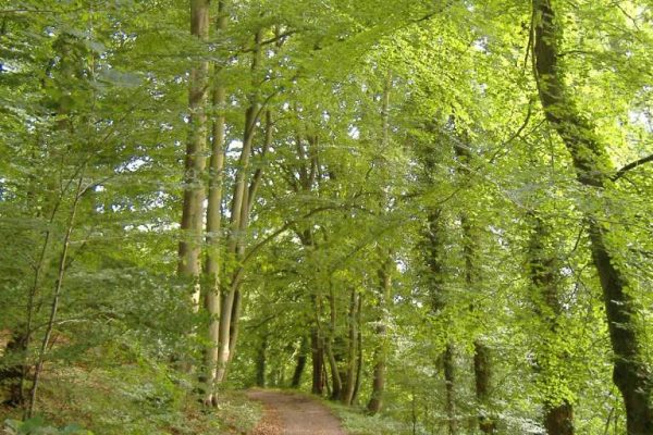
Drivers of Change (reported in 2014)
Climate Change
Potential impacts include:
- Change in woodland composition as a result of hotter, drier summers and new tree diseases, with competition from invasive species and notably loss of beech as a result of dieback due to soil moisture stress and wind blow due to increased storminess (For more information on Natural England’s Character Area Climate Change Project, see (Natural England’s Character Area Climate Change Project) – this has significant implications for the internationally important East Hampshire Hangers SAC in the west.
- Effects of hotter, drier summers on remnant areas of lowland heath, including changes in community composition, with a potential increase in perennial grasses, and birch at the expense of heather, potential reduced growth during summer months, and increased risk of wild fires as a result of increased temperatures.
- There may be a deterioration in wetland habitats due to summer drought, affecting wet woodland, fens, reedbeds, grazing marsh and wet meadows.
- If winters become wetter and summers drier, this could result in flooding and drought, potentially impacting on the flow regimes of the area’s watercourses.
- Effects on orchards, including potential tree or crop loss due to drought stress, waterlogged soils and wind throw.
- Accelerated erosion of coastal cliffs.
- Longer growing seasons and different crop timings could result in the introduction of novel crops with appearance of species and crops adapted to new climatic conditions, with a longer growing season potentially leading to double cropping.
- Flood risk is likely to increase as climate change increases the magnitude and frequency of flood events.
- Pressure upon the water supply due to summer drought exacerbated by increased demand for abstraction.
- Changes in climate may result in species movements including the return of native species, expansion in the range of some species from continental Europe and some northward migration of indigenous species.
Other key drivers
- Development pressures offer a challenge but where permitted it will be important to maximise opportunities for landscape and ecological enhancements through delivery of priority habitats and greenspace. Well planned green infrastructure within and reaching out from urban areas can help mitigate climate change and provide other environmental, economic and societal benefits.
- Increased development may cause associated urban fringe and suburban pressures including recreational activities on sensitive and vulnerable sites and habitats. An integrated approach to recreation management will be required especially to mitigate threats to key biodiversity sites including European sites. In addition, increased pressure for recreational facilities such as golf courses and horse riding centres, while servicing demand may impact on the rural character of the landscape particularly, in the west.
- New housing may place additional demands on water resources of the NCA, particularly the aquifers. If not managed appropriately this could significantly affect the natural springs, wet marshes and heathland habitats with knock on effects for protected sites and species.
- There is likely to be continued demand for sand, sandstone and ragstone, this may result in applications for new quarries. Opportunities for restoration of disused quarries should be sought, to maximise their geological, environmental and amenity potential. There may also be a drive to safeguard the mineral resource of the NCA, protecting supplies for future generations.
- New export markets, changing climate and increased pressure for food production in the future, as a result of a national drive for greater self- sufficiency in food is likely to have an effect on existing agricultural practices and land use.
- A requirement for increasing renewable energy generation could result in pressure for wind farm developments and increased pressure for the growth of biomass crops (Defra’s maps show predominantly high potential miscanthus yields and medium potential SRC yields throughout the area).
- Delivery of flood risk management options as set out in the Rother, Wey, Mole, Arun, Stour and Medway catchment flood management plans should help to reduce flood risk.
- Working at a landscape scale can help to establish a coherent and resilient ecological network, capable of adapting to environmental change and halting losses in biodiversity. Increasing focus on connectivity and resilience is likely to inform landscape scale projects throughout the NCA and could be used to drive improvements in quality and extent of semi-natural habitats.
- There is likely to be sustained pressure from tourism, especially to the protected landscapes of the South Downs National Park, Surrey Hills AONB and Kent Downs AONB. There will need to be a balance between maximising income from tourism and protecting the natural assets of the NCA.
- Future water resource issues are likely to have an impact on the NCA. The Greensand aquifer is an important source of water and is likely to come under increasing pressure. It will be important to work in partnership and across sectors to help safeguard the water resources. Implementation of the Water Framework Directive should improve the ecological status or potential of the NCA’s rivers and quality of groundwater.
- The economics of woodland and heathland management, including the establishment of markets for wood fuel, high quality timber and heathland products is likely to be critical for securing the longer term sustainable management of the woodland and heathland resource.
- The Ministry of Defence are key landowners within the NCA and there may be increasing pressure to make use of the military training estate. This could have implications for habitats, tranquillity and public accessibility.