National Character Area 26
Vale of Pickering - Key Characteristics
-
A low-lying flat or gently undulating vale with land rising gently to the foothills of the North York Moors and Cleveland Hills in the north, and to the steep scarp of the Yorkshire Wolds and the Howardian Hills in the south and west.
-
The Vale opens to the North Sea coast between Osgodby and Filey Bay, the Vale’s coastal edge comprising extensive high cliffs dominated by Jurassic sediments to the north and sand and clay to the south, with chalk cliffs extending southwards towards Flamborough Head.

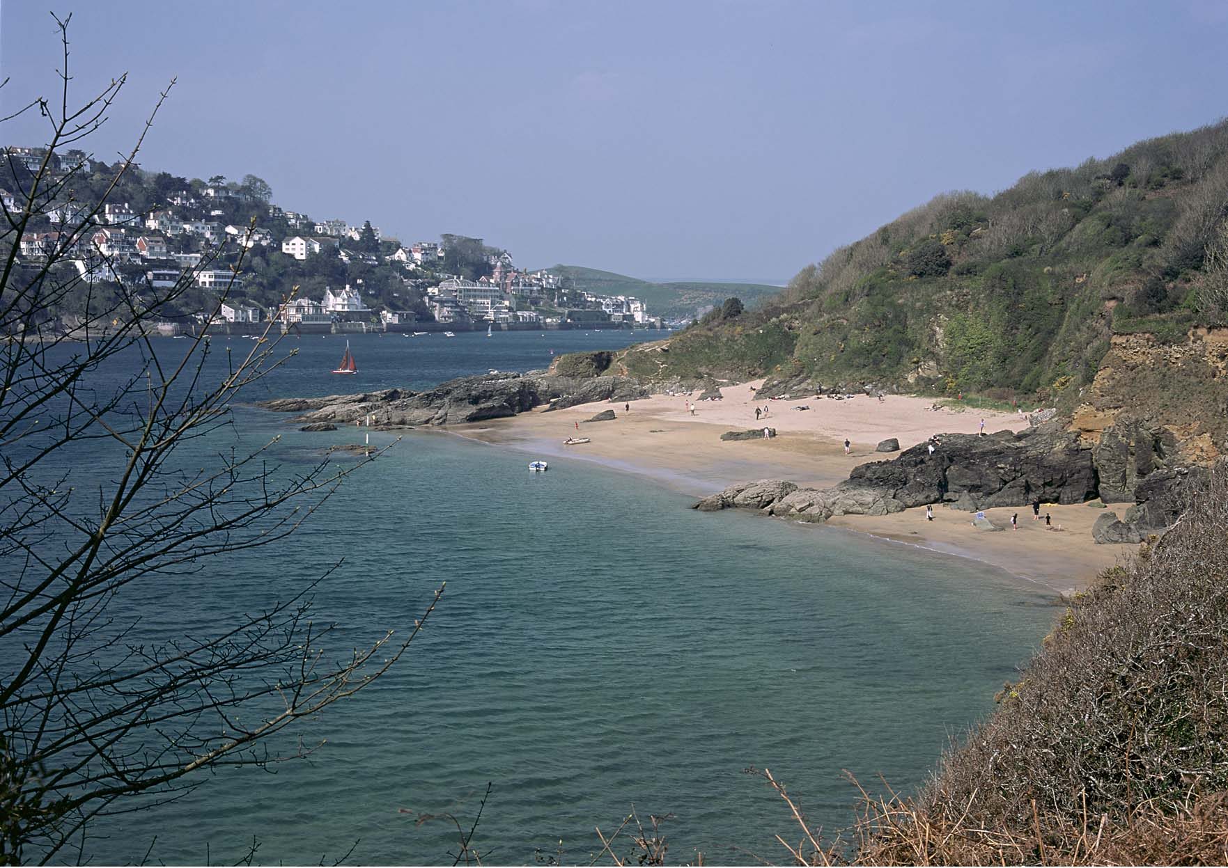
Looking south across Cayton Bay, with its soft cliffs of glacial till, towards the headland of Yons Nab~Nancy Stedman/Natural England -
Glacial and lacustrine deposits from the former Lake Pickering give rise to largely fertile land which has been substantially drained through history for agricultural improvement.
-
The Vale is a largely farmed landscape, predominantly arable and feed grains, with some livestock.
-
Woodland and tree cover is sparse and comprised of predominantly modern plantations with other trees occurring in hedgerows and along riparian fringes, and in small farmstead copses.
-
In the eastern part of the Vale fields are large and geometric in shape with boundaries of low hedges or fences with drainage ditches in the lowest-lying areas. To the west smaller and more irregular fields are generally earlier in date, with more grassland, and often enclosed by full hedges with hedgerow trees.
-
Despite the small extent of semi-natural habitat within the Vale, this arable landscape supports a number of priority wetland and farmland bird species, and has areas of valuable flood plain grazing marsh. At the coast, the chalk cliffs support important calcareous grassland habitat.
-
The western part of the Vale is drained by the River Rye and its tributaries, and the eastern end by the River Derwent. Glacial deposits dammed the Derwent’s natural outflow into the North Sea near Scarborough, resulting in the proglacial Lake Pickering which eventually outflowed at Kirkham Gorge, diverting the River Derwent inland west and south, where it meets the Rye at Malton and flows southwards out of the Vale. The River Derwent has been designated as being of European importance as a Special Area of Conservation.
-
The Vale of Pickering contains an unbroken and exceptionally well preserved record of human occupation going back 11,000 years, including early evidence from the Mesolithic period at the important archaeological site of Star Carr and very high potential for further sites and finds in waterlogged deposits and areas covered by blown sand.
-
Architecturally important churches and other upstanding structures (castles and monastic buildings) indicate human activity from the Anglo-Saxon period onwards.
-
Settlement pattern of medieval nucleated settlement following spring lines, transport routes and slightly elevated ground, along the A170 on the northern boundary of the Vale and similarly along the A64 in the south and B1257 in the west. In the centre of the Vale settlements are more dispersed and tend to be on slightly higher ground, many being established after the enclosure and drainage of the land. To the west are concentrated remnants of earlier medieval villages, moated sites and grange farms.
-
The A64 along the southern boundary of the Vale is a major route from Leeds and the other communities of West Yorkshire through York to the coast at Scarborough and Filey. During the summer months and on fine days throughout the year it is used extensively by visitors to the coast. This is also an important road freight corridor for minerals and agricultural produce.
Relationship with the coast
The adjacent coastline is covered by the following Shoreline Management Plans:
- Northumberland and North Tyneside: River Tyne to Flamborough Head
The adjacent coastline includes the following Marine Plan – Marine Character Areas (MCAs):
- North Yorkshire Coastal Waters
Northumberland and North Tyneside: River Tyne to Flamborough Head Shoreline Management Plan
Shoreline Management Plans are developed by Coastal Groups with members mainly from local authorities and the Environment Agency. They identify the most sustainable approach to managing the flood and coastal erosion risks to the coastline in the short, medium and long term. This could inform actions within the NCA.

Description for the North Yorkshire Coastal Waters Marine Character Area
Seascape Character Assessments have been produced for all marine plan areas in England, extending along the coast to the High Water Mark. Information in the Seascape Character Assessments could inform actions along the coastline of the NCA.