

National Character Area 149
The Culm - Key Characteristics
-
Rolling, open plateaux – in places steeply undulating – with many small but deep valleys, fast-flowing rivers and streams that drain the area (principally to the west and south), and wide views across a remote landscape.
-
A consistent geology, underlain by the dramatically folded mudstones and sandstones of the Culm Group. Distinctive geological features such as the Sticklepath Fault and expressions of Variscan deformation.
-
Heavy, poorly-drained soil, which supports a pastoral landscape of low agricultural quality but high nature conservation interest.
-
Contrasting enclosed, wooded valleys of the Taw and Torridge, cutting through the ridges with open valley floors. Roads, railways and bridges provide communication along these valleys.
-
Distinctive Culm grassland, or Rhôs pasture, containing uncommon plant communities, including purple moor grass, rush pasture, wet heath, mires and fens.
-
Little tree cover on the plateau, except for occasional wind-sculpted hedgerow and farmstead trees, and conifer blocks. Woodland is more frequent in the shelter of valleys and combes running to the sea, and where associated with estates.
-
Mosaic of field patterns reflecting the historic land use of the Culm, surrounded by characteristic hedgebanks.
-
Scattered hamlets and farms in cob and whitewashed stone, connected by winding, sunken lanes.
-
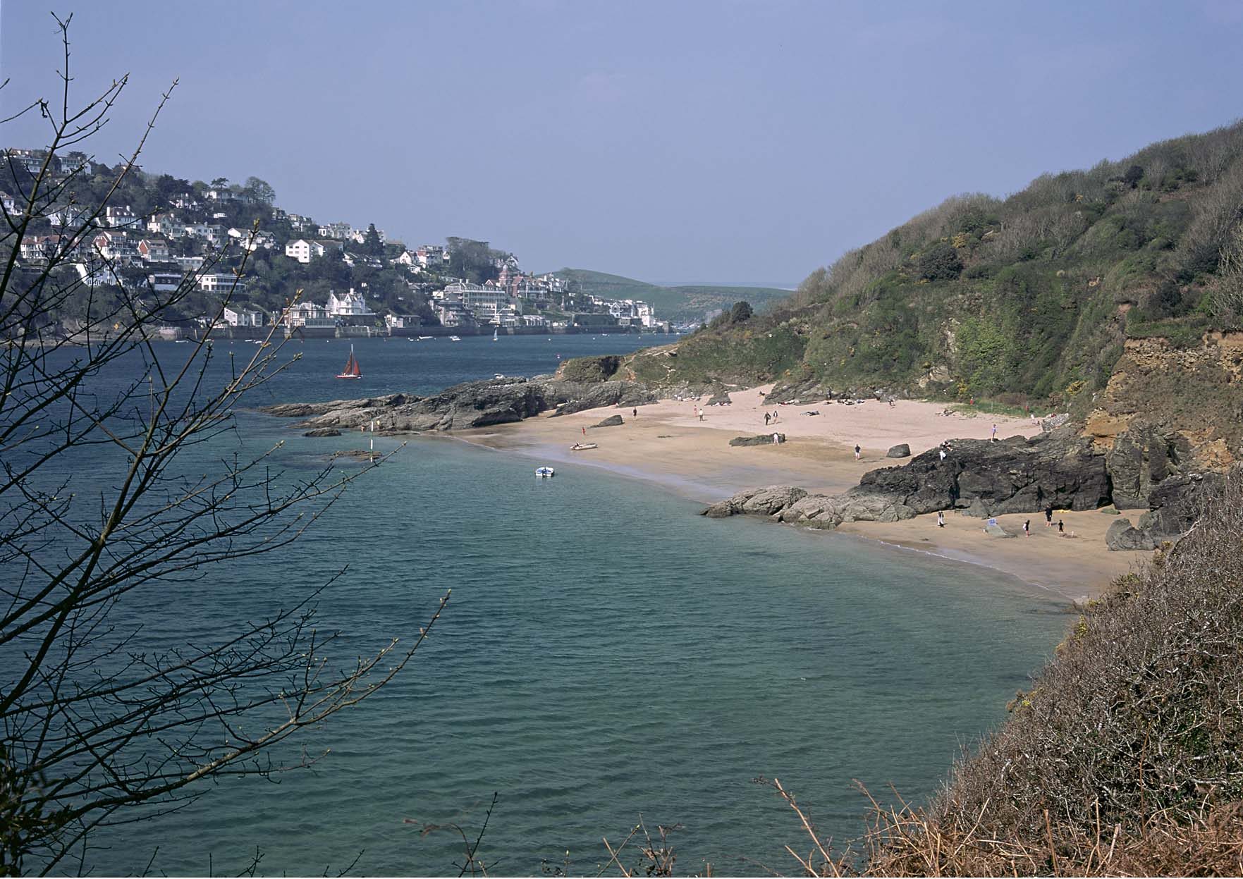
Spectacular coastline of high cliffs and estuarine features, nationally important geological features and narrow wooded combes, with occasional fishing villages (such as Clovelly) in sheltered coves.
Relationship with the coast
The adjacent coastline is covered by the following Shoreline Management Plans:
- Rame Head to Hartland Point
- Hartland Point to Anchor Head
The adjacent coastline includes the following Marine Plan – Marine Character Areas (MCAs):
- Bideford Bay and Taw-Torridge Estuary
- Hartland Point to Port Isaac Bay
Rame Head to Hartland Point Shoreline Management Plan
Shoreline Management Plans are developed by Coastal Groups with members mainly from local authorities and the Environment Agency. They identify the most sustainable approach to managing the flood and coastal erosion risks to the coastline in the short, medium and long term. This could inform actions within the NCA.

Hartland Point to Anchor Head Shoreline Management Plan
Shoreline Management Plans are developed by Coastal Groups with members mainly from local authorities and the Environment Agency. They identify the most sustainable approach to managing the flood and coastal erosion risks to the coastline in the short, medium and long term. This could inform actions within the NCA.
Description for the Bideford Bay and Taw-Torridge Estuary Marine Character Area
Seascape Character Assessments have been produced for all marine plan areas in England, extending along the coast to the High Water Mark. Information in the Seascape Character Assessments could inform actions along the coastline of the NCA.
Description for the Hartland Point to Port Isaac Bay Marine Character Area
Seascape Character Assessments have been produced for all marine plan areas in England, extending along the coast to the High Water Mark. Information in the Seascape Character Assessments could inform actions along the coastline of the NCA.