

National Character Area 125
South Downs - Key Characteristics
-
A broad elevated east-west chalk ridge with a predominantly steep northfacing scarp slope and a gentle southerly dip slope, breaking into a series of hills in the west and terminating in distinctive chalk cliffs in the east.
-
Cliffs between Beachy Head and Seaford Head are part of a Geological Conservation Review (GCR) site of international importance for its landscape and for research into coastal geomorphology.
-
The principal rivers – the Arun, Adur, Cuckmere and Ouse – slice through the eastern half of the downs as wide U-shaped valleys with steep sides and flat alluvial flood plains with intensive dairying and crops, and characterised by criss-crossing ditches and meandering river channels. The meanders of the River Cuckmere by Seven Sisters chalk cliffs are particularly significant. Remnant wetland habitats including flood plain grazing marsh, fens and reed beds.
-
Chalk streams running off both the north- and south-facing scarp slopes providing a key habitat for the scarp and the flood plain landscape, supporting species such as the brown trout.
-
Woodland a feature of the central downs and, to a lesser extent, the western downs, also concentrated on the steep scarp slopes, consisting of both broadleaved, mostly ancient, woodland with beech, veteran trees, ash and sycamore, and conifers, with some large plantations. Kingley Vale National Nature Reserve (NNR) contains a wealth of yew woodland.
-
Several different types of heathland habitat, including wet heath, wooded heath and chalk heath dependent on loess soils. Lullington Heath NNR near Eastbourne is one of the largest areas of chalk heath in the UK.
-
The eastern downs characterised by large open arable and grassland fields, mostly enclosed by the 16th century, with a general absence of woodland and hedgerow boundaries, creating an open, exposed landscape. To the west of the River Arun, where holdings were smaller and ‘sheep-and-corn’ farming less important, hedgerows enclose medium to large irregular fields between the woodlands and designed parkland landscapes, the latter a particular feature of the central areas.
-
Poor soils on the north-west area of the downs with patches of birch woodland, conifer plantation, bracken and rough grassland. The Gault Clay forms shallow, gently rolling lowland crossed by many streams flowing northwards. On the chalk hills, the infertile soils are generally thin, well drained and rich in calcium.
-
Distinctive fragments of semi-natural chalk grassland dotted with chalk springs on scarp and combe slopes, with important associated habitats including rare chalk heath and species-rich chalk scrub.
-
A vast array of wildlife such as otters and barn owls; lesser known species such as the barbastelle bat, the chalk carpet moth, sundews (carnivorous plants) and the round-headed rampion, the county flower of Sussex; threatened species include the bee orchid, small blue butterfly and nightjar.
-
Roads and villages concentrated in the river valleys, the more elevated areas sparsely settled with scattered farmsteads. The eastern end of the Downs is squeezed against the coastal plain conurbations of Brighton and Hove, and Worthing, which contain a wealth of architecture and give the area a strong sense of identity. There is also an almost continuous string of seaside towns: Rottingdean, Saltdean, Peacehaven, Newhaven and Seaford.
-
Flint, brick and timber frame conspicuous in the built environment in walls, buildings, churches and barns, while roofs are of tile, slate or traditional thatch. The South Downs was once lined with windmills, some of which survive.
-
Bronze-age round barrows and prominently sited iron-age hill forts, such as Cissbury Ring and Old Winchester Hill, are notable prehistoric features of the scarp and hill tops, especially in the west, as well as Mount Caburn in the east, and further bronze-age barrows and a causewayed camp at Willingdon (most of which are designated as Scheduled Ancient Monuments).
-
The Long Man of Wilmington – a large hill figure located on the steep slopes near Eastbourne. One of only two extant human hill figures in England, it is 69 metres tall and is designated as a Scheduled Ancient Monument. Current archaeological research suggests that it dates from the 16th or 17th century. Others believe it to be more ancient, perhaps contemporary with the nearby Neolithic flint mines and barrows, or the work of medieval monks from Wilmington Priory.
-
Public rights of way following drove roads and ancient routes along the accessible downland tops, benefiting from panoramic views across the downs and the Low Weald NCA. Roads and lanes striking across the downs perpendicularly and following historic tracks that originally brought livestock to their summer grazing.
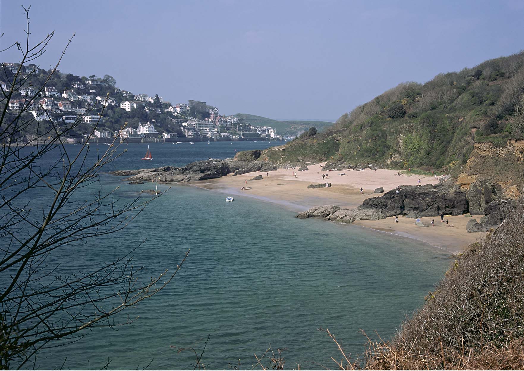
Relationship with the coast
The adjacent coastline is covered by the following Shoreline Management Plans:
- South Foreland to Beachy Head
- Beachy Head to Selsey Bill
The adjacent coastline includes the following Marine Plan – Marine Character Areas (MCAs):
- Selsey Bill to Seaford Head
- South Downs Maritime
- Eastbourne, Pevensey and Rye Bays Marine Plan
South Foreland to Beachy Head Shoreline Management Plan
Shoreline Management Plans are developed by Coastal Groups with members mainly from local authorities and the Environment Agency. They identify the most sustainable approach to managing the flood and coastal erosion risks to the coastline in the short, medium and long term. This could inform actions within the NCA.

Beachy Head to Selsey Bill Shoreline Management Plan
Shoreline Management Plans are developed by Coastal Groups with members mainly from local authorities and the Environment Agency. They identify the most sustainable approach to managing the flood and coastal erosion risks to the coastline in the short, medium and long term. This could inform actions within the NCA.
Description for the Selsey Bill to Seaford Head Marine Character Area
Seascape Character Assessments have been produced for all marine plan areas in England, extending along the coast to the High Water Mark. Information in the Seascape Character Assessments could inform actions along the coastline of the NCA.
Description for the South Downs Maritime Marine Character Area
Seascape Character Assessments have been produced for all marine plan areas in England, extending along the coast to the High Water Mark. Information in the Seascape Character Assessments could inform actions along the coastline of the NCA.
Description for the Eastbourne, Pevensey and Rye Bays Marine Character Area
Seascape Character Assessments have been produced for all marine plan areas in England, extending along the coast to the High Water Mark. Information in the Seascape Character Assessments could inform actions along the coastline of the NCA.