

National Character Area 151
South Devon - Key Characteristics
-
Rounded hills, without strong patterns, separated by steep, intricate wooded valleys with fast flowing rivers.
-
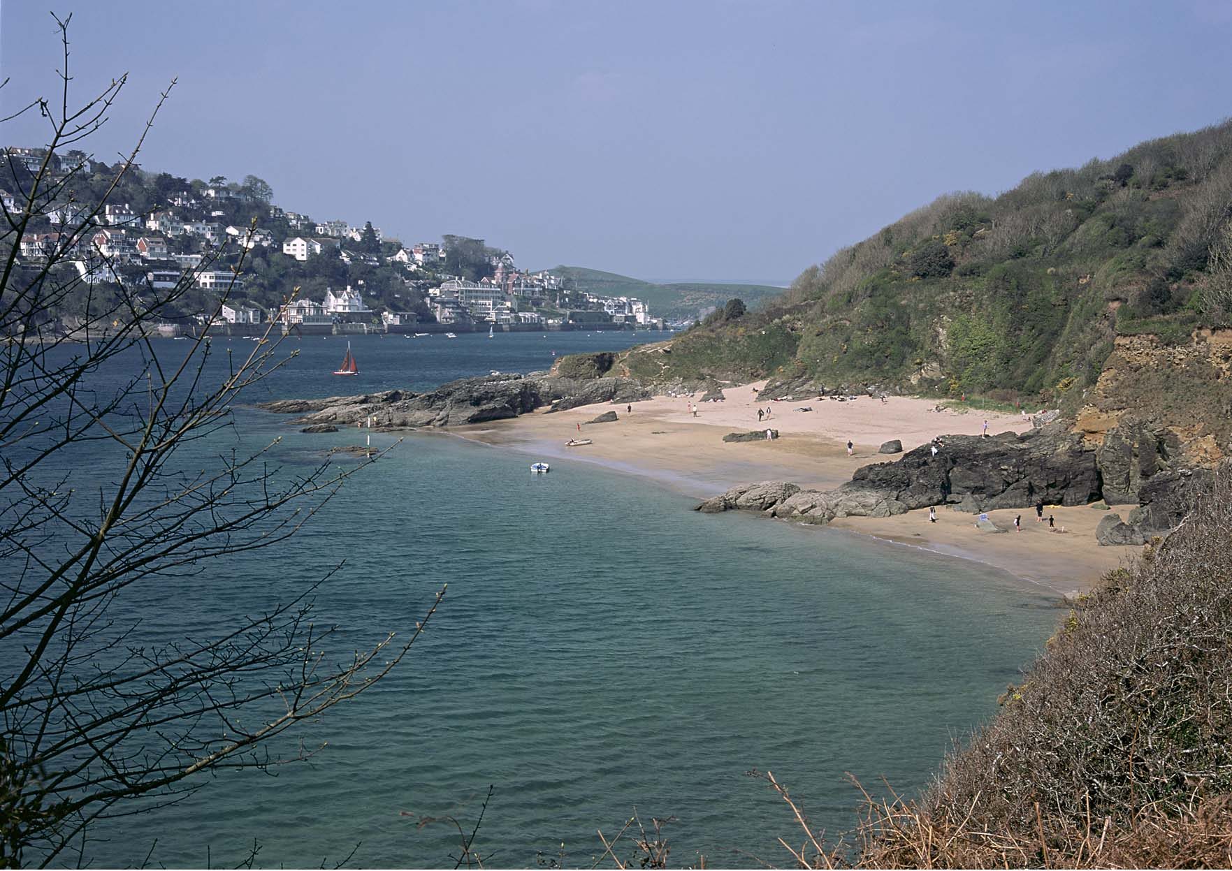
Diverse and complex coastline, often reaching deep inland along rias and estuaries. Distinctive cliff formations with raised beaches and caves. The classic landform of Slapton shingle ridge and lagoon, which supports many internationally important bird species and rare plant communities.
-
Rias, or drowned river valleys, with large expanses of tidal water and mudflats extending far inland. The rias are often steep-sided, with broadleaved woodland down to the tidal edge.
-
Arable and pasture fields, with larger fields on the higher flatter land and a more intact, smaller irregular field pattern on the valley flanks. When ploughed the characteristic red soils add to the pattern of the landscape.
-
Wildflower rich, often treeless, hedgebanks providing field boundaries and borders to the typical narrow sunken lanes linking scattered farmsteads and hamlets.
-
Villages and towns generally in sheltered valley locations or at the heads of rias, with the larger urban settlements located at either end of the coastal stretch. Rural buildings of local stone and slate, with some cob and thatch.
-
Industrial heritage of the mineral mining in the Tamar Valley, with mine chimneys, quarries and mining settlements. Distinctive landscape of ball clay extraction in the Bovey Basin.
Relationship with the coast
The adjacent coastline is covered by the following Shoreline Management Plans:
- Durlston Head to Rame Head
The adjacent coastline includes the following Marine Plan – Marine Character Areas (MCAs):
- Rame Head and Eddystone Rocks to Start Point
- Lyme Bay (West)
Durlston Head to Rame Head Shoreline Management Plan
Shoreline Management Plans are developed by Coastal Groups with members mainly from local authorities and the Environment Agency. They identify the most sustainable approach to managing the flood and coastal erosion risks to the coastline in the short, medium and long term. This could inform actions within the NCA.

Description for the Rame Head and Eddystone Rocks to Start Point Marine Character Area
Seascape Character Assessments have been produced for all marine plan areas in England, extending along the coast to the High Water Mark. Information in the Seascape Character Assessments could inform actions along the coastline of the NCA.
Description for the Lyme Bay (West) Marine Character Area
Seascape Character Assessments have been produced for all marine plan areas in England, extending along the coast to the High Water Mark. Information in the Seascape Character Assessments could inform actions along the coastline of the NCA.