National Character Area 135
Dorset Heaths - Key Characteristics
-
The landscape is predominantly of low relief. In places erosion has left incised but shallow valleys, now dry or holding small watercourses, sometimes with associated mires.
-
There are large tracts of gently undulating, less-fertile marginal land dominated by conifer plantations or by heathlands of international importance (Special Protection Area (SPA), Special Area of Conservation (SAC) and Ramsar site) for populations of nightjar, woodlark, Dartford warbler, sand lizard, smooth snake and Dorset heath, as well as a rich assemblage of heathland and mire invertebrates and lower plants.
-
Soils are predominantly sandy, susceptible to erosion and relatively unproductive. Agriculture is generally pasture, with fields bounded by hedgerows or fences. There is some arable cropping, especially maize.
-
The soils of the London and Reading Beds that fringe the NCA and of the river valleys are naturally more fertile, and in the Frome Valley salad vegetables are grown.
-
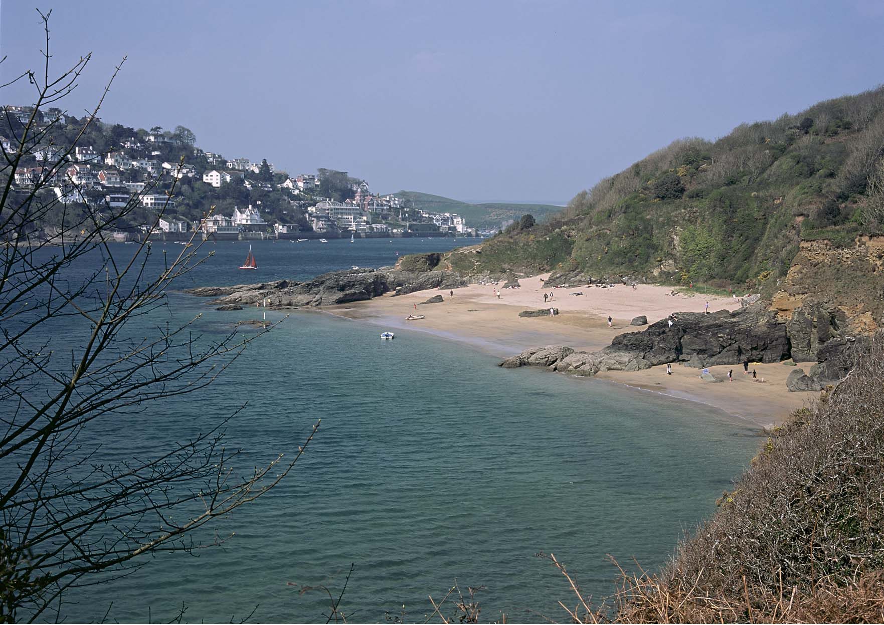
The principal rivers arrive from the west or north to two important natural micro-tidal estuaries at Poole and Christchurch harbours. The tops of the low cliffs of the coast that connect the harbours are mostly developed. Either side of Poole Harbour entrance are wide sandy beaches, though on the north (Poole) side these are more engineered with defences.
-
Poole Harbour (SPA and Ramsar site) is internationally important for wildfowl, hosting impressive displays of species such as black-tailed godwit, avocet and shelduck.
-
There are small areas of wet woodland and ancient semi-natural woodland, including in a band right around the heaths on the London and Reading Beds. Some of these have had the broadleaved trees replaced with conifer, but important examples remain at Bloxworth, Oakers Wood, near Edmonsham, at Holt Forest as wood pasture and at Creech where the veteran trees support an important lichen population. Around half of the present tree cover is conifer plantation.
-
A major conurbation (Poole–Bournemouth–Christchurch) has developed between and partially around the two harbours. Despite the setting of the surrounding countryside, access to greenspace for residents without their own transport can be limited.
-
Settlement is mostly sparse, with historic settlements generally associated with the rivers or harbourside. The conurbation dominates as a population centre, and the adjacent villages and towns have expanded and merged under its influence.
-
The main road and rail links run north-east–south-west from Southampton to the conurbation and then turn west (as the A35) towards Dorchester.
-
The older buildings in the villages and hamlets tend to be of cob construction under thatch (or originally turf) roofs.
-
The area hosts two significant military training areas.
-
The underlying mineral resources have been, and are still being, extensively exploited, leaving a post-industrial landscape in places.
-
The heathlands can provide a real sense of remoteness combined with bleakness or tranquillity, depending on the weather.
Relationship with the coast
The adjacent coastline is covered by the following Shoreline Management Plans:
- Hurst Spit to Durlston Head
The adjacent coastline includes the following Marine Plan – Marine Character Areas (MCAs):
- Poole and Christchurch Bays
Hurst Spit to Durlston Head Shoreline Management Plan
Shoreline Management Plans are developed by Coastal Groups with members mainly from local authorities and the Environment Agency. They identify the most sustainable approach to managing the flood and coastal erosion risks to the coastline in the short, medium and long term. This could inform actions within the NCA.

Description for the Poole and Christchurch Bays Marine Character Area
Seascape Character Assessments have been produced for all marine plan areas in England, extending along the coast to the High Water Mark. Information in the Seascape Character Assessments could inform actions along the coastline of the NCA.